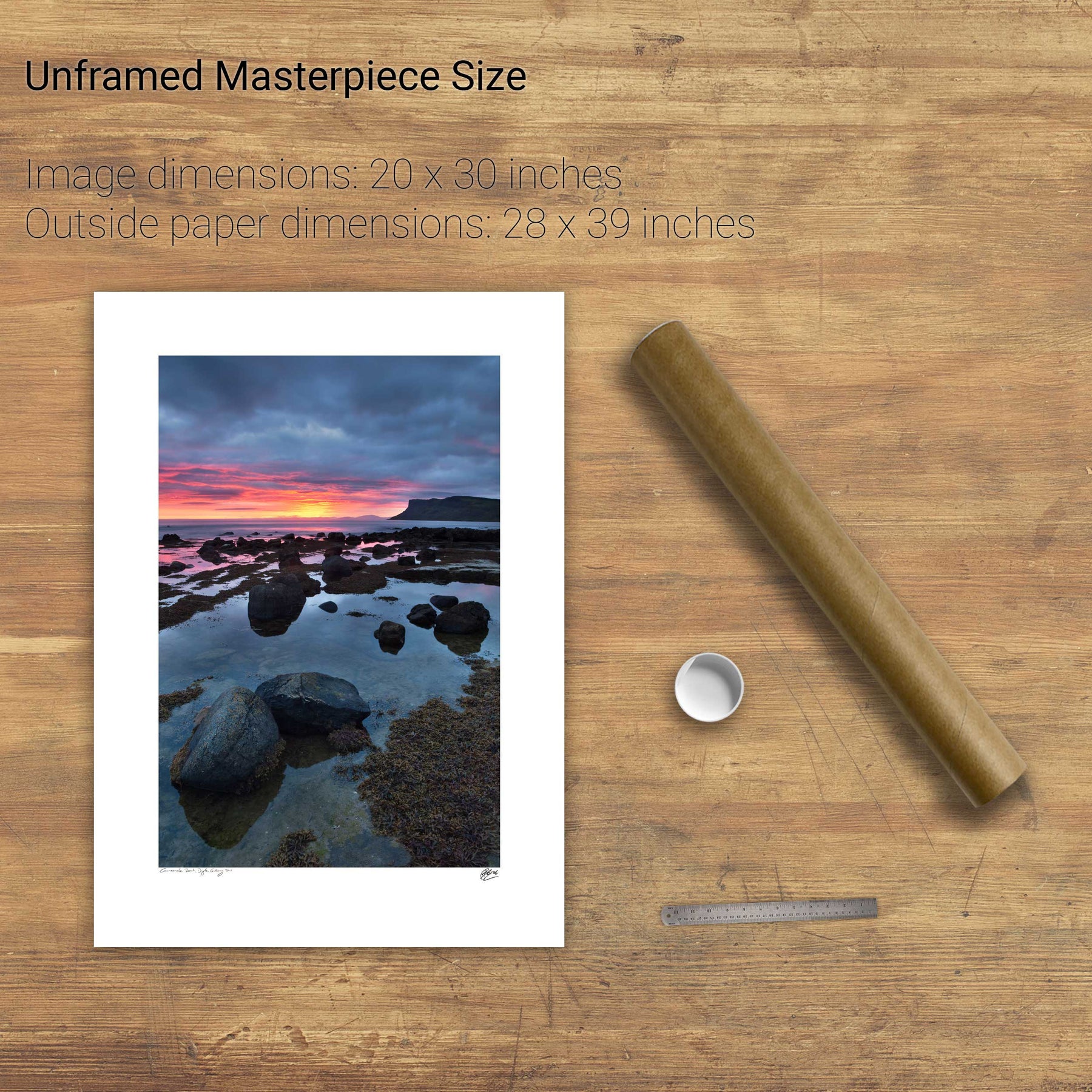
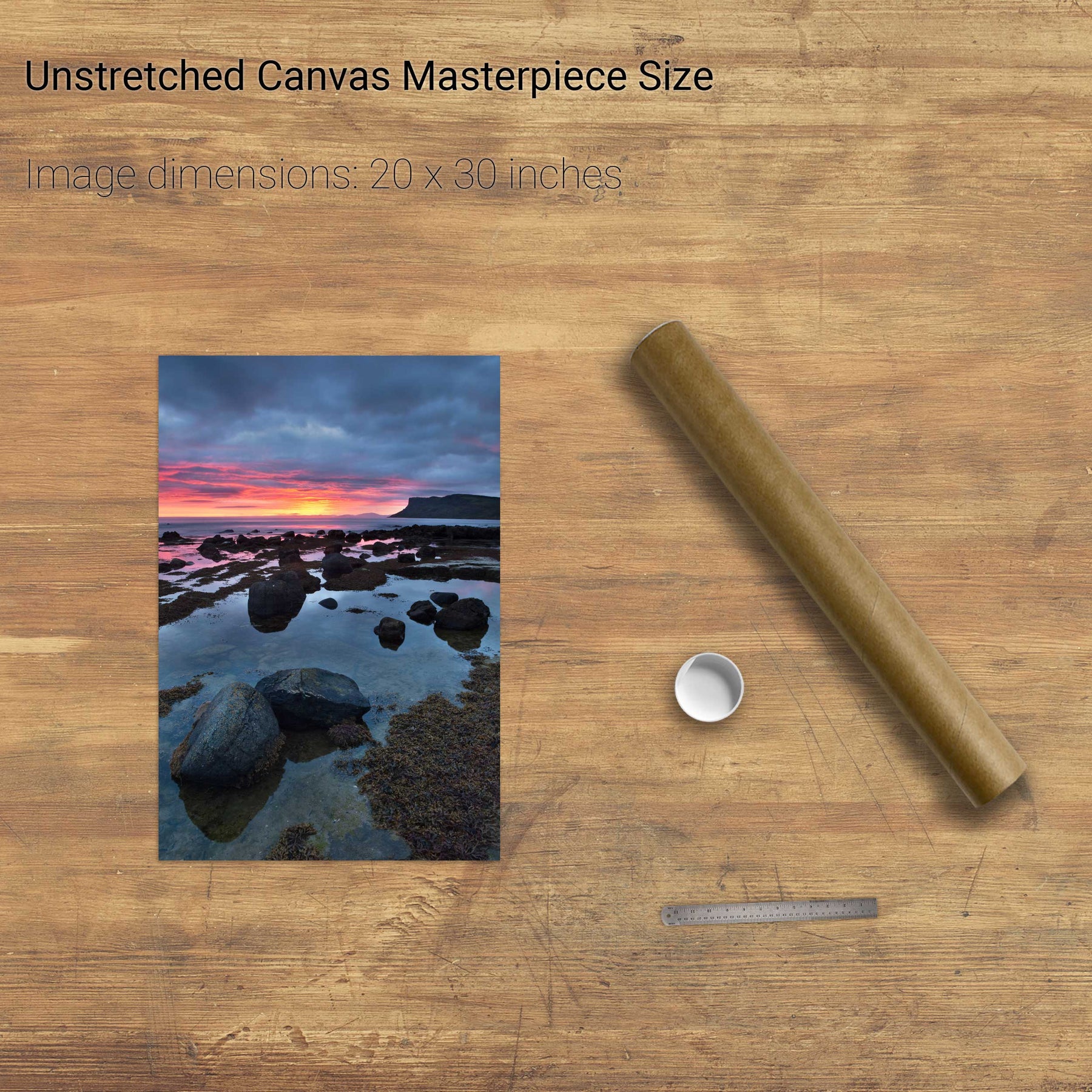
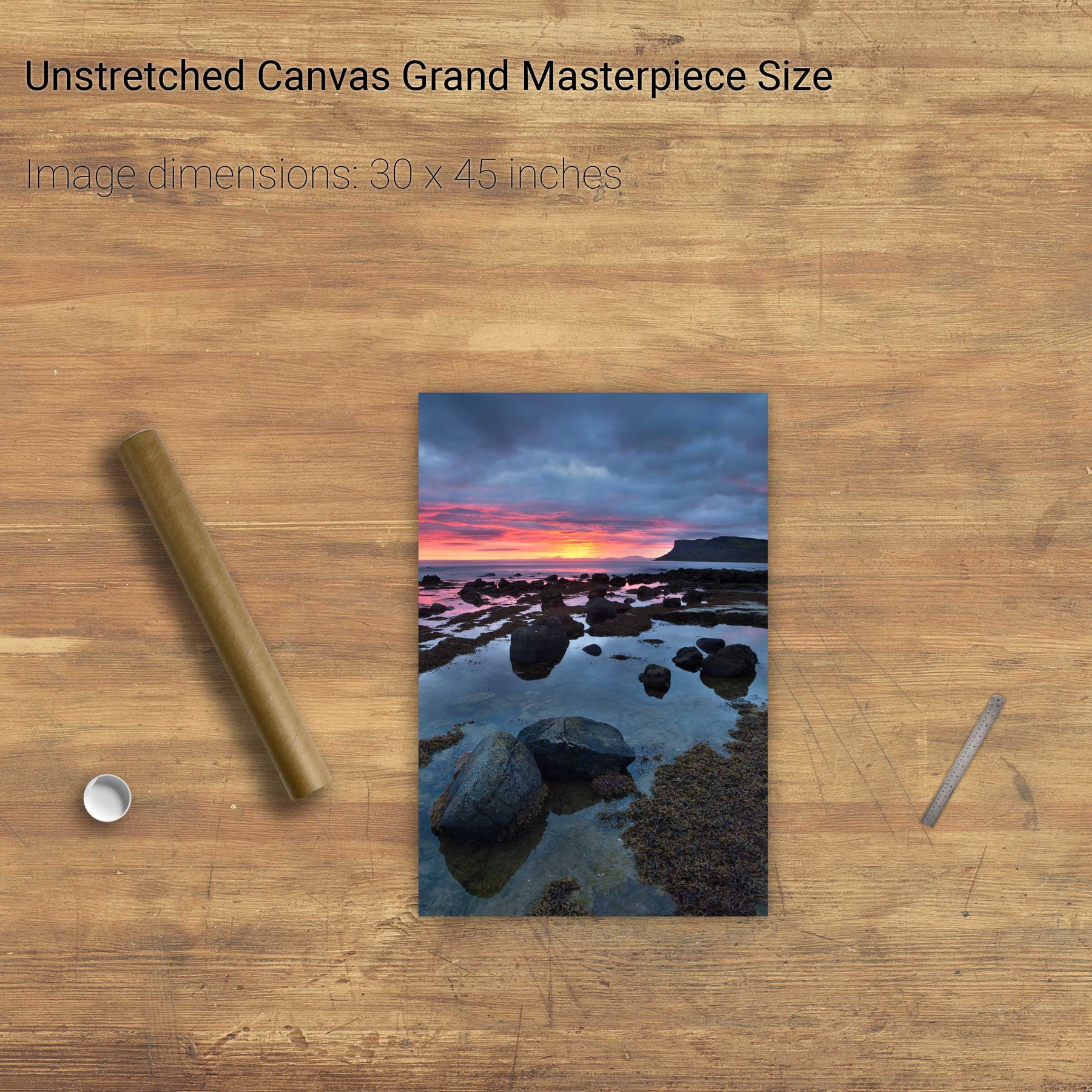
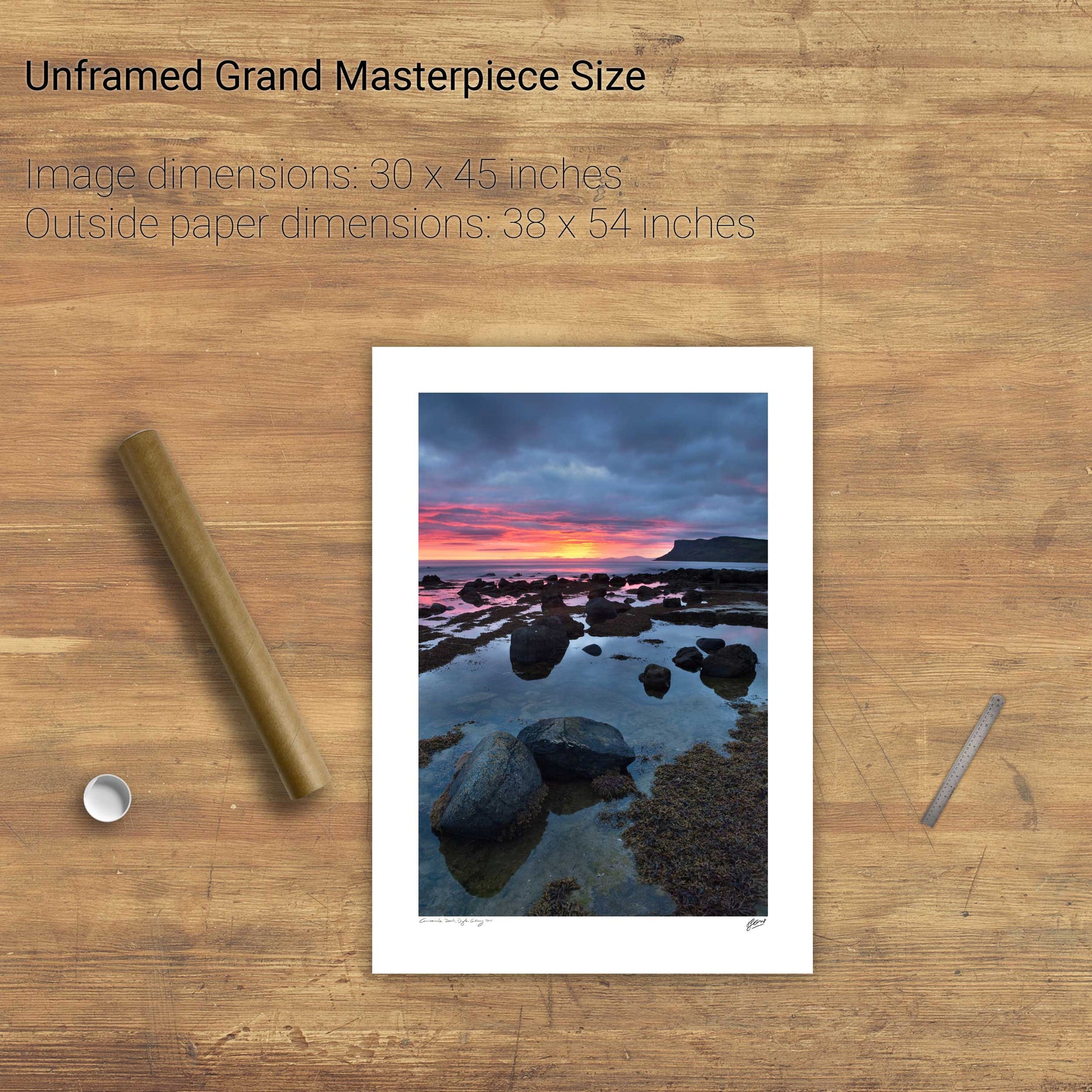
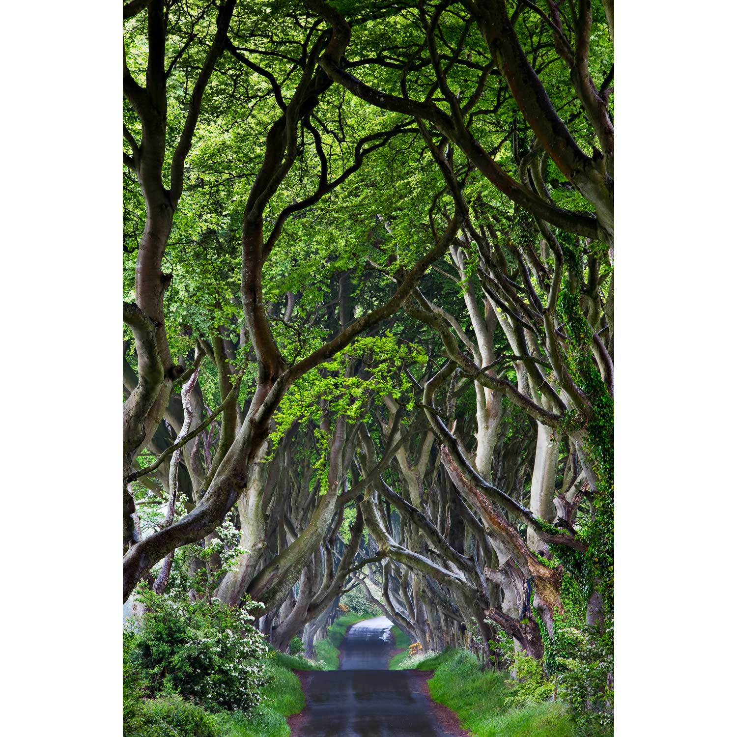
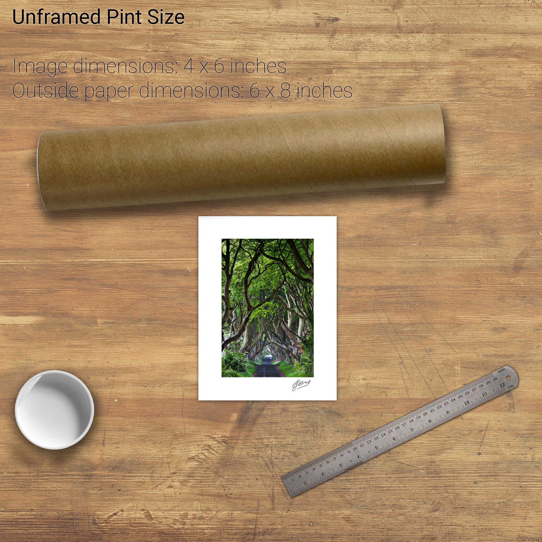
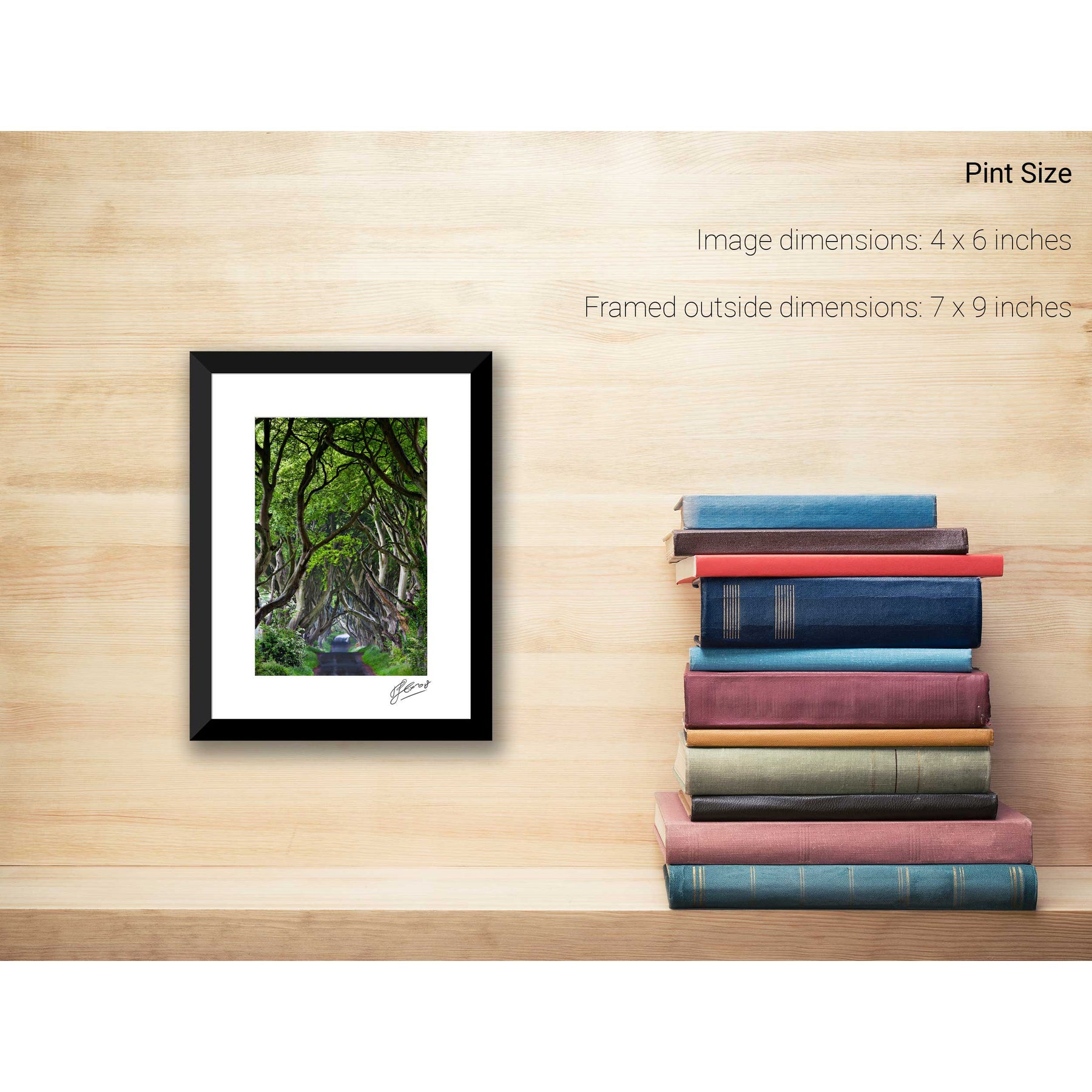
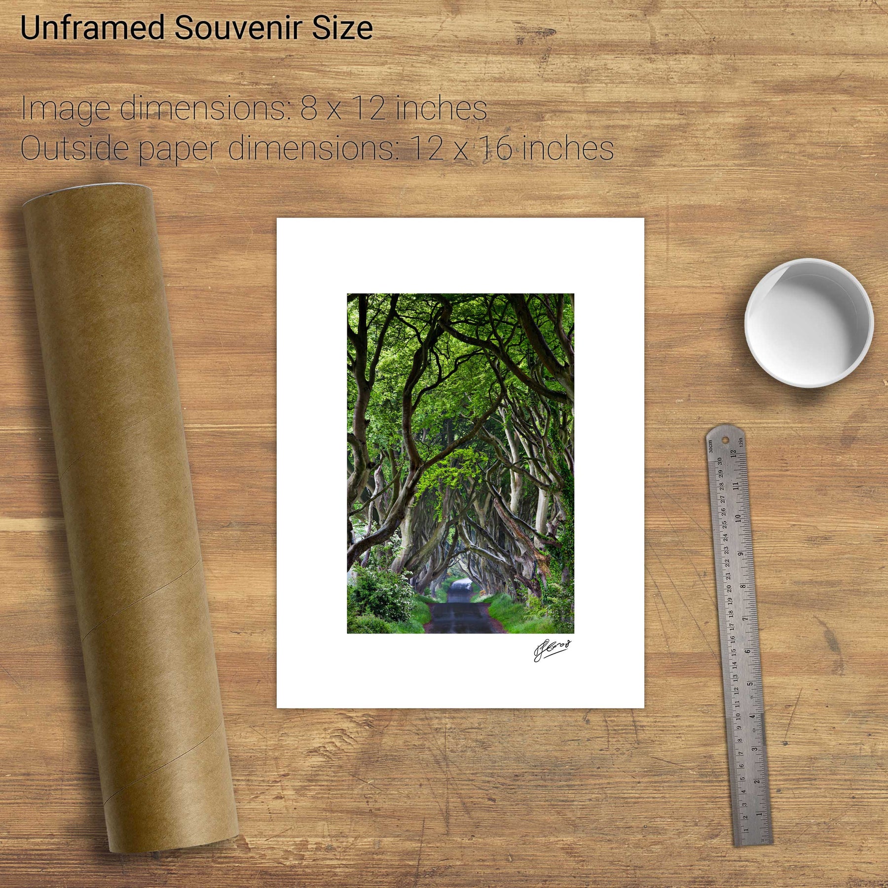
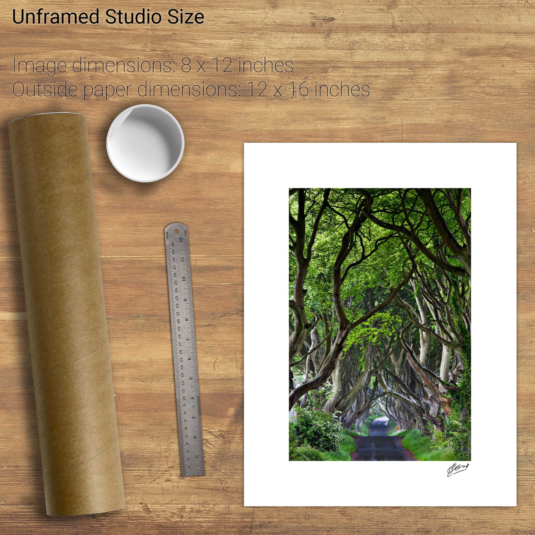
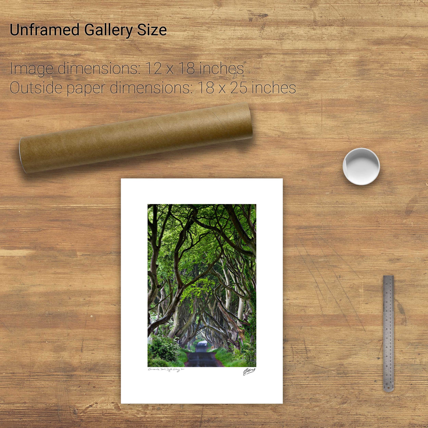
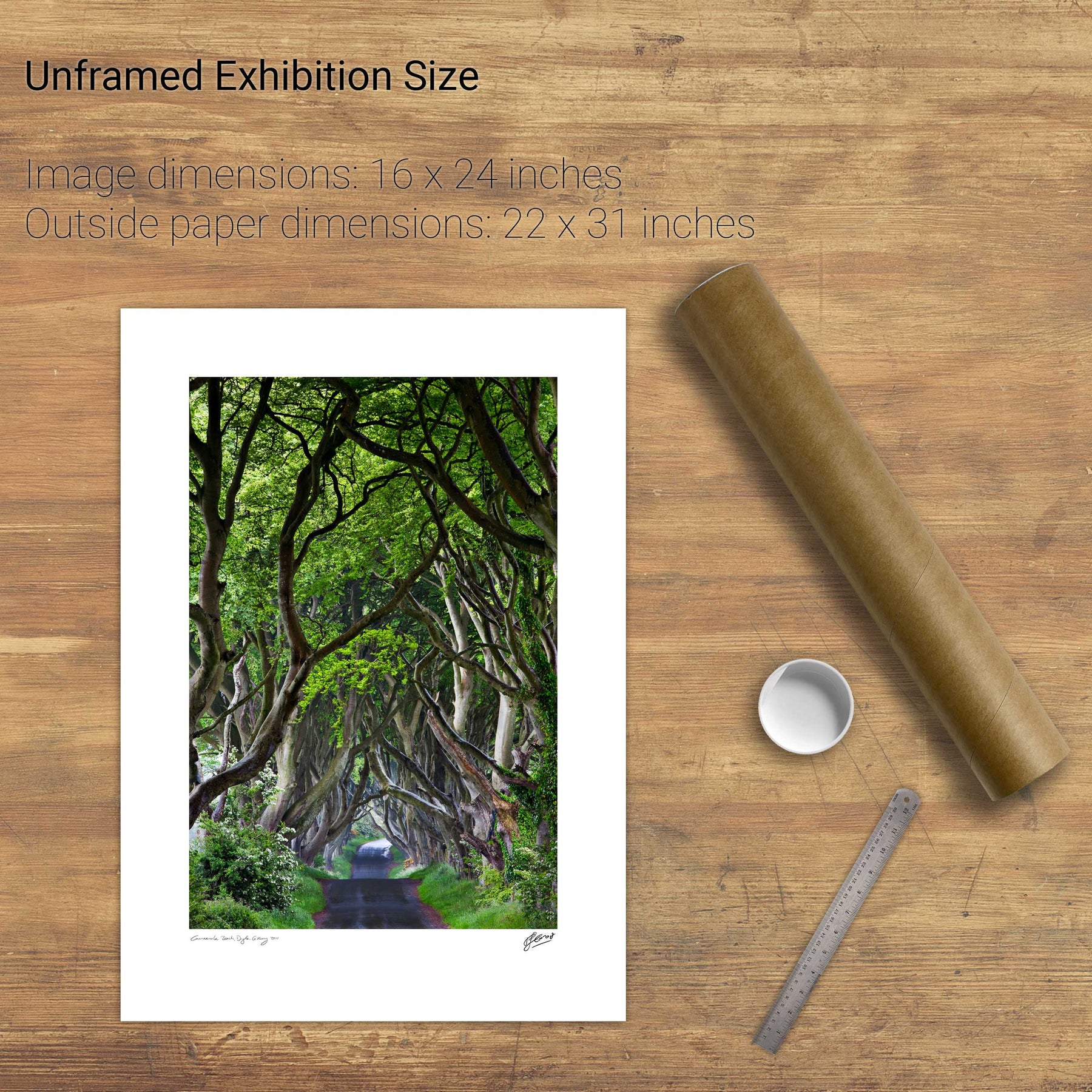
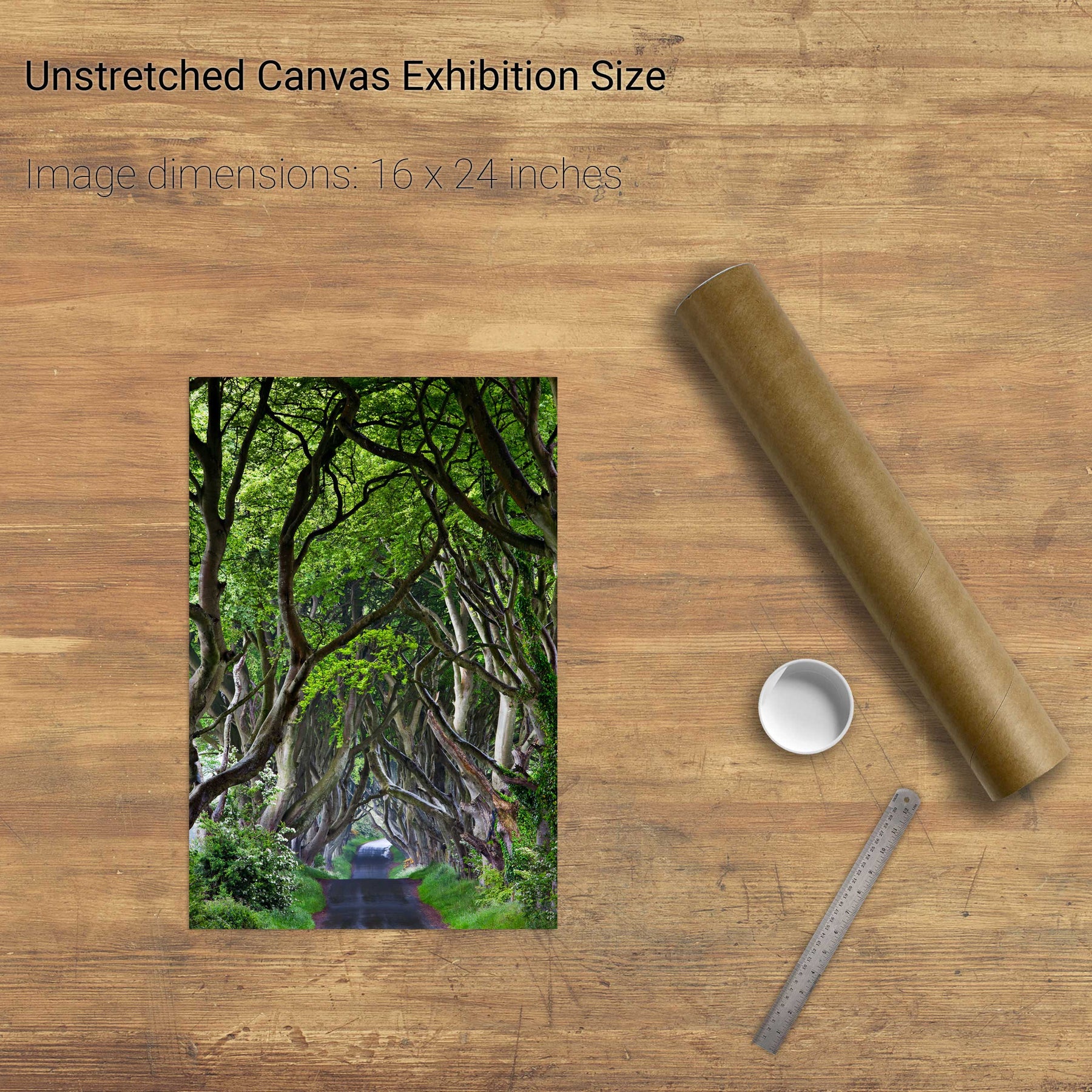
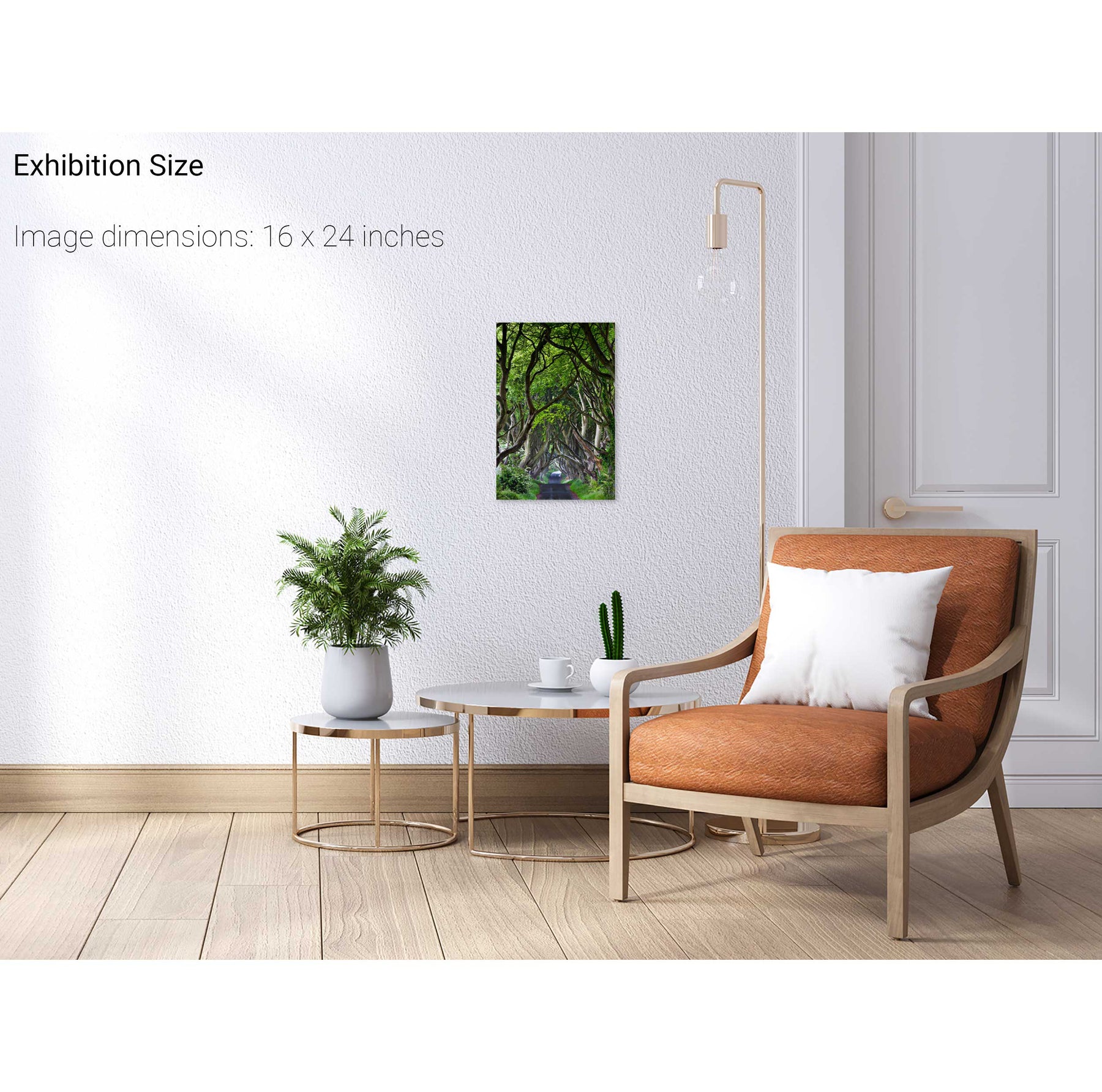
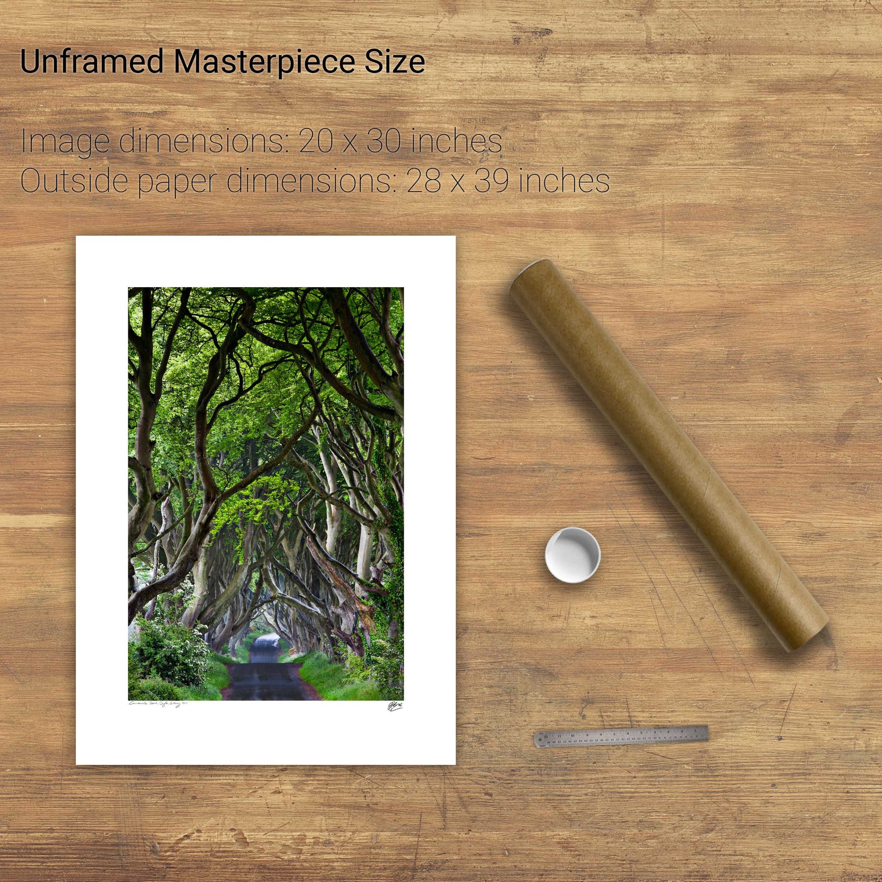
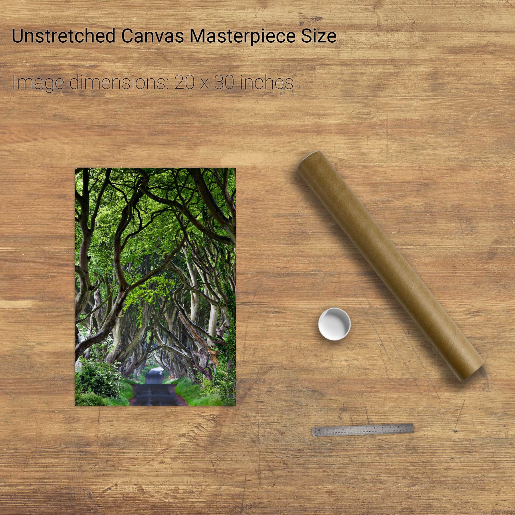
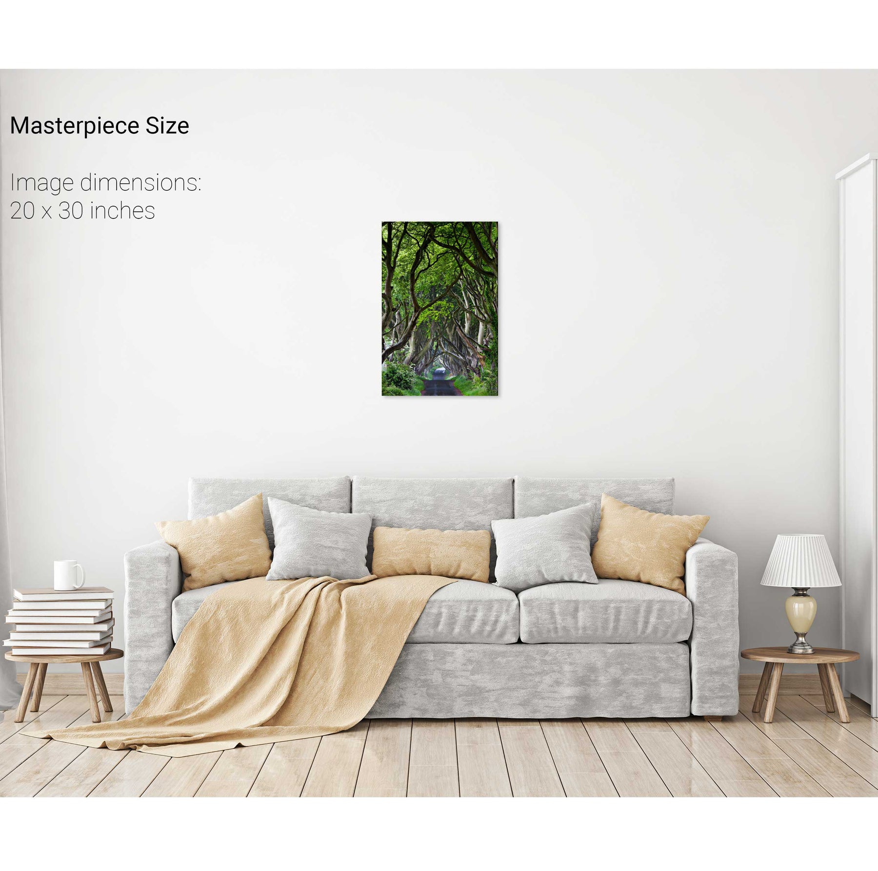
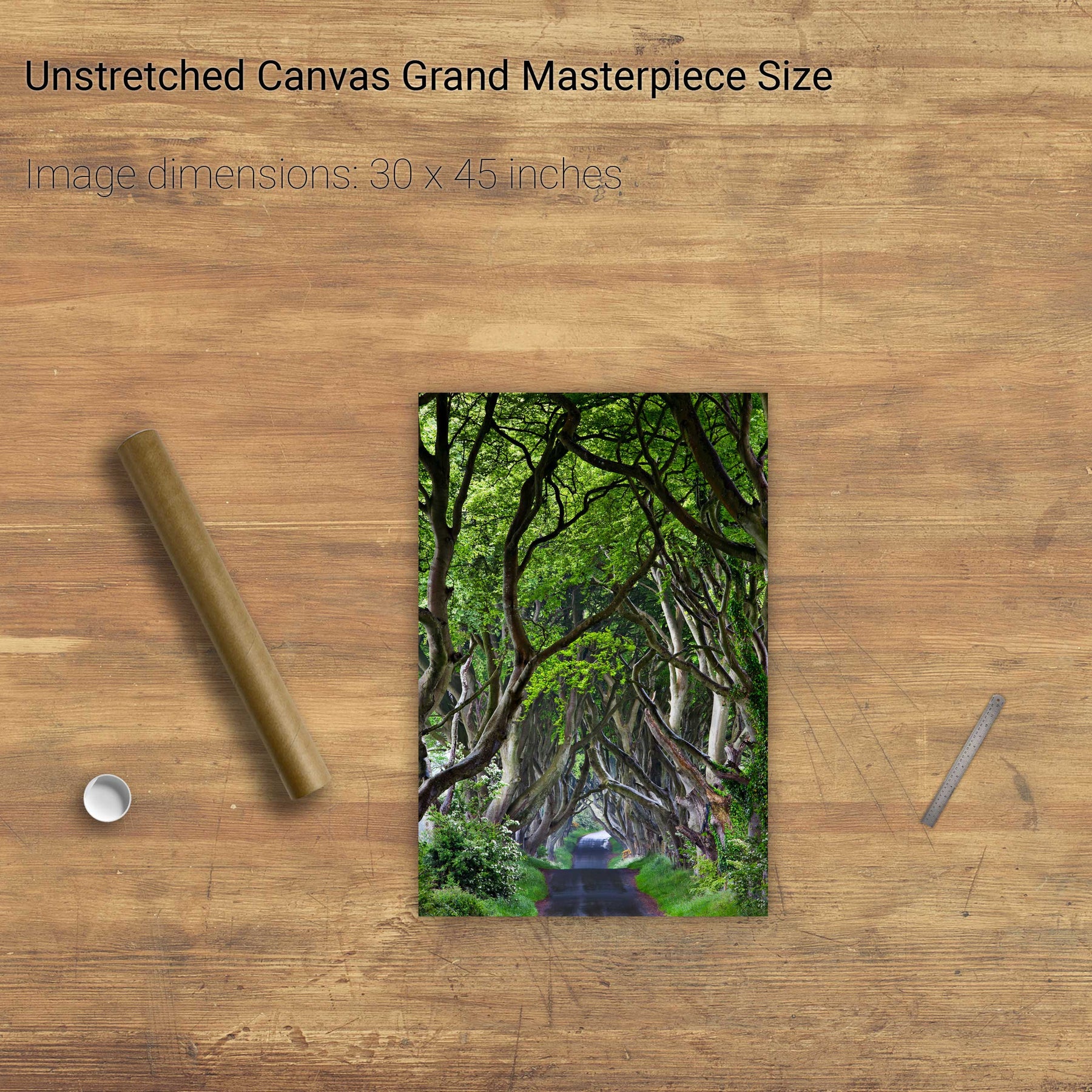
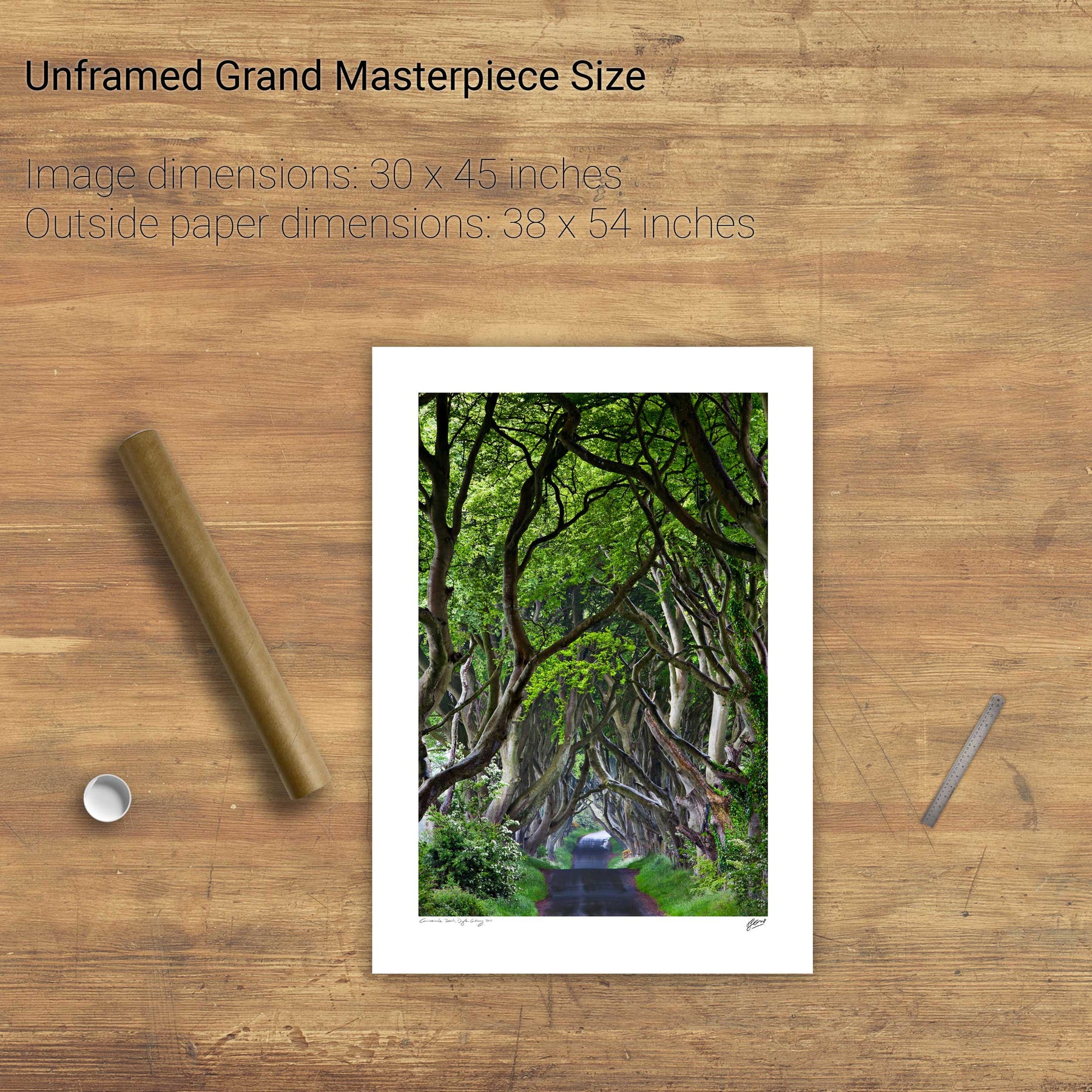
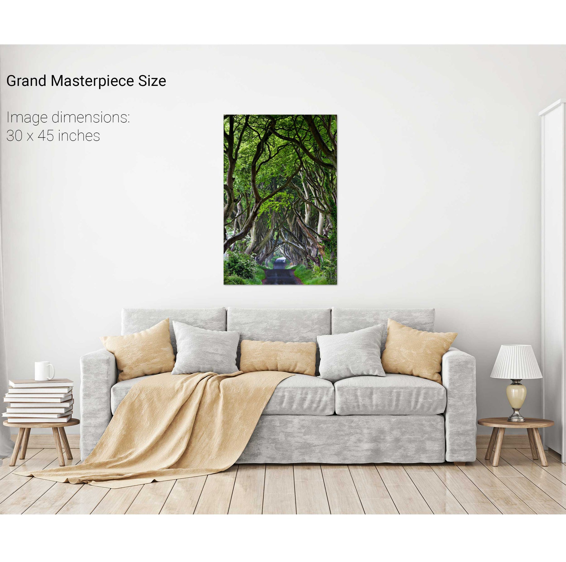
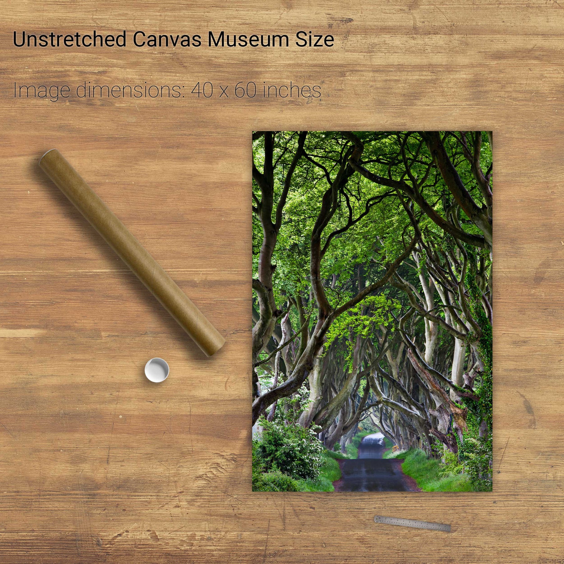
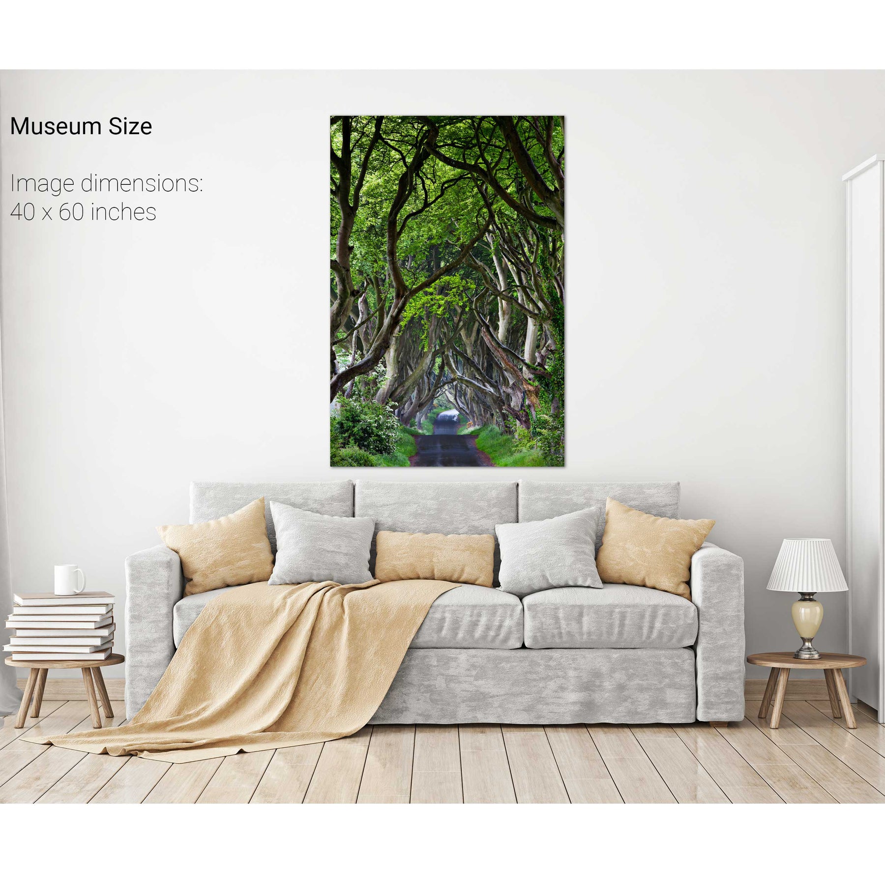
The Dark Hedges, Co. Antrim


We will send you an email to reset your password.

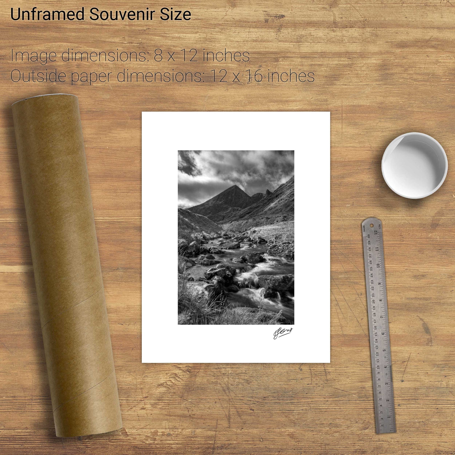
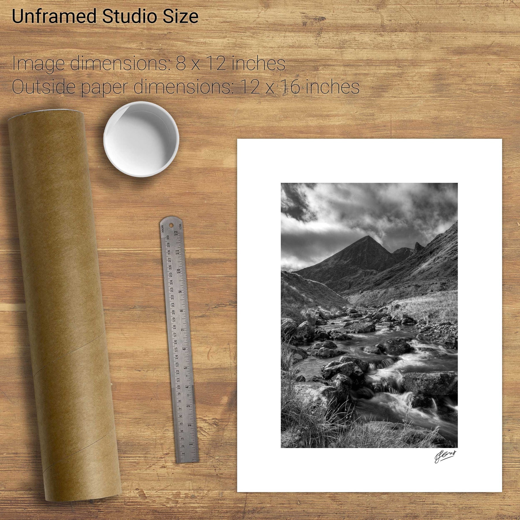
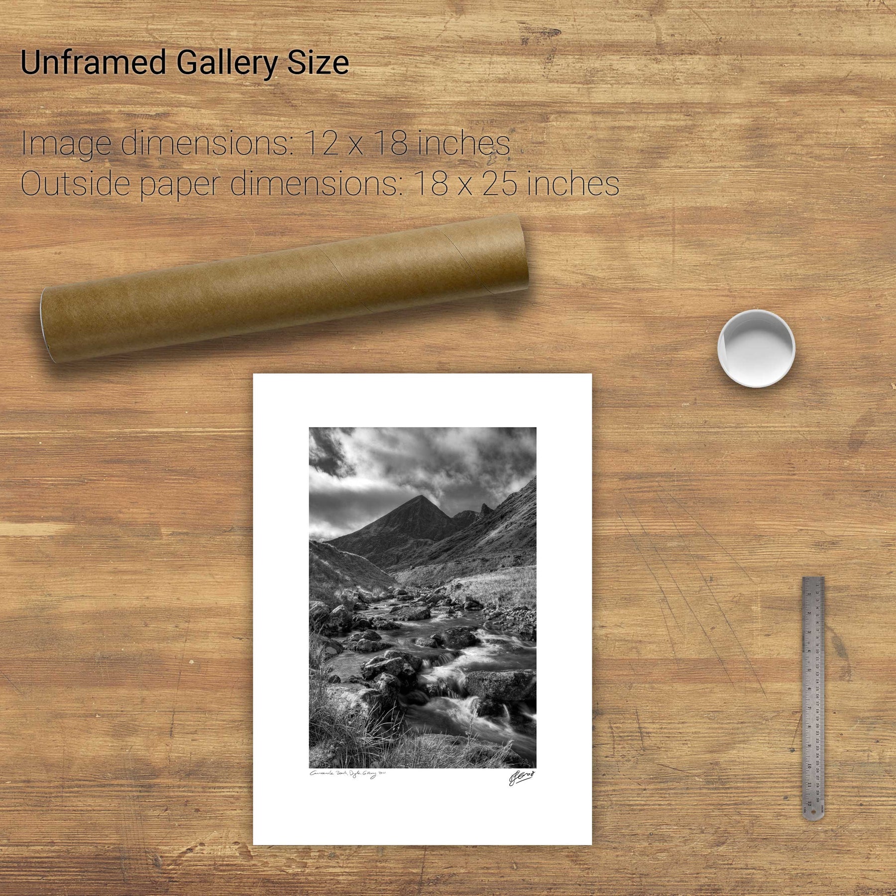
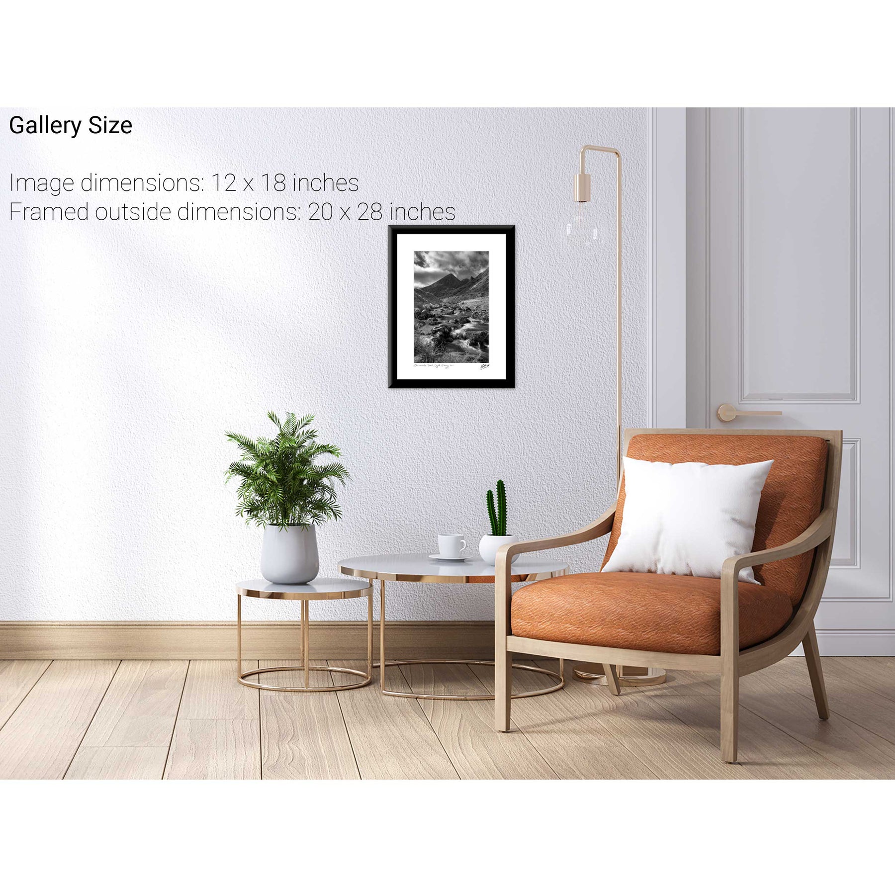
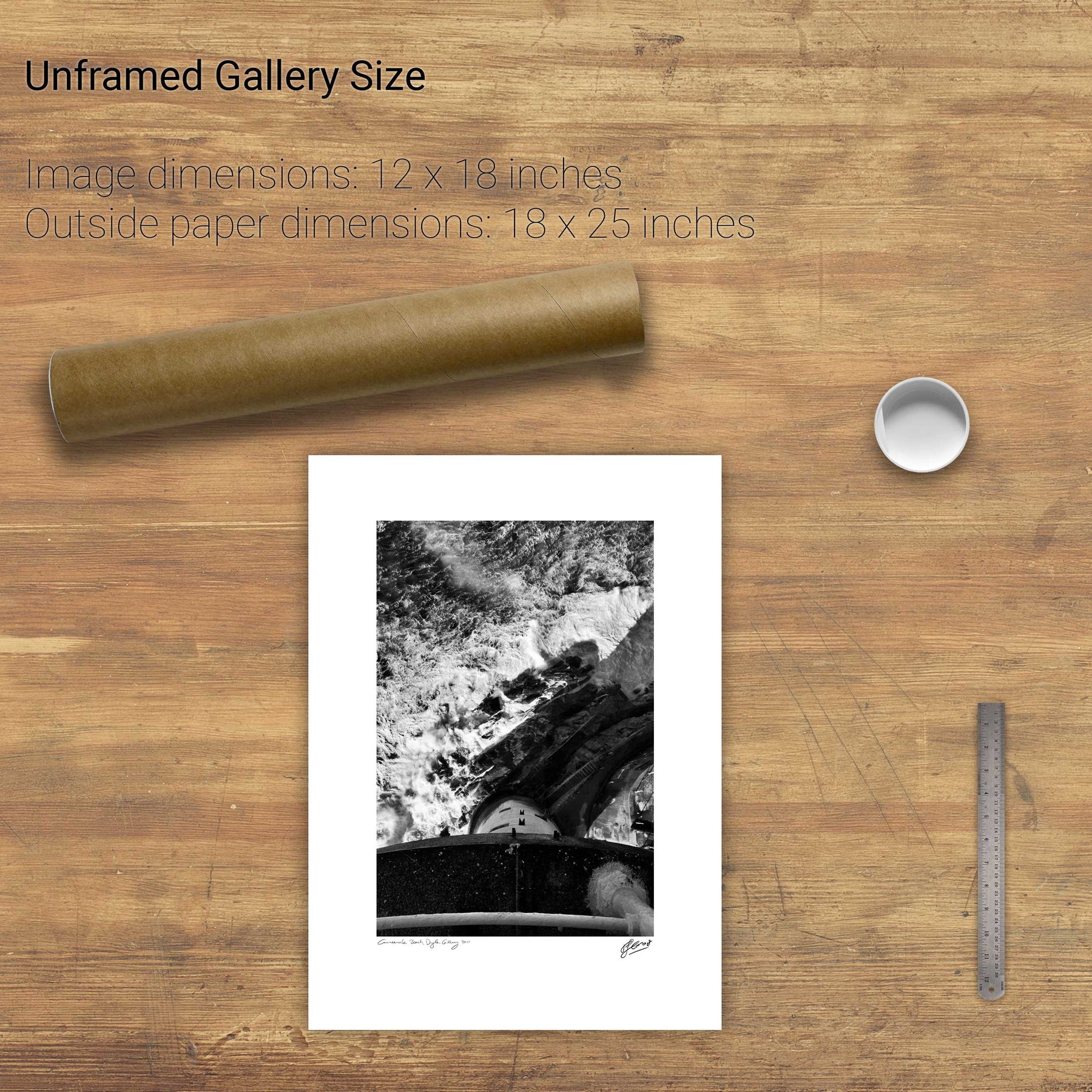
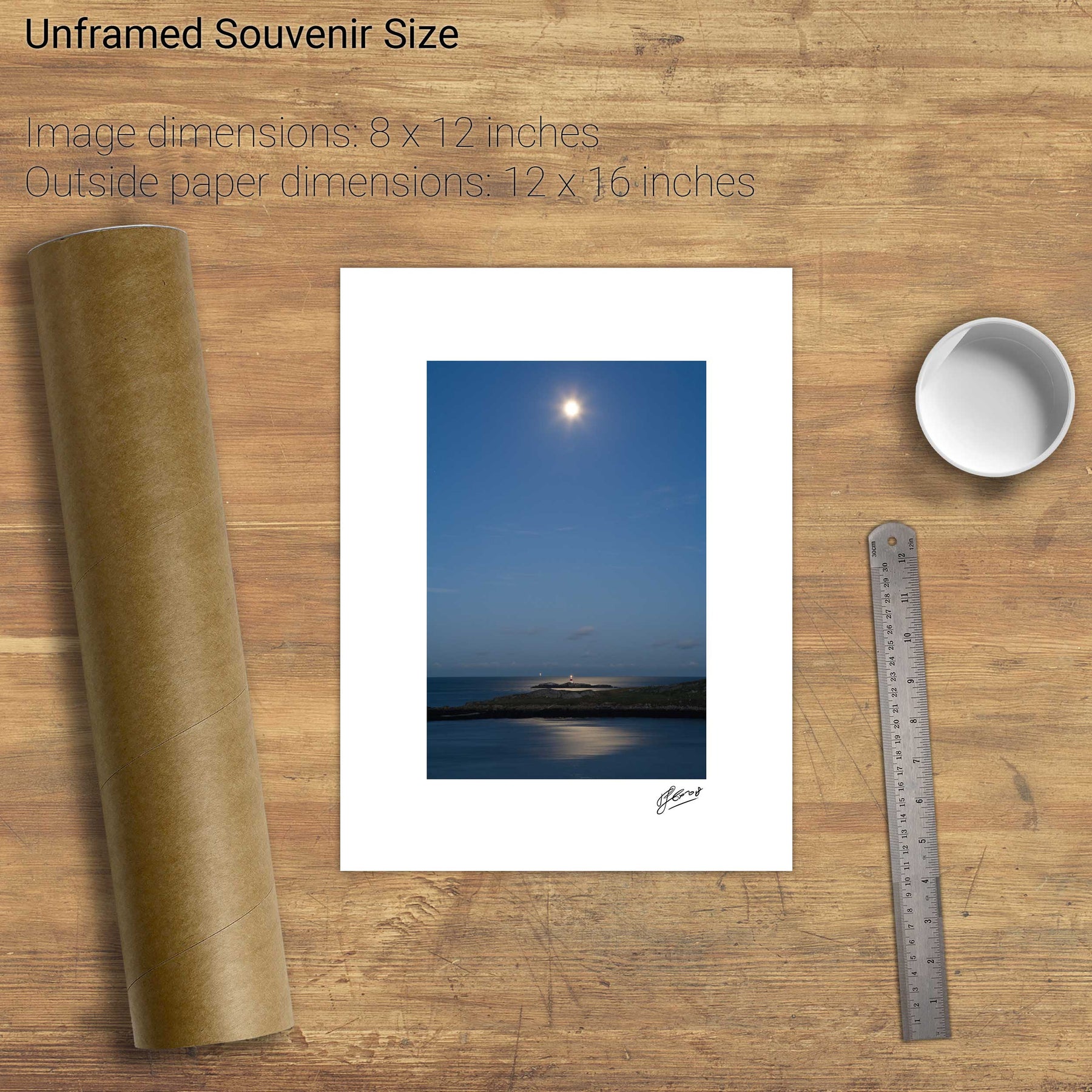
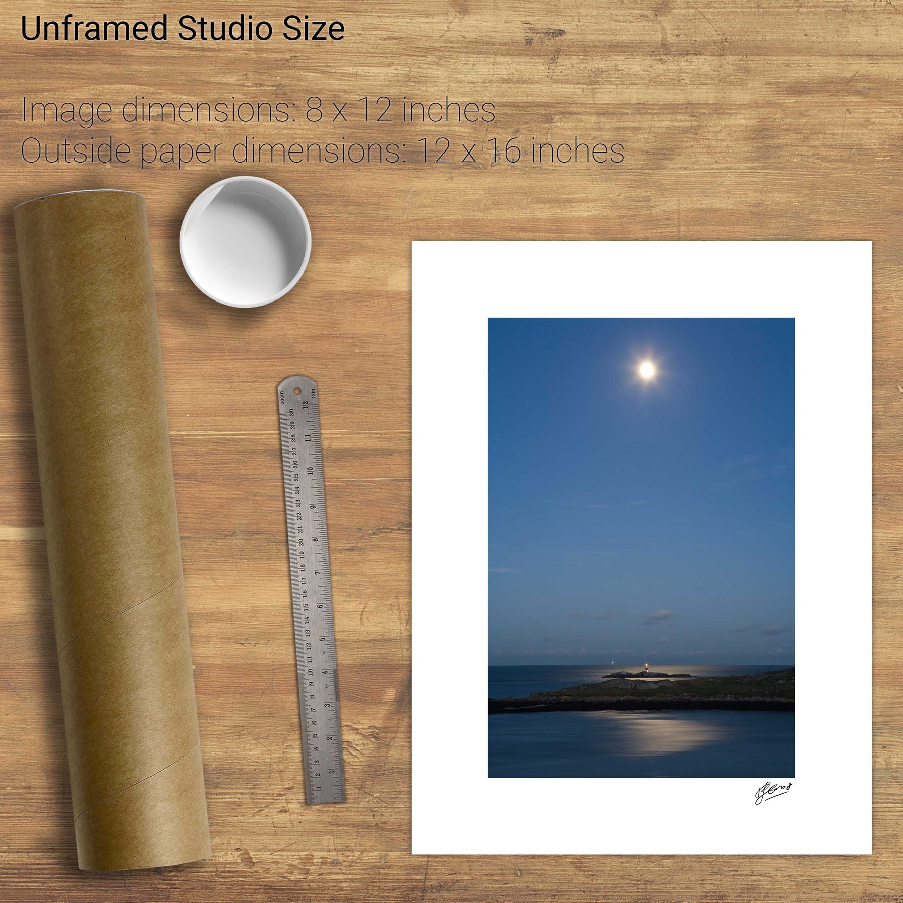
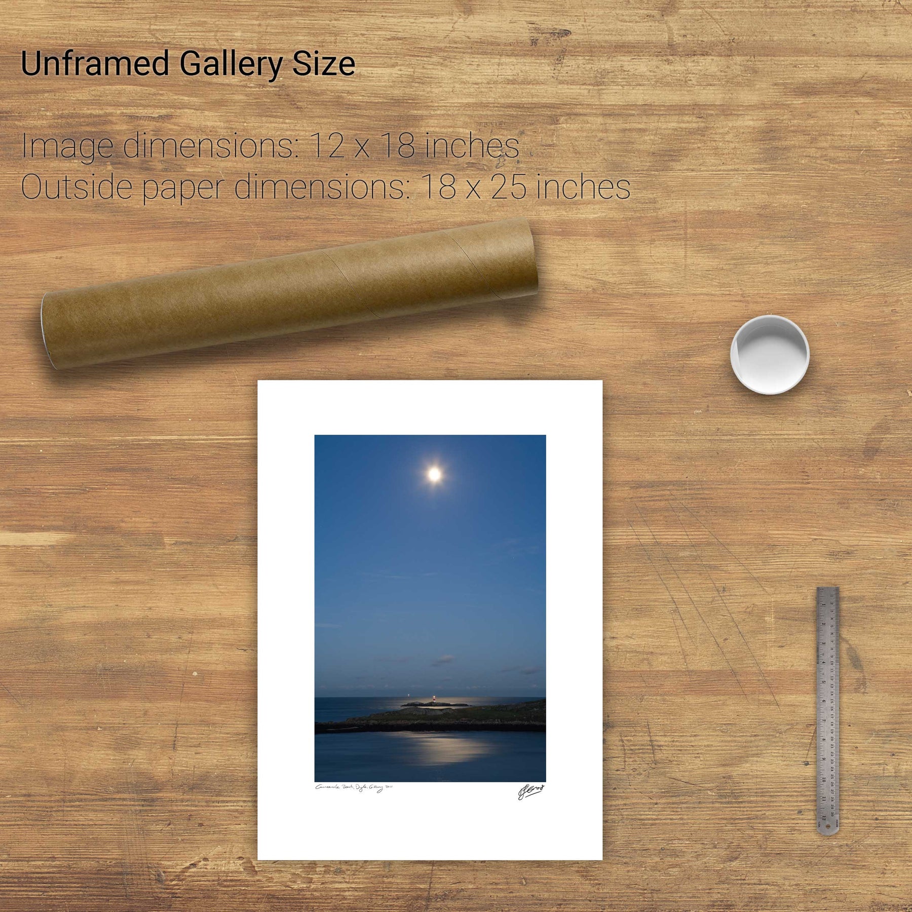
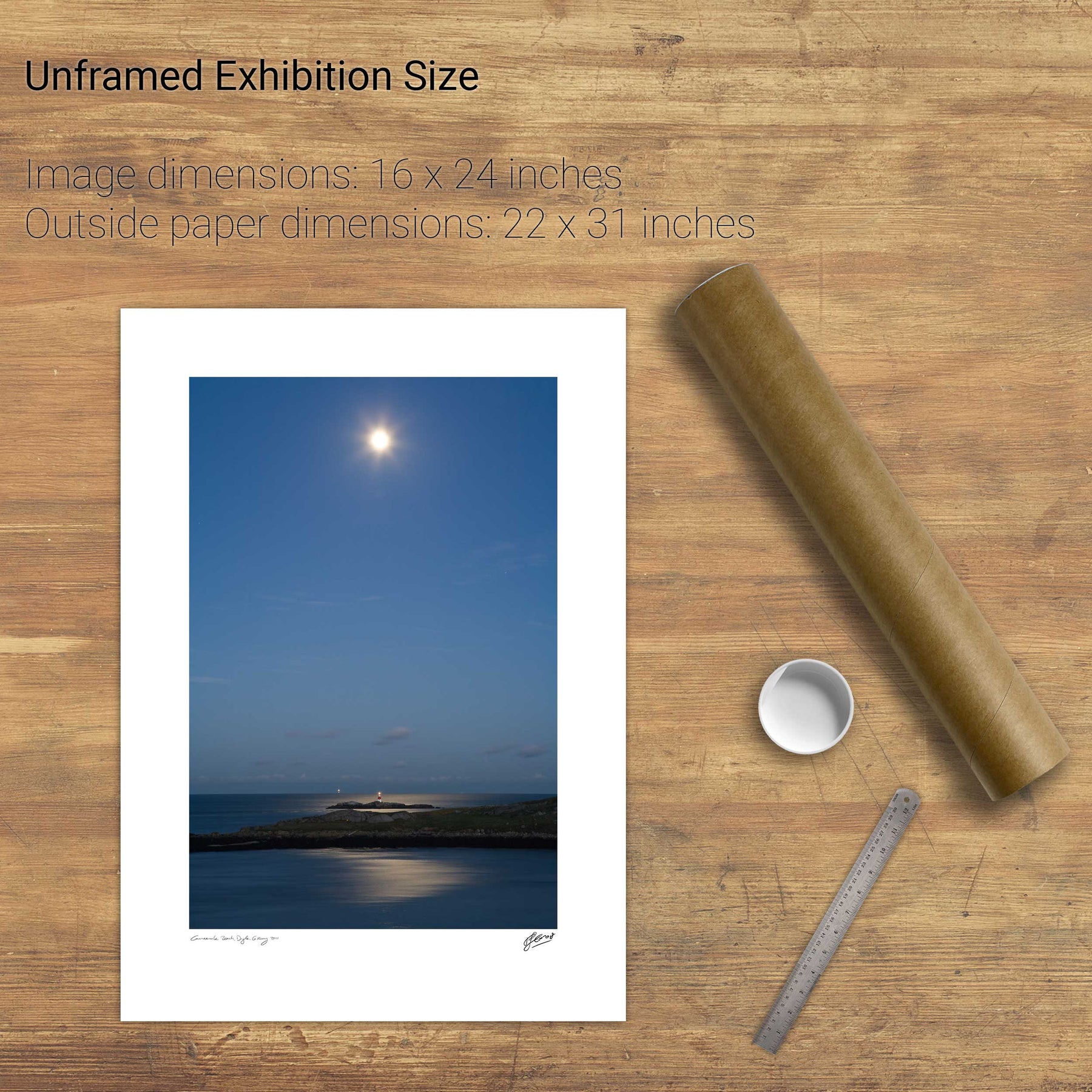
17 products
The Dark Hedges, Co. Antrim
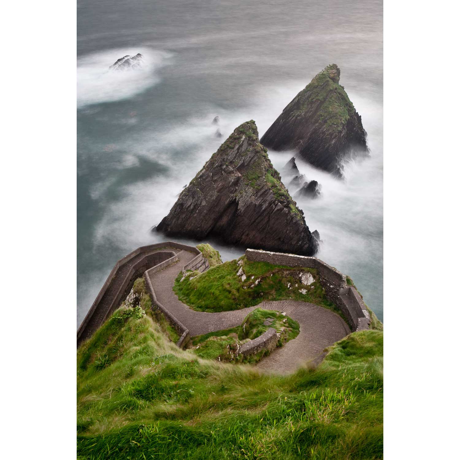
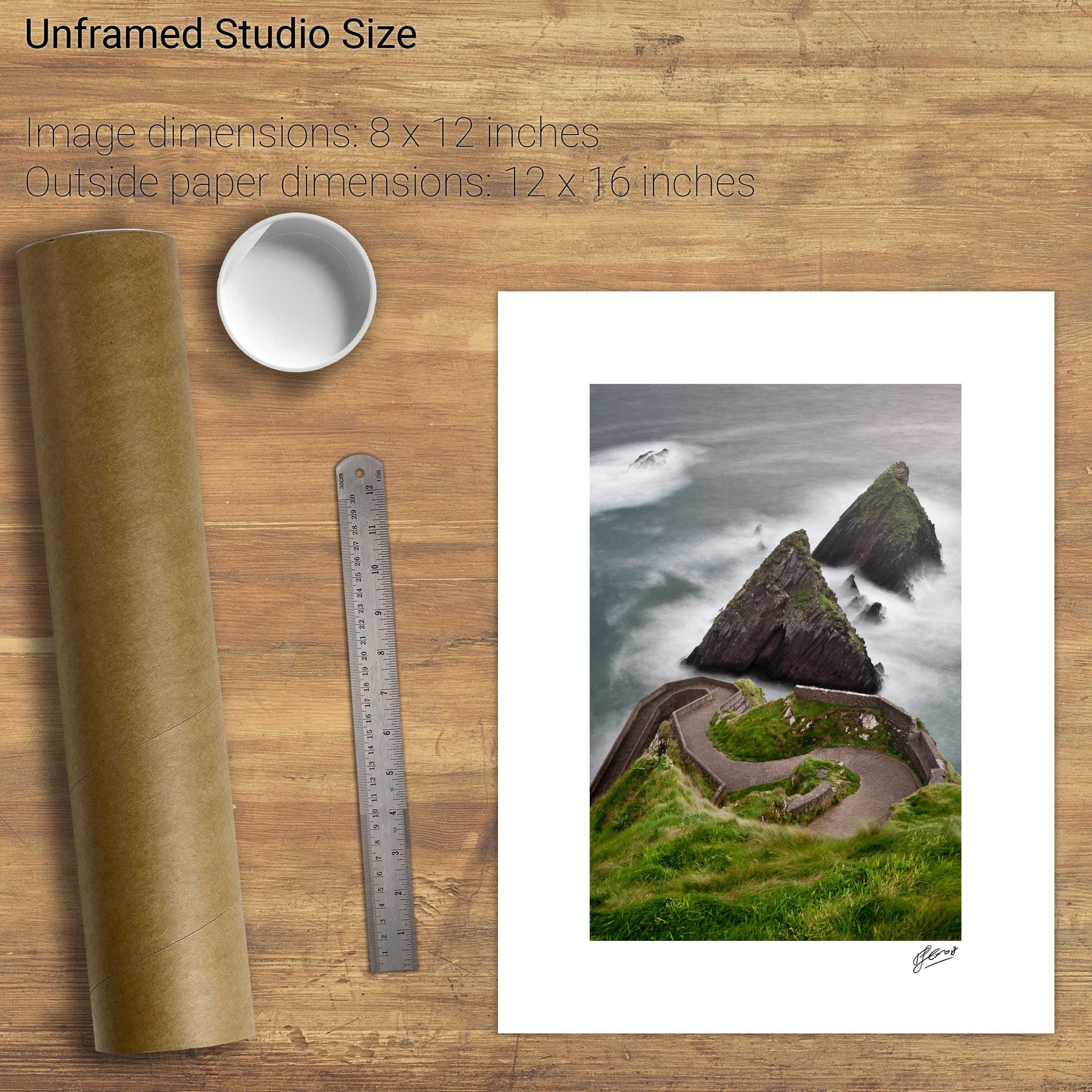
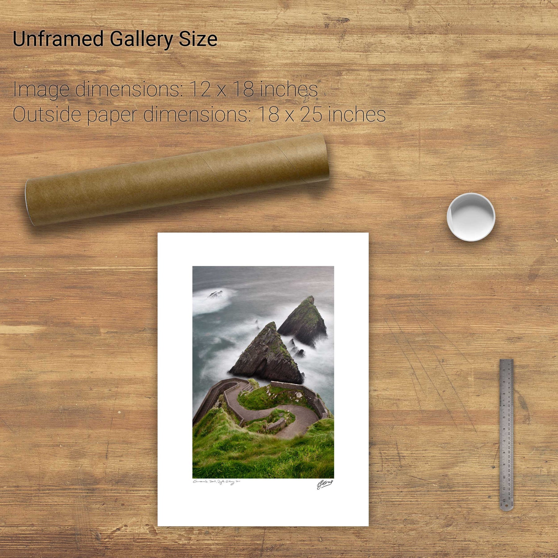
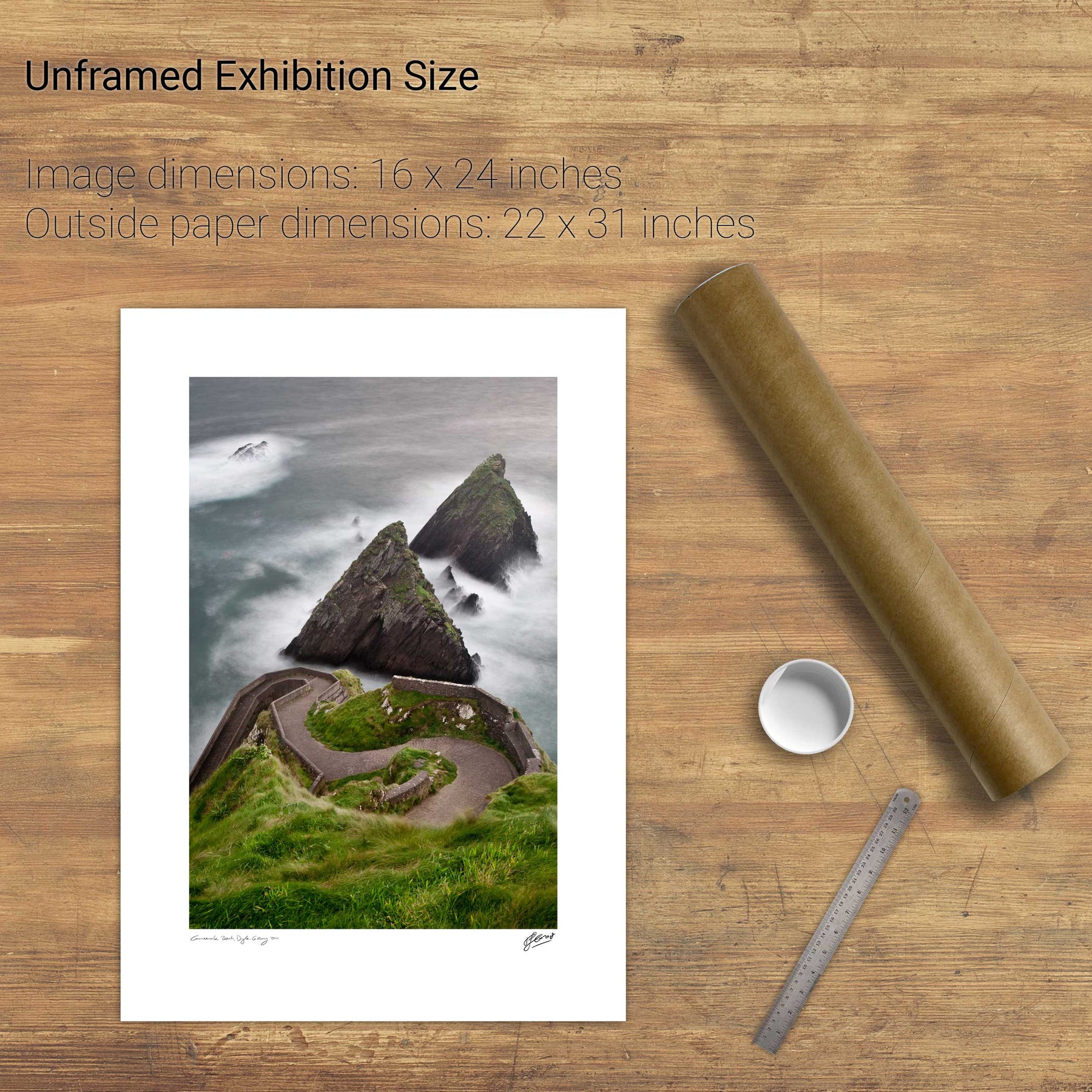
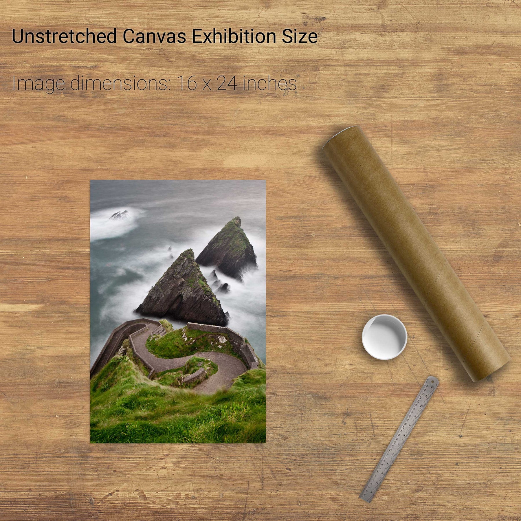
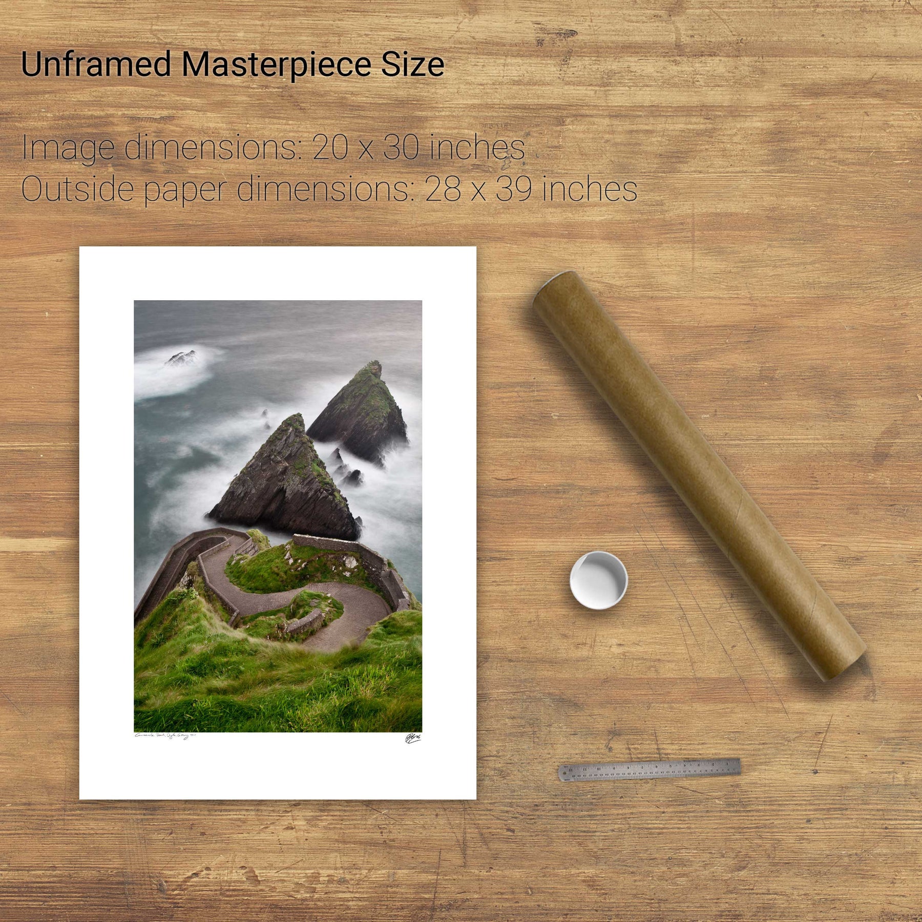
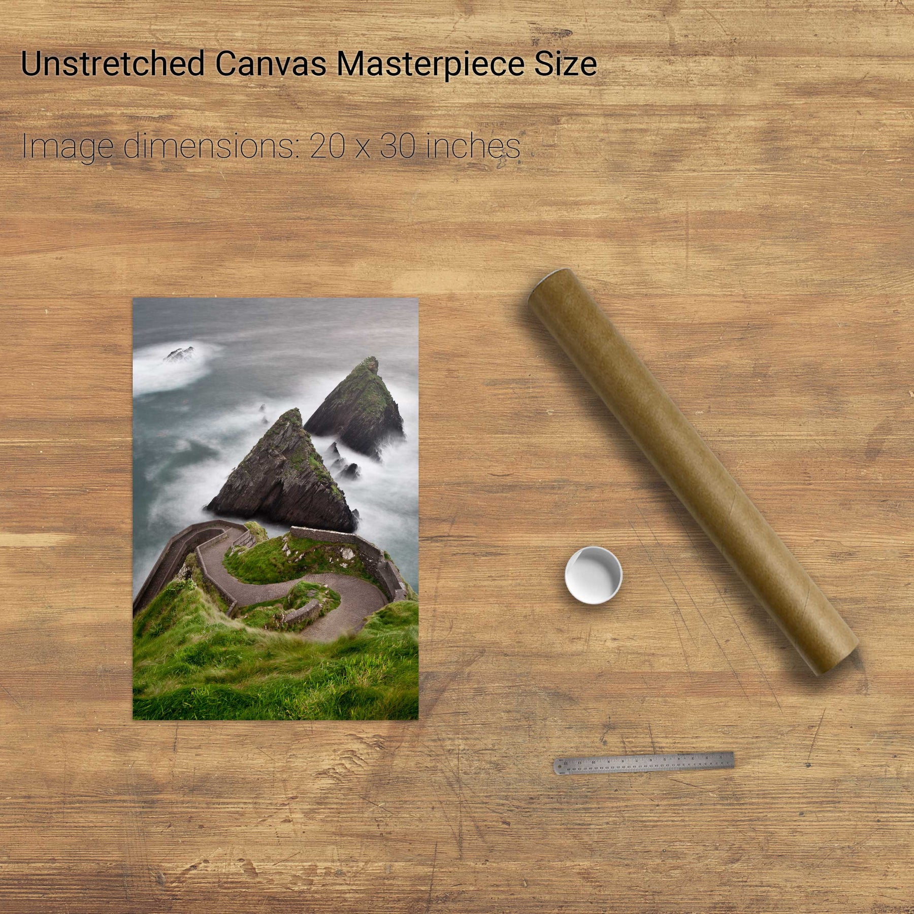
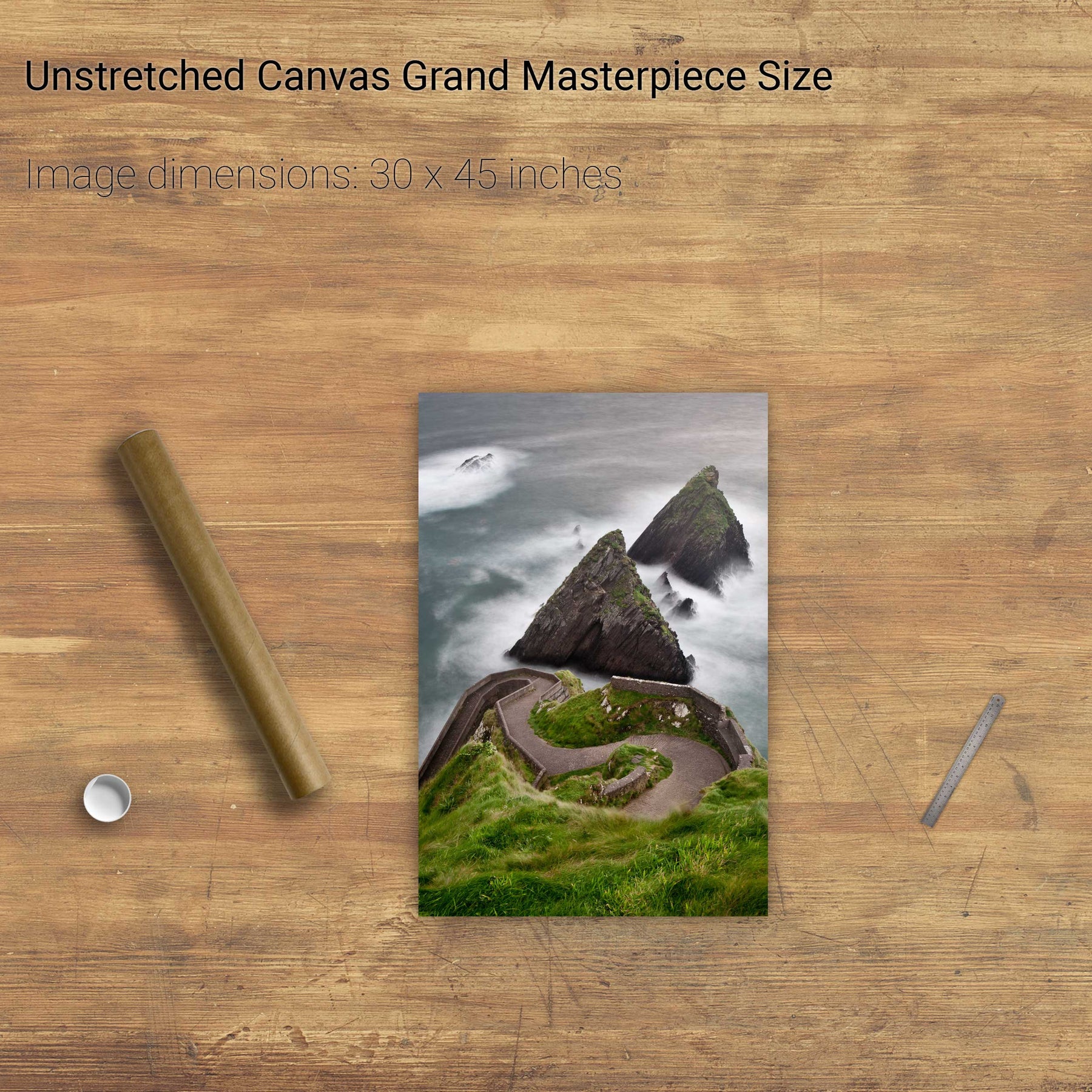
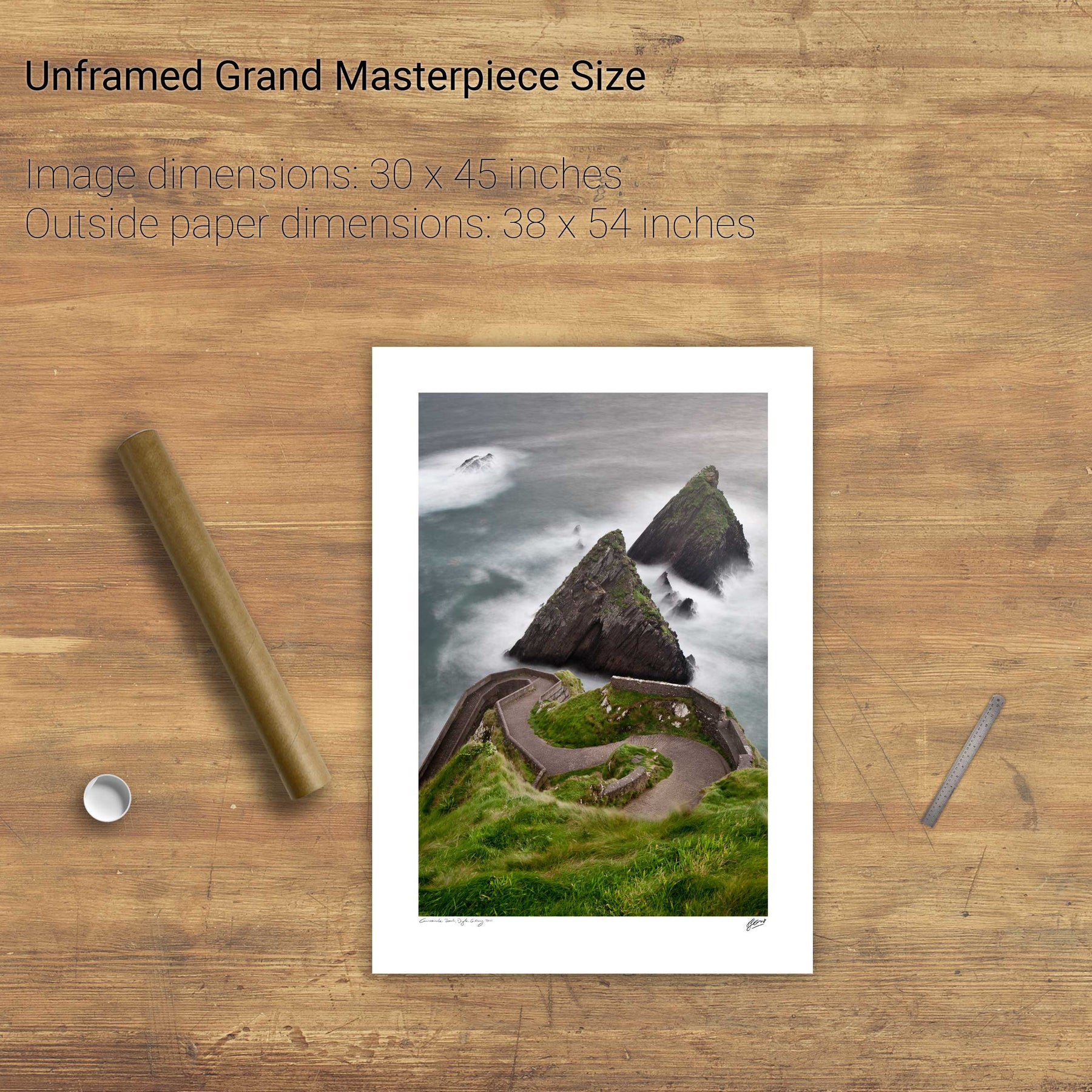
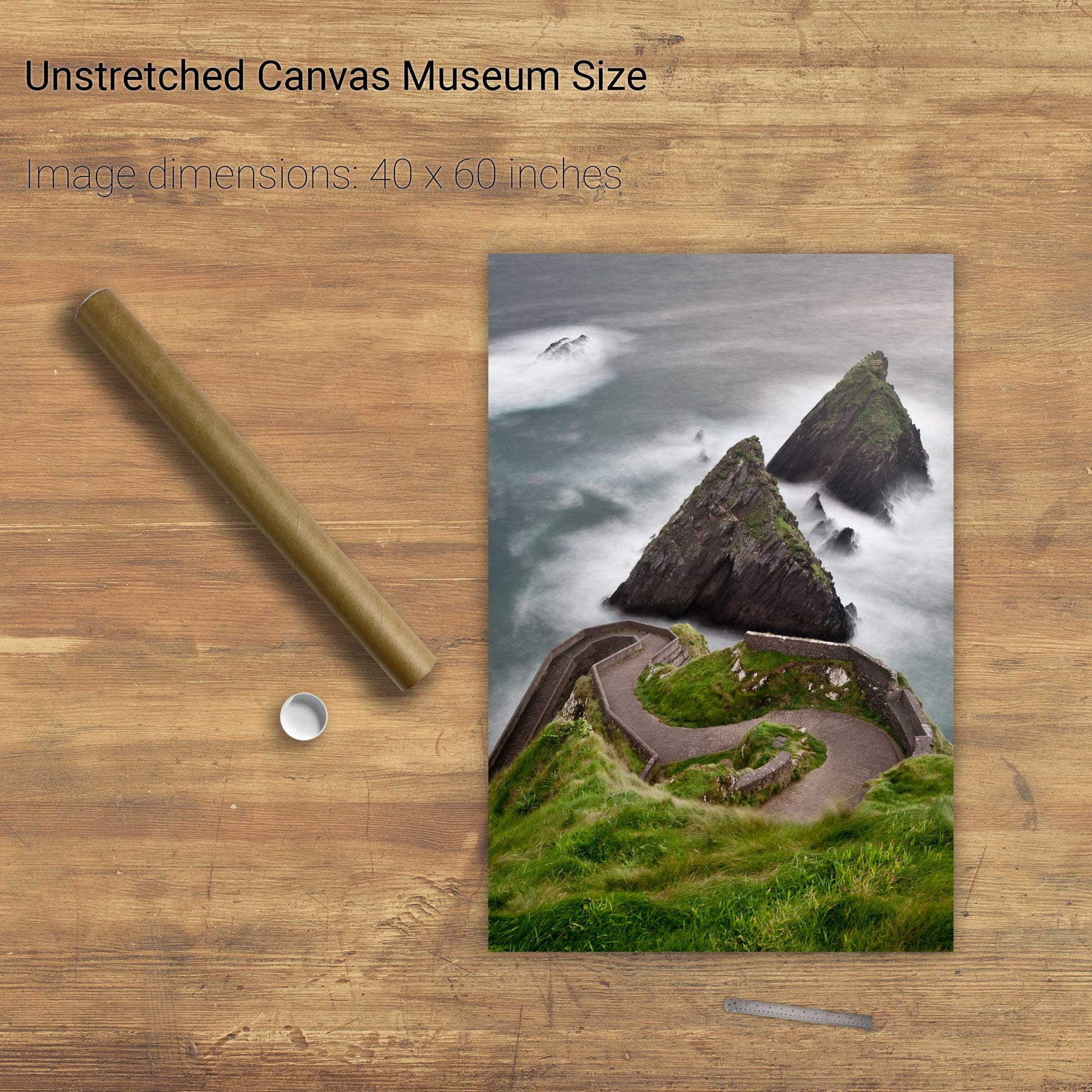
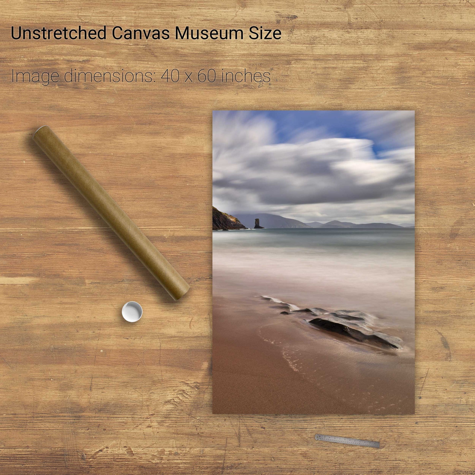
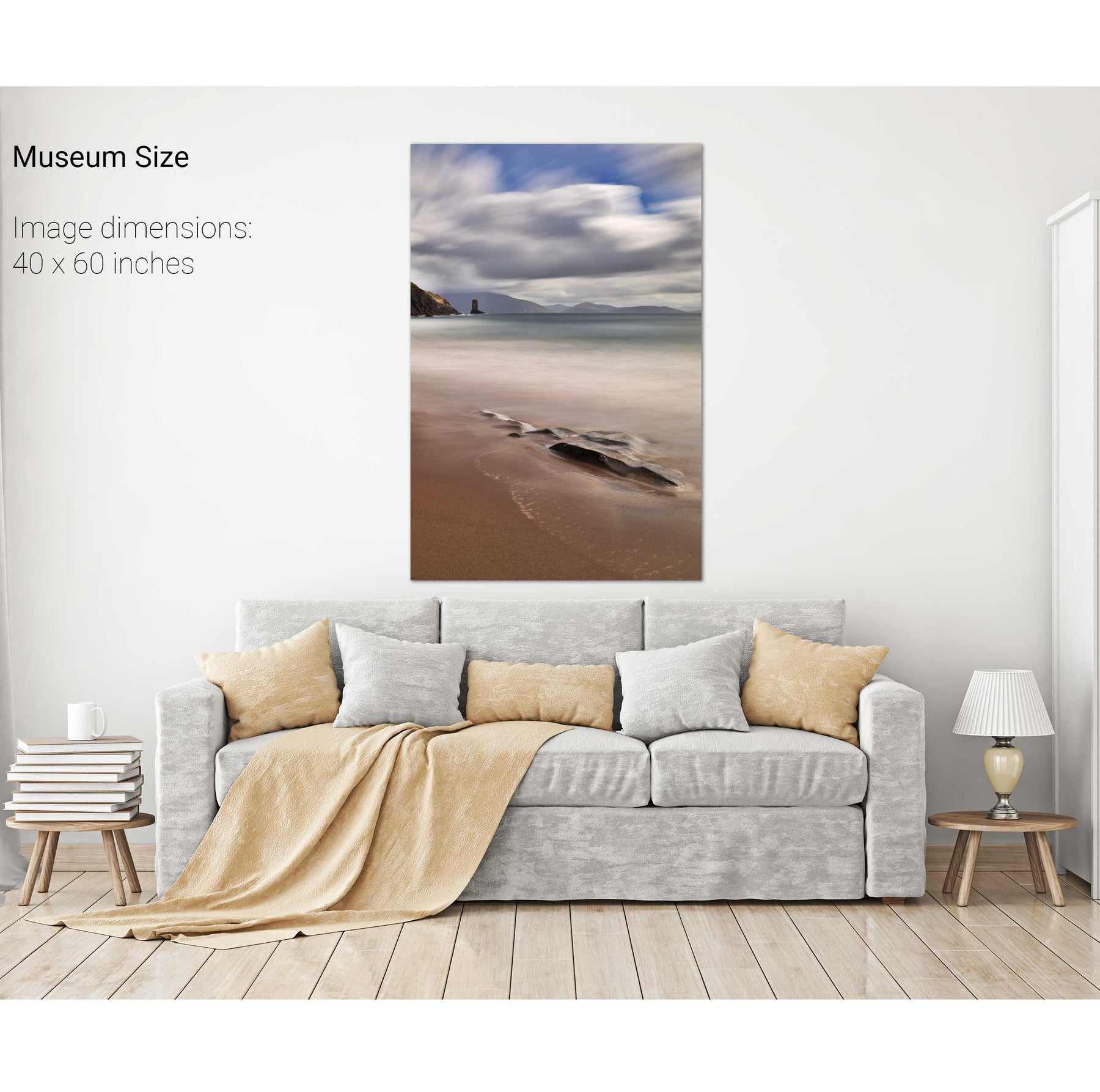
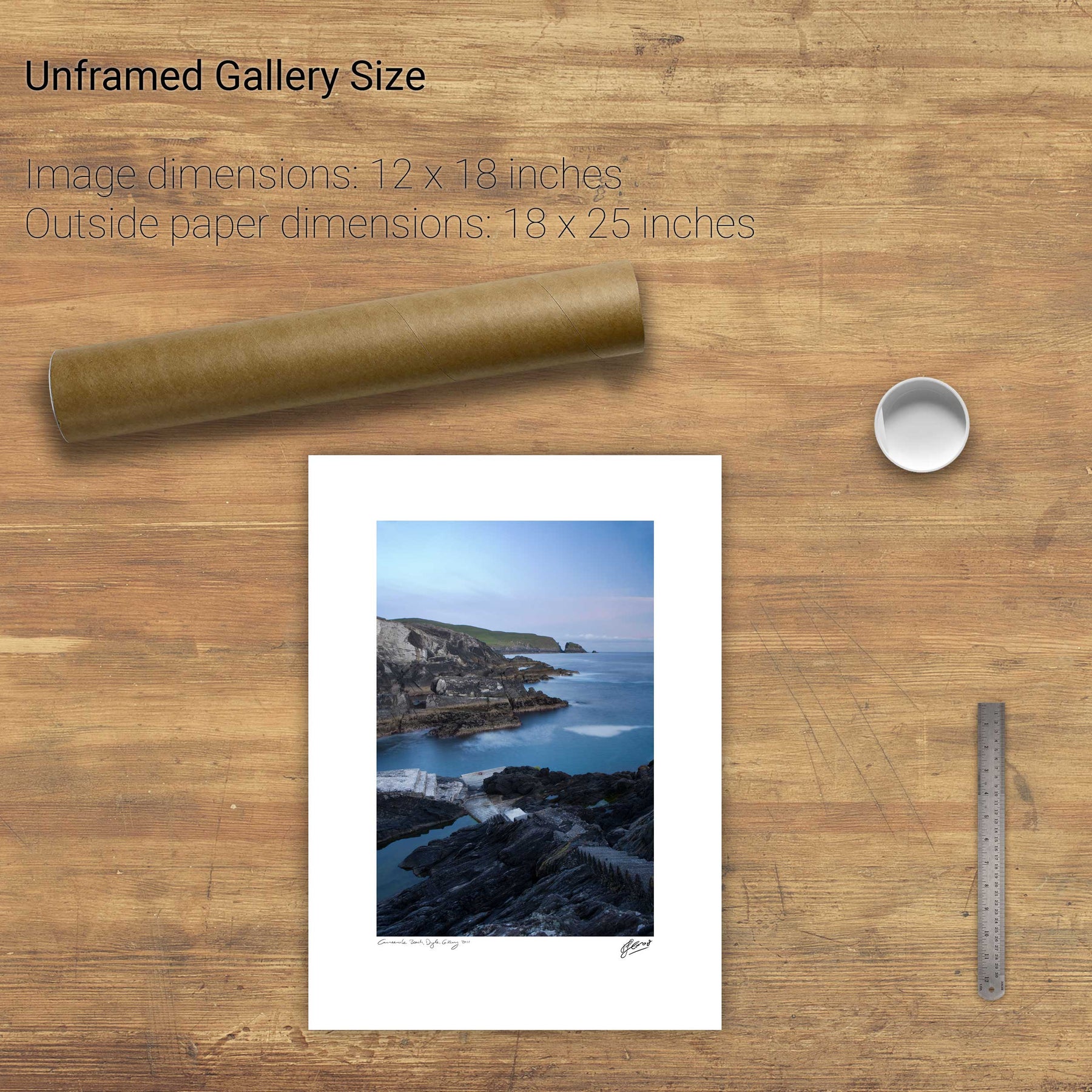
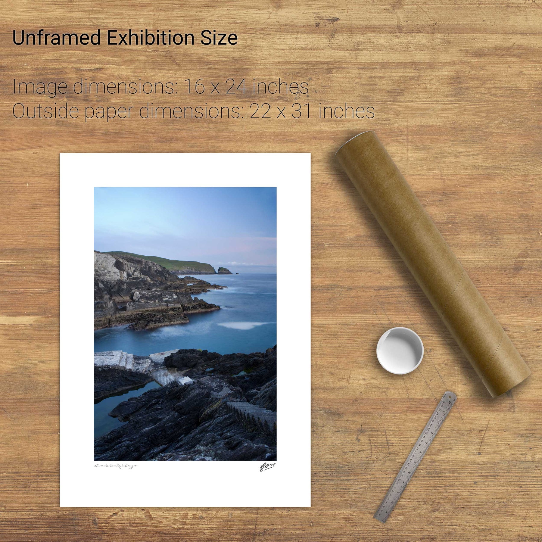
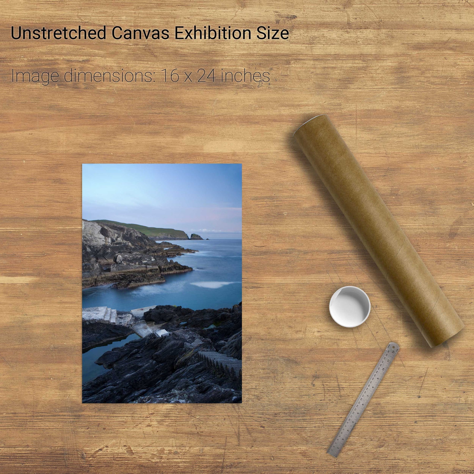
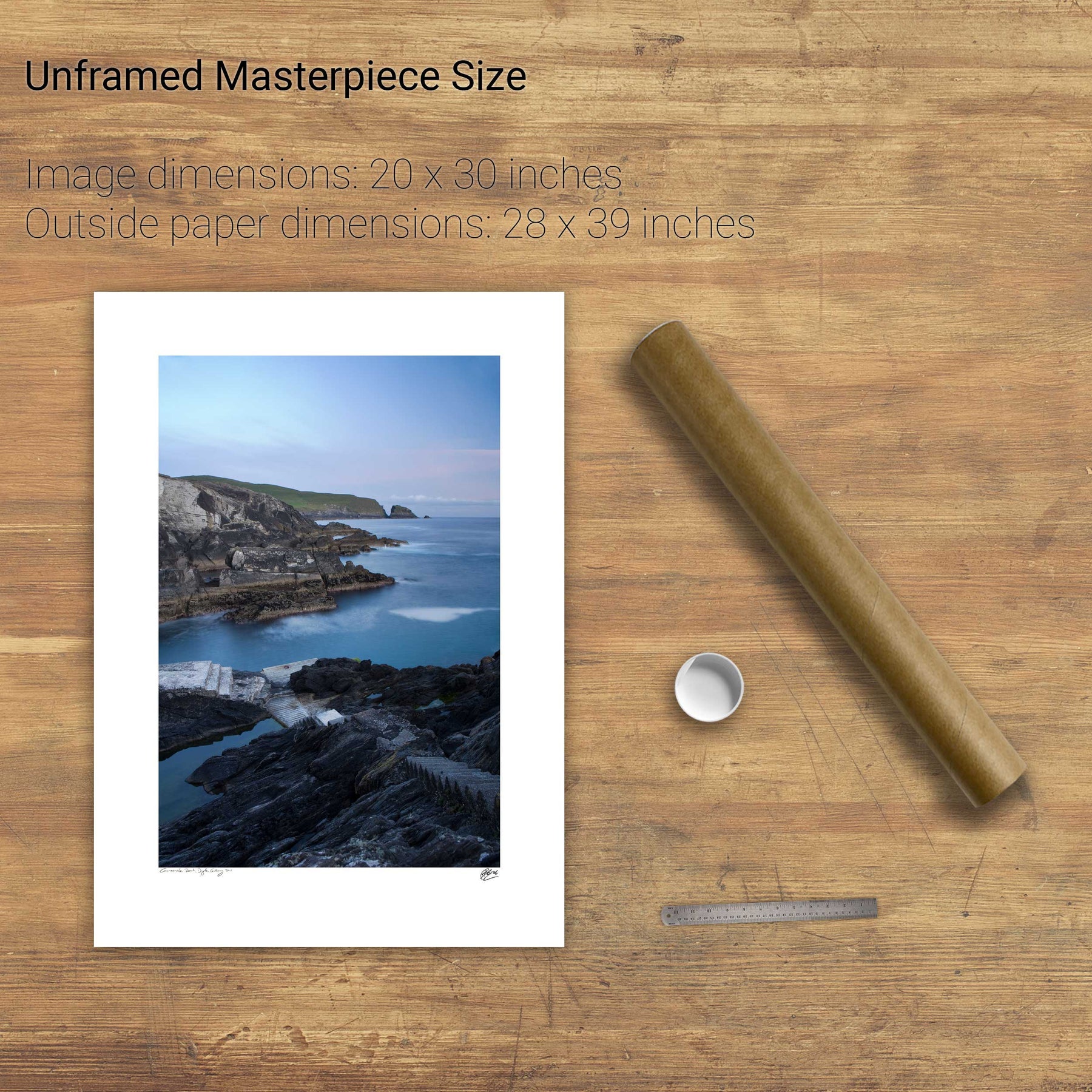
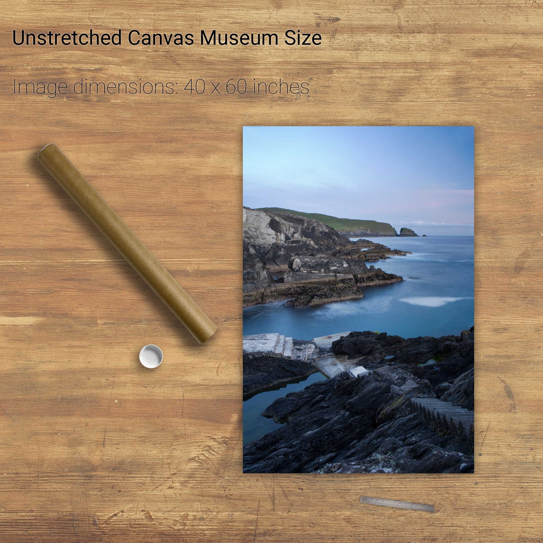
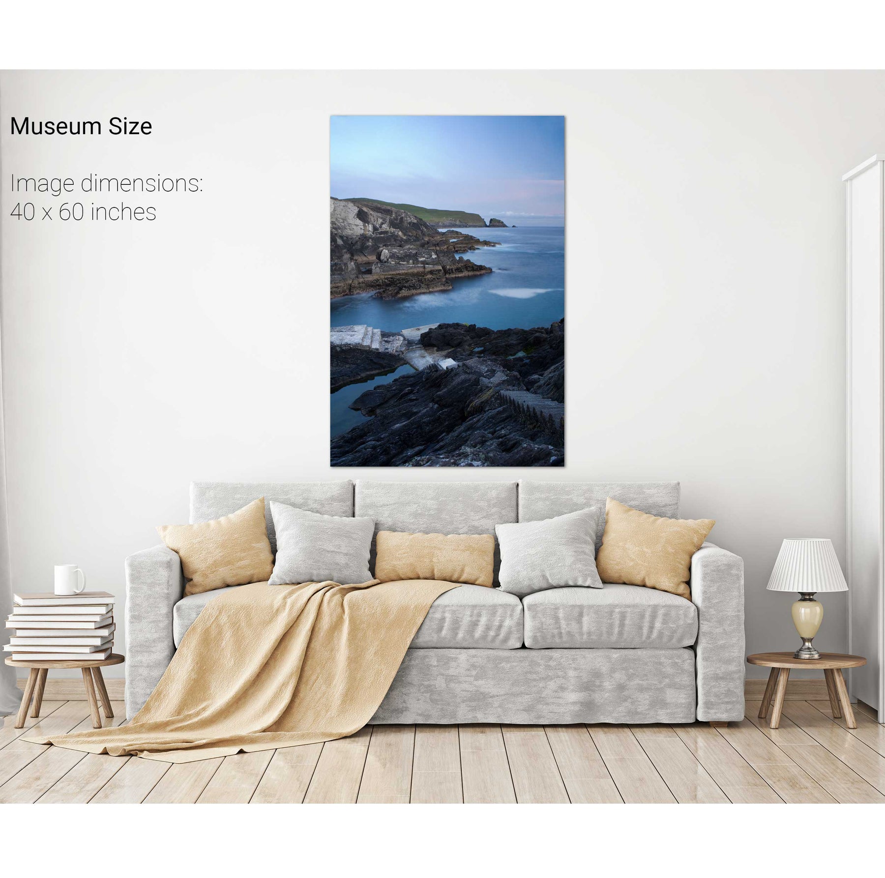
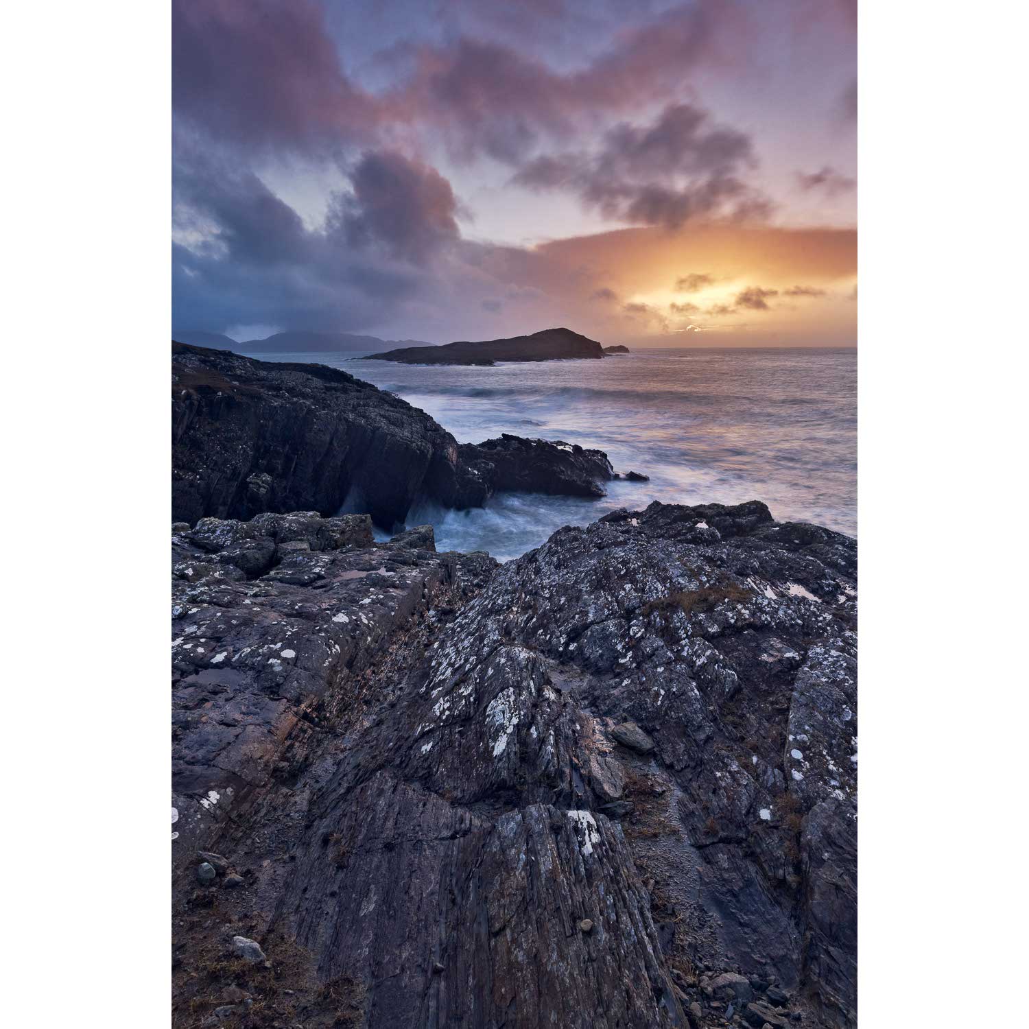
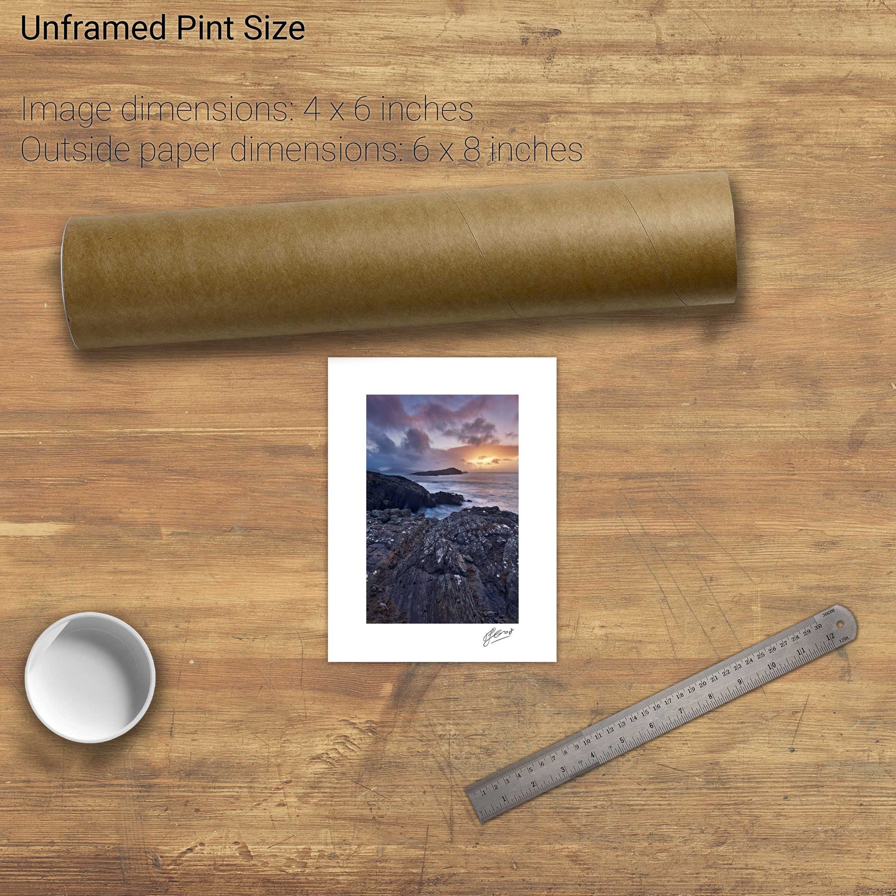
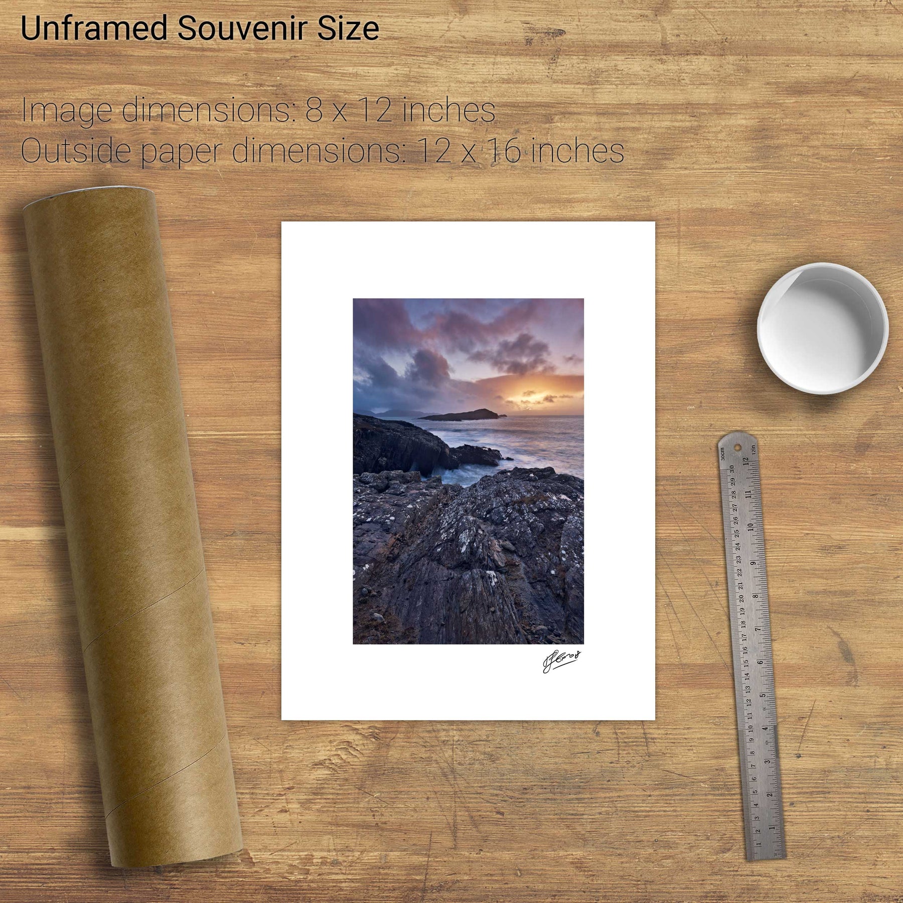
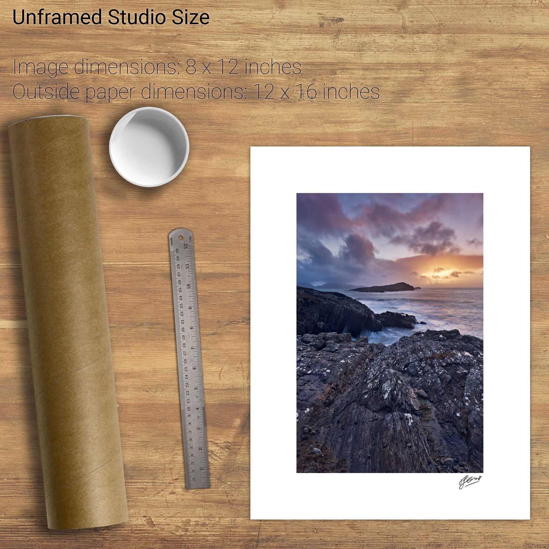
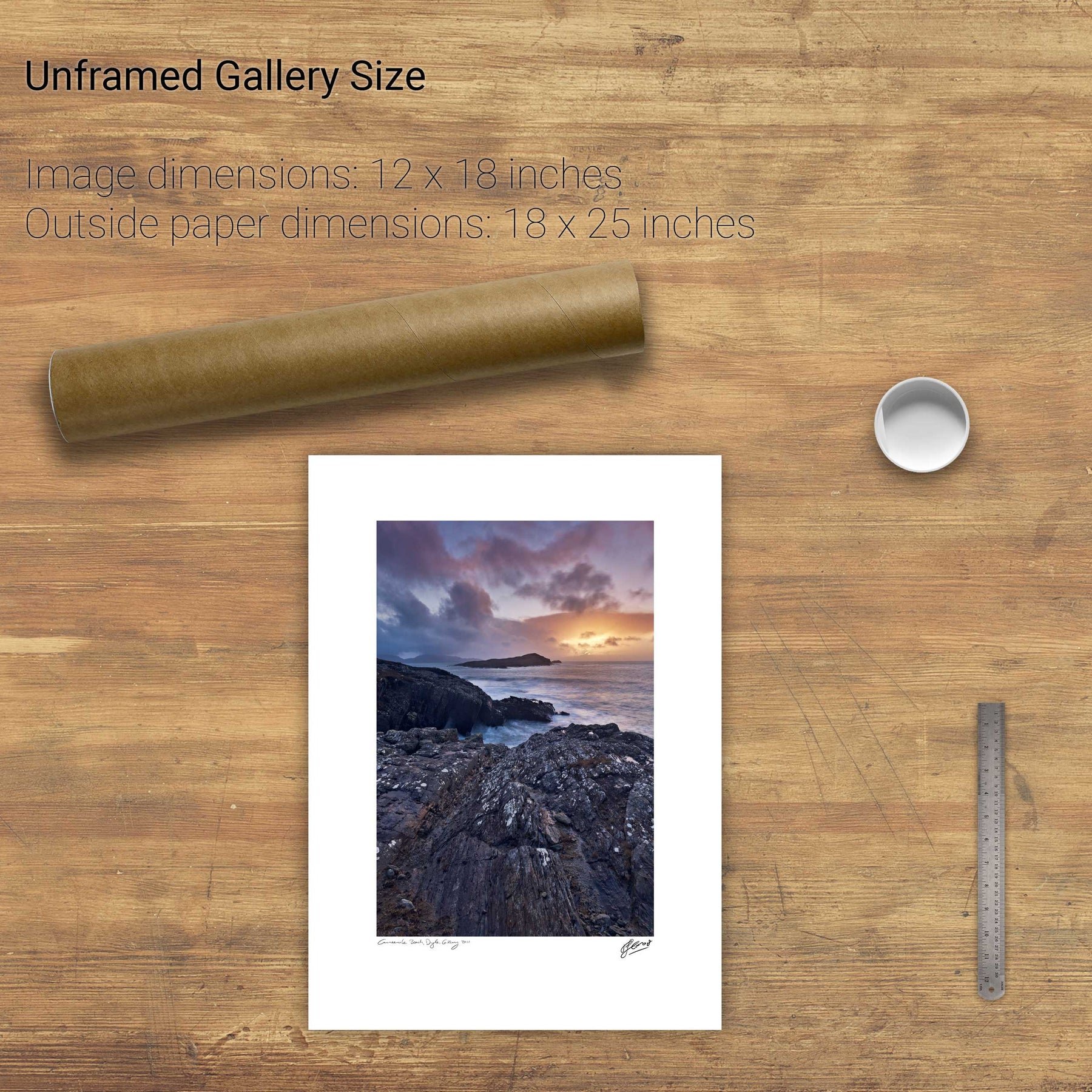
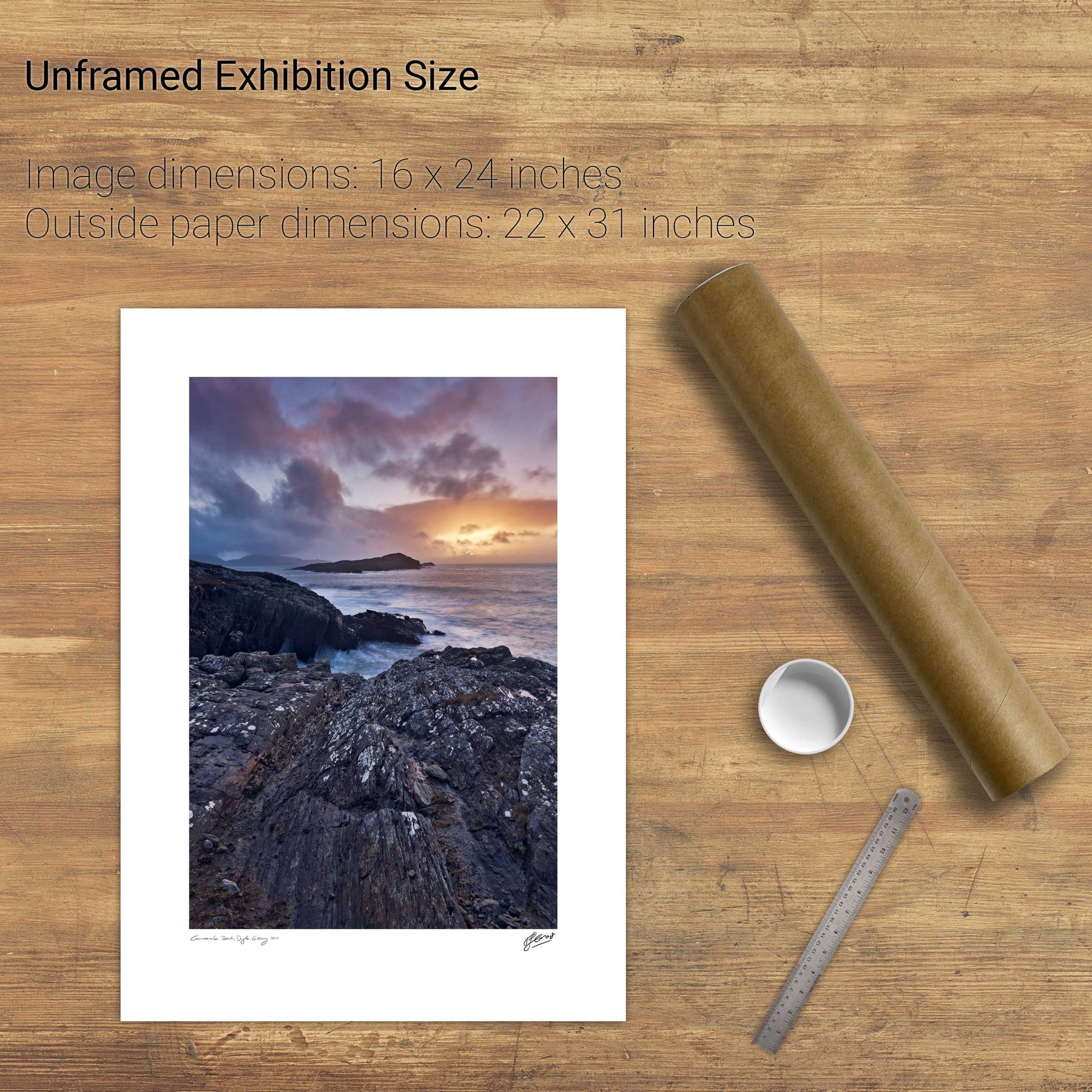
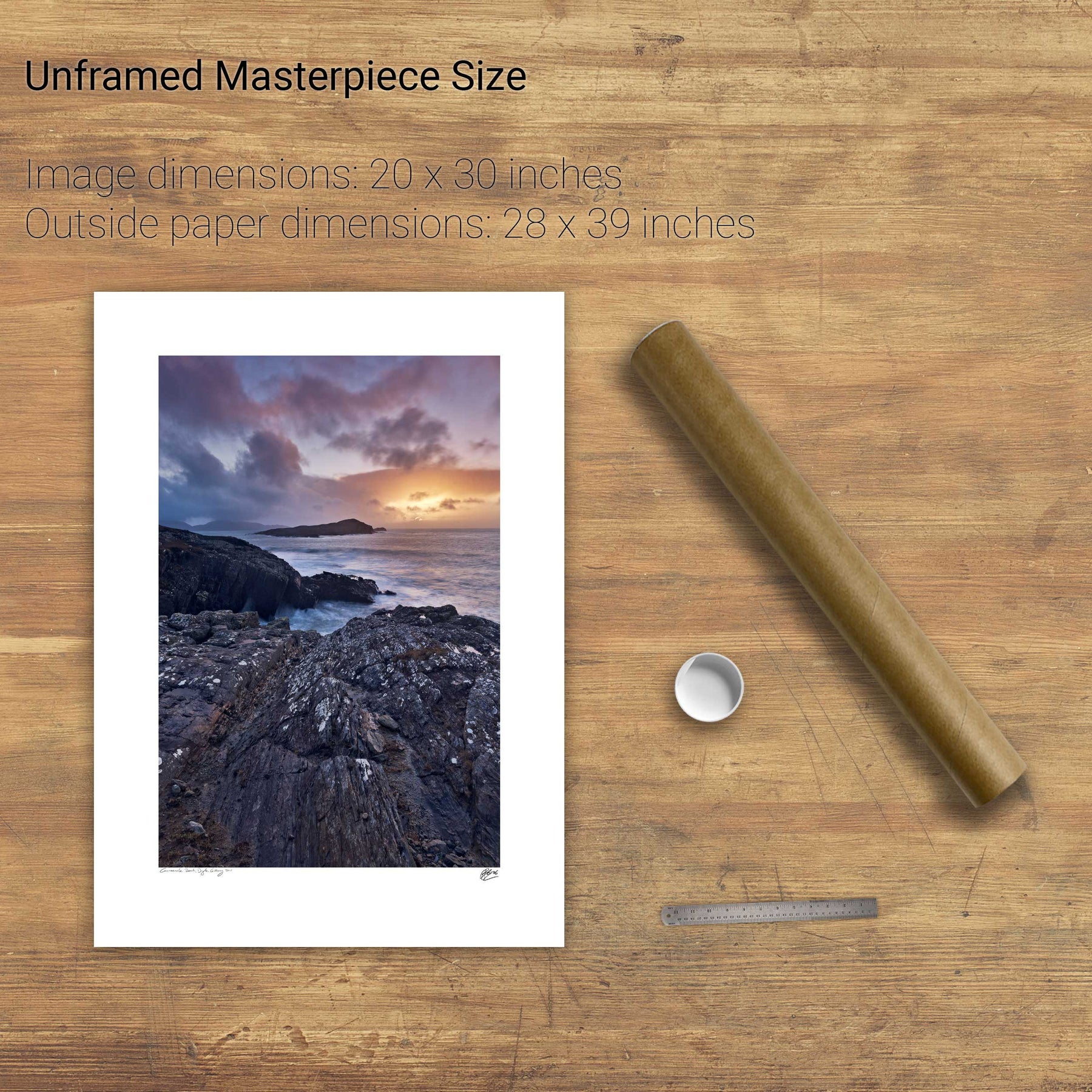
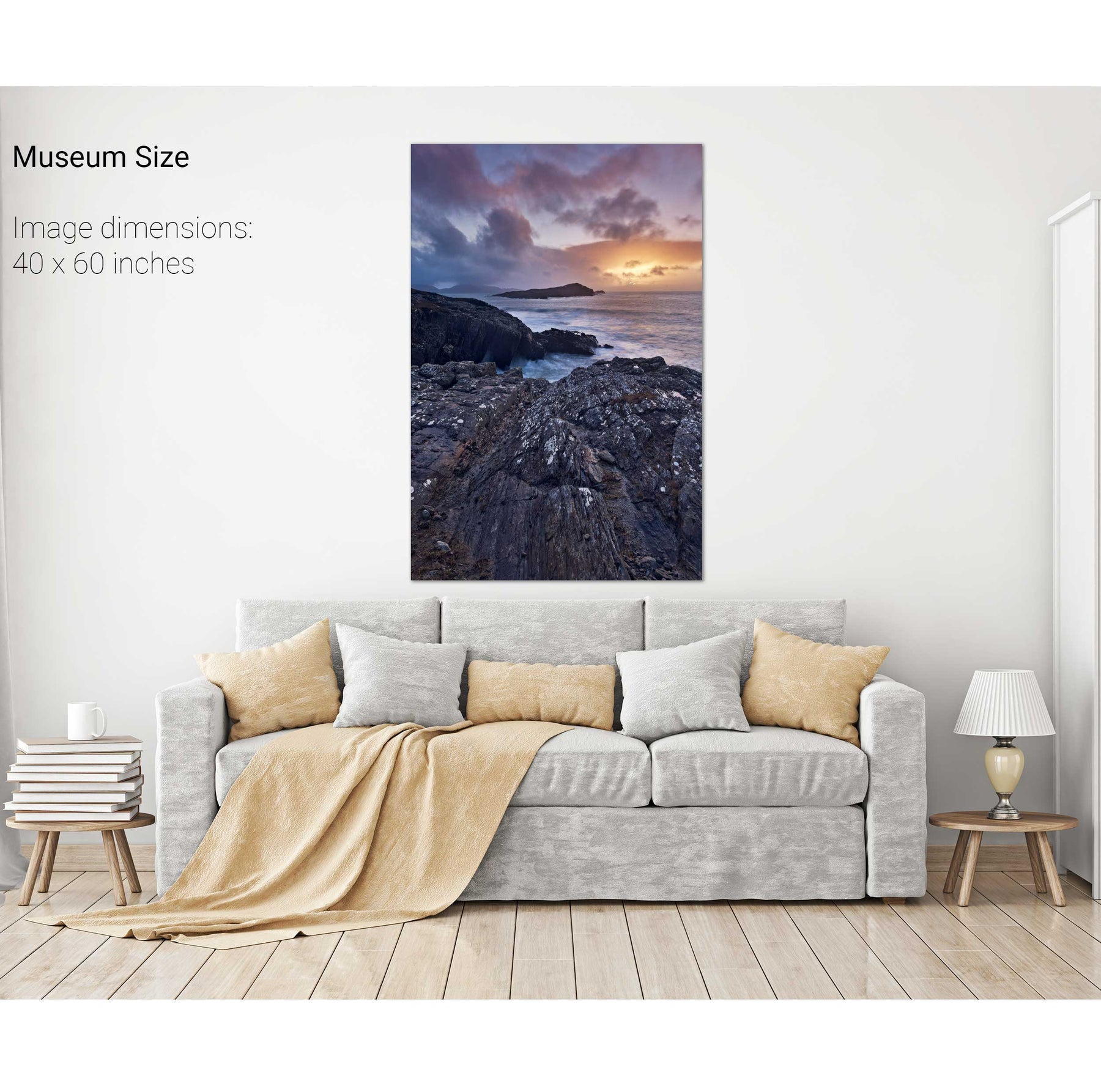
Dunquin, Dingle, Co. Kerry
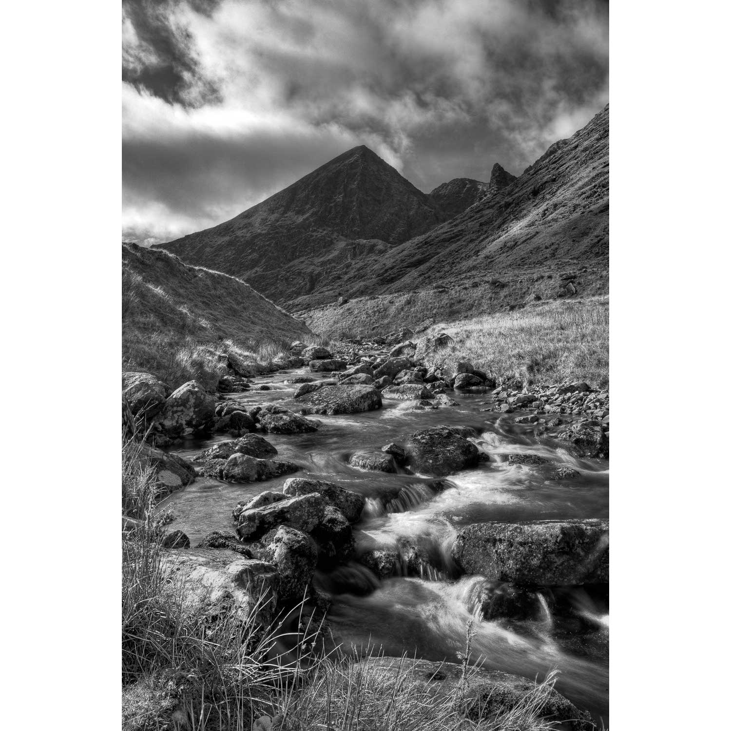
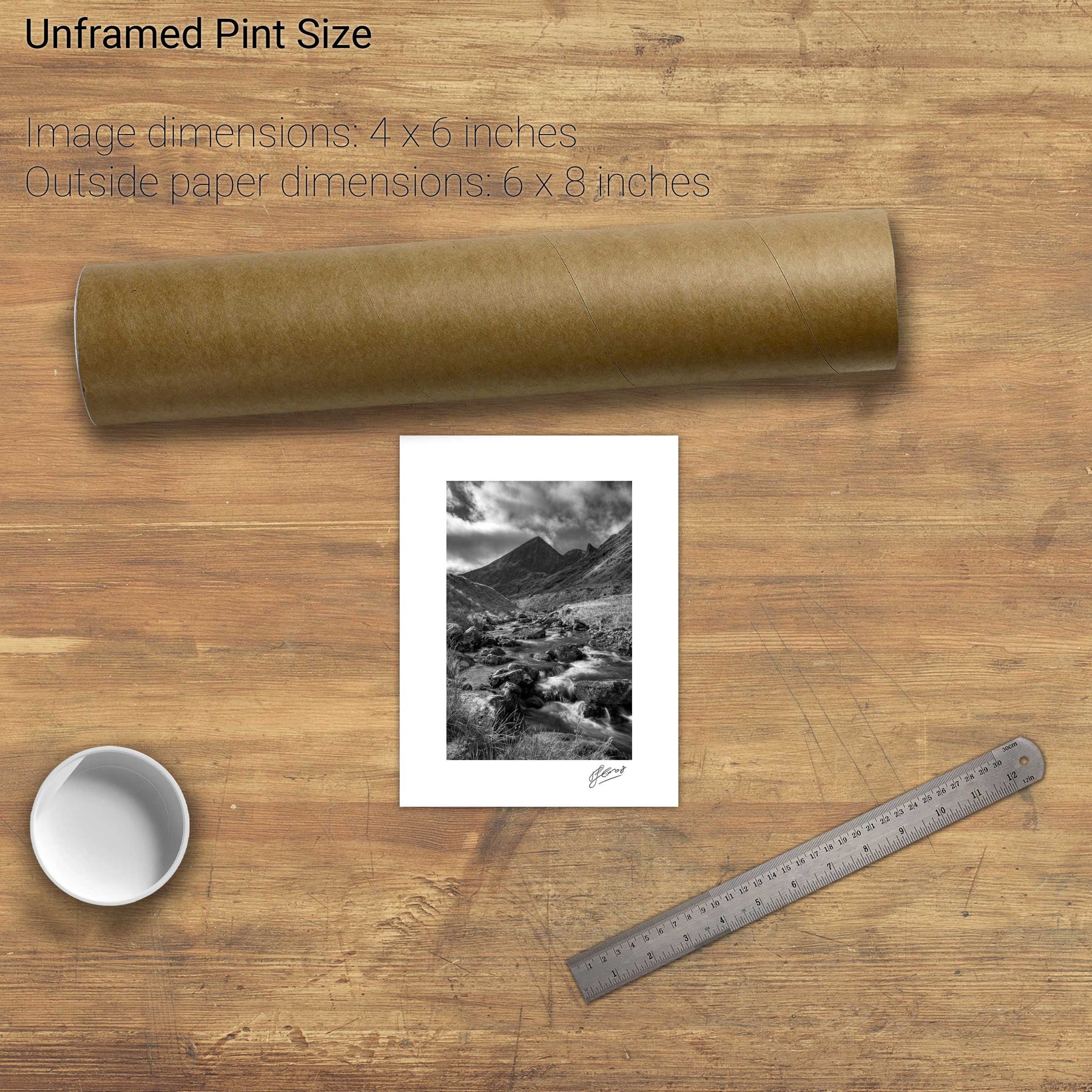
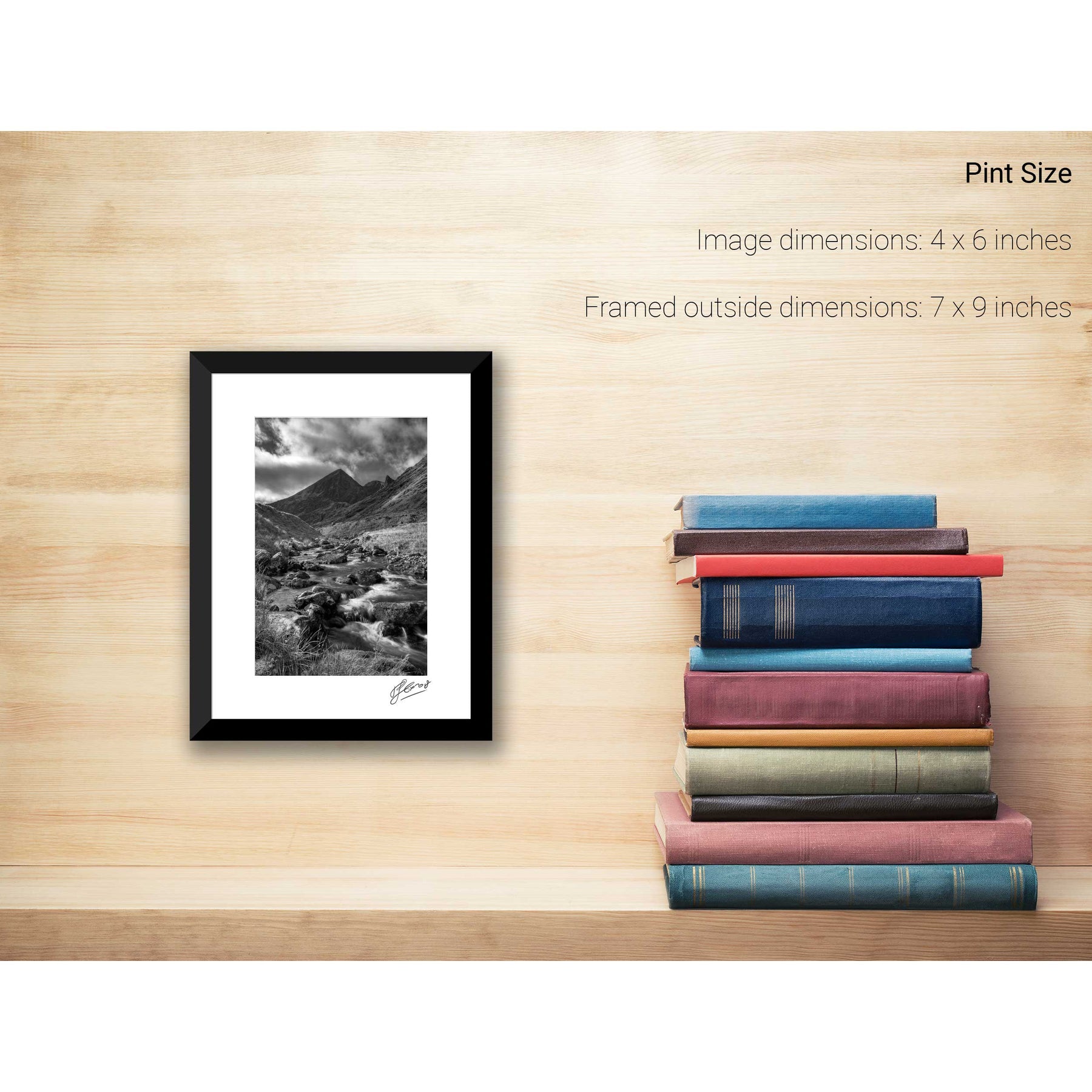
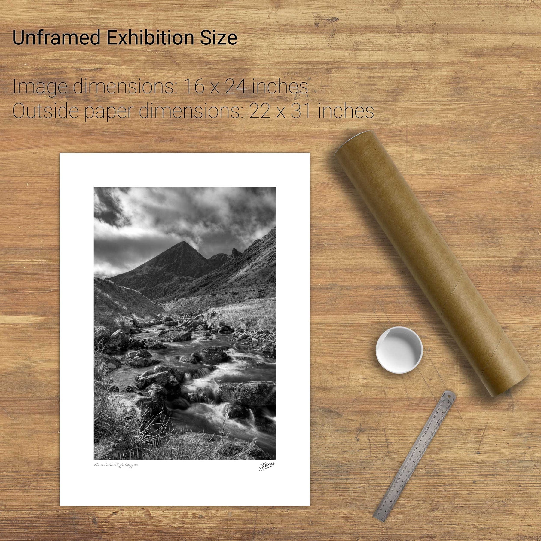
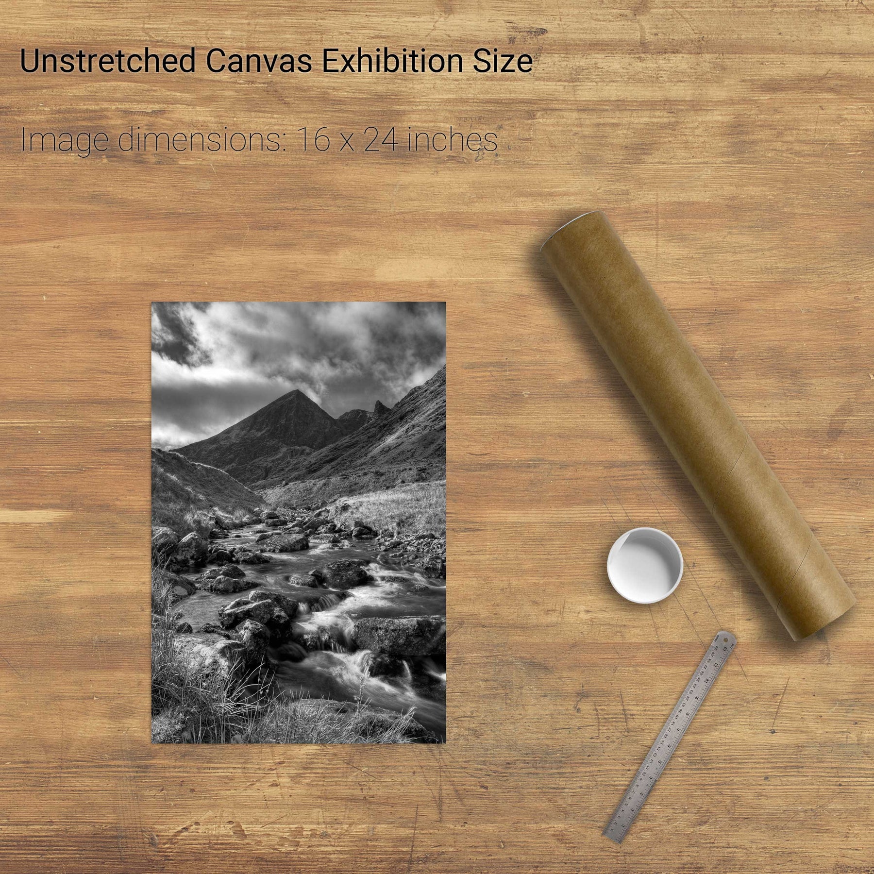
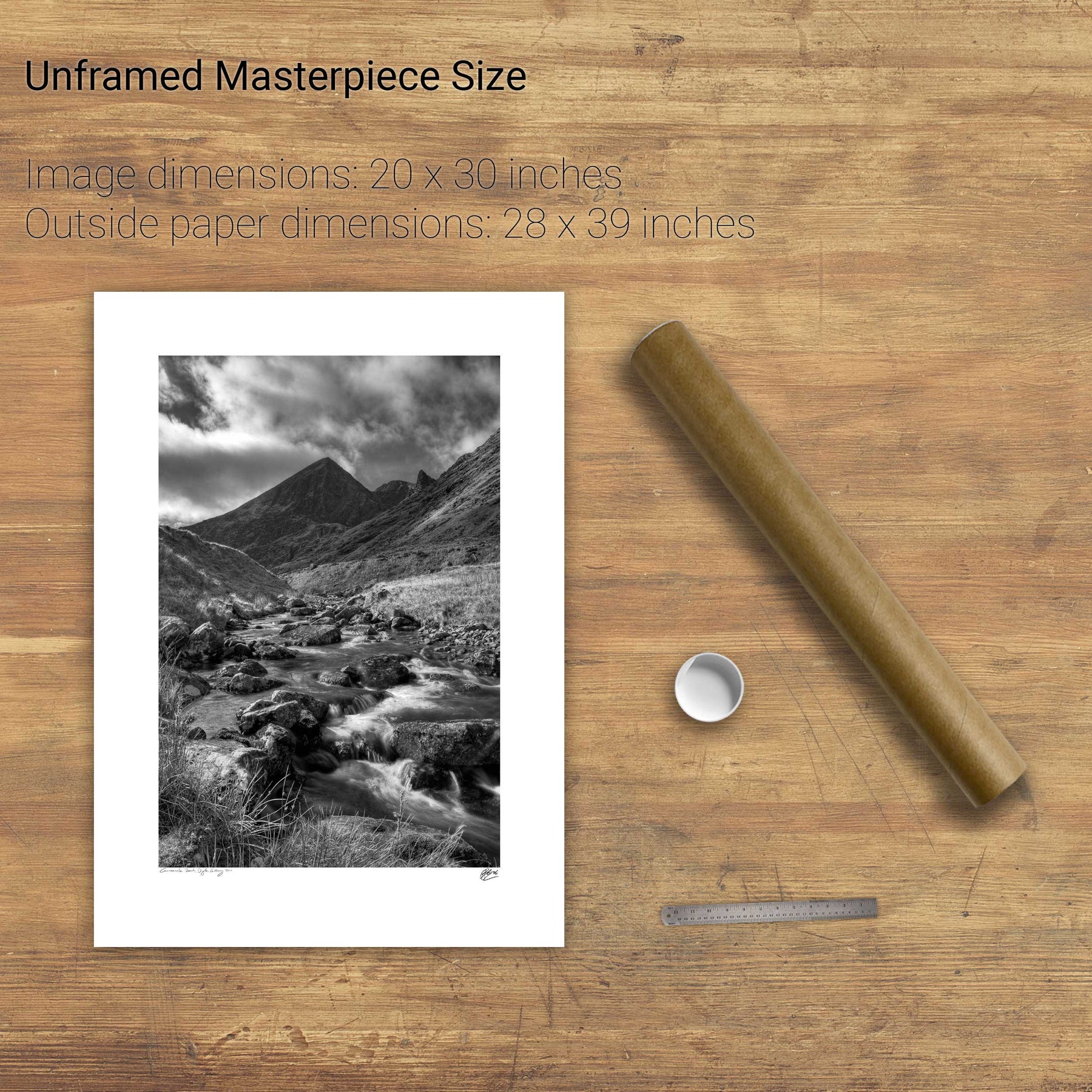
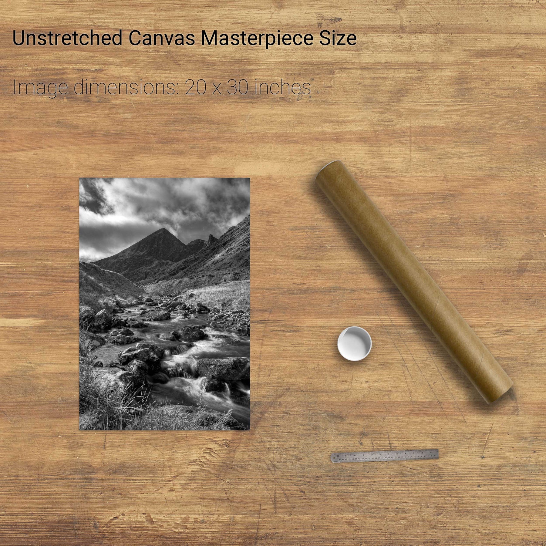
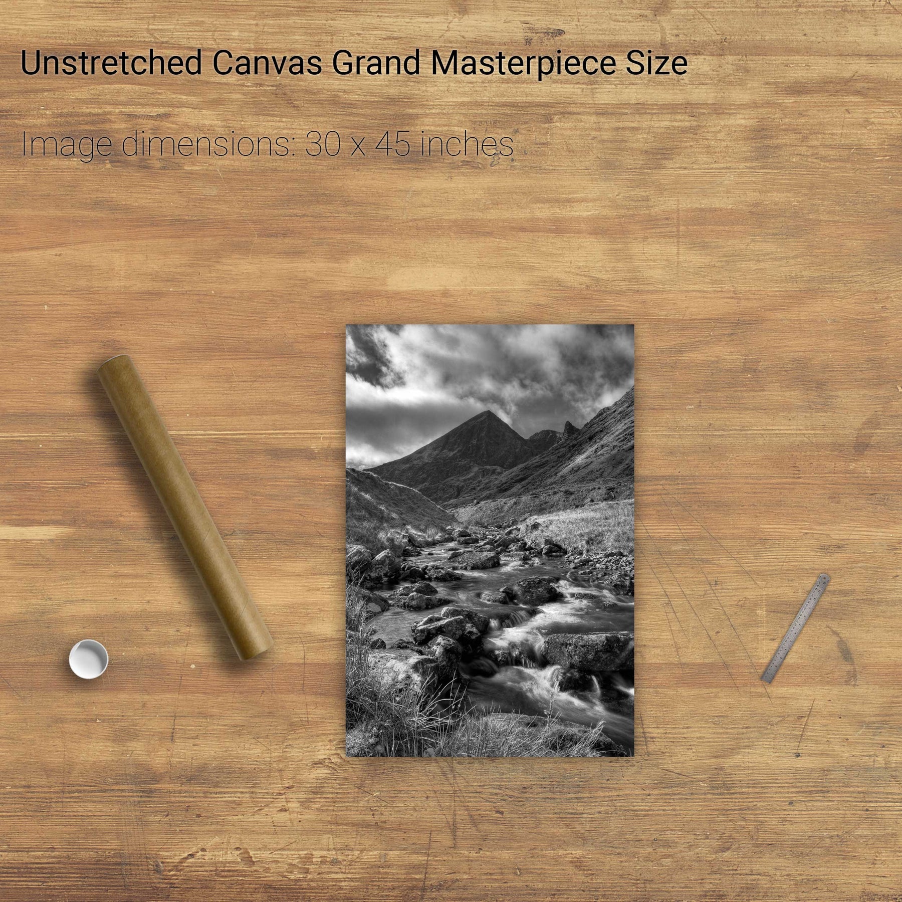
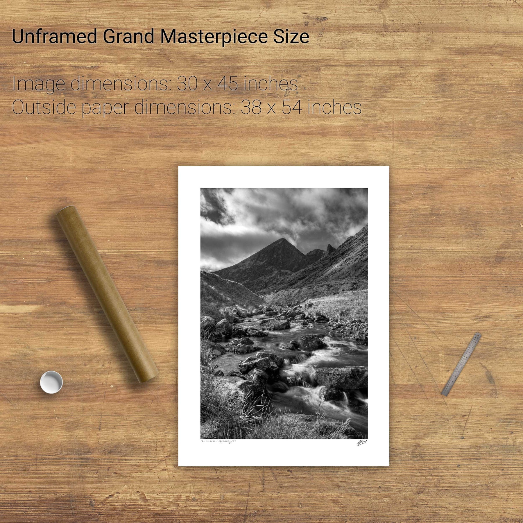
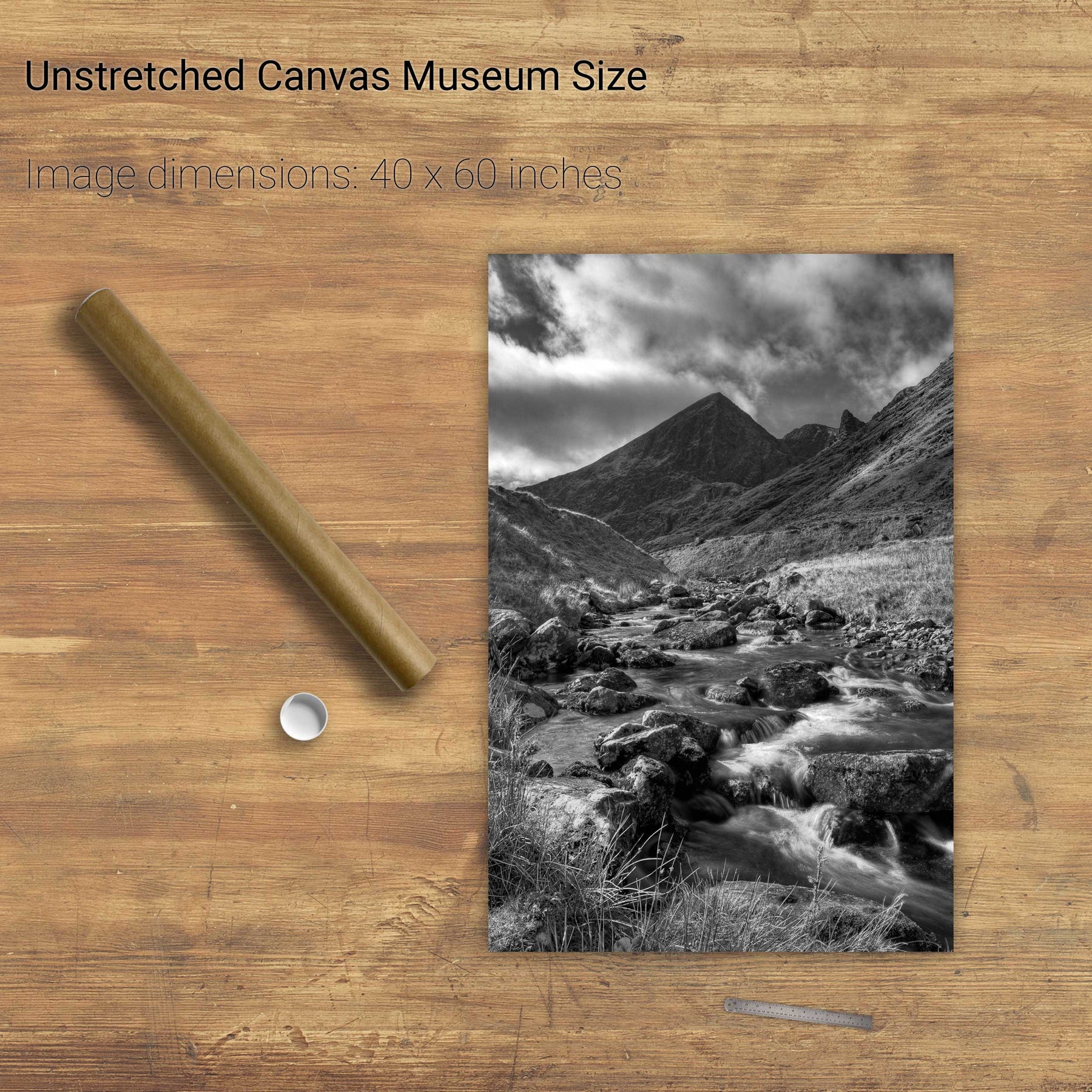
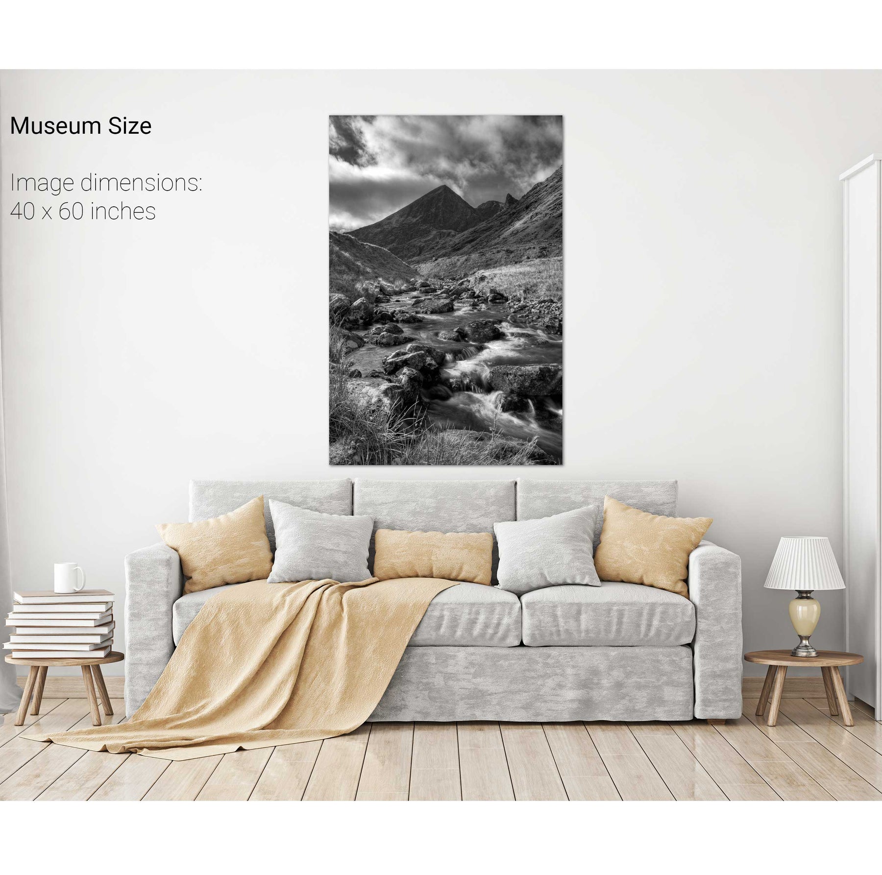
Carrauntoohil, Co. Kerry
Mullaghmore, Co. Sligo
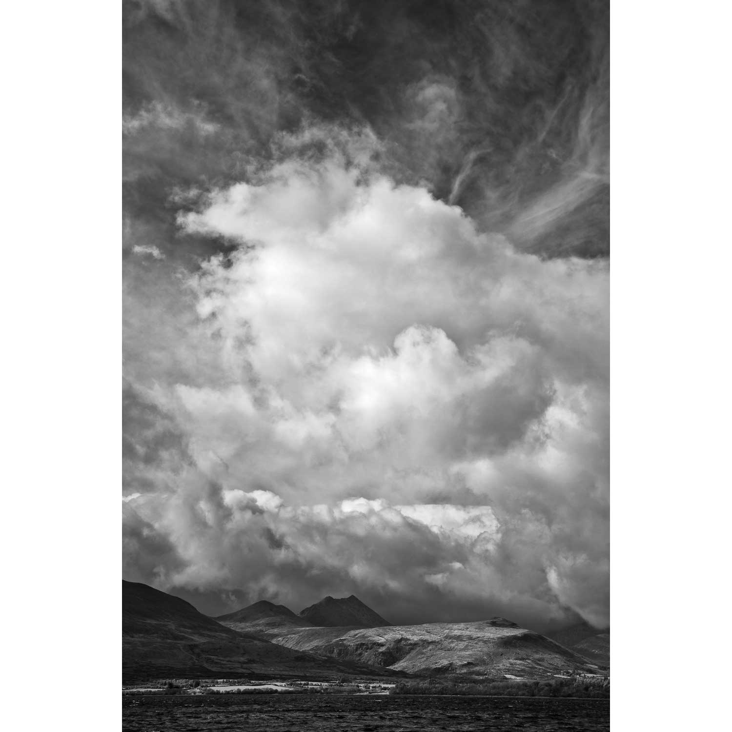
Uncertain Skies over the Reeks, Killarney, Co. Kerry
Toe Head, Co. Cork
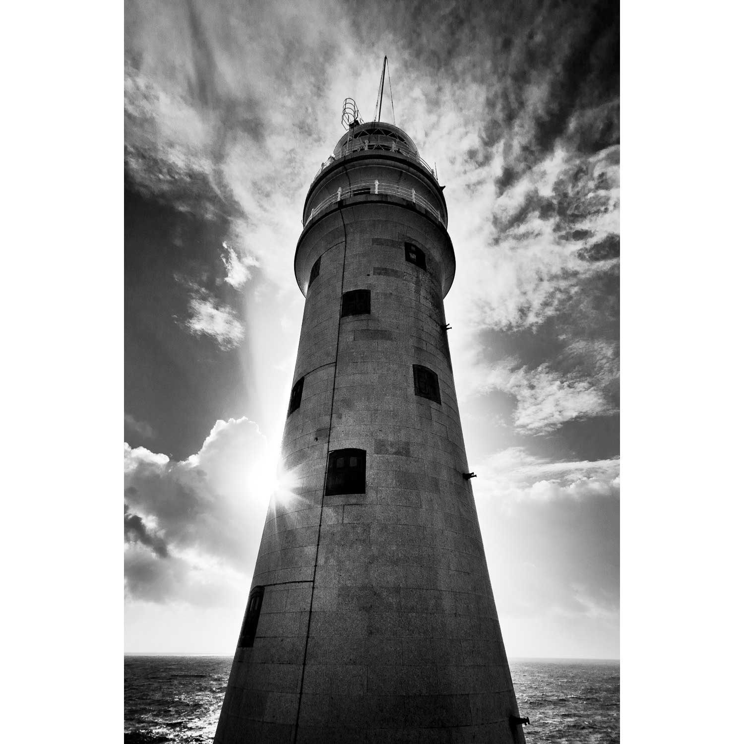
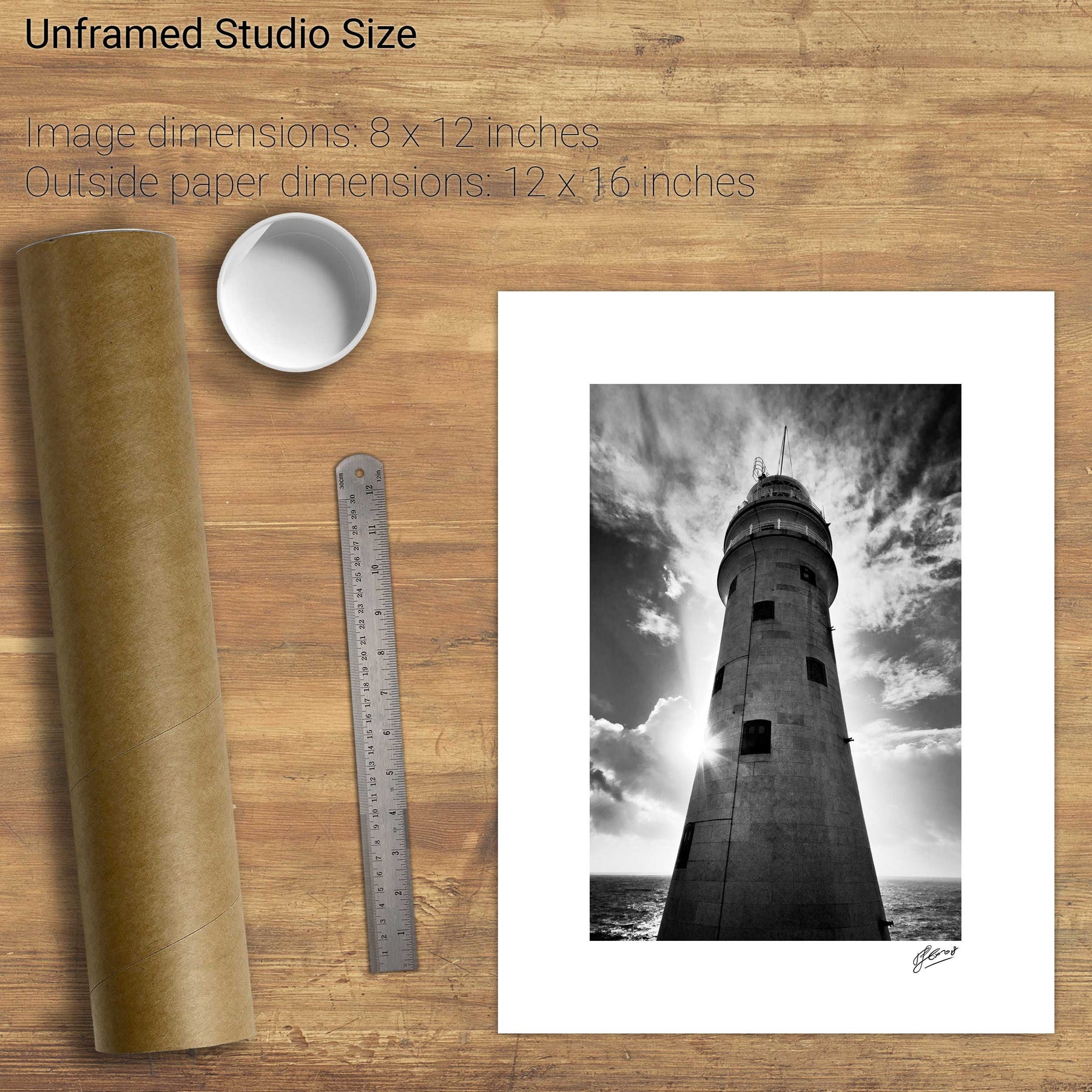
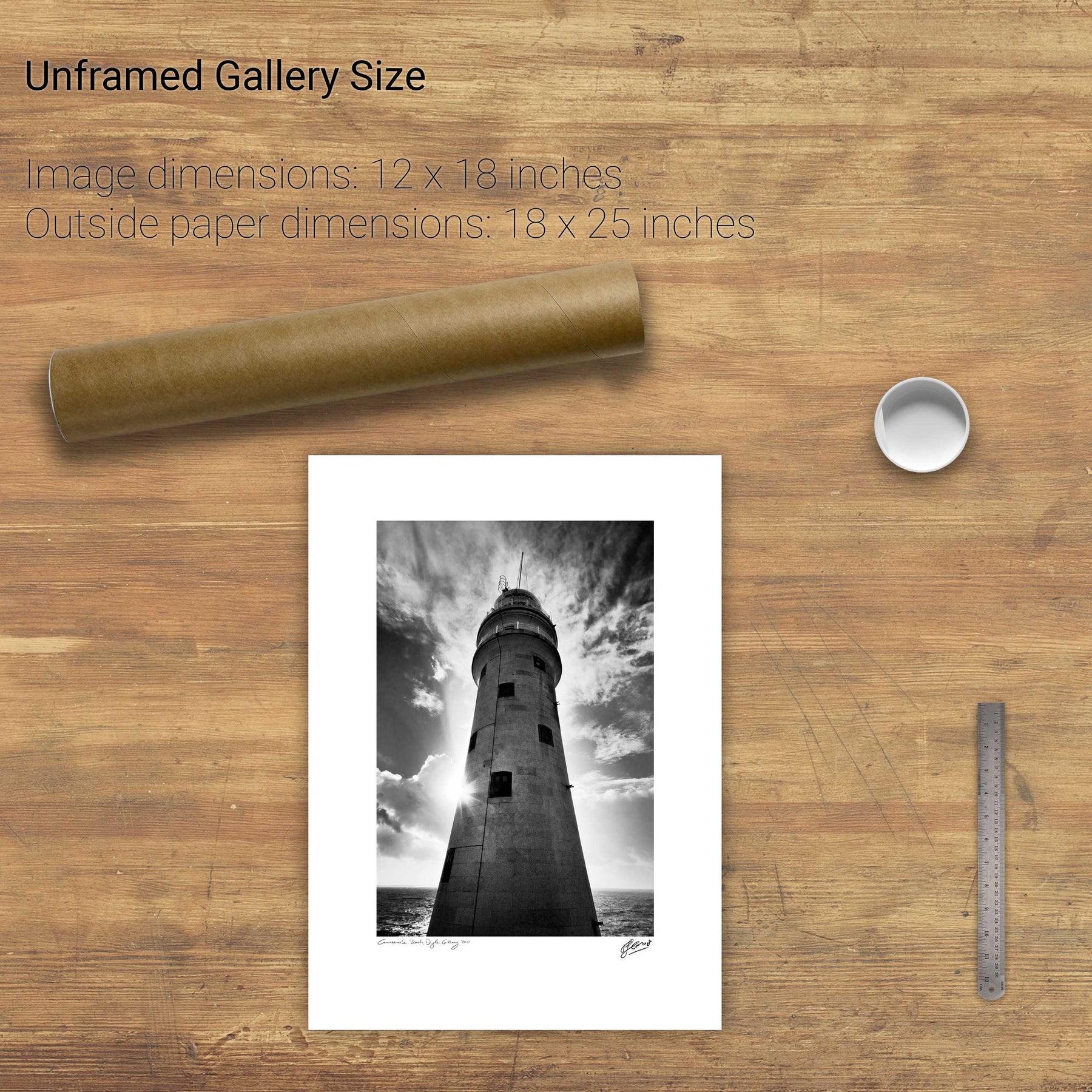
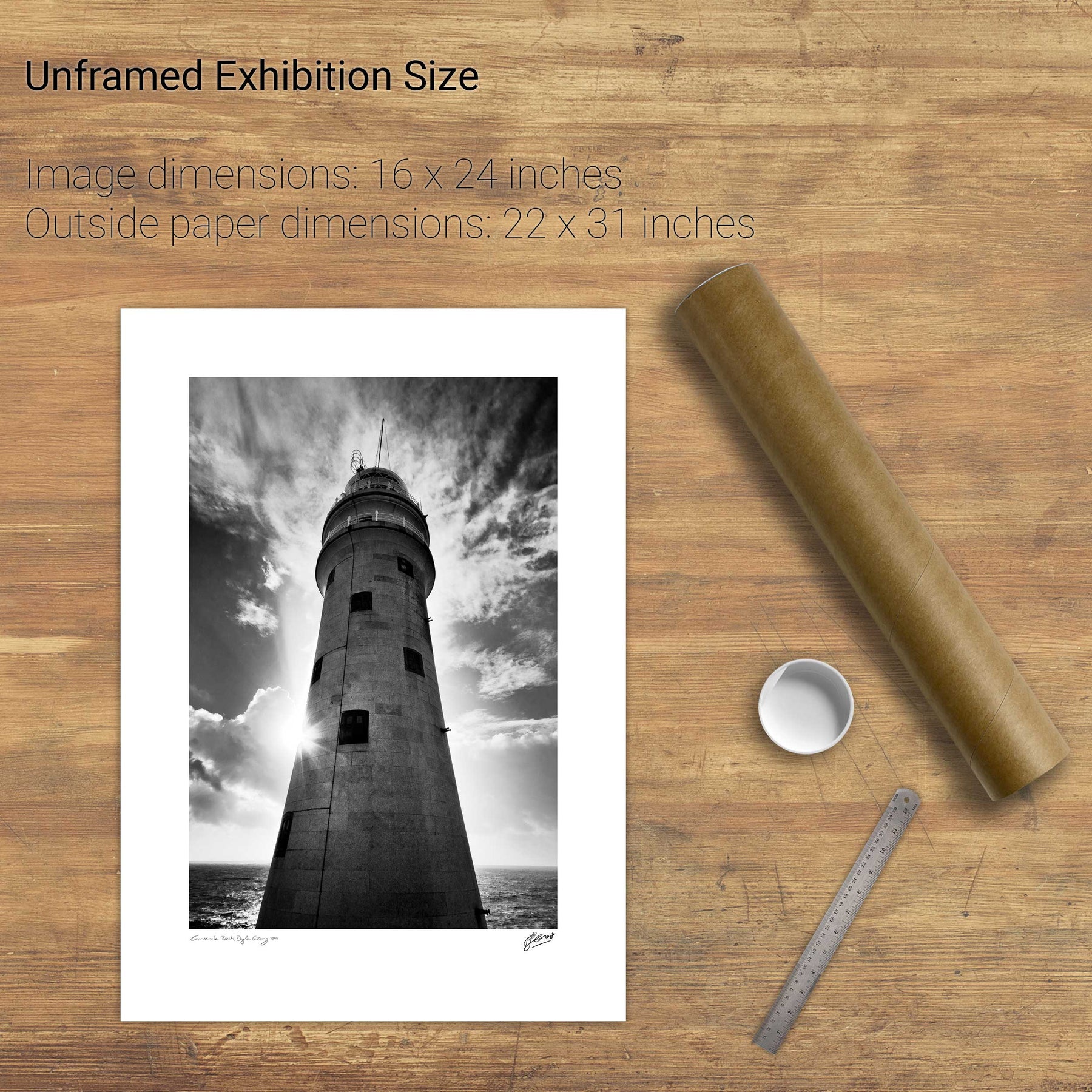
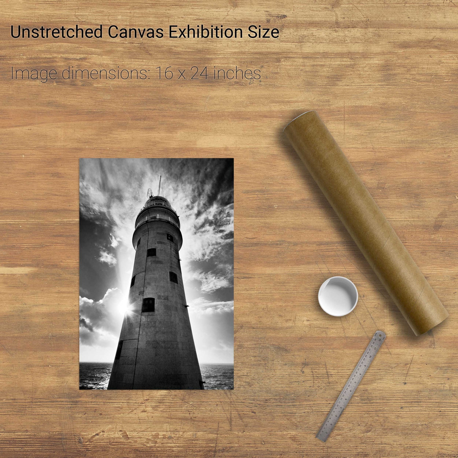
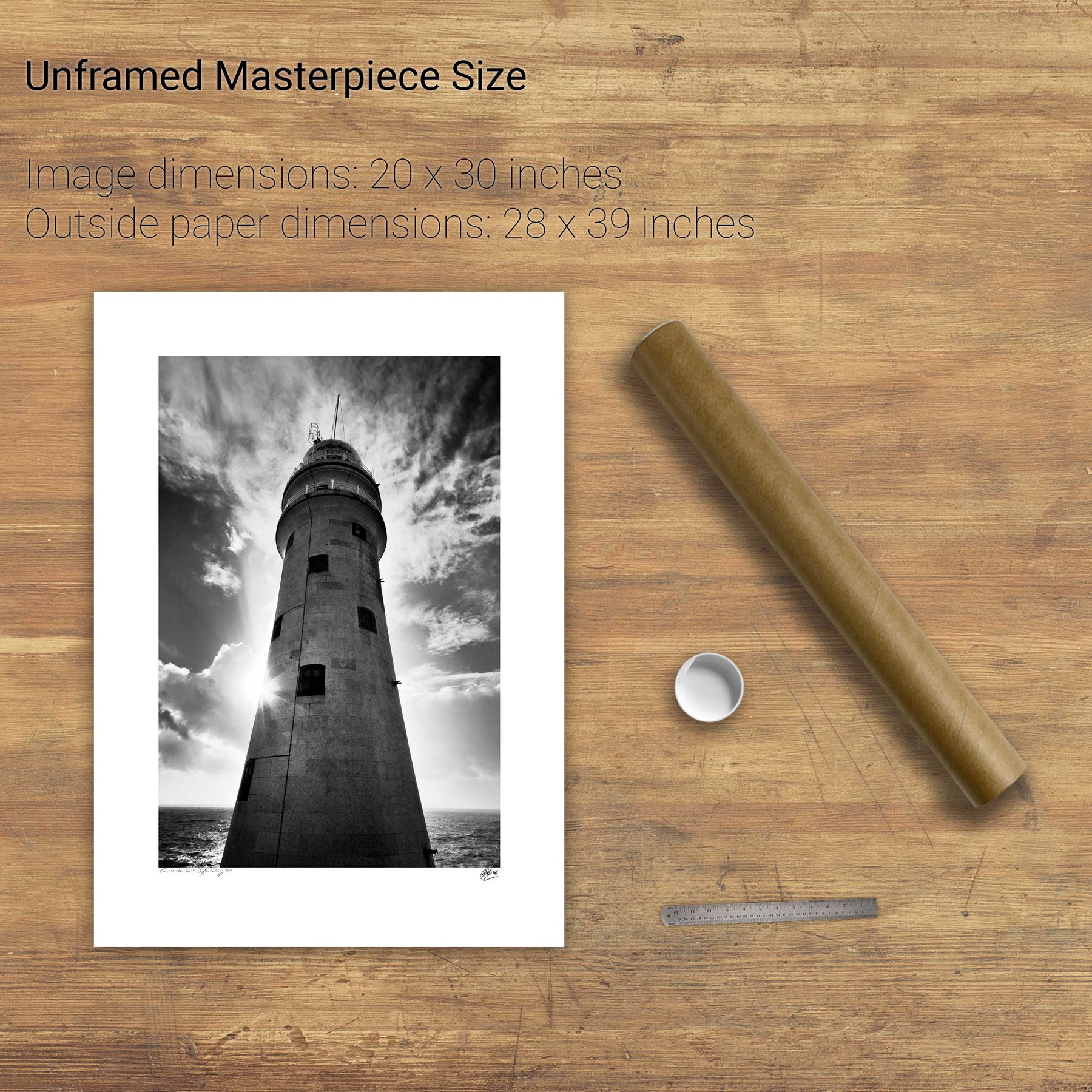
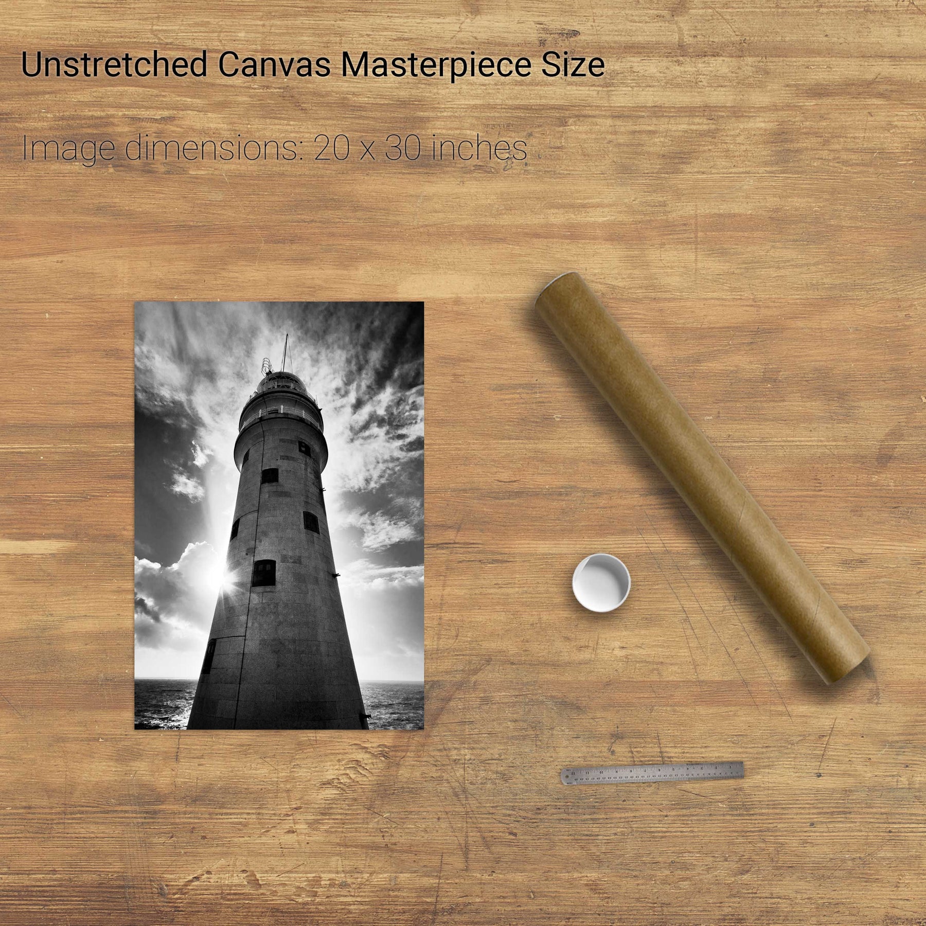
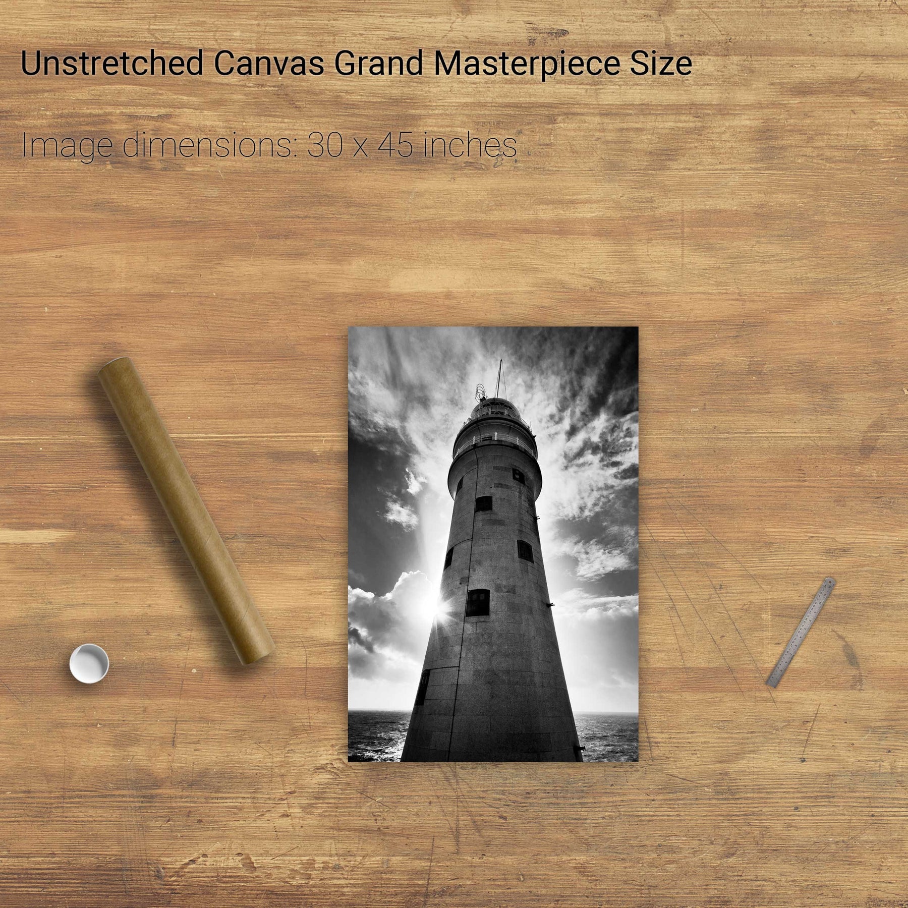
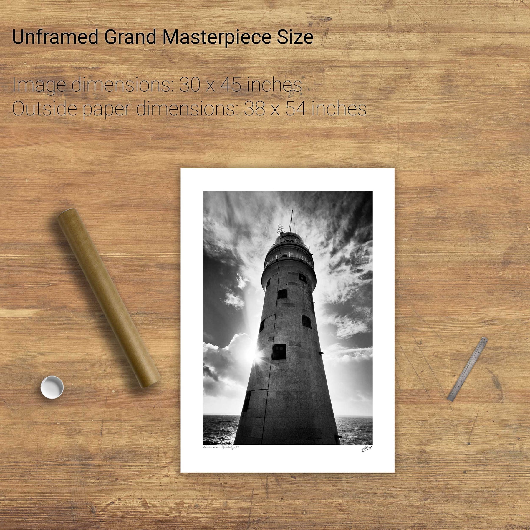
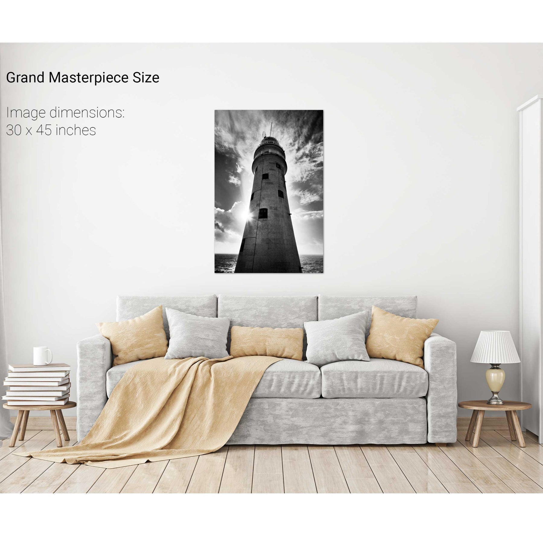
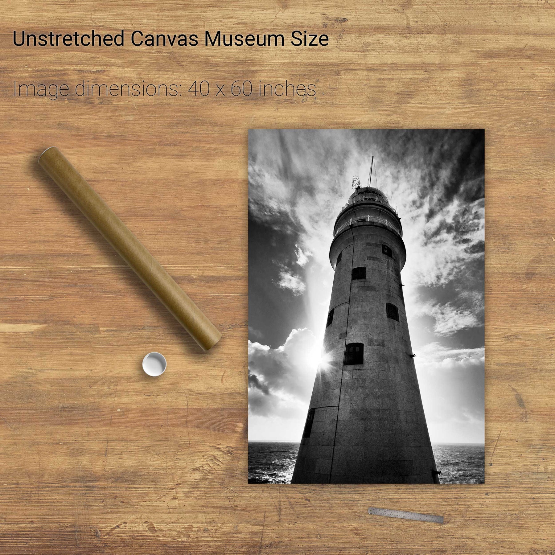
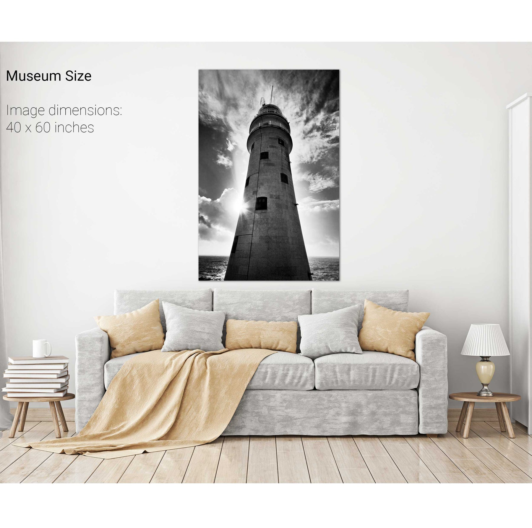
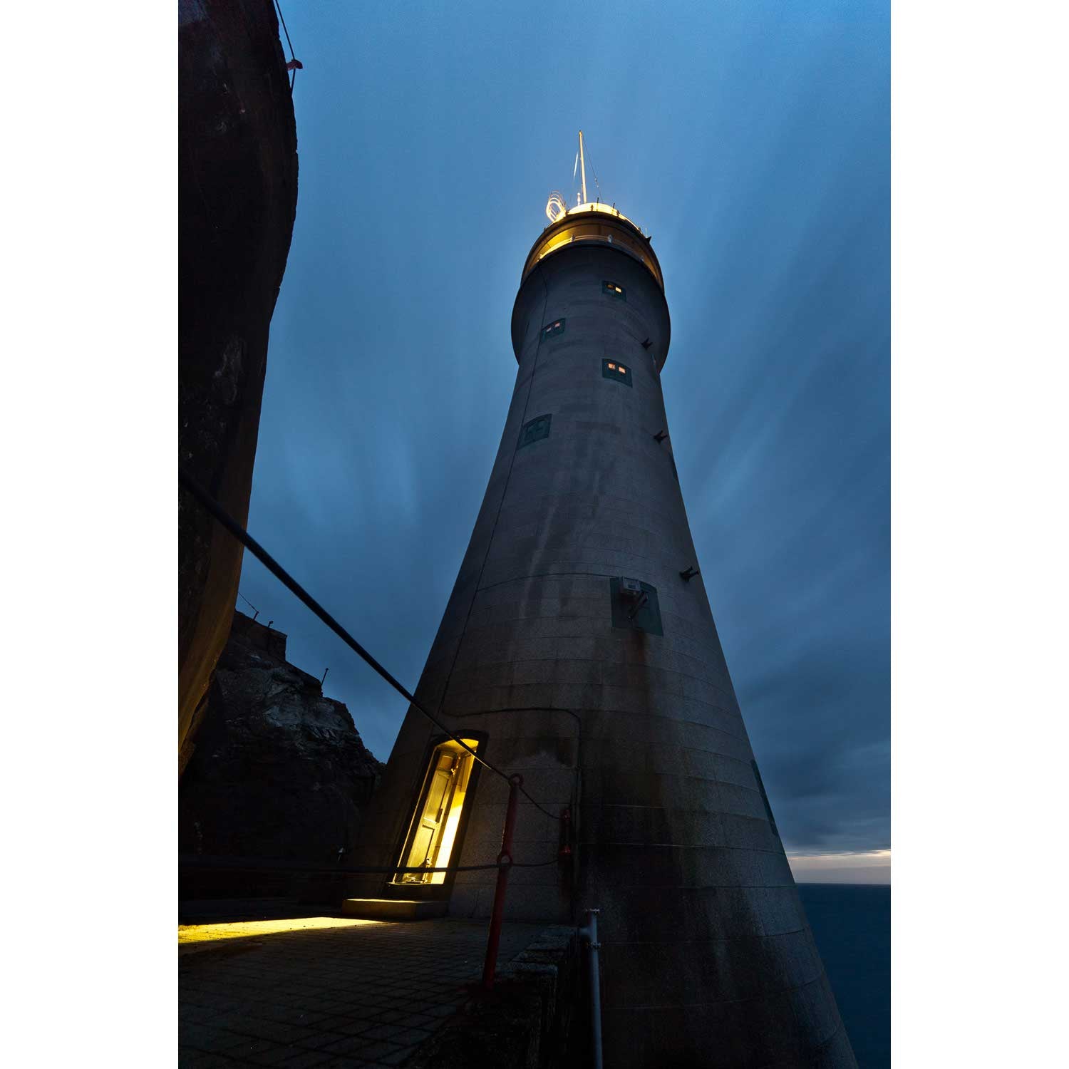
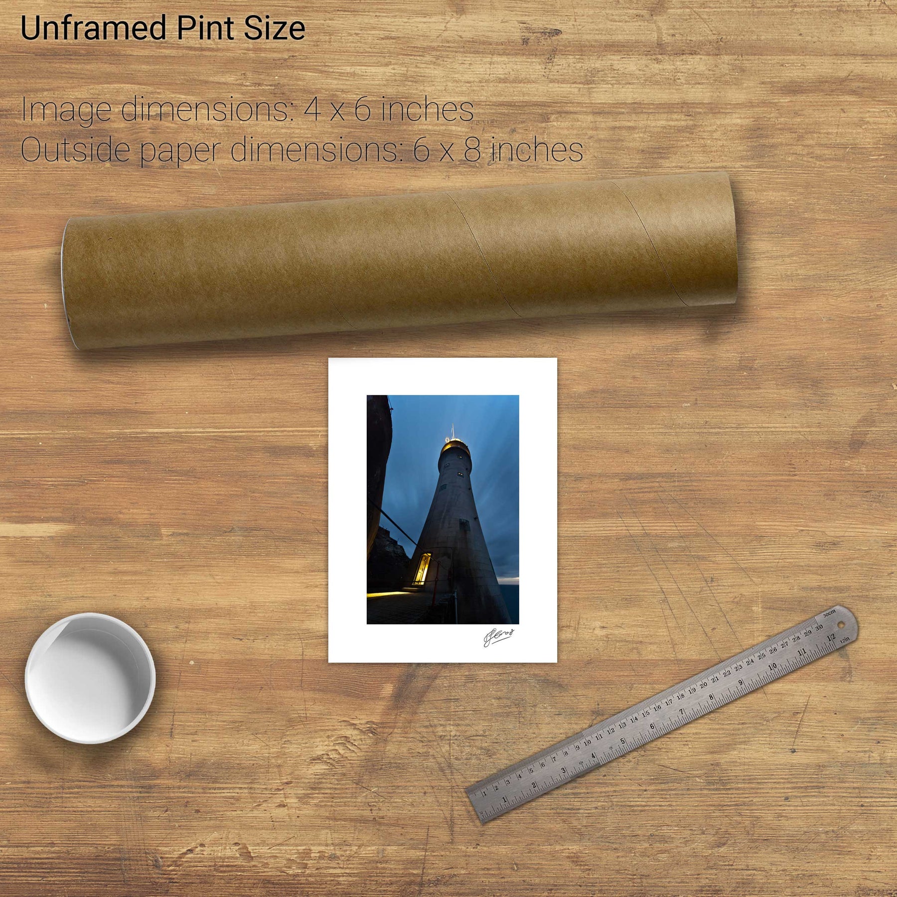
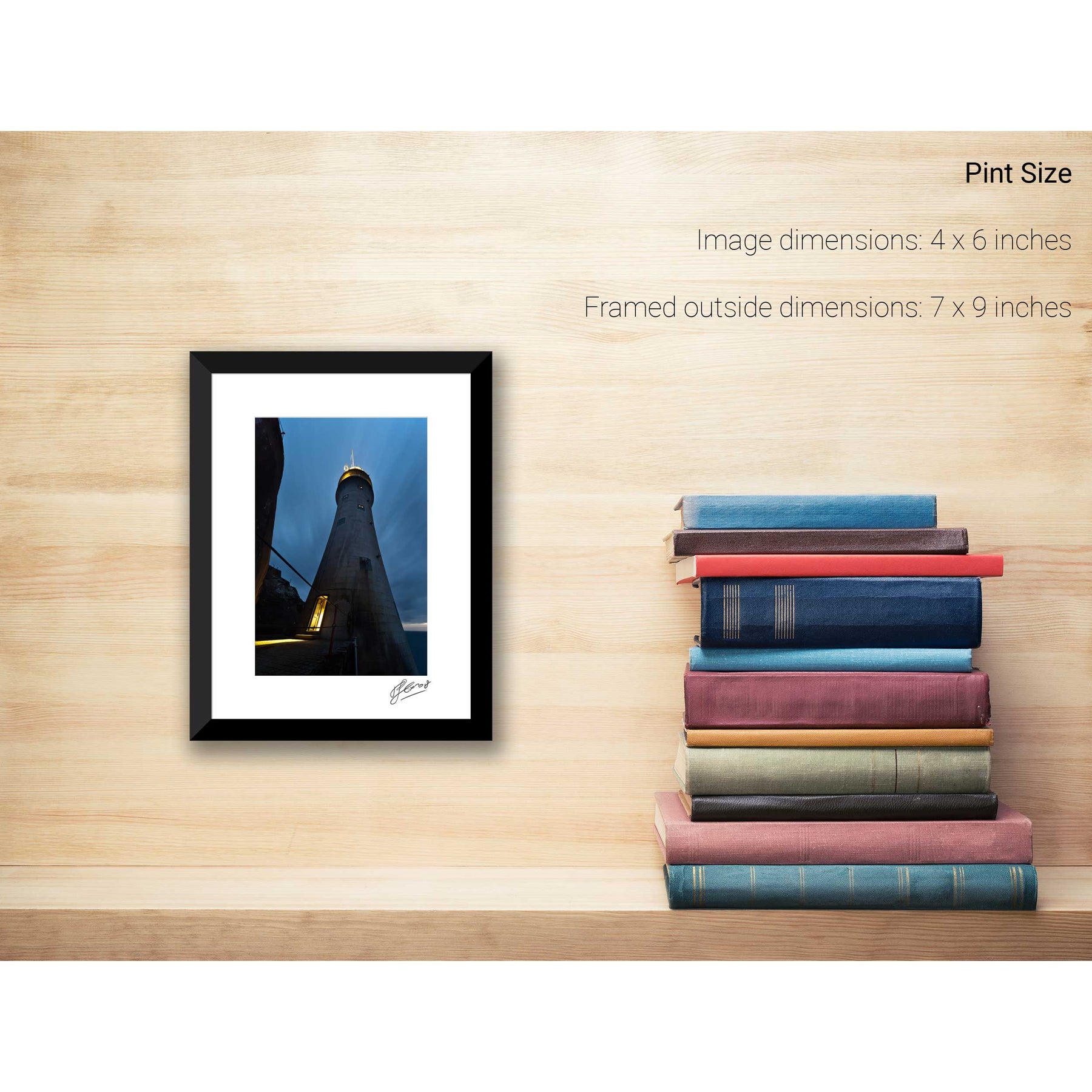
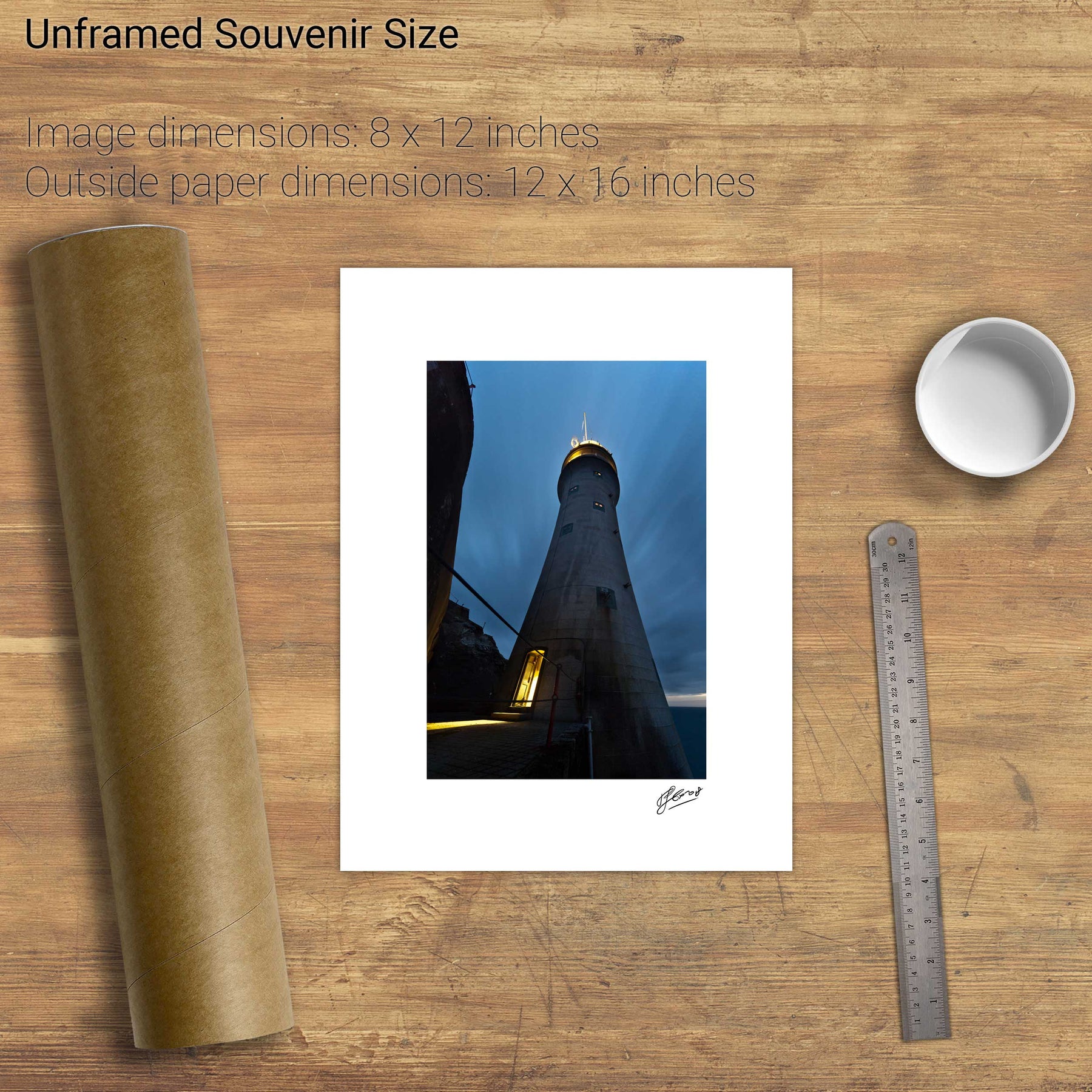
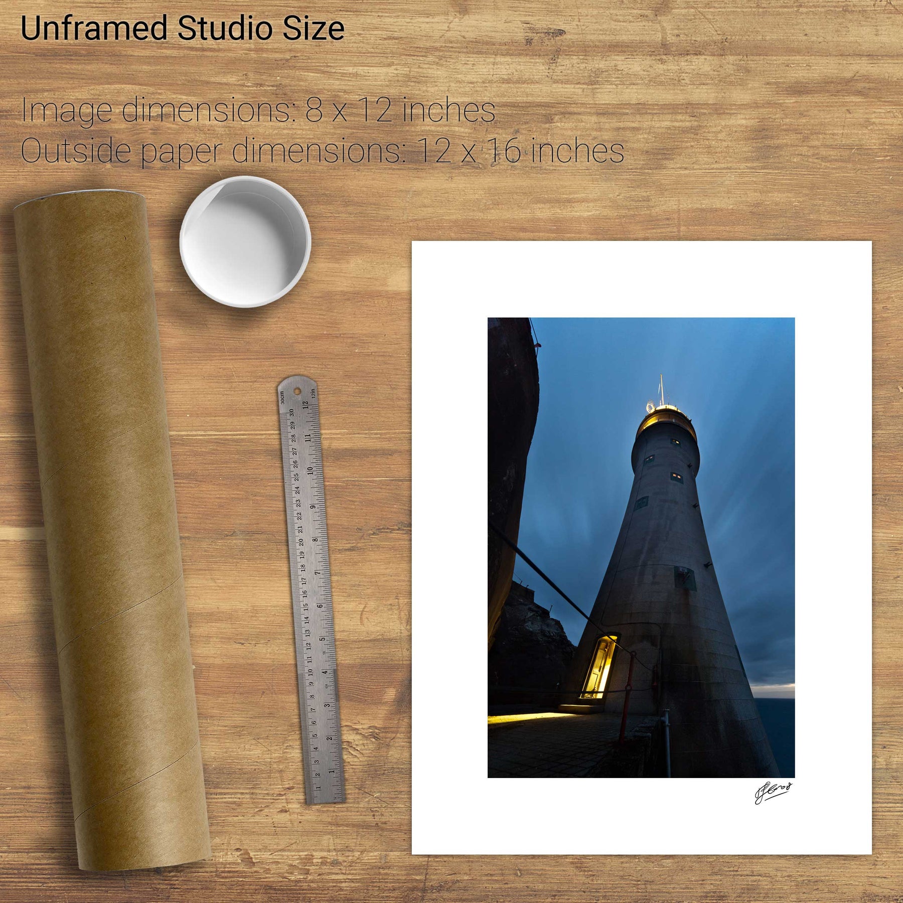
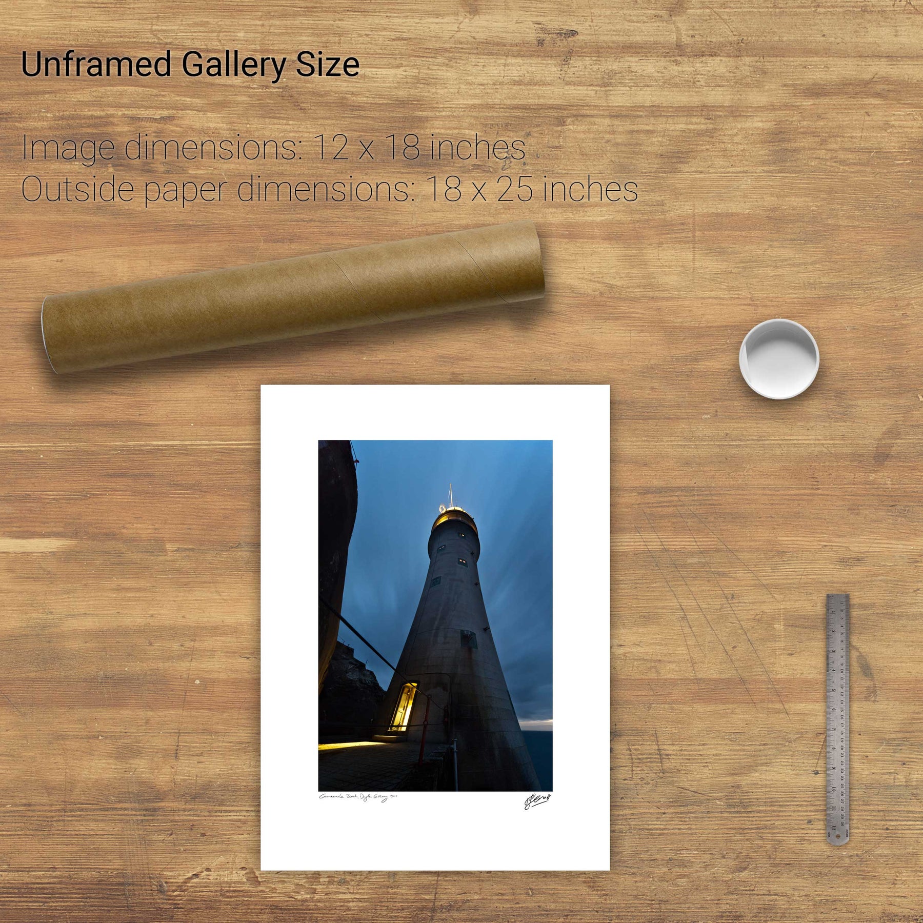
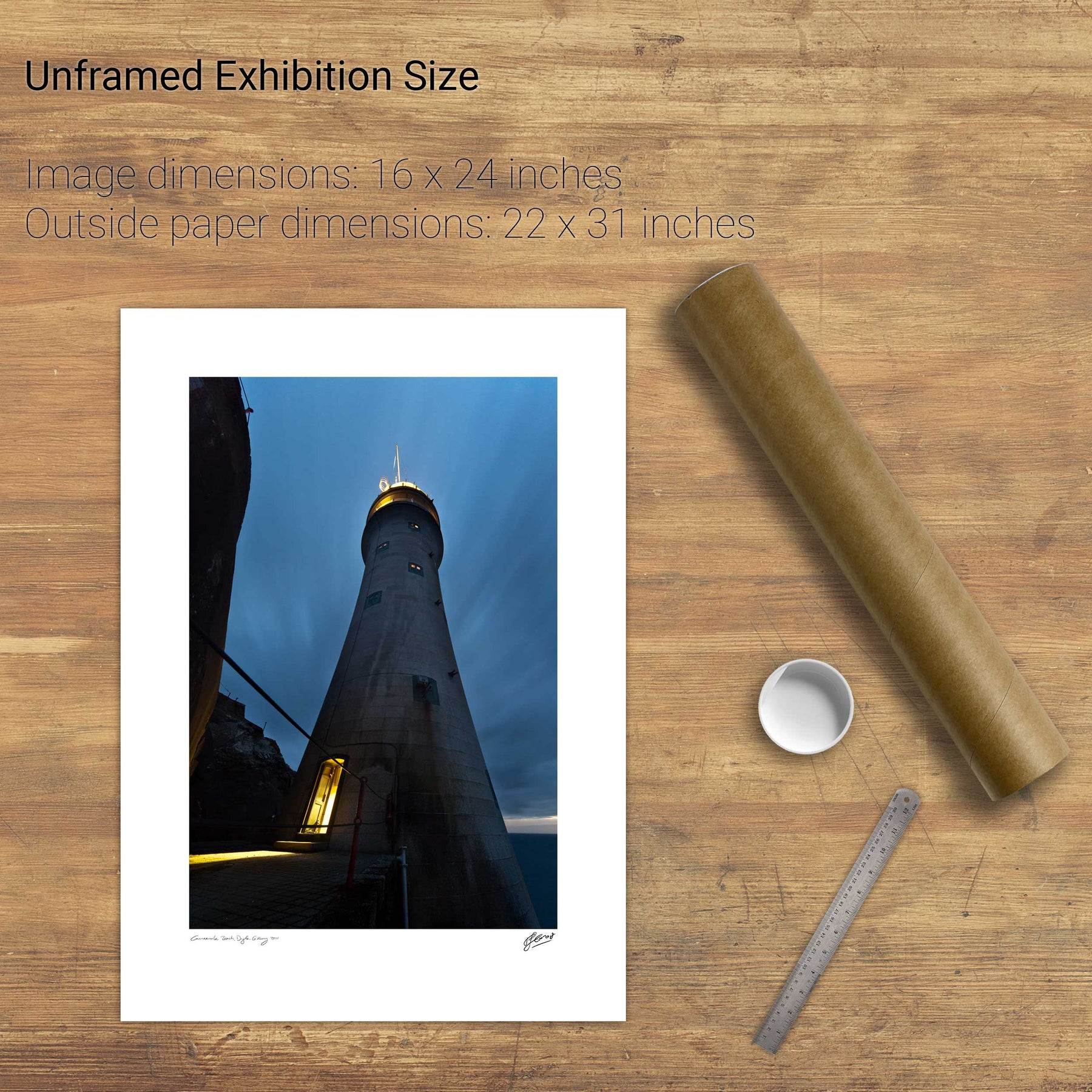
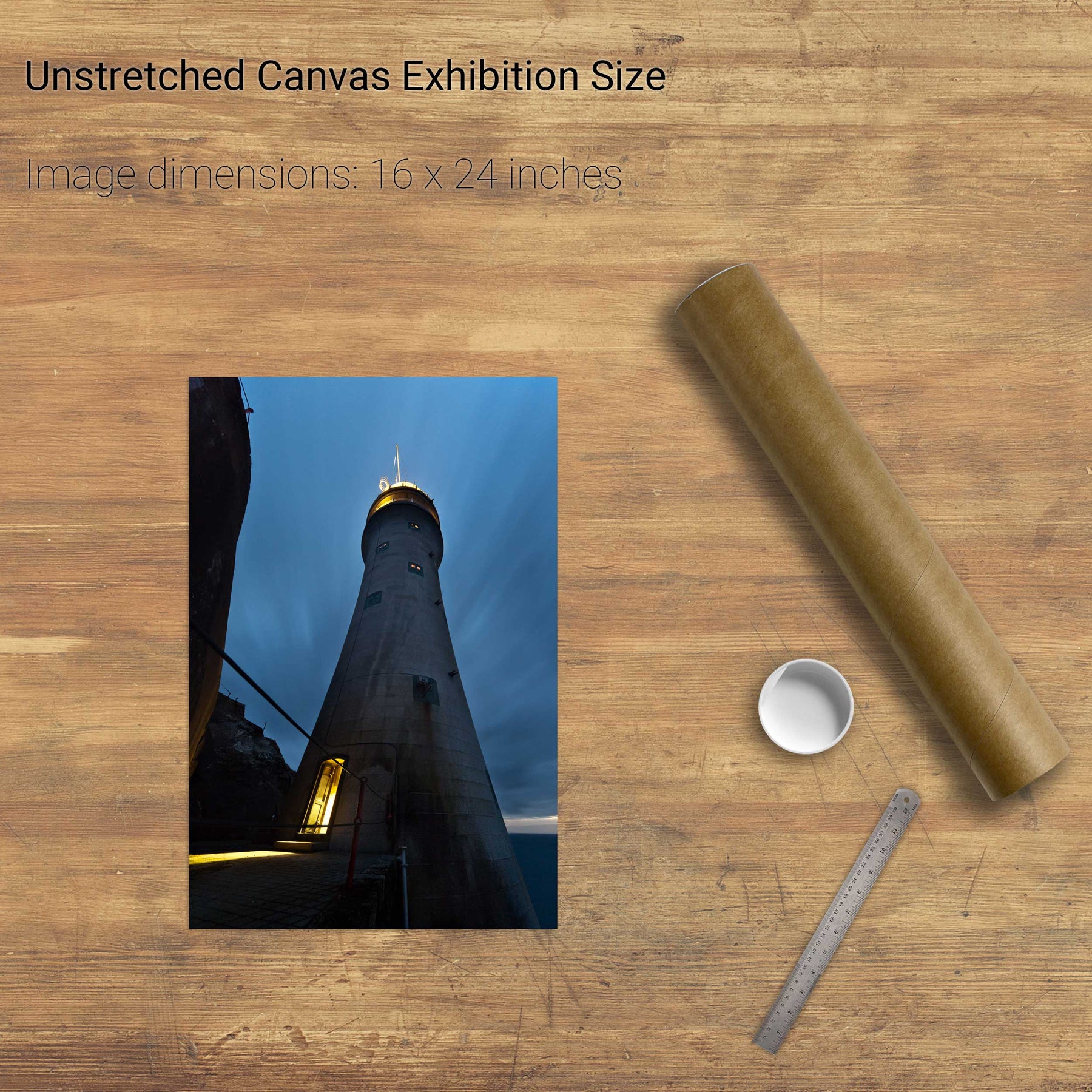
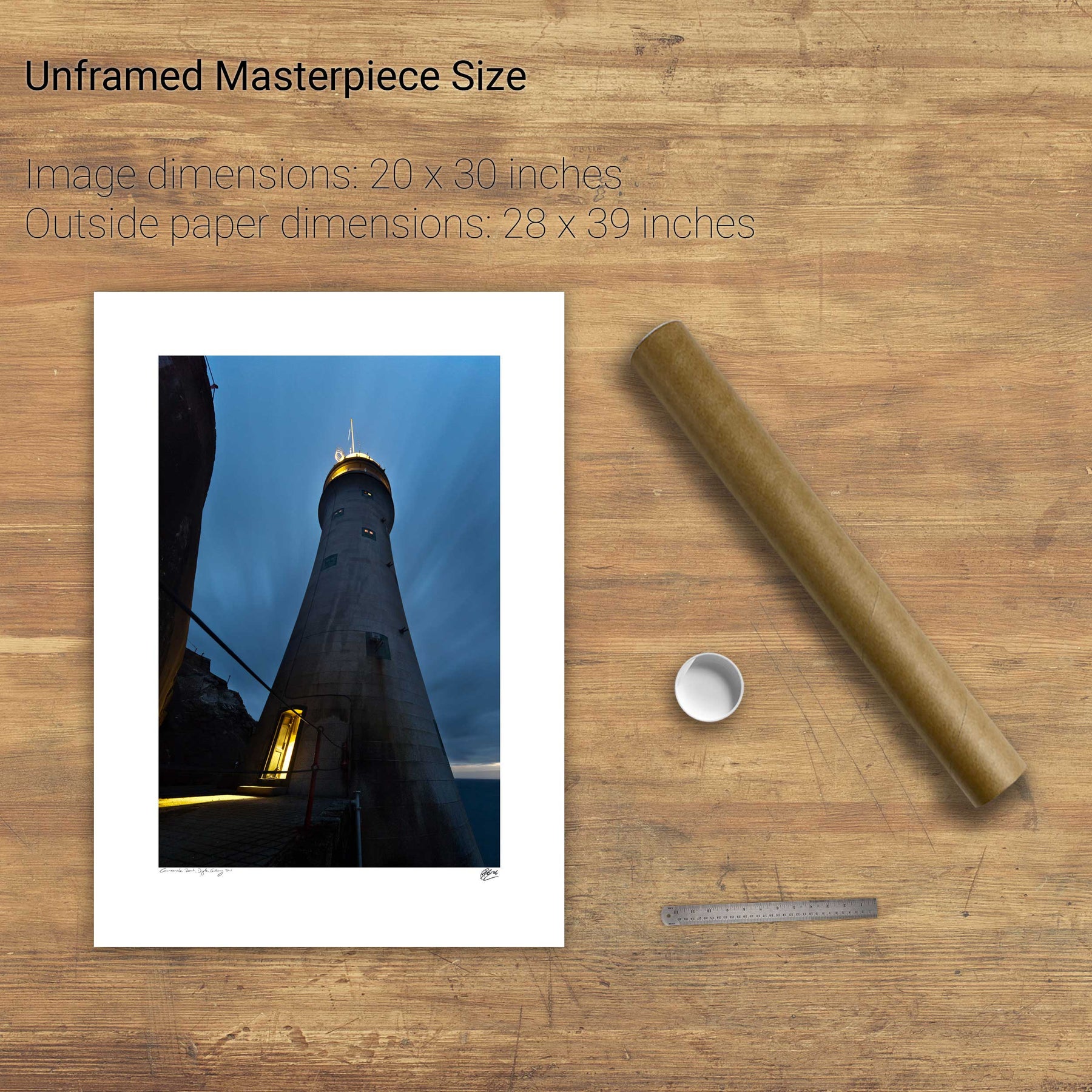
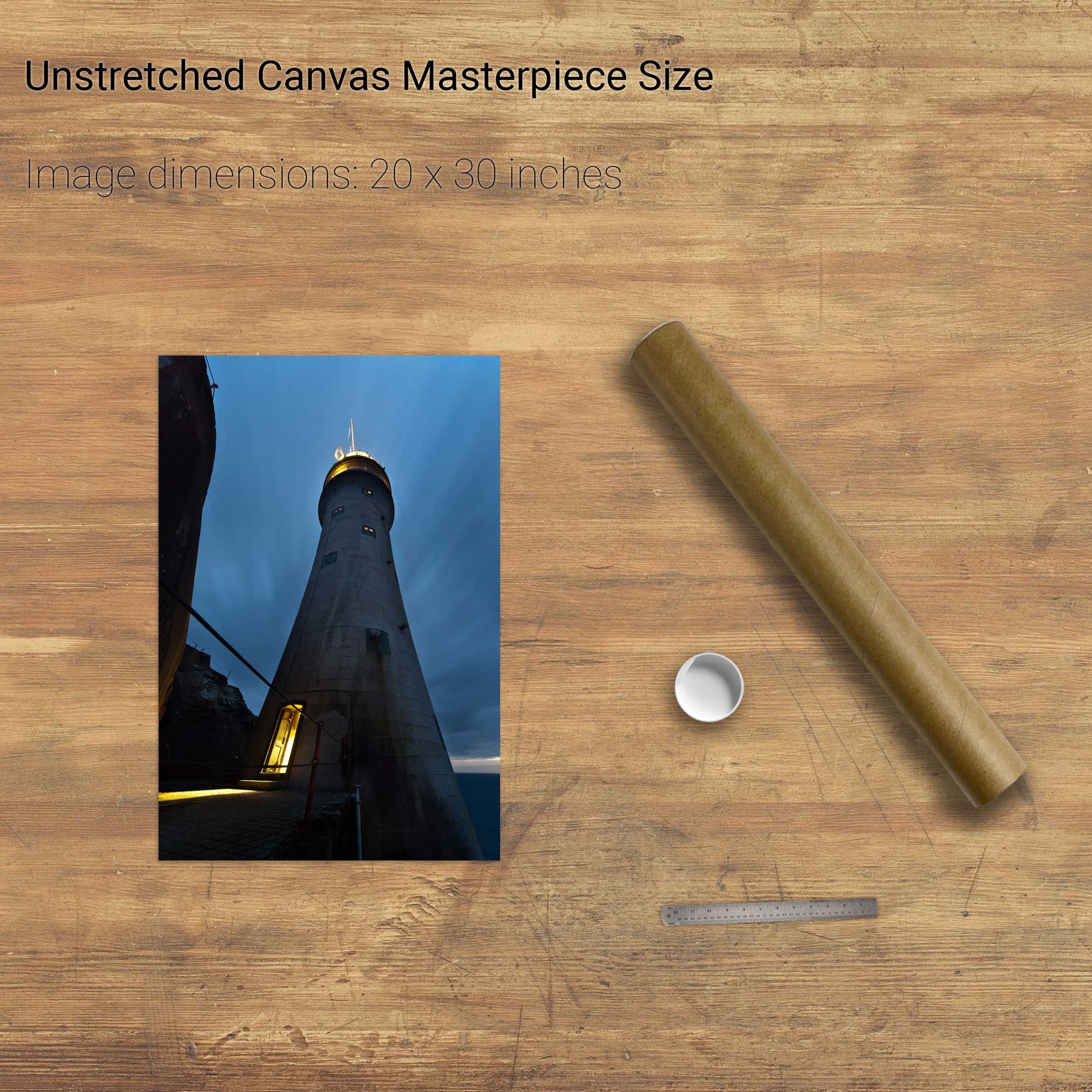
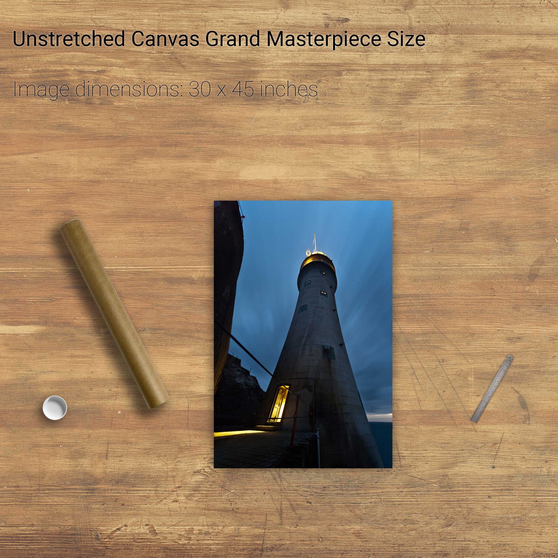
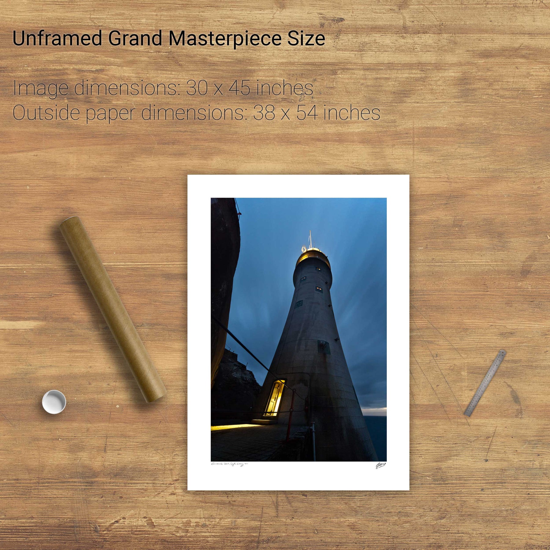
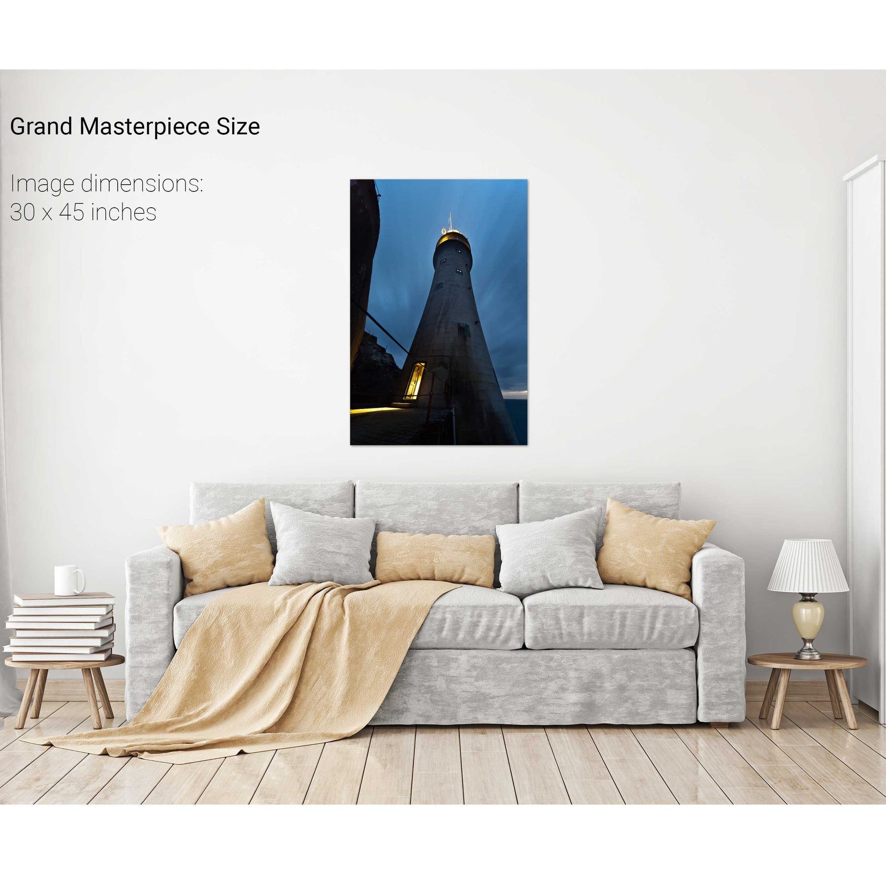
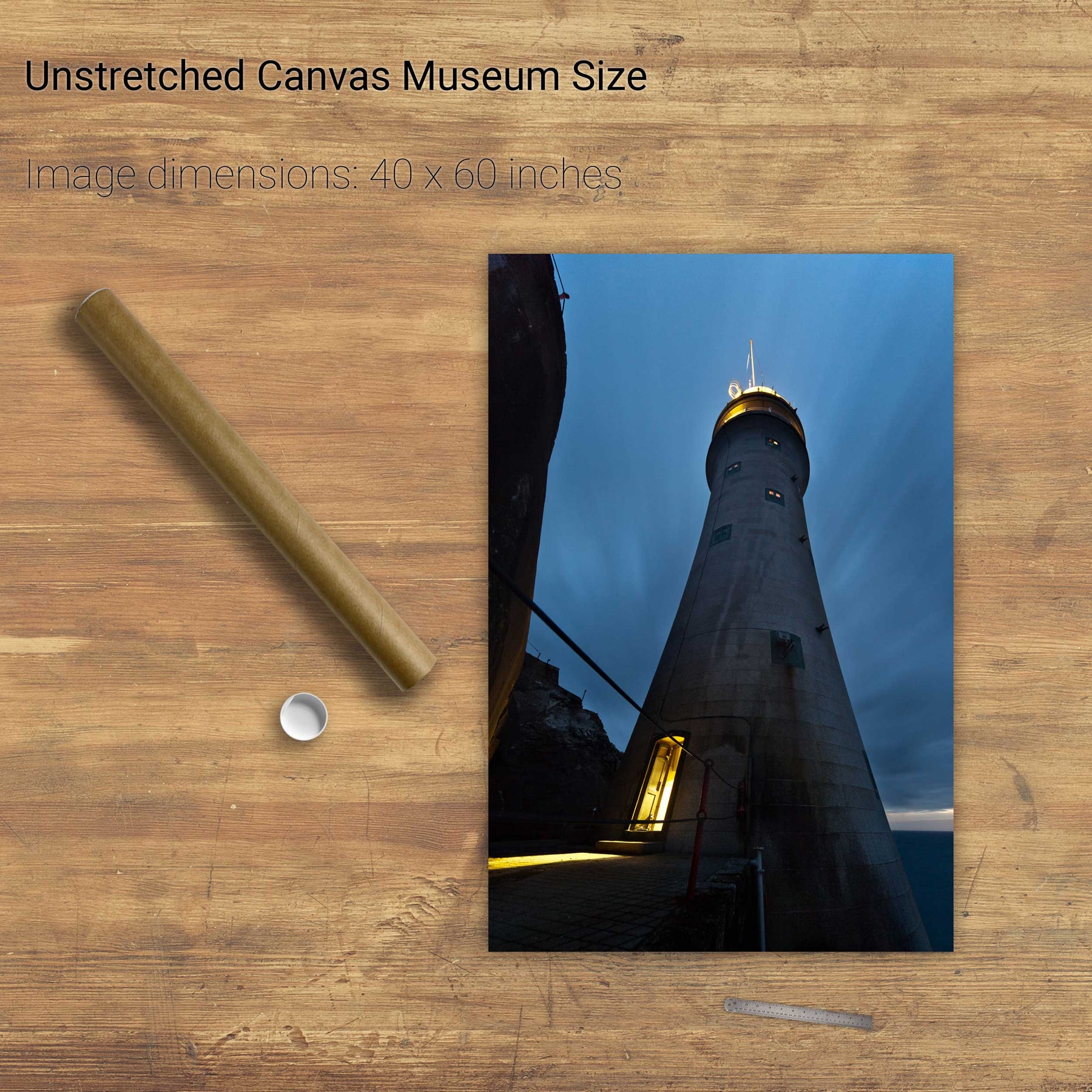
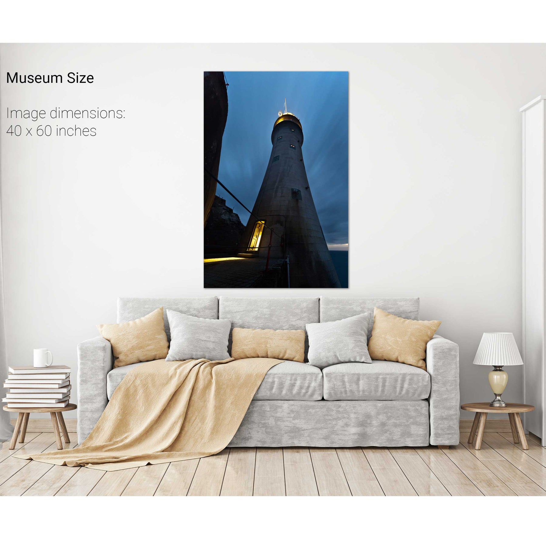
Sunburst, the Fastnet Lighthouse, Co. Cork
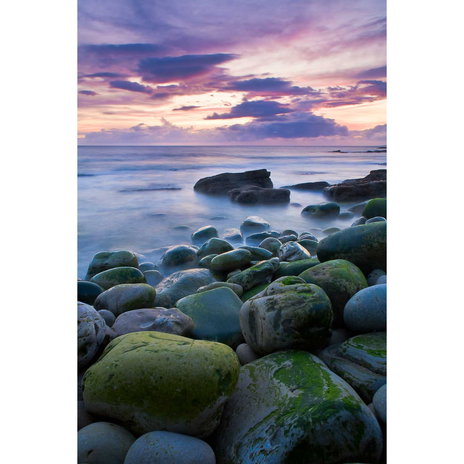
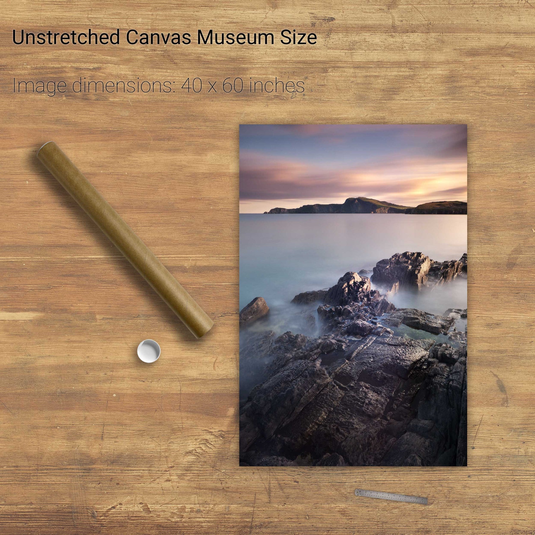
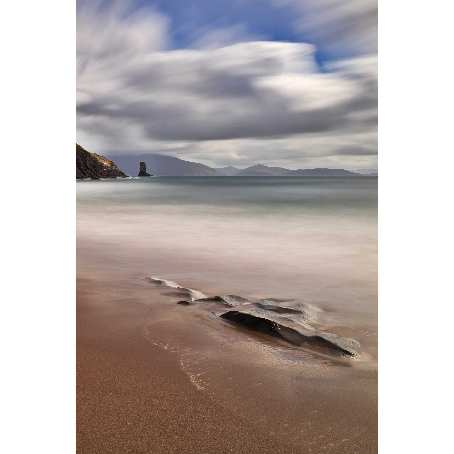
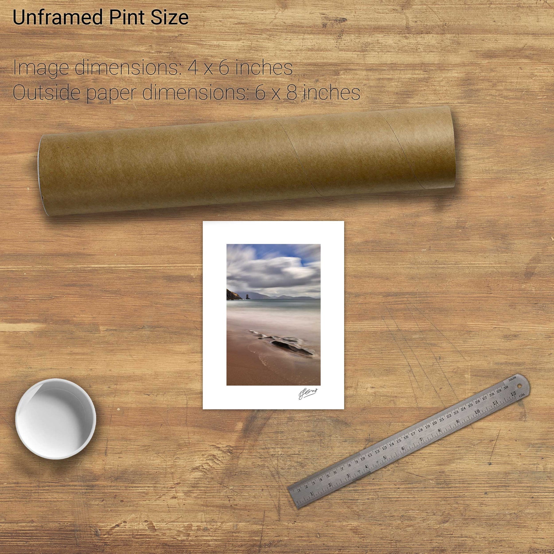
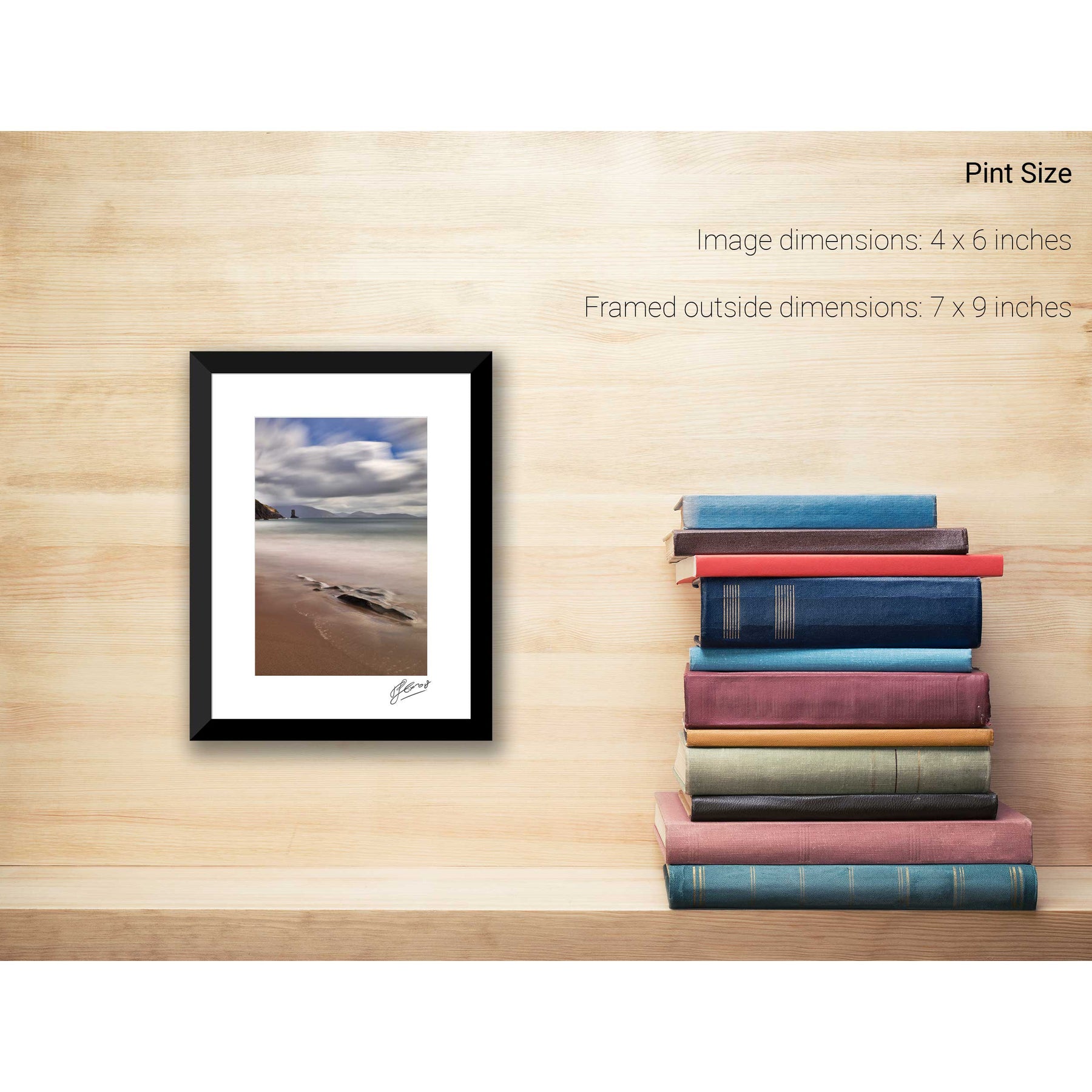
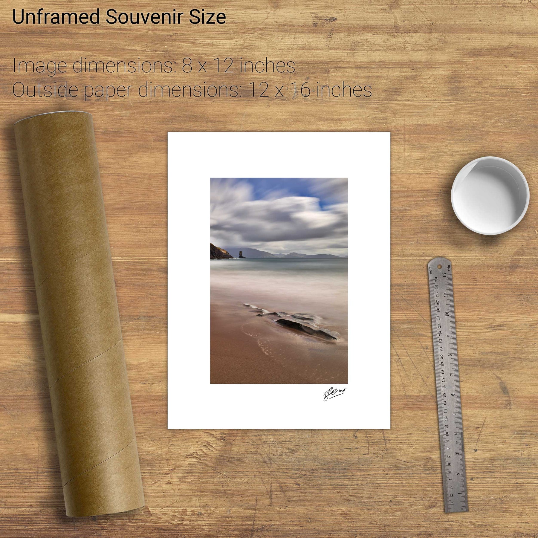
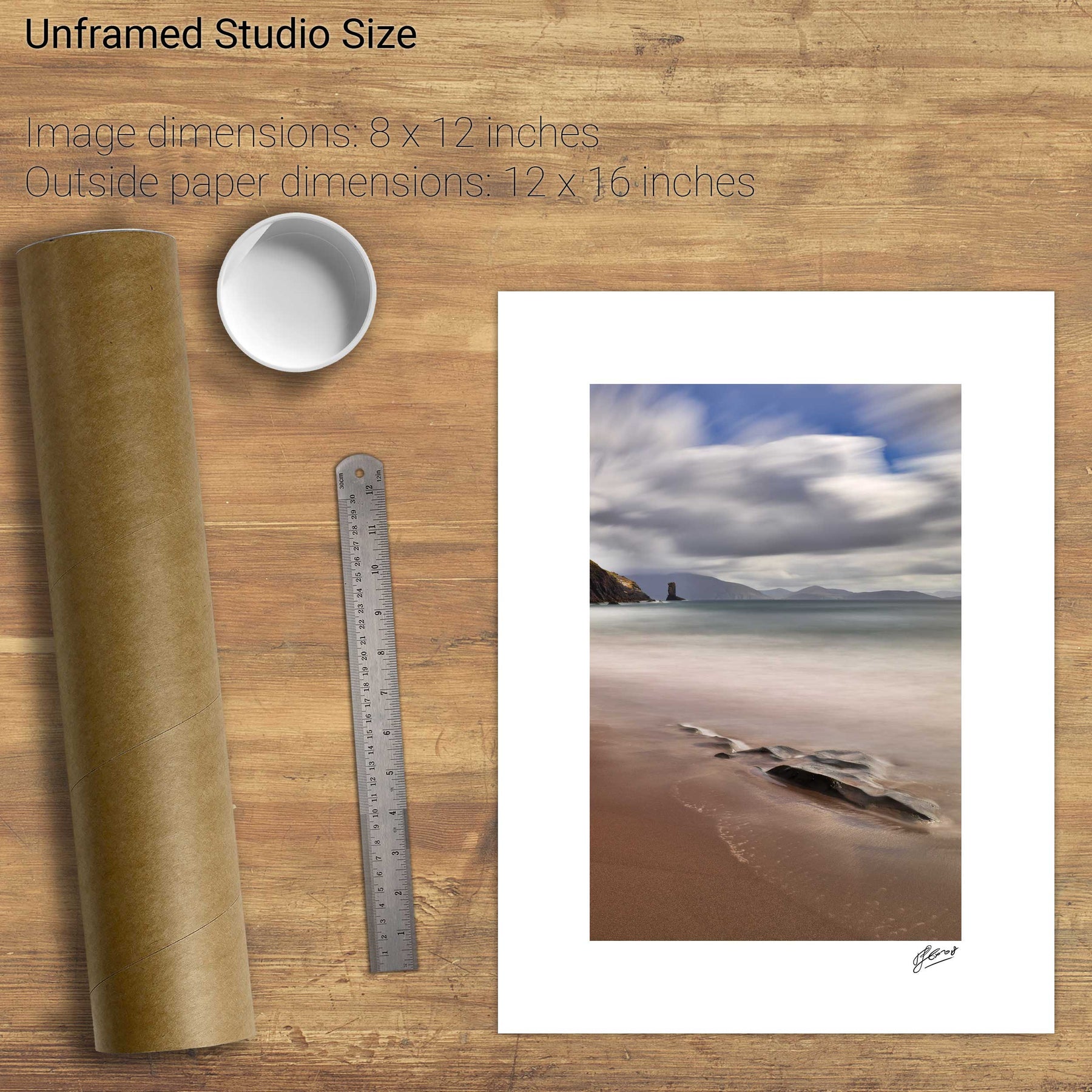
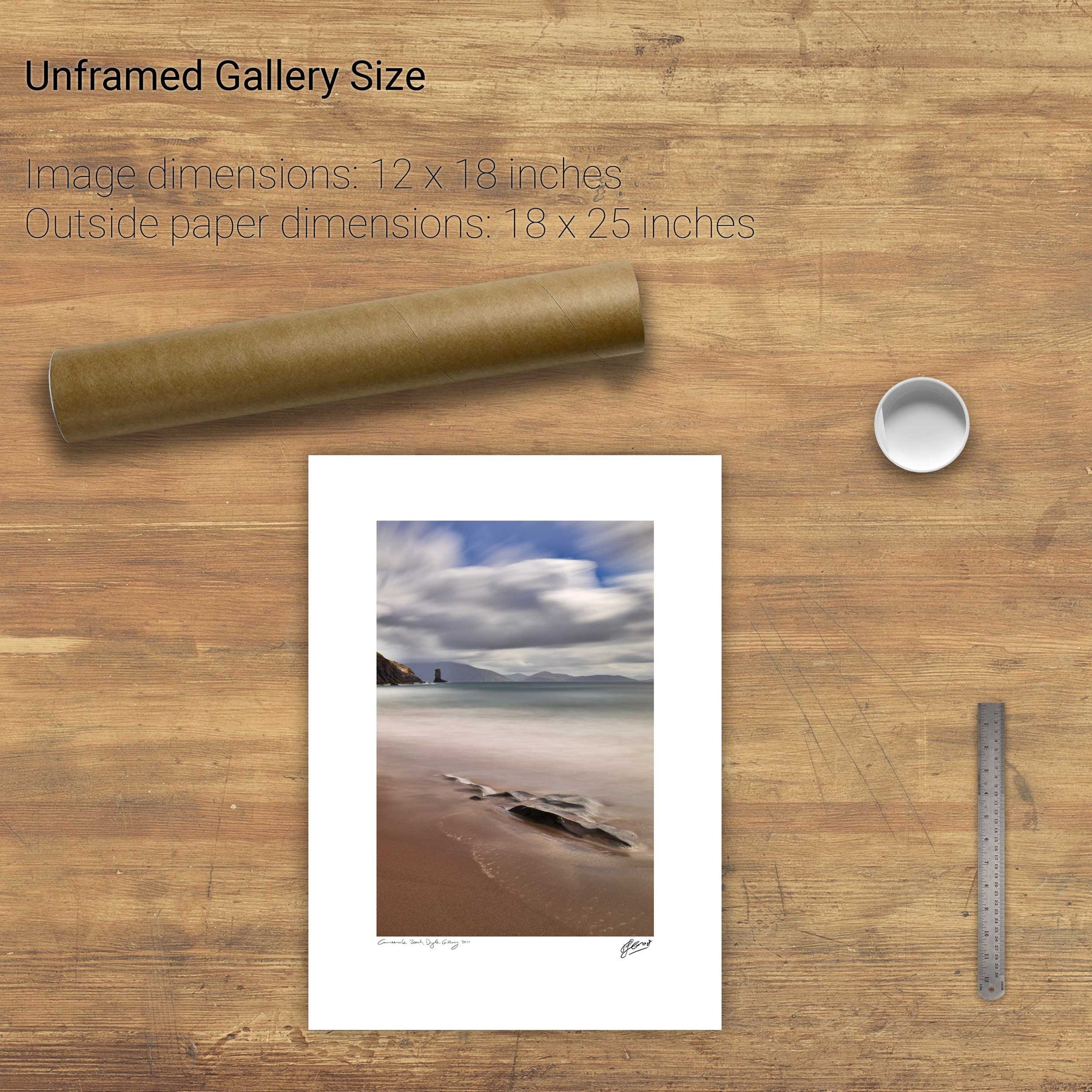
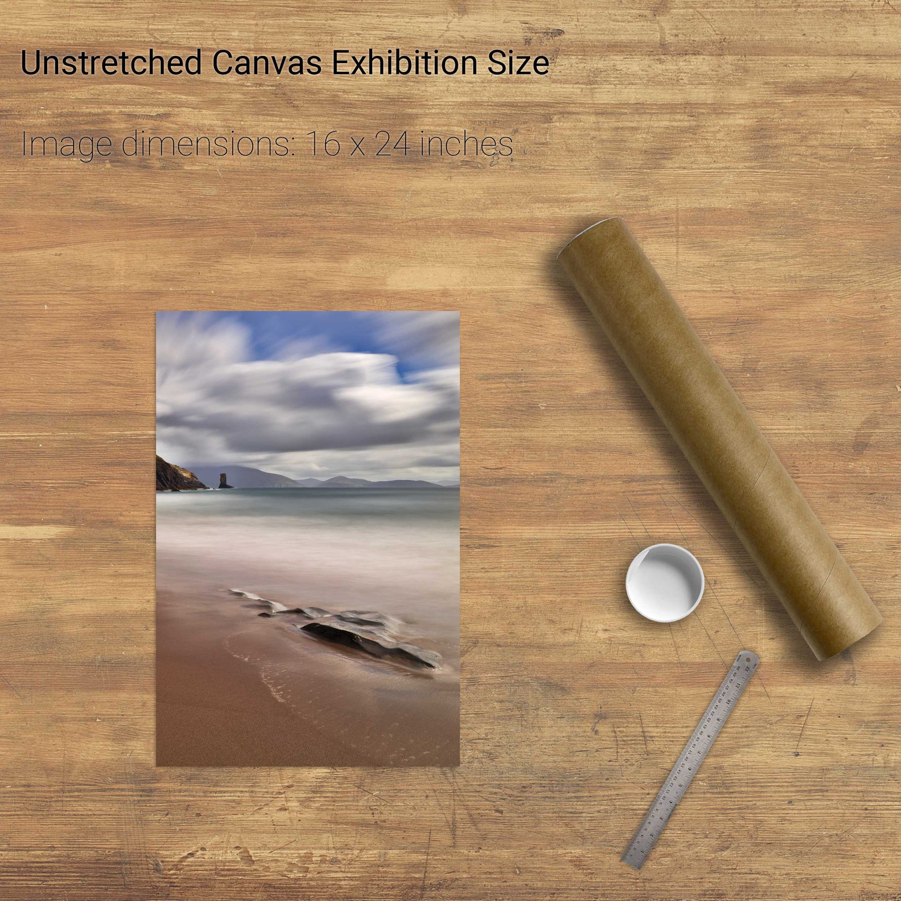
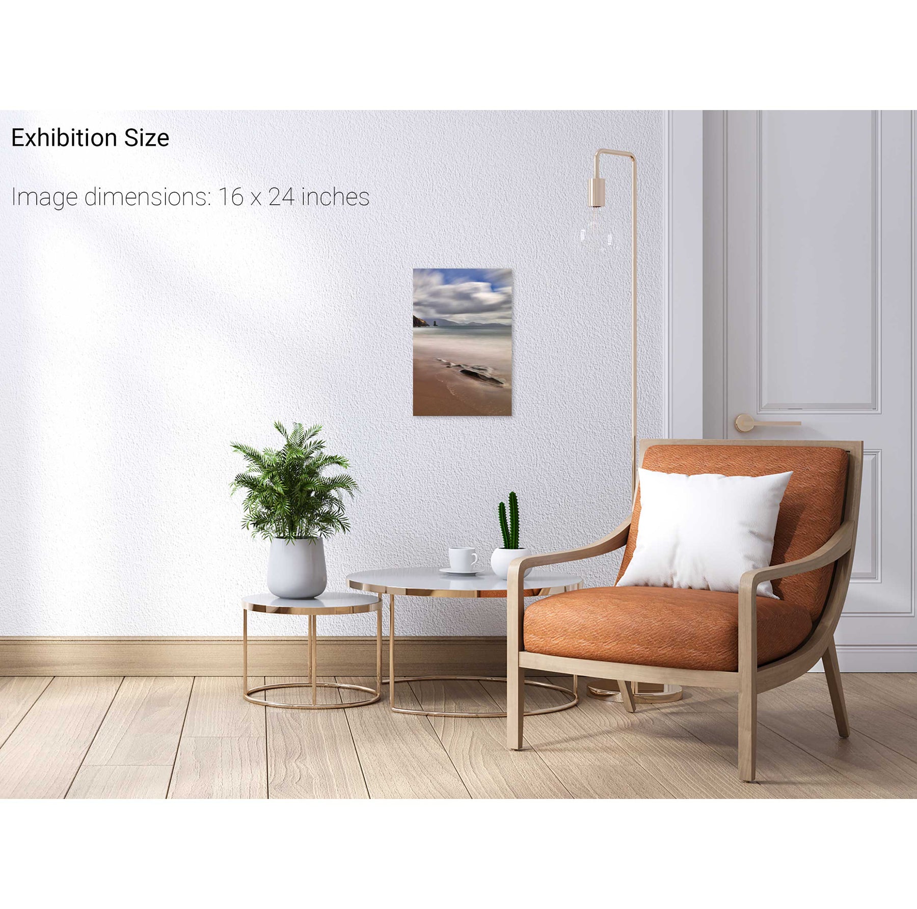
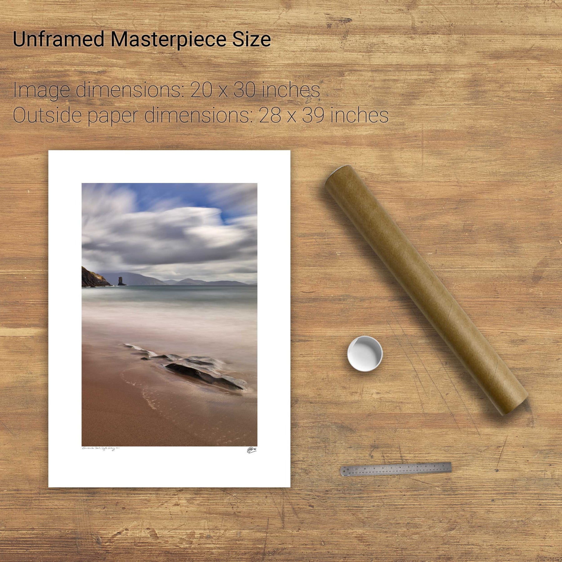
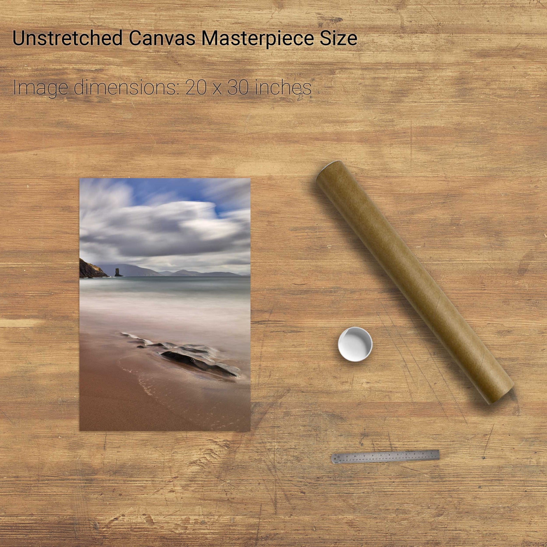
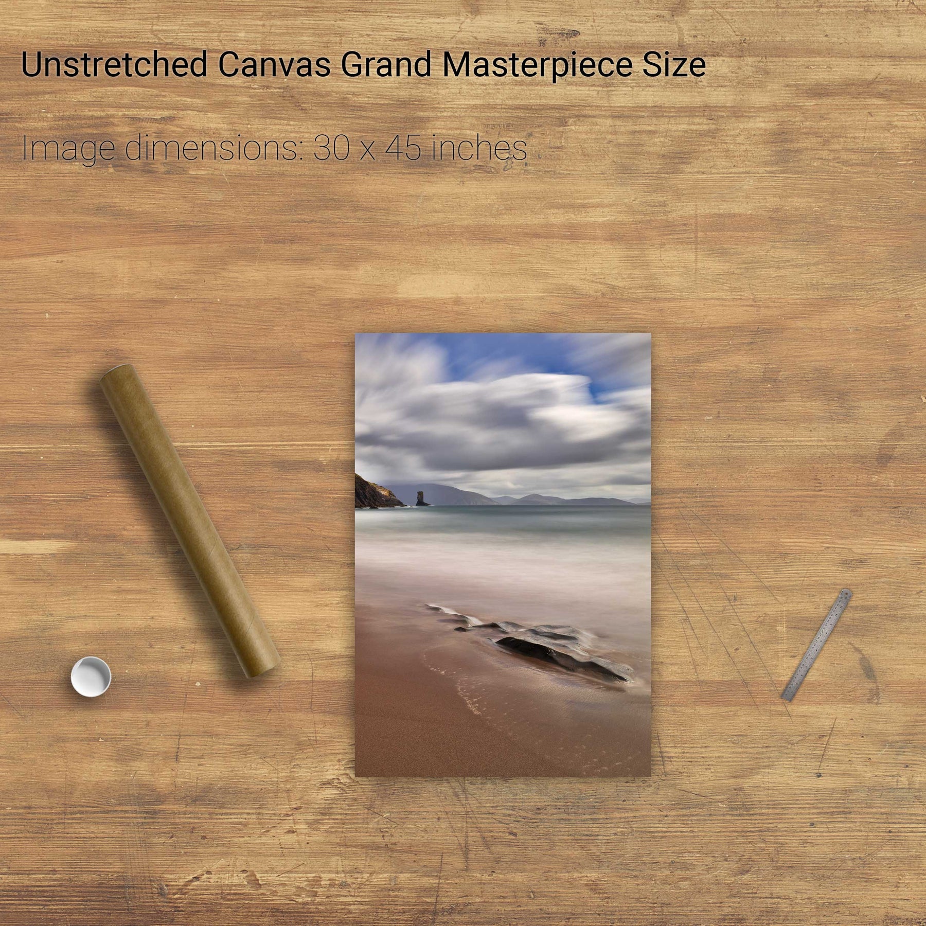
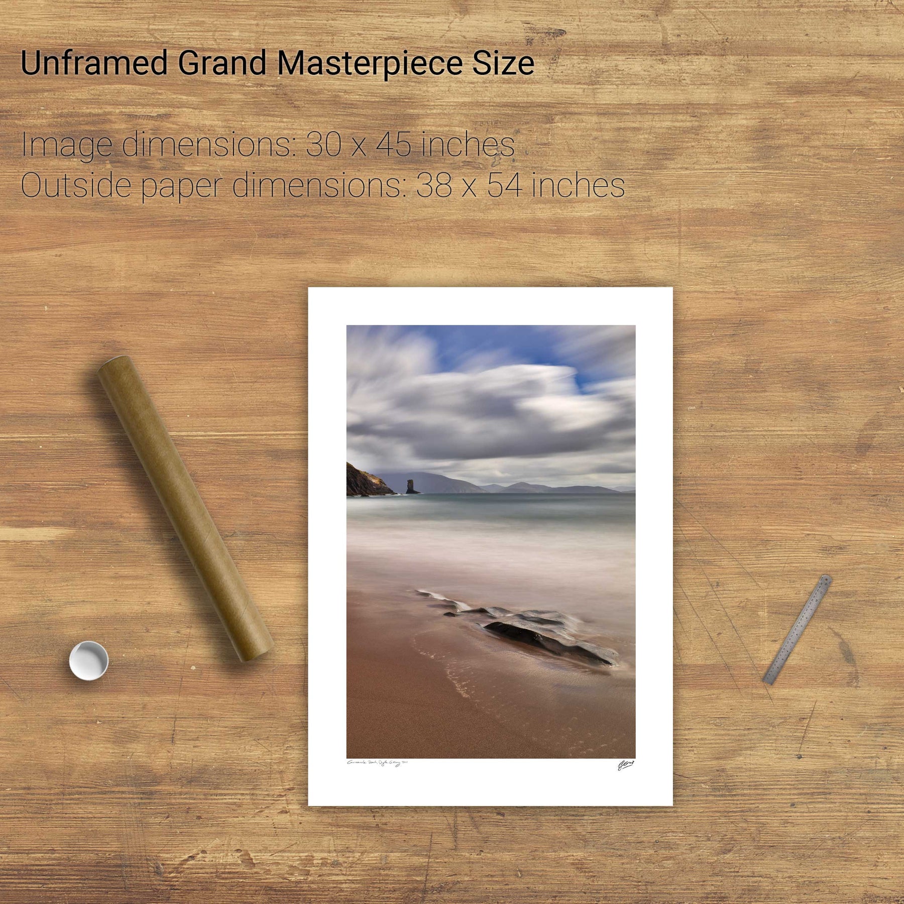
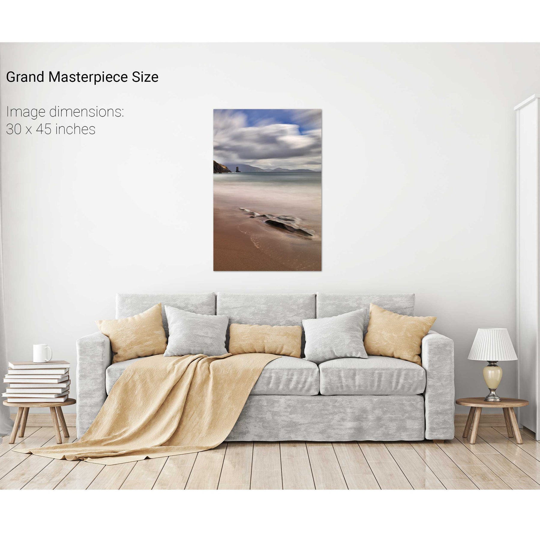
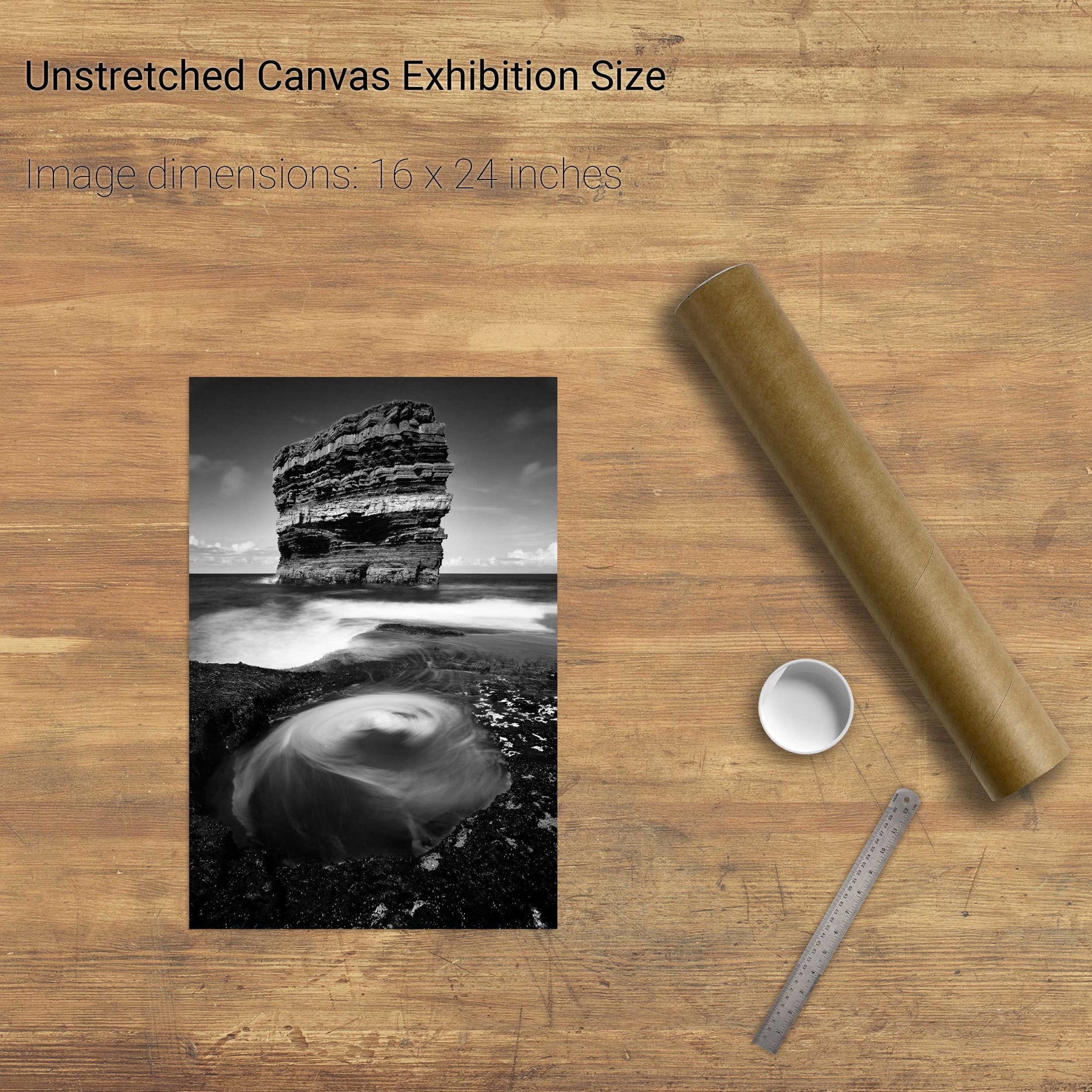
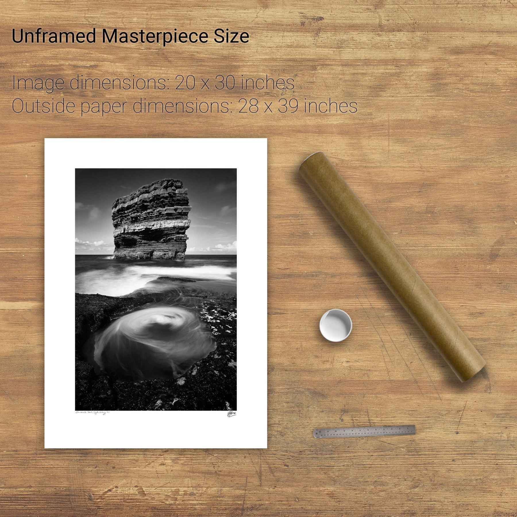
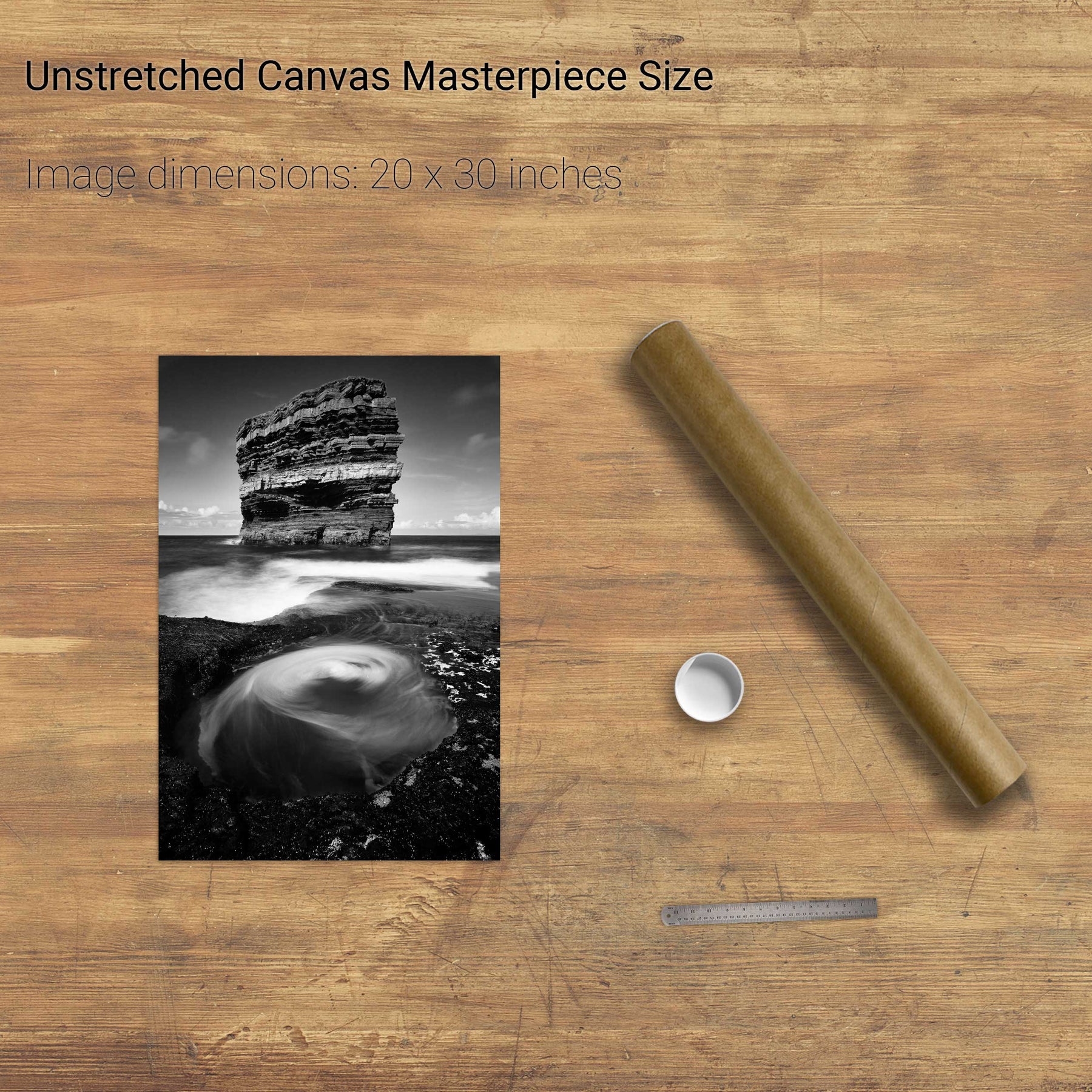
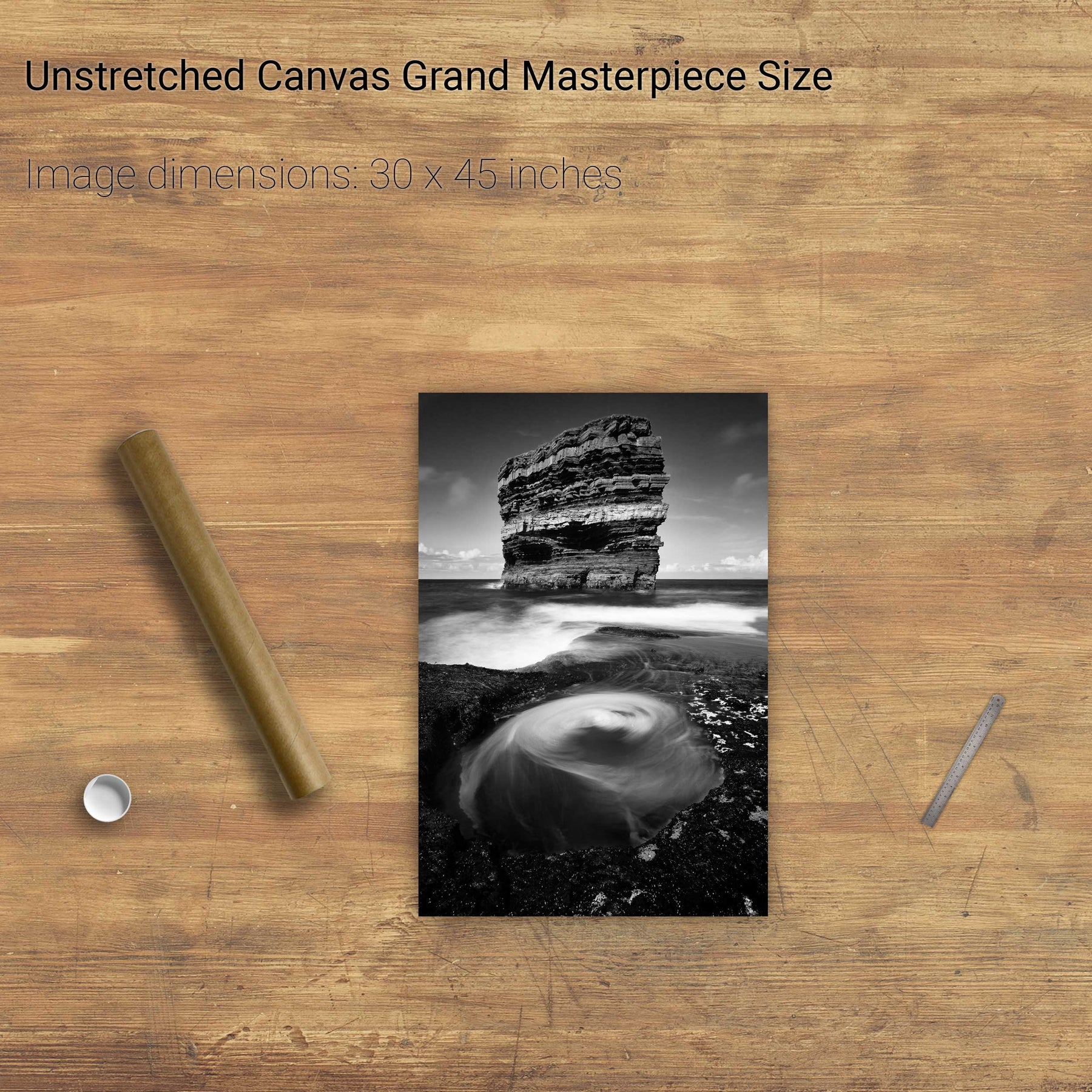
An Searrach, Trá Chathail, Dingle, Co. Kerry
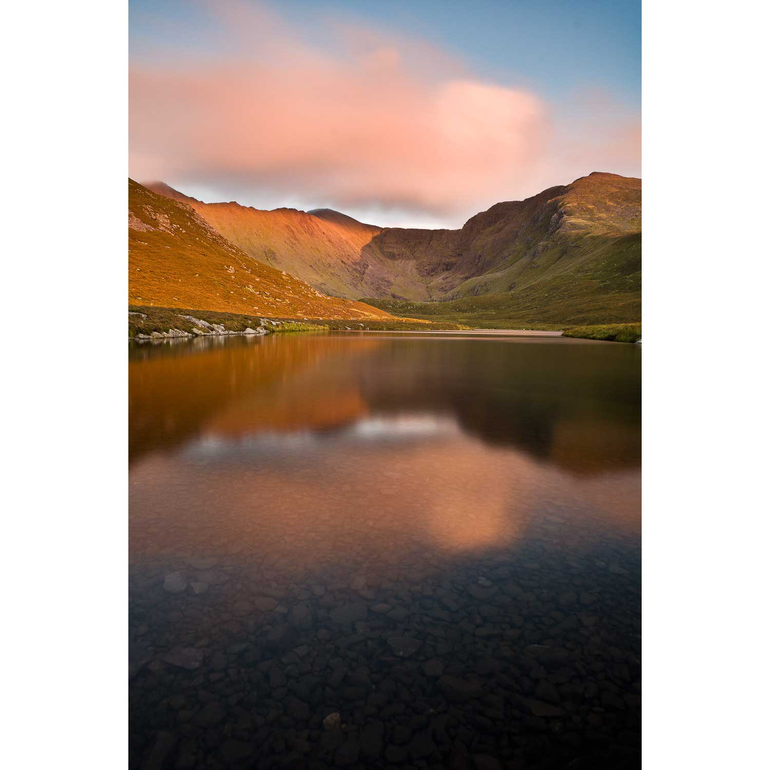
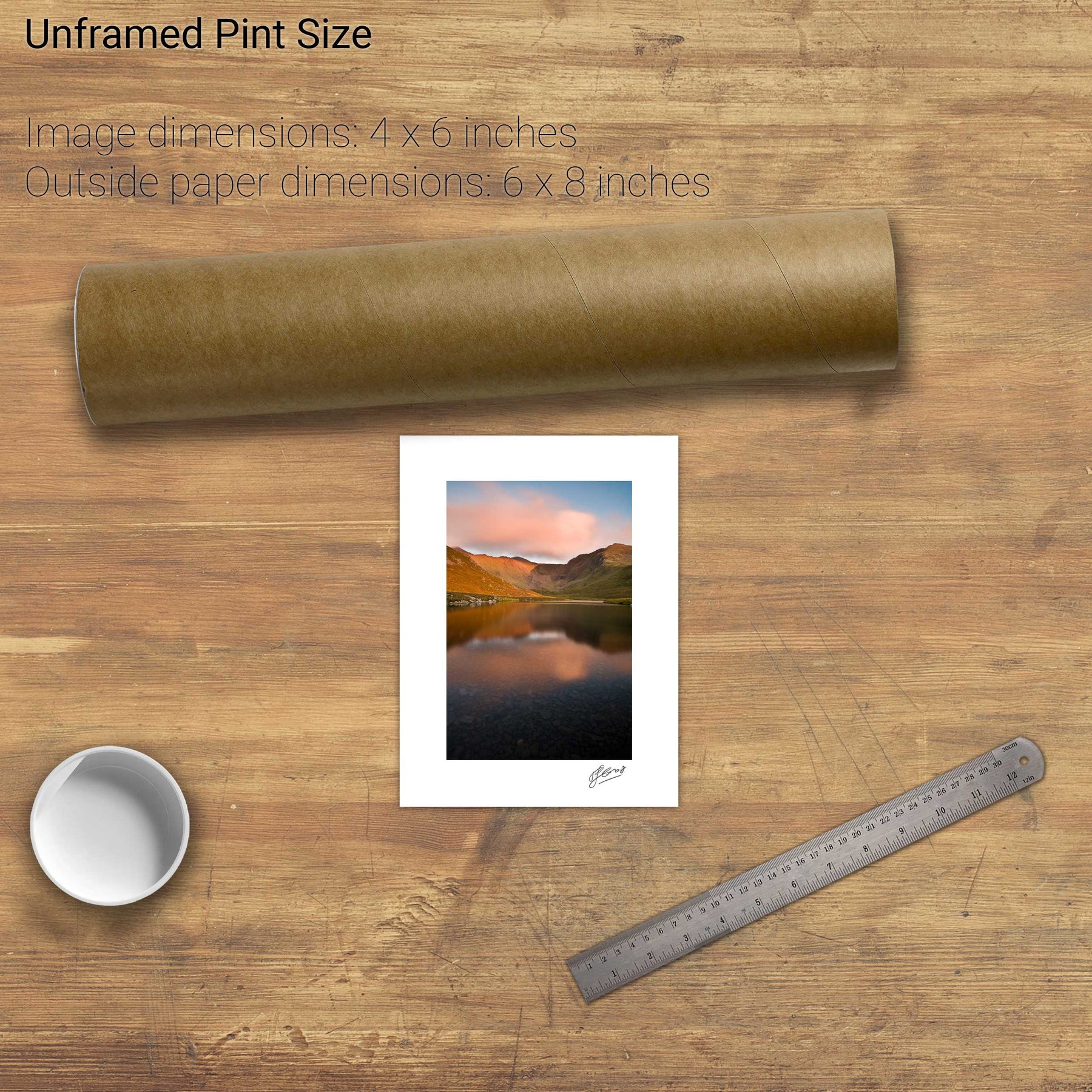
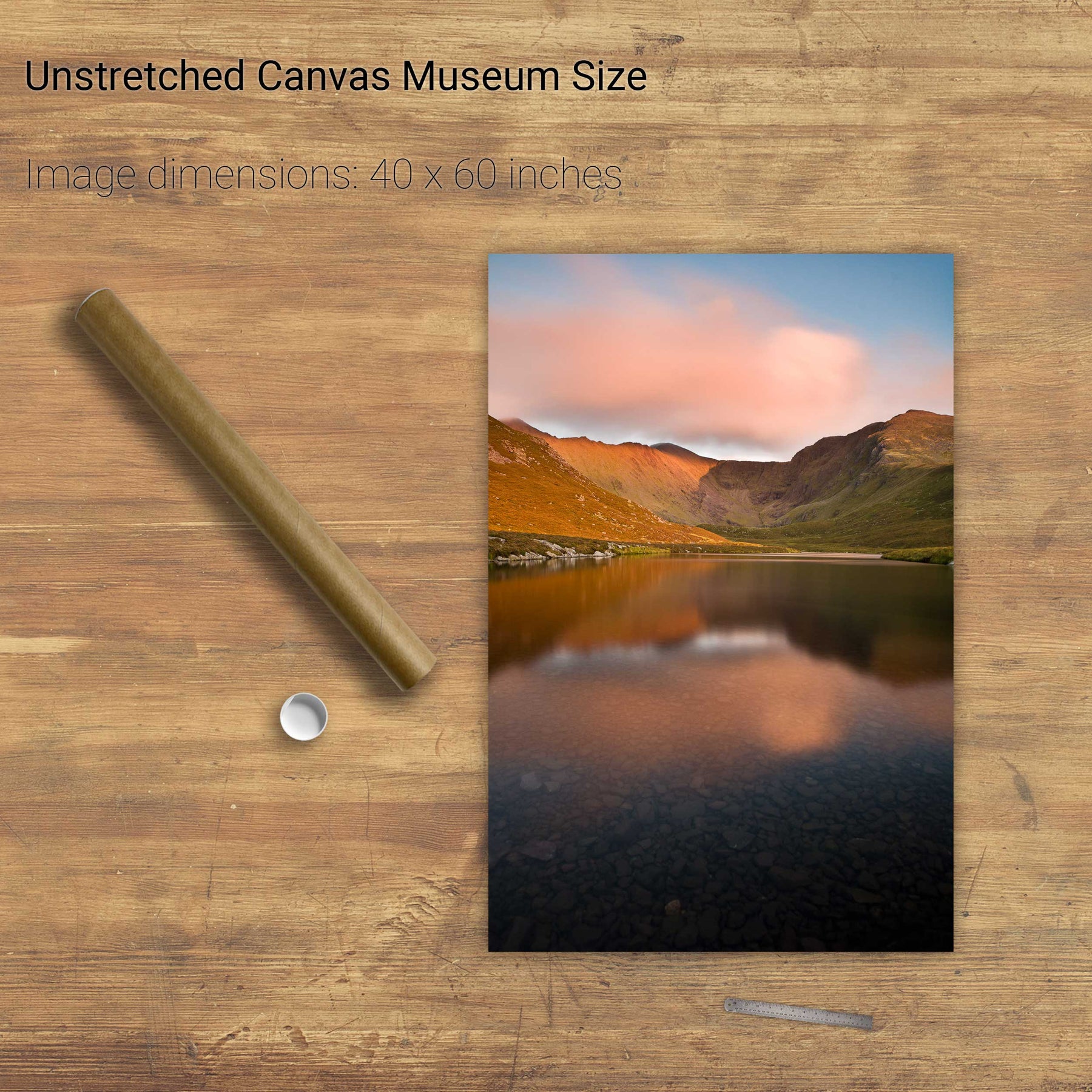
Coomloughra, the Reeks, Co. Kerry
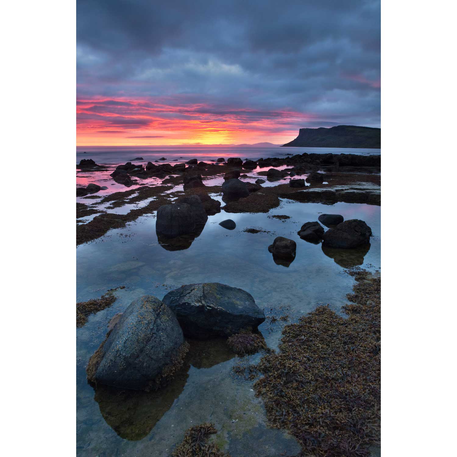
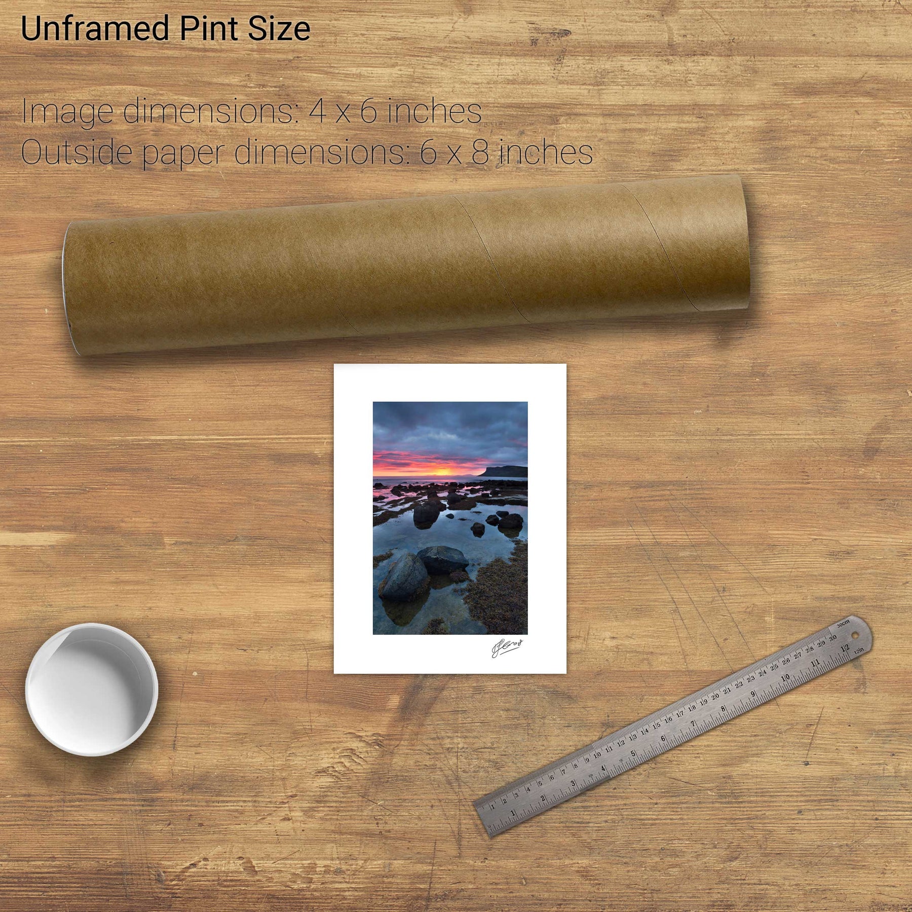
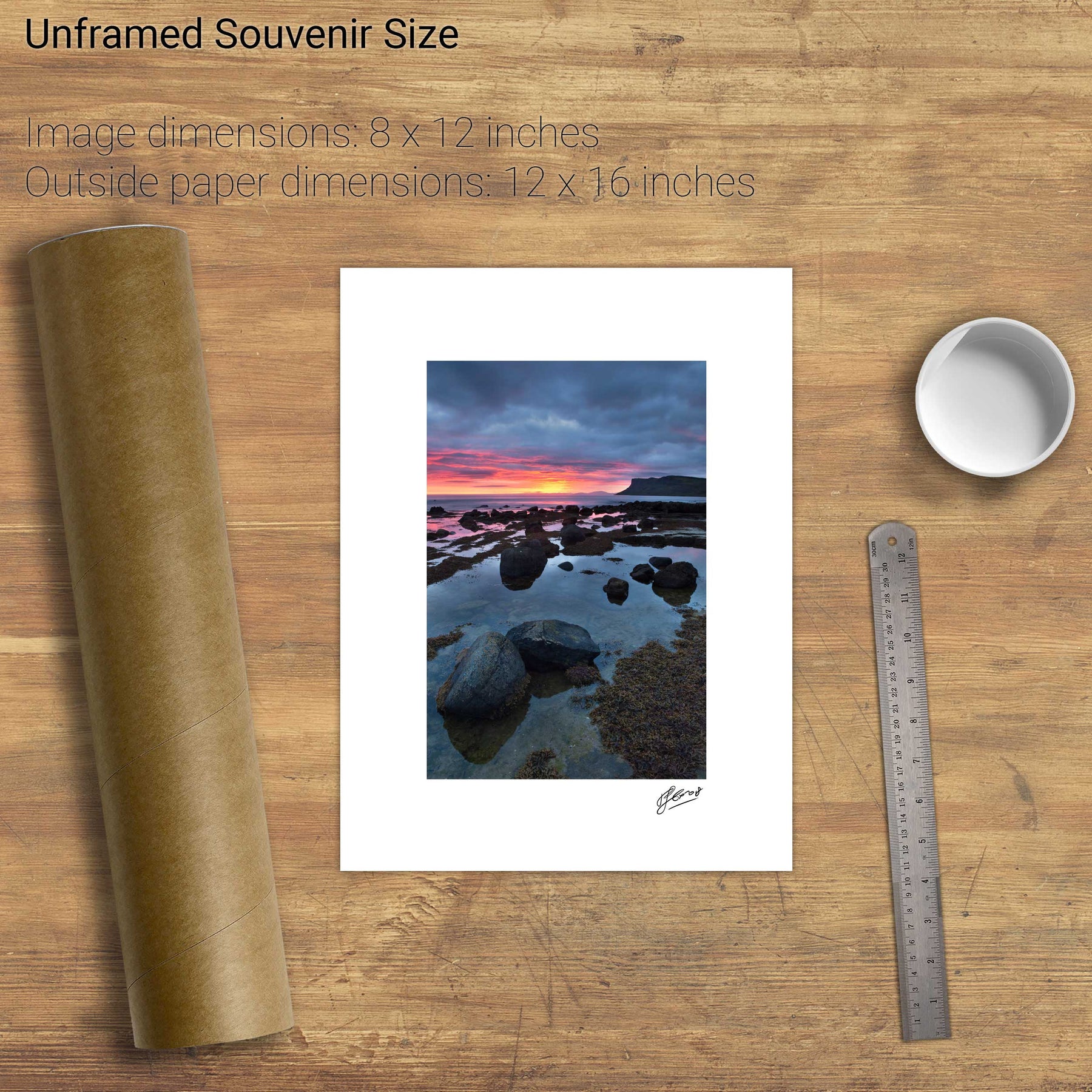
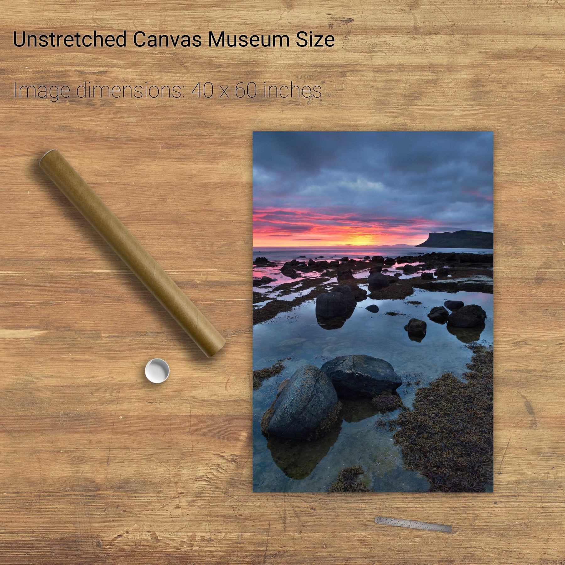
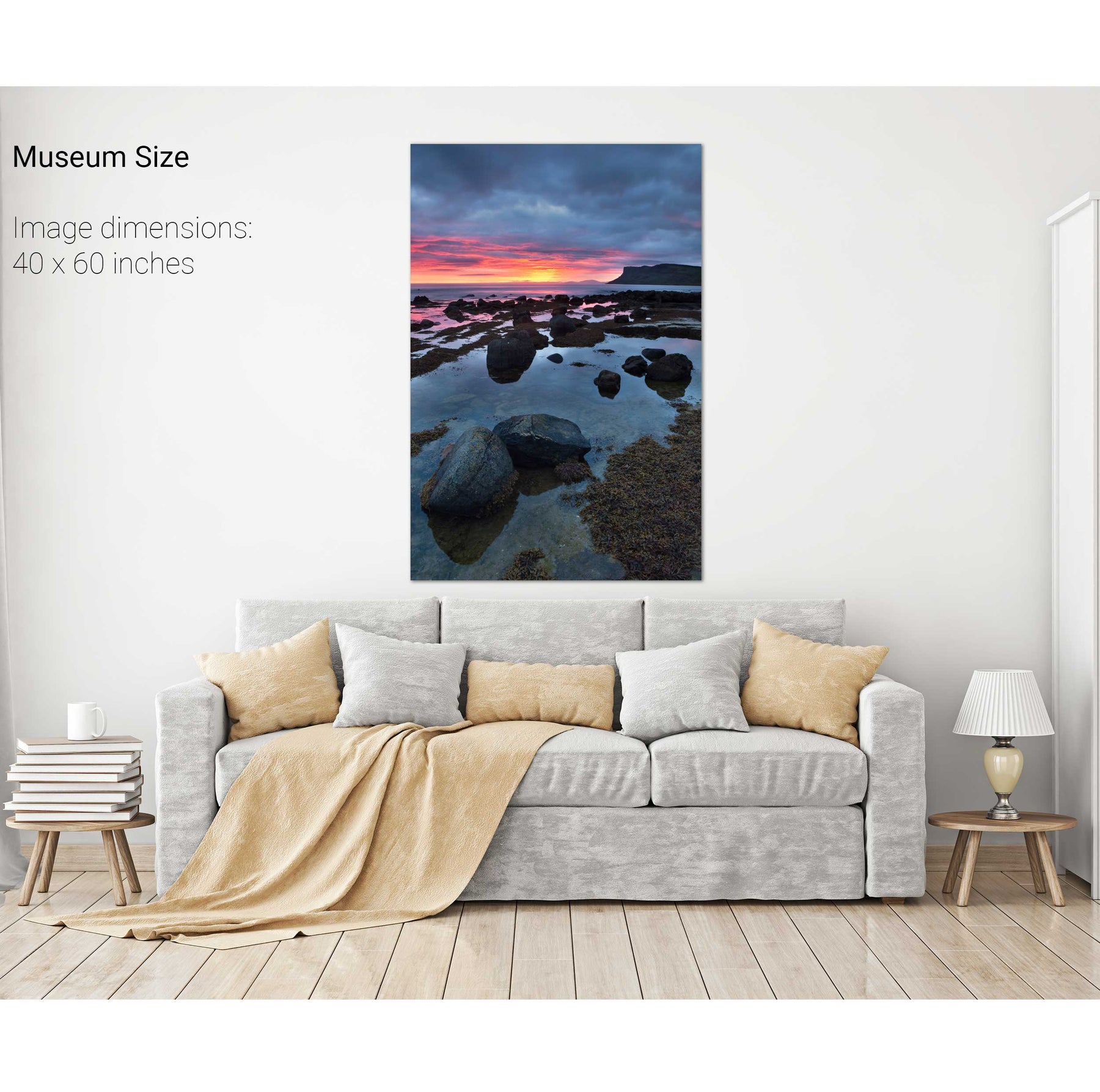
Colliery Bay & Fair Head, Co. Antrim
Fáilte Isteach, the Fastnet Lighthouse, Co. Cork
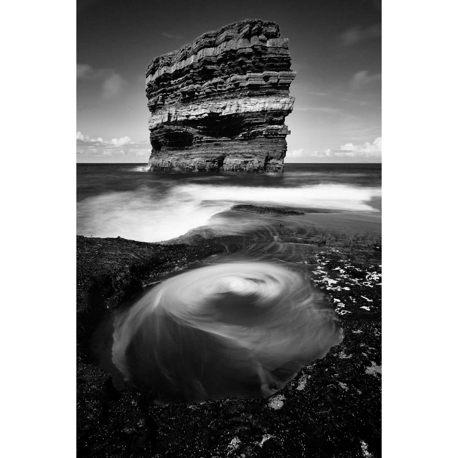
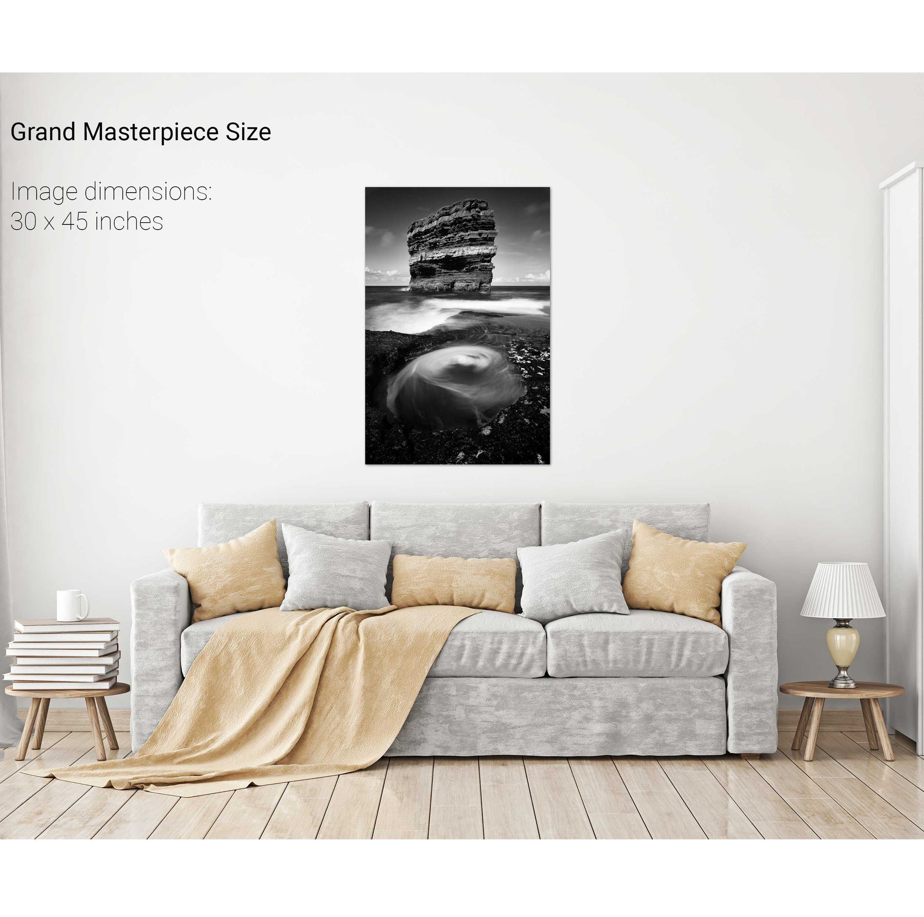
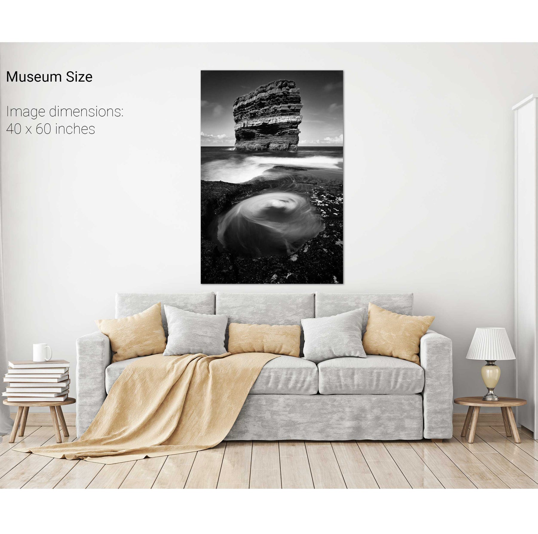
Dún Briste, Downpatrick Head, Co. Mayo
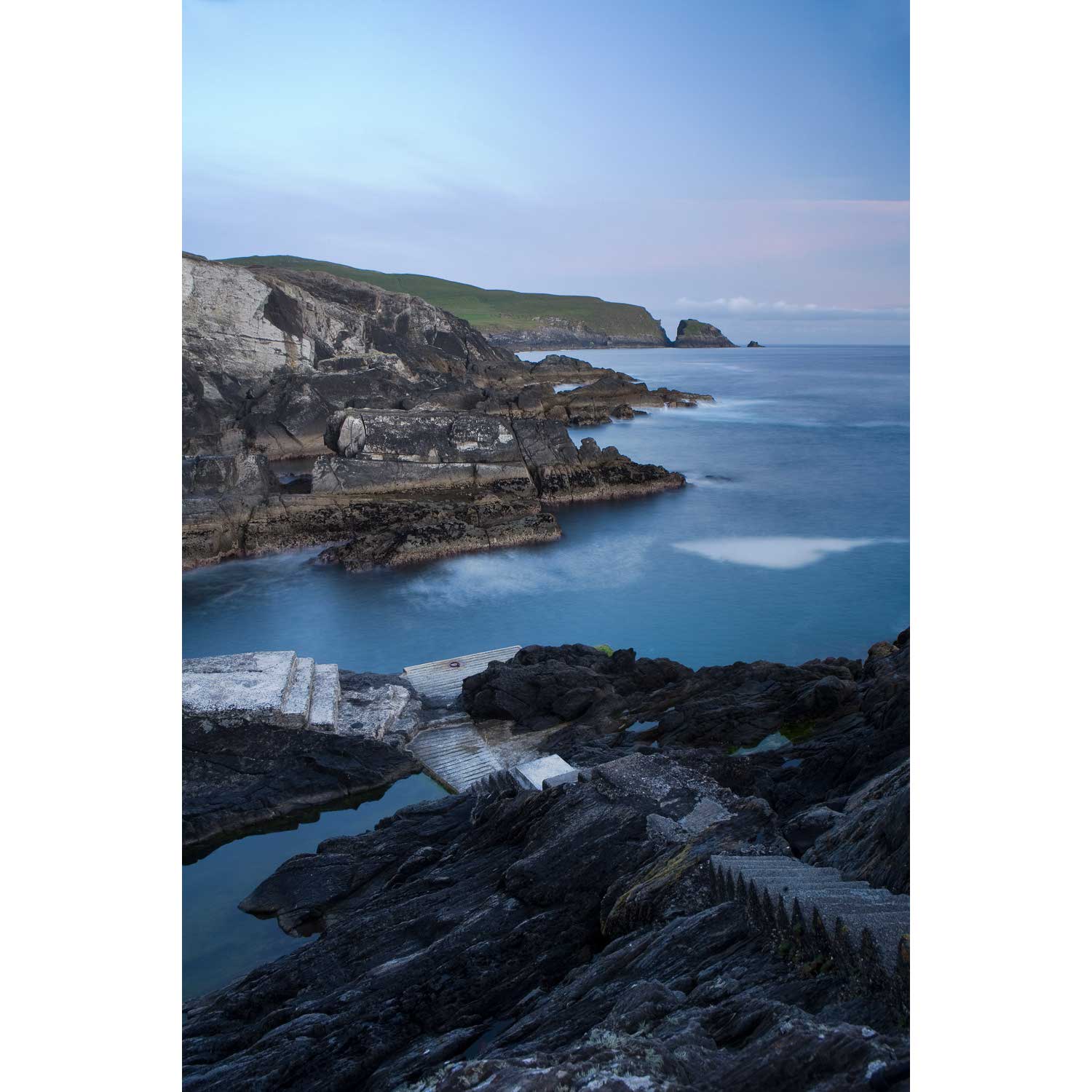
Dunlough Bay, Co. Cork
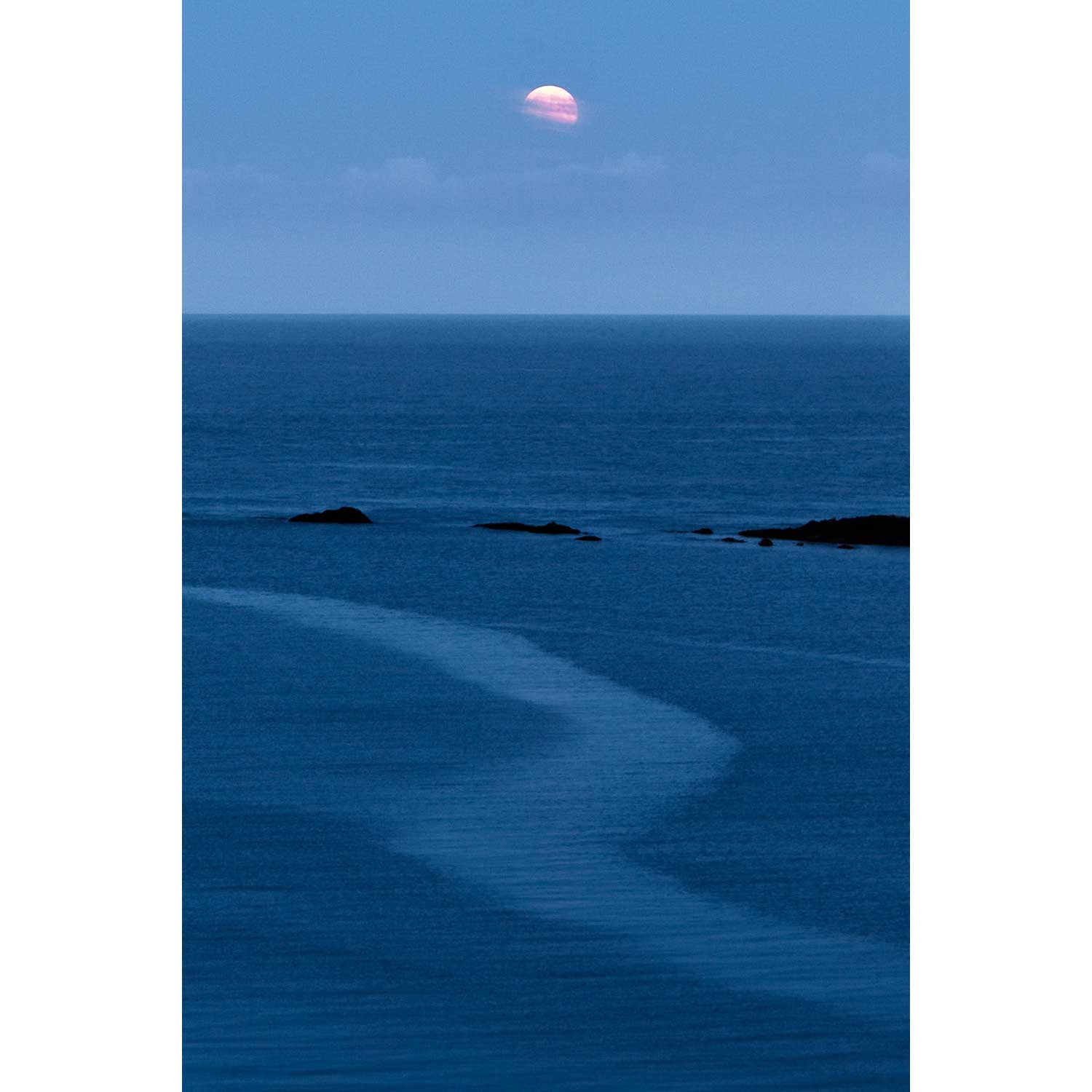
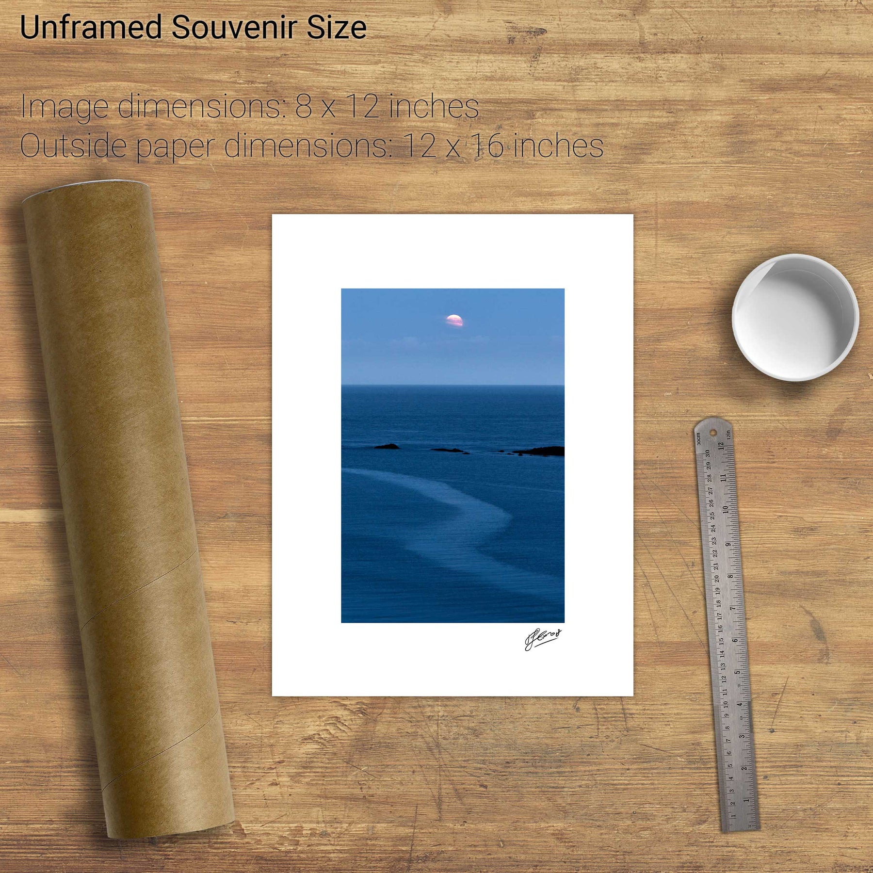
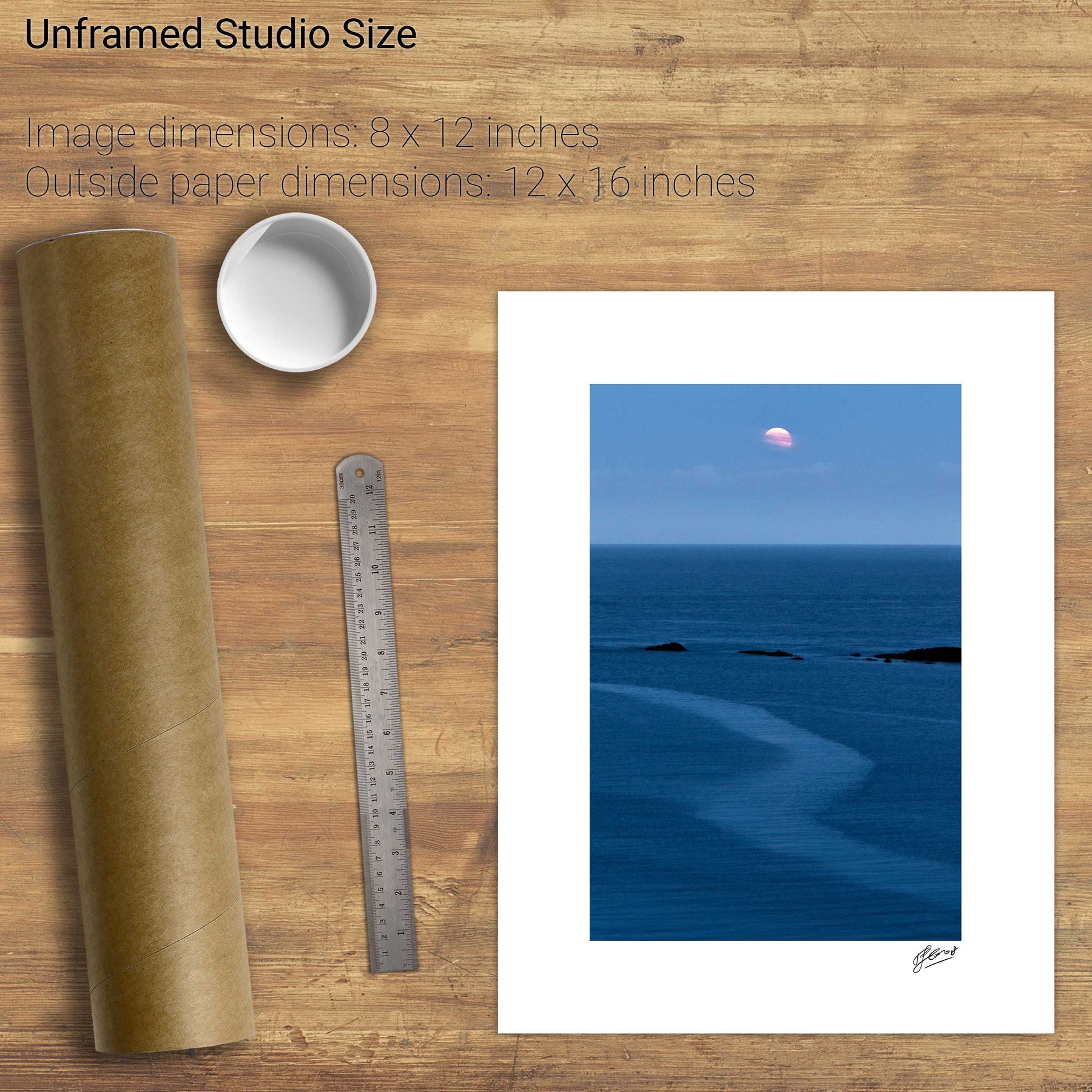
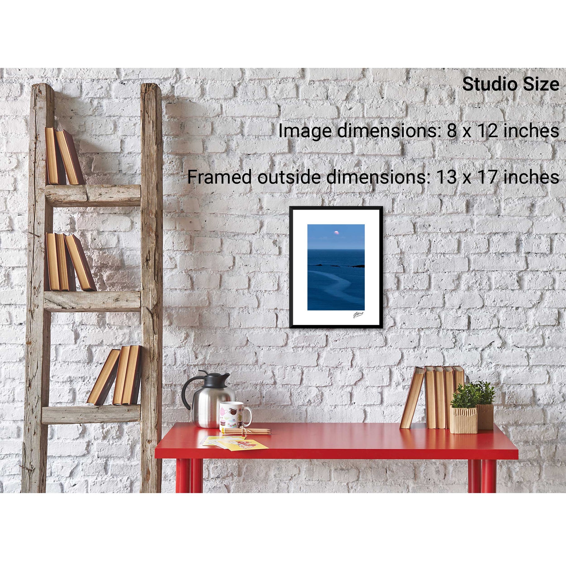
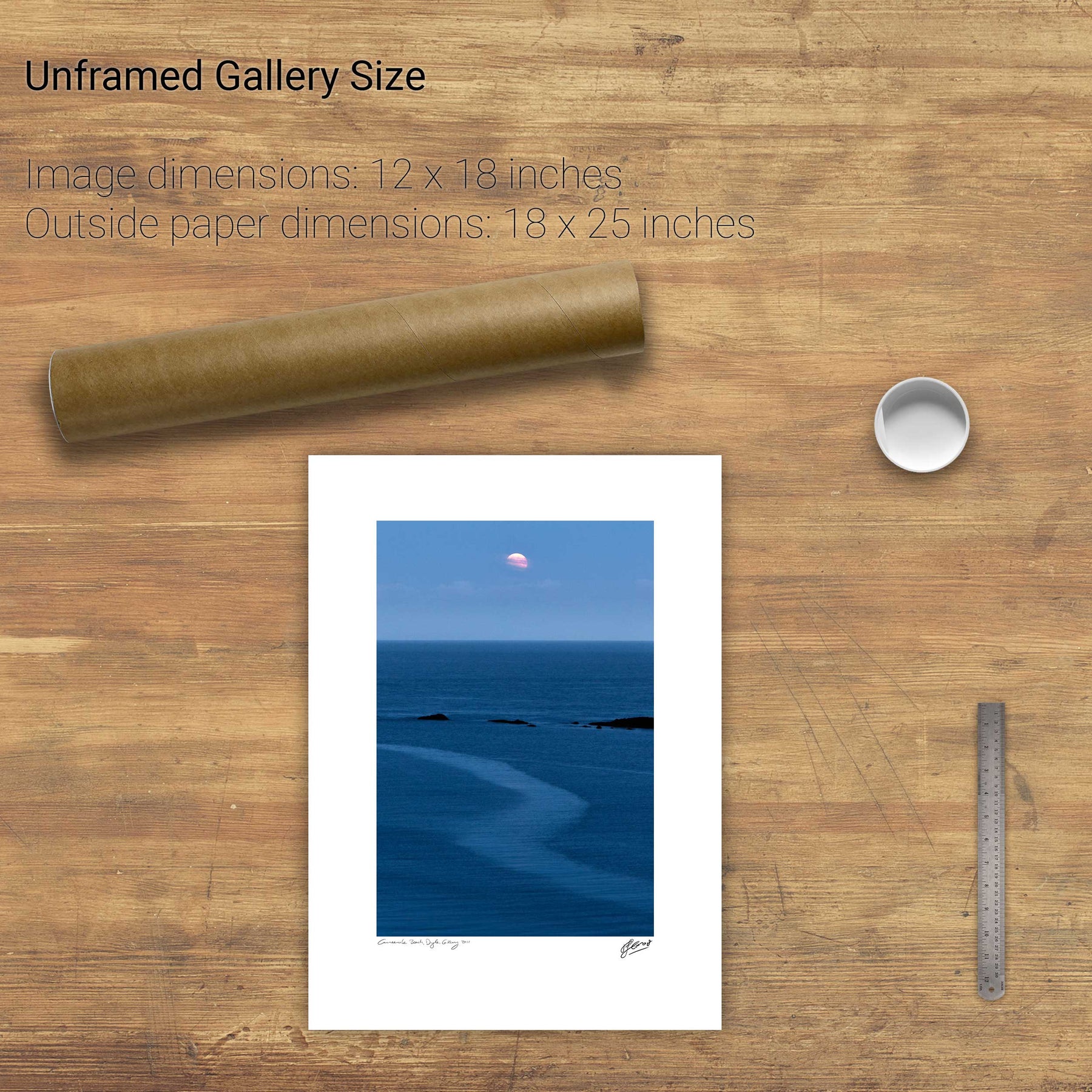
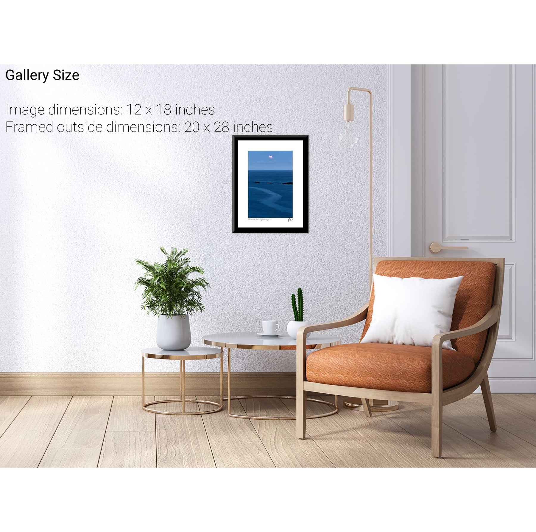
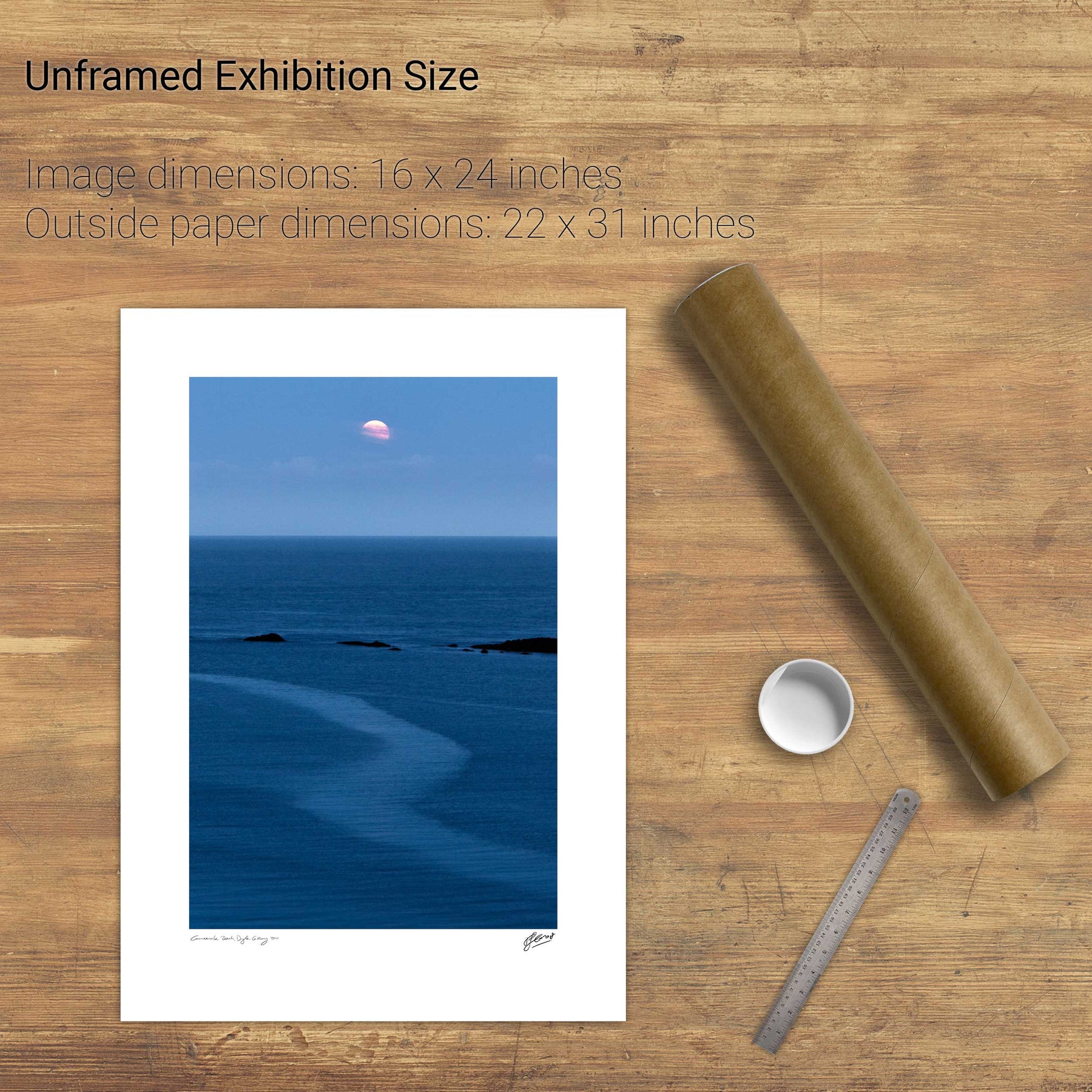
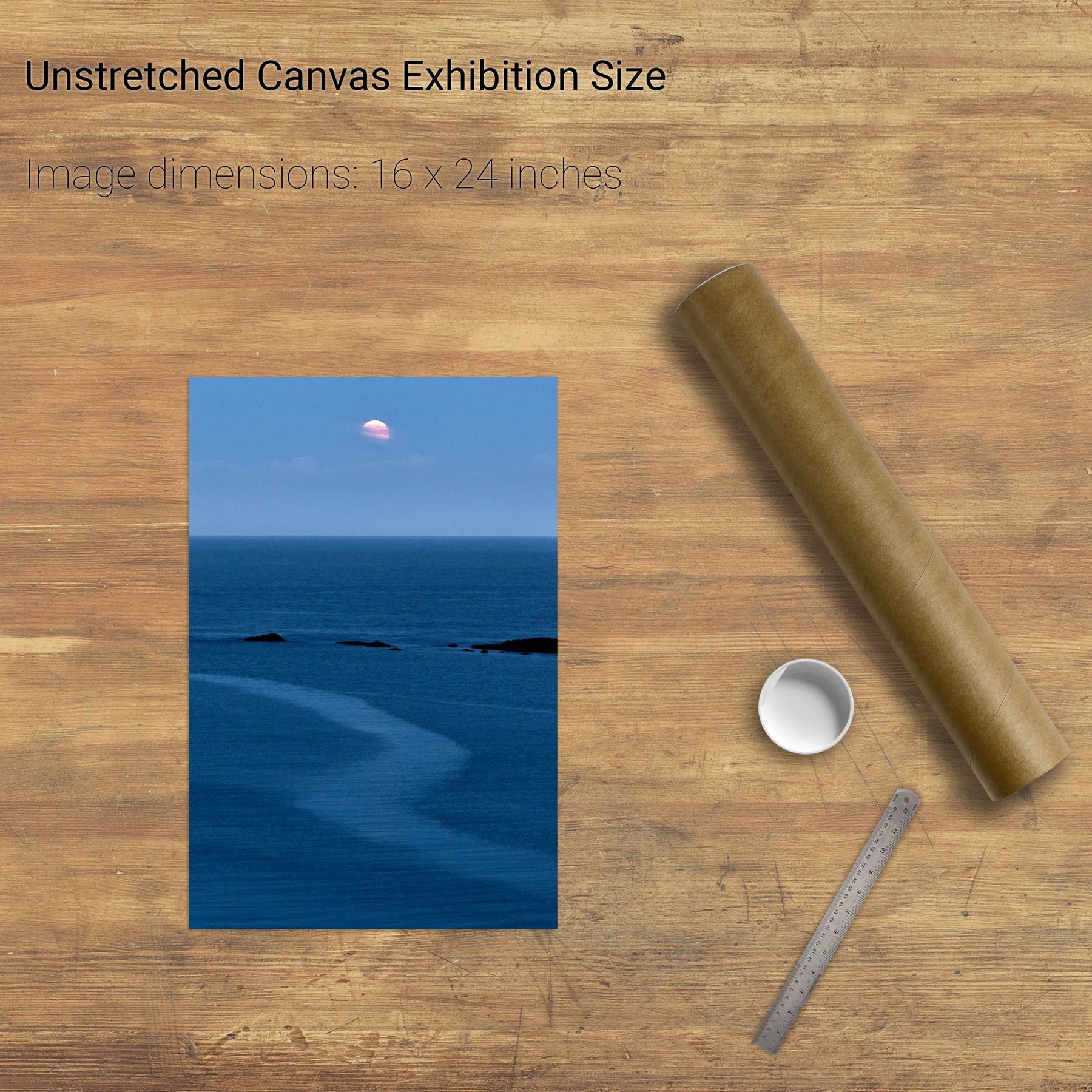
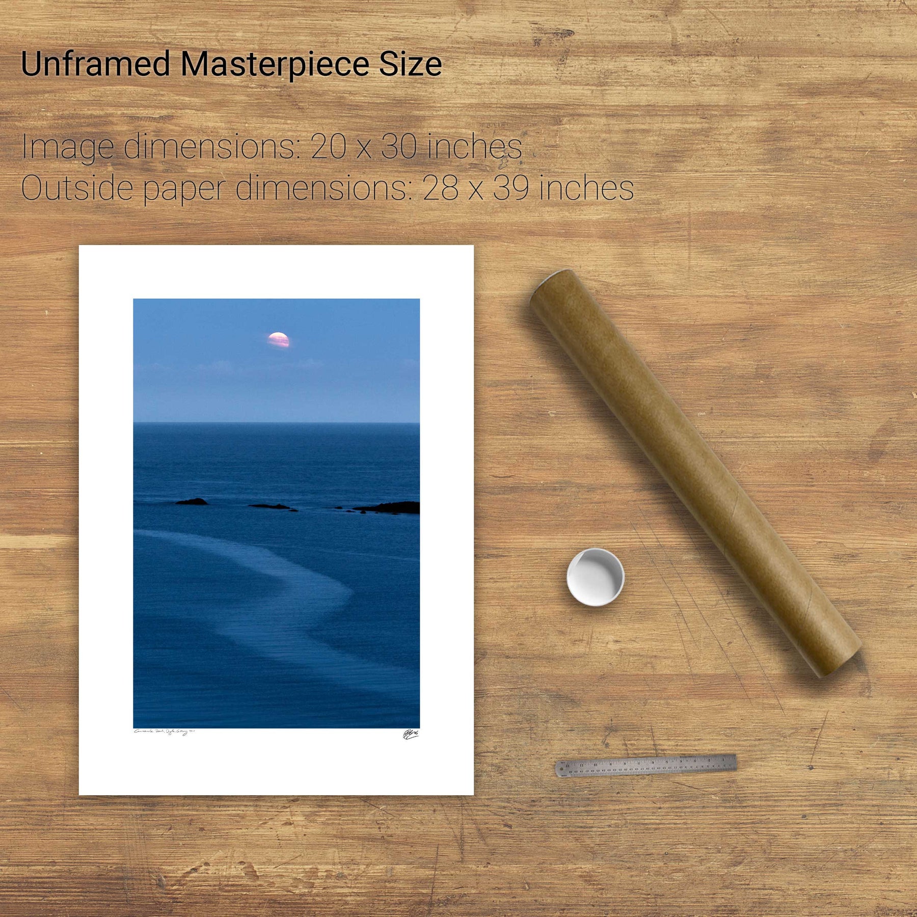
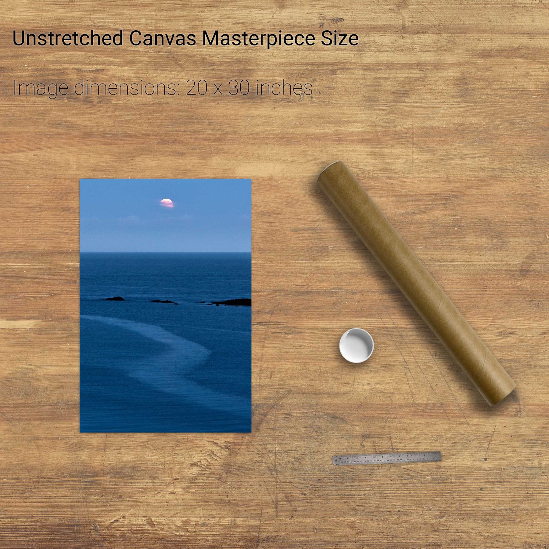
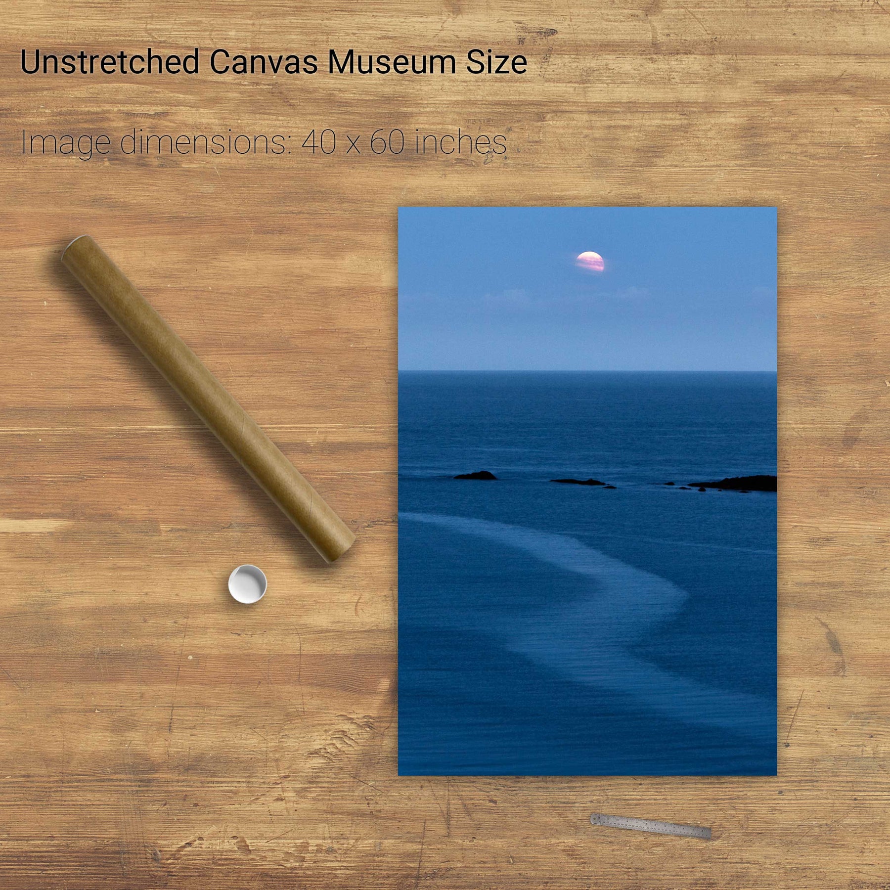
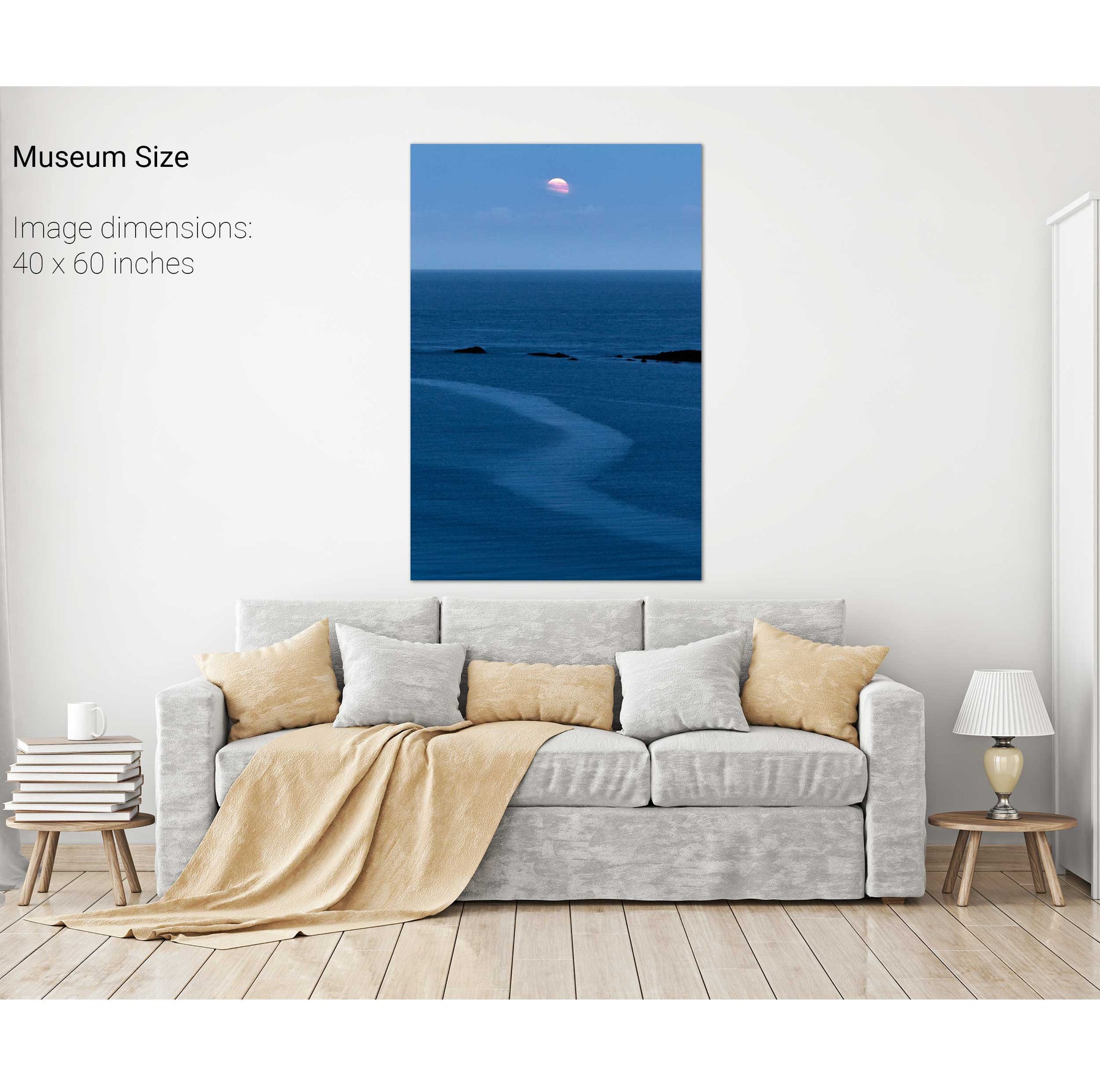
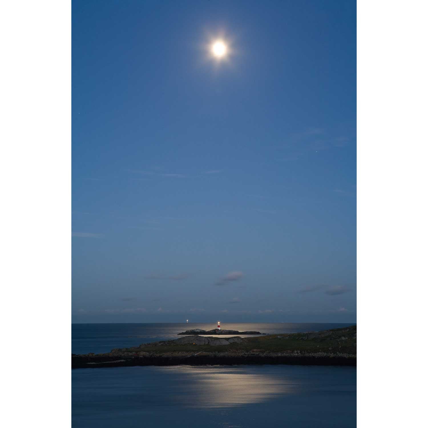
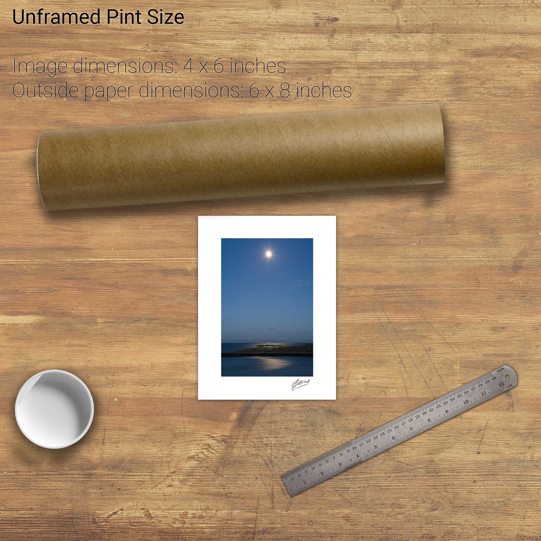
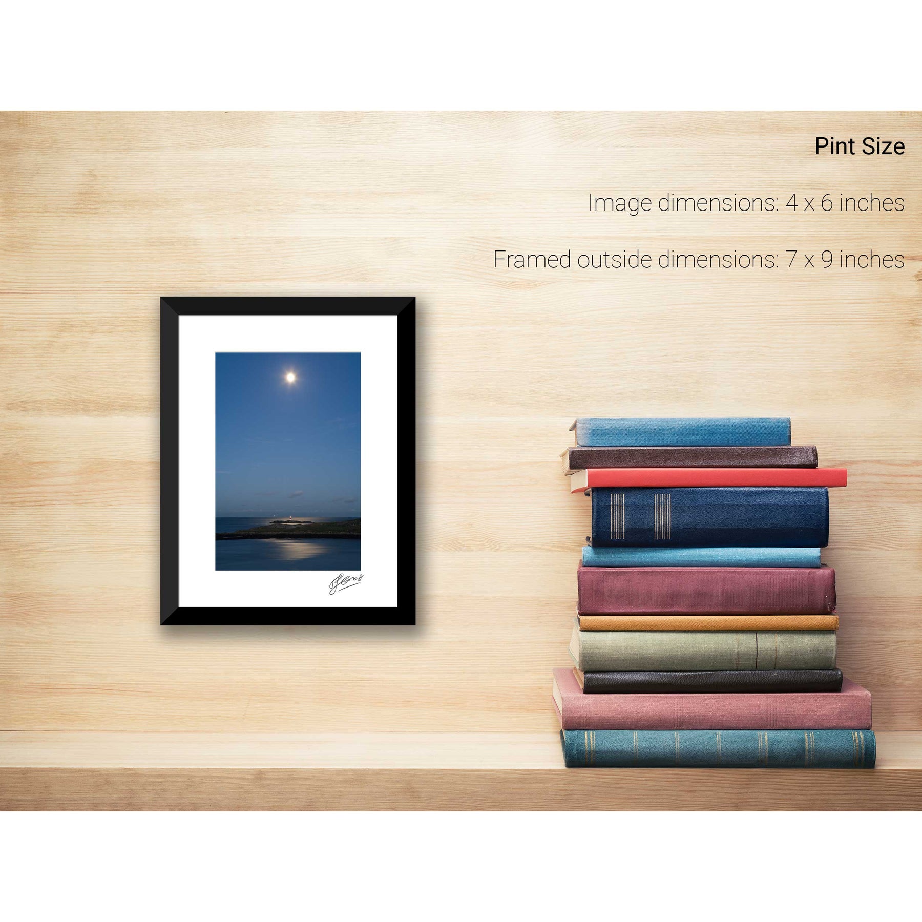
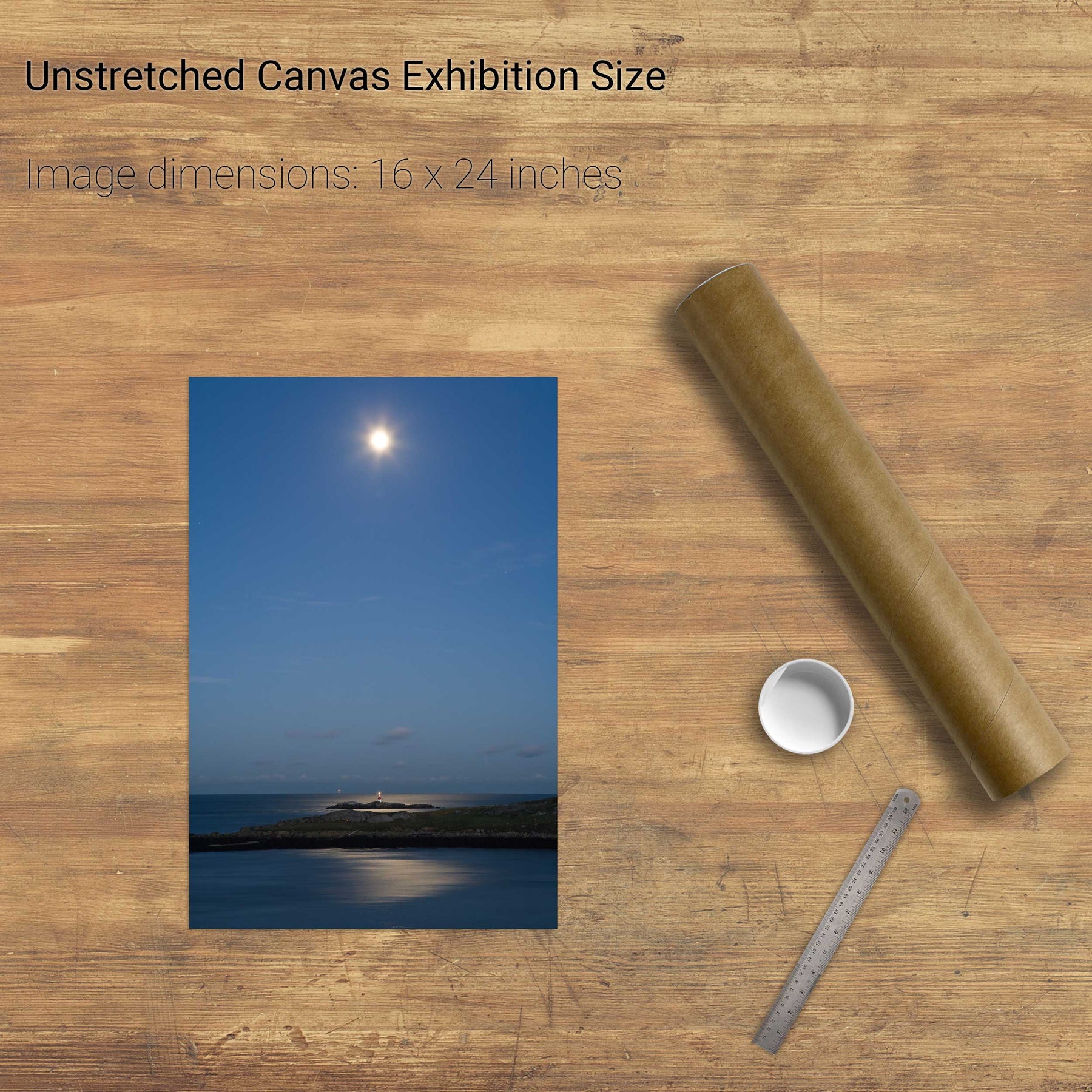
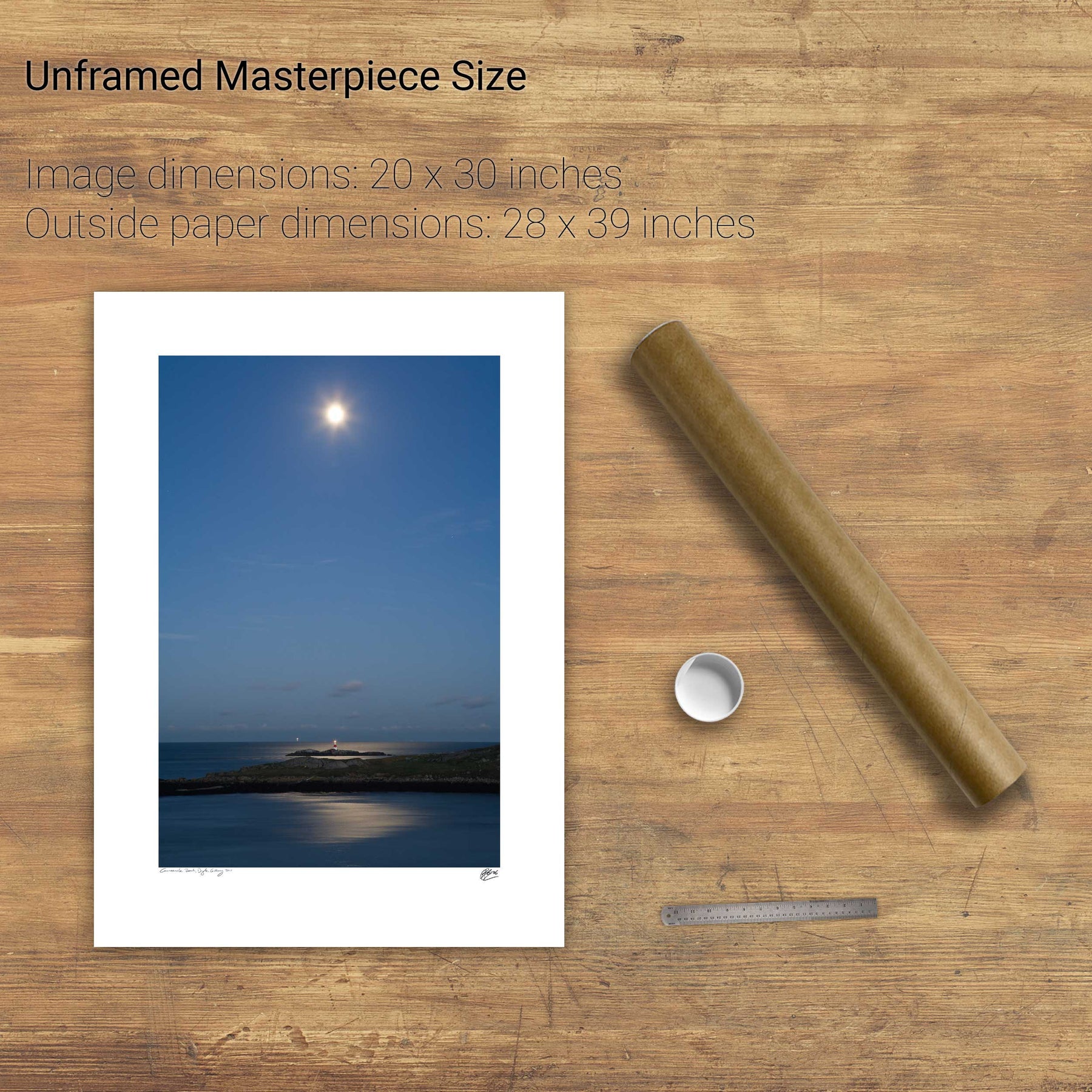
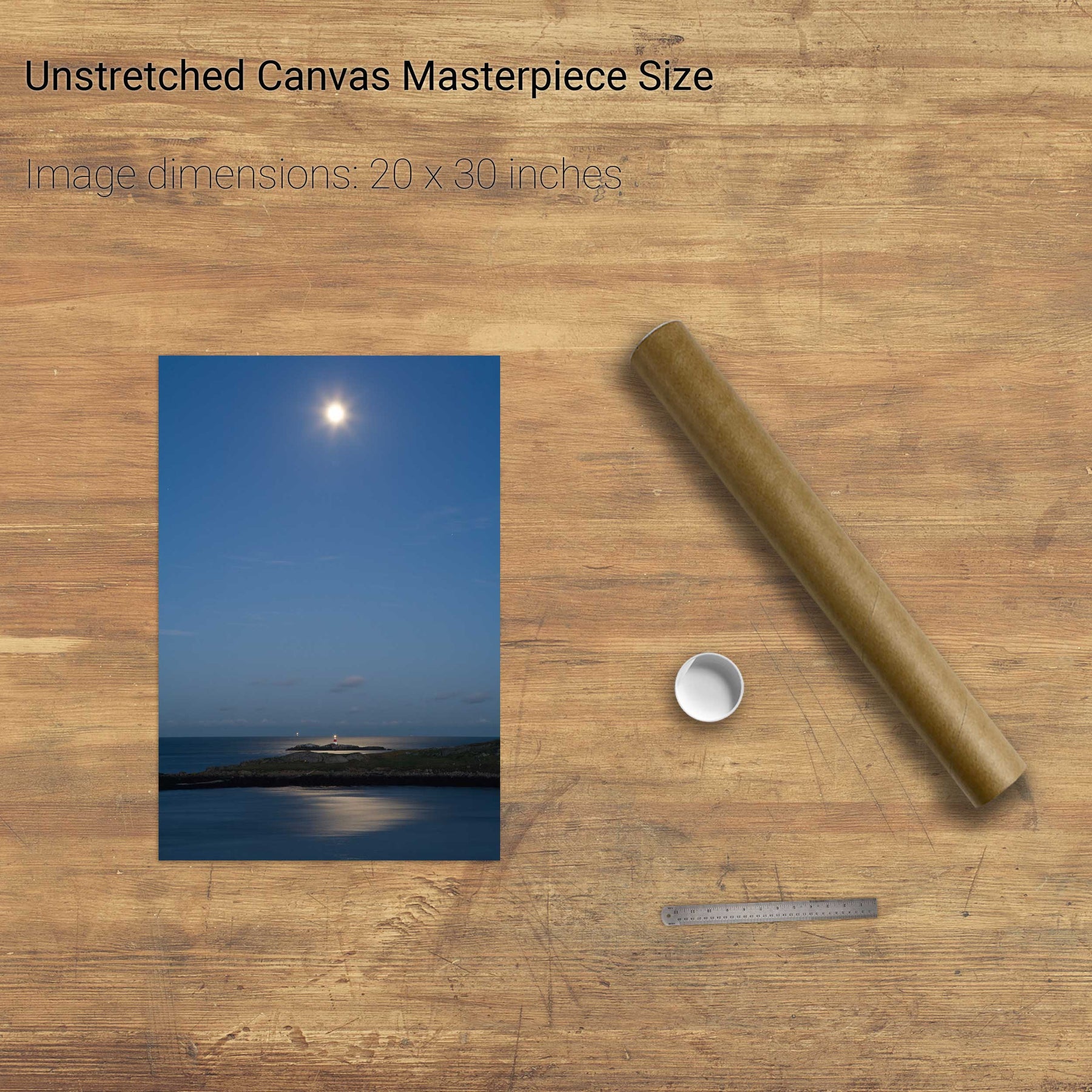
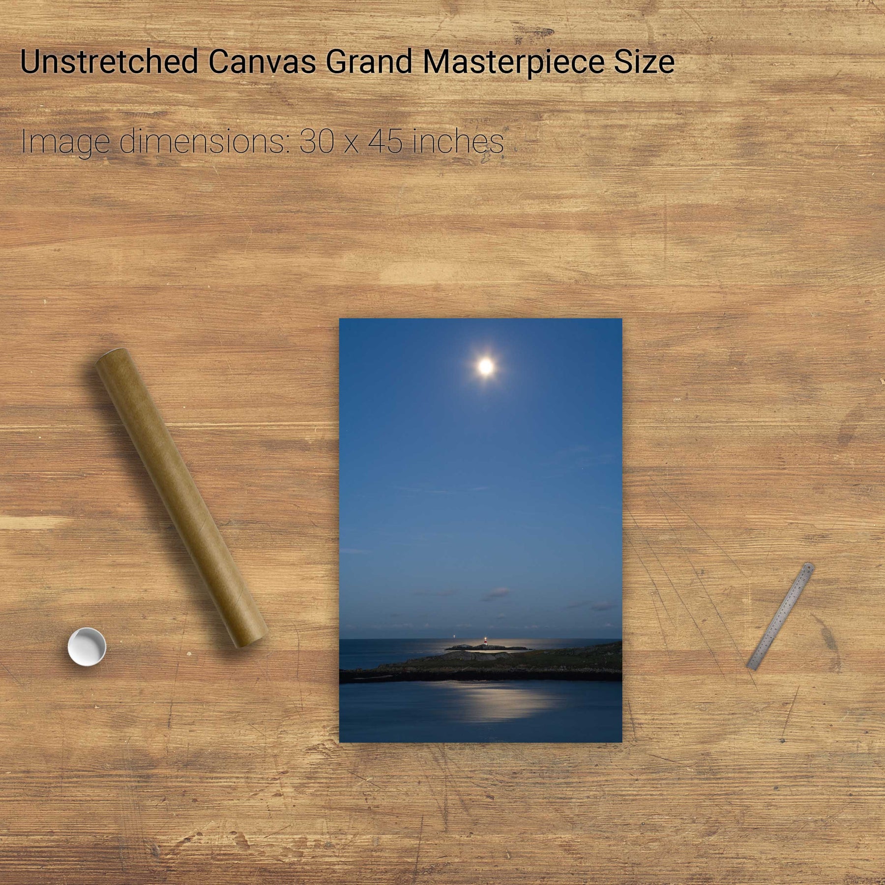
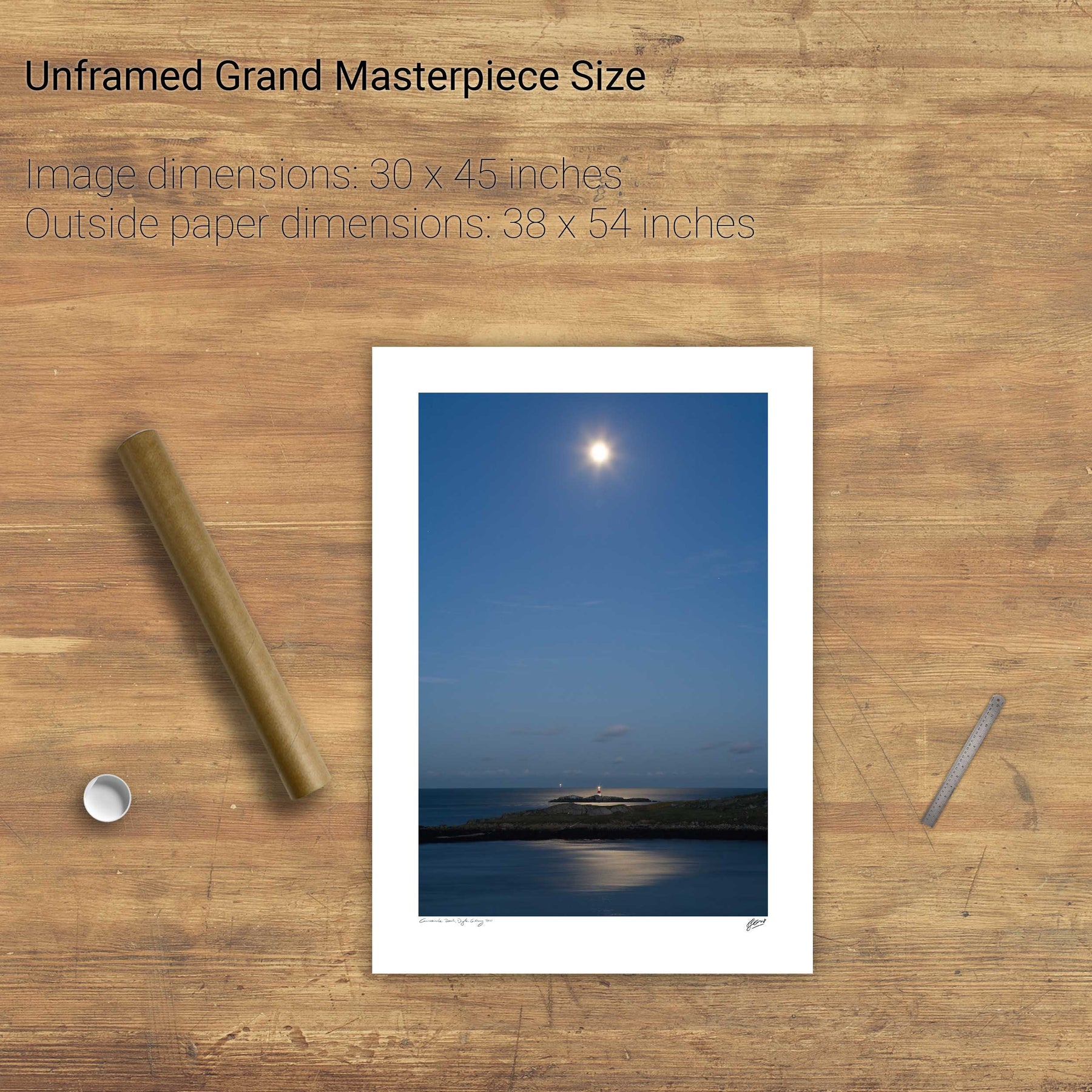
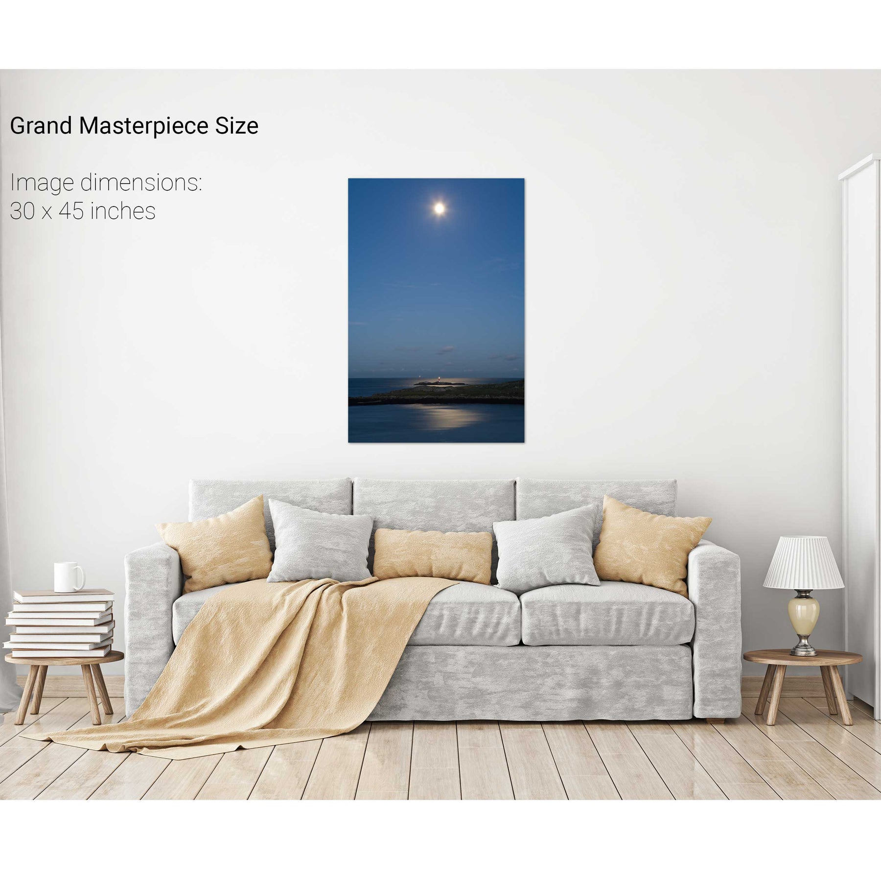
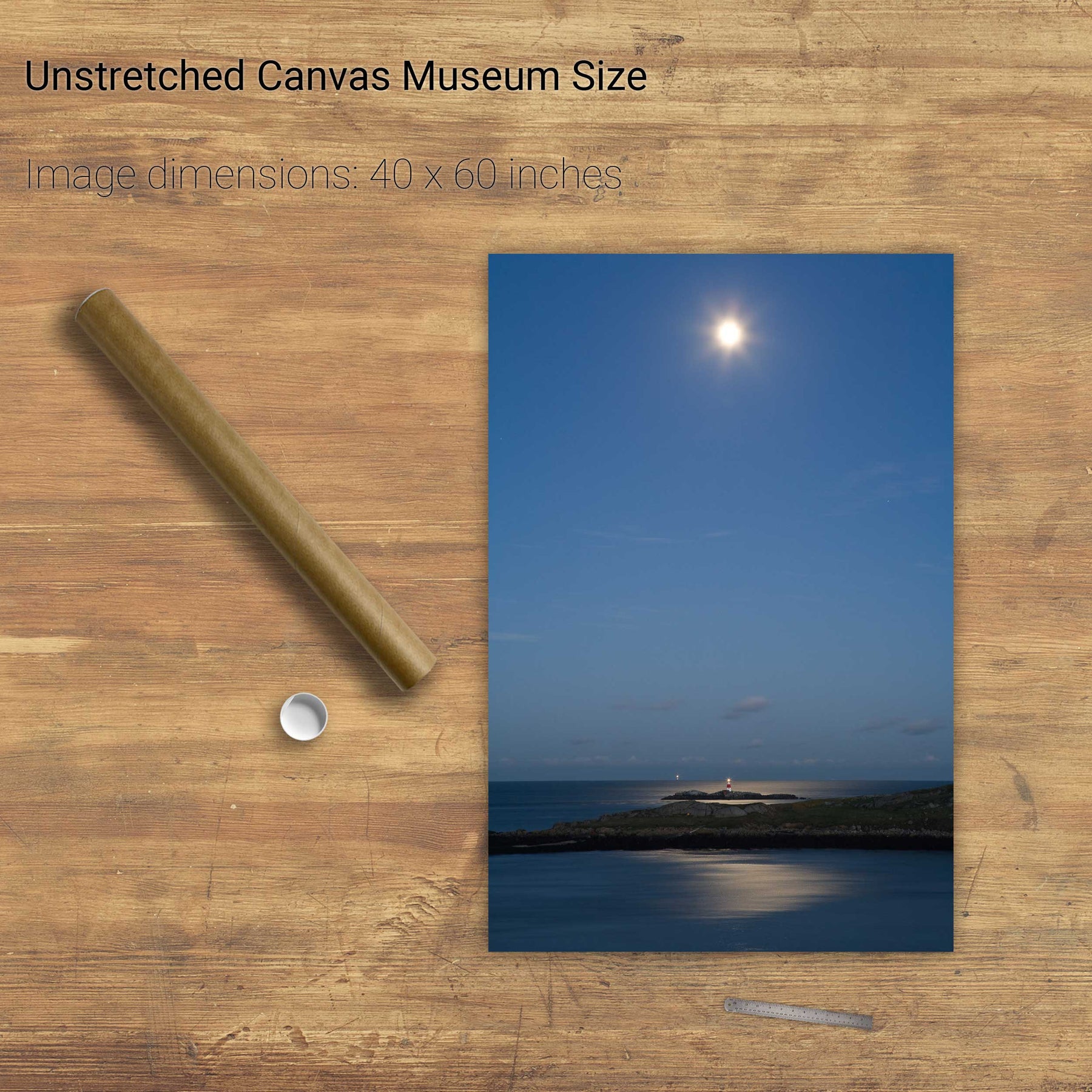
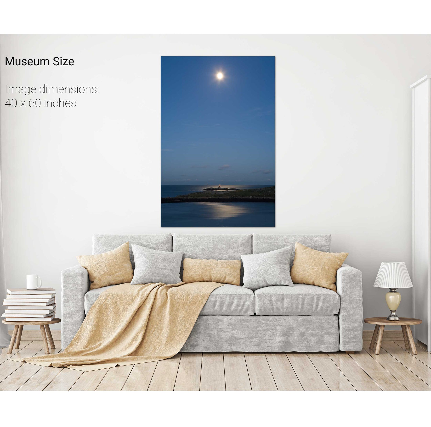
Moonrise, Myross, Co. Cork
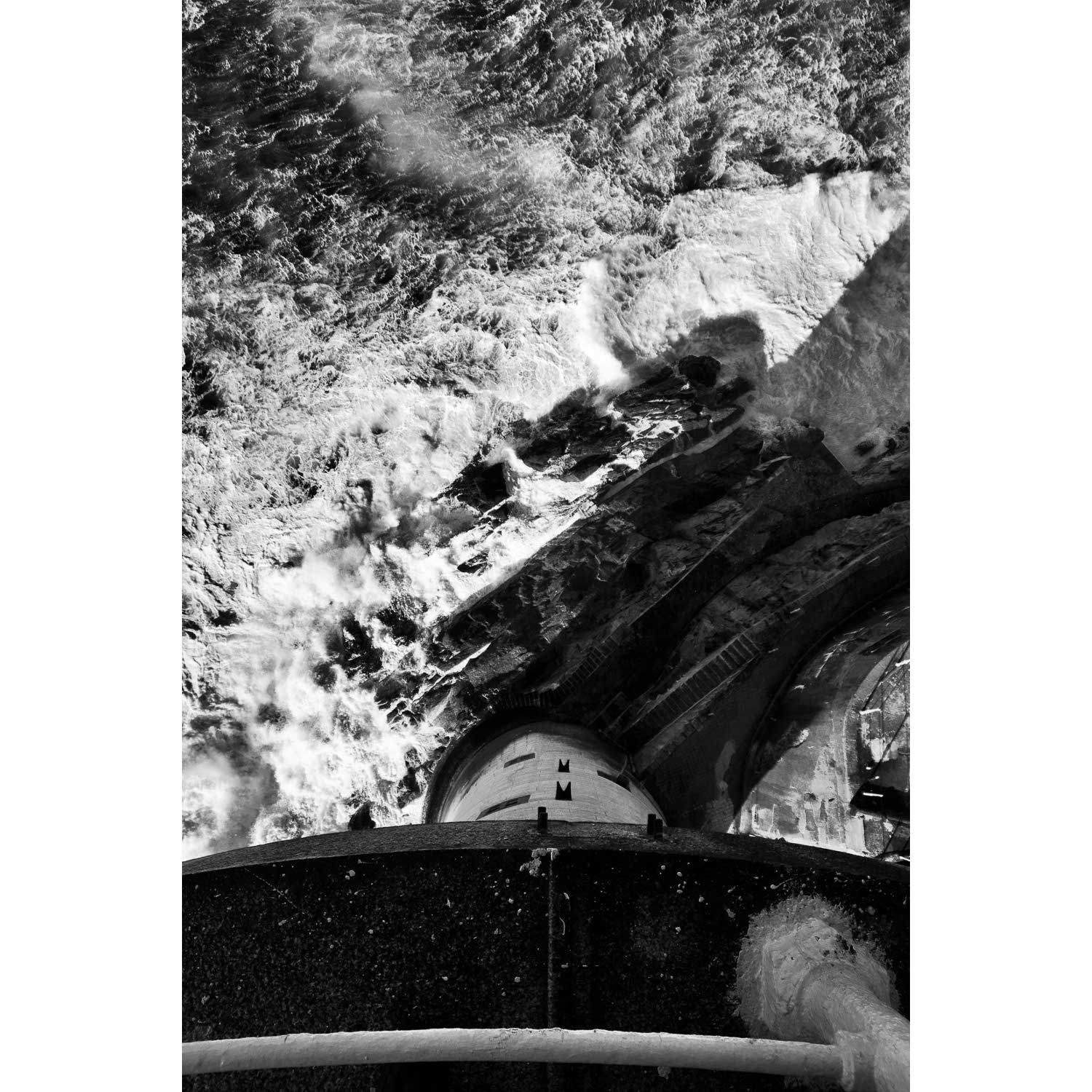
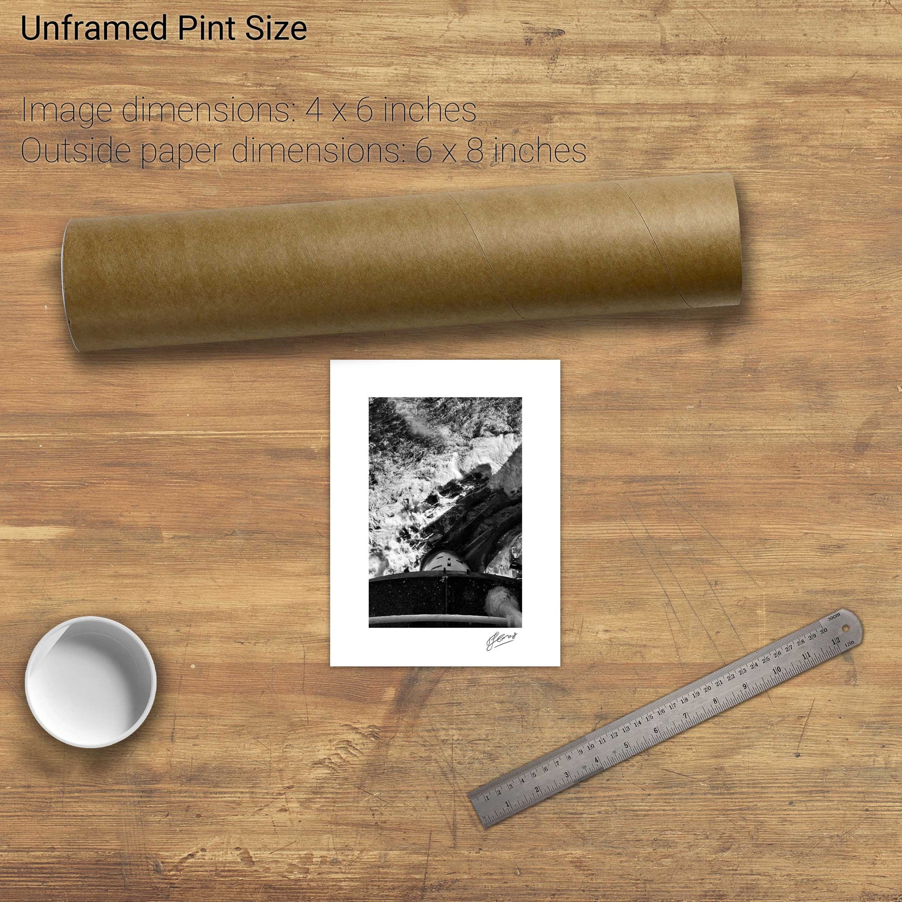
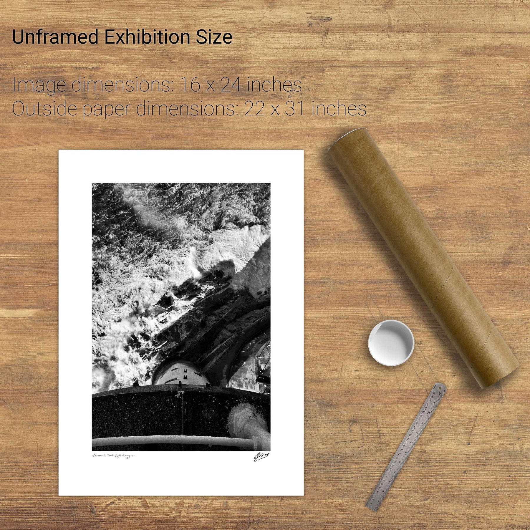
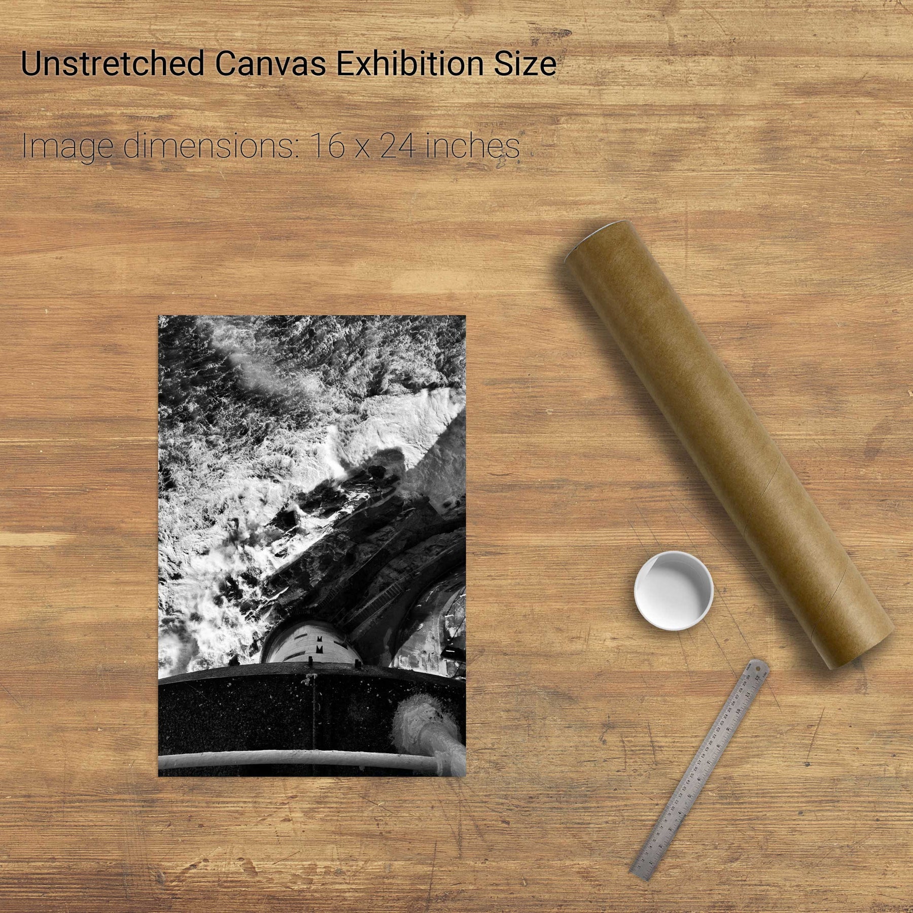
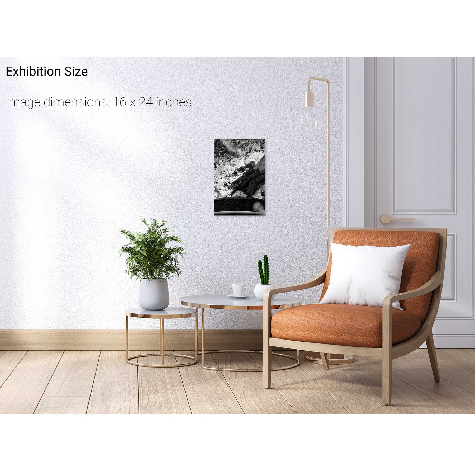
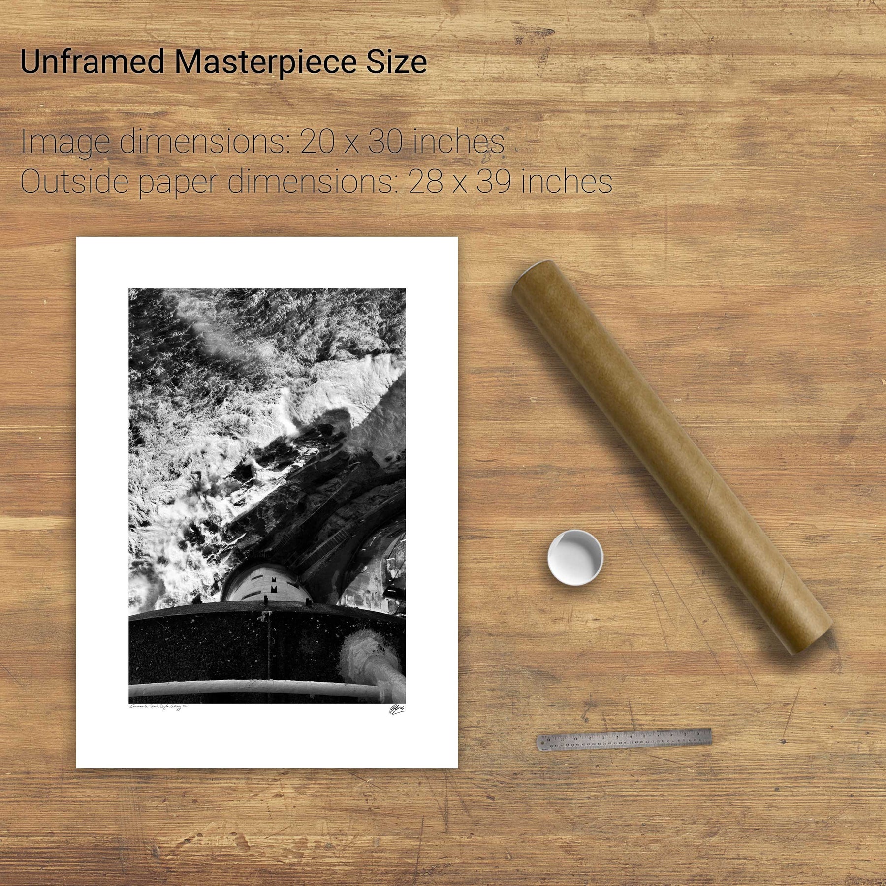
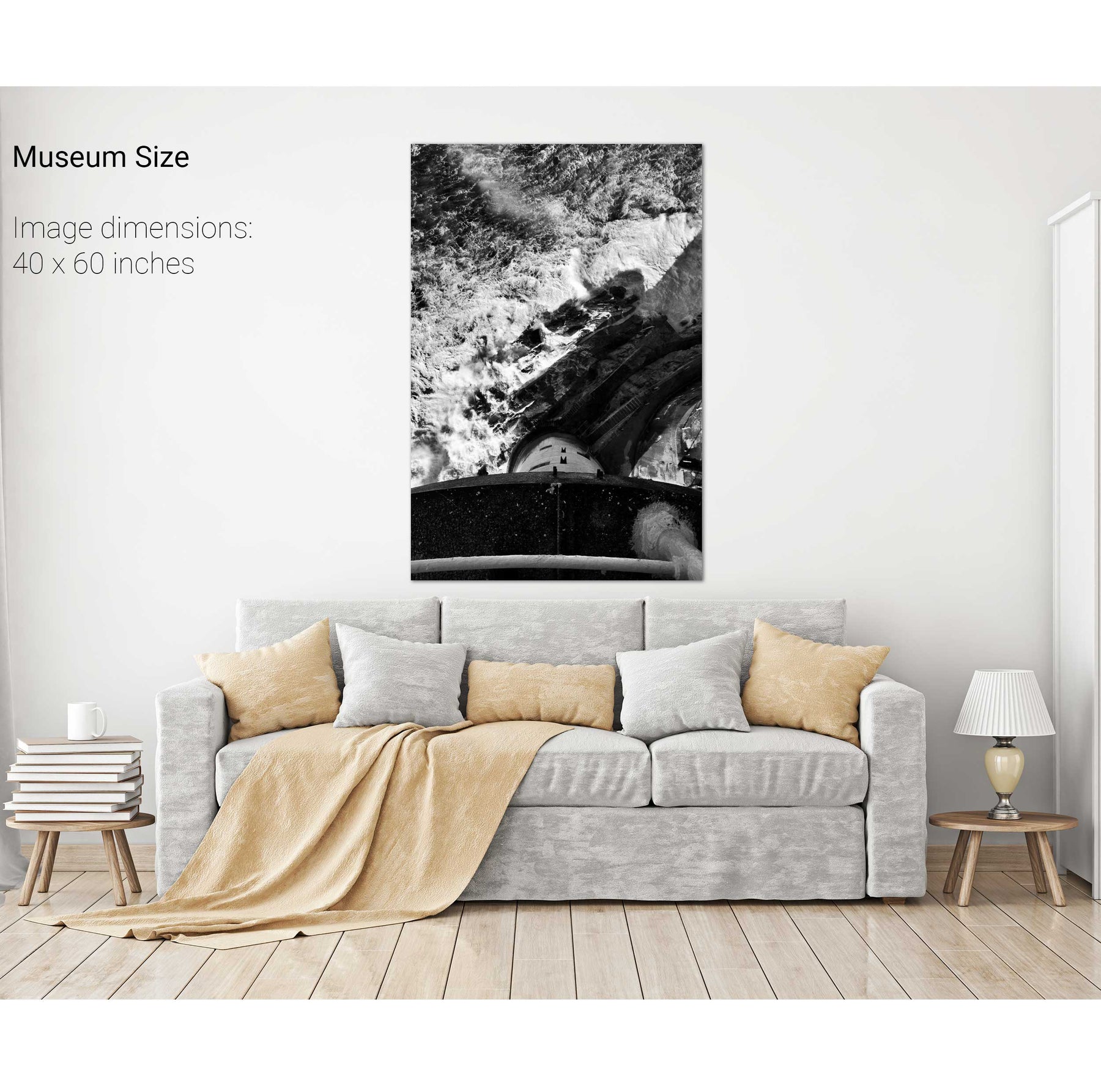
The Fastnet from the Balcony
Inishfarnard from Kilcatherine Point, Beara, Co. Cork
The Muglins by Moonlight II