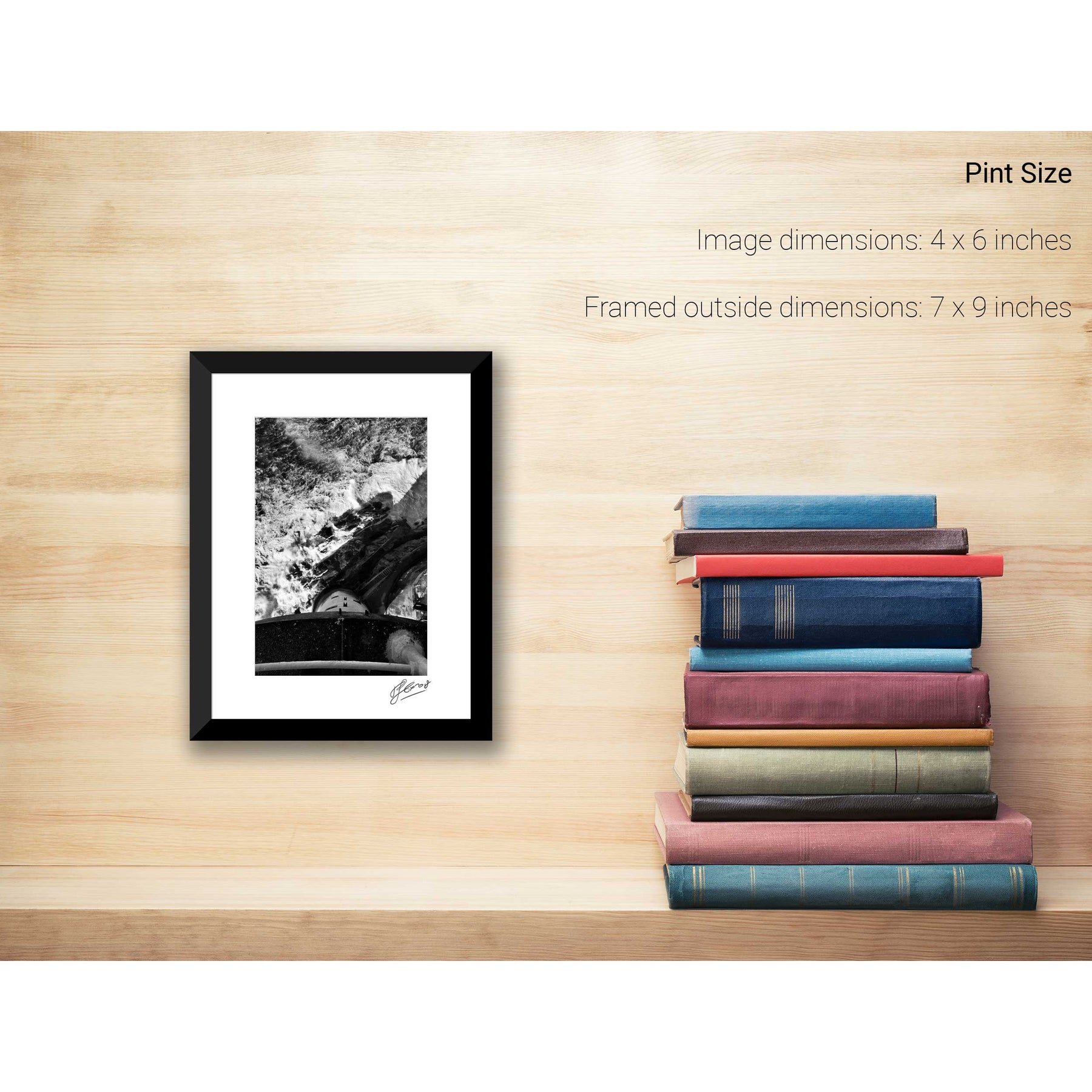
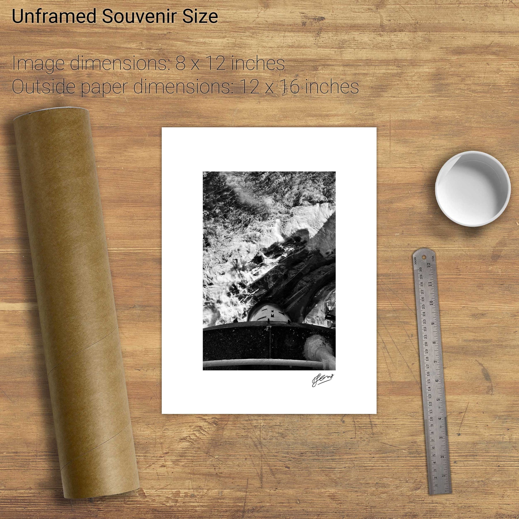
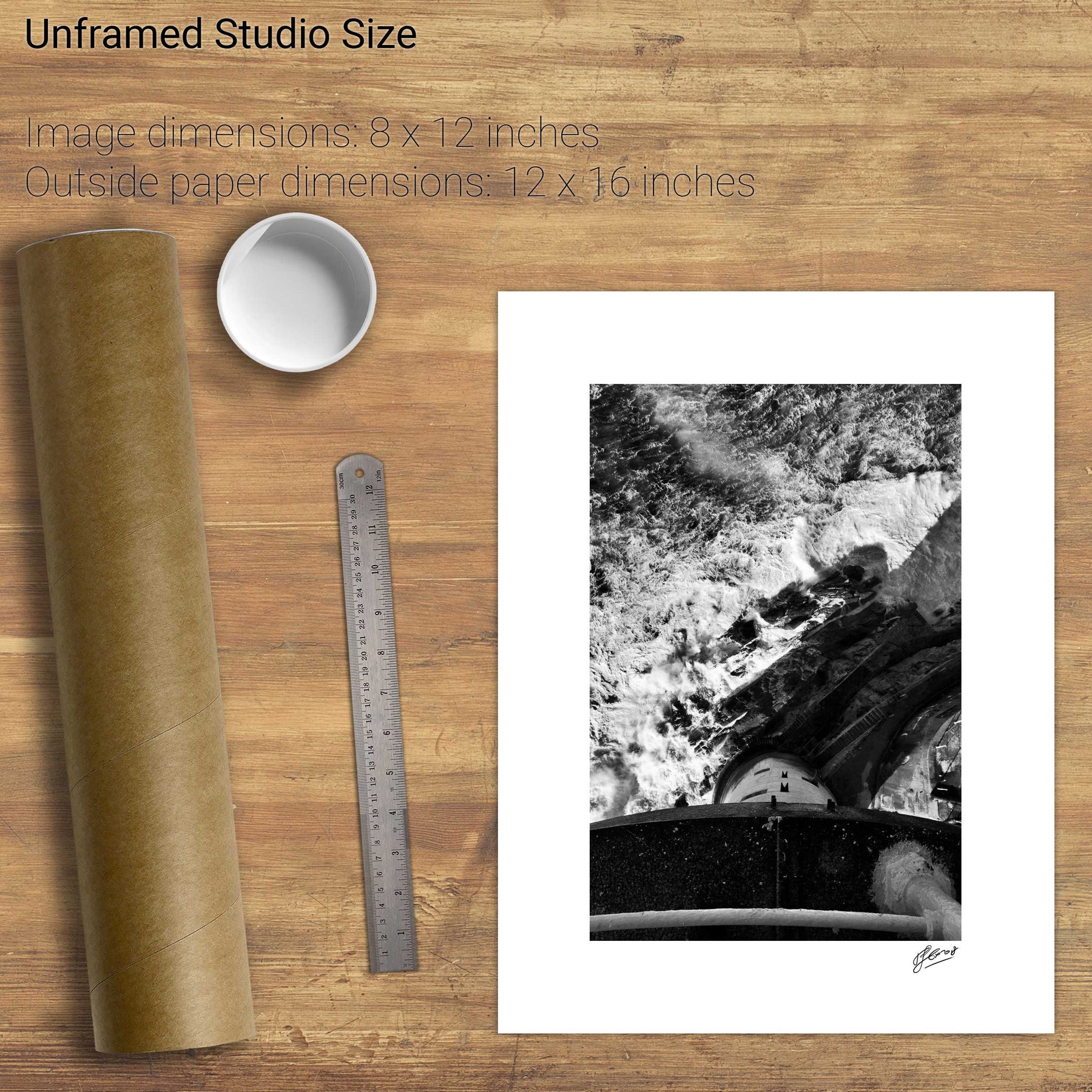
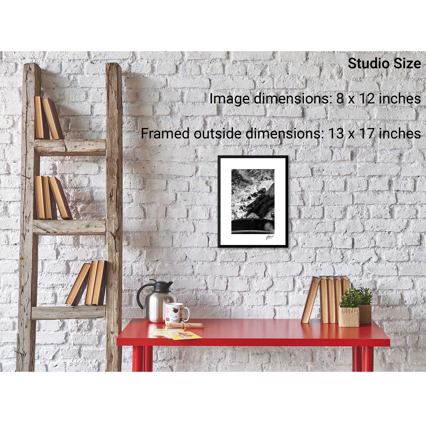
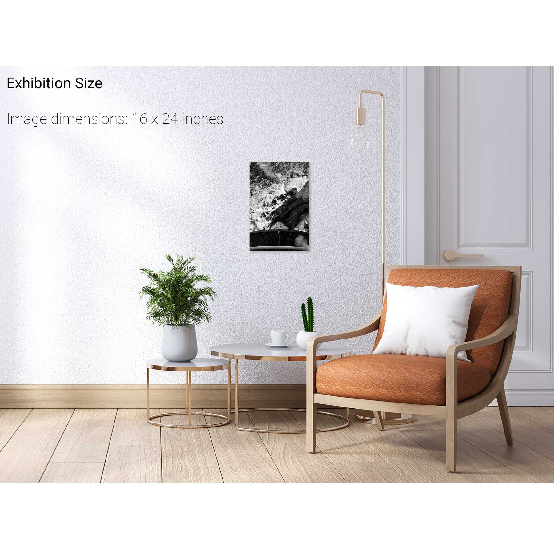
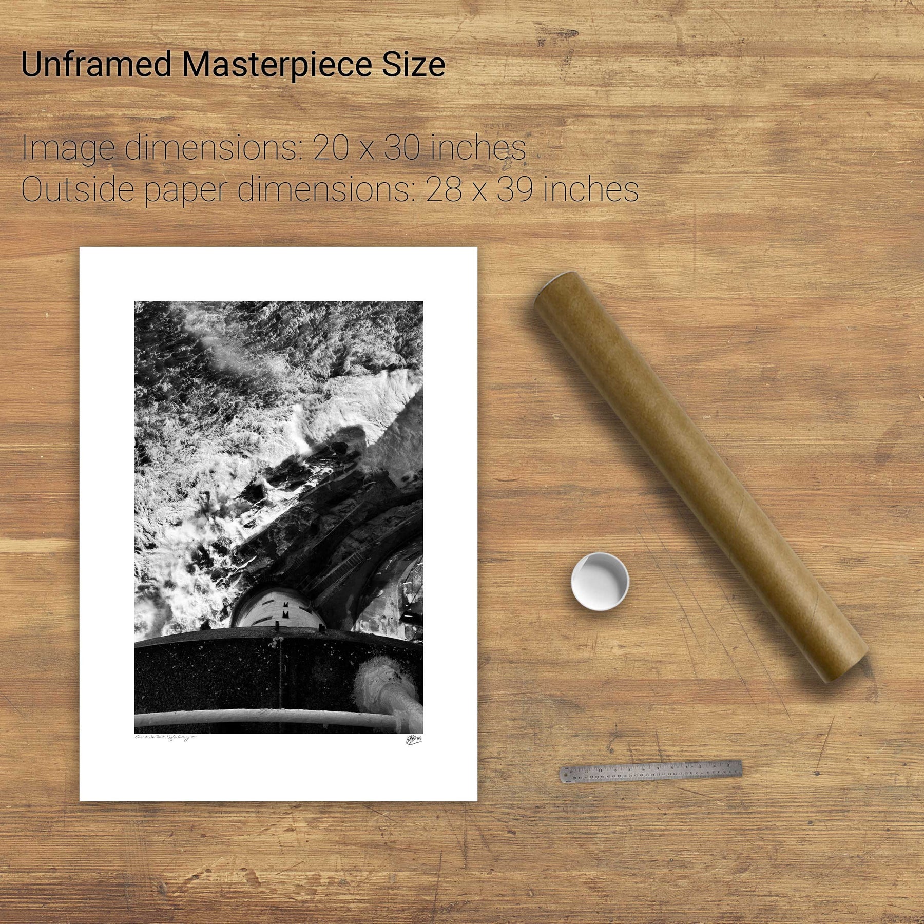
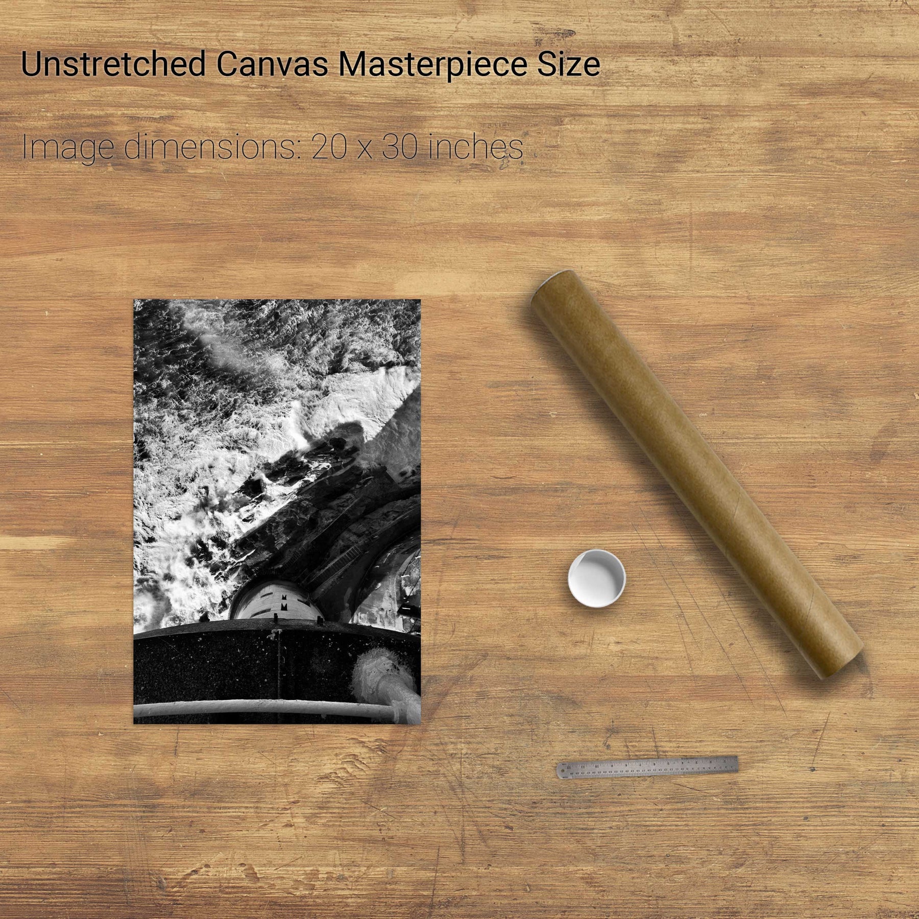
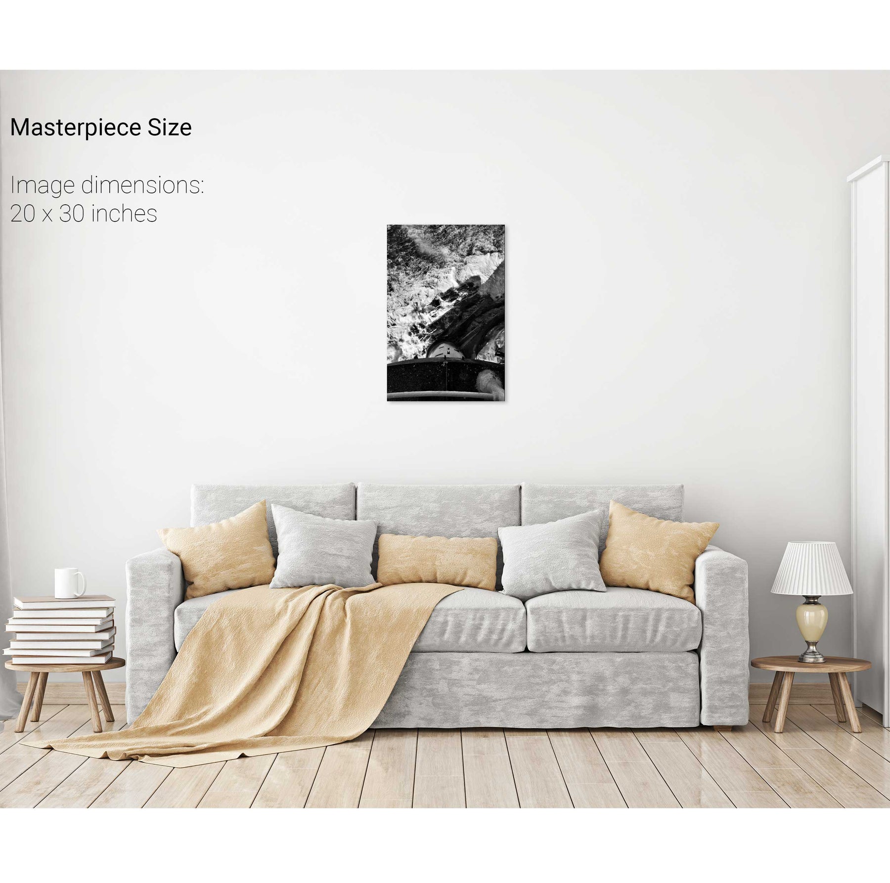
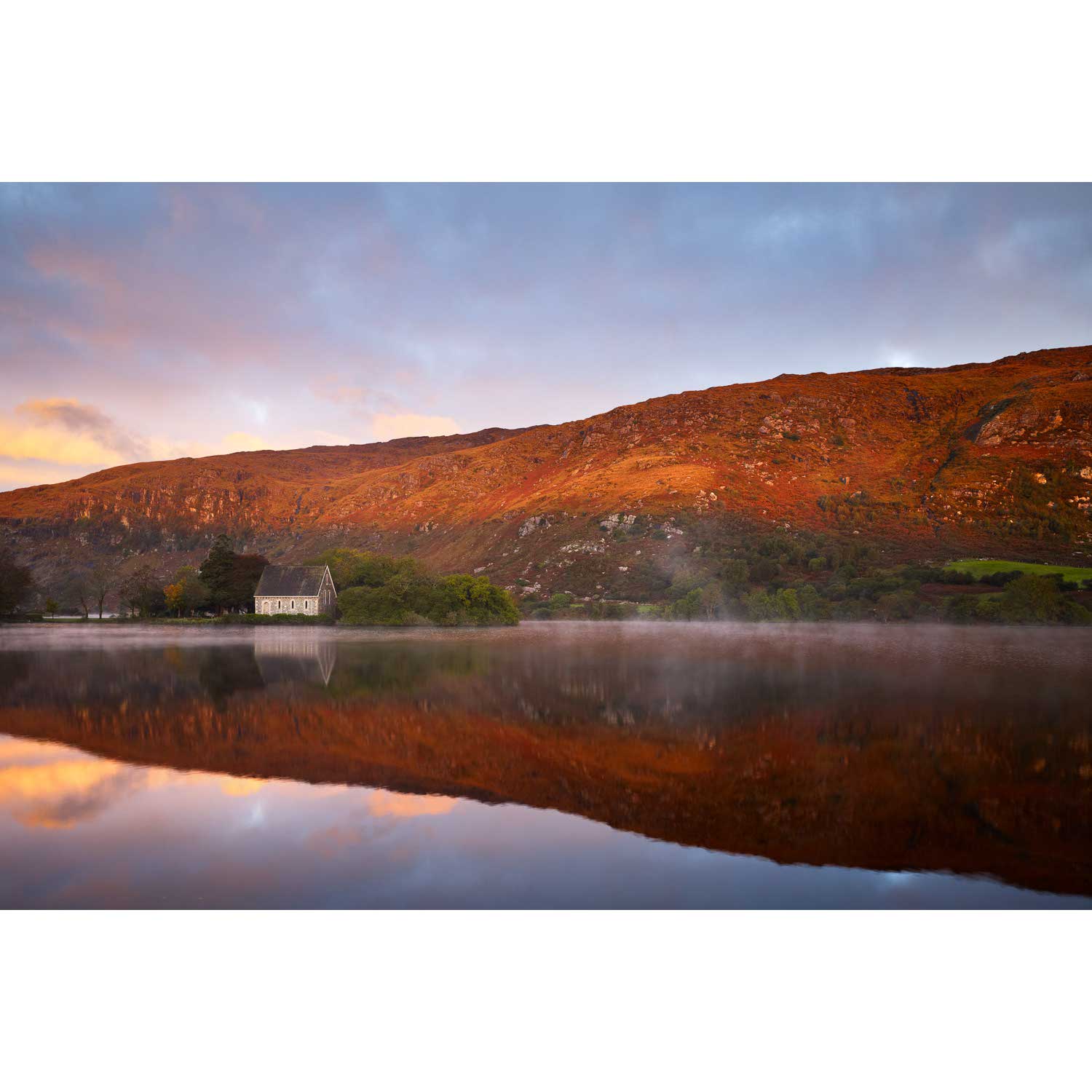
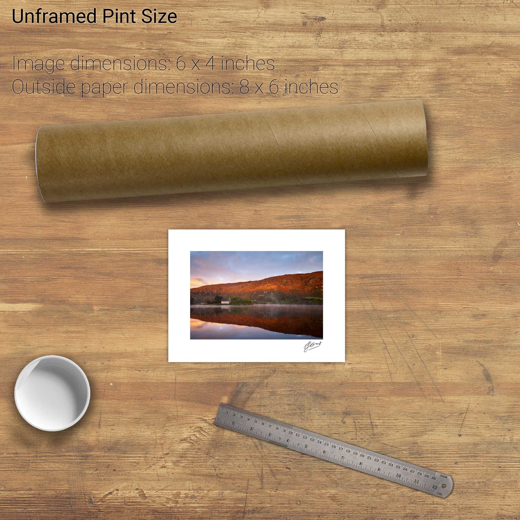
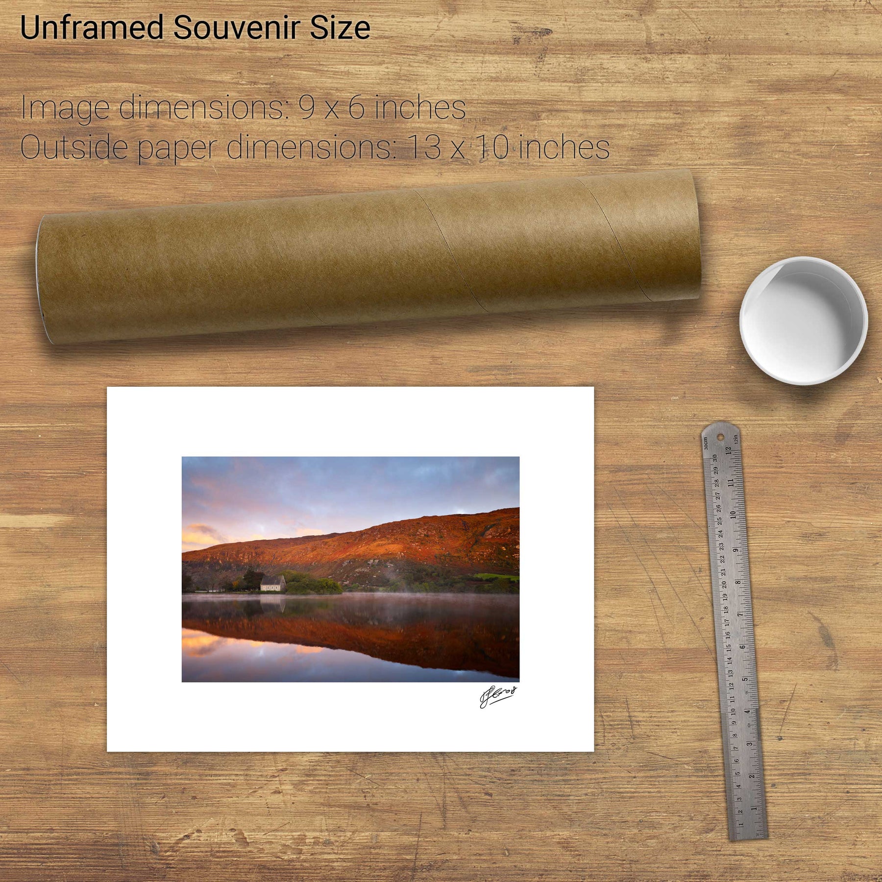
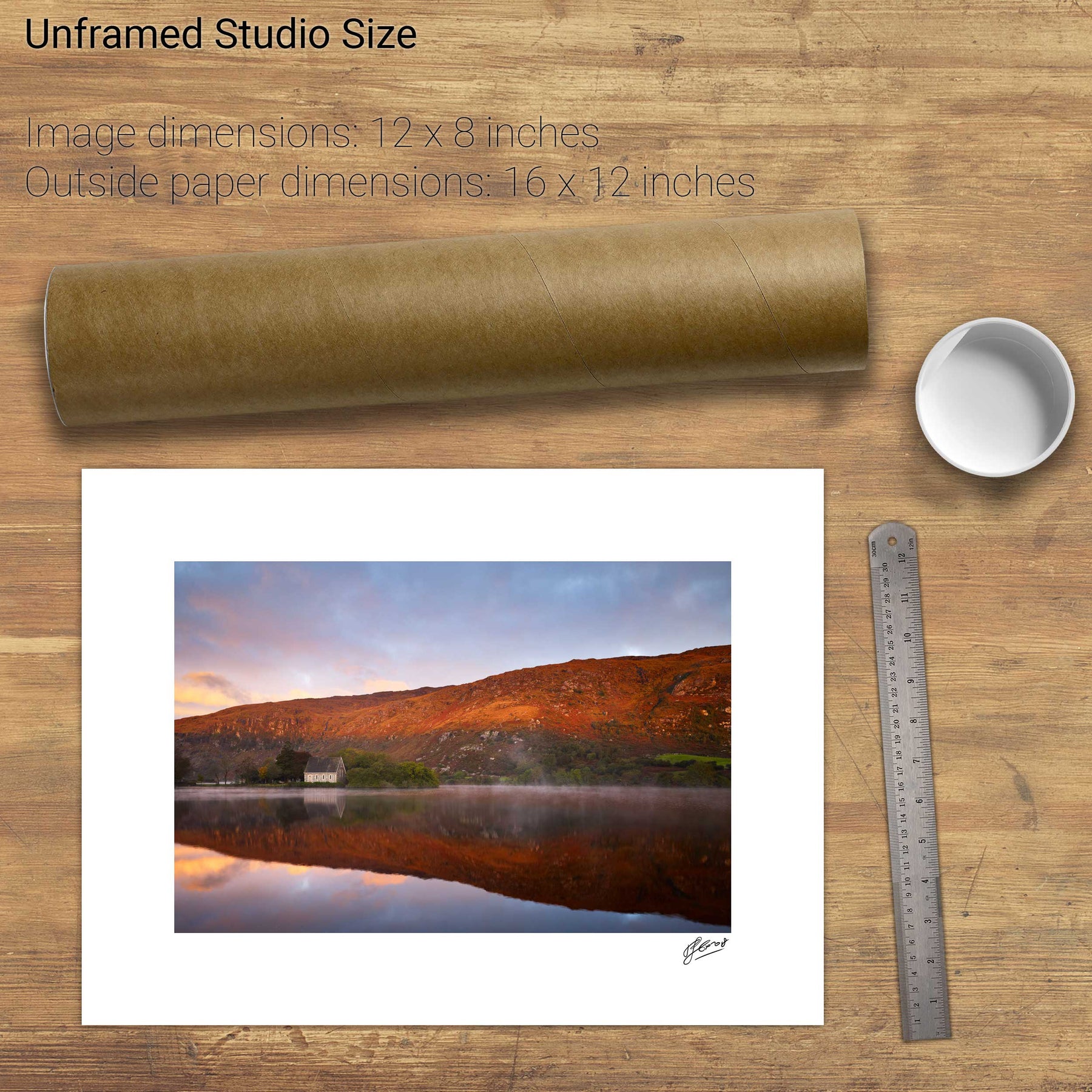
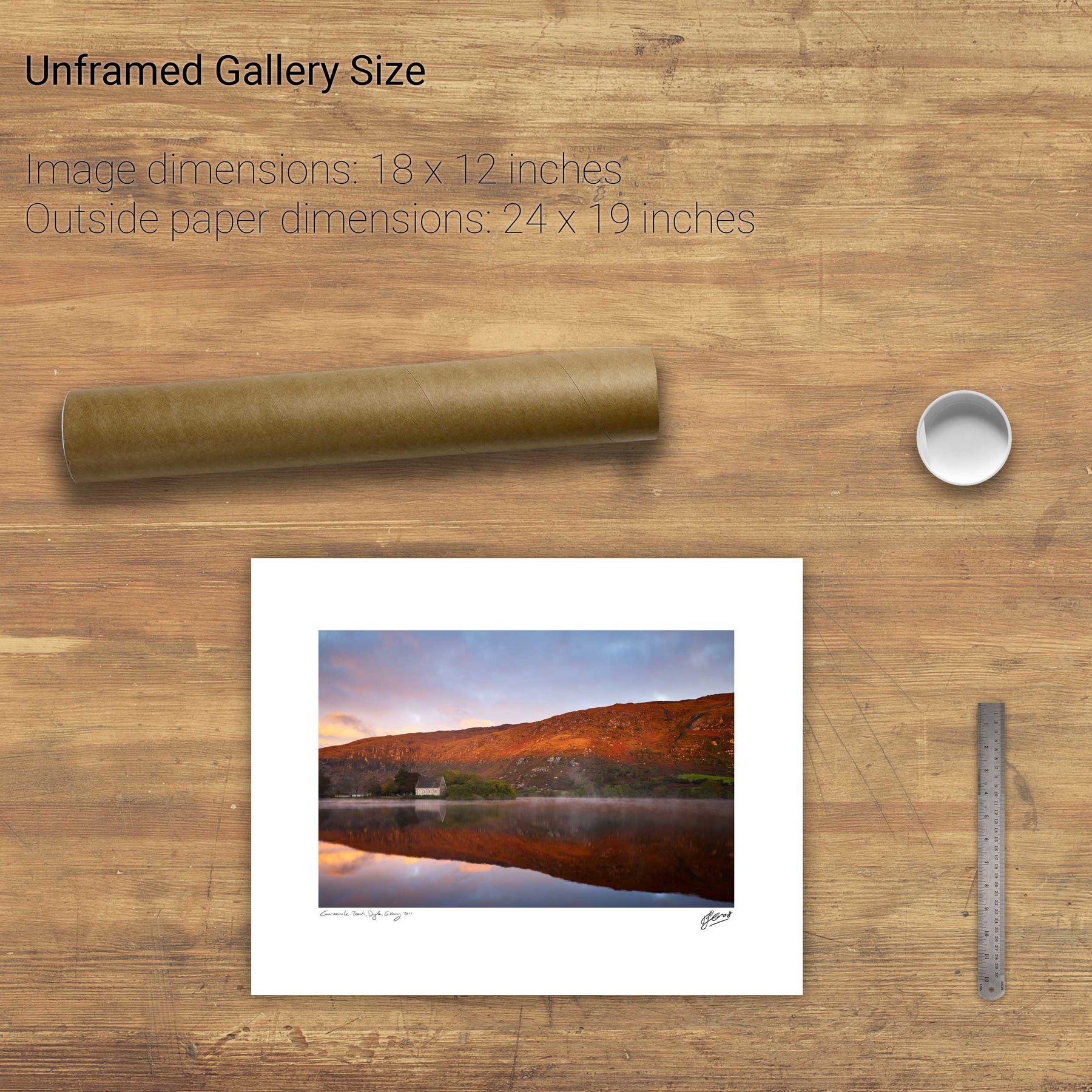
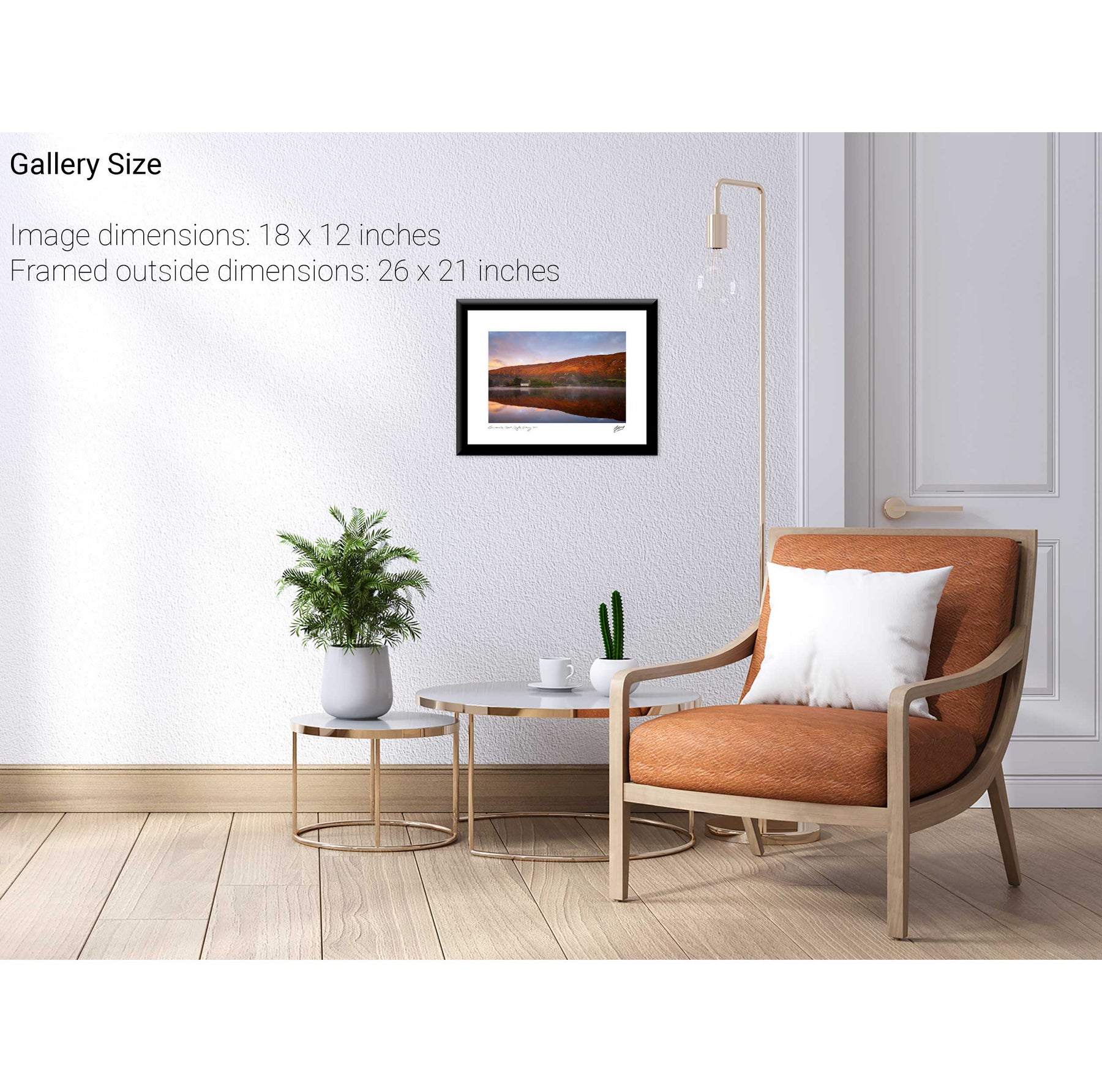
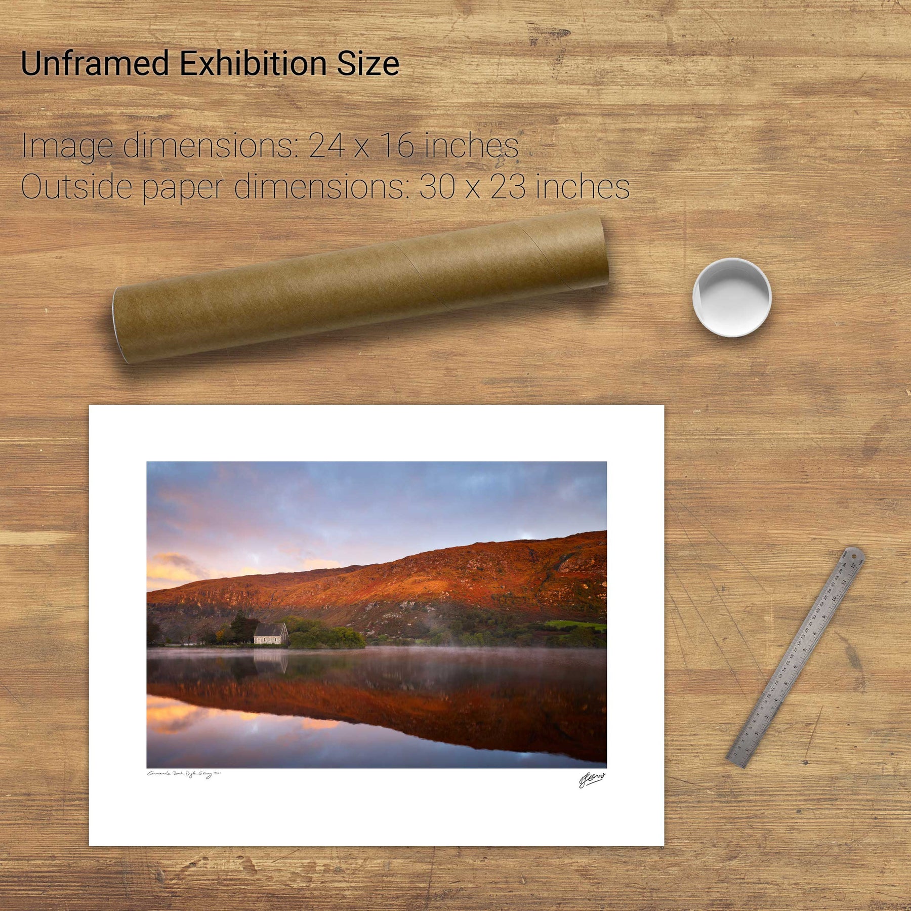
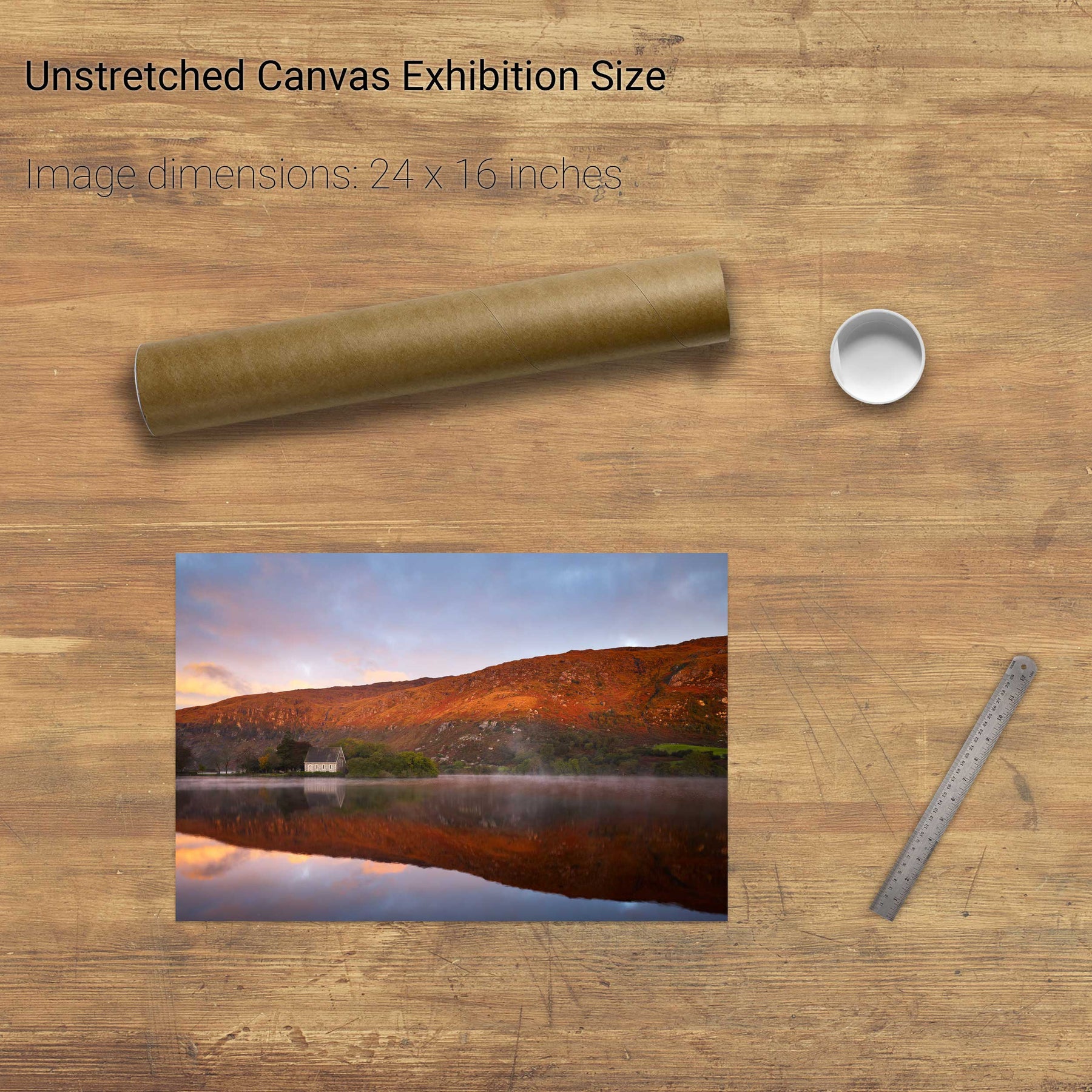
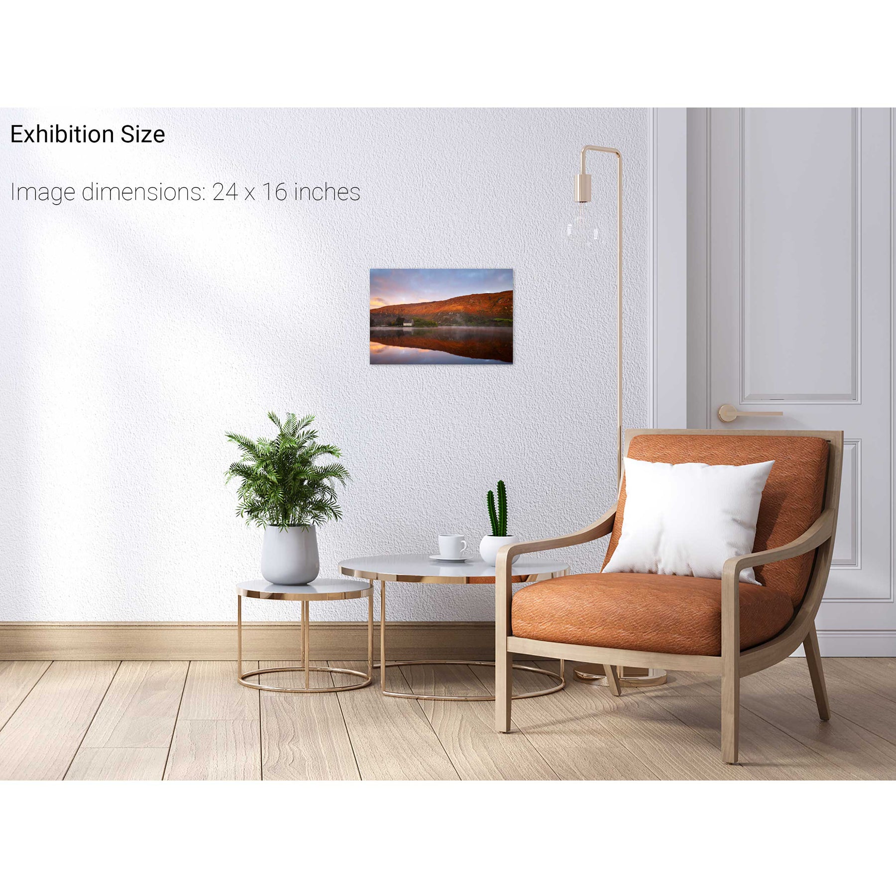
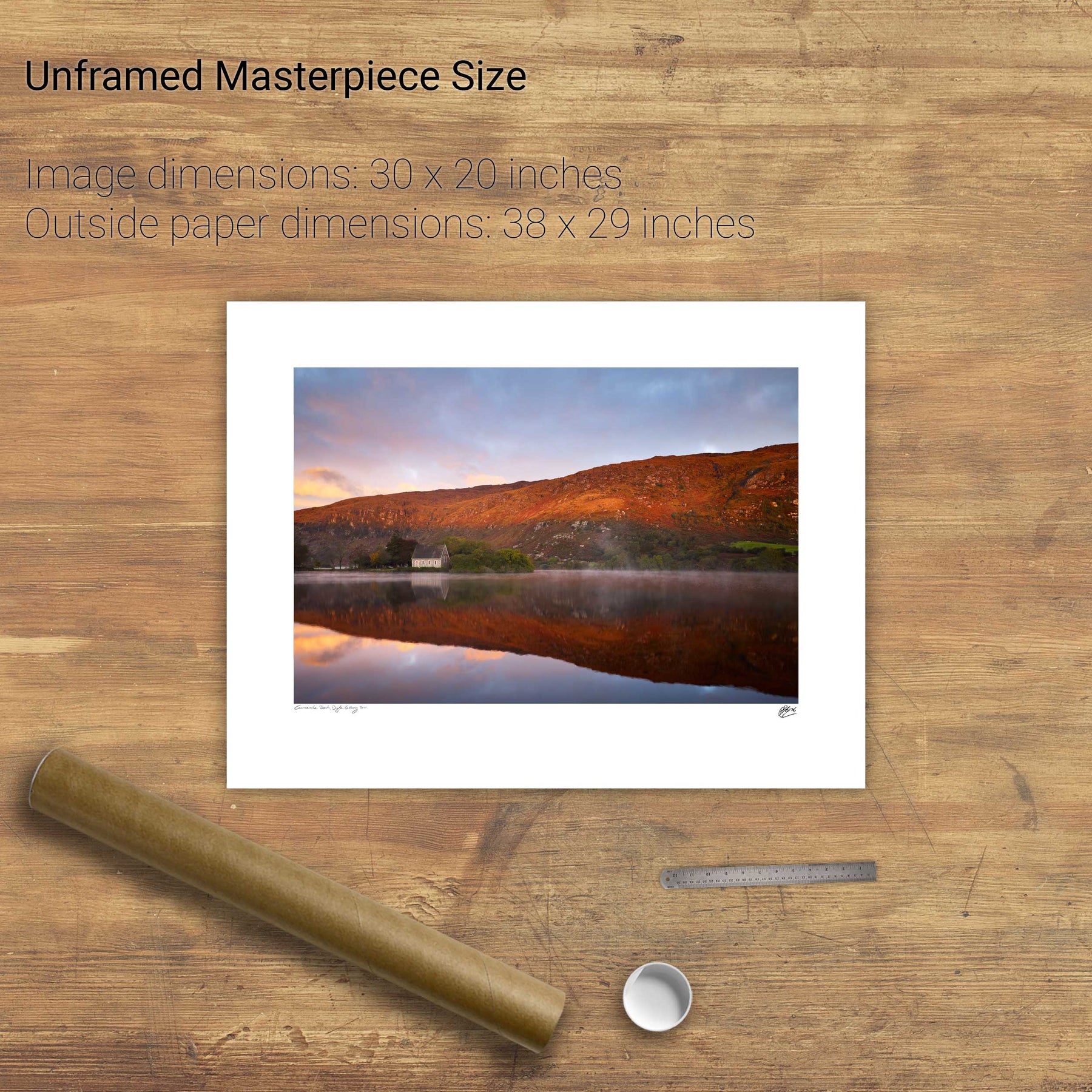
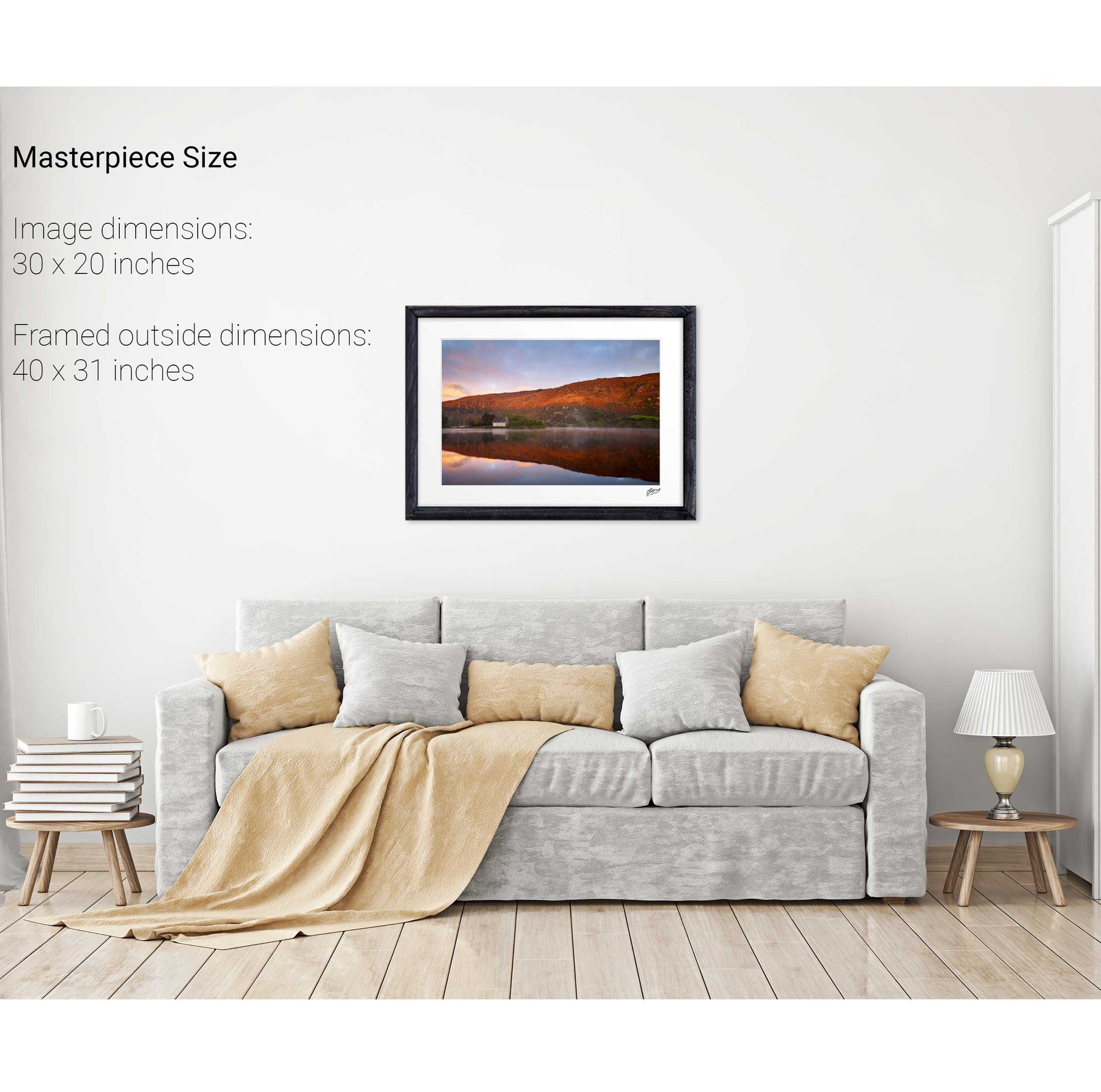
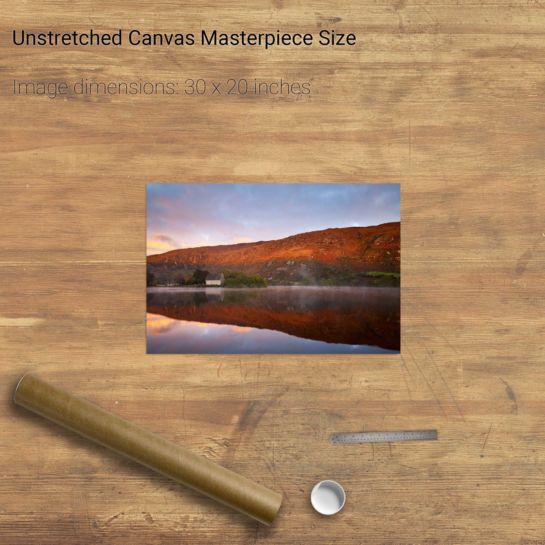
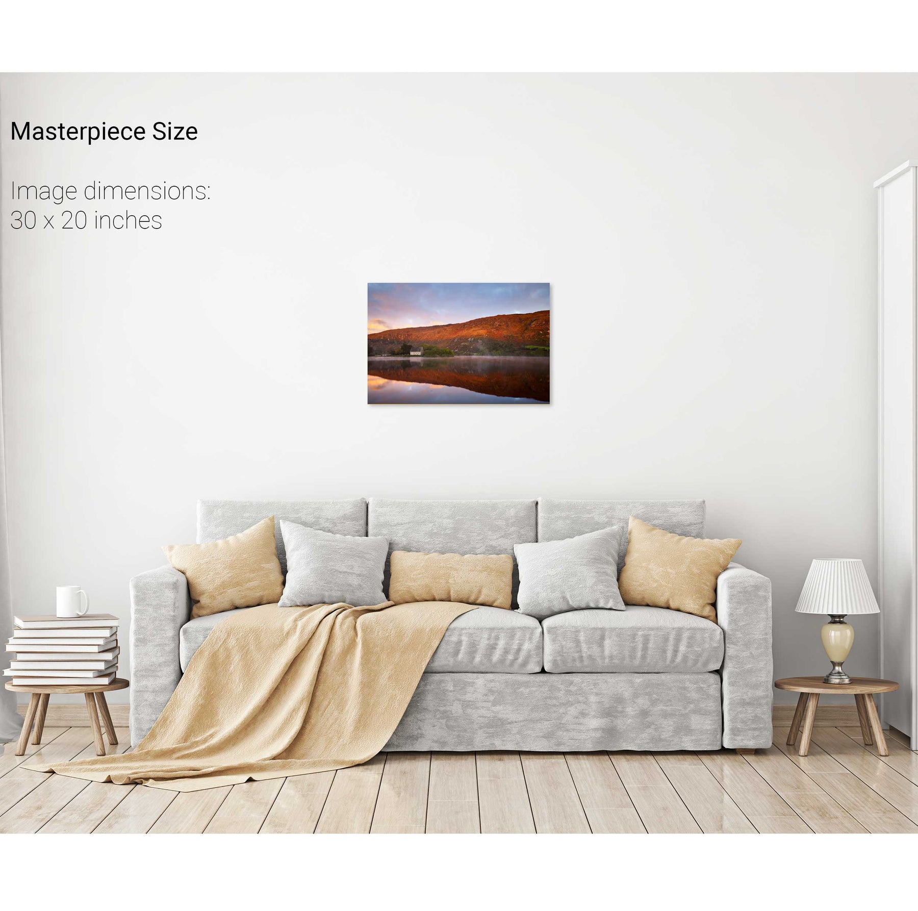
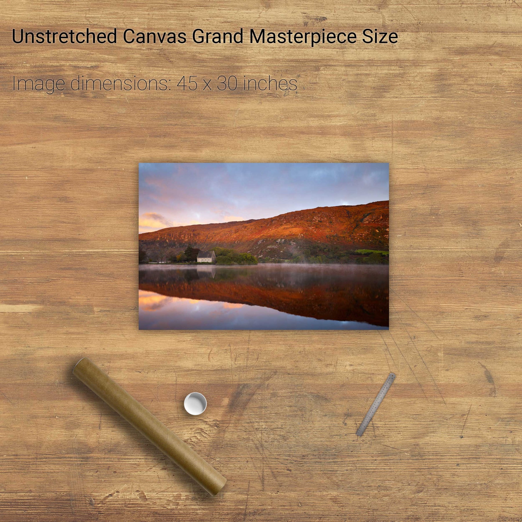
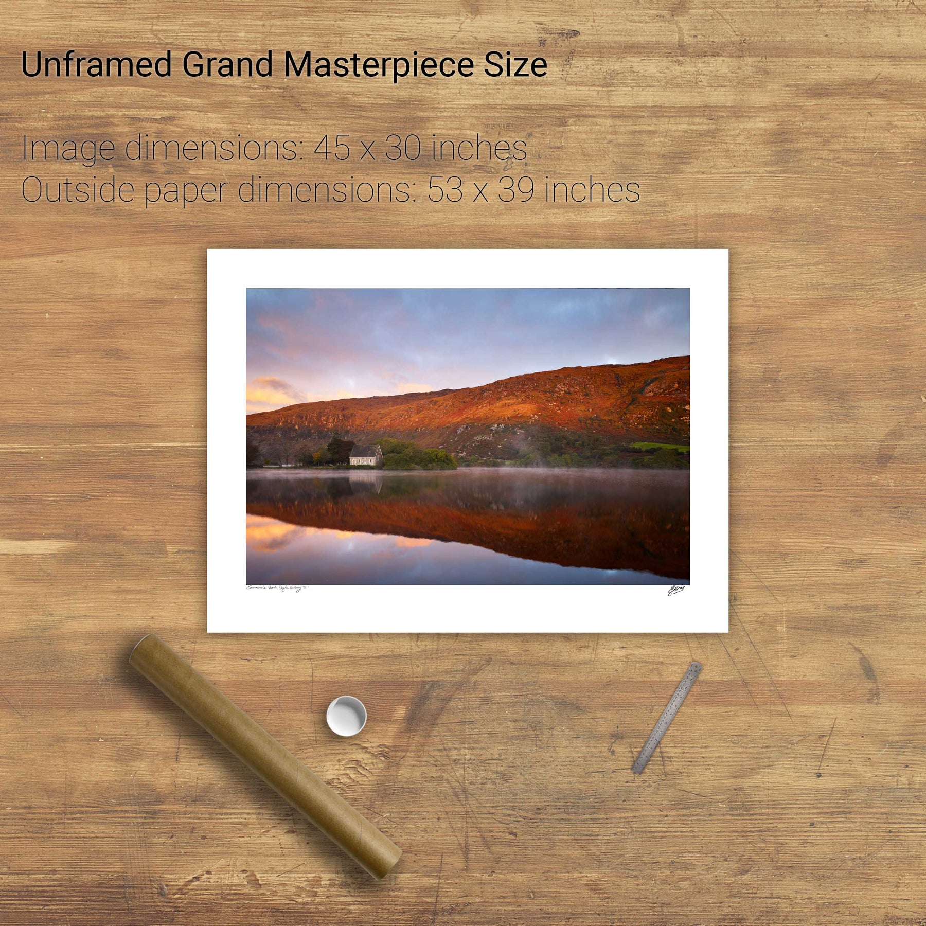
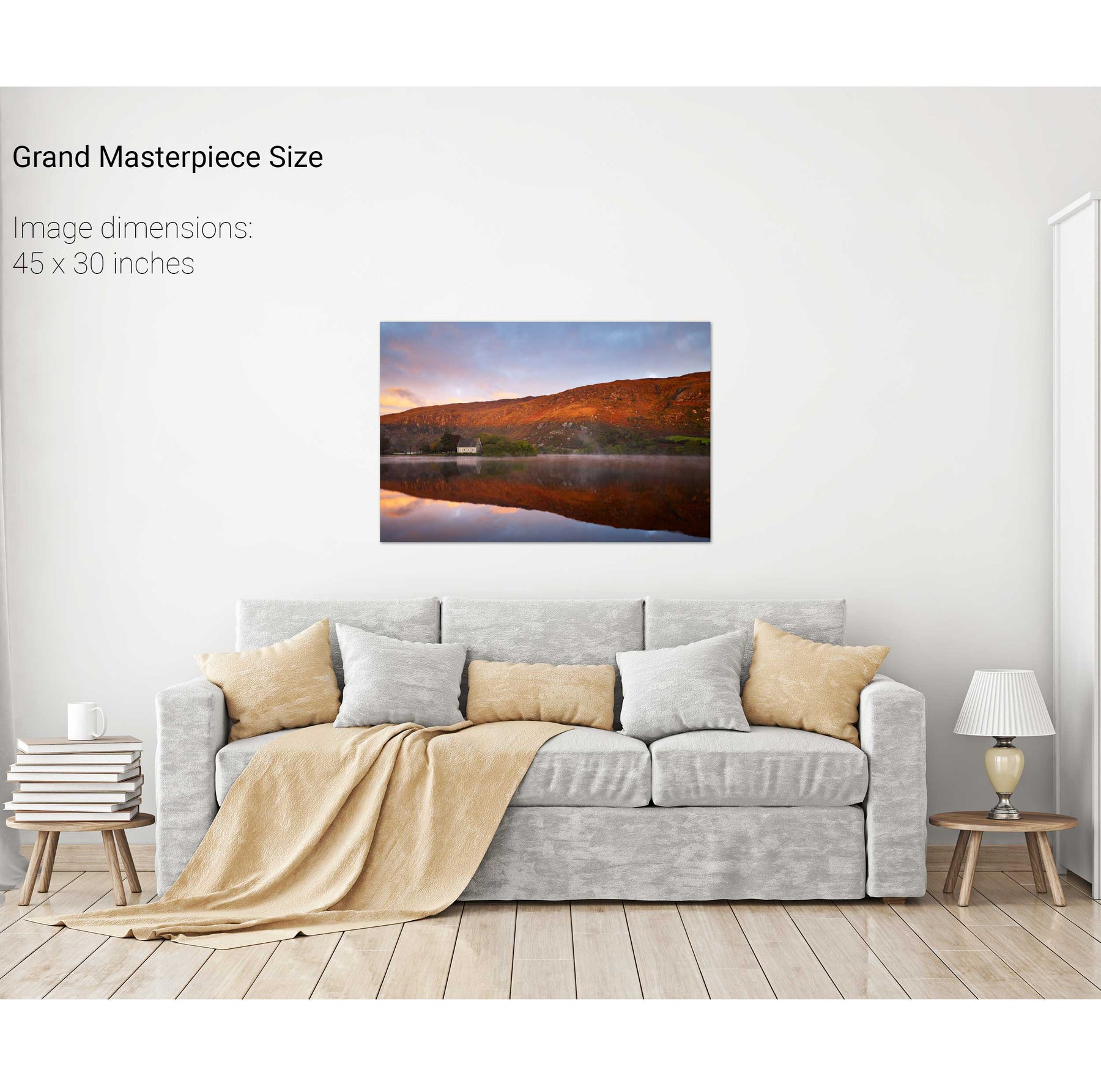
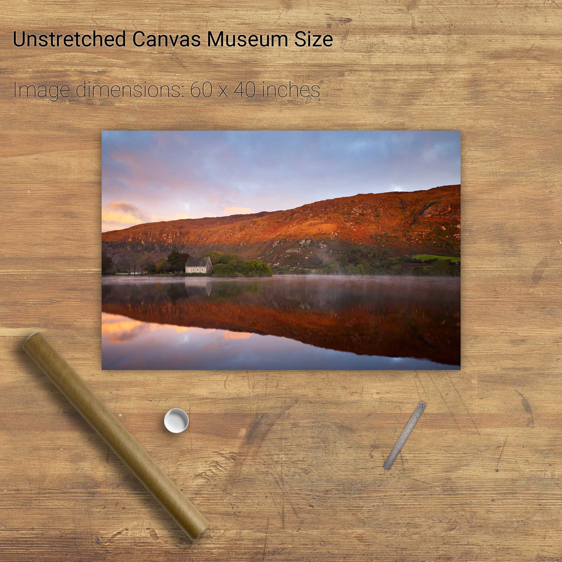
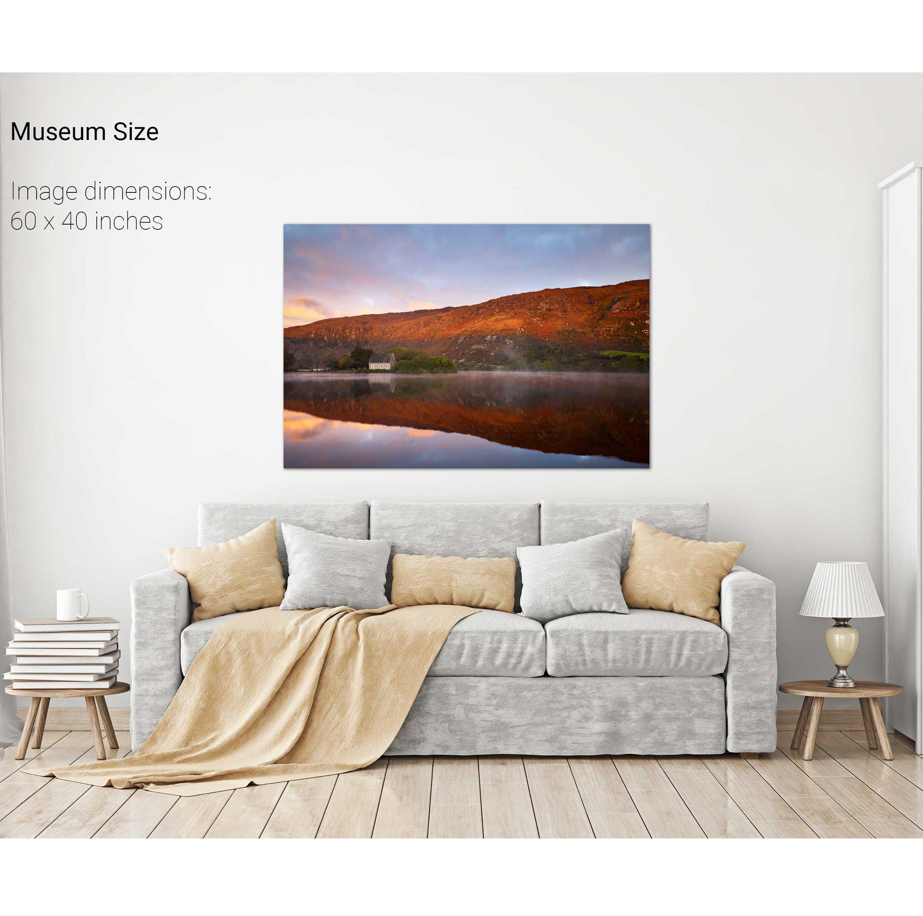
A Morning at the Office, Gougane Barra, Co. Cork


We will send you an email to reset your password.

83 products
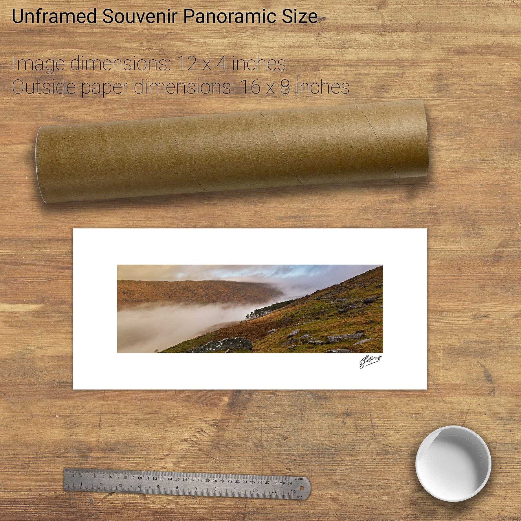
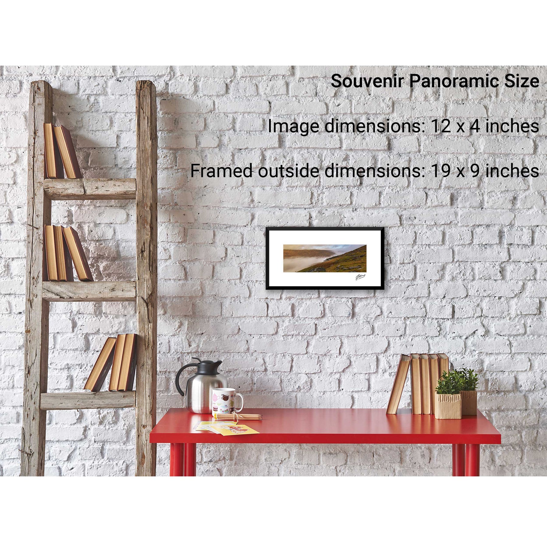
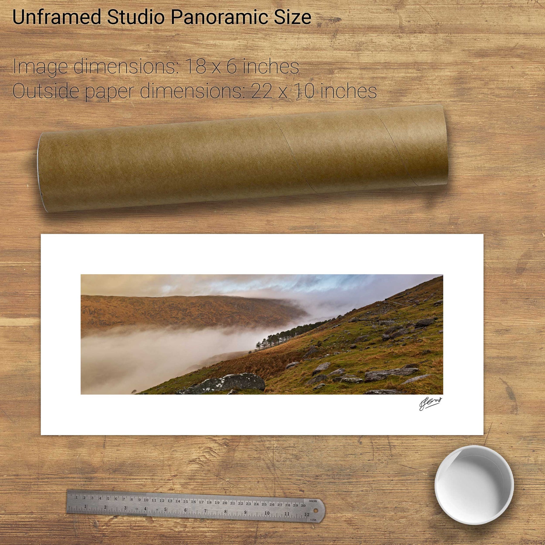
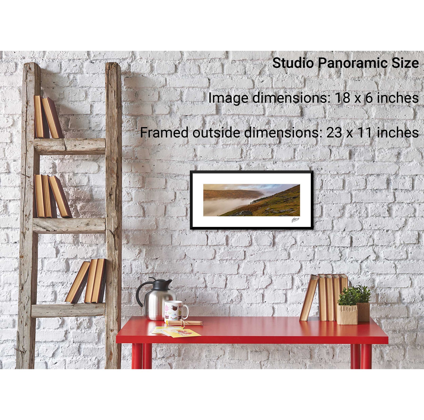
A Morning at the Office, Gougane Barra, Co. Cork
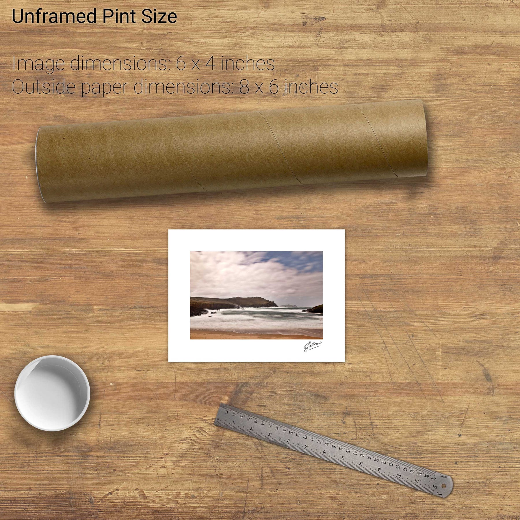
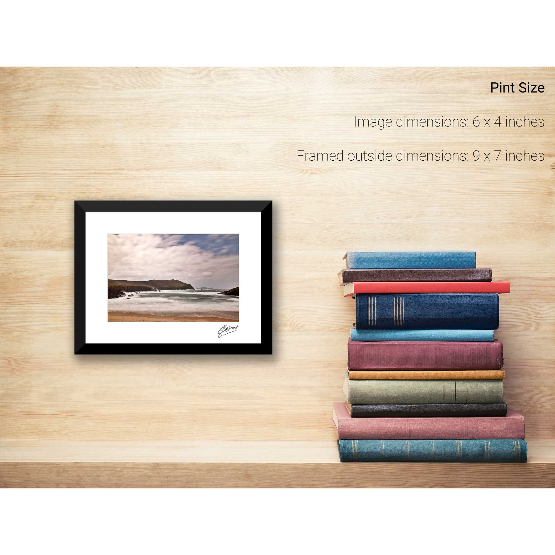
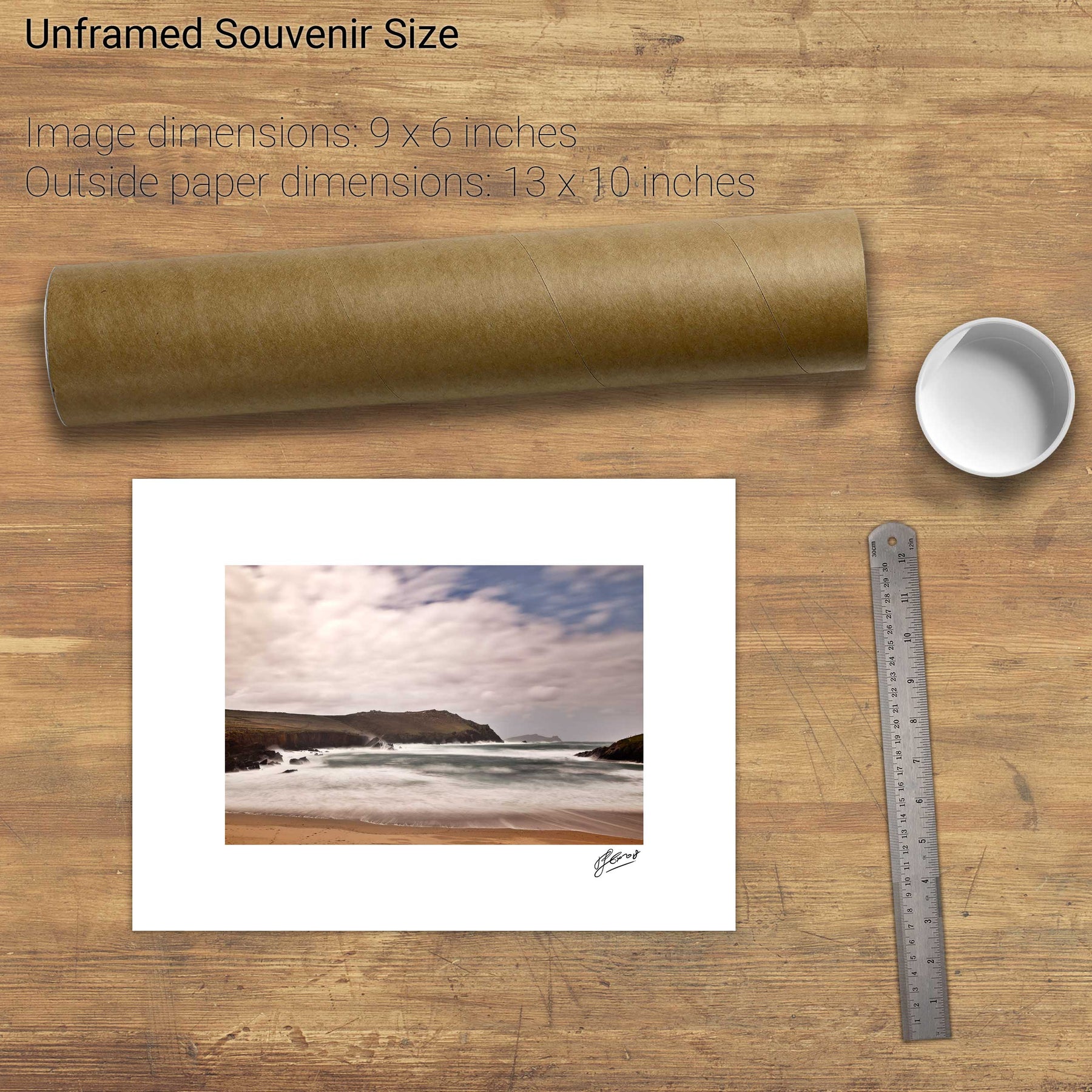
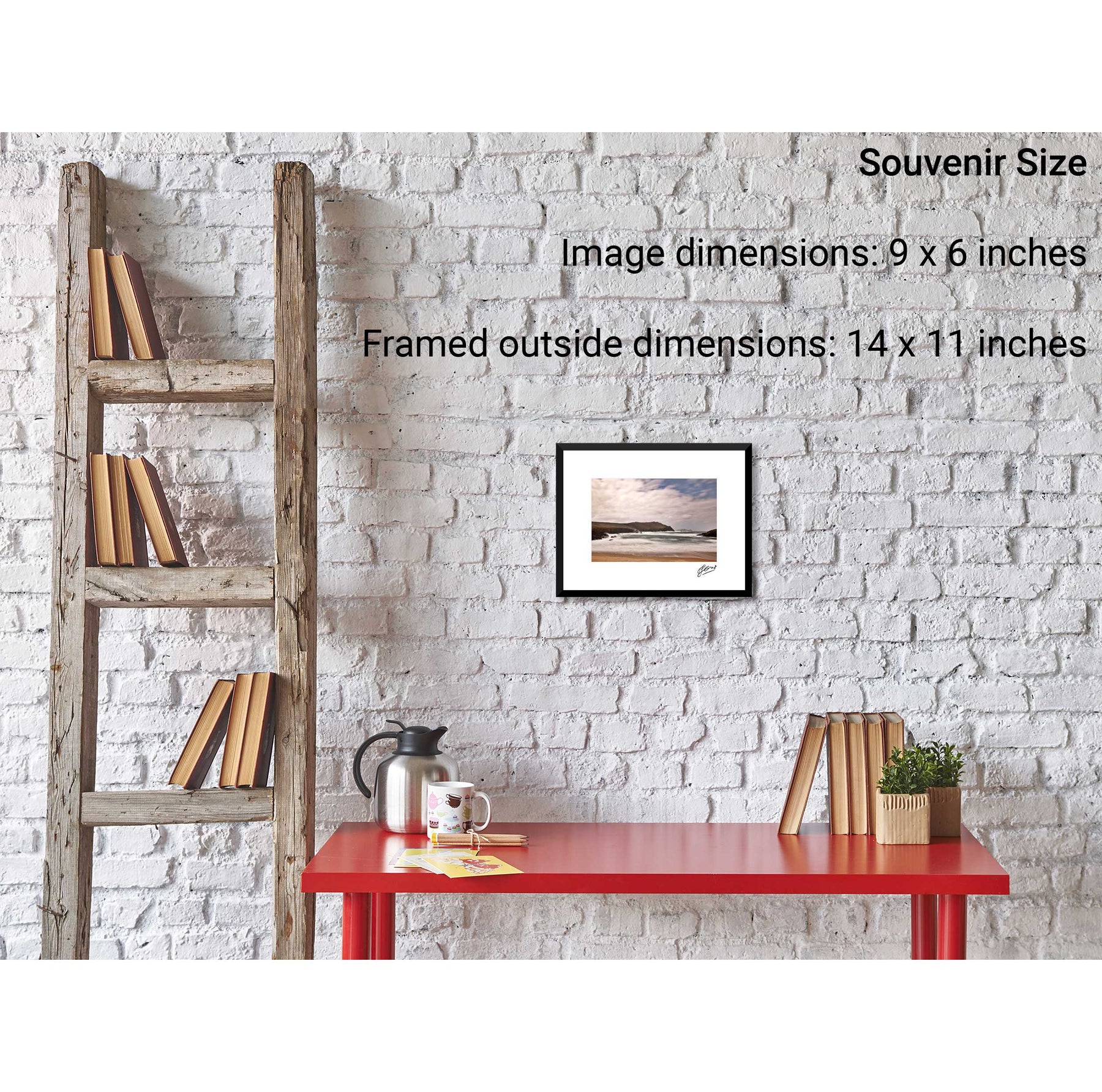
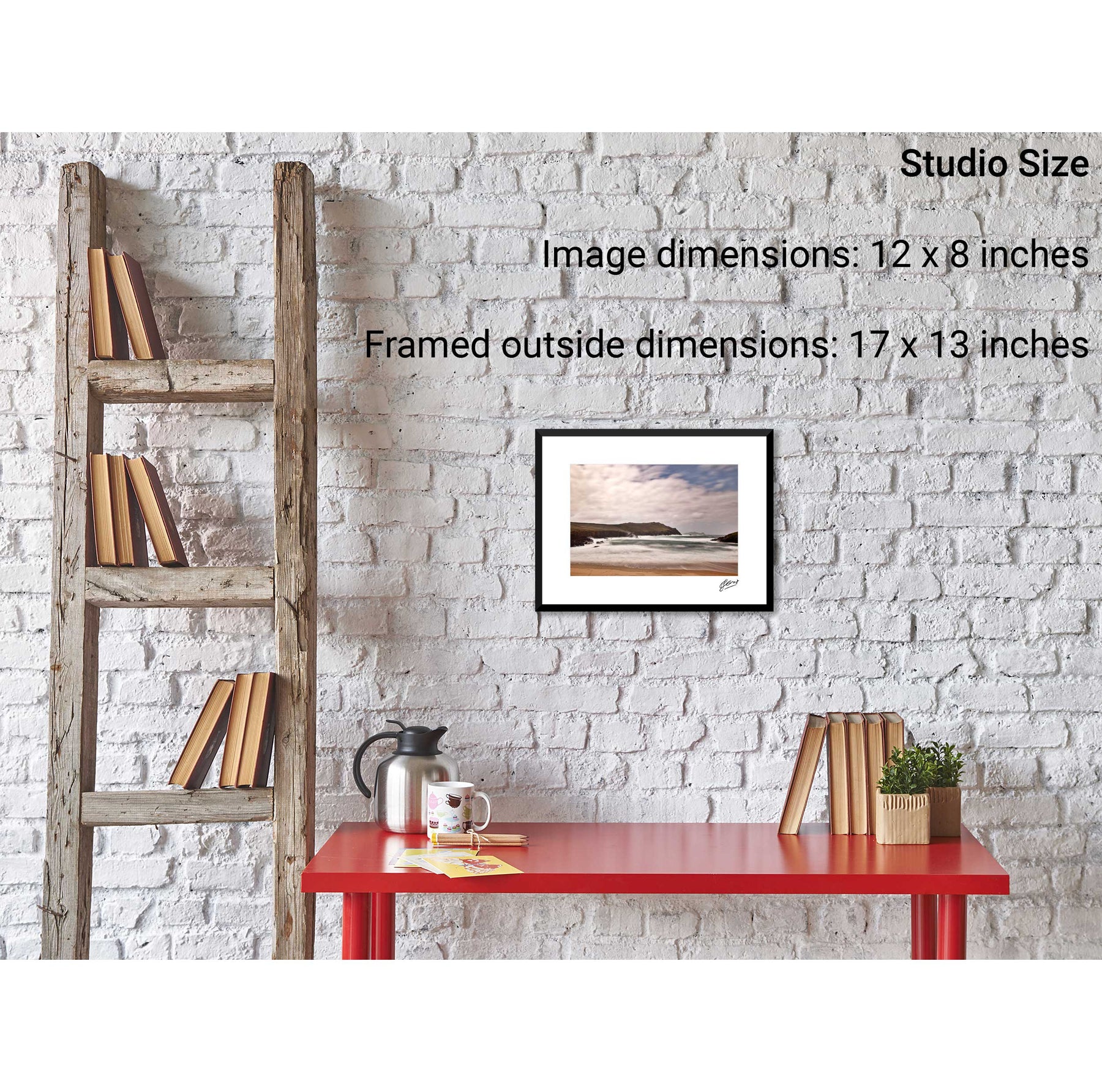
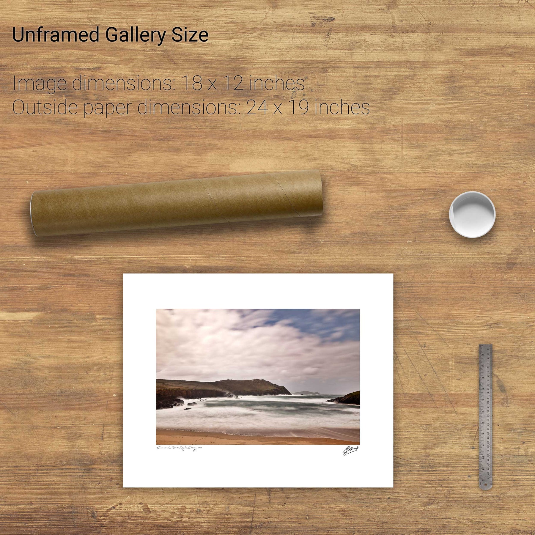
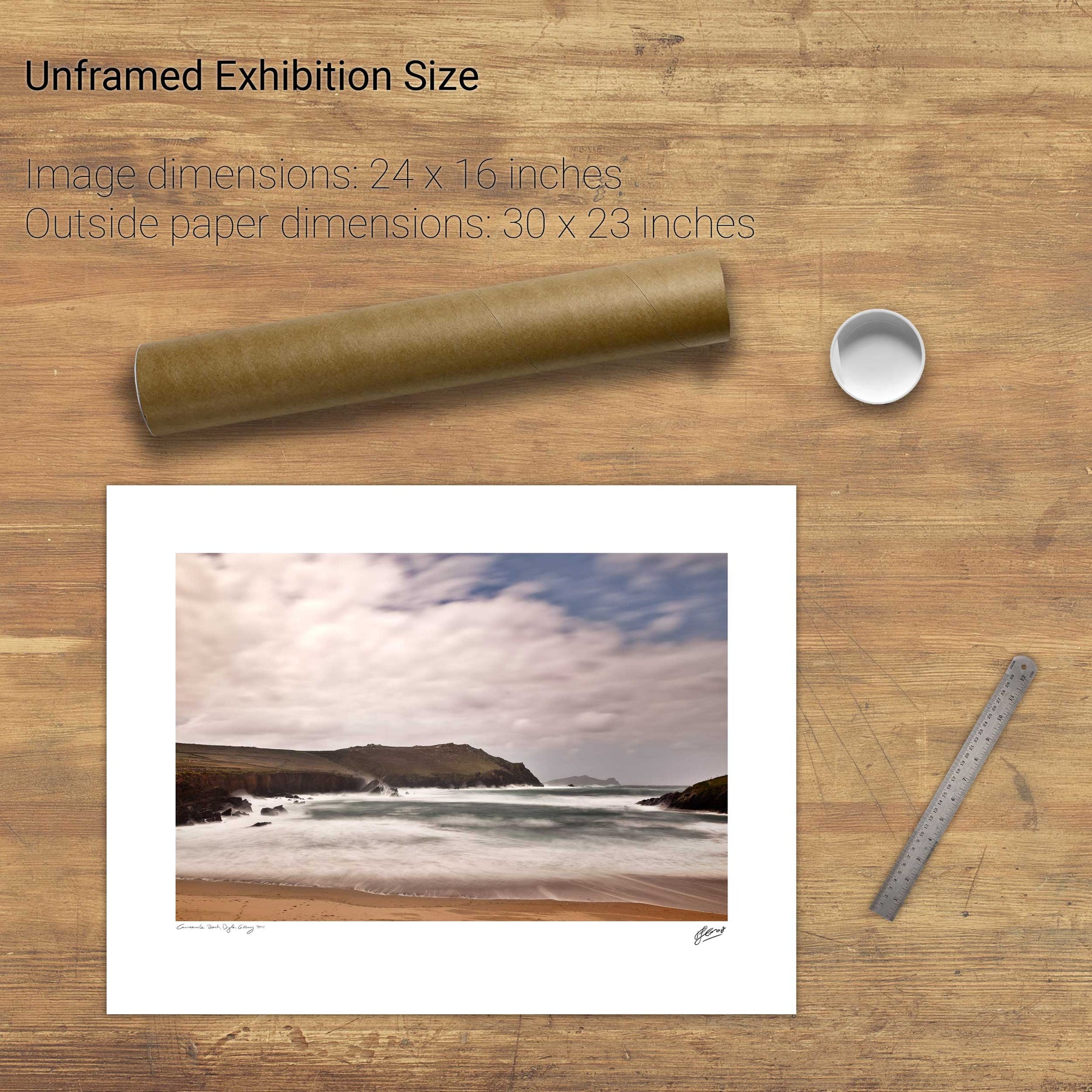
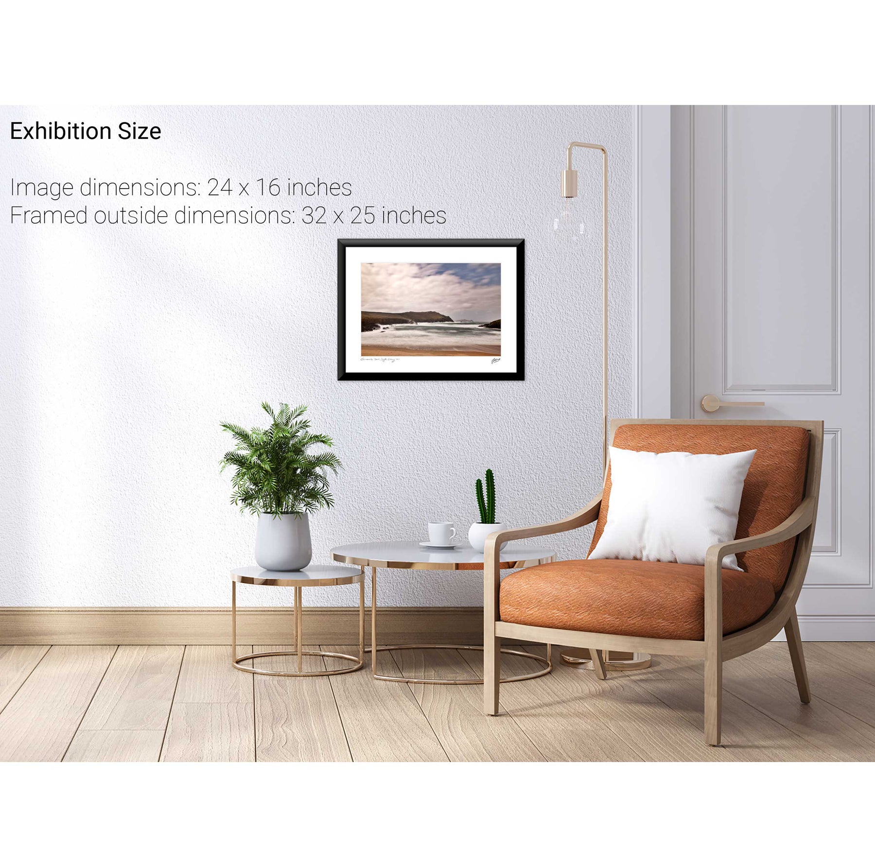
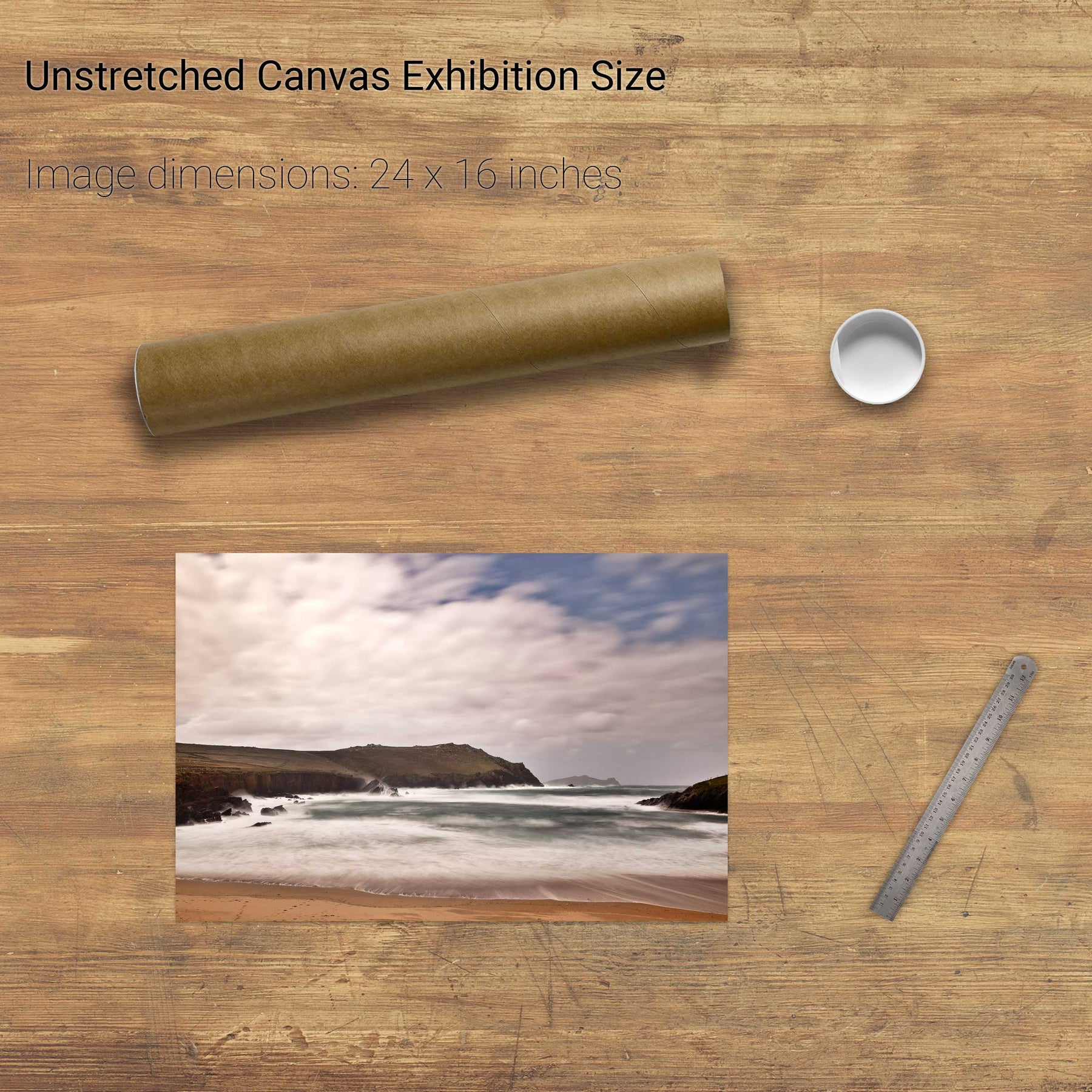
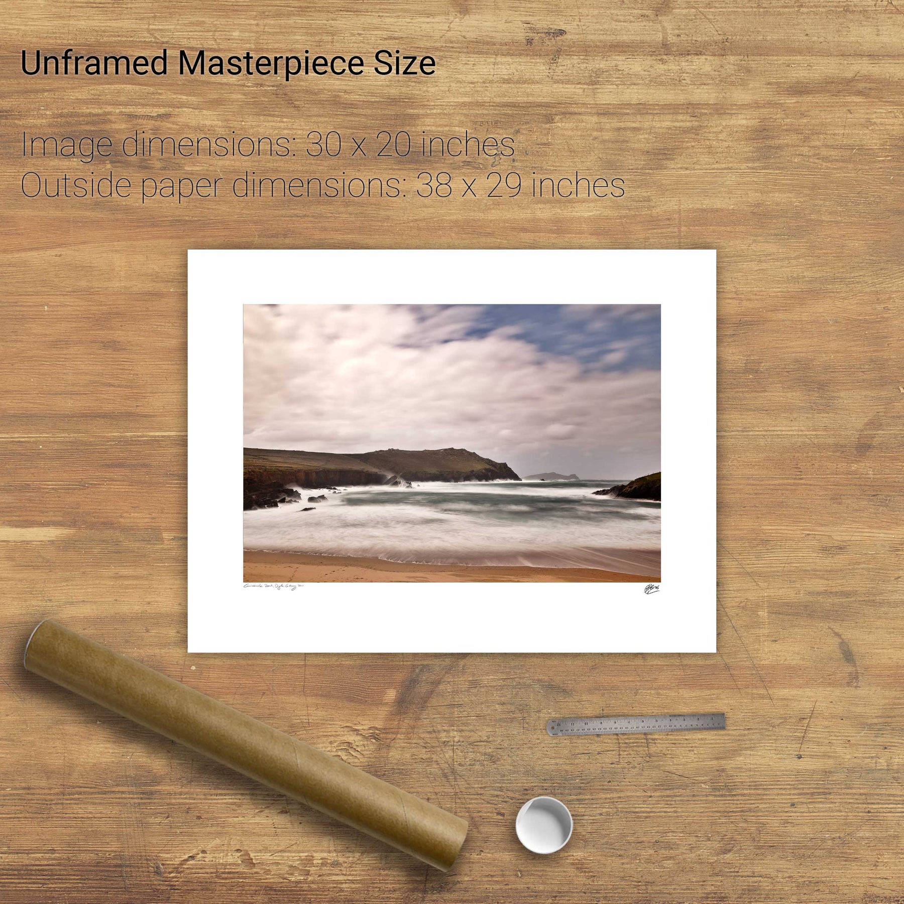
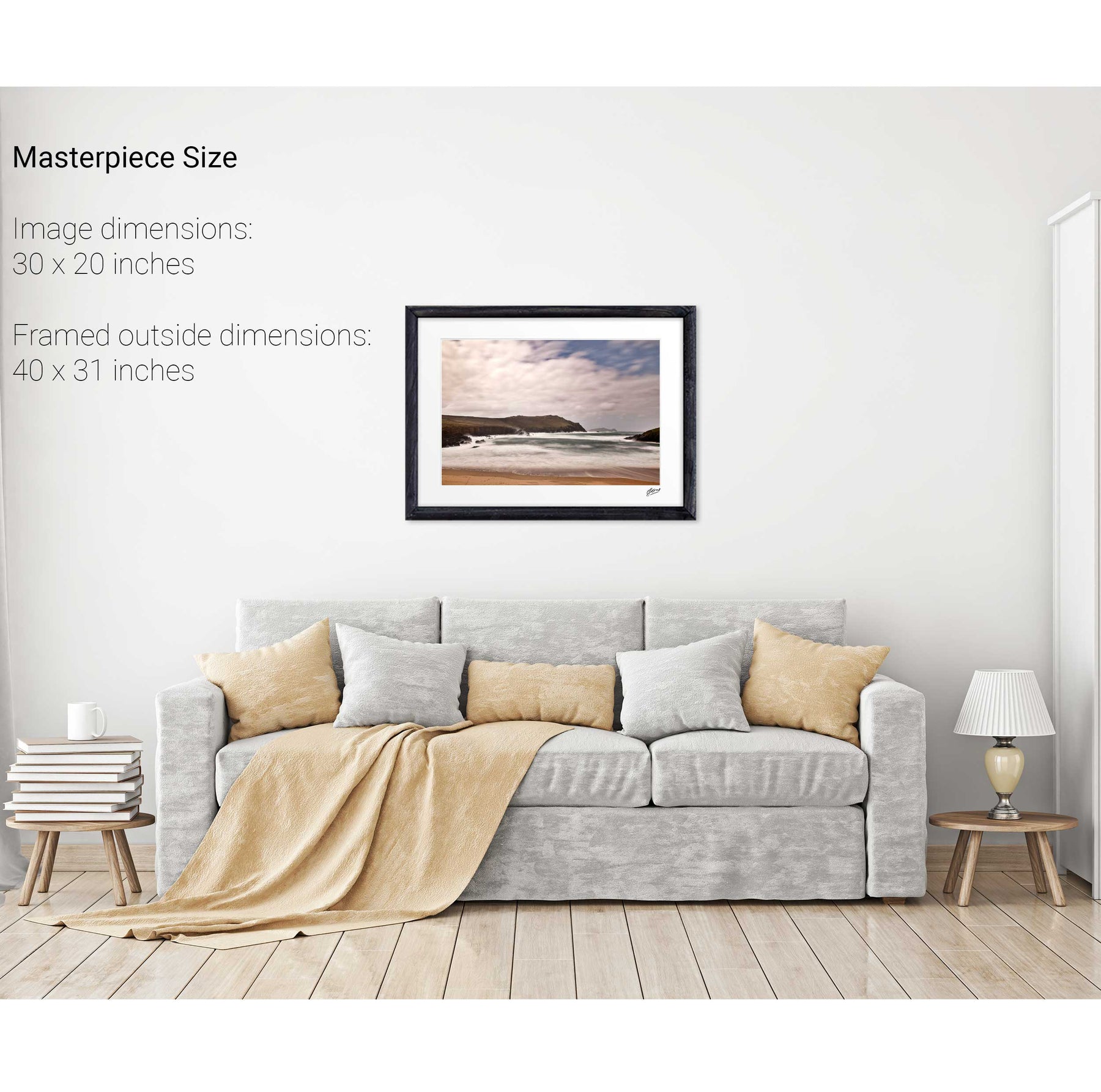
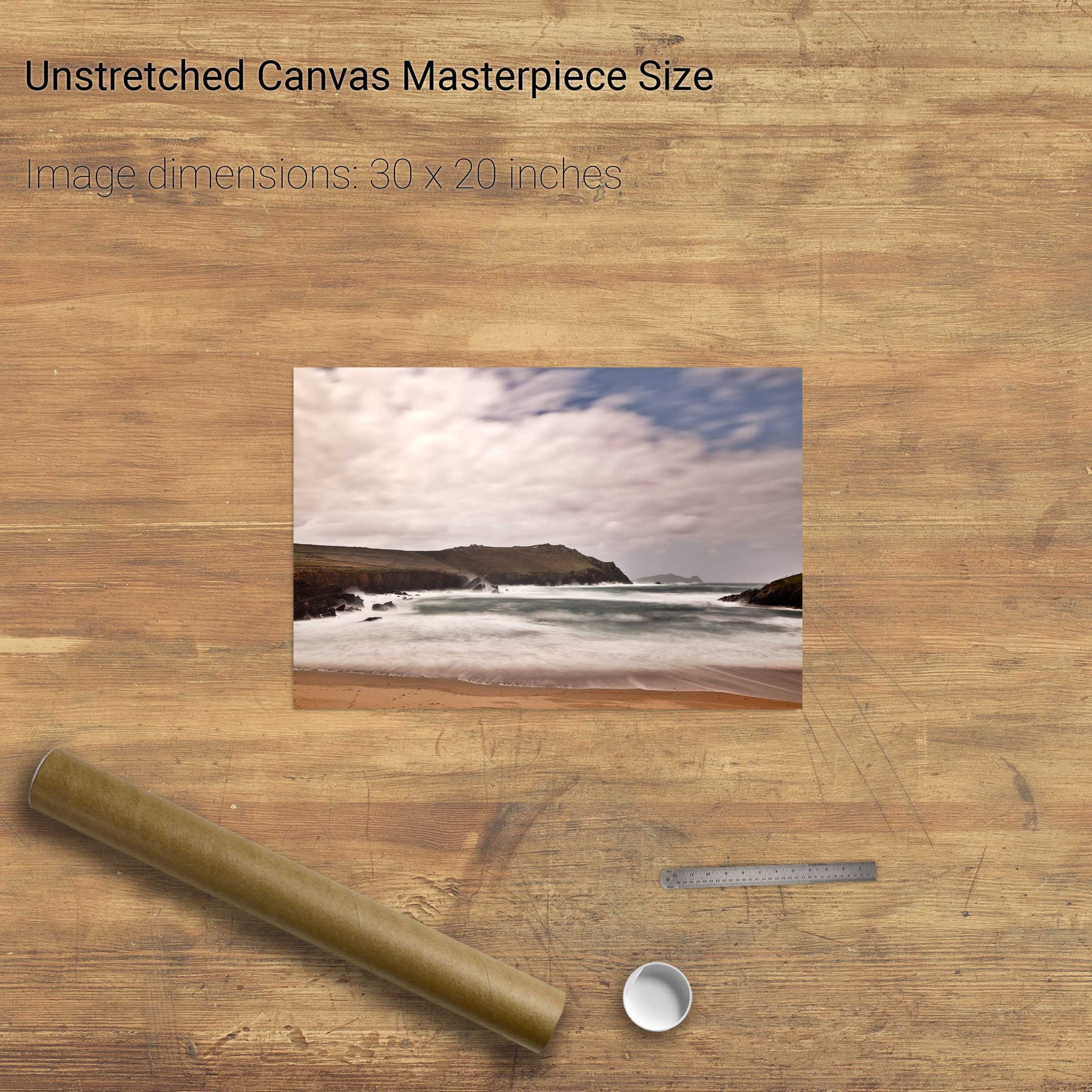
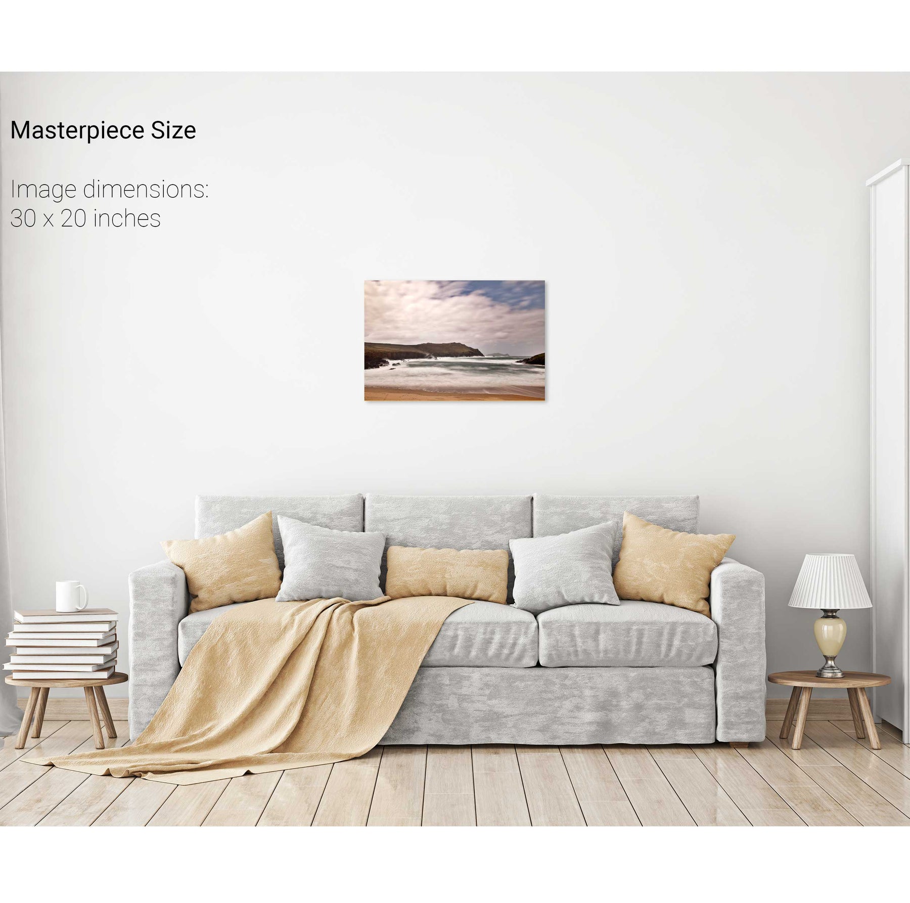
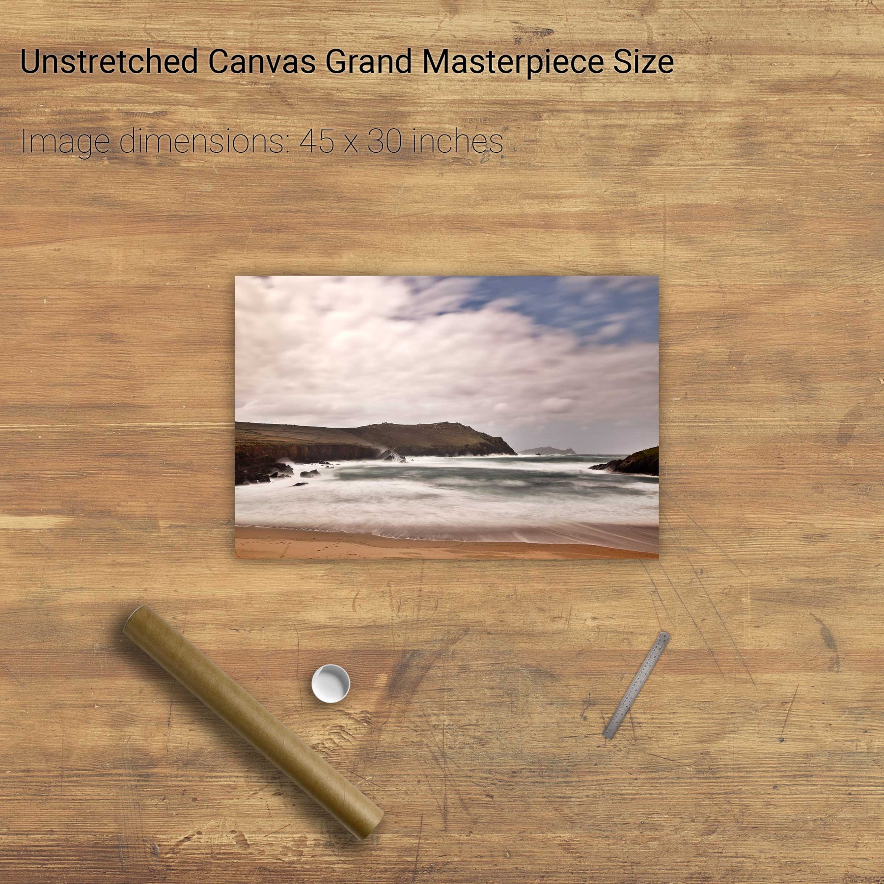
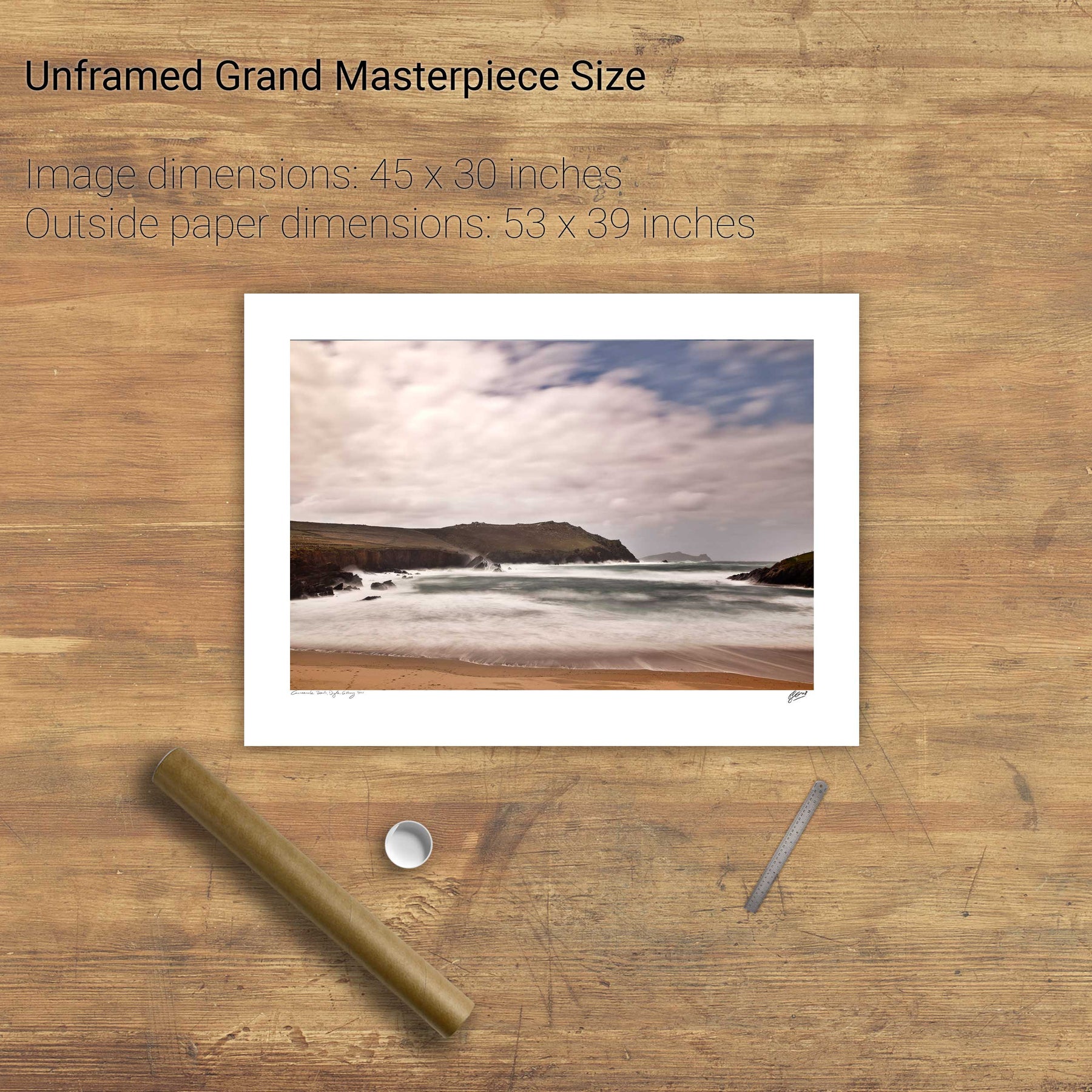
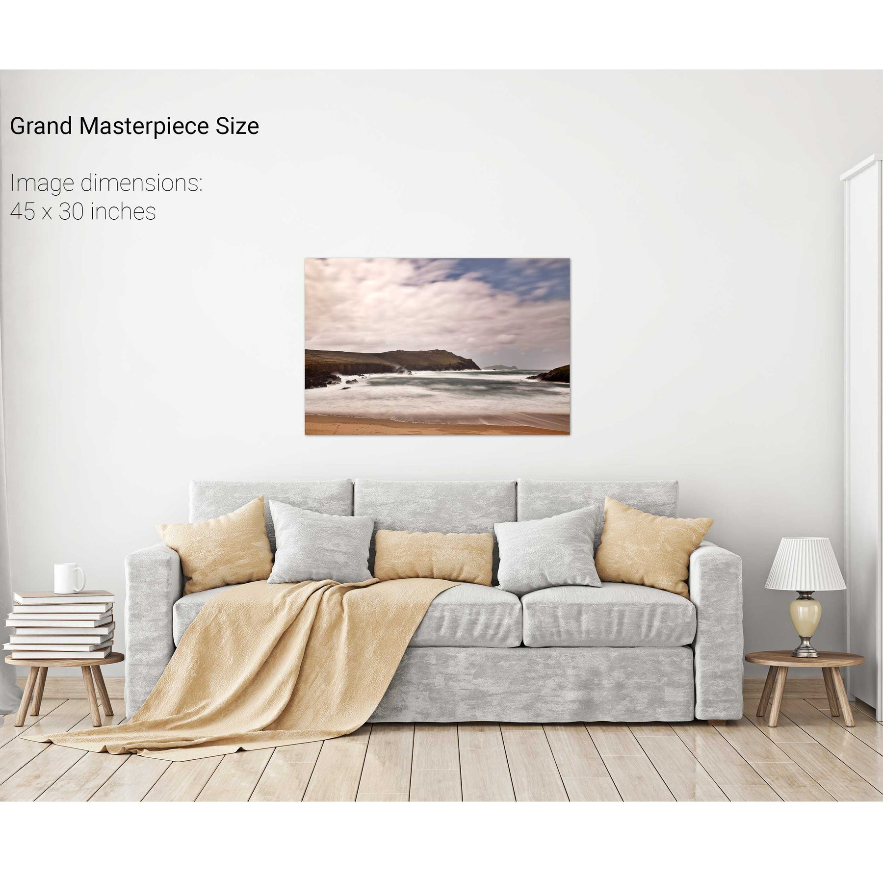
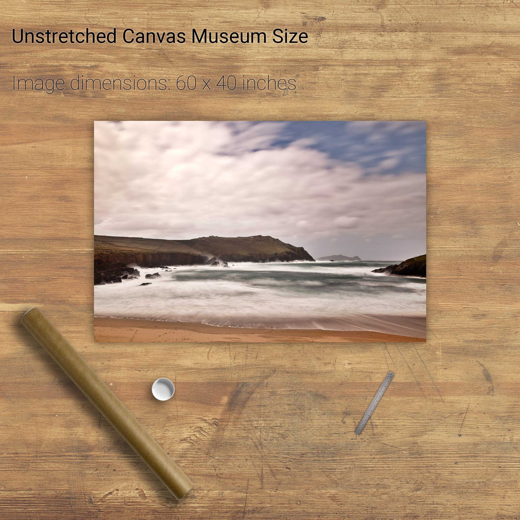
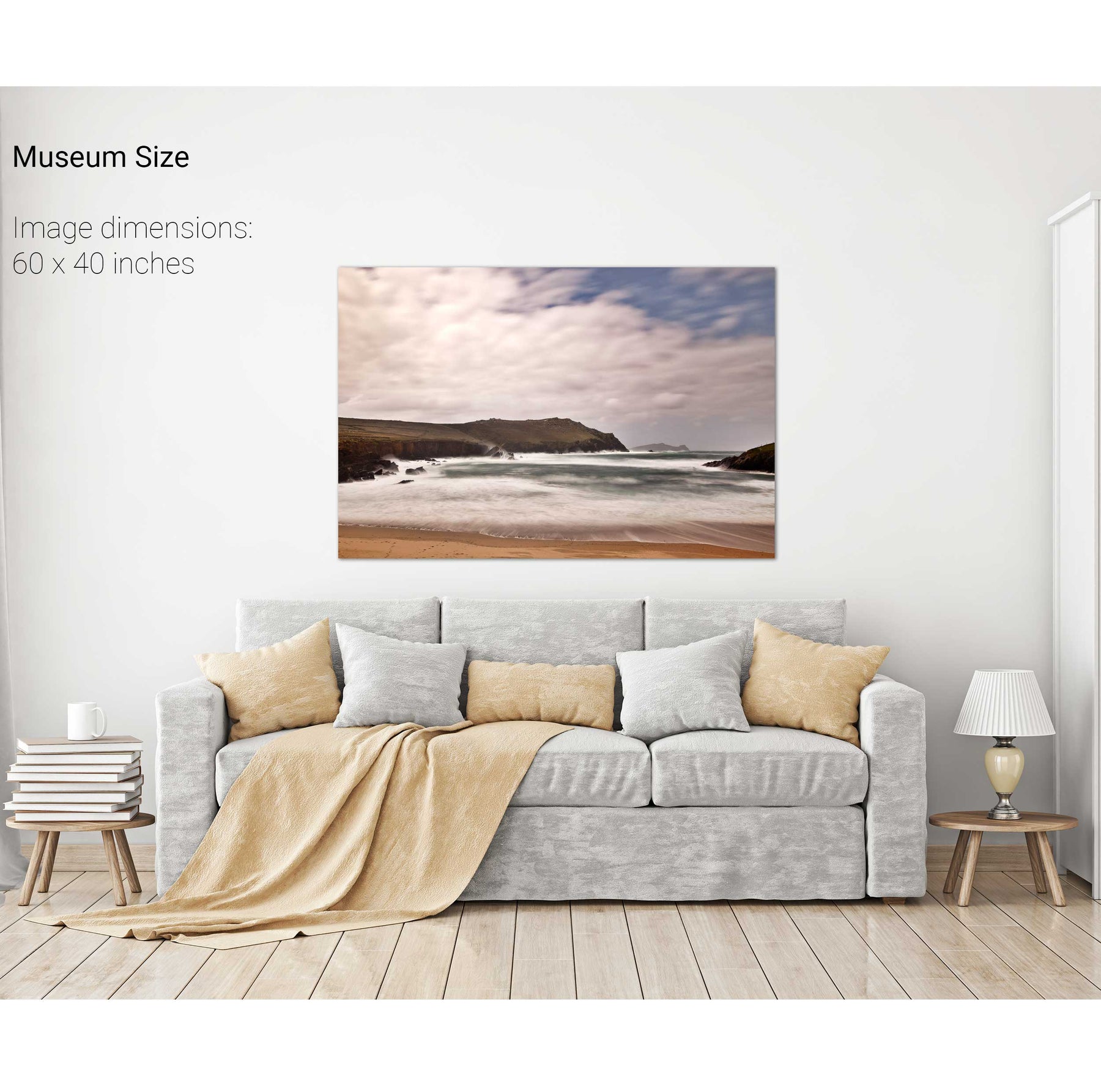
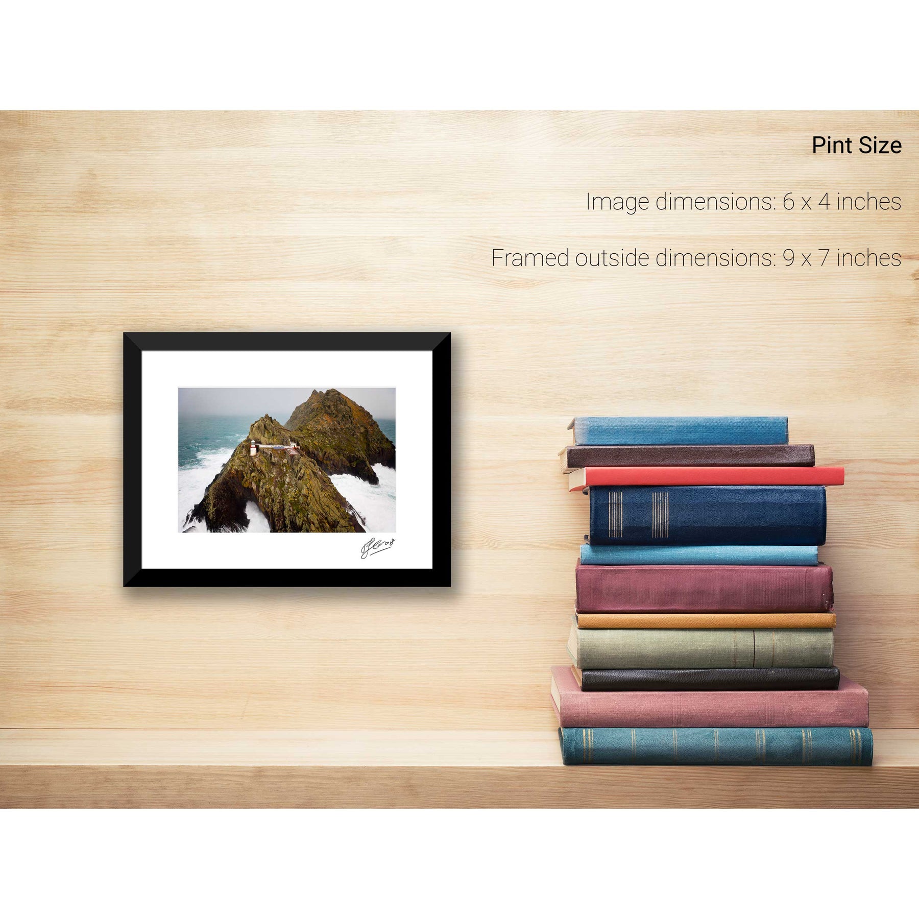
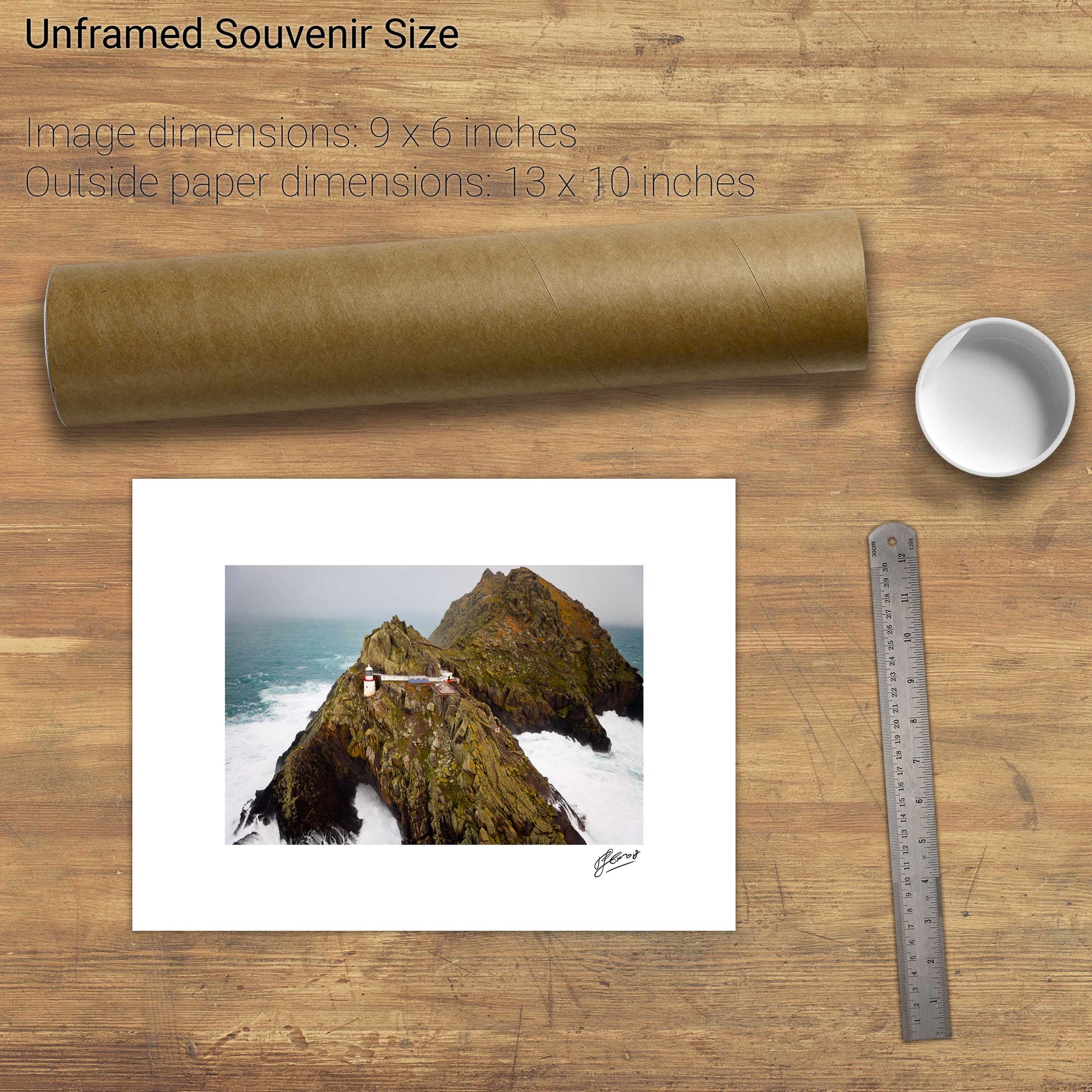
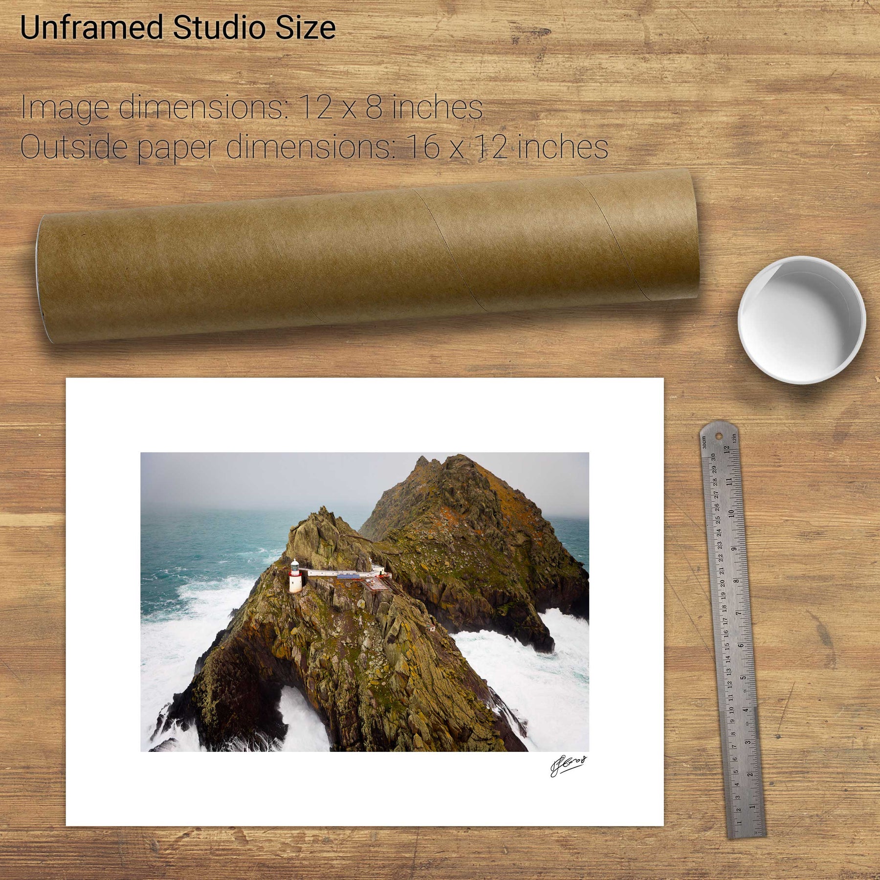
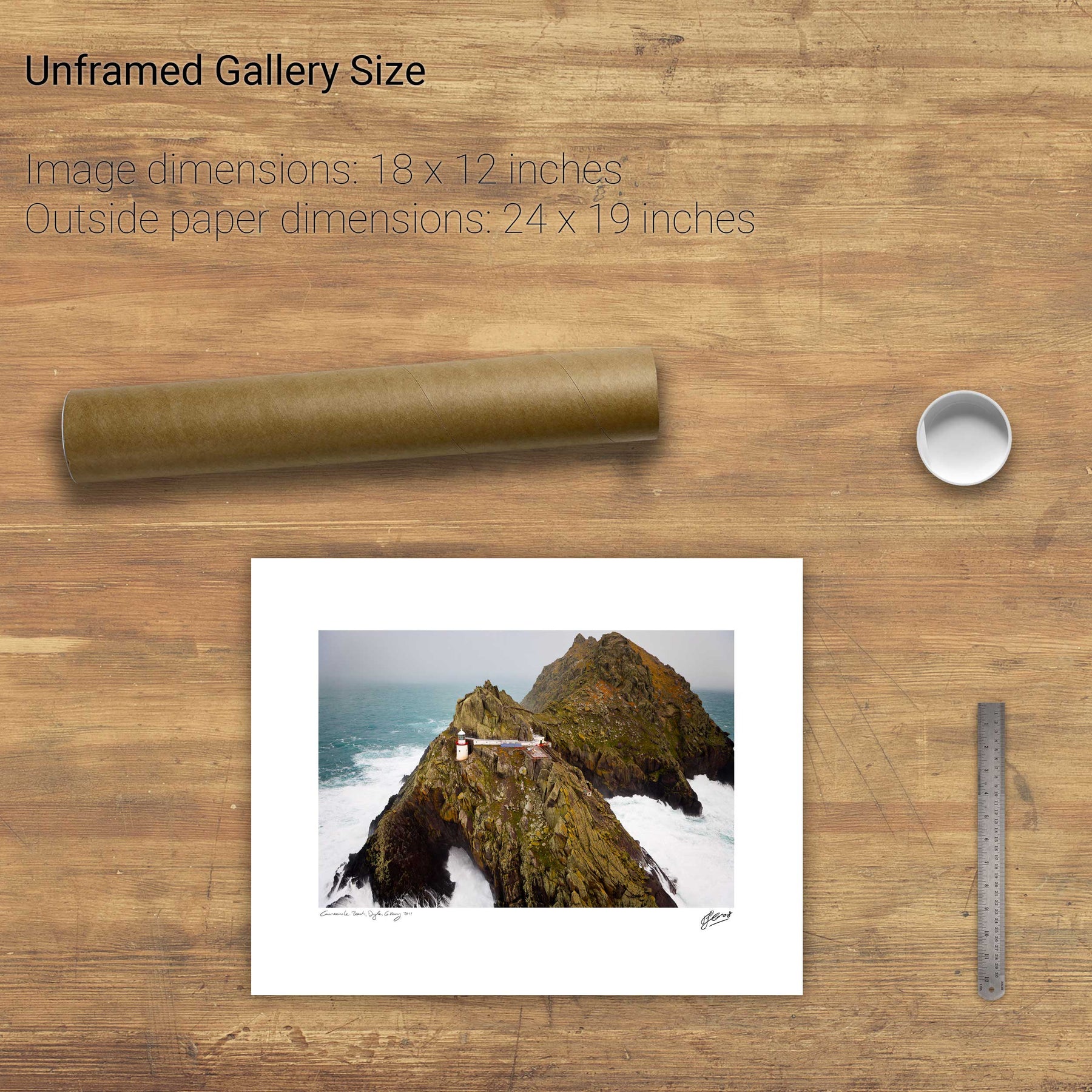
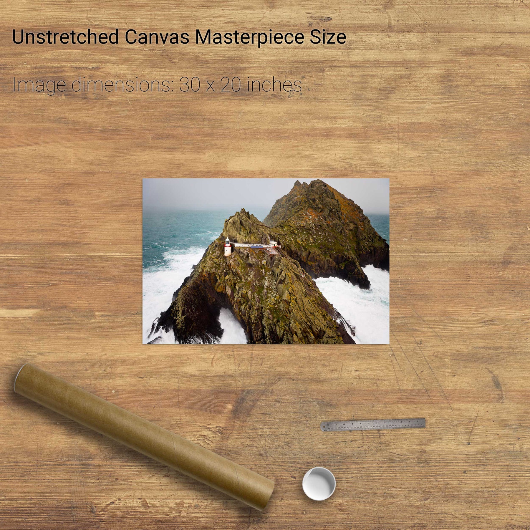
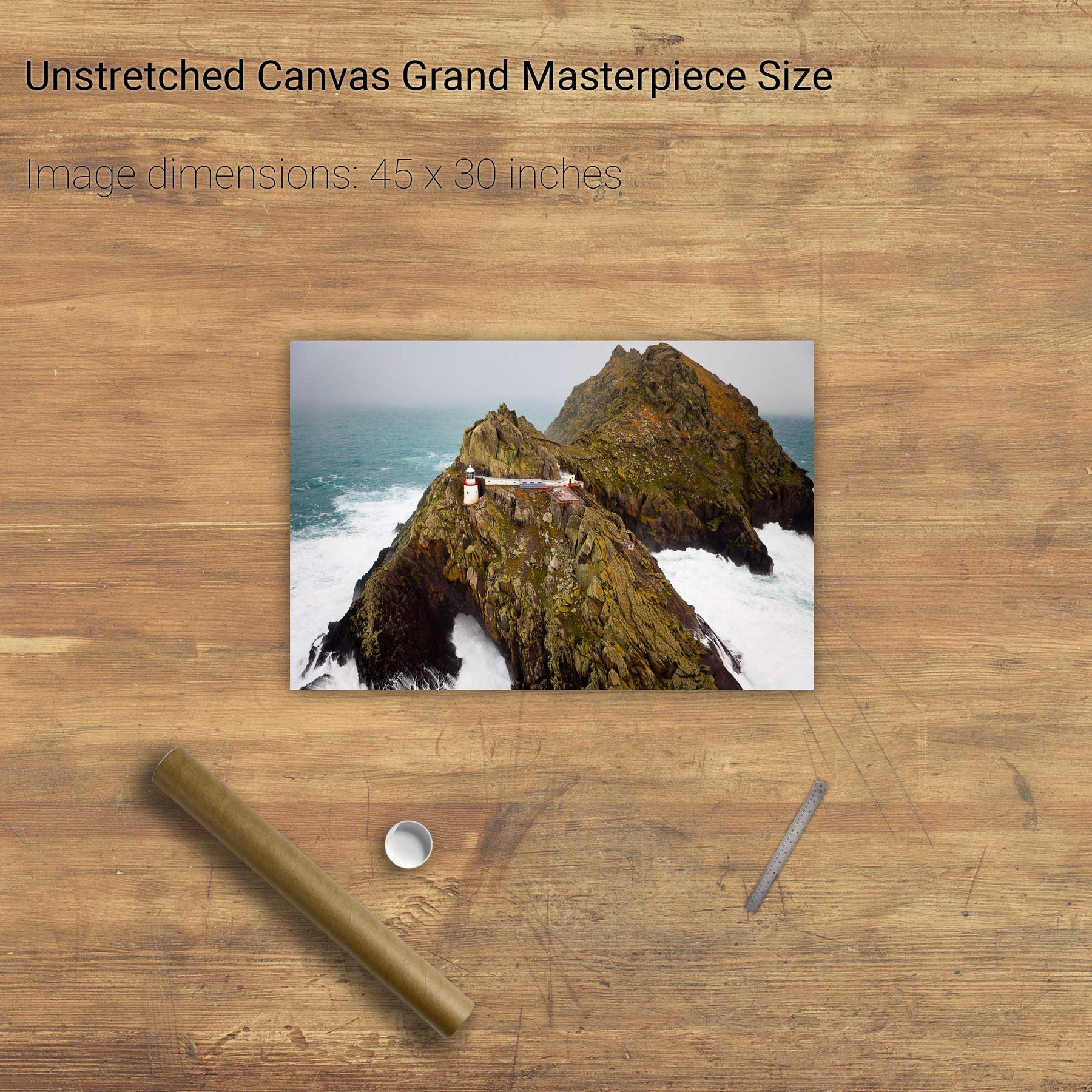
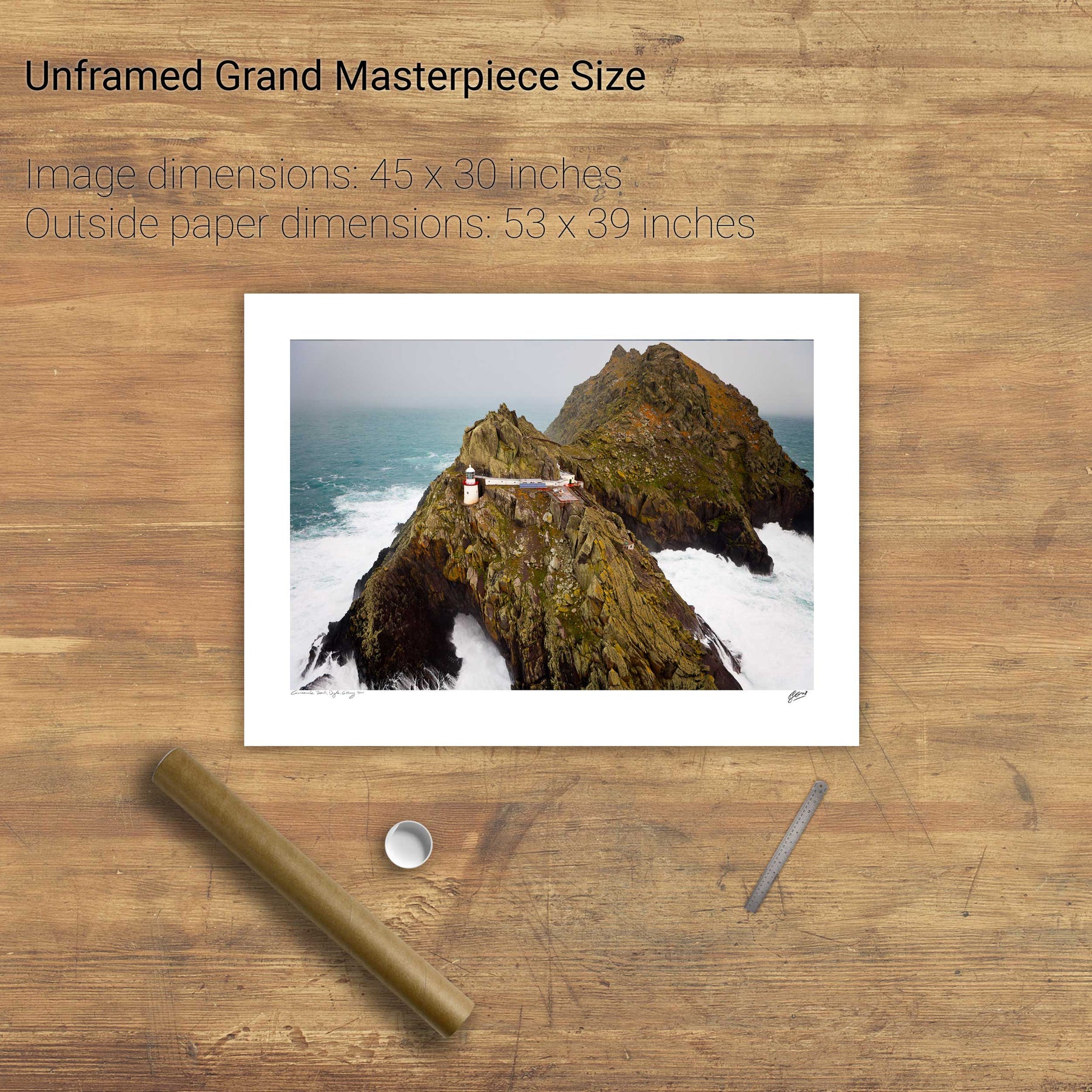
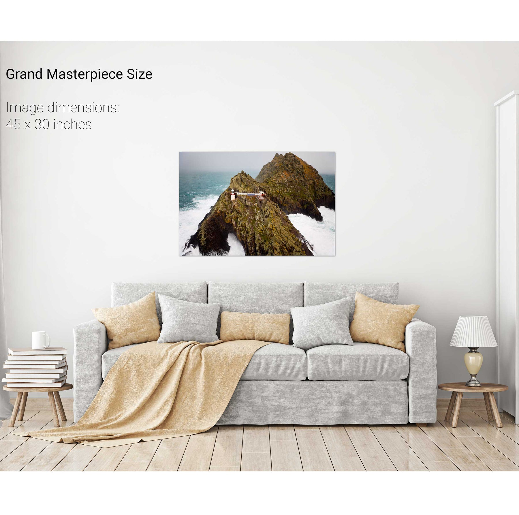
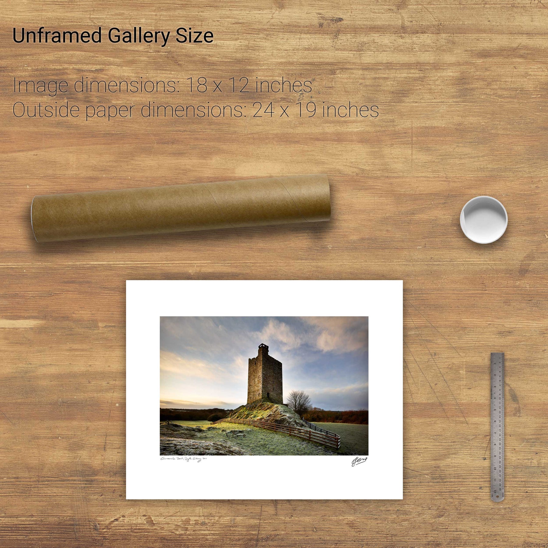
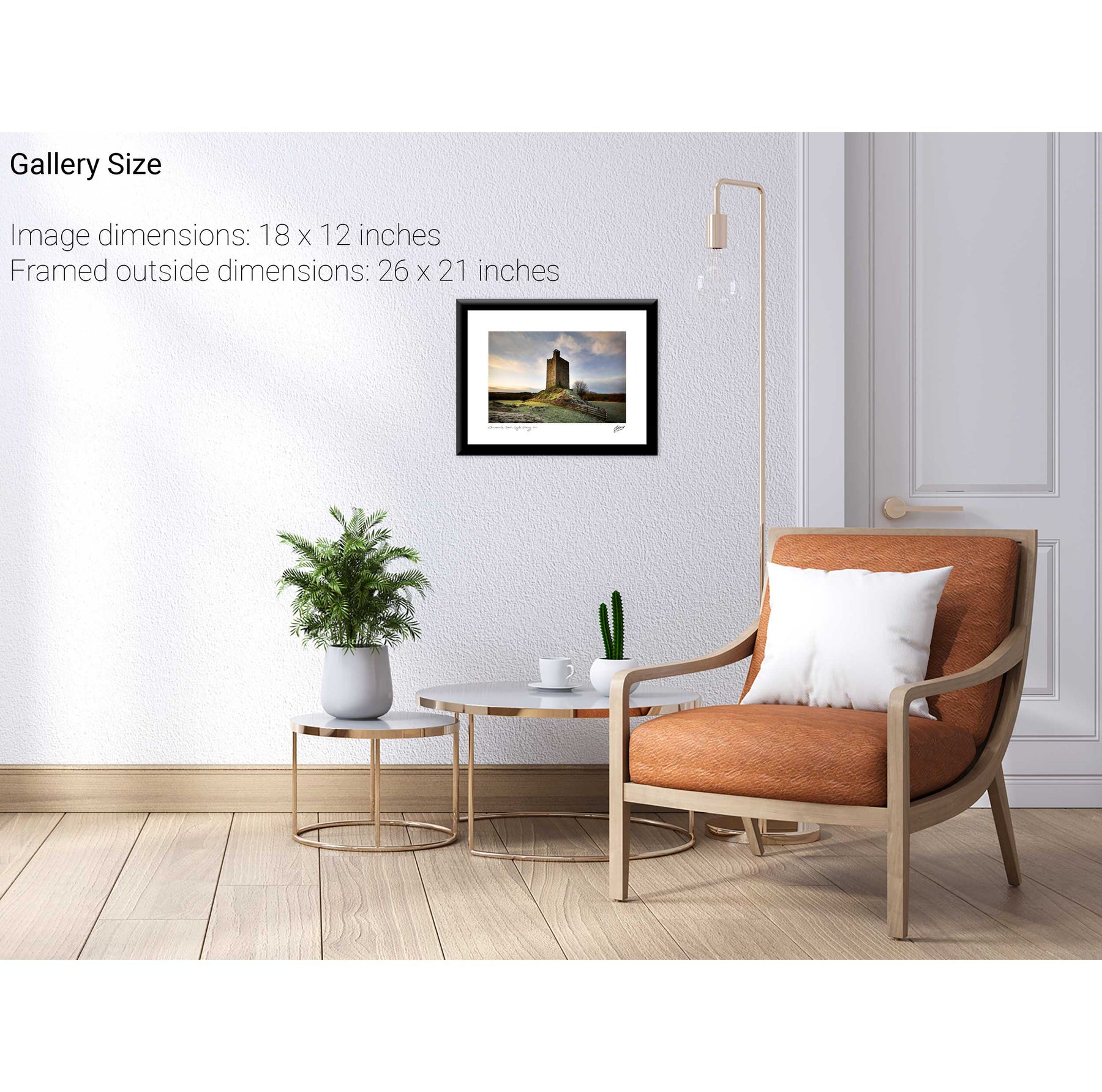
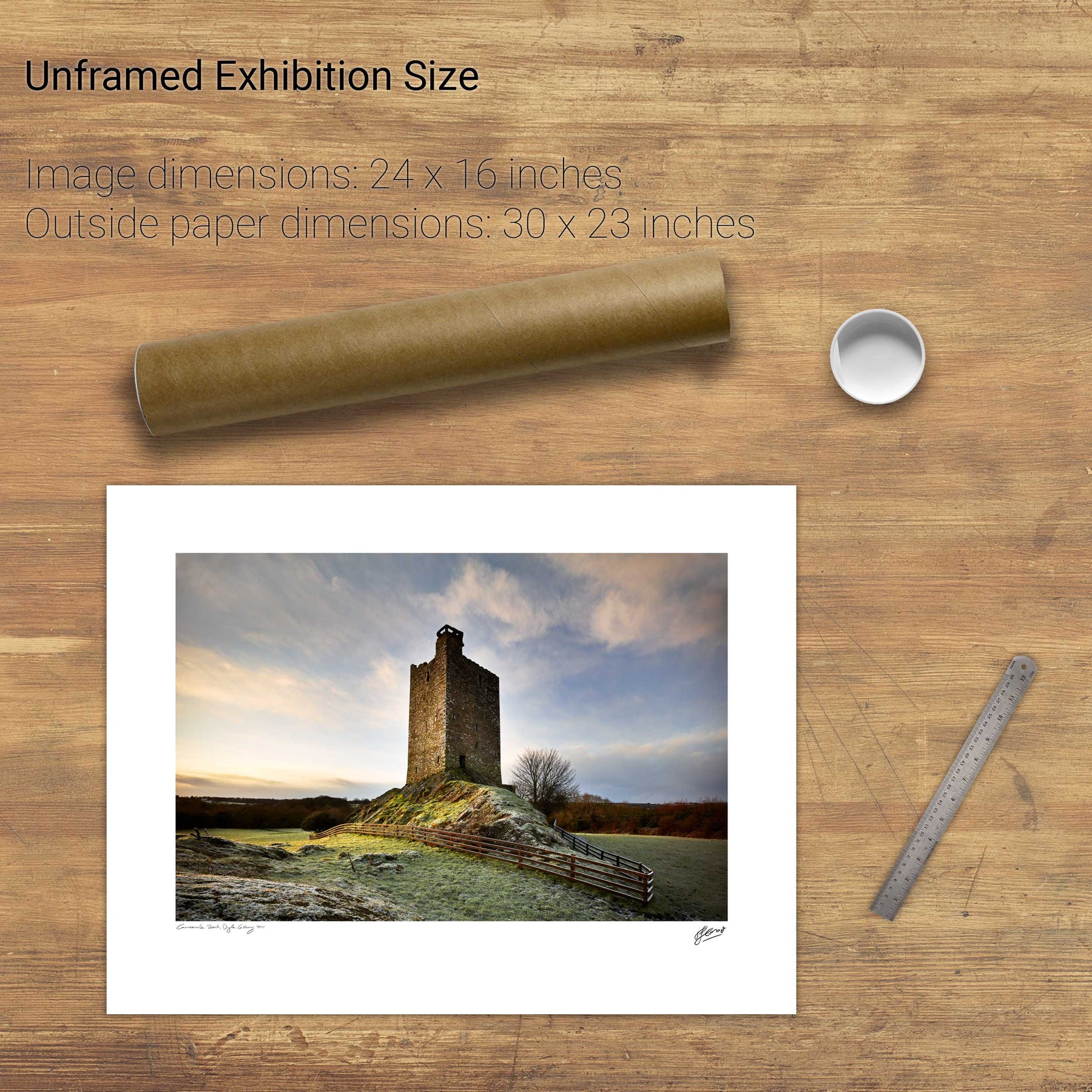
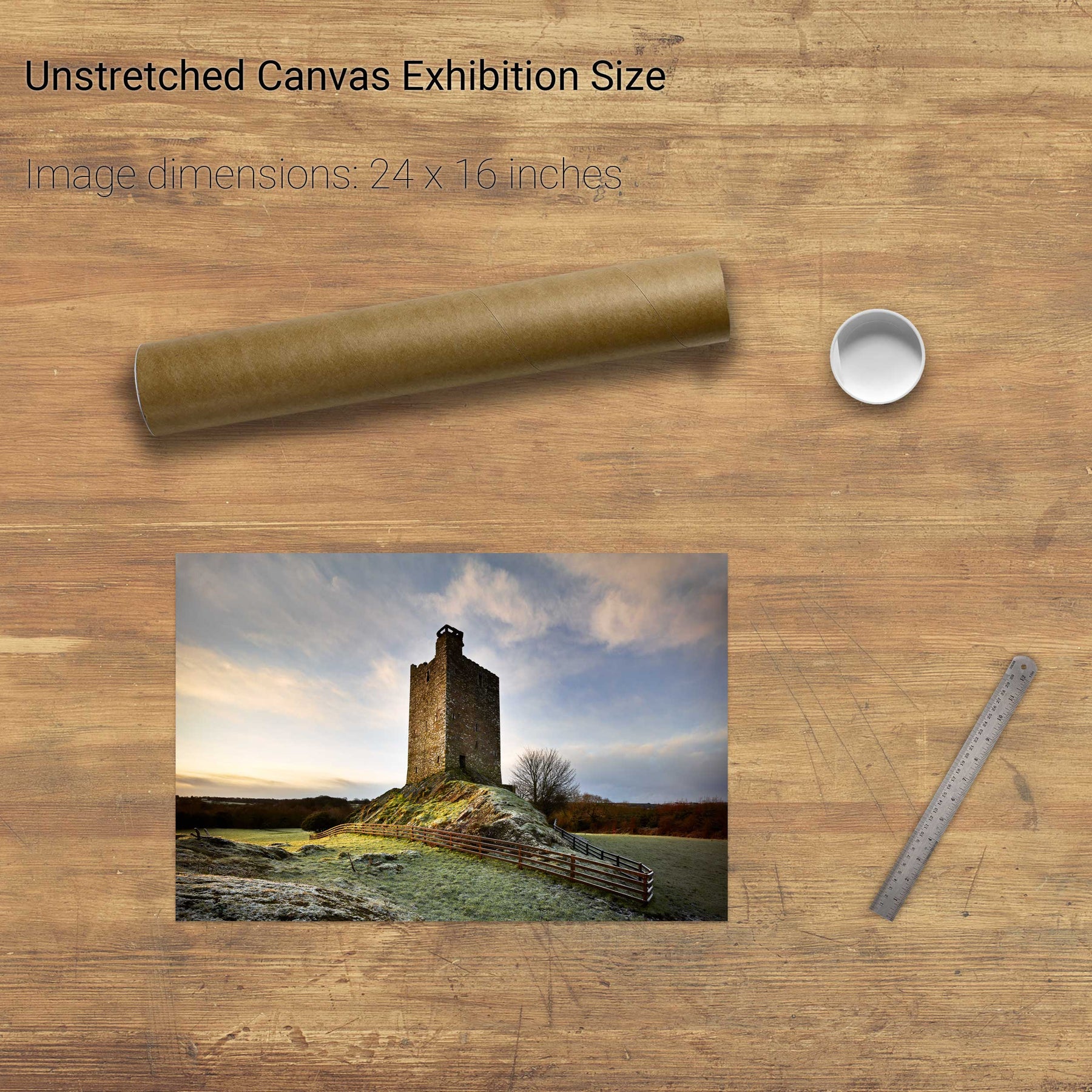
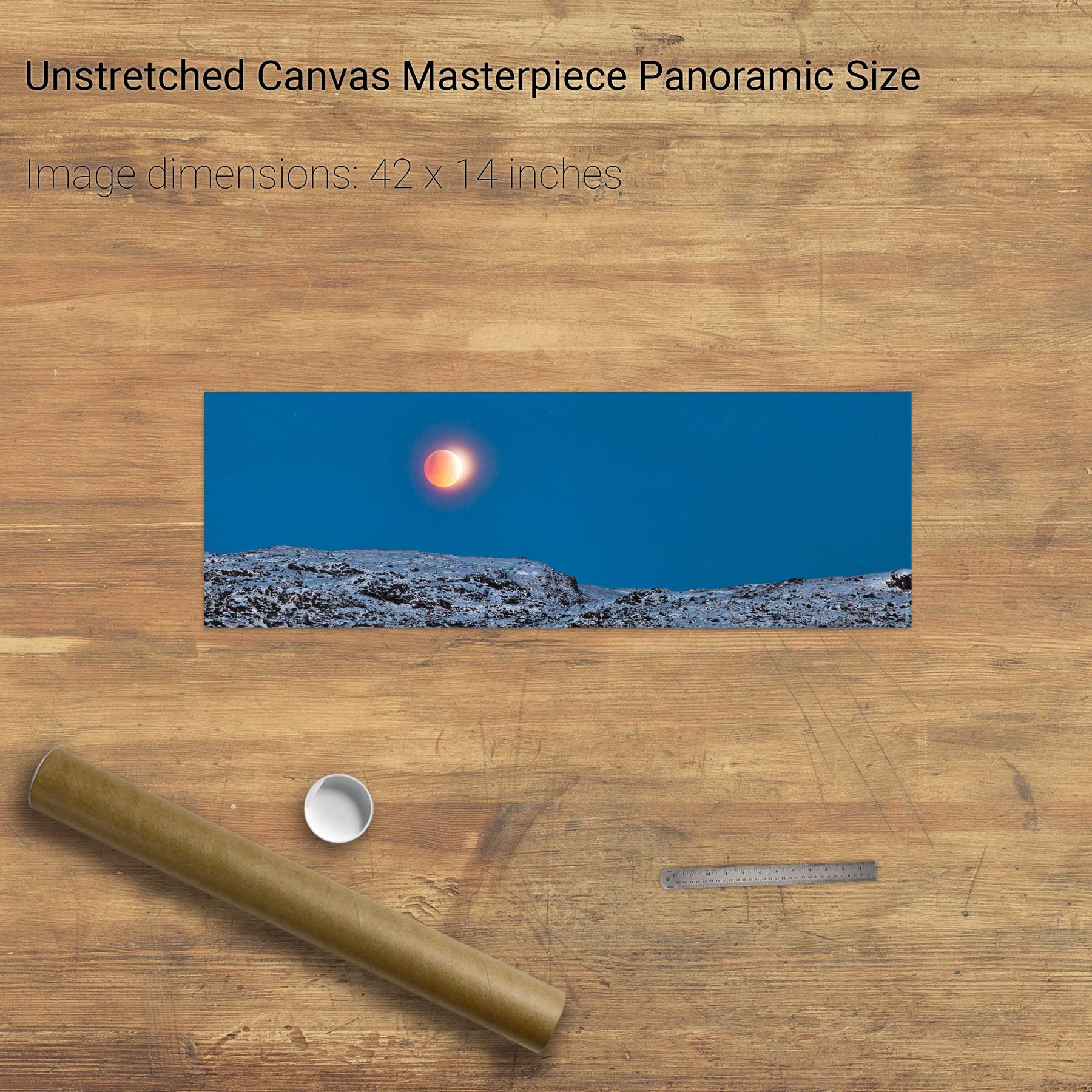
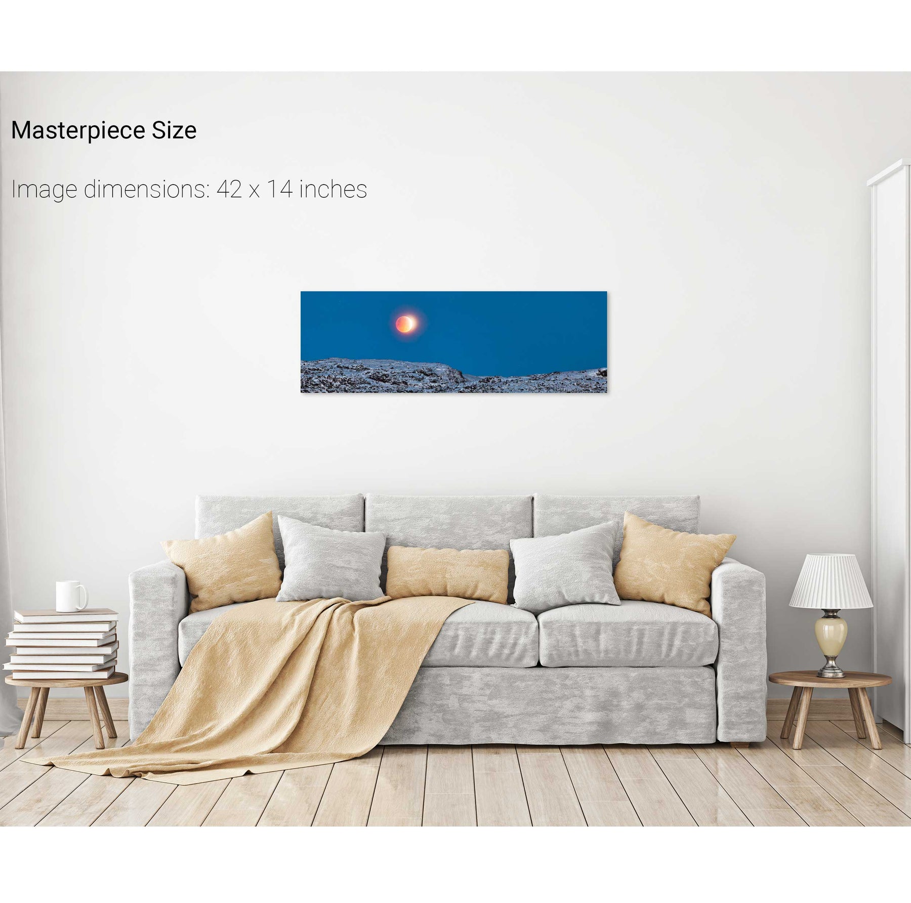
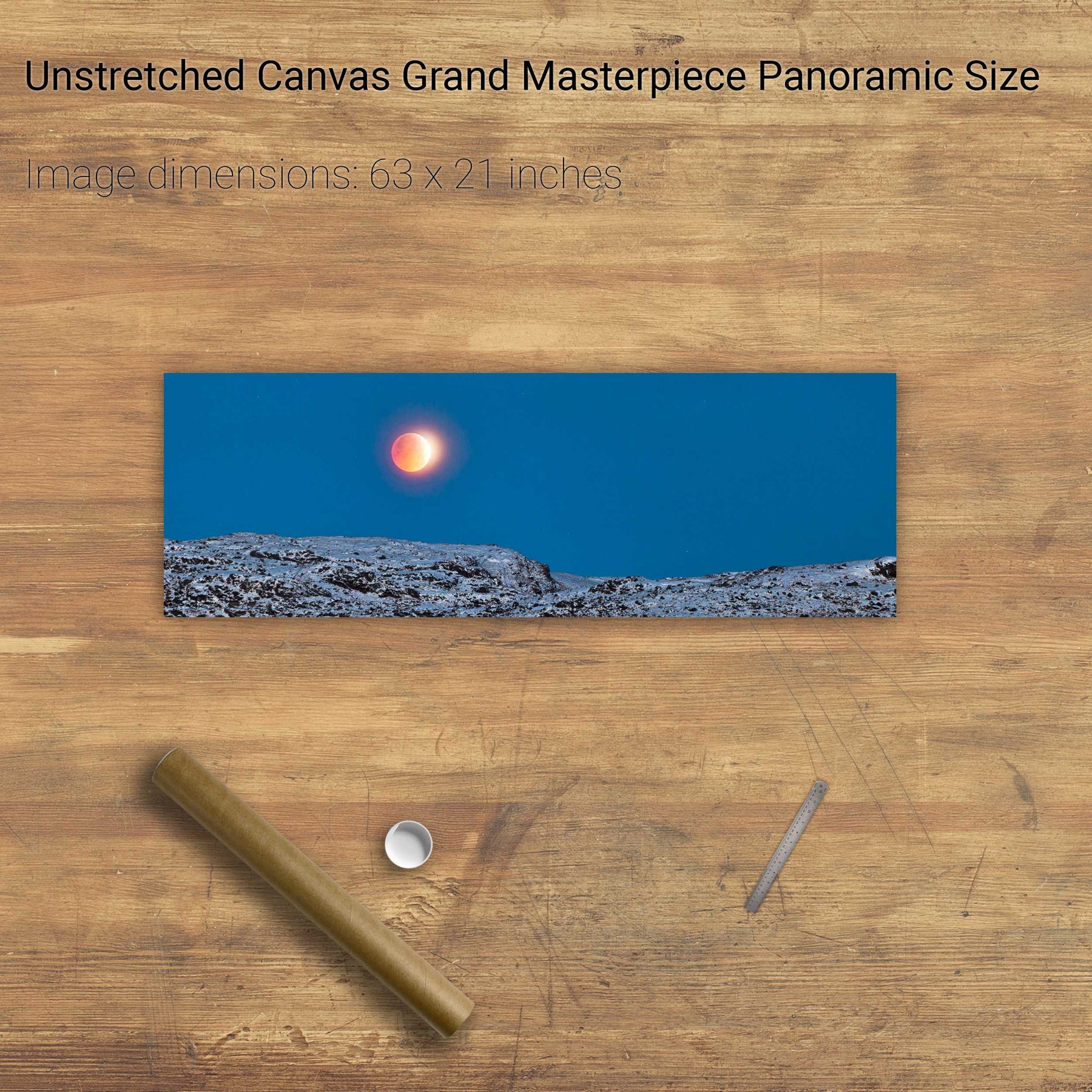
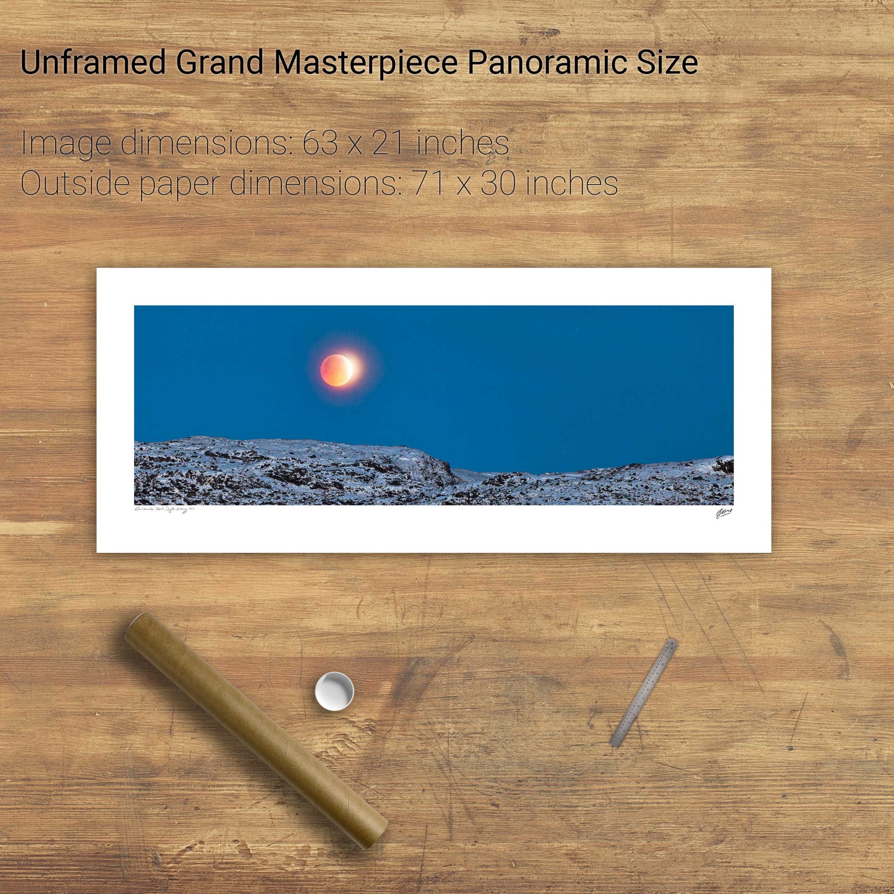
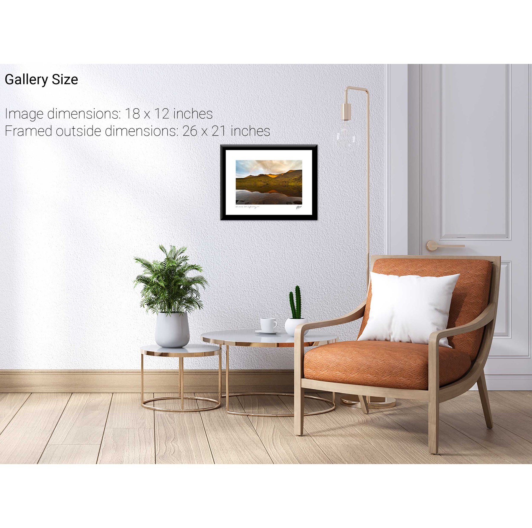
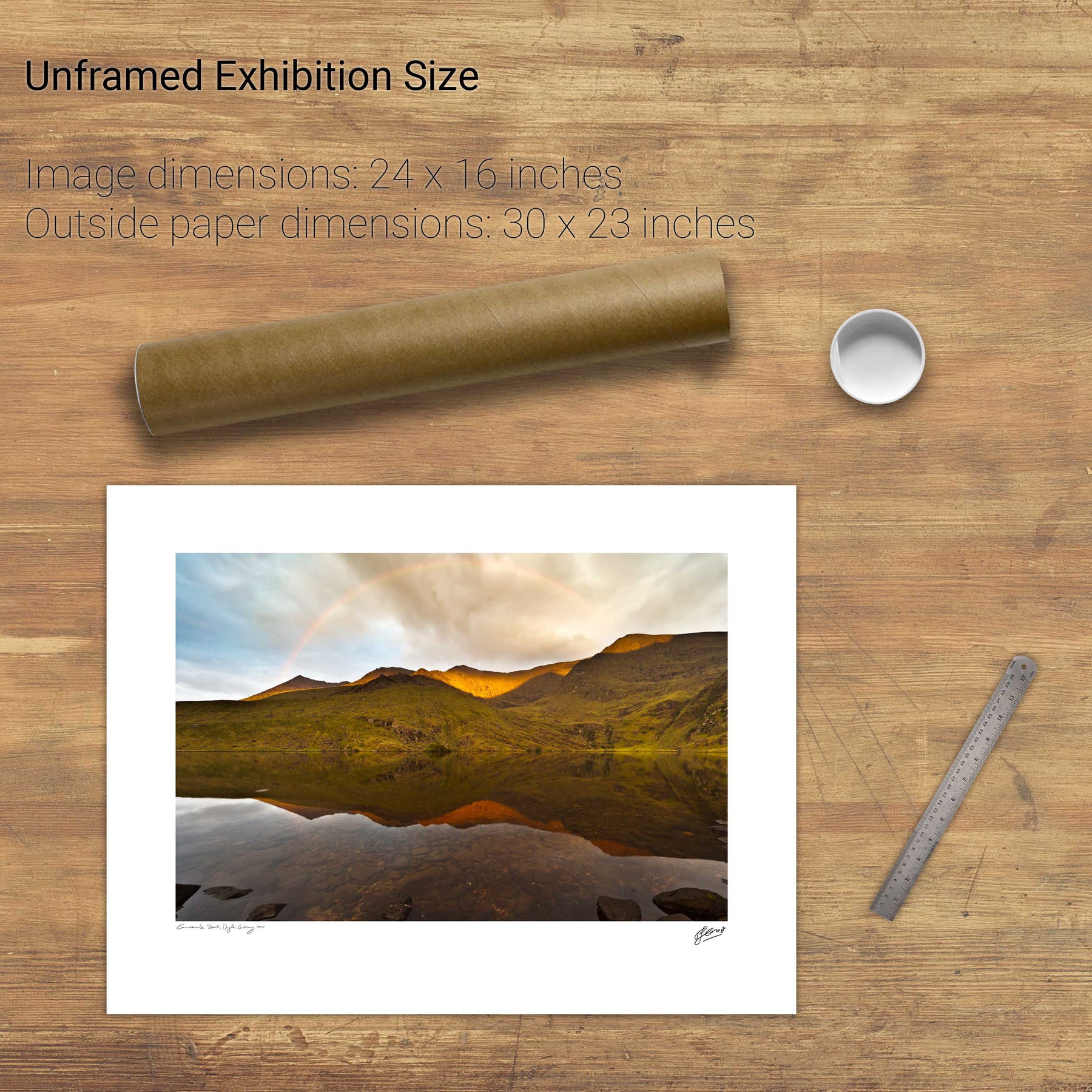
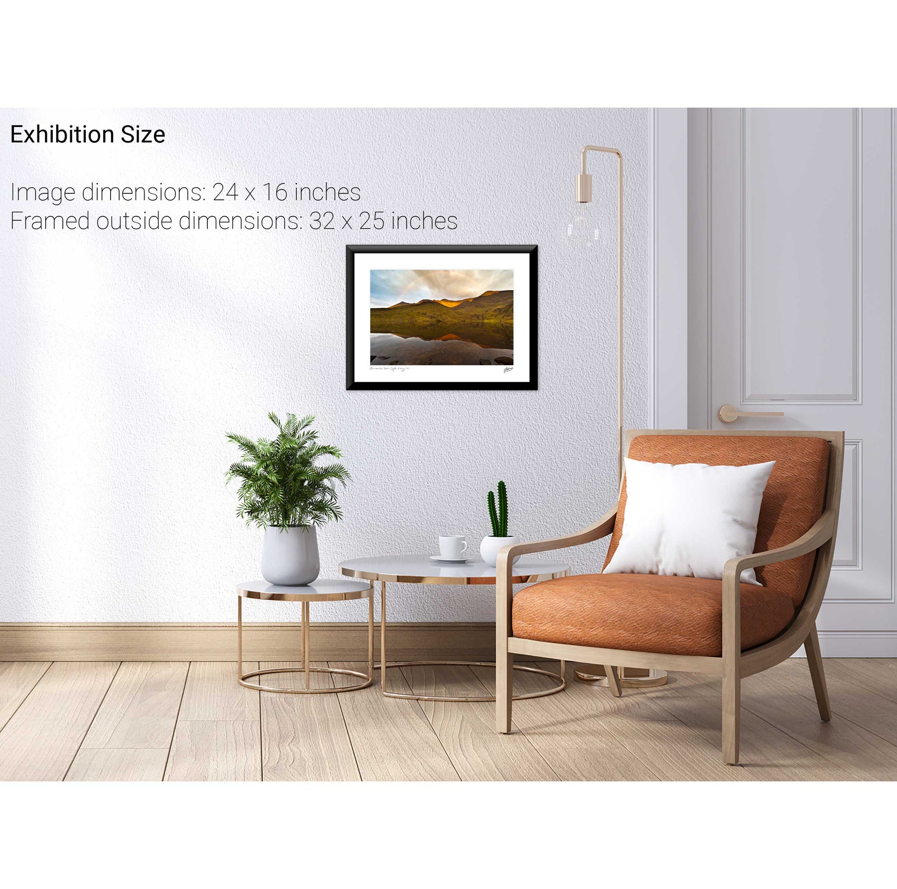
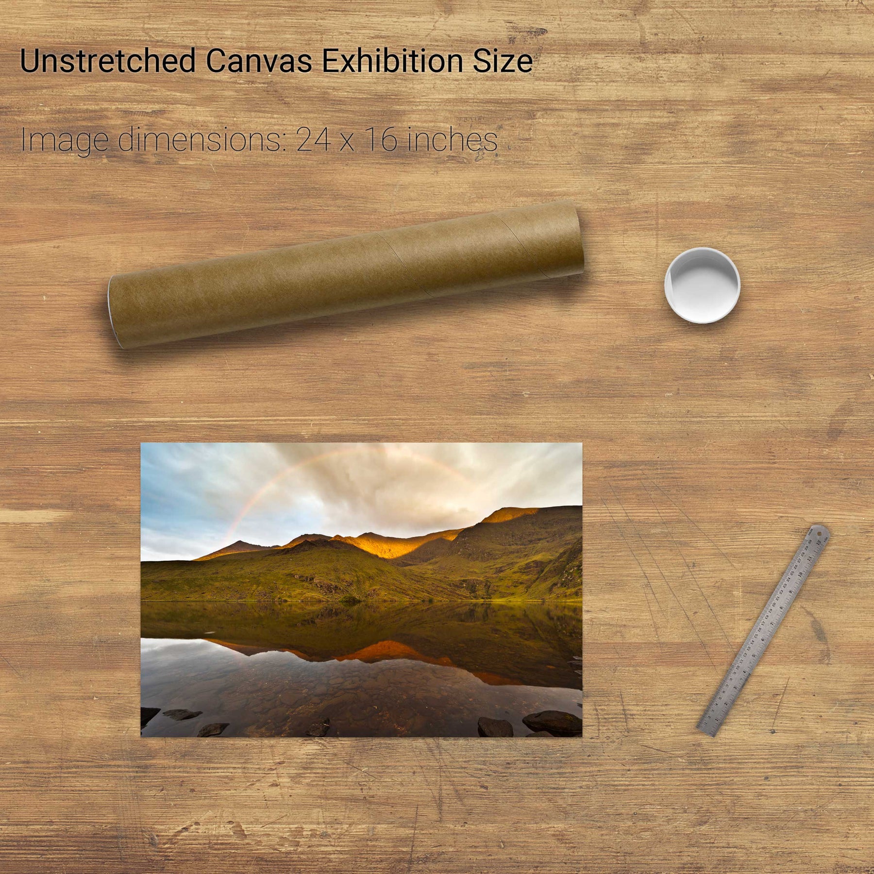
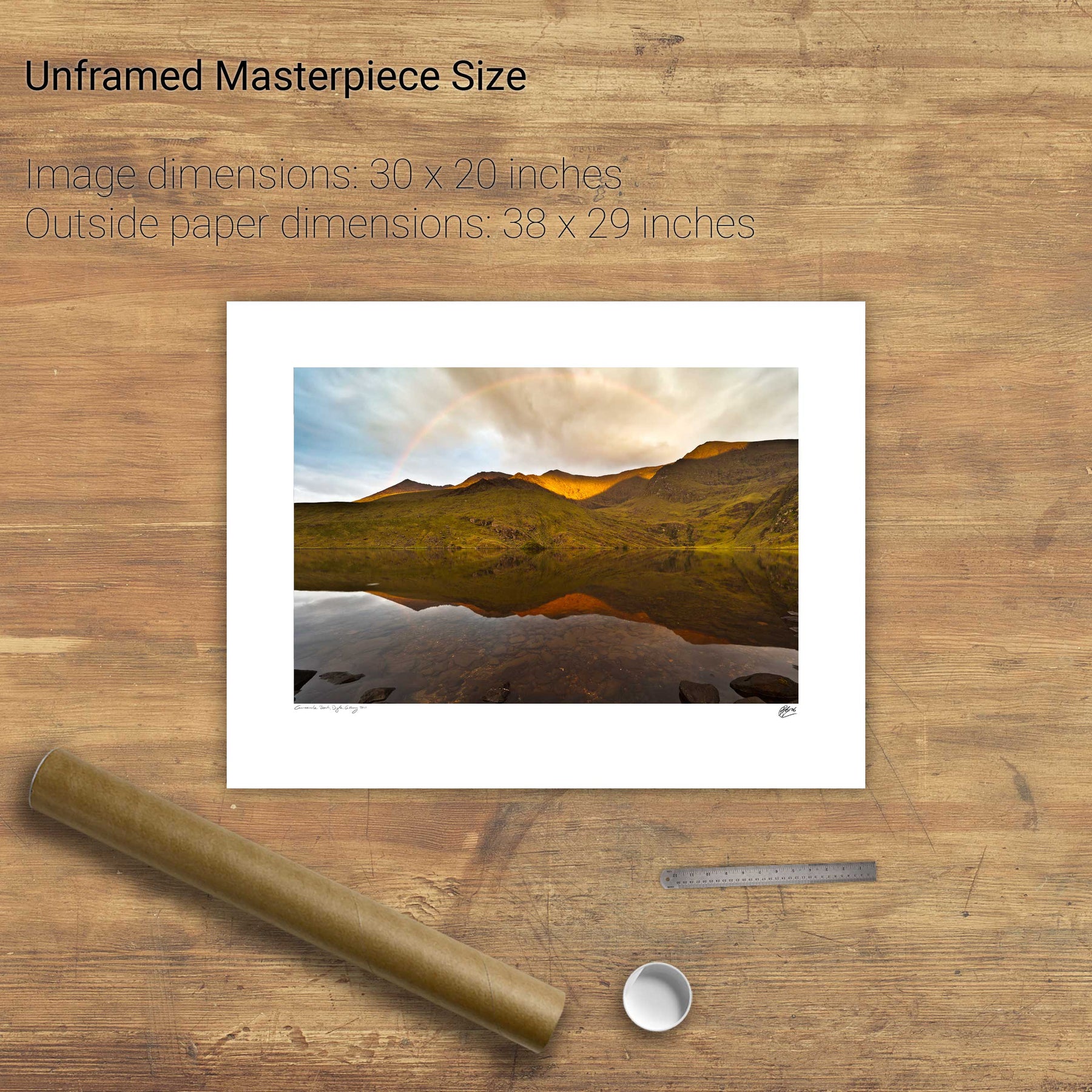
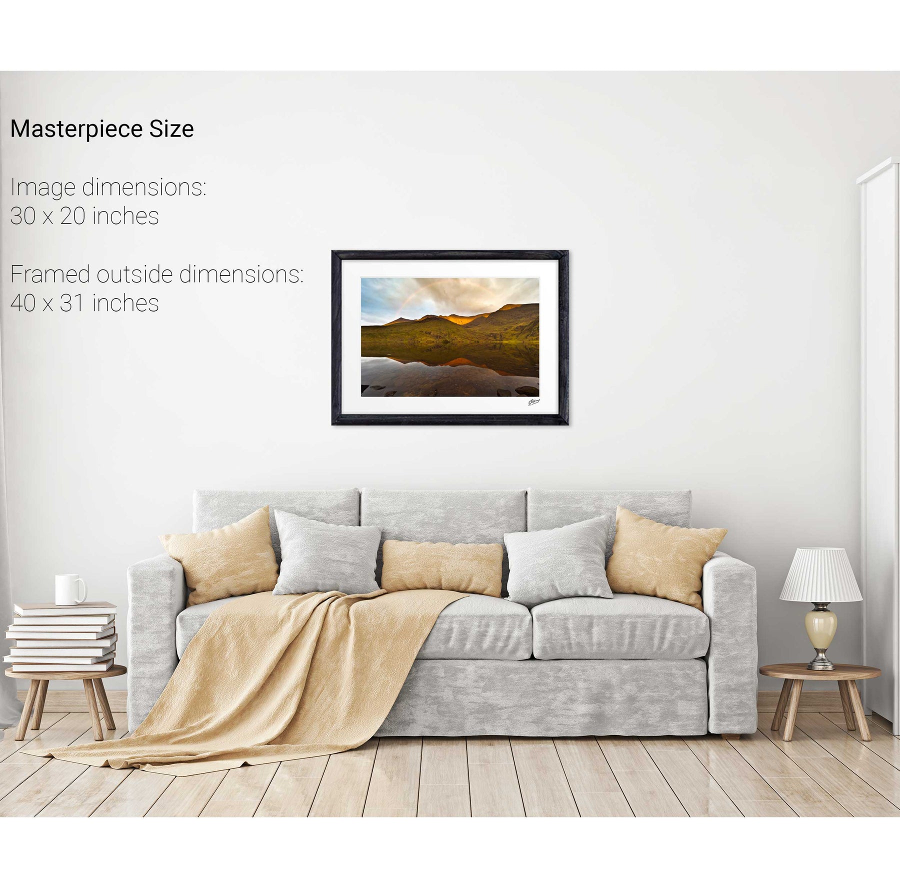
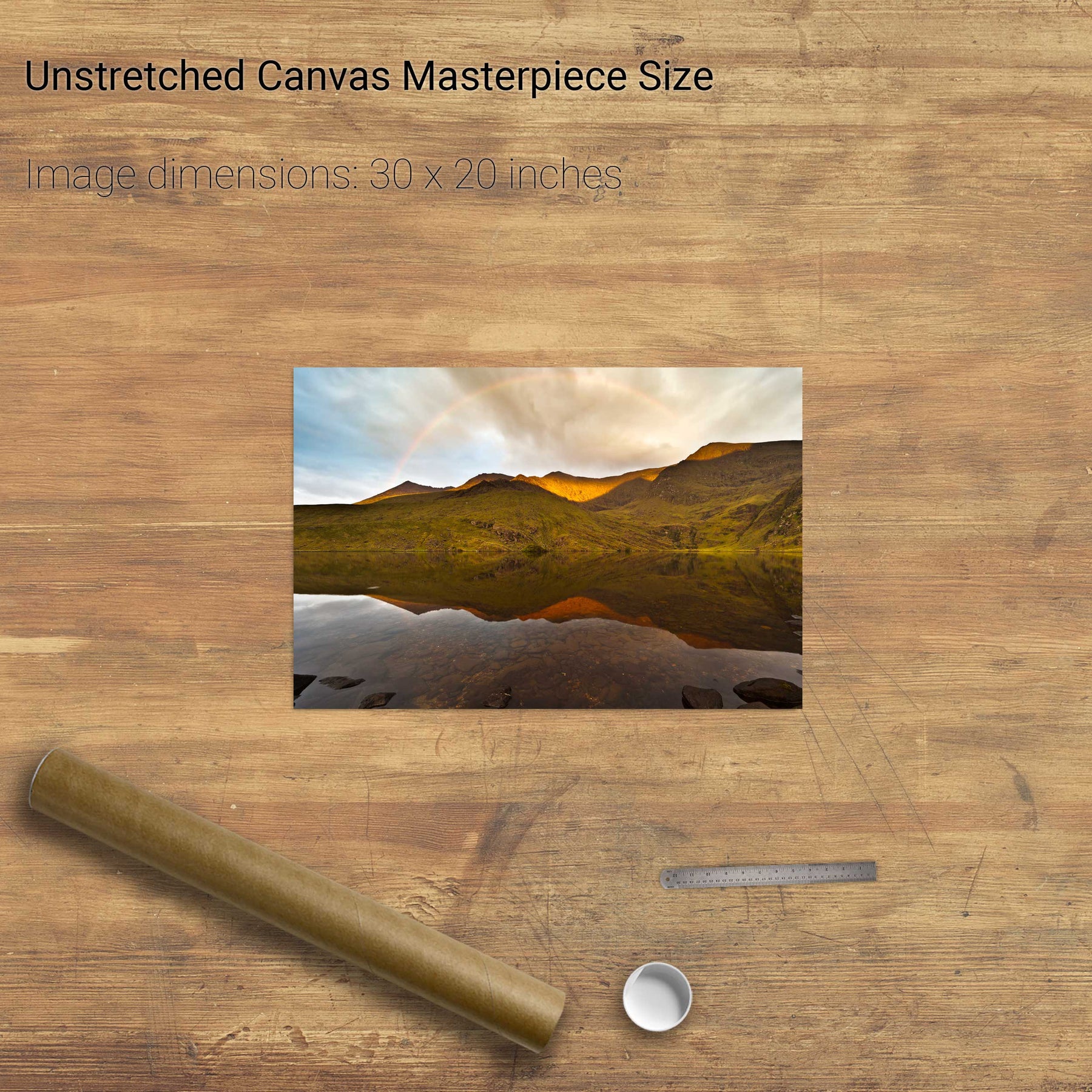
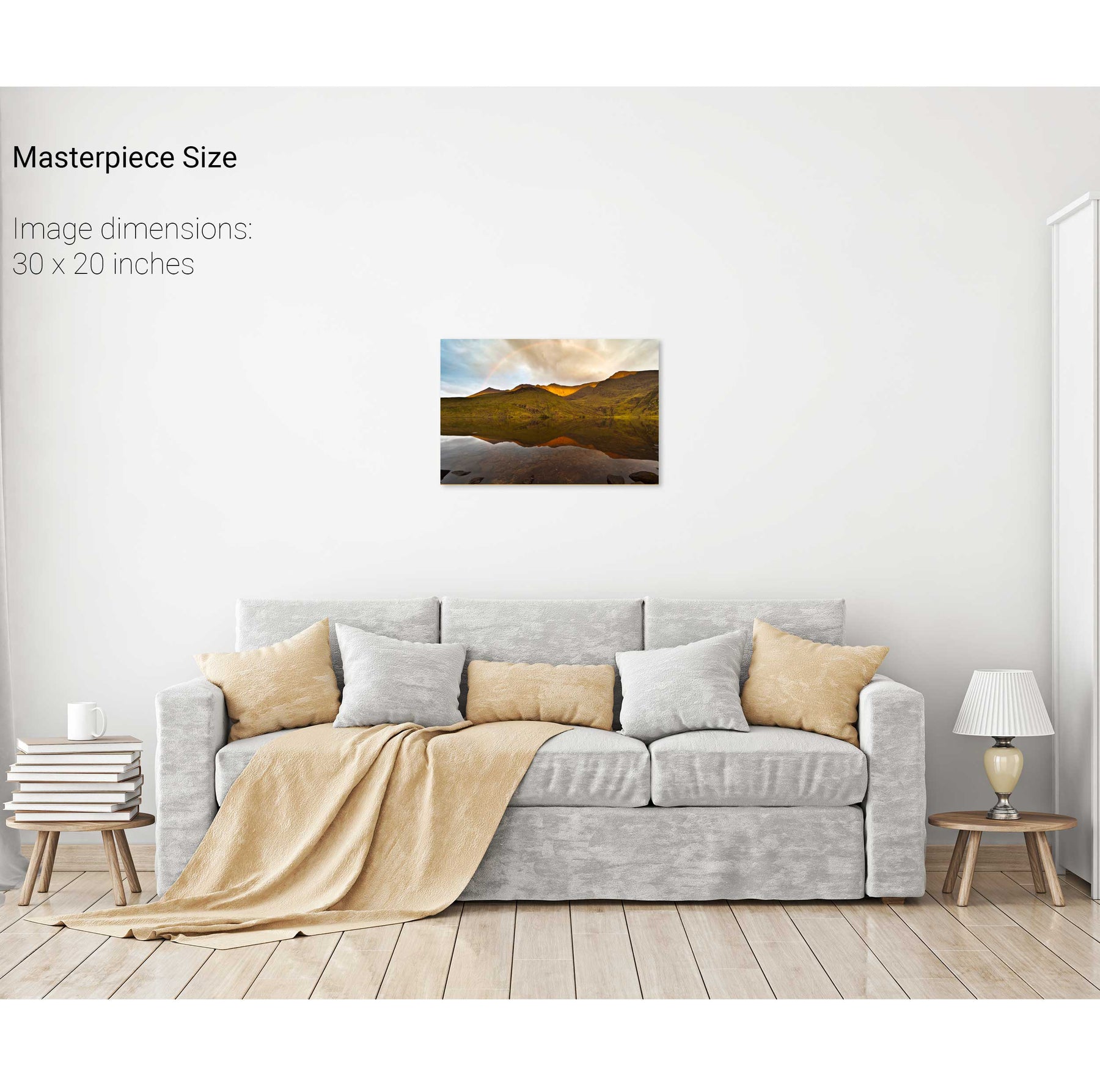
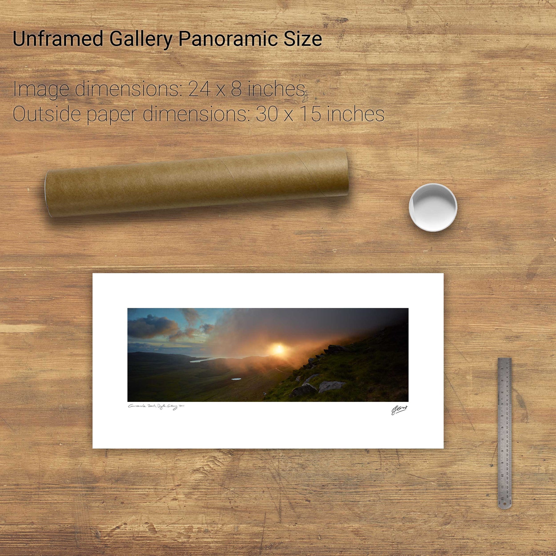
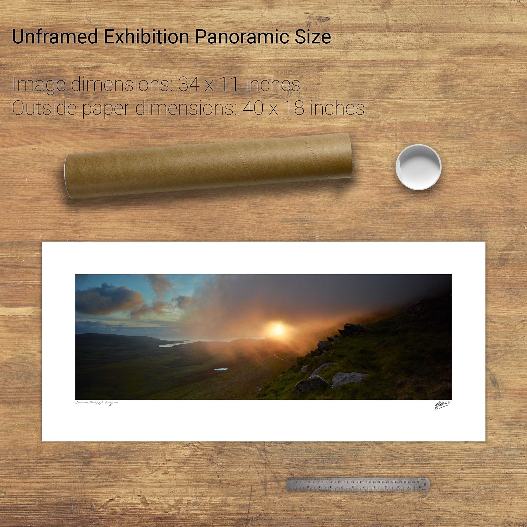
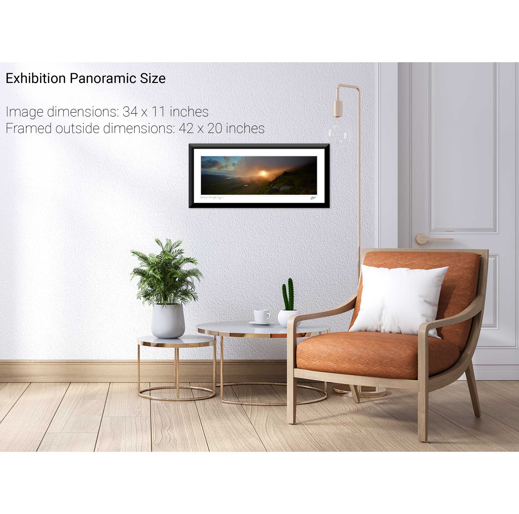
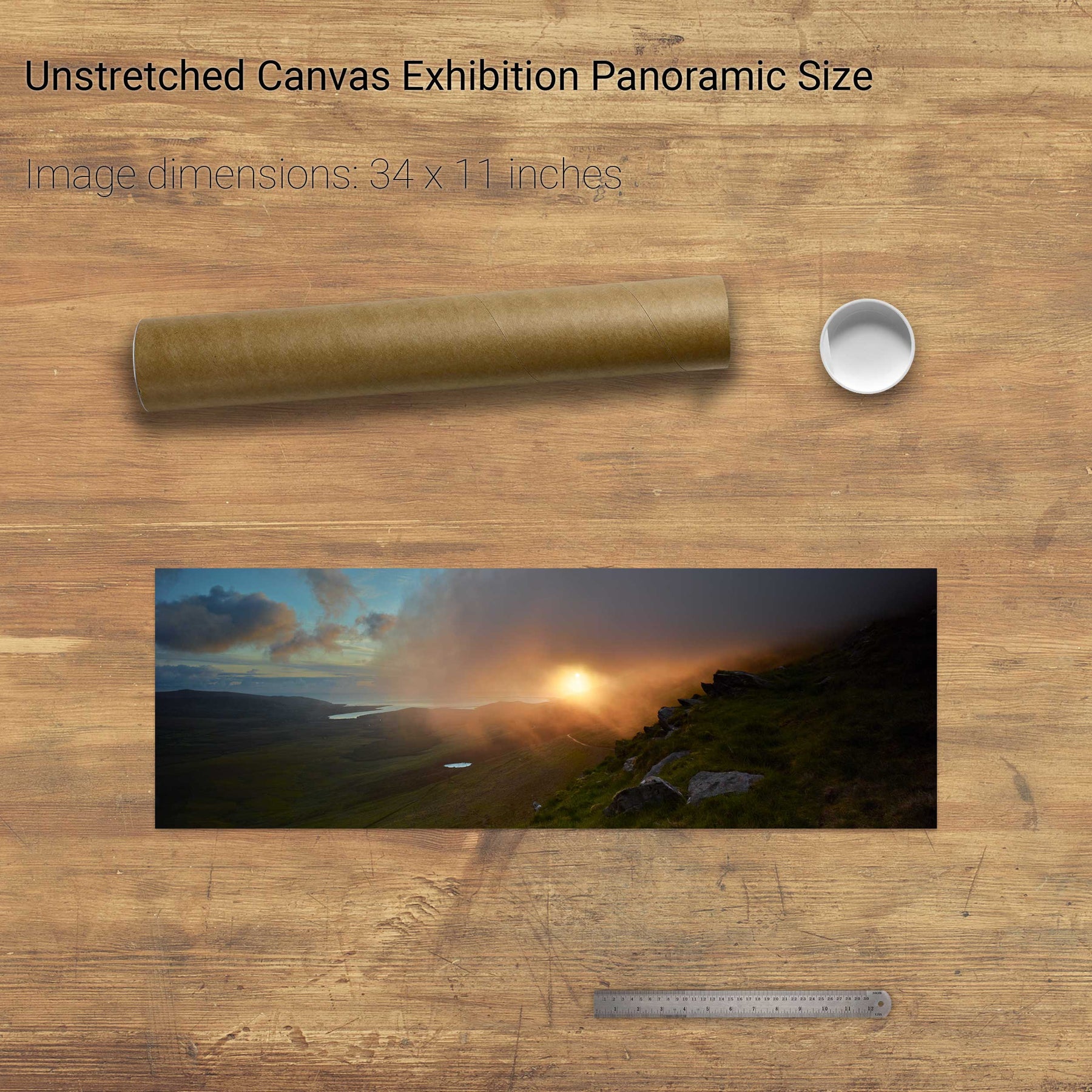
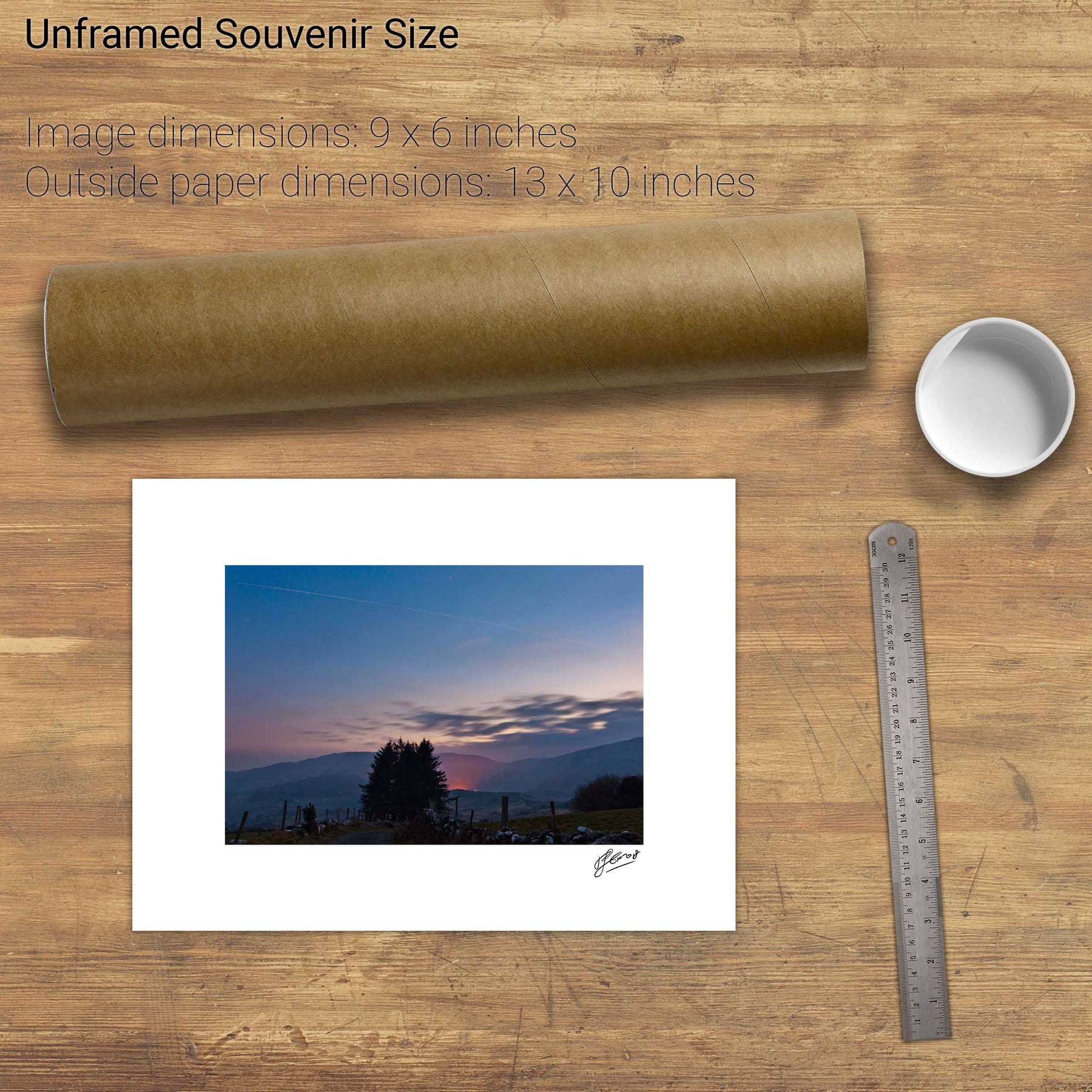
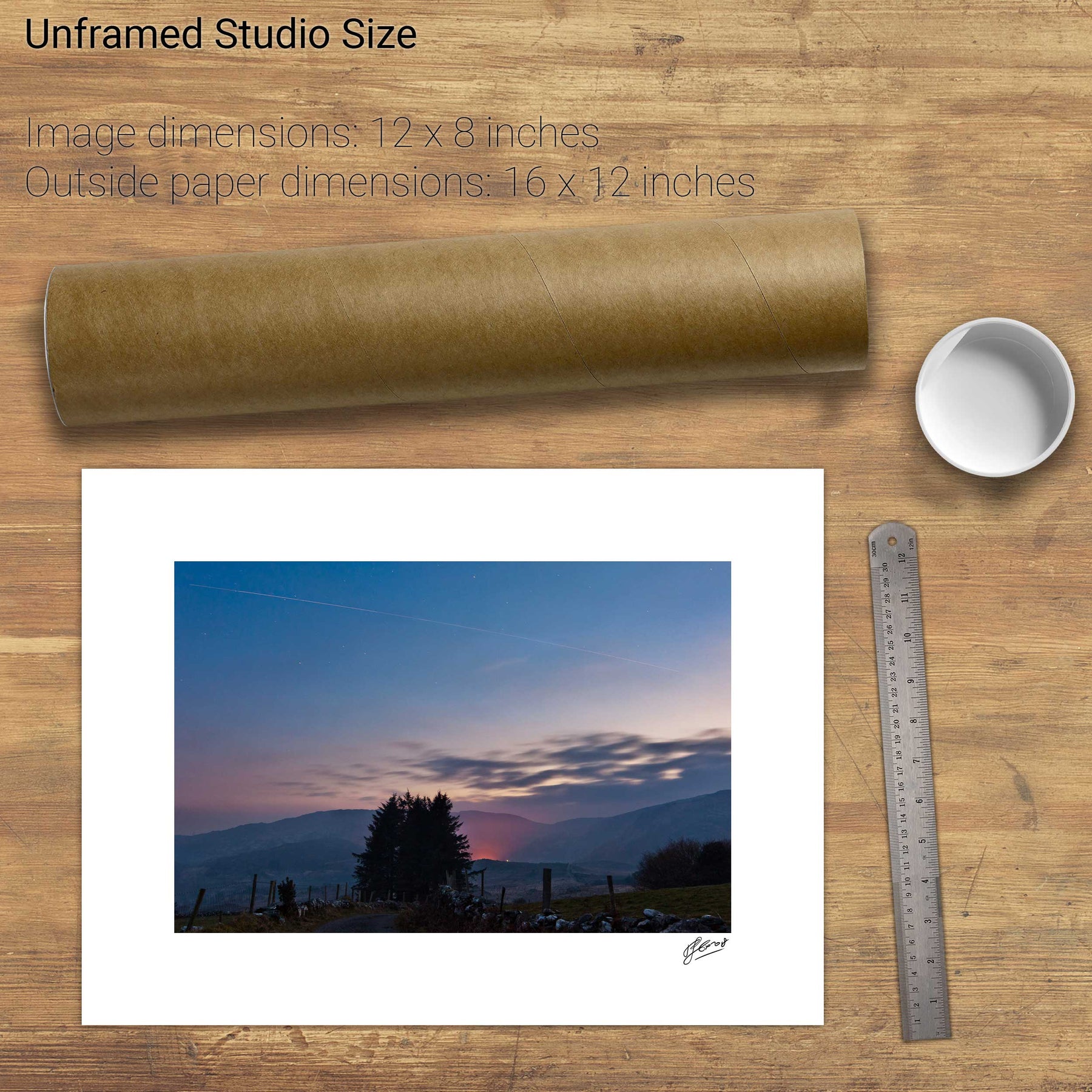
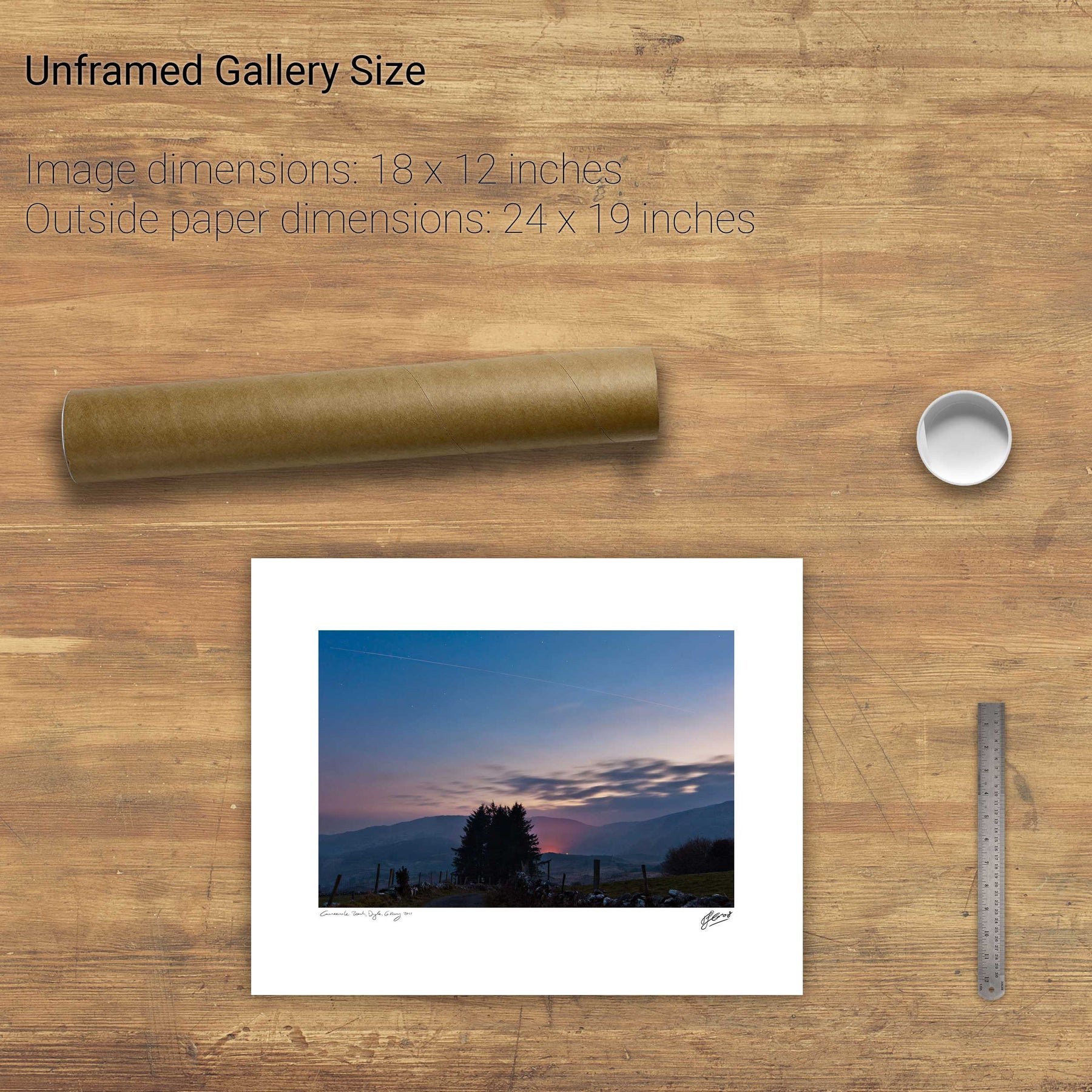
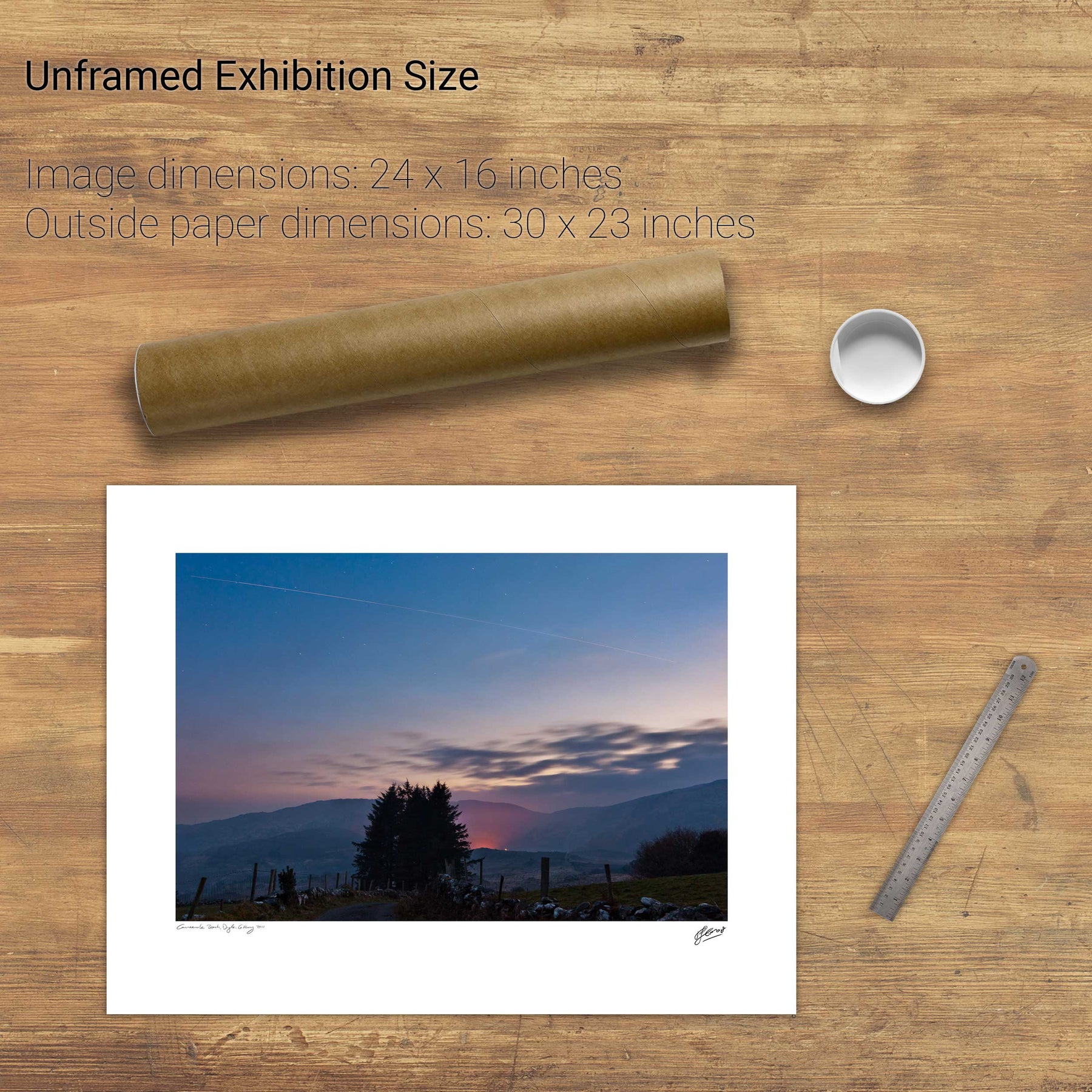
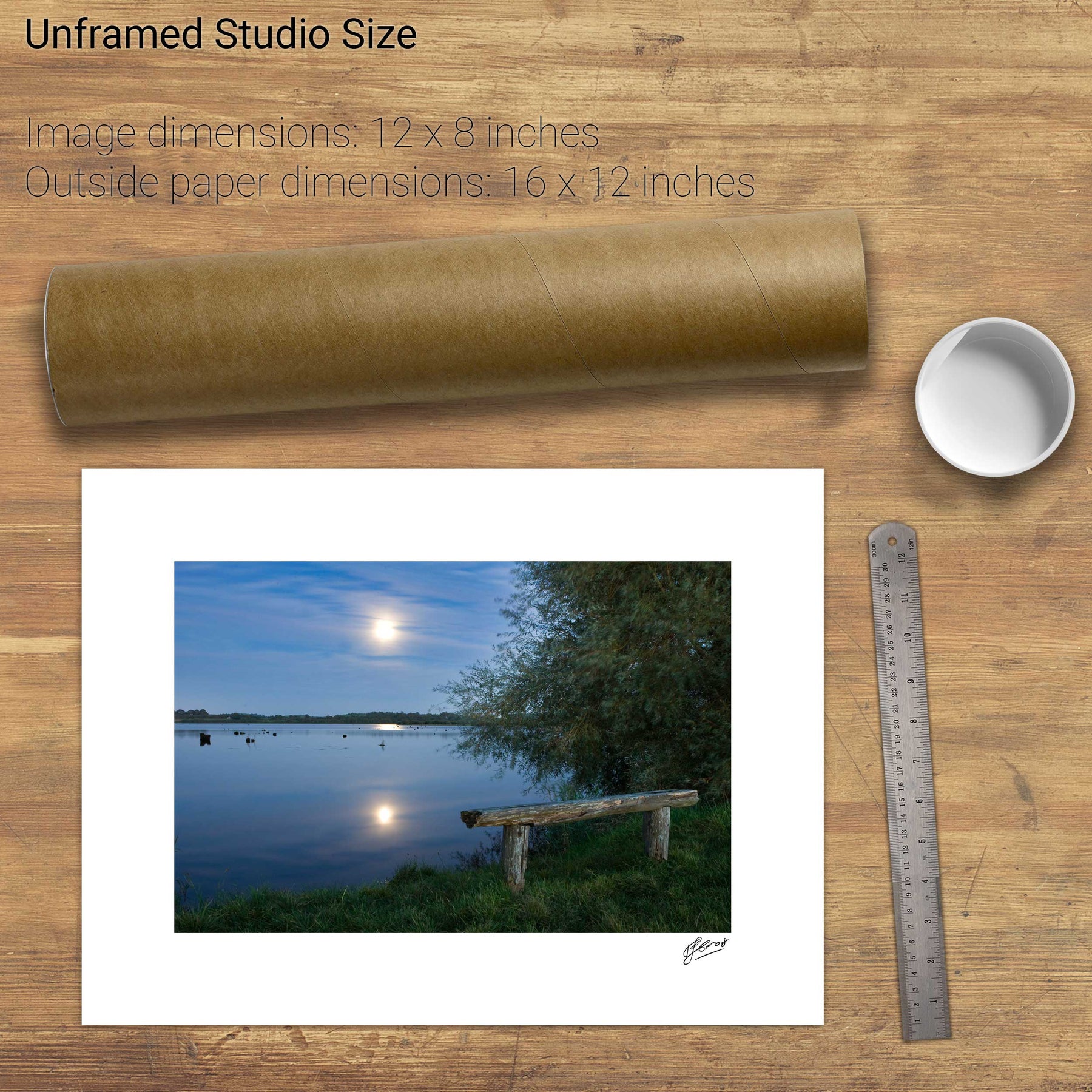
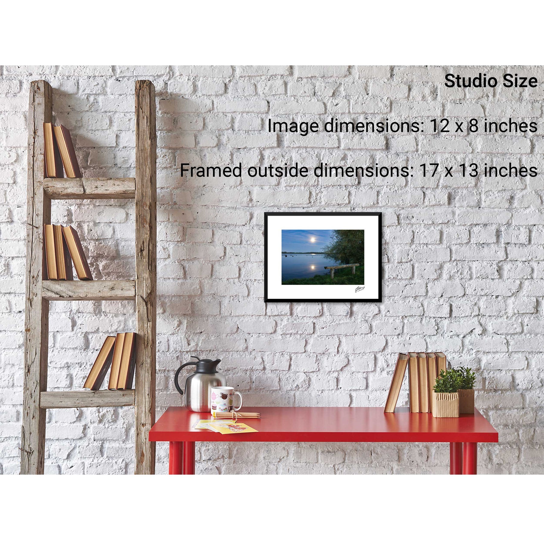
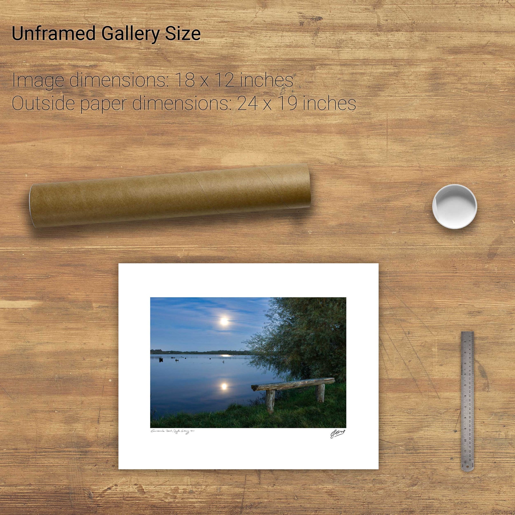
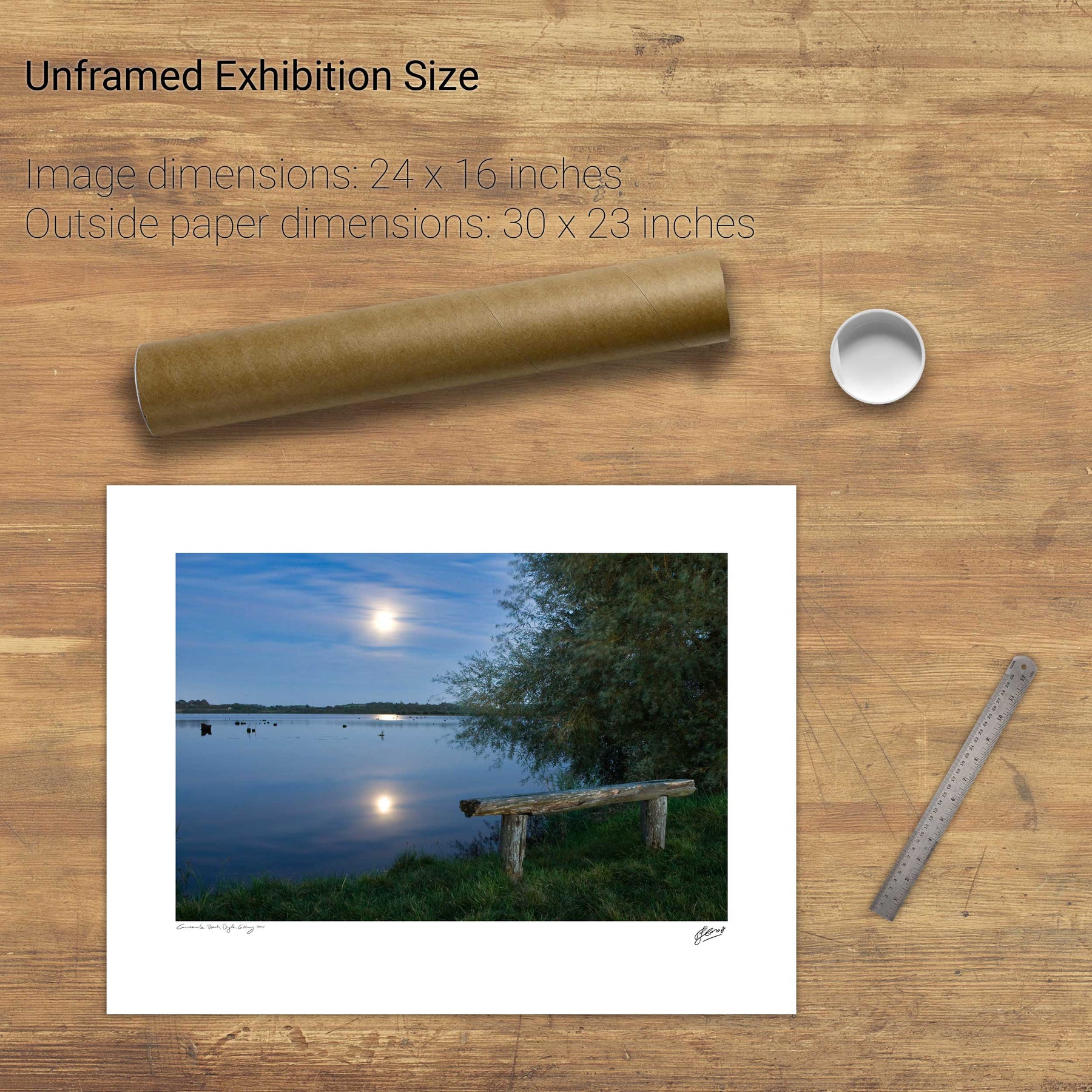
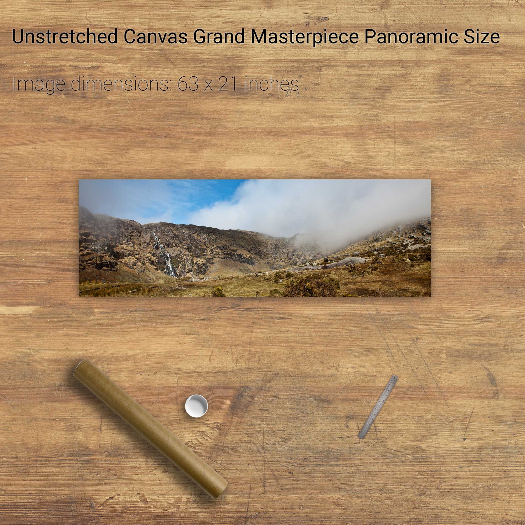
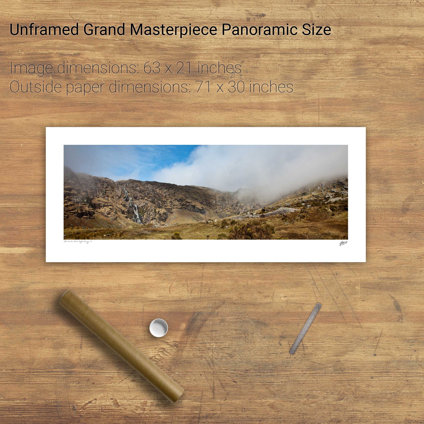
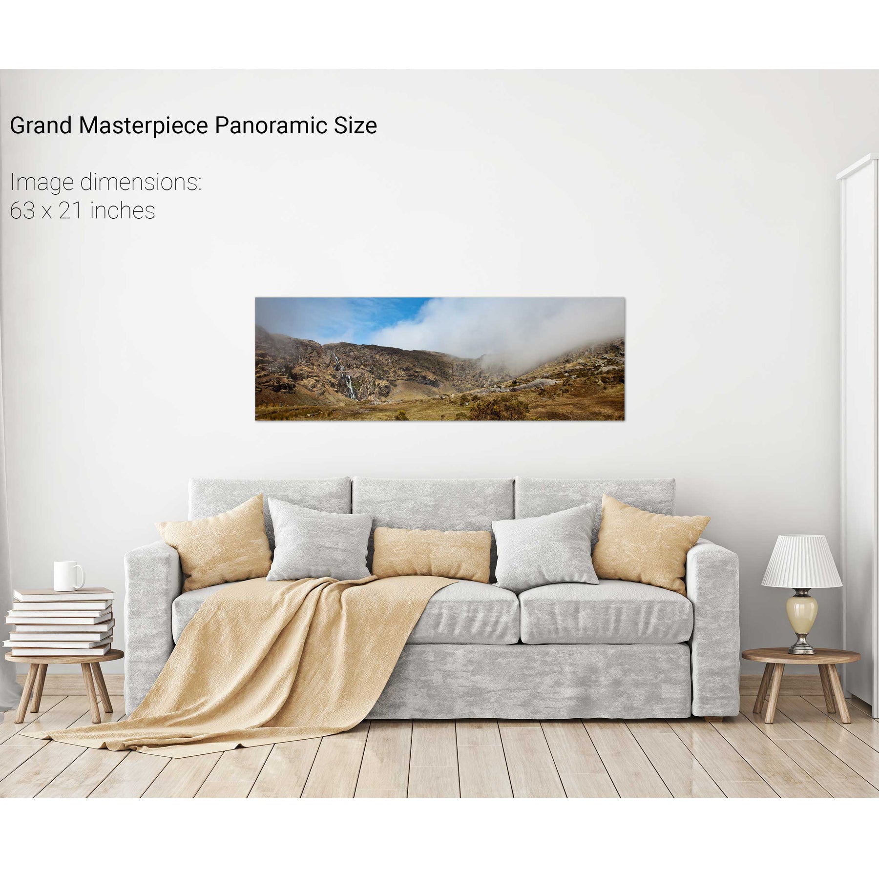
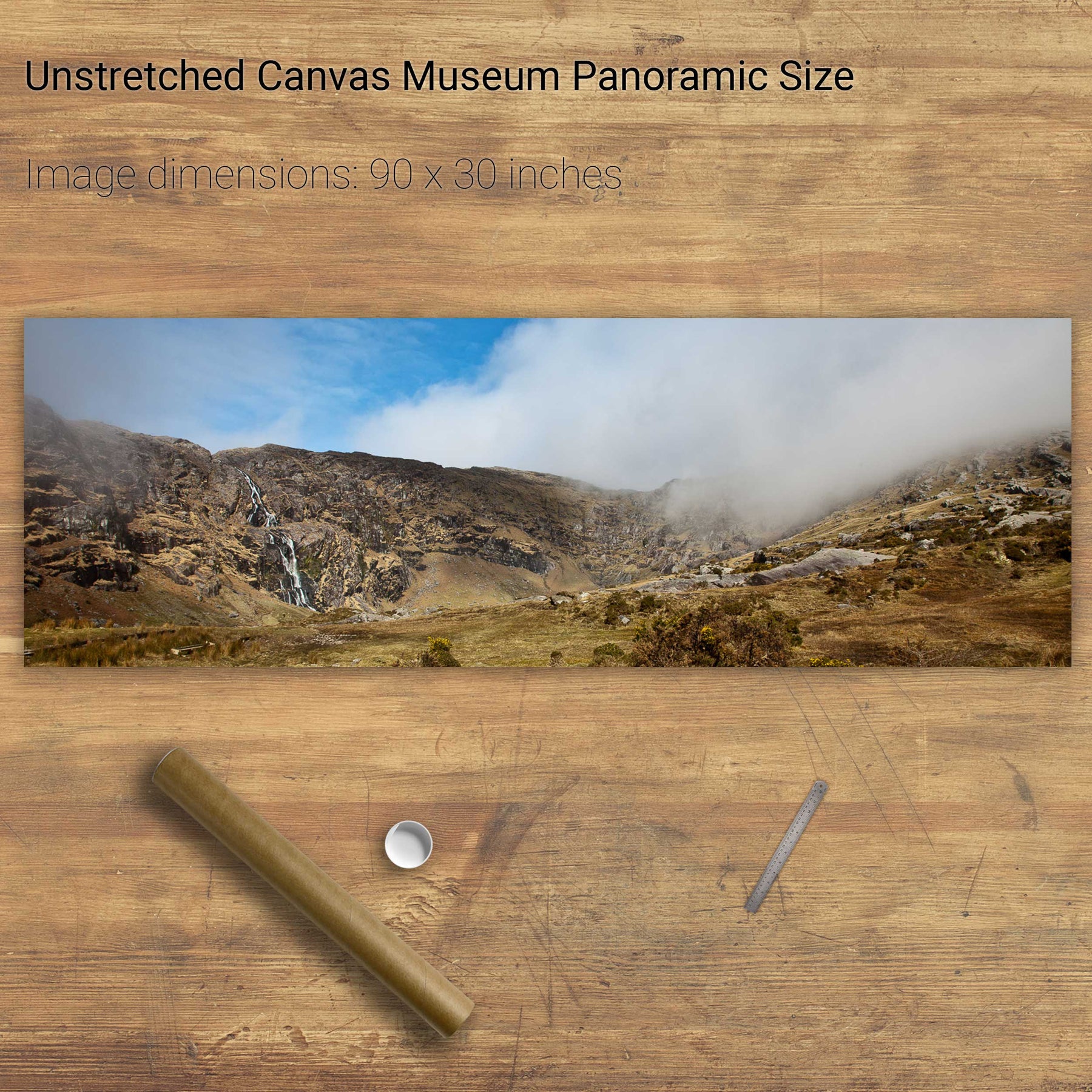
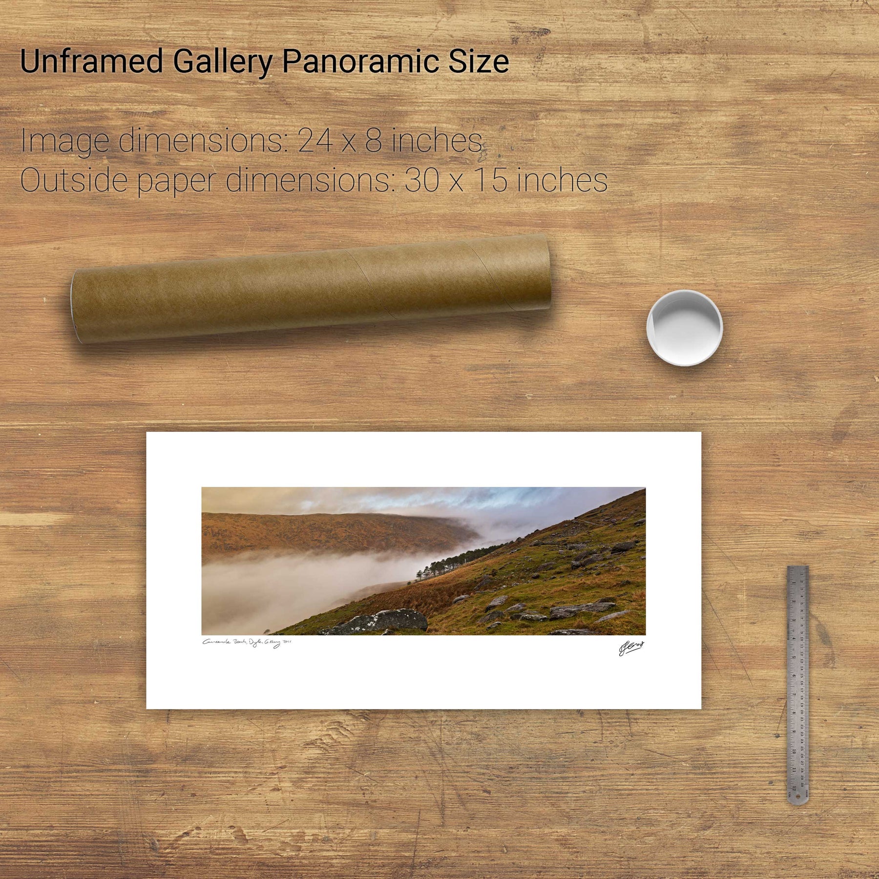
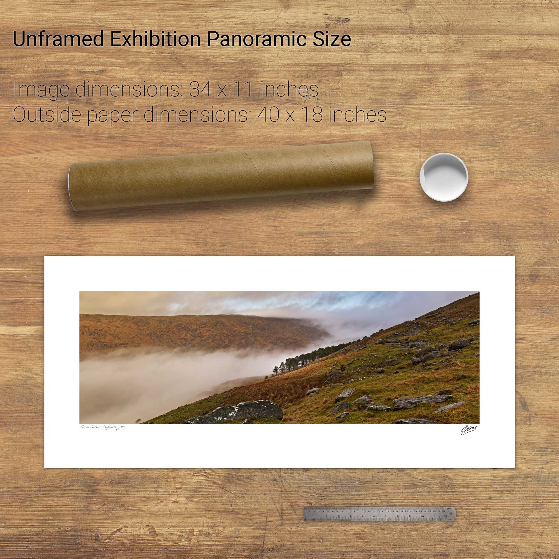
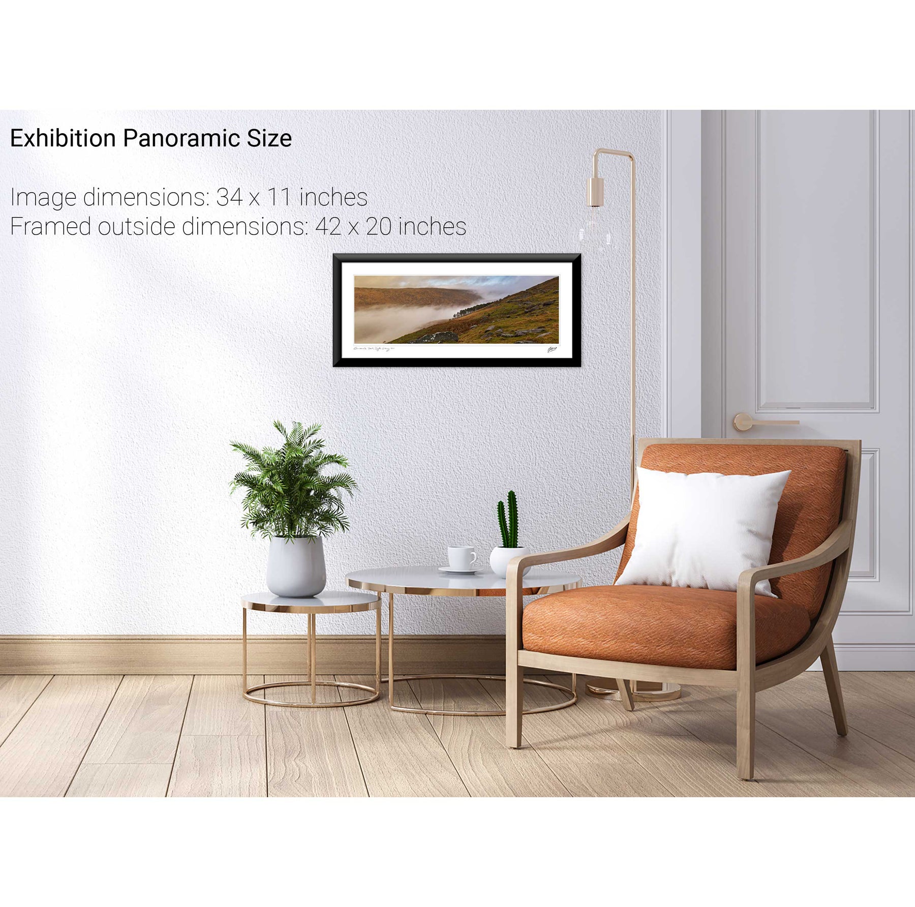
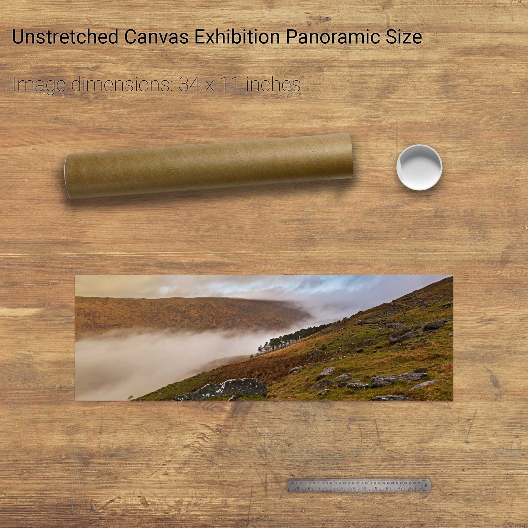
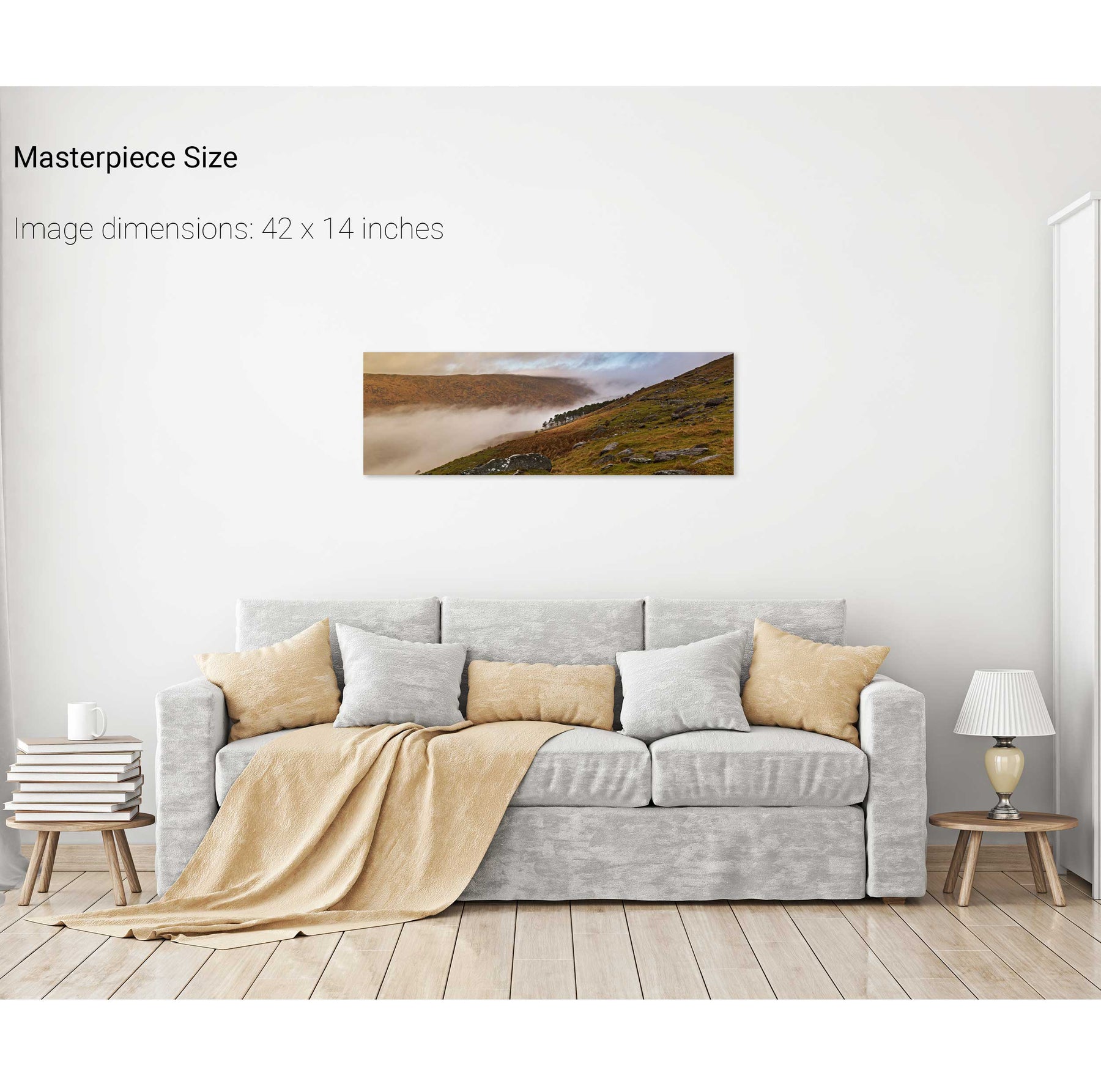
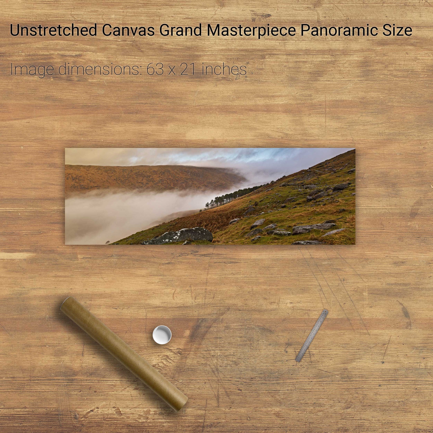
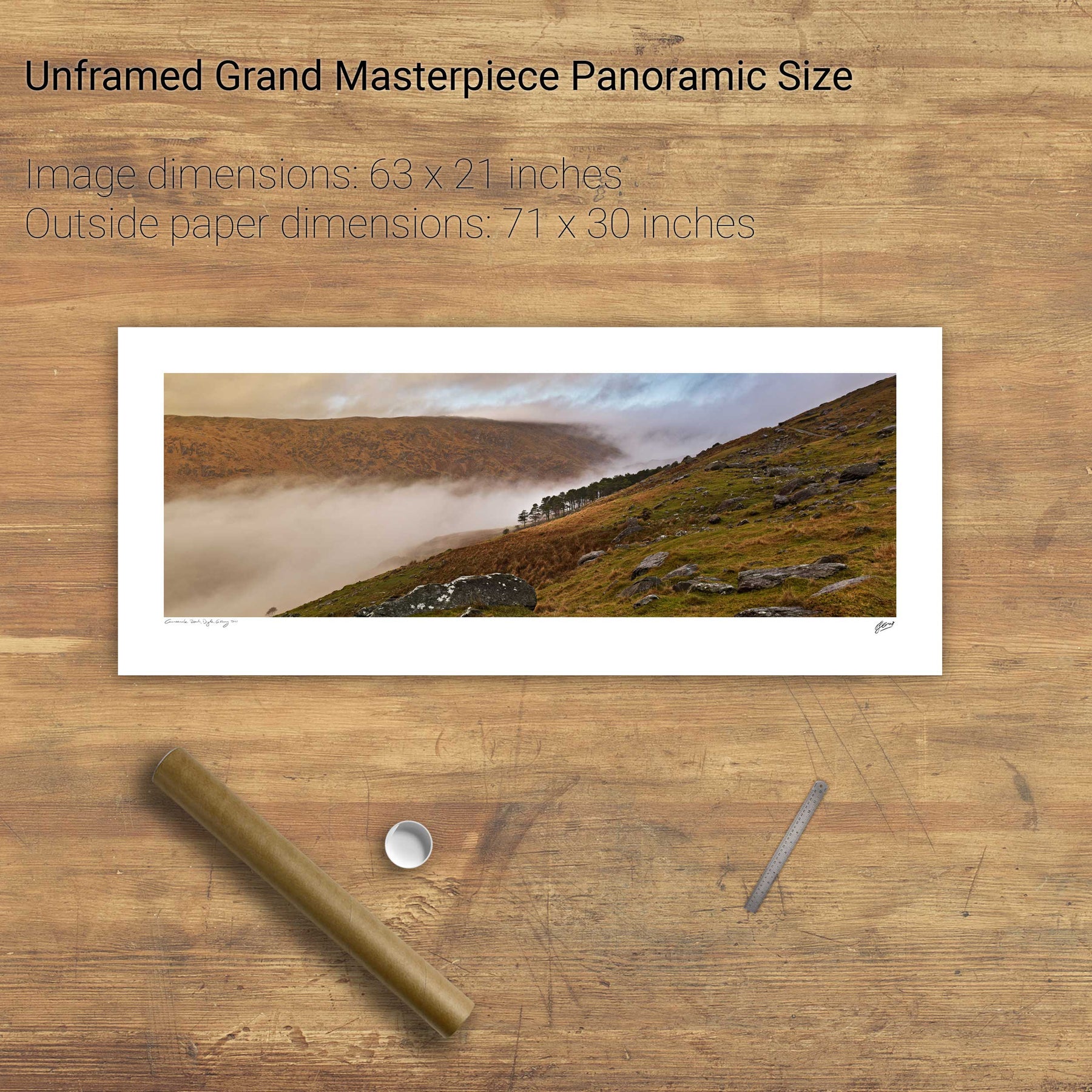
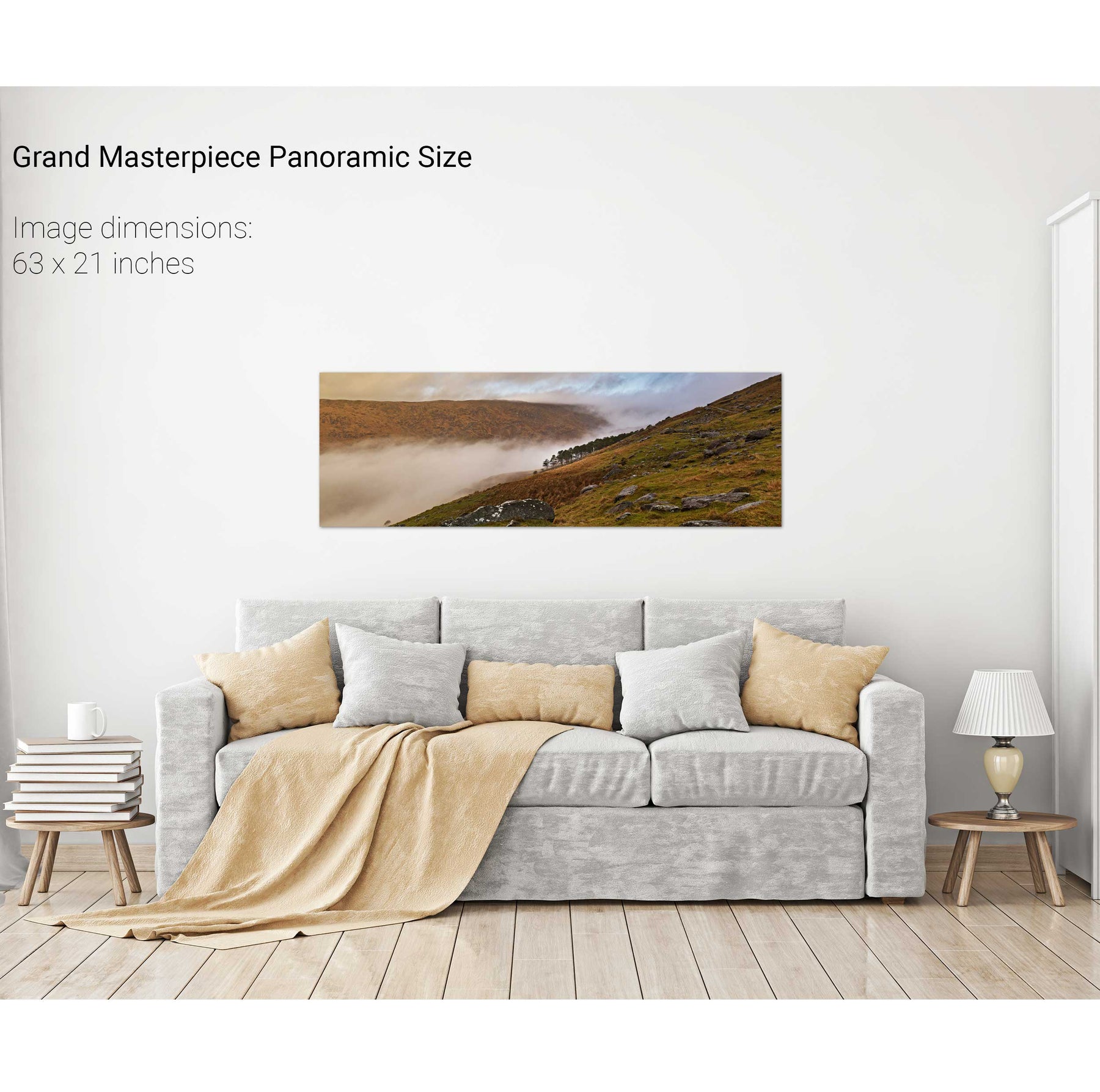
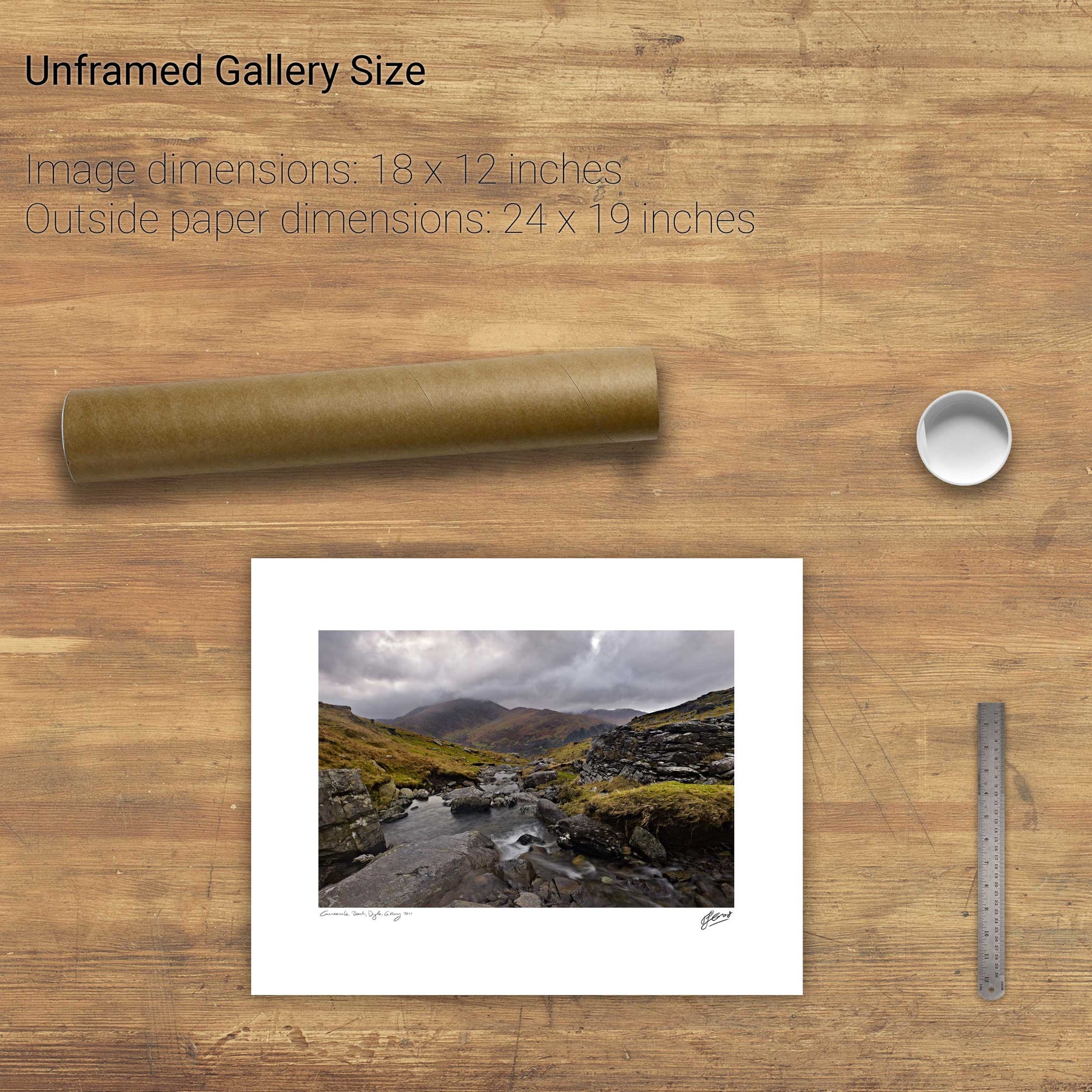
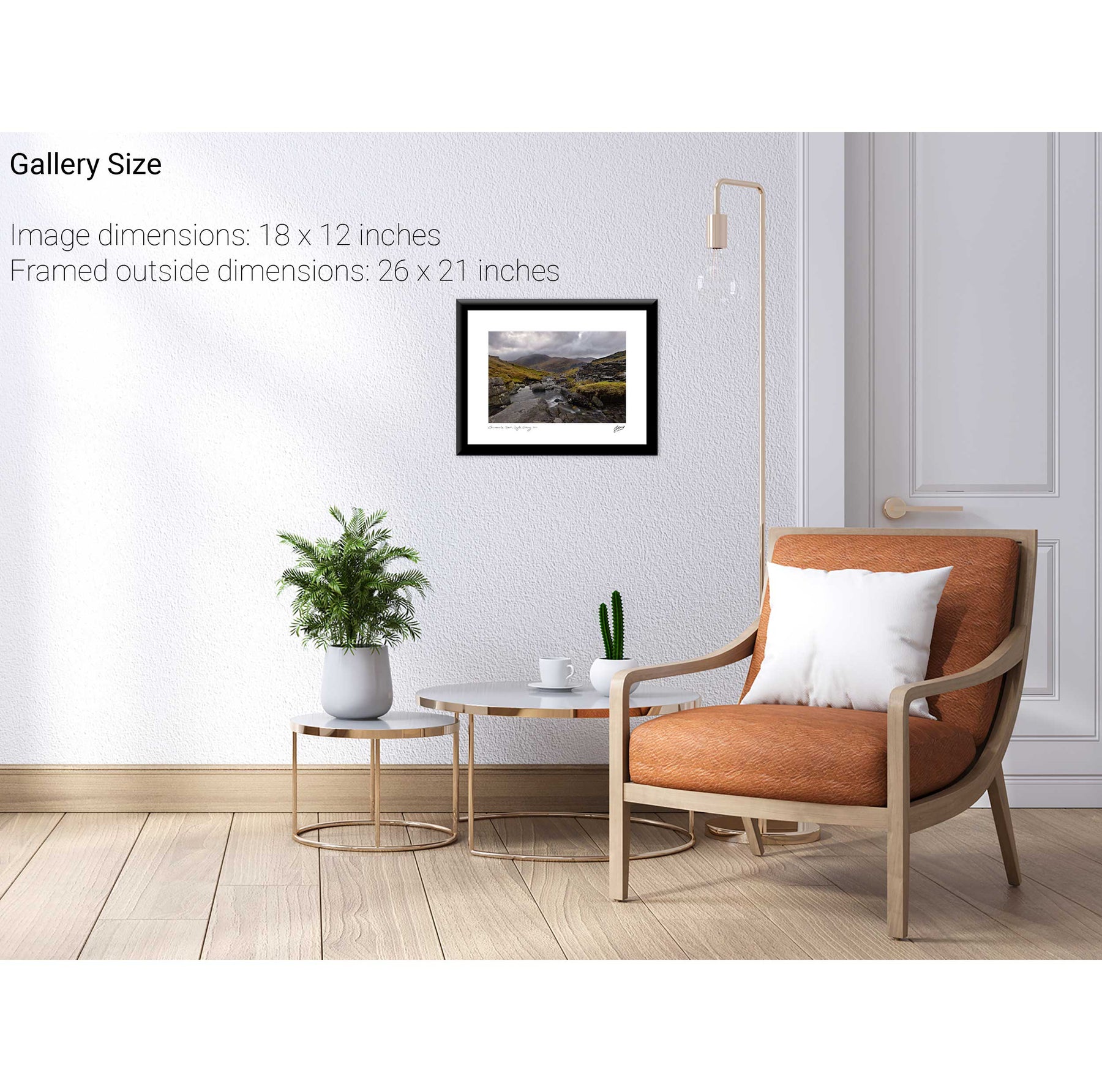
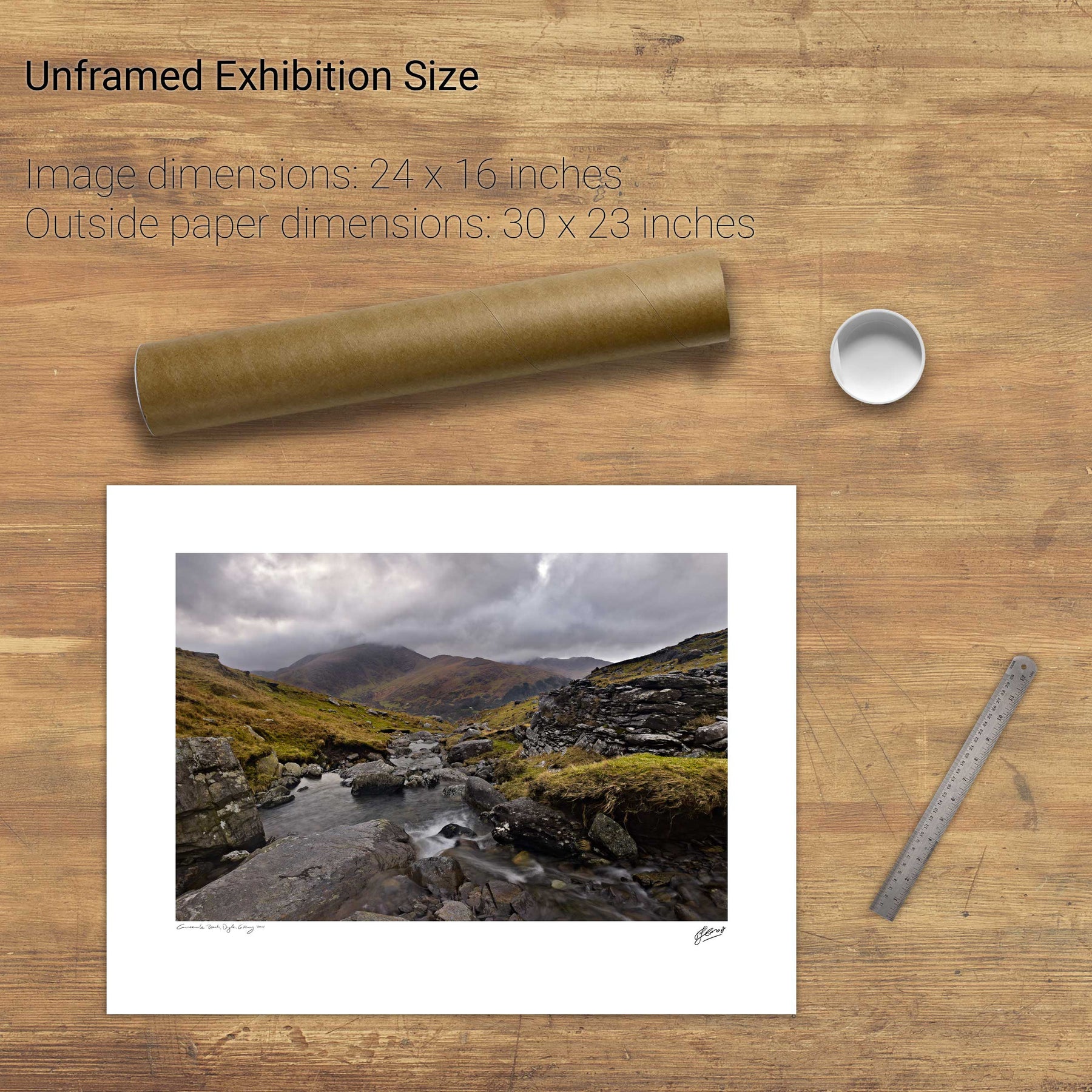
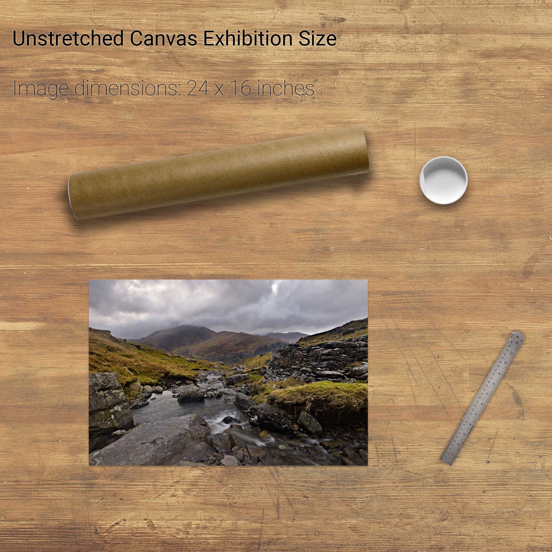
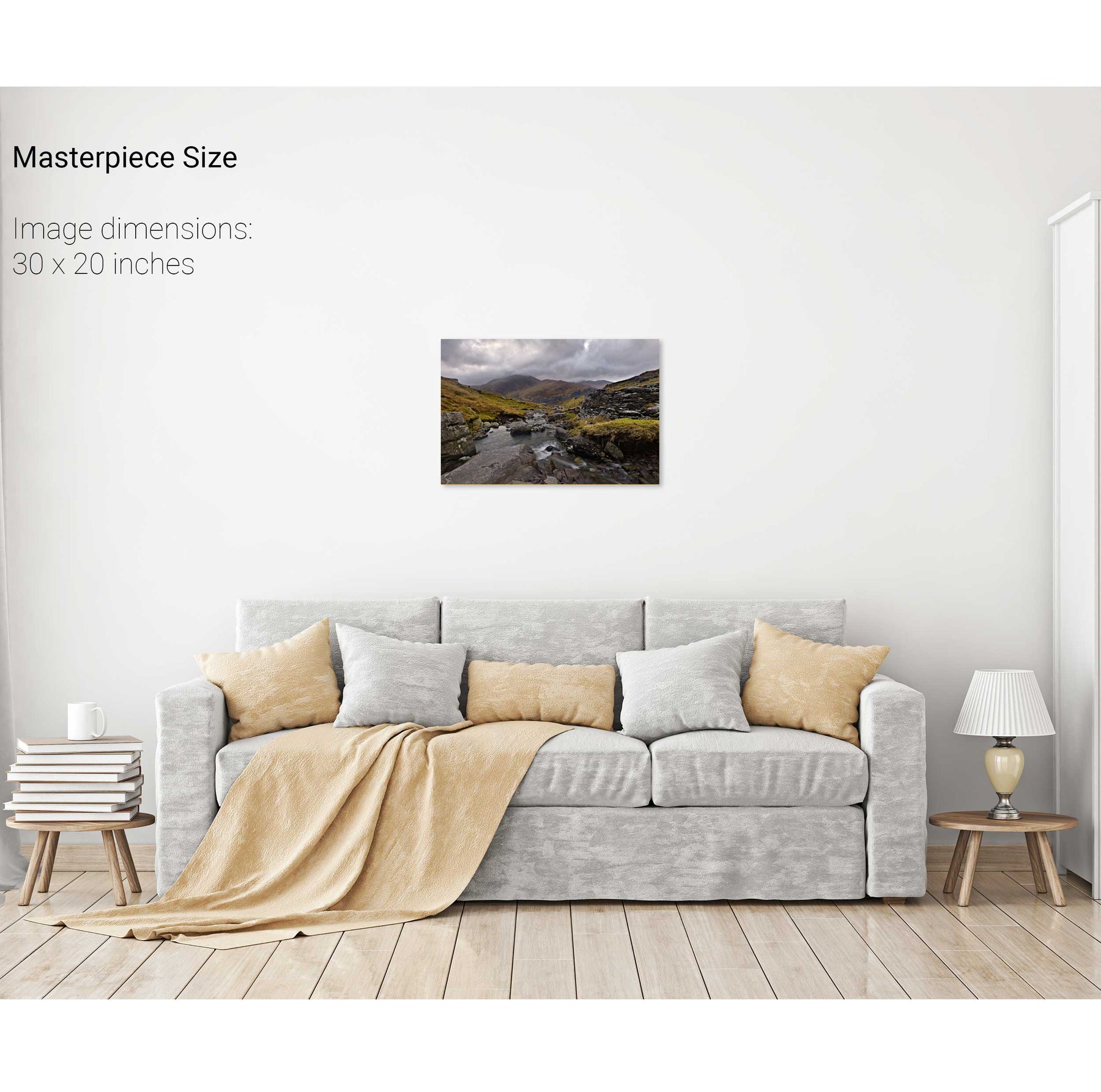
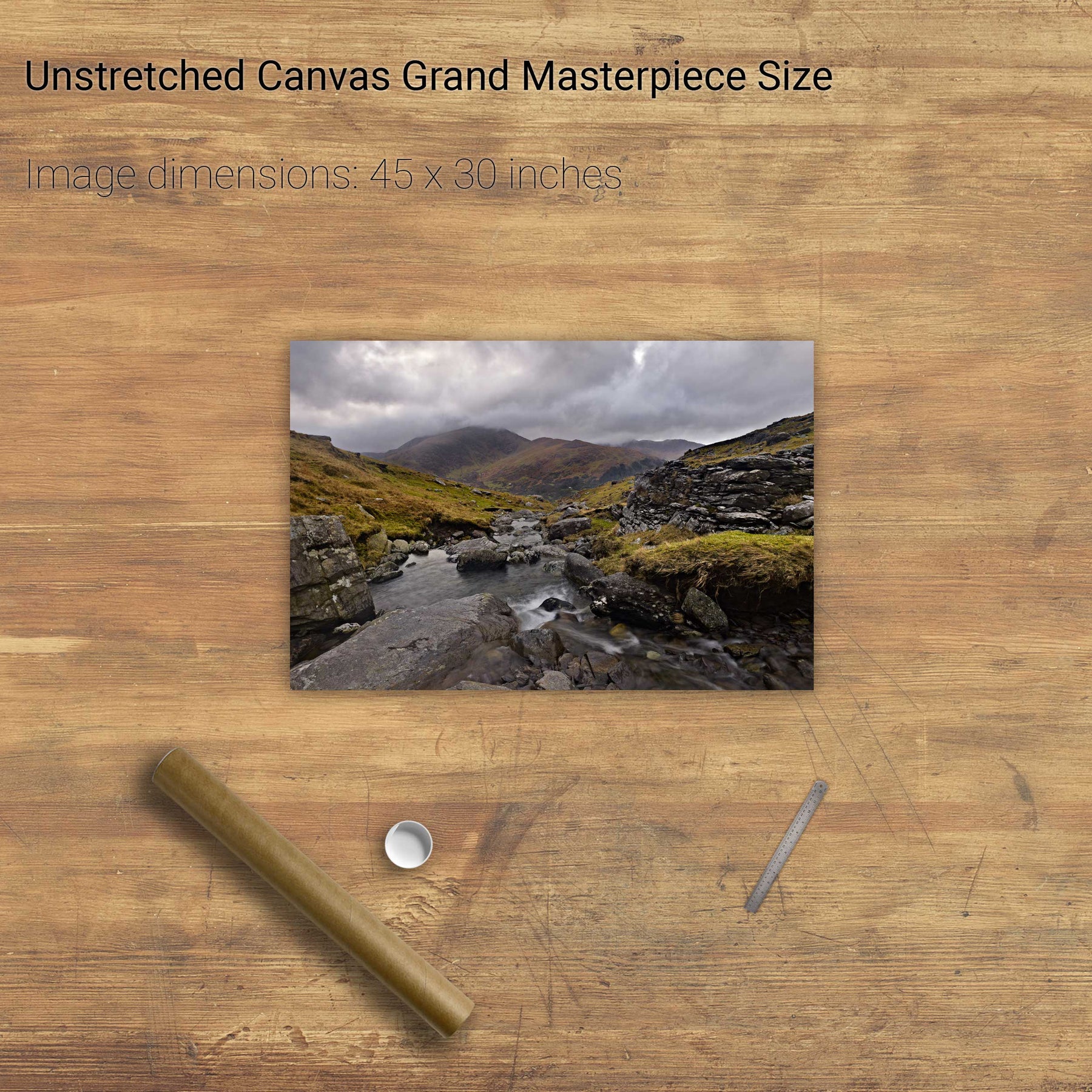
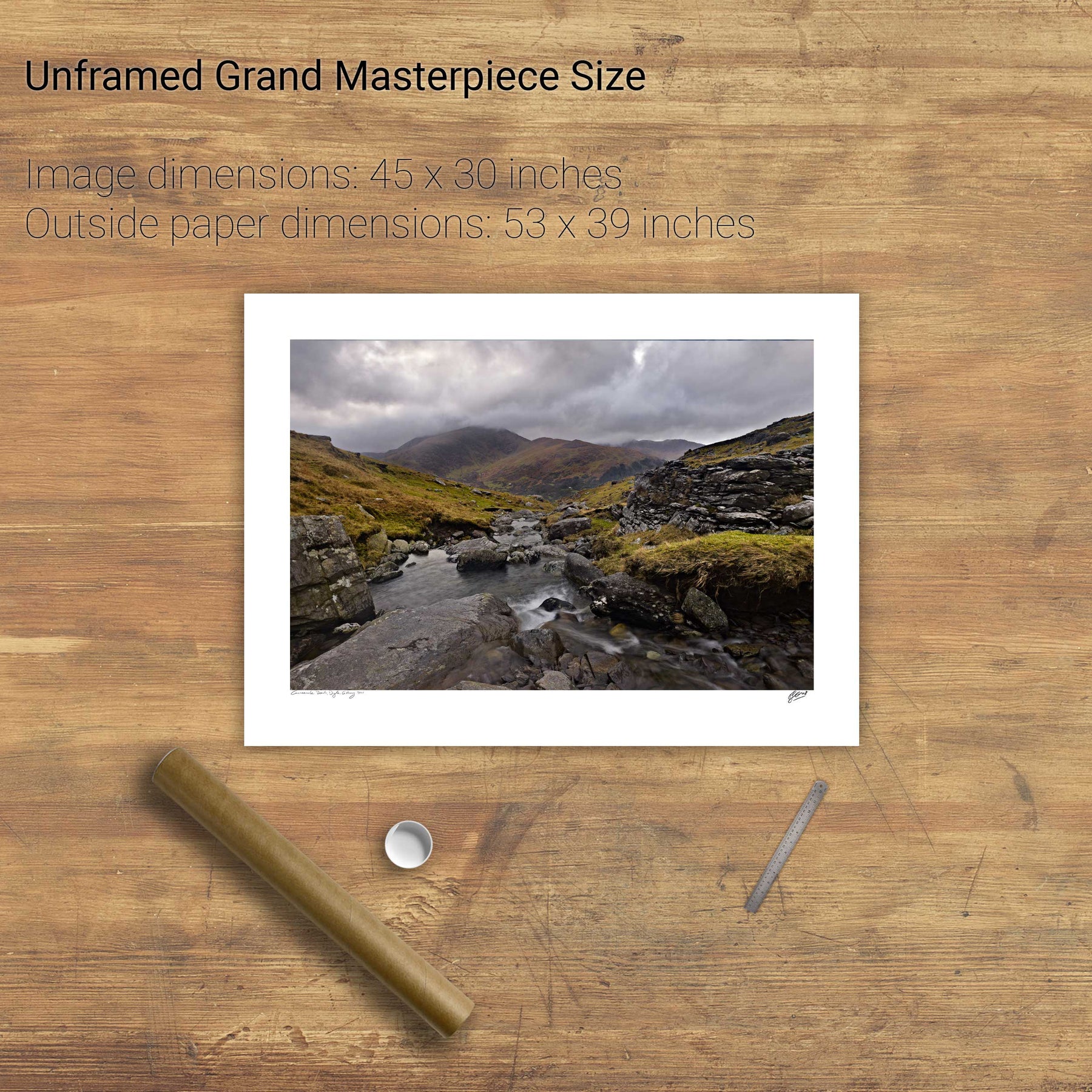
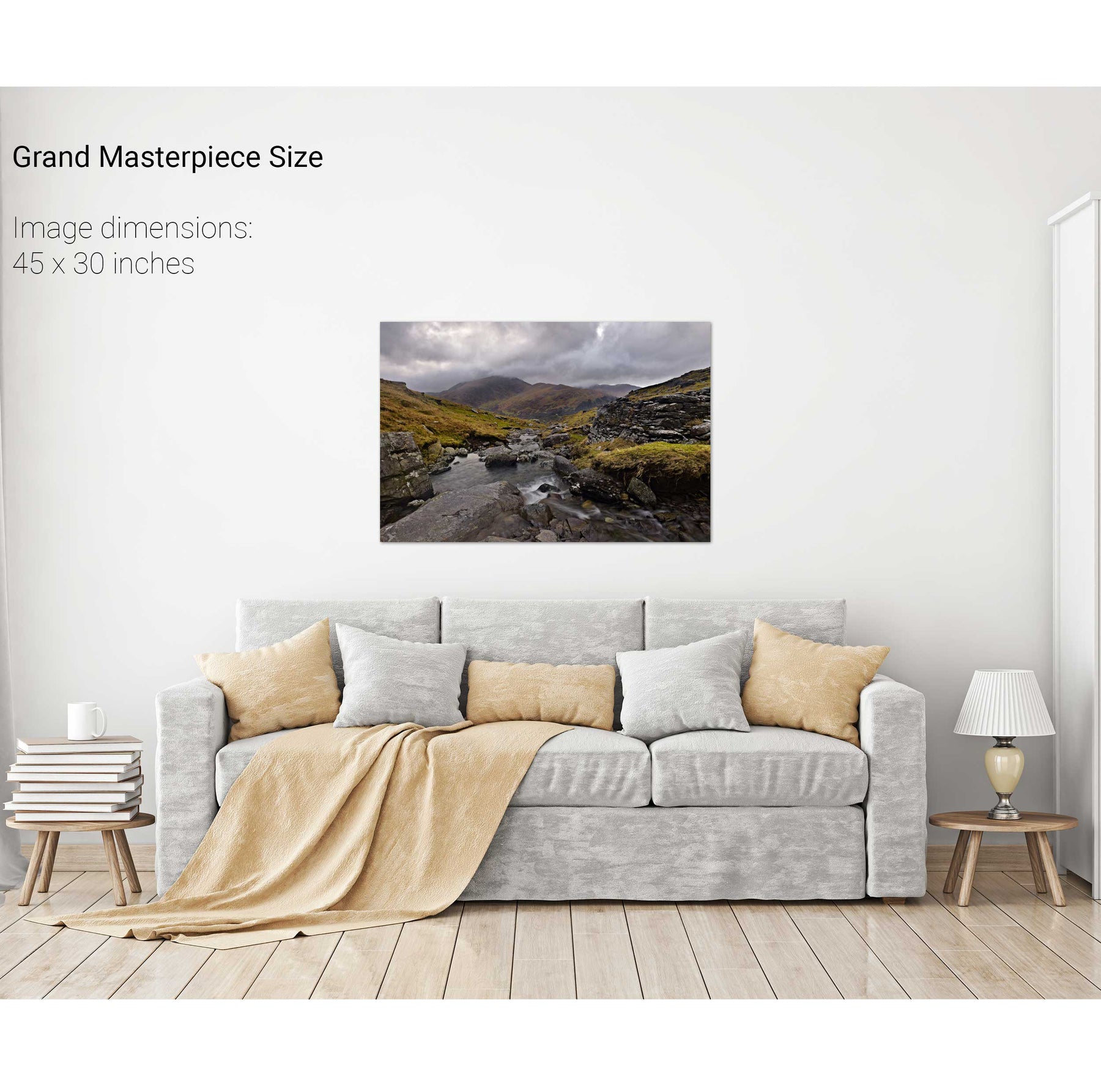
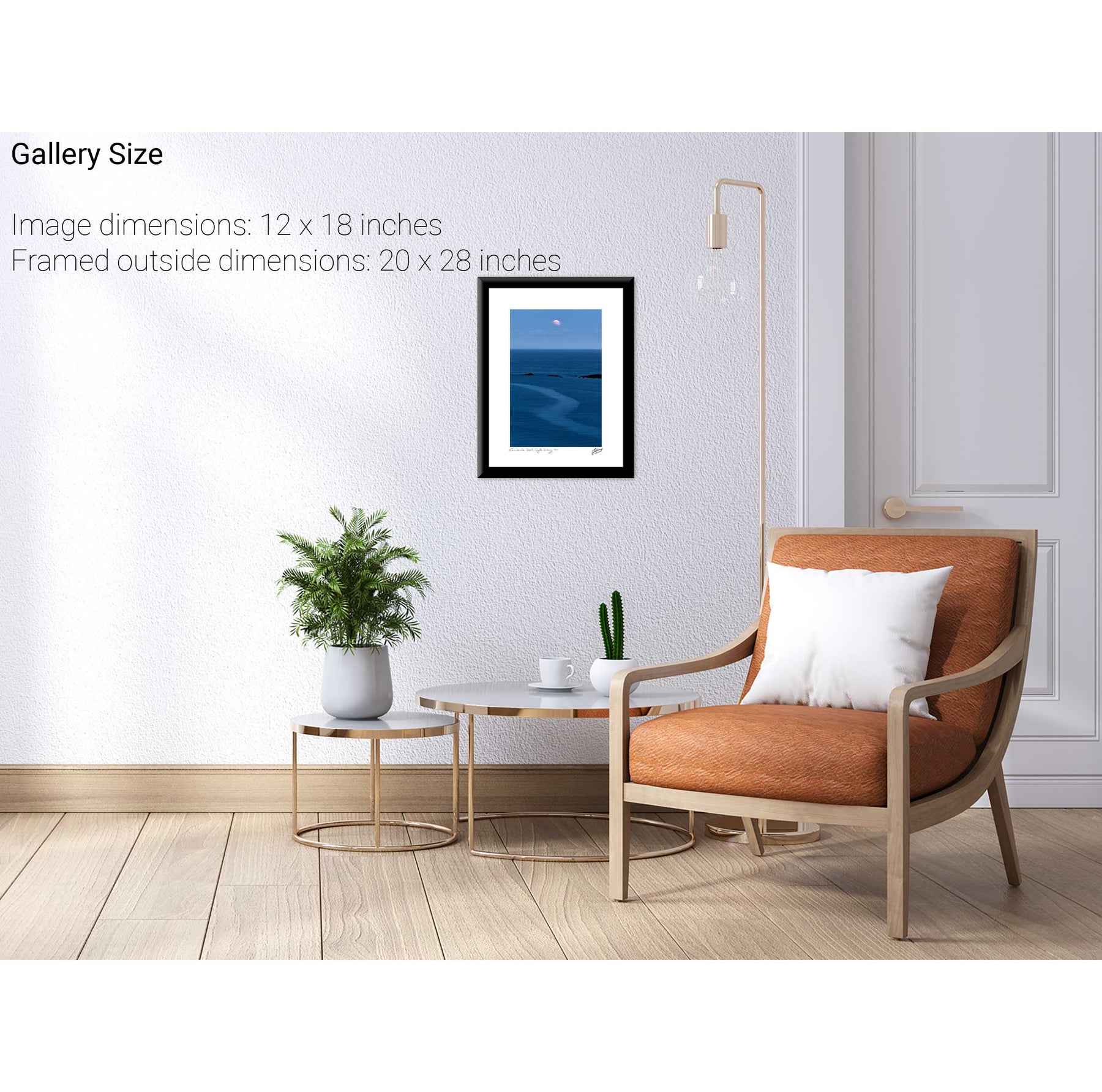
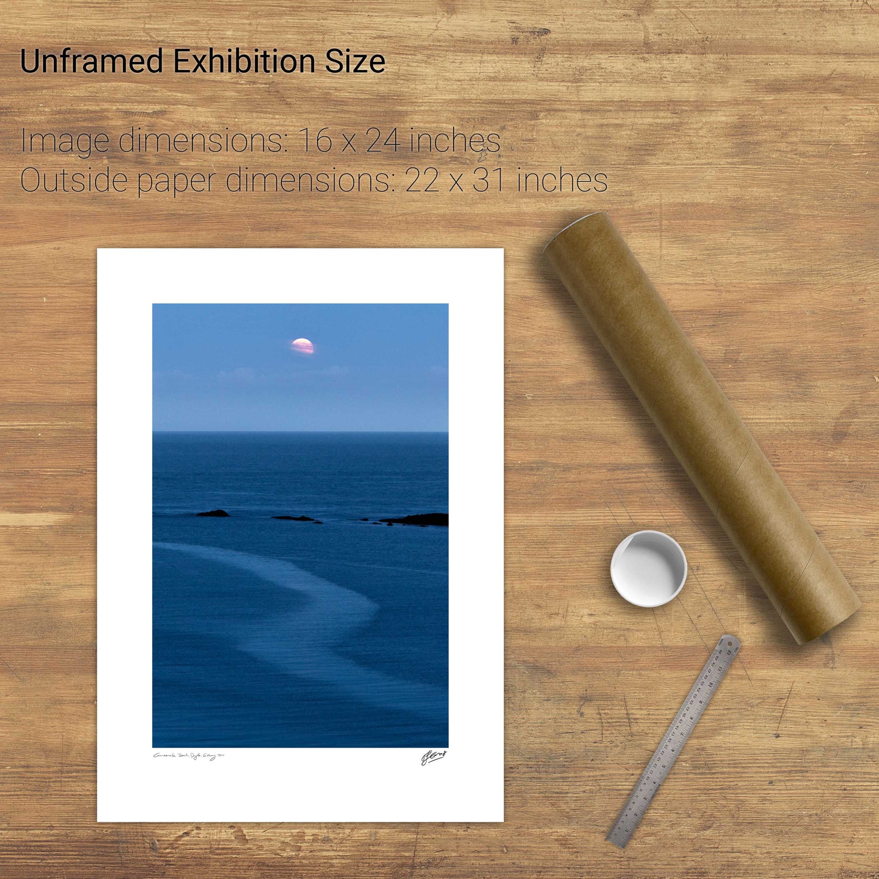
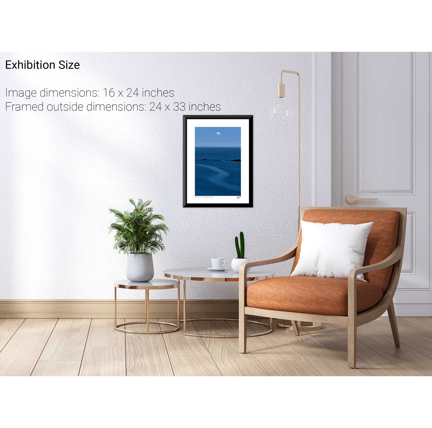
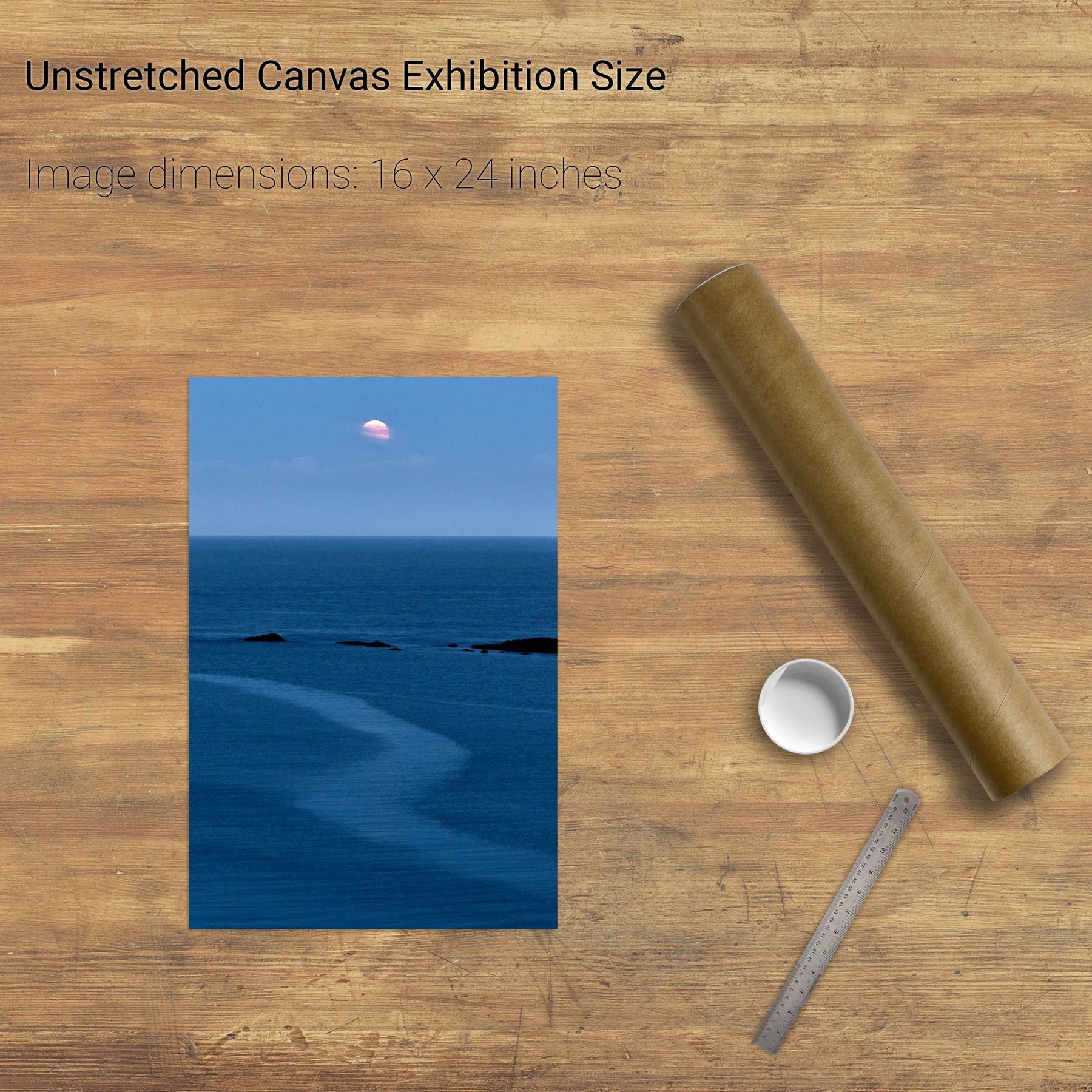
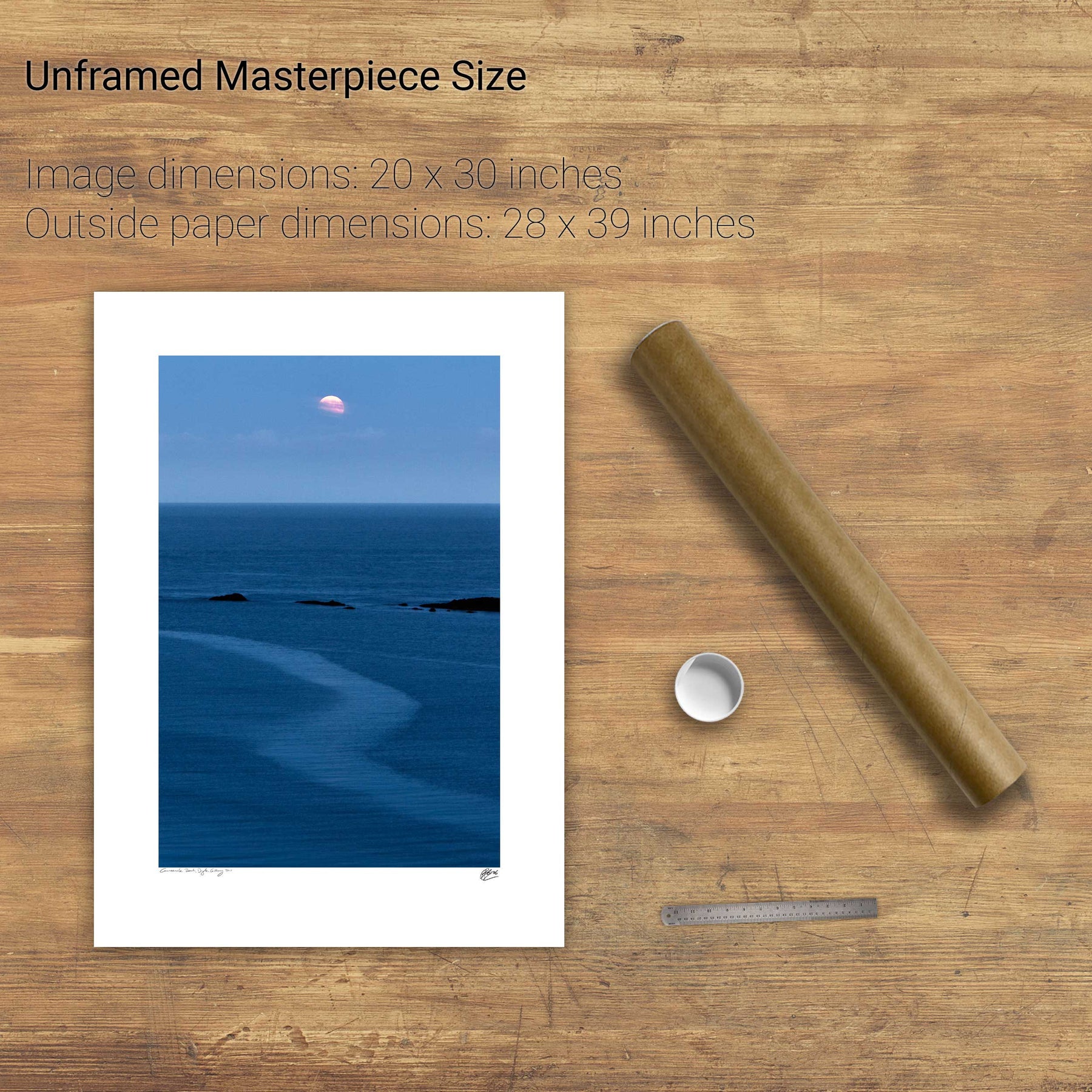
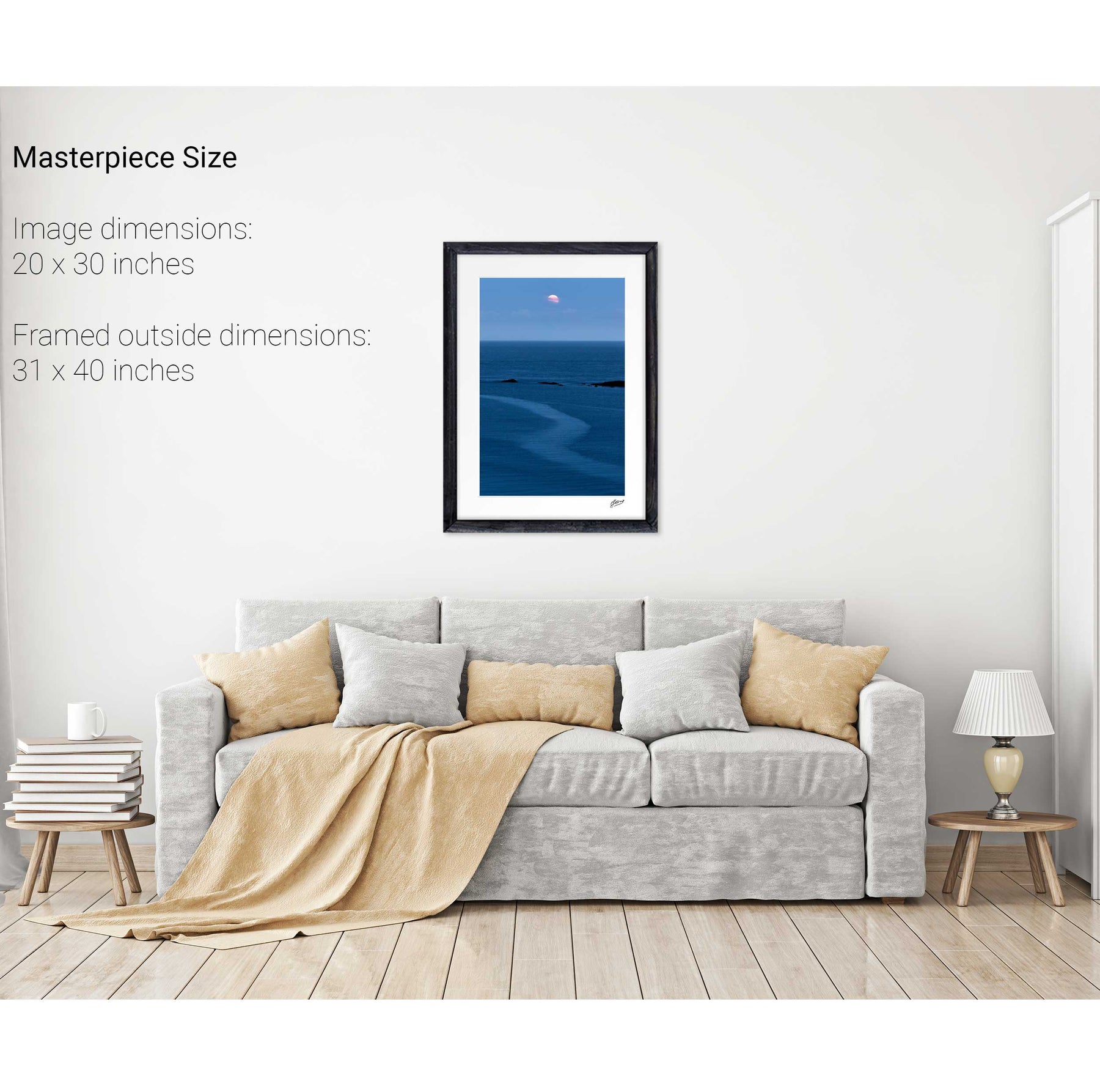
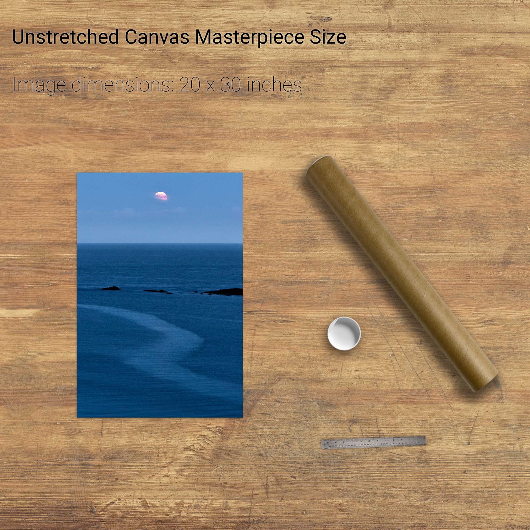
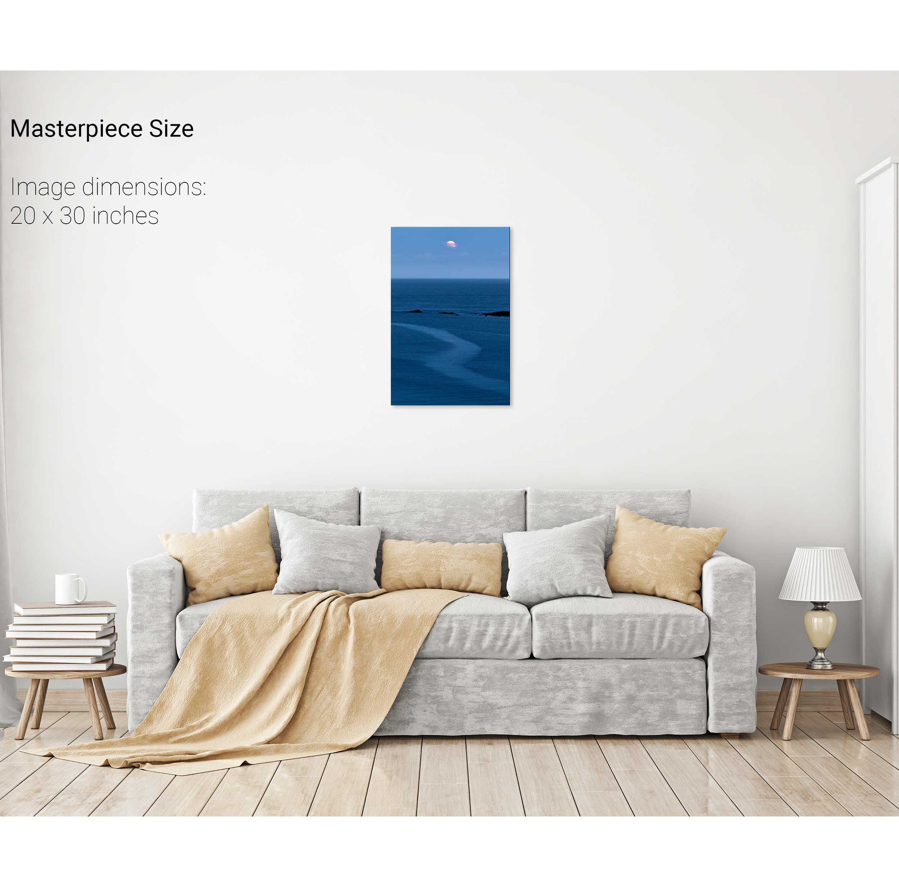
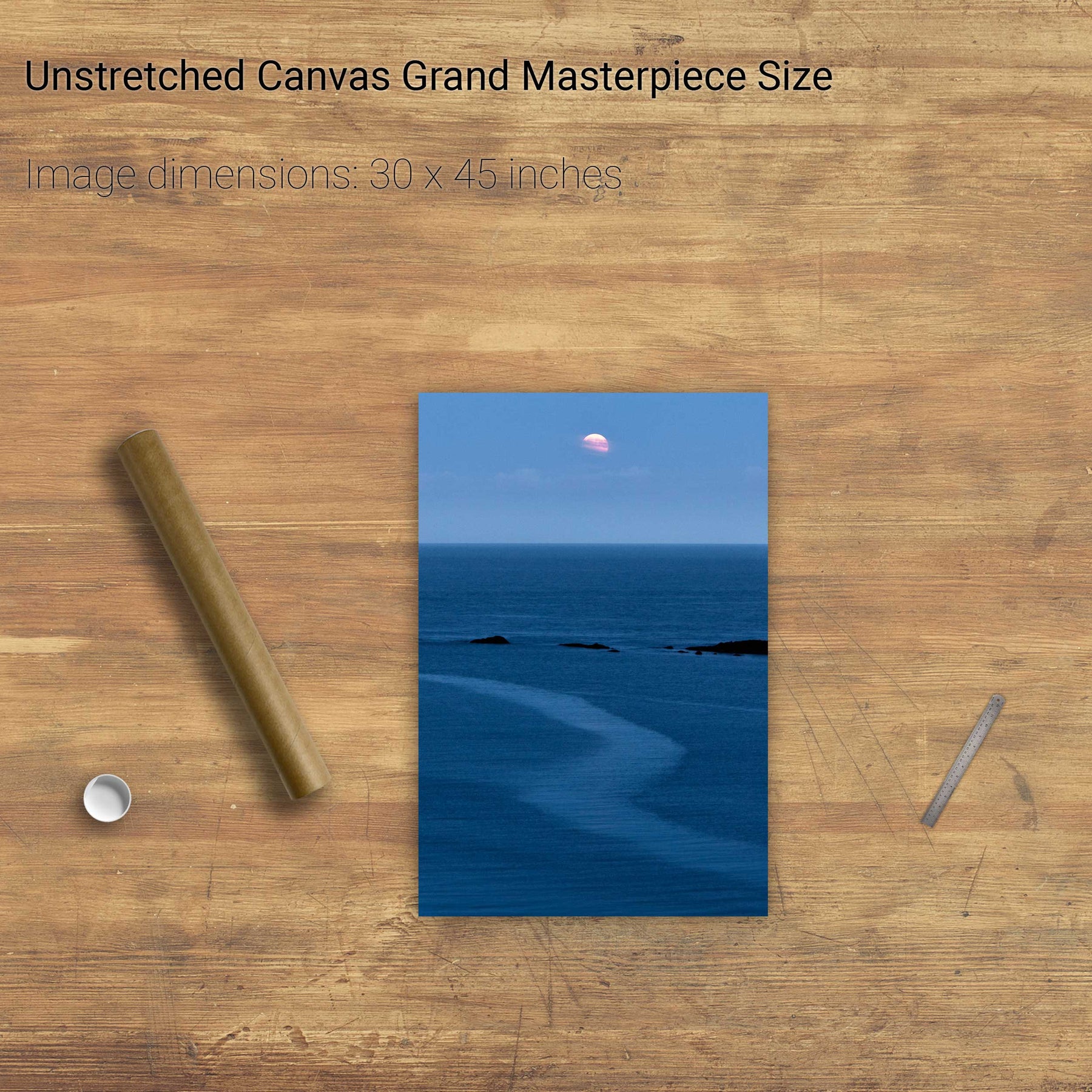
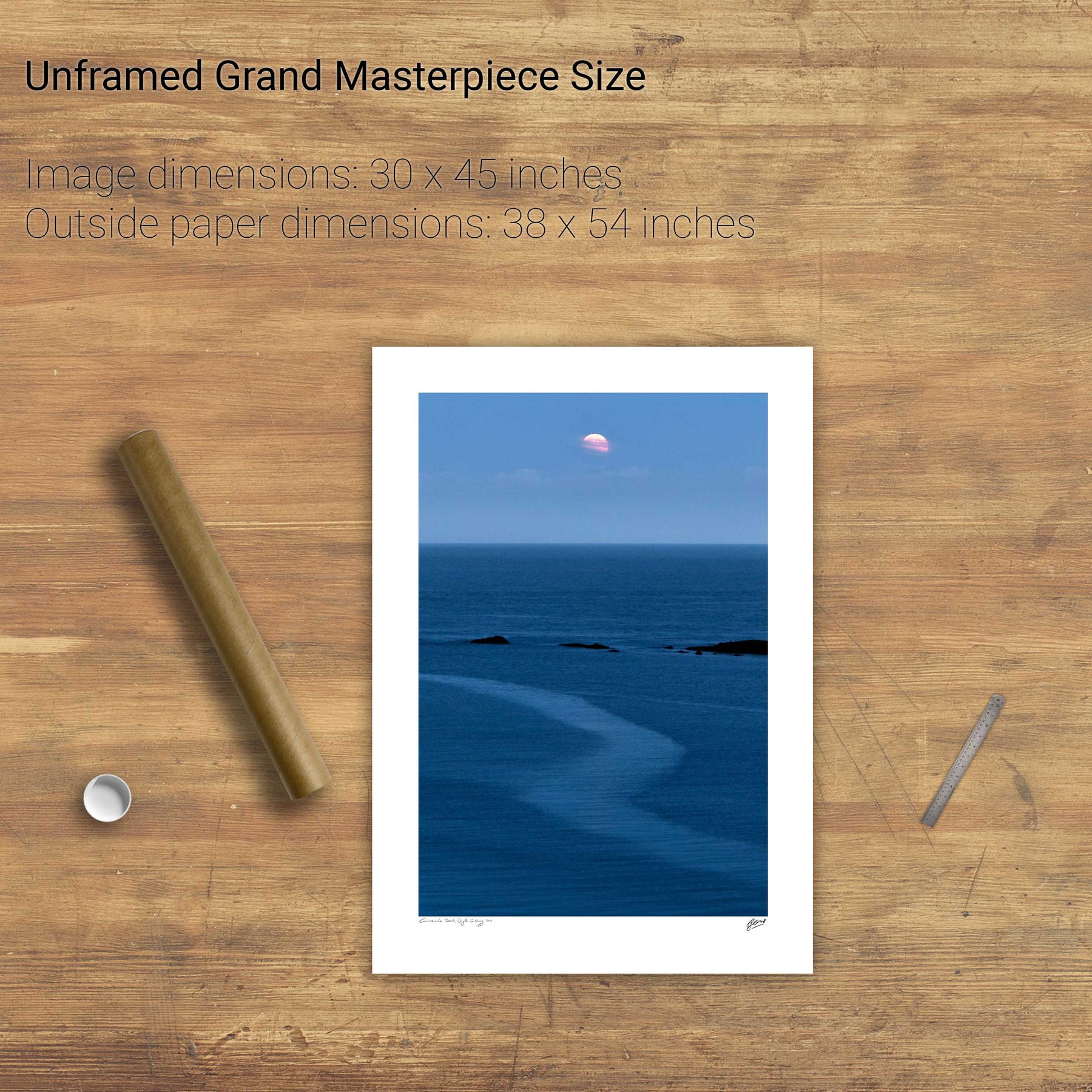
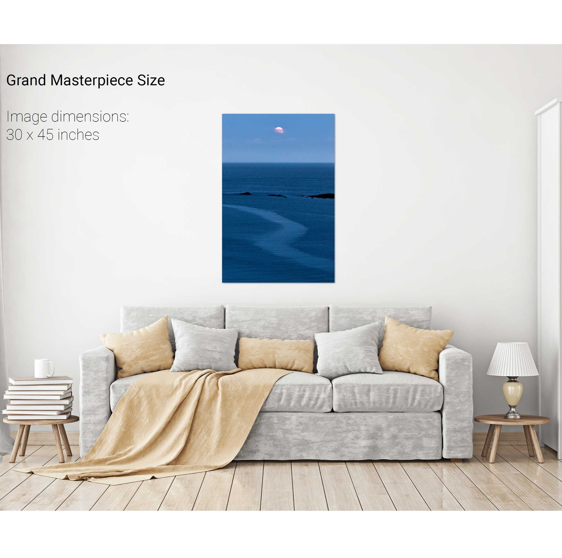
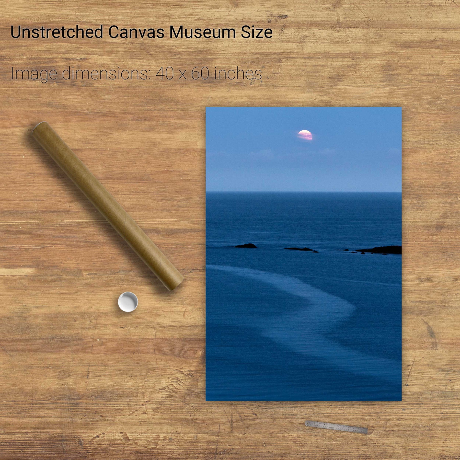
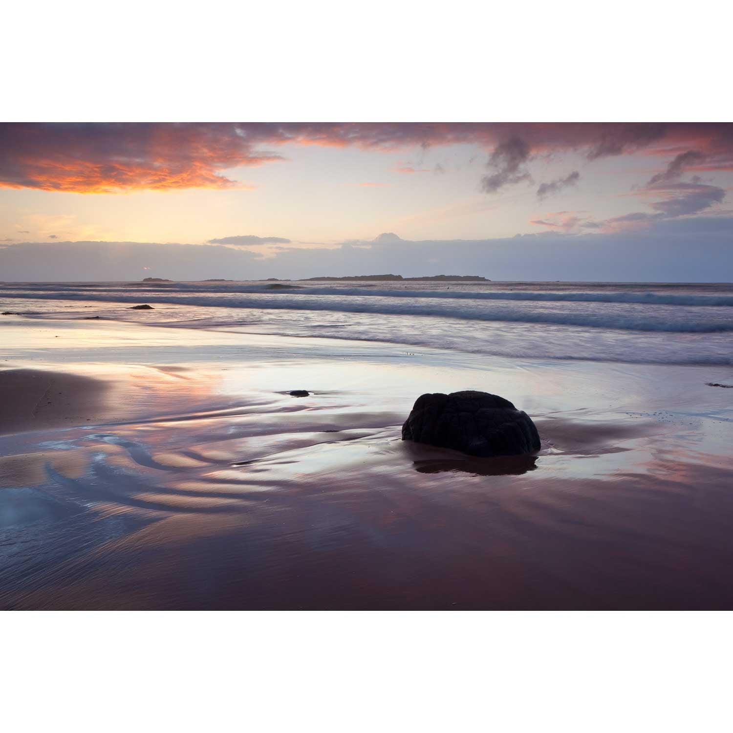
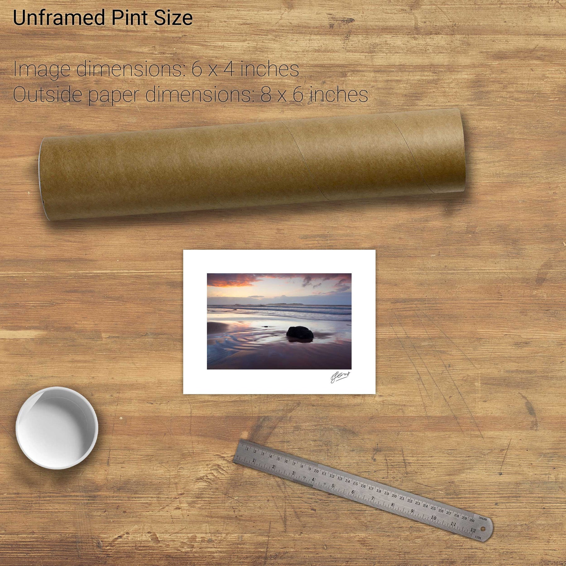
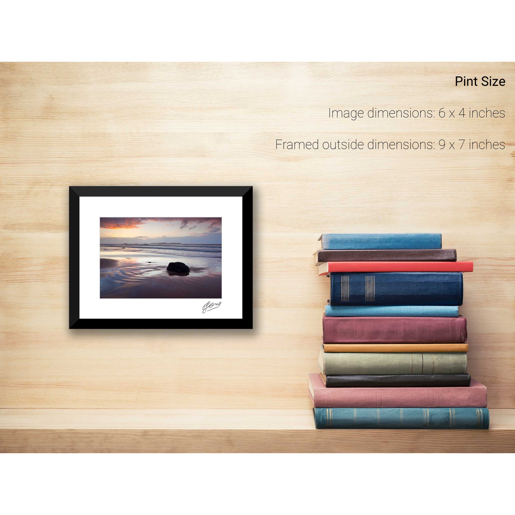
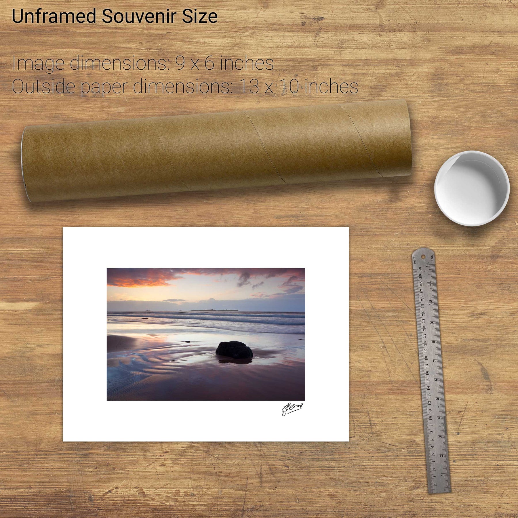
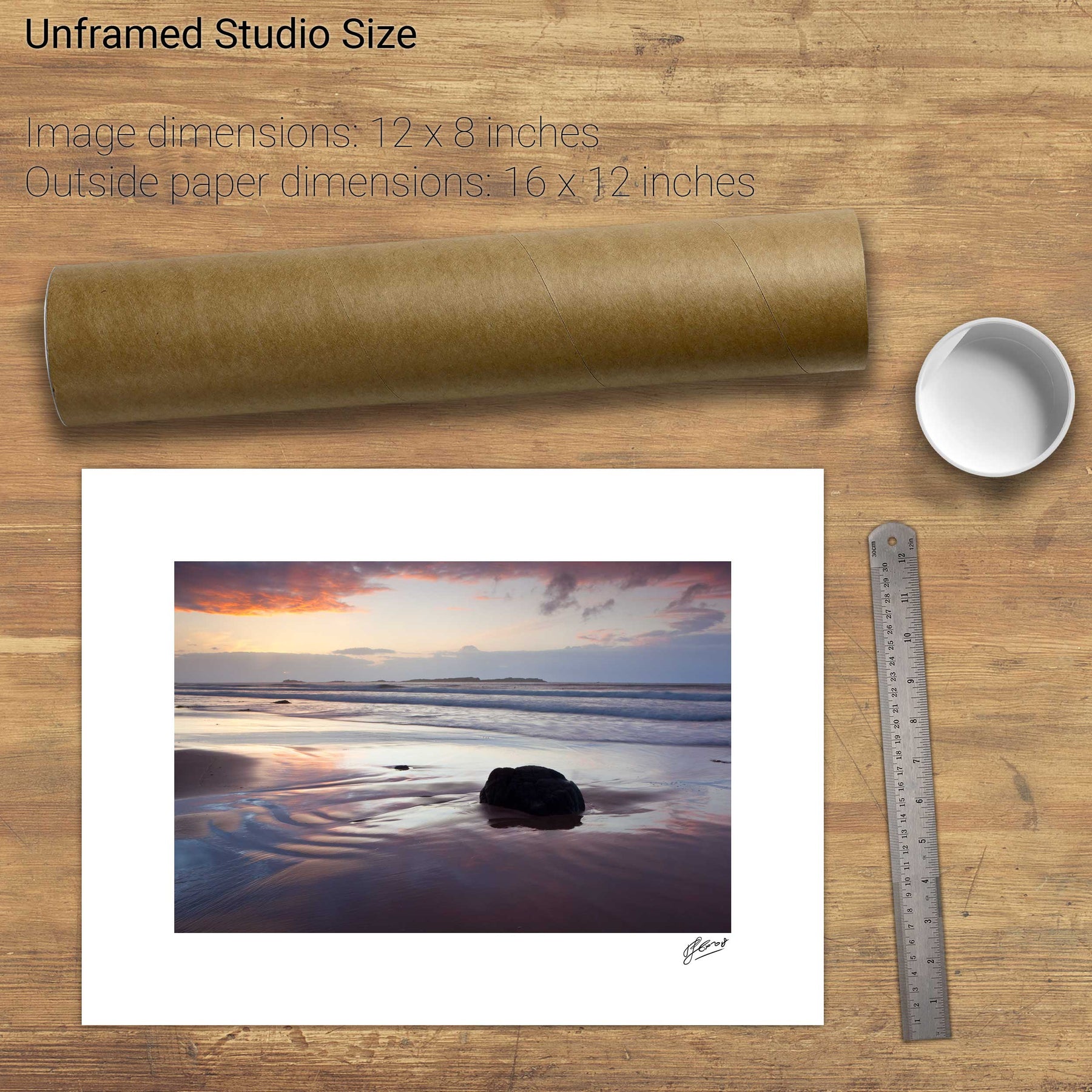
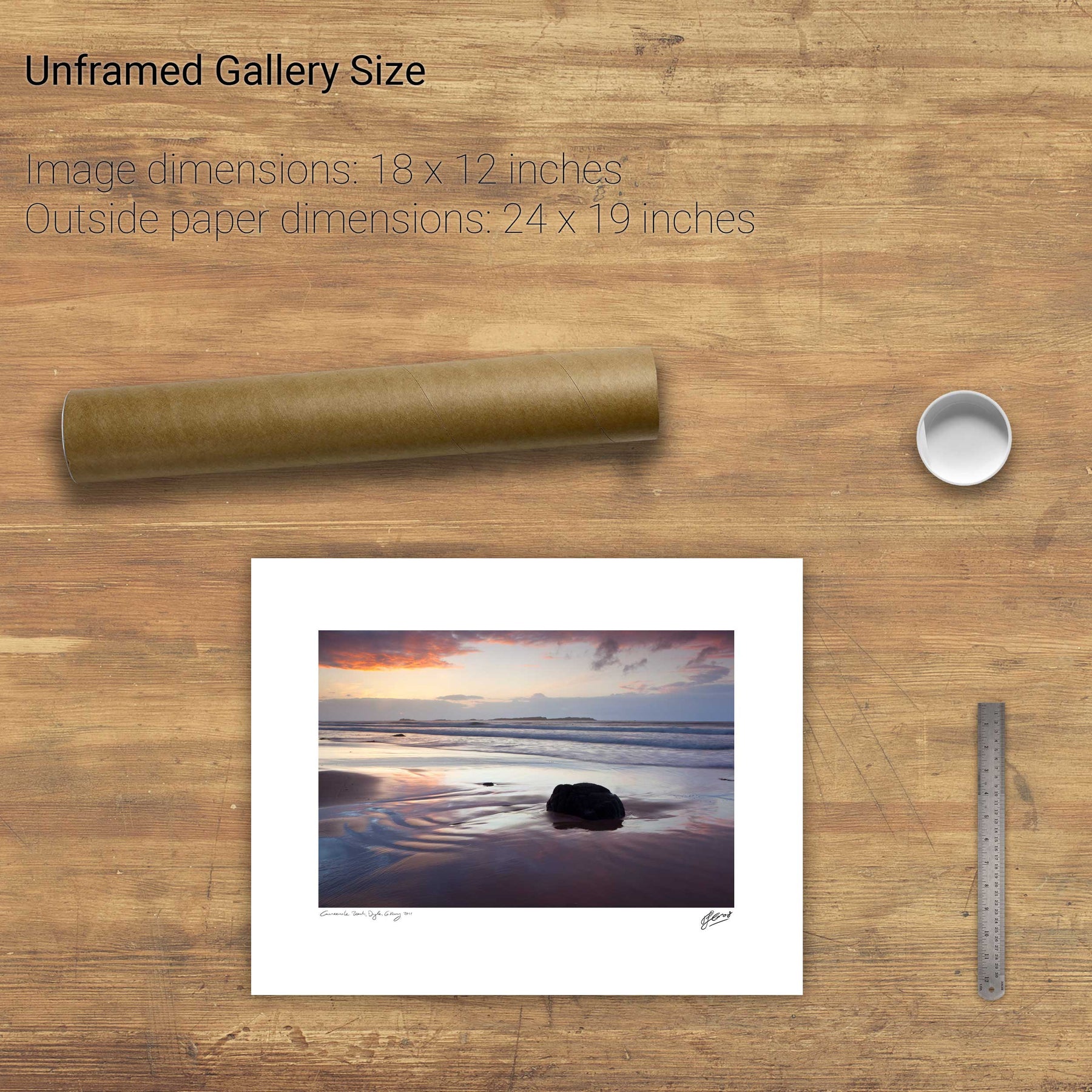
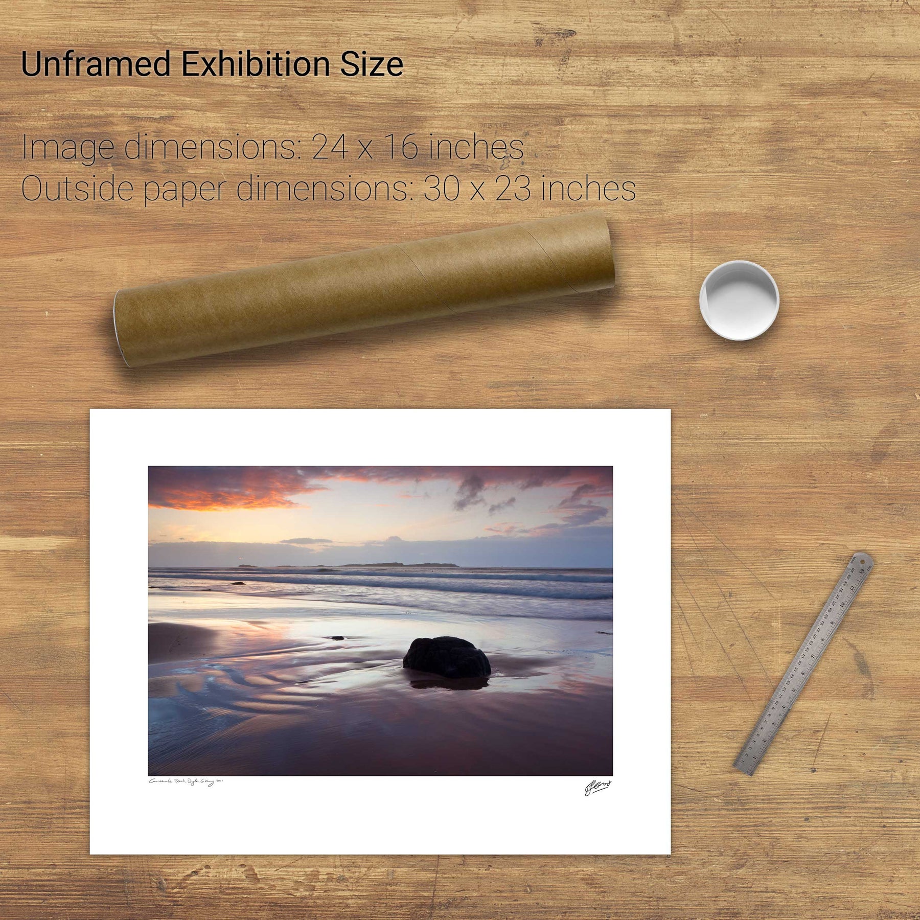
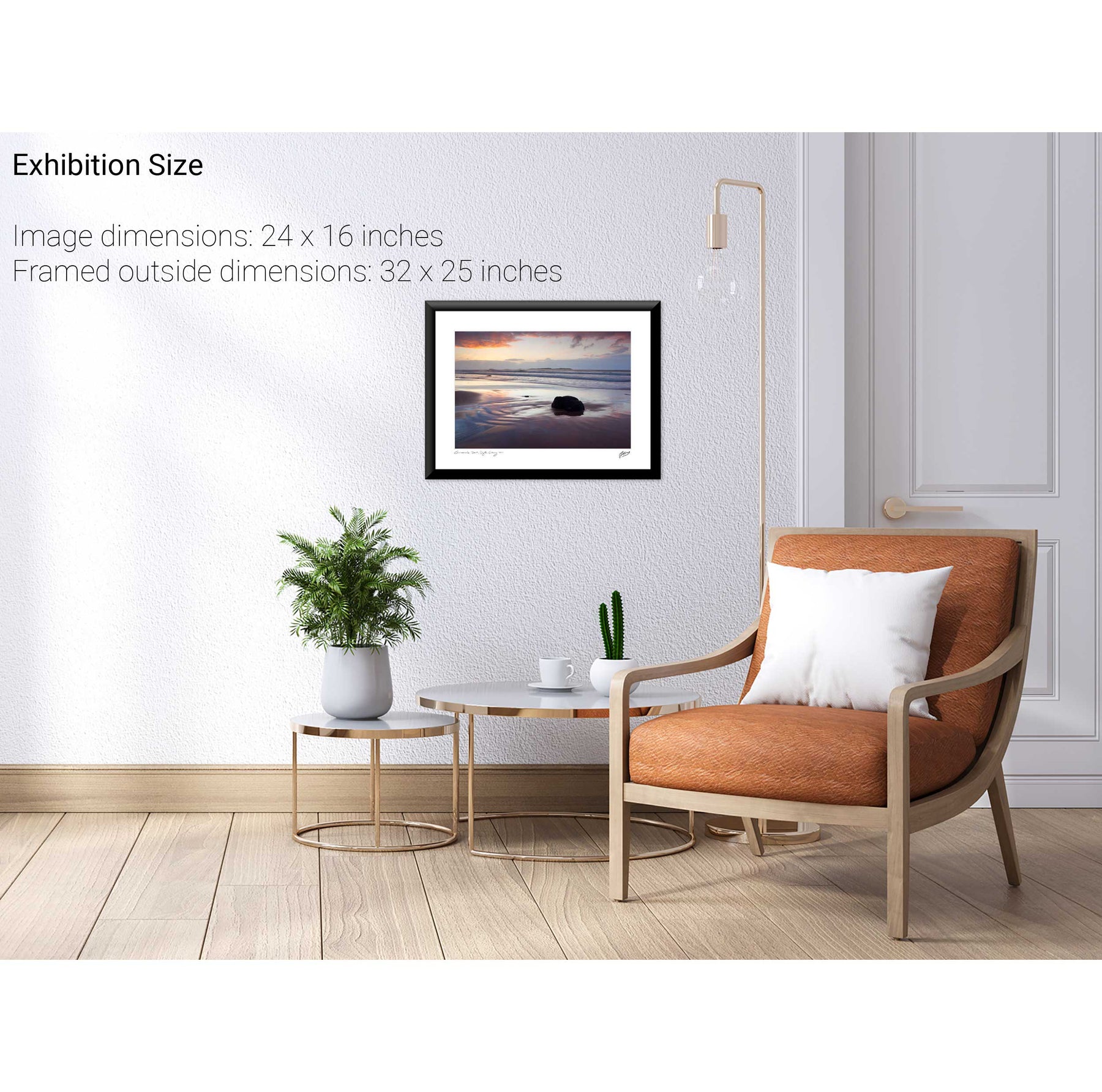
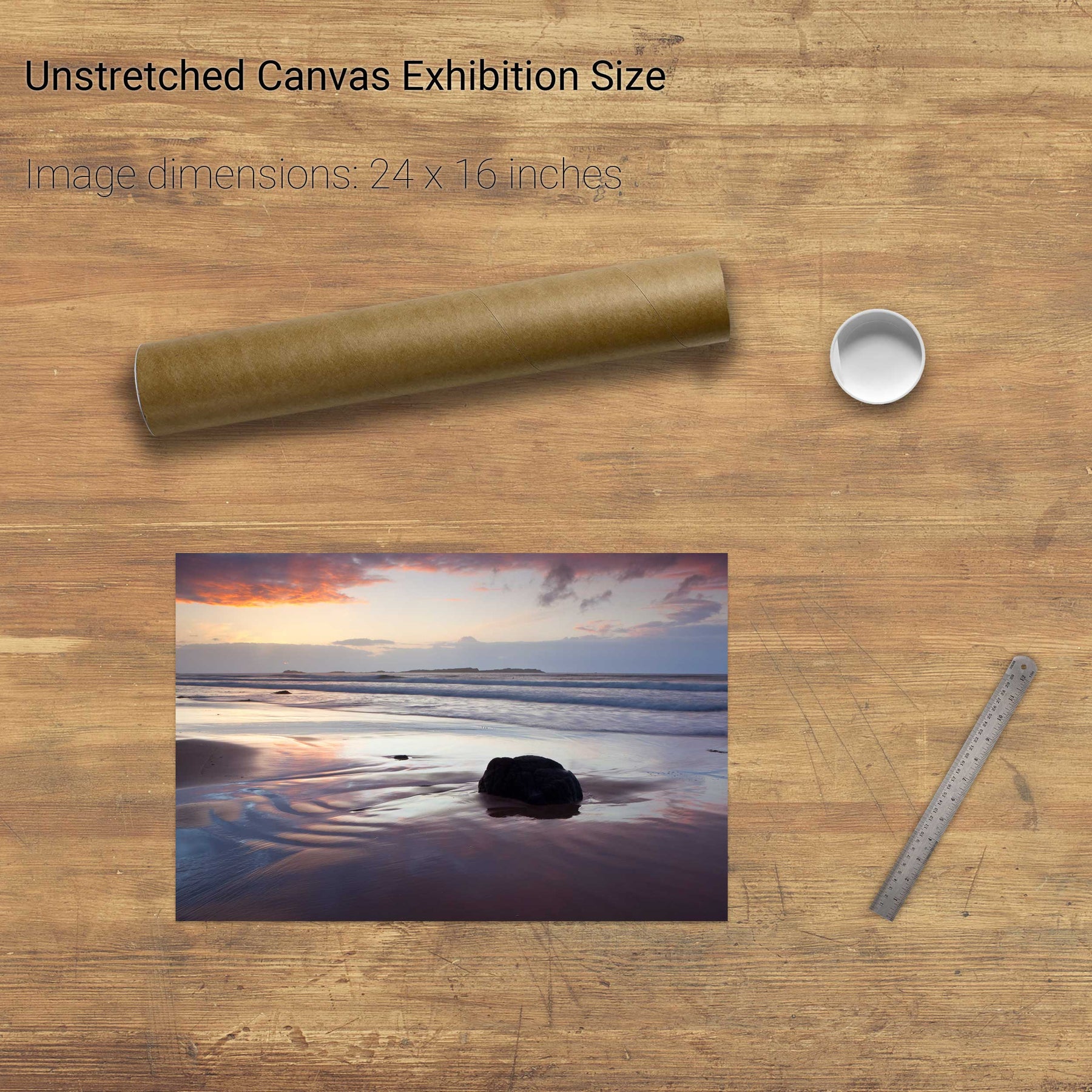
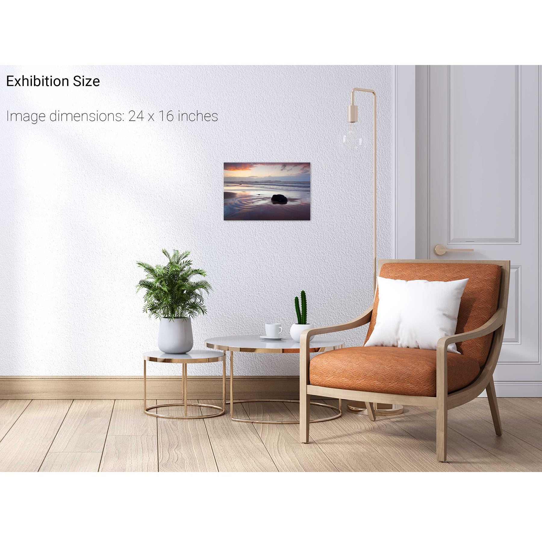
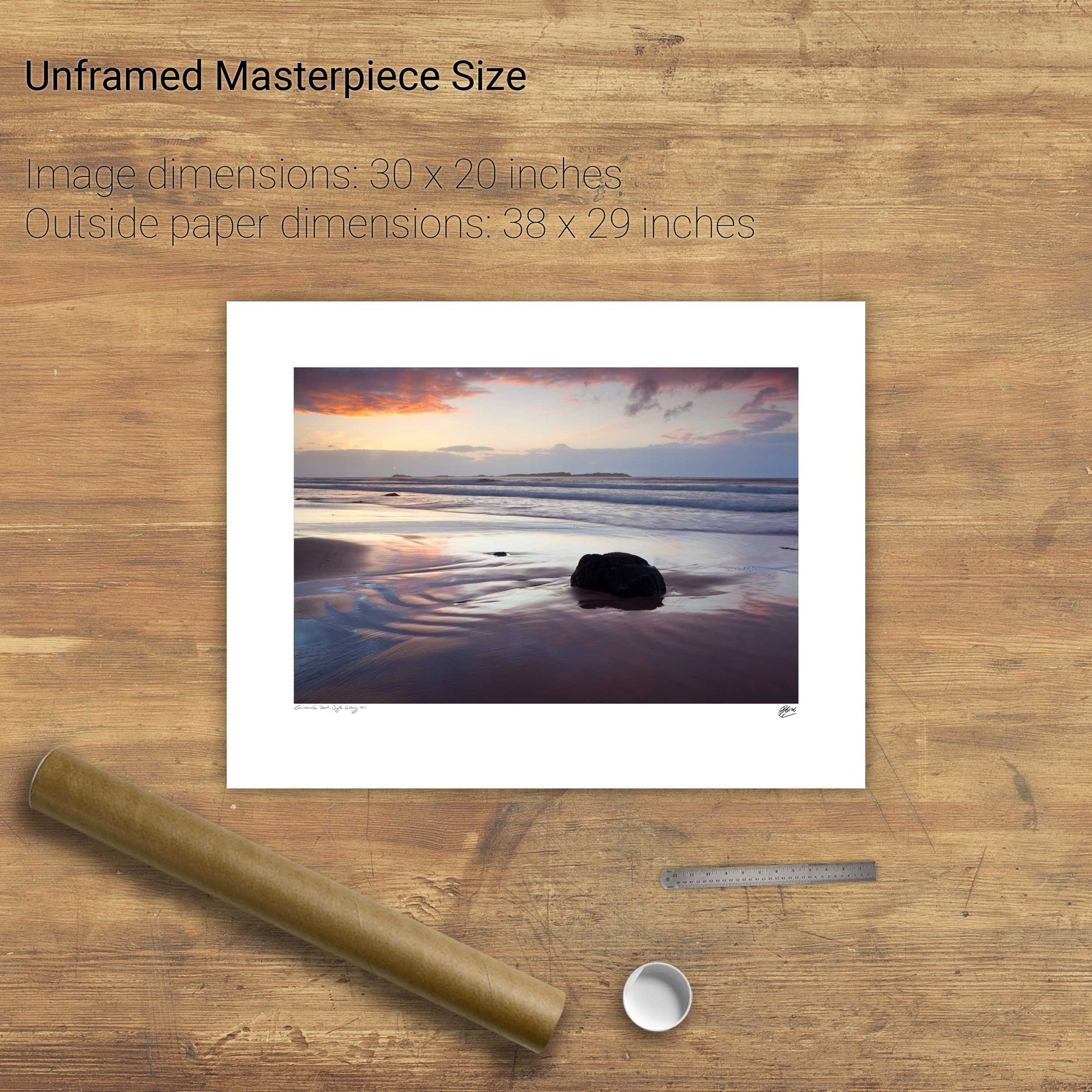
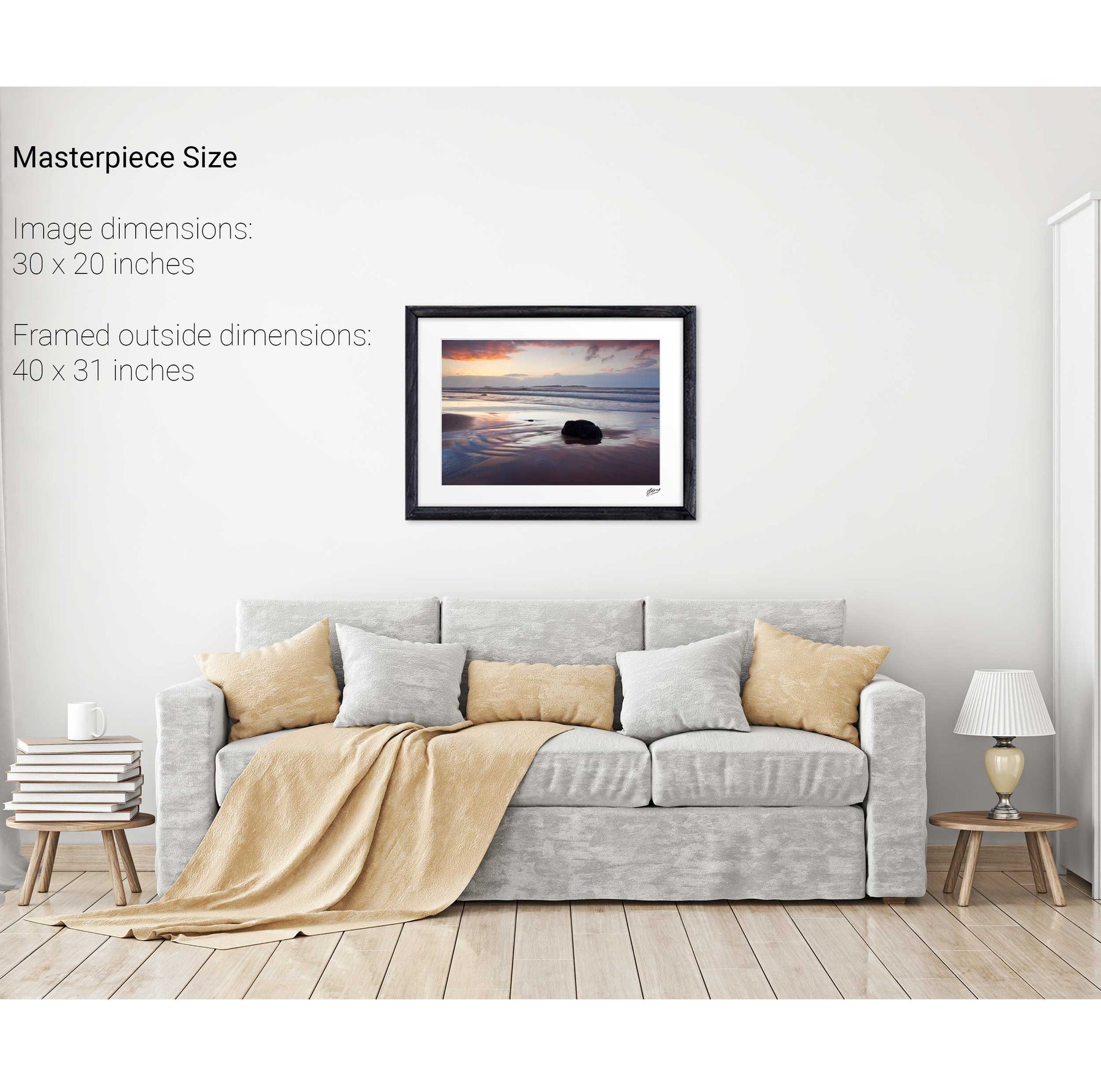
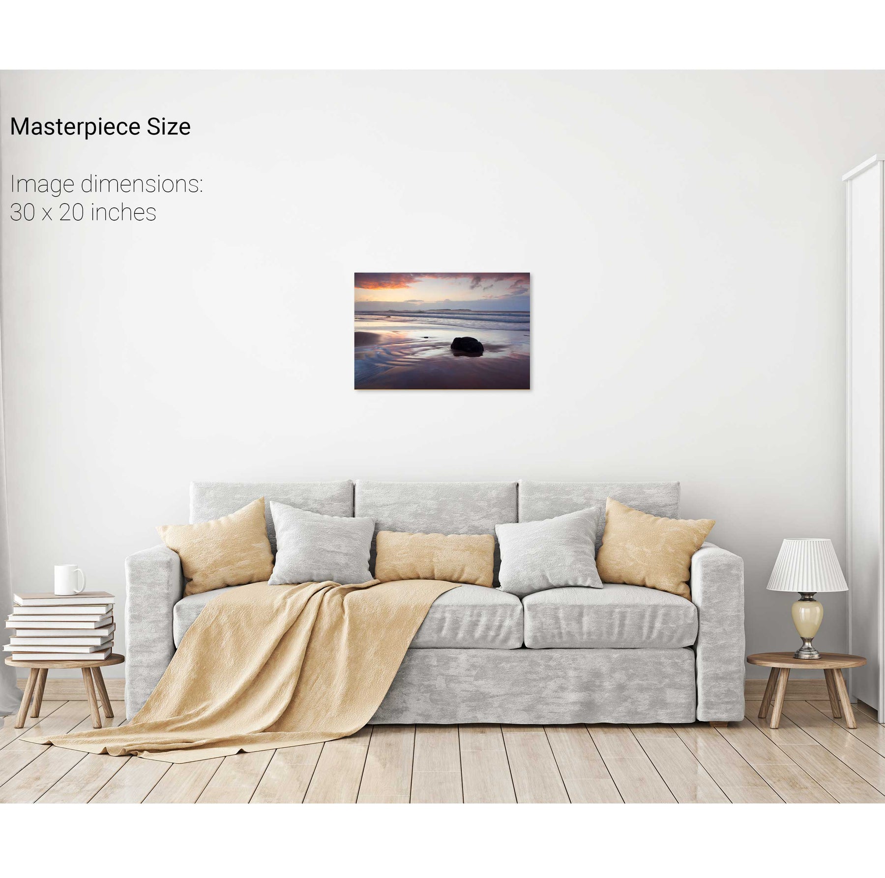
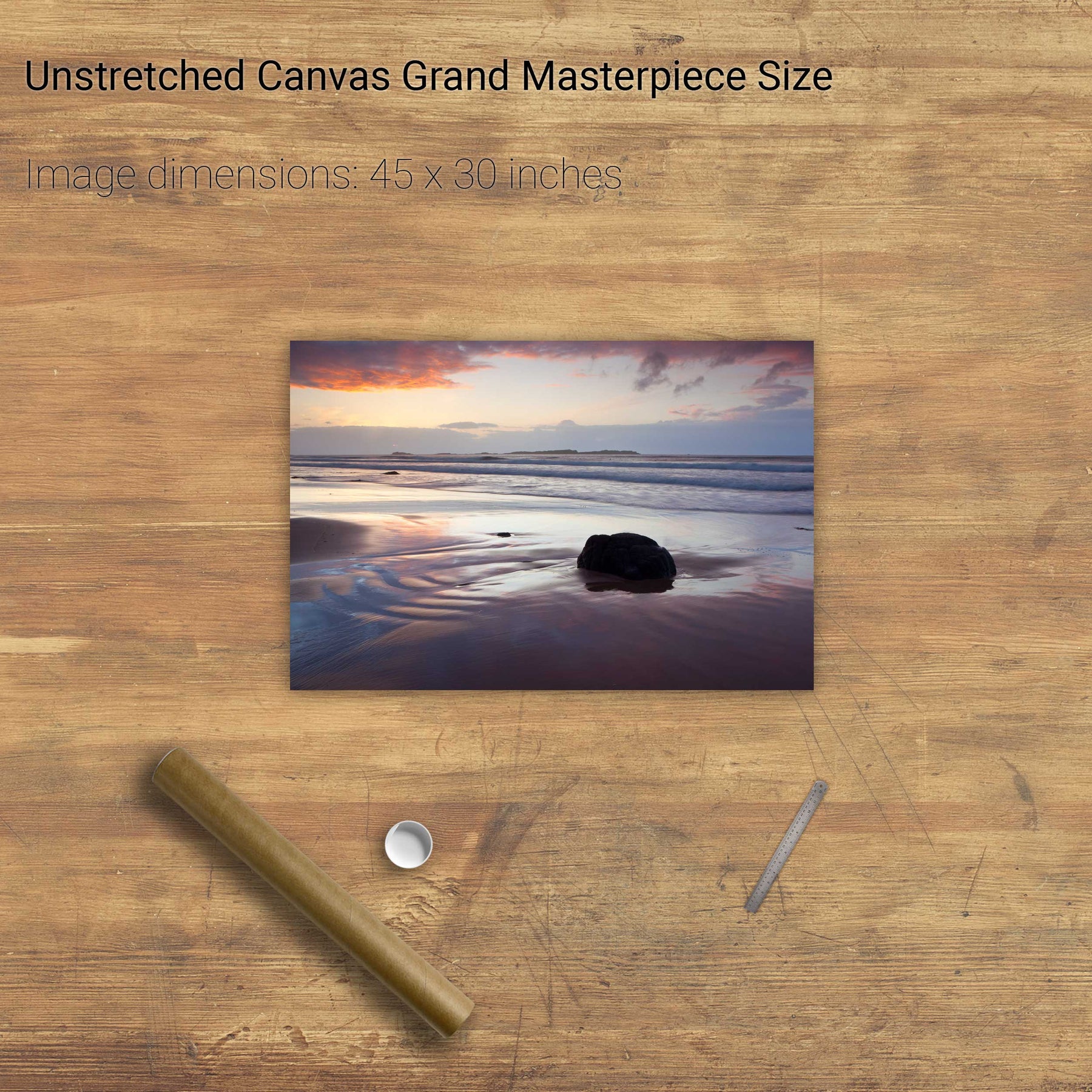
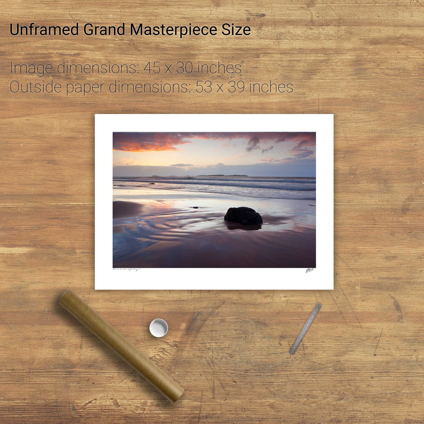
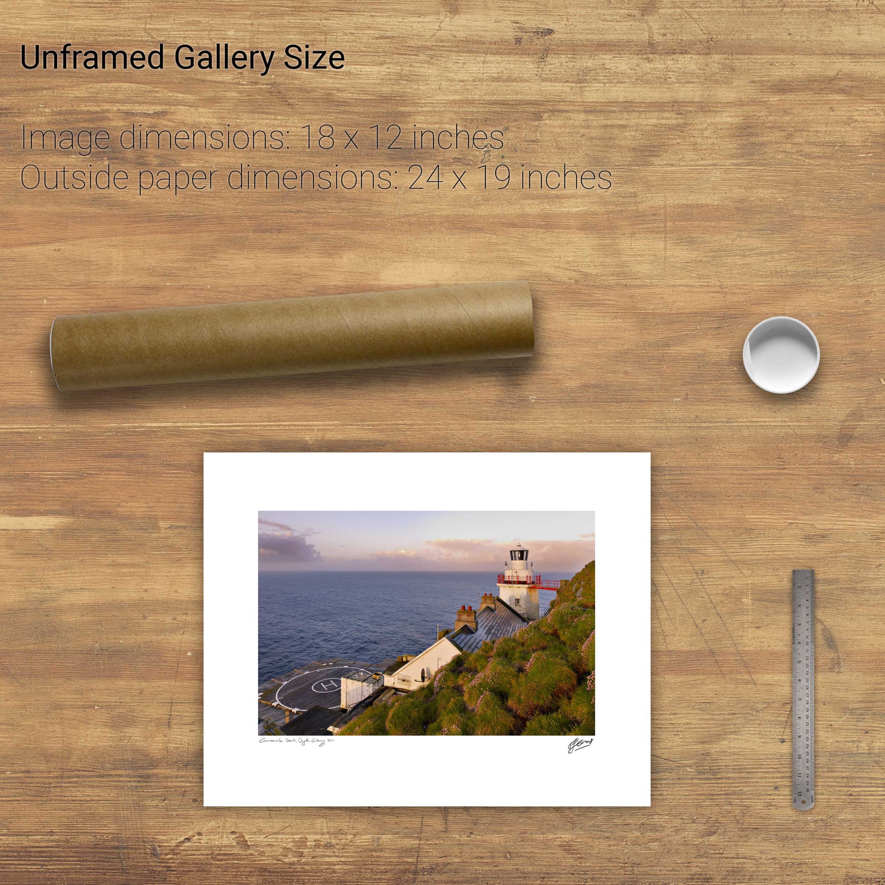
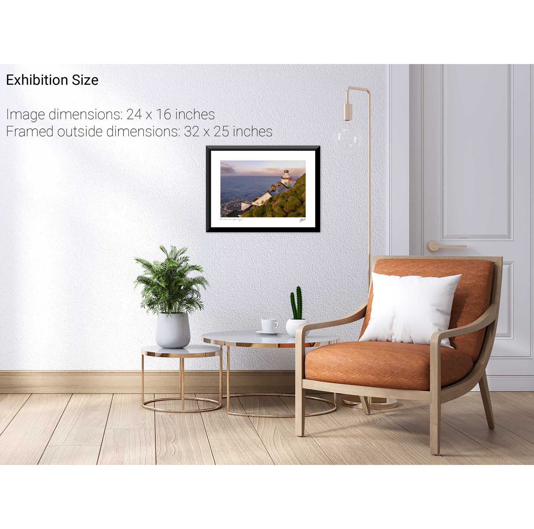
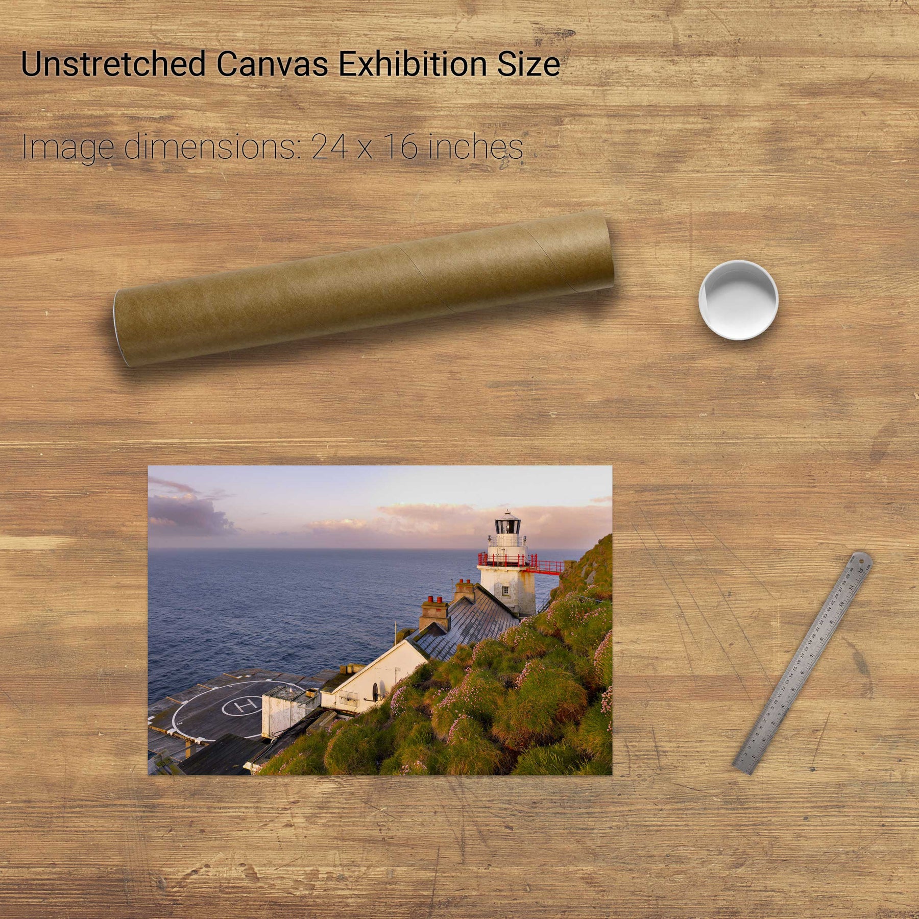
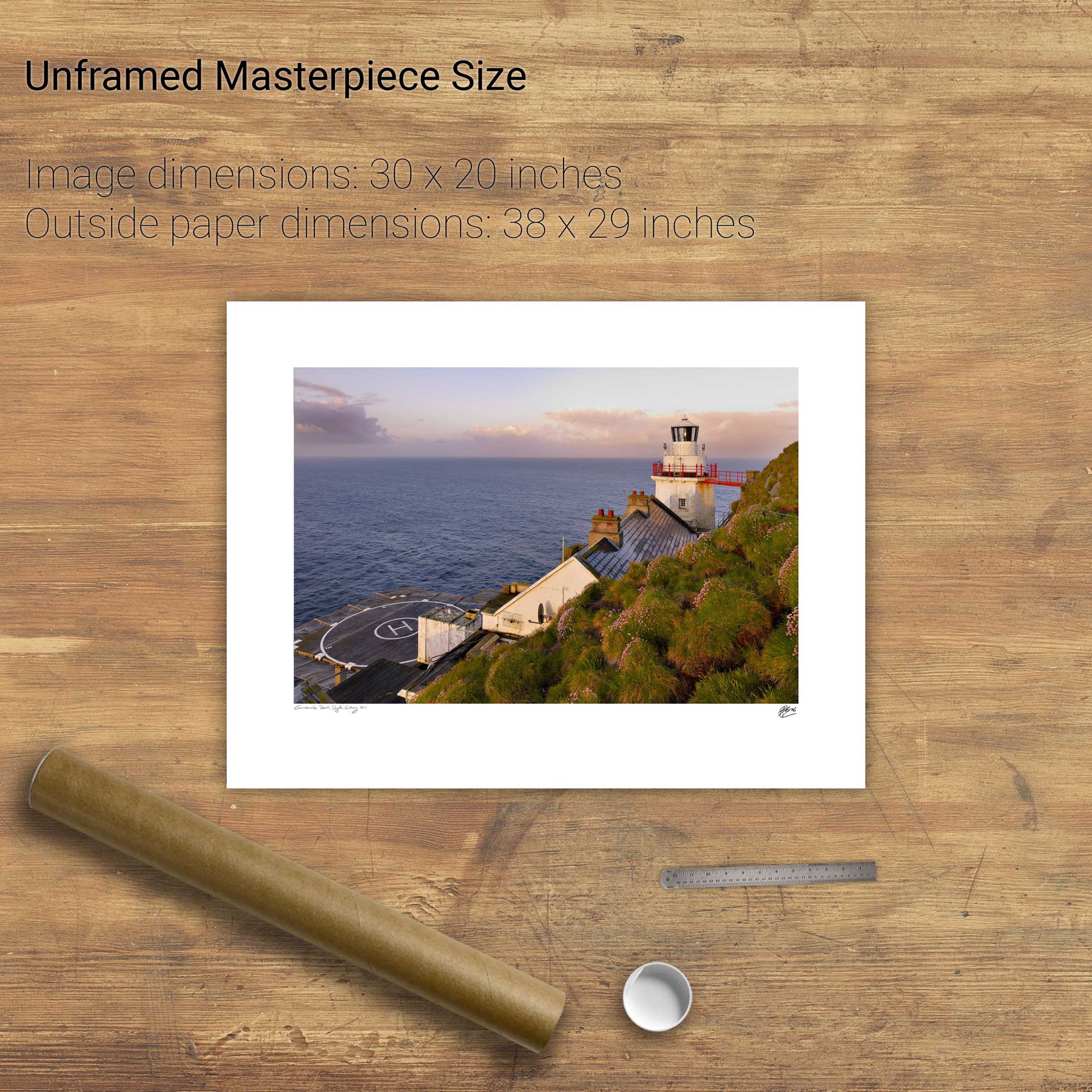
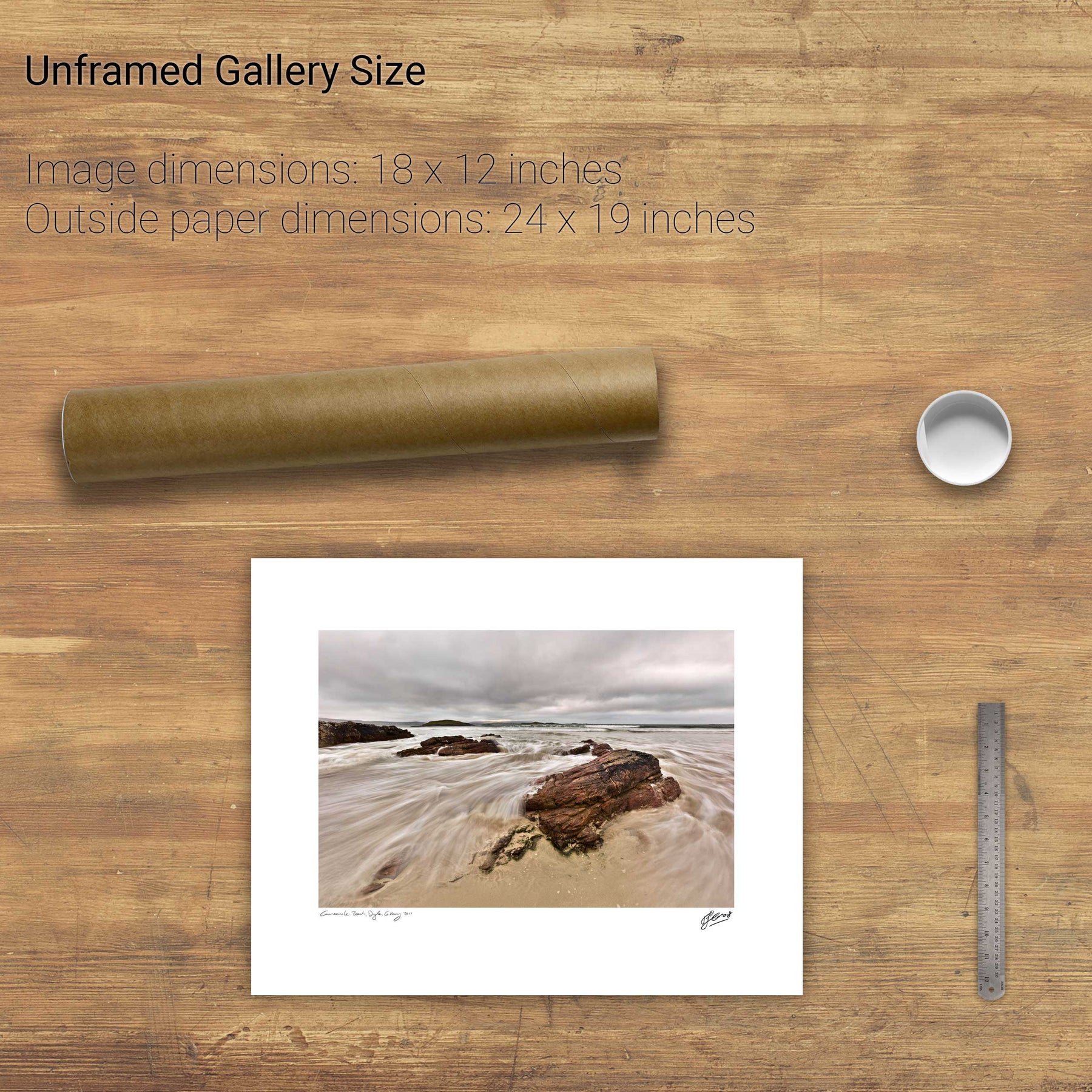
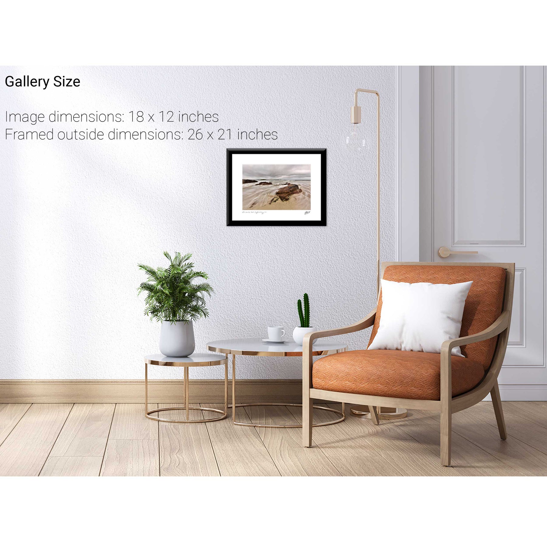
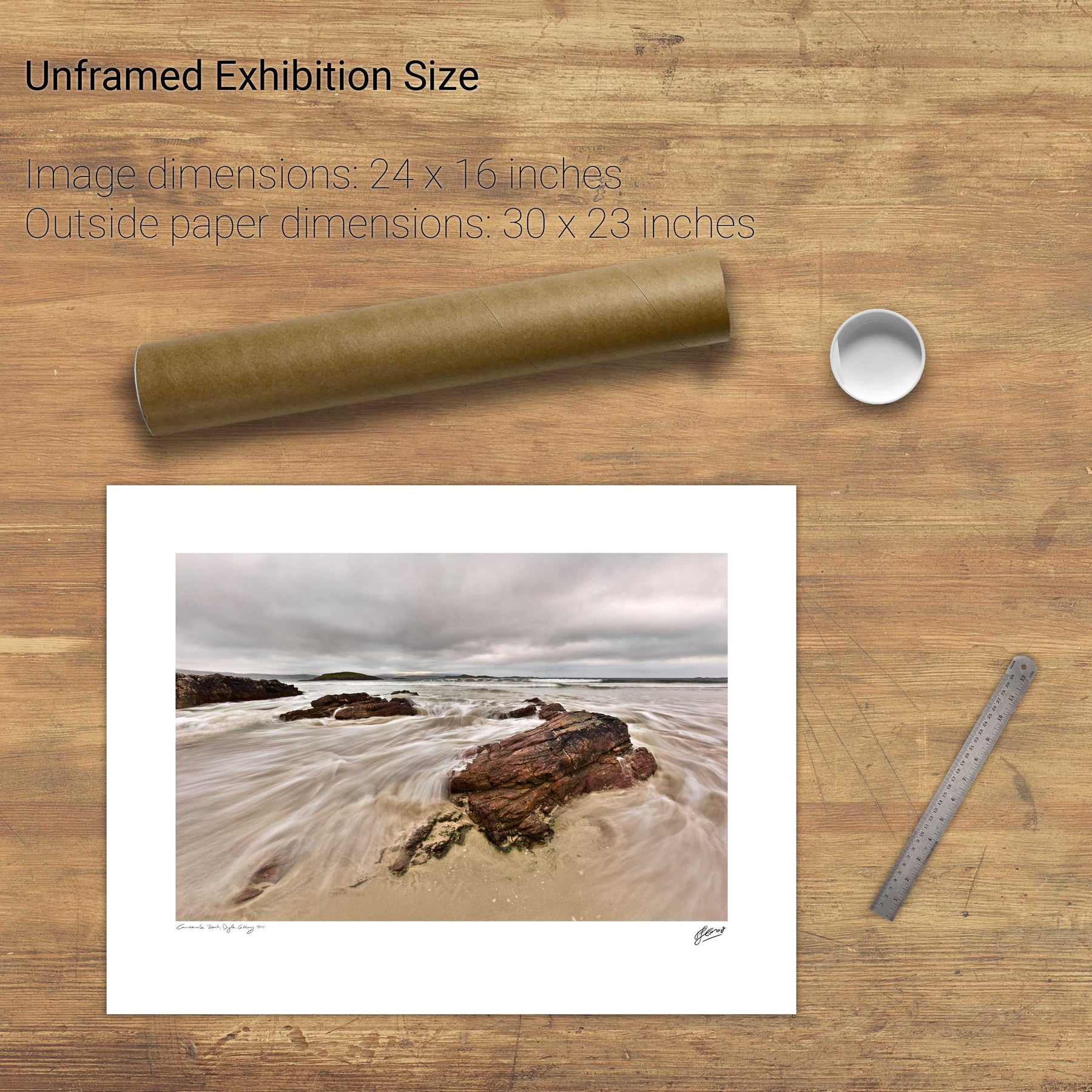
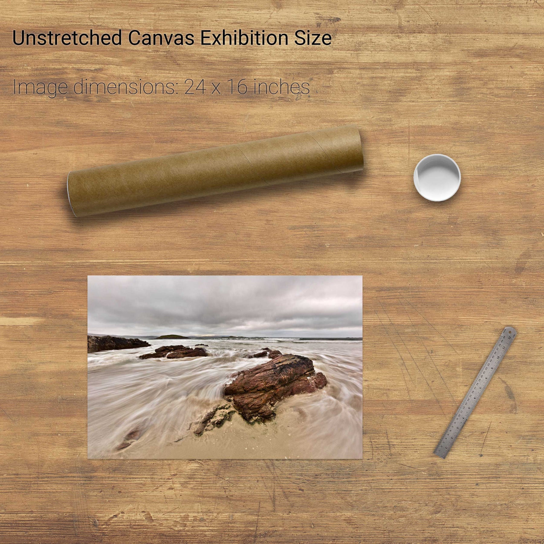
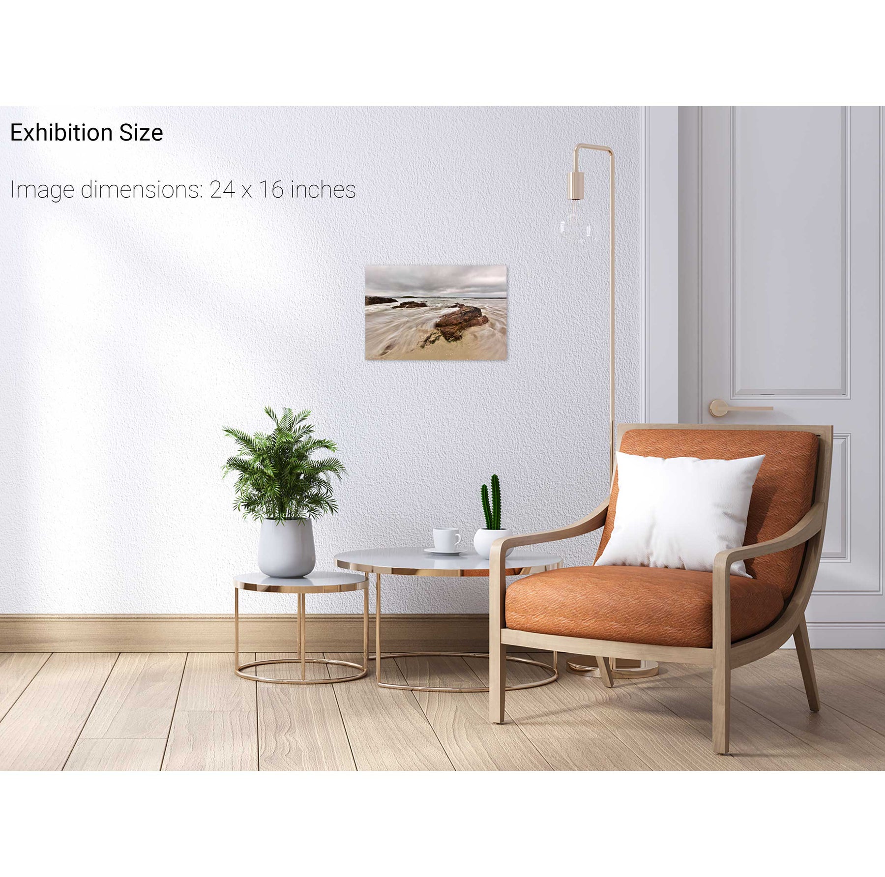
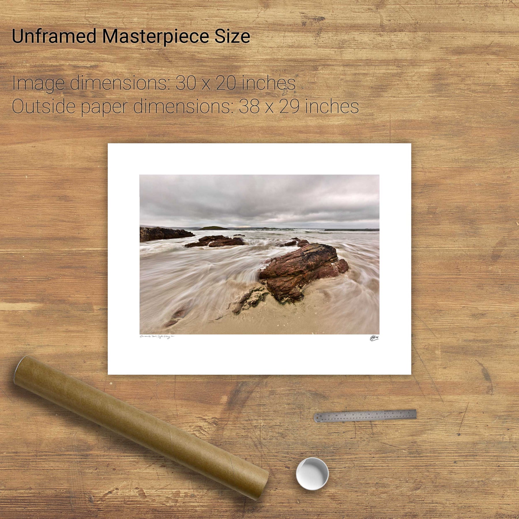
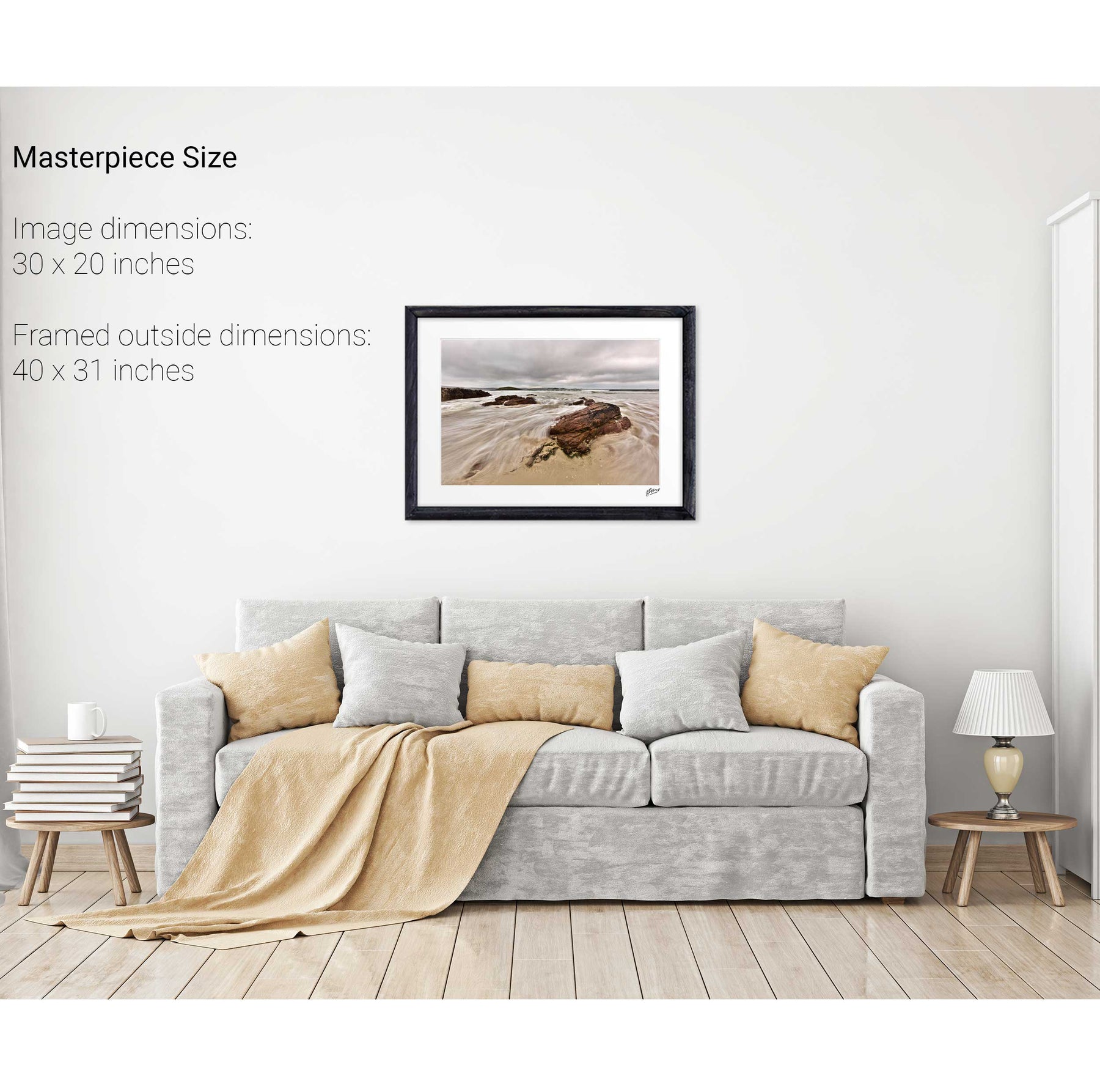
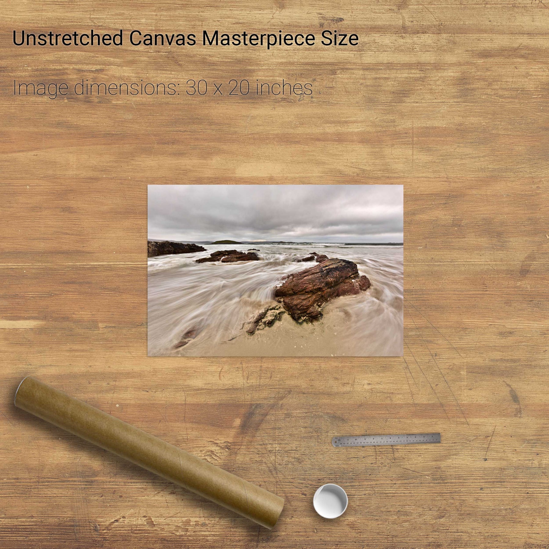
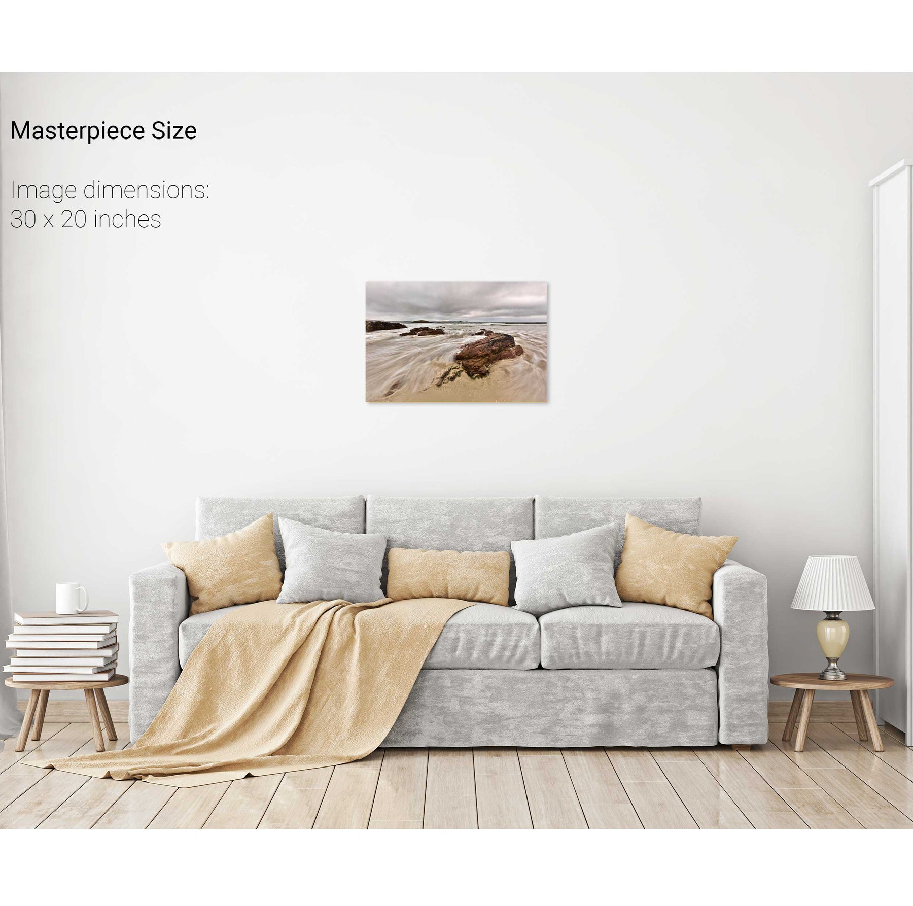
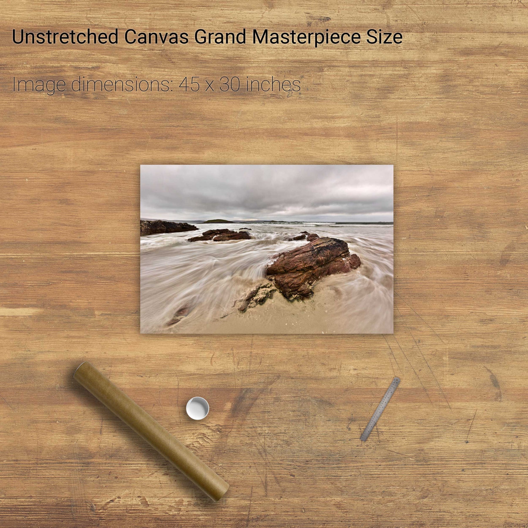
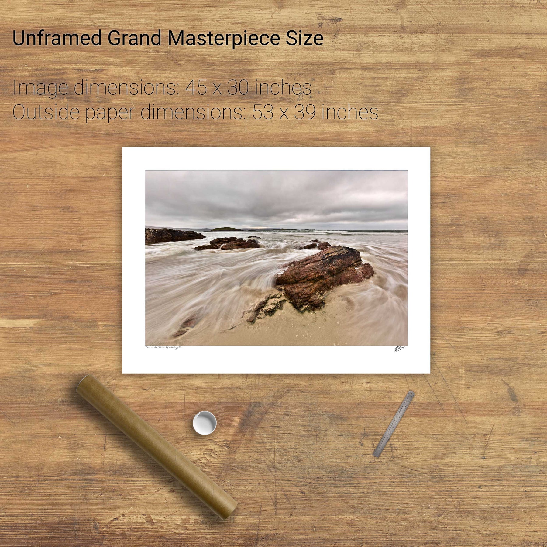
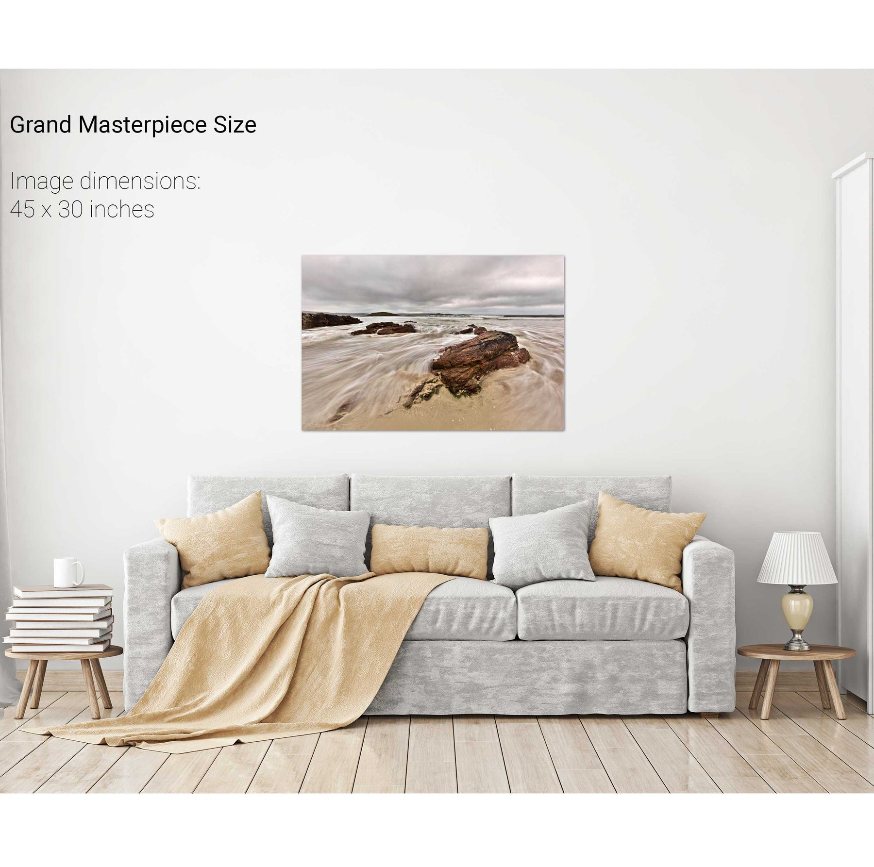
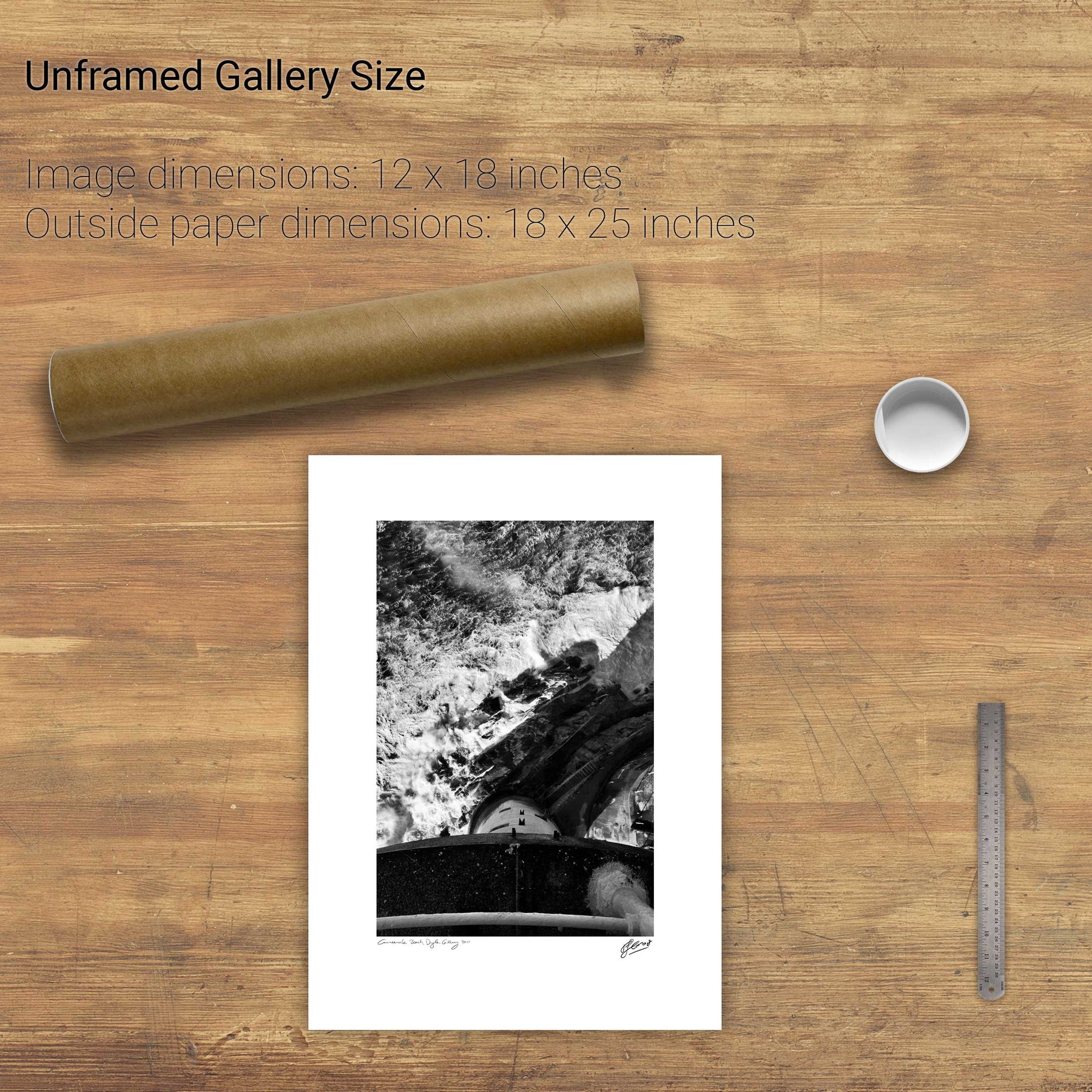
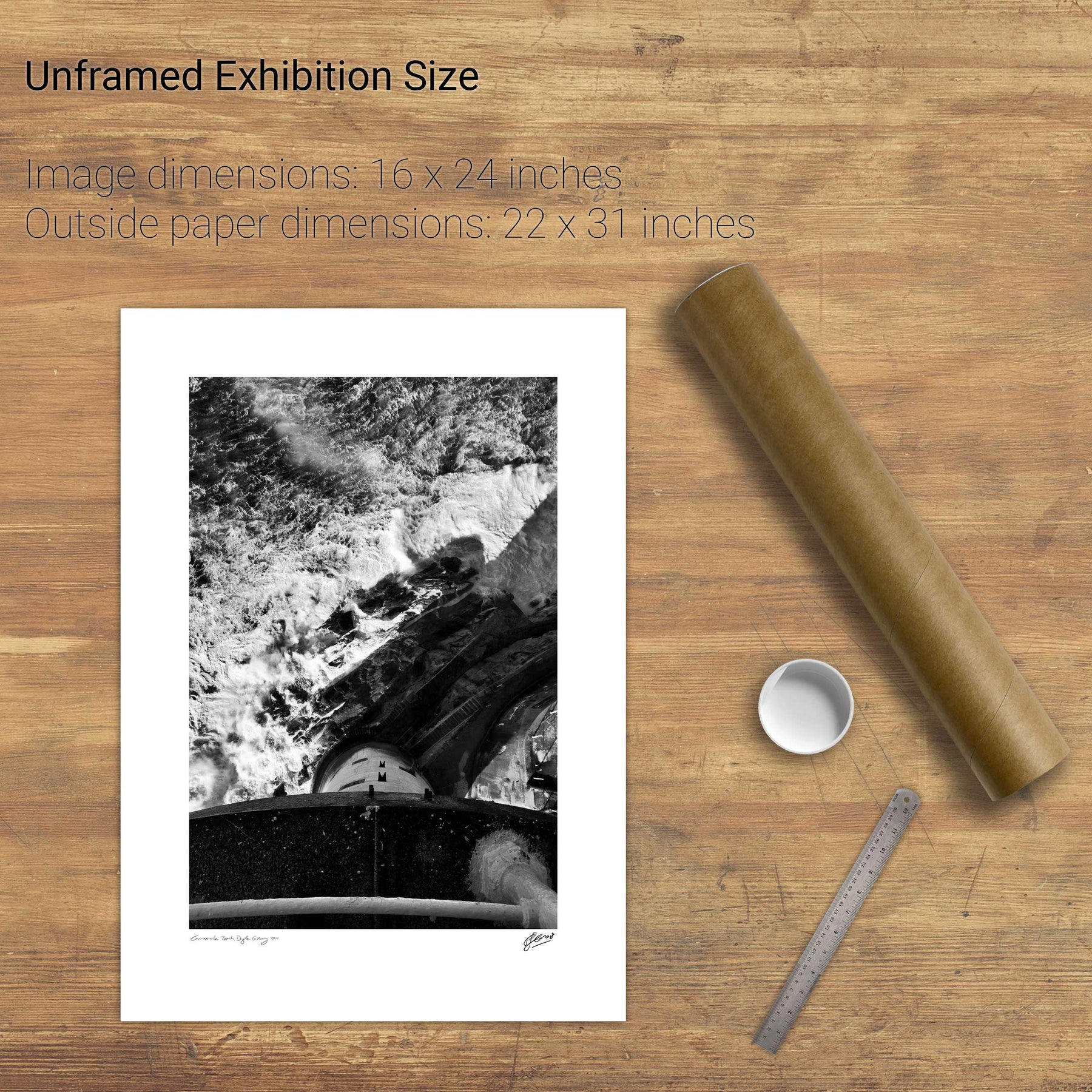
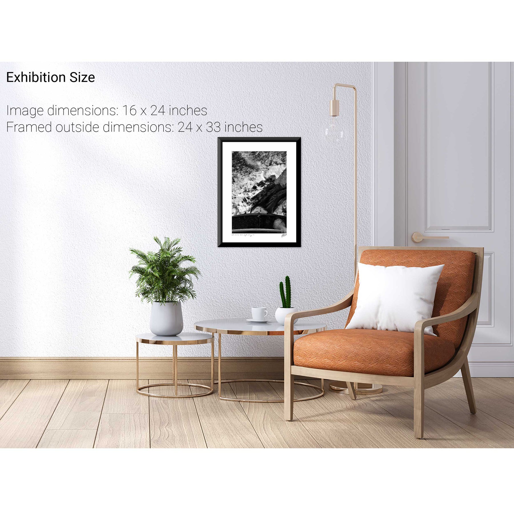
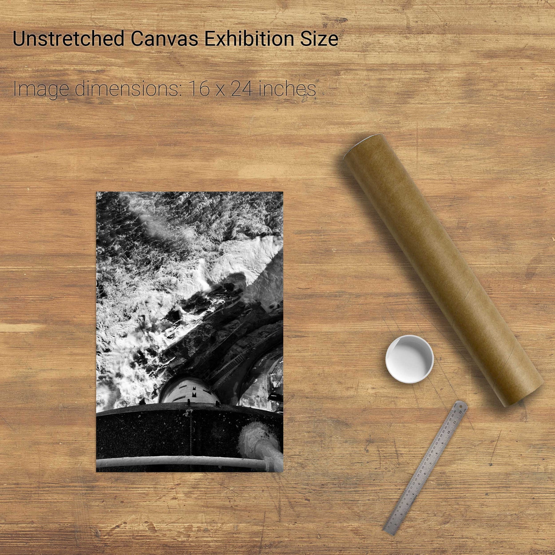
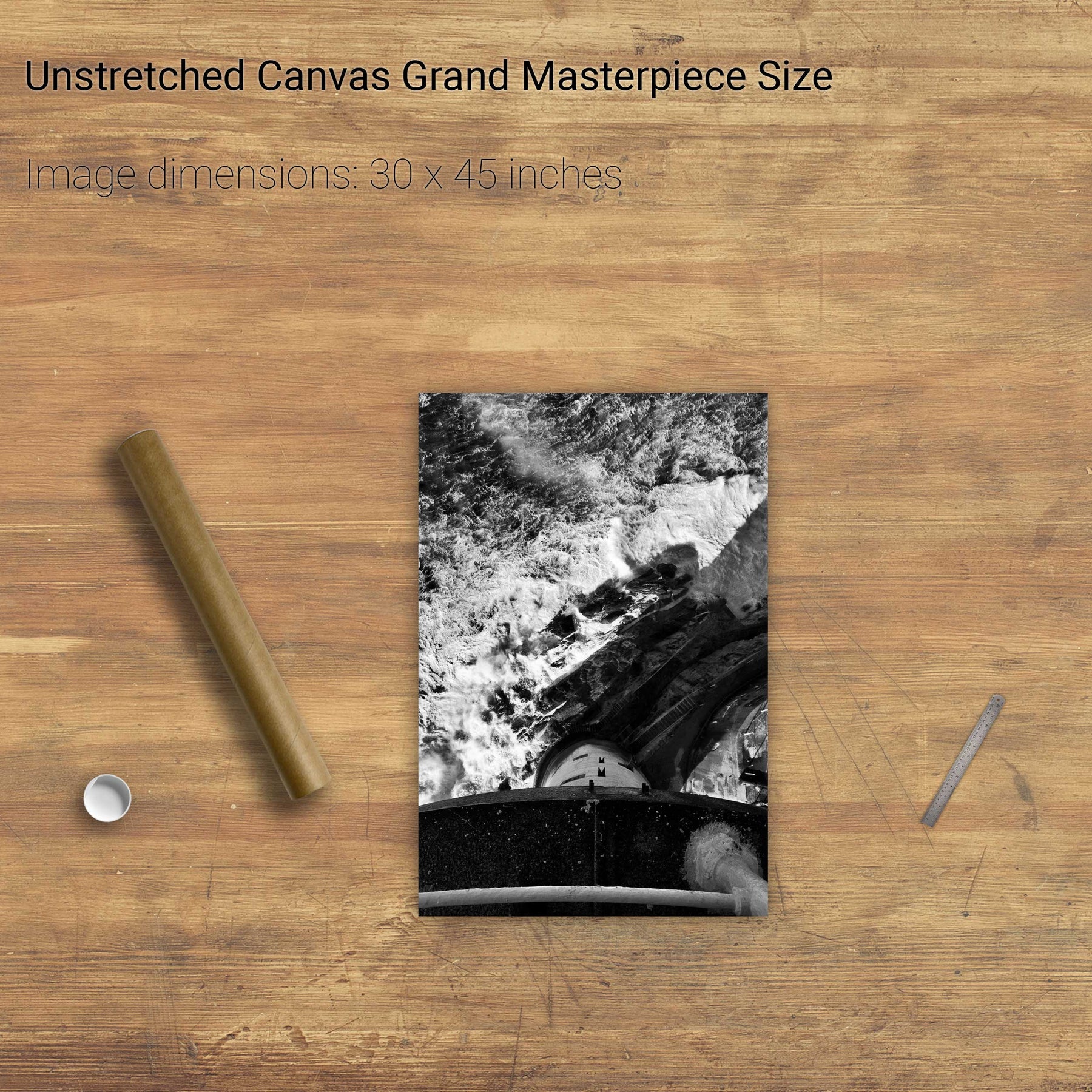
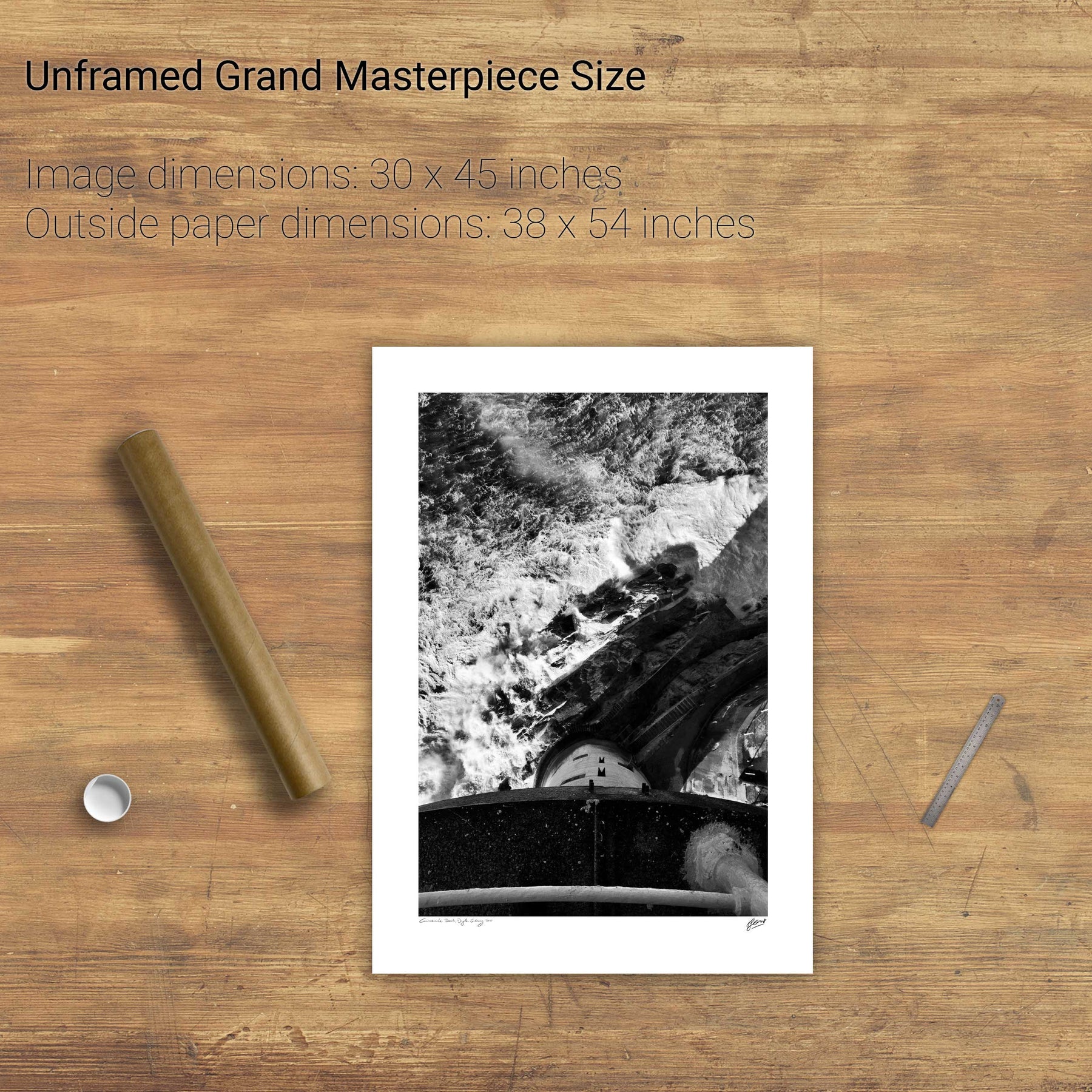
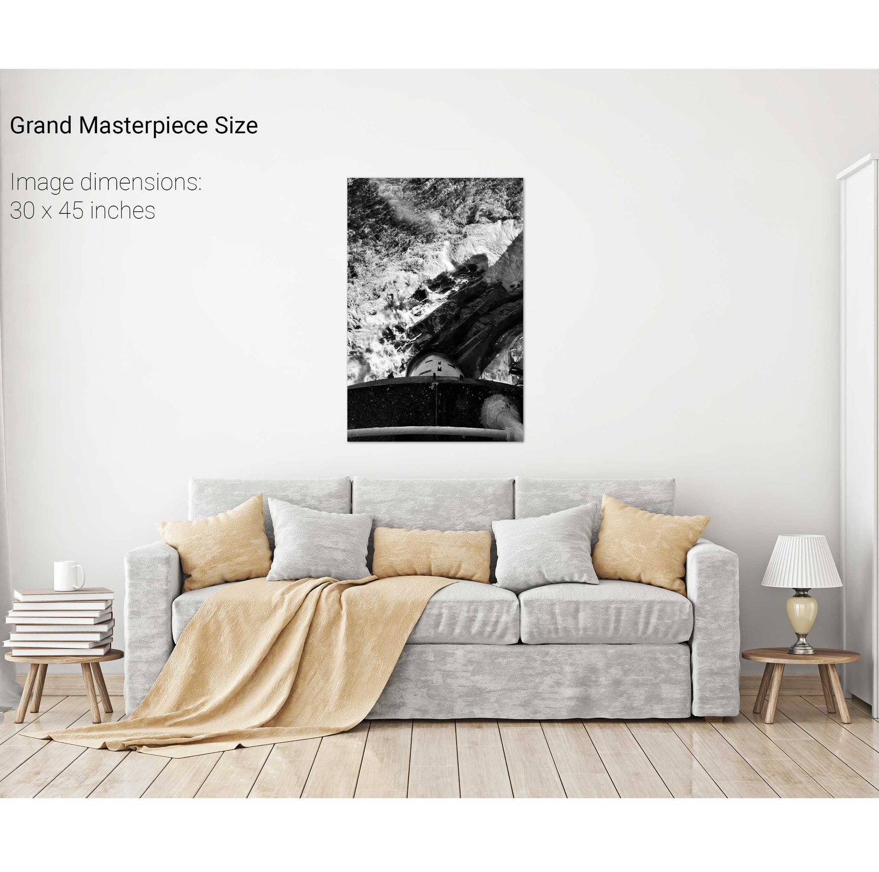
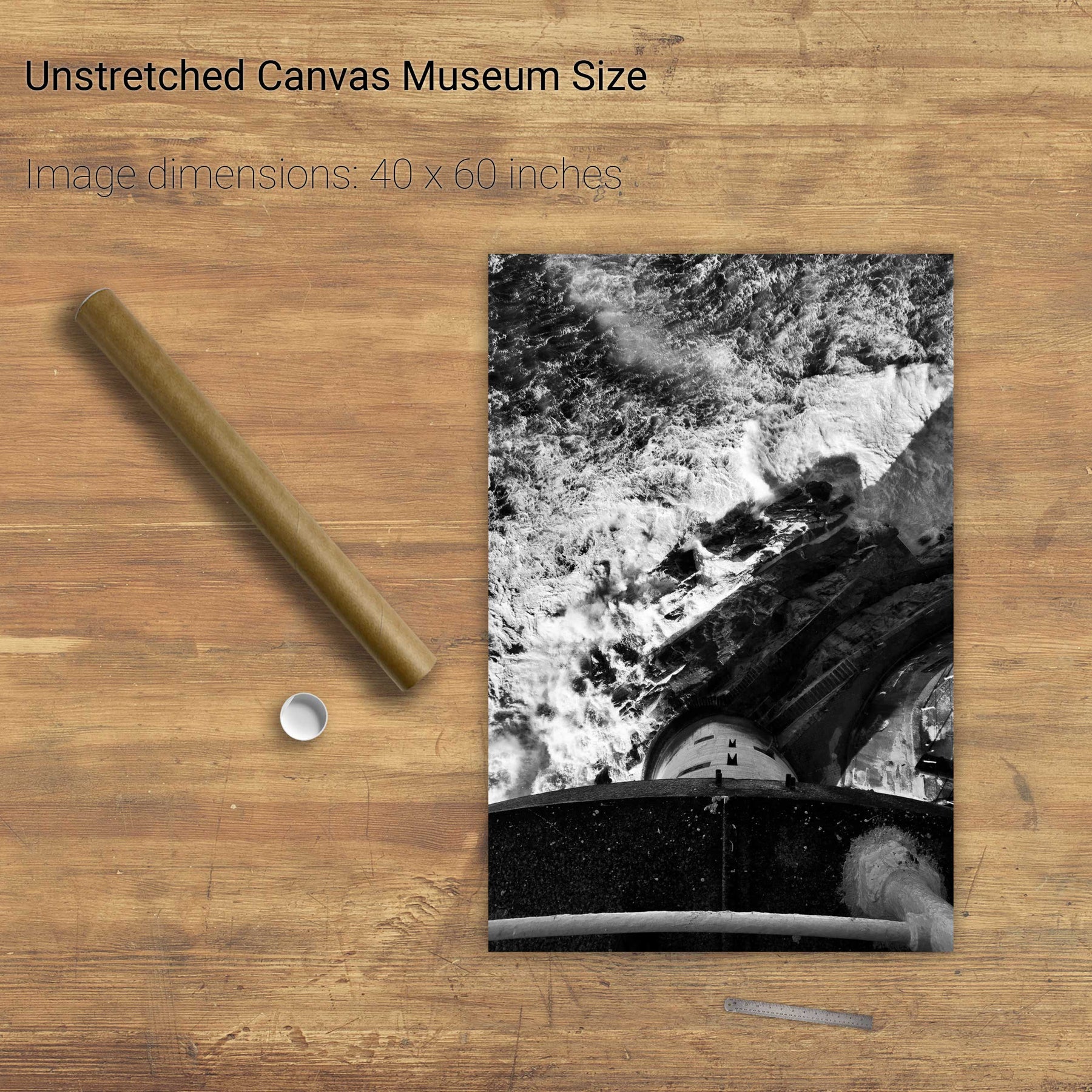
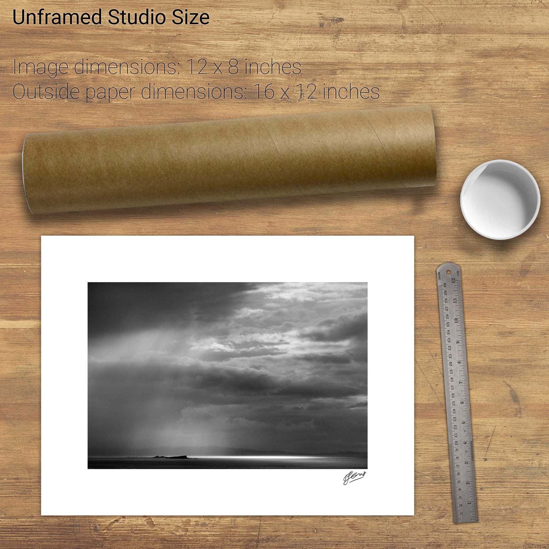
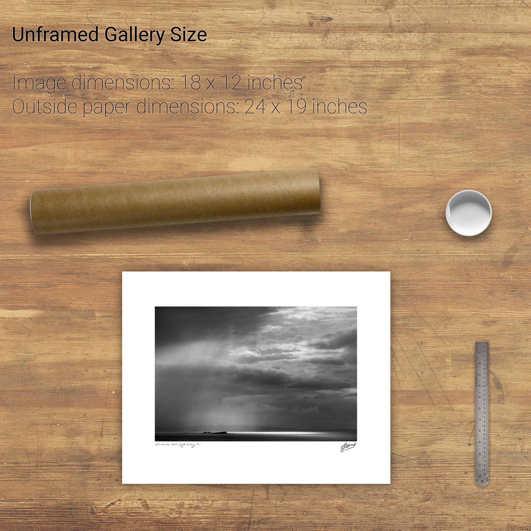
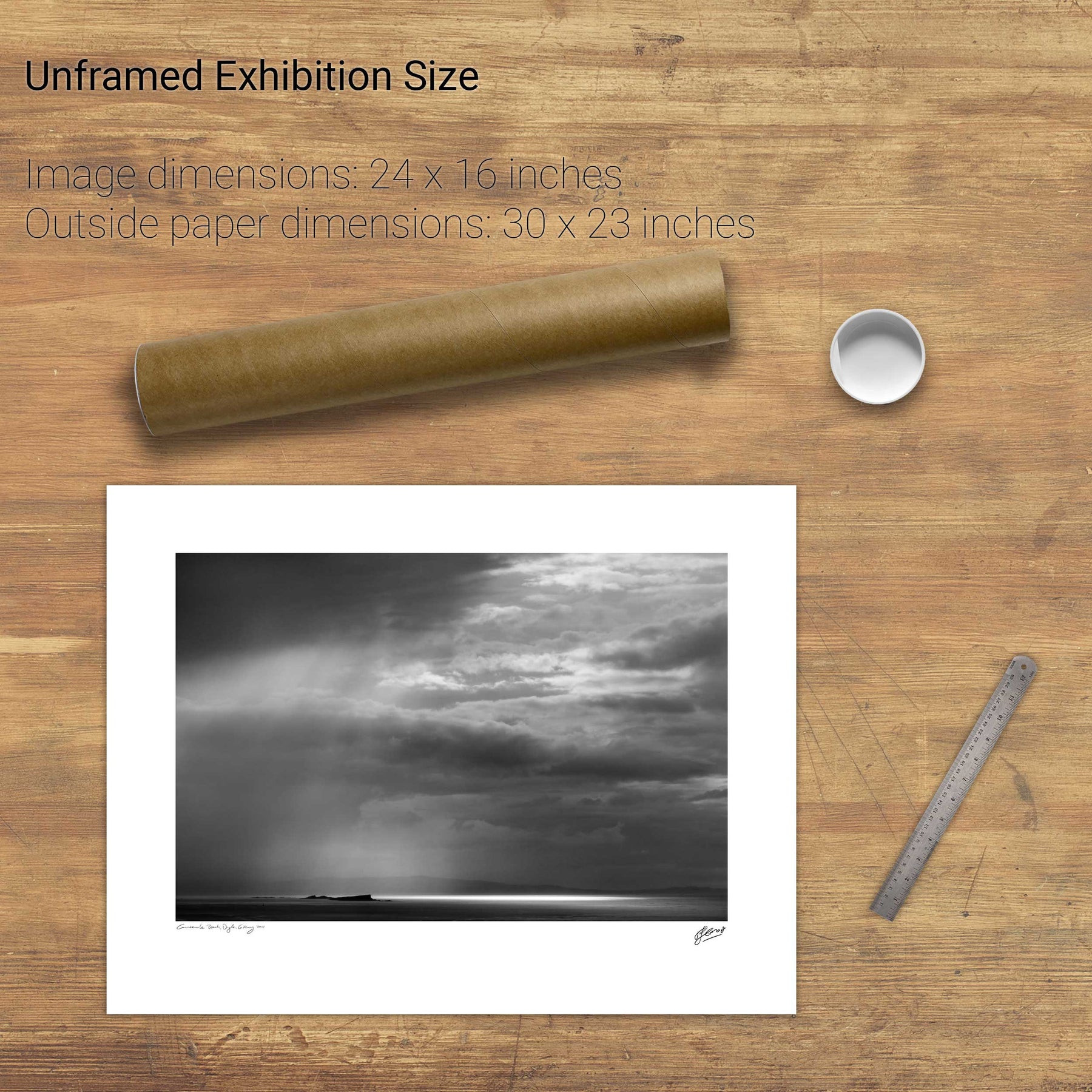
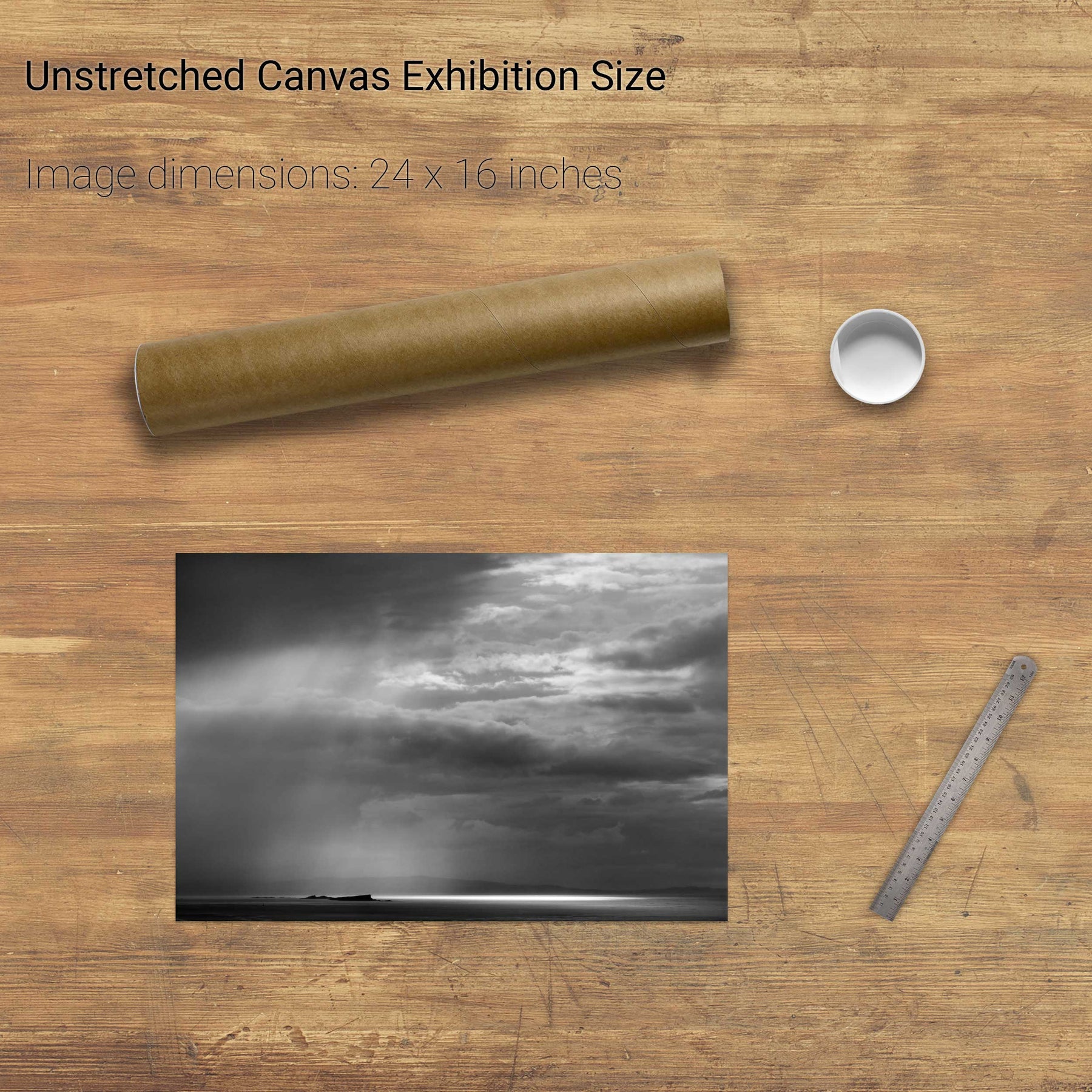
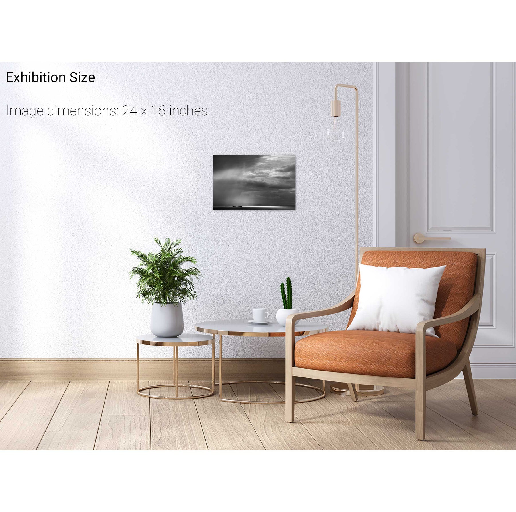
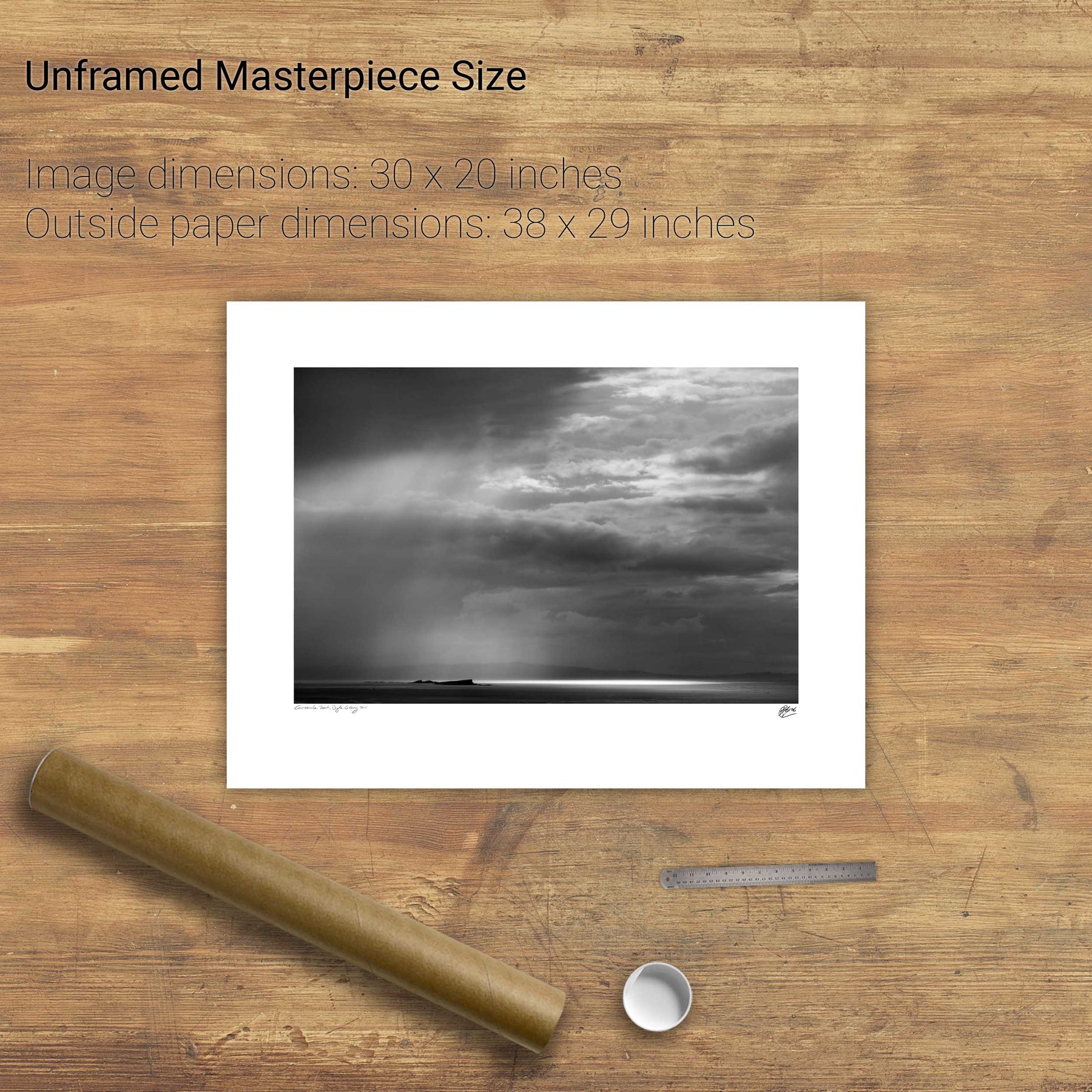
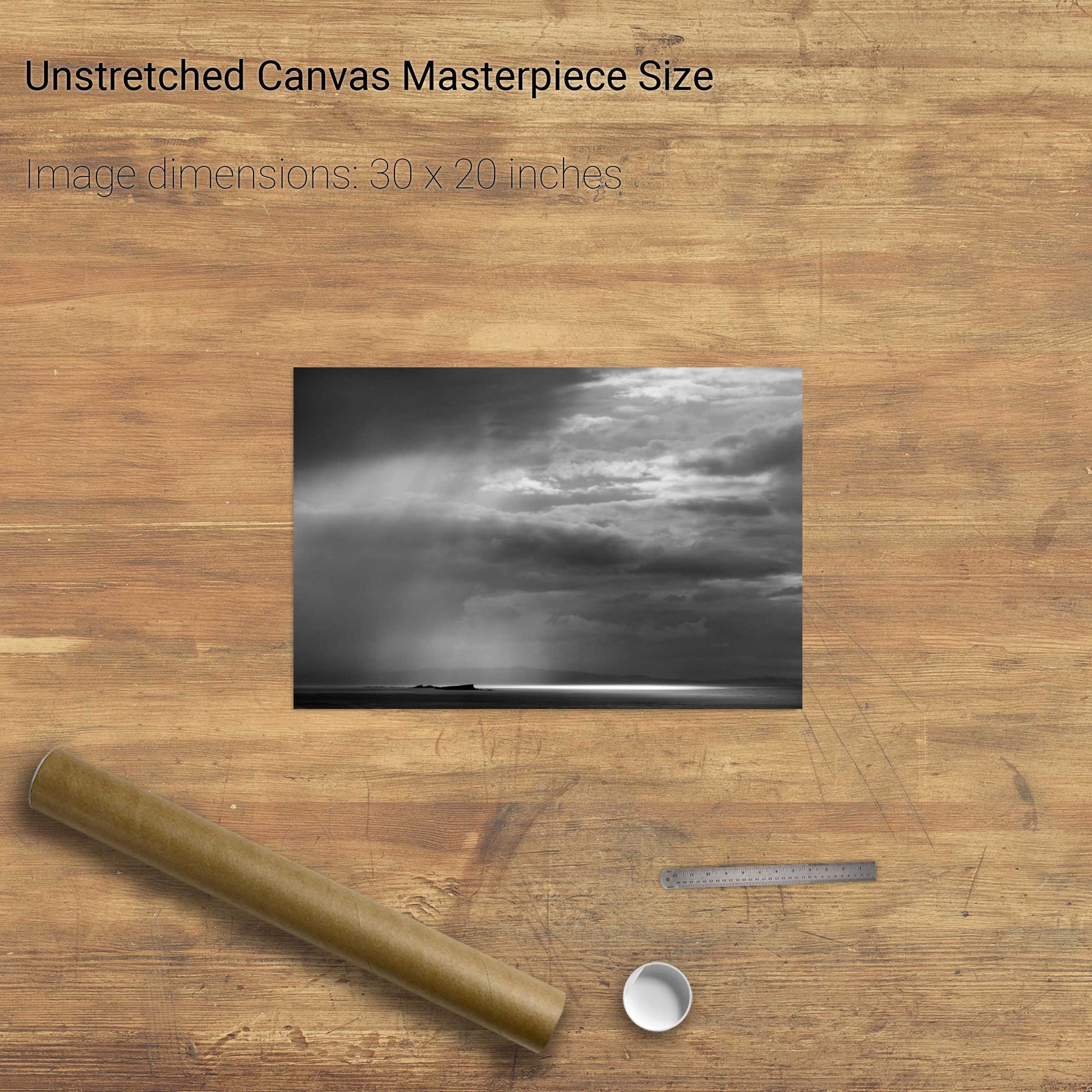
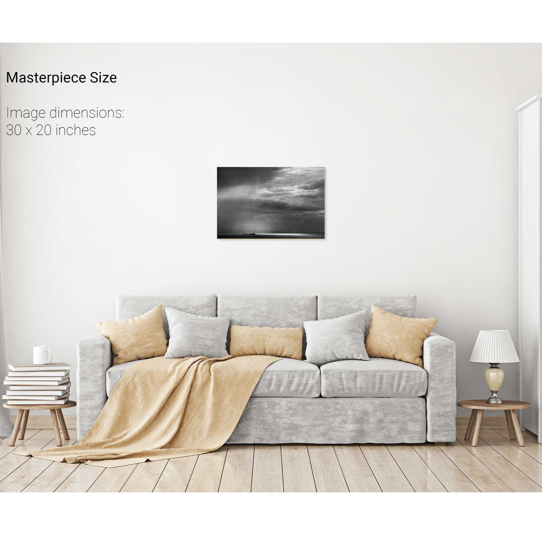
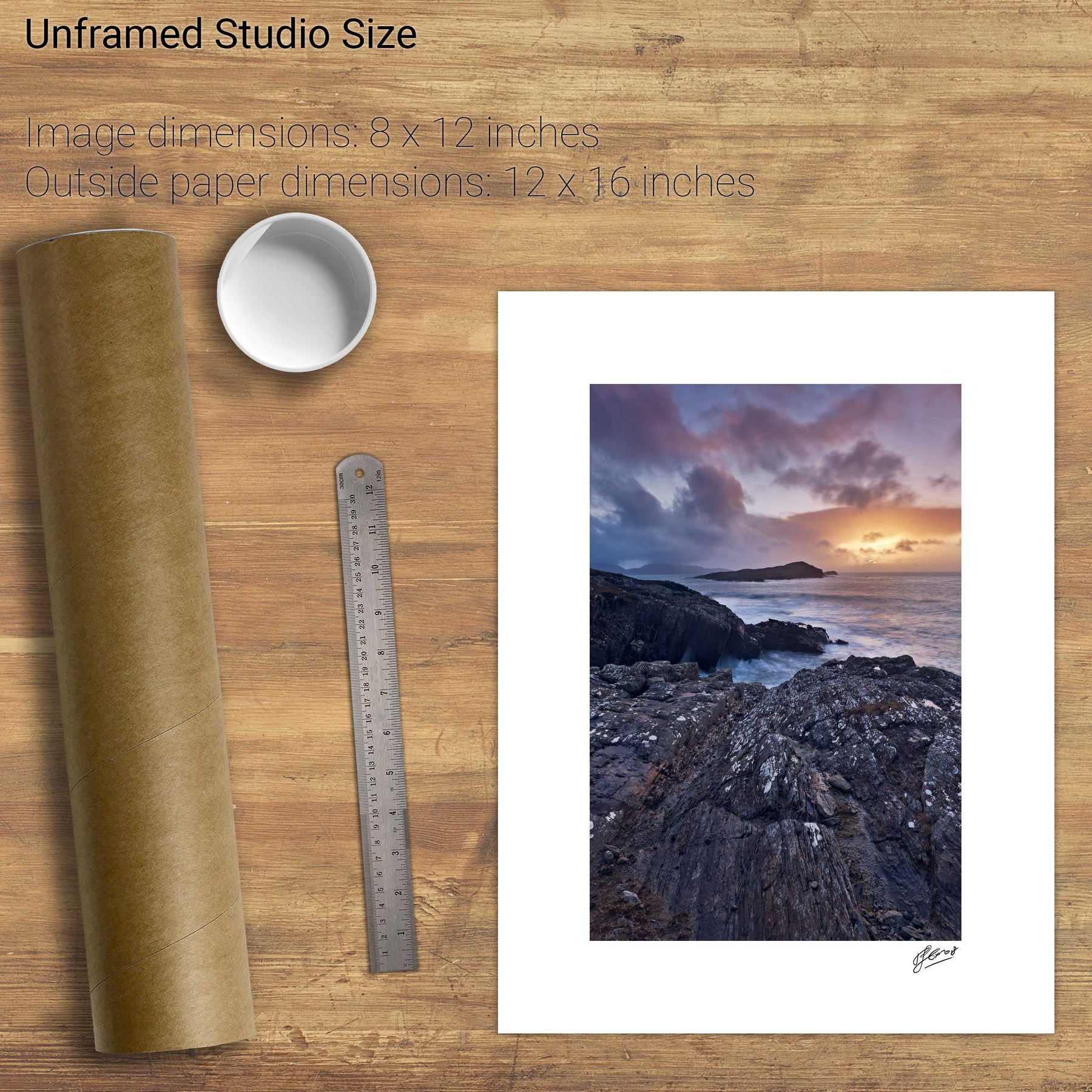
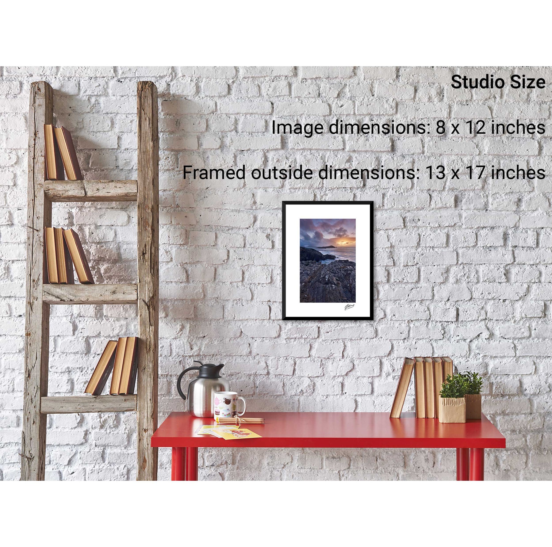
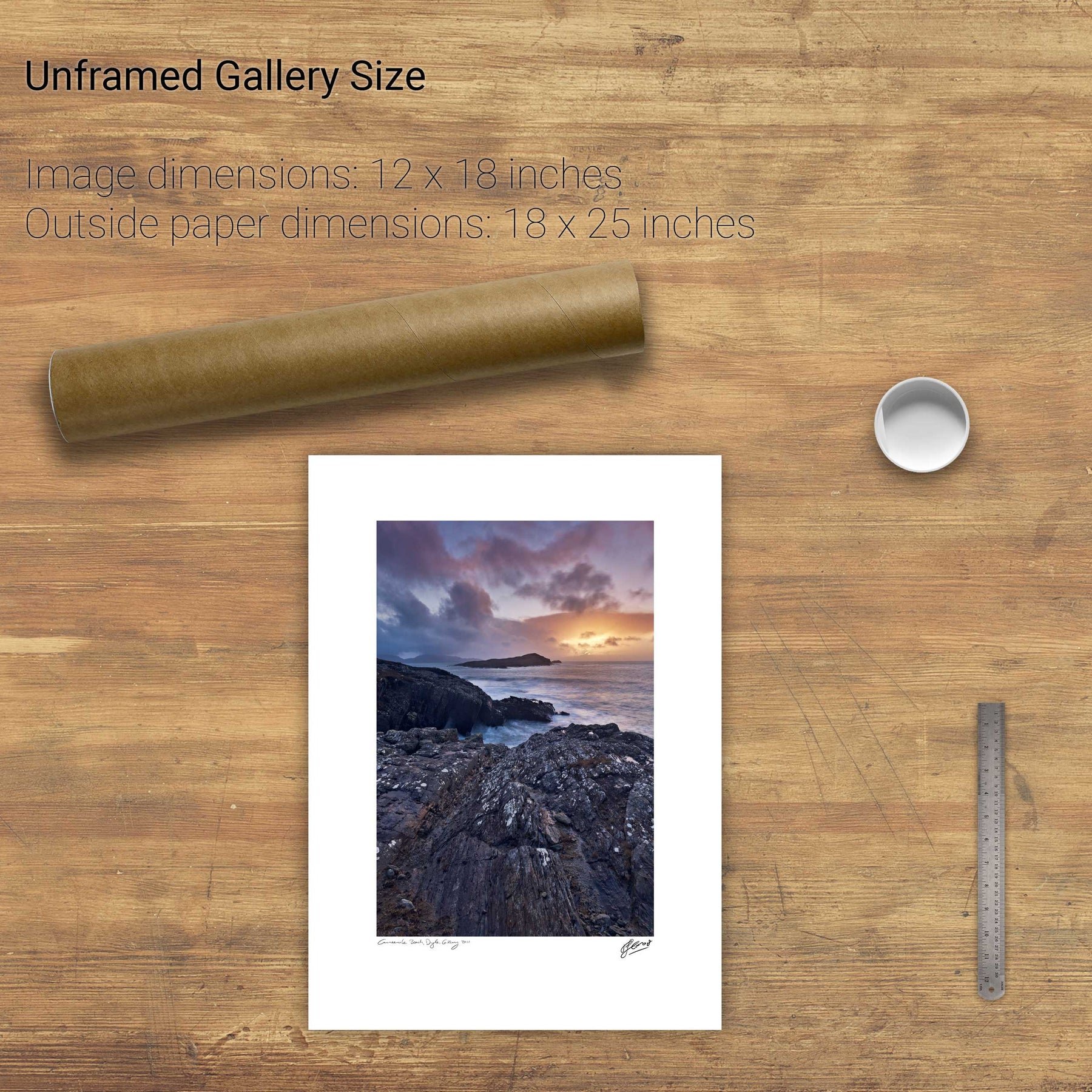
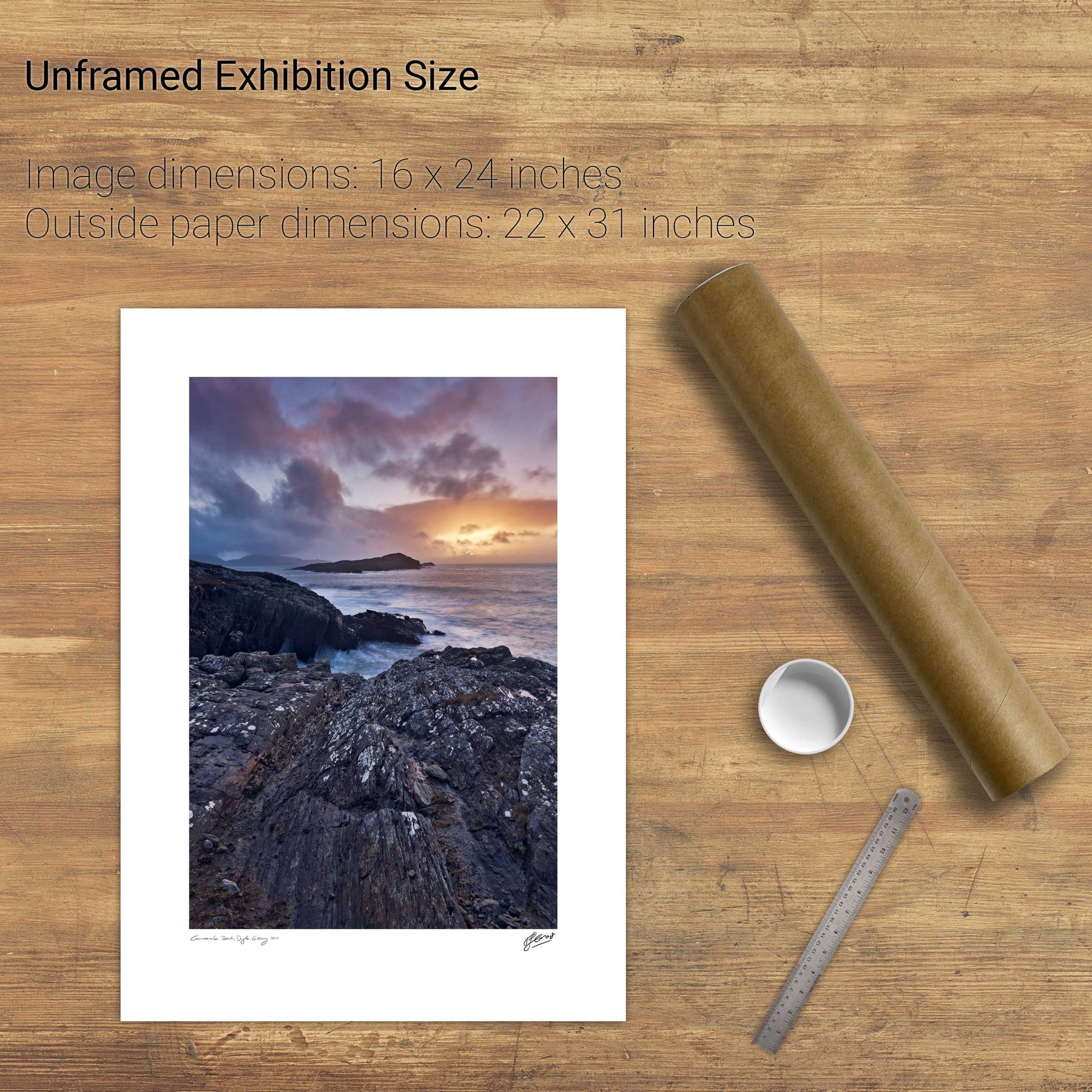
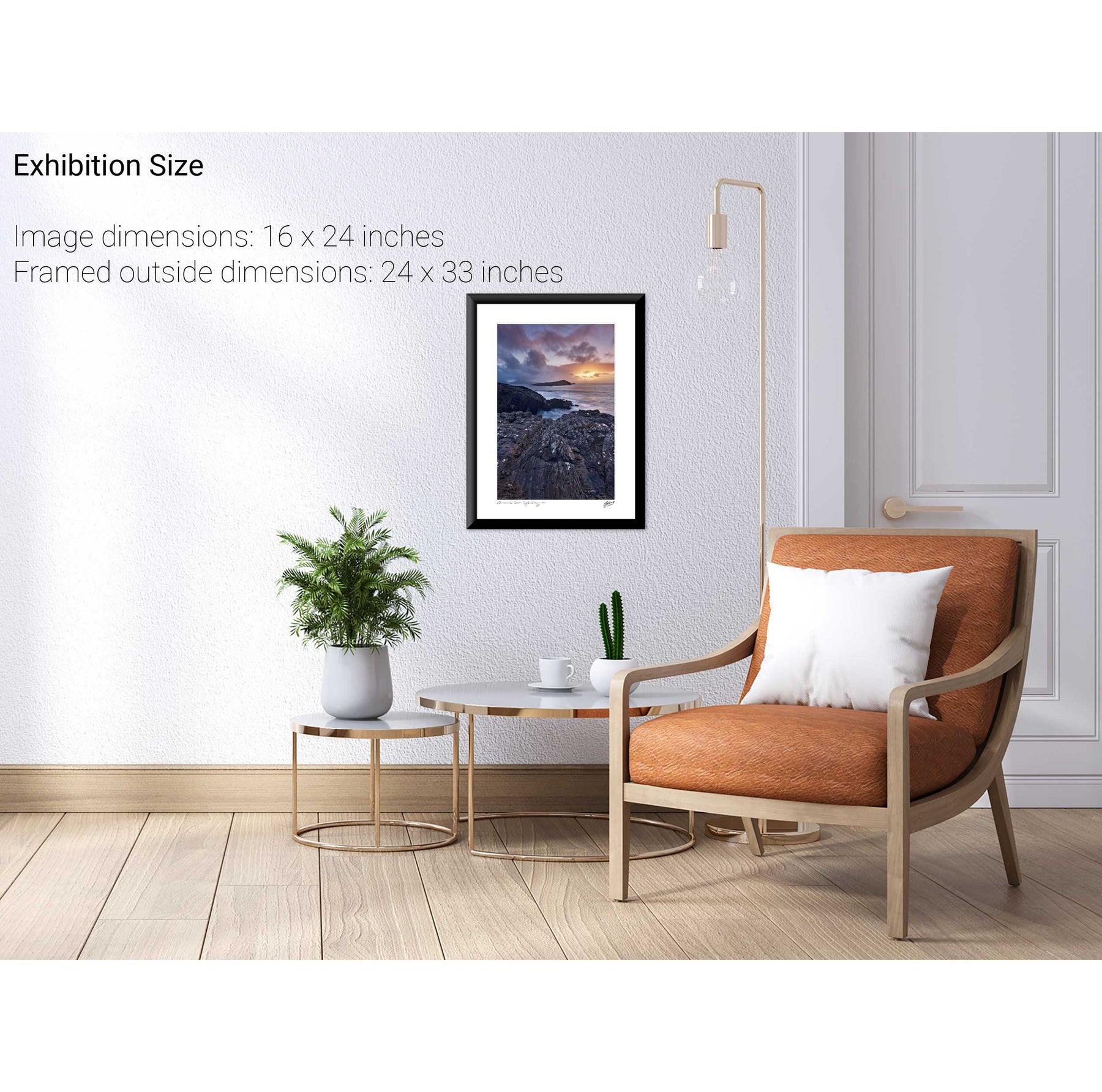
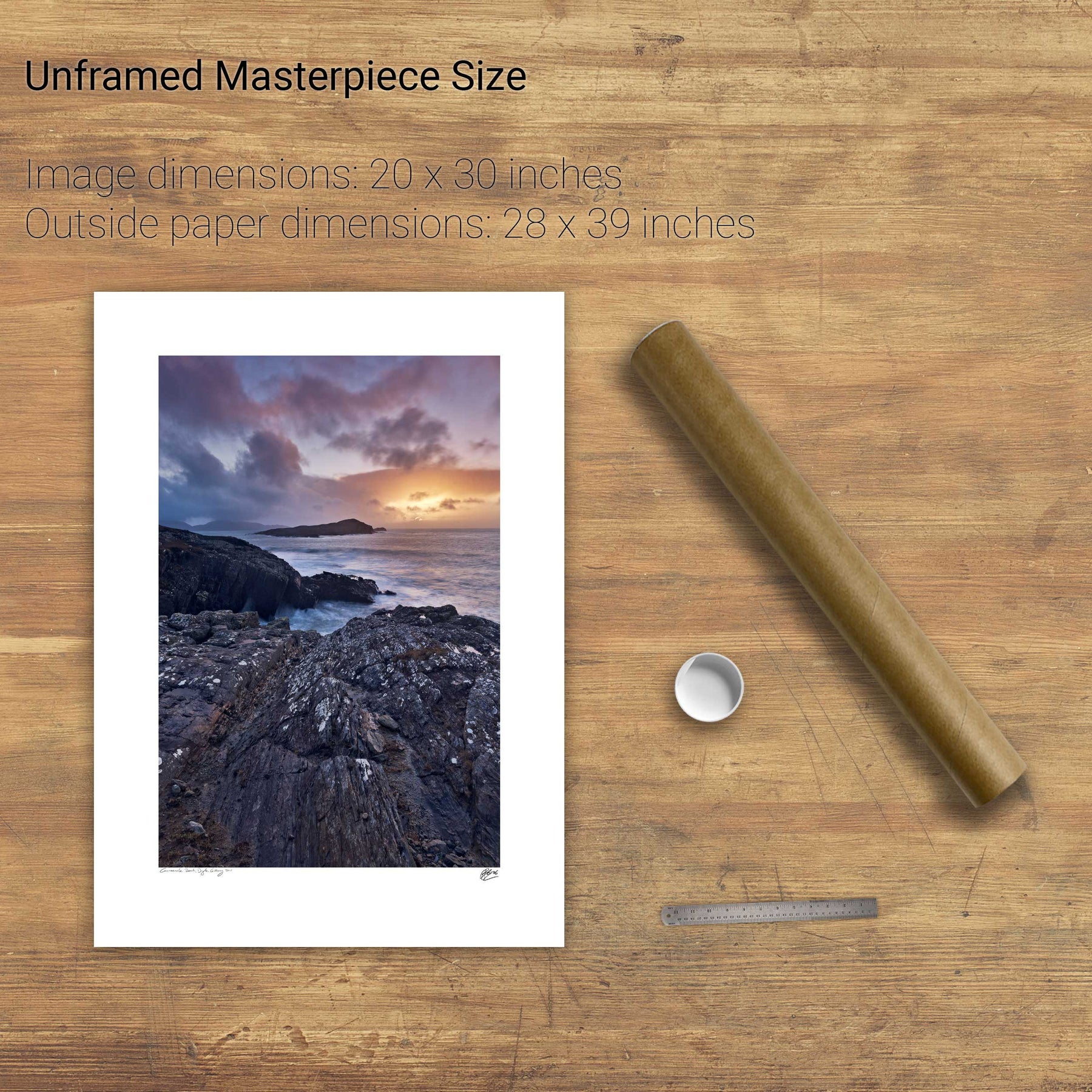
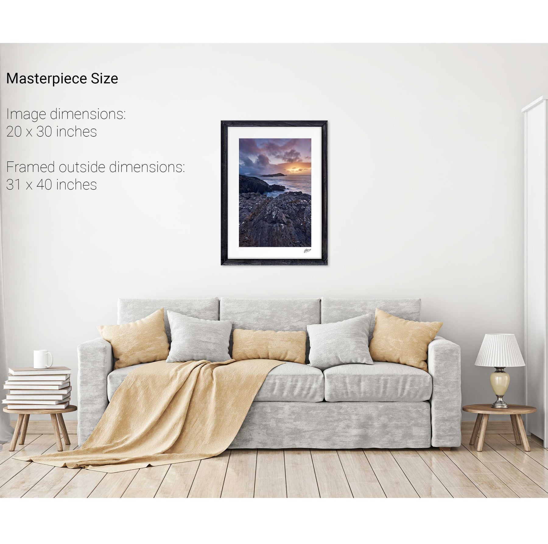
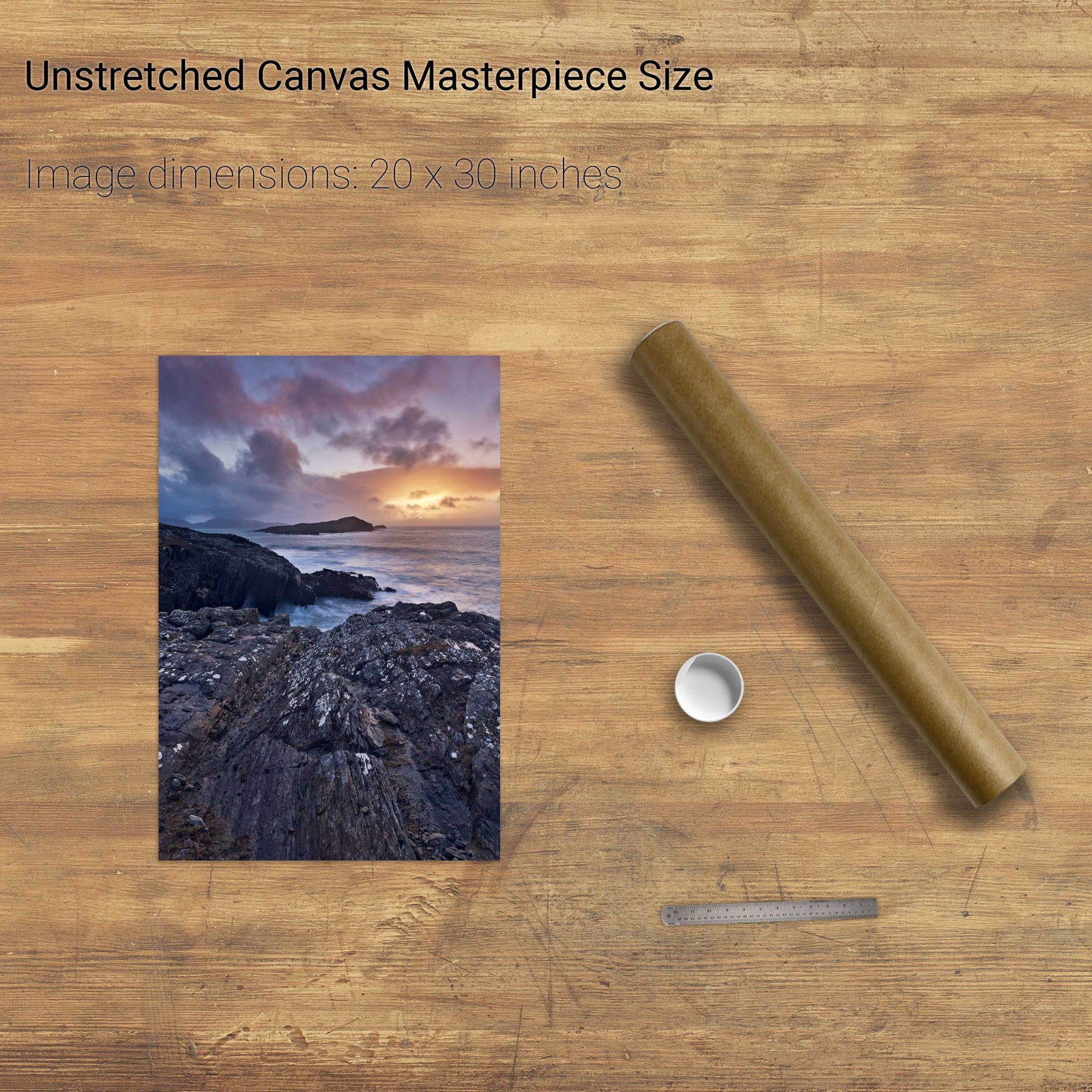
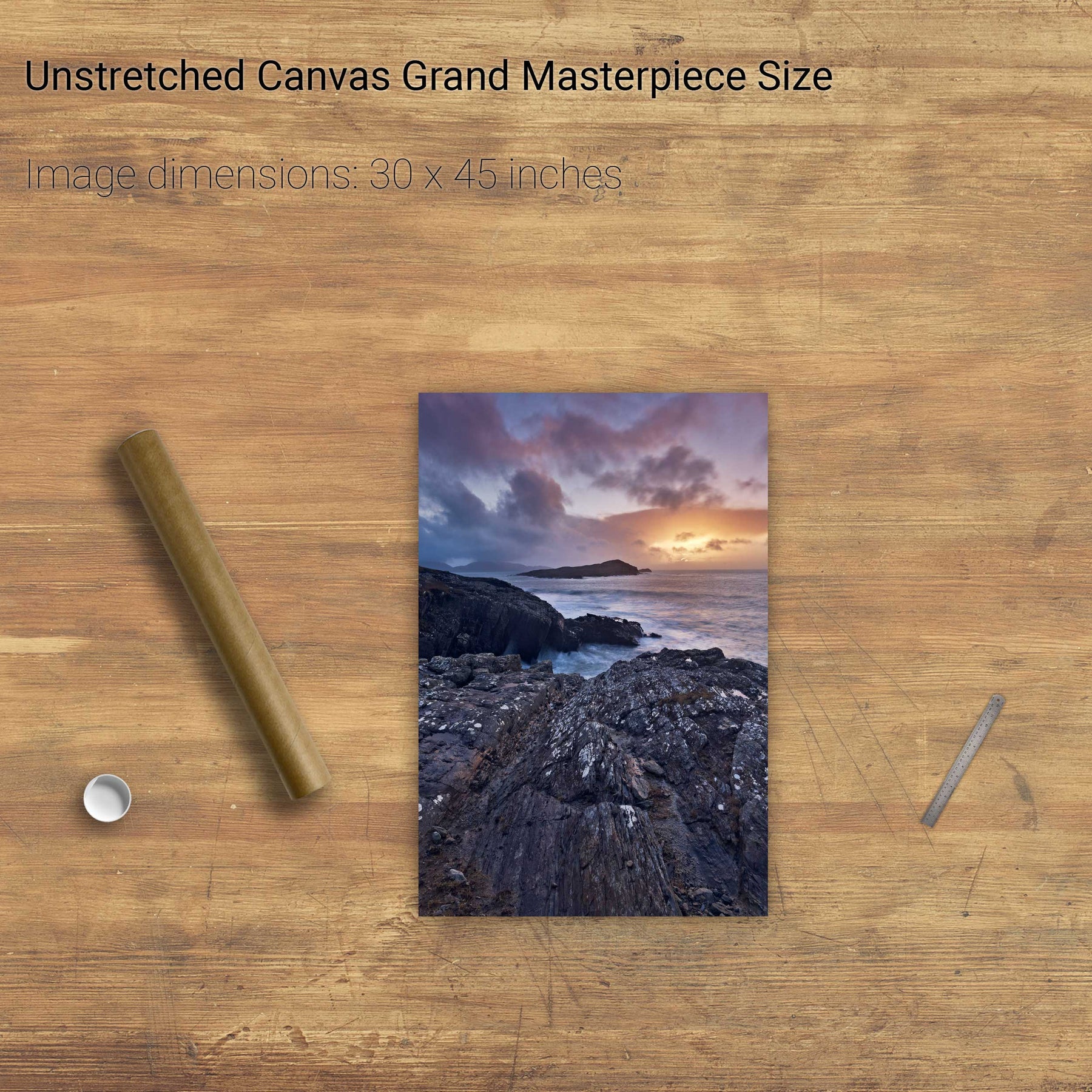
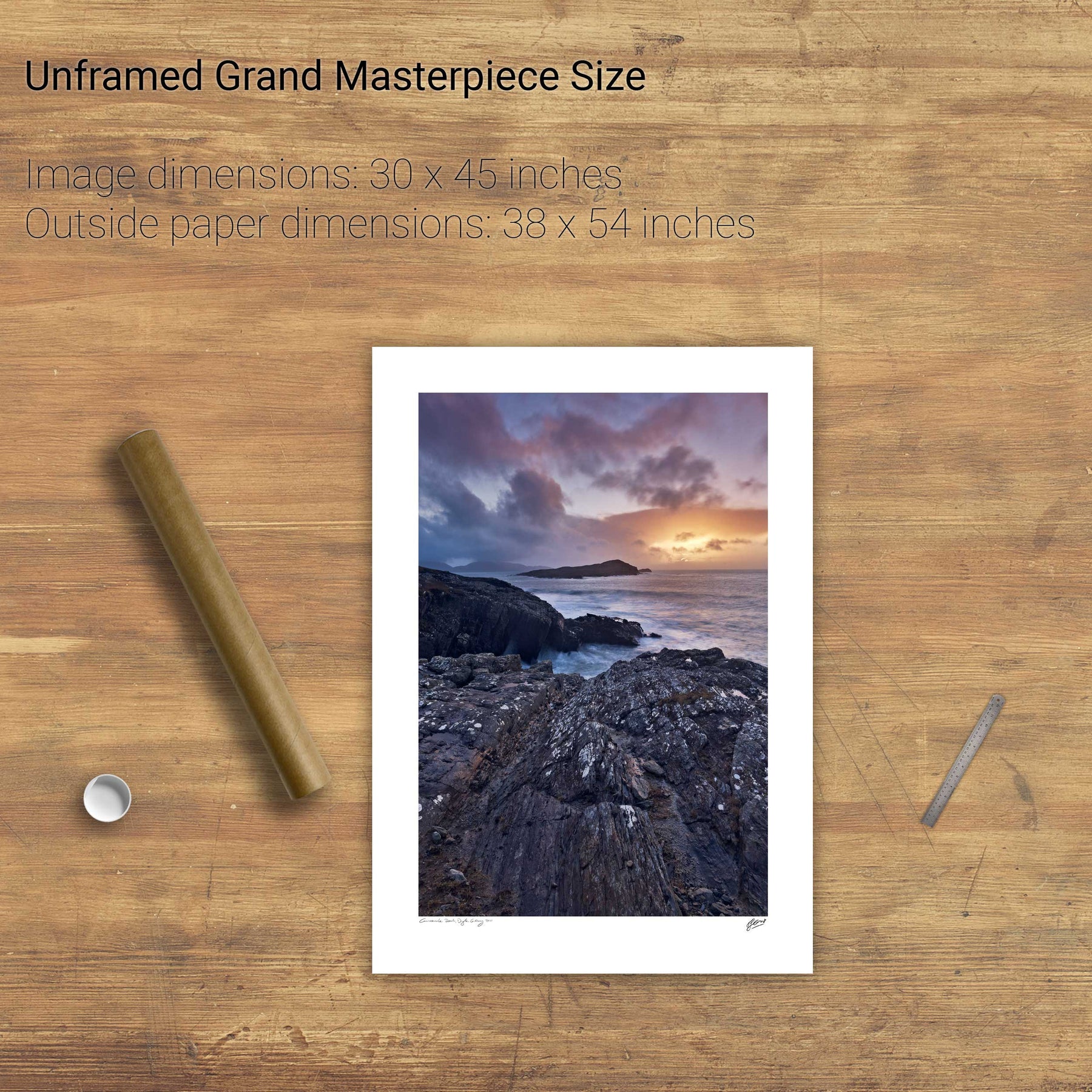
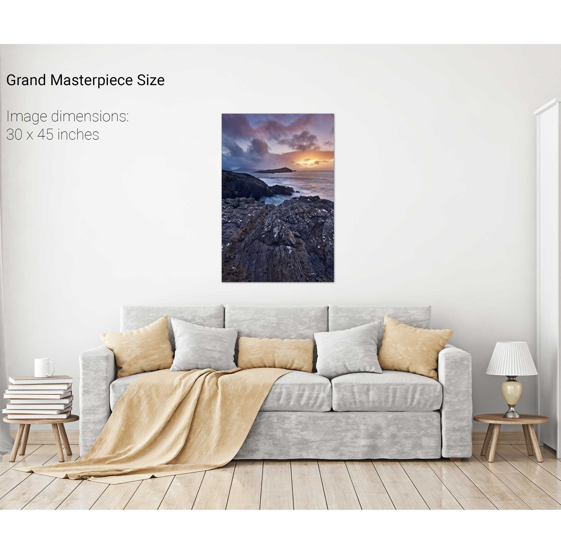
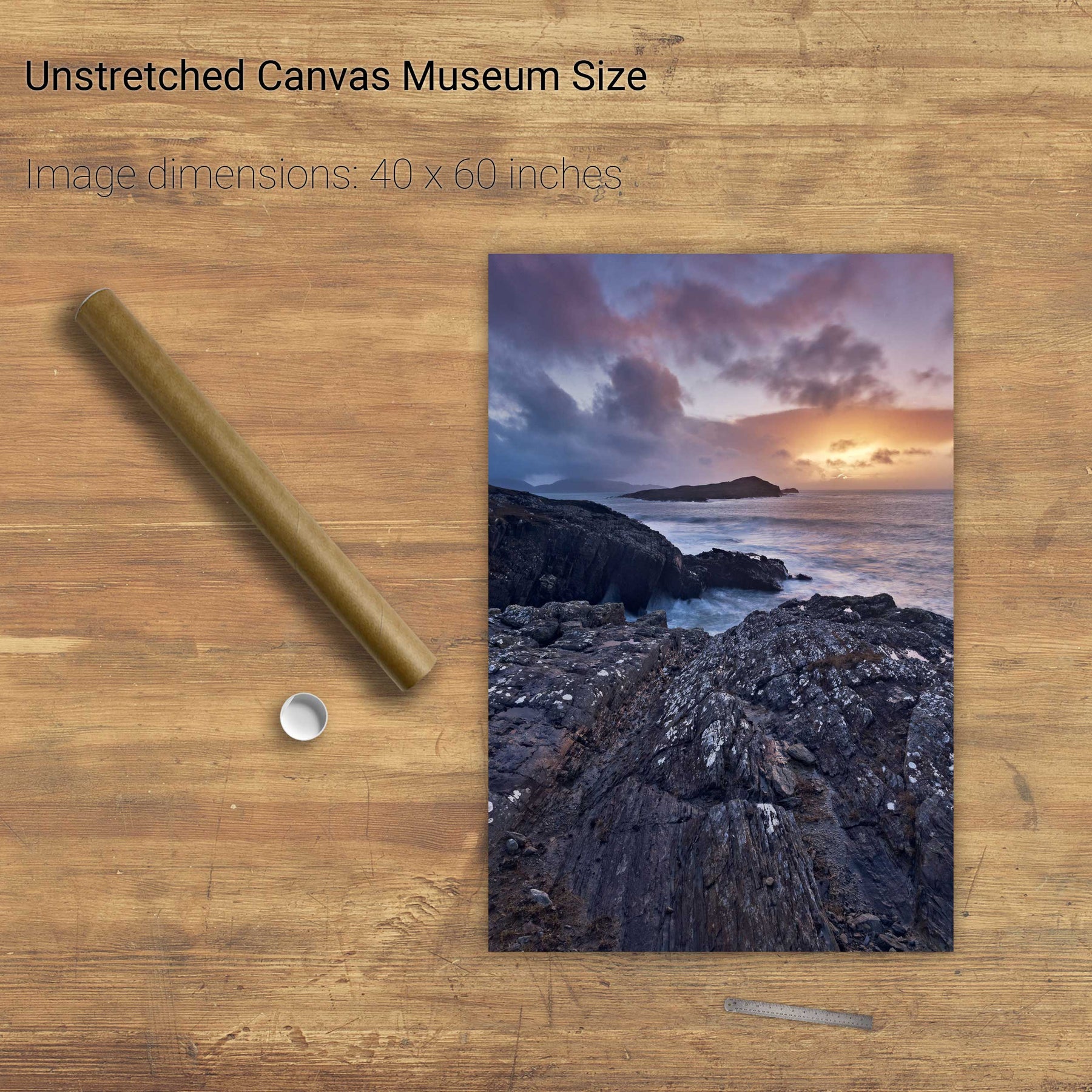
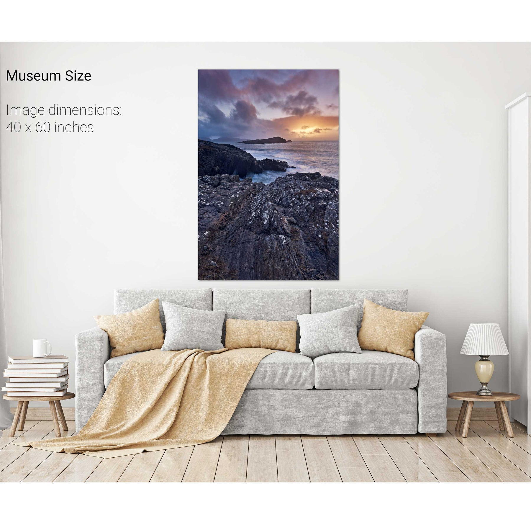
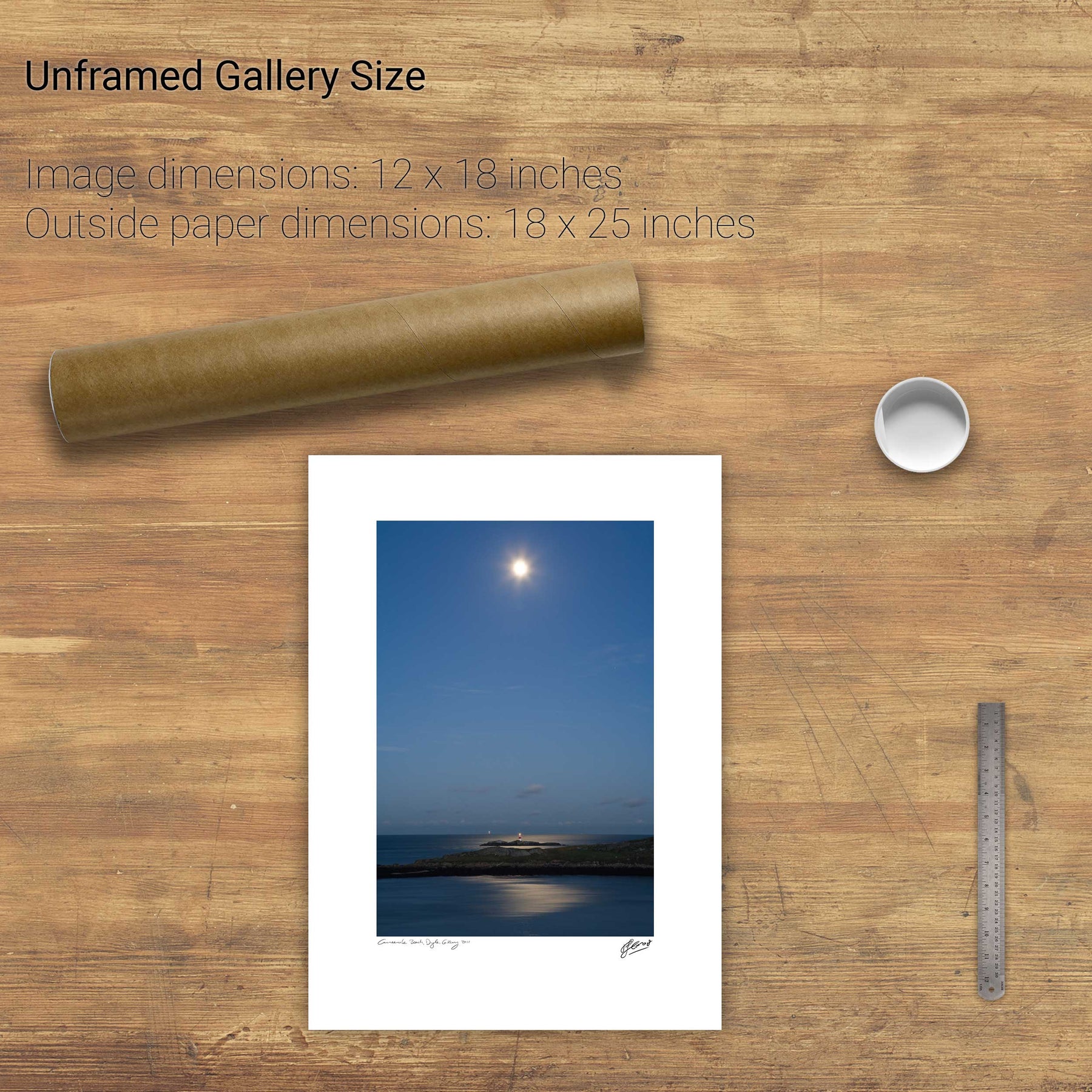
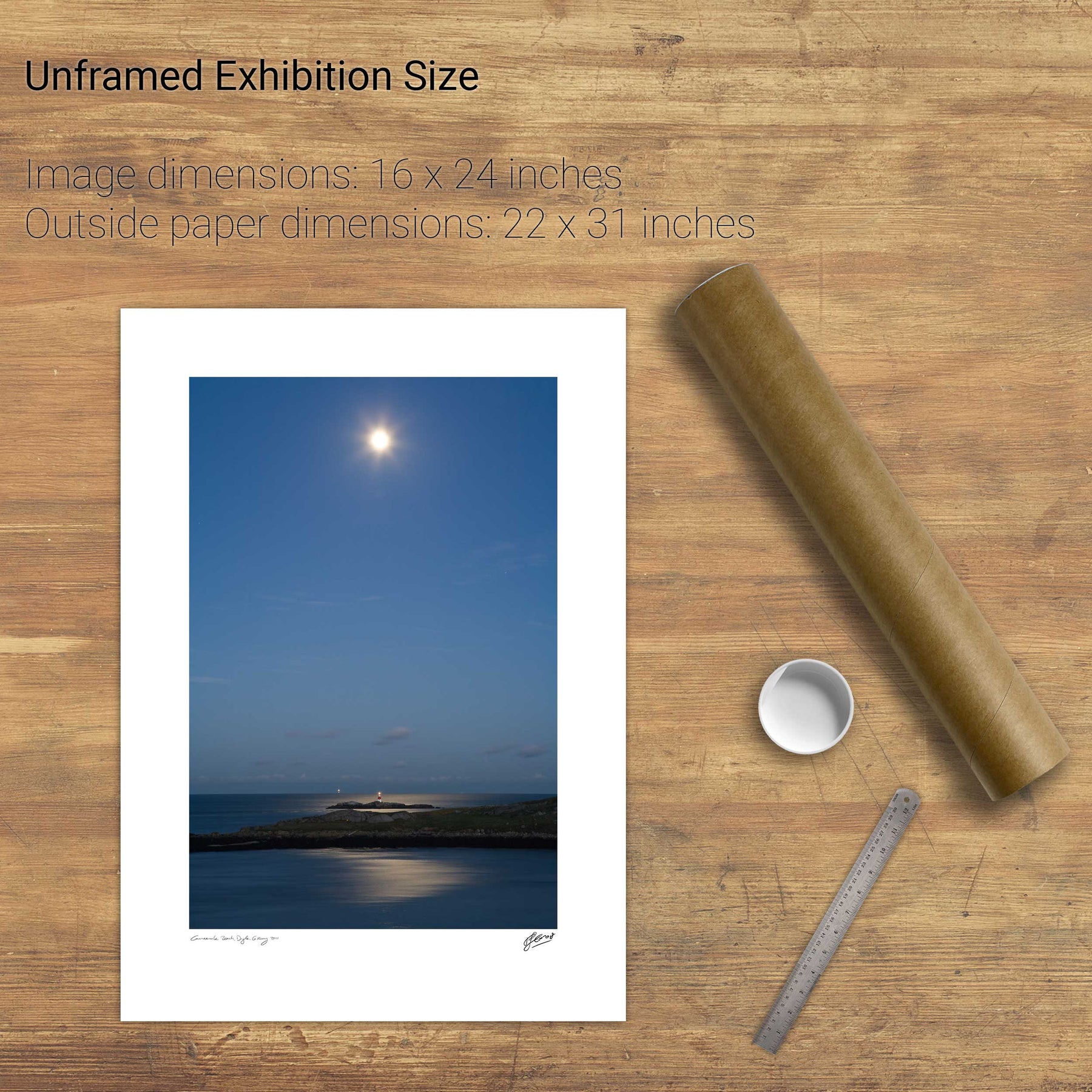
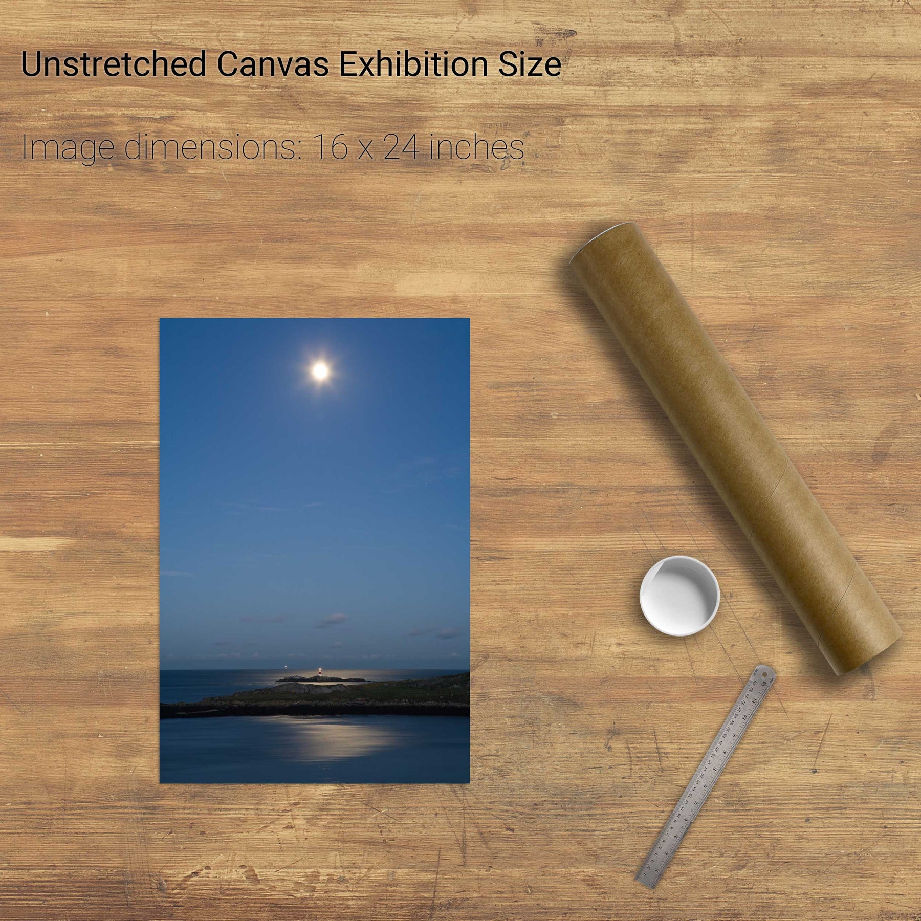
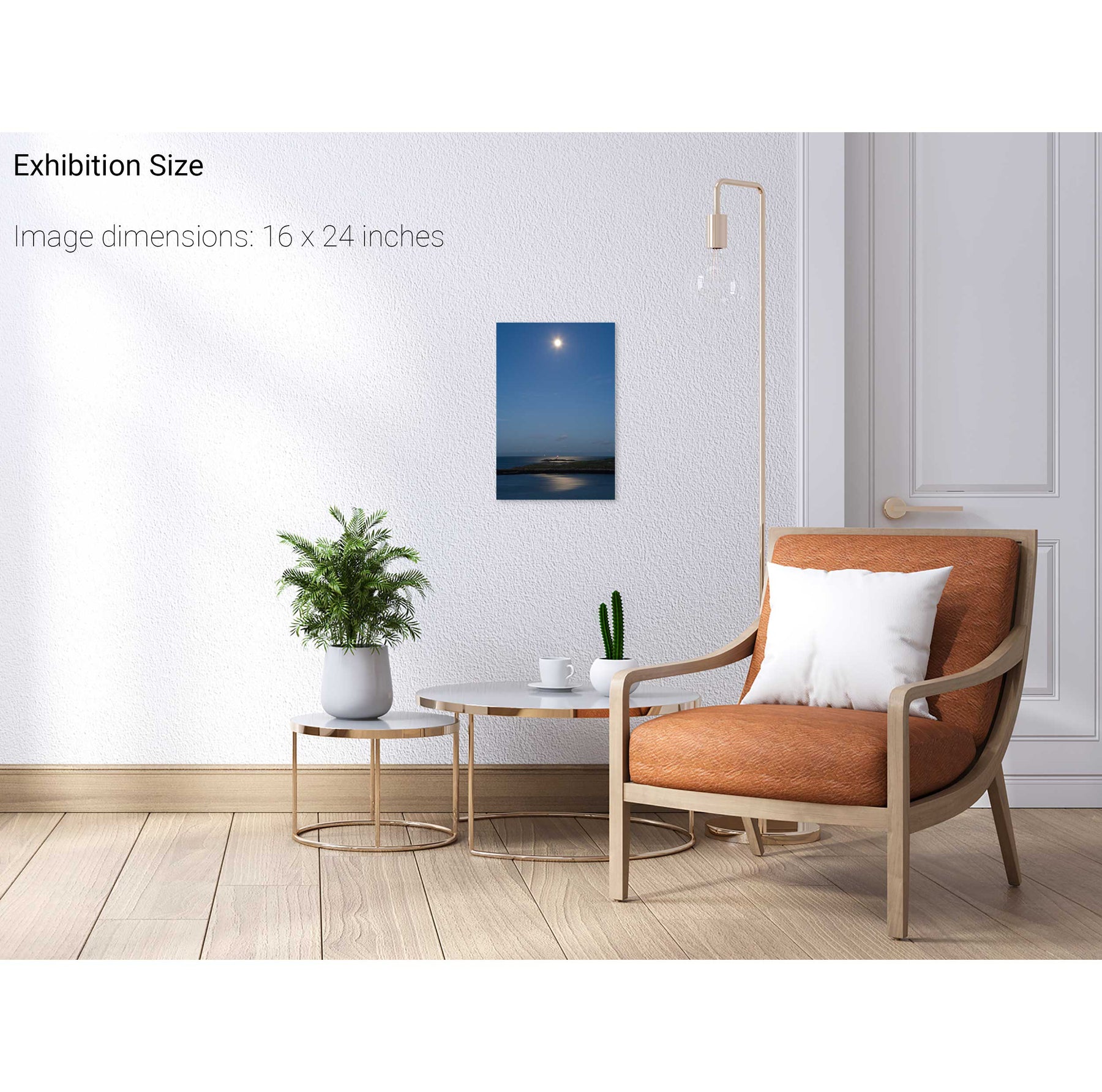
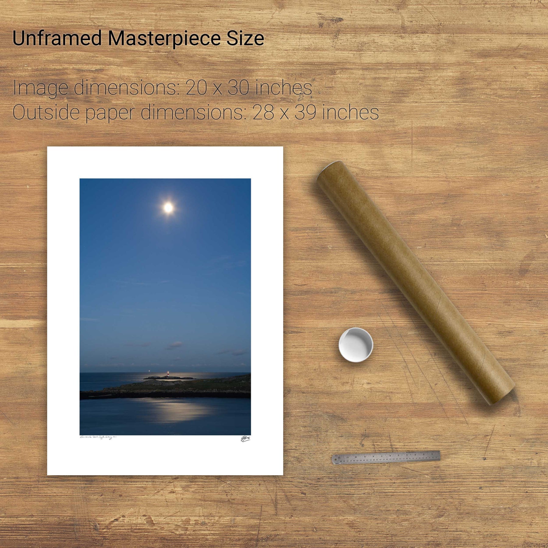
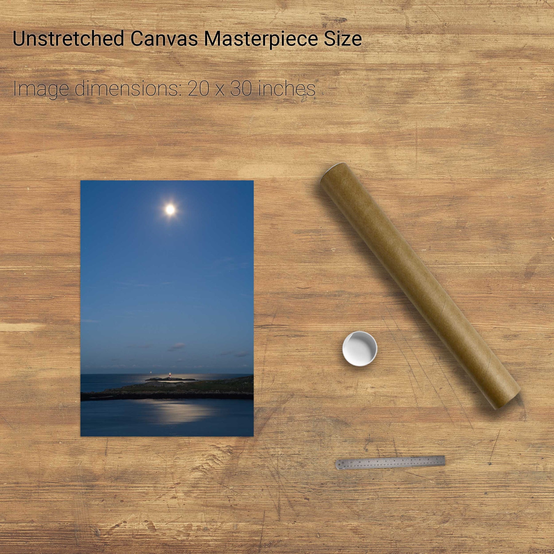
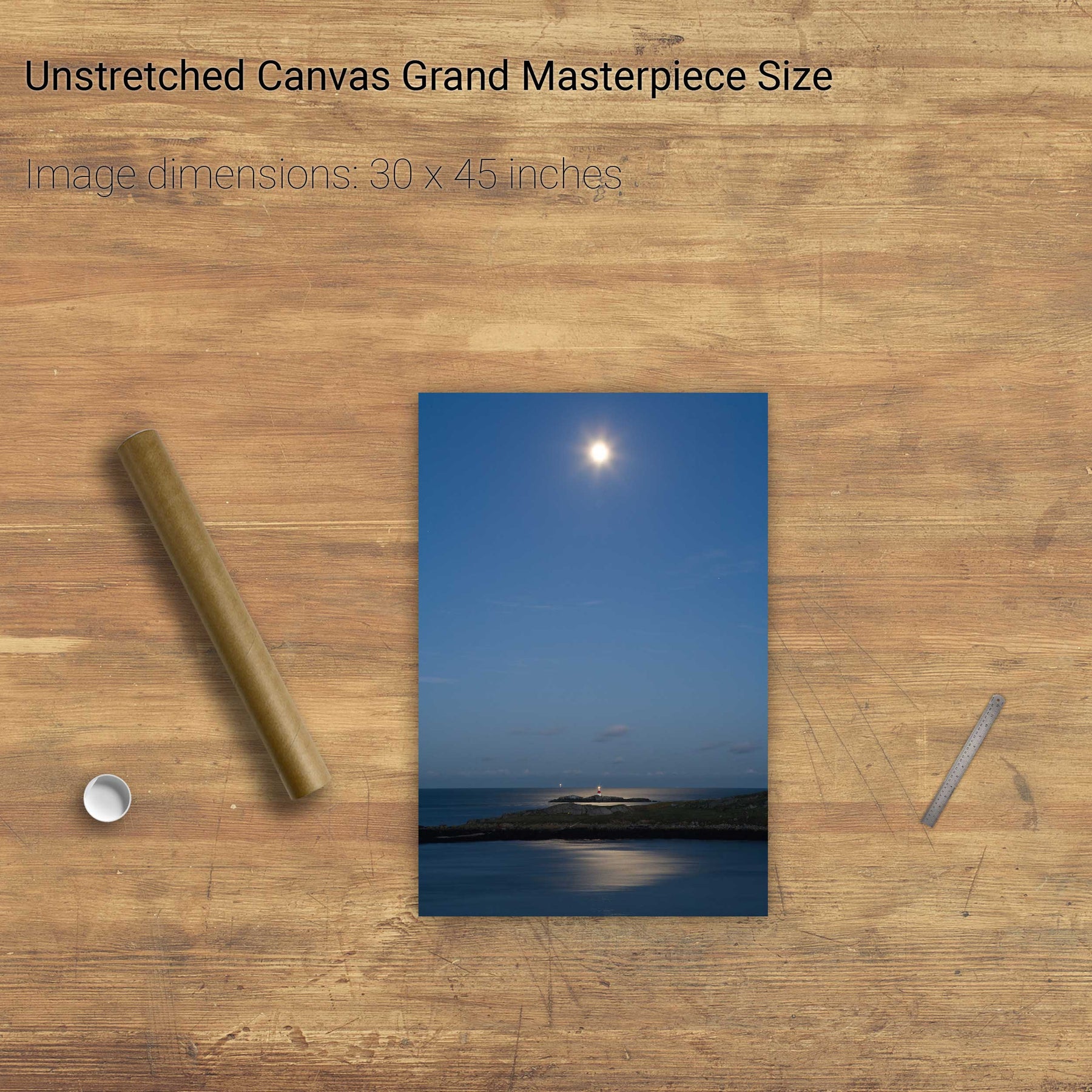
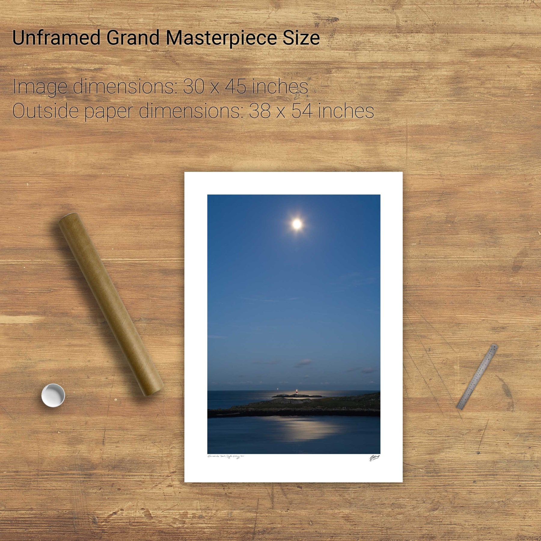
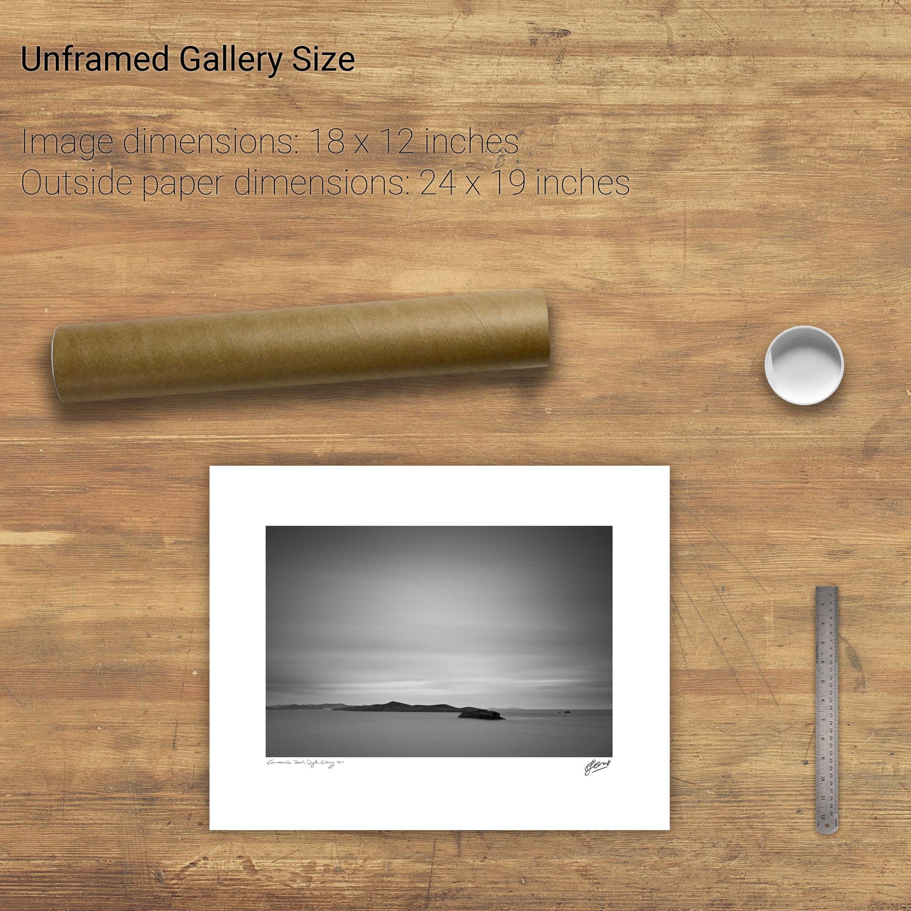
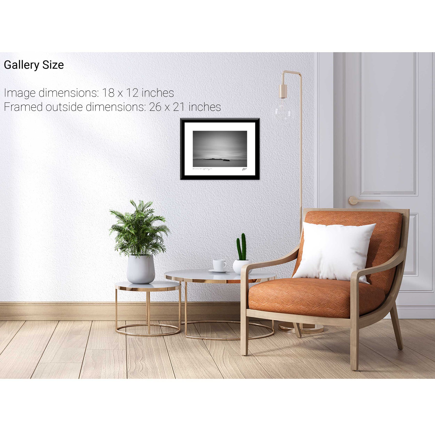
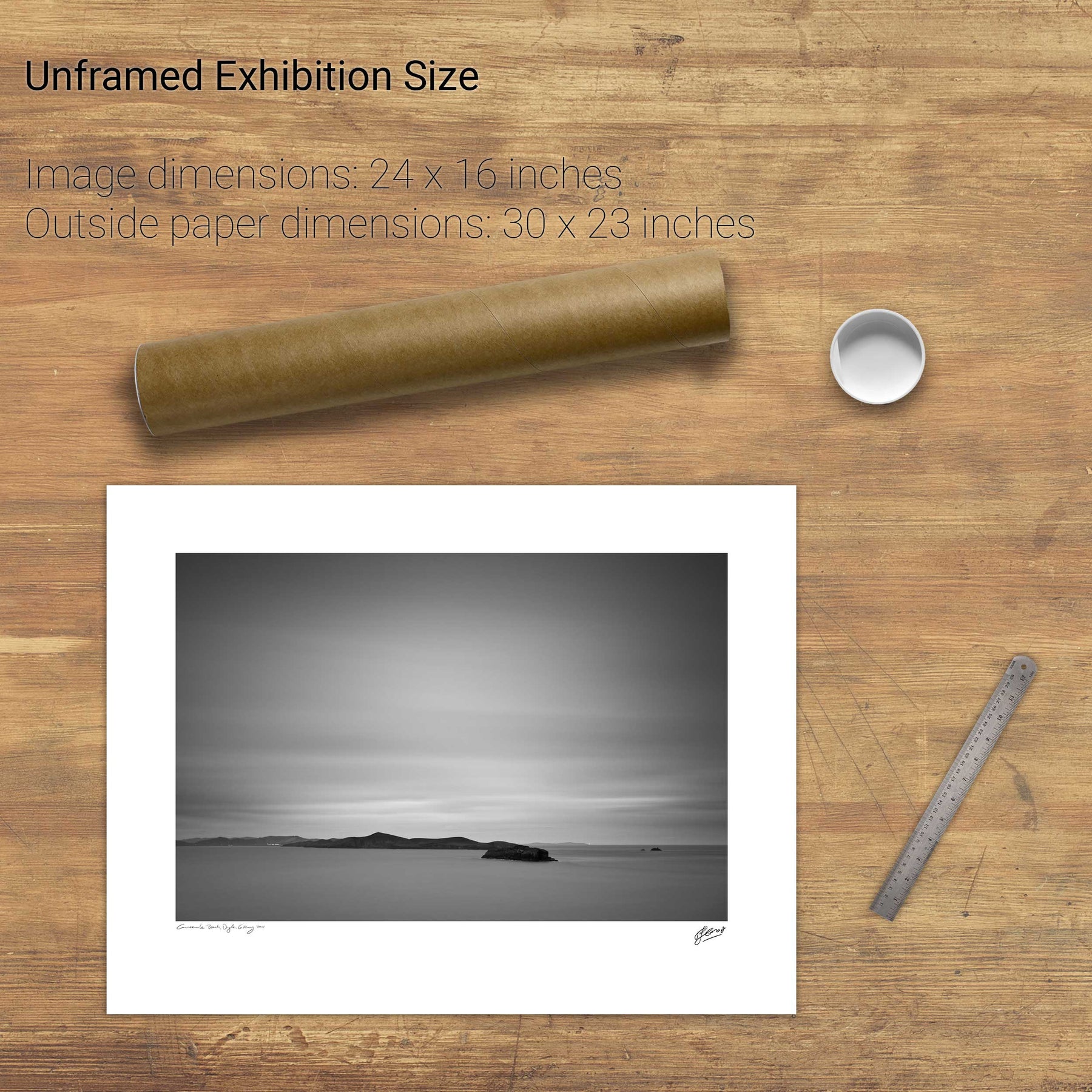
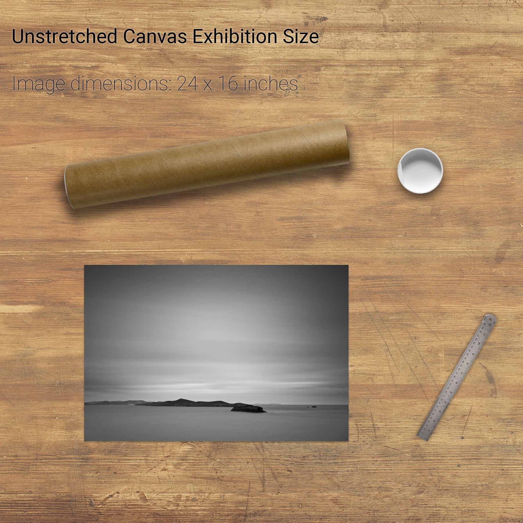
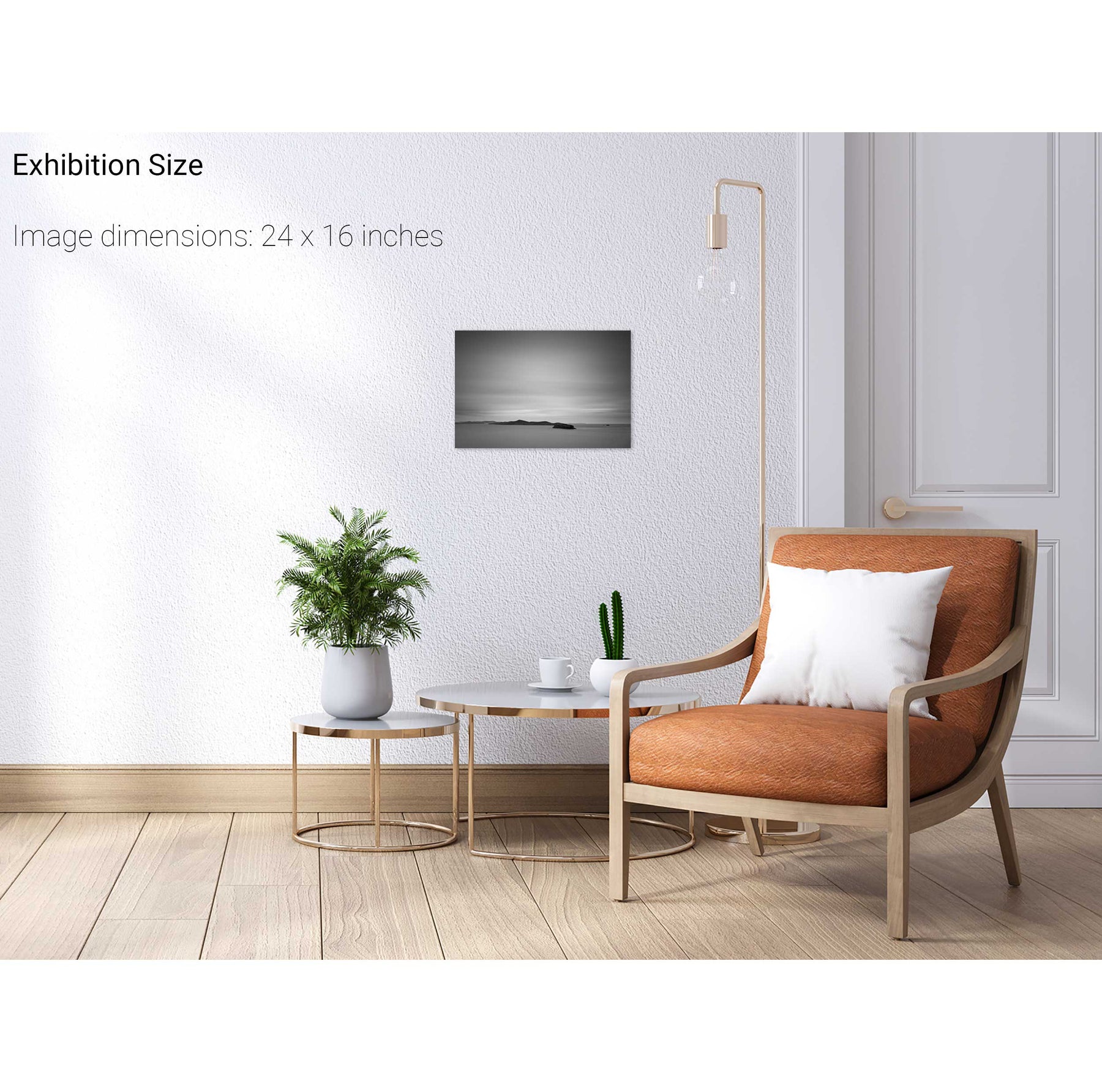
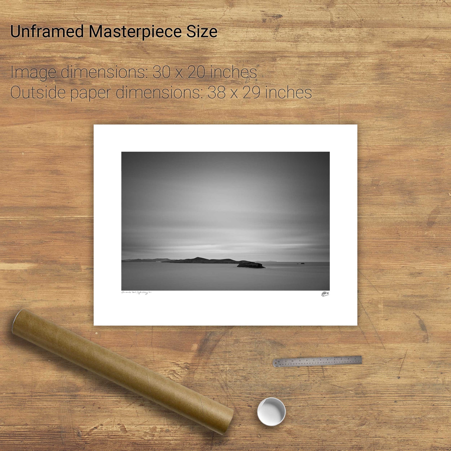
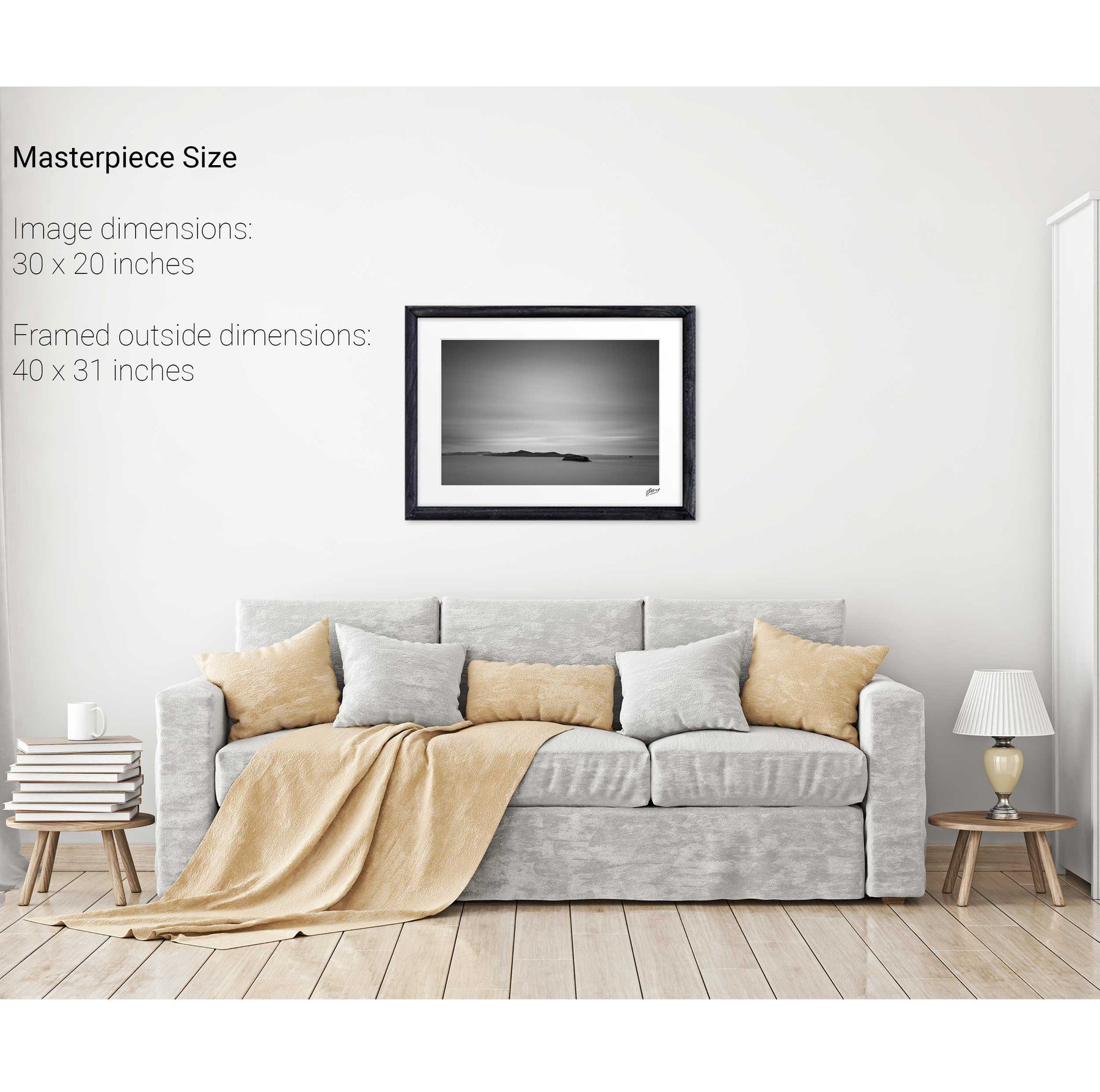
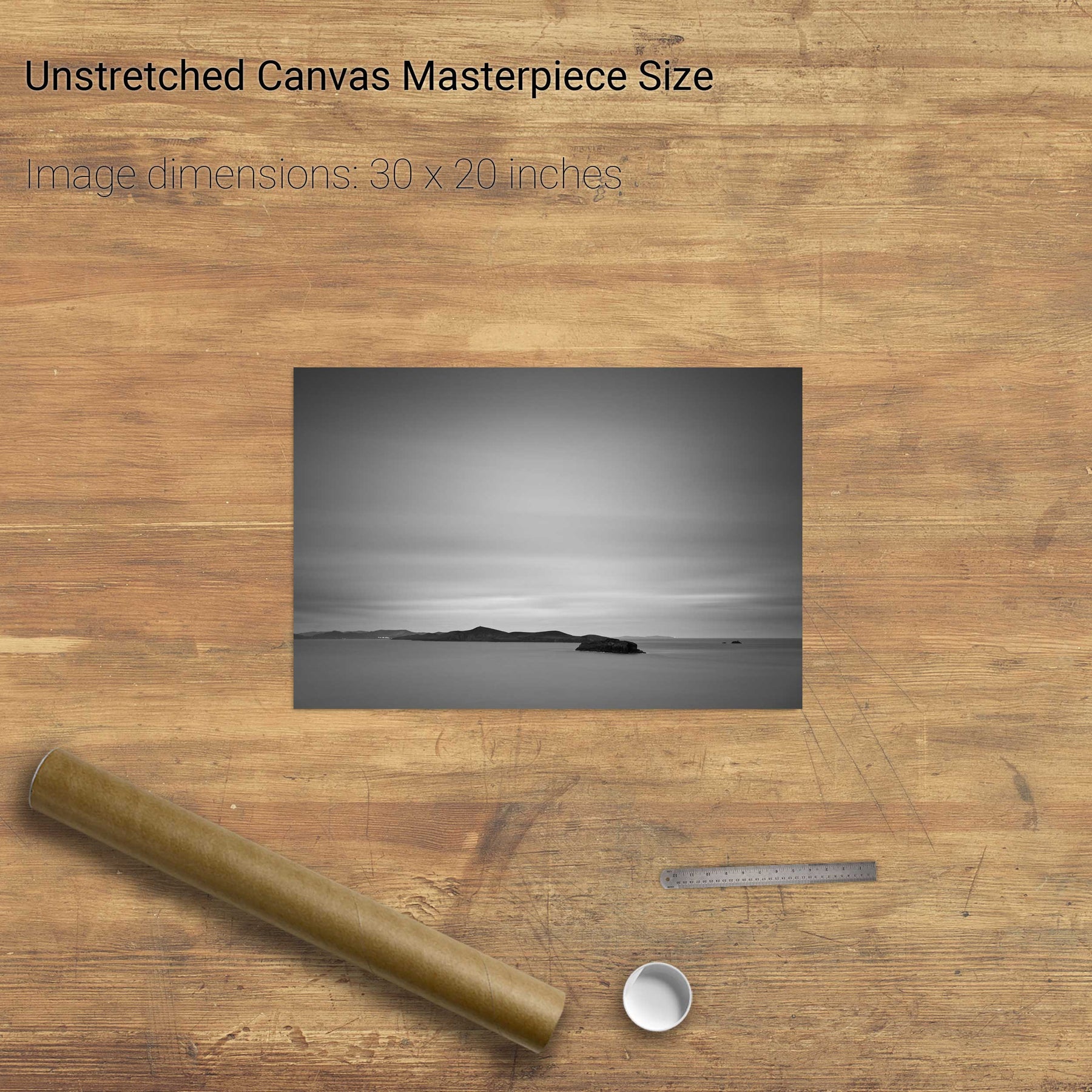
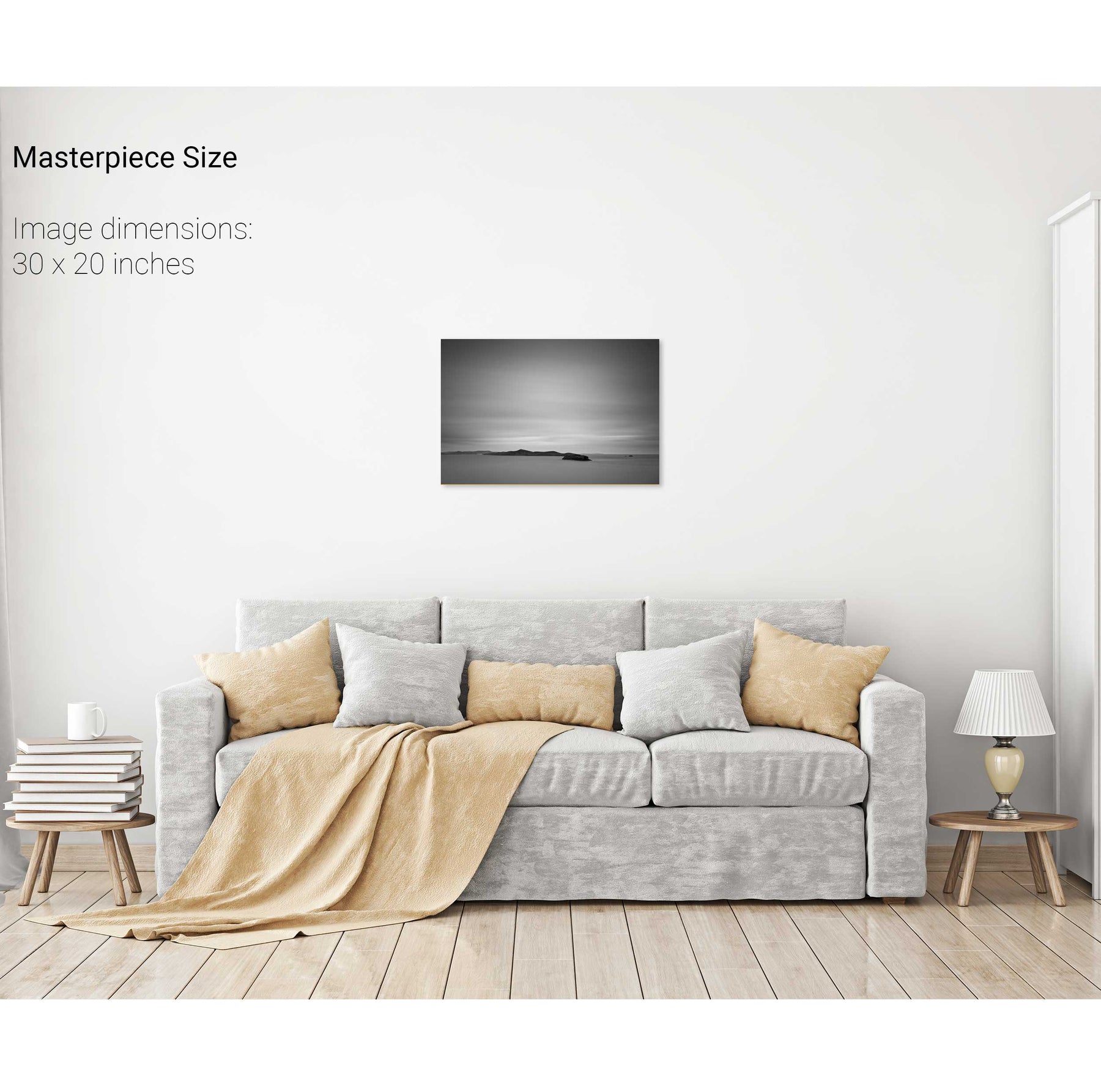
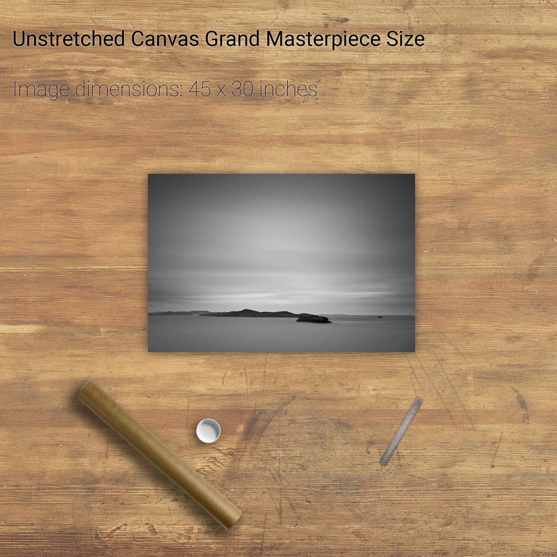
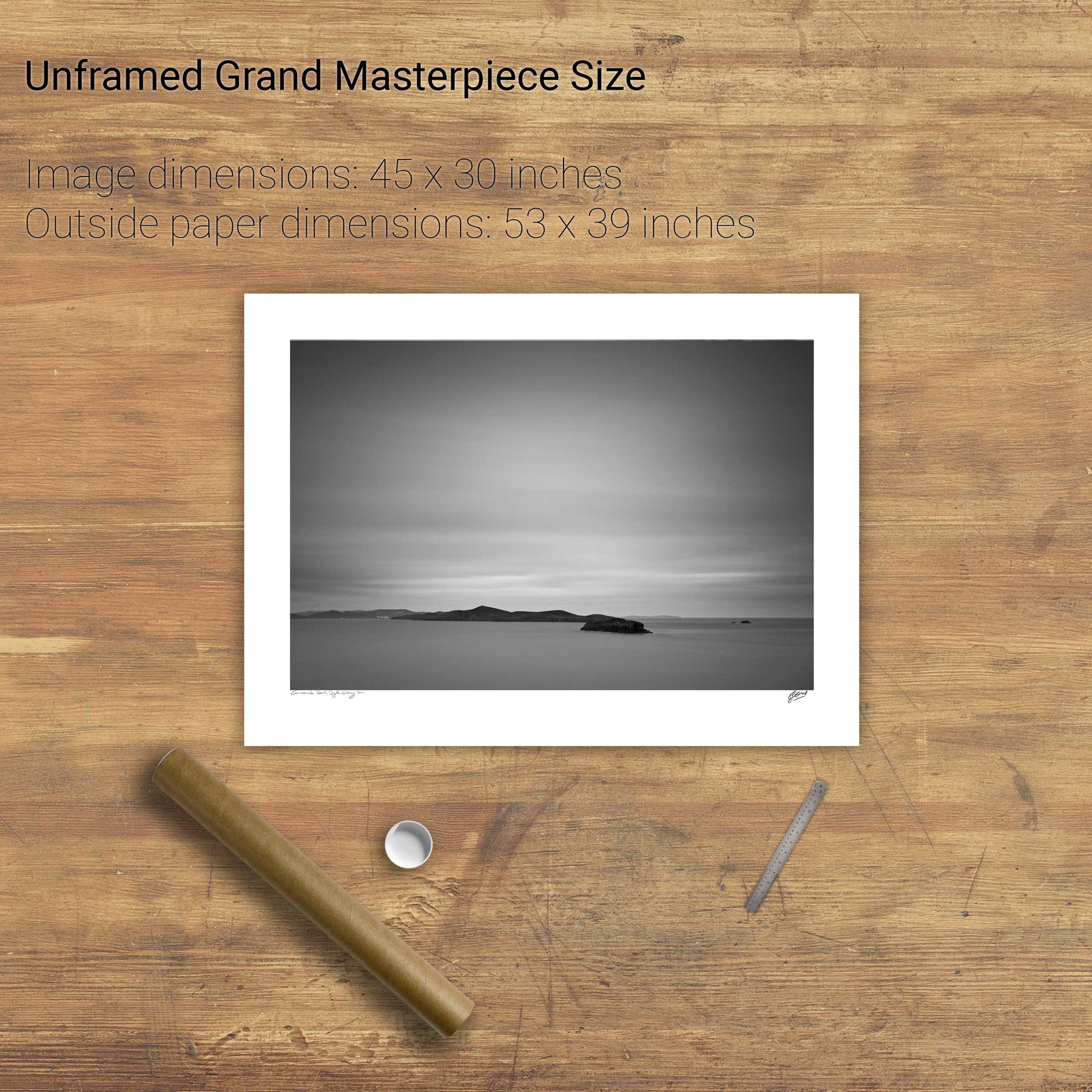
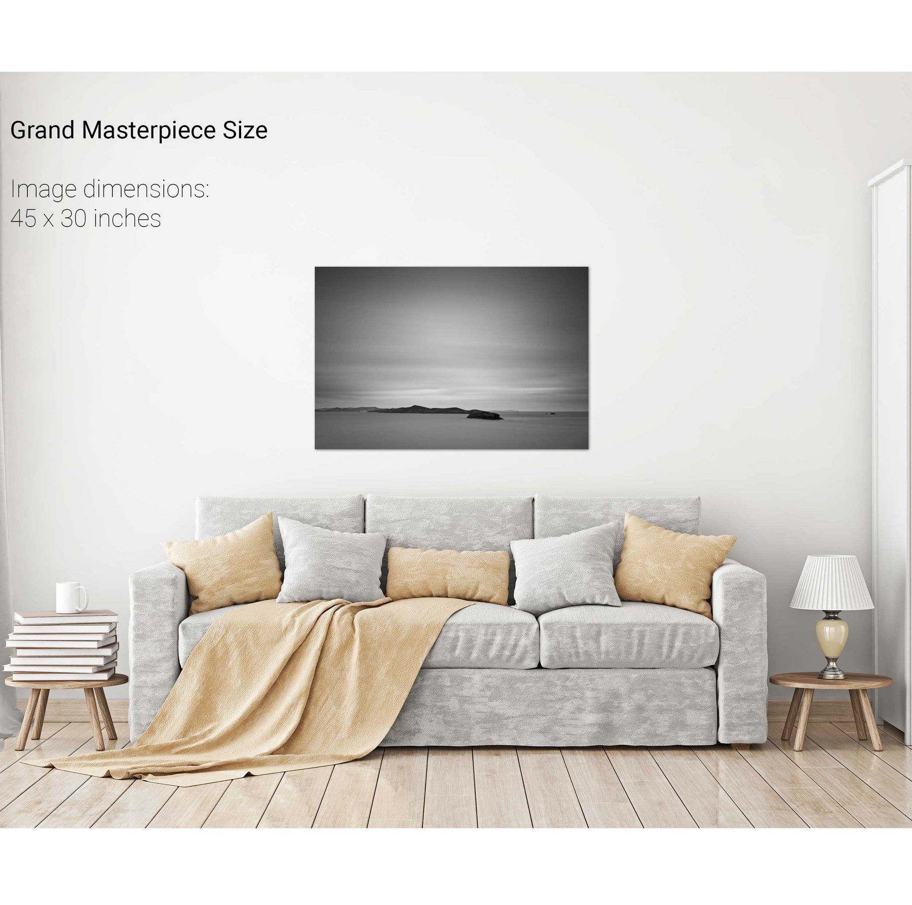
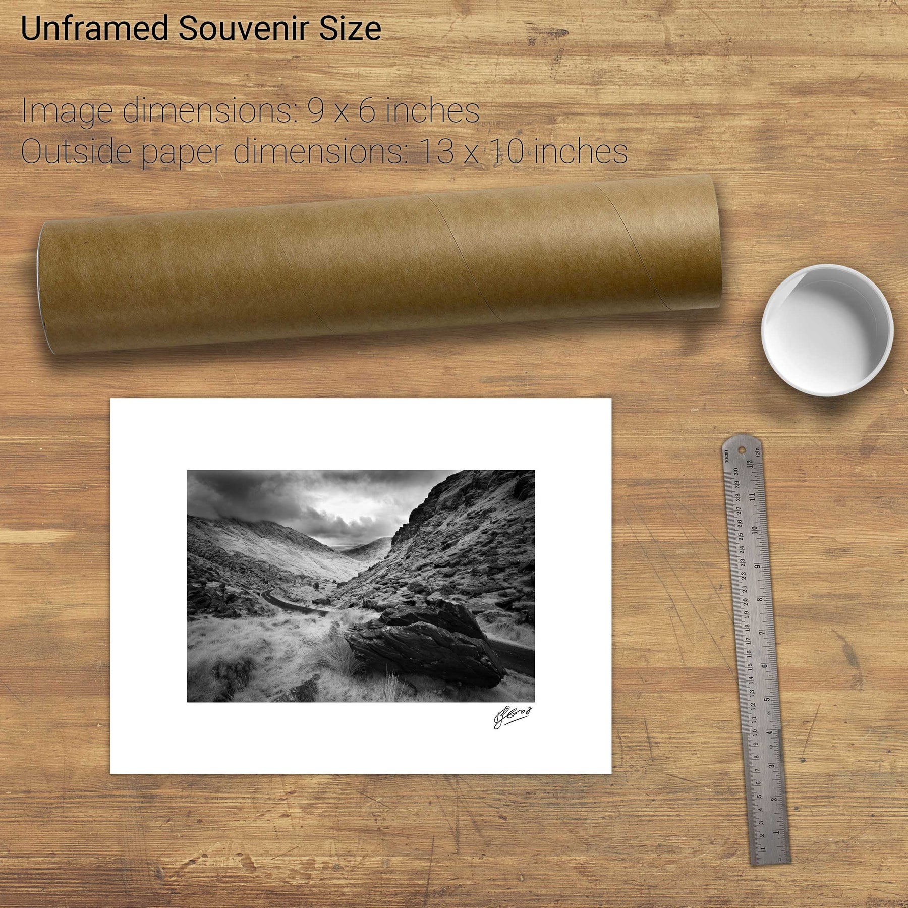
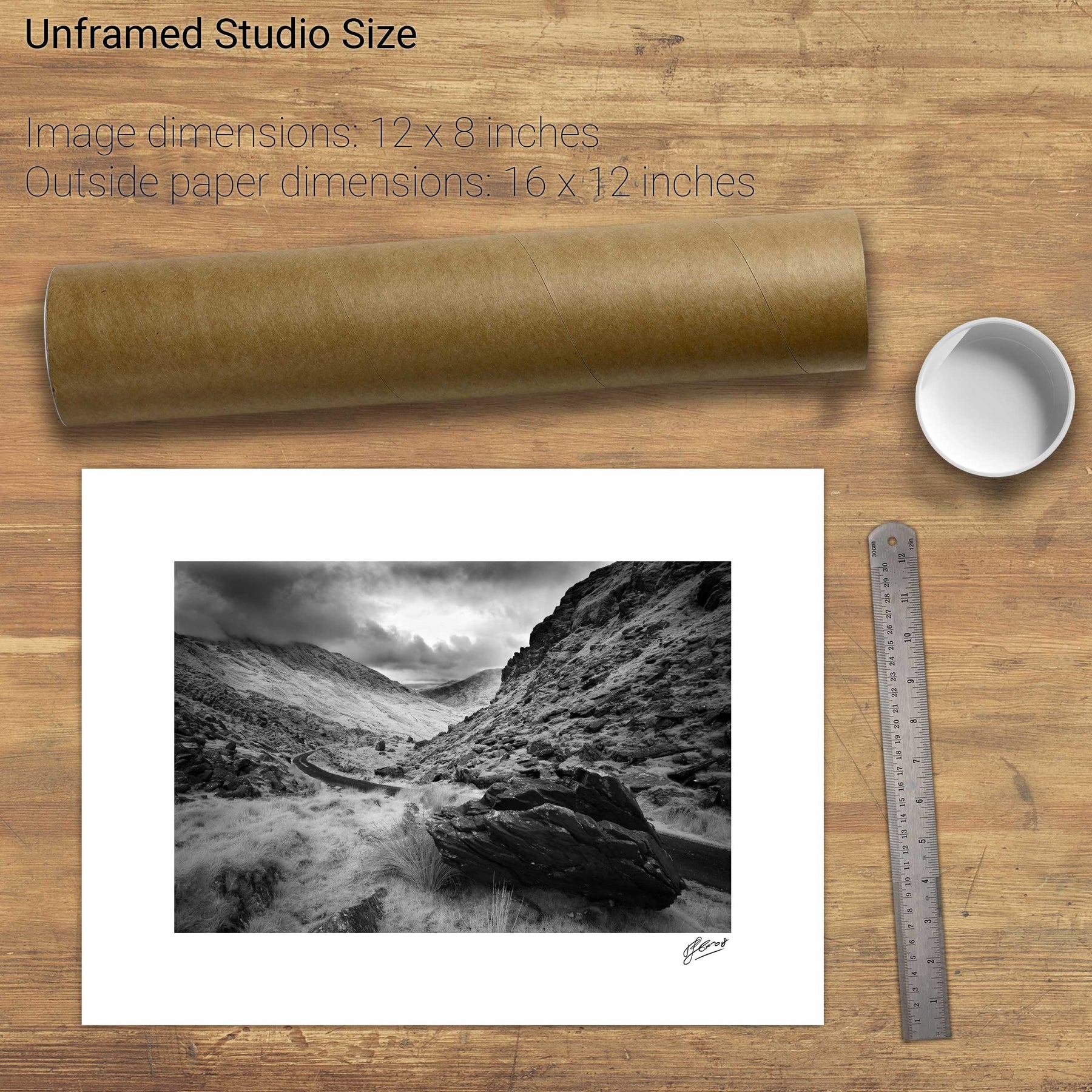
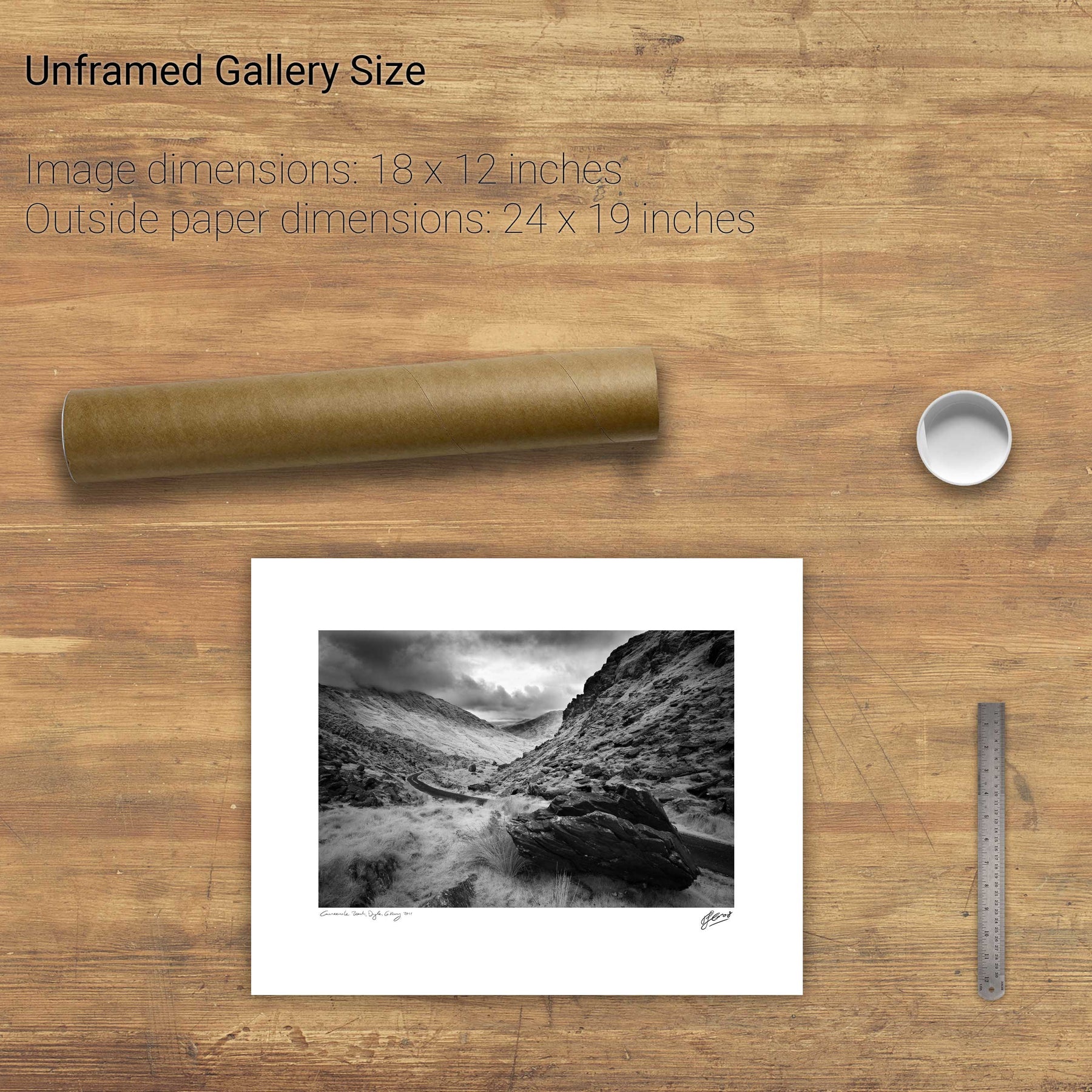
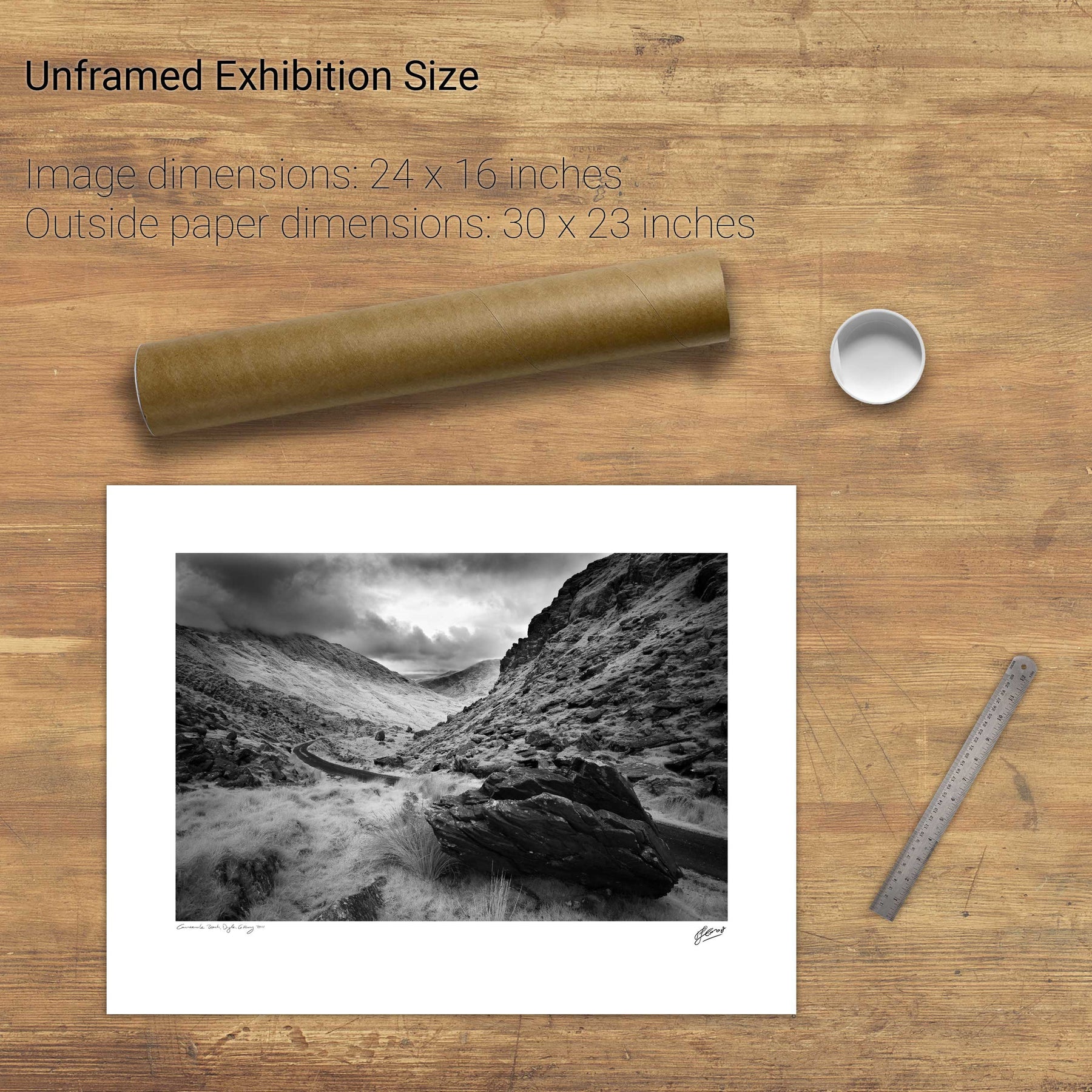
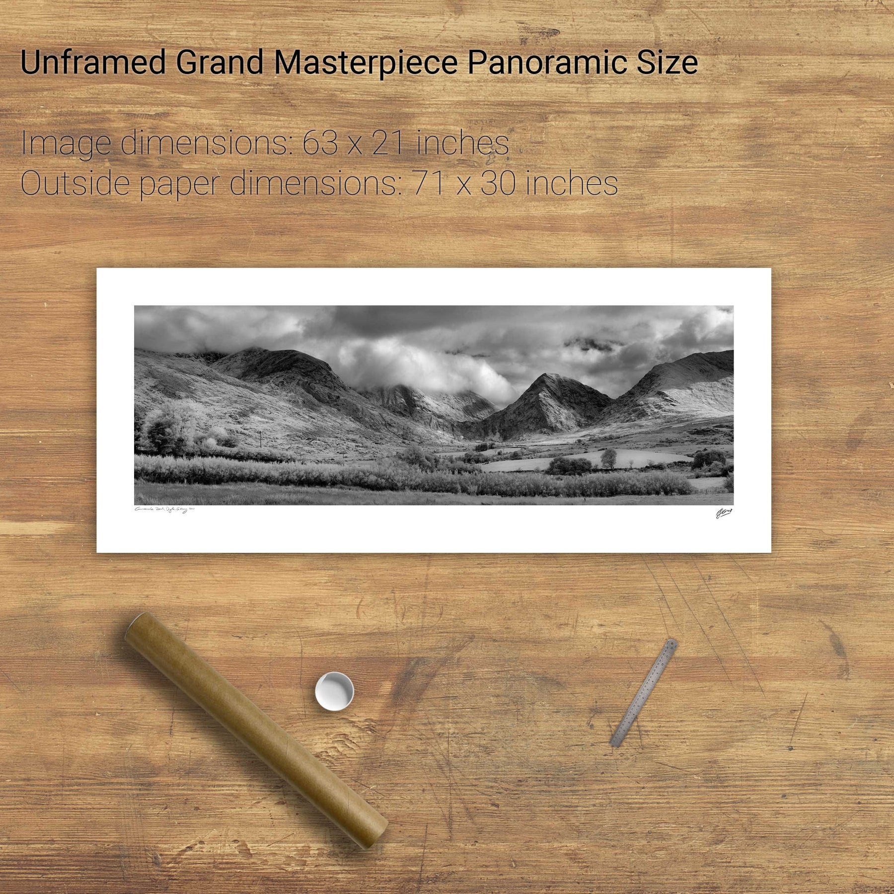
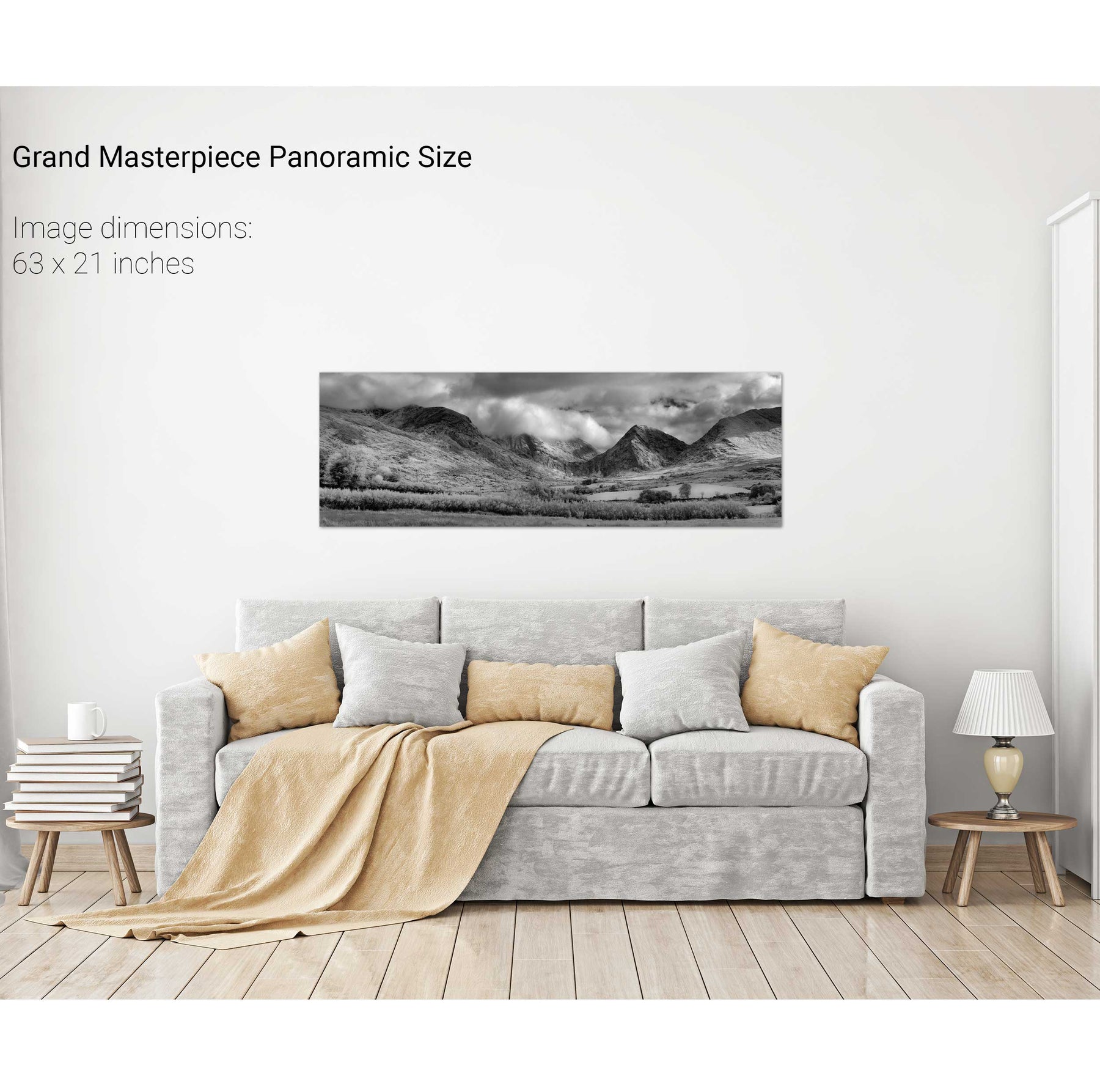
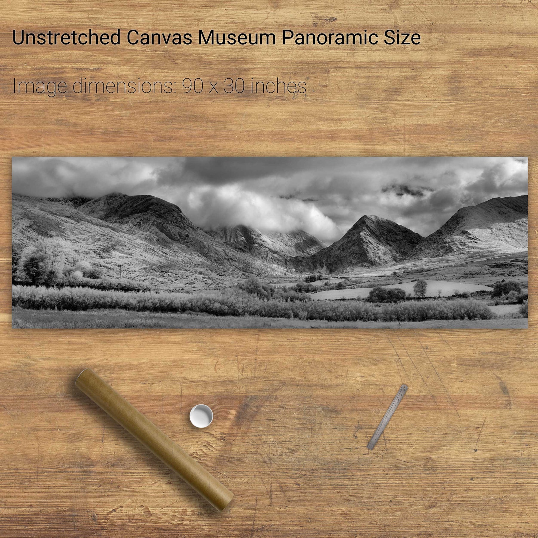
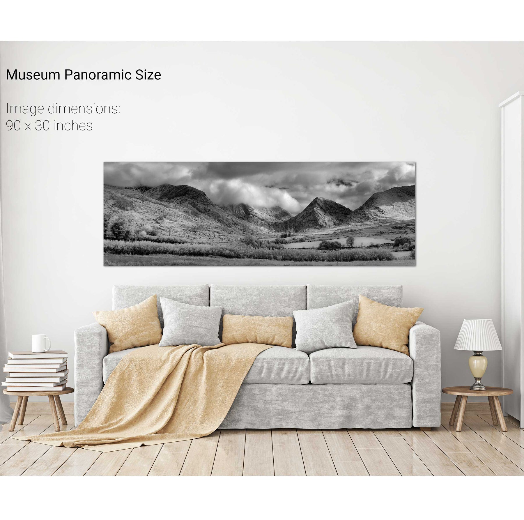
Clogher Strand, Dingle, Co. Kerry
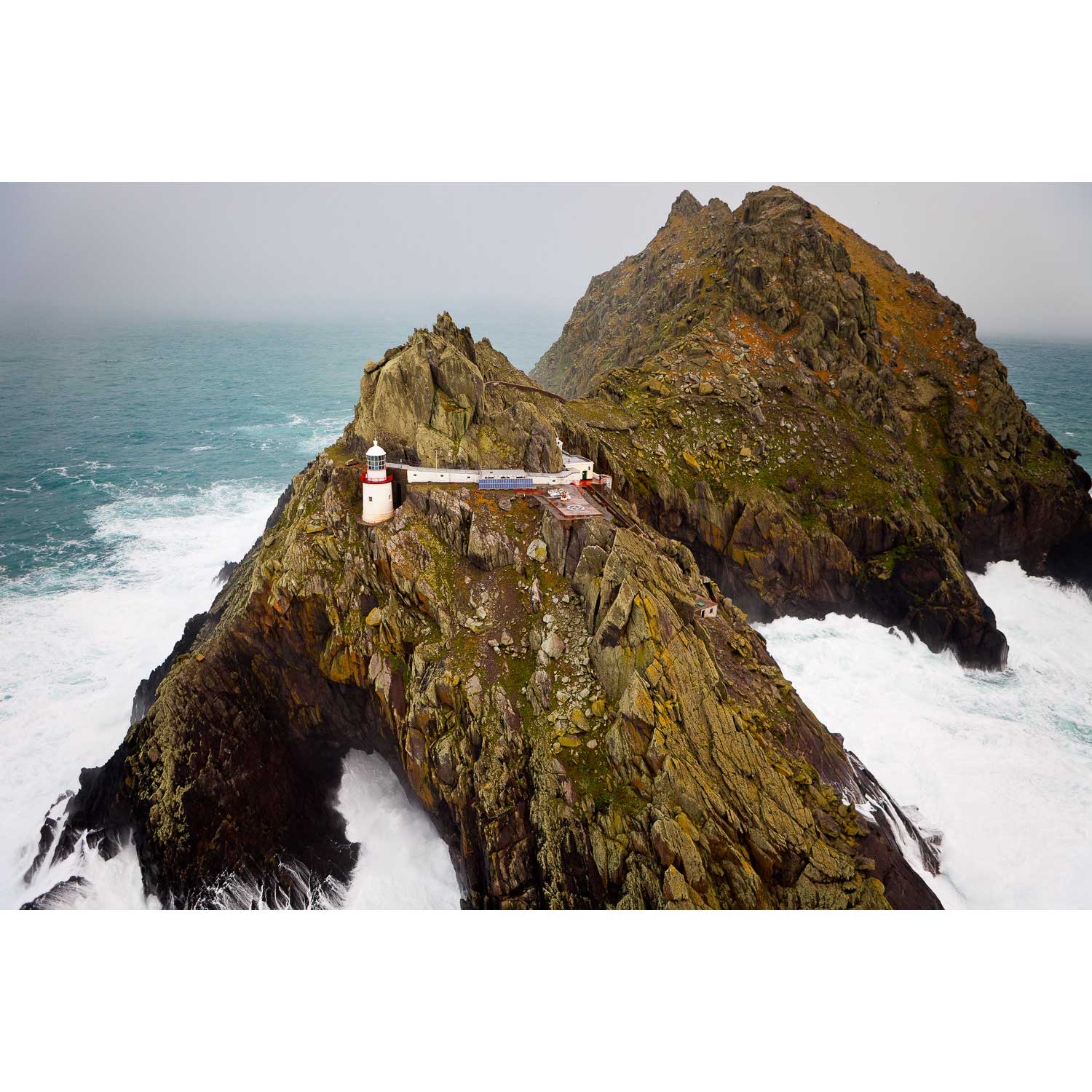
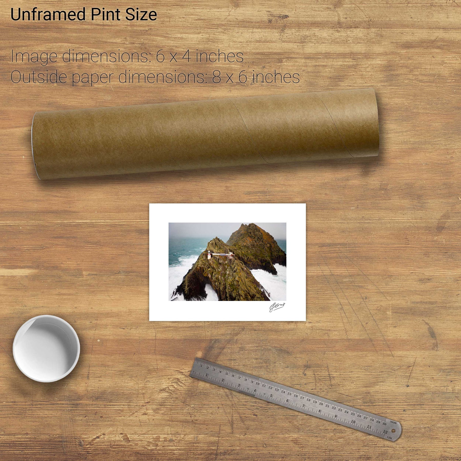
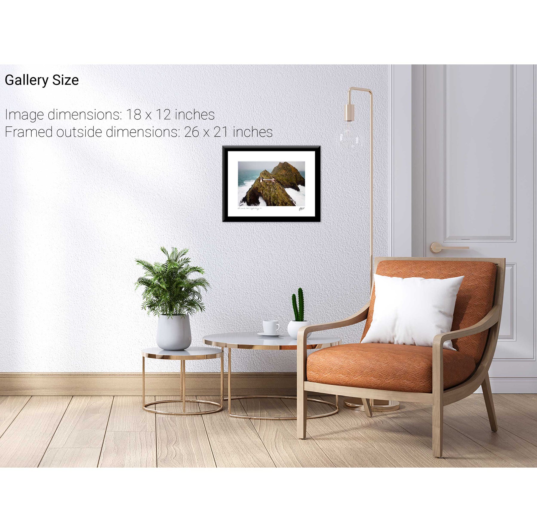
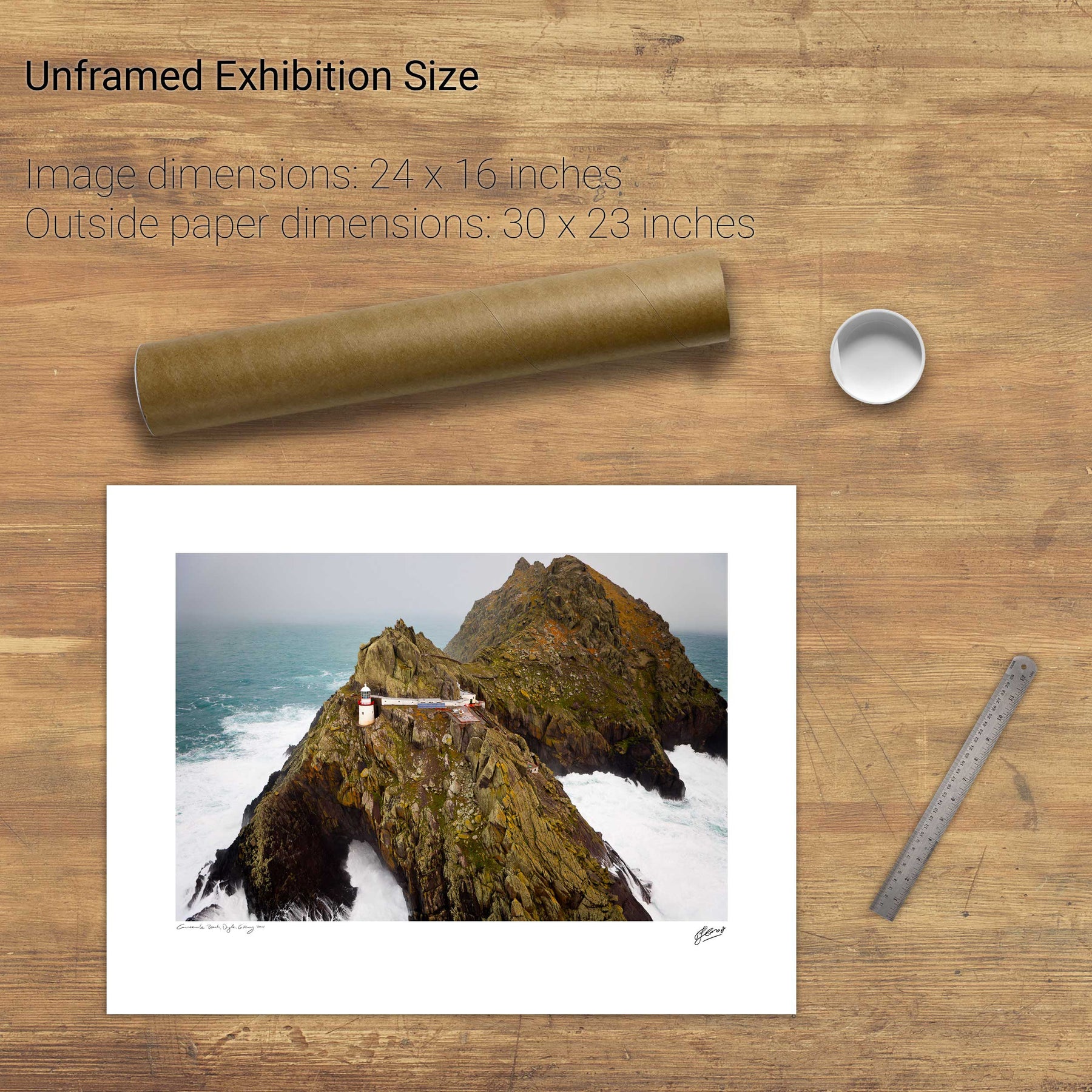
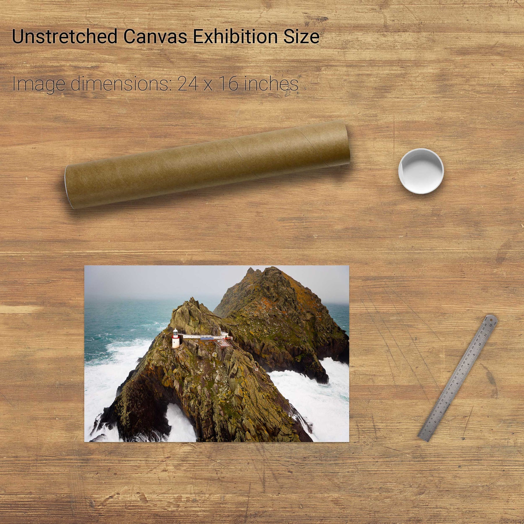
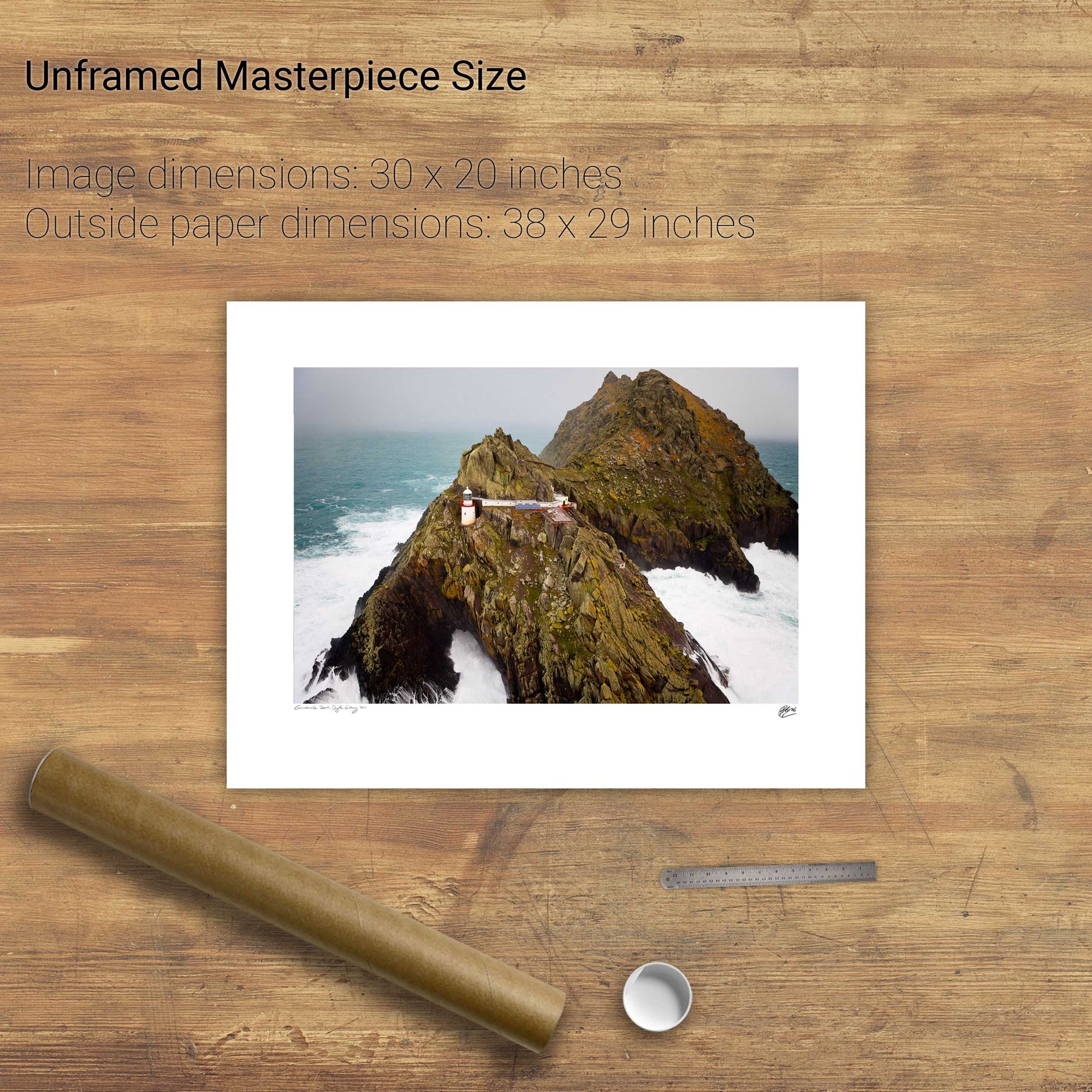
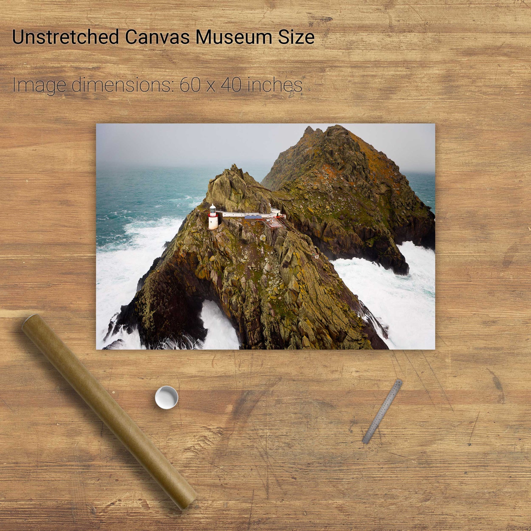
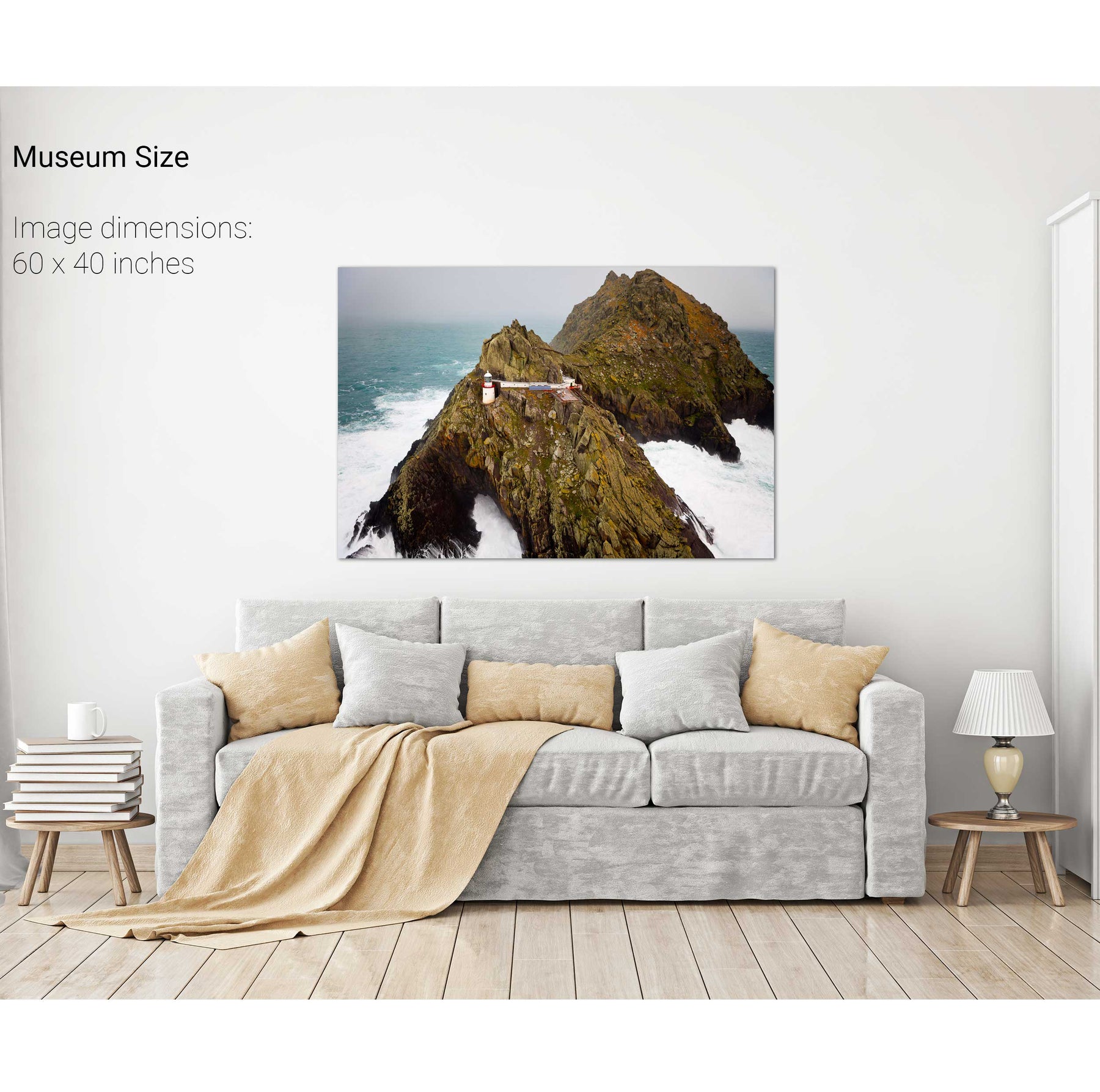
A Stormy Day, An Tiaracht, Co. Kerry
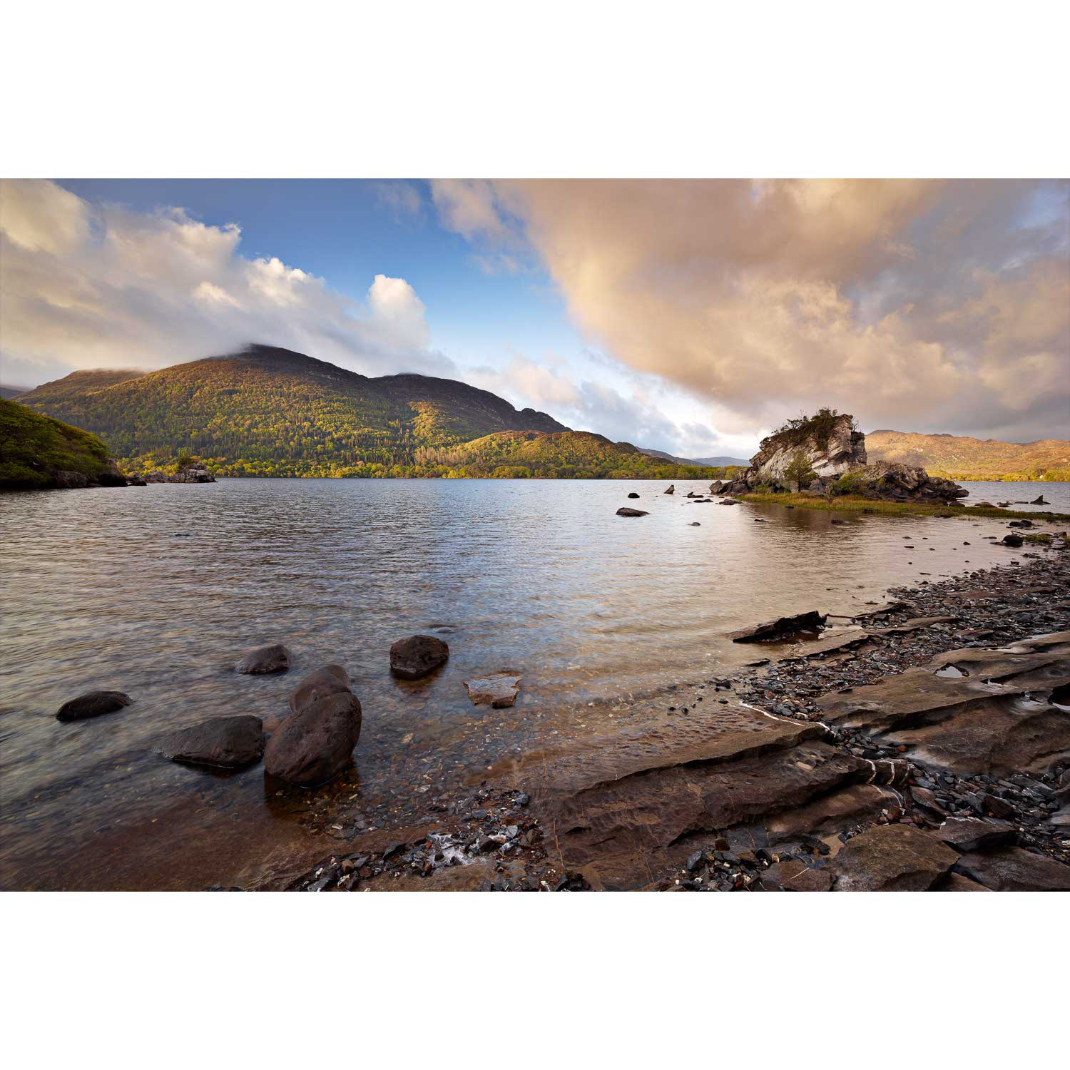
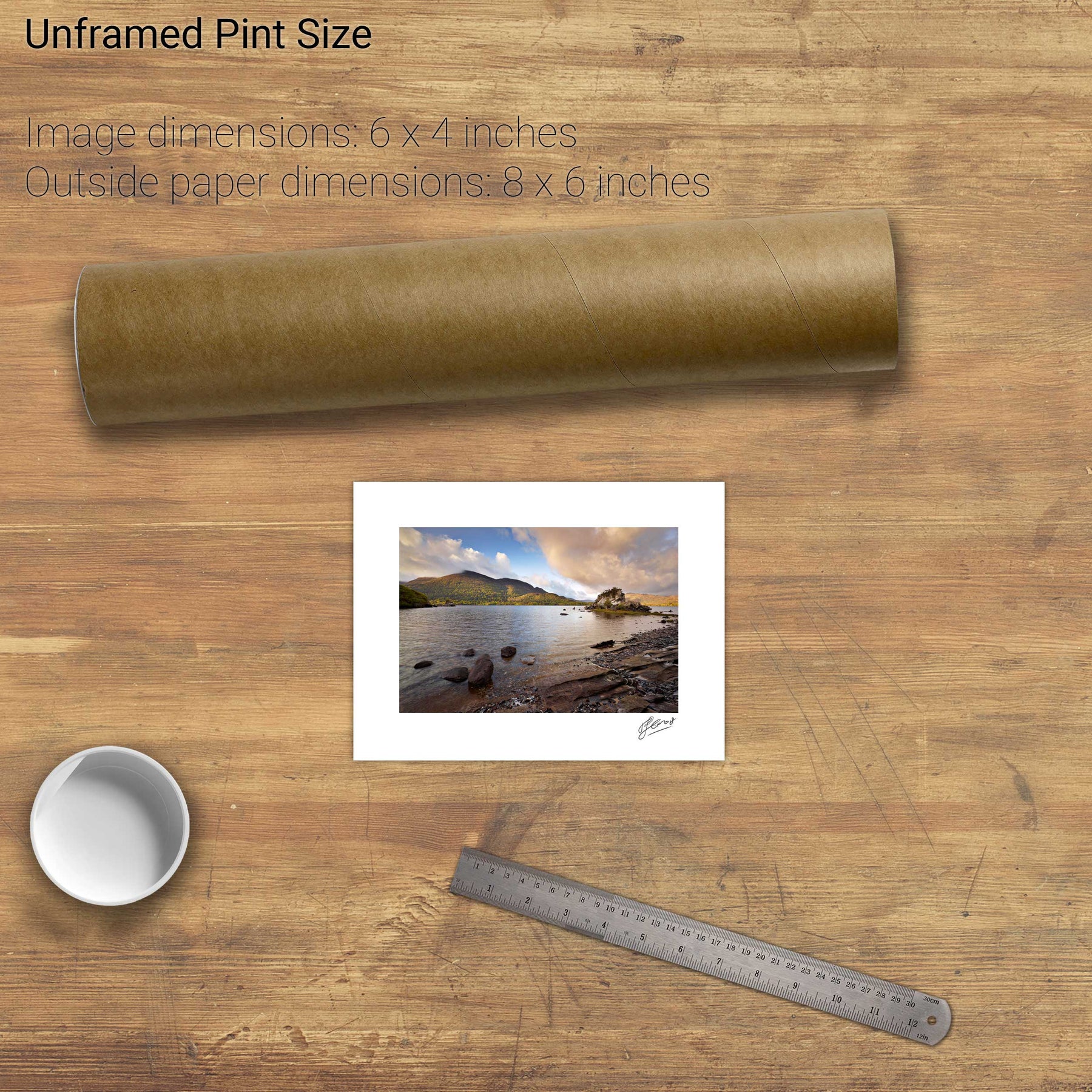
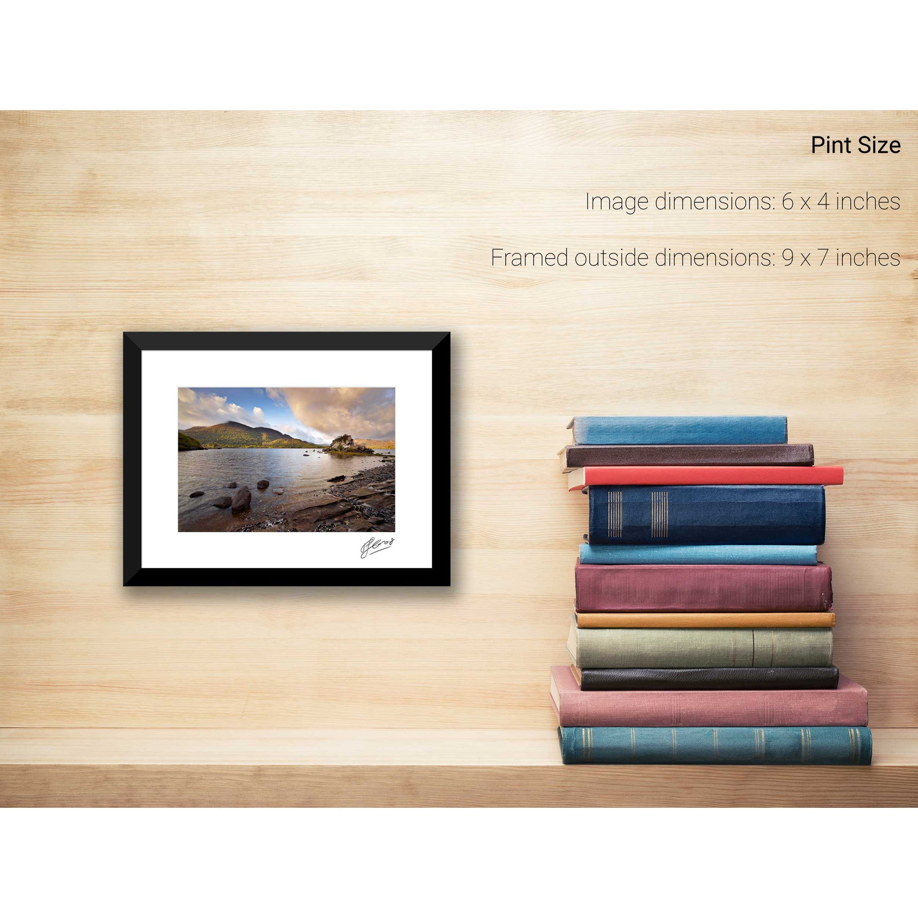
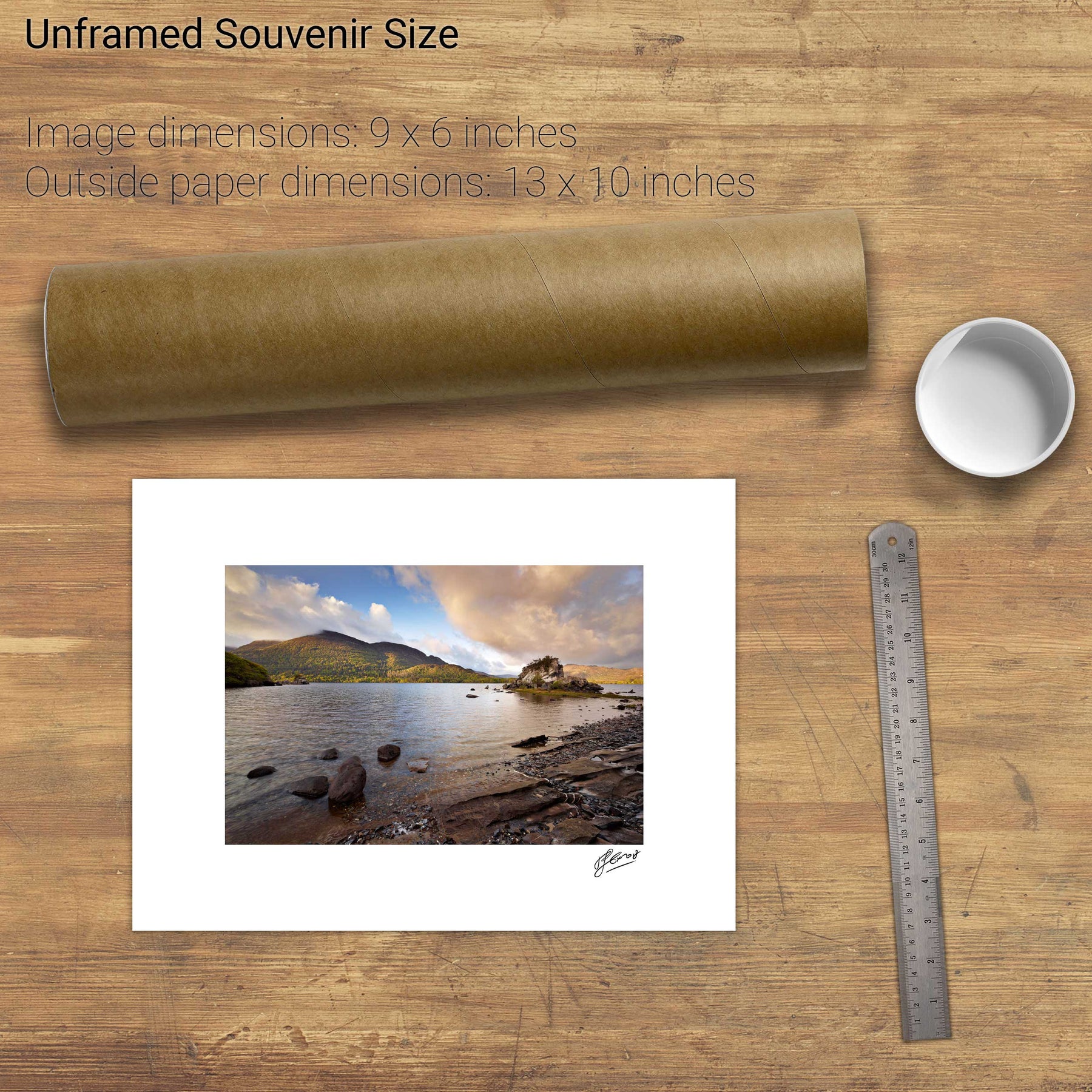
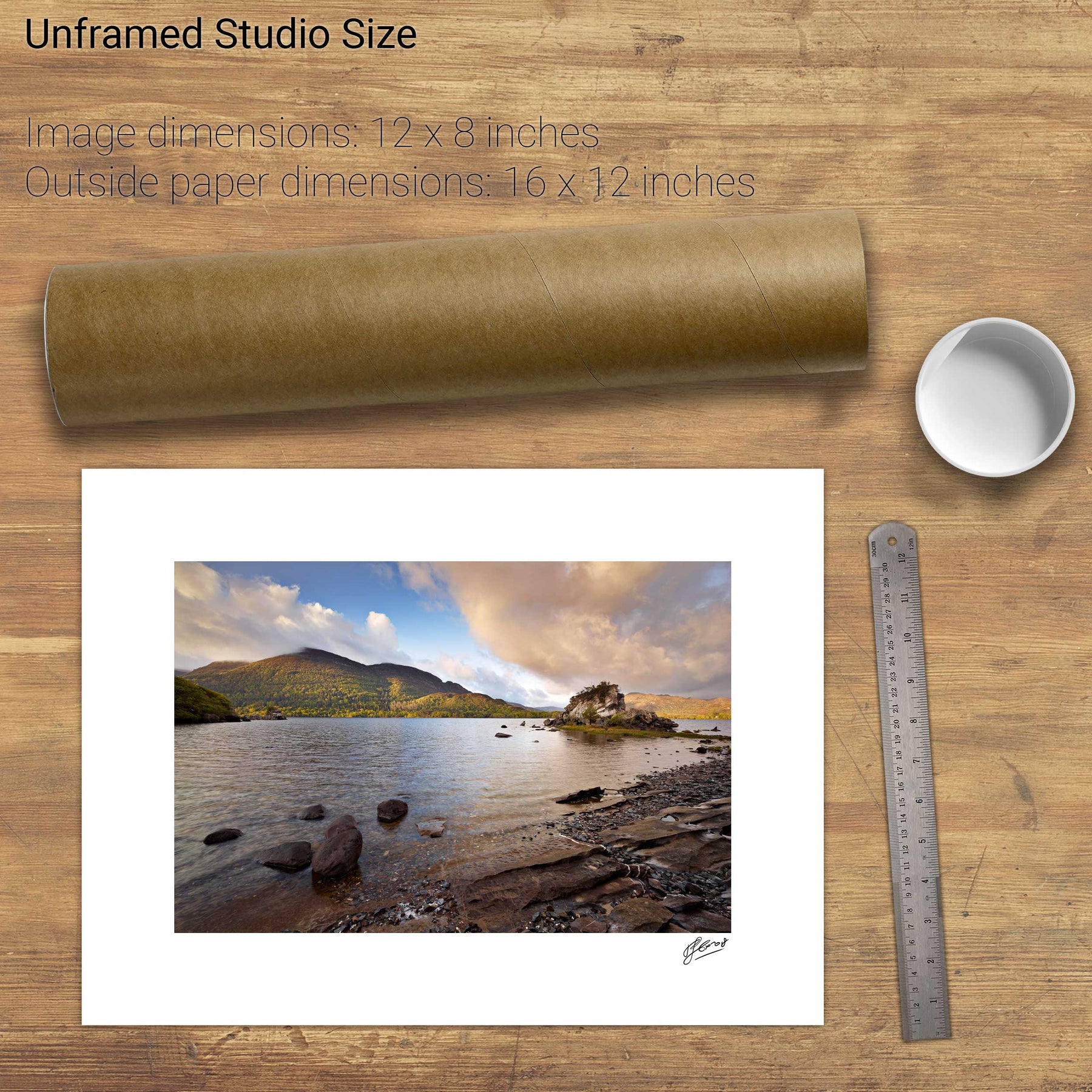
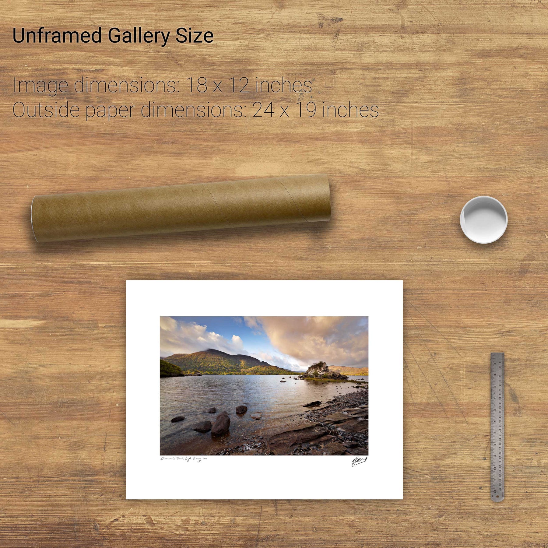
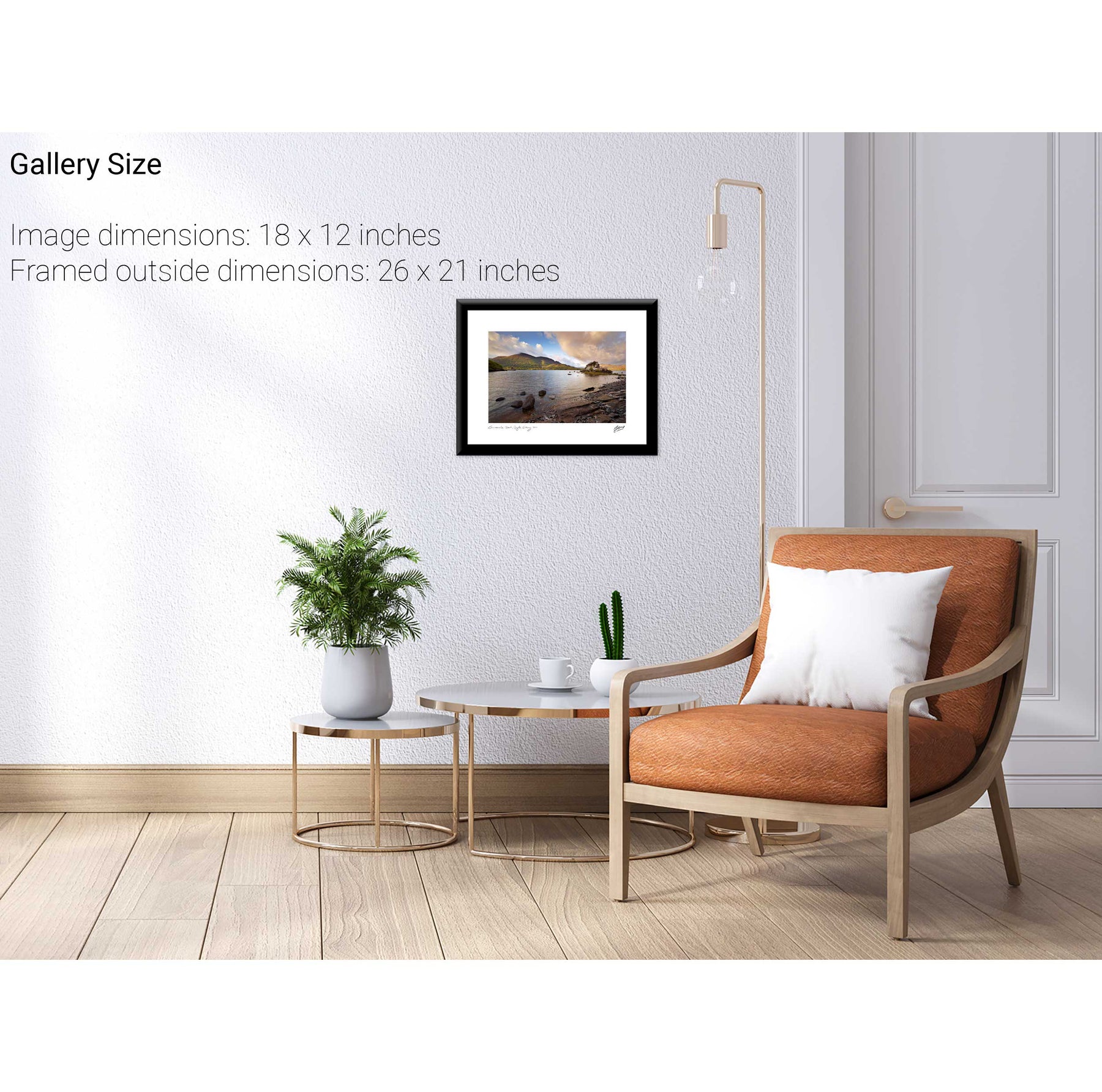
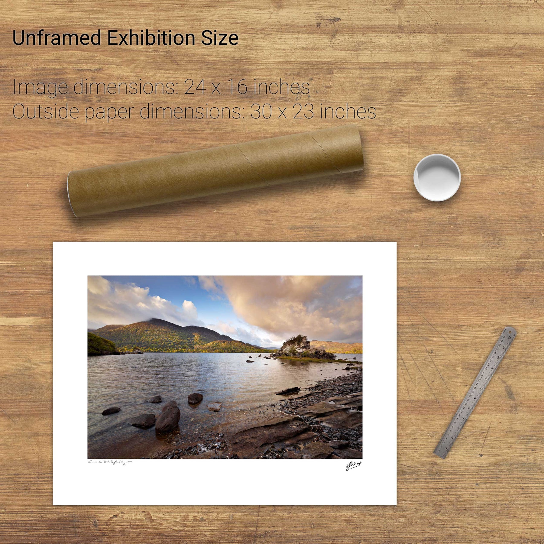
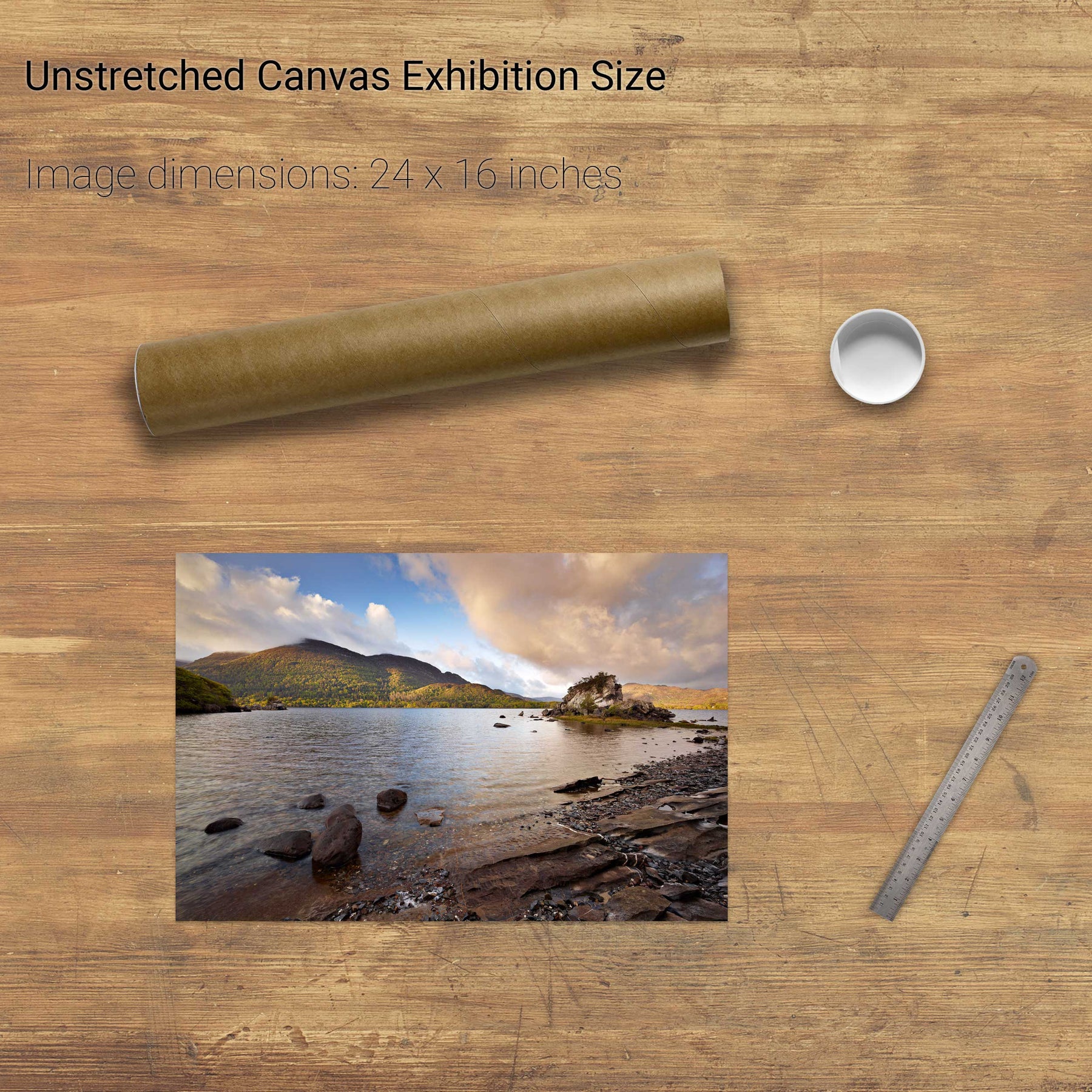
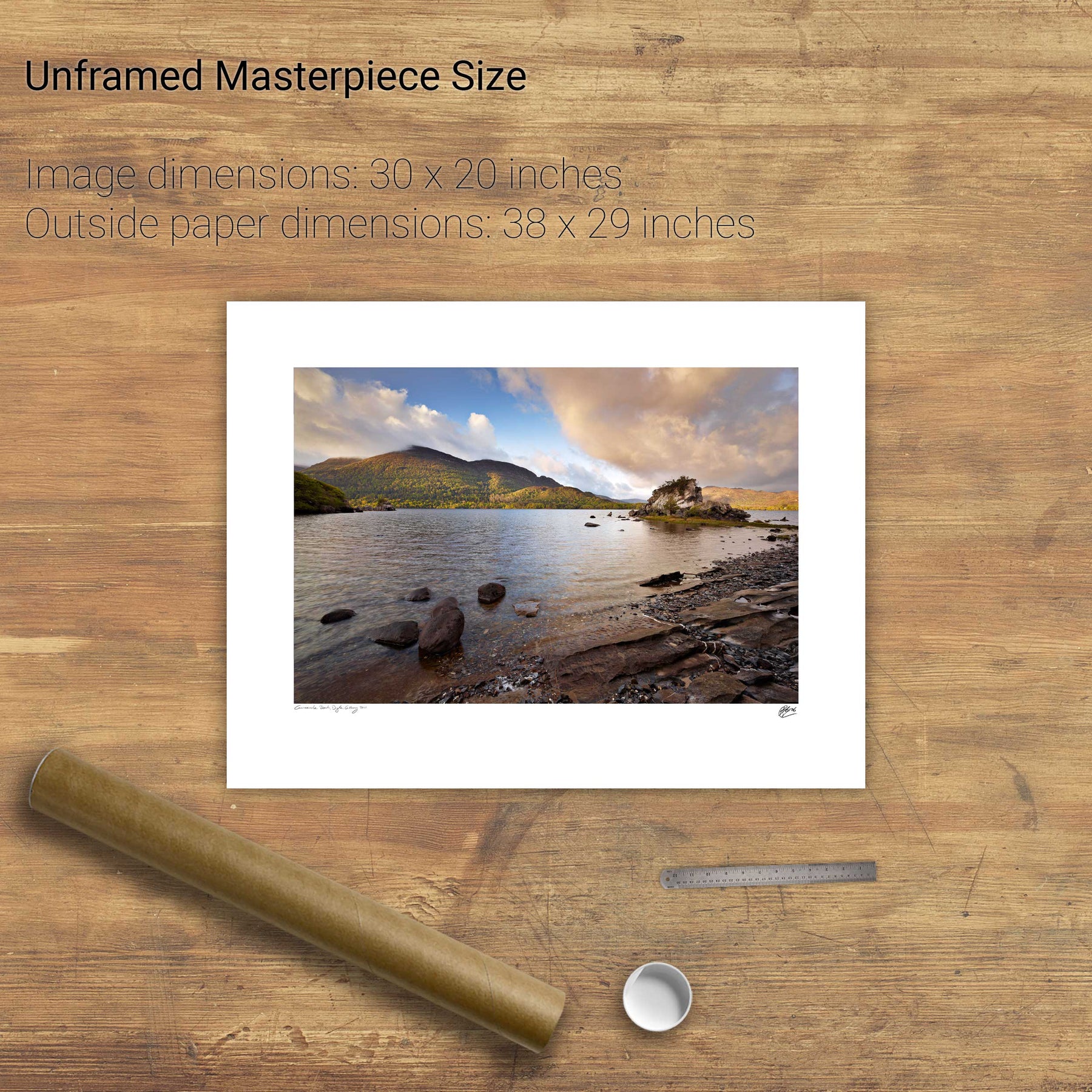
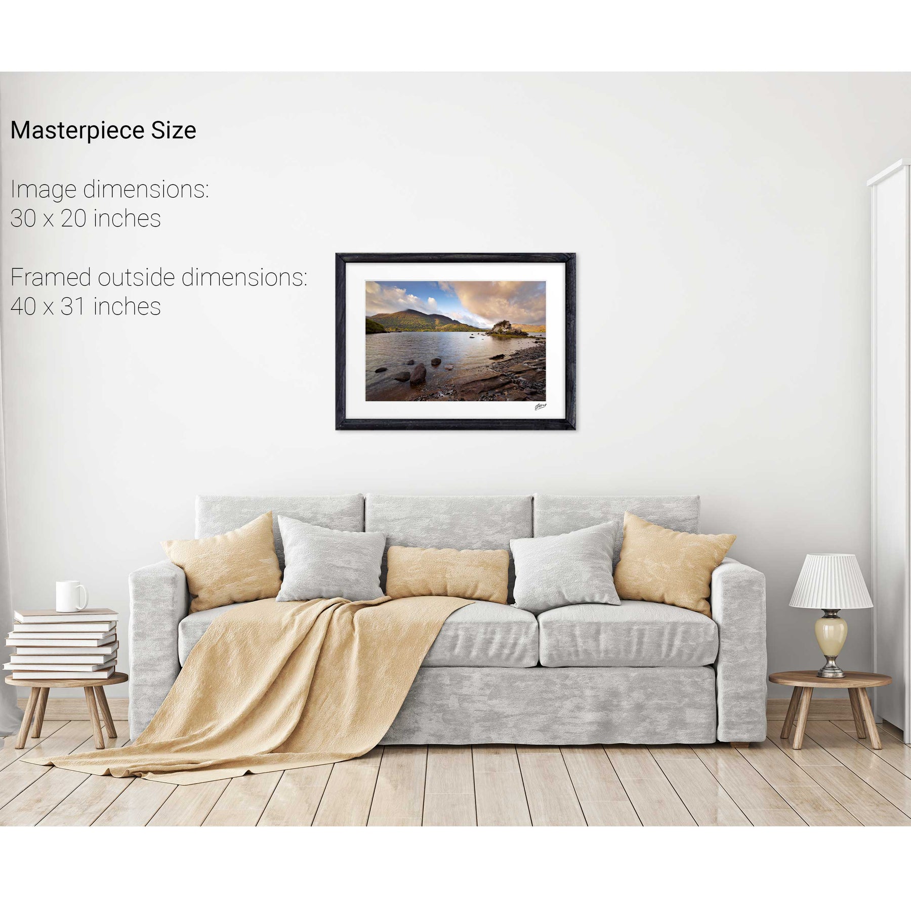
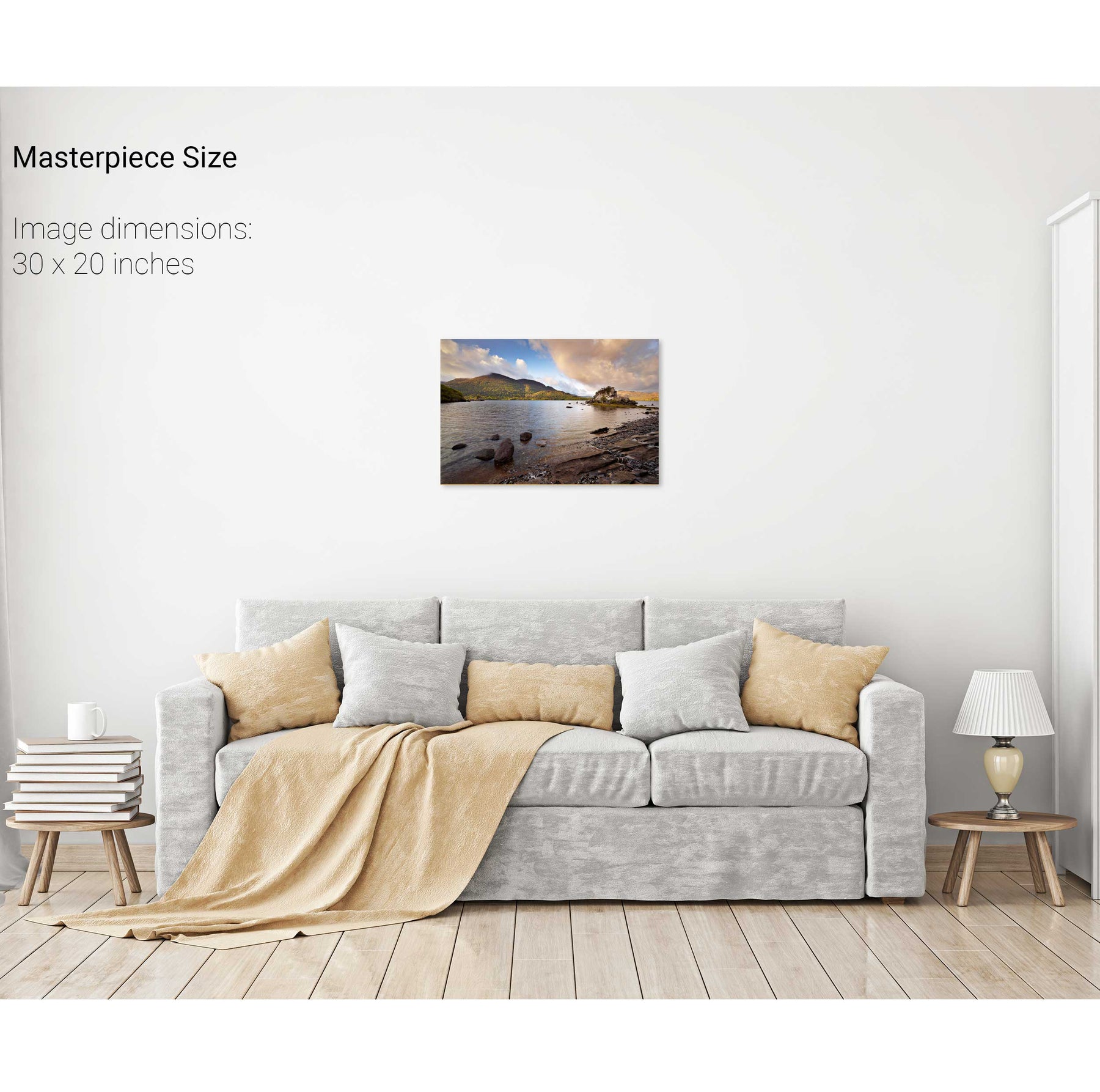
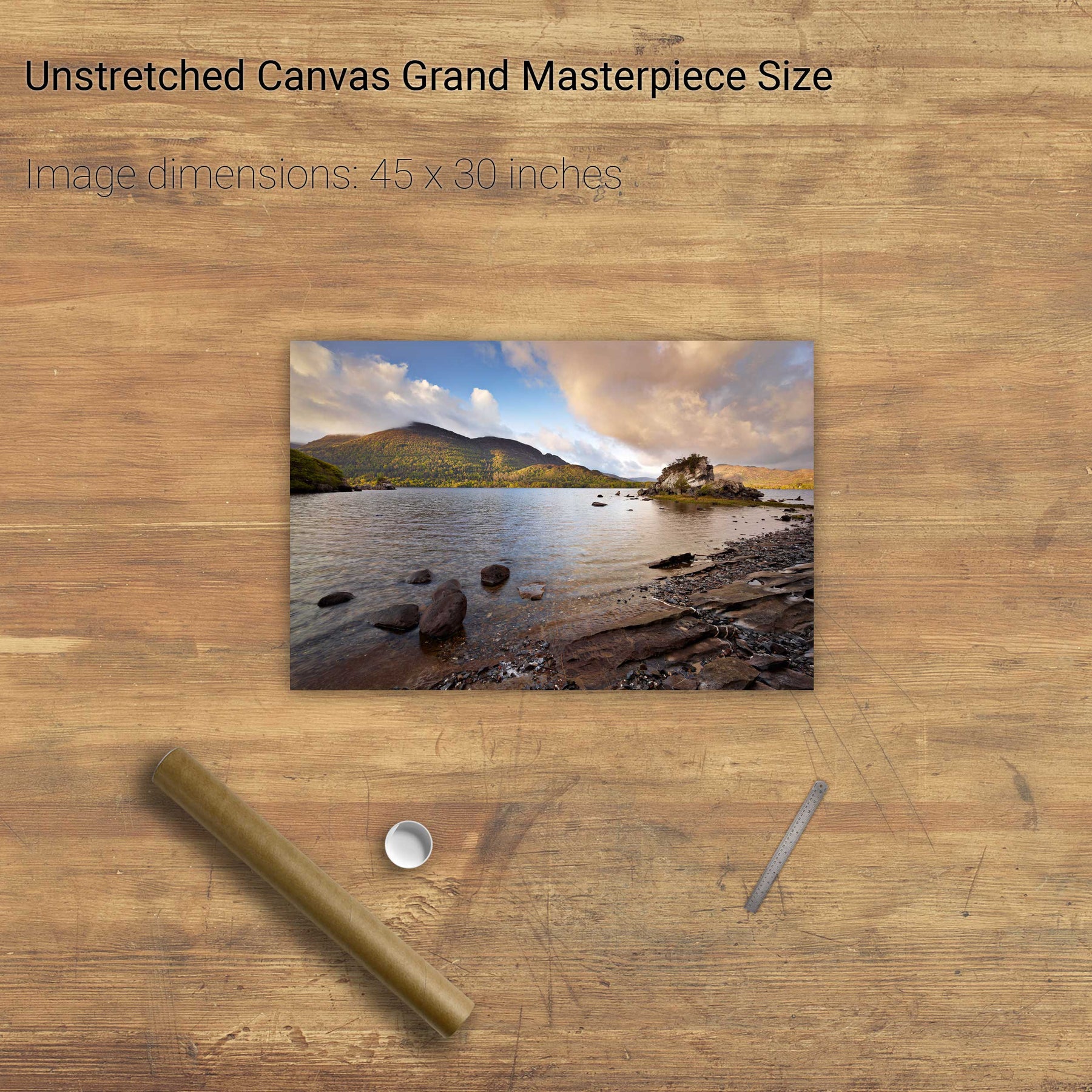
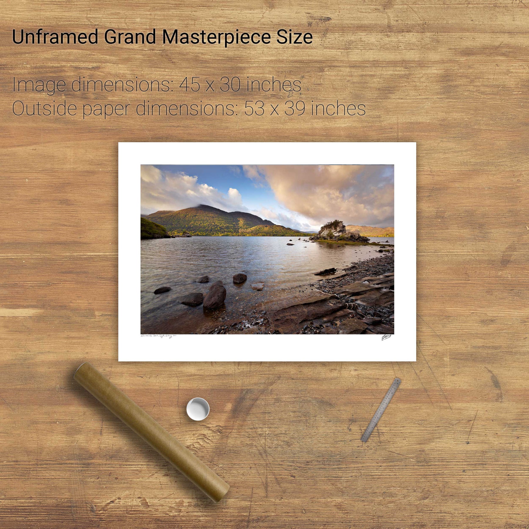
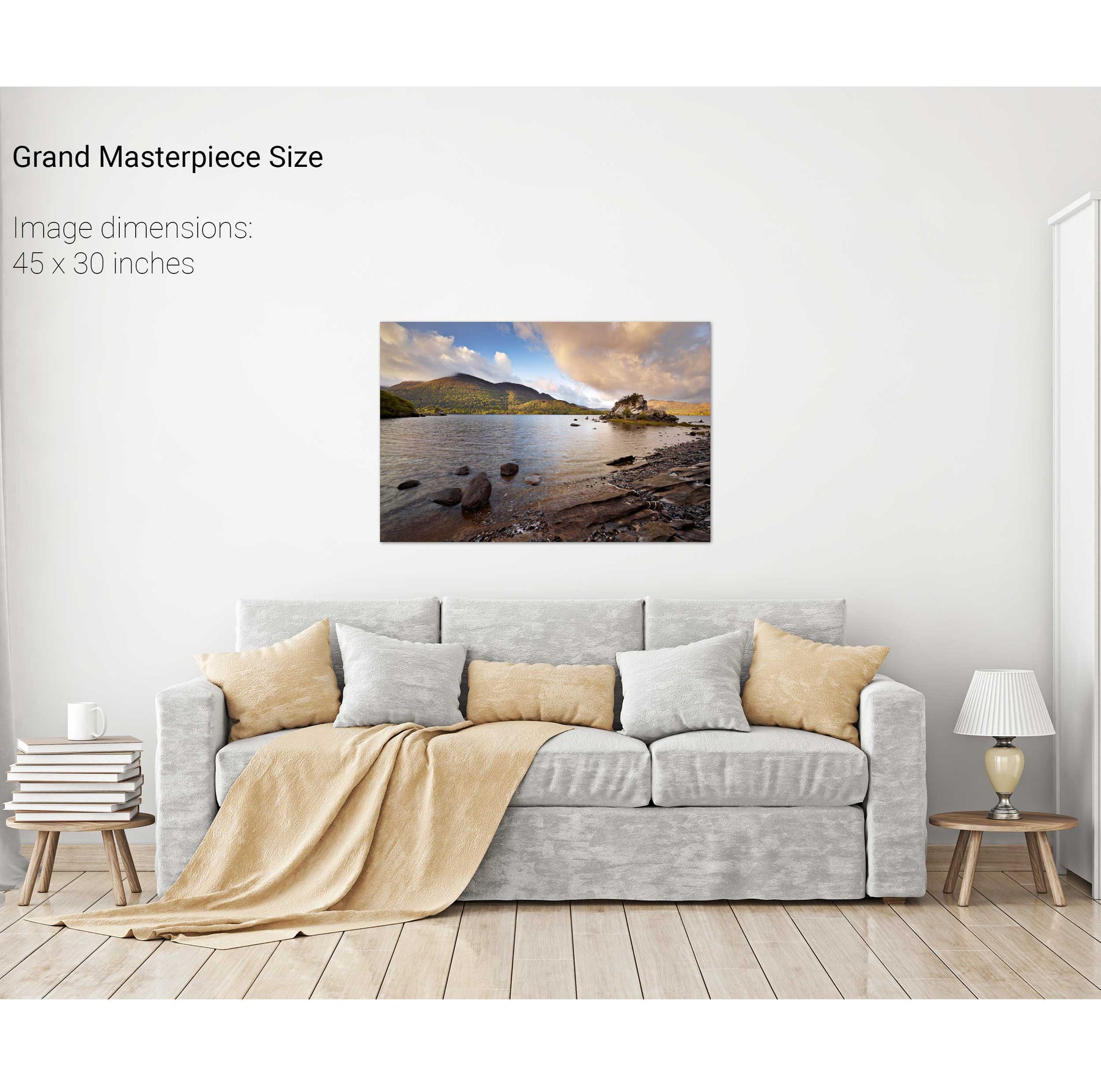
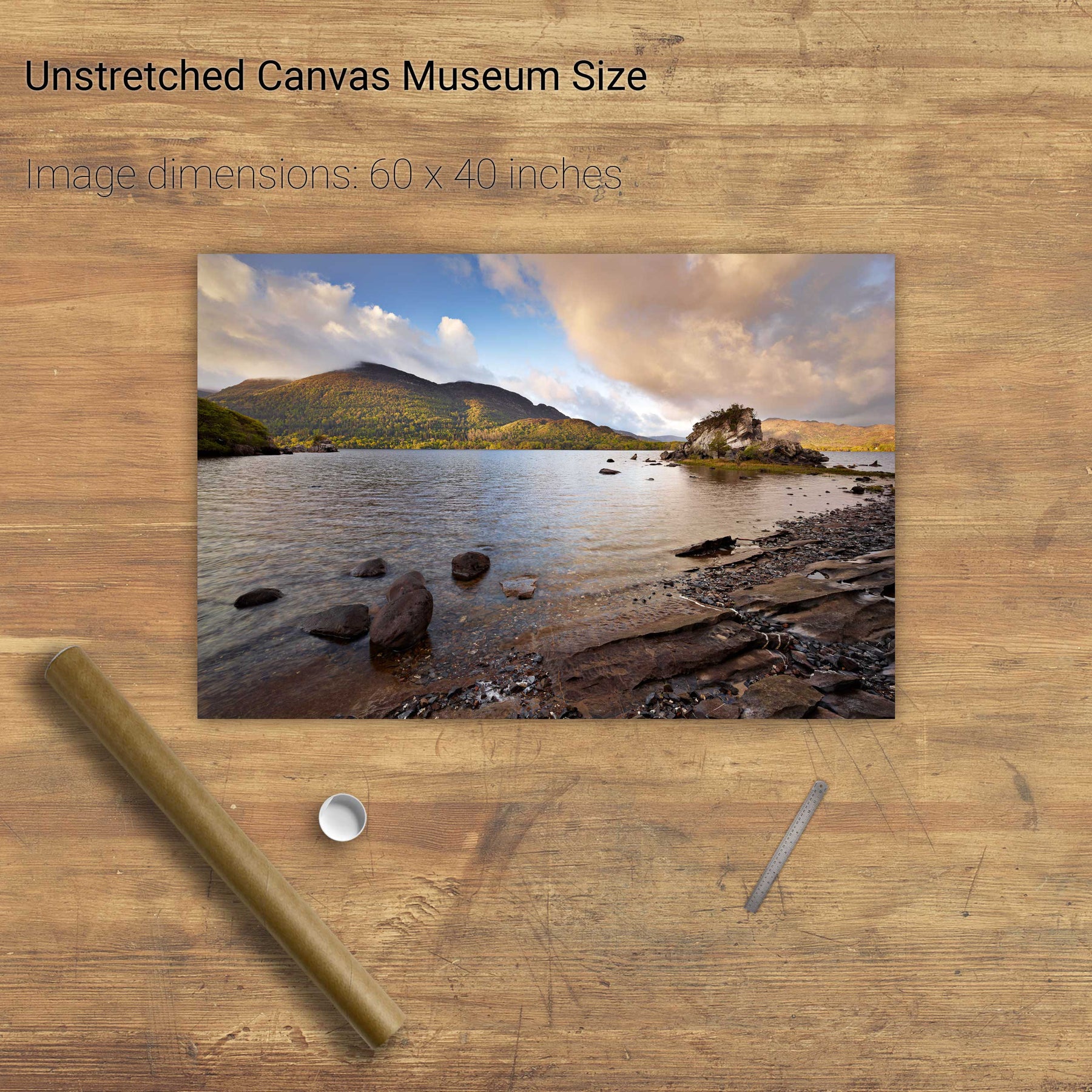
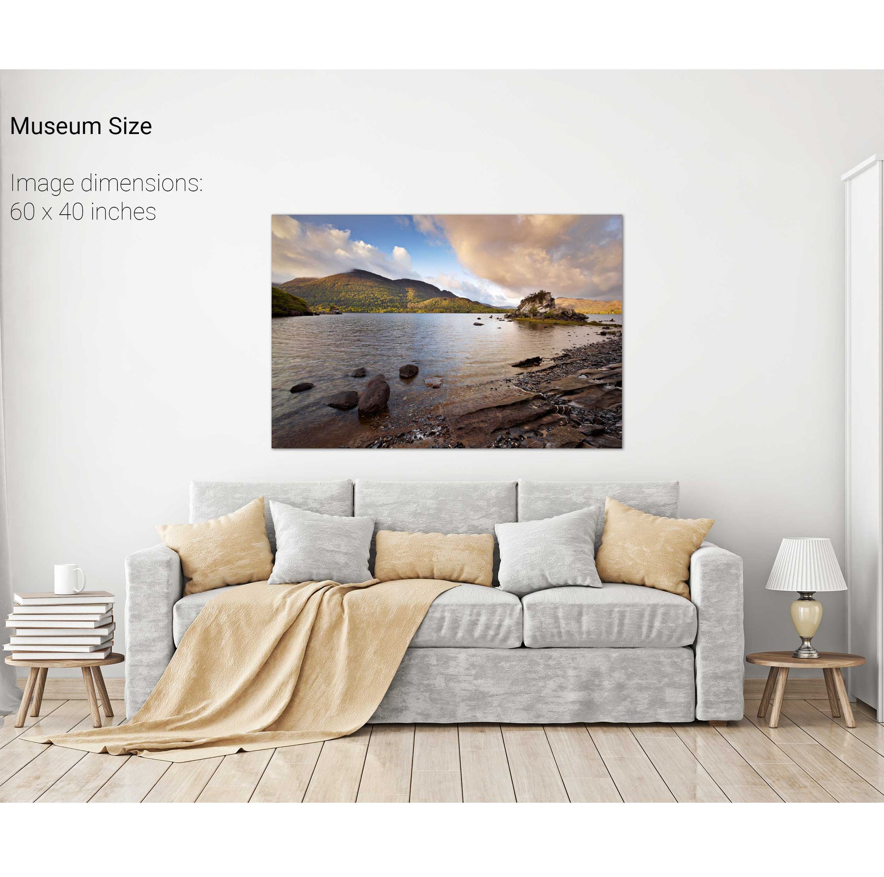
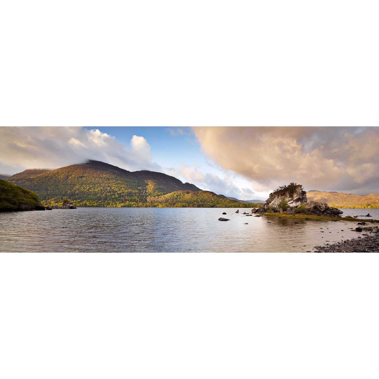
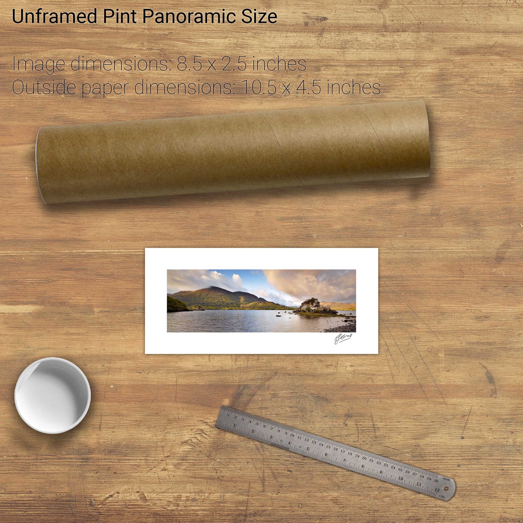
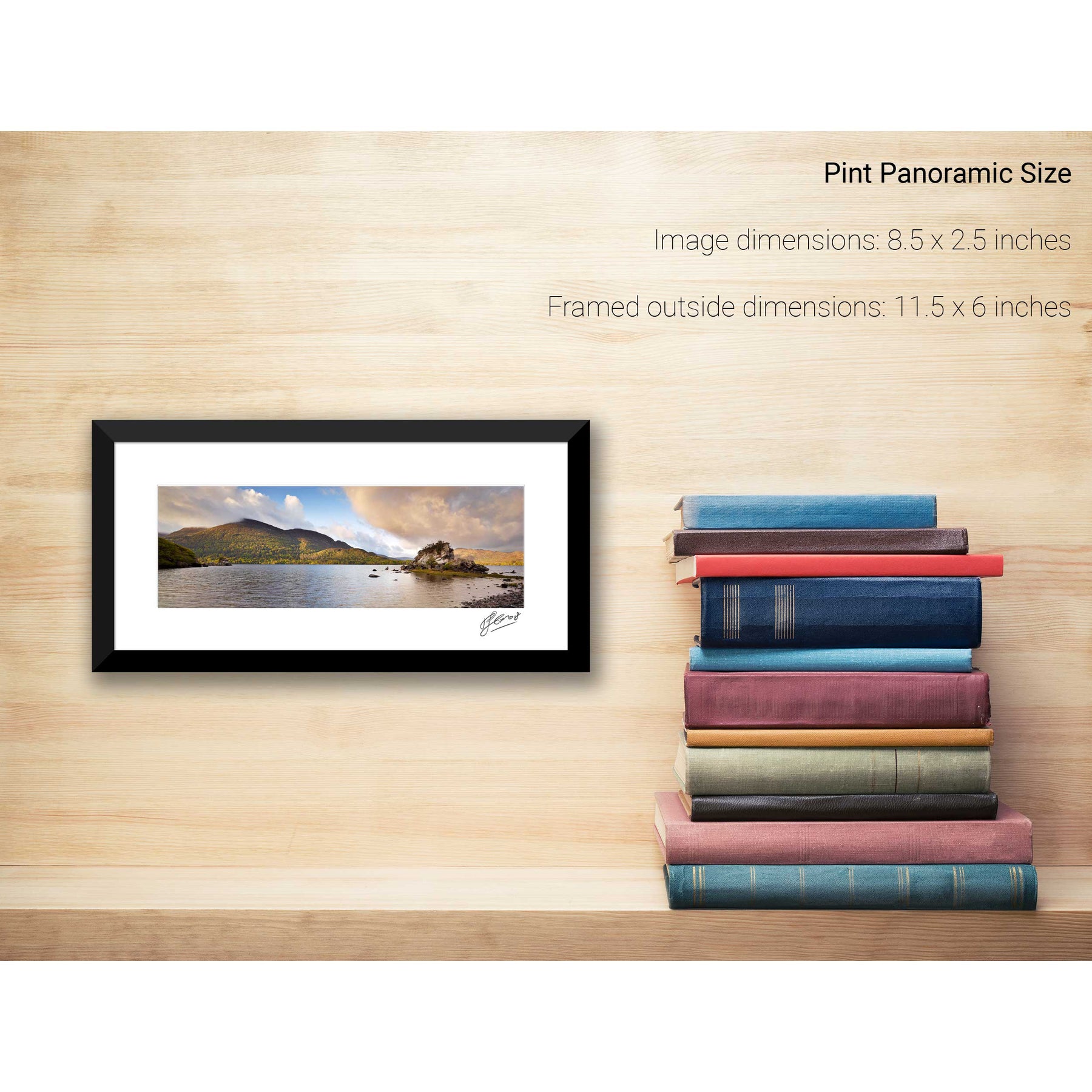
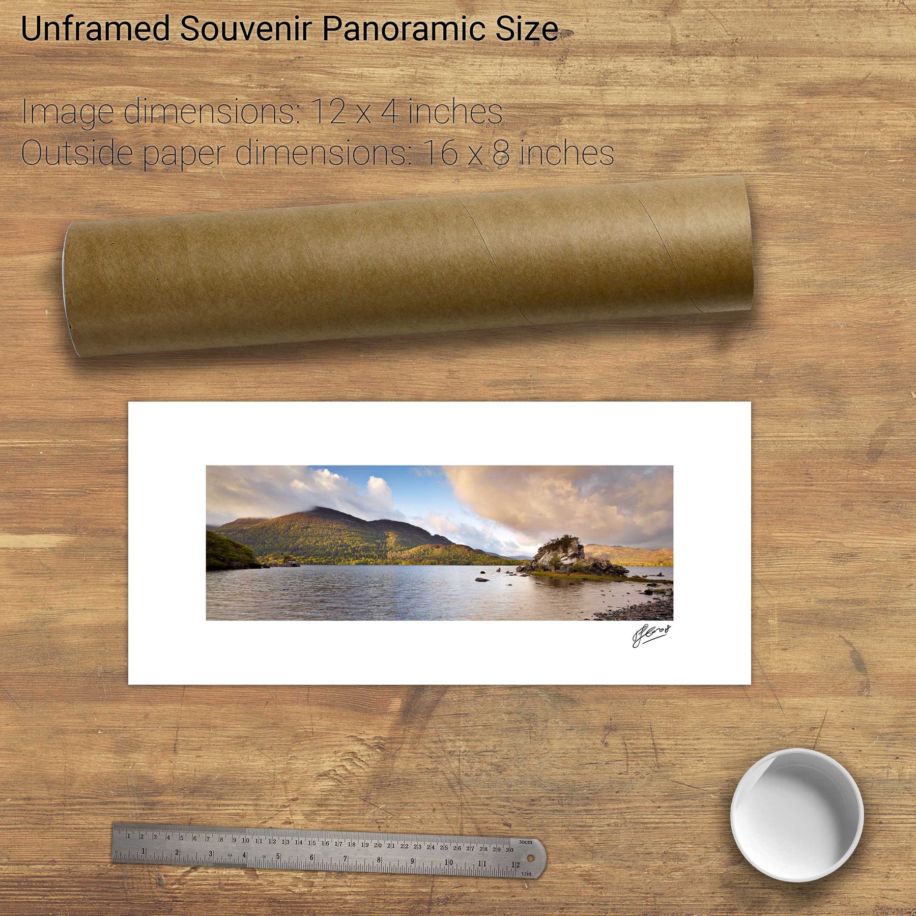
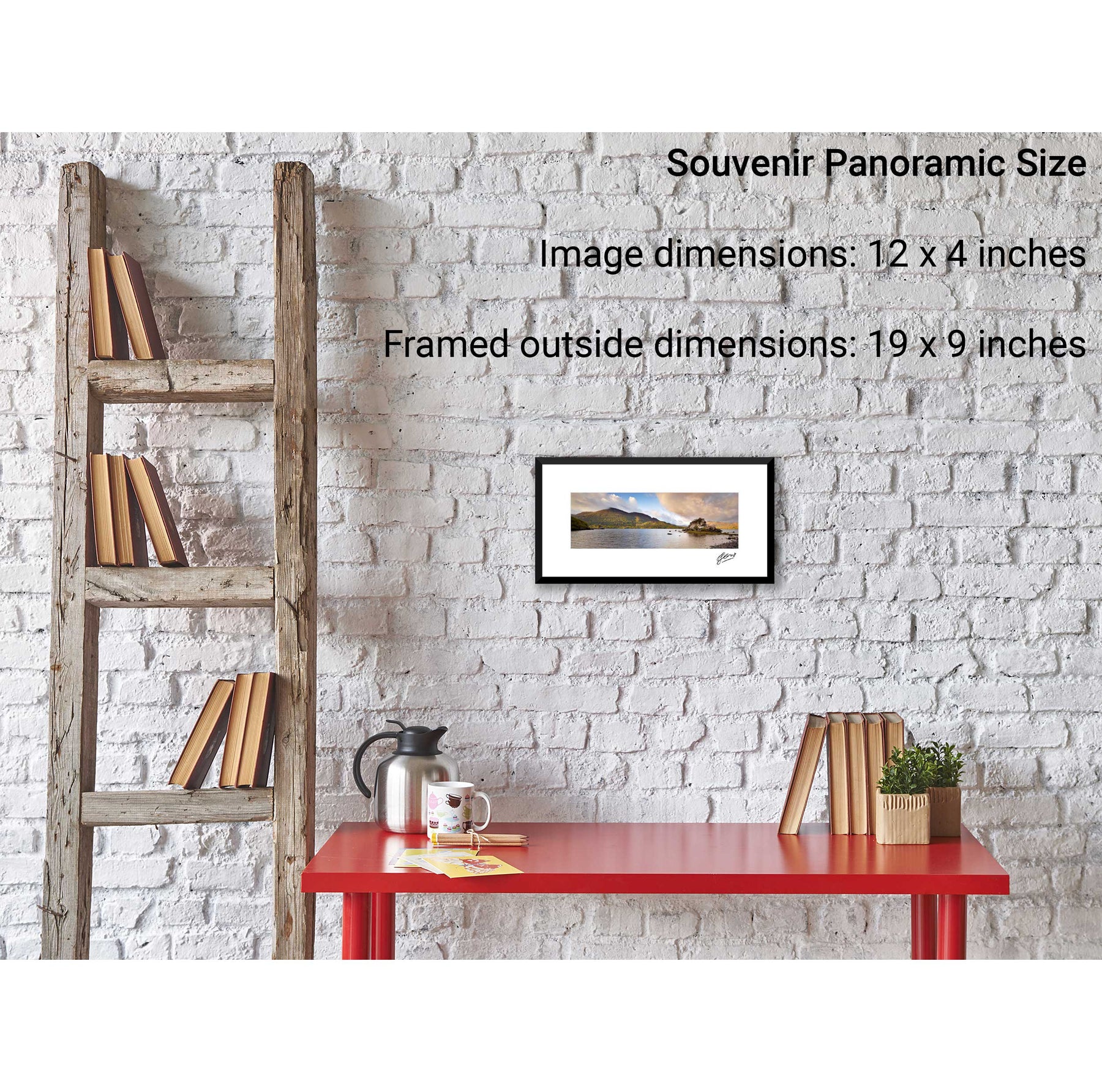
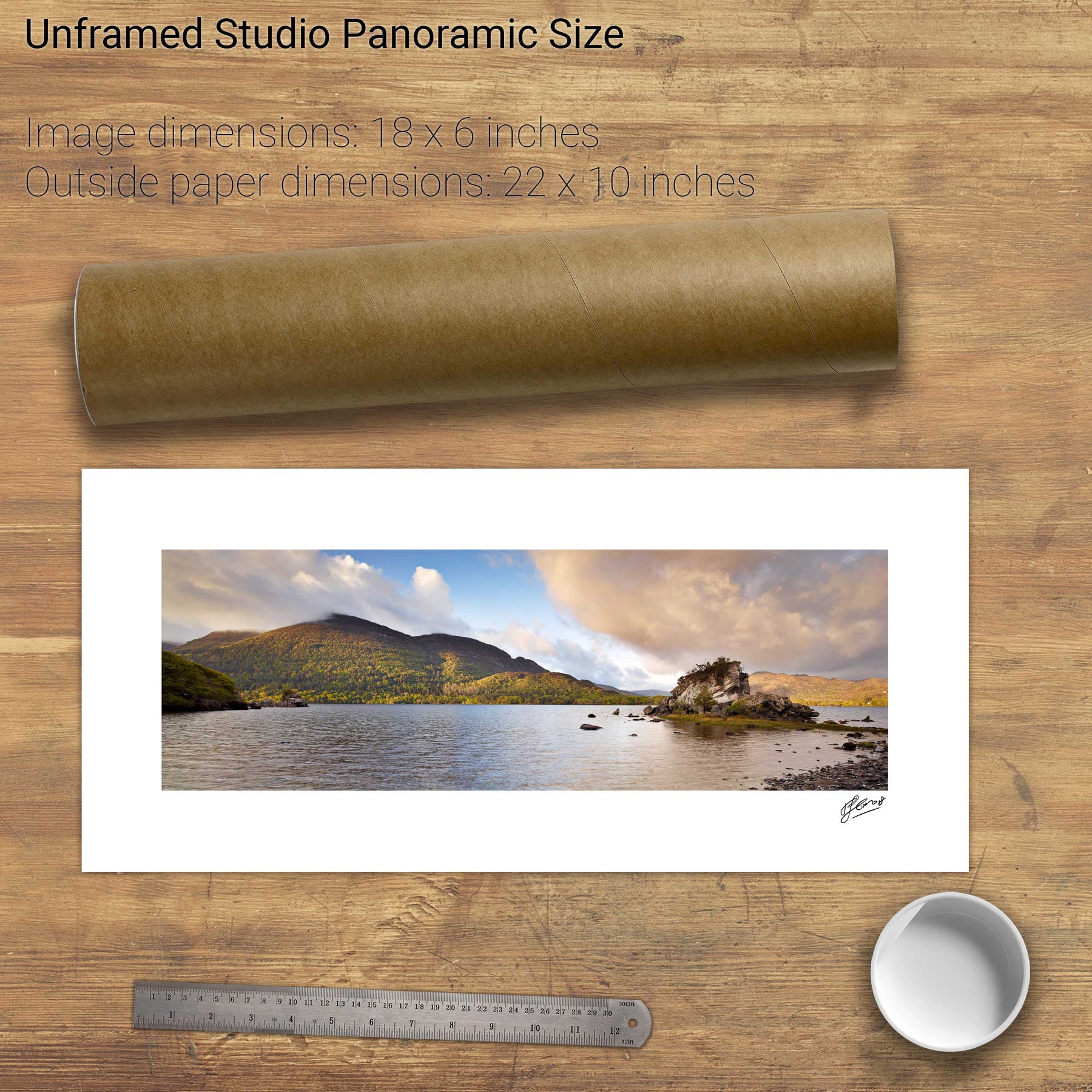
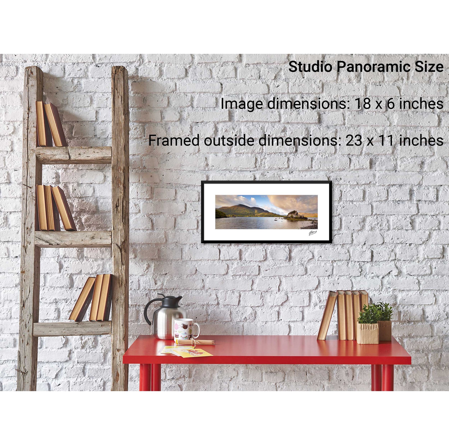
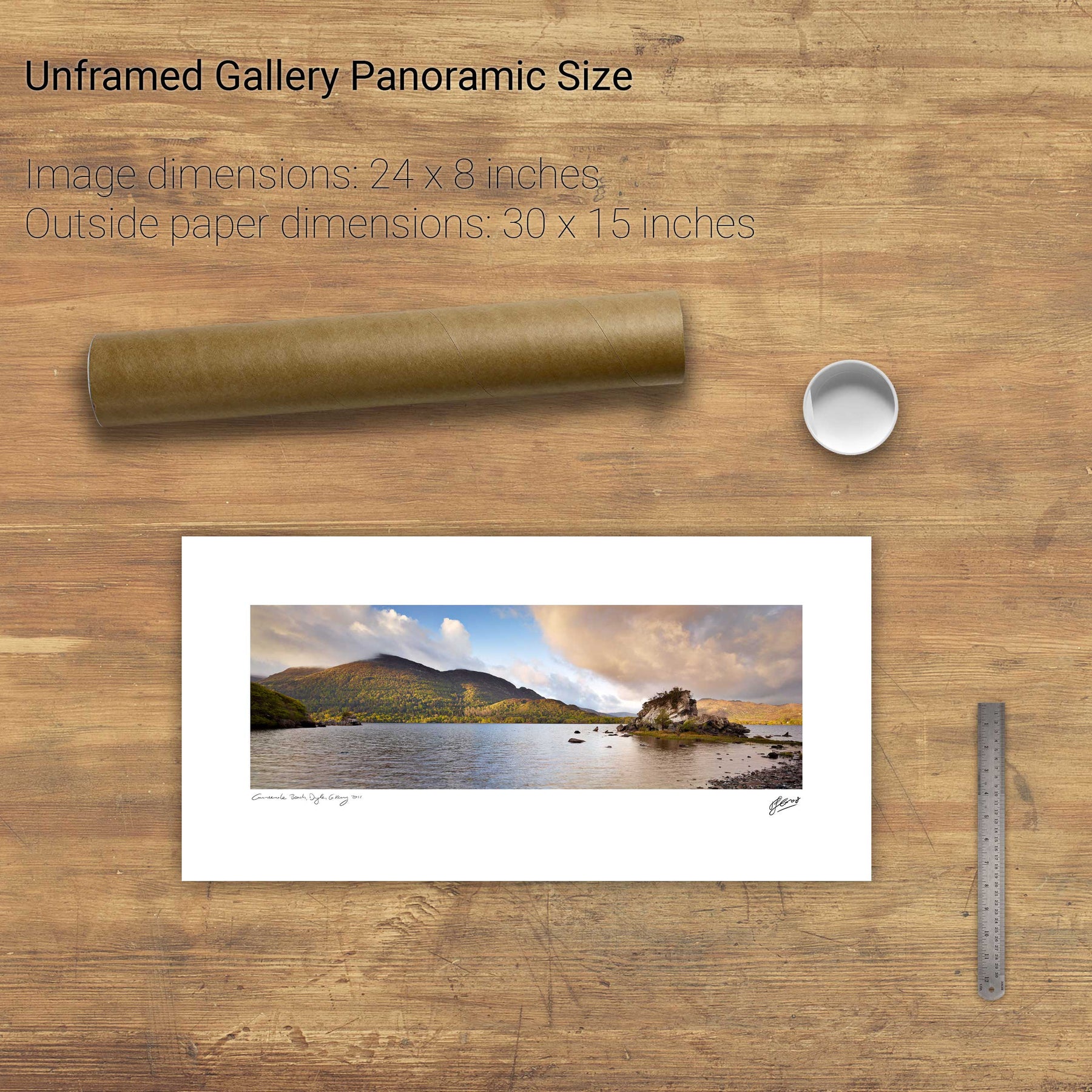
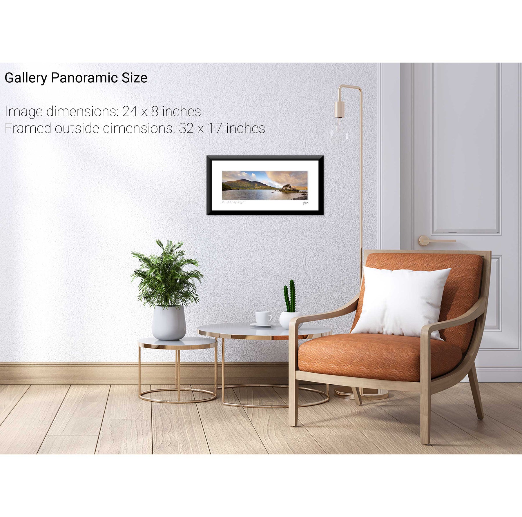
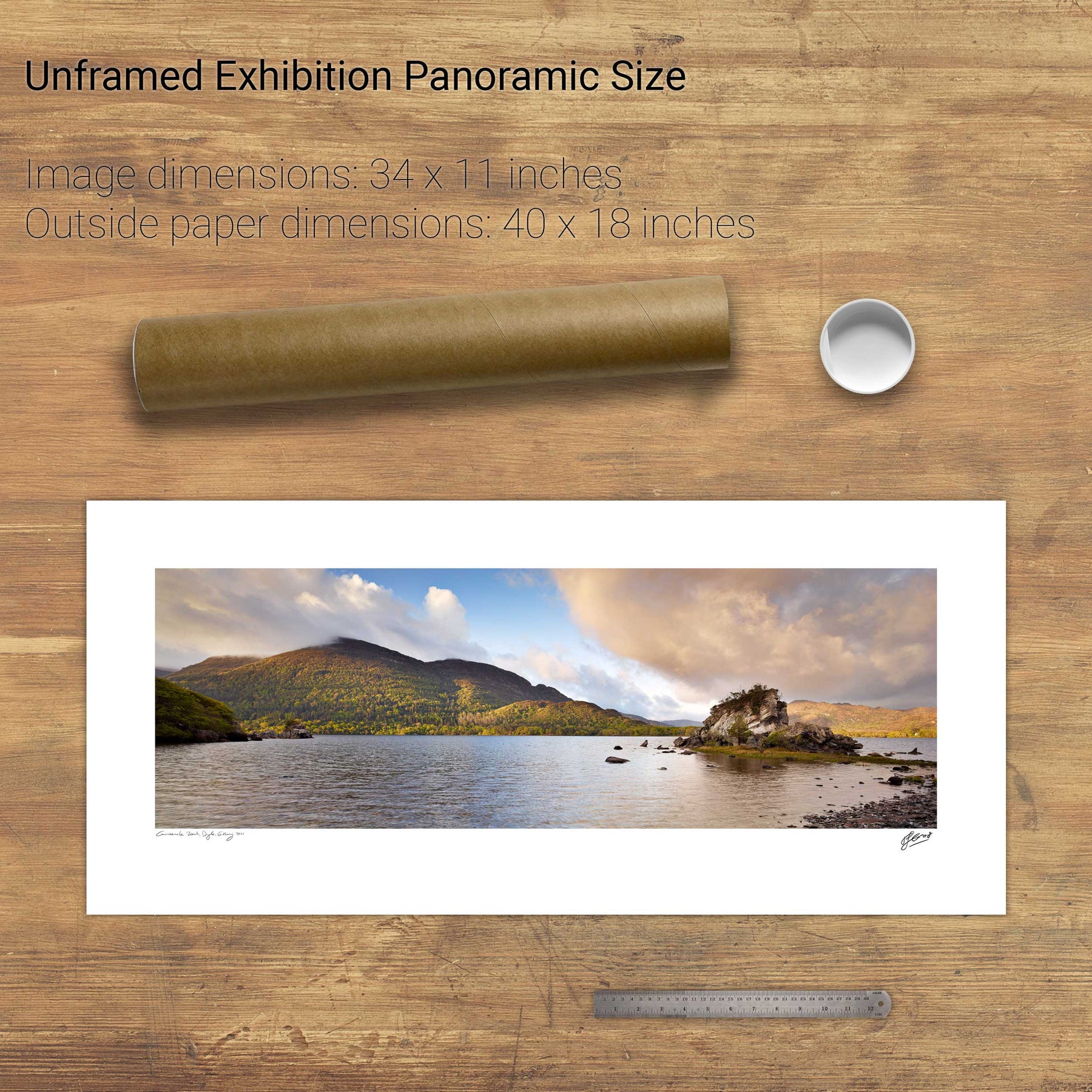
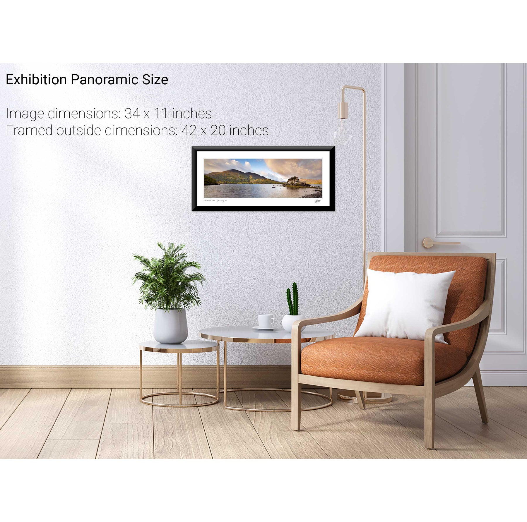
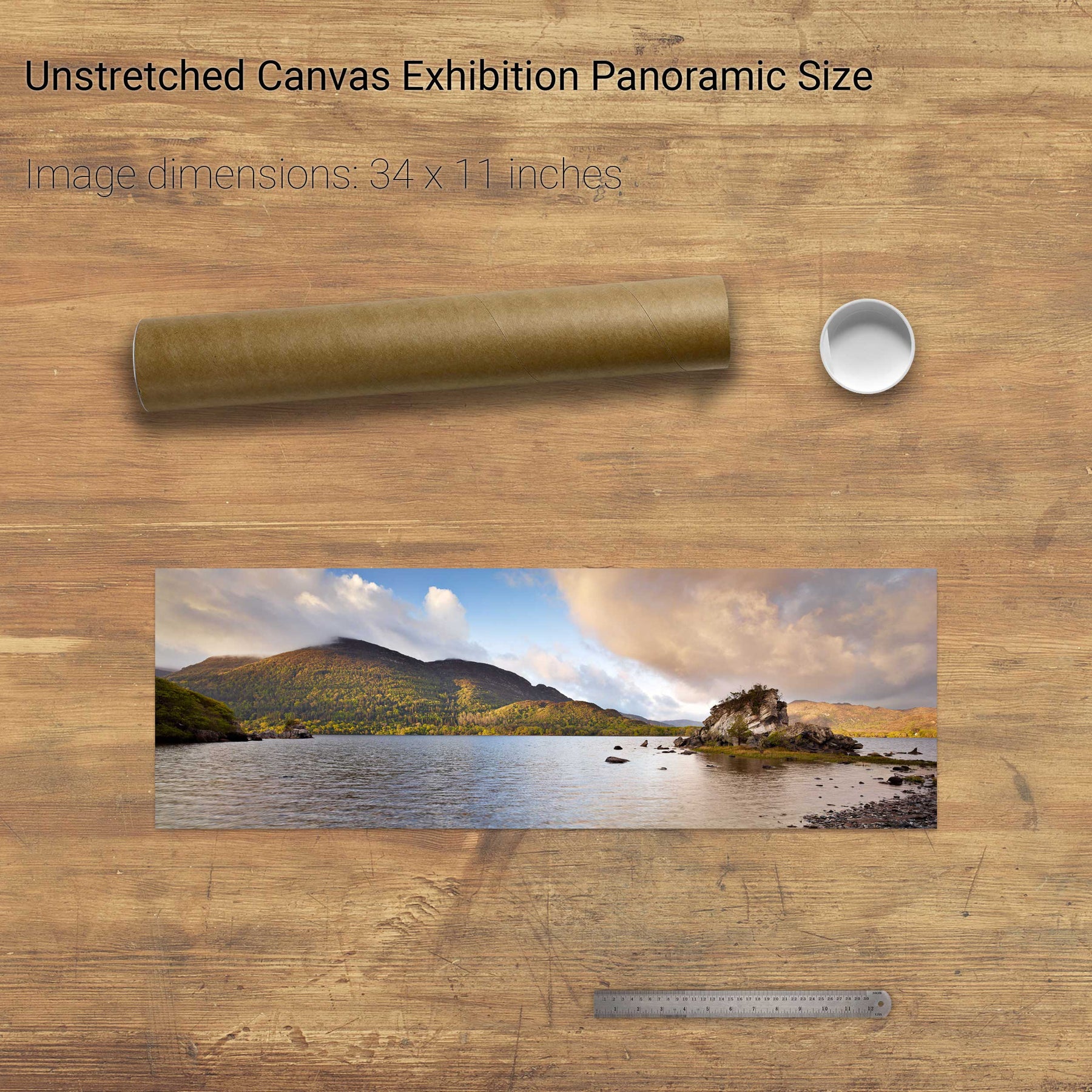
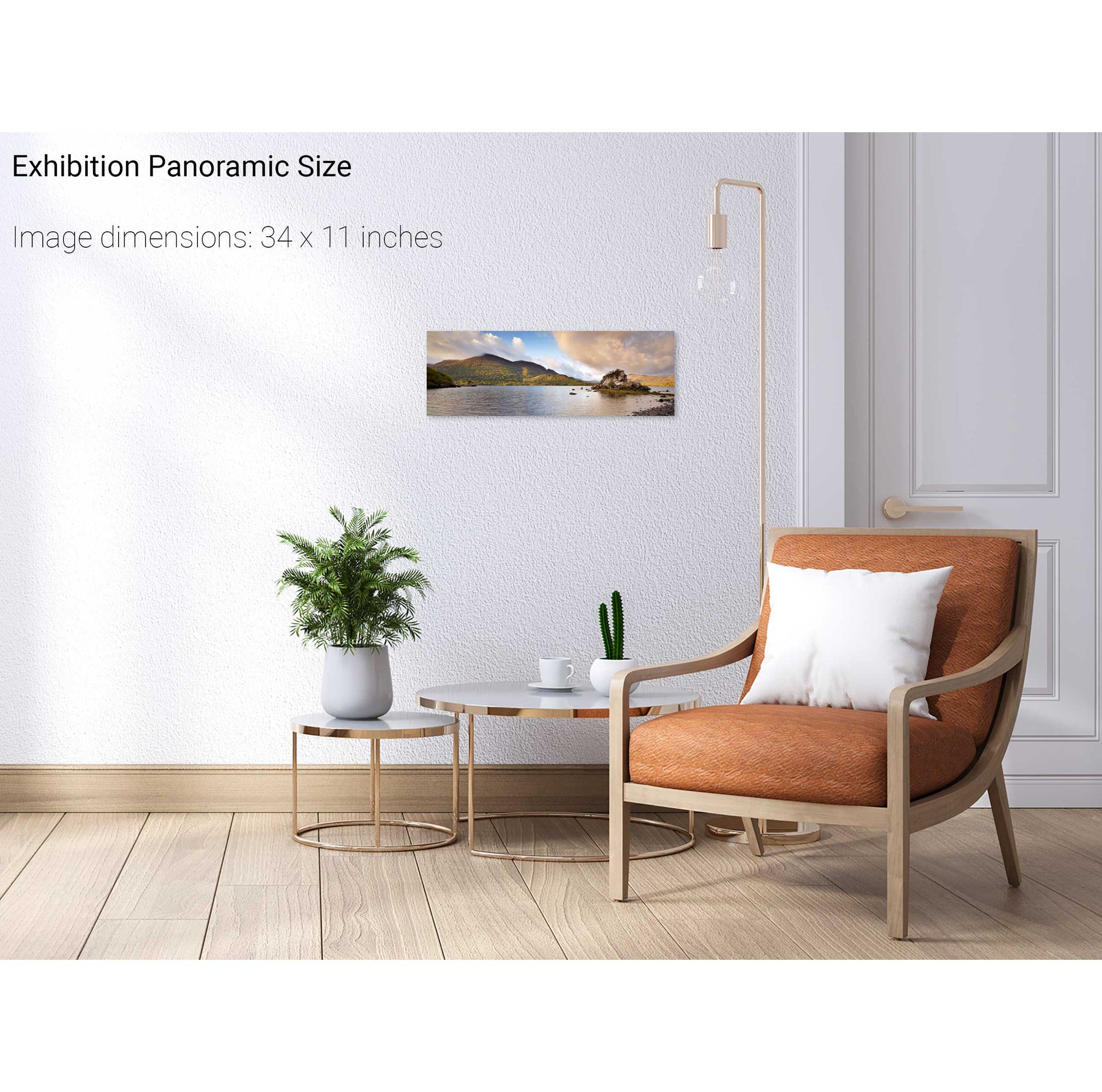
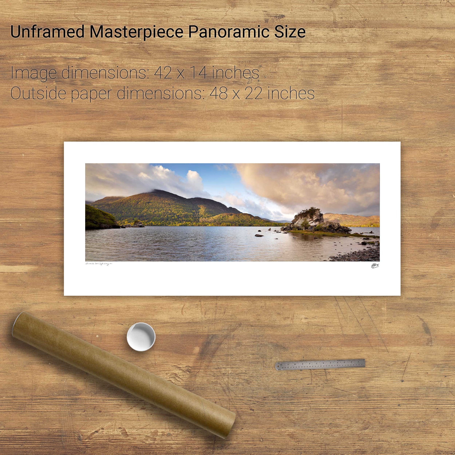
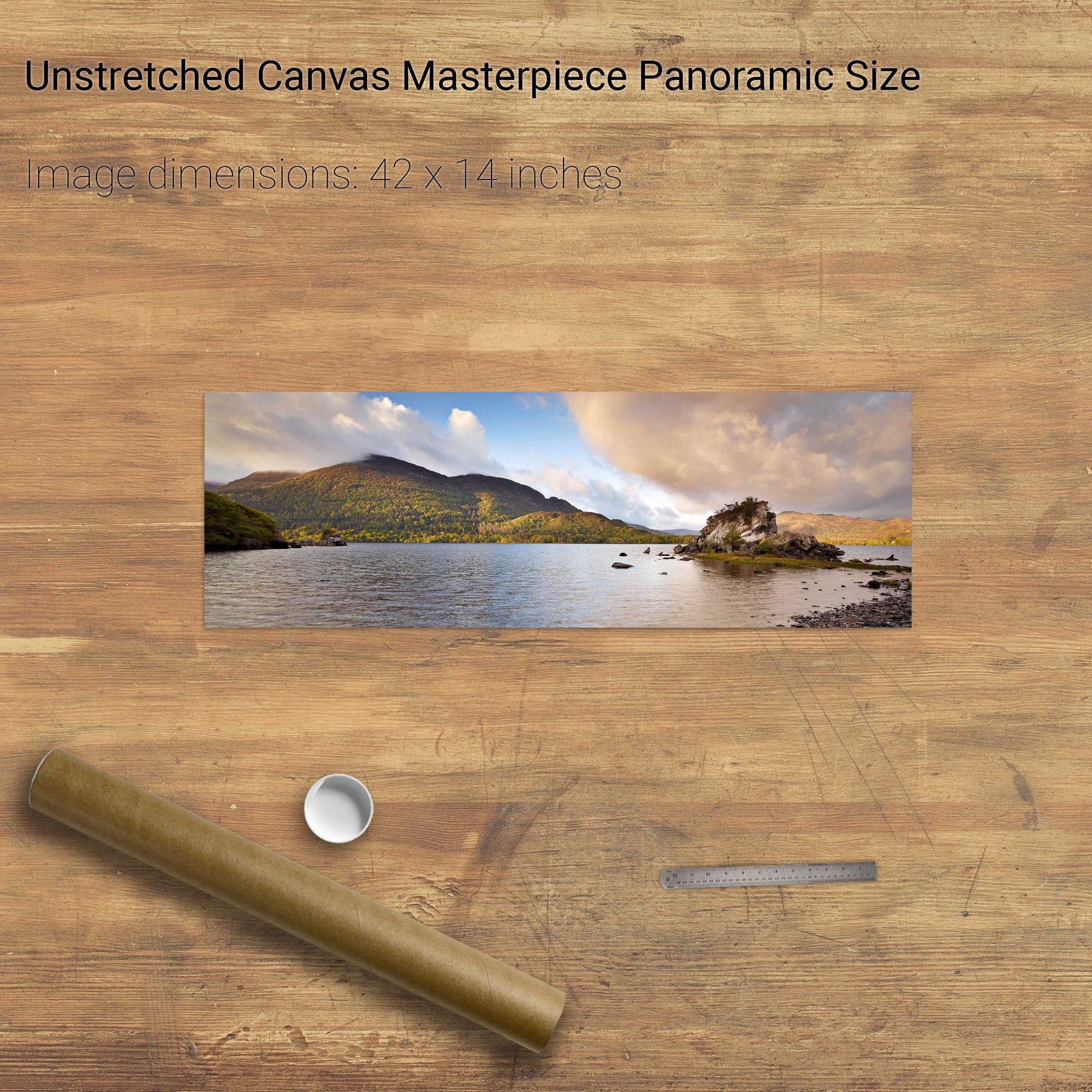
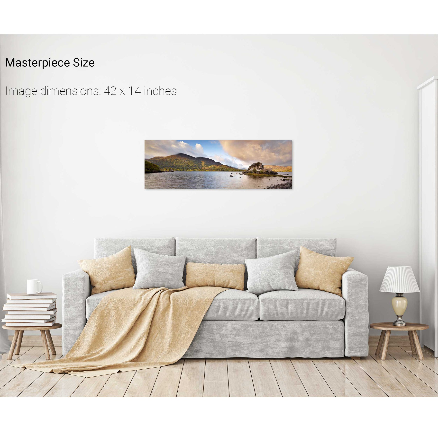
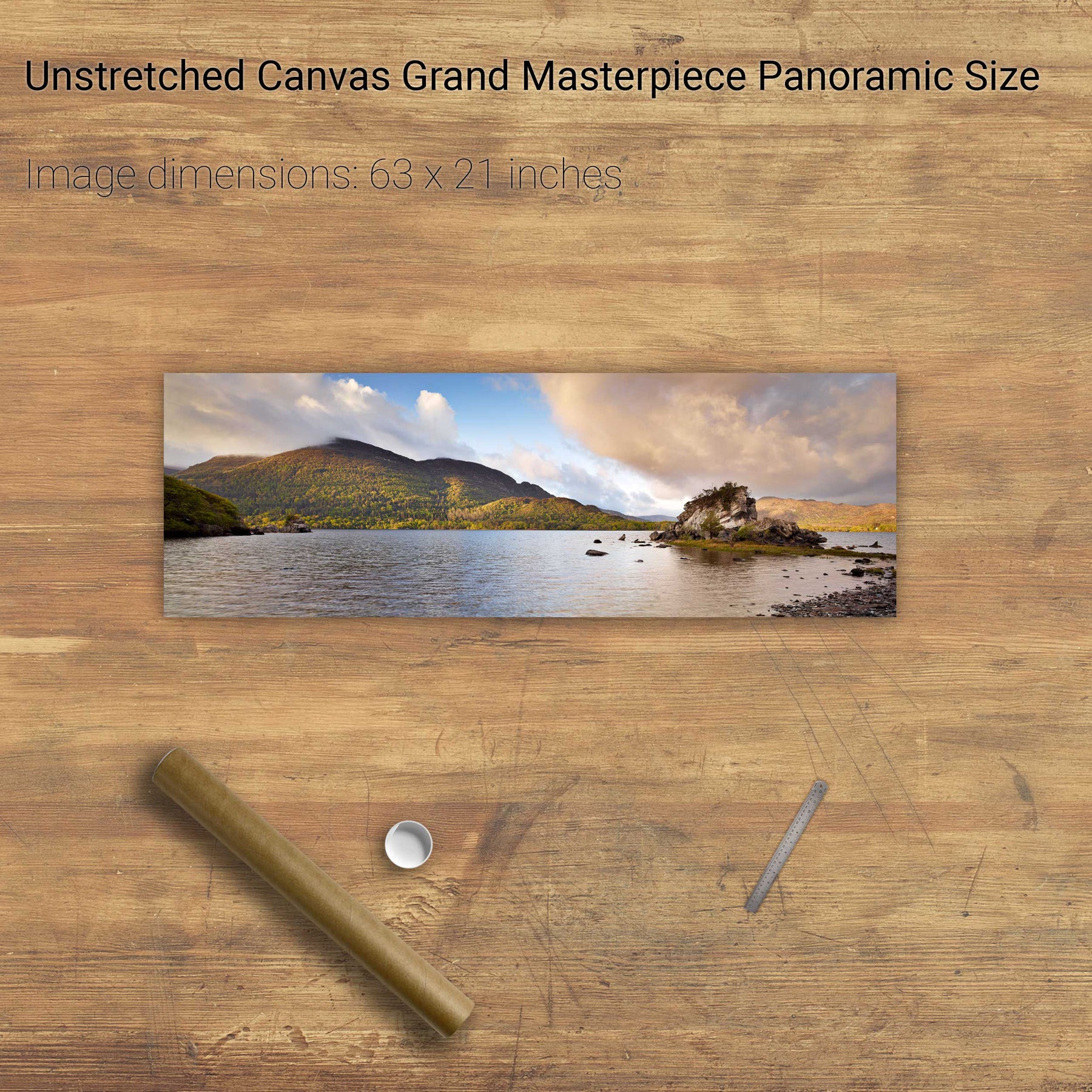
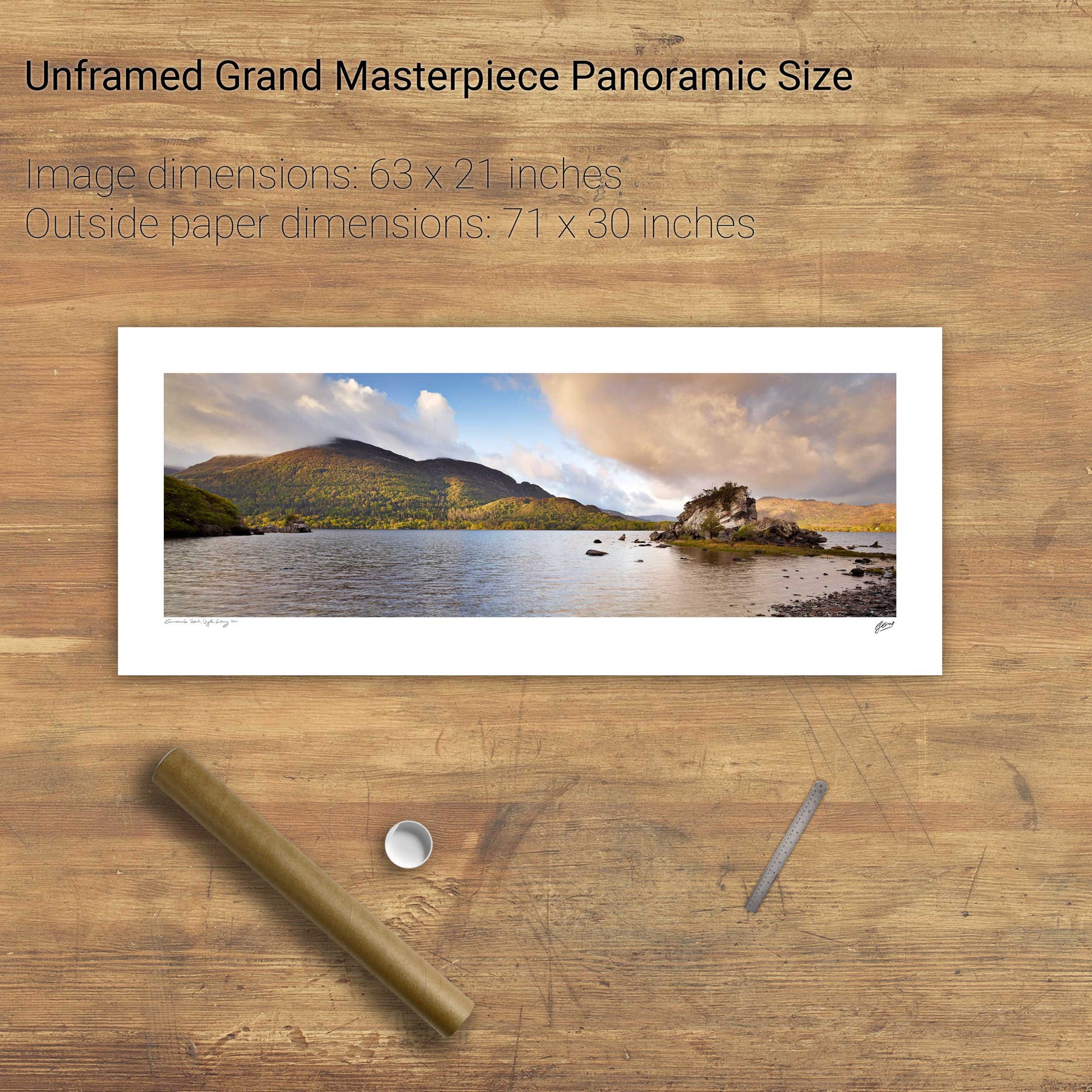
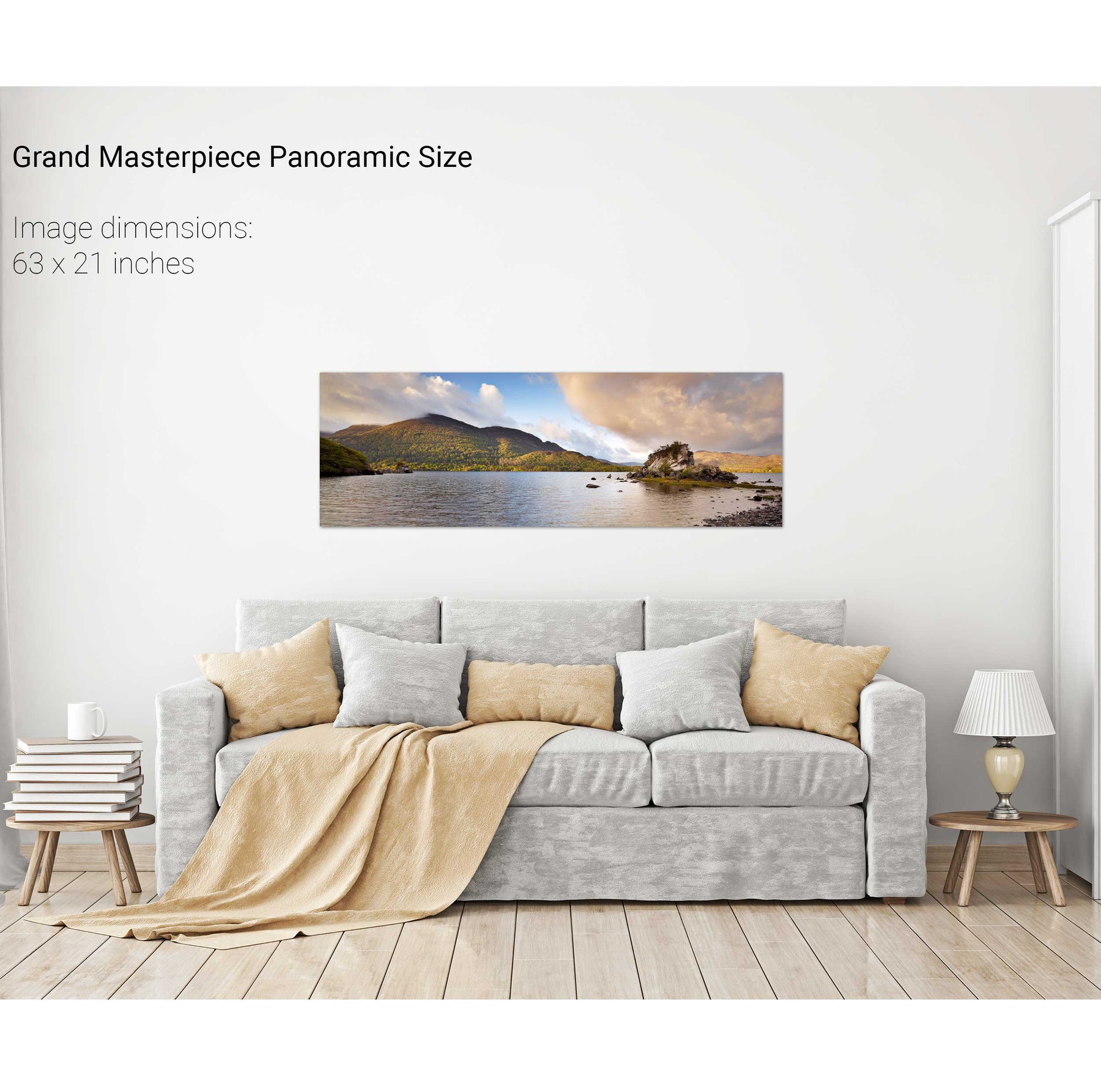
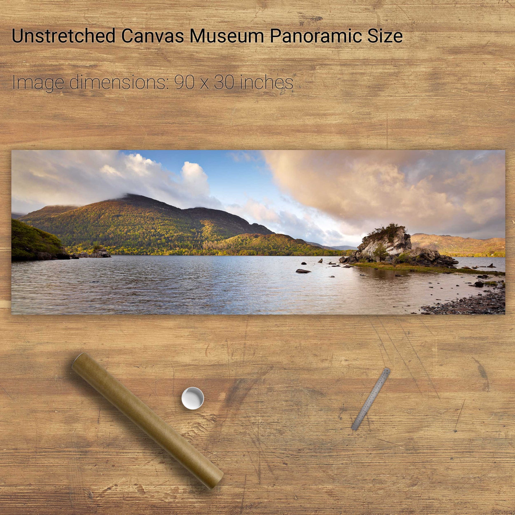
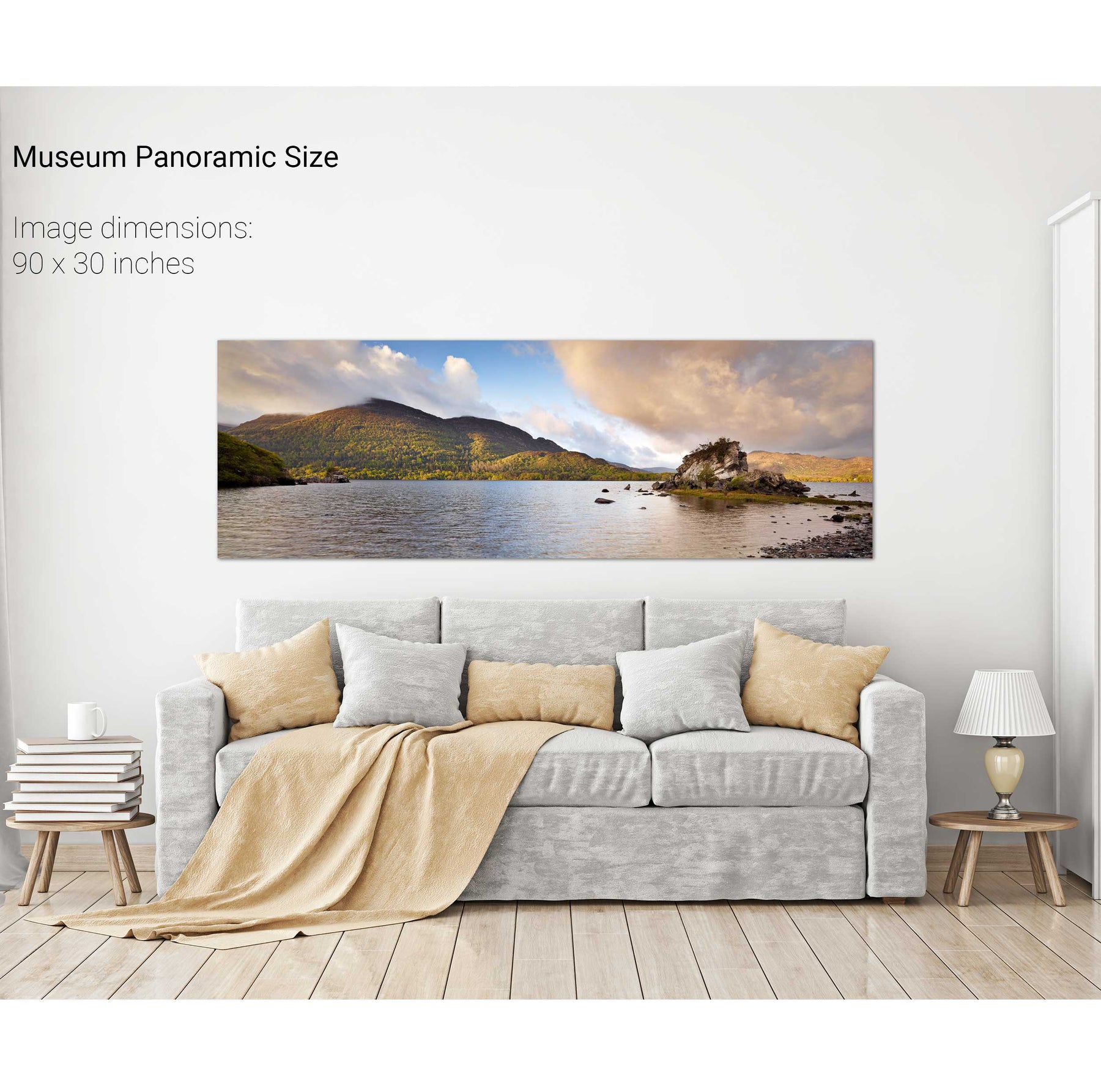
Colleen Bawn Rock, Killarney National Park, Co. Kerry
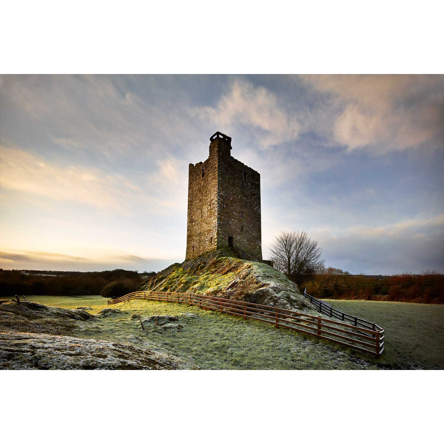
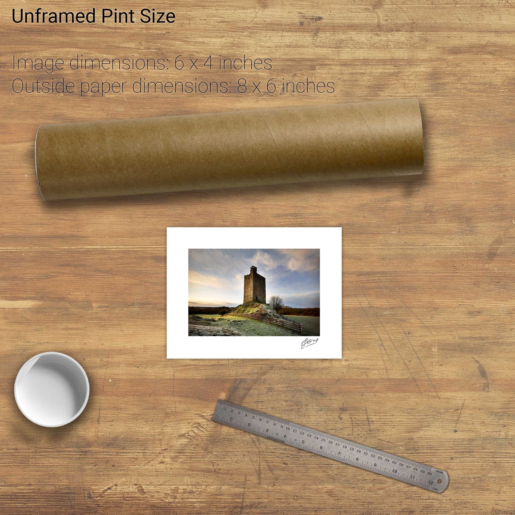
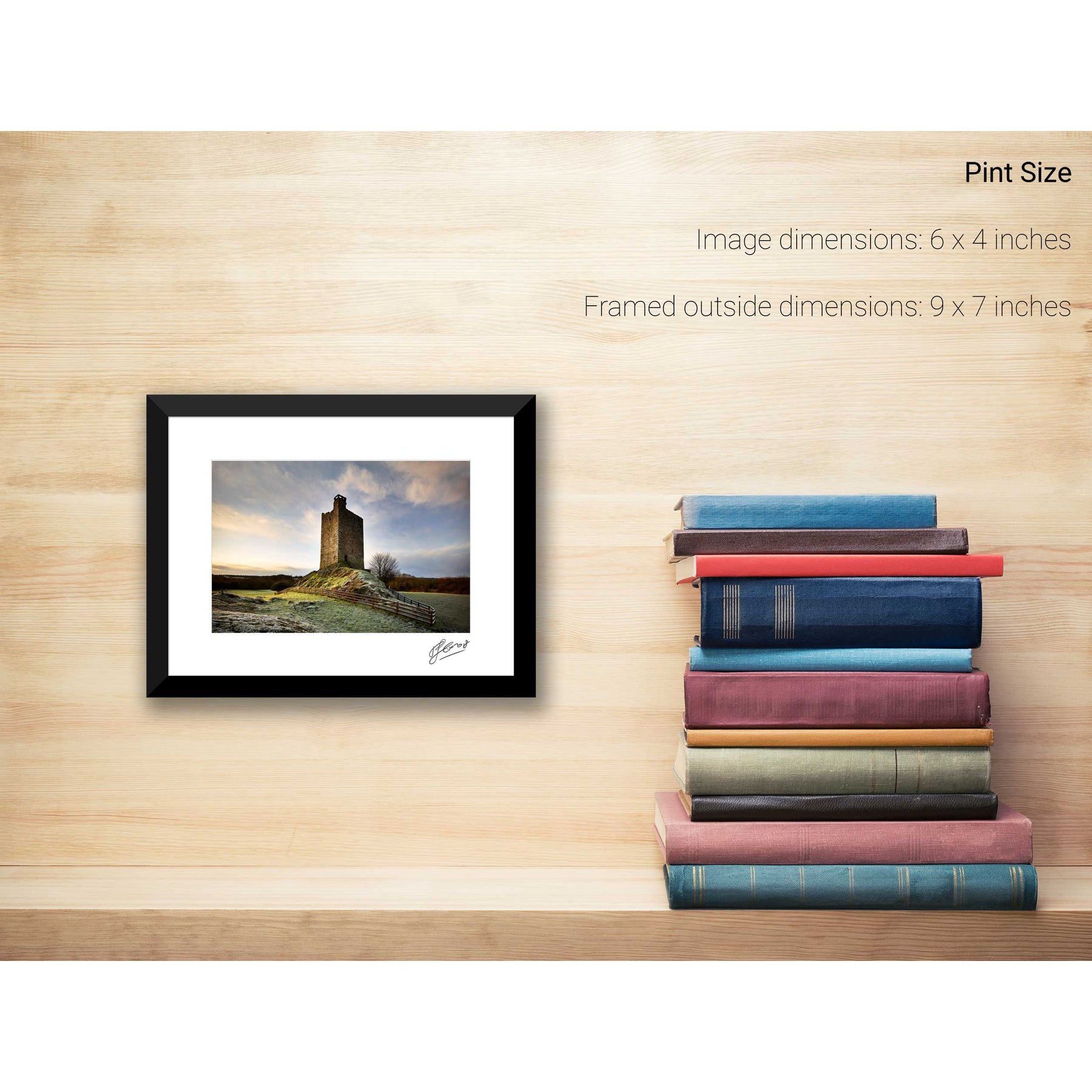
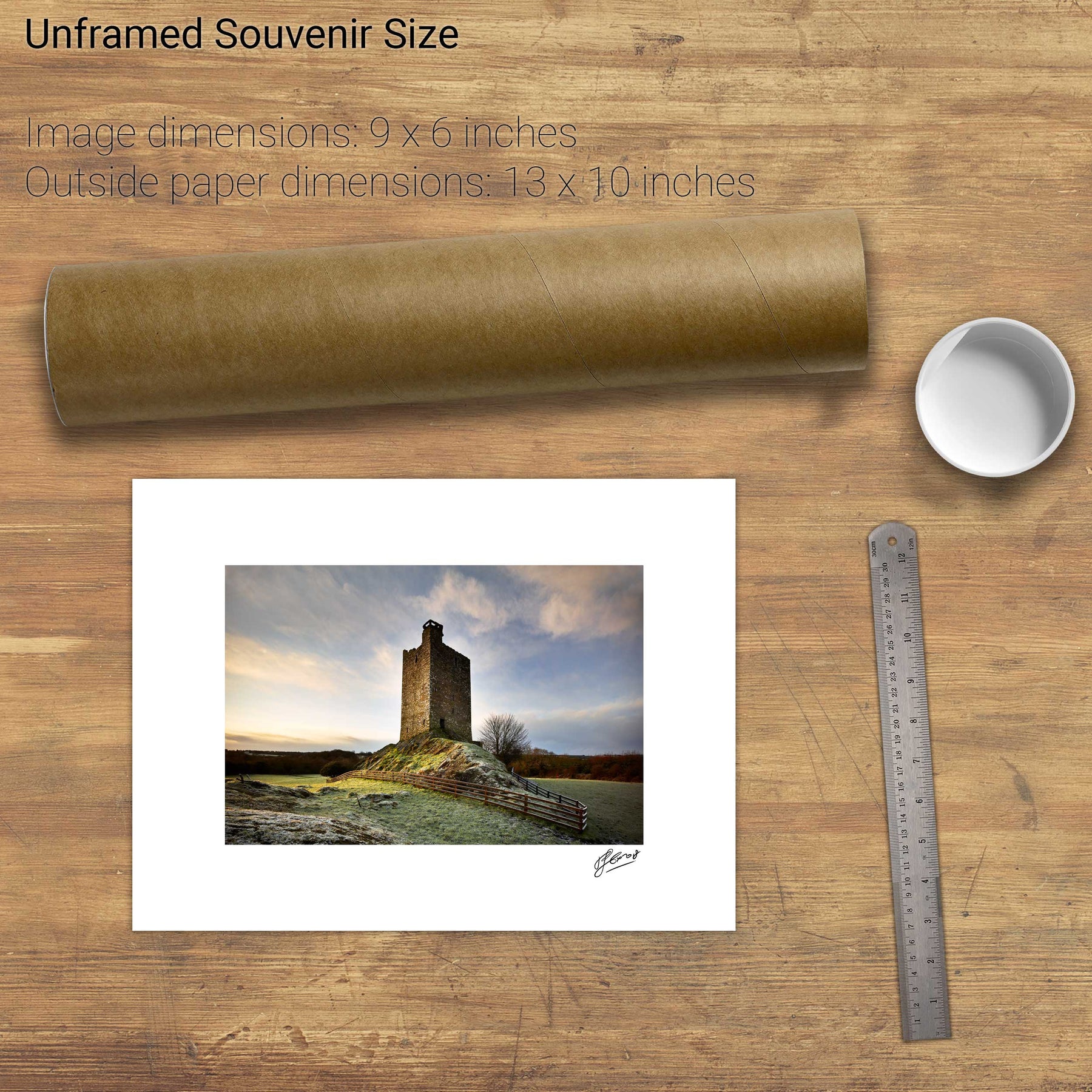
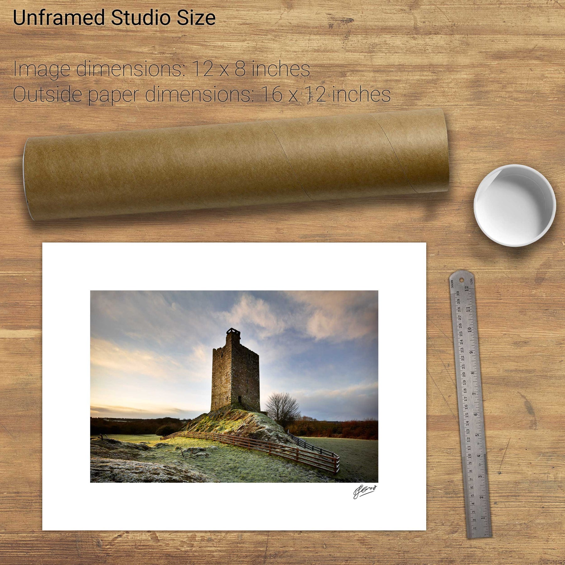
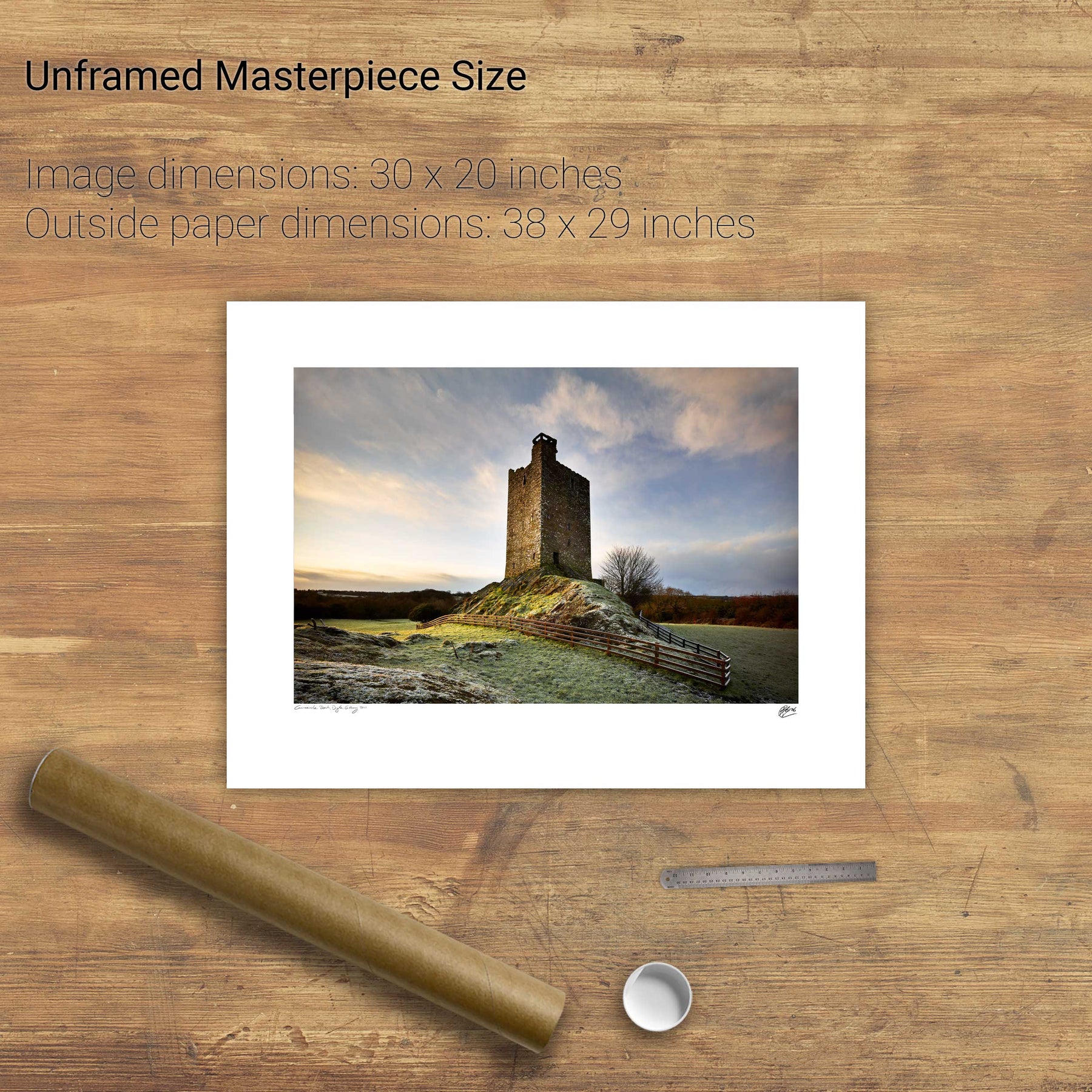
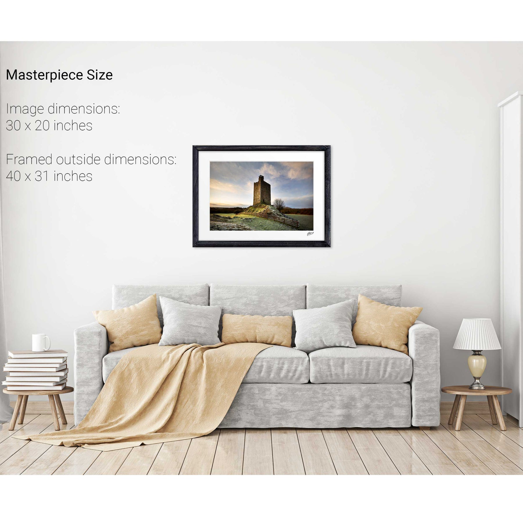
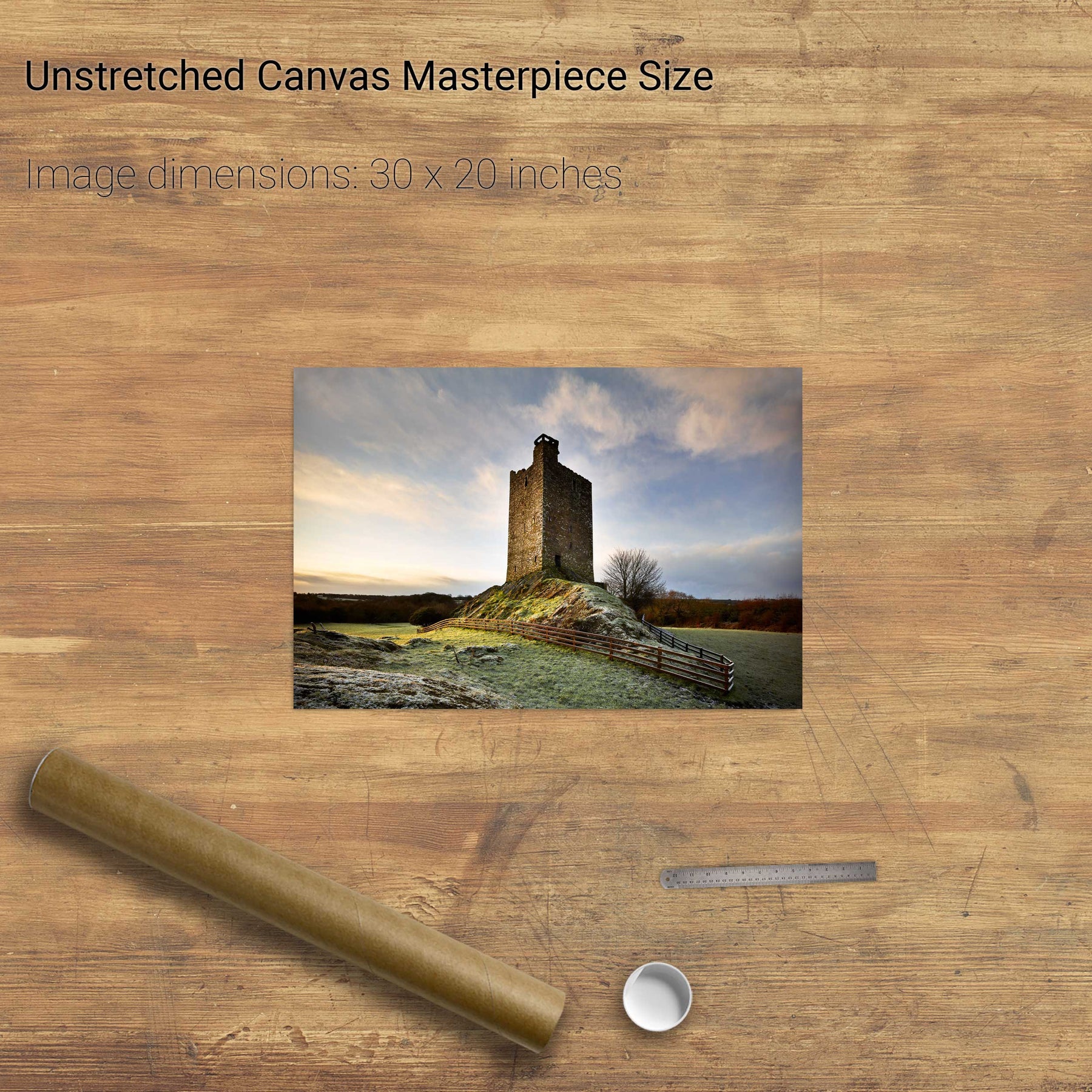
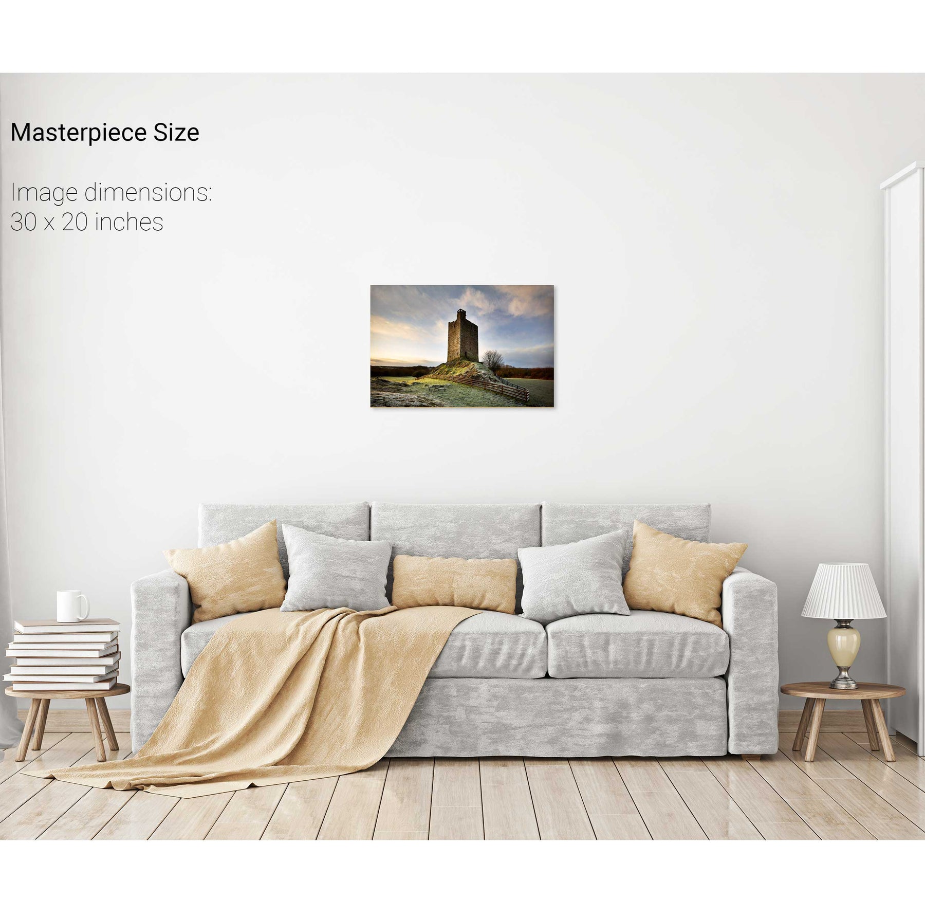
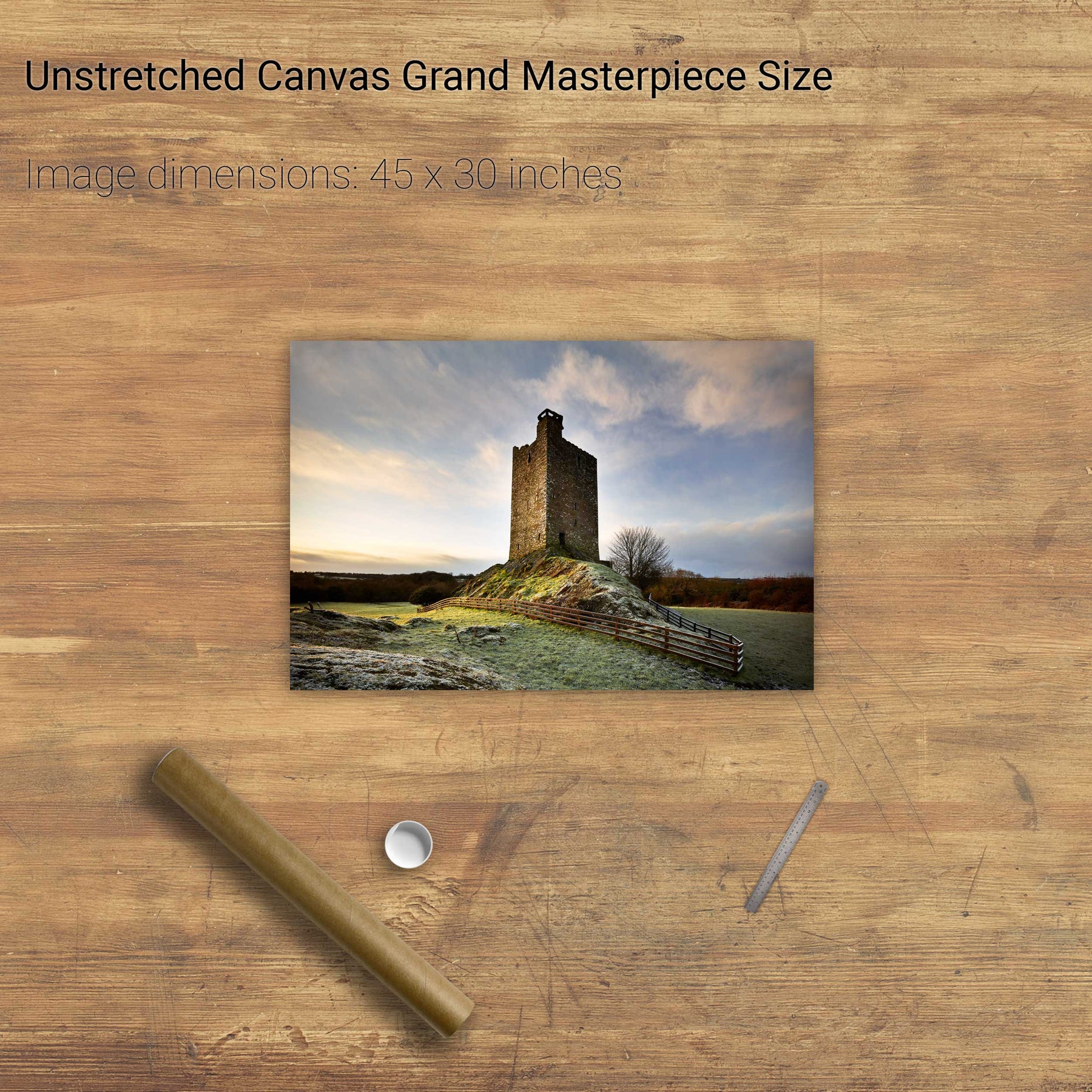
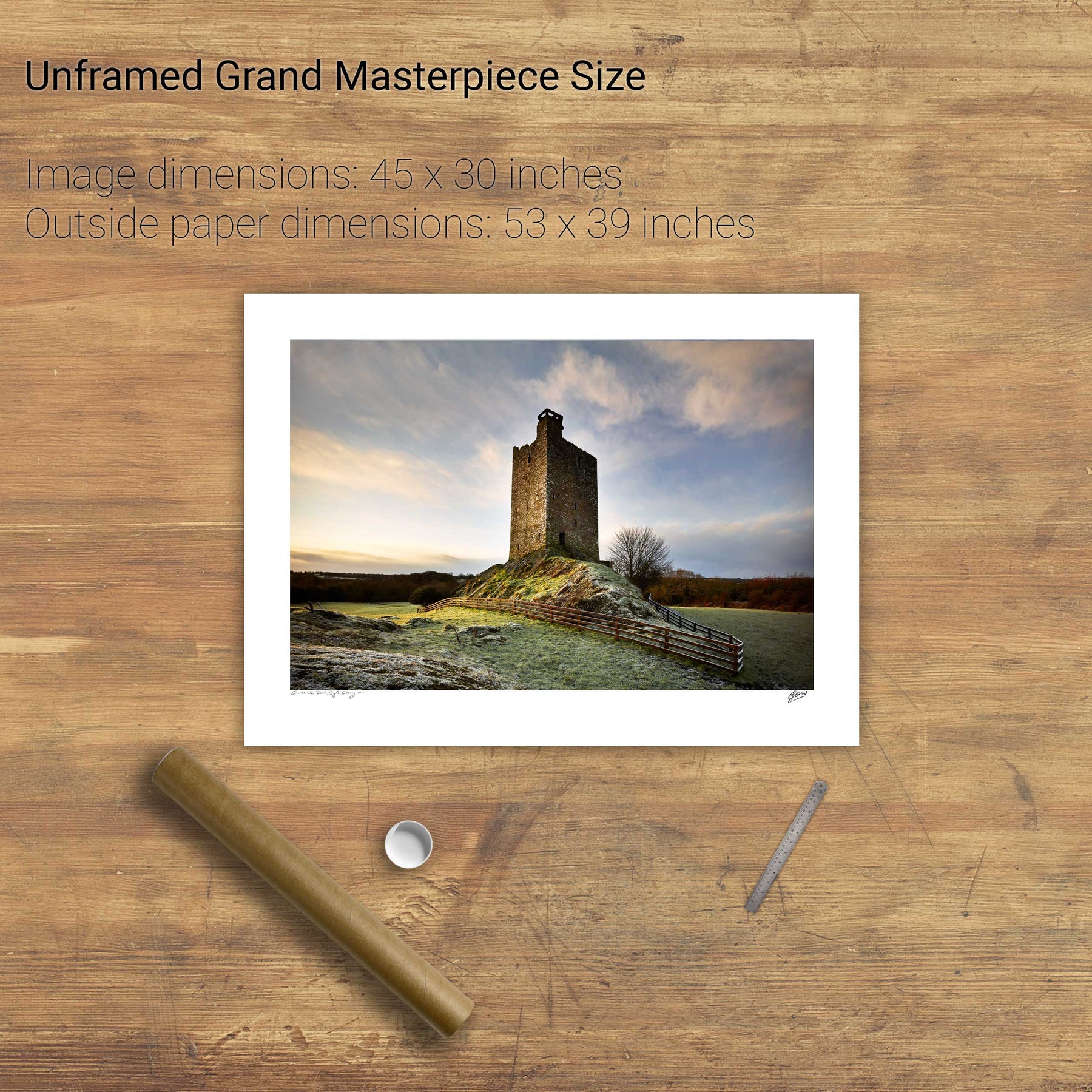
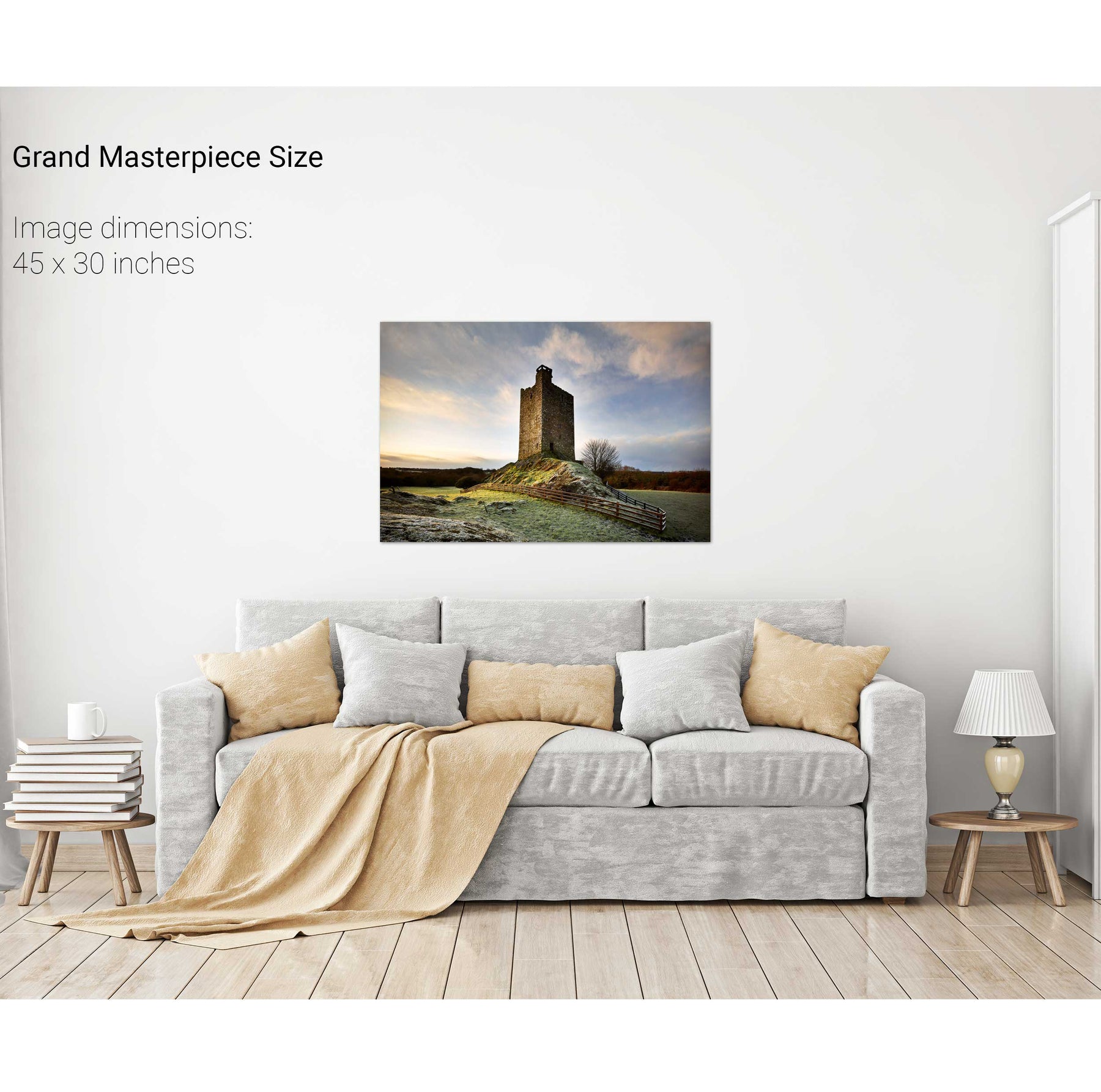
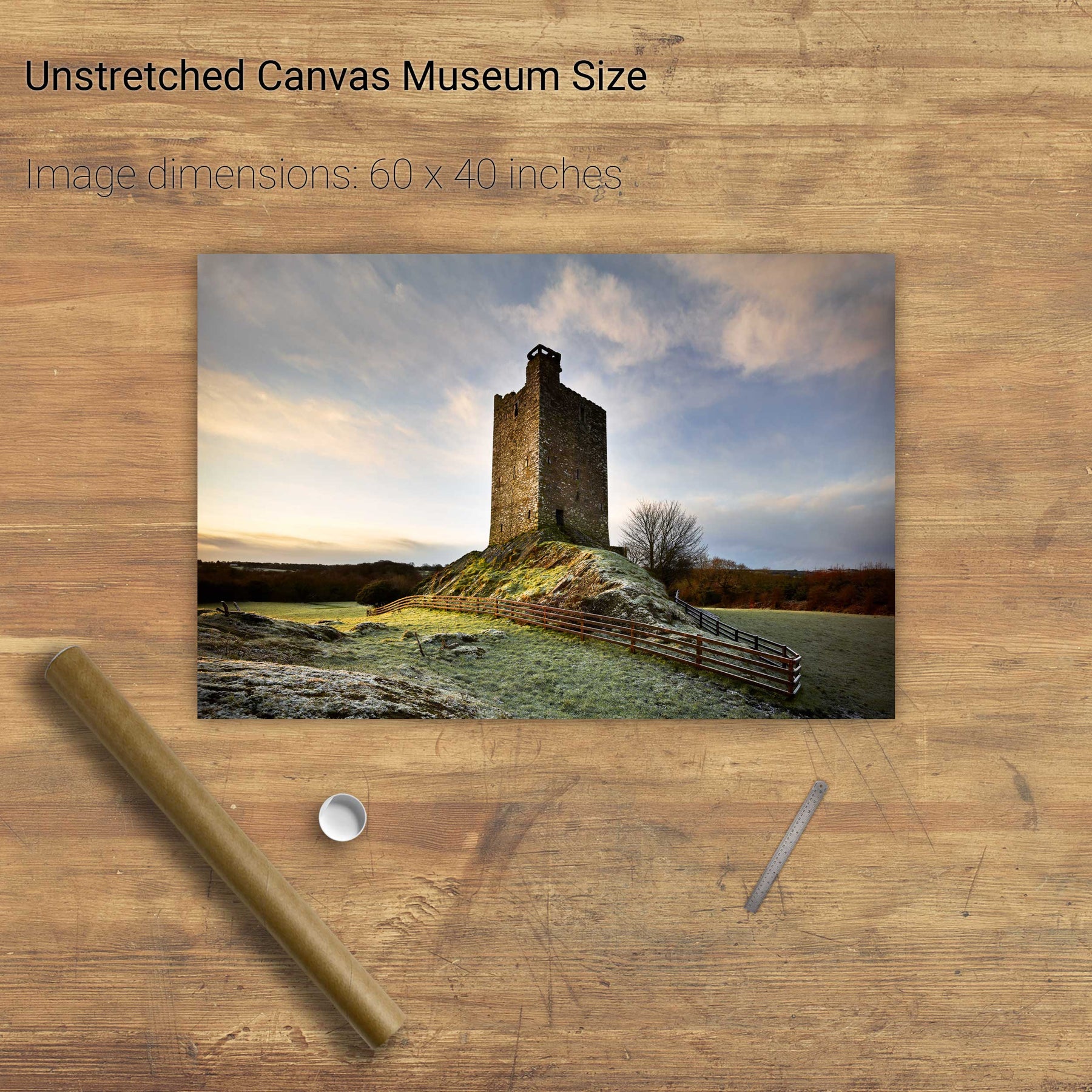
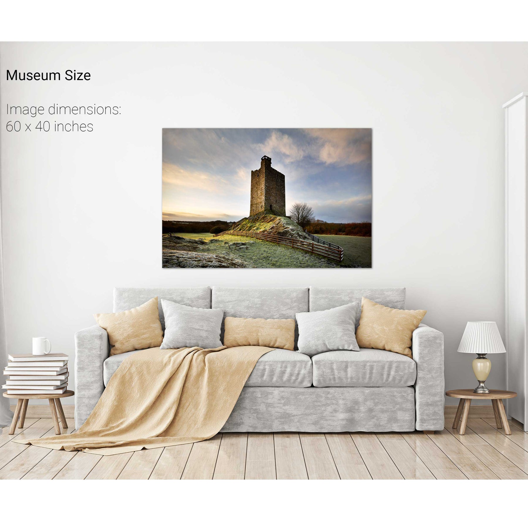
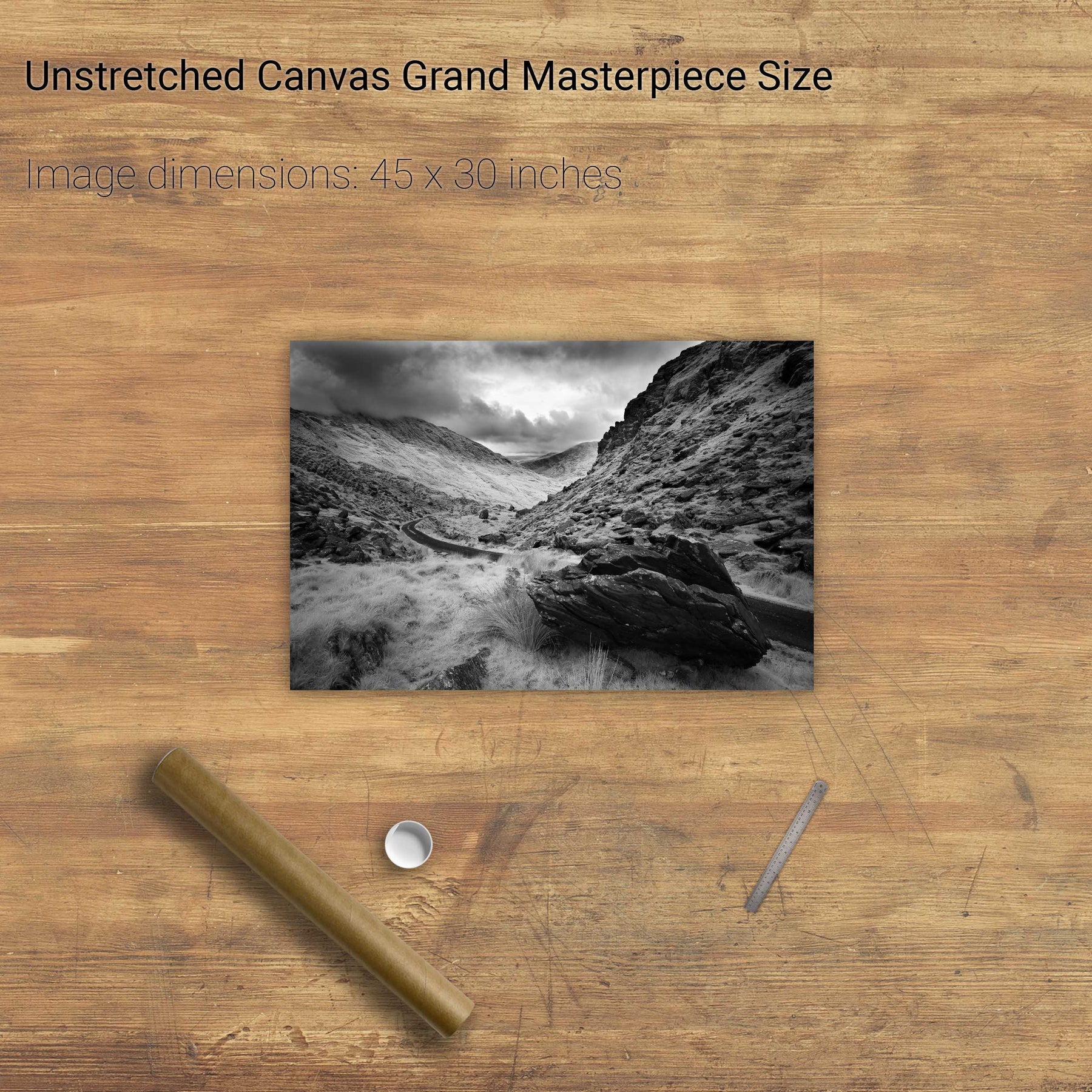
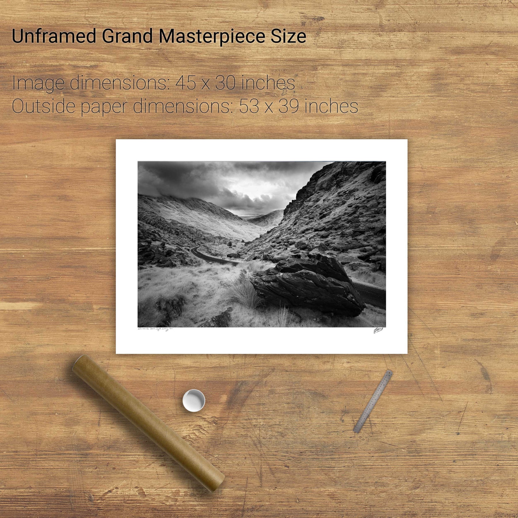
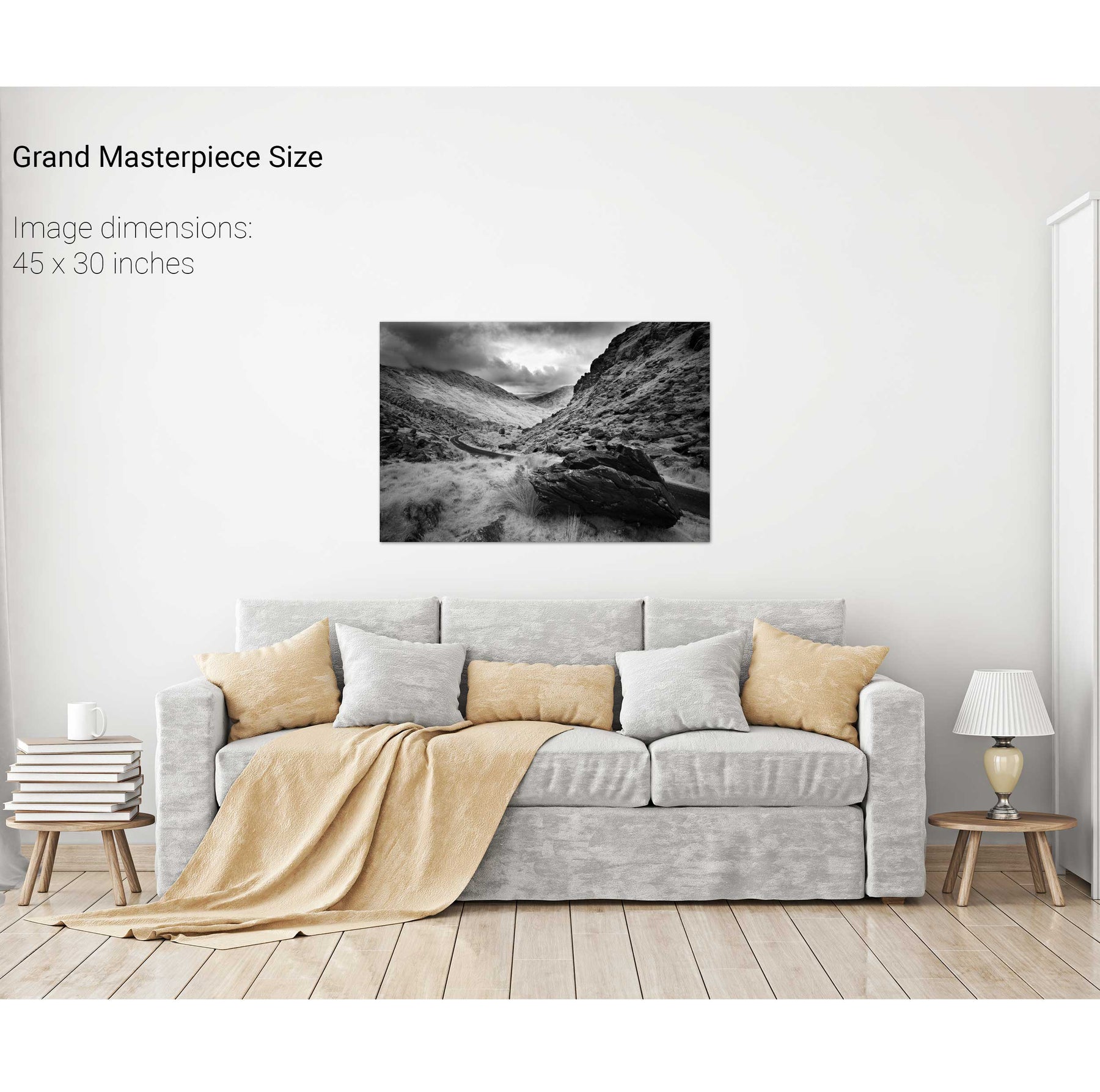
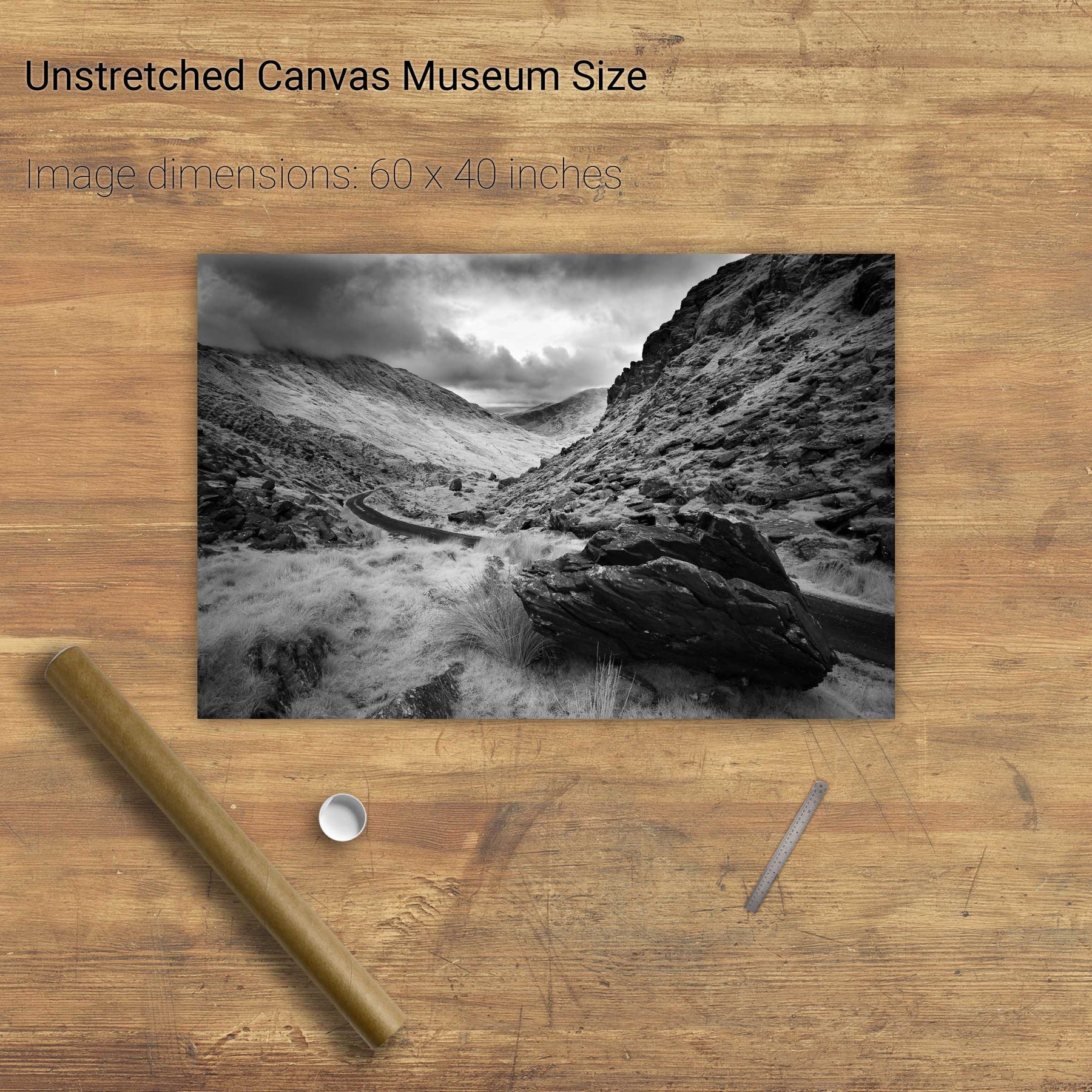
Carrigaphooca Castle, Co. Cork
Colleen Bawn Rock, Killarney National Park, Co. Kerry
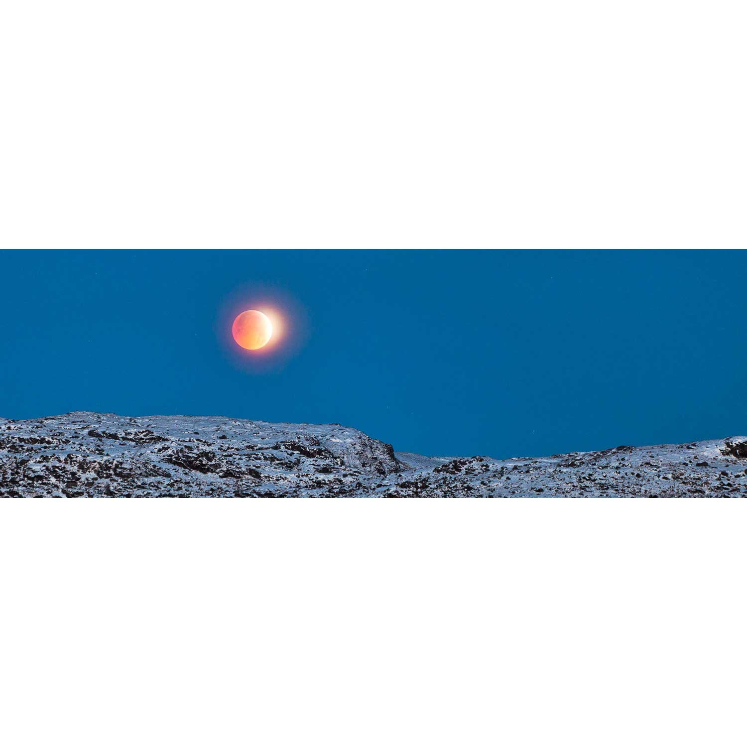
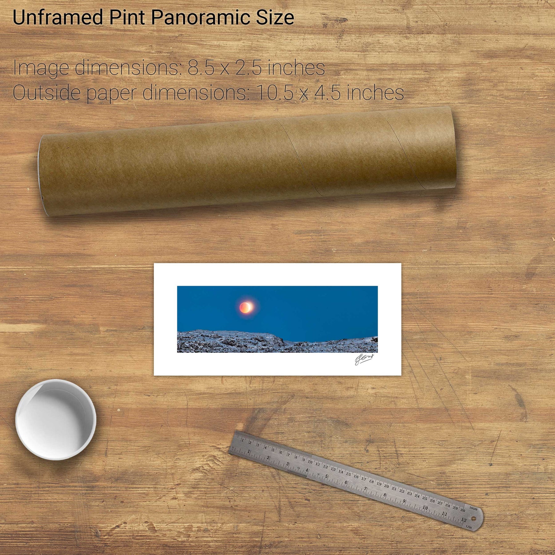
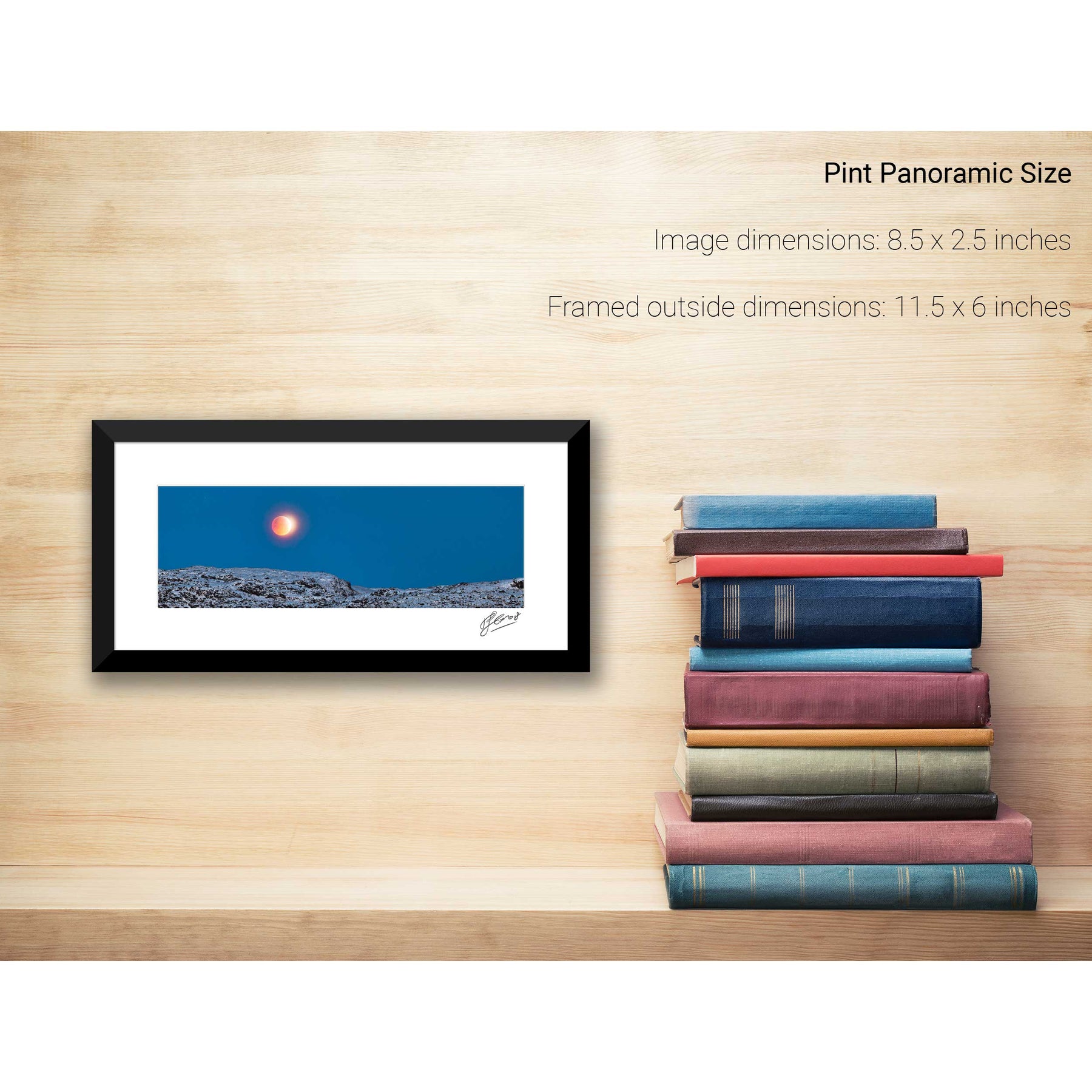
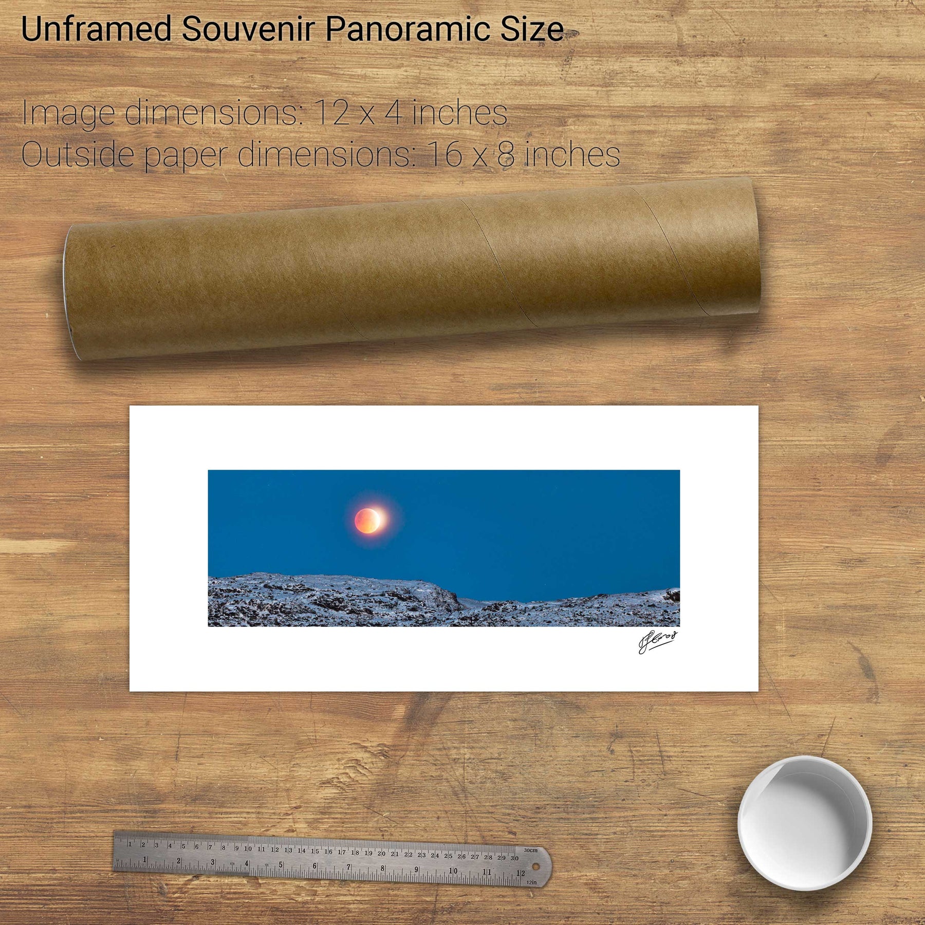
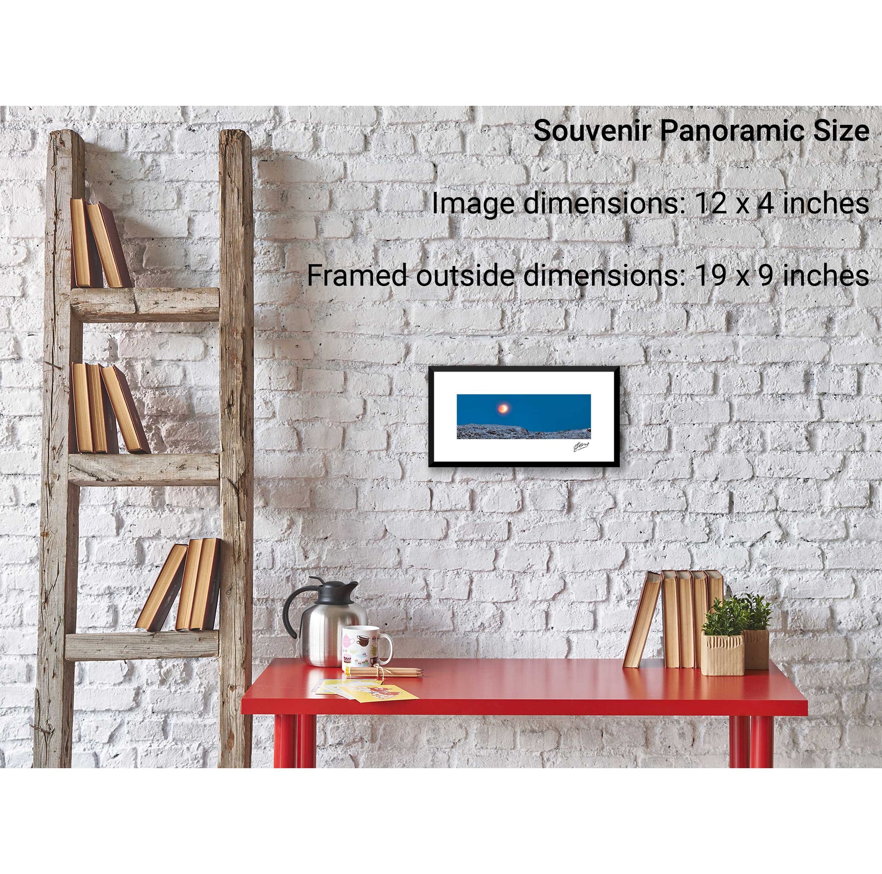
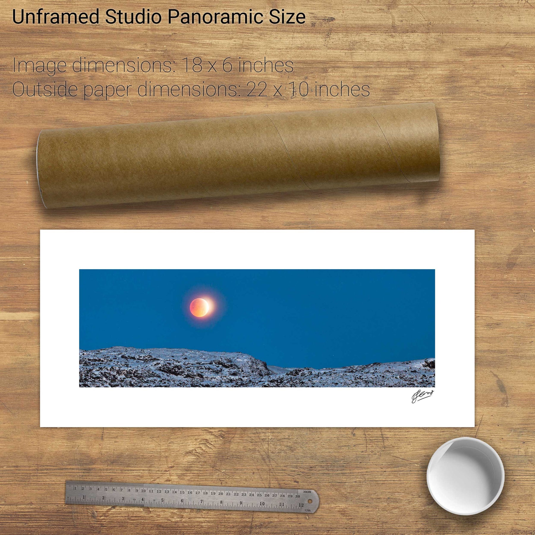
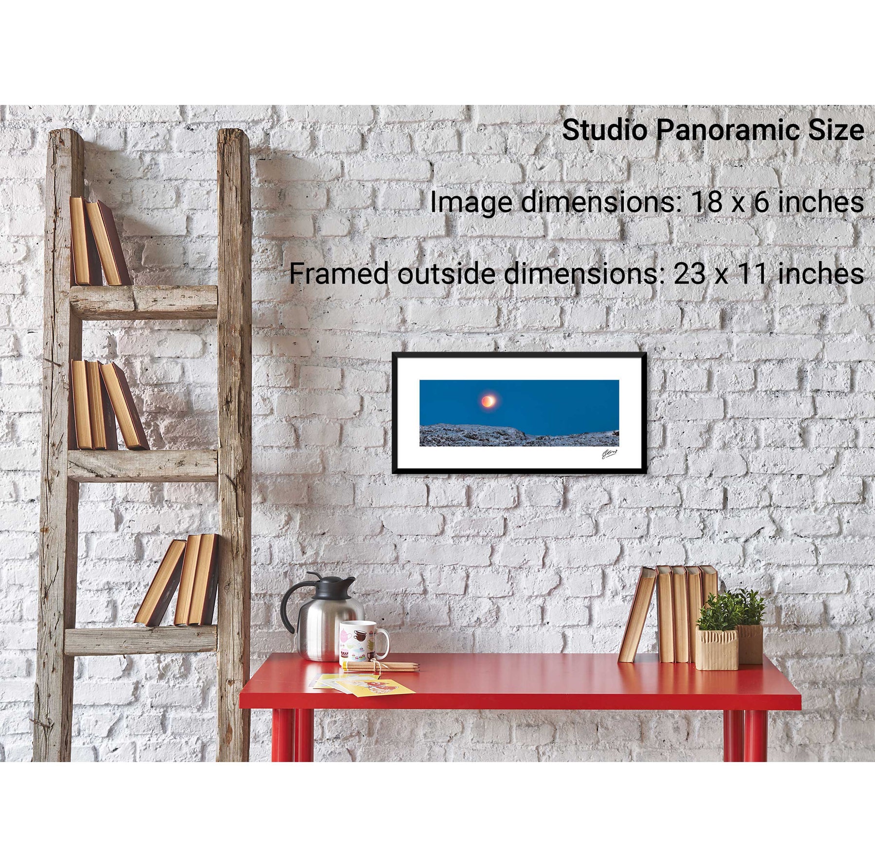
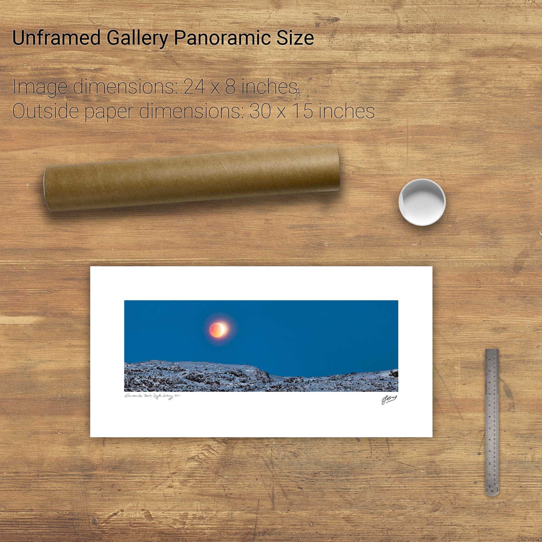
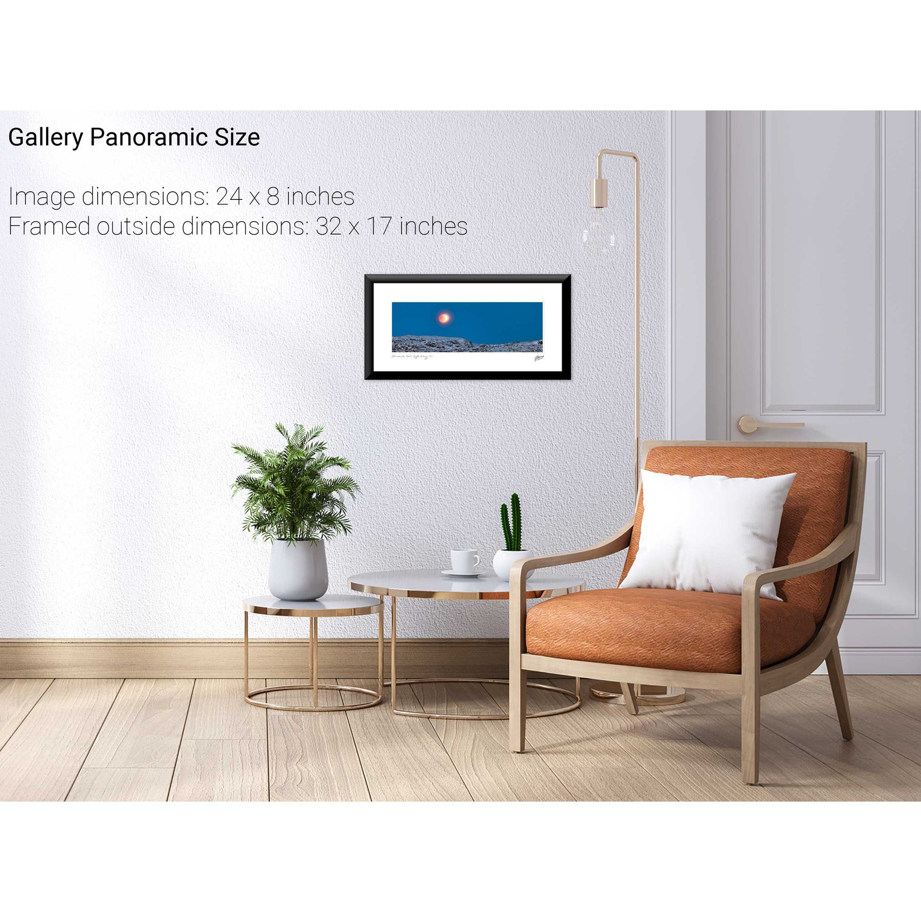
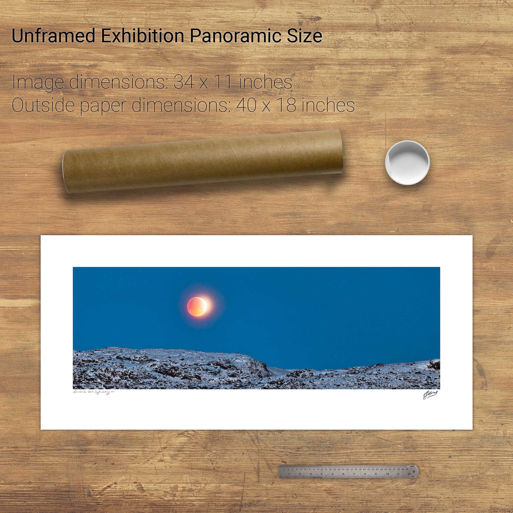
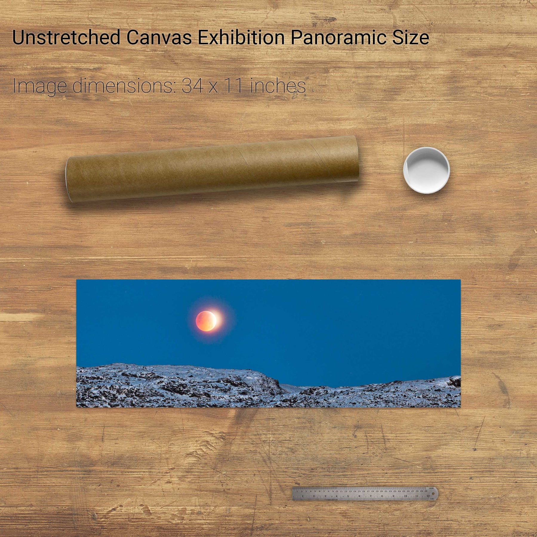
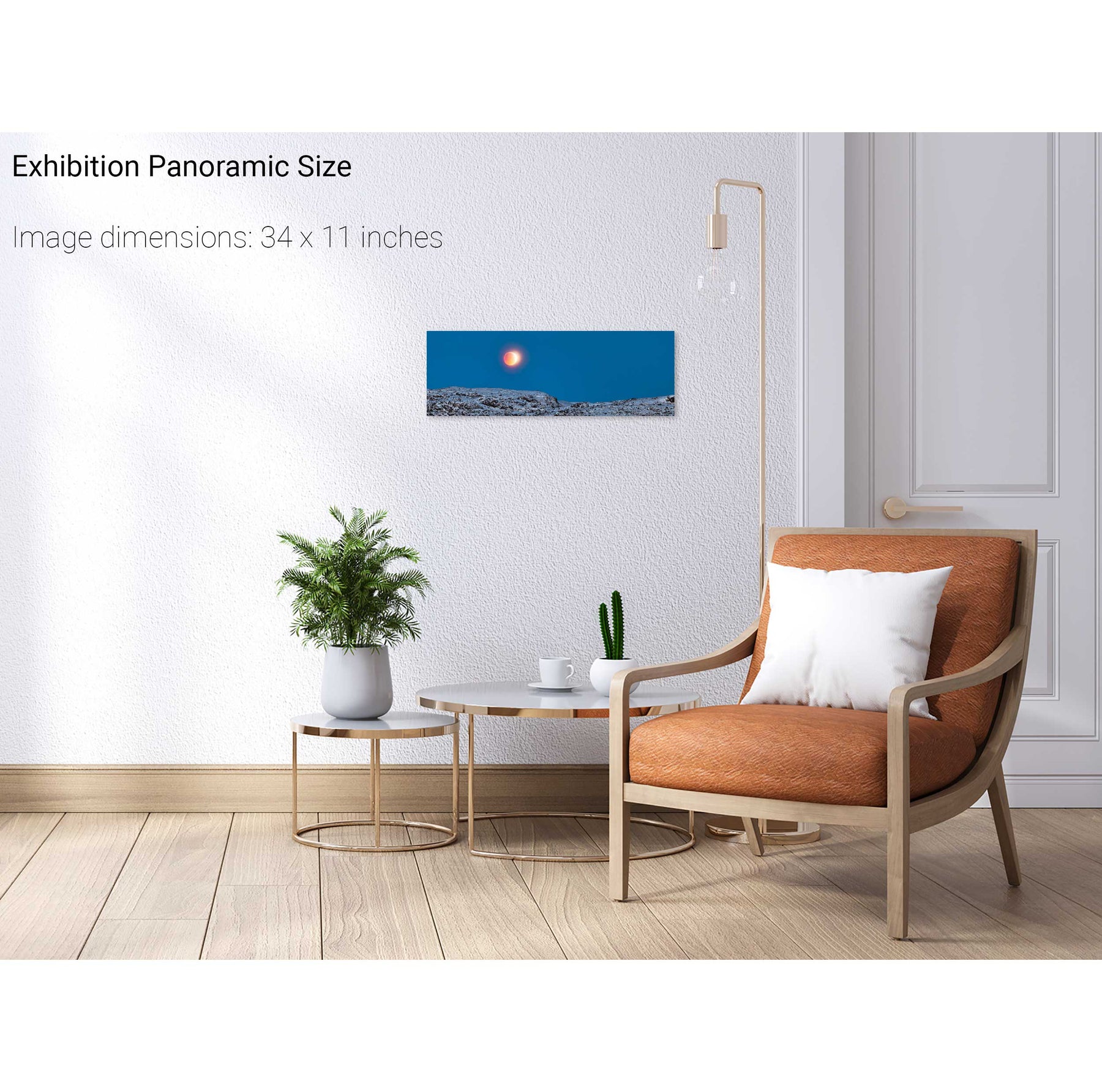
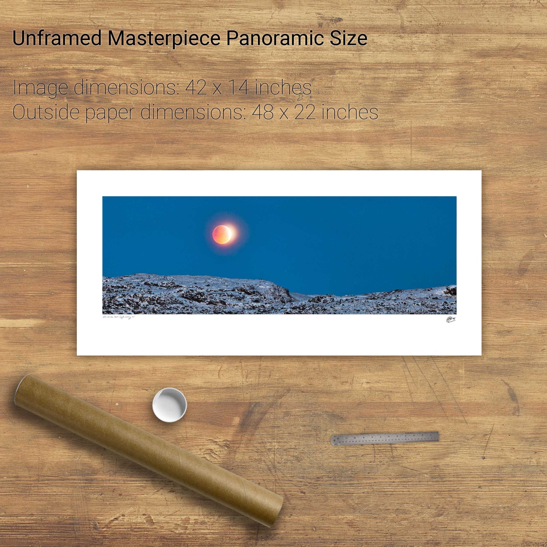
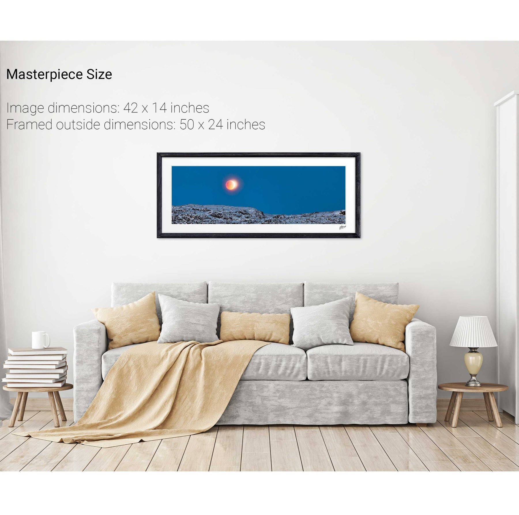
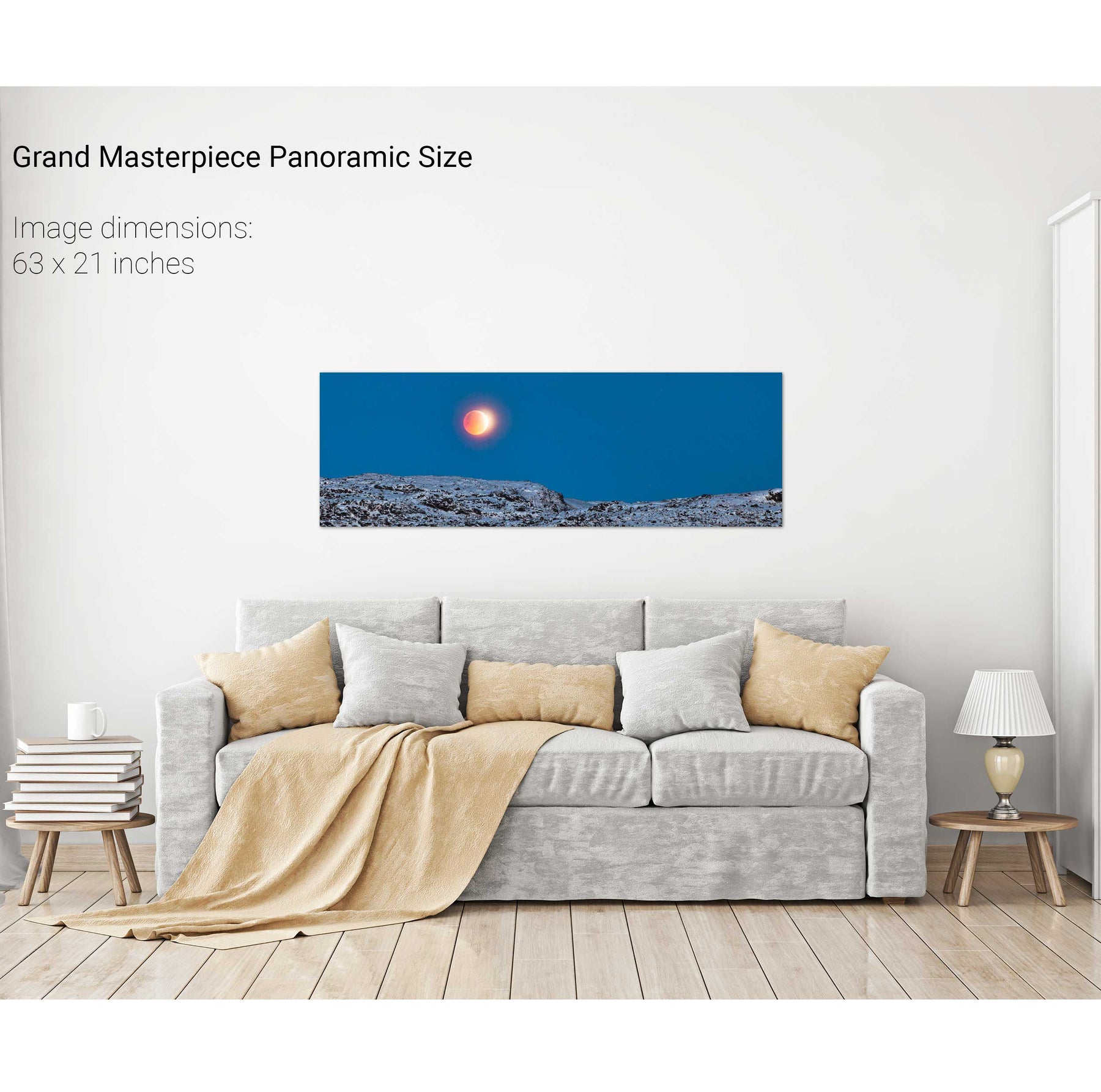
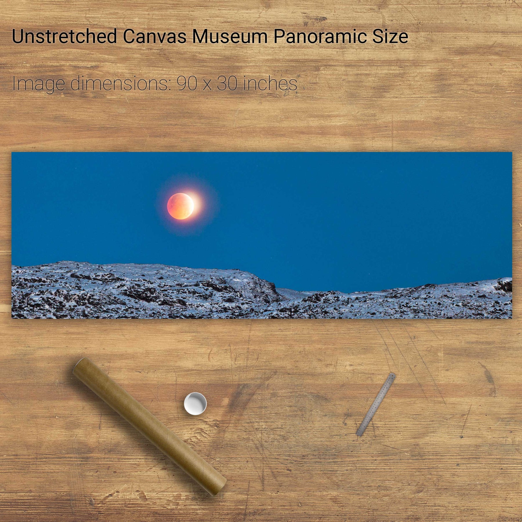
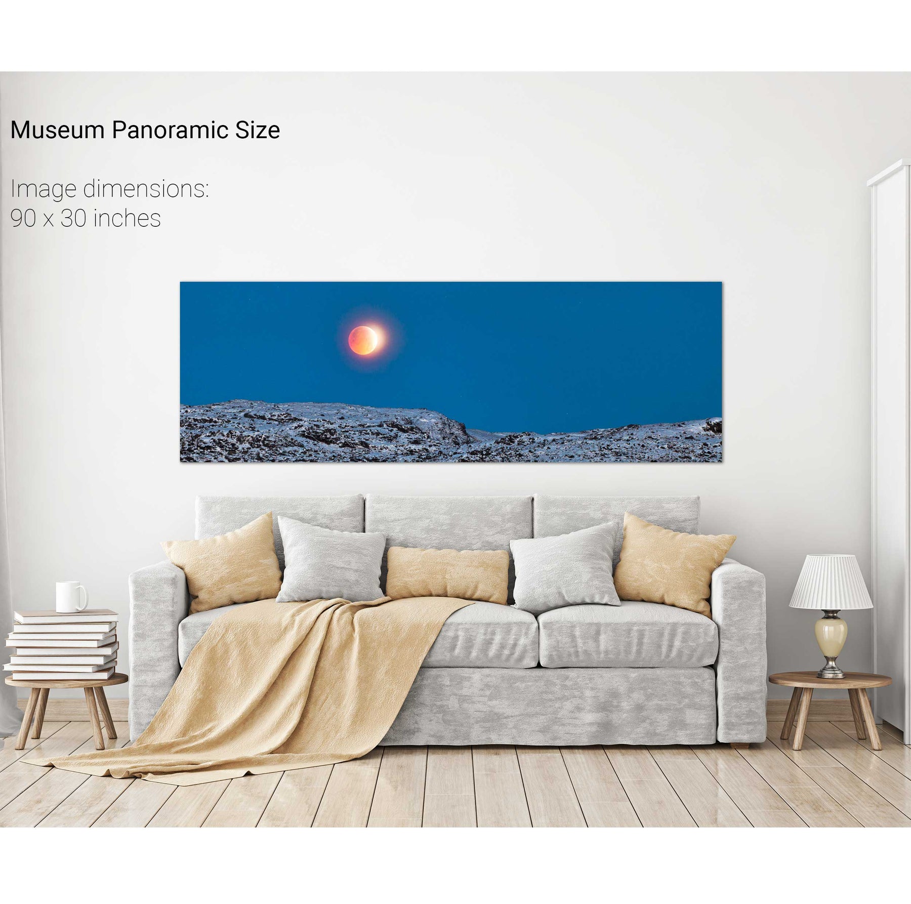
Total Lunar Eclipse, Gougane Barra, Winter Solstice 2010
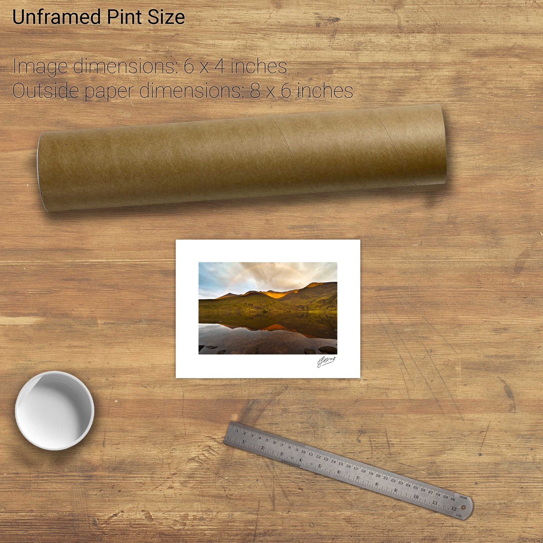
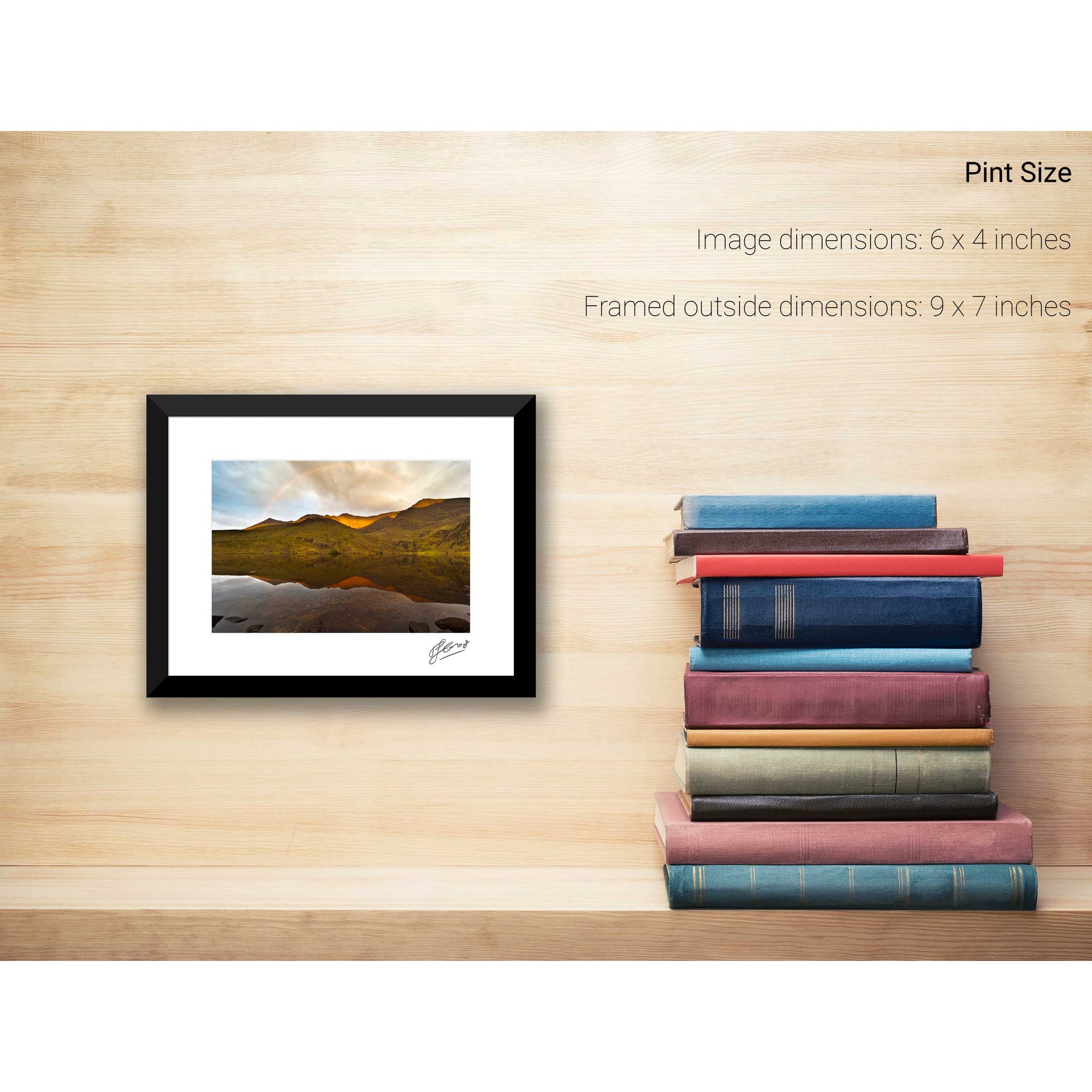
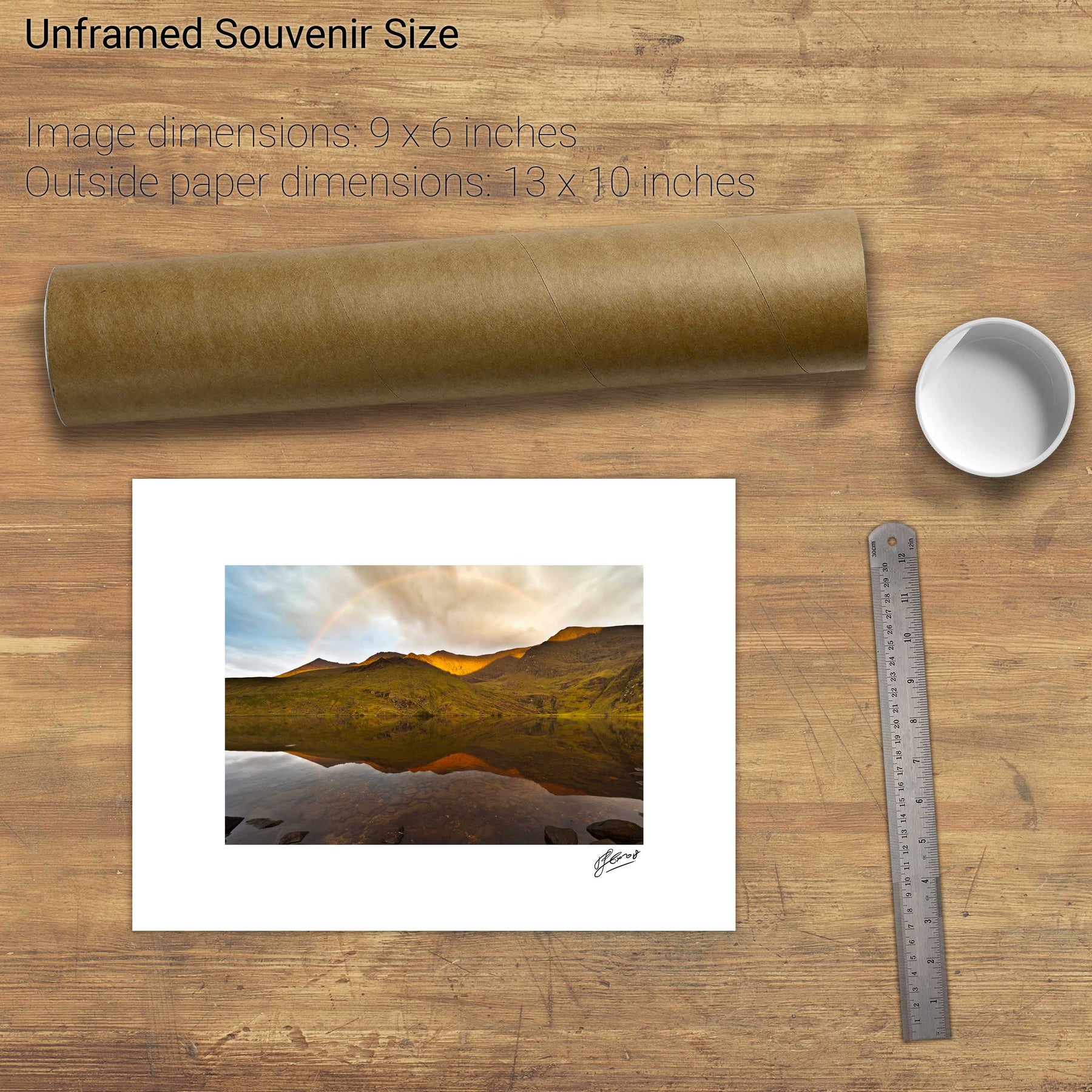
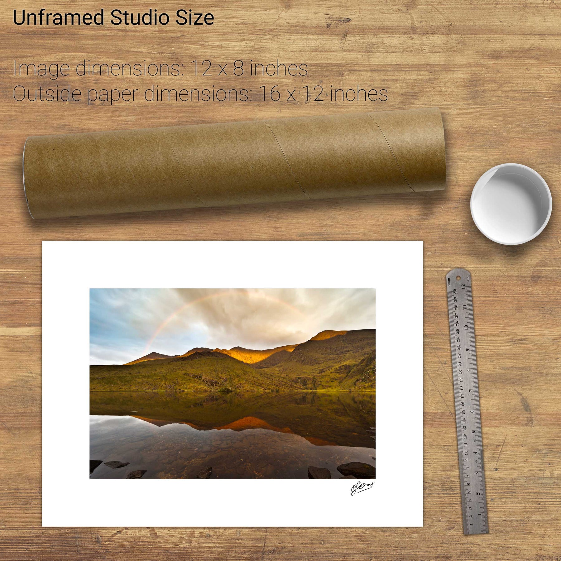
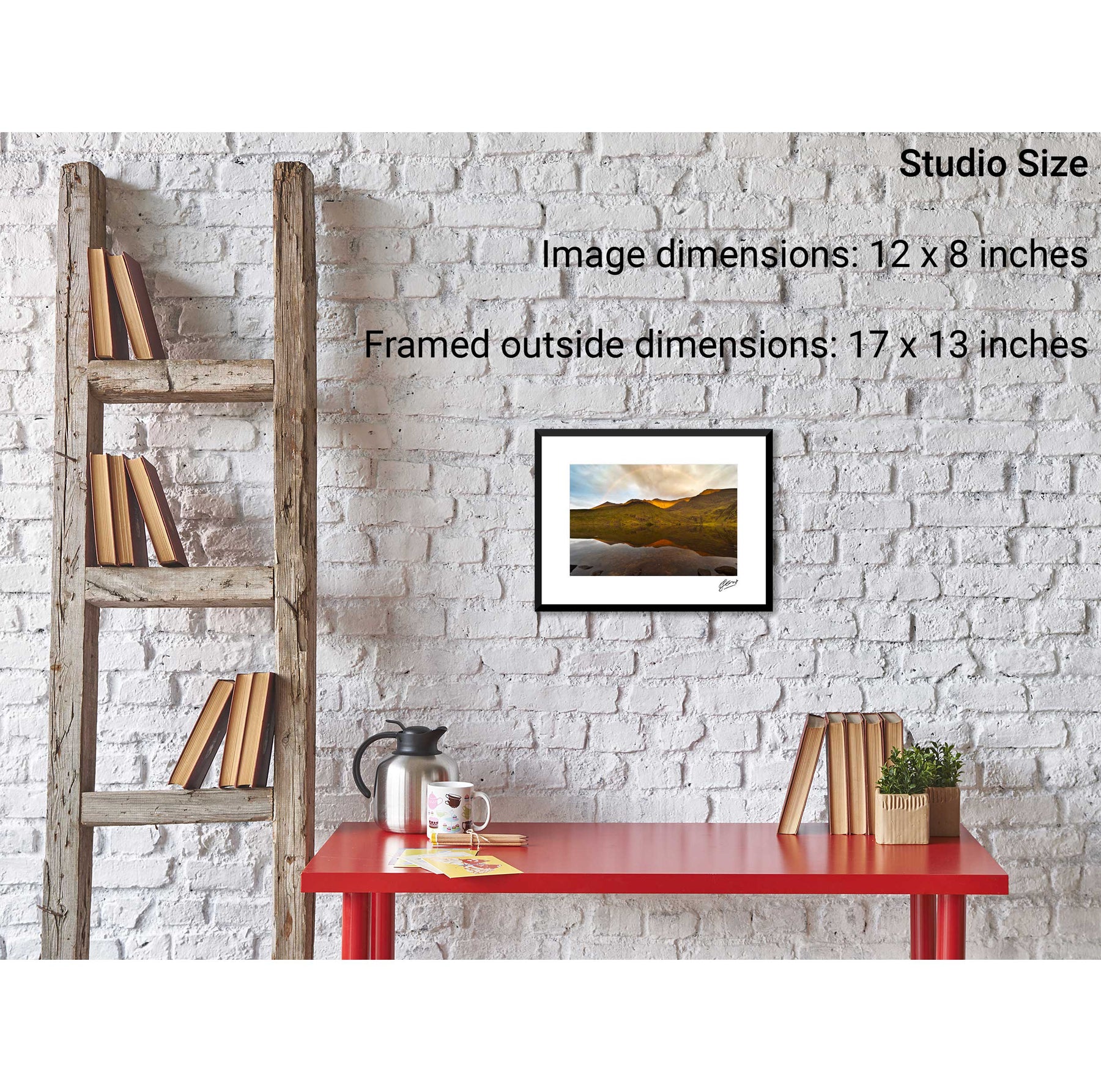
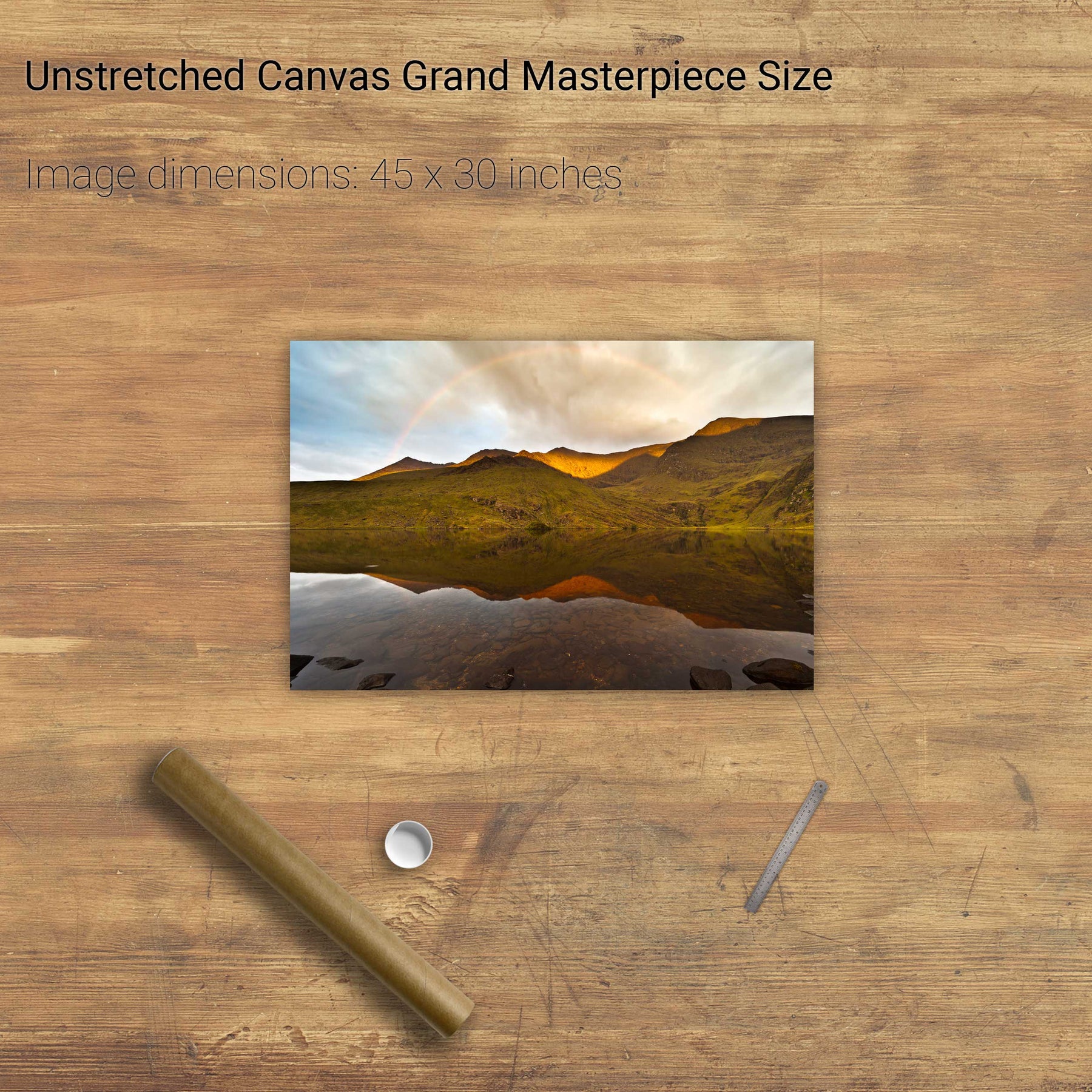
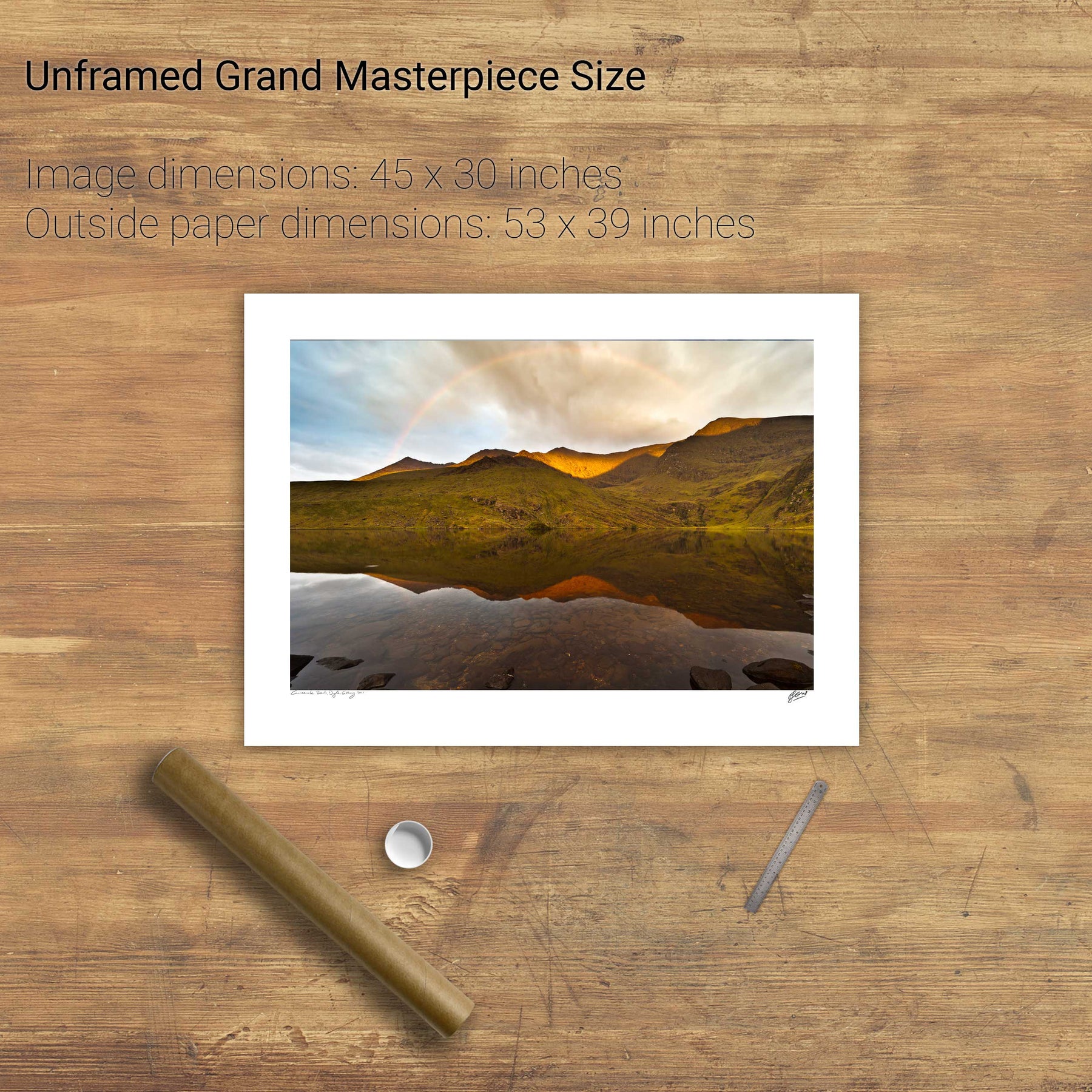
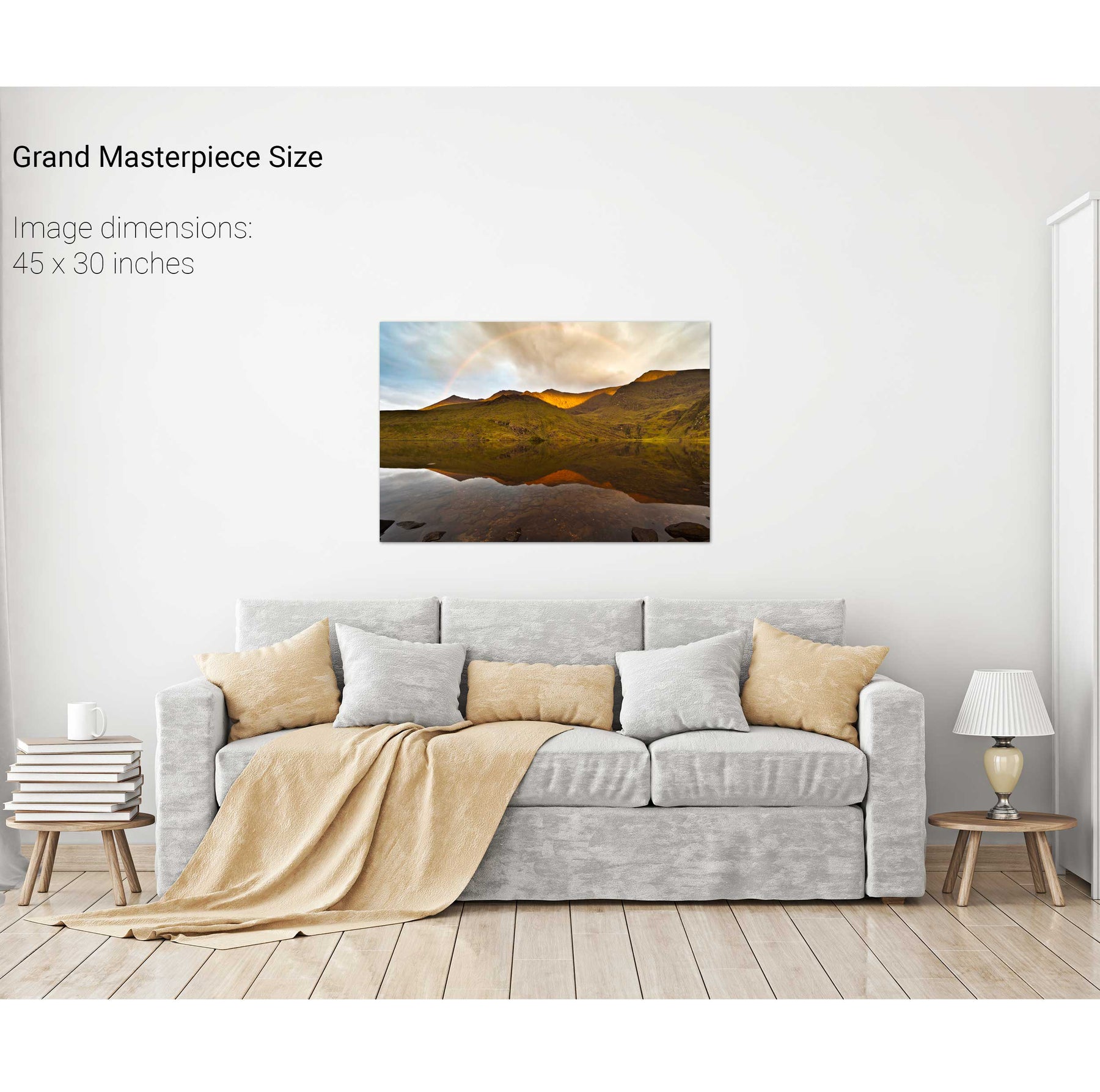
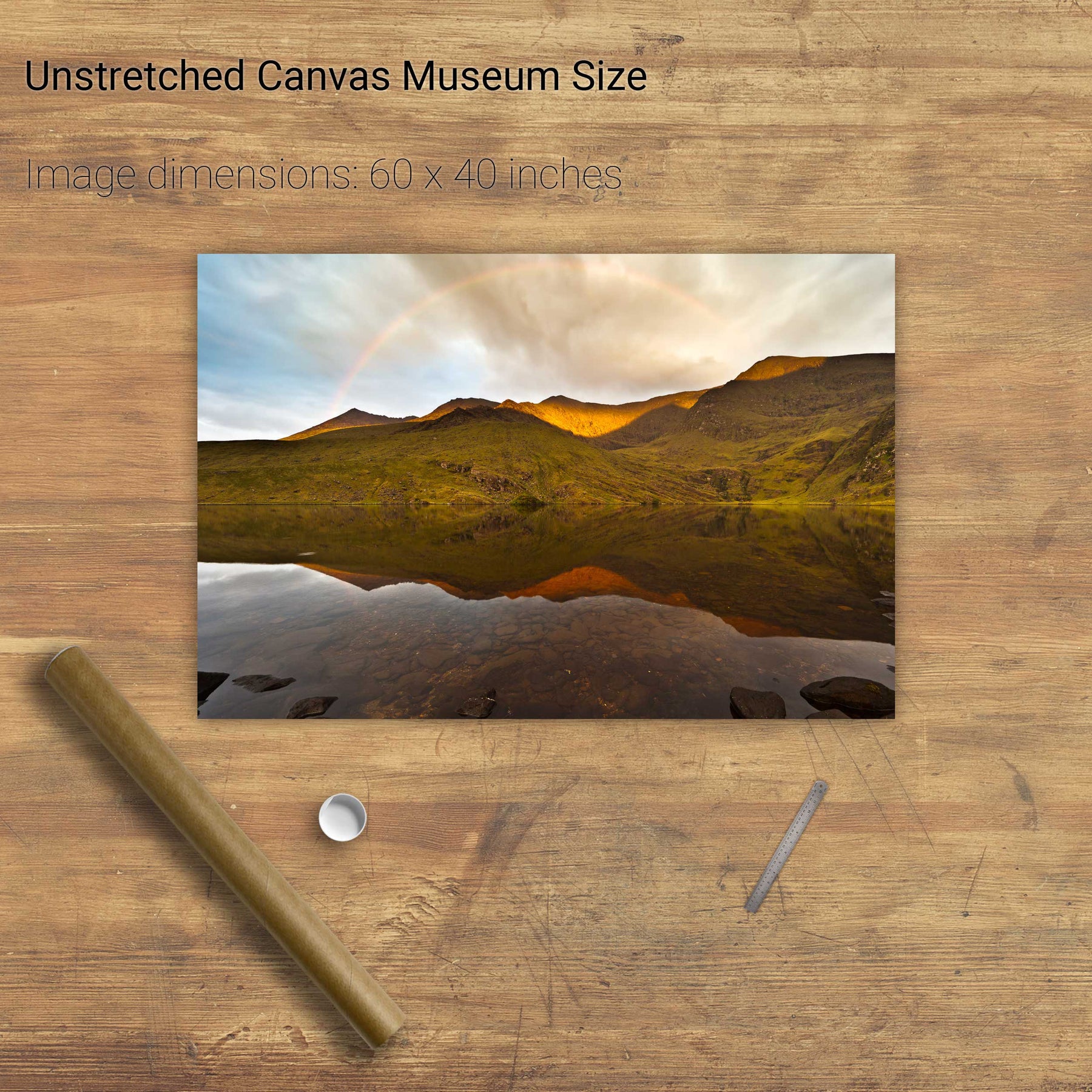
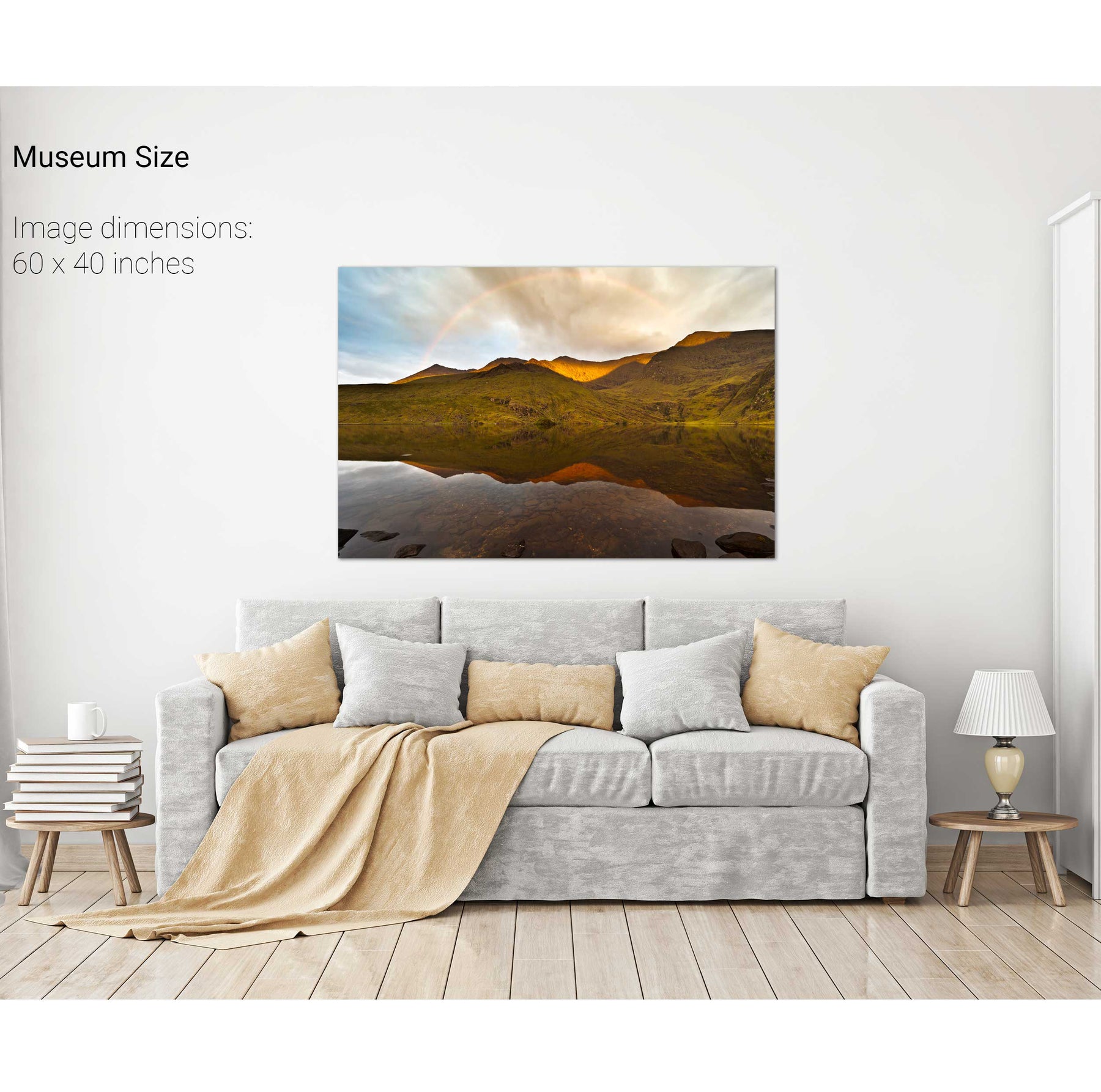
Rainbow over the Eastern Reeks, Co. Kerry
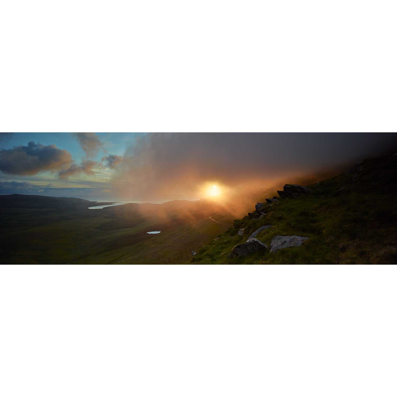
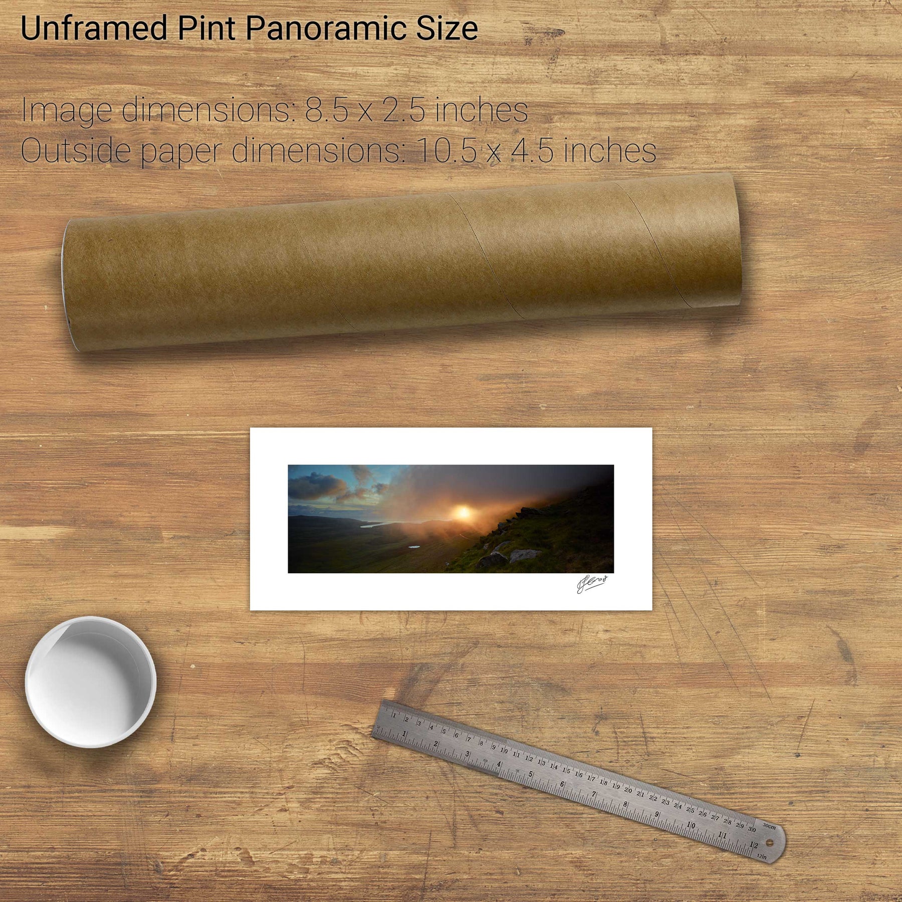
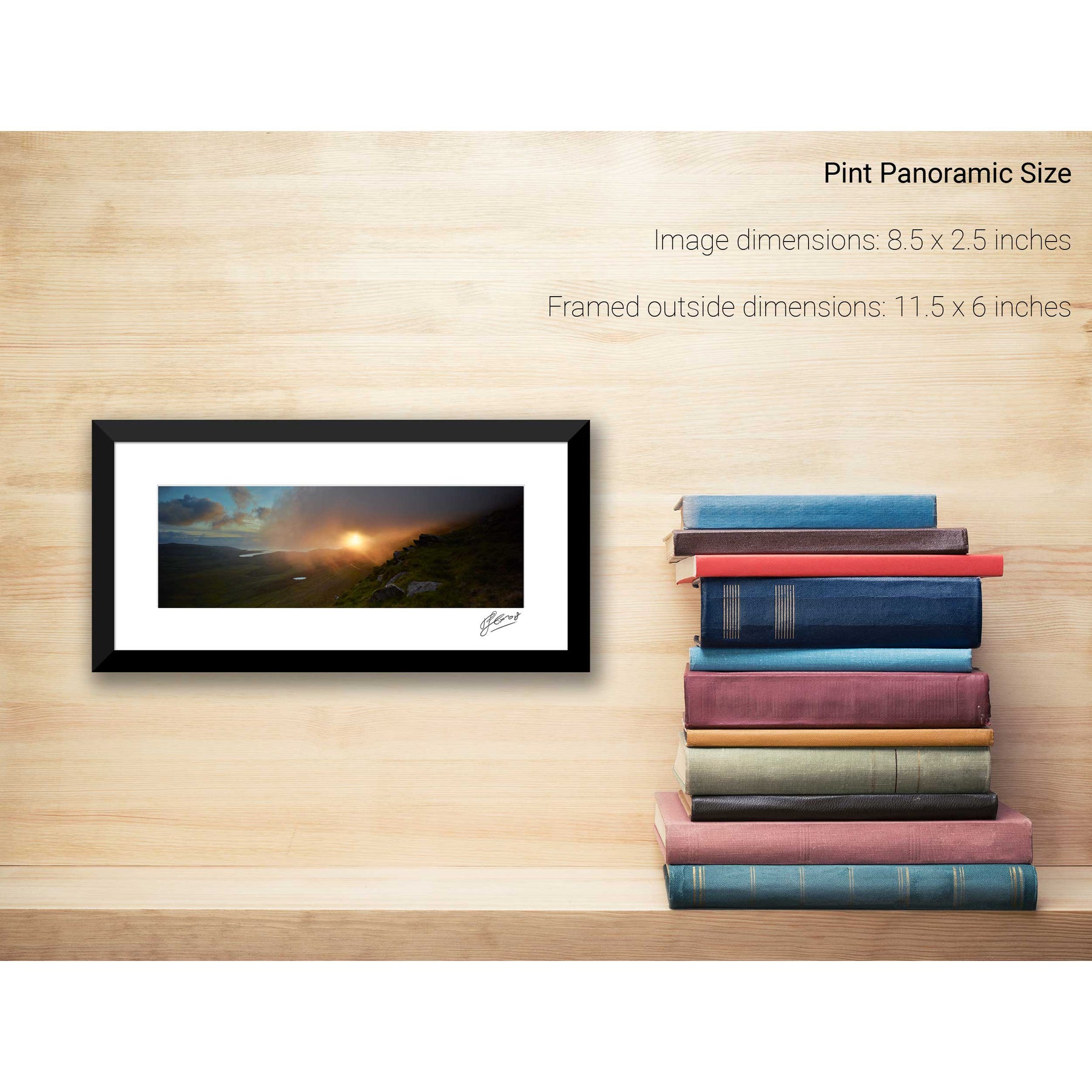
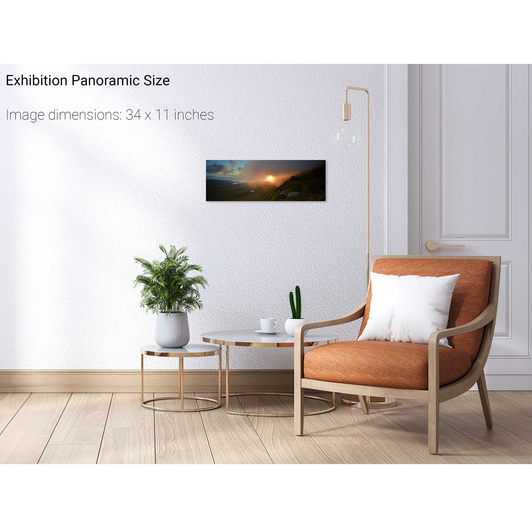
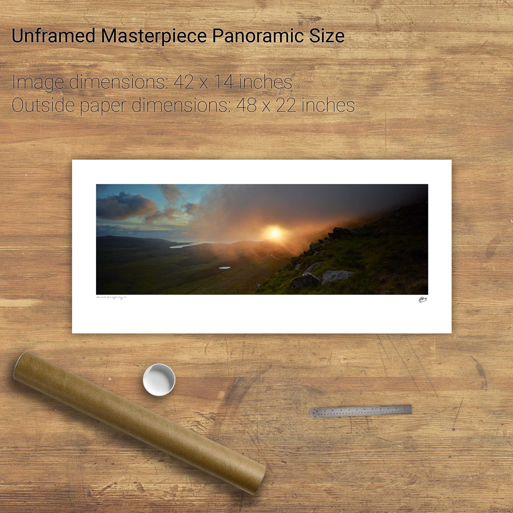
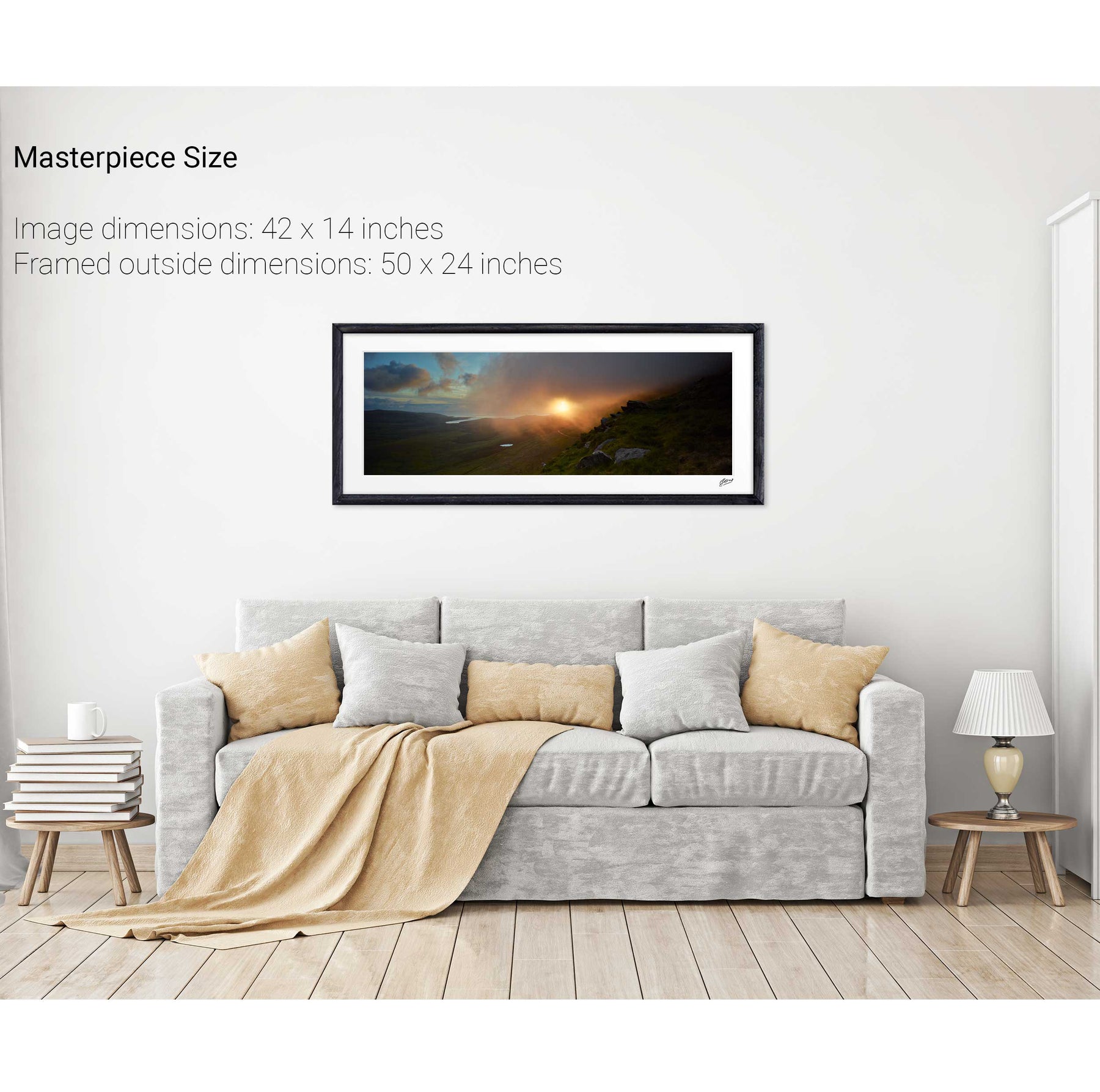
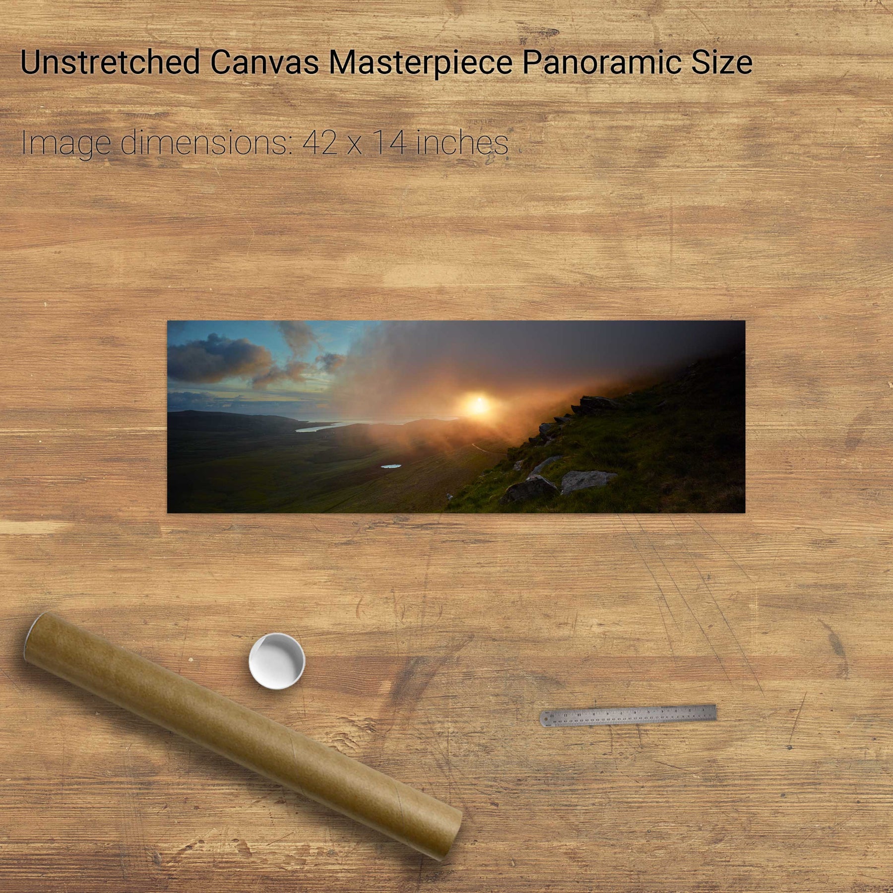
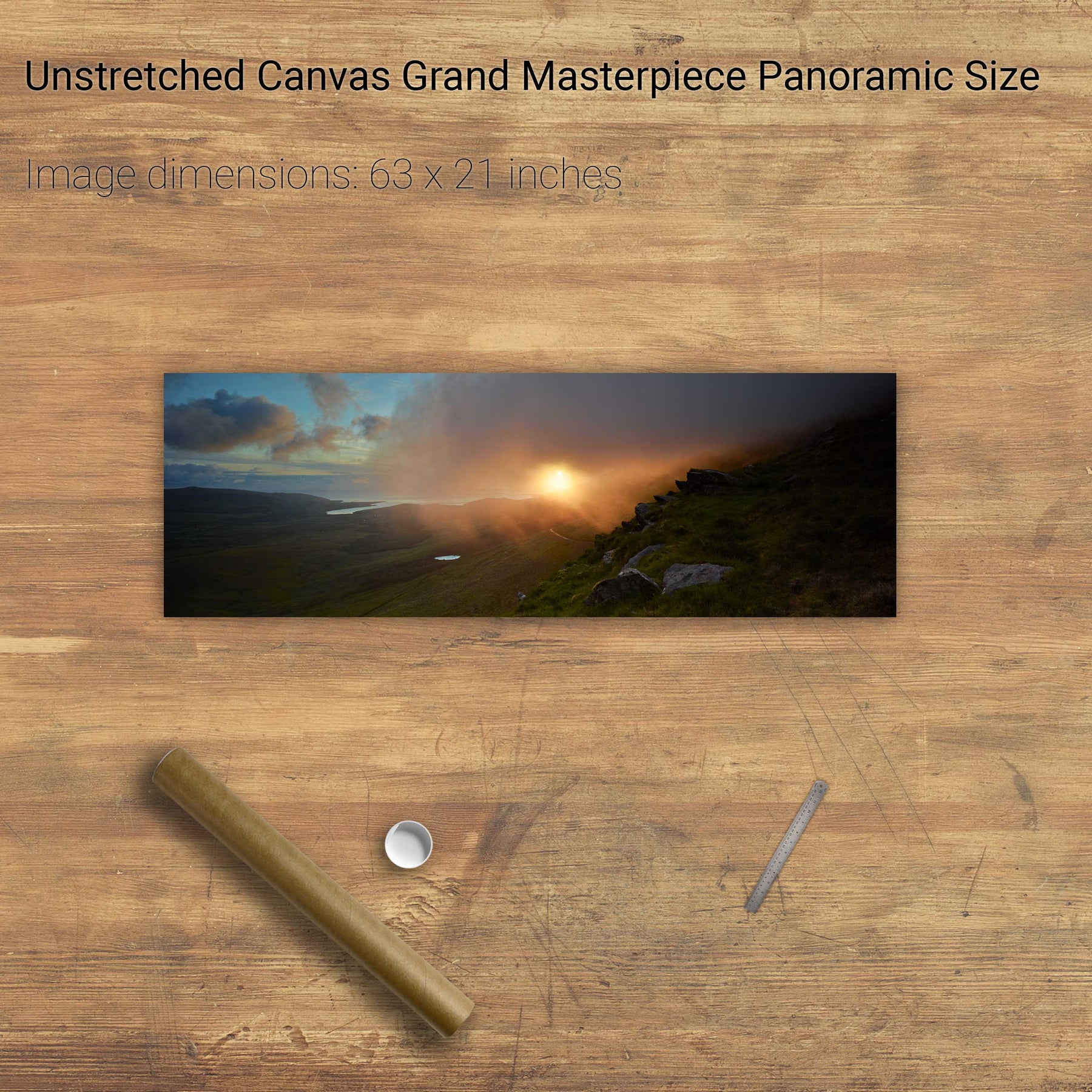
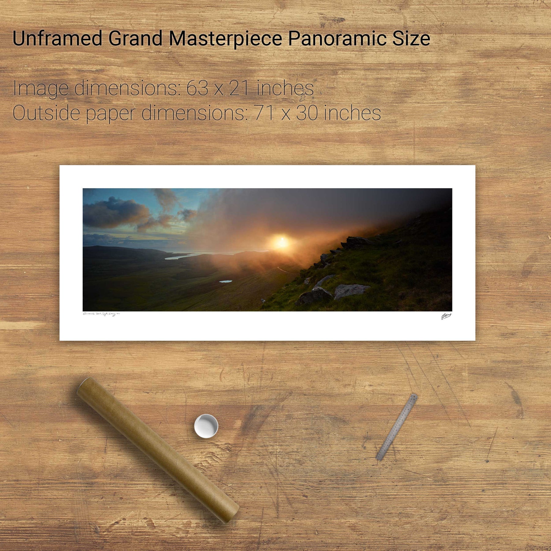
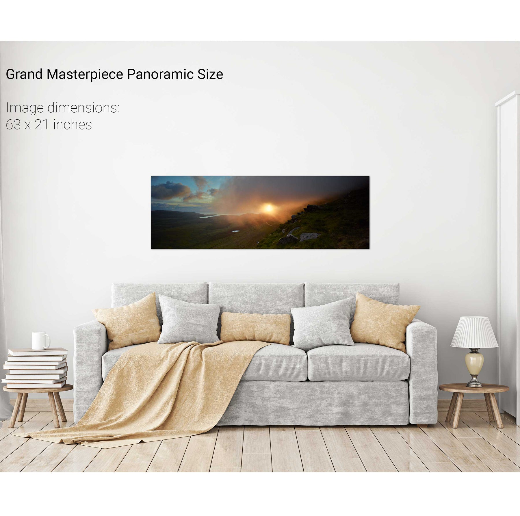
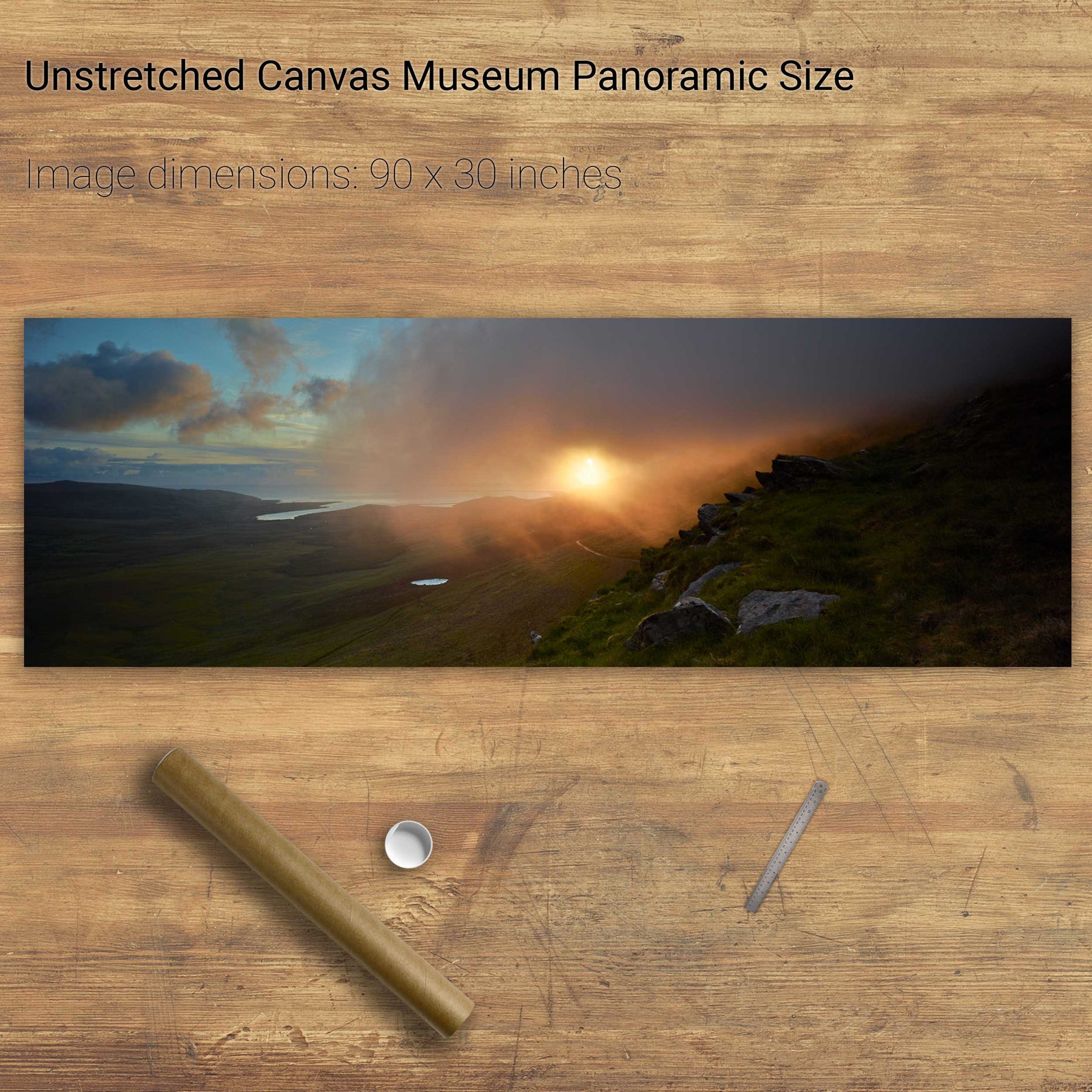
Sunrise, the Conor Pass, Dingle, Co. Kerry
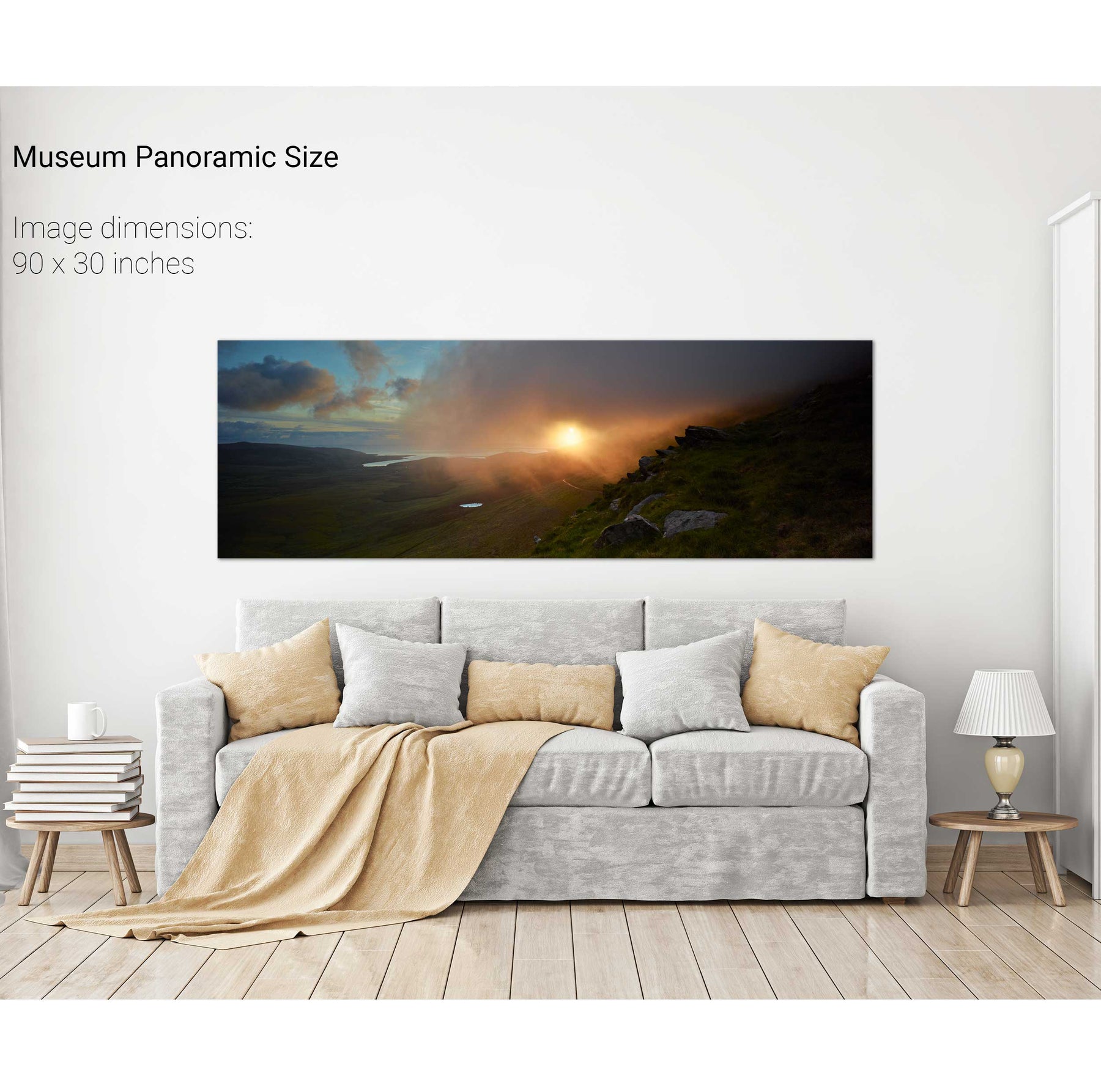
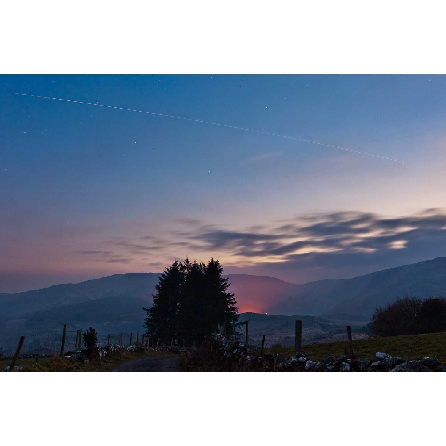
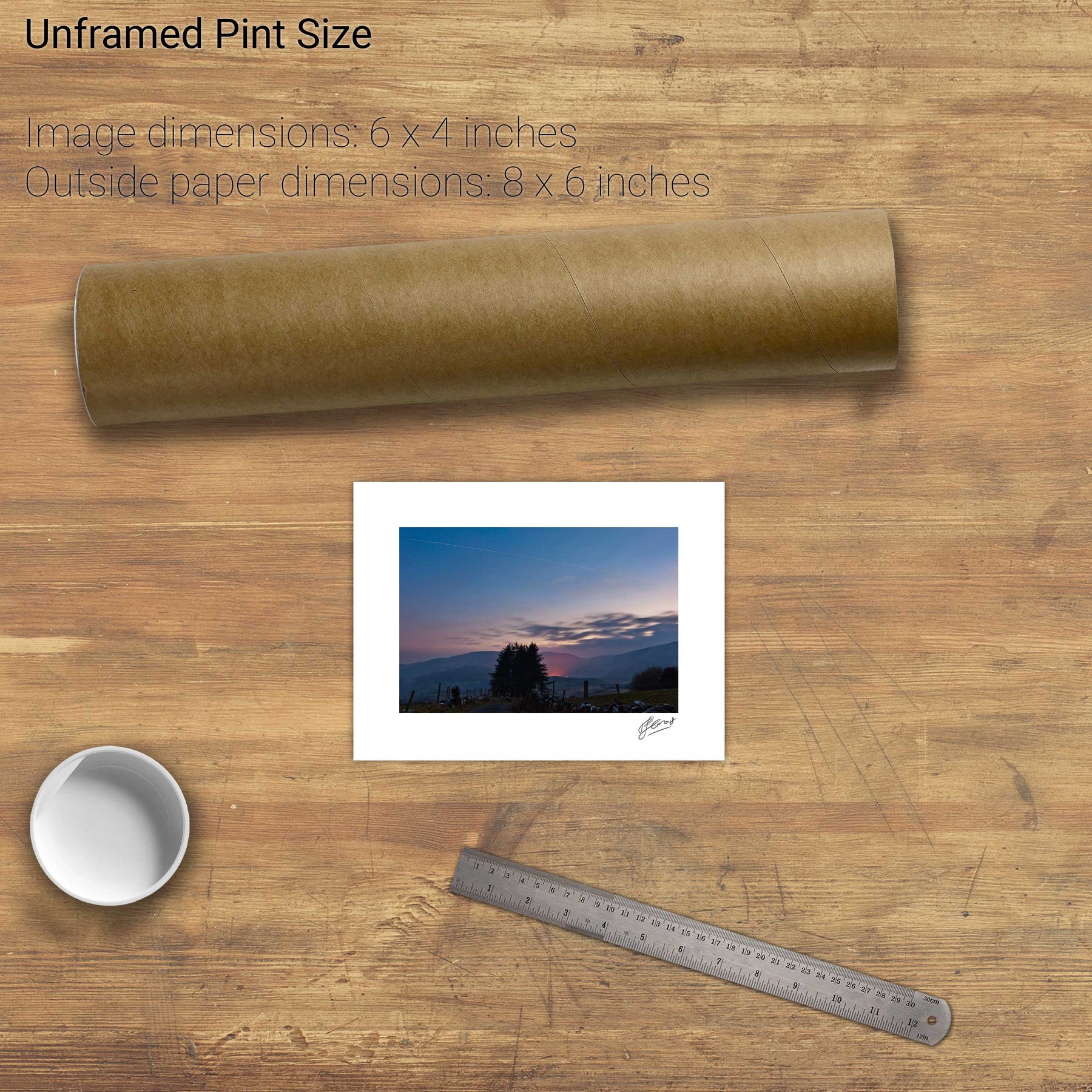
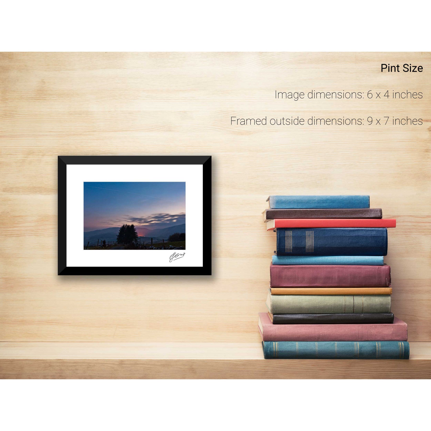
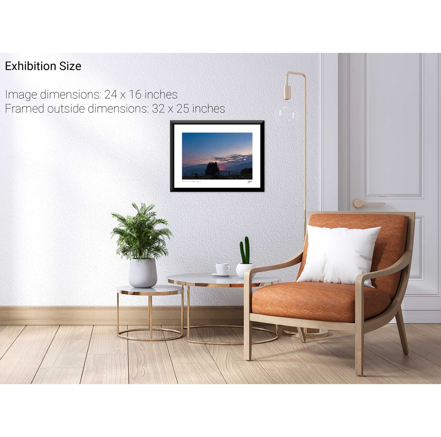
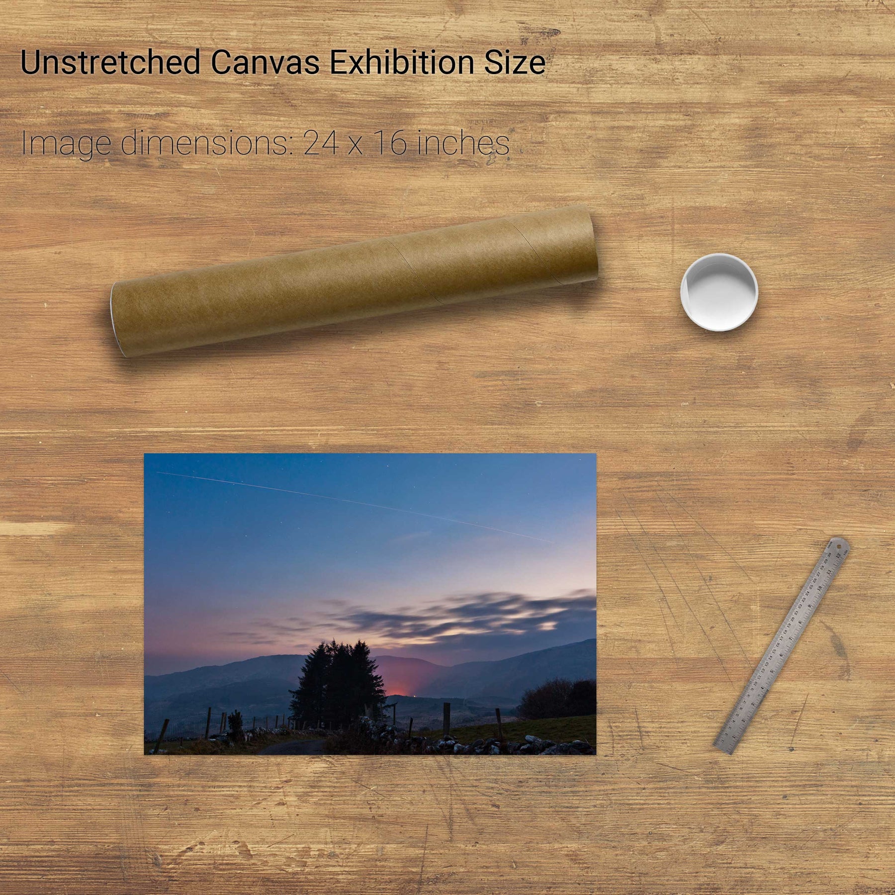
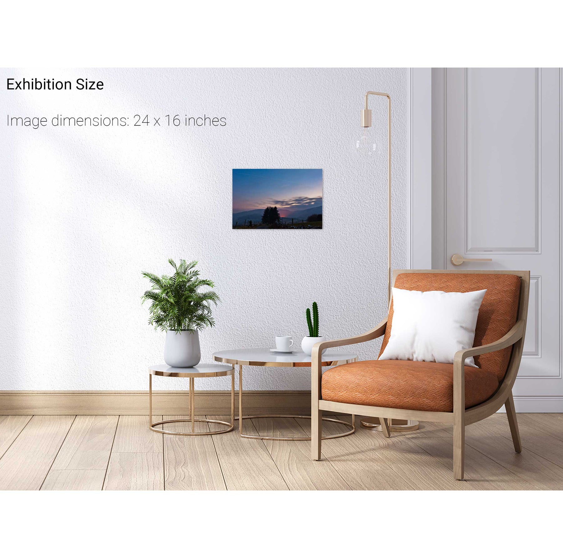
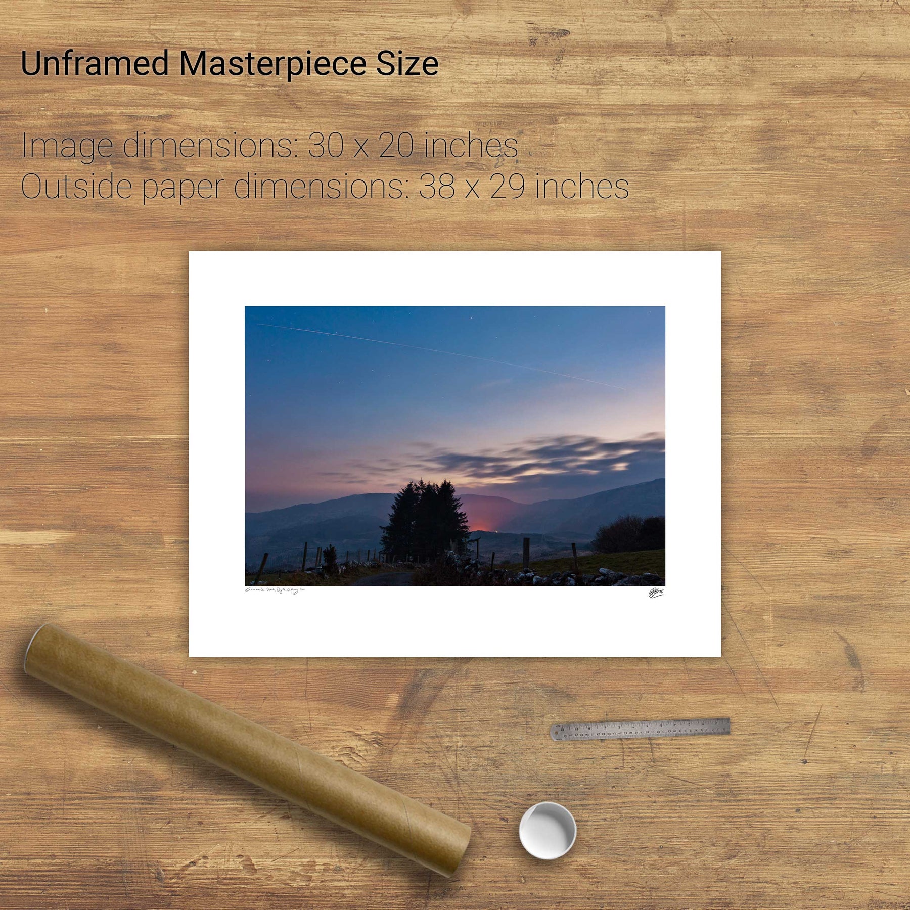
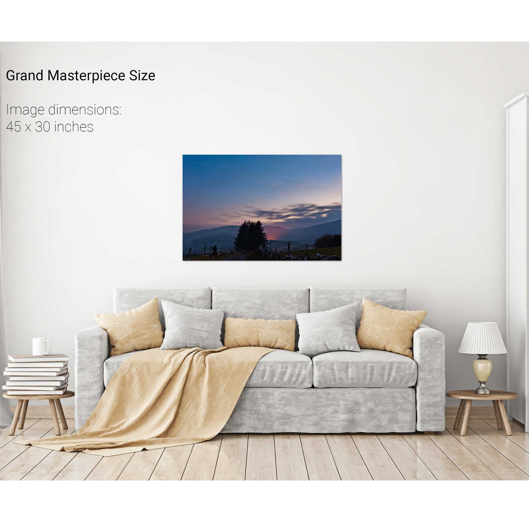
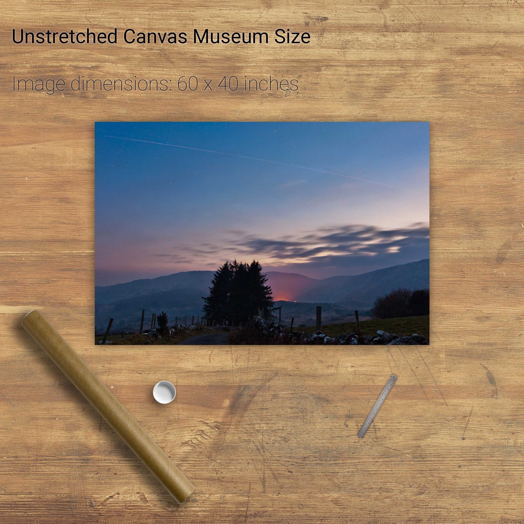
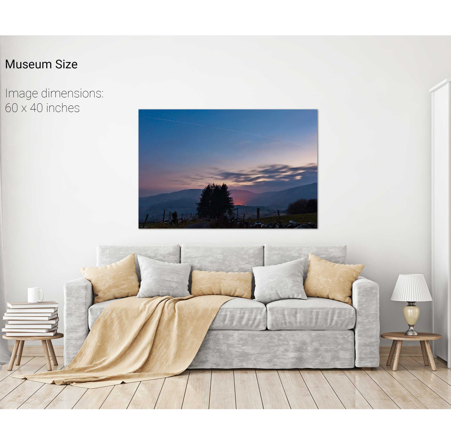
International Space Station and Shuttle Discovery over Gougane B
The Gearagh, Co. Cork
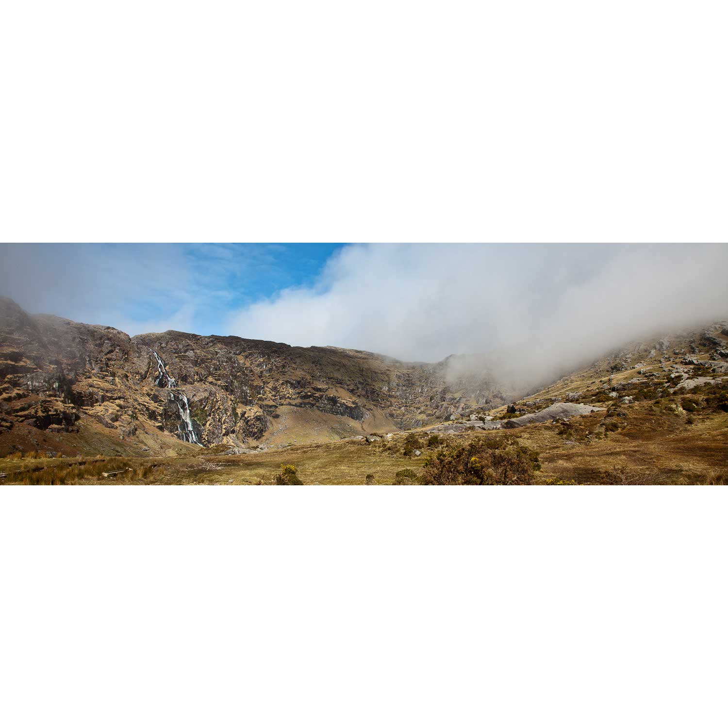
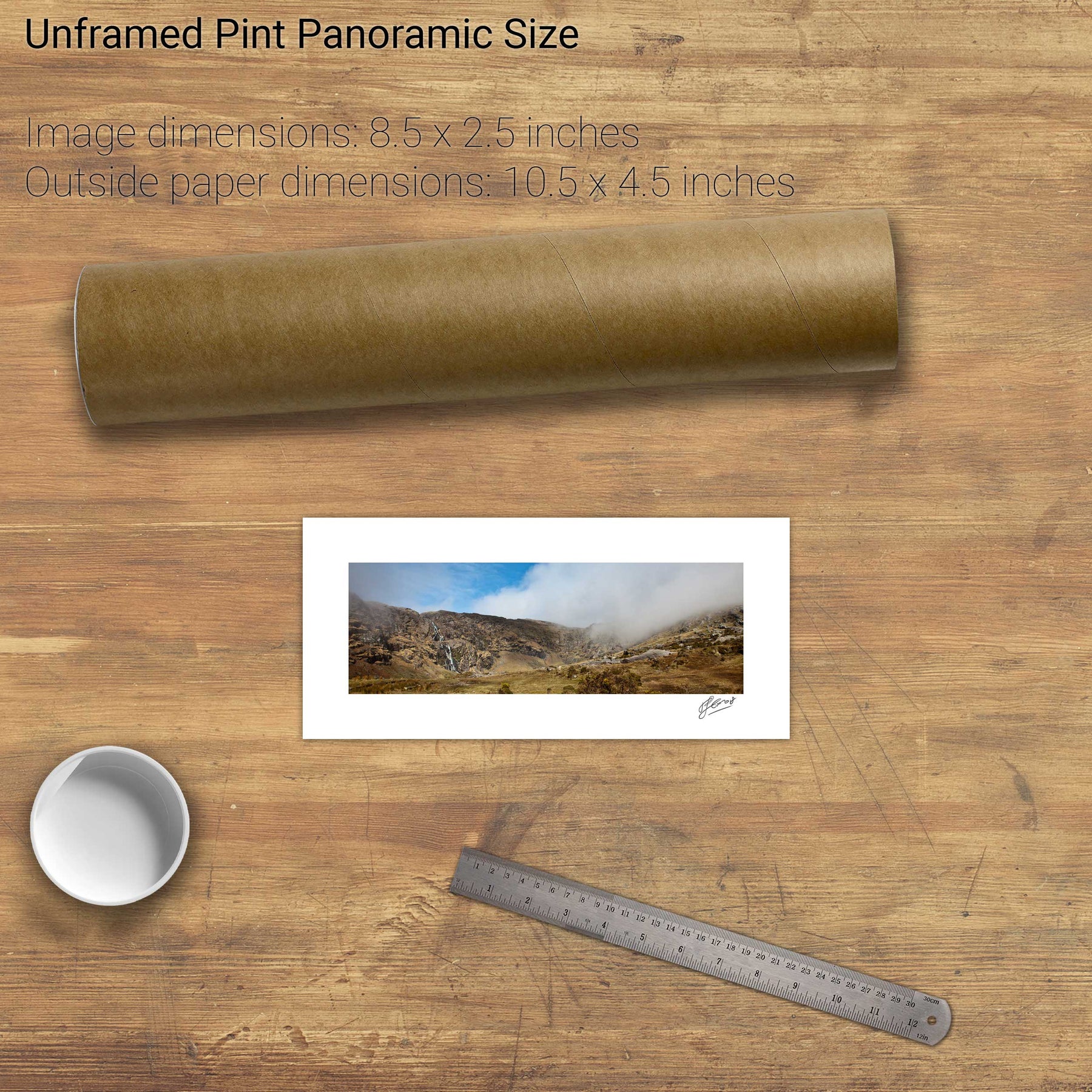
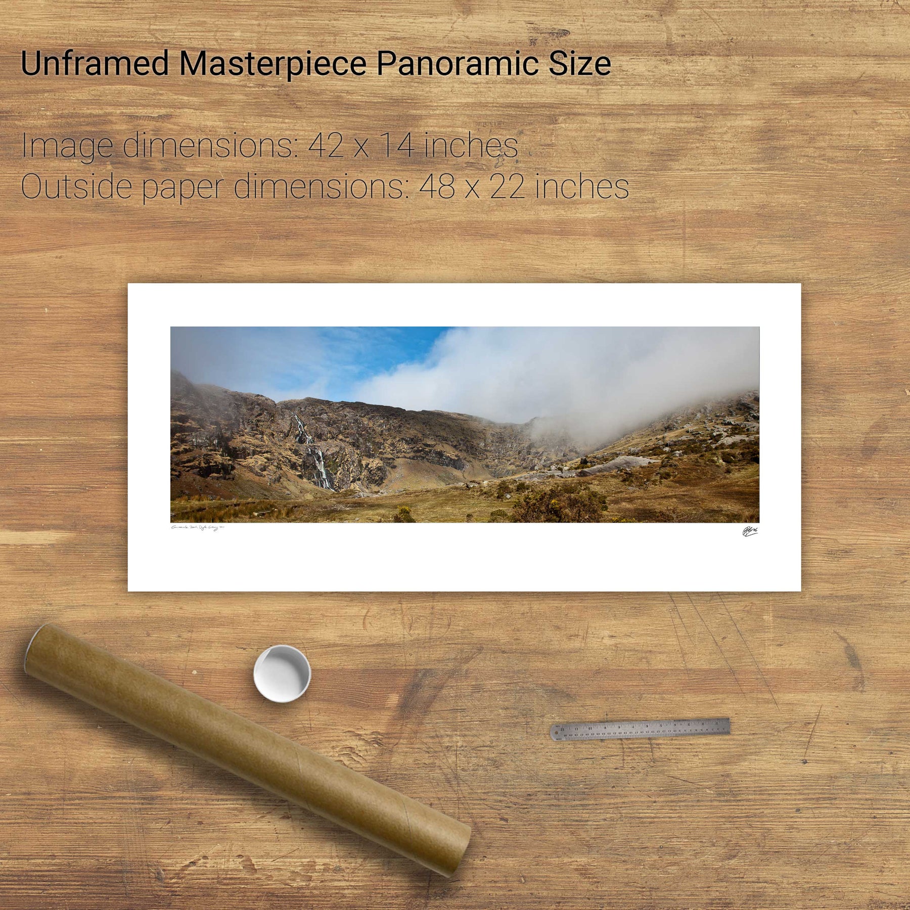
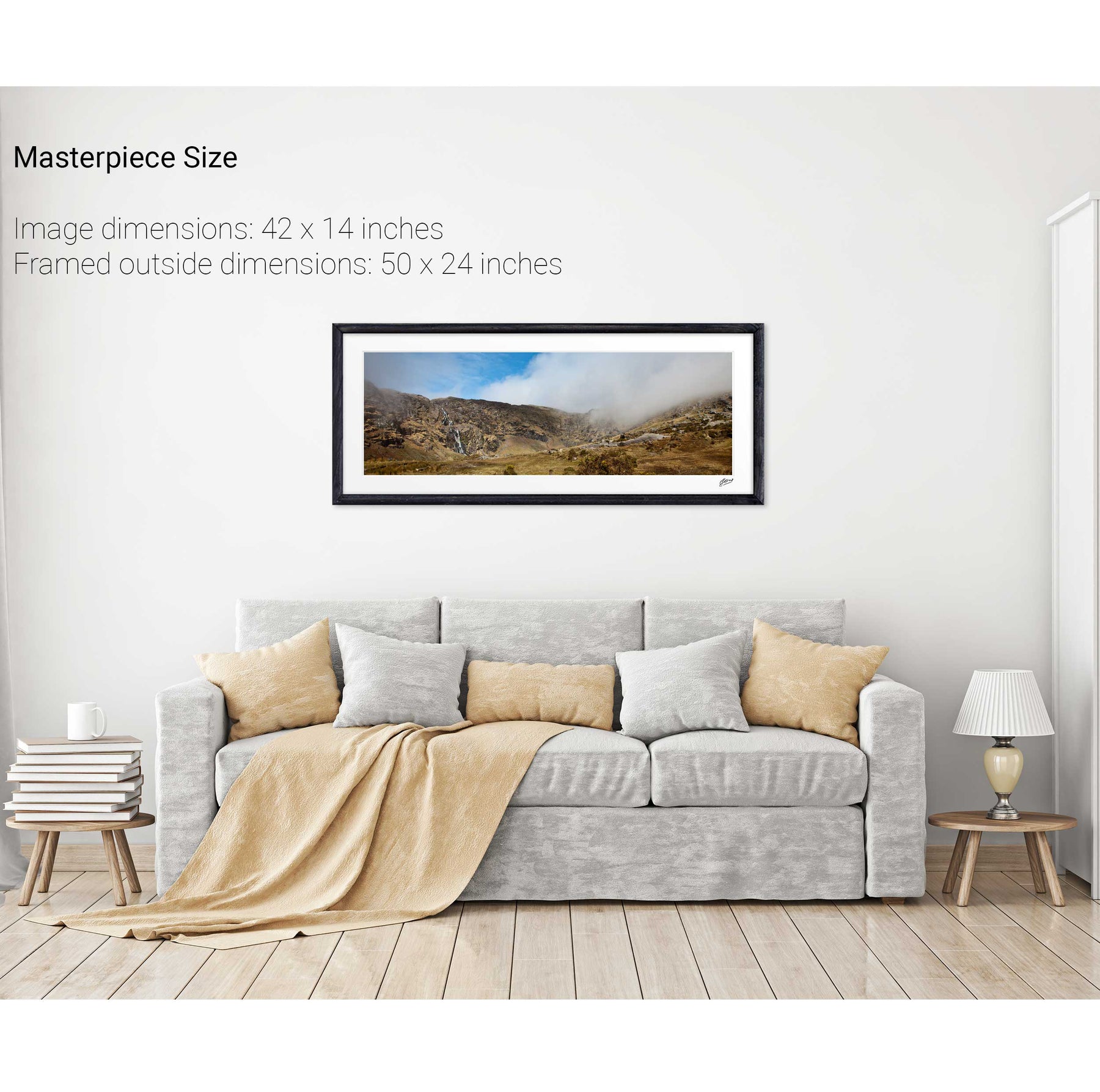
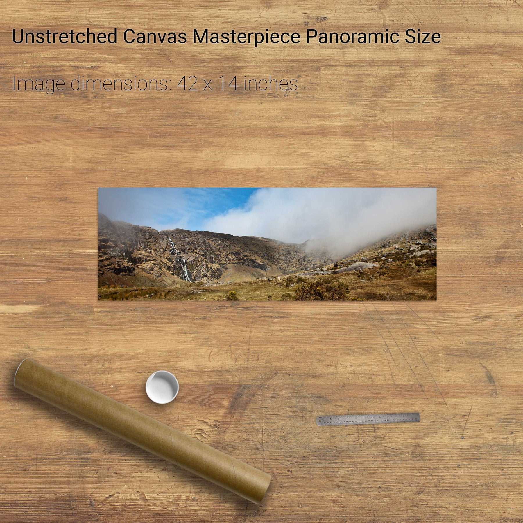
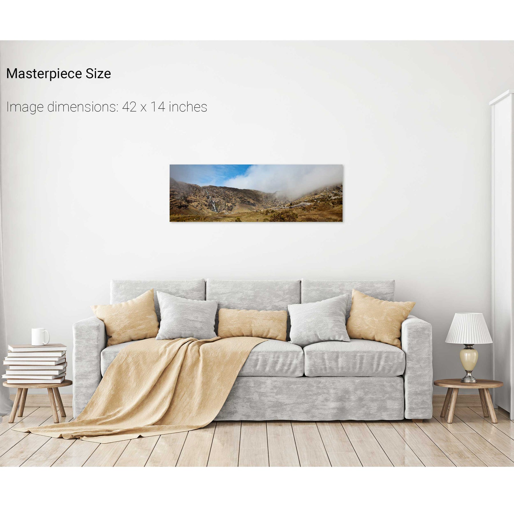
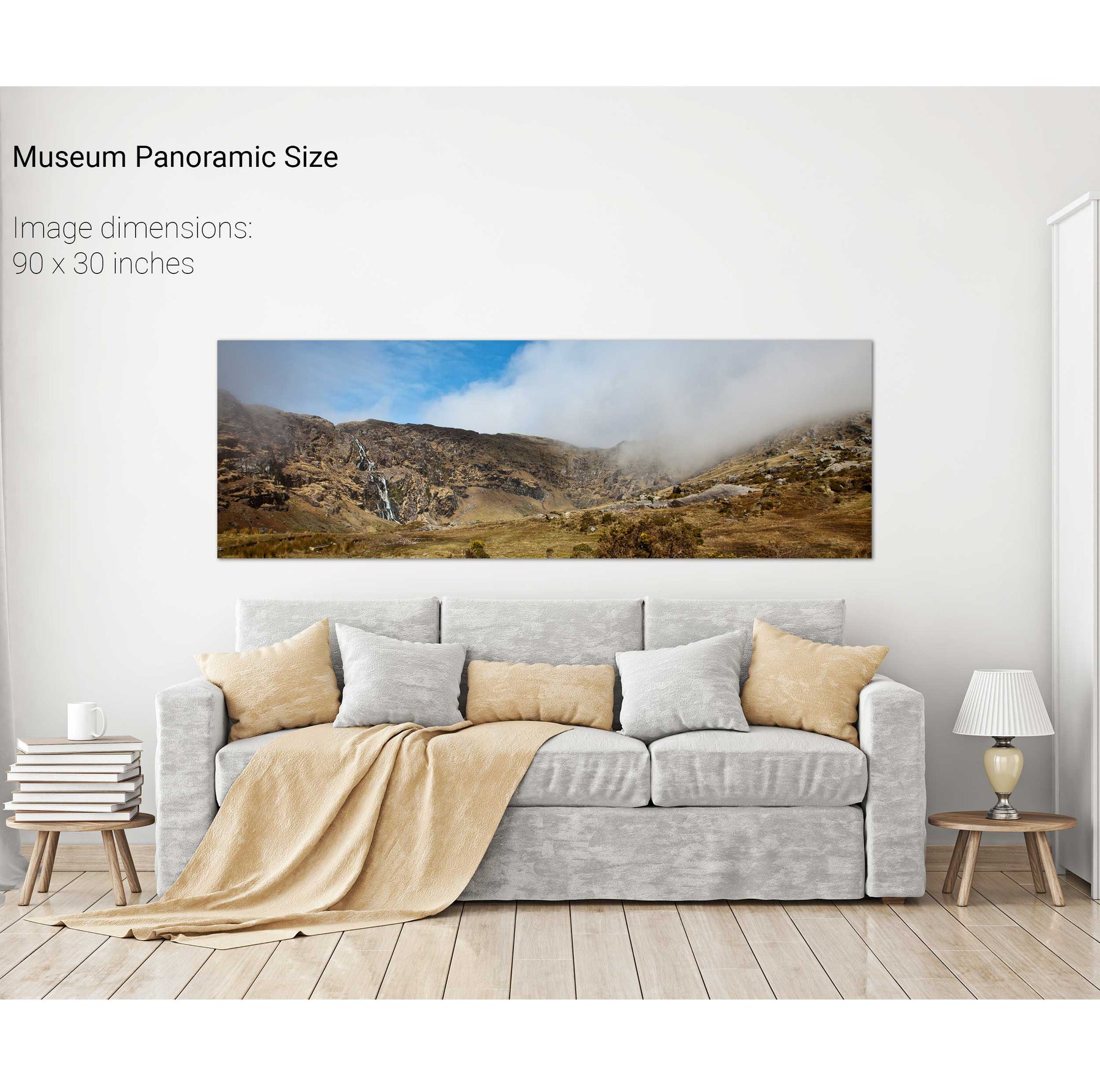
The Mare's Tail, Beara, Co. Cork
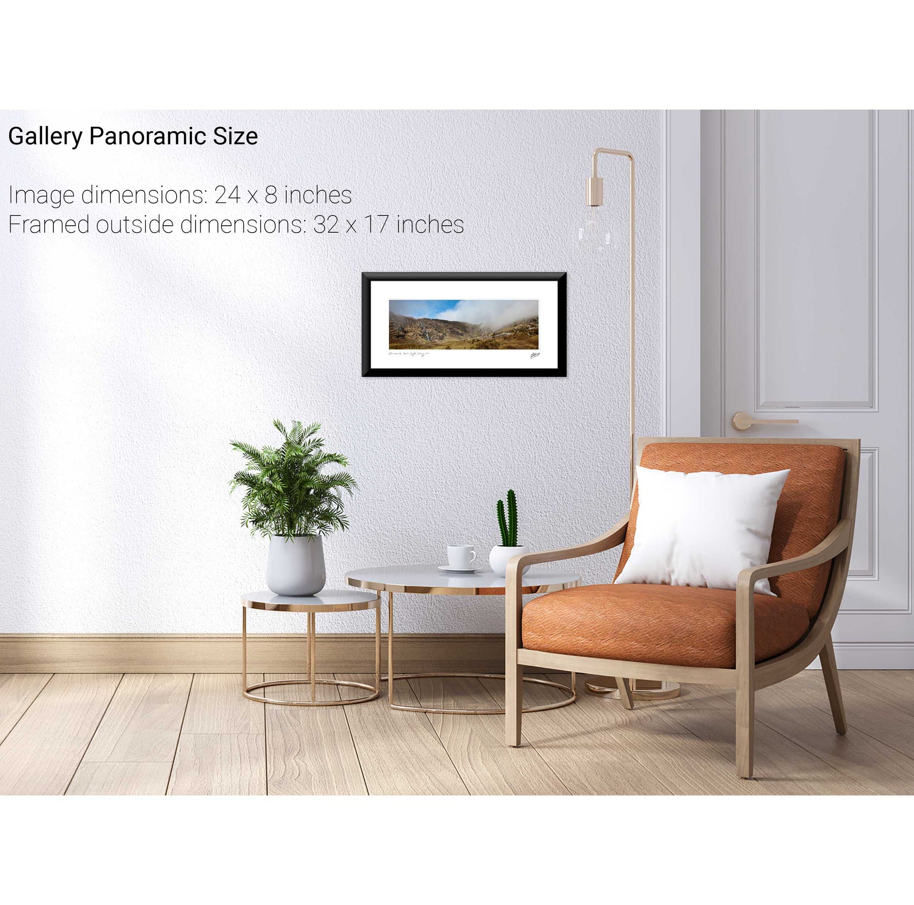
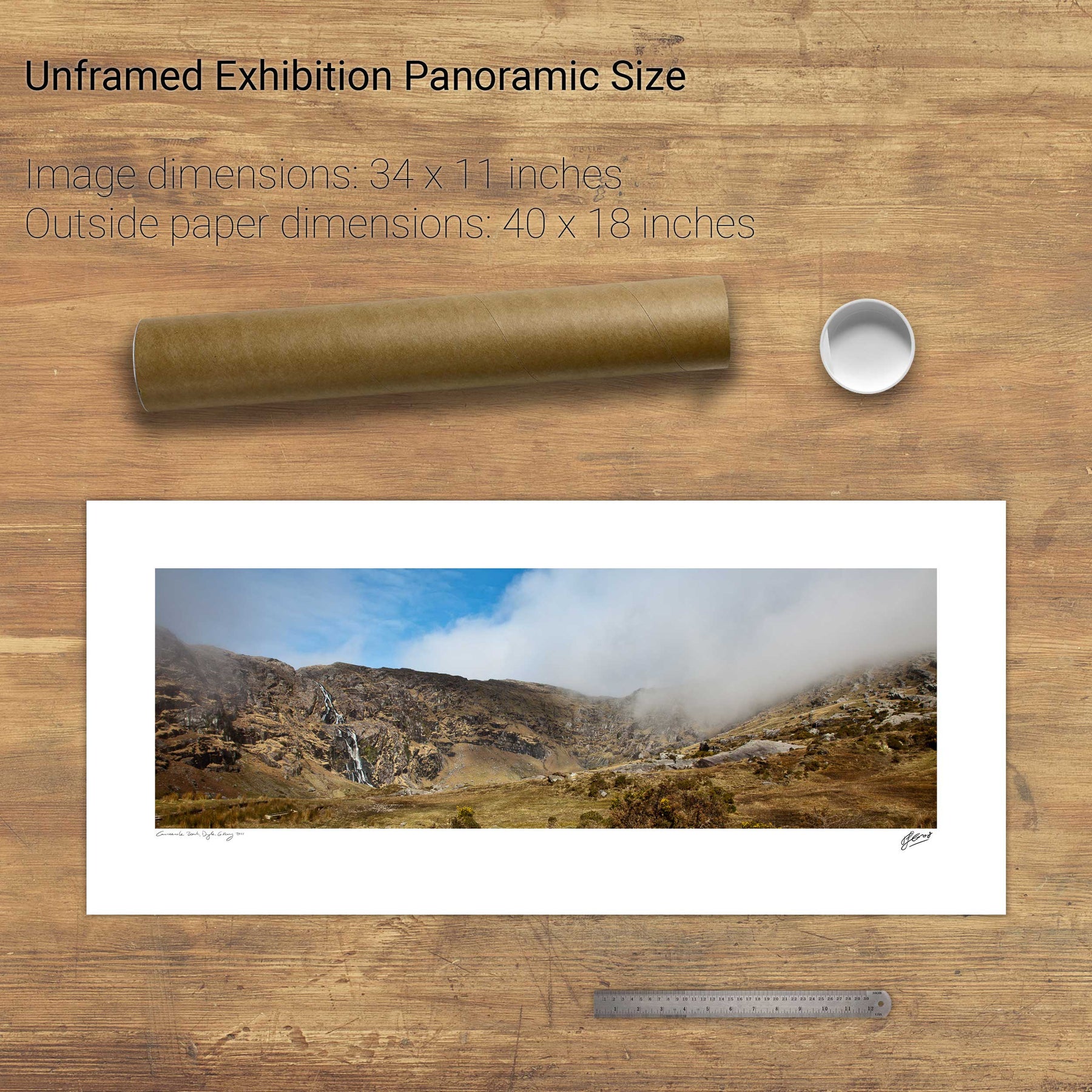
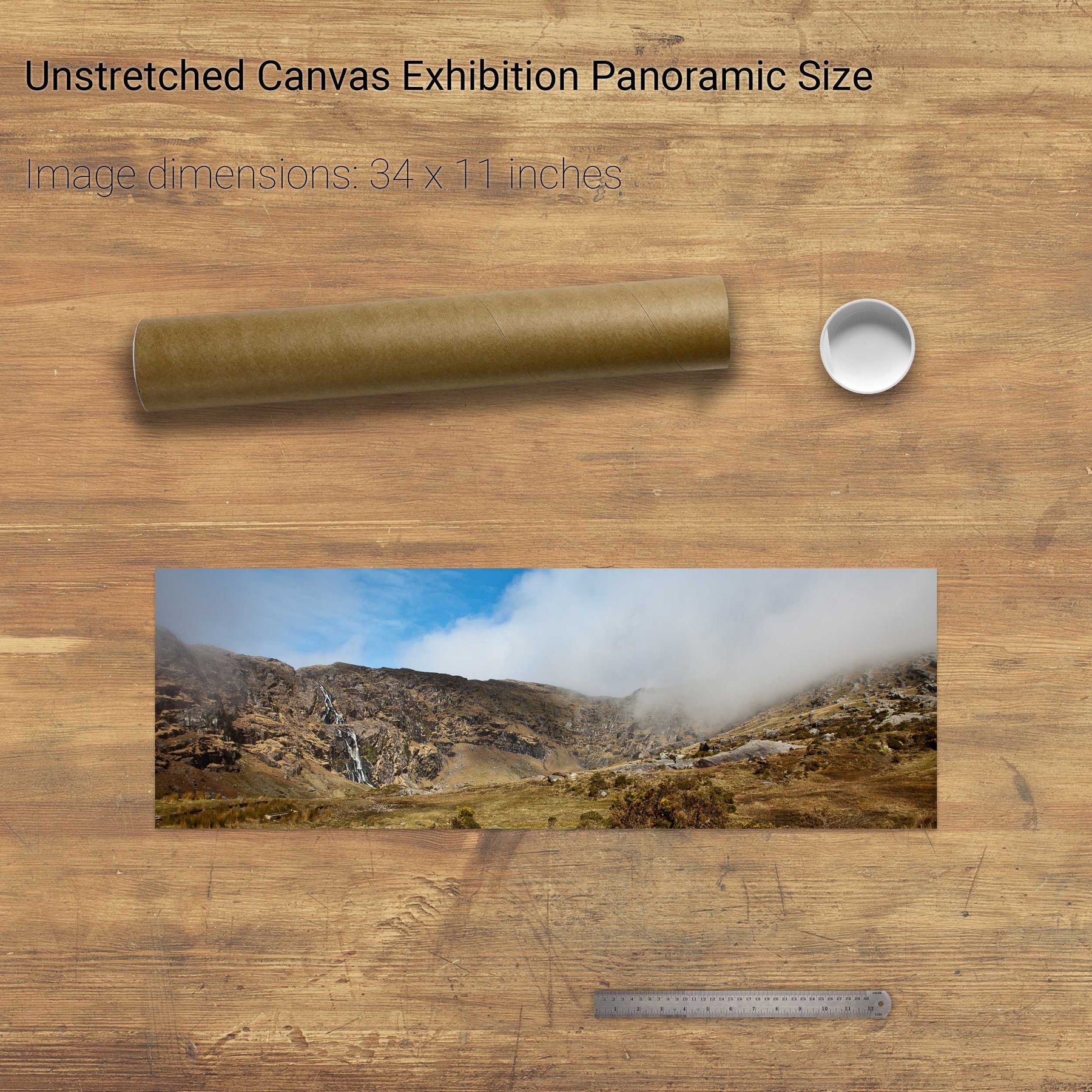
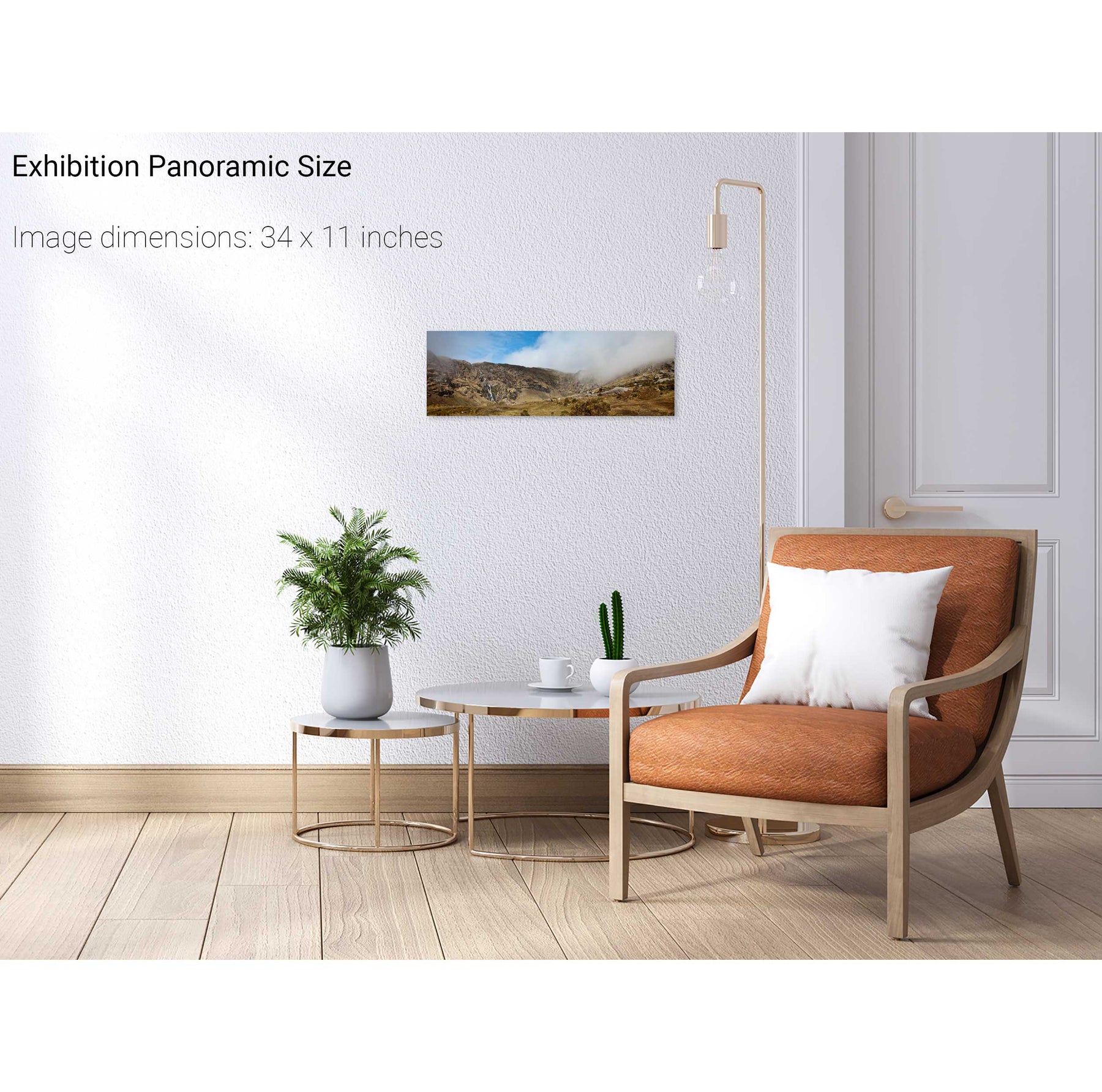
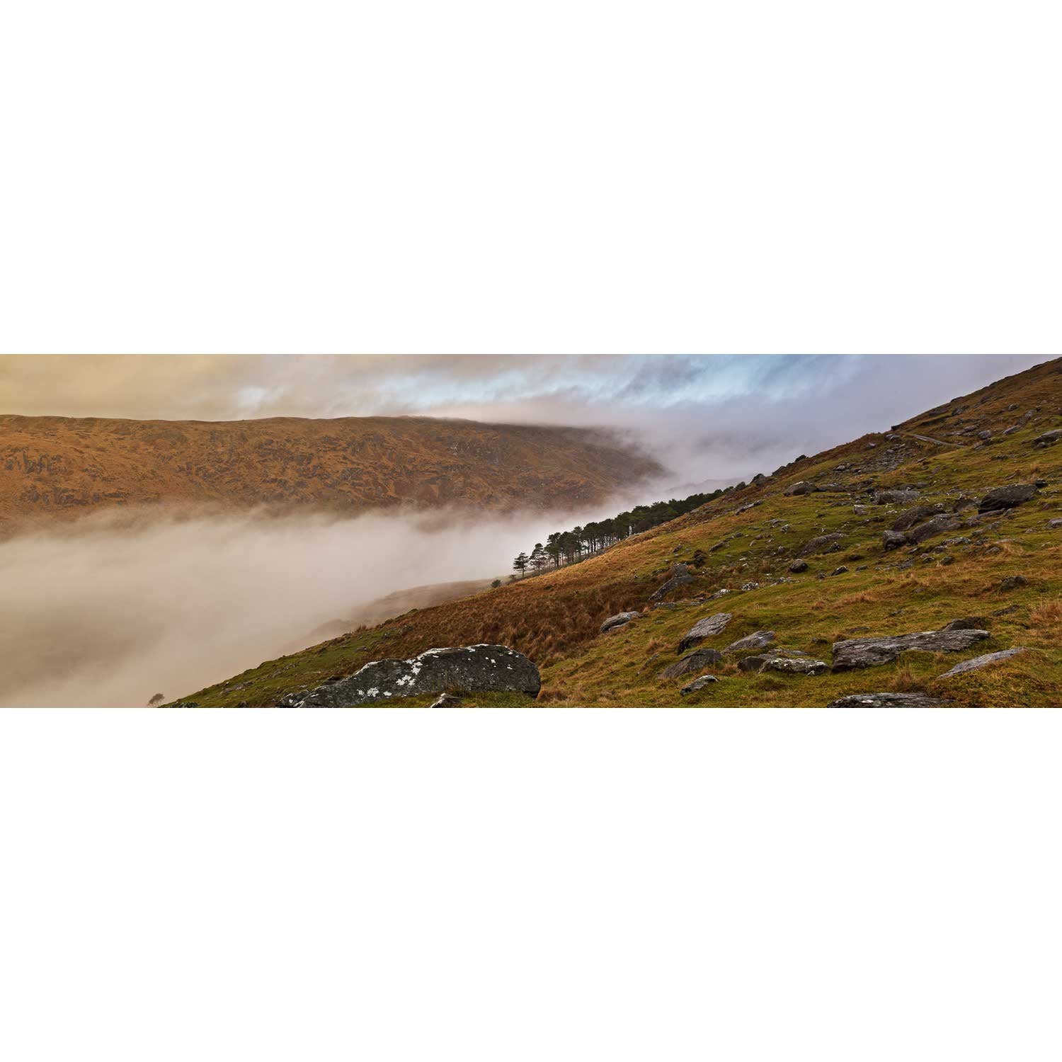
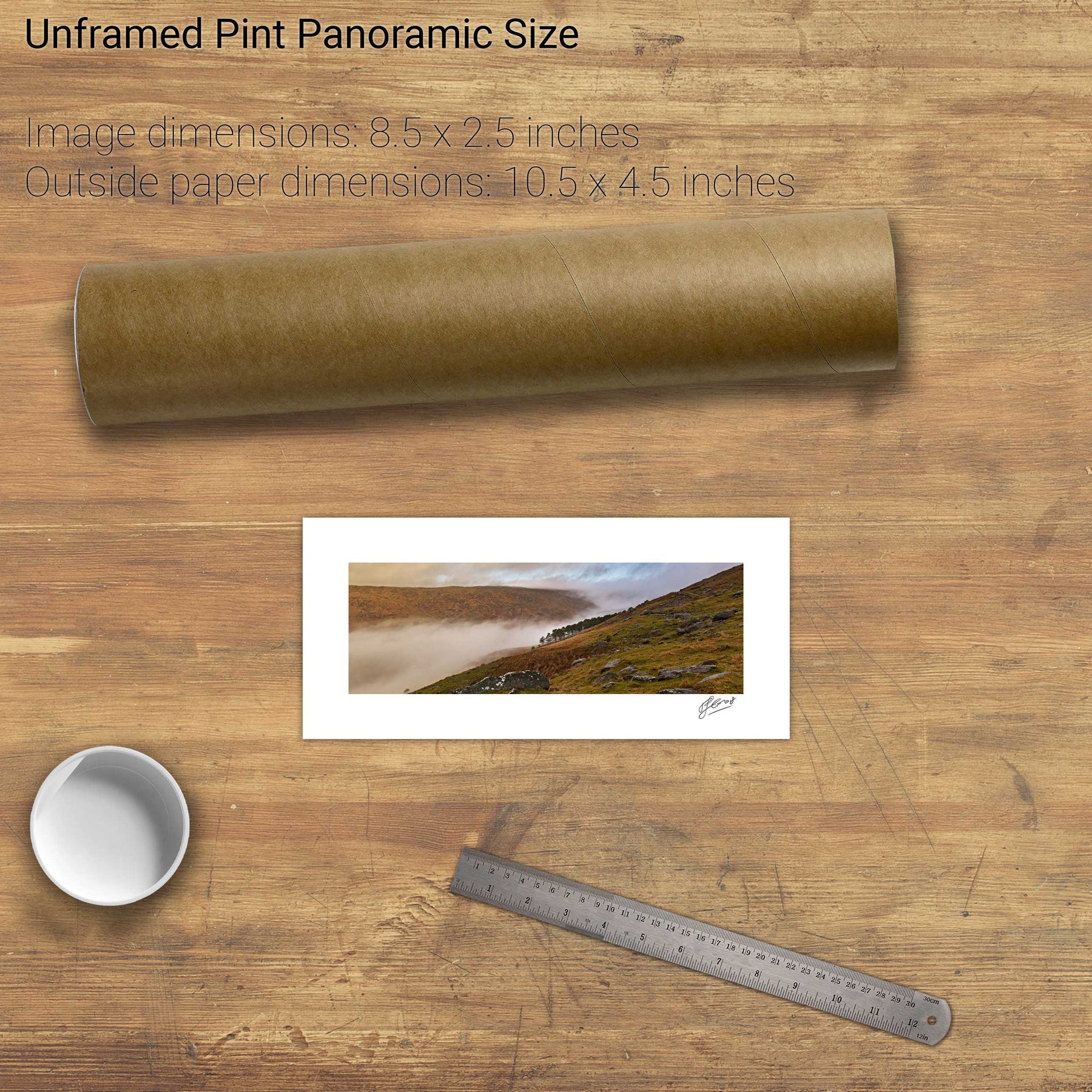
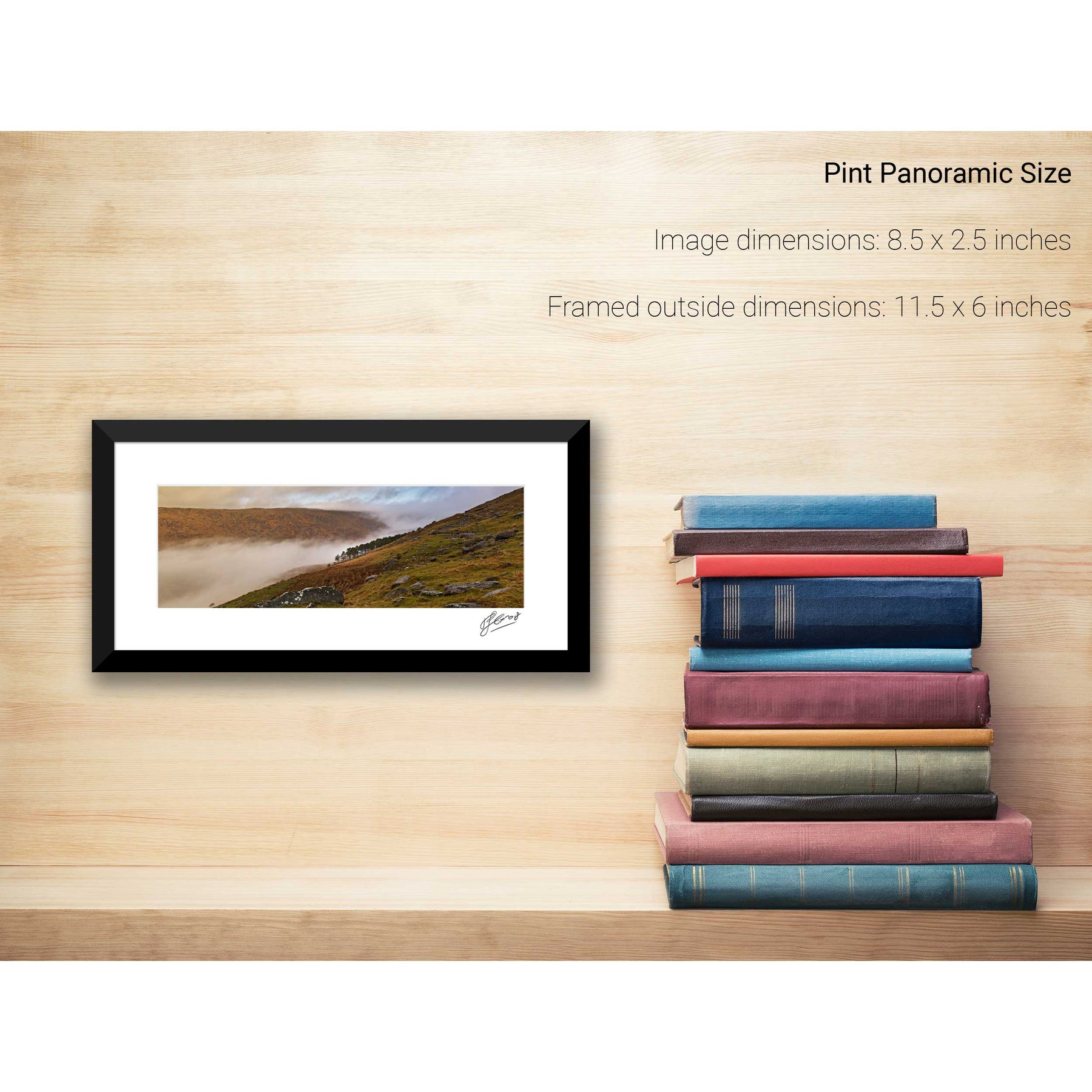
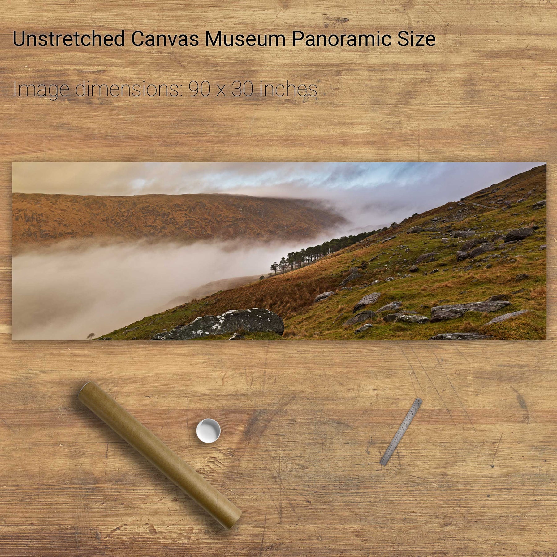
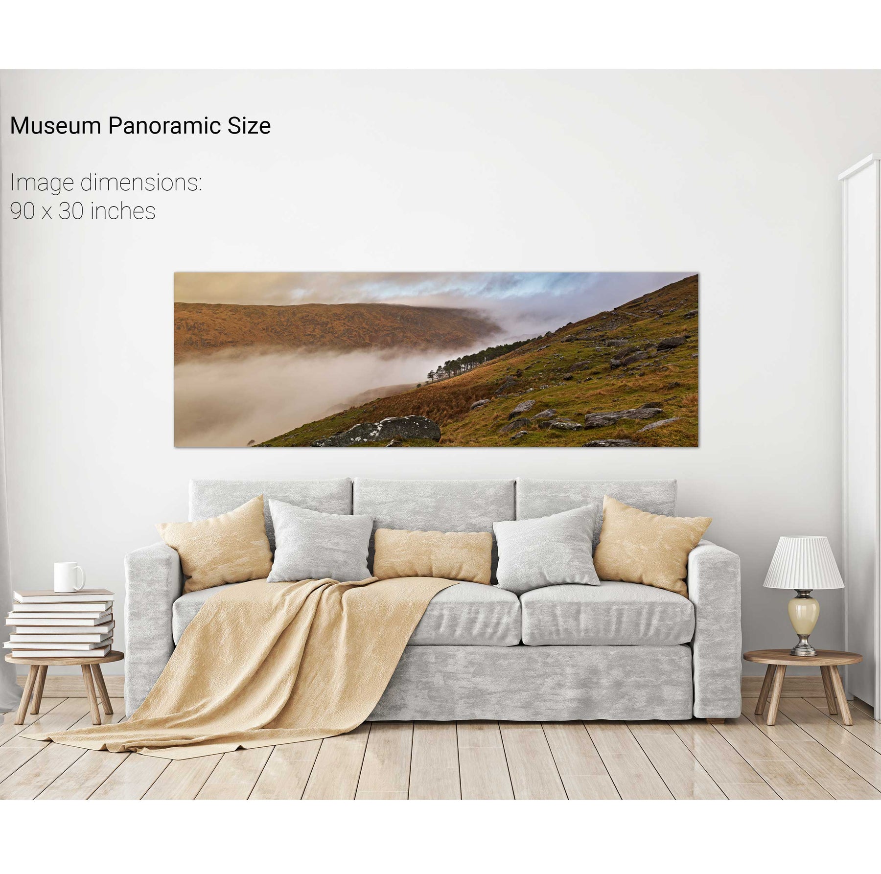
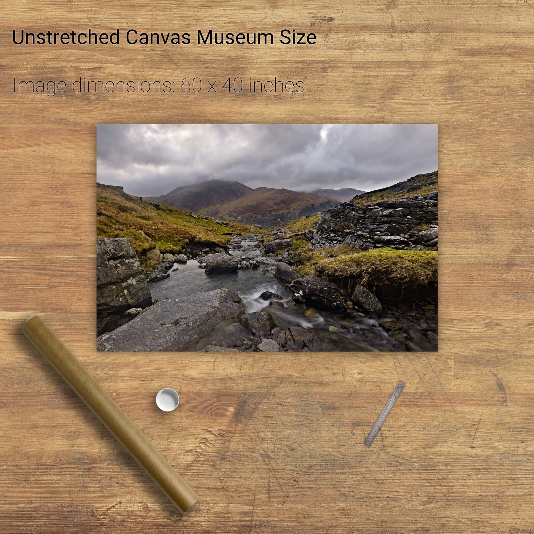
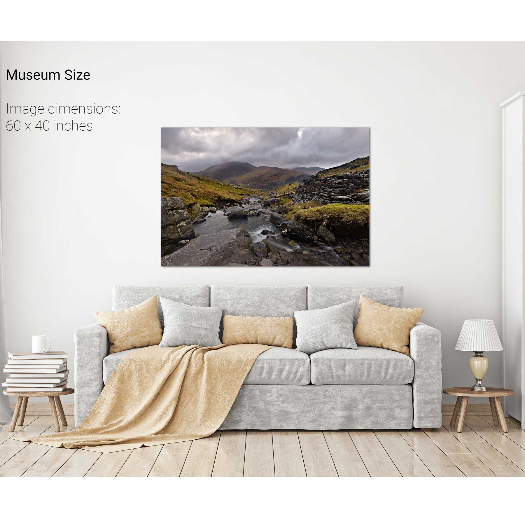
Swirling Mist, Cúm na Léime, Co. Cork
Lackabane from Coolcrean, Caha Mountains, Co. Kerry
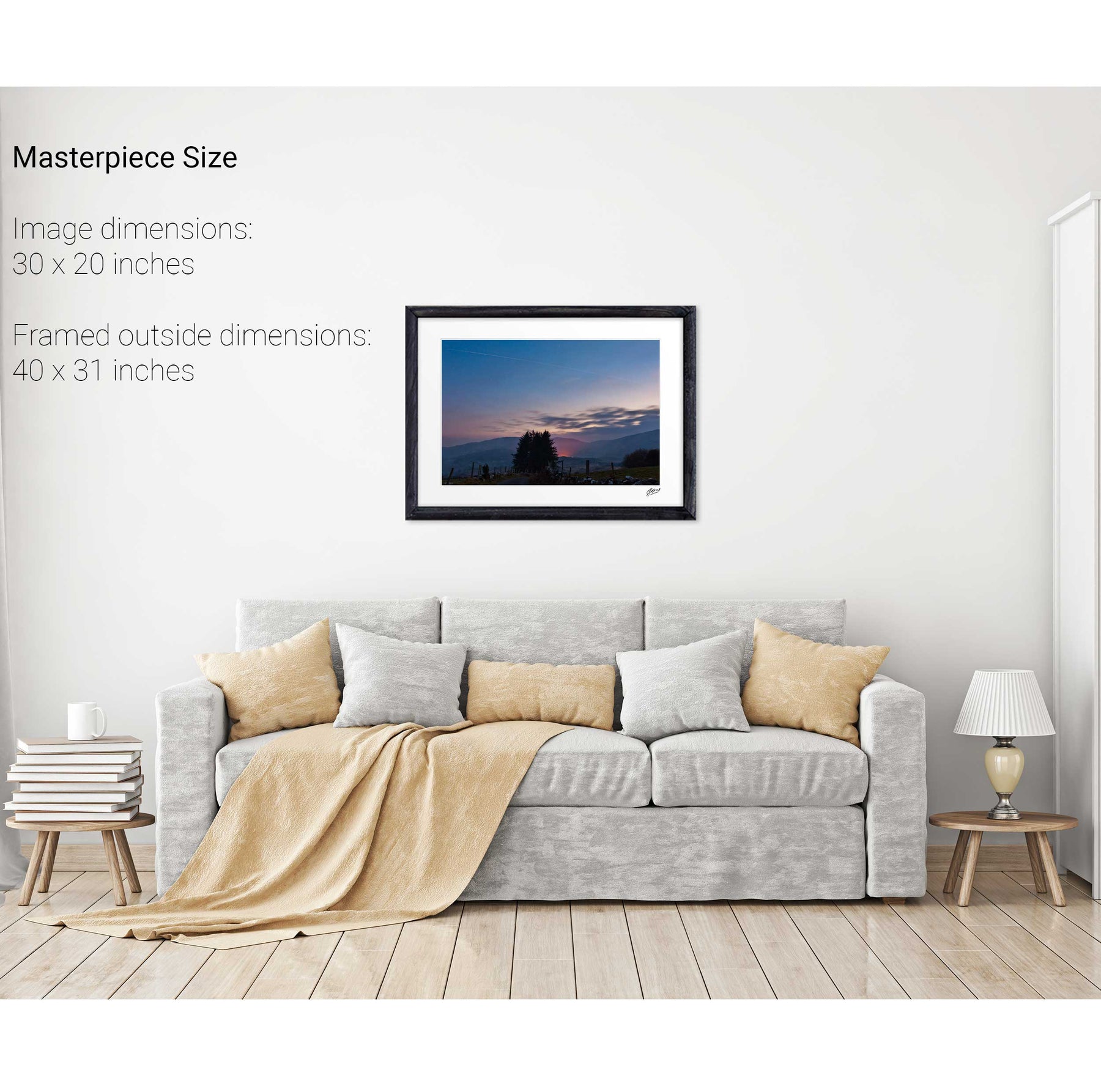
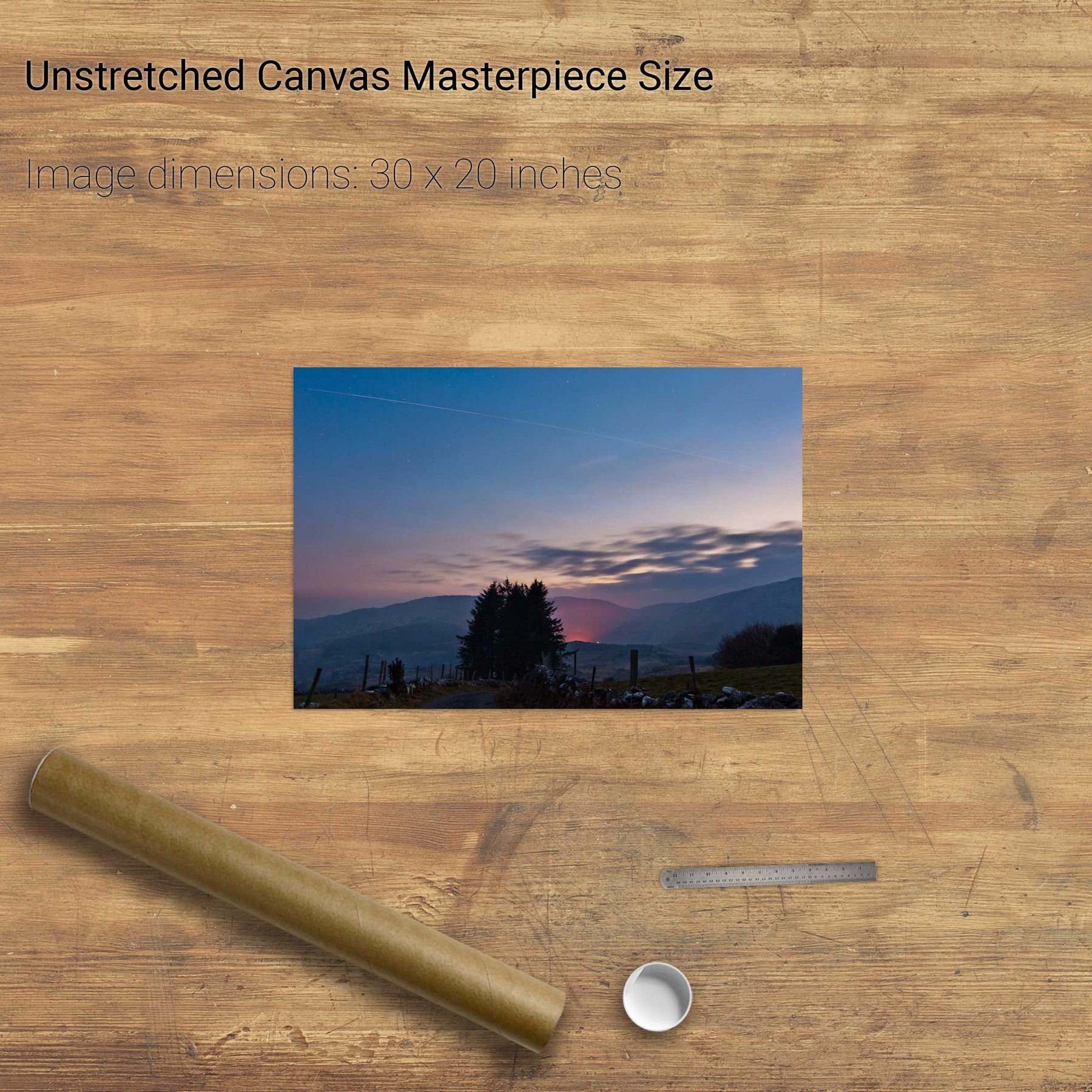
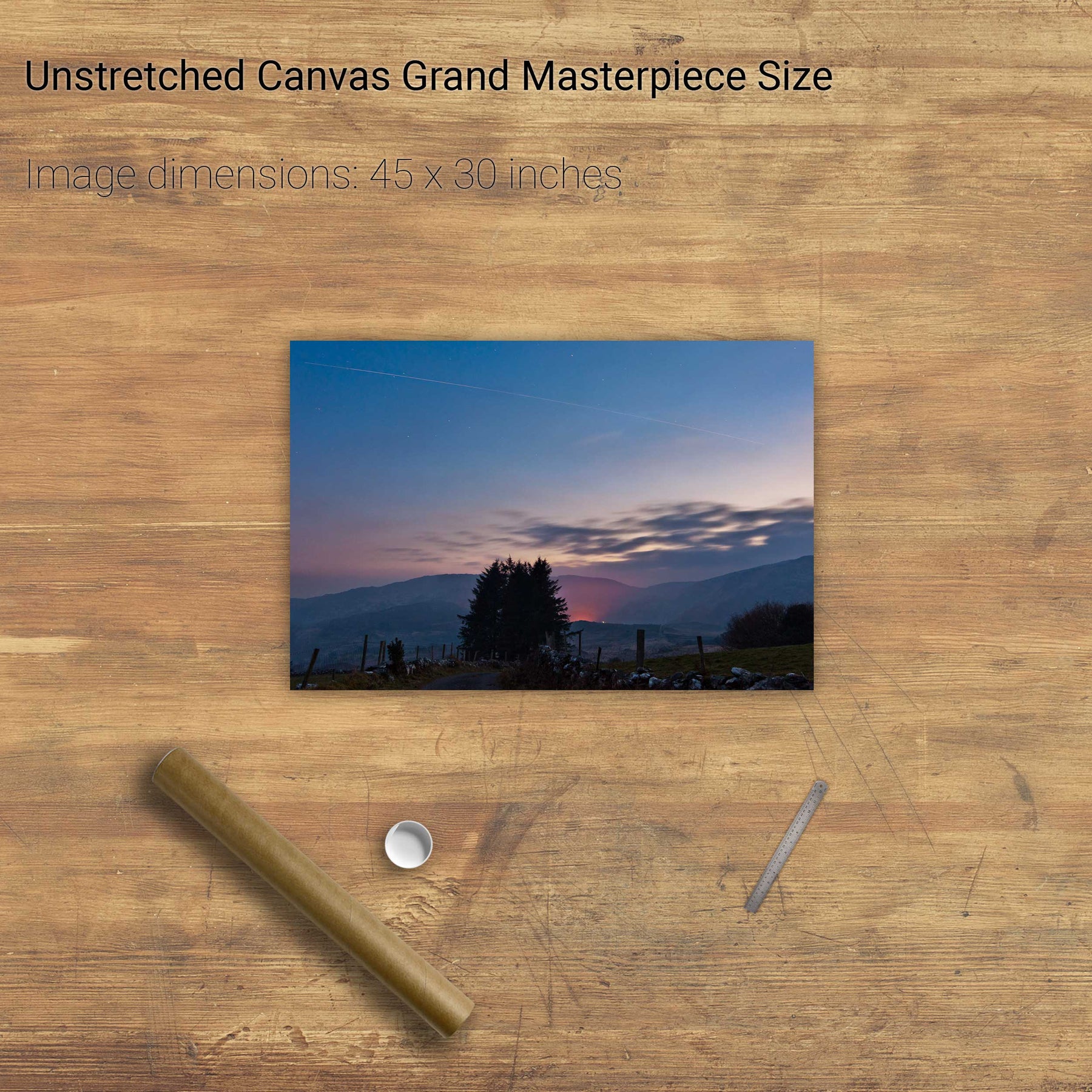
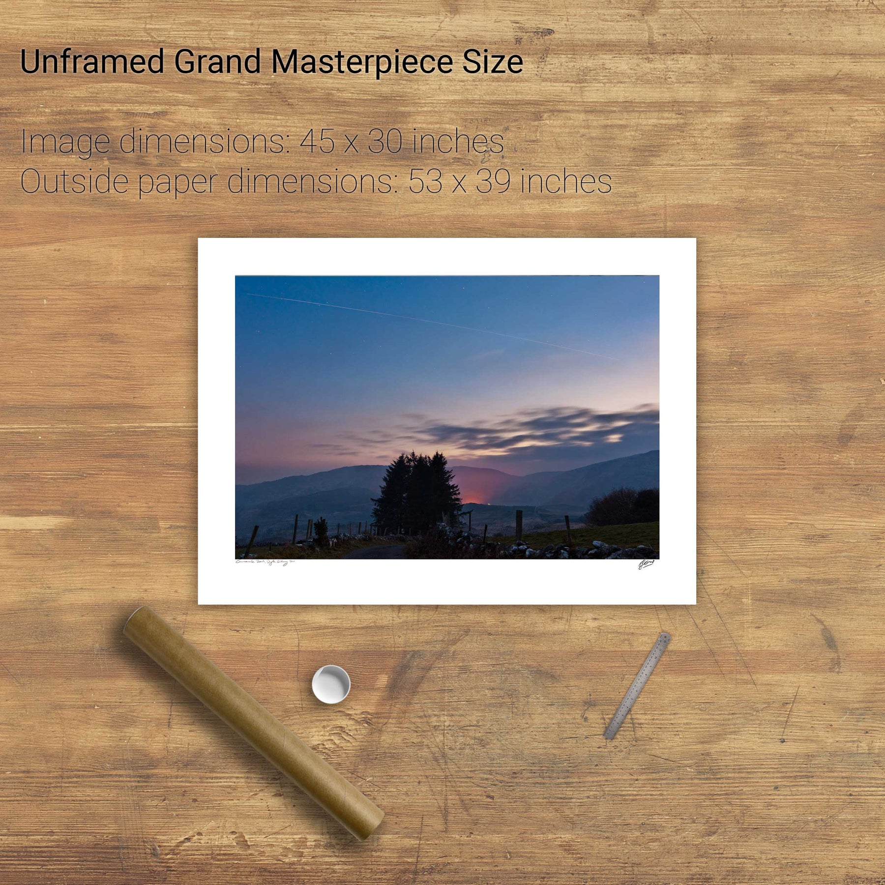
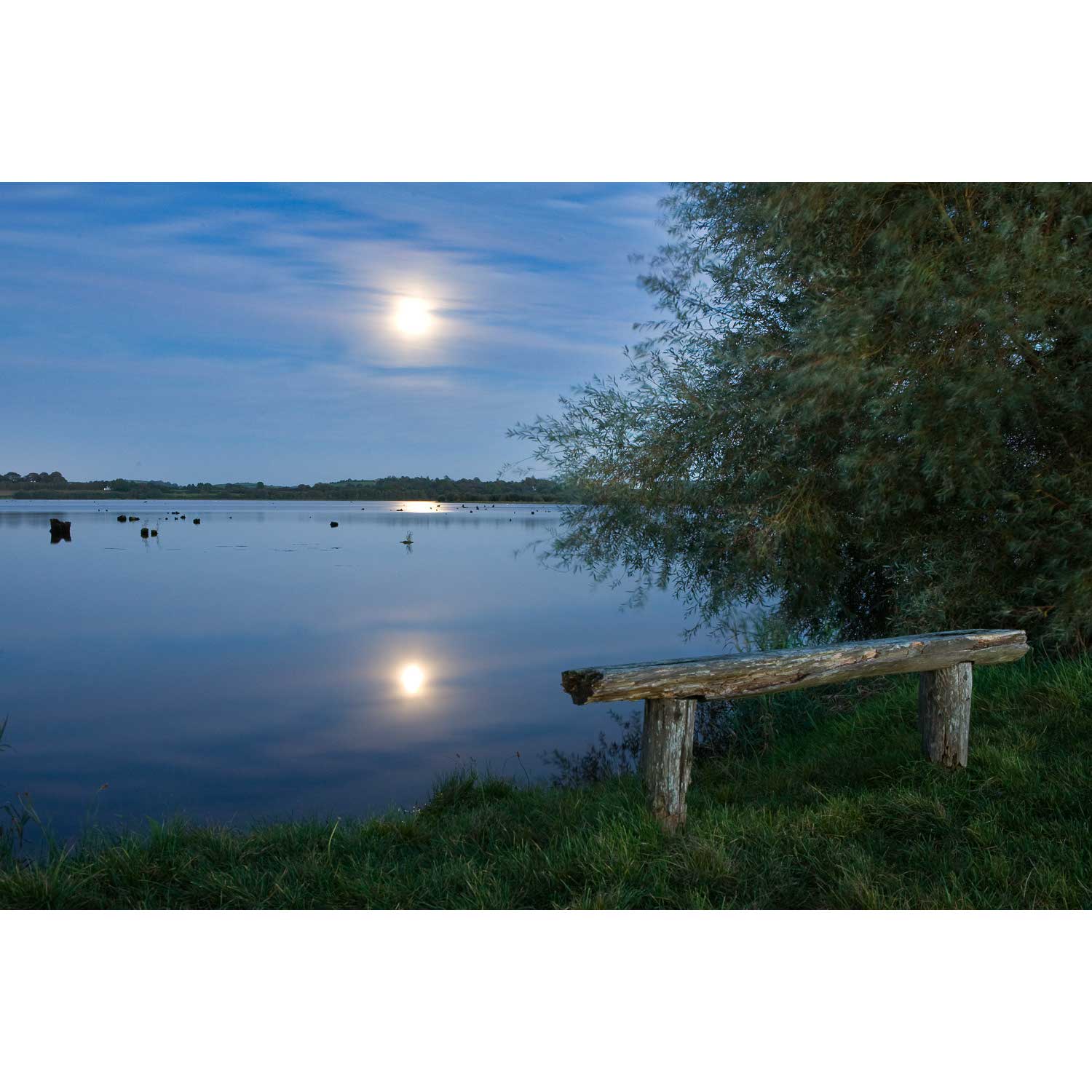
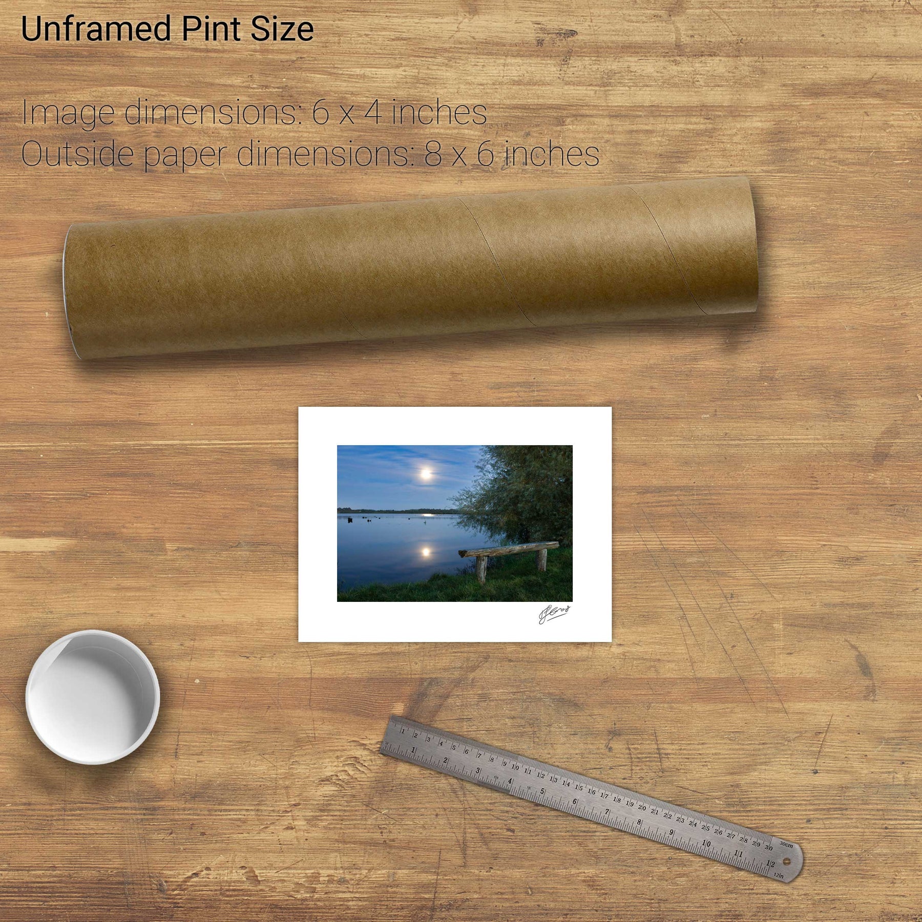
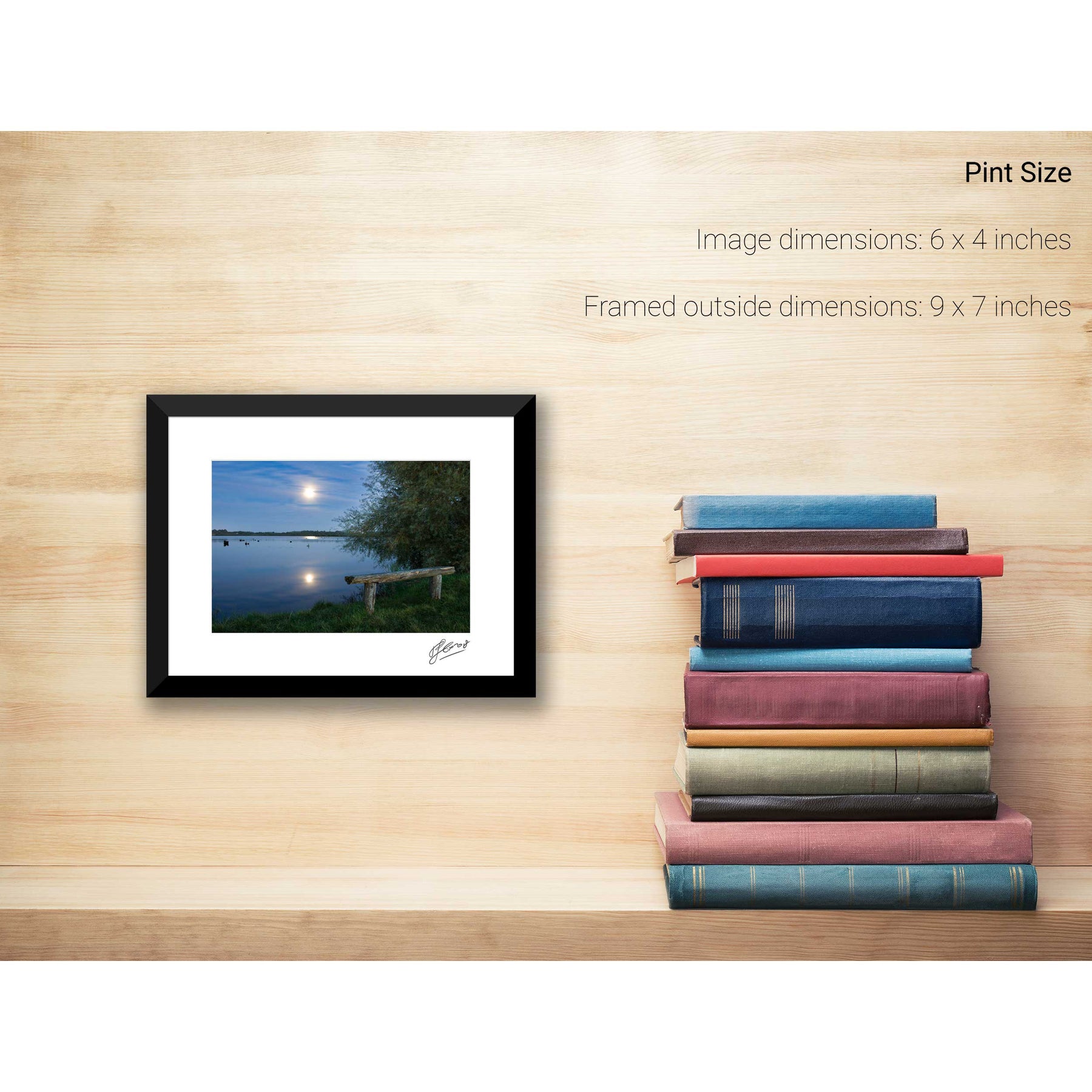
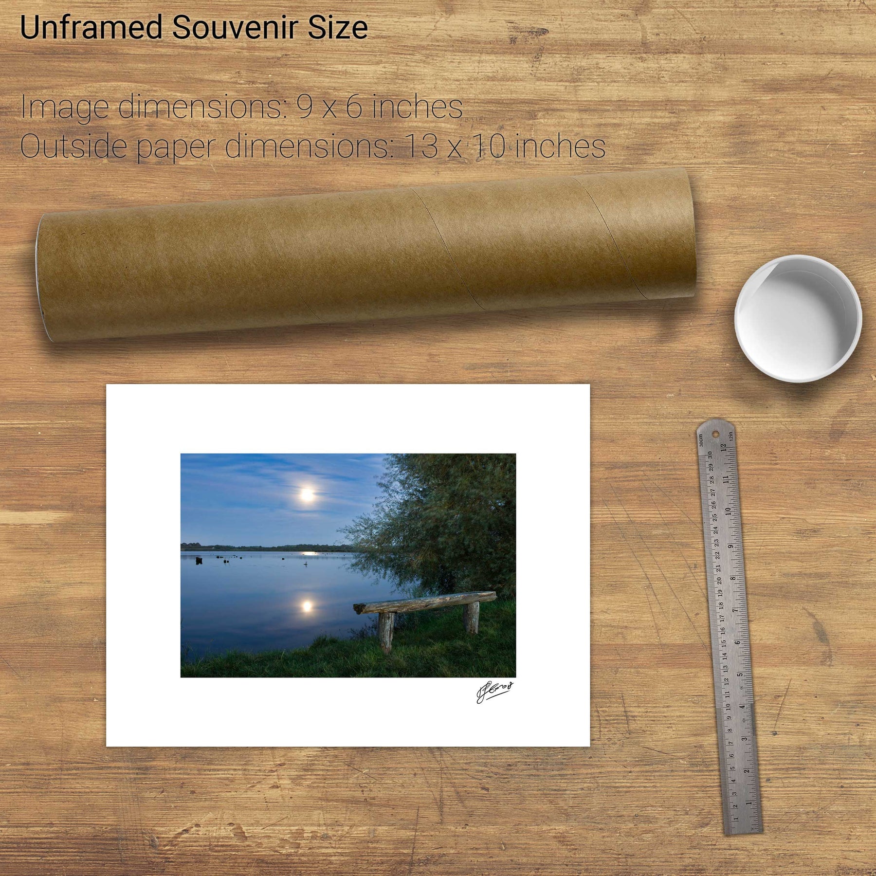
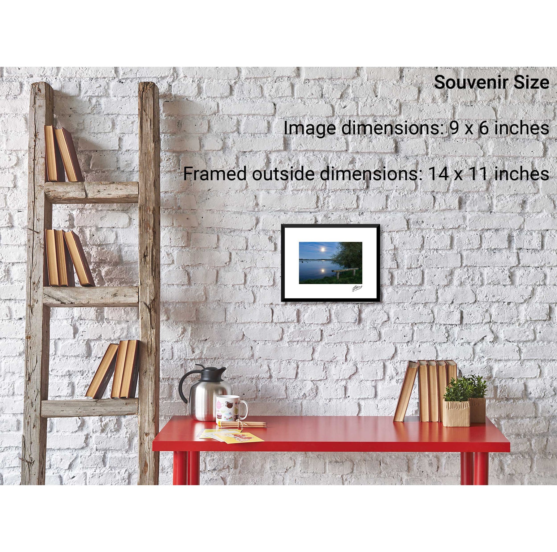
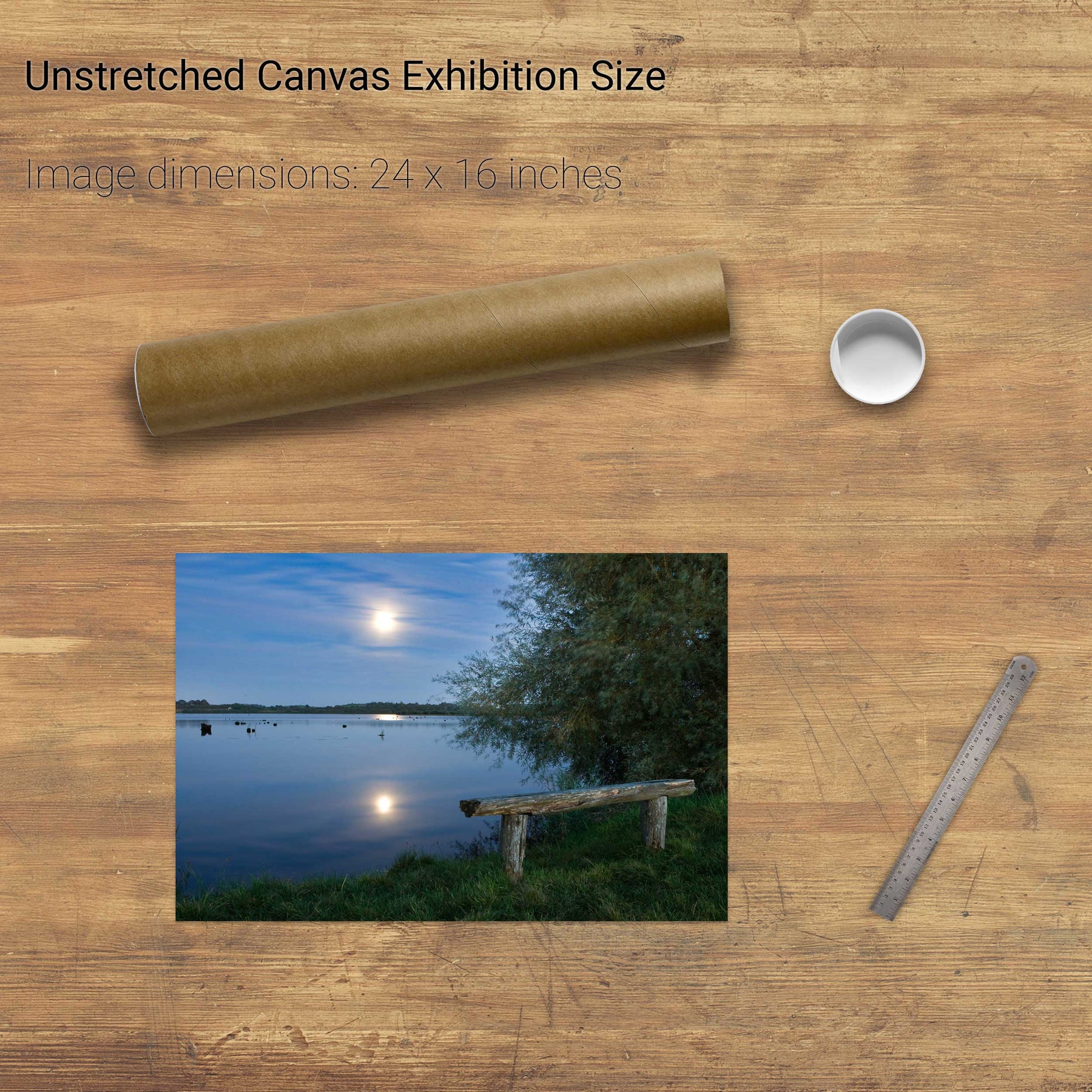
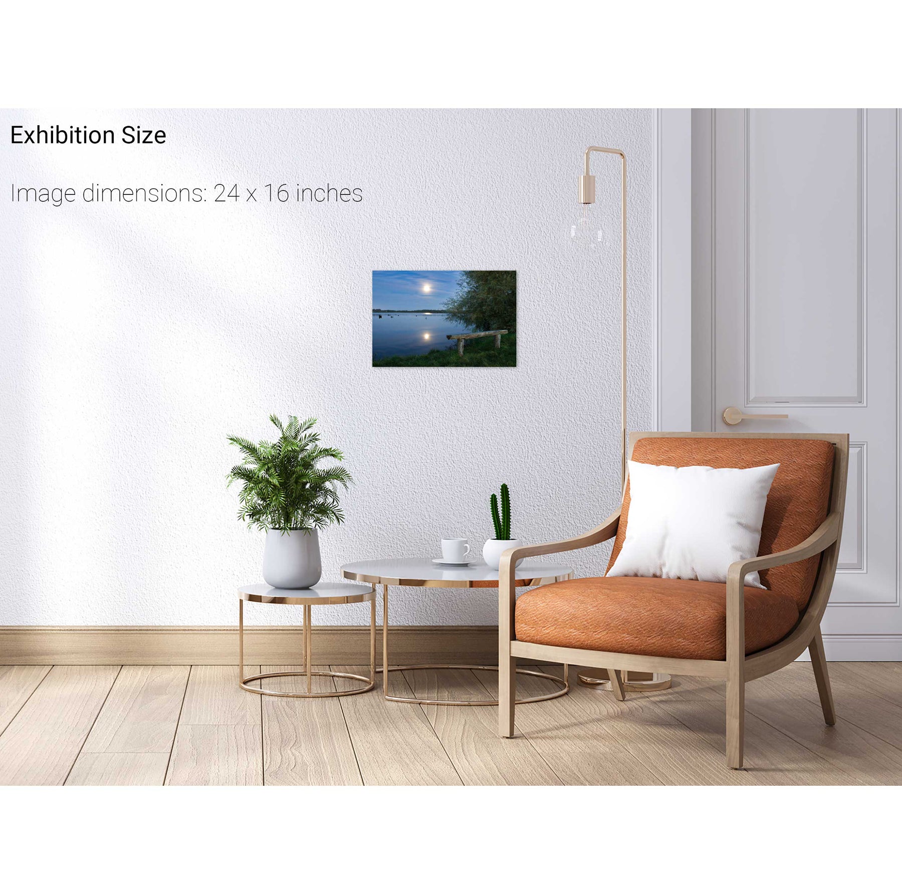
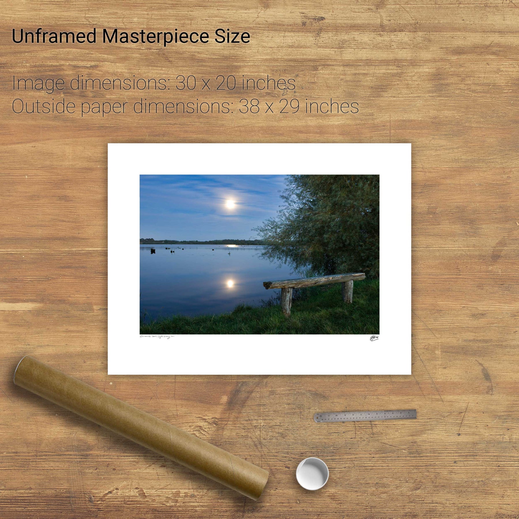
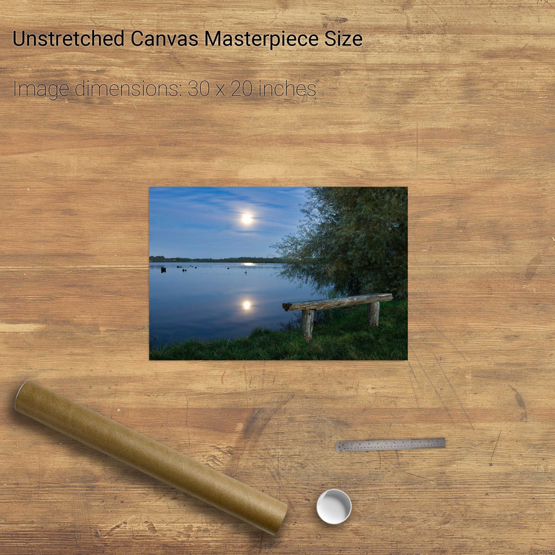
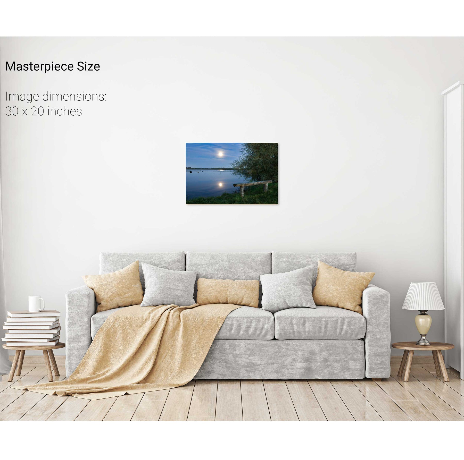
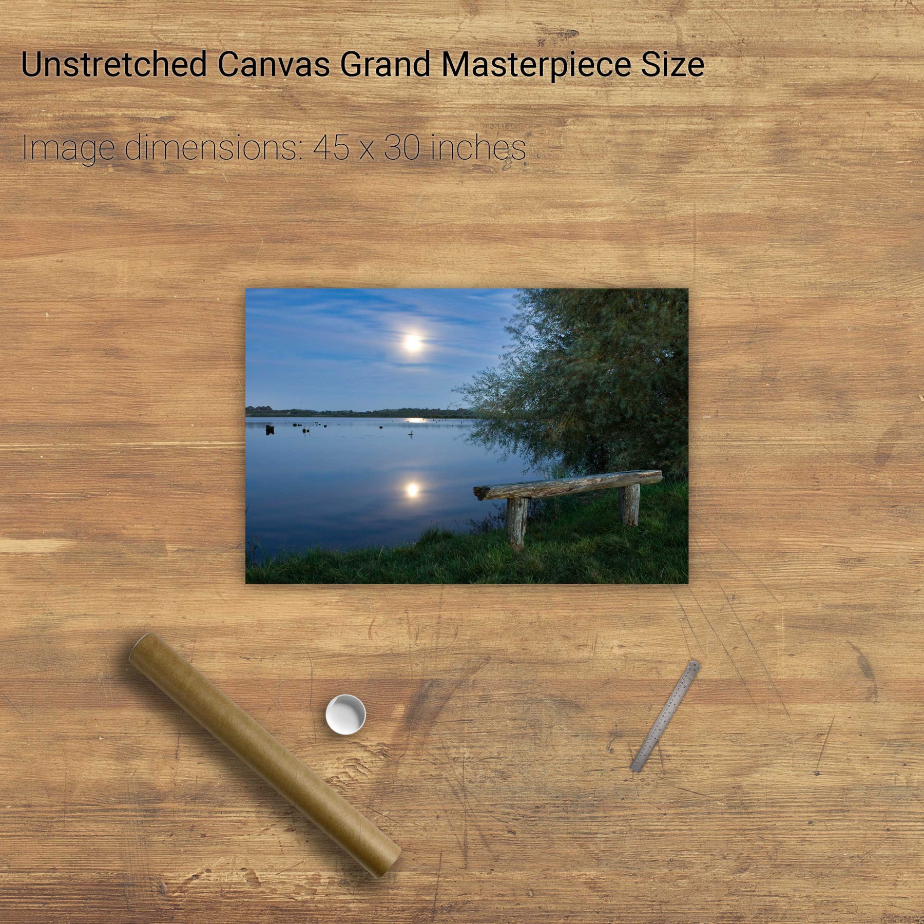
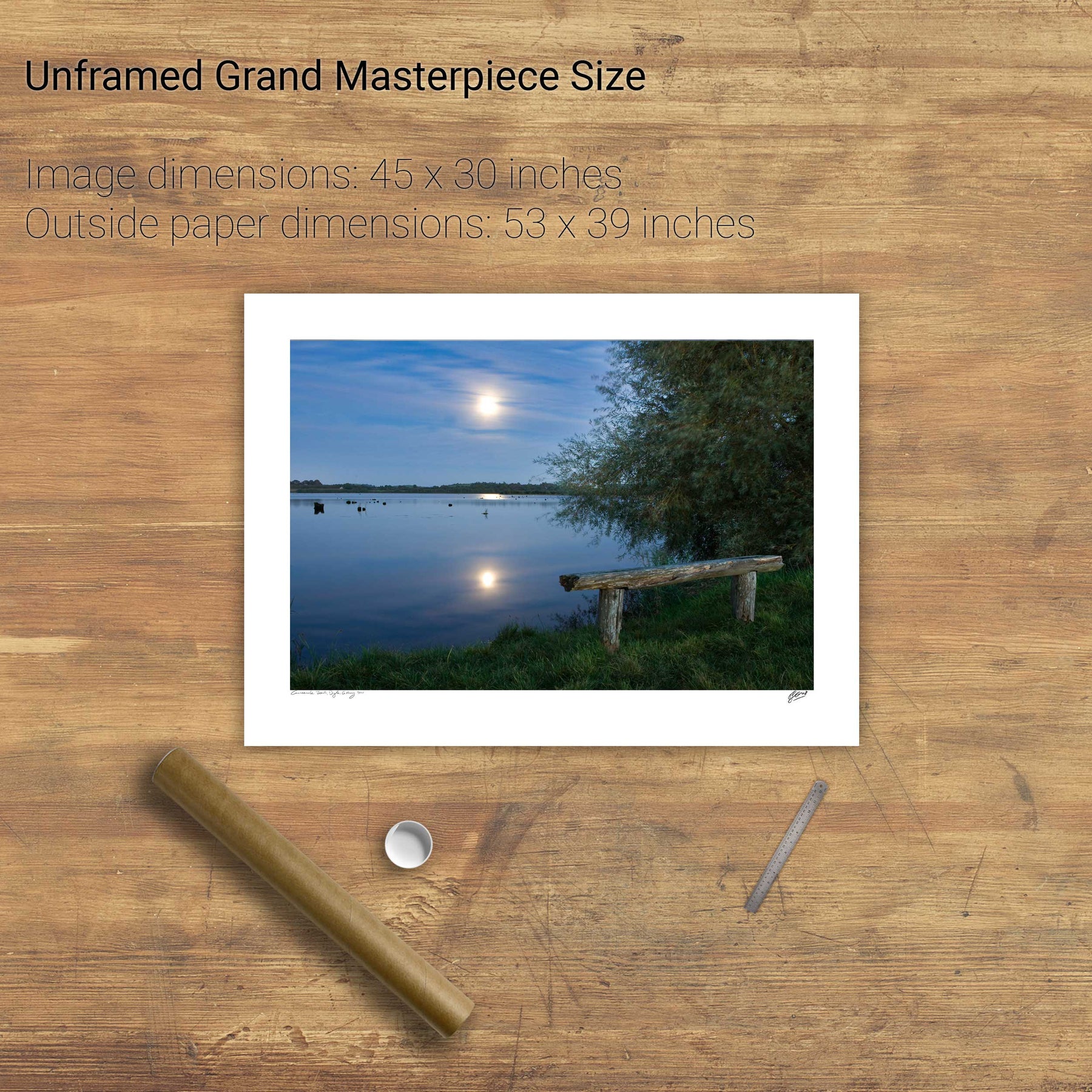
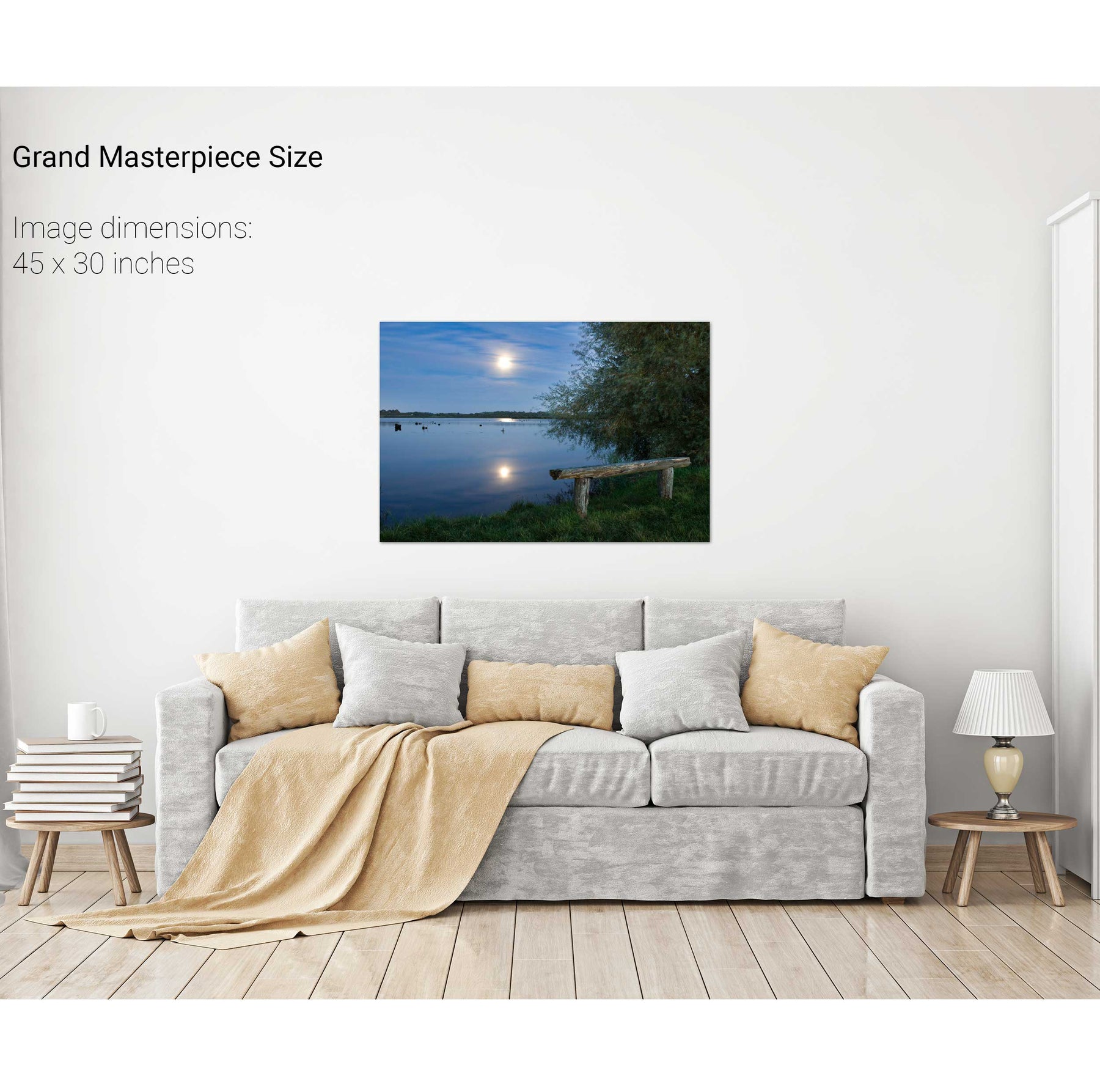
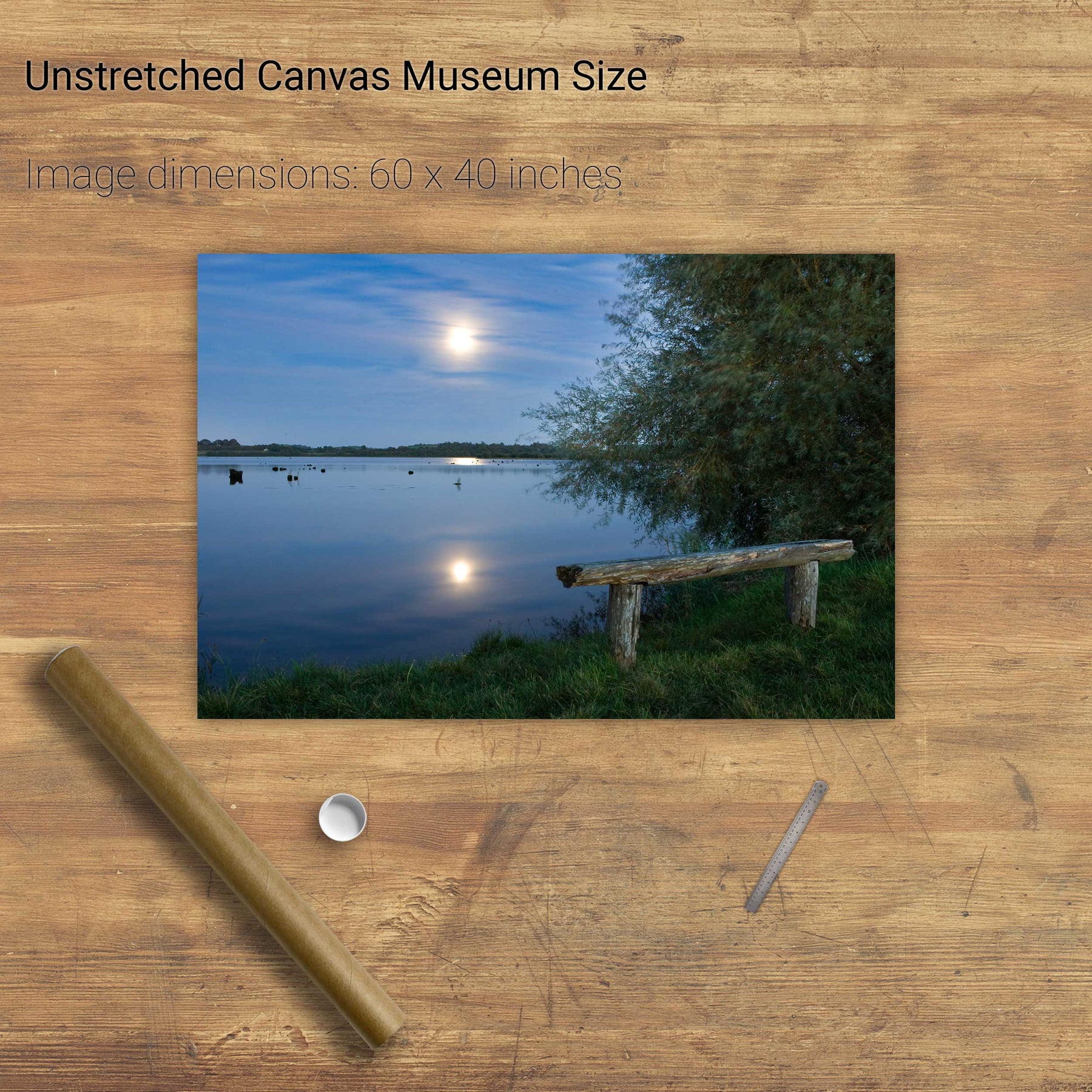
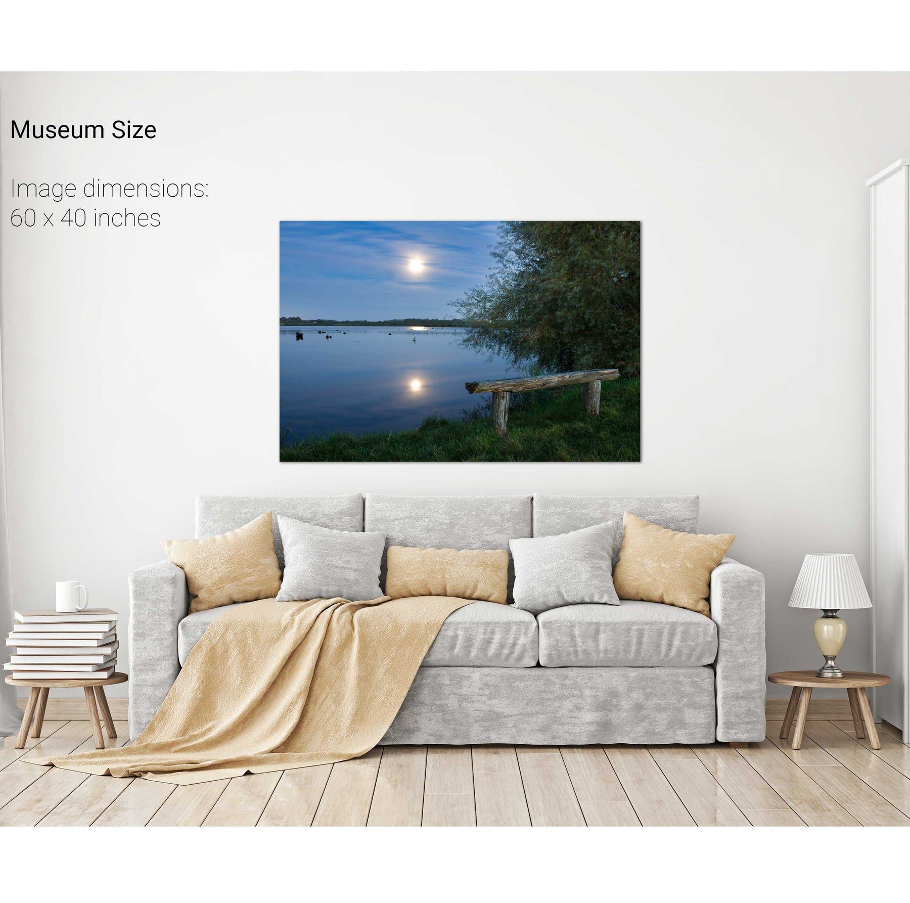
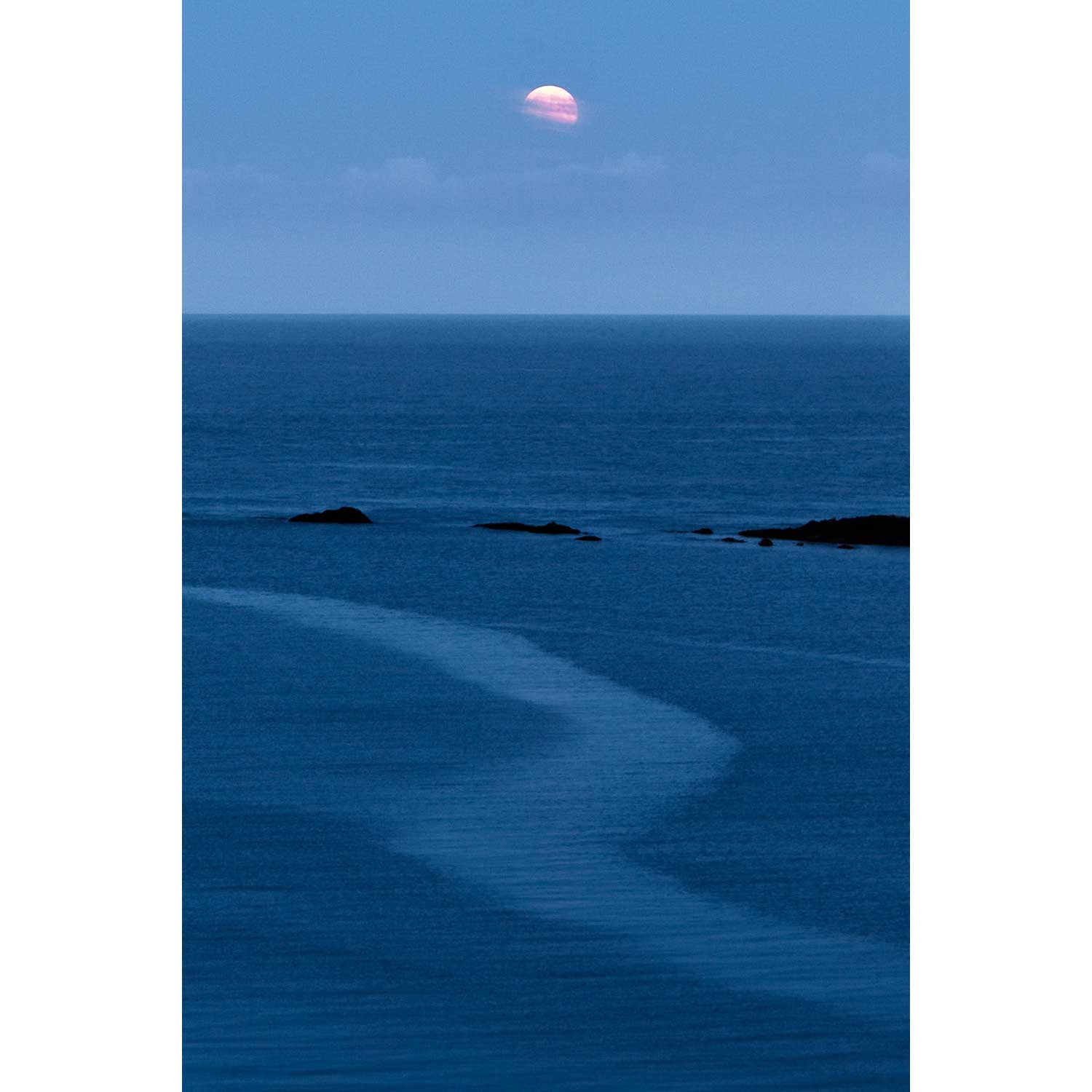
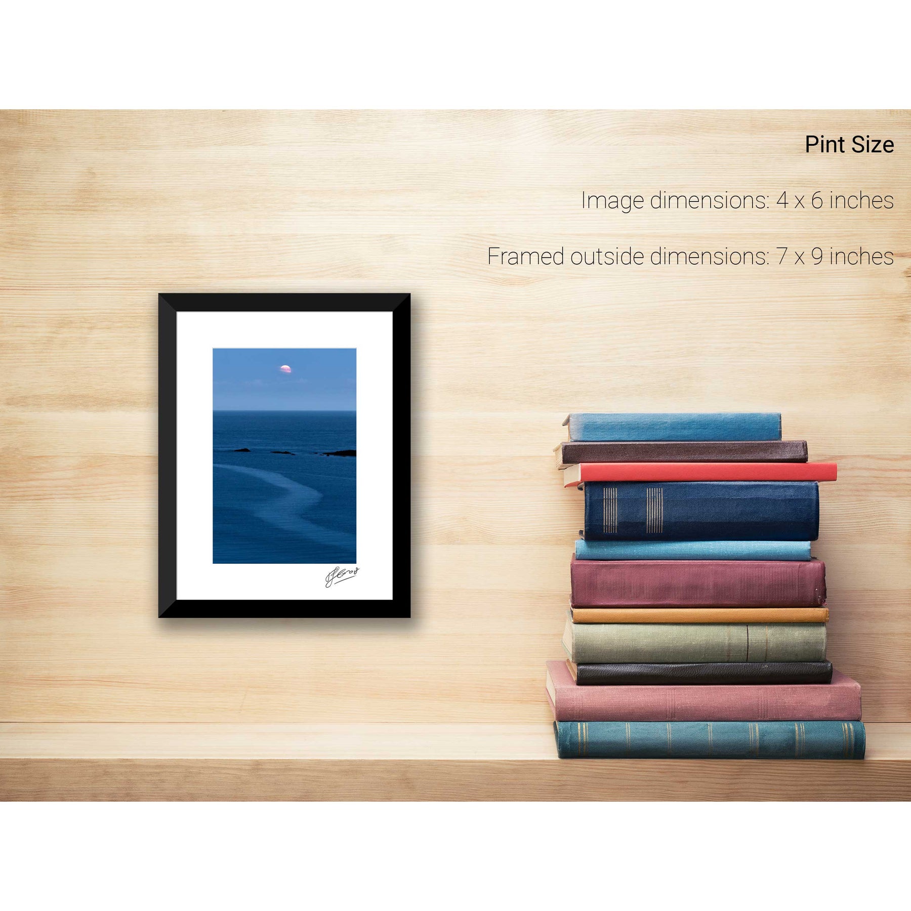
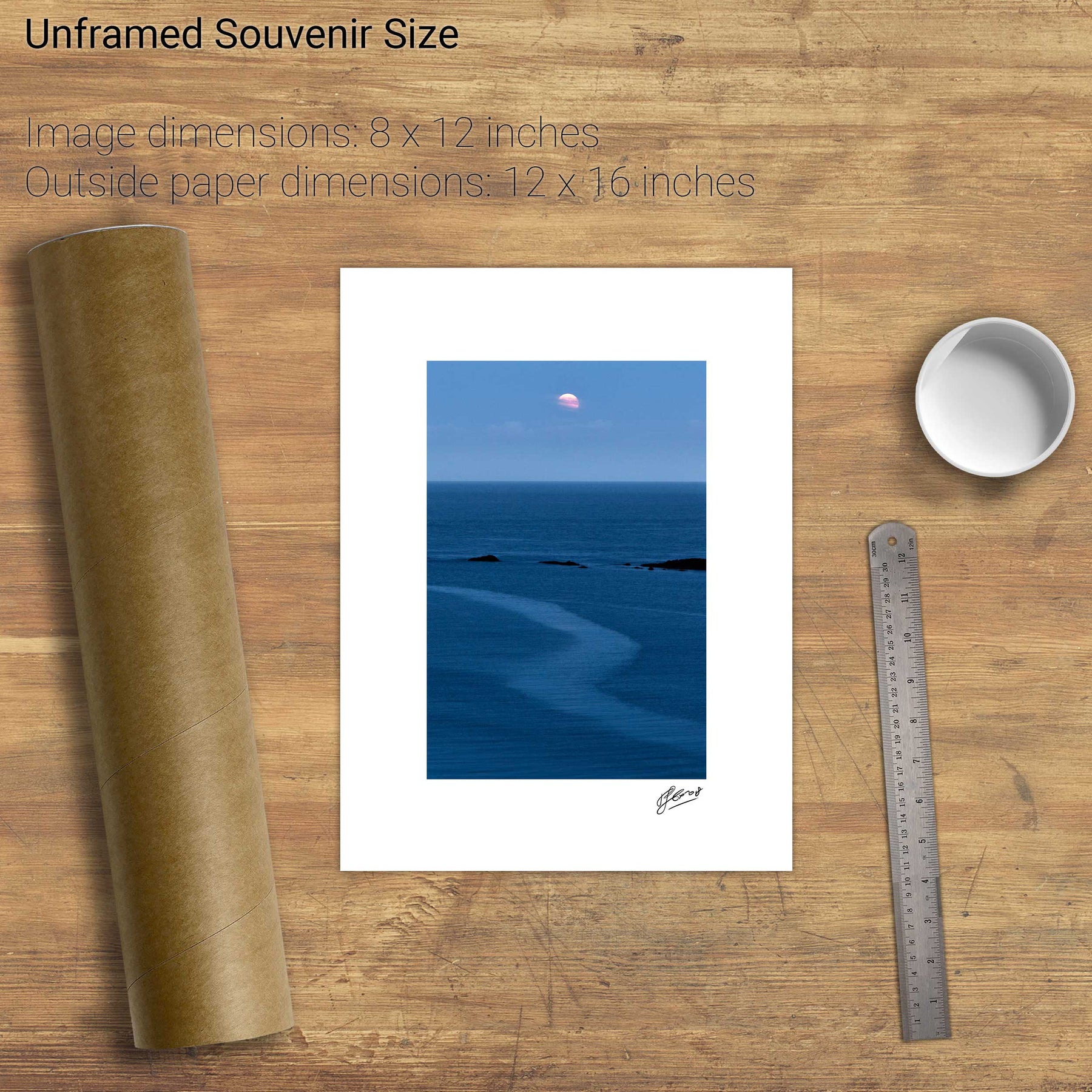
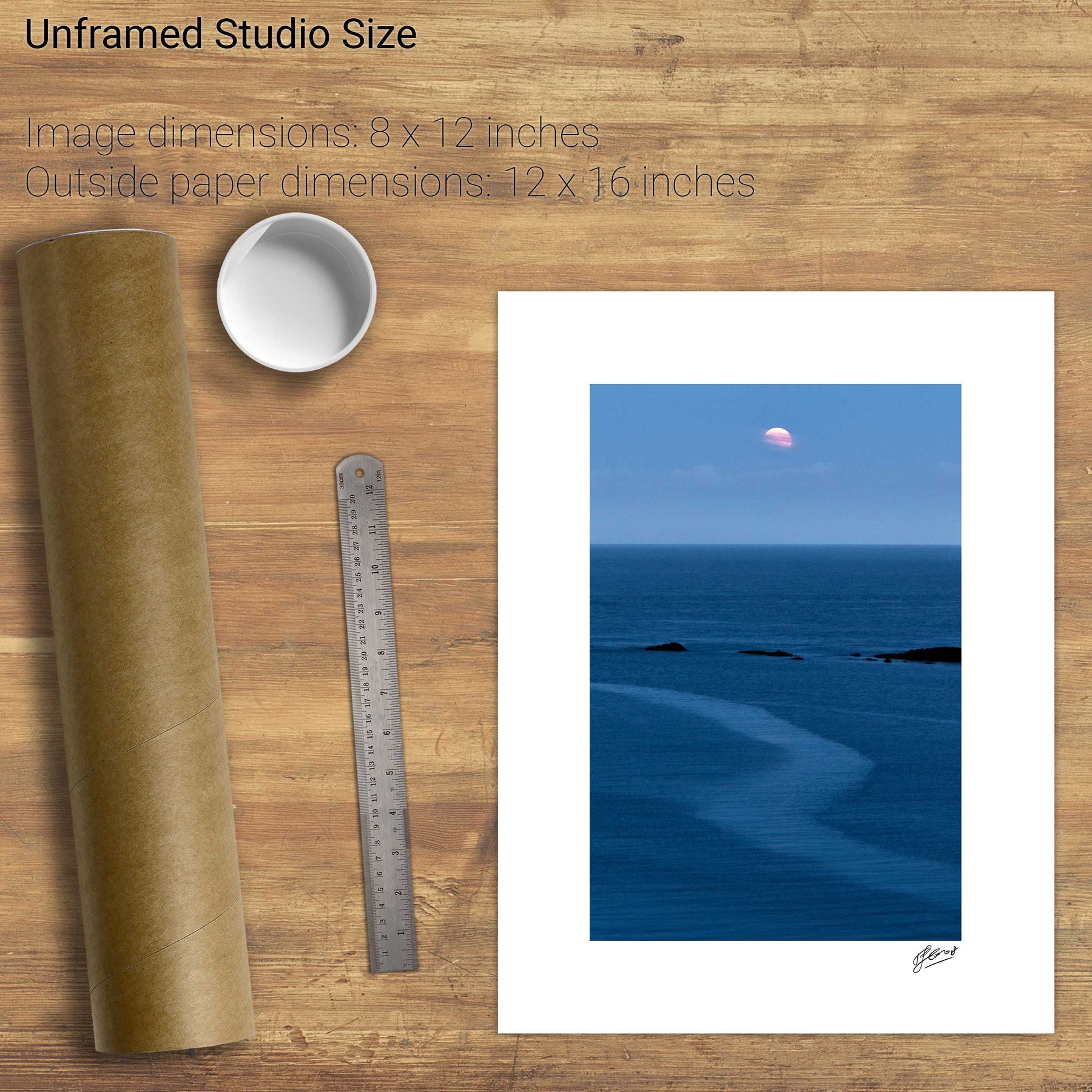
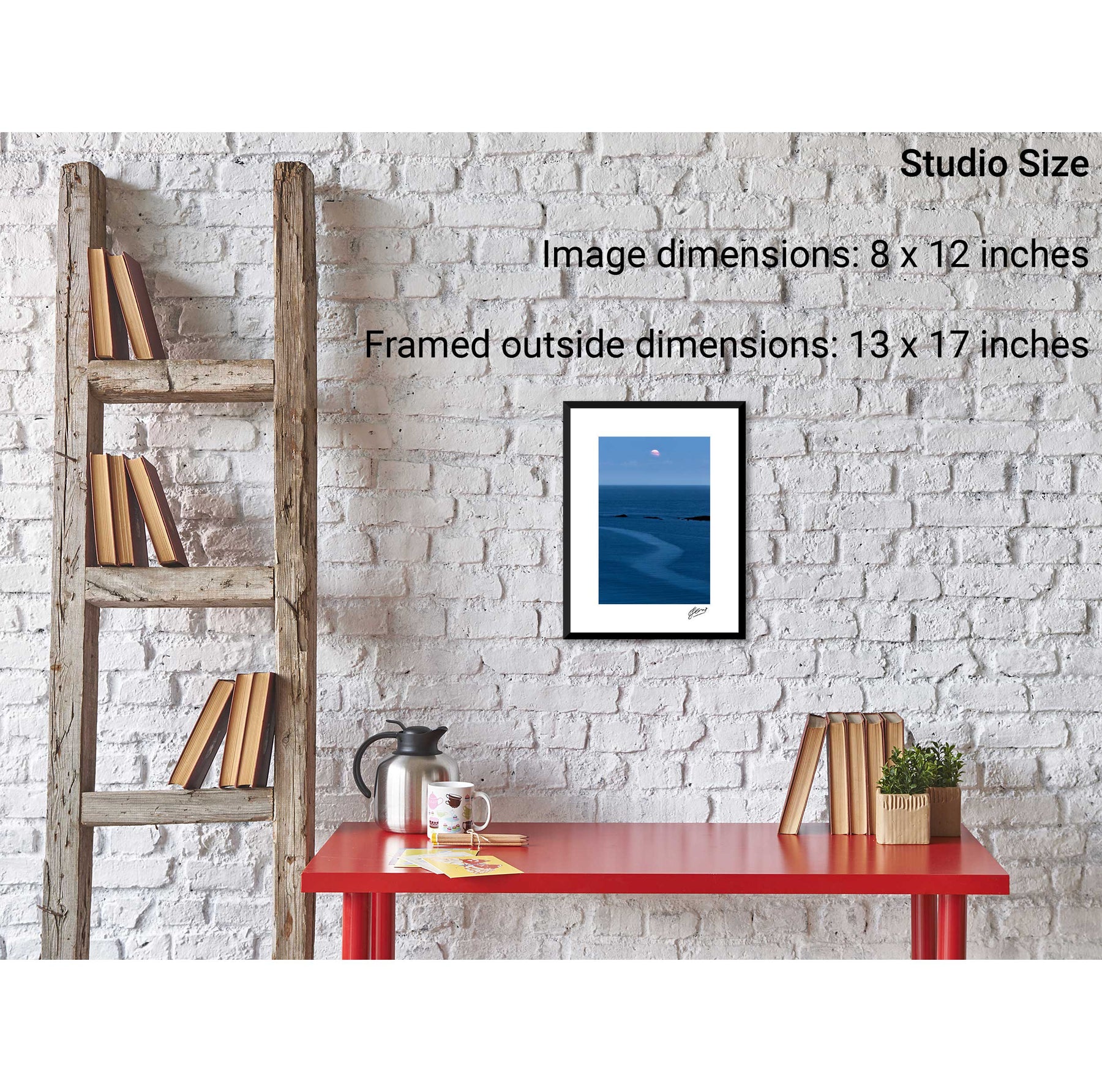
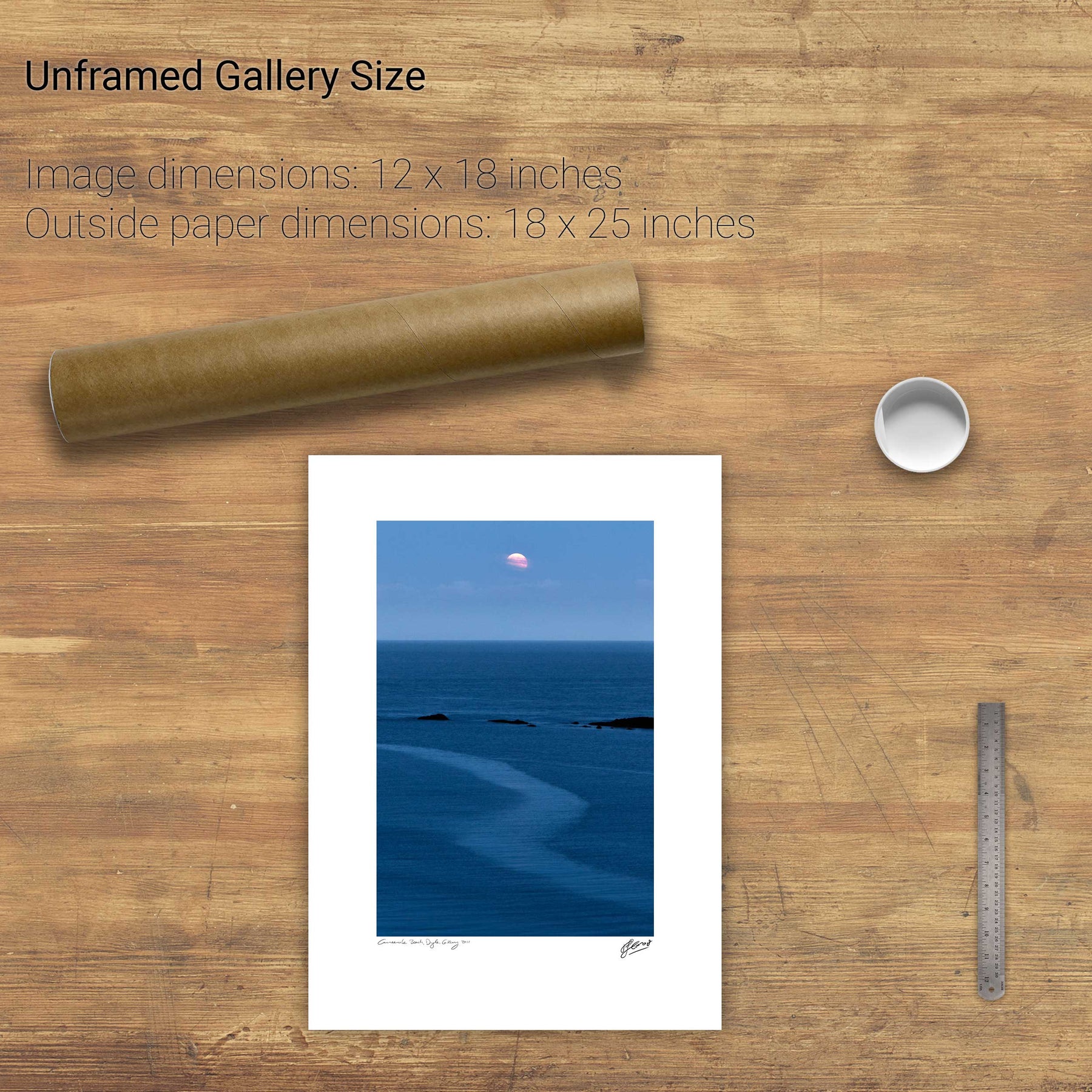
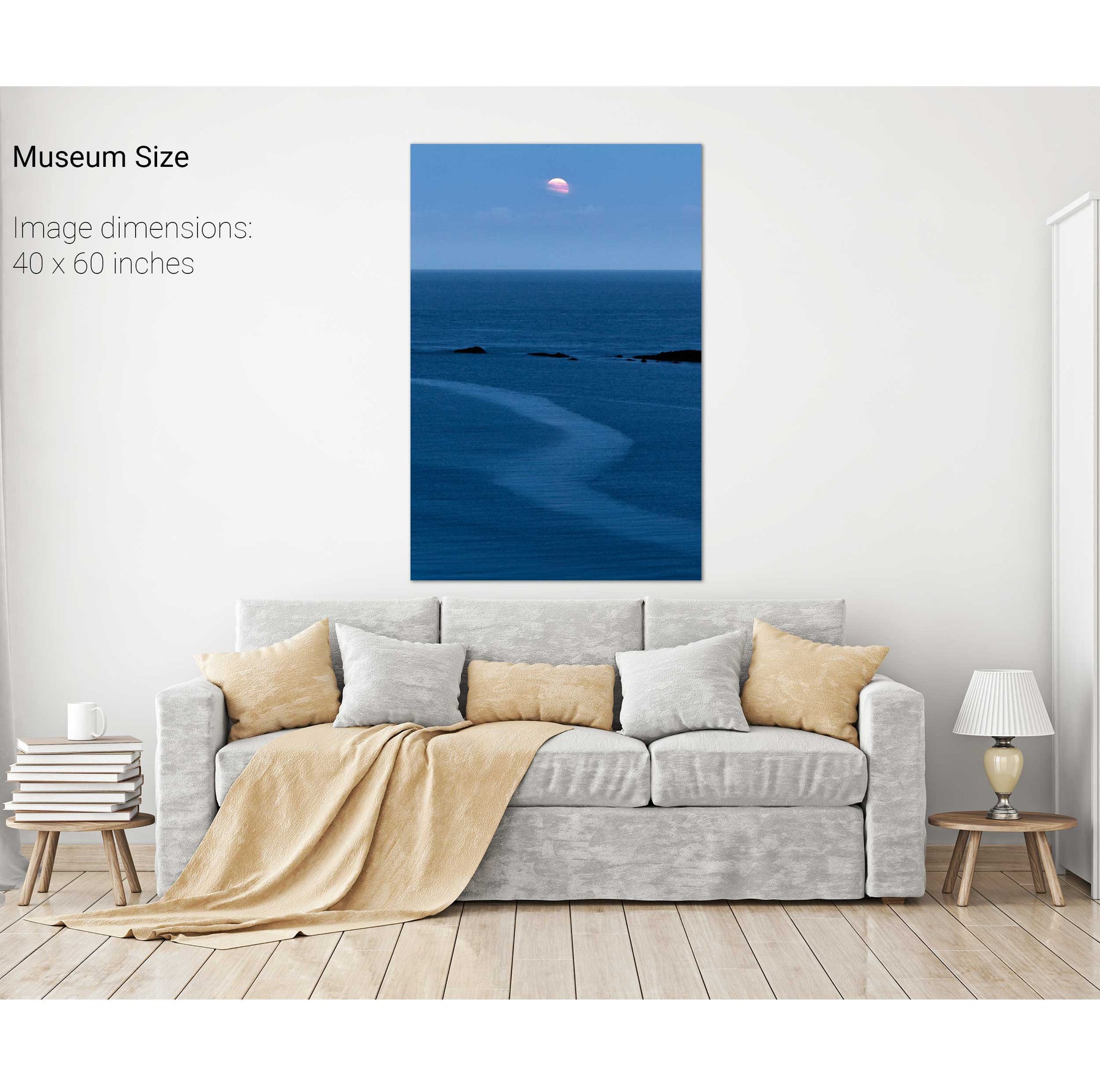
Moonrise, Myross, Co. Cork
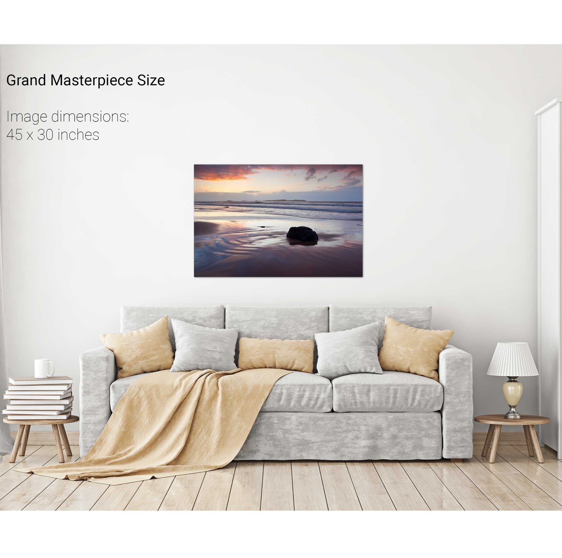
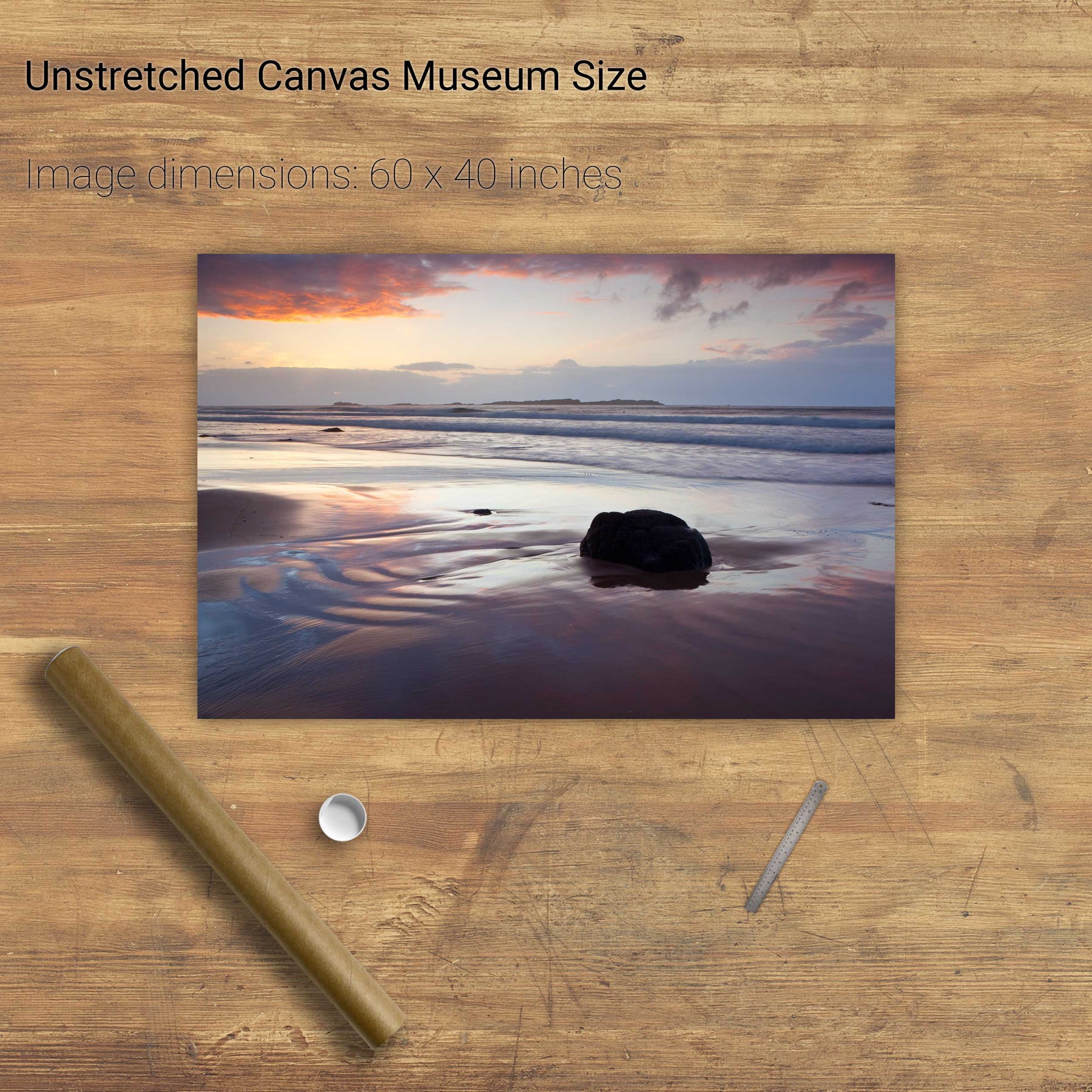
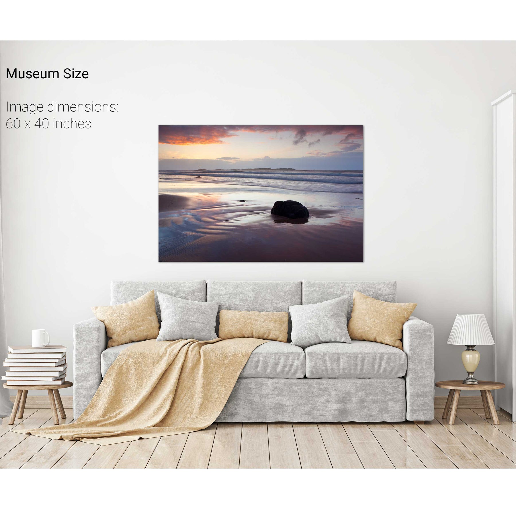
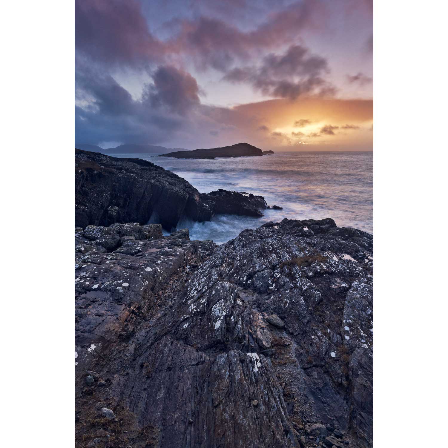
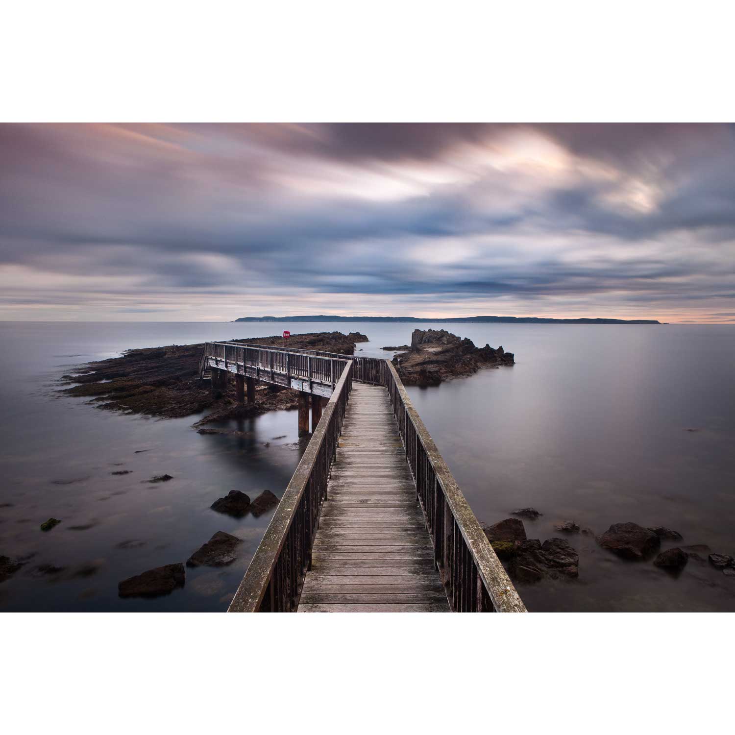
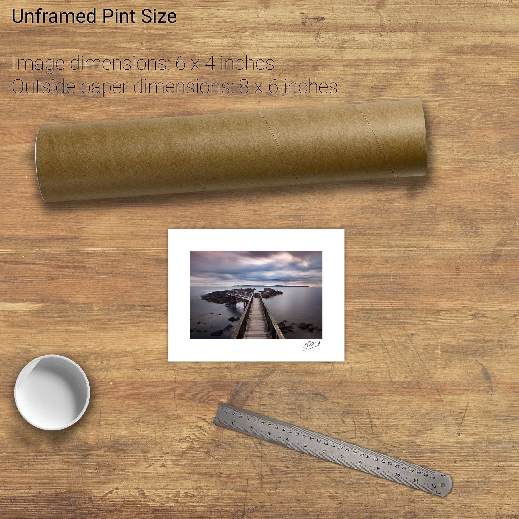
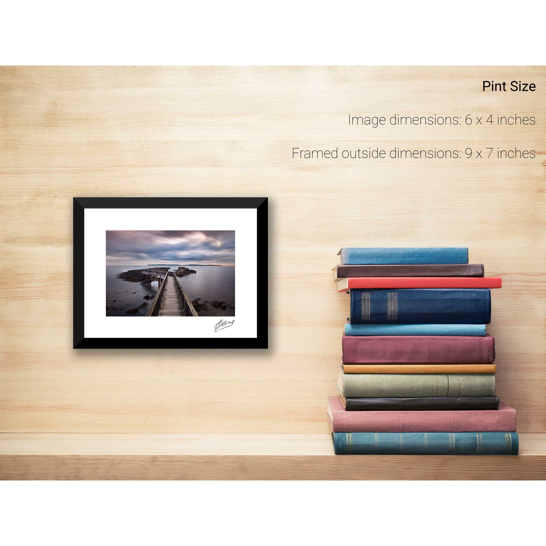
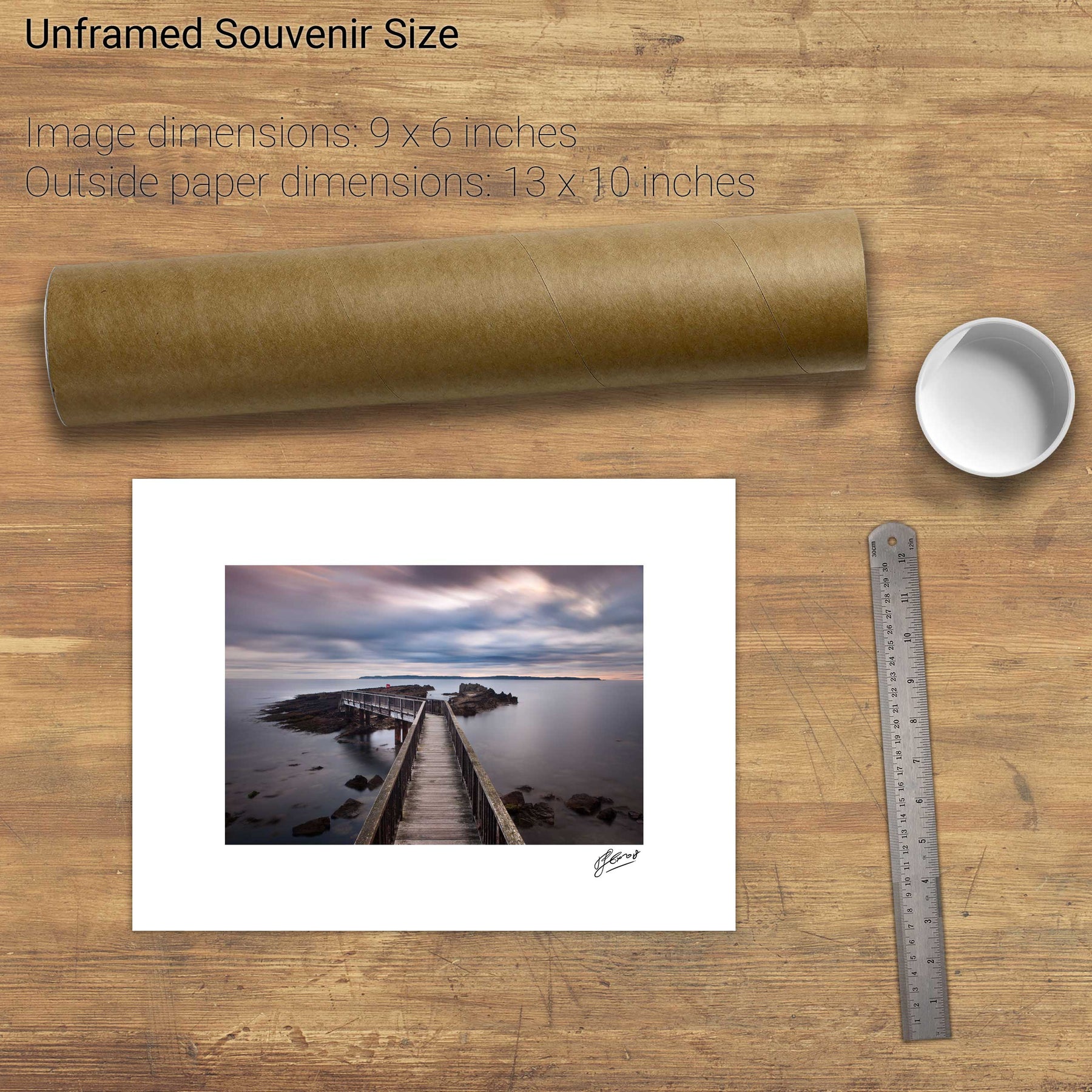
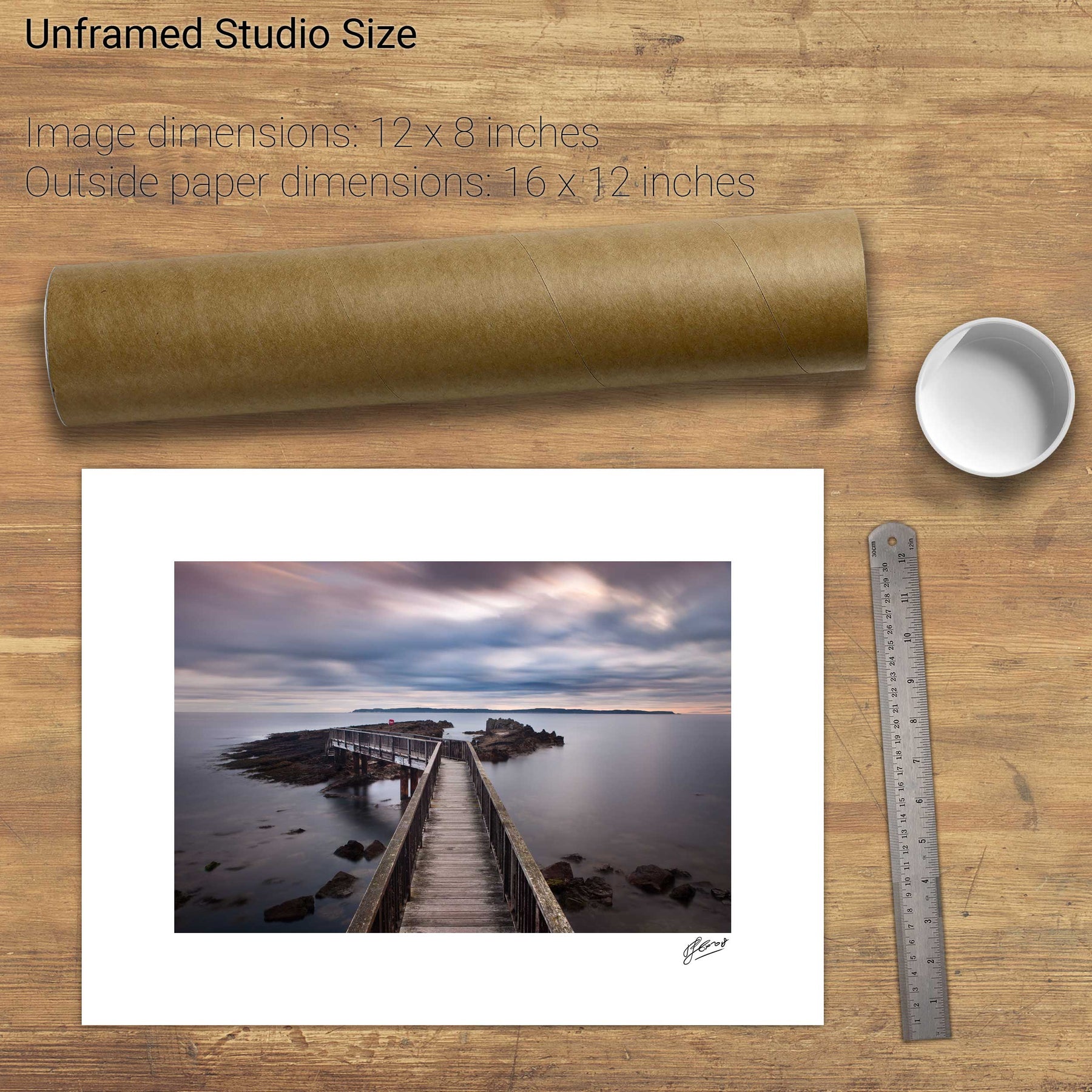
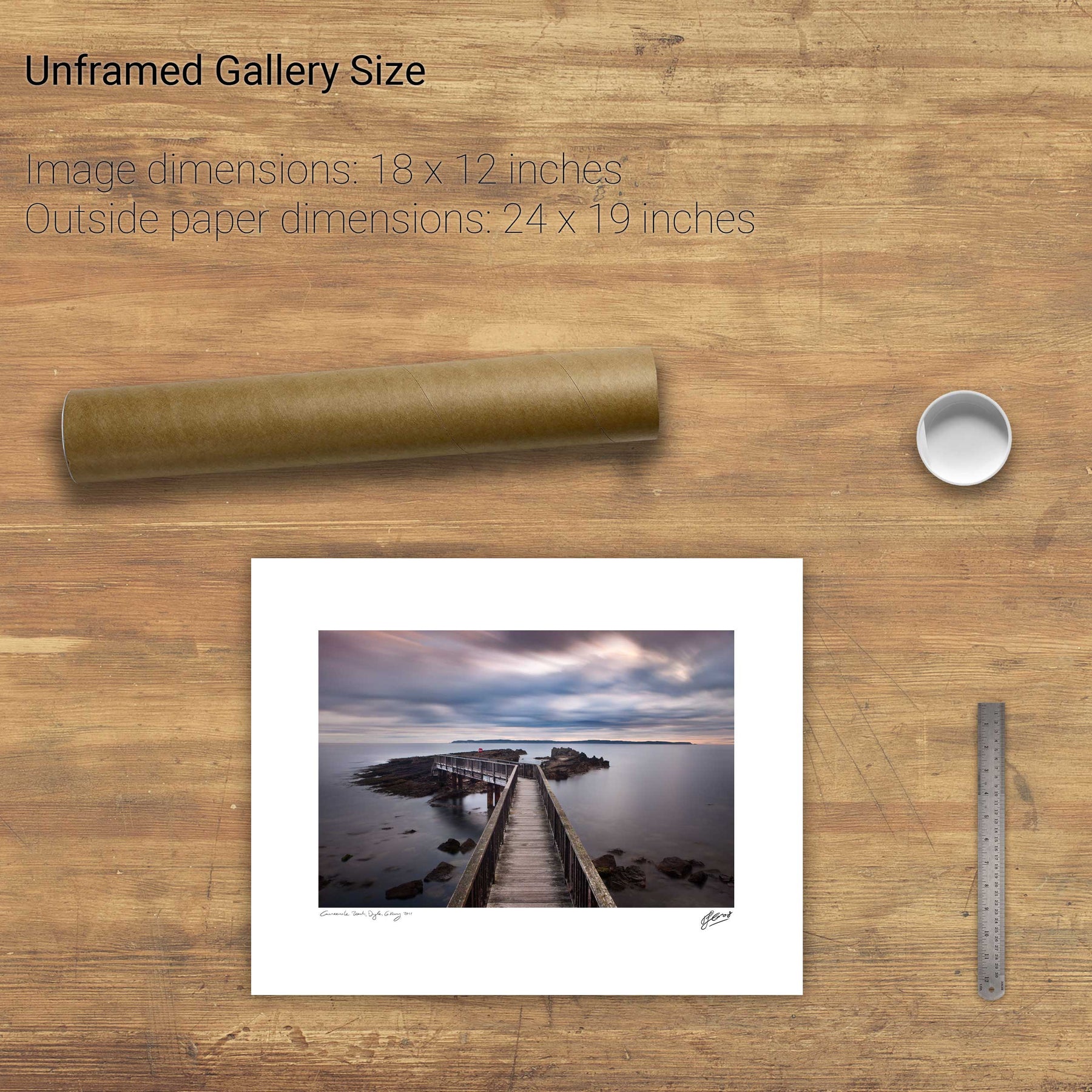
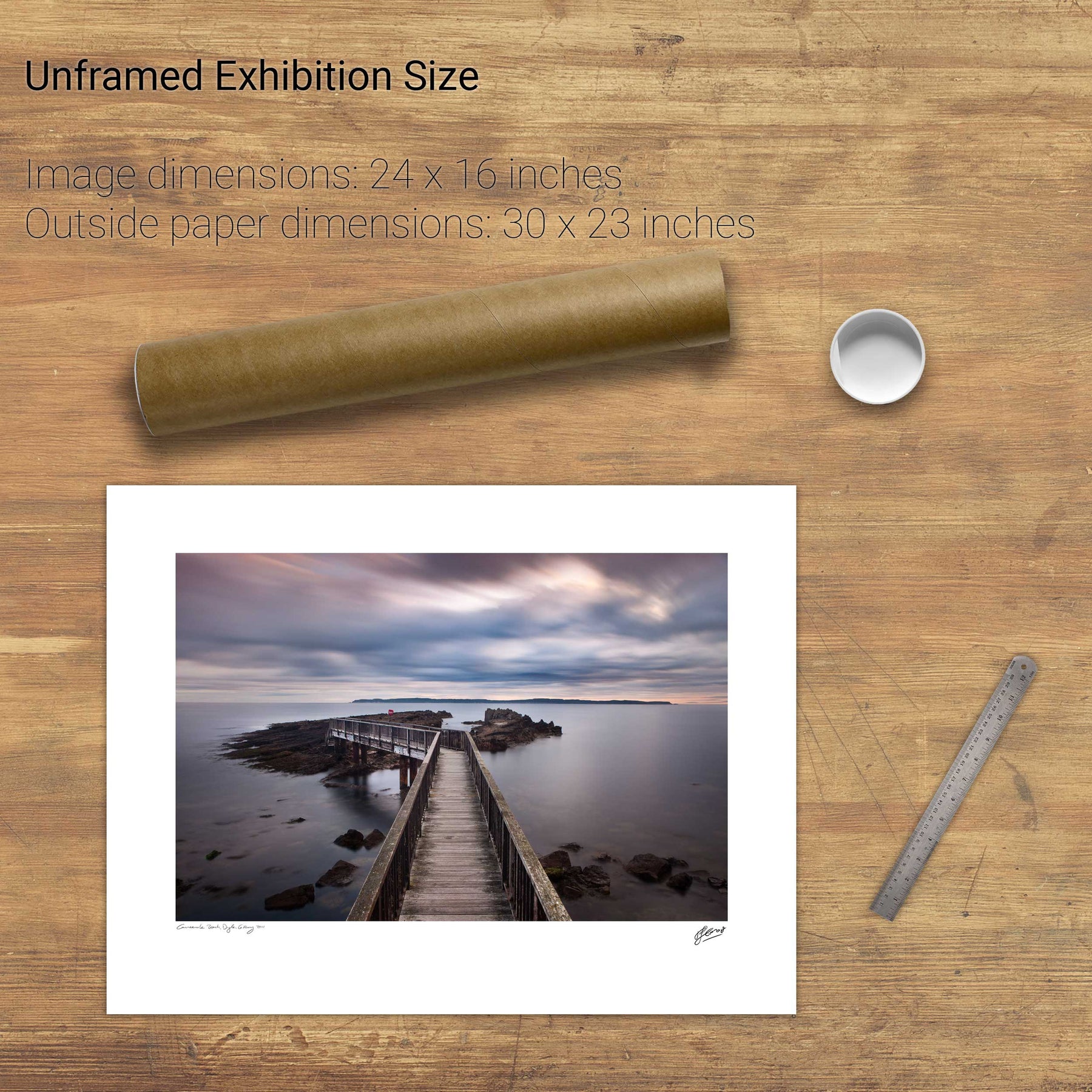
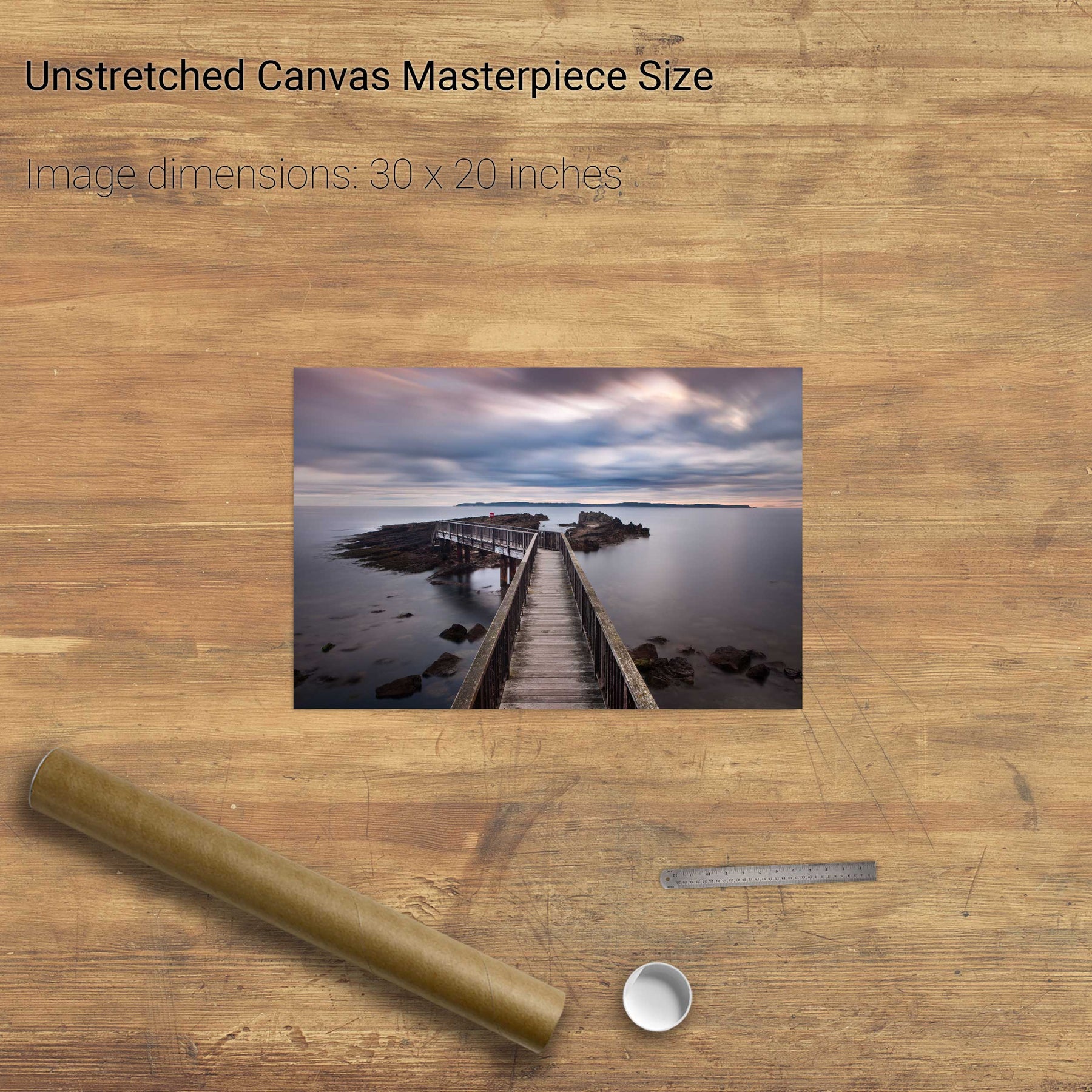
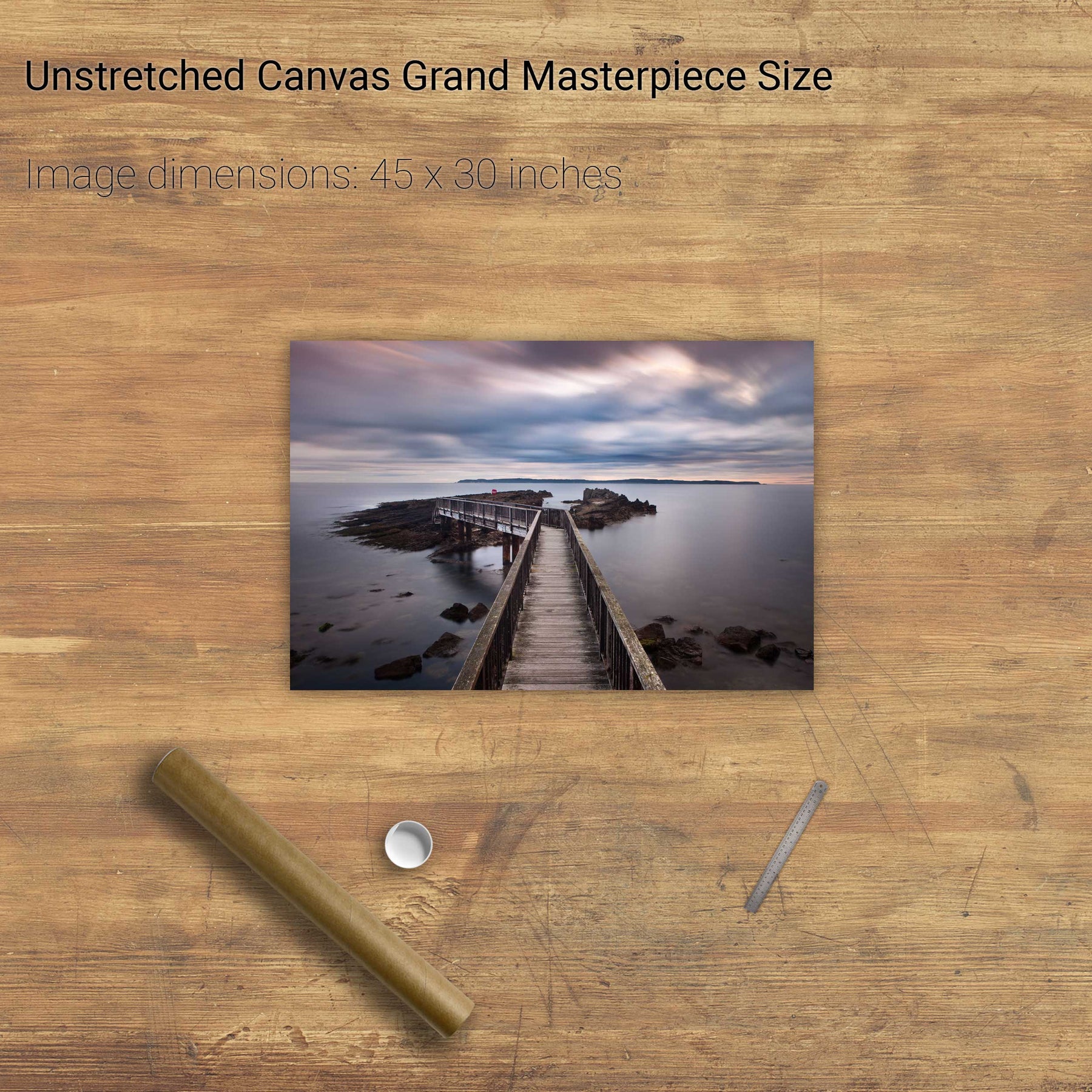
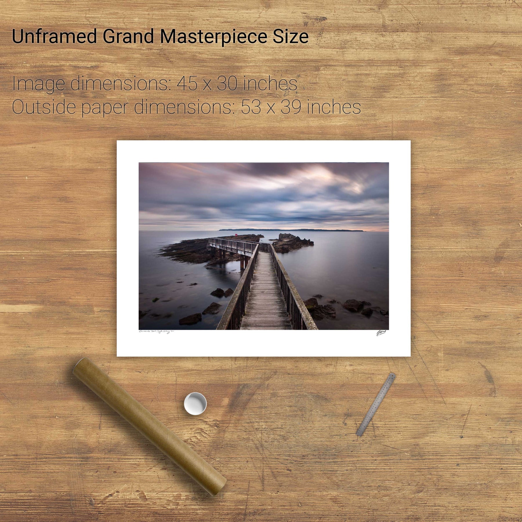
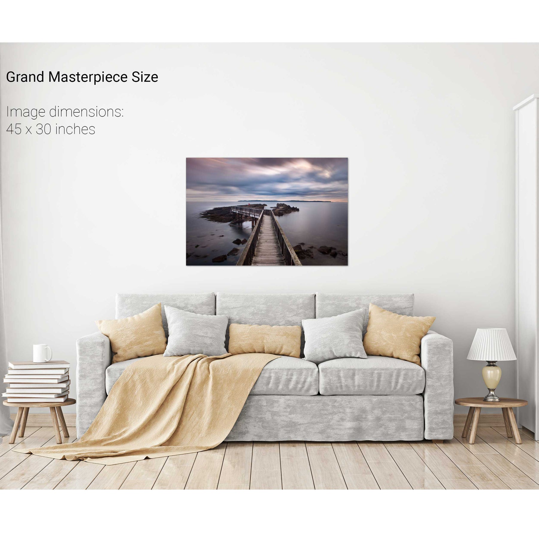
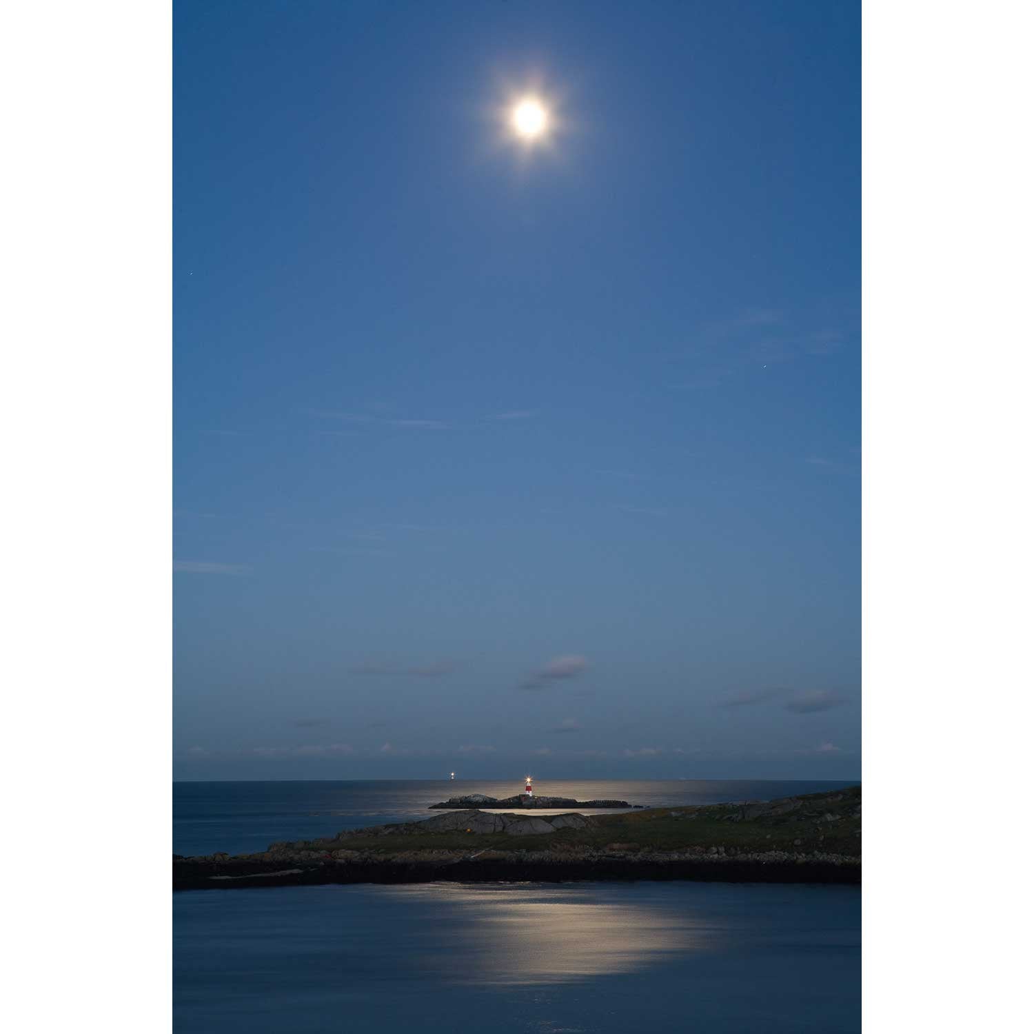
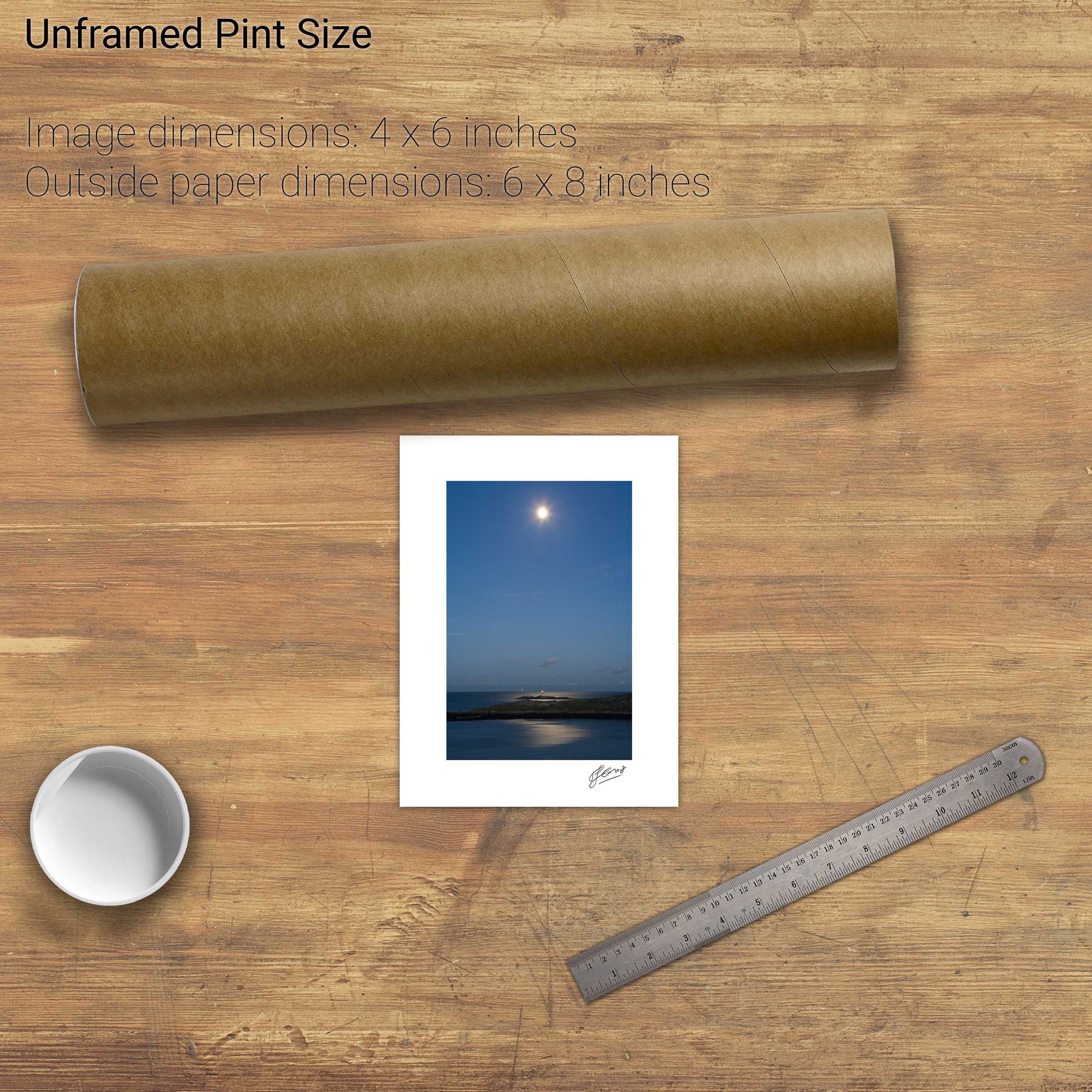
The Skerries, Co. Antrim
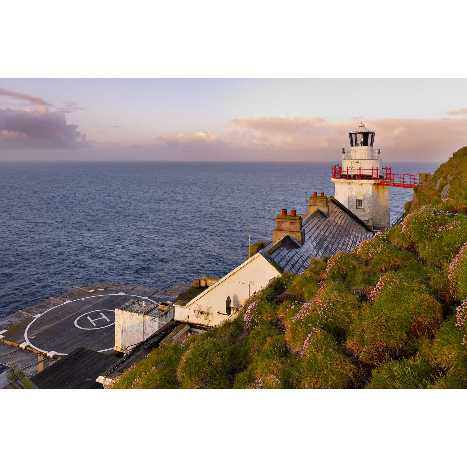
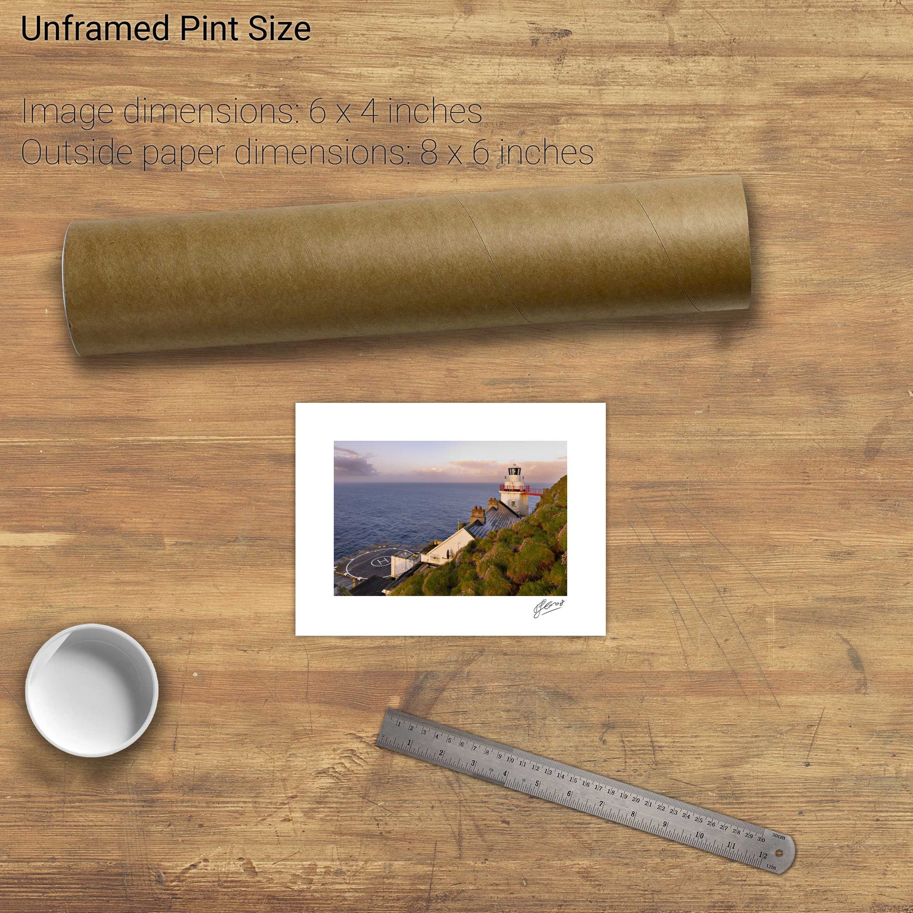
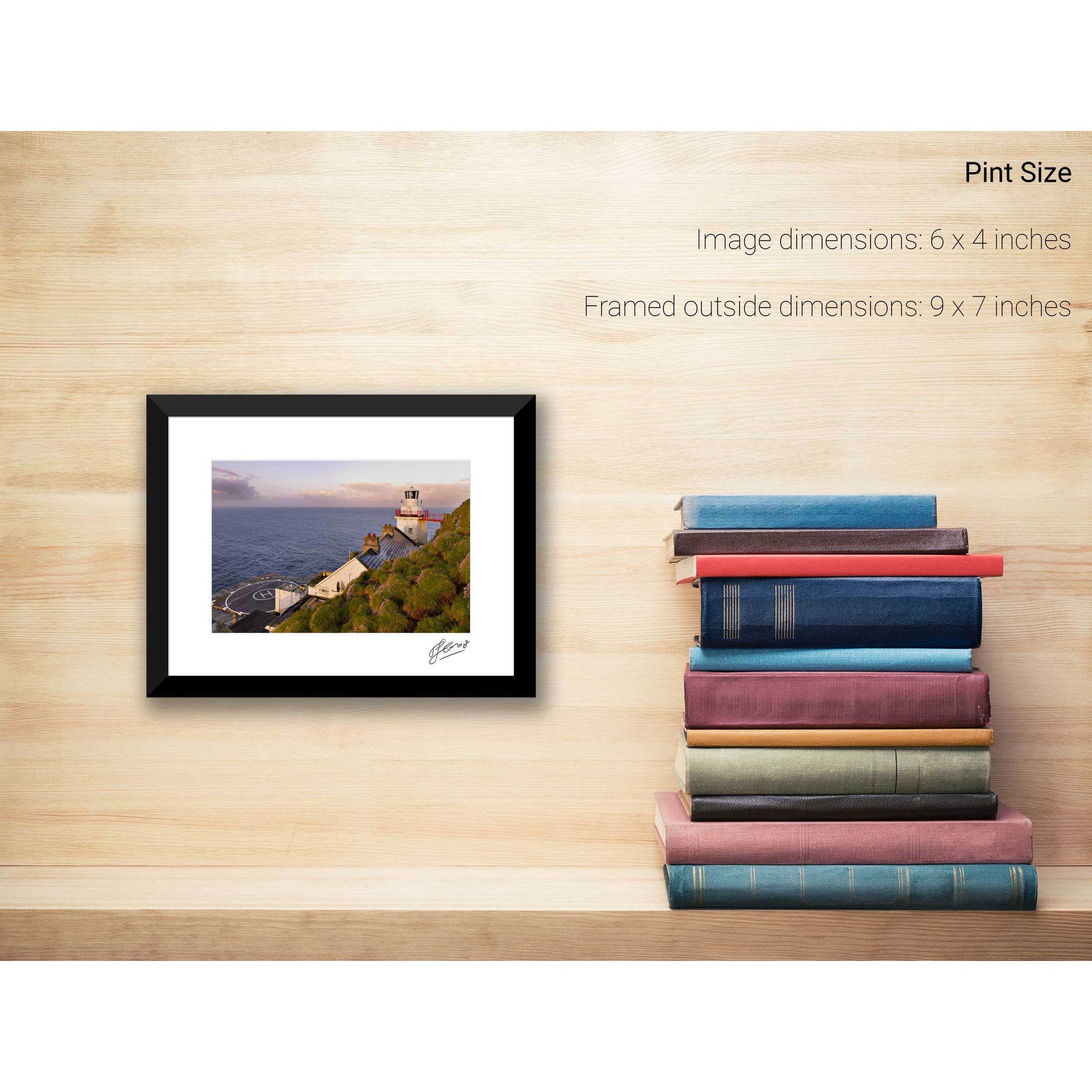
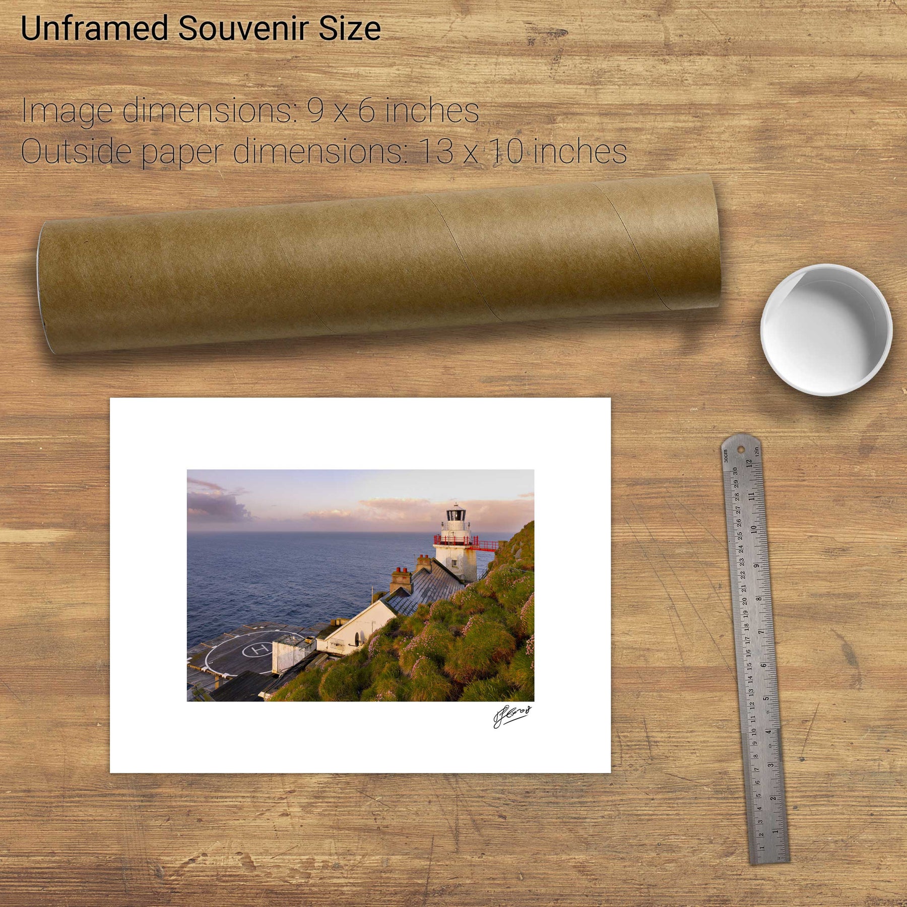
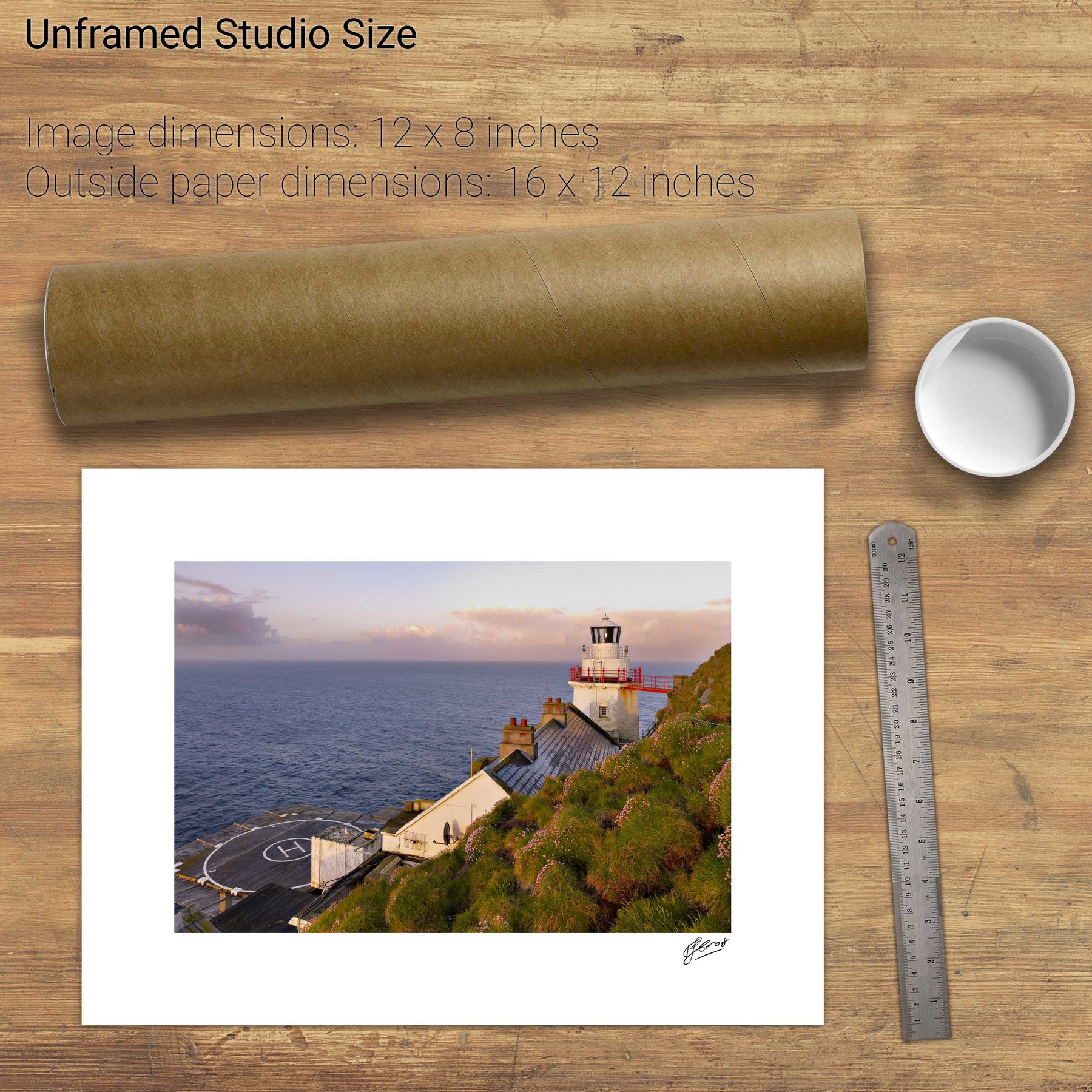
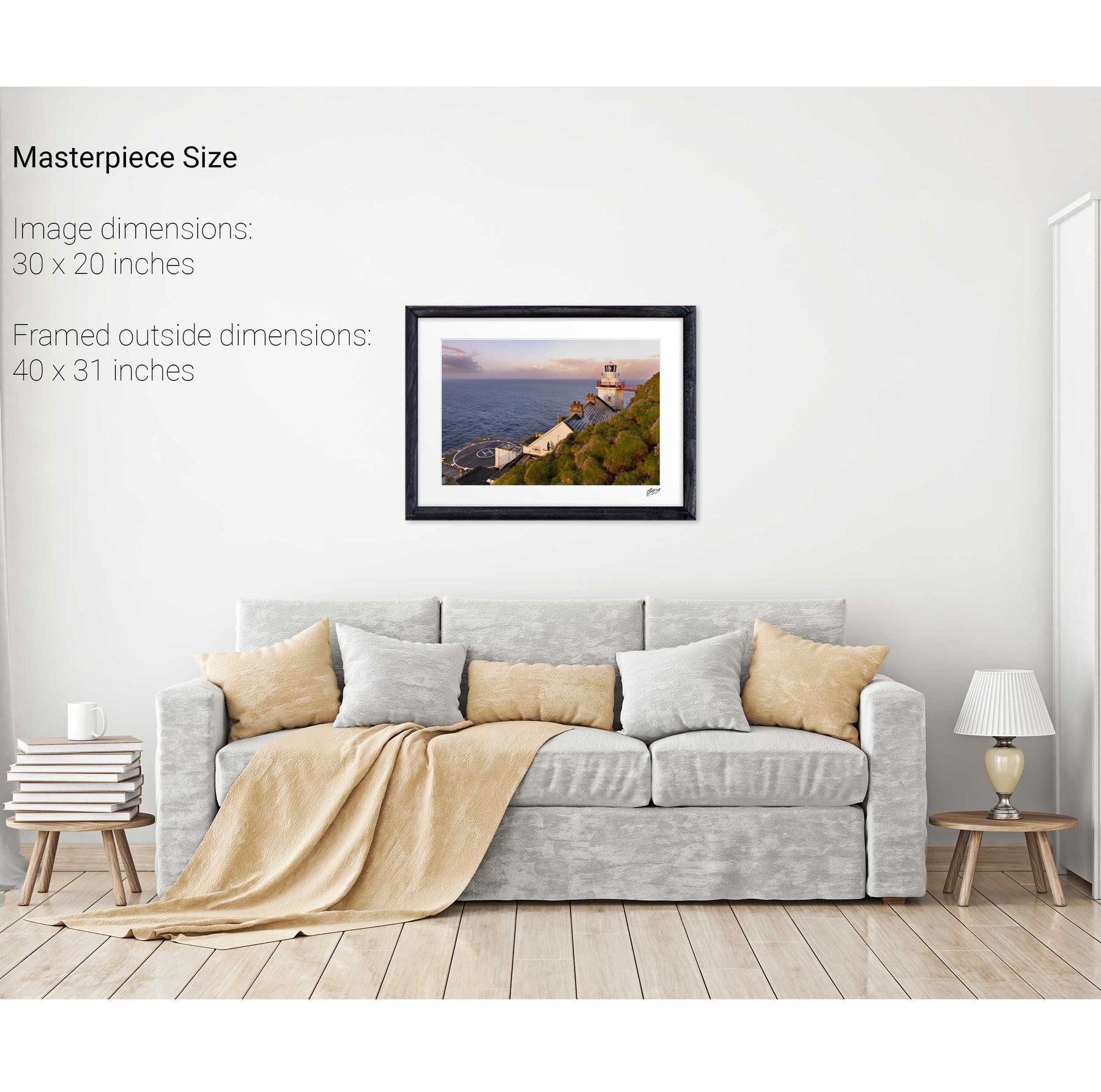
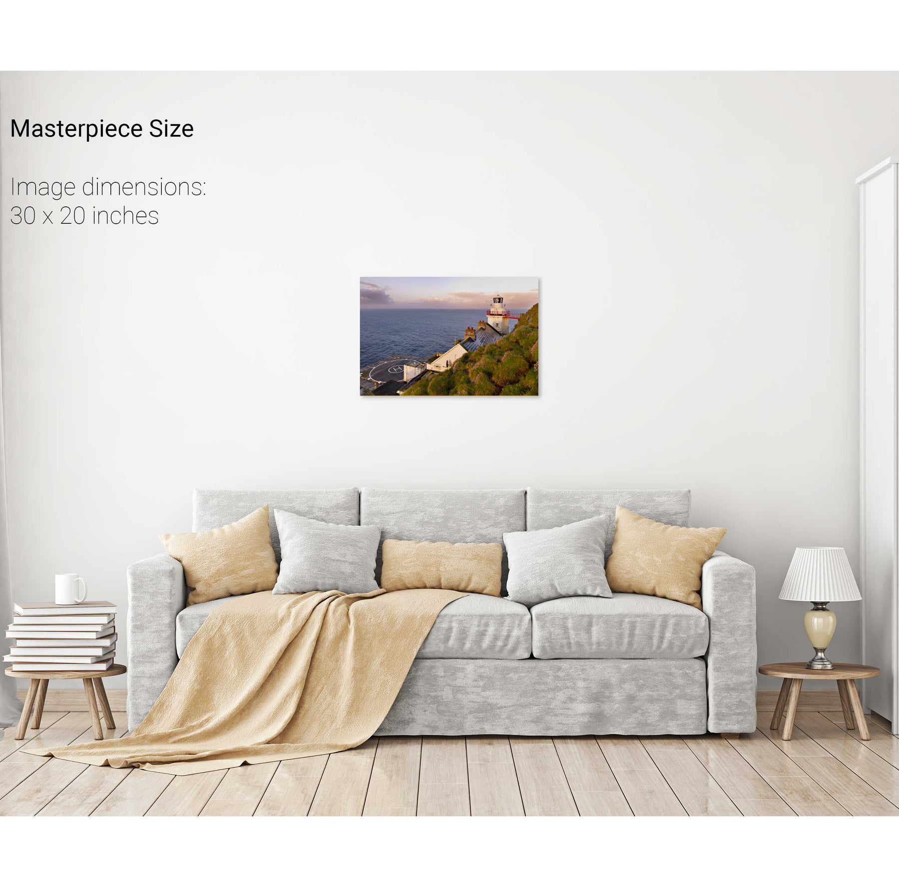
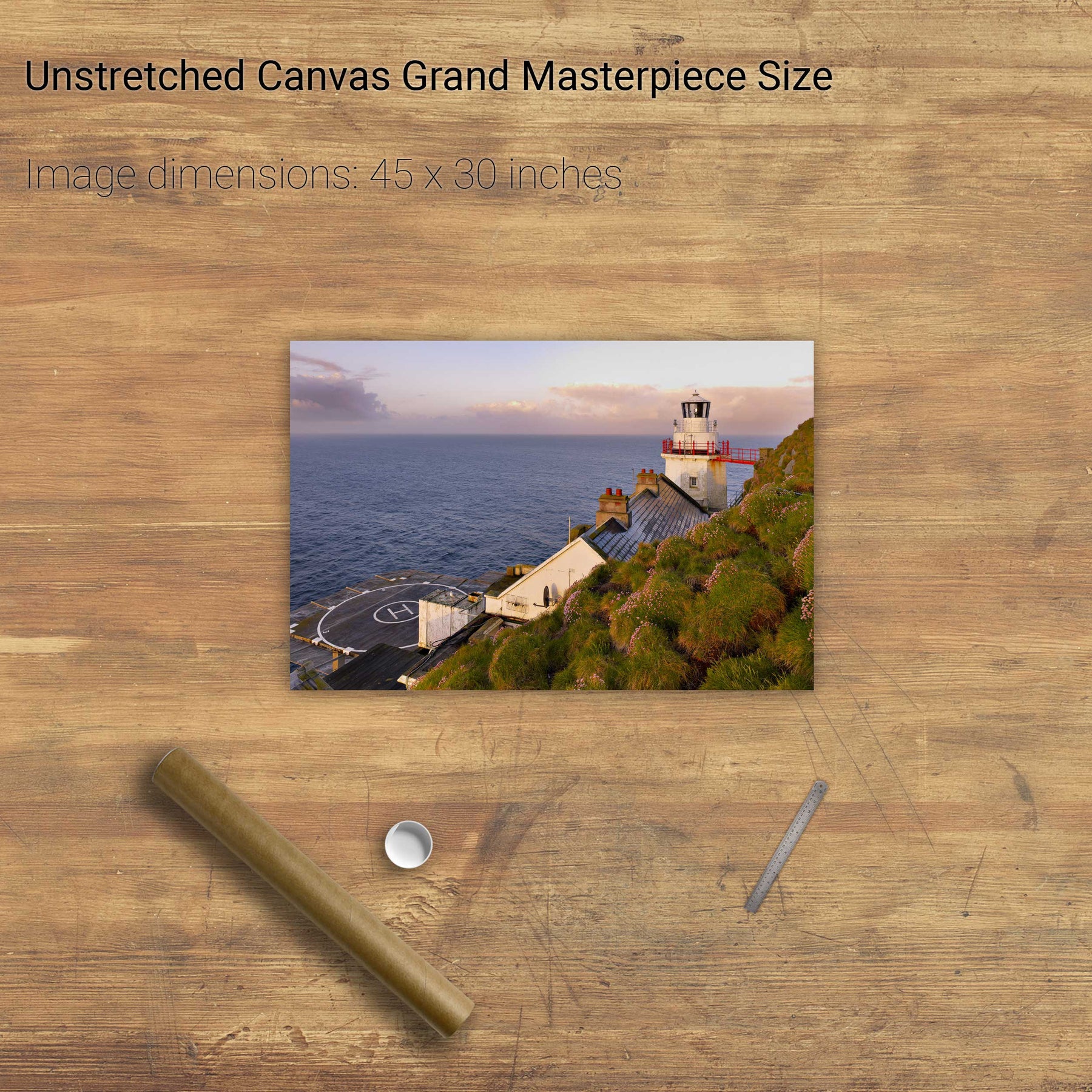
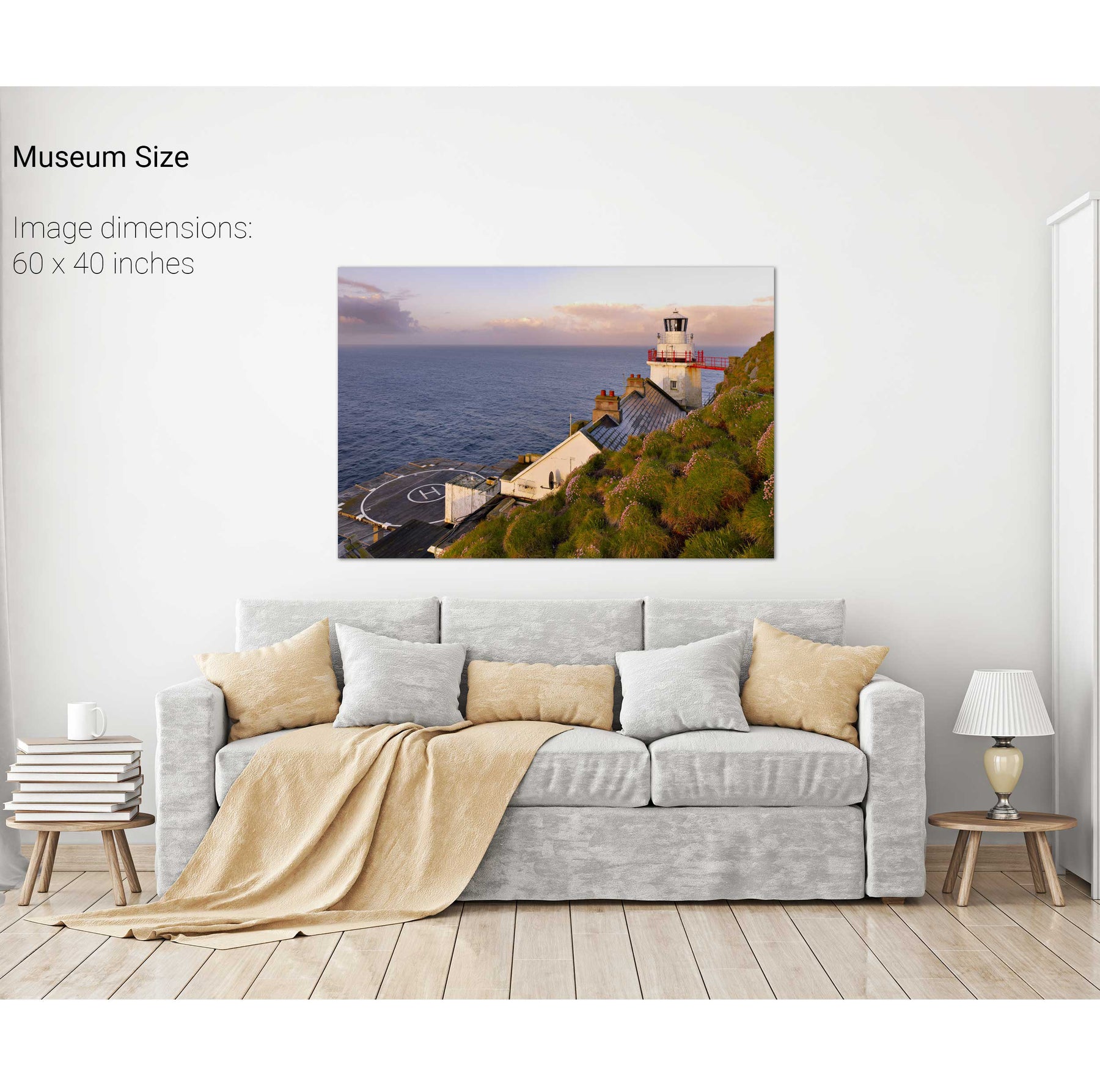
Sea Pink, the Bull Rock Lighthouse, Co. Cork
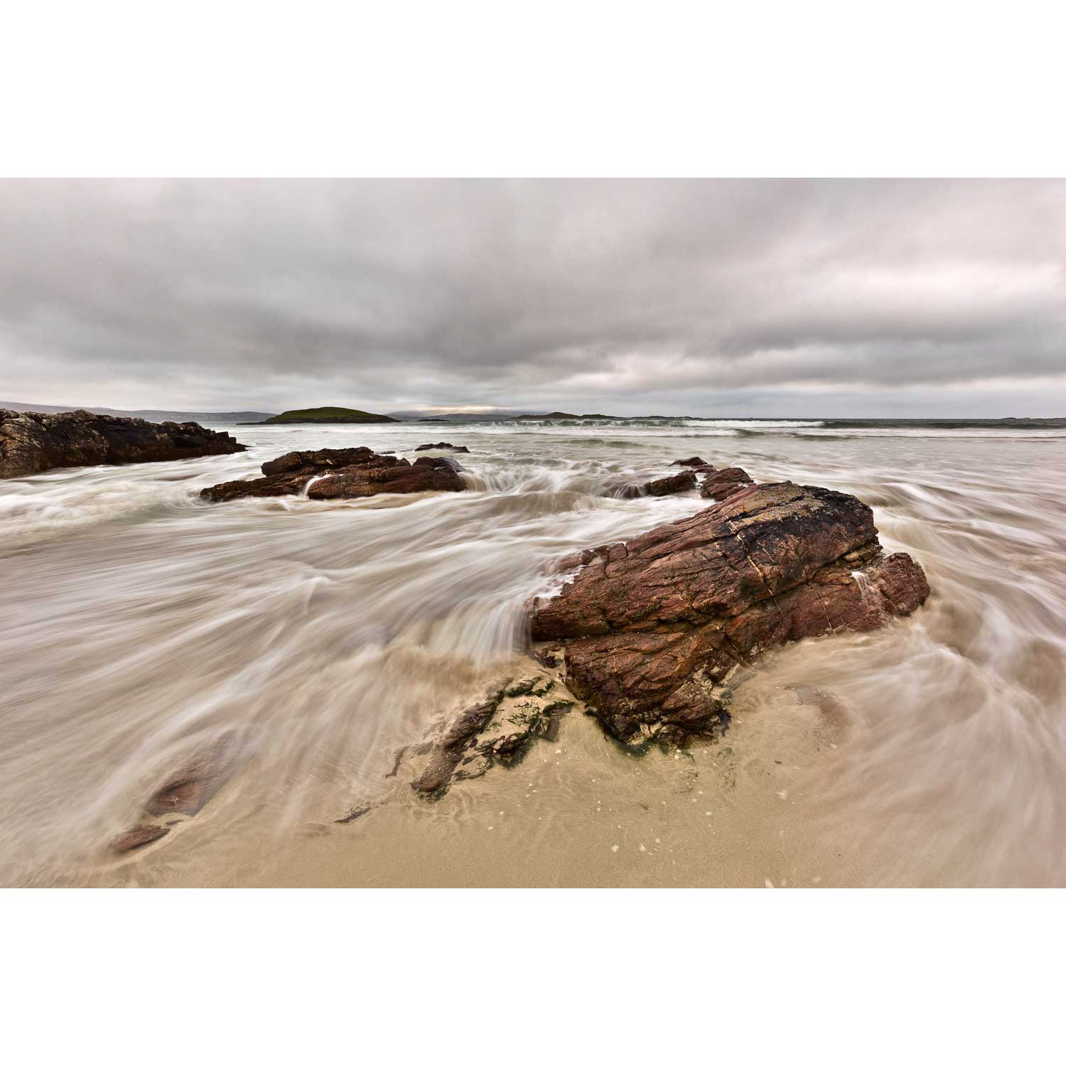
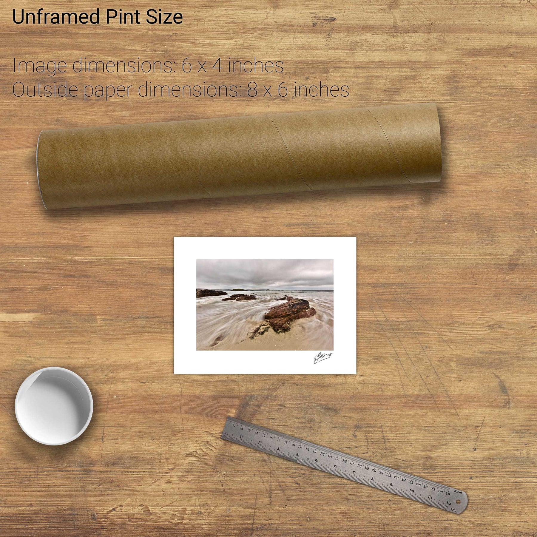
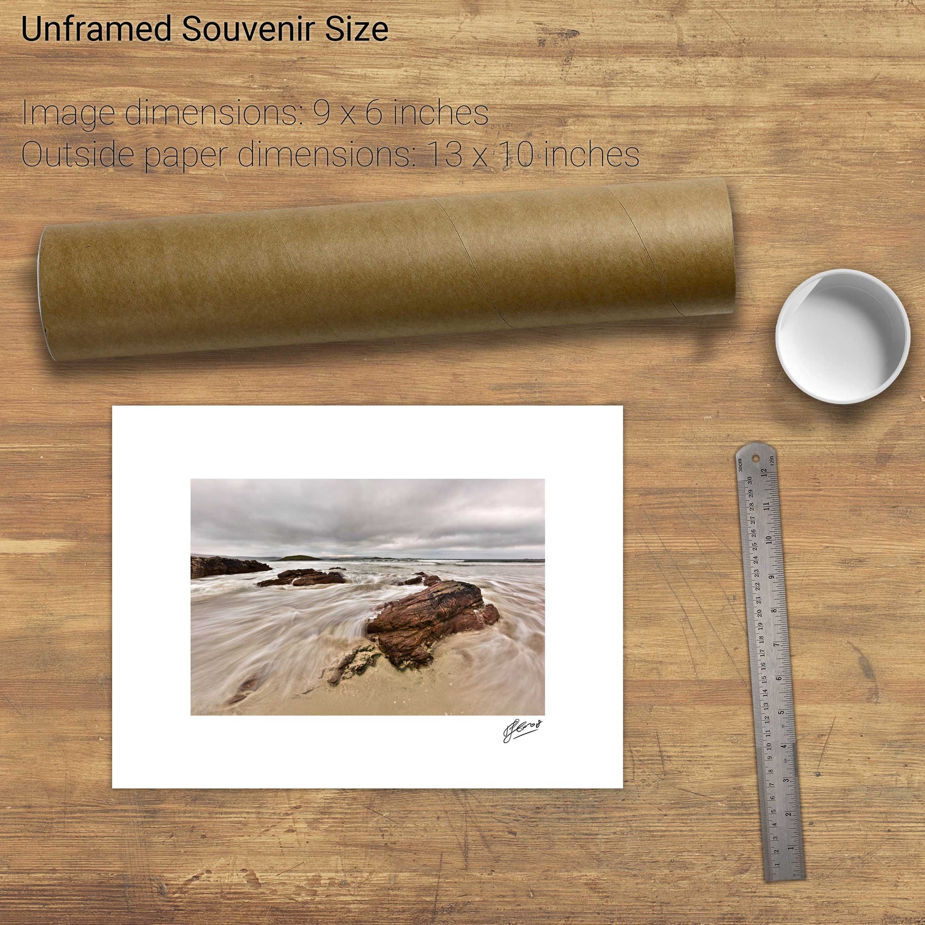
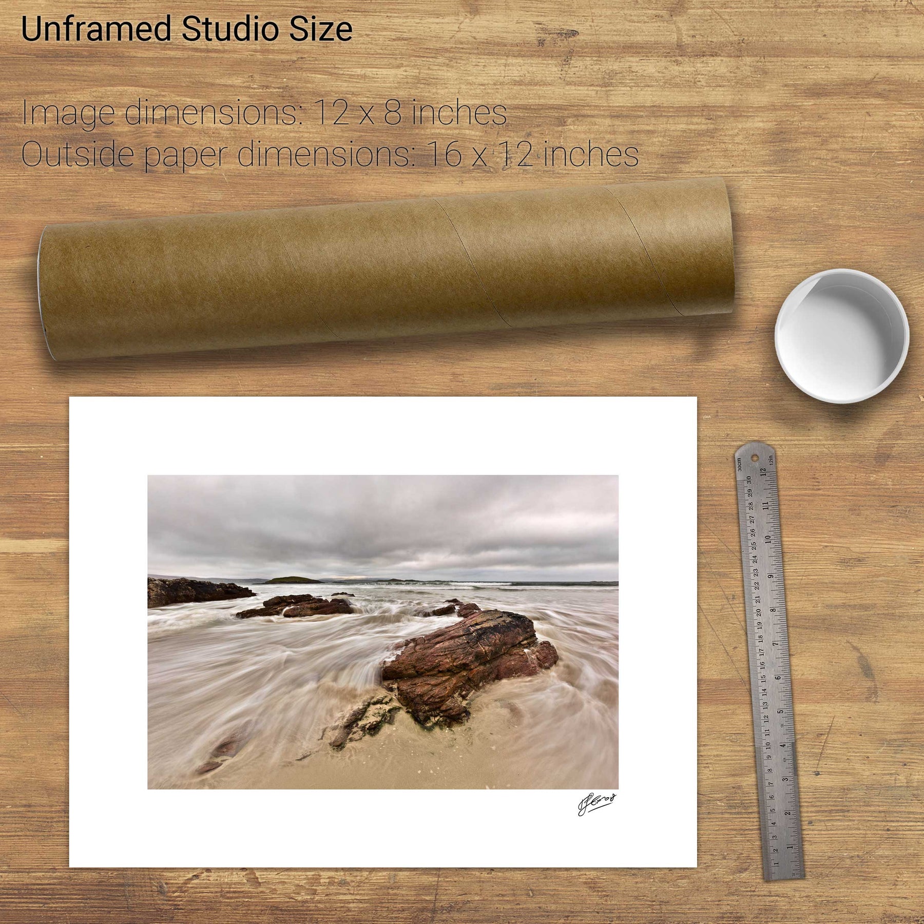
Silver Strand, Co. Mayo
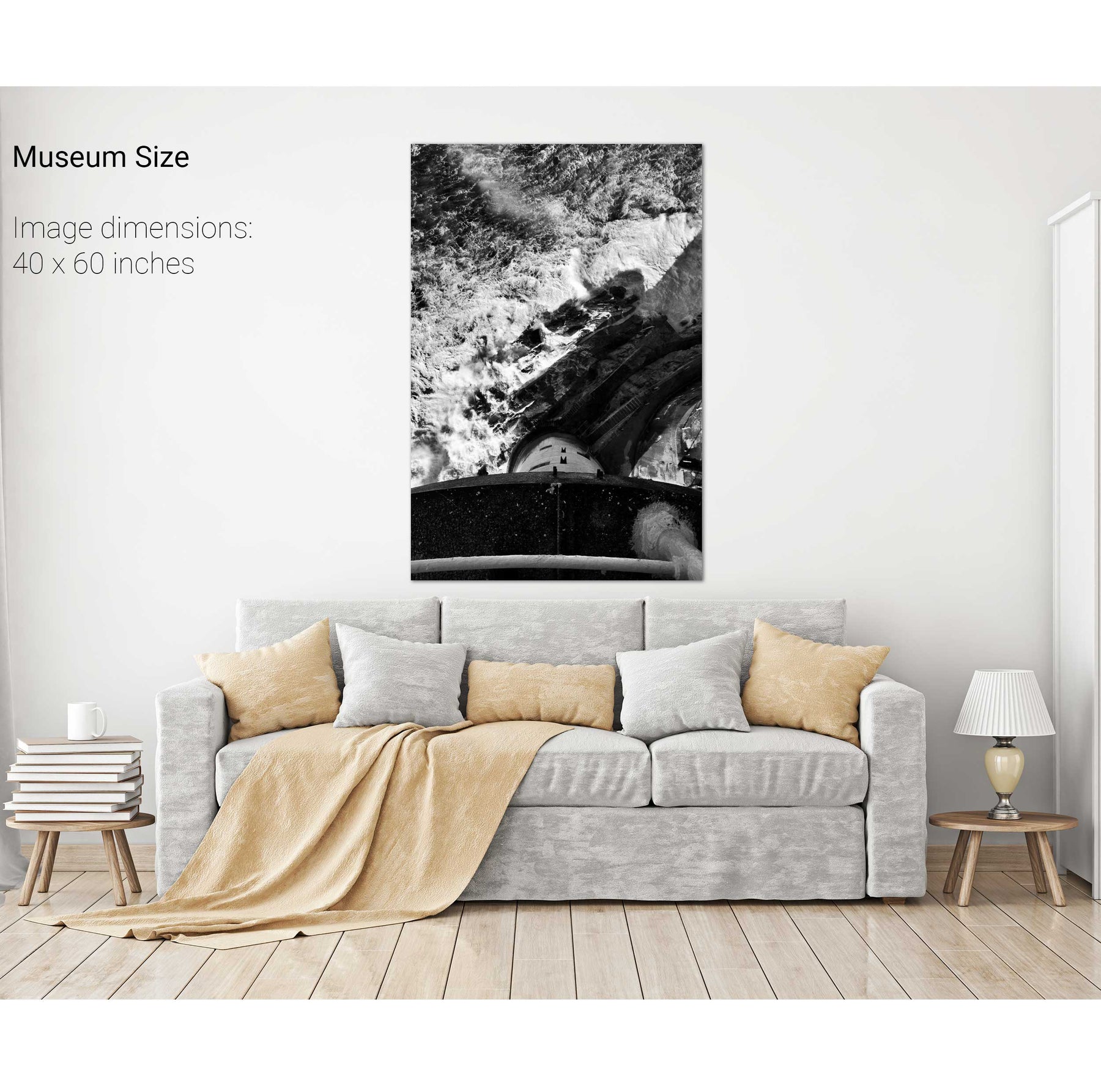
The Fastnet from the Balcony
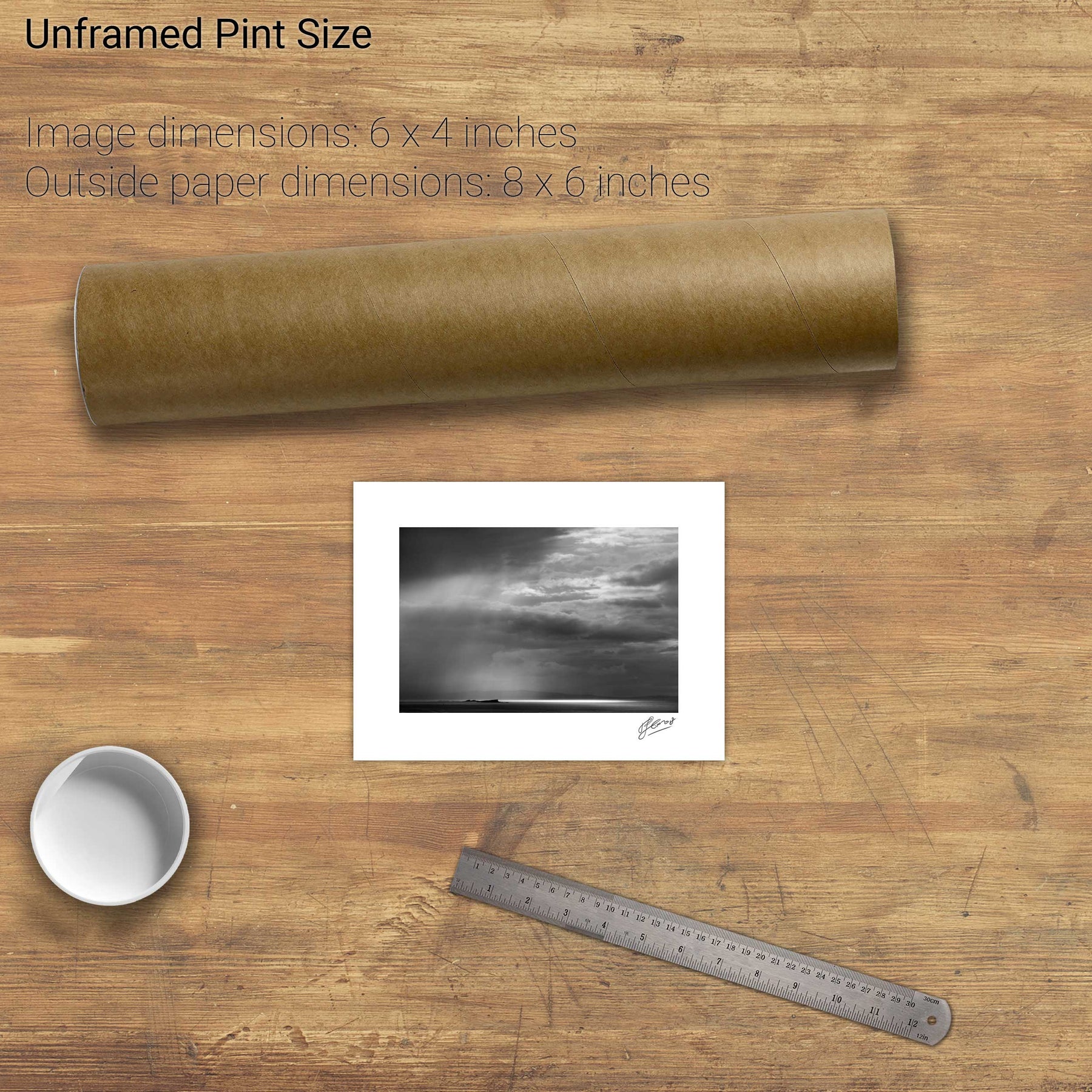
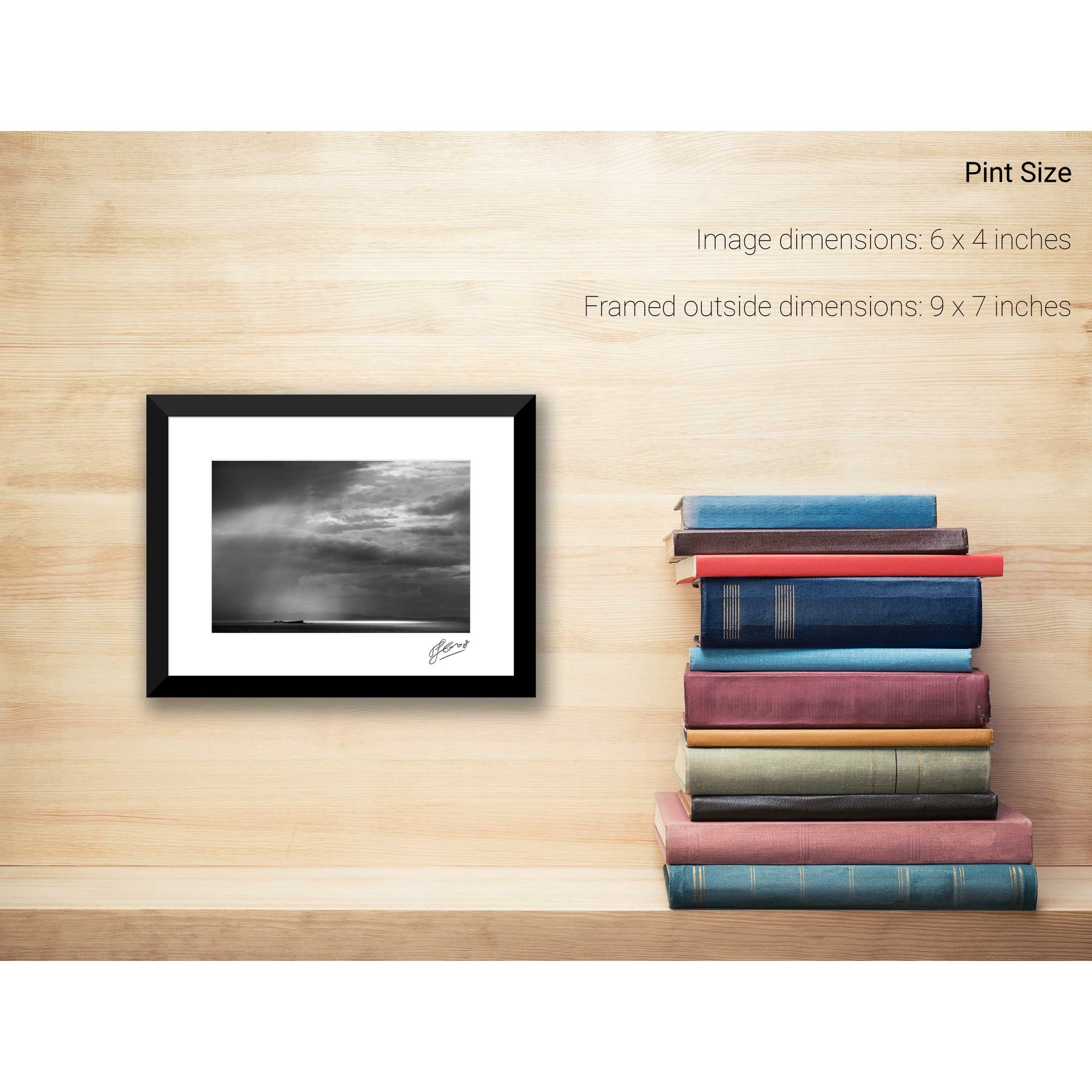
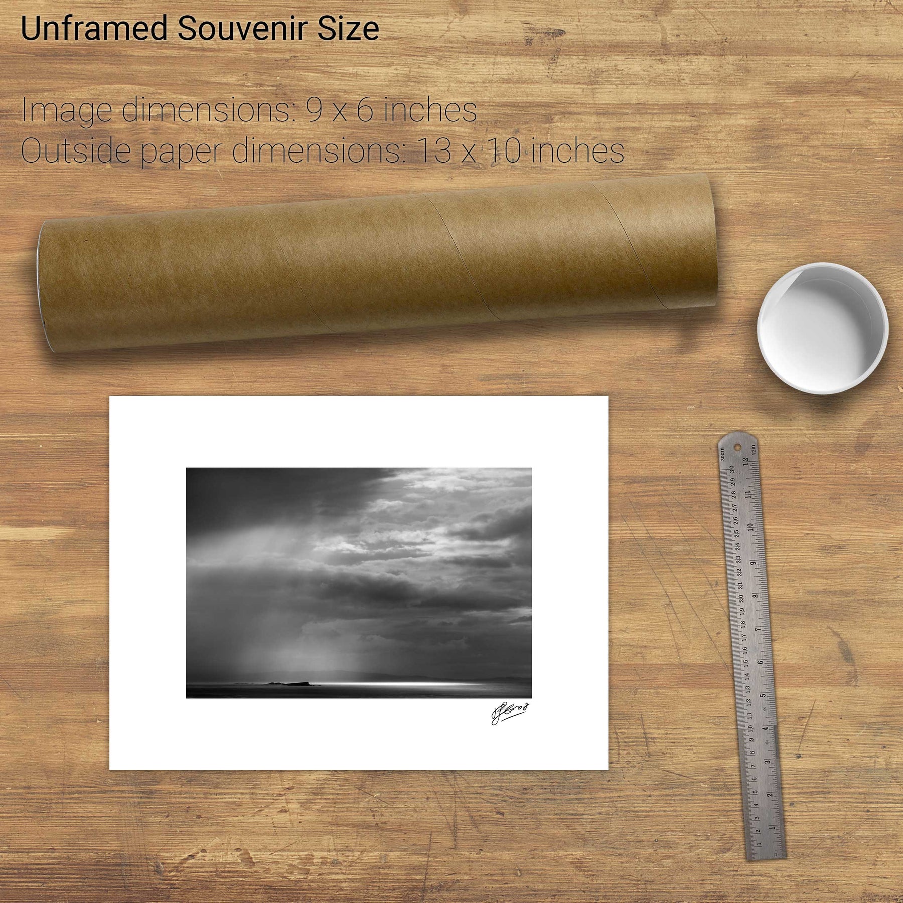
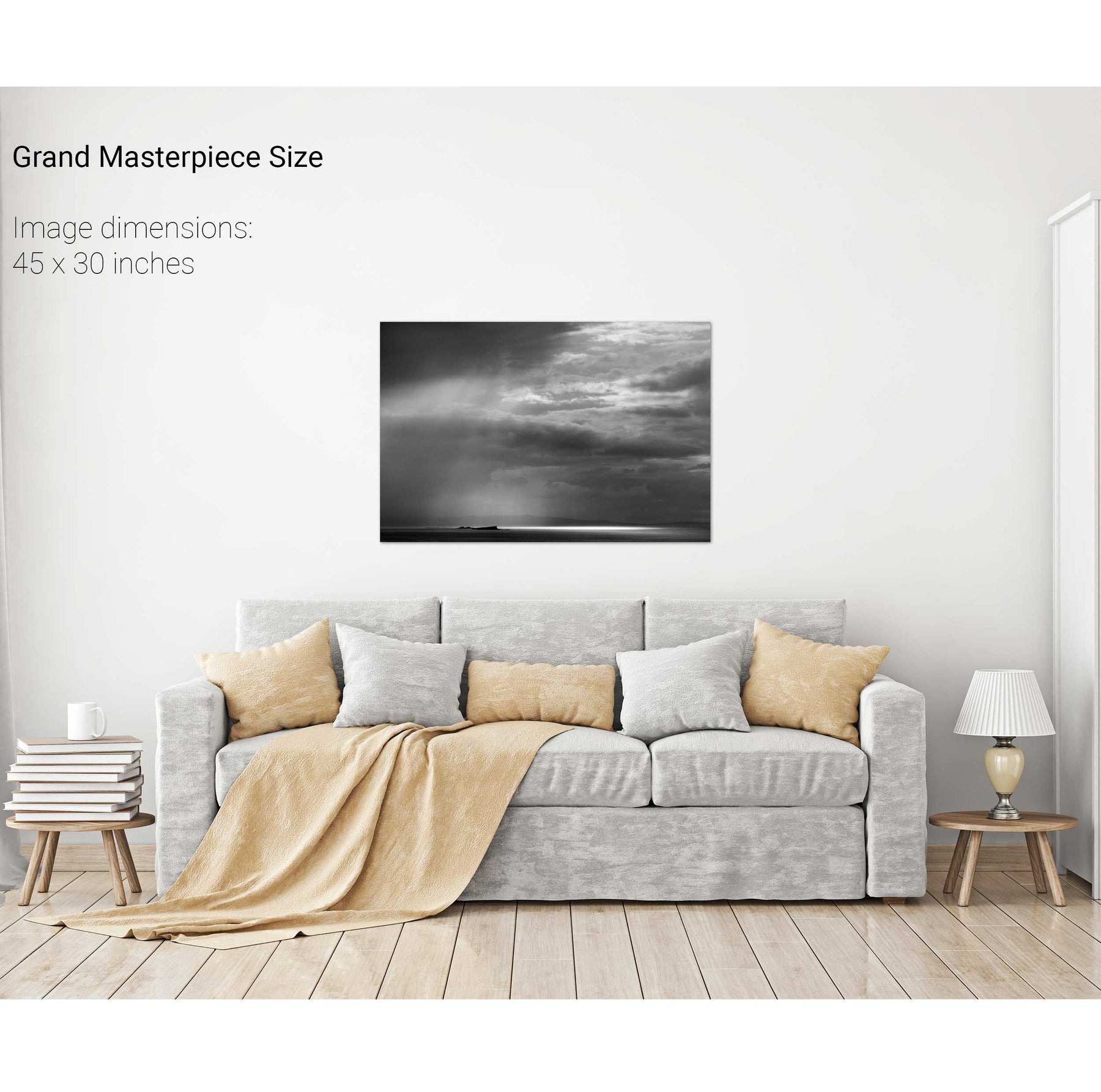
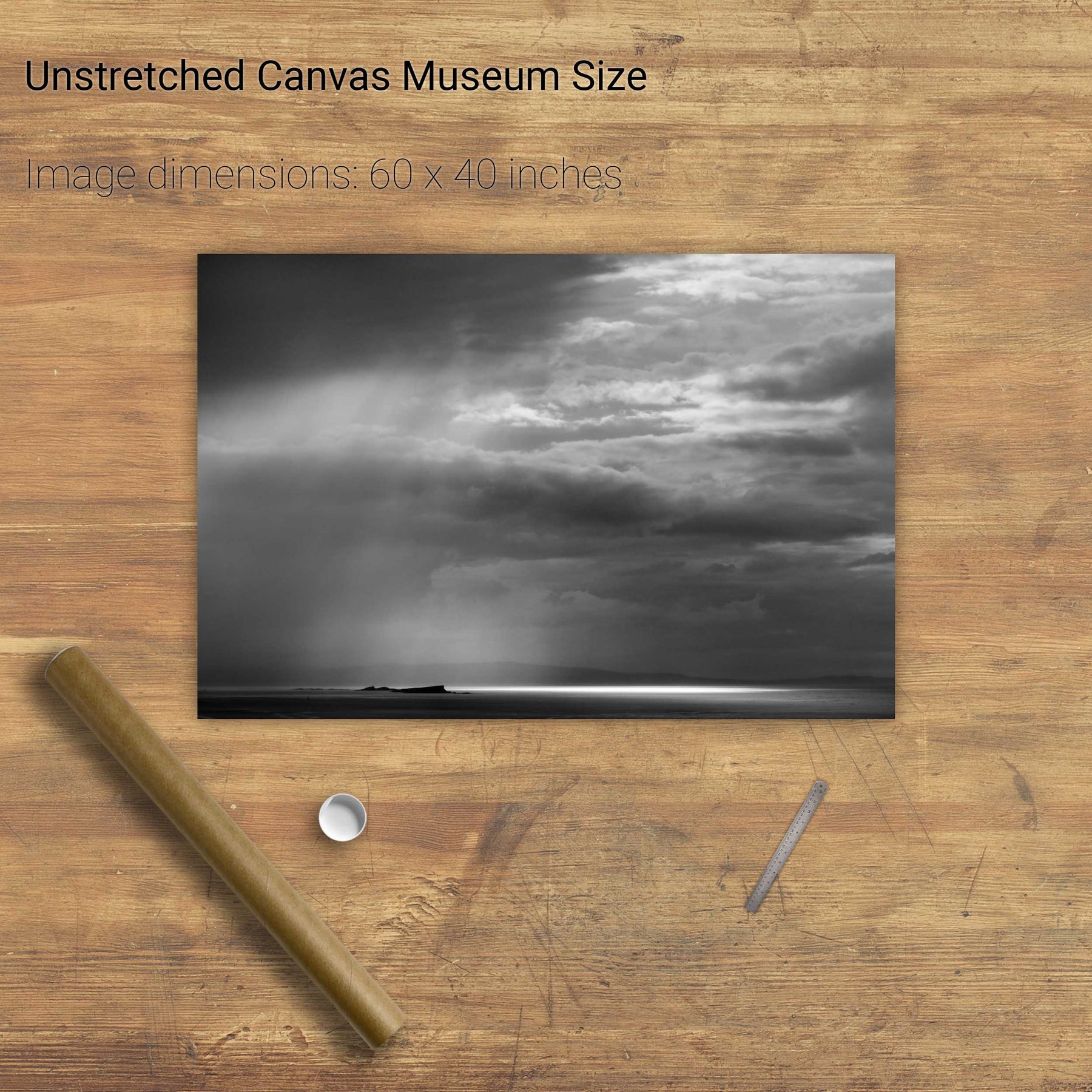
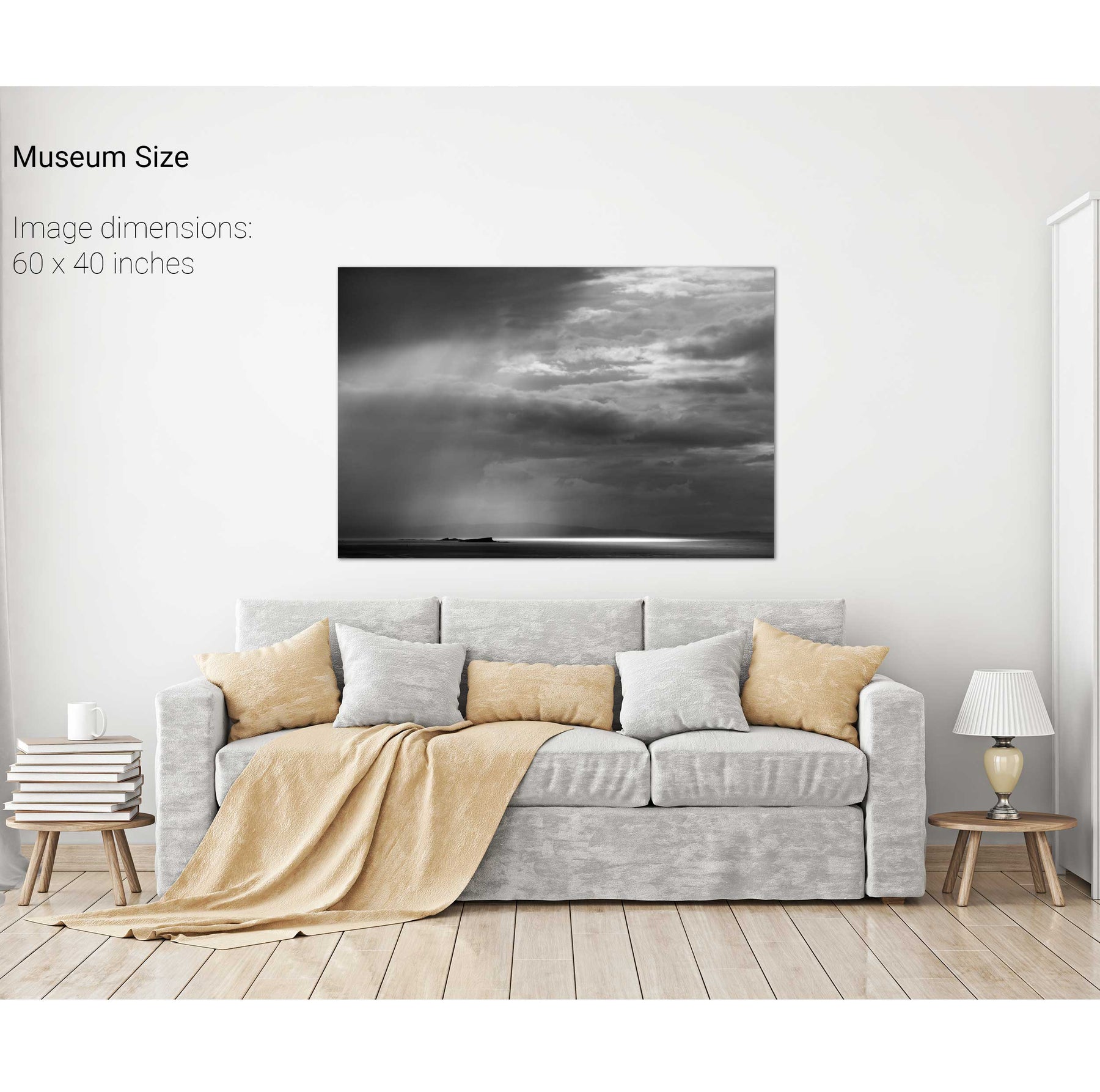
Rainstorm, the Skerries, Co. Antrim
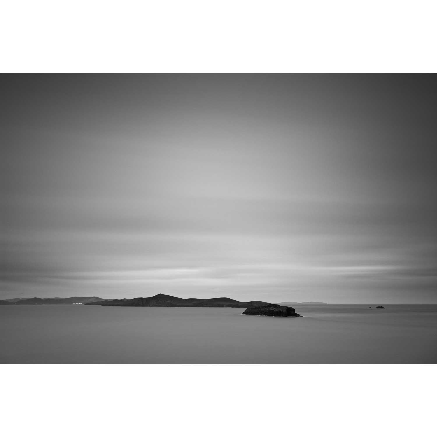
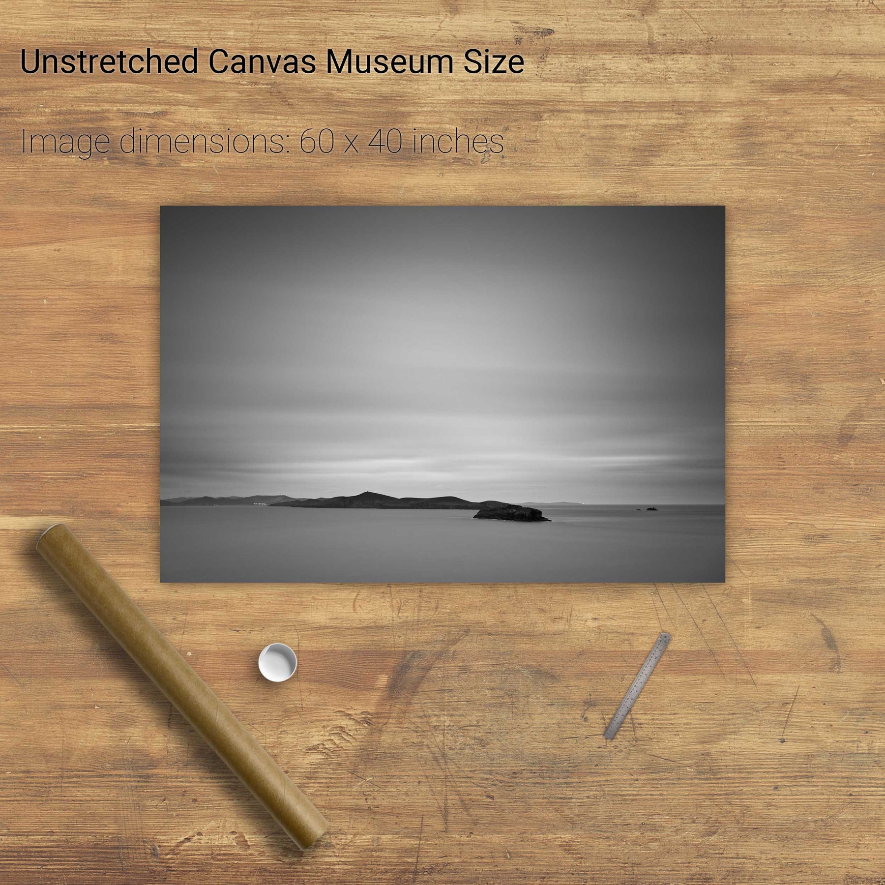
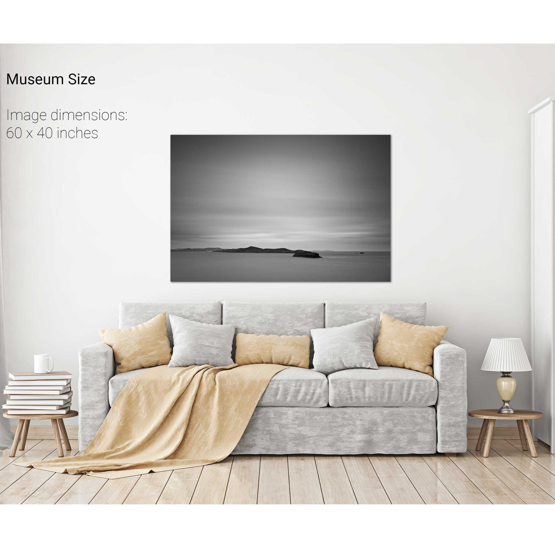
Inishfarnard from Kilcatherine Point, Beara, Co. Cork
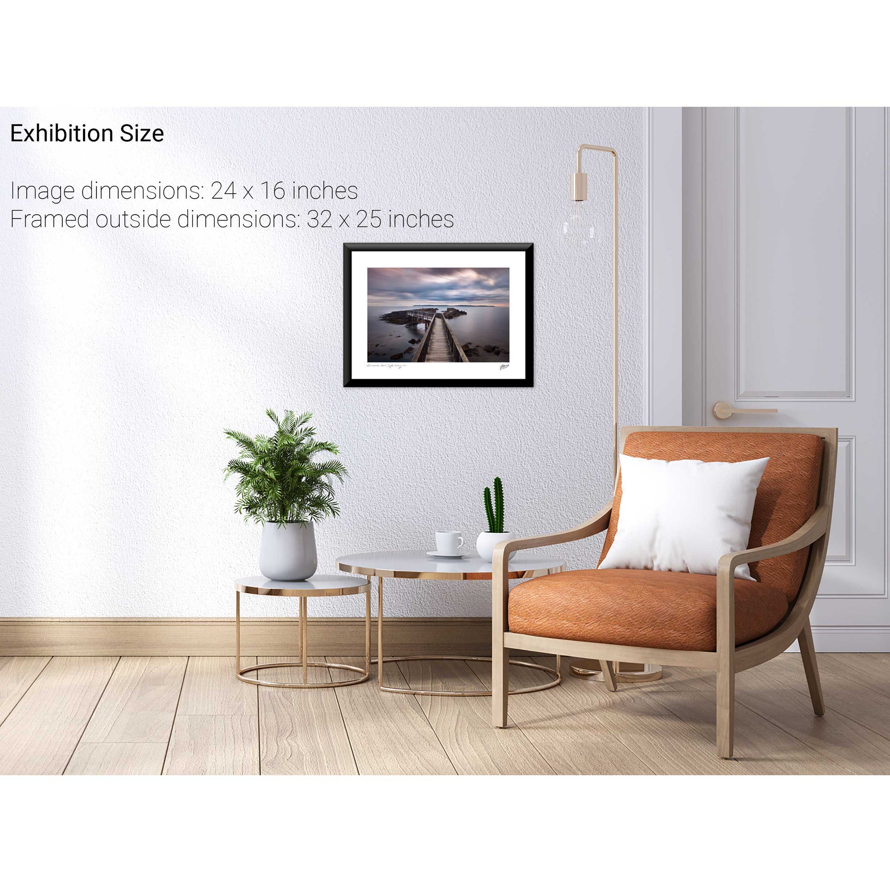
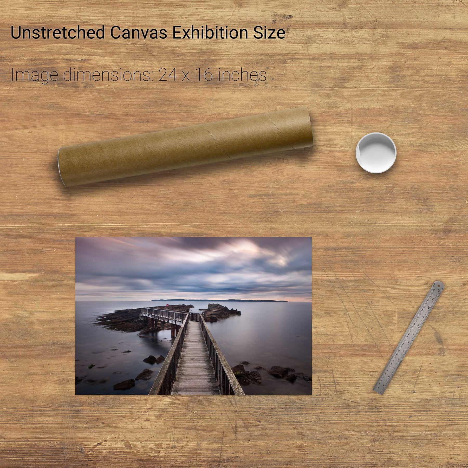
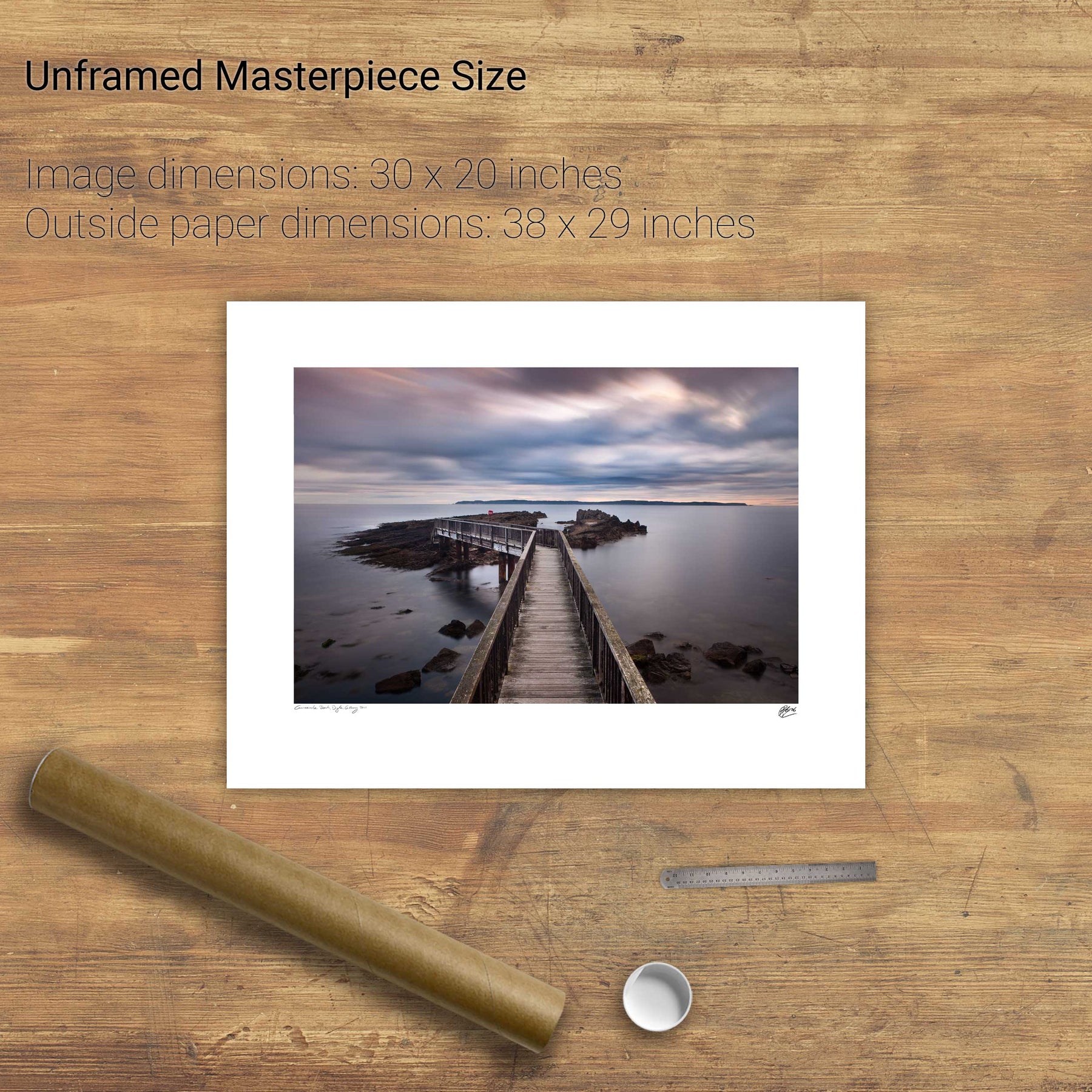
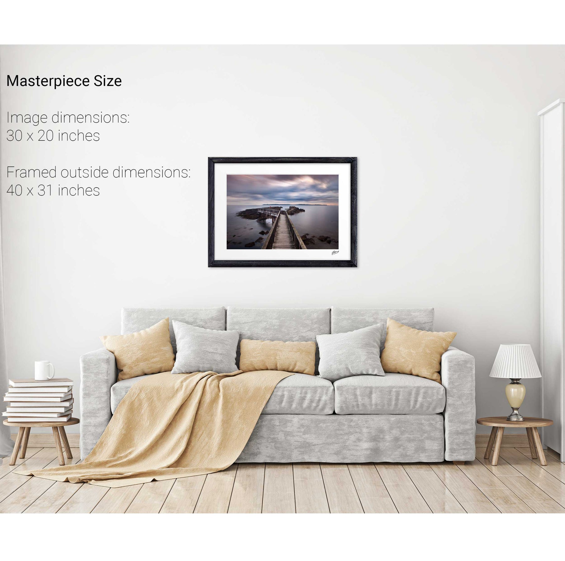
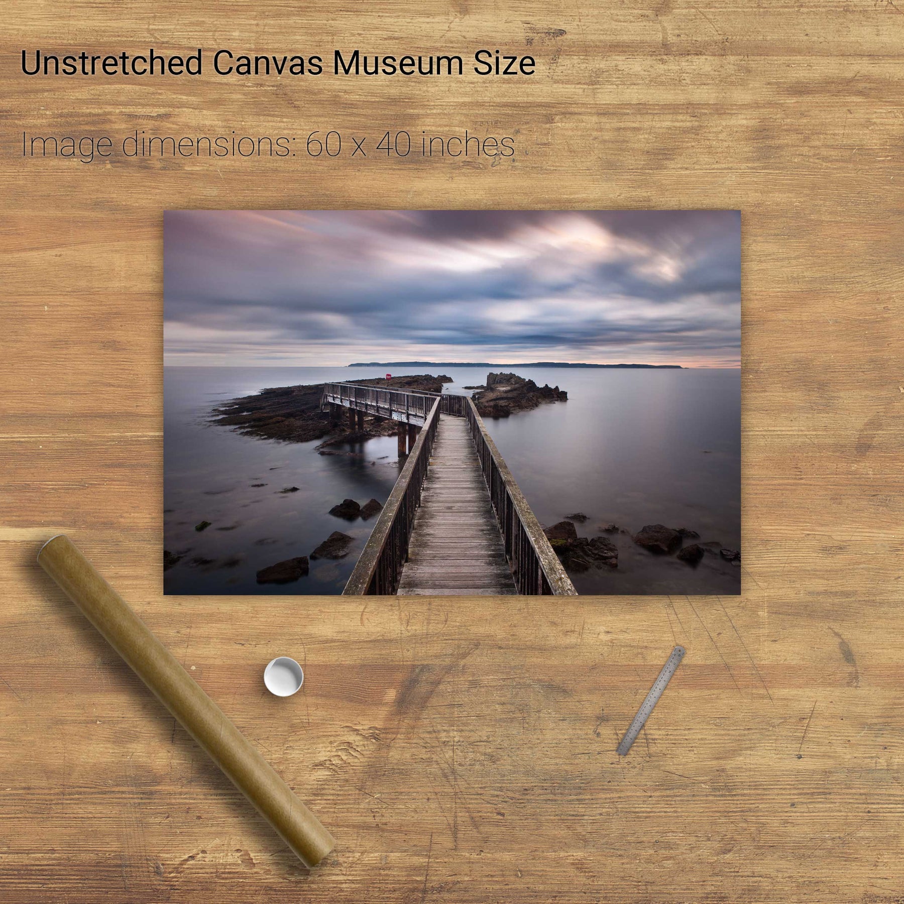
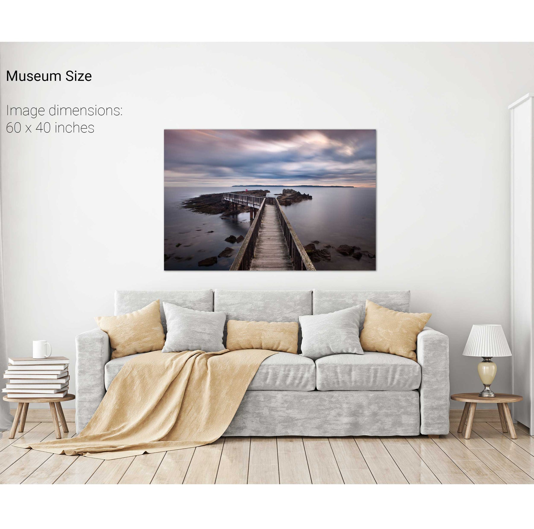
Pan's Rock, Co. Antrim
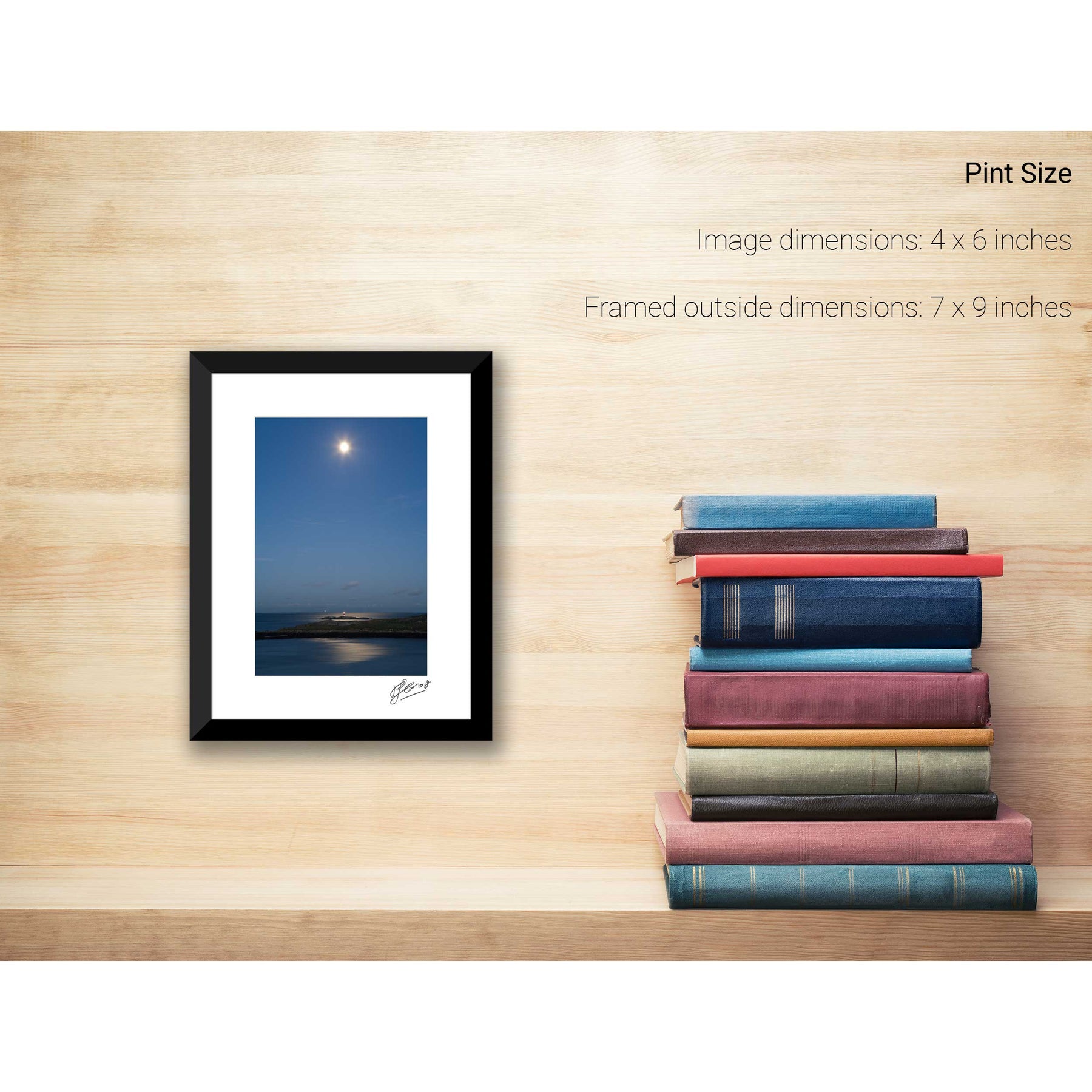
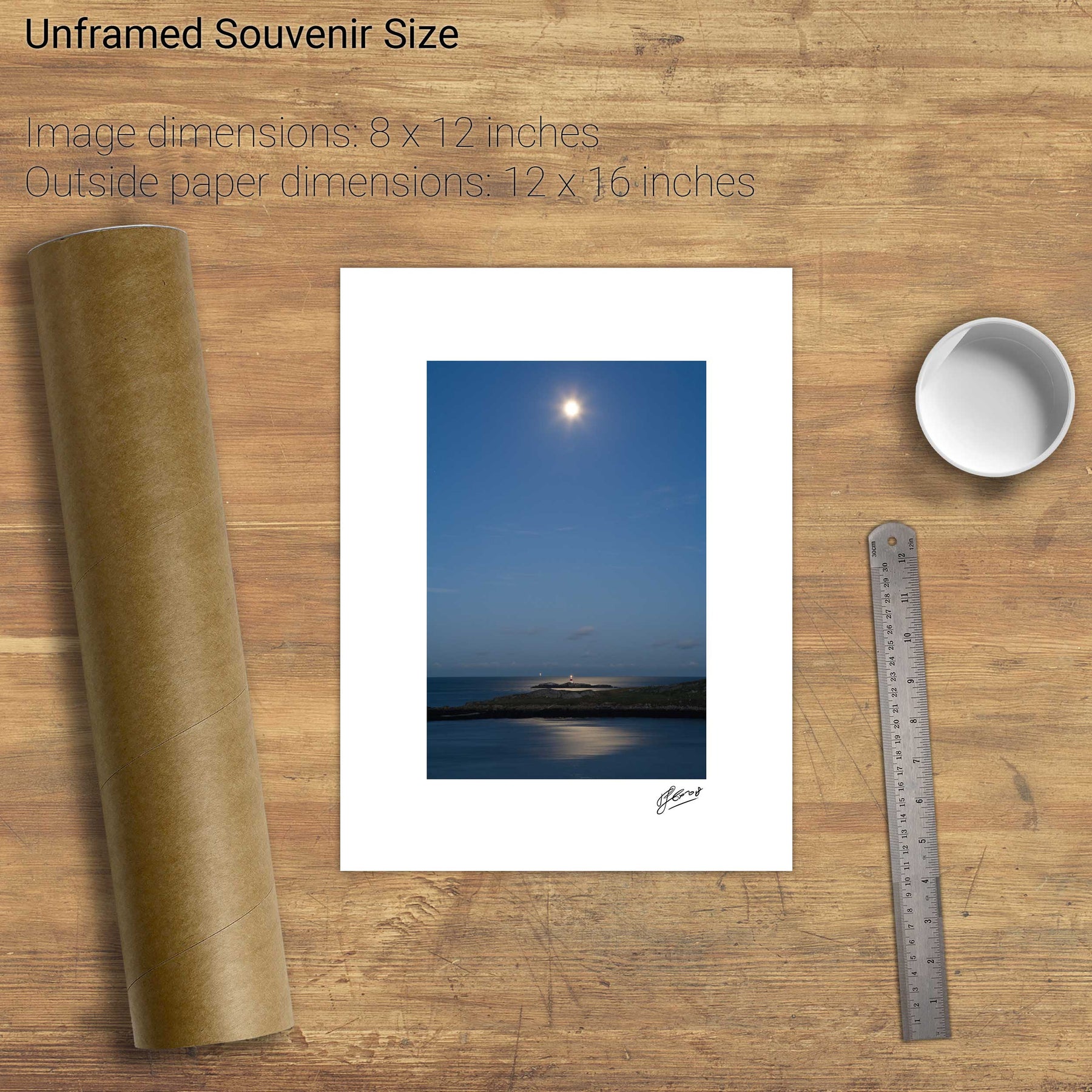
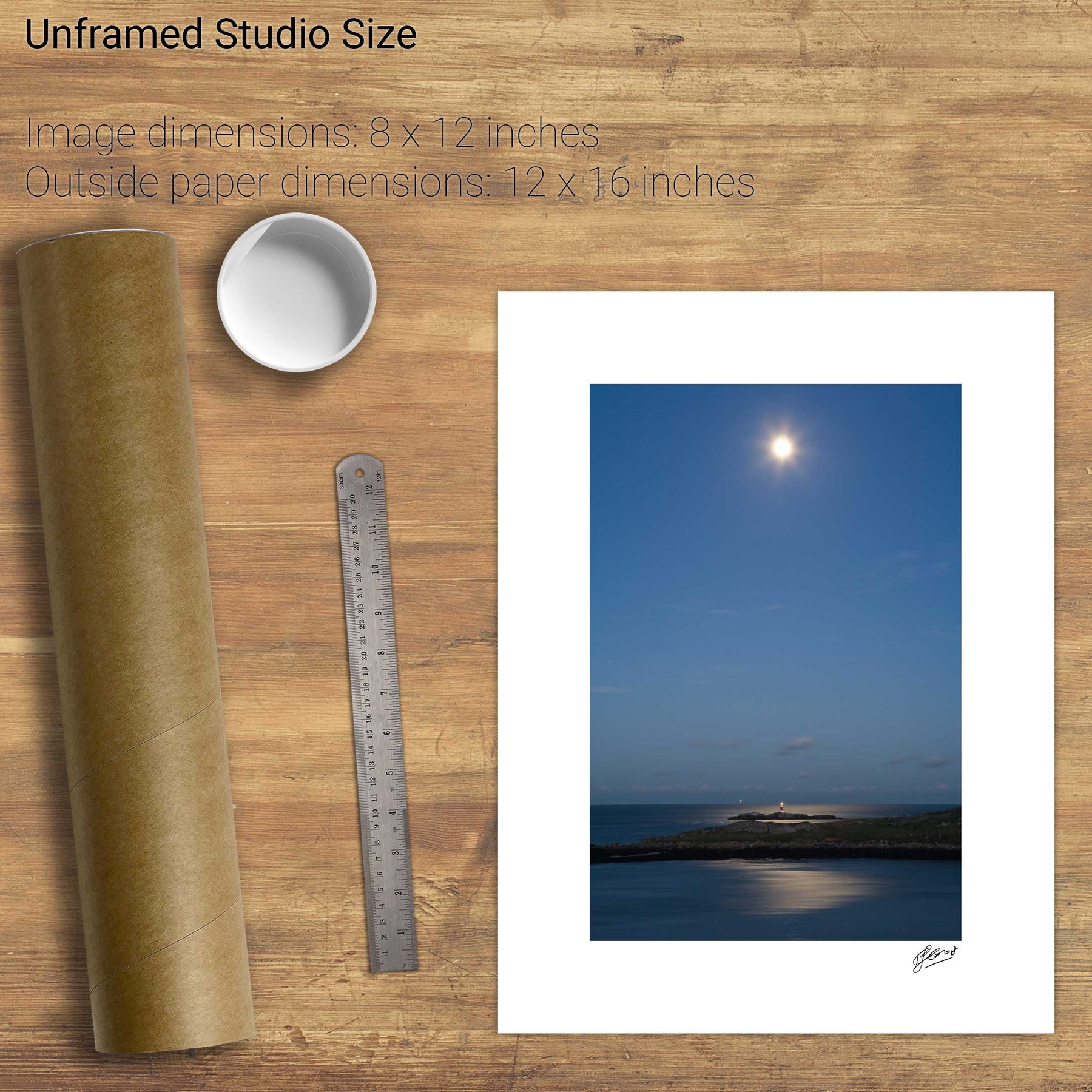
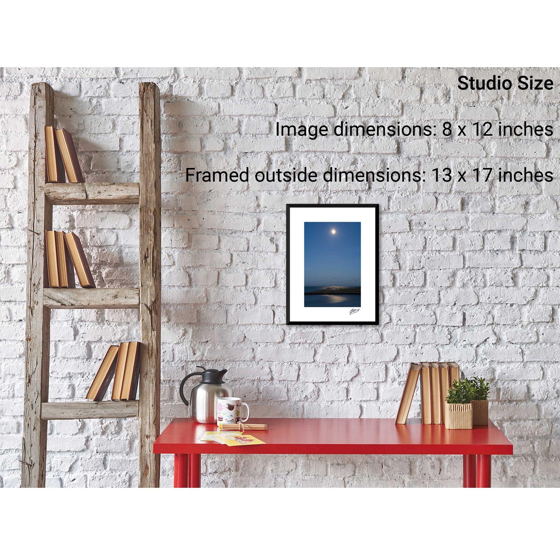
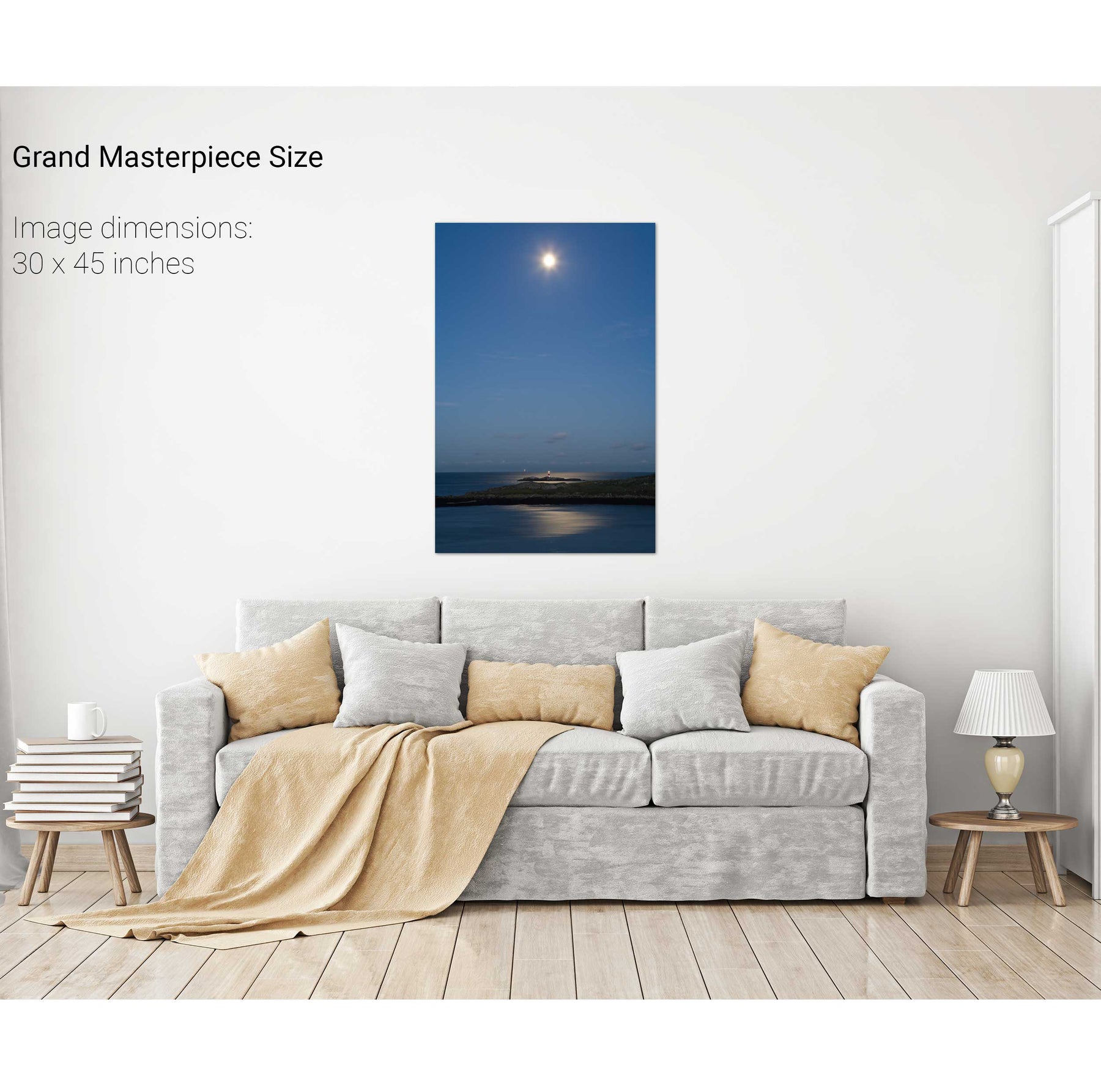
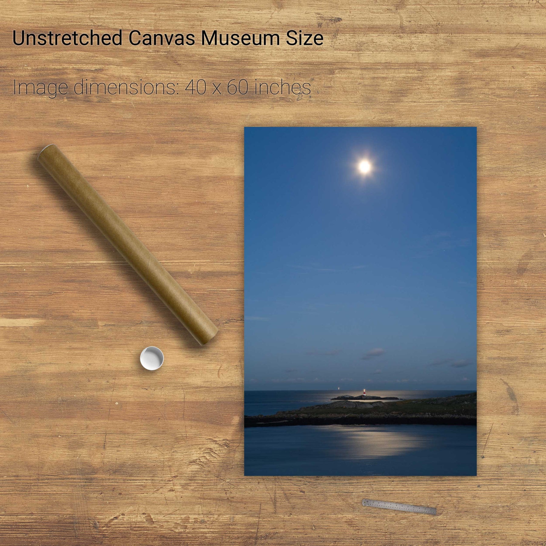
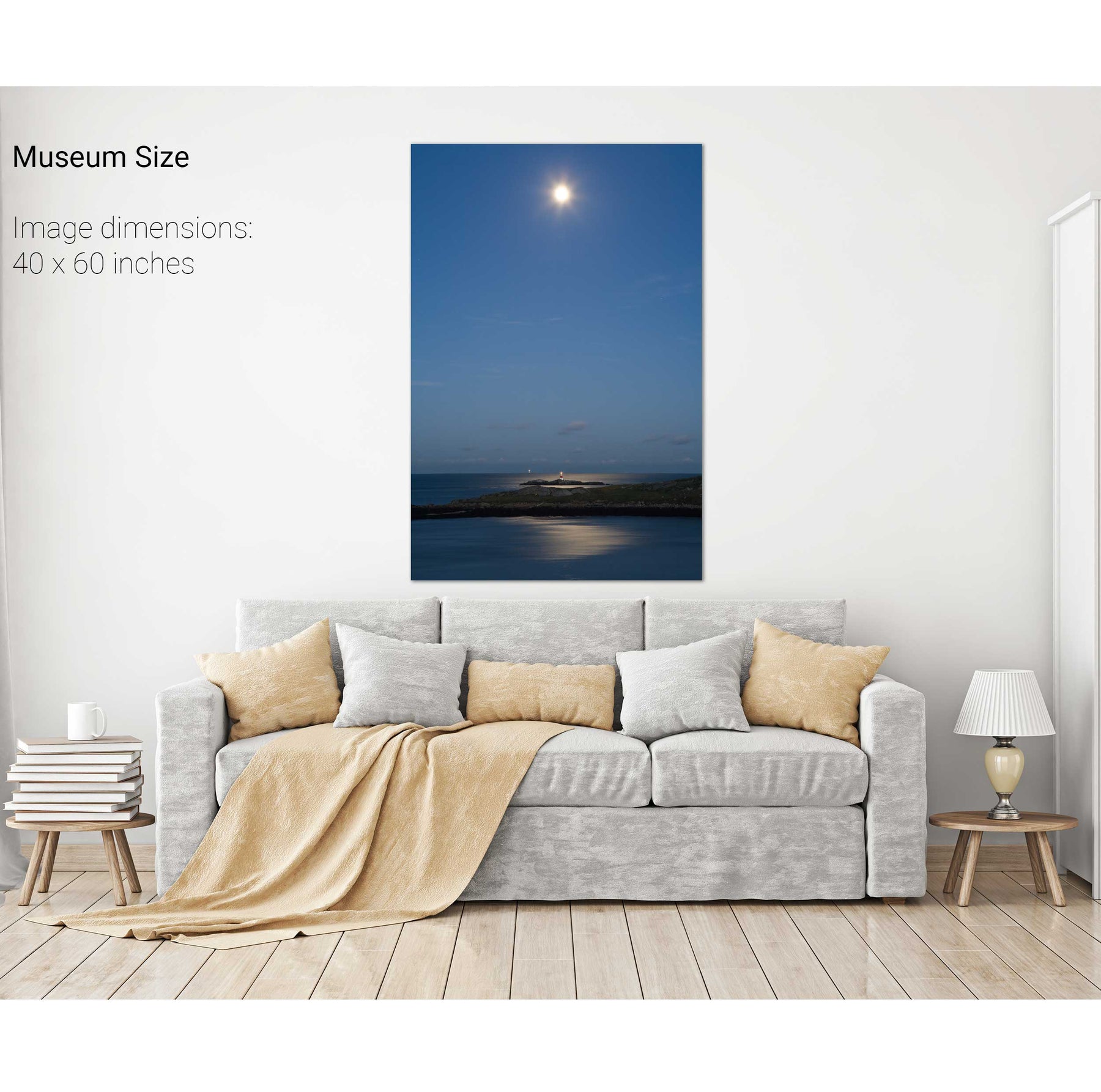
The Muglins by Moonlight II
Dursey Island, the Cow and the Calf, Co. Cork
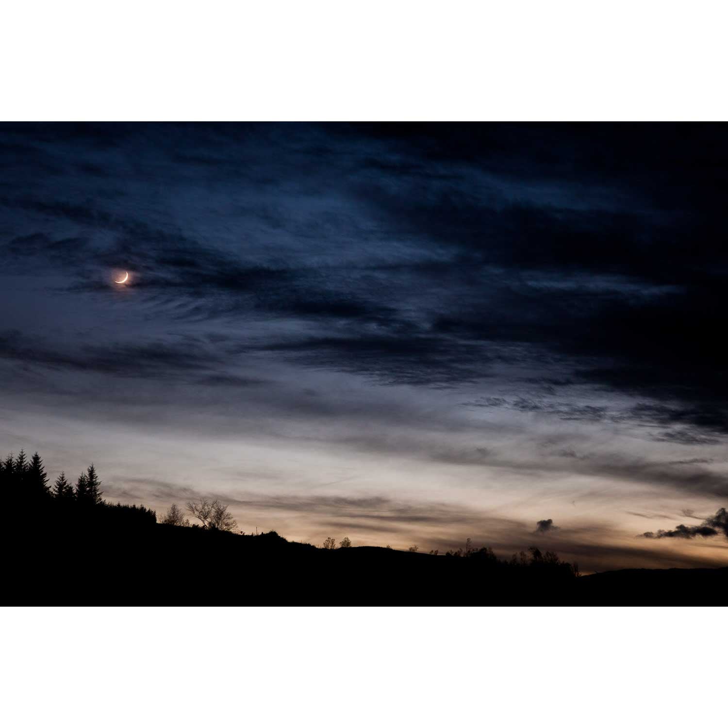
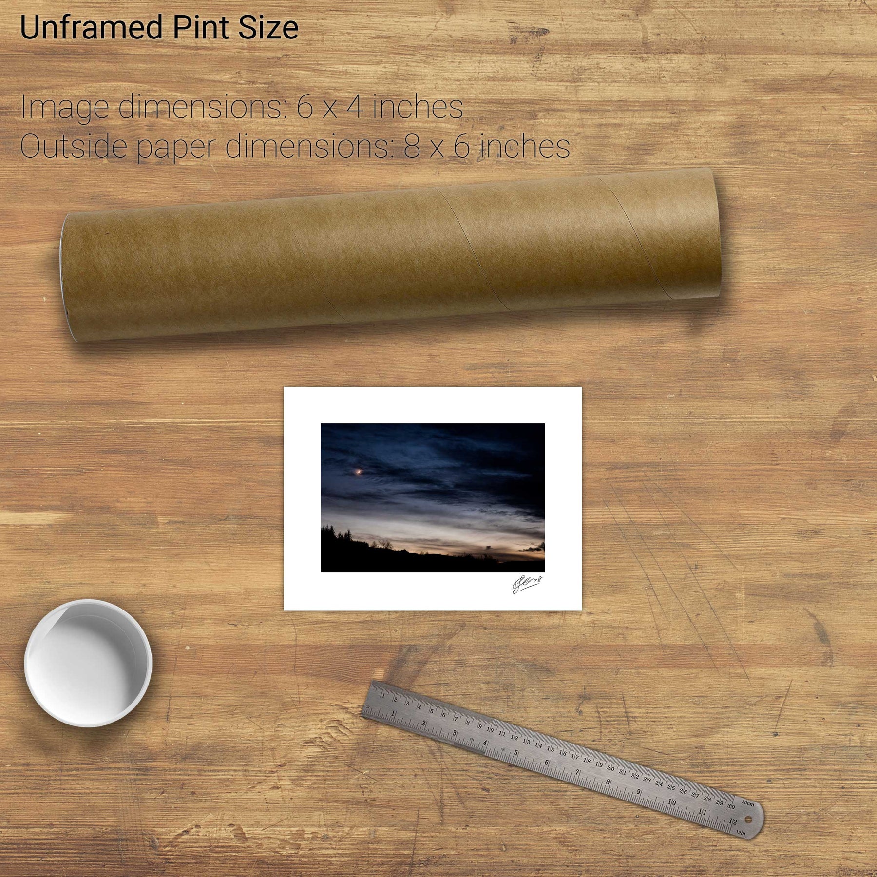
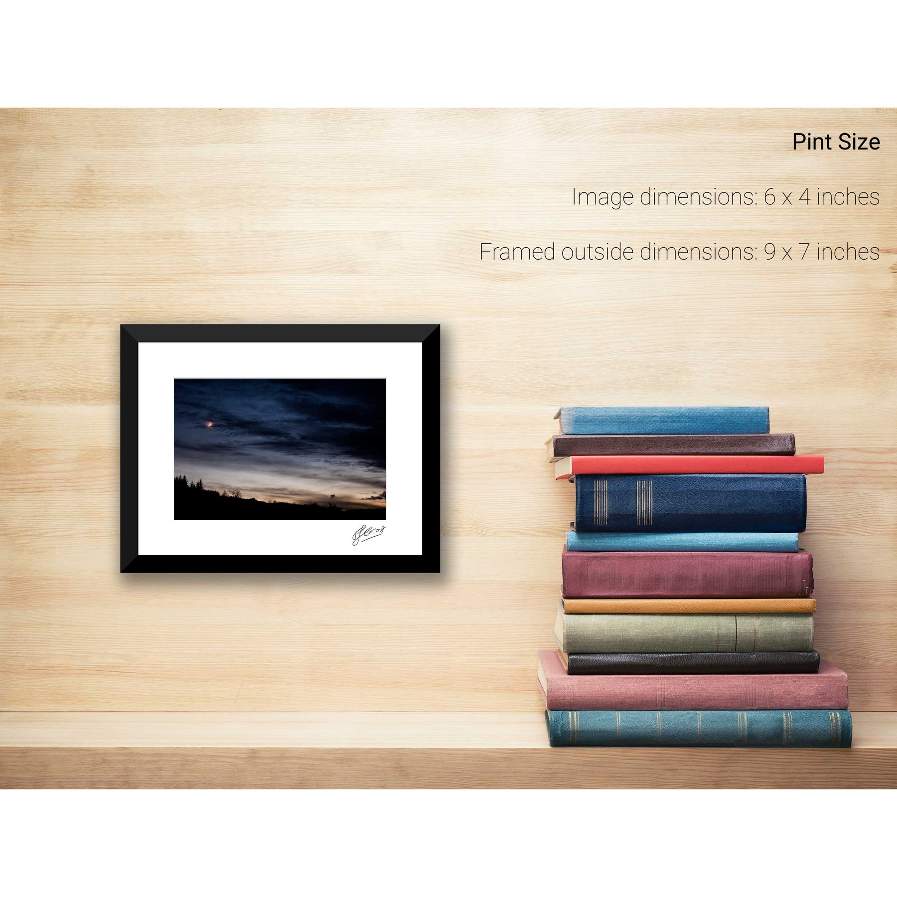
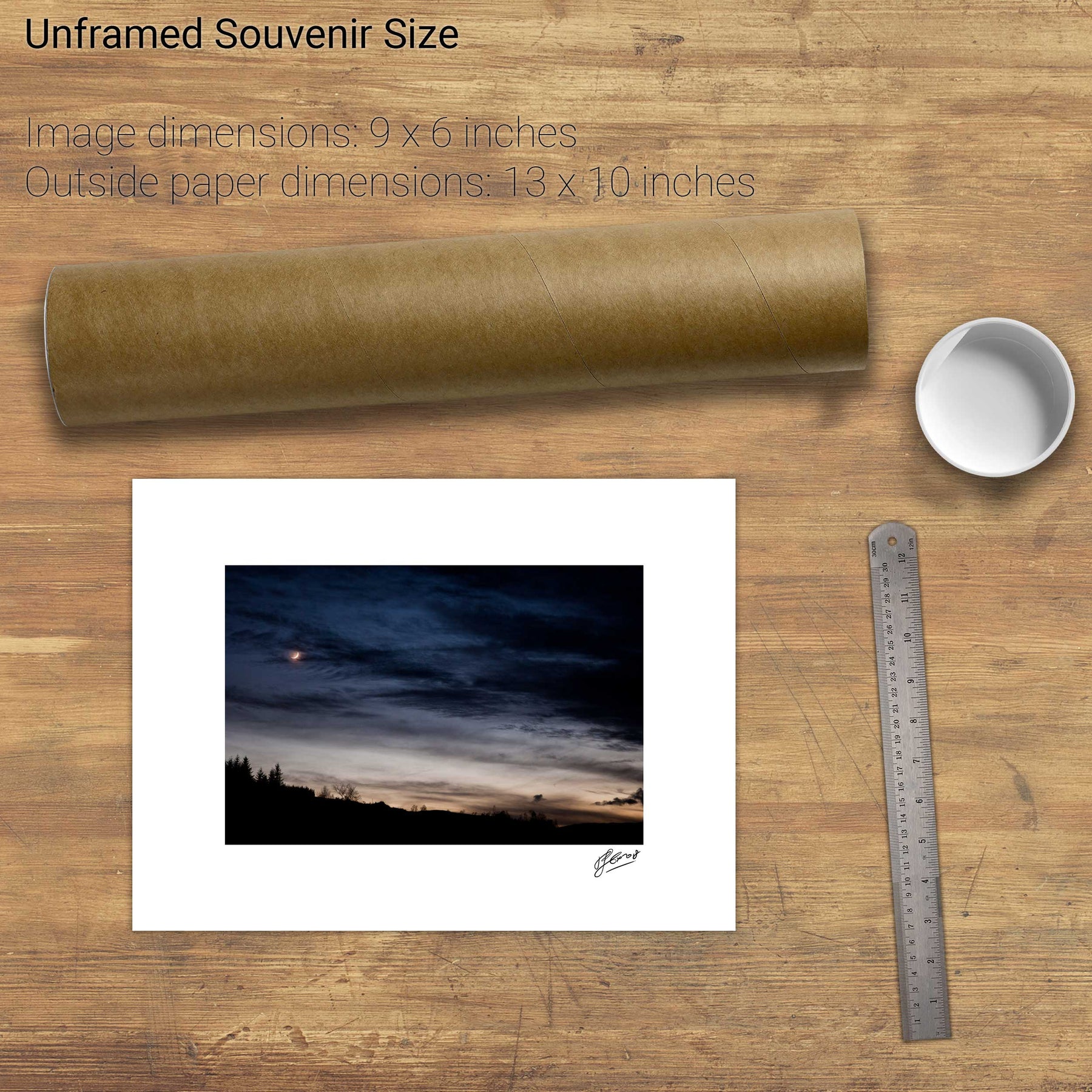
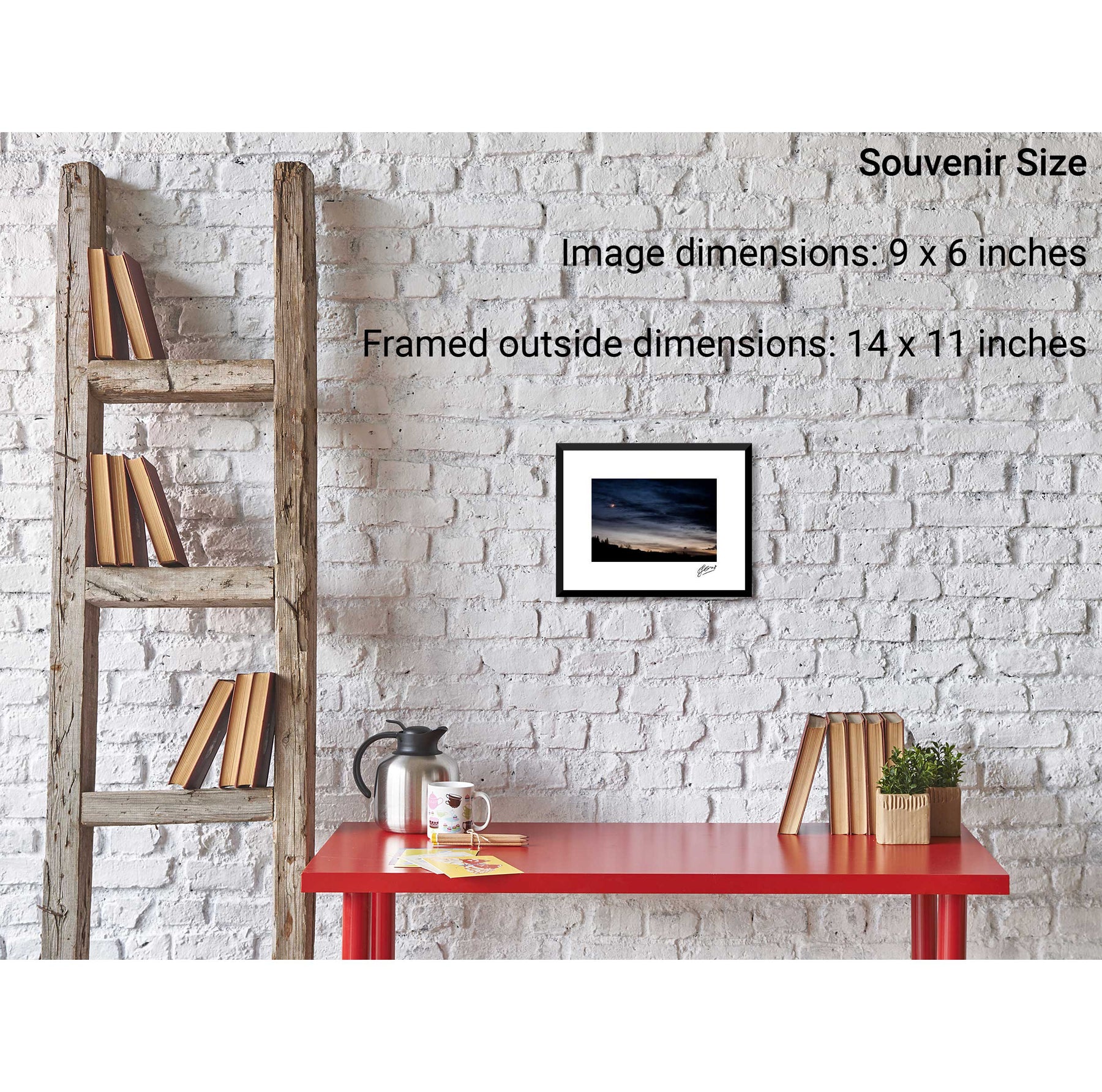
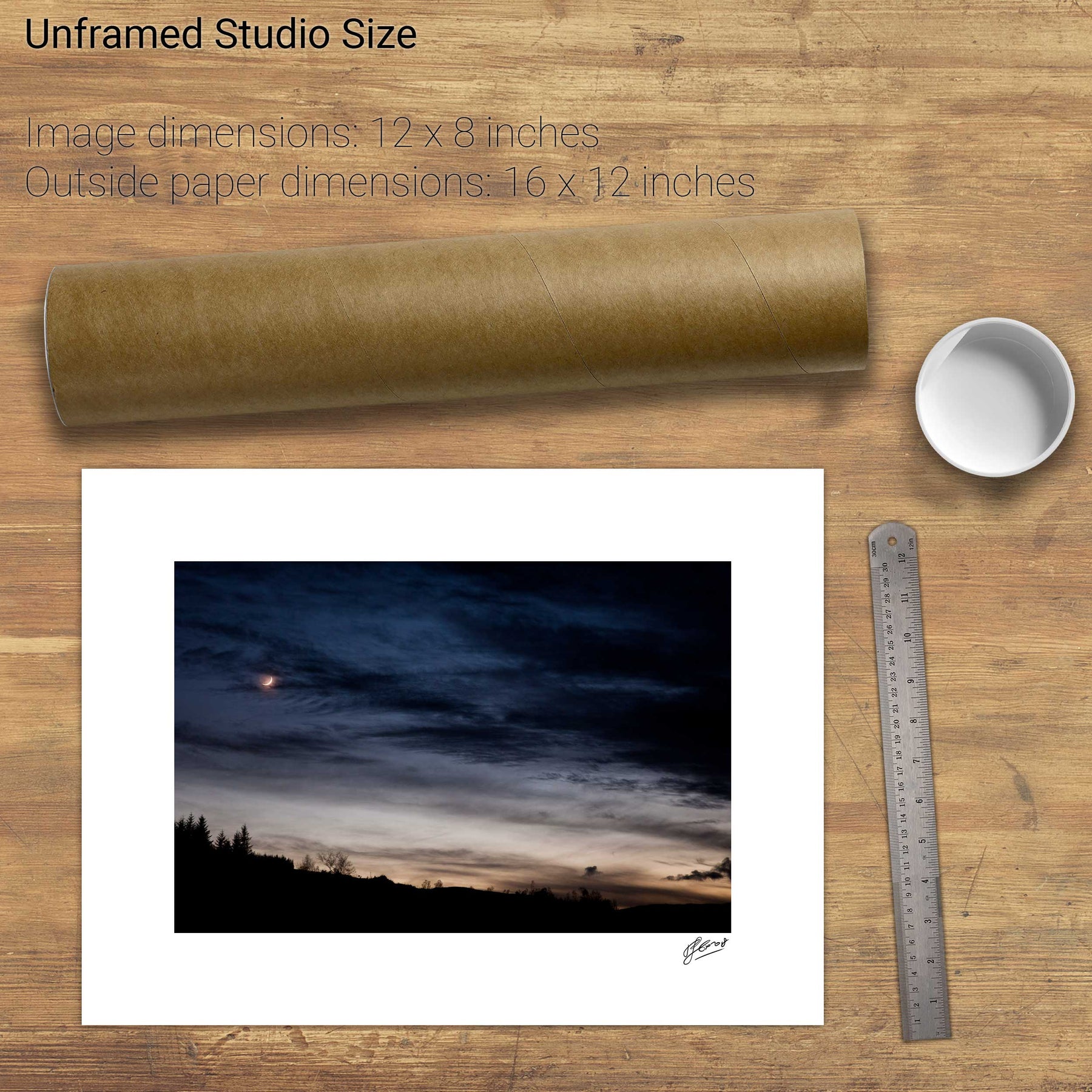
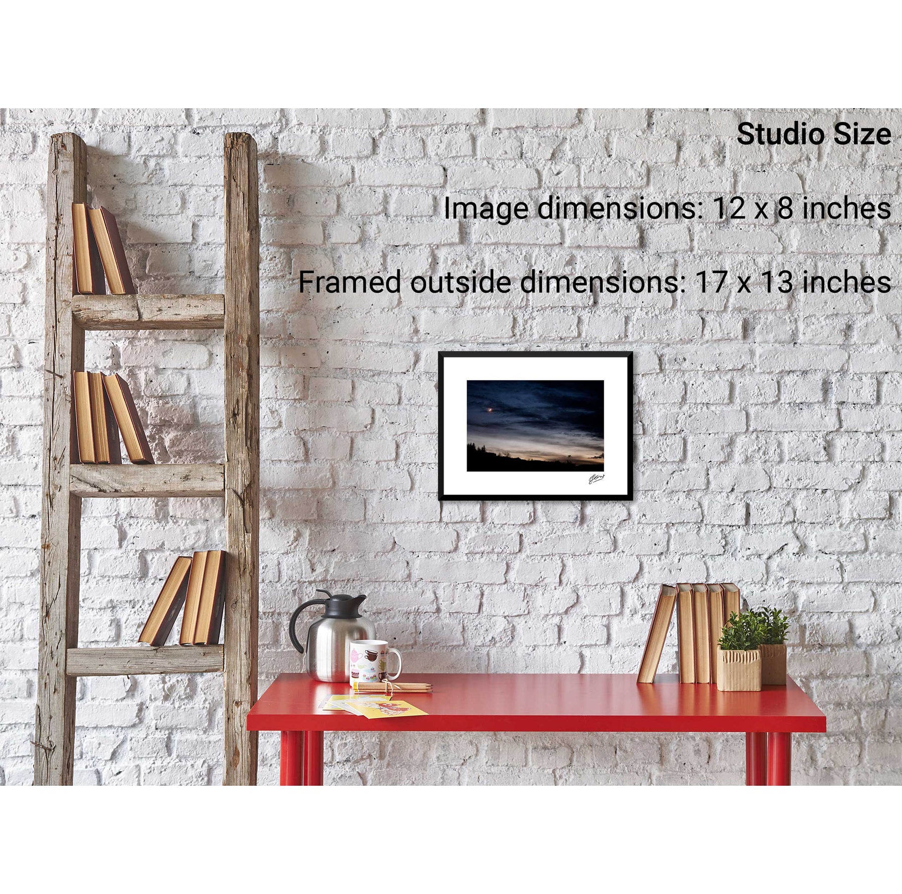
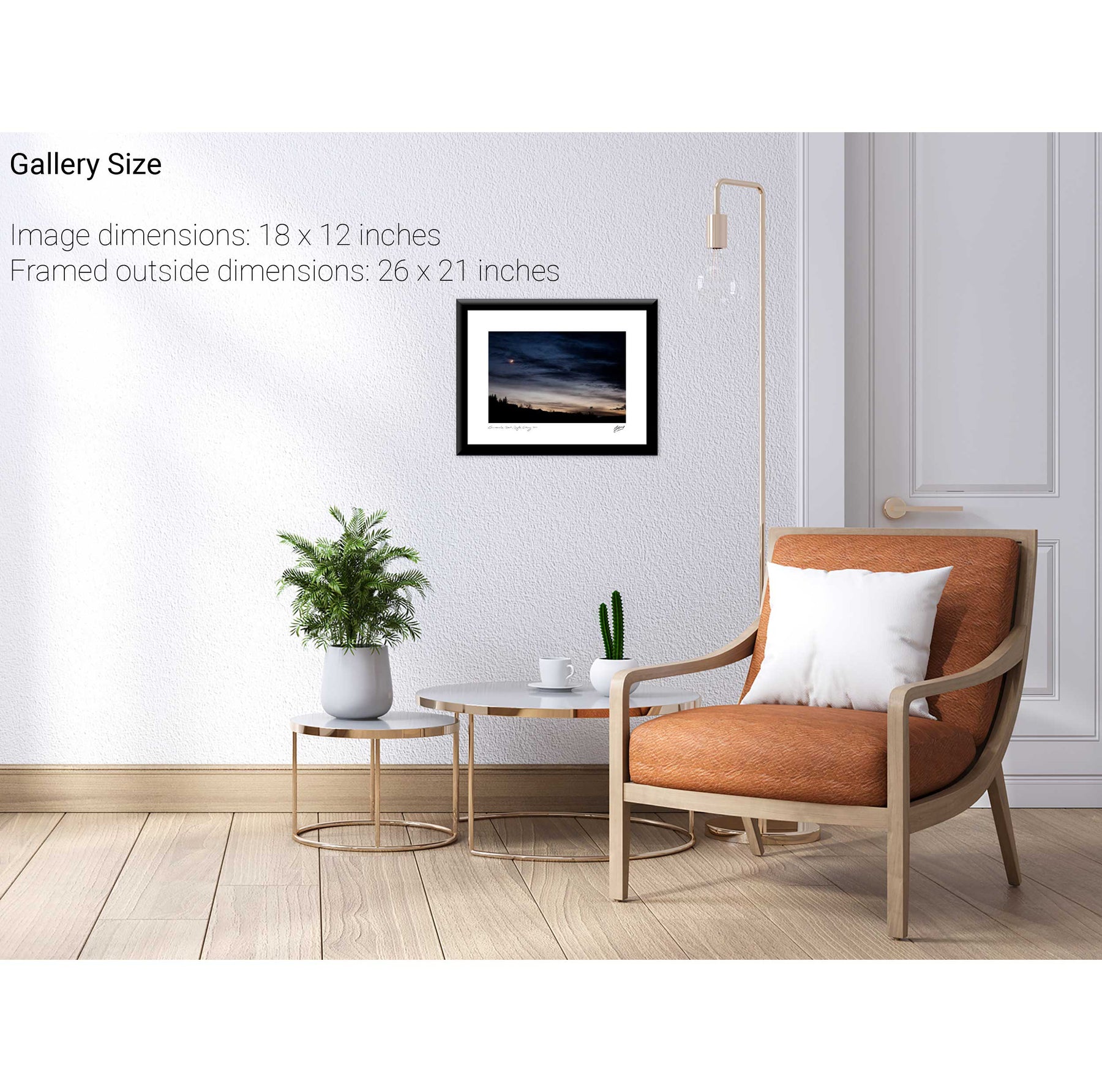
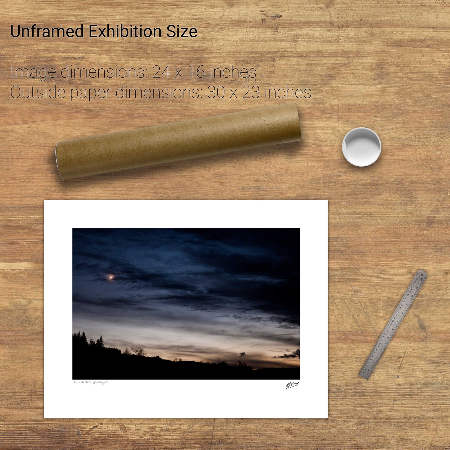
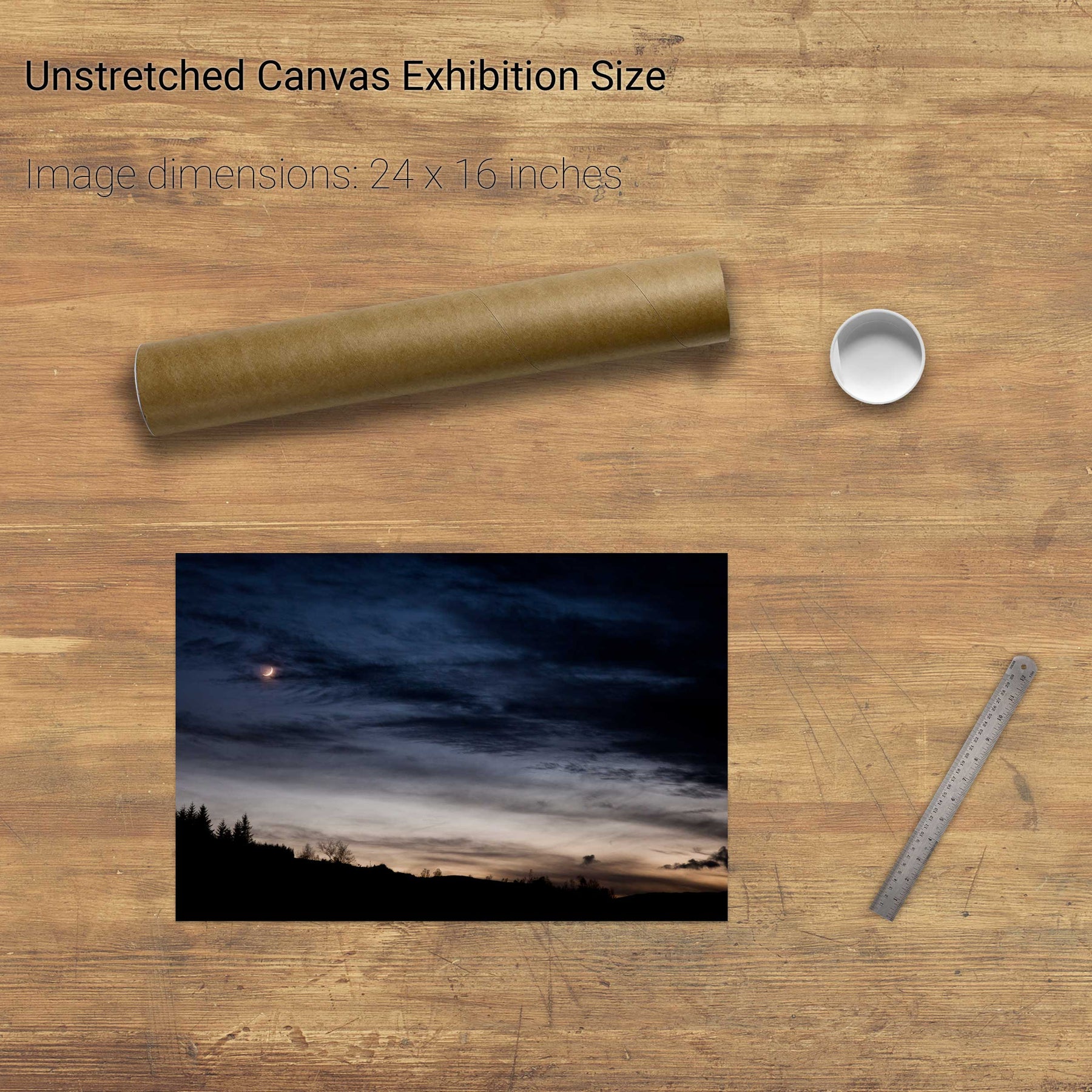
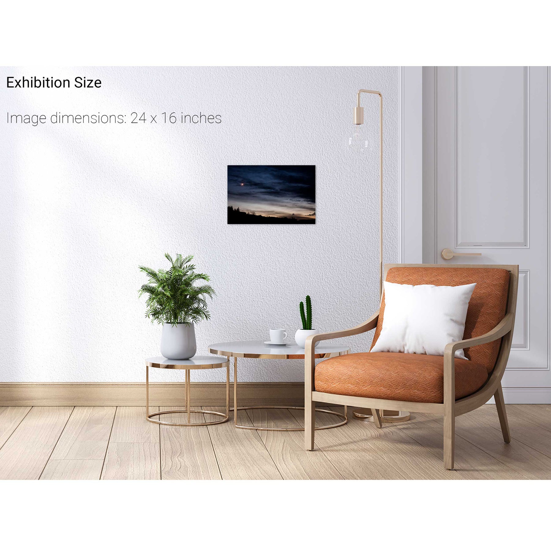
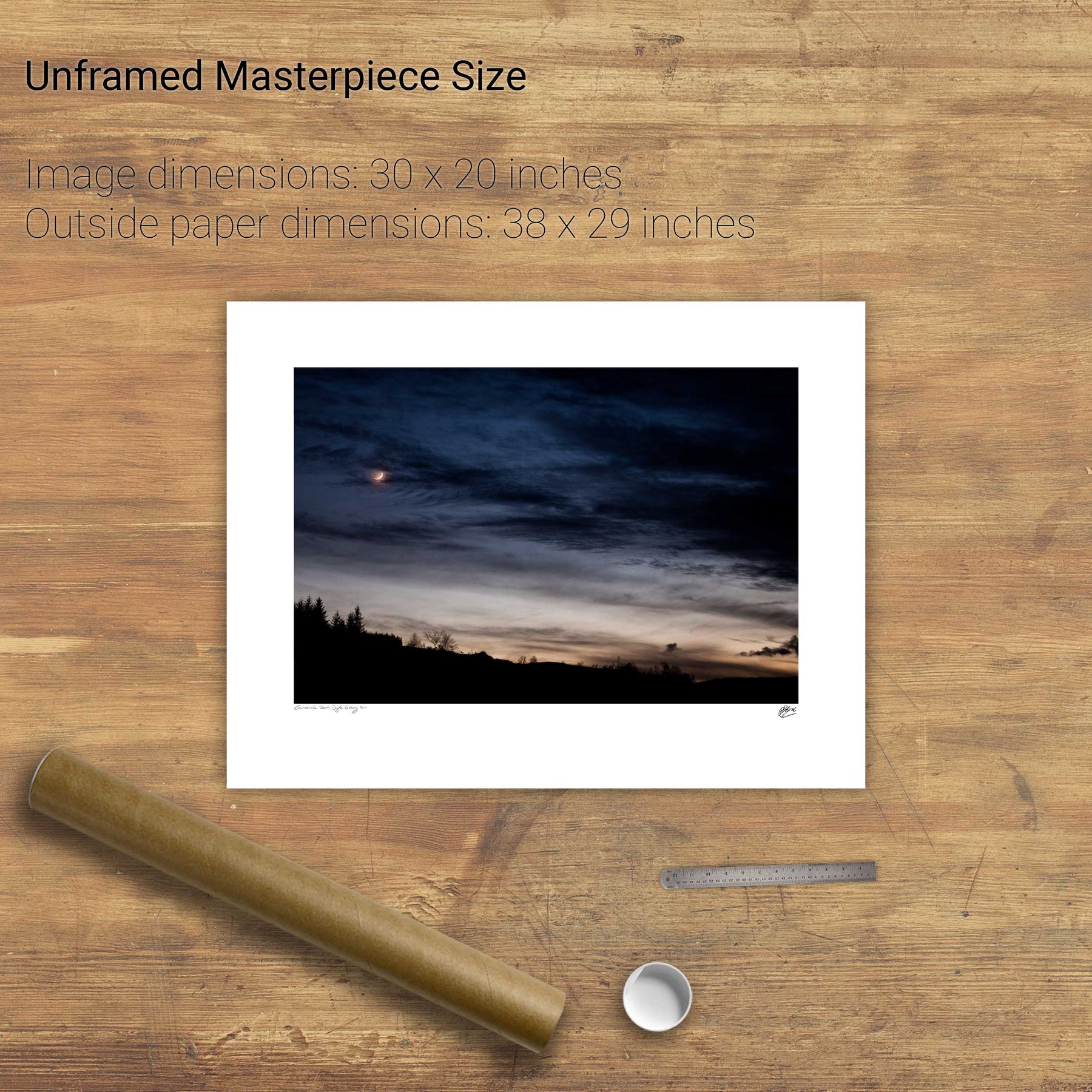
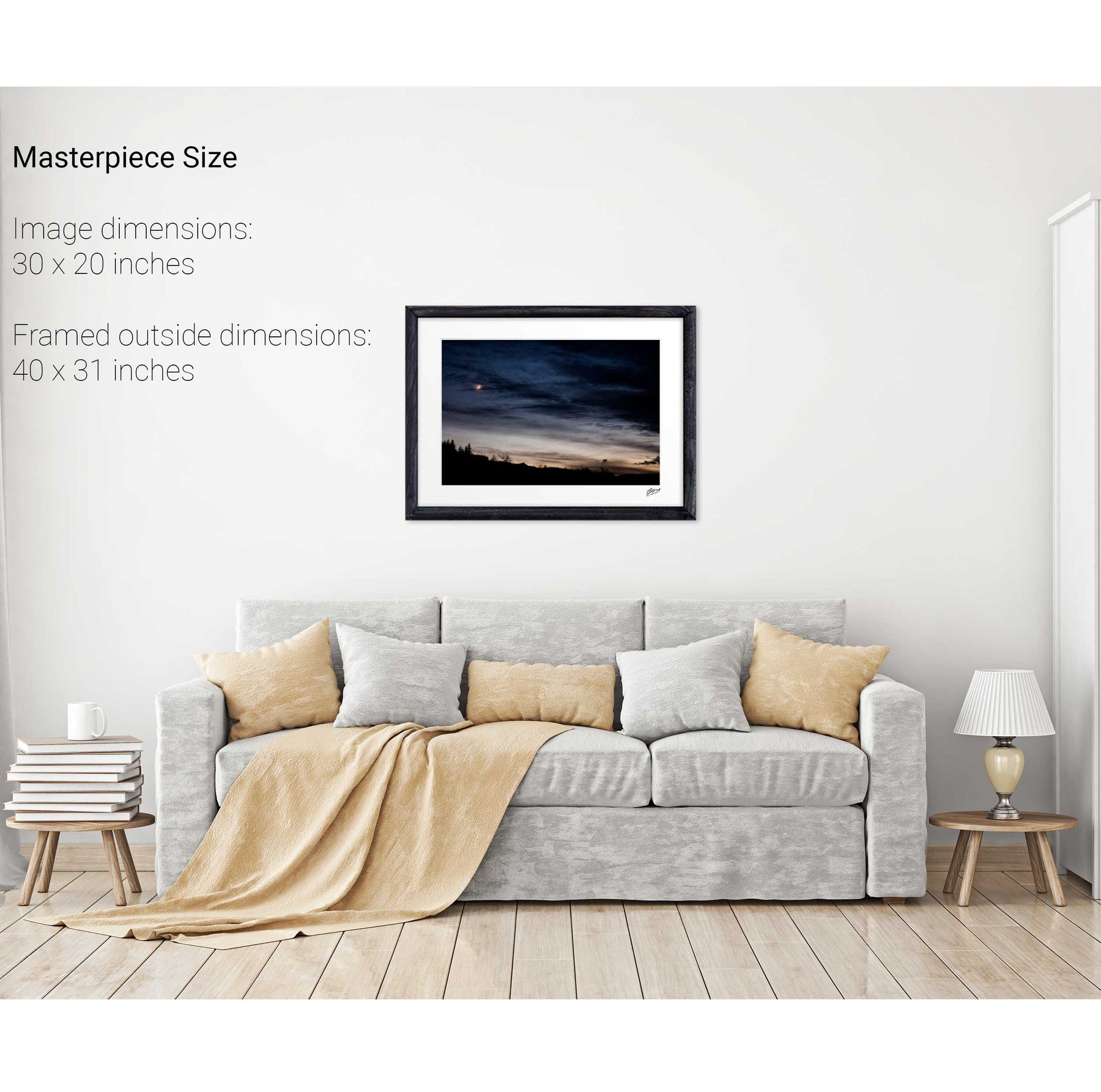
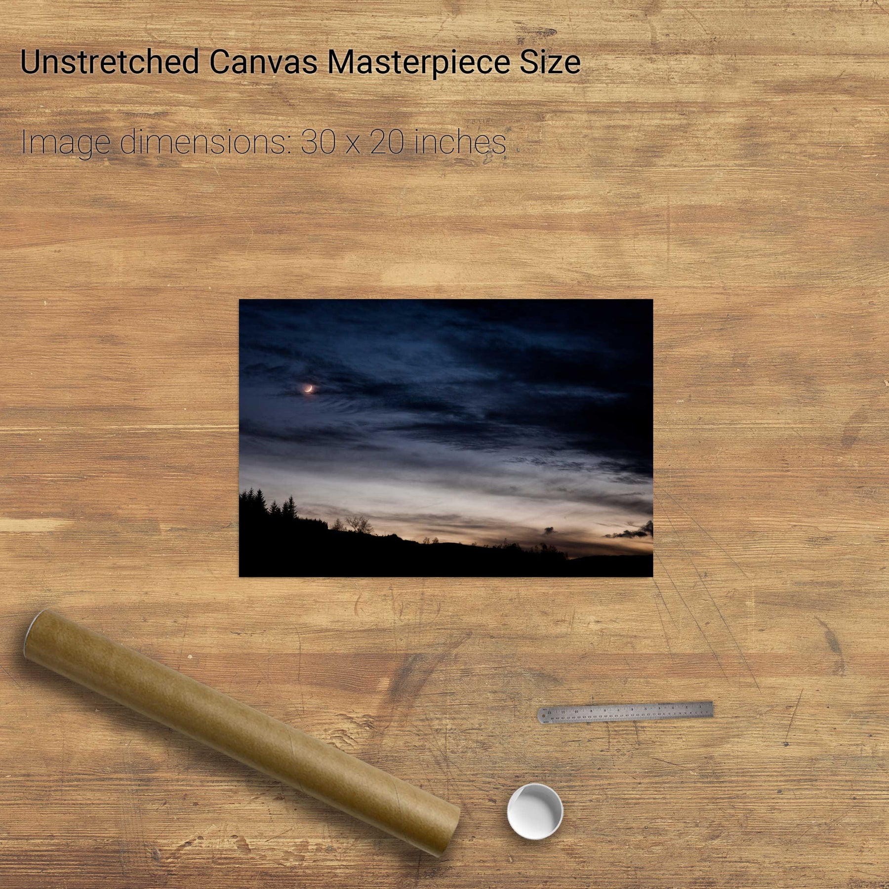
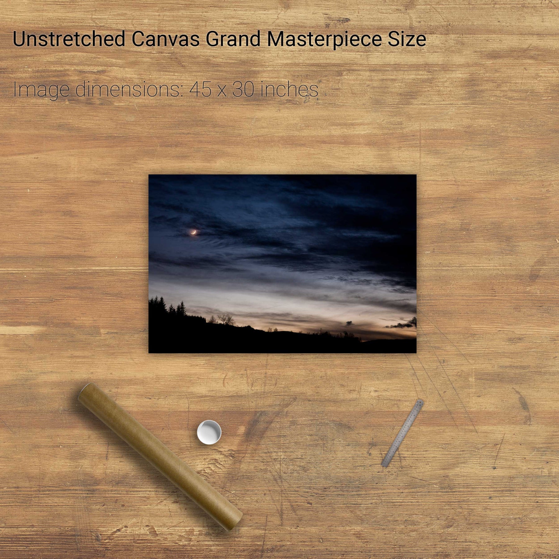
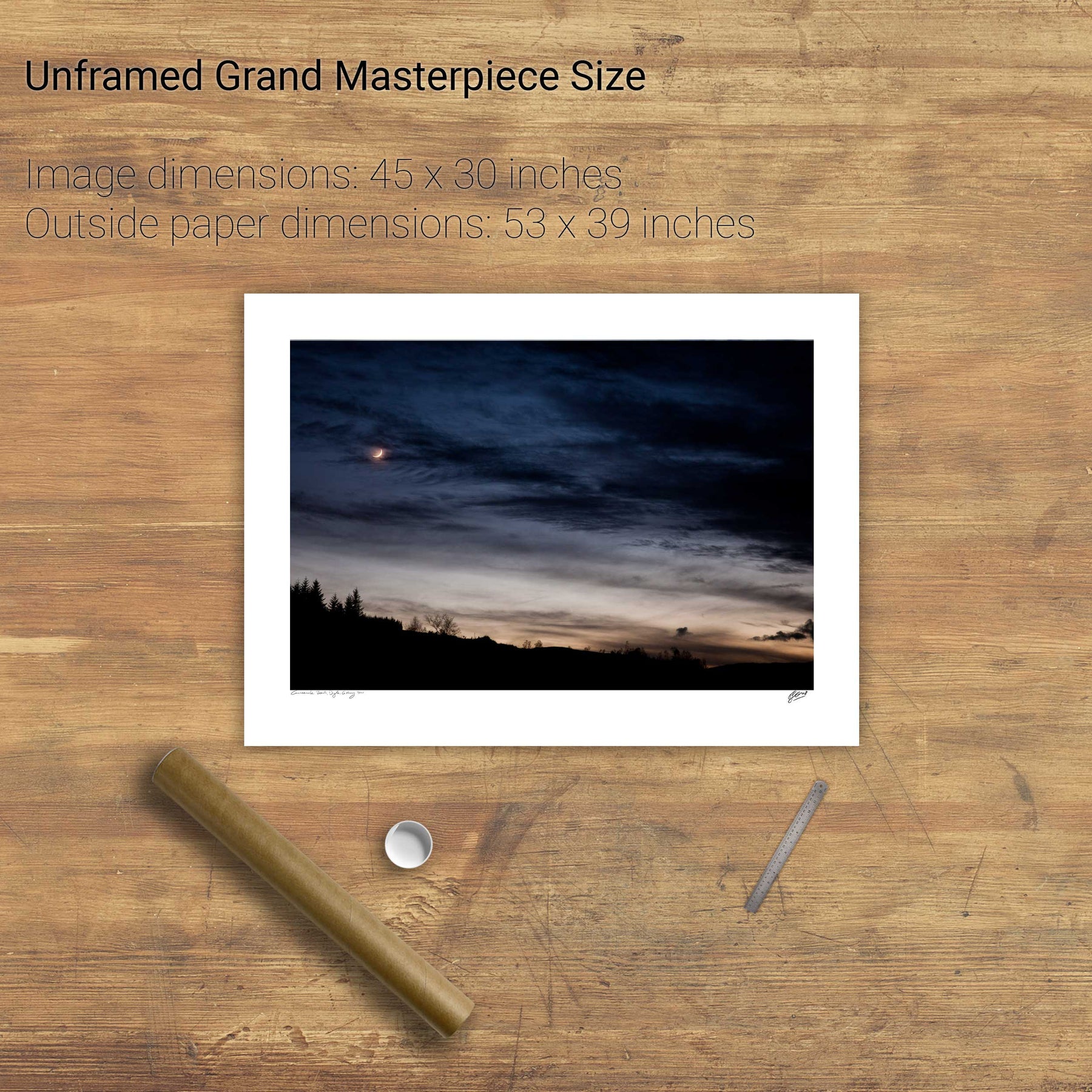
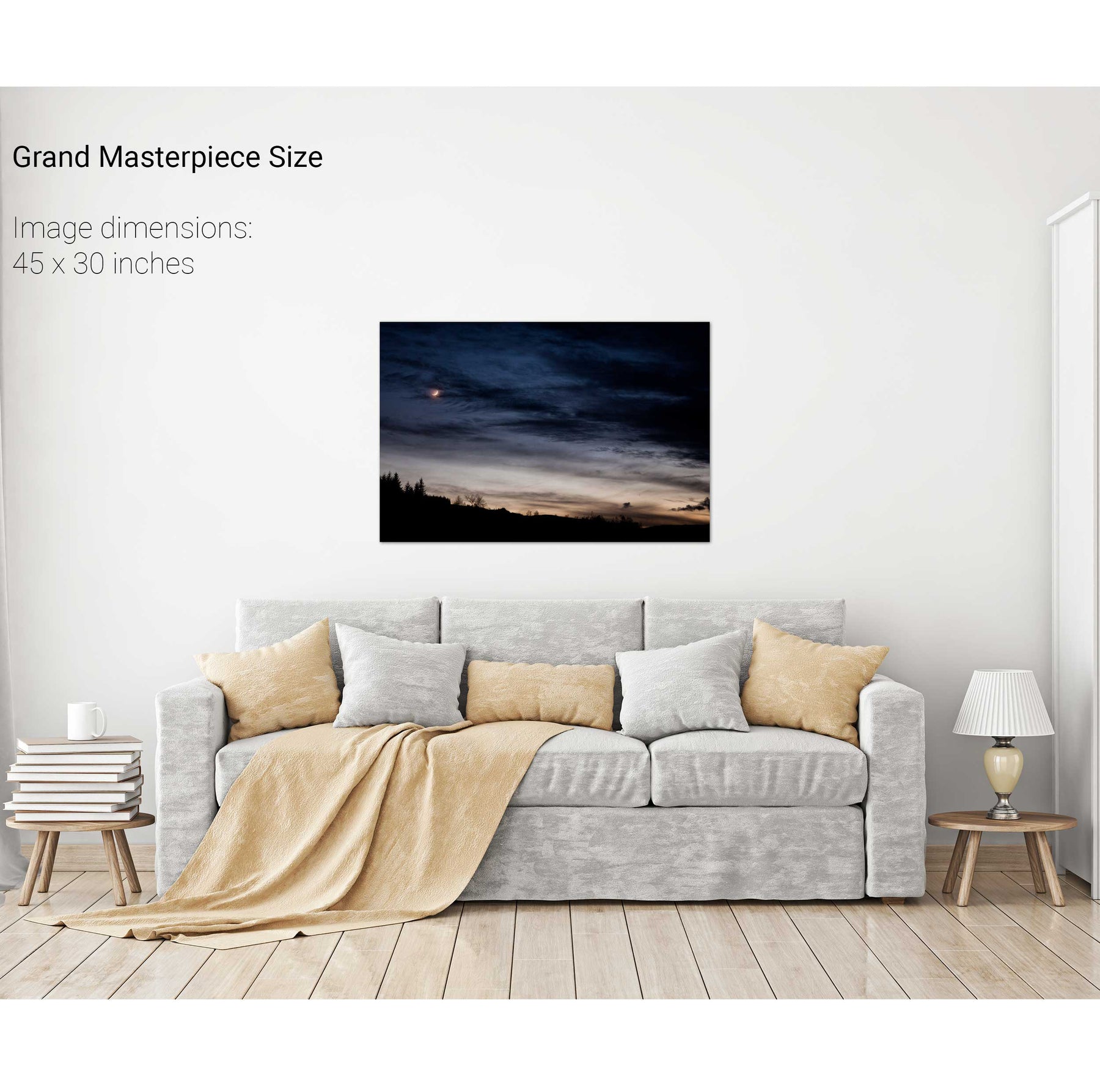
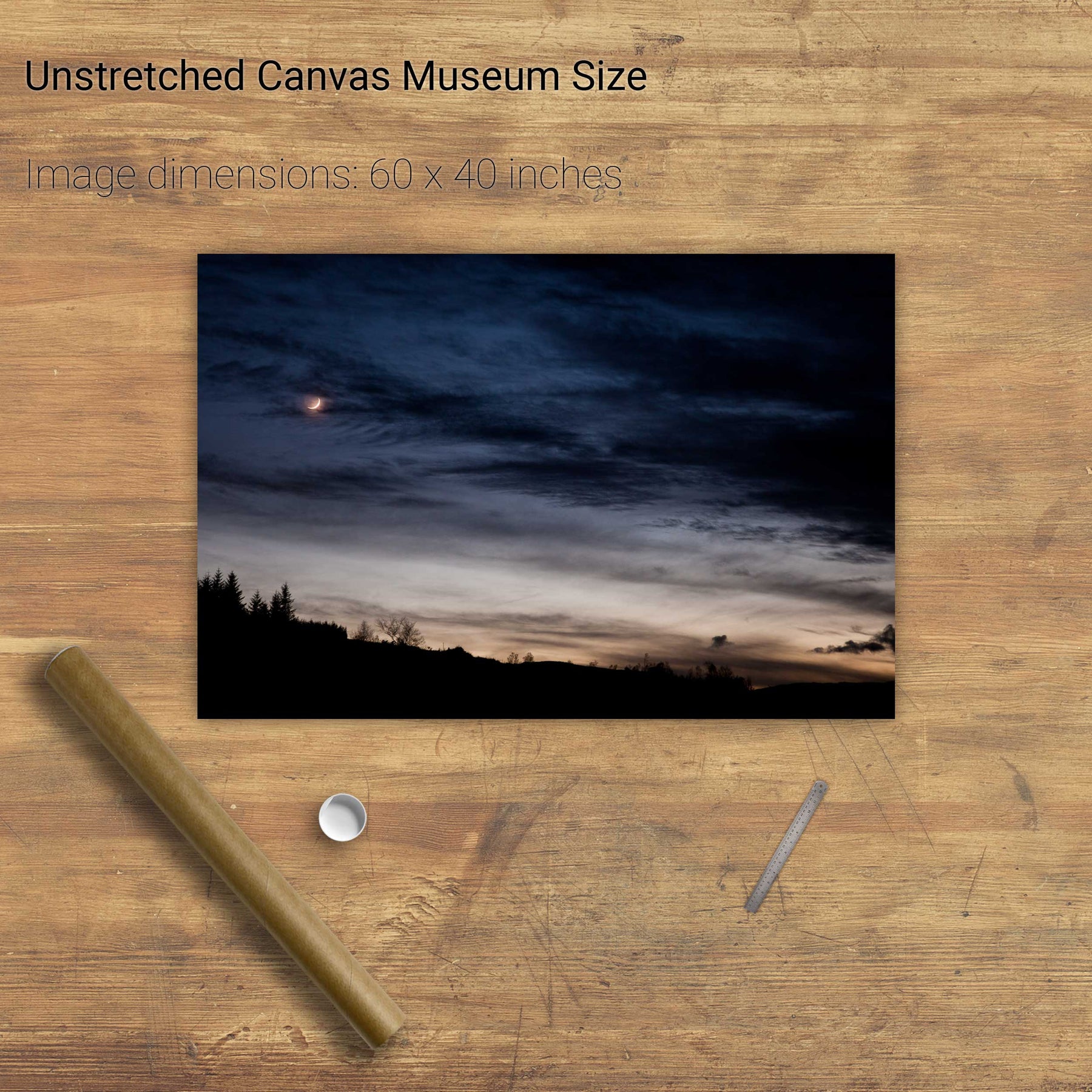
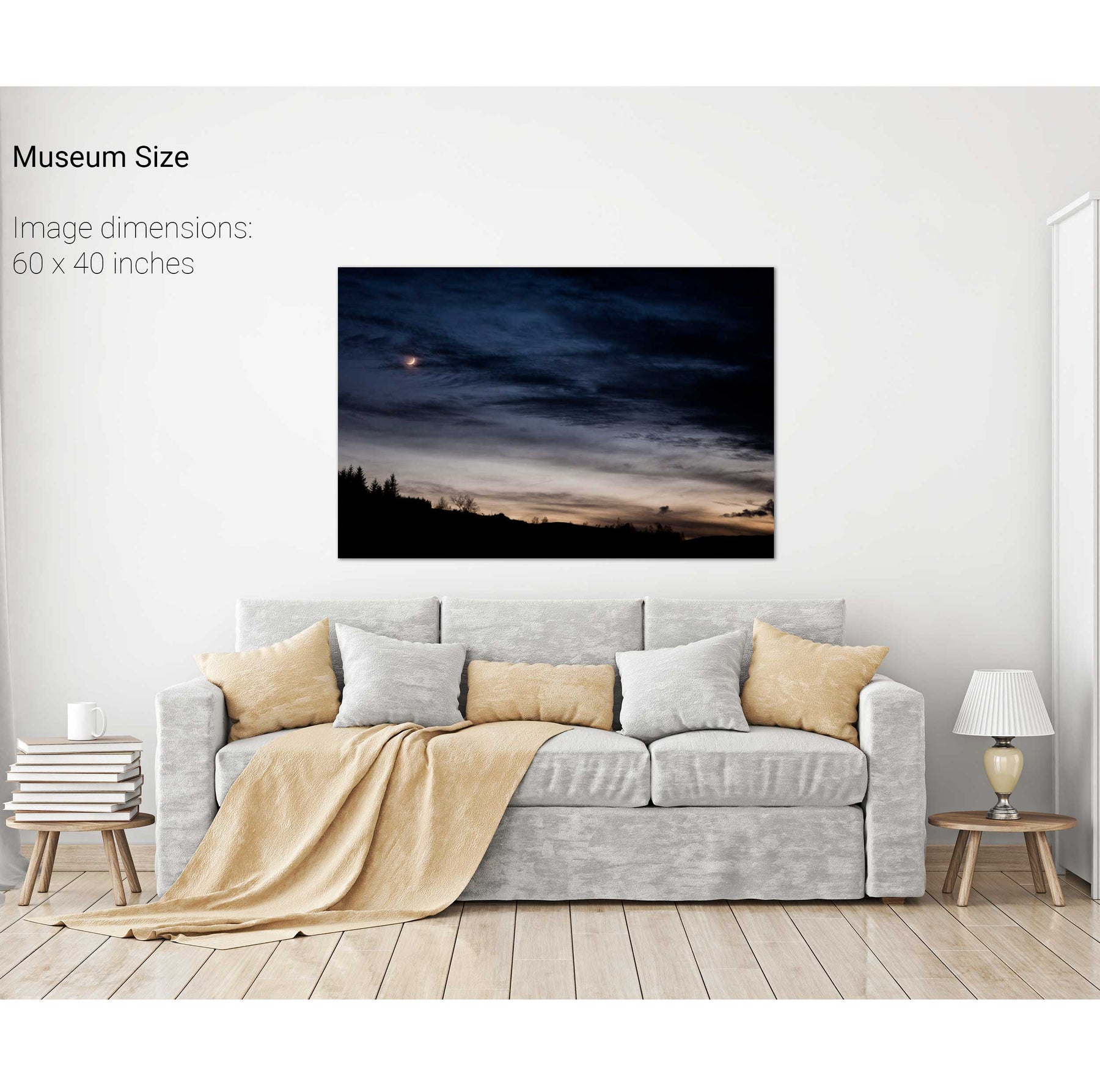
Crescent Moon, Ballingeary, Co. Cork
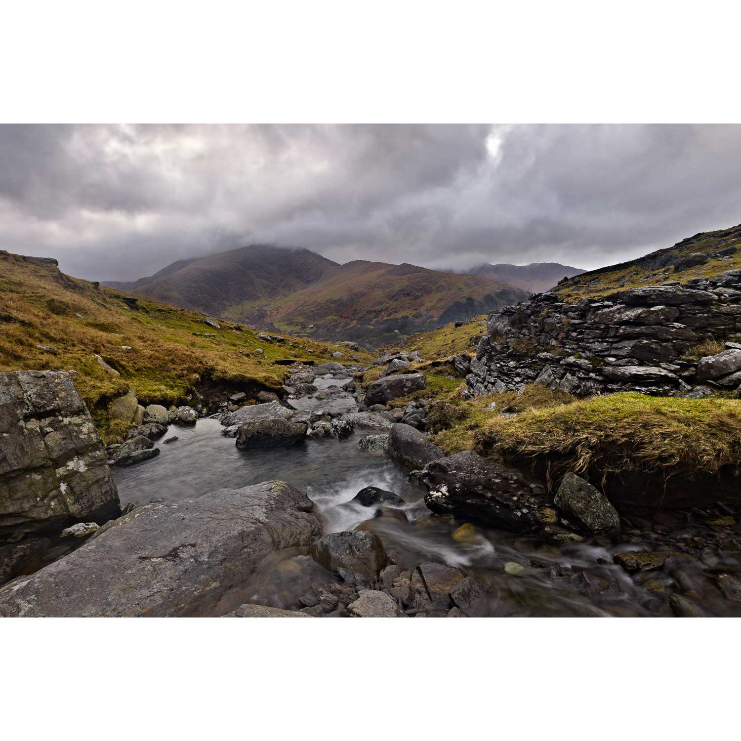
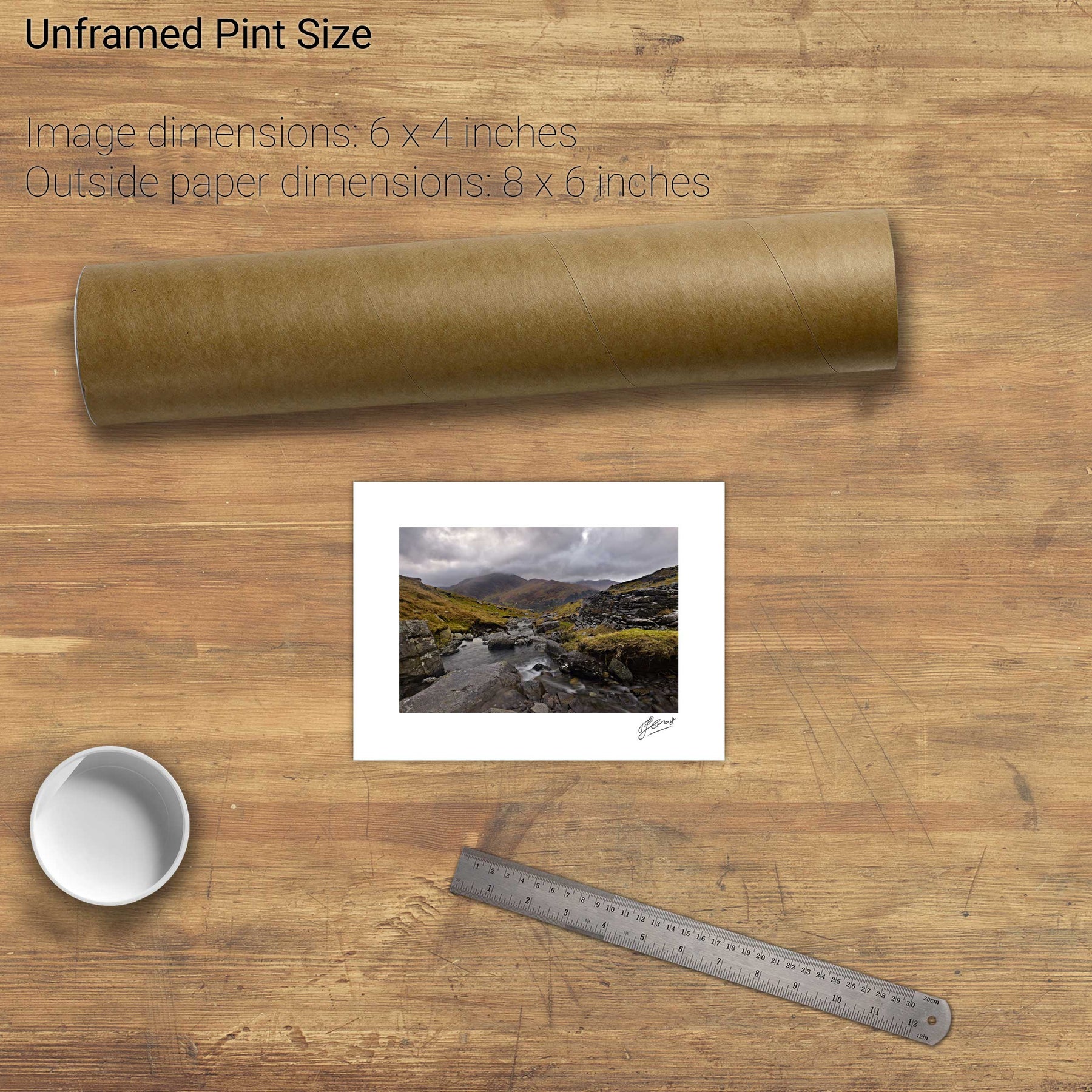
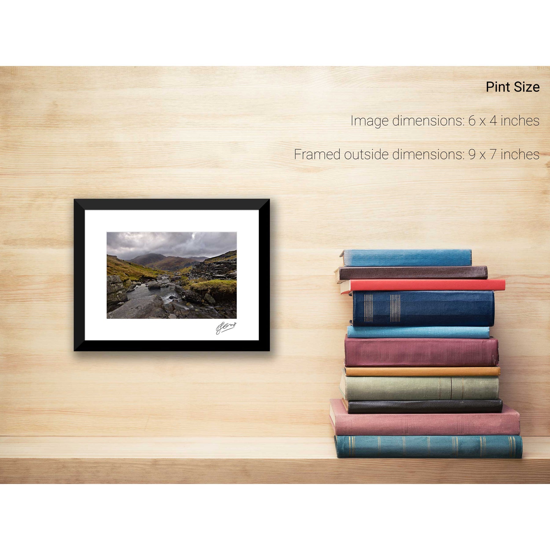
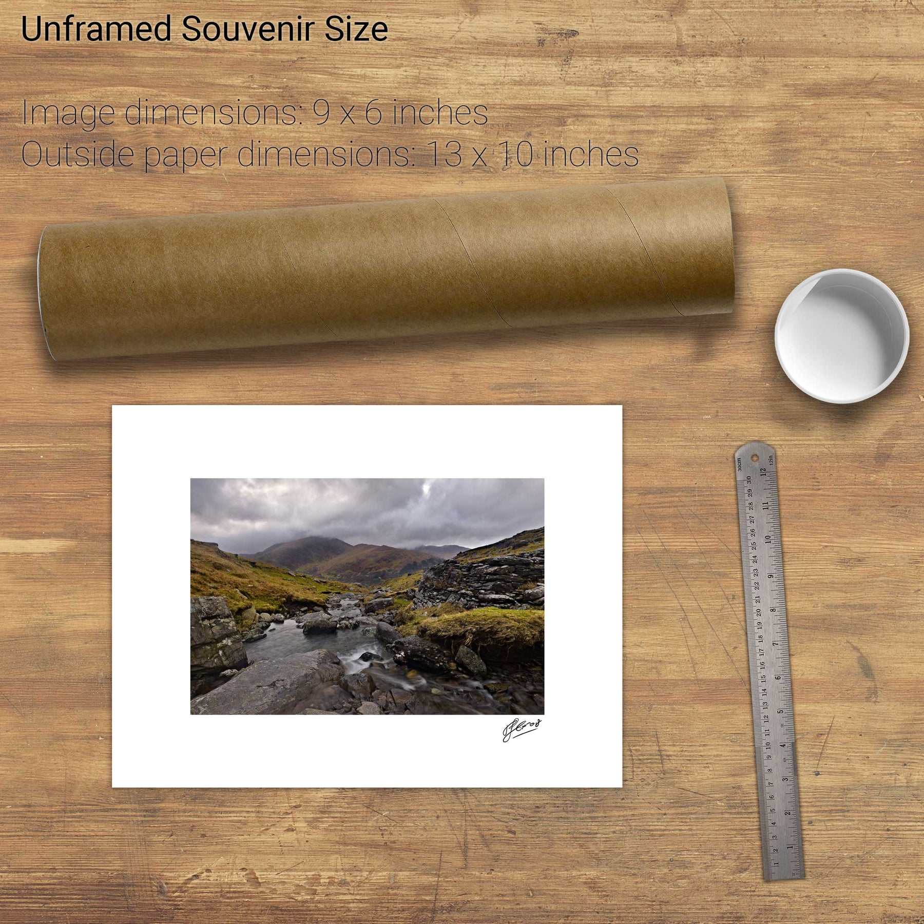
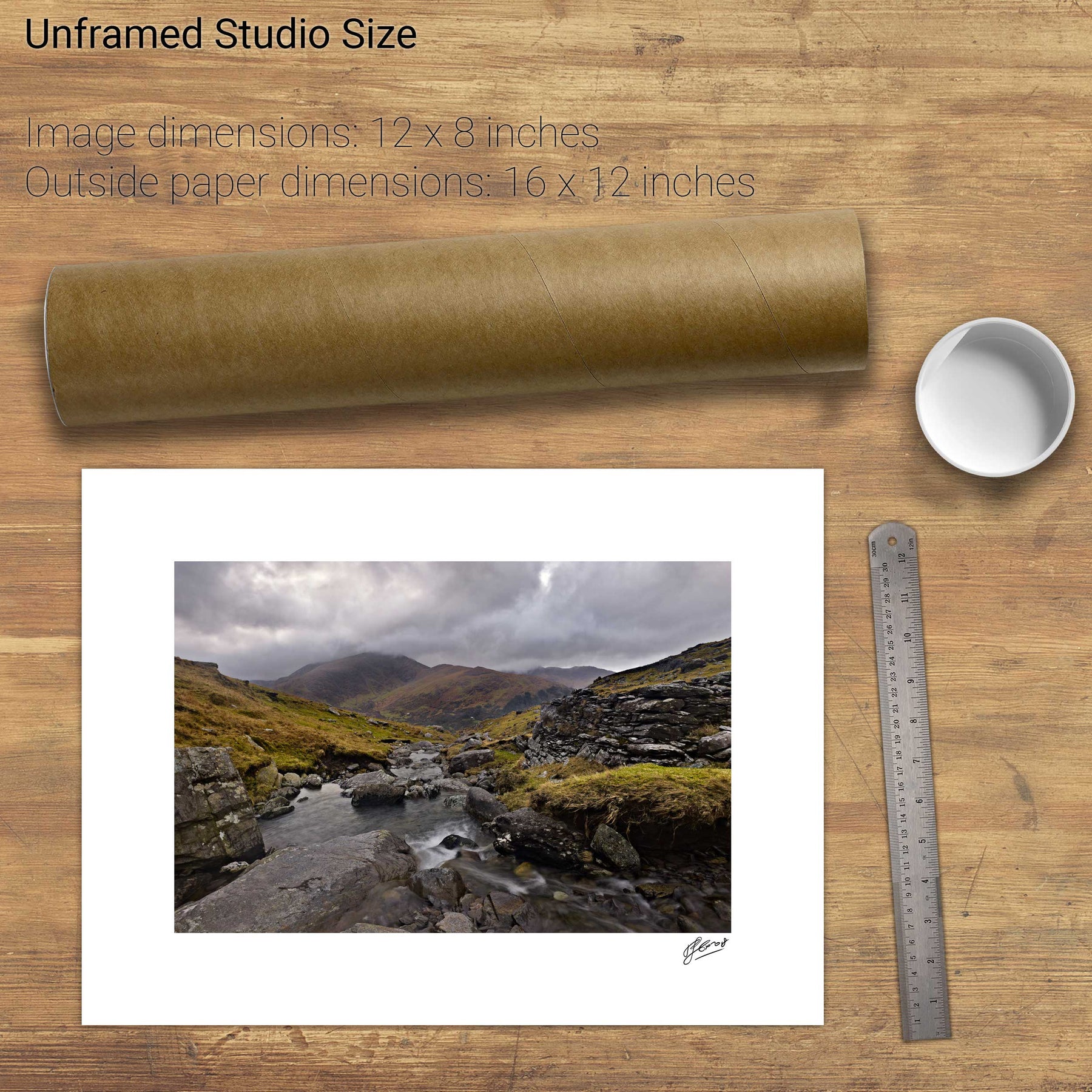
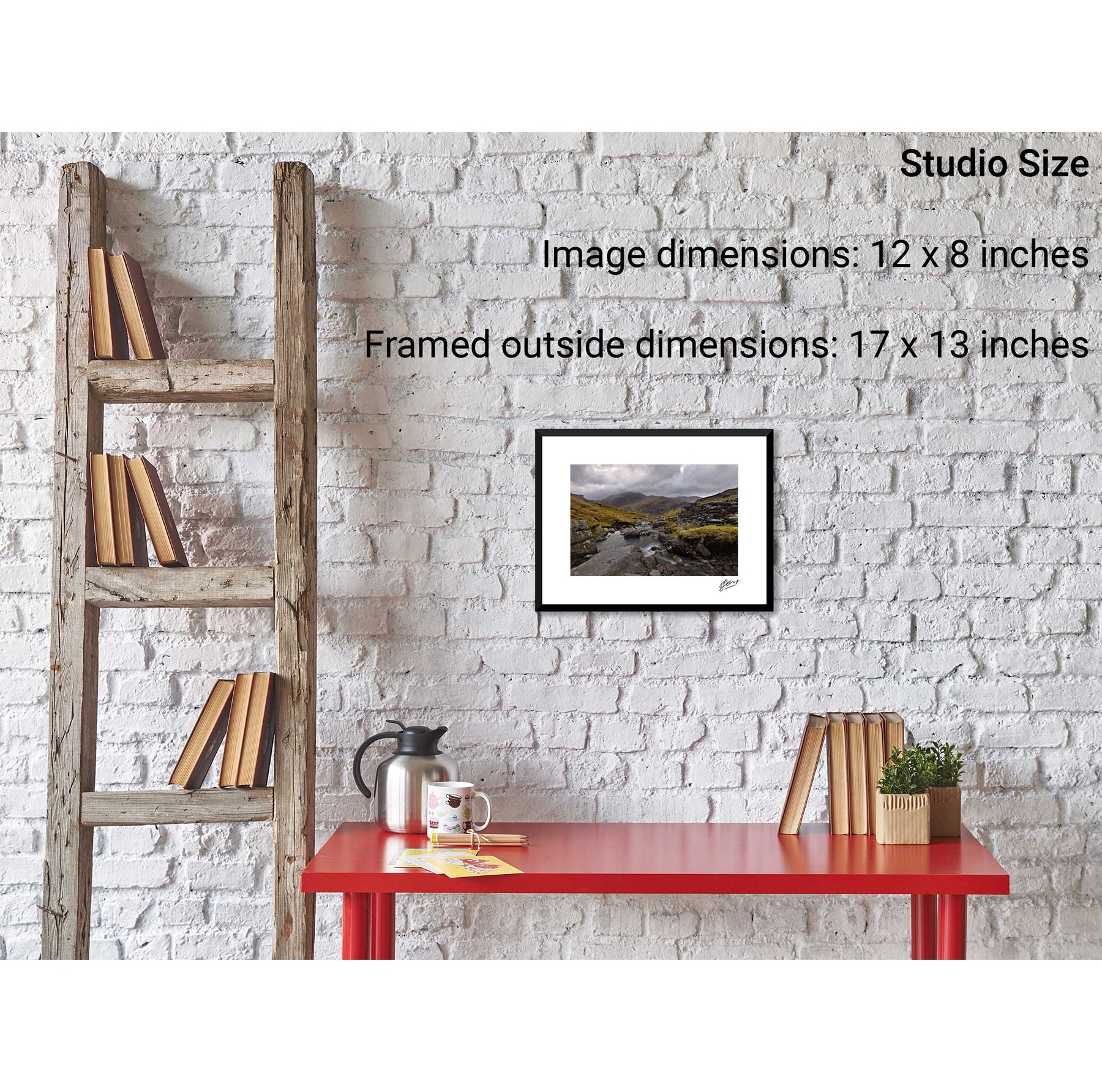
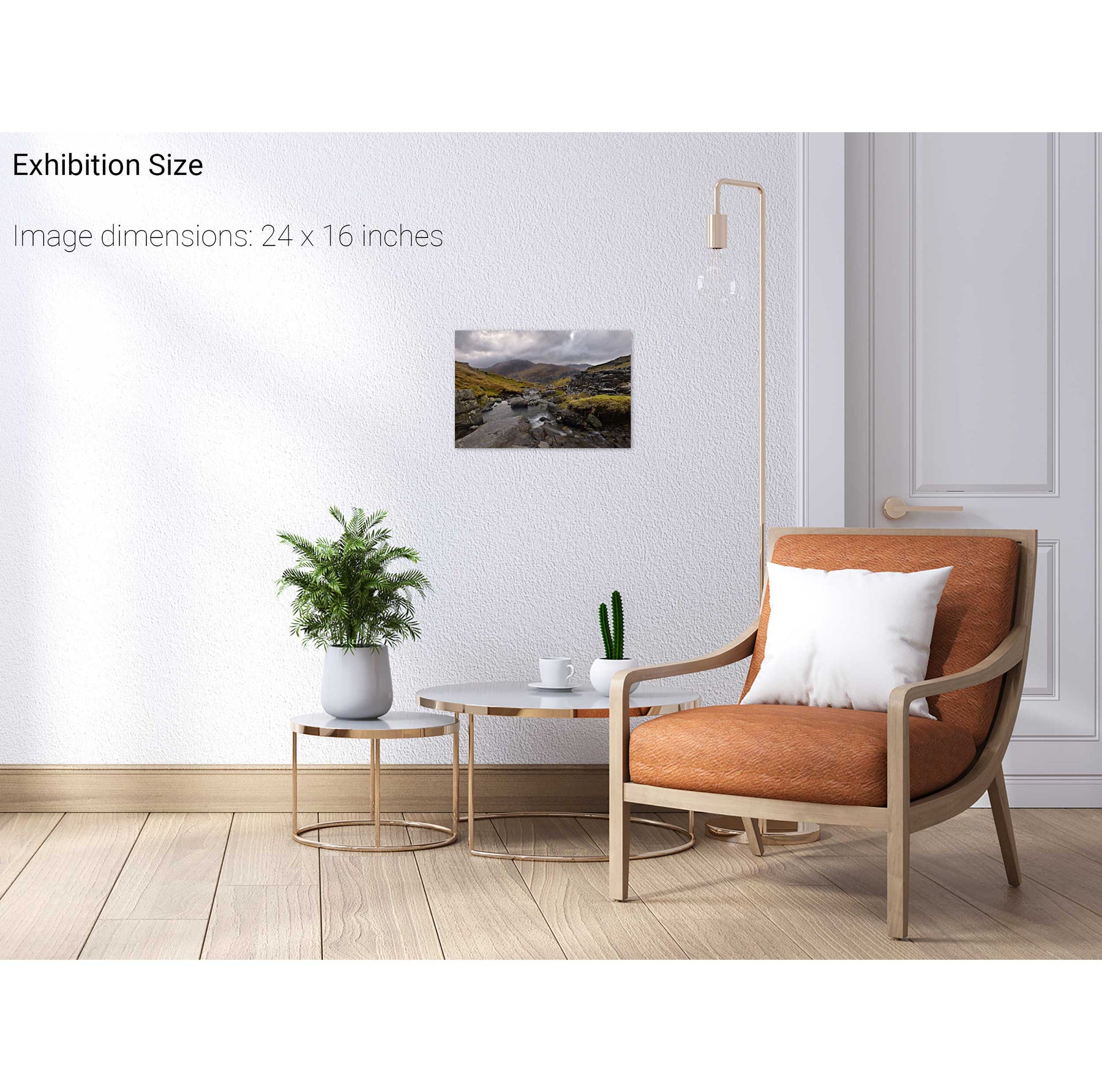
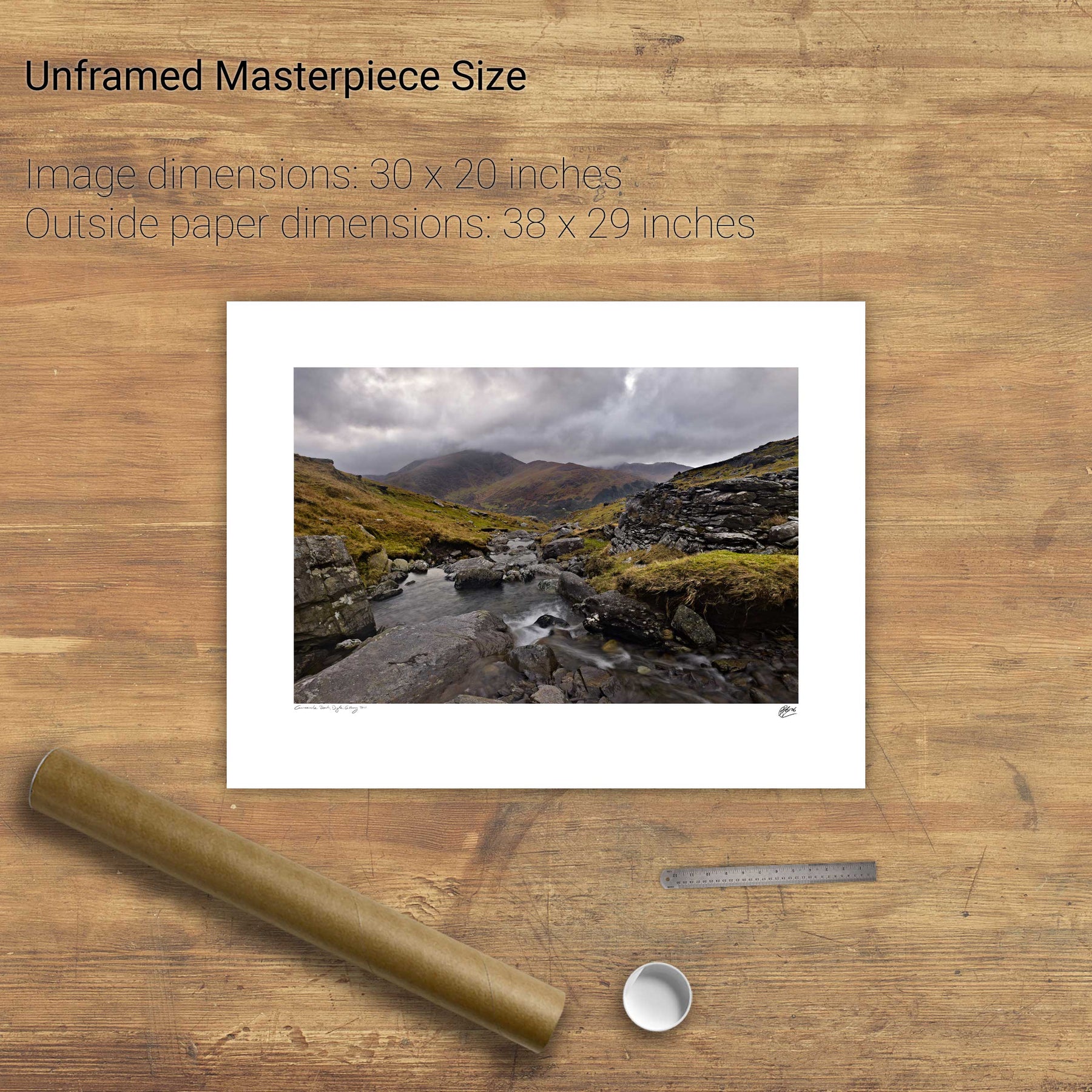
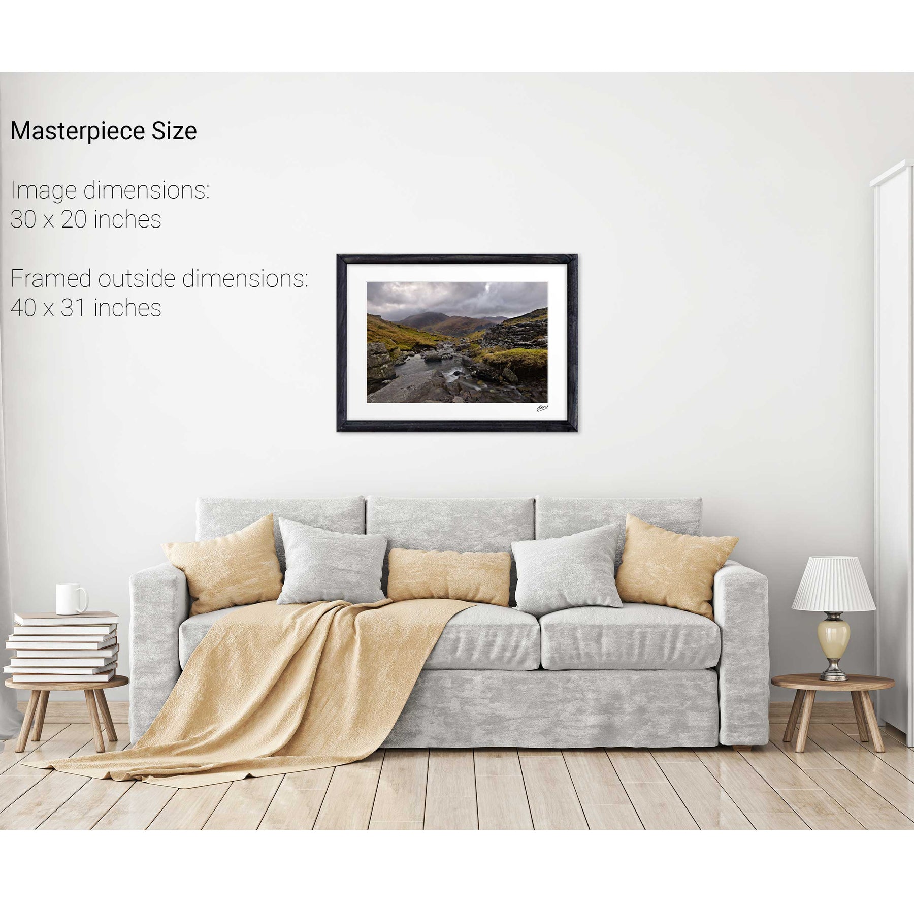
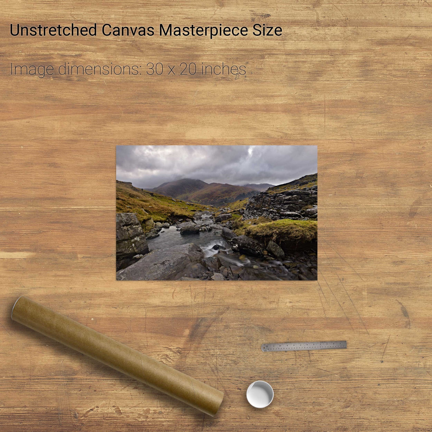
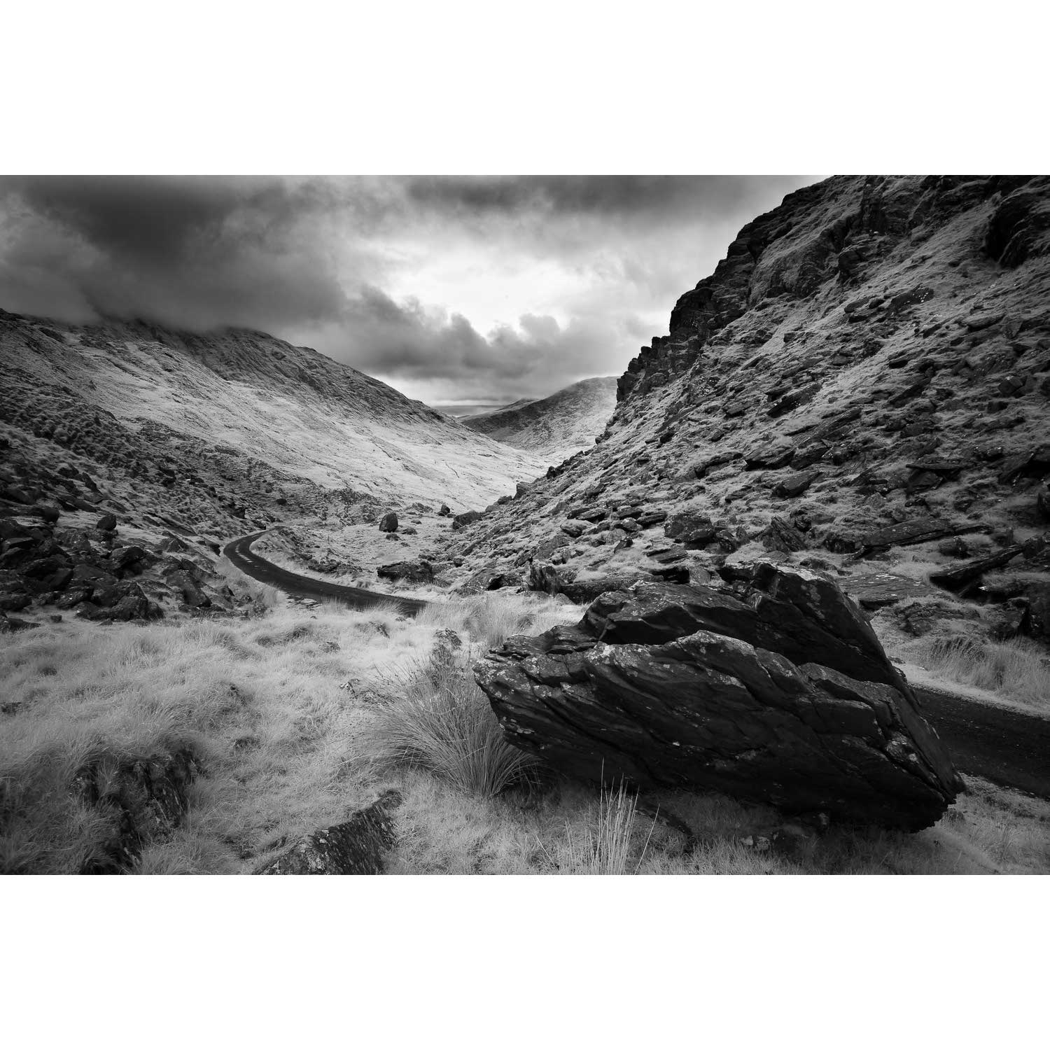
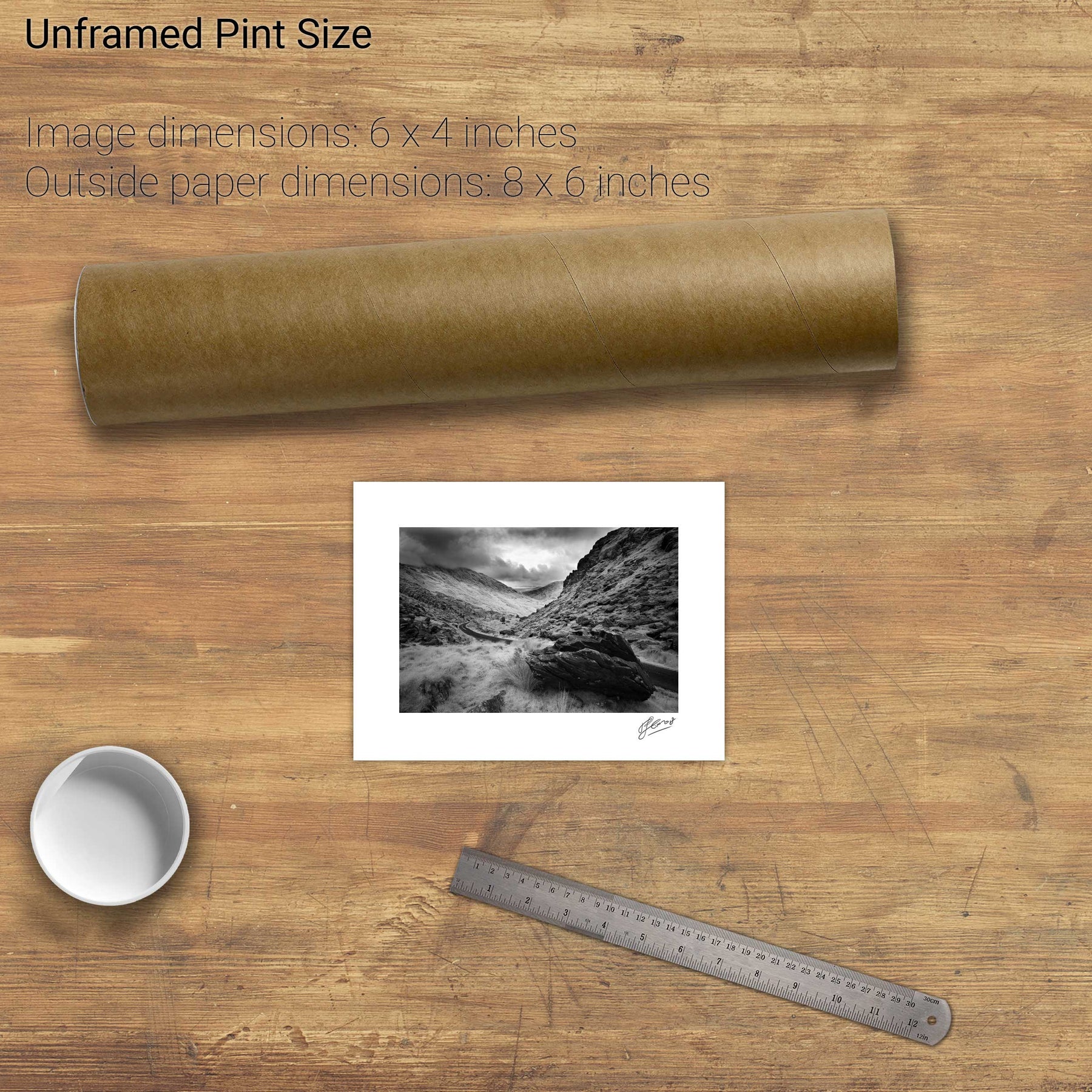
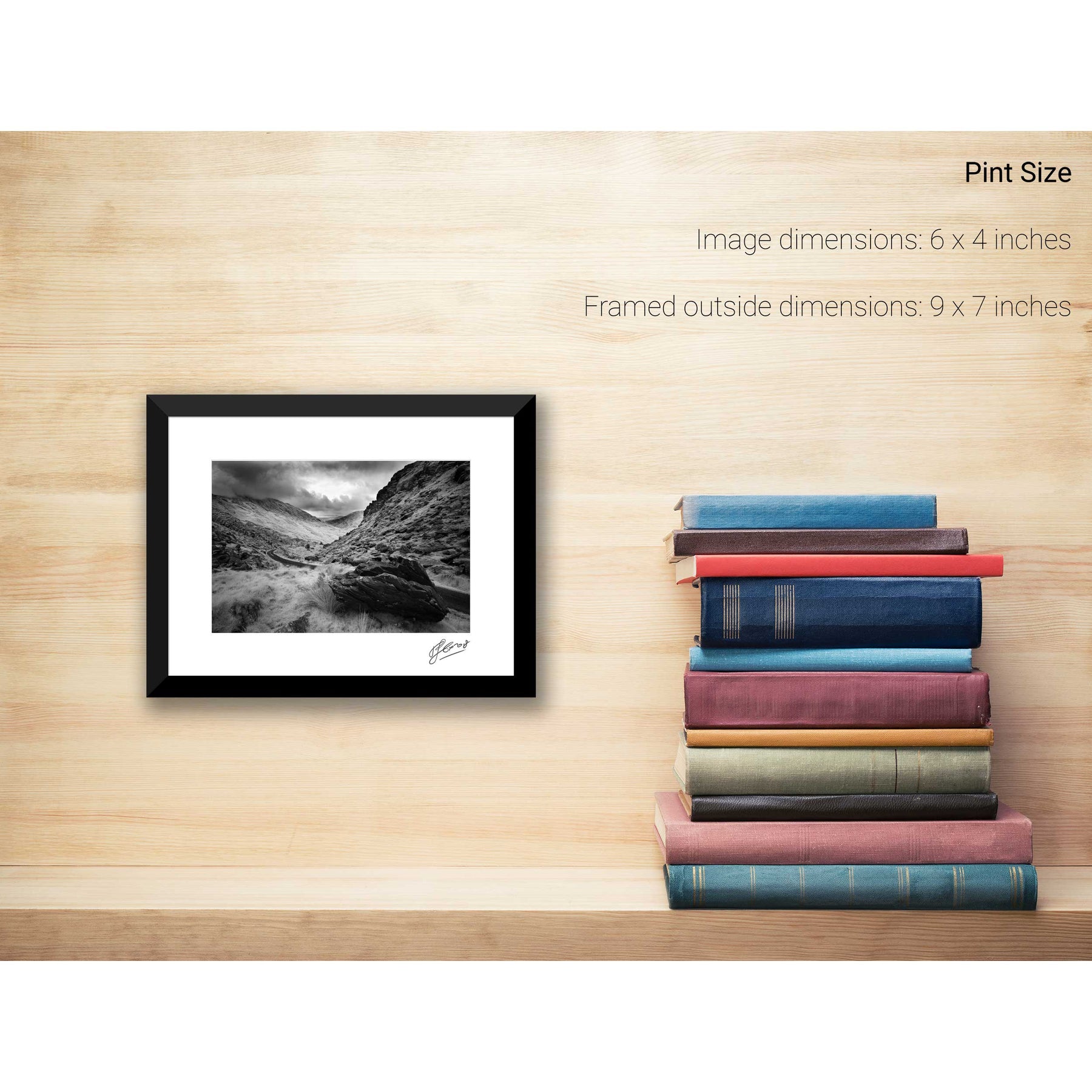
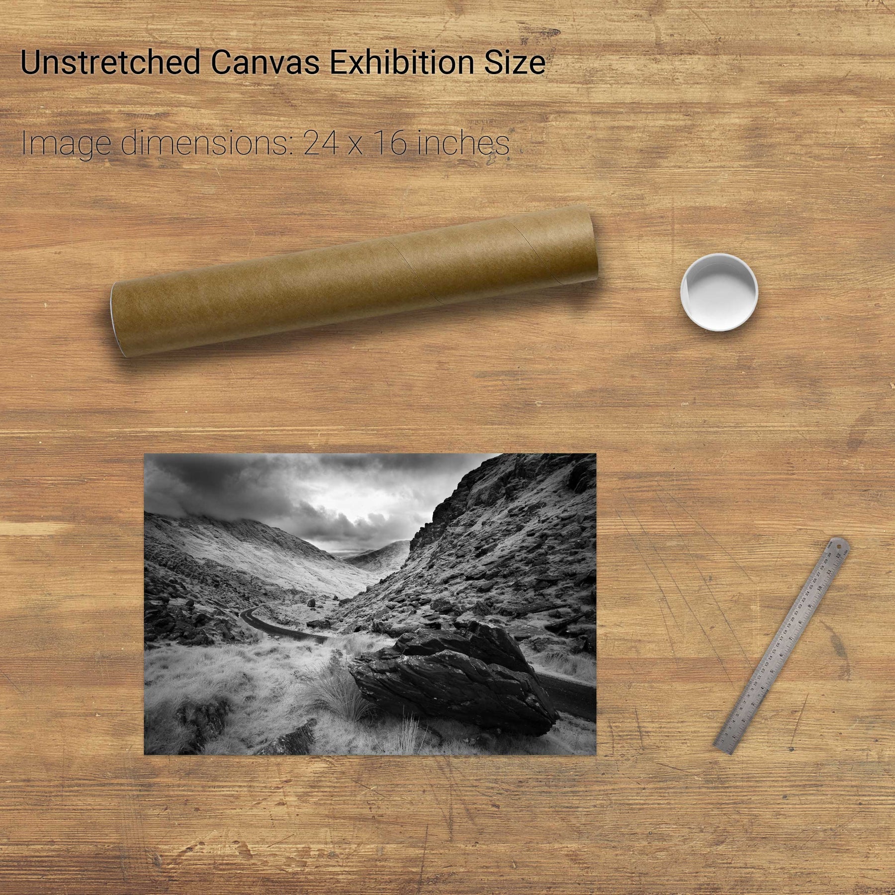
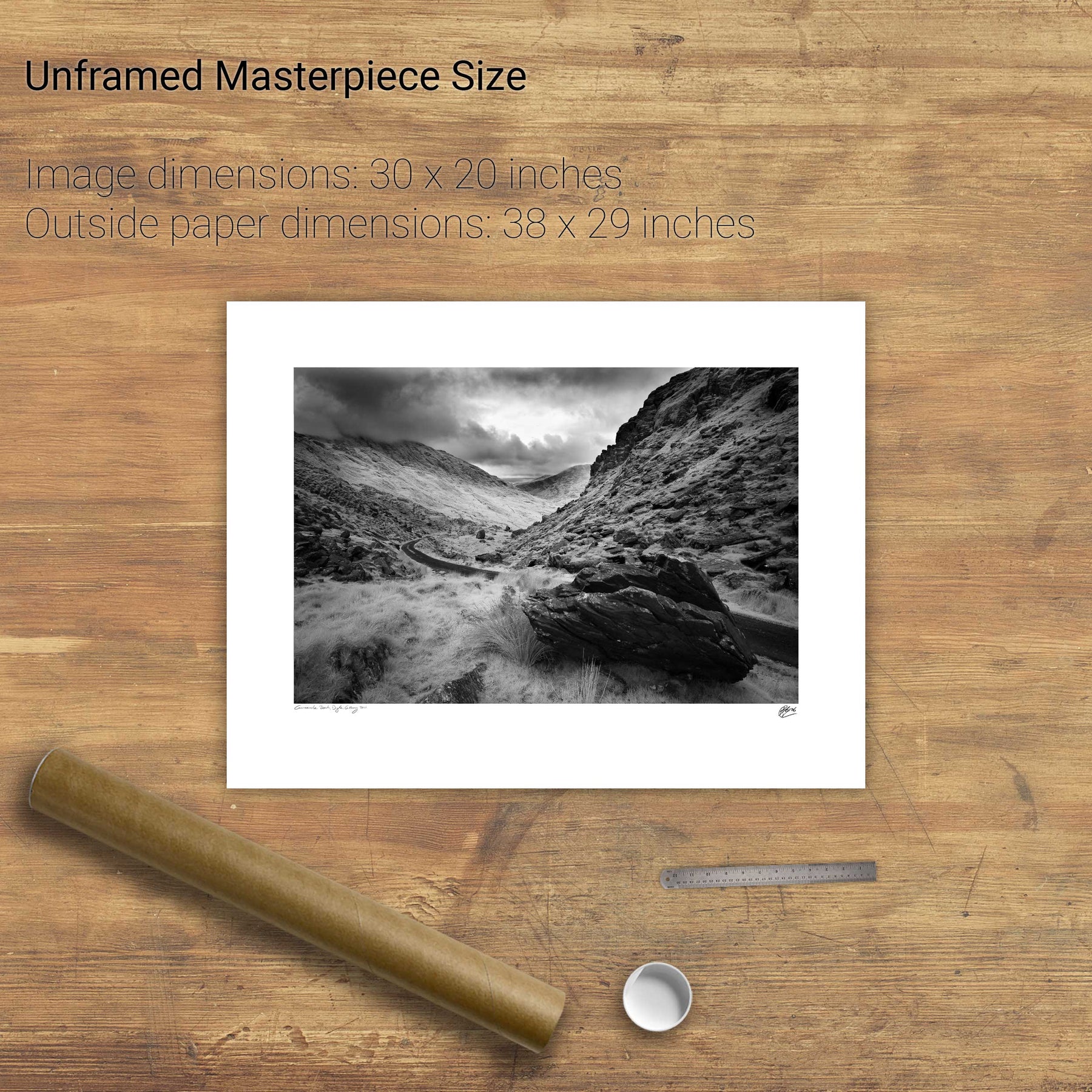
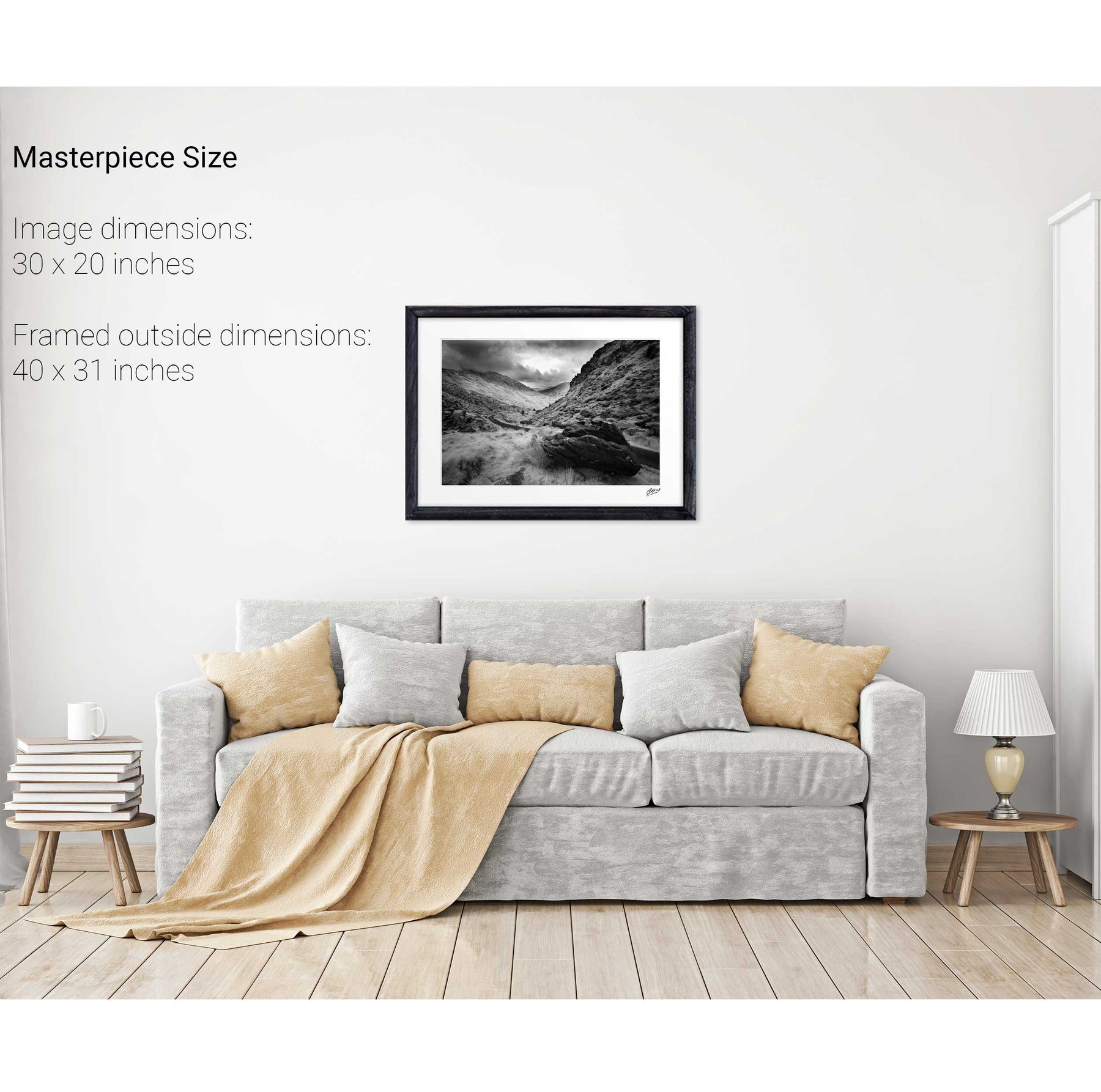
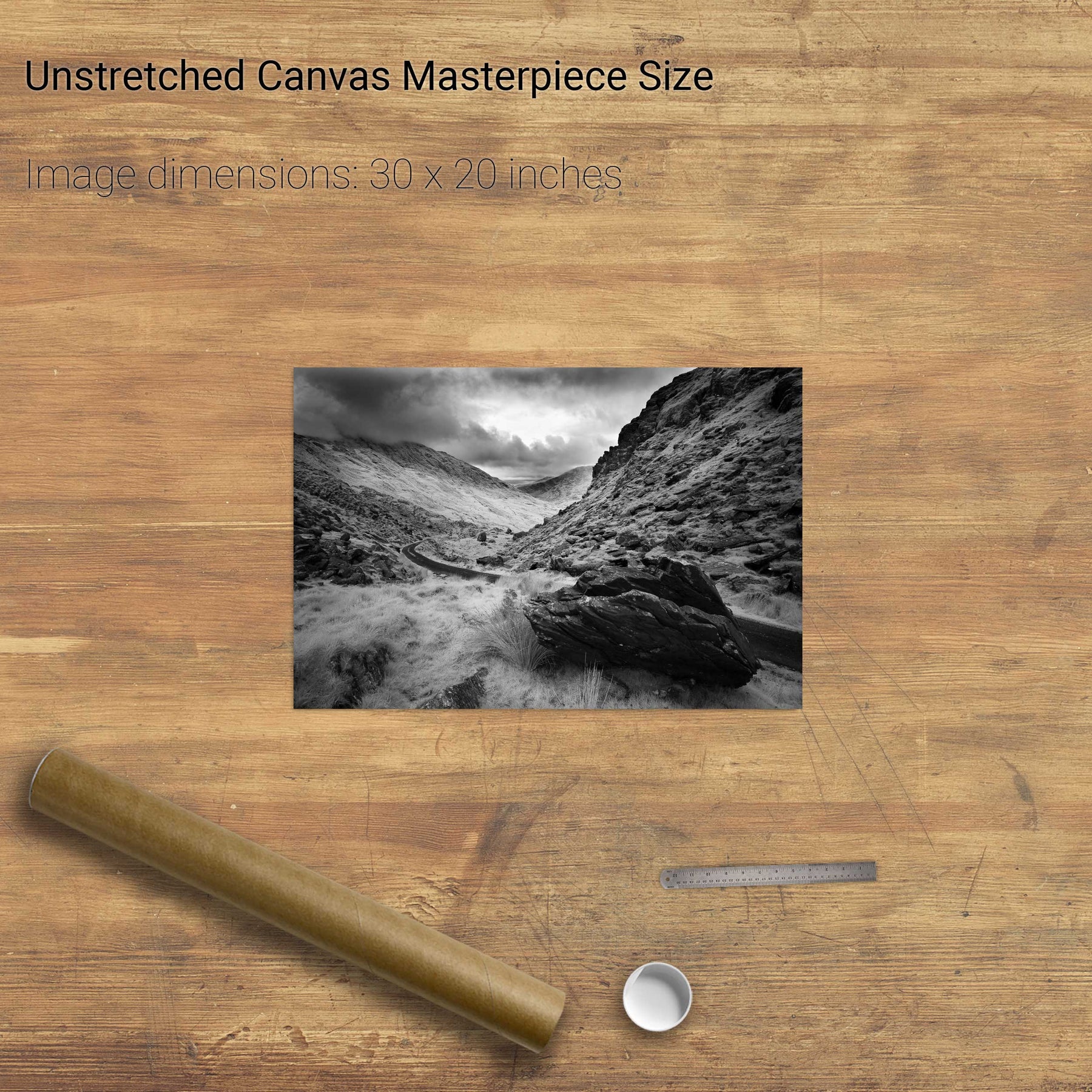
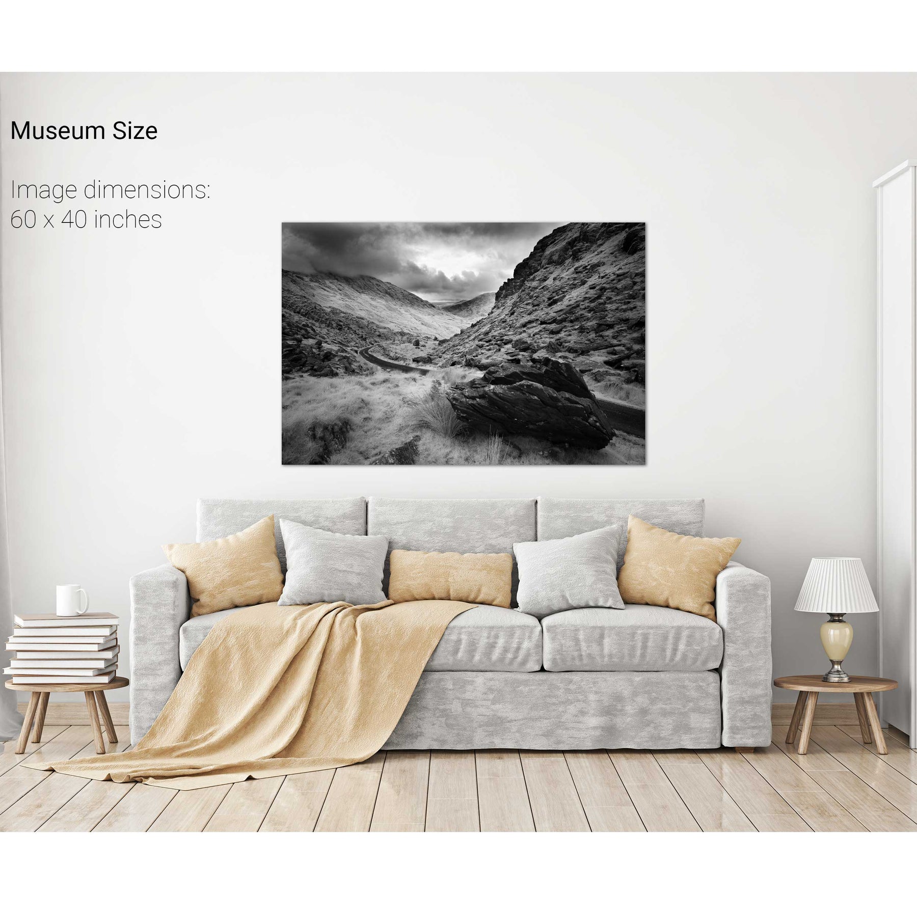
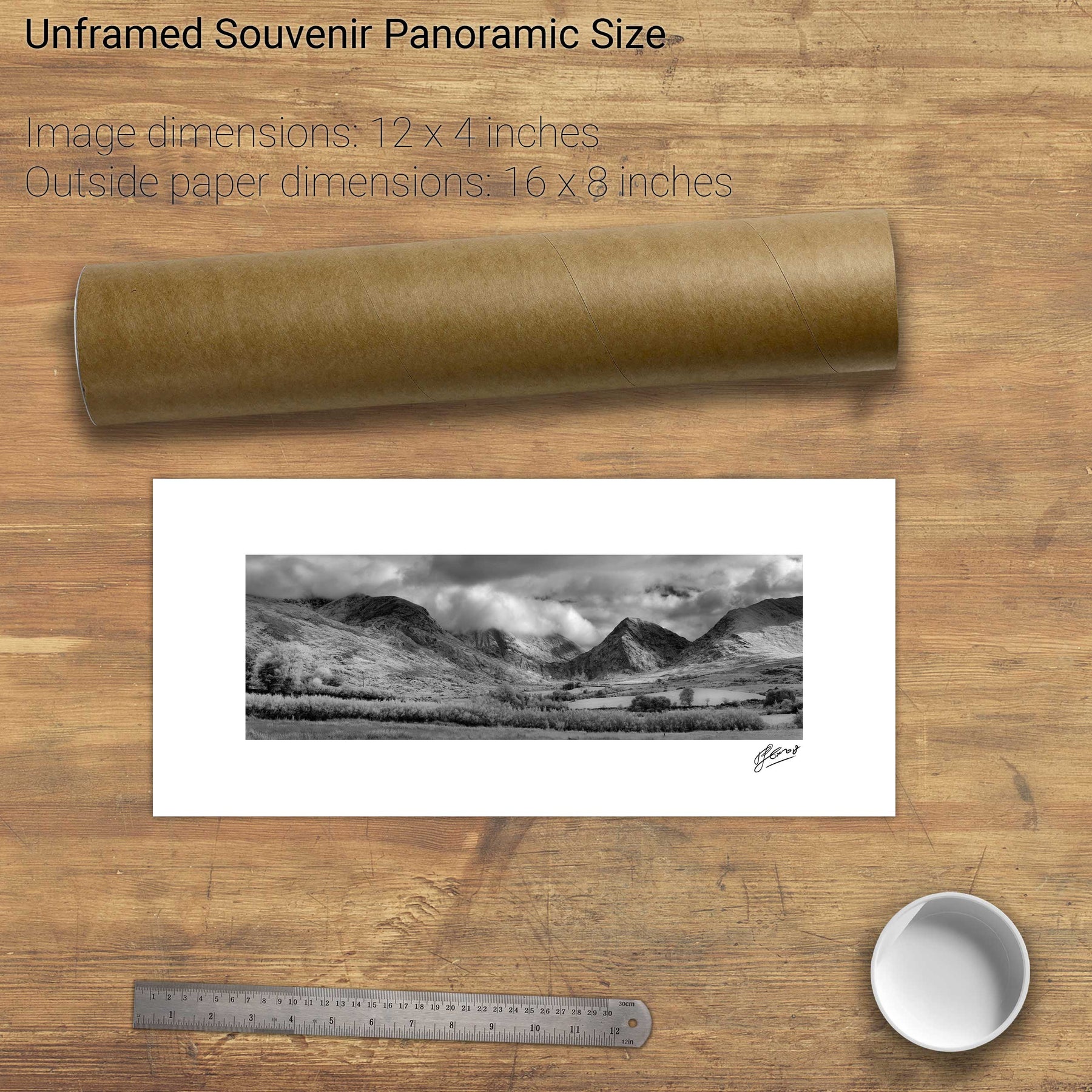
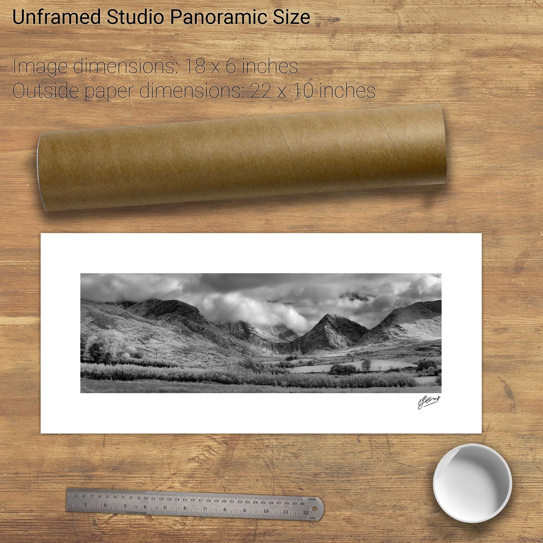
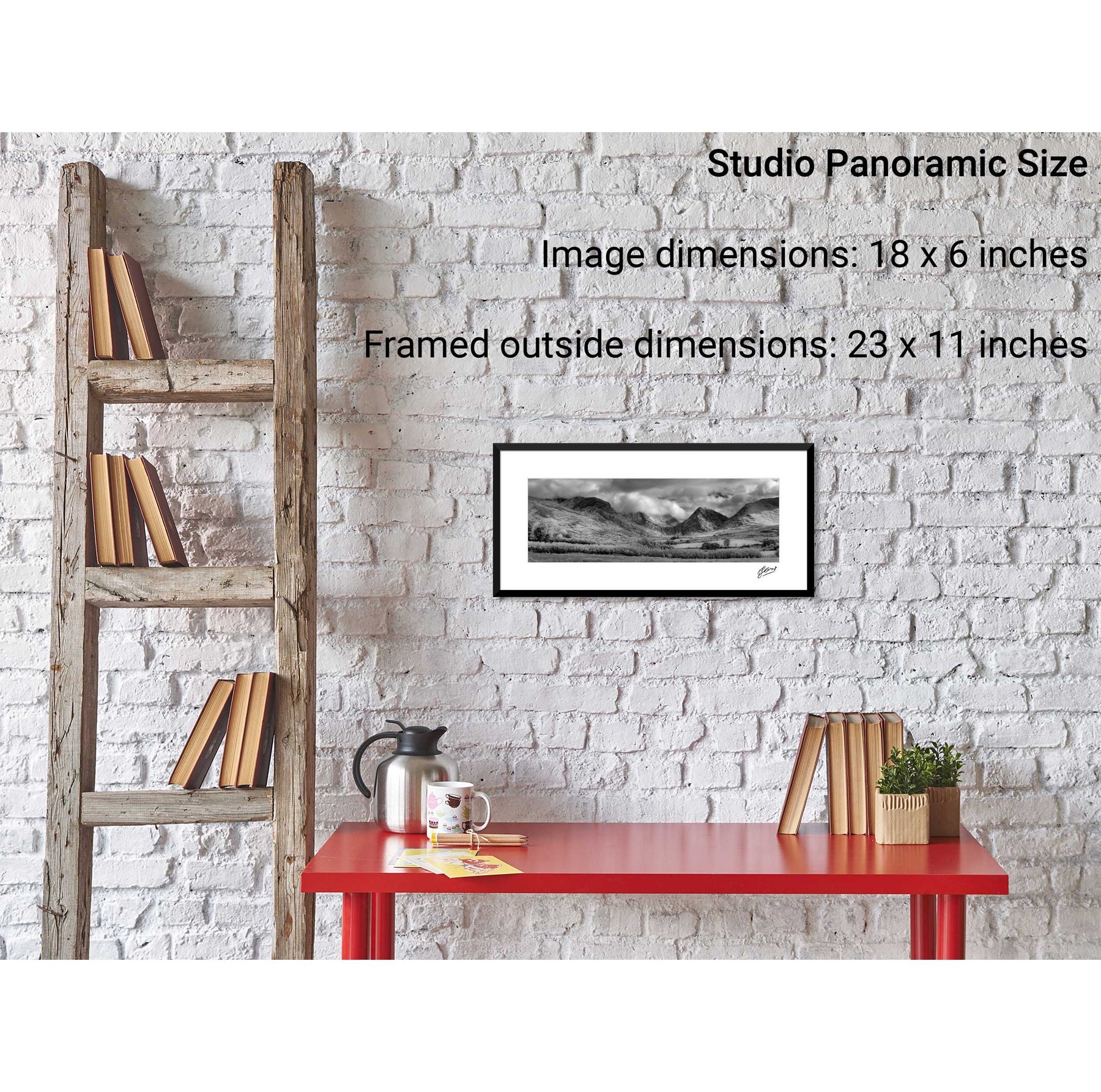
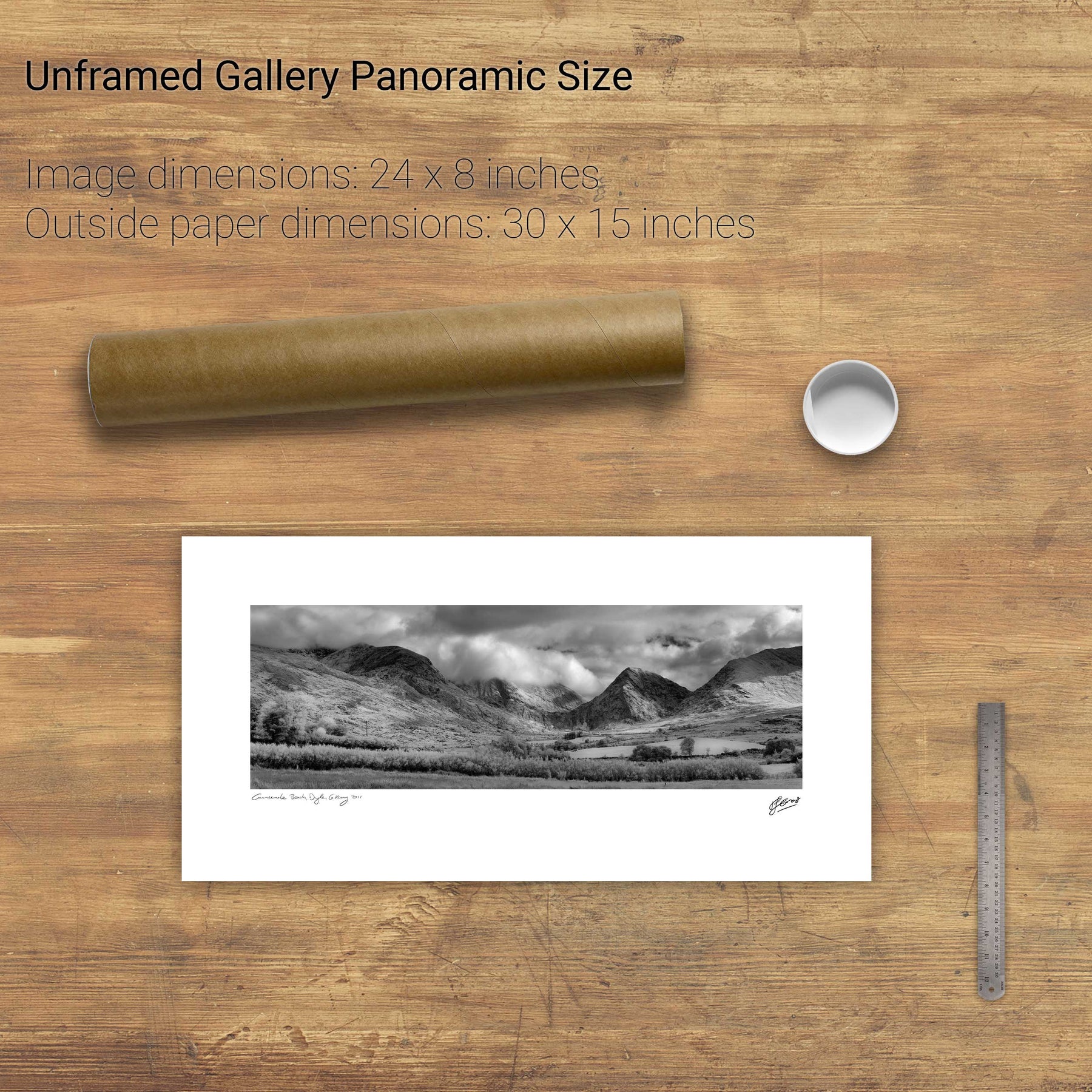
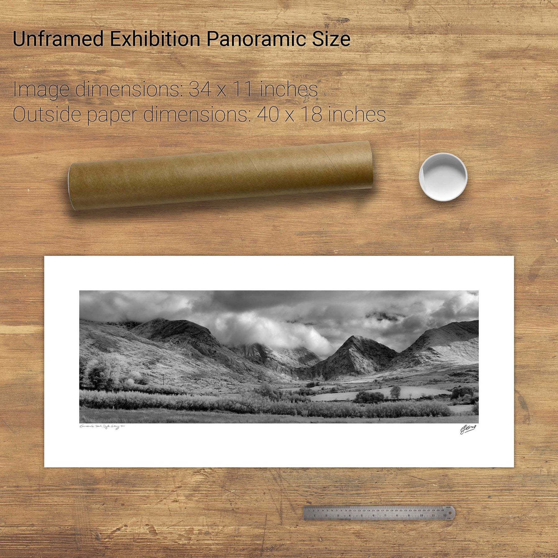
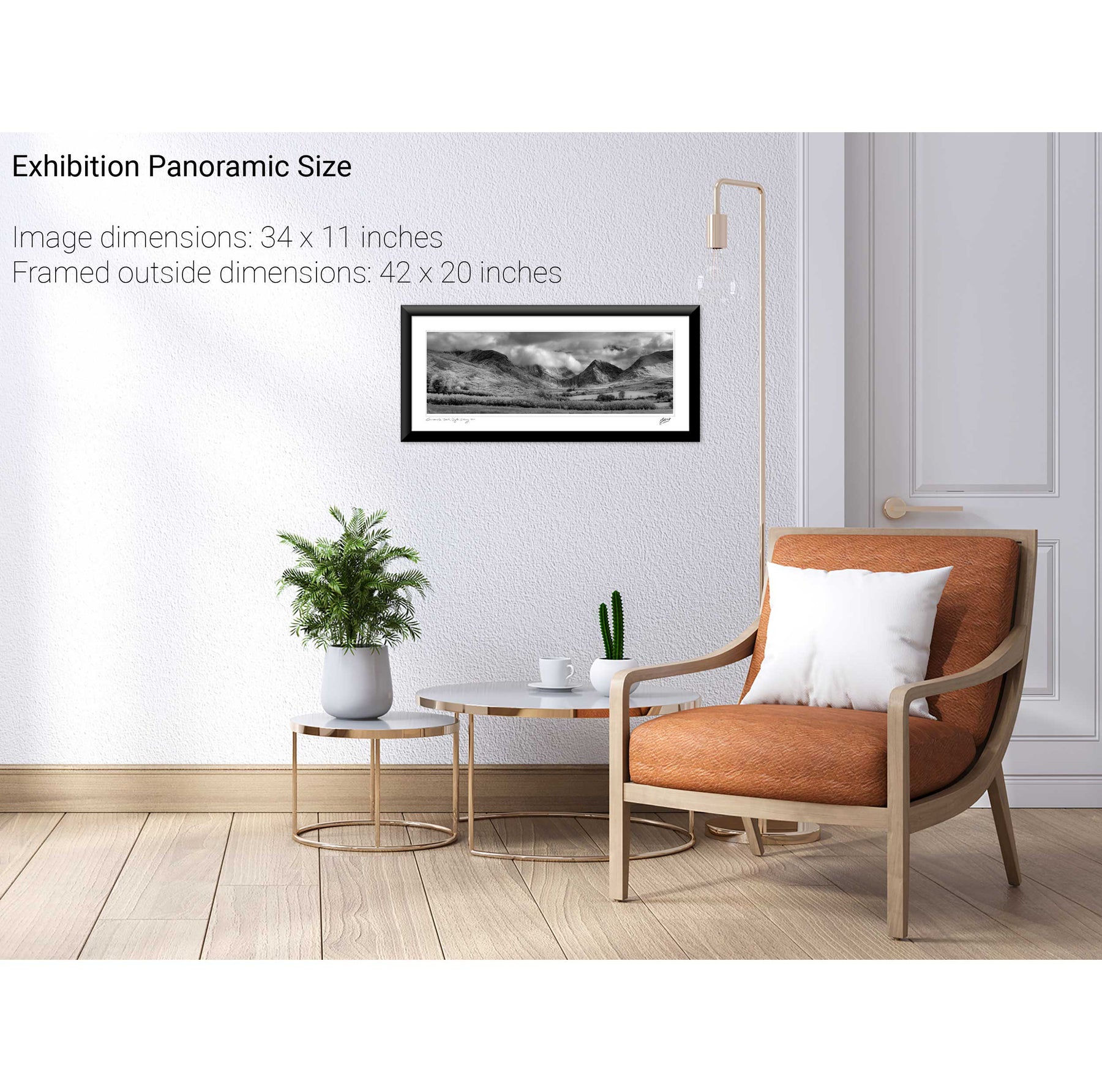
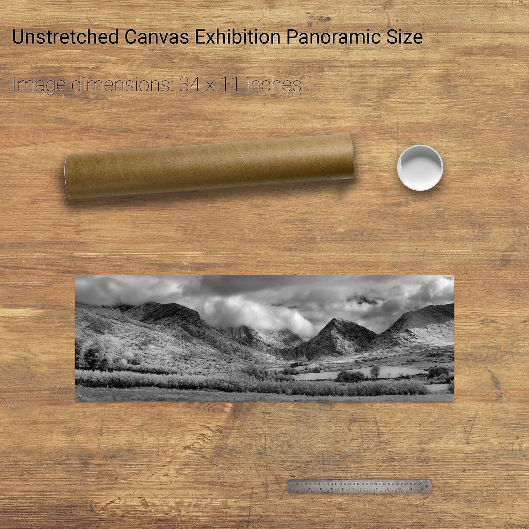
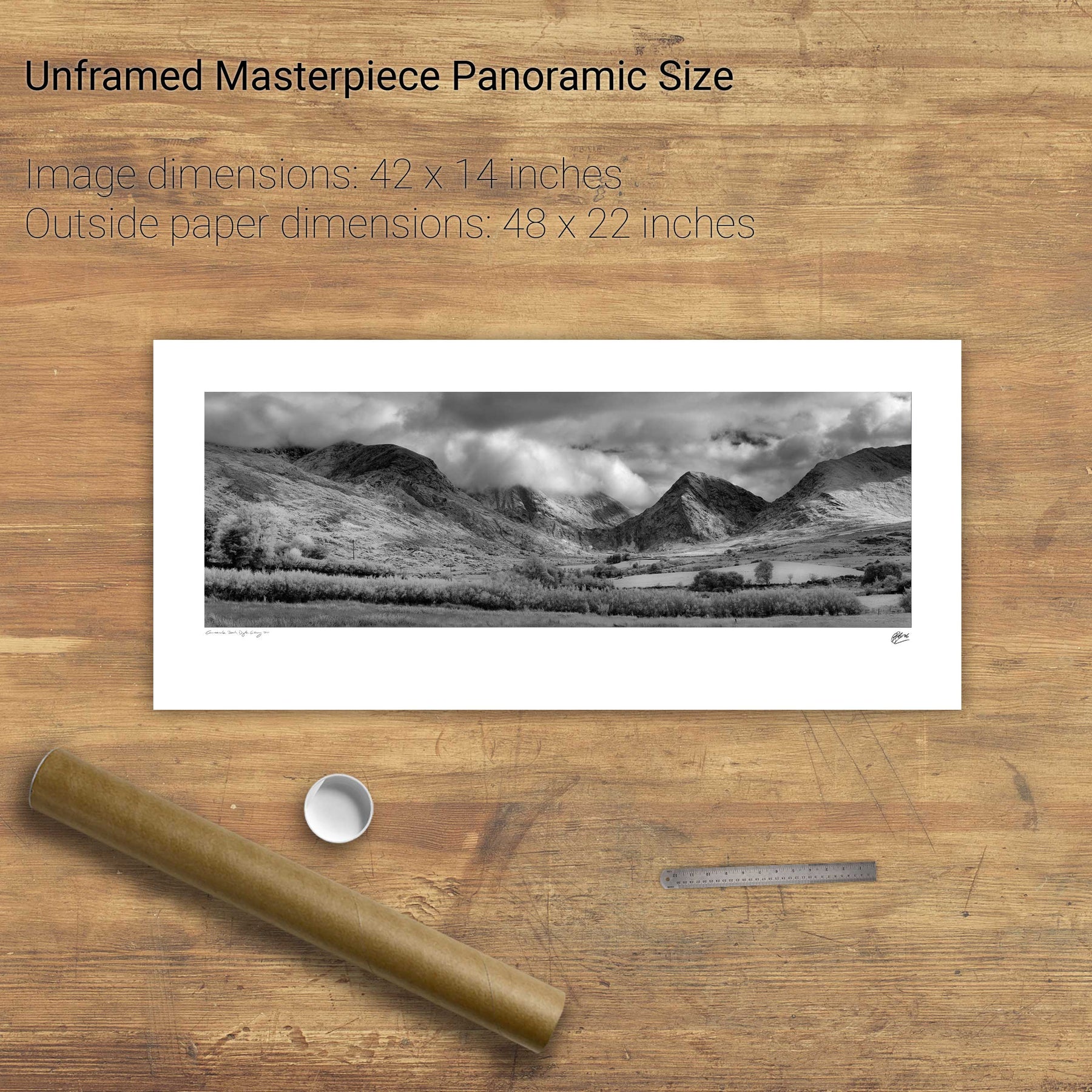
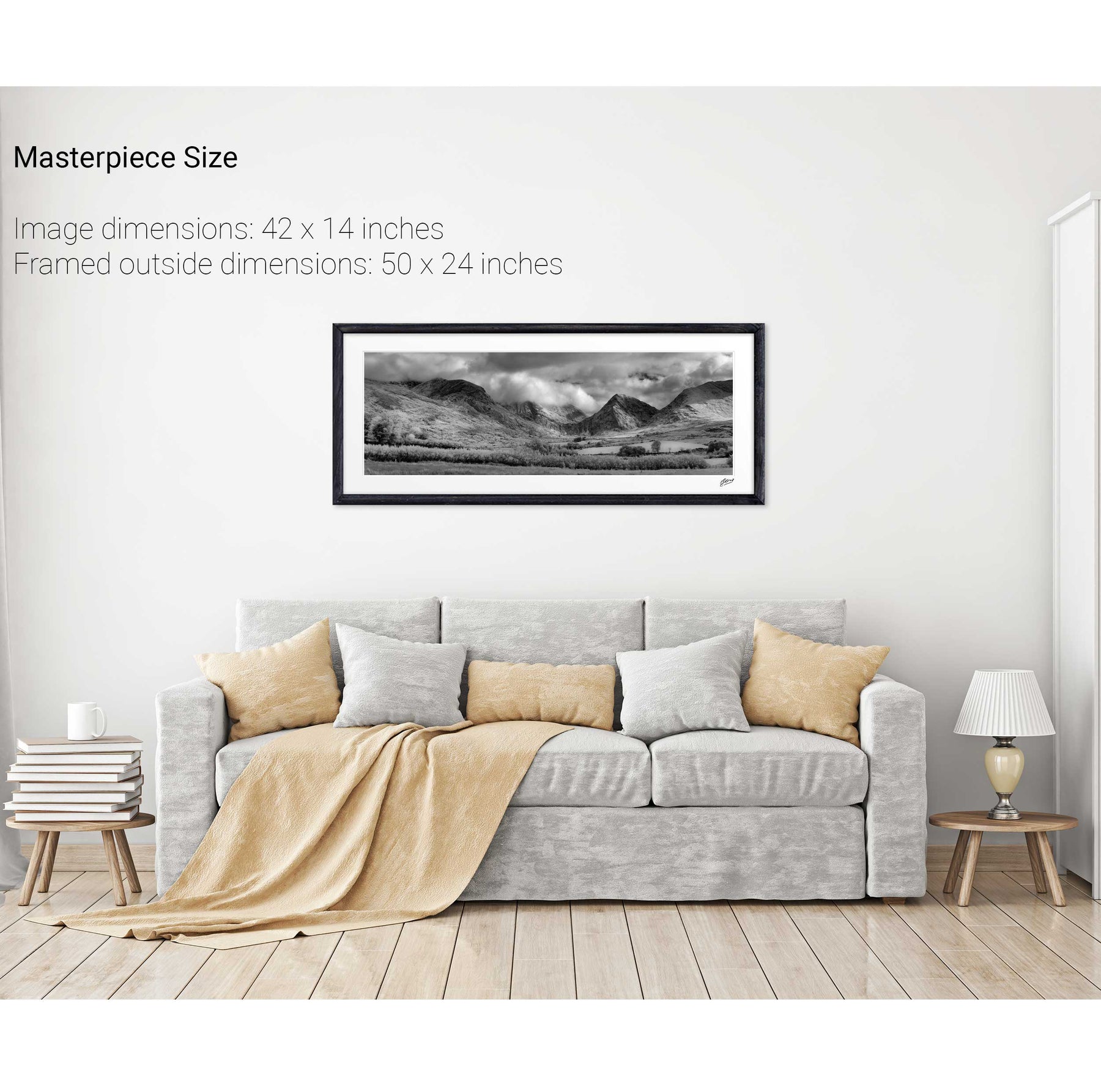
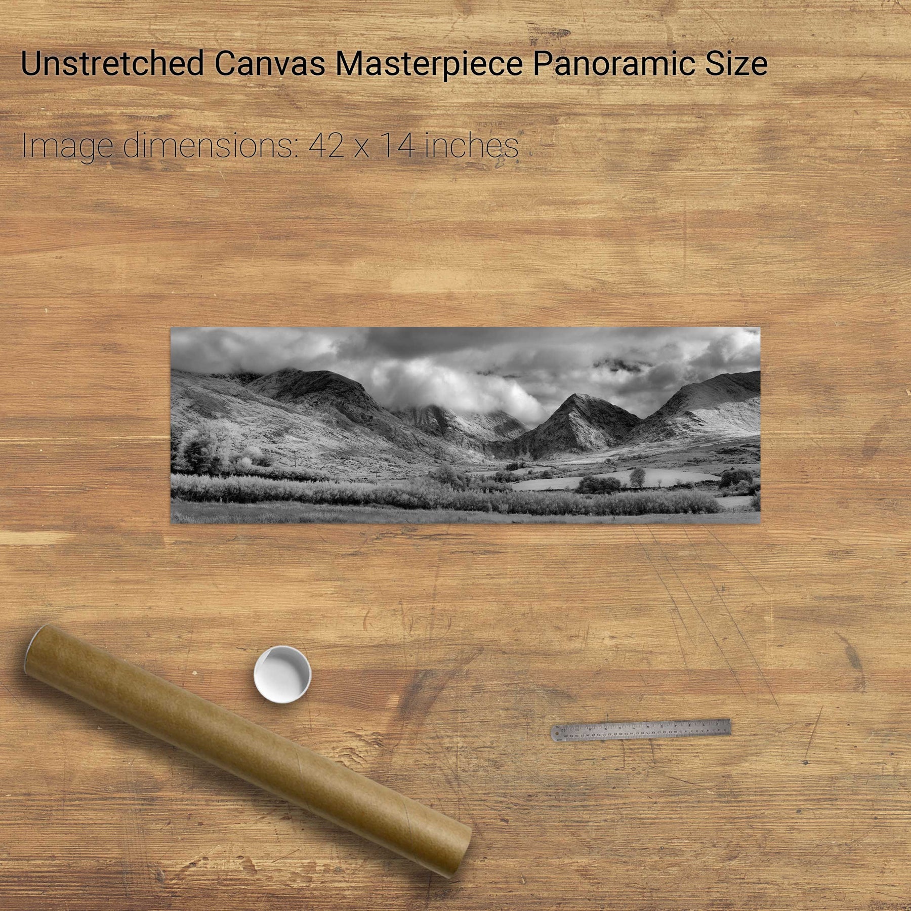
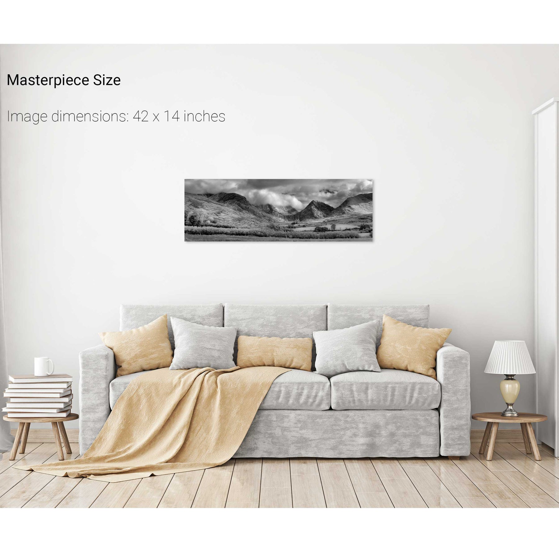
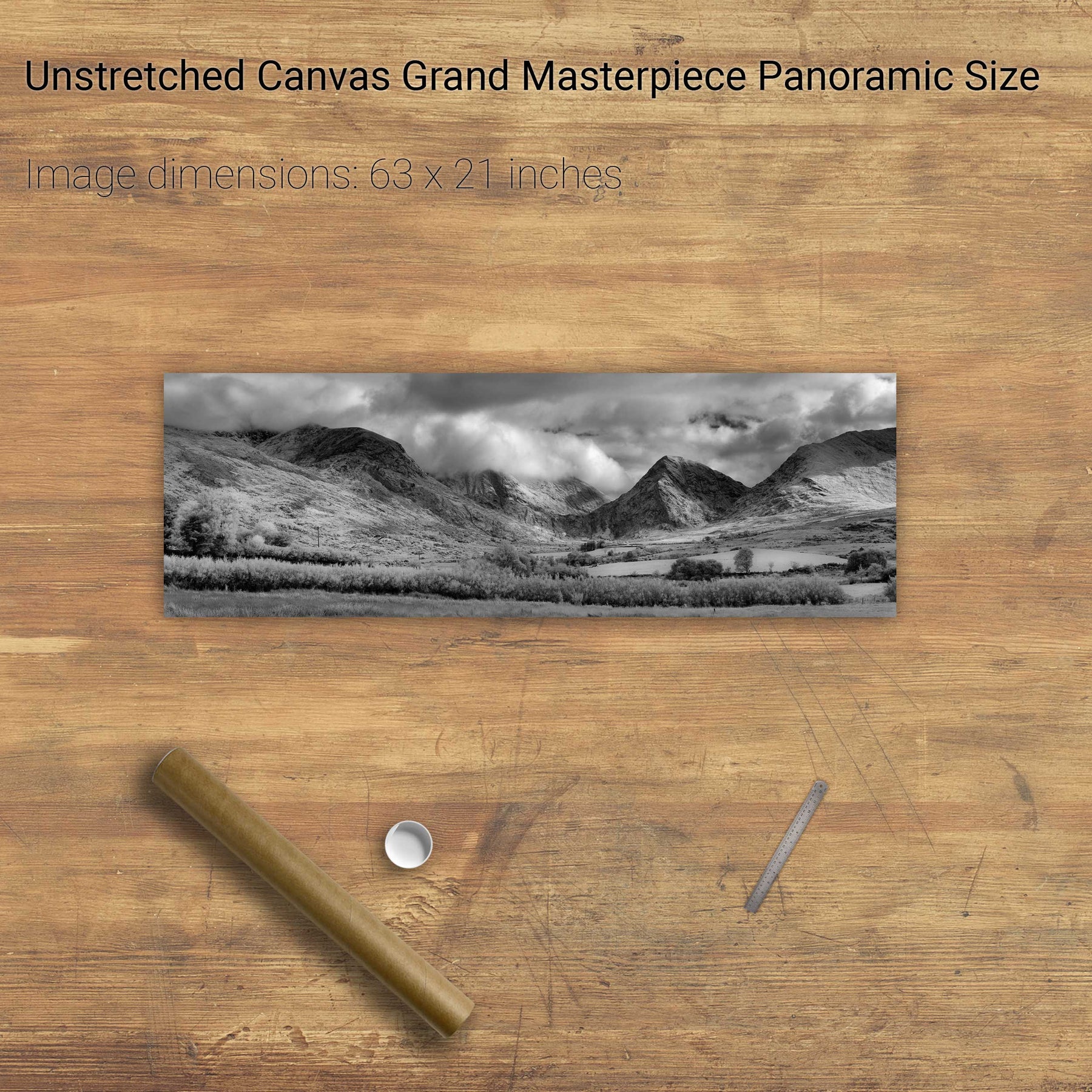
Ballaghbeama Gap, Co. Kerry
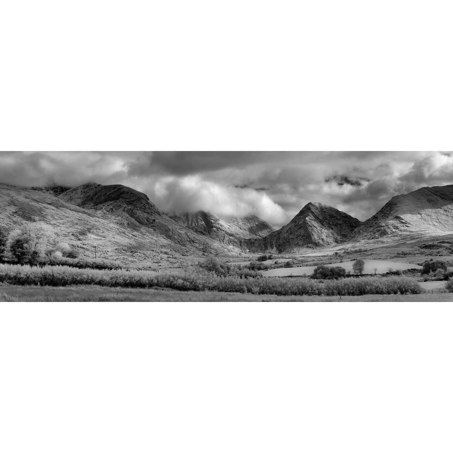
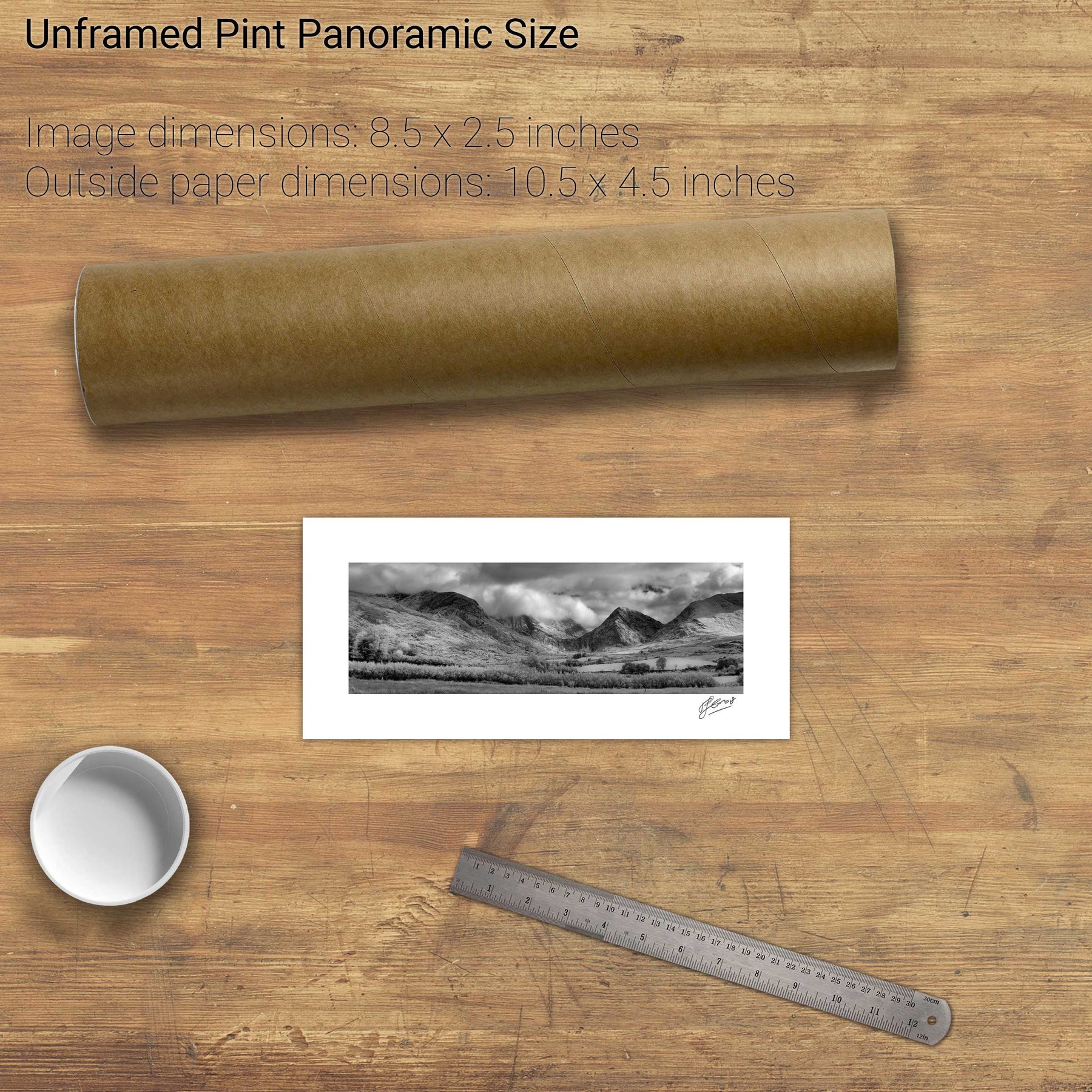
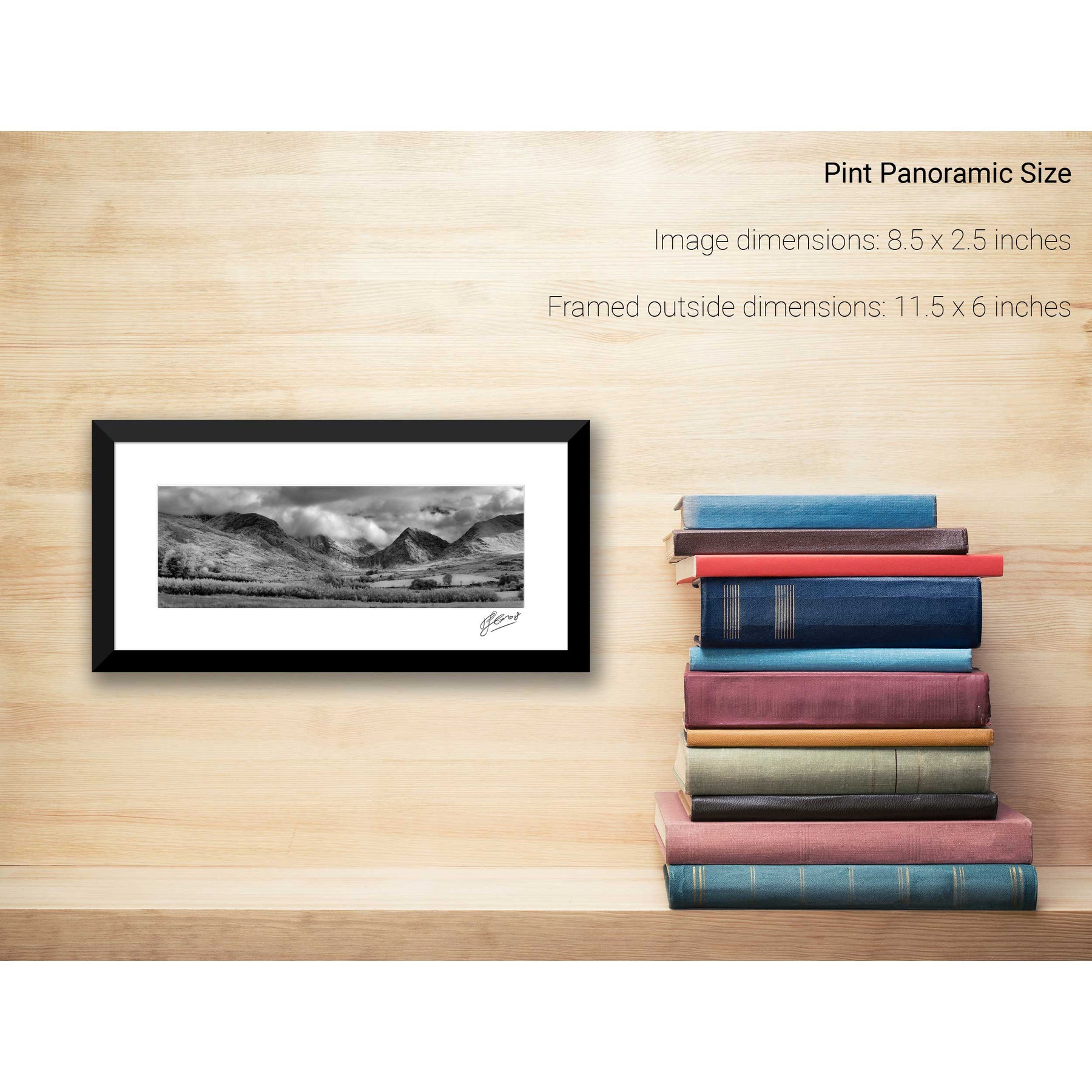
Bridia Valley, Co. Kerry