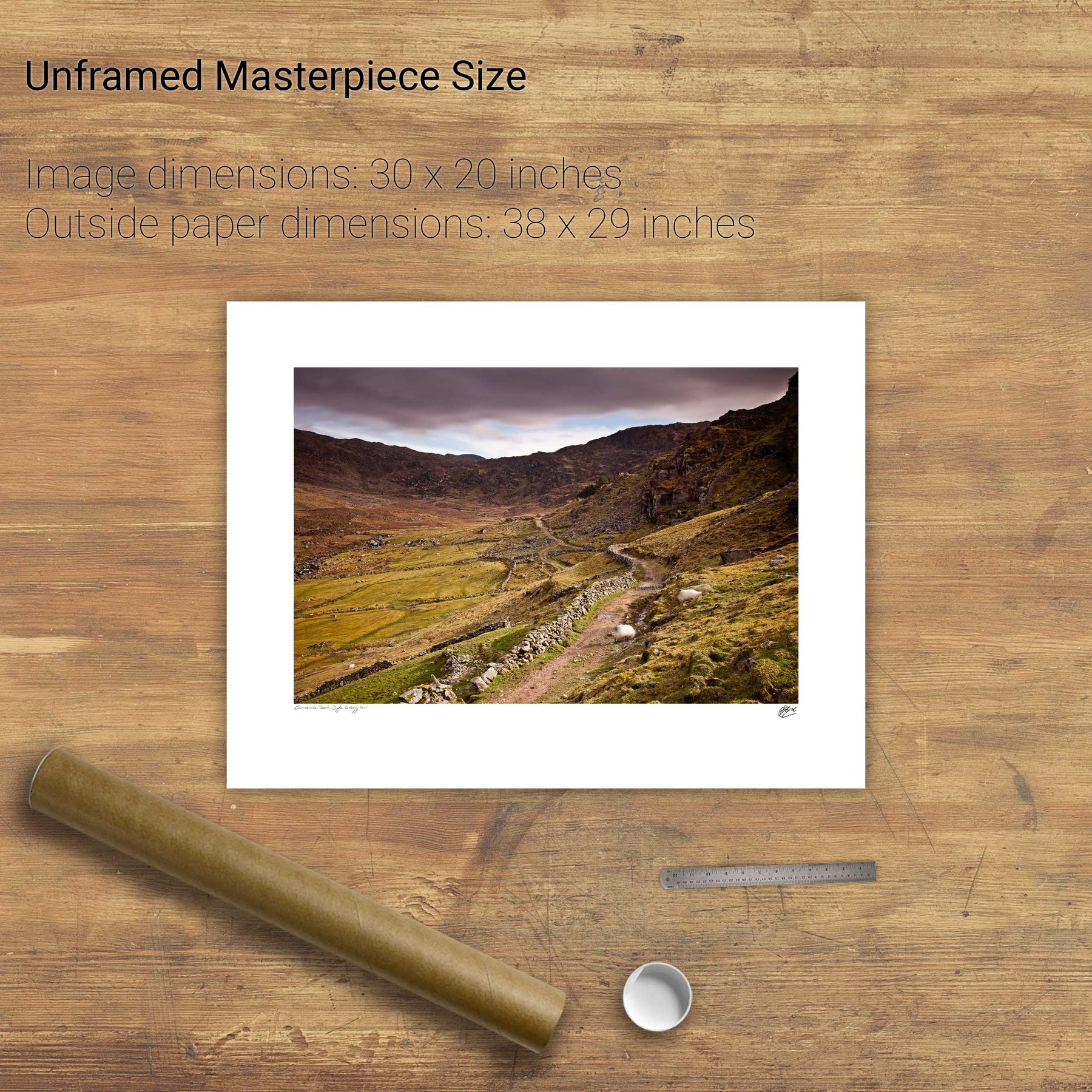
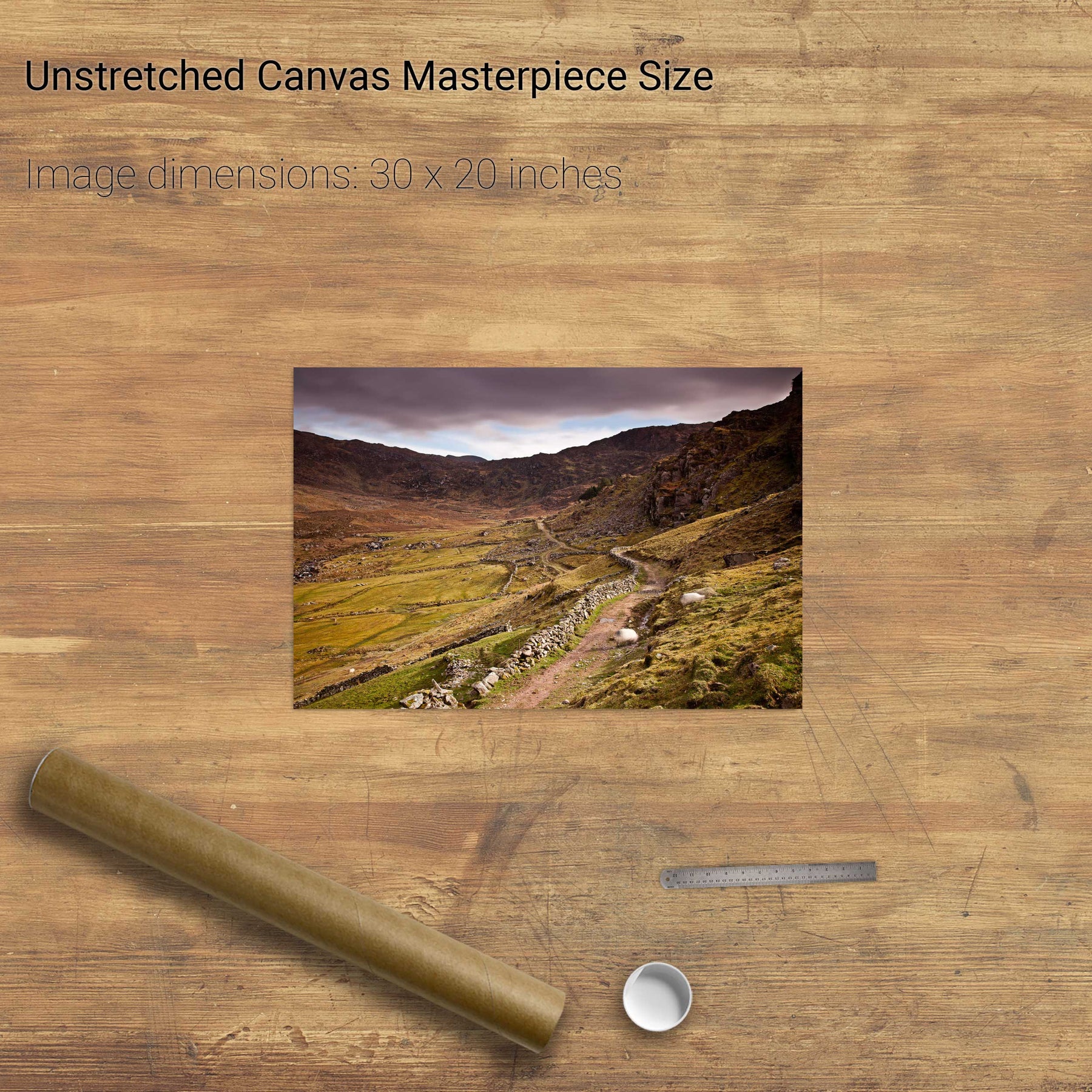
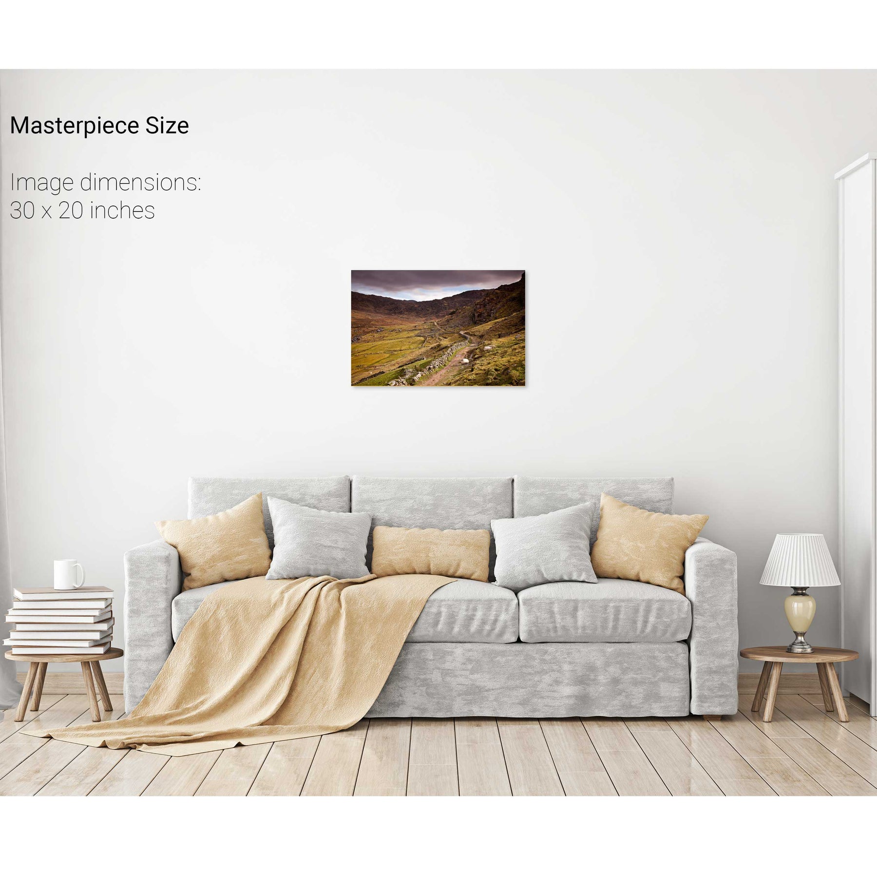
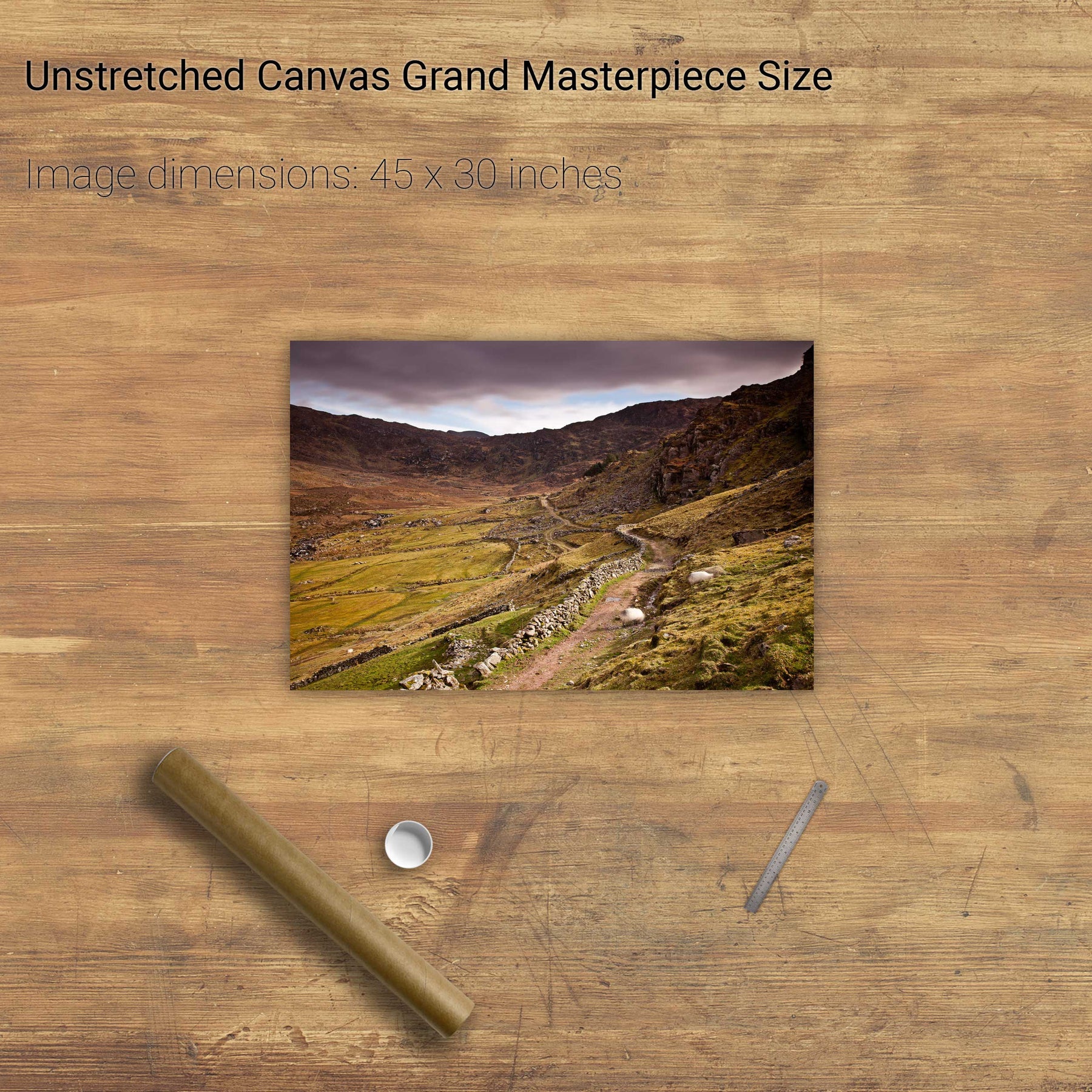
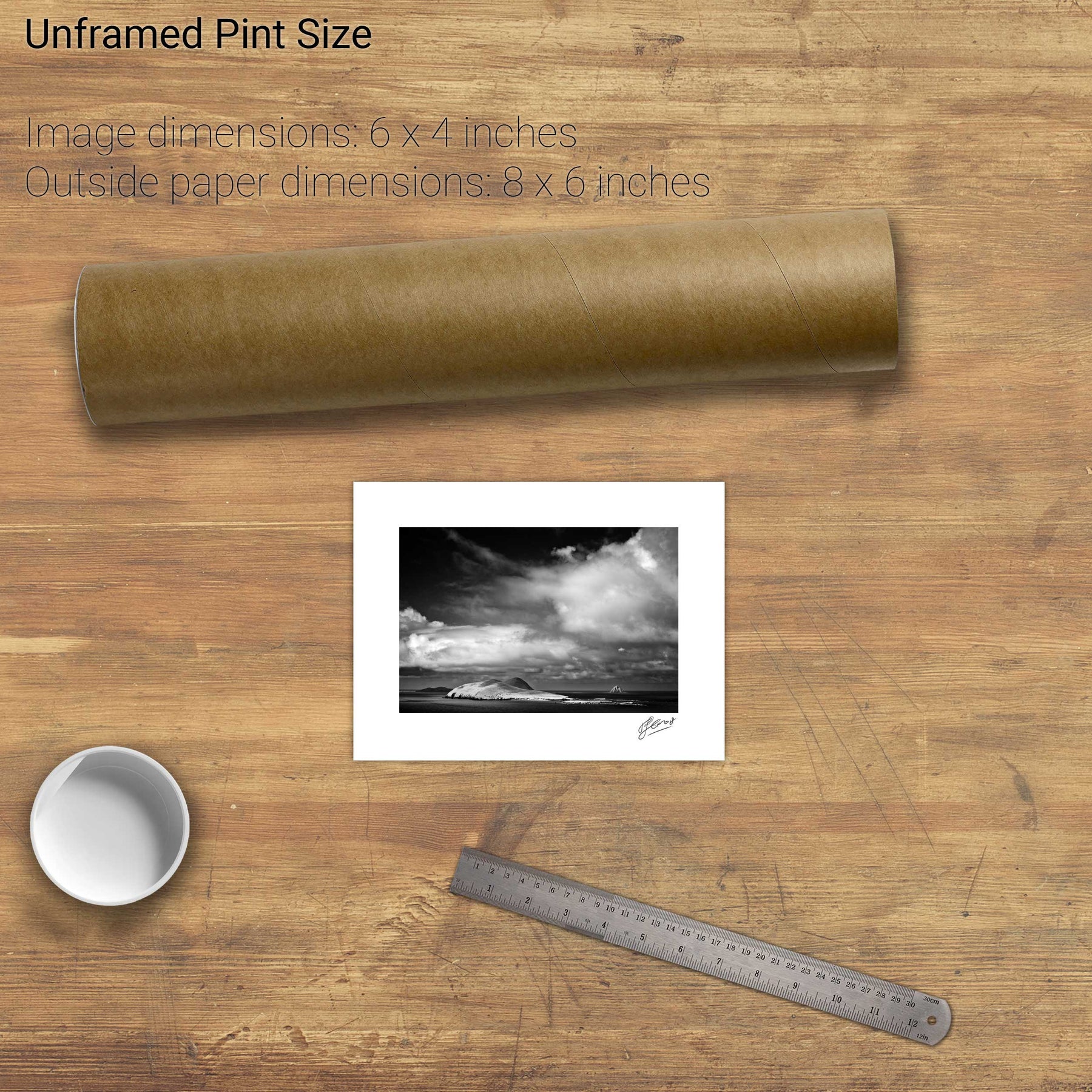
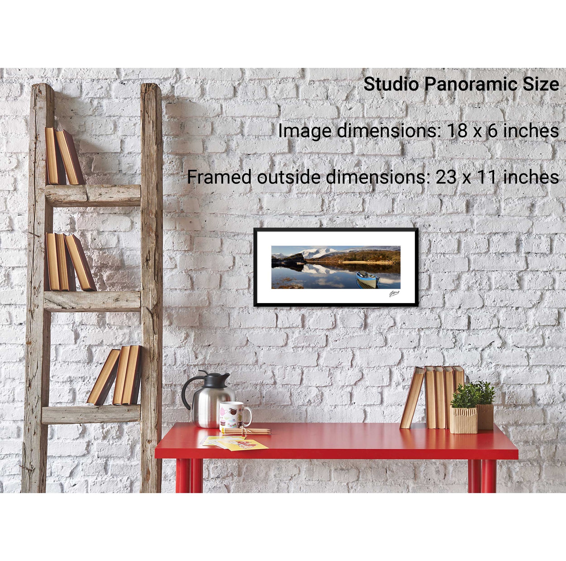
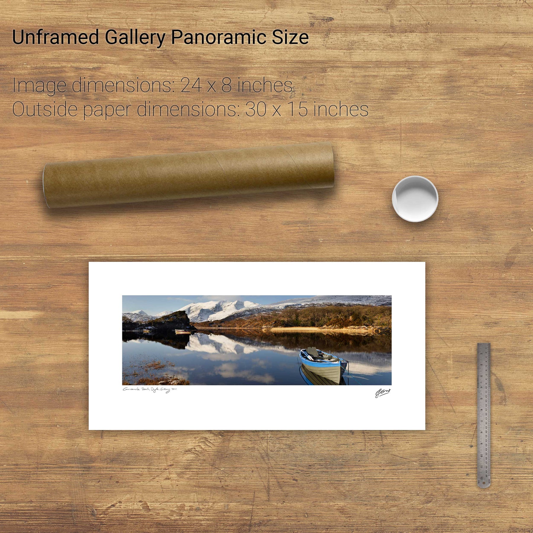
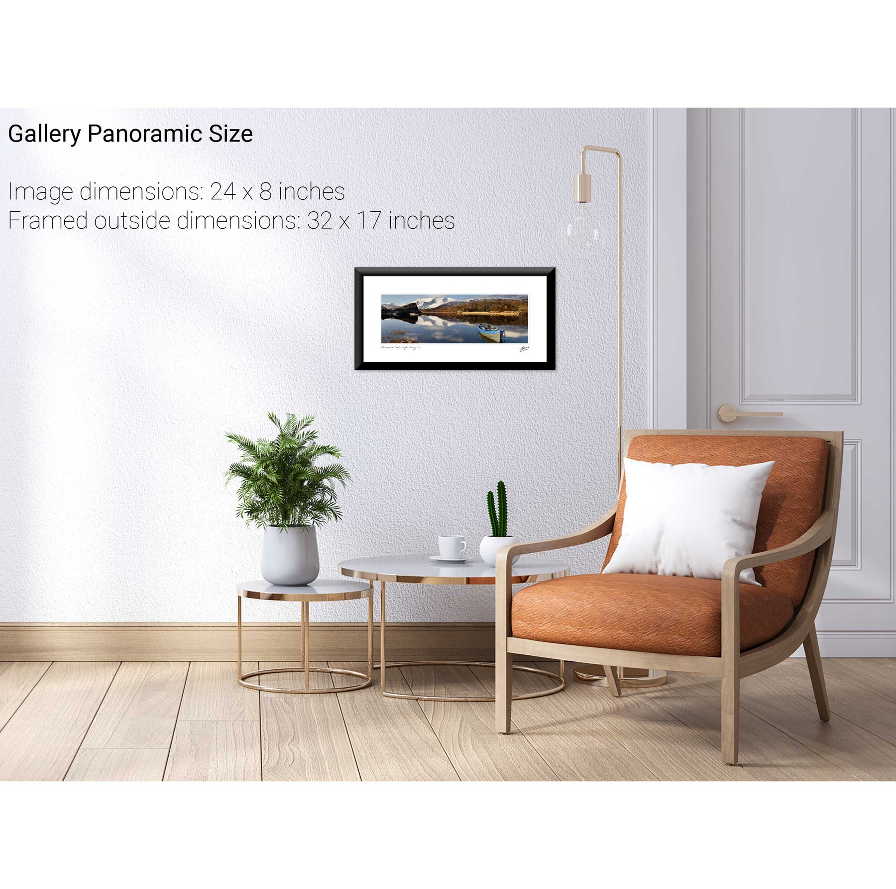
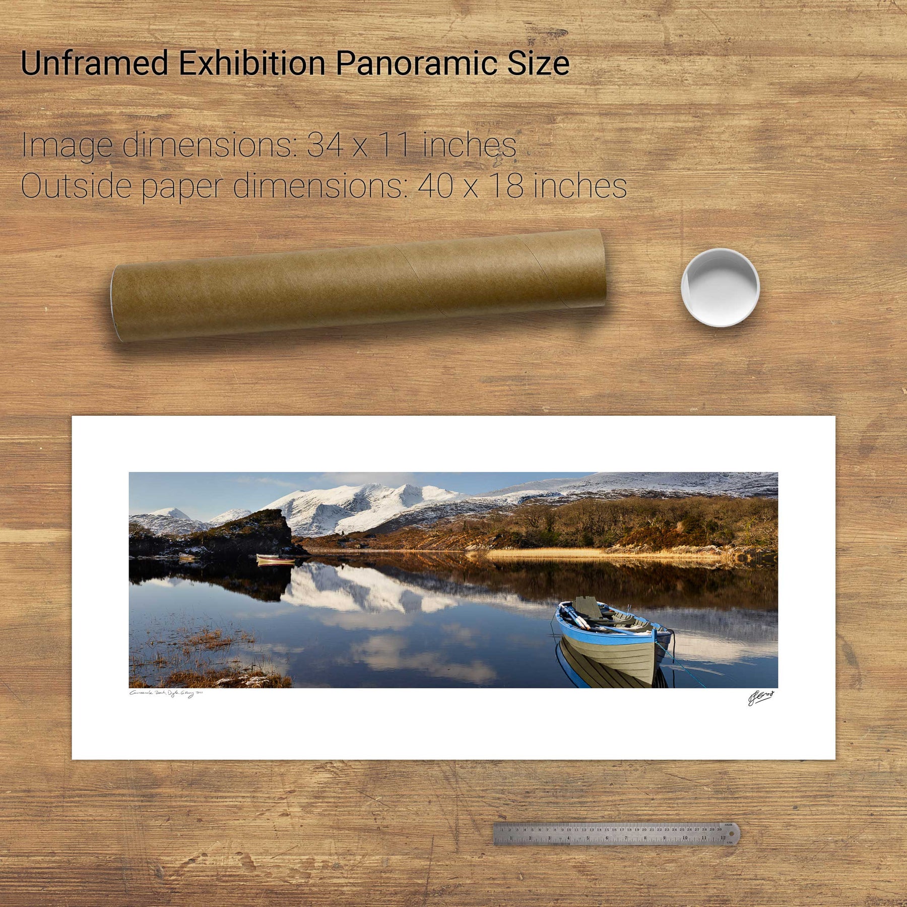
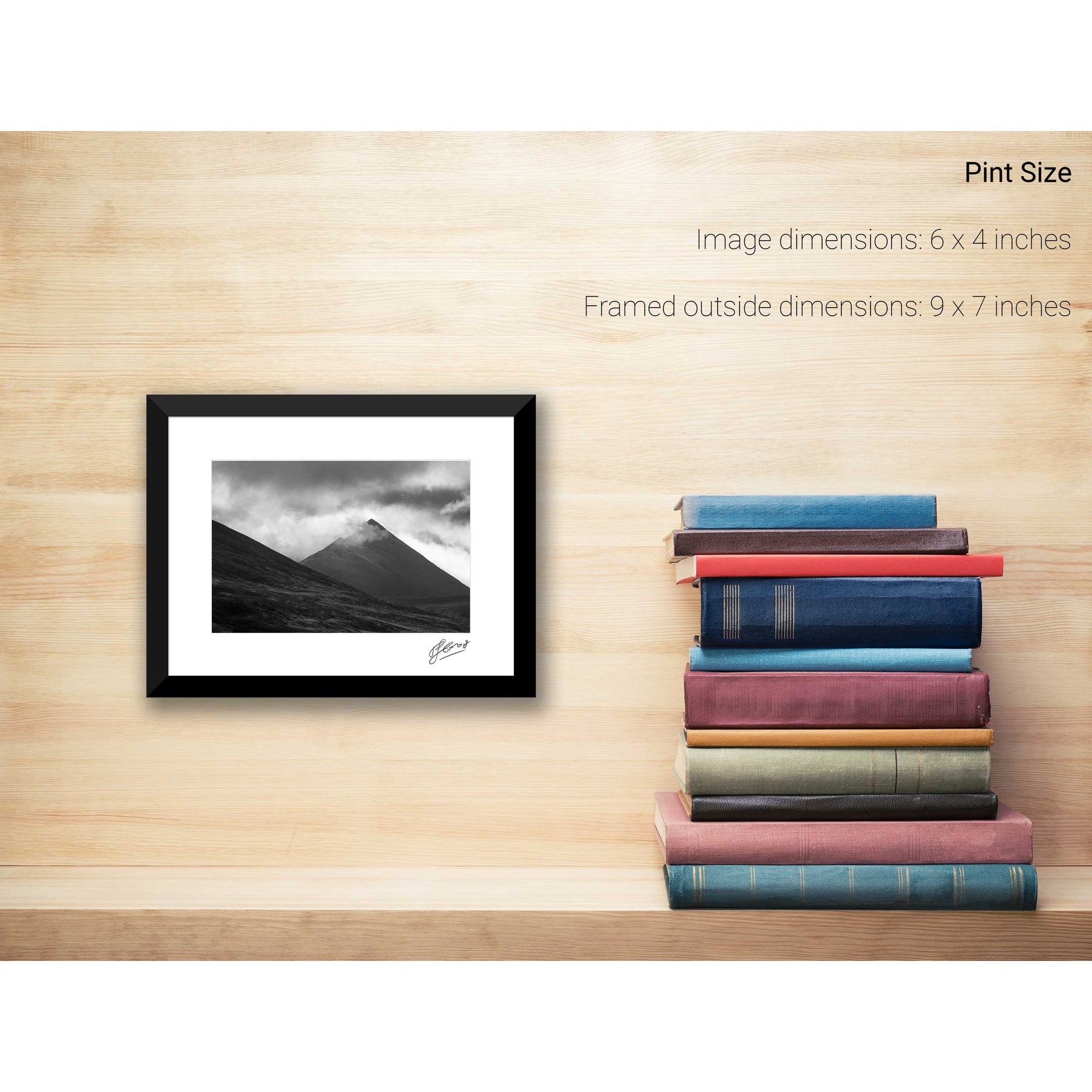
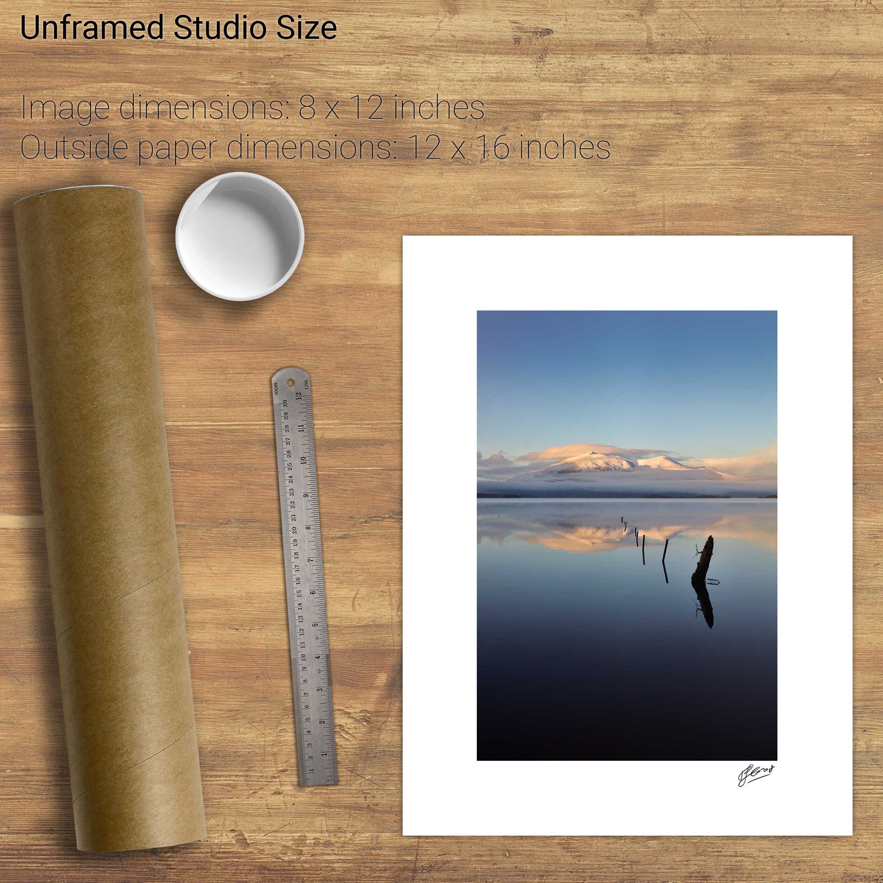
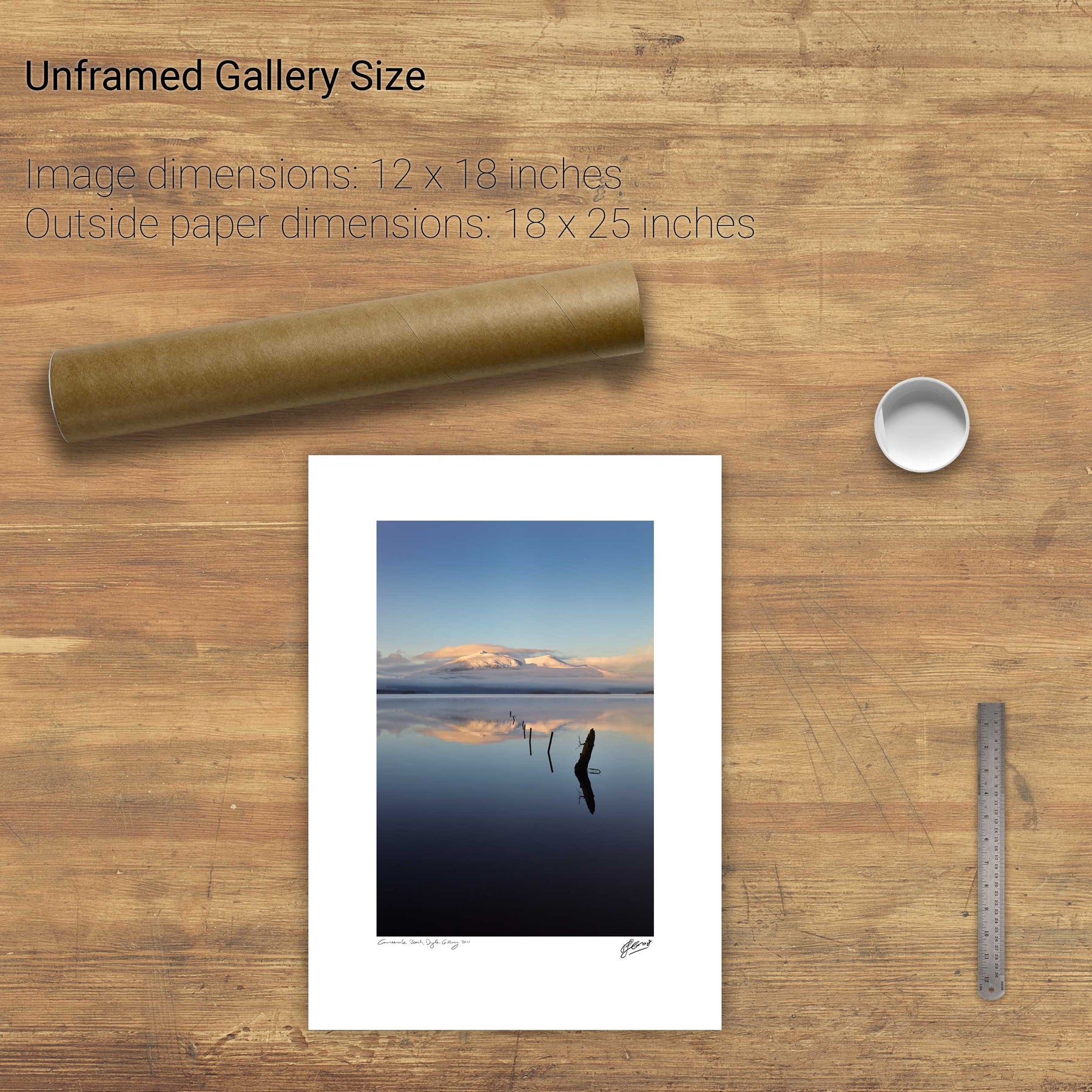
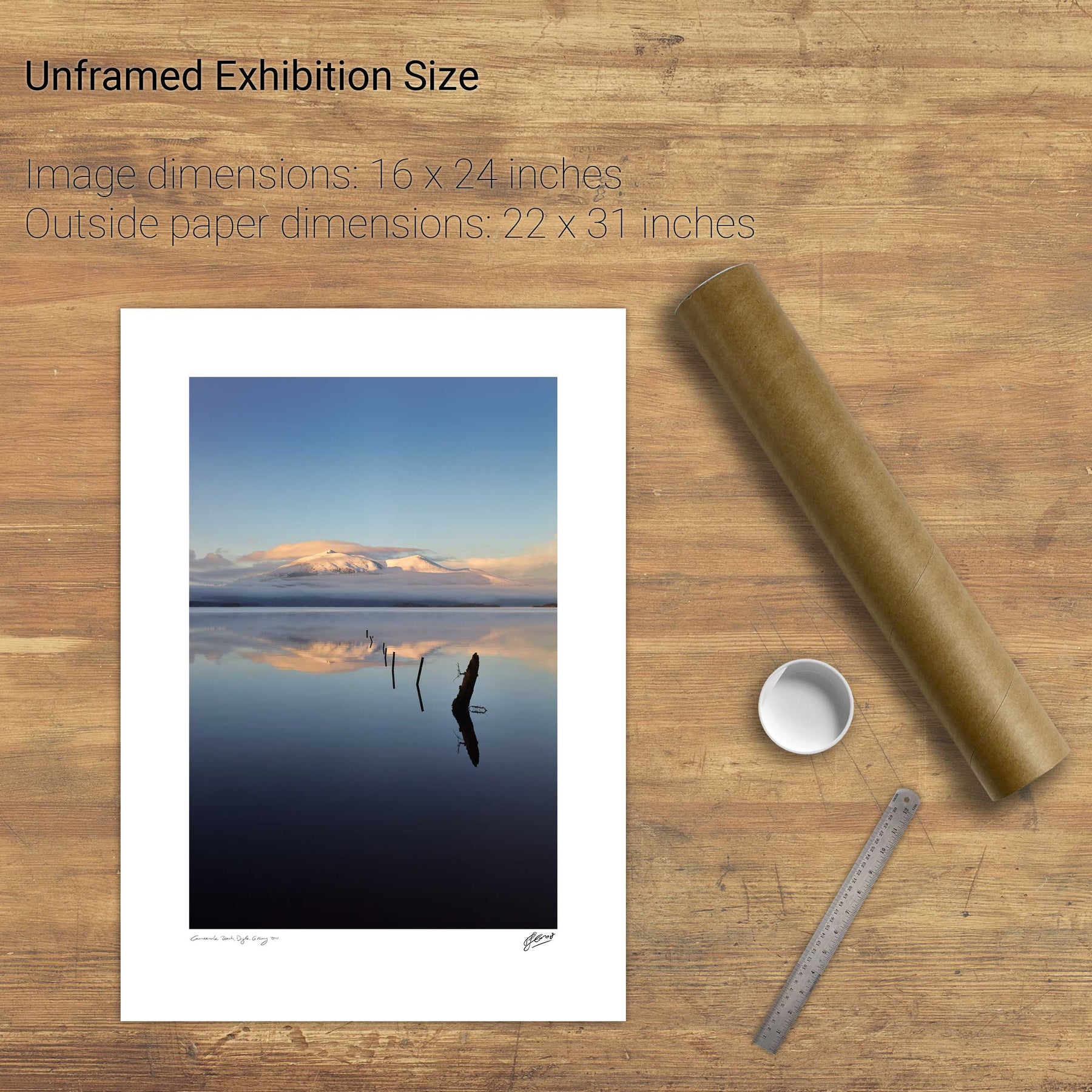
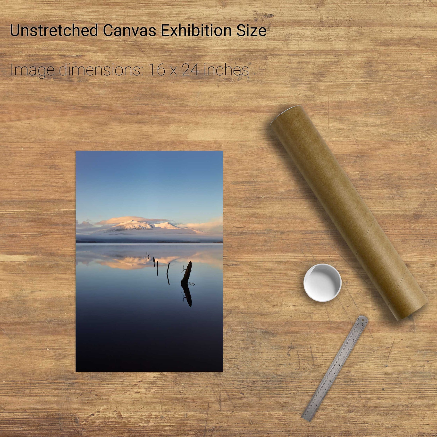
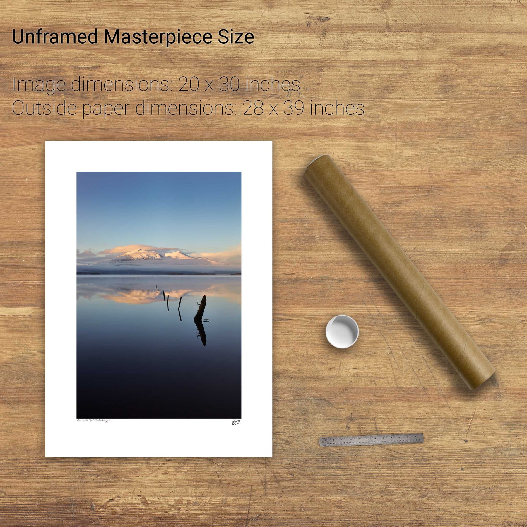
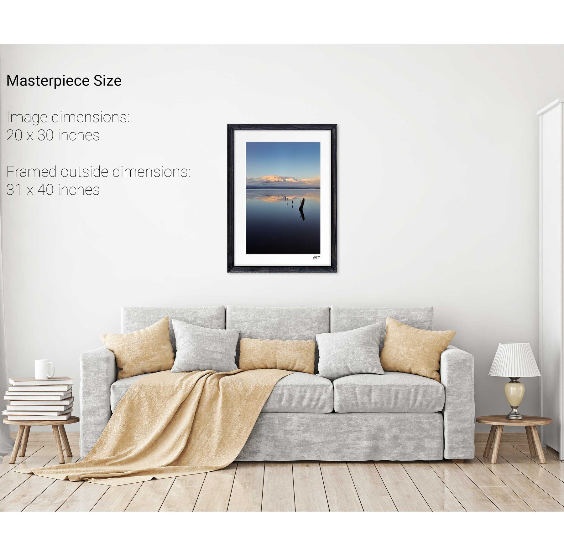
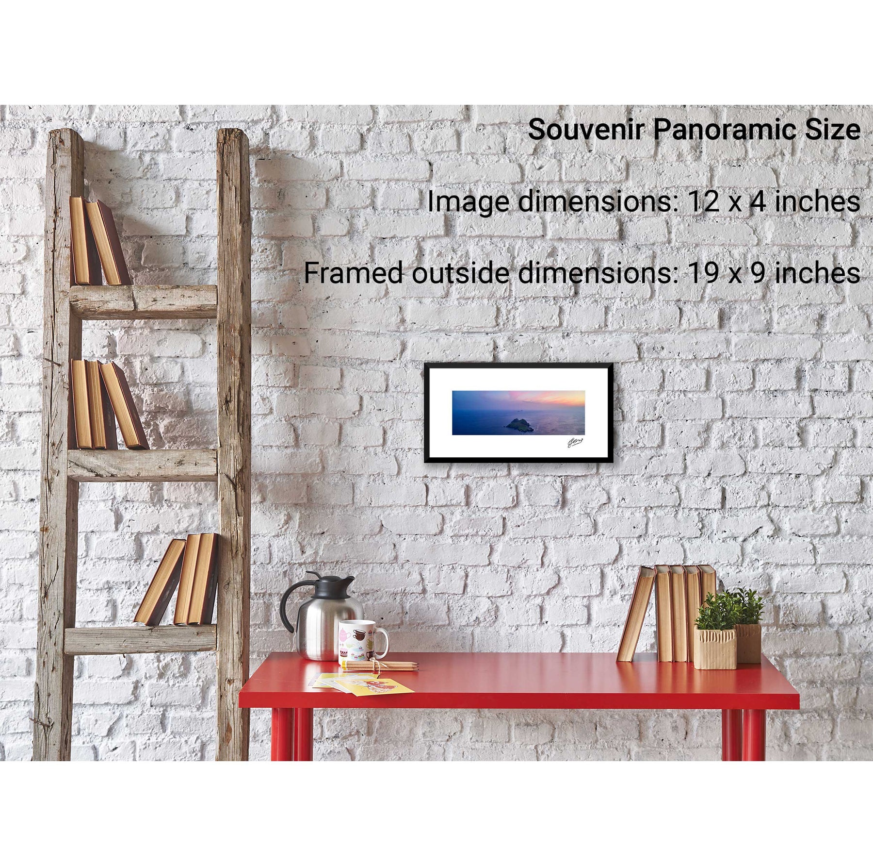
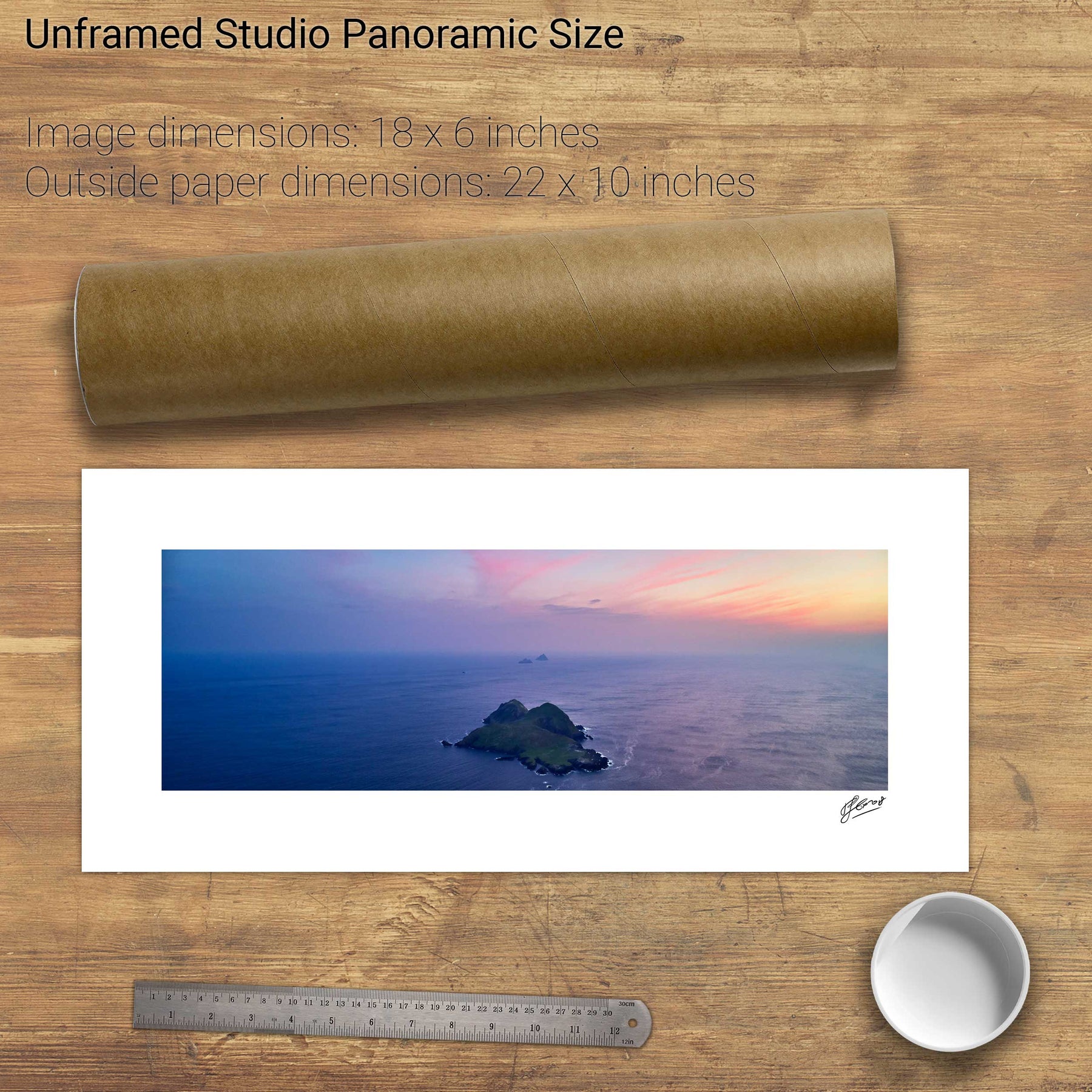
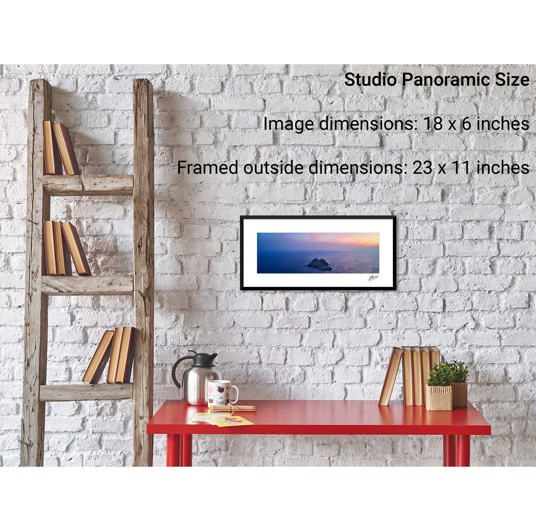
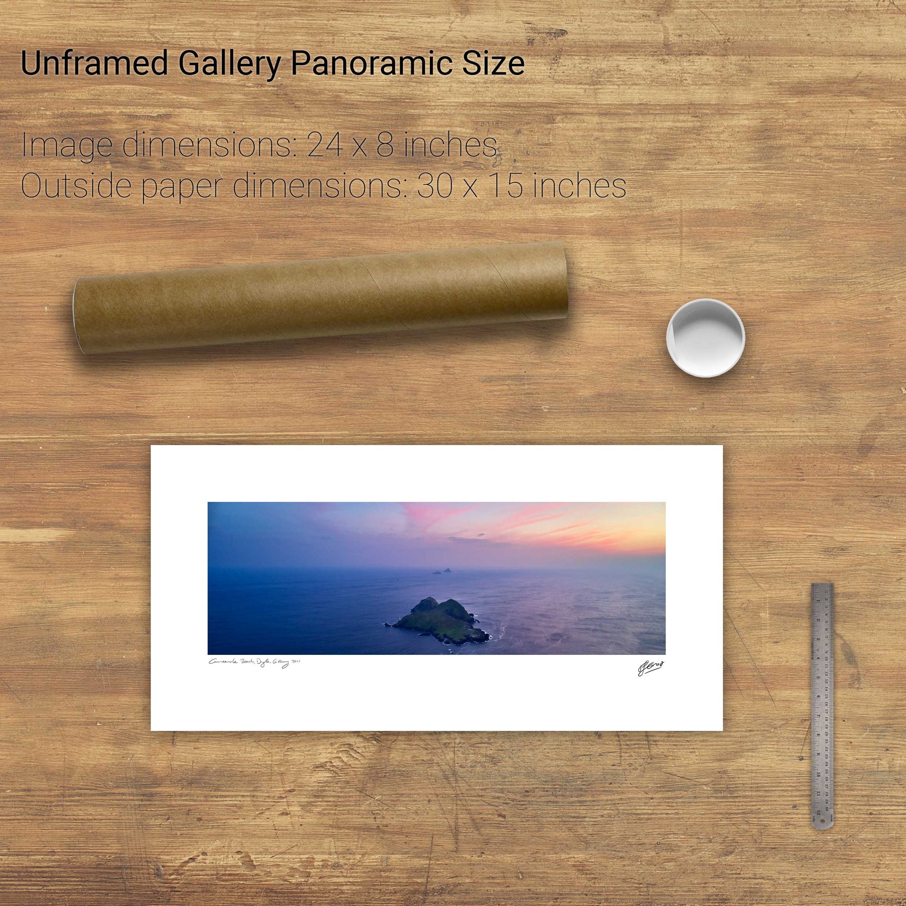
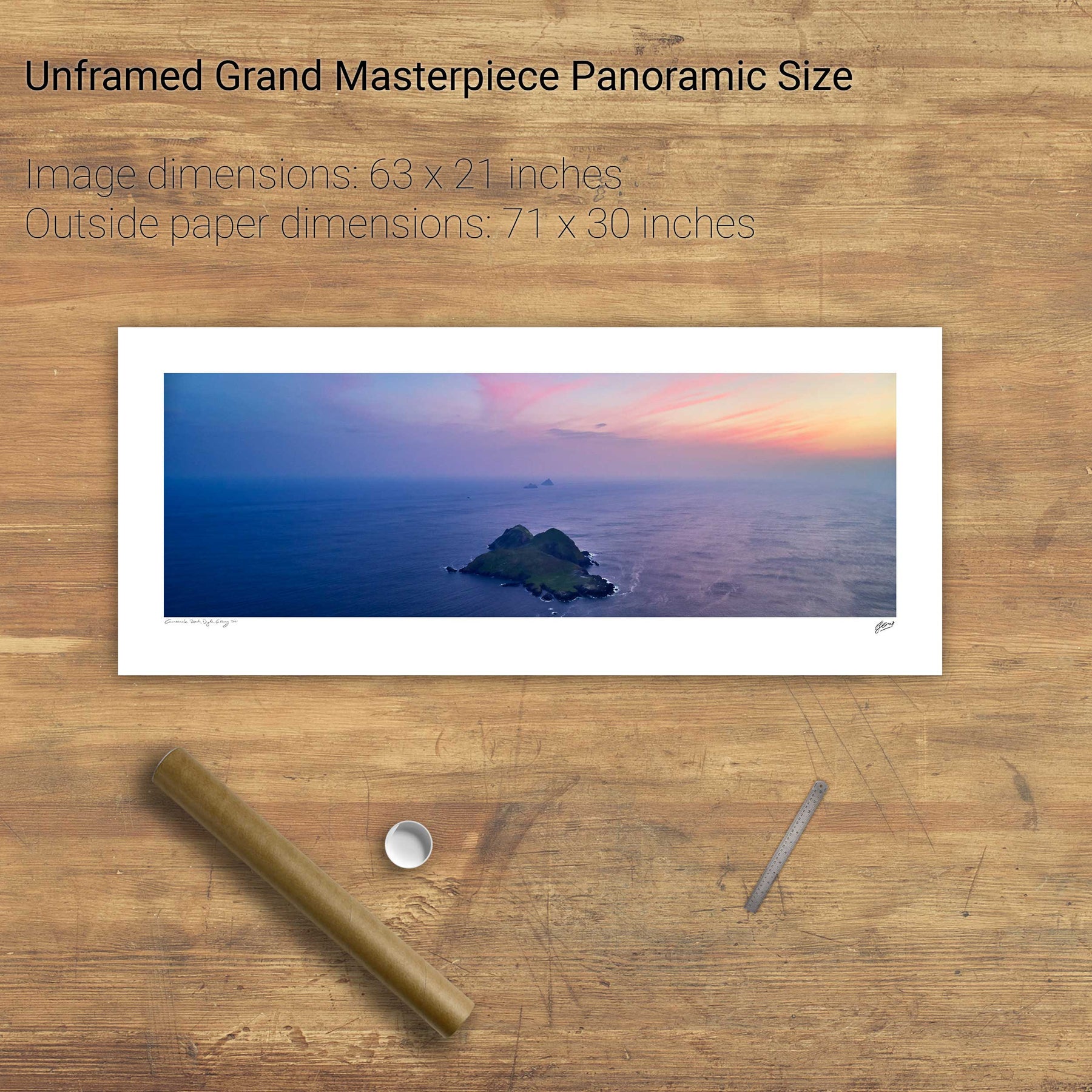
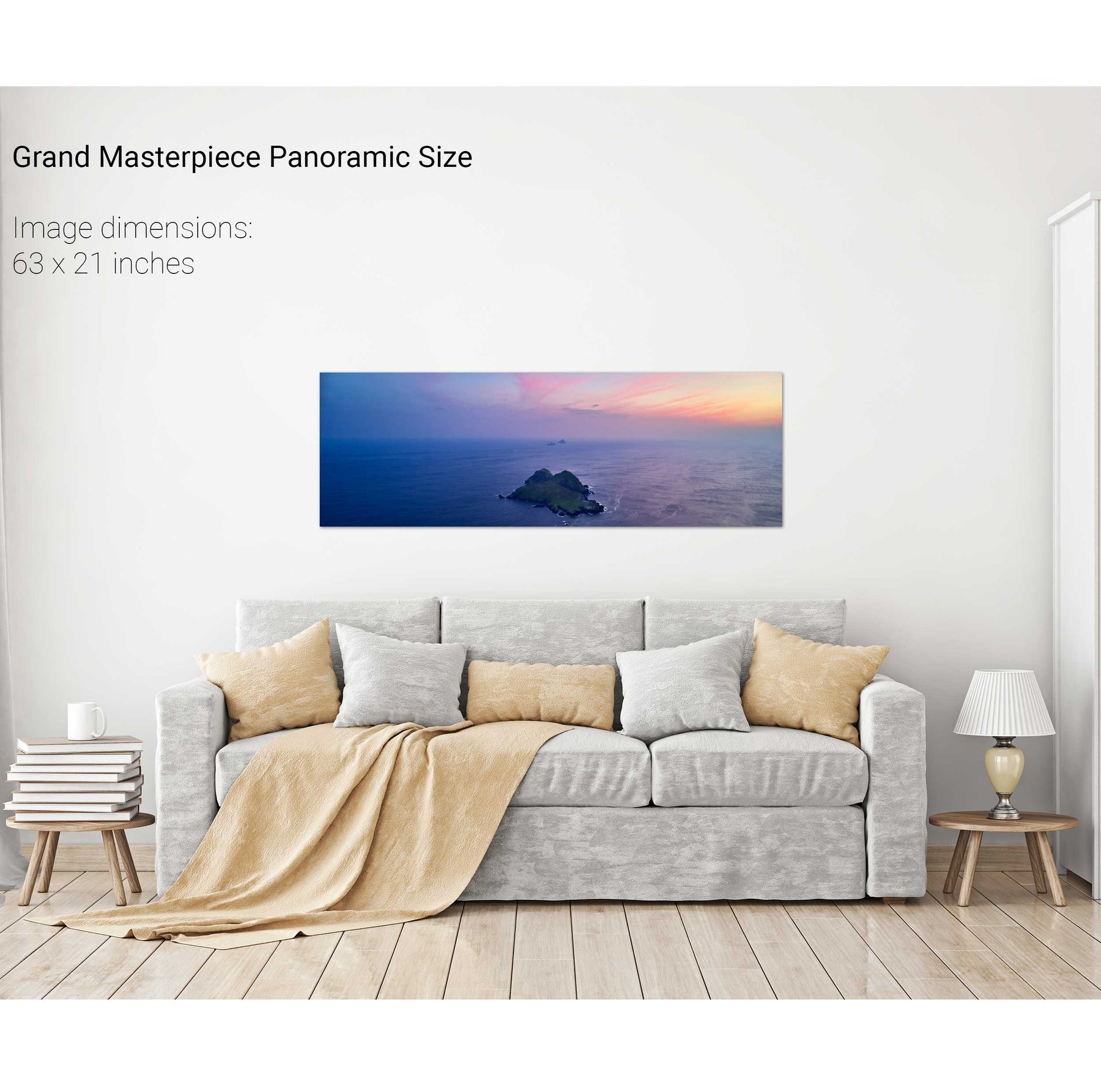
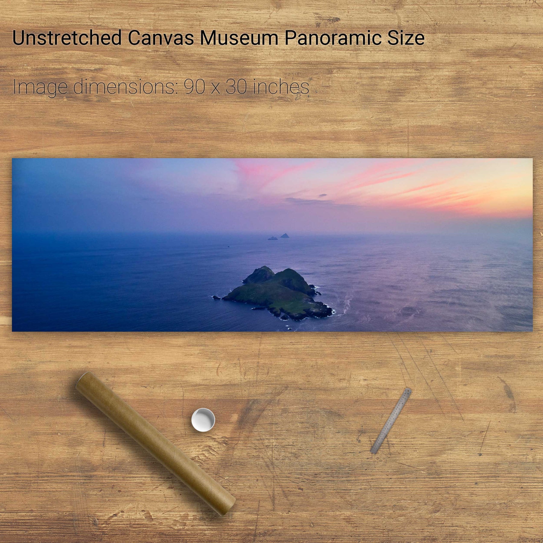
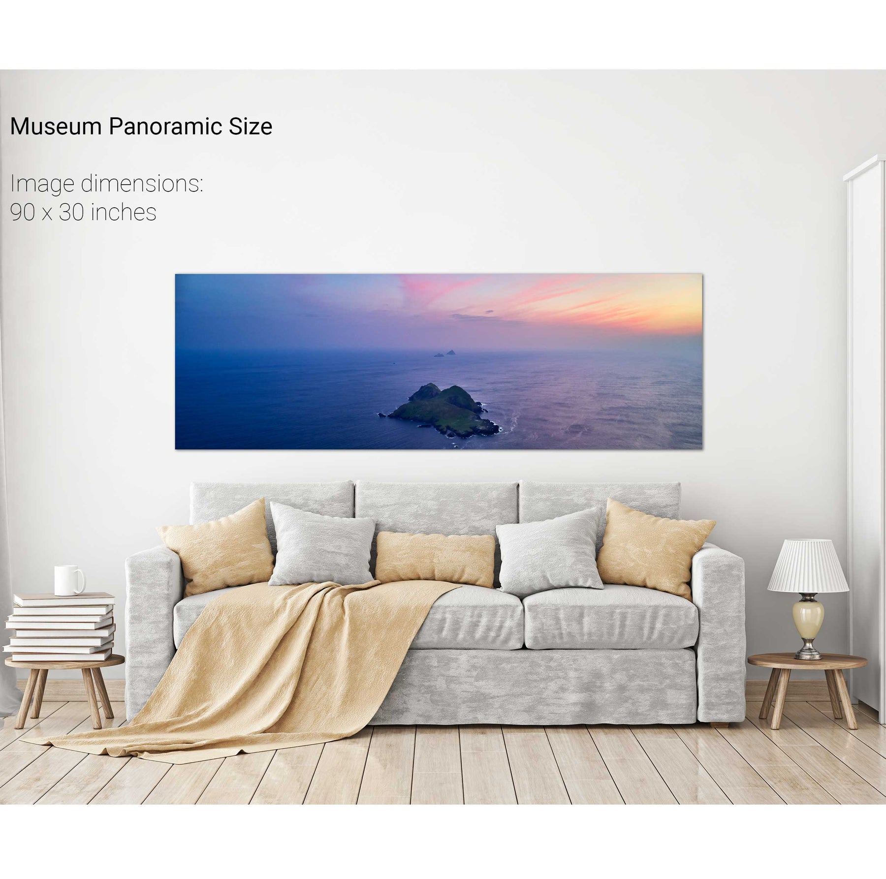
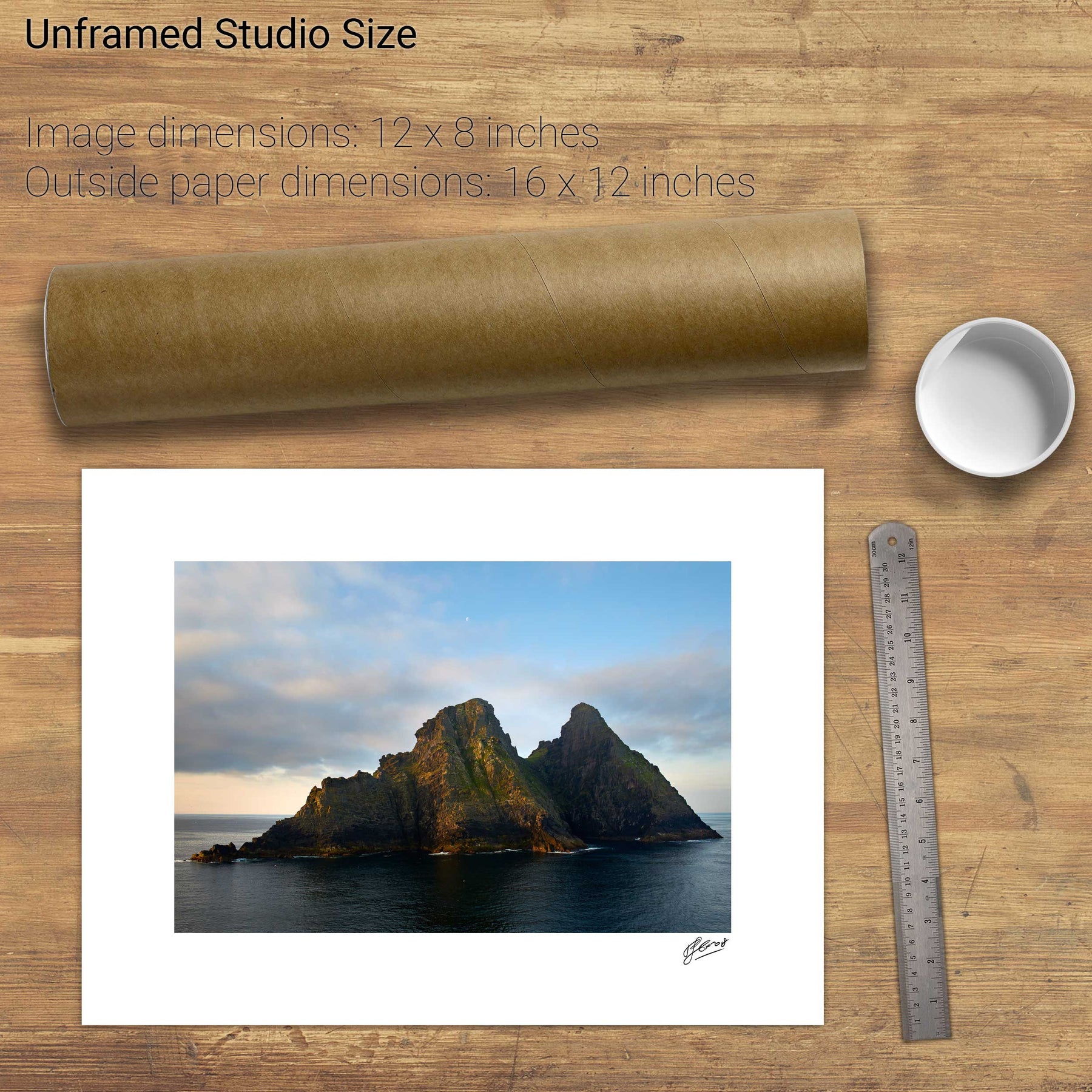
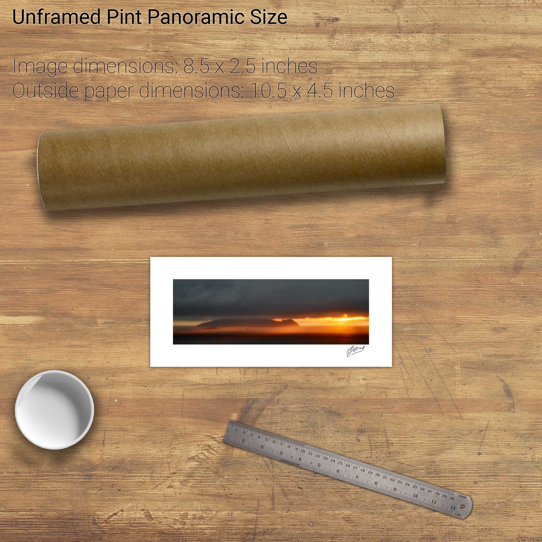
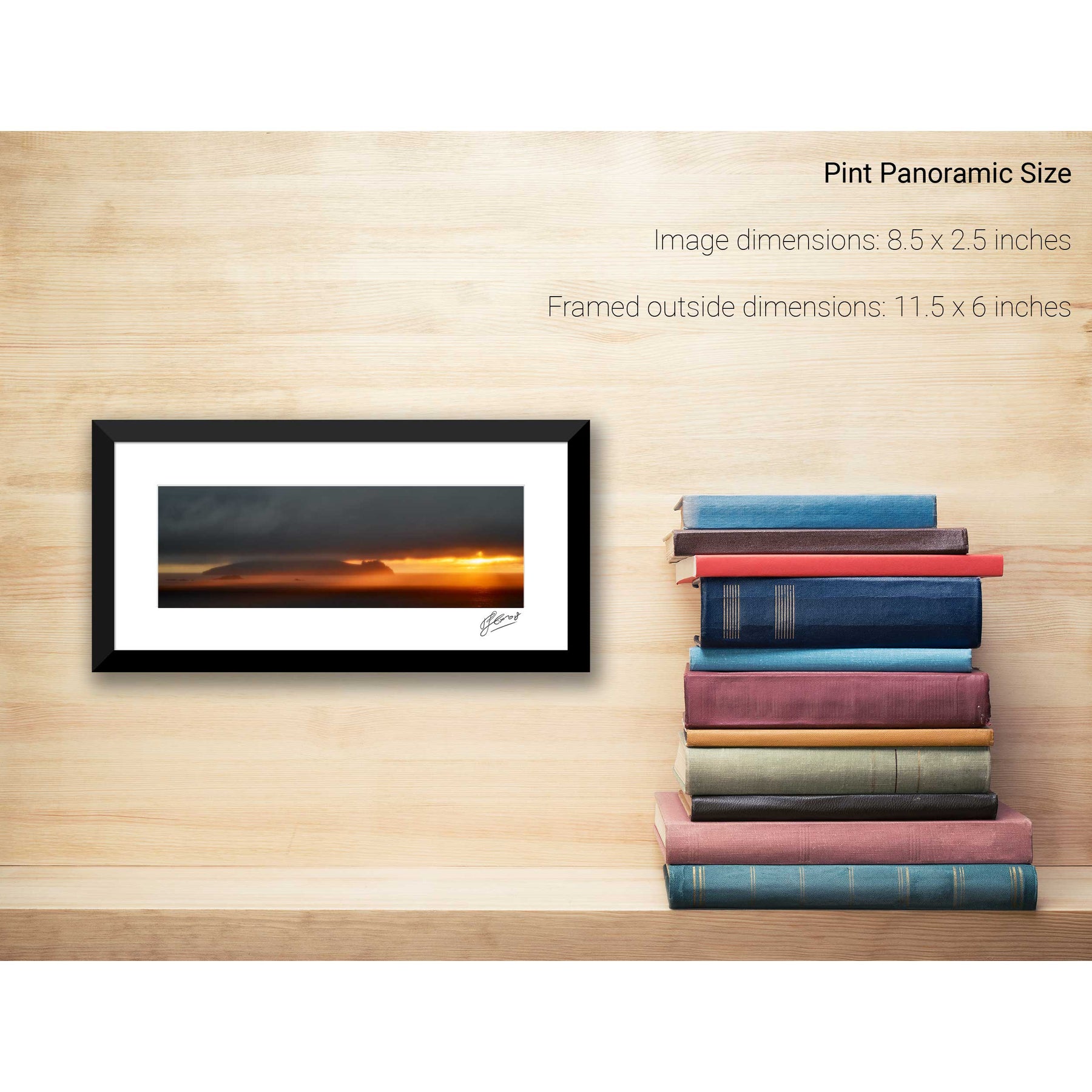
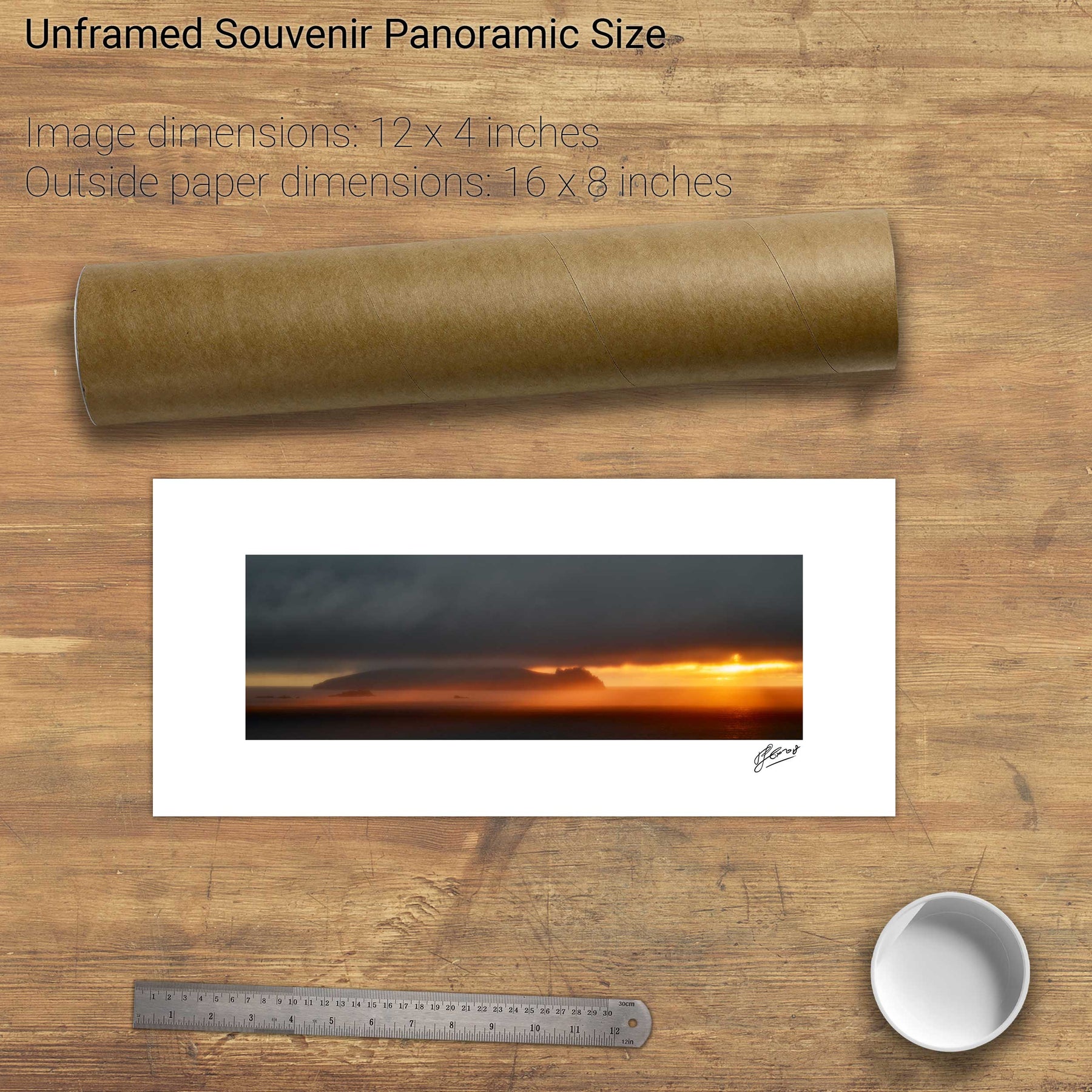
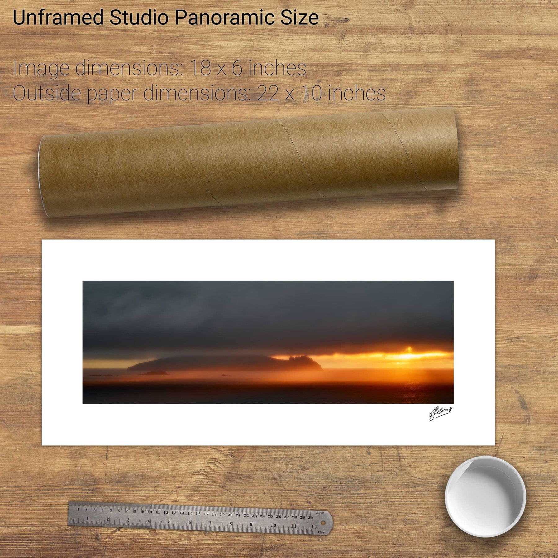
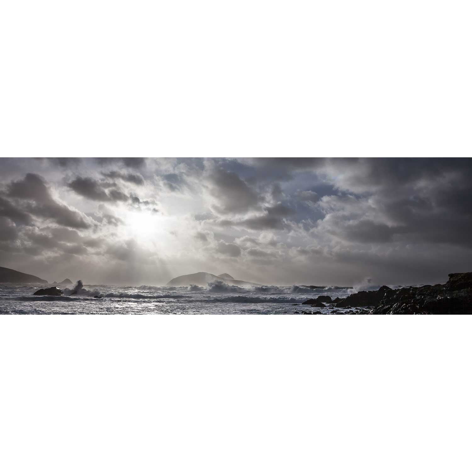
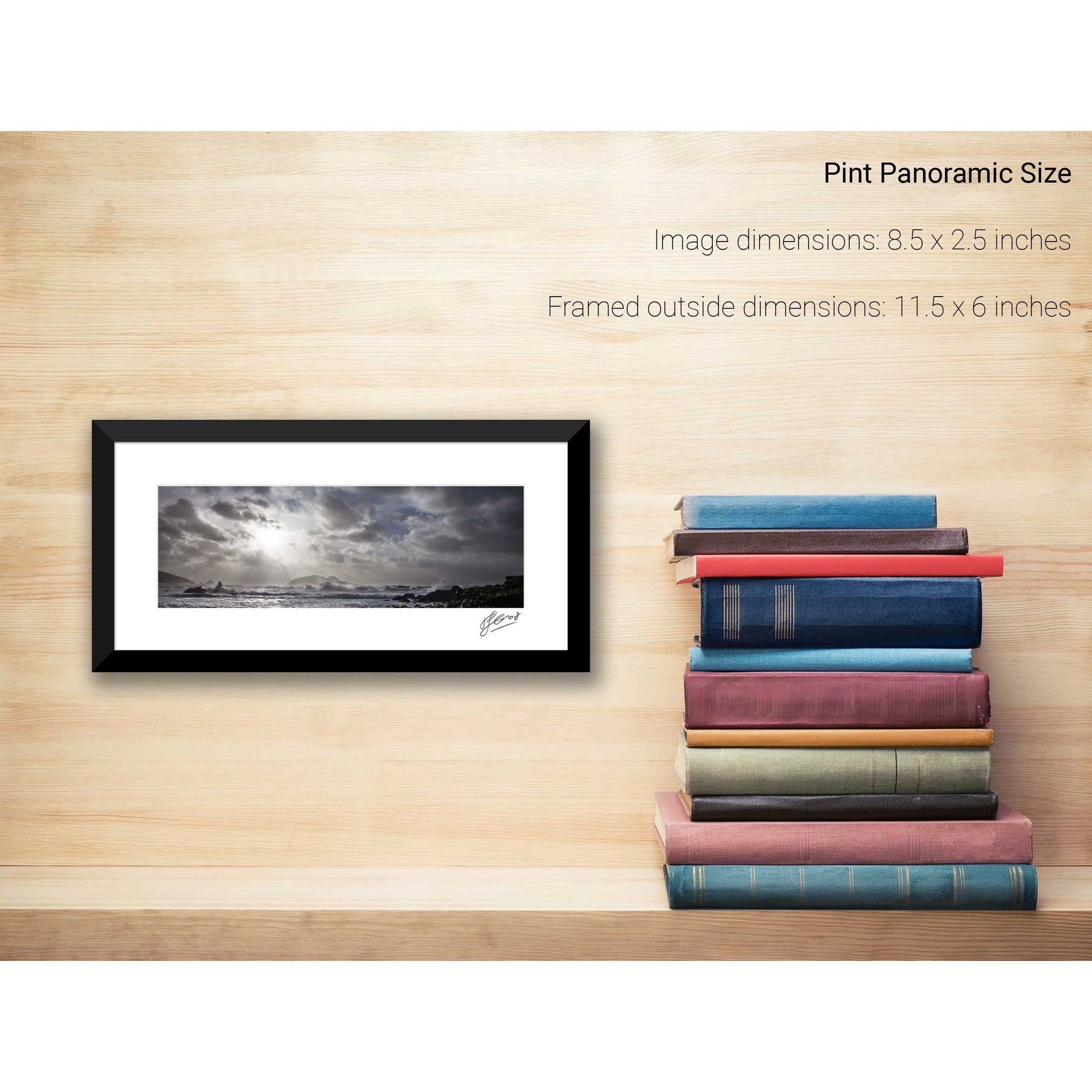
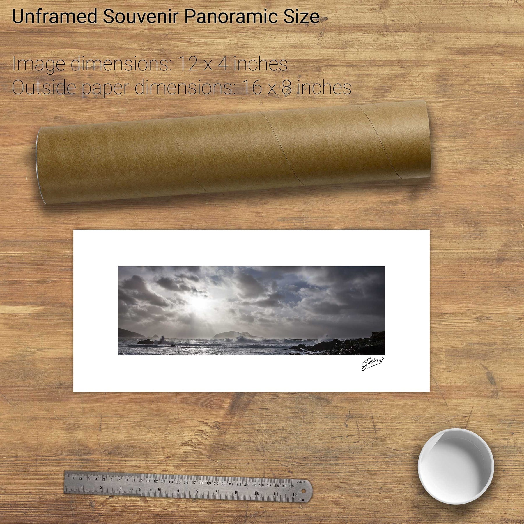
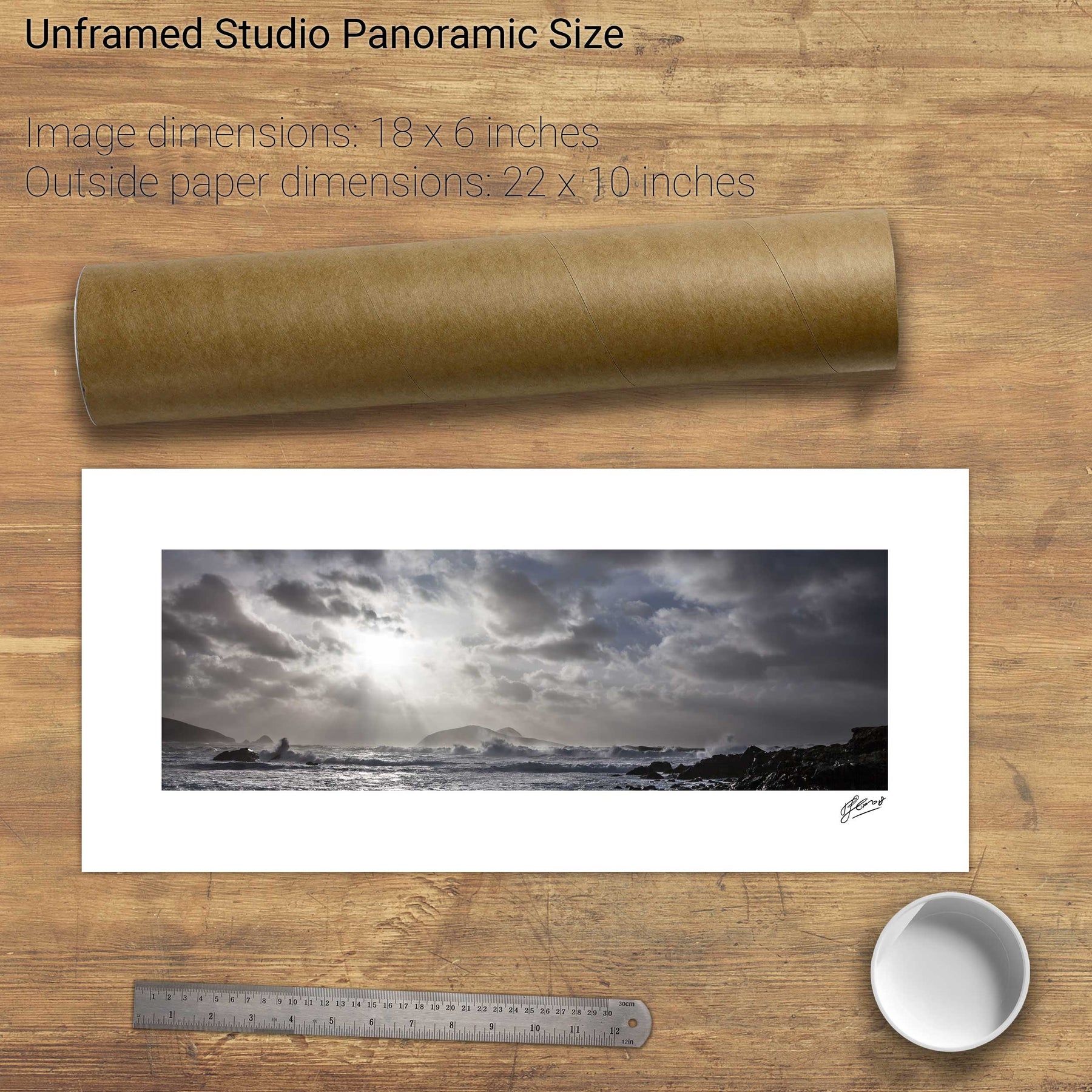
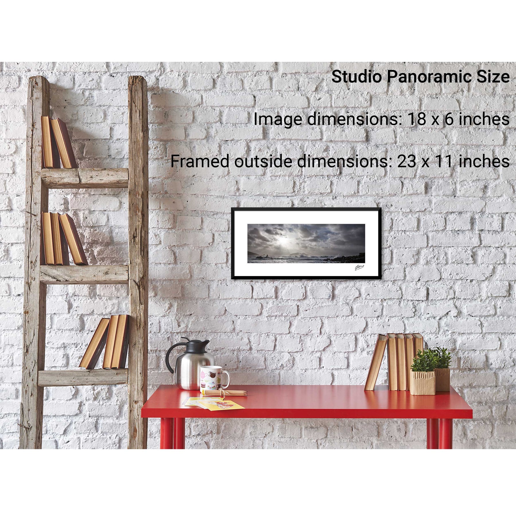
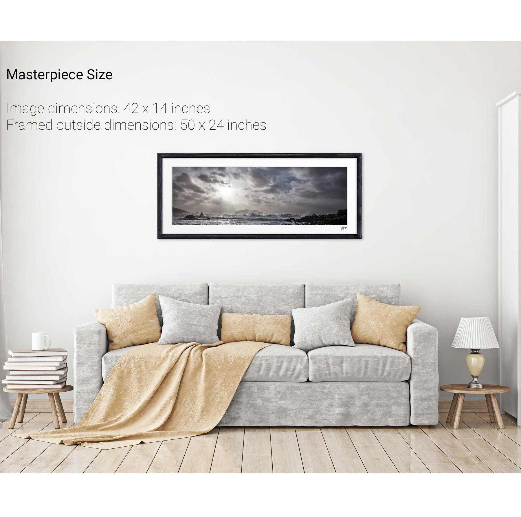
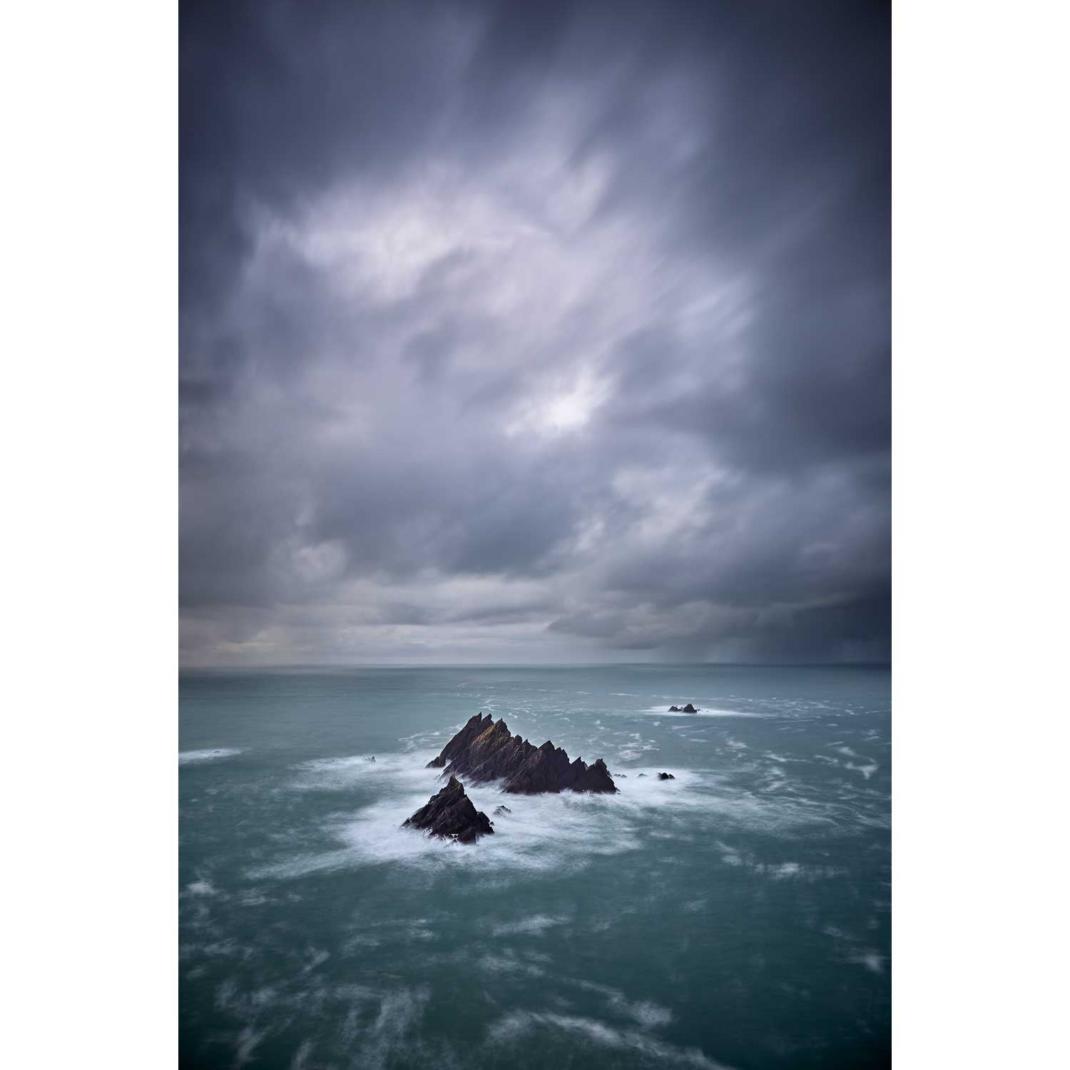
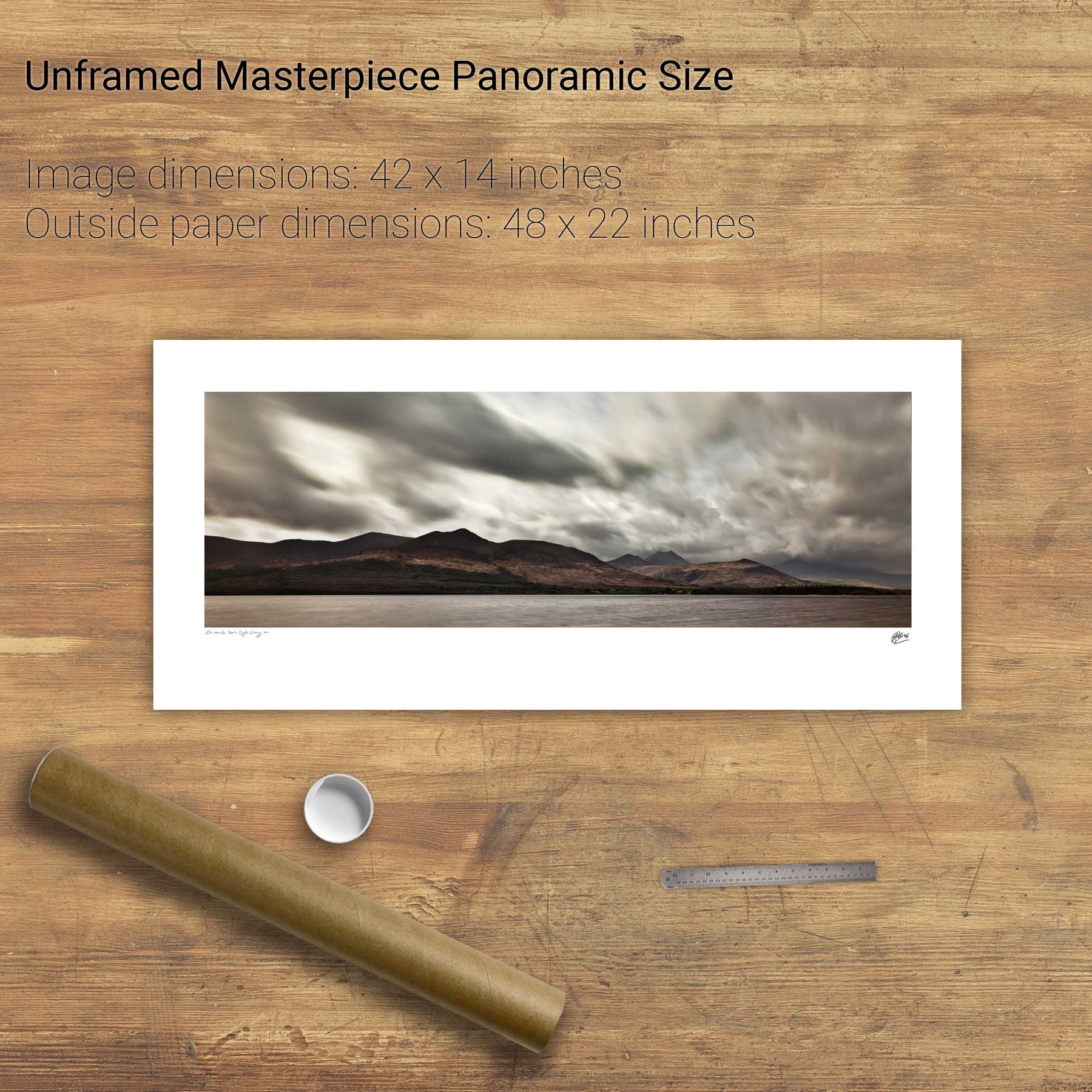
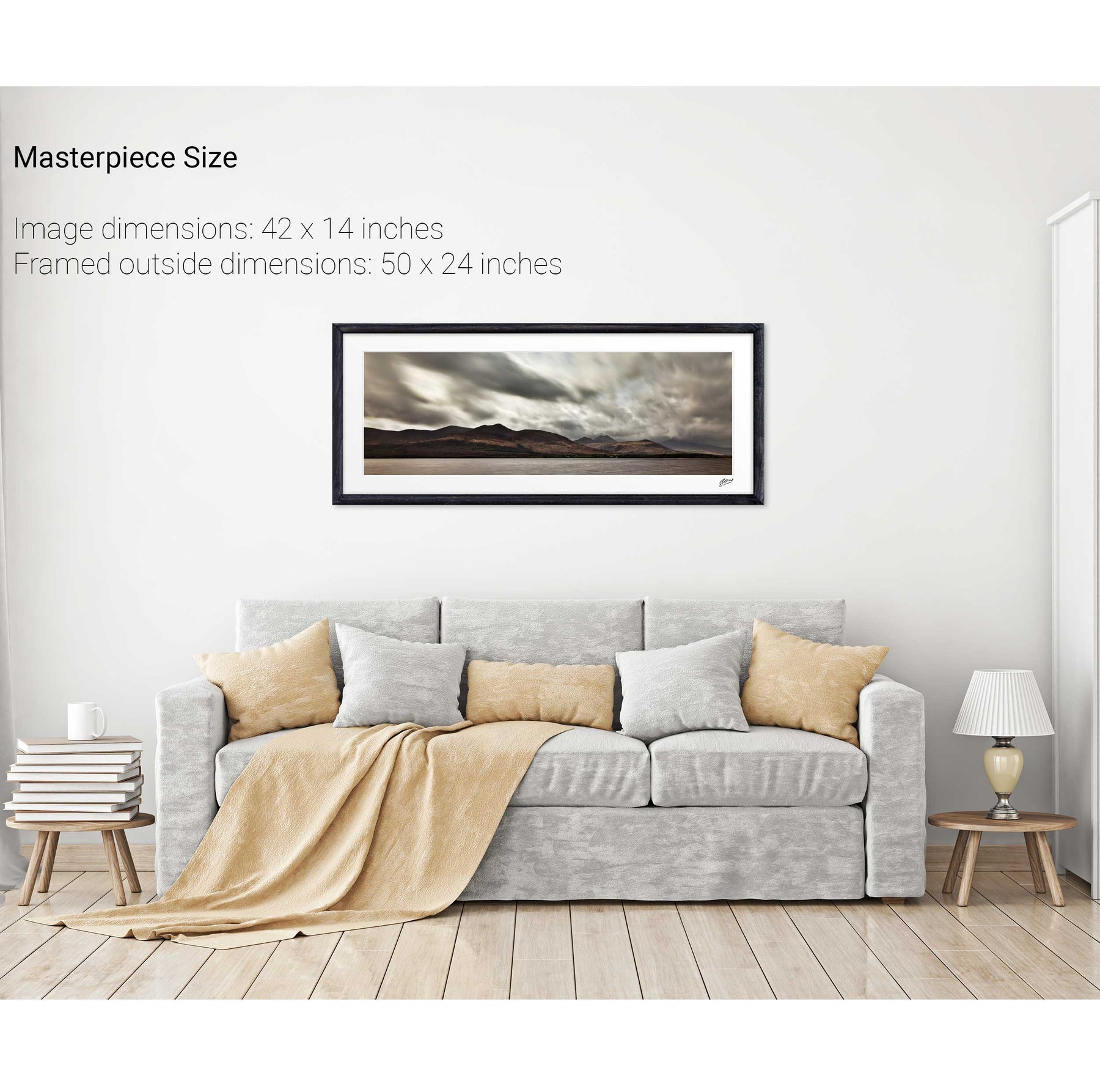
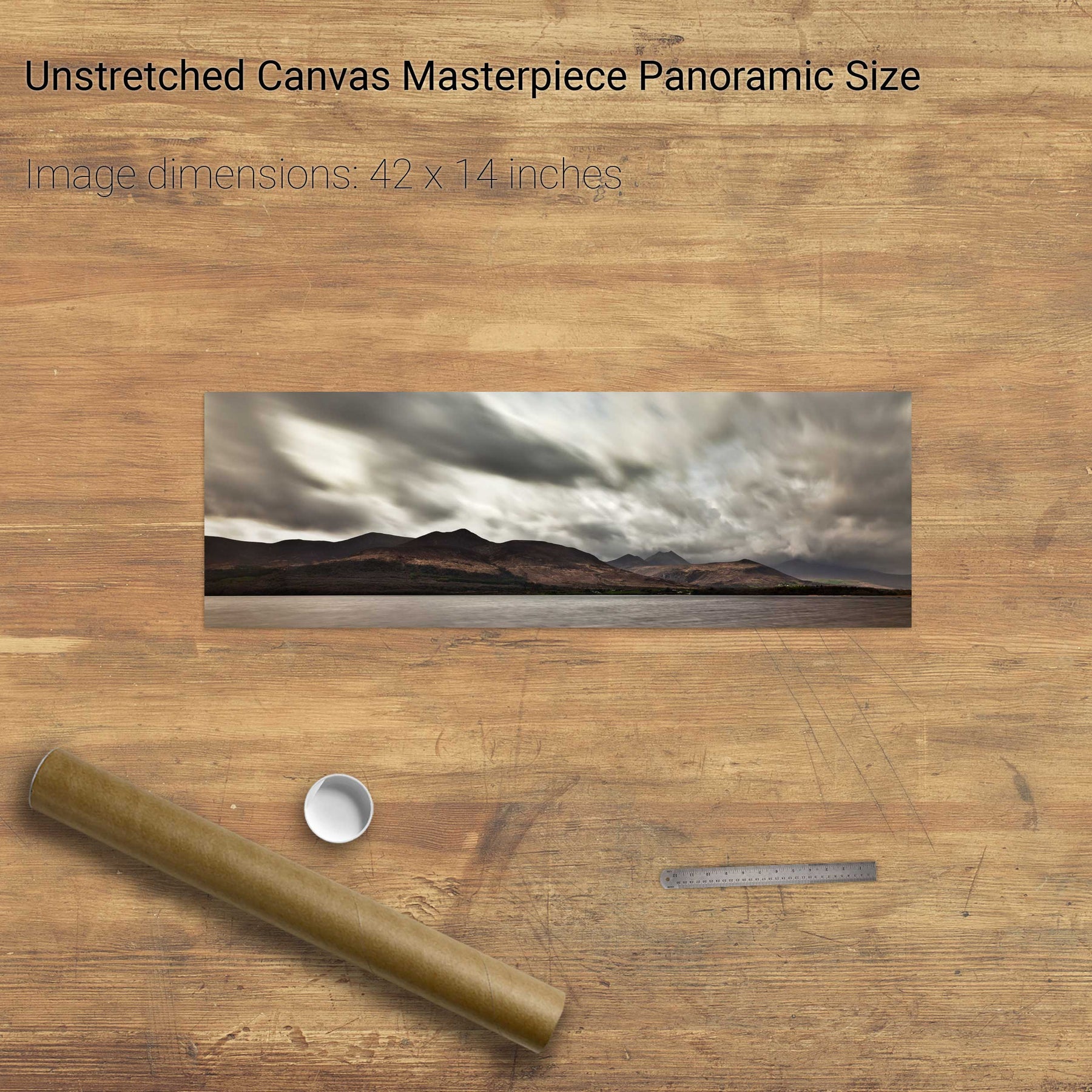
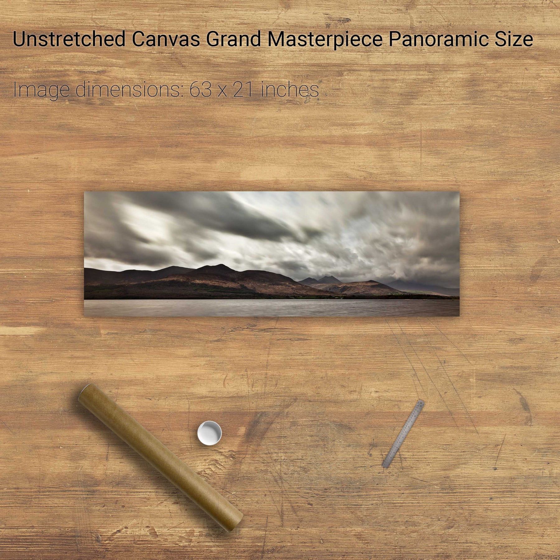
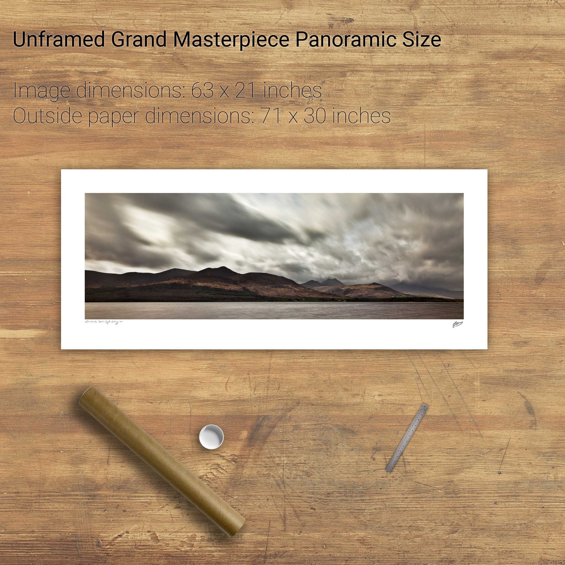
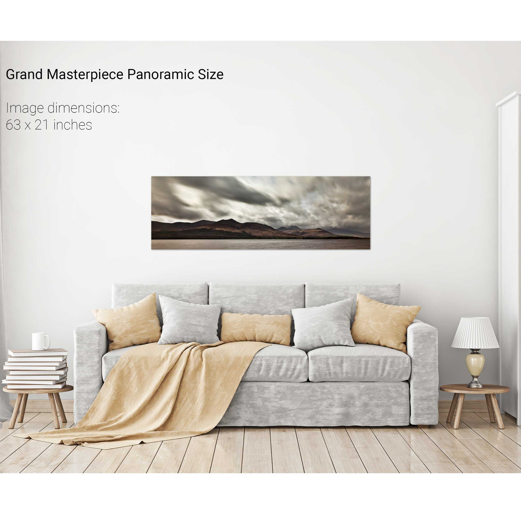
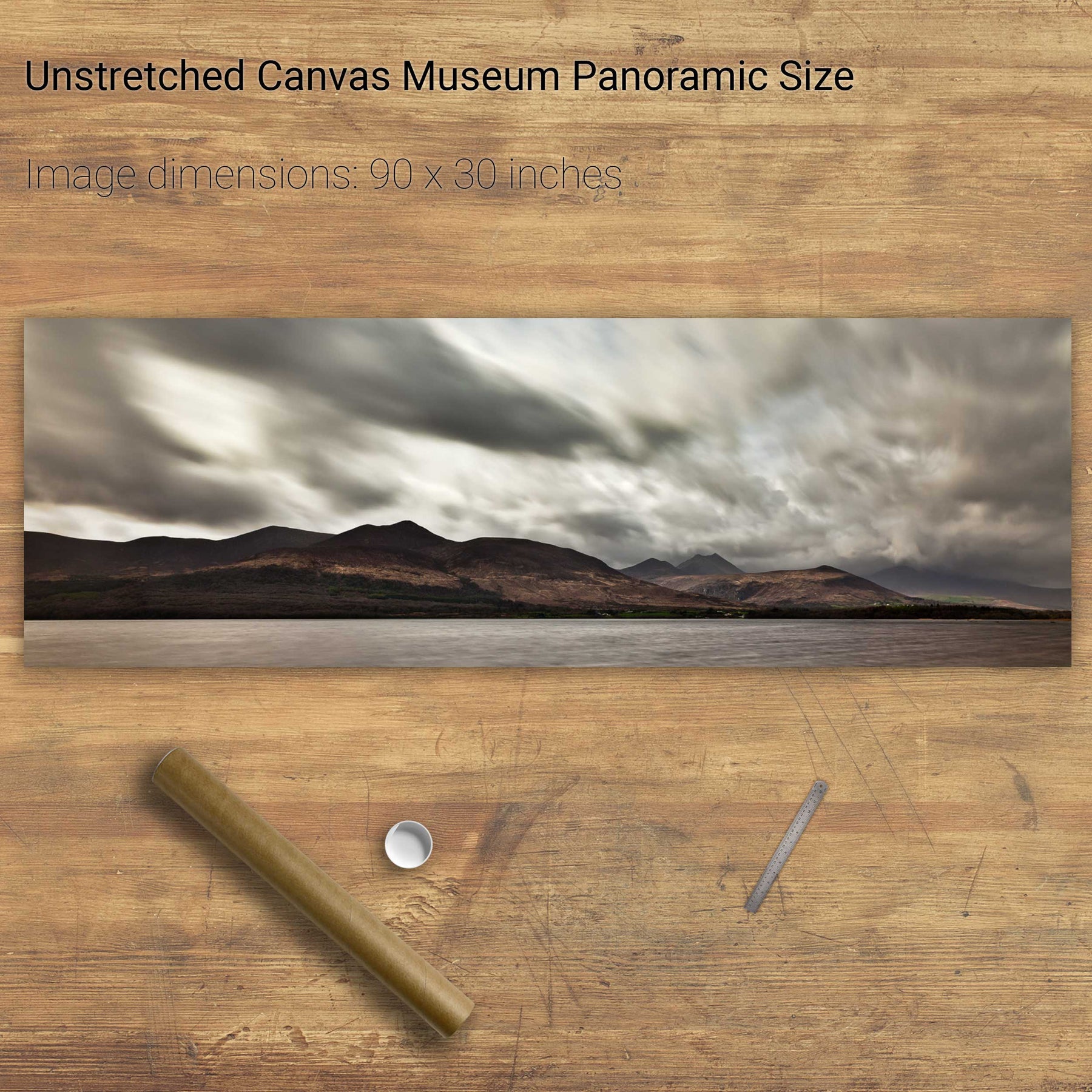
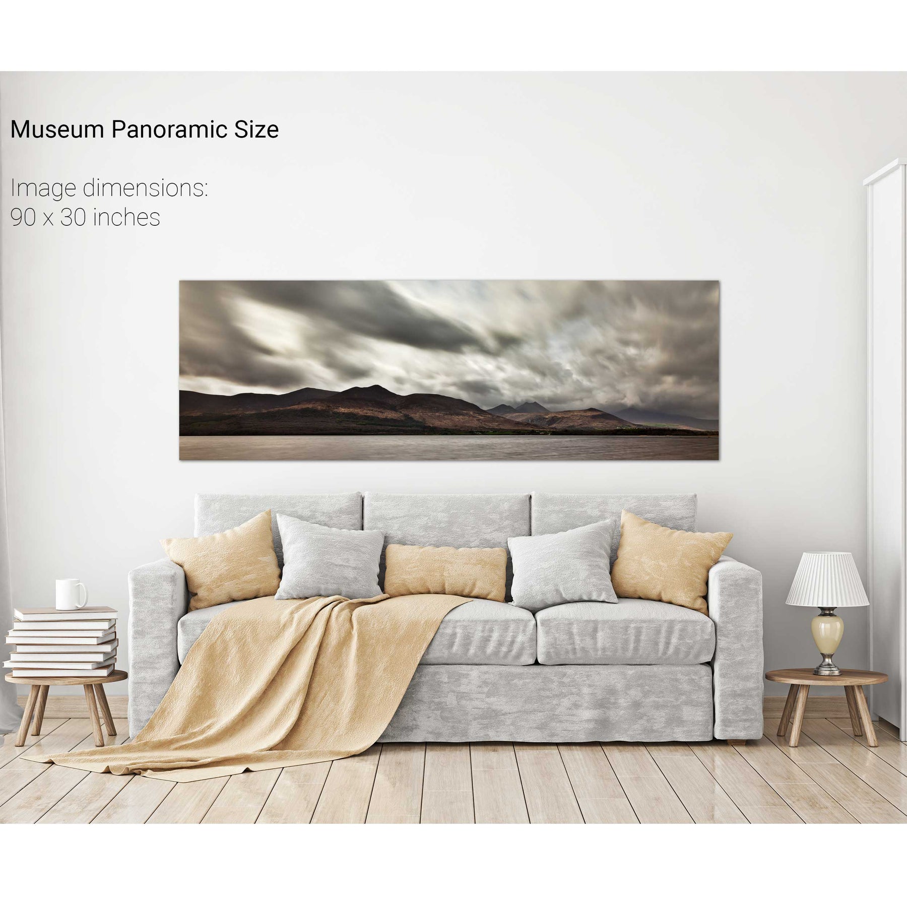
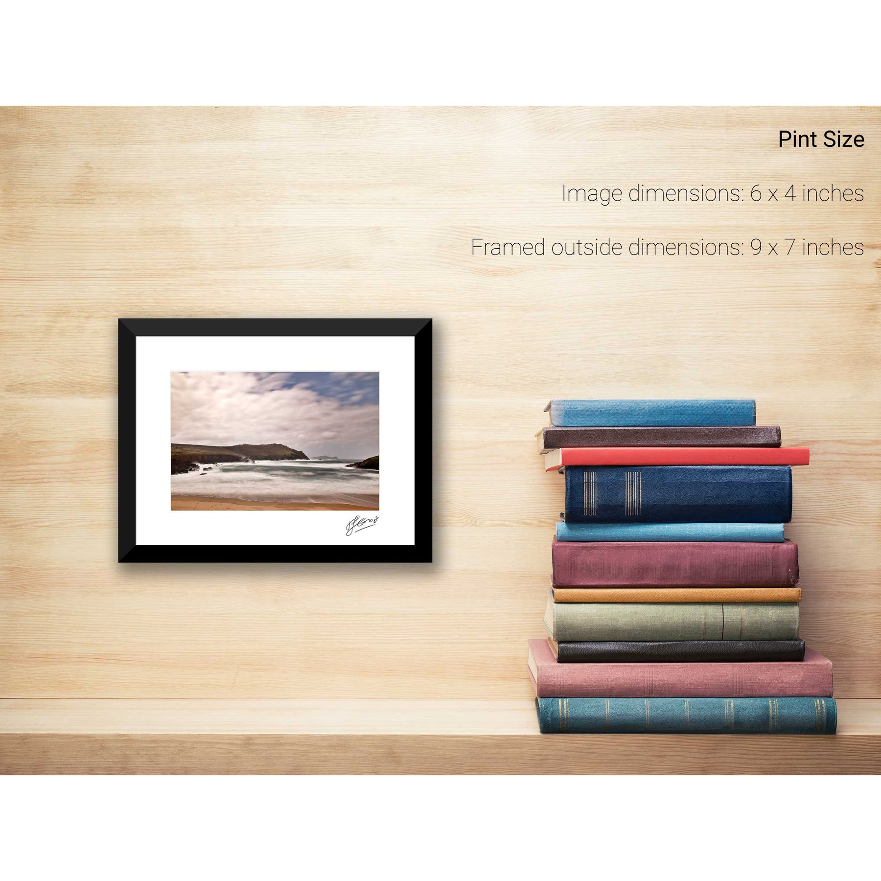
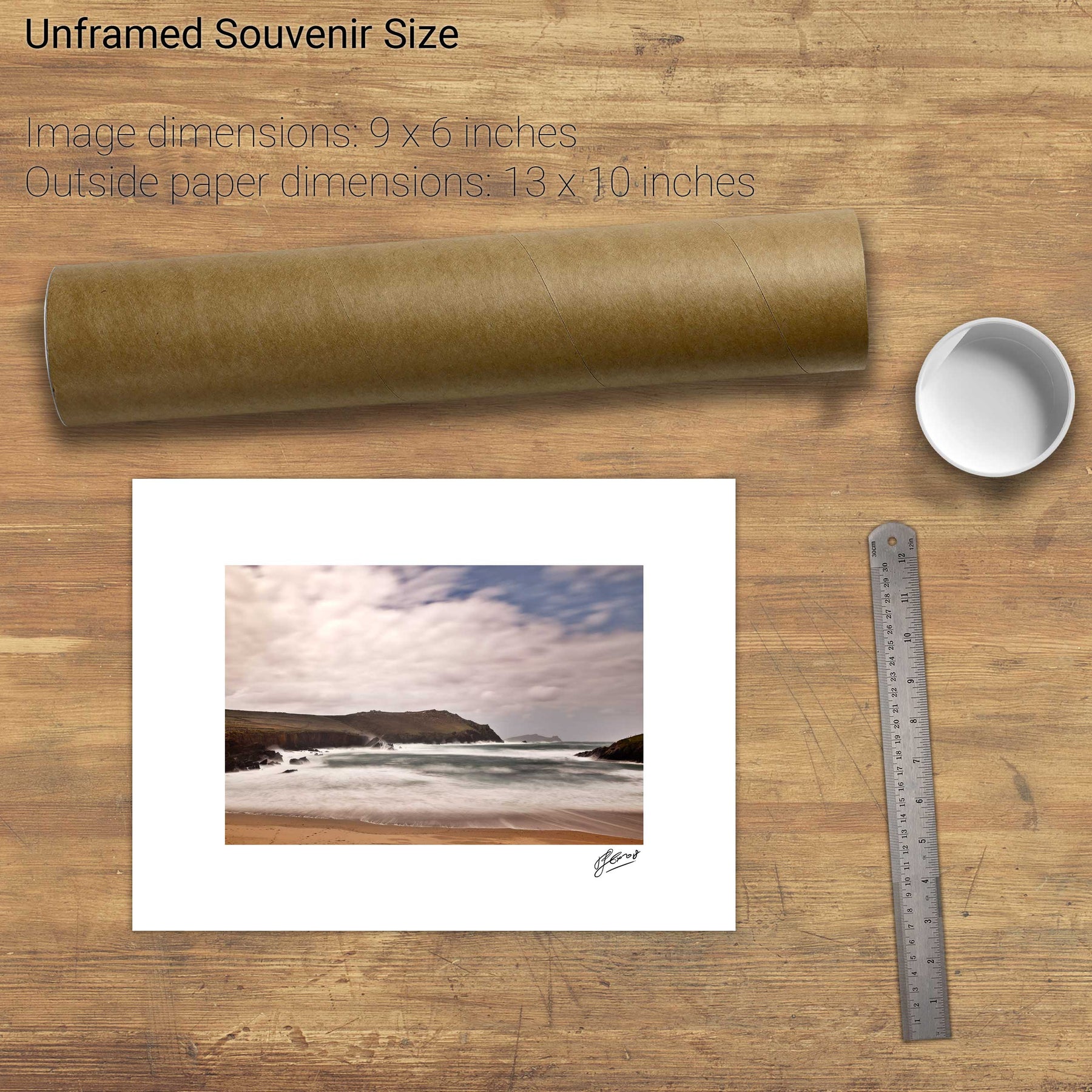
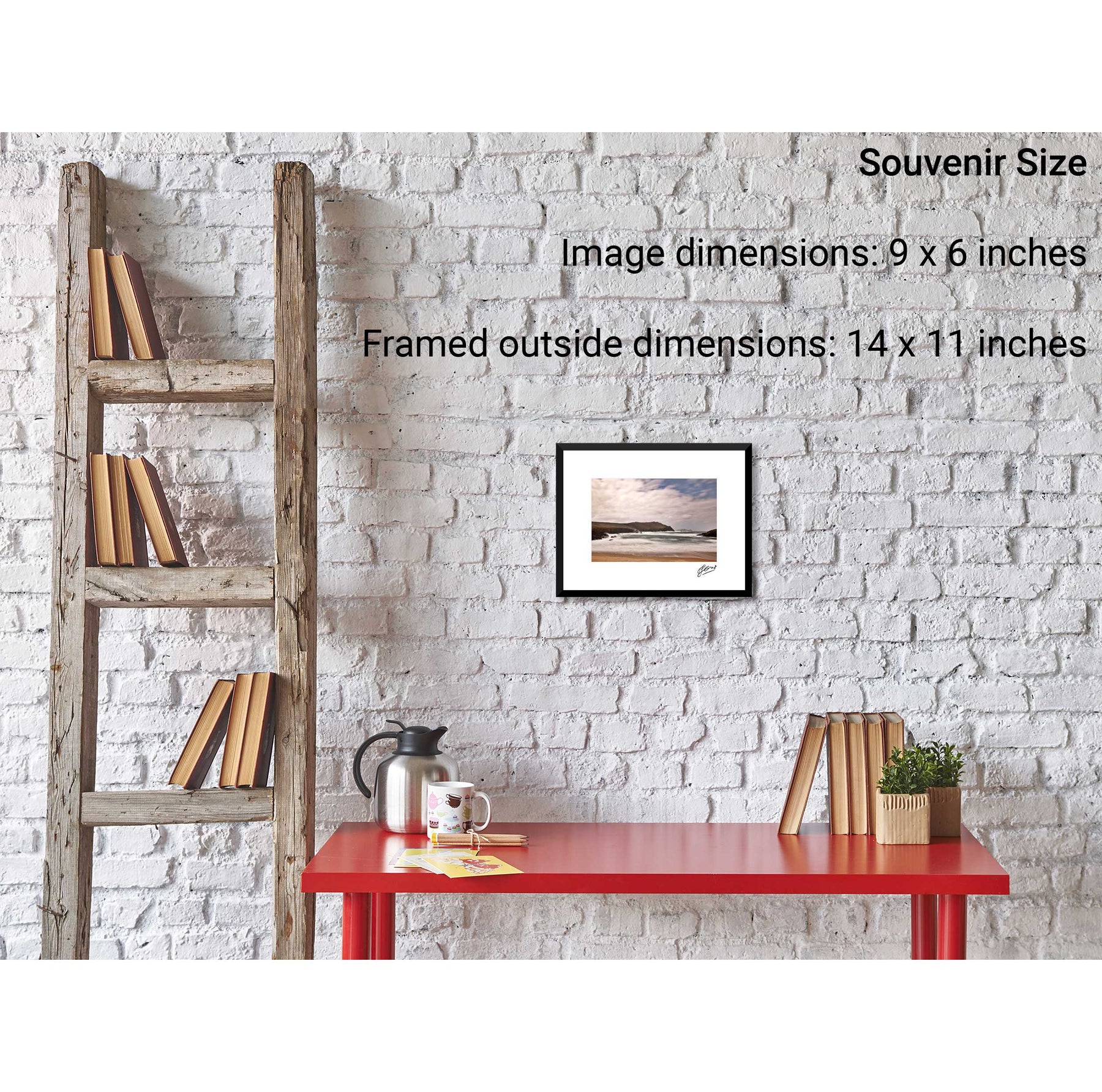
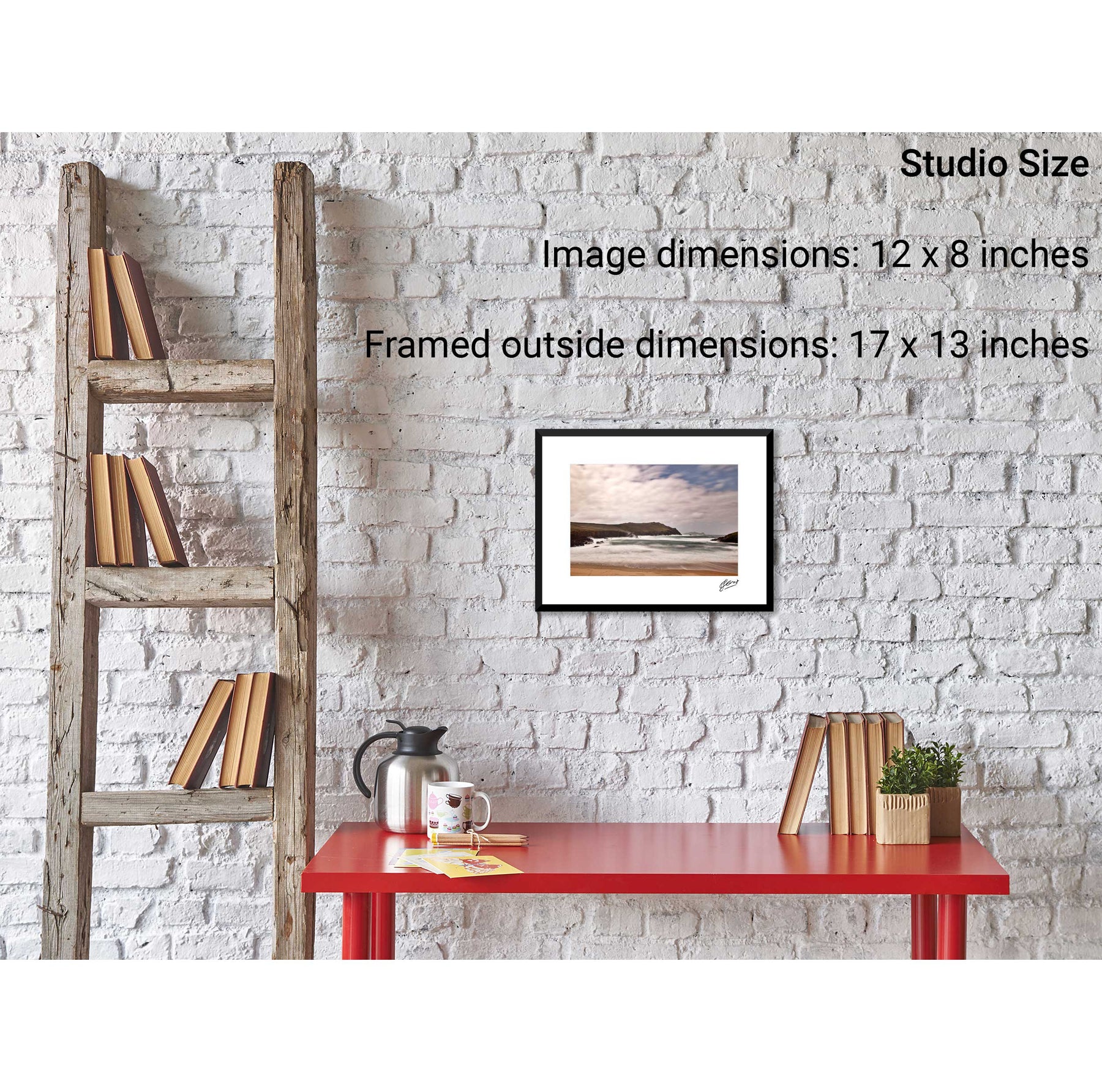
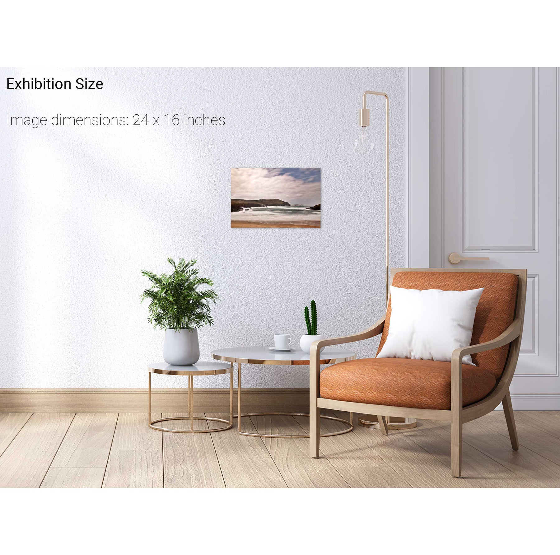
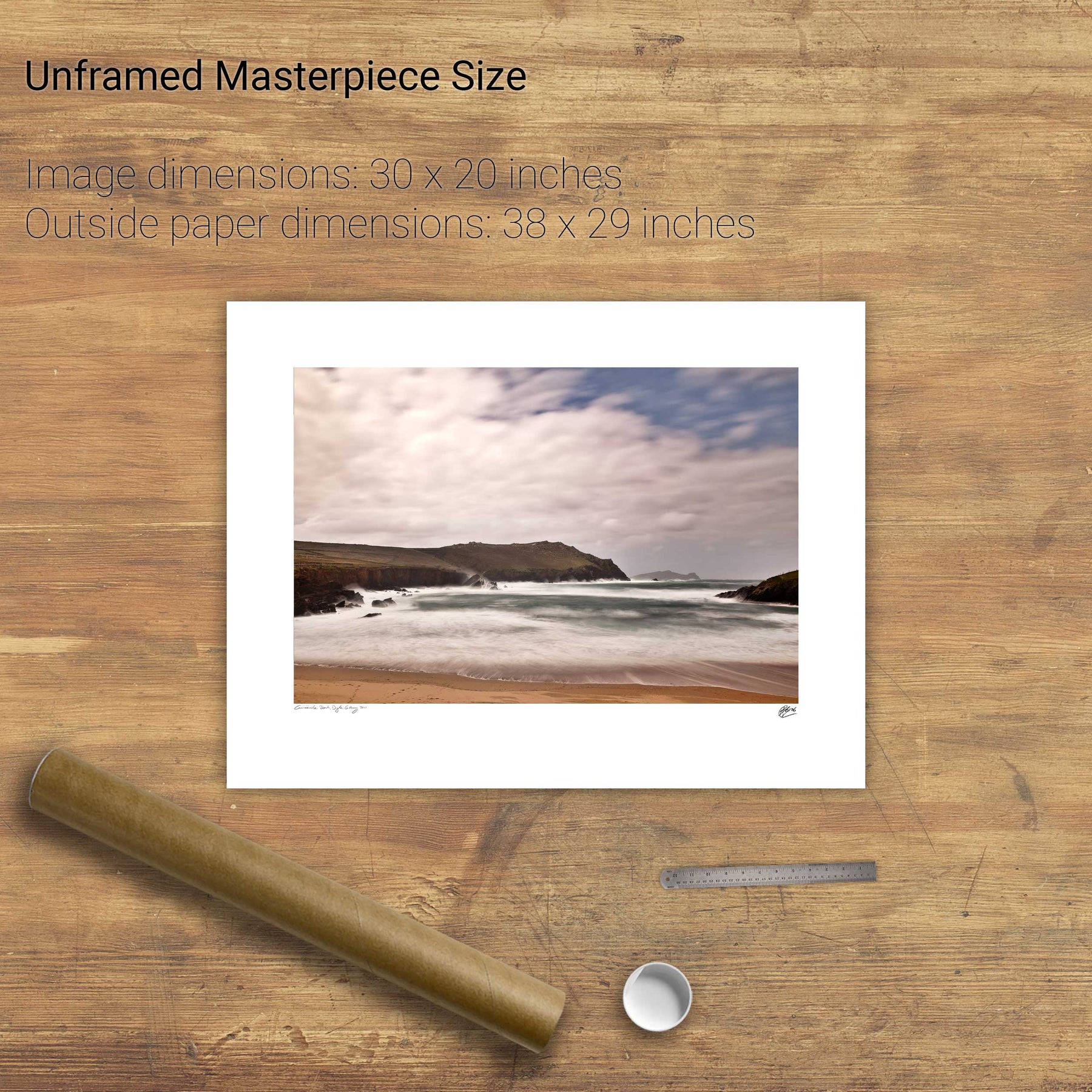
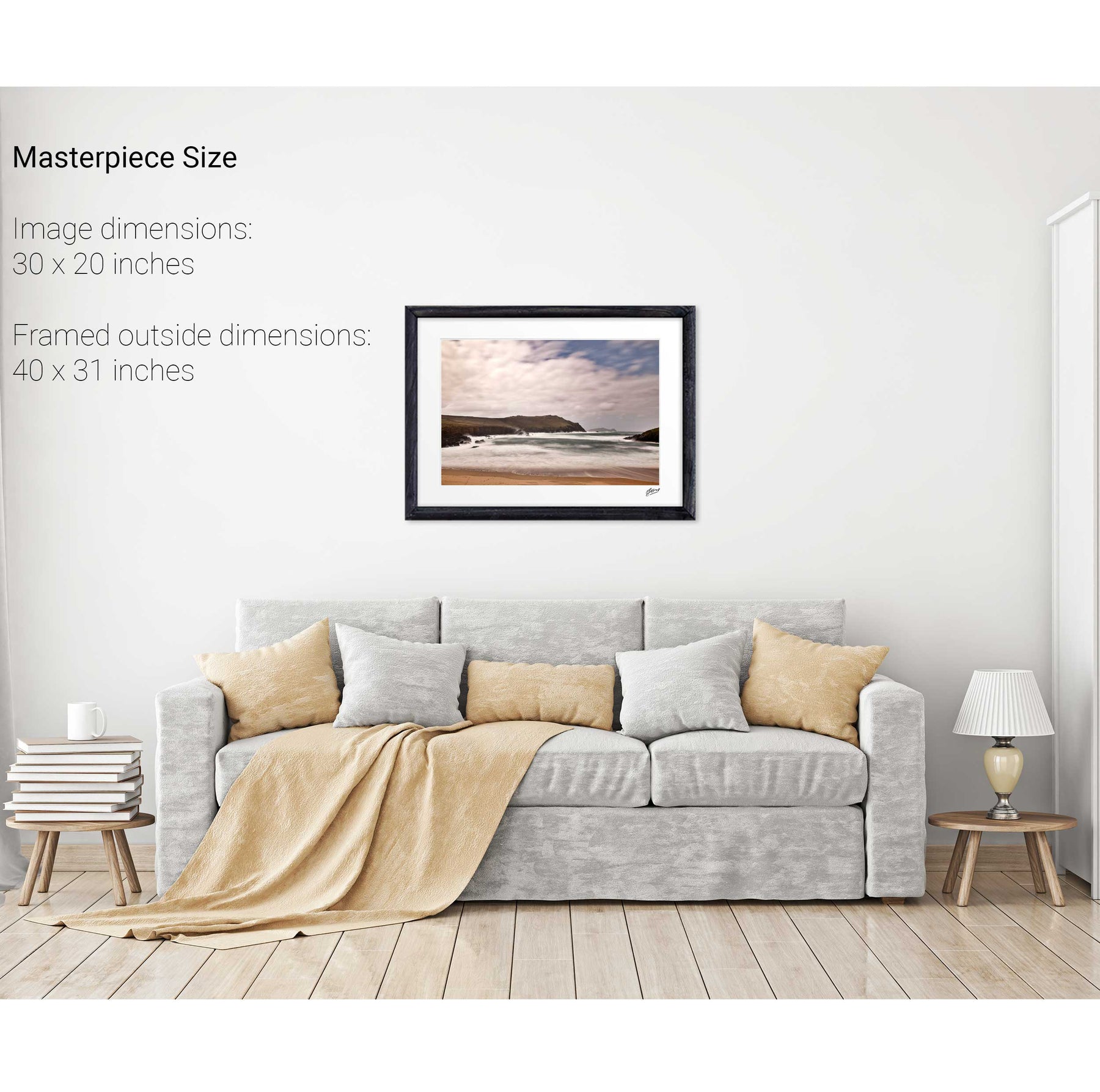
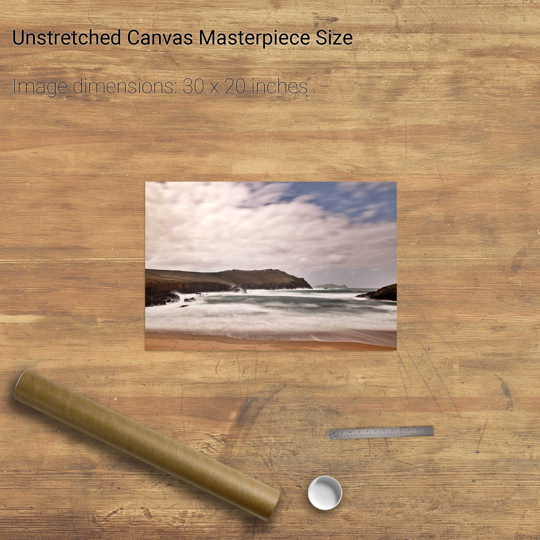
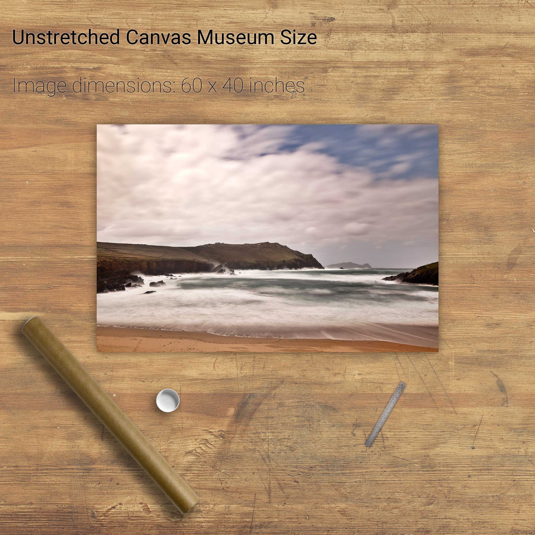
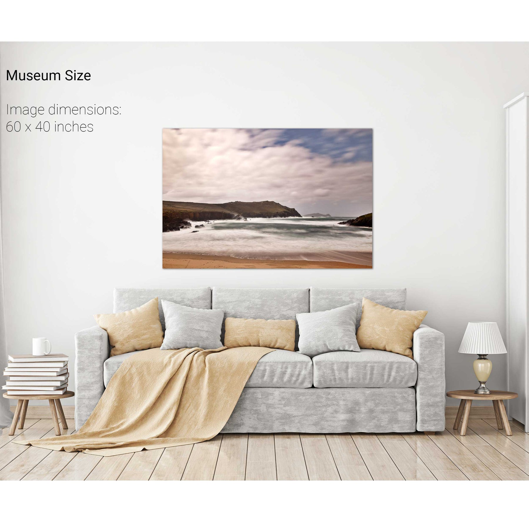
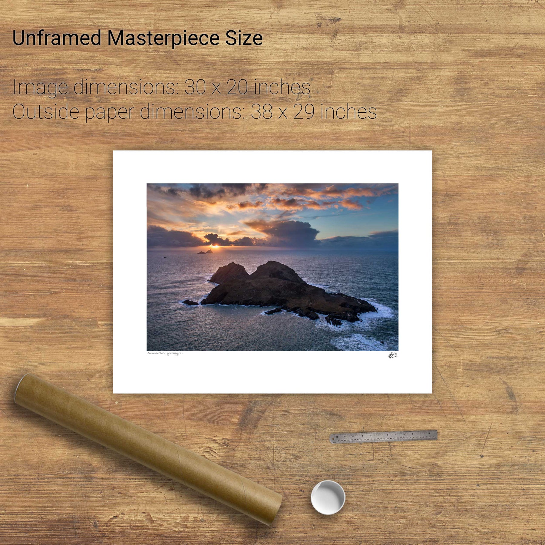
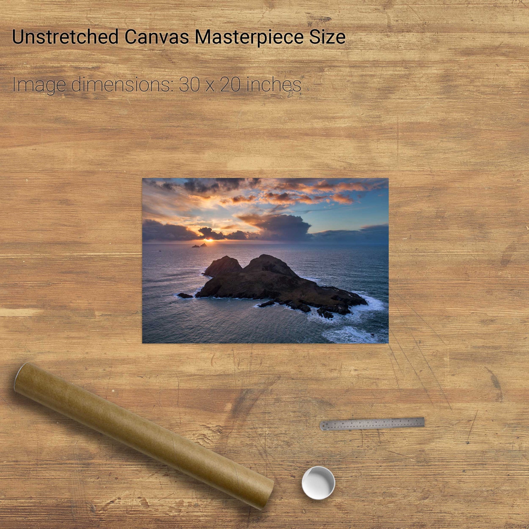
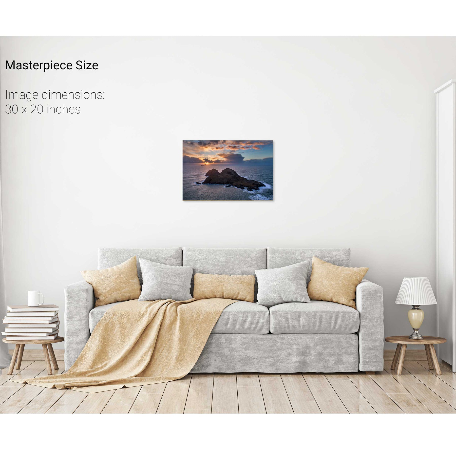
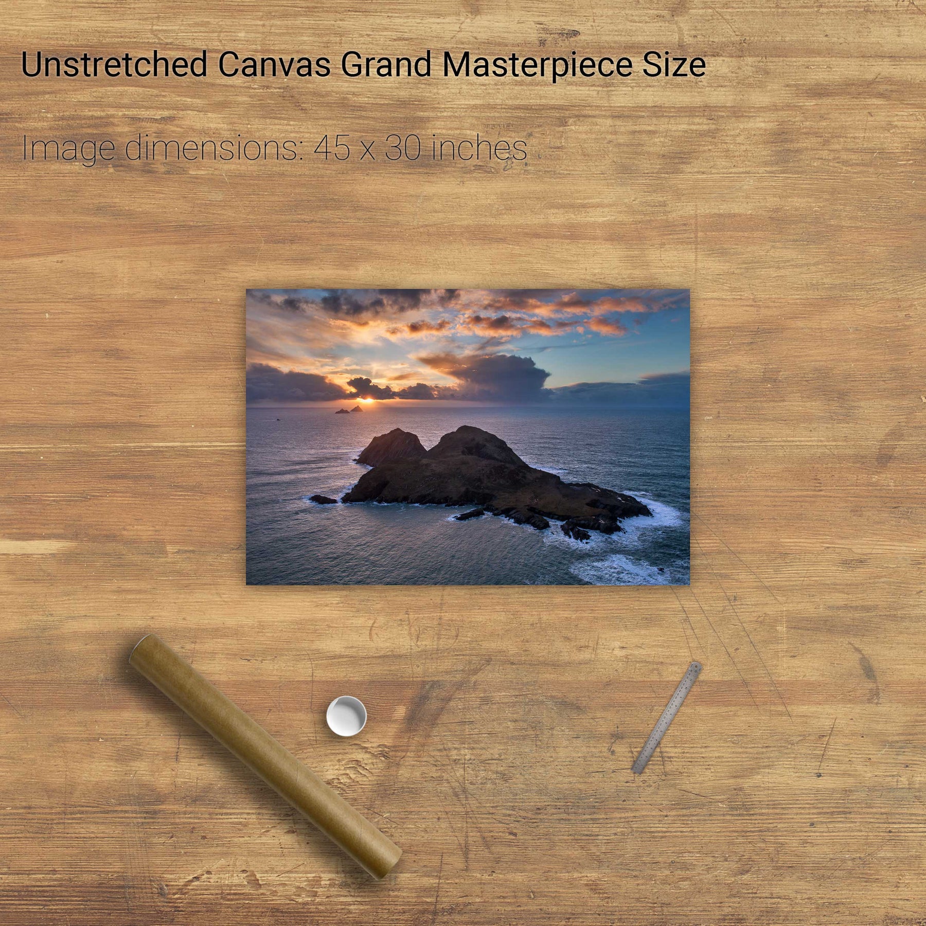
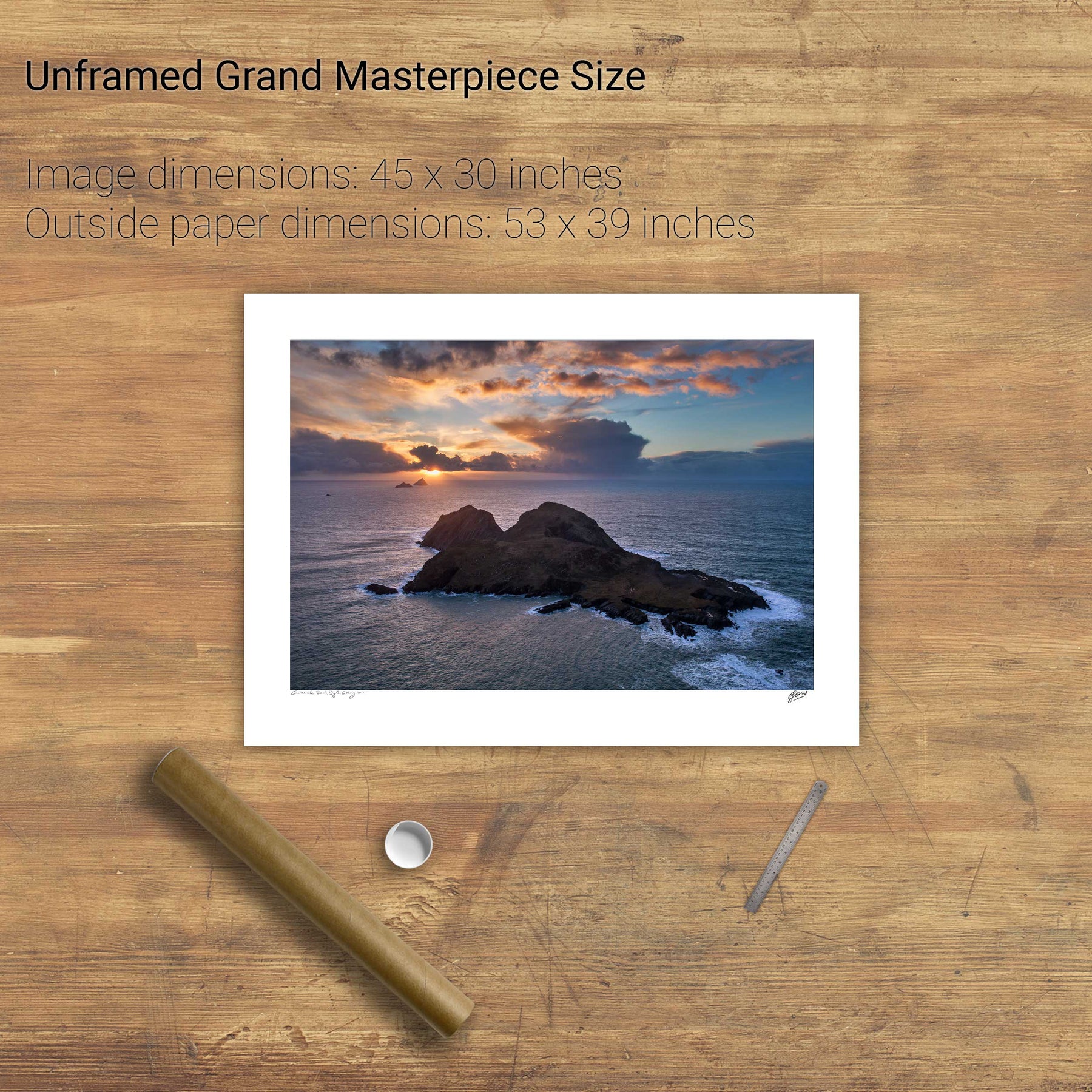
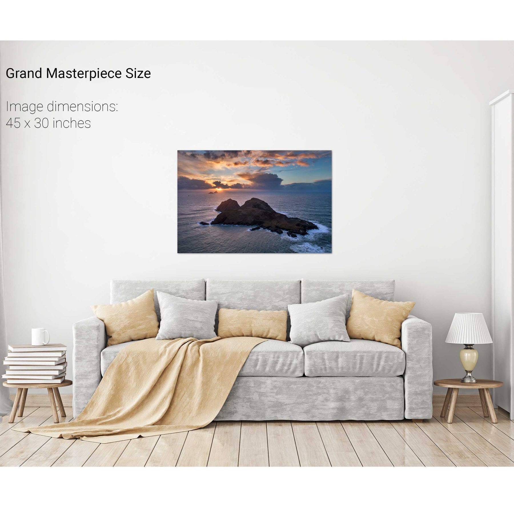
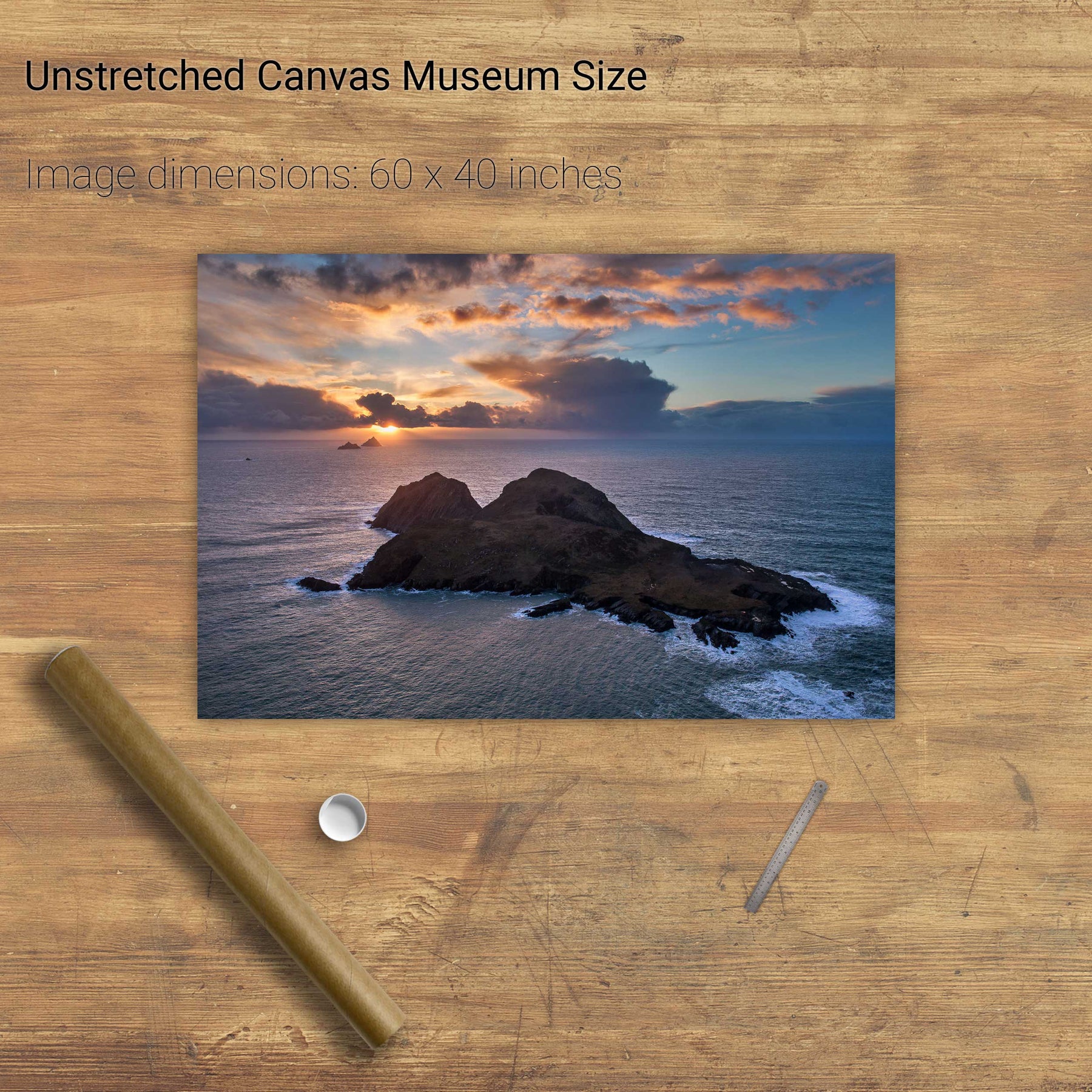
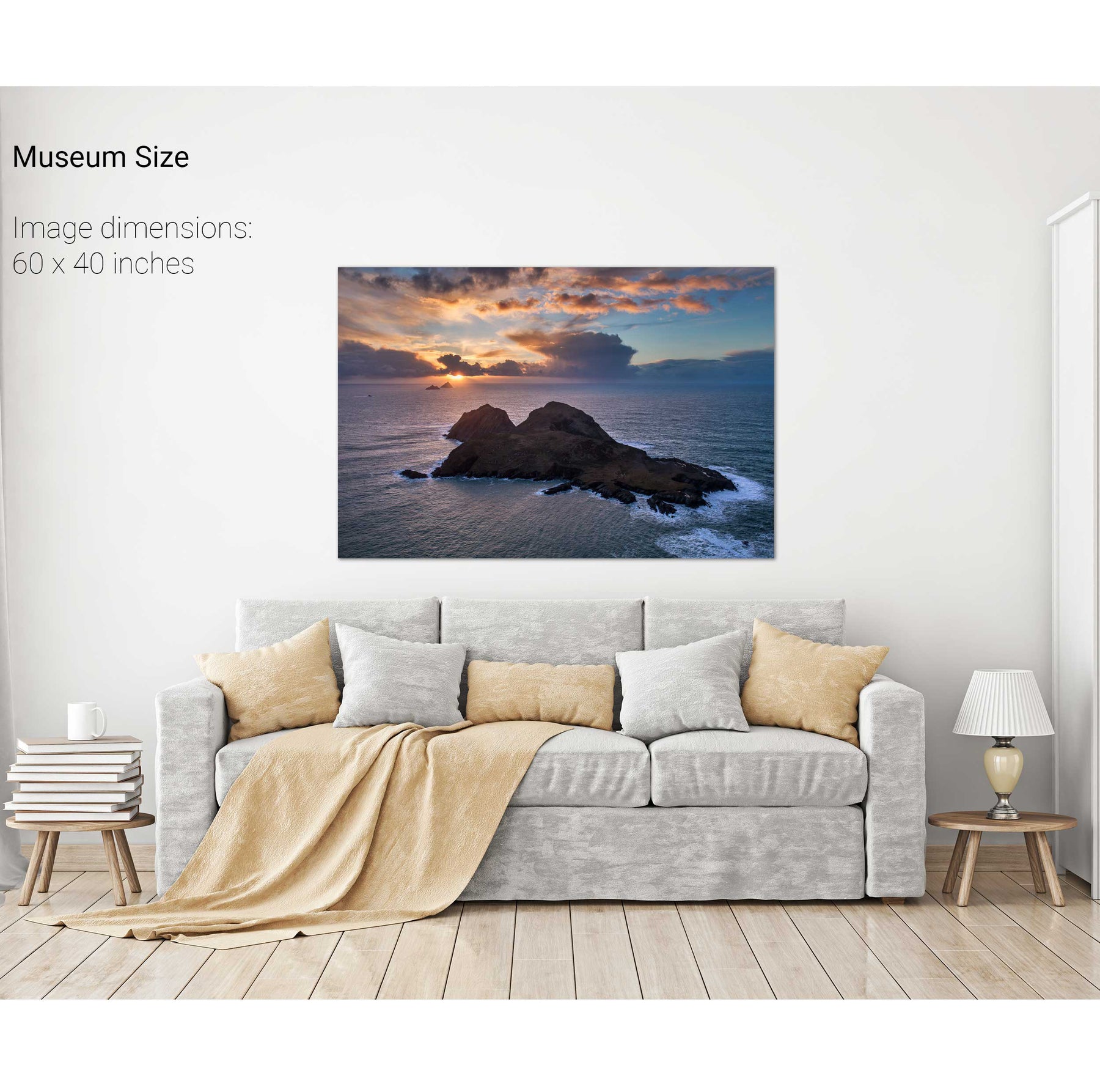
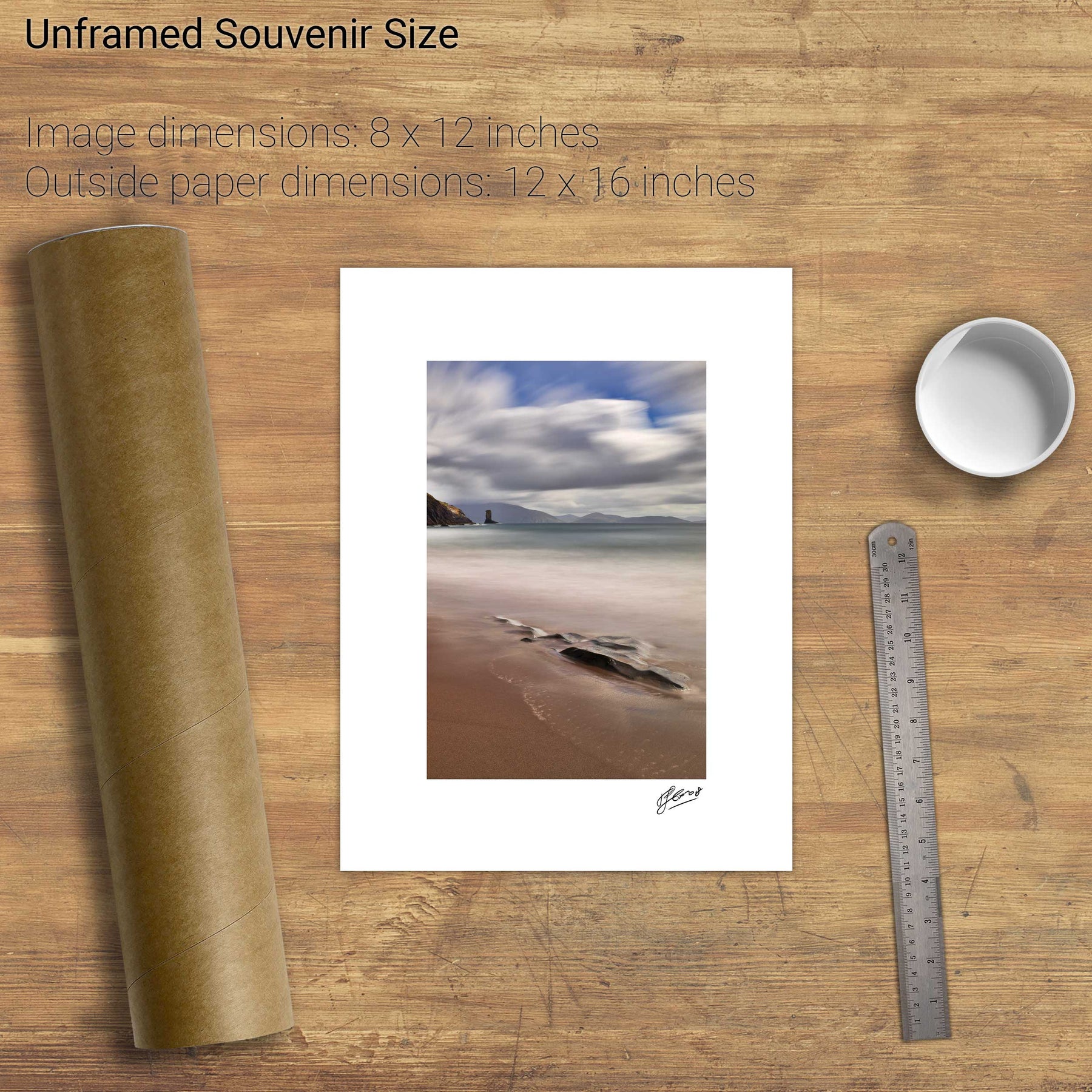
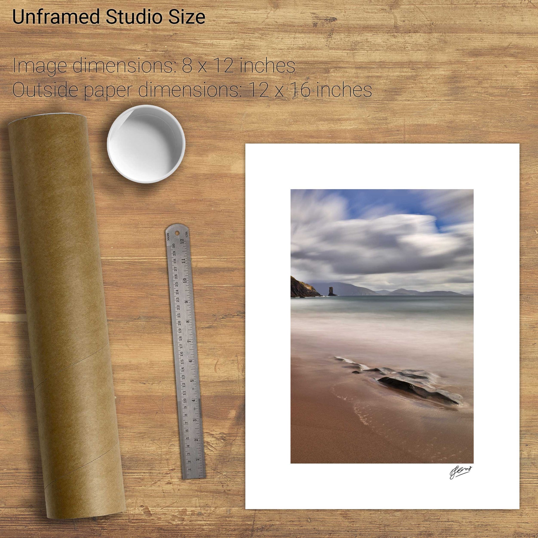
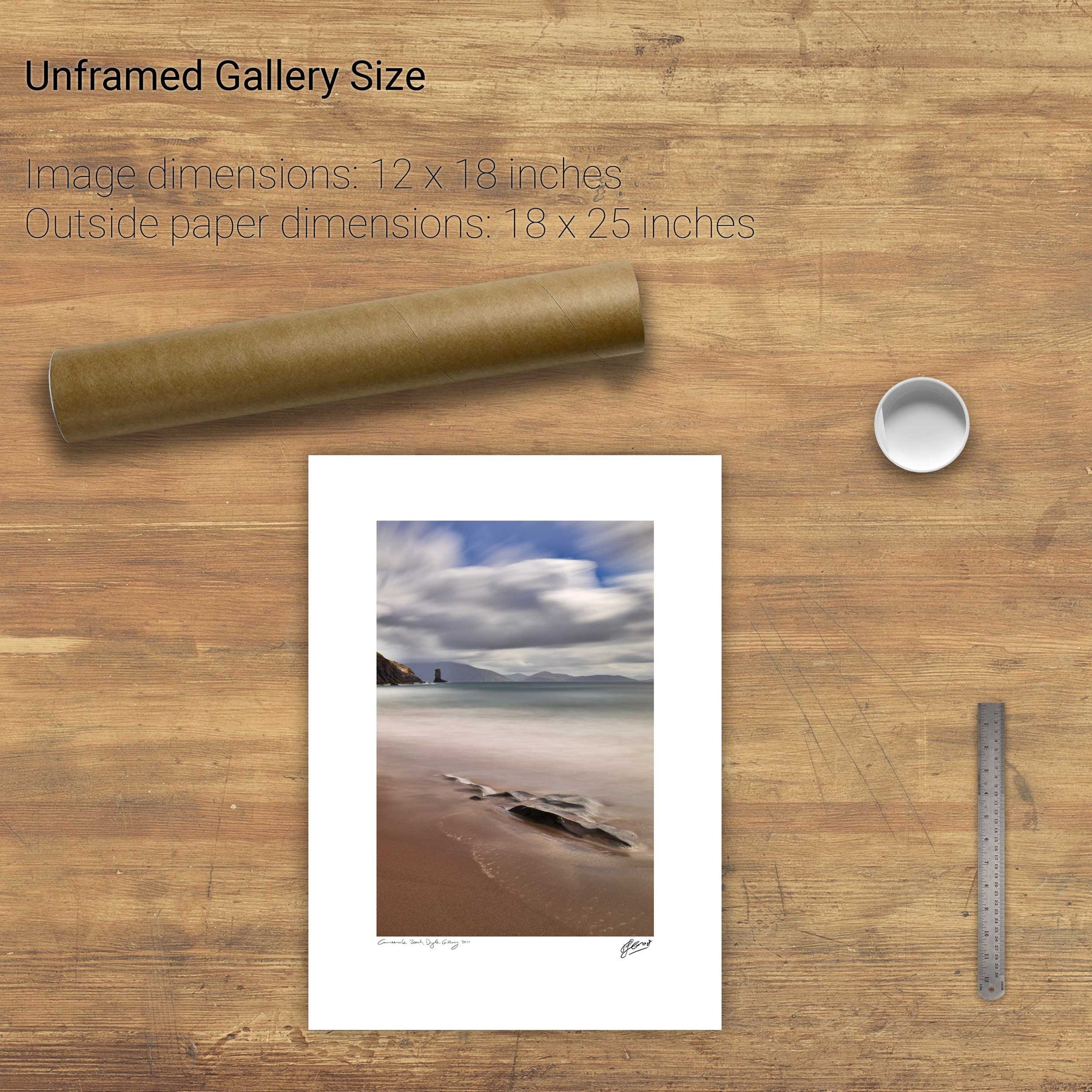
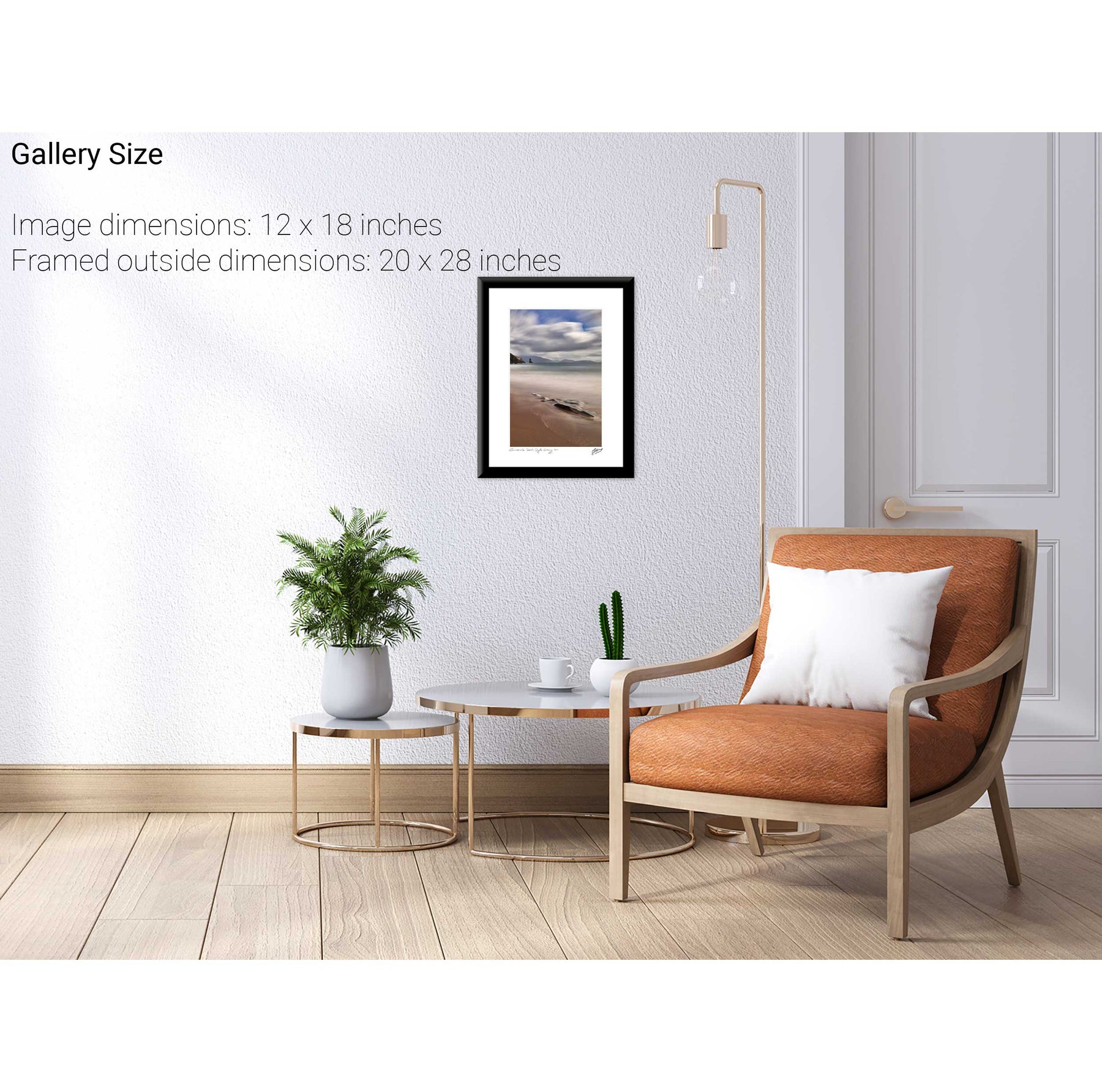
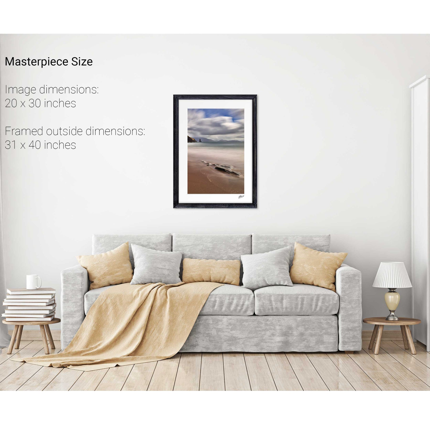
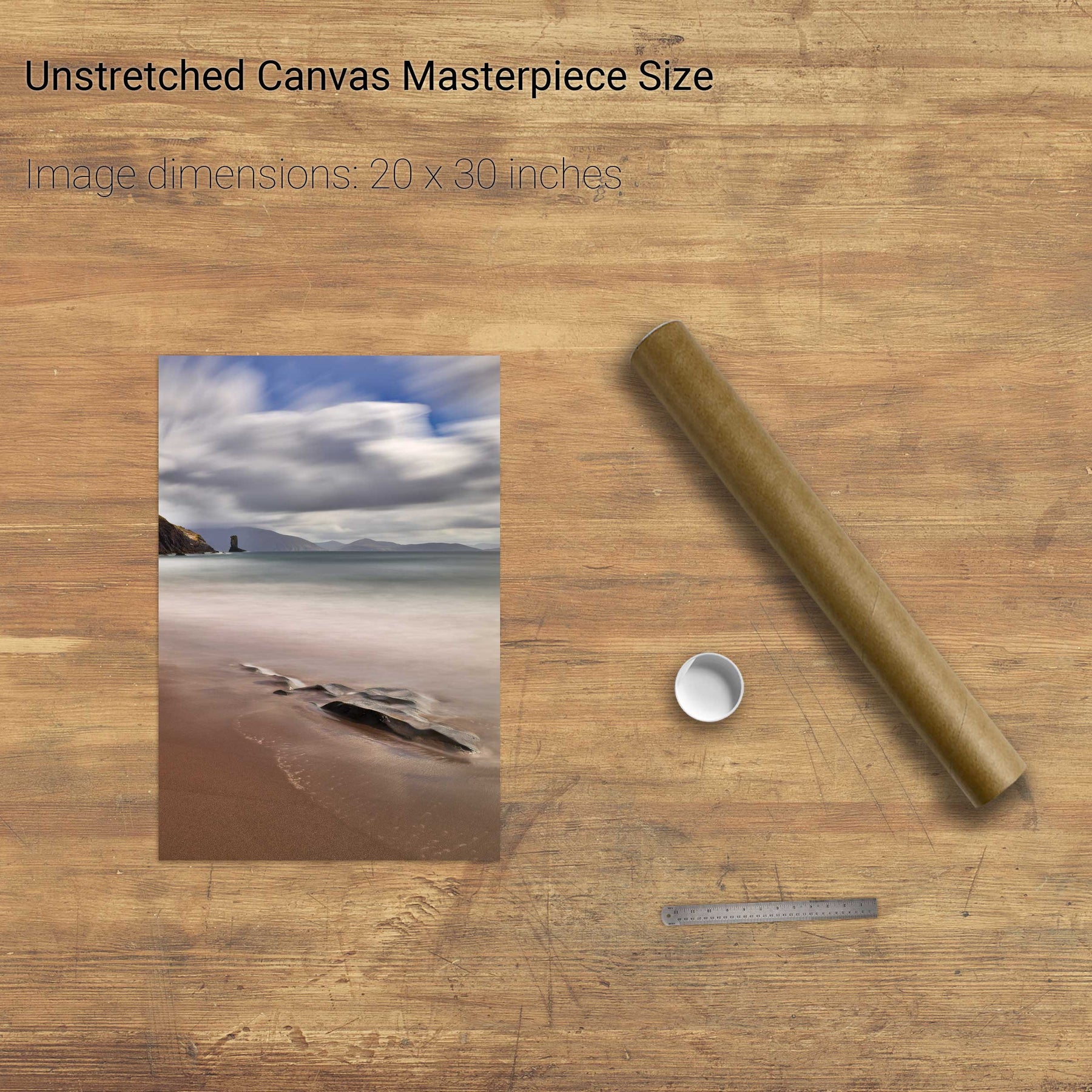
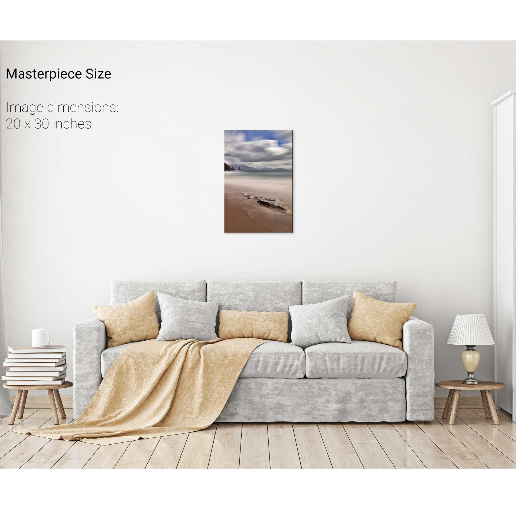
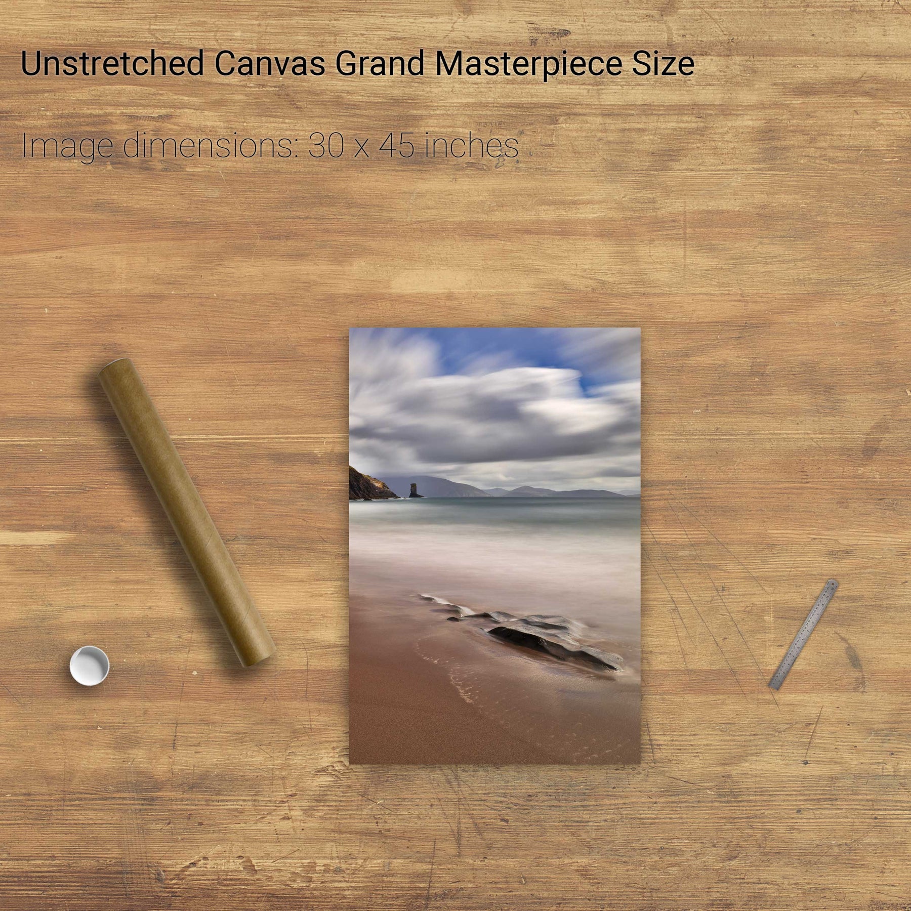
An Searrach, Trá Chathail, Dingle, Co. Kerry


We will send you an email to reset your password.

144 products
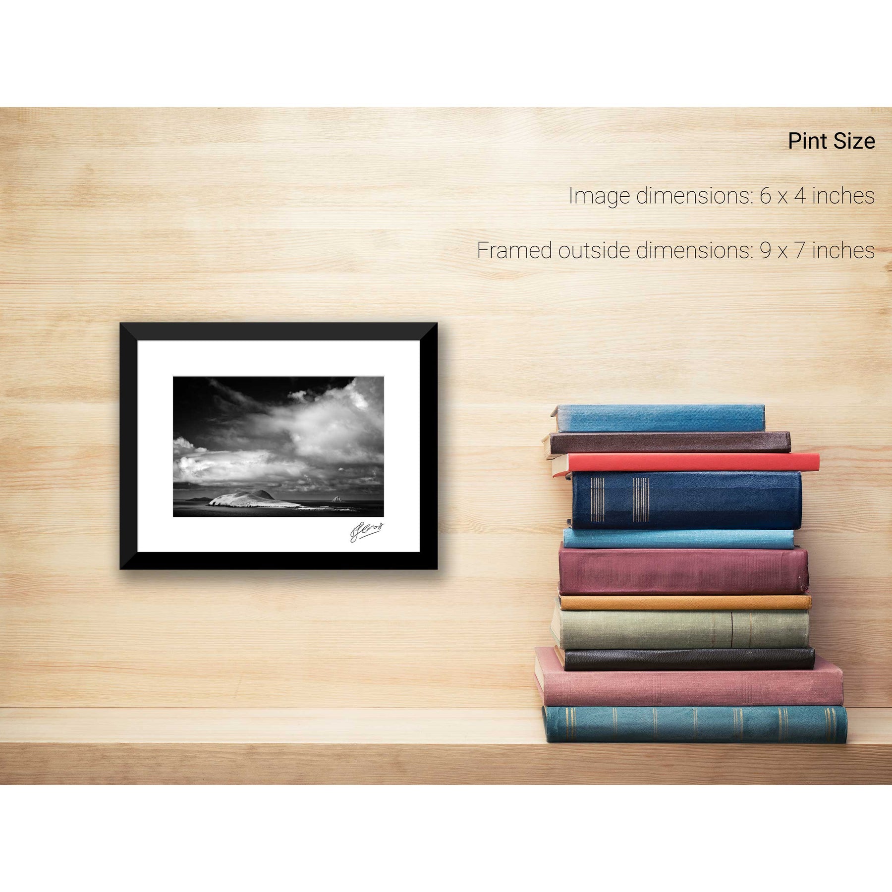
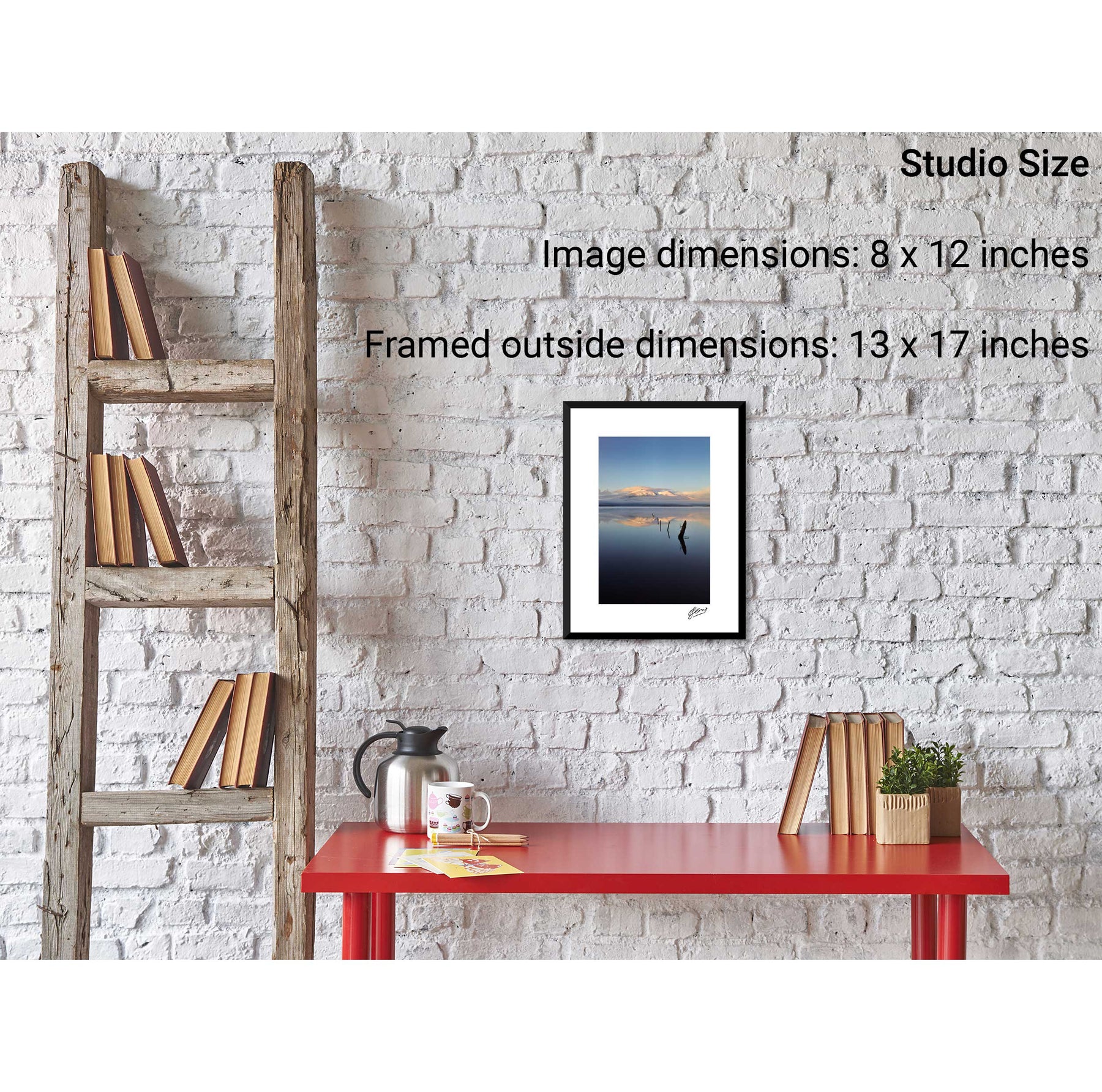
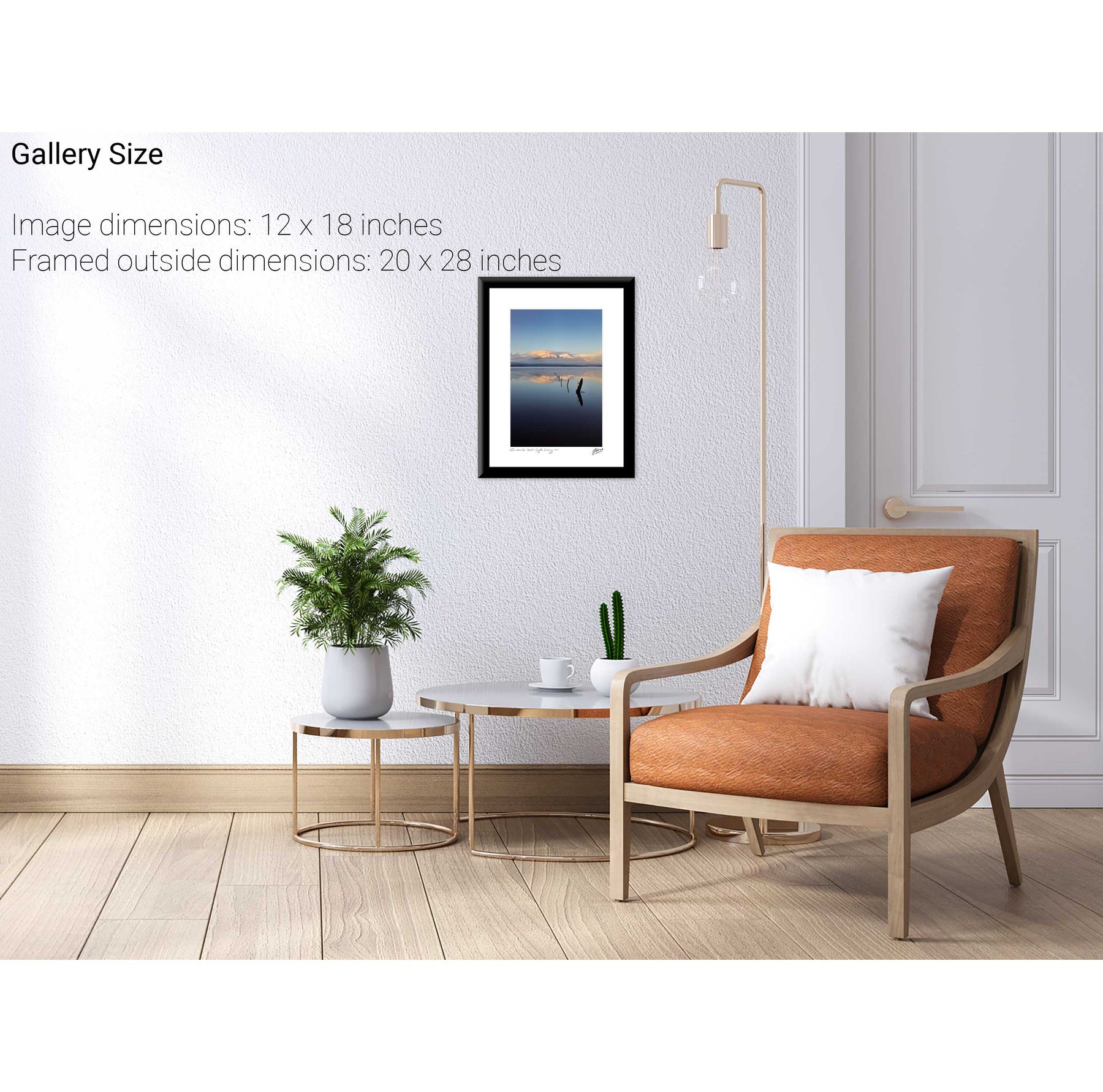
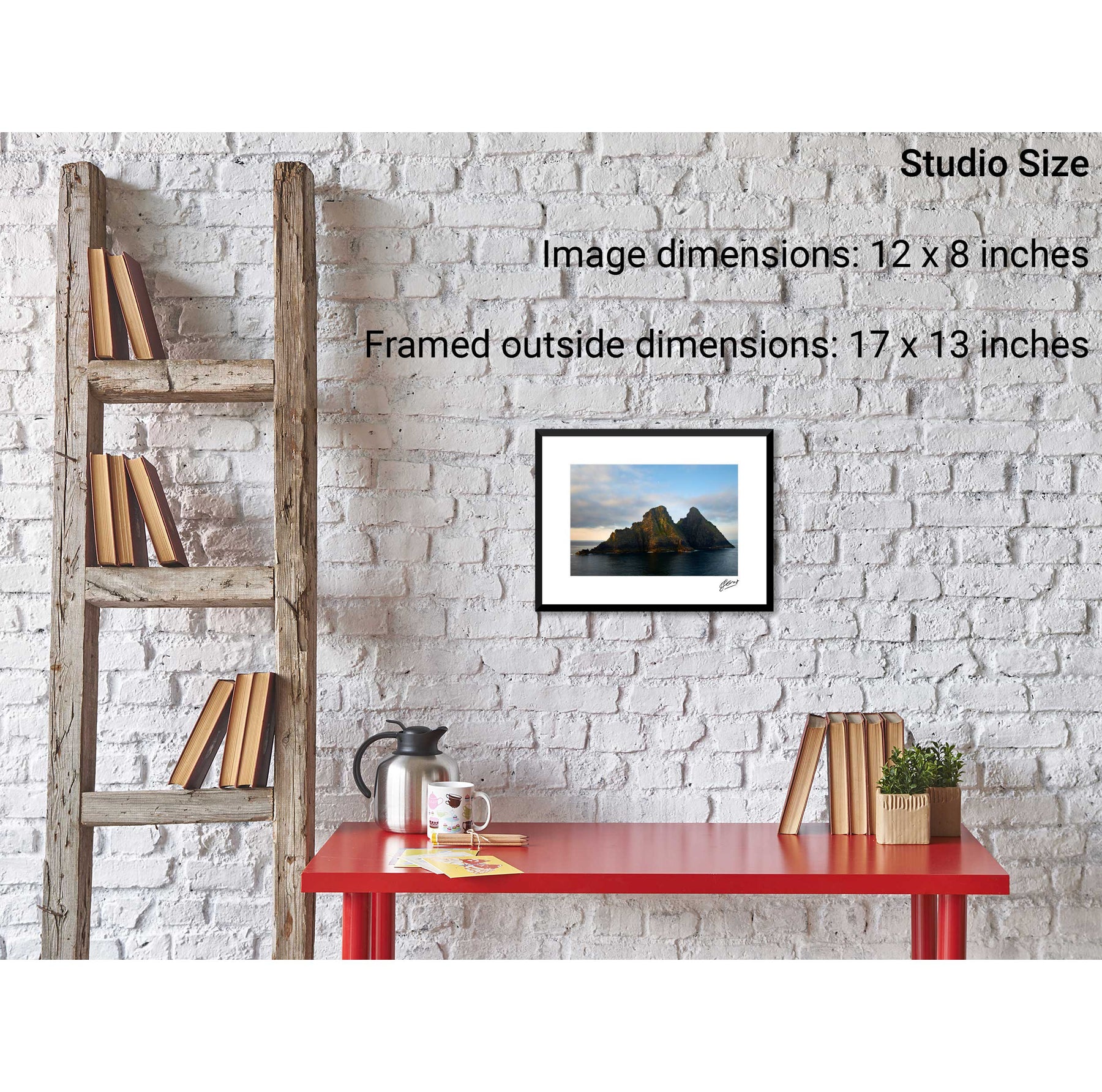
An Searrach, Trá Chathail, Dingle, Co. Kerry
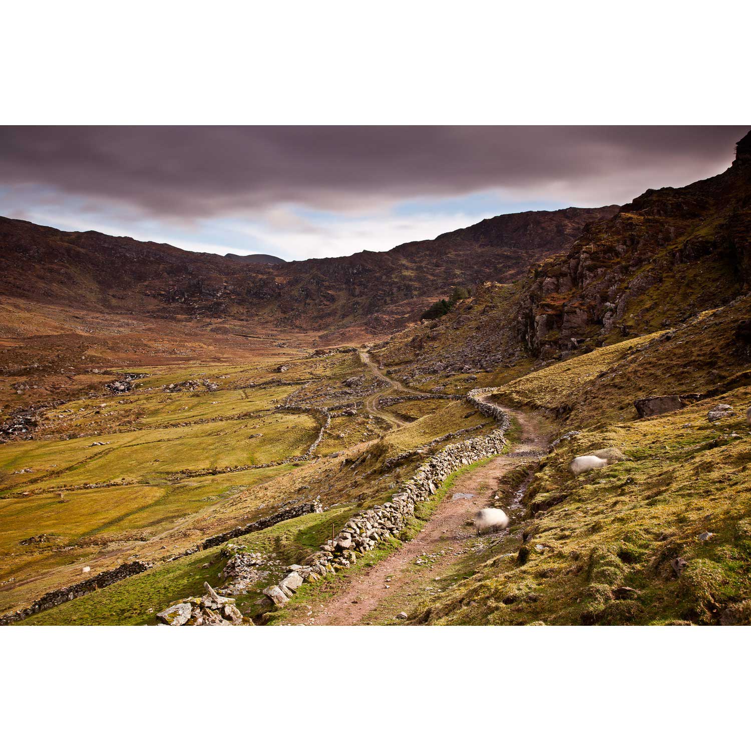
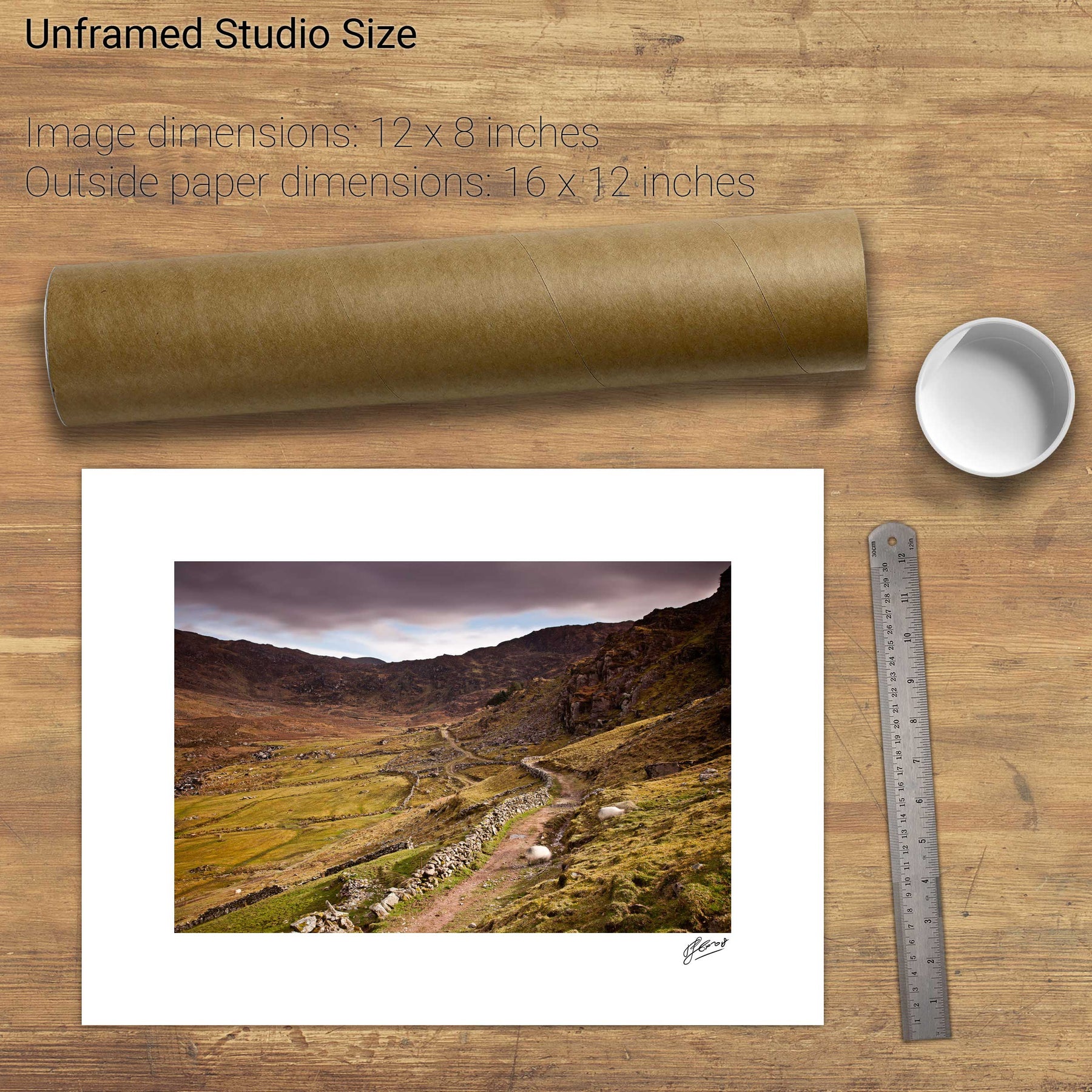
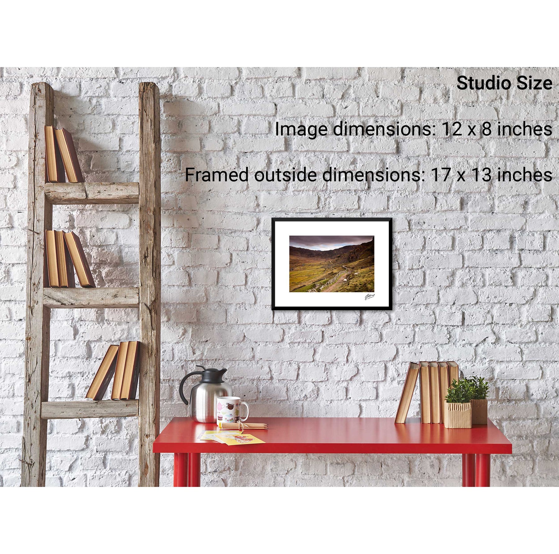
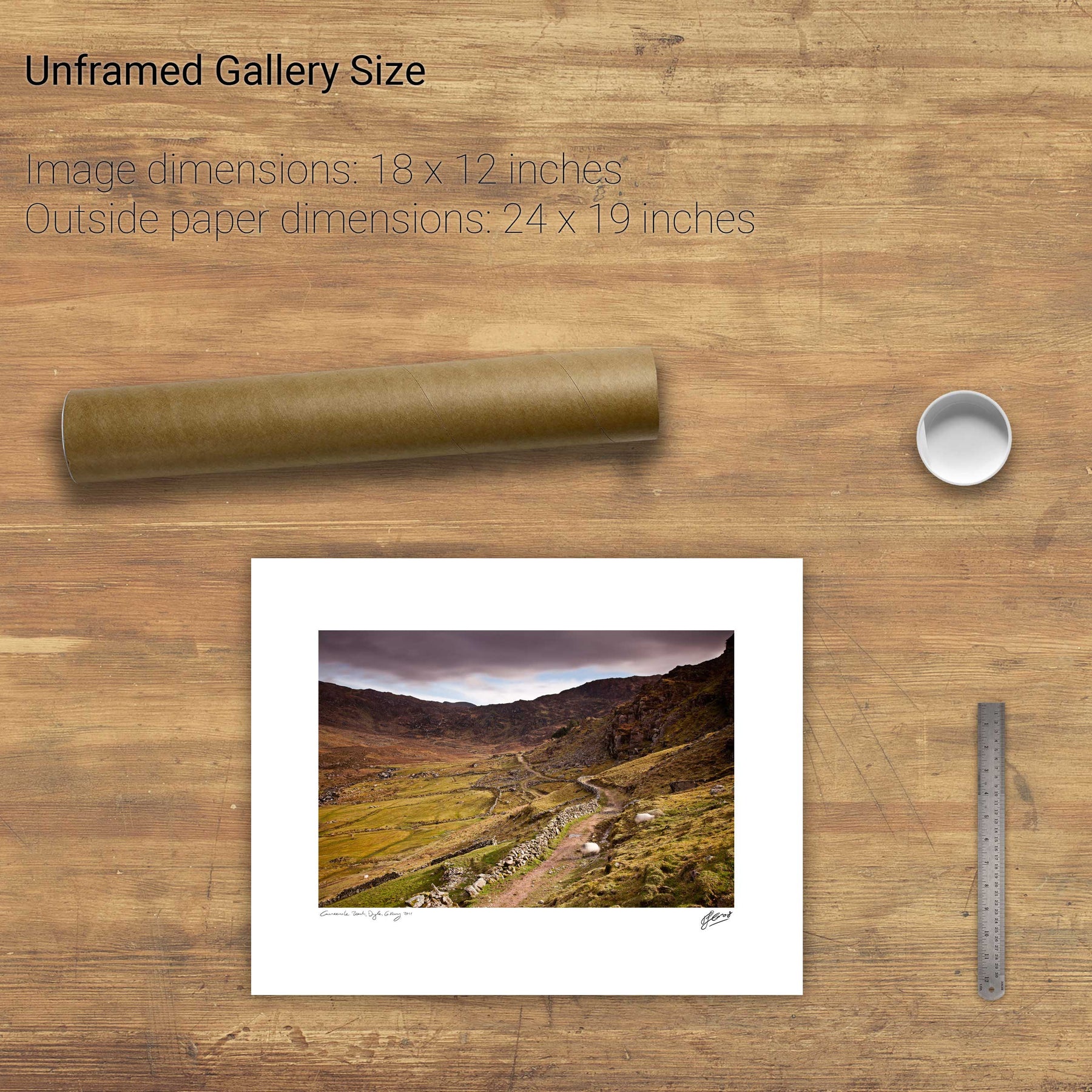
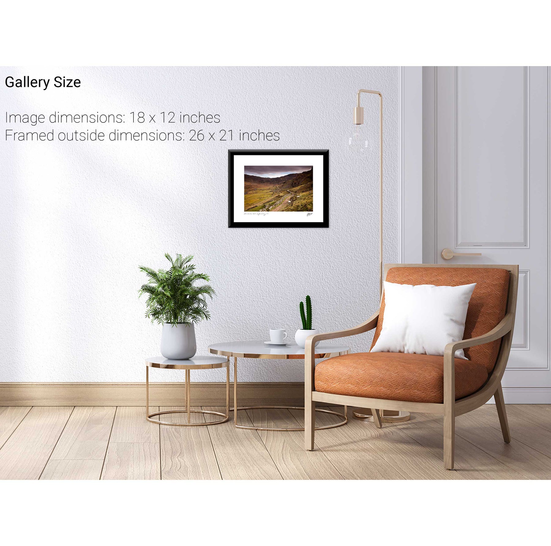
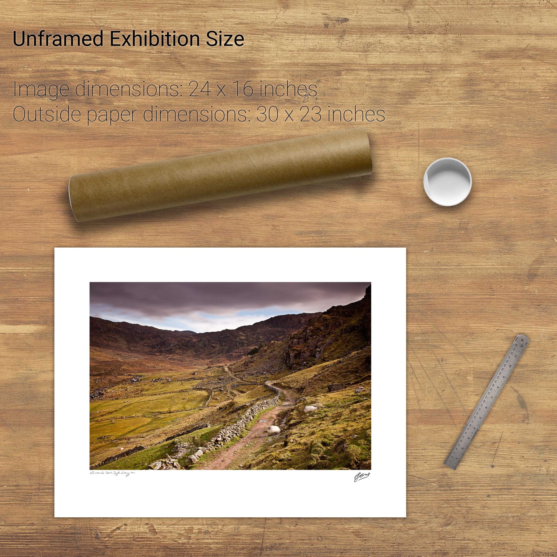
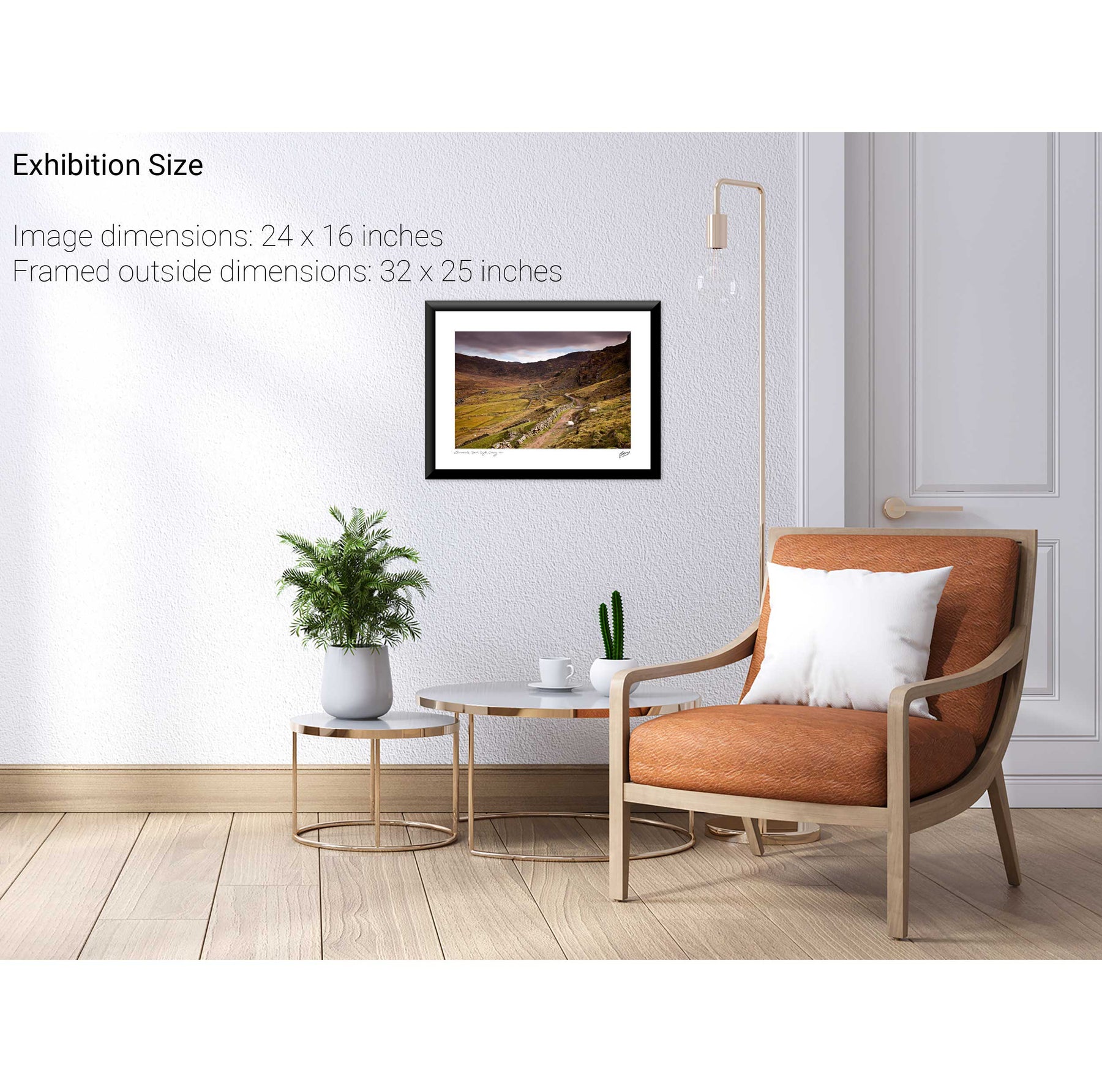
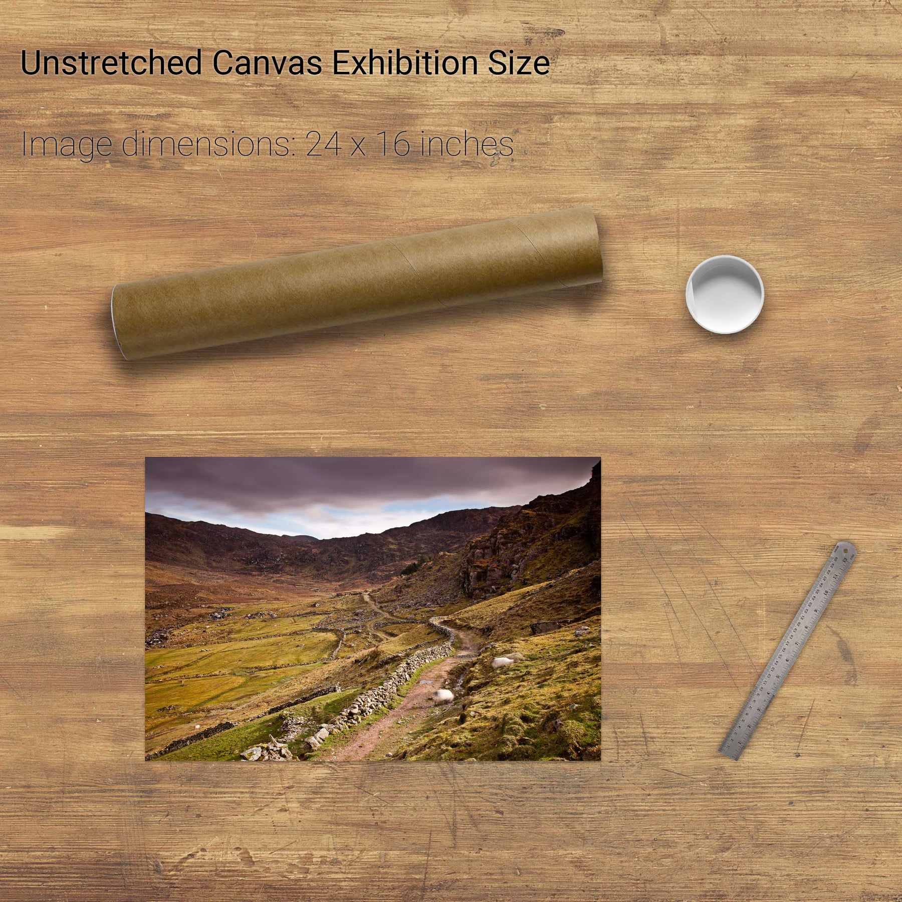
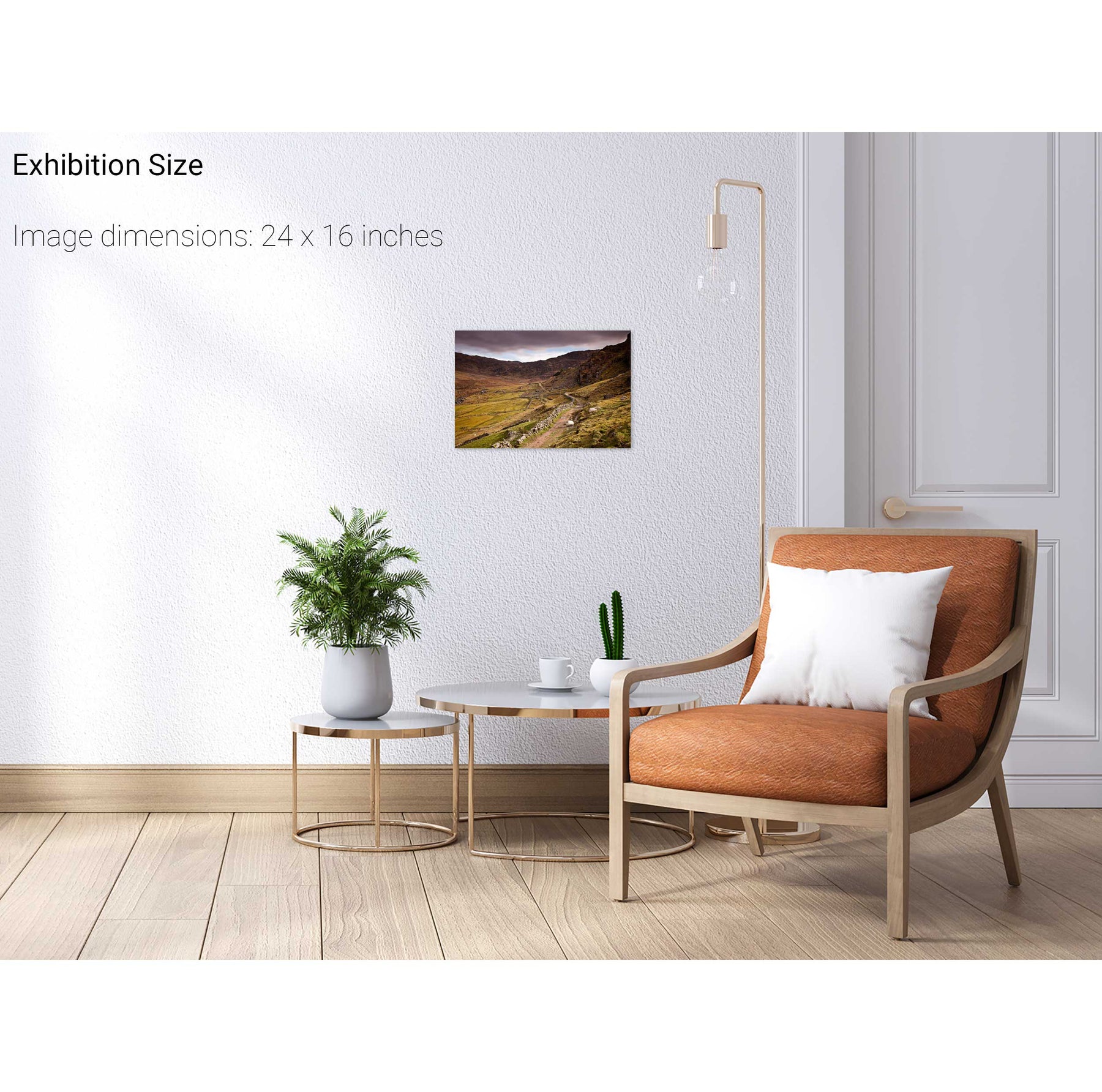
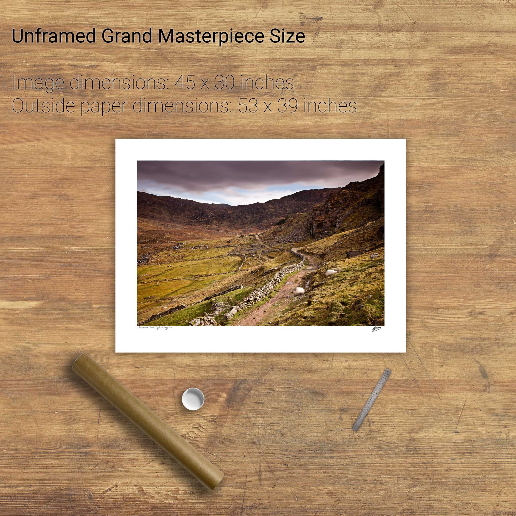
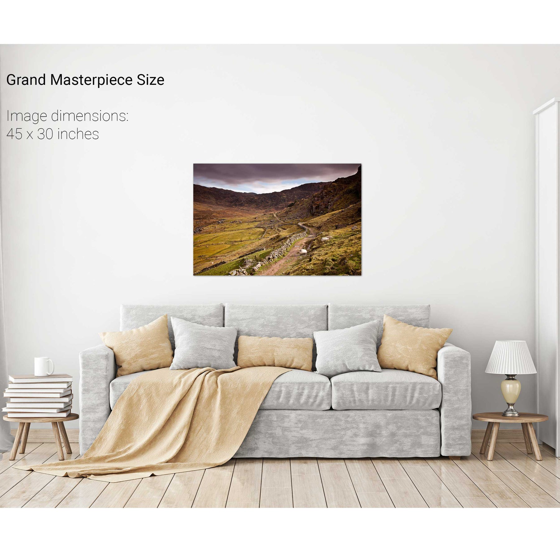
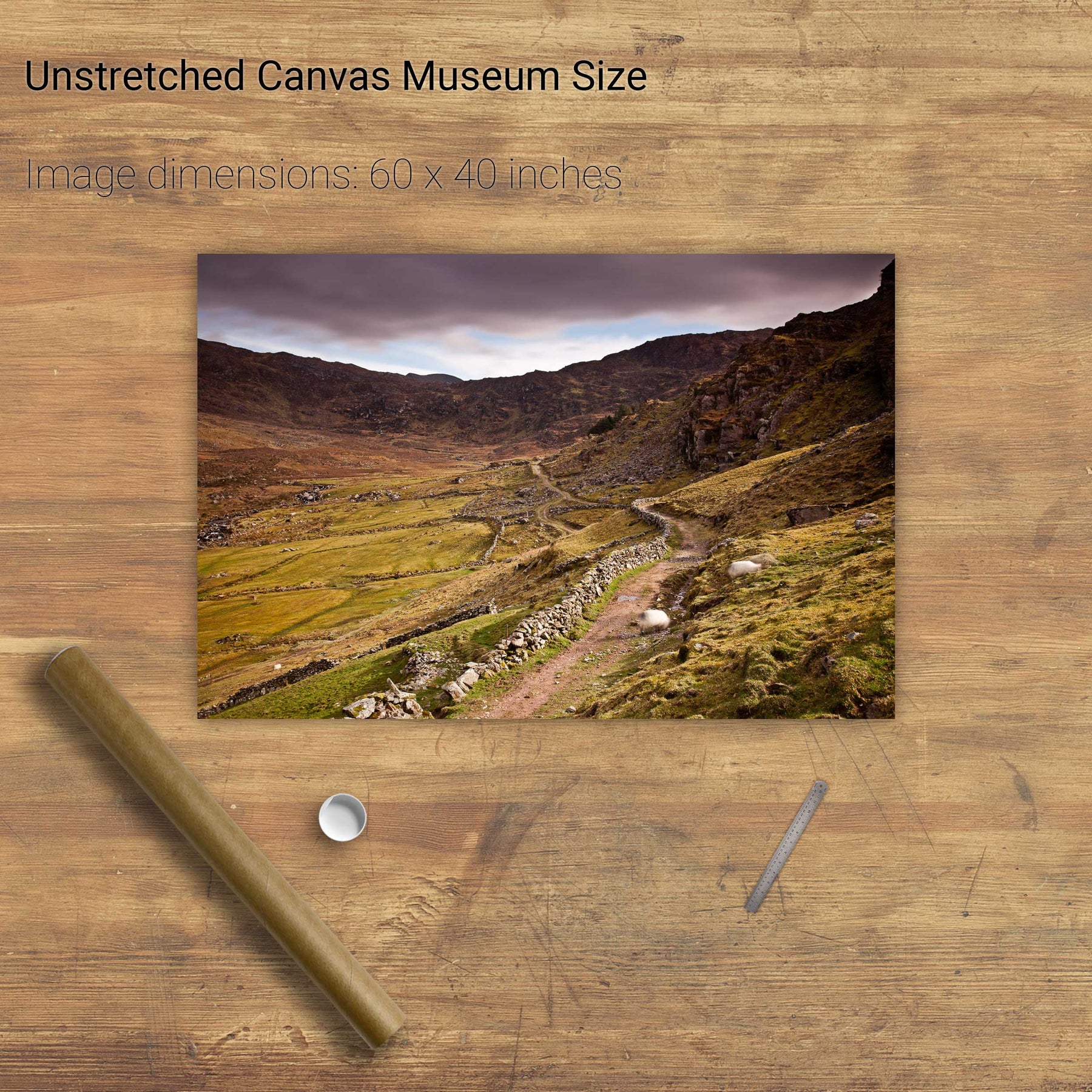
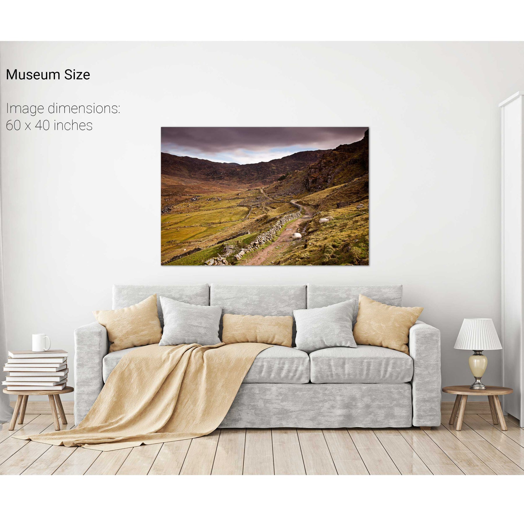
The Kerry Way
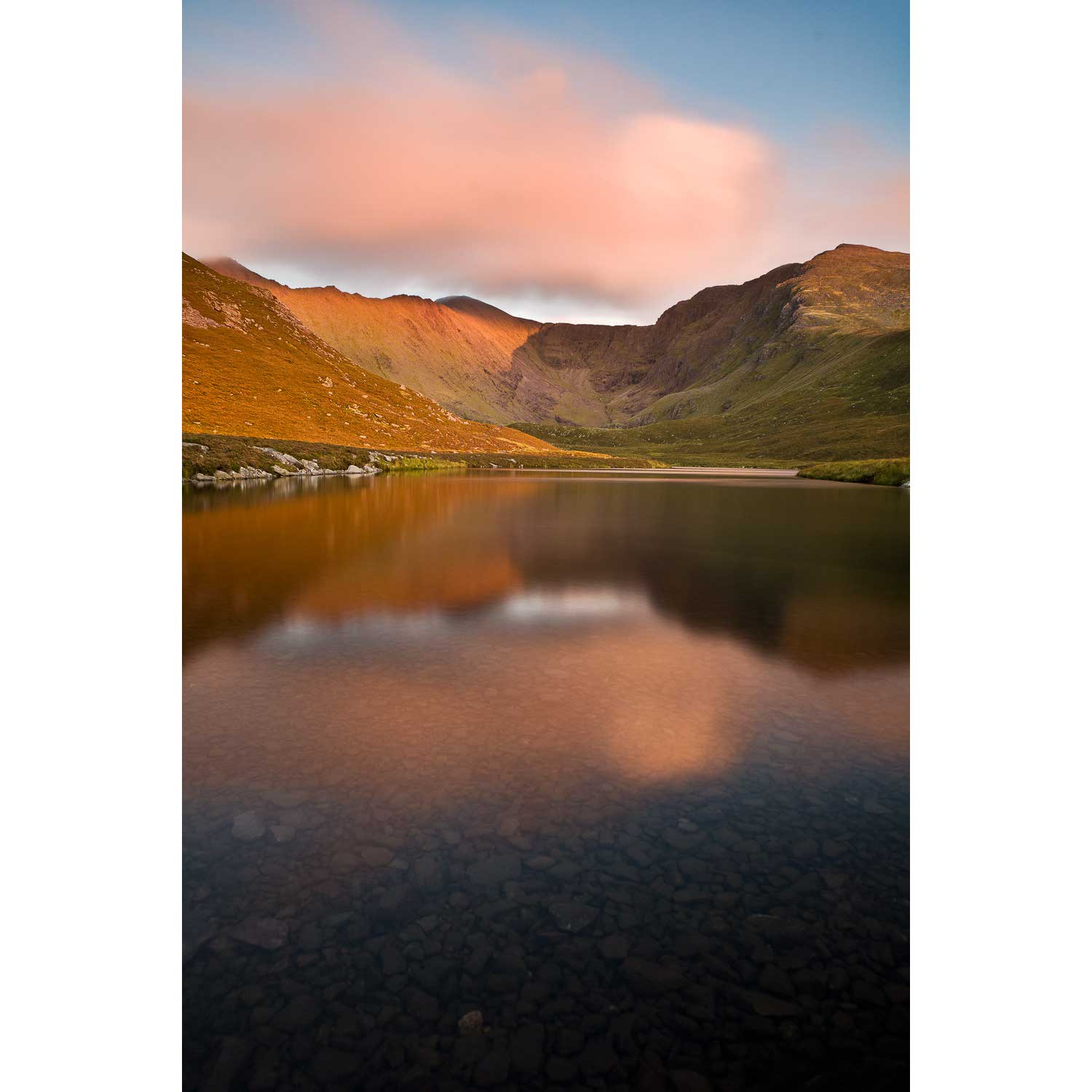
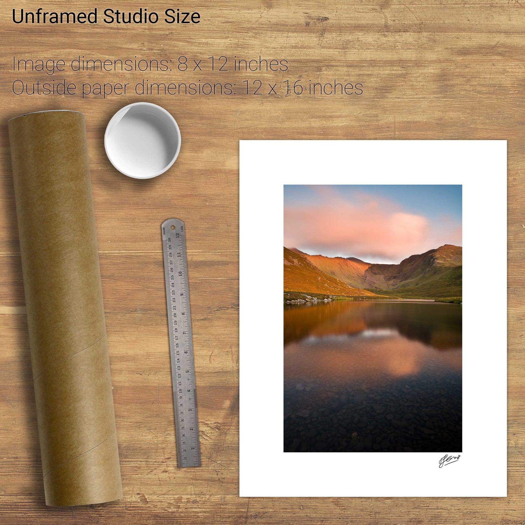
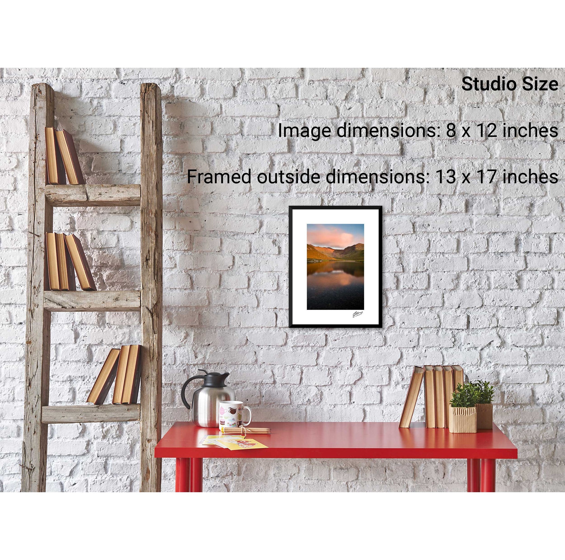
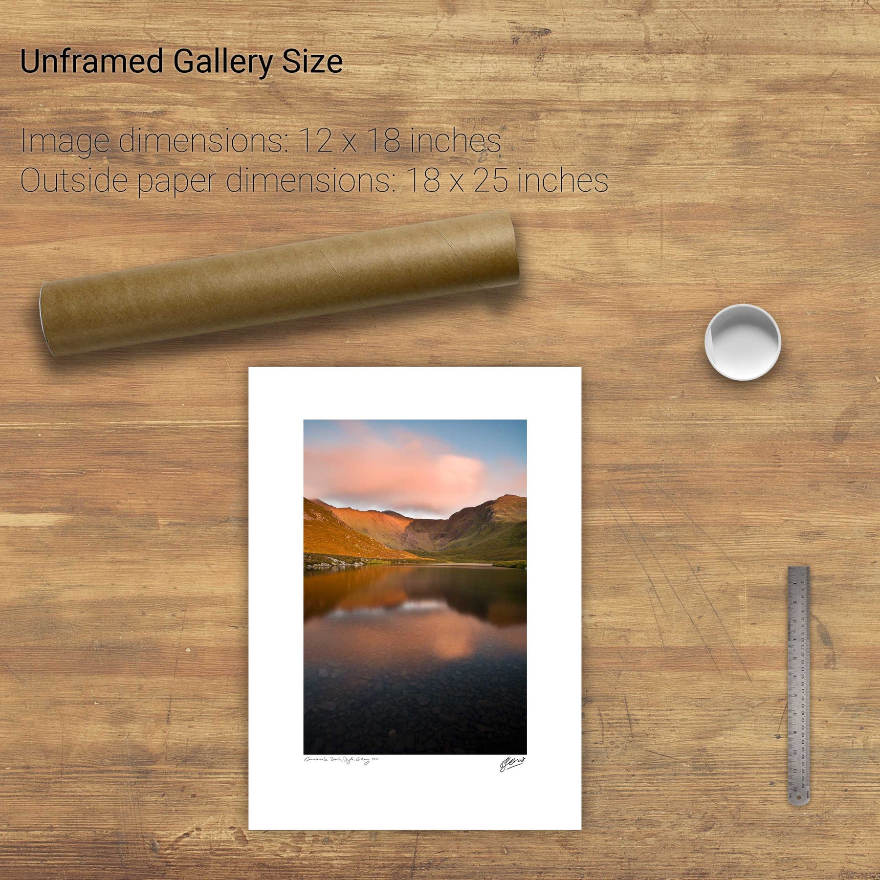
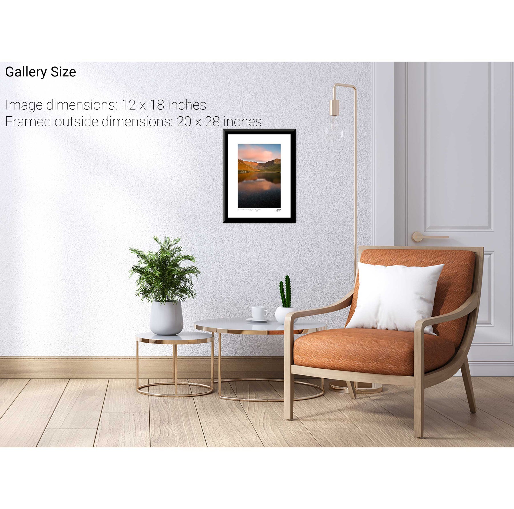
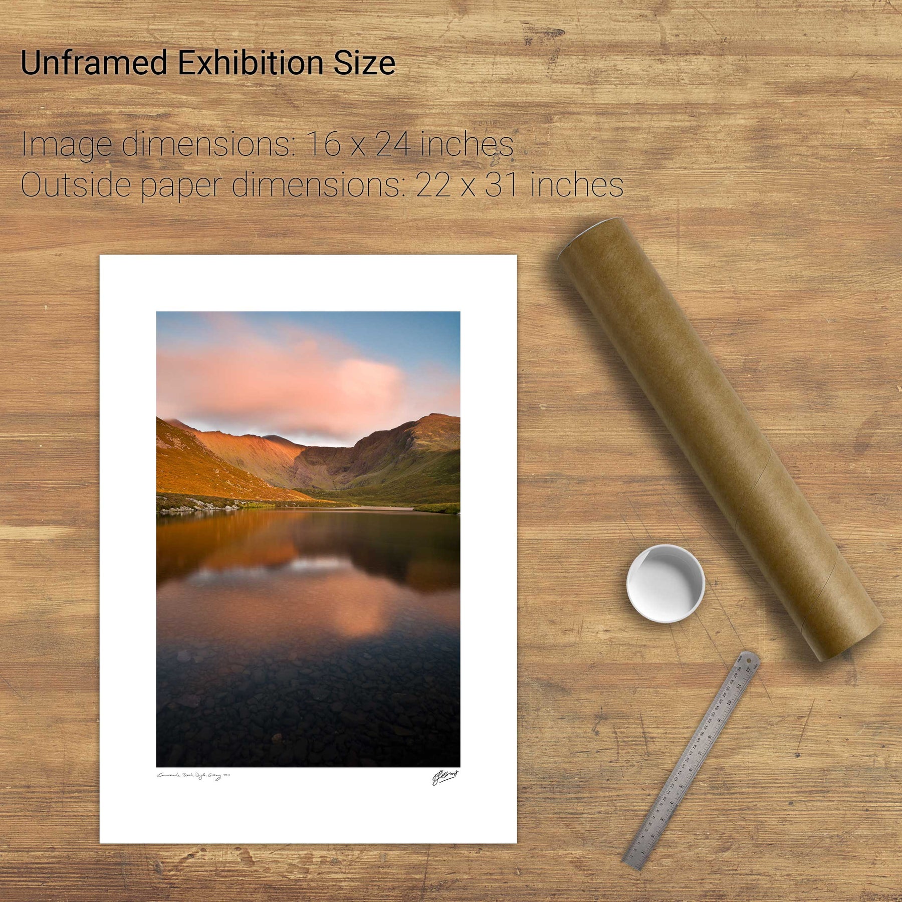
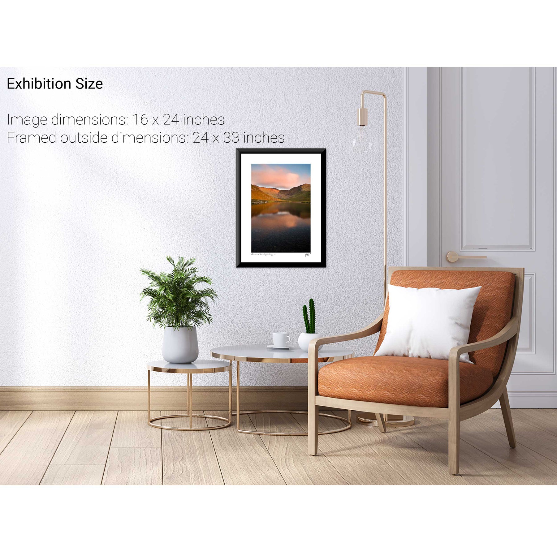
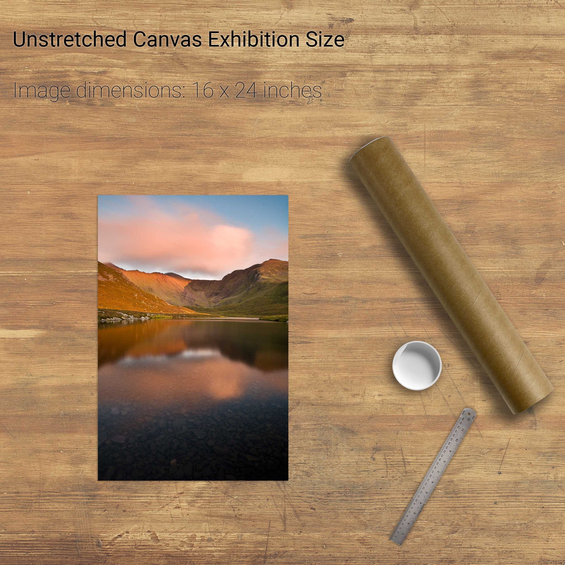
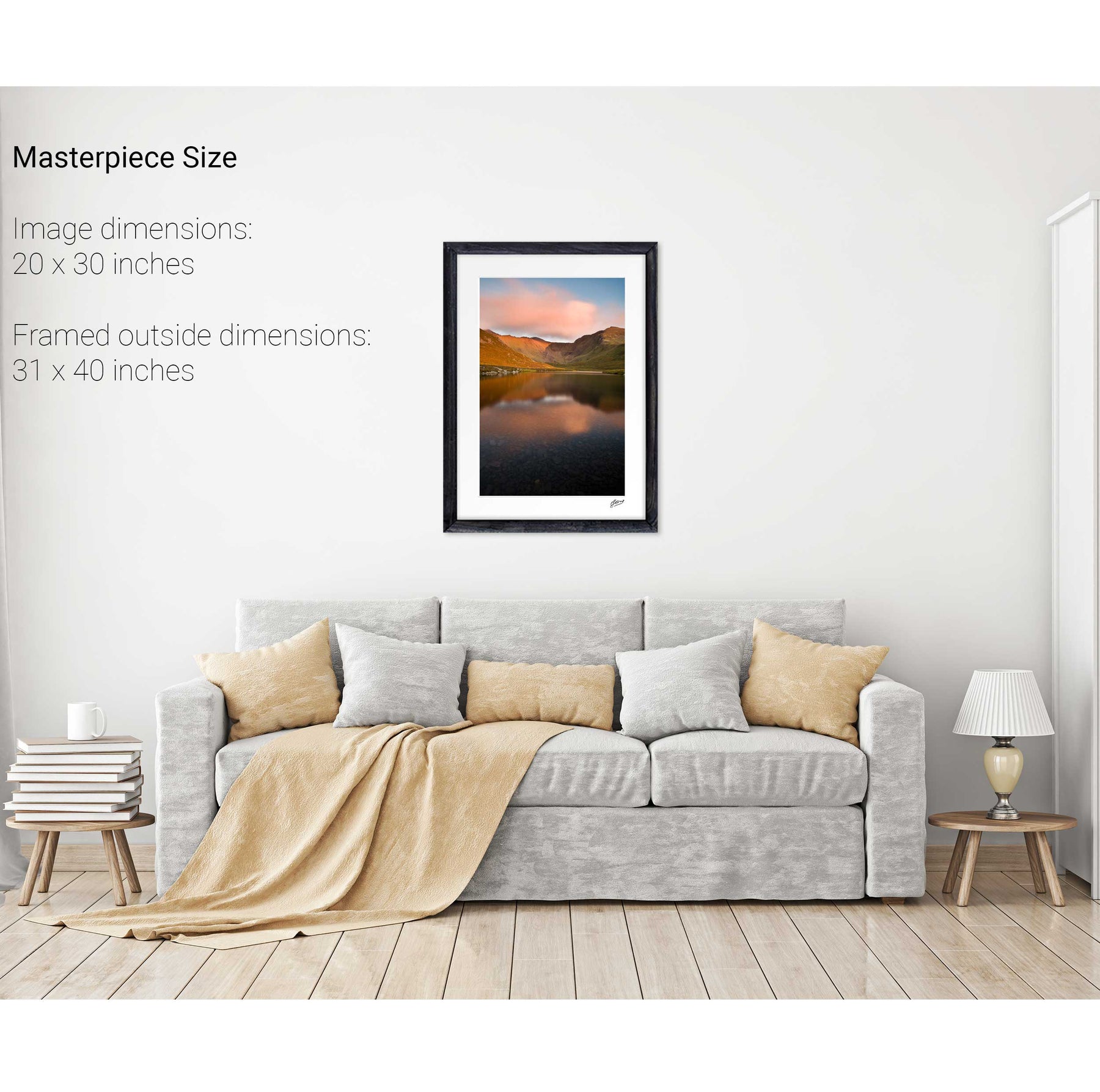
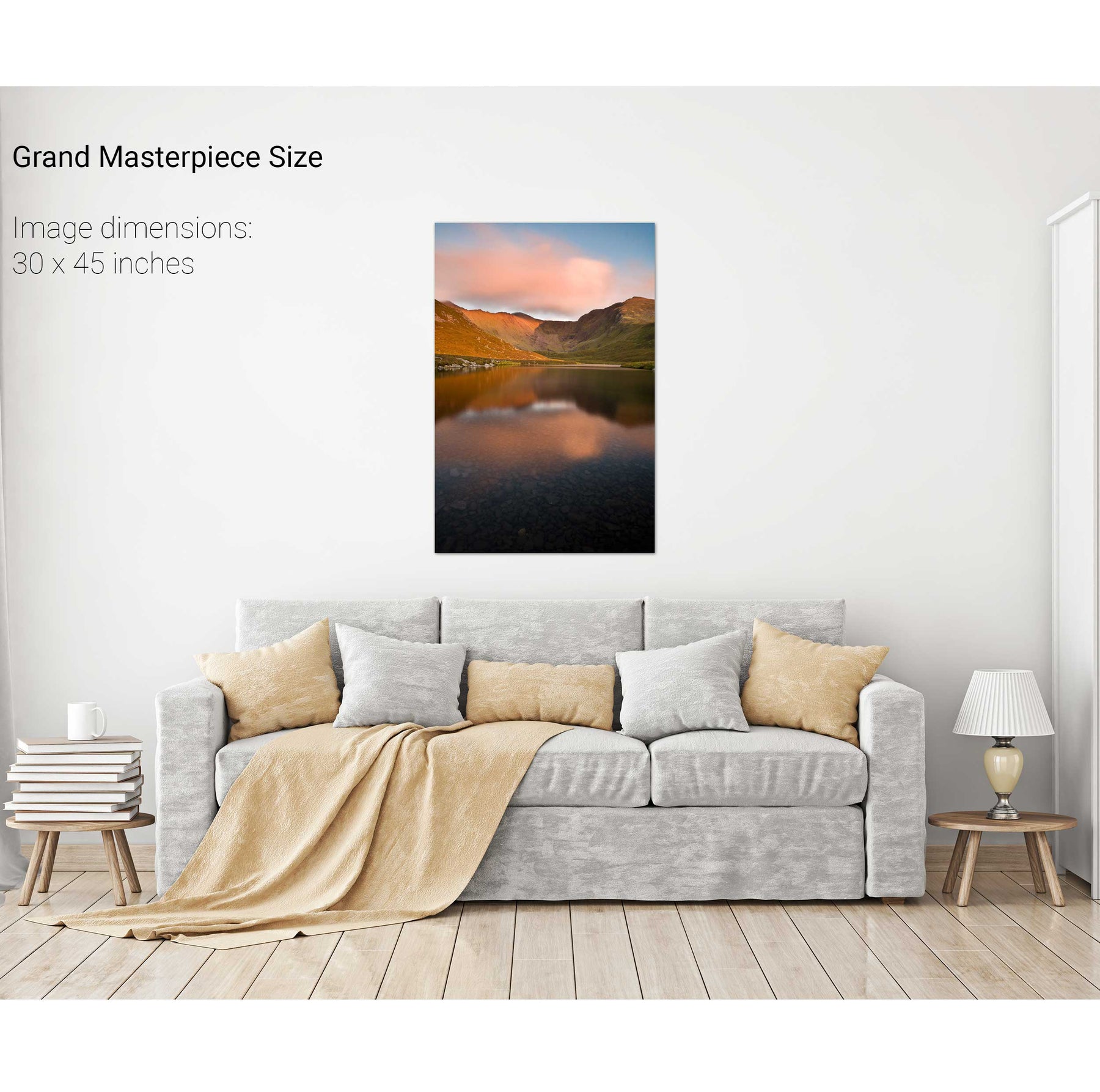
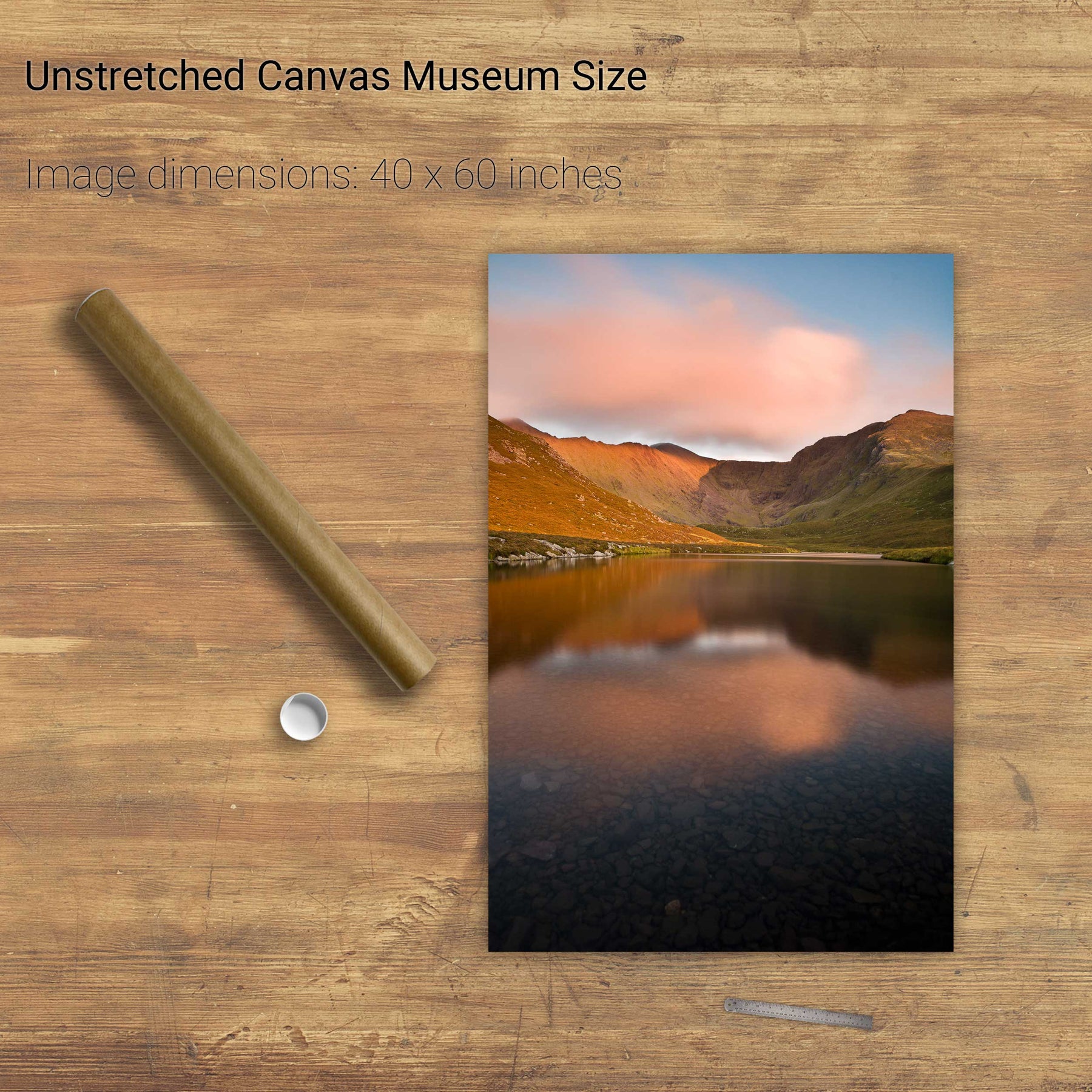
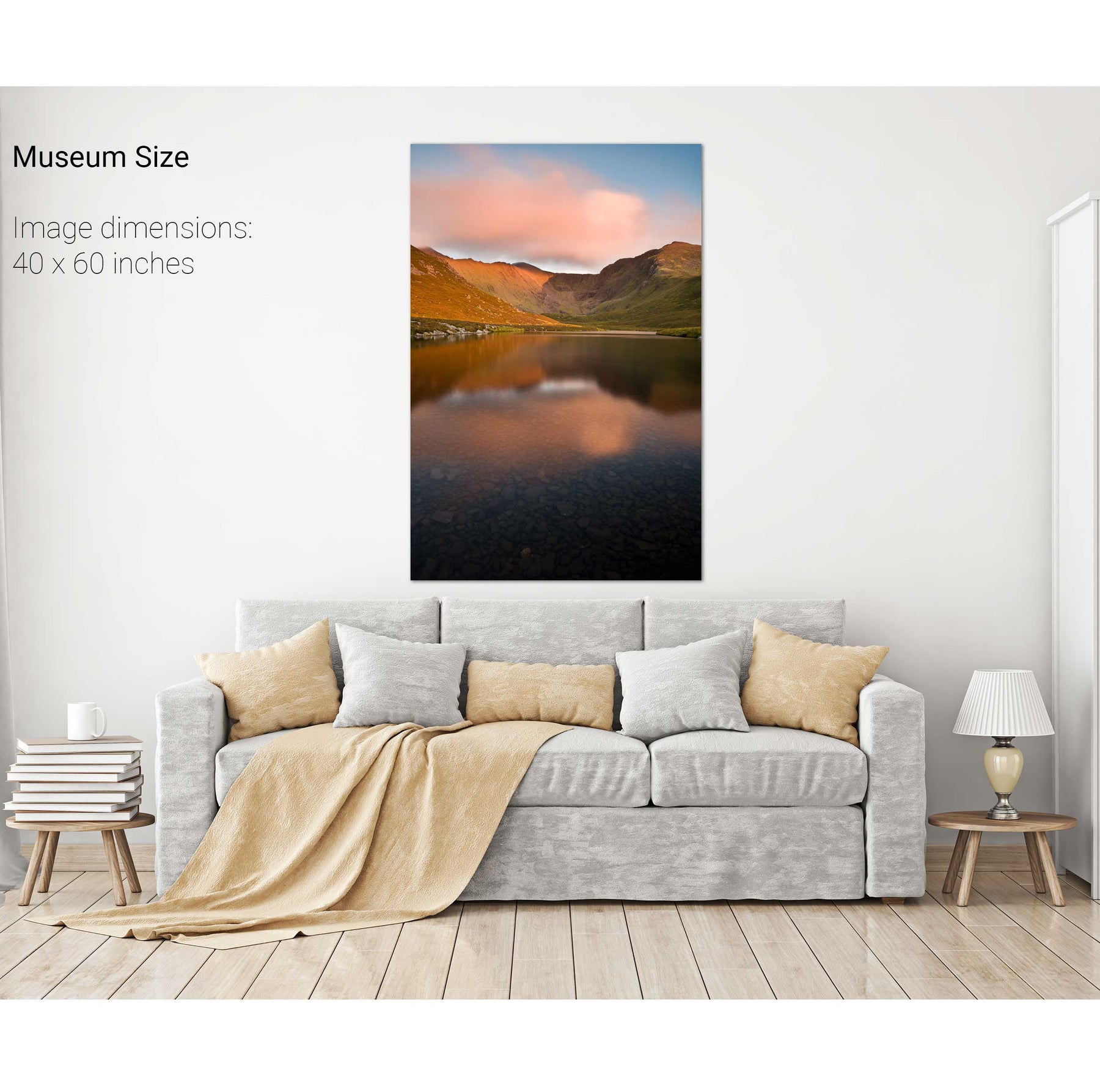
Coomloughra, the Reeks, Co. Kerry
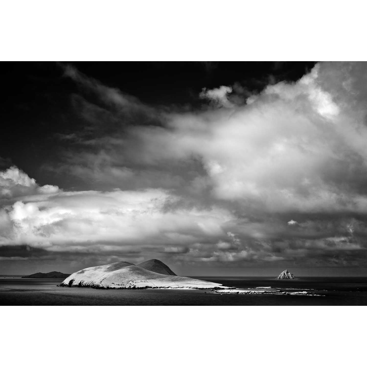
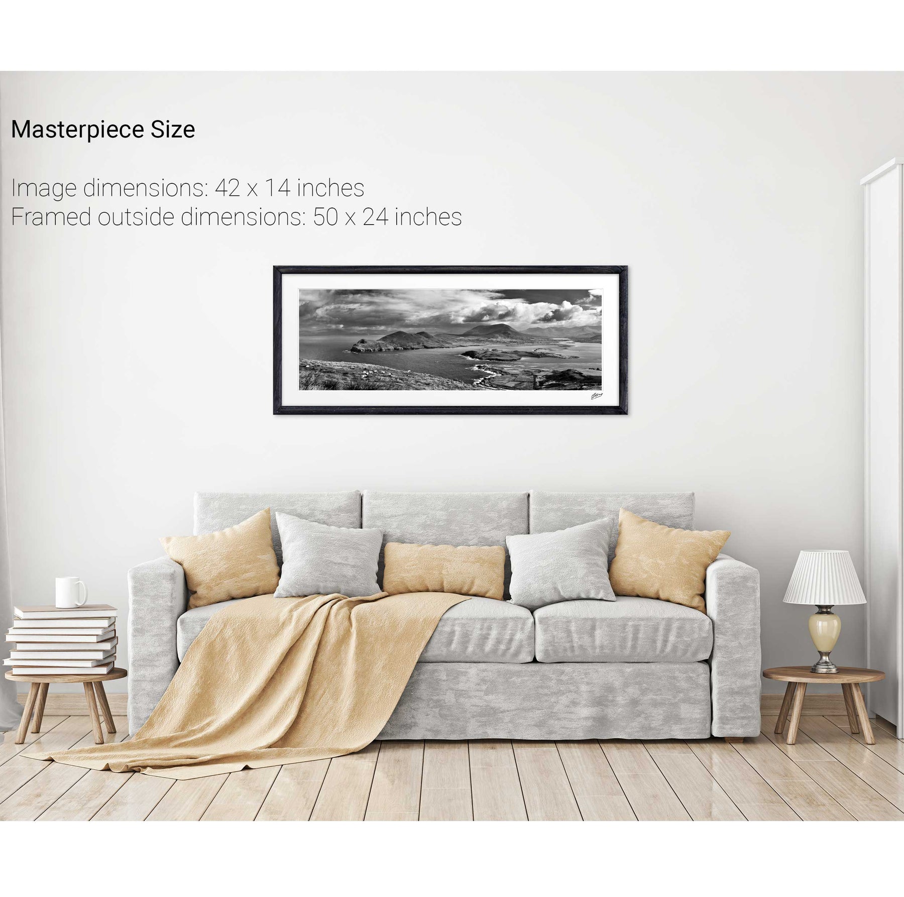
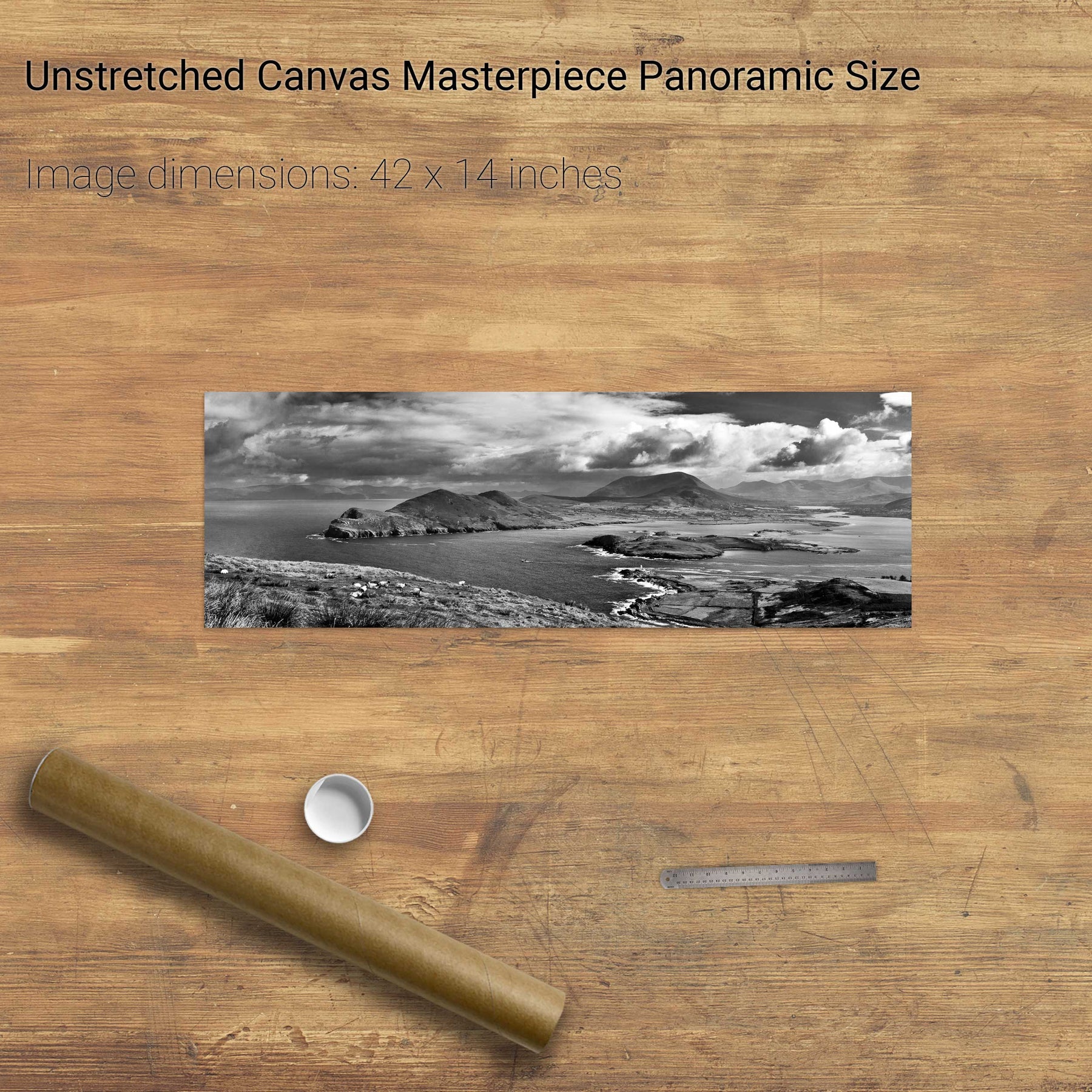
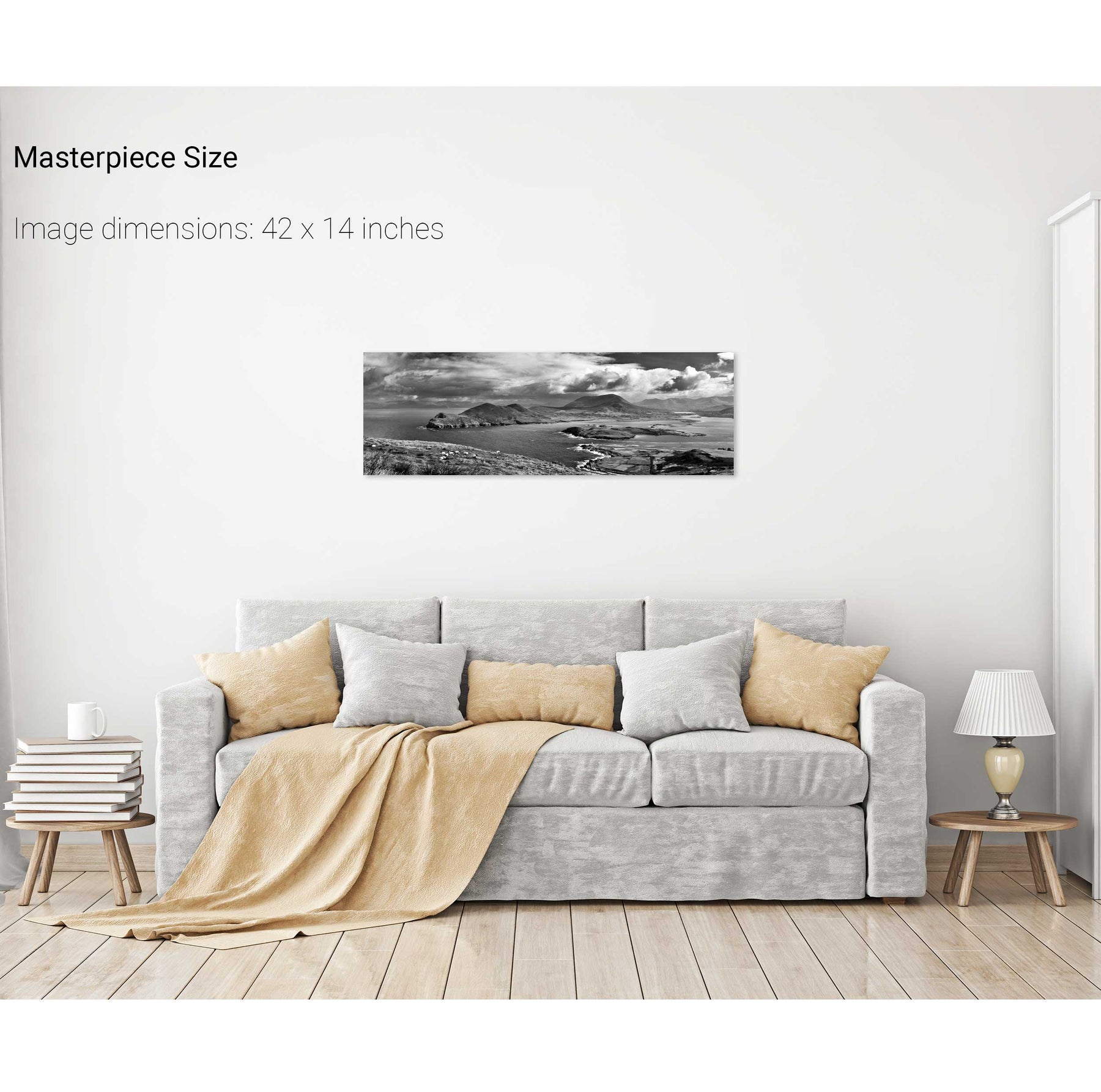
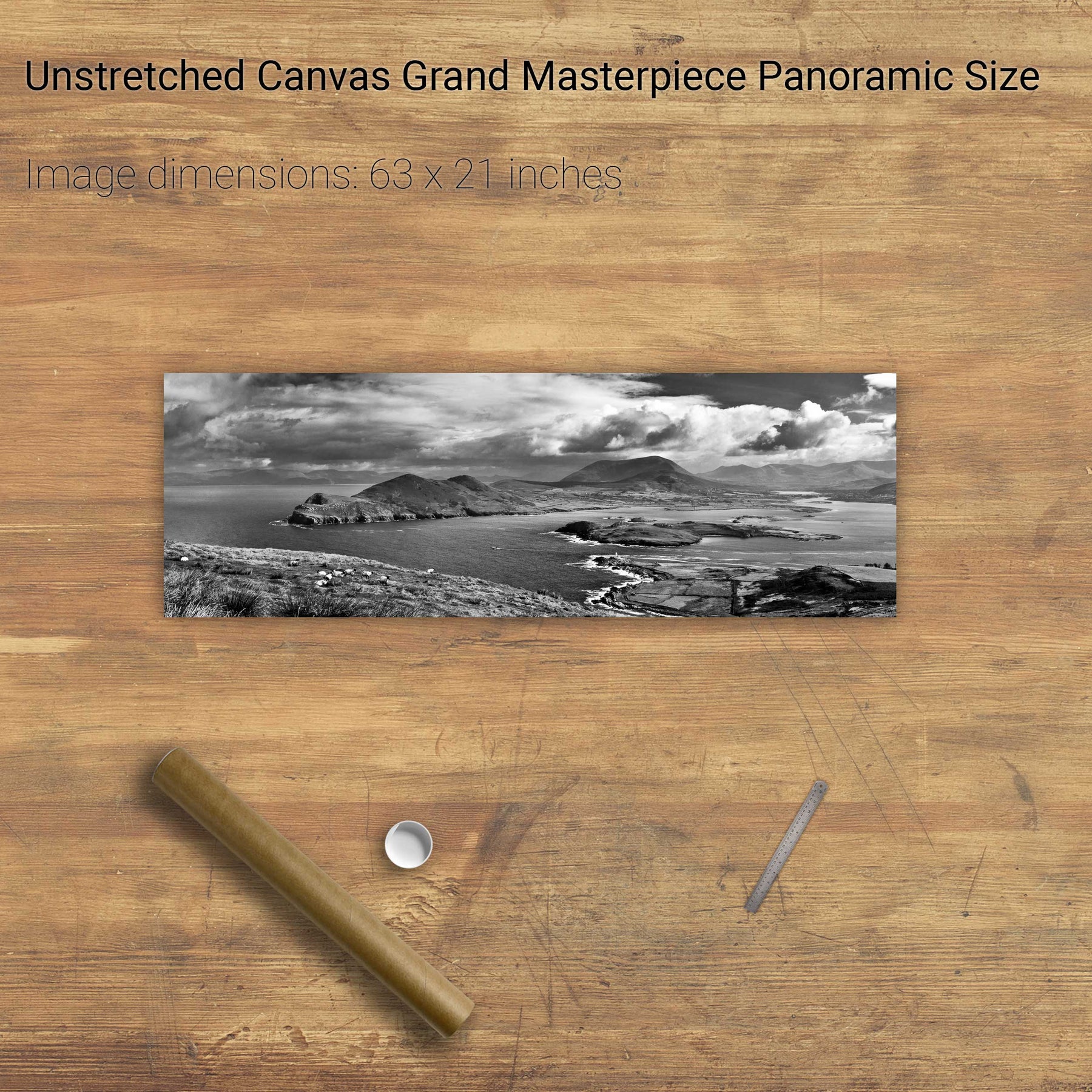
Great Blasket Island & an Tiaracht, Co. Kerry
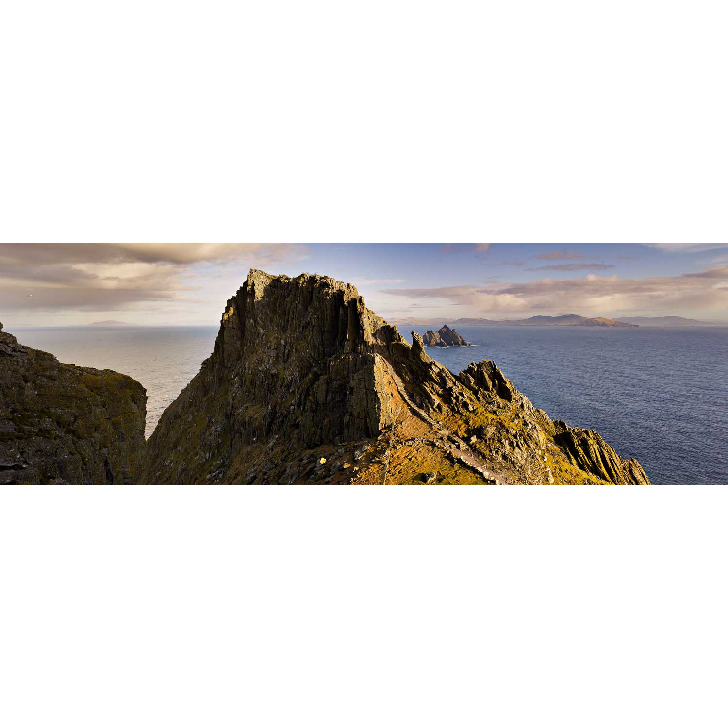
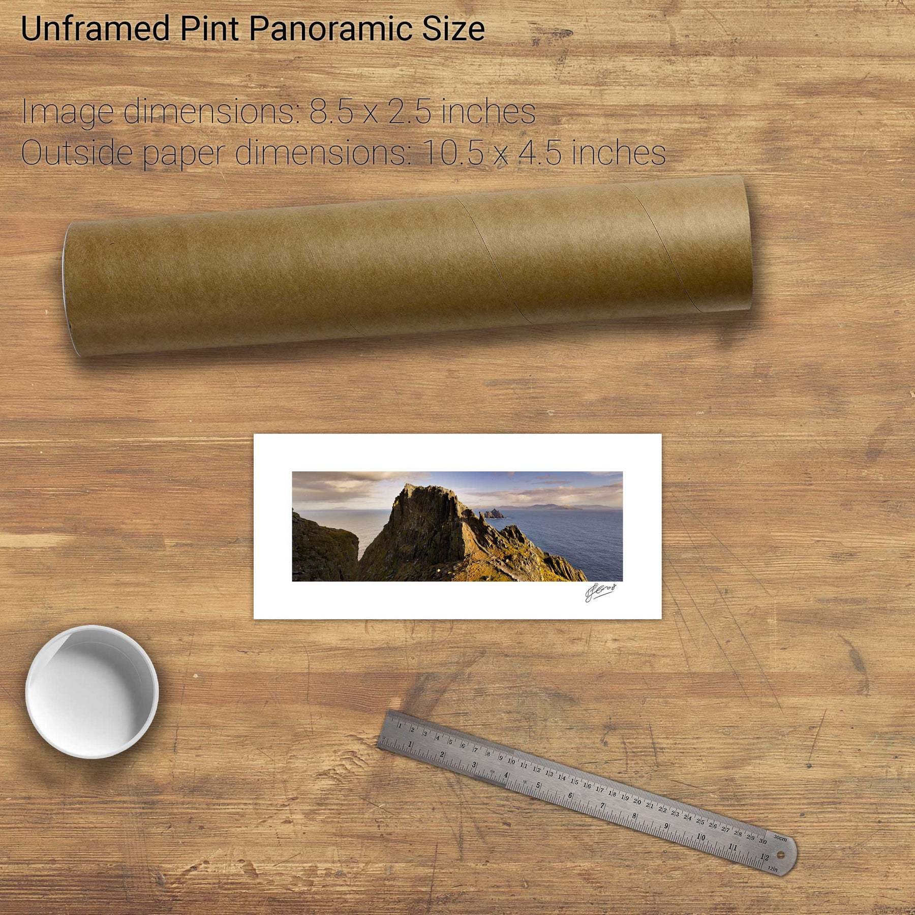
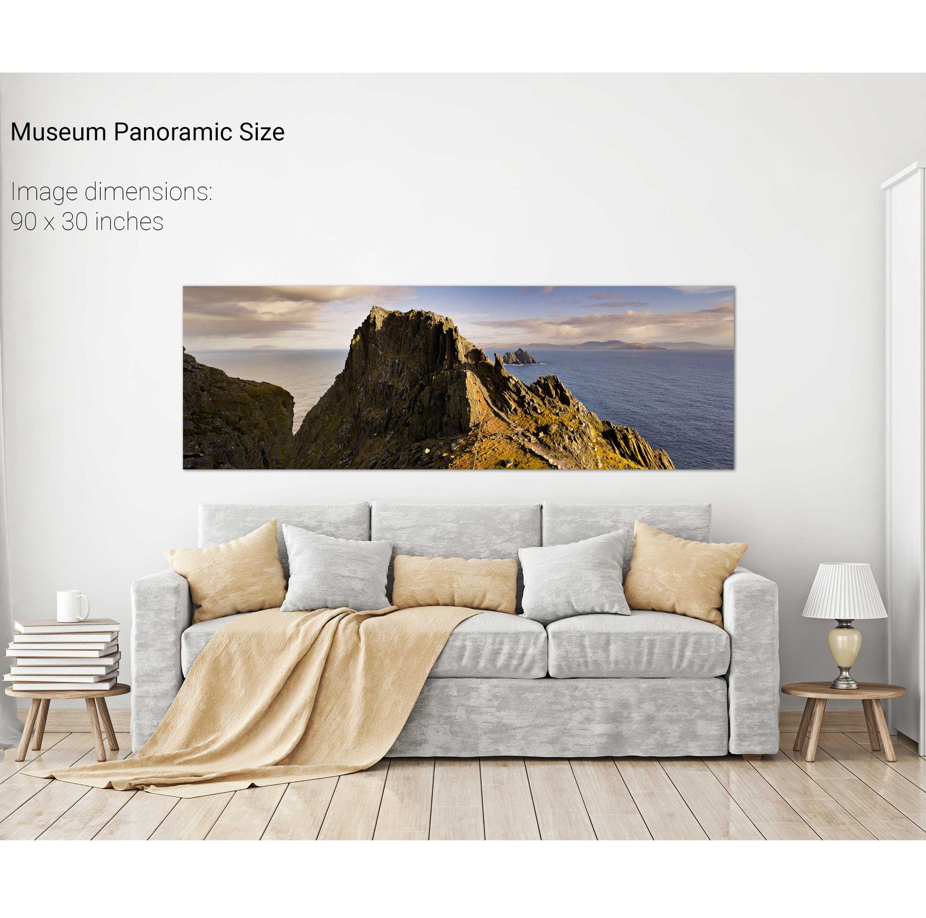
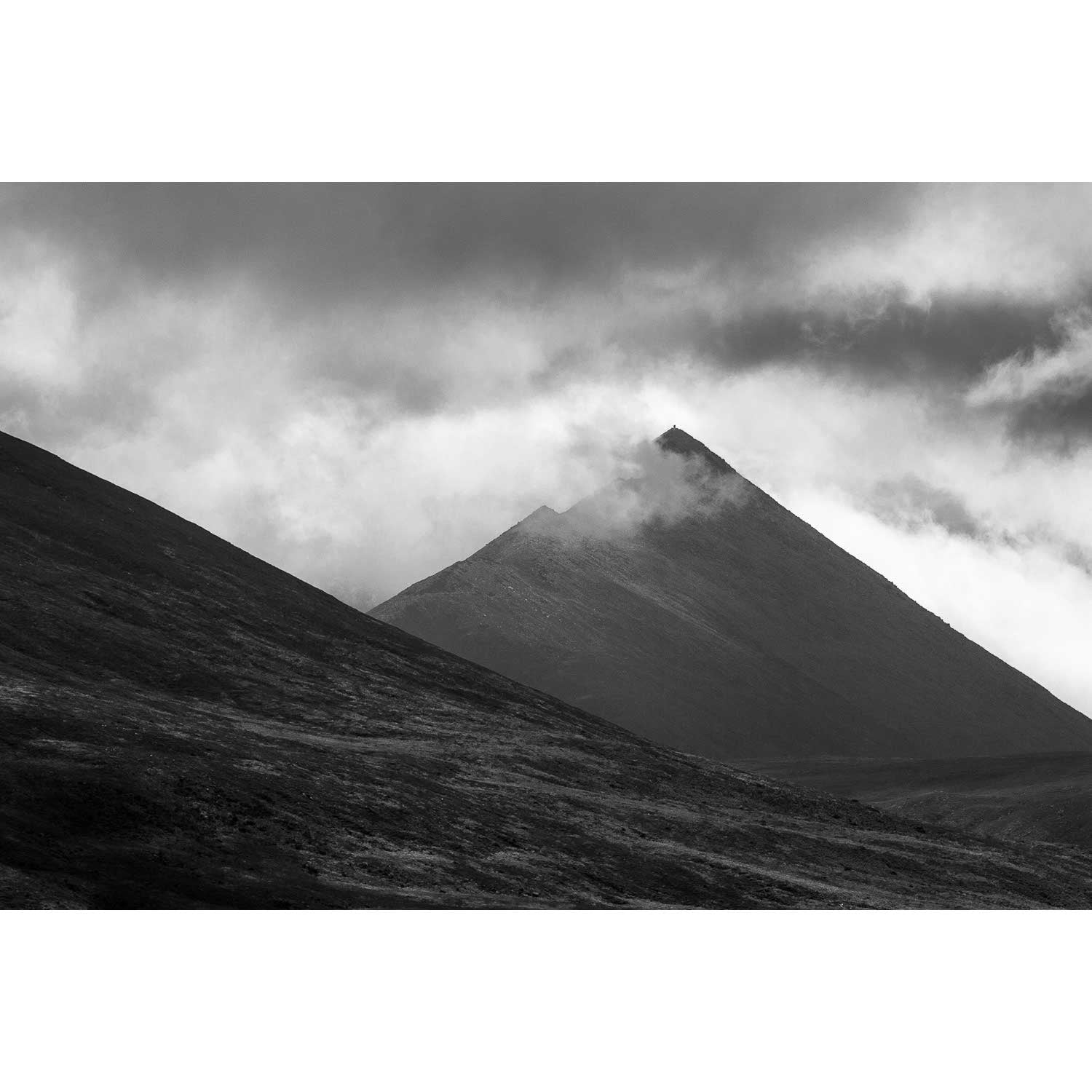
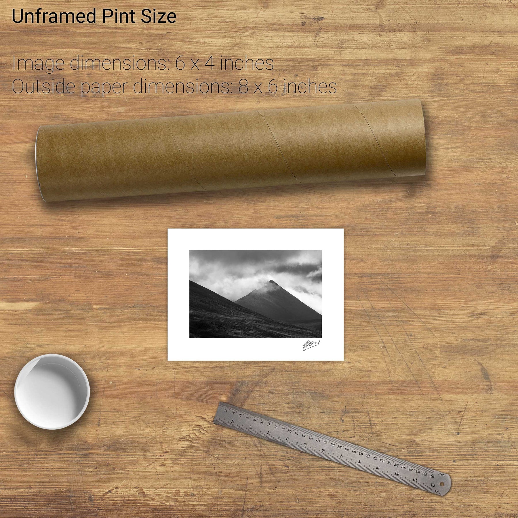
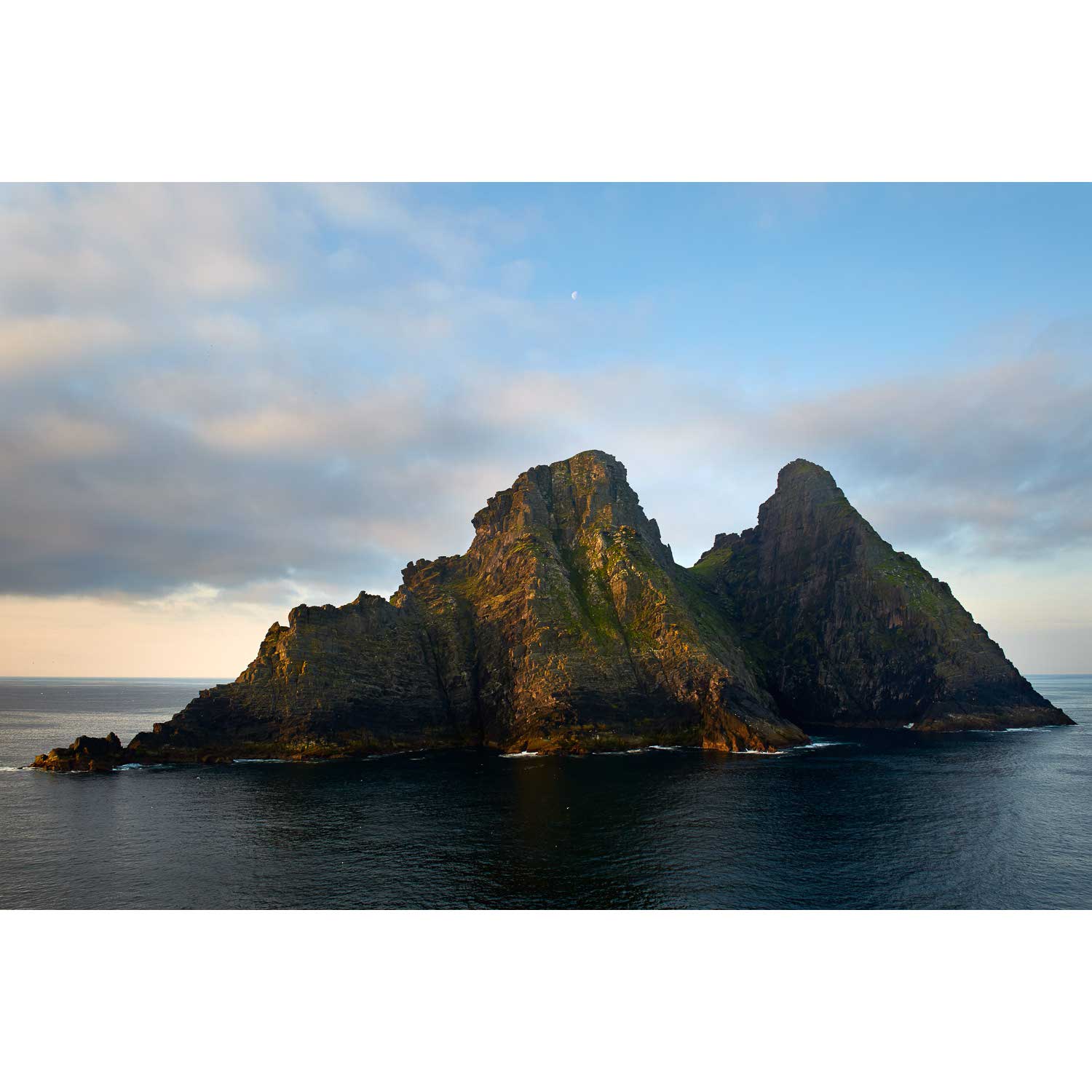
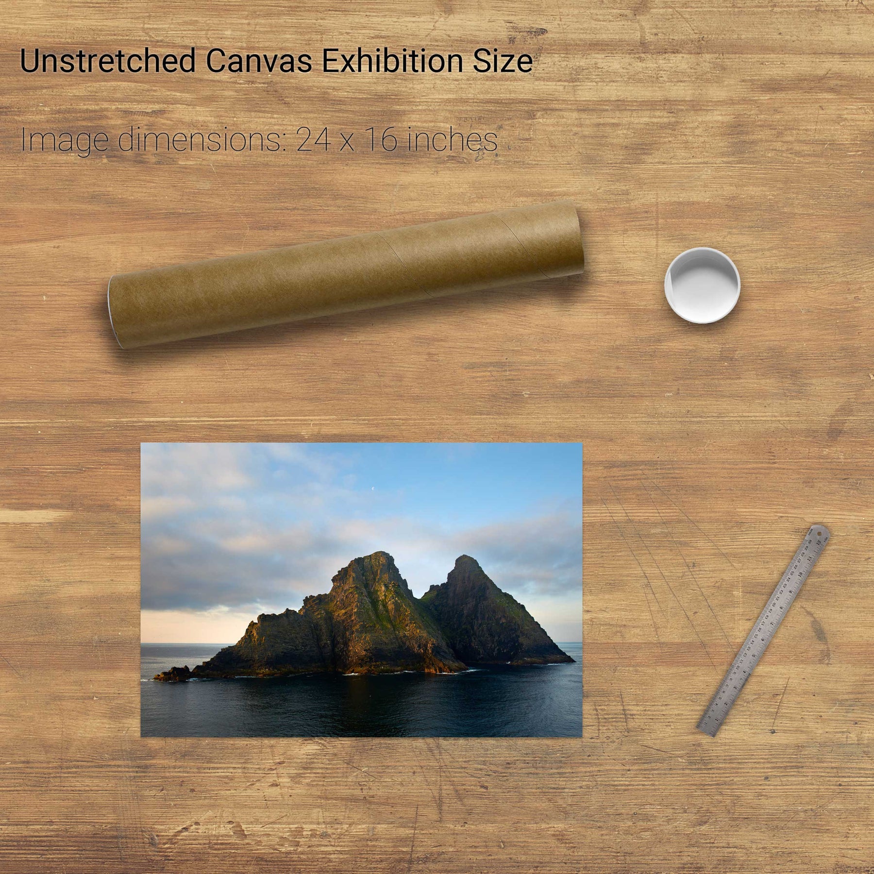
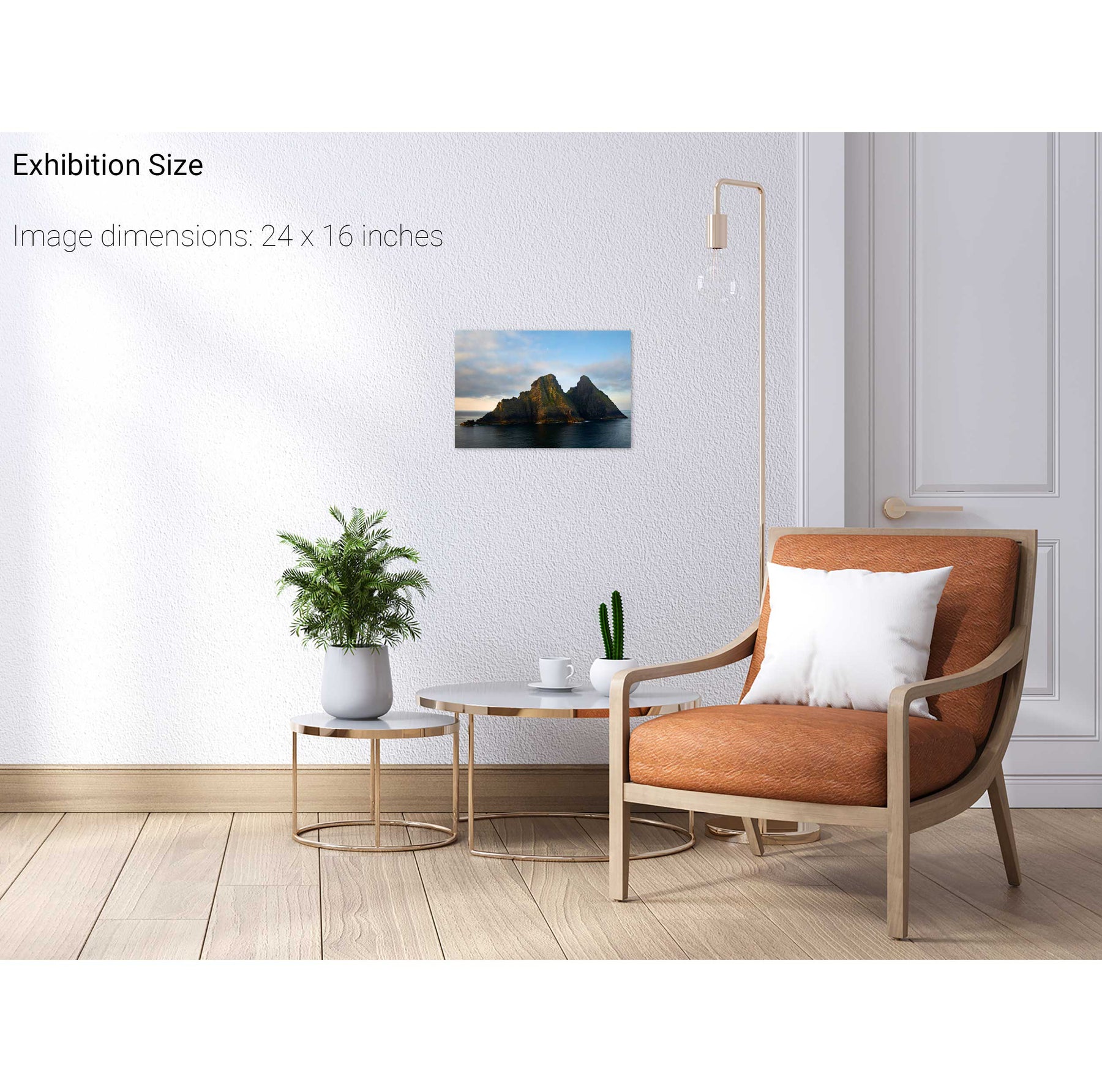
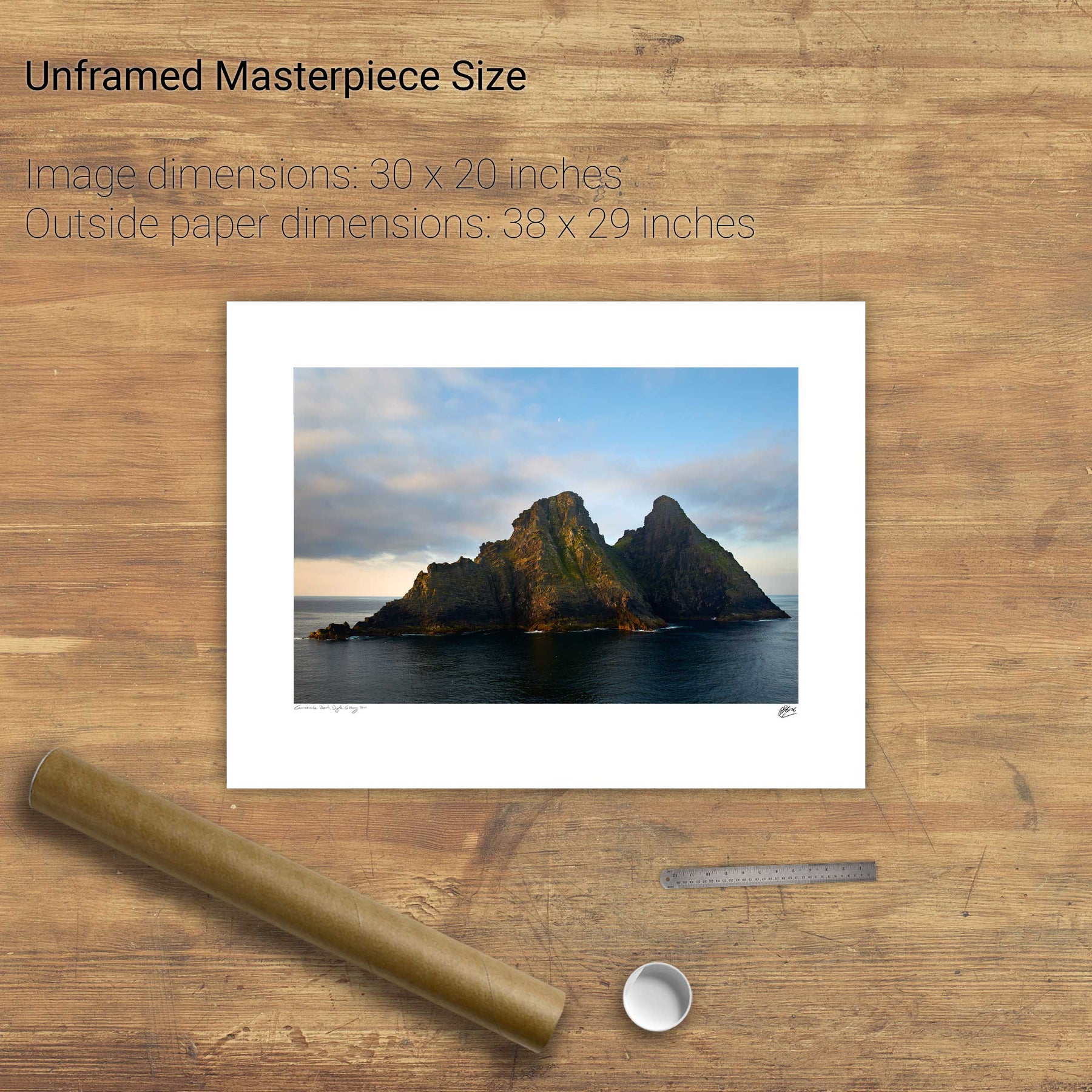
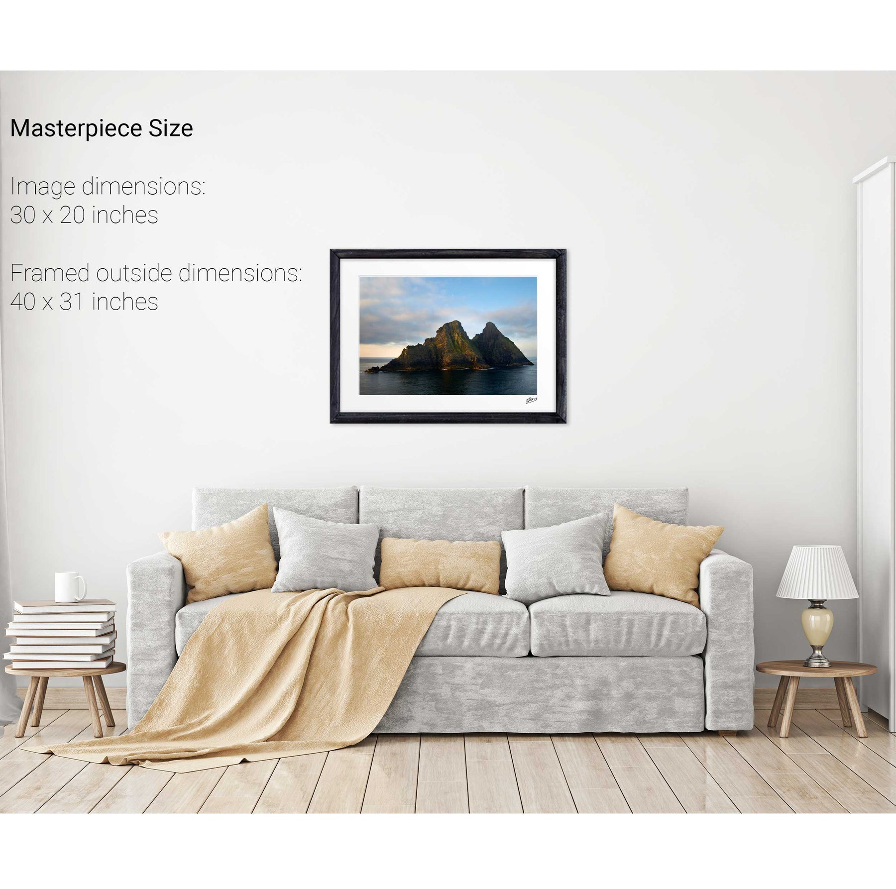
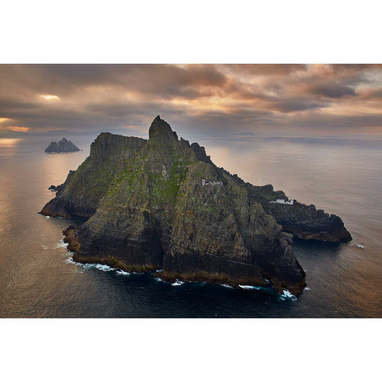
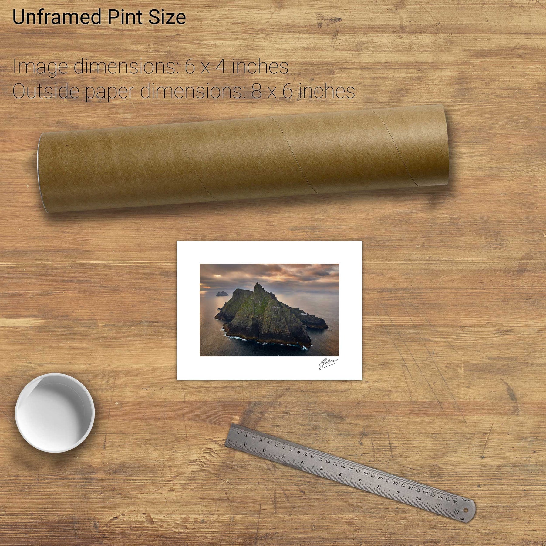
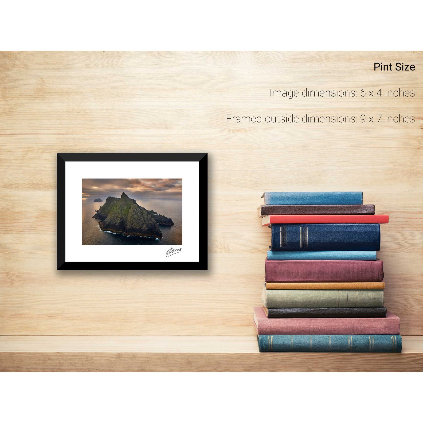
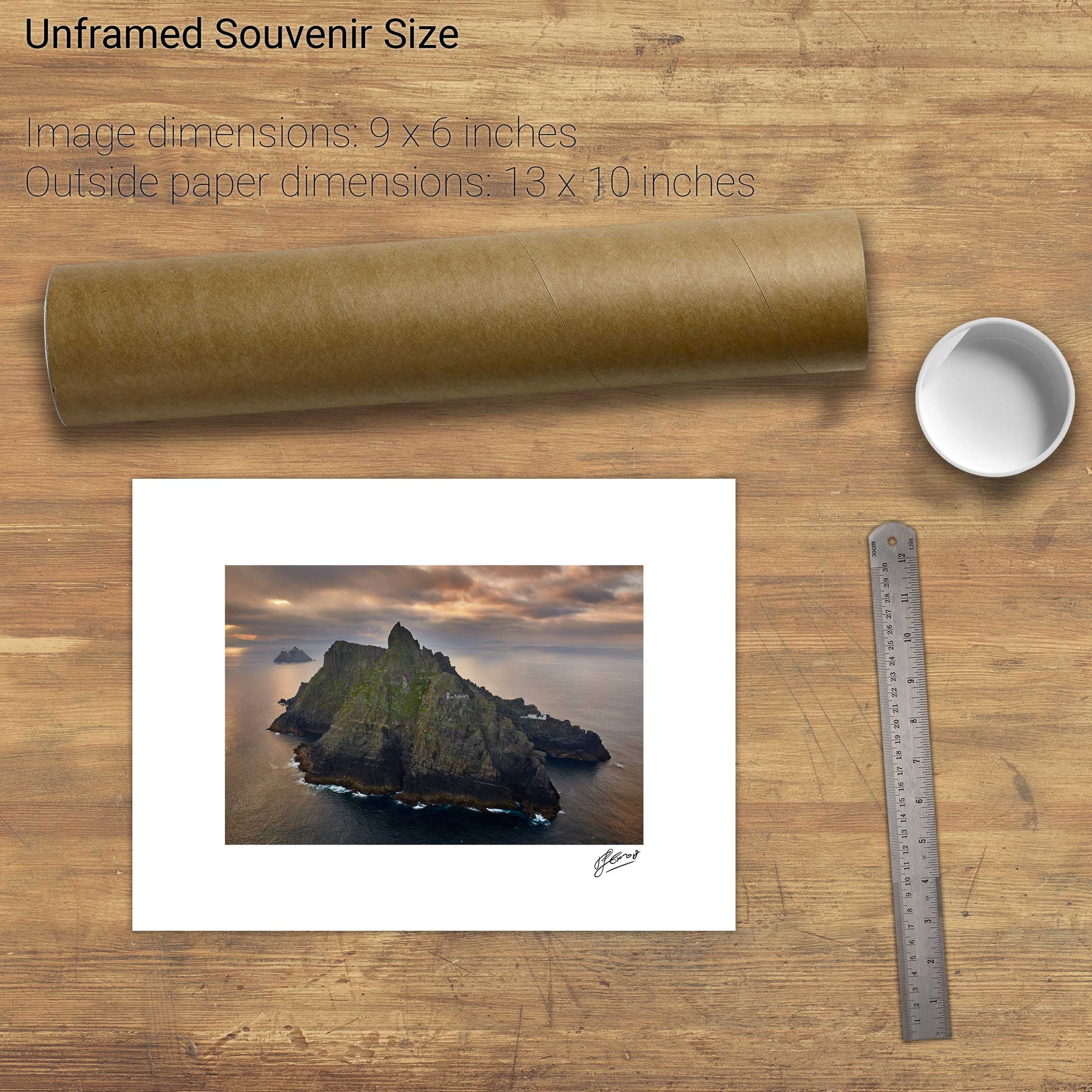
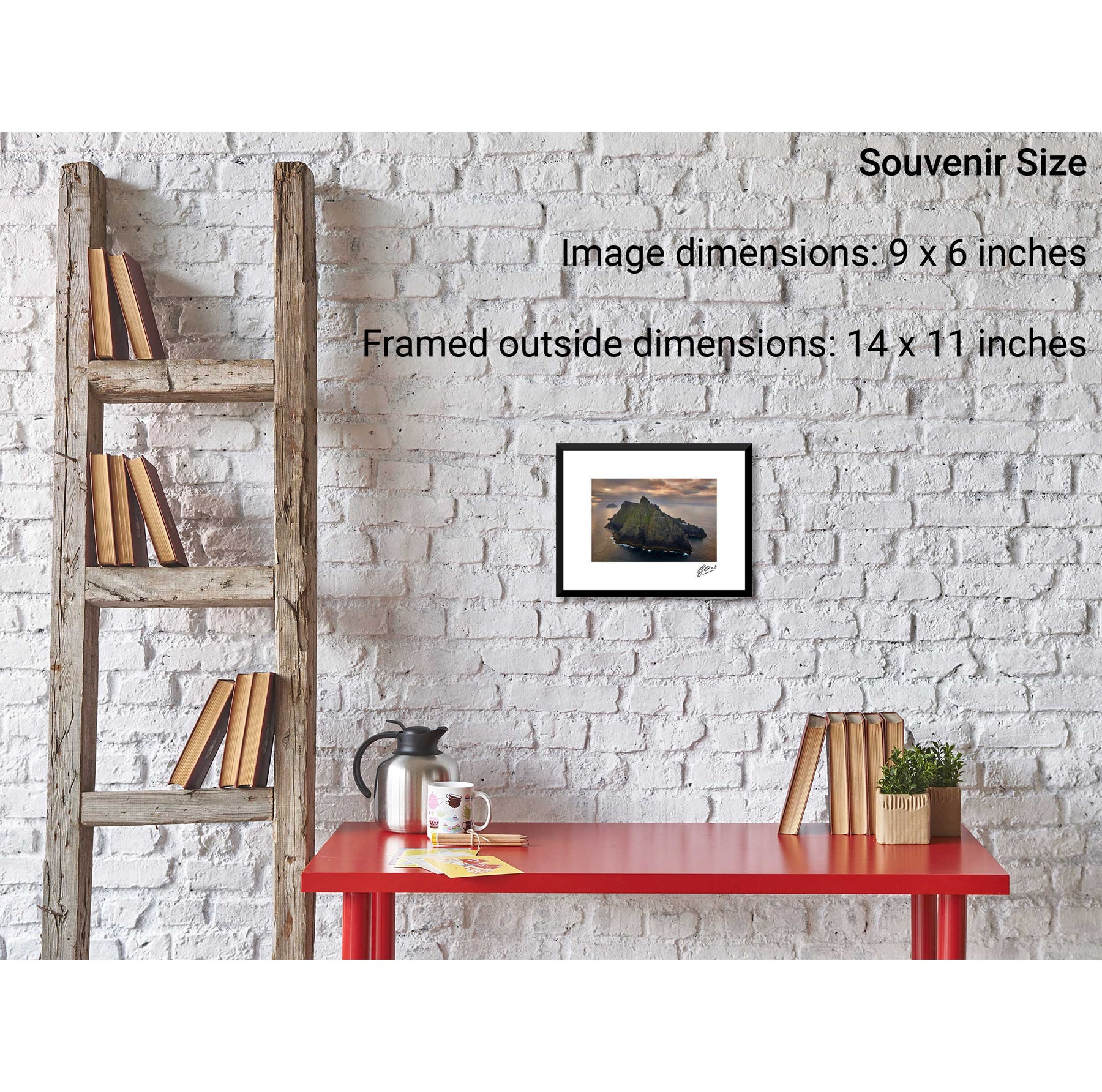
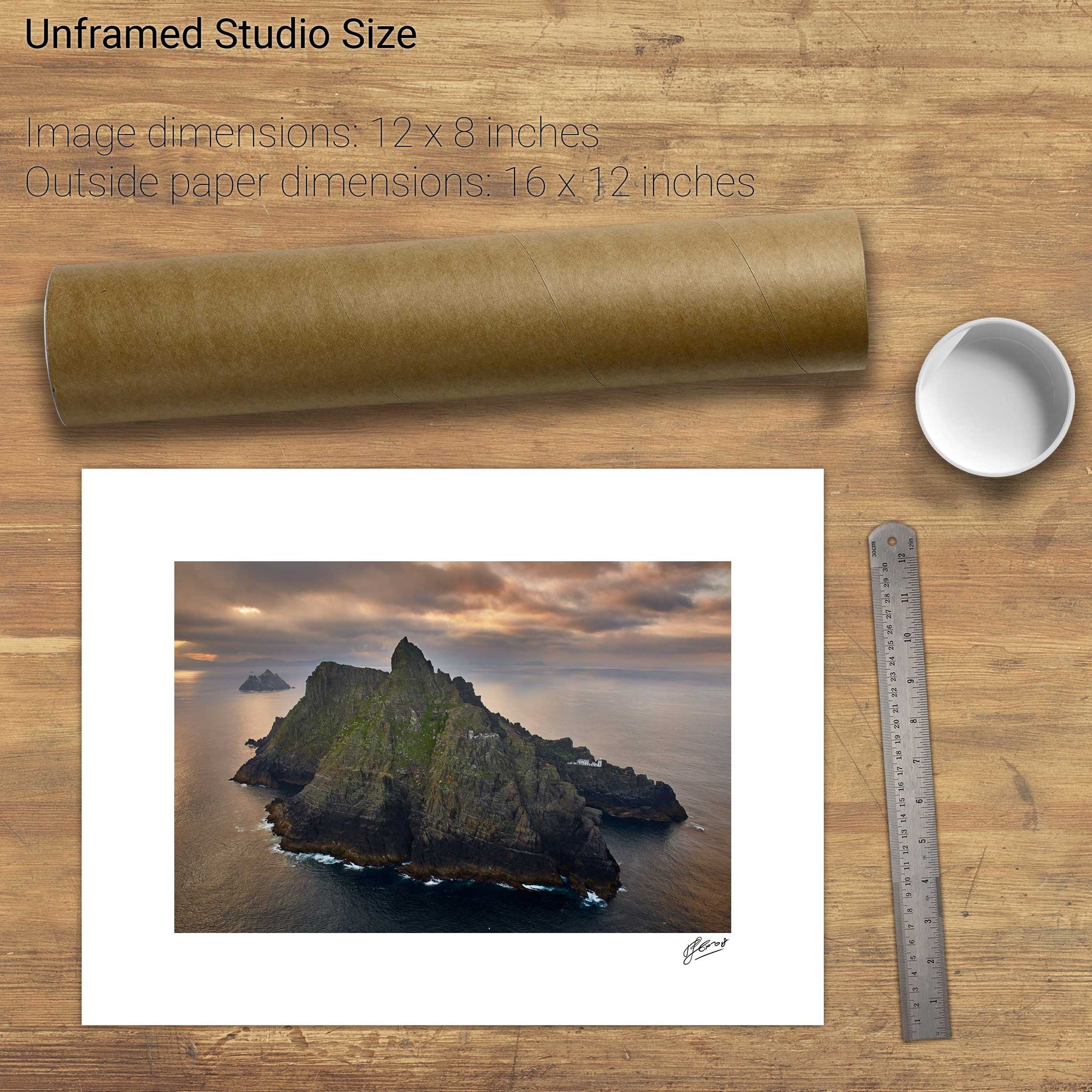
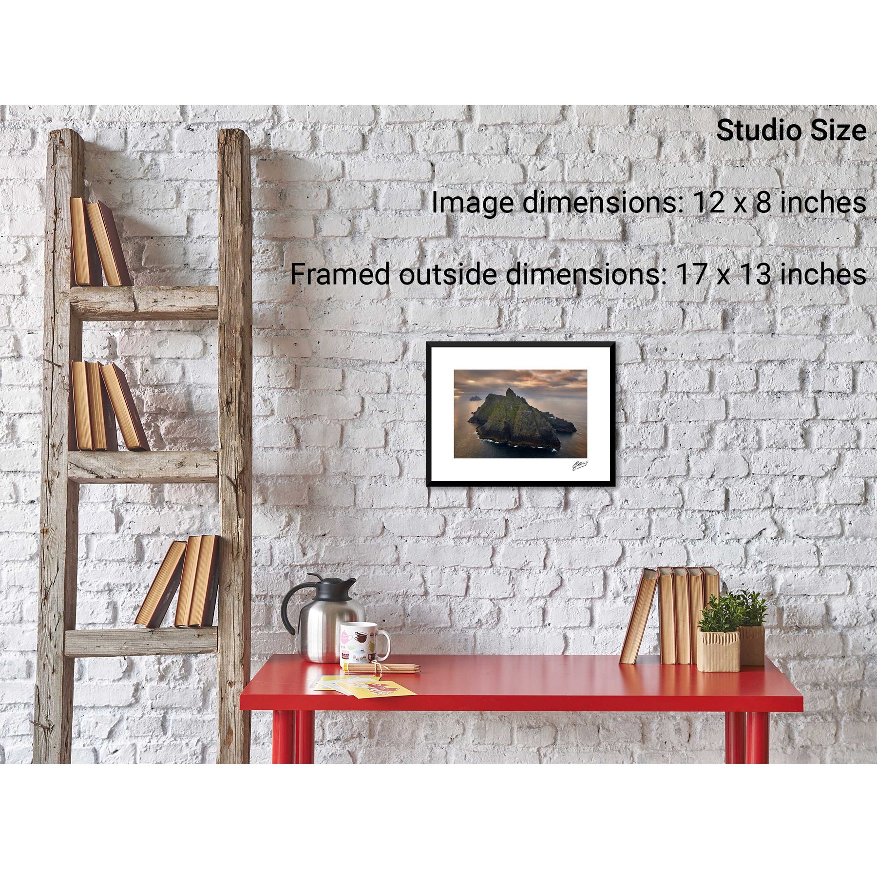
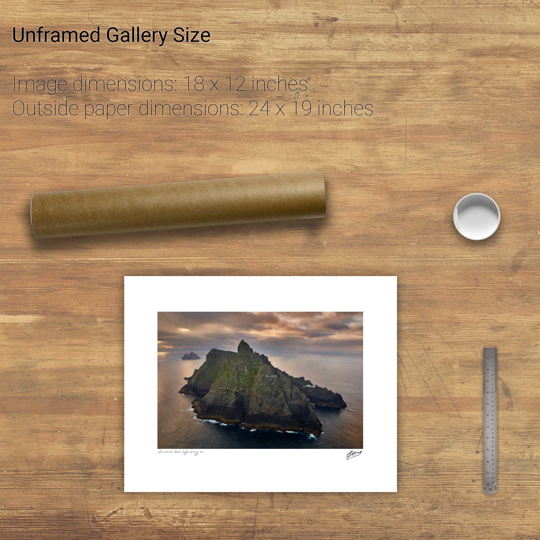
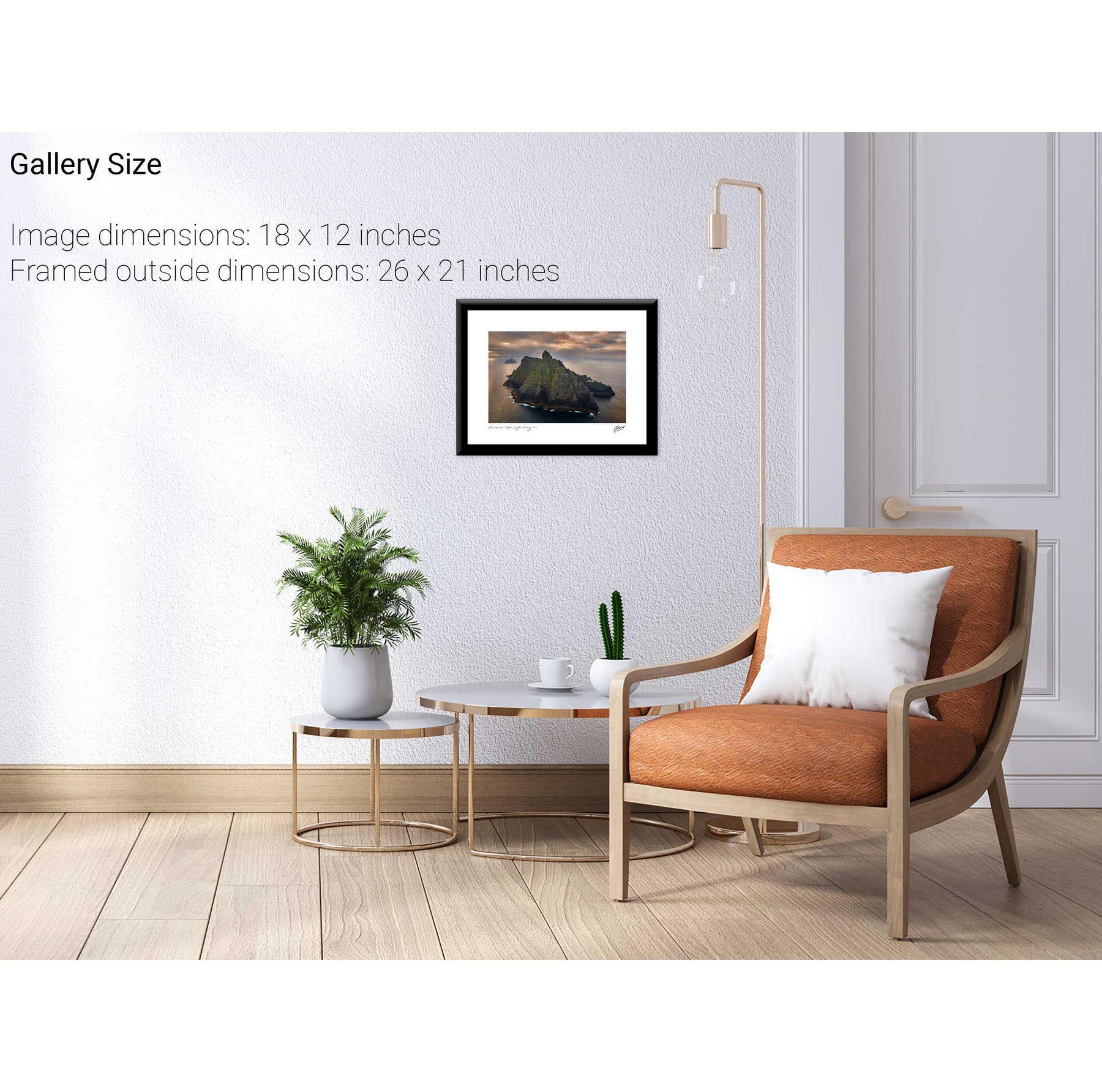
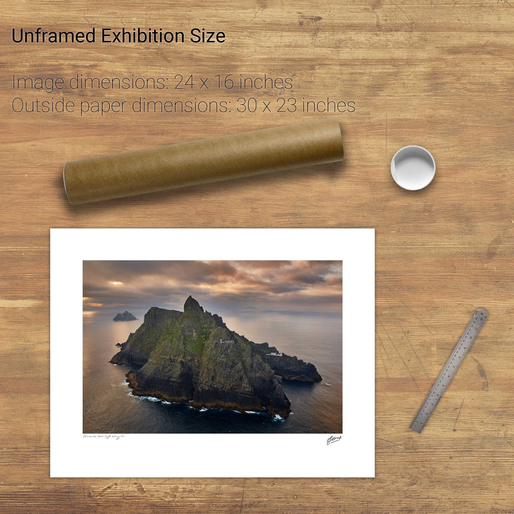
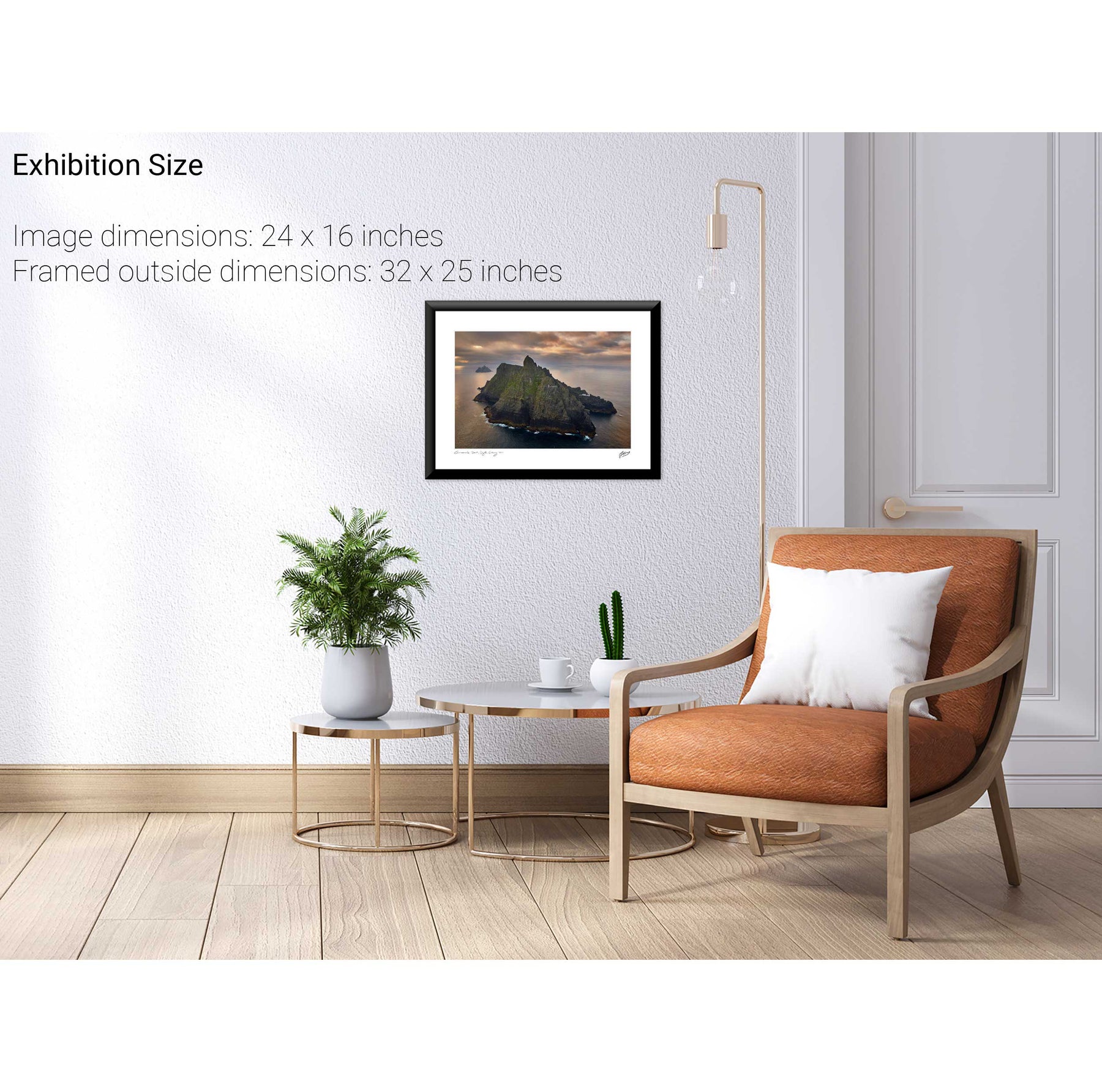
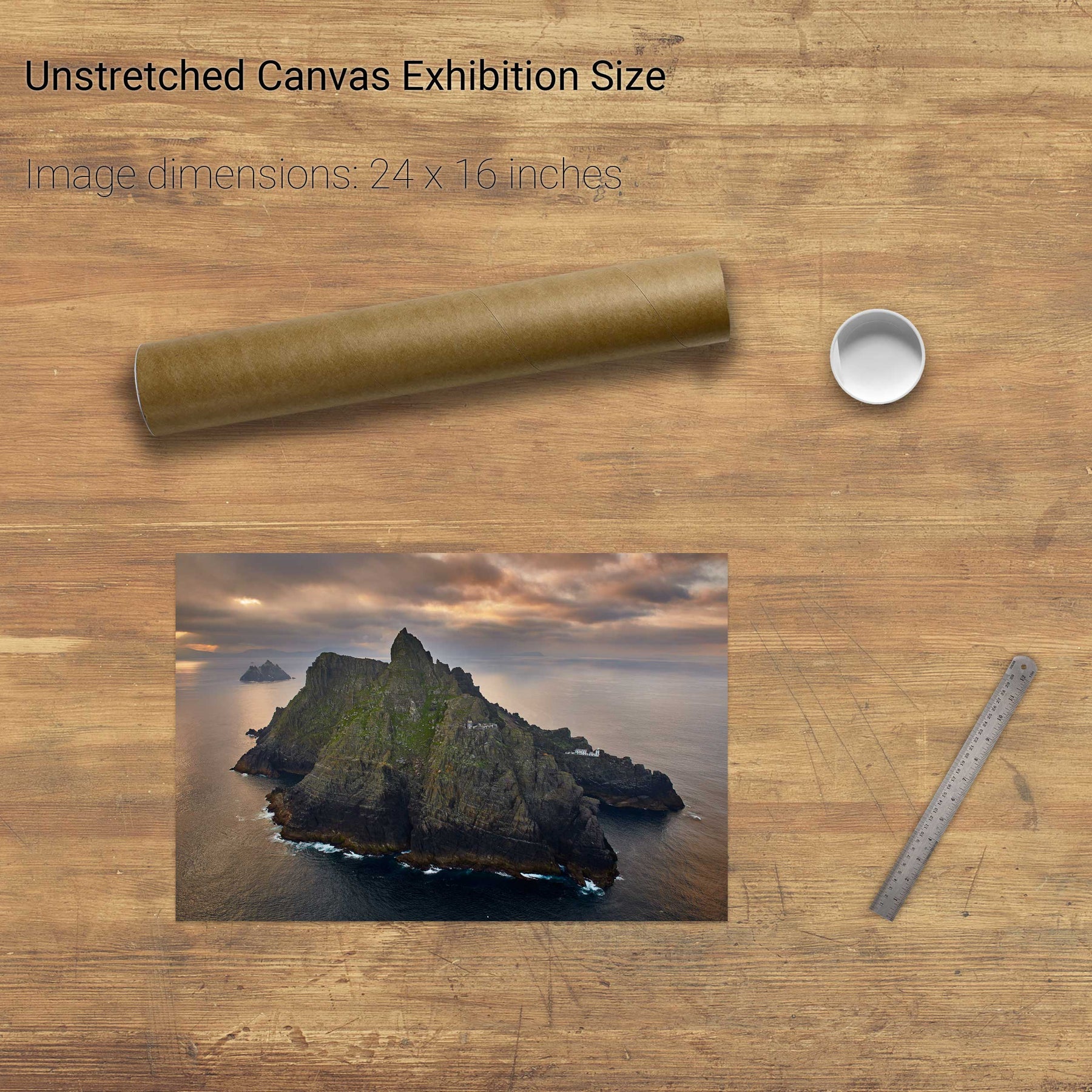
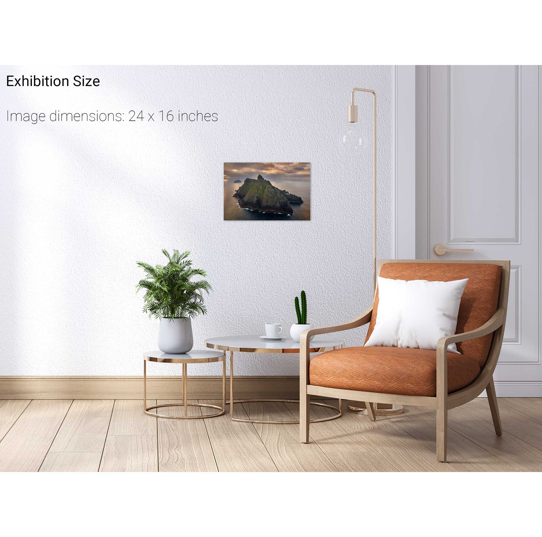
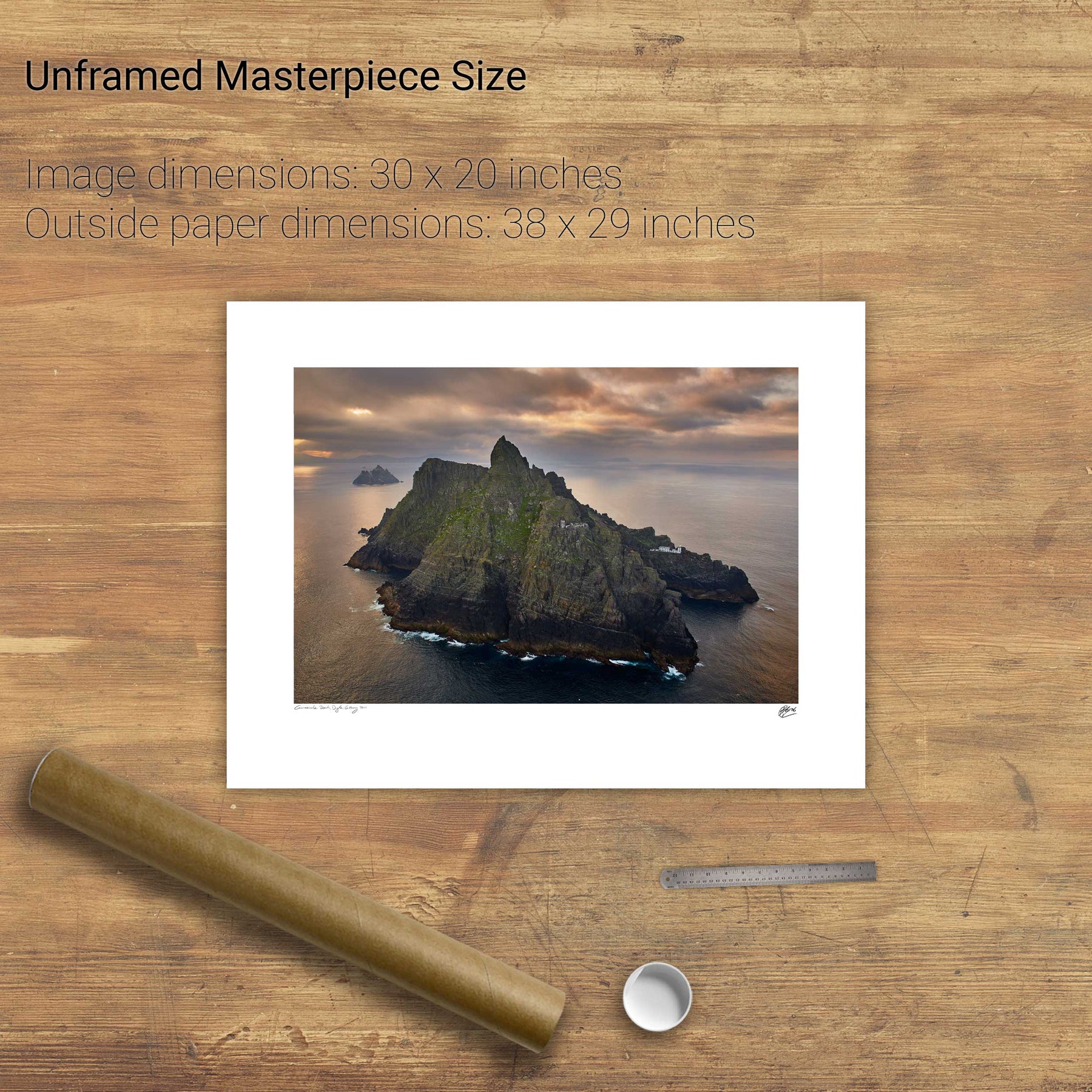
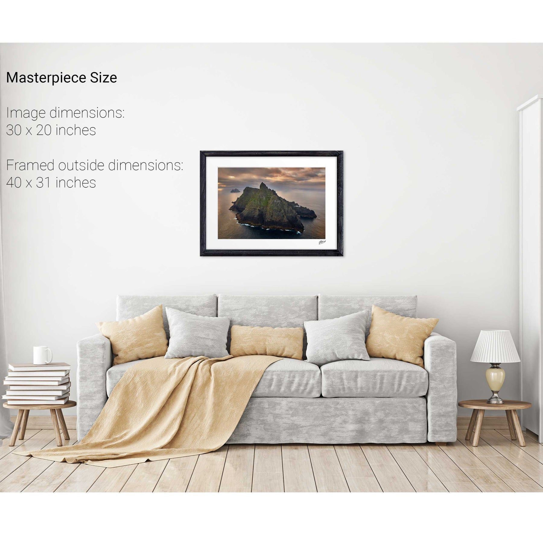
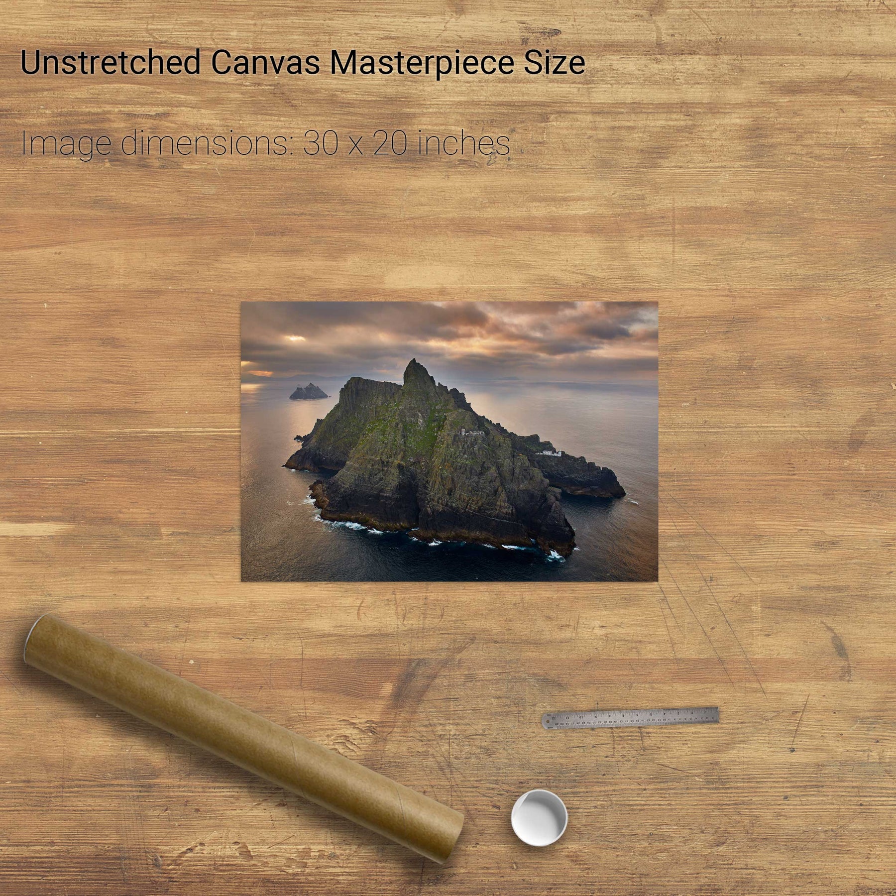
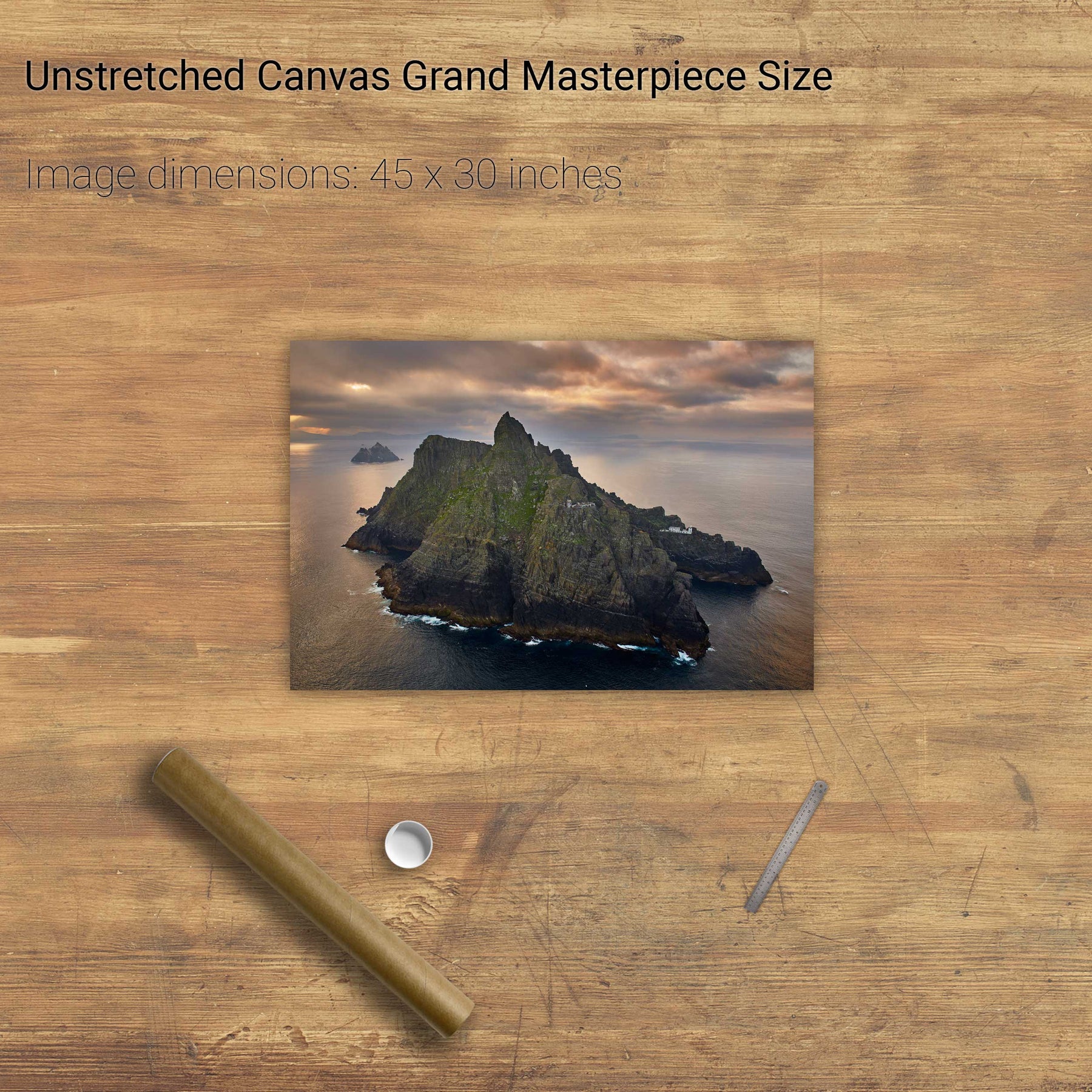
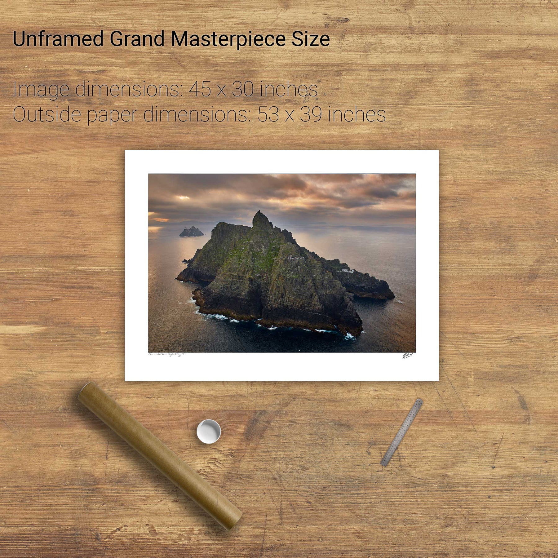
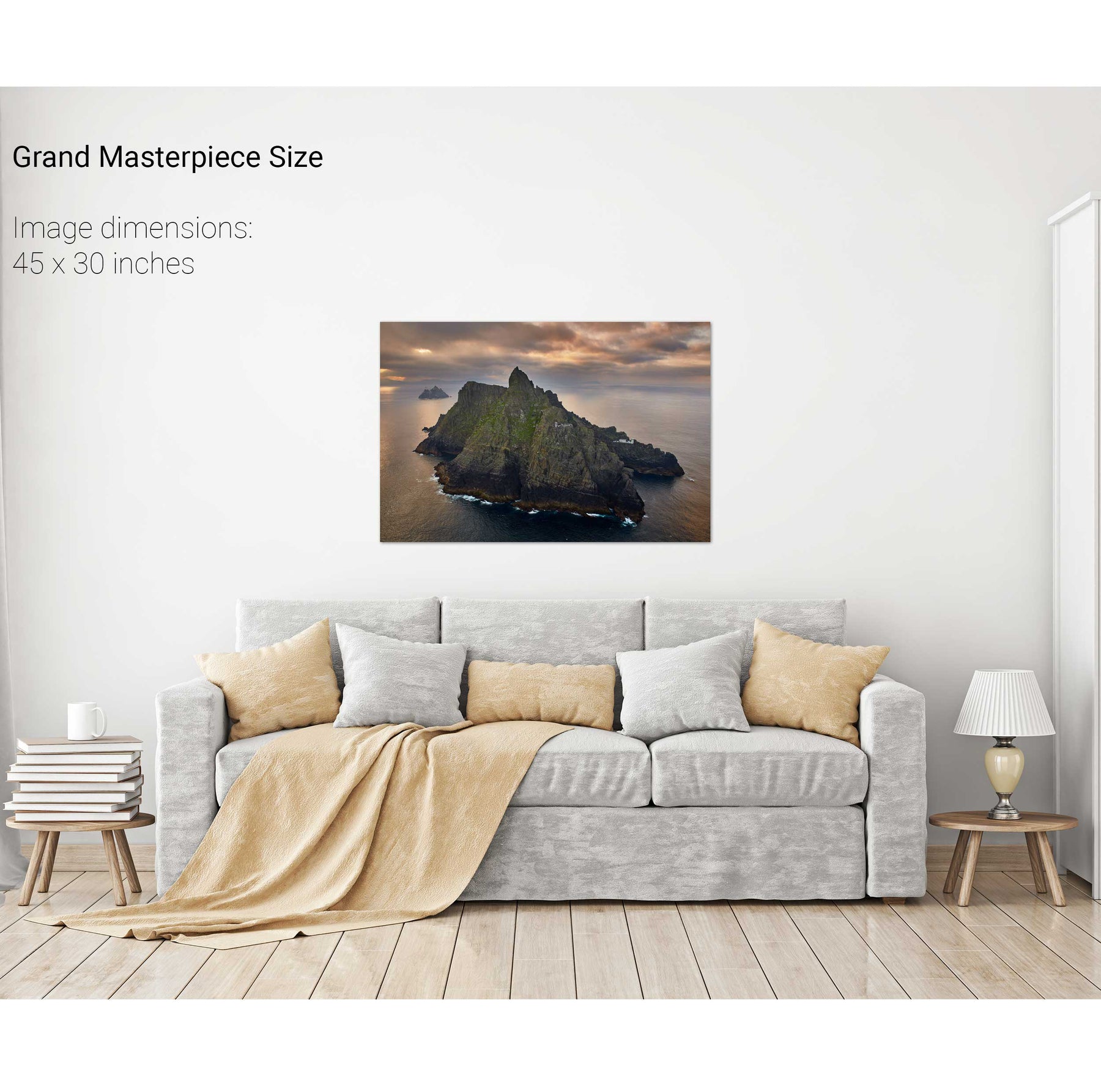
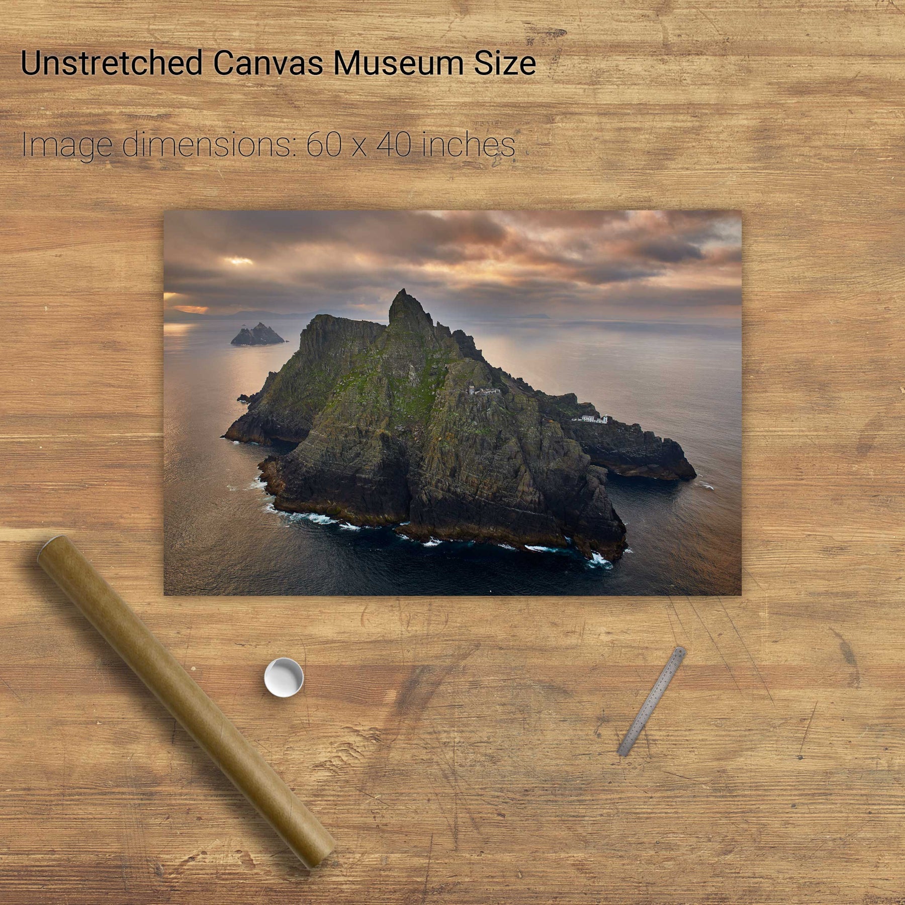
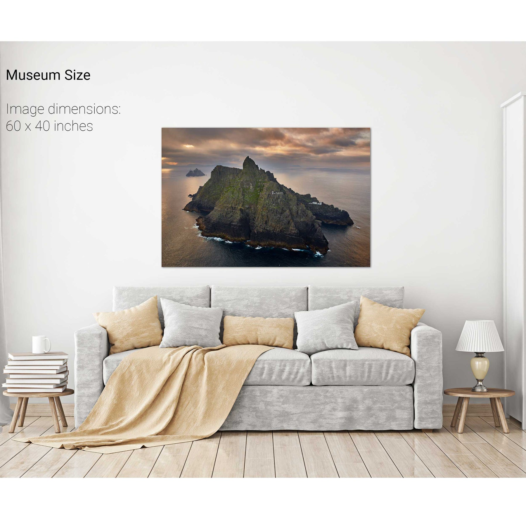
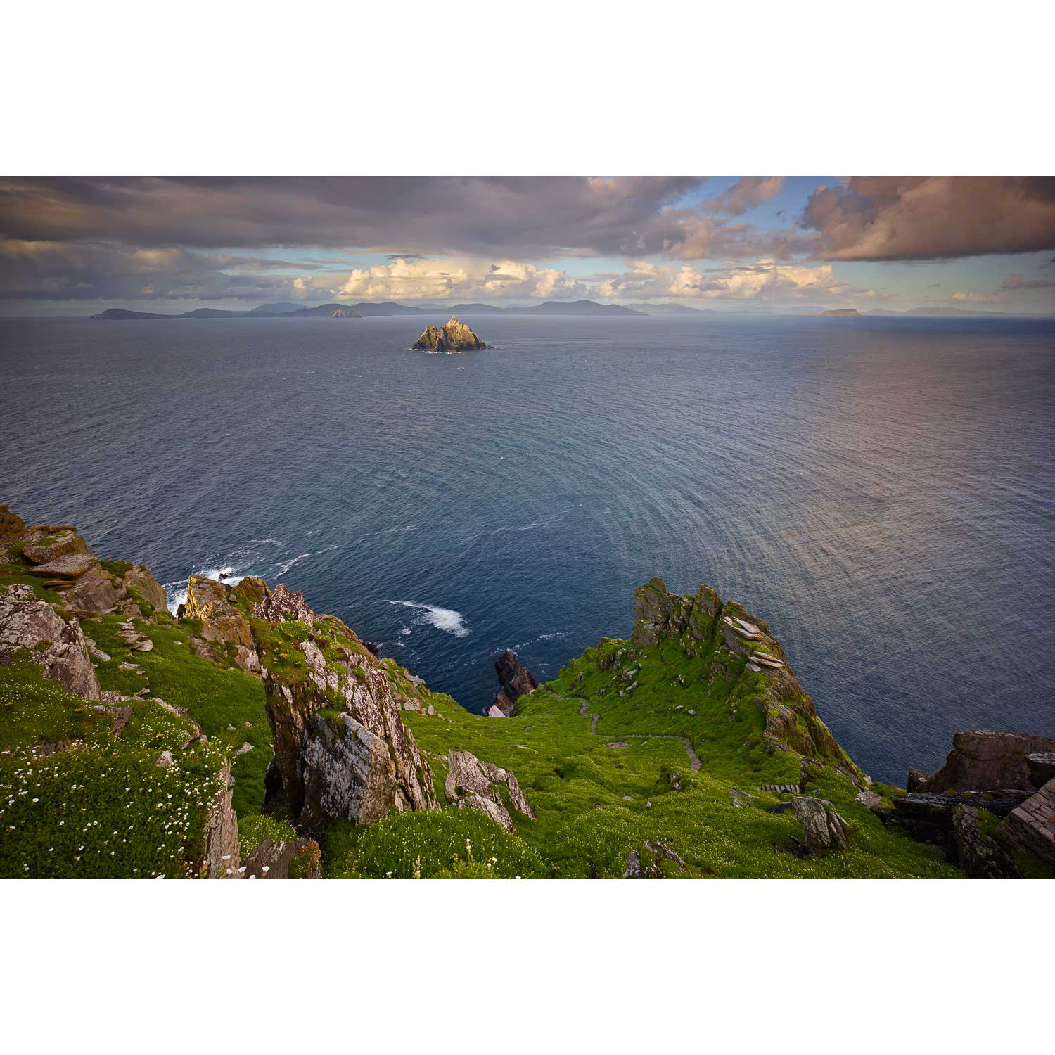
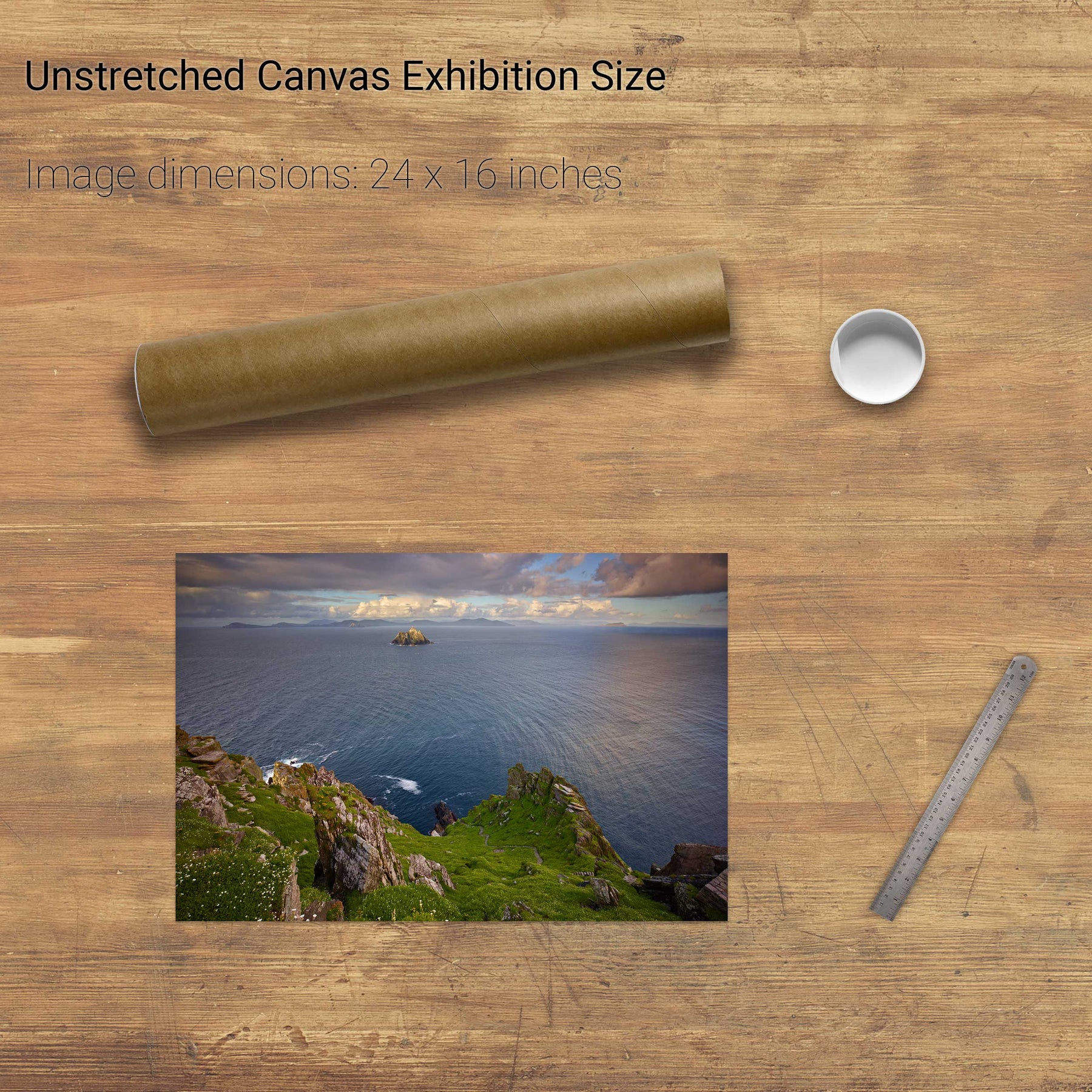
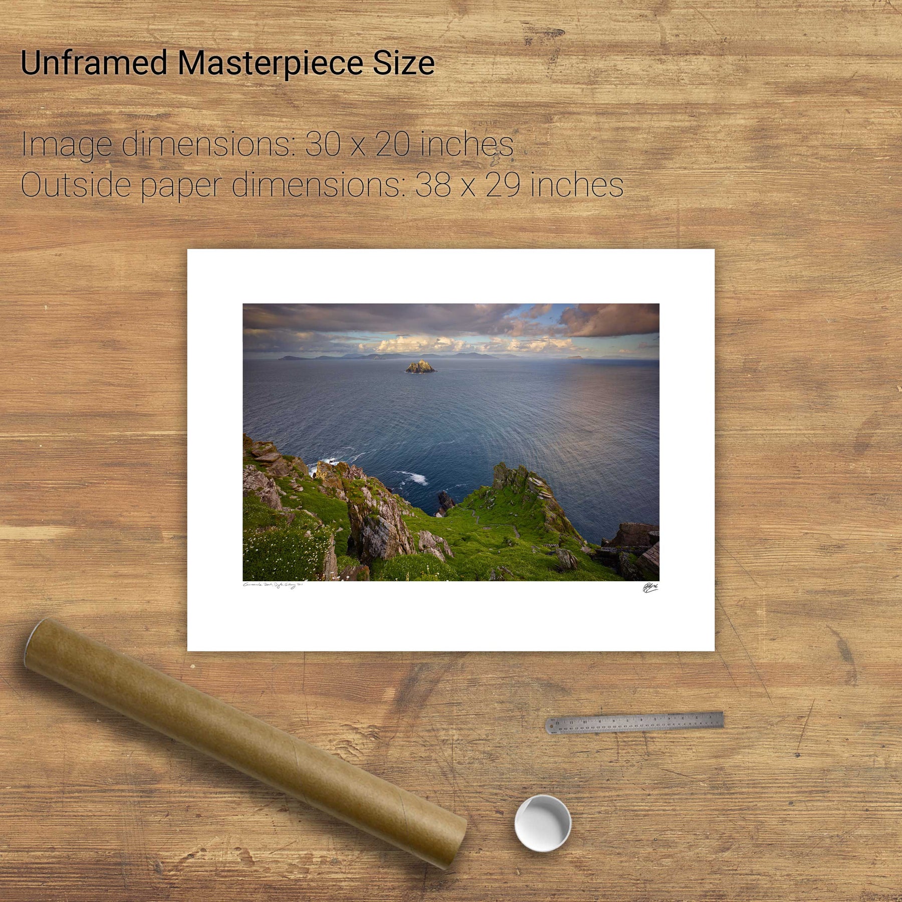
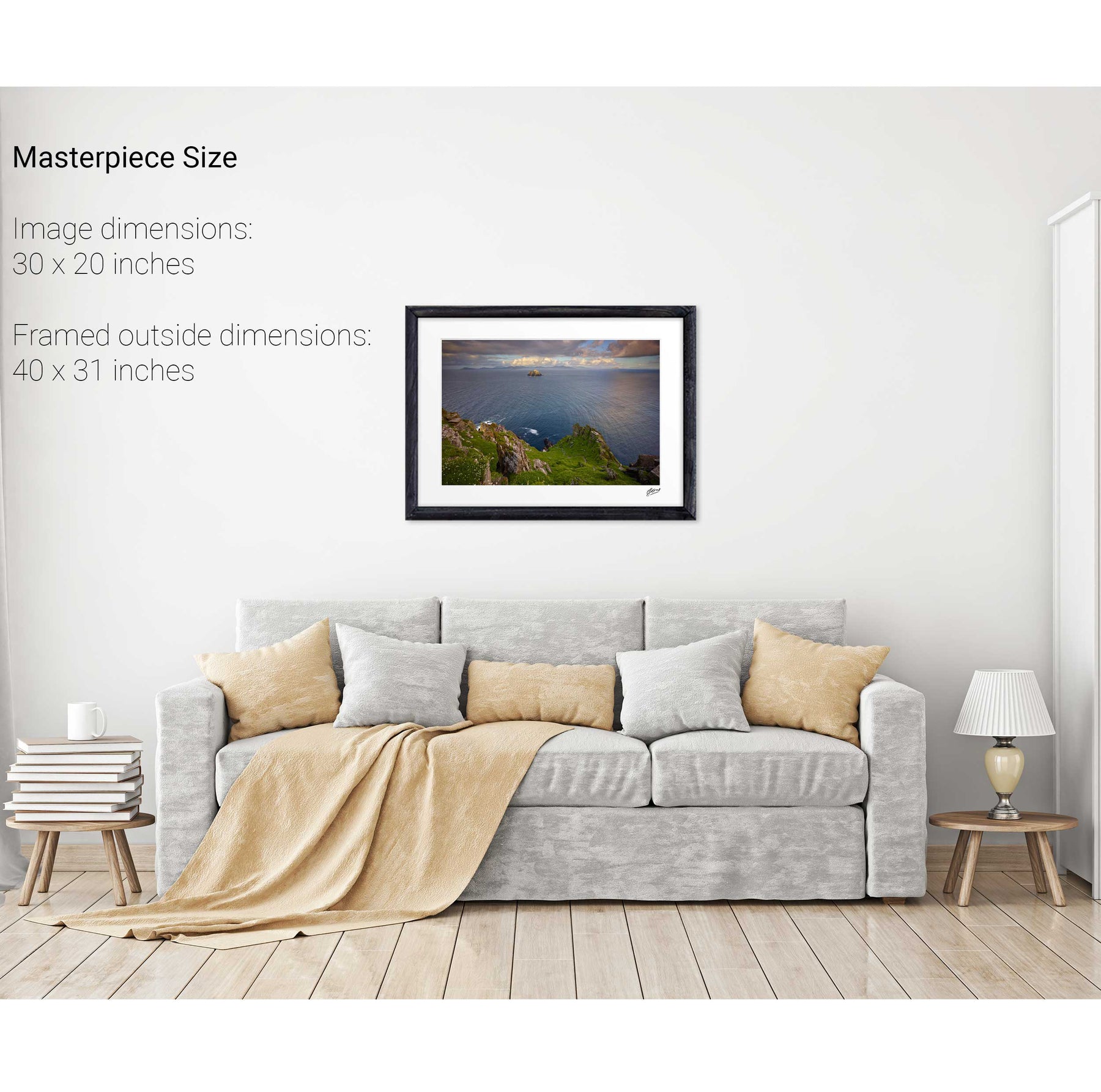
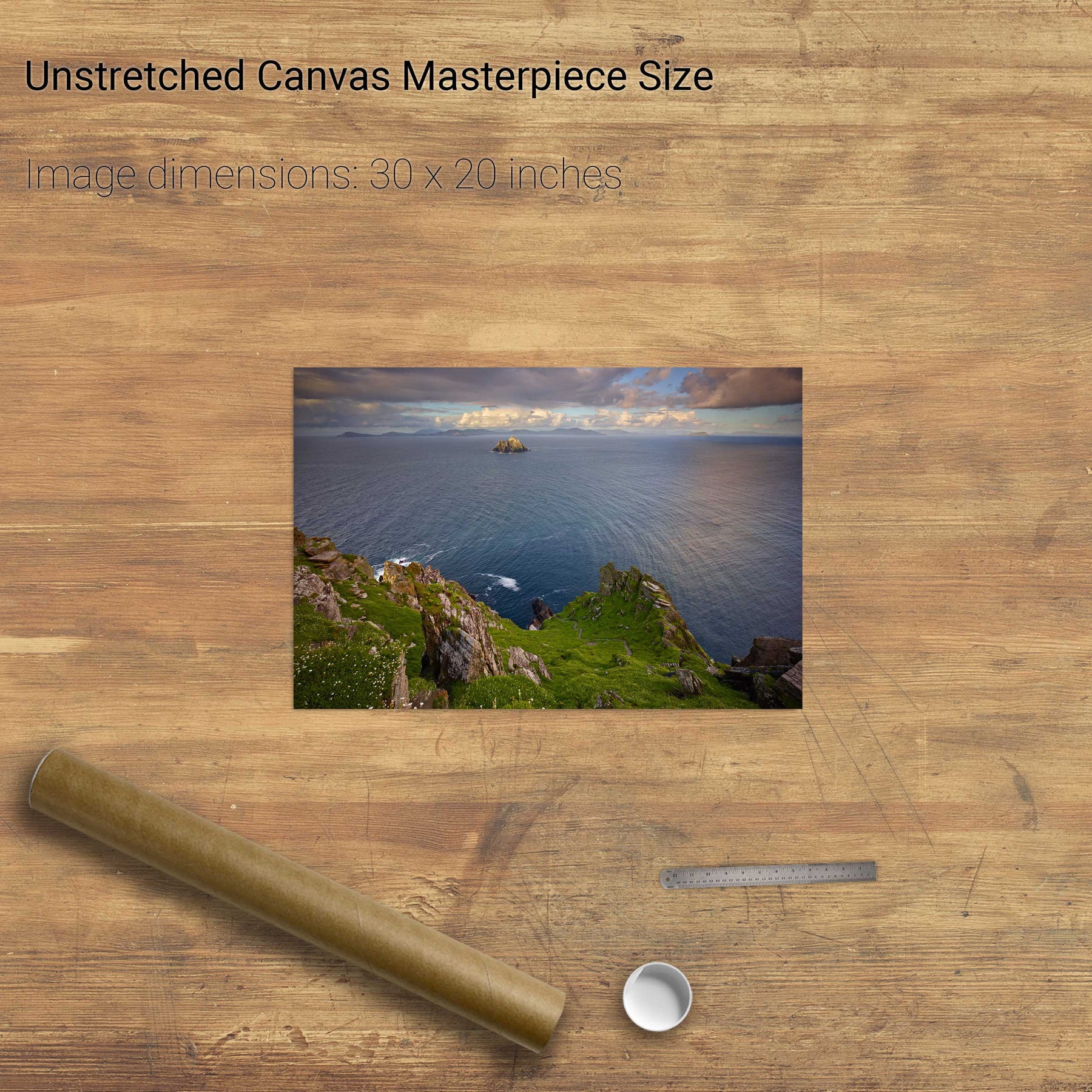
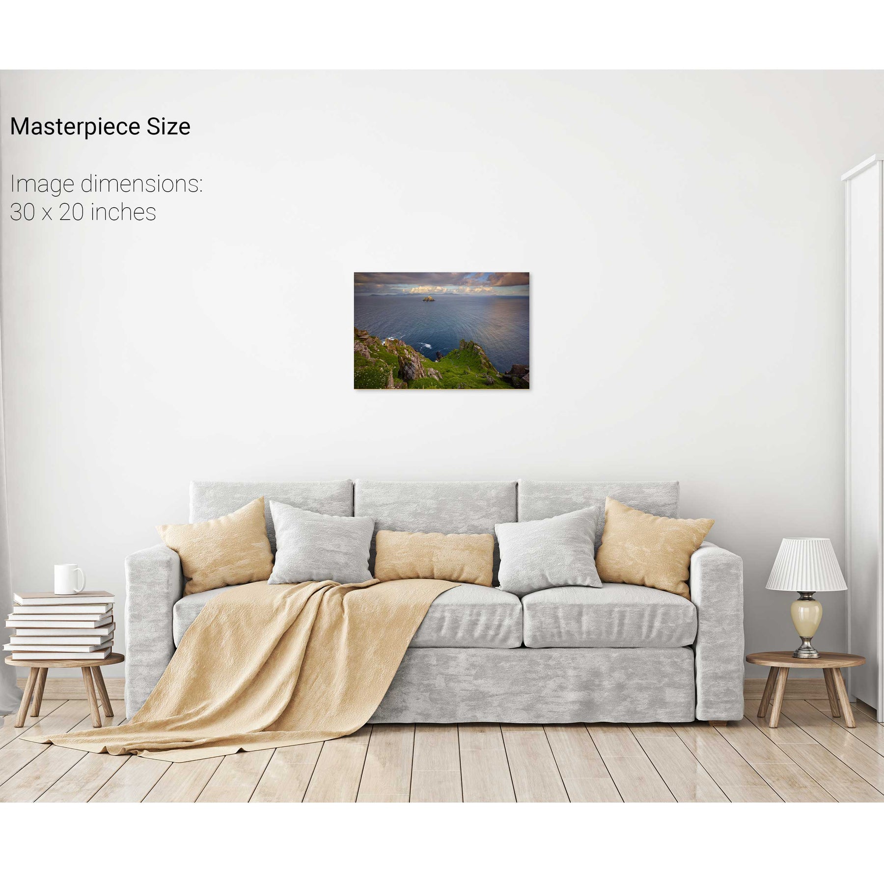
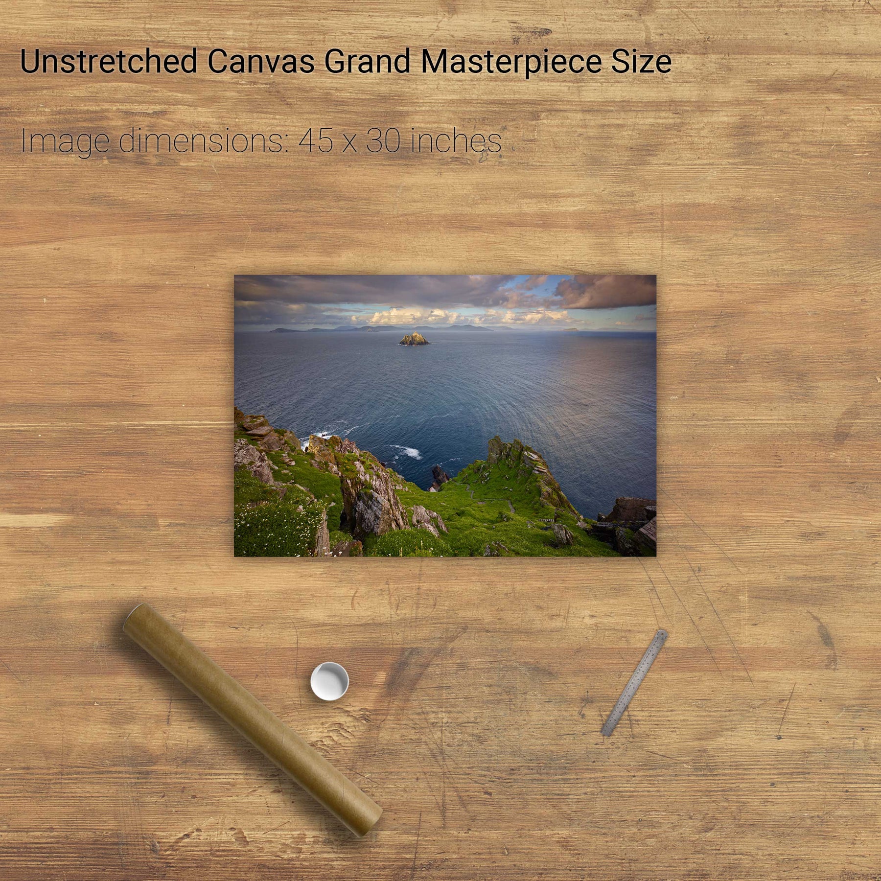
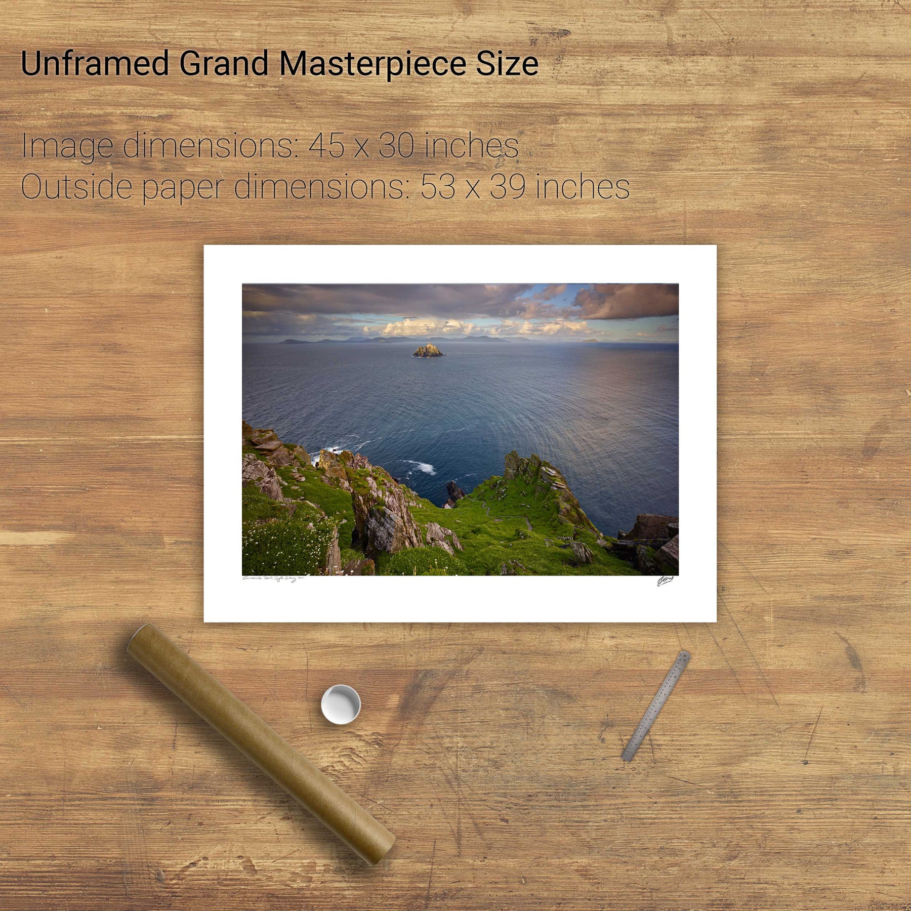
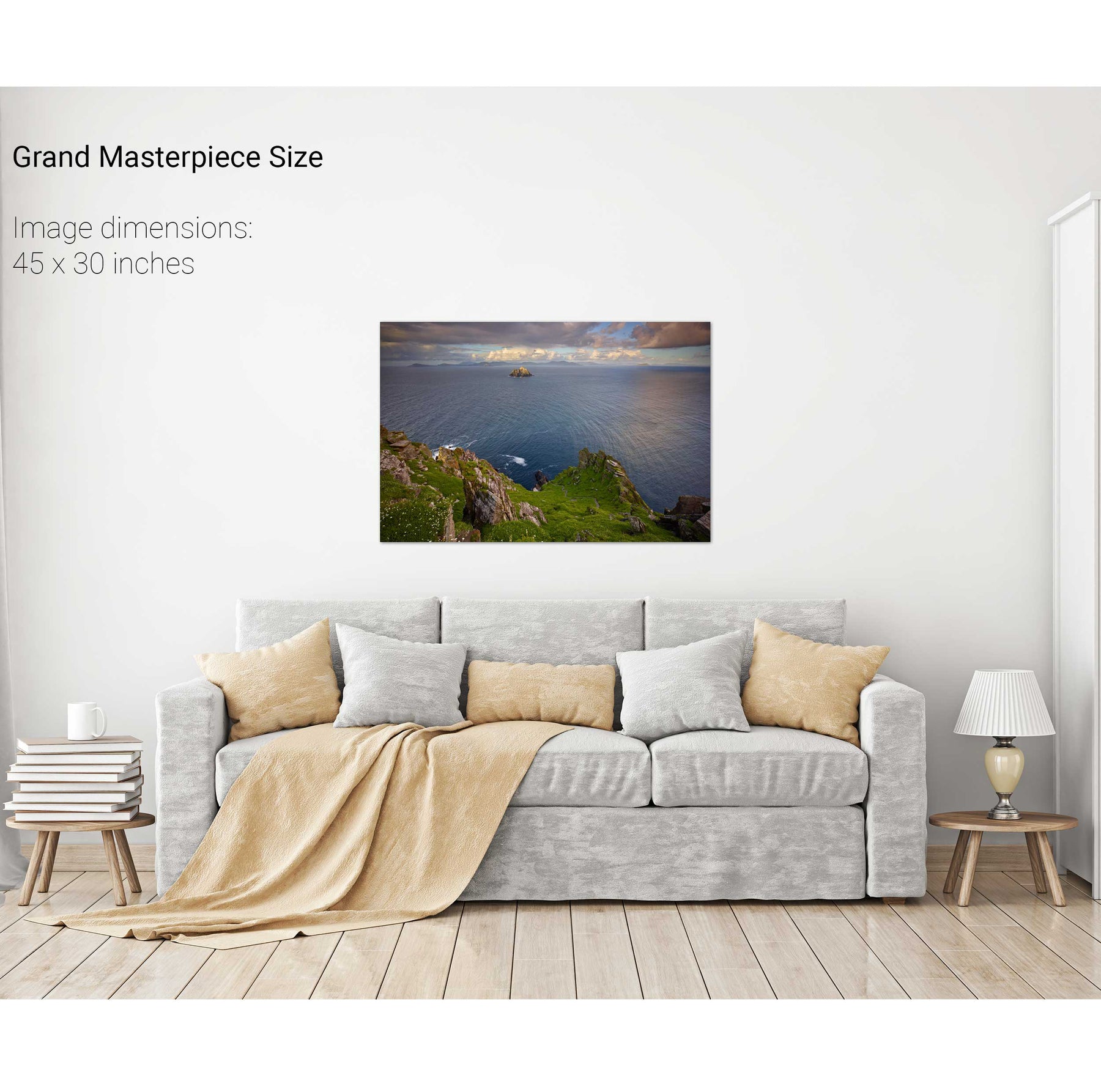
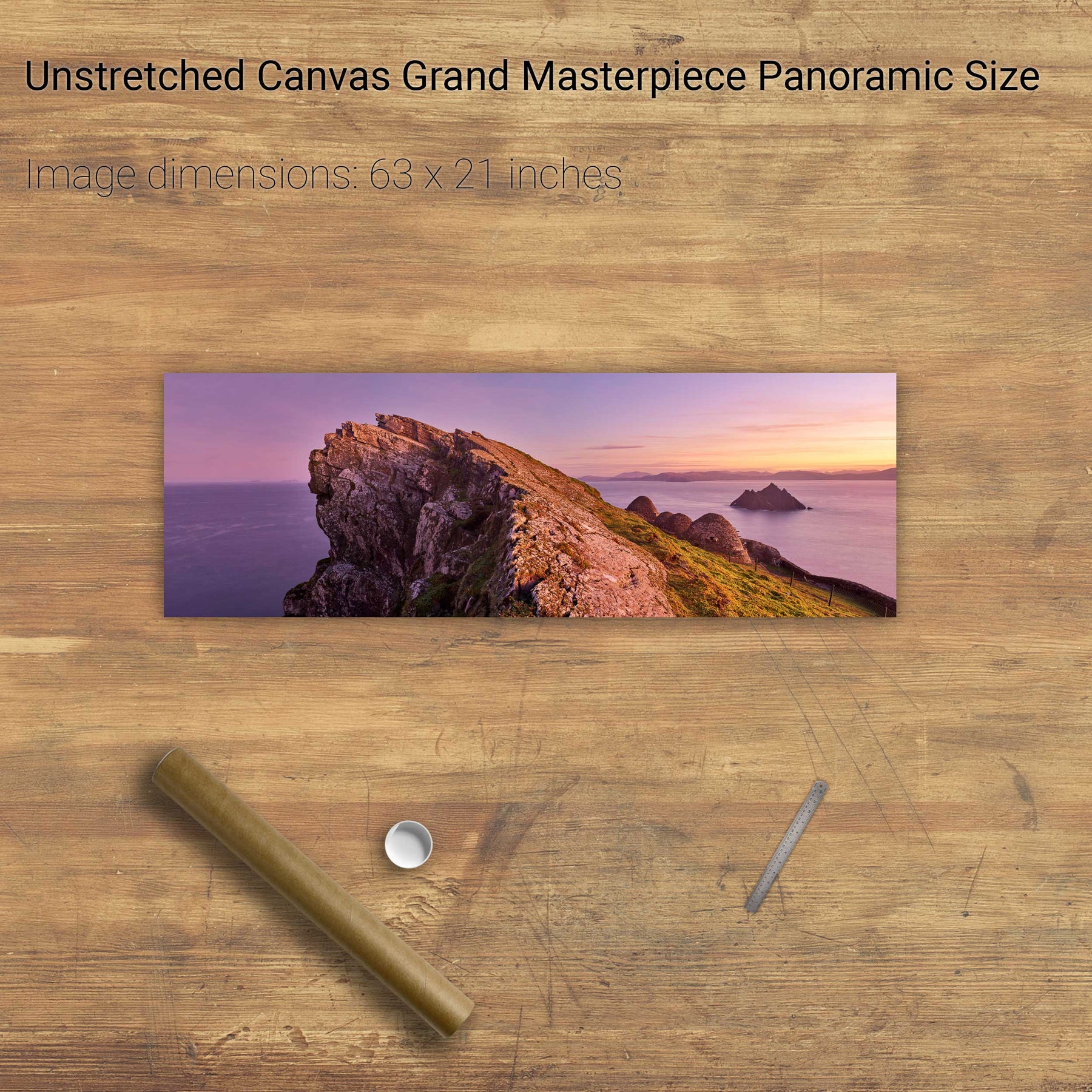
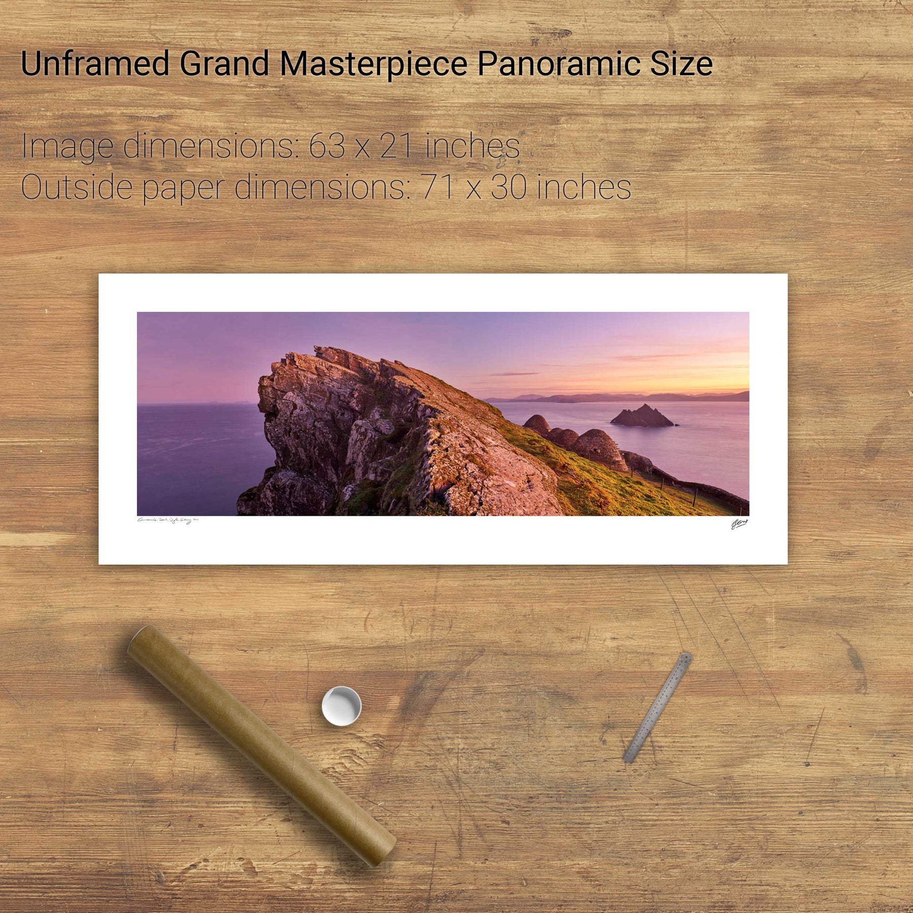
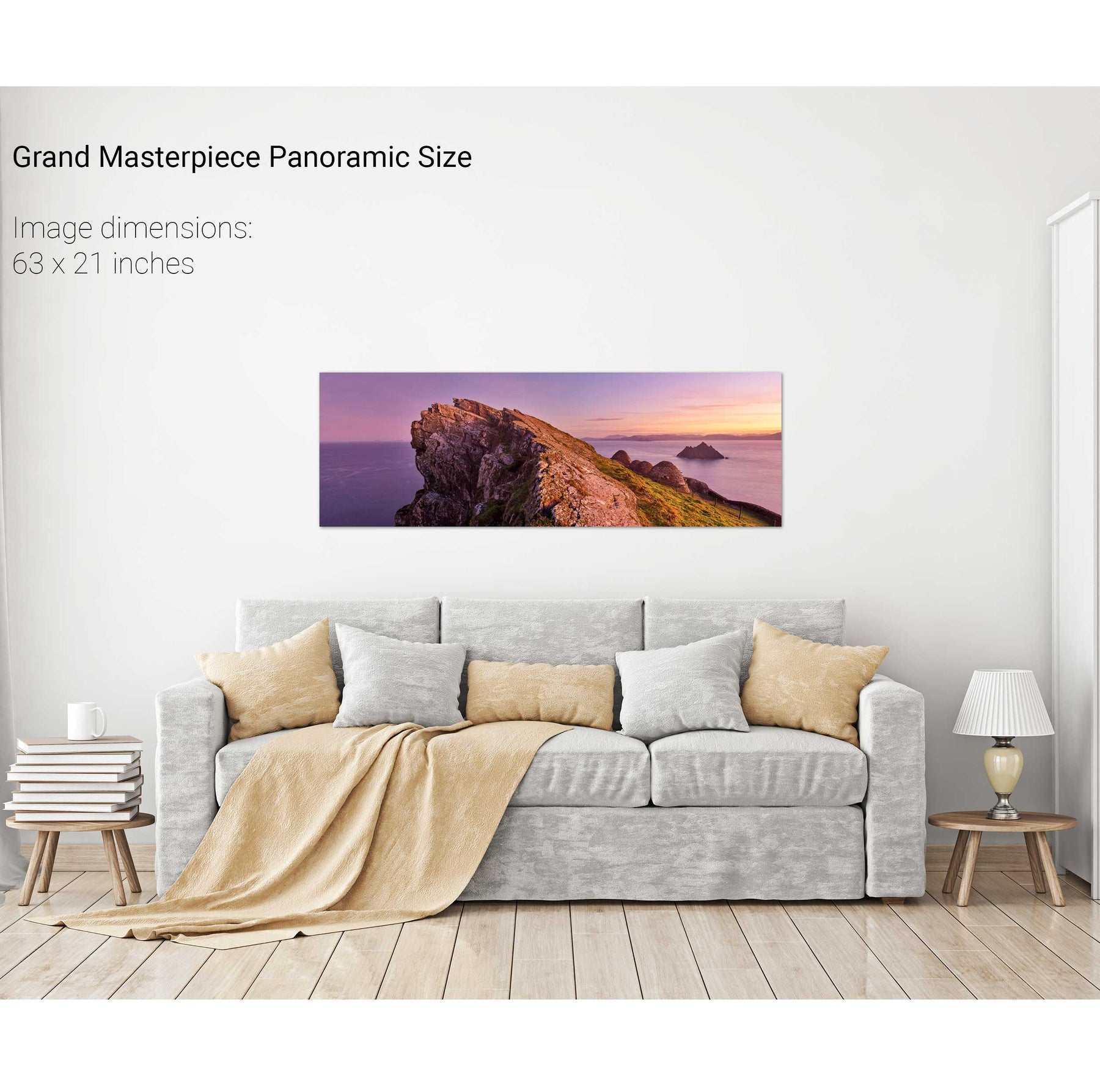
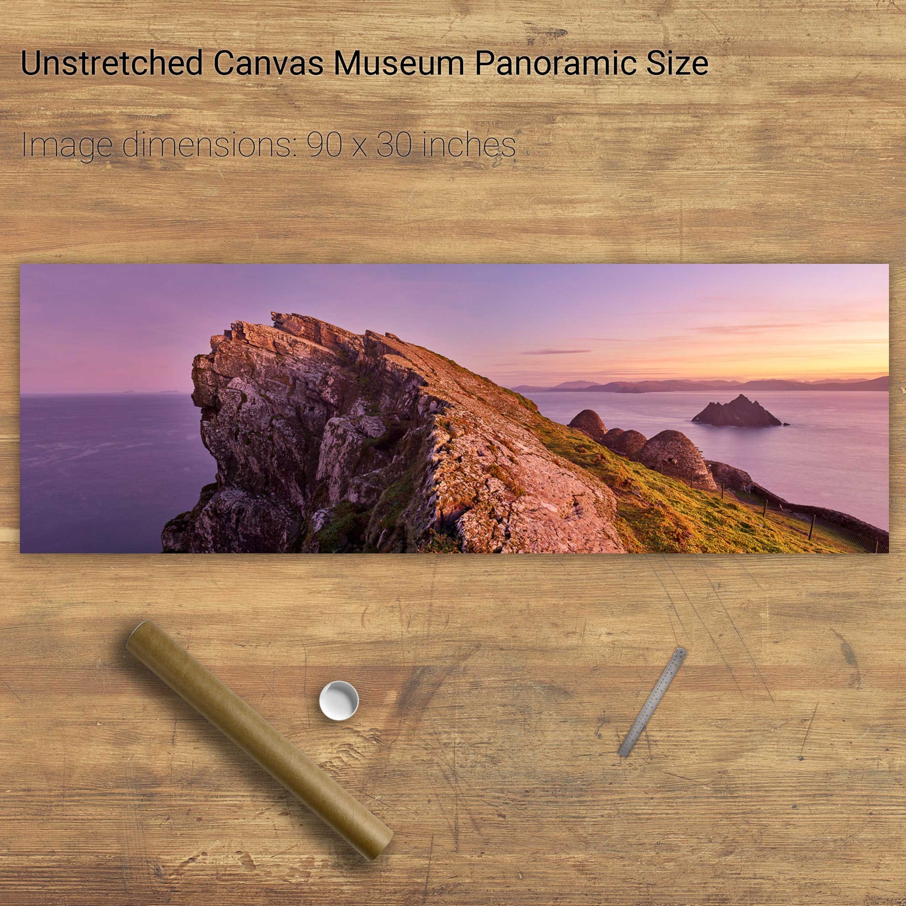
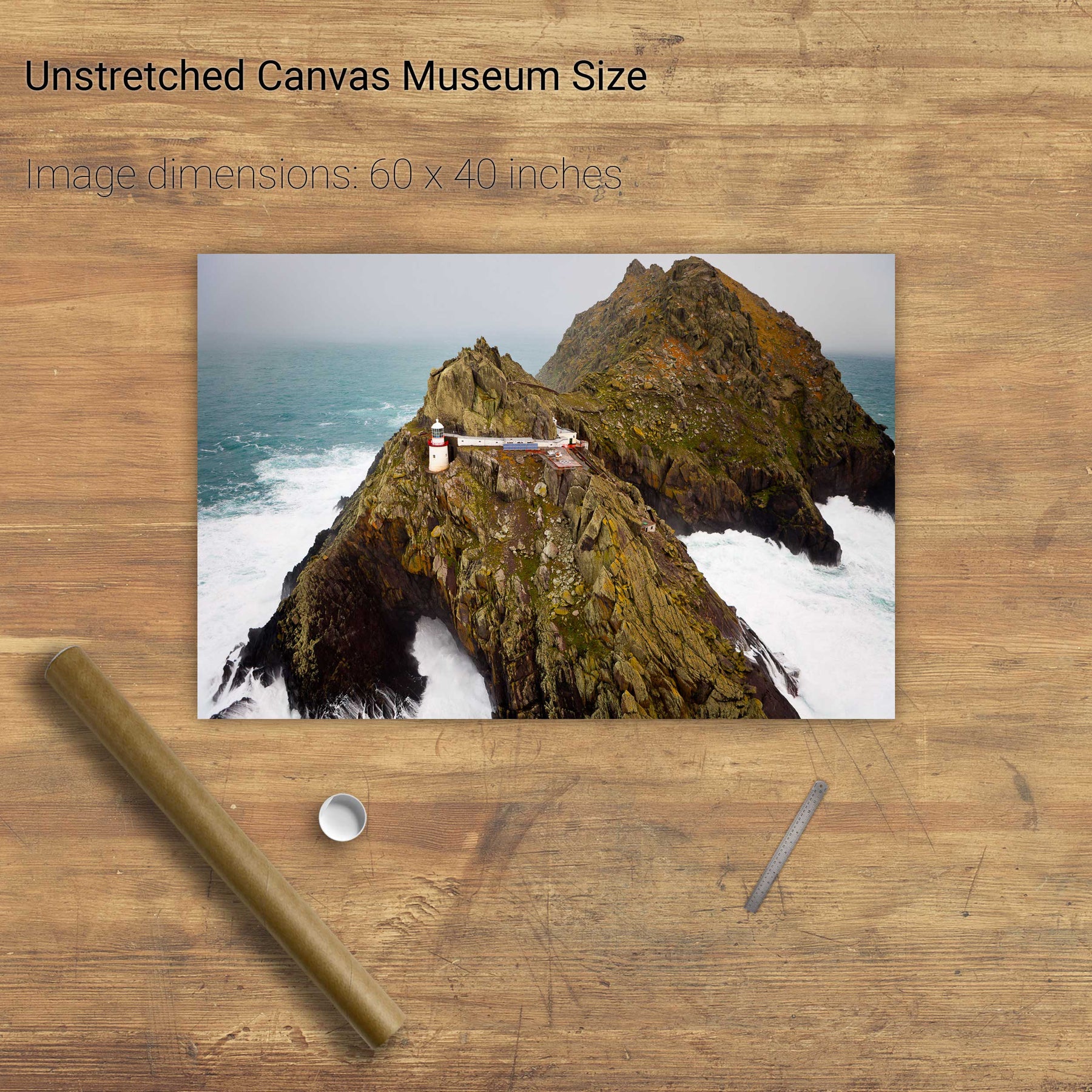
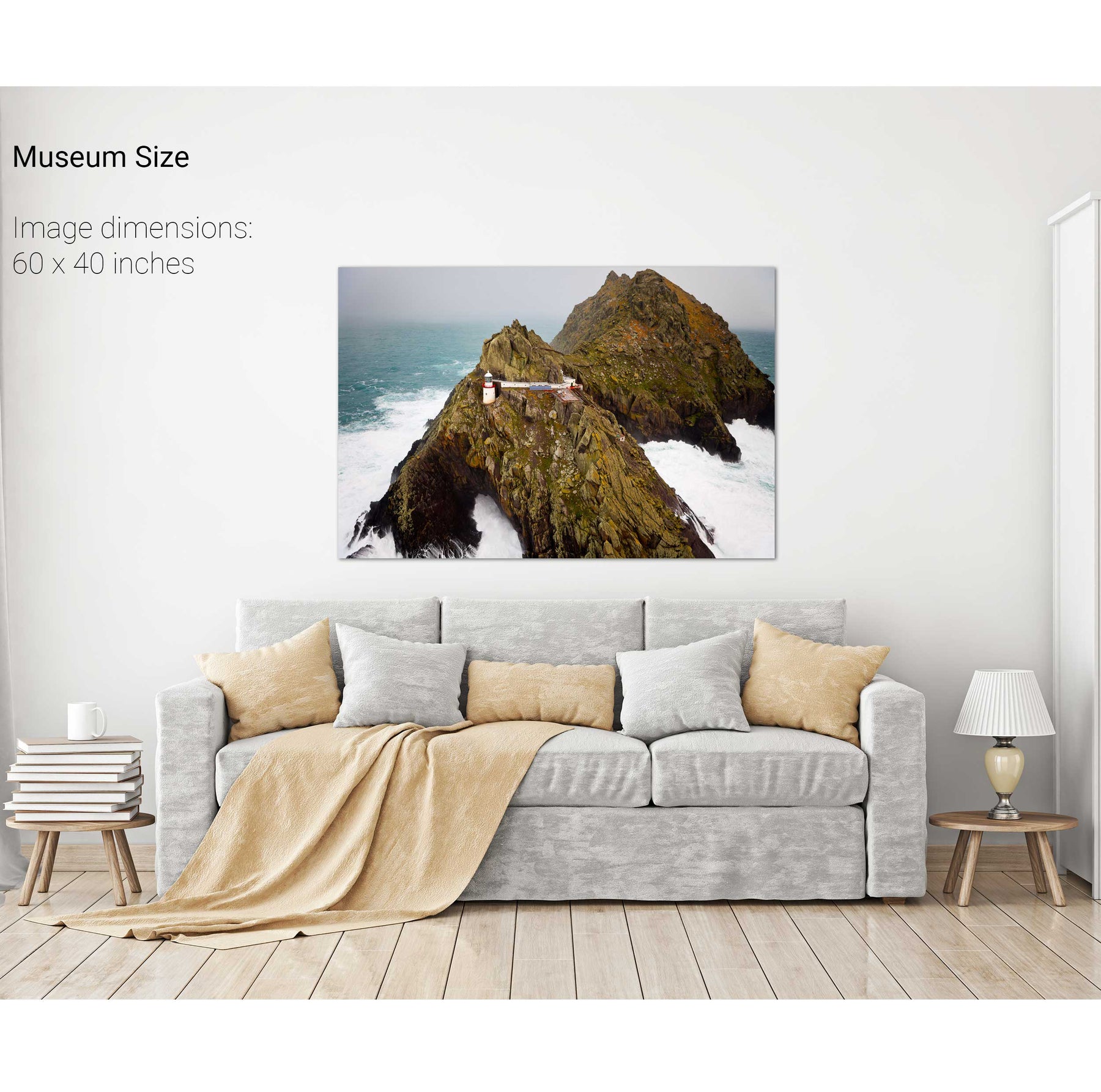
North Peak, Skellig Michael, Co. Kerry
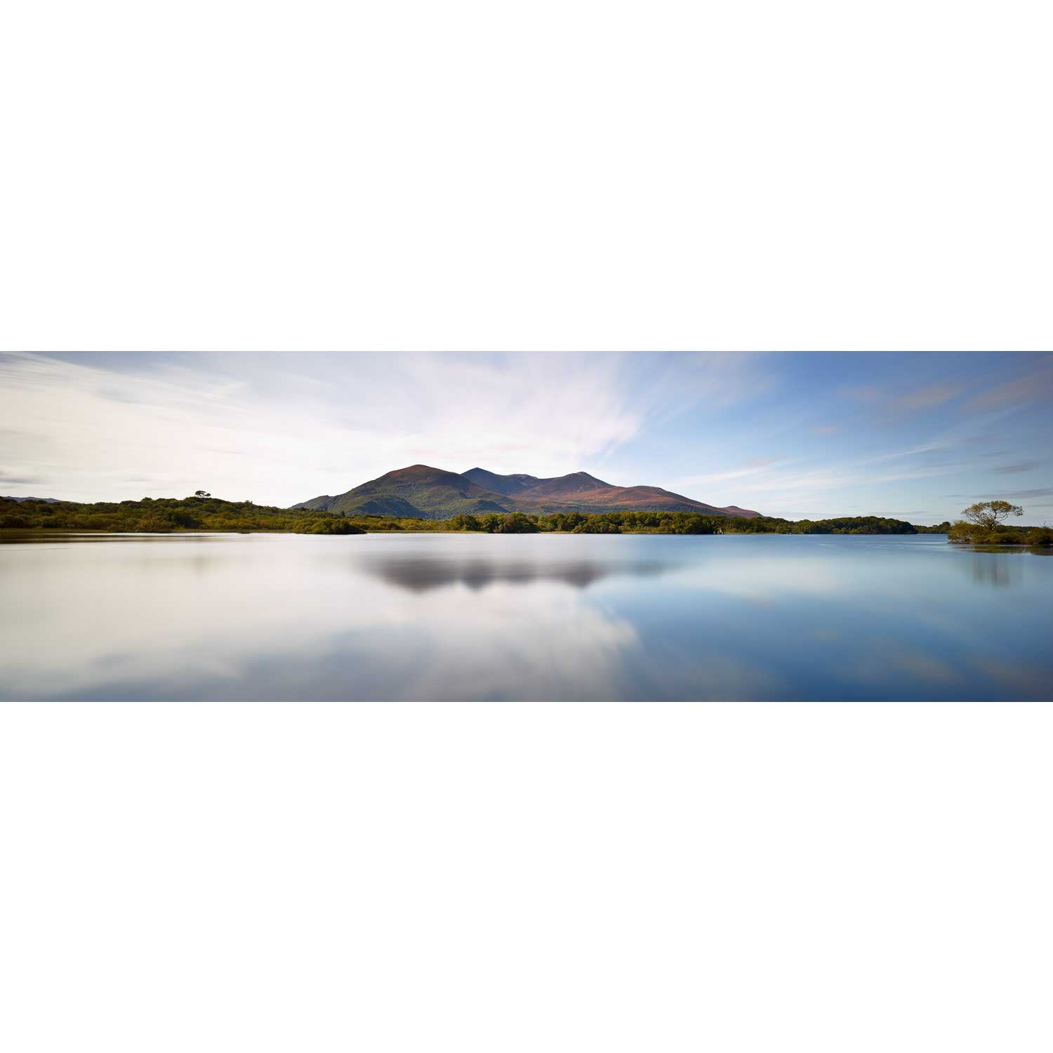
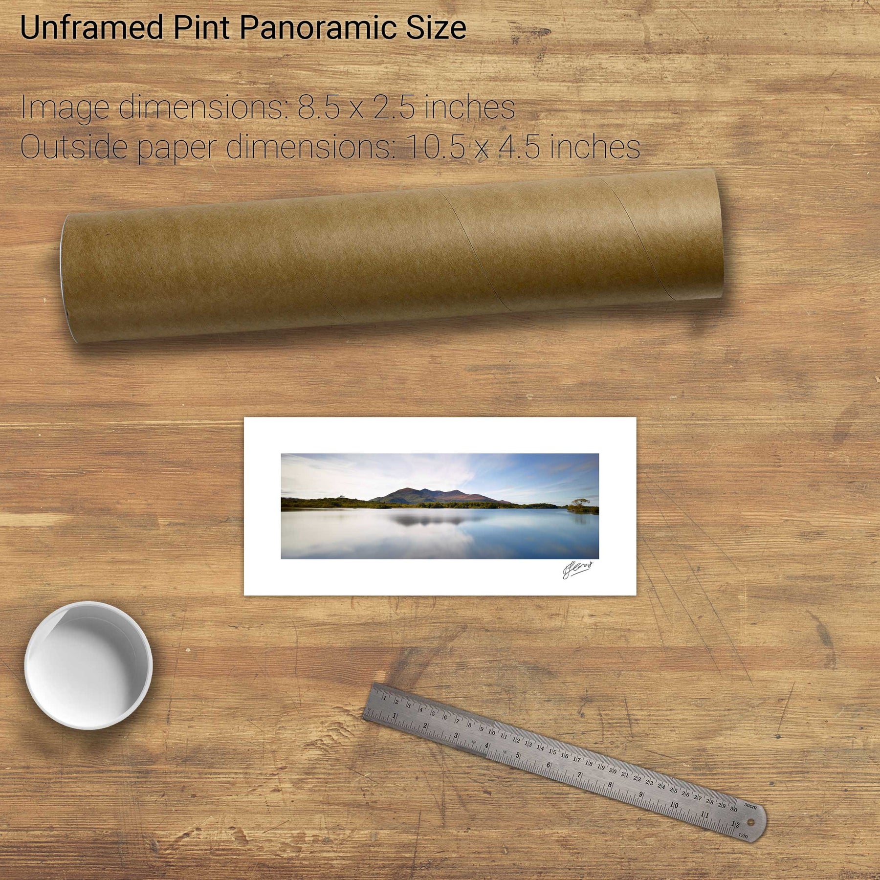
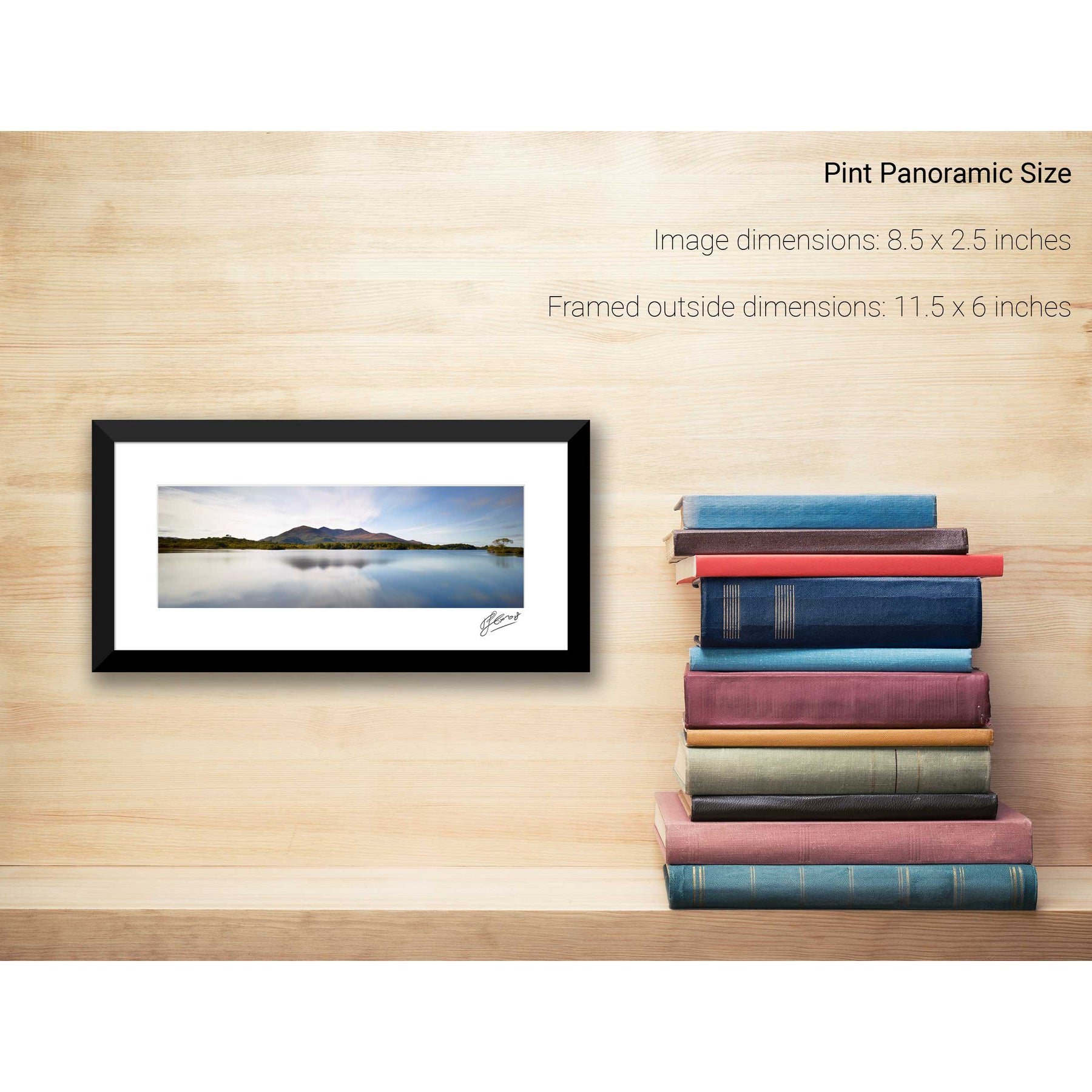
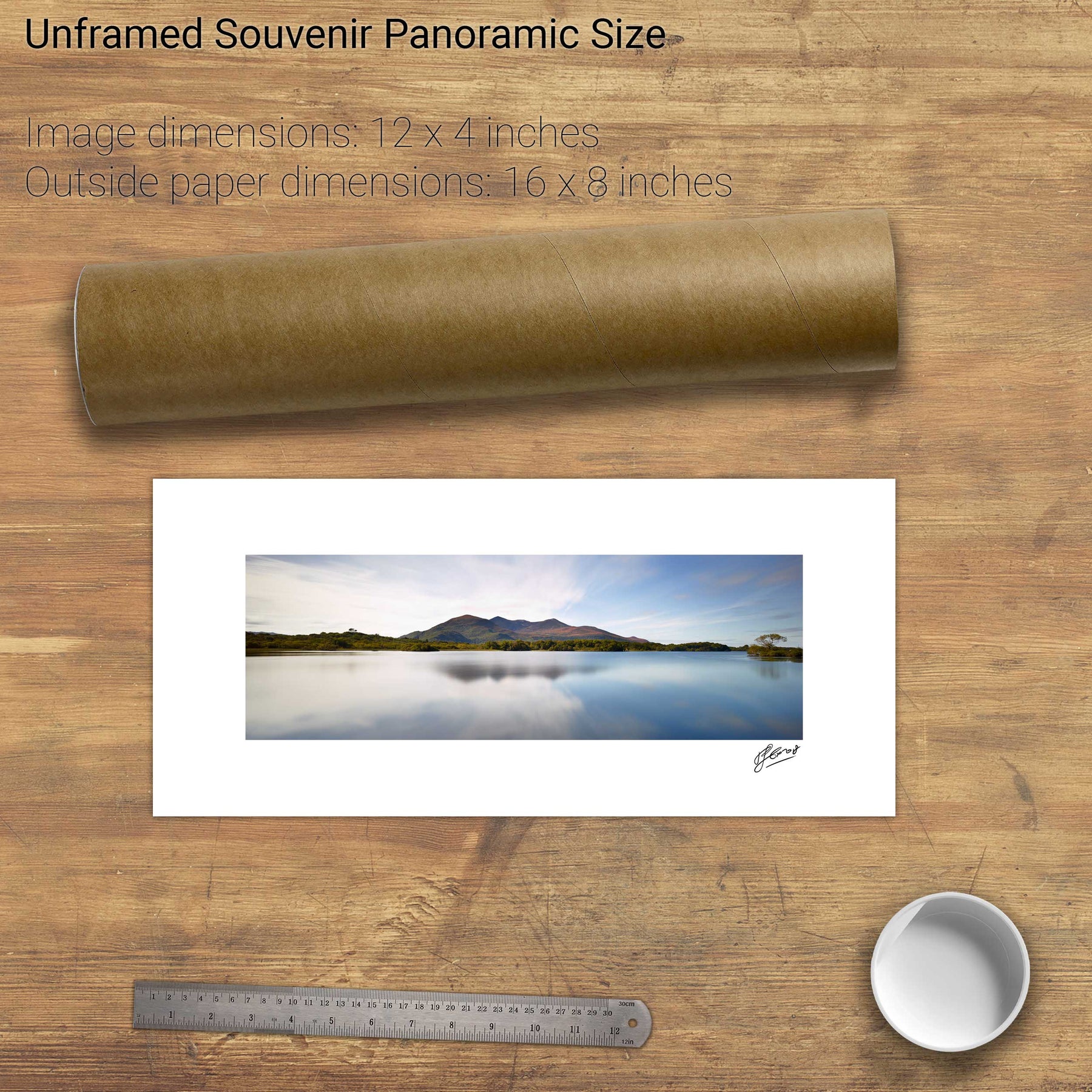
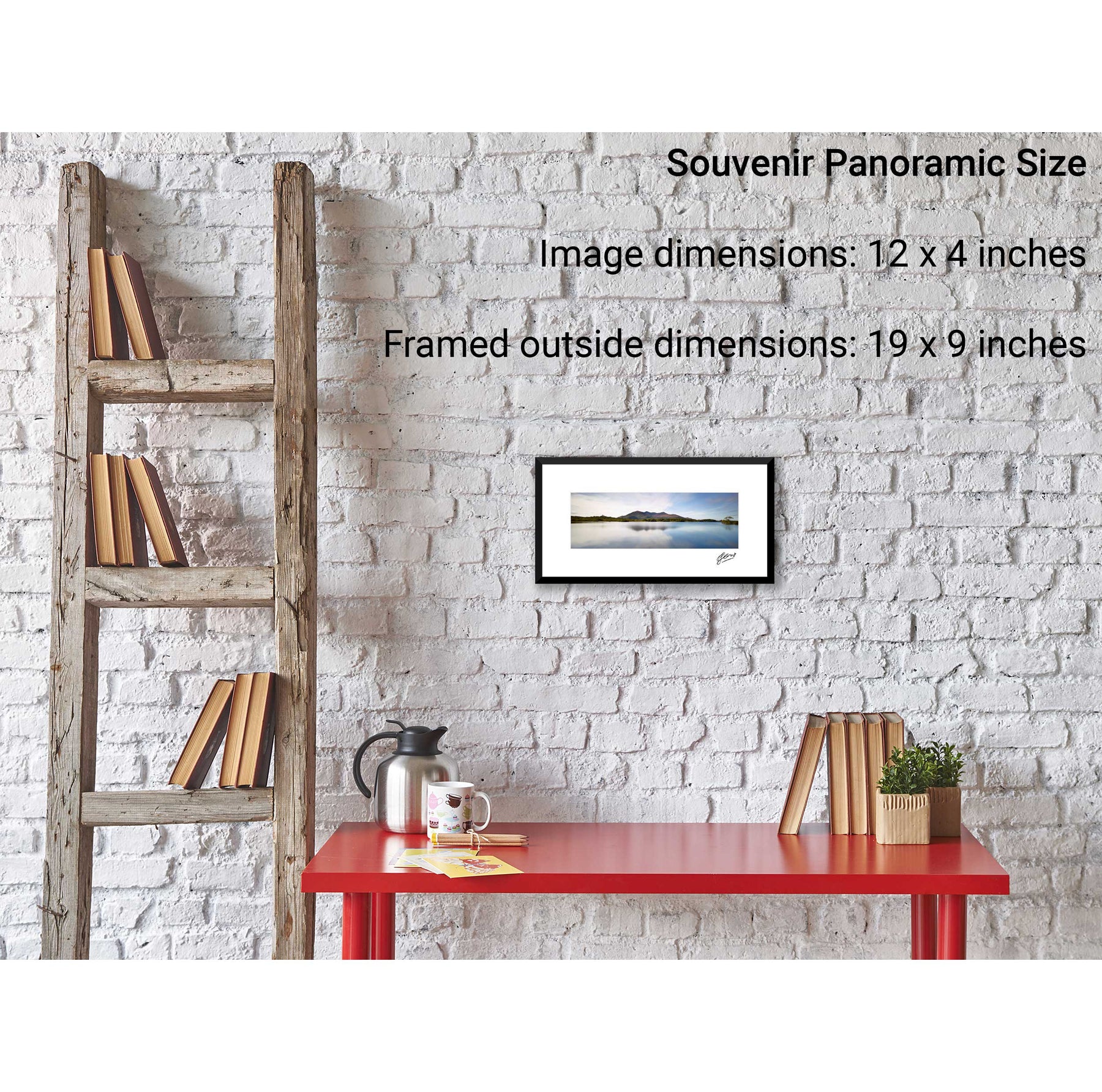
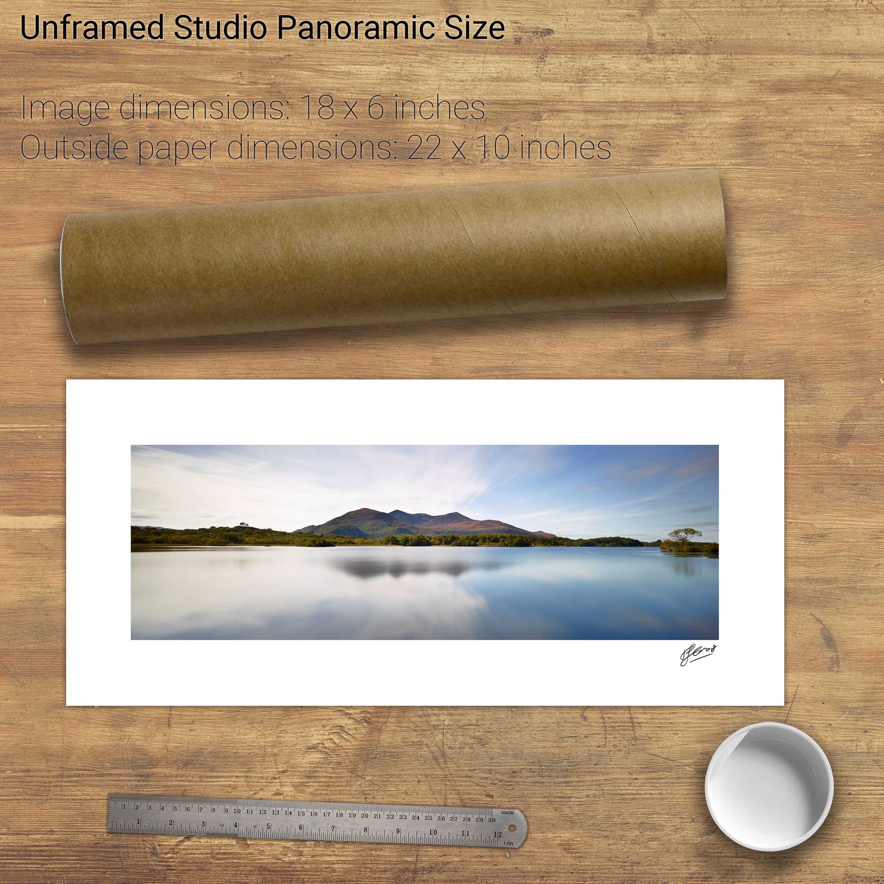
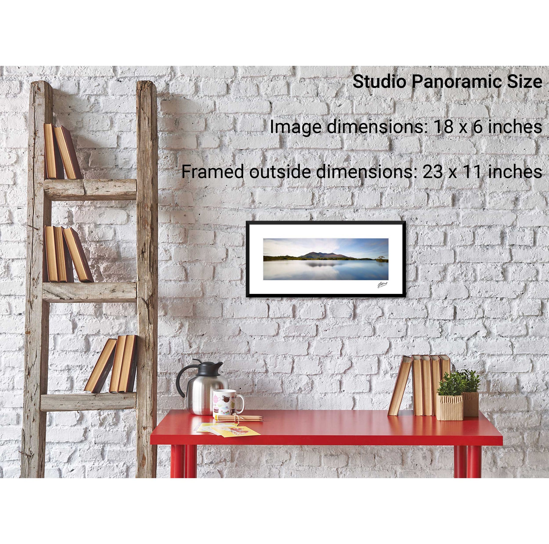
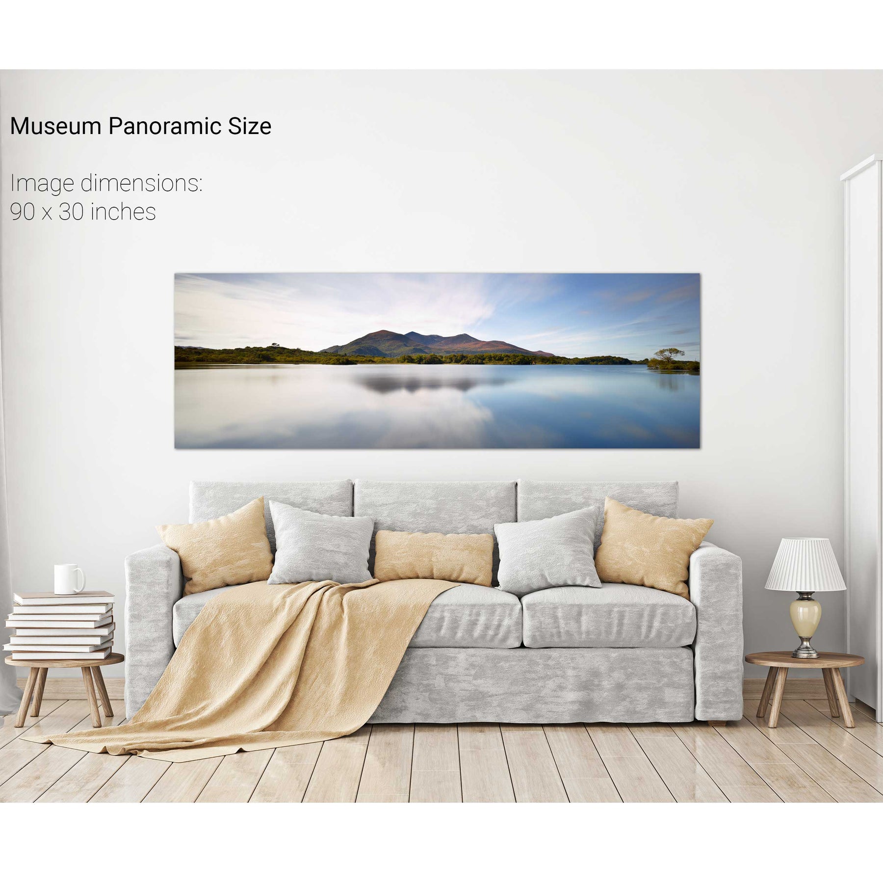
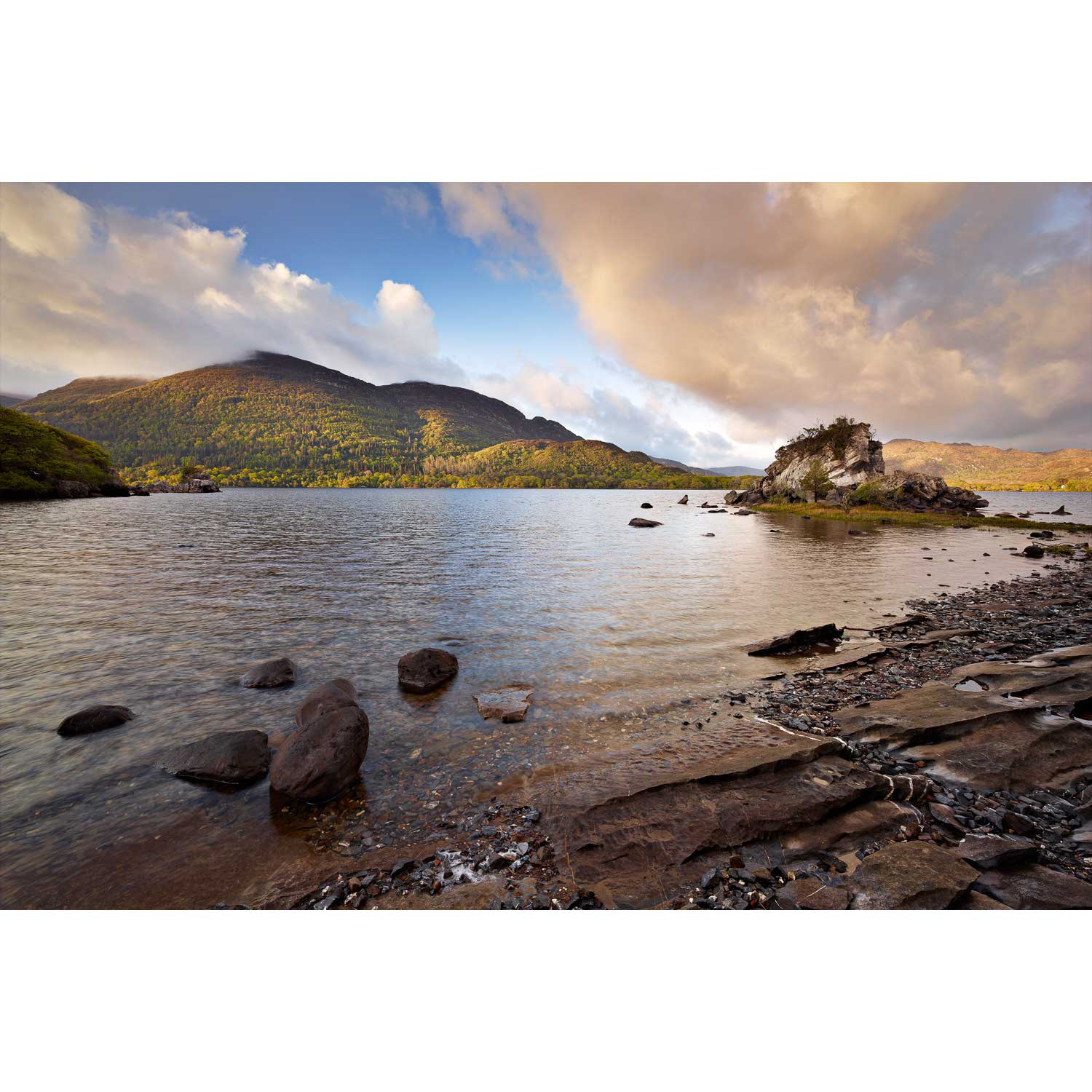
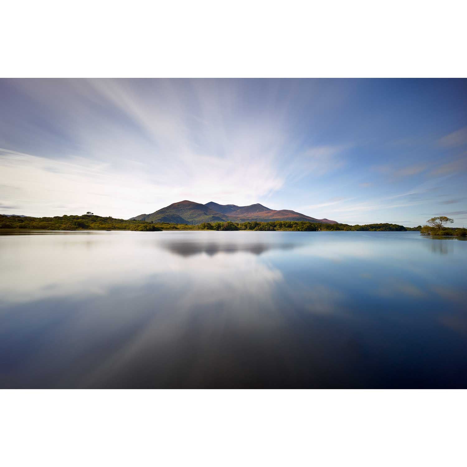
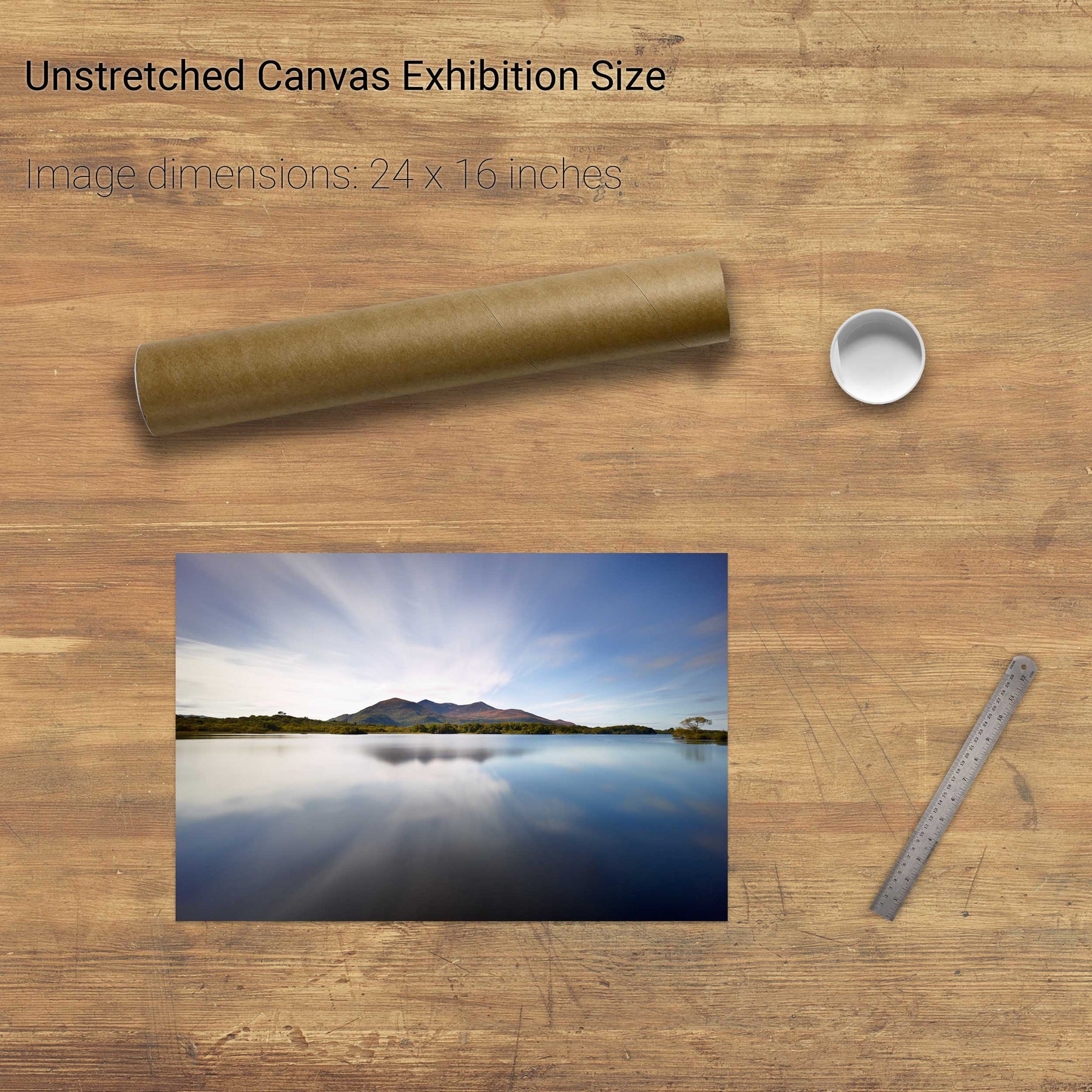
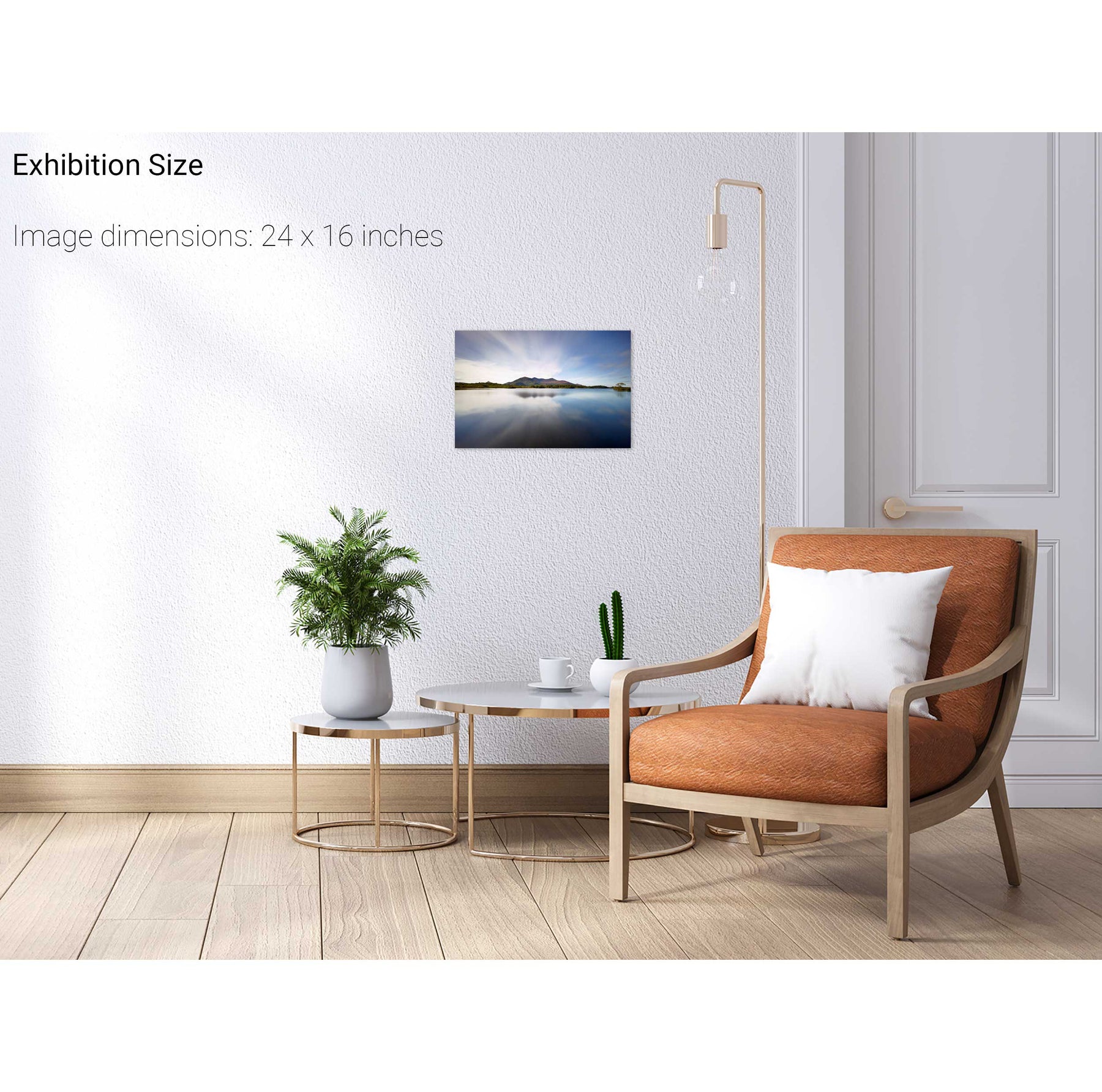
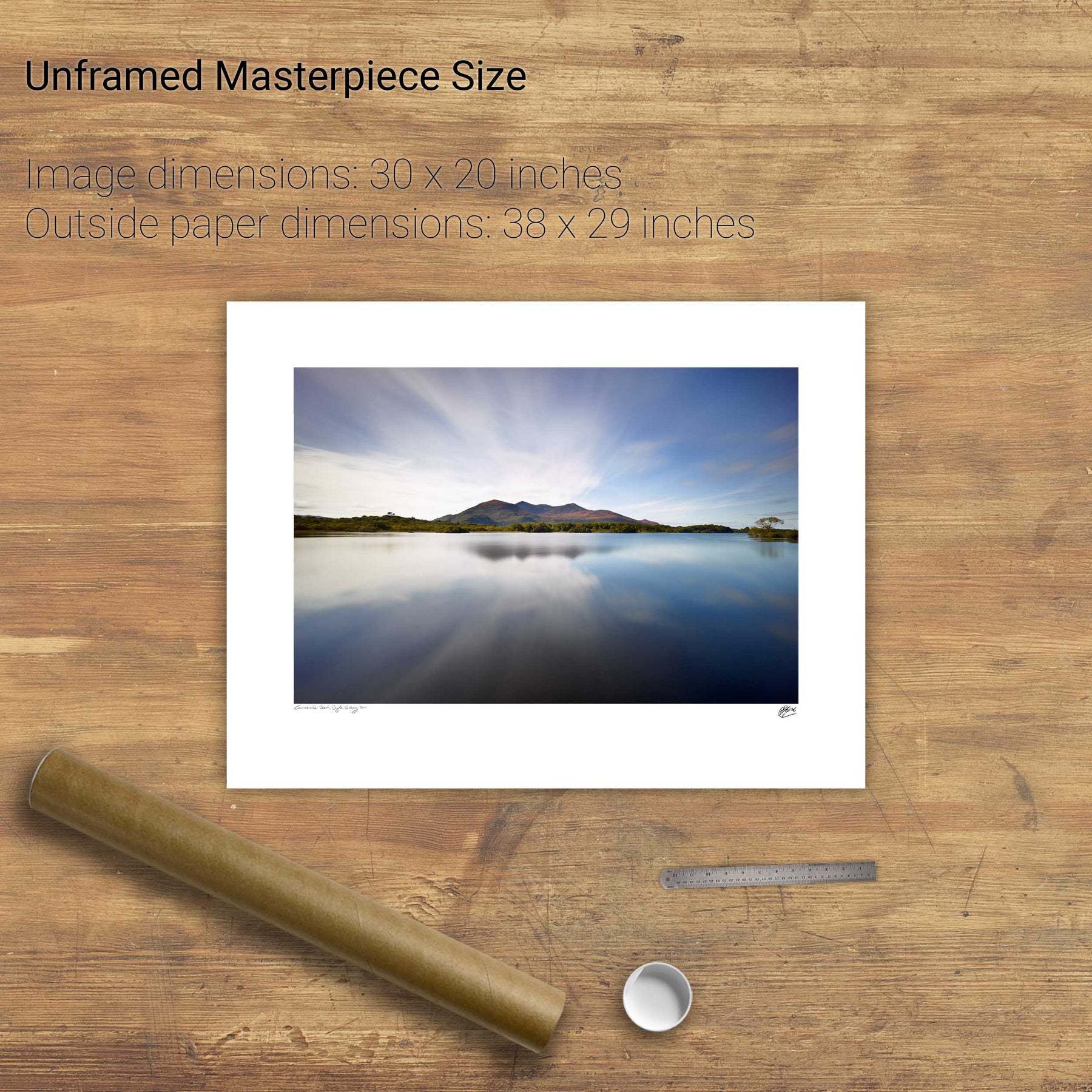
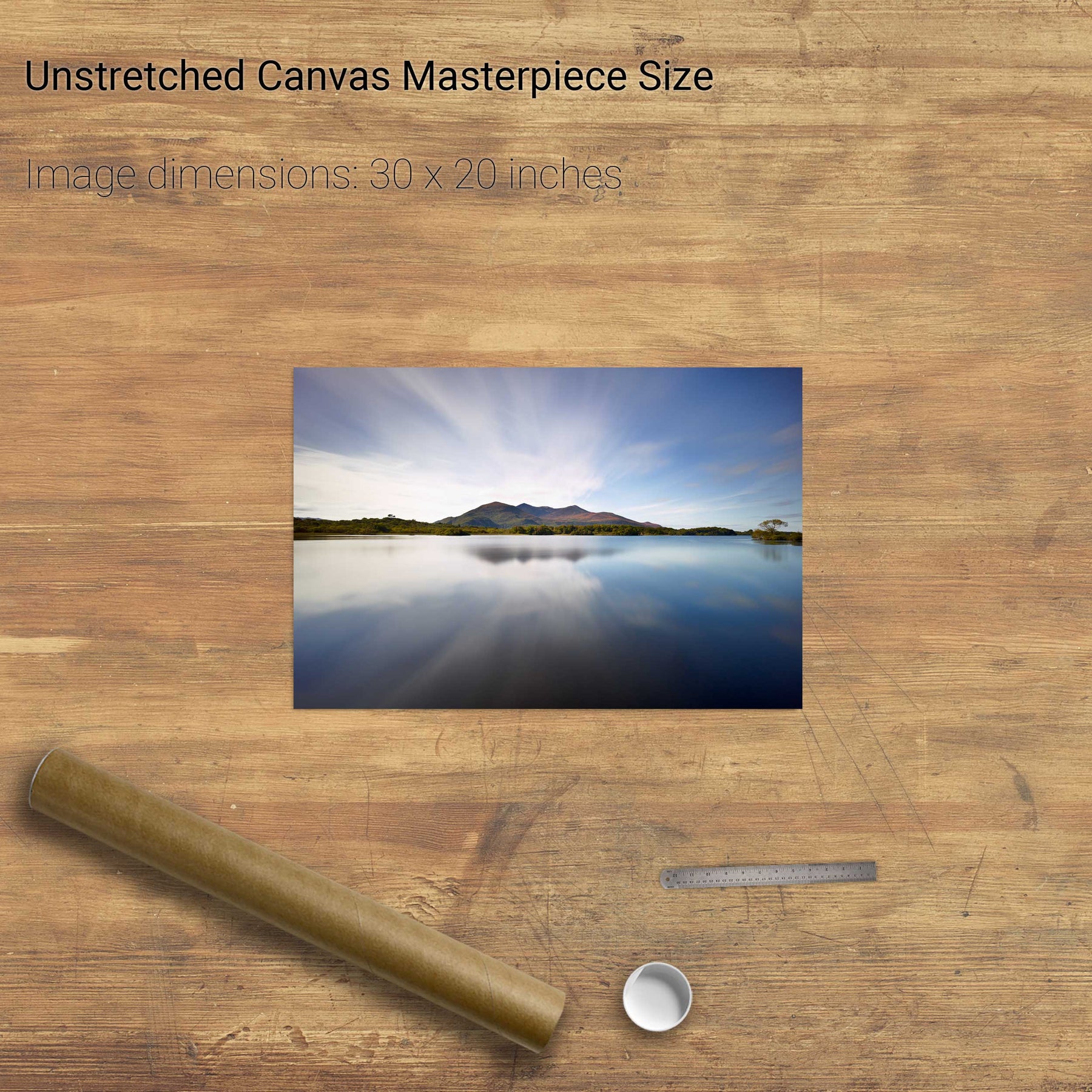
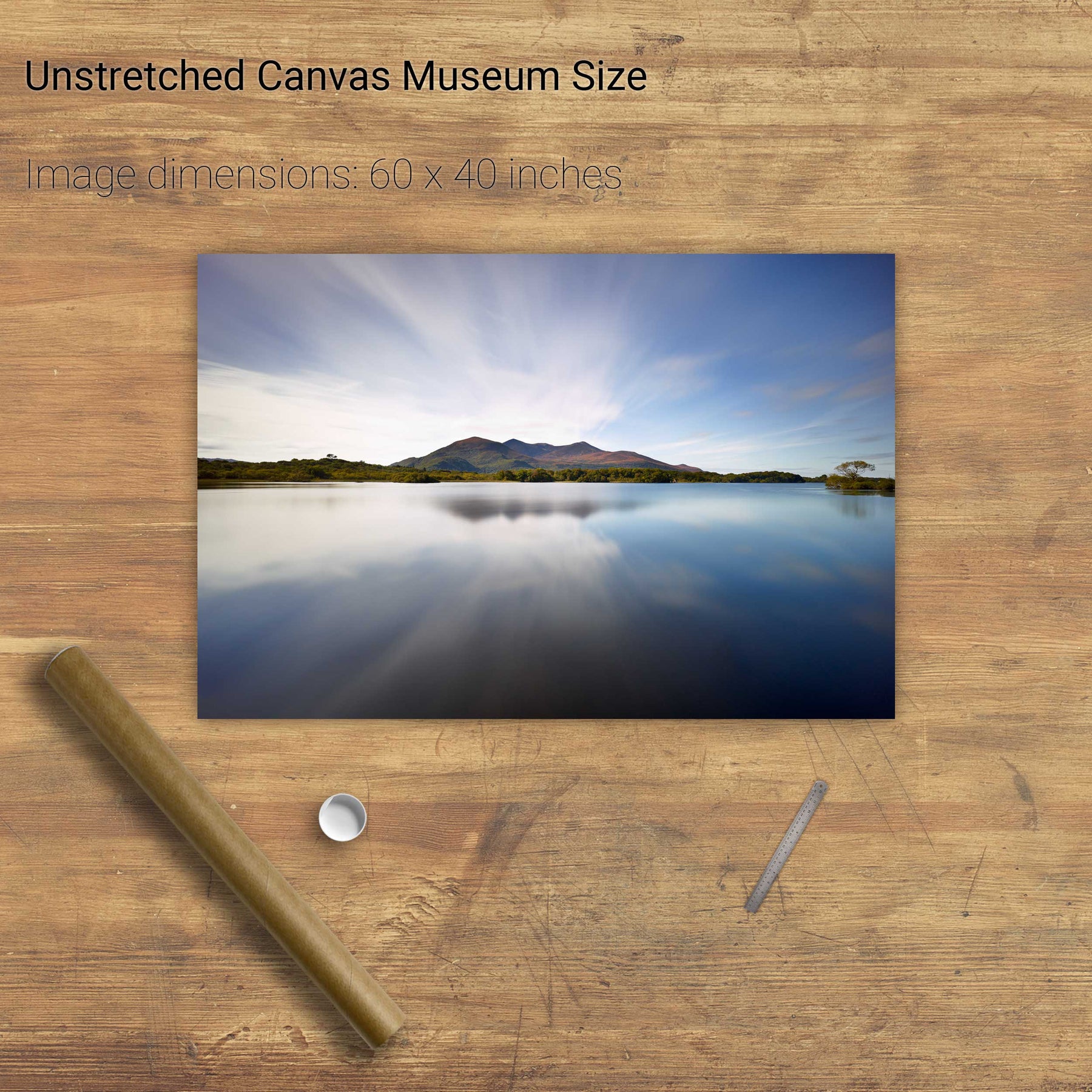
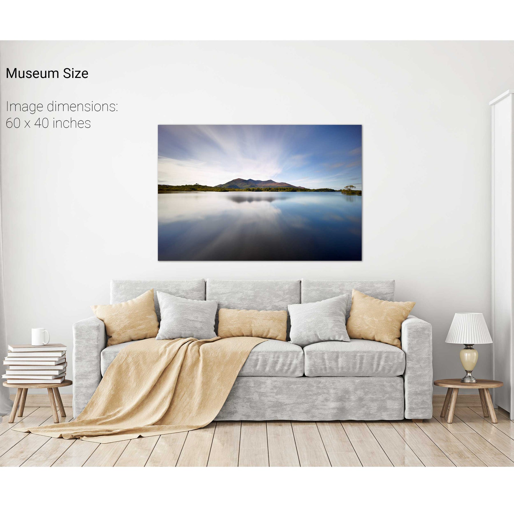
Summer, Lough Leane, Co. Kerry
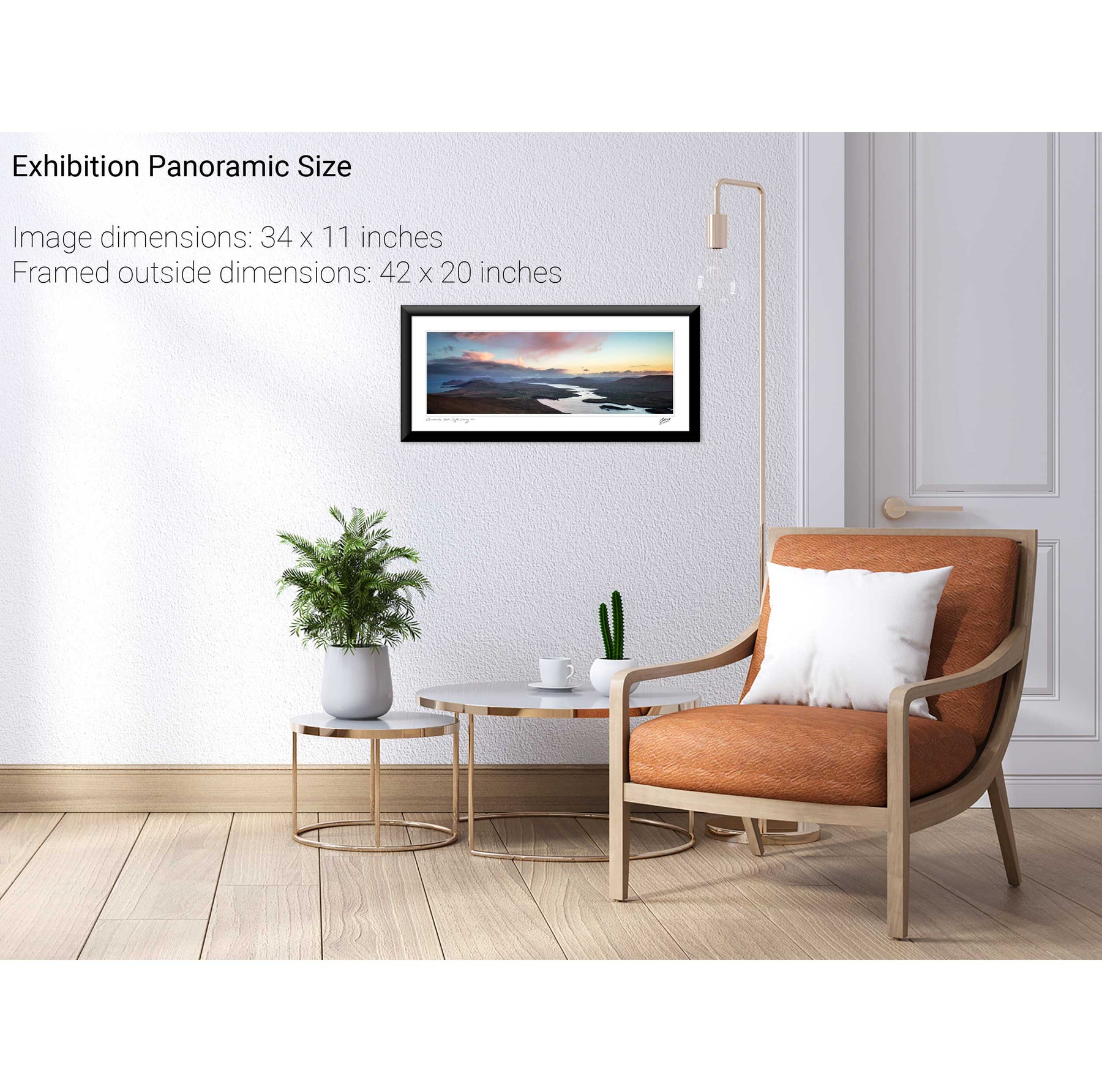
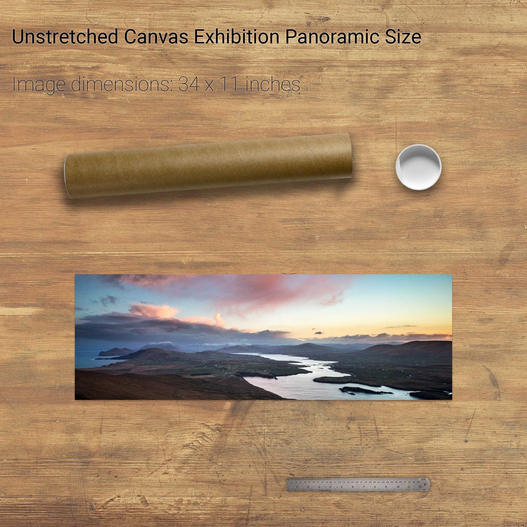
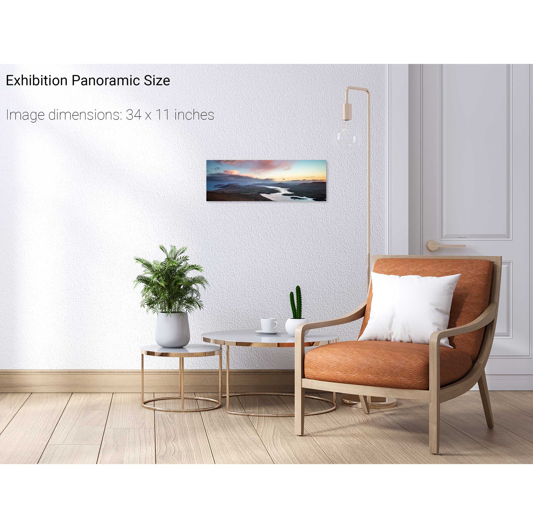
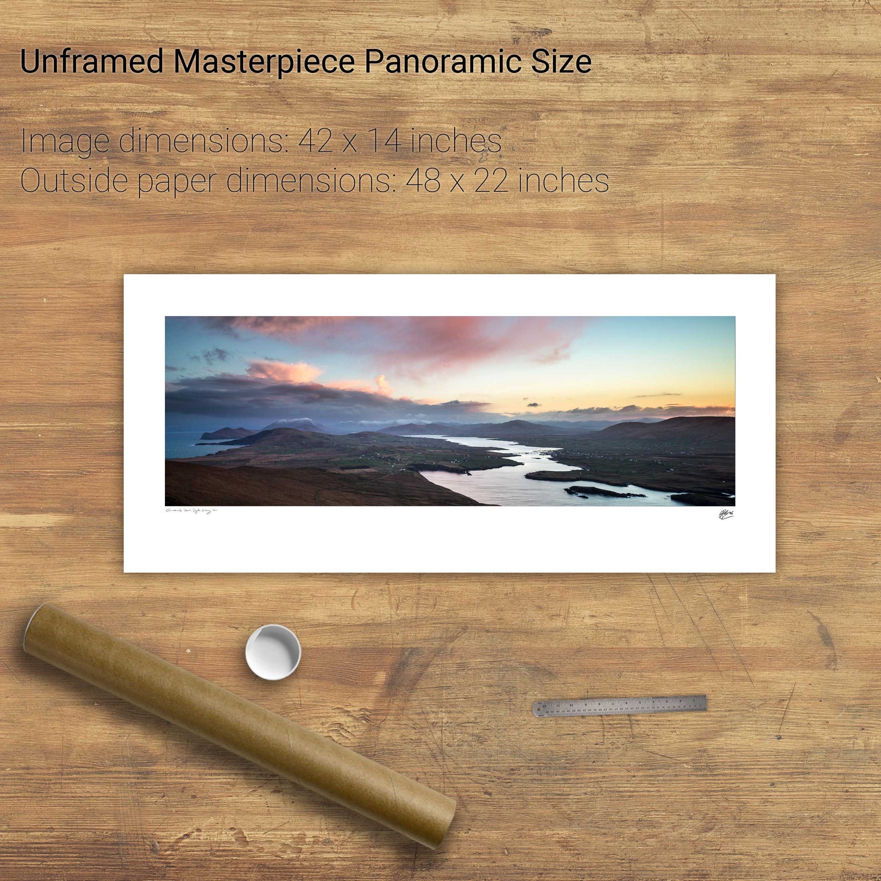
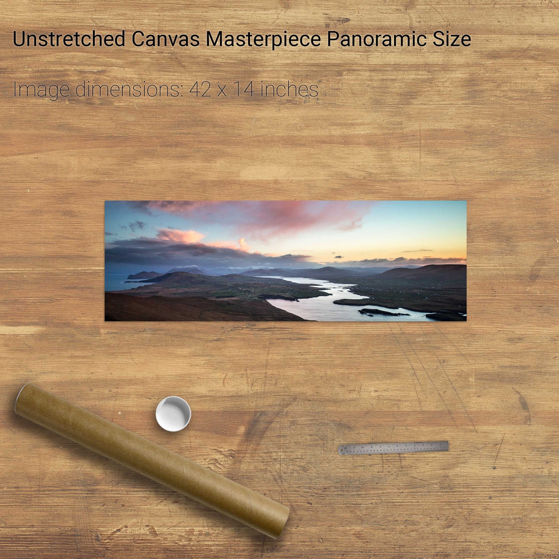
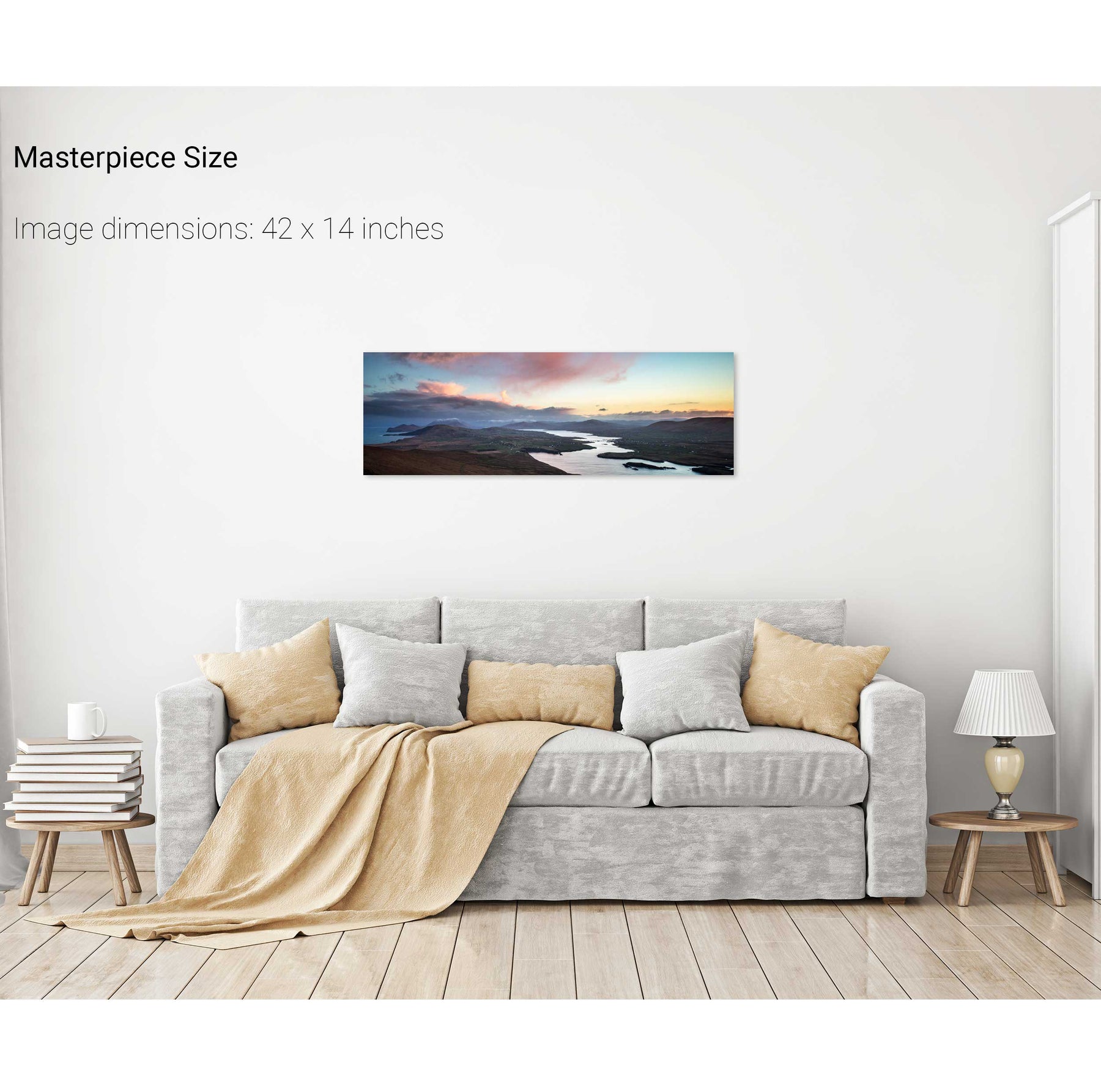
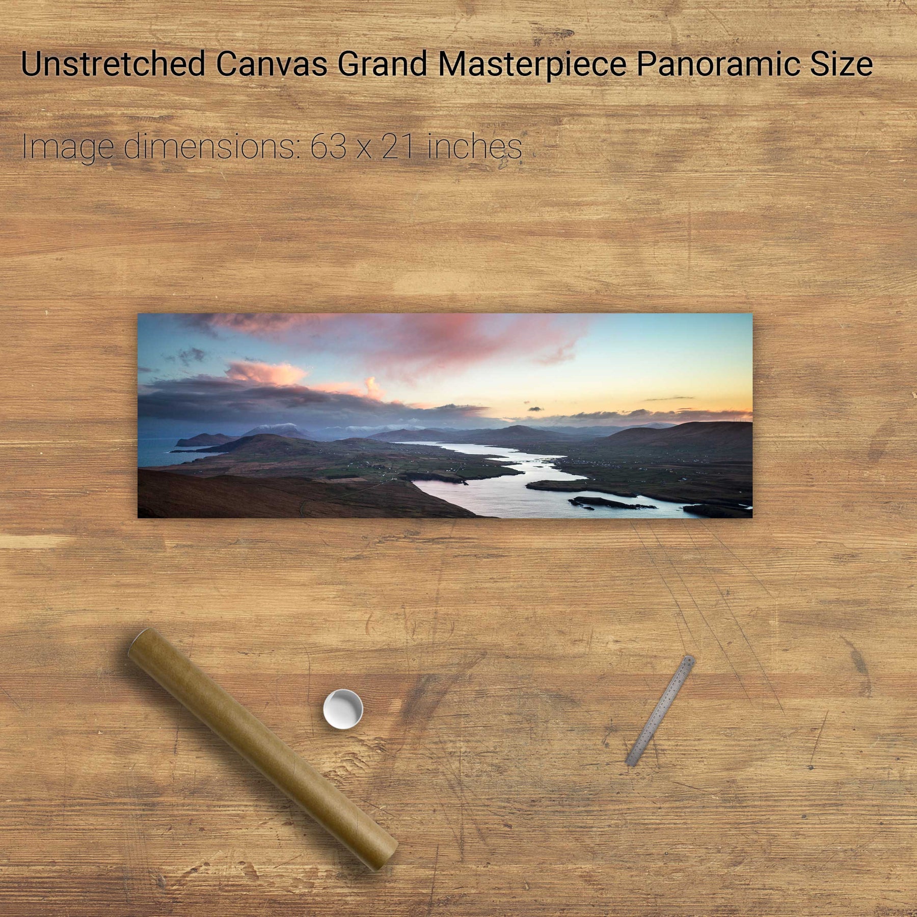
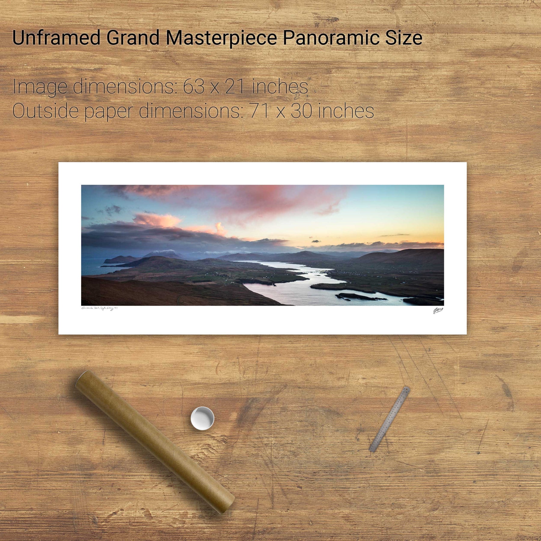
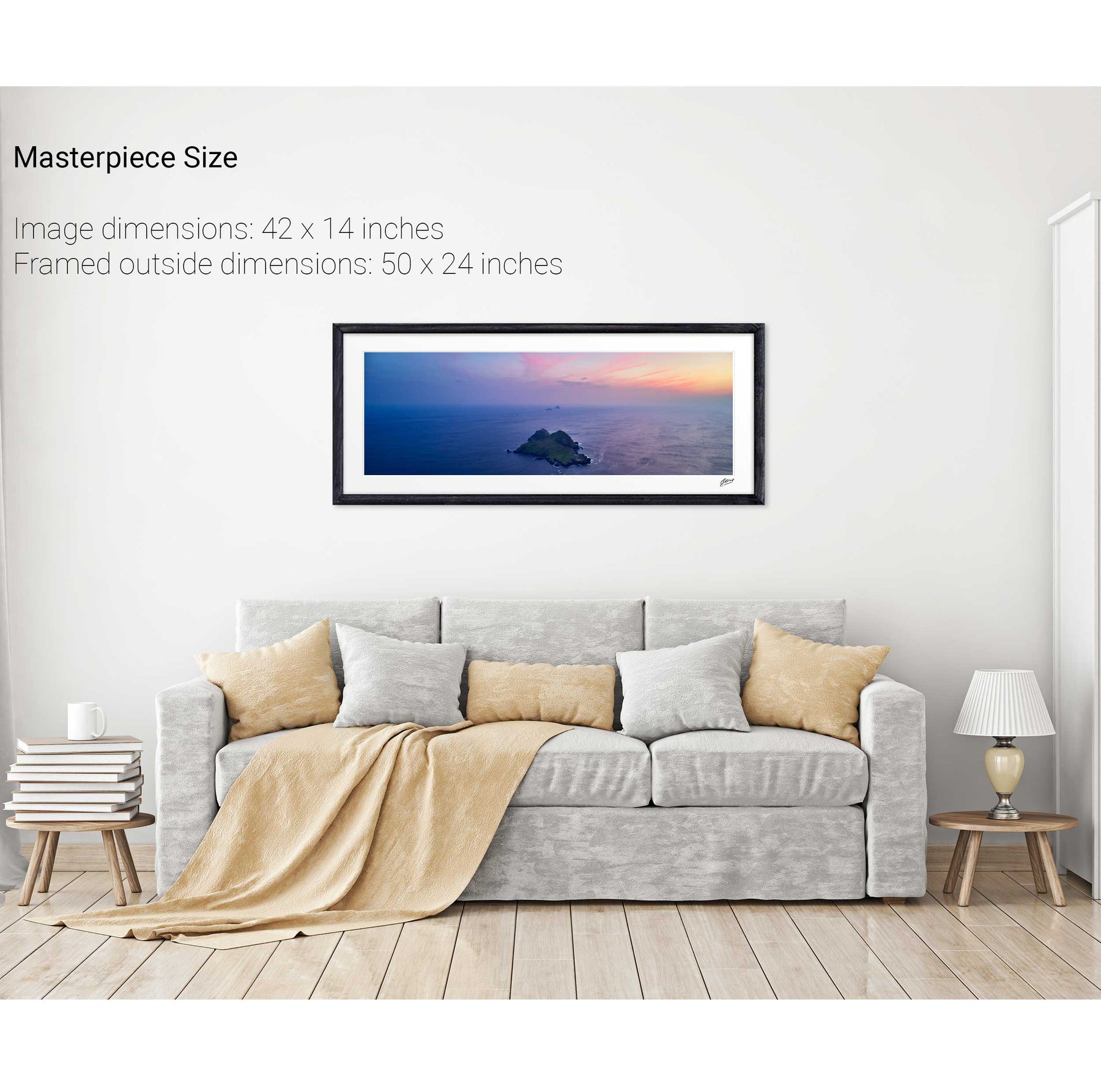
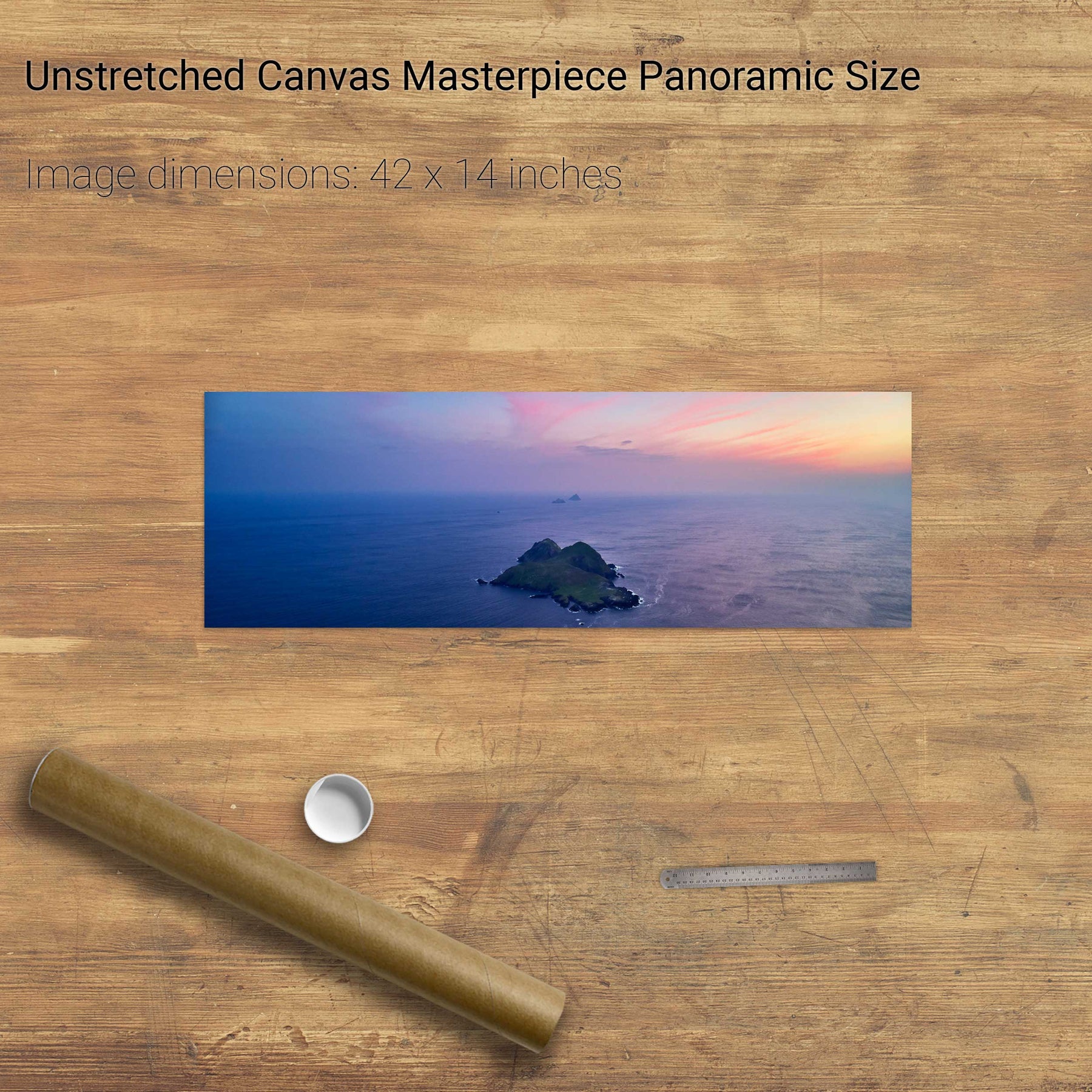
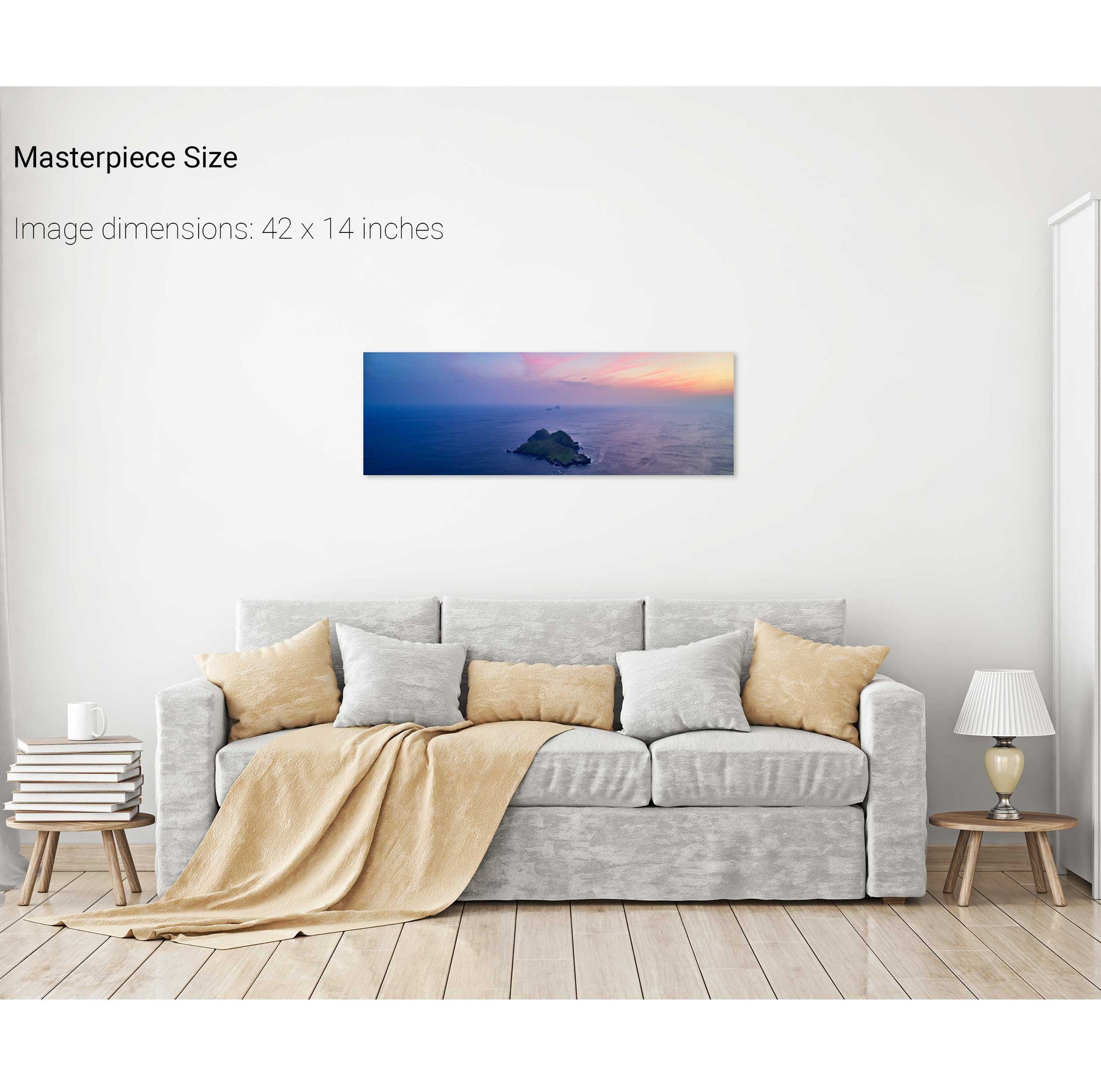
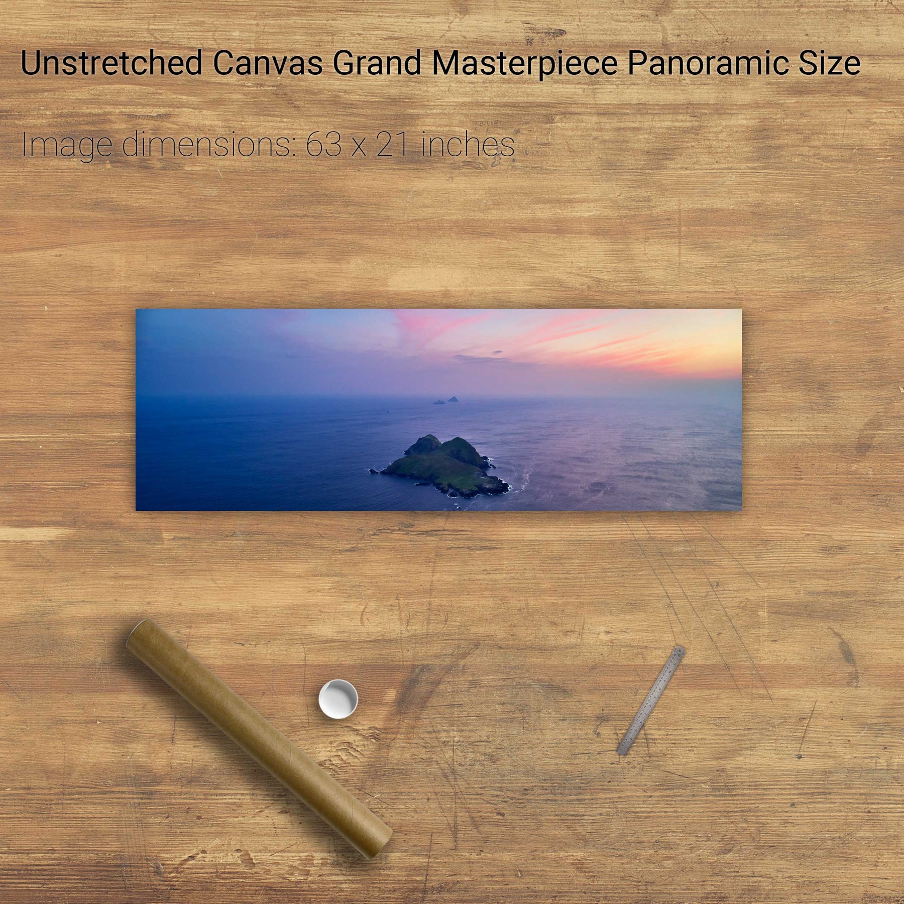
Valentia Sound, Co. Kerry
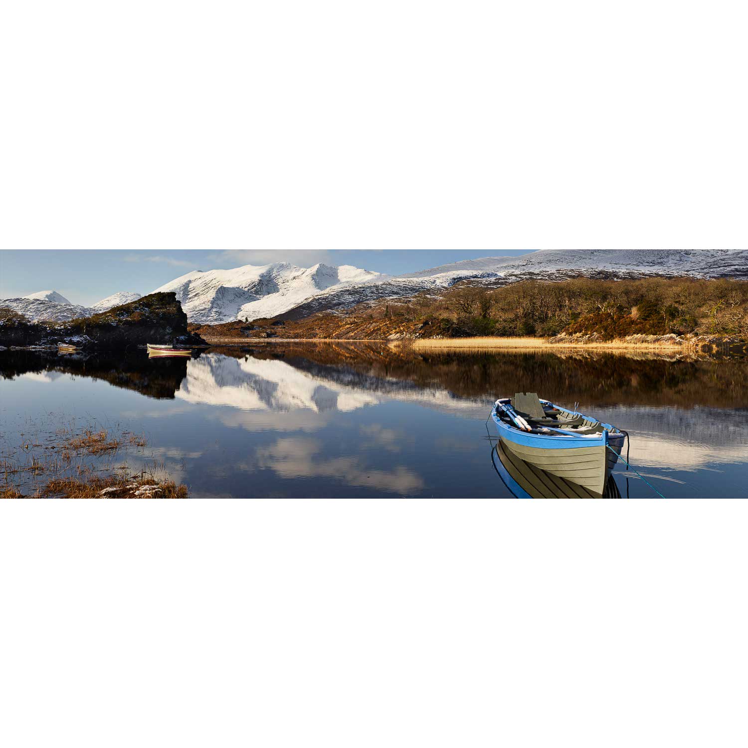
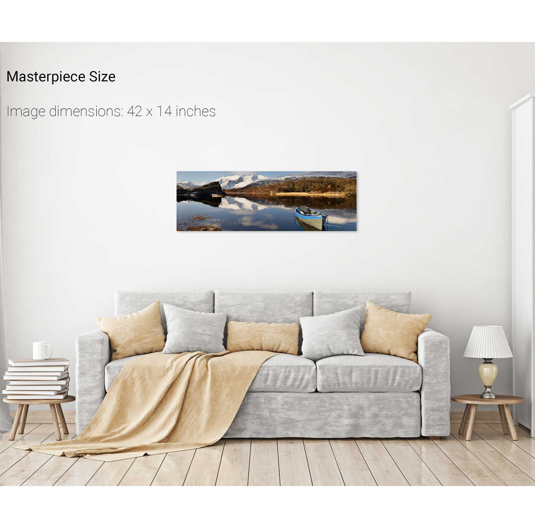
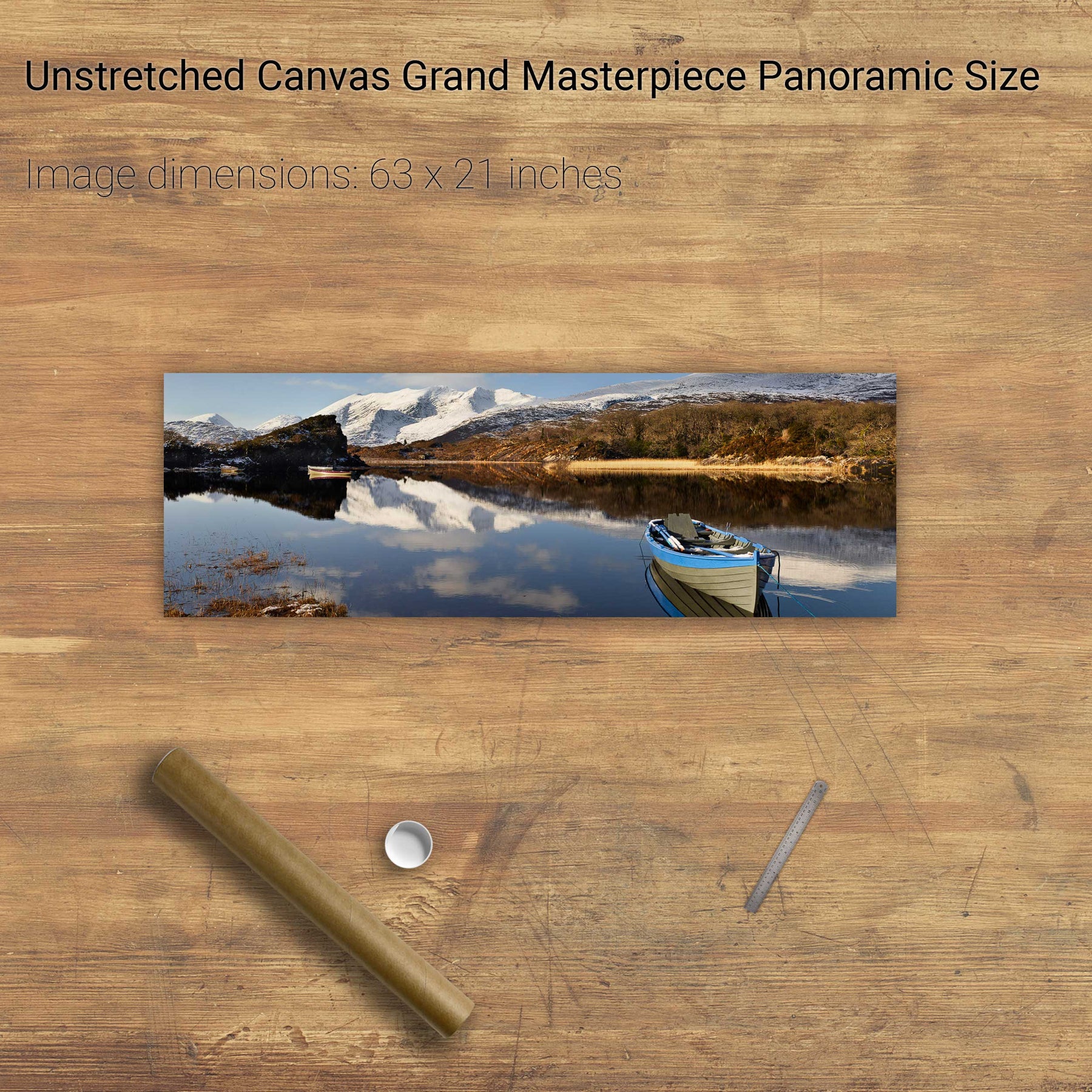
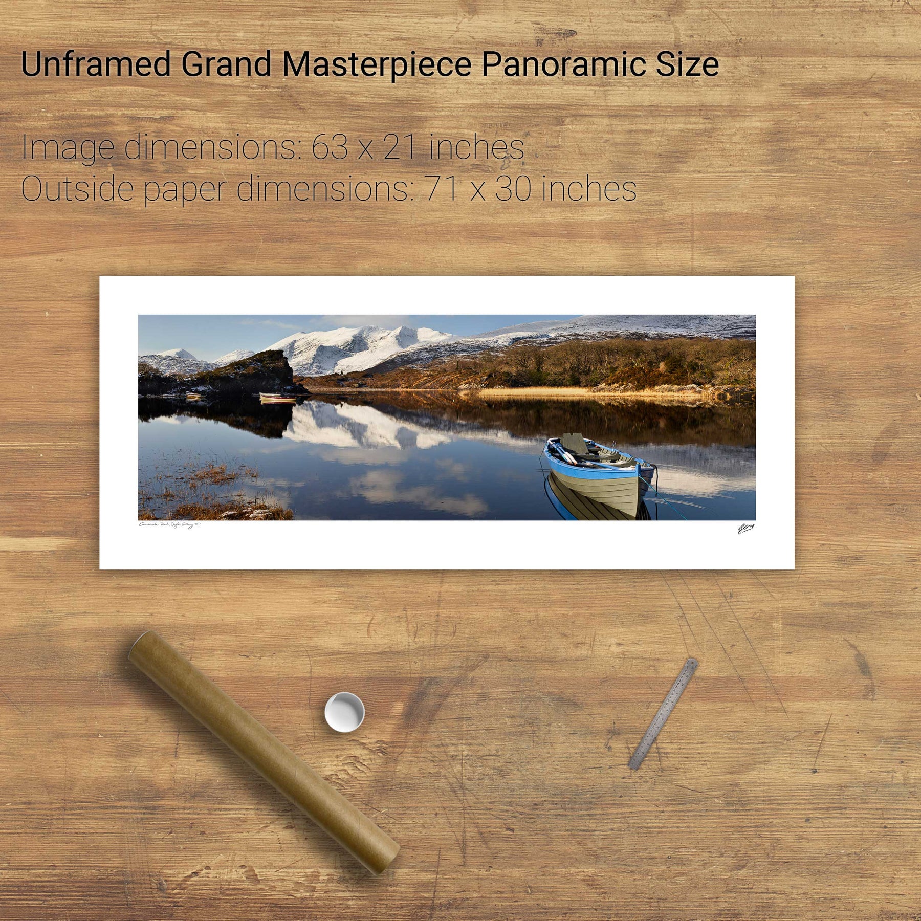
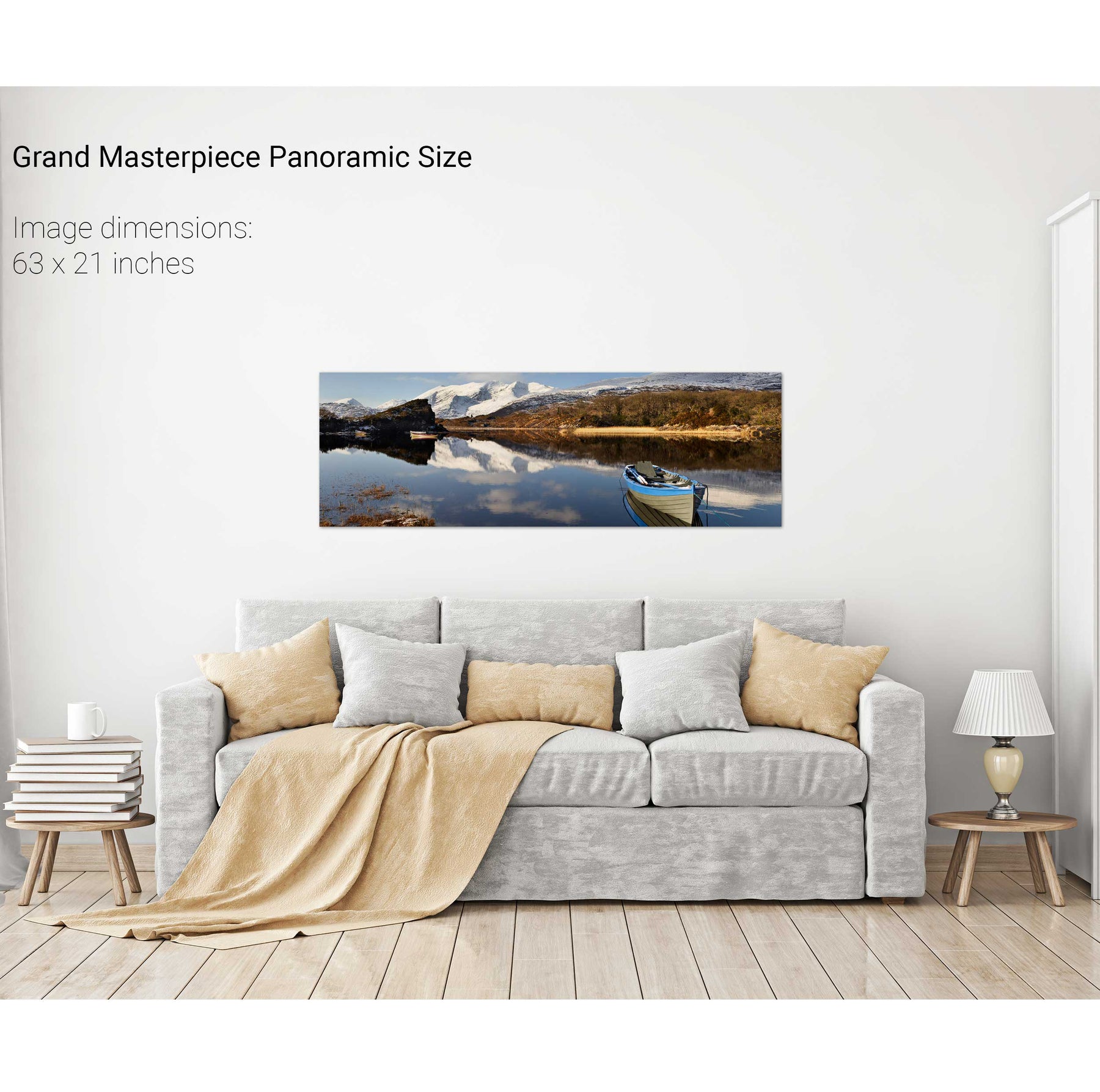
Upper Lake Panoramic, Co. Kerry
Cruach Mhór, Macgillycuddy's Reeks, Co. Kerry
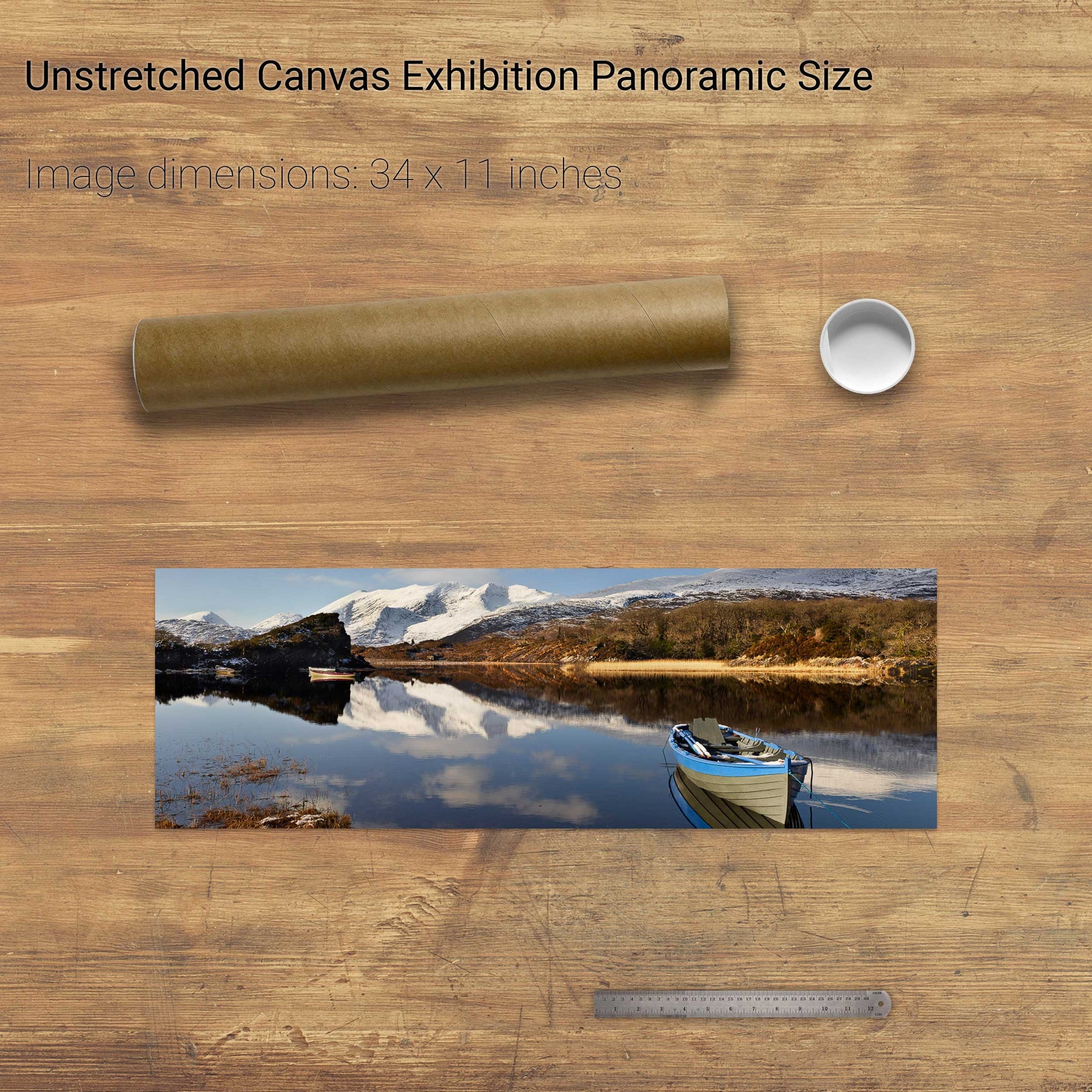
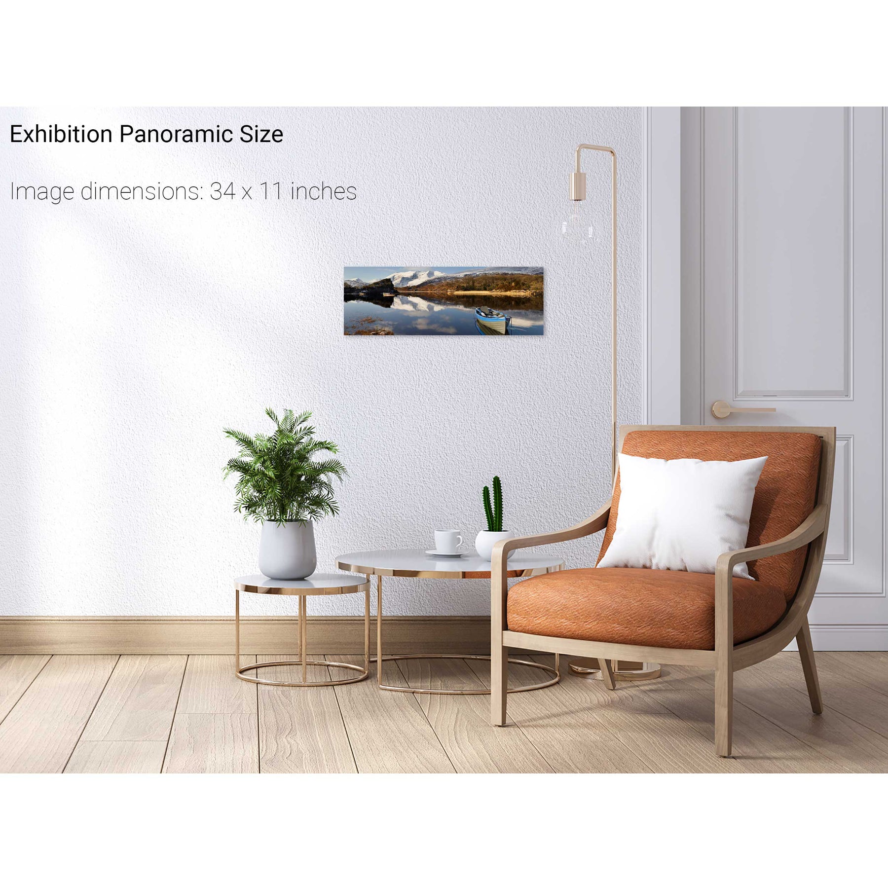
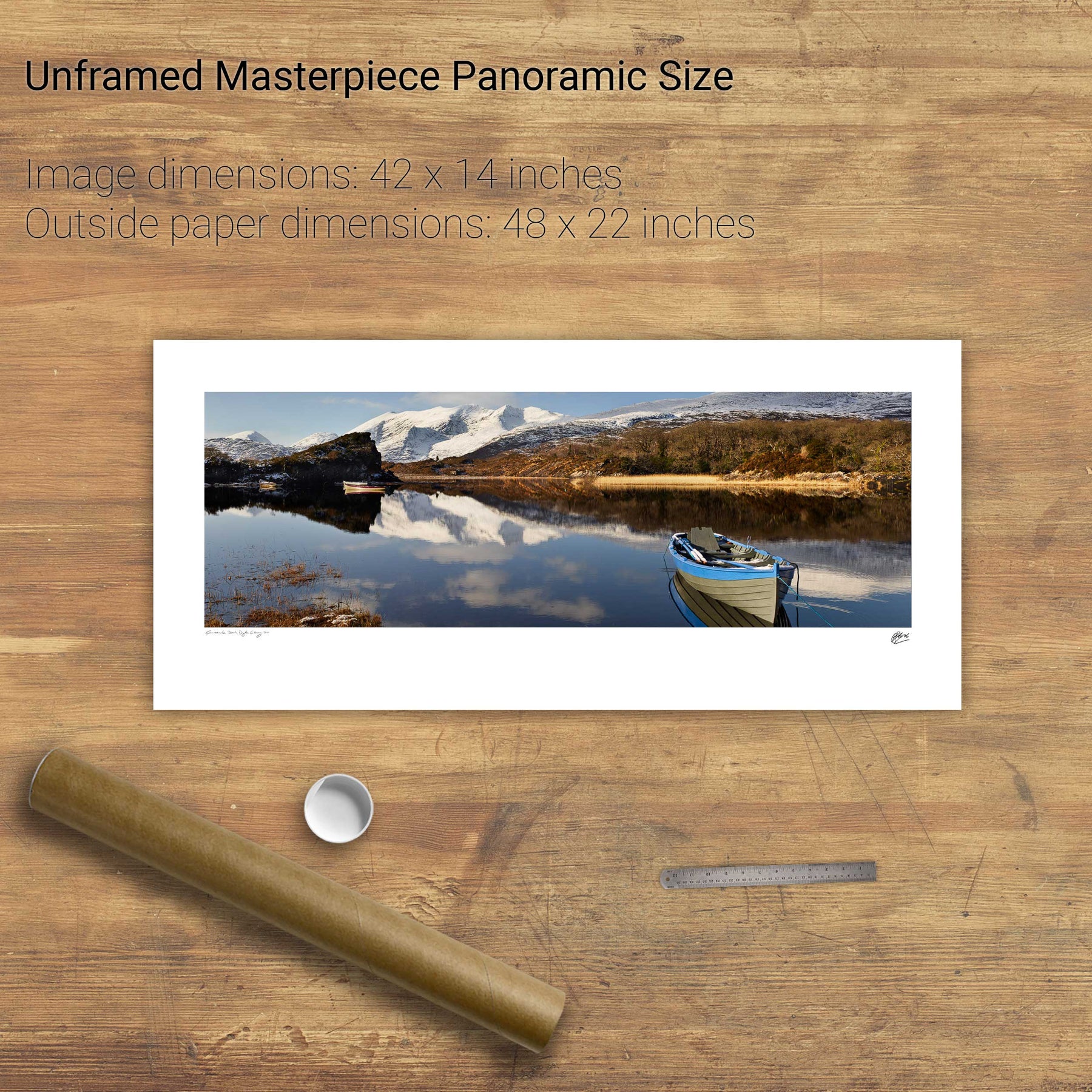
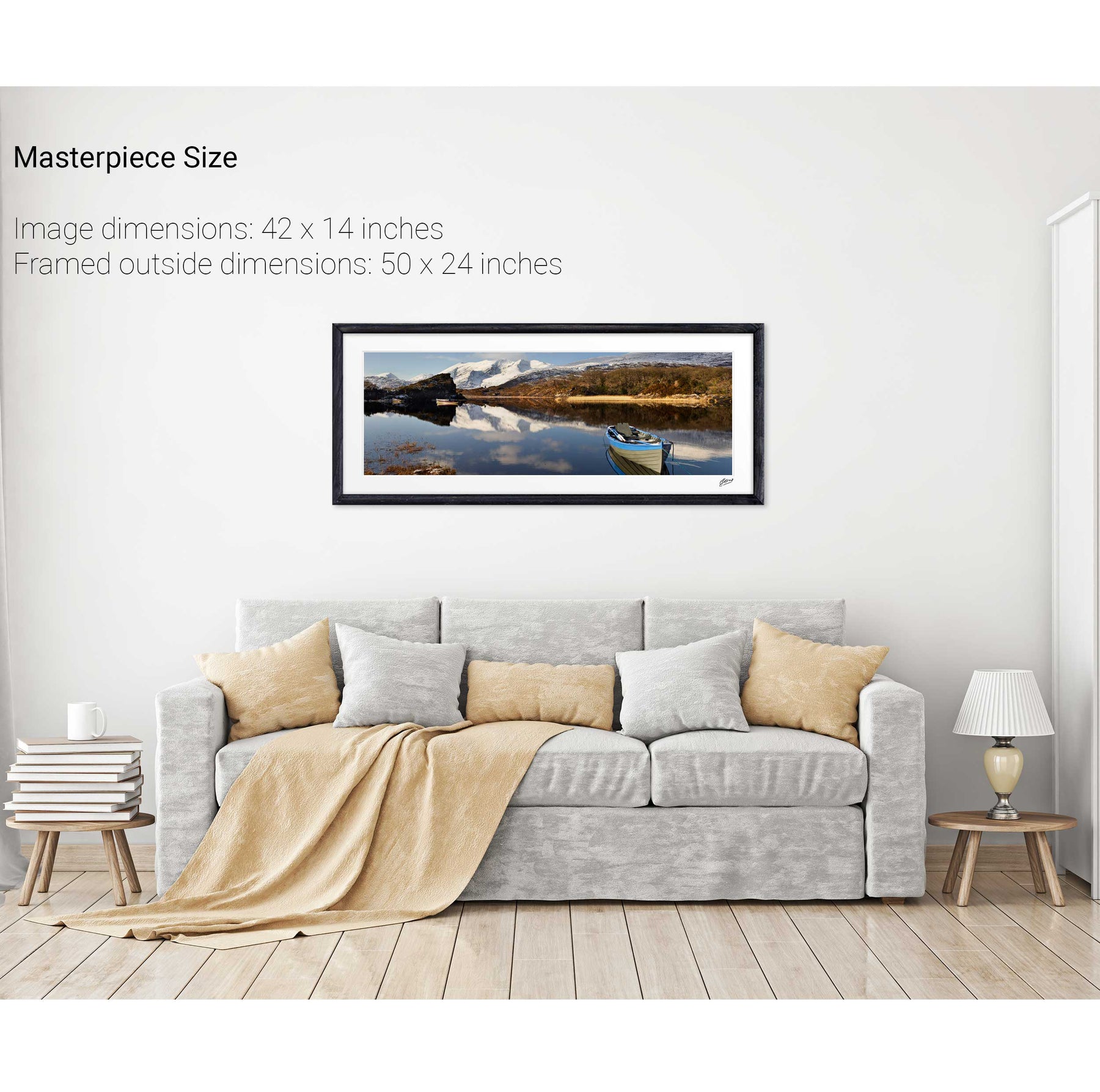
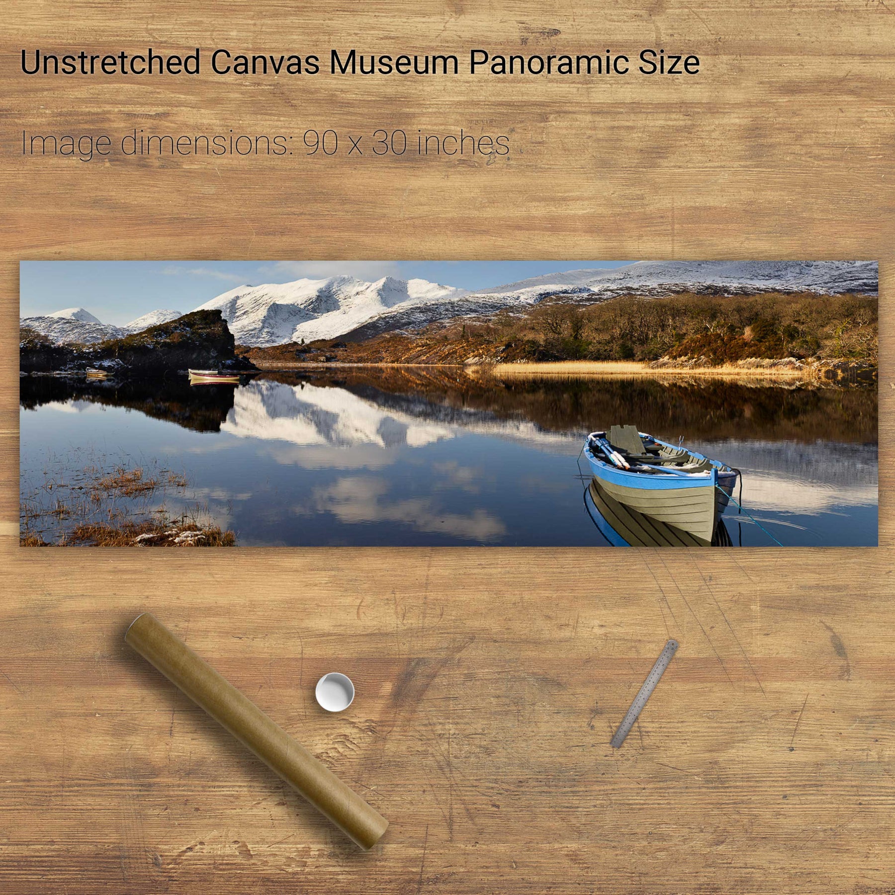
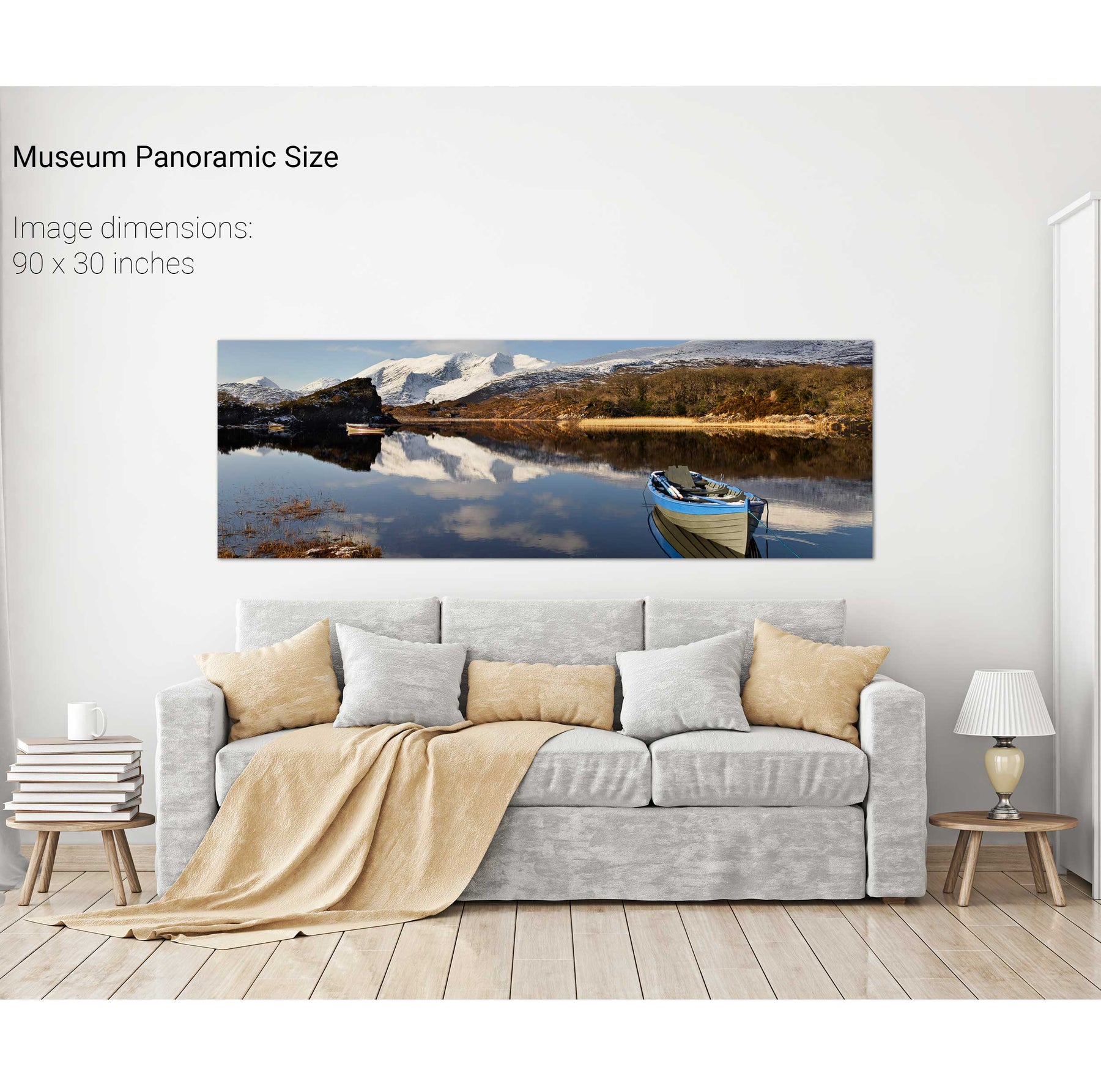
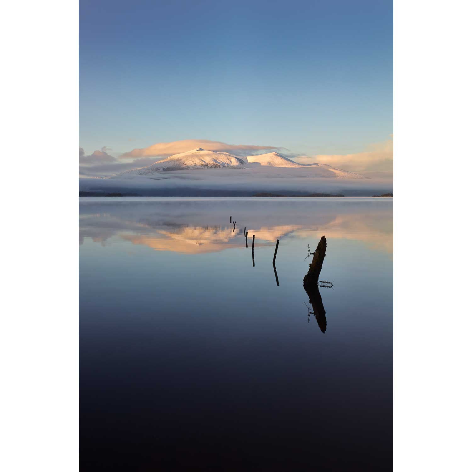
Winter, Lough Leane, Co. Kerry
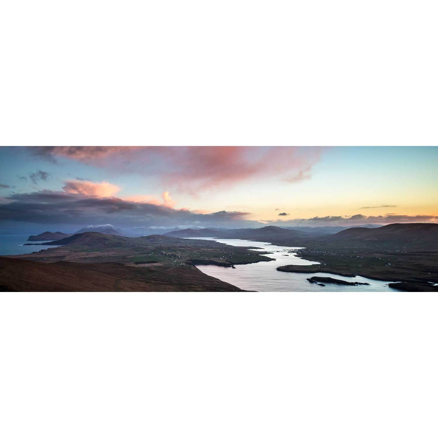
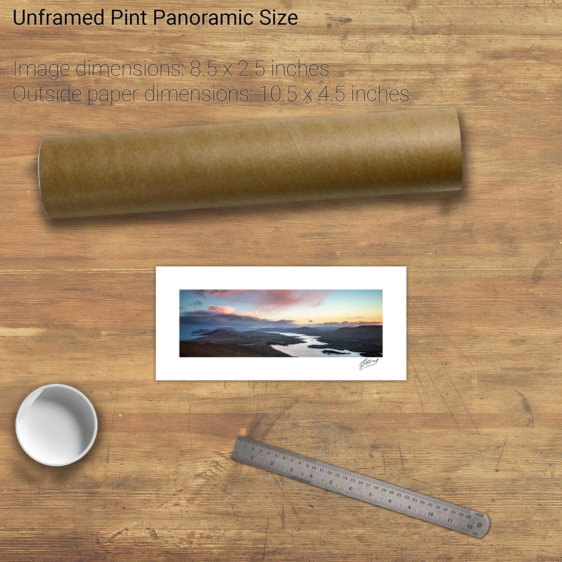
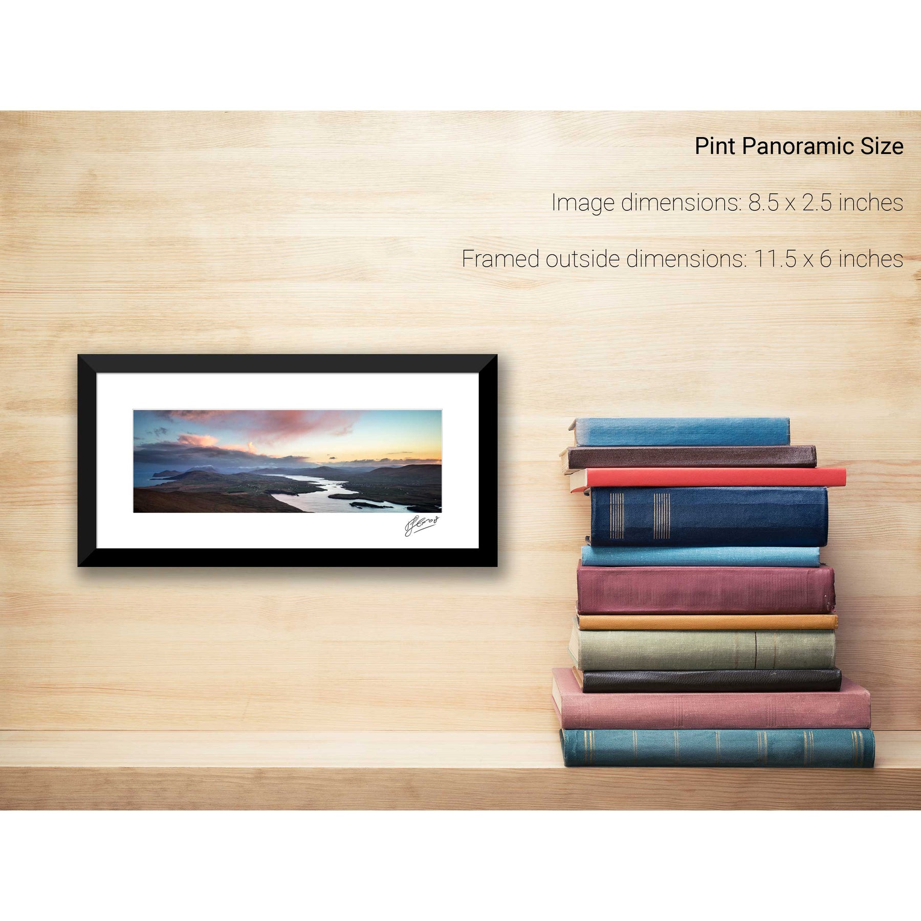
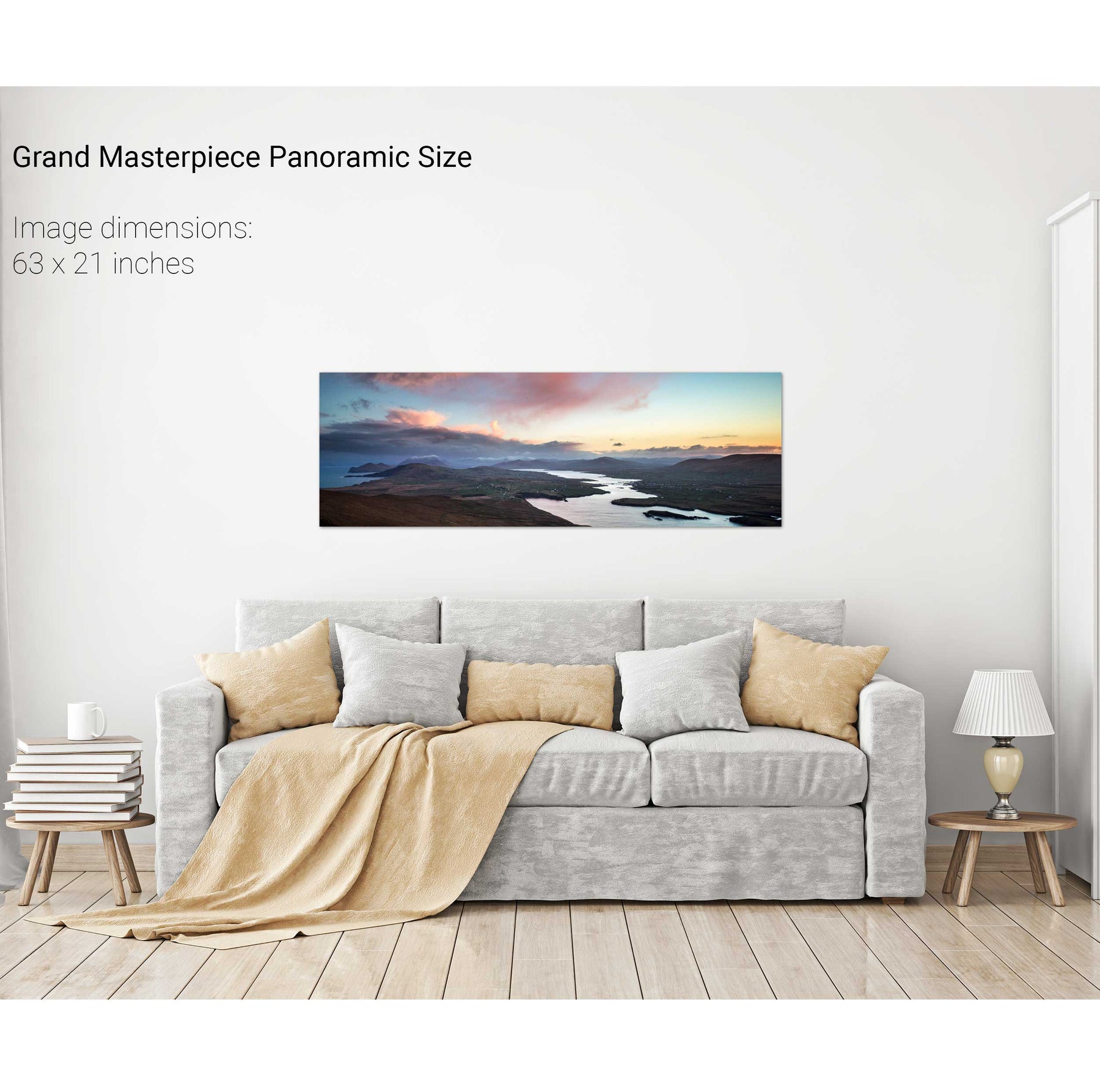
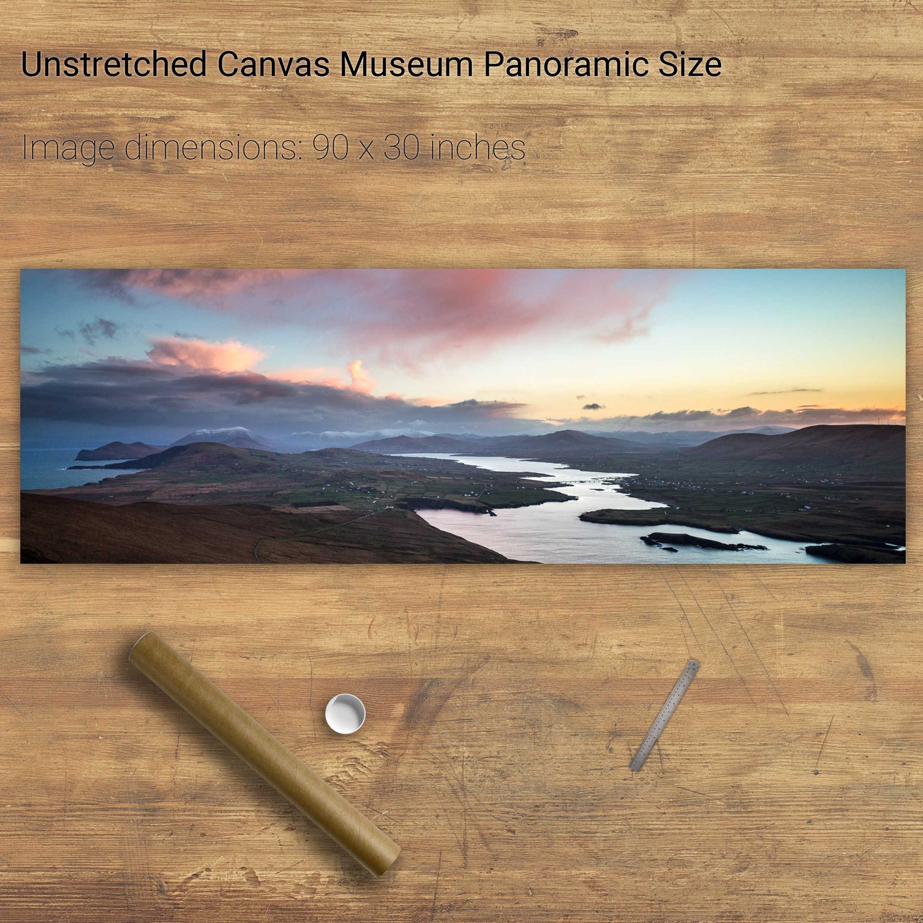
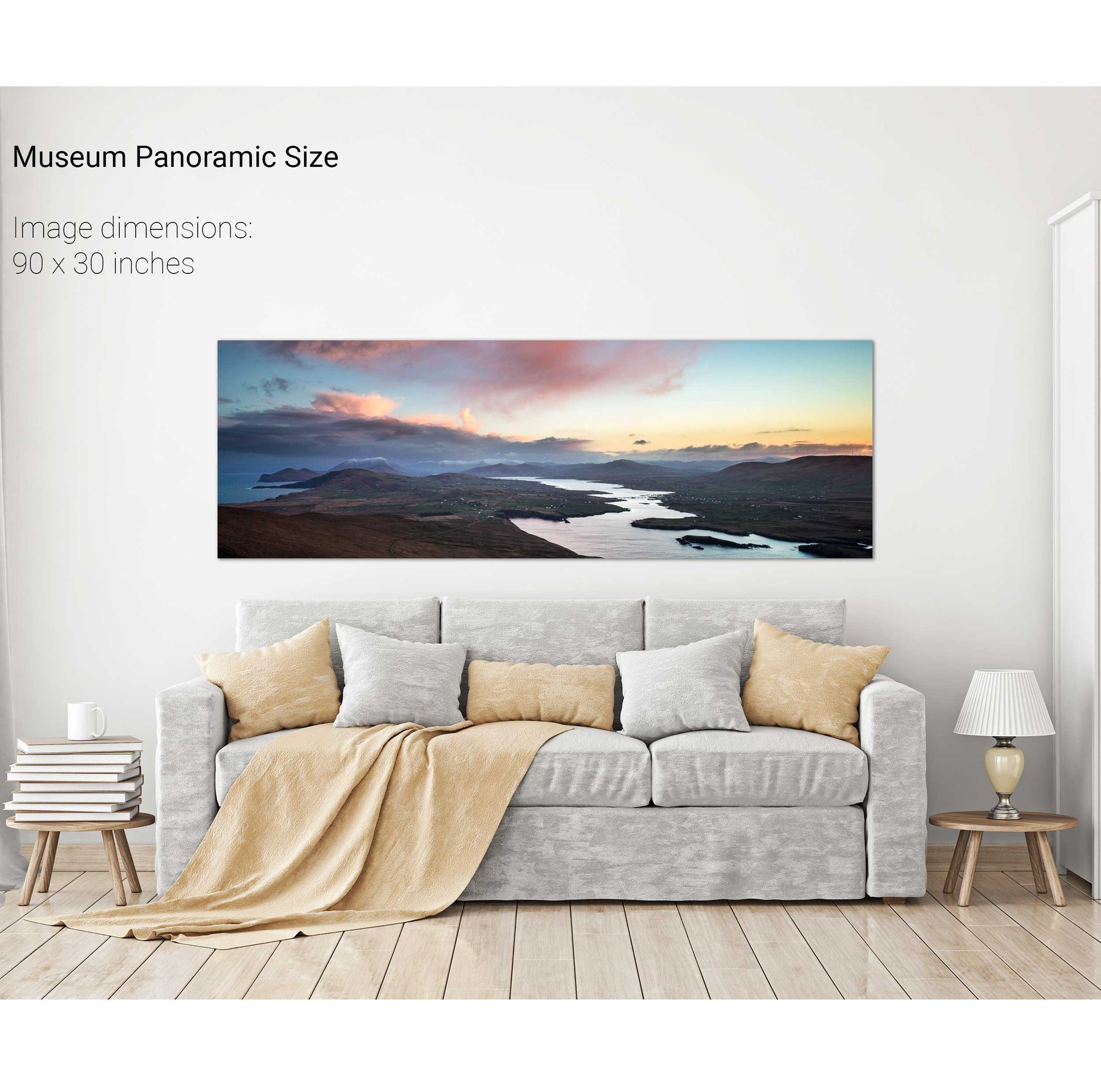
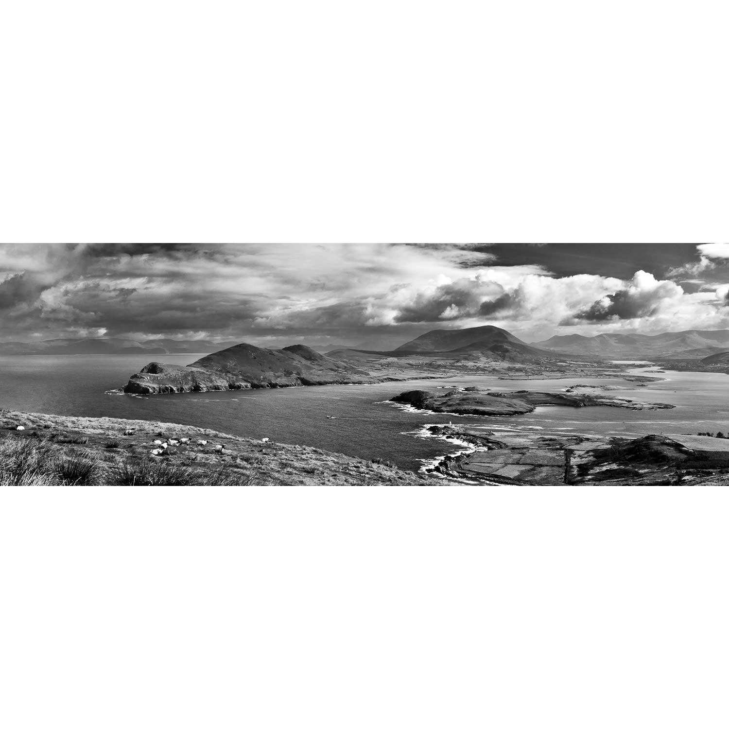
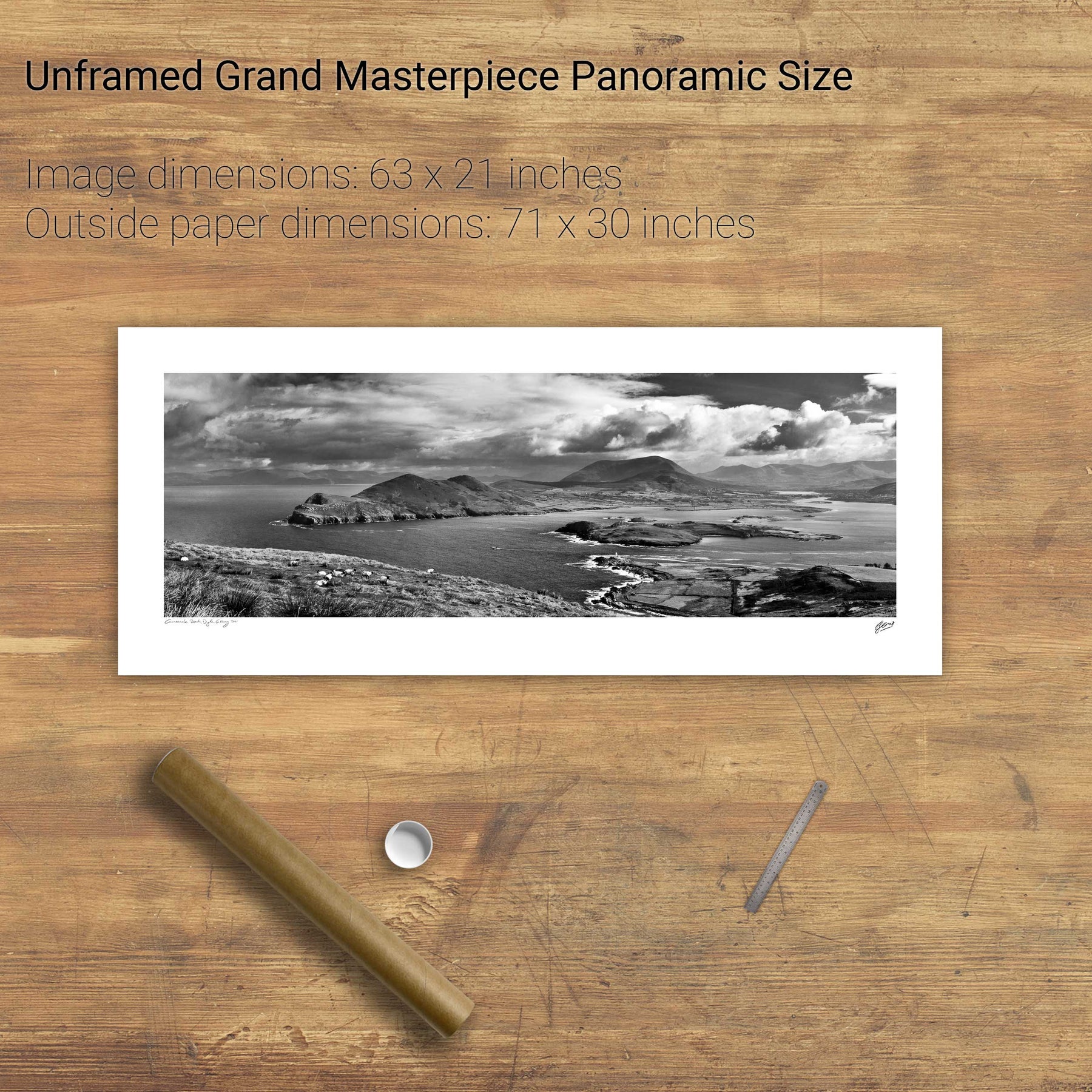
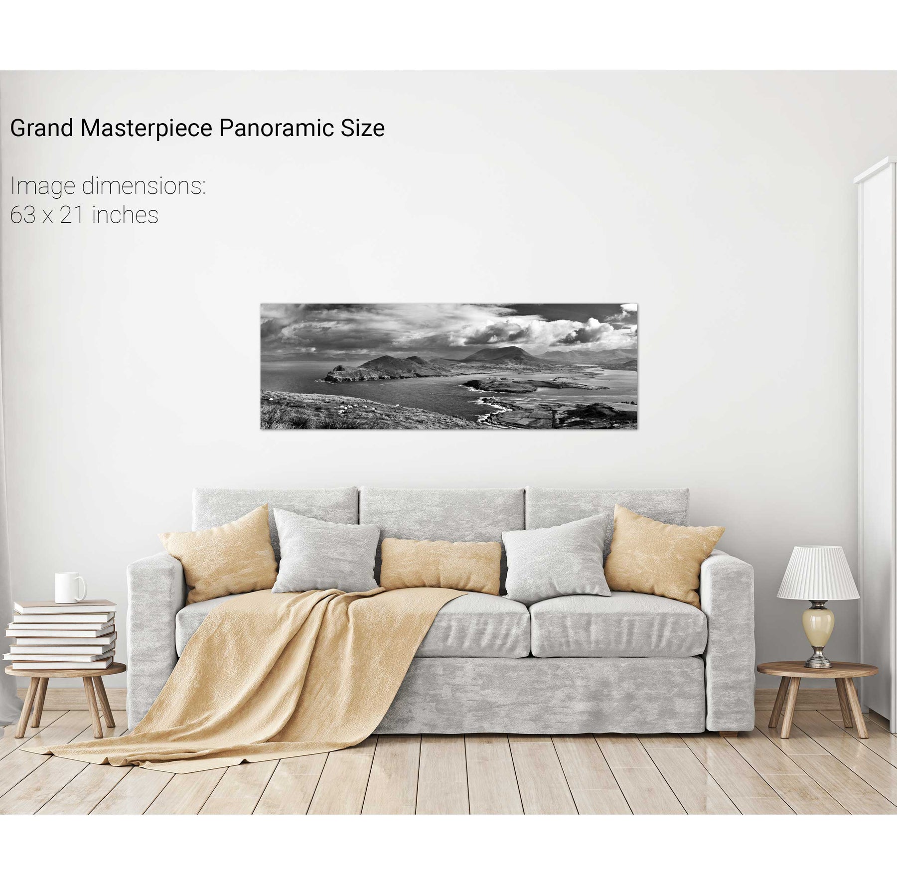
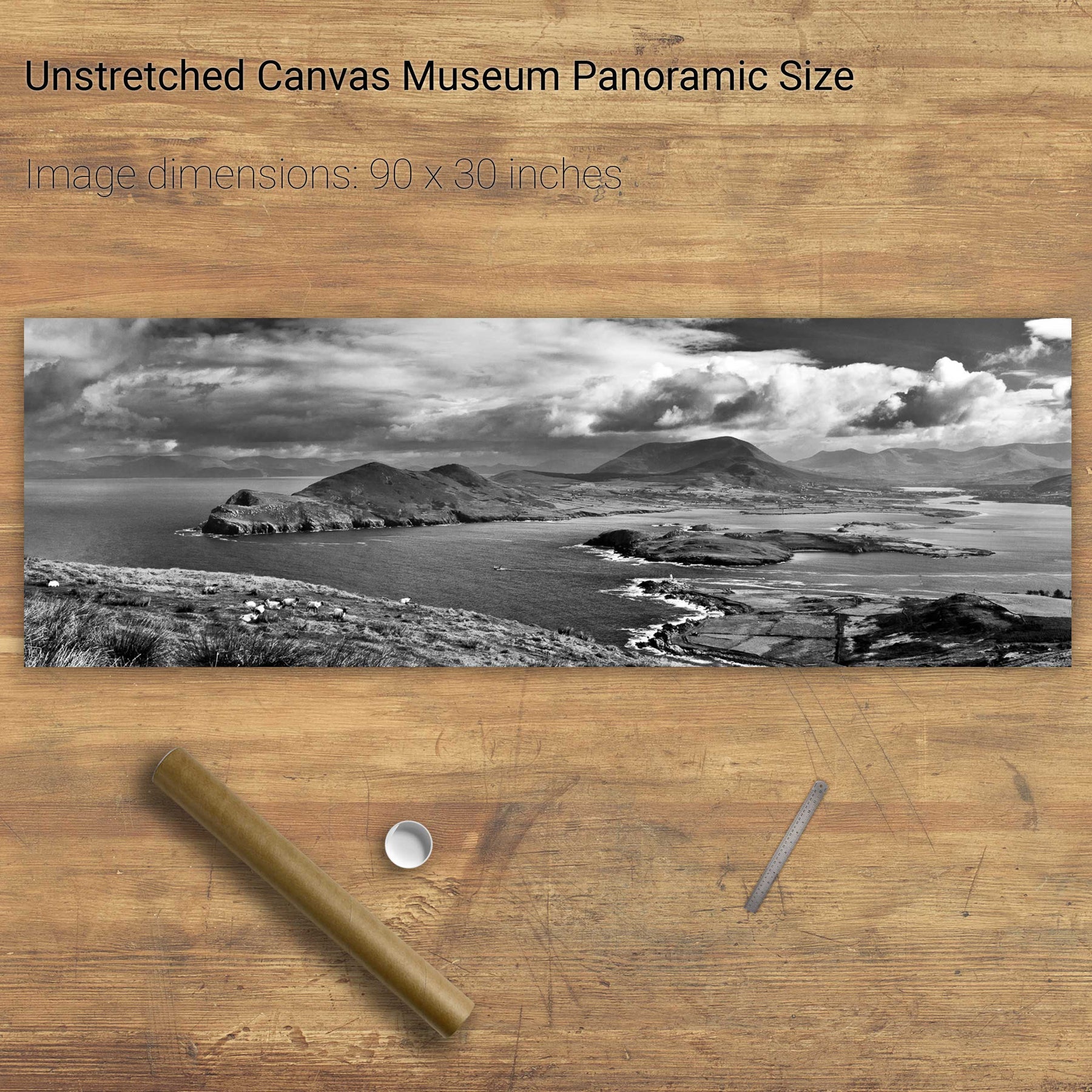
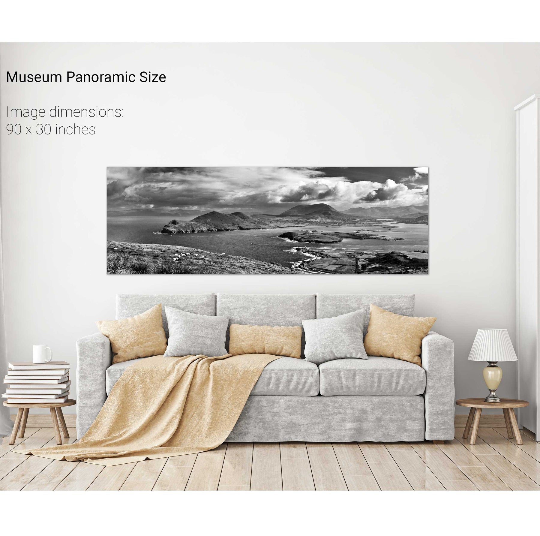
Geokaun Mountain Panoramic, Co. Kerry
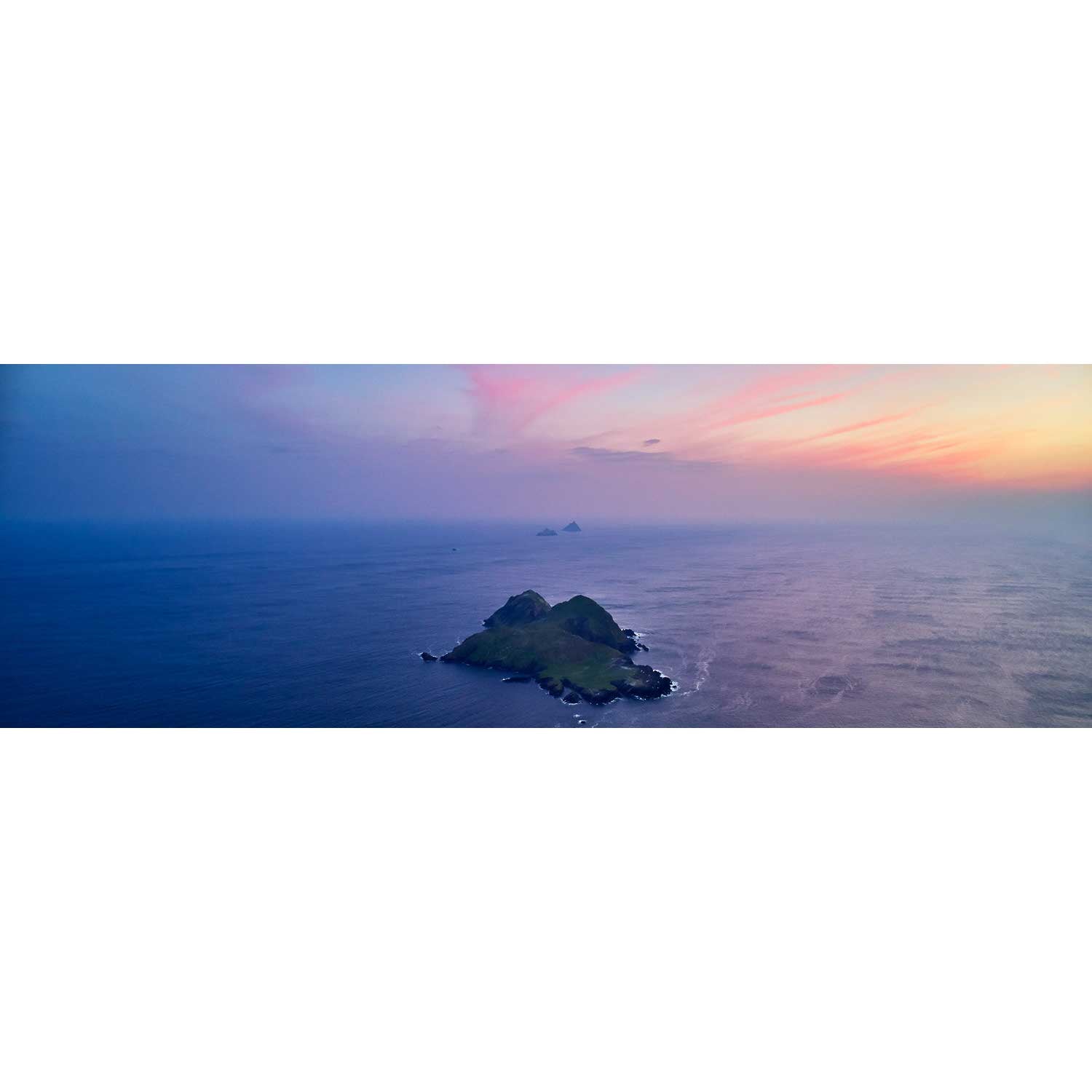
Puffin Island and the Skelligs, Kerry
Skellig Michael from the North, Kerry
Skellig Michael with Brooding Clouds, Kerry
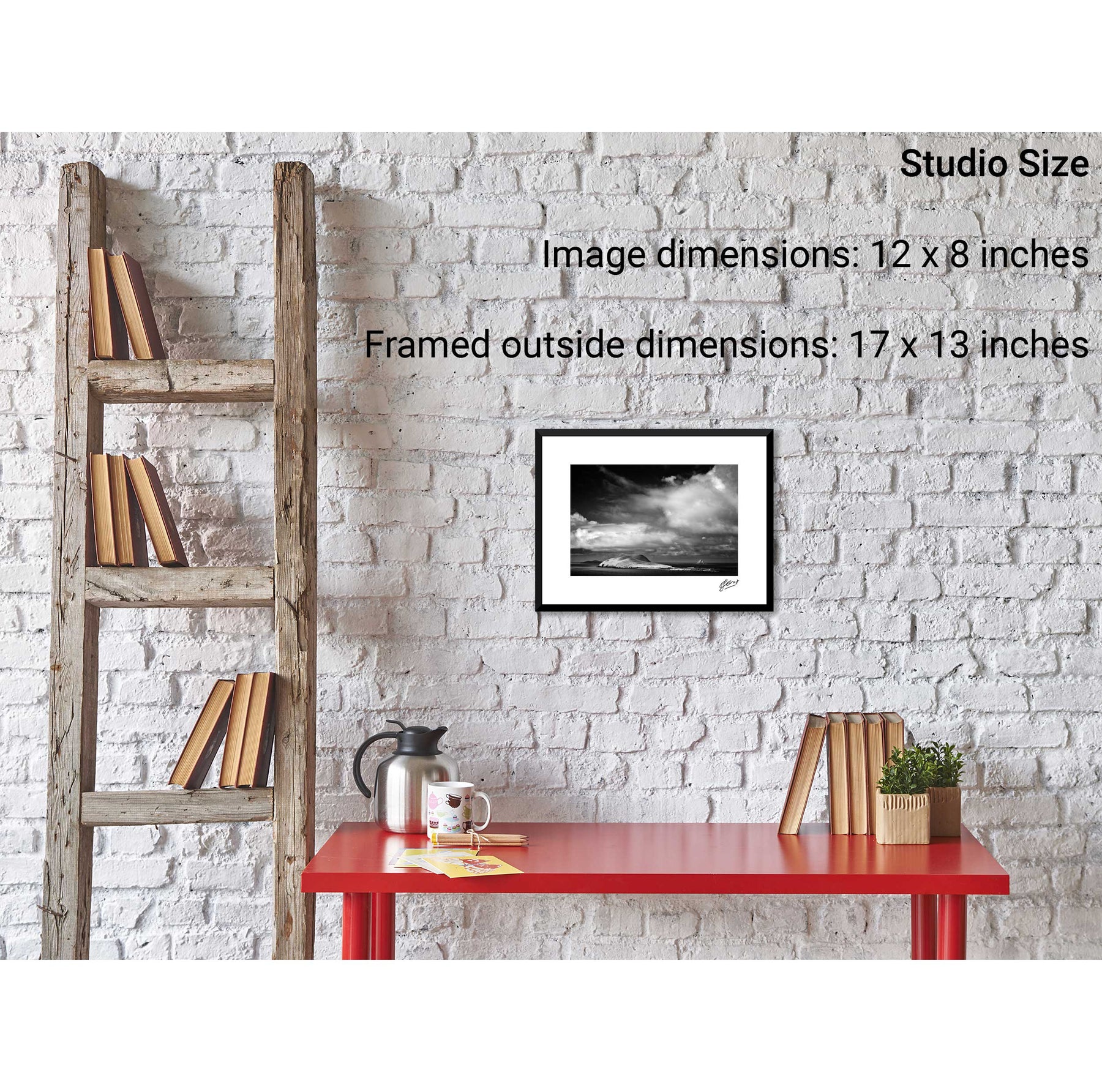
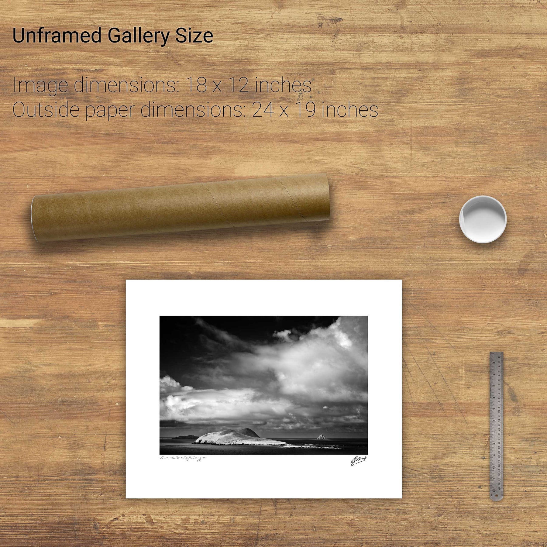
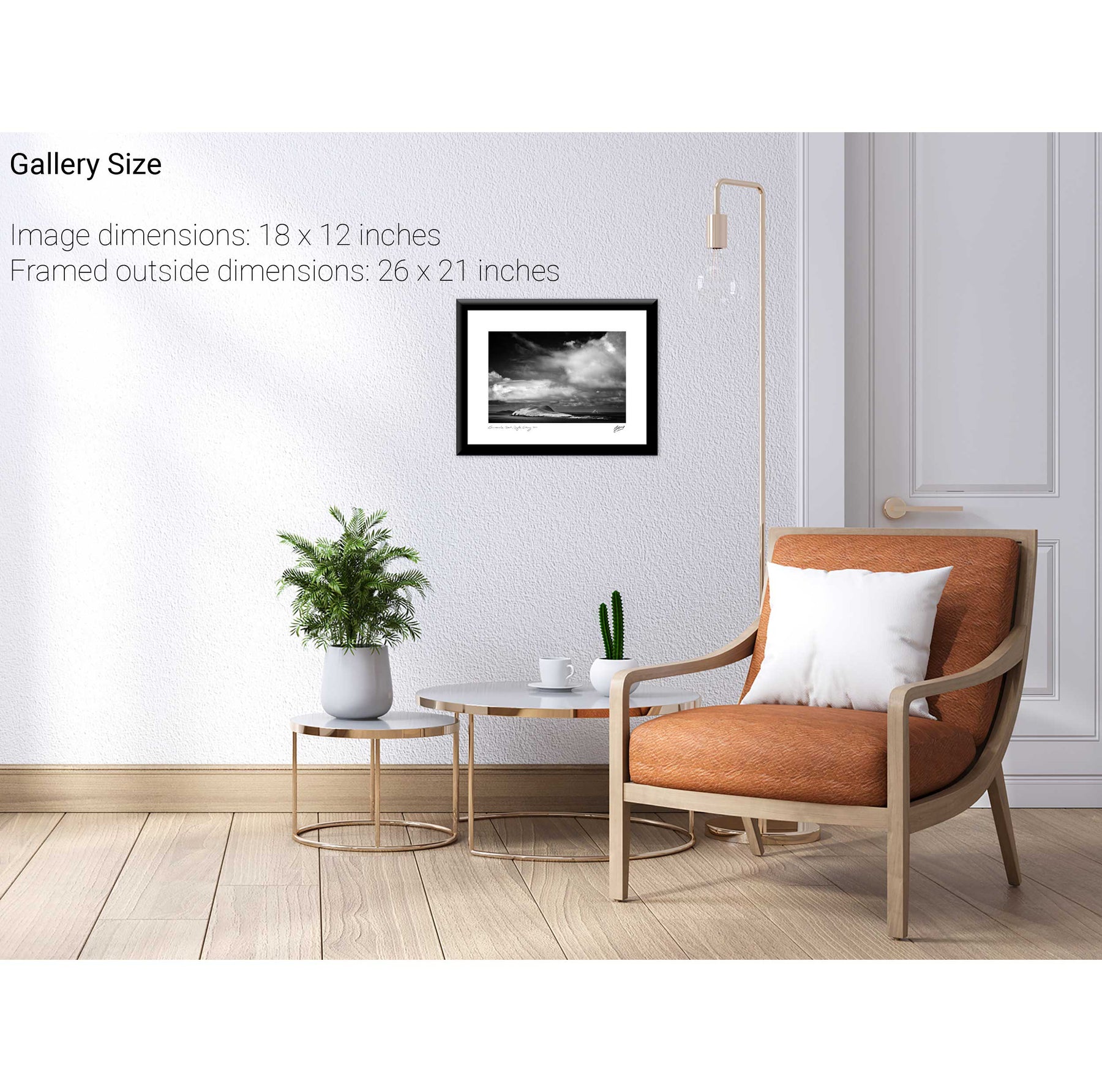
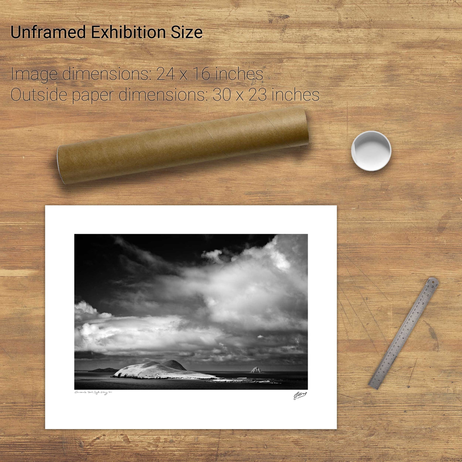
The Sleeping Giant, Dingle, Kerry
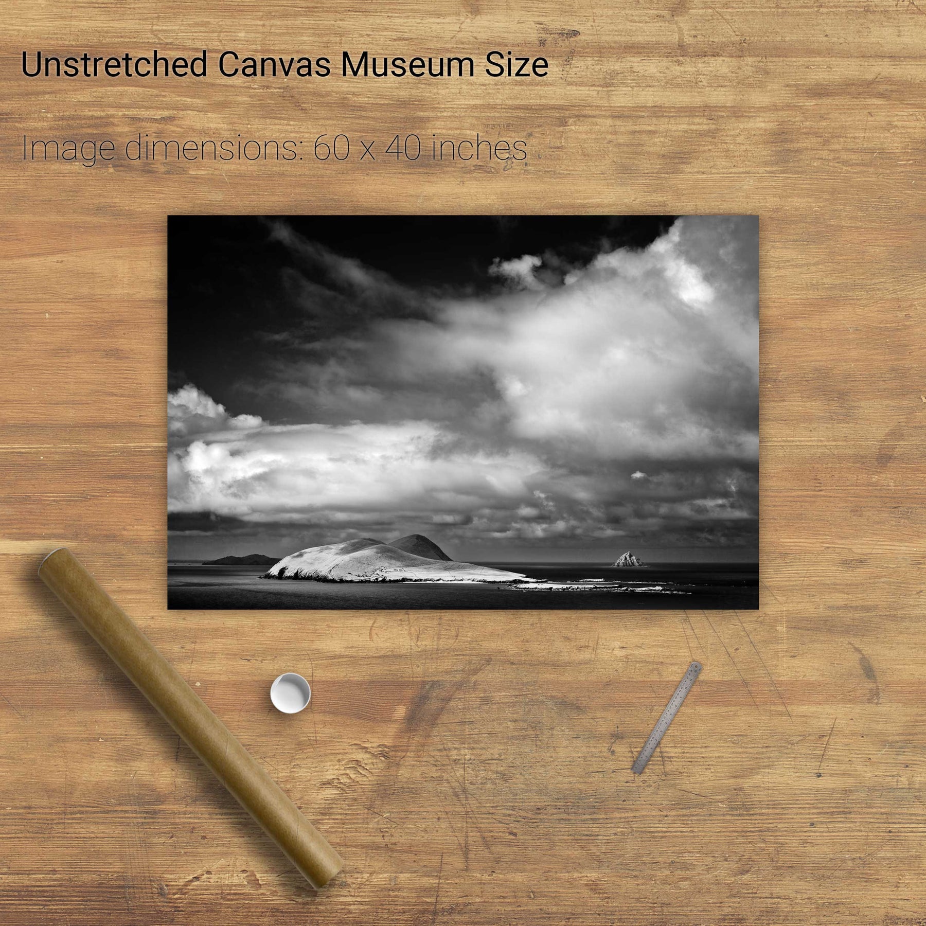
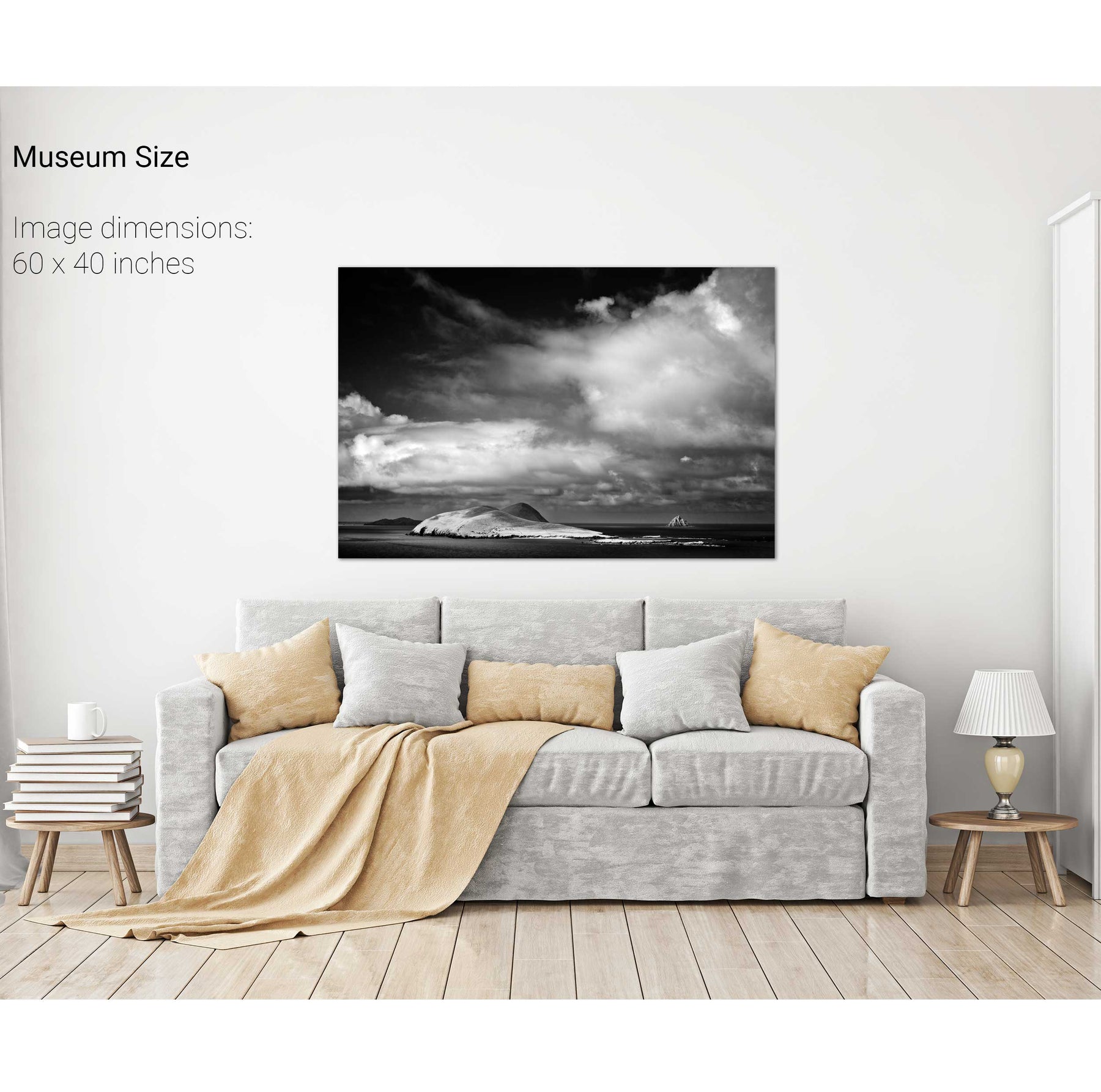
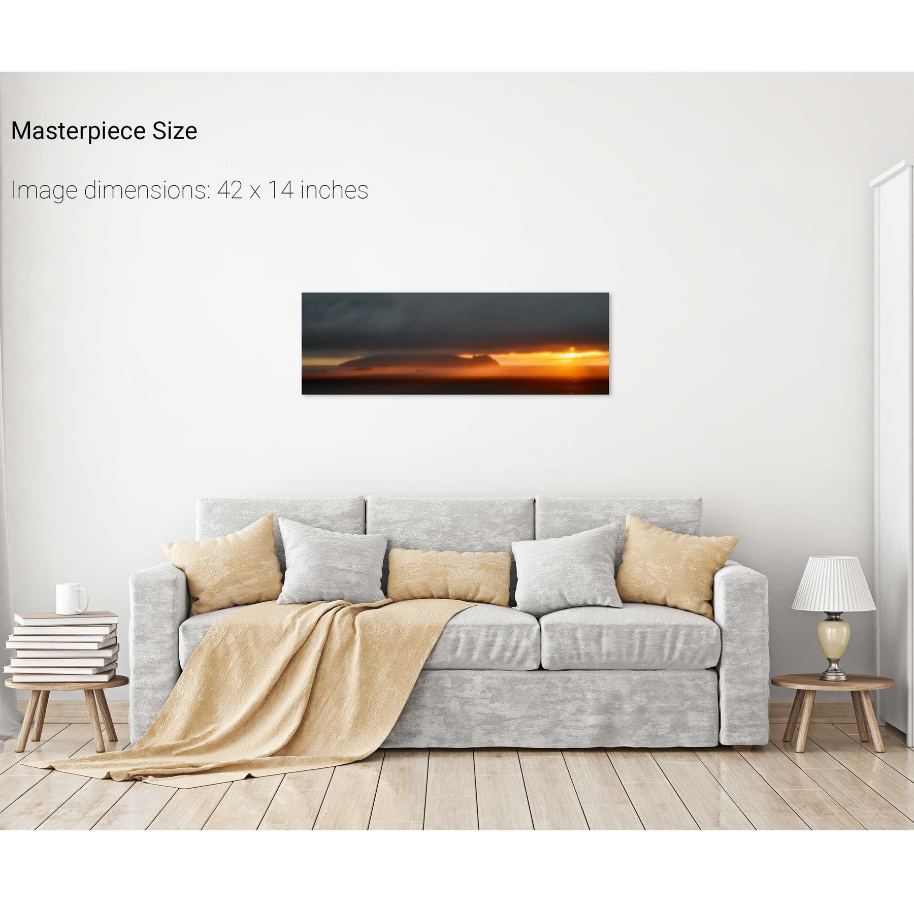
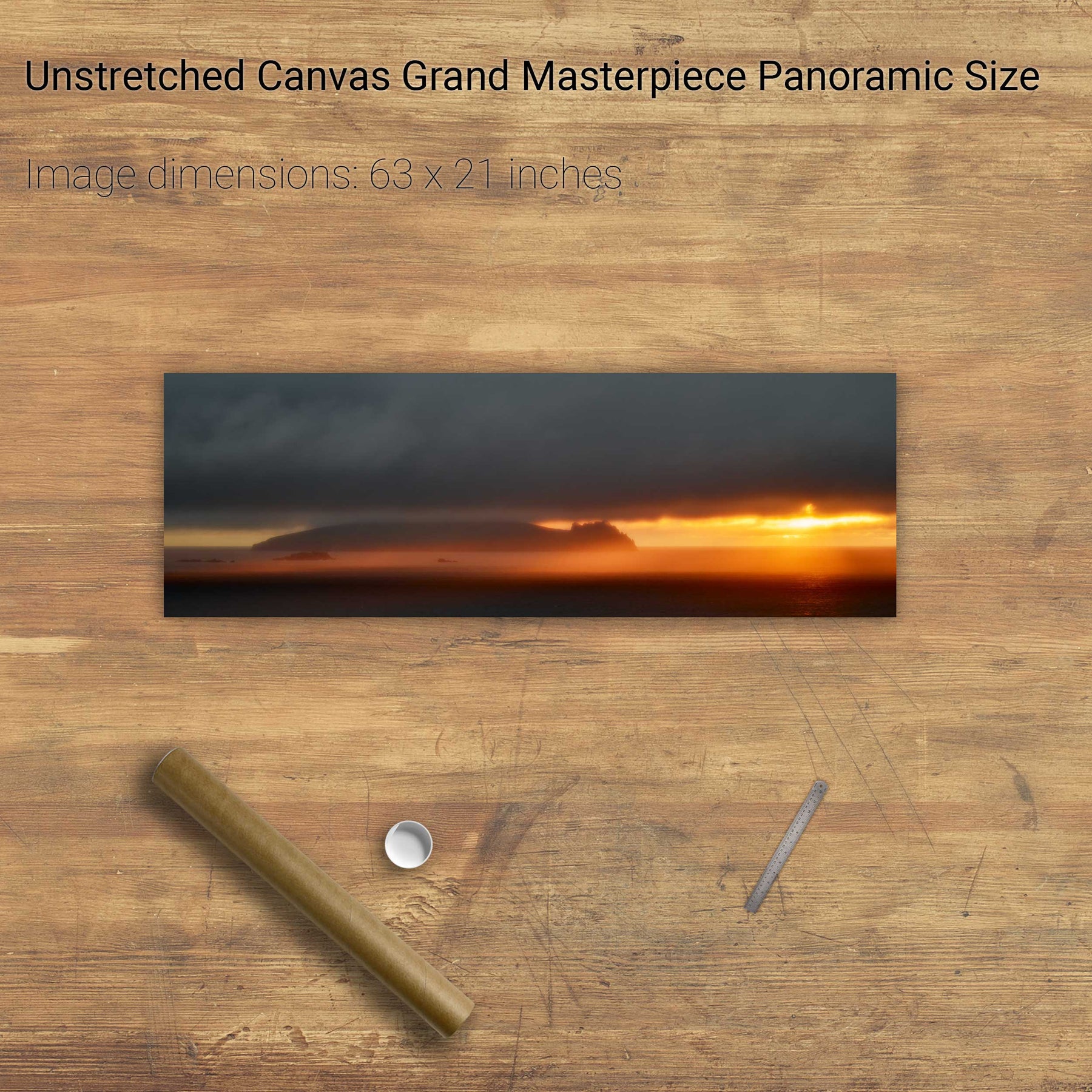
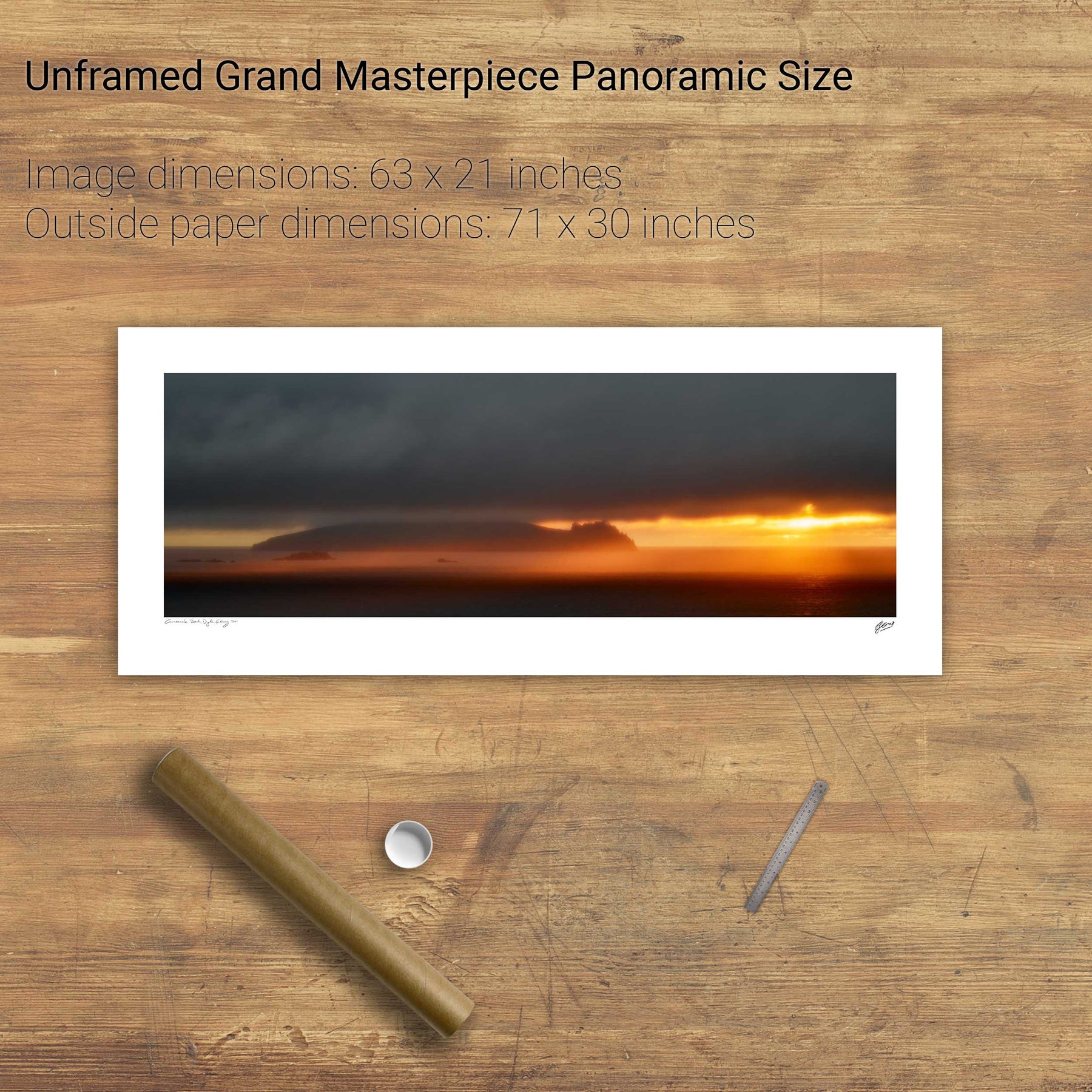
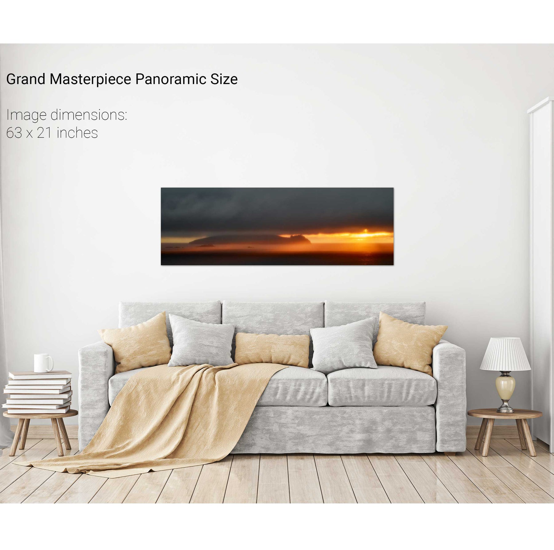
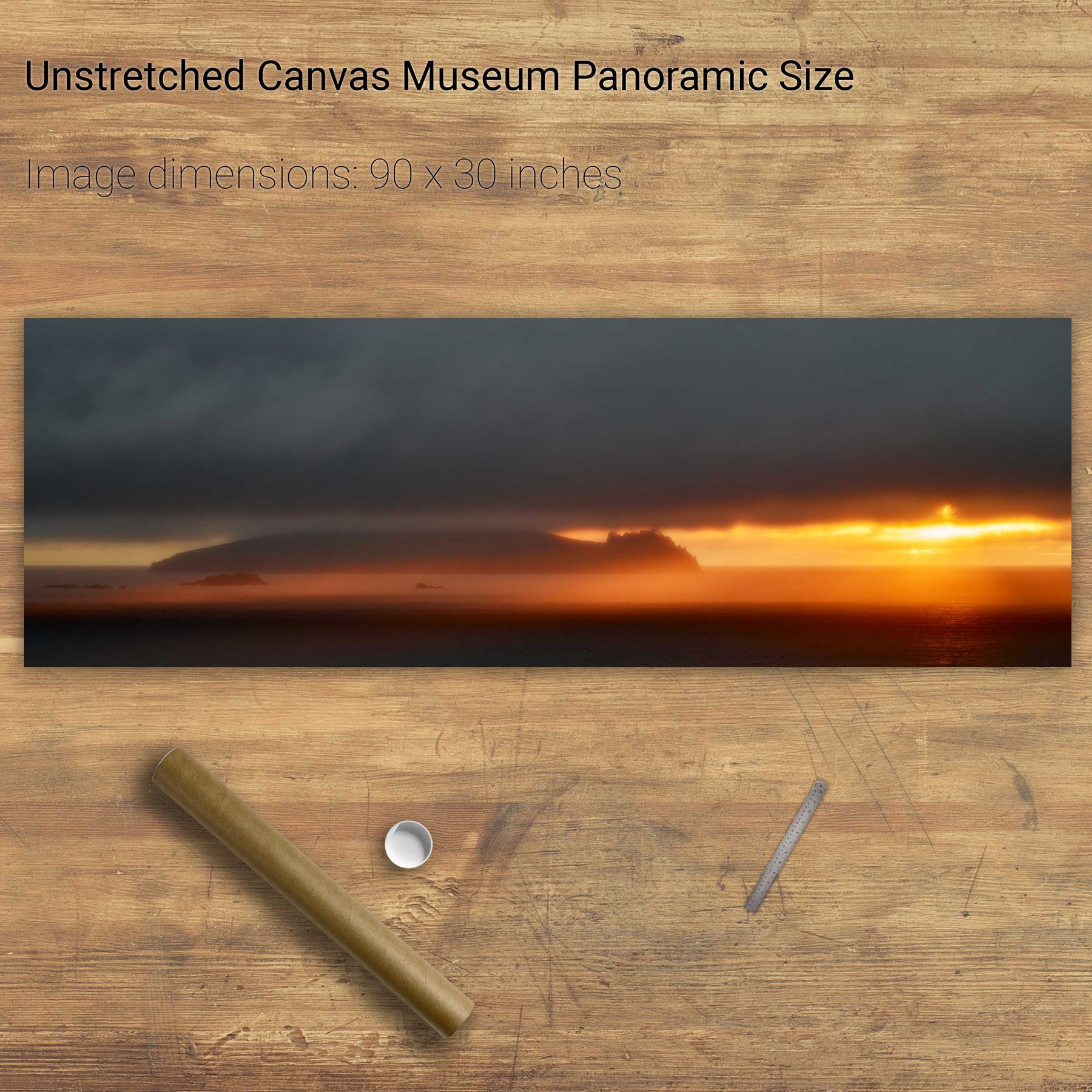
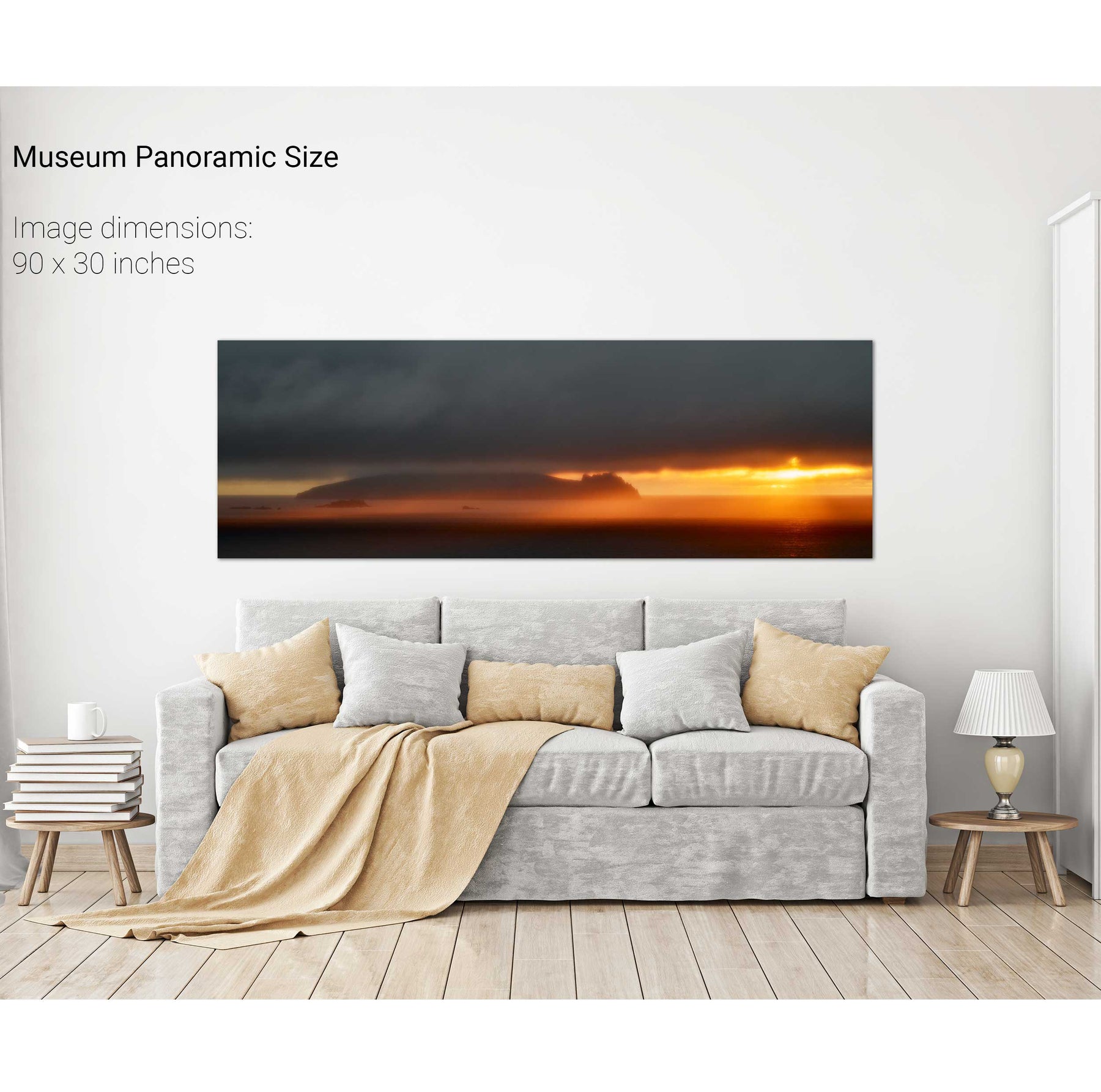
Storm, the Great Blasket, Dingle, Co. Kerry
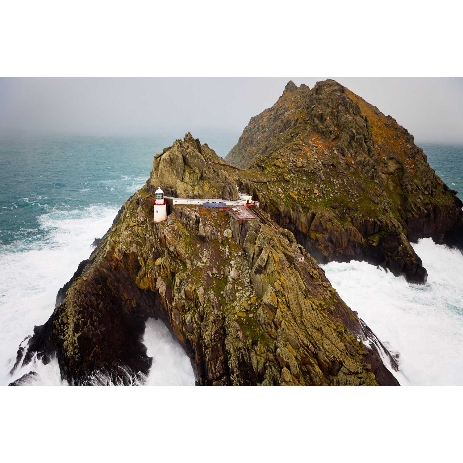
The Tiaracht Rocks, Co. Kerry
Down the East Steps, Skellig Michael, Kerry
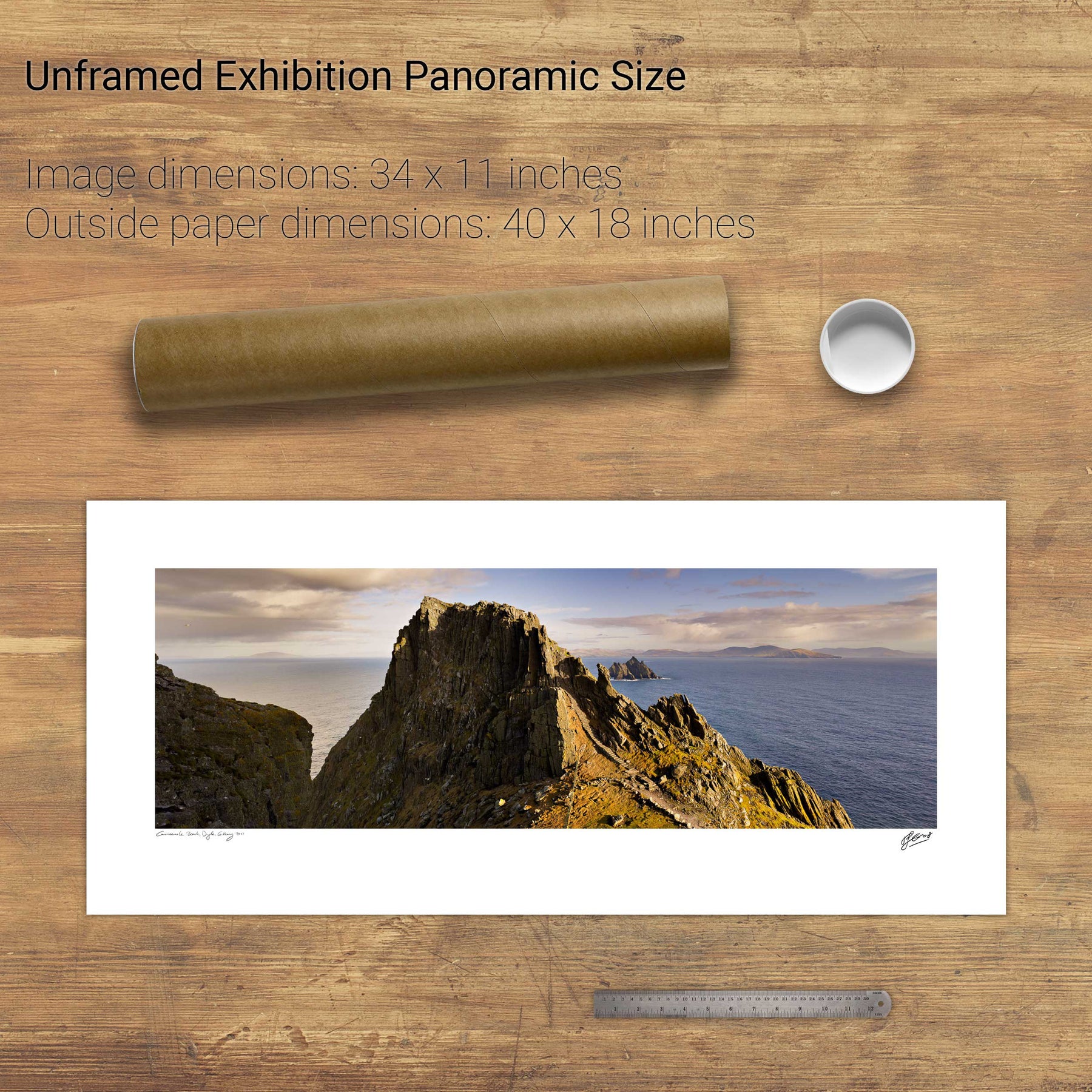
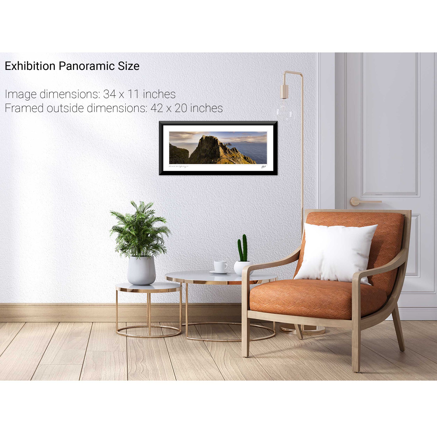
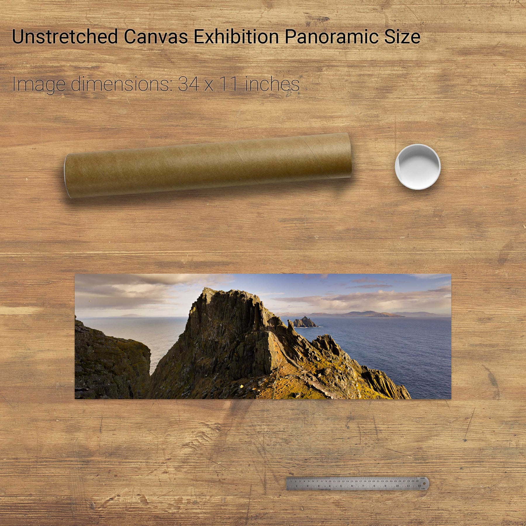
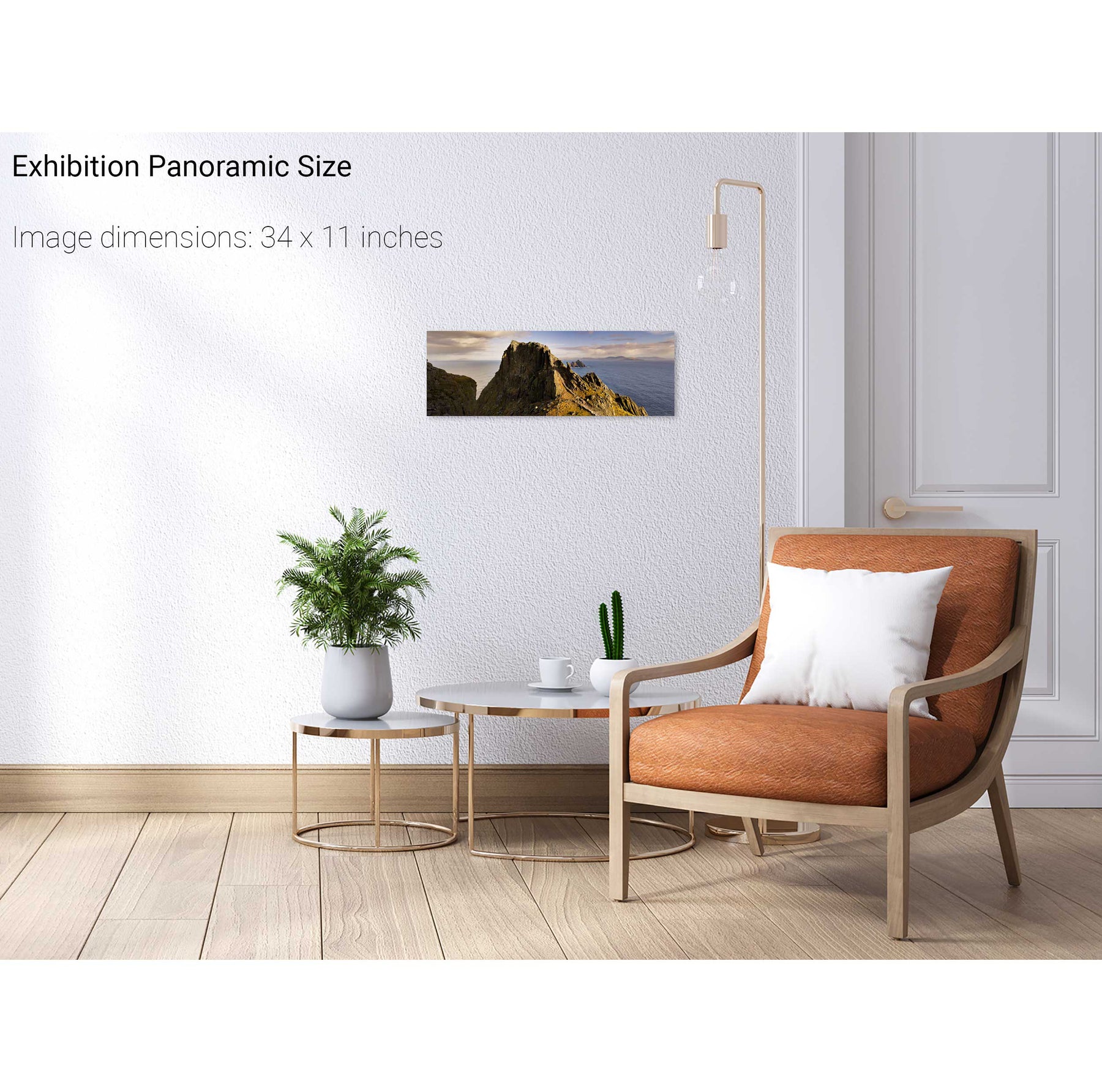
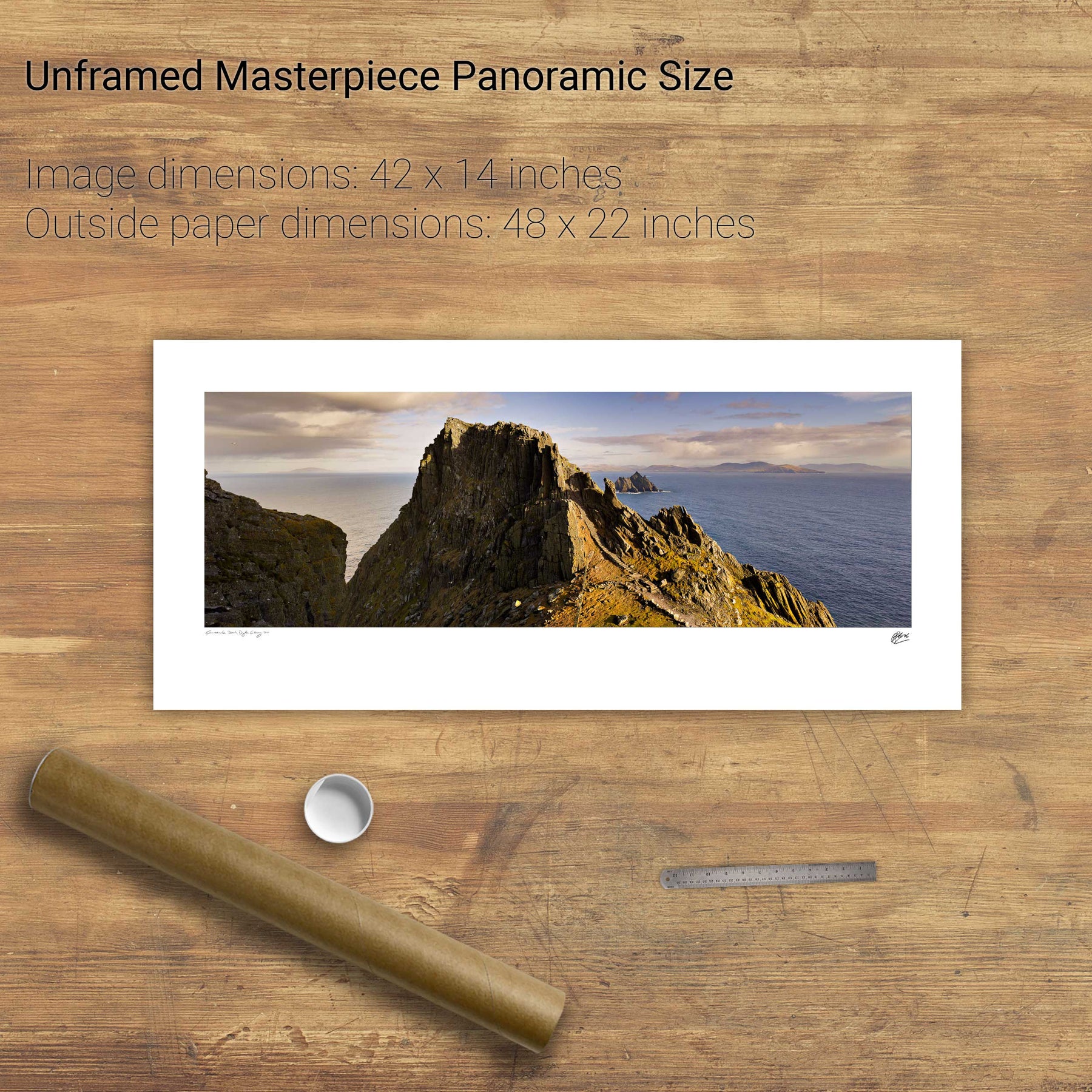
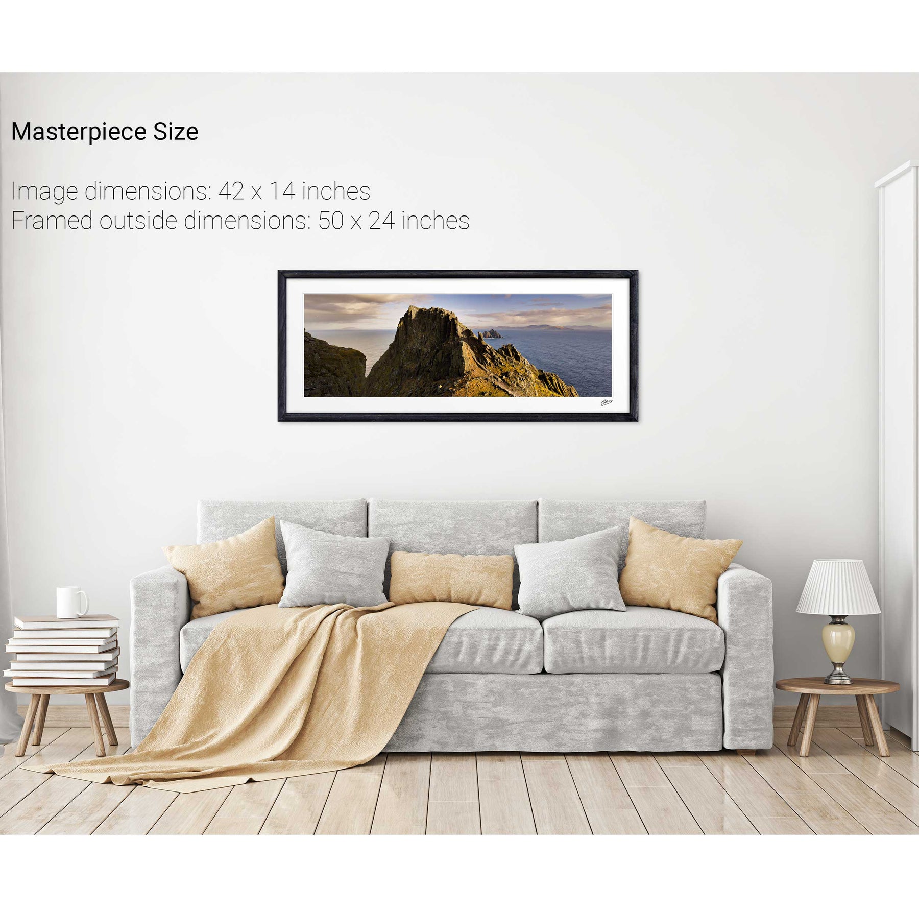
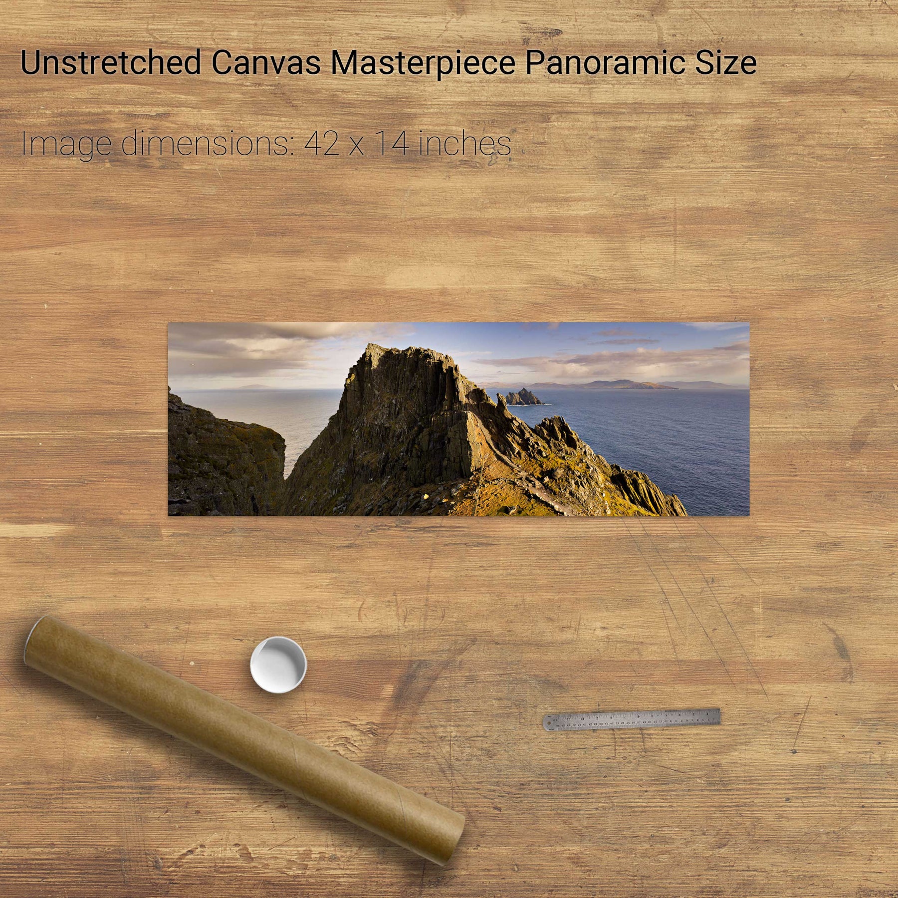
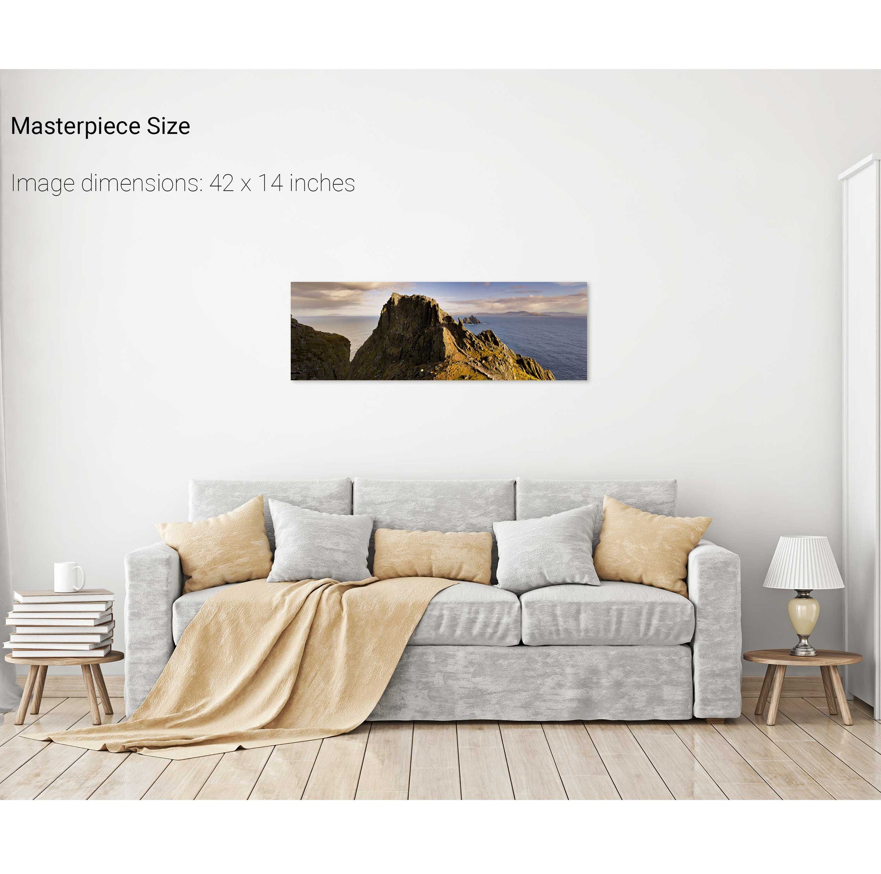
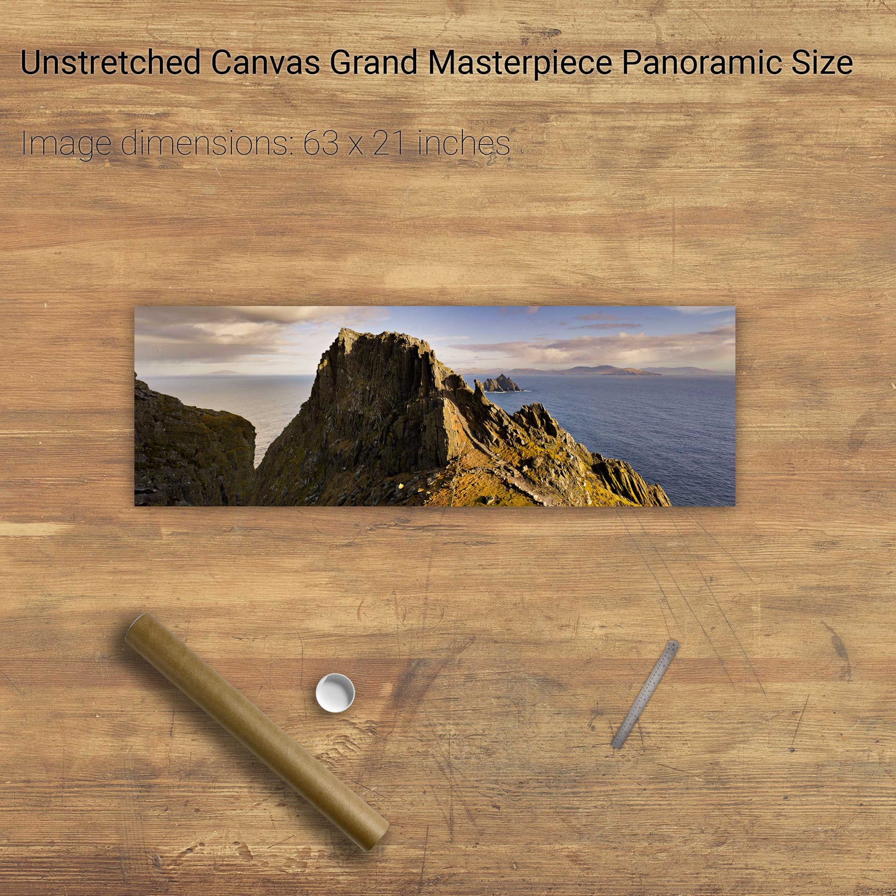
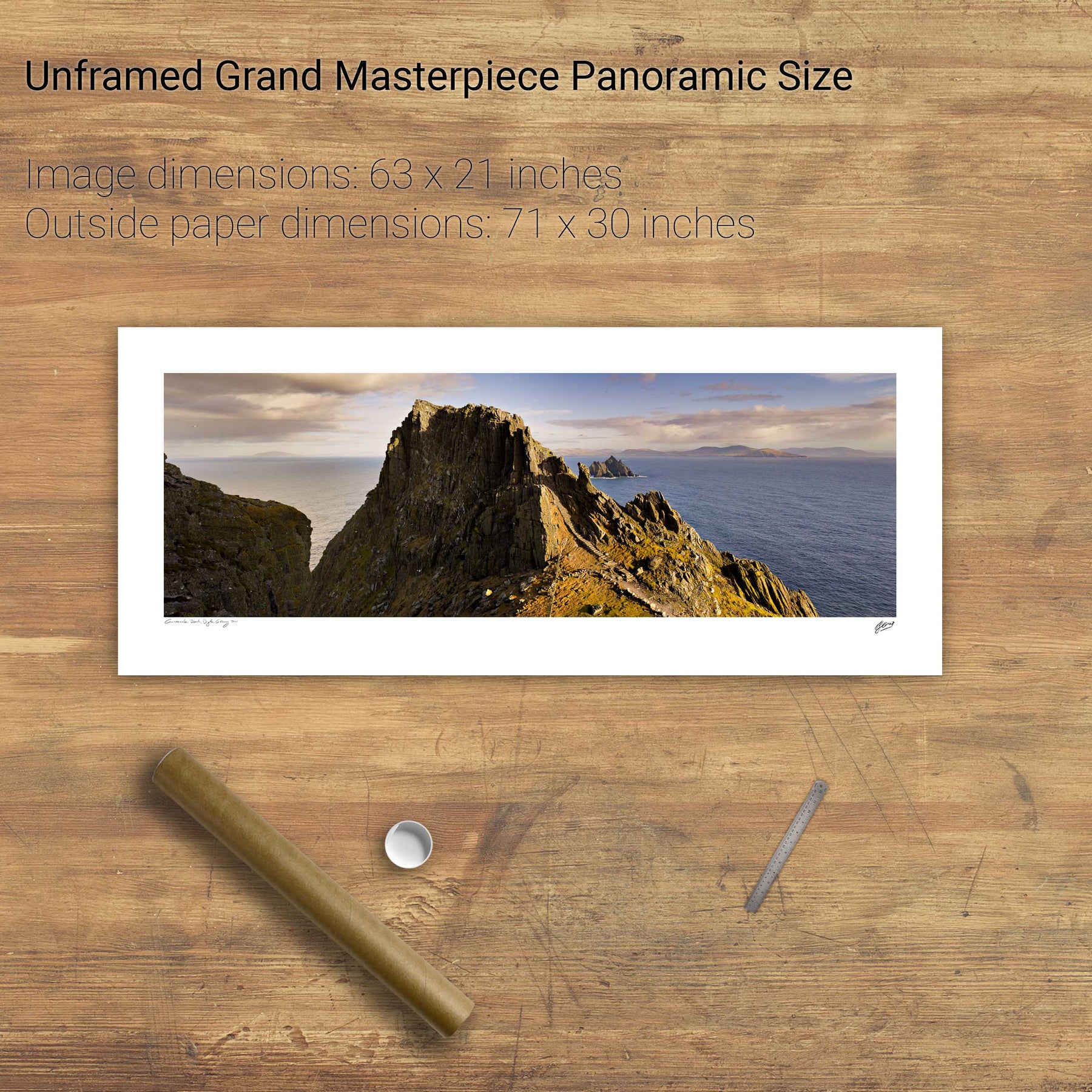
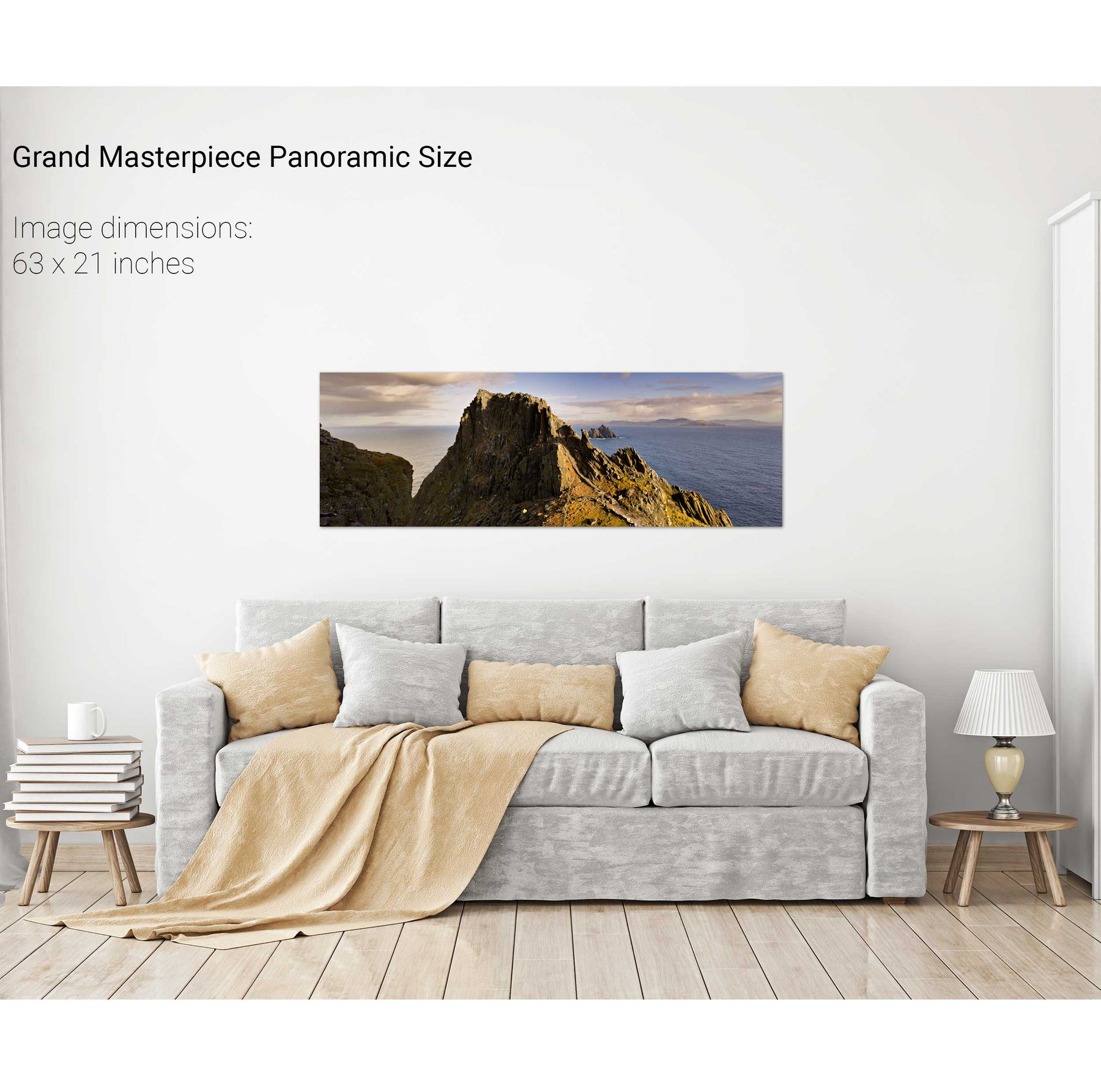
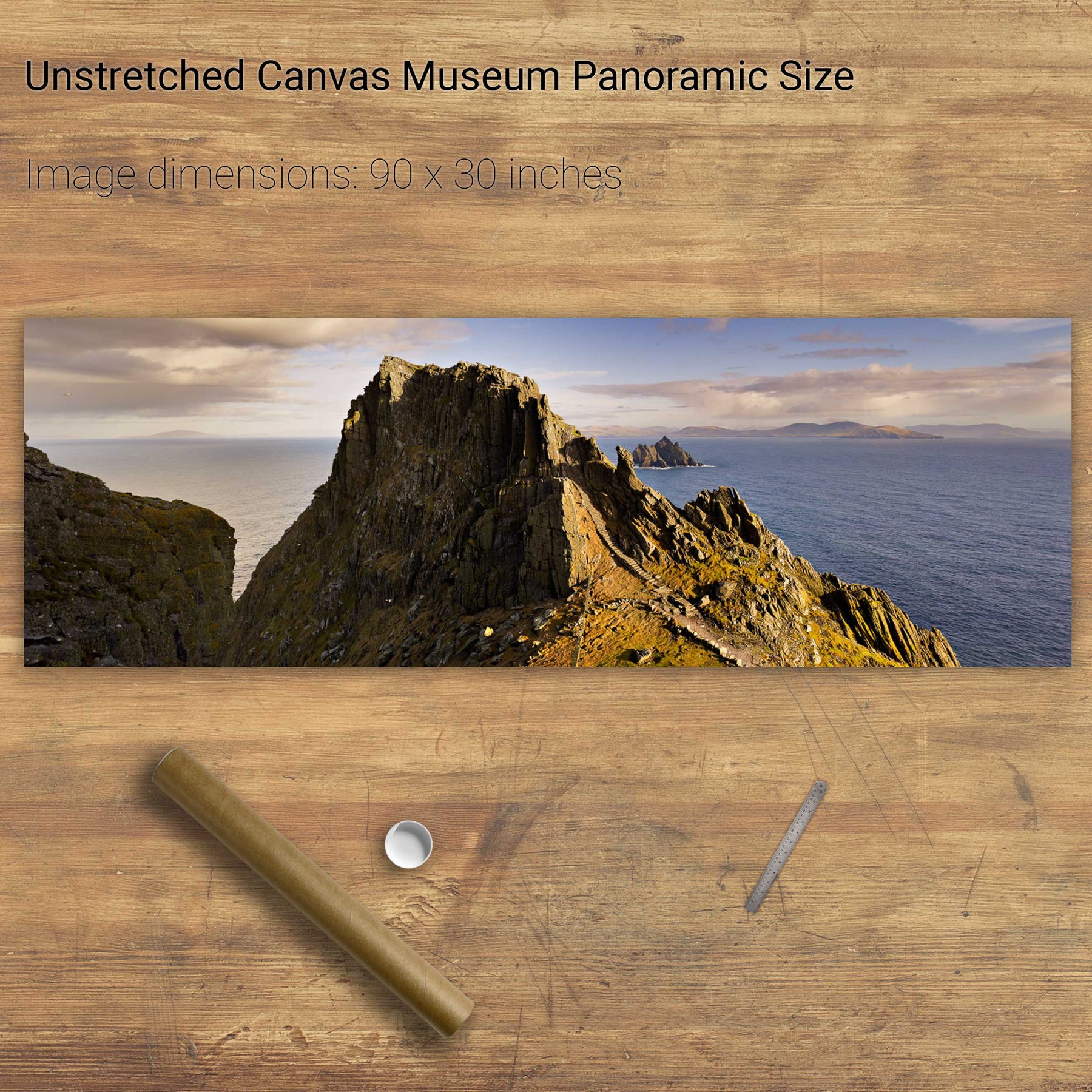
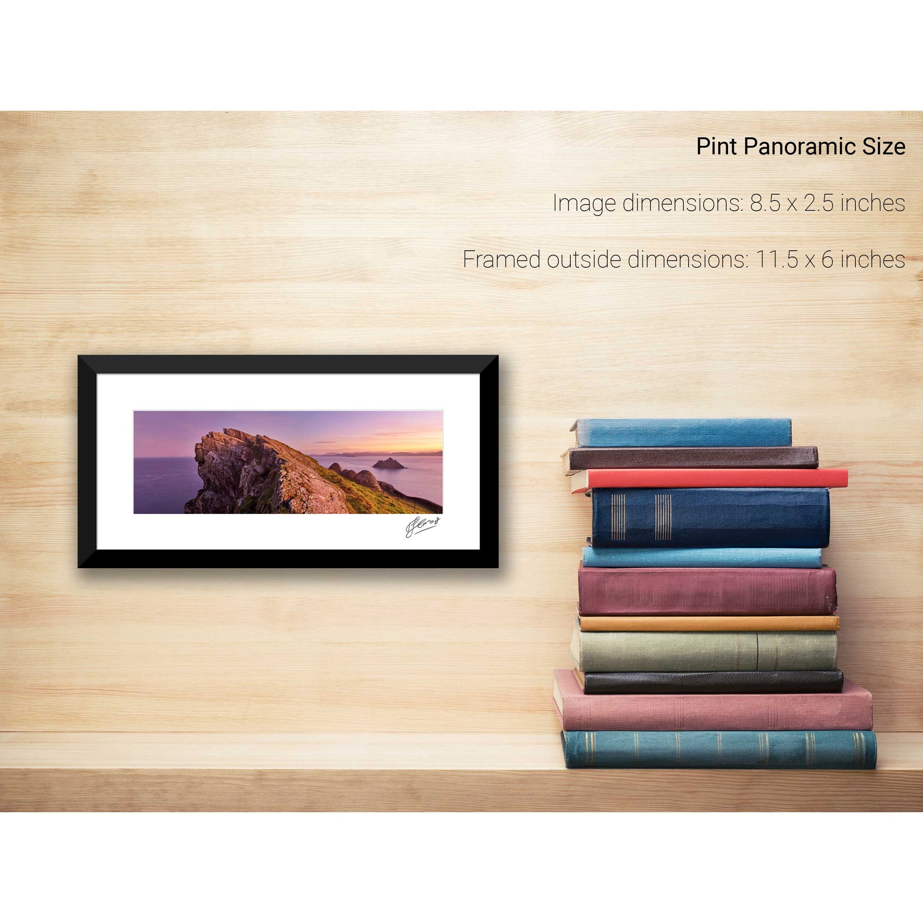
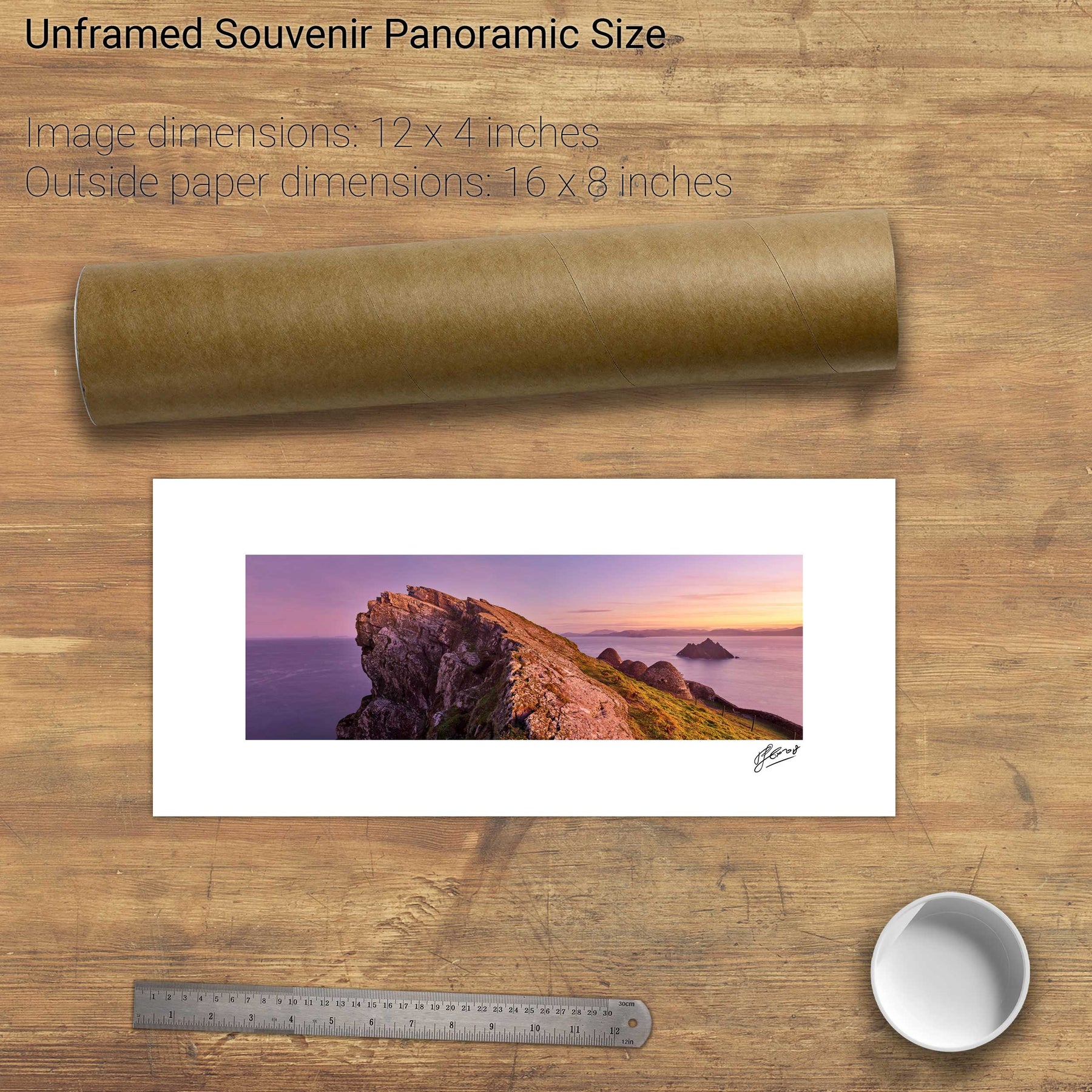
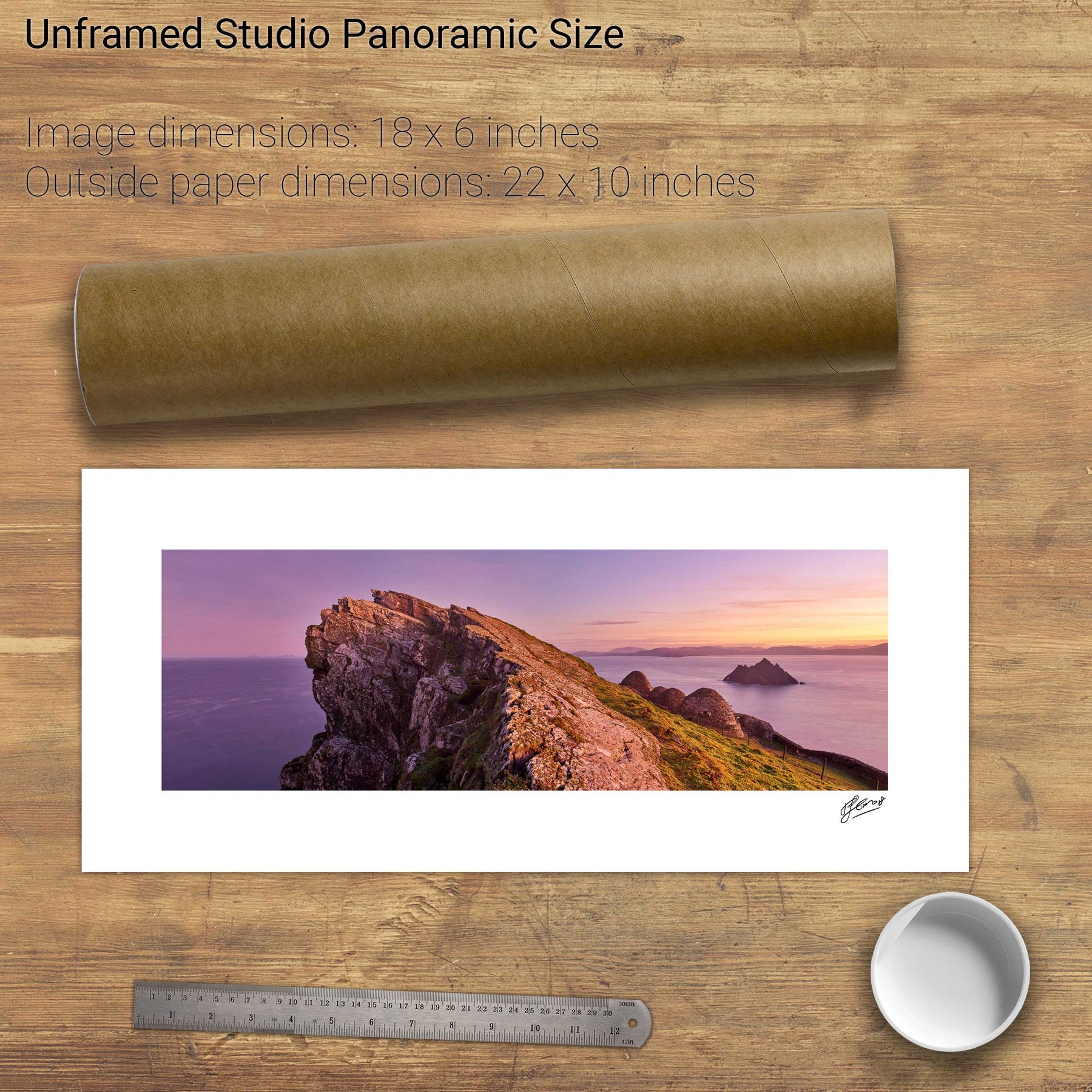
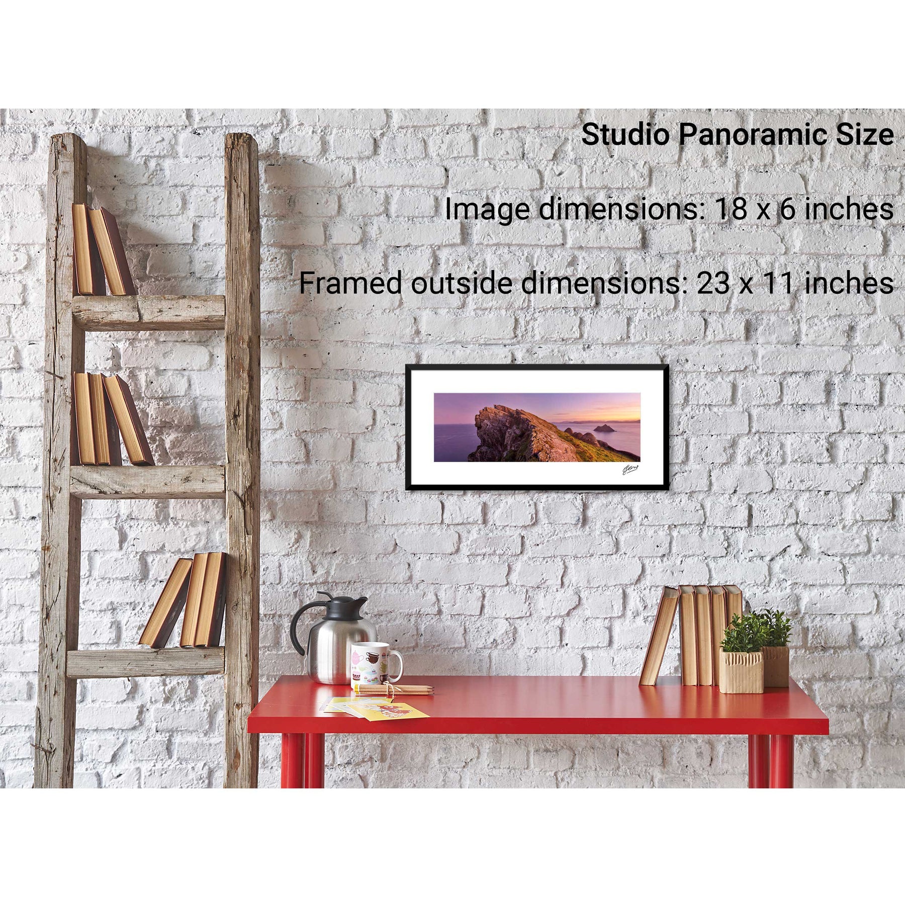
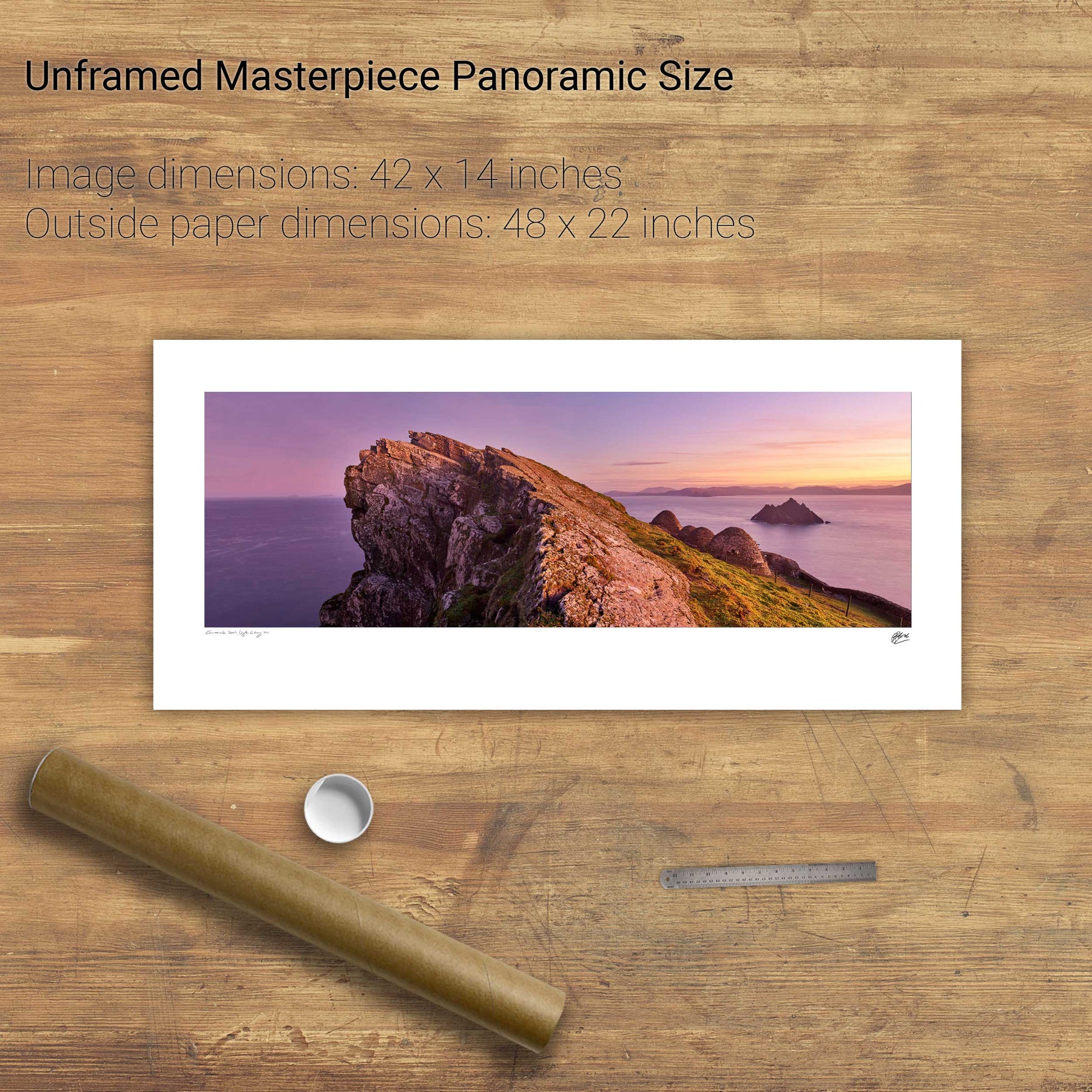
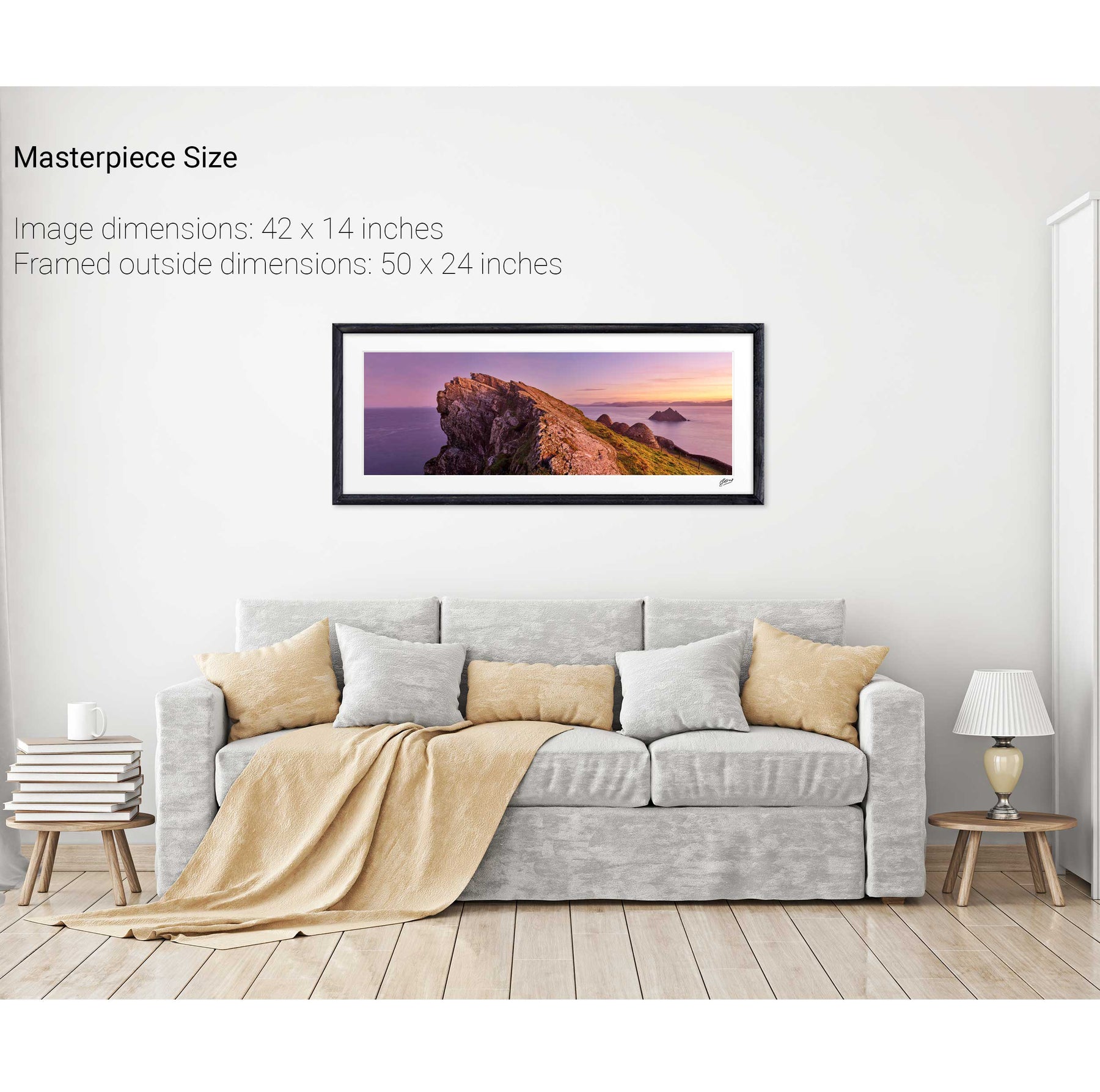
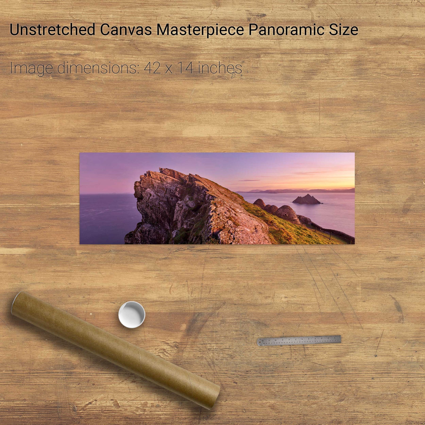
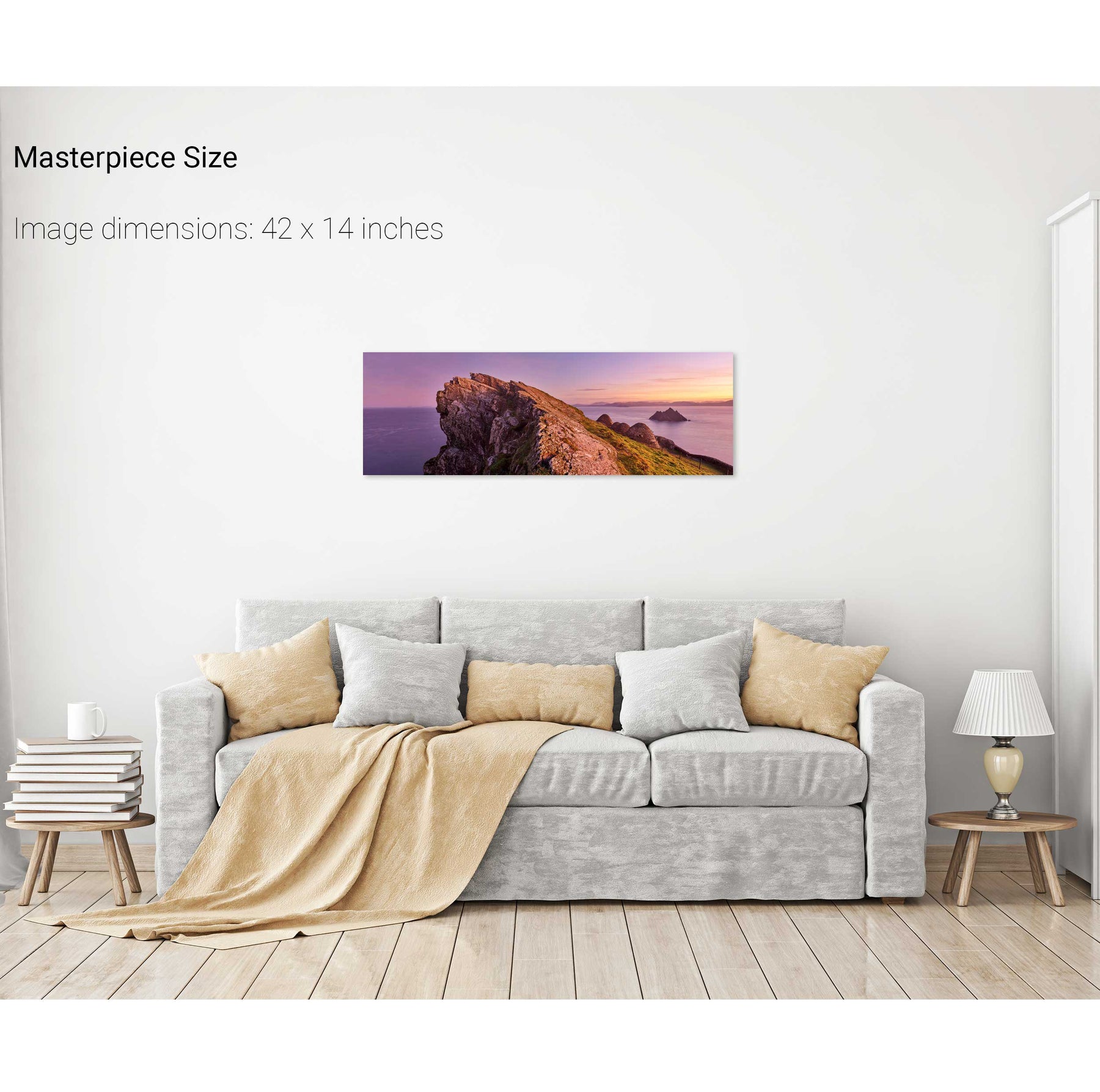
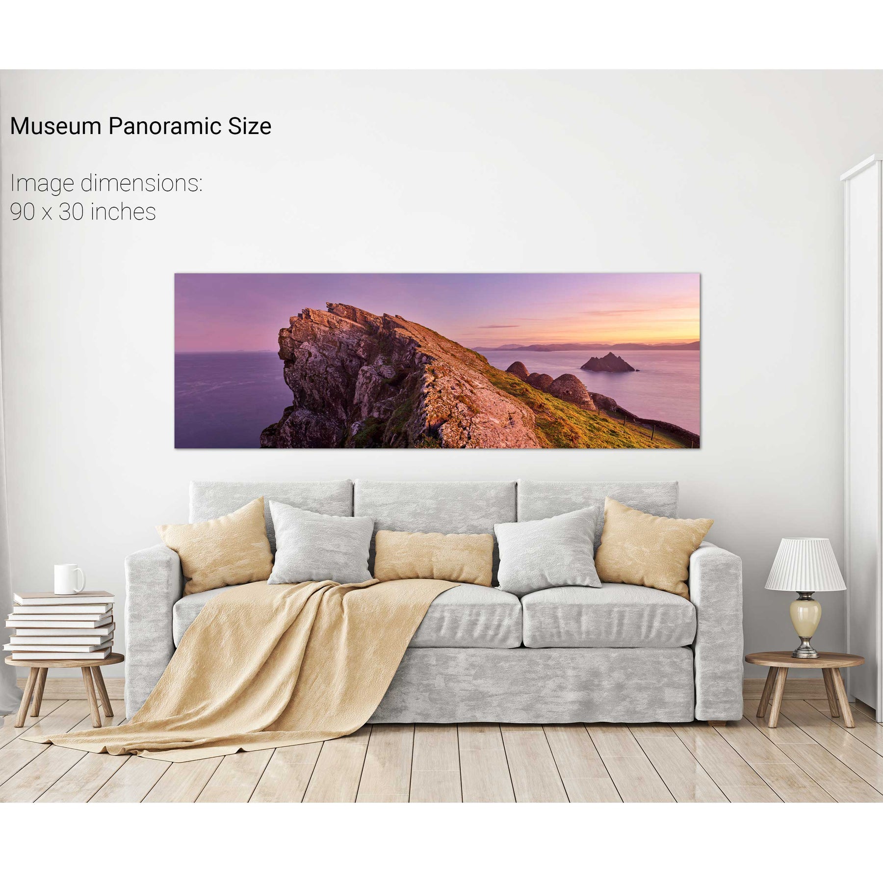
North Peak Ridge Pano, Skellig Michael, Kerry
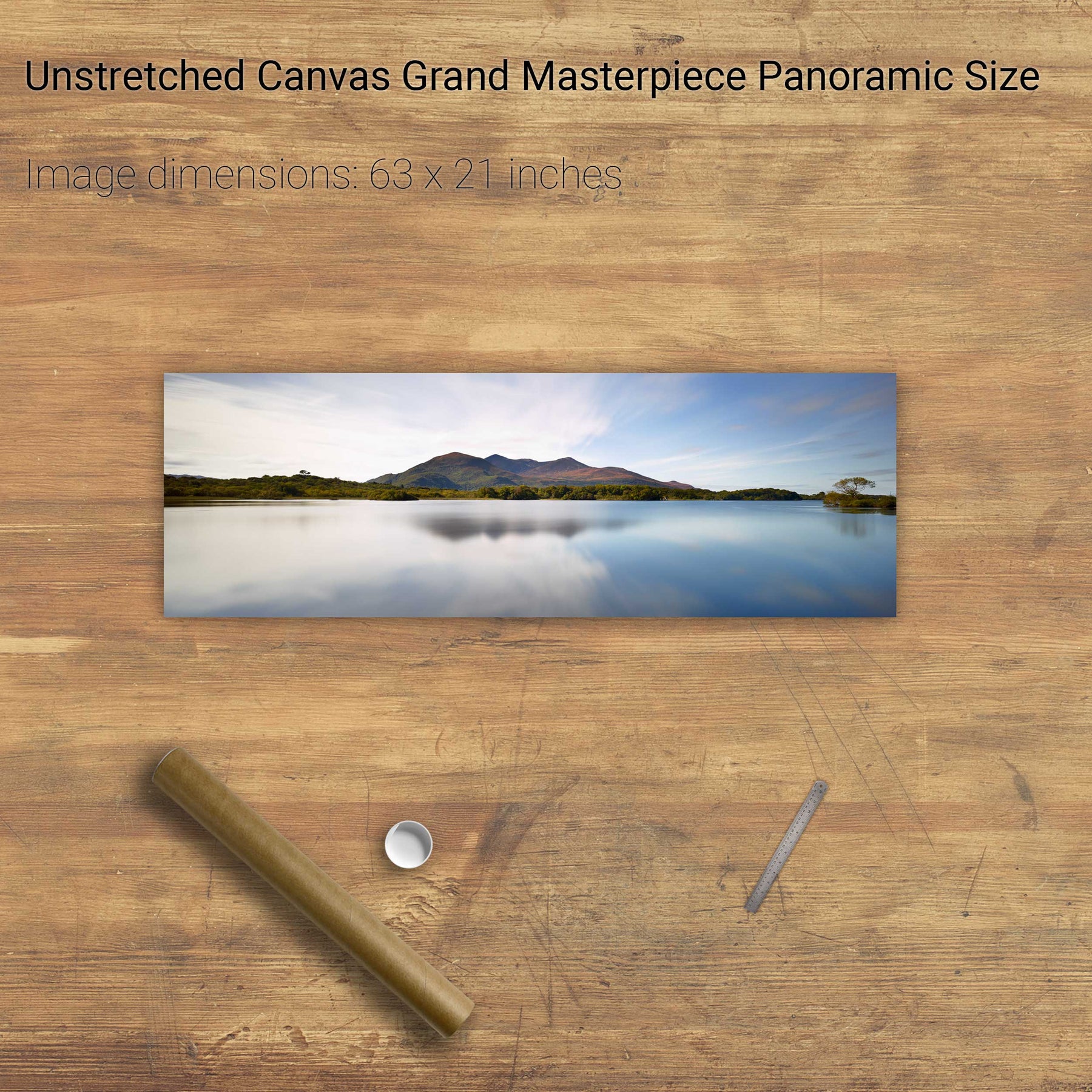
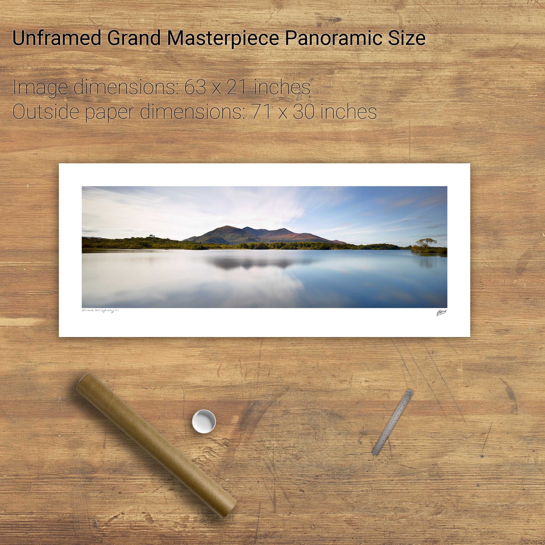
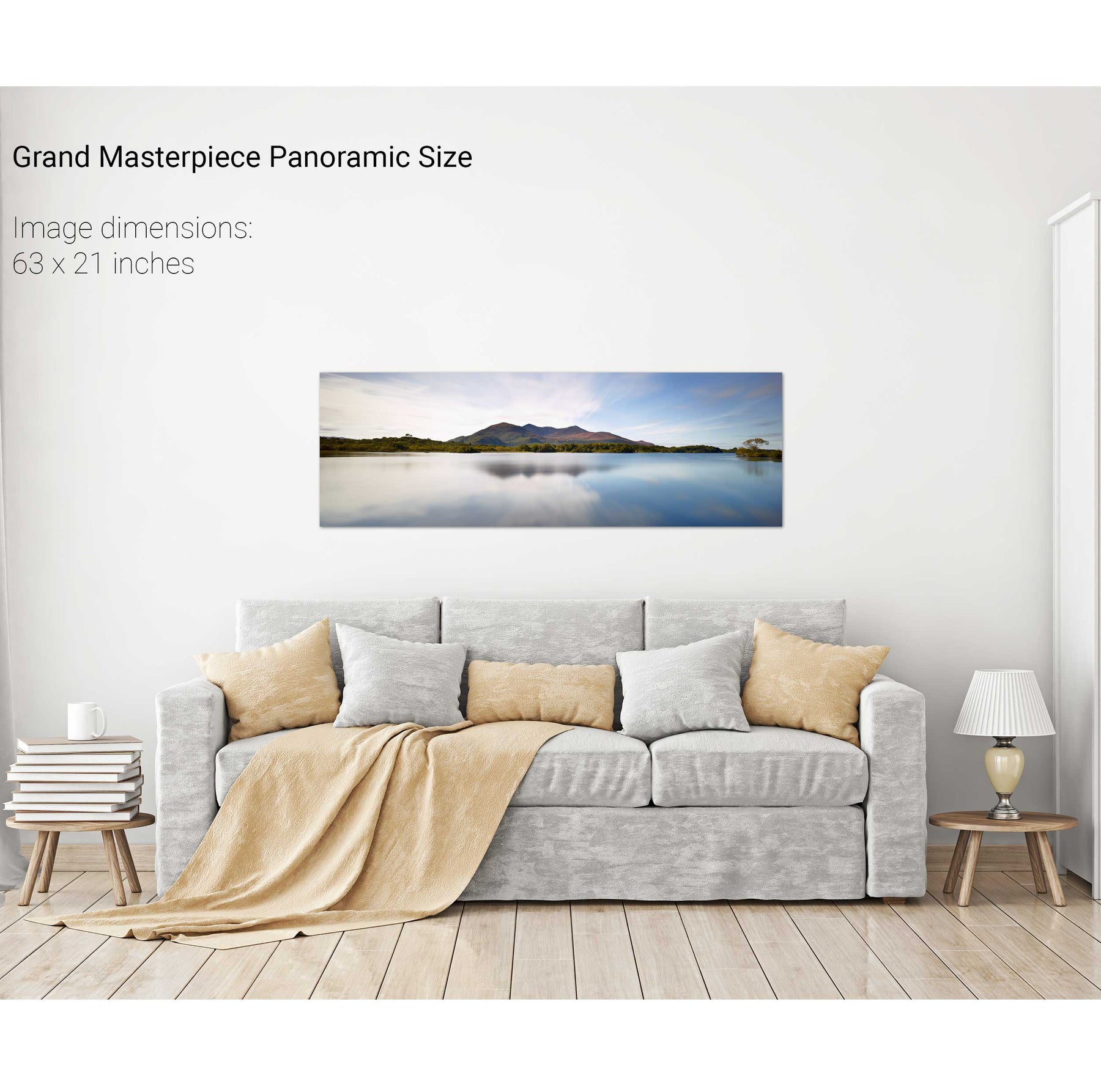
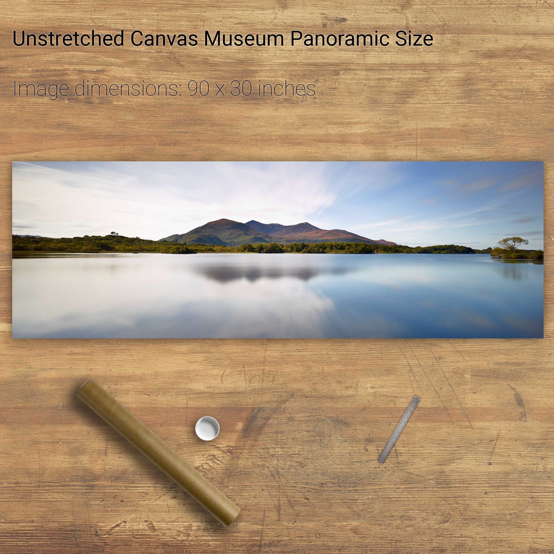
Lough Leane and the Reeks, Killarney, Co. Kerry
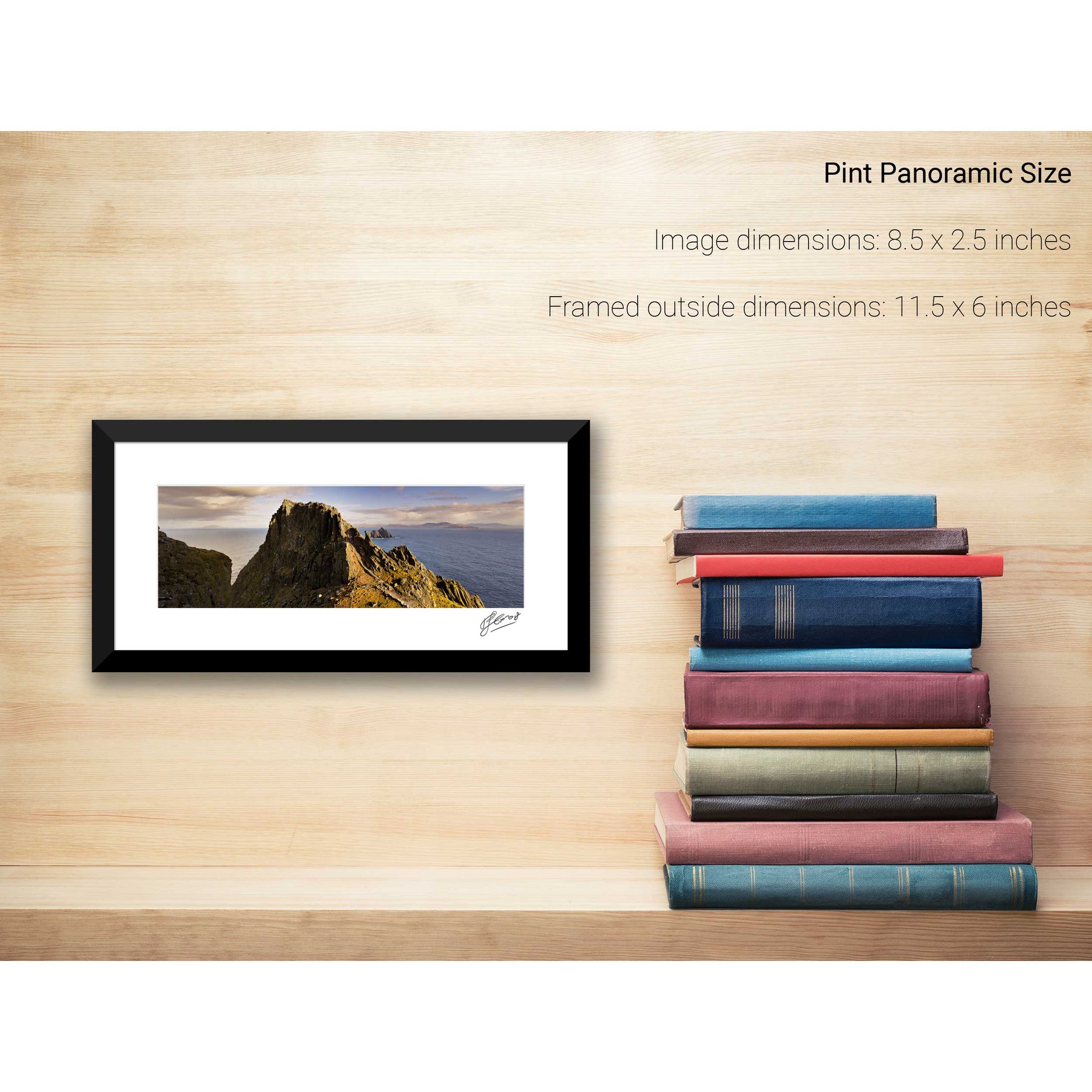
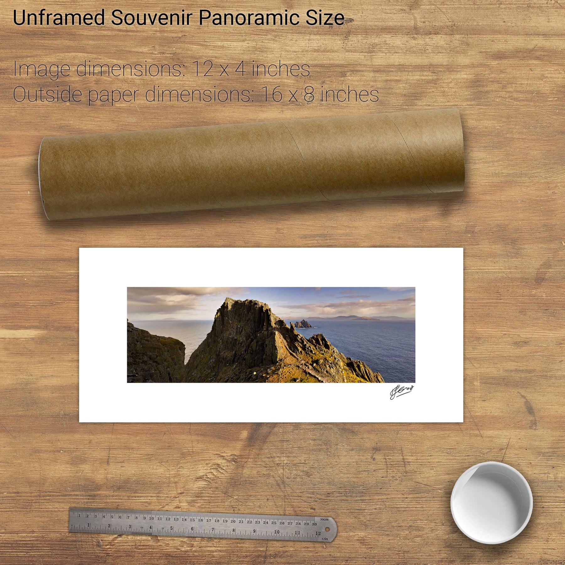
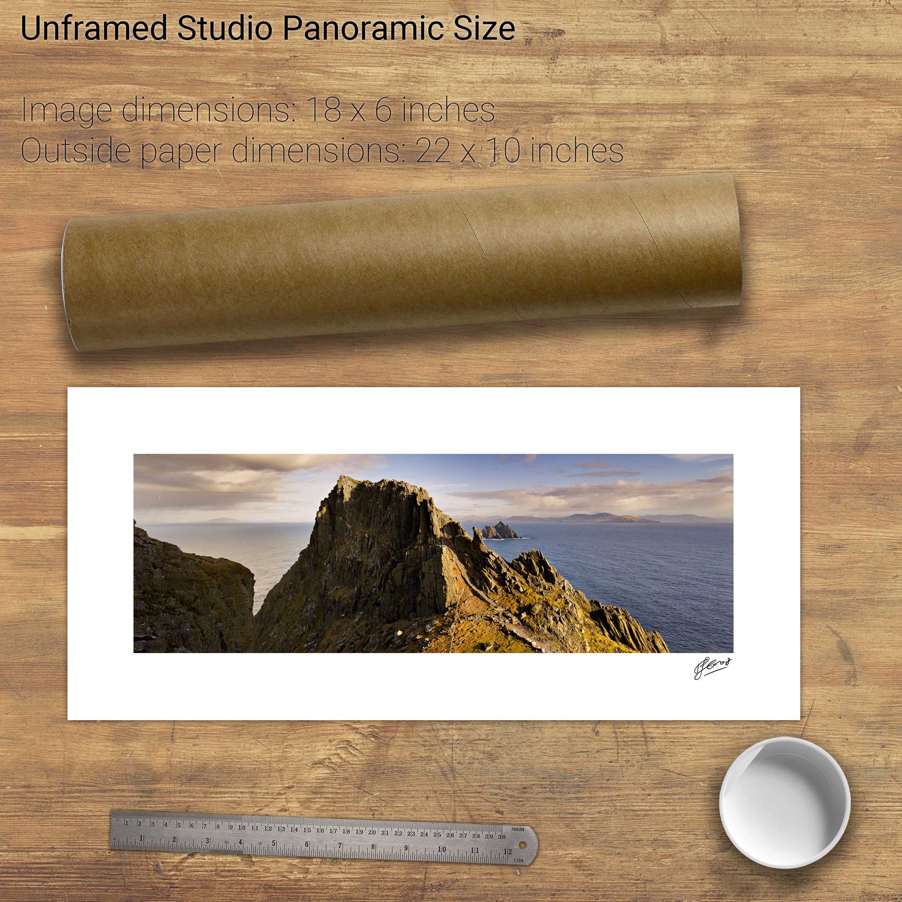
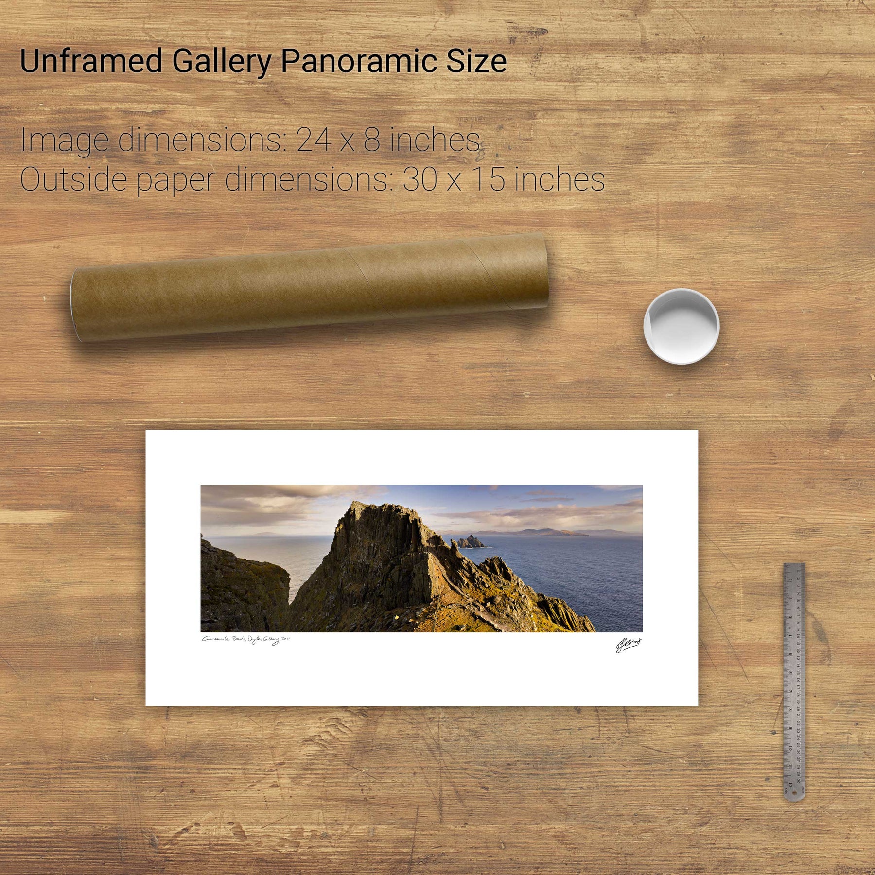
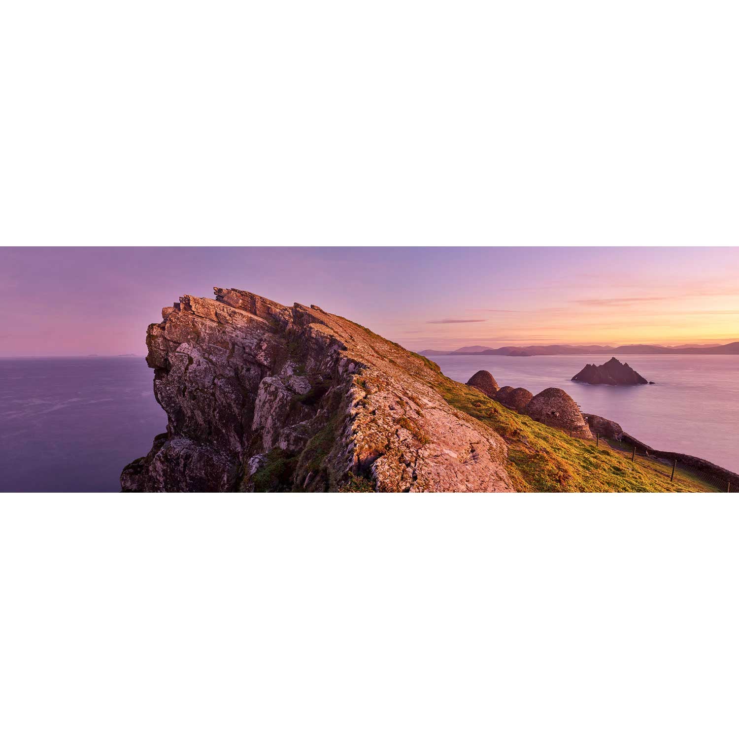
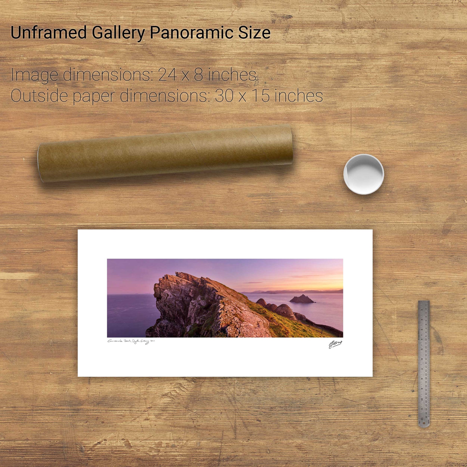
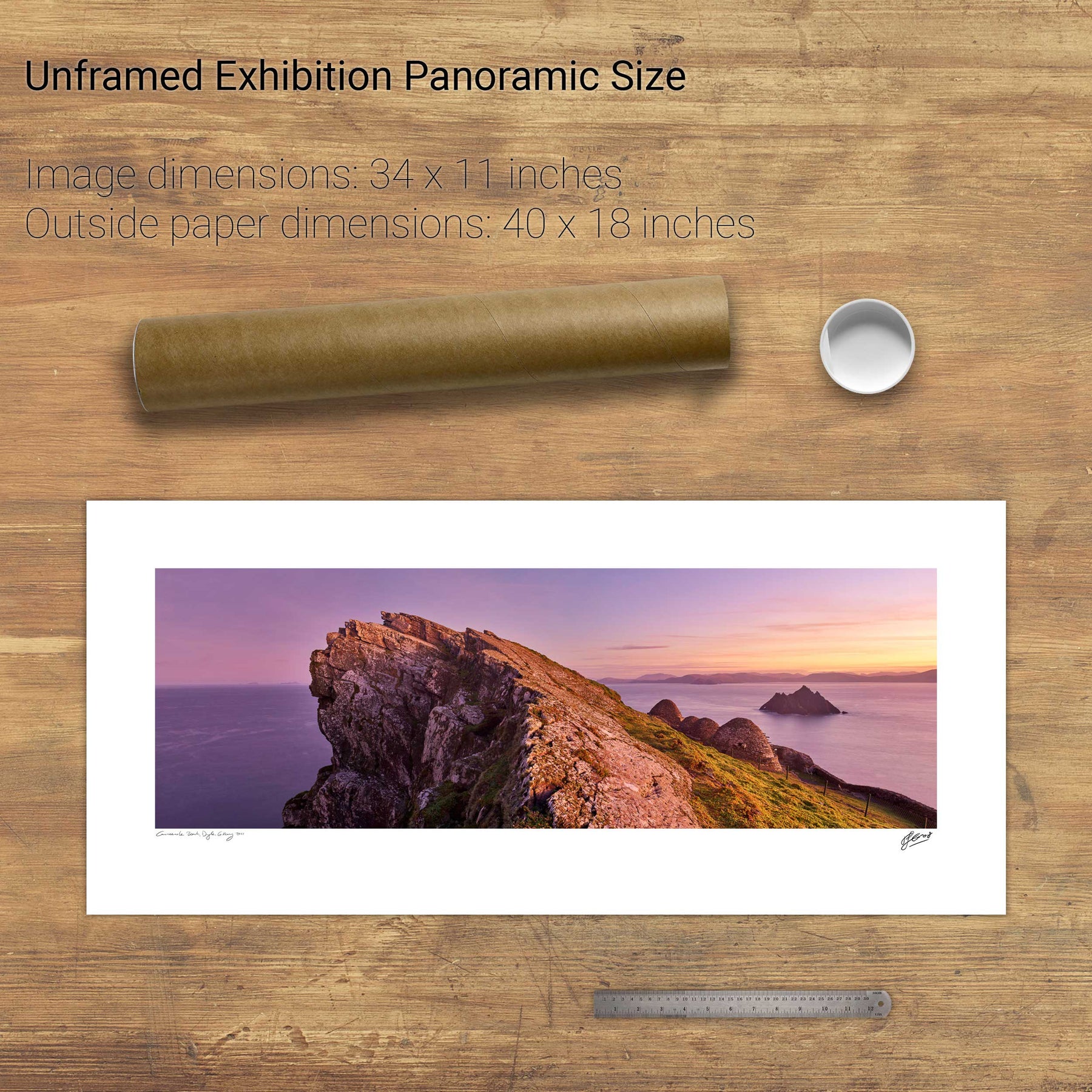
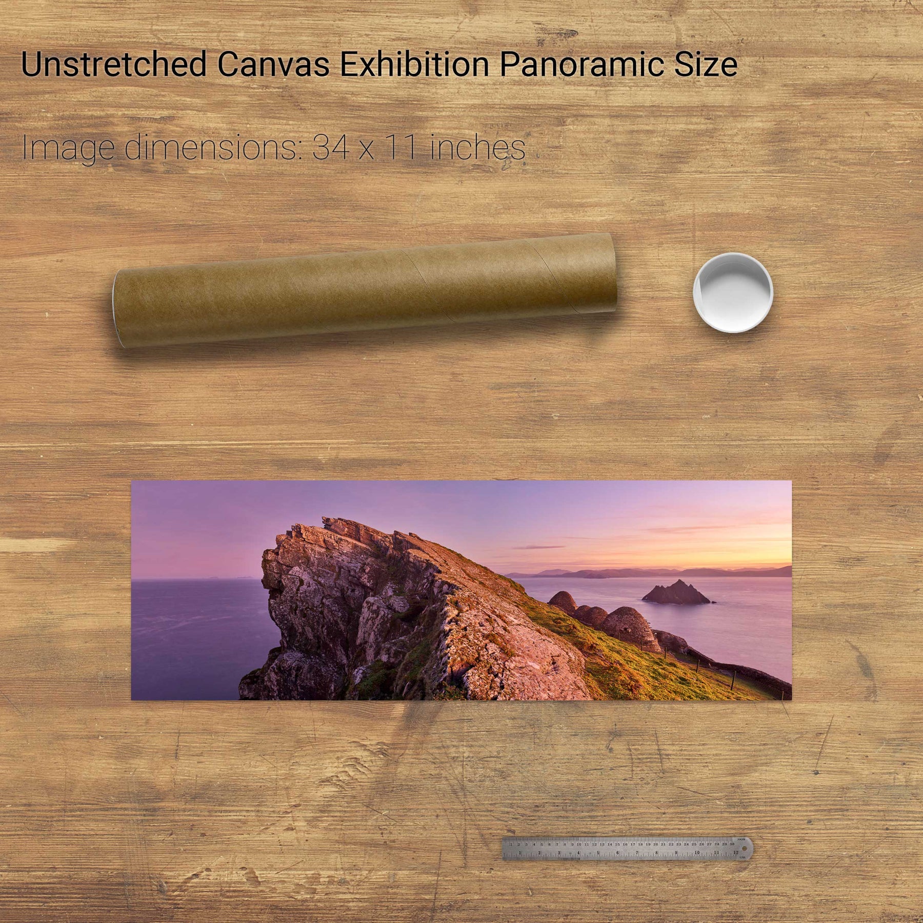
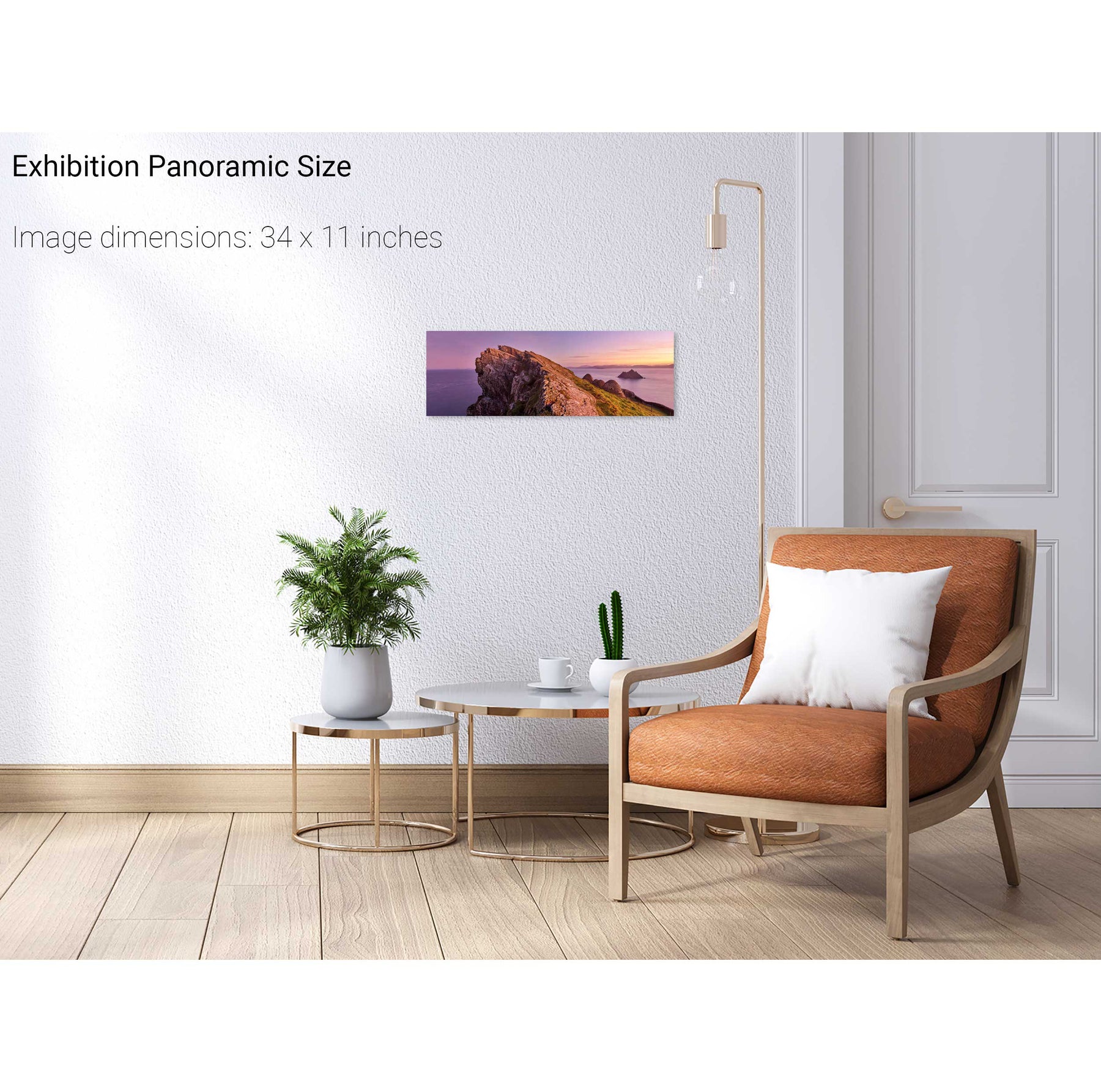
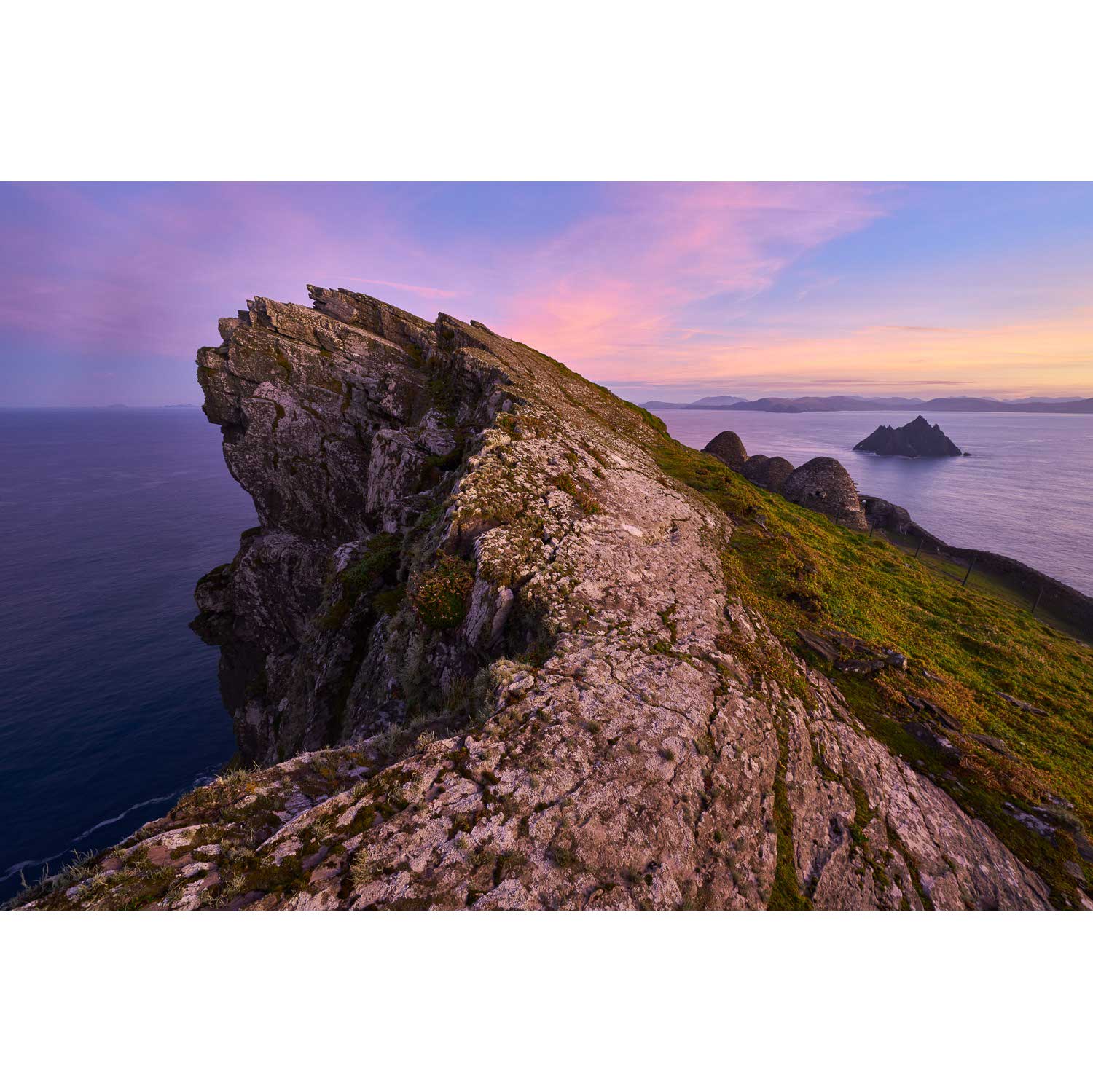
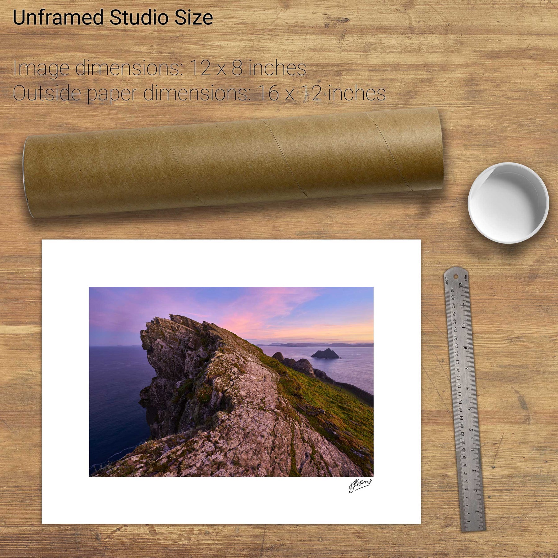
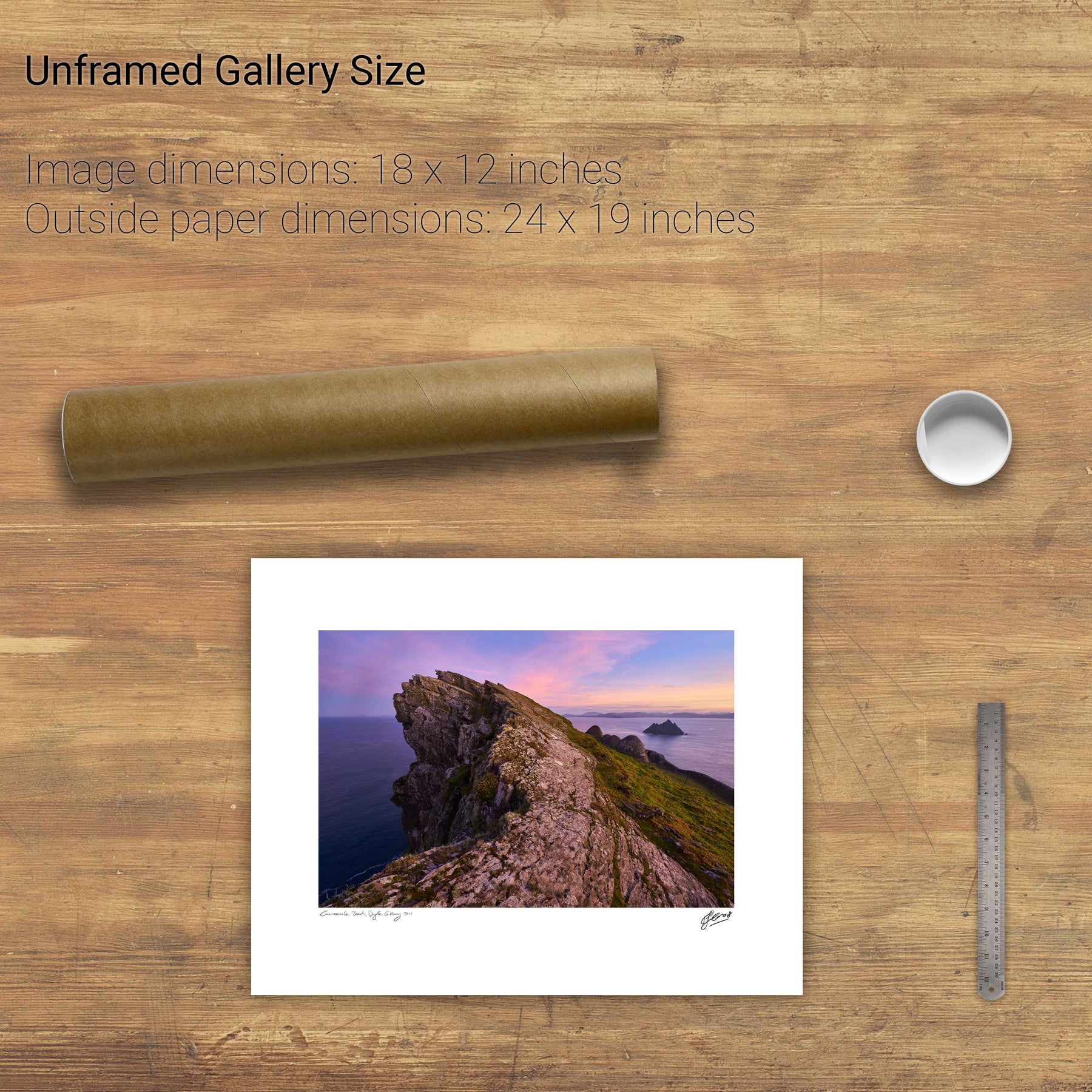
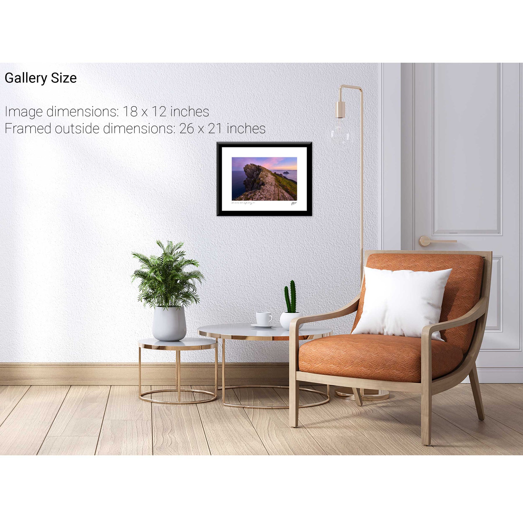
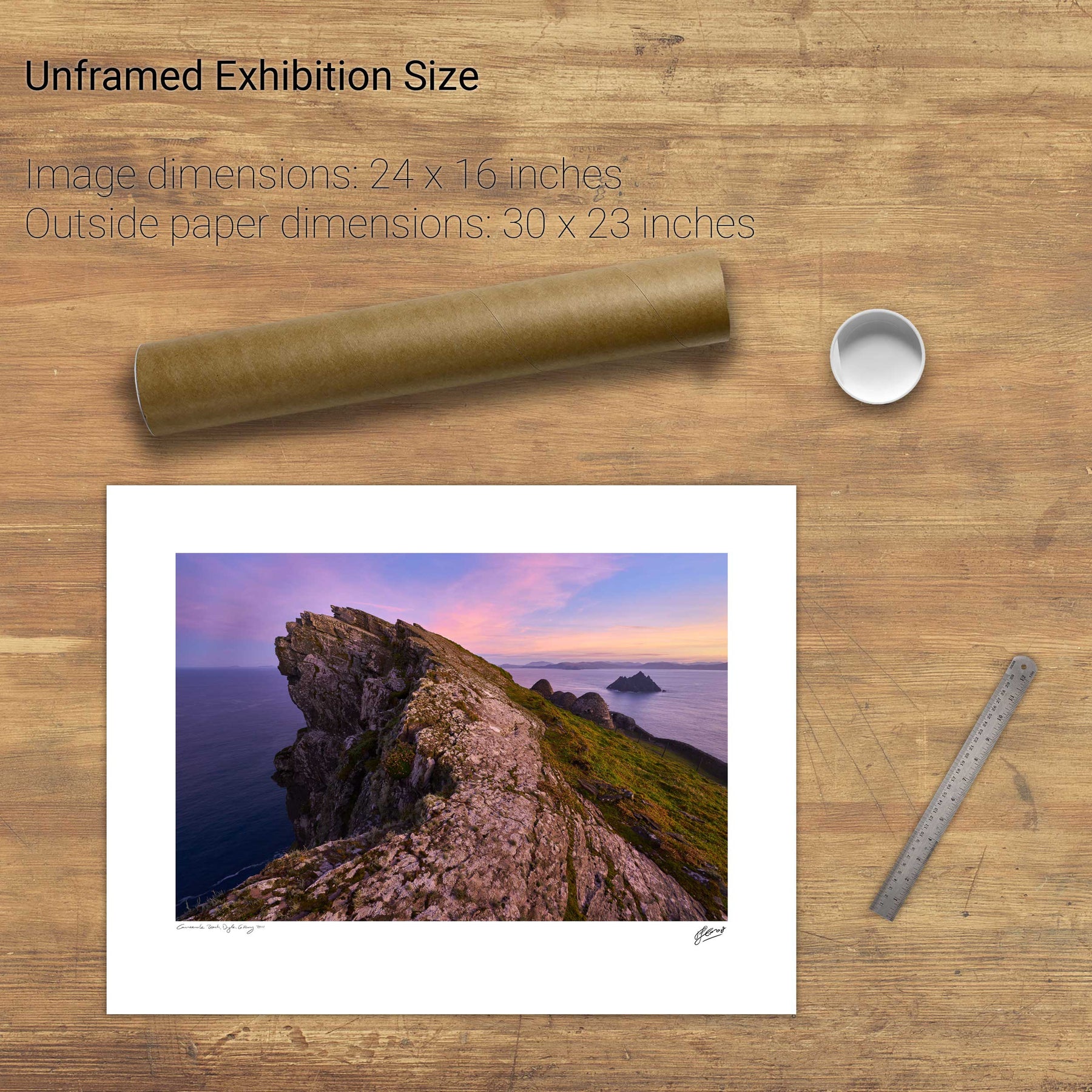
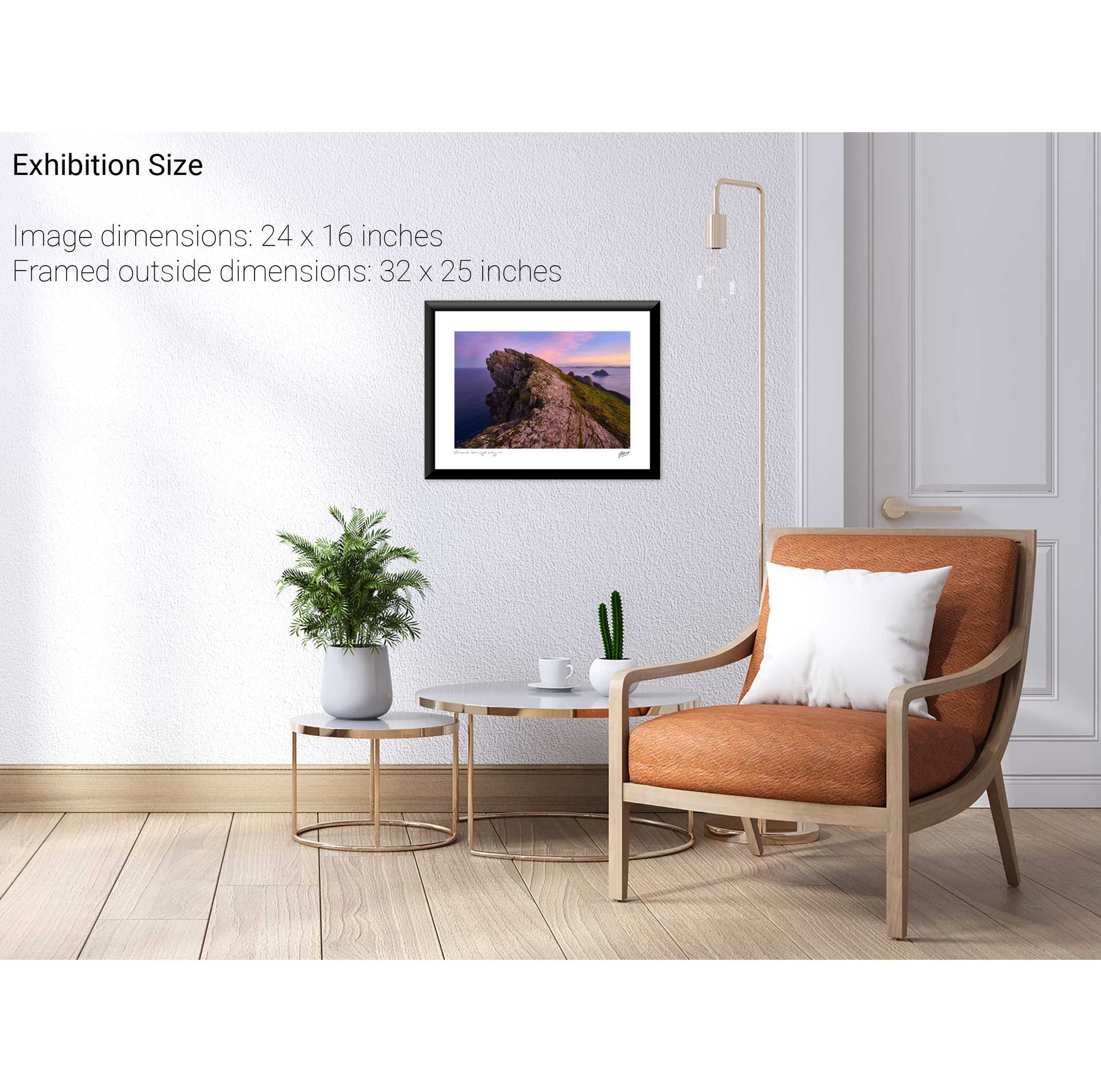
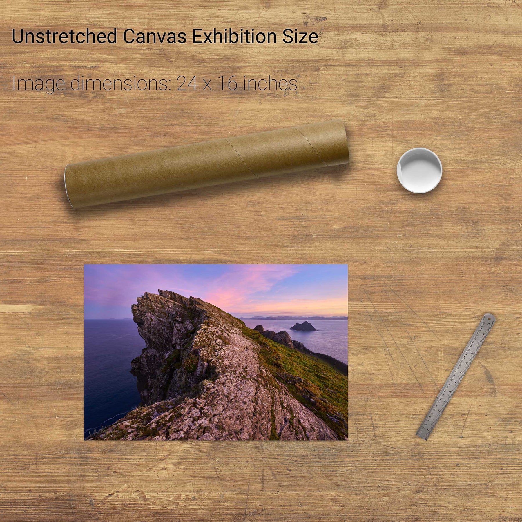
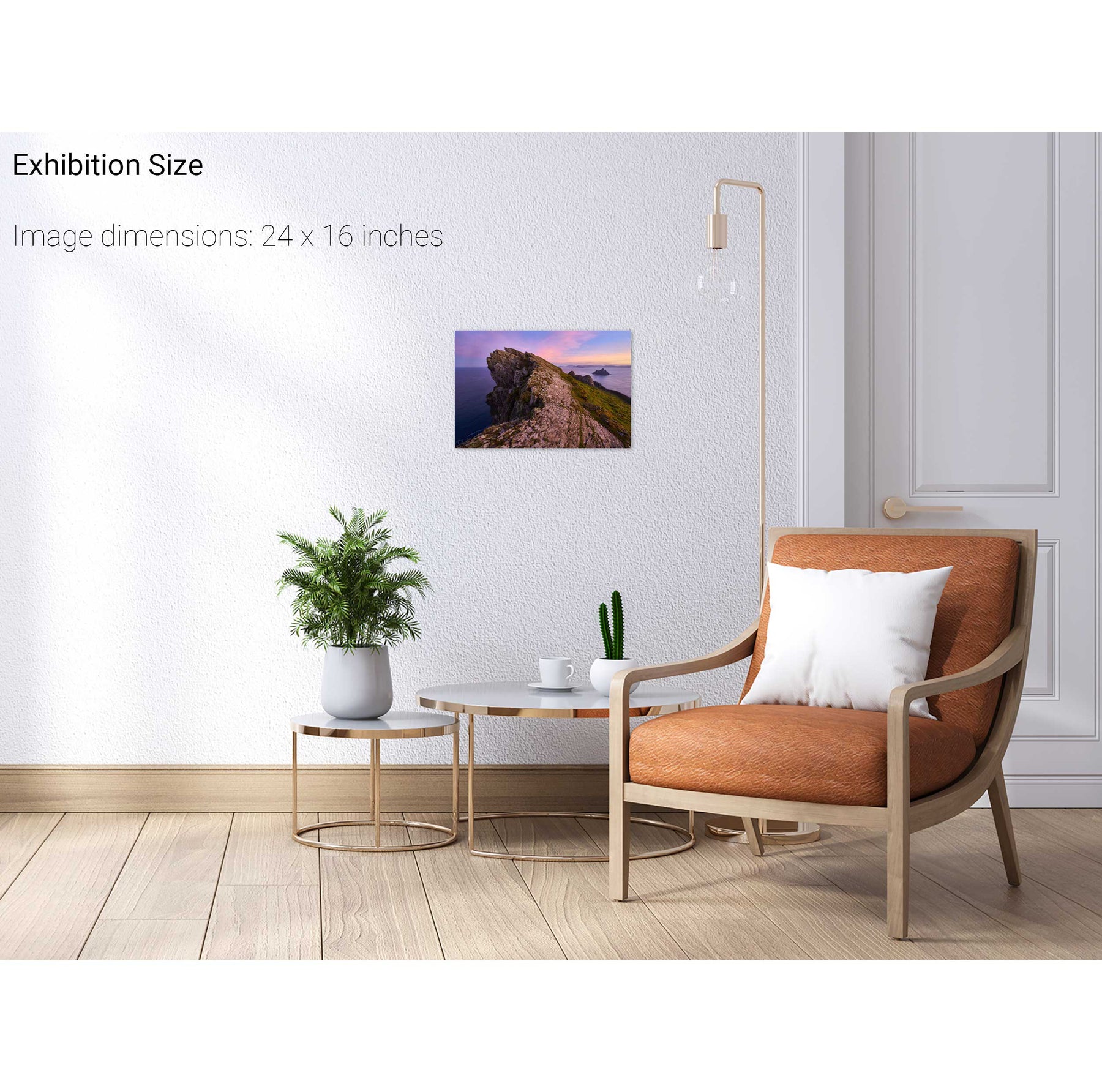
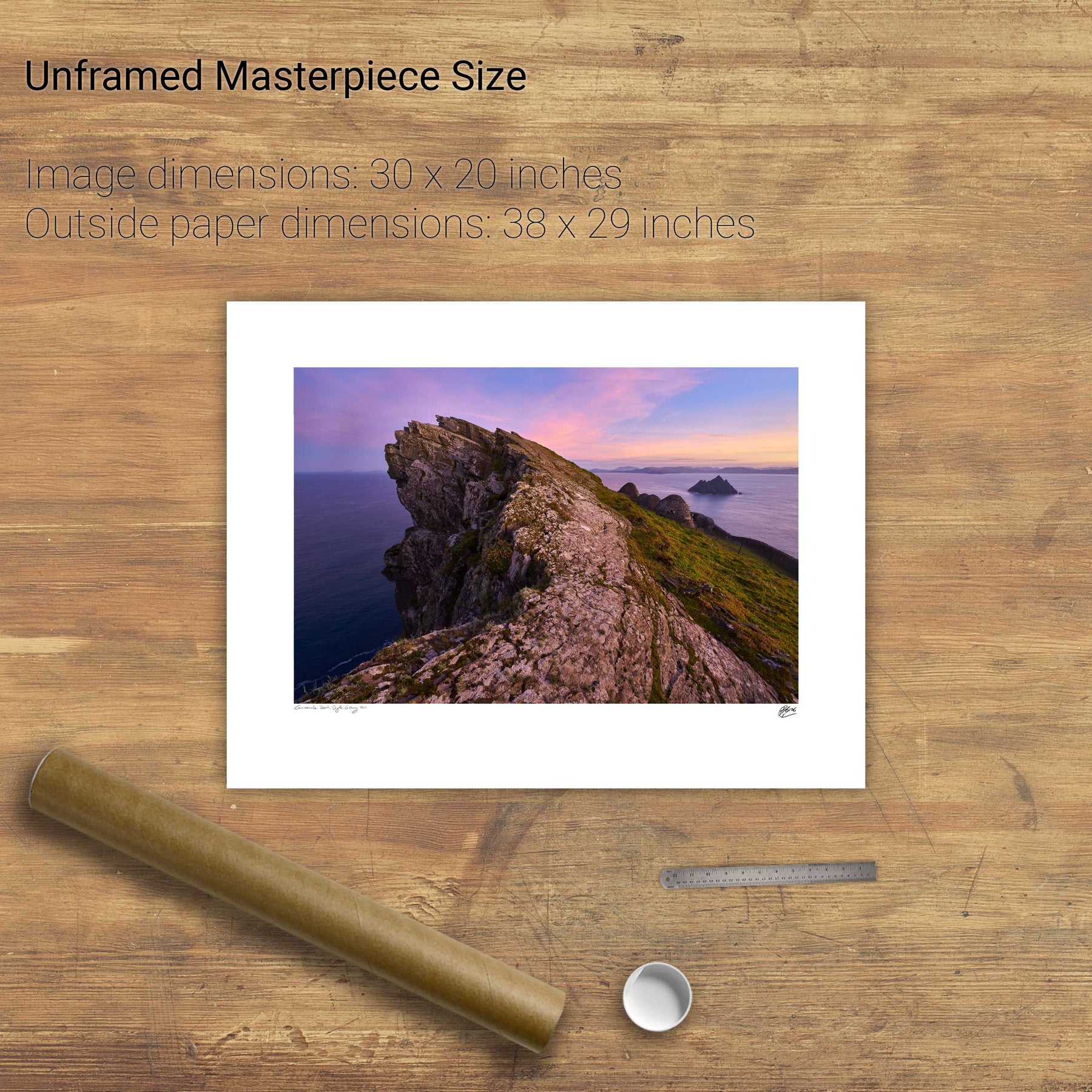
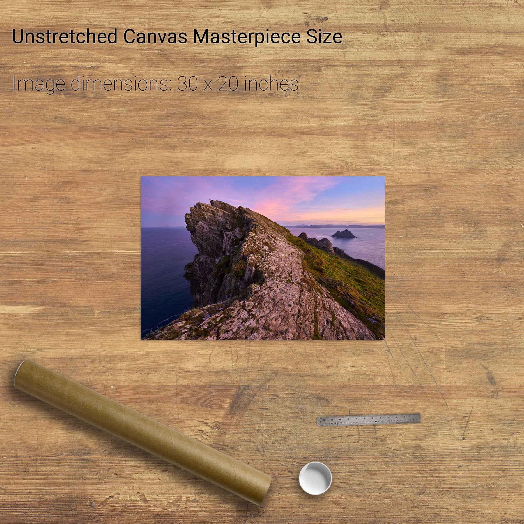
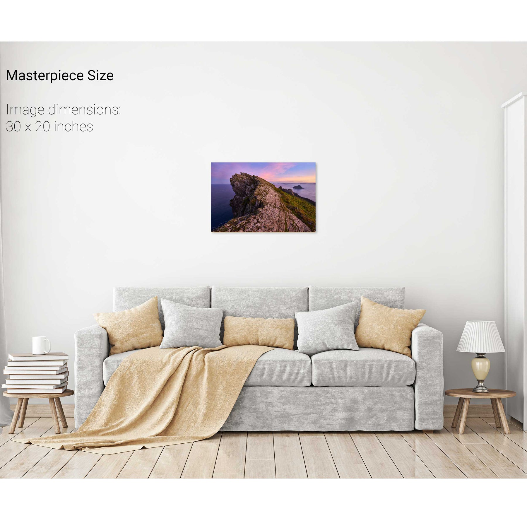
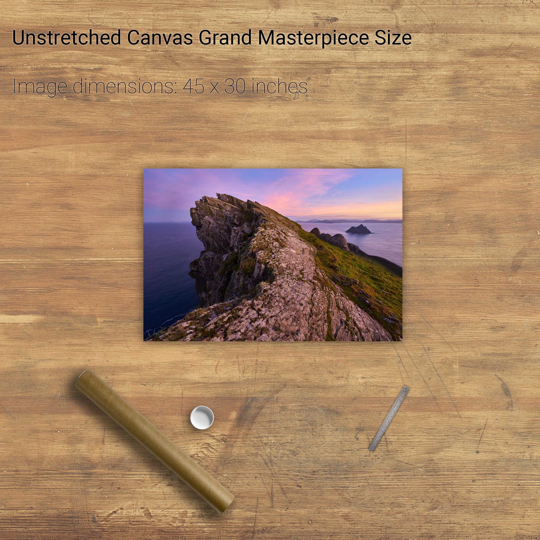
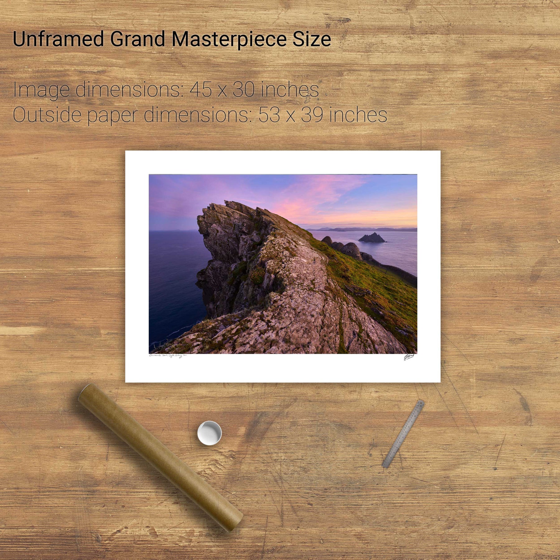
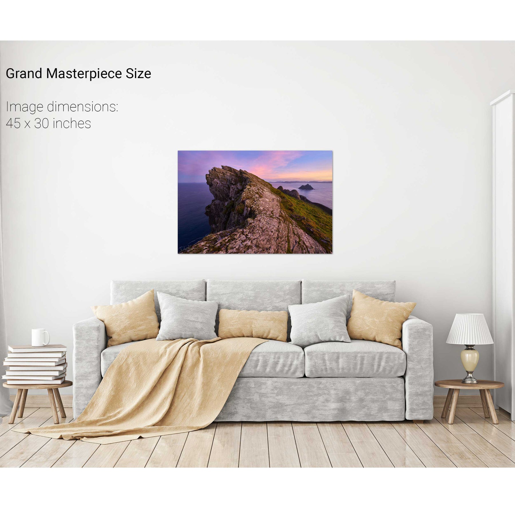
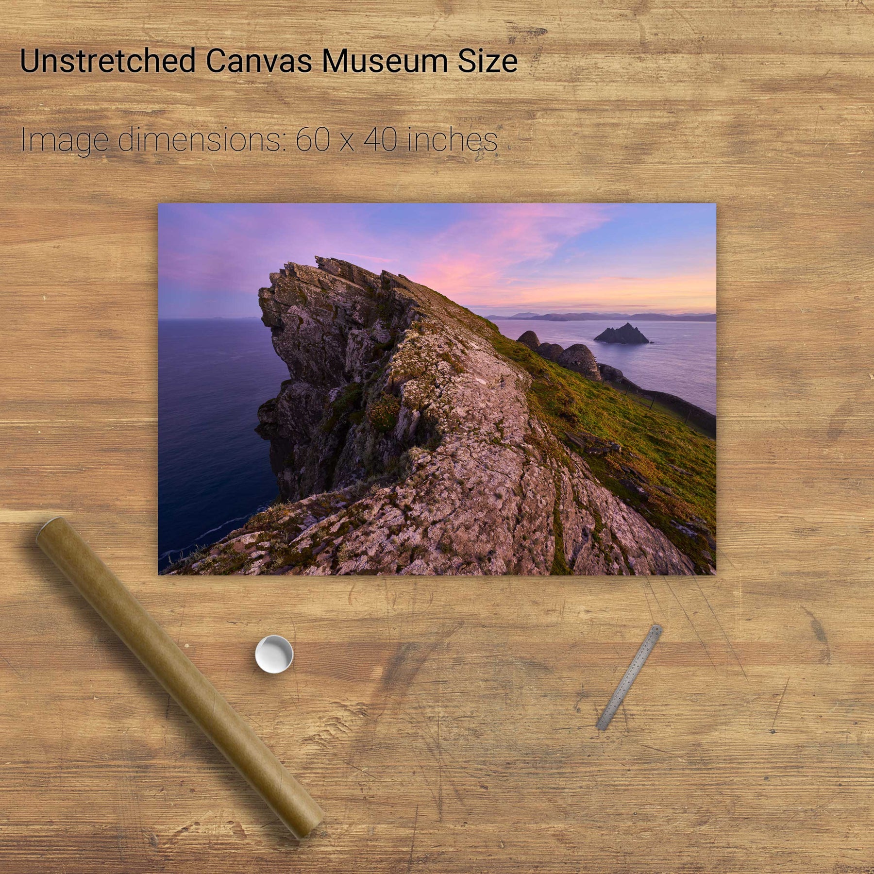
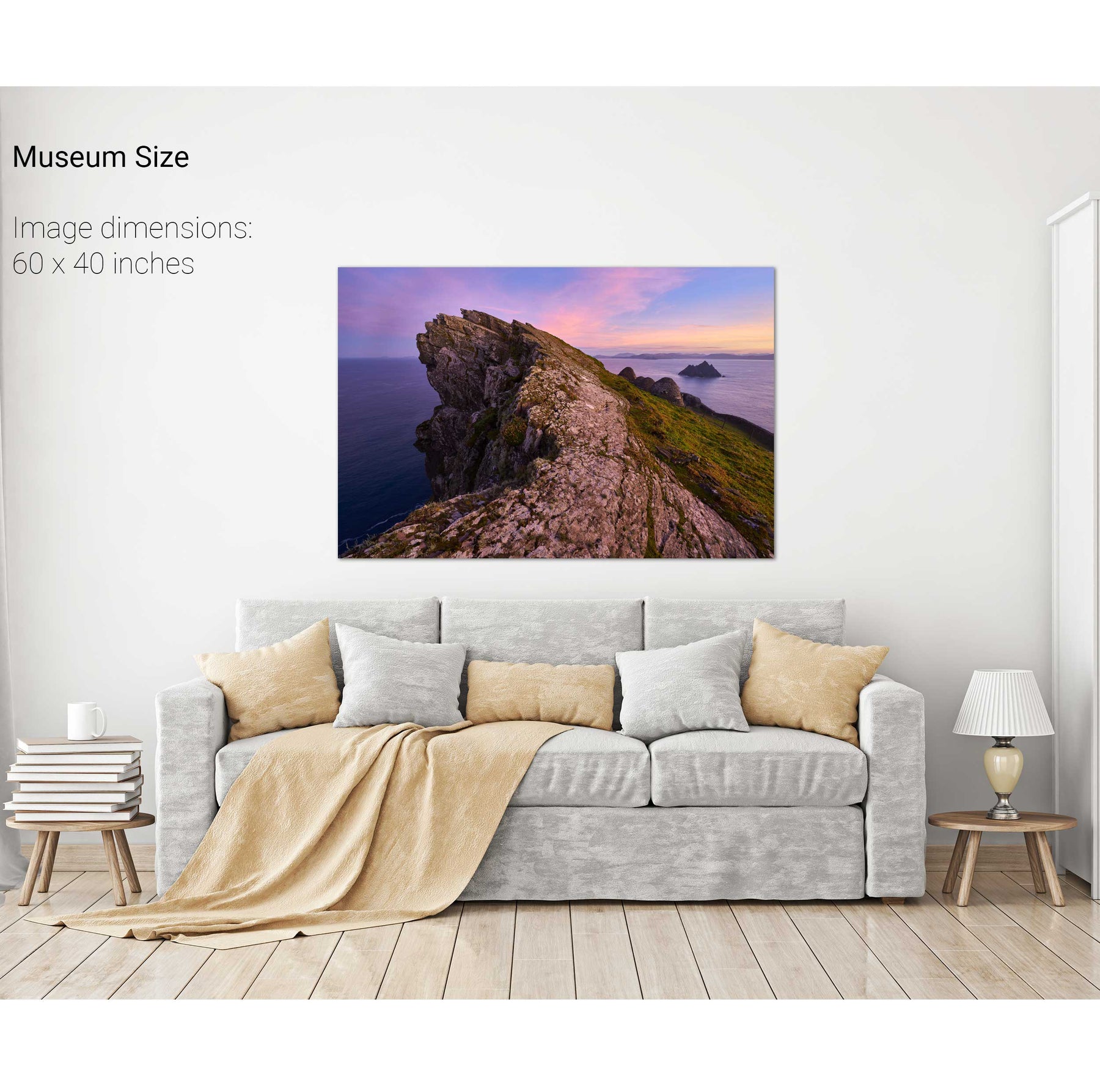
North Peak Ridge, Skellig Michael, Kerry
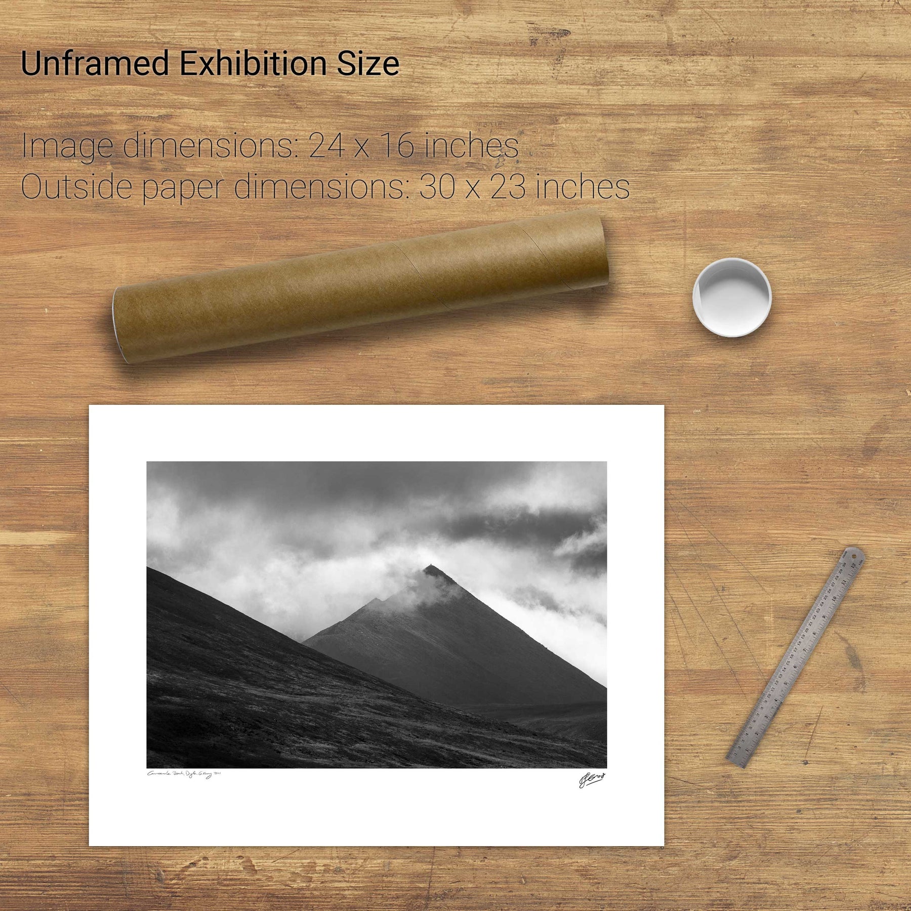
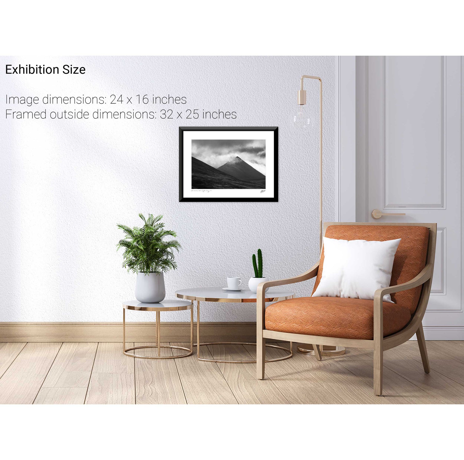
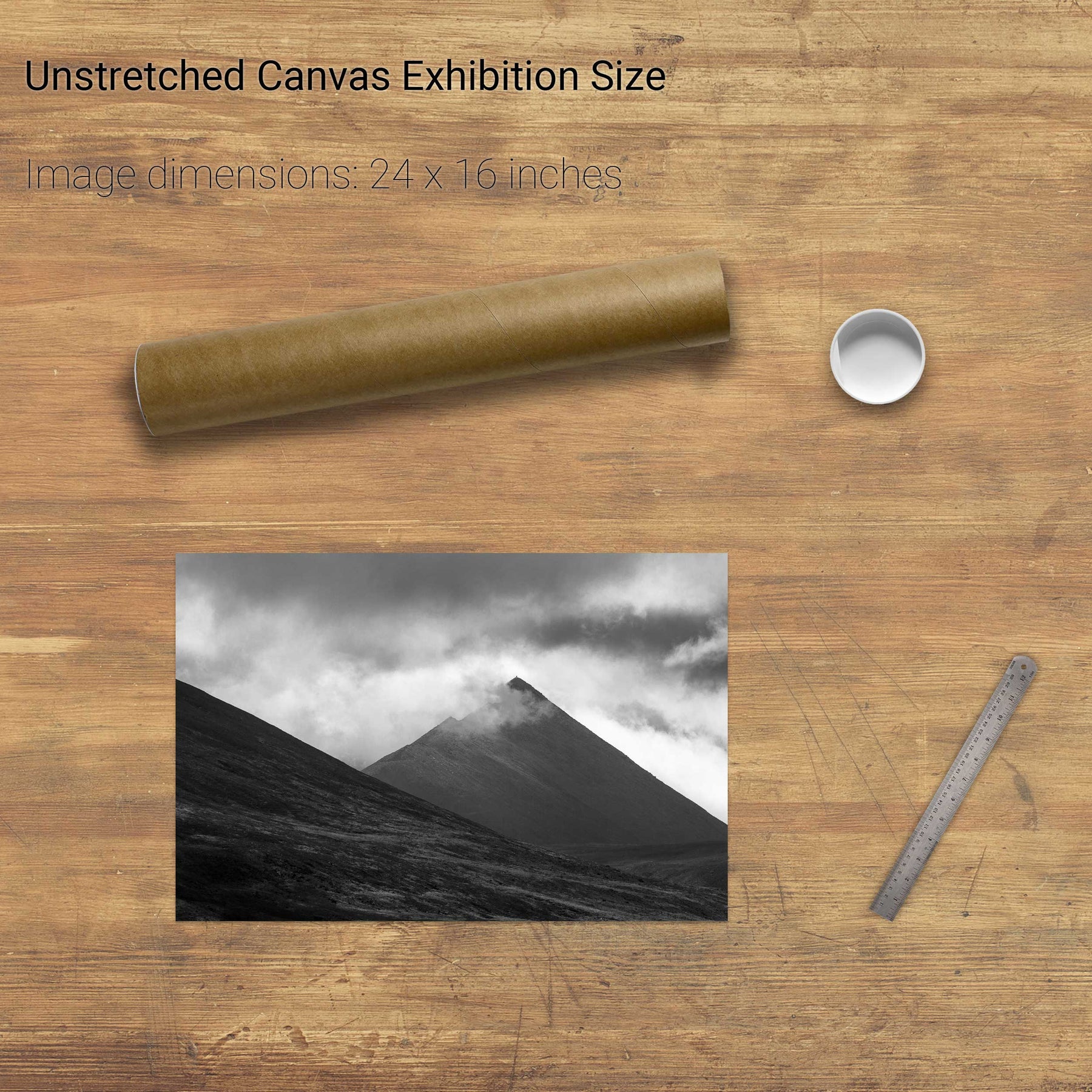
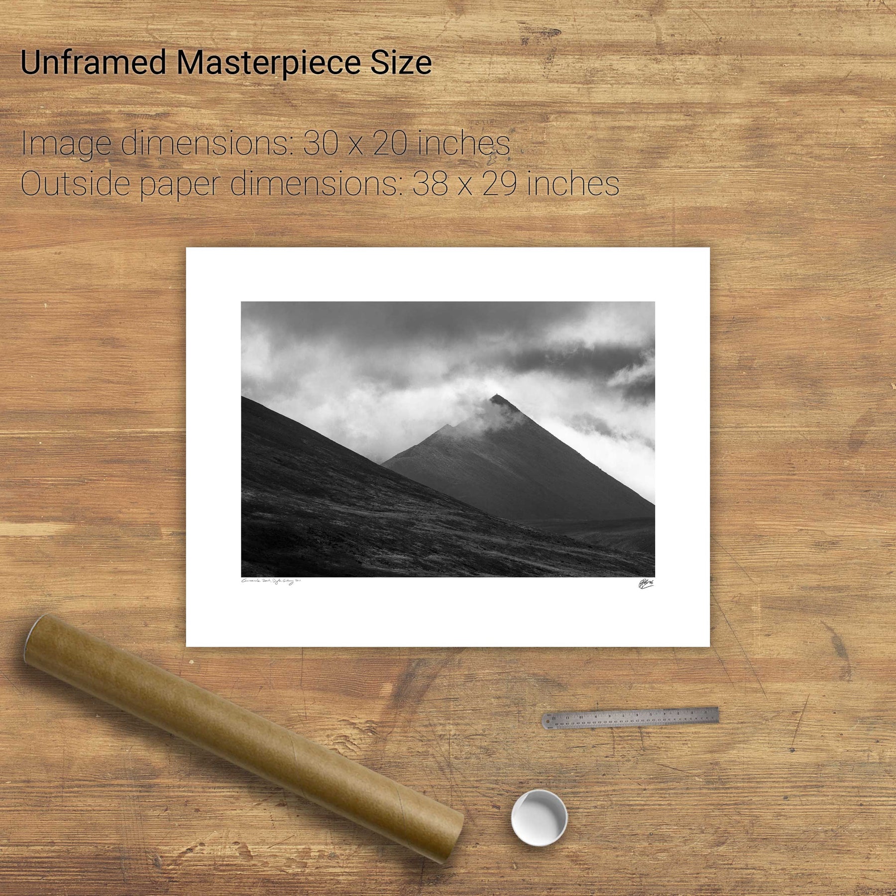
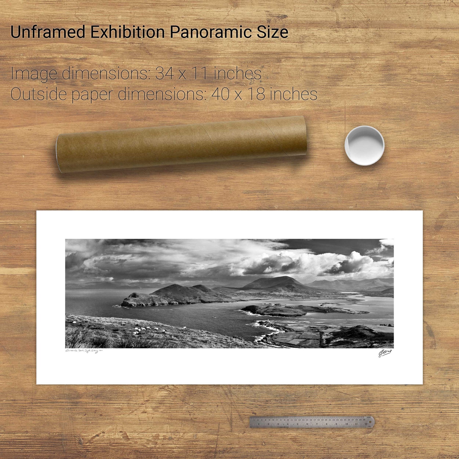
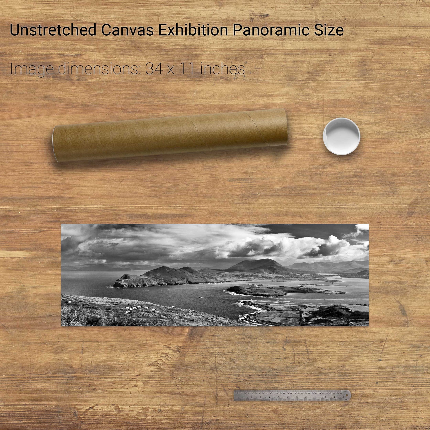
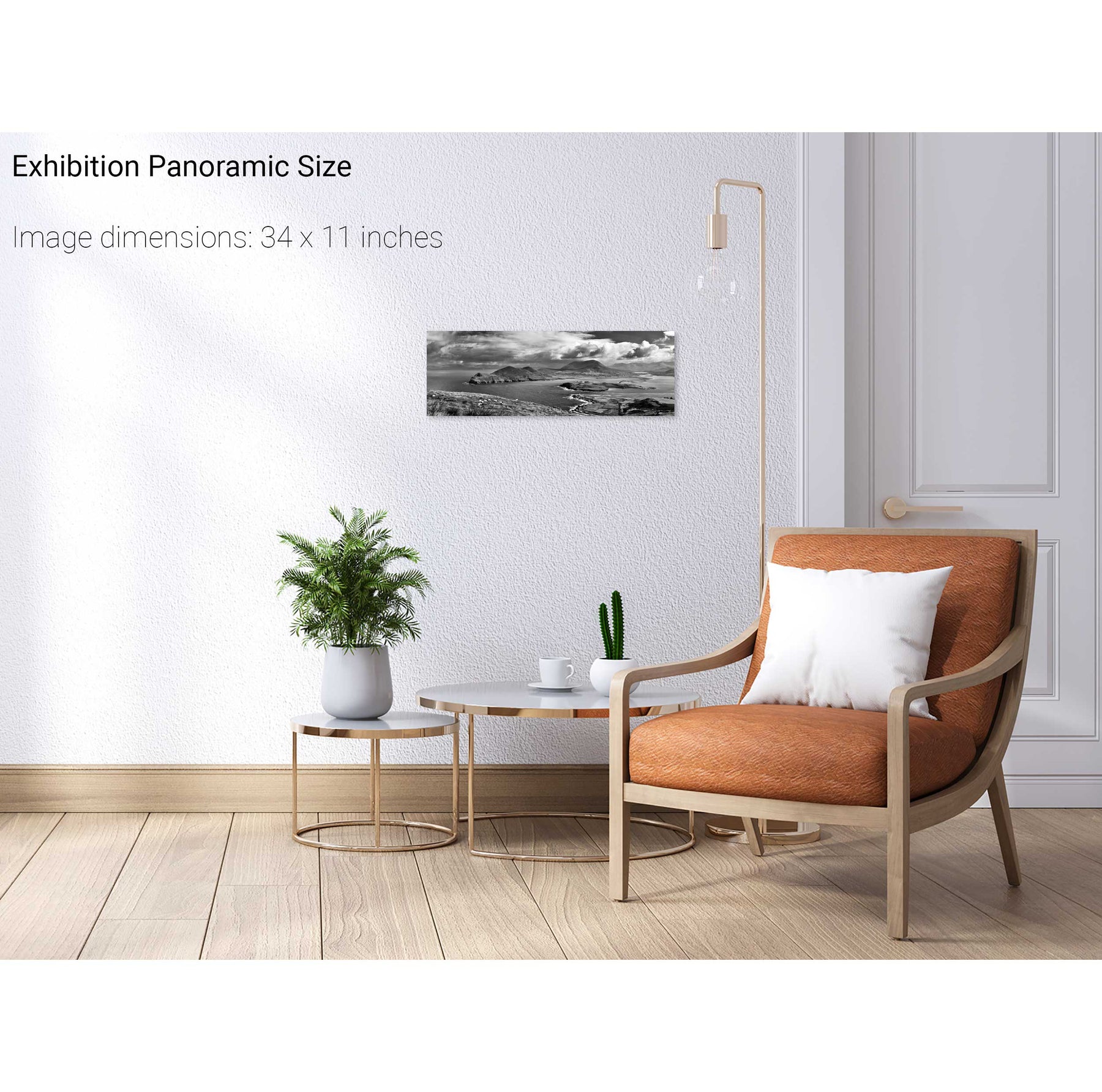
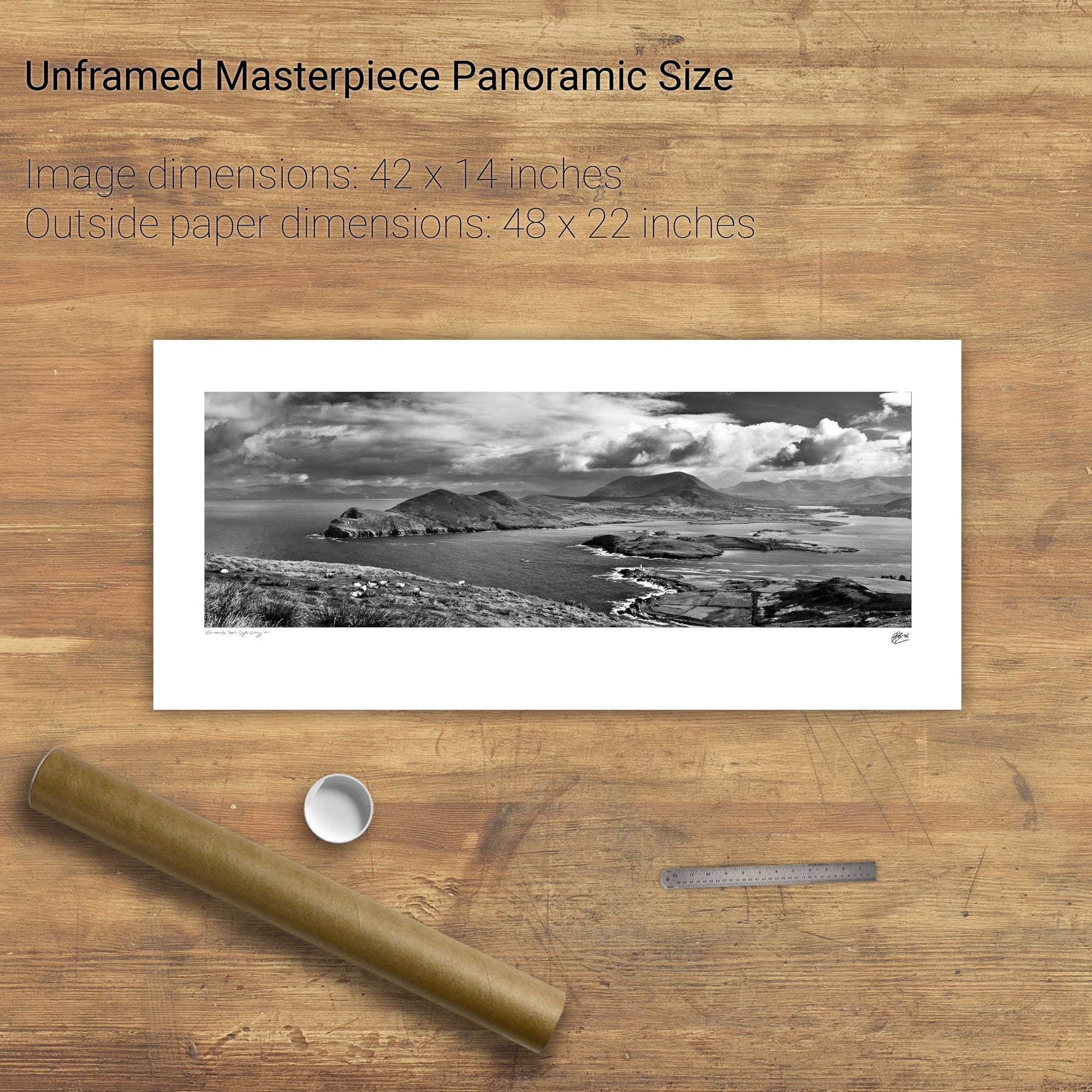
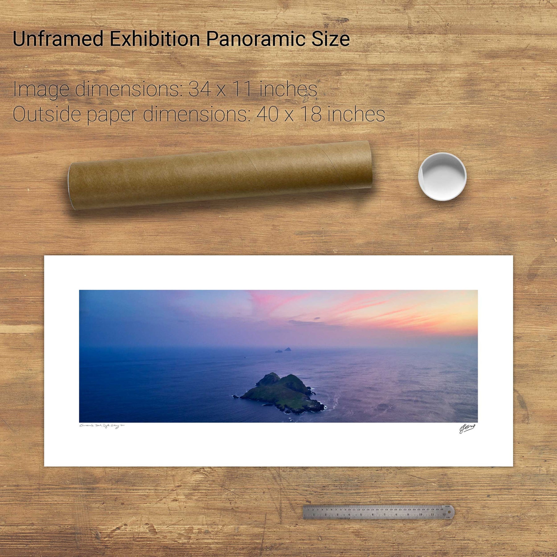
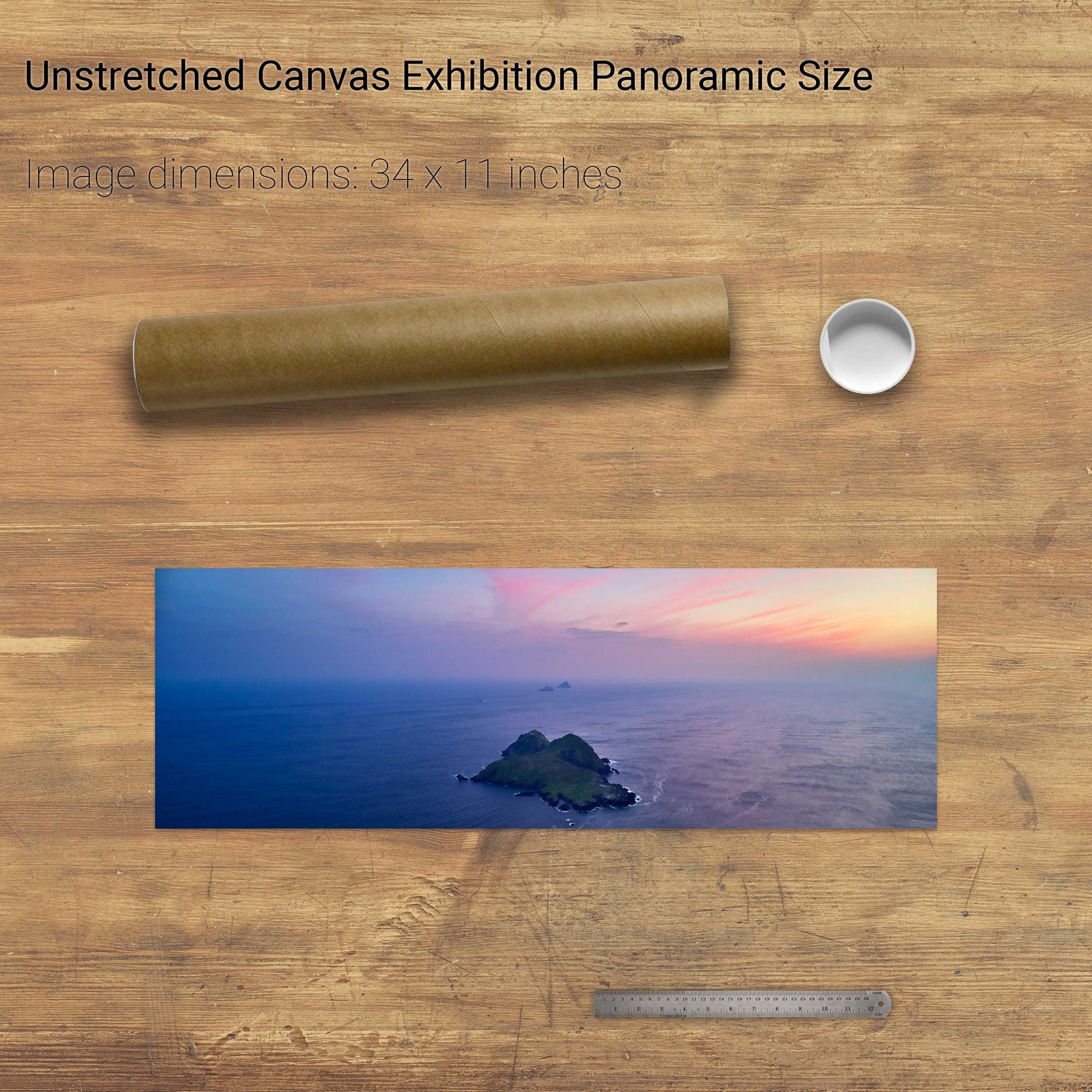
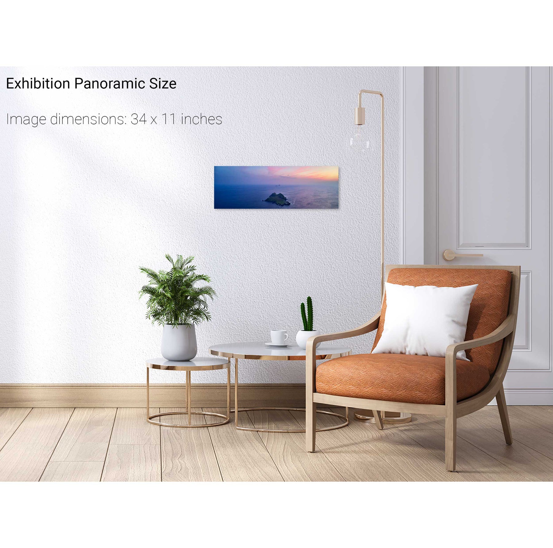
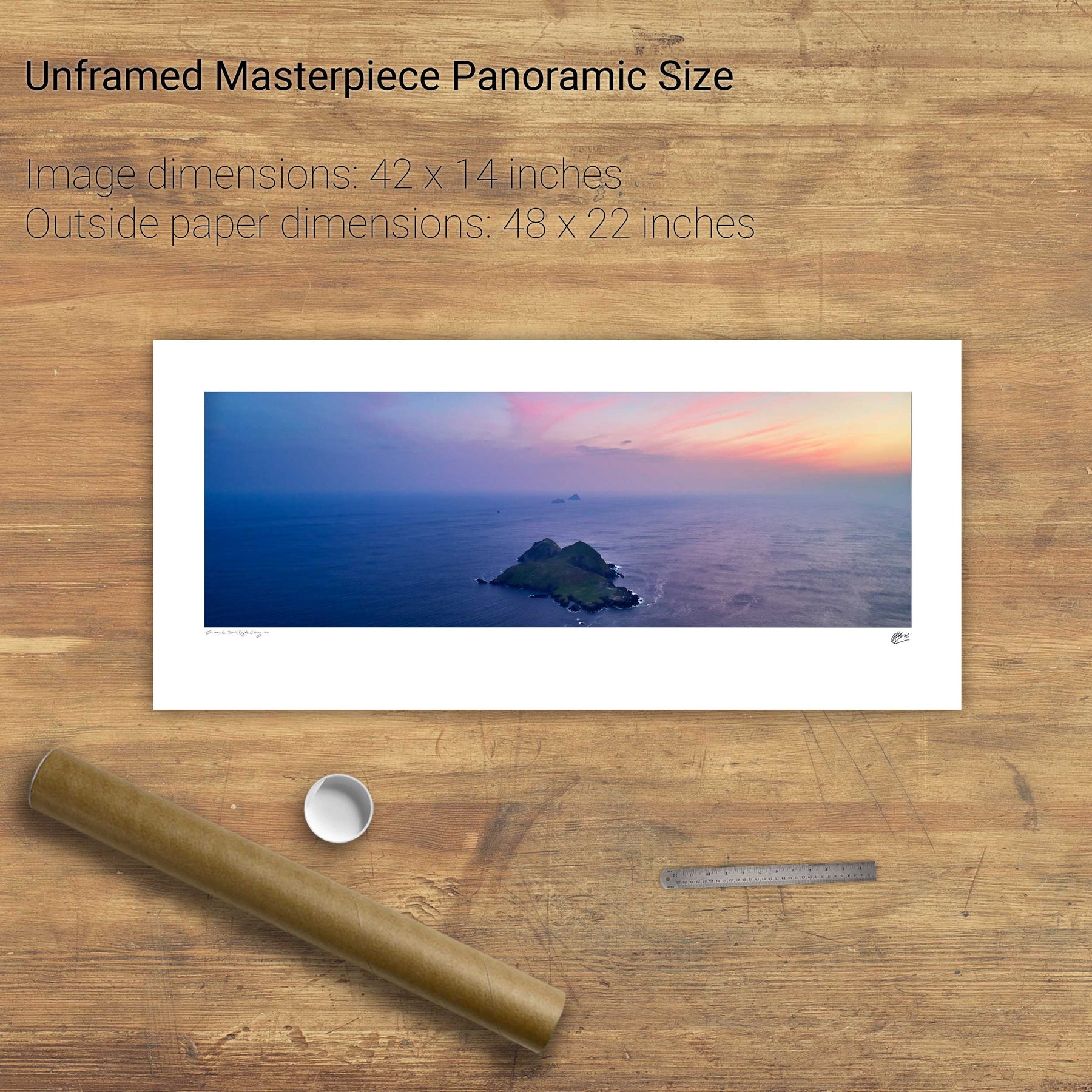
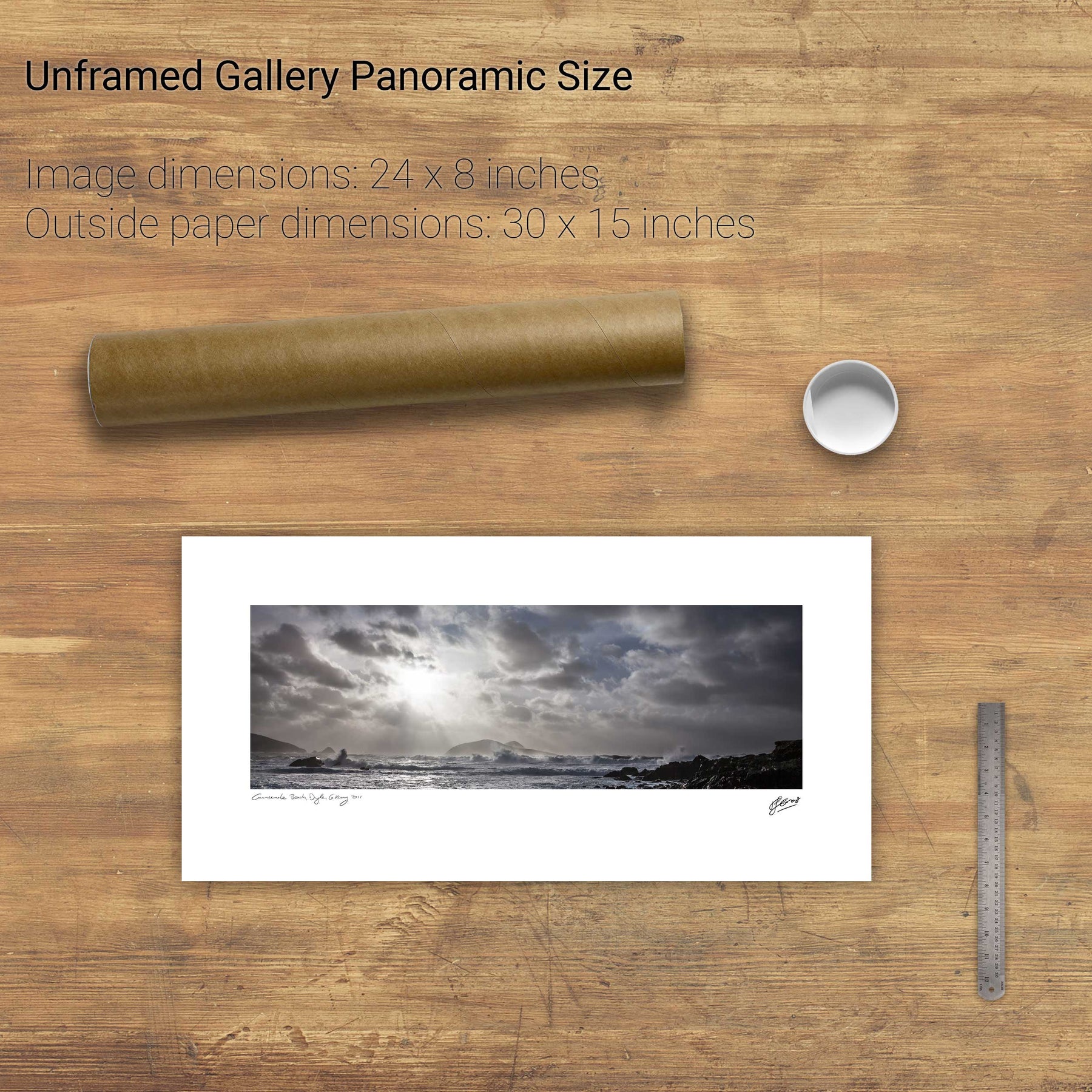
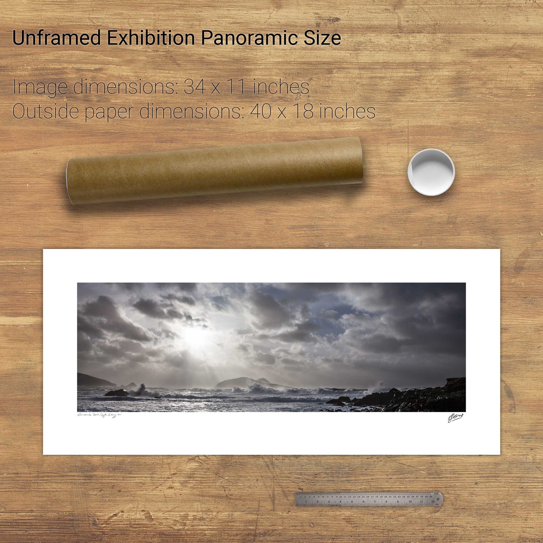
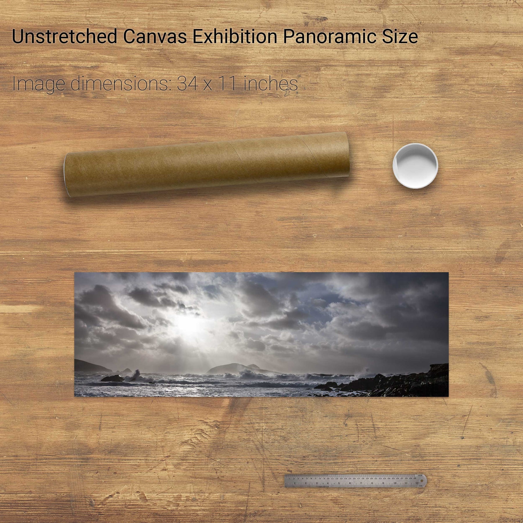
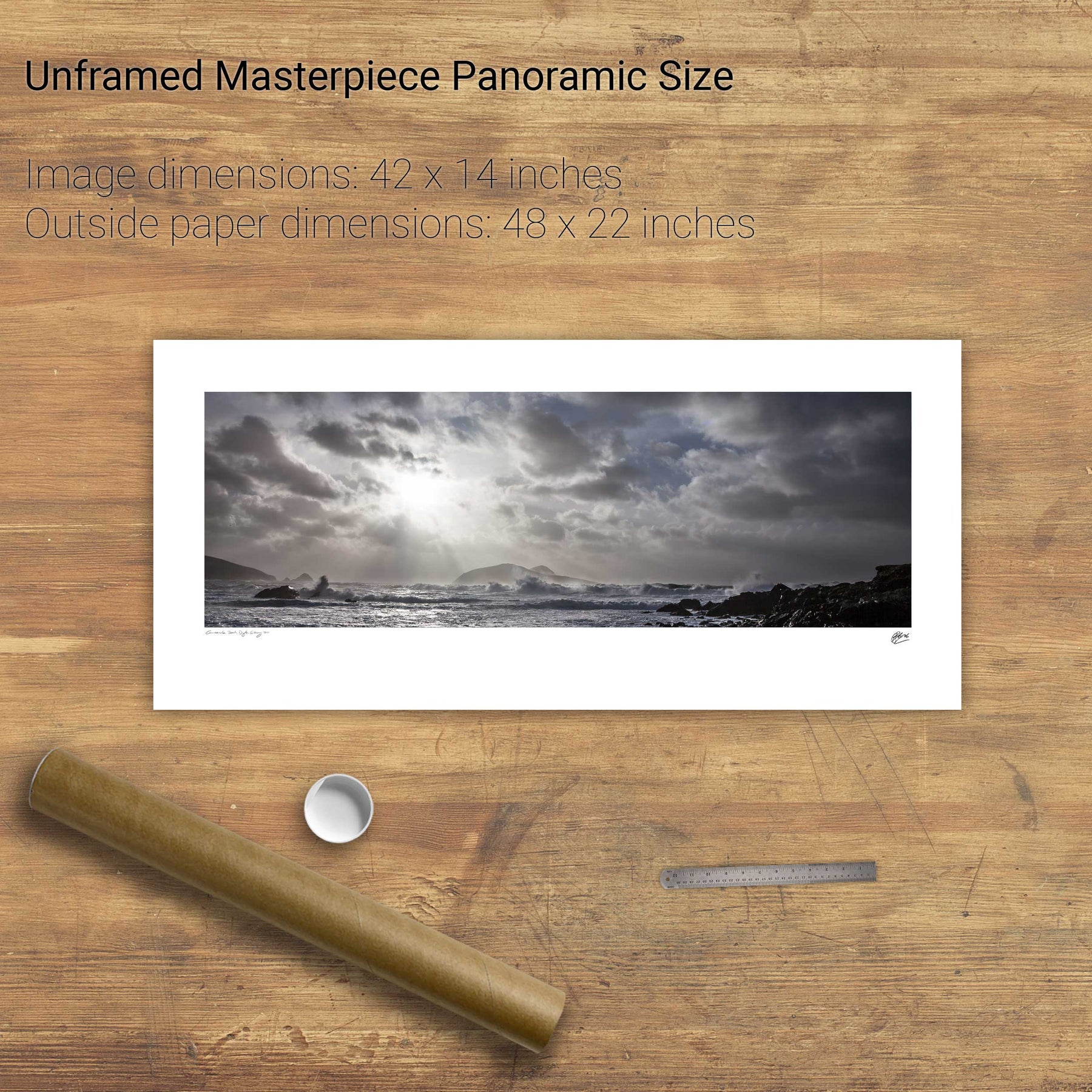
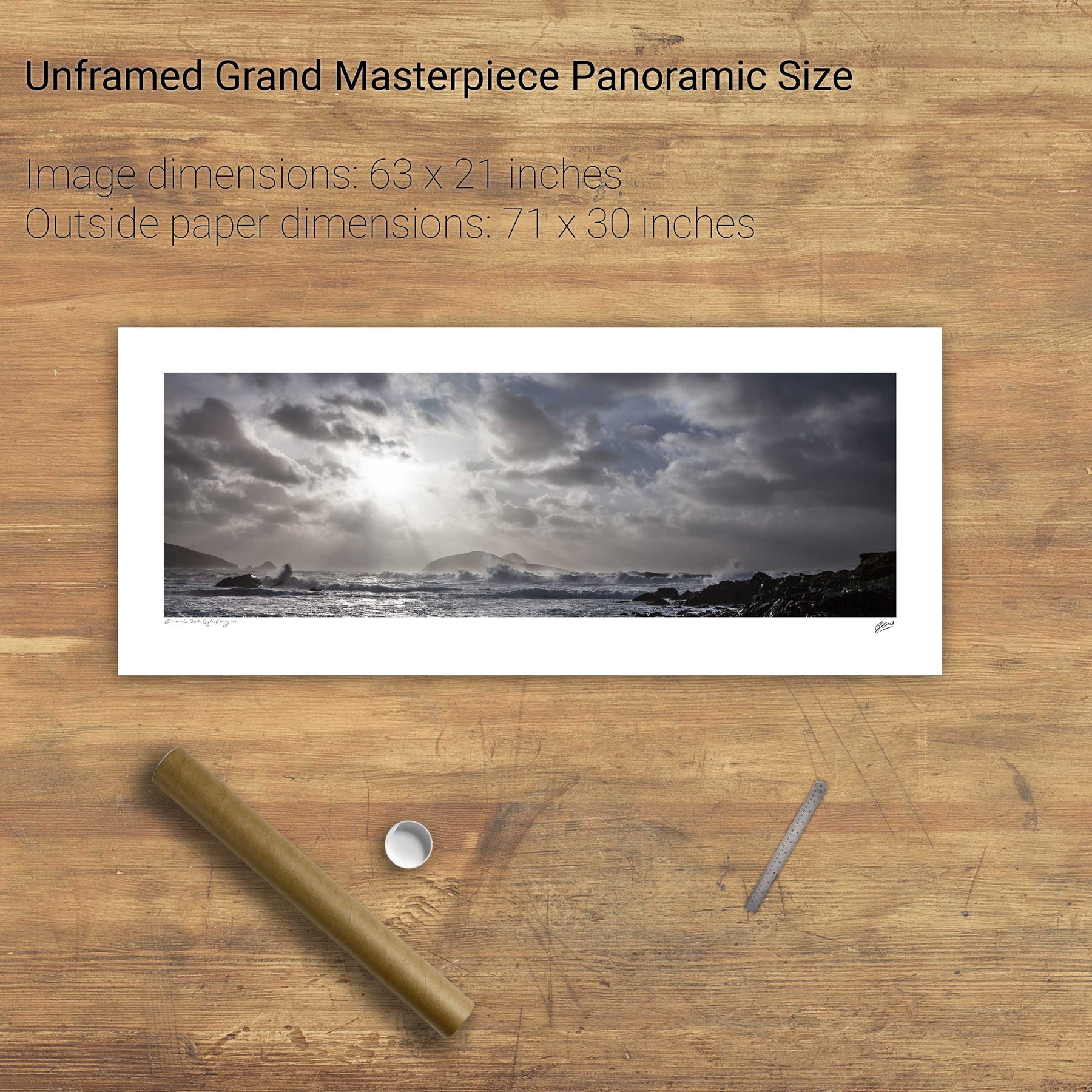
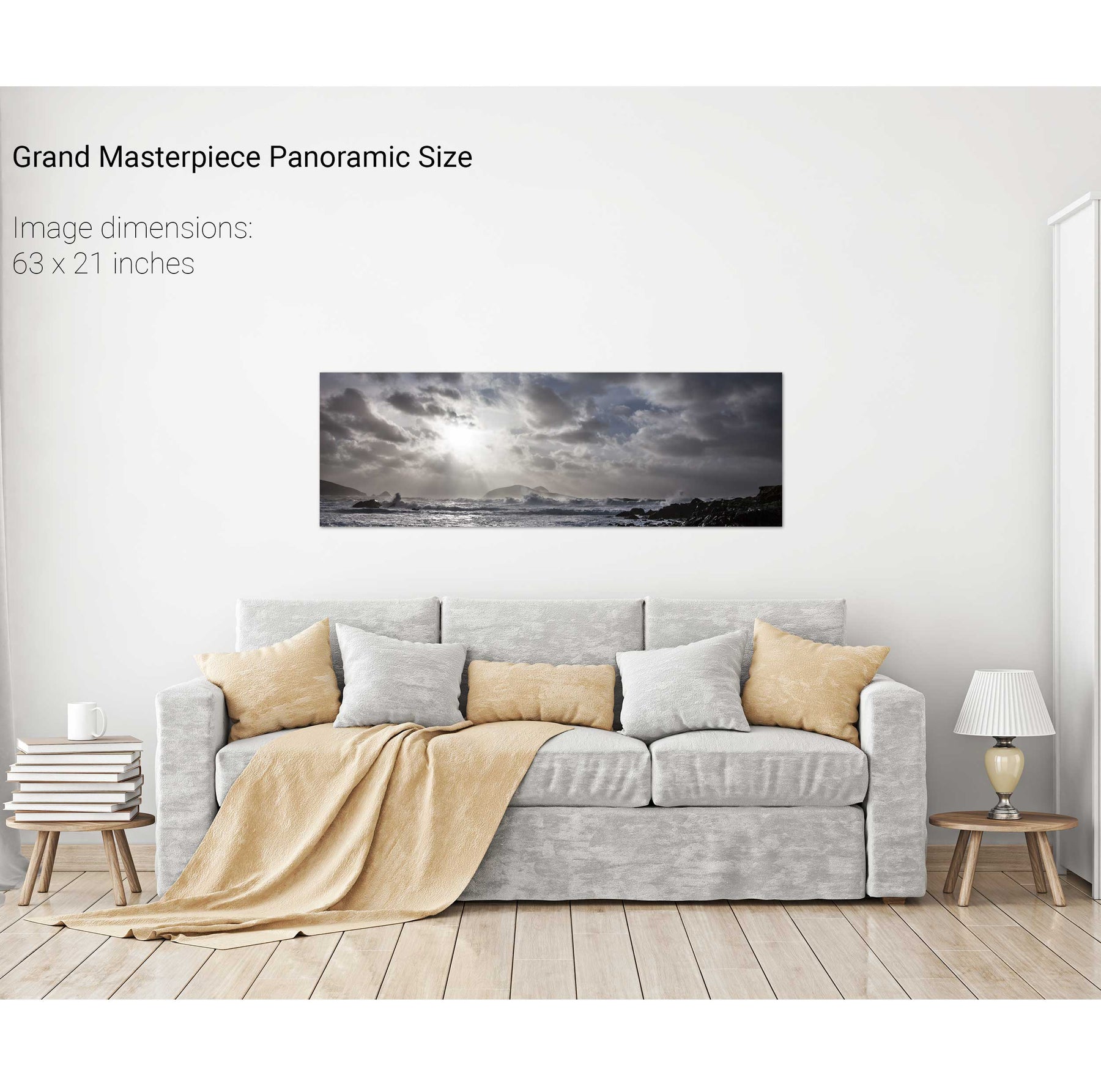
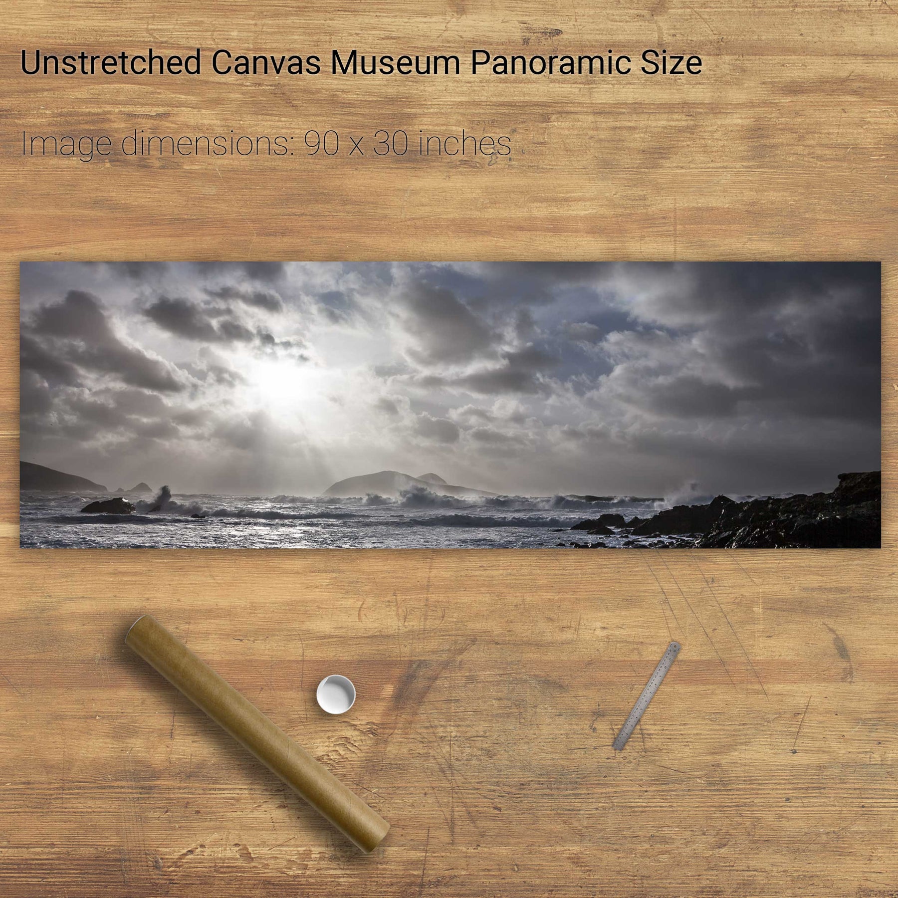
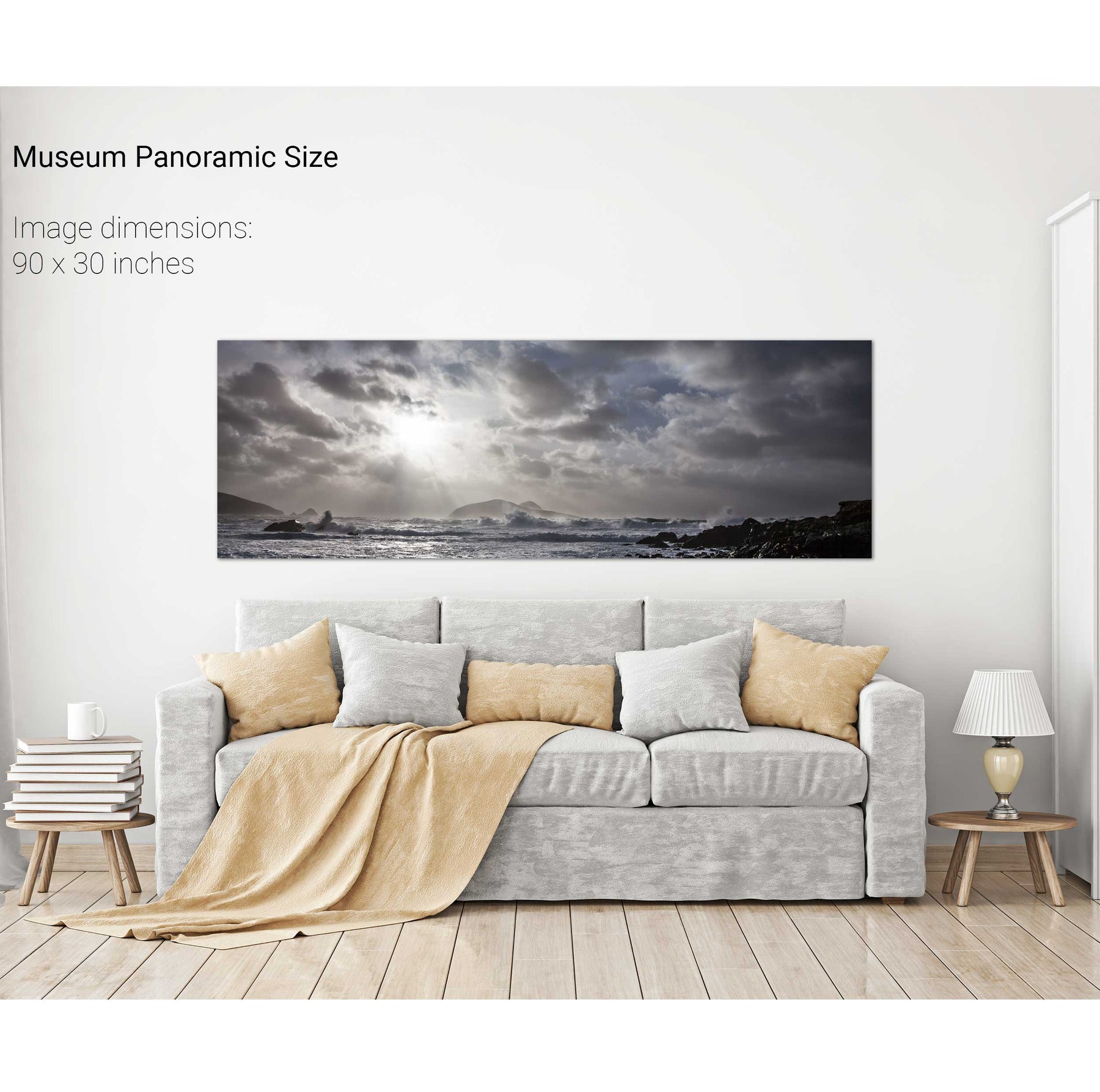
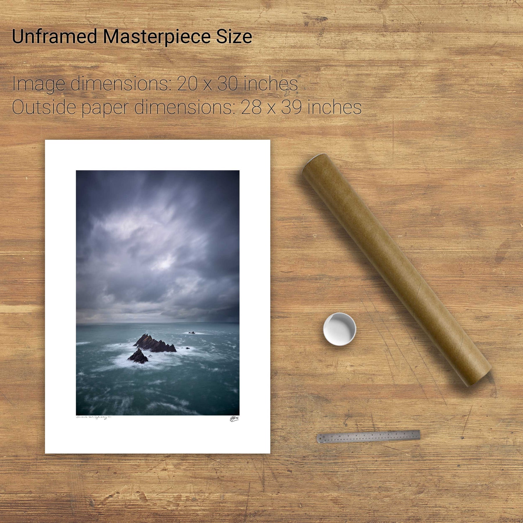
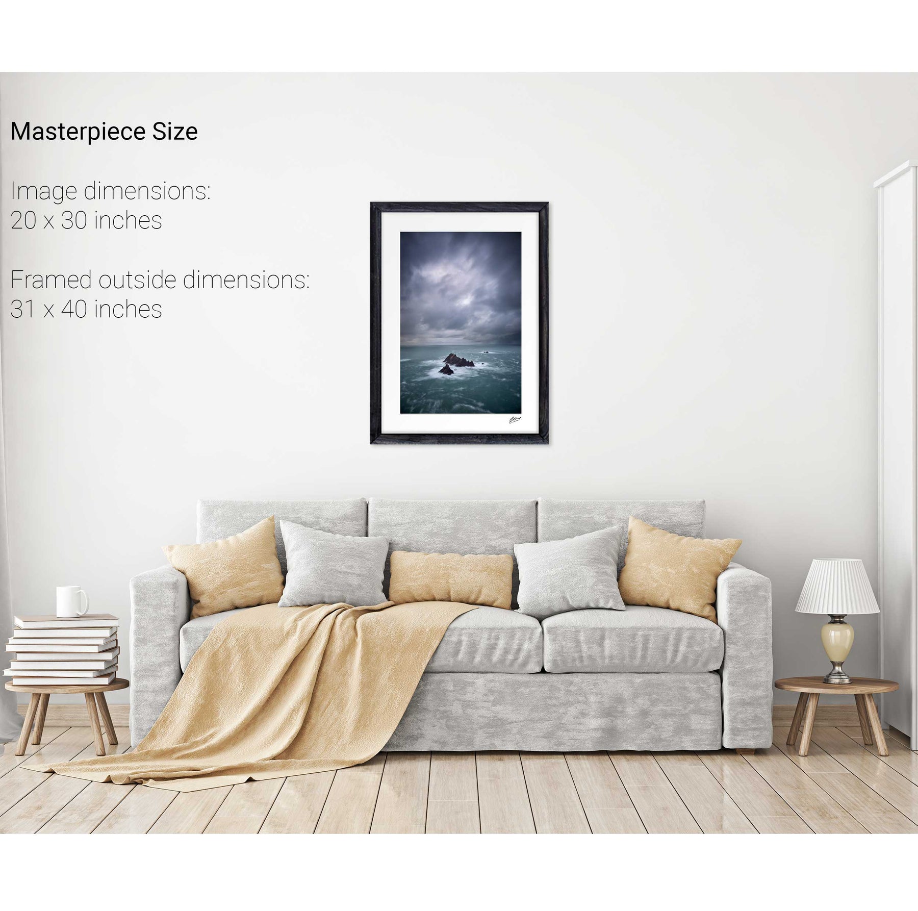
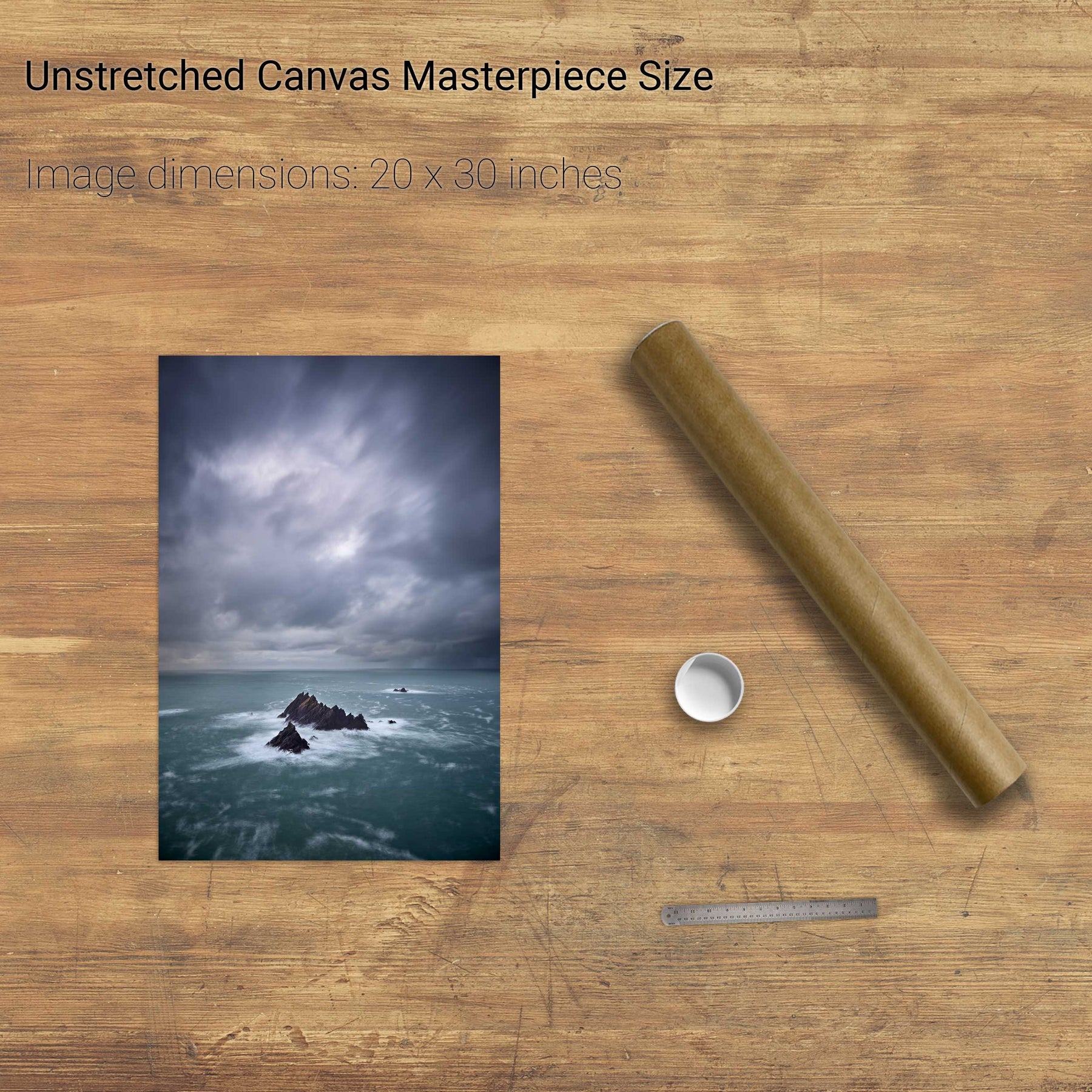
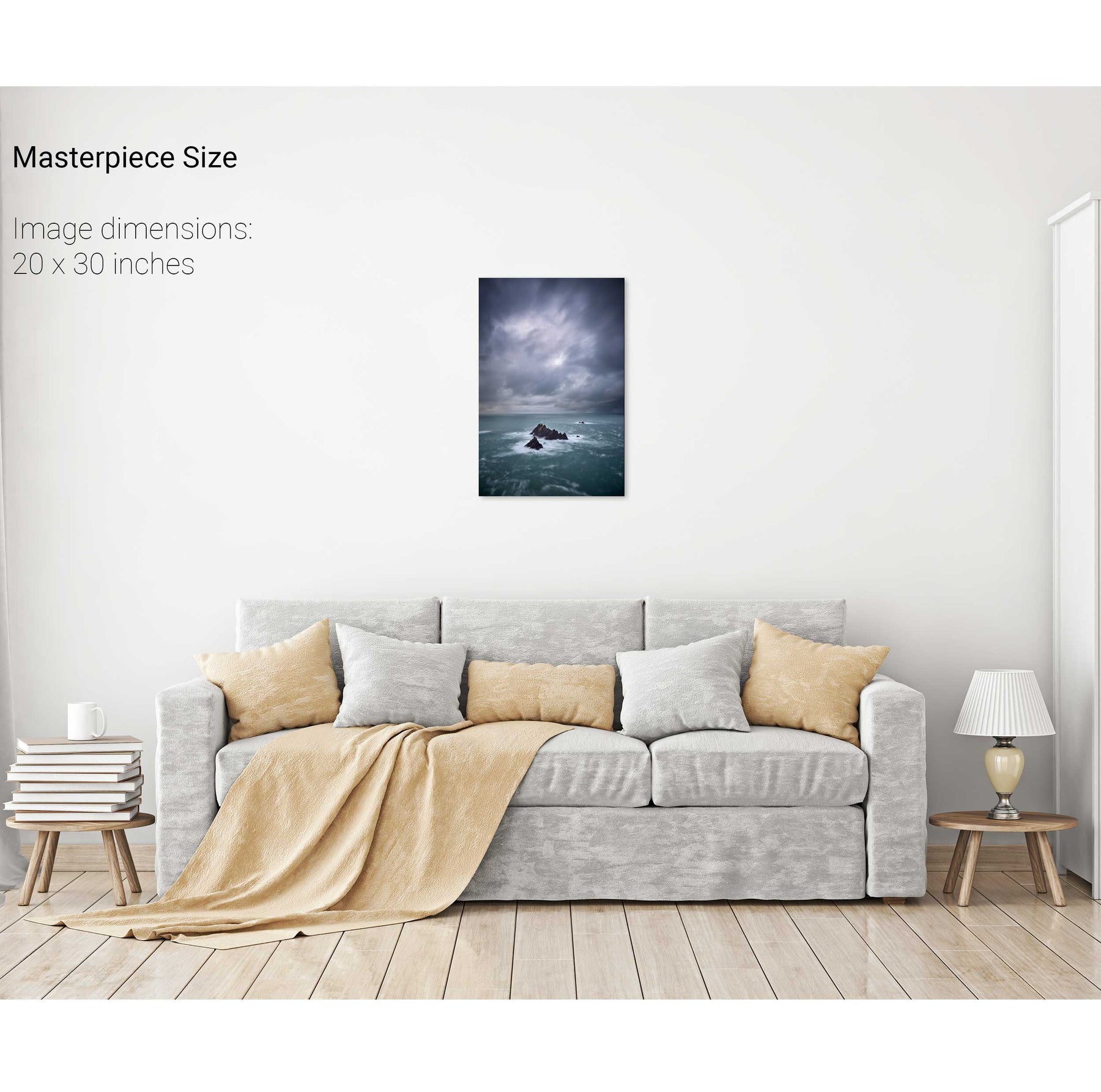
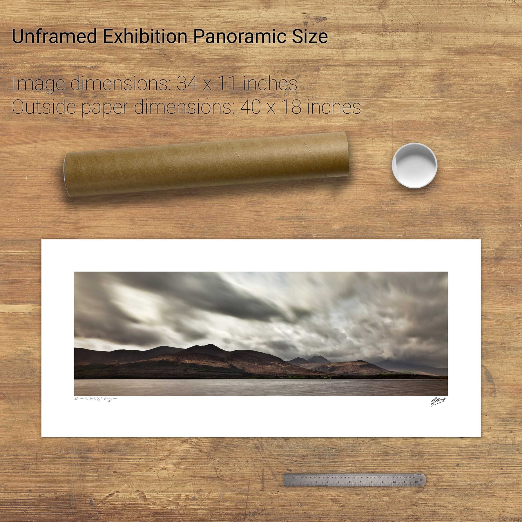
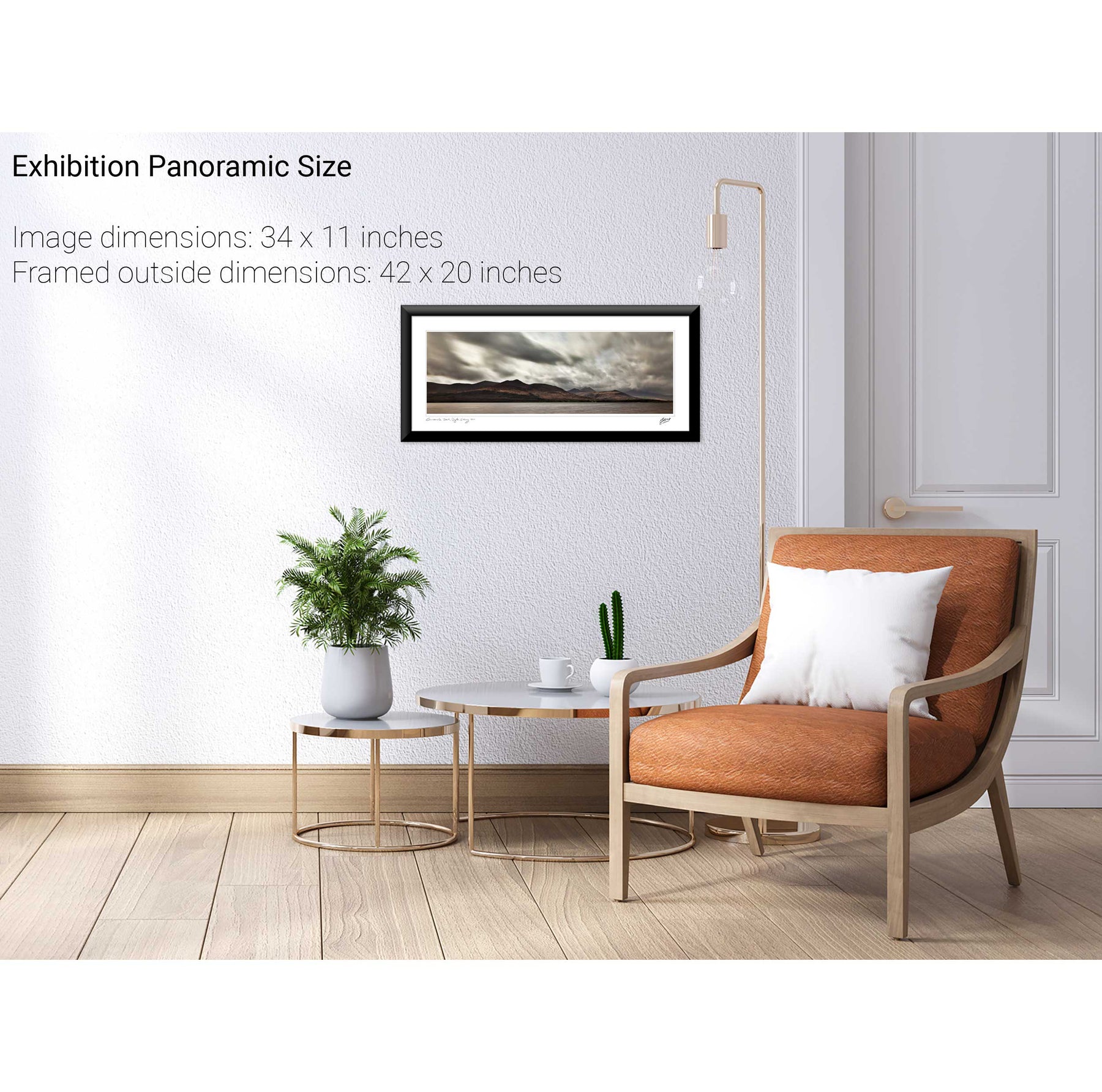
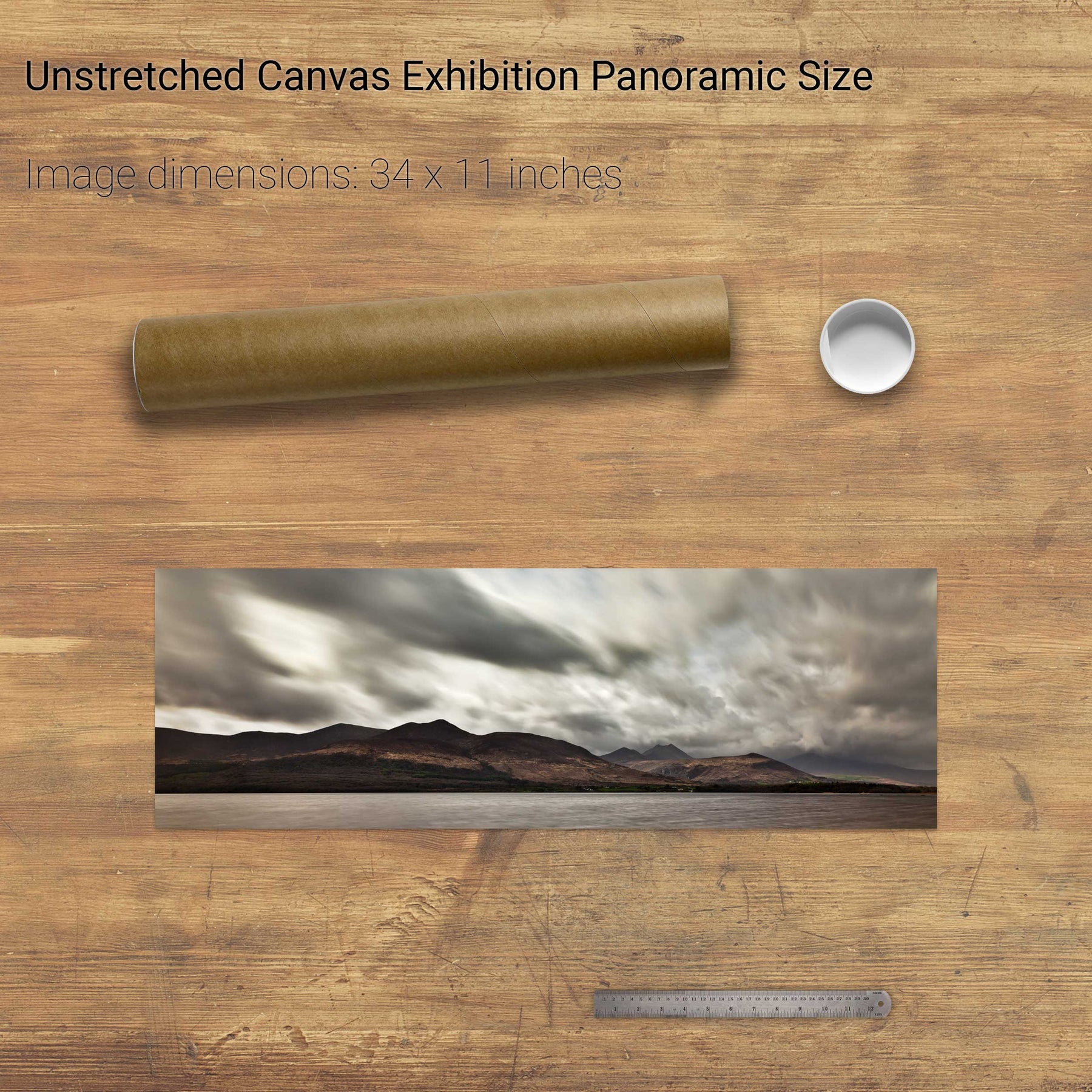
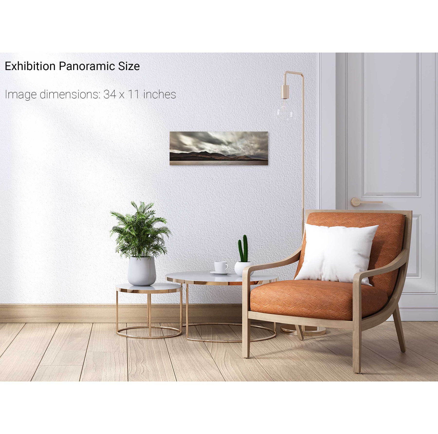
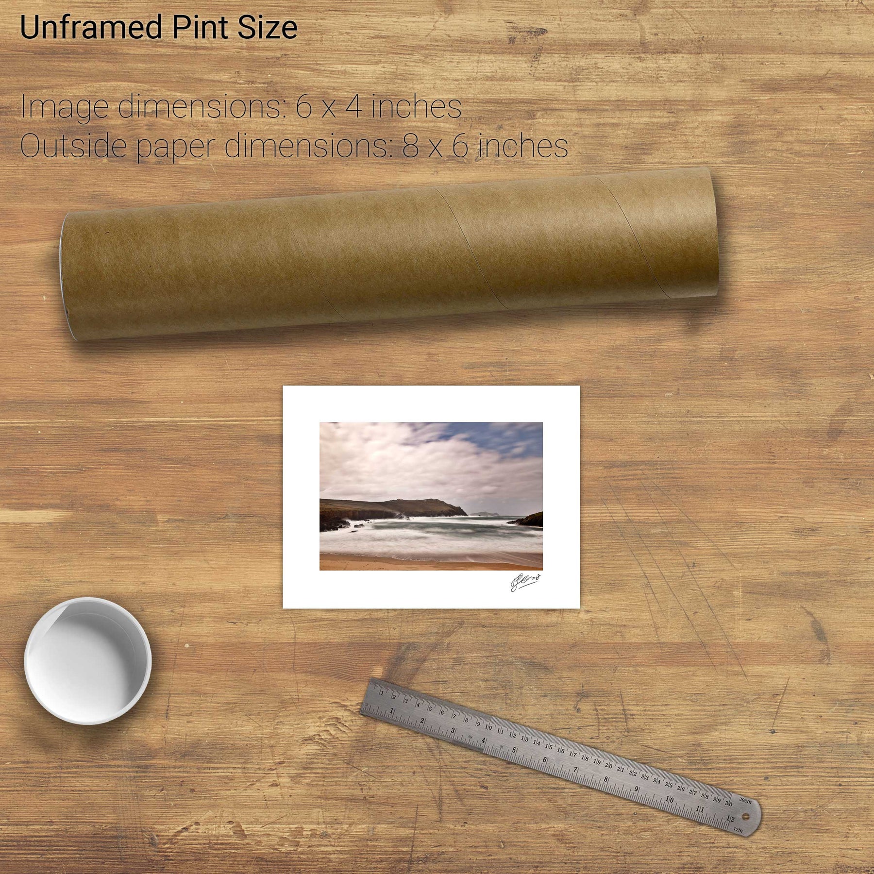
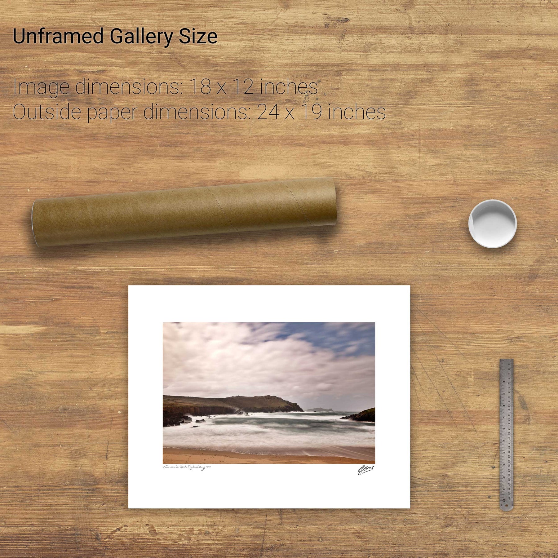
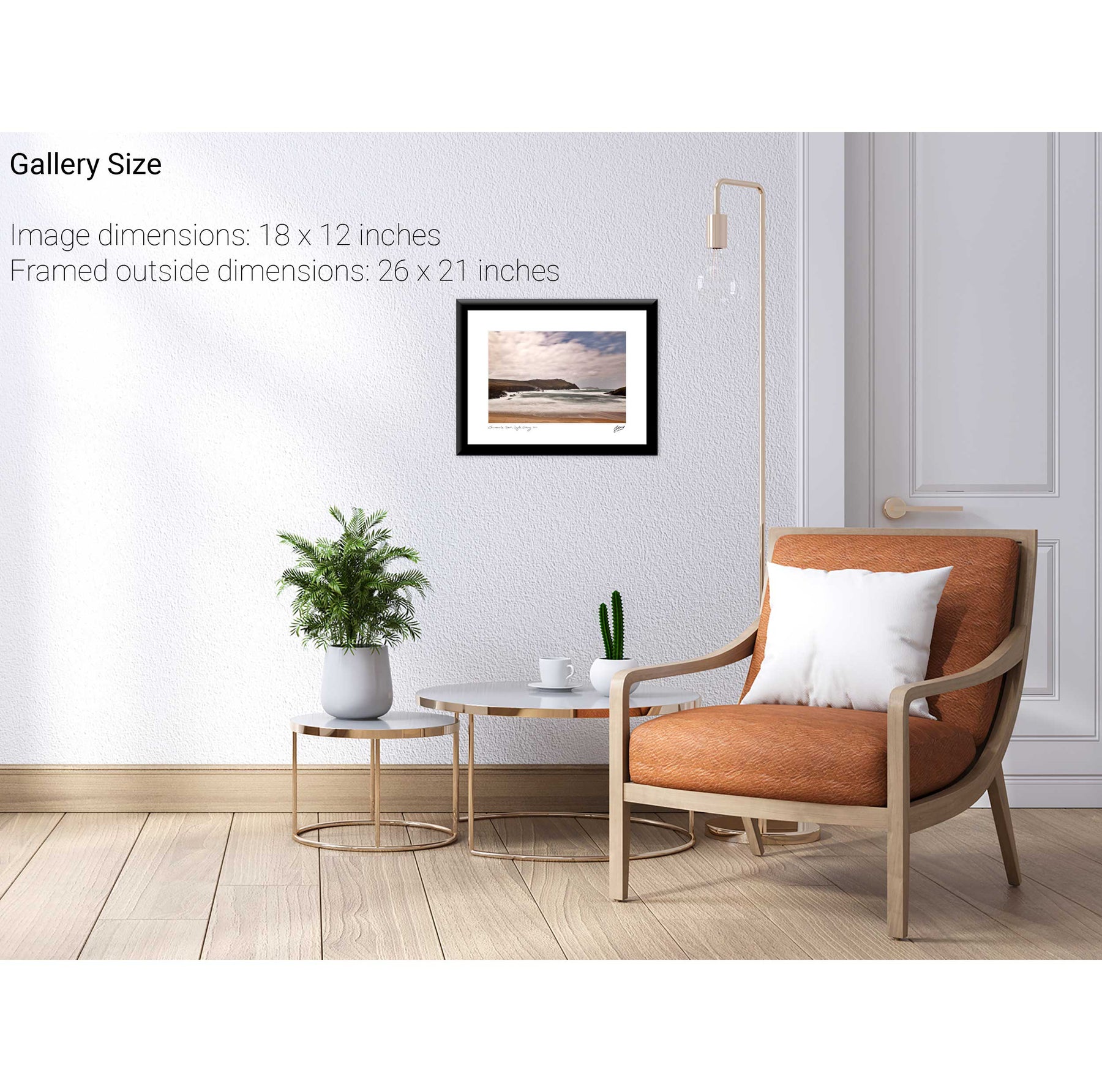
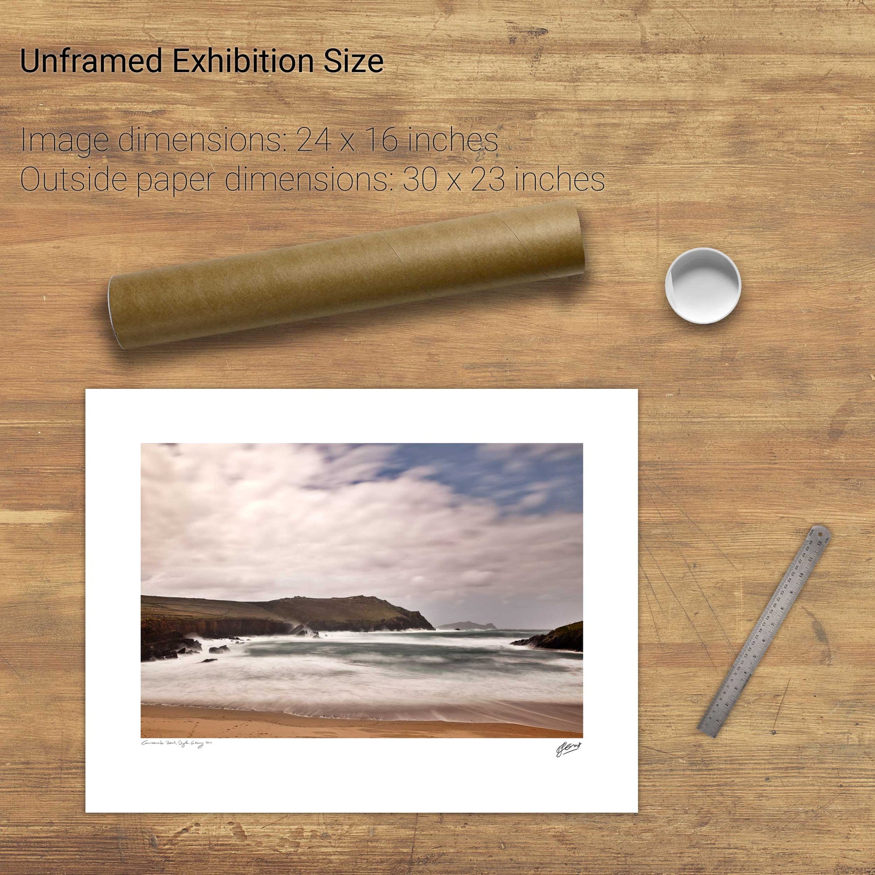
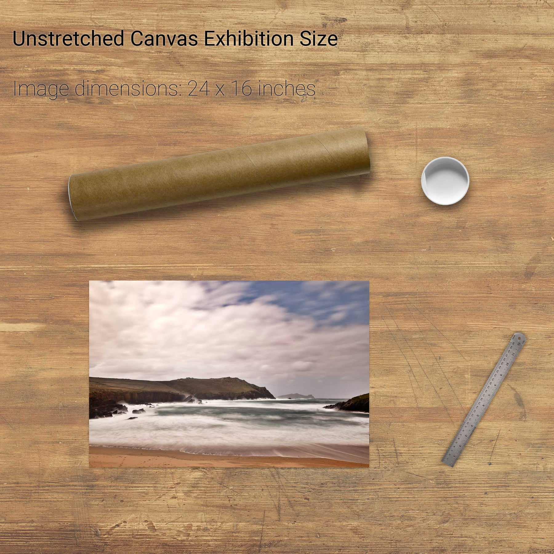
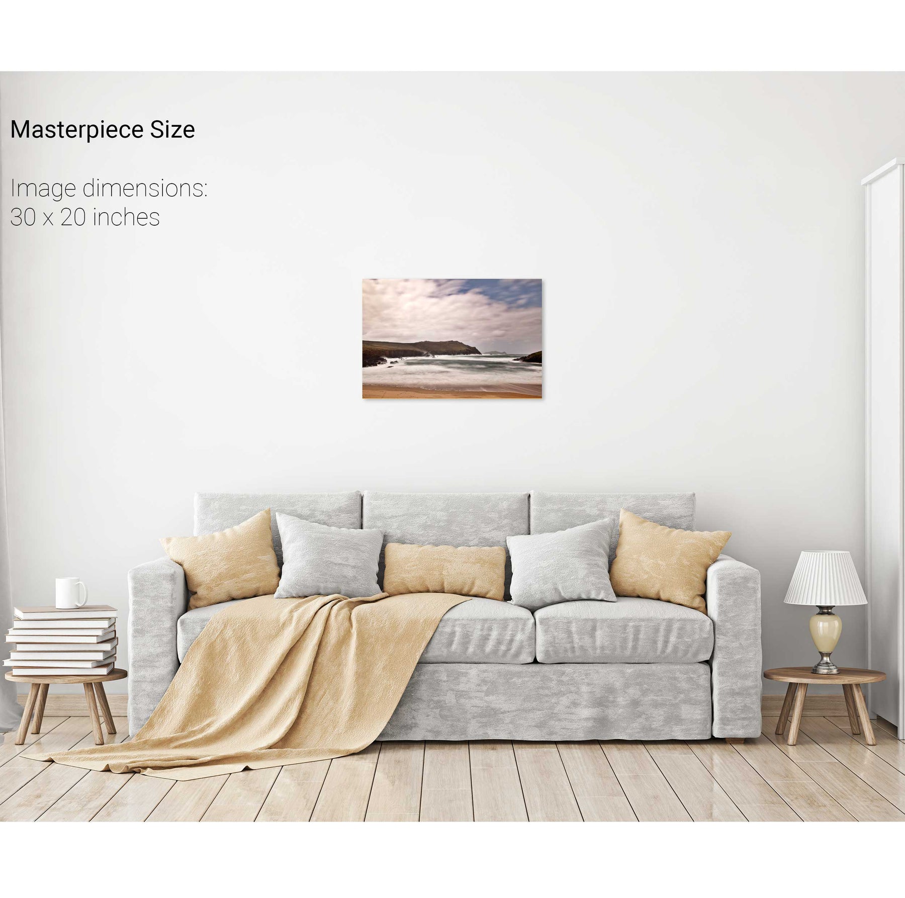
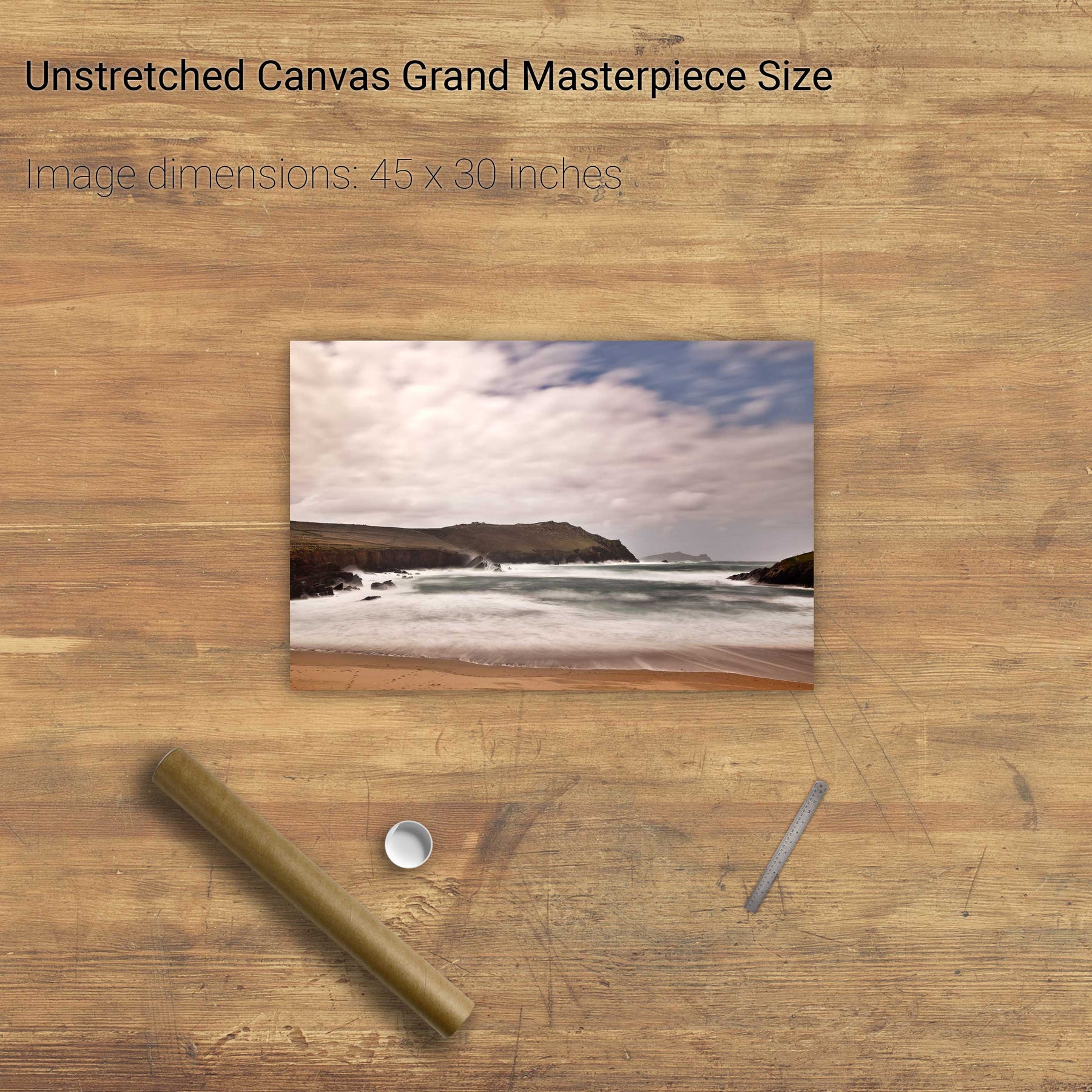
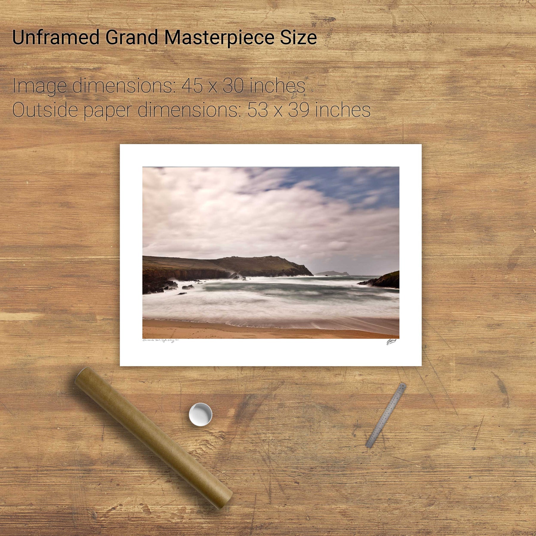
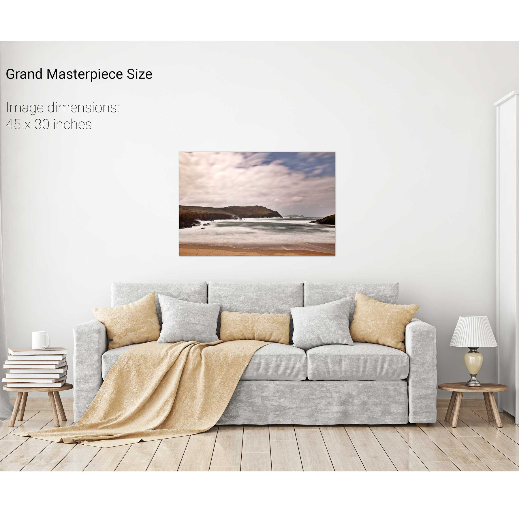
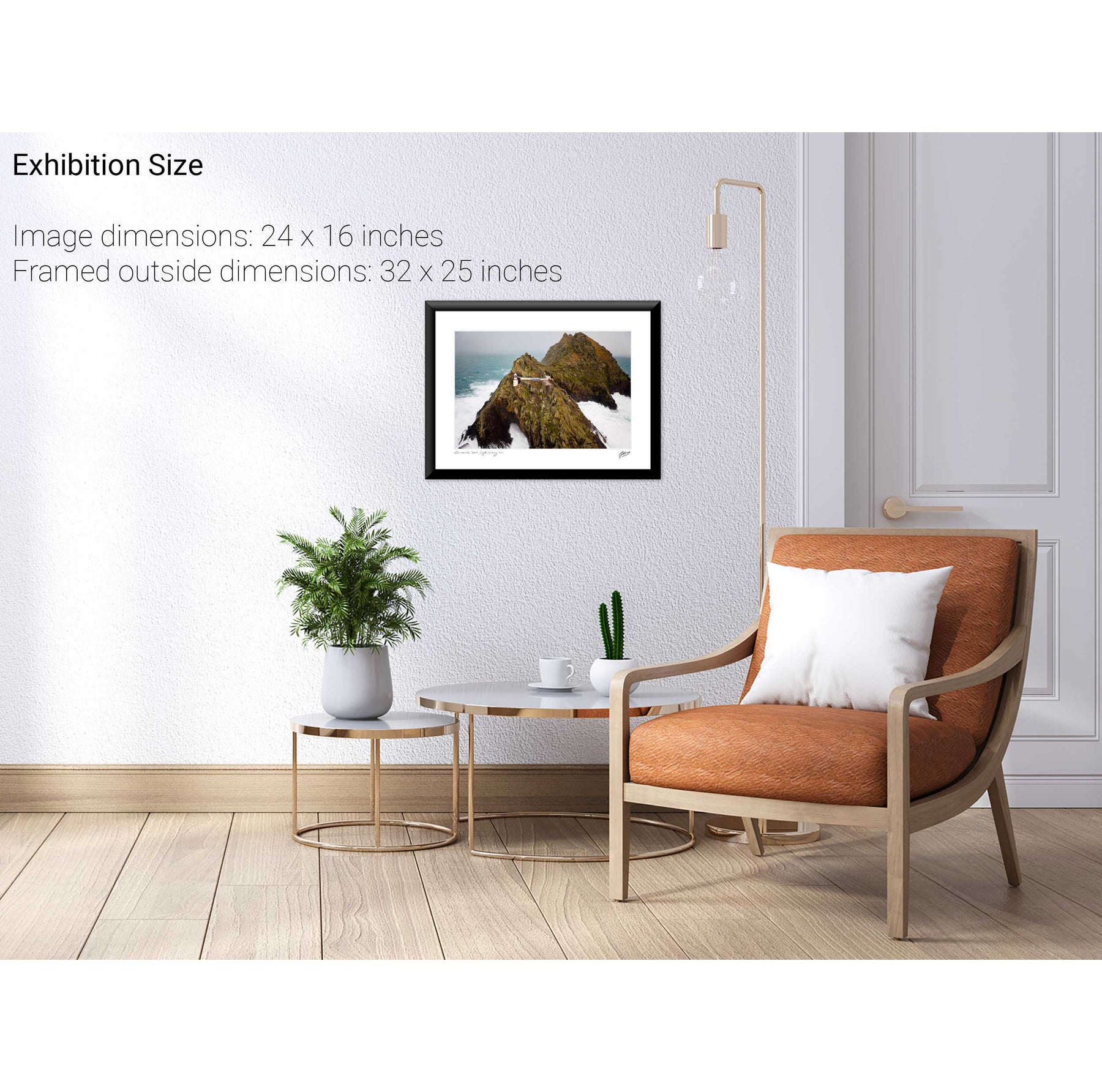
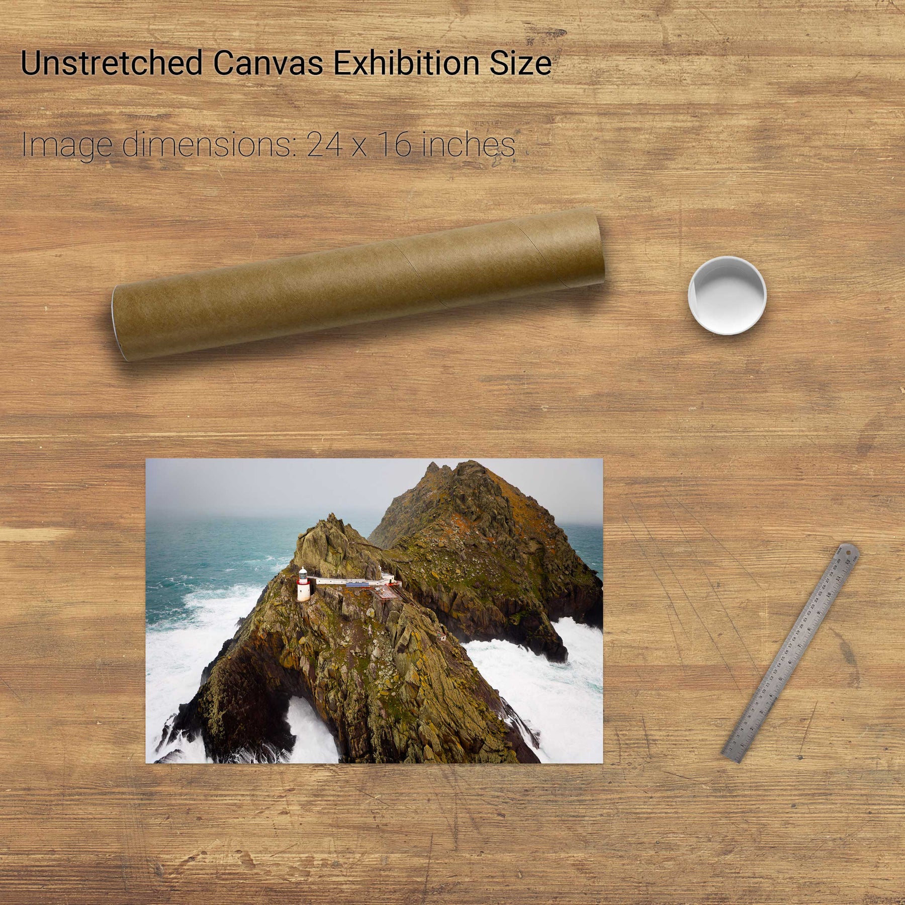
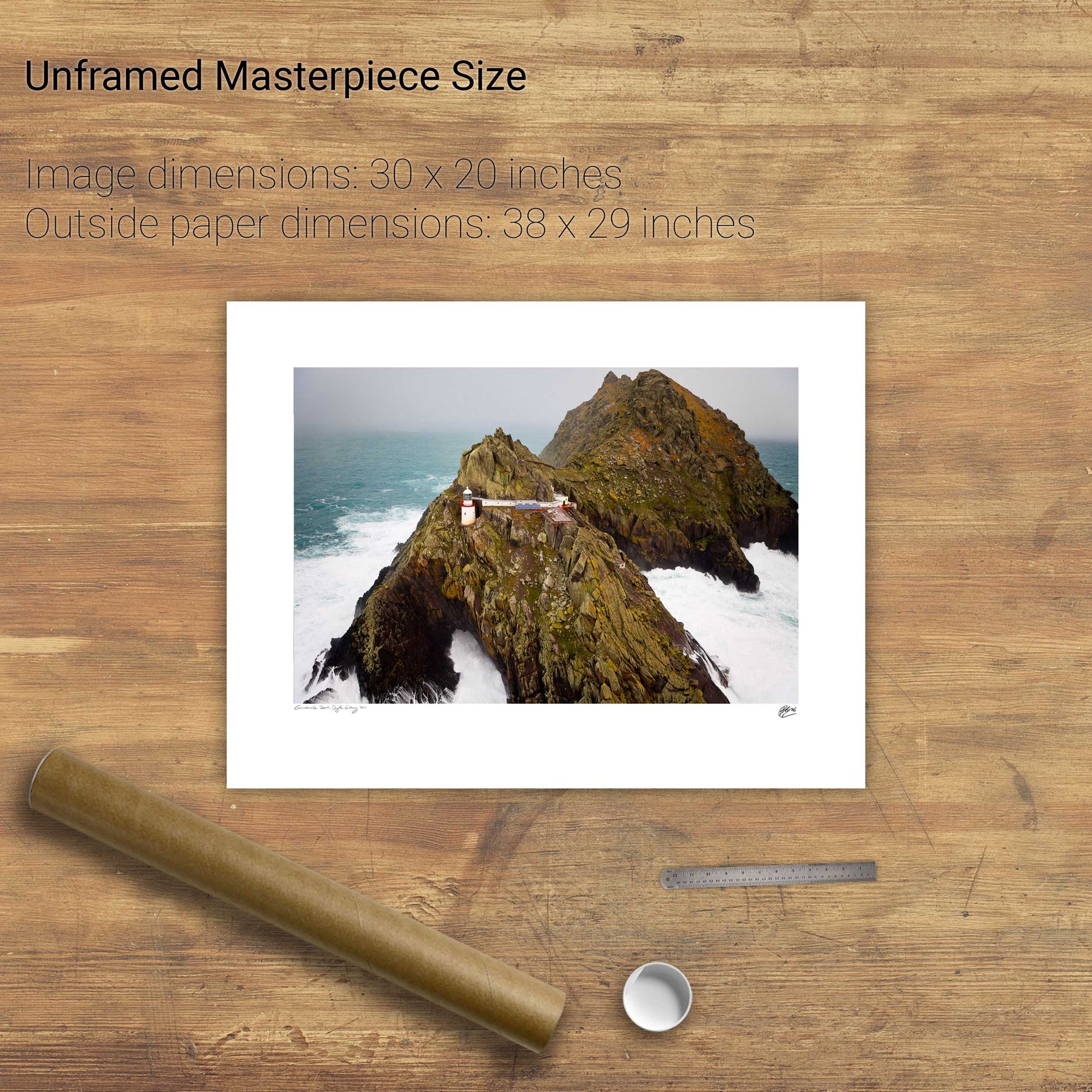
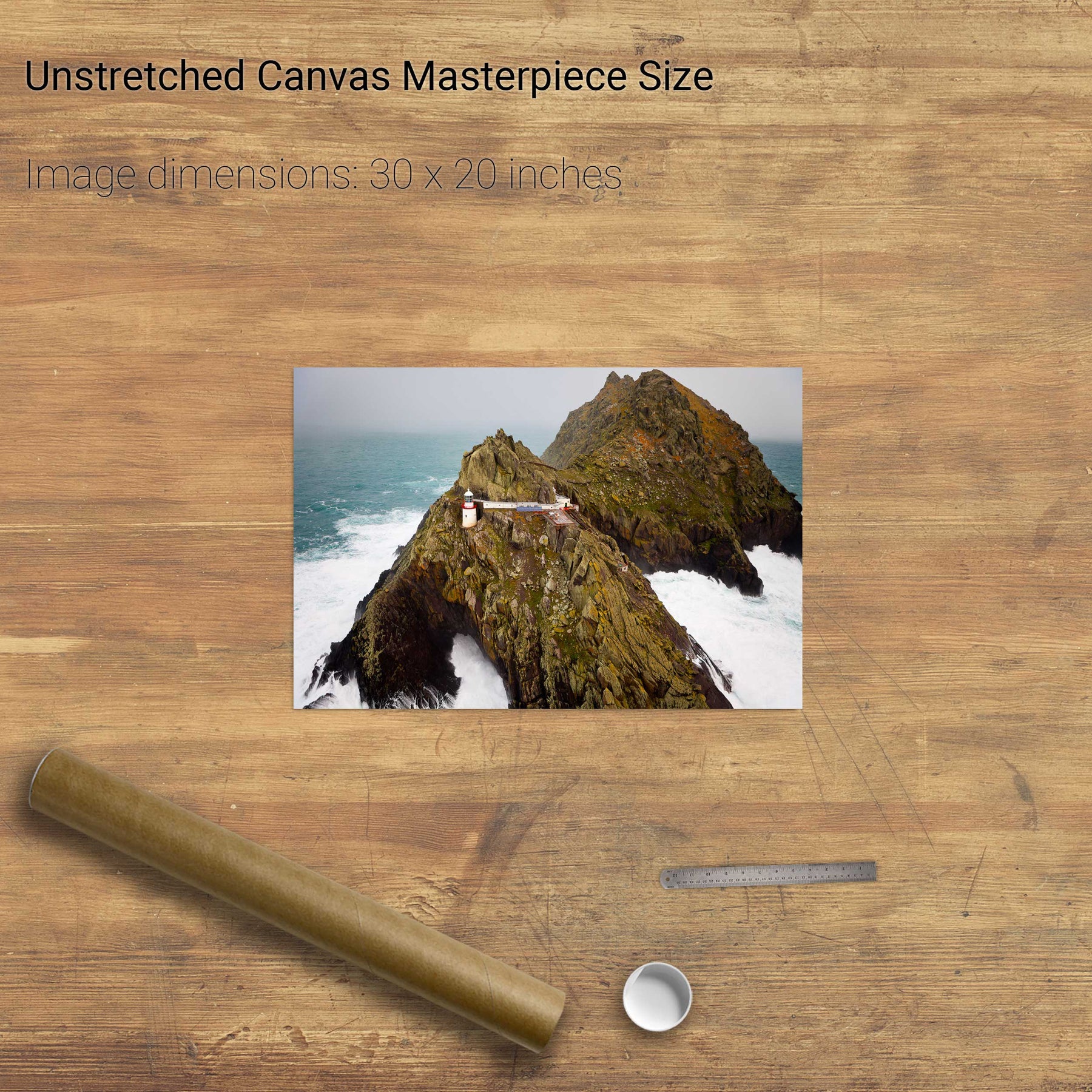
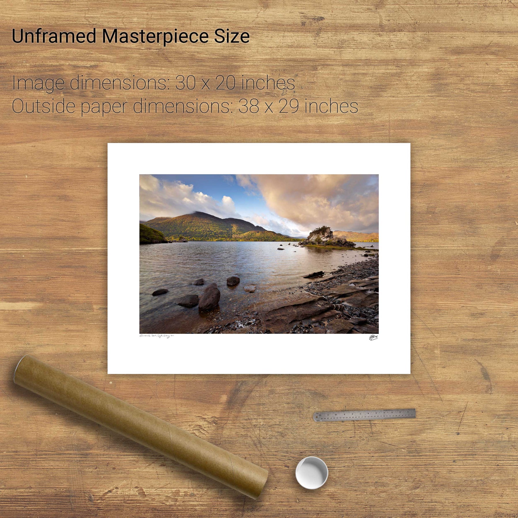
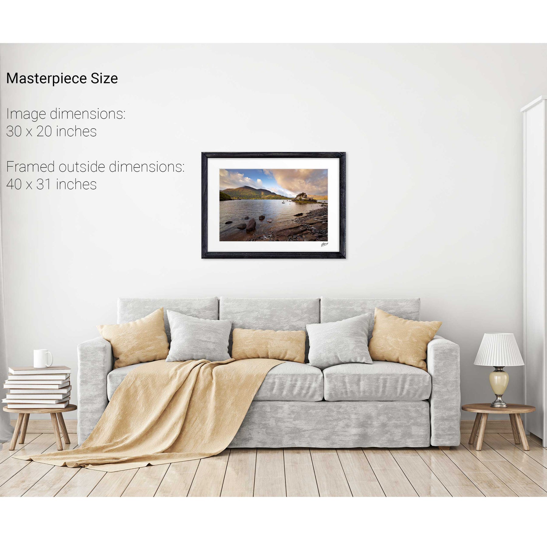
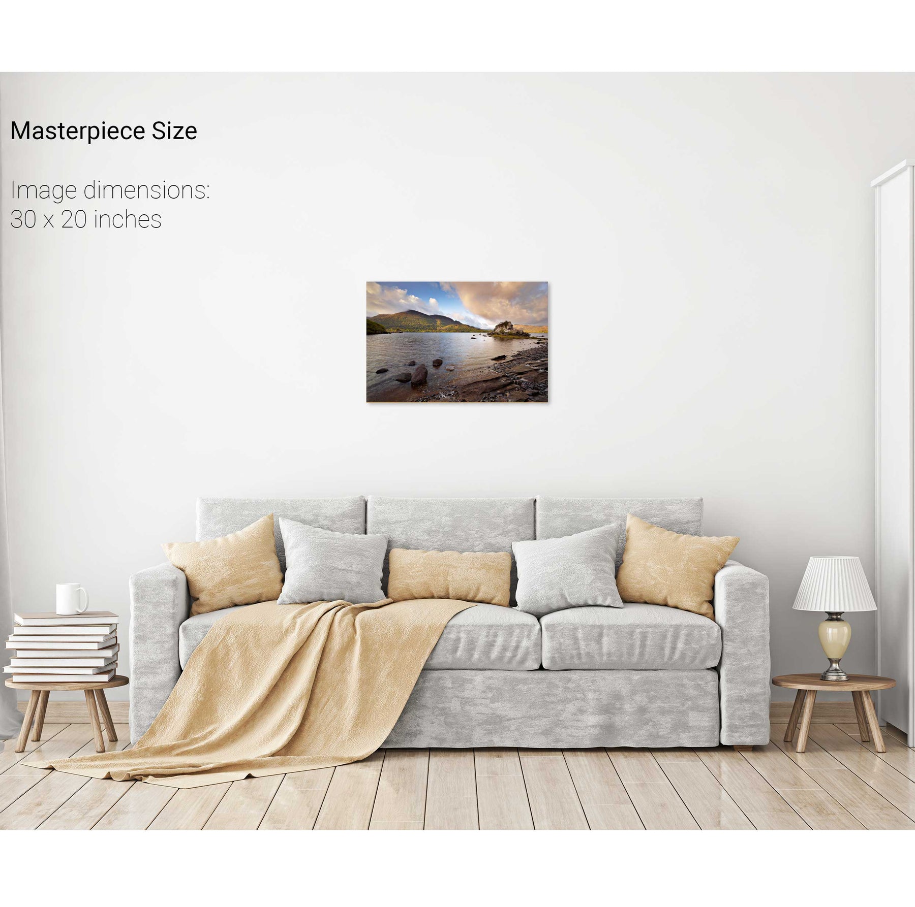
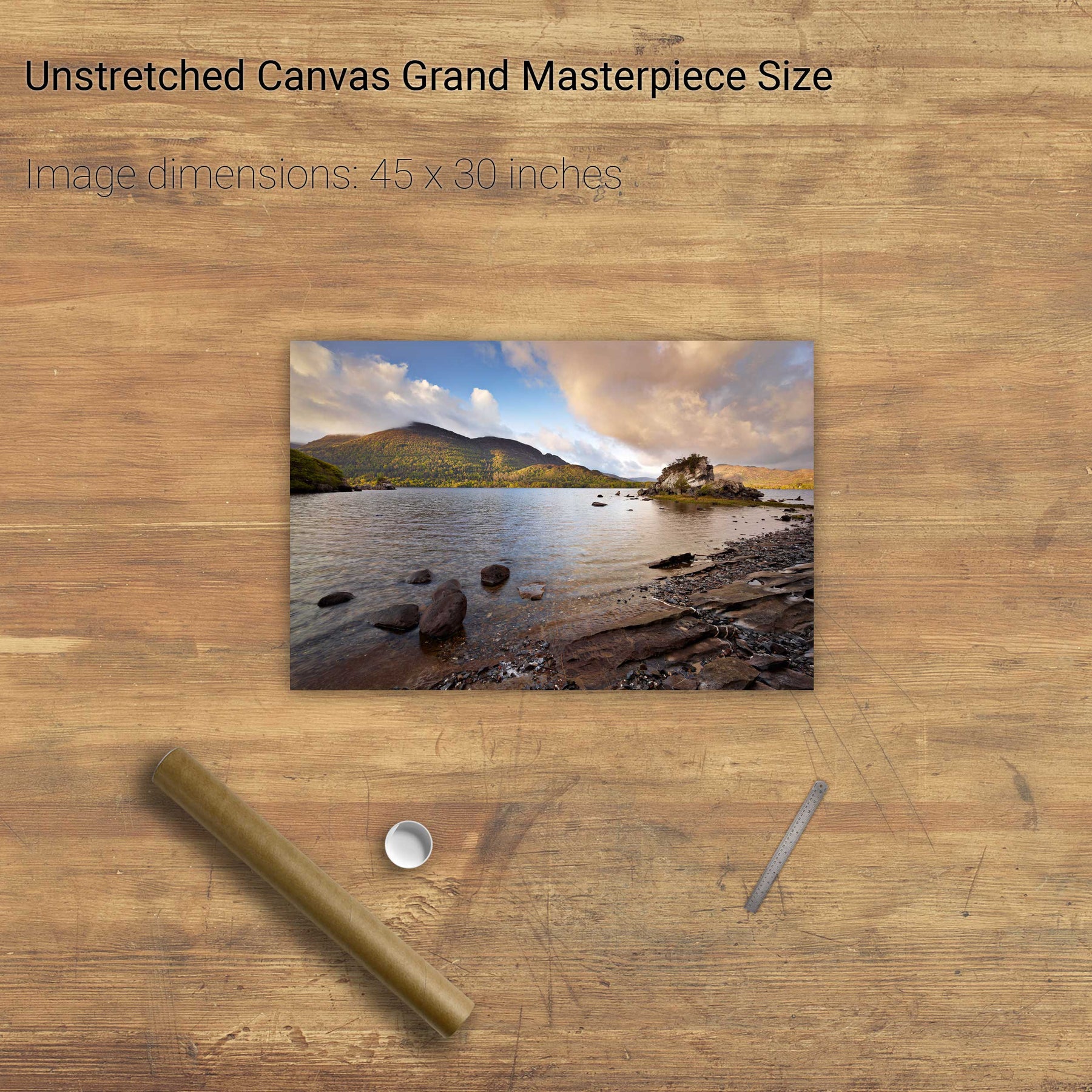
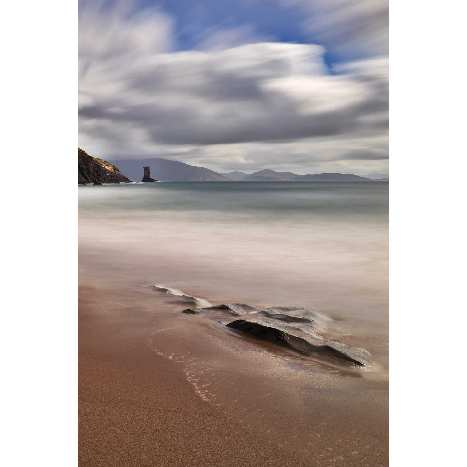
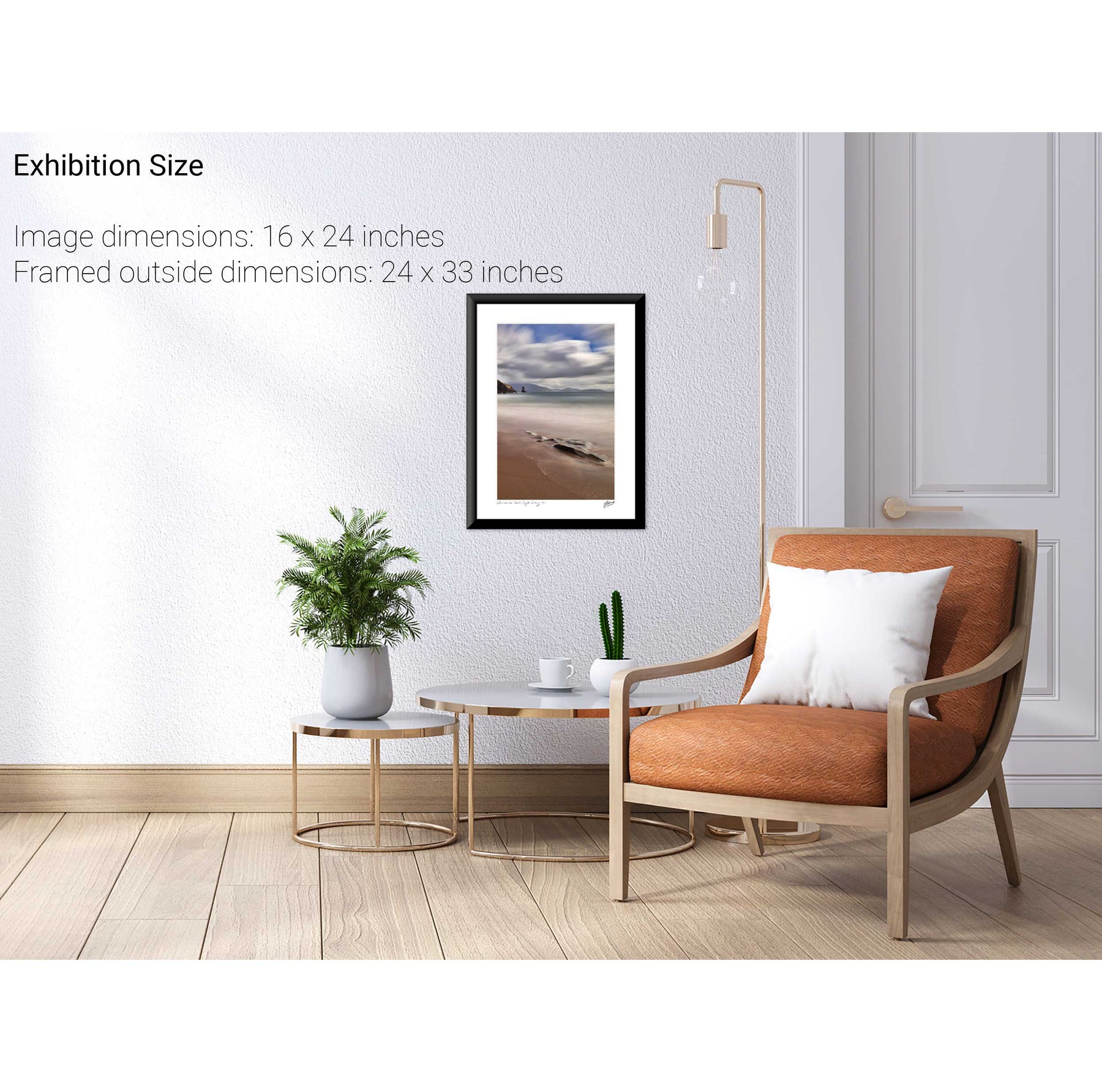
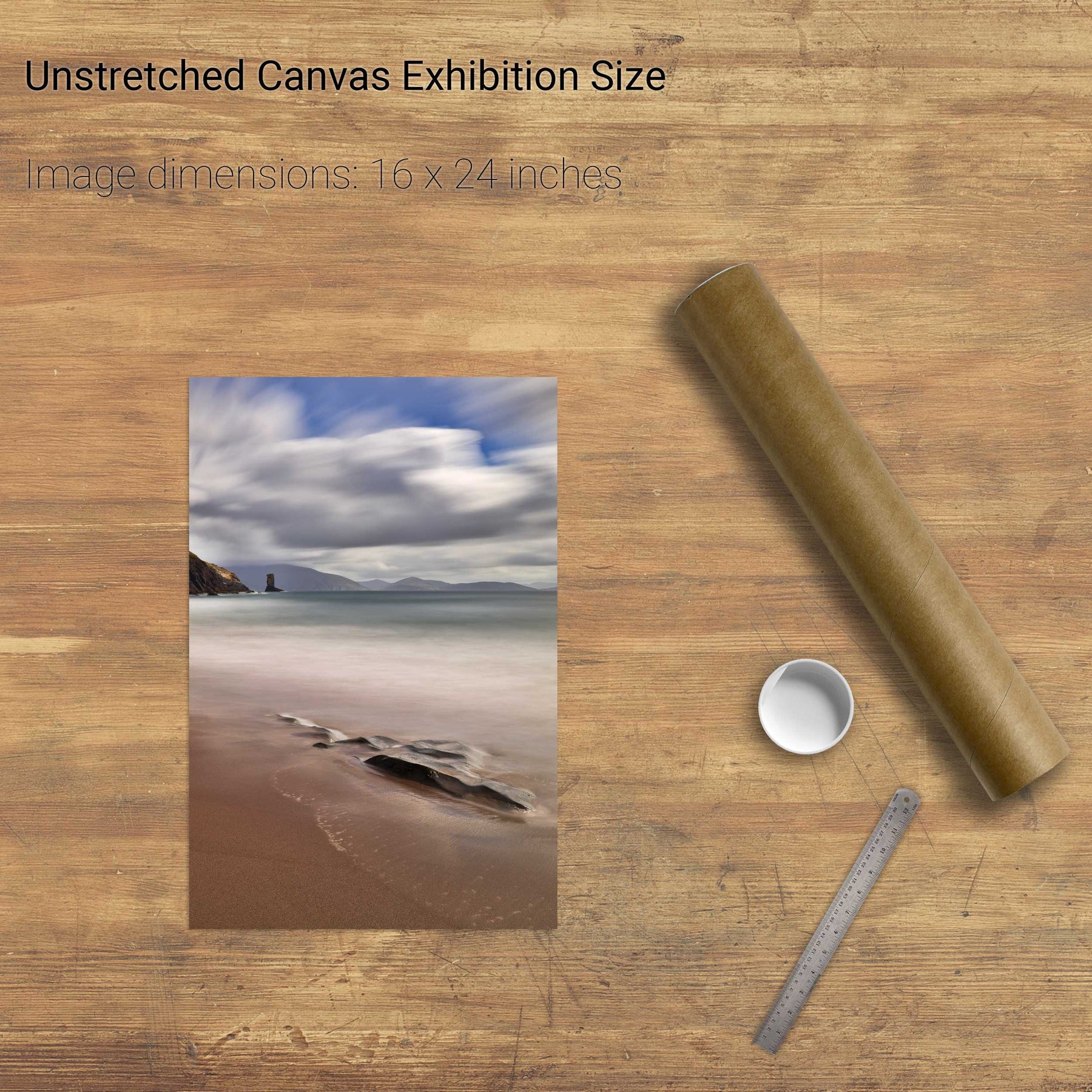
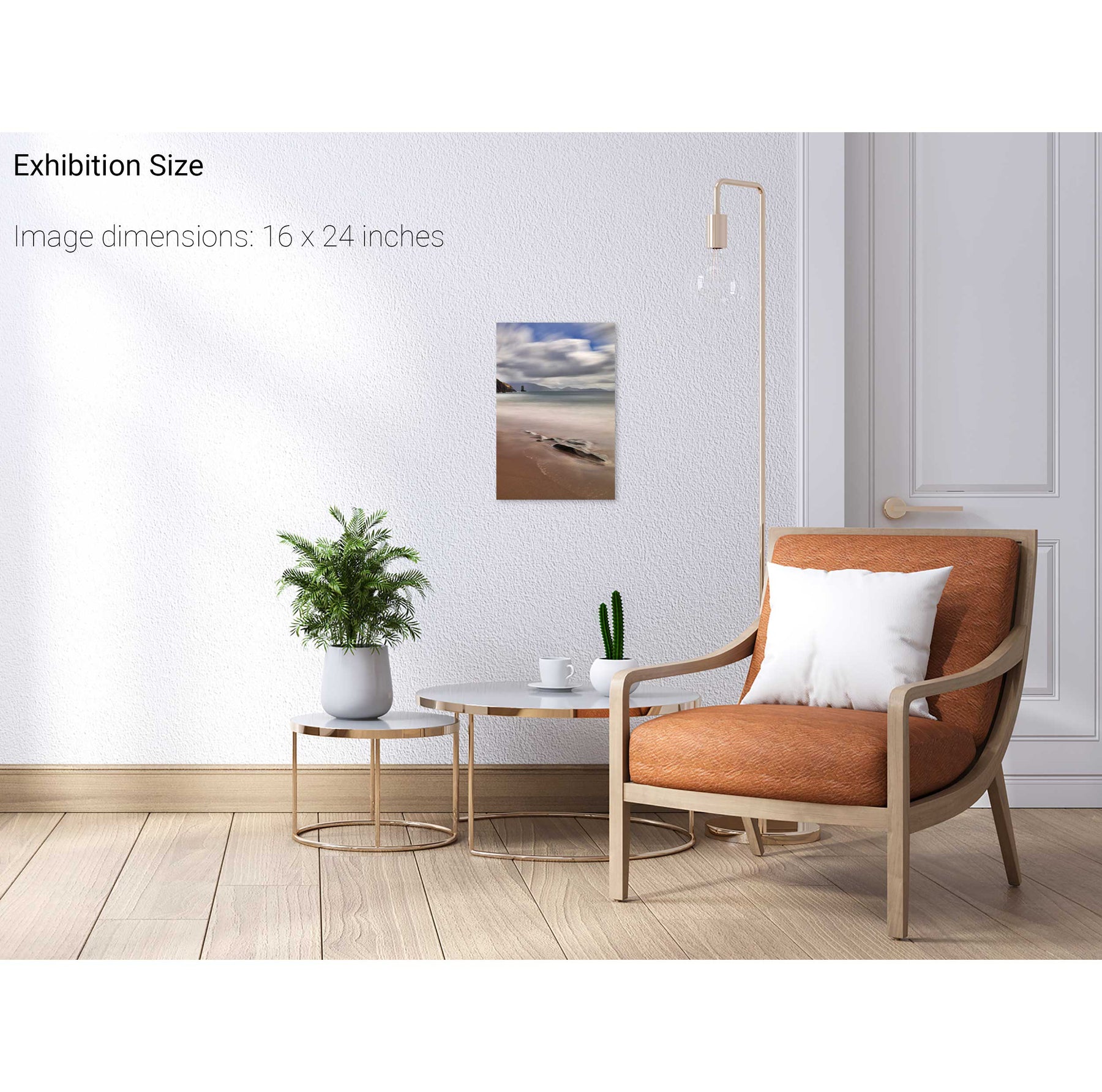
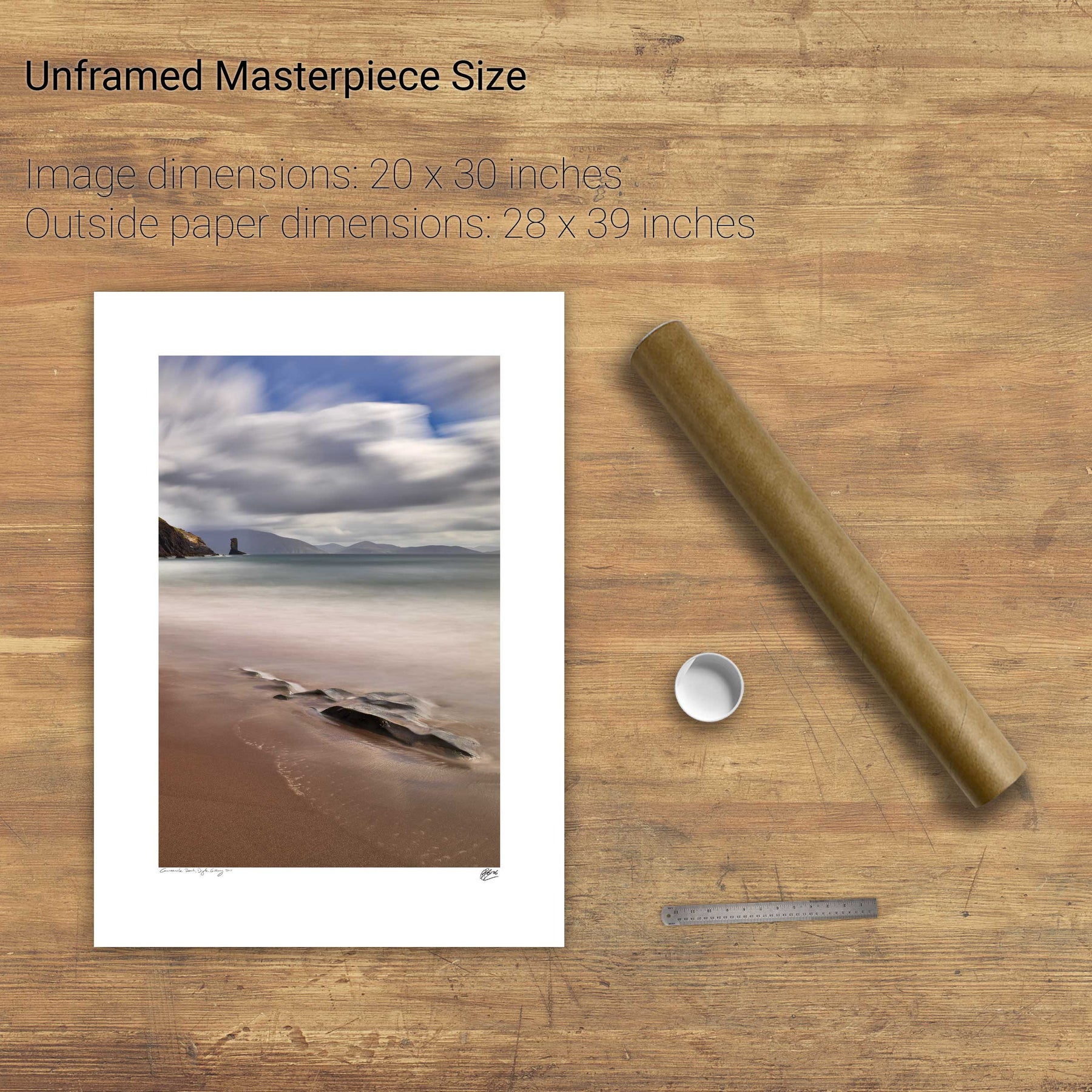
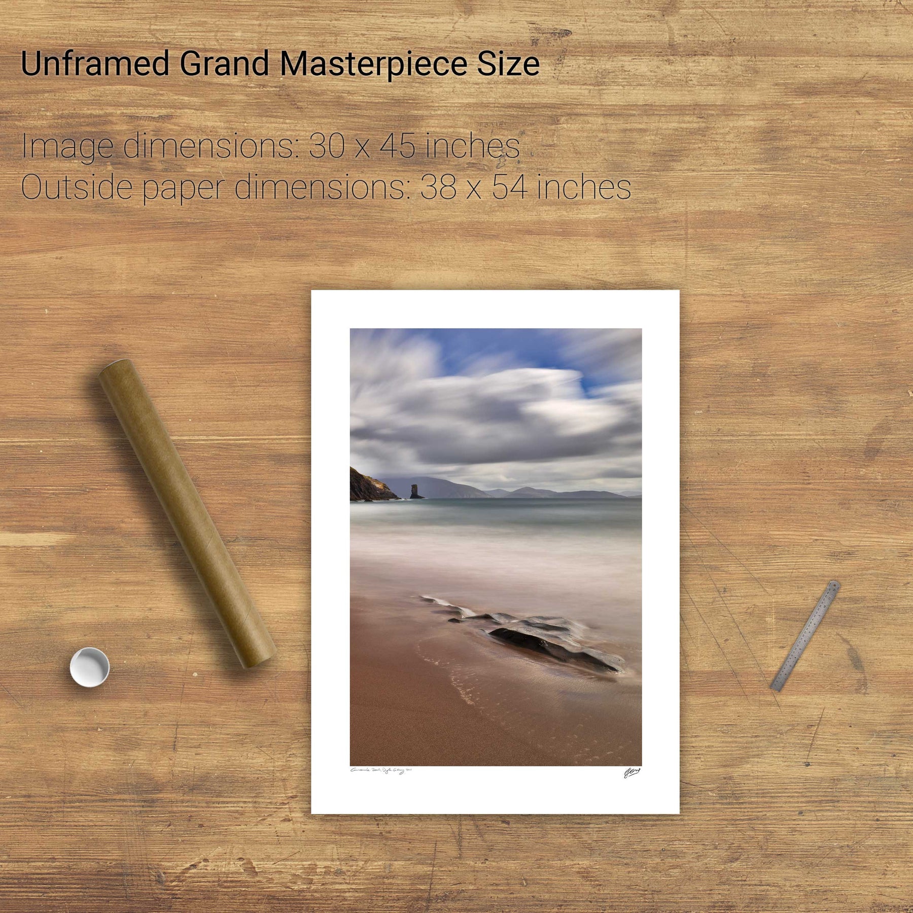
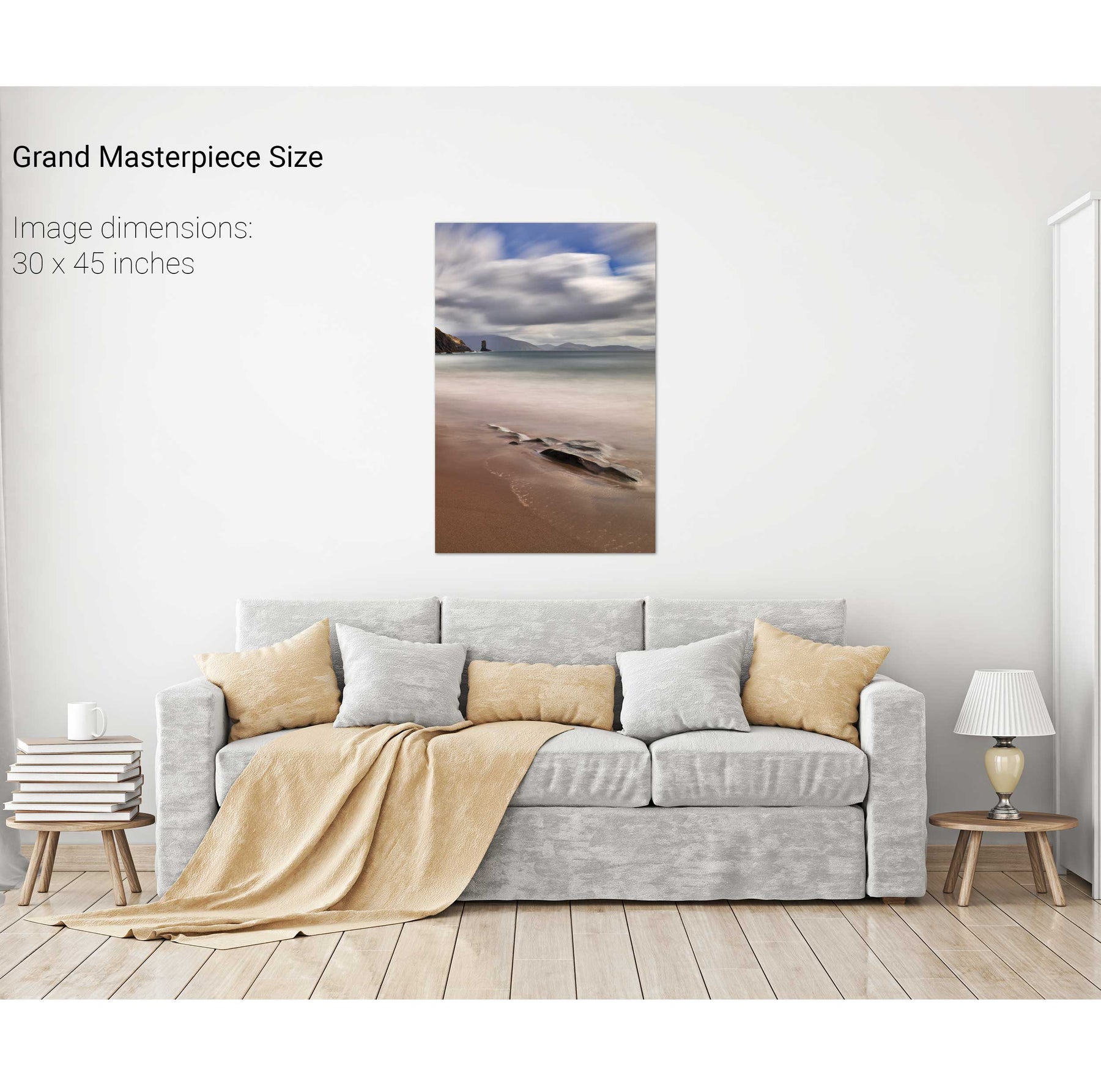
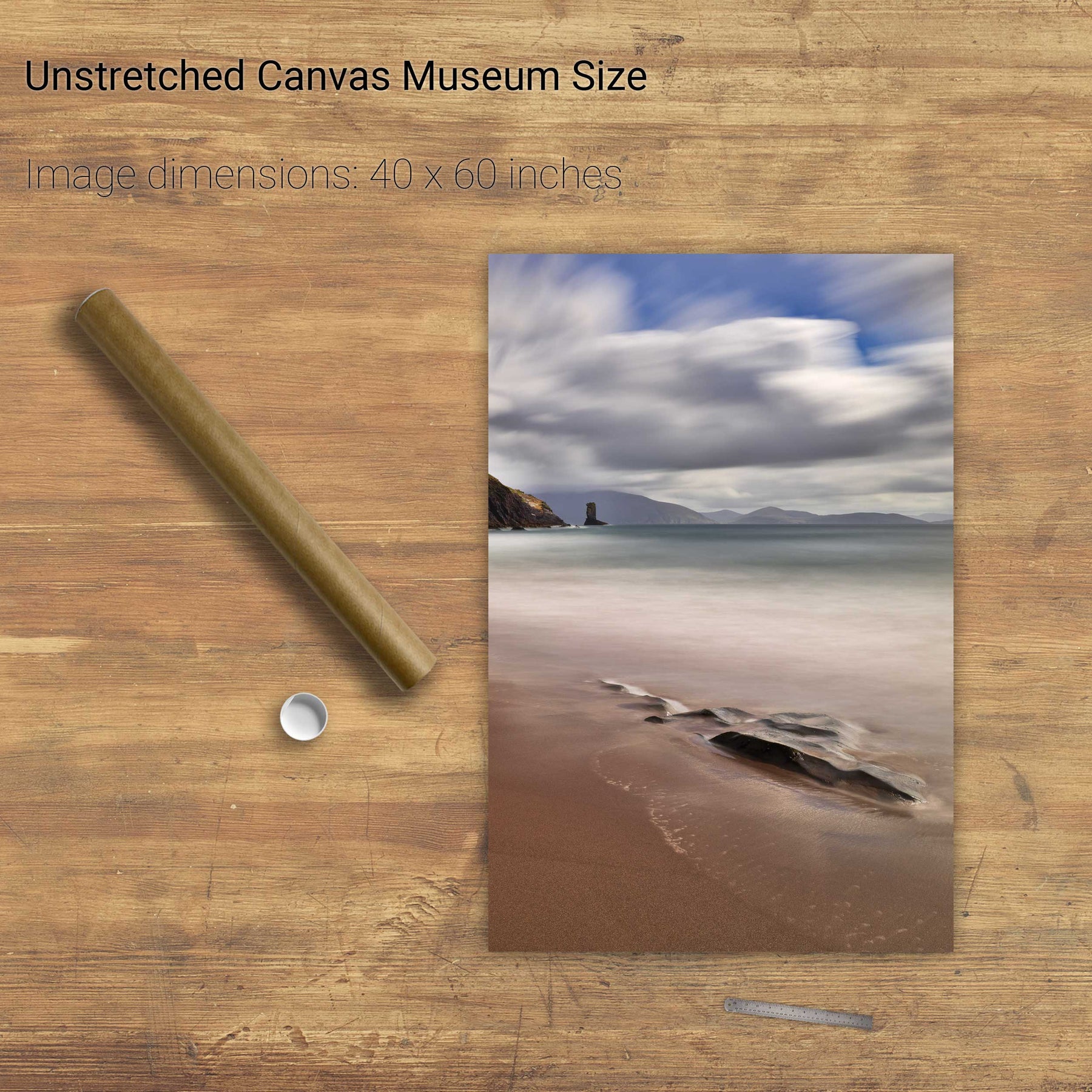
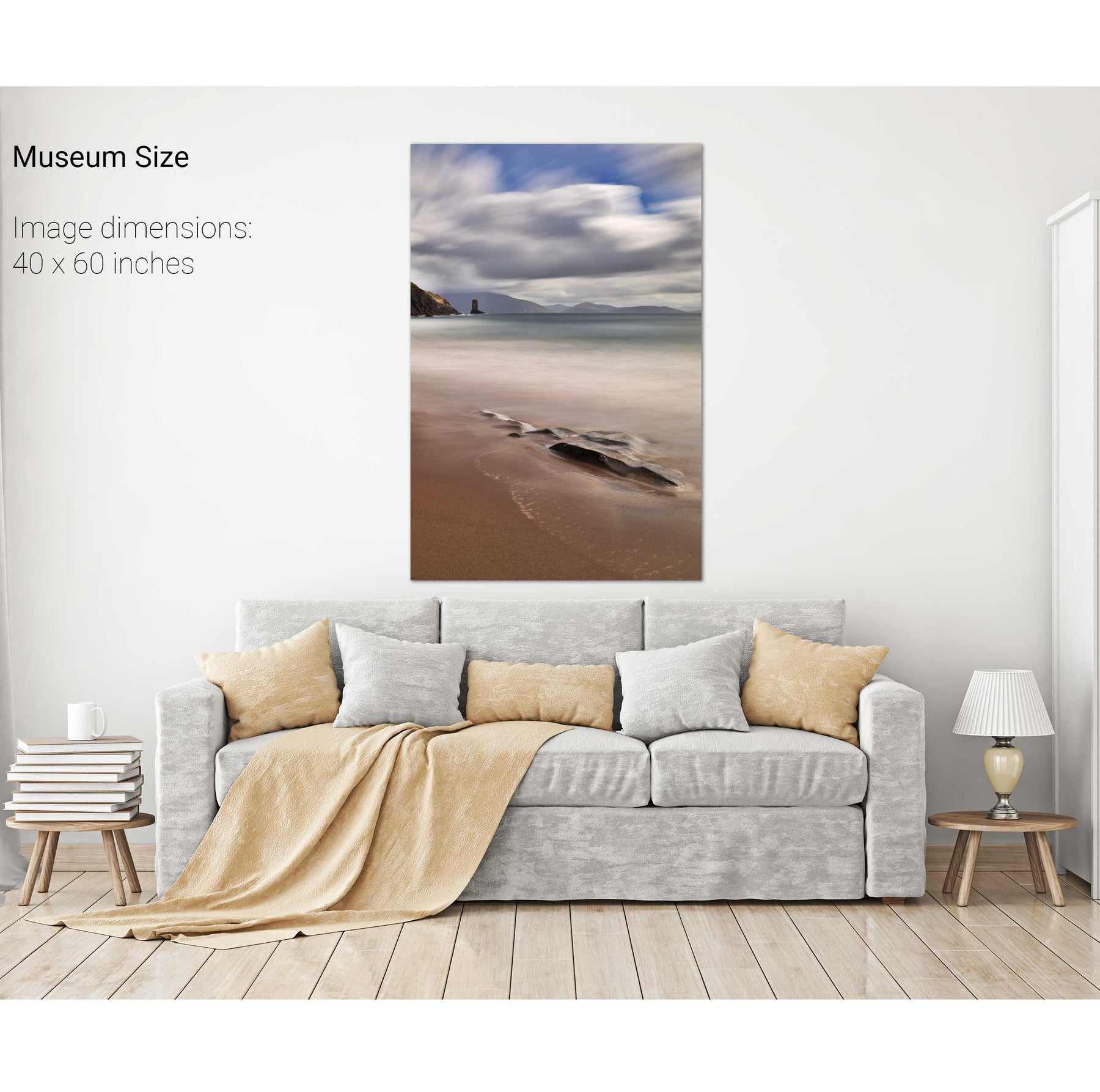
Clogher Strand, Dingle, Co. Kerry
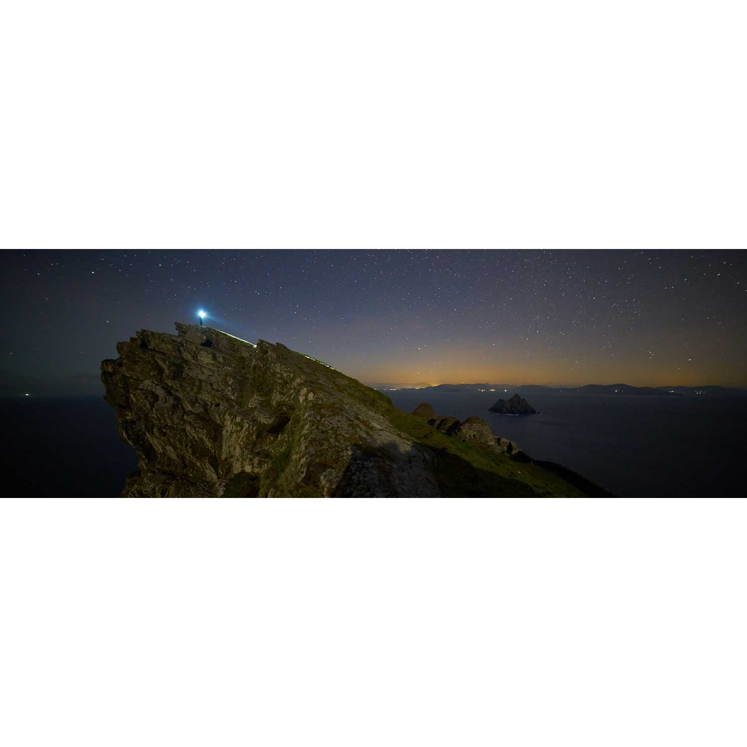
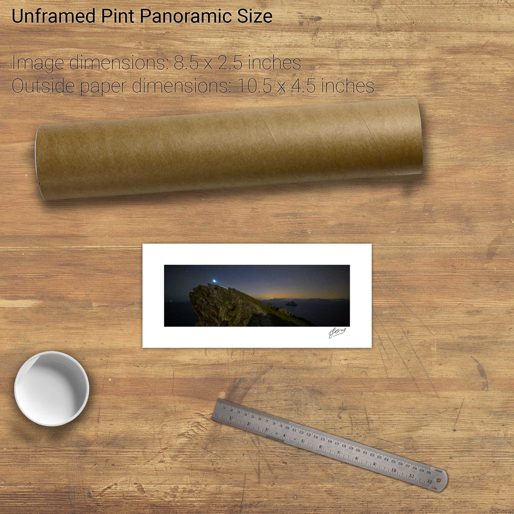
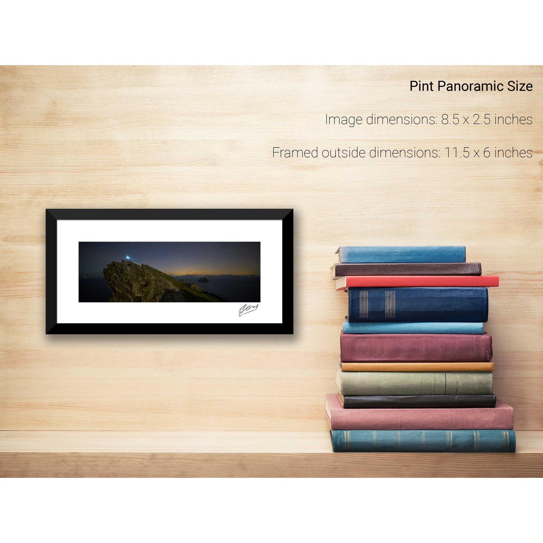
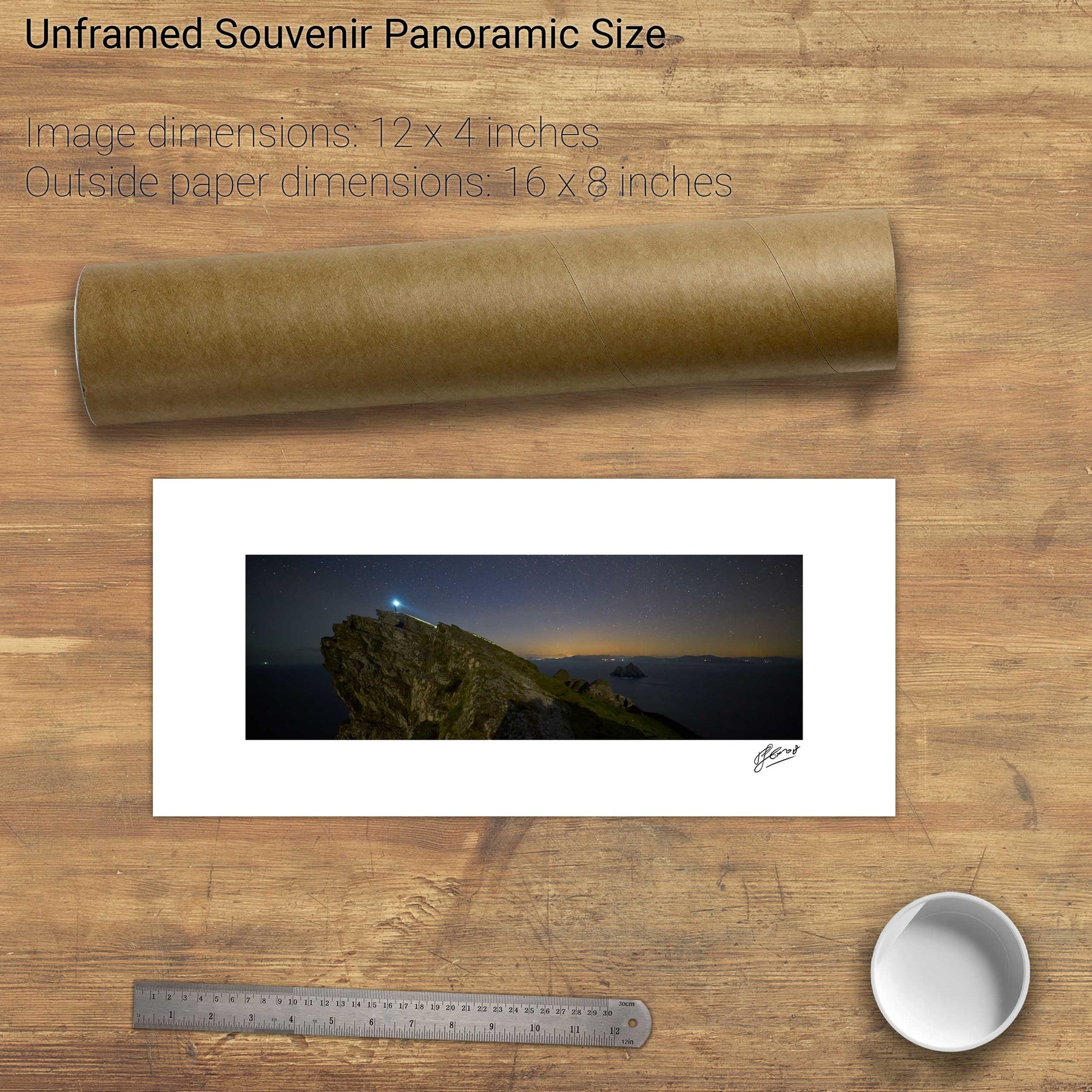
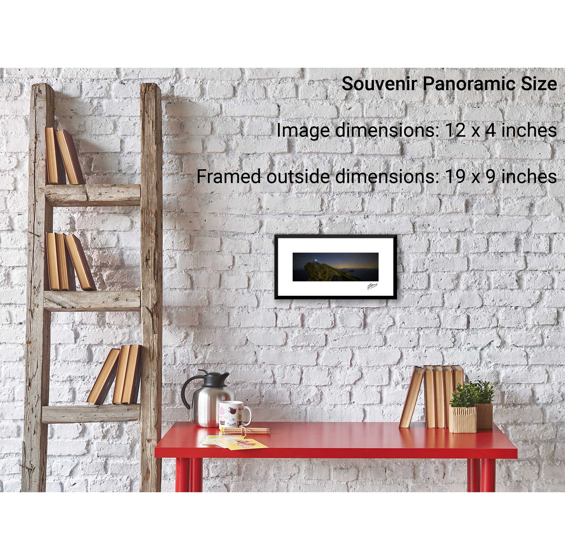
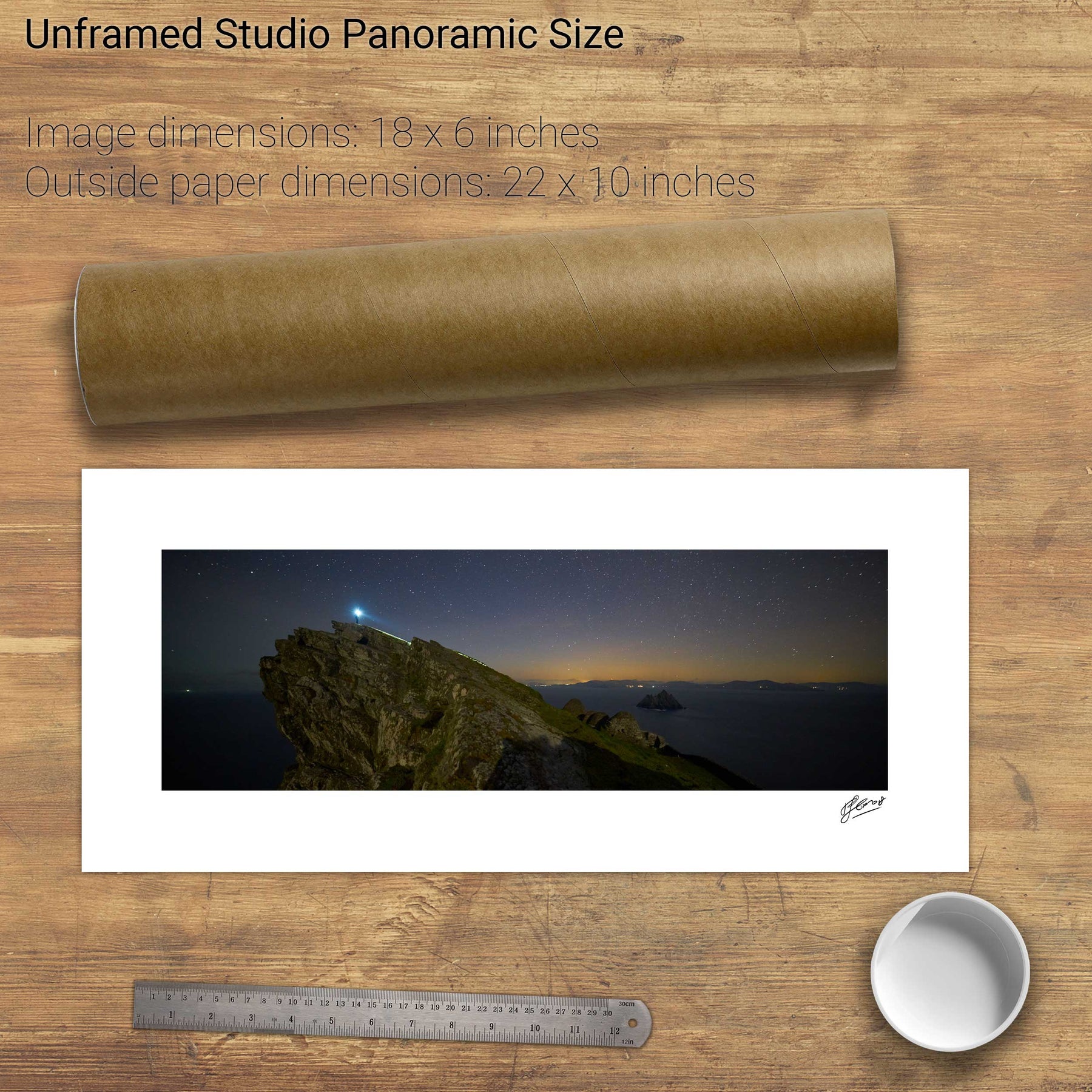
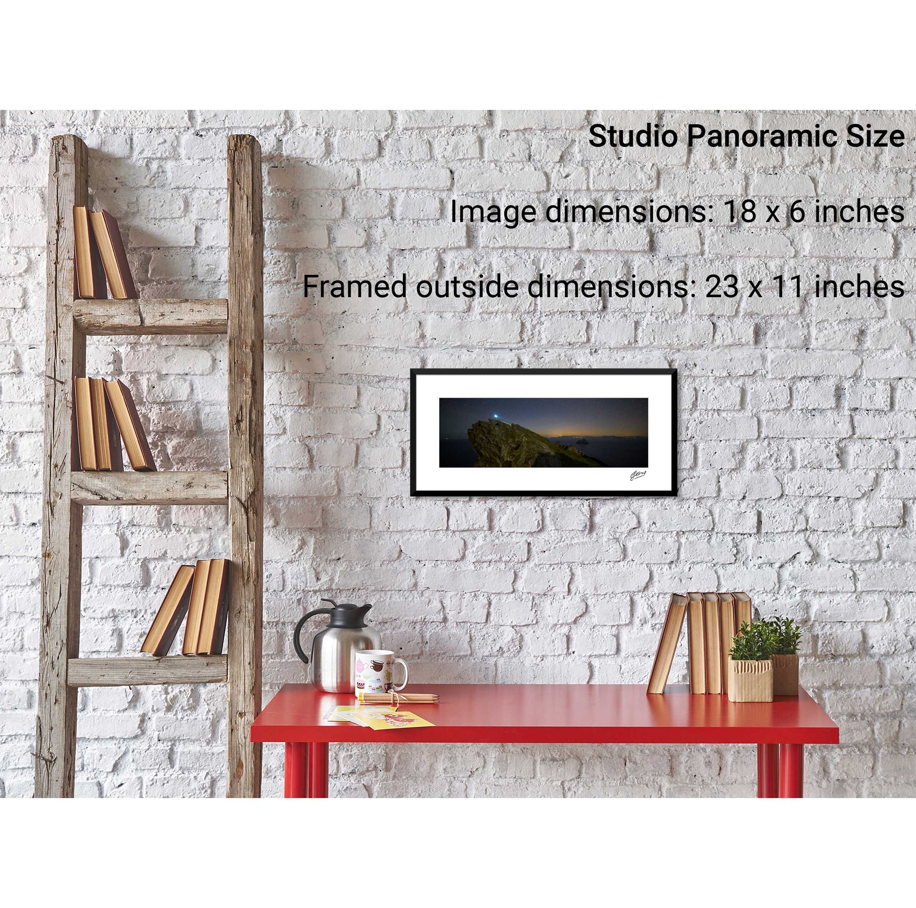
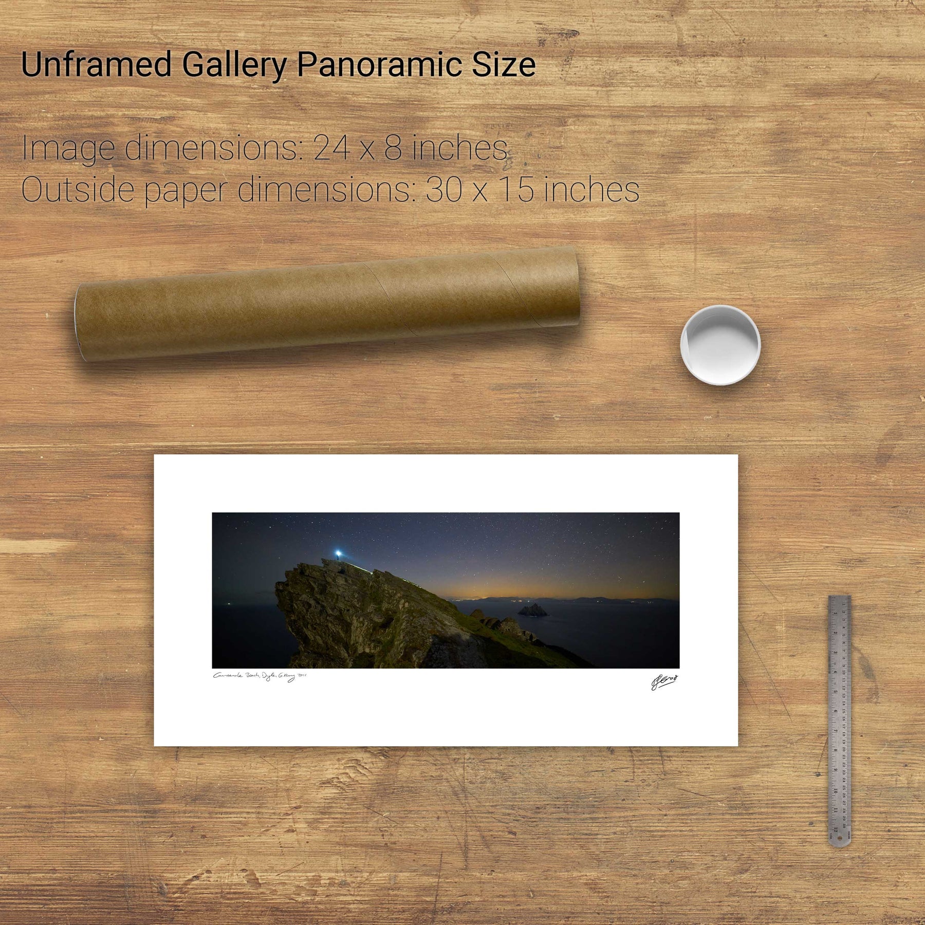
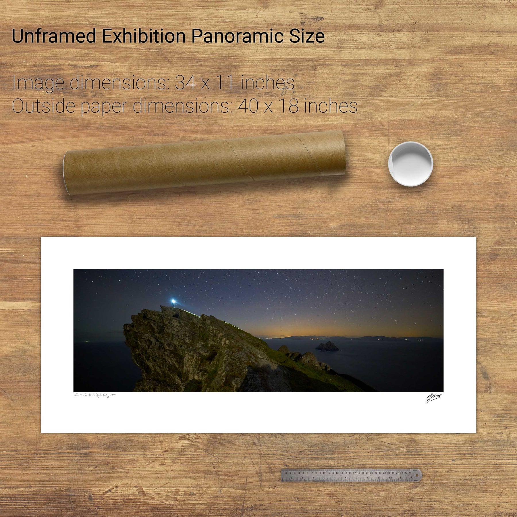
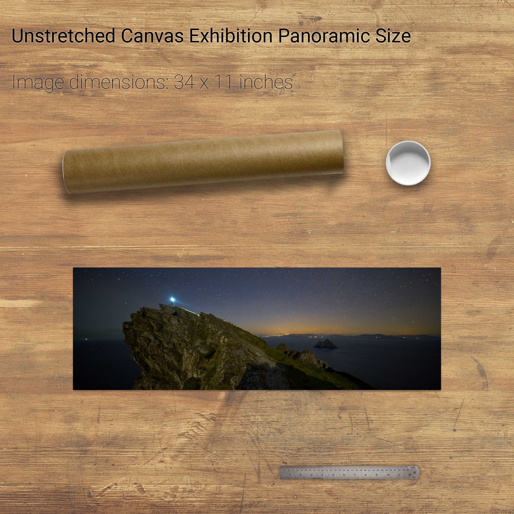
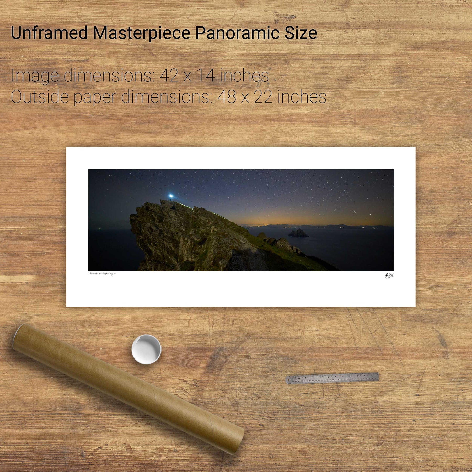
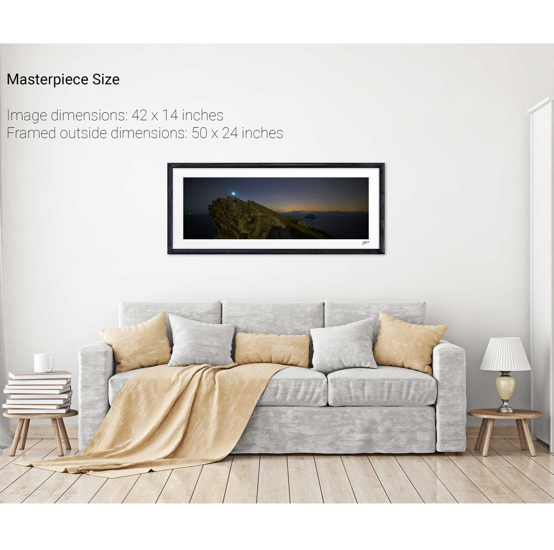
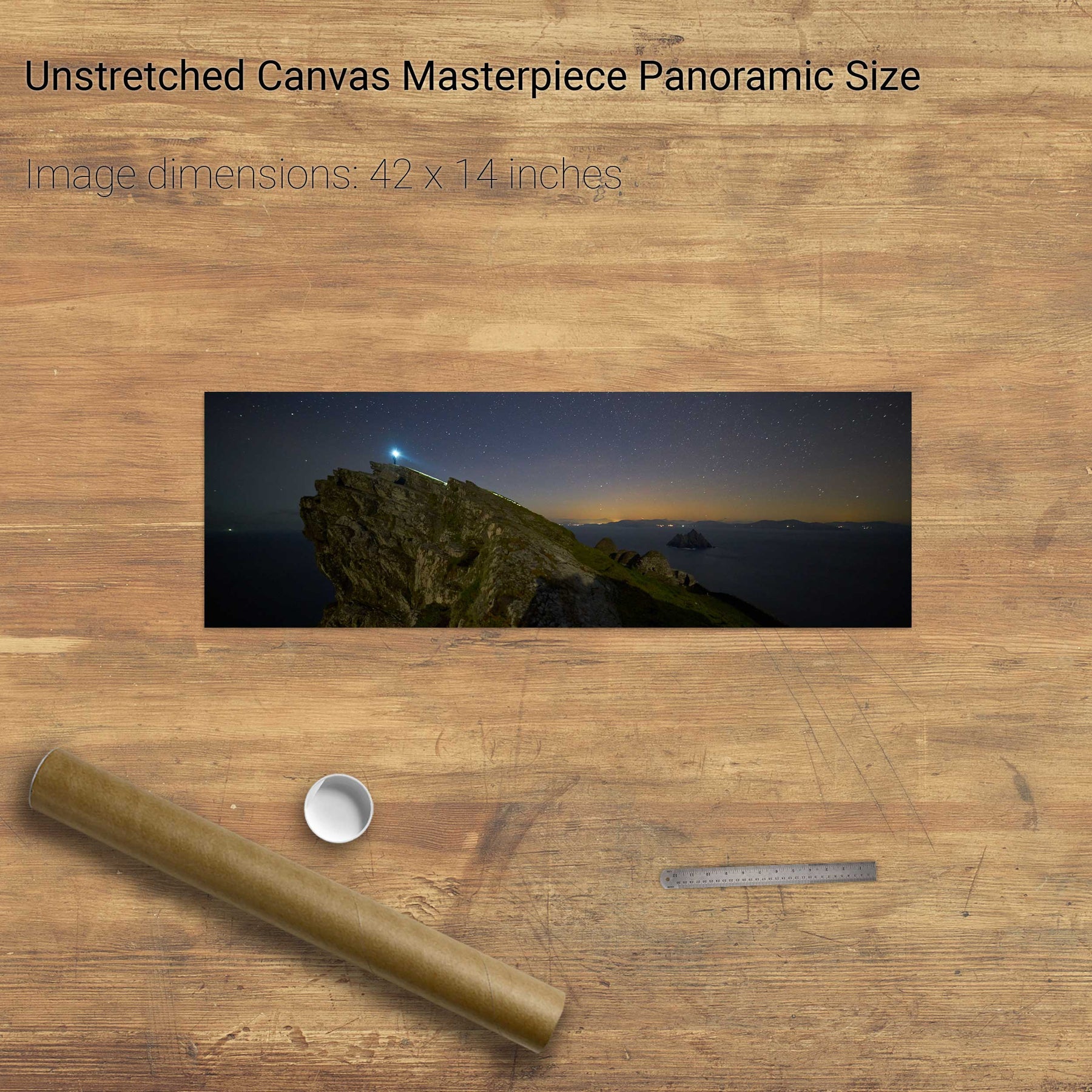
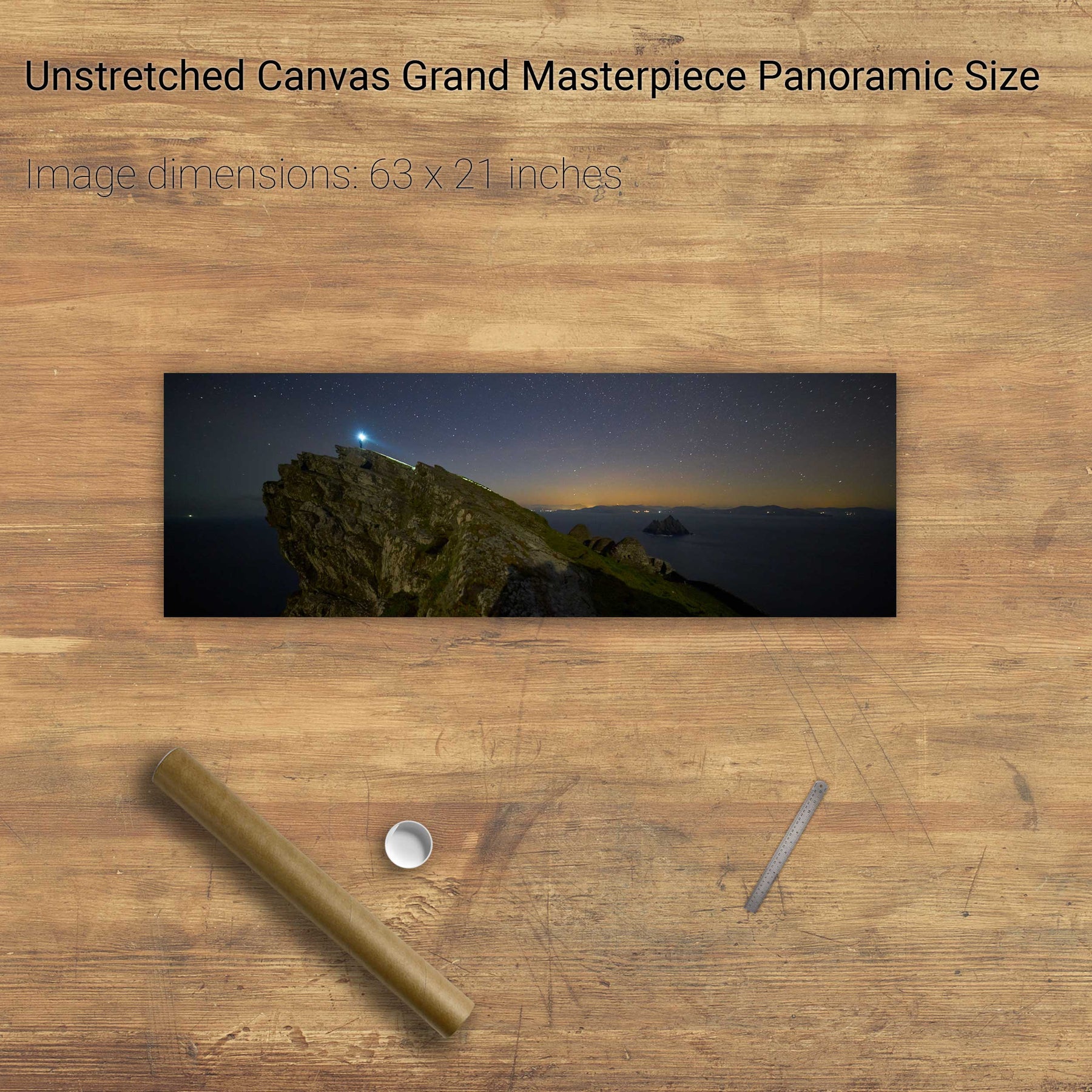
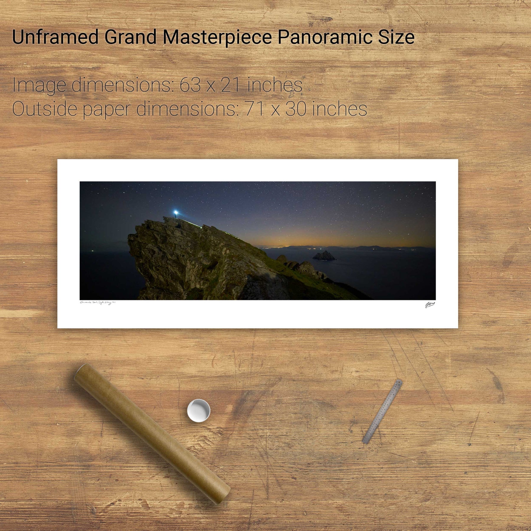
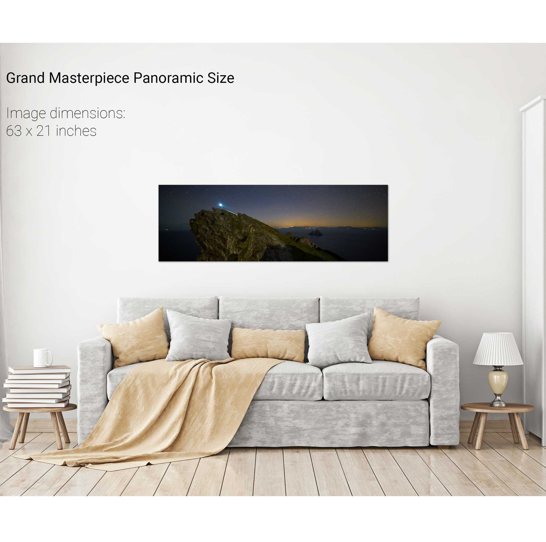
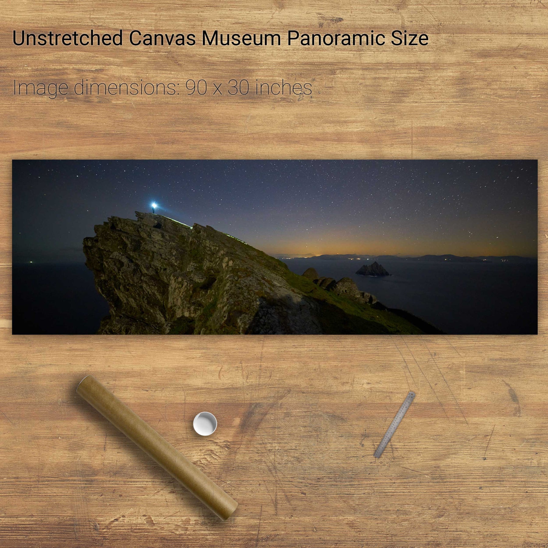
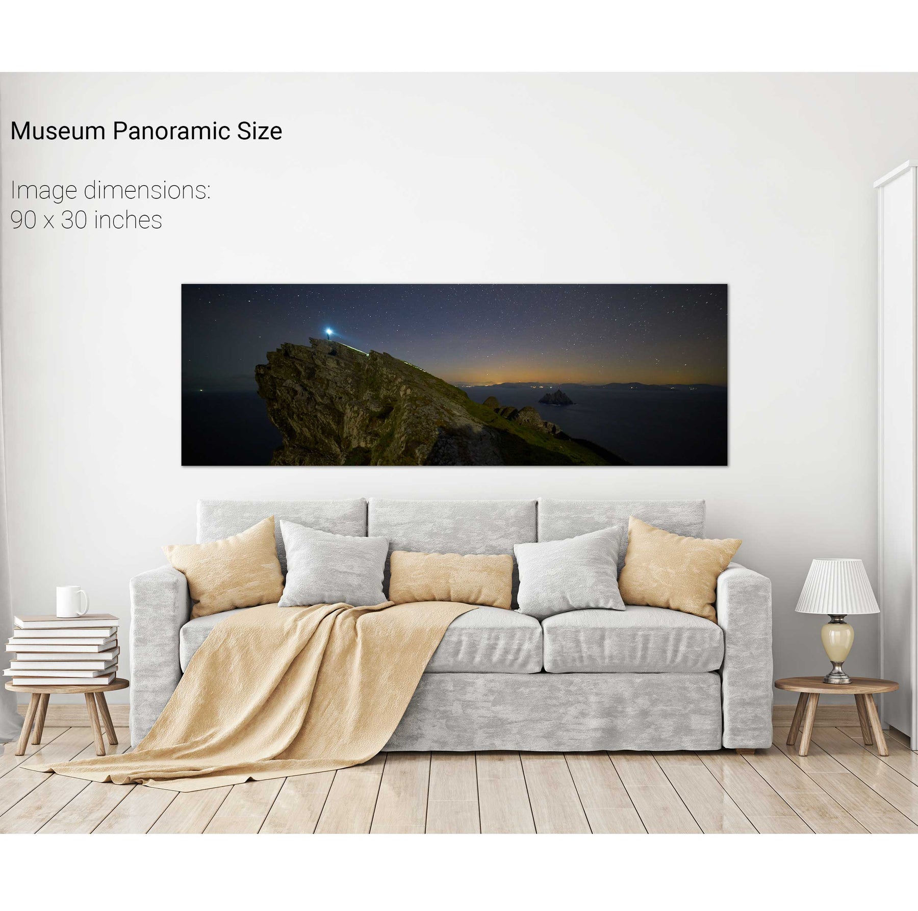
Light the Way, Skellig Michael, Kerry
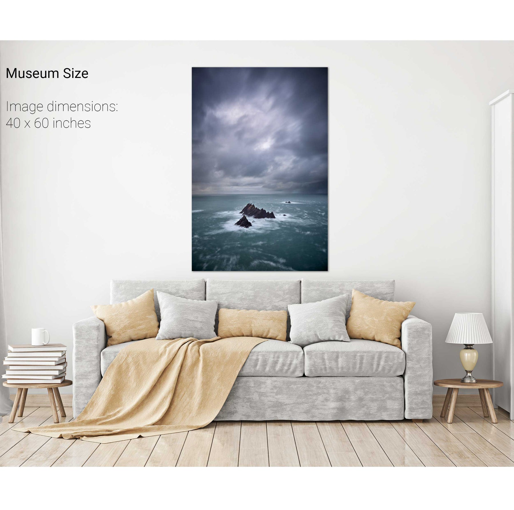
A Stormy Day, An Tiaracht, Co. Kerry
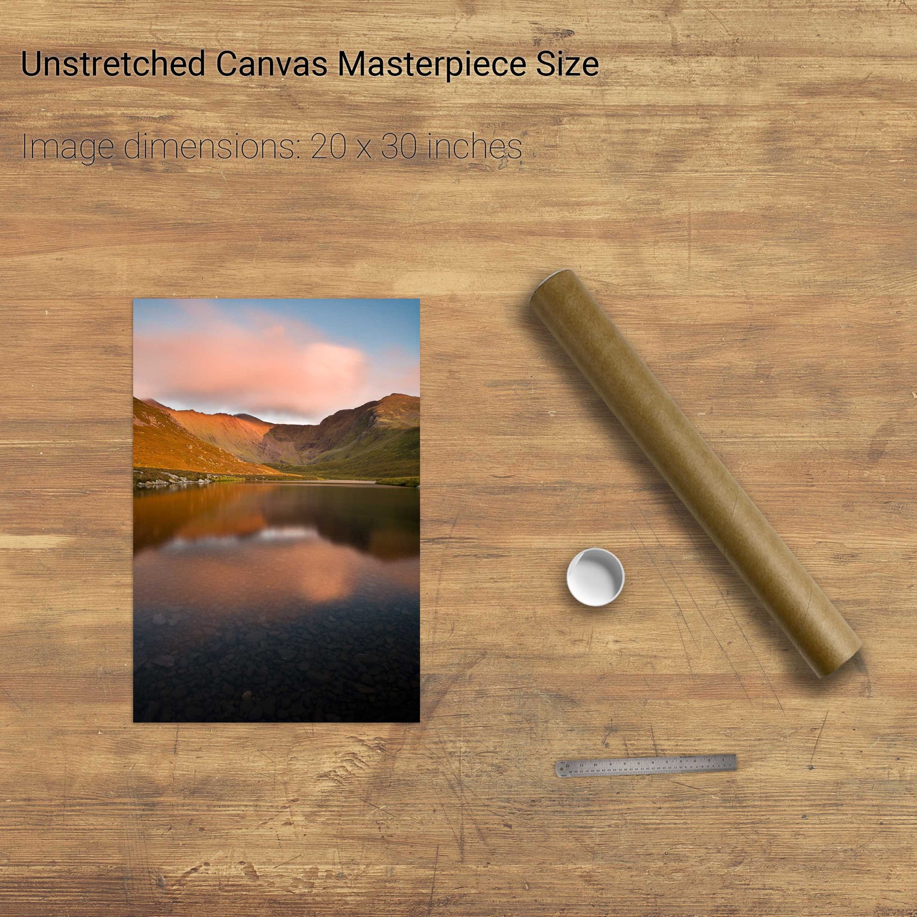
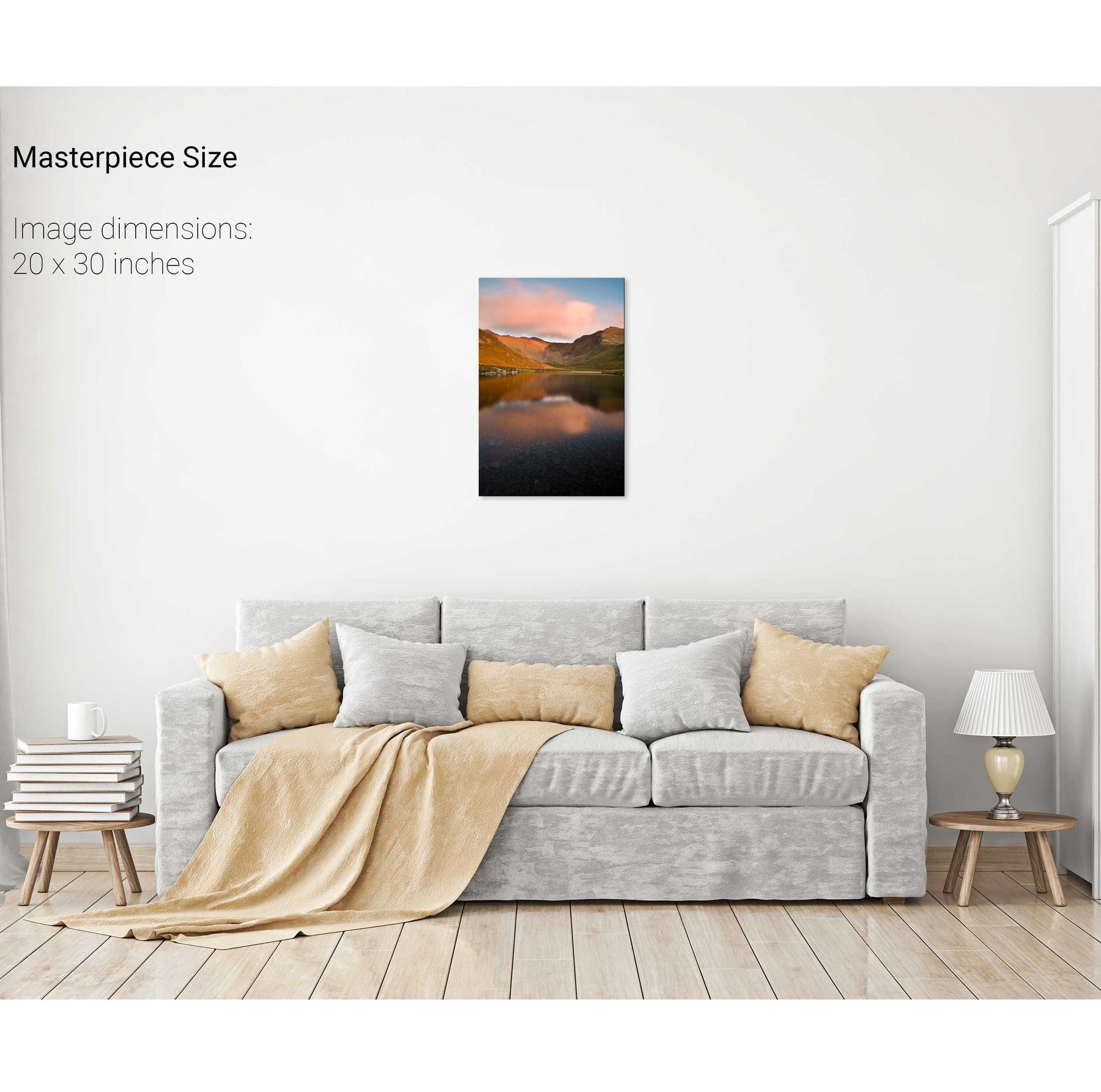
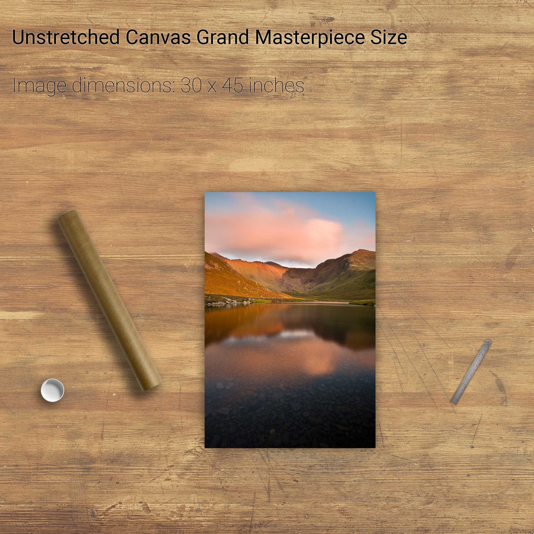
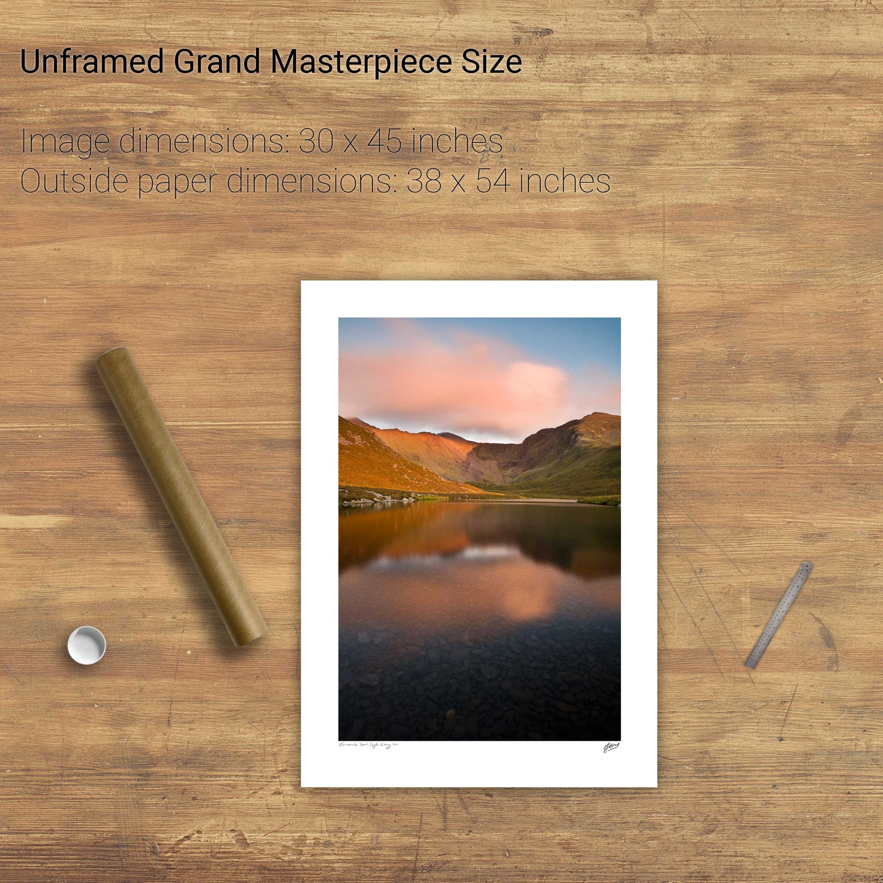
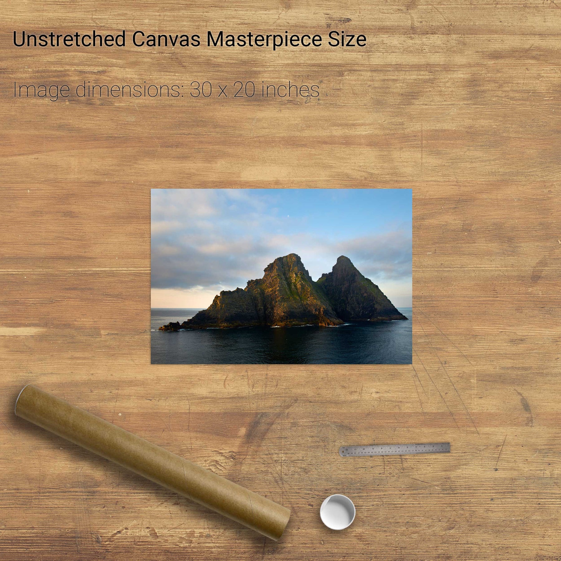
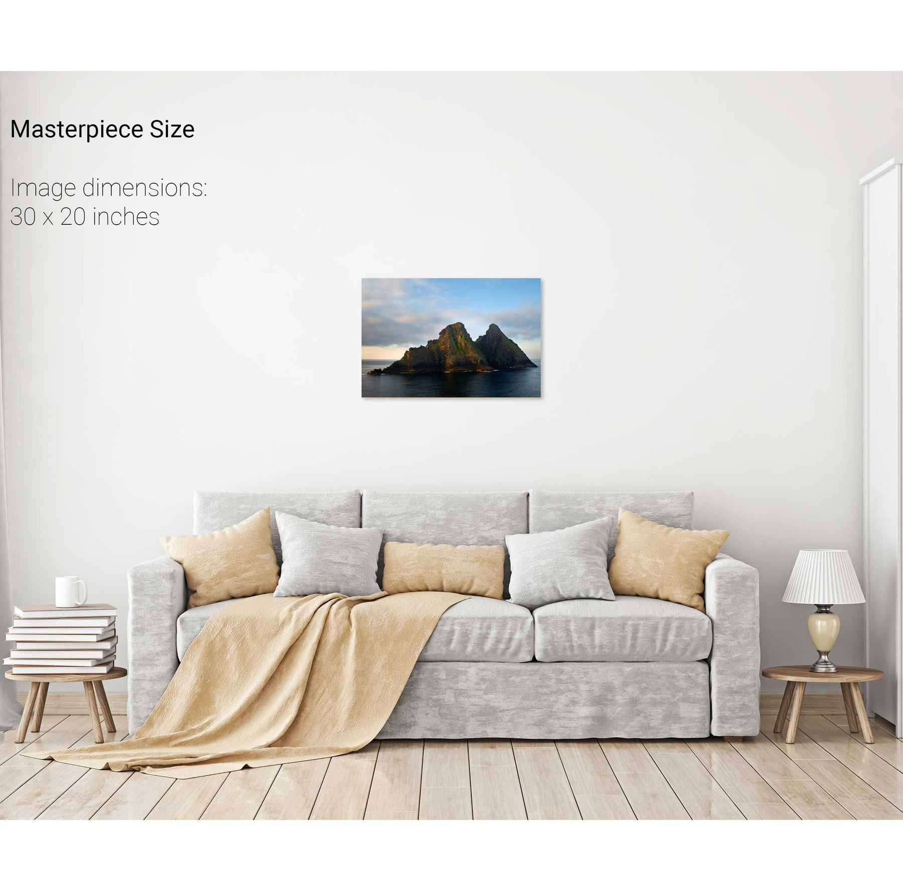
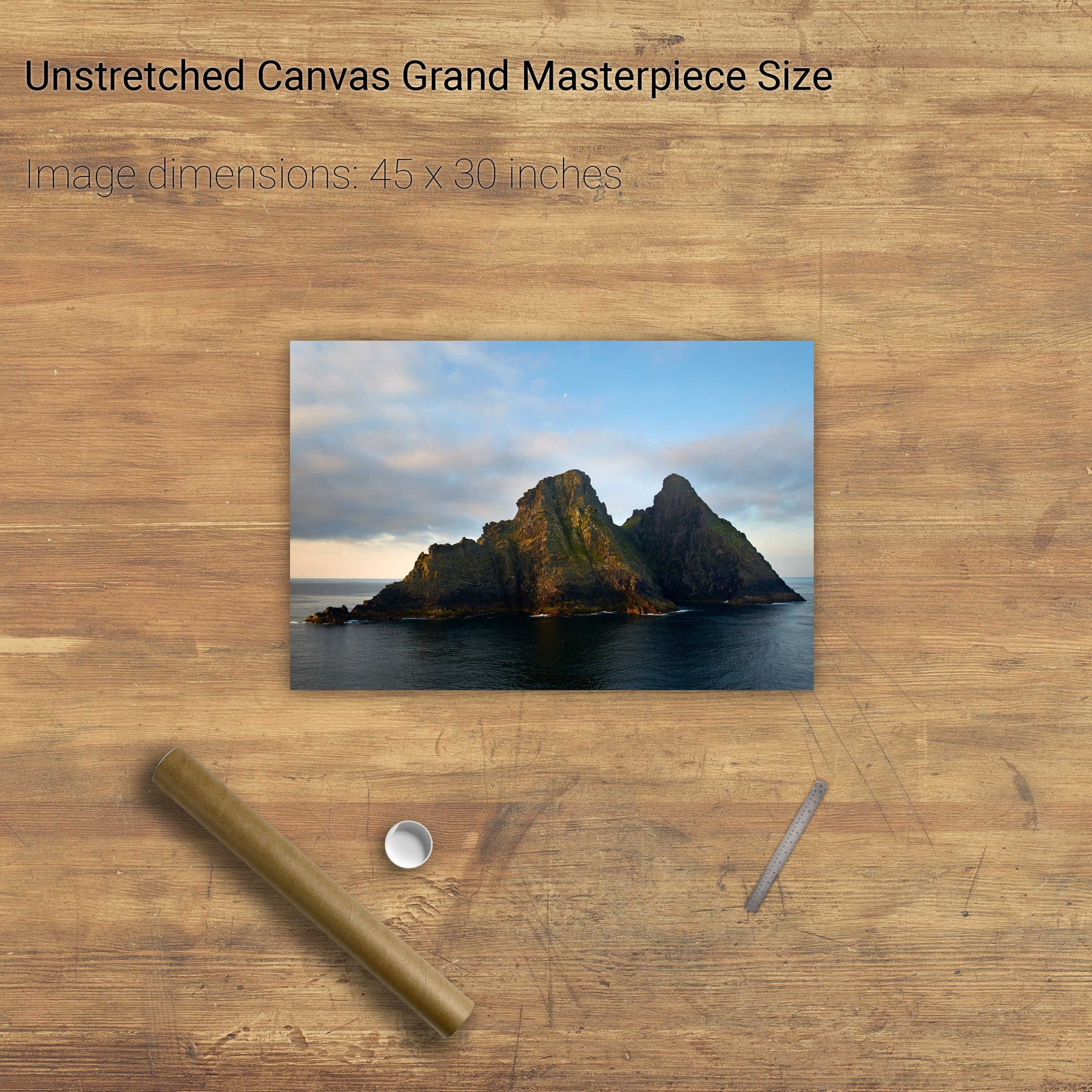
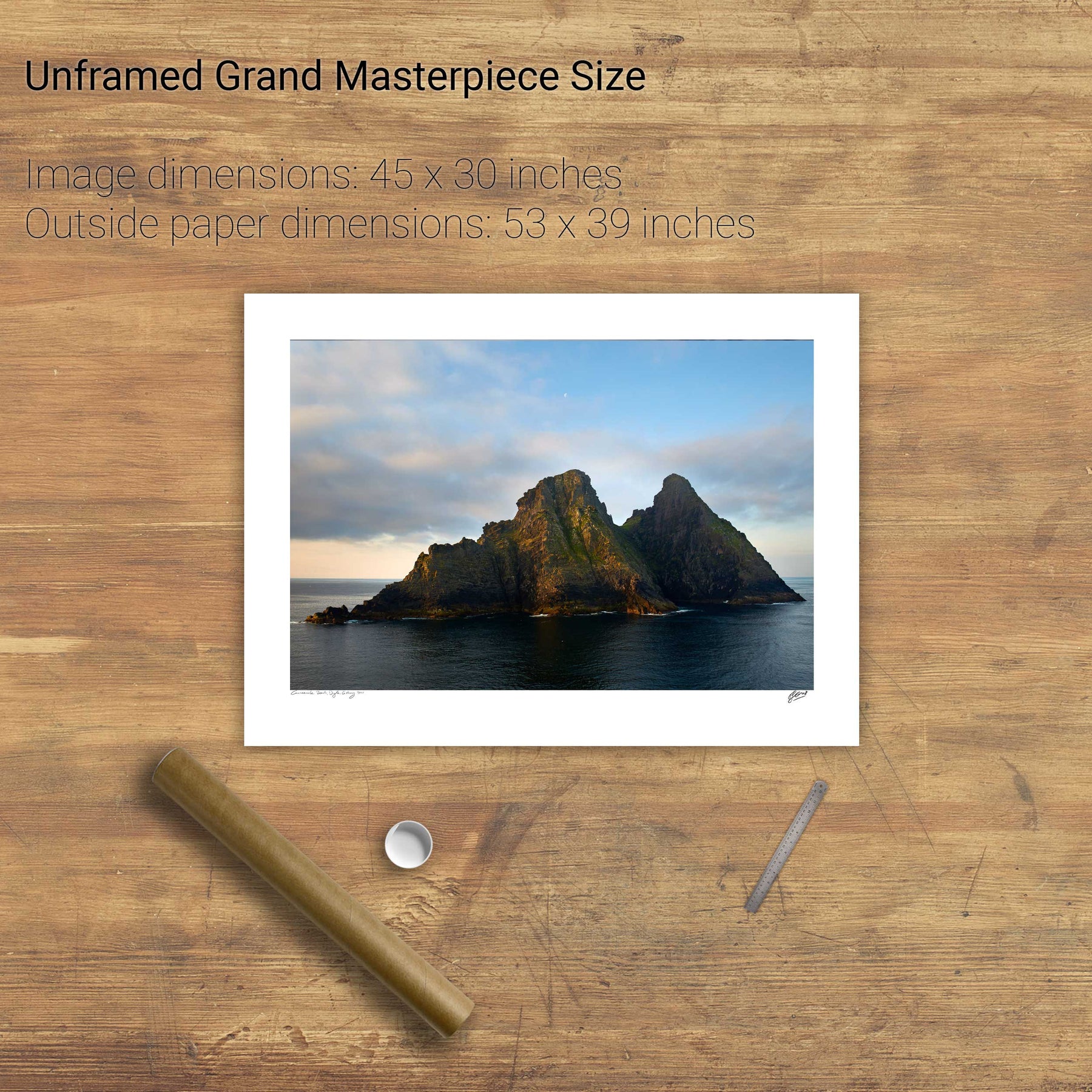
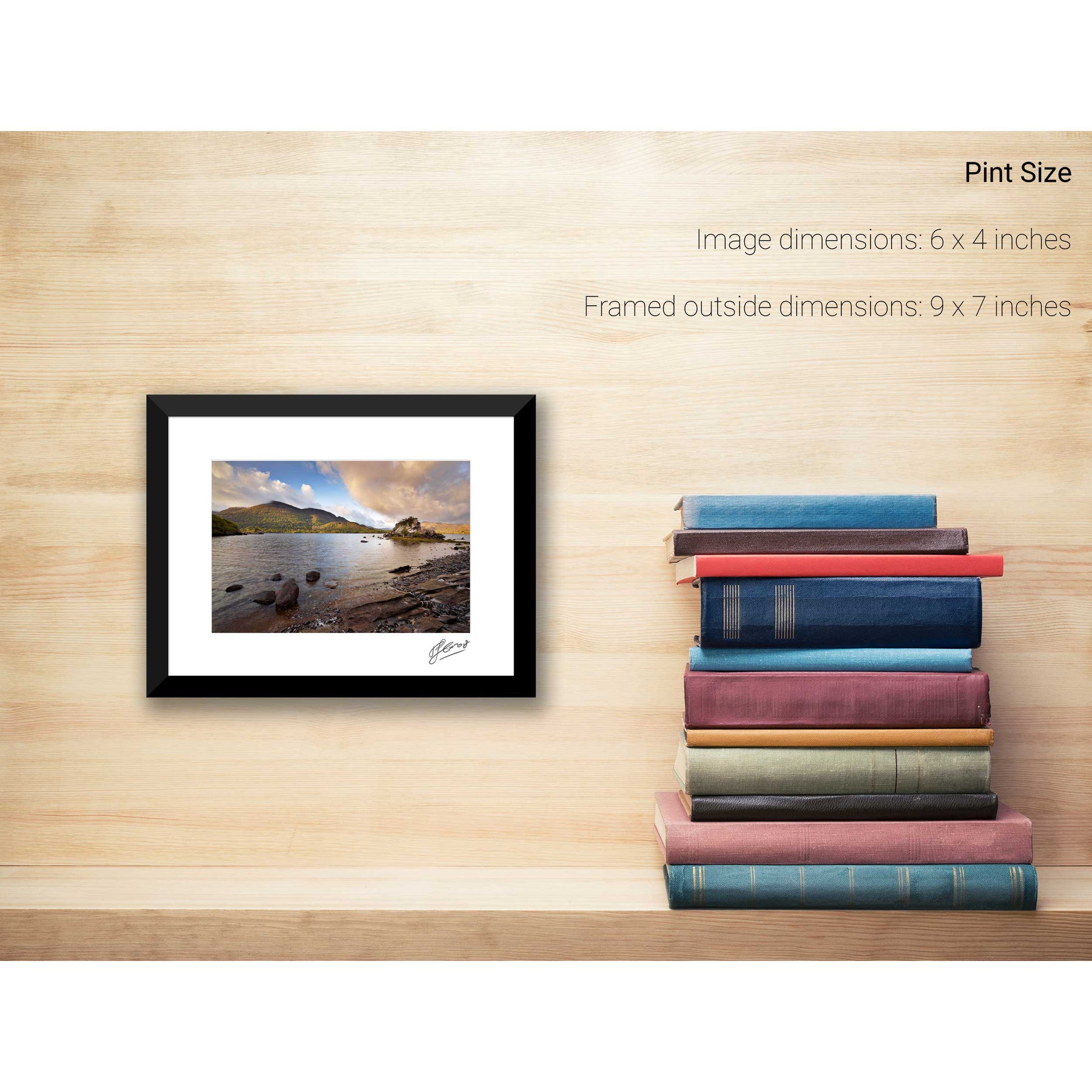
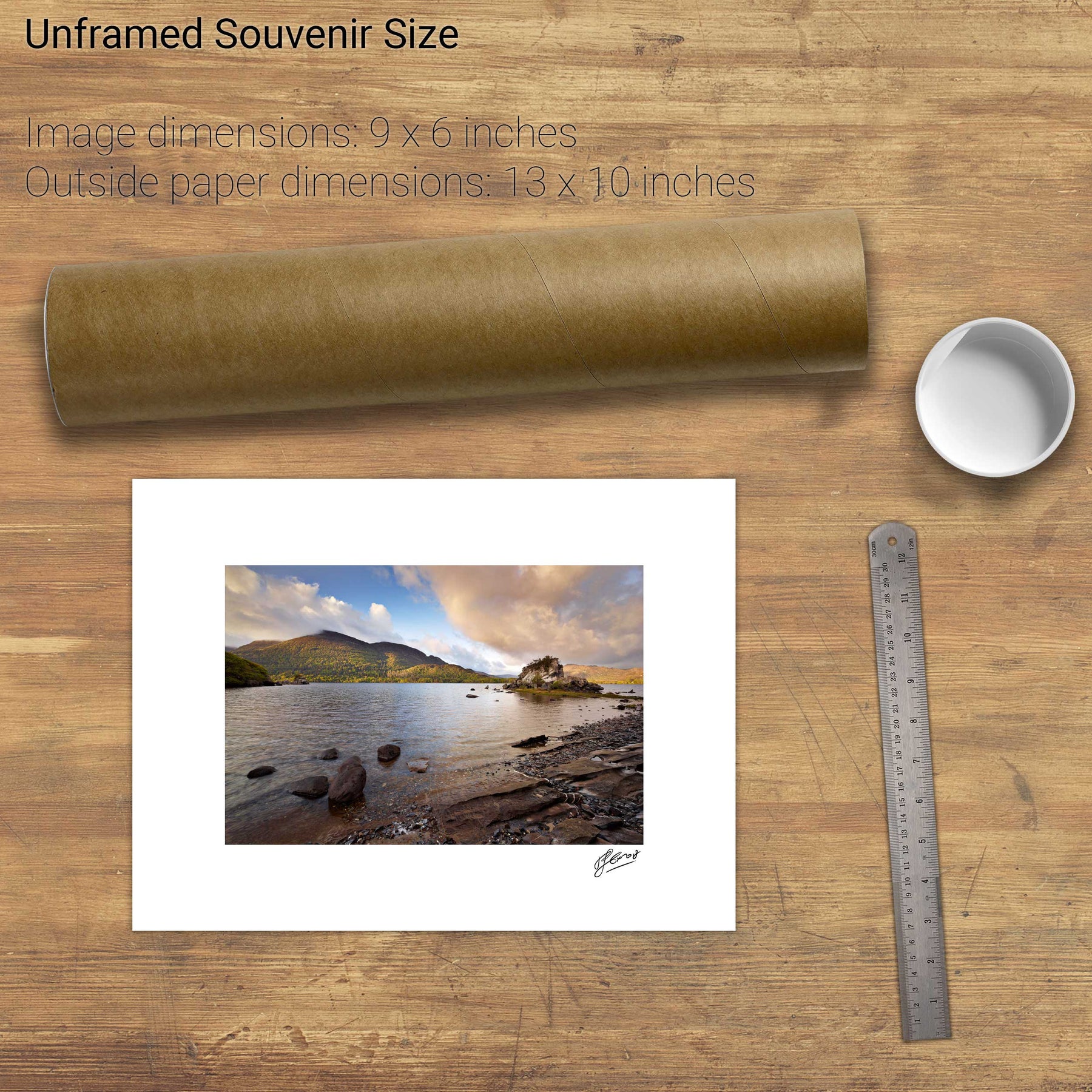
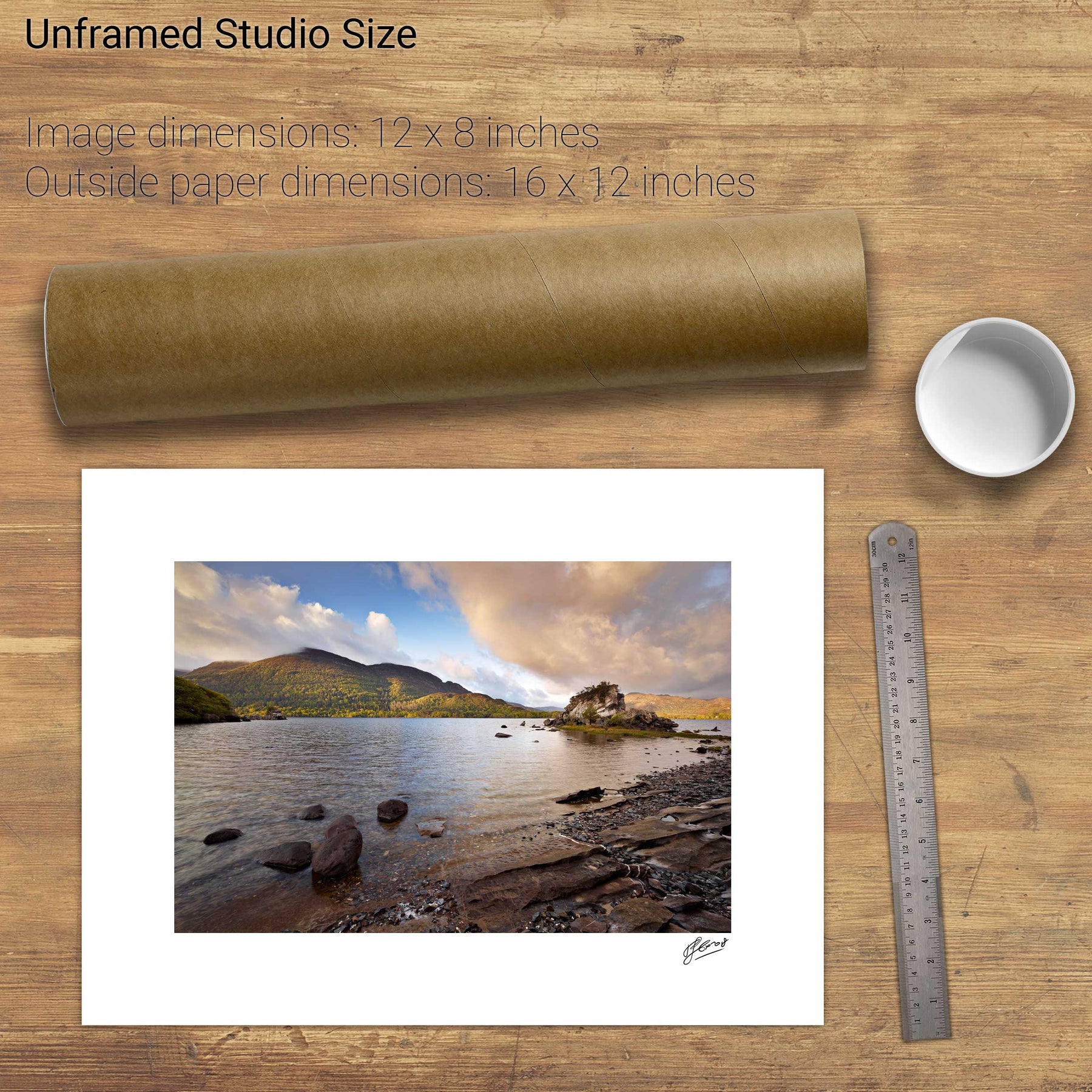
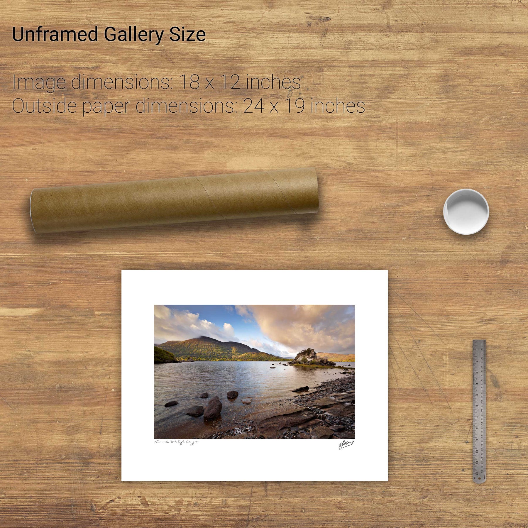
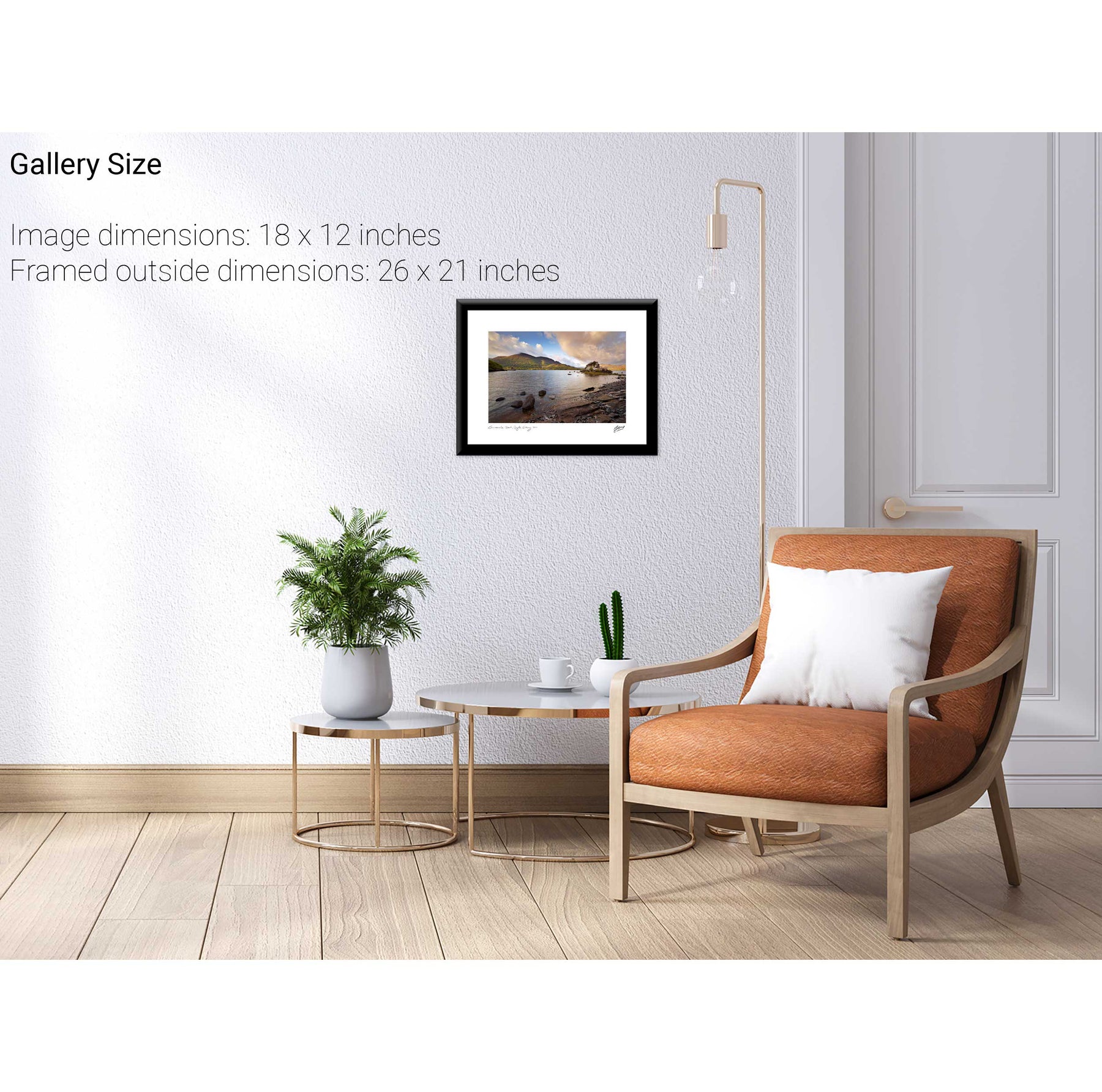
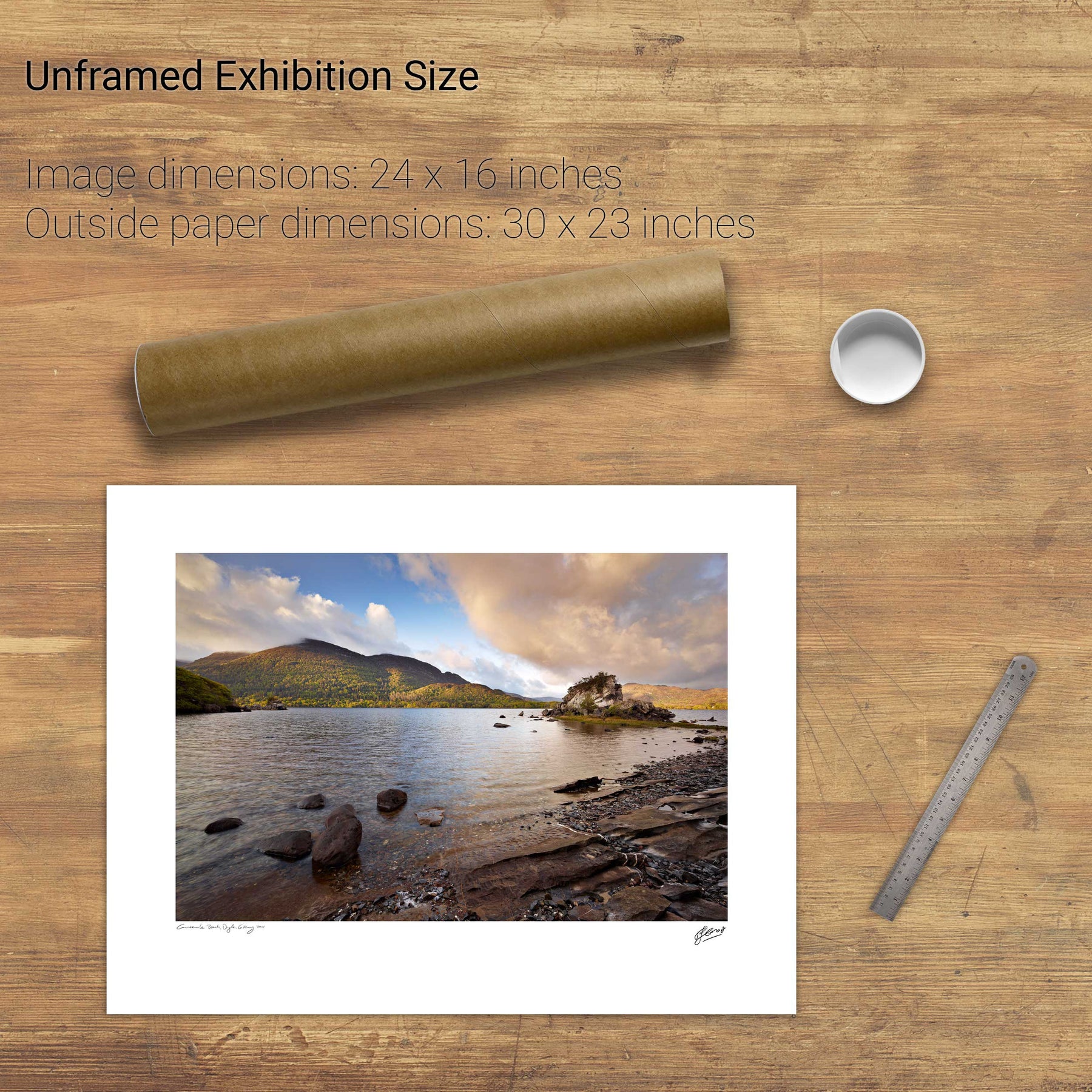
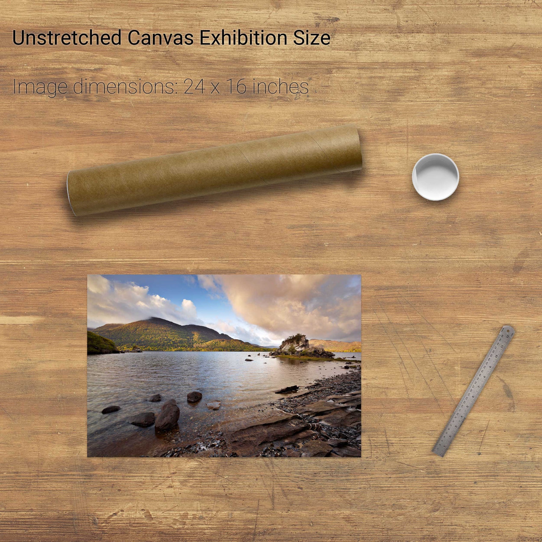
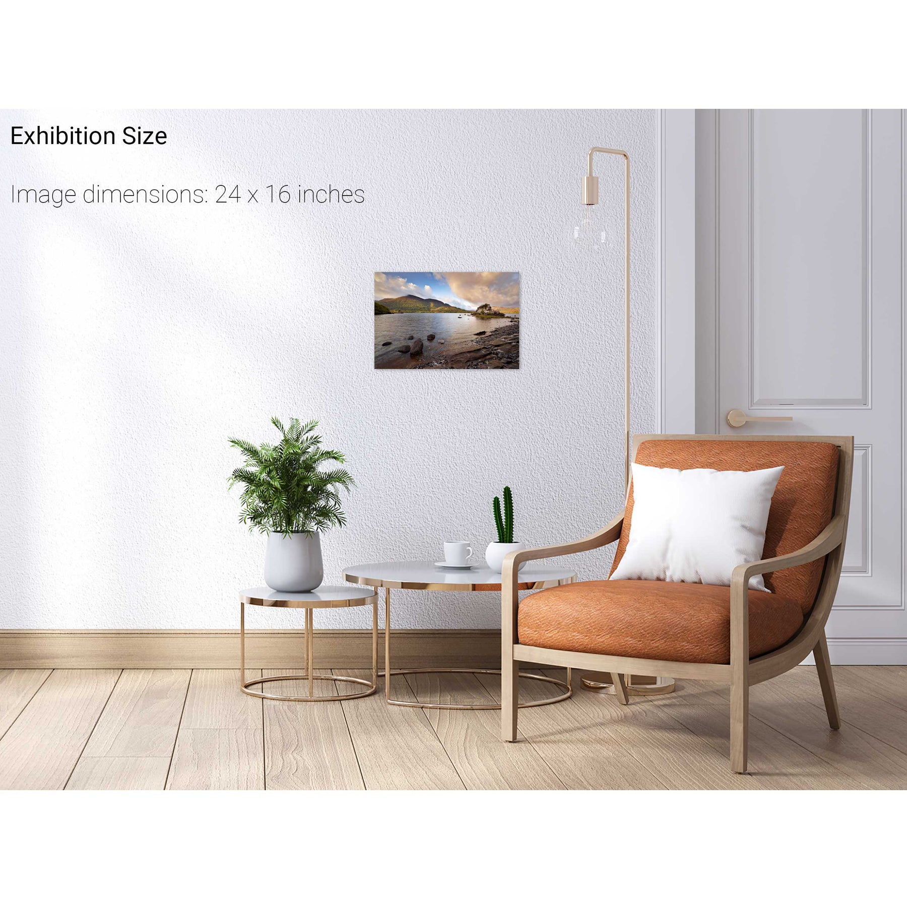
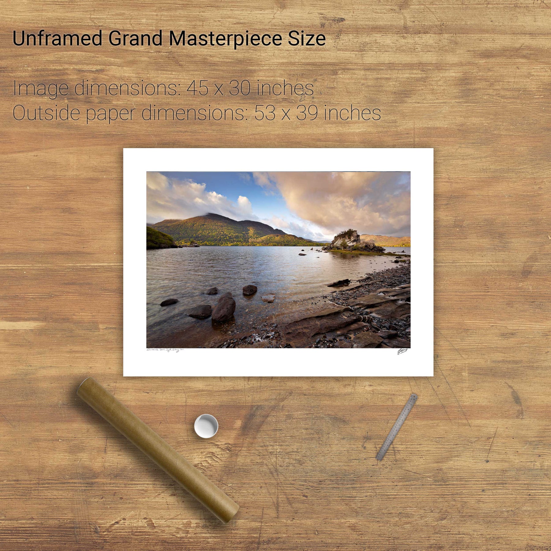
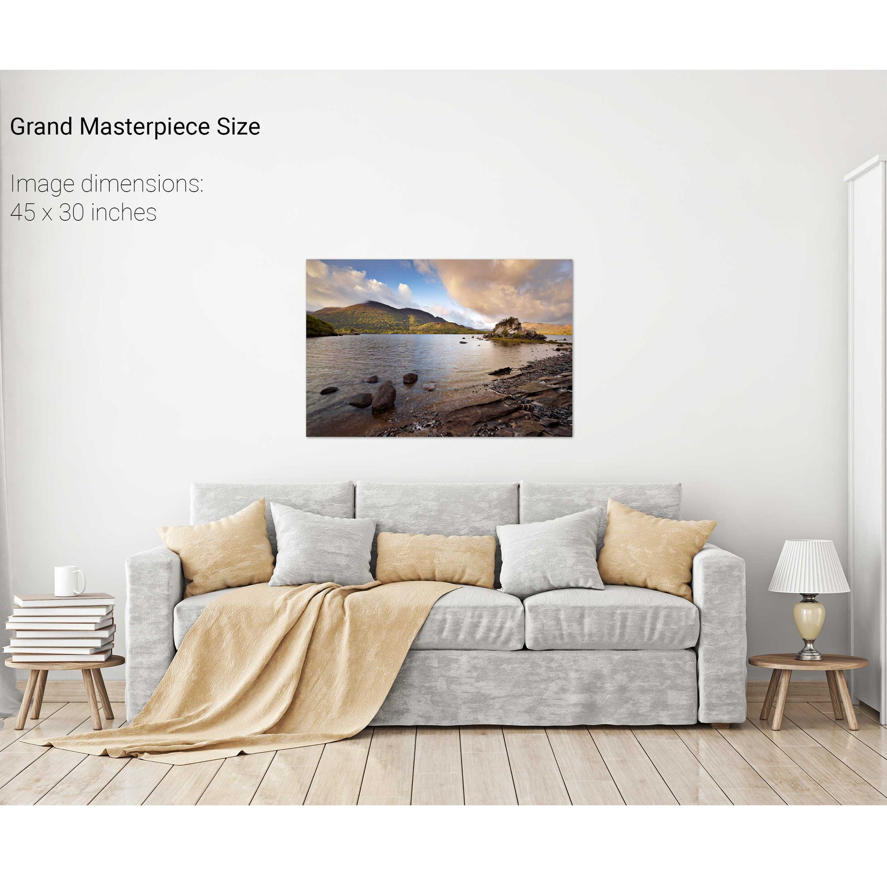
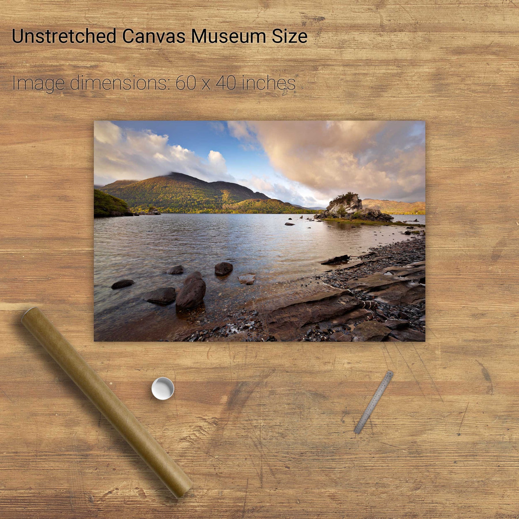
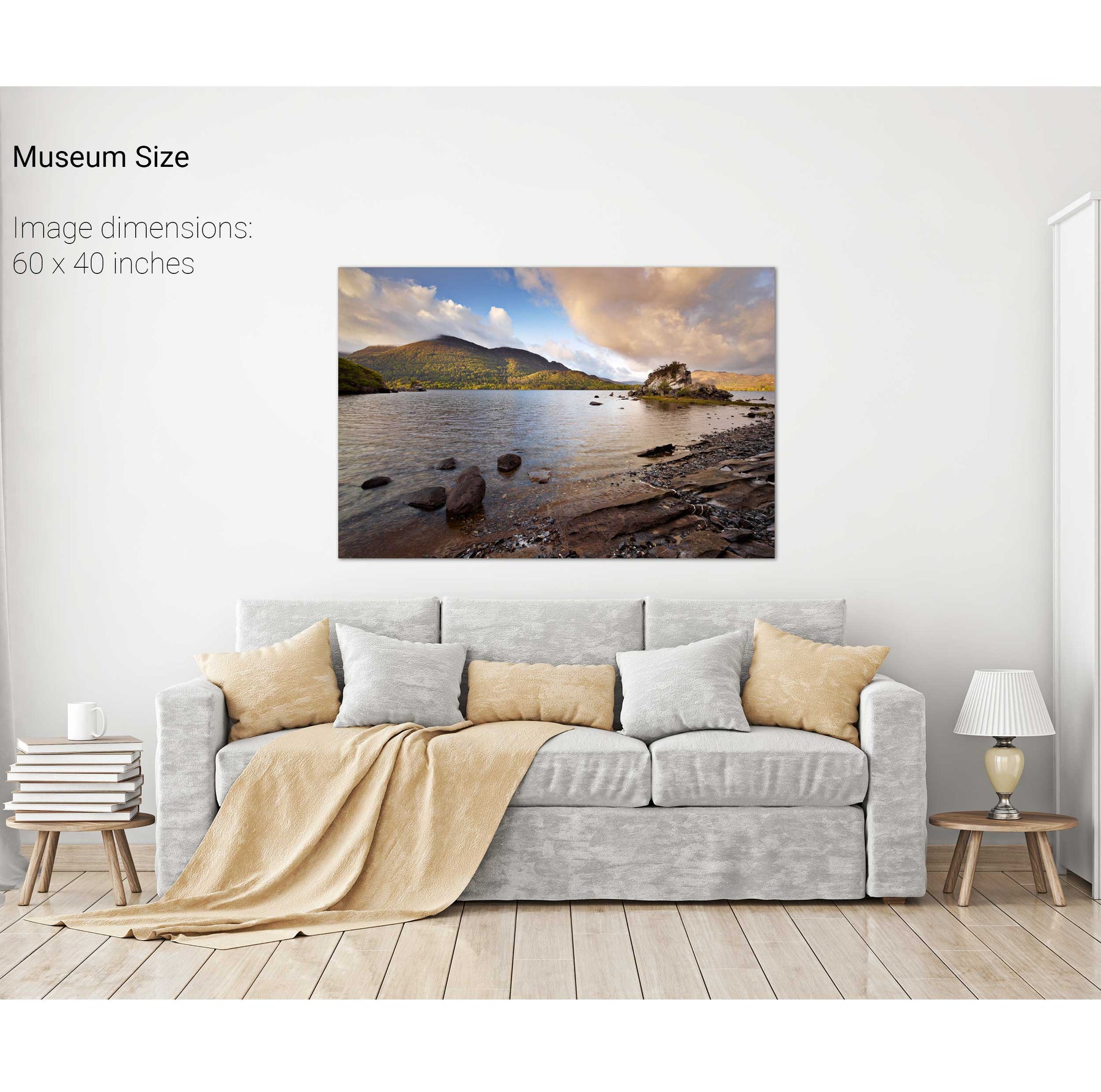
Colleen Bawn Rock, Killarney National Park, Co. Kerry
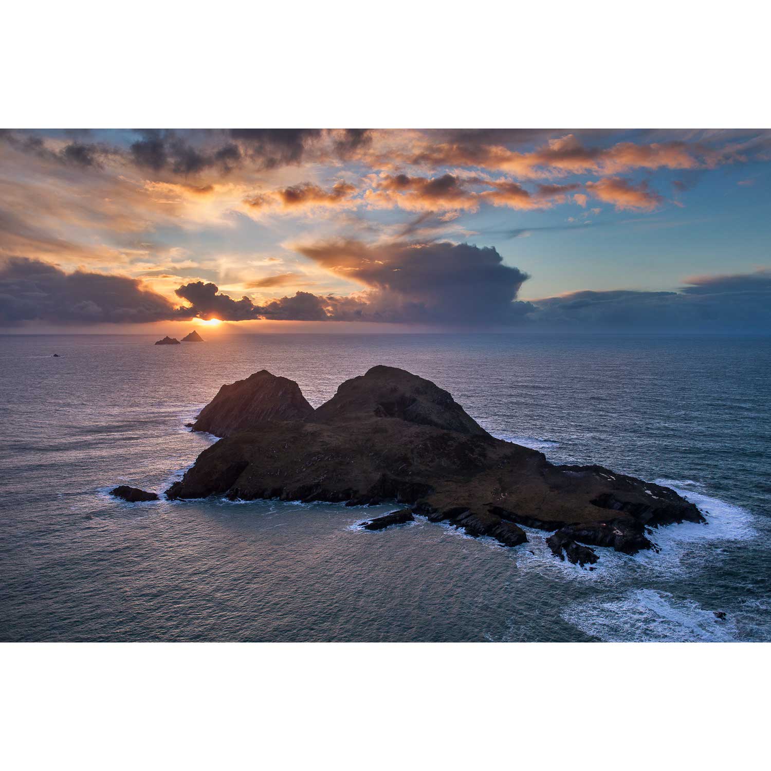
Puffin Island, Co. Kerry
Summer, Lough Leane, Co. Kerry
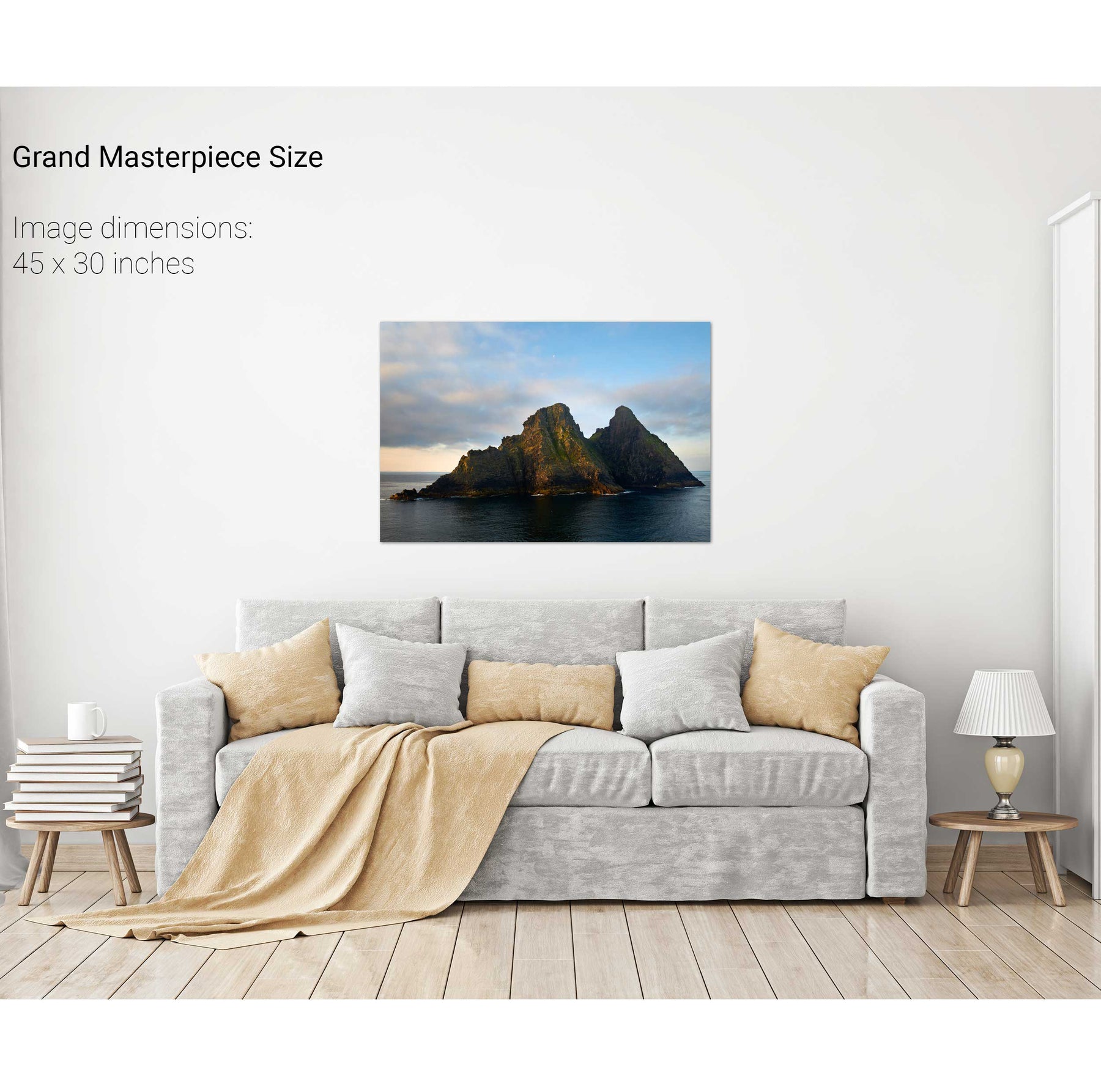
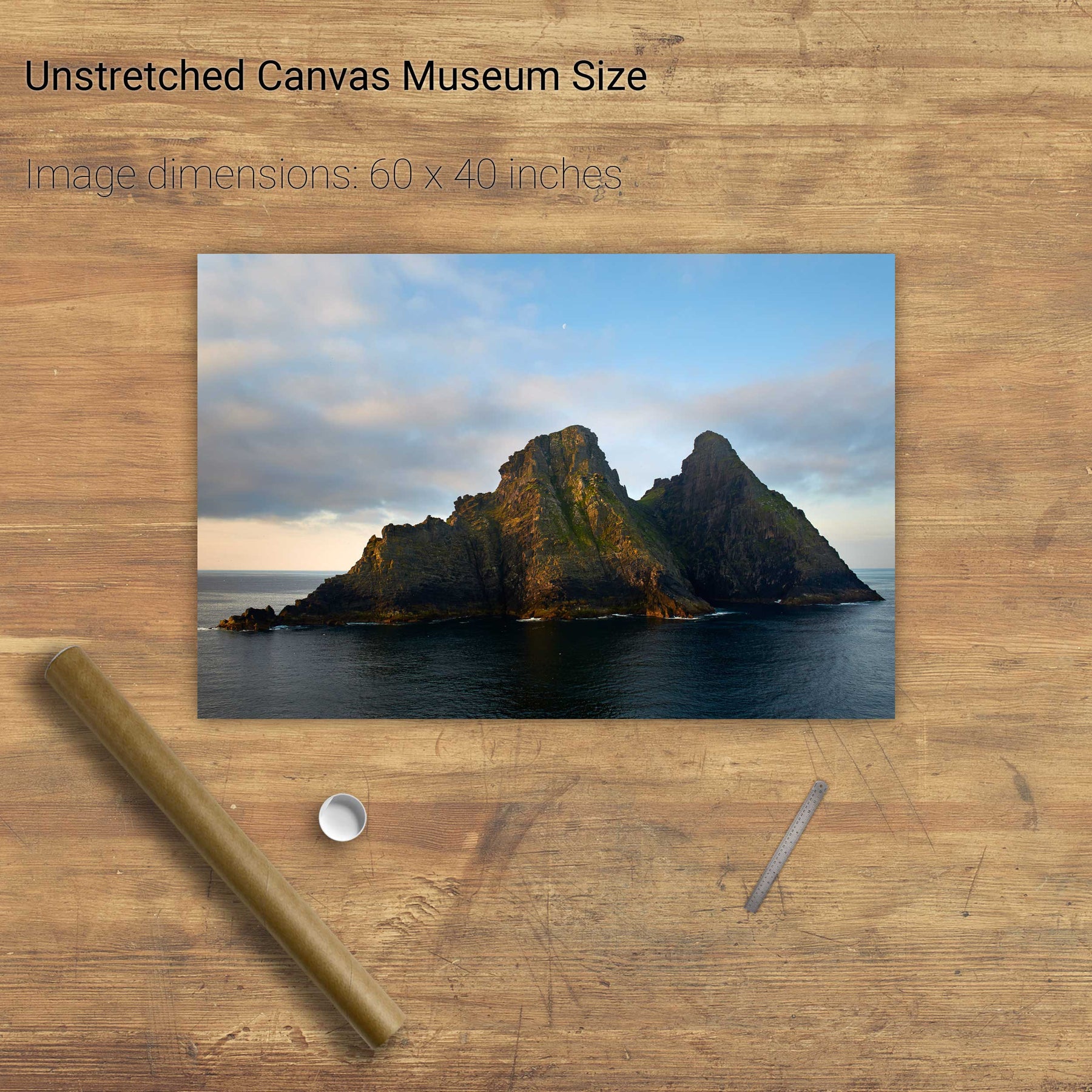
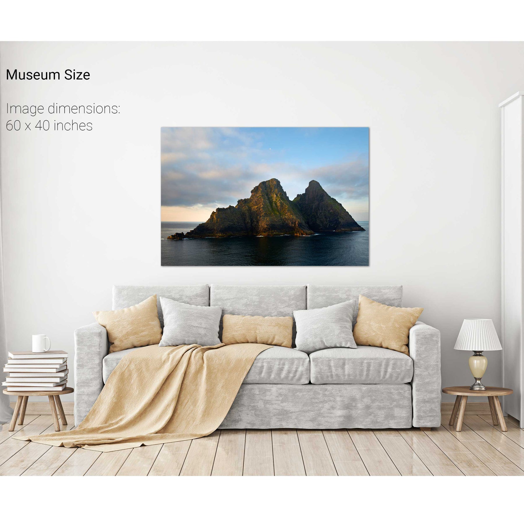
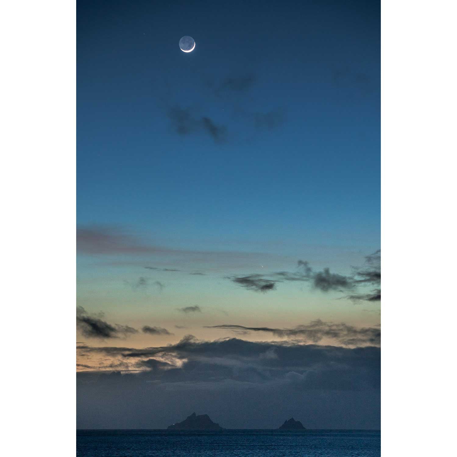
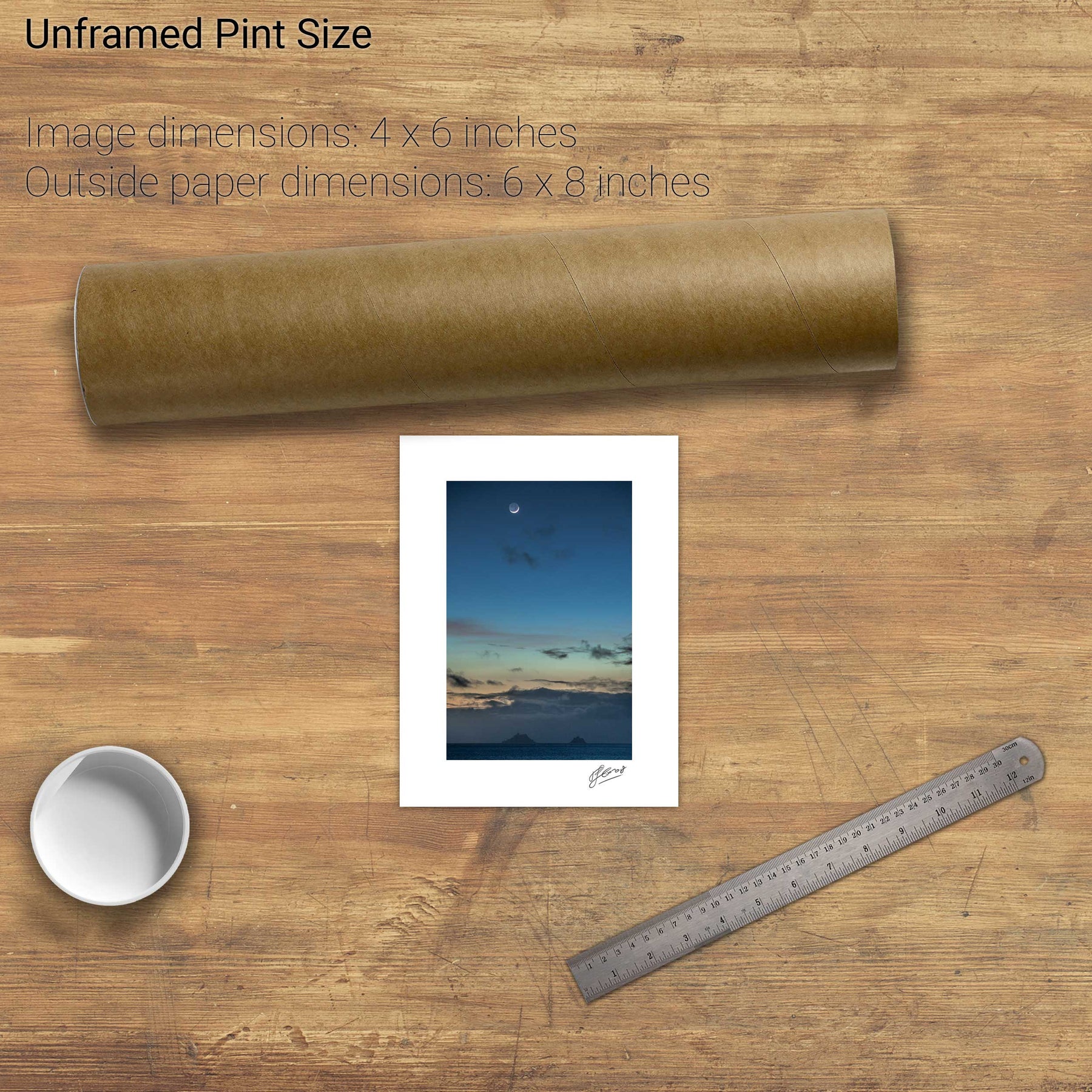
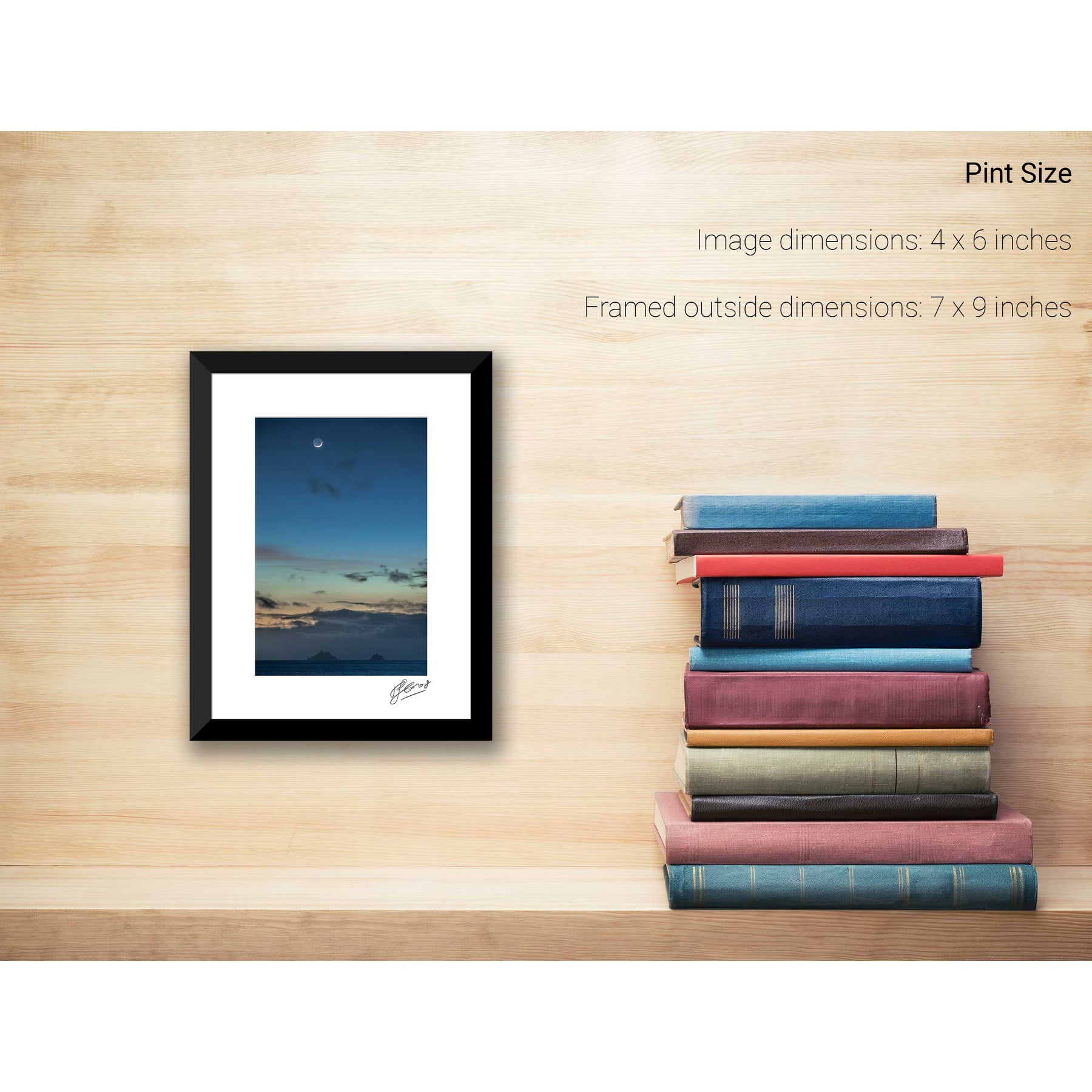
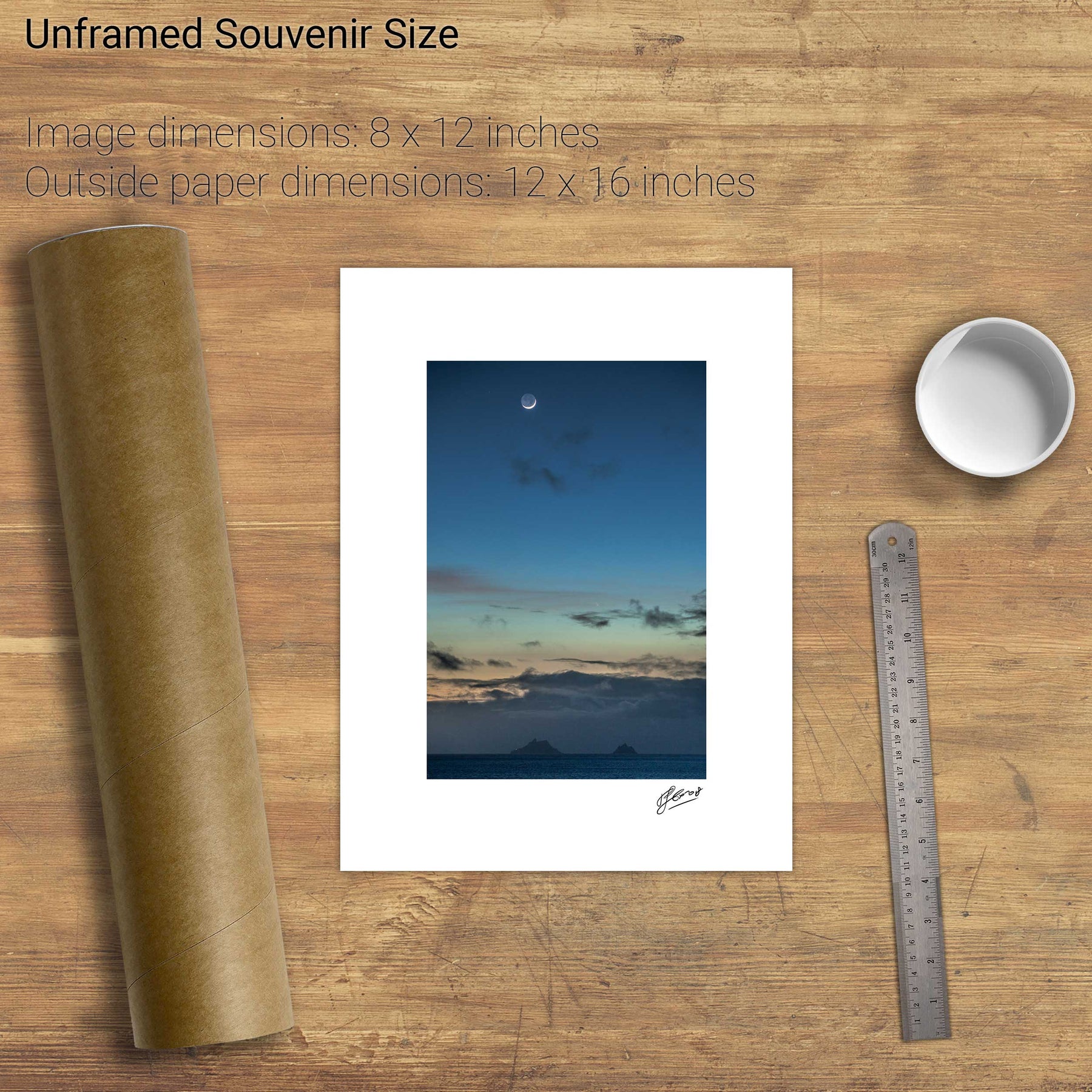
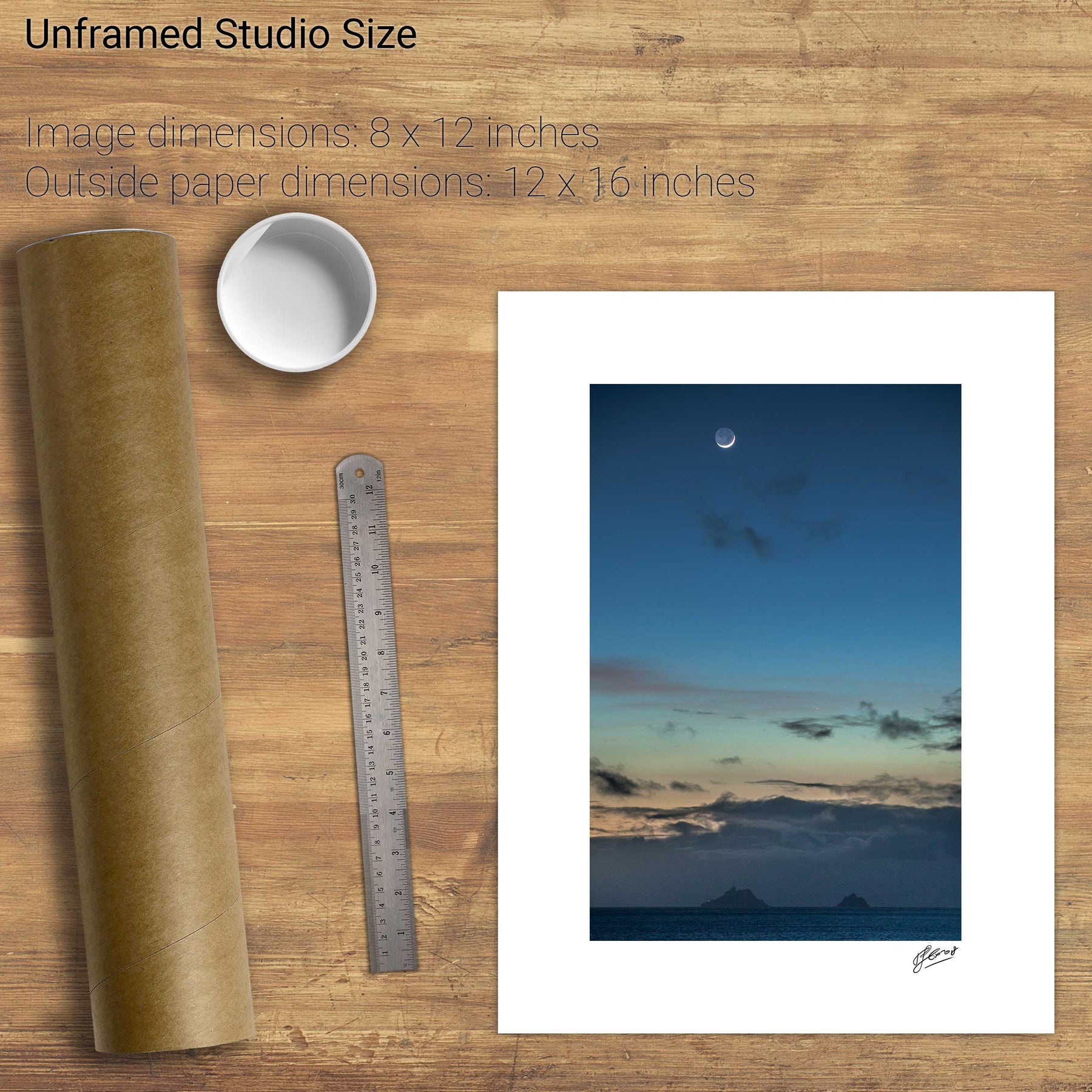
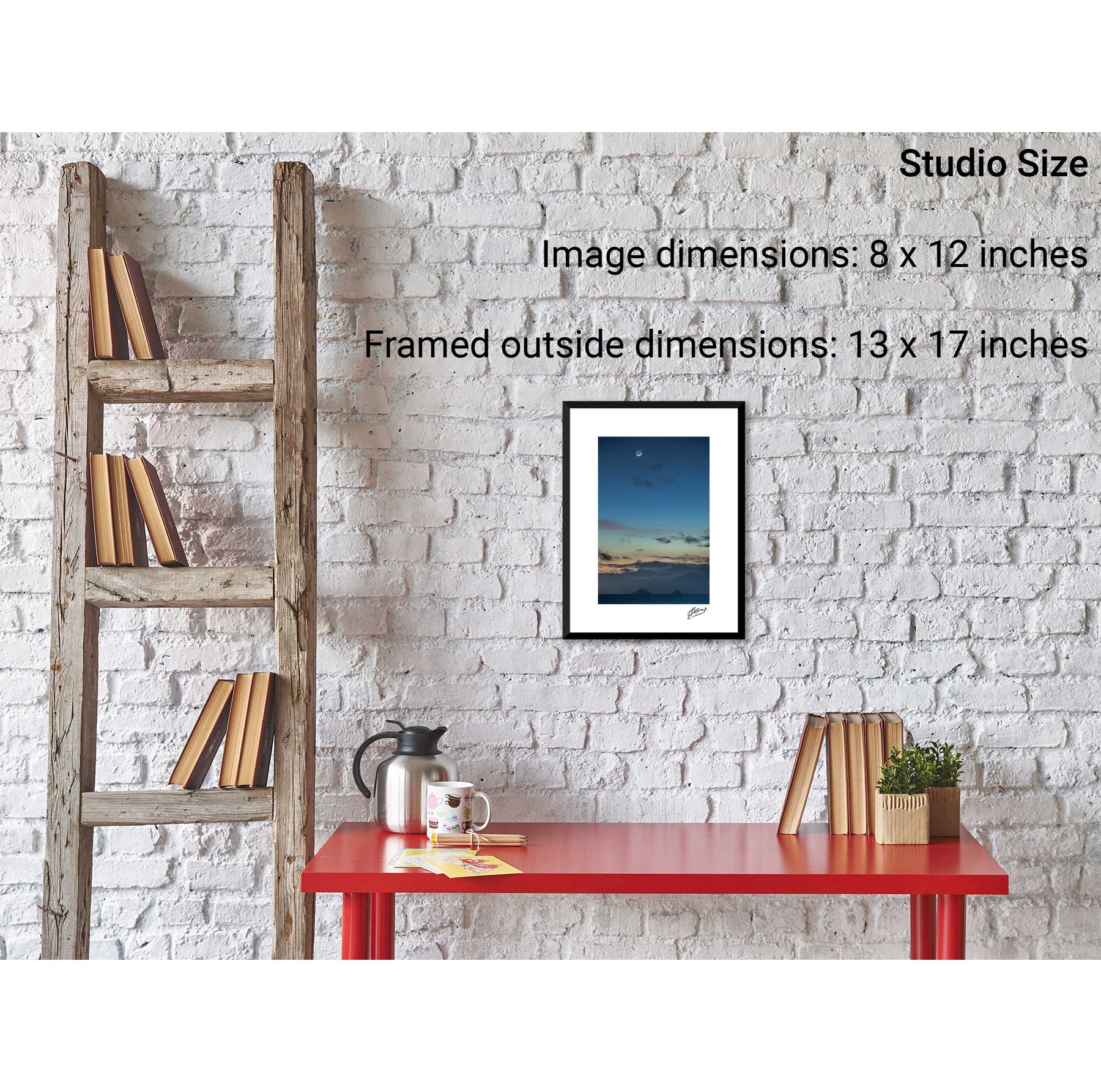
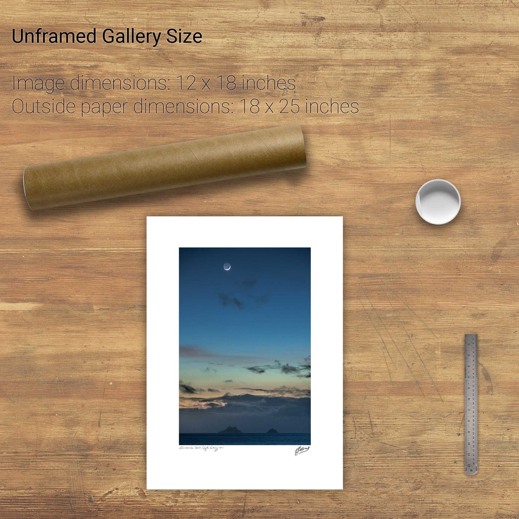
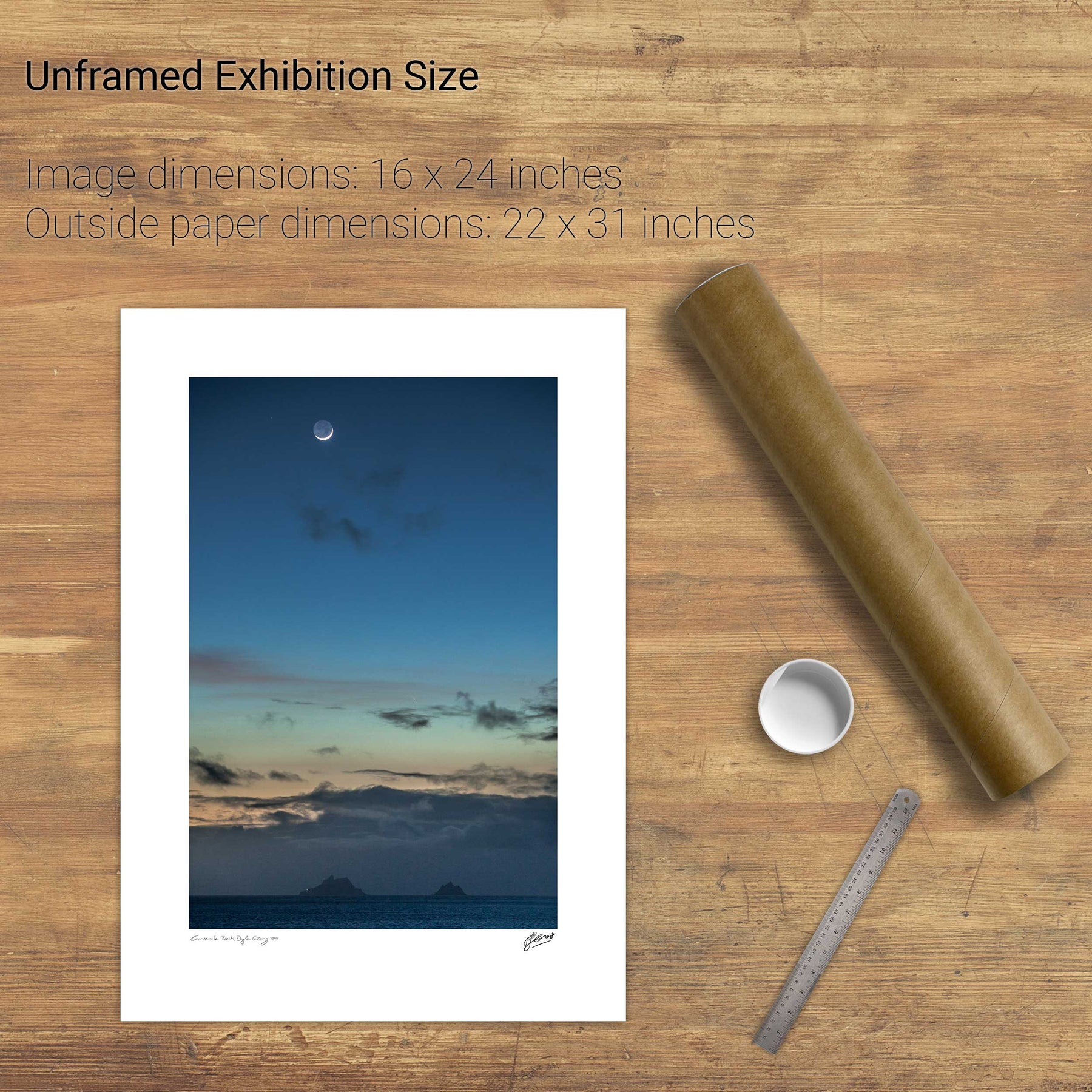
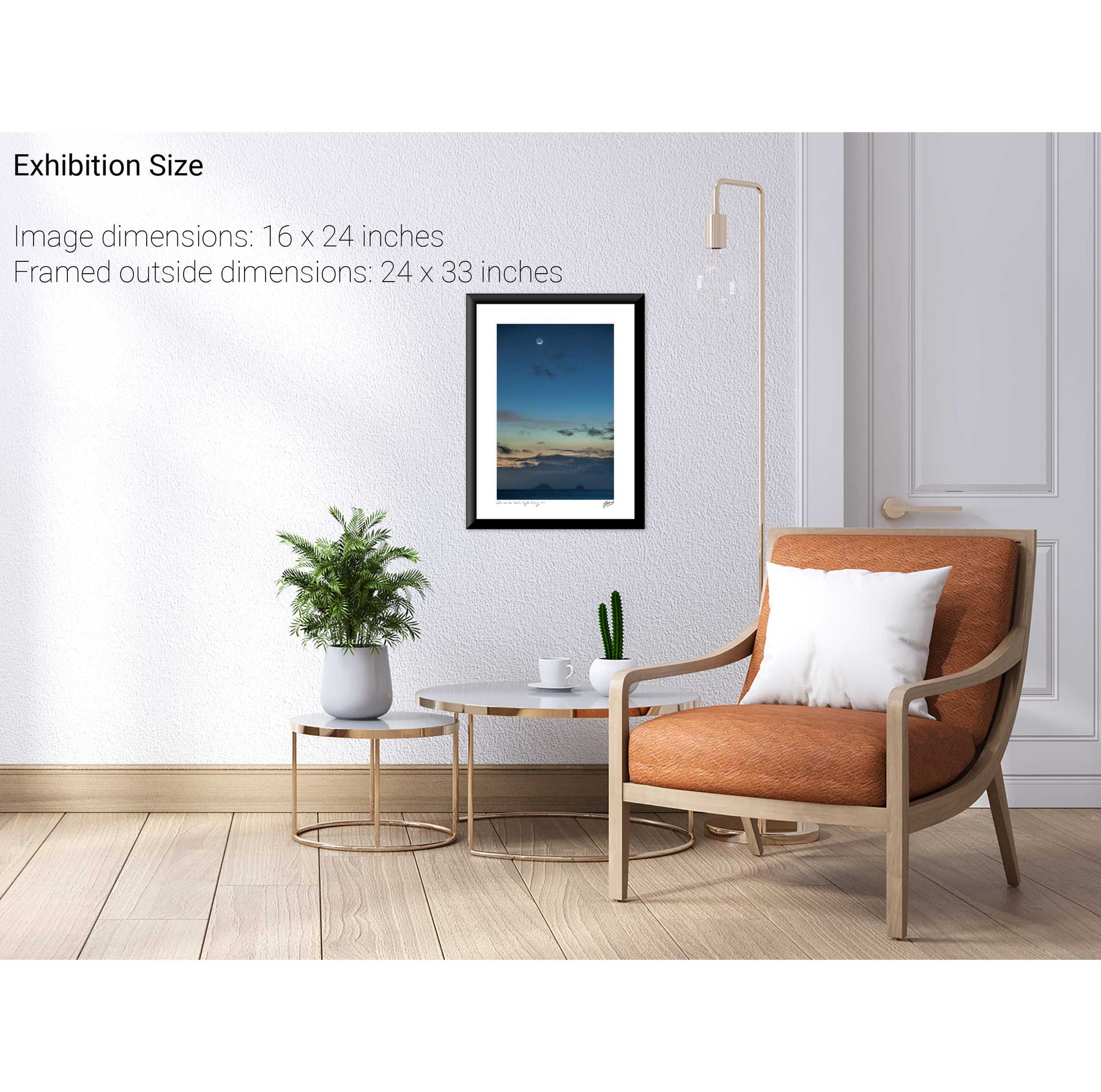
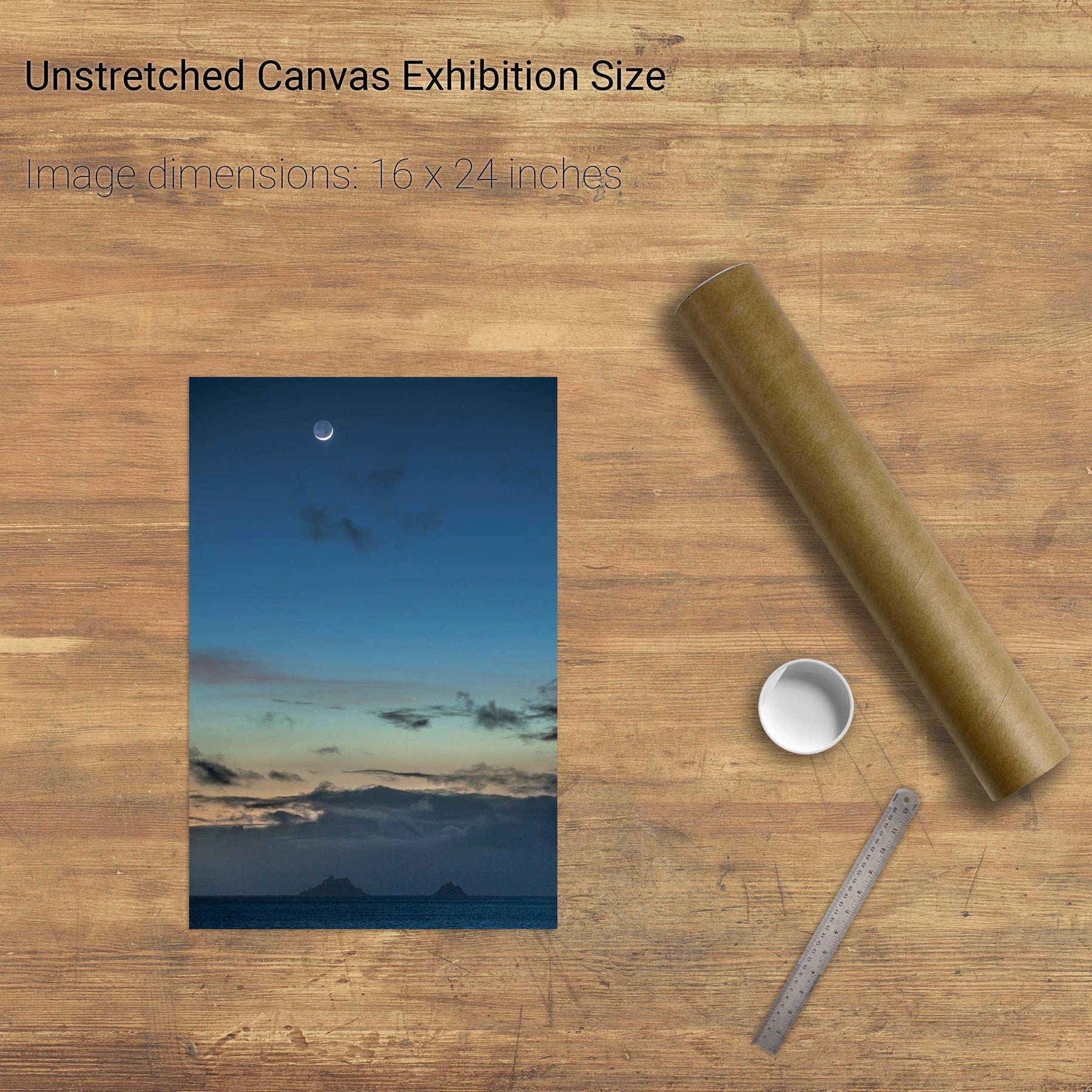
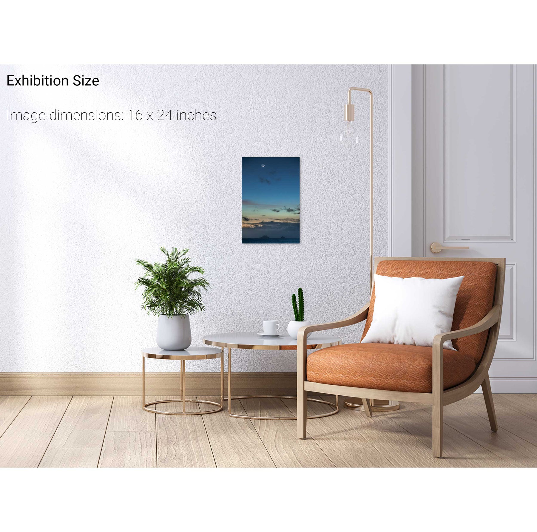
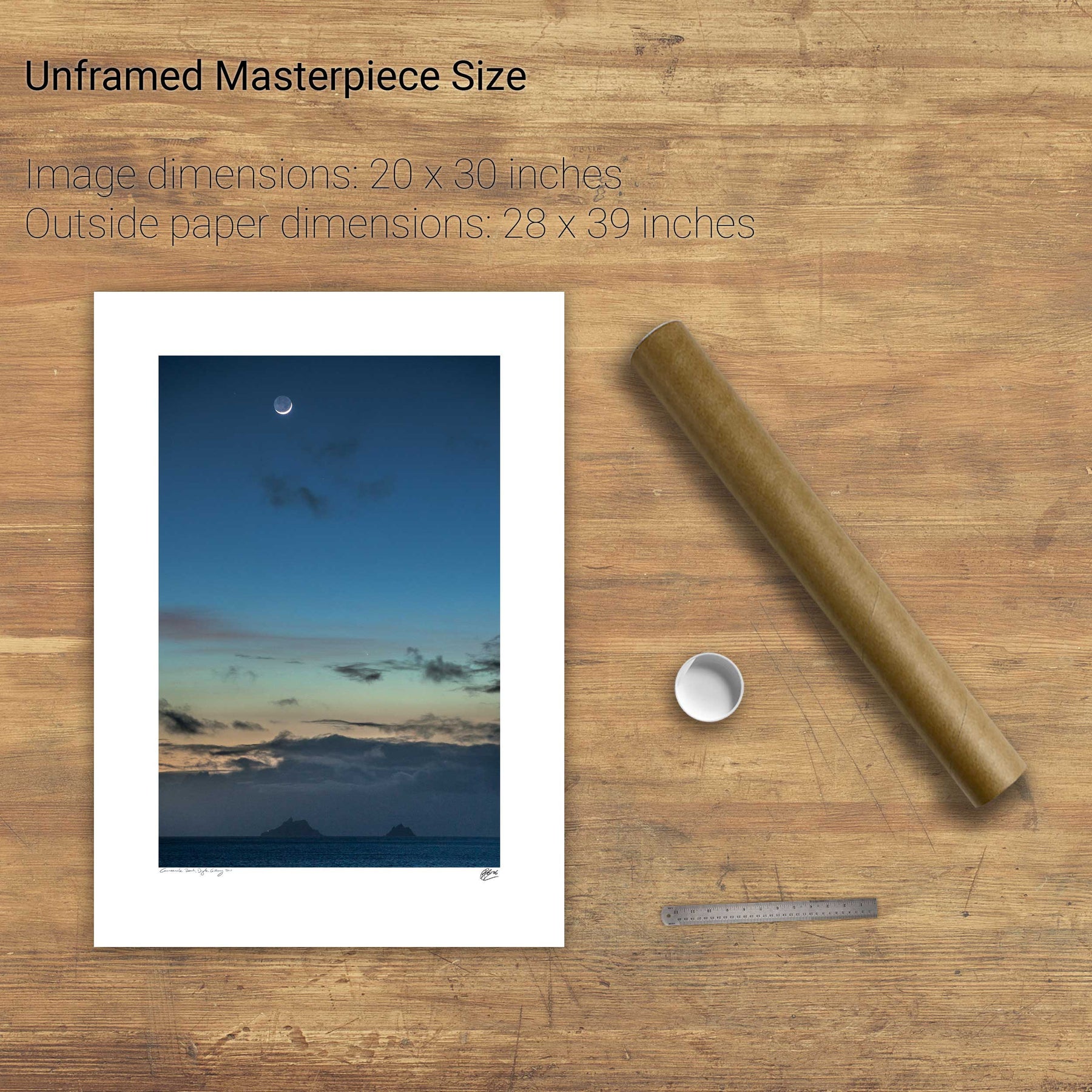
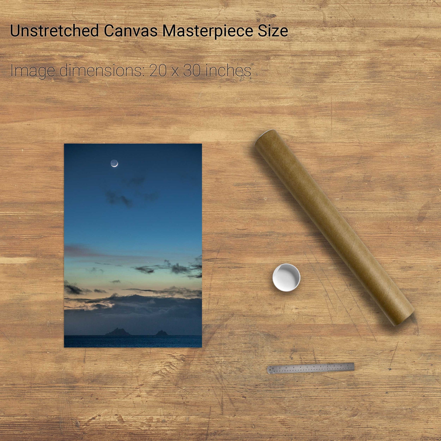
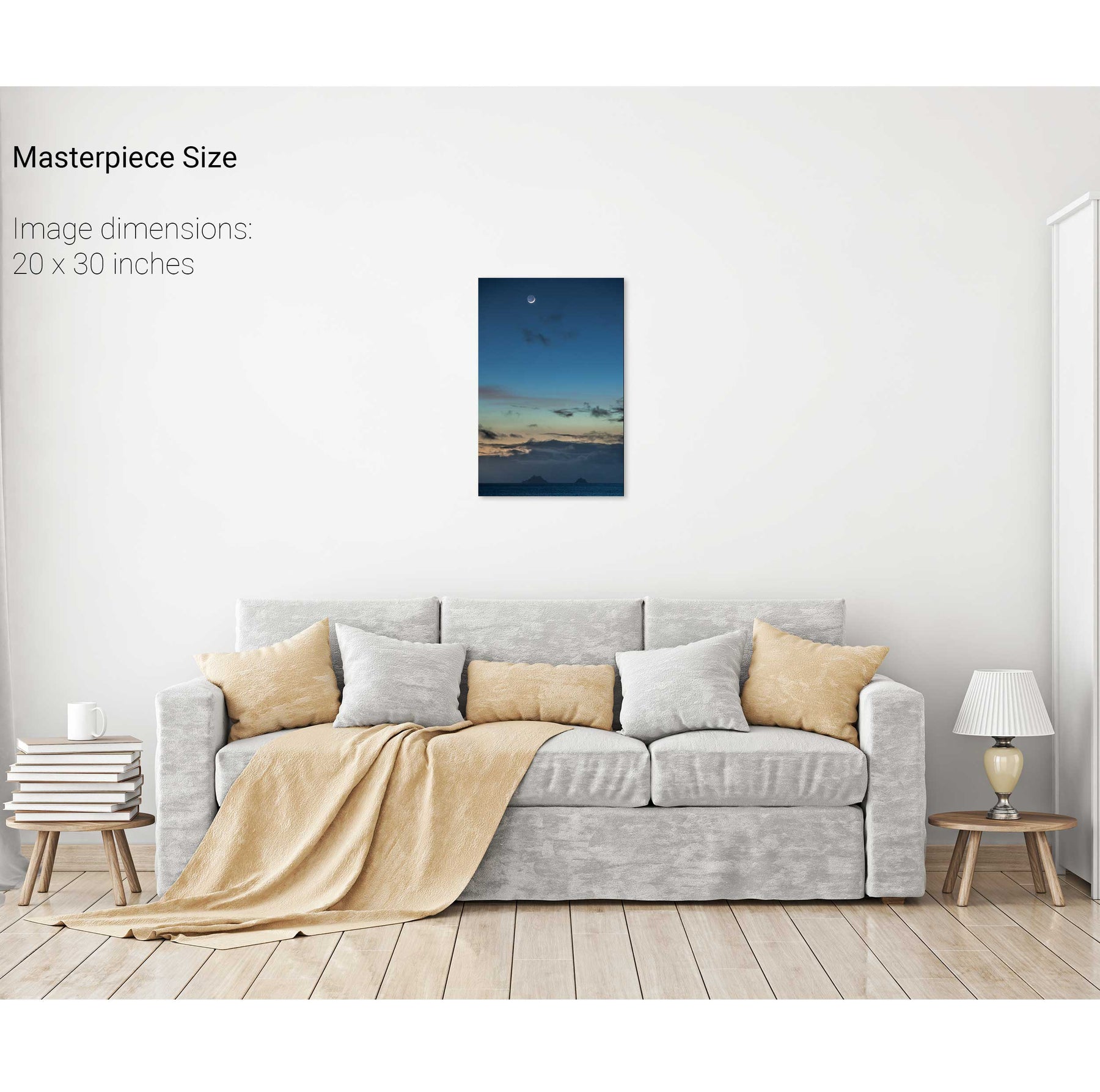
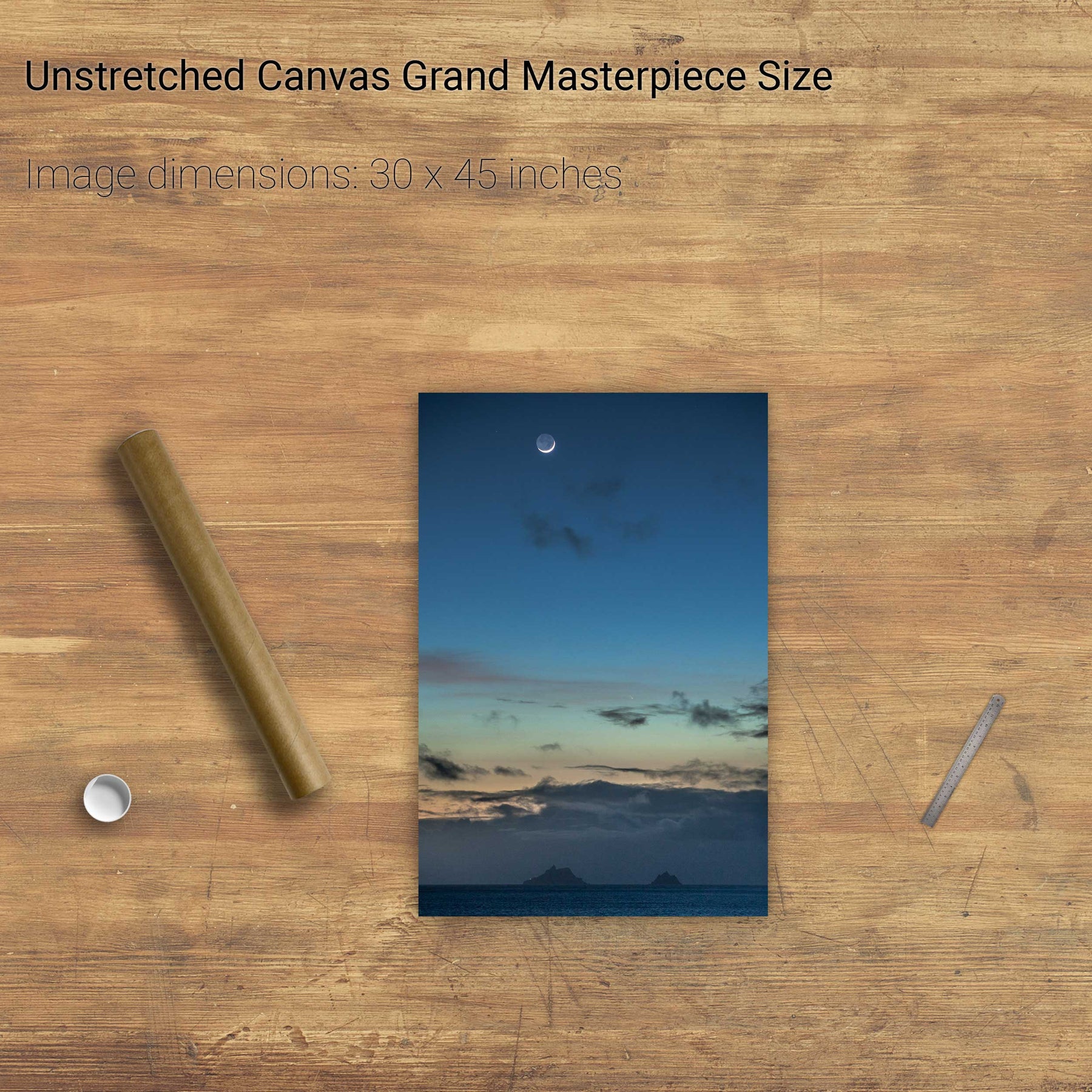
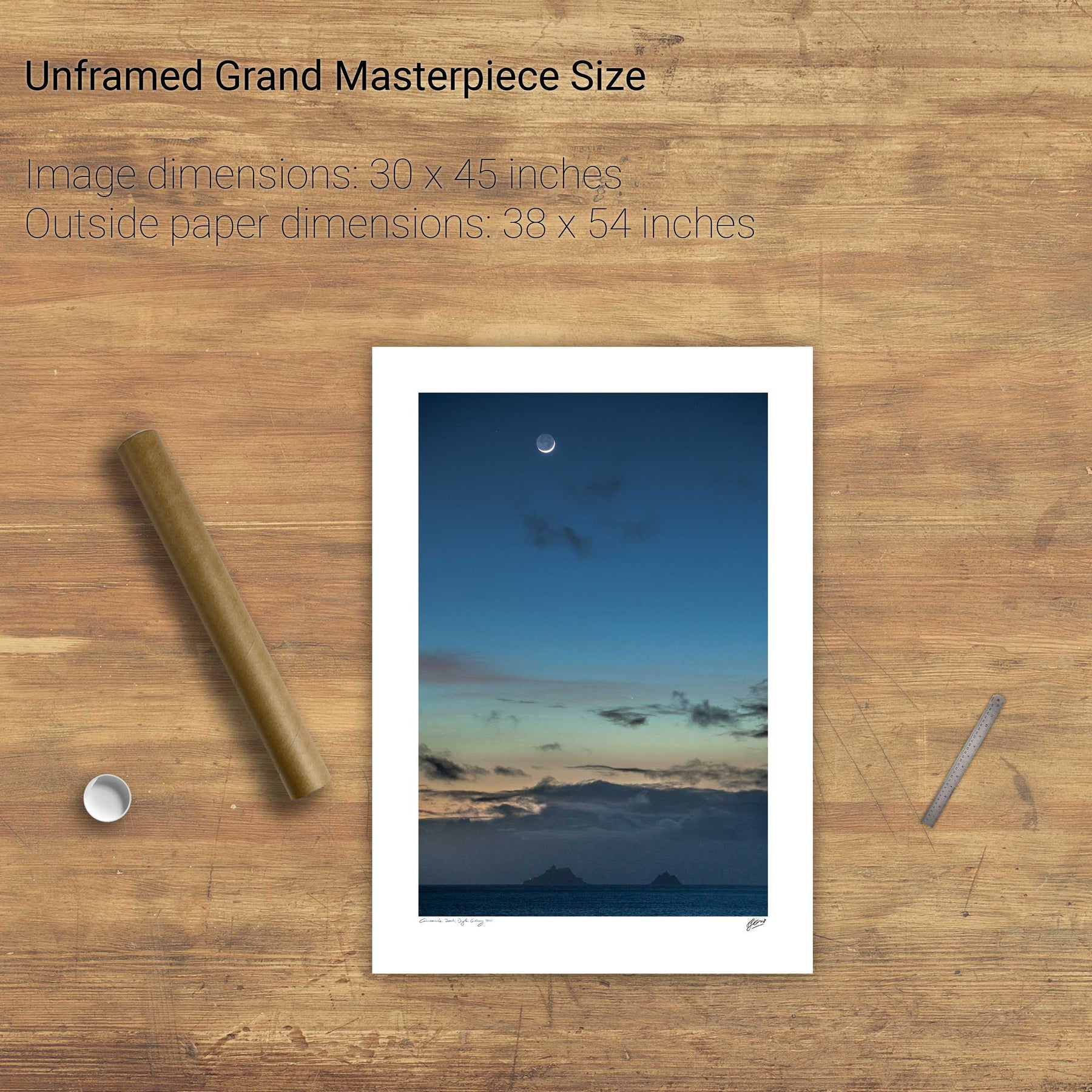
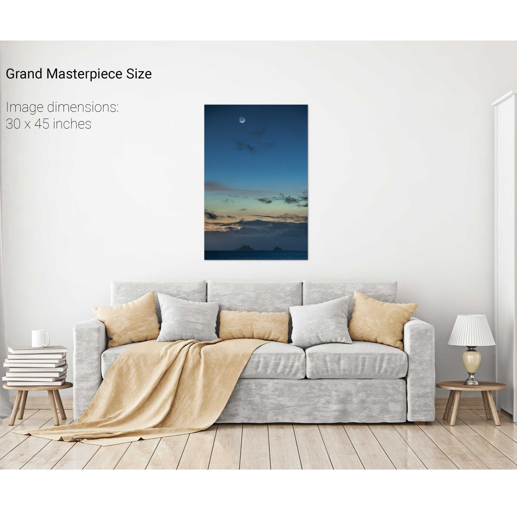
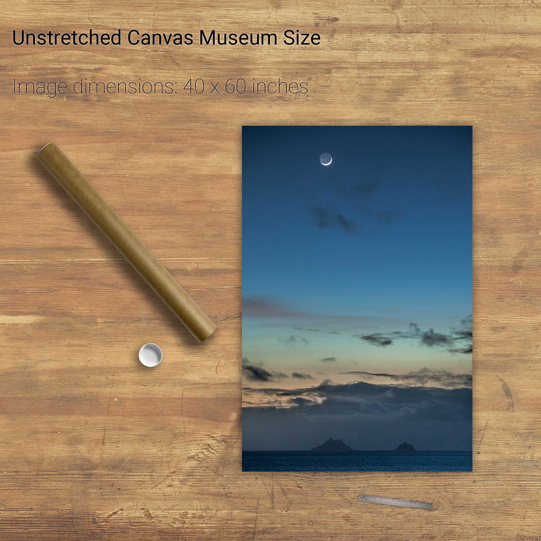
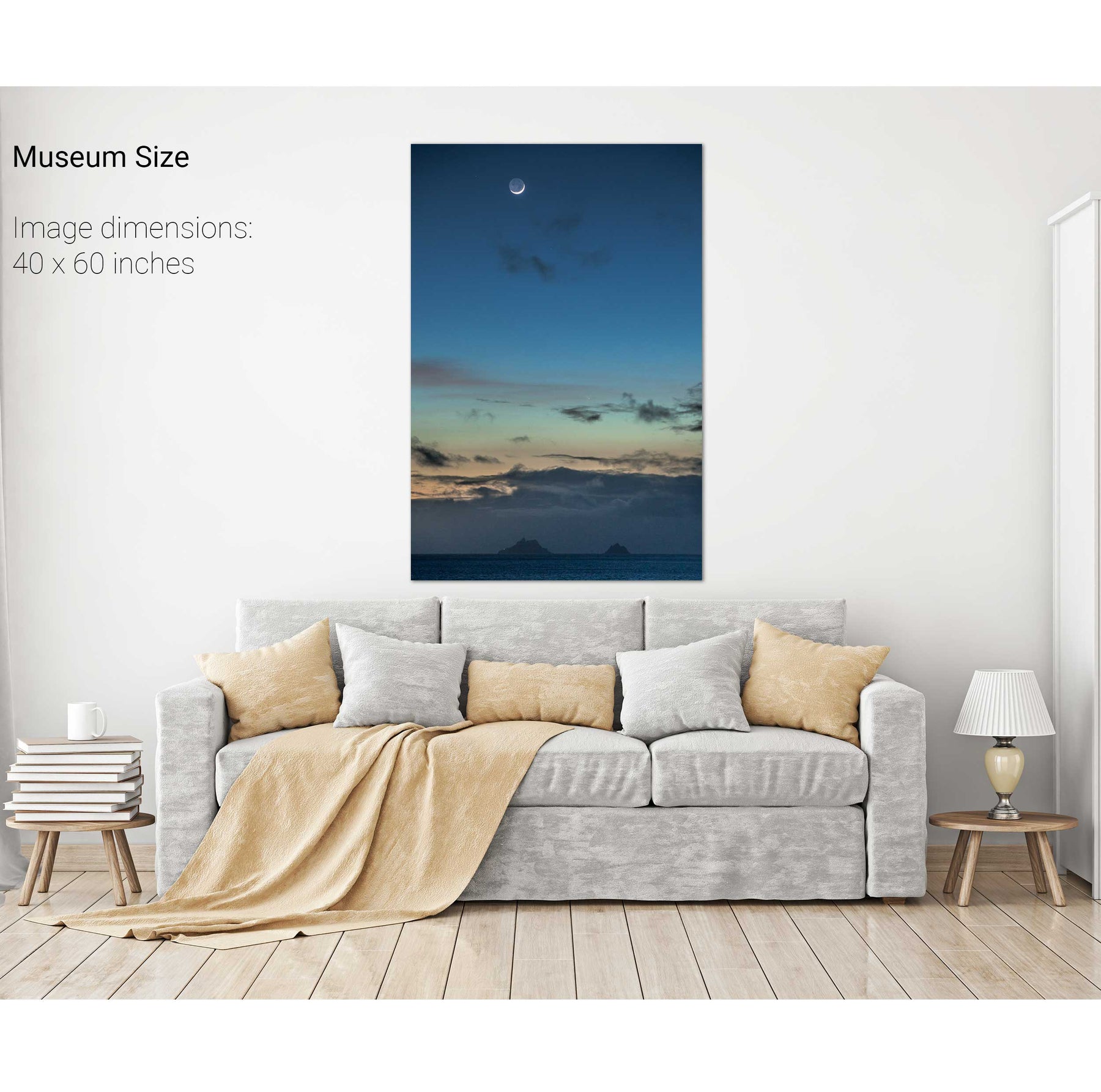
Moon, Comet & Skelligs, Co. Kerry