Skip to content
icon-X
Close menu
The Collection
Ireland
Best Sellers
By County
Dramatic Scenes
Peaceful Images
Photographs from "The Irish Light"
Photographs from "Atlantic Light"
Photographs from "The Skelligs"
Around the World
Iceland
Svalbard
Greenland
Antarctica & South Georgia
Scotland
Faroe Islands
Astrophotography
The Wonders of the Universe
Gifts & Books
Books
Gift Cards
Phone Cases & Mugs
About
Blog
Shipping
Contact
Log in
instagram
Instagram
Facebook
LinkedIn
Cart
icon-X
Close cart
Your cart is currently empty.
instagram
Instagram
Facebook
LinkedIn
Currency
Ireland (EUR €)
Afghanistan (AFN ؋)
Åland Islands (EUR €)
Albania (ALL L)
Algeria (DZD د.ج)
Andorra (EUR €)
Angola (EUR €)
Anguilla (XCD $)
Antigua & Barbuda (XCD $)
Argentina (EUR €)
Armenia (AMD դր.)
Aruba (AWG ƒ)
Ascension Island (SHP £)
Australia (AUD $)
Austria (EUR €)
Azerbaijan (AZN ₼)
Bahamas (BSD $)
Bahrain (EUR €)
Bangladesh (BDT ৳)
Barbados (BBD $)
Belarus (EUR €)
Belgium (EUR €)
Belize (BZD $)
Benin (XOF Fr)
Bermuda (USD $)
Bhutan (EUR €)
Bolivia (BOB Bs.)
Bosnia & Herzegovina (BAM КМ)
Botswana (BWP P)
Brazil (EUR €)
British Indian Ocean Territory (USD $)
British Virgin Islands (USD $)
Brunei (BND $)
Bulgaria (BGN лв.)
Burkina Faso (XOF Fr)
Burundi (BIF Fr)
Cambodia (KHR ៛)
Cameroon (XAF CFA)
Canada (CAD $)
Cape Verde (CVE $)
Caribbean Netherlands (USD $)
Cayman Islands (KYD $)
Central African Republic (XAF CFA)
Chad (XAF CFA)
Chile (EUR €)
China (CNY ¥)
Christmas Island (AUD $)
Cocos (Keeling) Islands (AUD $)
Colombia (EUR €)
Comoros (KMF Fr)
Congo - Brazzaville (XAF CFA)
Congo - Kinshasa (CDF Fr)
Cook Islands (NZD $)
Costa Rica (CRC ₡)
Côte d’Ivoire (XOF Fr)
Croatia (EUR €)
Curaçao (ANG ƒ)
Cyprus (EUR €)
Czechia (CZK Kč)
Denmark (DKK kr.)
Djibouti (DJF Fdj)
Dominica (XCD $)
Dominican Republic (DOP $)
Ecuador (USD $)
Egypt (EGP ج.م)
El Salvador (USD $)
Equatorial Guinea (XAF CFA)
Eritrea (EUR €)
Estonia (EUR €)
Eswatini (EUR €)
Ethiopia (ETB Br)
Falkland Islands (FKP £)
Faroe Islands (DKK kr.)
Fiji (FJD $)
Finland (EUR €)
France (EUR €)
French Guiana (EUR €)
French Polynesia (XPF Fr)
French Southern Territories (EUR €)
Gabon (XOF Fr)
Gambia (GMD D)
Georgia (EUR €)
Germany (EUR €)
Ghana (EUR €)
Gibraltar (GBP £)
Greece (EUR €)
Greenland (DKK kr.)
Grenada (XCD $)
Guadeloupe (EUR €)
Guatemala (GTQ Q)
Guernsey (GBP £)
Guinea (GNF Fr)
Guinea-Bissau (XOF Fr)
Guyana (GYD $)
Haiti (EUR €)
Honduras (HNL L)
Hong Kong SAR (HKD $)
Hungary (HUF Ft)
Iceland (ISK kr)
India (INR ₹)
Indonesia (IDR Rp)
Iraq (EUR €)
Ireland (EUR €)
Isle of Man (GBP £)
Israel (ILS ₪)
Italy (EUR €)
Jamaica (JMD $)
Japan (JPY ¥)
Jersey (EUR €)
Jordan (EUR €)
Kazakhstan (KZT ₸)
Kenya (KES KSh)
Kiribati (EUR €)
Kosovo (EUR €)
Kuwait (EUR €)
Kyrgyzstan (KGS som)
Laos (LAK ₭)
Latvia (EUR €)
Lebanon (LBP ل.ل)
Lesotho (EUR €)
Liberia (EUR €)
Libya (EUR €)
Liechtenstein (CHF CHF)
Lithuania (EUR €)
Luxembourg (EUR €)
Macao SAR (MOP P)
Madagascar (EUR €)
Malawi (MWK MK)
Malaysia (MYR RM)
Maldives (MVR MVR)
Mali (XOF Fr)
Malta (EUR €)
Martinique (EUR €)
Mauritania (EUR €)
Mauritius (MUR ₨)
Mayotte (EUR €)
Mexico (EUR €)
Moldova (MDL L)
Monaco (EUR €)
Mongolia (MNT ₮)
Montenegro (EUR €)
Montserrat (XCD $)
Morocco (MAD د.م.)
Mozambique (EUR €)
Myanmar (Burma) (MMK K)
Namibia (EUR €)
Nauru (AUD $)
Nepal (NPR Rs.)
Netherlands (EUR €)
New Caledonia (XPF Fr)
New Zealand (NZD $)
Nicaragua (NIO C$)
Niger (XOF Fr)
Nigeria (NGN ₦)
Niue (NZD $)
Norfolk Island (AUD $)
North Macedonia (MKD ден)
Norway (EUR €)
Oman (EUR €)
Pakistan (PKR ₨)
Palestinian Territories (ILS ₪)
Panama (USD $)
Papua New Guinea (PGK K)
Paraguay (PYG ₲)
Peru (PEN S/)
Philippines (PHP ₱)
Pitcairn Islands (NZD $)
Poland (PLN zł)
Portugal (EUR €)
Qatar (QAR ر.ق)
Réunion (EUR €)
Romania (RON Lei)
Russia (EUR €)
Rwanda (RWF FRw)
Samoa (WST T)
San Marino (EUR €)
São Tomé & Príncipe (STD Db)
Saudi Arabia (SAR ر.س)
Senegal (XOF Fr)
Serbia (RSD РСД)
Seychelles (EUR €)
Sierra Leone (SLL Le)
Singapore (SGD $)
Sint Maarten (ANG ƒ)
Slovakia (EUR €)
Slovenia (EUR €)
Solomon Islands (SBD $)
Somalia (EUR €)
South Africa (EUR €)
South Georgia & South Sandwich Islands (GBP £)
South Korea (KRW ₩)
South Sudan (EUR €)
Spain (EUR €)
Sri Lanka (LKR ₨)
St. Barthélemy (EUR €)
St. Helena (SHP £)
St. Kitts & Nevis (XCD $)
St. Lucia (XCD $)
St. Martin (EUR €)
St. Pierre & Miquelon (EUR €)
St. Vincent & Grenadines (XCD $)
Sudan (EUR €)
Suriname (EUR €)
Svalbard & Jan Mayen (EUR €)
Sweden (SEK kr)
Switzerland (CHF CHF)
Taiwan (TWD $)
Tajikistan (TJS ЅМ)
Tanzania (TZS Sh)
Thailand (THB ฿)
Timor-Leste (USD $)
Togo (XOF Fr)
Tokelau (NZD $)
Tonga (TOP T$)
Trinidad & Tobago (TTD $)
Tristan da Cunha (GBP £)
Tunisia (EUR €)
Türkiye (EUR €)
Turkmenistan (EUR €)
Turks & Caicos Islands (USD $)
Tuvalu (AUD $)
U.S. Outlying Islands (USD $)
Uganda (UGX USh)
Ukraine (UAH ₴)
United Arab Emirates (AED د.إ)
United Kingdom (GBP £)
United States (USD $)
Uruguay (UYU $U)
Uzbekistan (UZS so'm)
Vanuatu (VUV Vt)
Vatican City (EUR €)
Venezuela (USD $)
Vietnam (VND ₫)
Wallis & Futuna (XPF Fr)
Western Sahara (MAD د.م.)
Yemen (YER ﷼)
Zambia (EUR €)
Zimbabwe (USD $)
The Collection
Ireland
Best Sellers
By County
Dramatic Scenes
Peaceful Images
Photographs from "The Irish Light"
Photographs from "Atlantic Light"
Photographs from "The Skelligs"
Around the World
Iceland
Svalbard
Greenland
Antarctica & South Georgia
Scotland
Faroe Islands
Astrophotography
The Wonders of the Universe
Gifts & Books
Books
Gift Cards
Phone Cases & Mugs
About
Blog
Shipping
Contact
account
Log in
icon-search
Search
icon-hamburger
Site navigation
icon-bag-minimal
Cart
Search
Search
Pause slideshow
Play slideshow
beautiful photography of ireland, delivered to your door!
Home
/
Collections
/
Test
/
Ireland
Test
More filters
aerials
(99)
Antrim
(8)
aurora
(2)
black & white
(25)
castles
(10)
Clare
(9)
cliffs
(53)
coast
(223)
Cork
(89)
Dingle
(1)
Donegal
(22)
Dublin
(3)
Galway
(16)
Ireland
(339)
islands
(124)
Kerry
(146)
lakes
(56)
Leitrim
(2)
lighthouses
(65)
long exposure
(74)
Mayo
(31)
mountains
(146)
nocturnes
(49)
panoramic
(108)
rainbows
(6)
rivers
(14)
ruins
(44)
Sligo
(4)
snow
(10)
sunset/sunrise
(113)
Tipperary
(2)
trees
(26)
verticals
(48)
waterfalls
(2)
Wexford
(3)
Wicklow
(4)
wildlife
(12)
Filter
icon-X
Close menu
More filters
aerials
(99)
Antrim
(8)
aurora
(2)
black & white
(25)
castles
(10)
Clare
(9)
cliffs
(53)
coast
(223)
Cork
(89)
Dingle
(1)
Donegal
(22)
Dublin
(3)
Galway
(16)
Ireland
(339)
islands
(124)
Kerry
(146)
lakes
(56)
Leitrim
(2)
lighthouses
(65)
long exposure
(74)
Mayo
(31)
mountains
(146)
nocturnes
(49)
panoramic
(108)
rainbows
(6)
rivers
(14)
ruins
(44)
Sligo
(4)
snow
(10)
sunset/sunrise
(113)
Tipperary
(2)
trees
(26)
verticals
(48)
waterfalls
(2)
Wexford
(3)
Wicklow
(4)
wildlife
(12)
icon-filter
Filter
339 products
Sort
Sort
Featured
Best selling
Alphabetically, A-Z
Alphabetically, Z-A
Price, low to high
Price, high to low
Date, old to new
Date, new to old
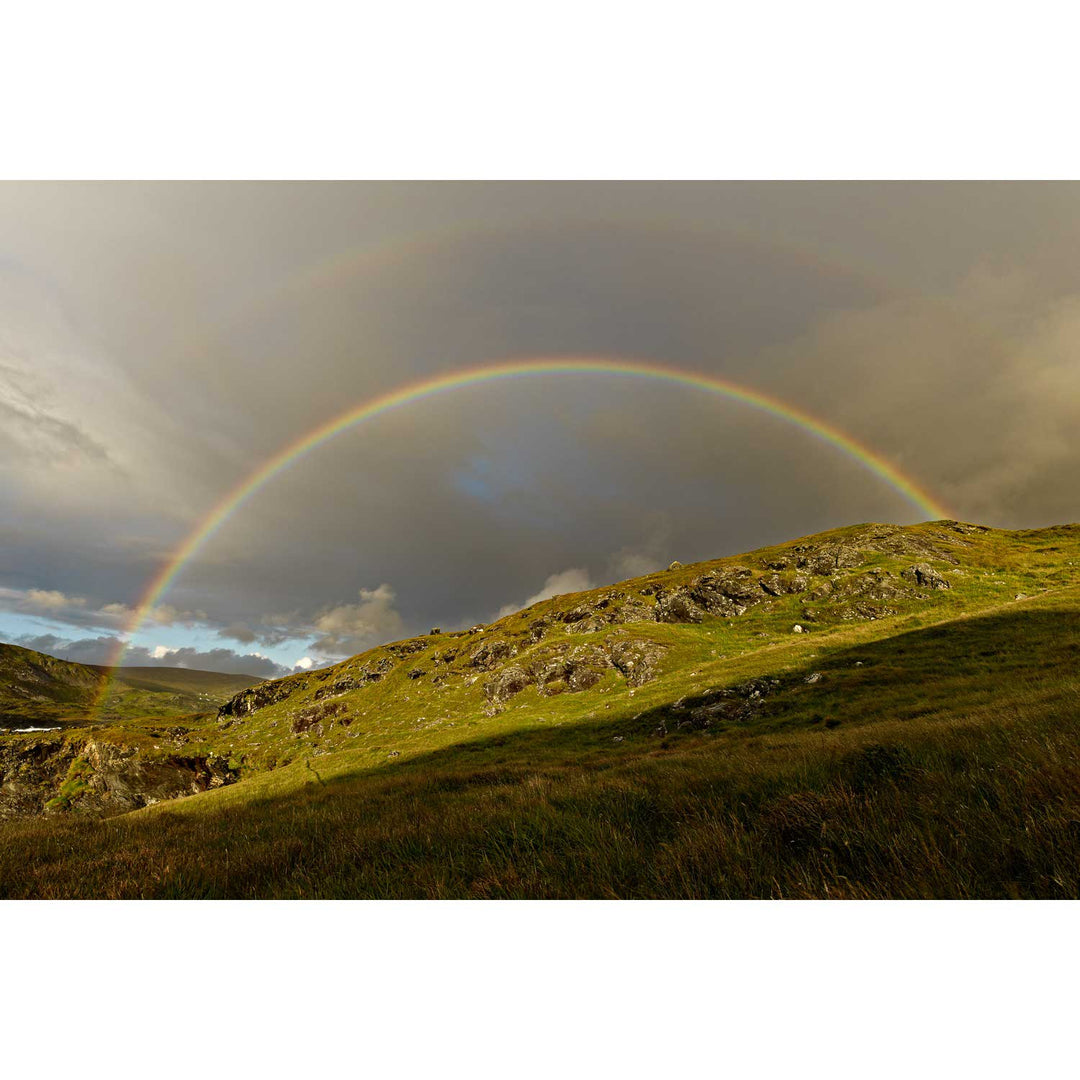
Rainbow, Glencolmcille, Co. Donegal
from
€75.00
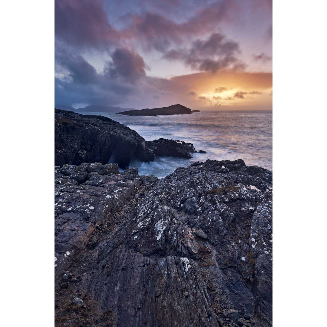
Benwee Head, Co. Mayo
from
€75.00
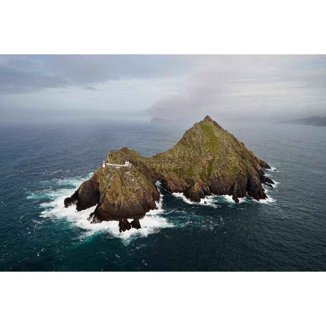
An Tiaracht, Blasket Islands, Co. Kerry
from
€75.00
Storm, Achill Island, Mayo
from
€75.00
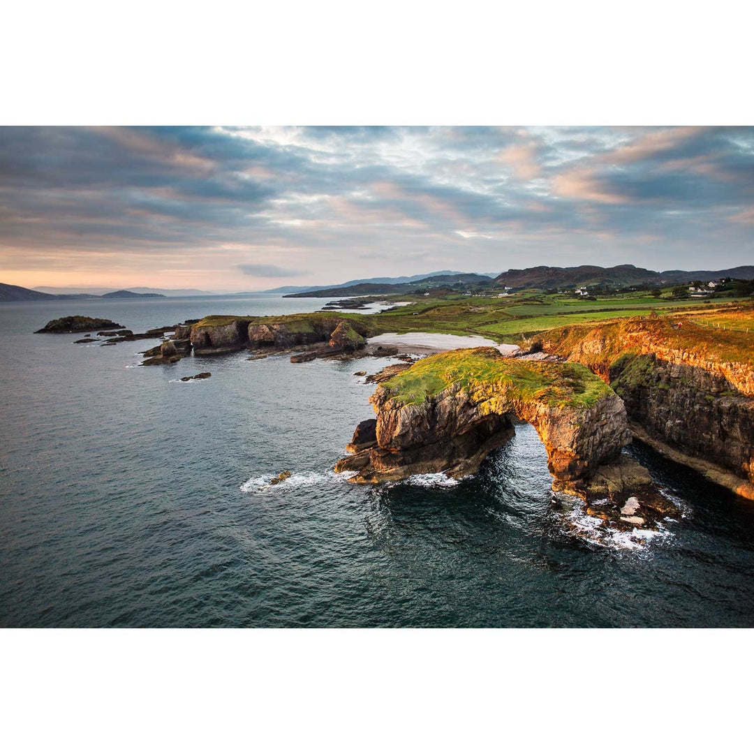
Great Pollet Arch, Co. Donegal
from
€75.00
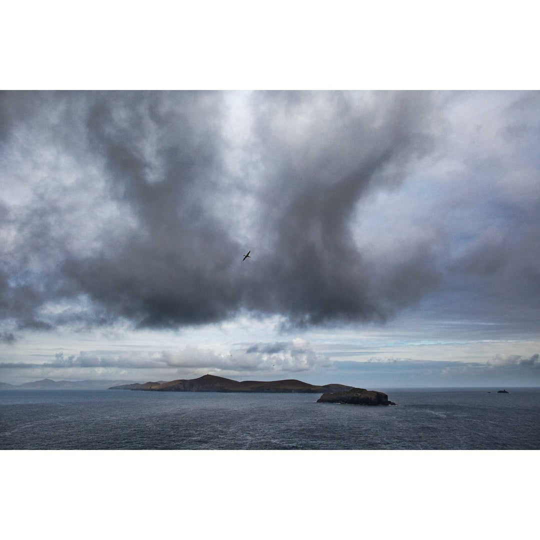
Dursey Island & Gannet, Co. Cork
from
€75.00
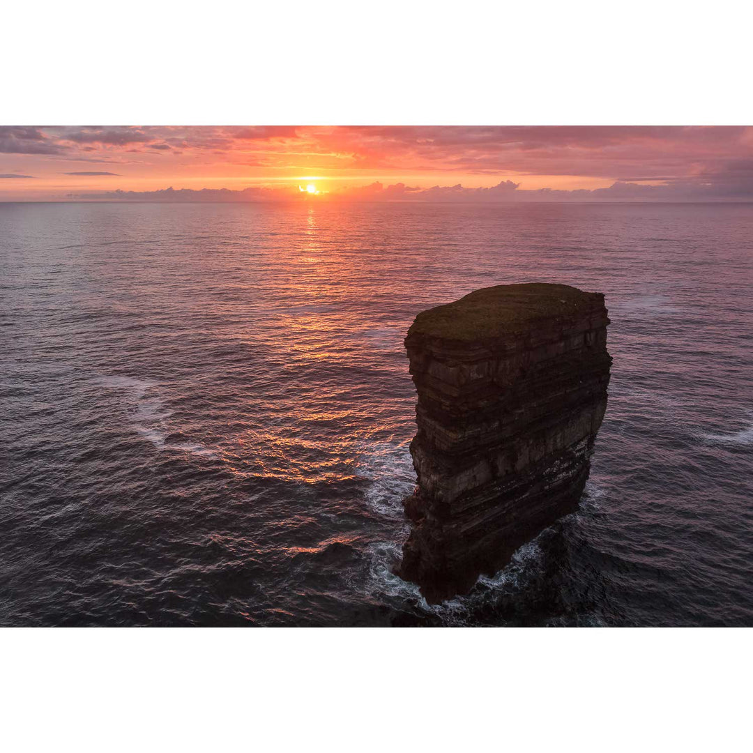
Dún Briste at Sunset, Downpatrick Head, Co. Mayo
from
€75.00
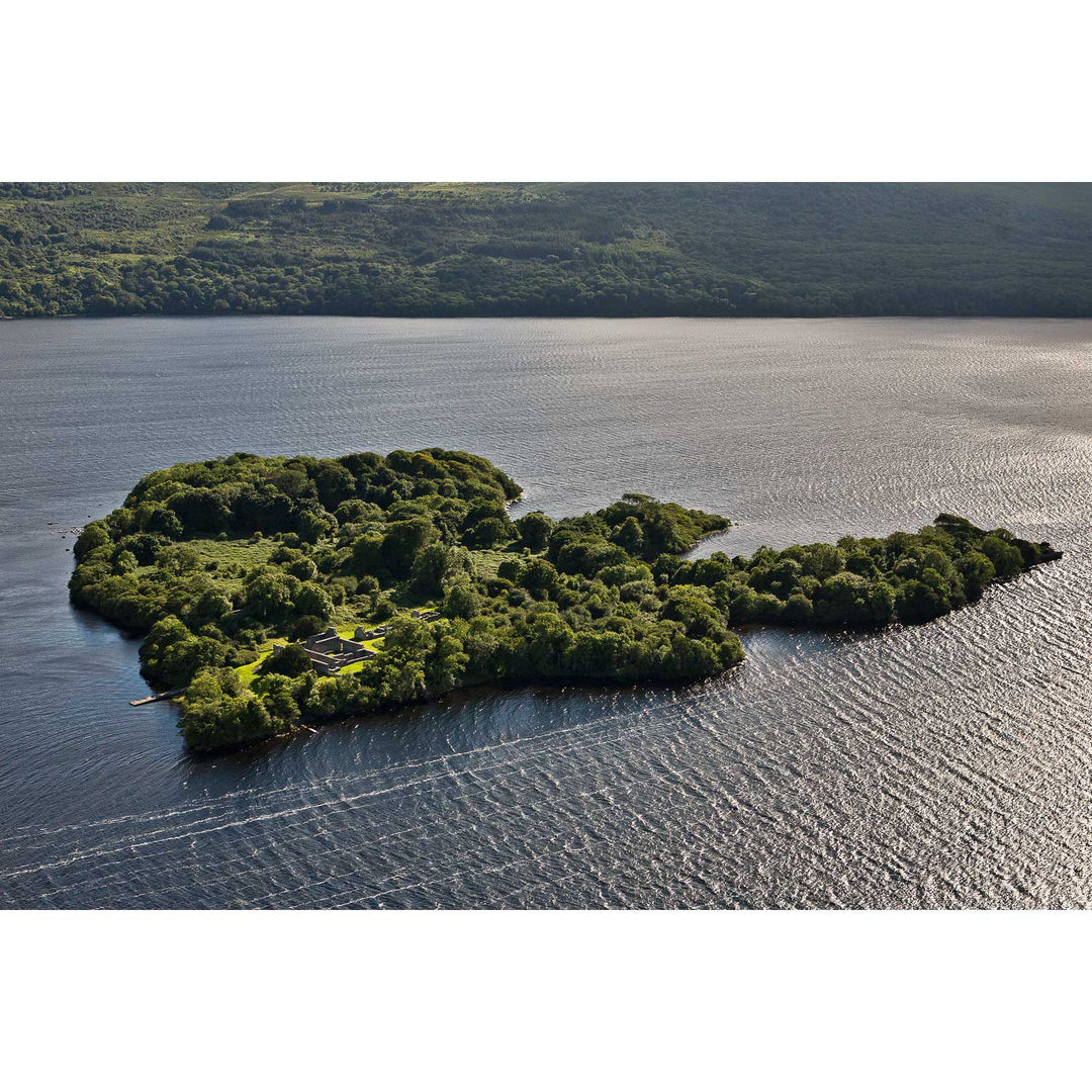
Inisfallen, Killarney, Co. Kerry
from
€75.00
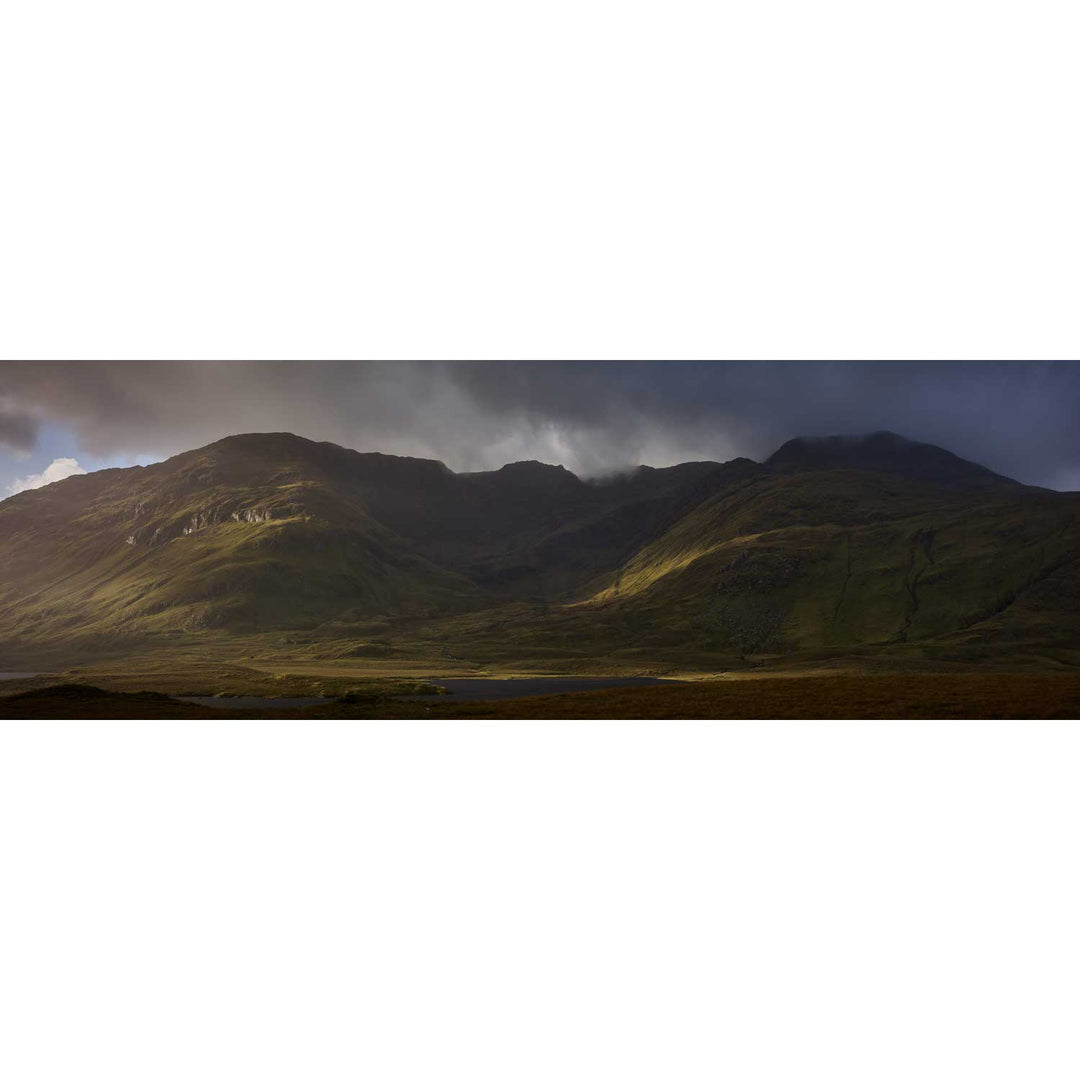
Mweelrea from Doo Lough, Mayo
from
€75.00
Storm, Atlantic Drive, Achill Island, Mayo
from
€75.00
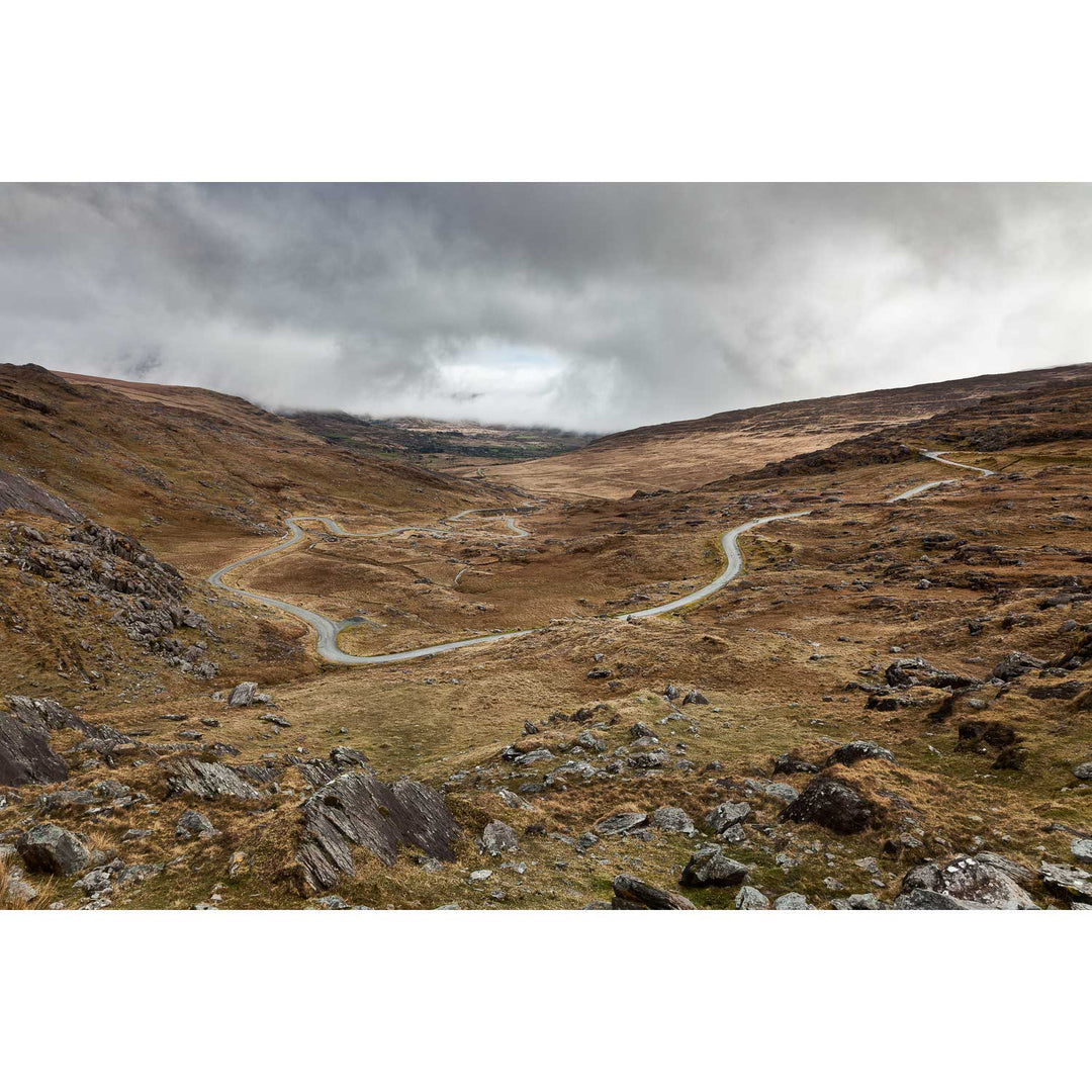
The Healy Pass, Co. Cork
from
€75.00
Napoleonic watch tower, Slieve League, Co. Donegal
from
€75.00
The Gearagh, Co. Cork
from
€75.00
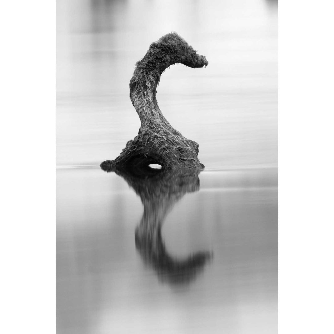
Gearagh Waterhorse, Co. Cork
from
€75.00
Lehanbeg Pier, Co. Cork
from
€75.00
Inisheeshan, Co. Galway
from
€75.00
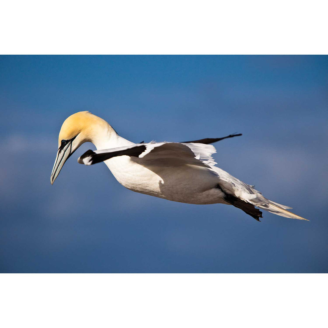
Gannet, Bull Rock, Co. Cork
from
€75.00
Dooey Peninsula, Co. Donegal
from
€75.00
Inishfarnard from Kilcatherine Point, Beara, Co. Cork
from
€75.00
The Gearagh, Co. Cork
from
€75.00
Keem Beach, Achill, Mayo
from
€75.00
Dún Briste, Downpatrick Head, Co. Mayo
from
€75.00
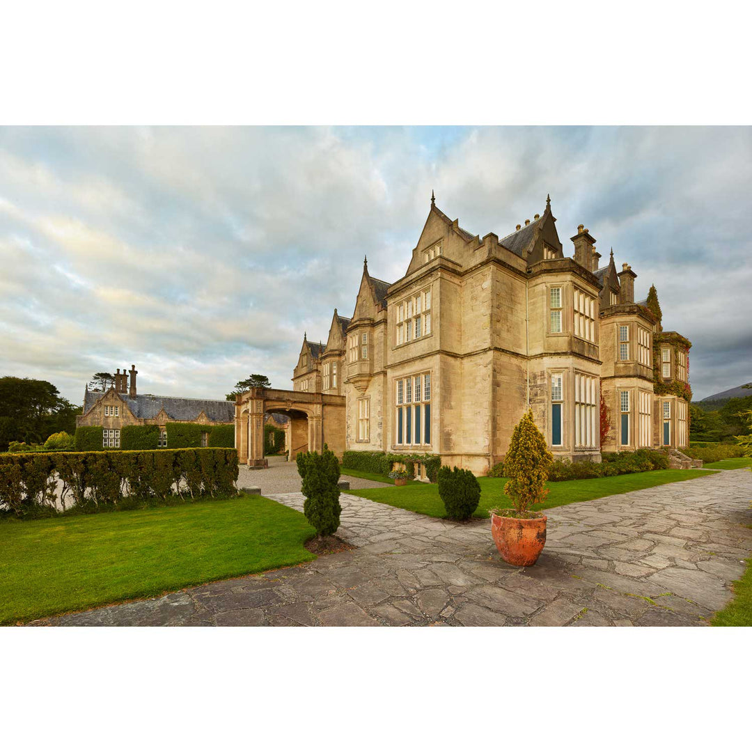
Muckross House, Killarney, Co. Kerry
from
€75.00
Sea Pink, the Bull Rock Lighthouse, Co. Cork
from
€75.00
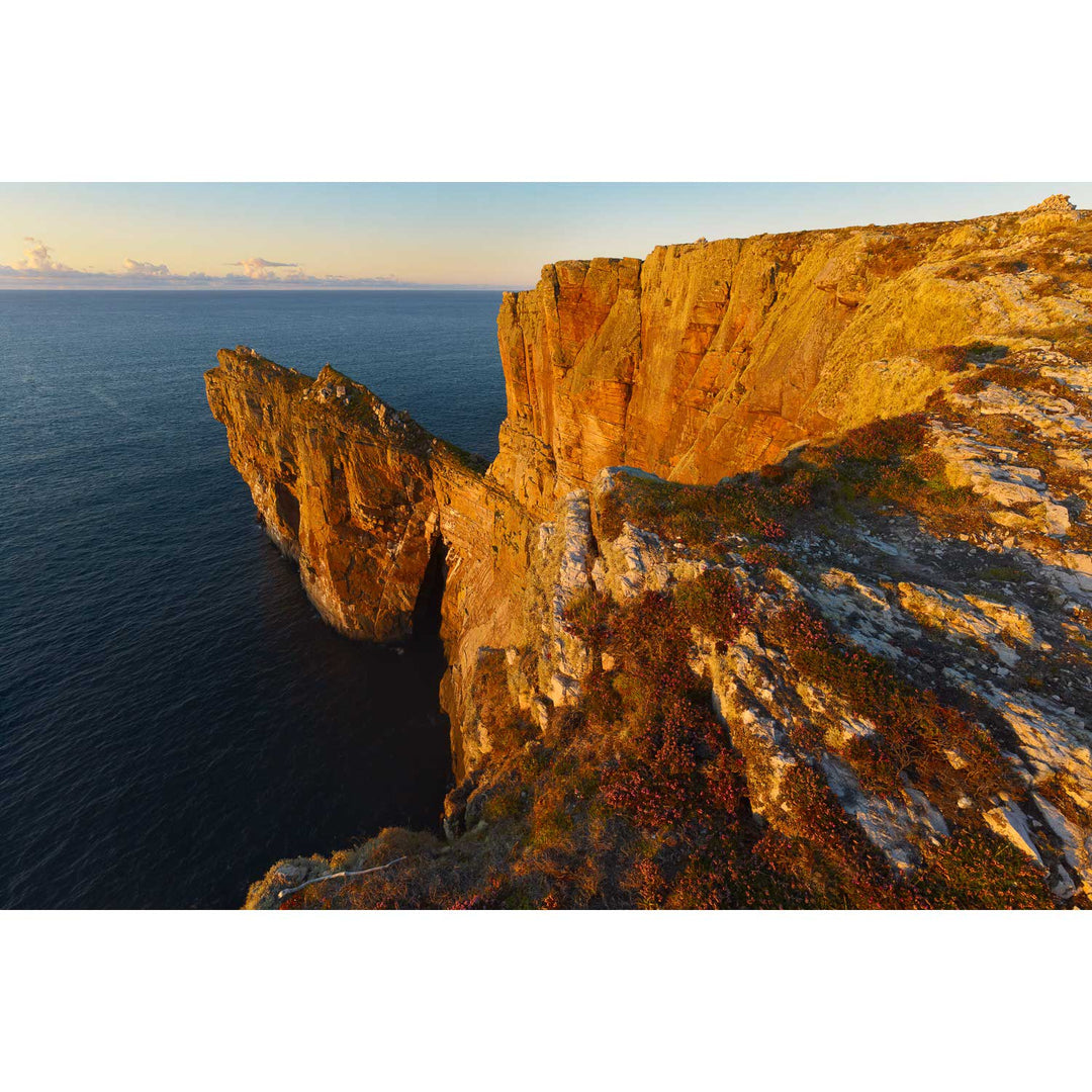
Sunset and Cliffs, Dún Bhaloir, Toraigh, Co. Donegal
from
€75.00
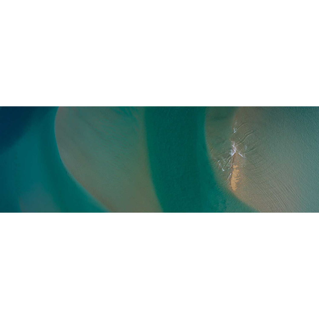
Gweebarra River I, Portnoo, Donegal
from
€75.00
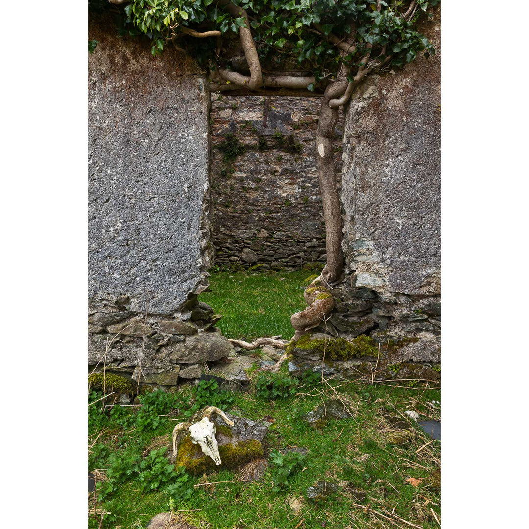
Skull and Door, Black Valley, Co. Kerry
from
€75.00
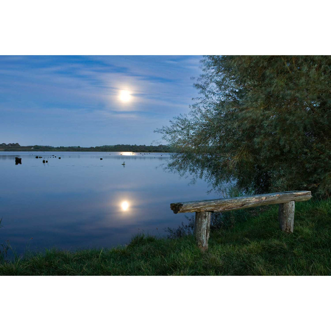
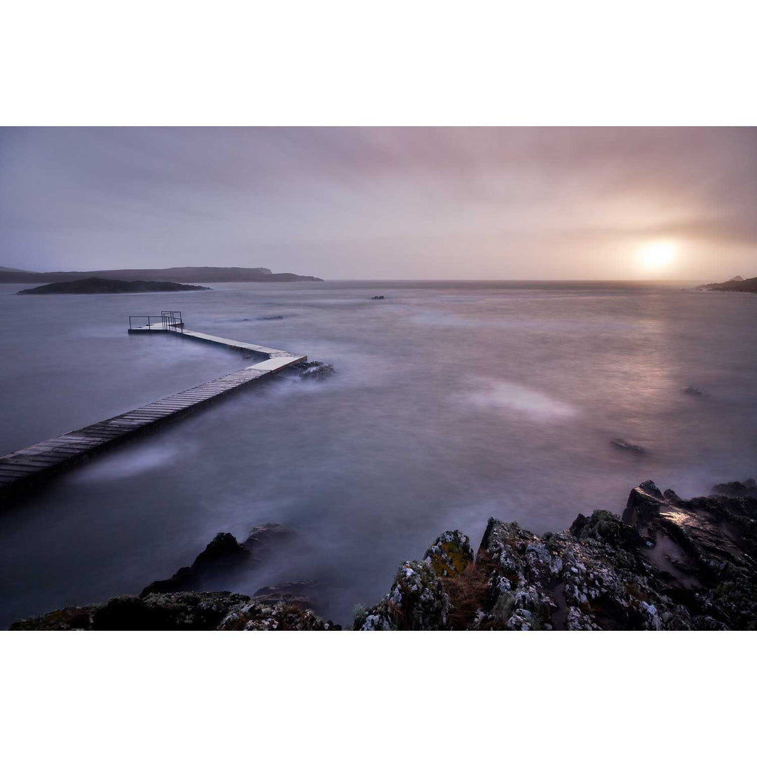
Pontoon, Co. Mayo
from
€75.00
Previous
1
…
9
10
11
12
13
icon-chevron
Next
icon-X
"Close (esc)"
icon-X
icon-chevron
icon-X
Test