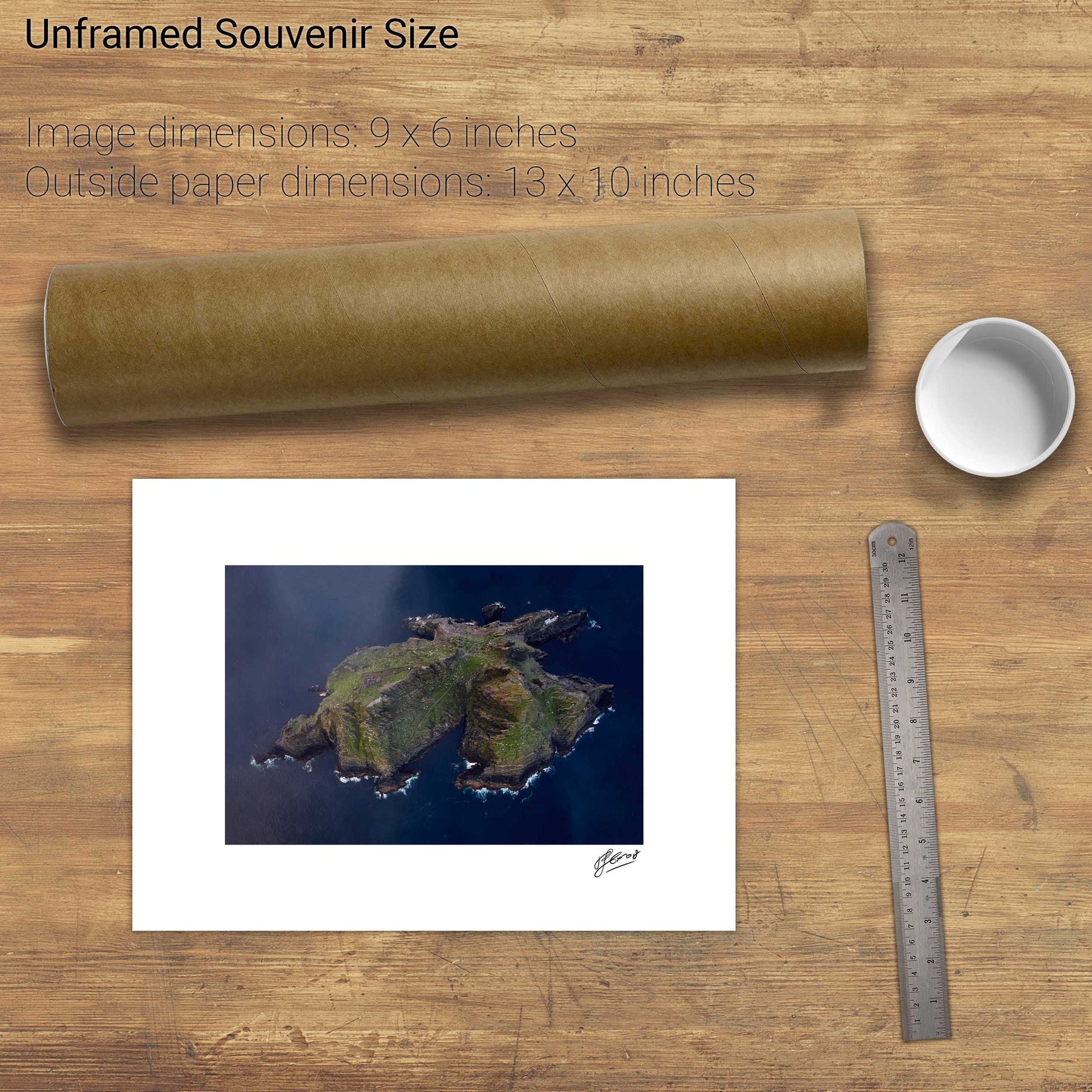
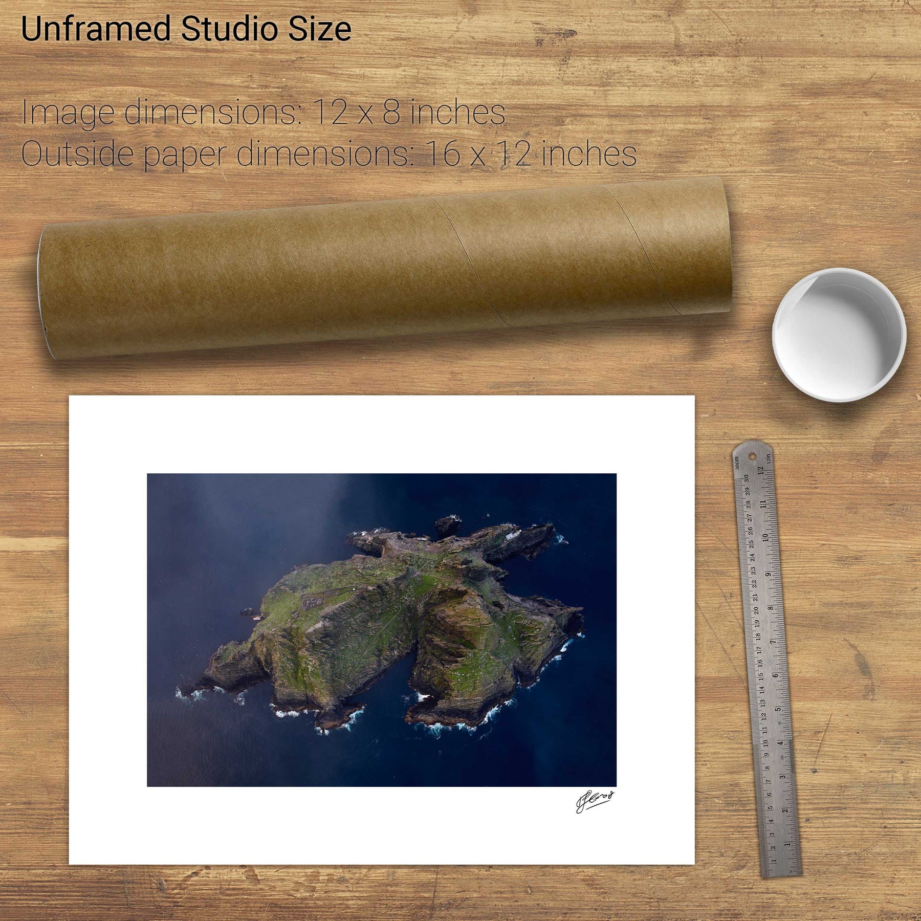
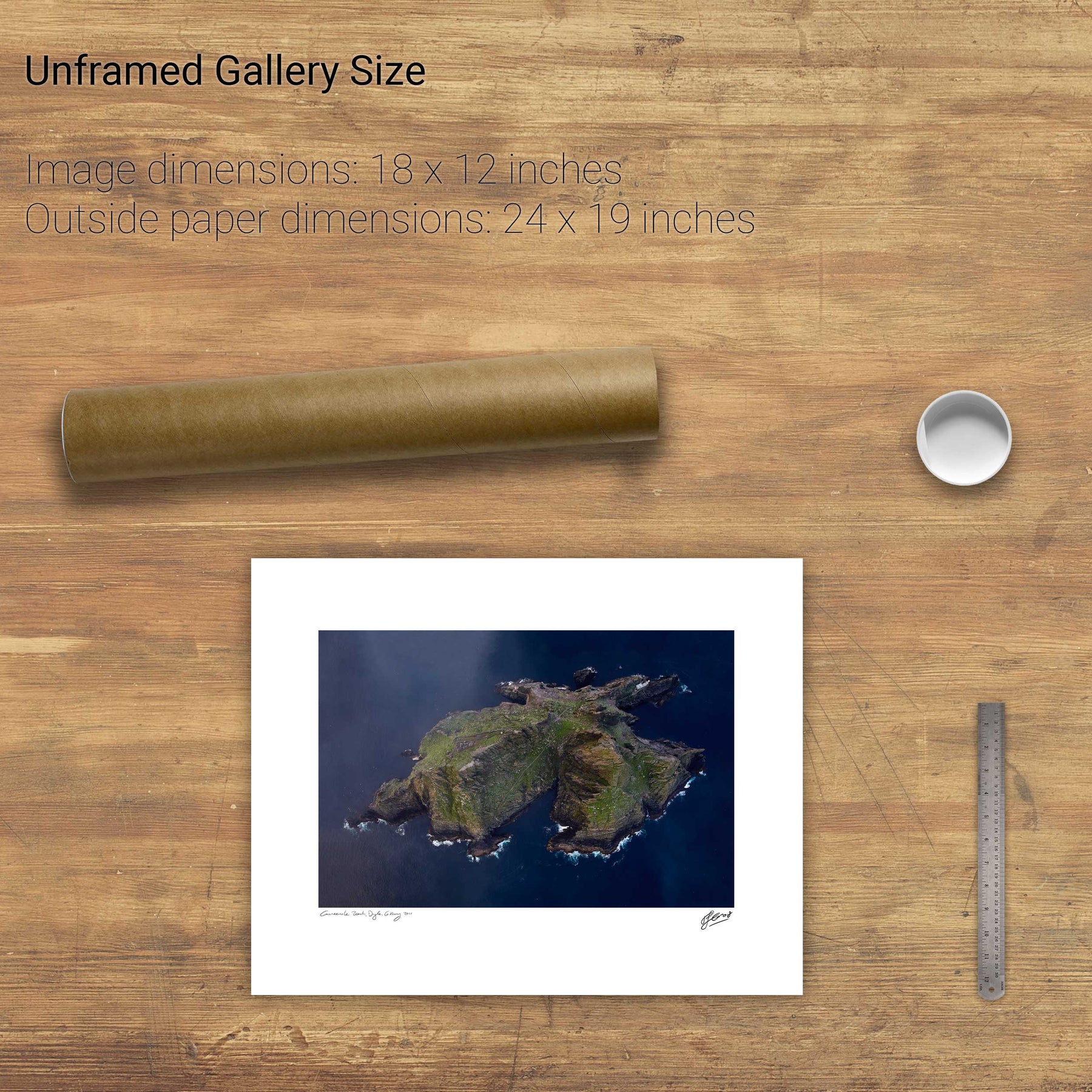
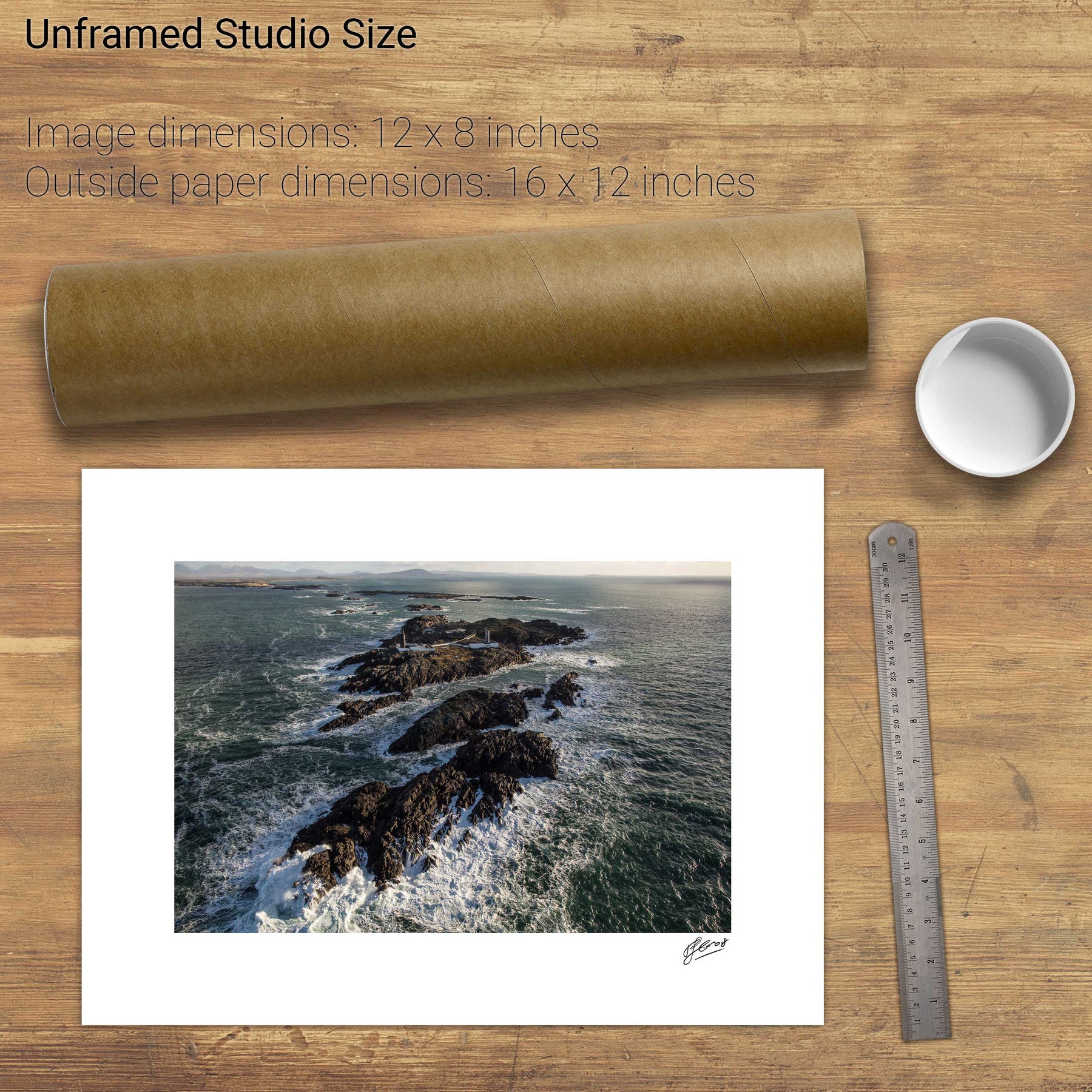
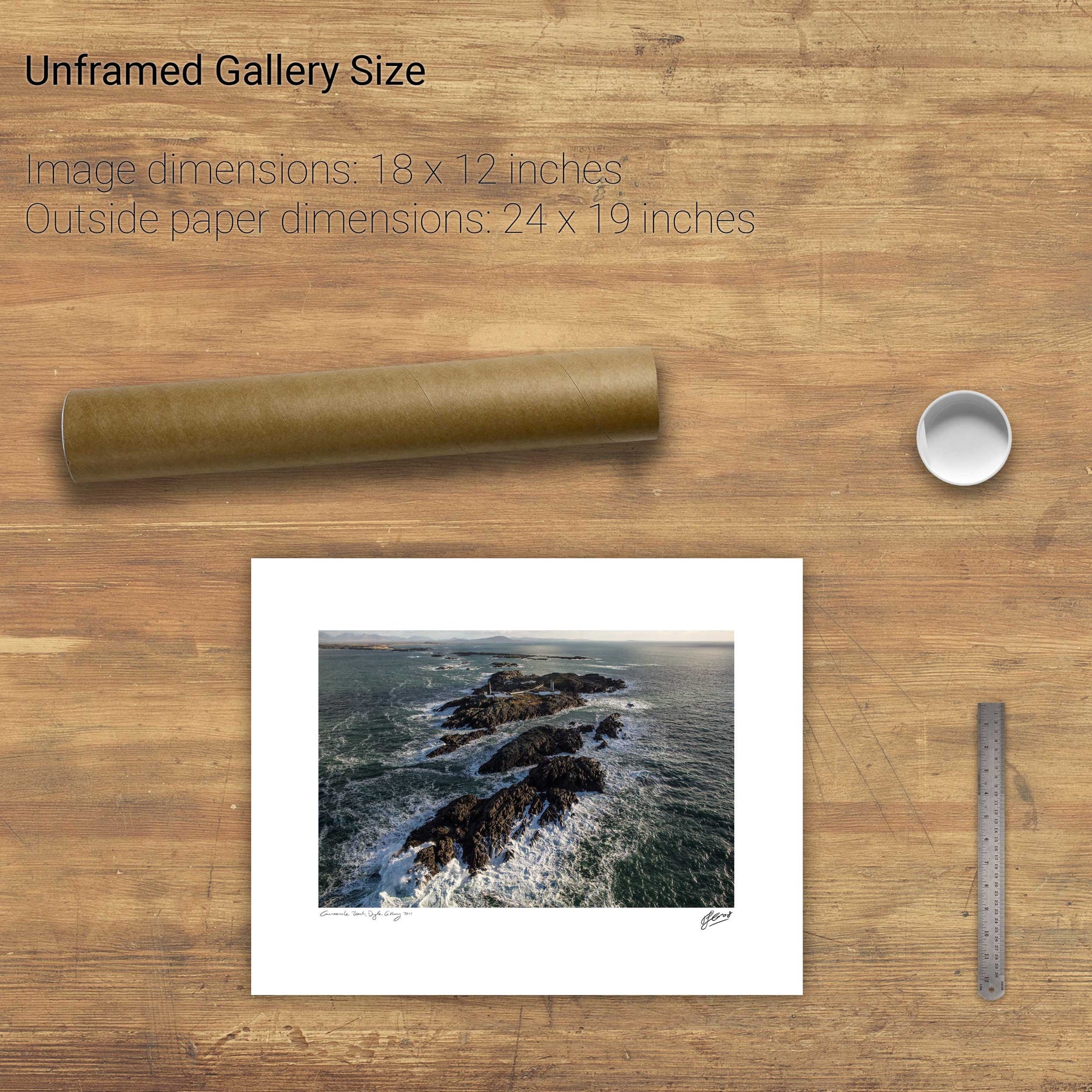
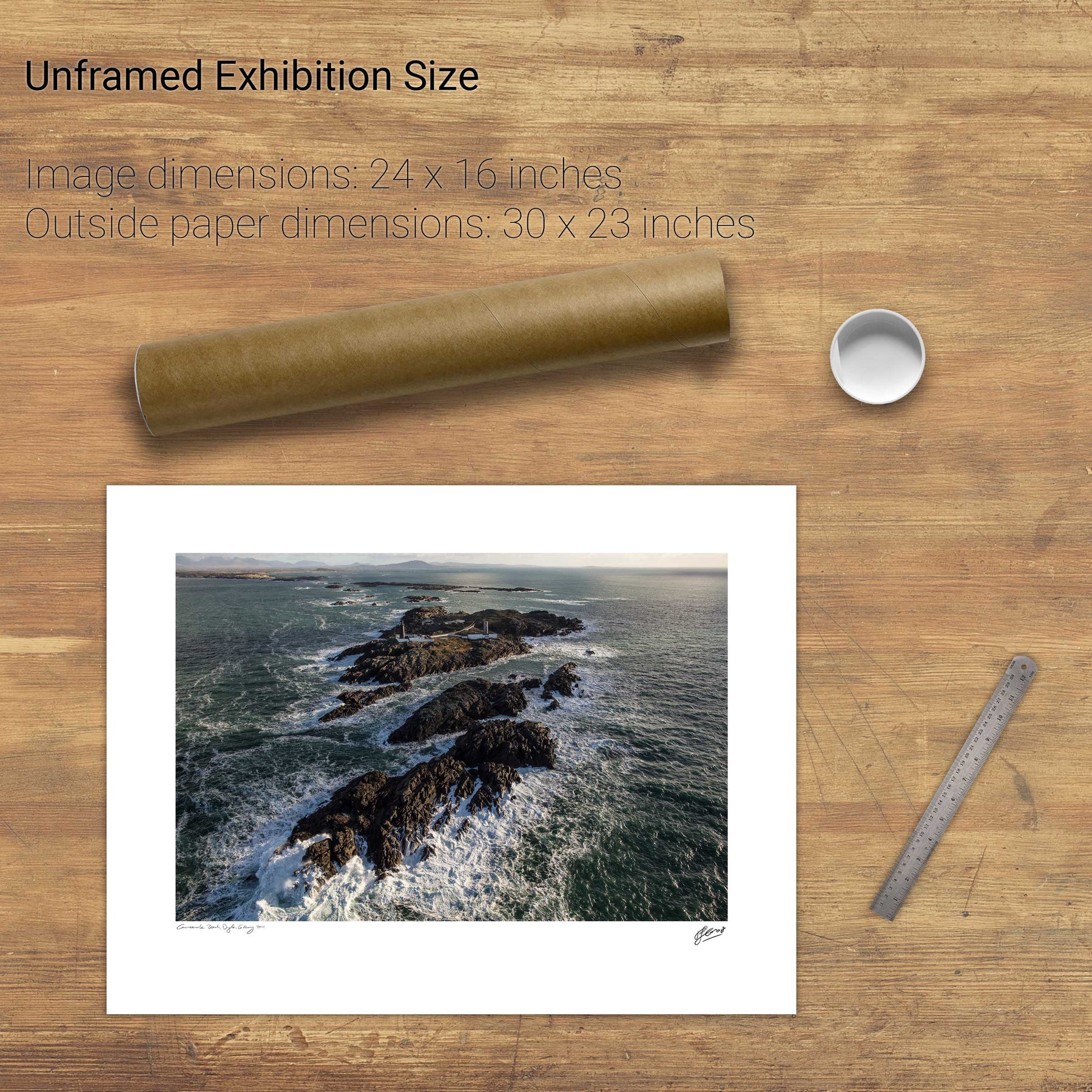
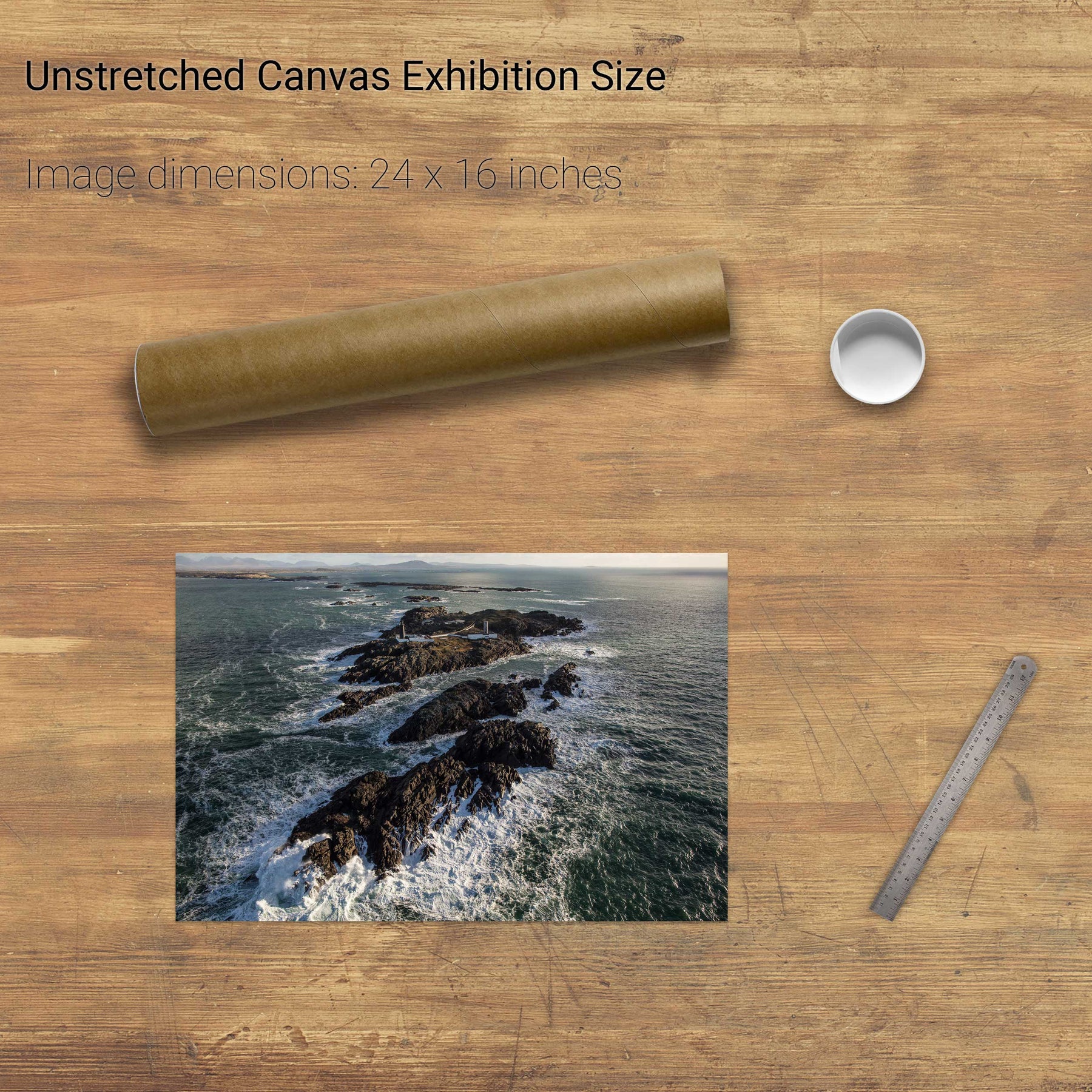
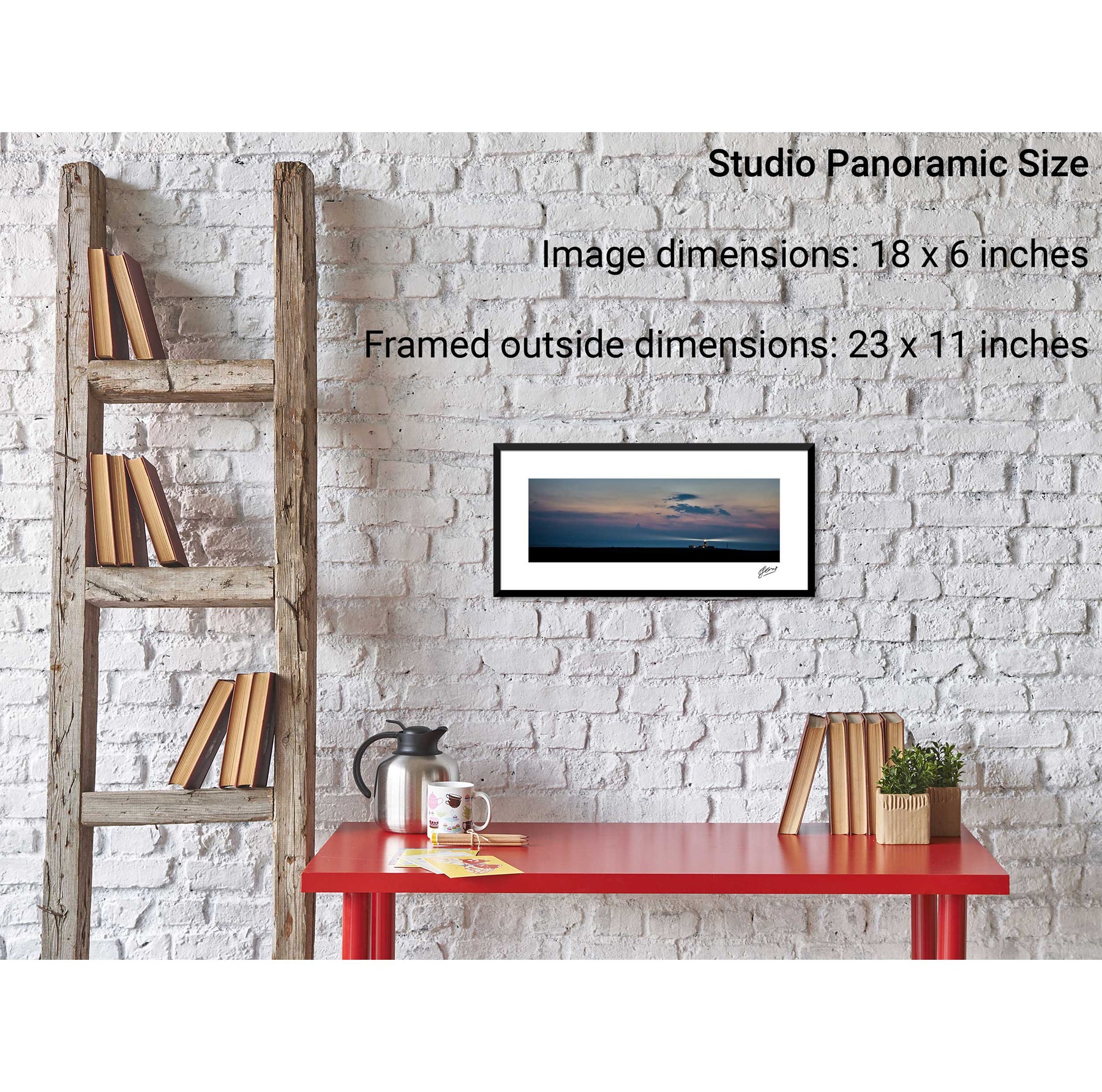
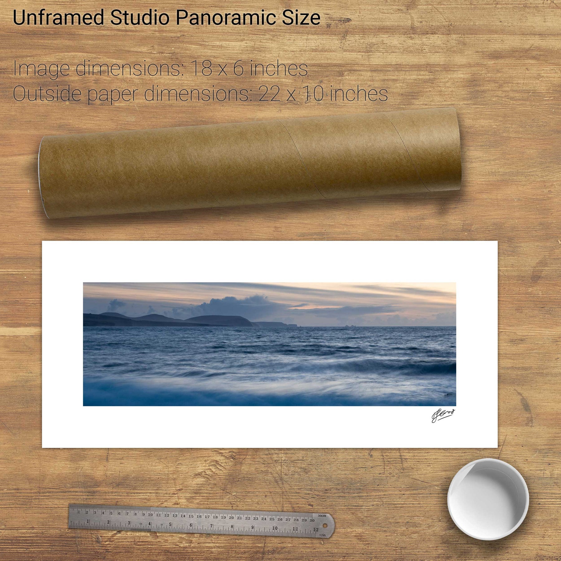
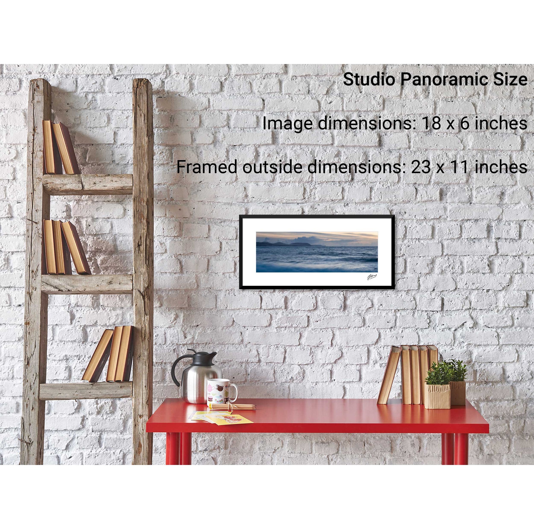
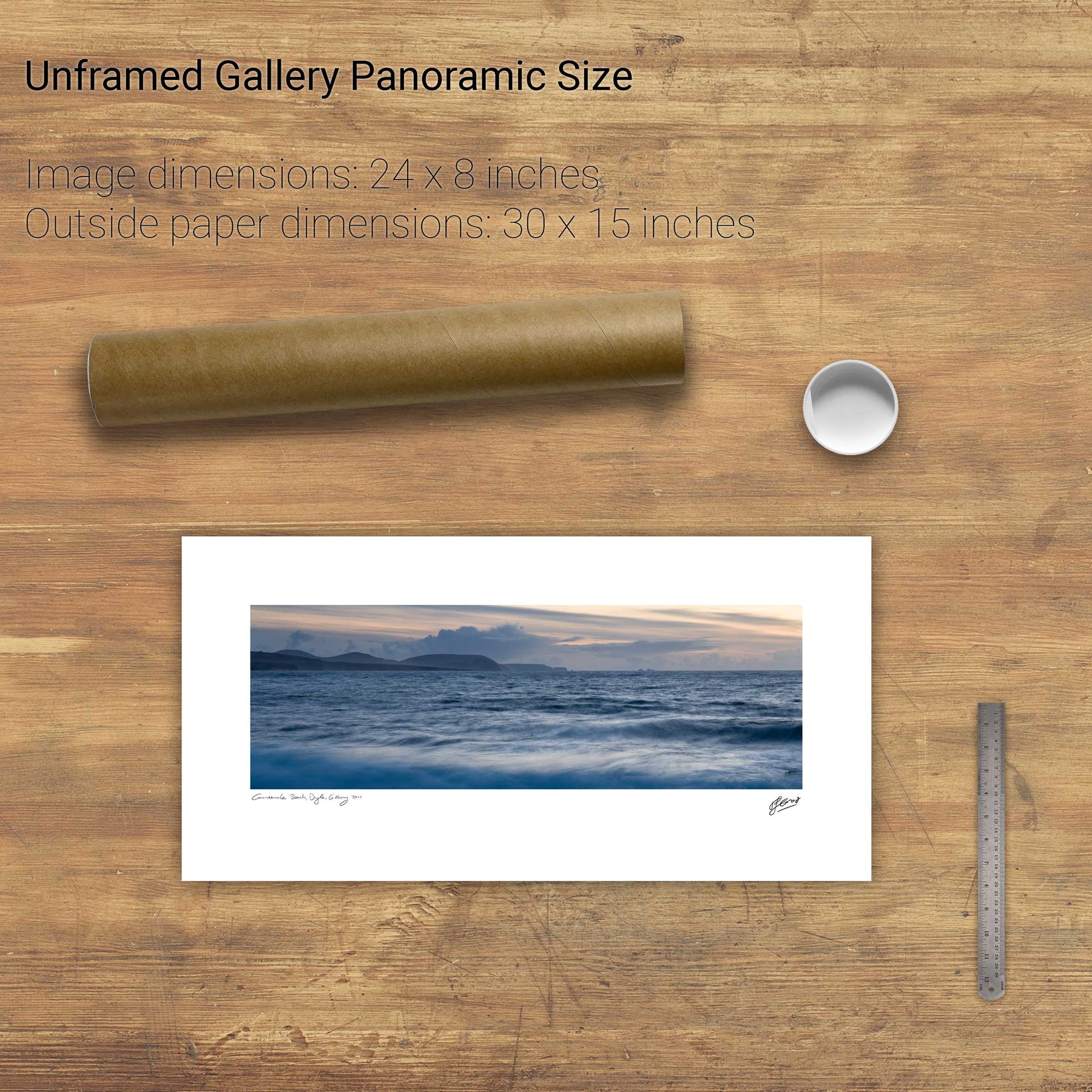
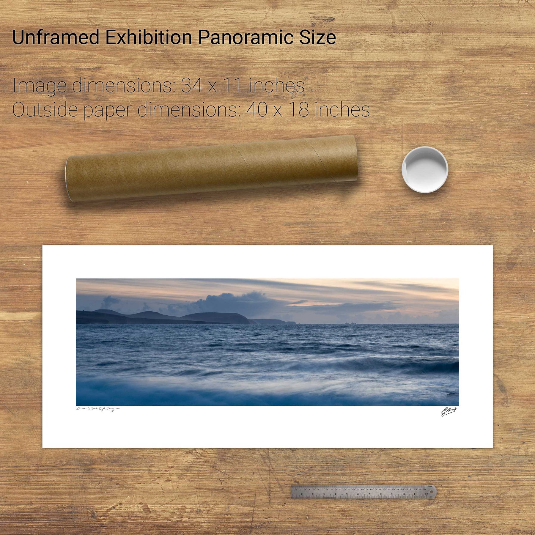
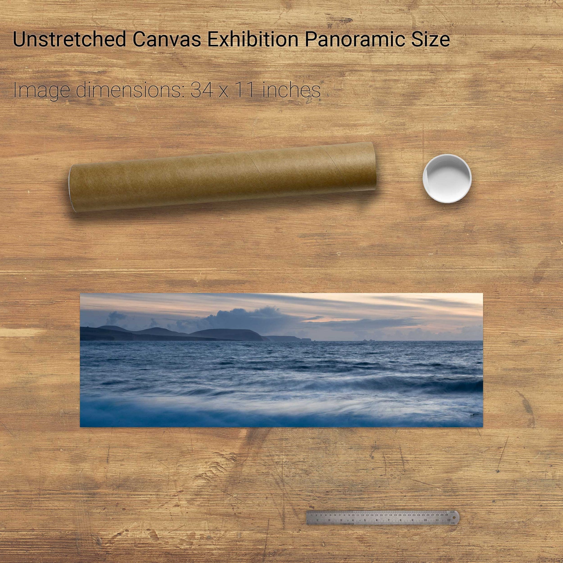
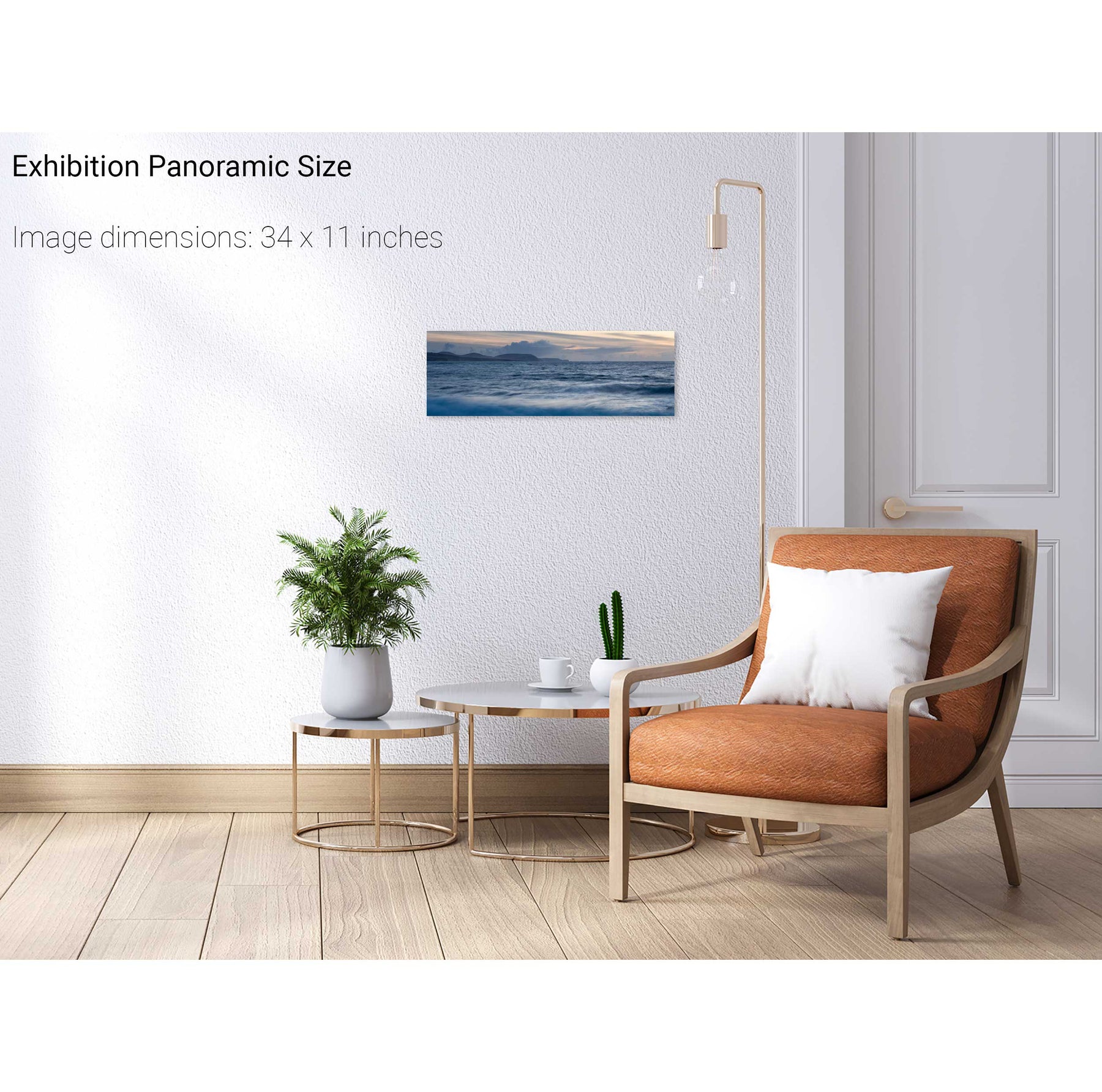
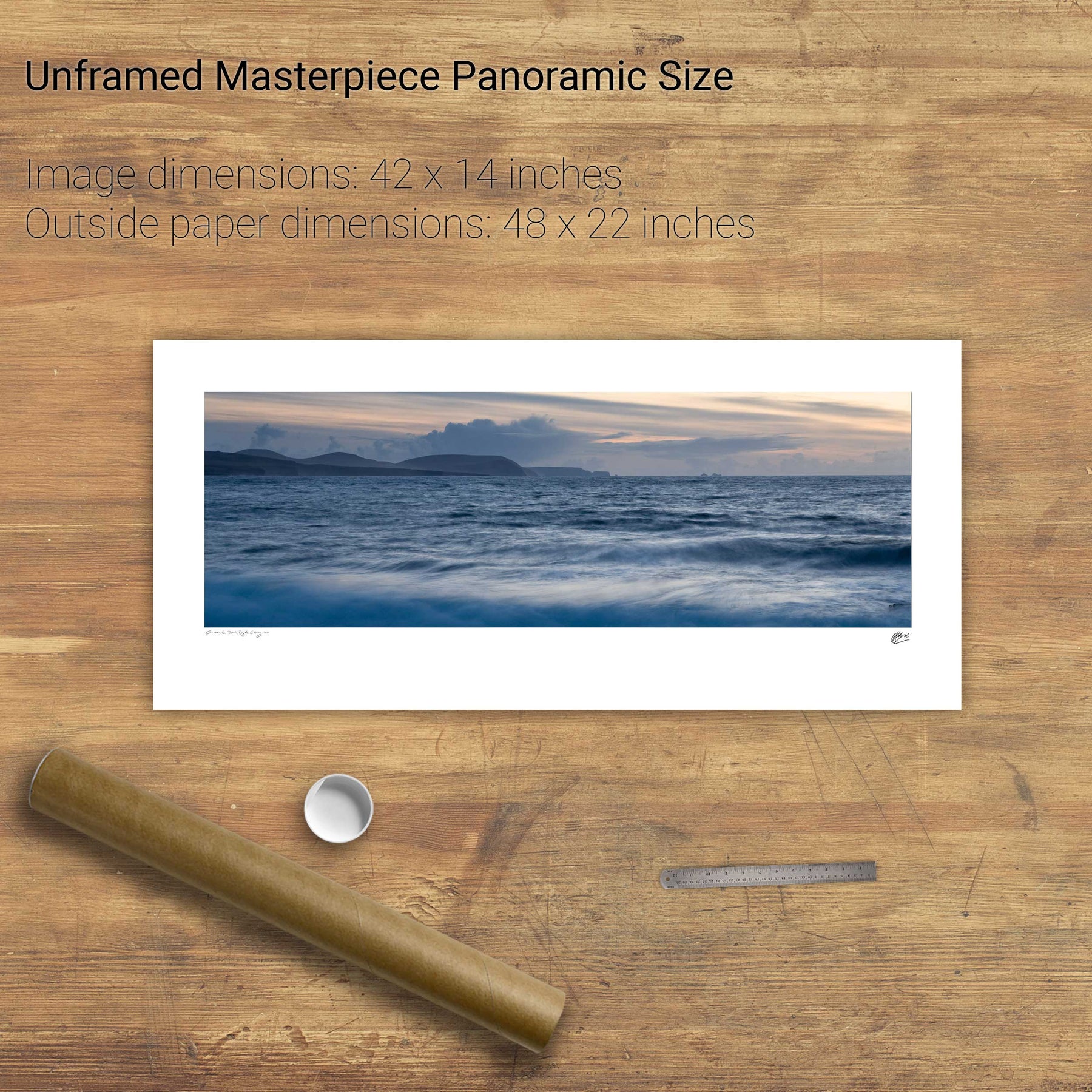
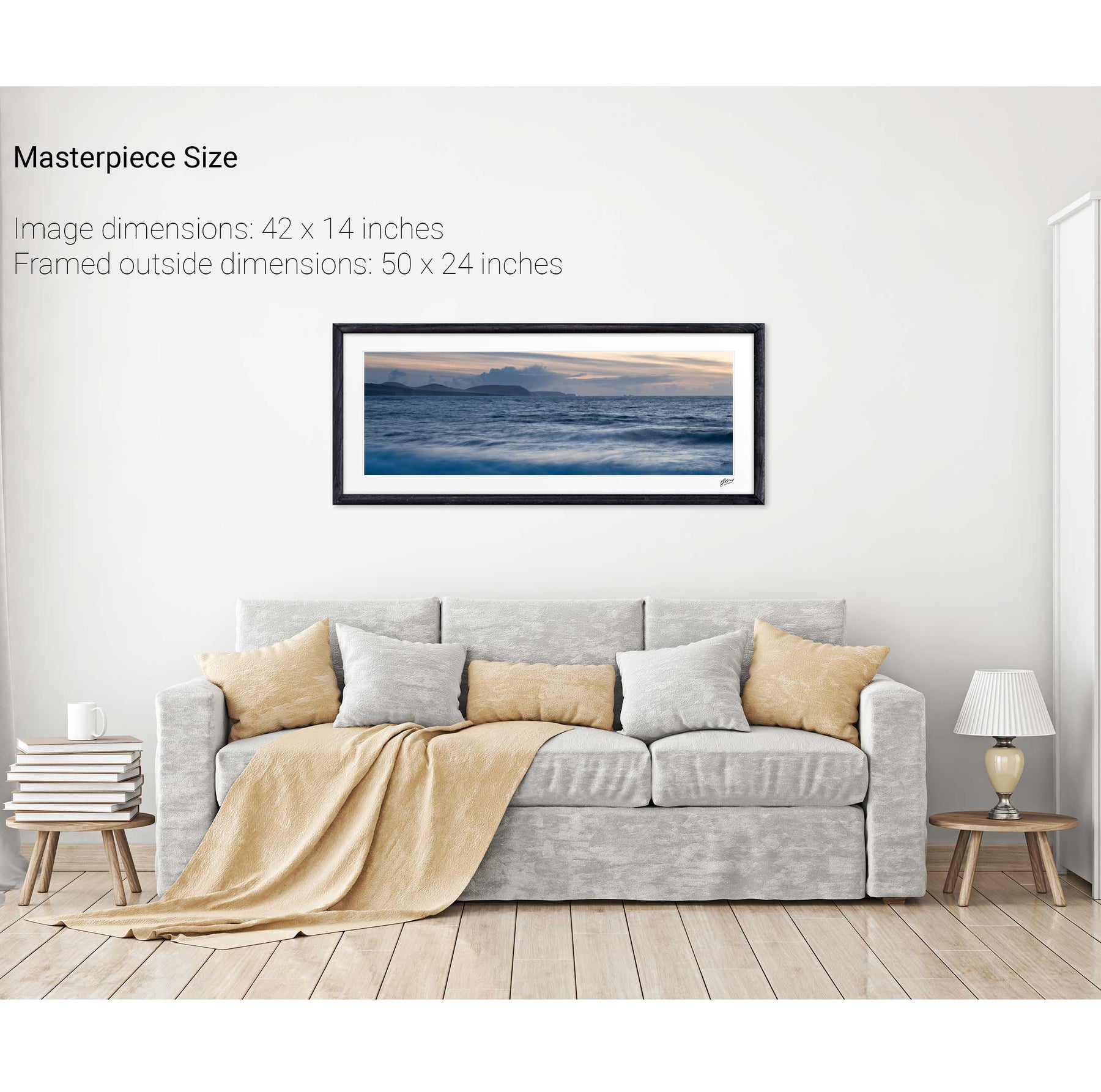
338 products
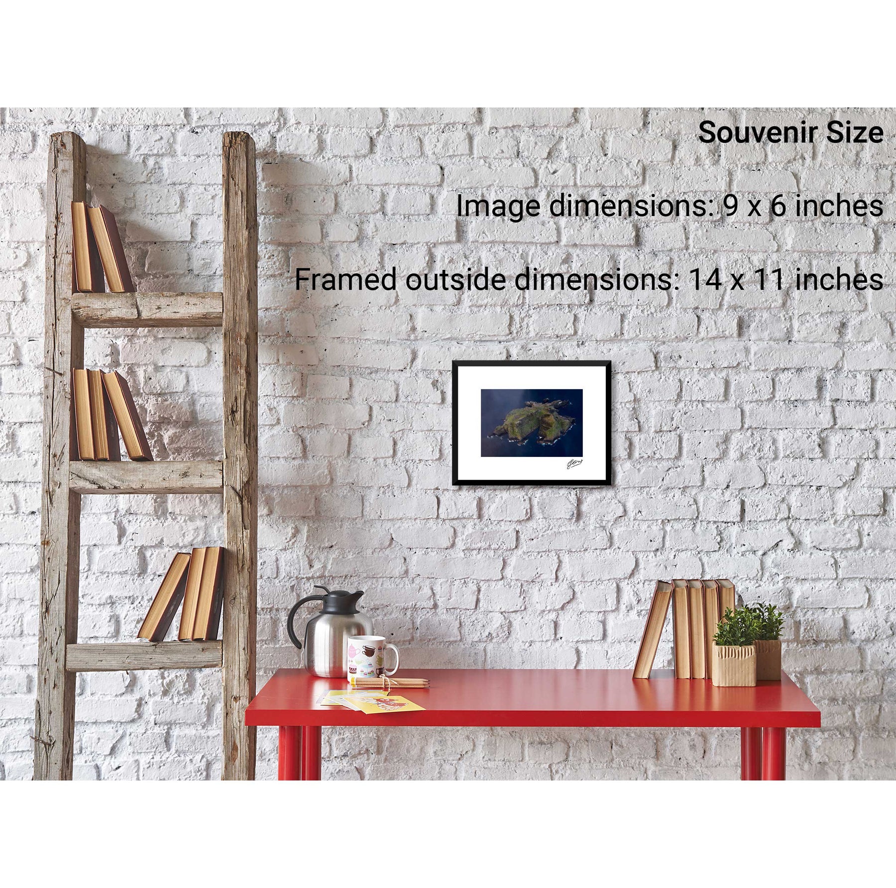
338 products
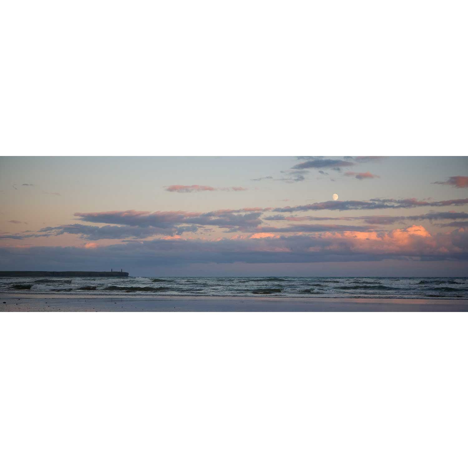
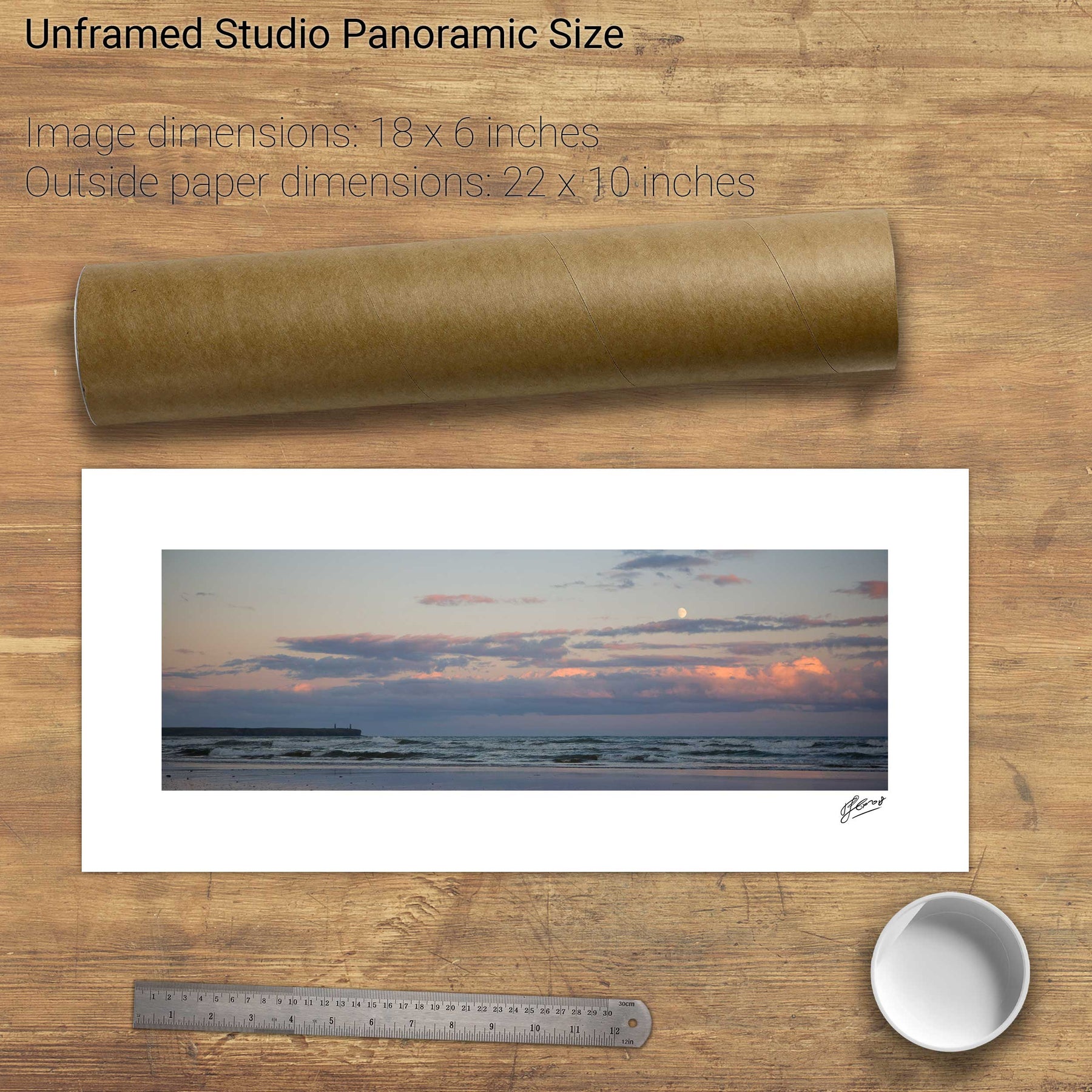
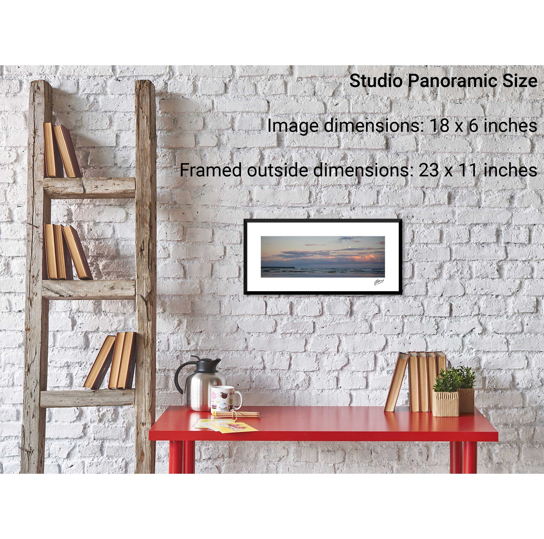
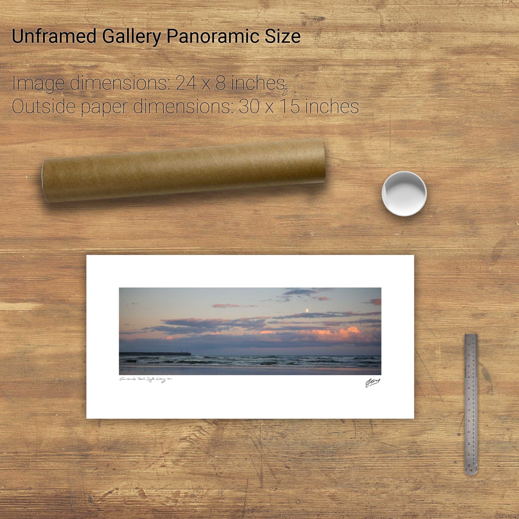
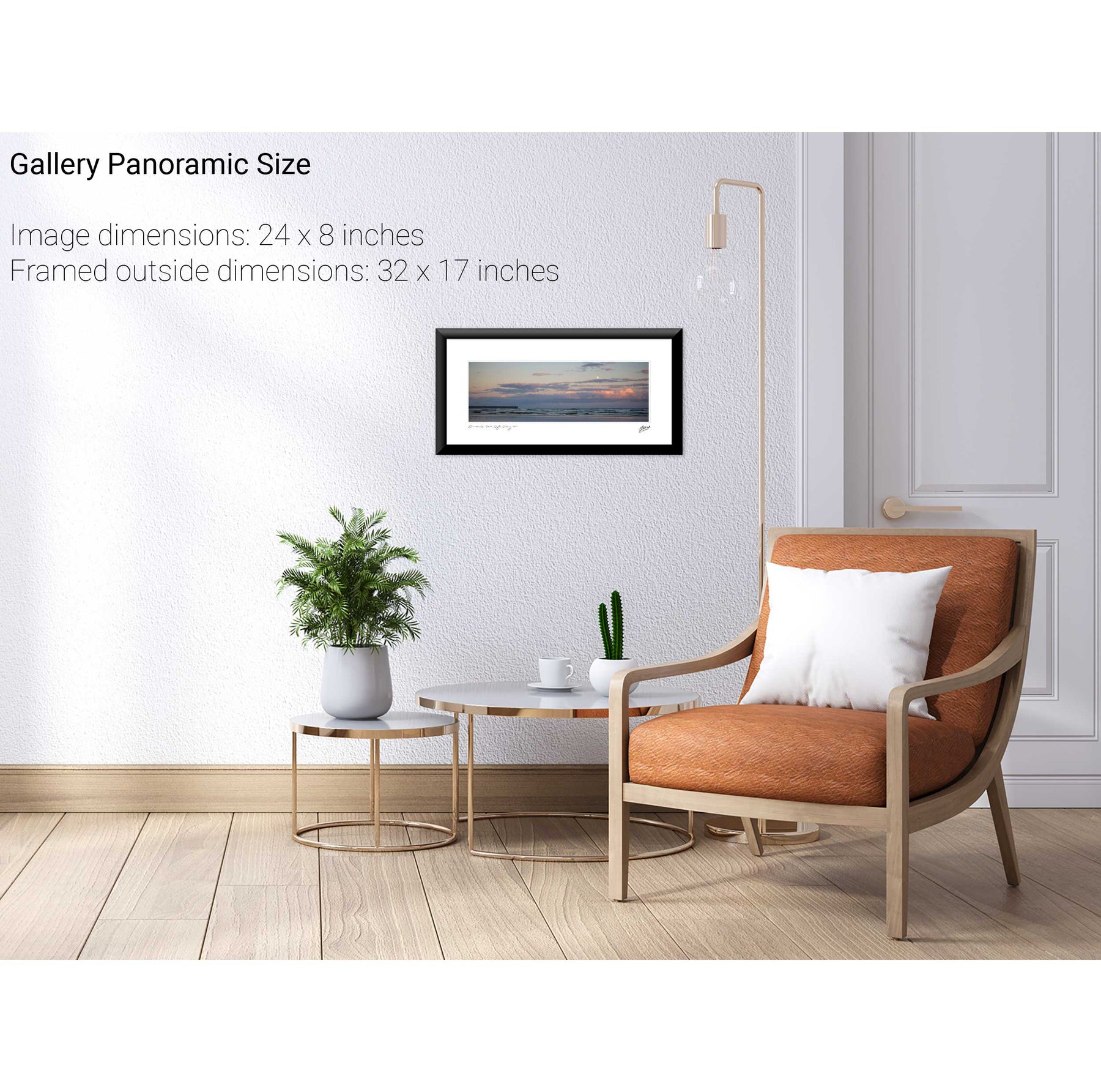
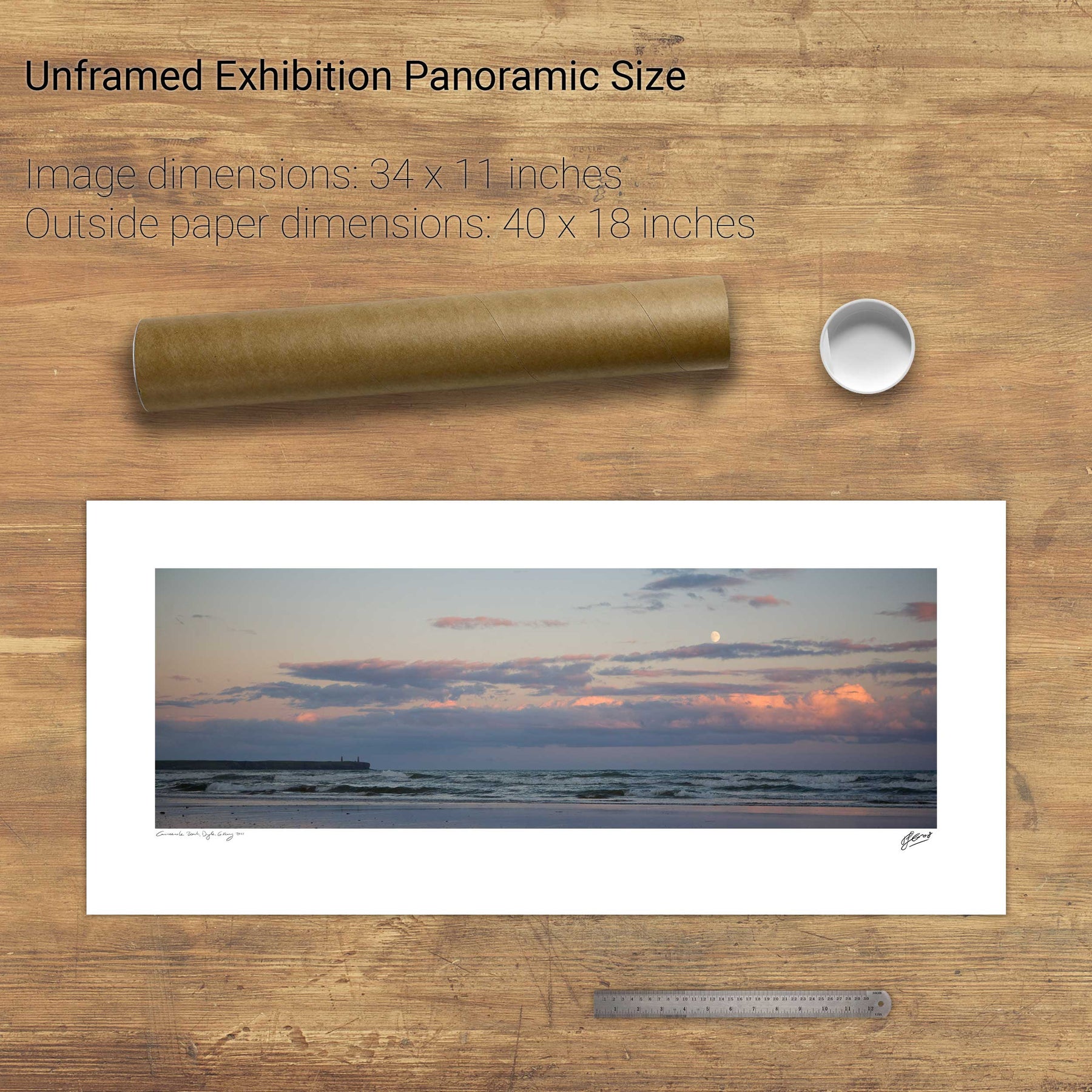
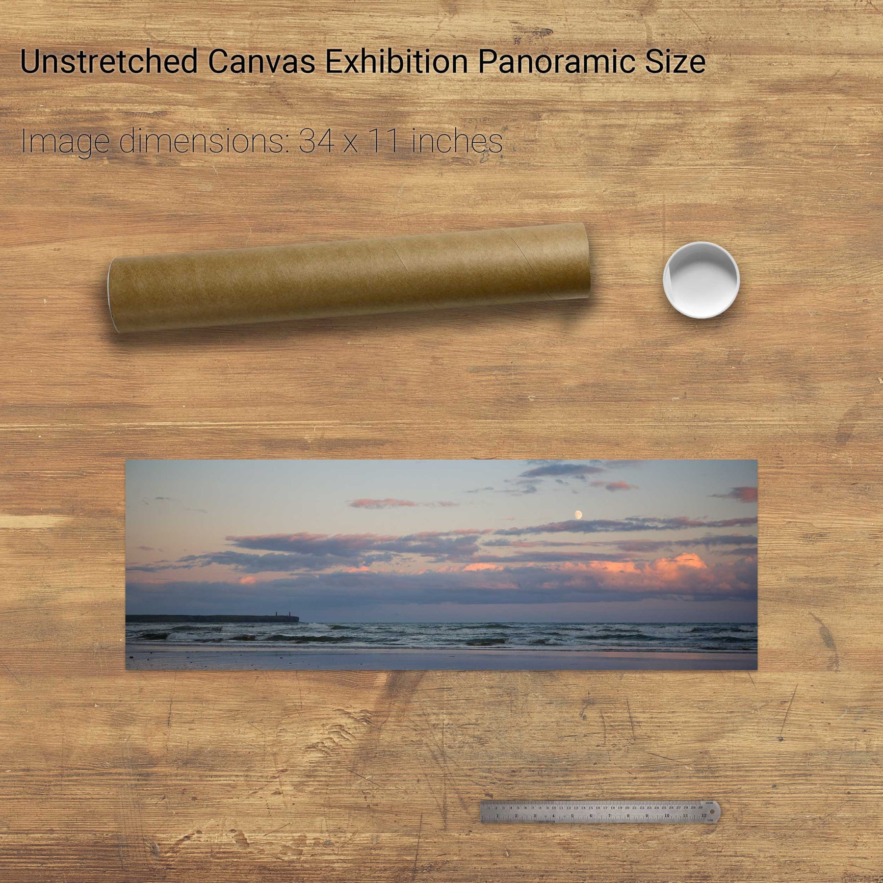
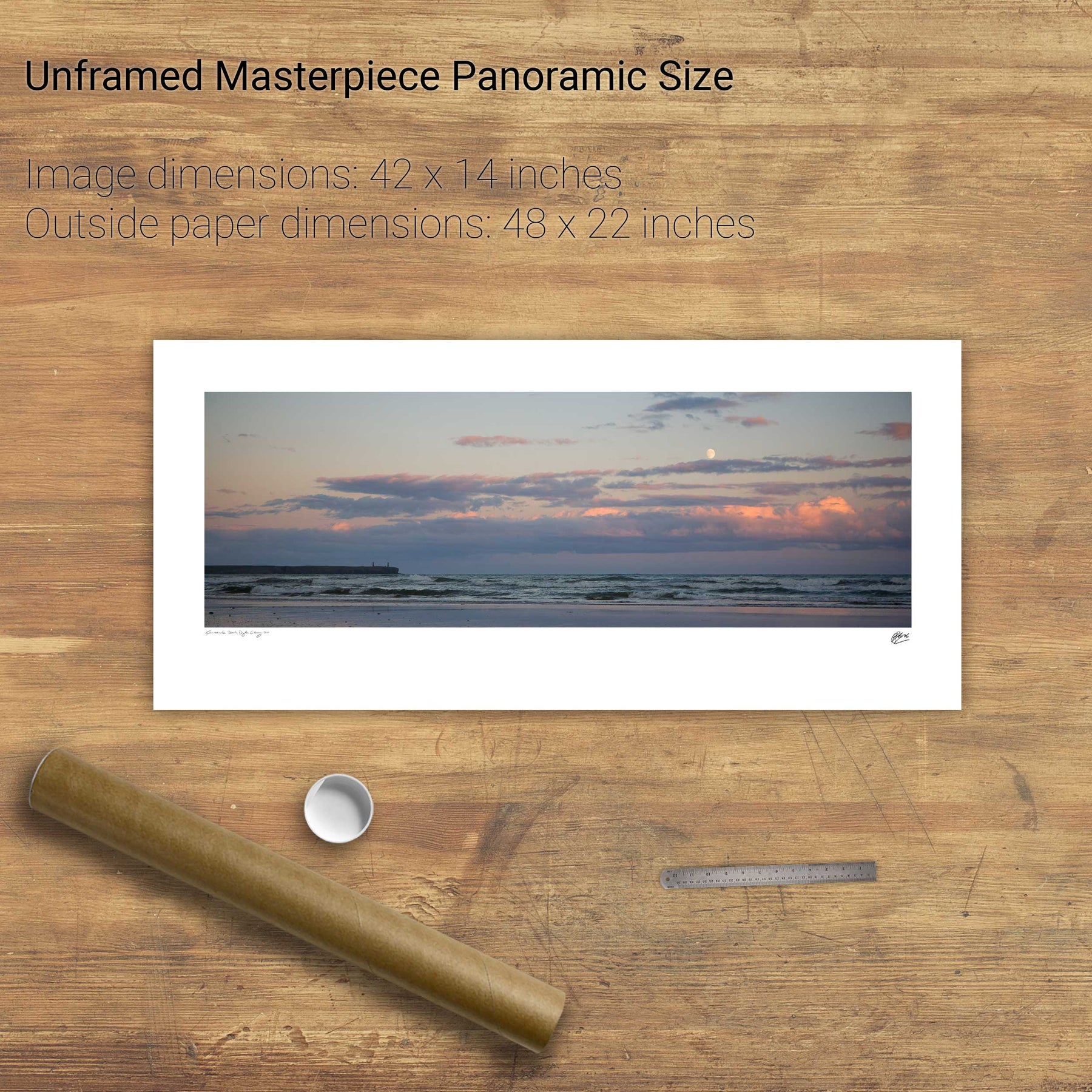
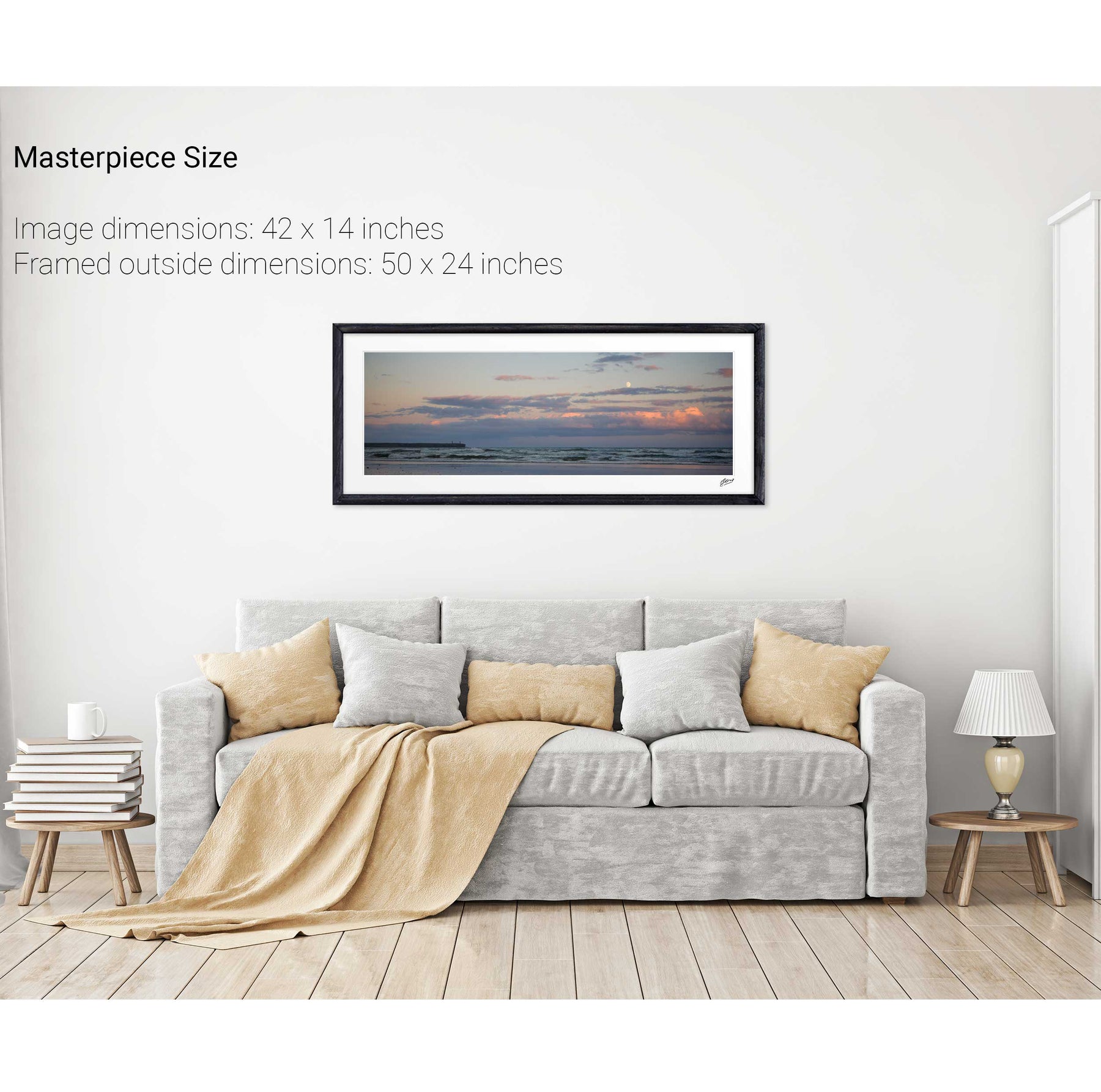
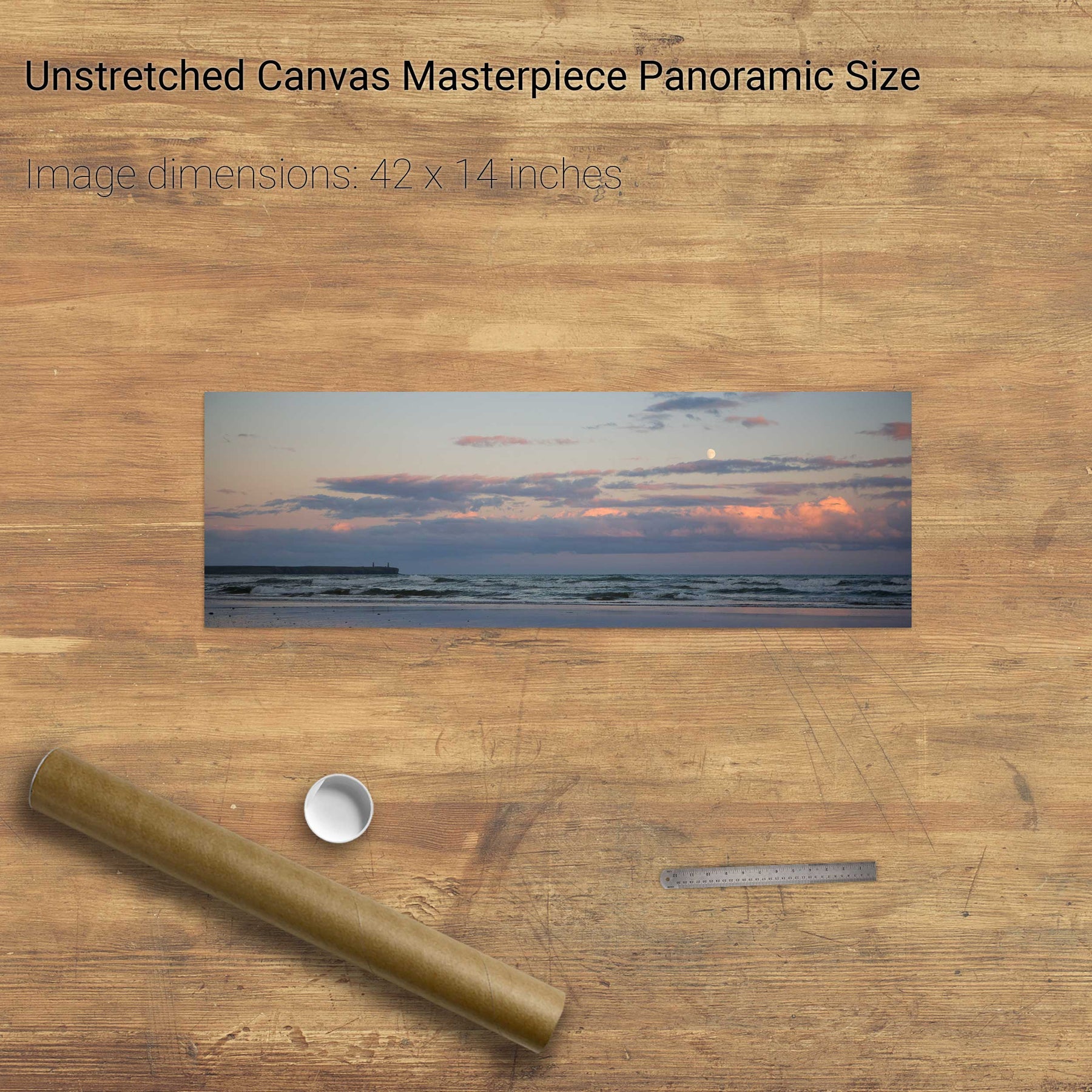
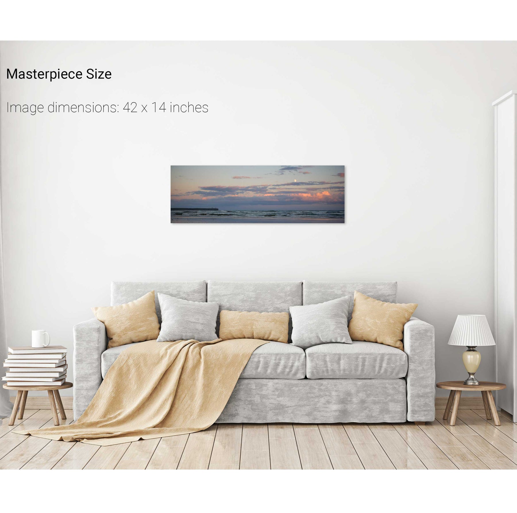
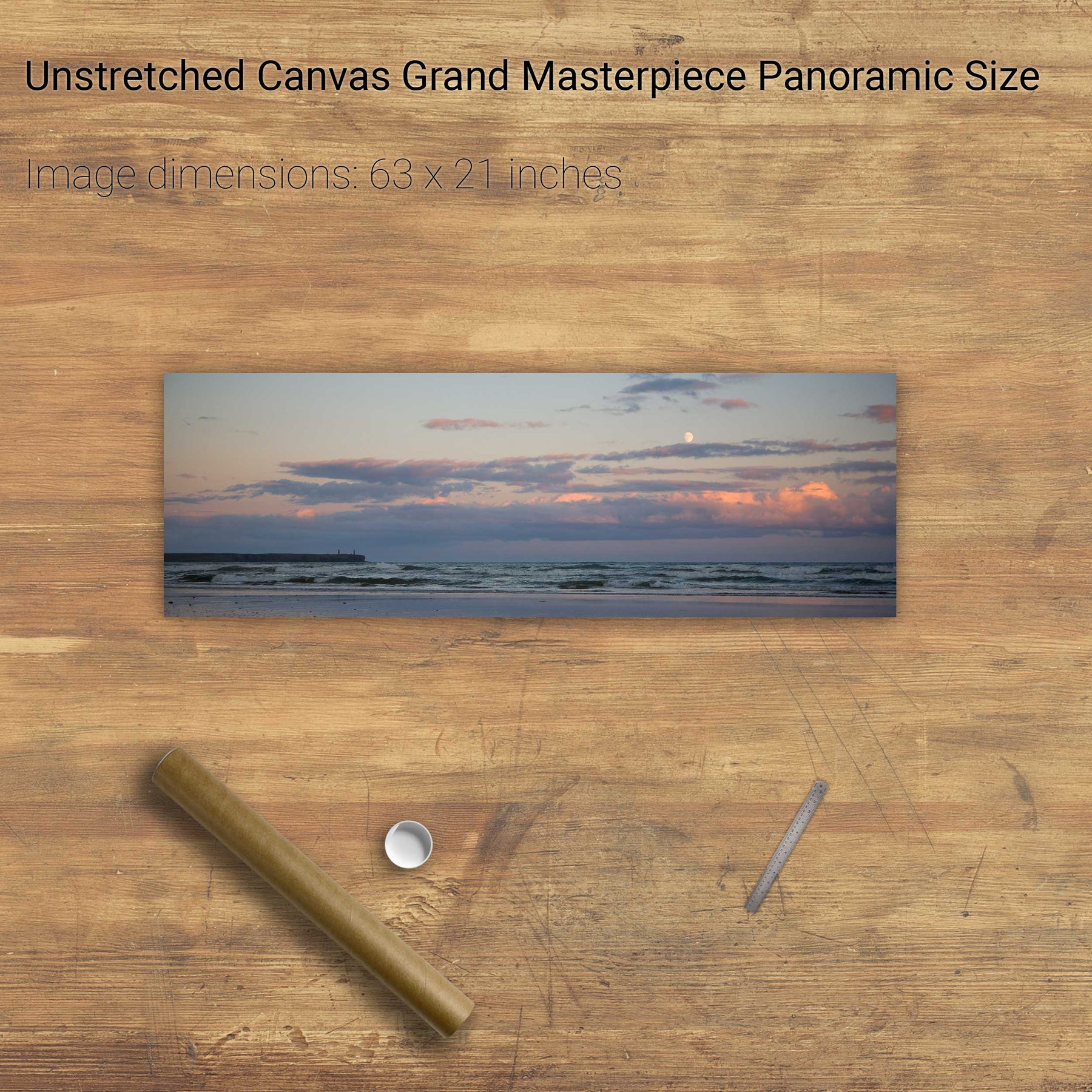
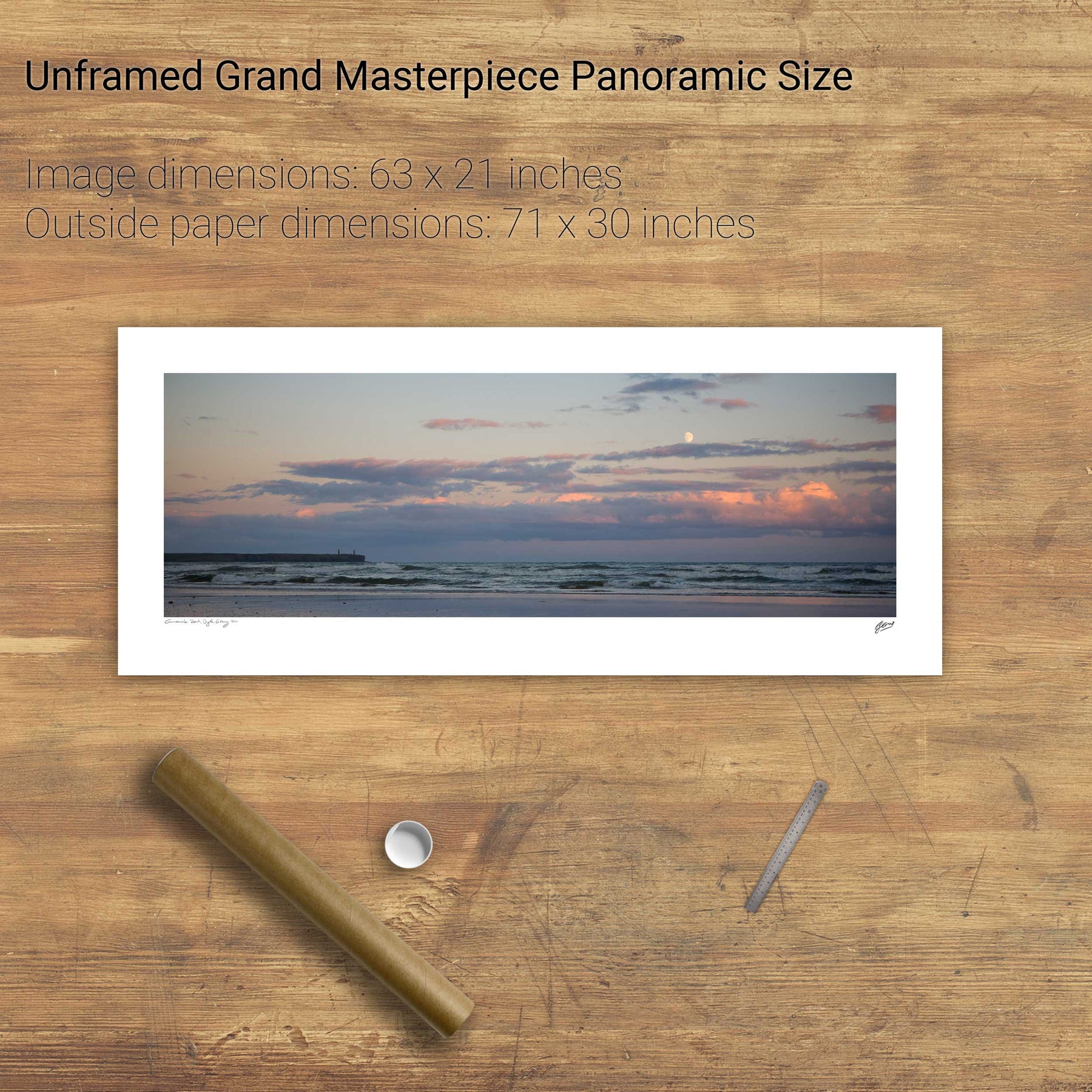
Moonrise, Tramore, Co. Wexford


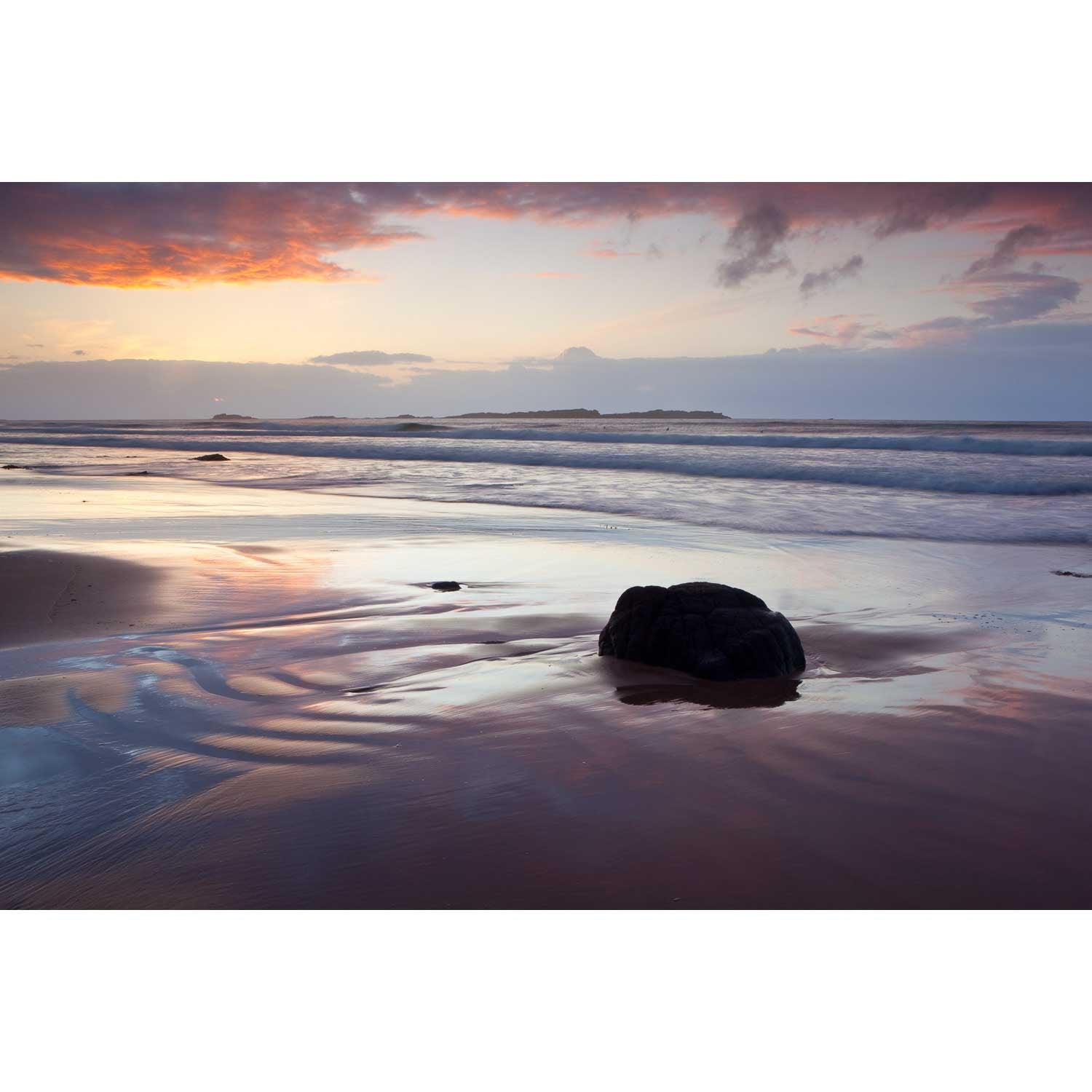
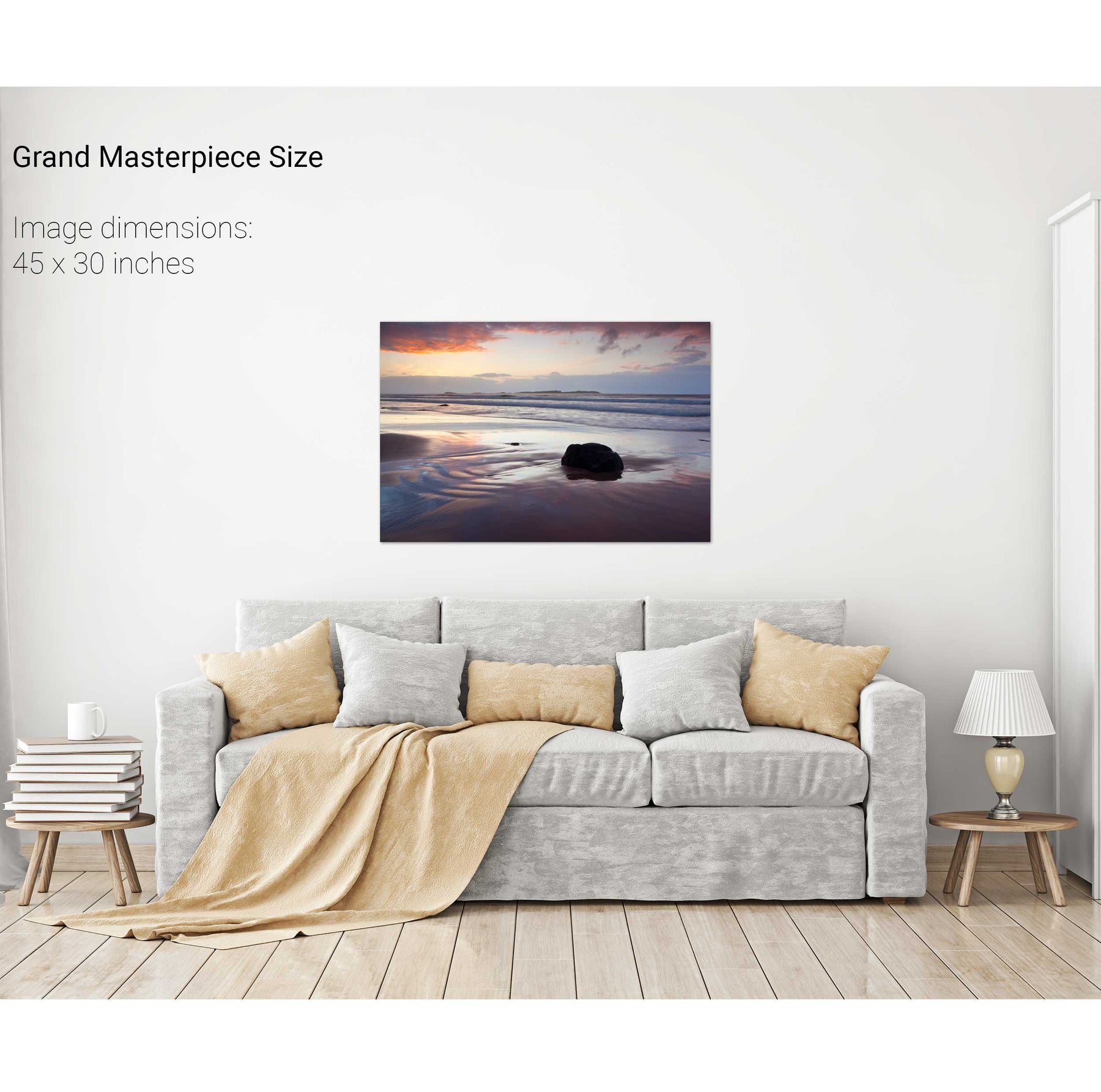
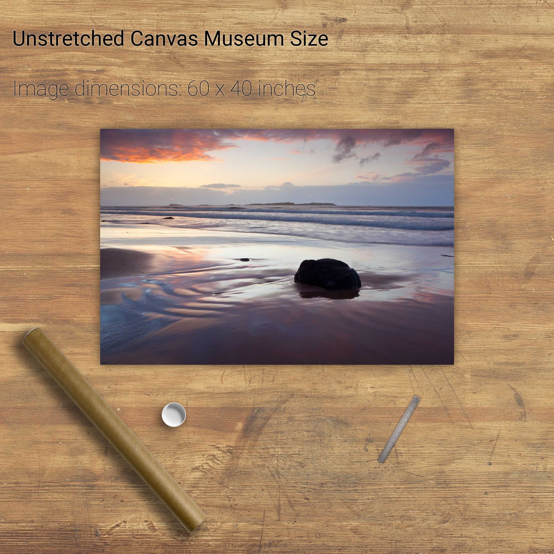
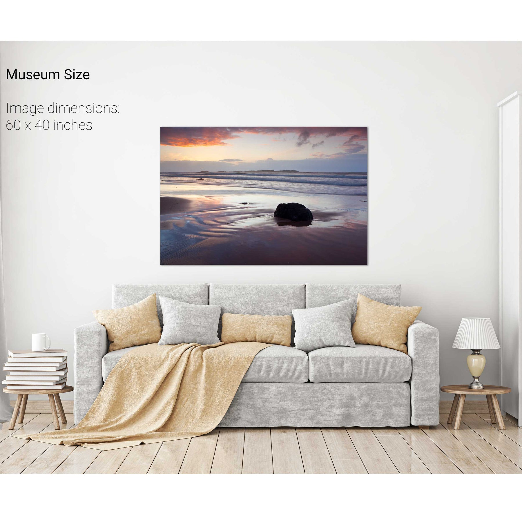
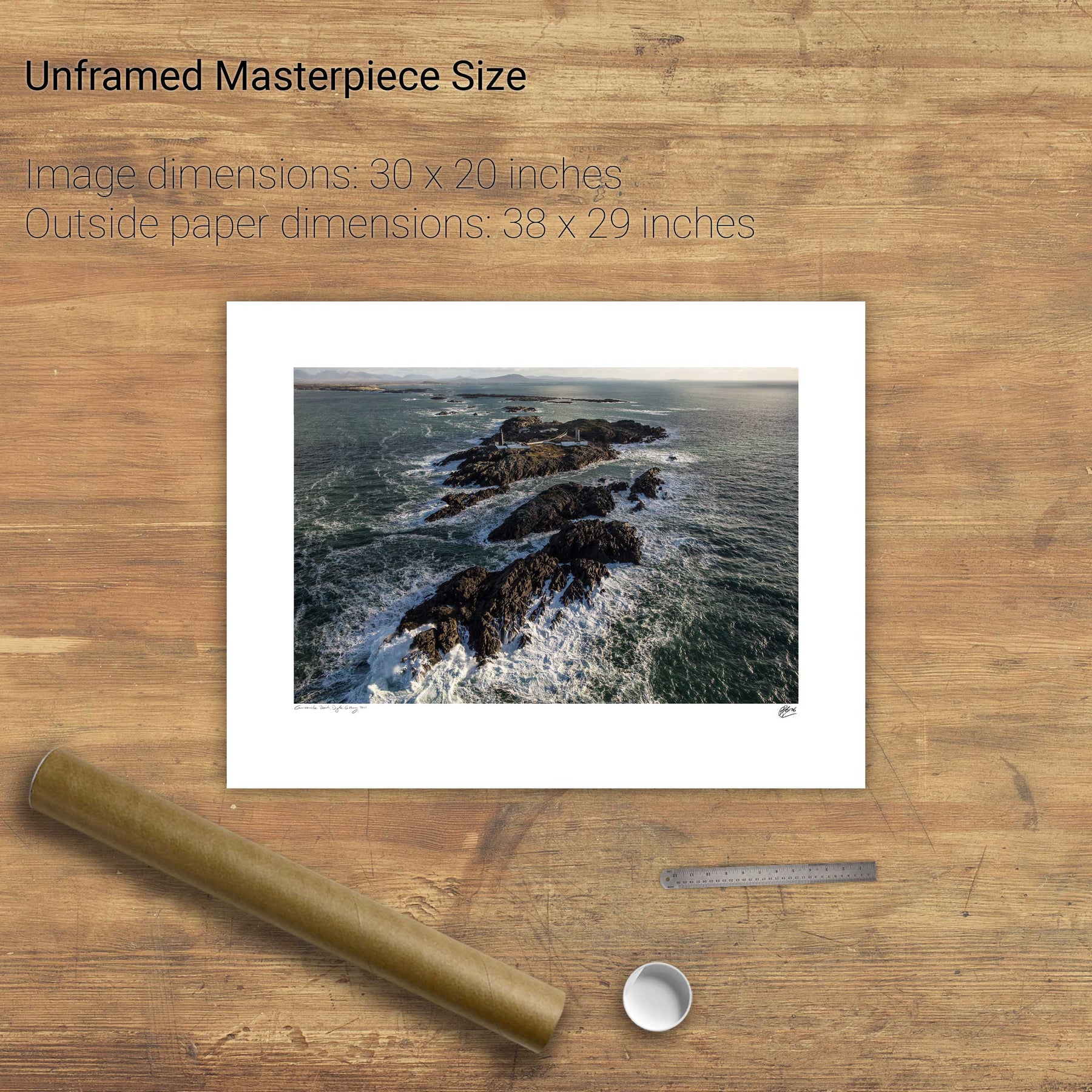
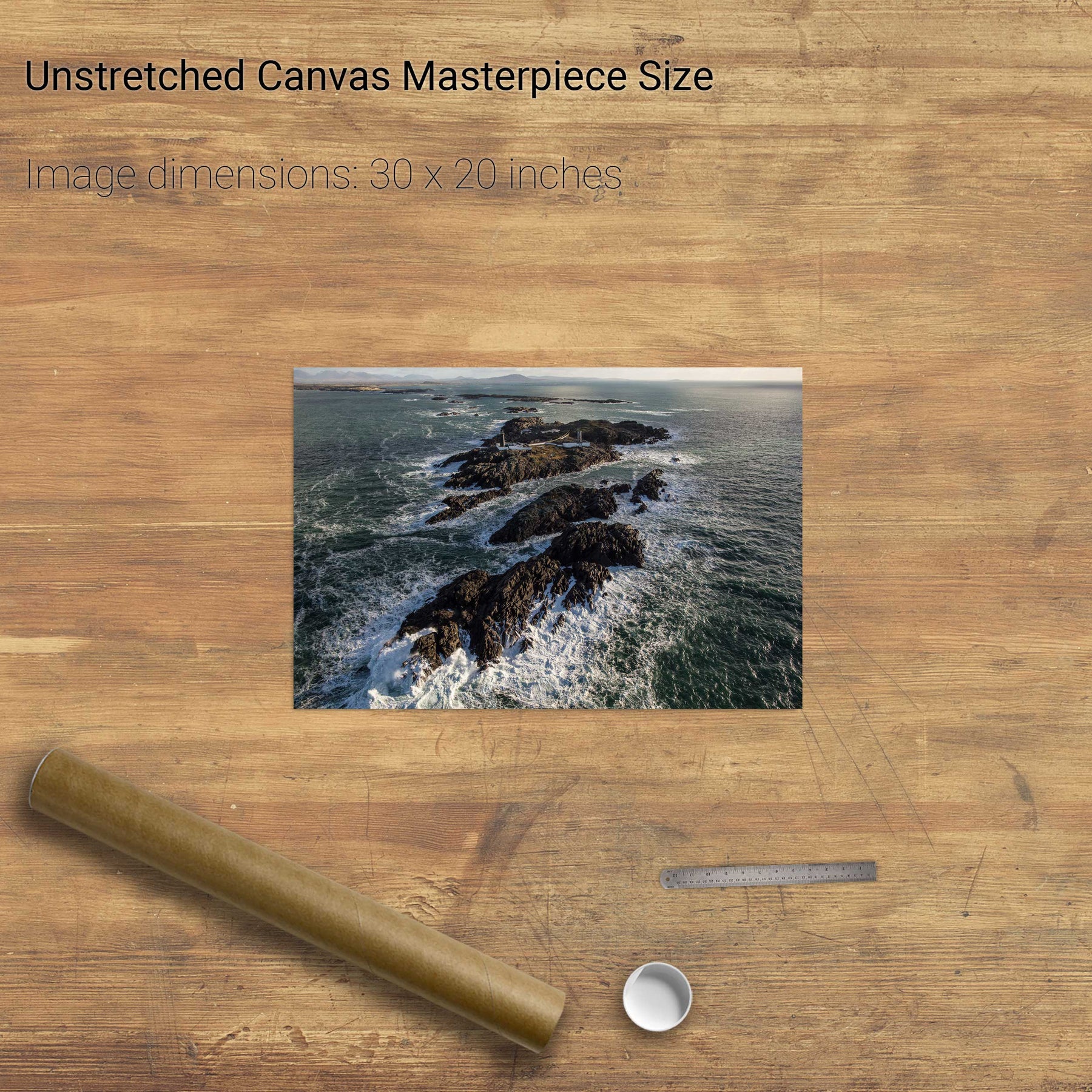
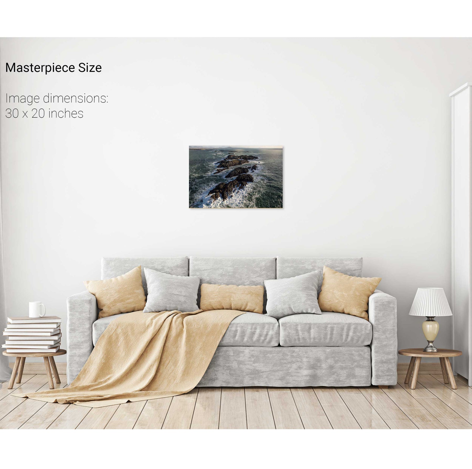
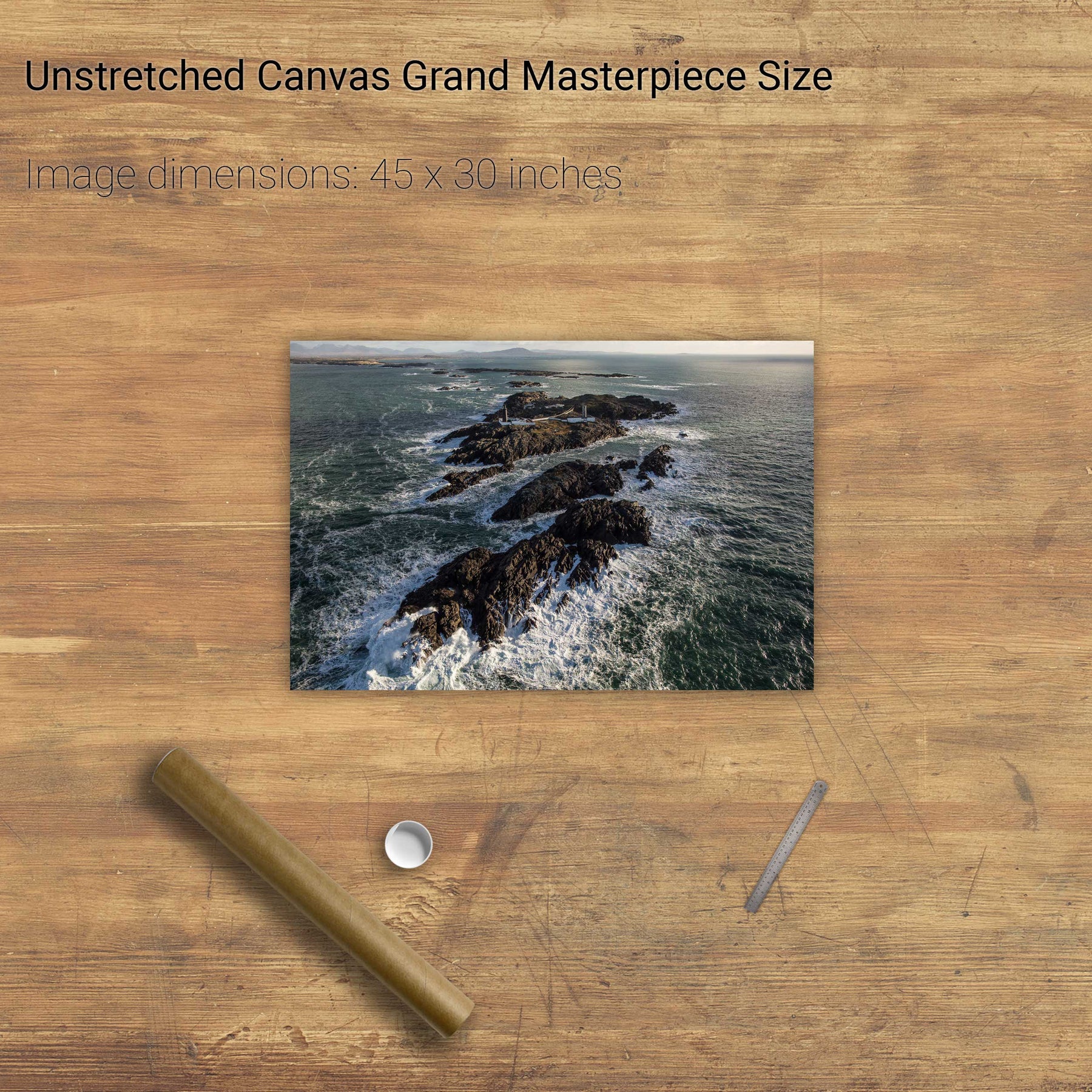
The Skerries, Co. Antrim


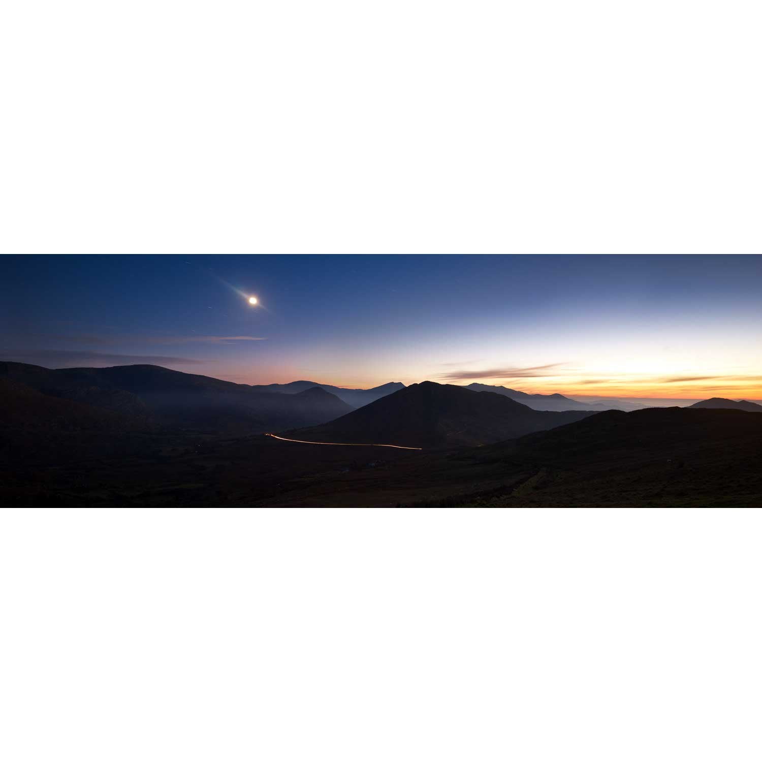
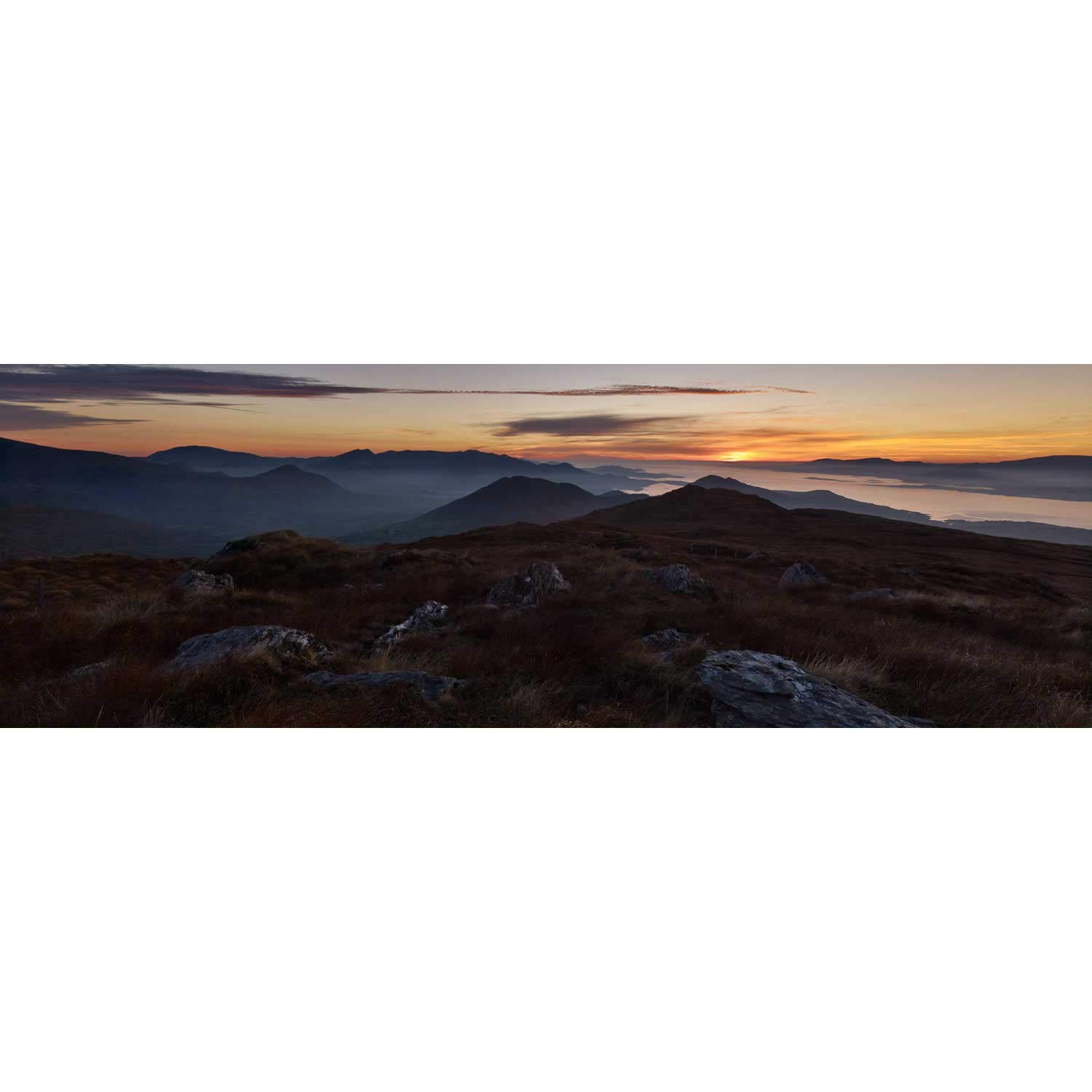
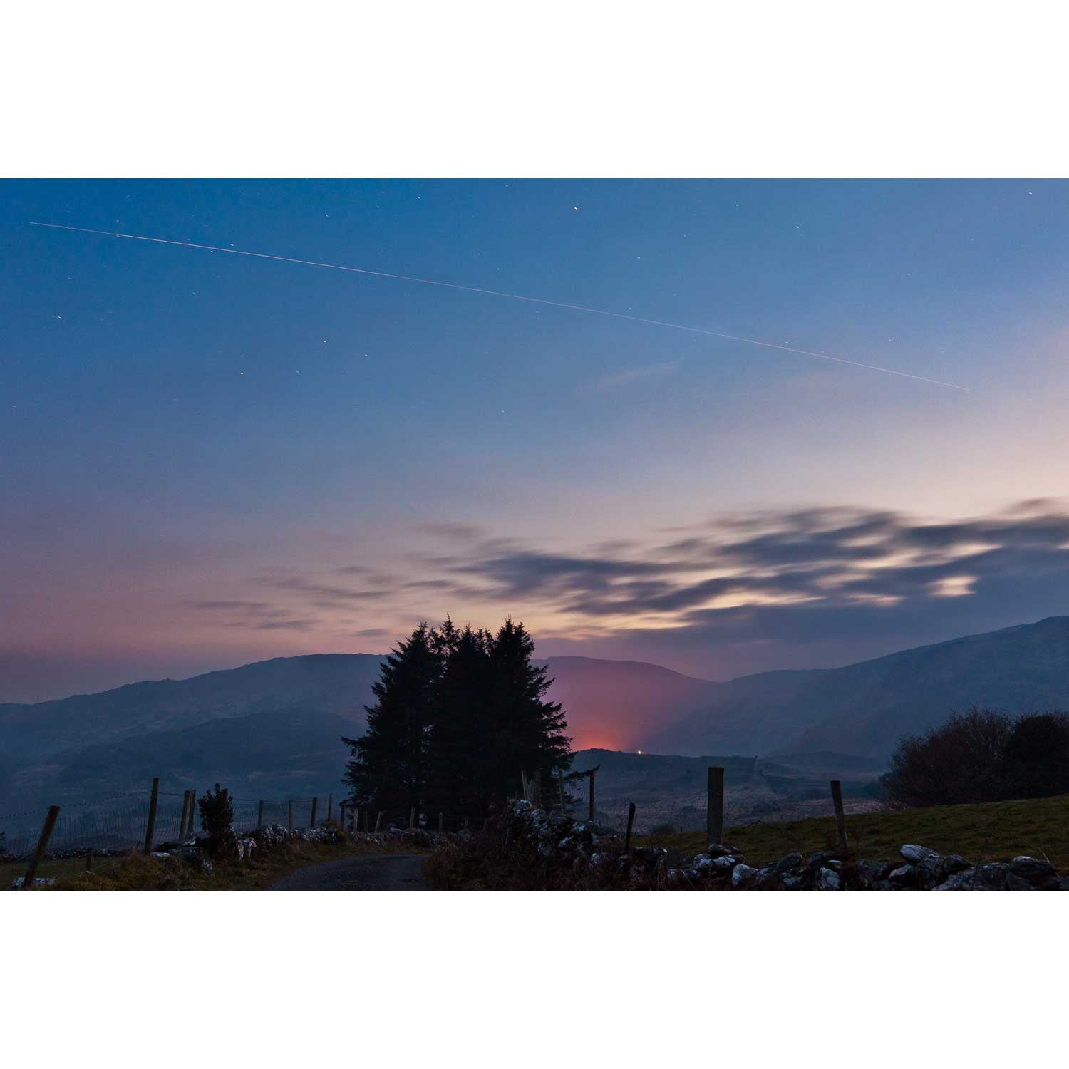
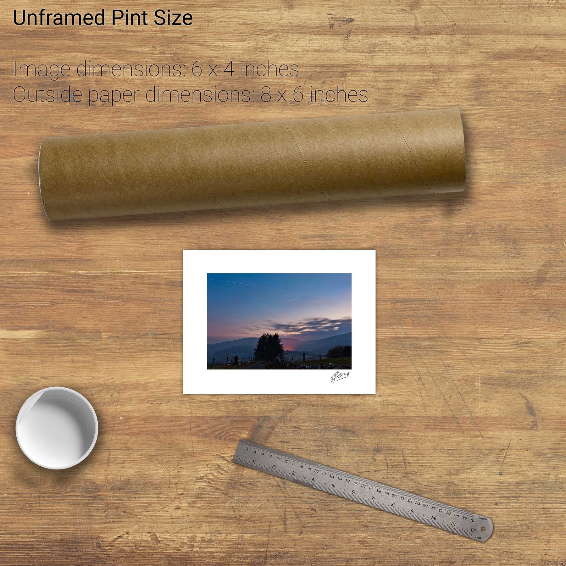
Nocturne, the Beara Mountains, Co. Kerry


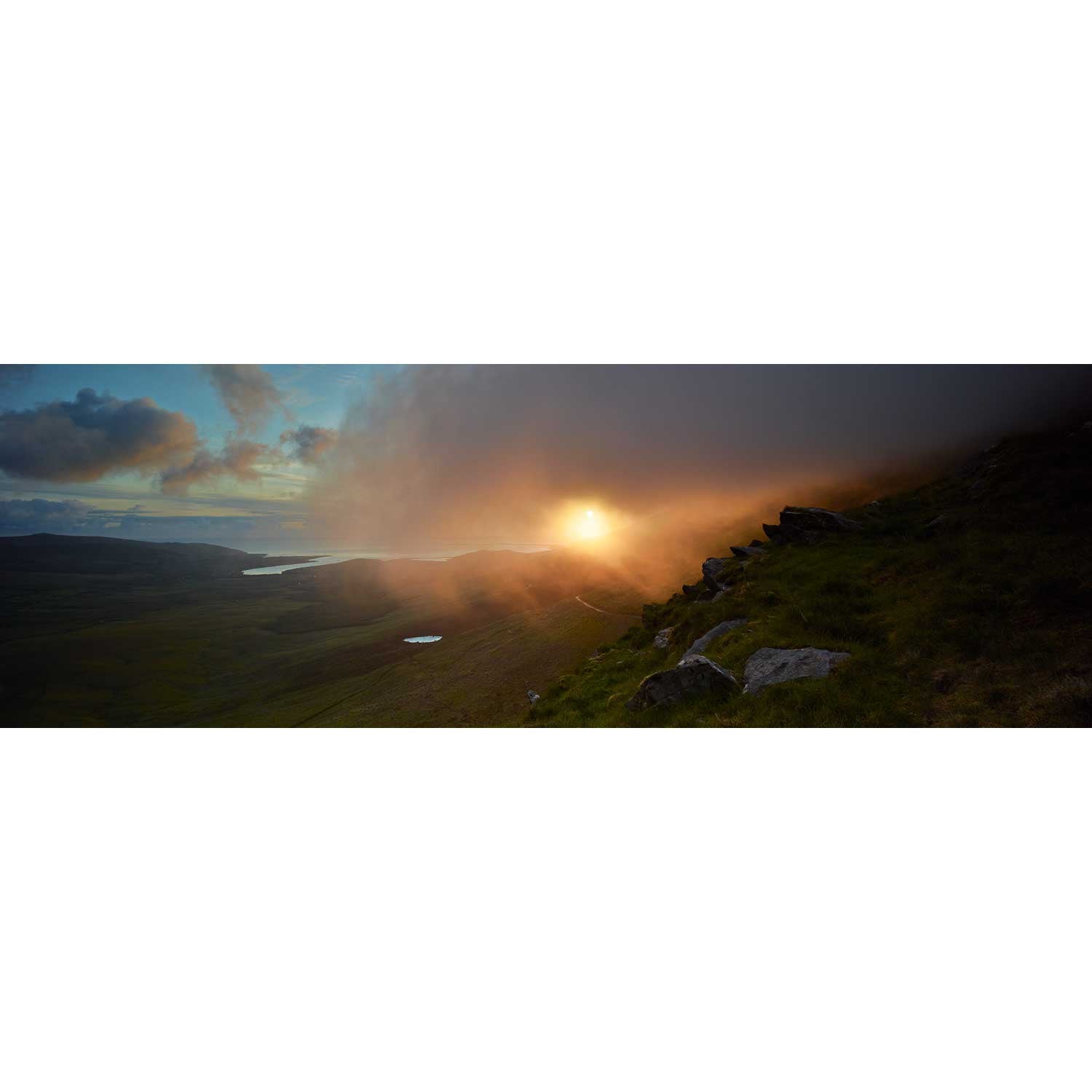
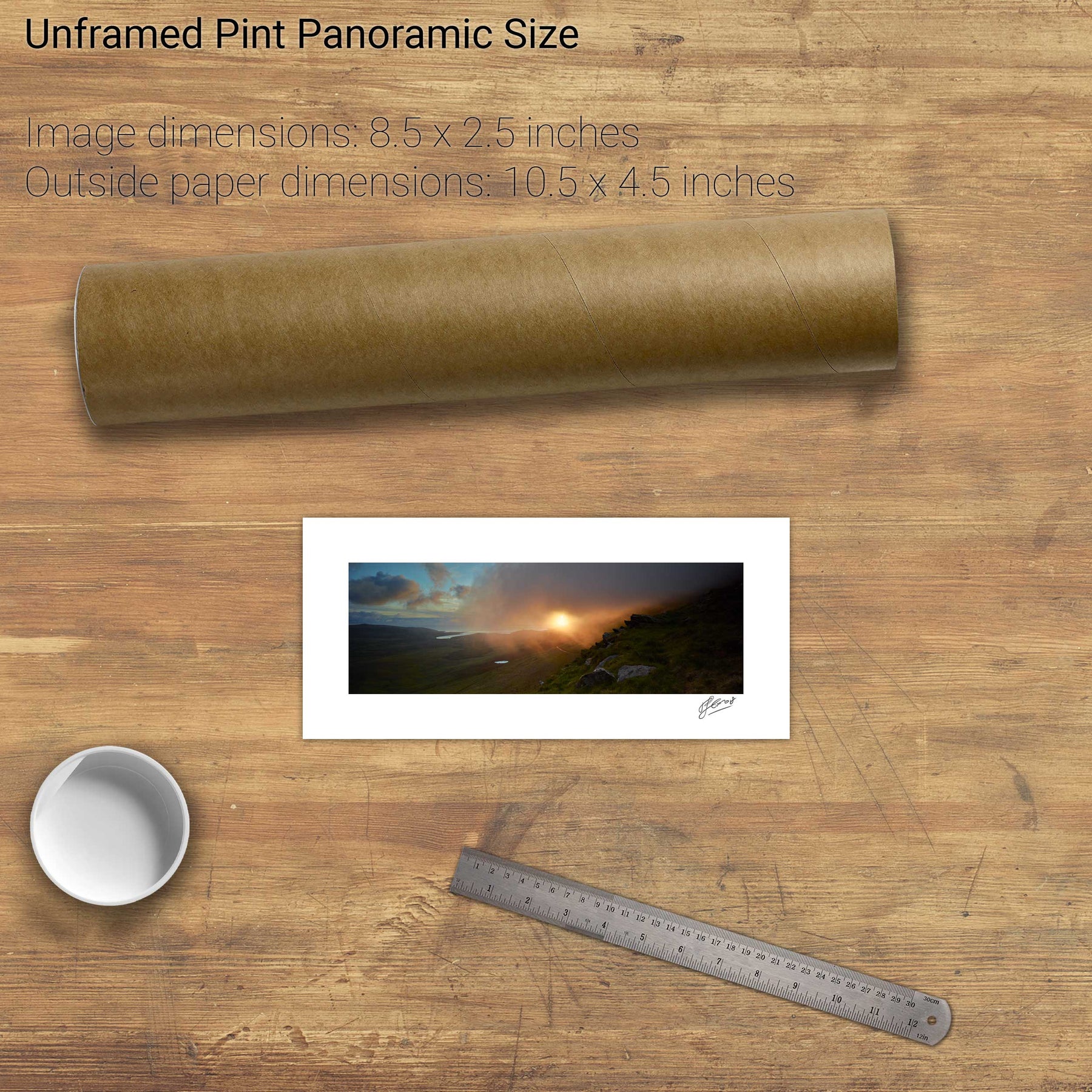
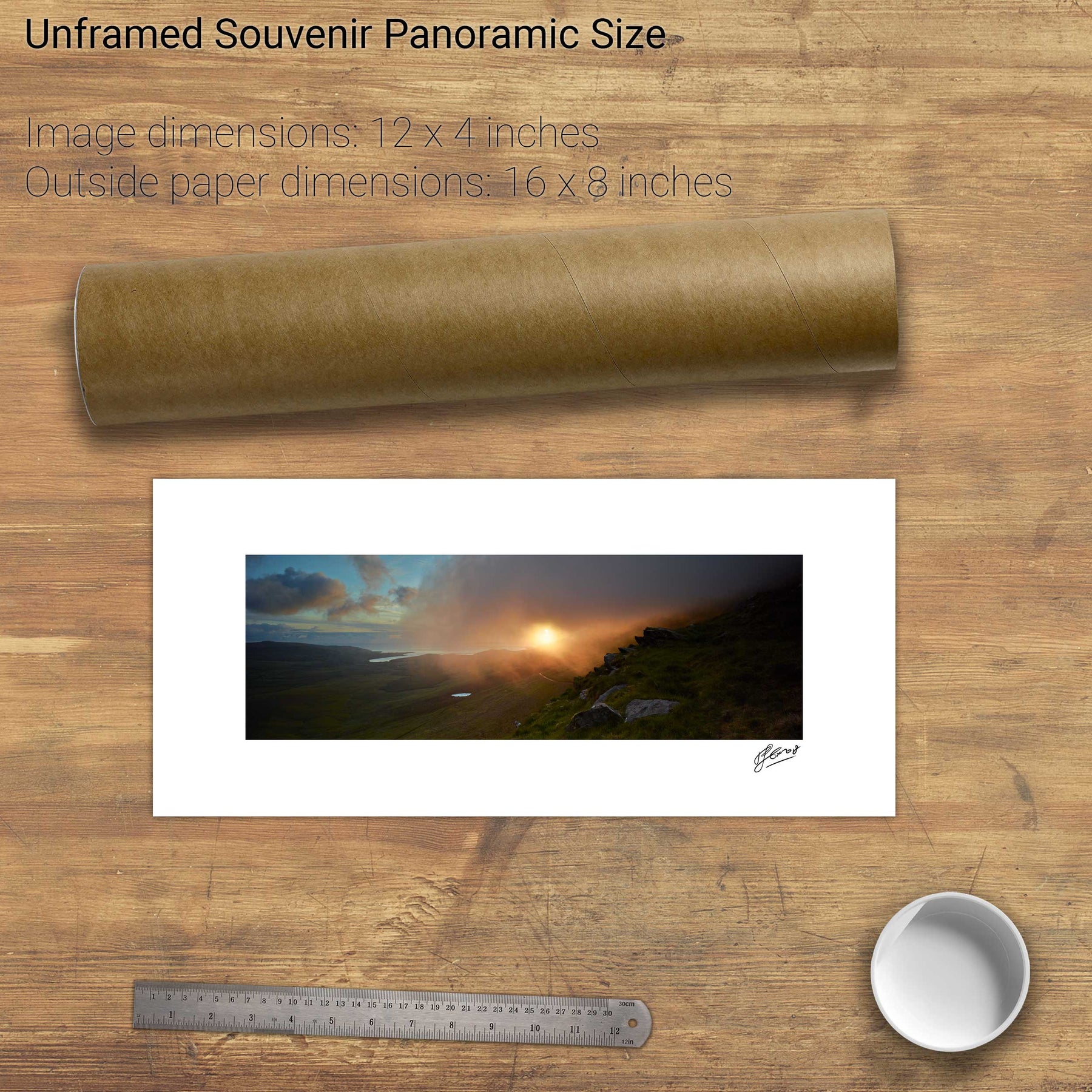
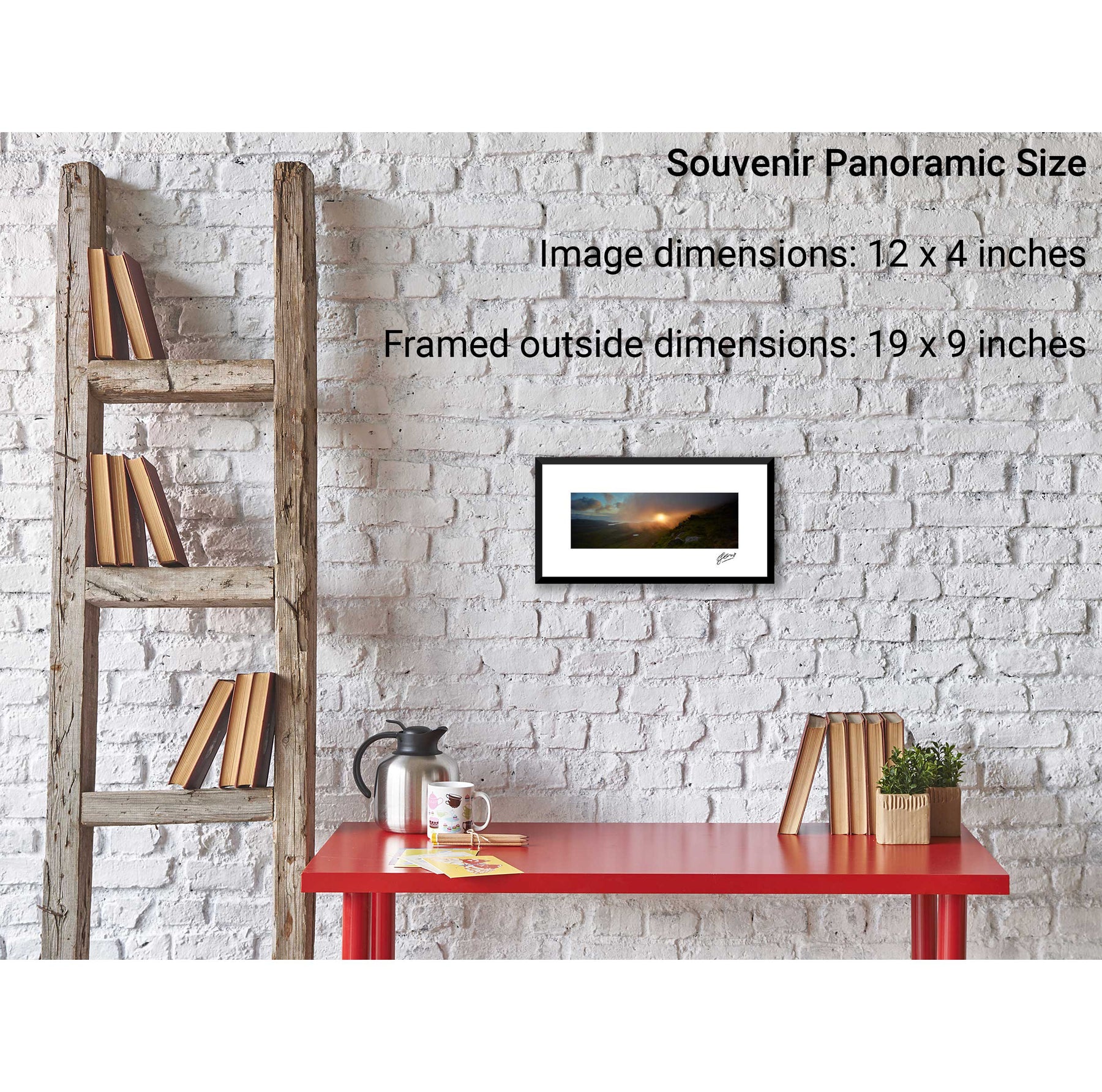
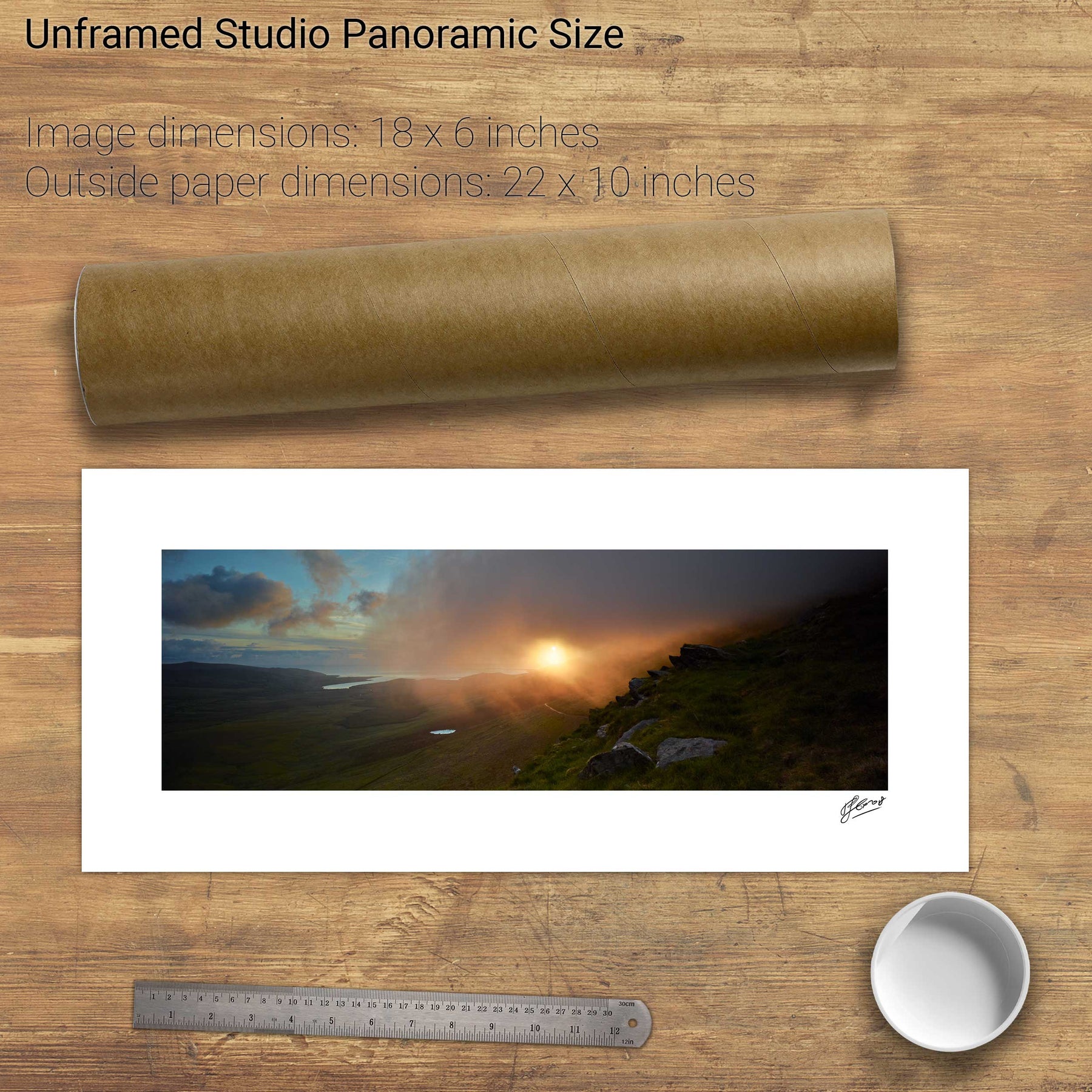
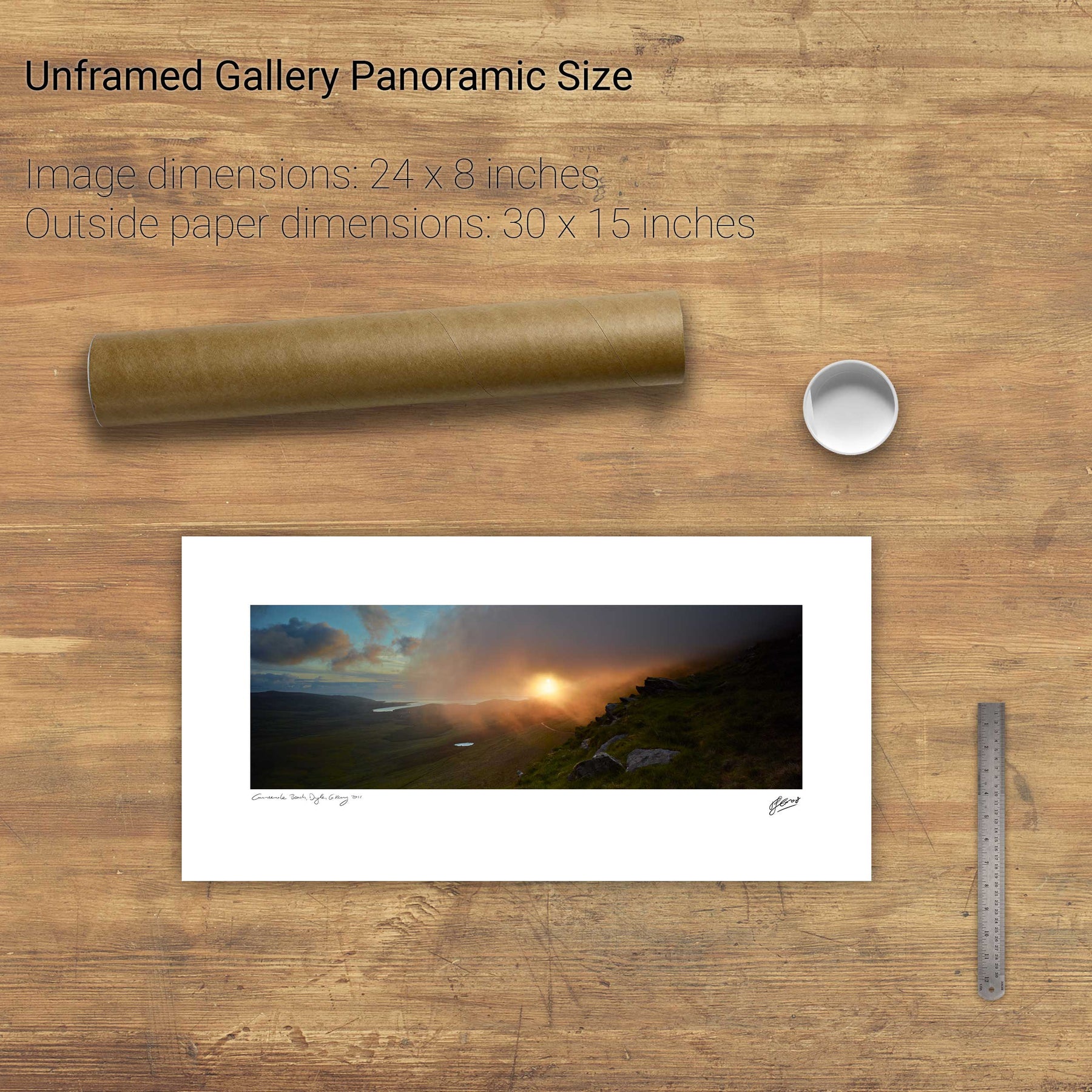
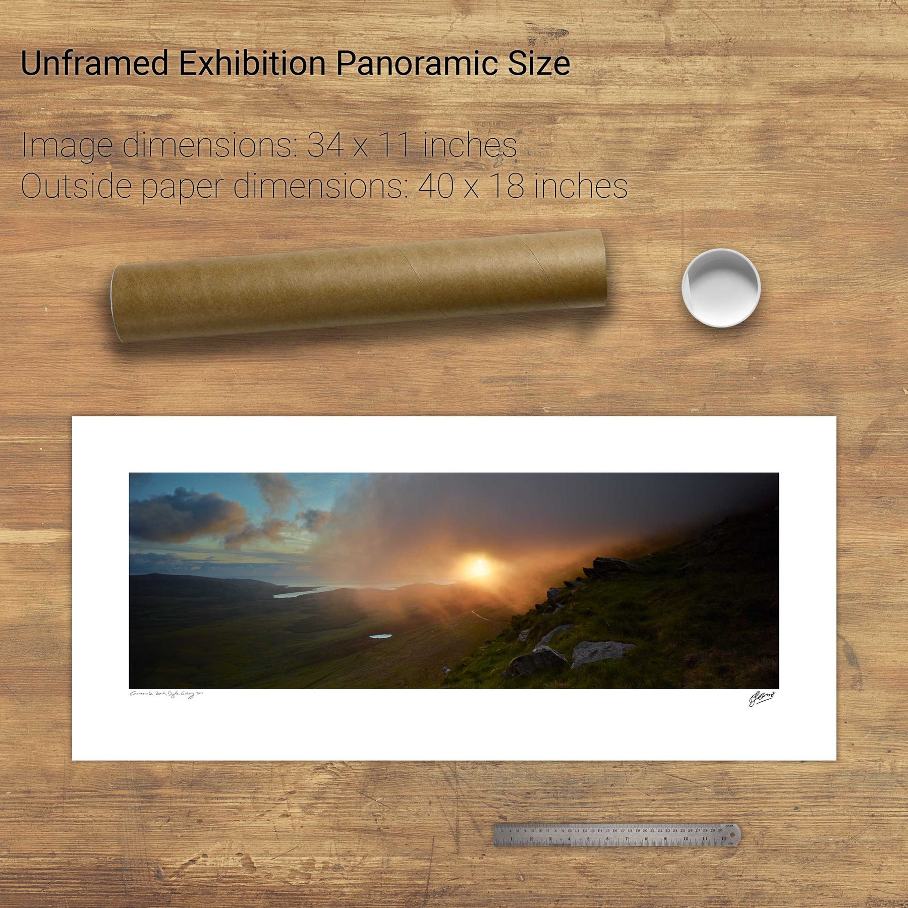
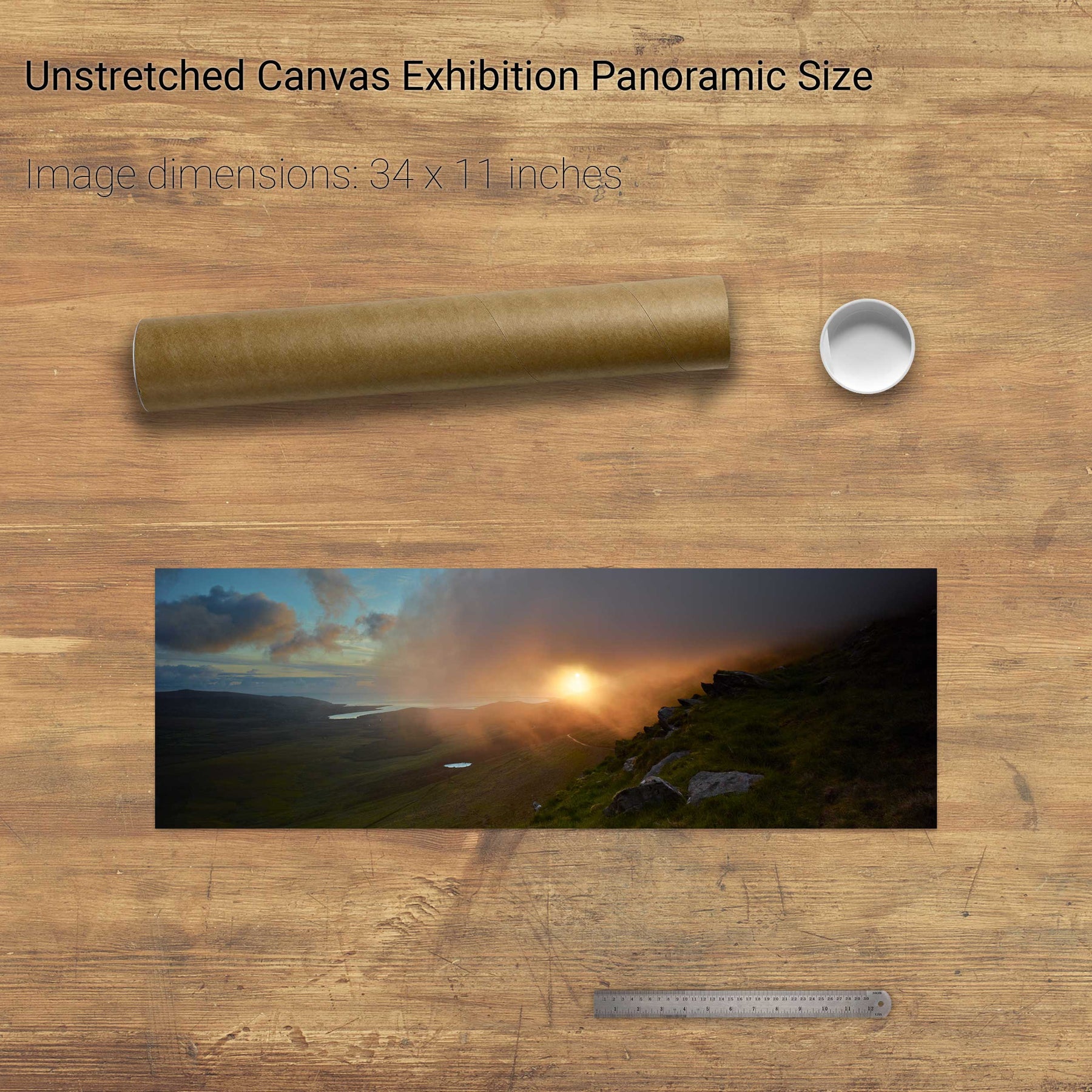
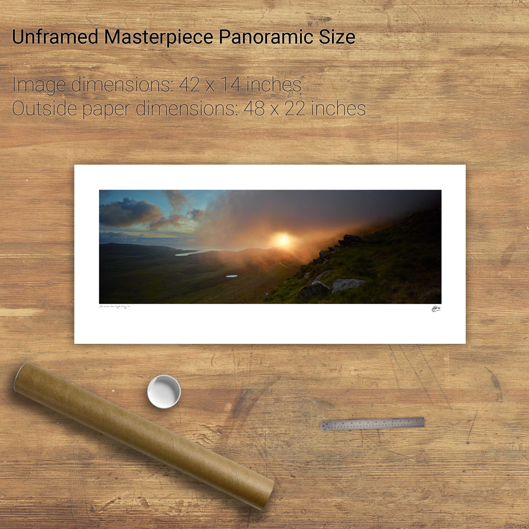
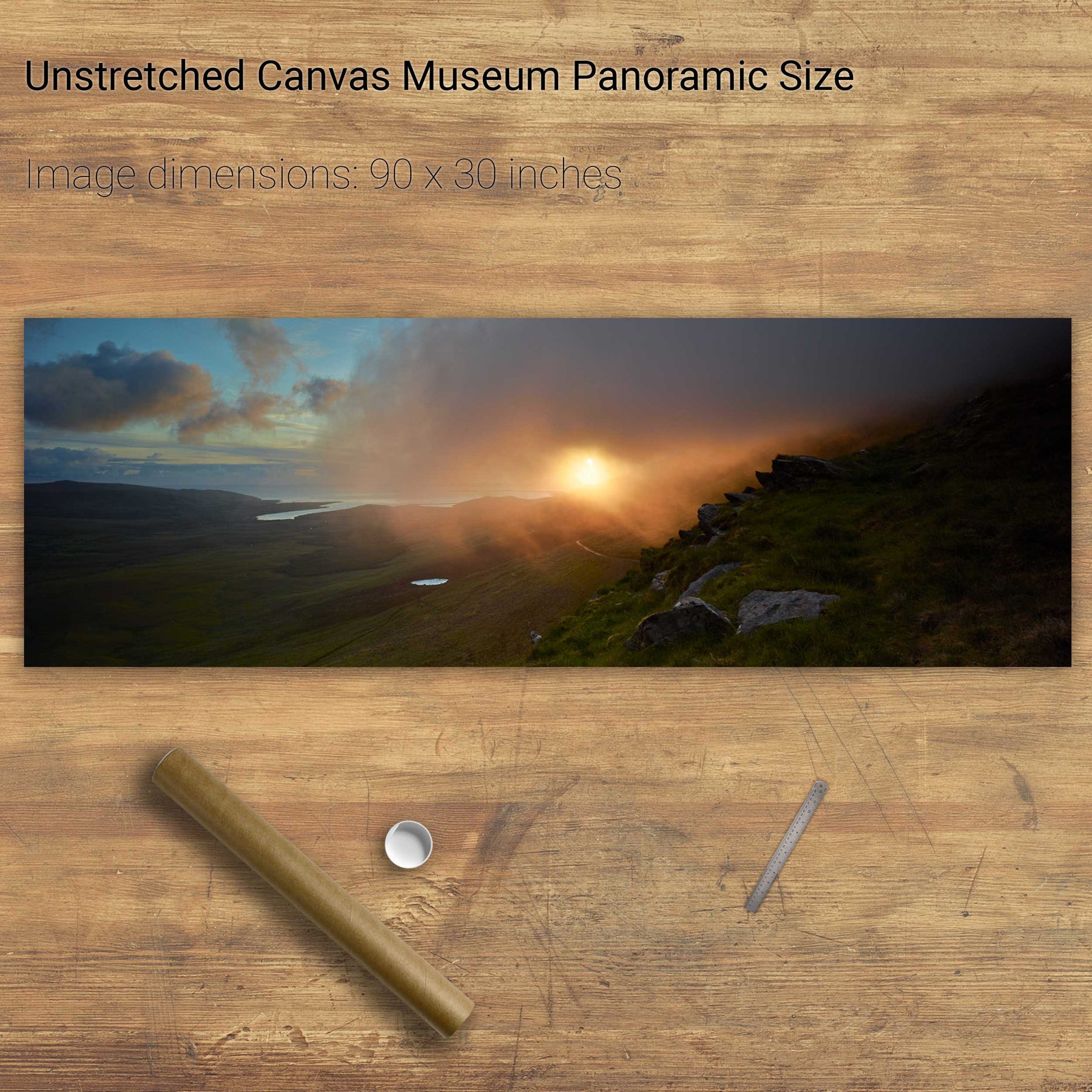
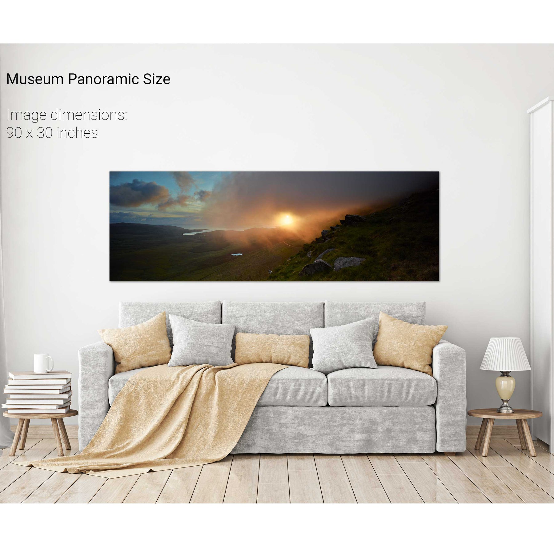
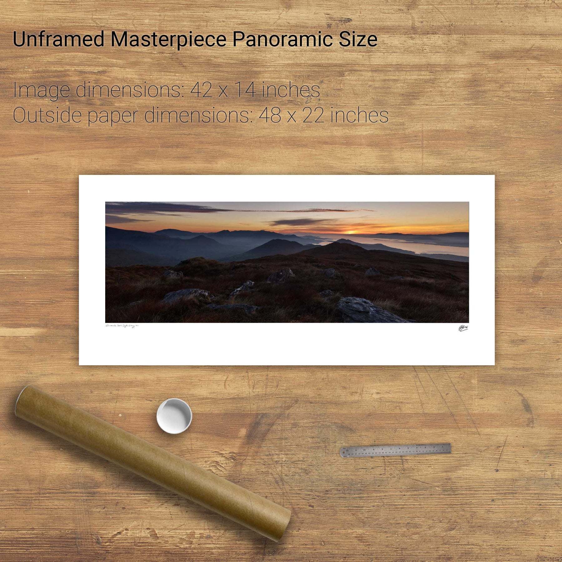
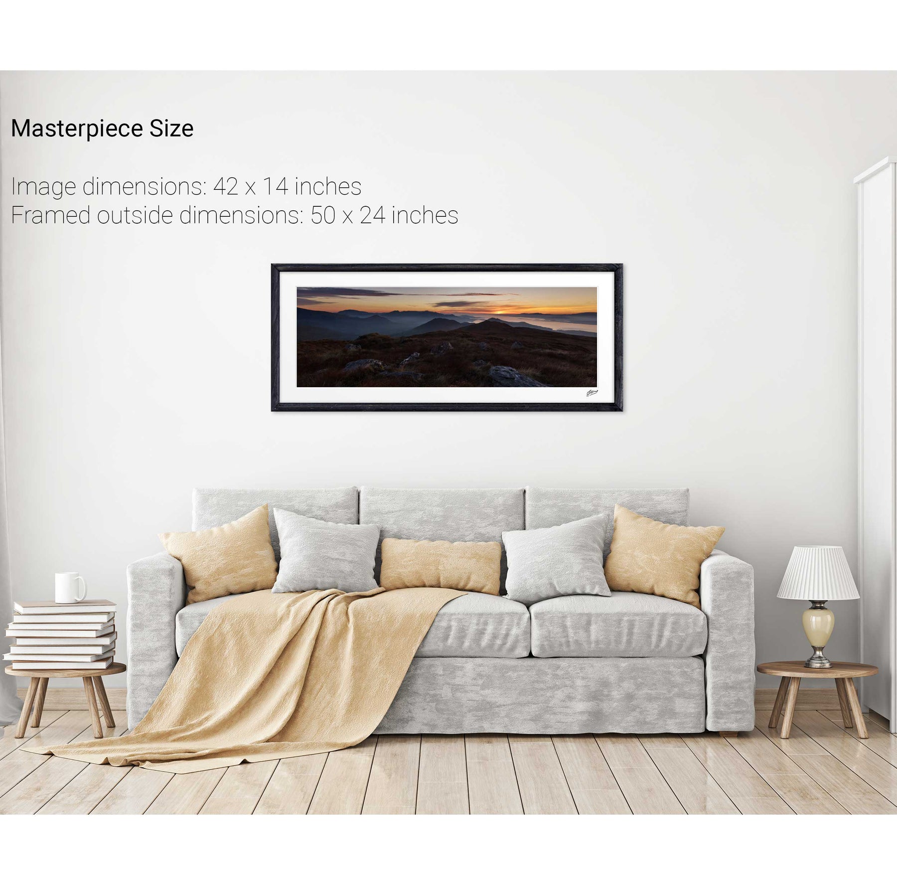
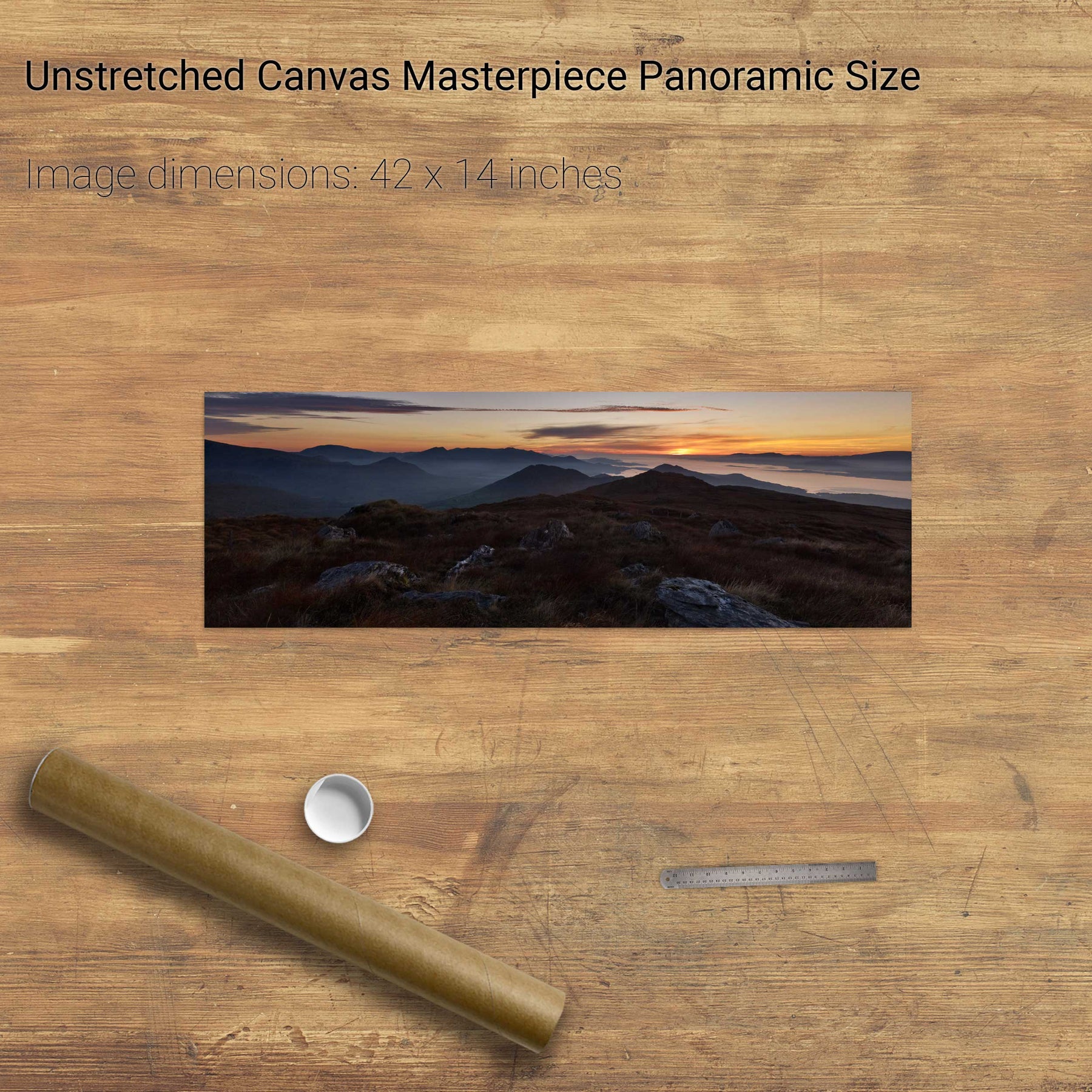
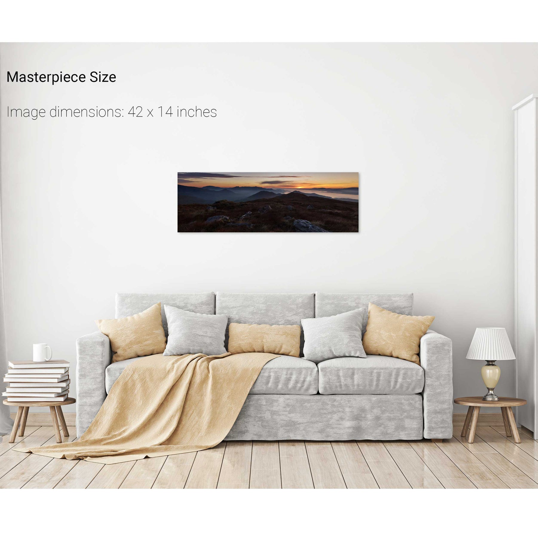
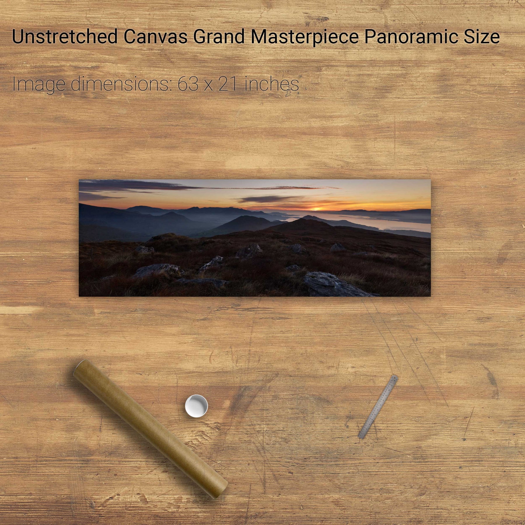
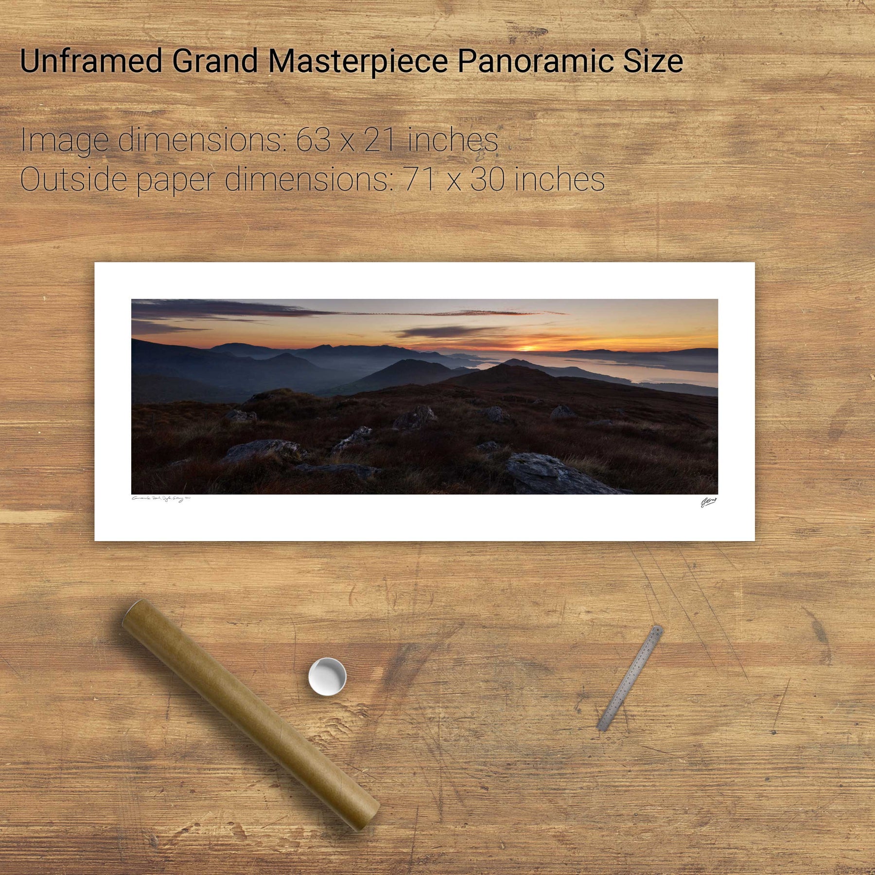
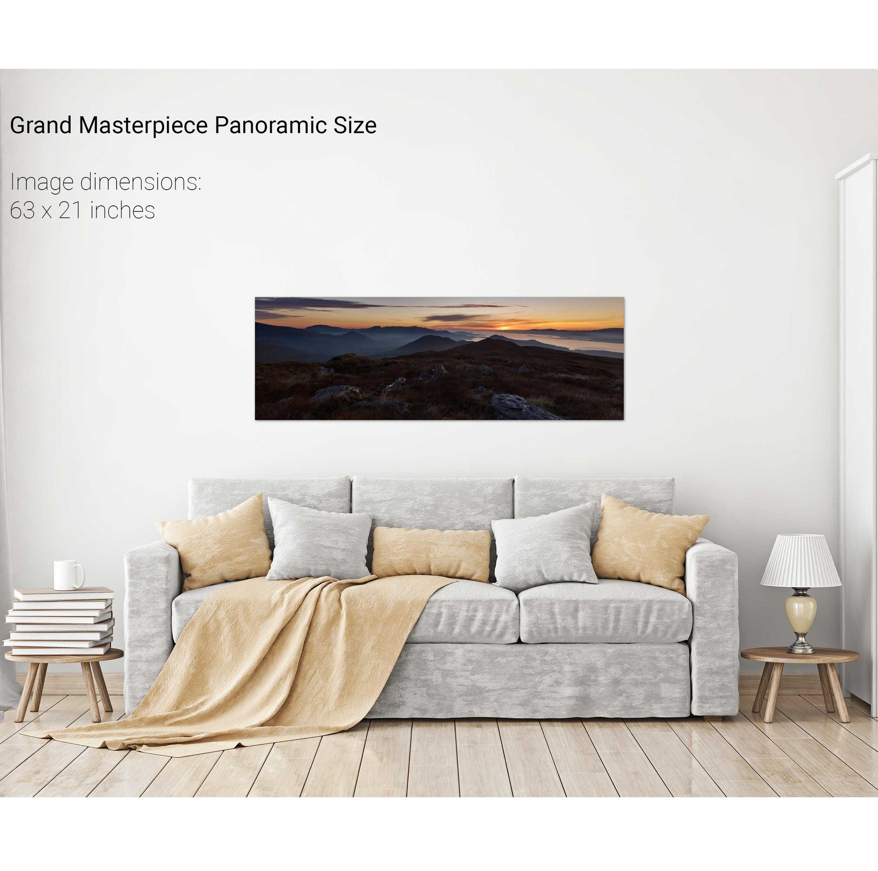
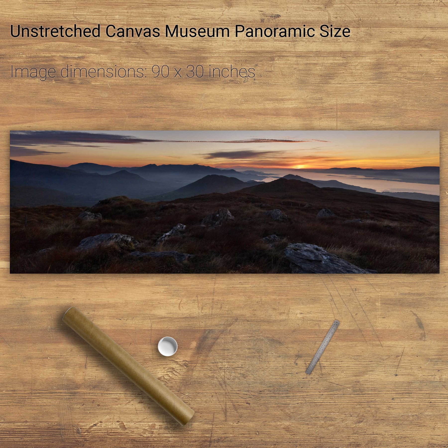
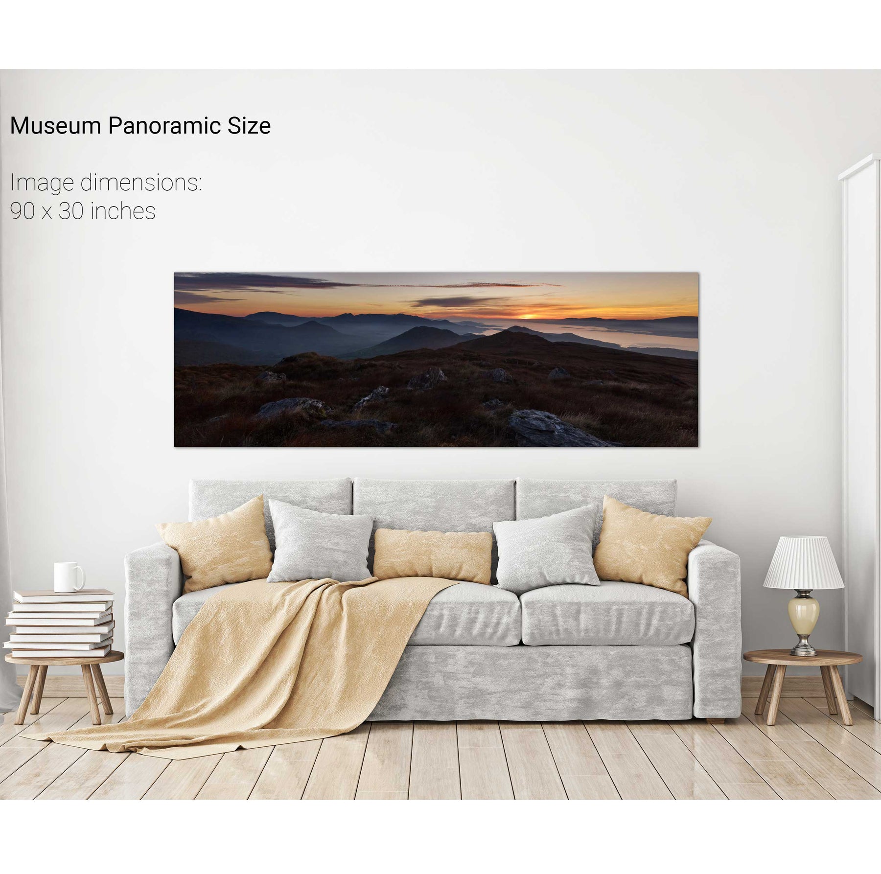
Sunrise, the Conor Pass, Dingle, Co. Kerry


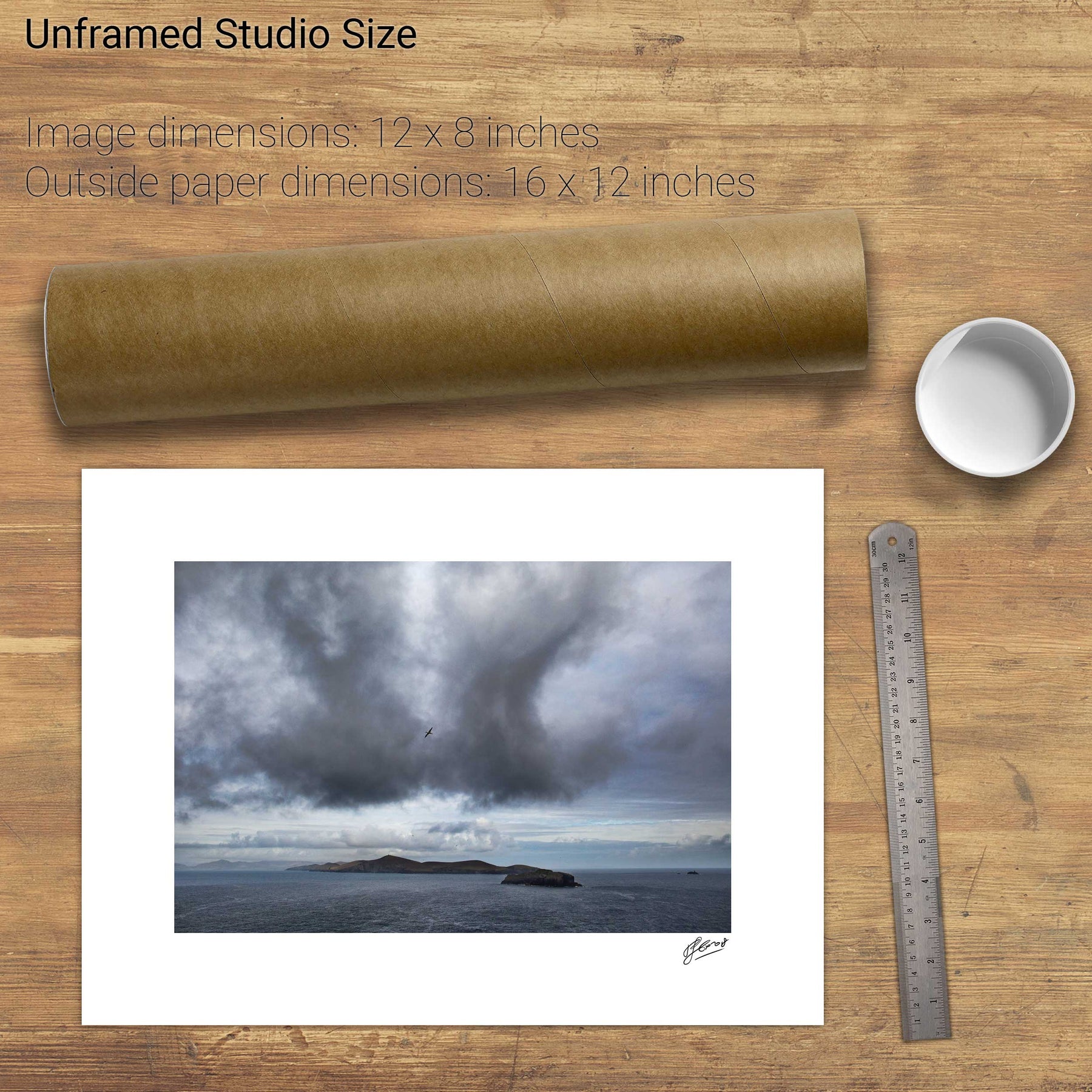
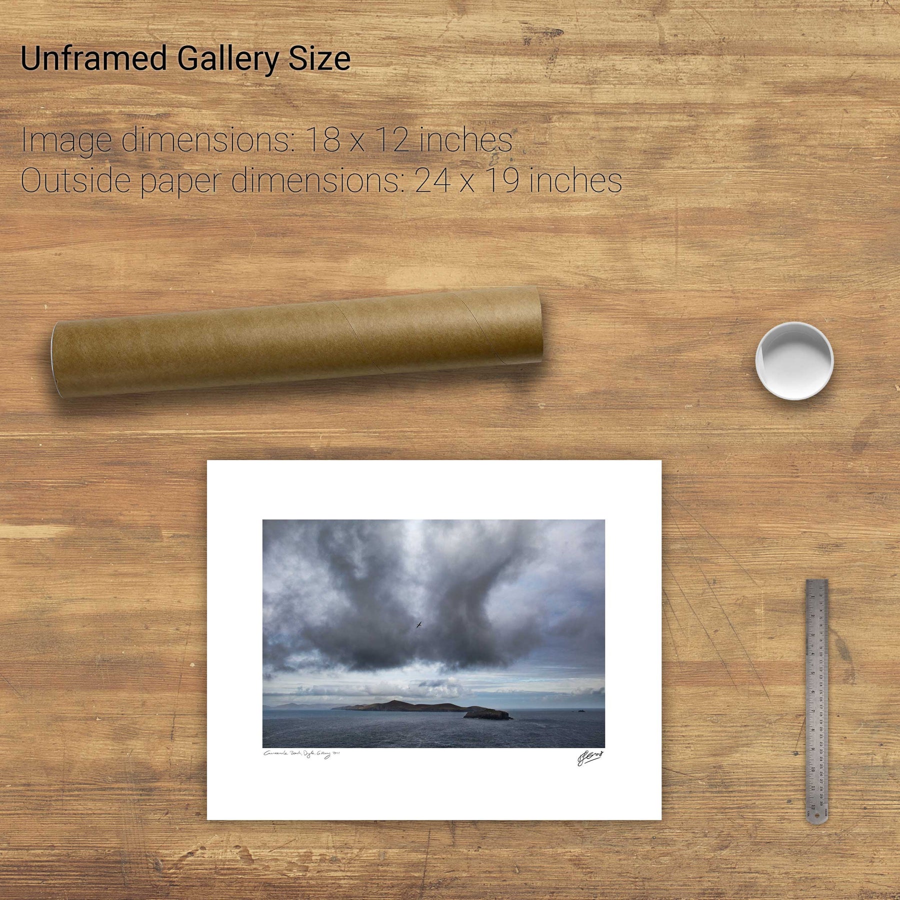
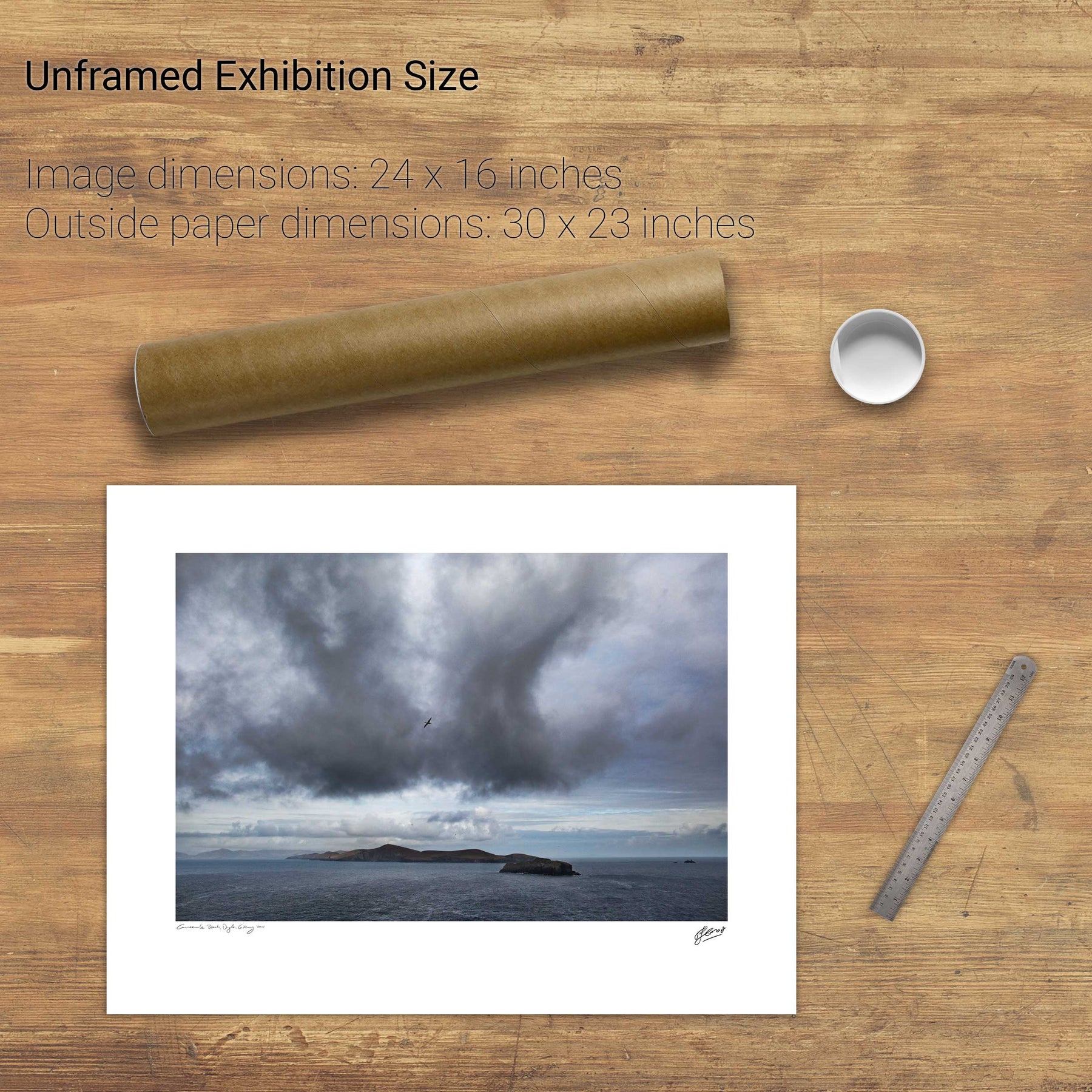
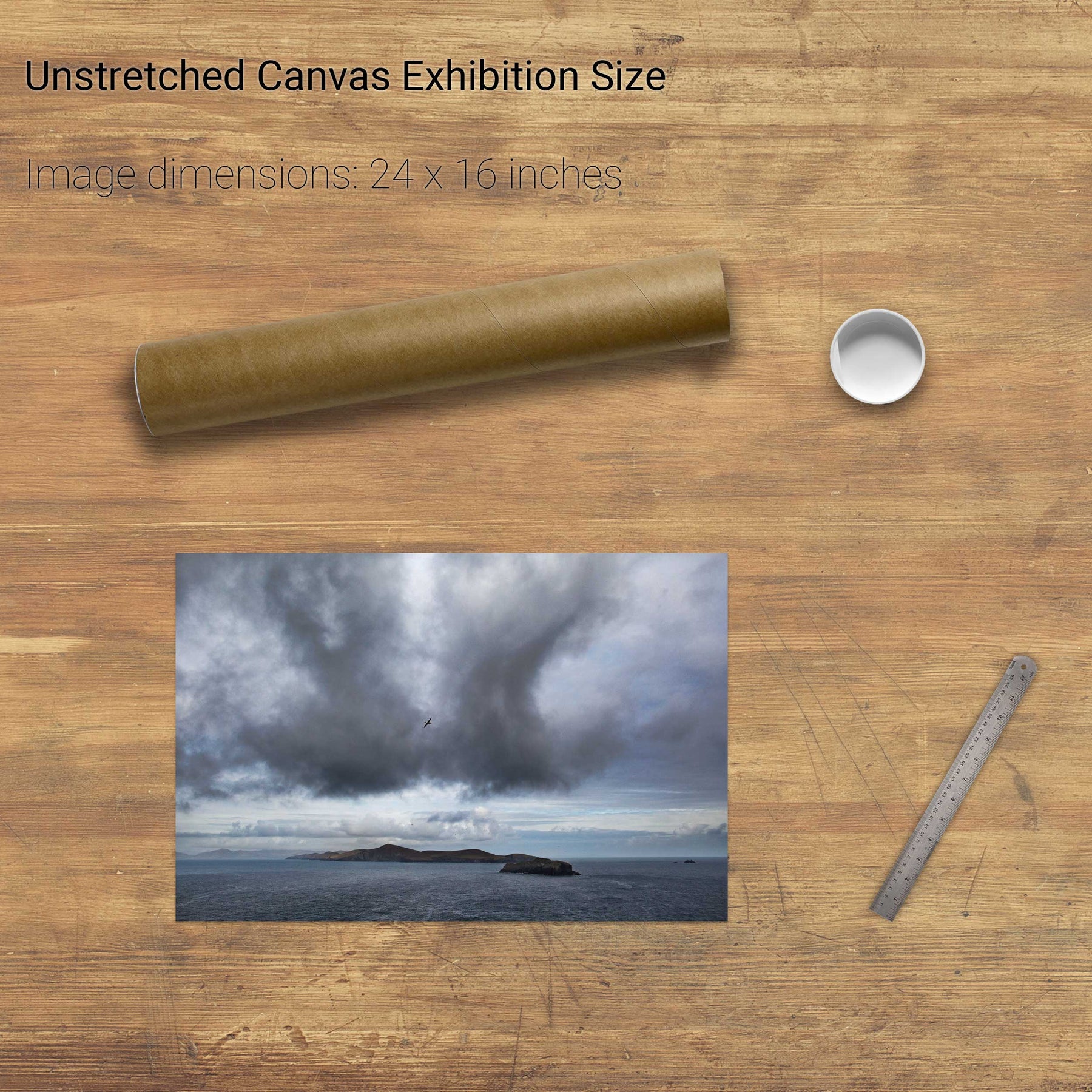
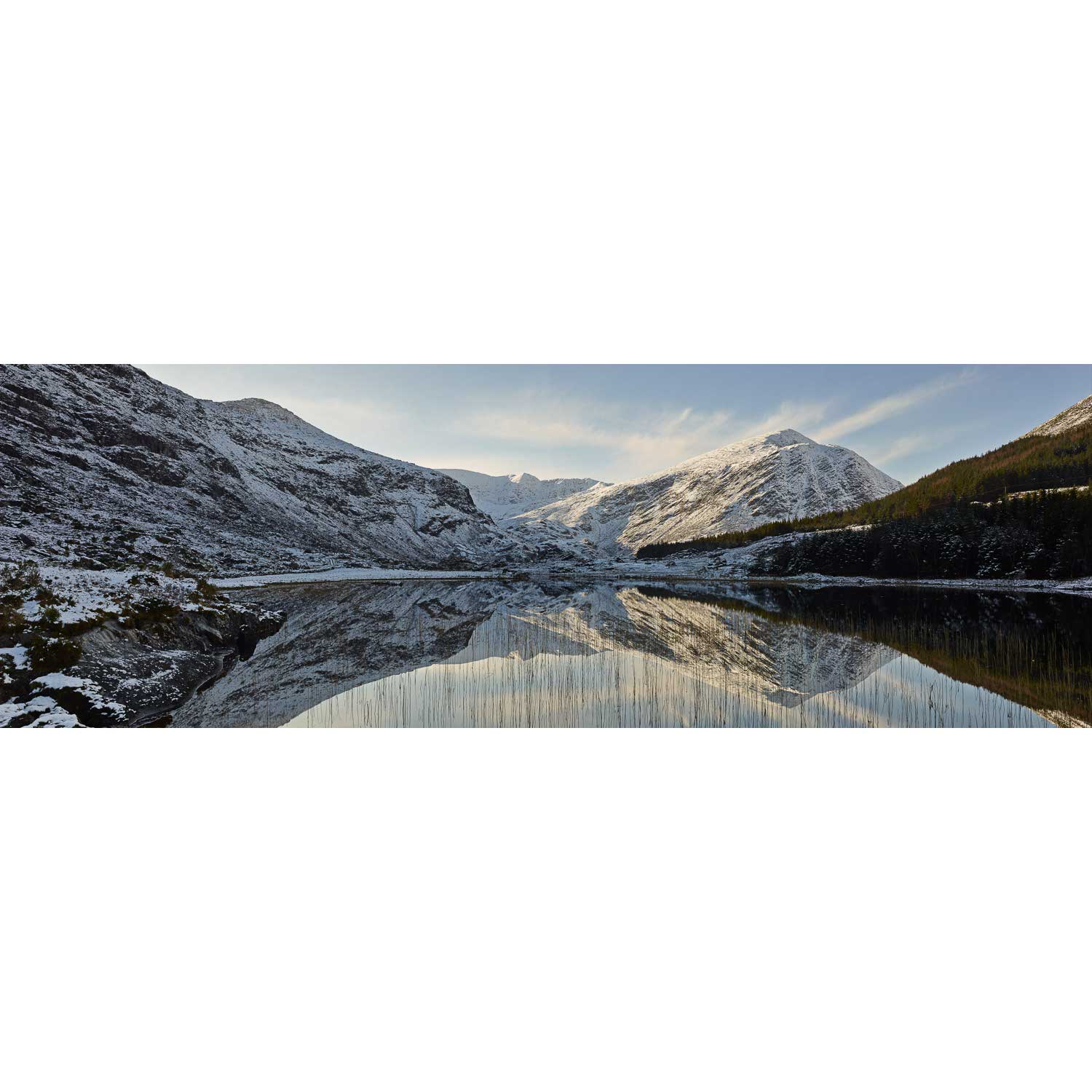
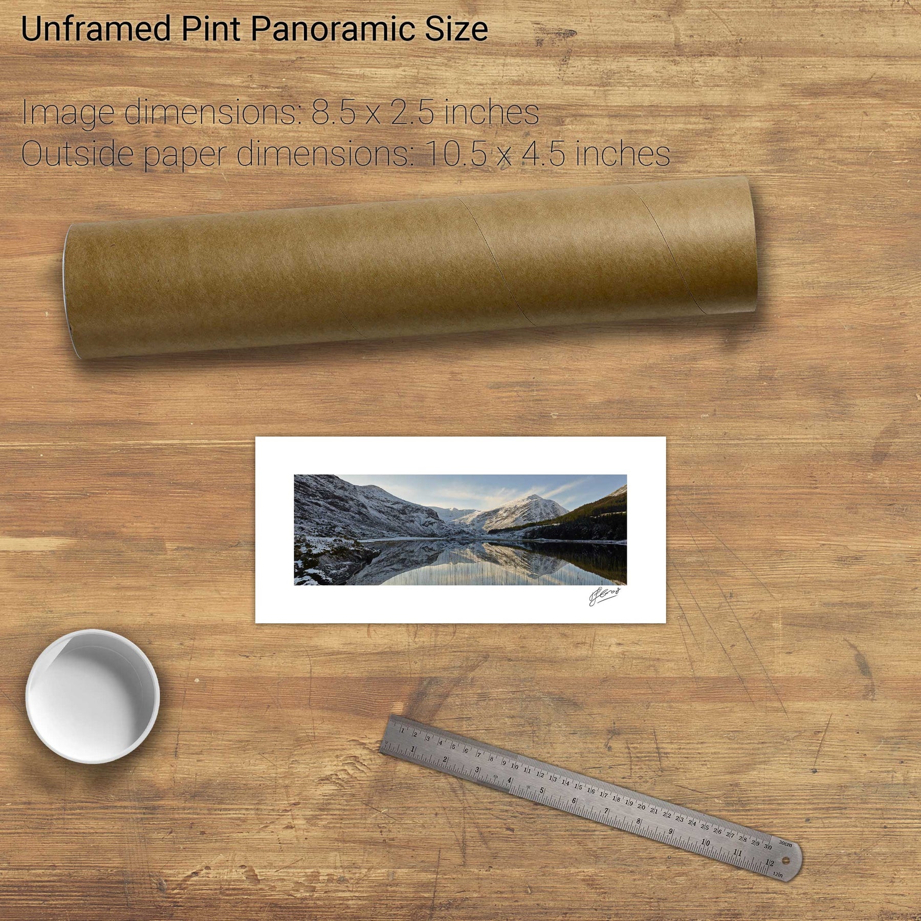
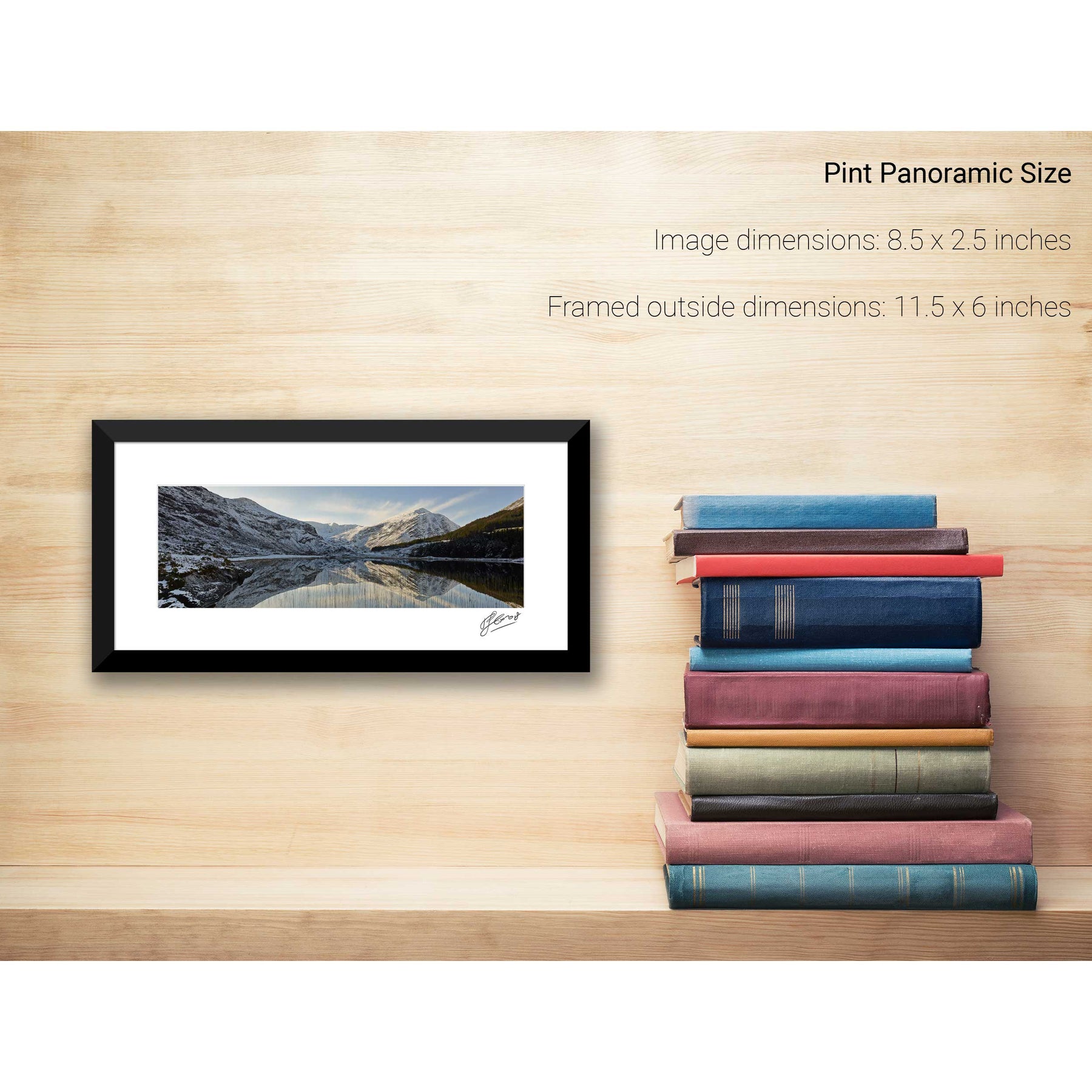
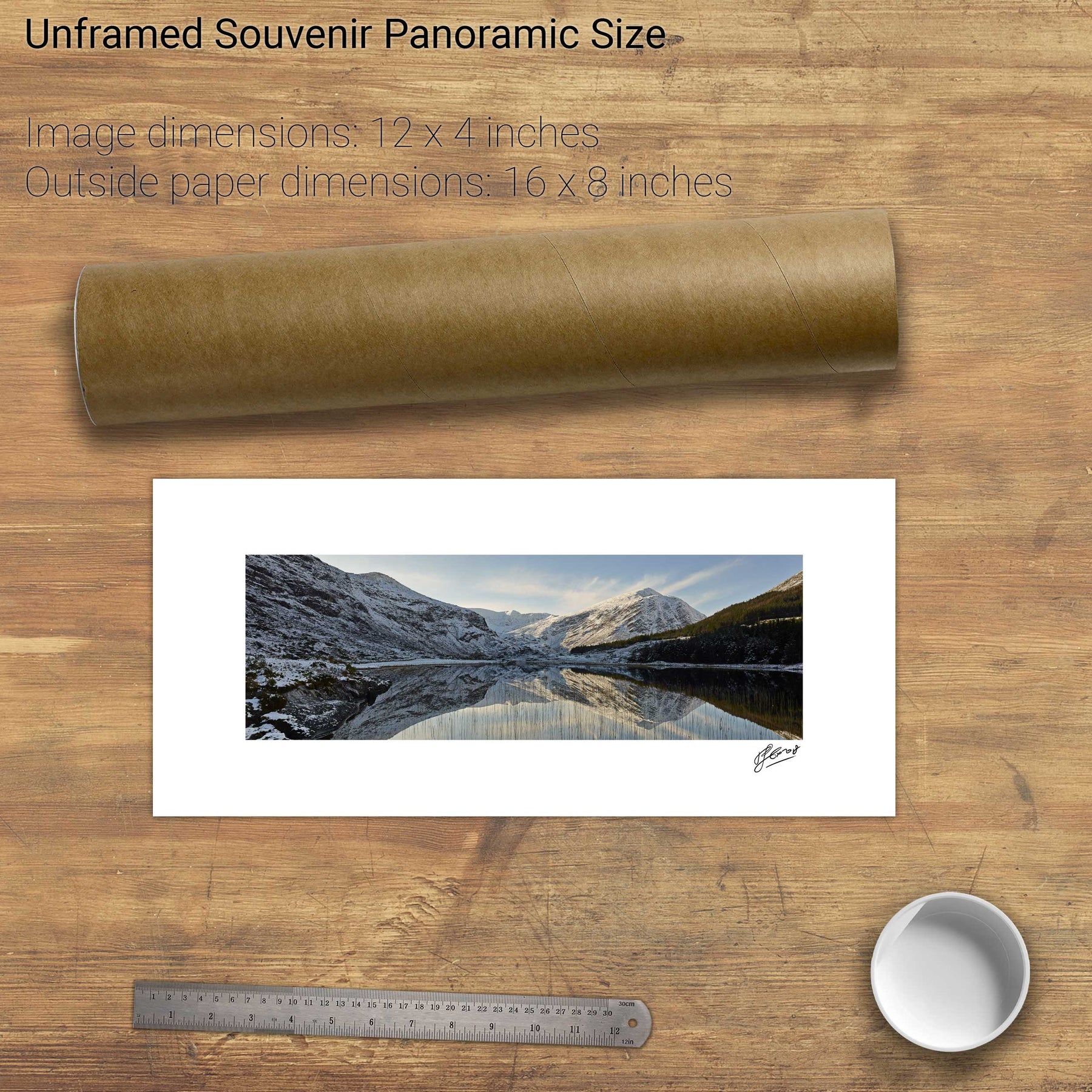
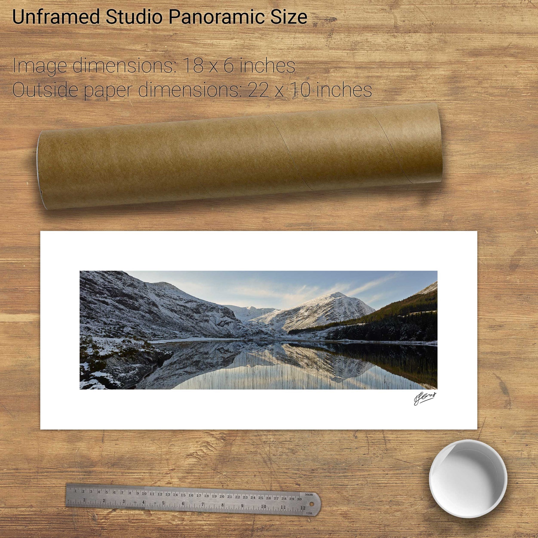
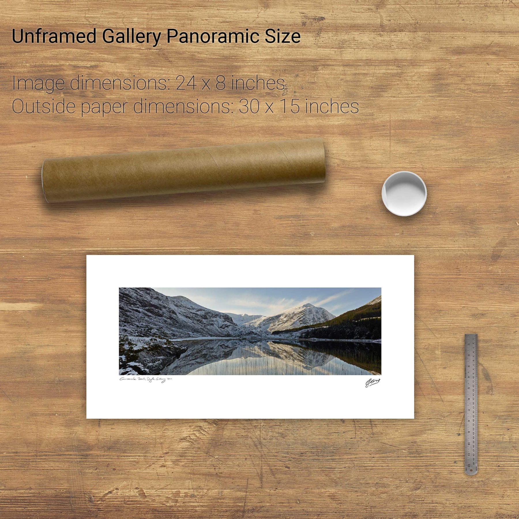
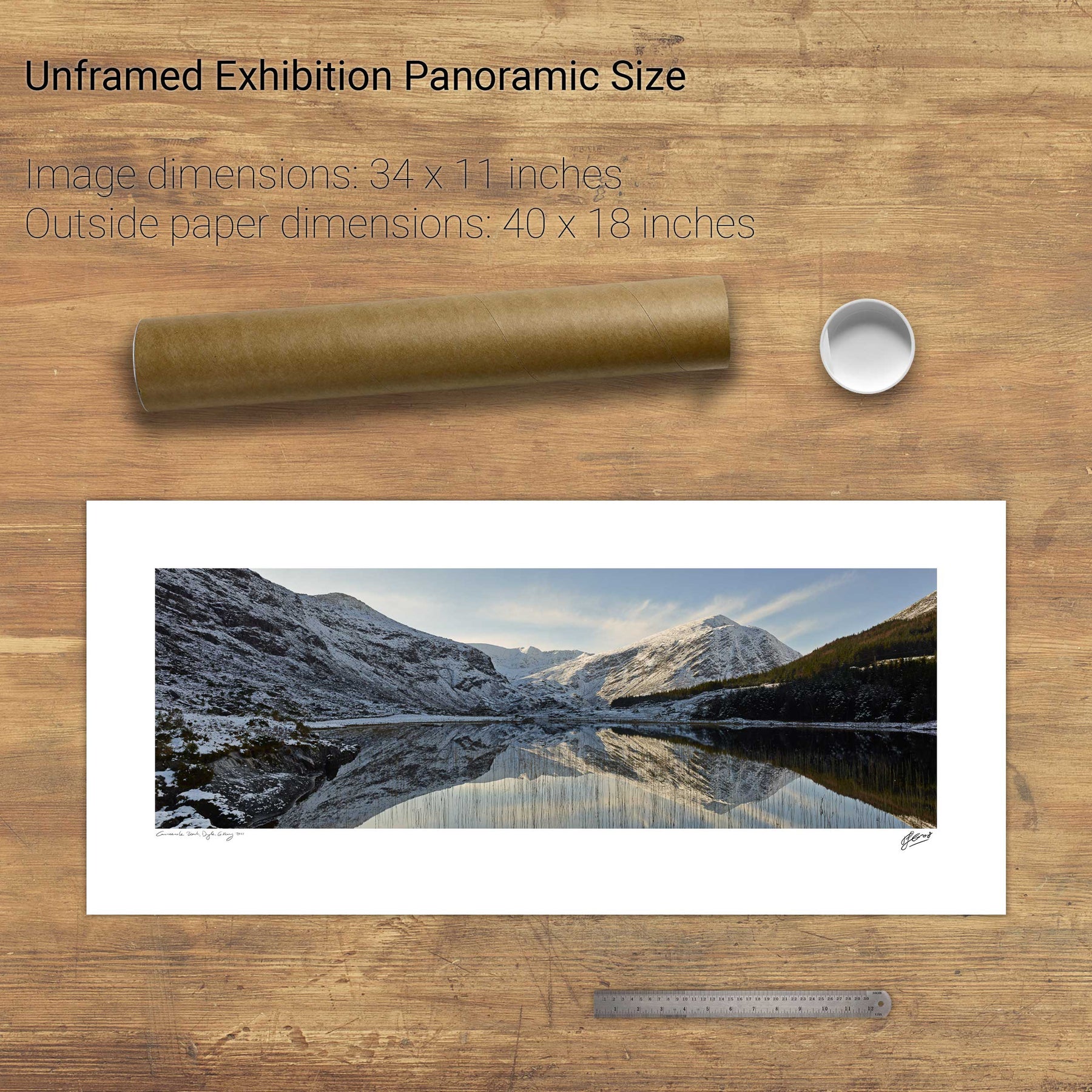
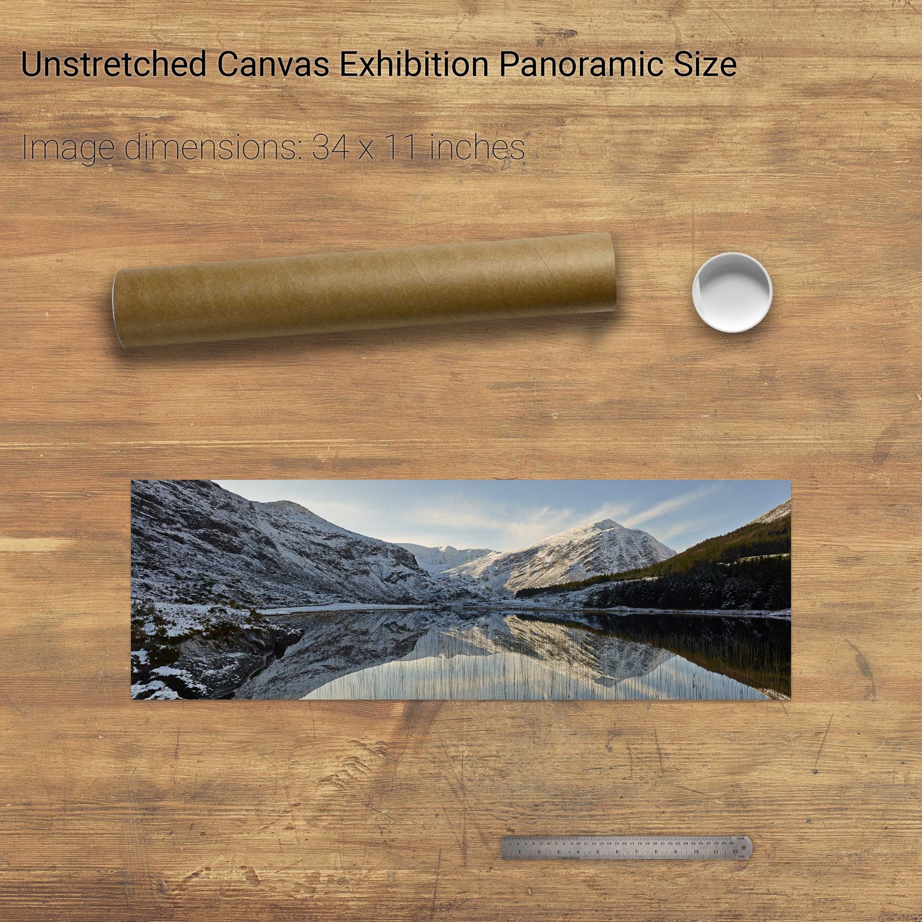
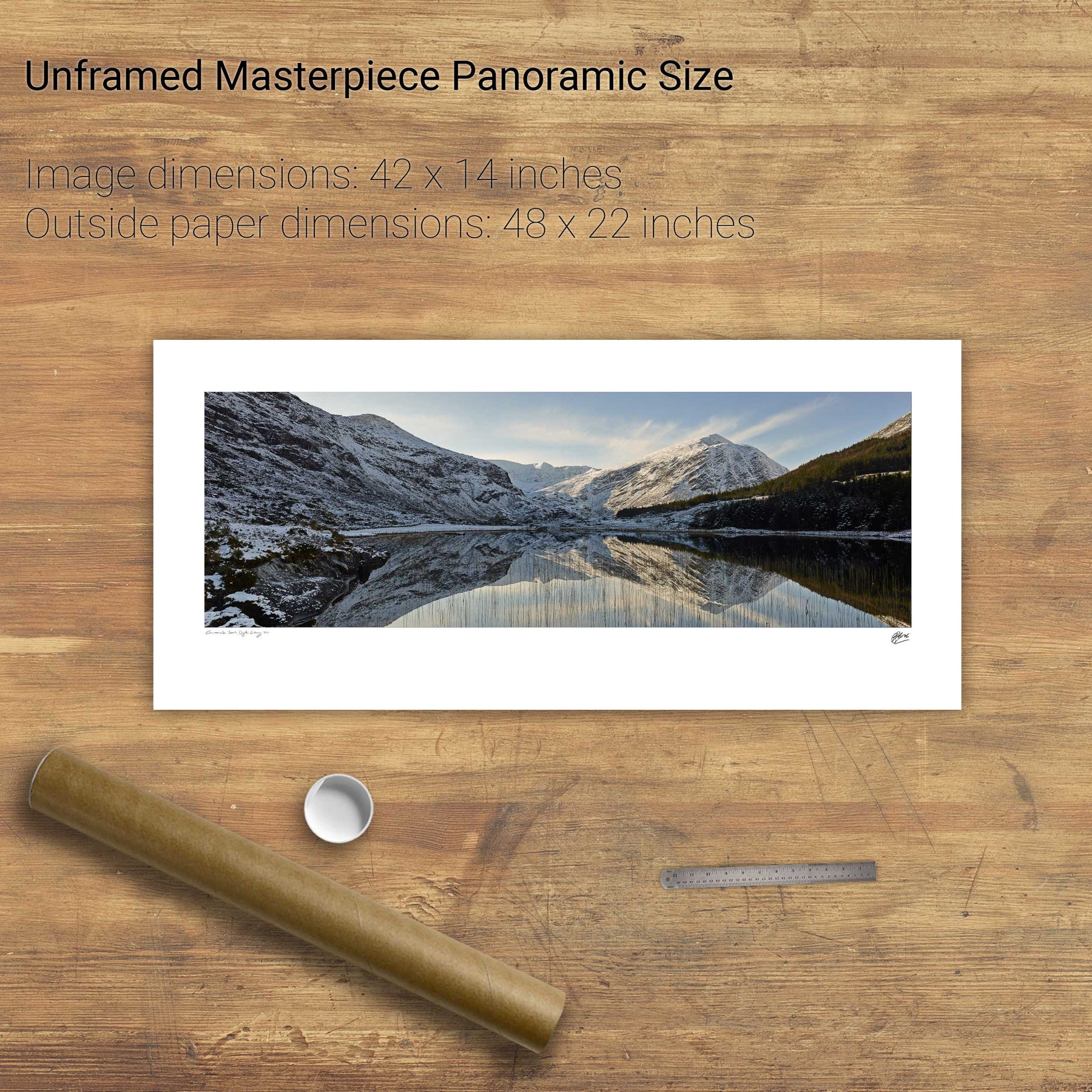
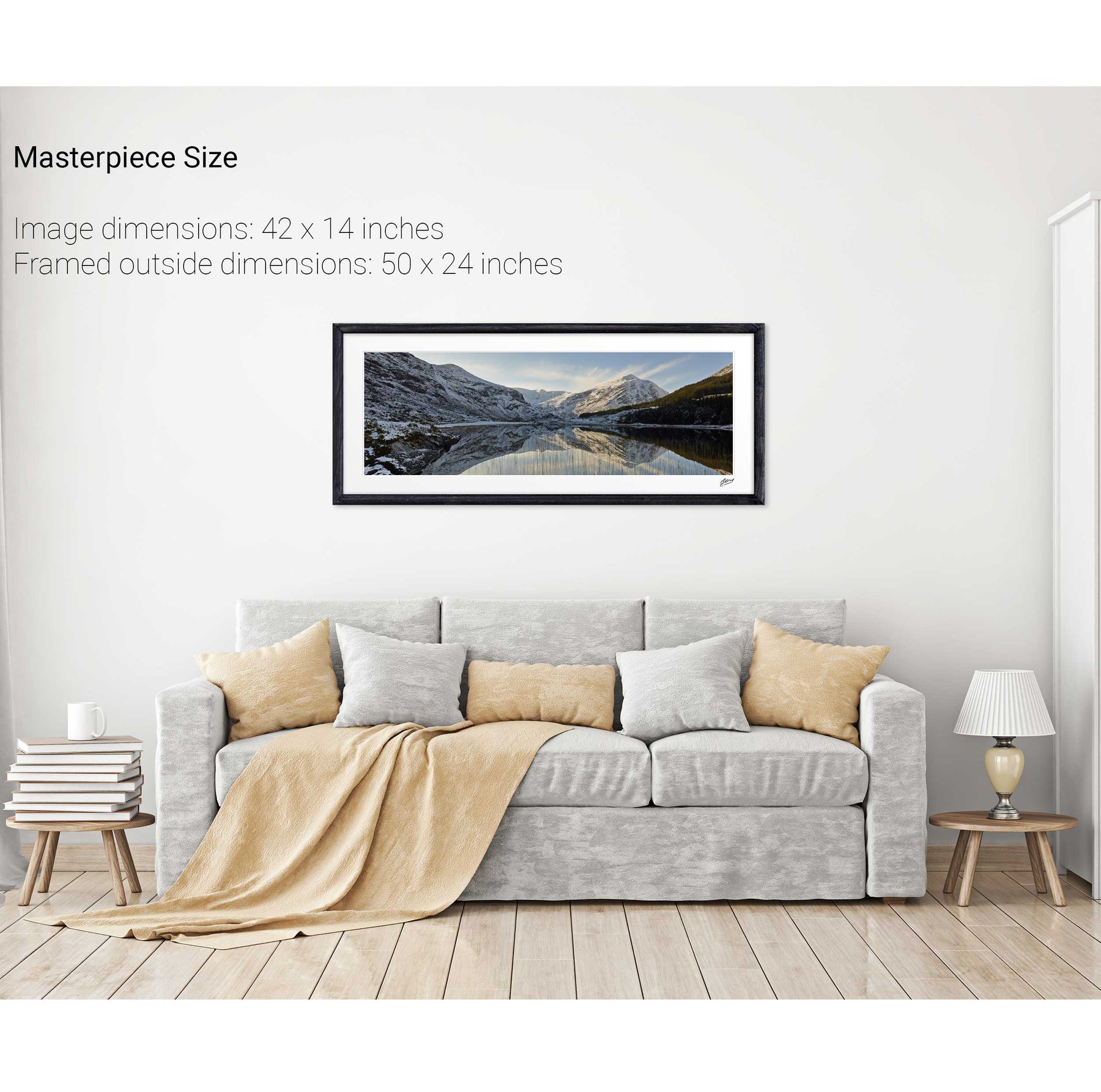
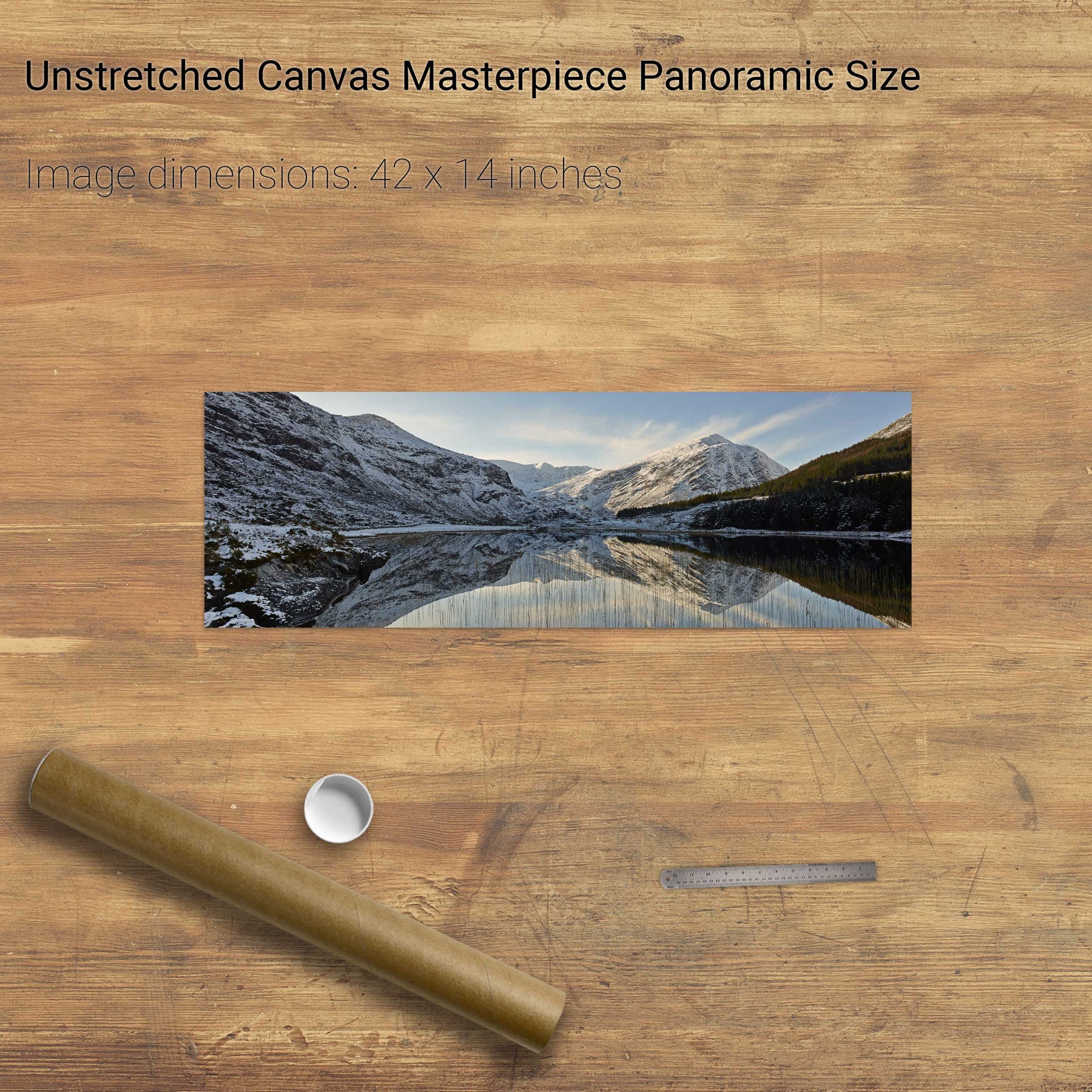
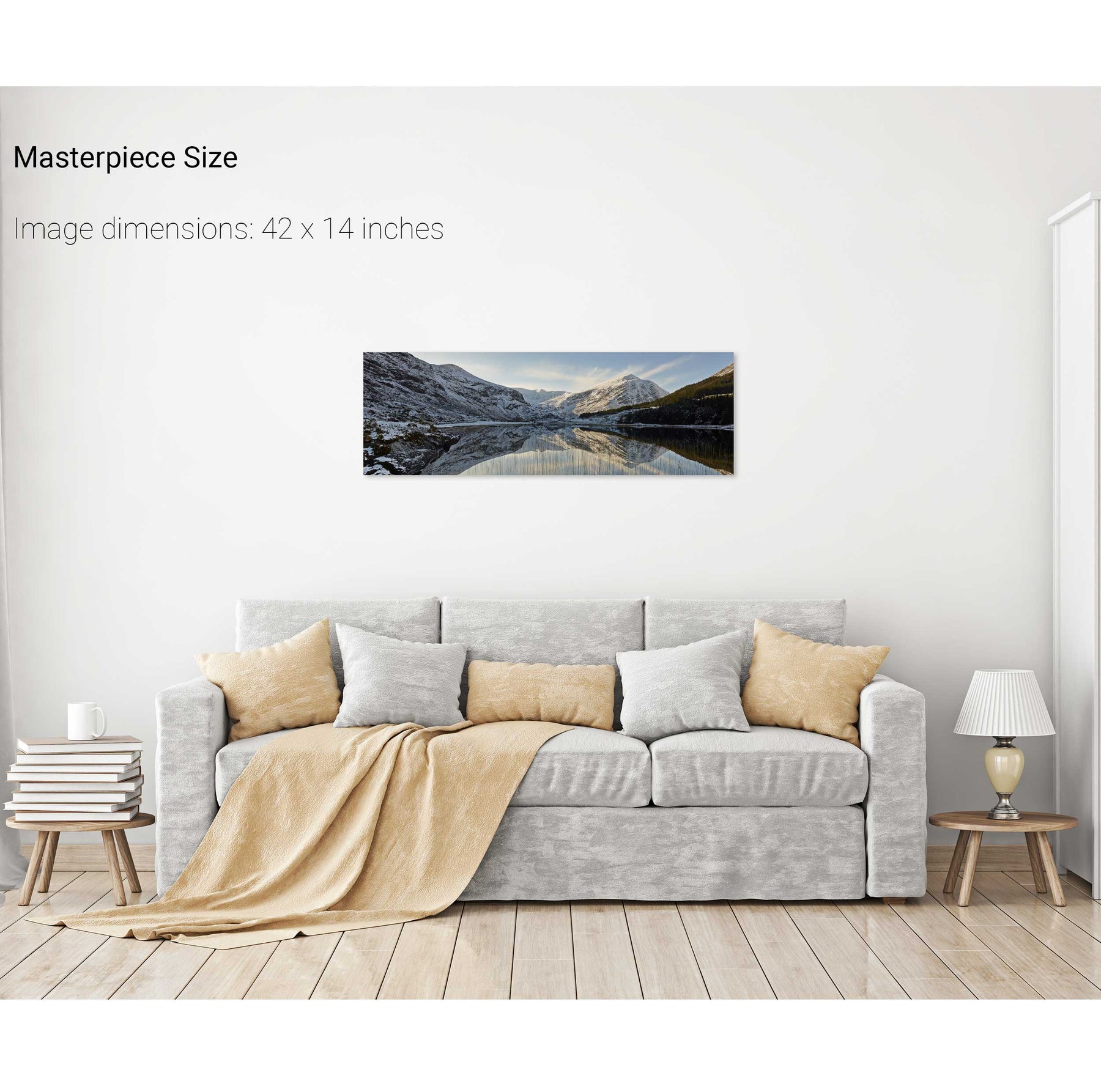
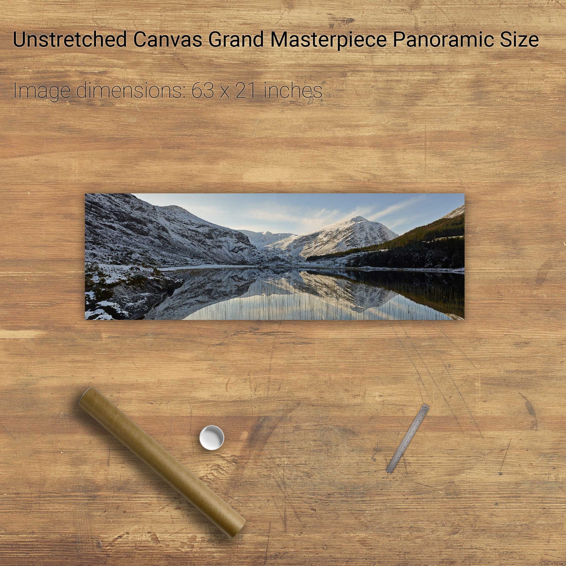
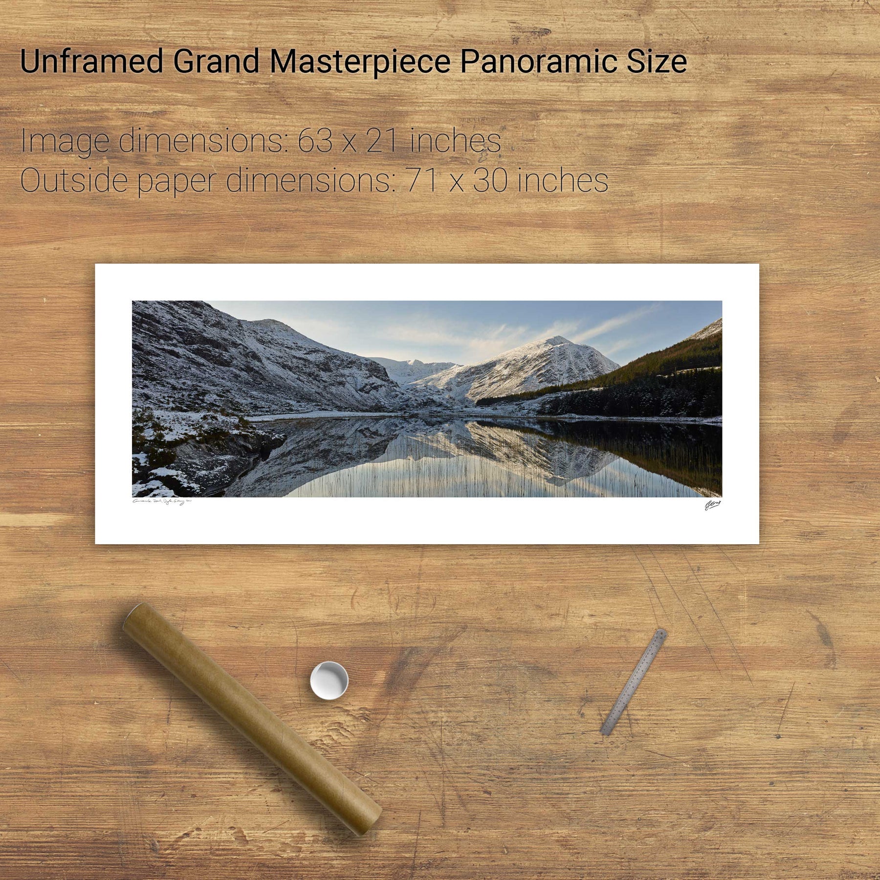
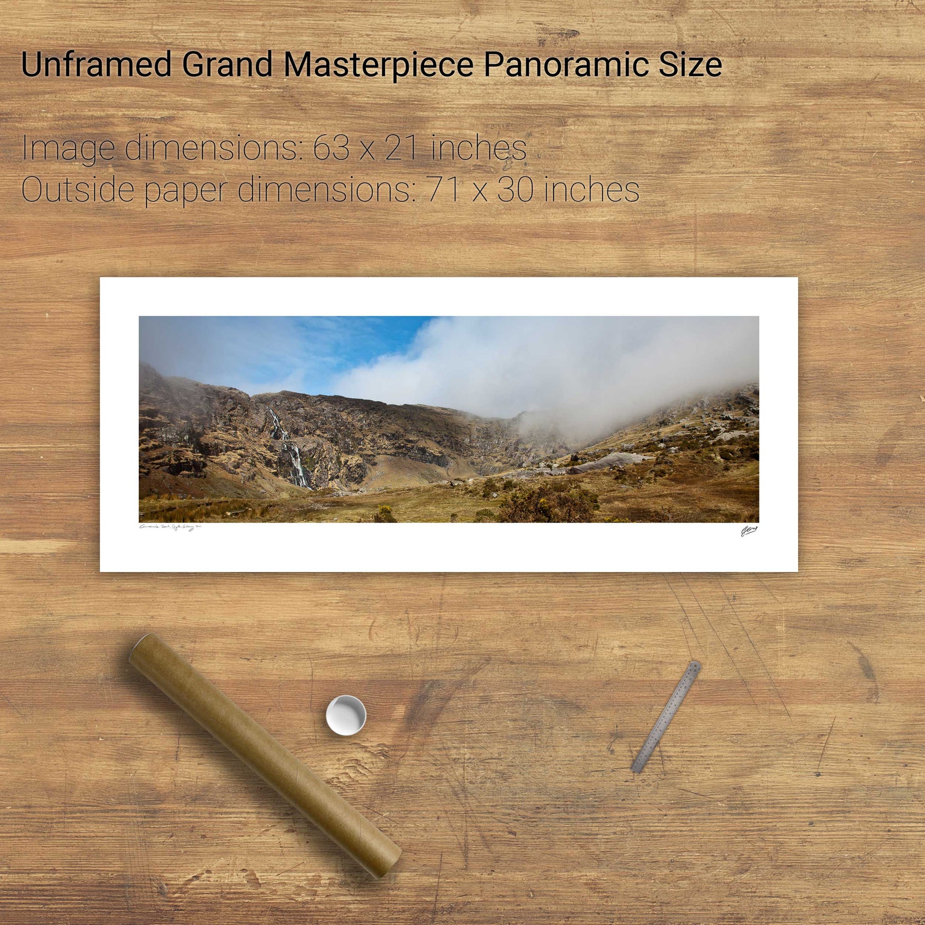
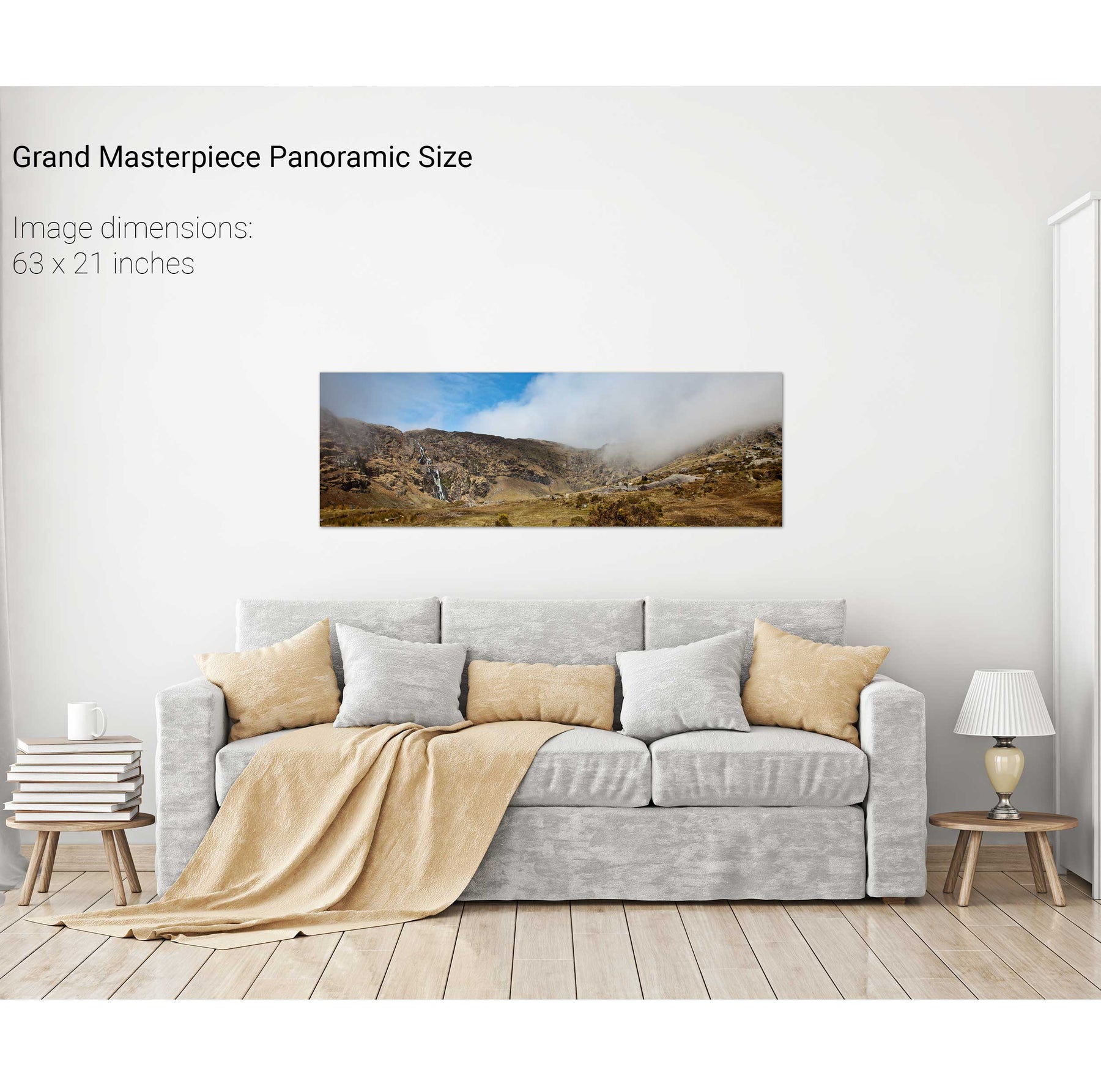
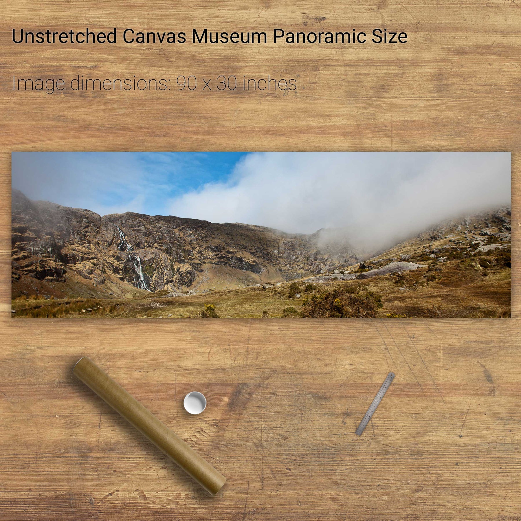
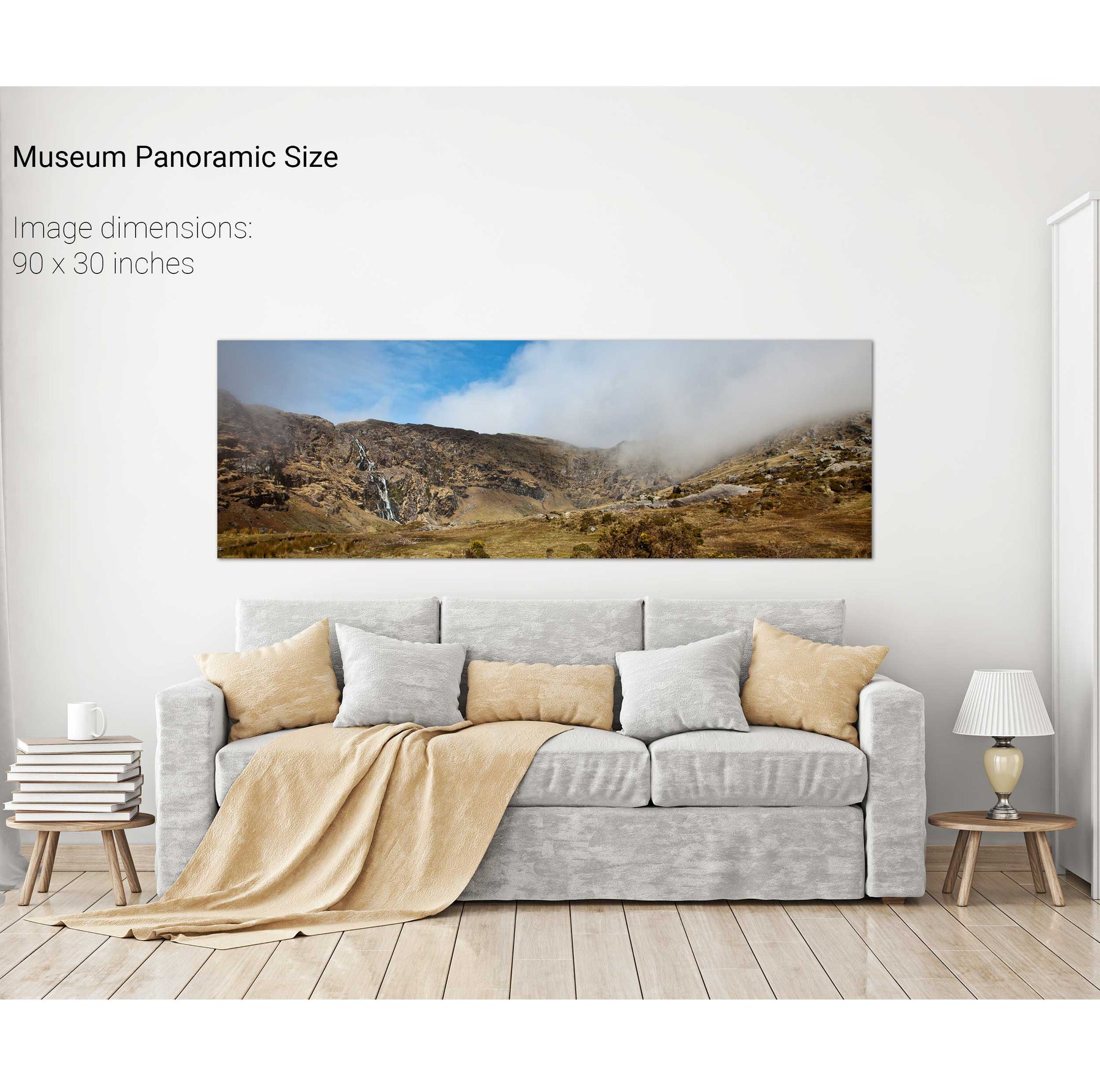
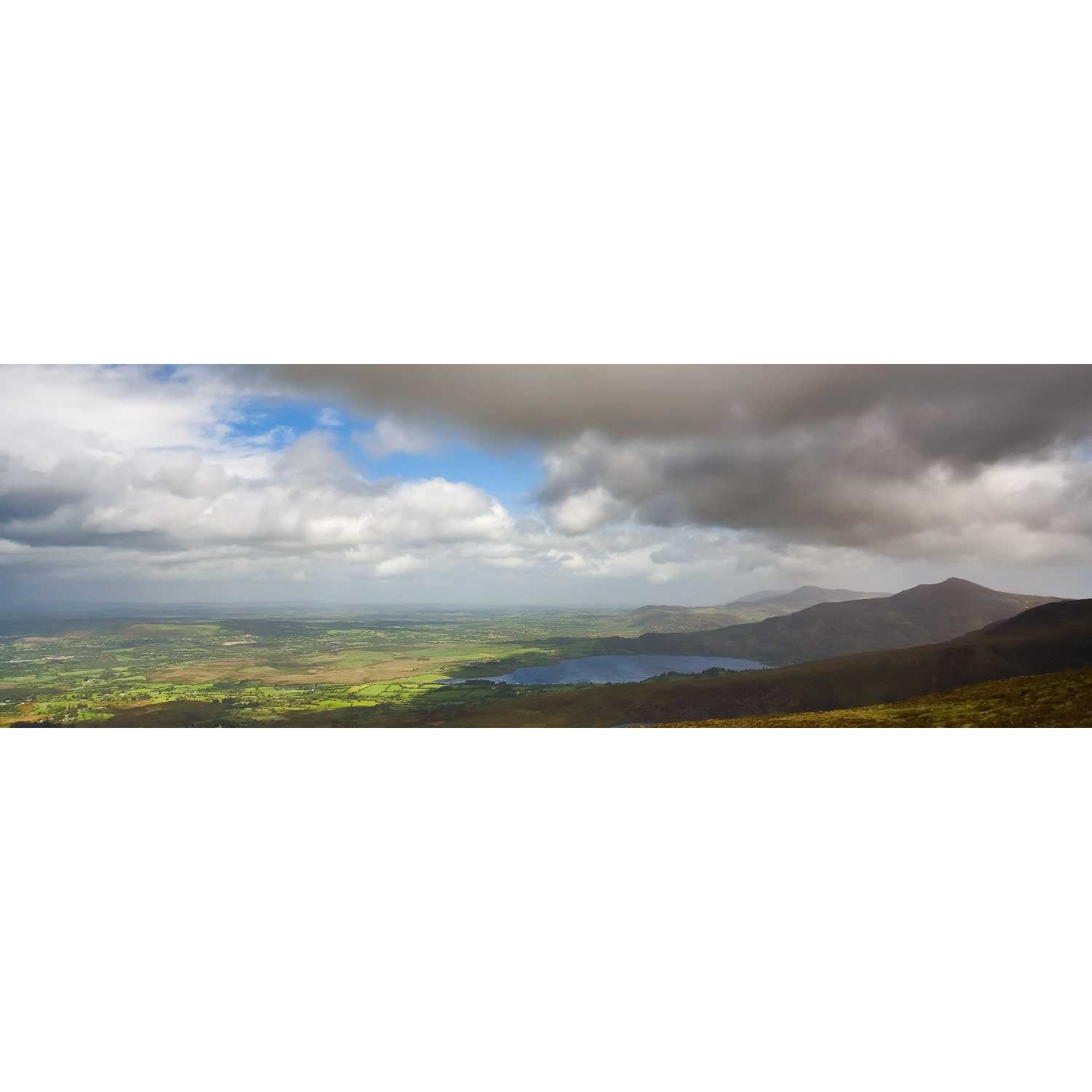
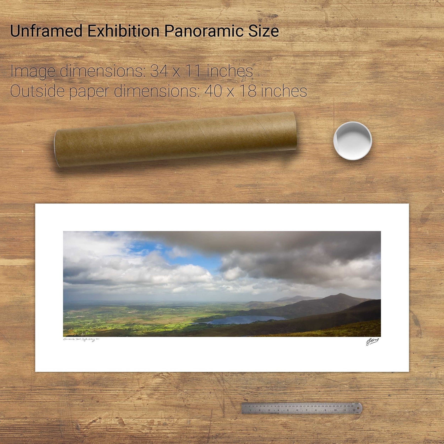
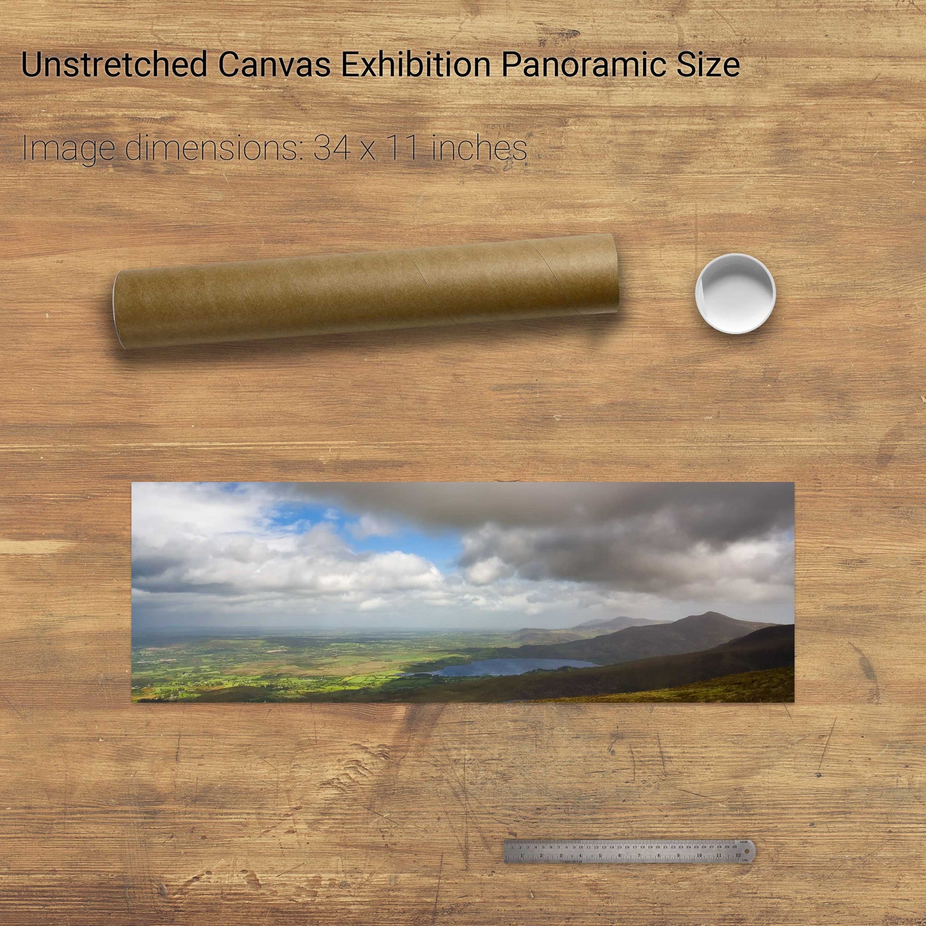
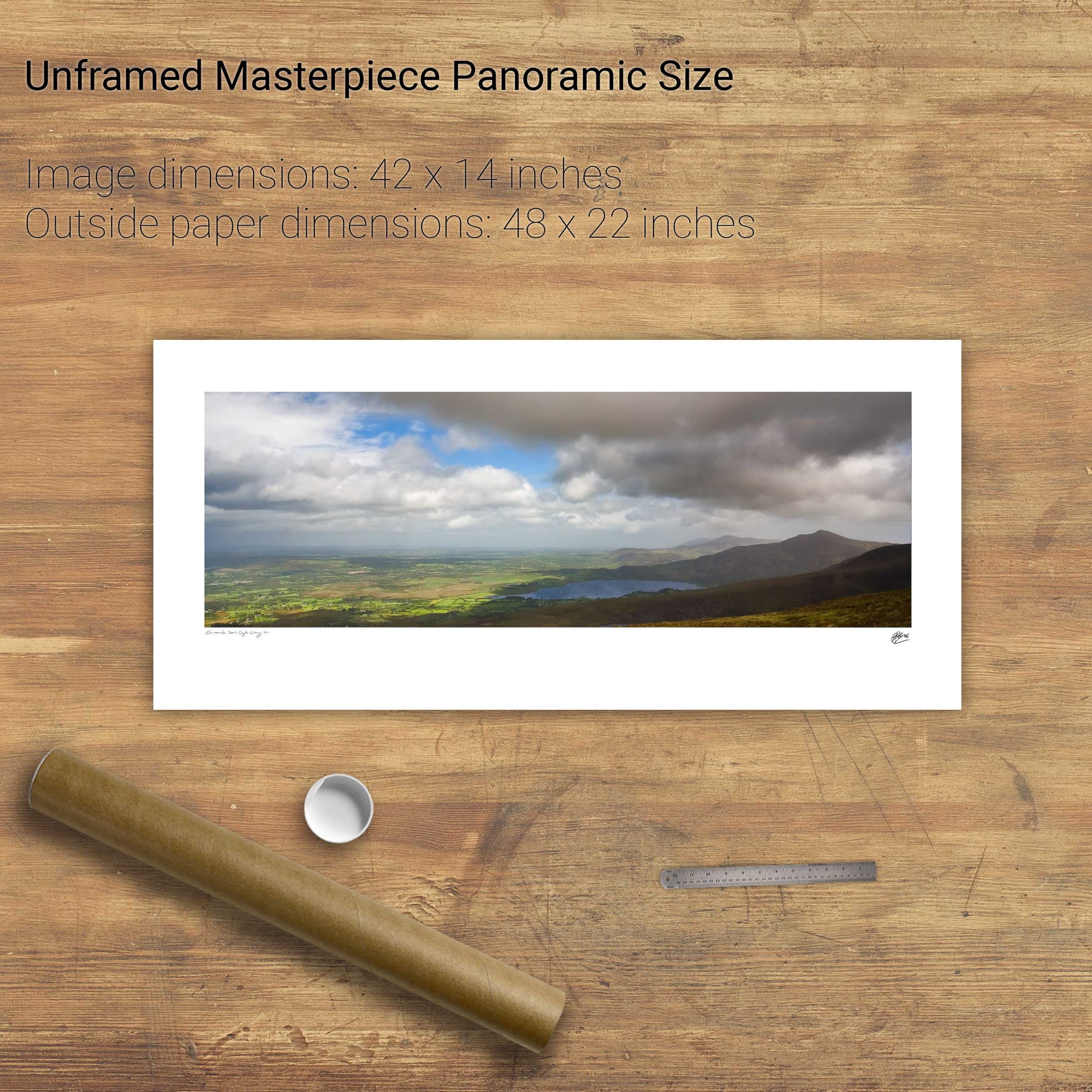
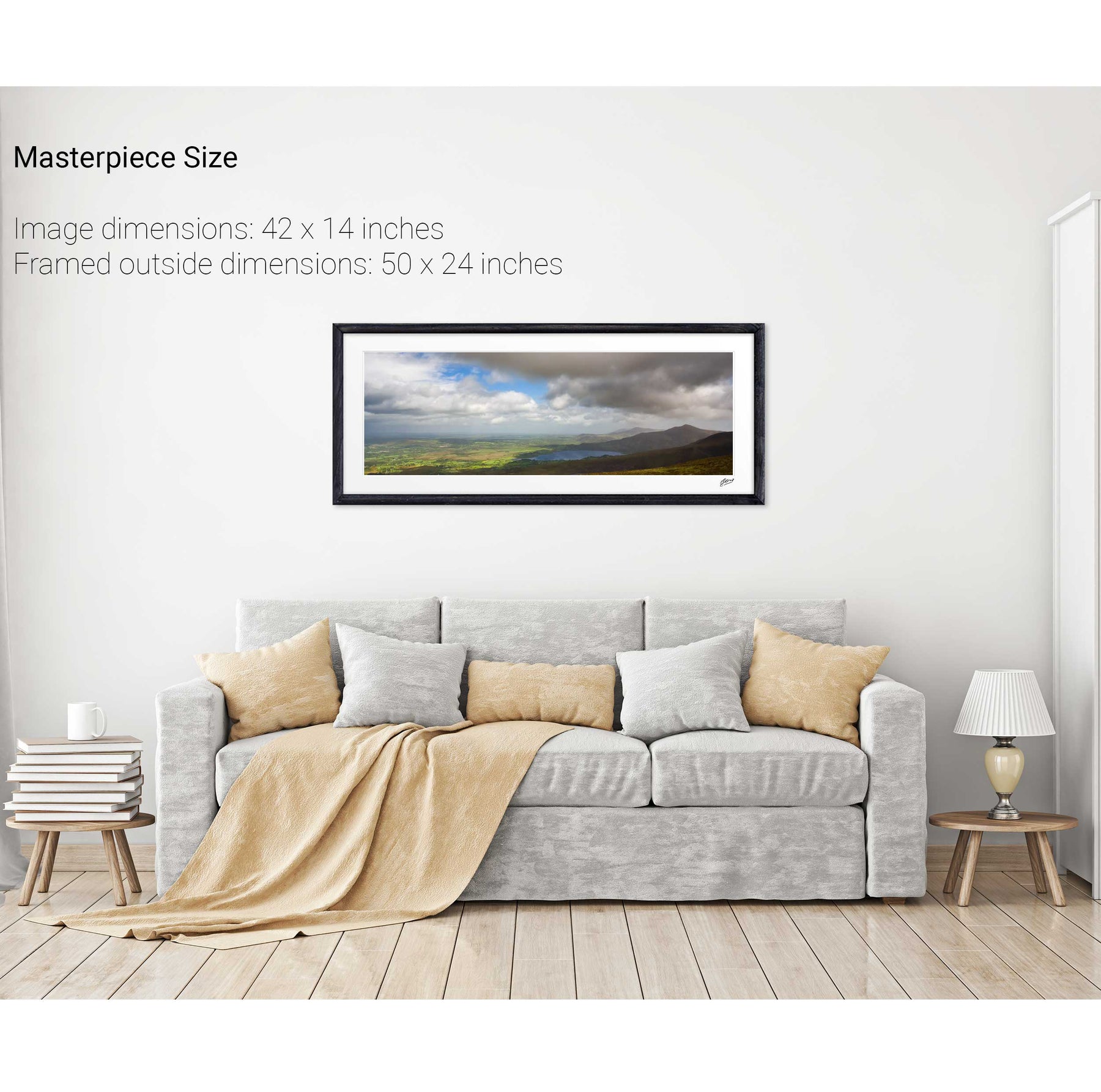
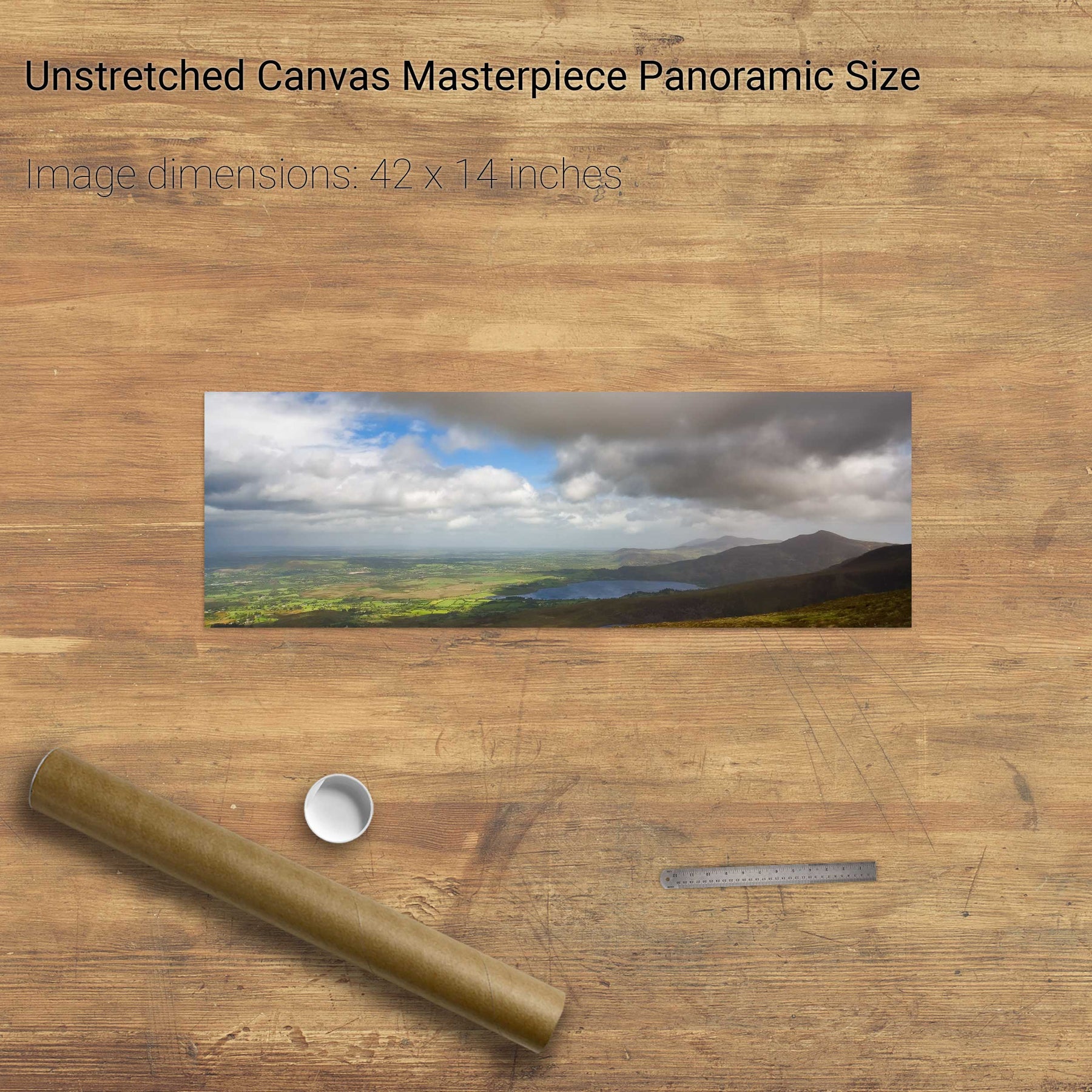
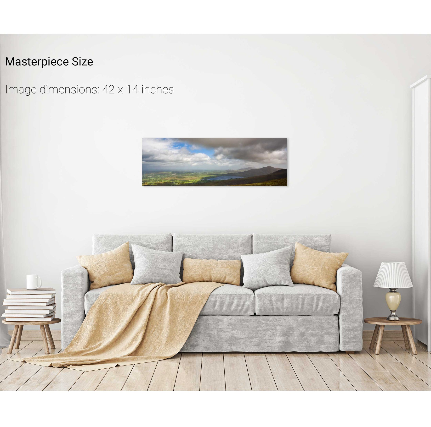
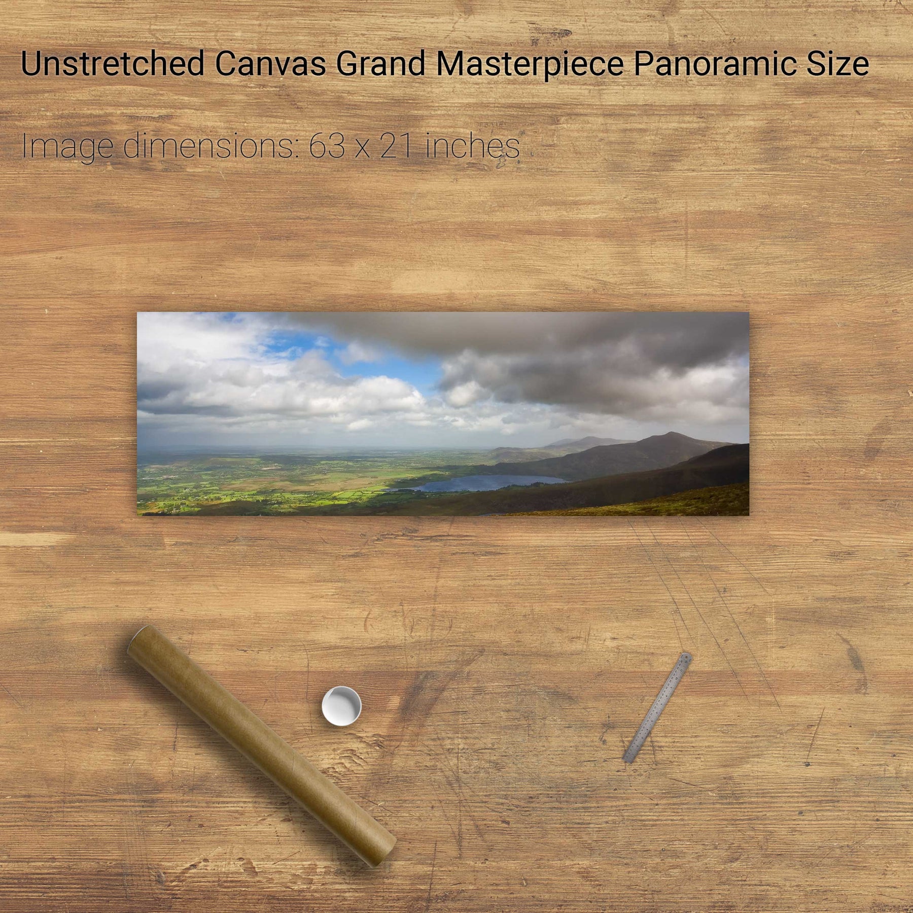
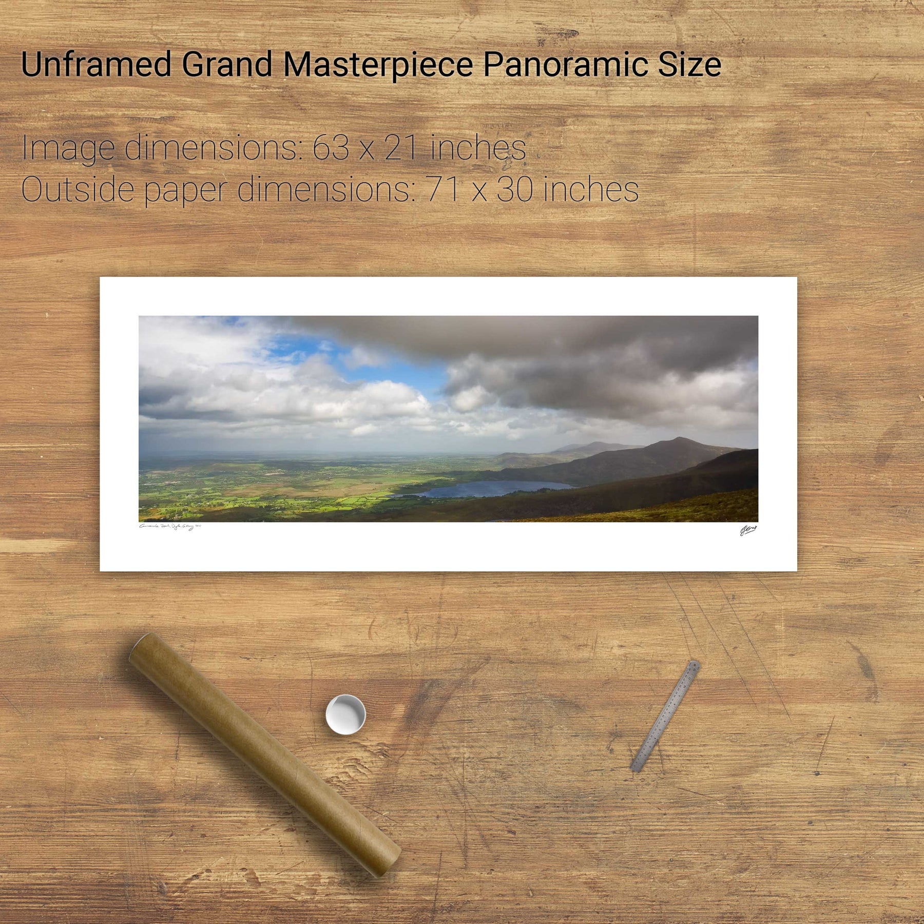
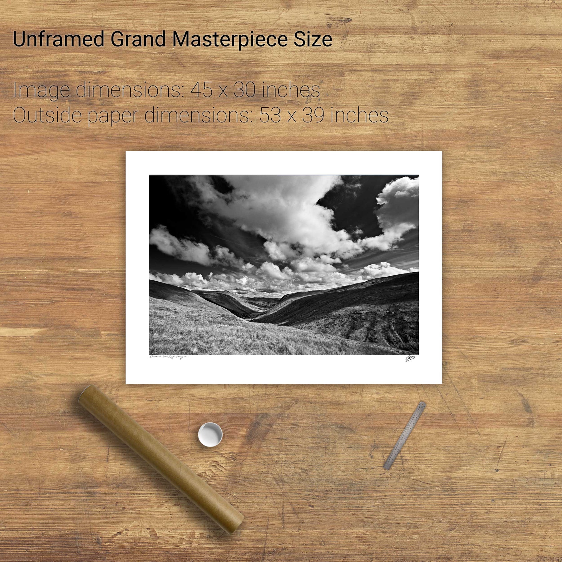
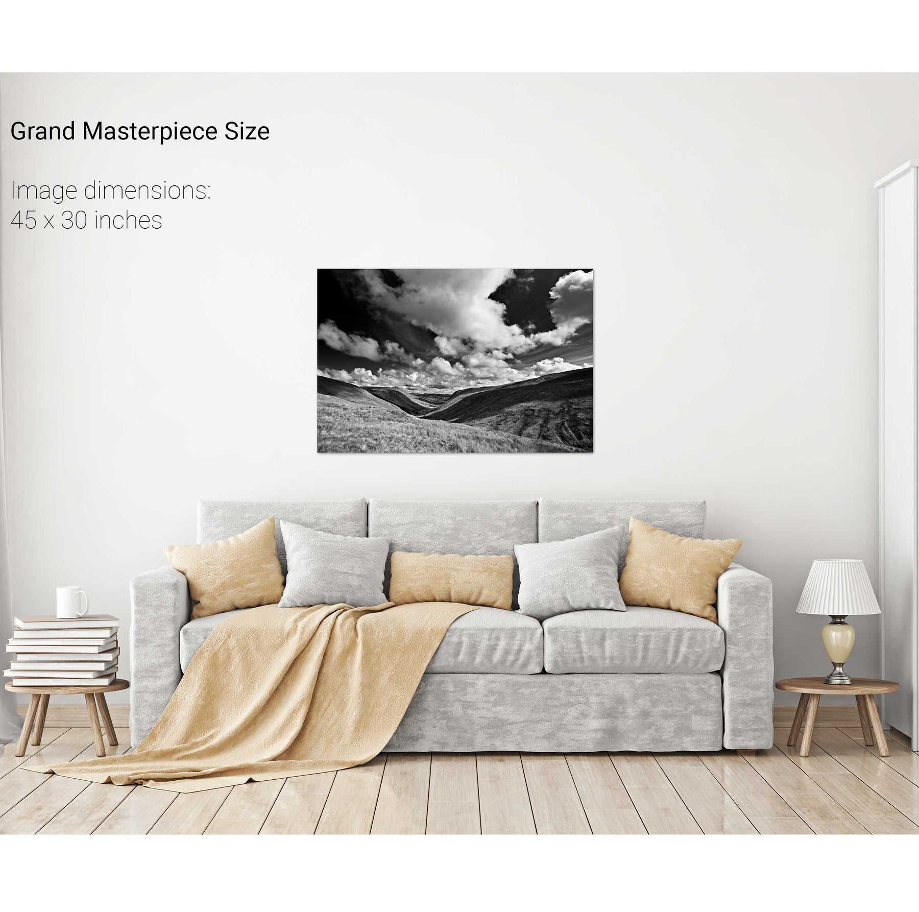
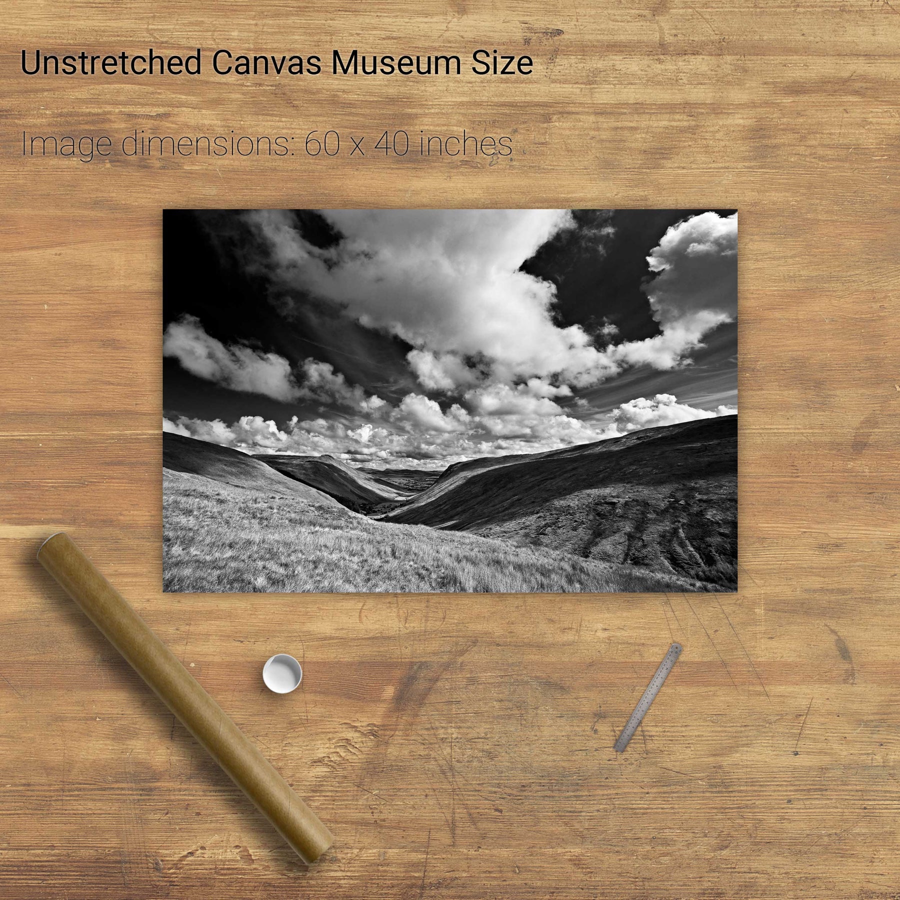
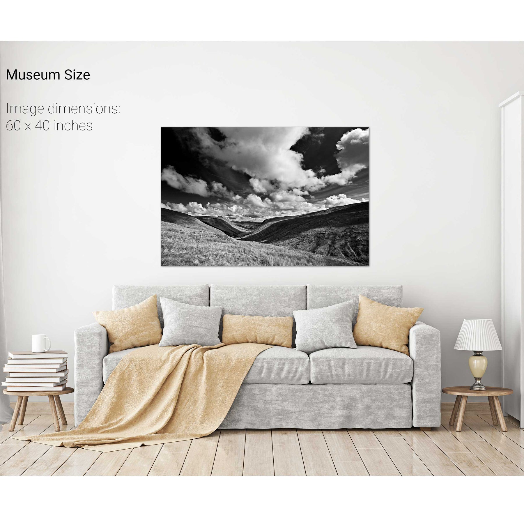
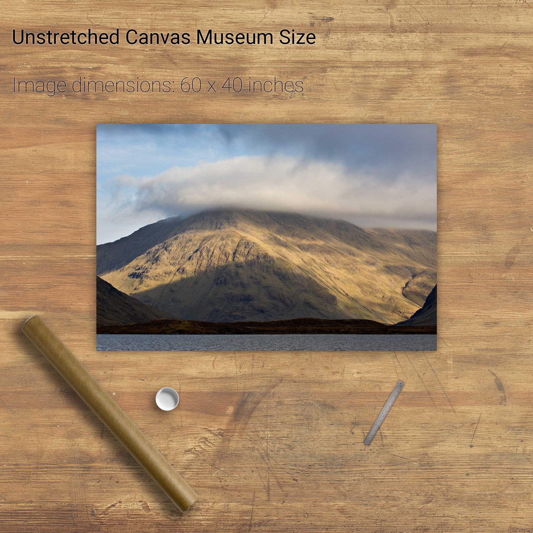
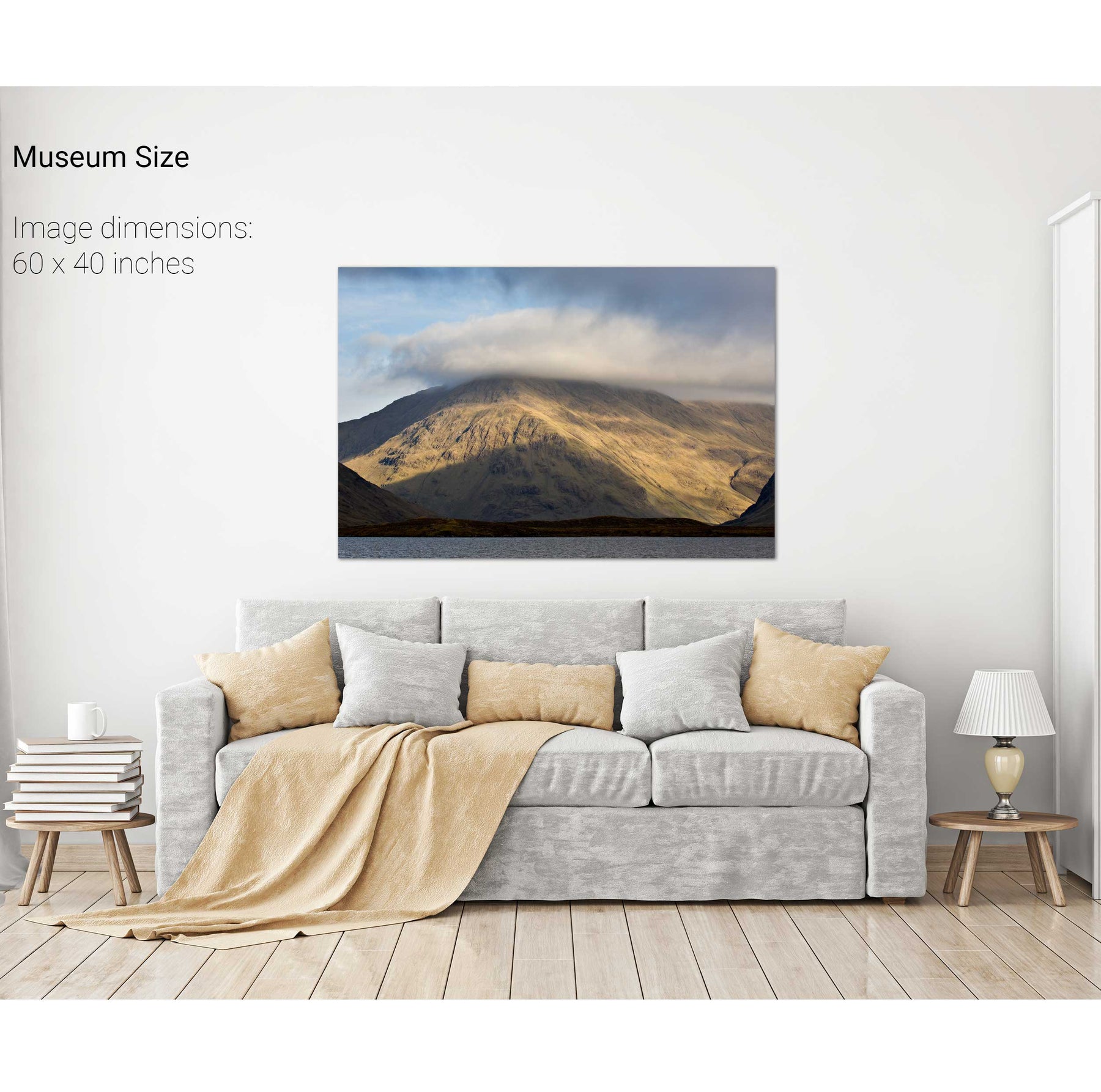
Cummeenduff Lough, Co. Kerry


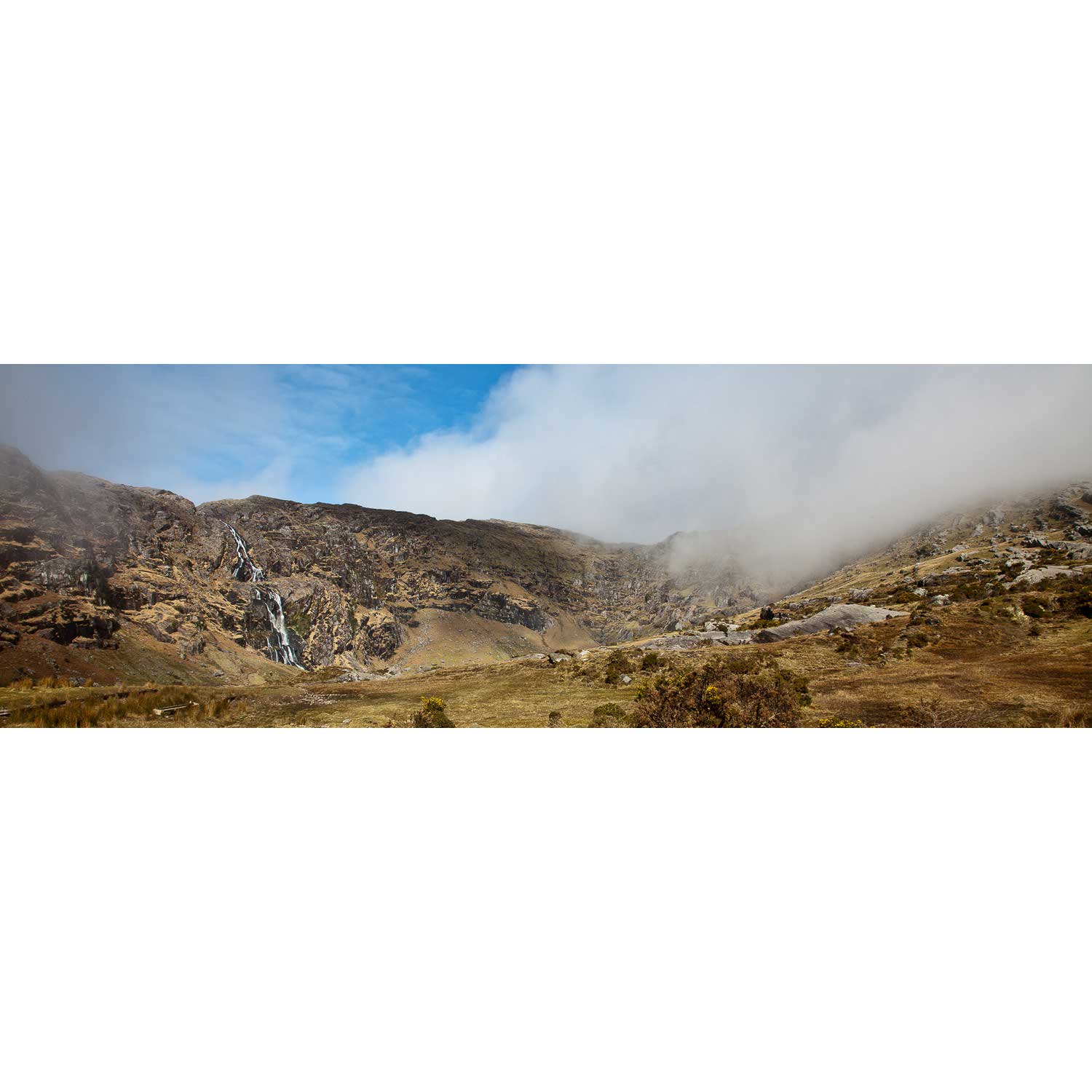
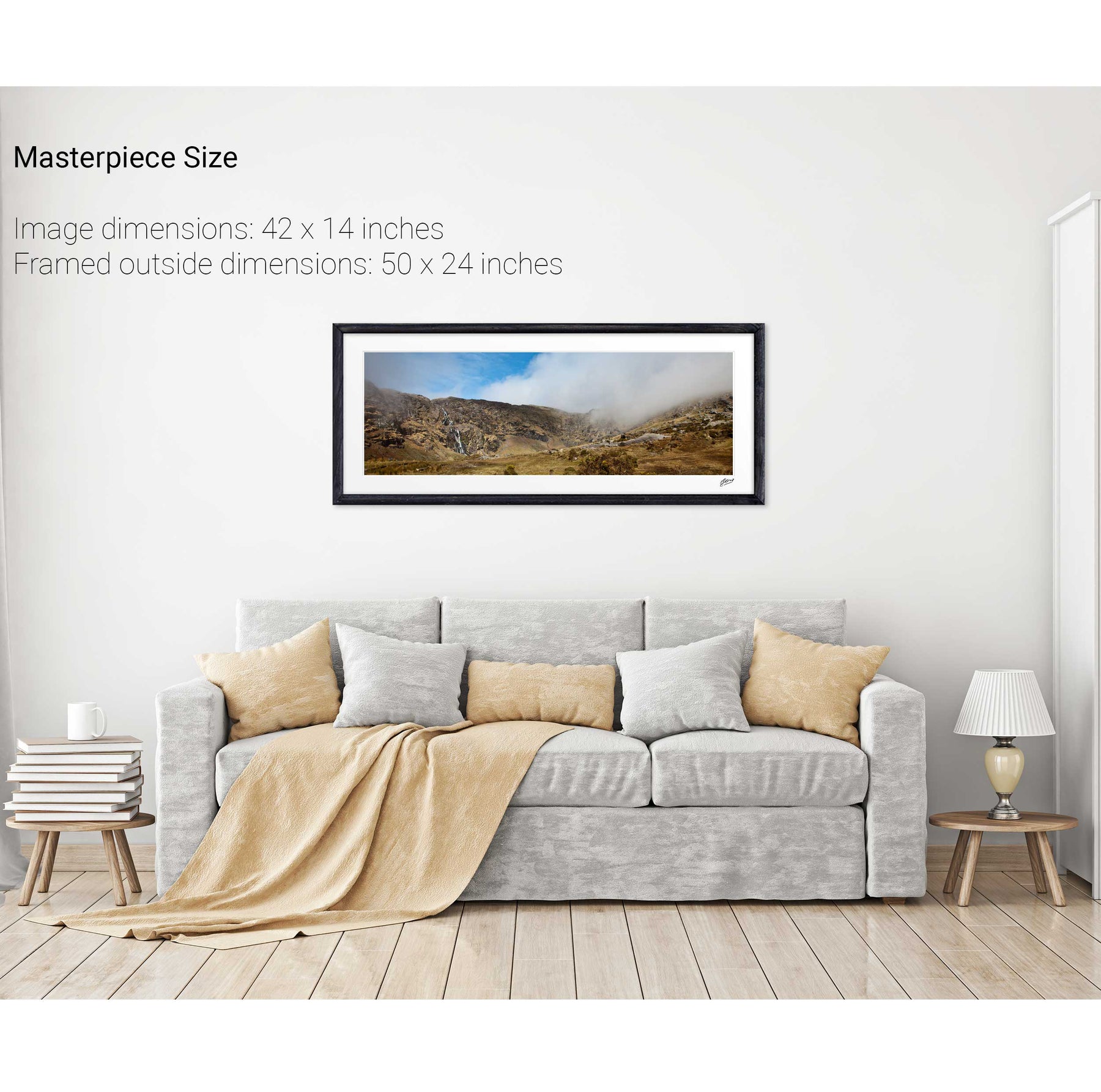
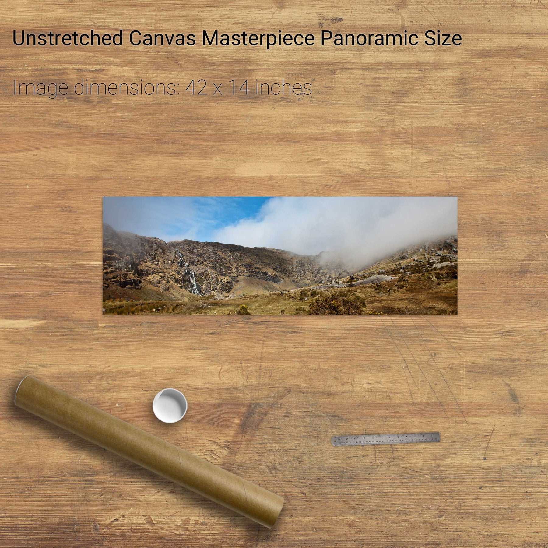
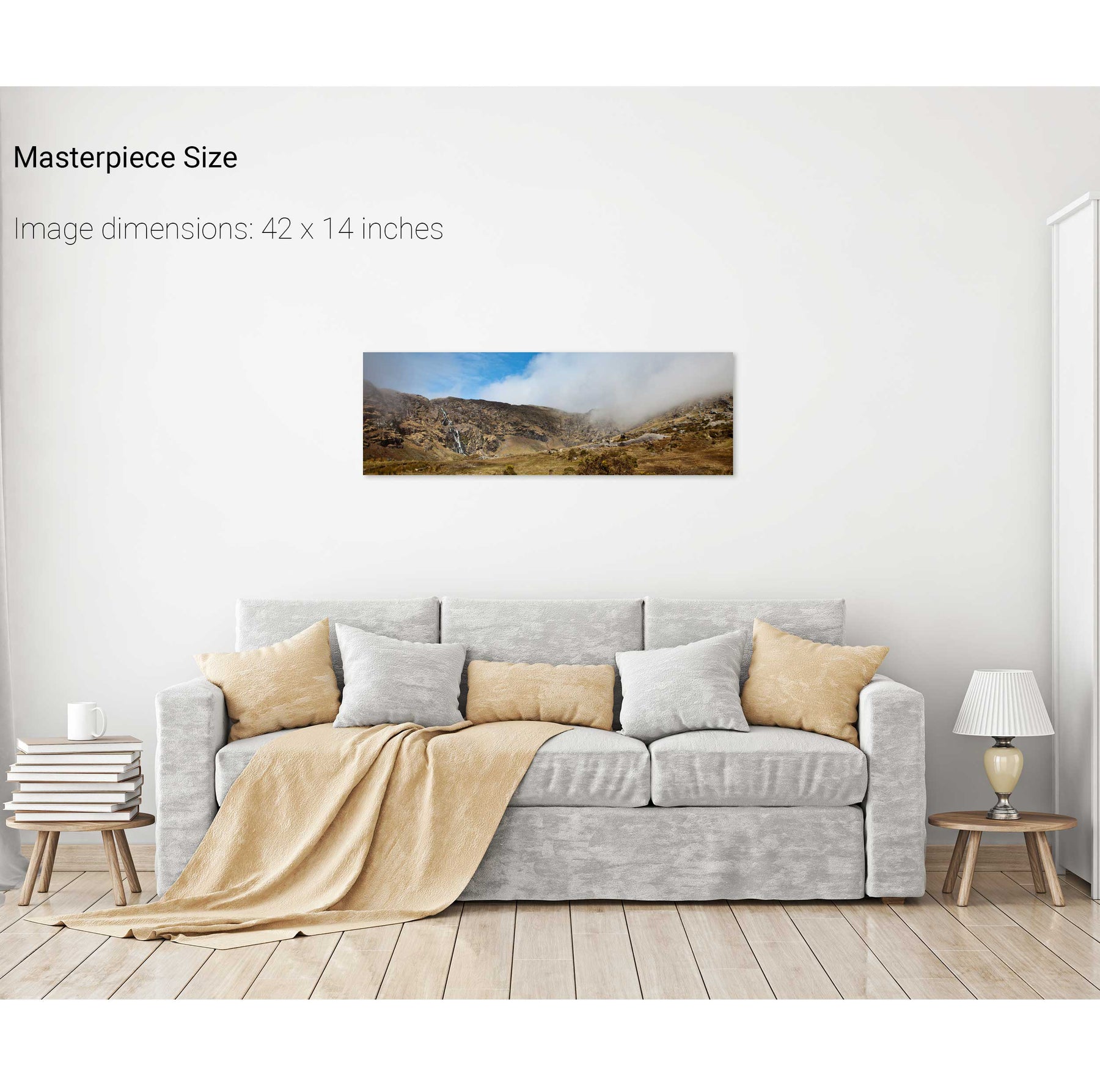
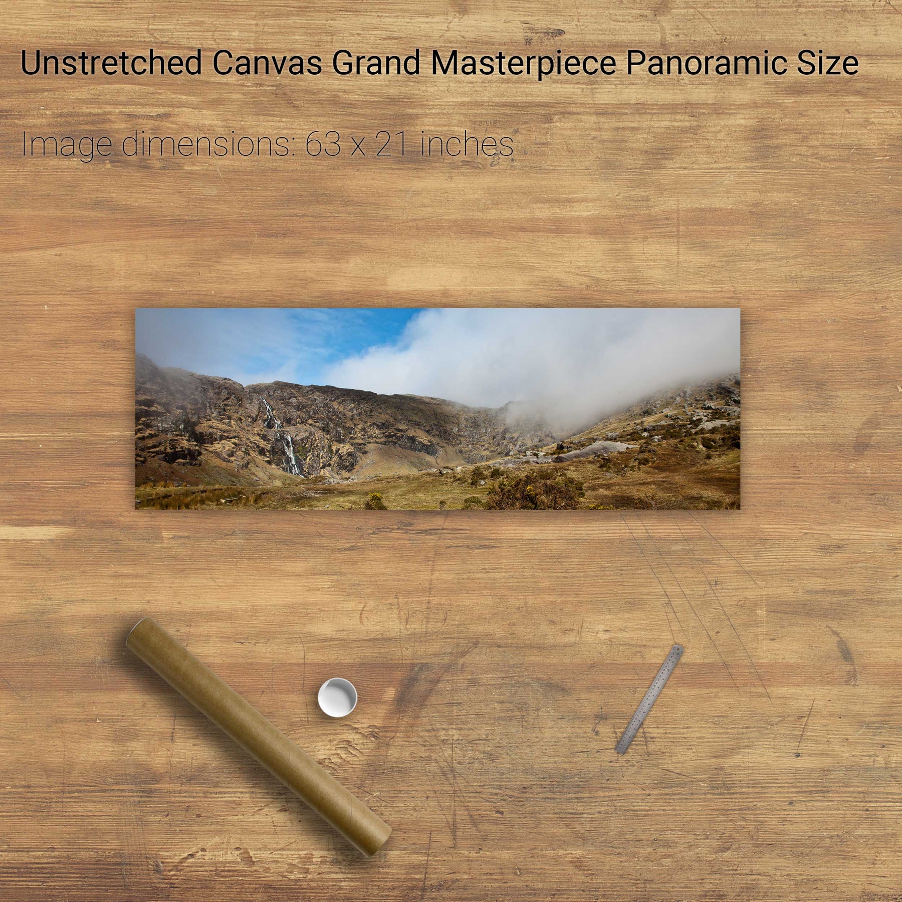
The Mare's Tail, Beara, Co. Cork


Lough Guitane, Co. Kerry


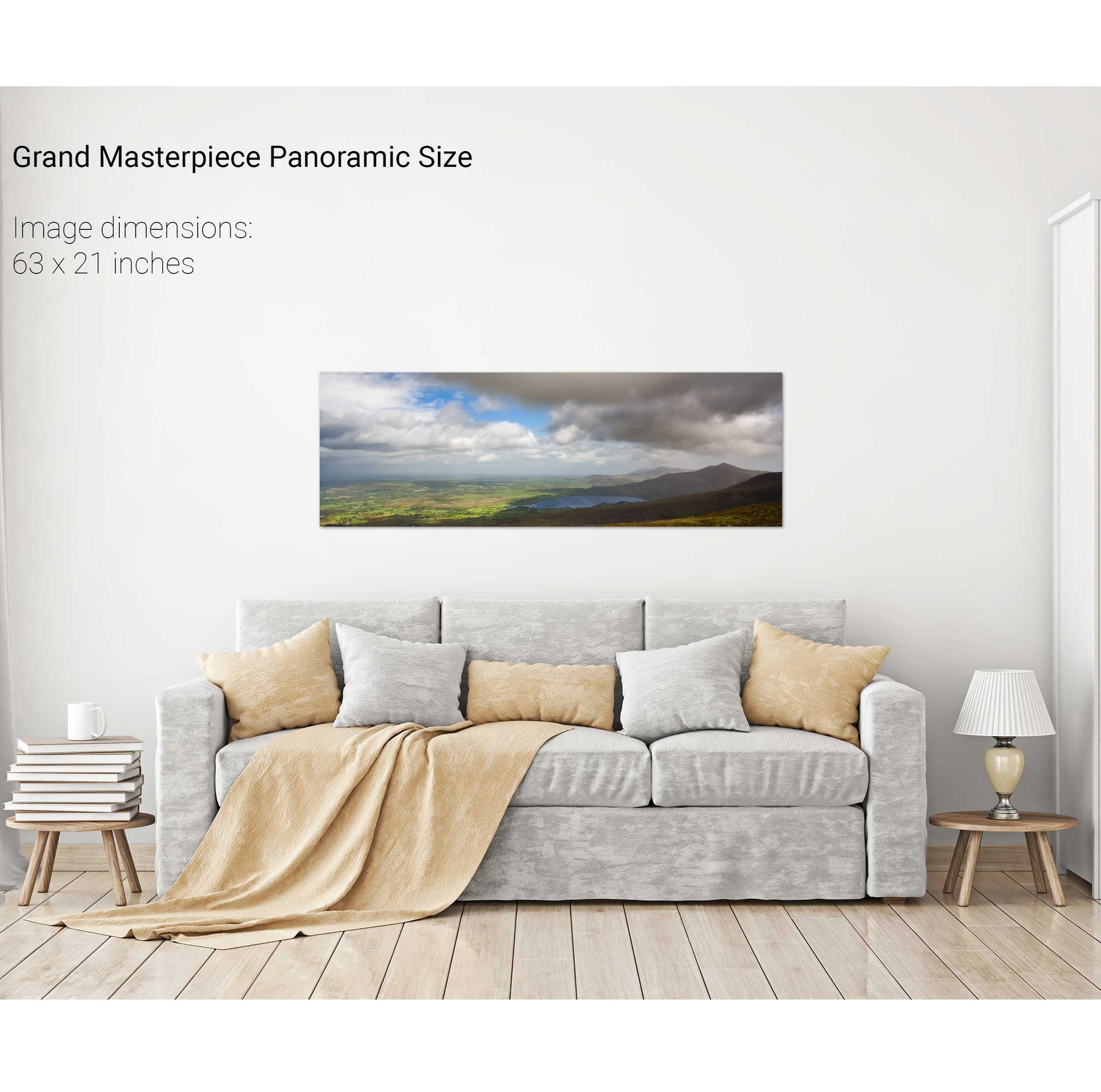
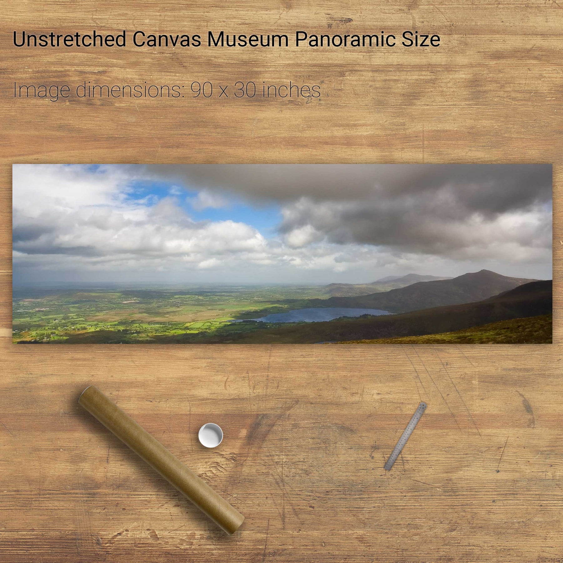
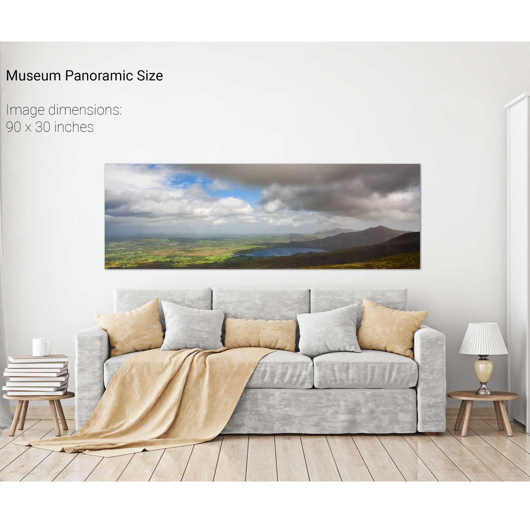
Sunset, Knockreagh, Co. Kerry


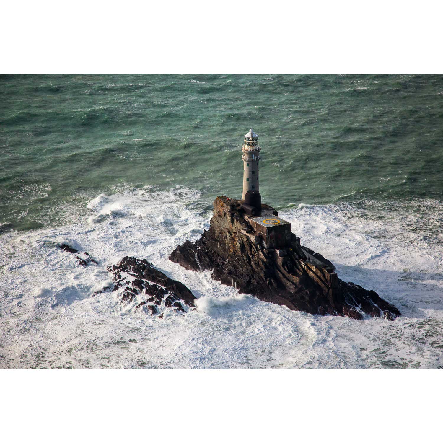
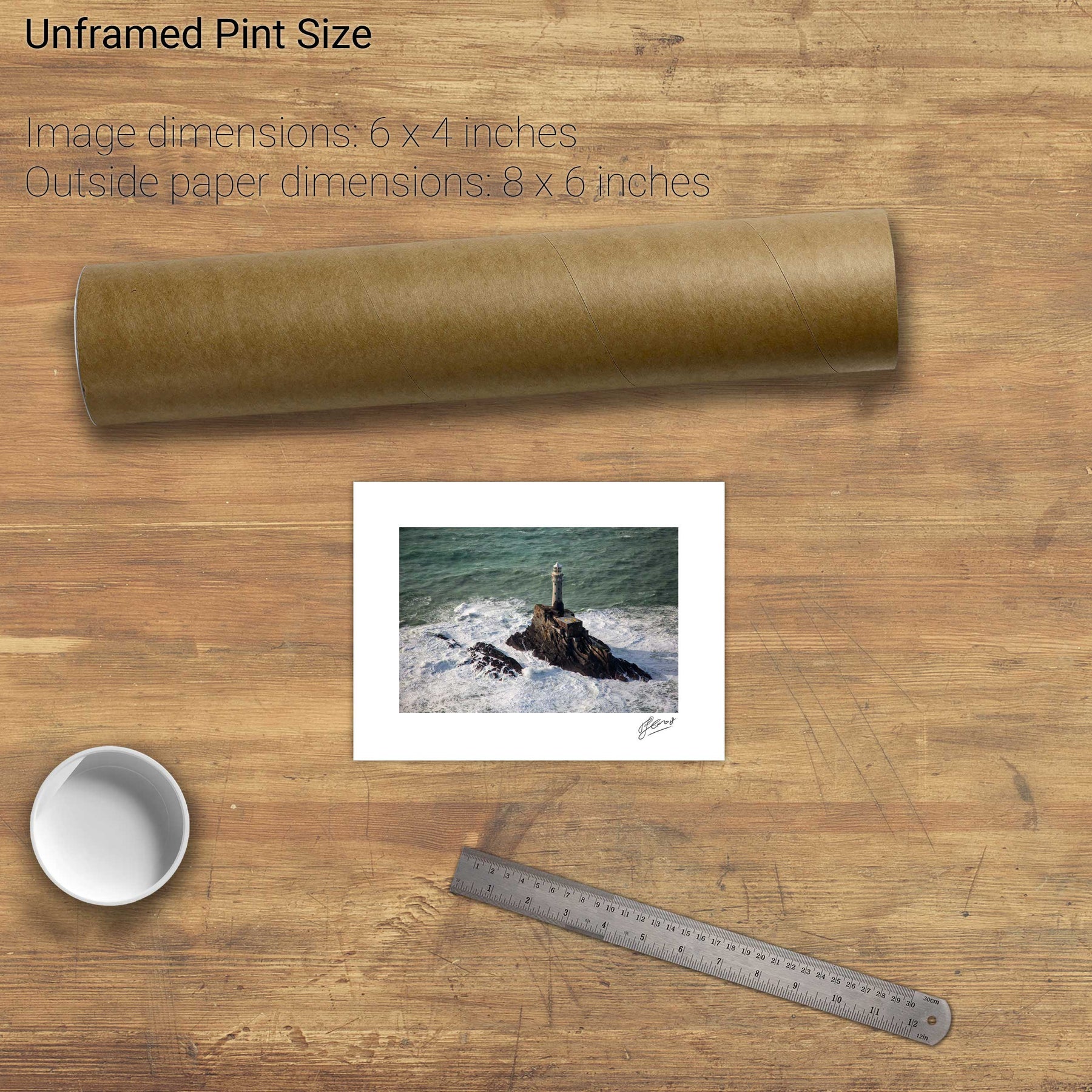
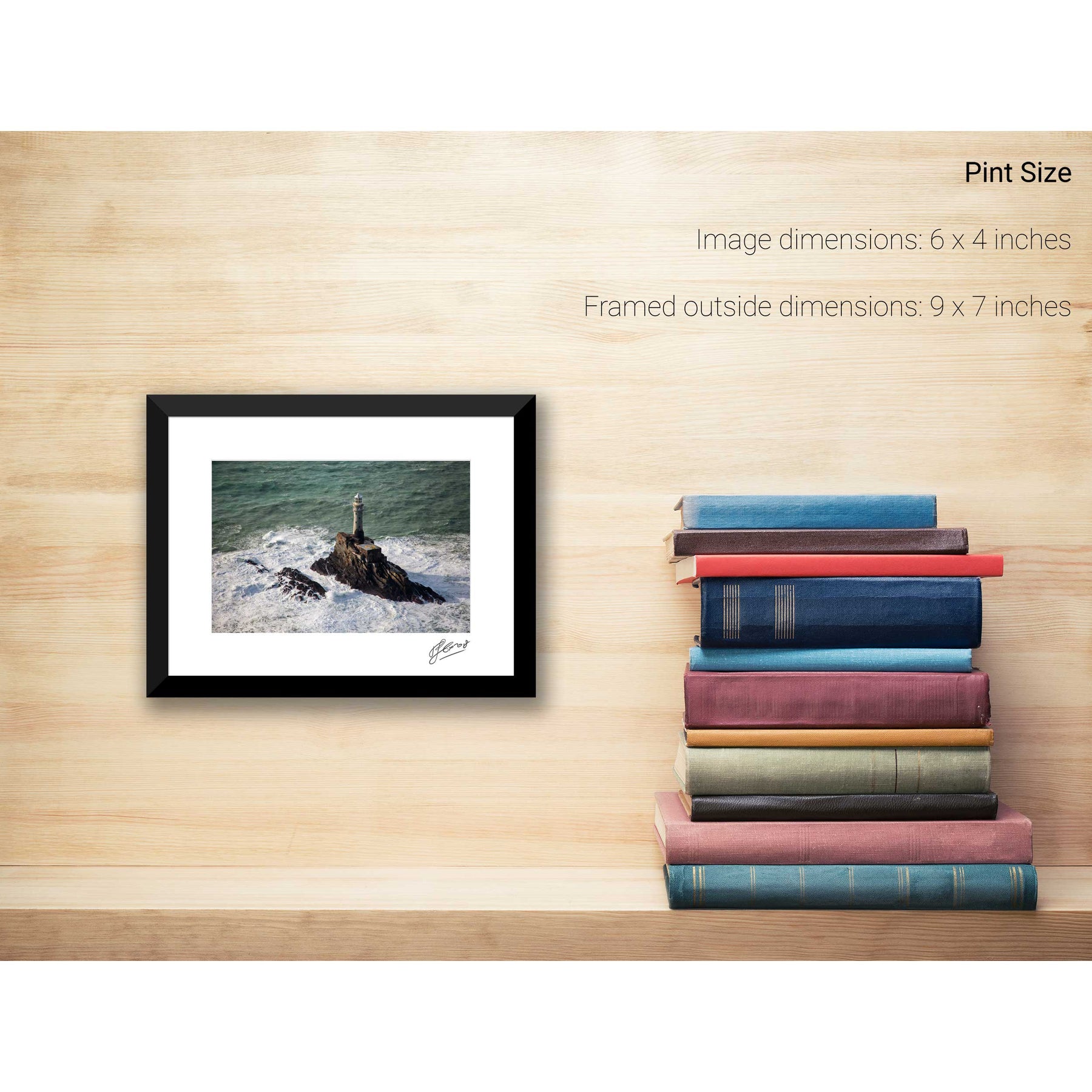
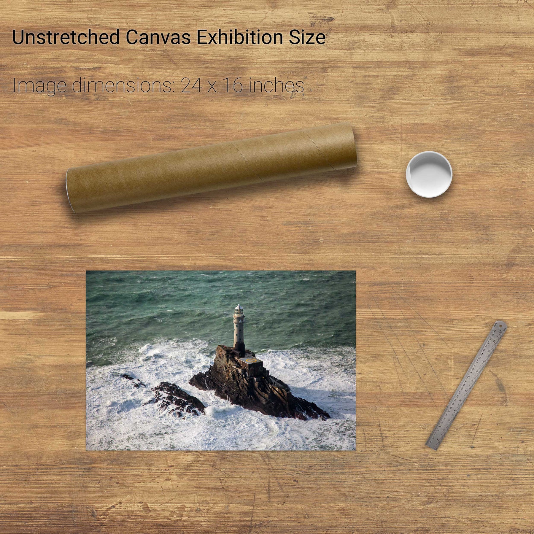
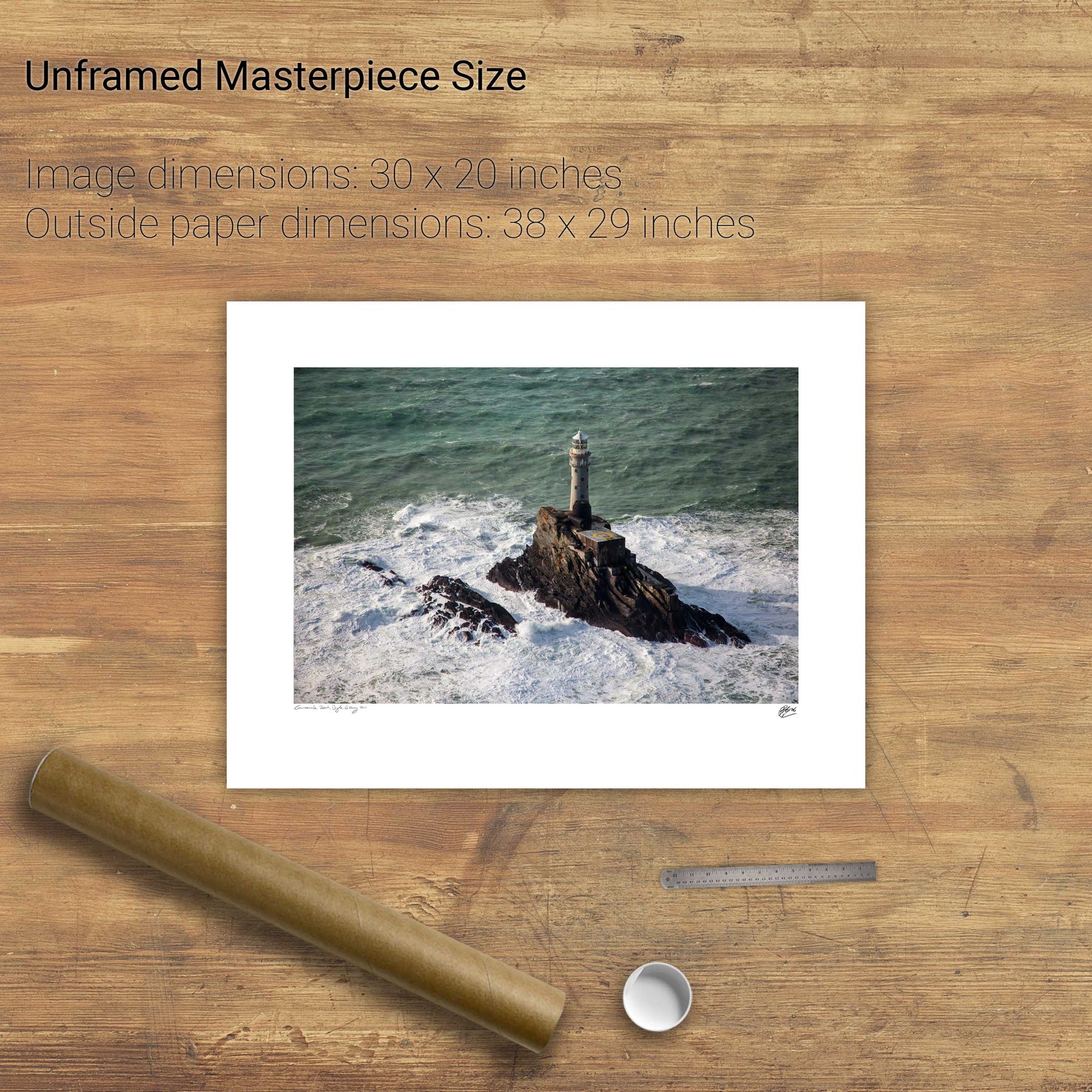
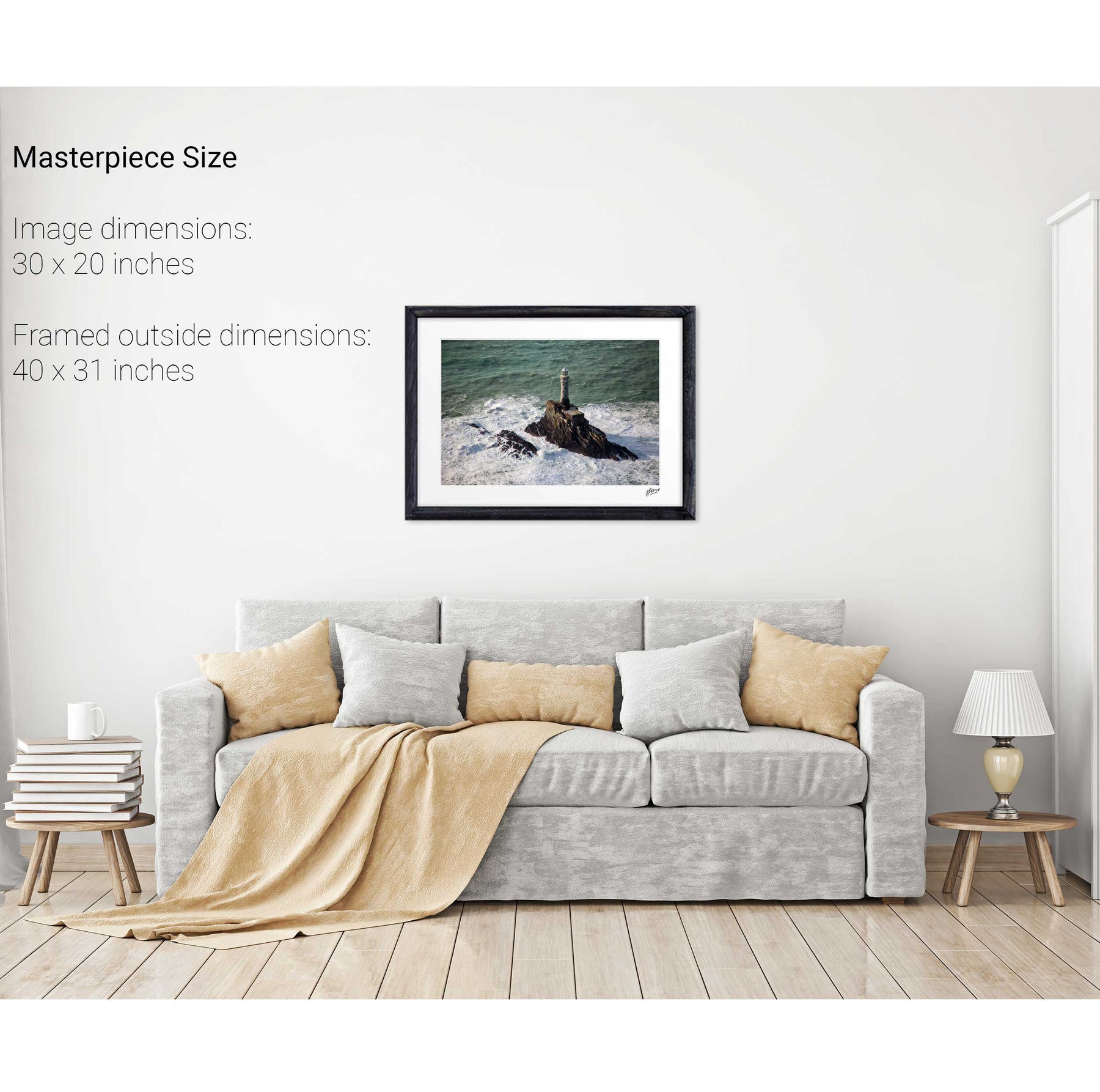
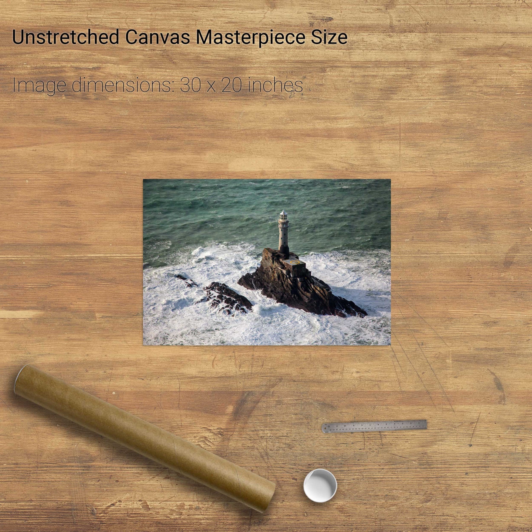
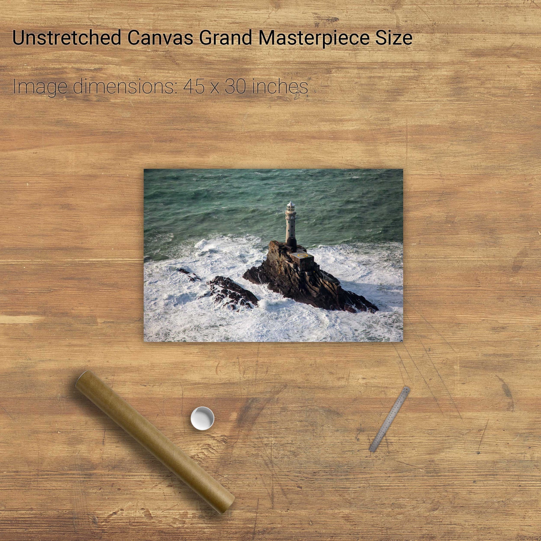
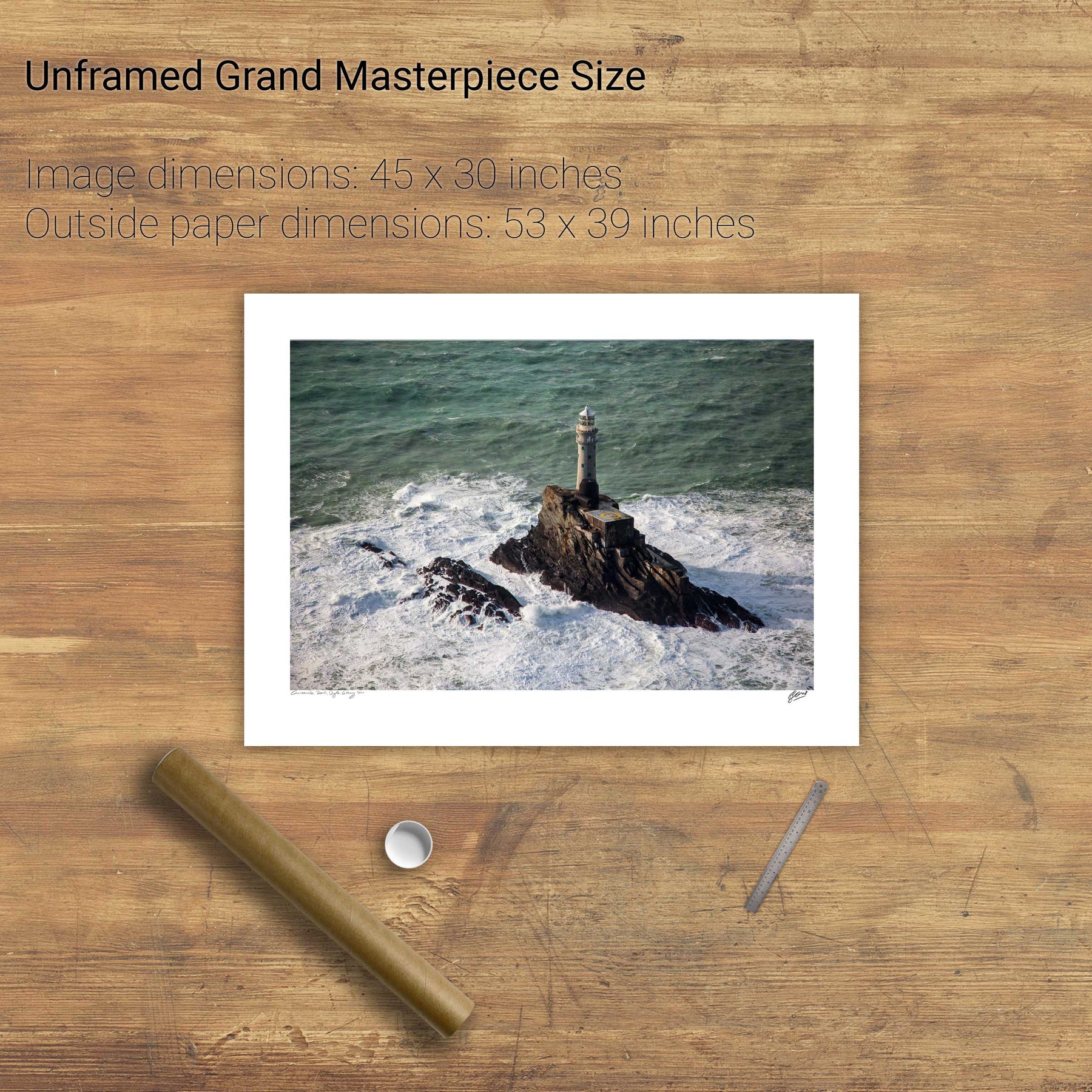
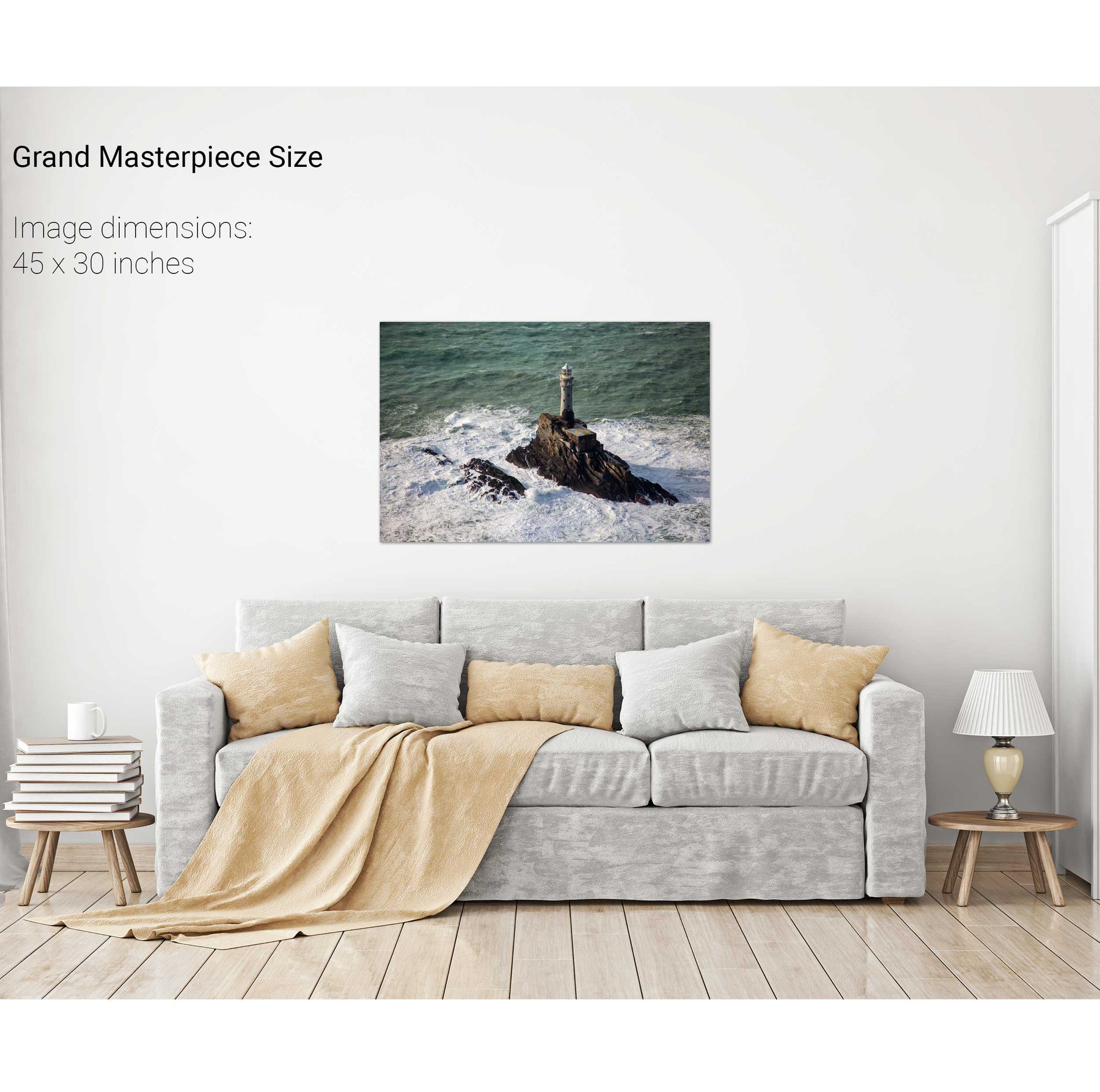
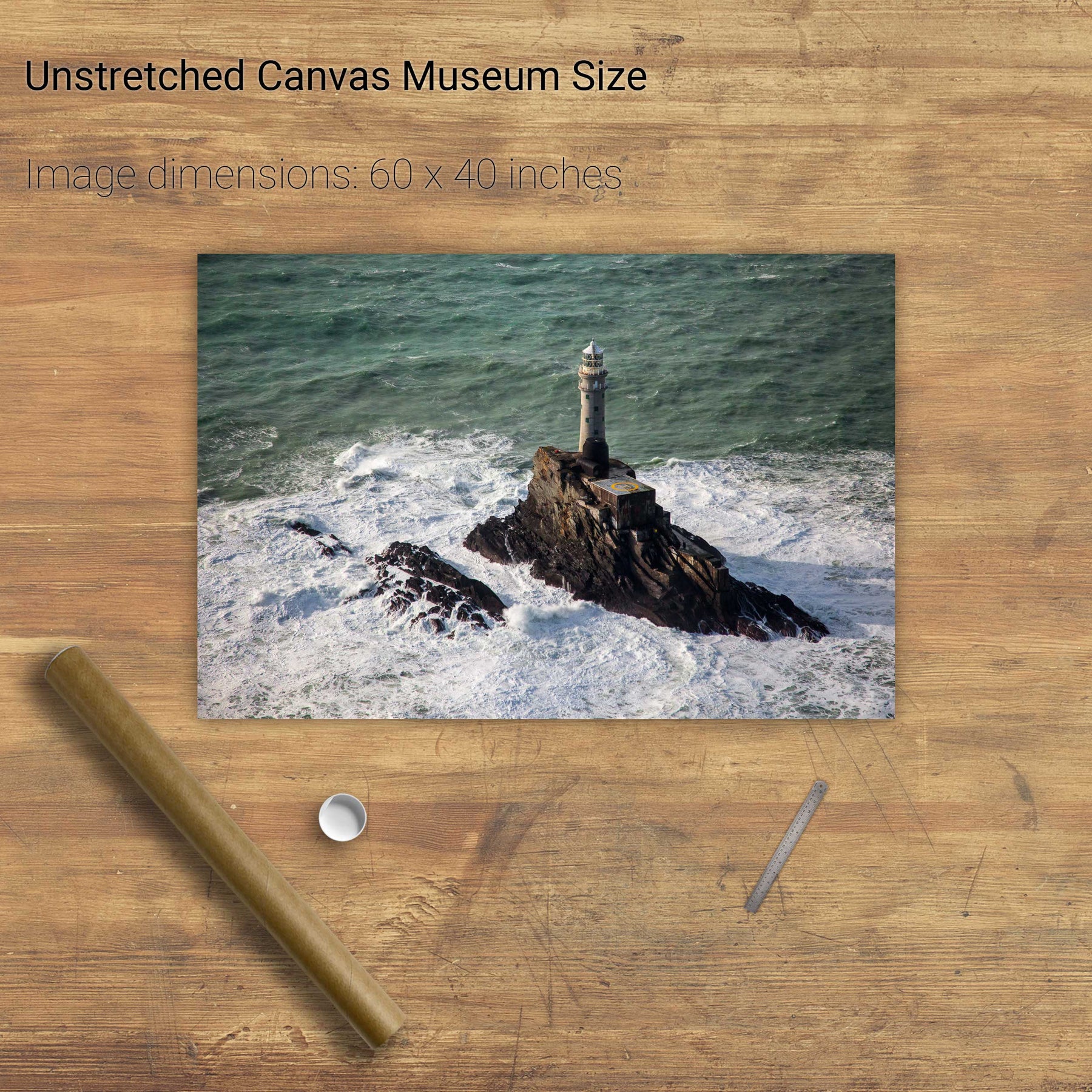
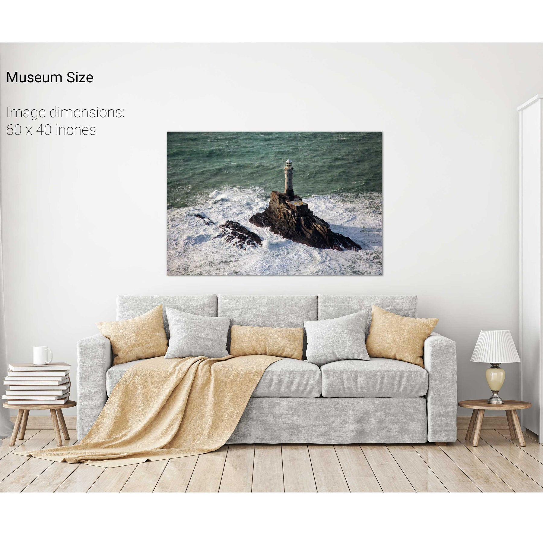
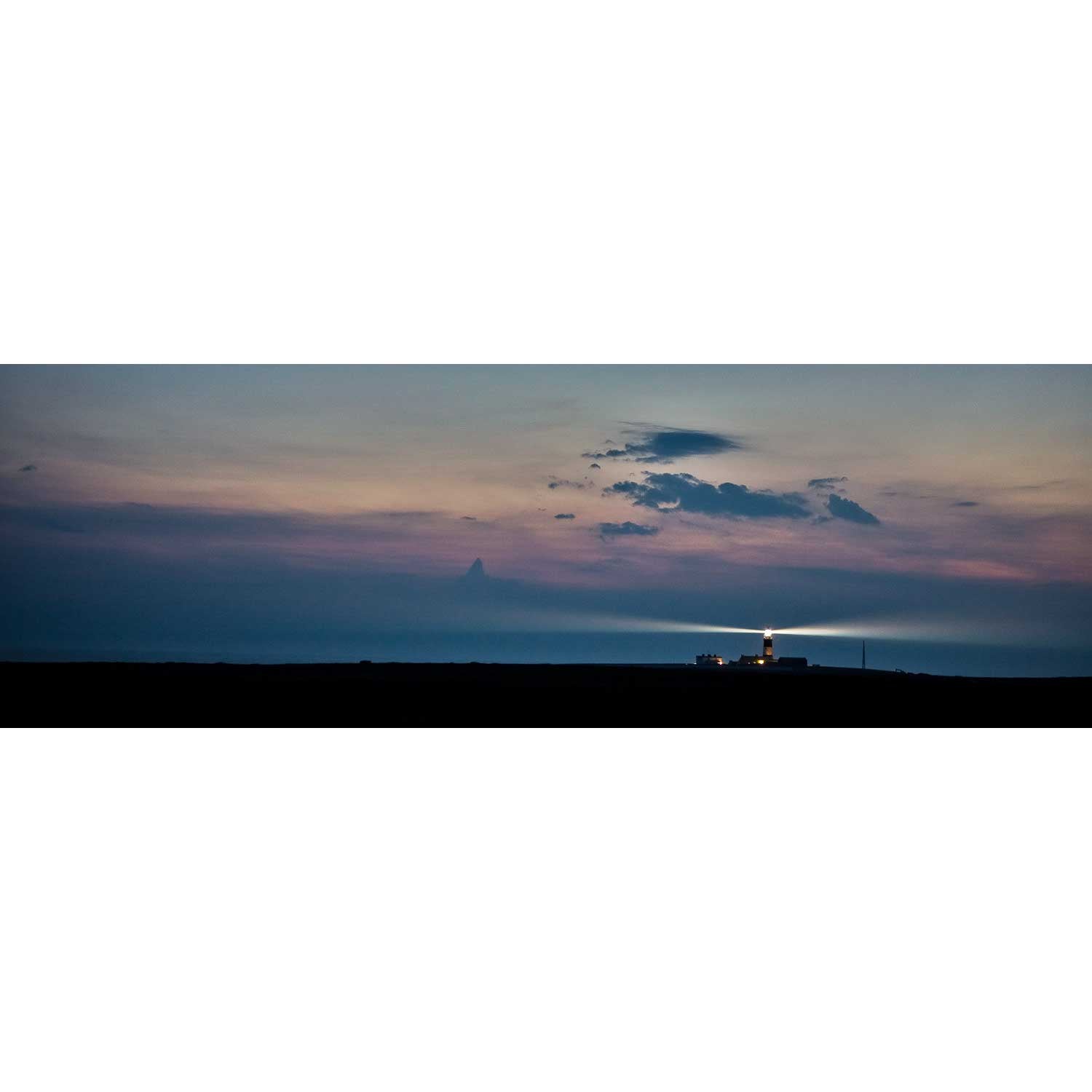
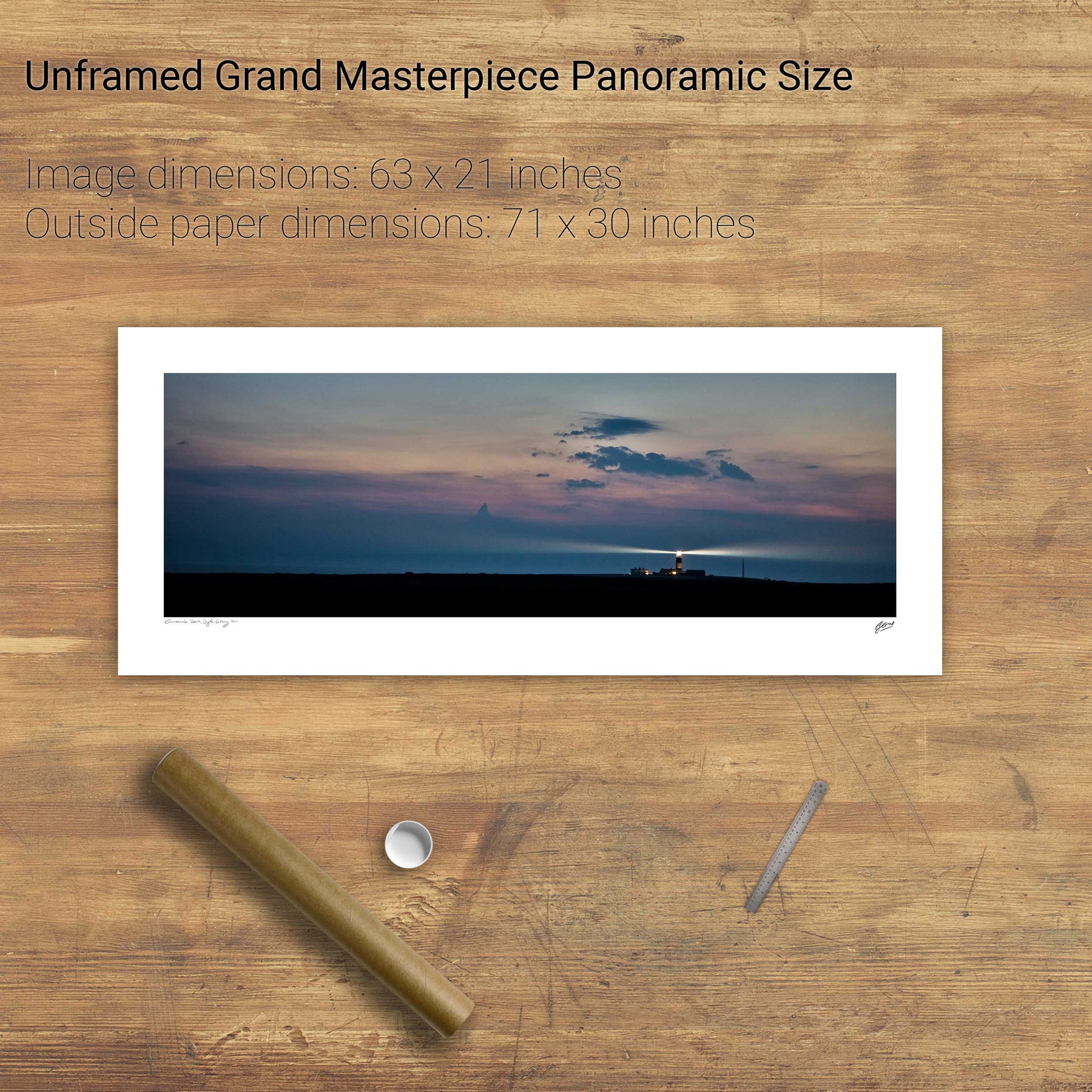
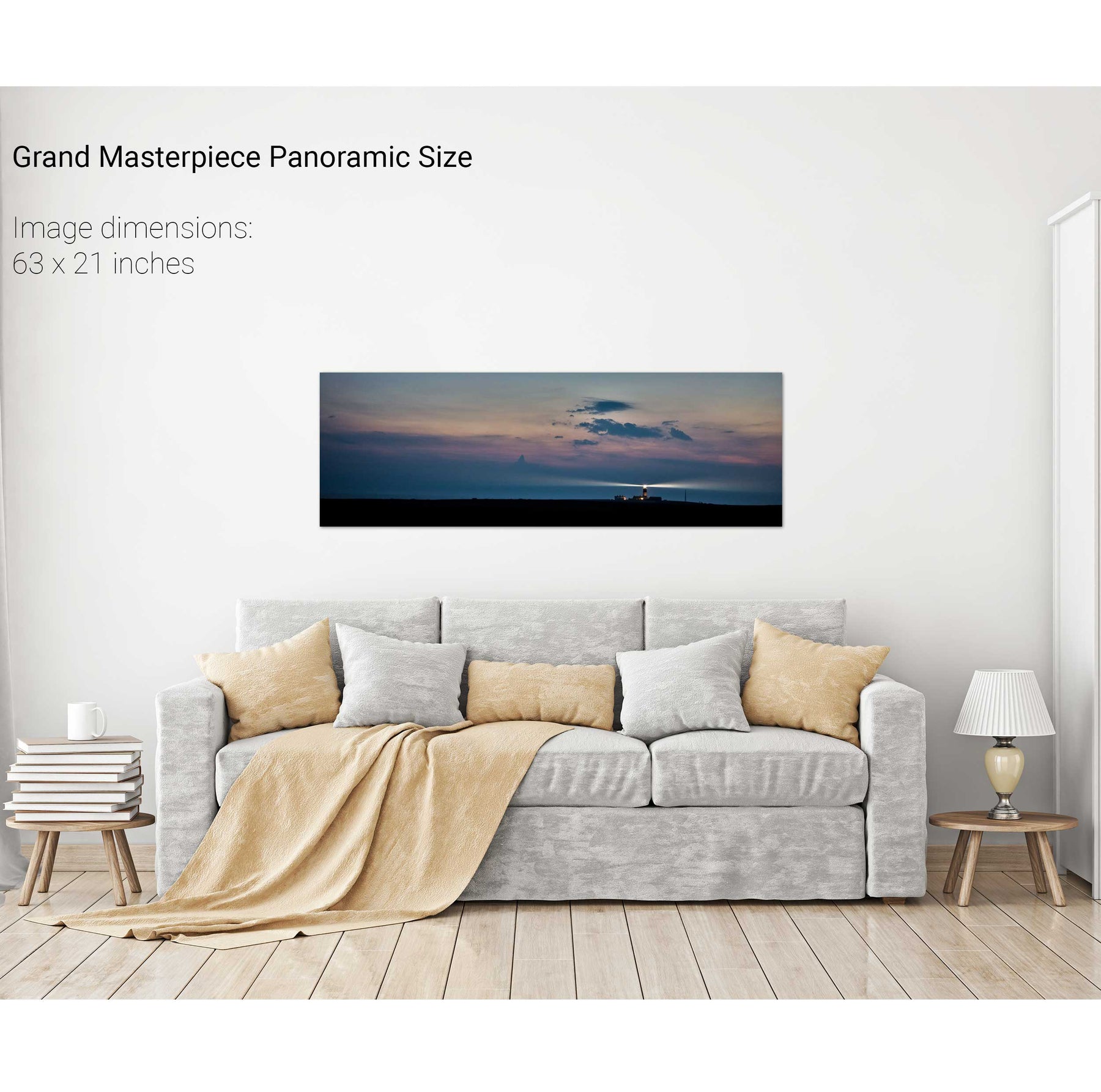
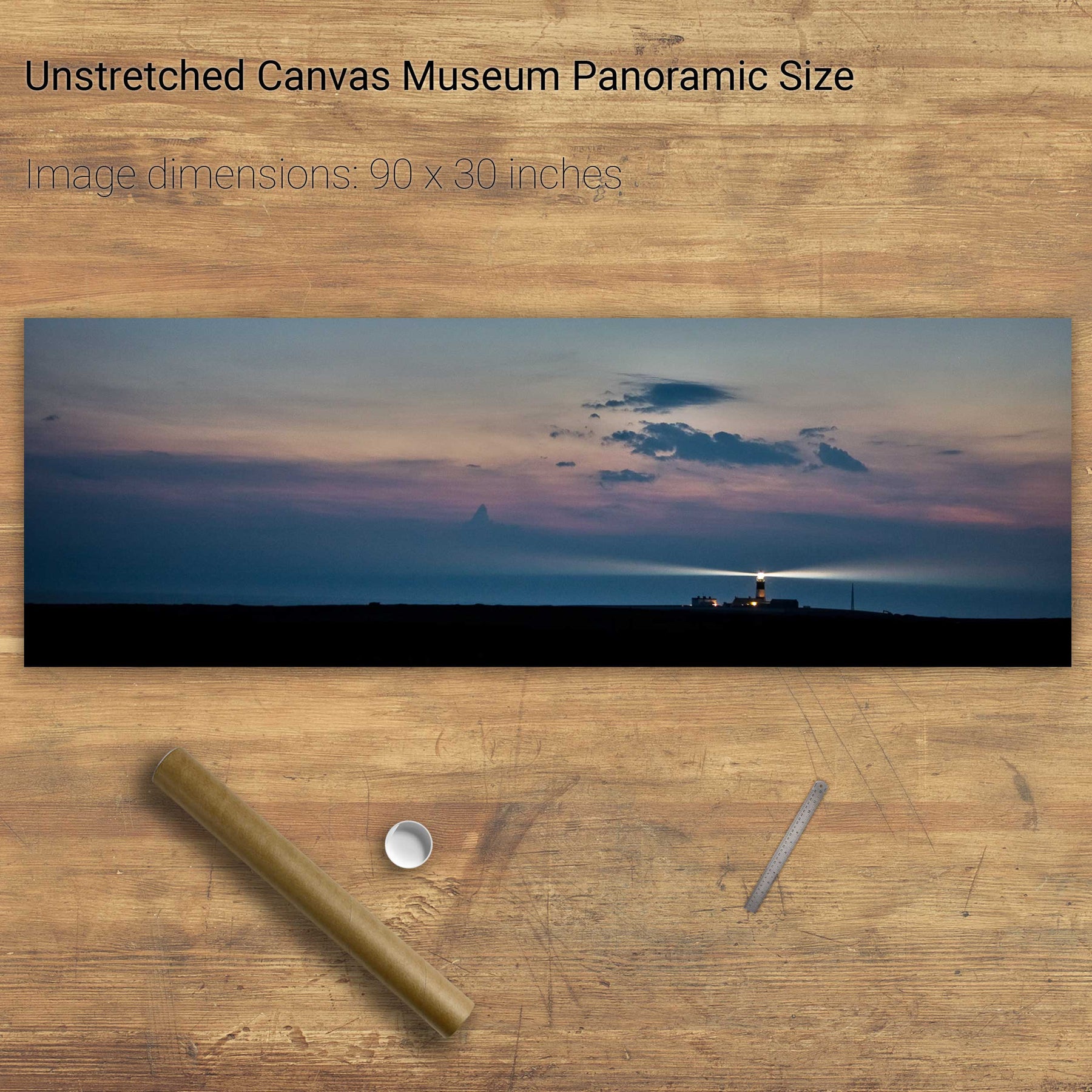
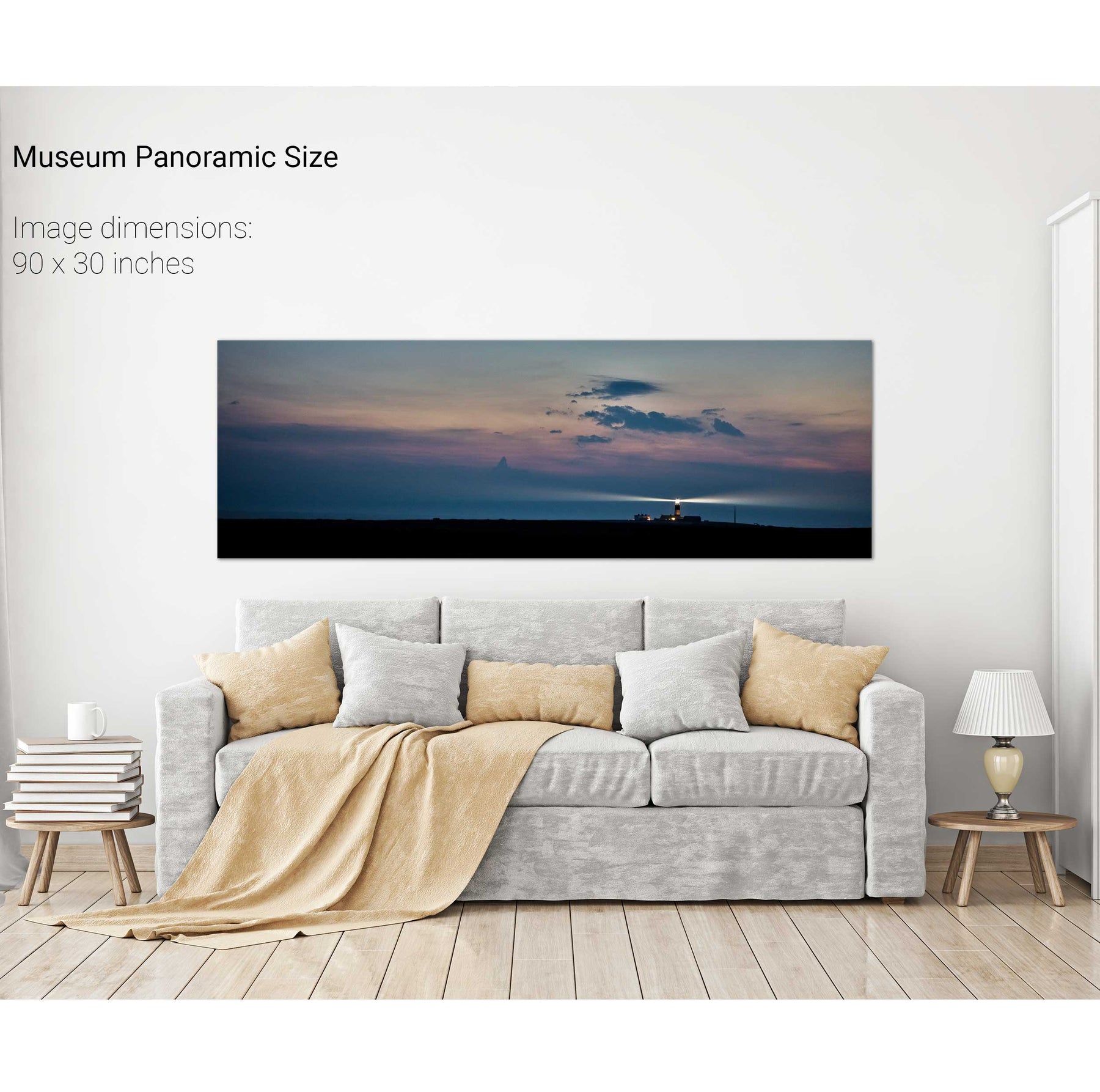
The Fastnet Lighthouse, Co. Cork


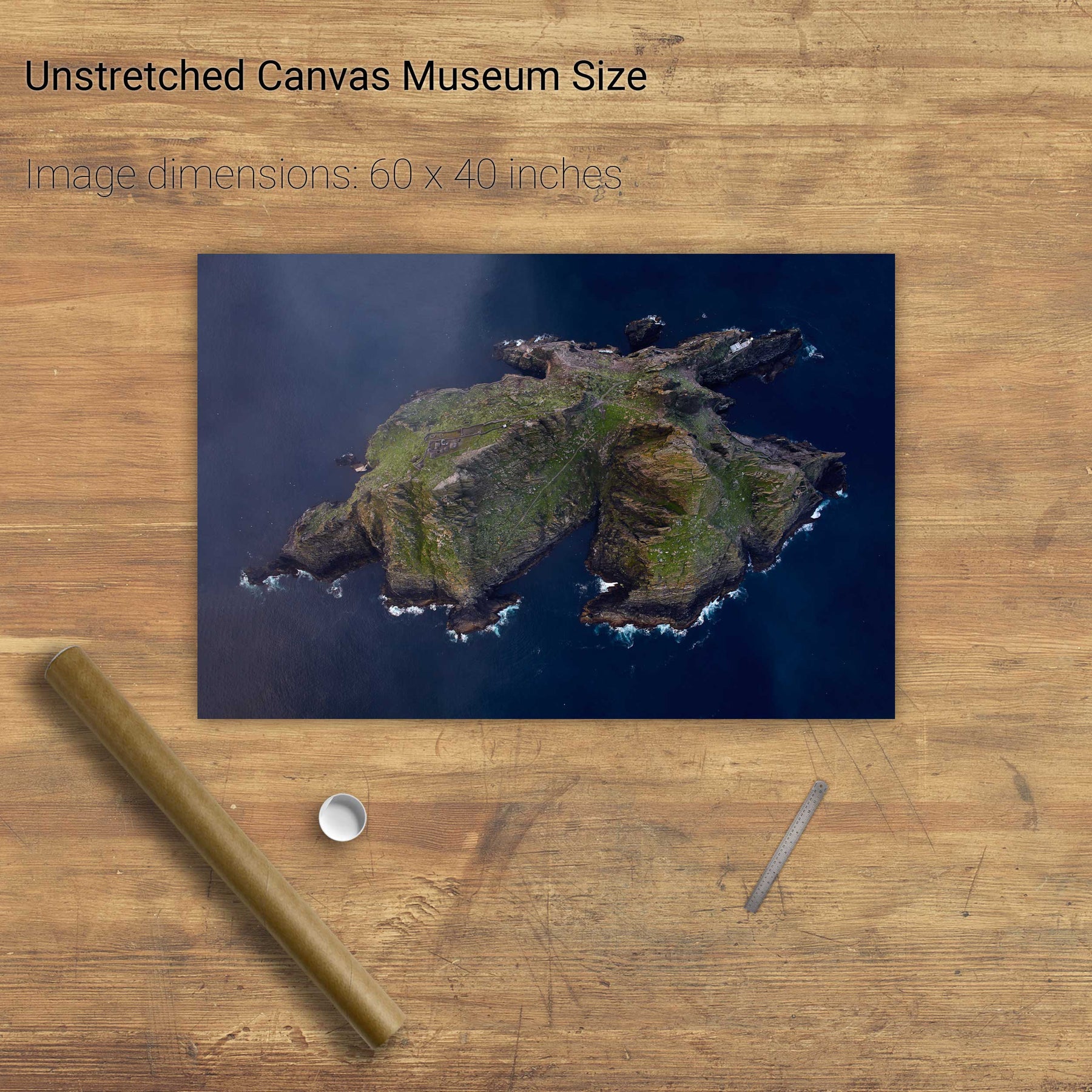
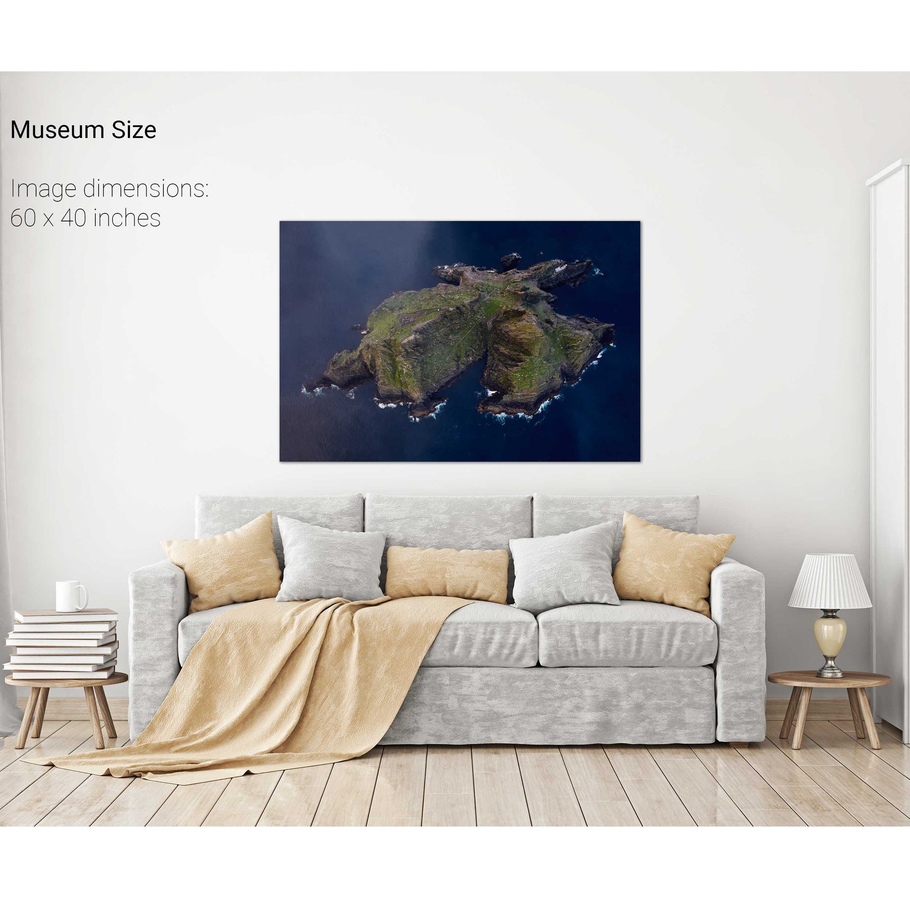
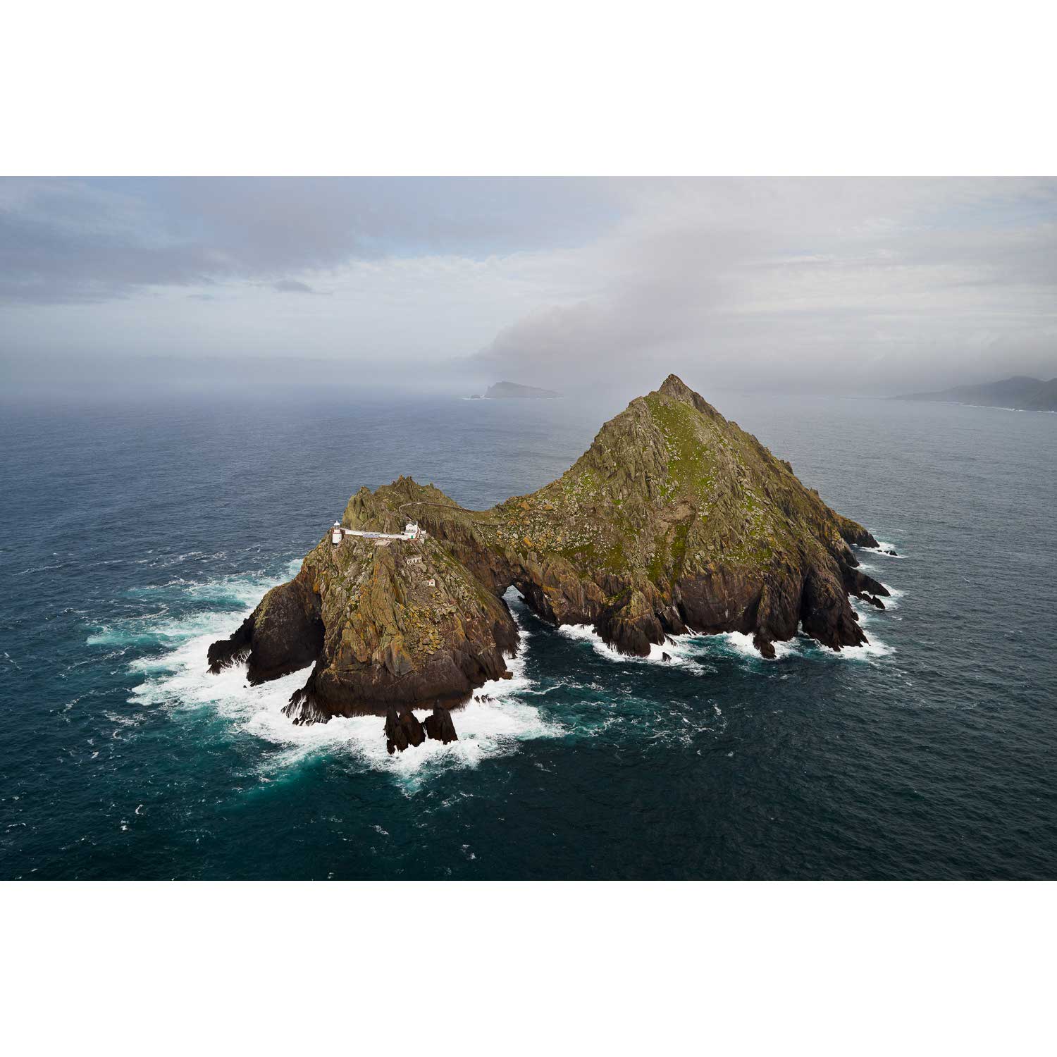
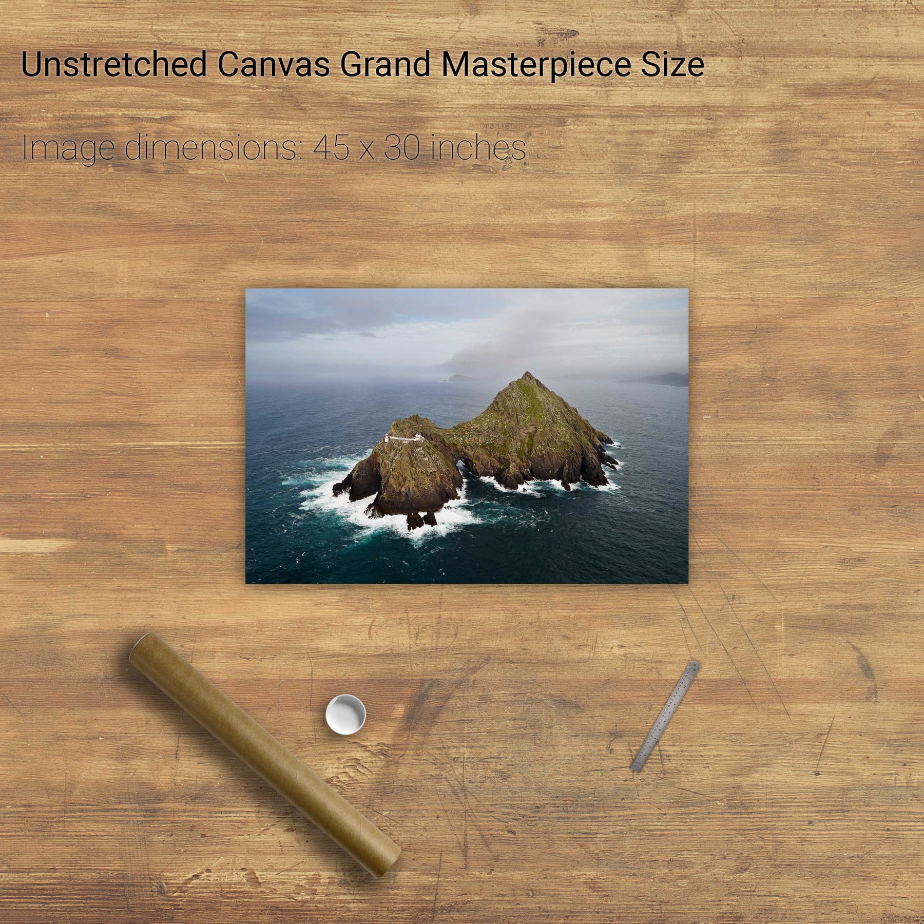
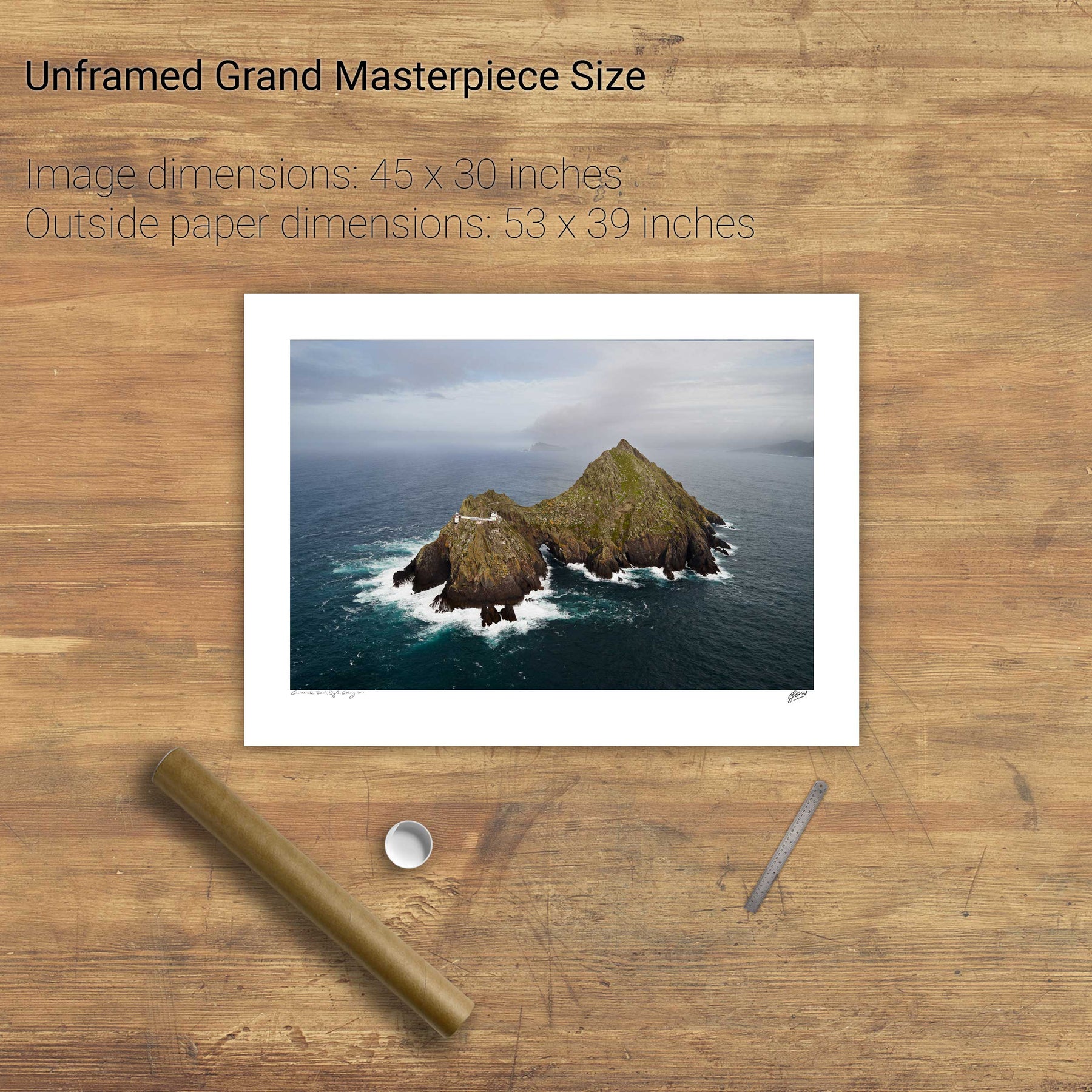
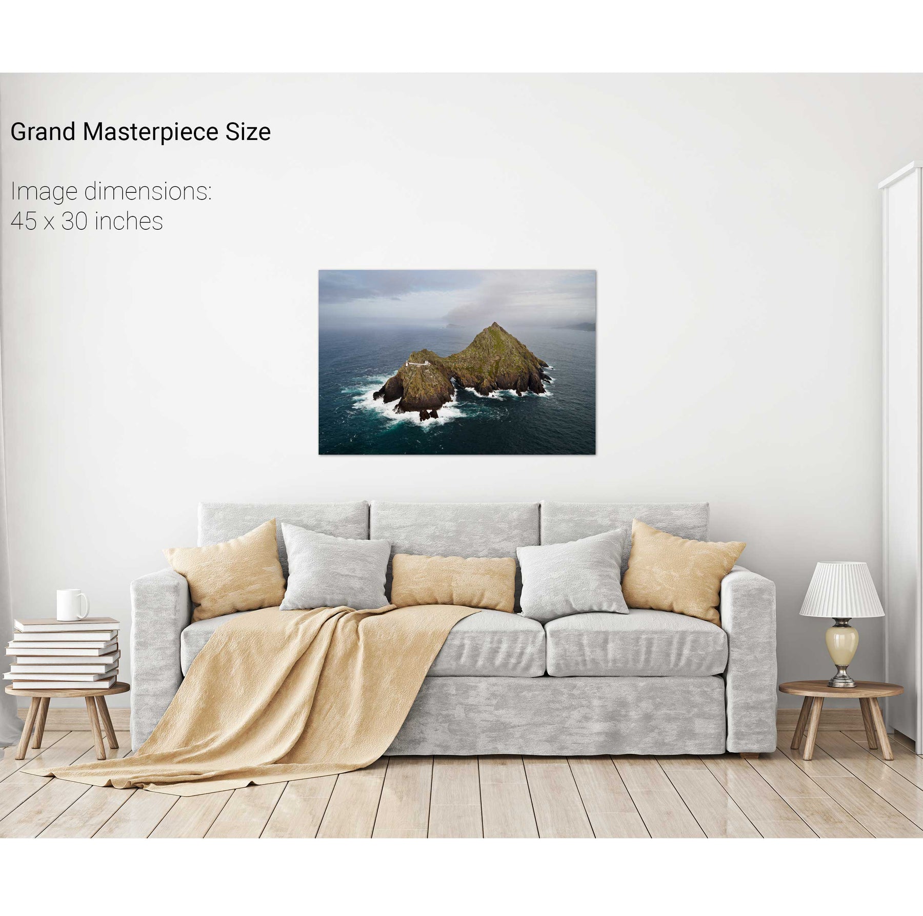
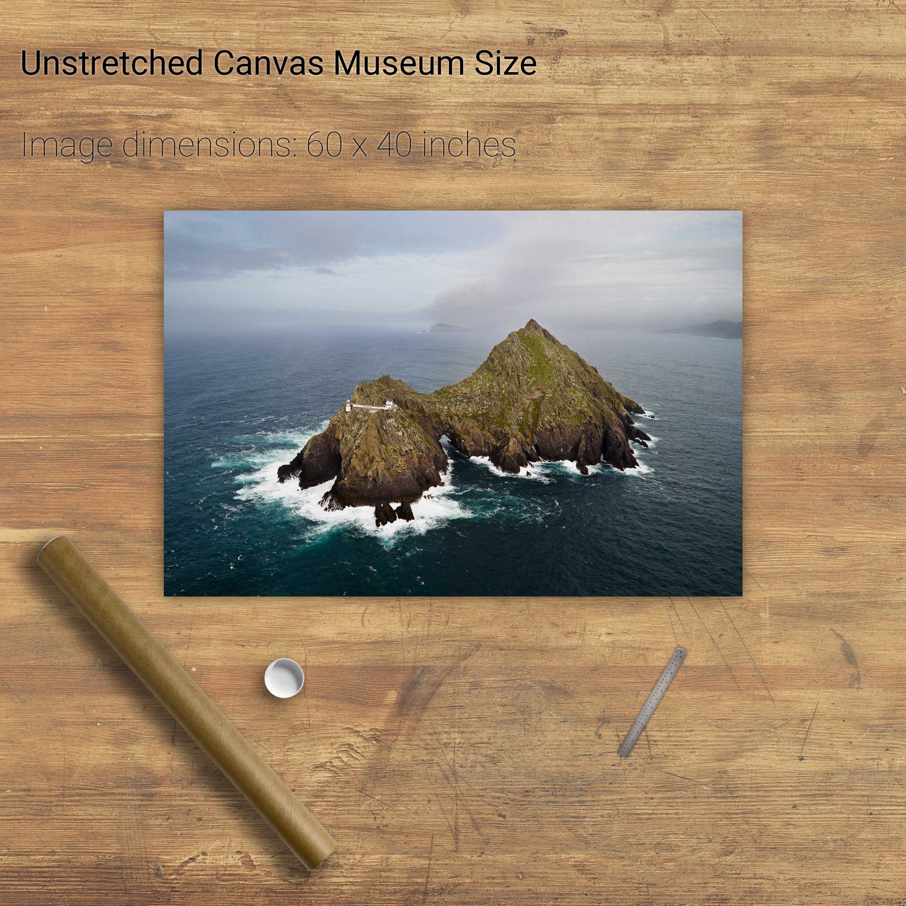
Skellig Michael from Above, Kerry


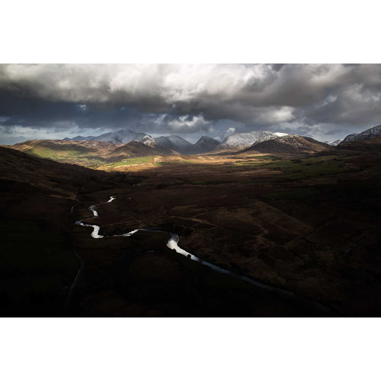
Glencar, Co. Kerry


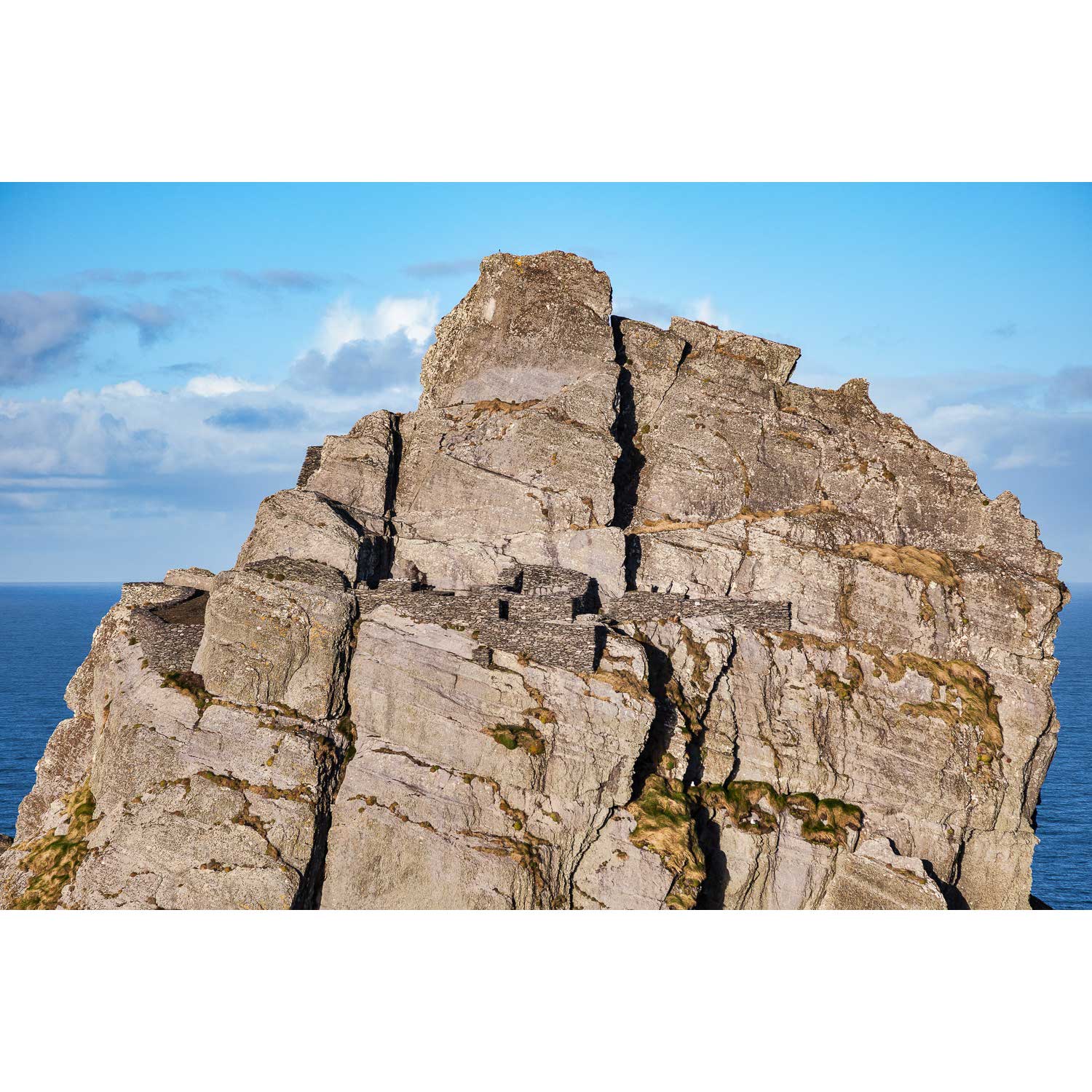
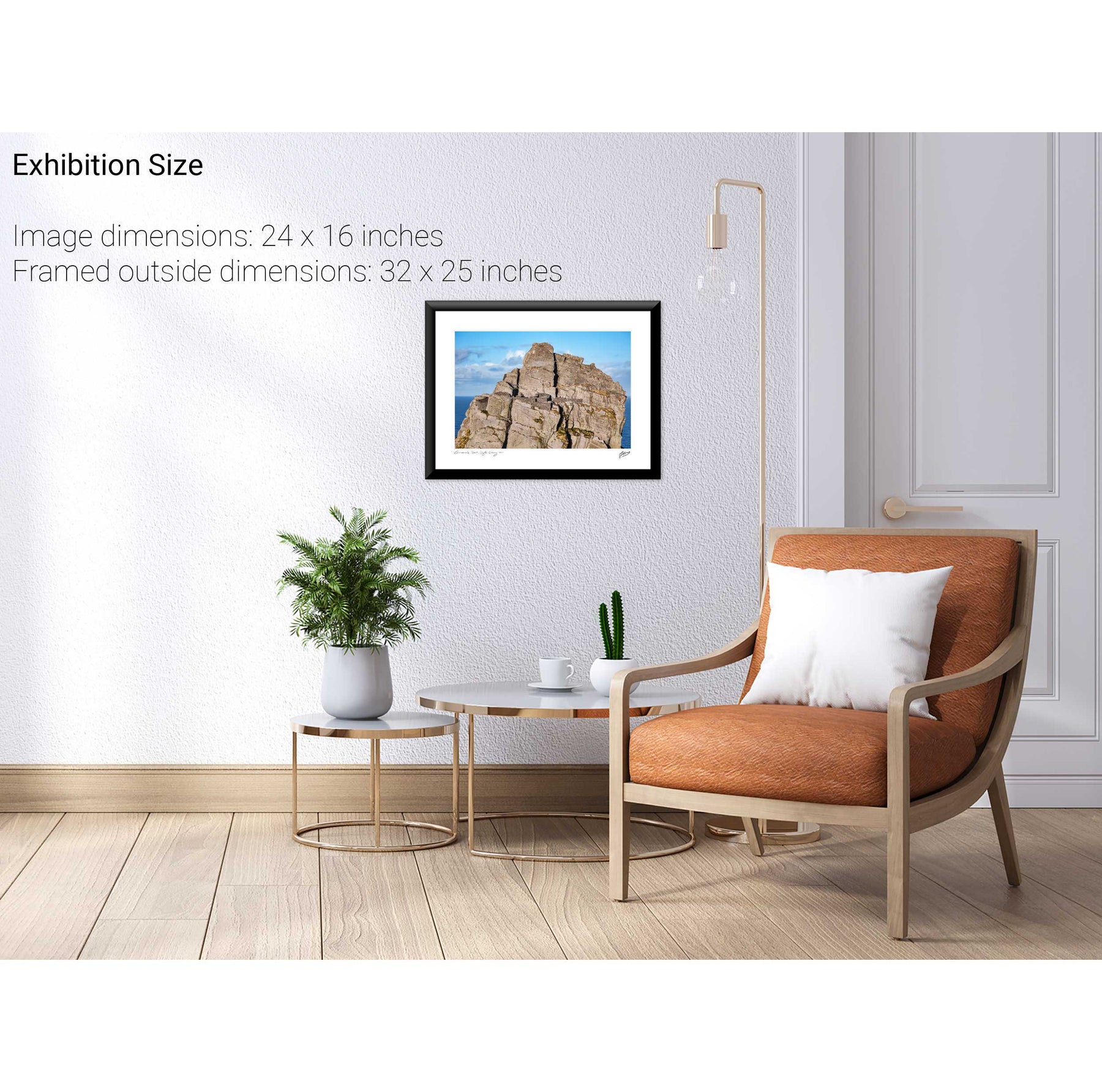
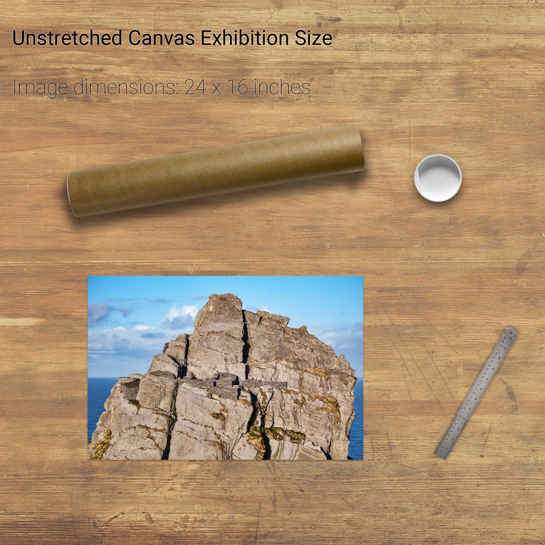
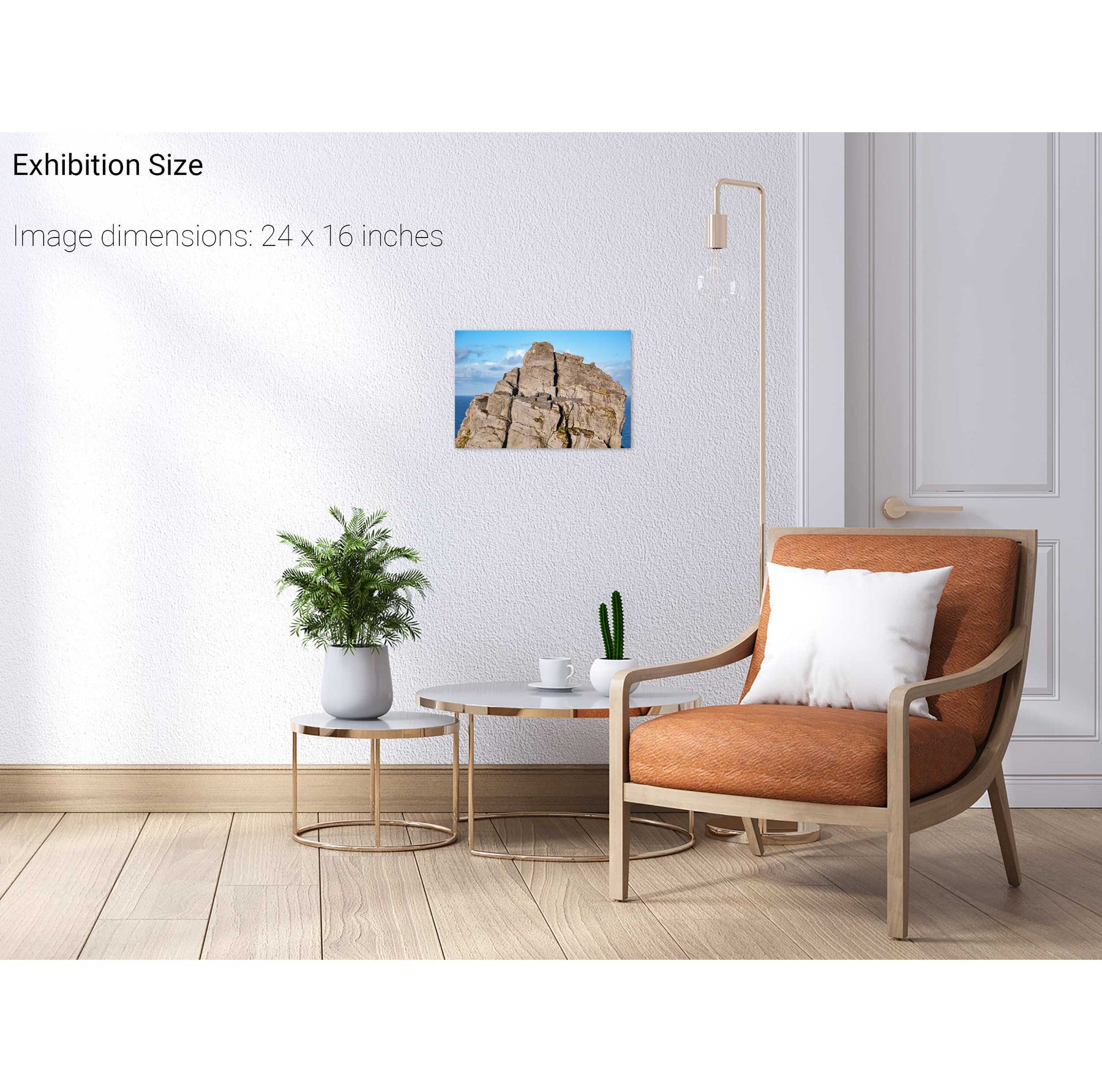
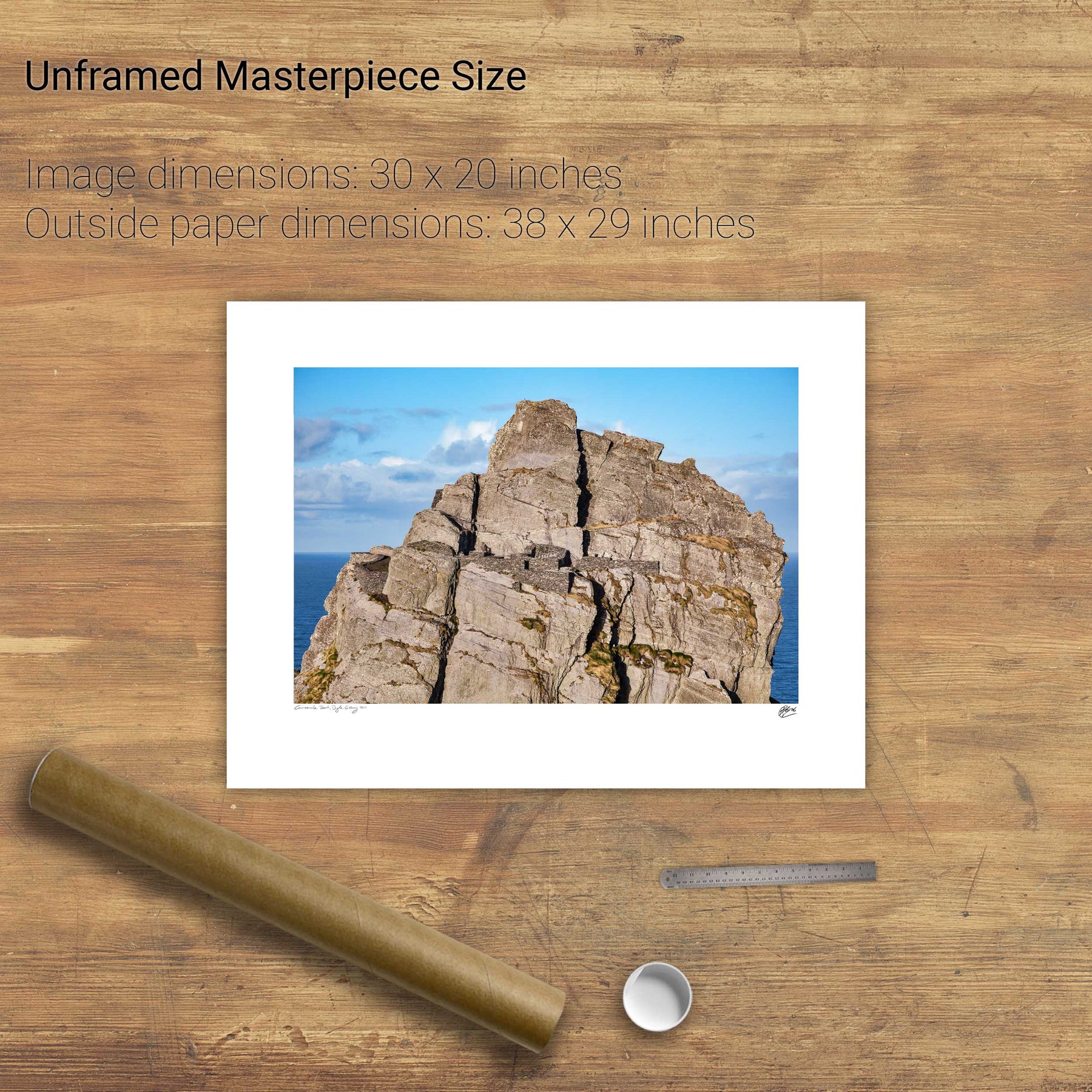
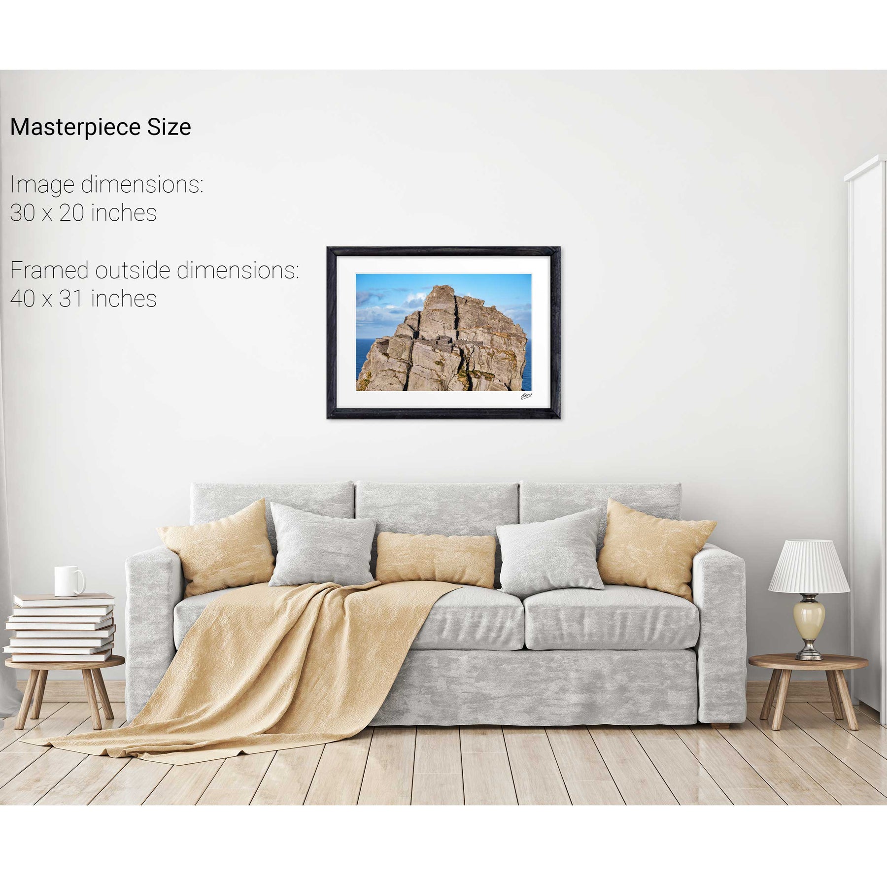
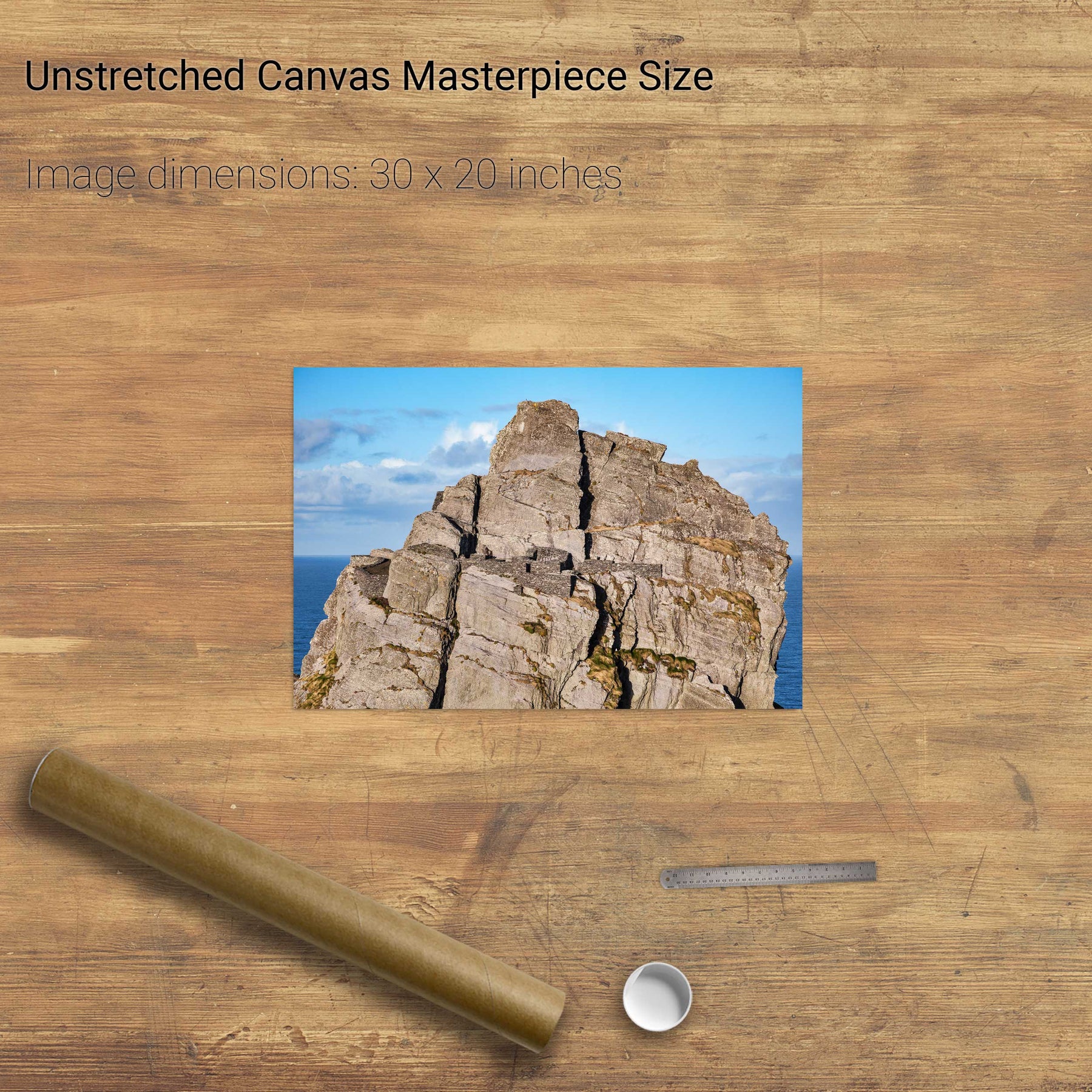
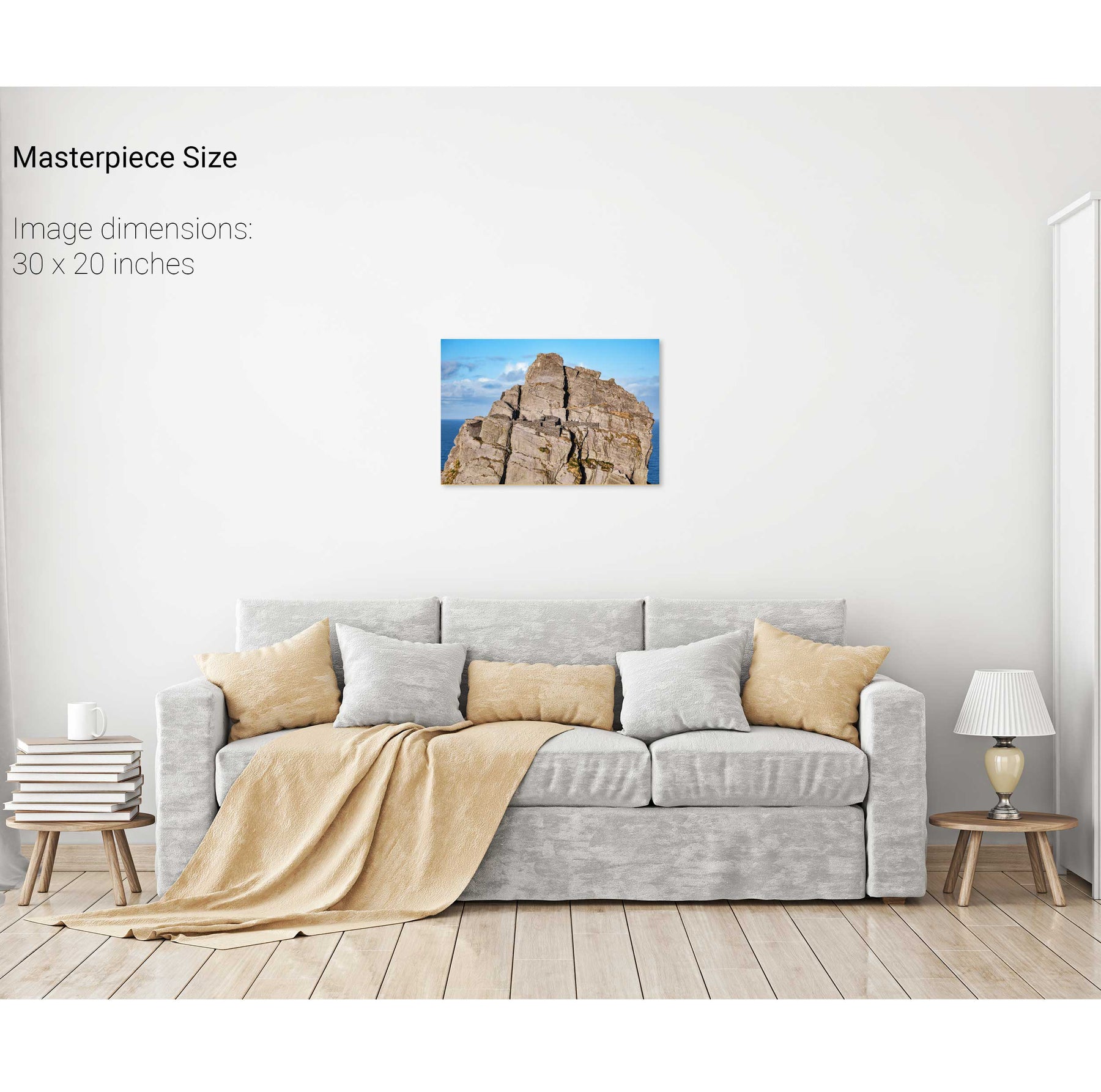
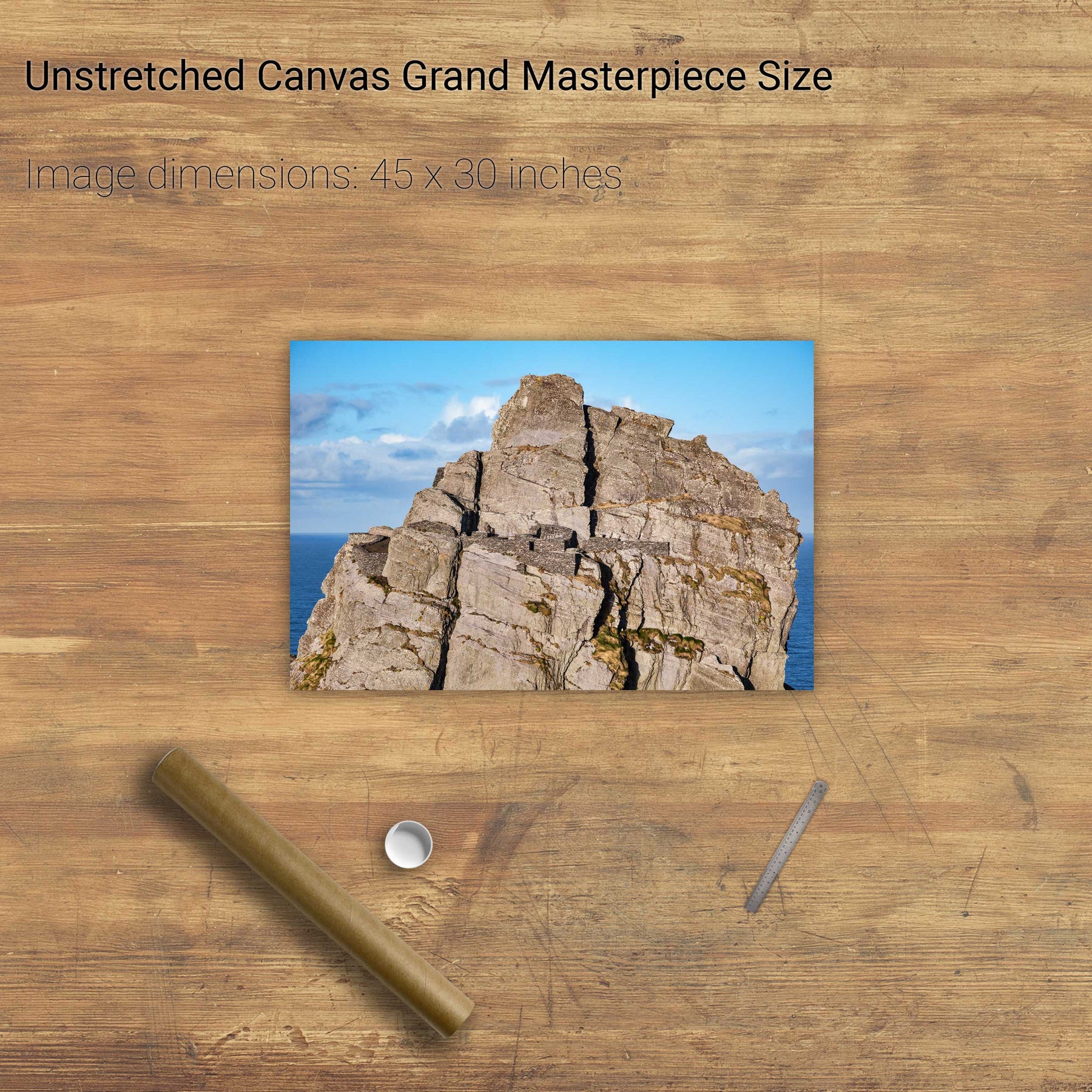
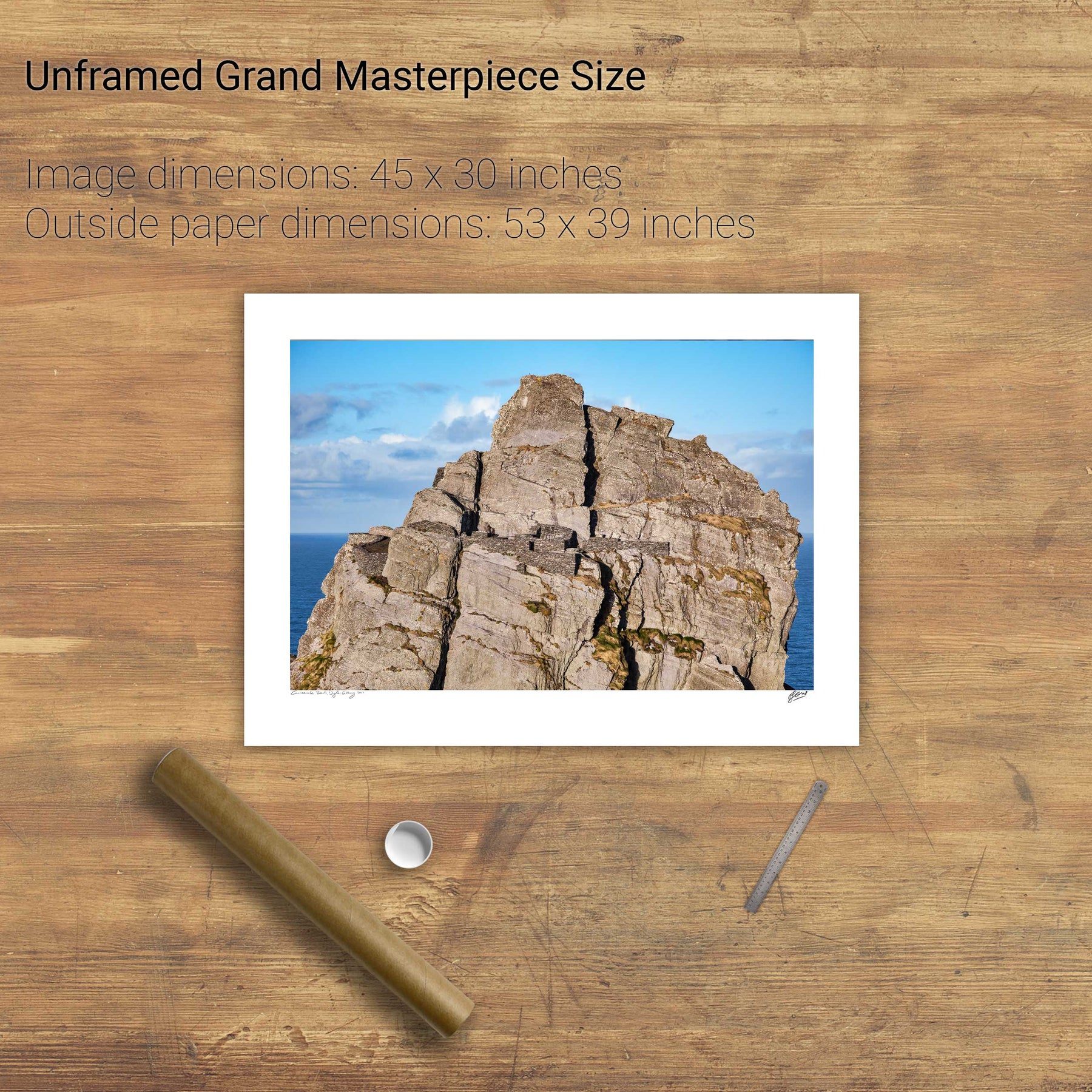
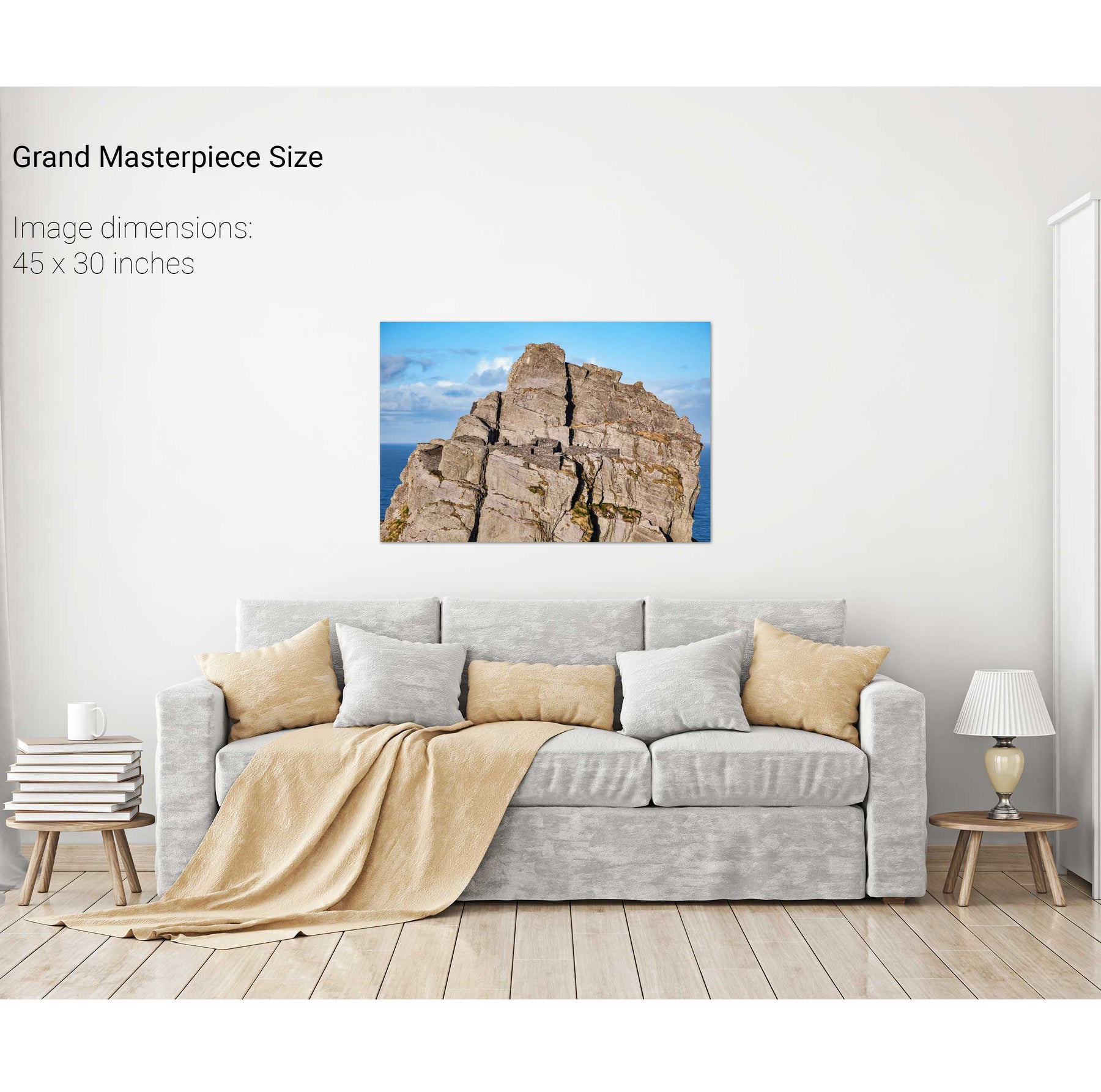
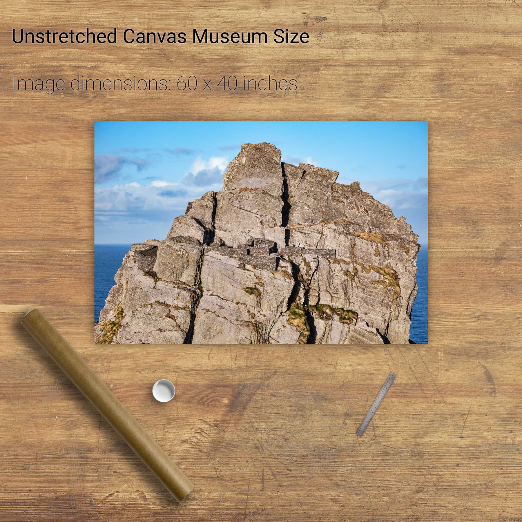
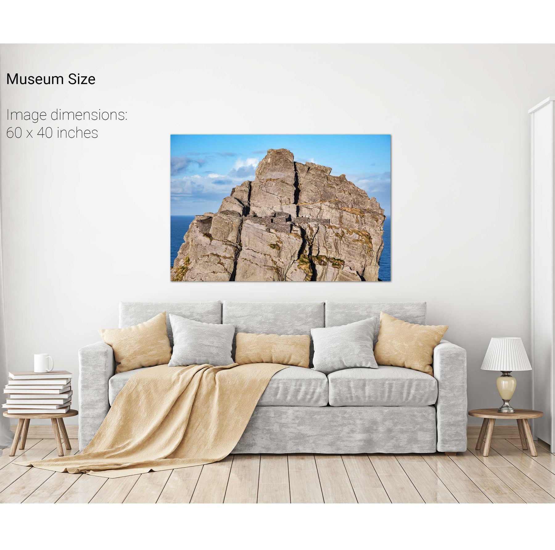
Skellig Michael Hermitage, Co. Kerry


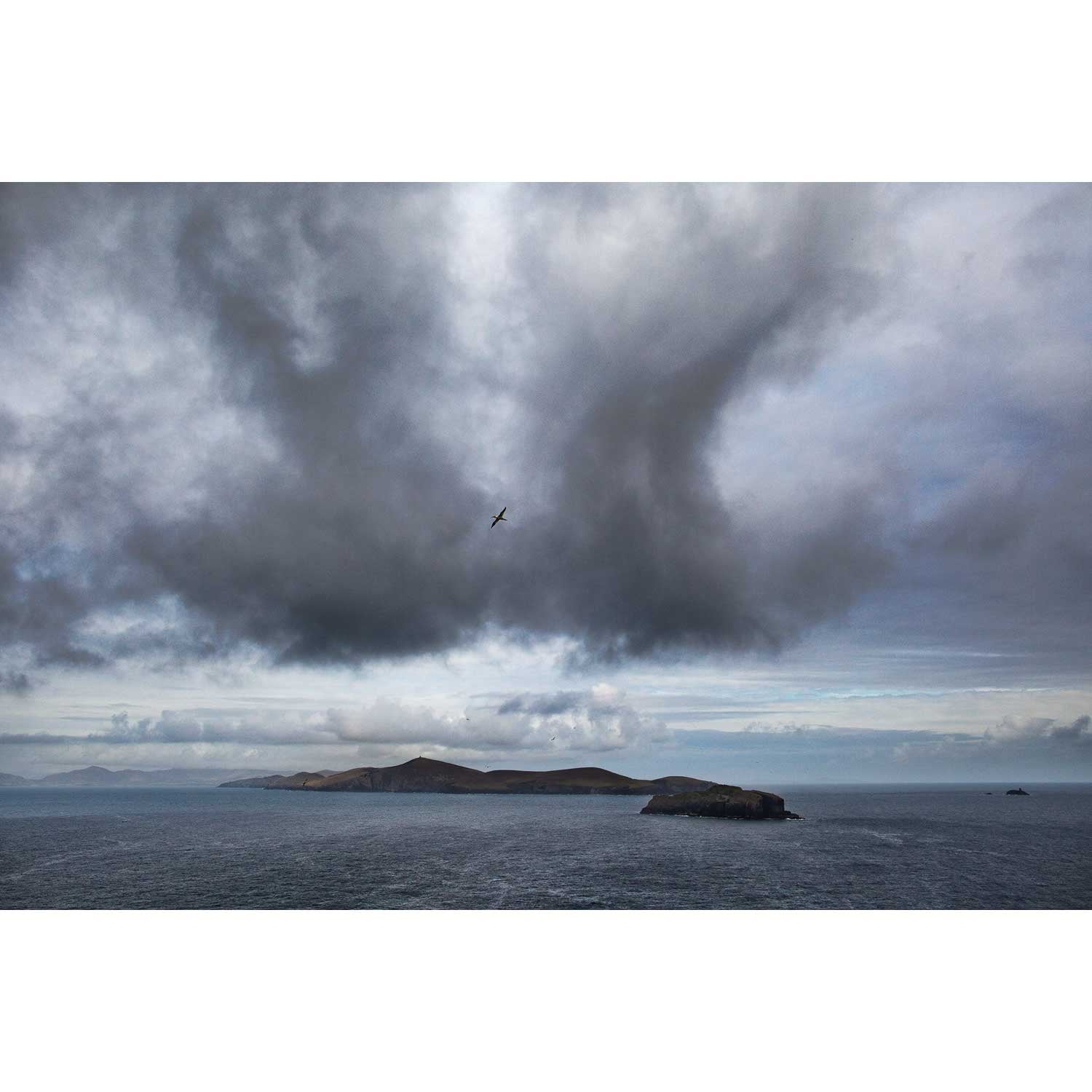
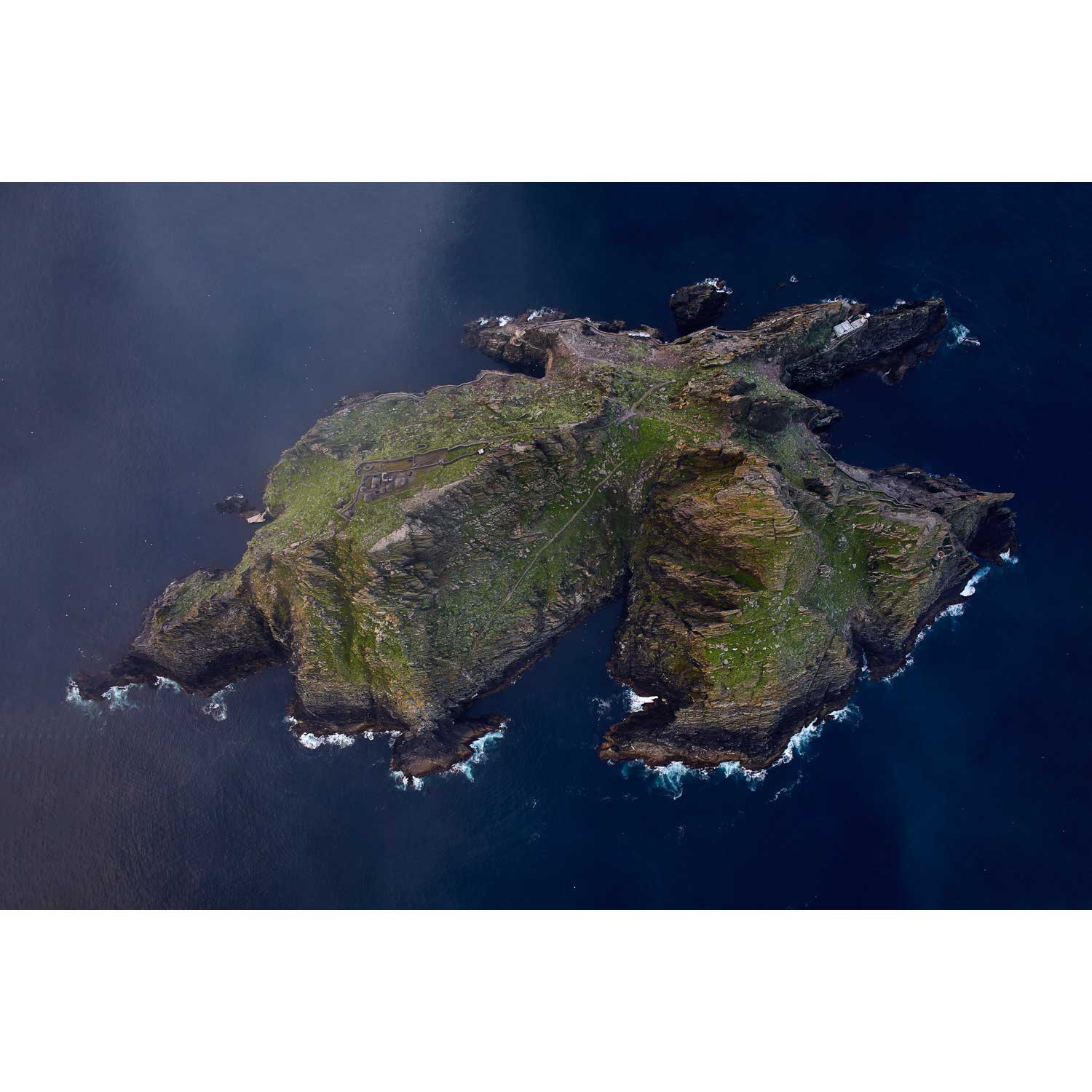
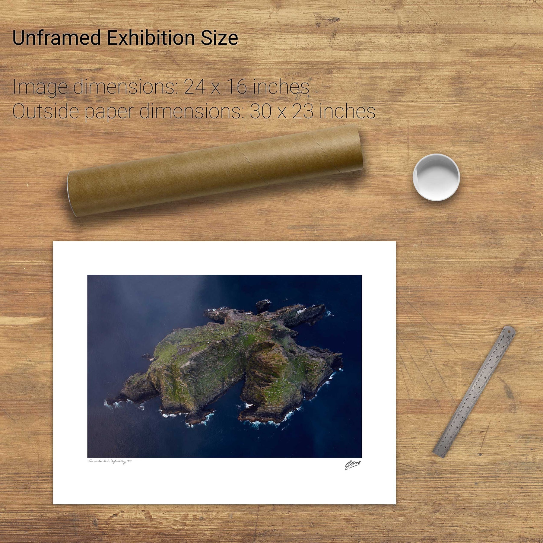
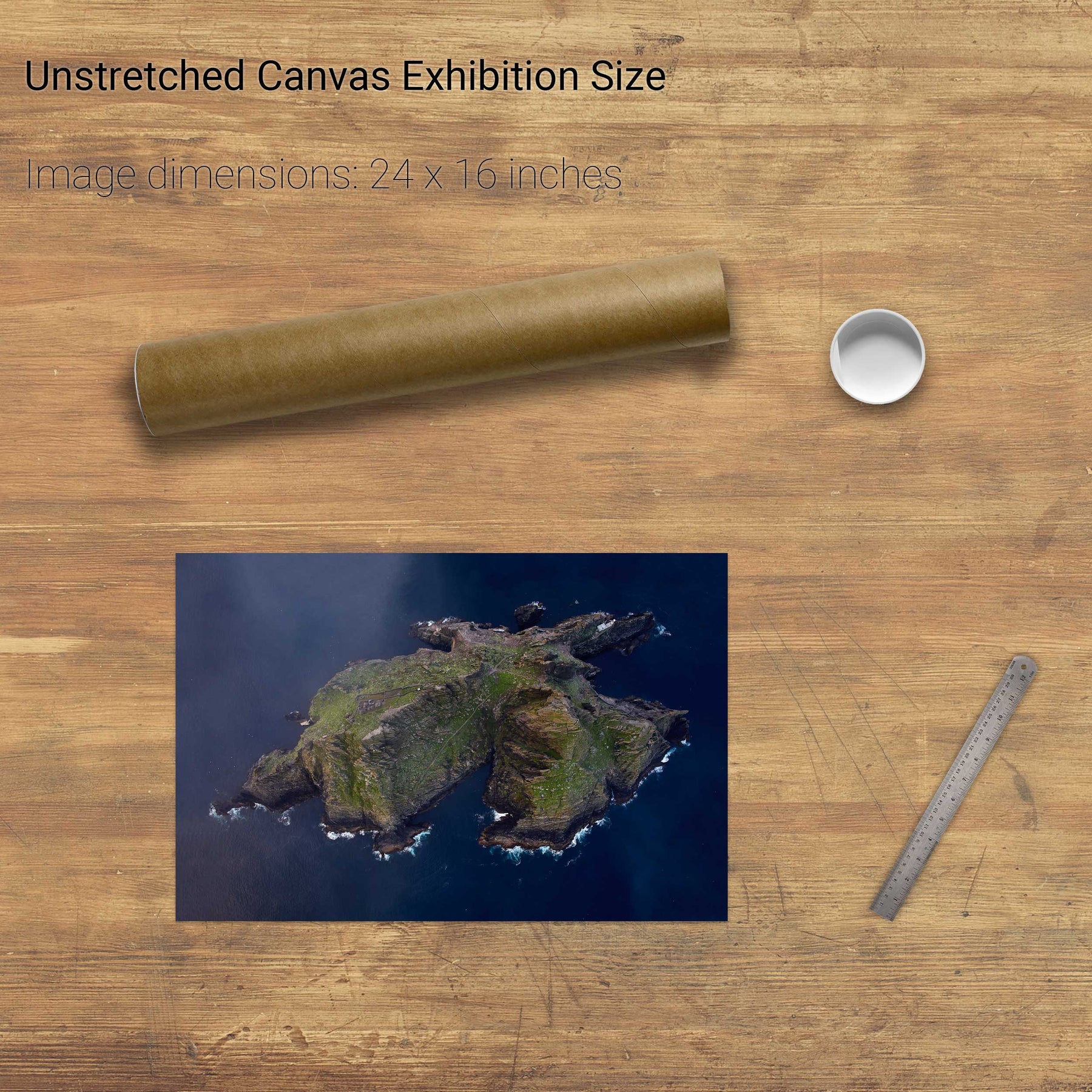
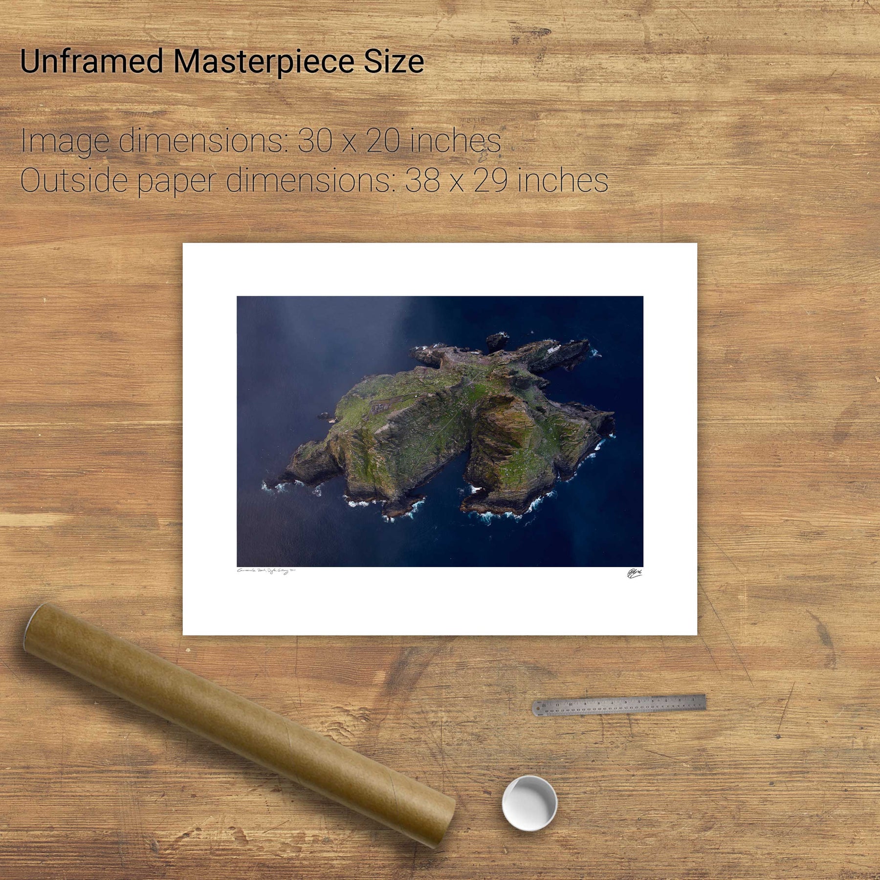
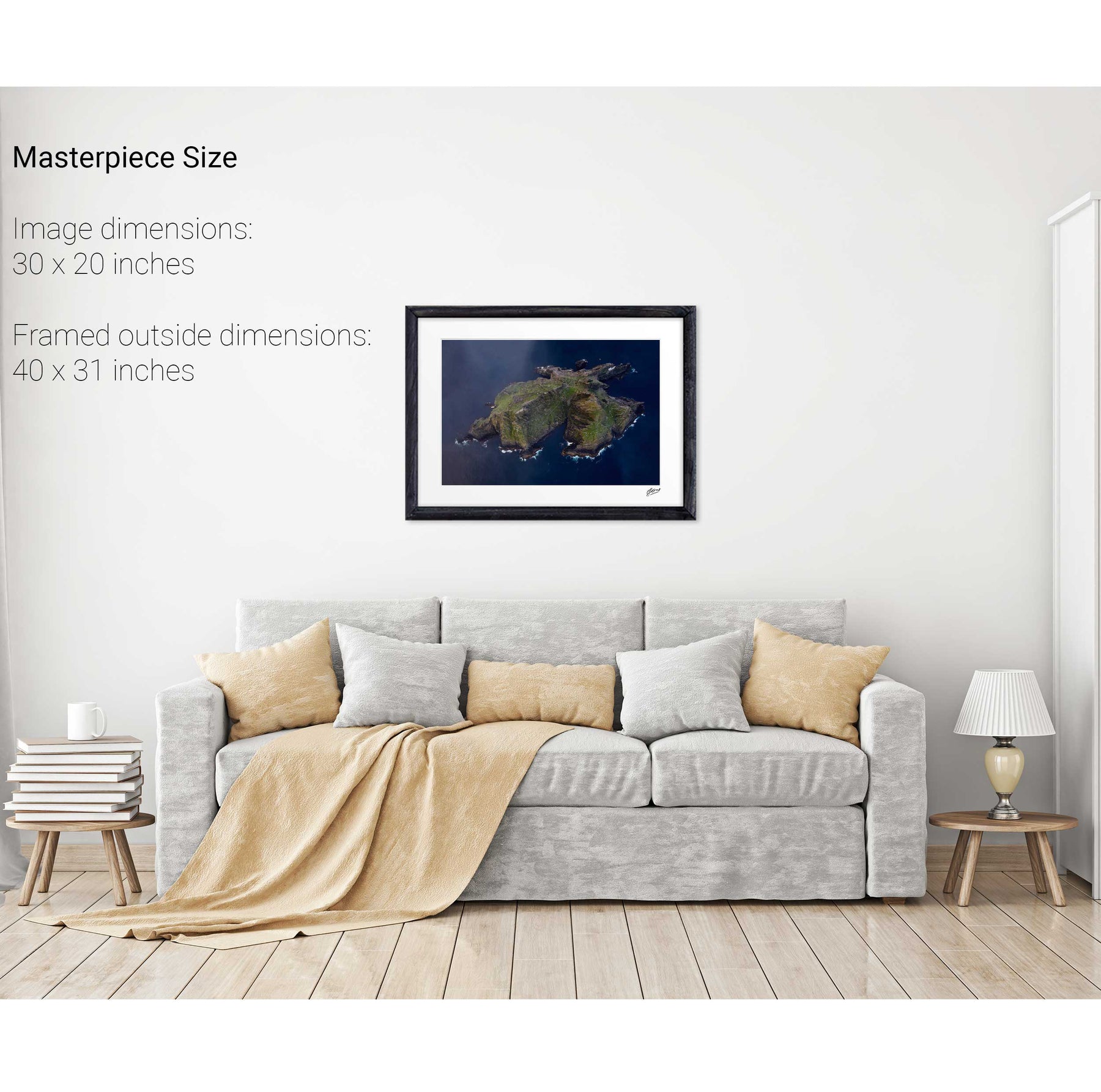
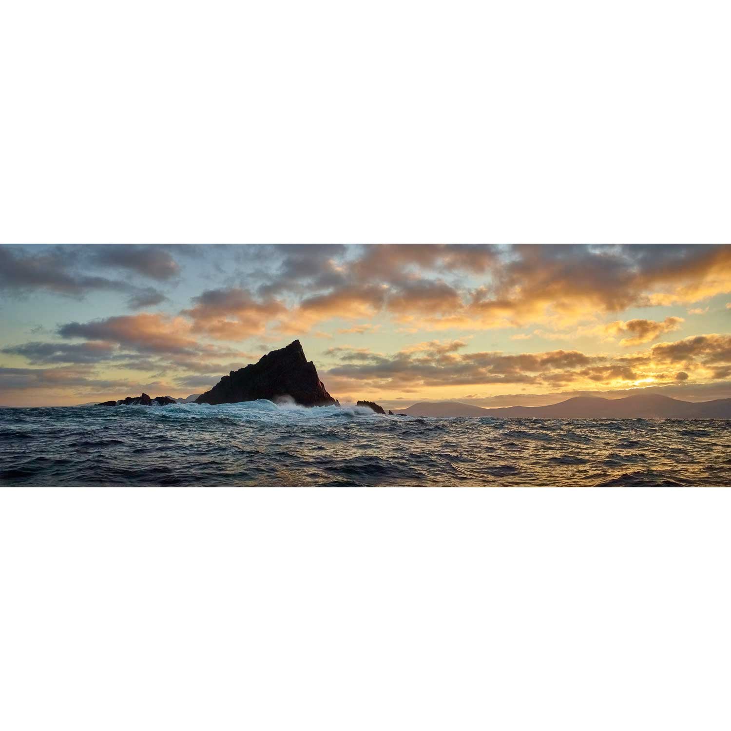
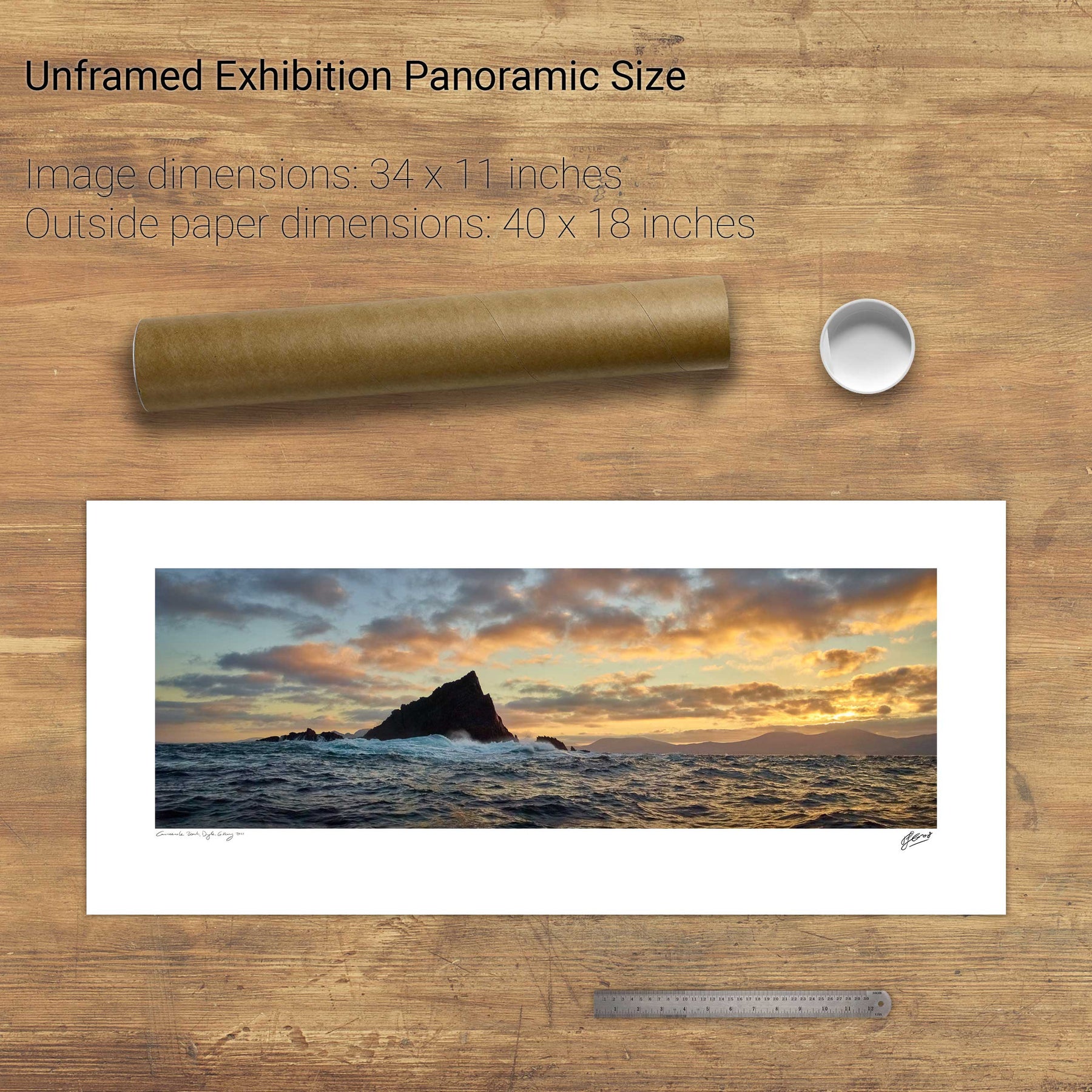
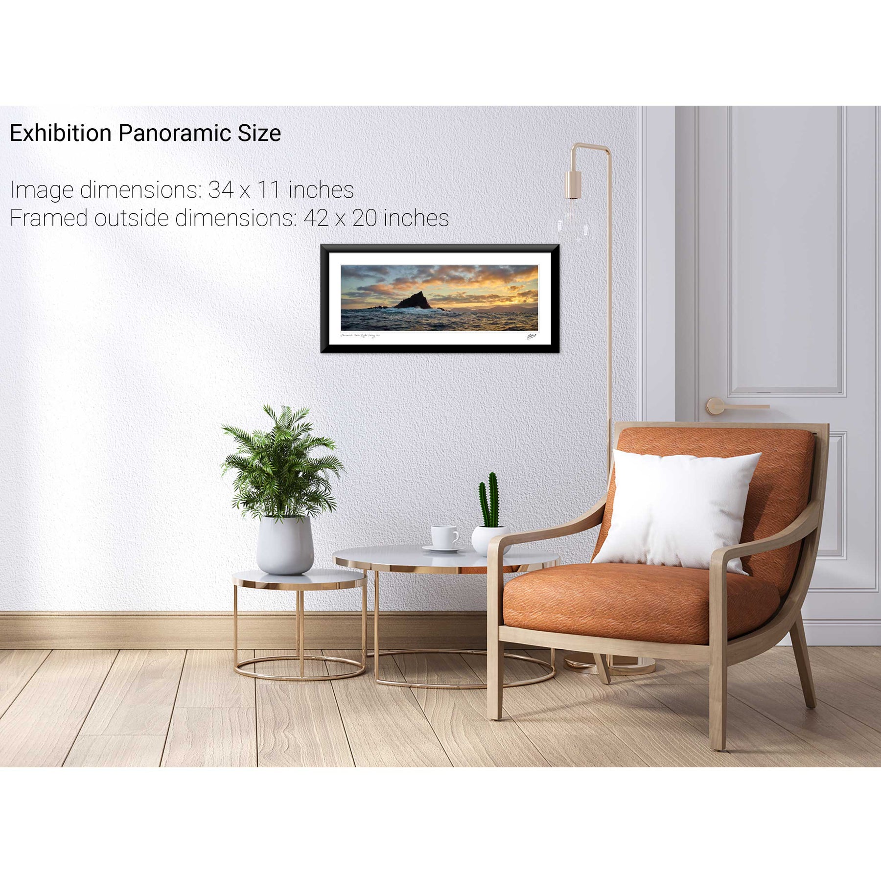
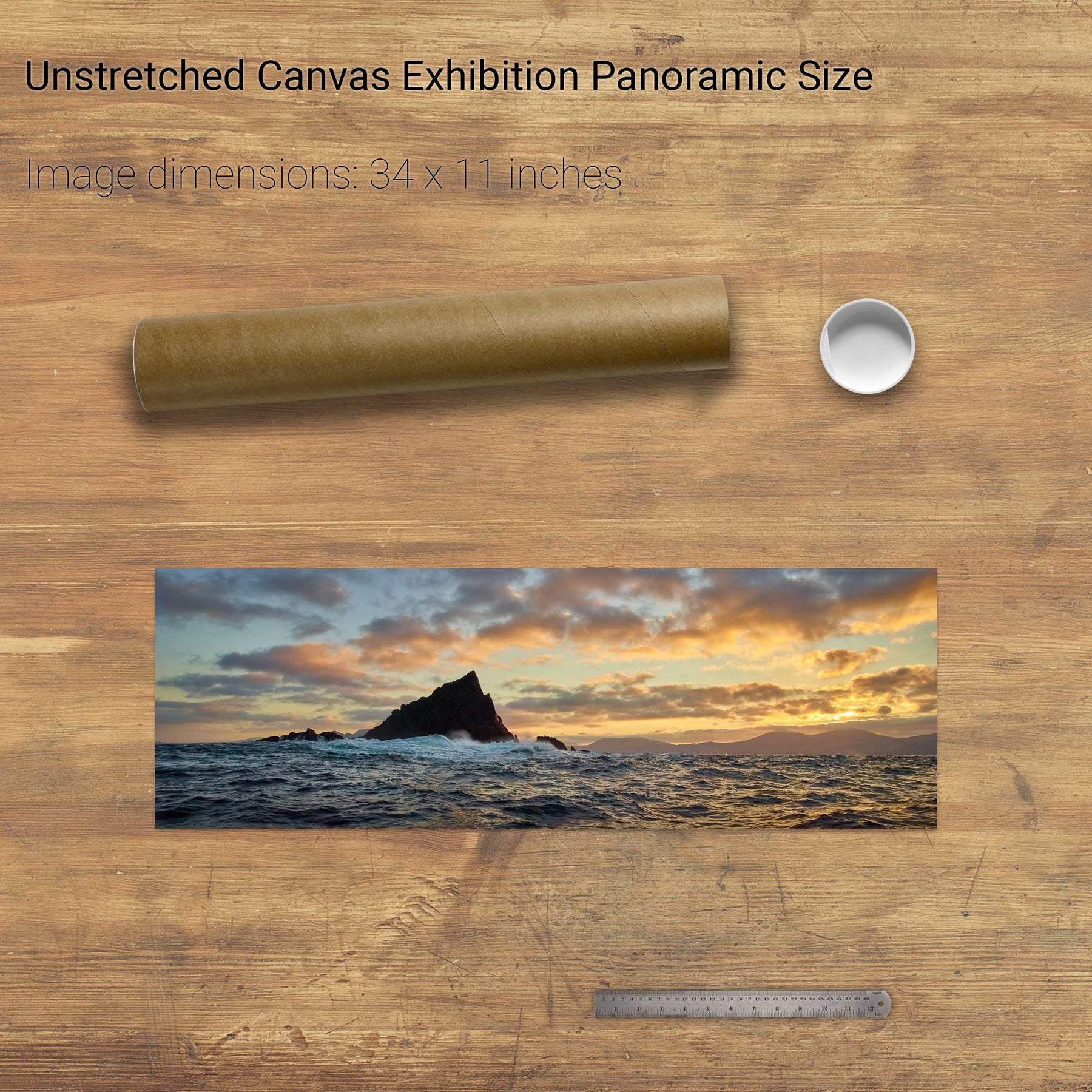
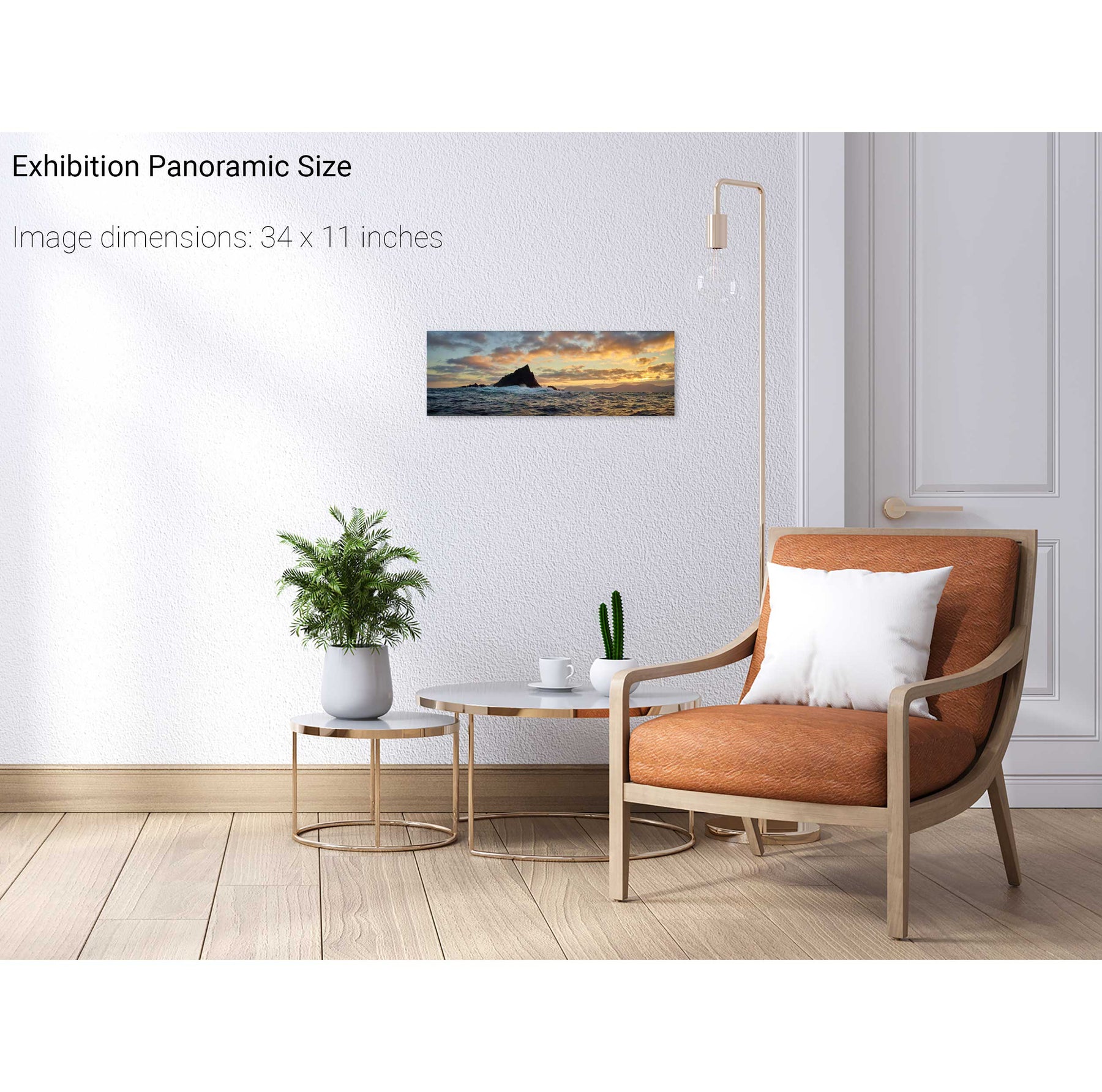
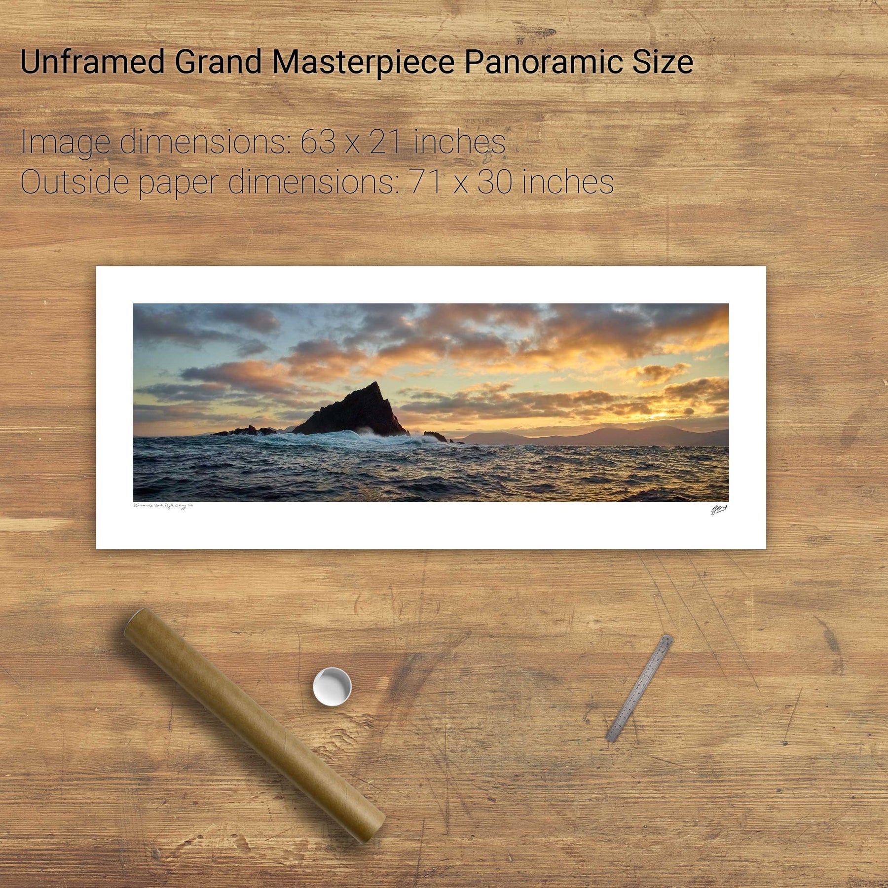
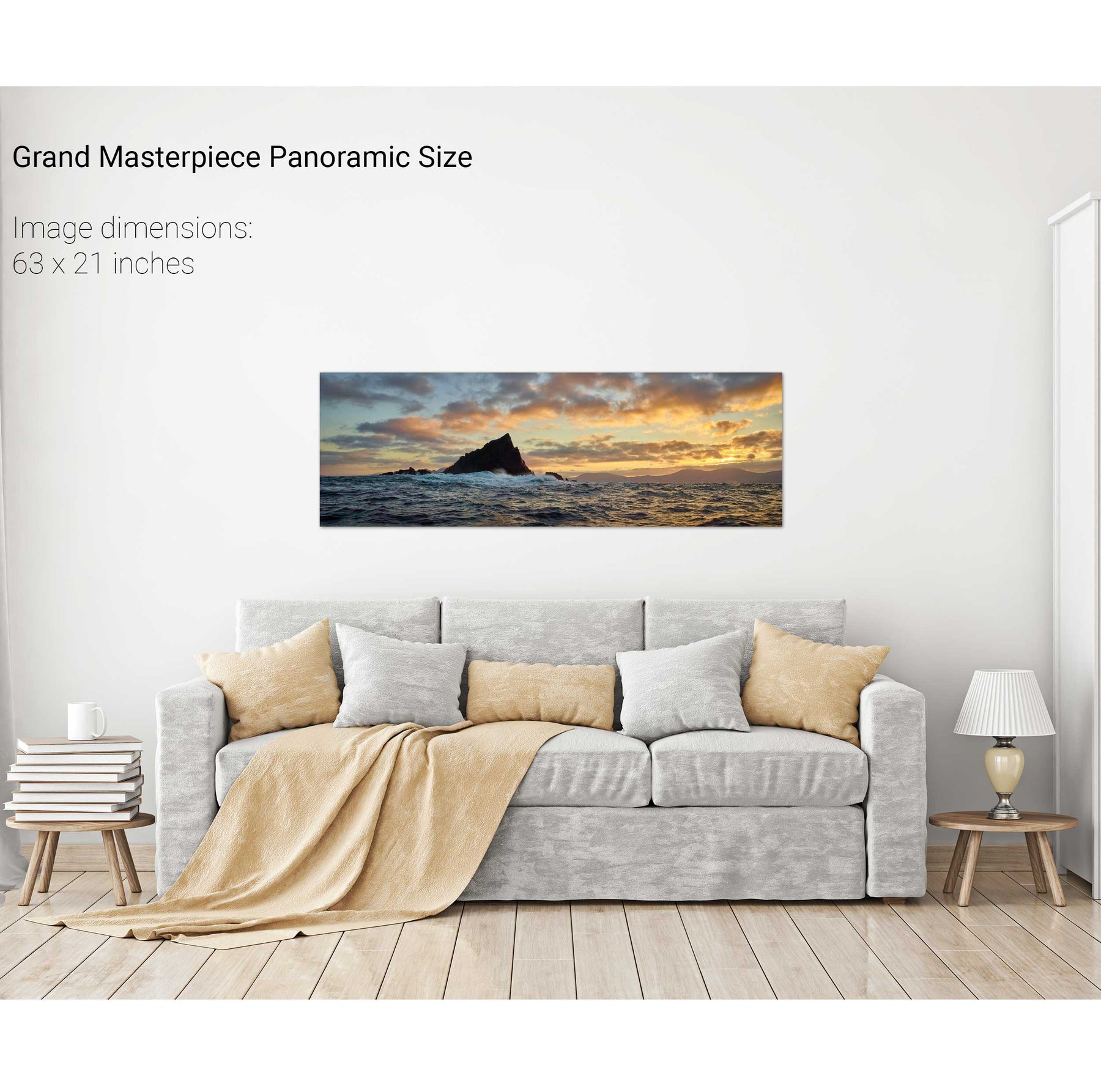
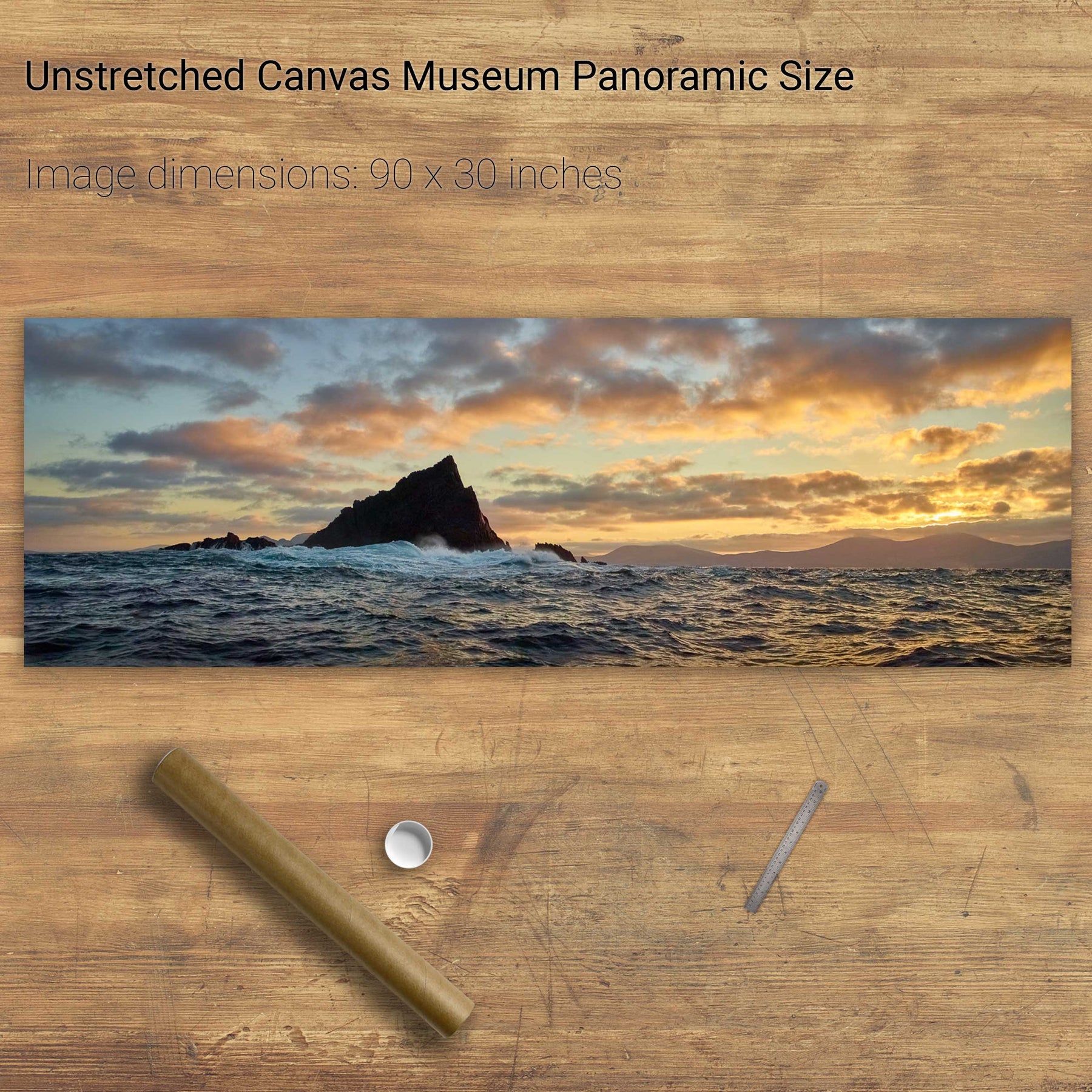
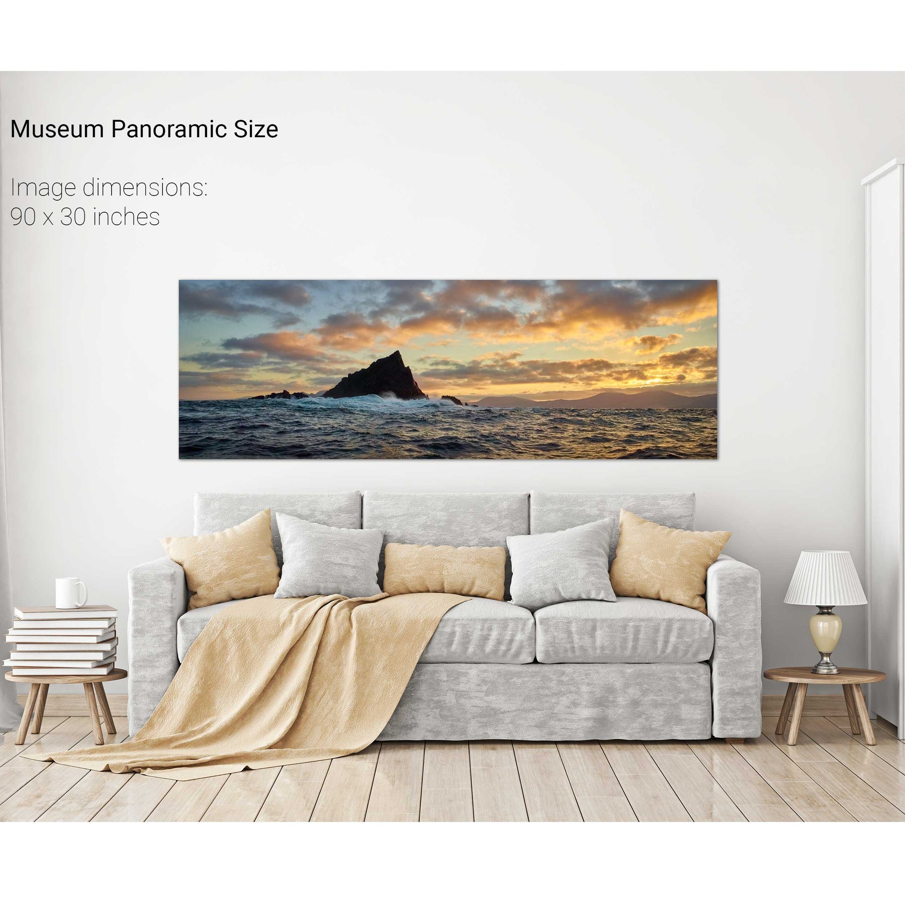
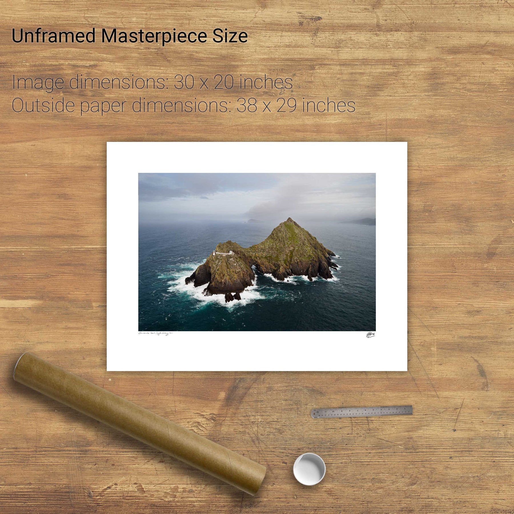
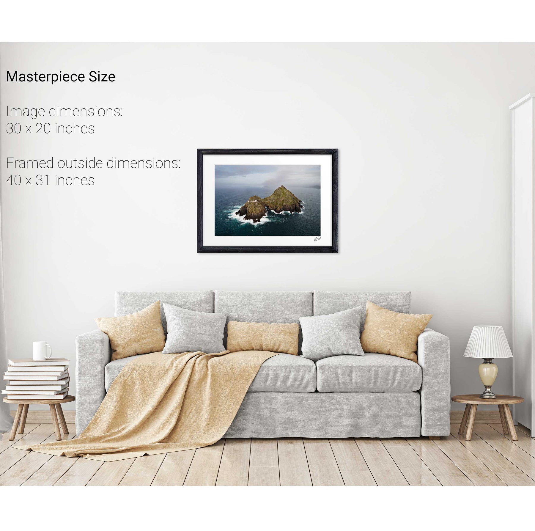
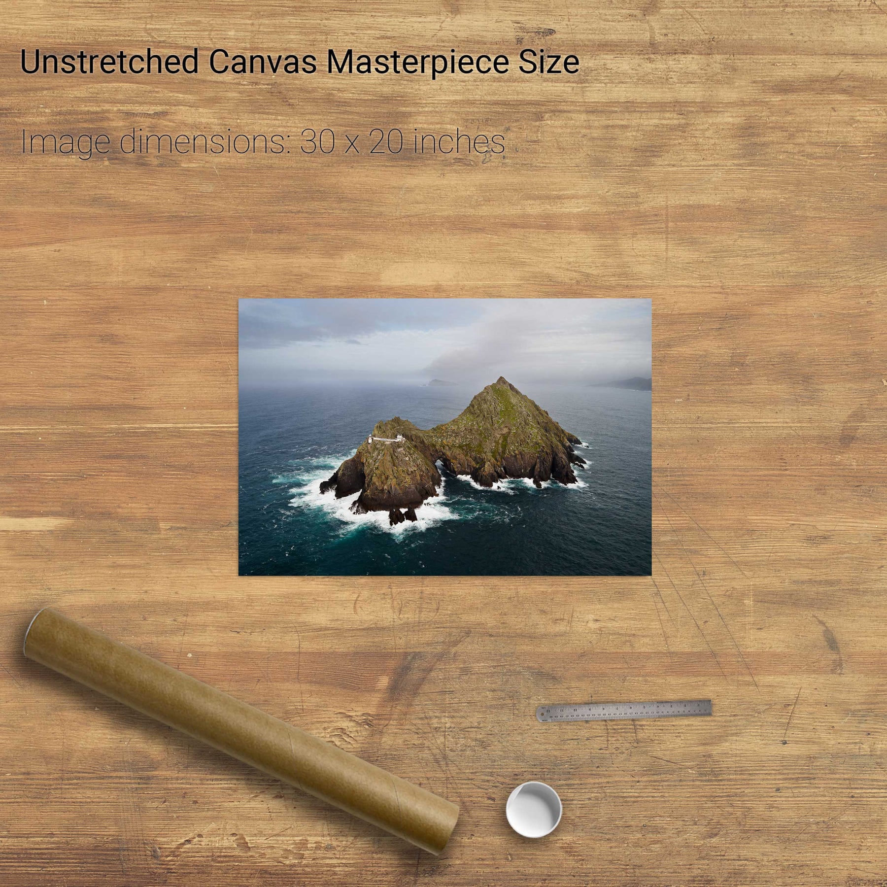
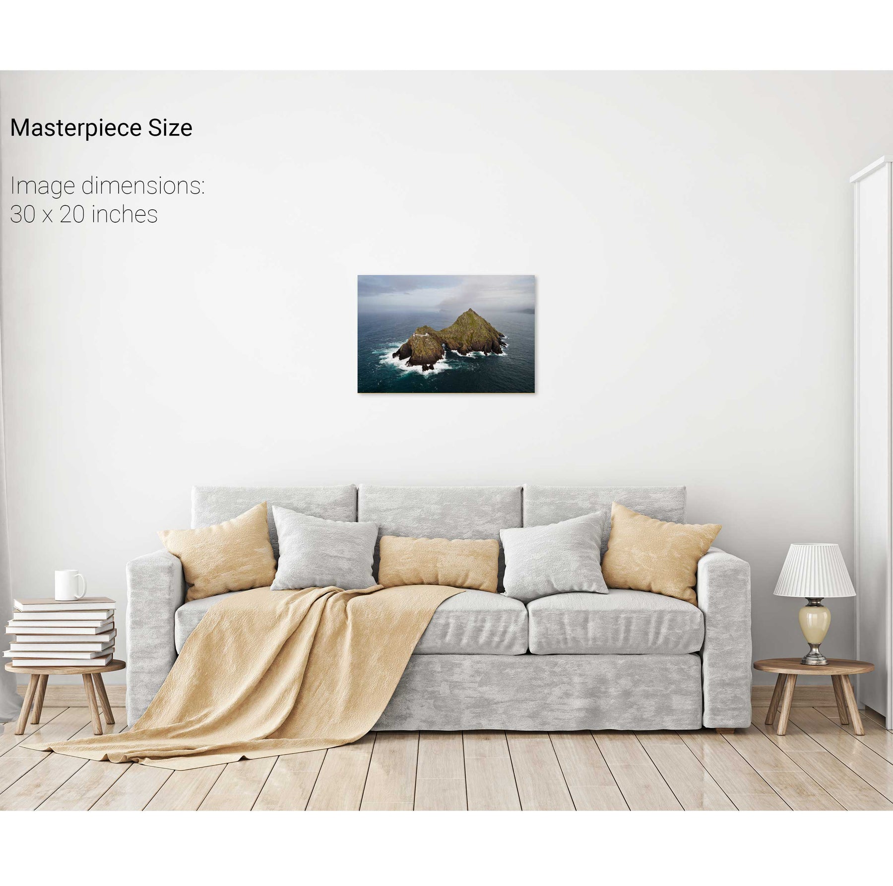
Lemon Rock, Co. Kerry


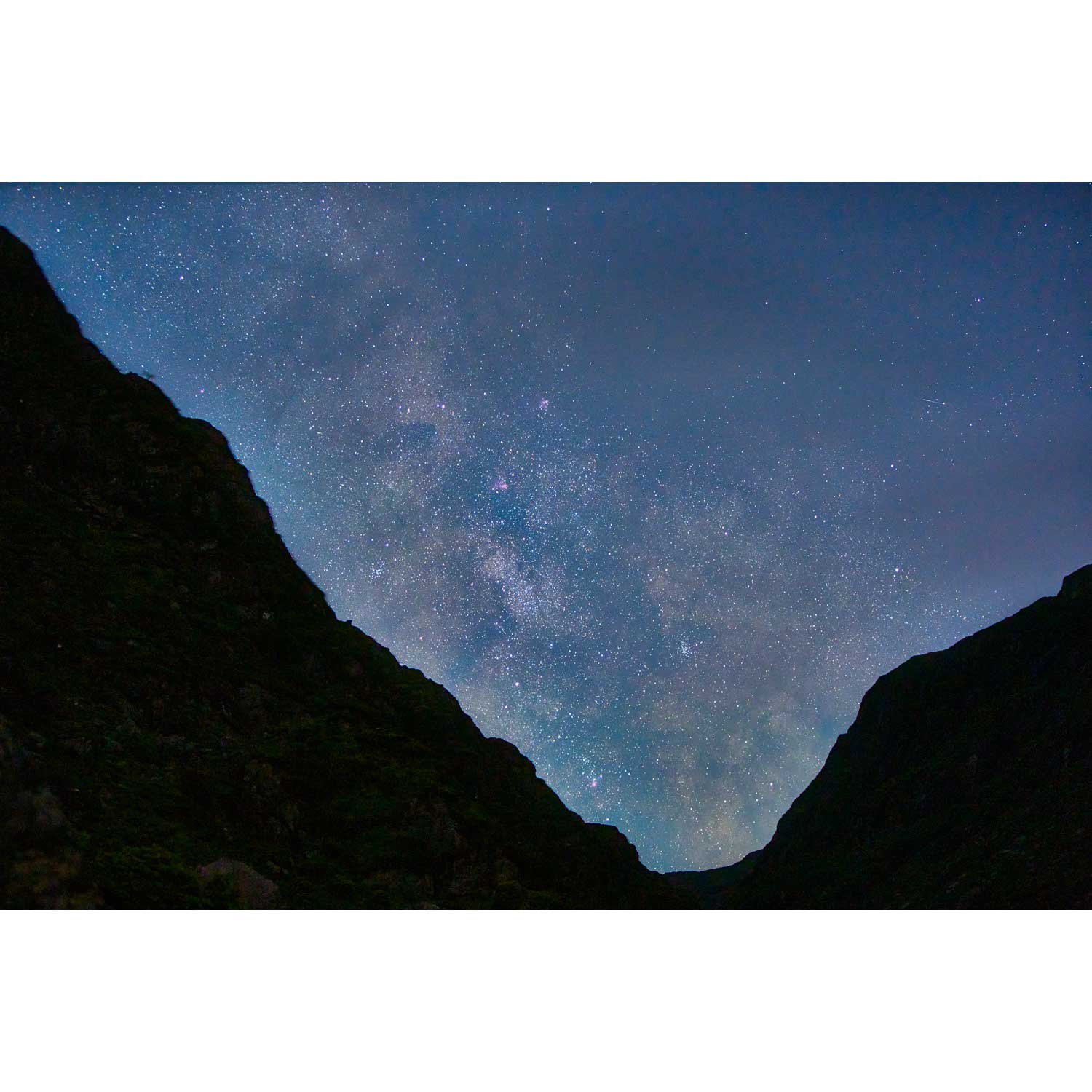
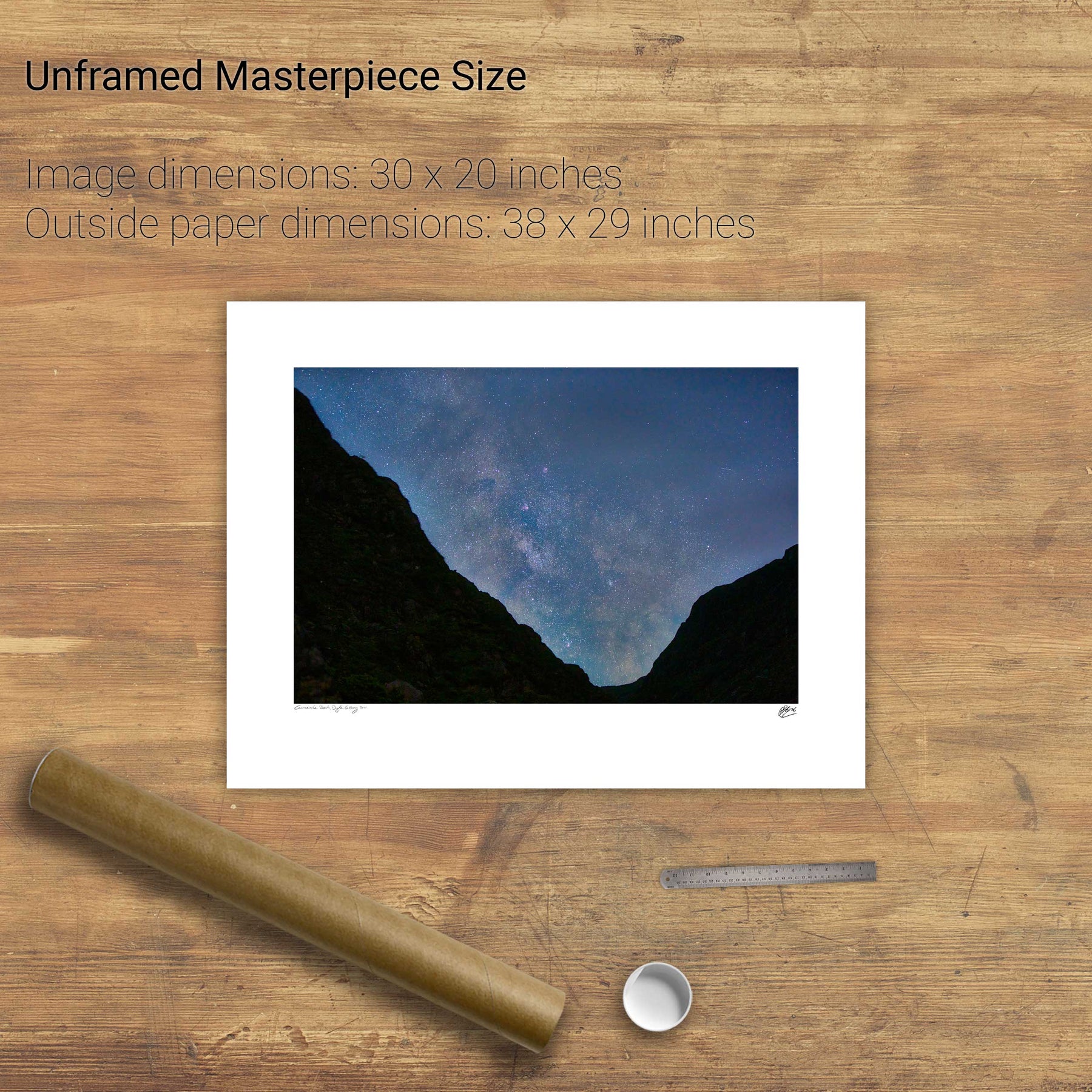
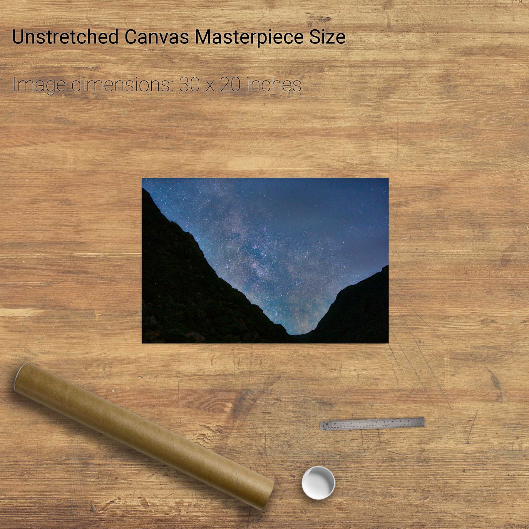
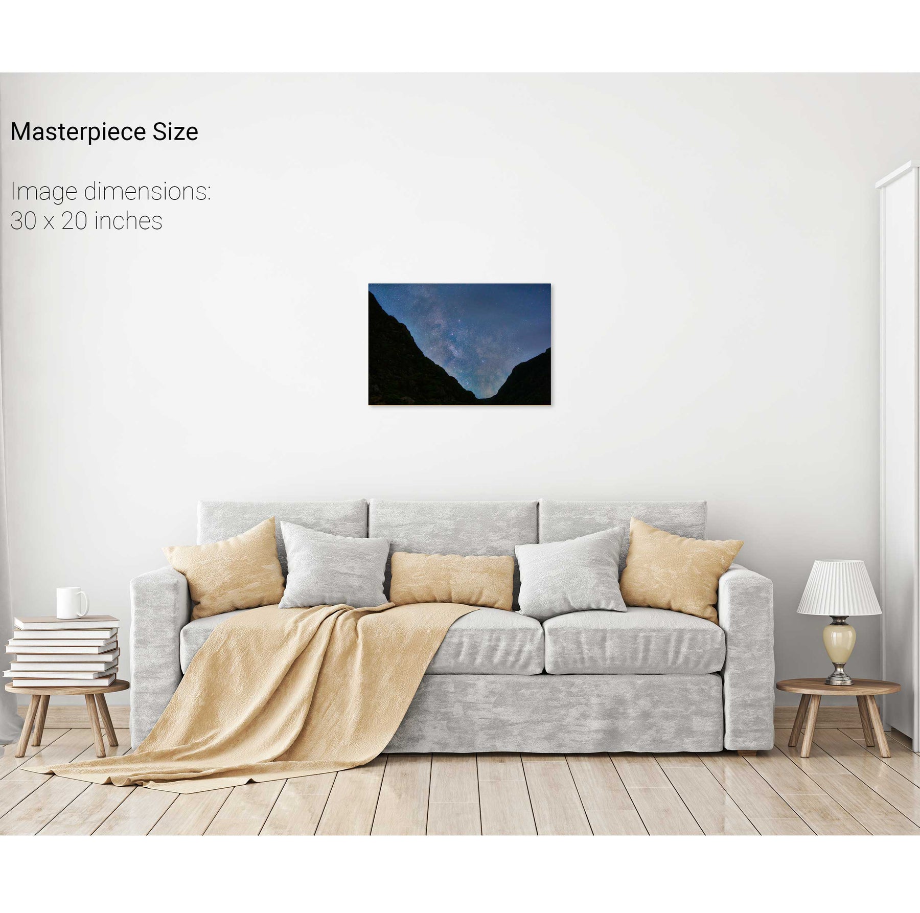
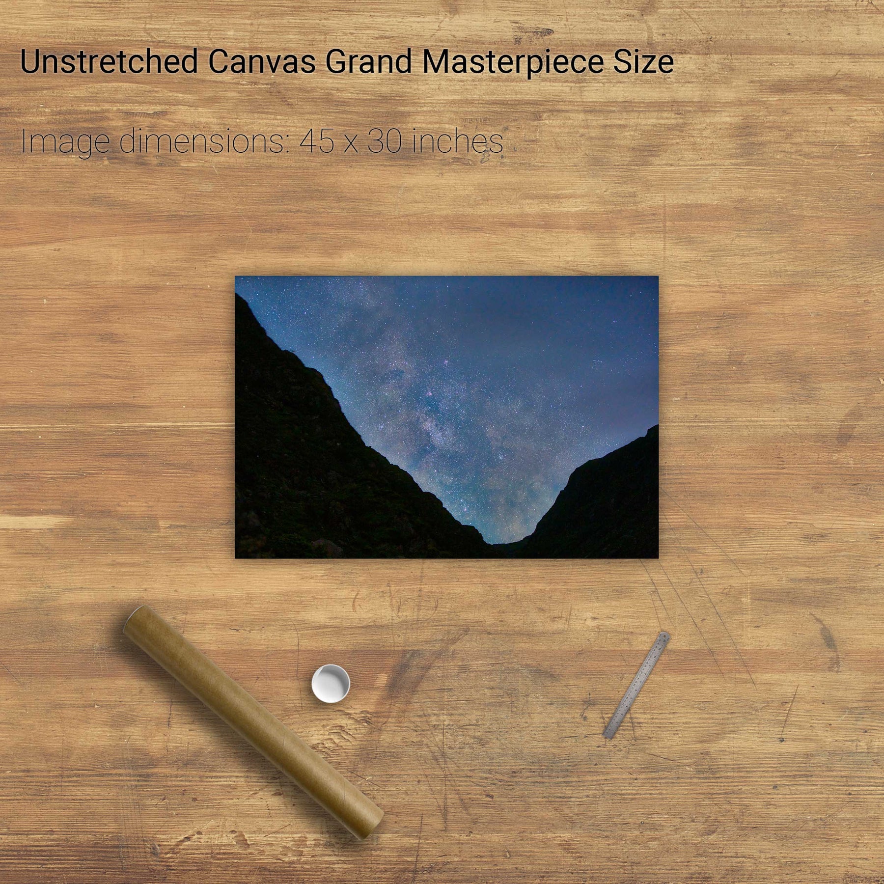
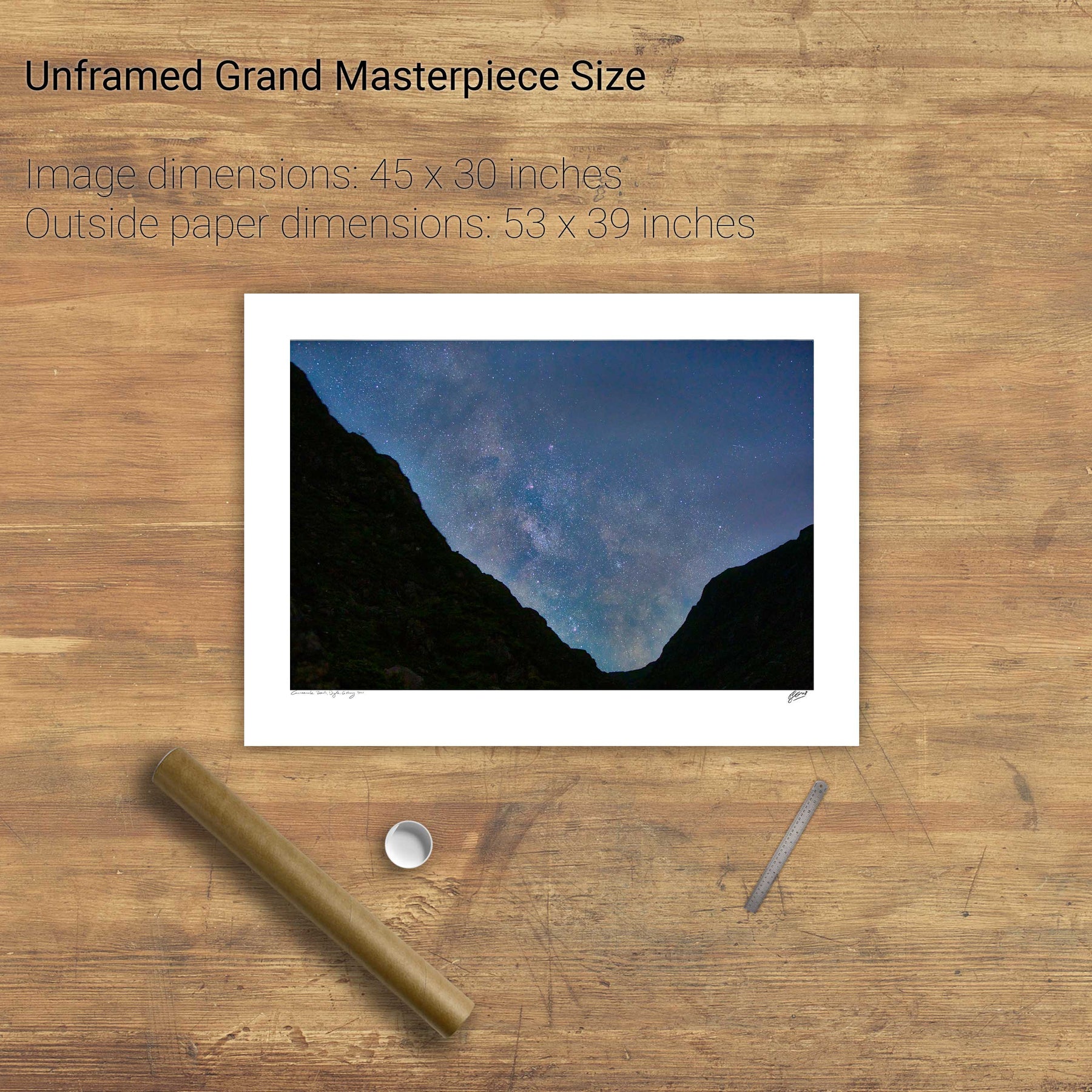
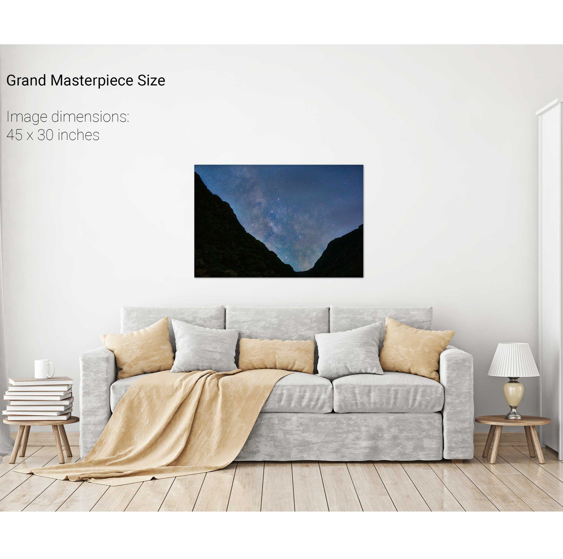
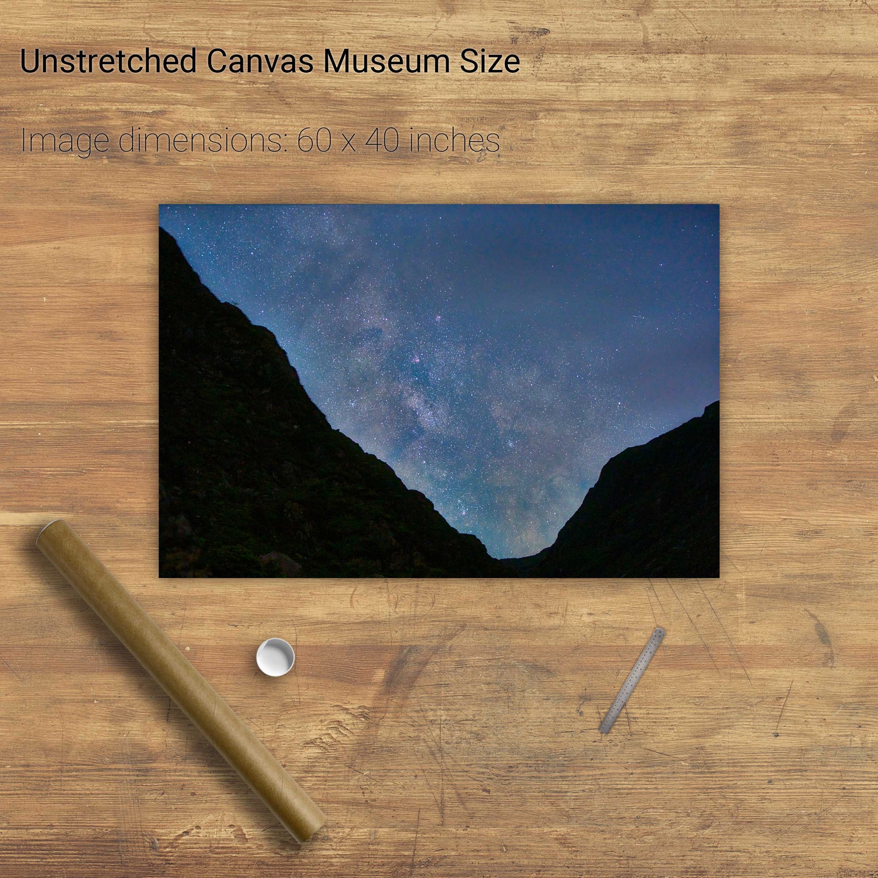
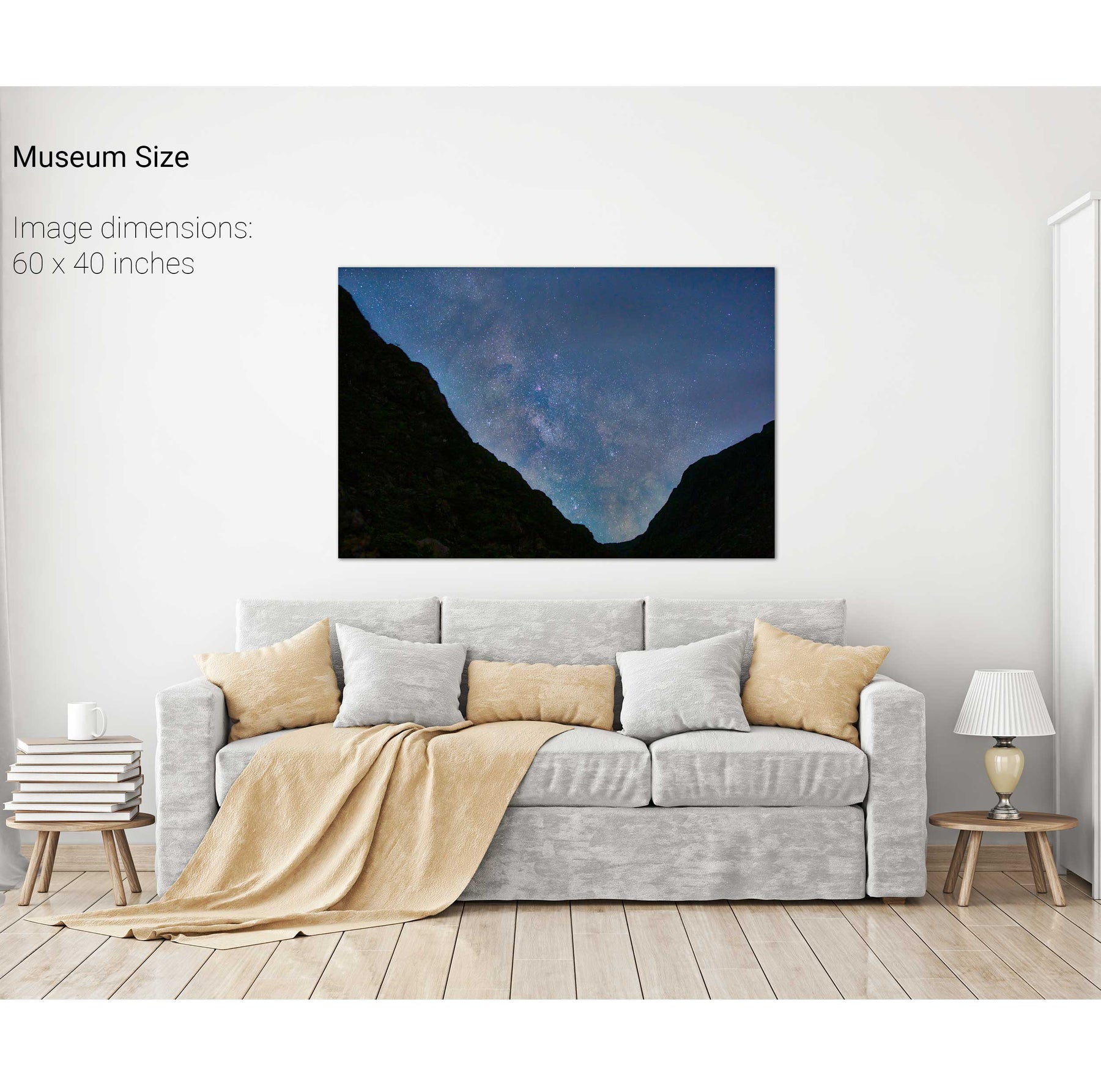
Milky Way over the Gap of Dunloe, Kerry


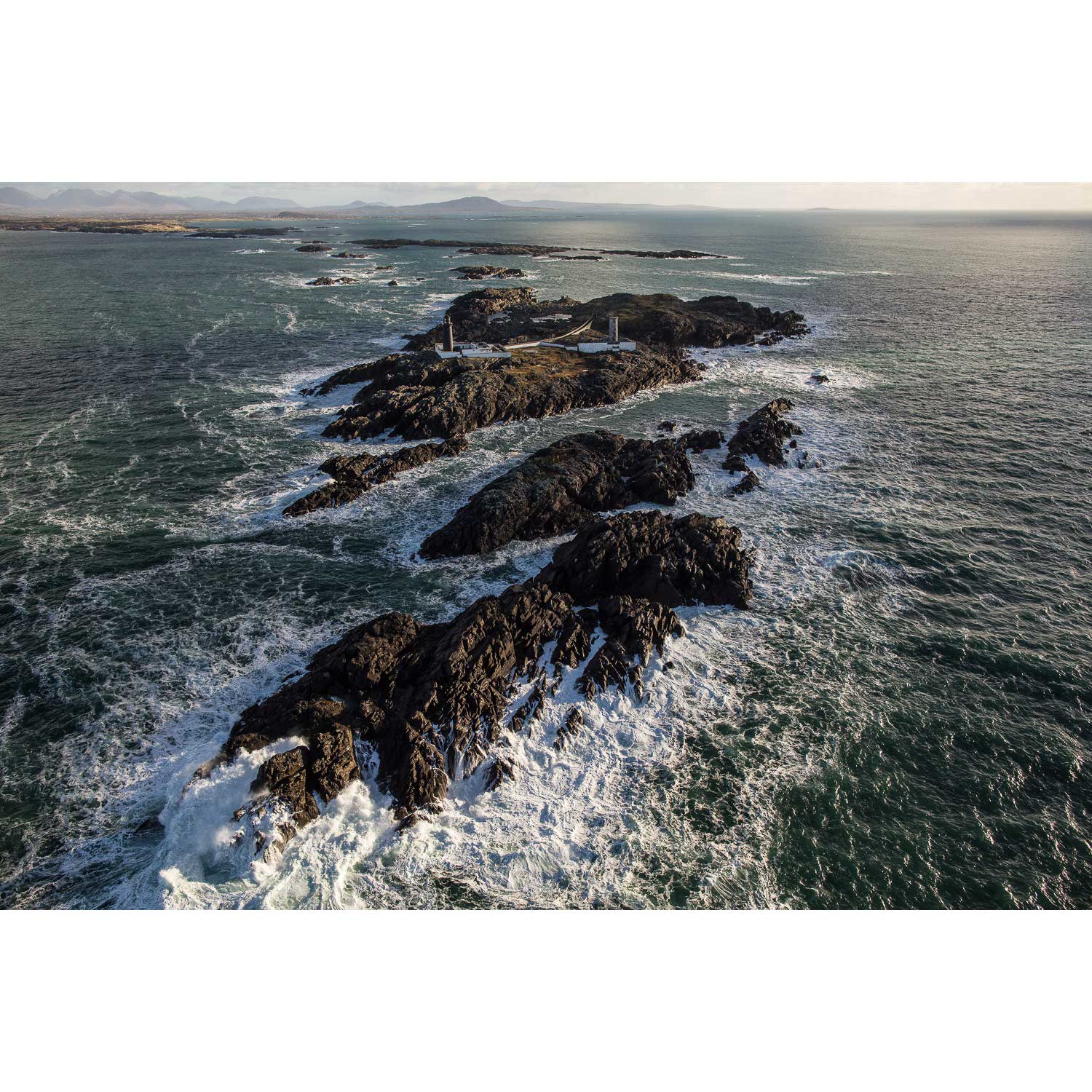
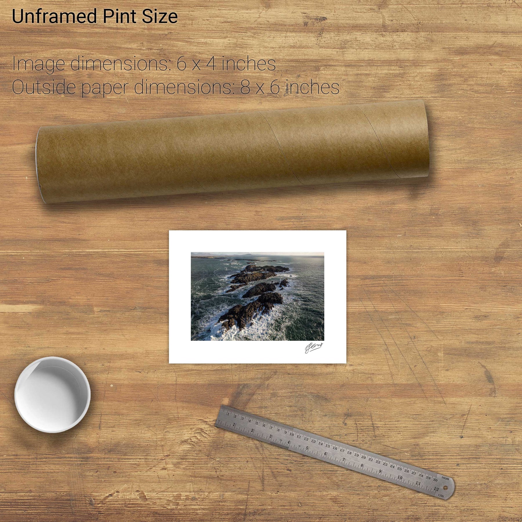
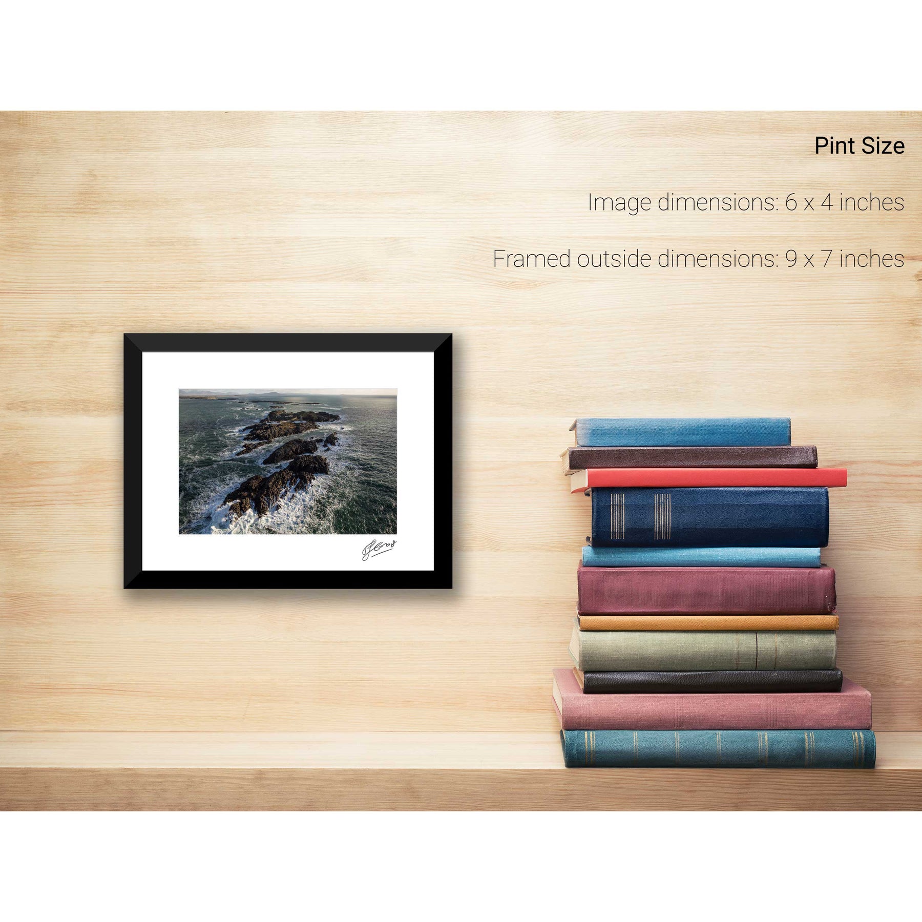
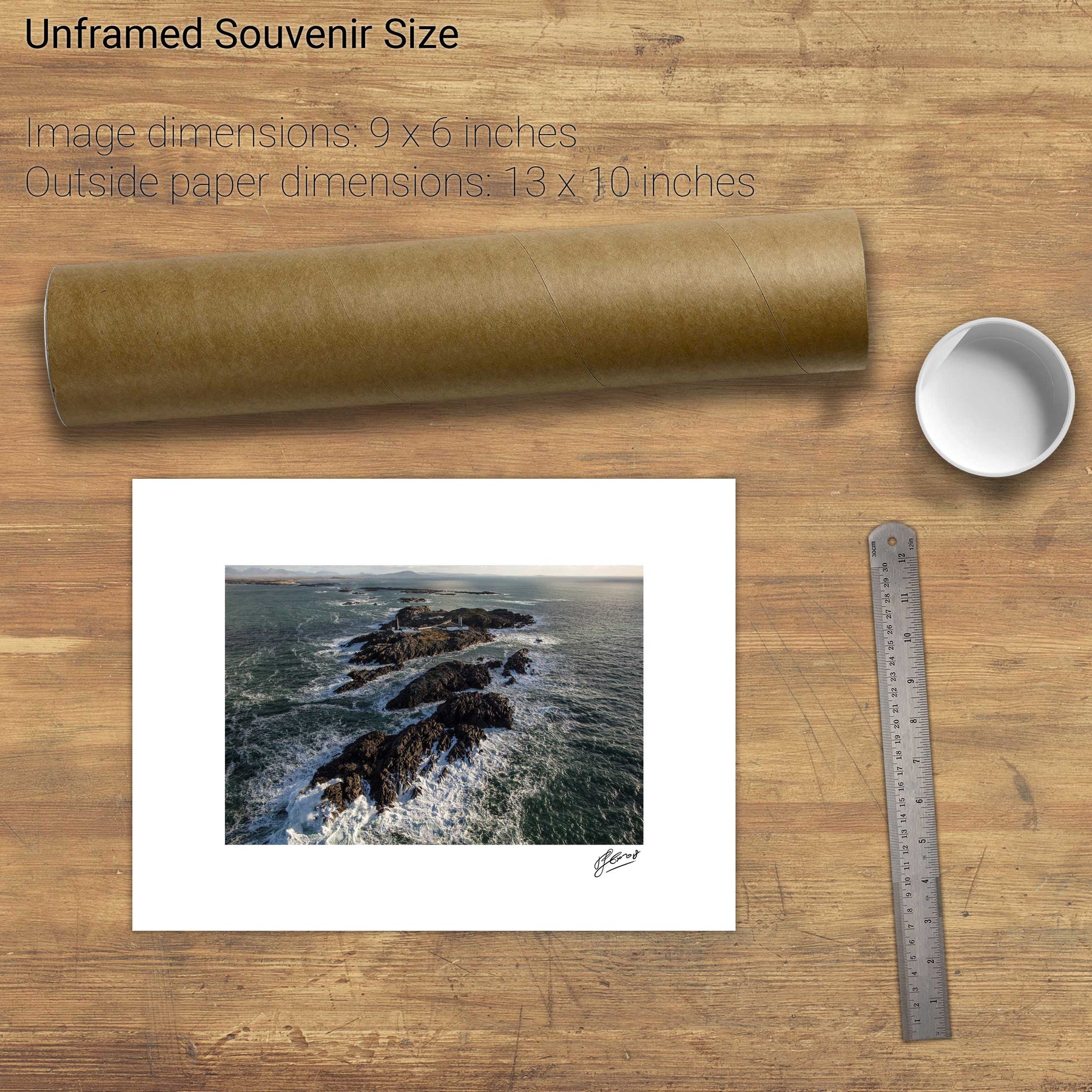
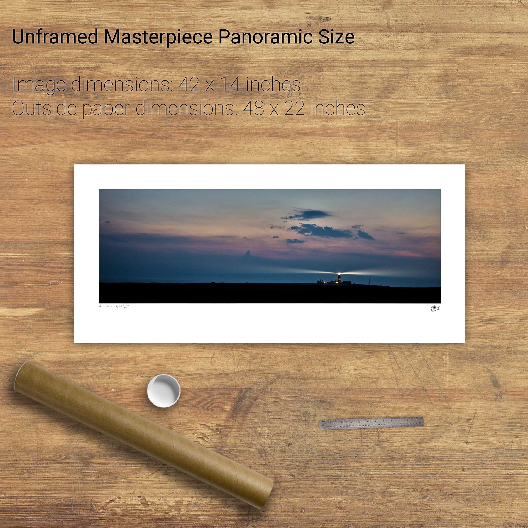
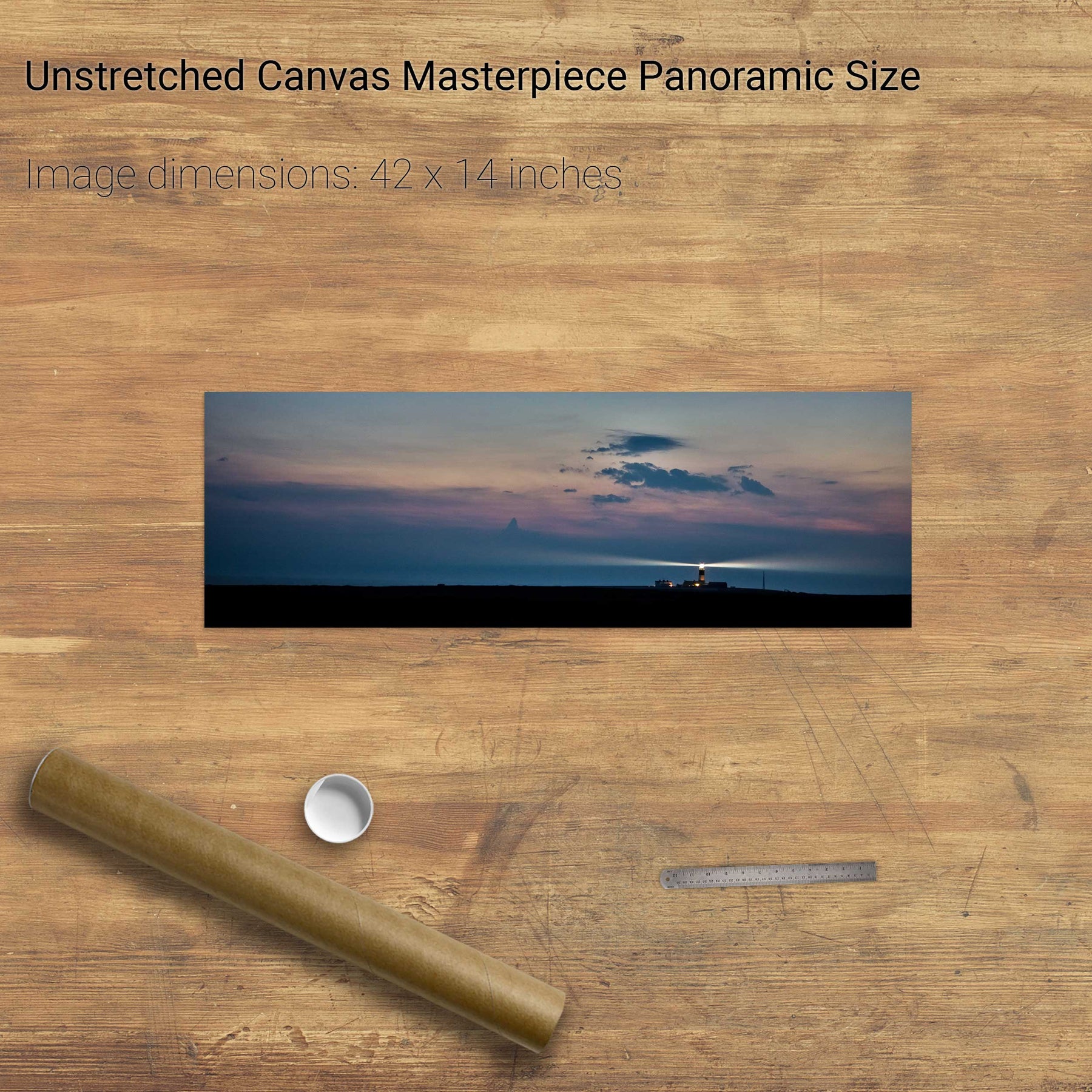
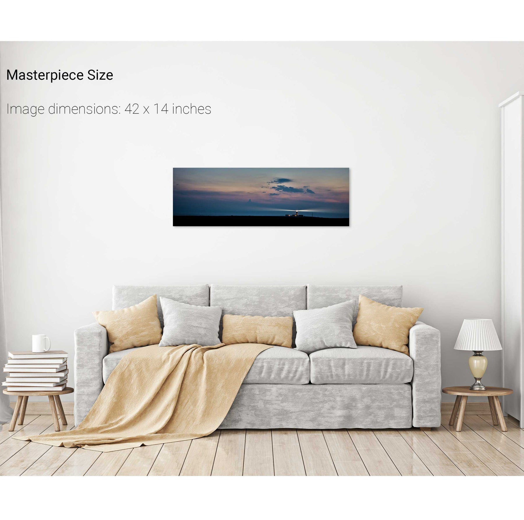
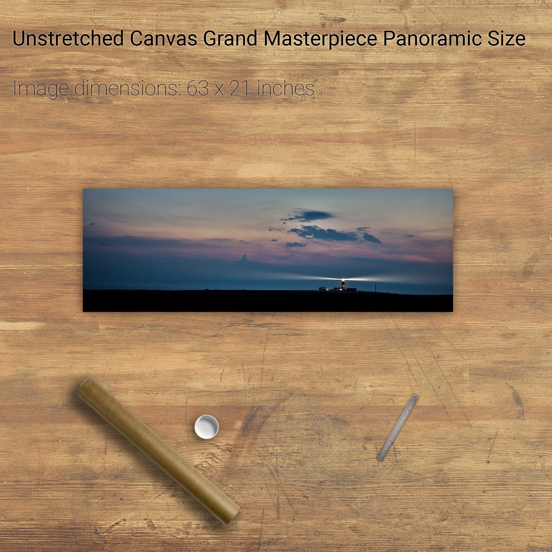
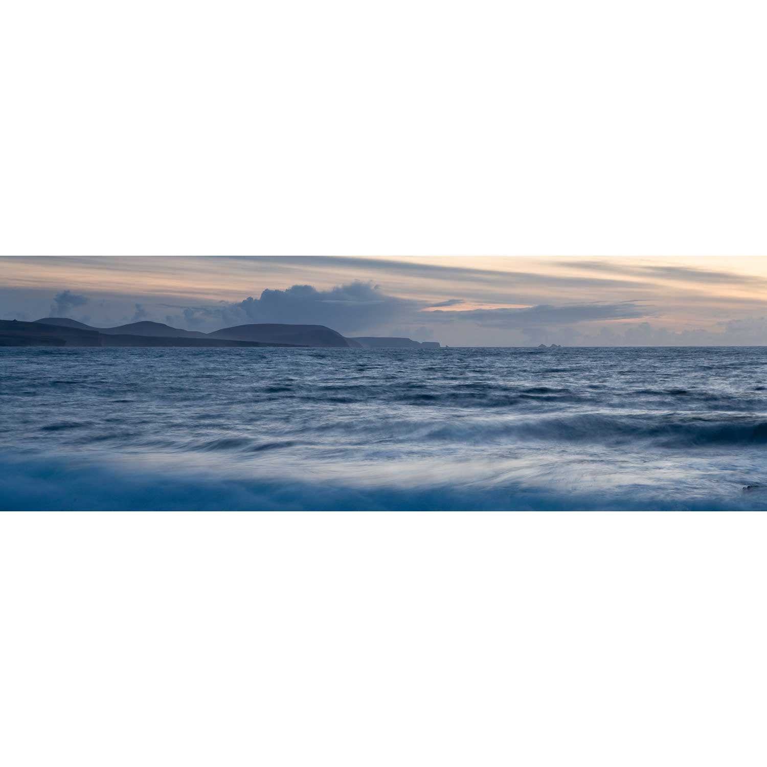
Slyne Head, Co. Galway


Glengesh Pass, Co. Donegal


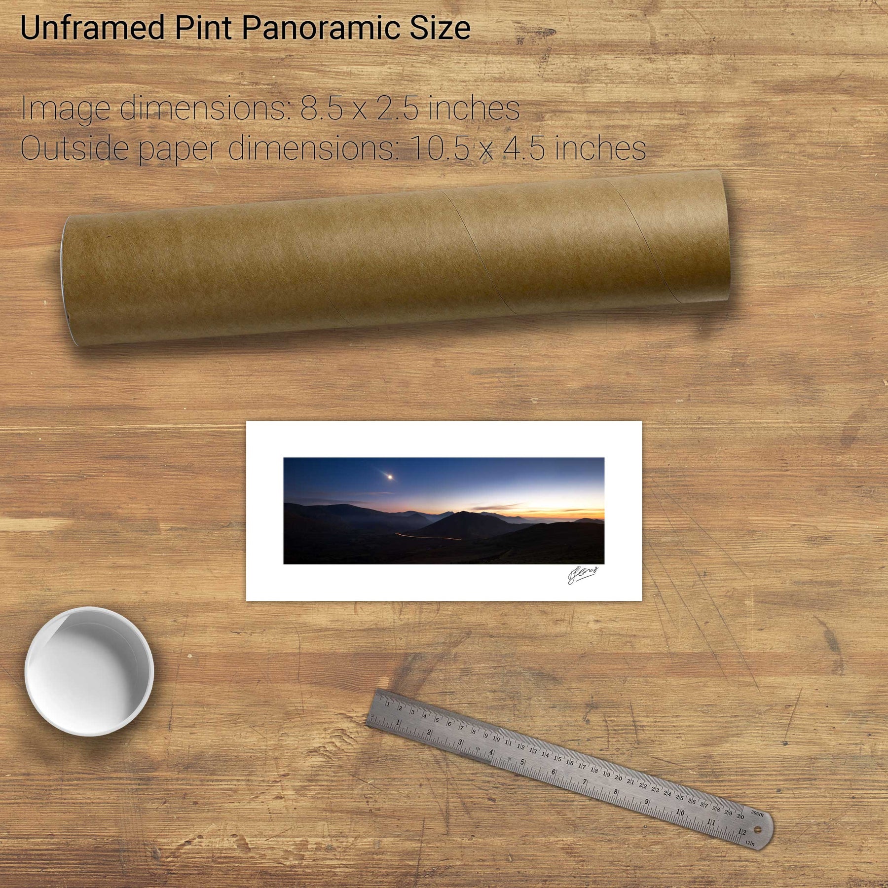
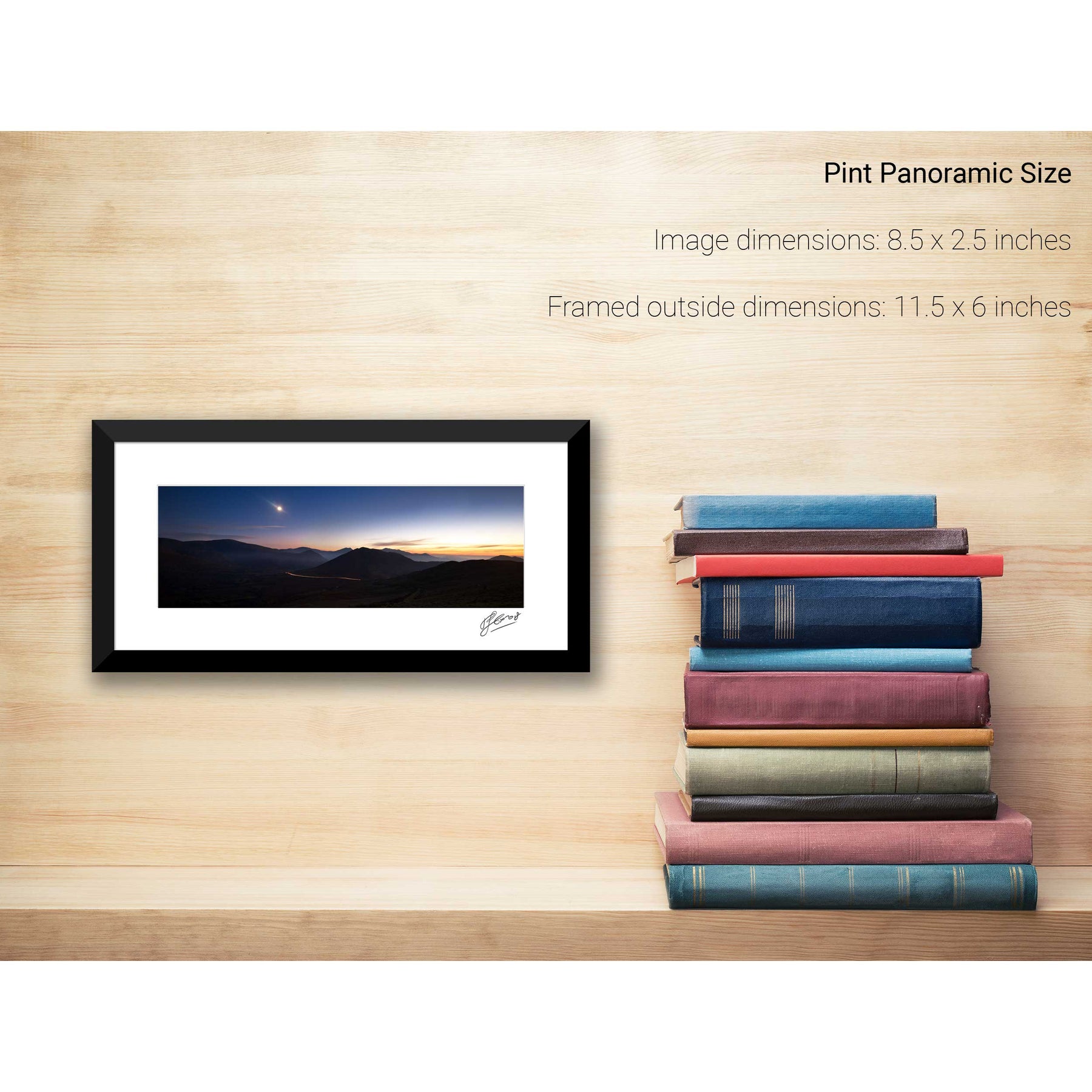
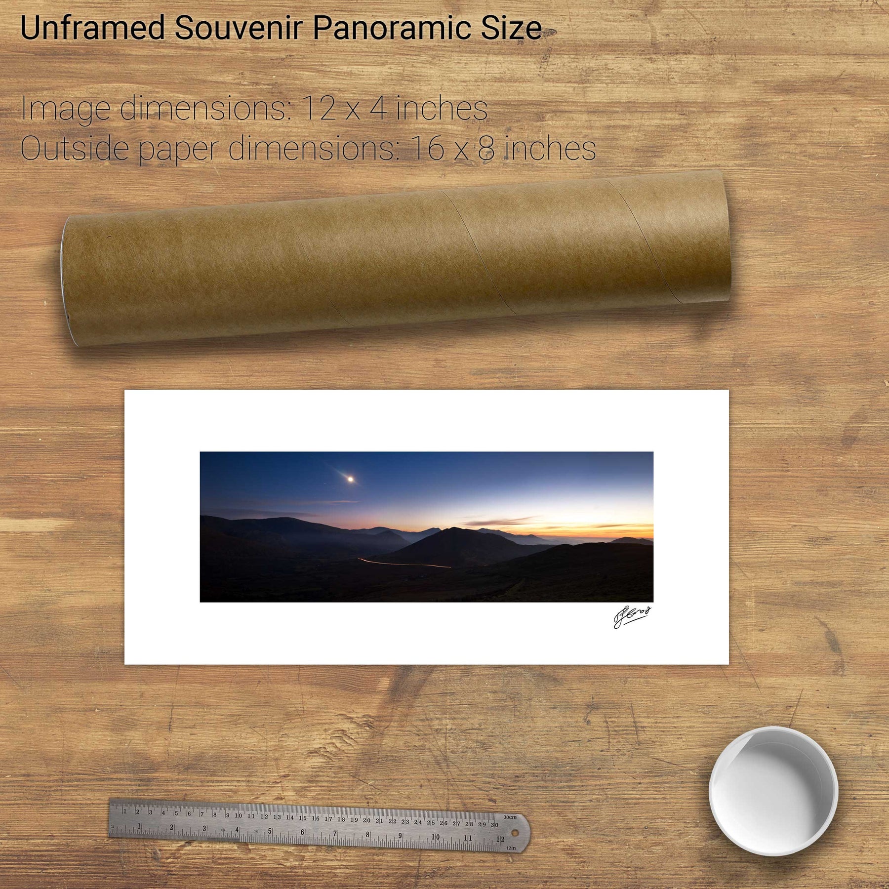
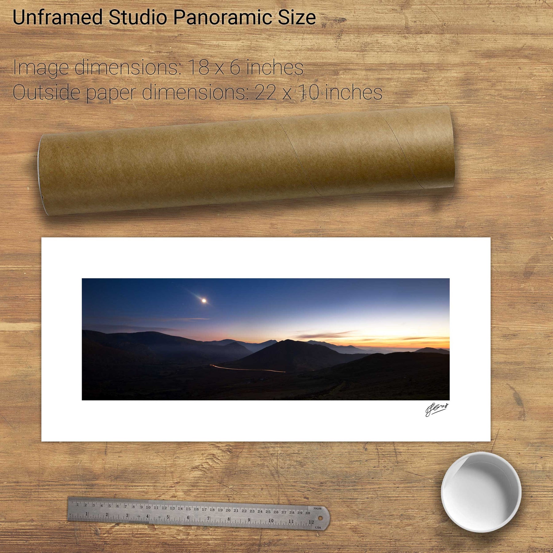
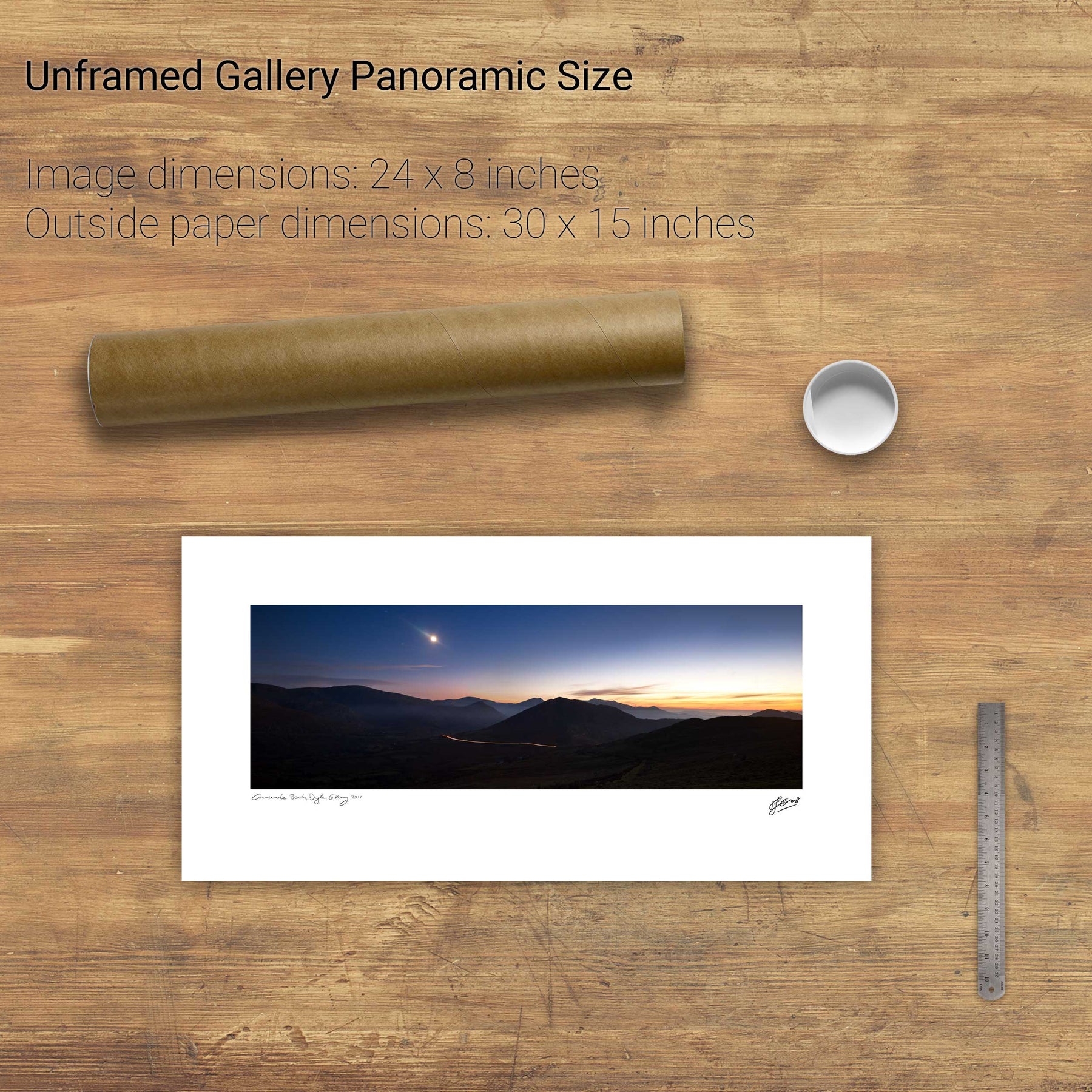
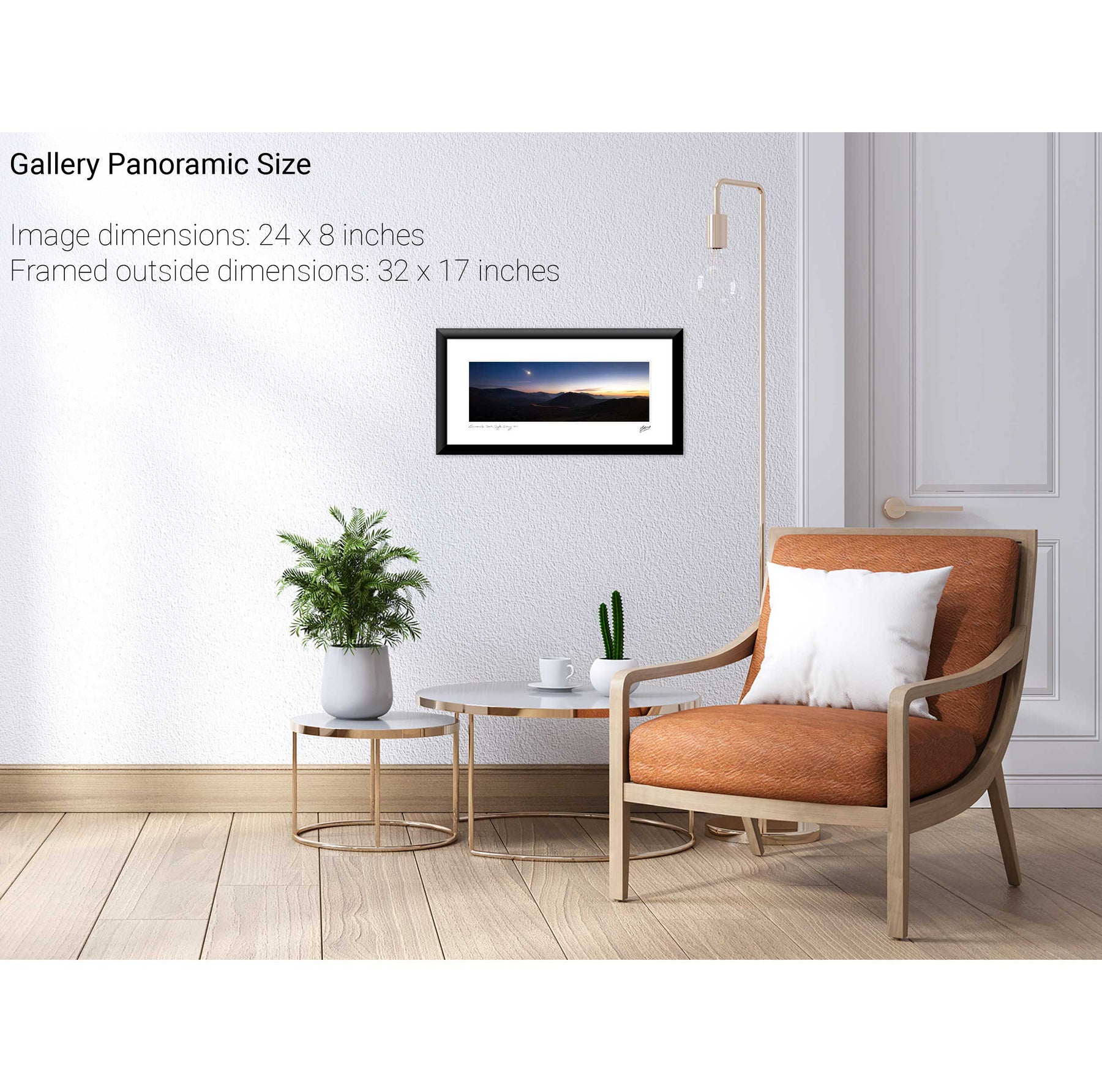
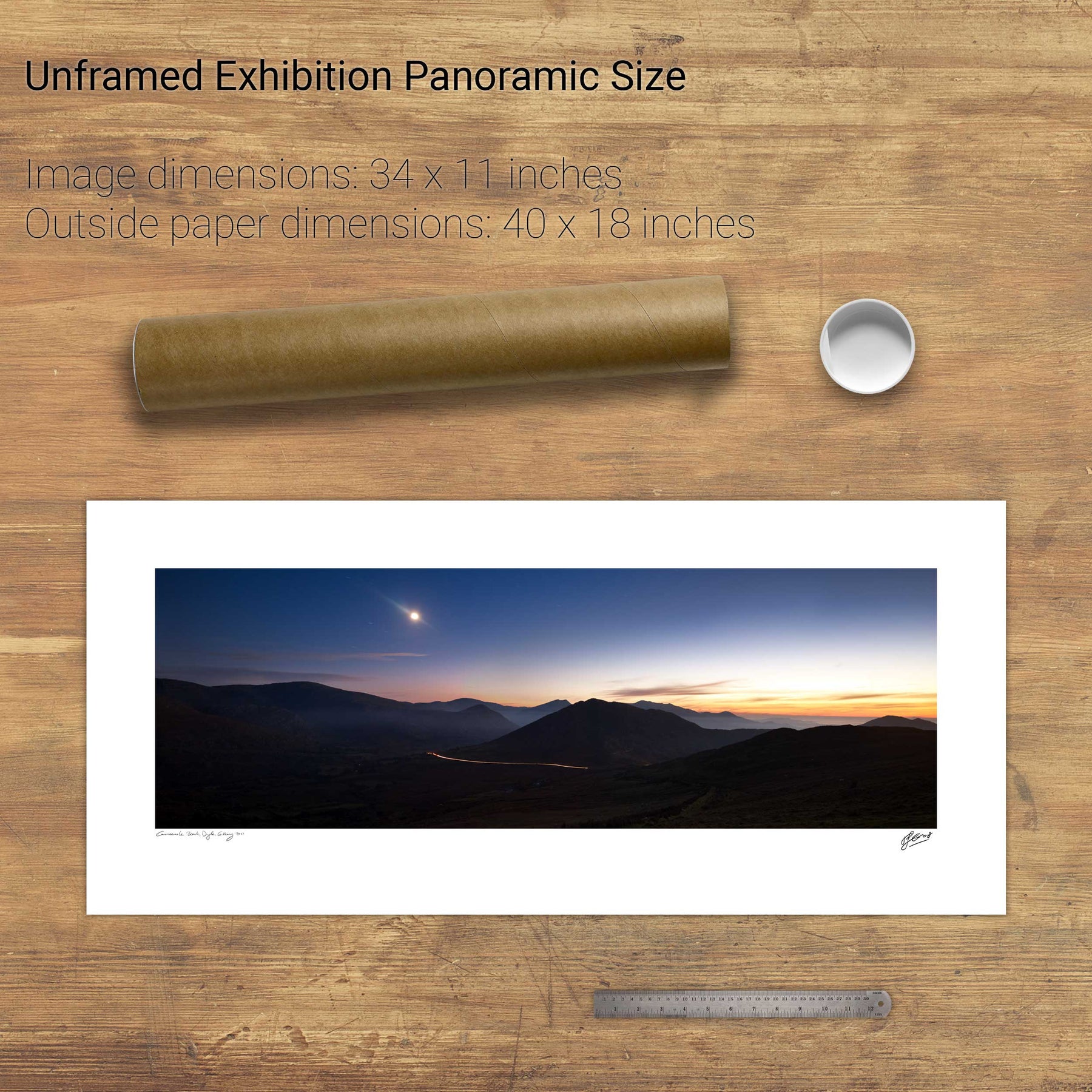
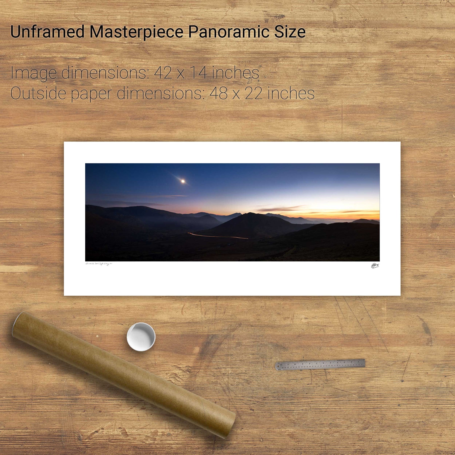
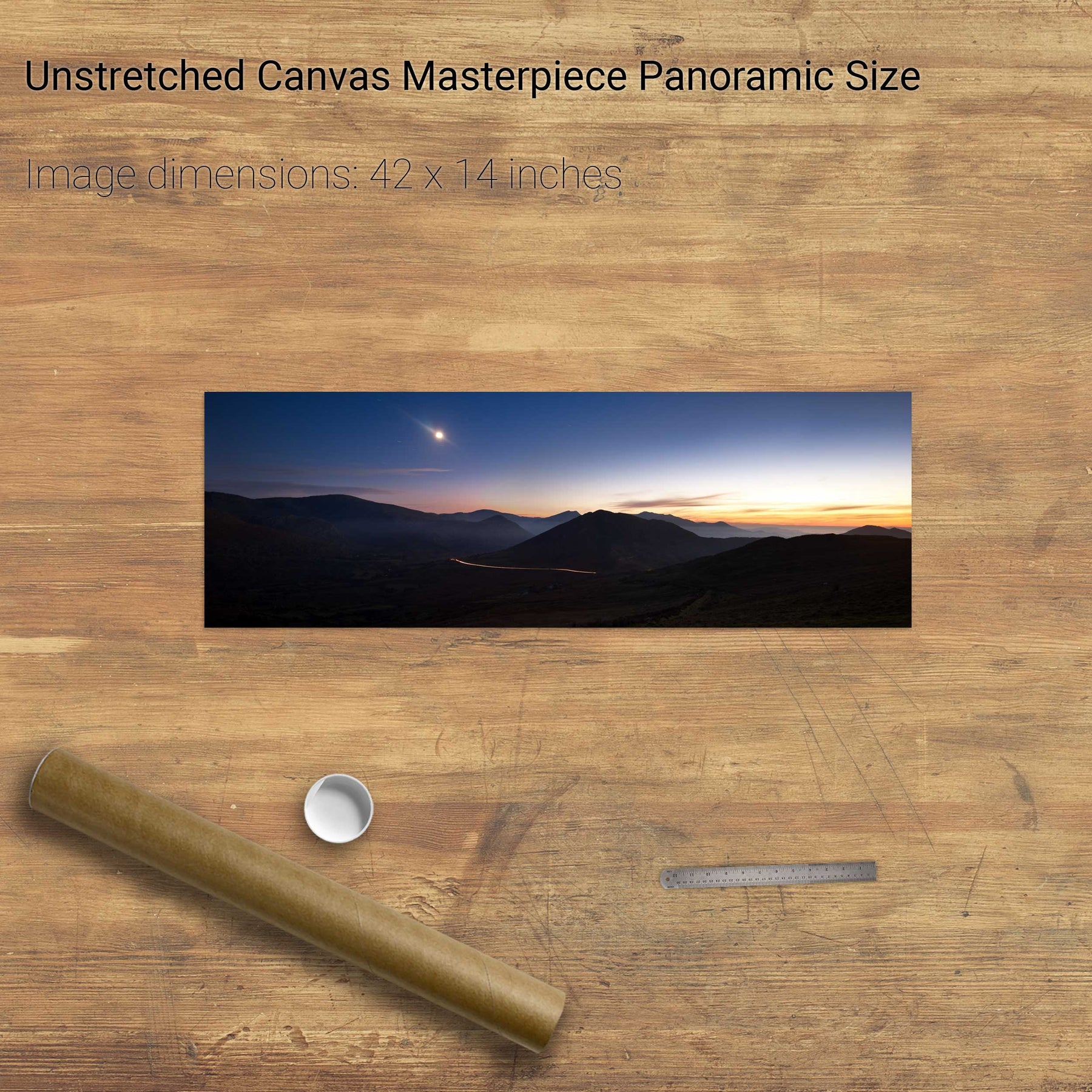
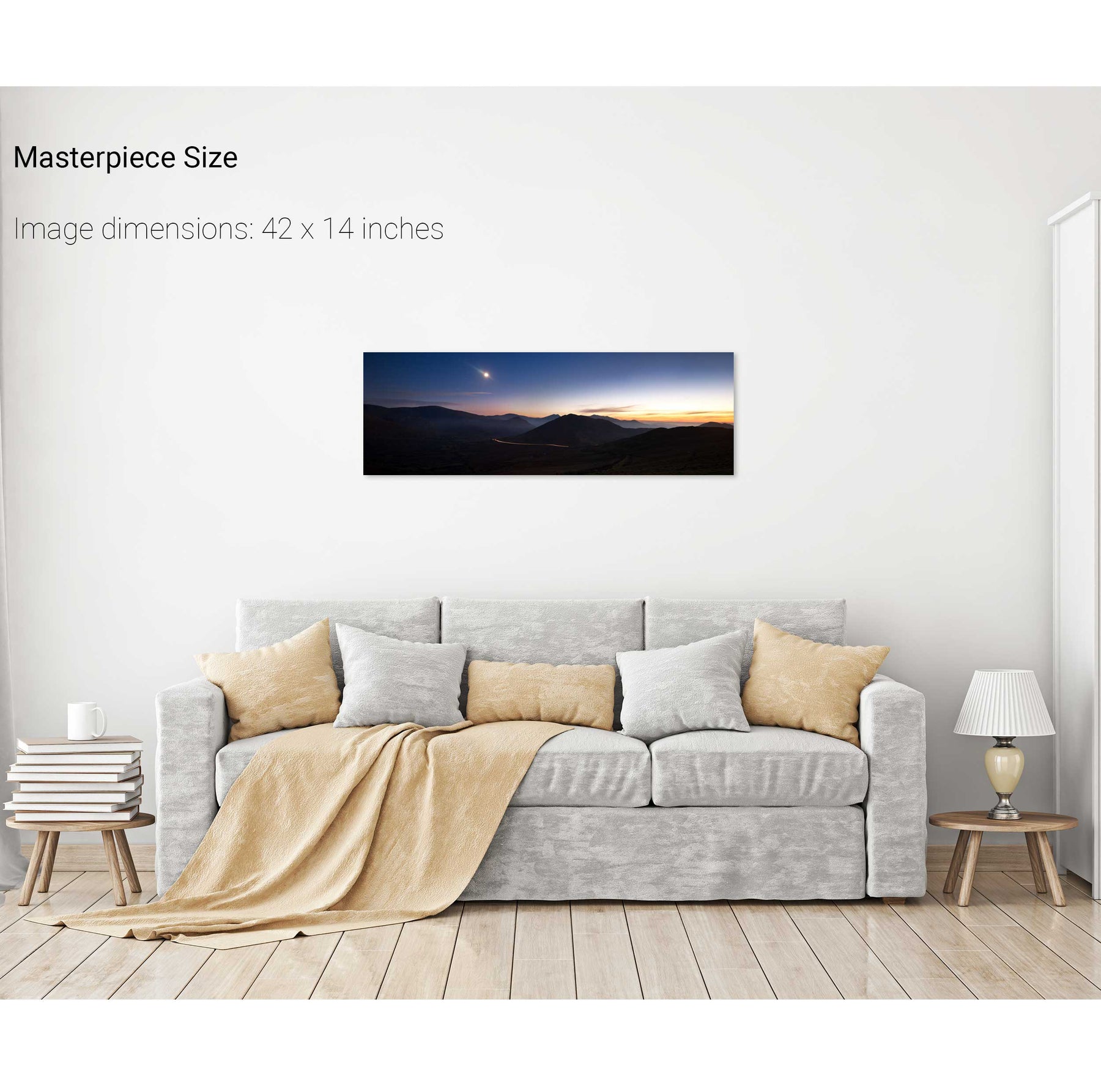
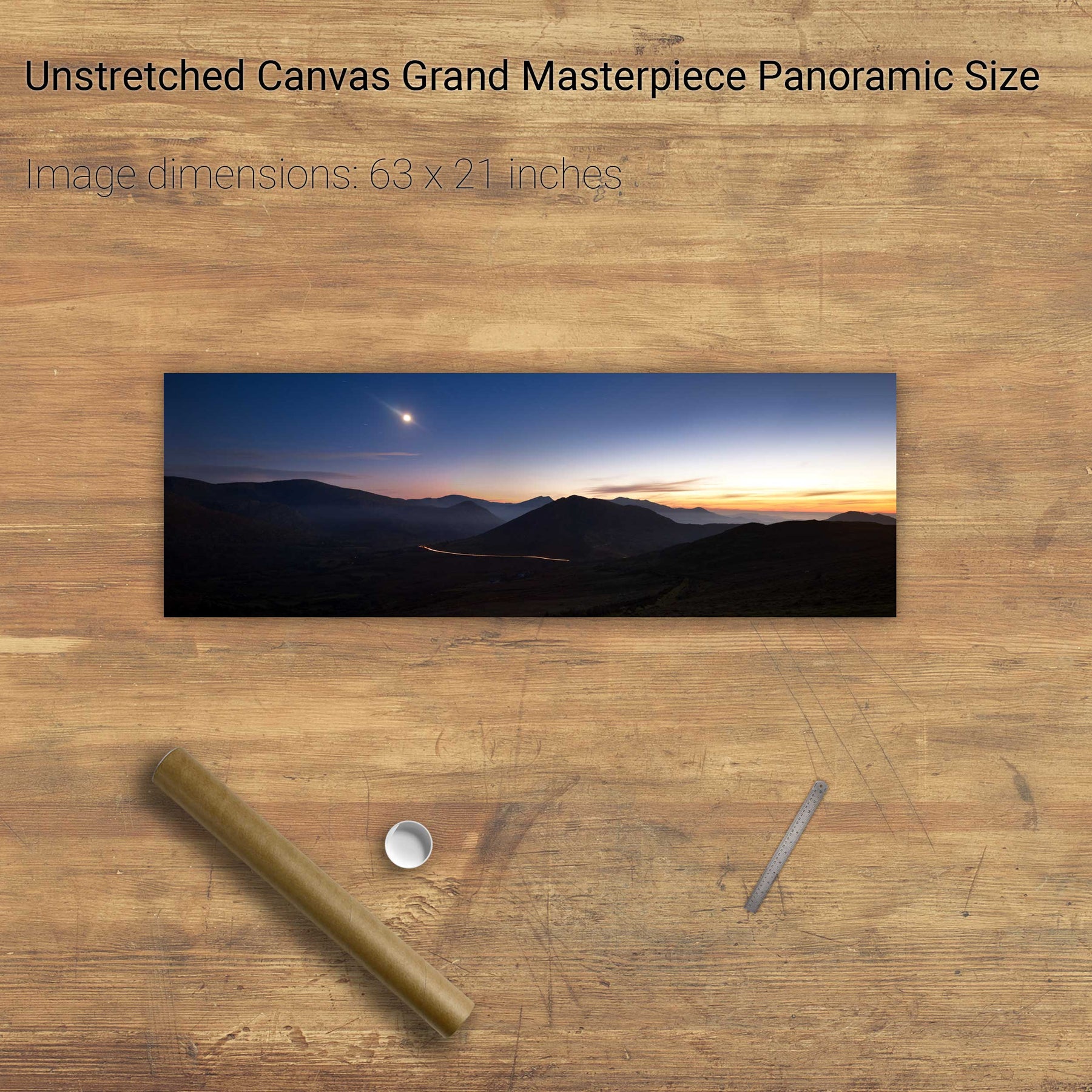
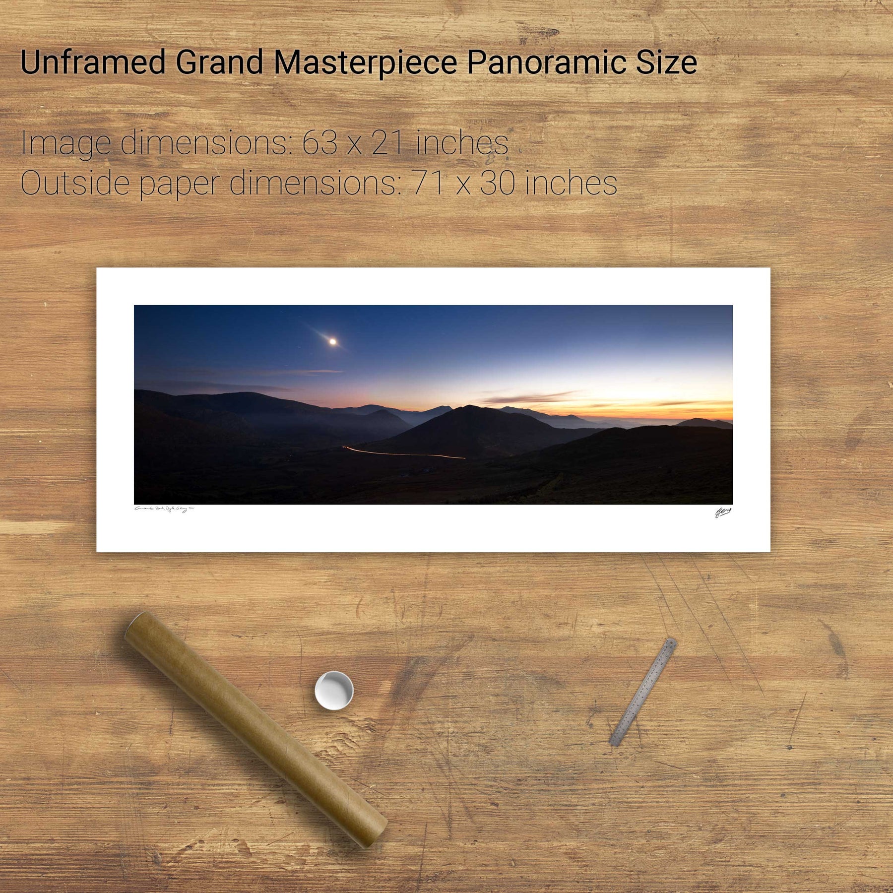
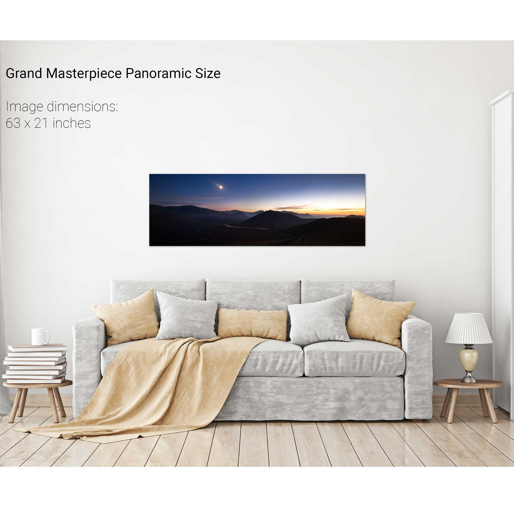
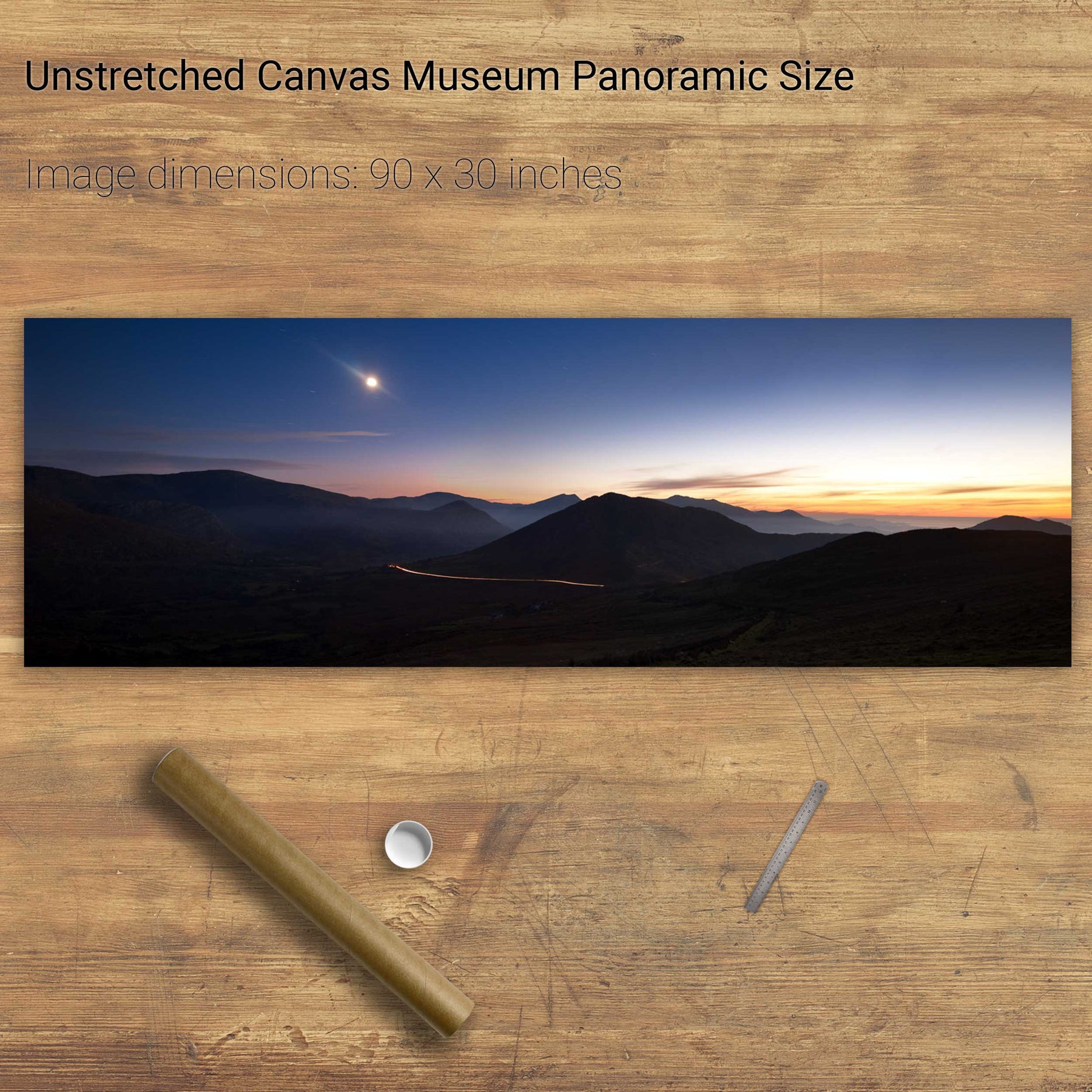
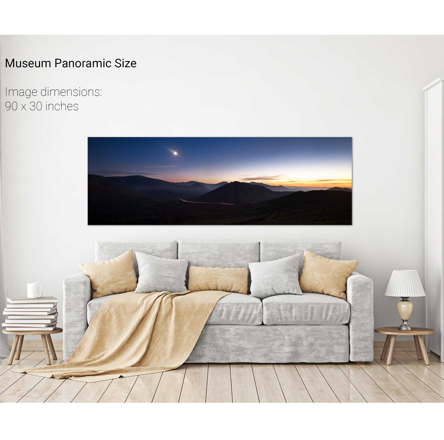
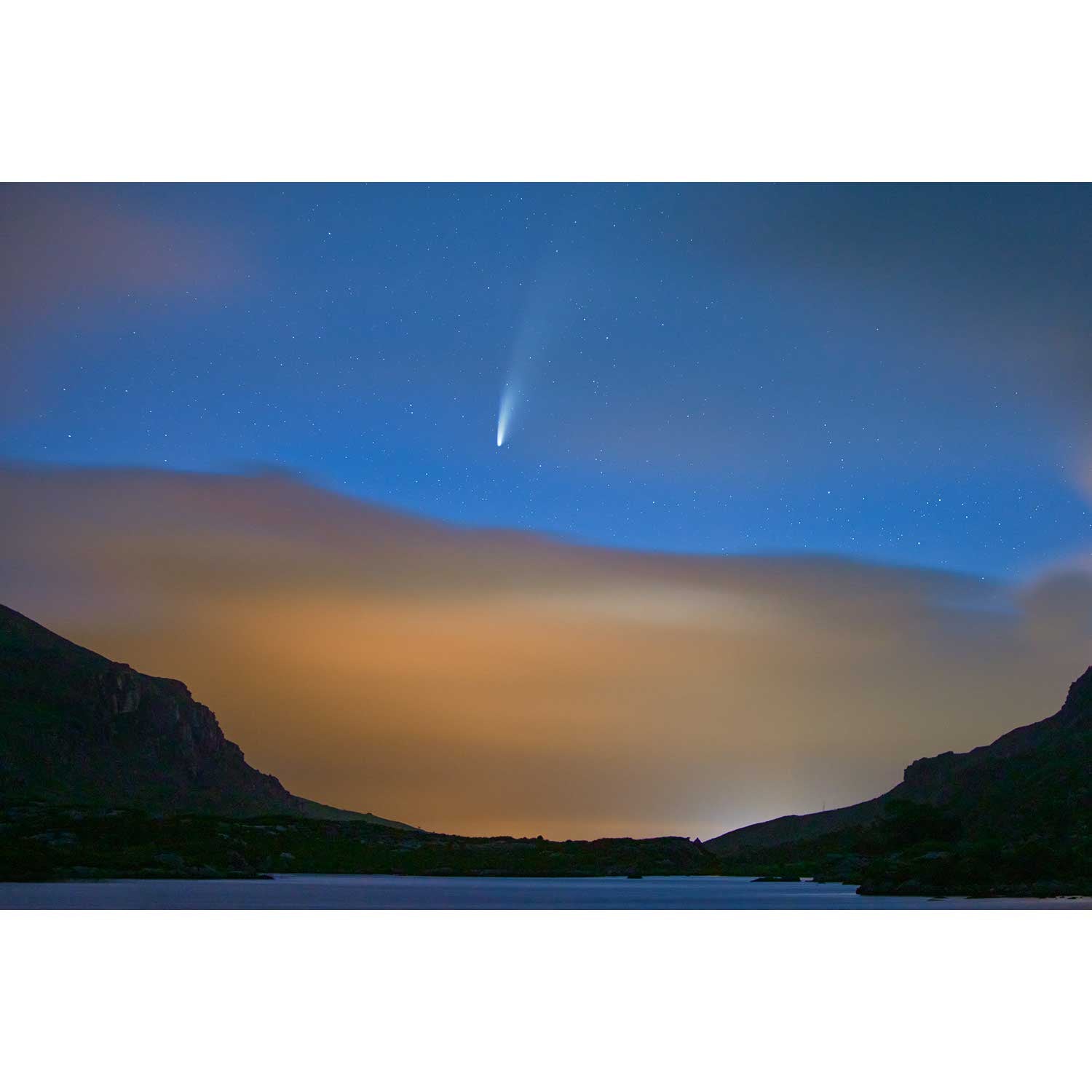
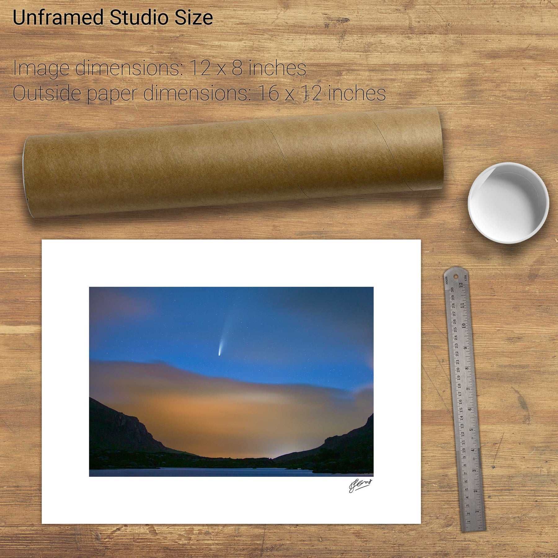
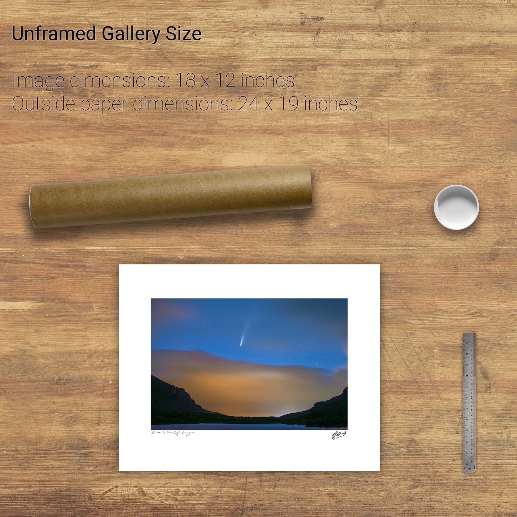
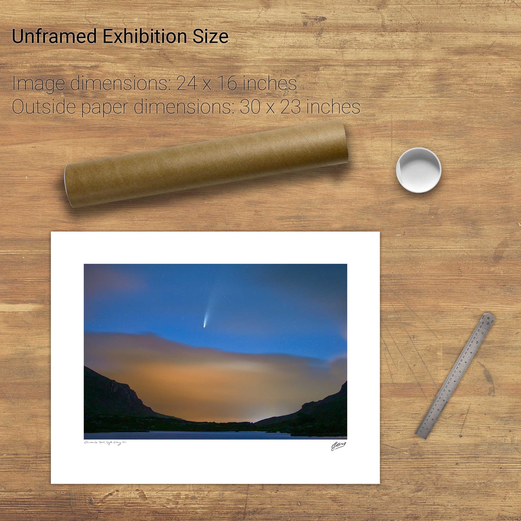
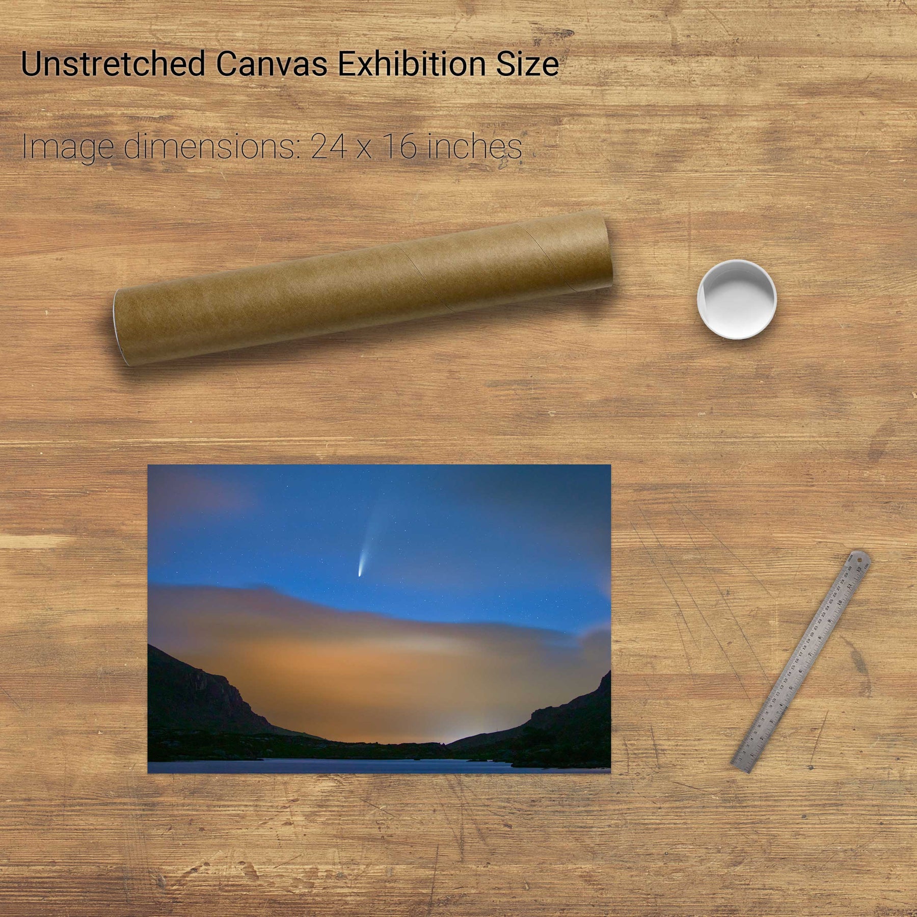
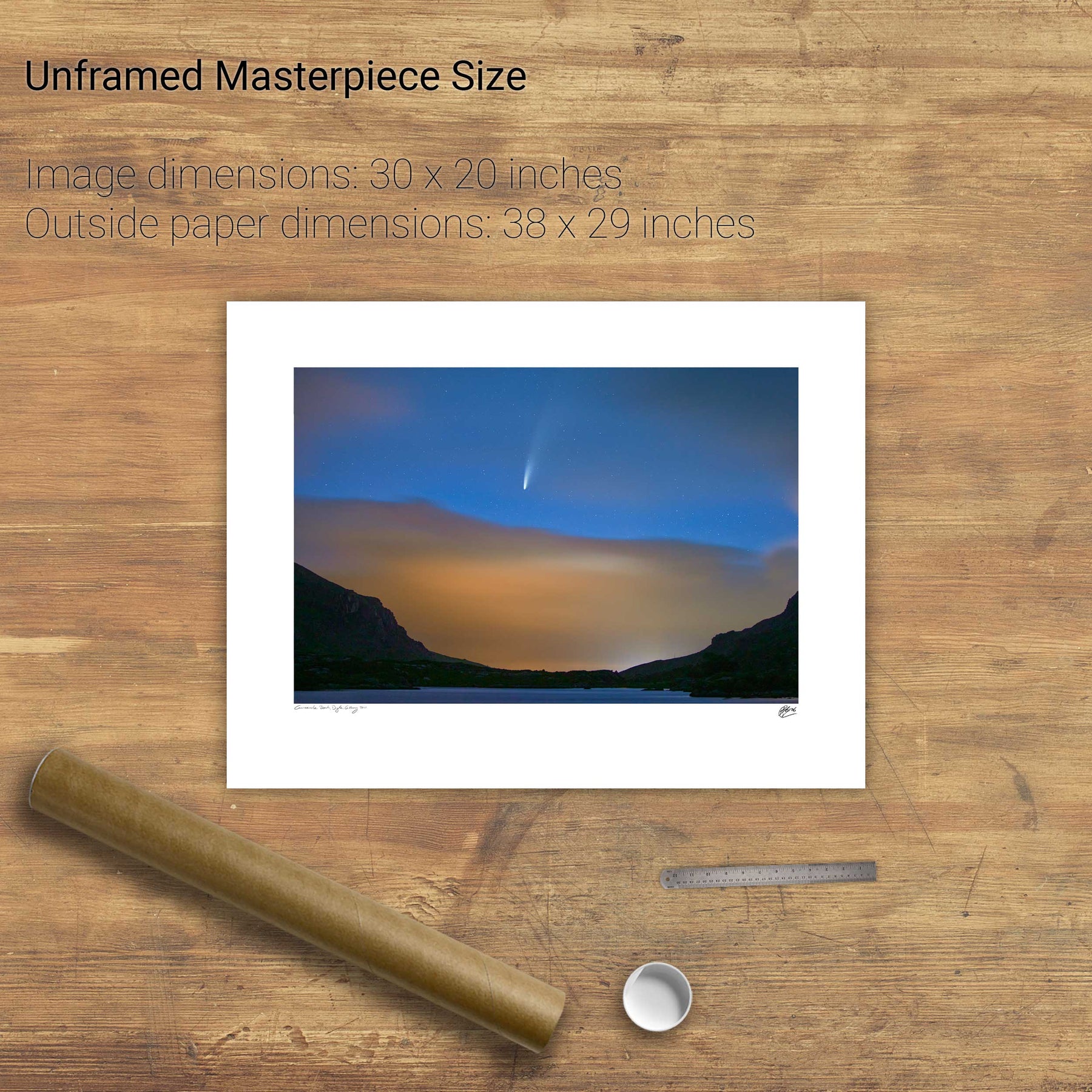
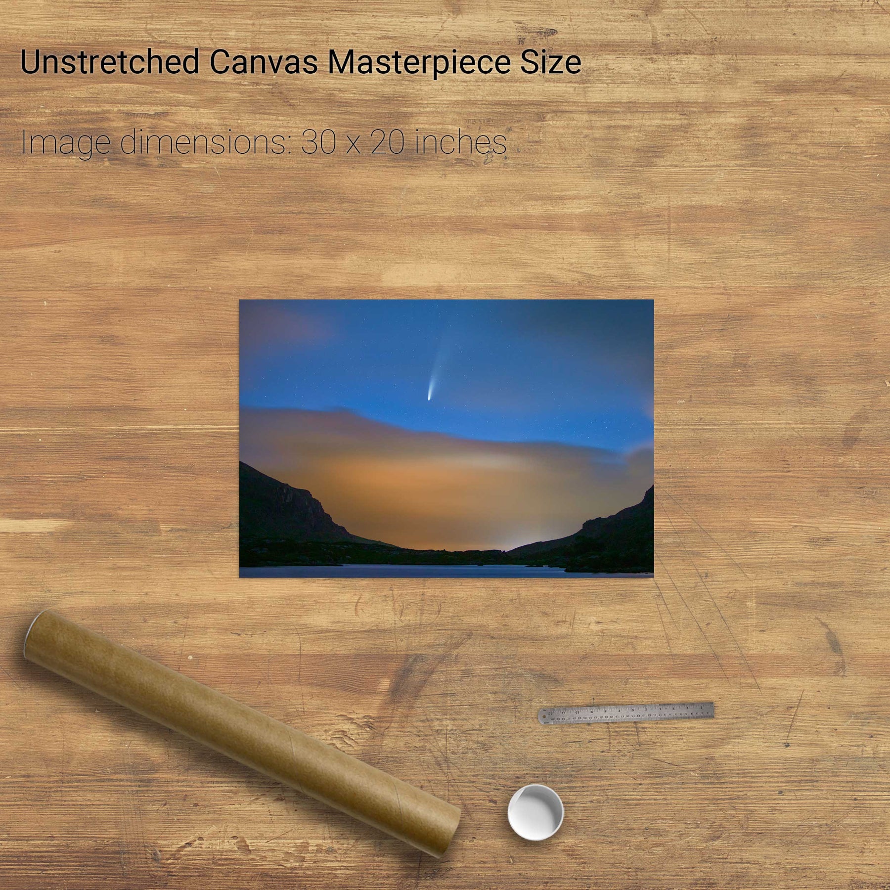
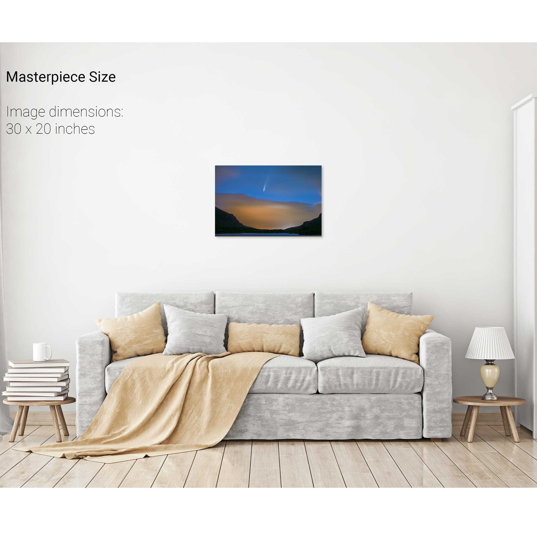
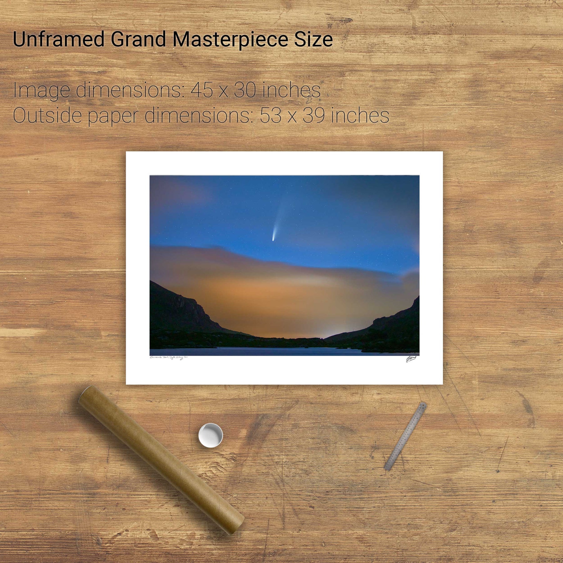
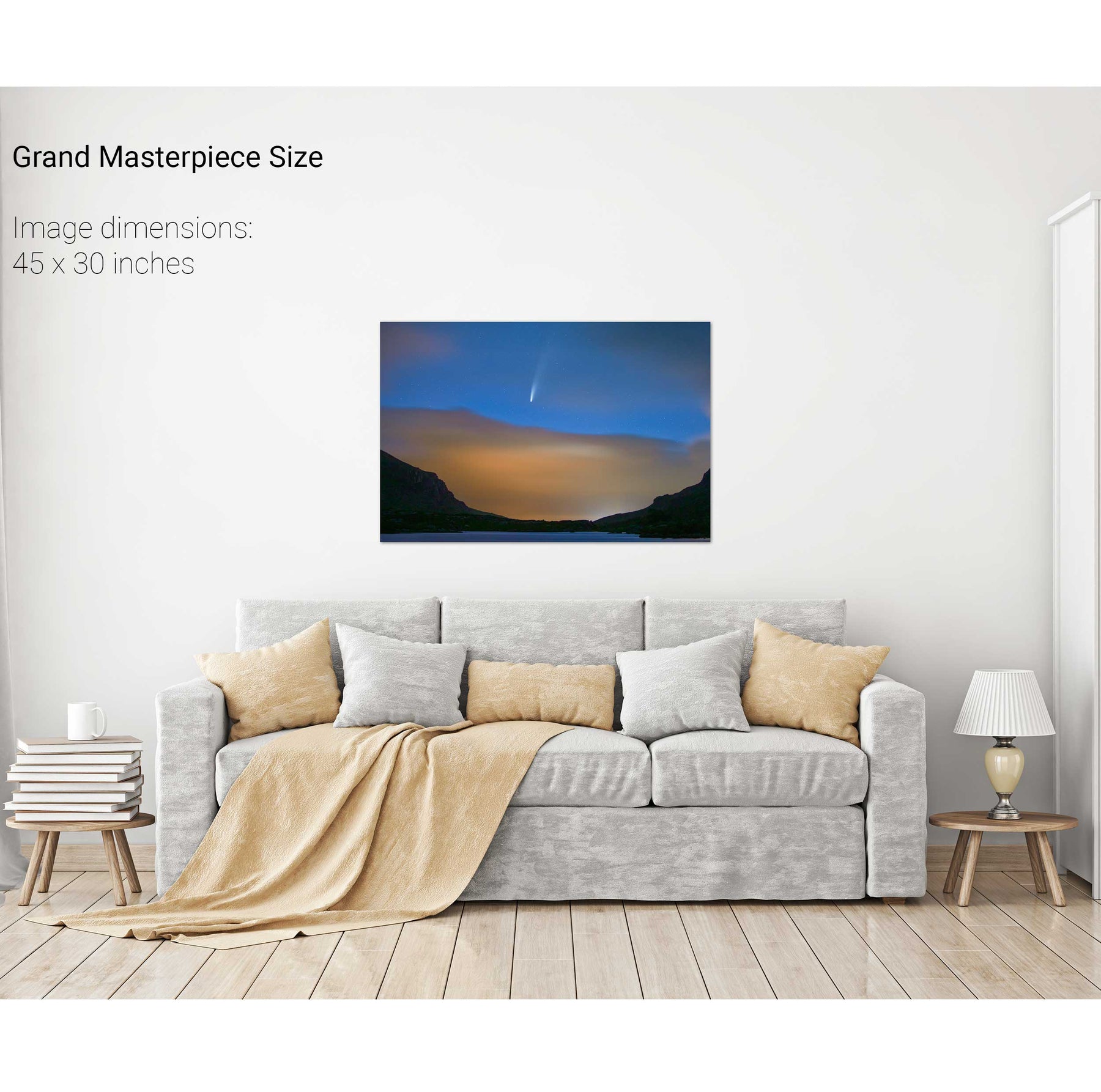
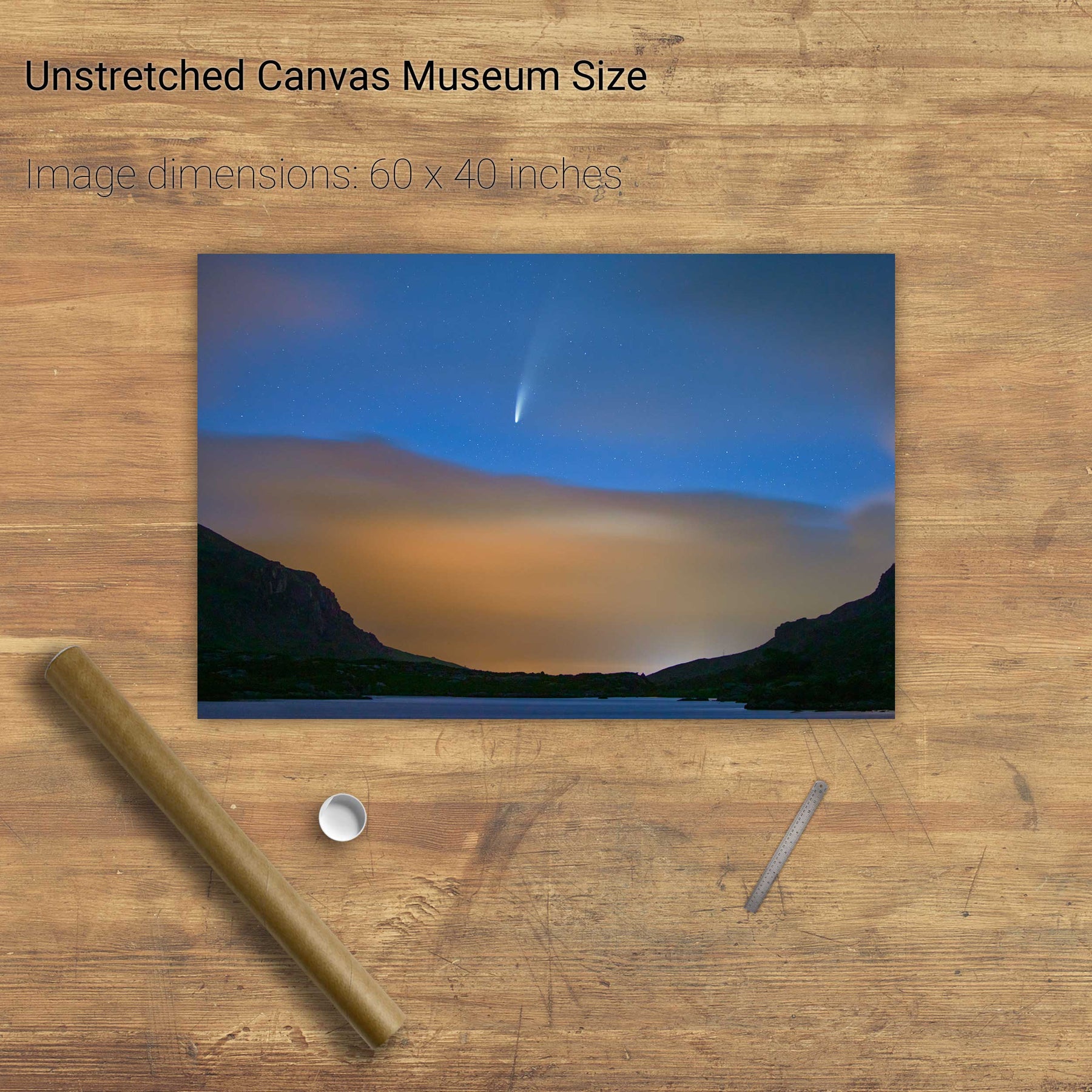
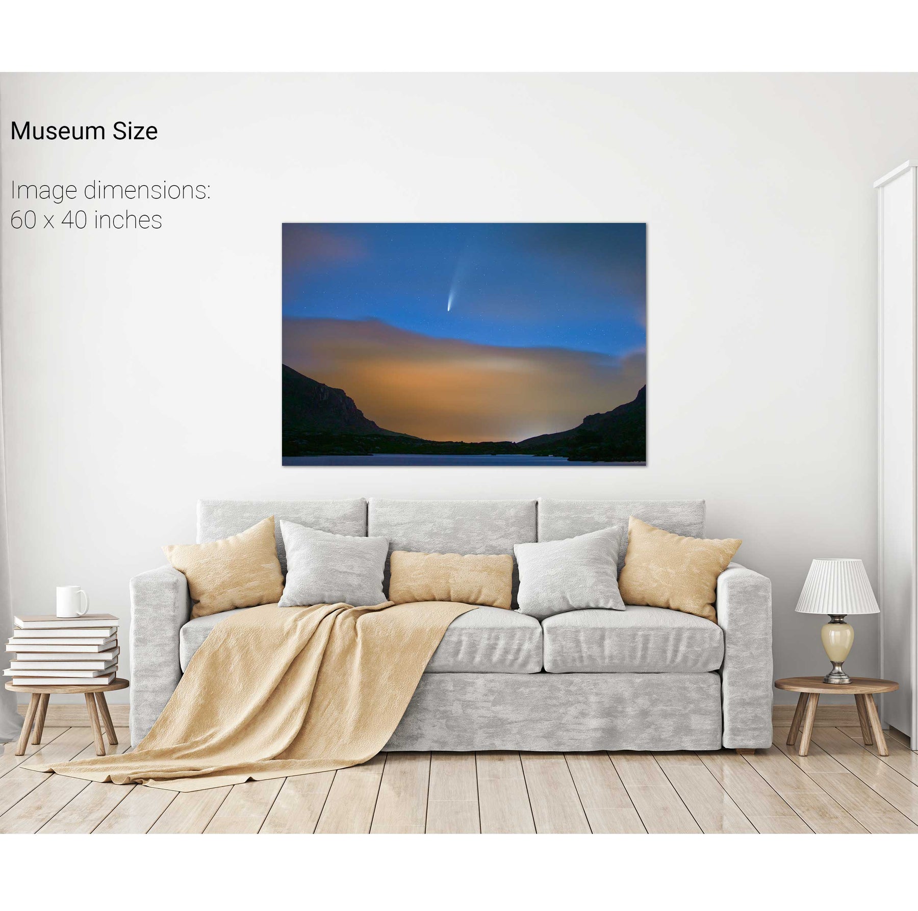
Comet NEOWISE Over the Gap of Dunloe, Kerry


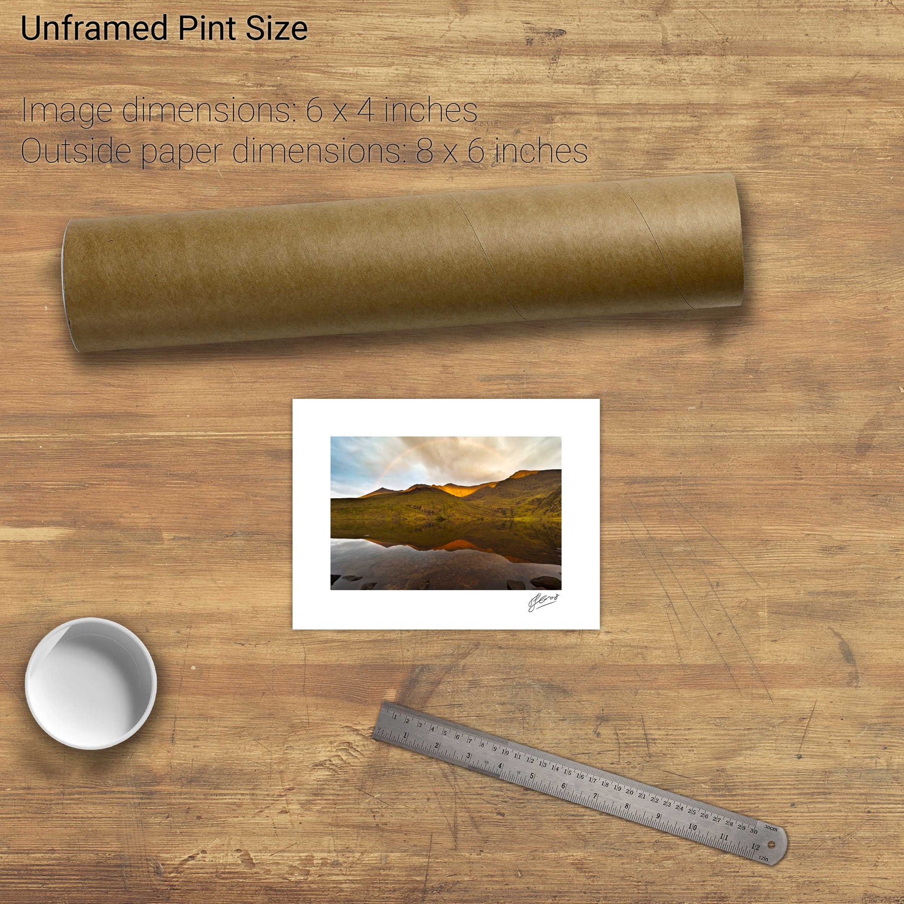
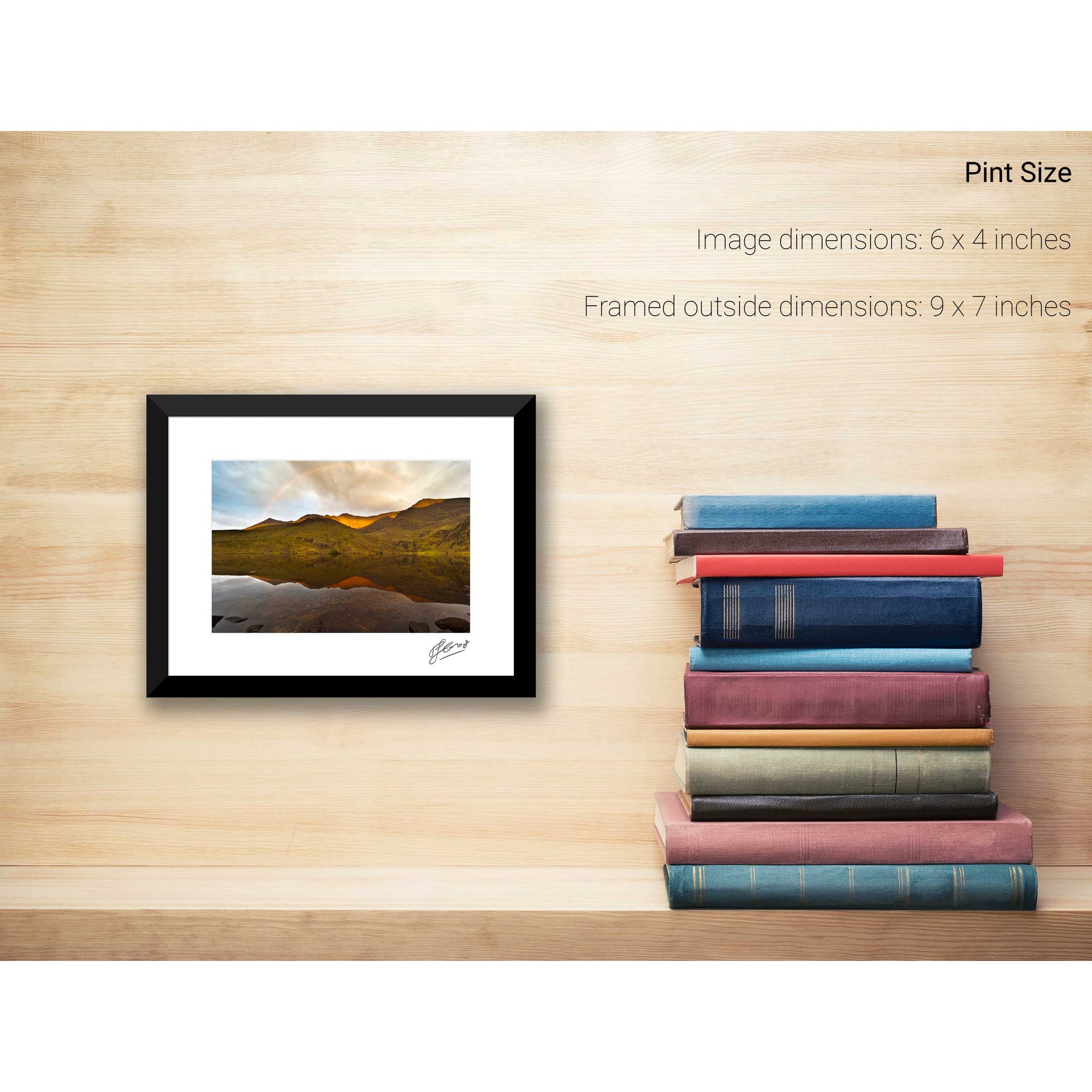
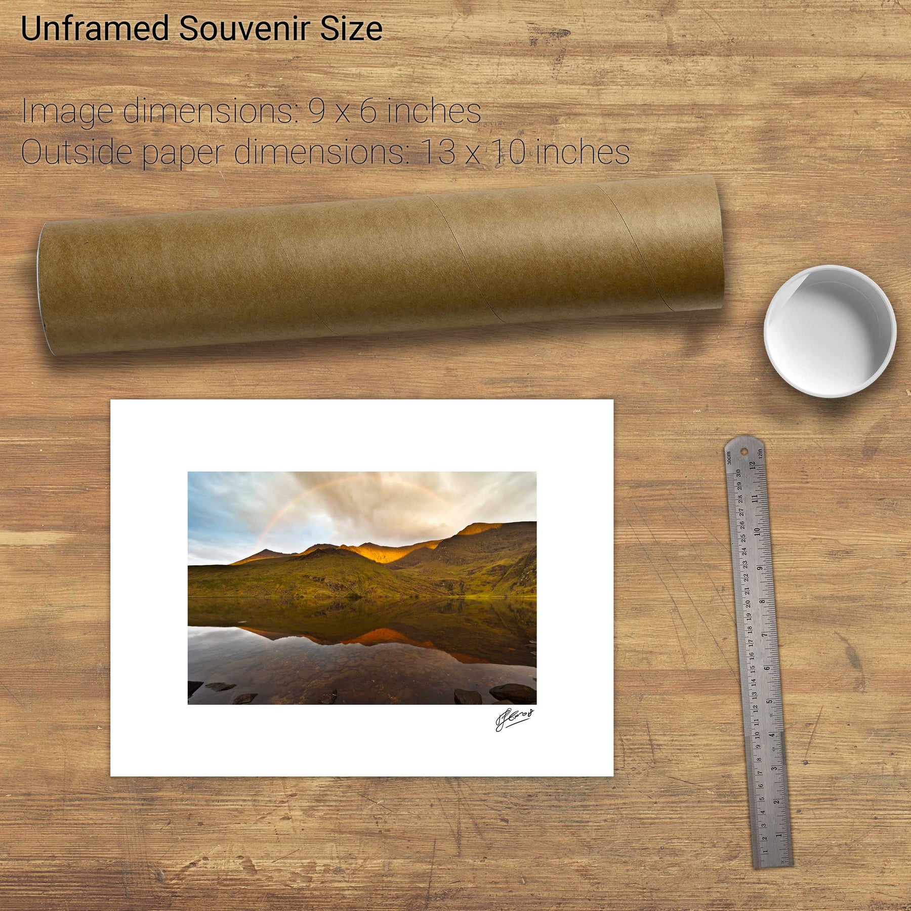
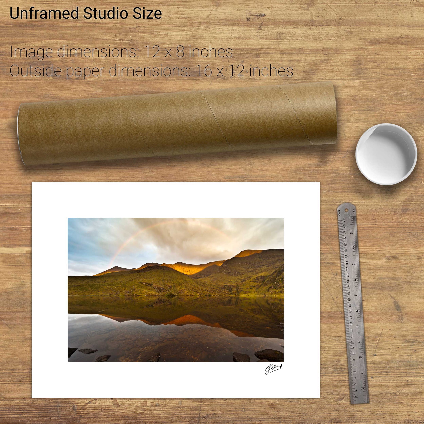
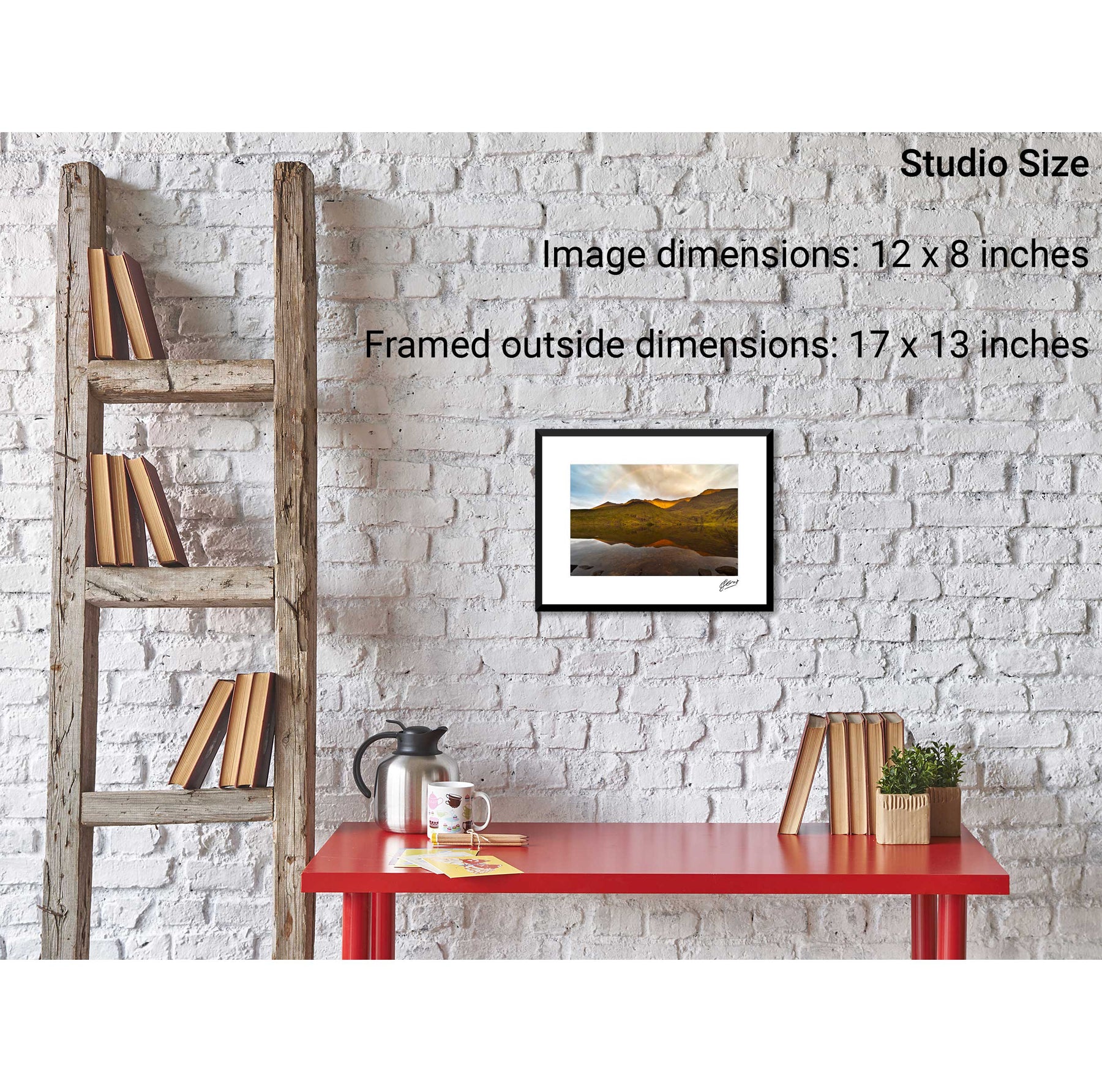
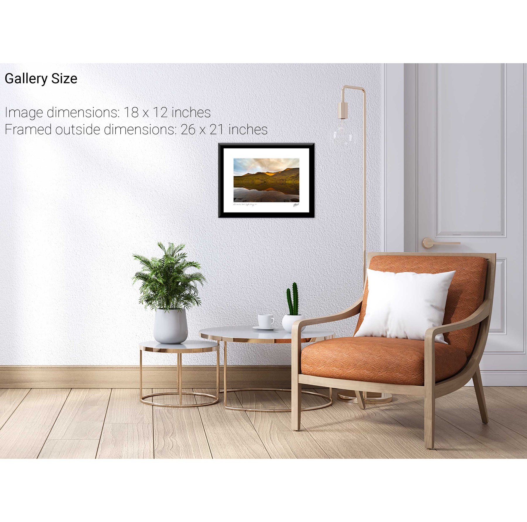
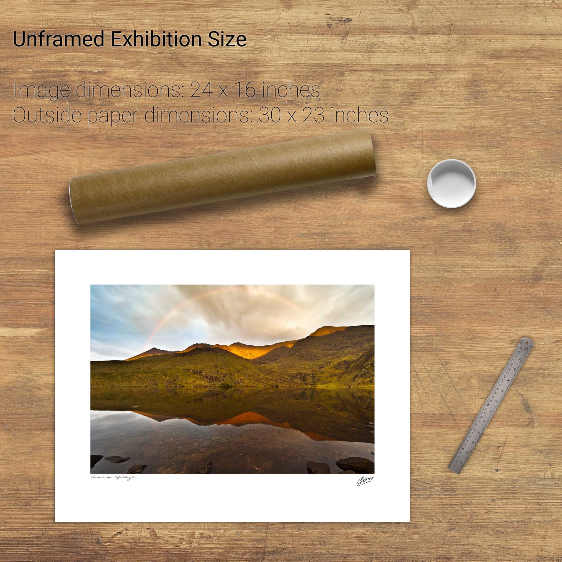
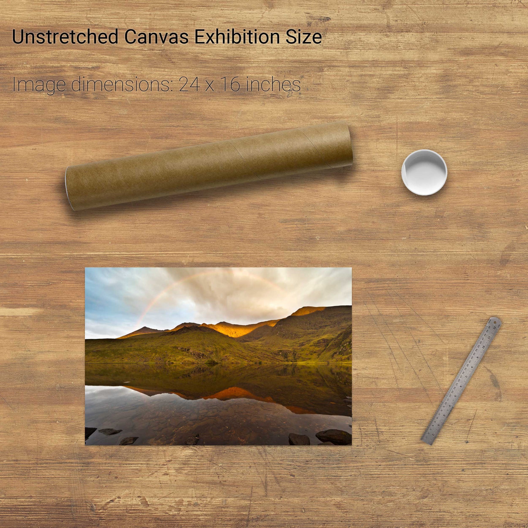
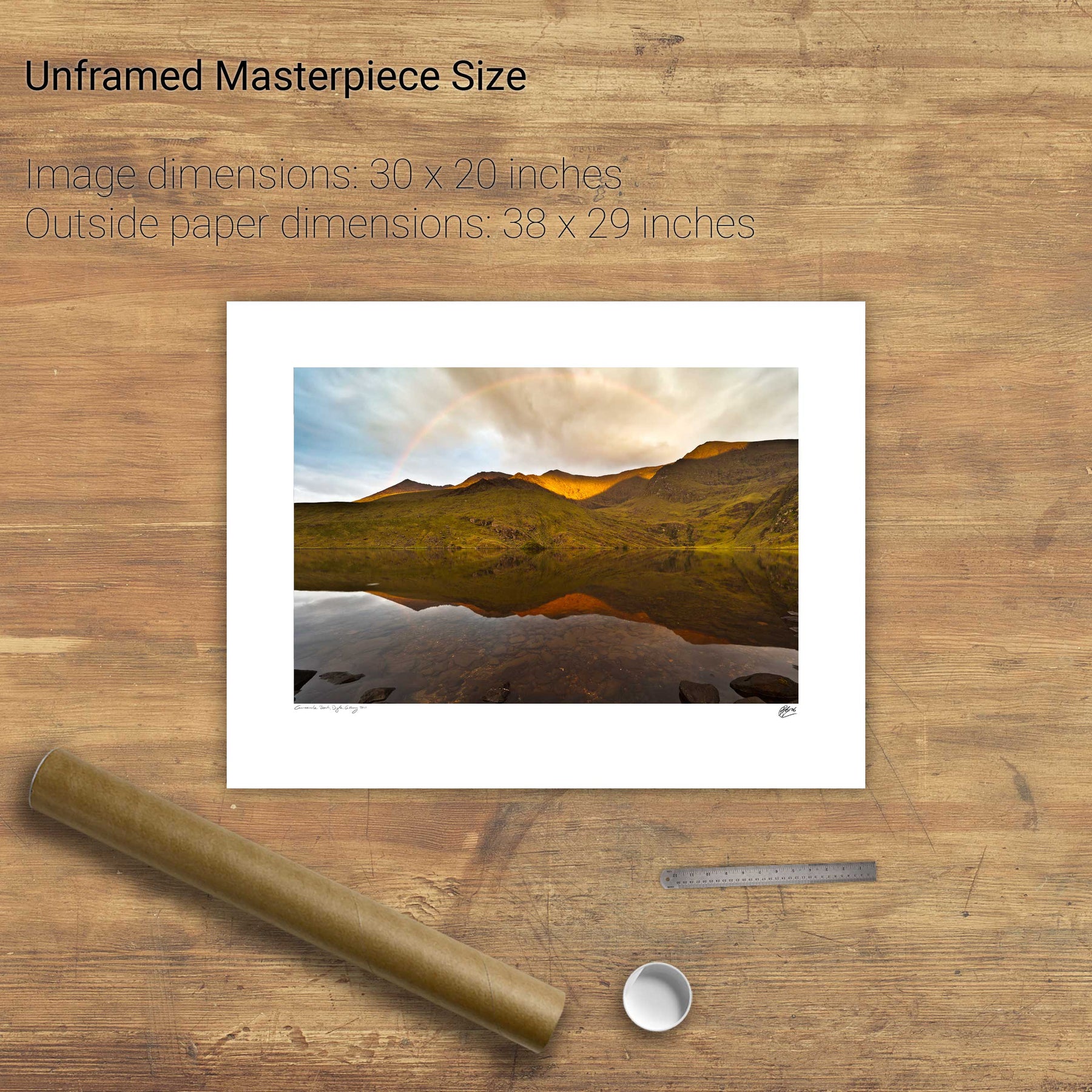
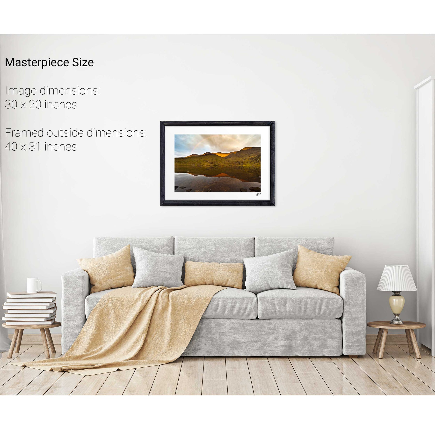
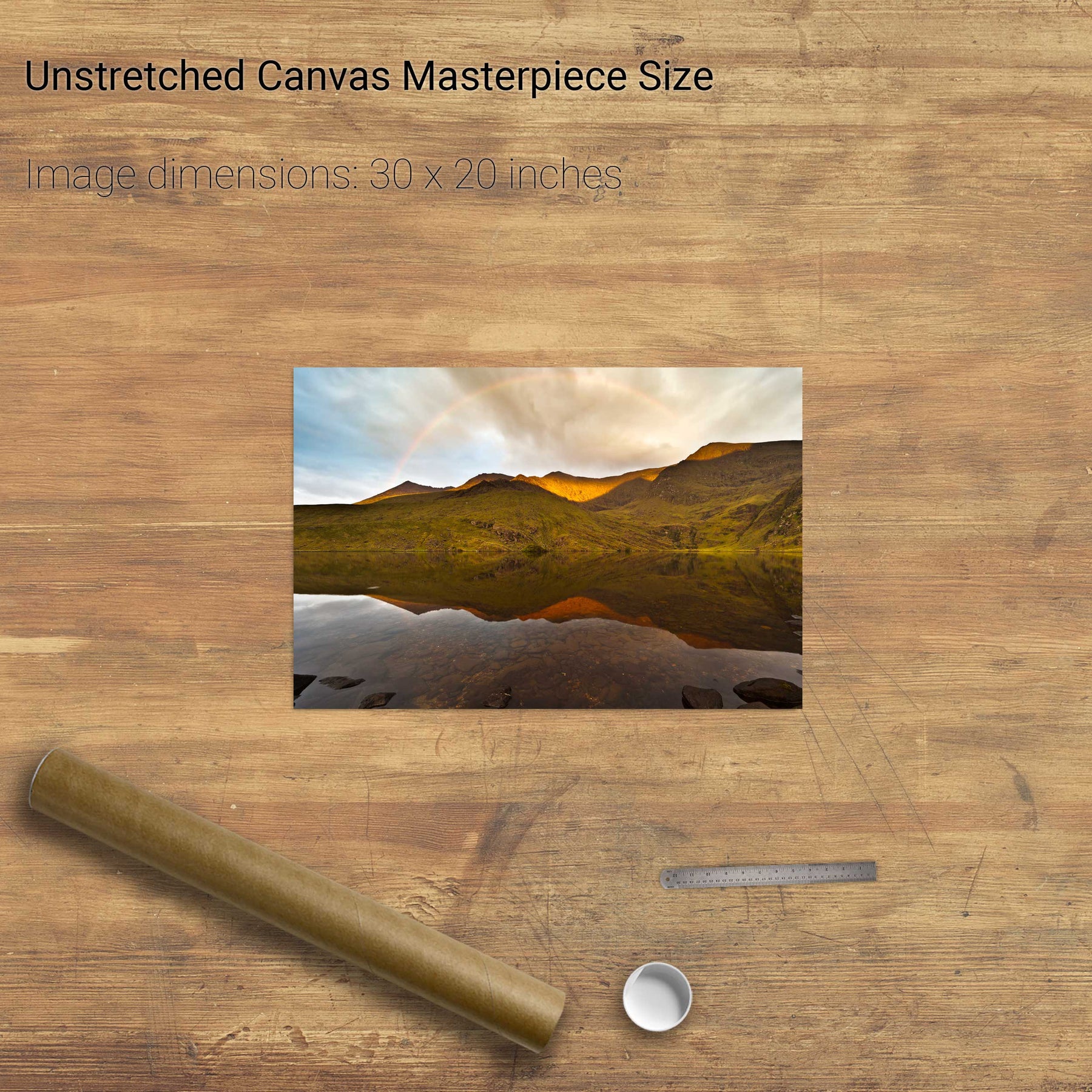
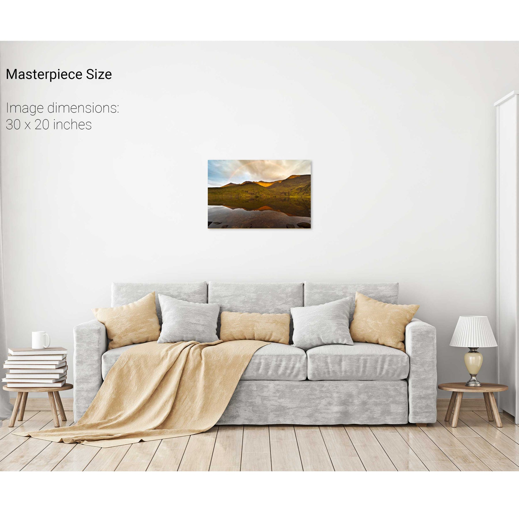
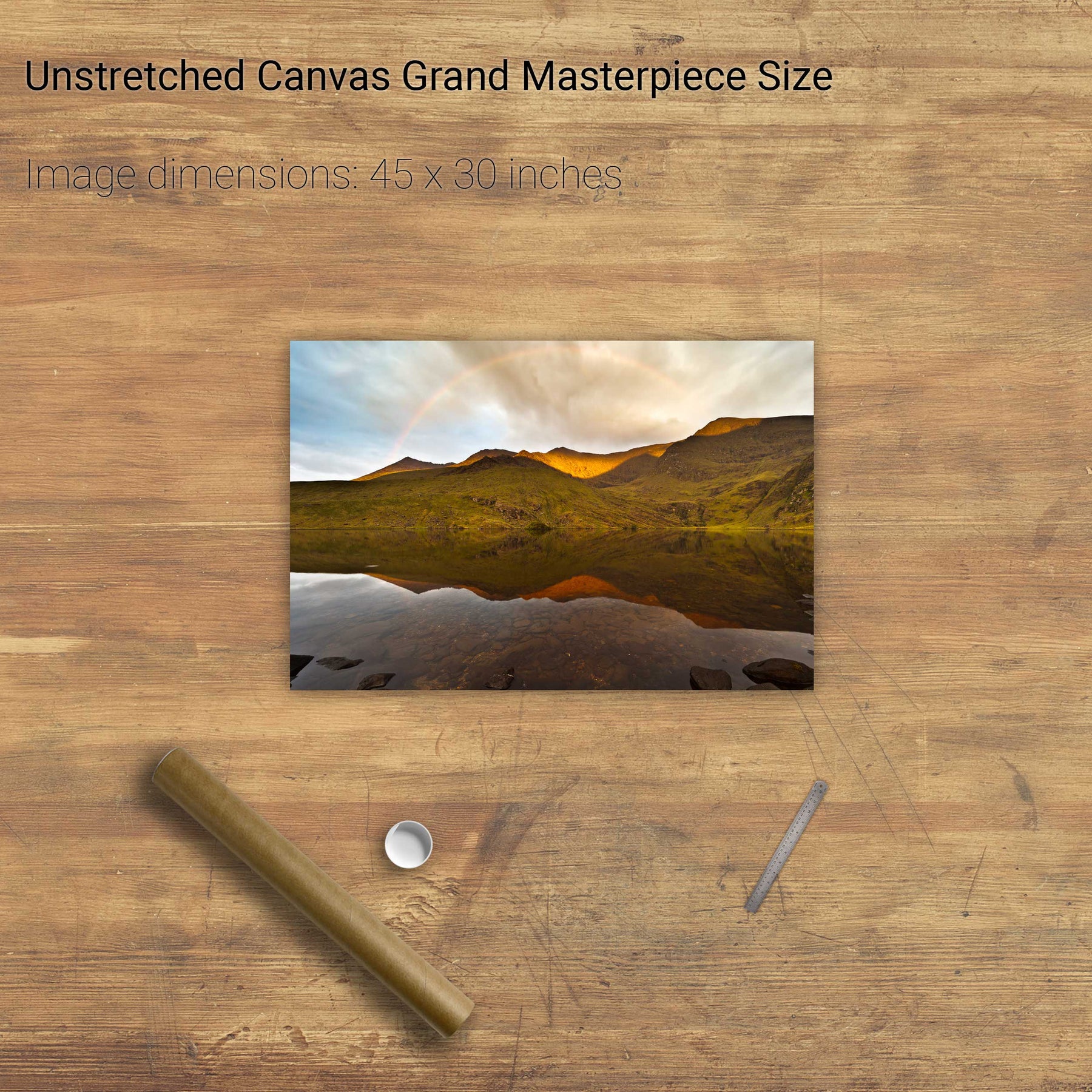
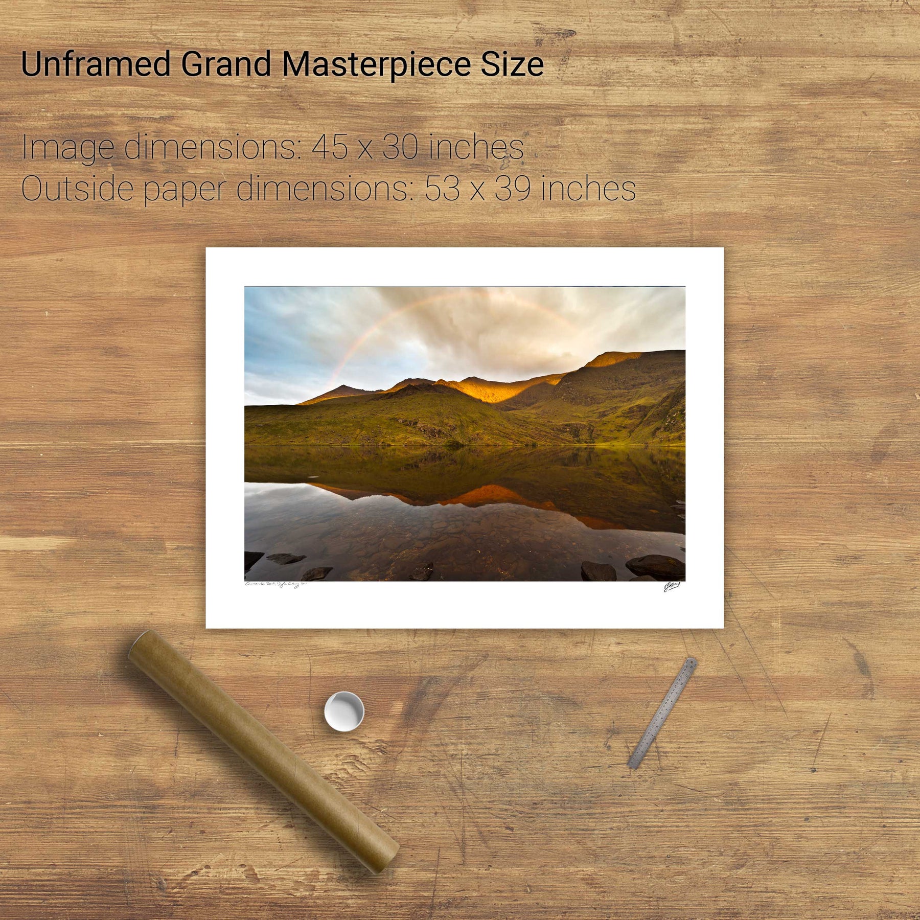
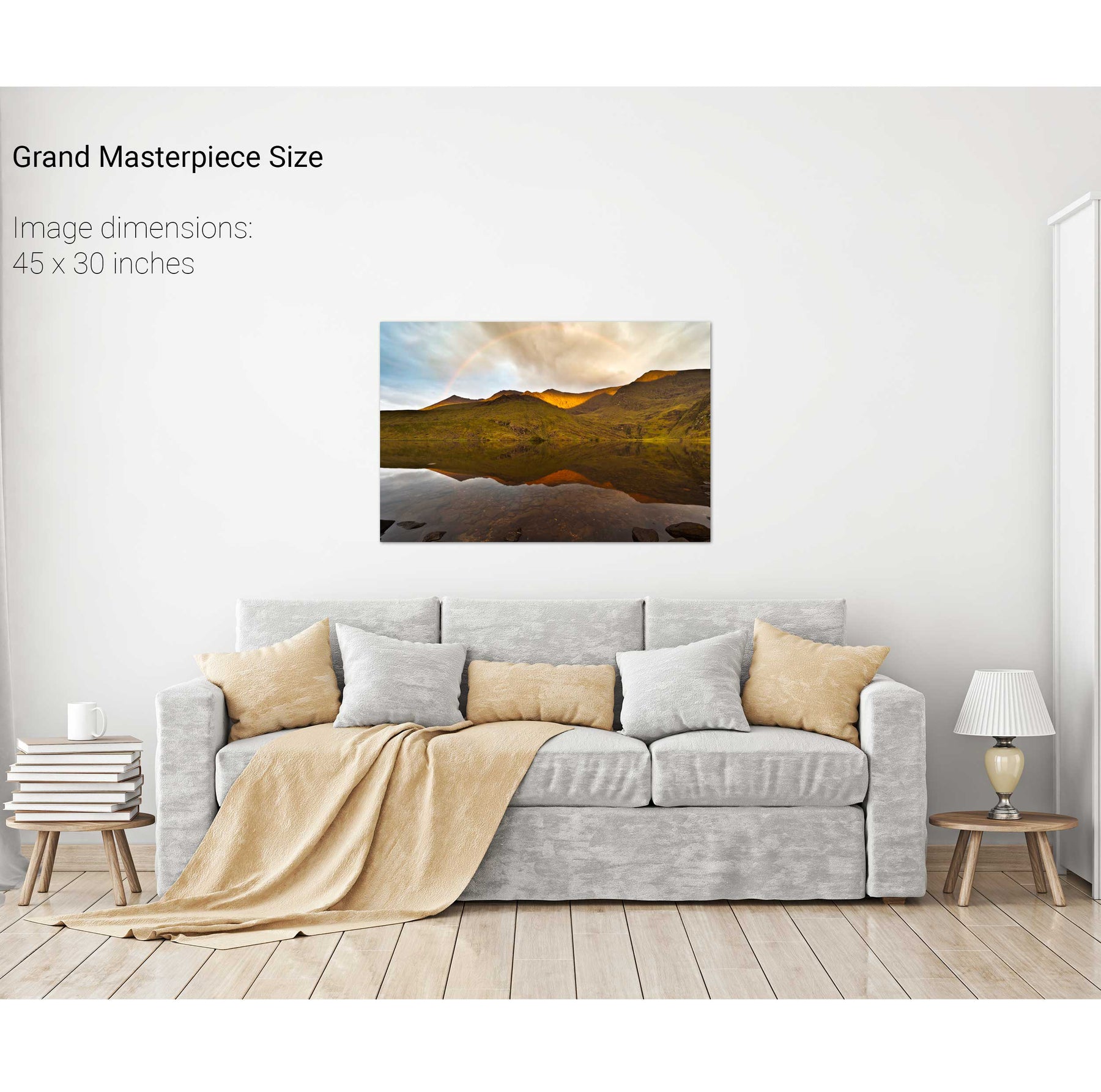
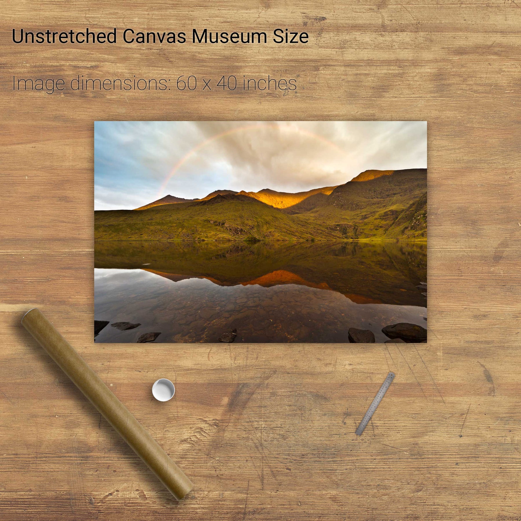
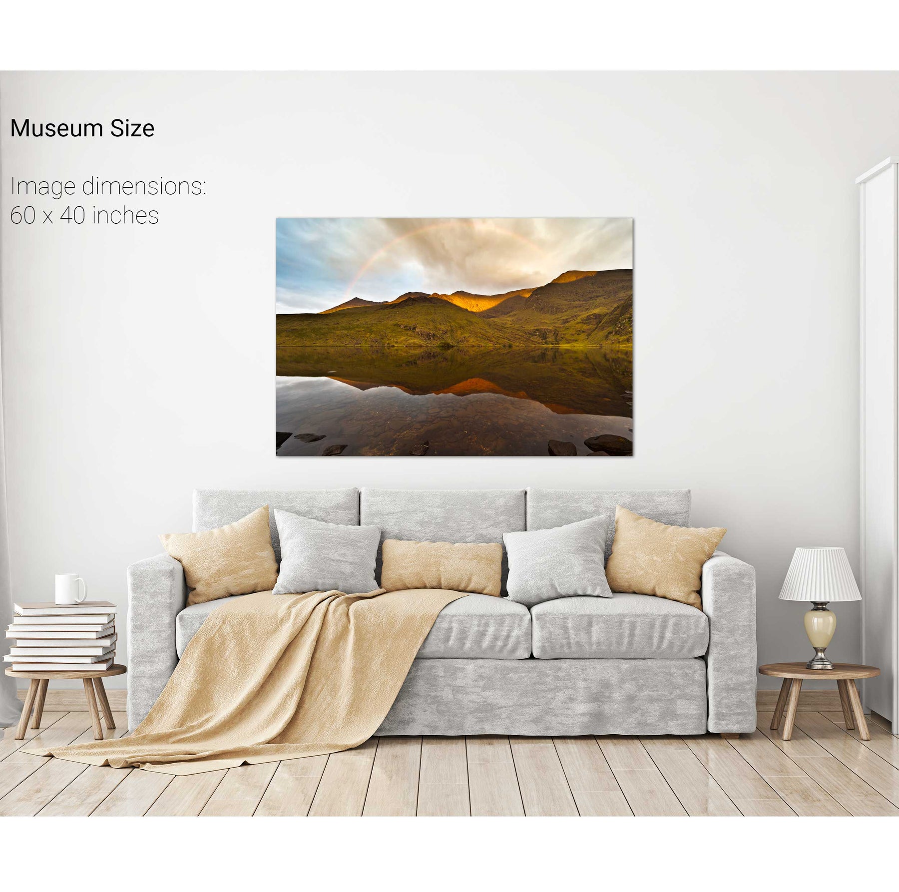
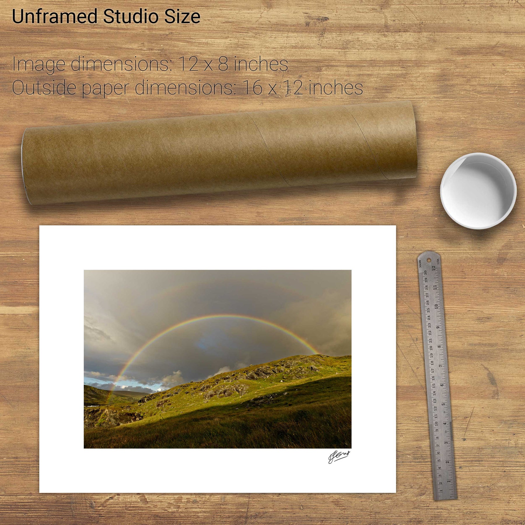
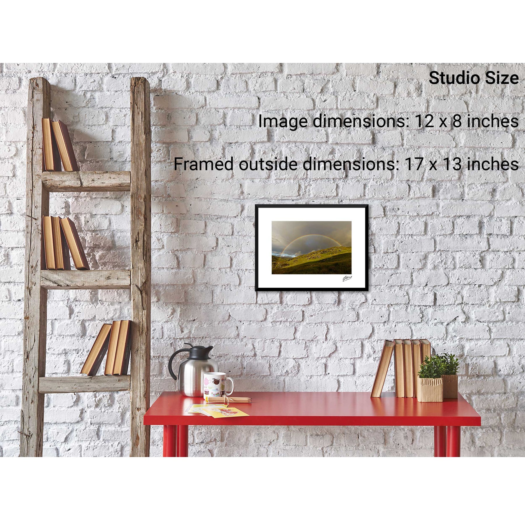
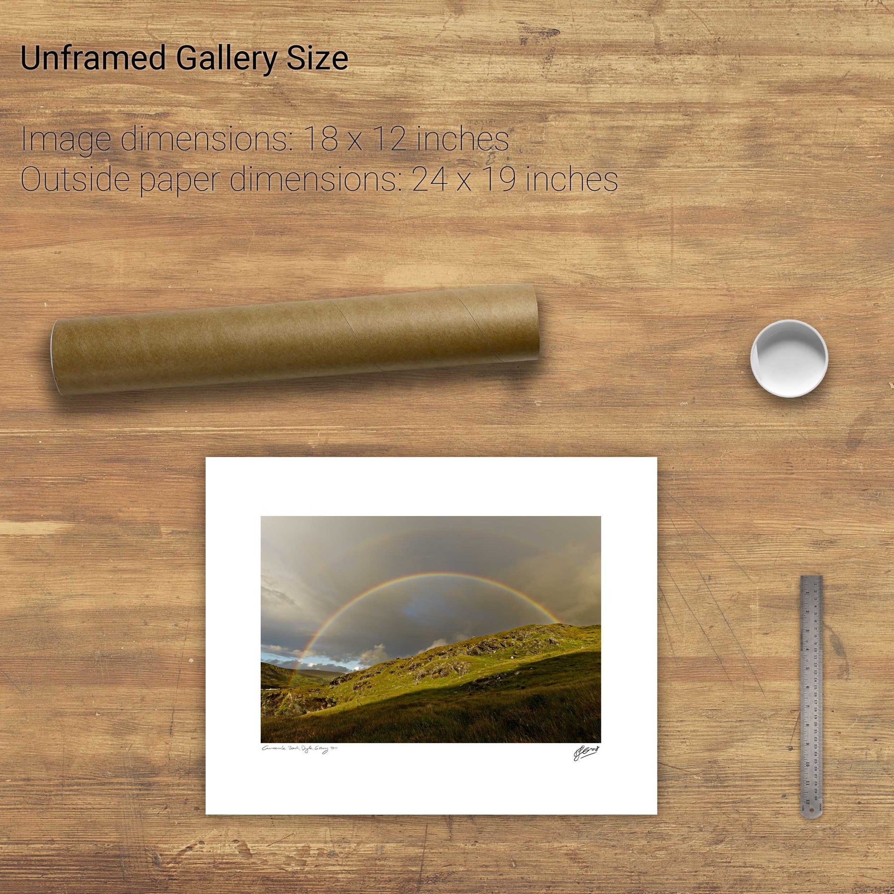
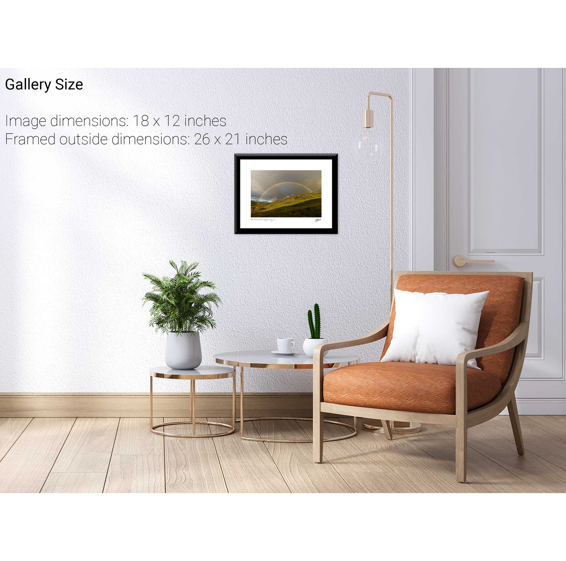
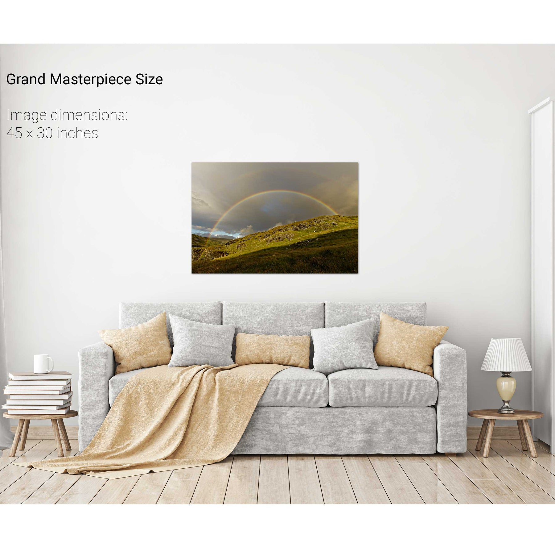
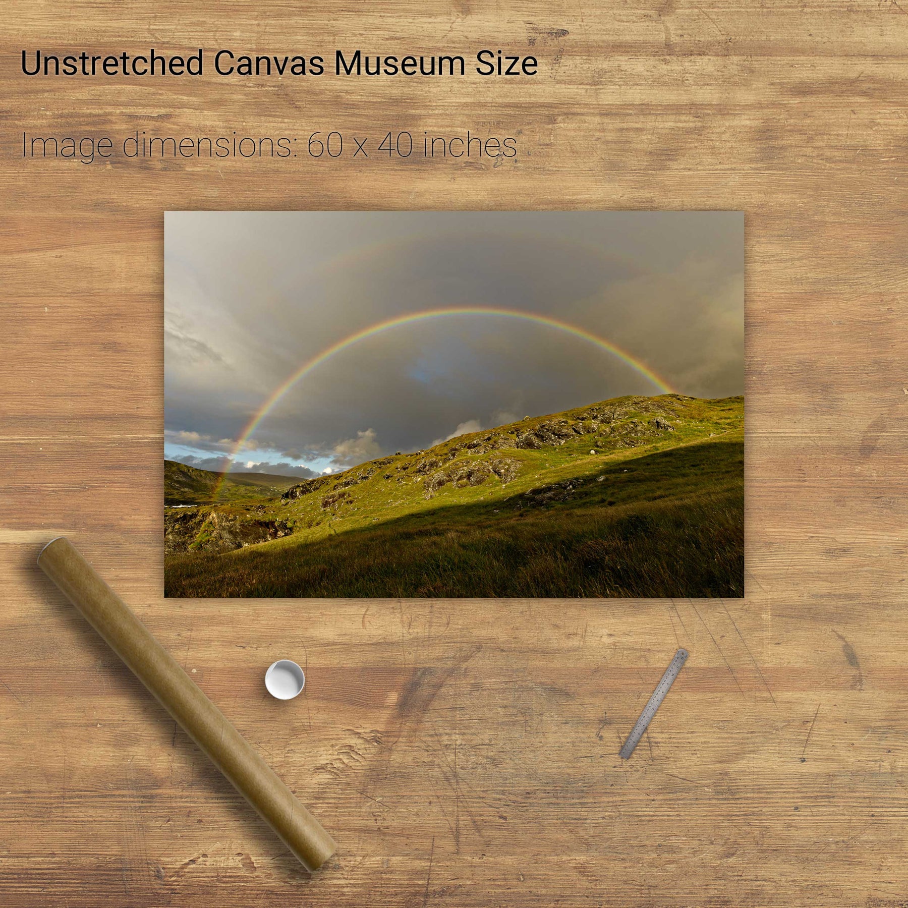
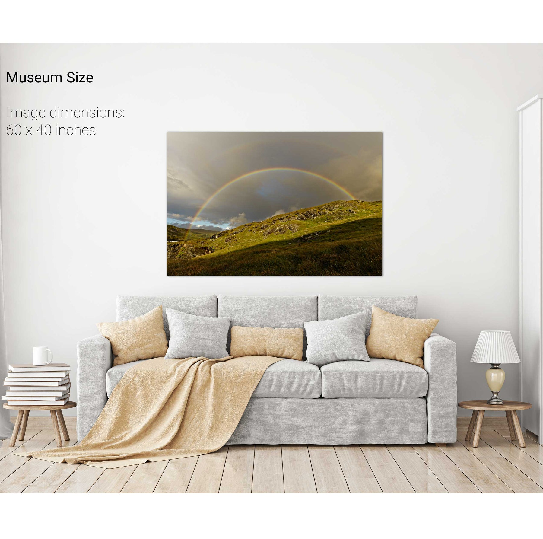
Rainbow over the Eastern Reeks, Co. Kerry


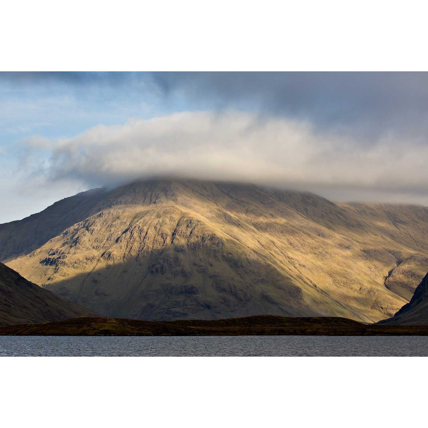
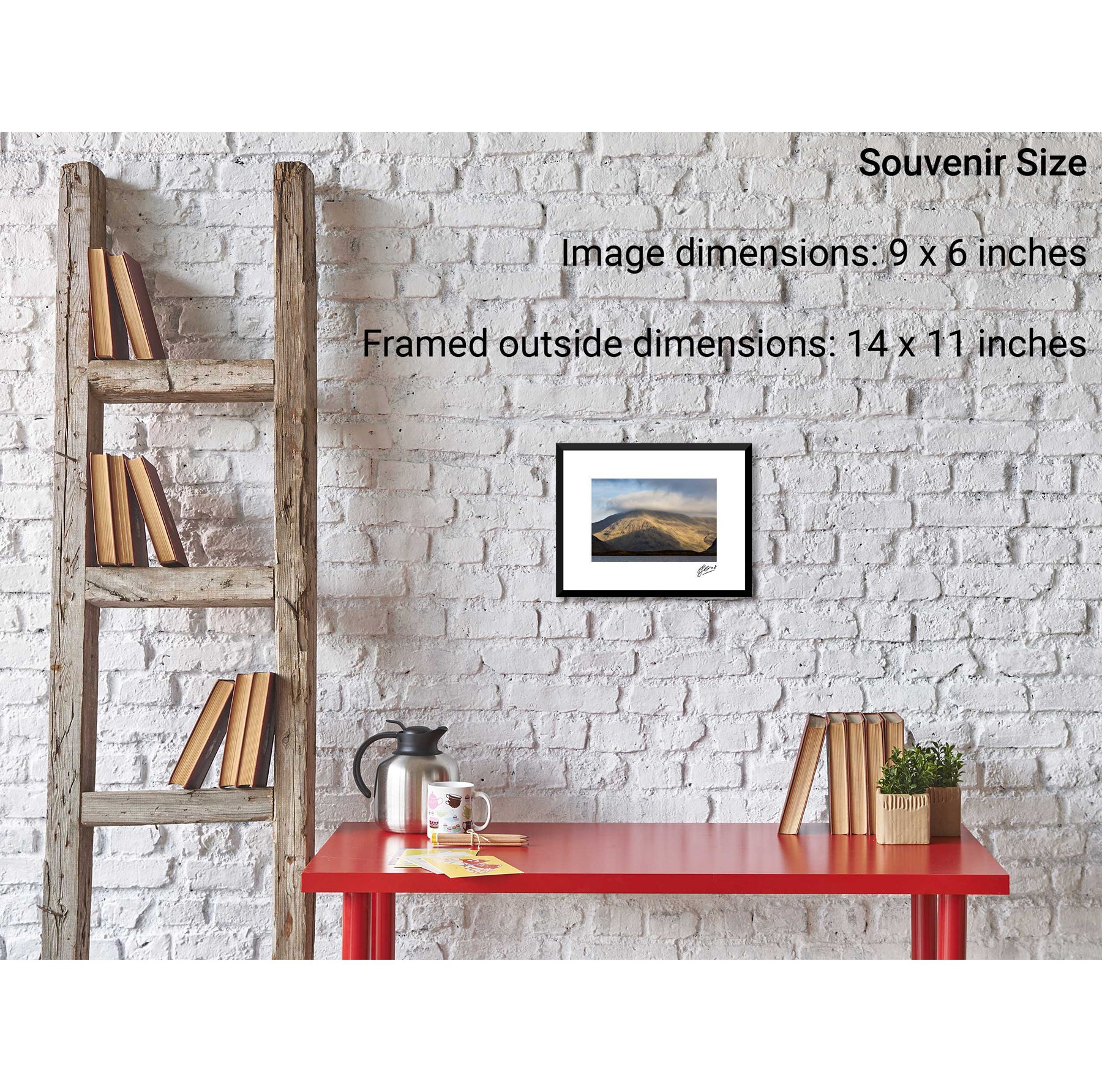
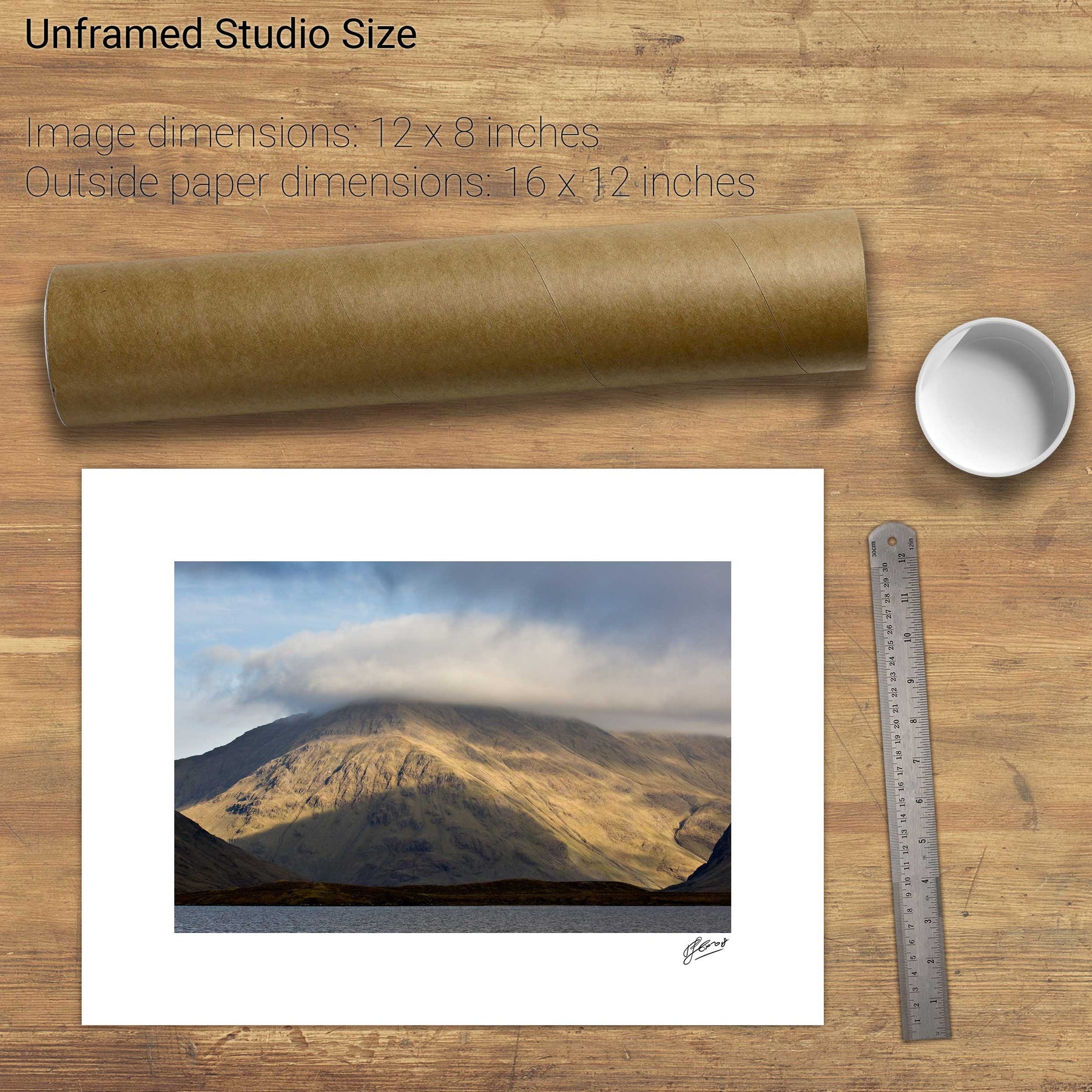
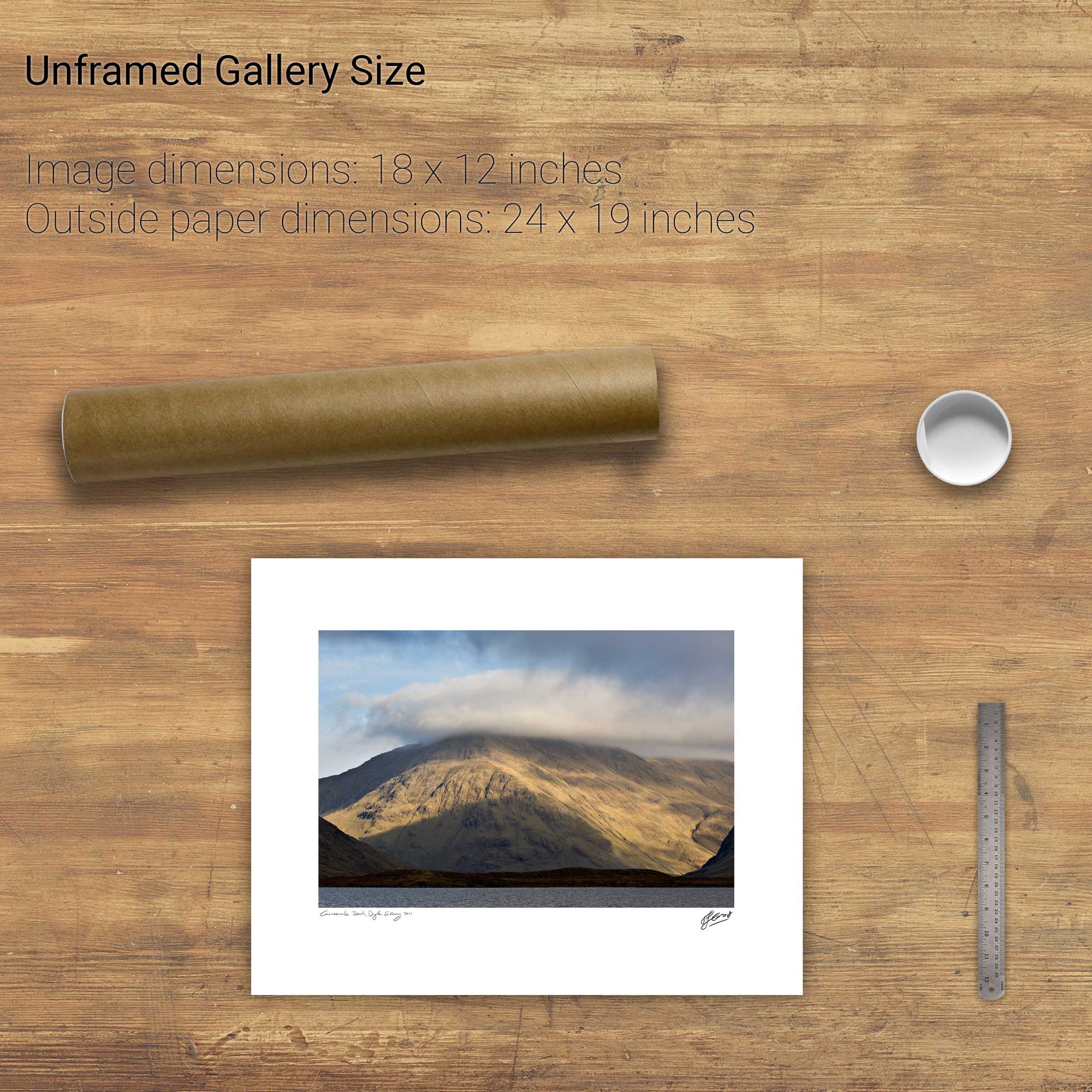
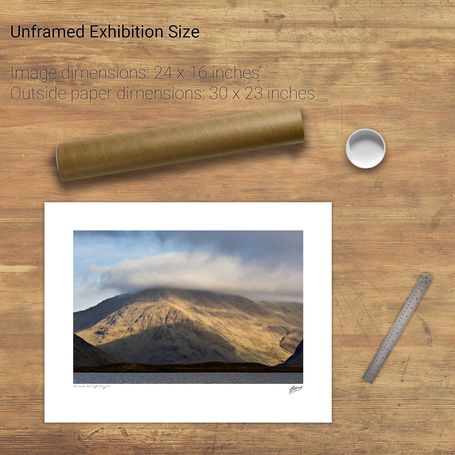
Ben Creggan, Co. Mayo


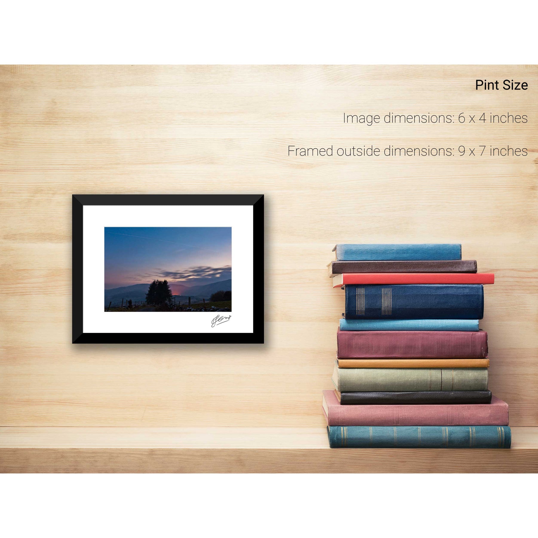
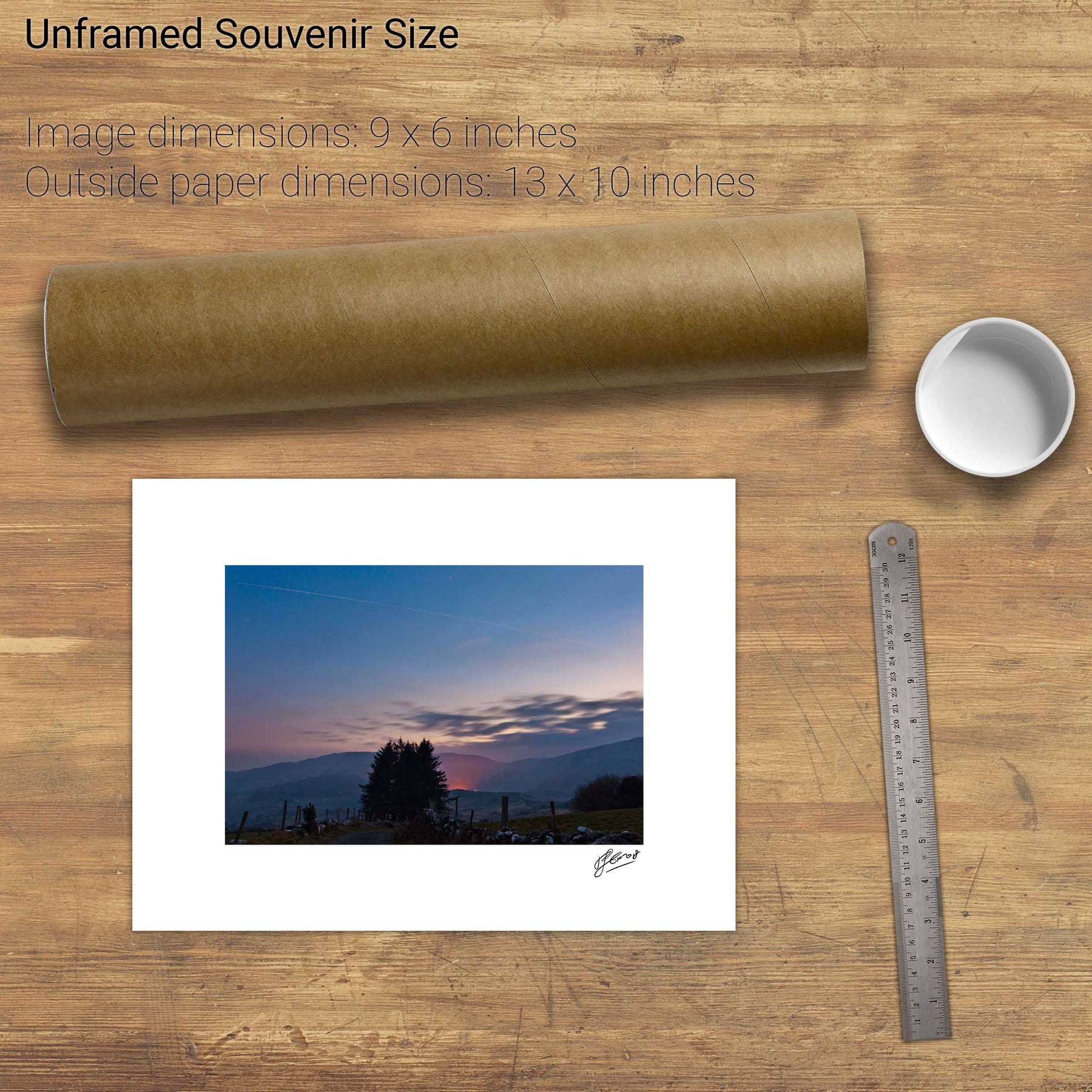
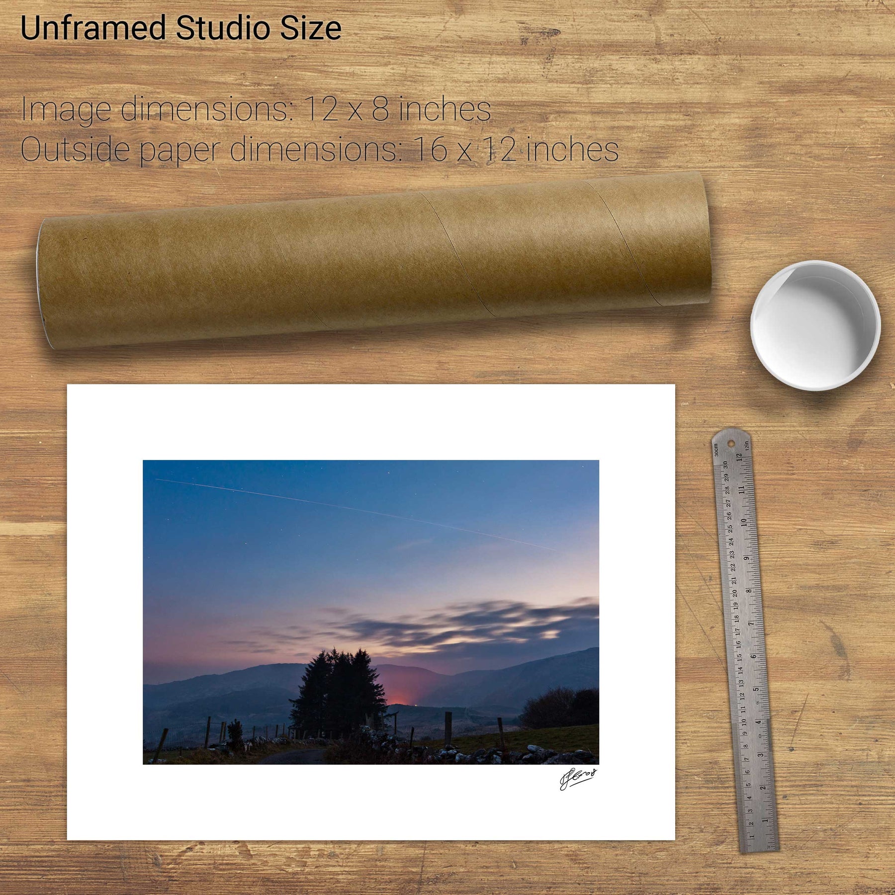
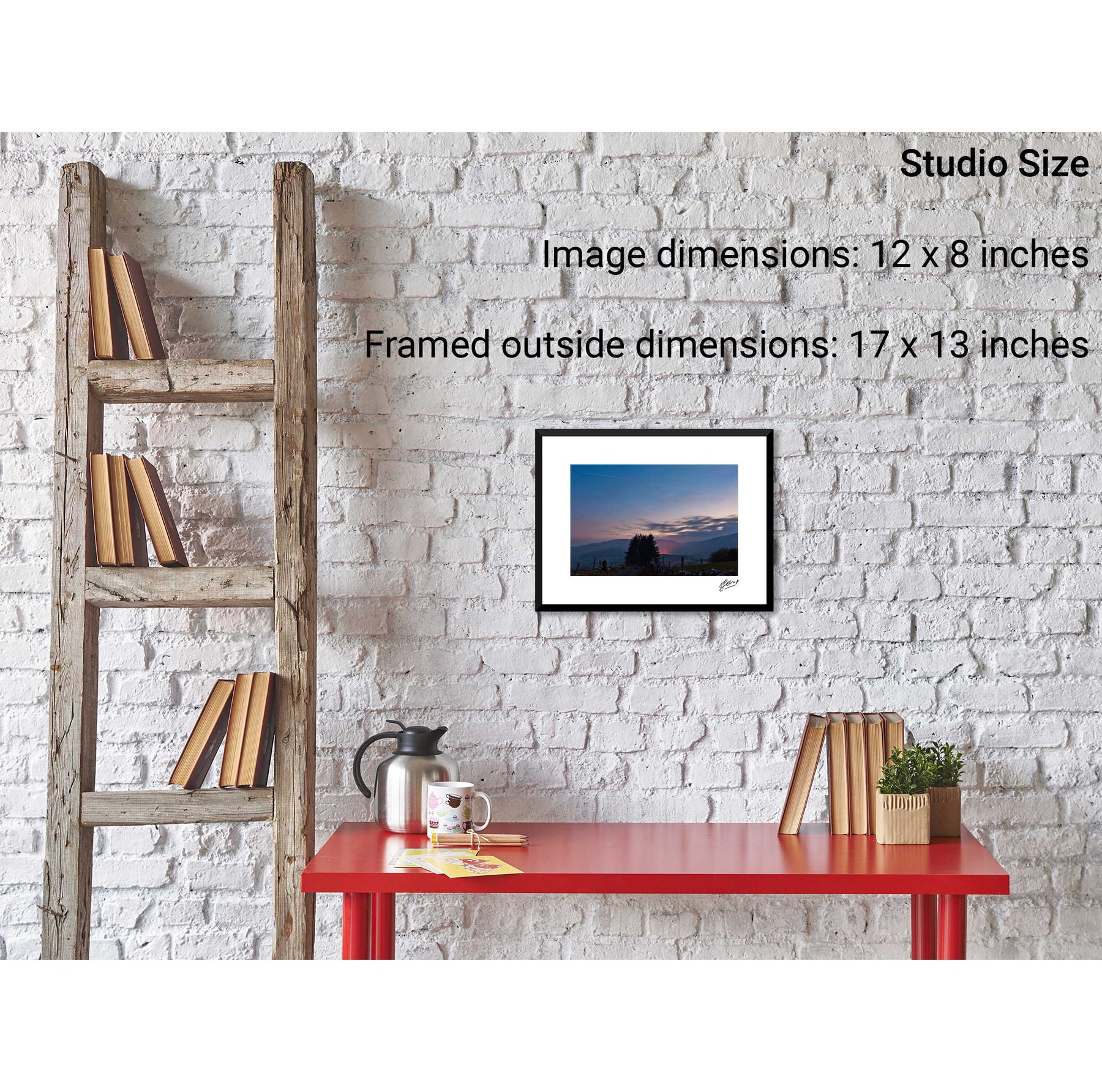
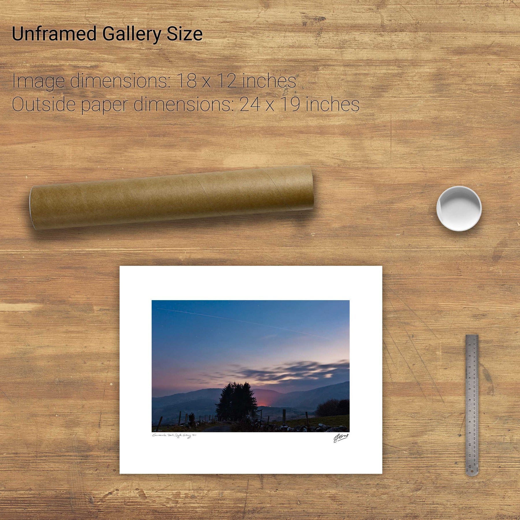
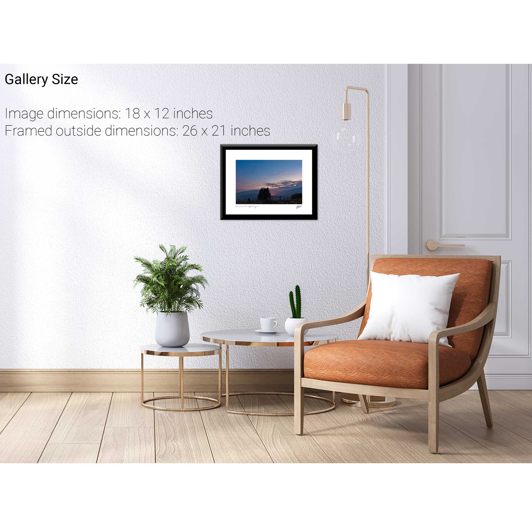
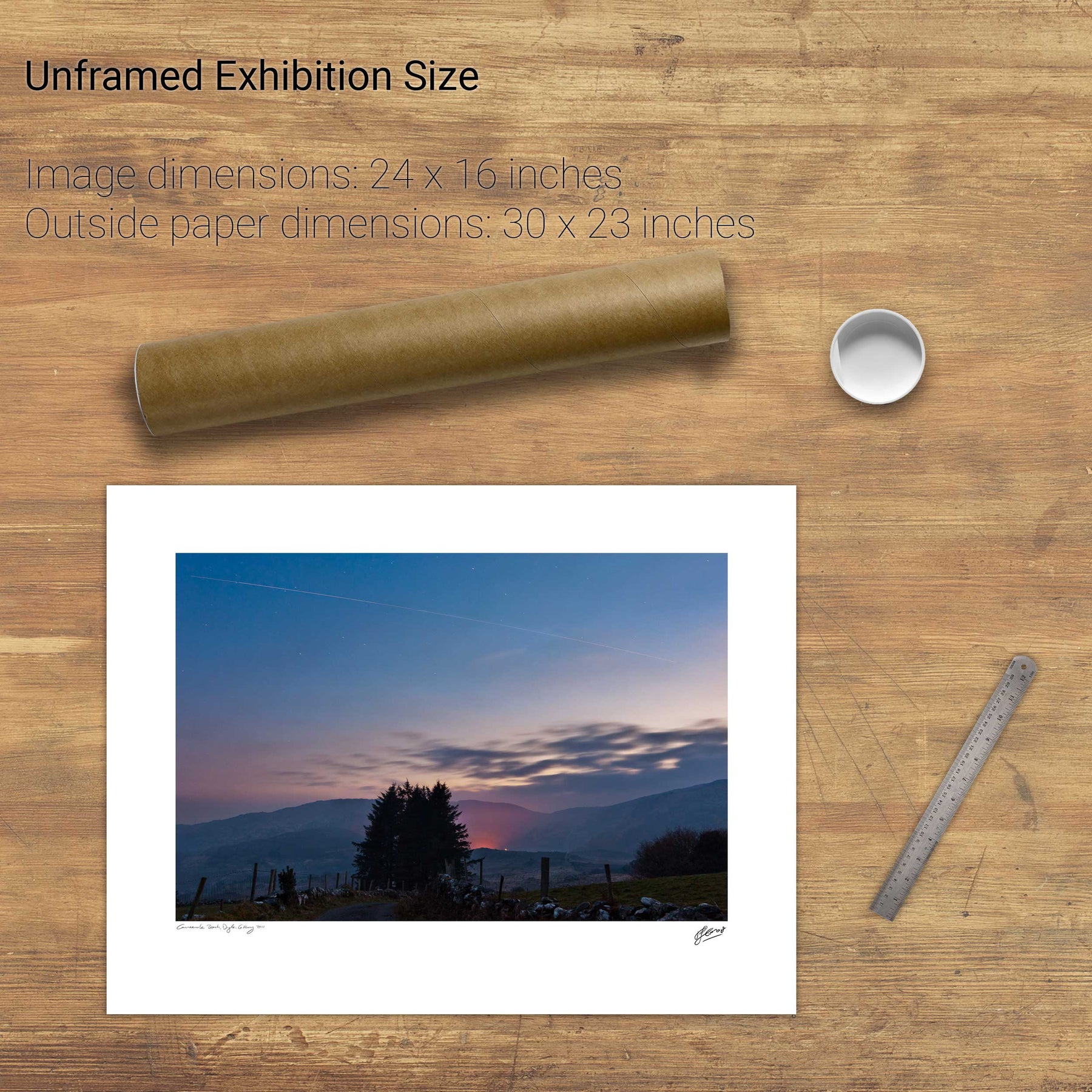
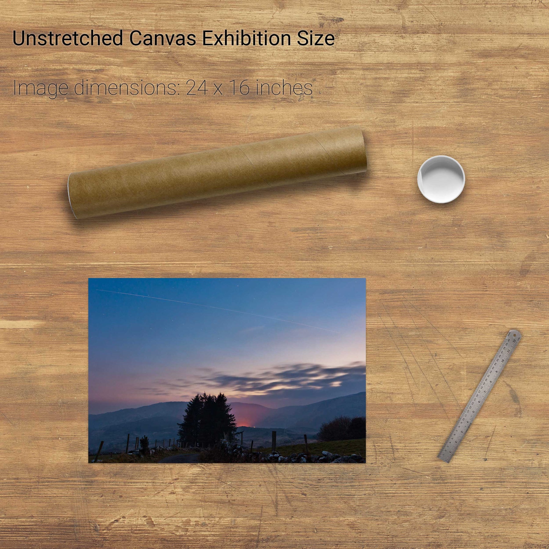
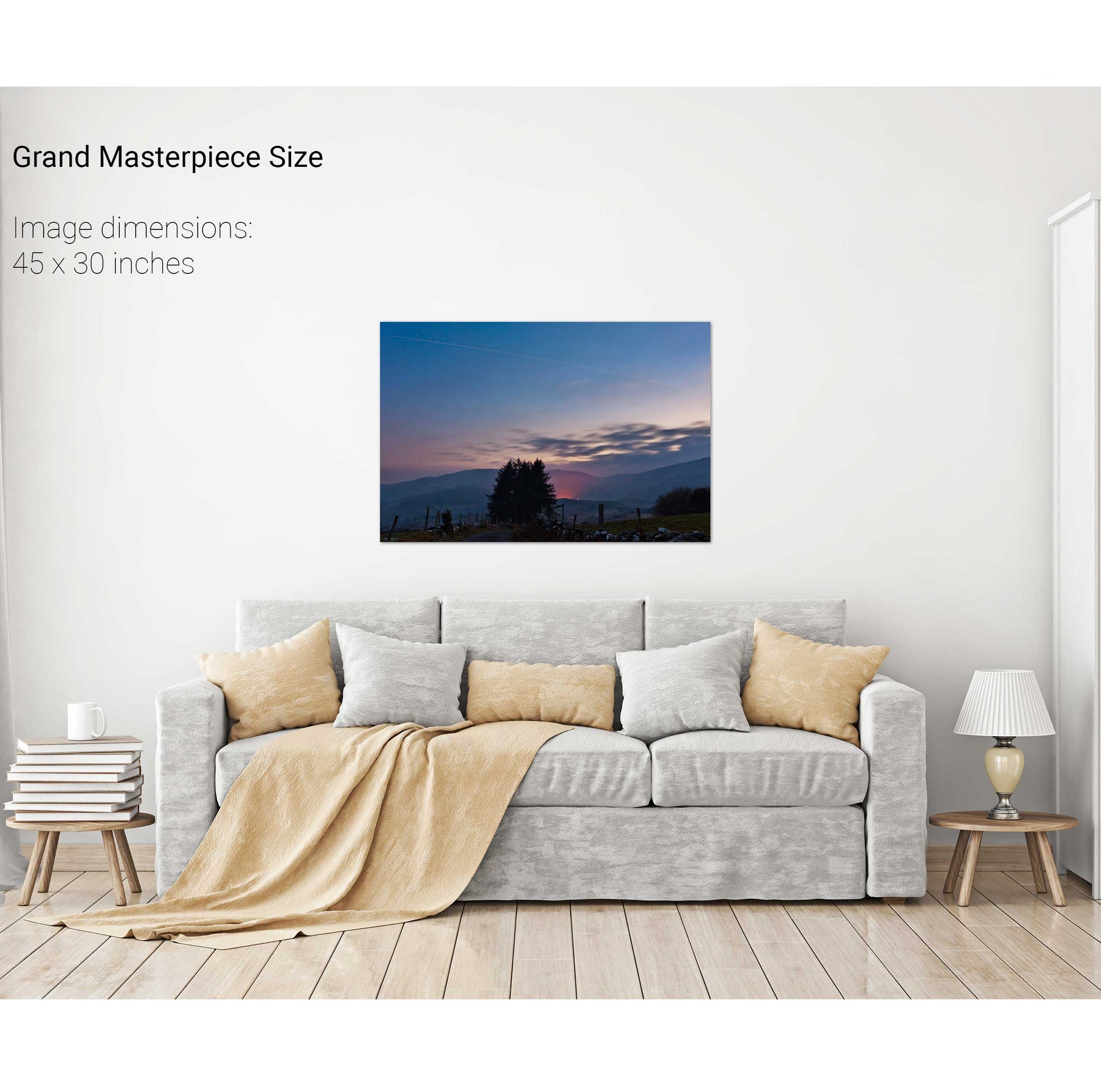
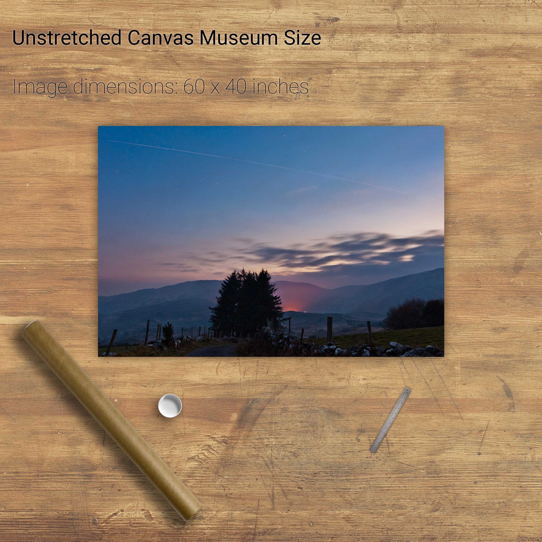
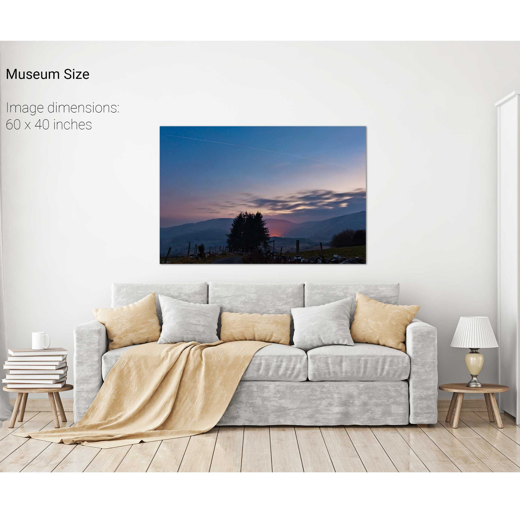
International Space Station and Shuttle Discovery over Gougane B


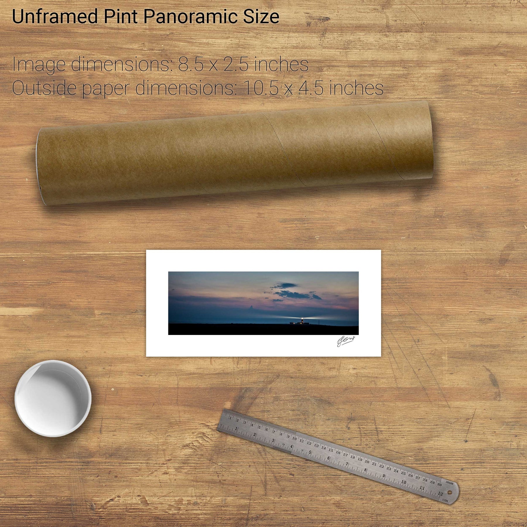
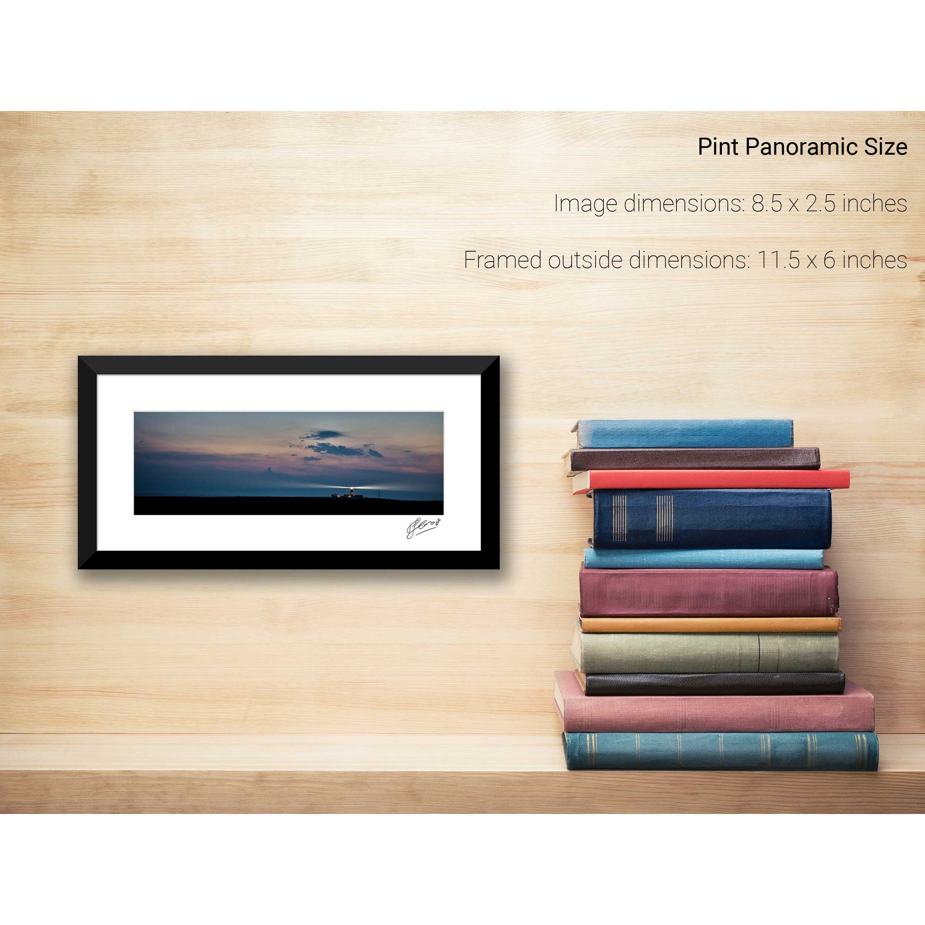
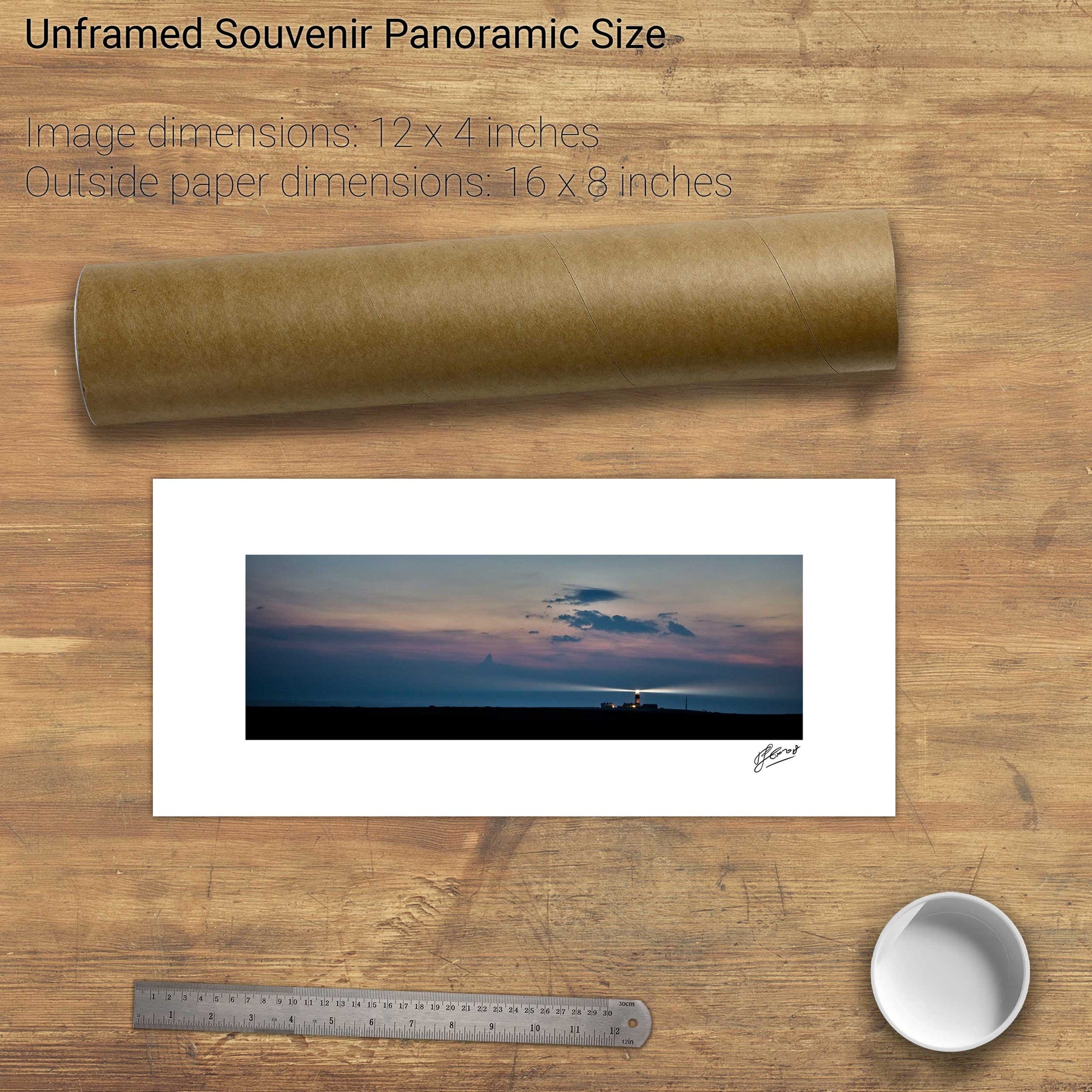
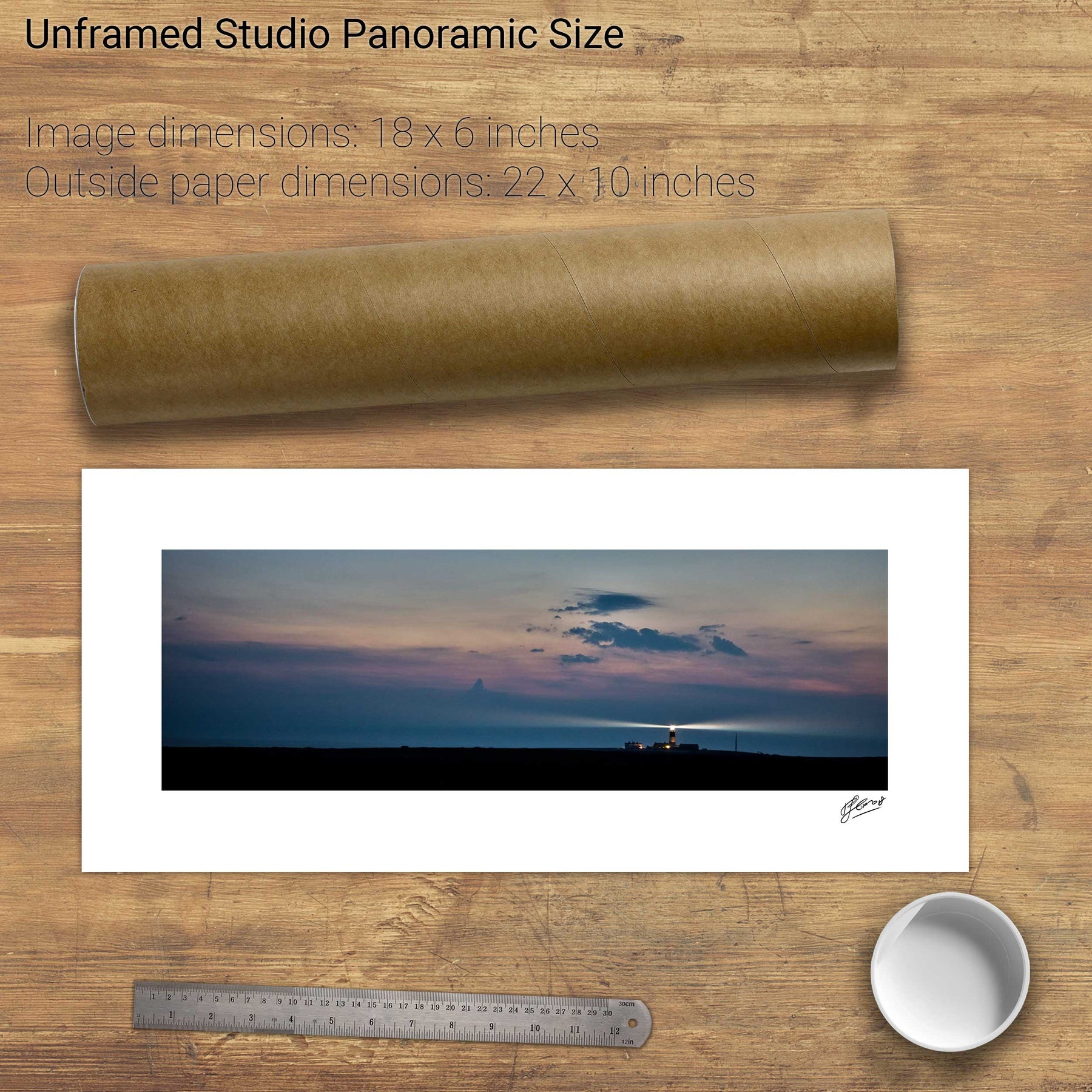
Nocturne, Tory Island Lighthouse, Co. Donegal


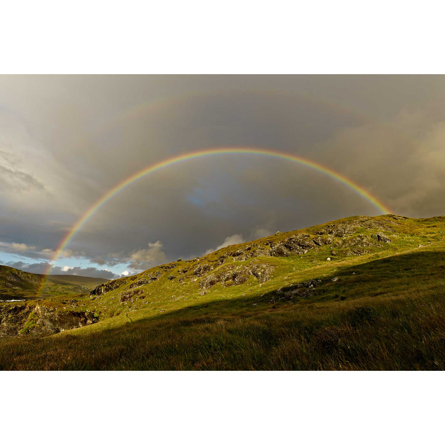
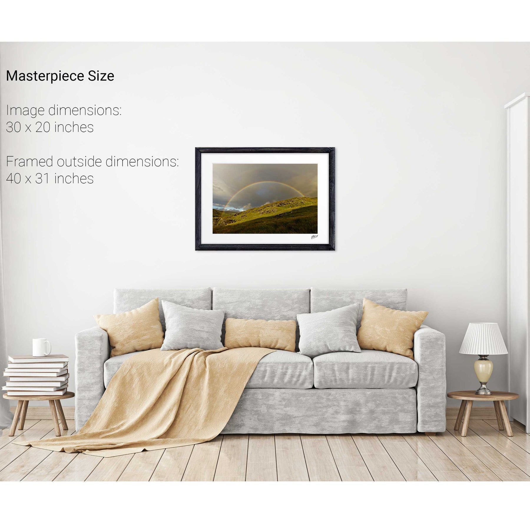
Rainbow, Glencolmcille, Co. Donegal


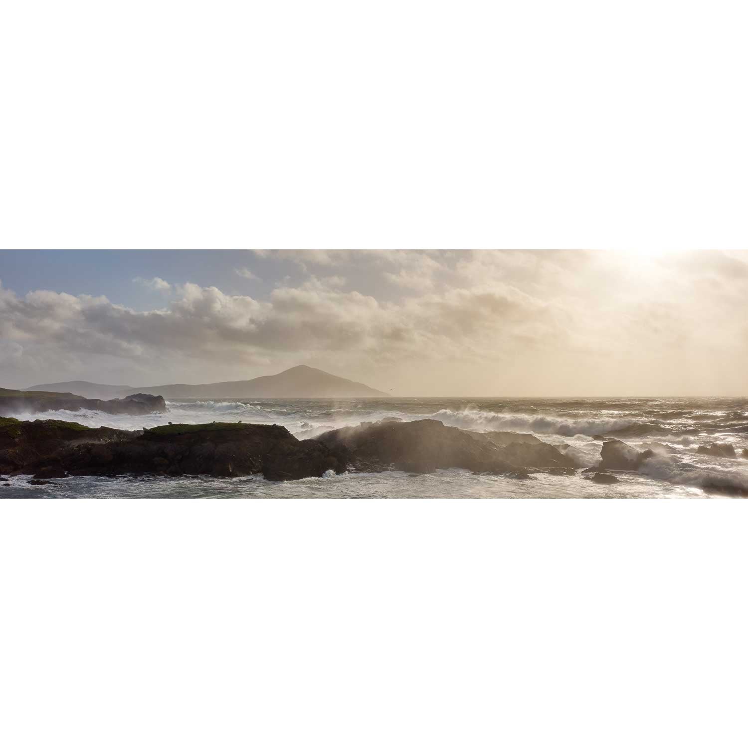
Benwee Head, Co. Mayo


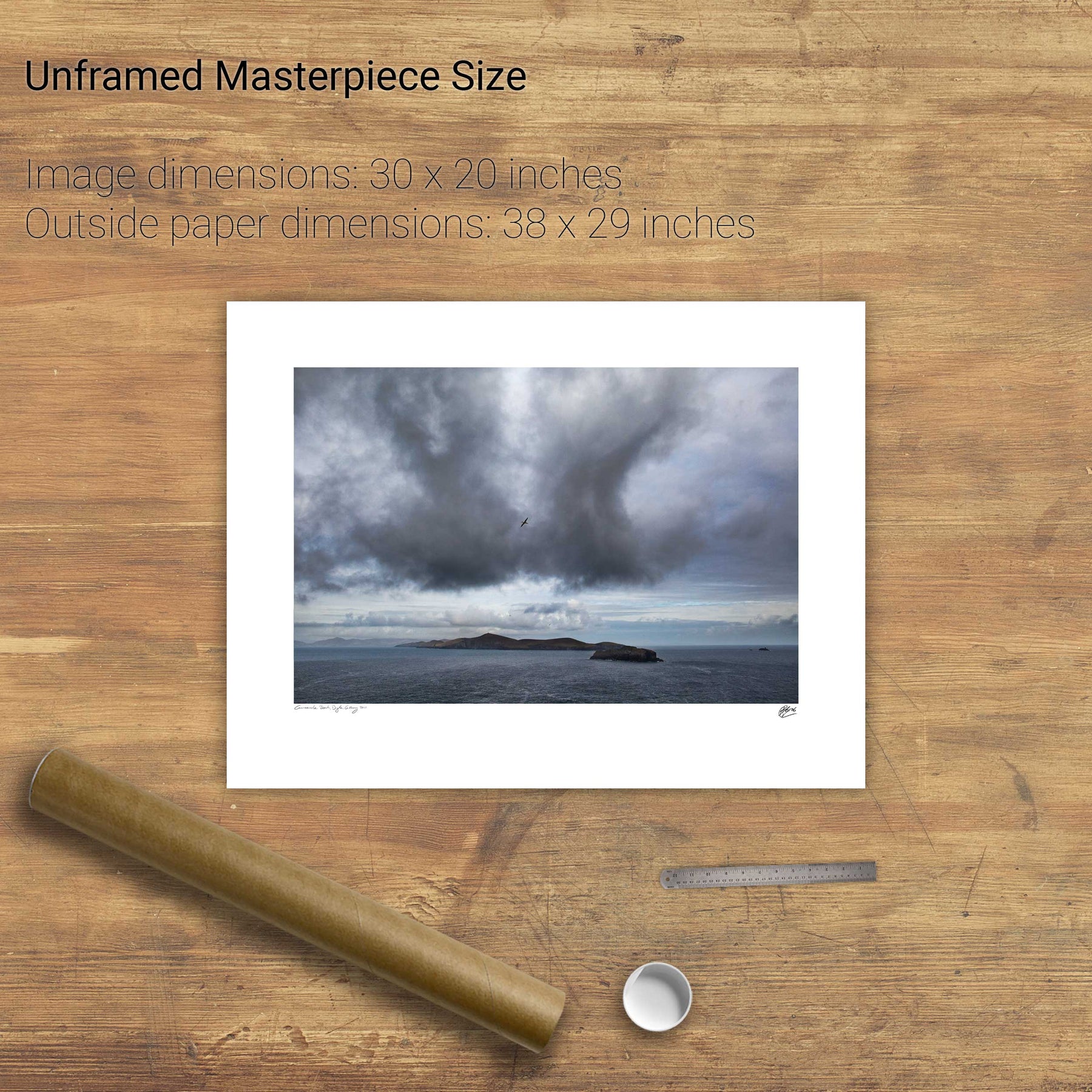
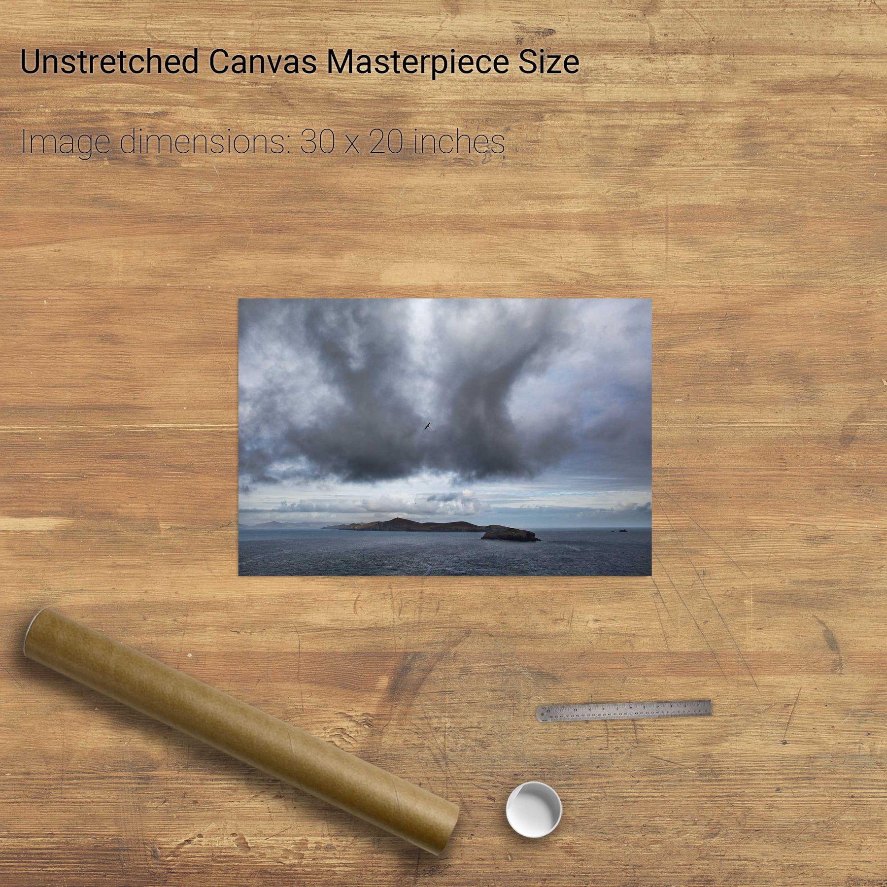
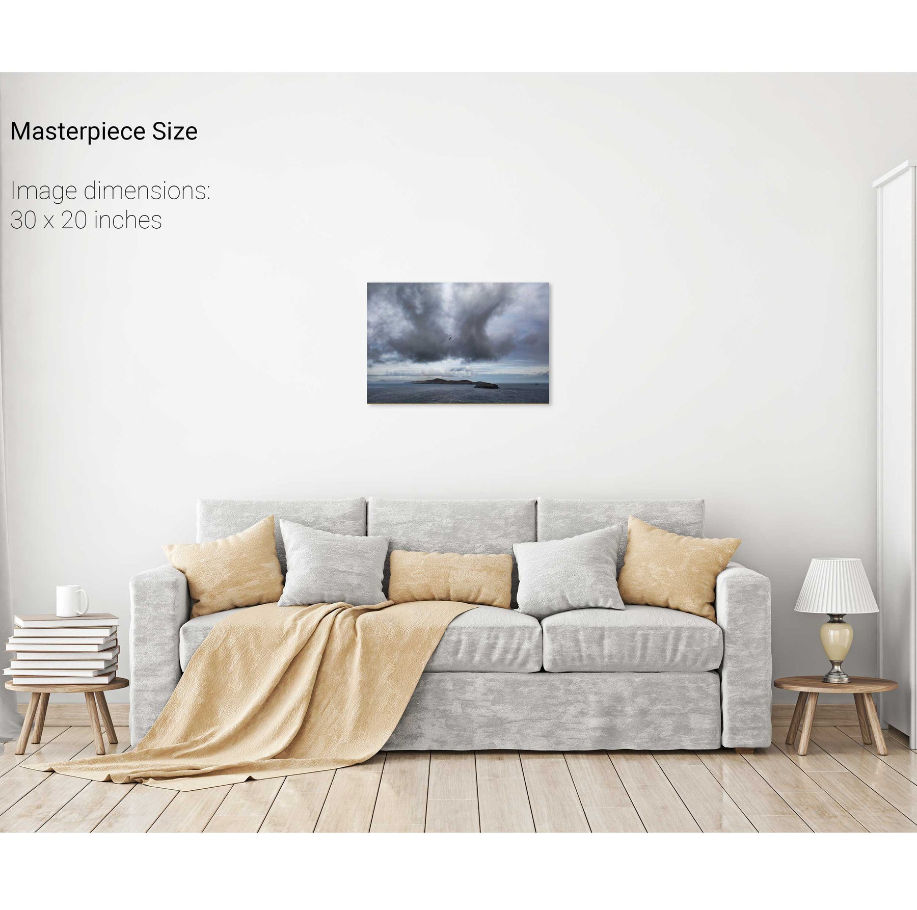
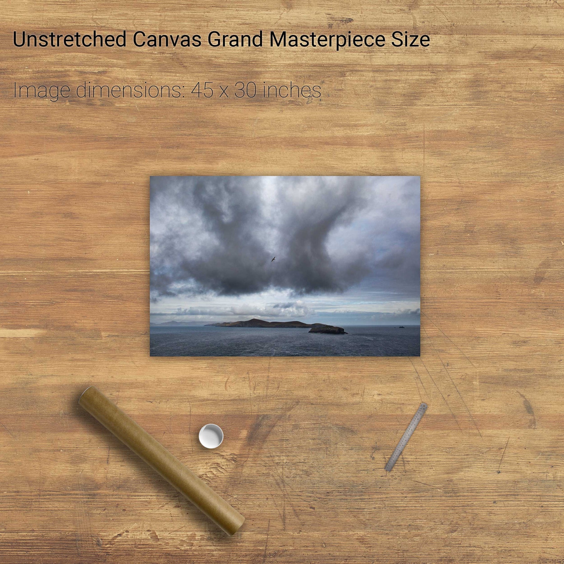
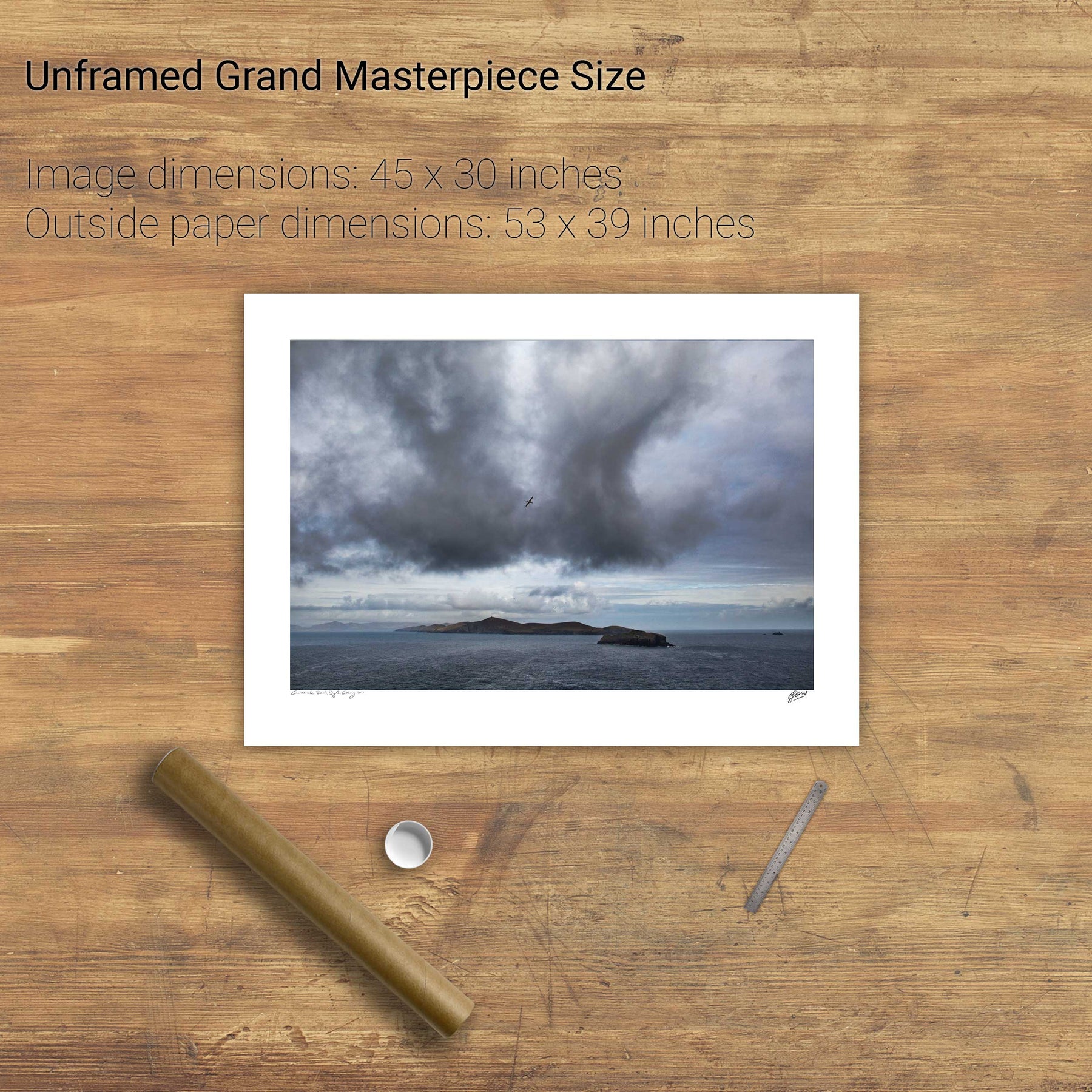
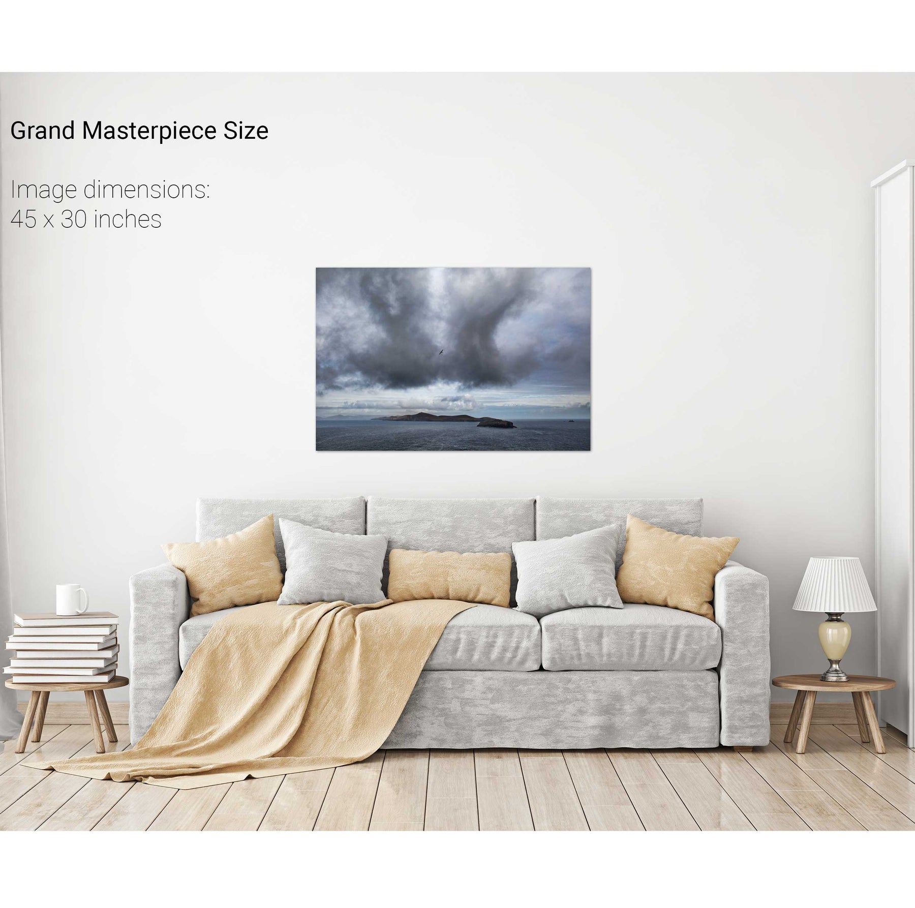
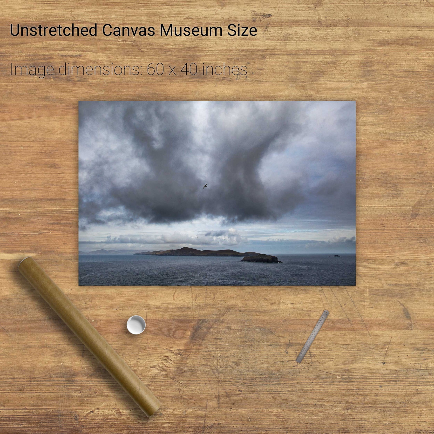
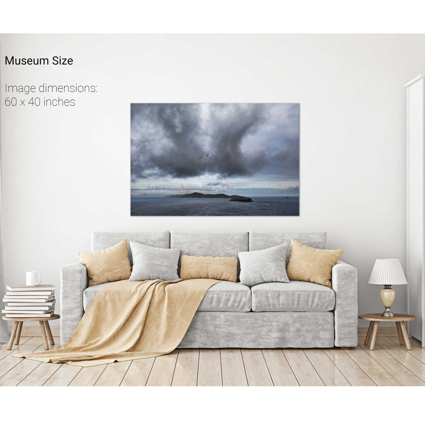
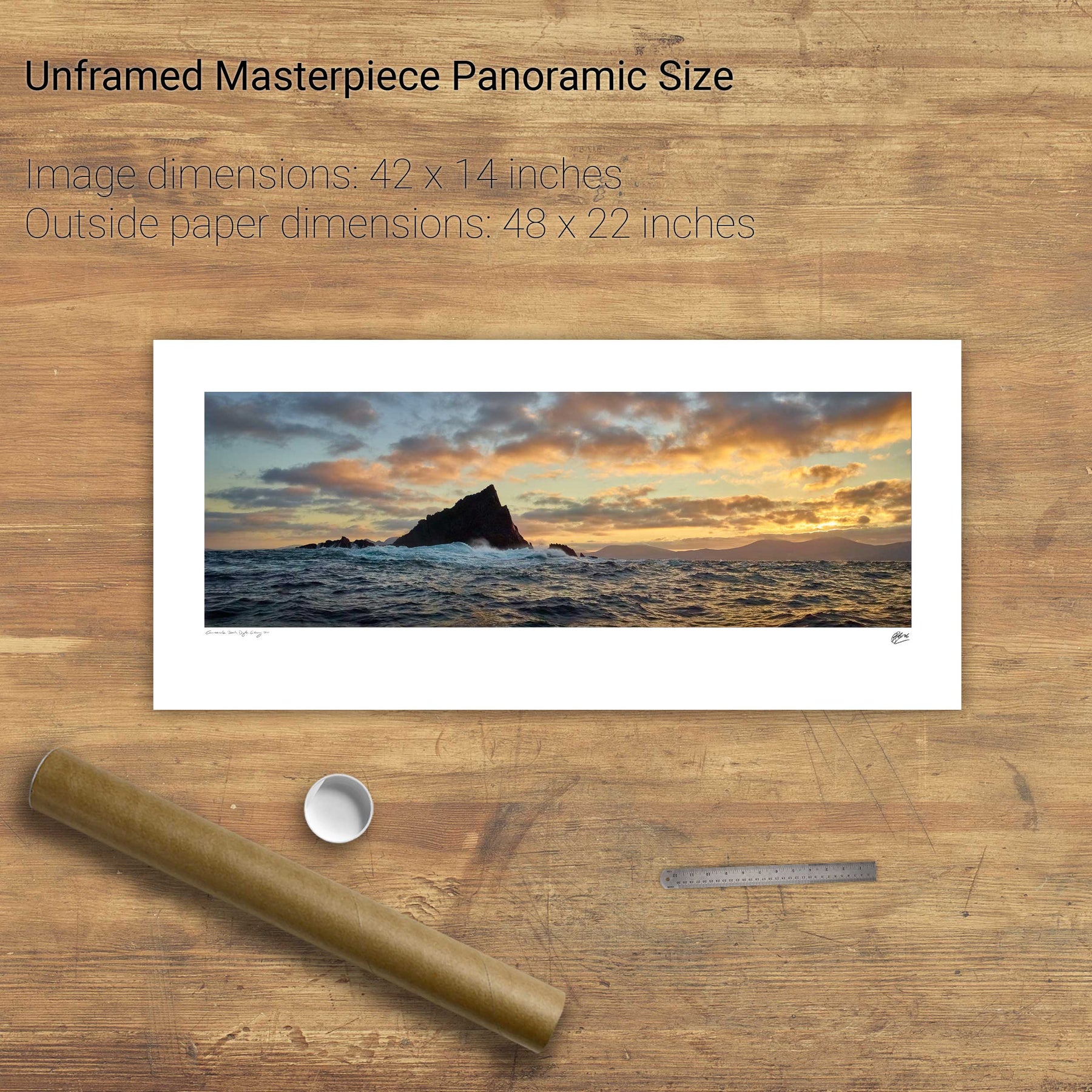
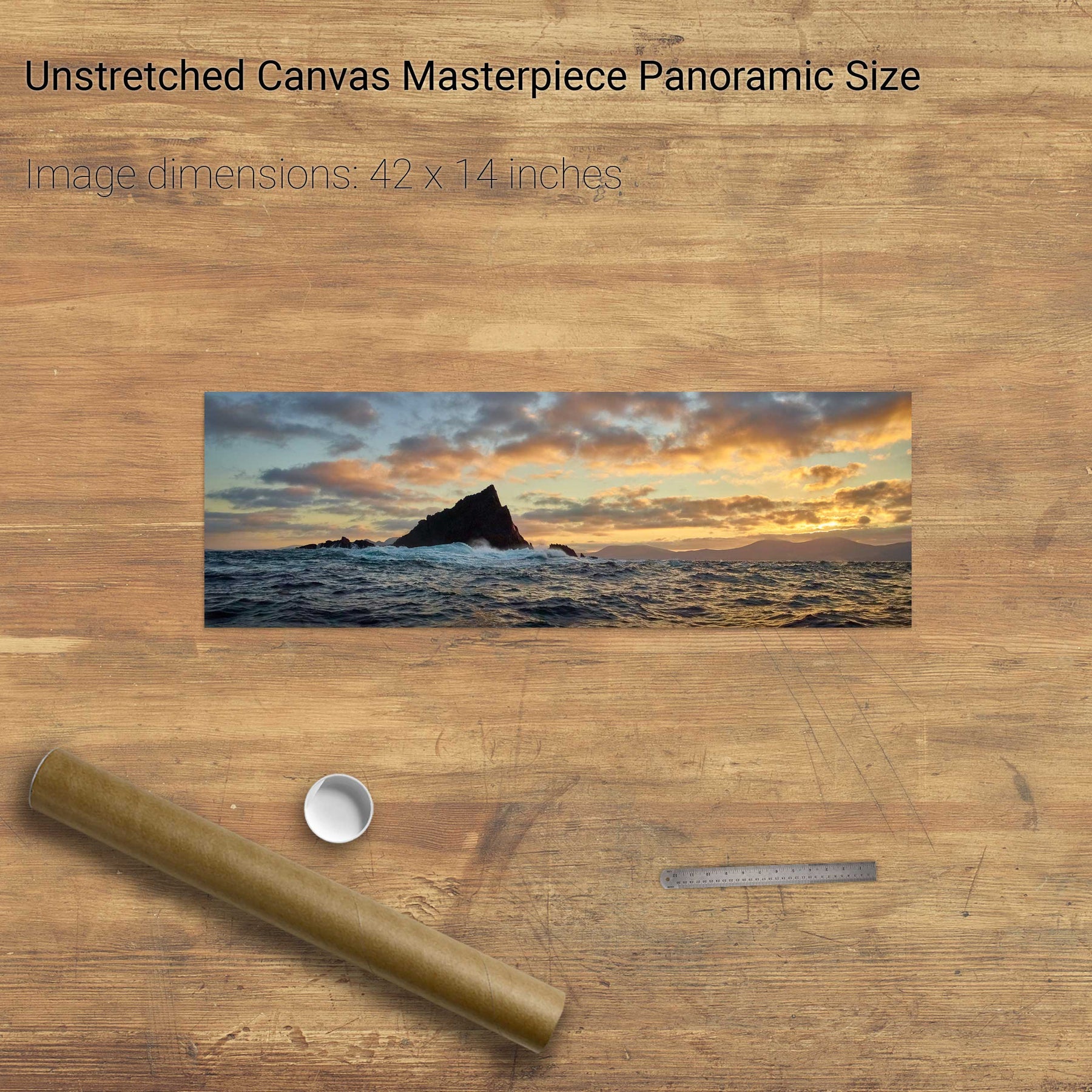
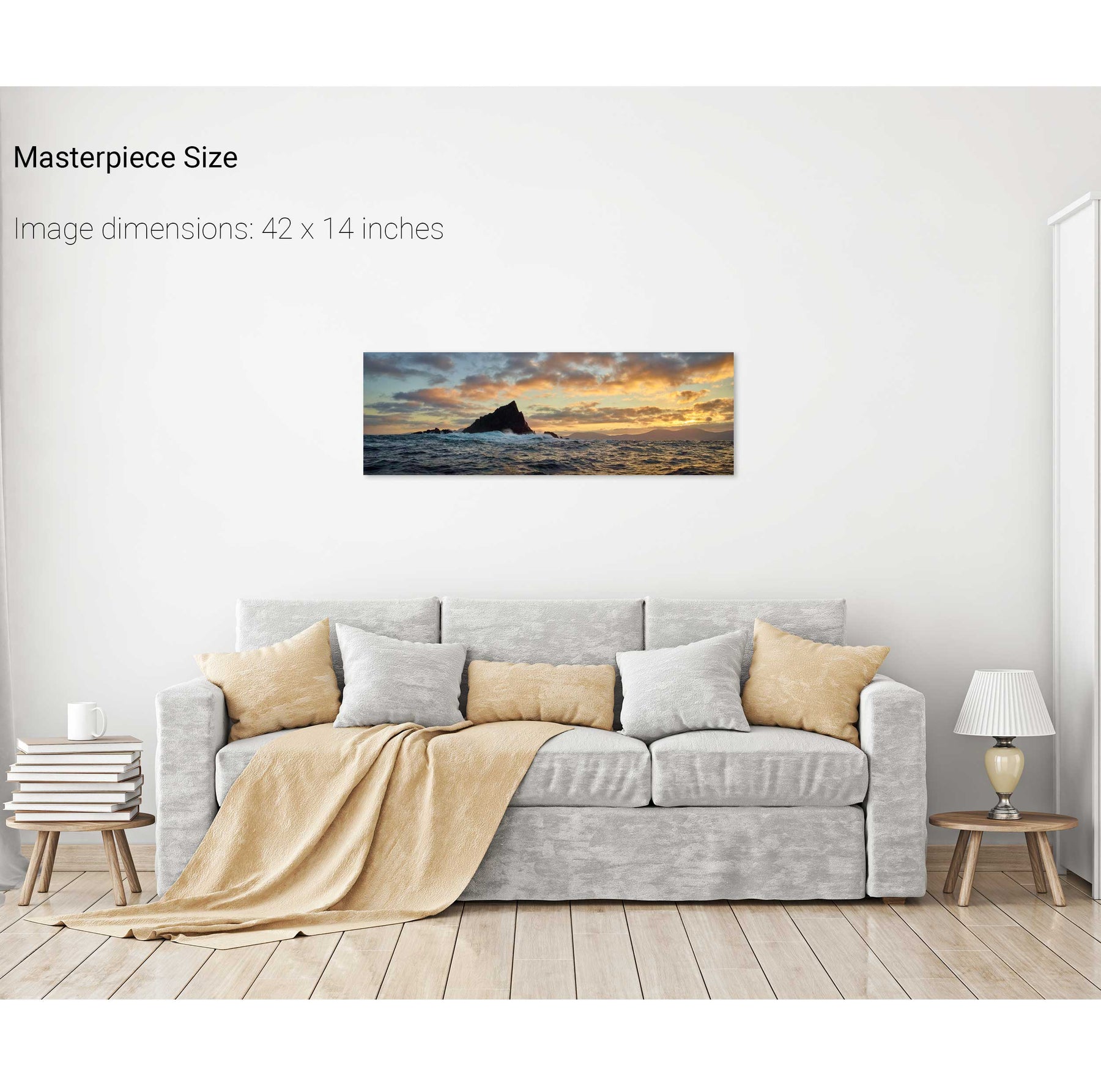
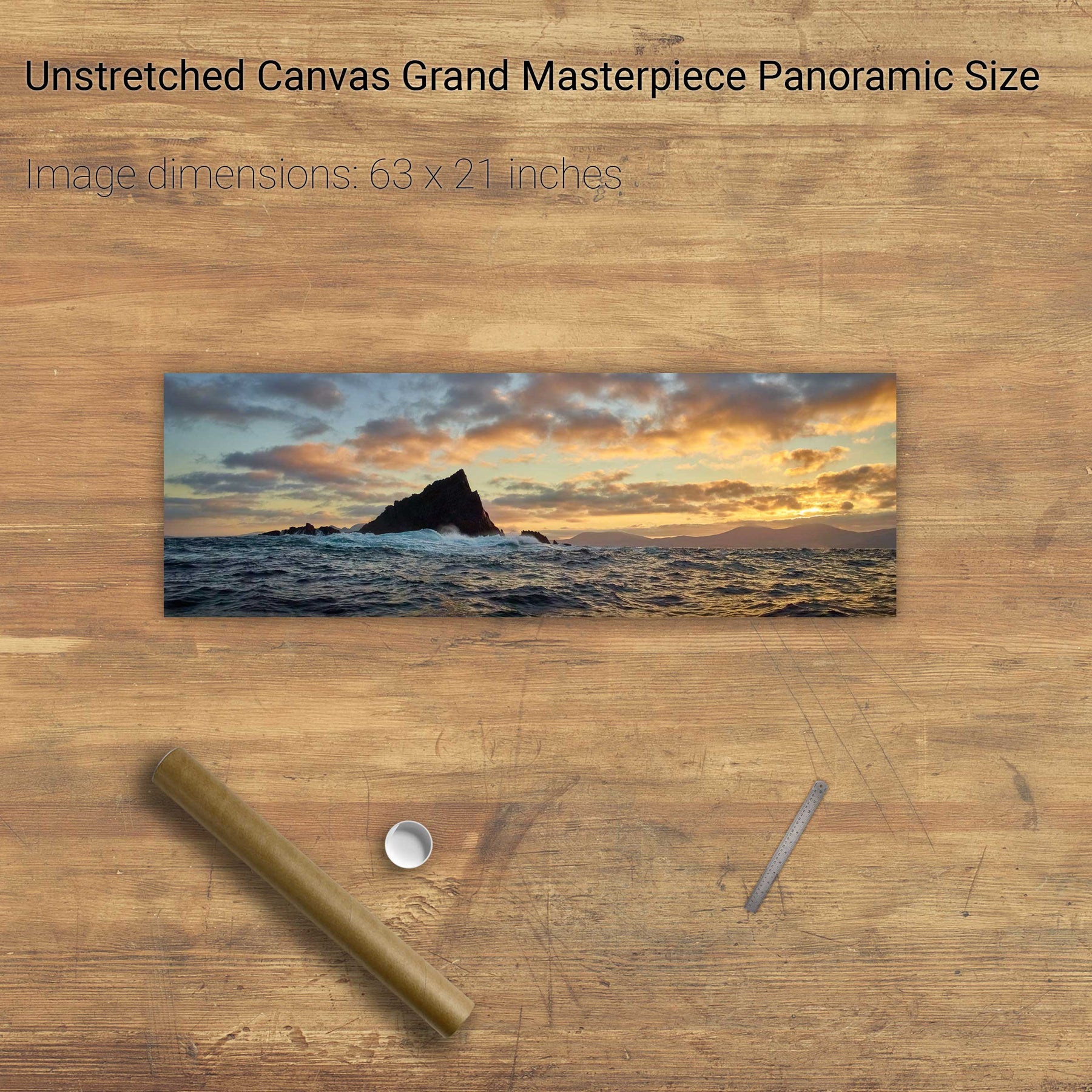
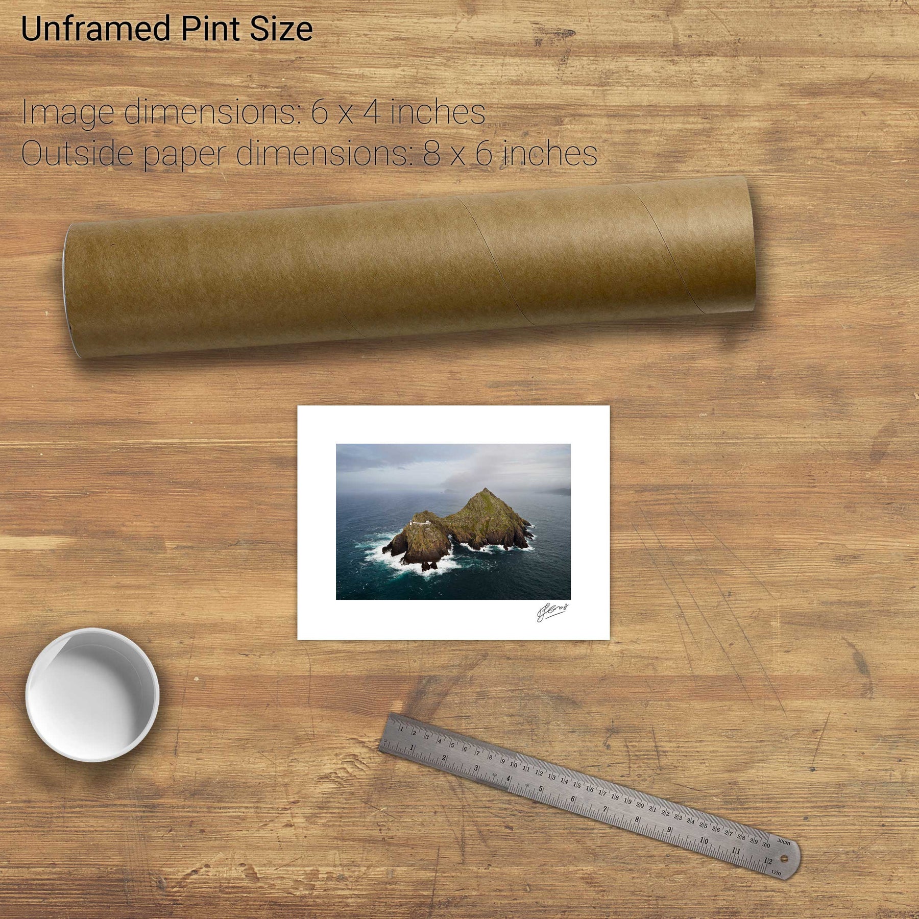
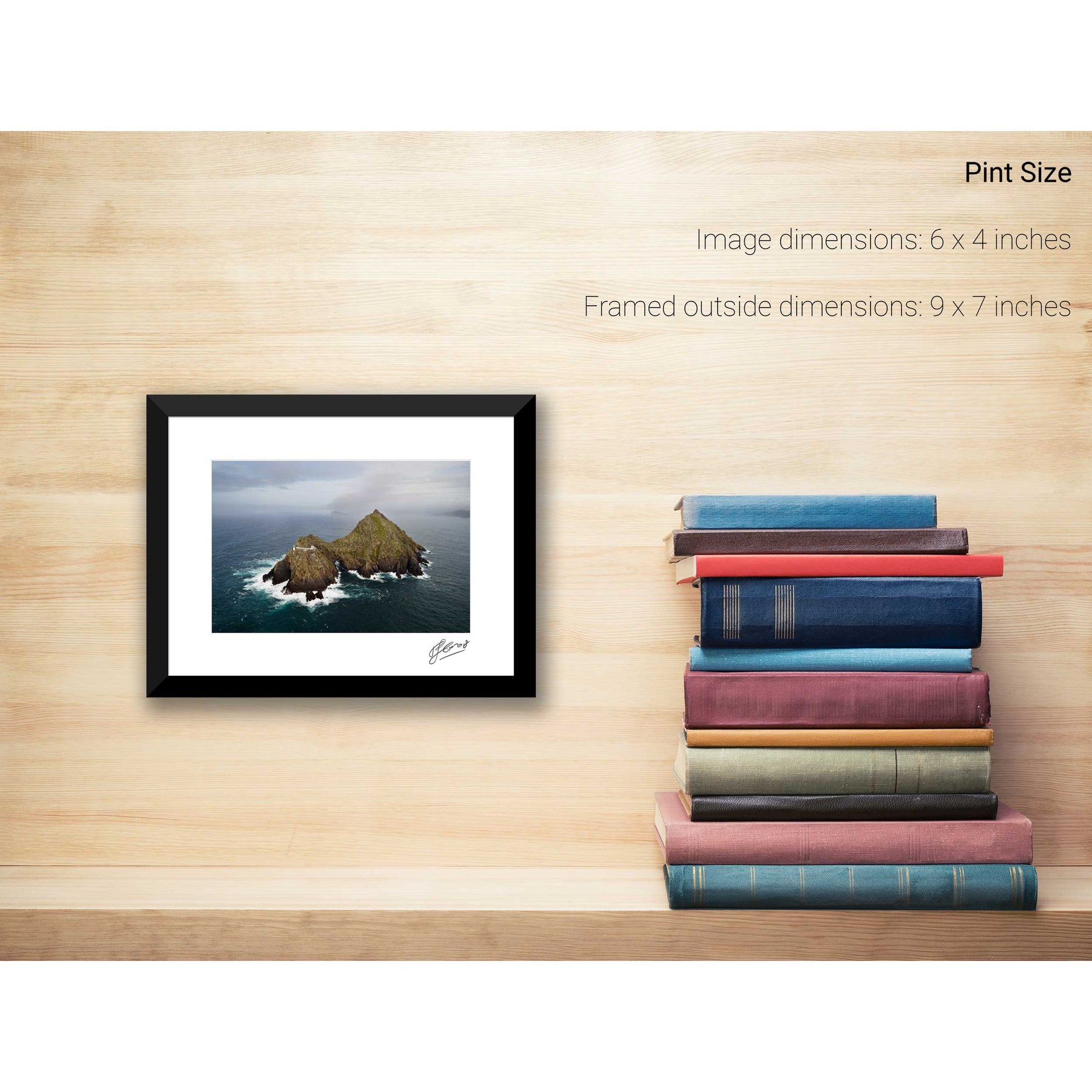
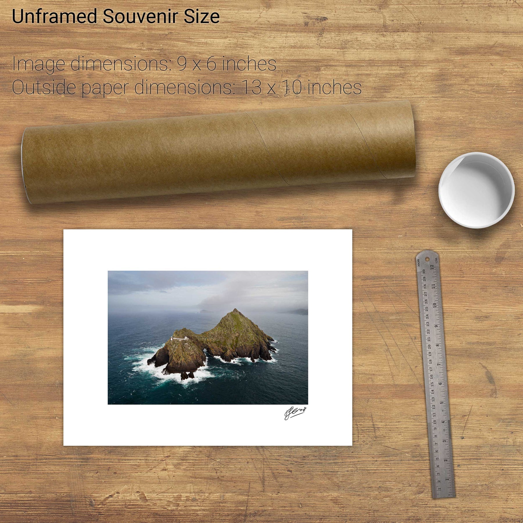
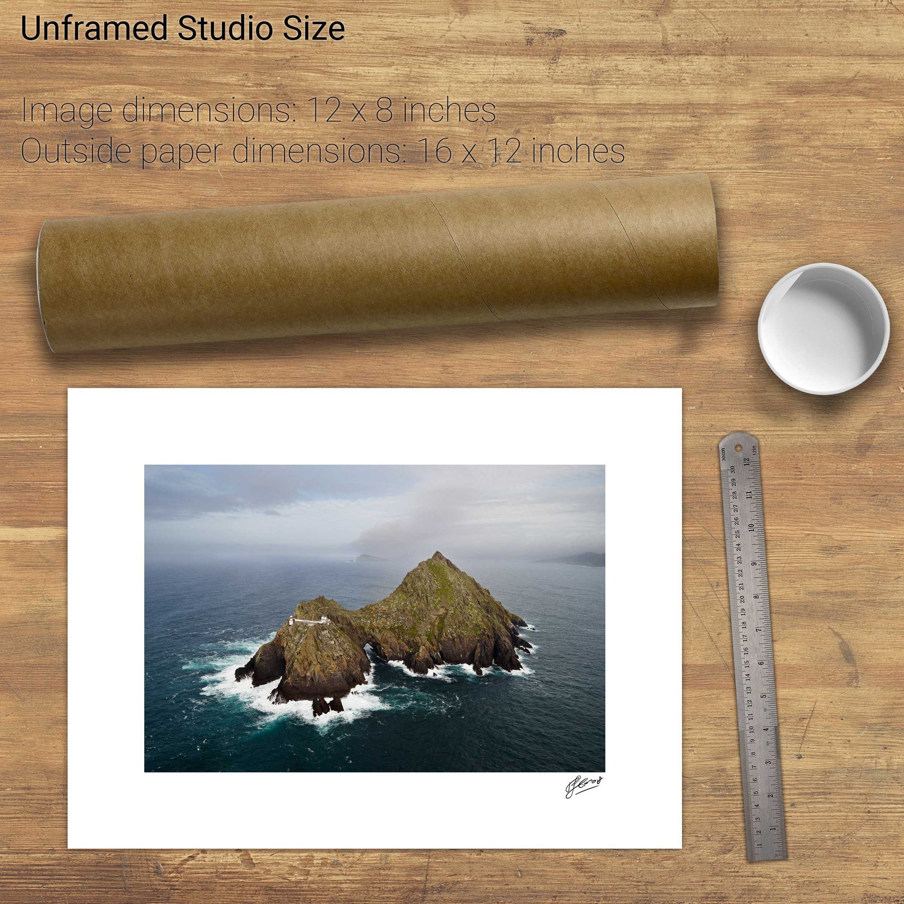
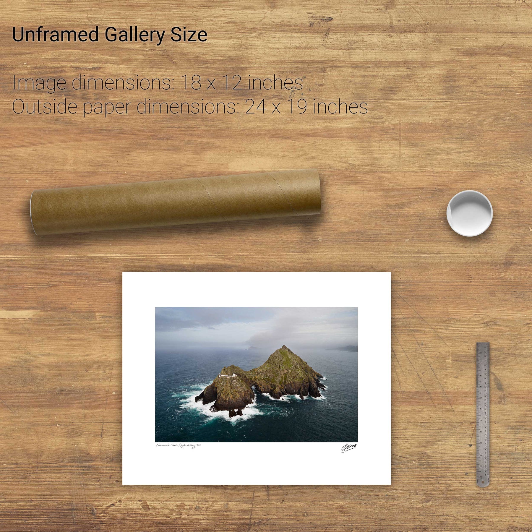
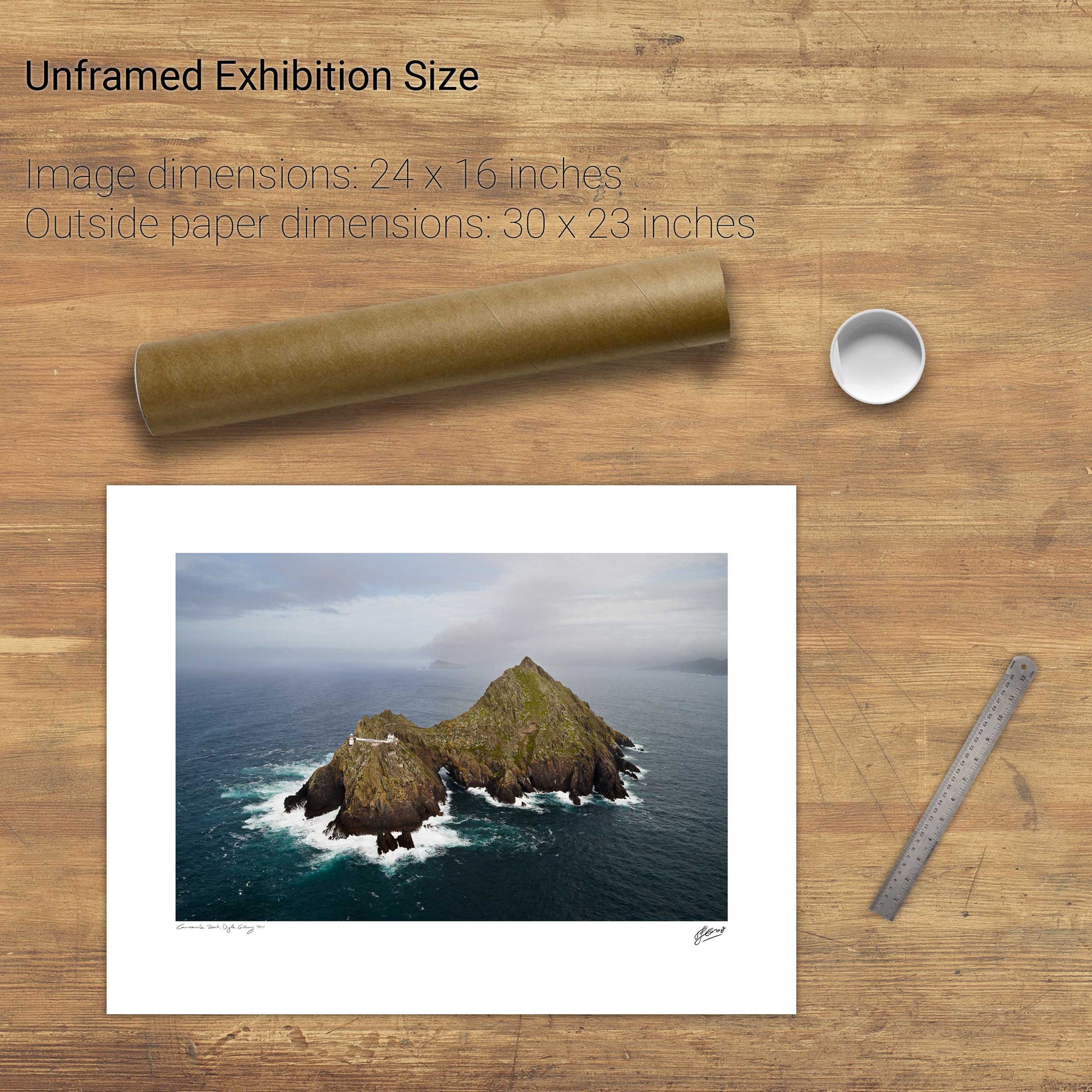
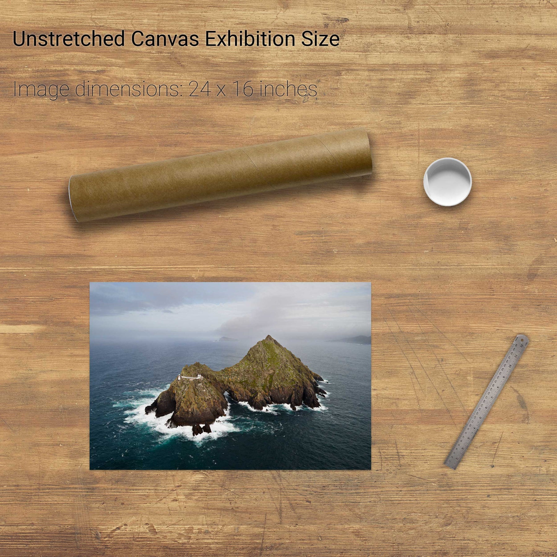
An Tiaracht, Blasket Islands, Co. Kerry


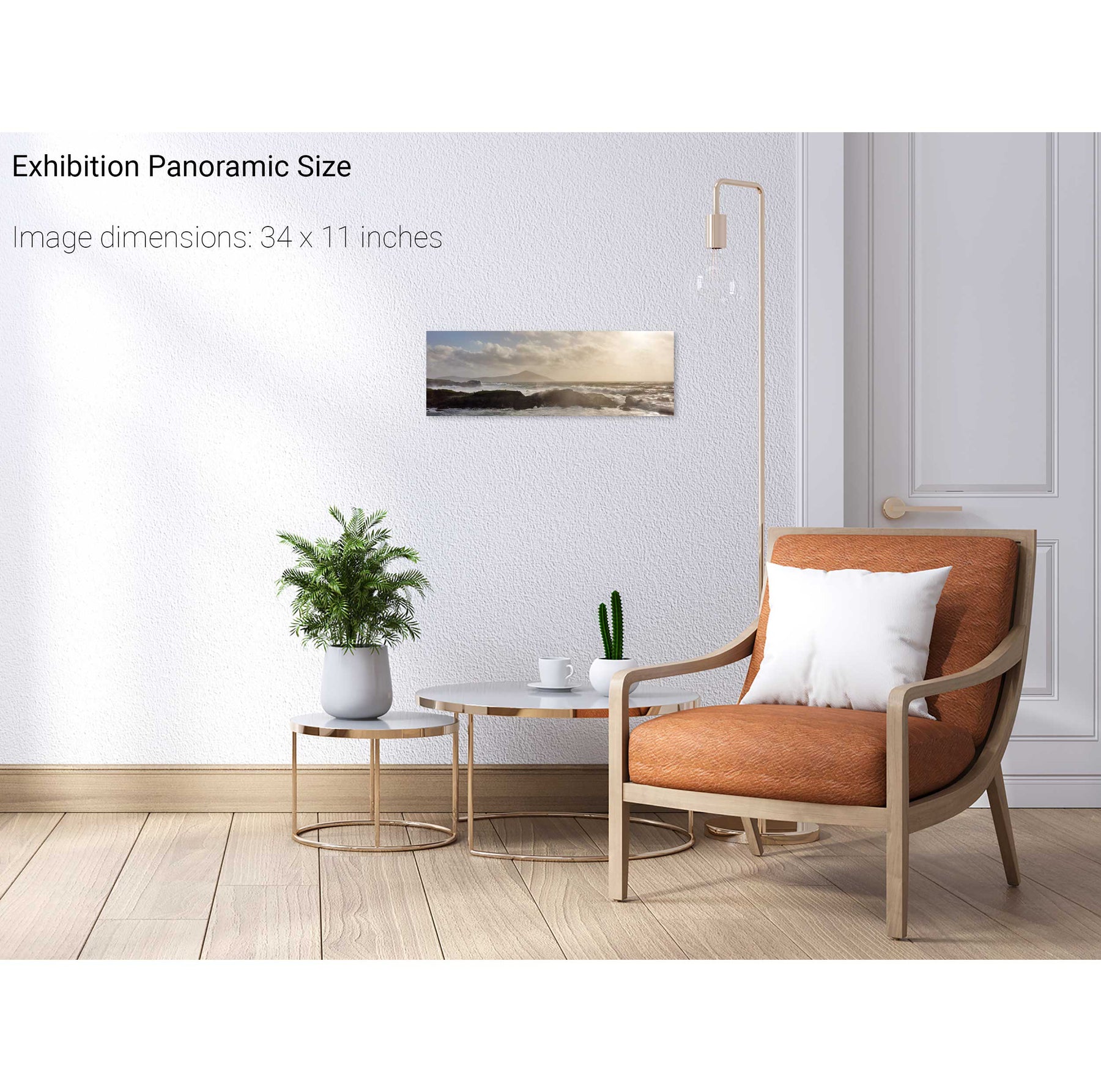
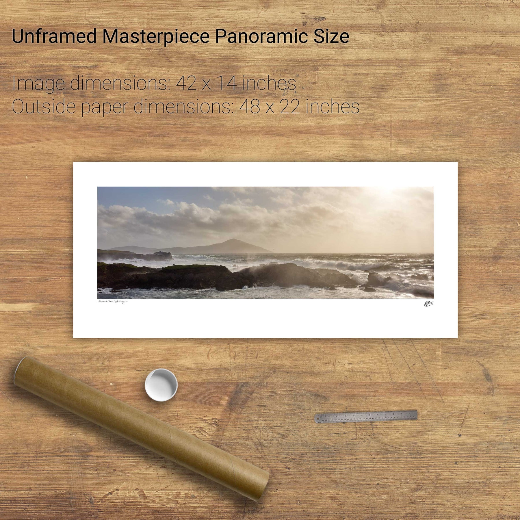
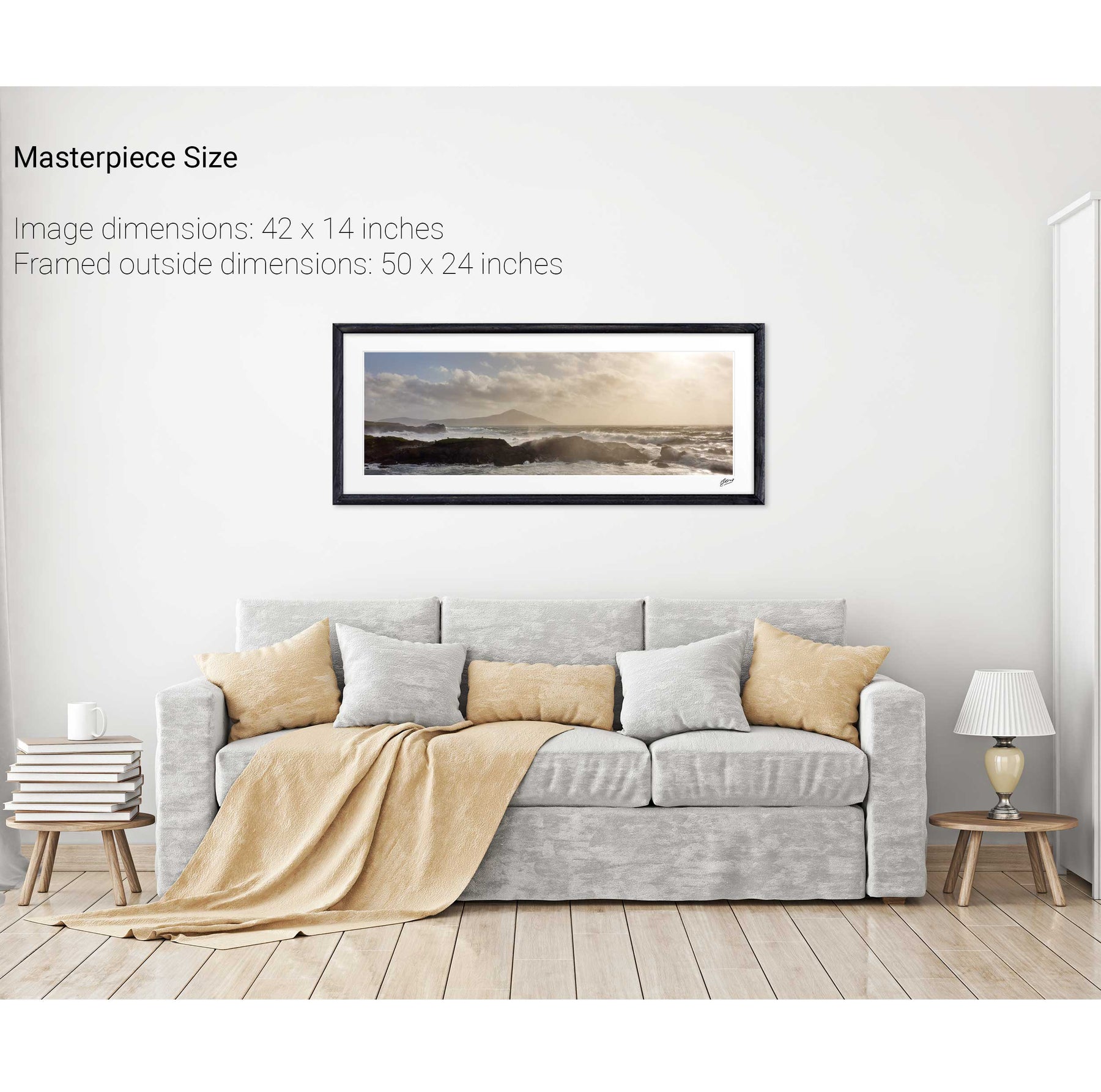
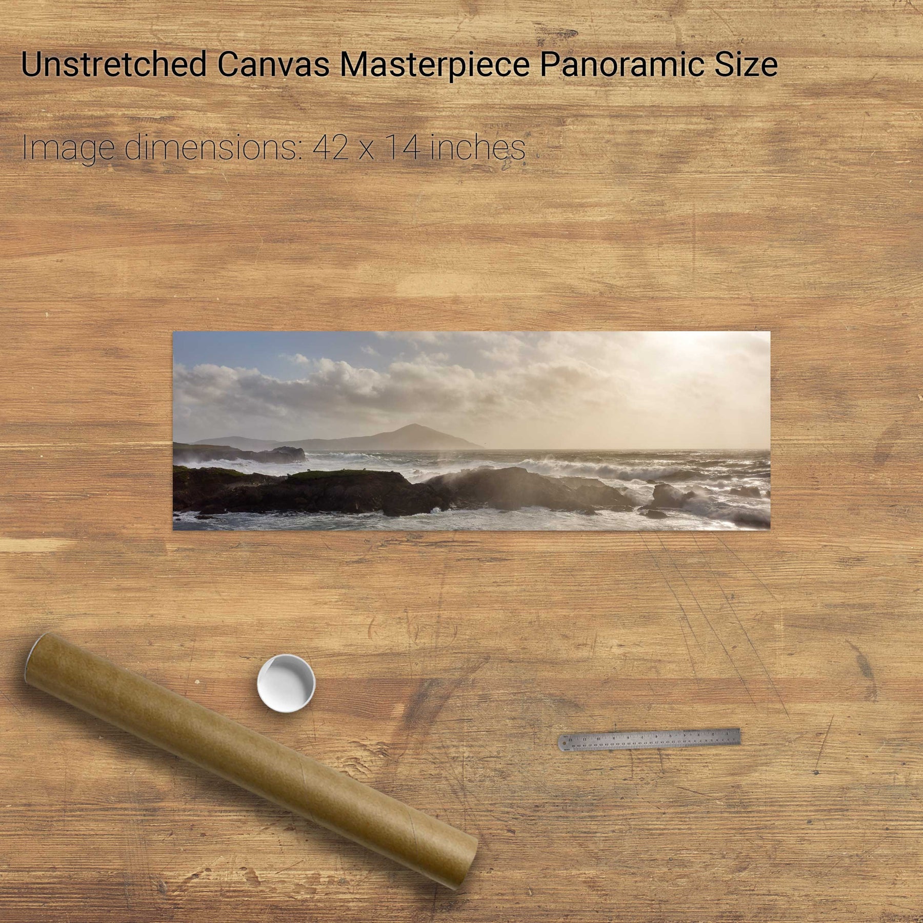
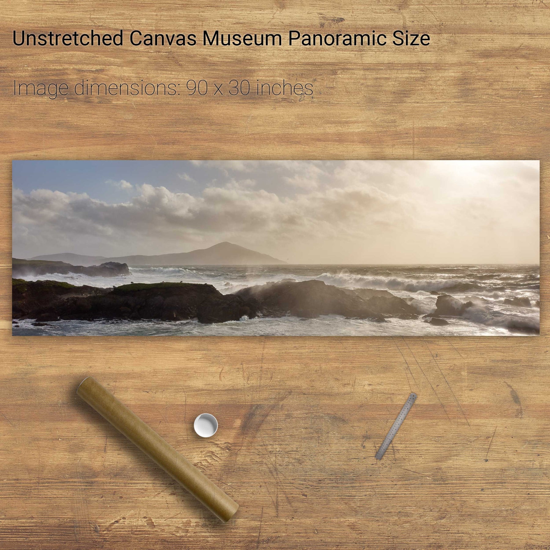
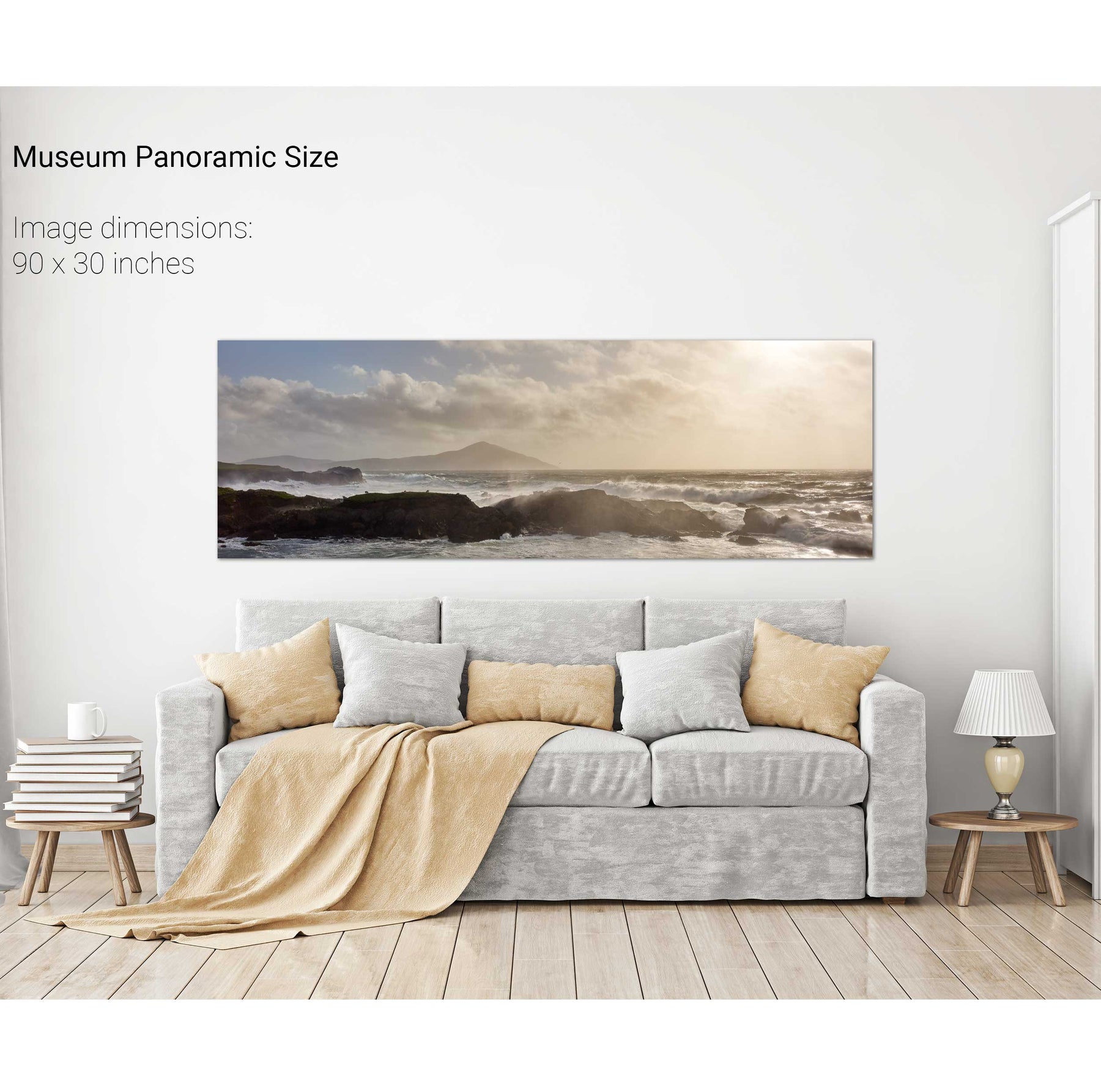
Storm, Achill Island, Mayo


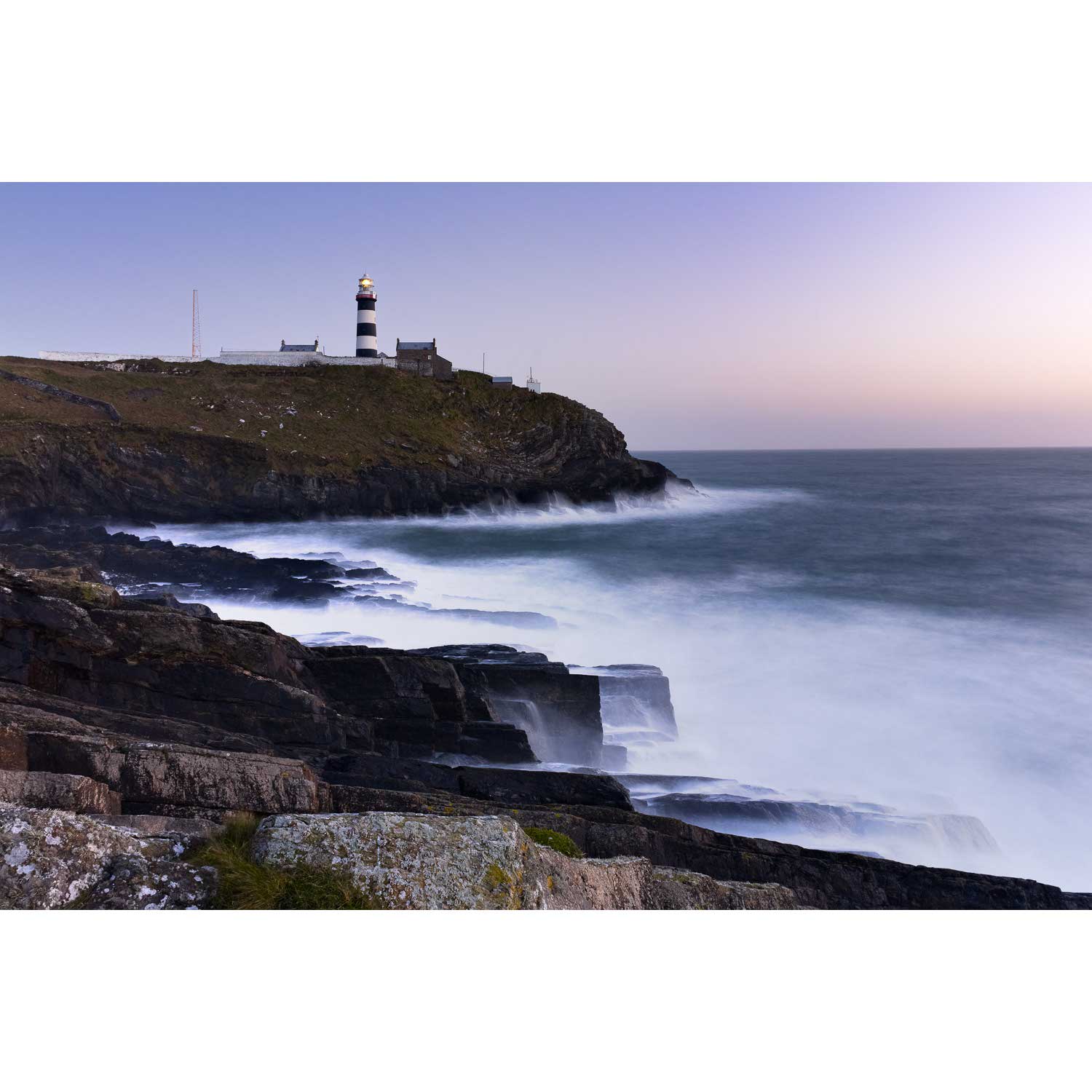
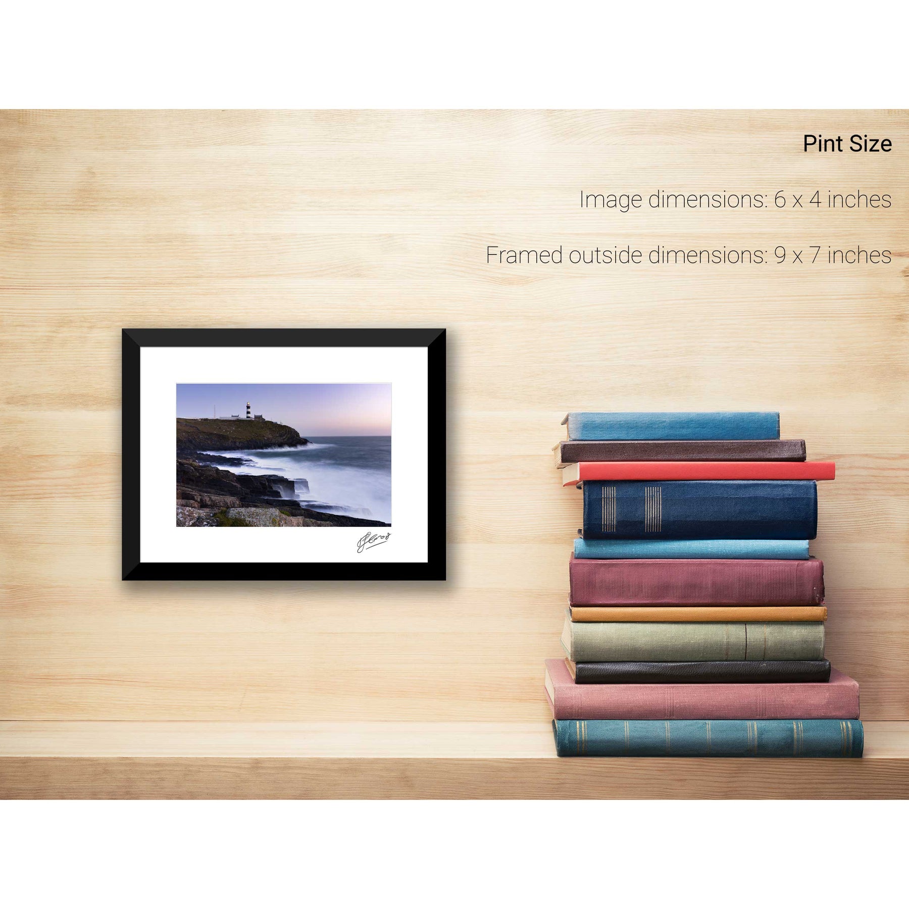
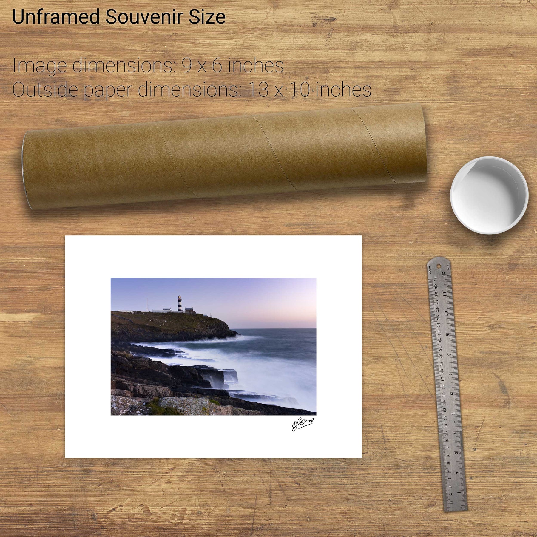
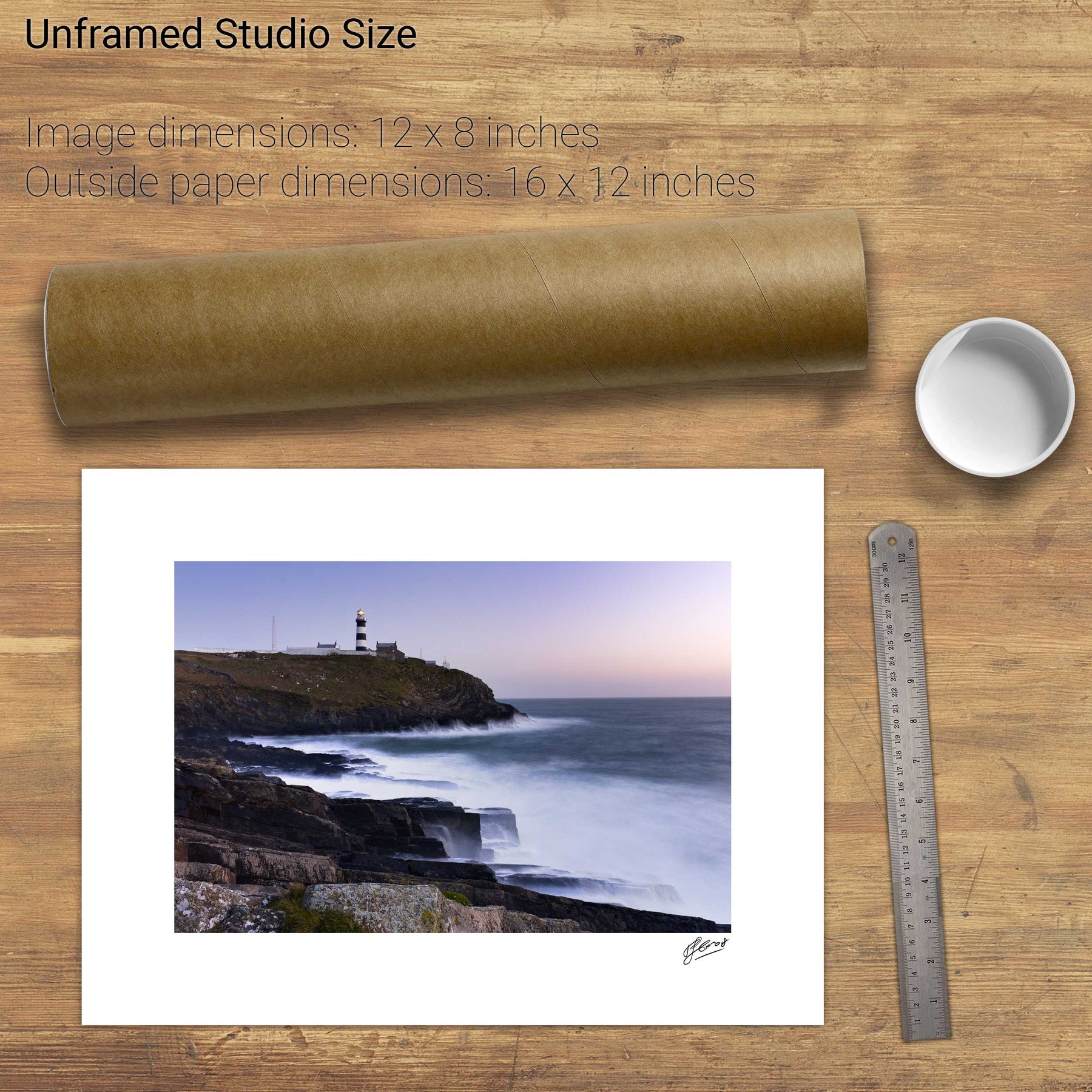
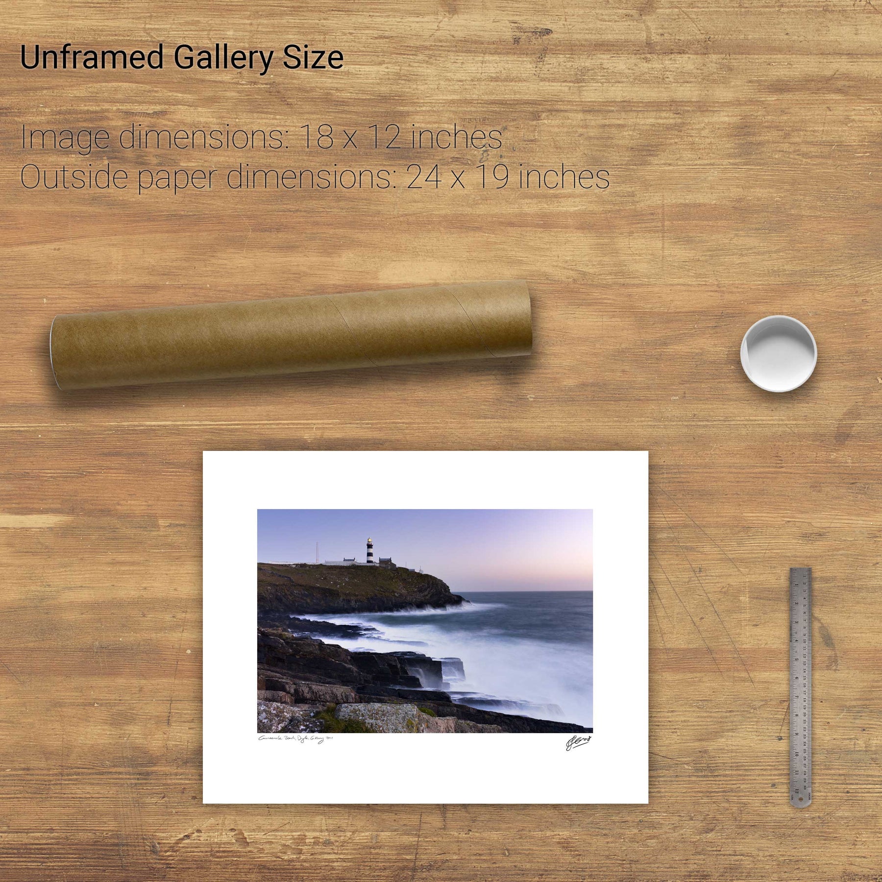
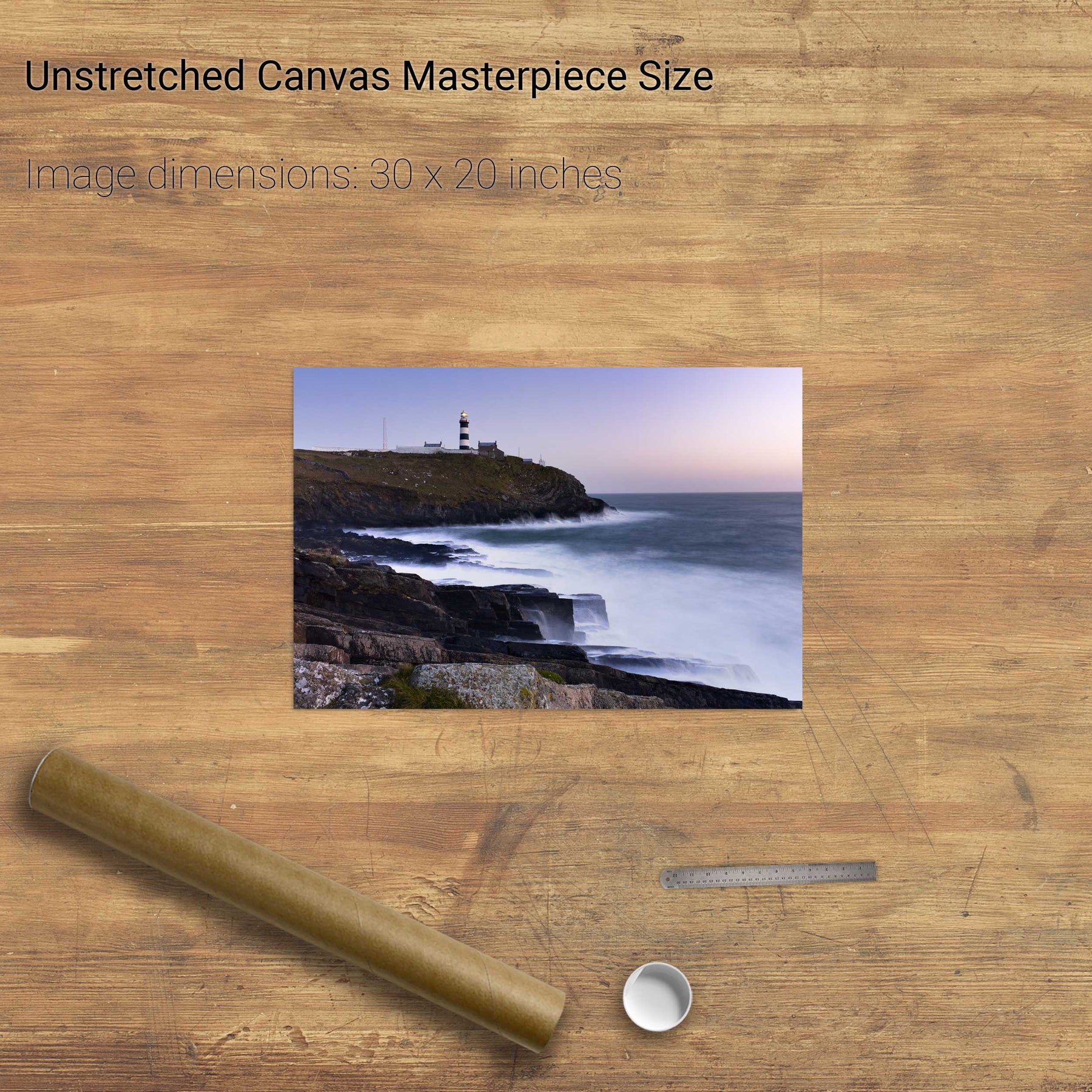
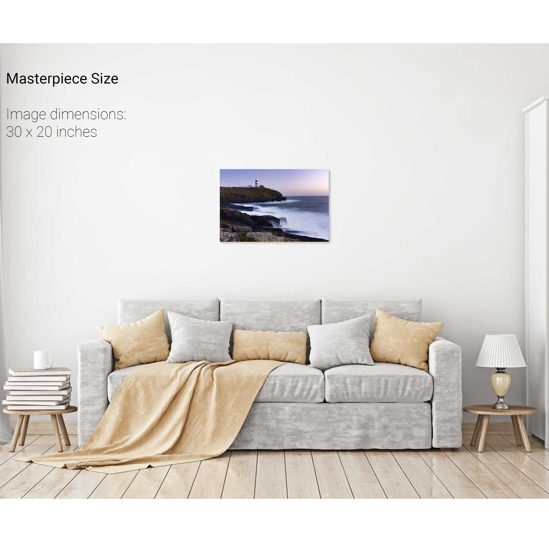
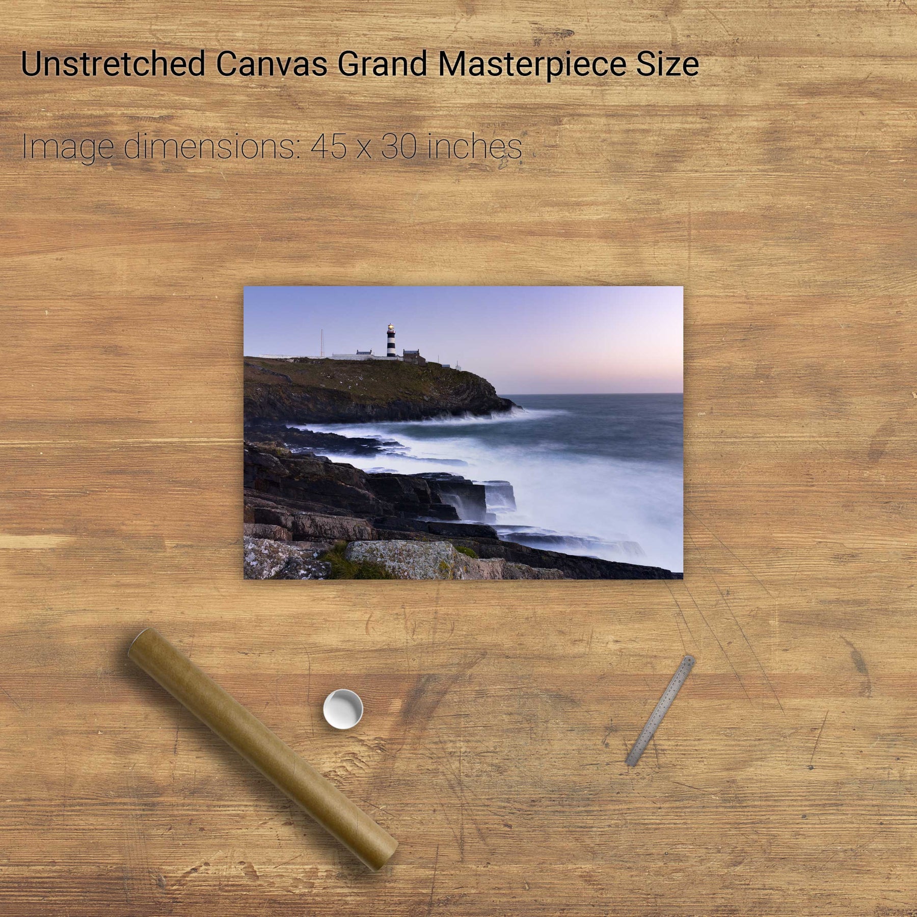
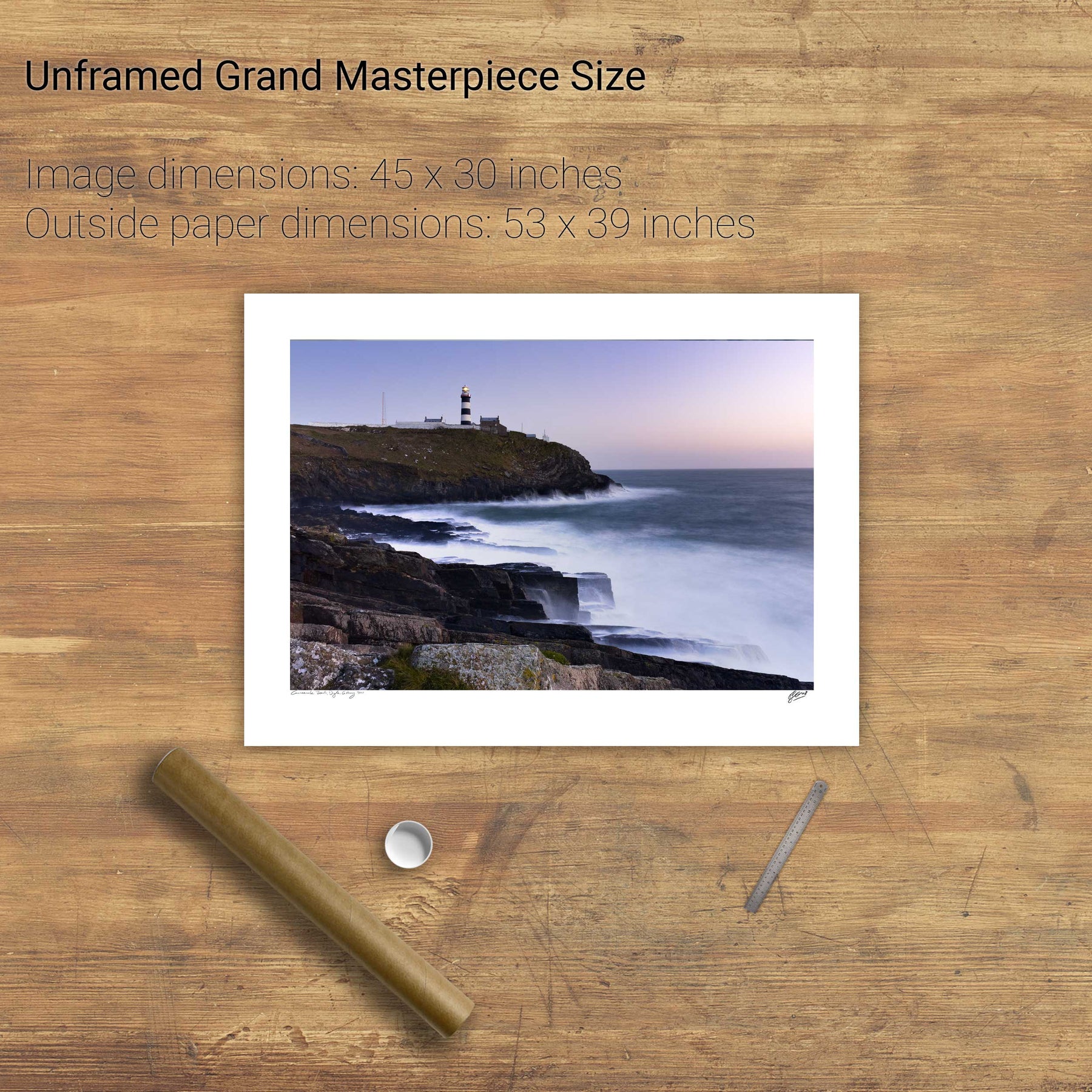
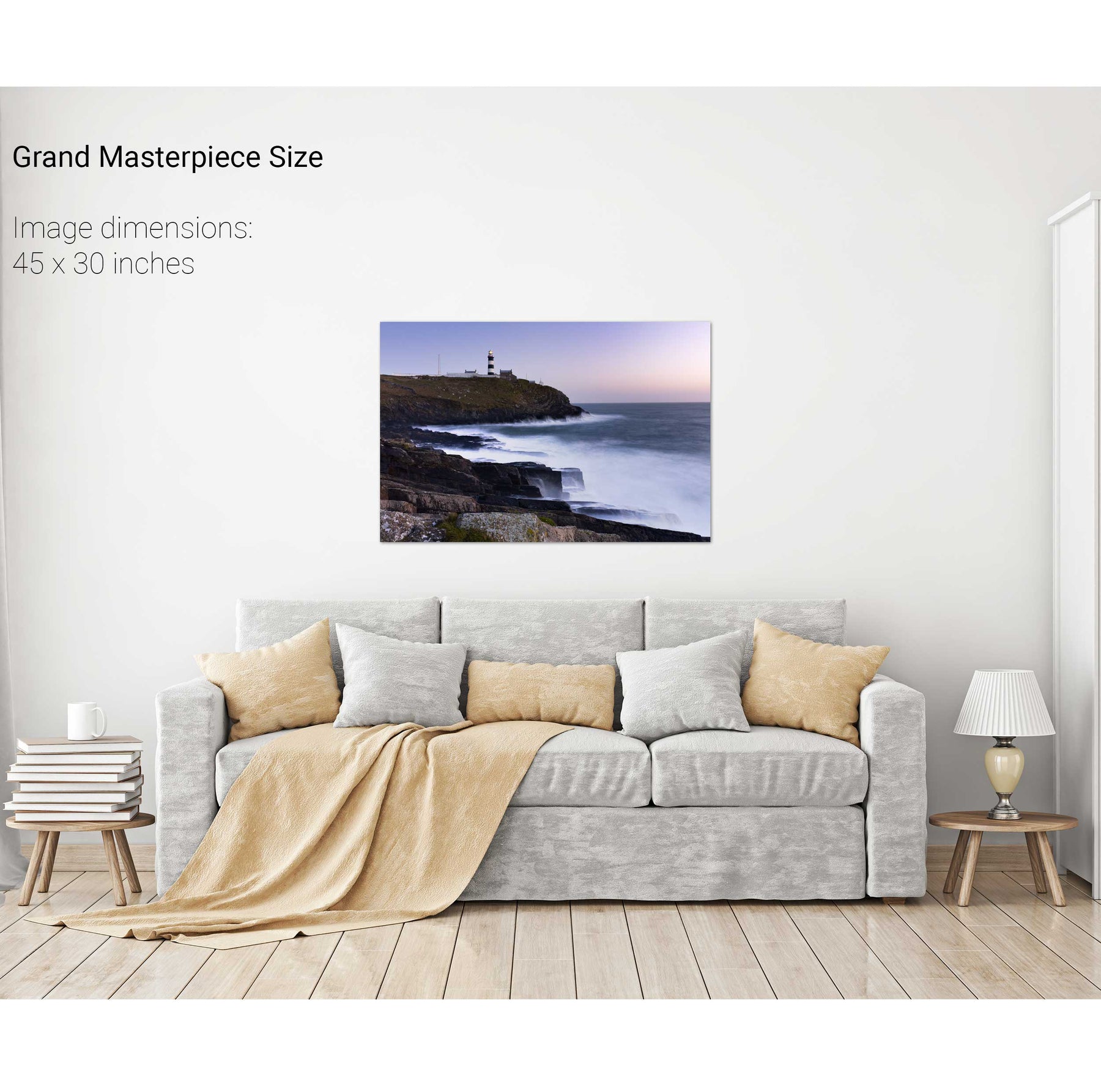
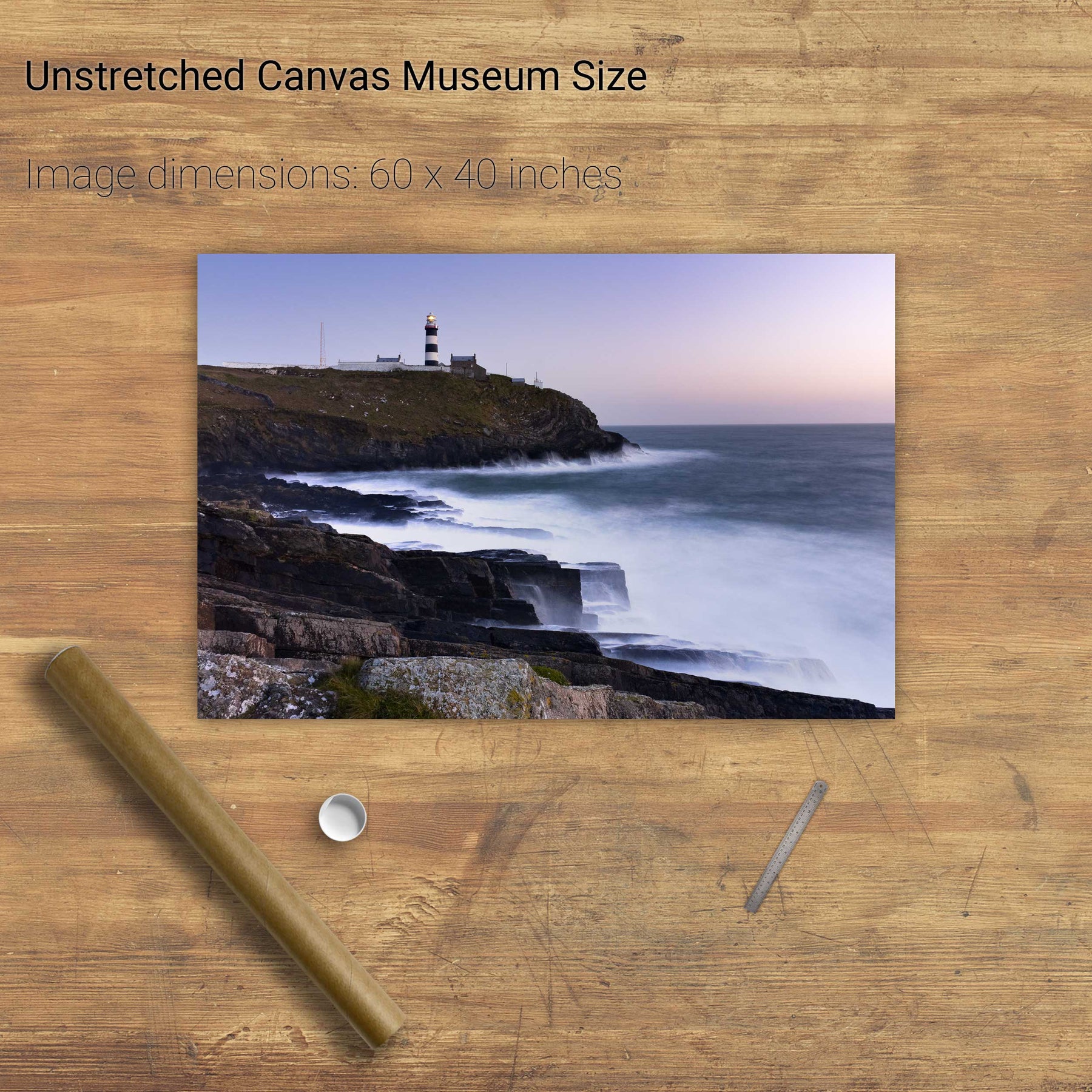
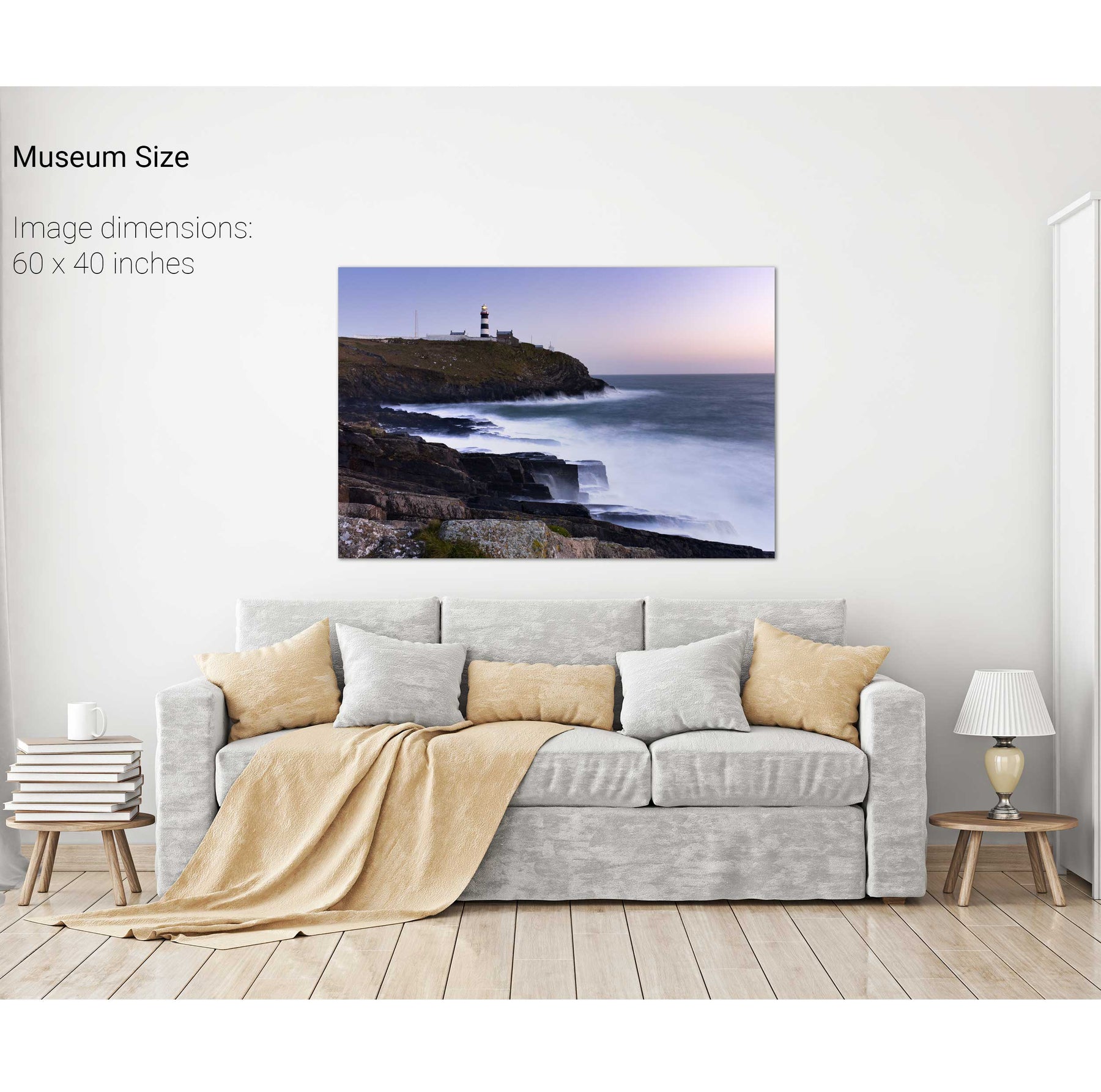
Old Head of Kinsale Lighthouse, Co. Cork


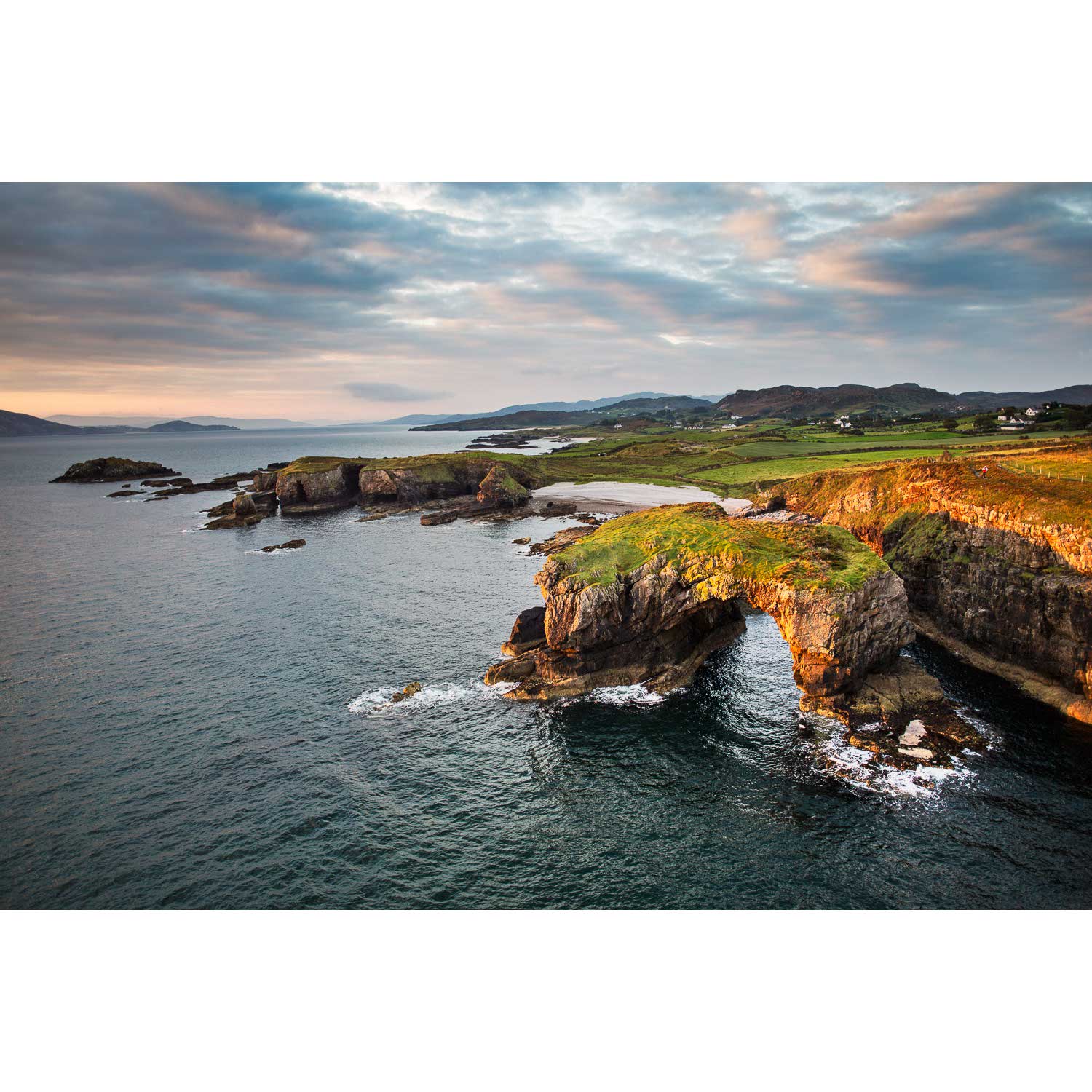
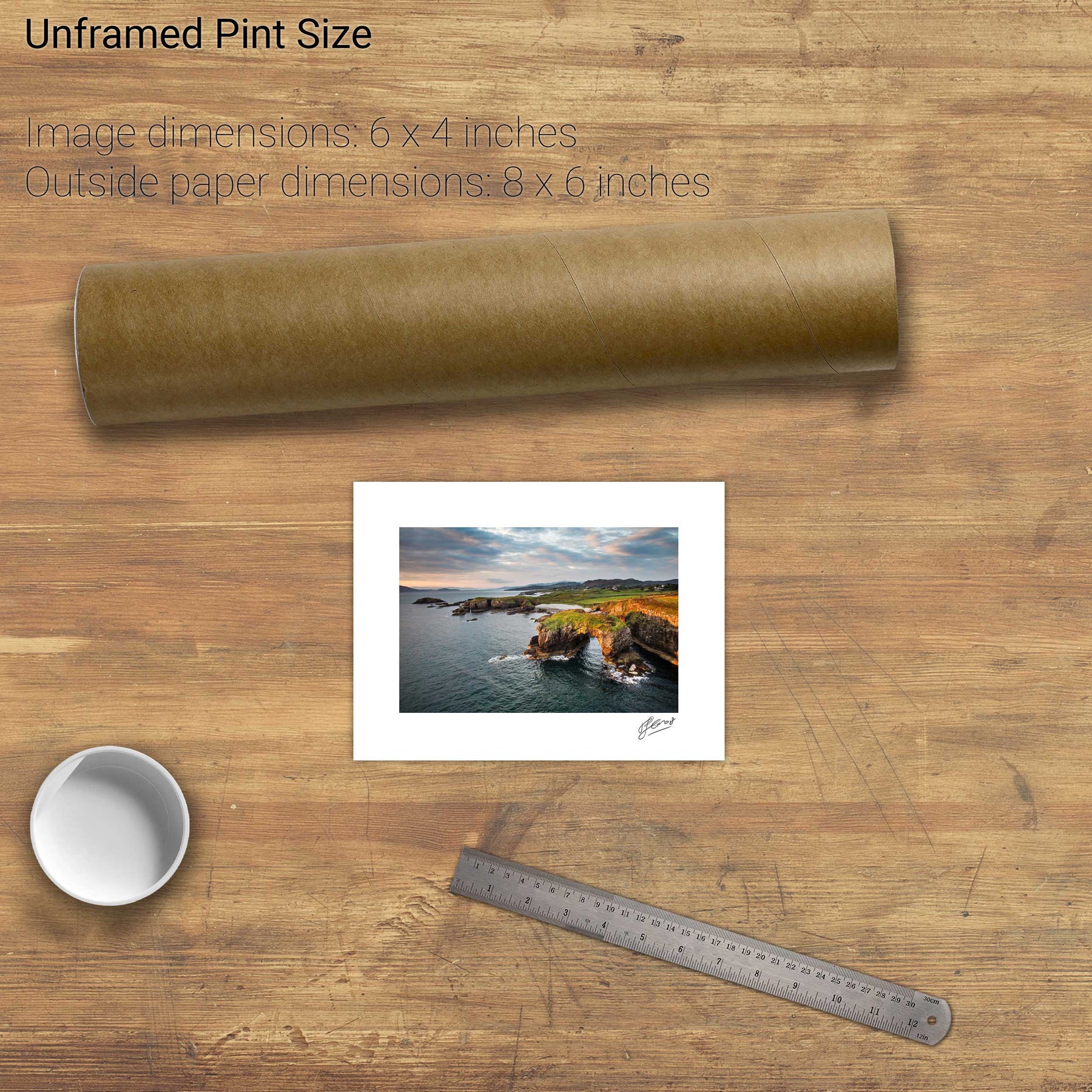
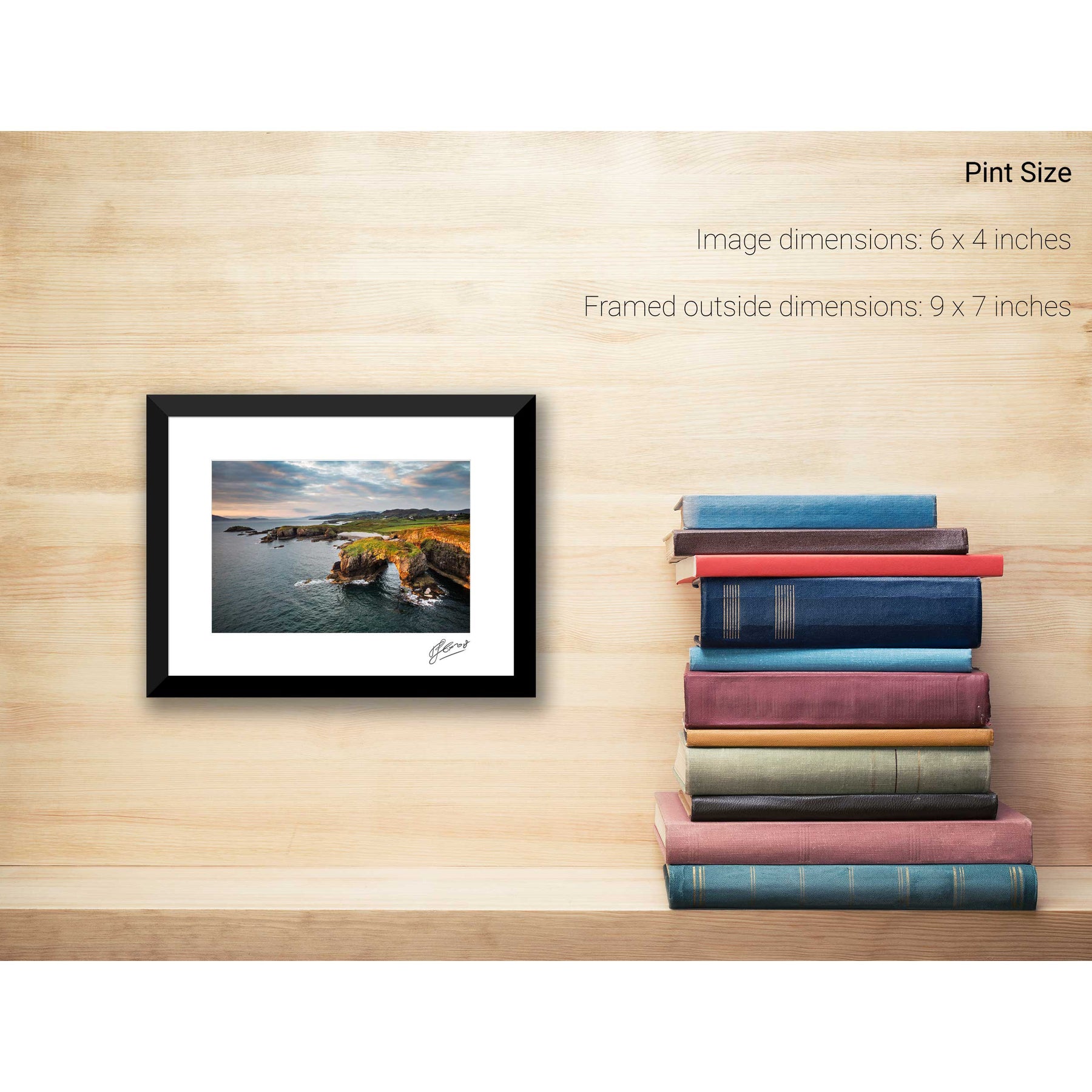
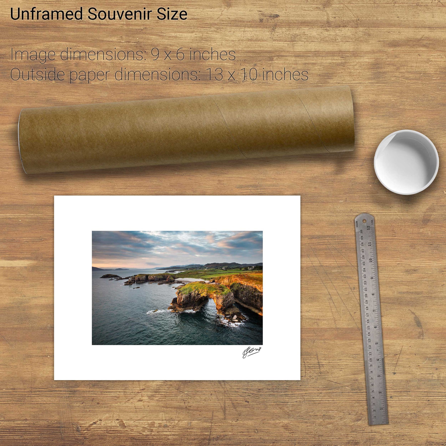
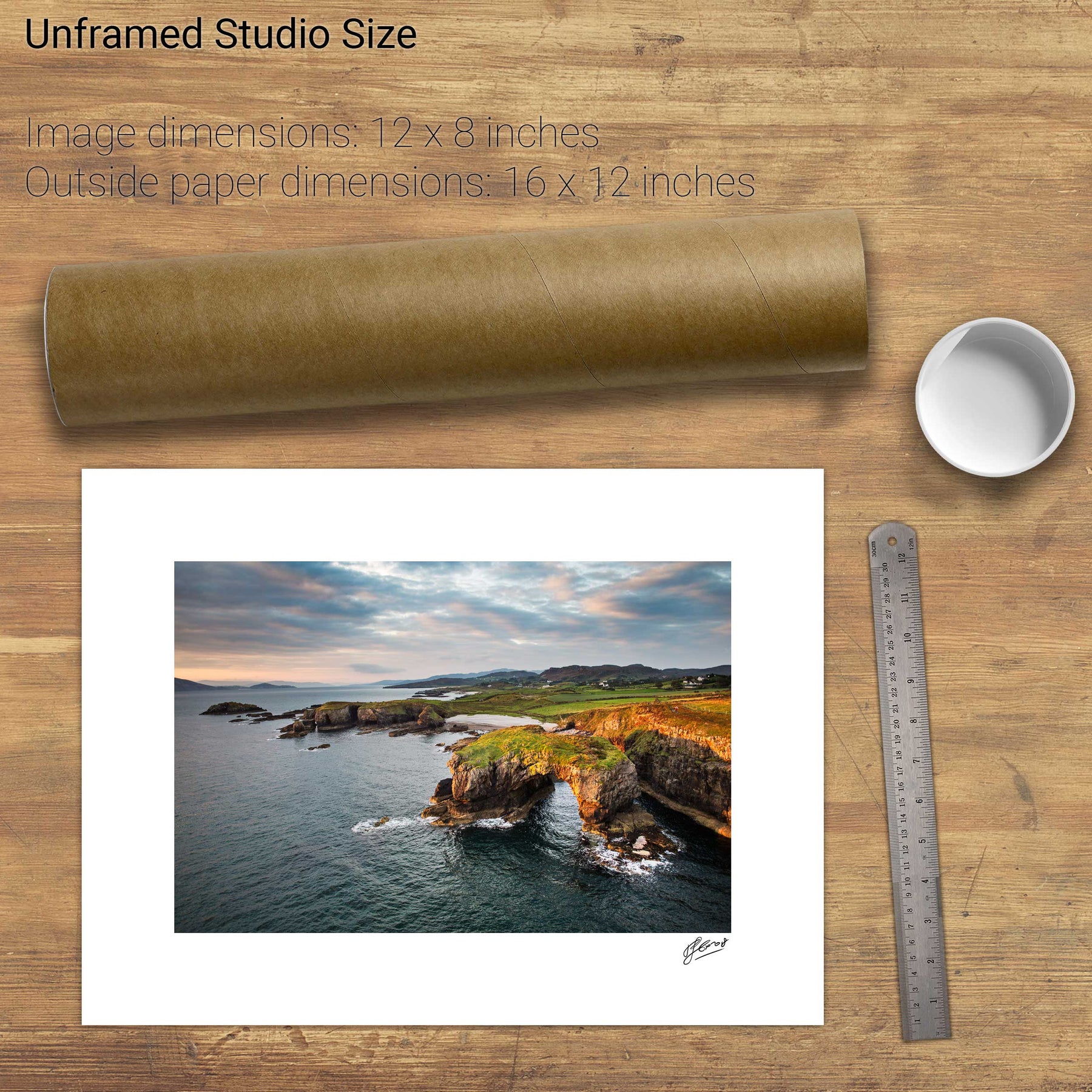
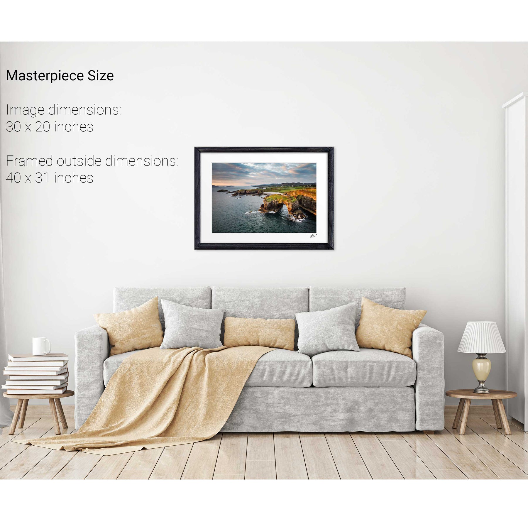
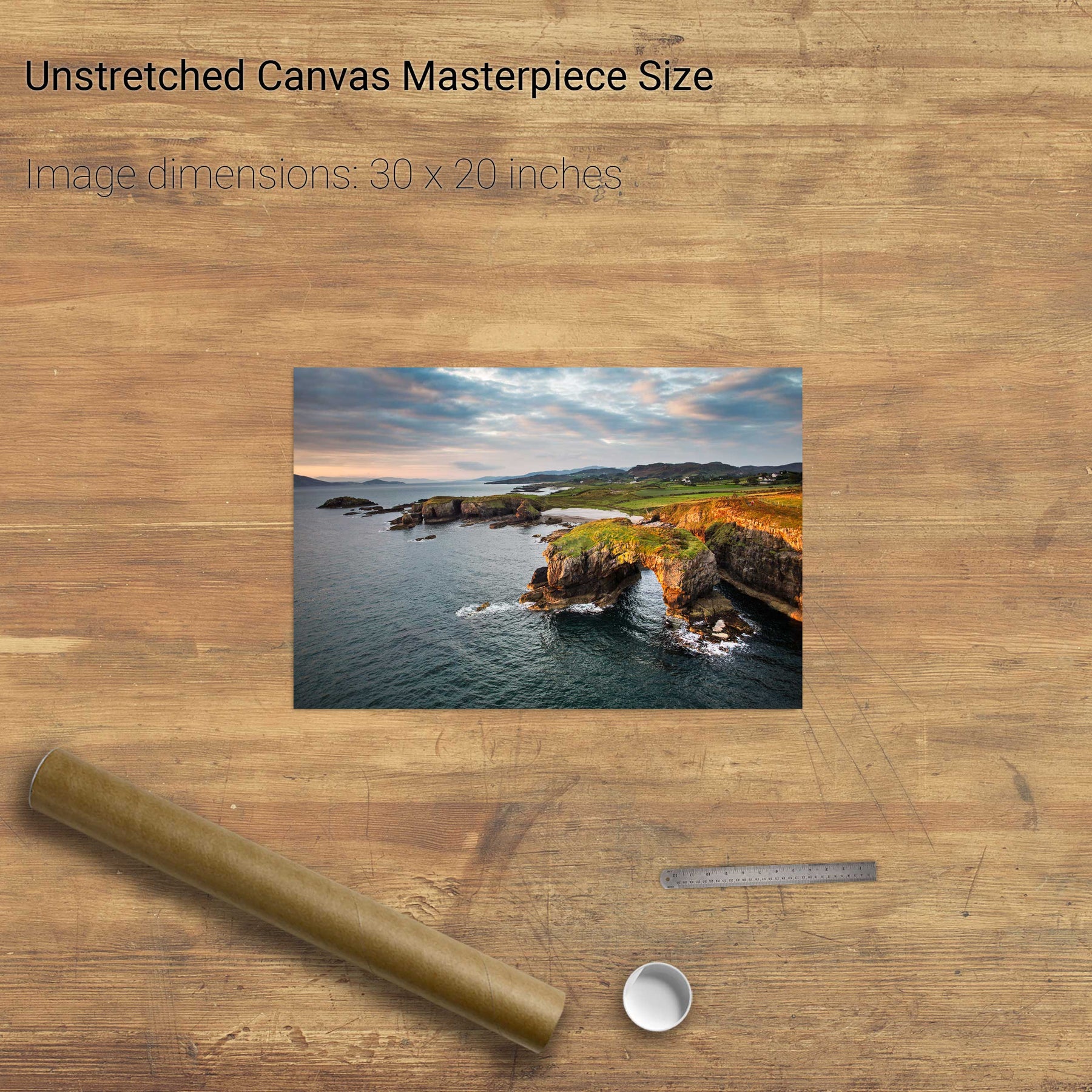
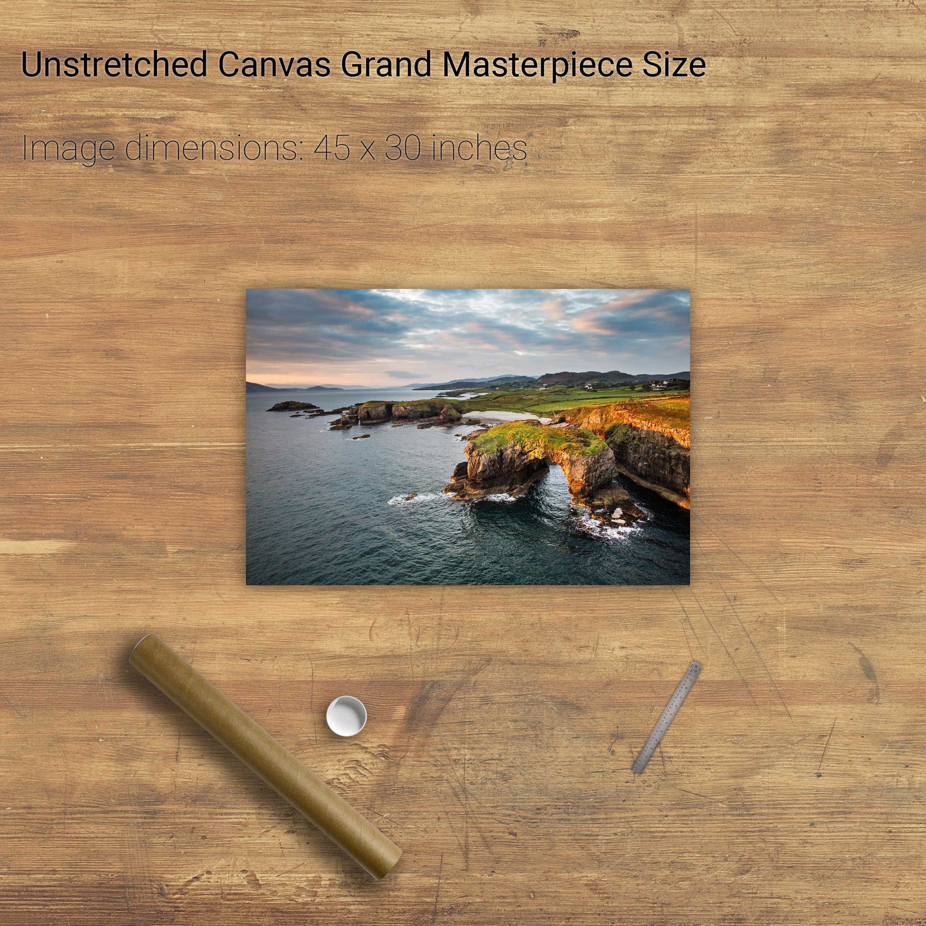
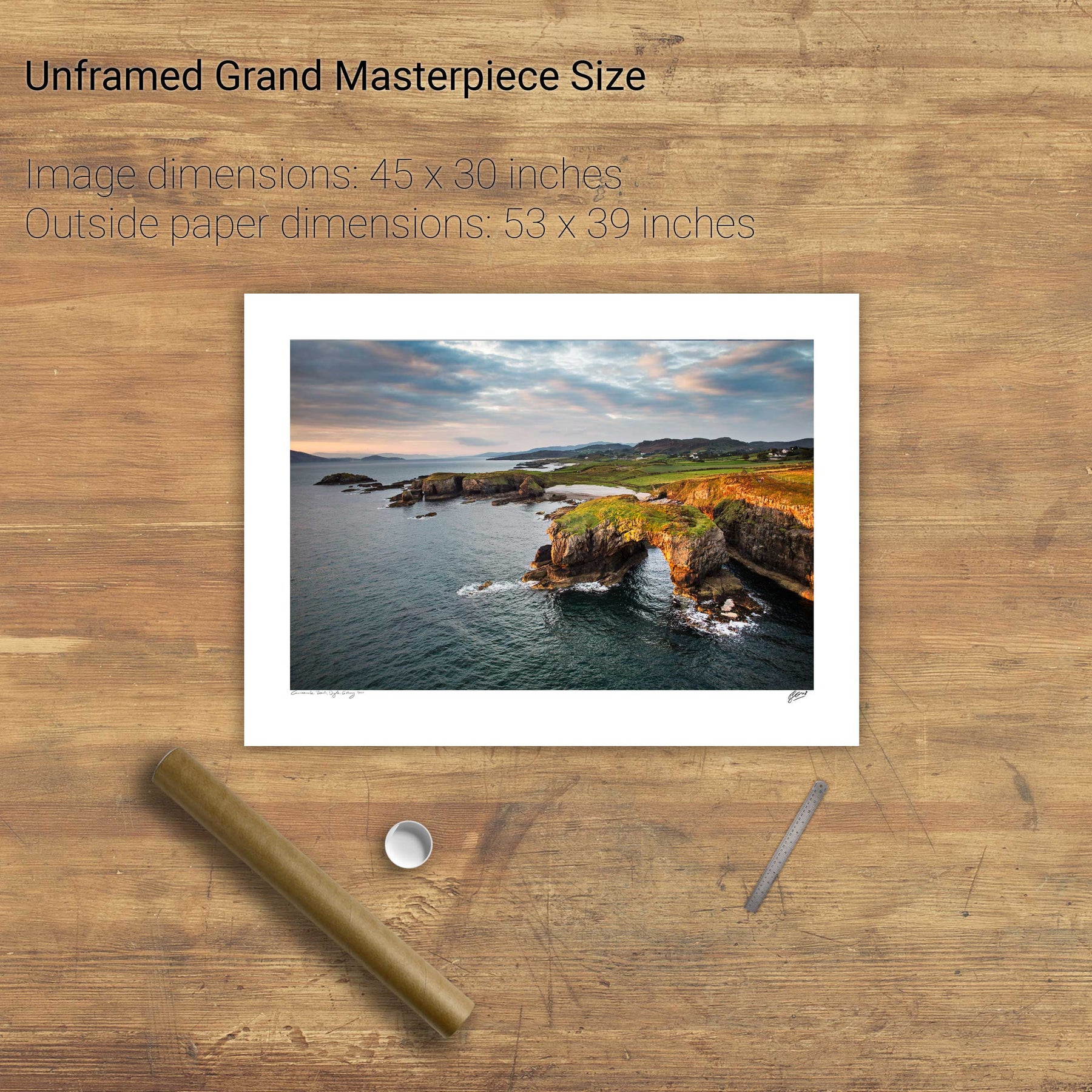
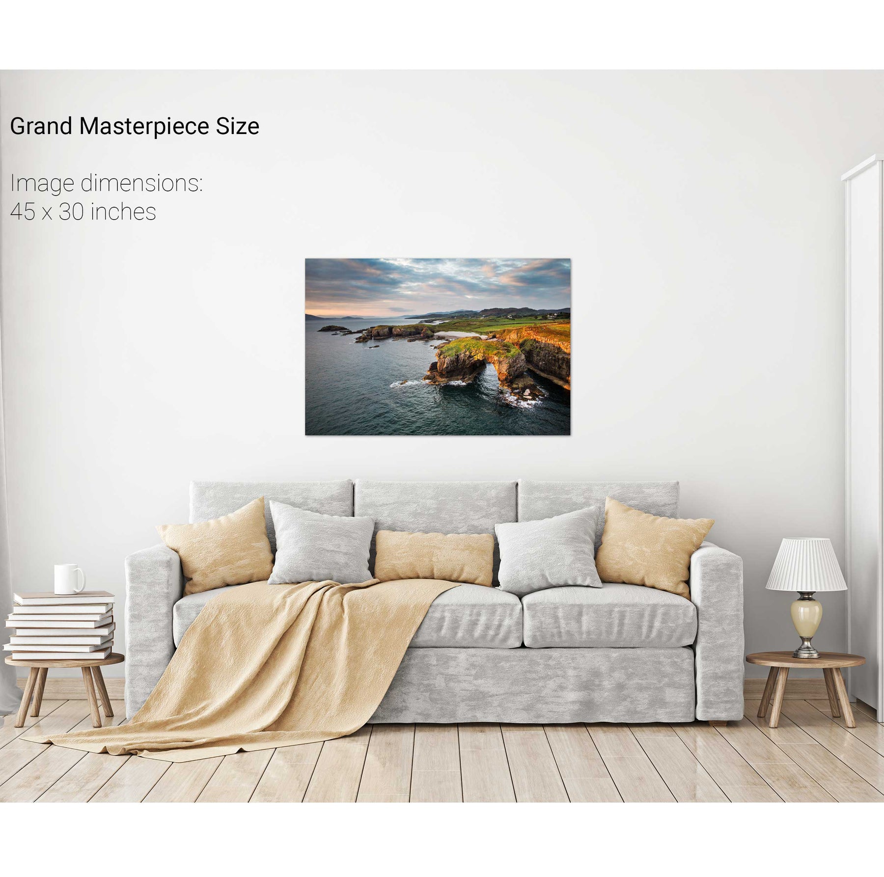
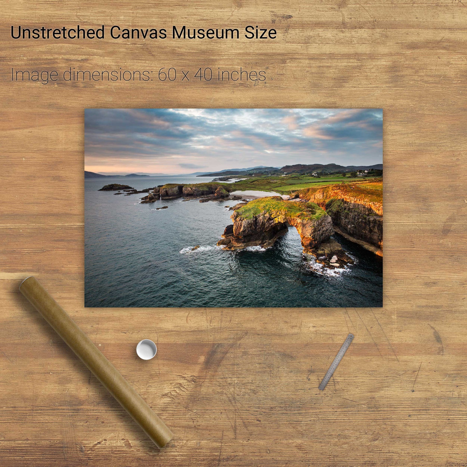
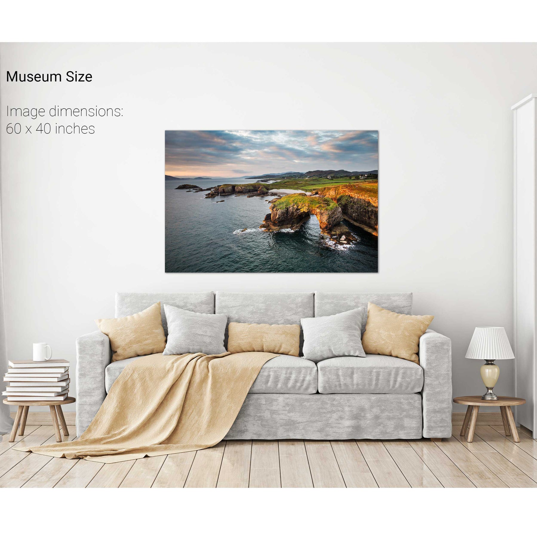
Great Pollet Arch, Co. Donegal


Dursey Island & Gannet, Co. Cork