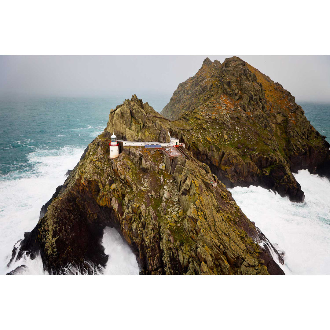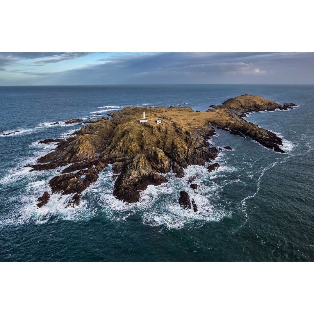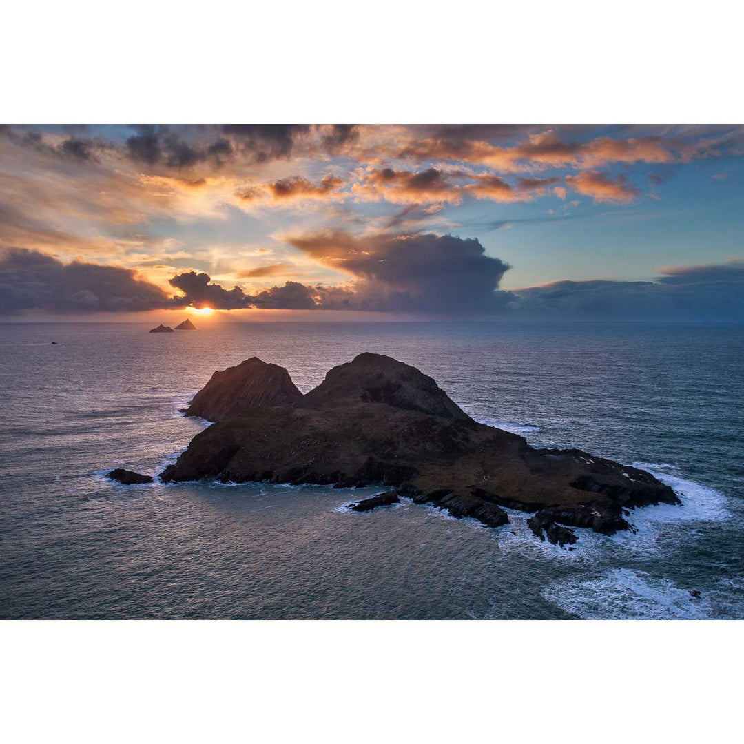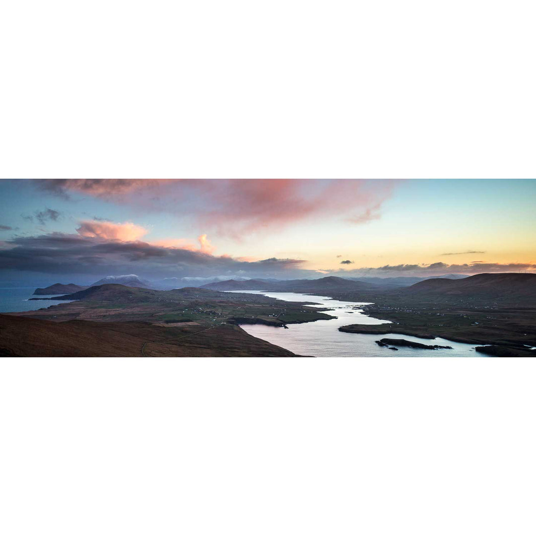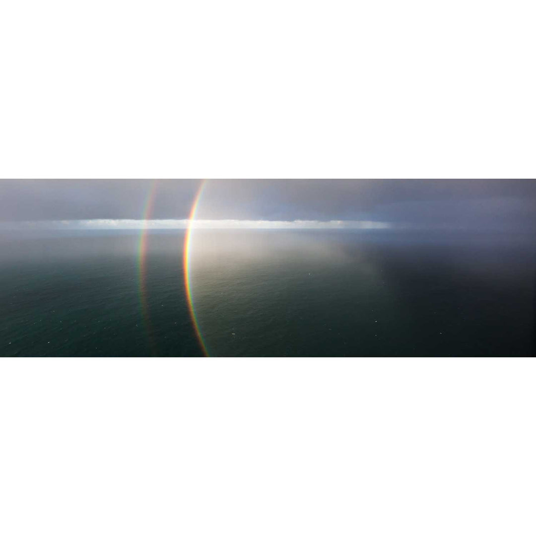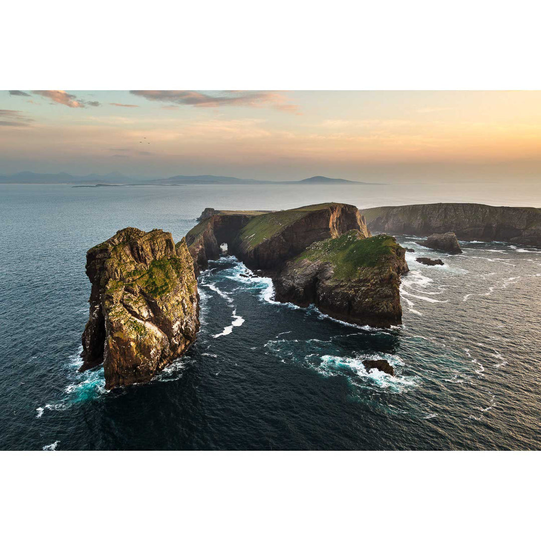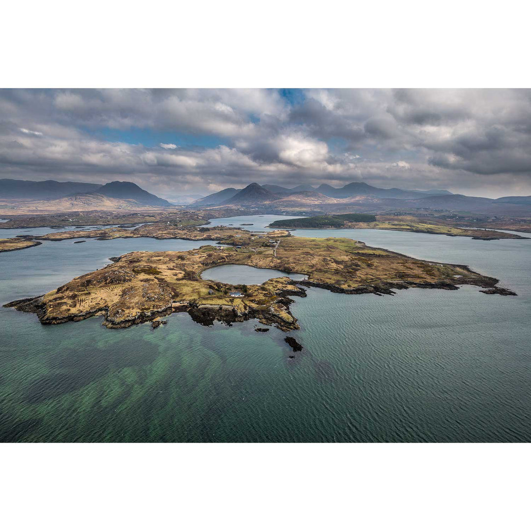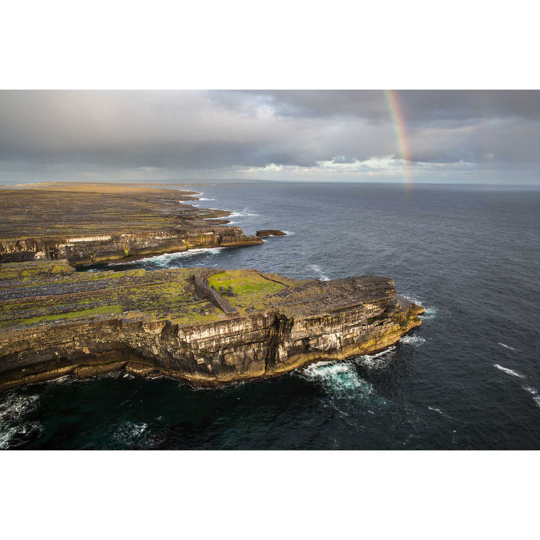


Aerials
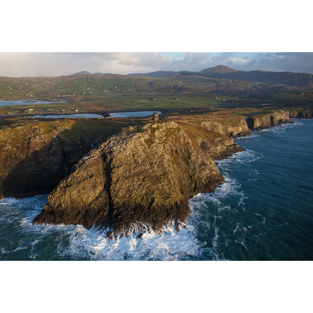
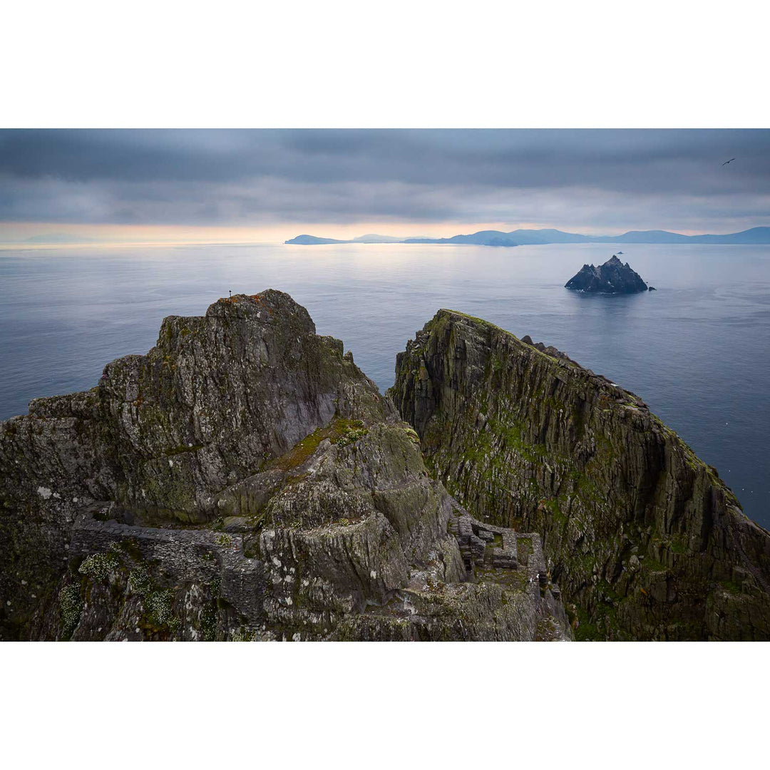
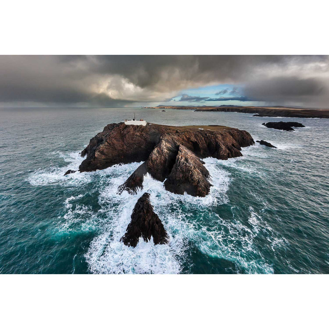
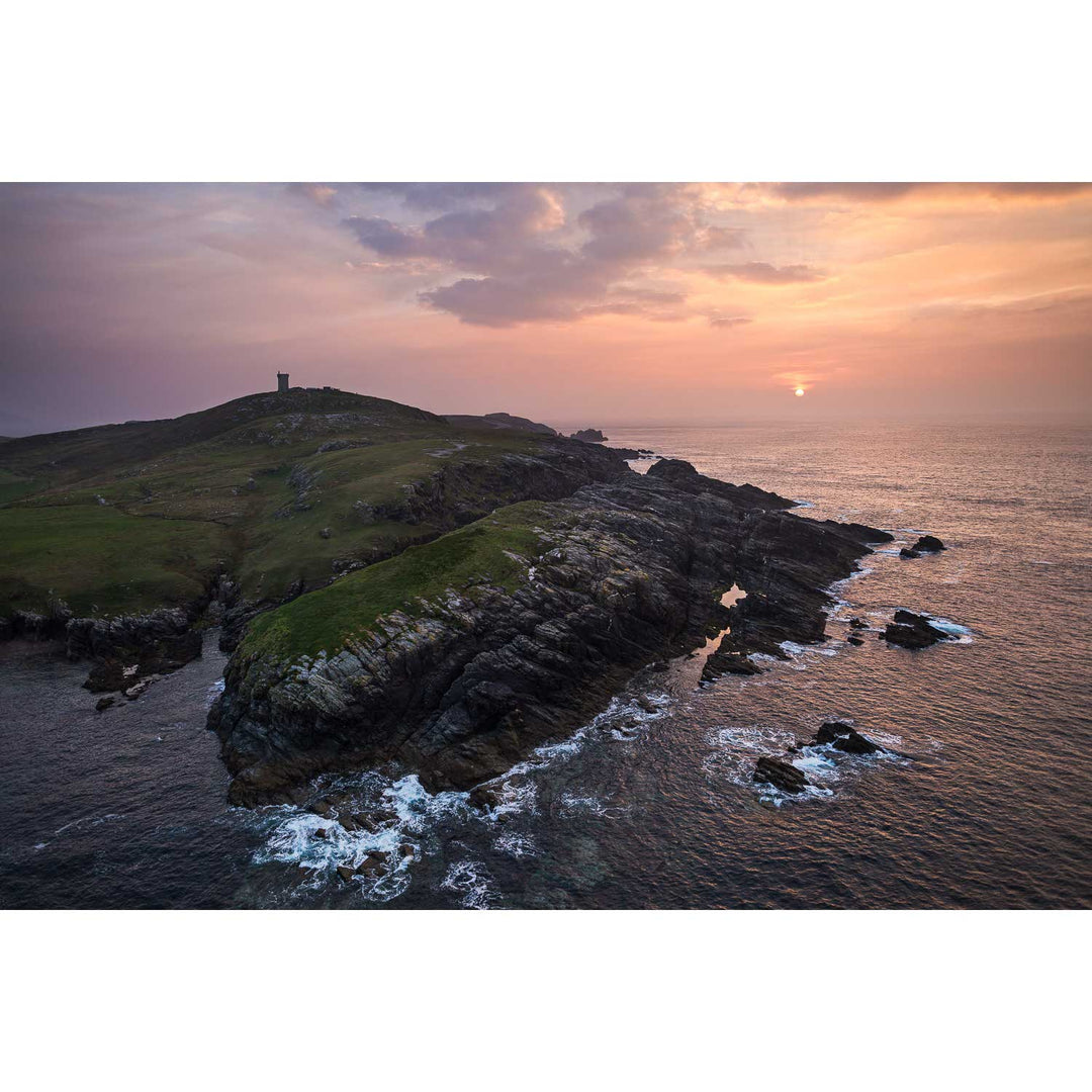
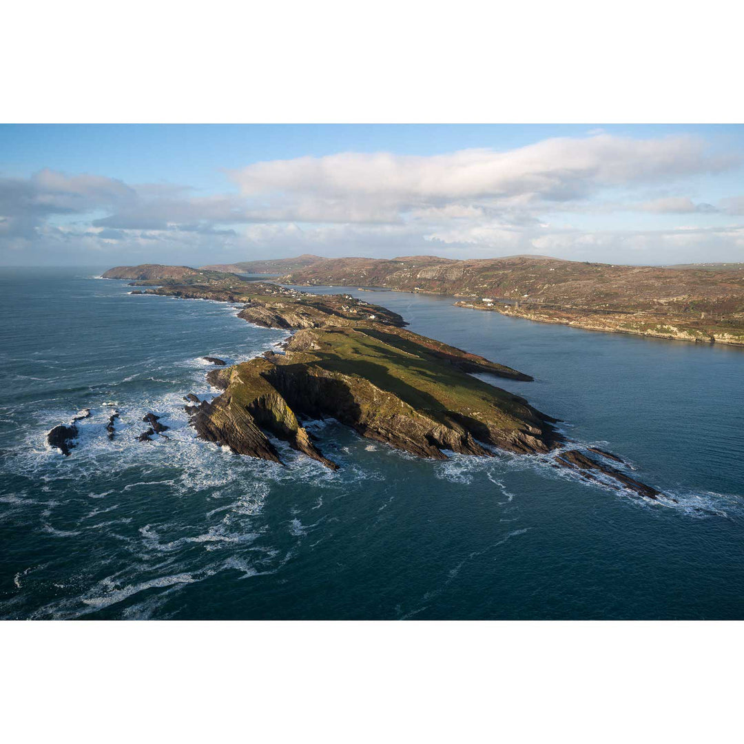
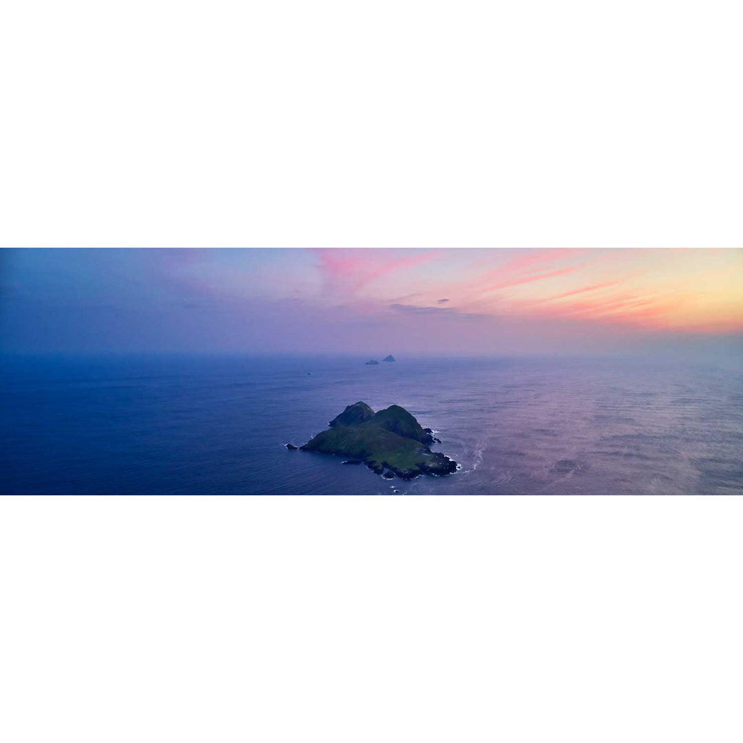
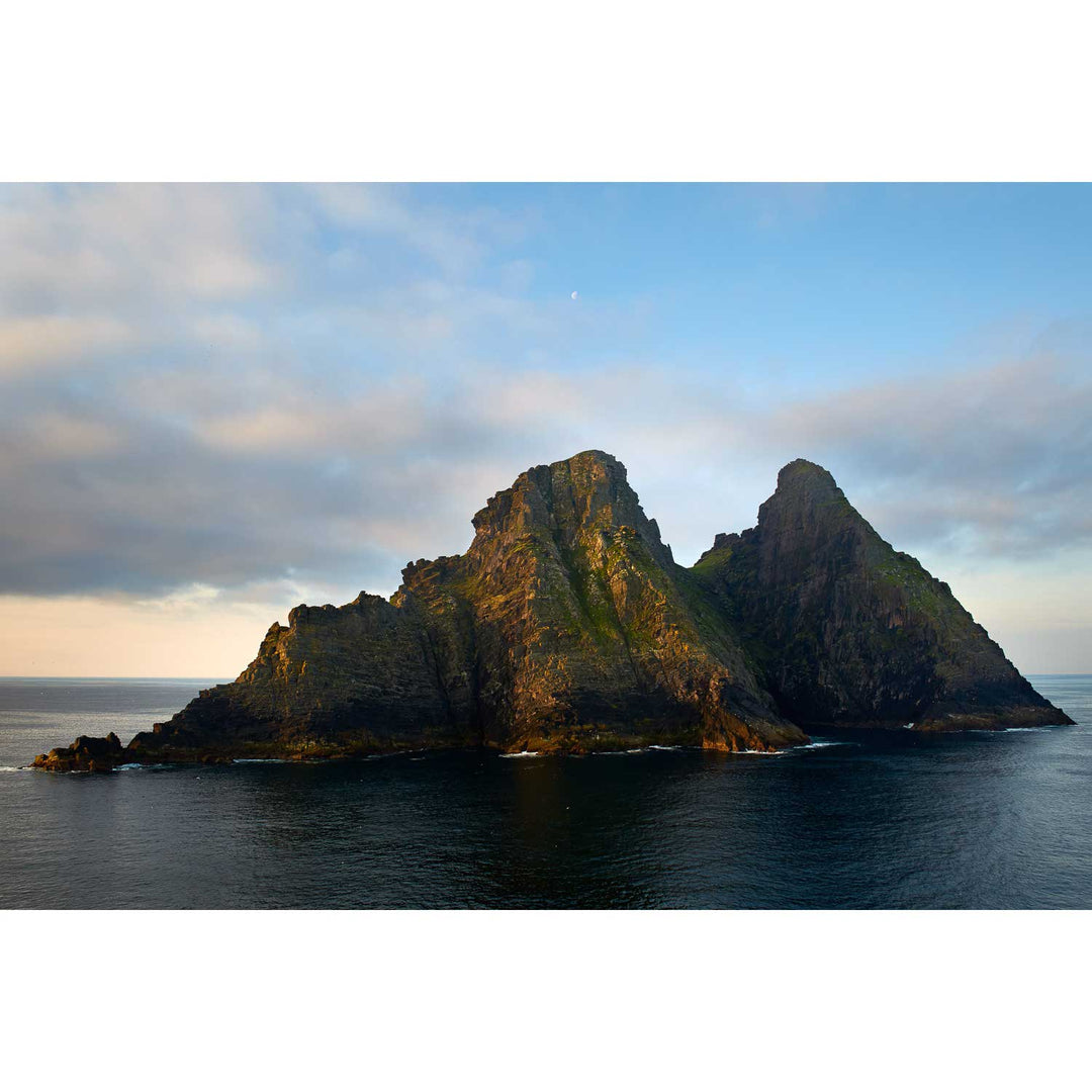
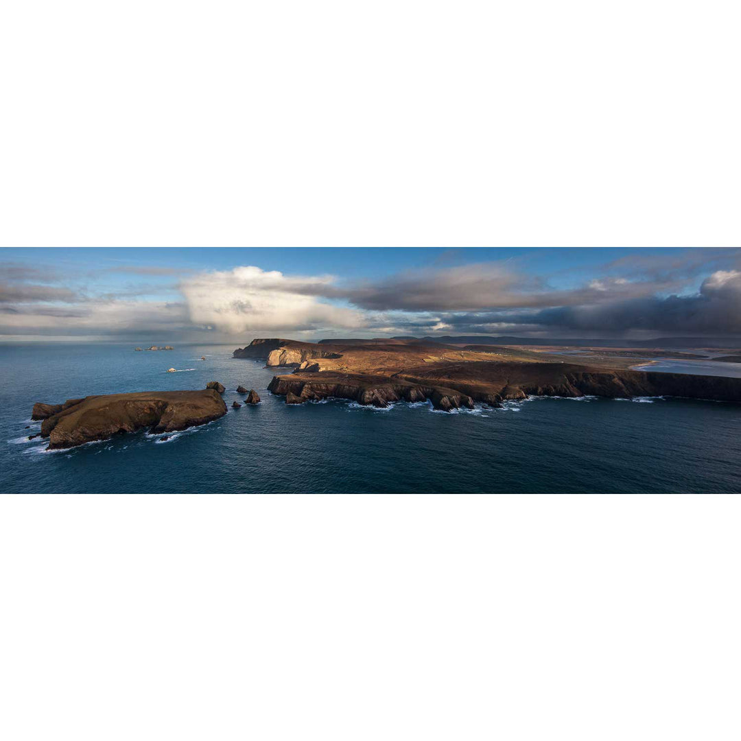
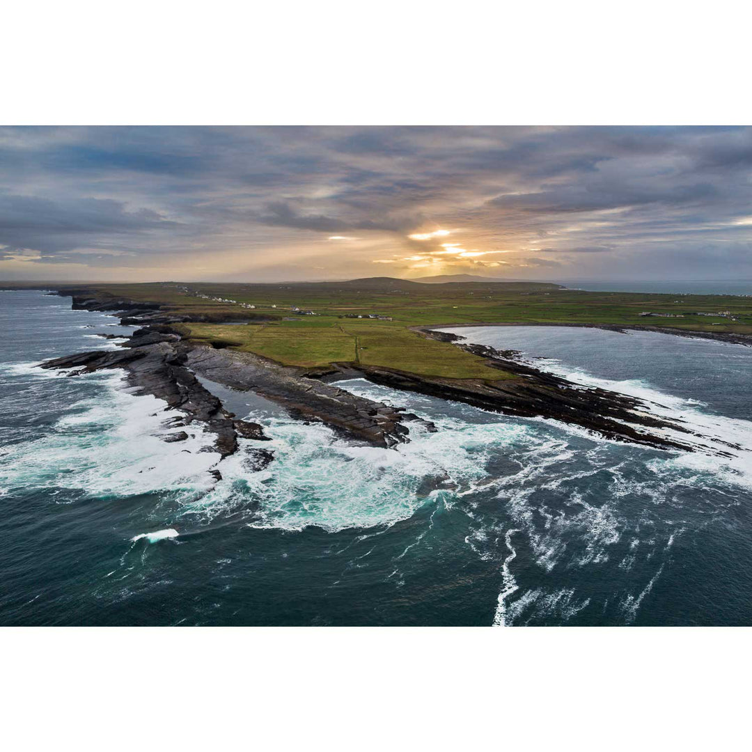
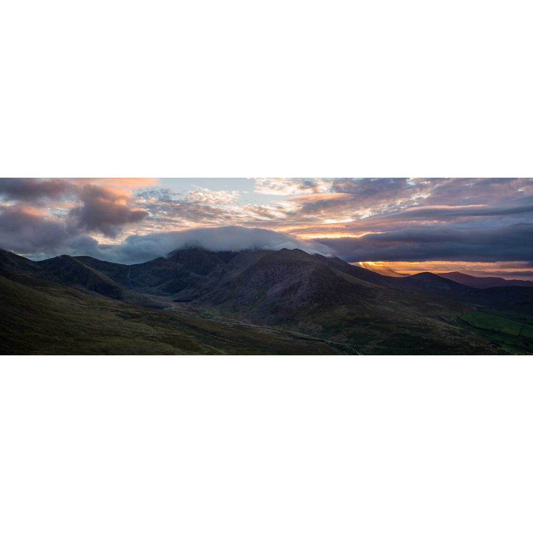
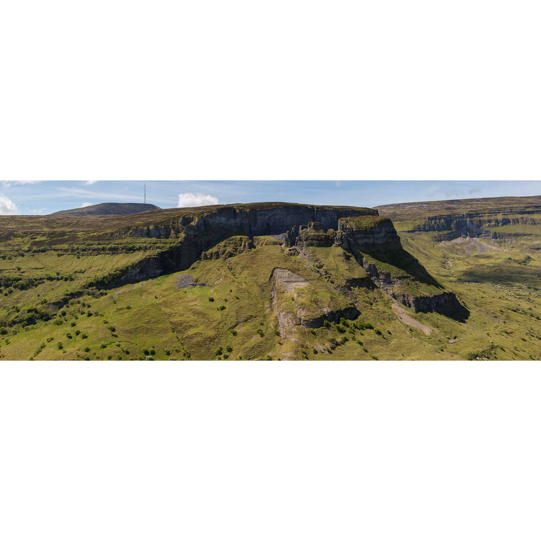
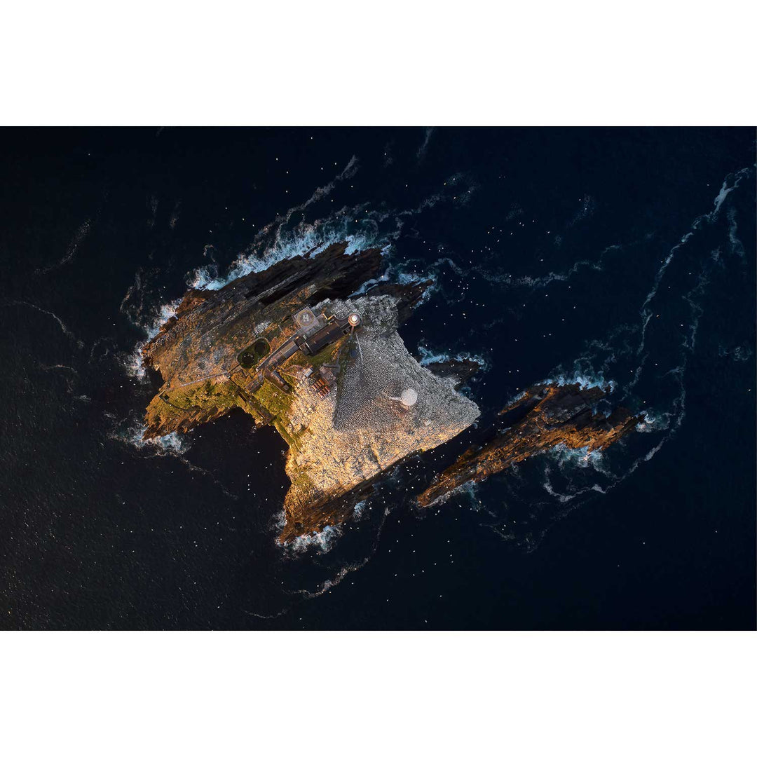
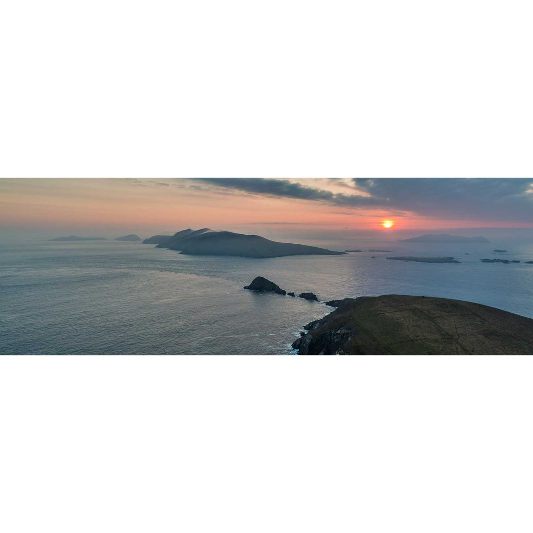
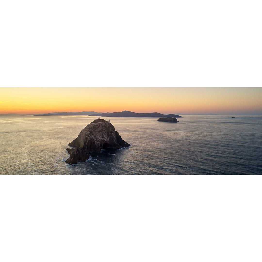
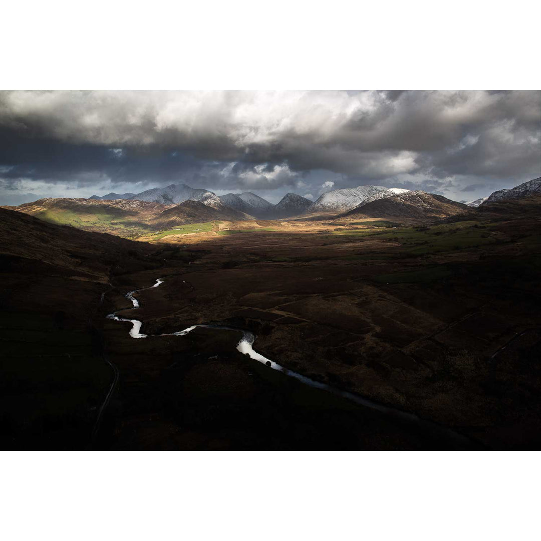
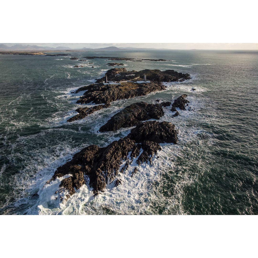
The first time I flew over the Kerry coastline in a light aircraft, I genuinely couldn't believe what I was looking at. Familiar places I'd walked and photographed for years were suddenly unrecognisable, all geometry and colour, fields stitched together like patchwork, rivers drawing silver lines through bog.
That shift in perspective became a fascination. Whether from a Cessna over the Blaskets or a drone above river estuaries, the view from above strips a landscape back to its essentials. Pattern, texture, light. These images are some of my favourites in the whole collection!