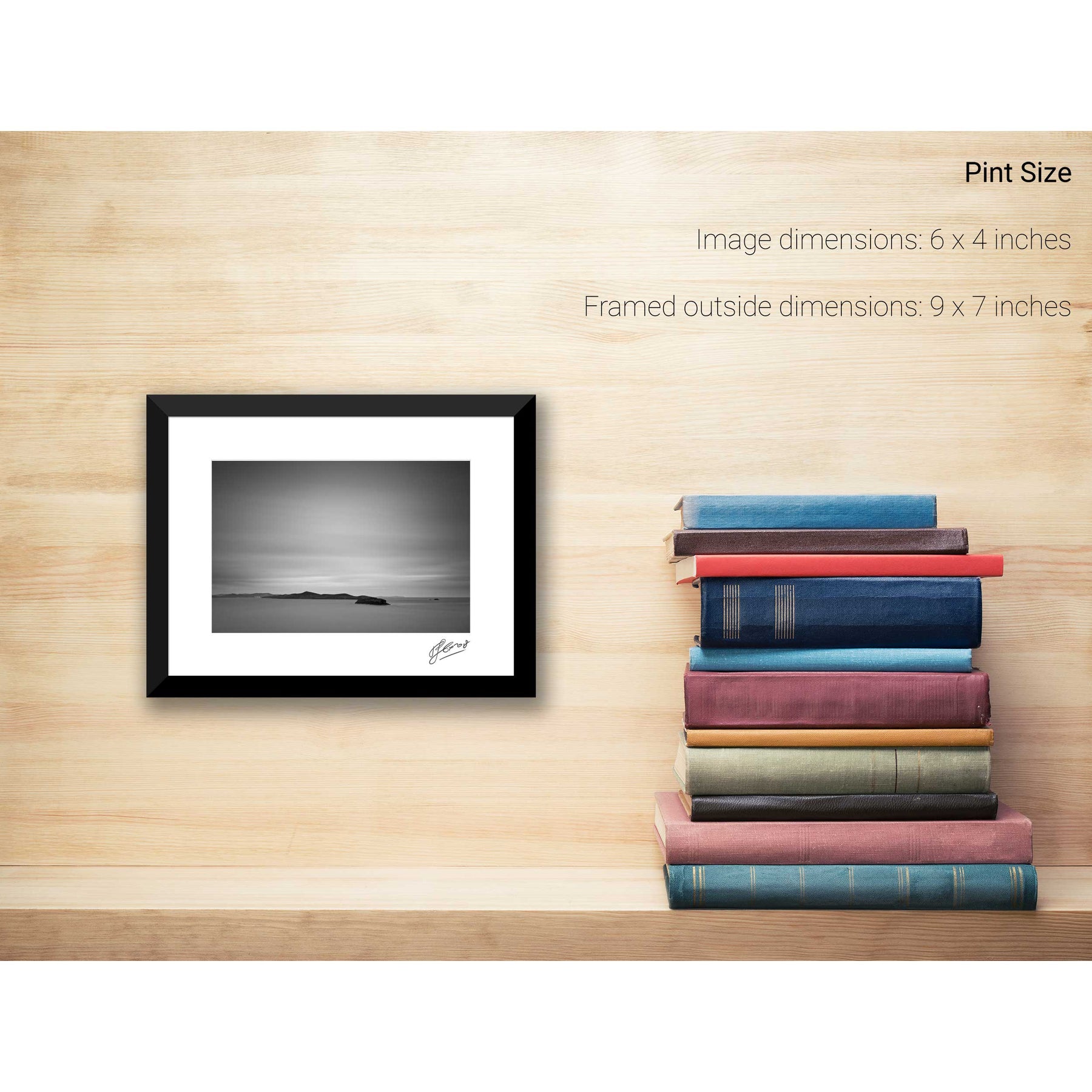
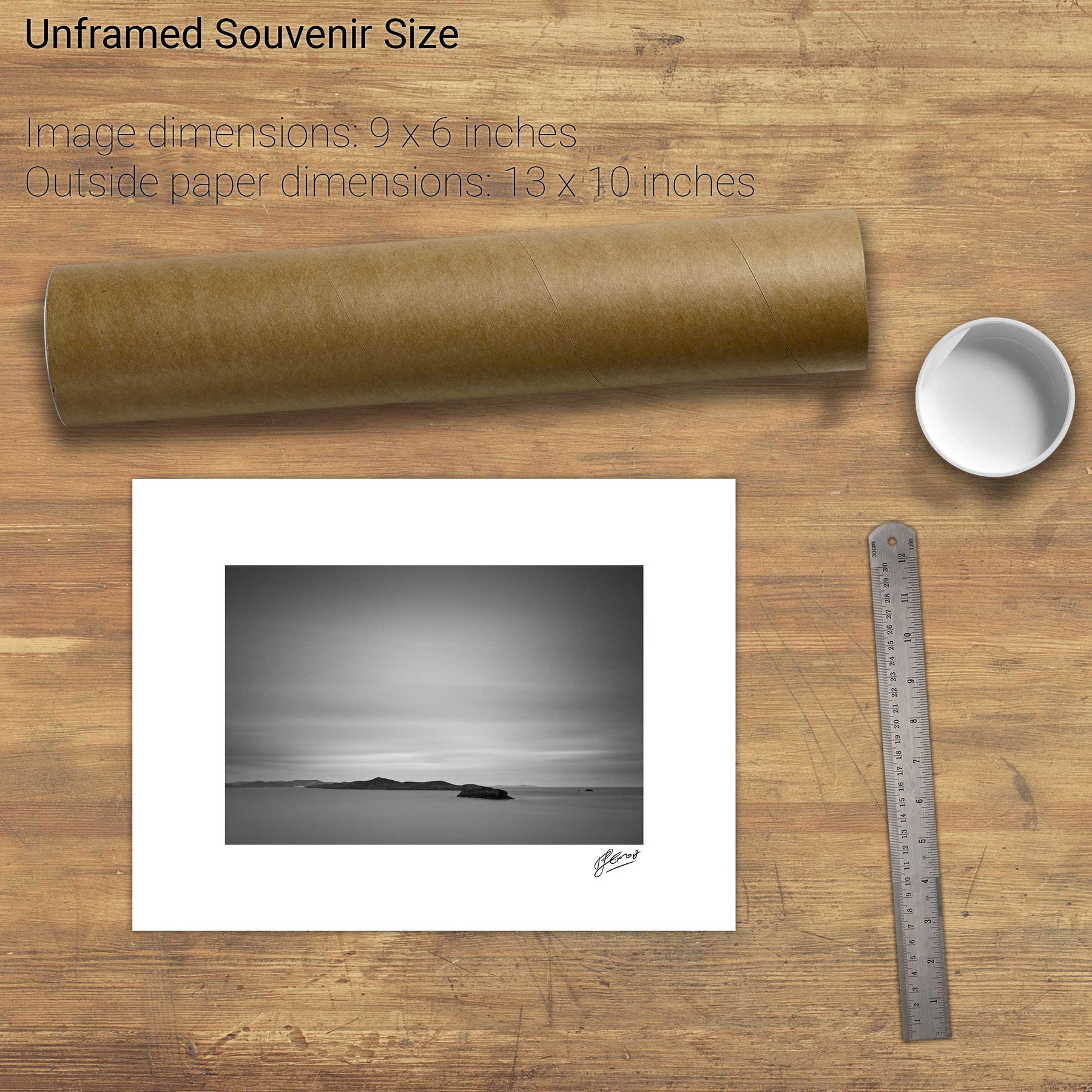
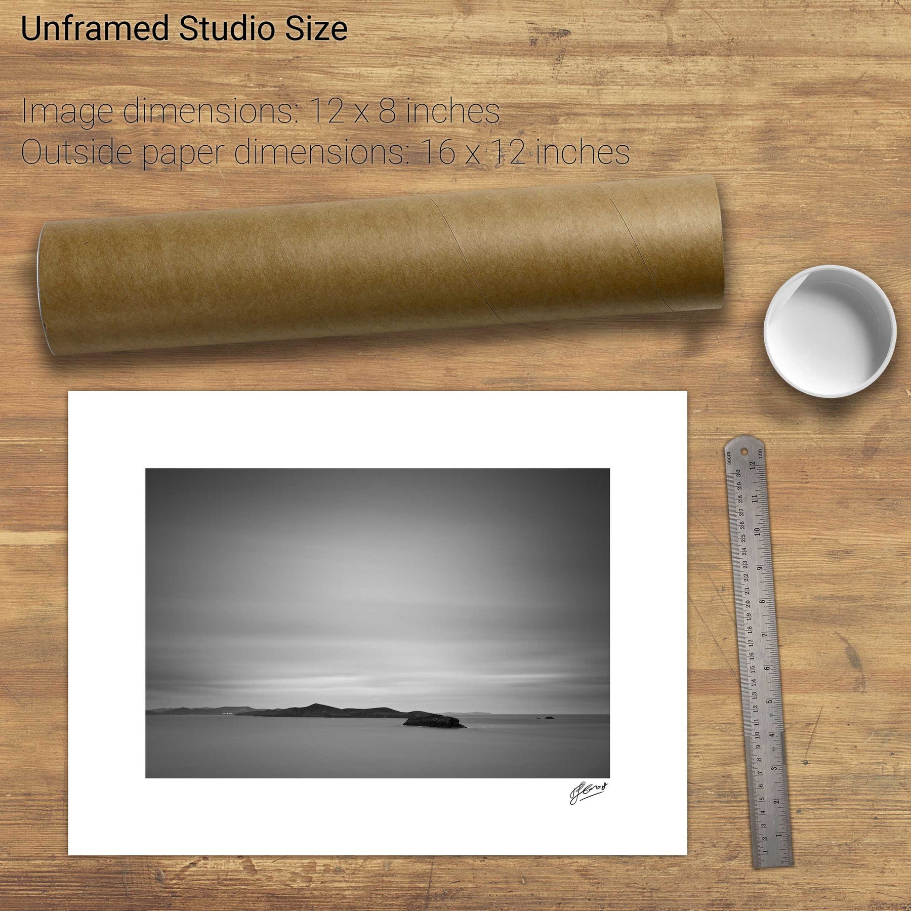
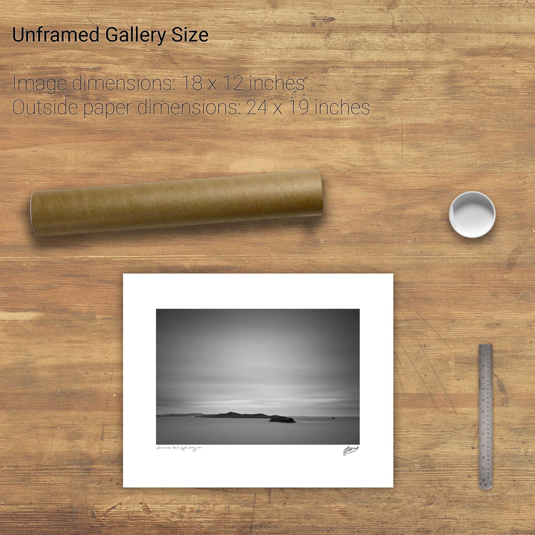
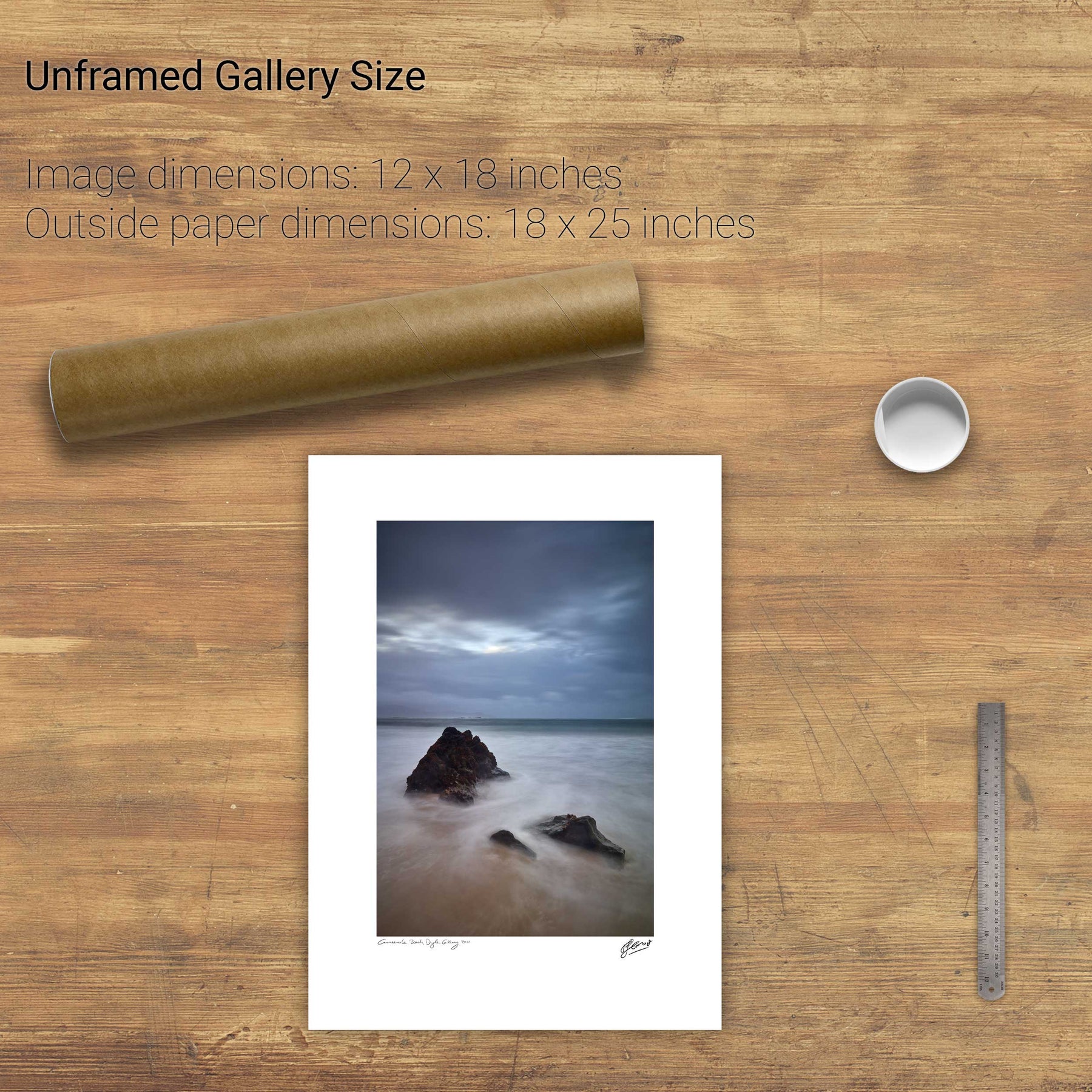
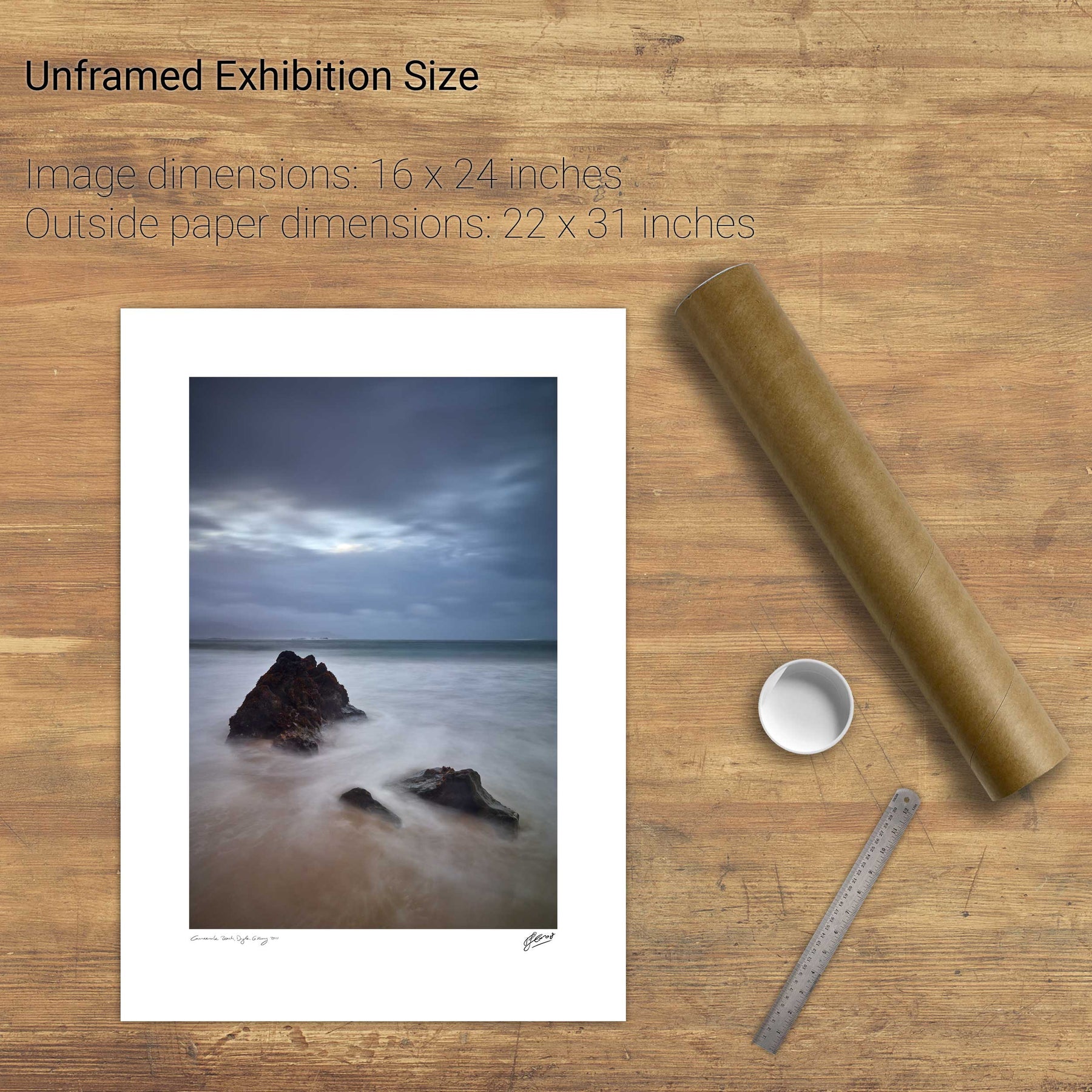
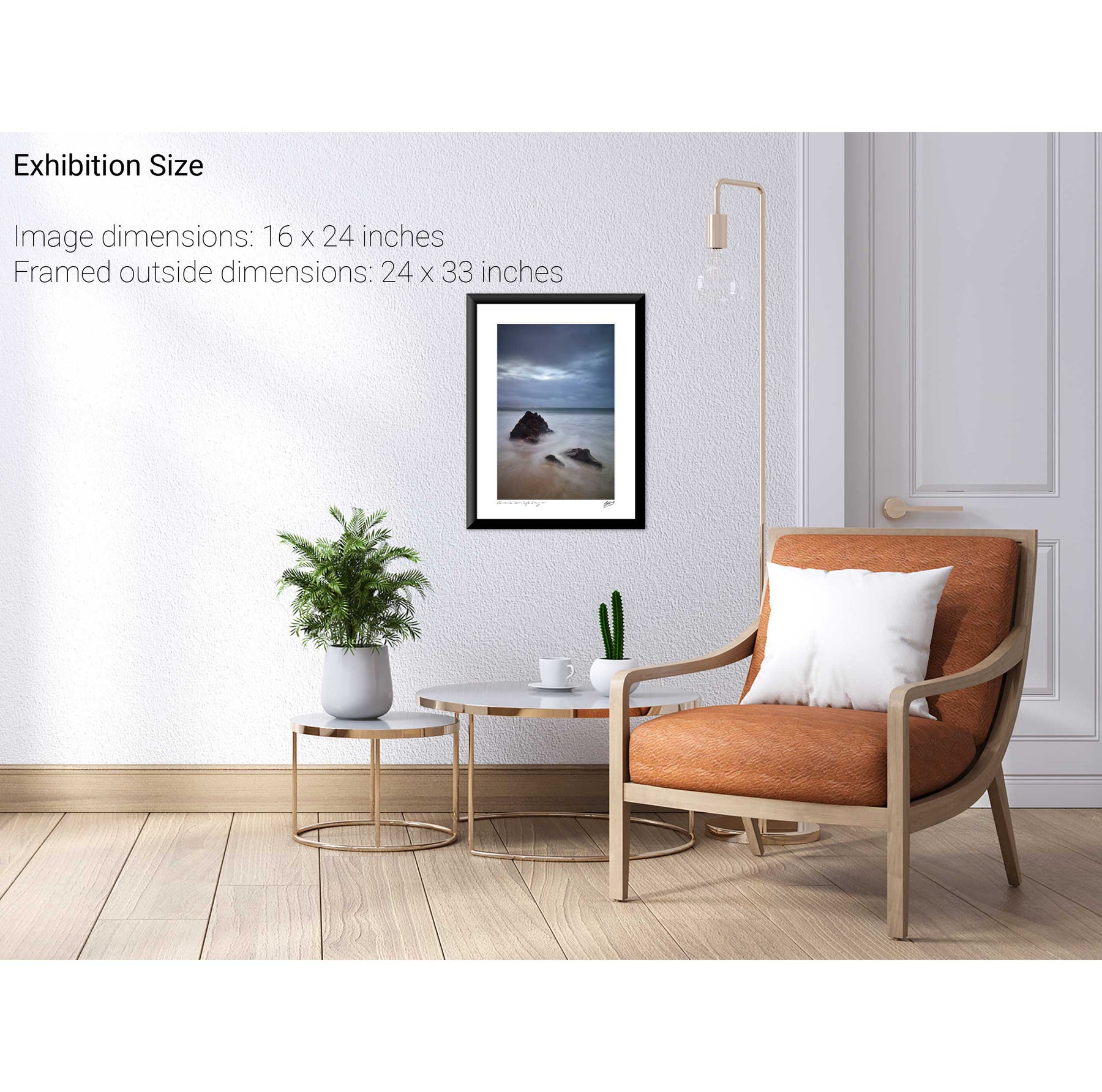
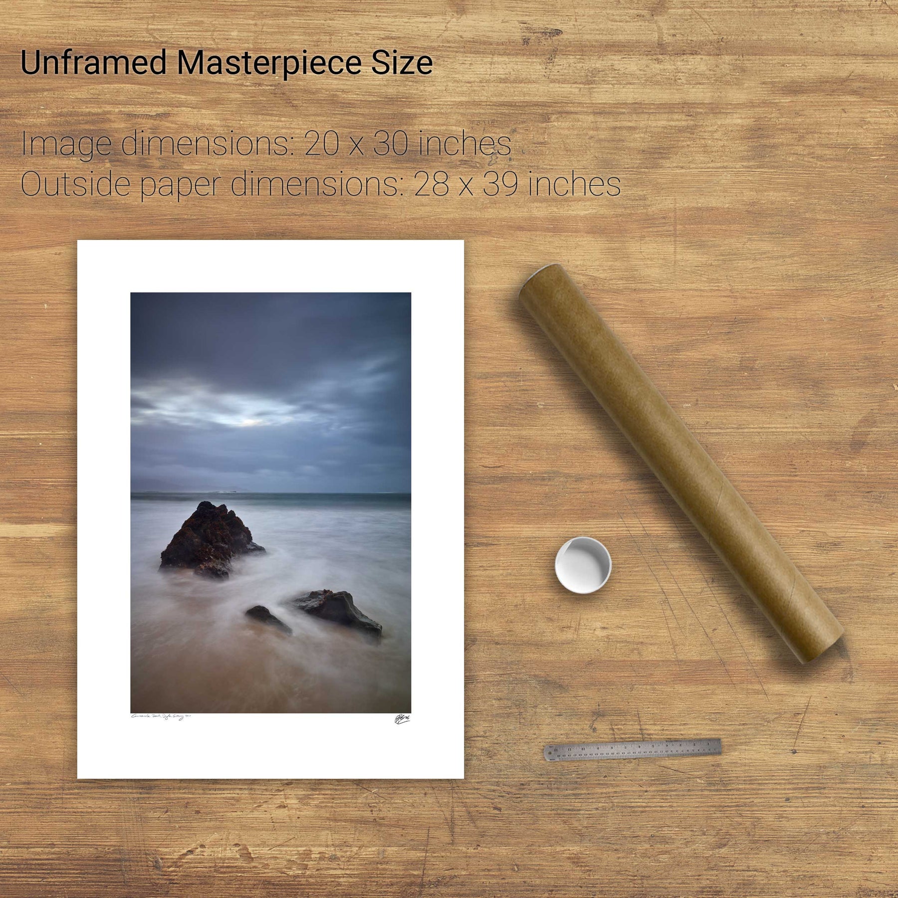
105 products
105 products
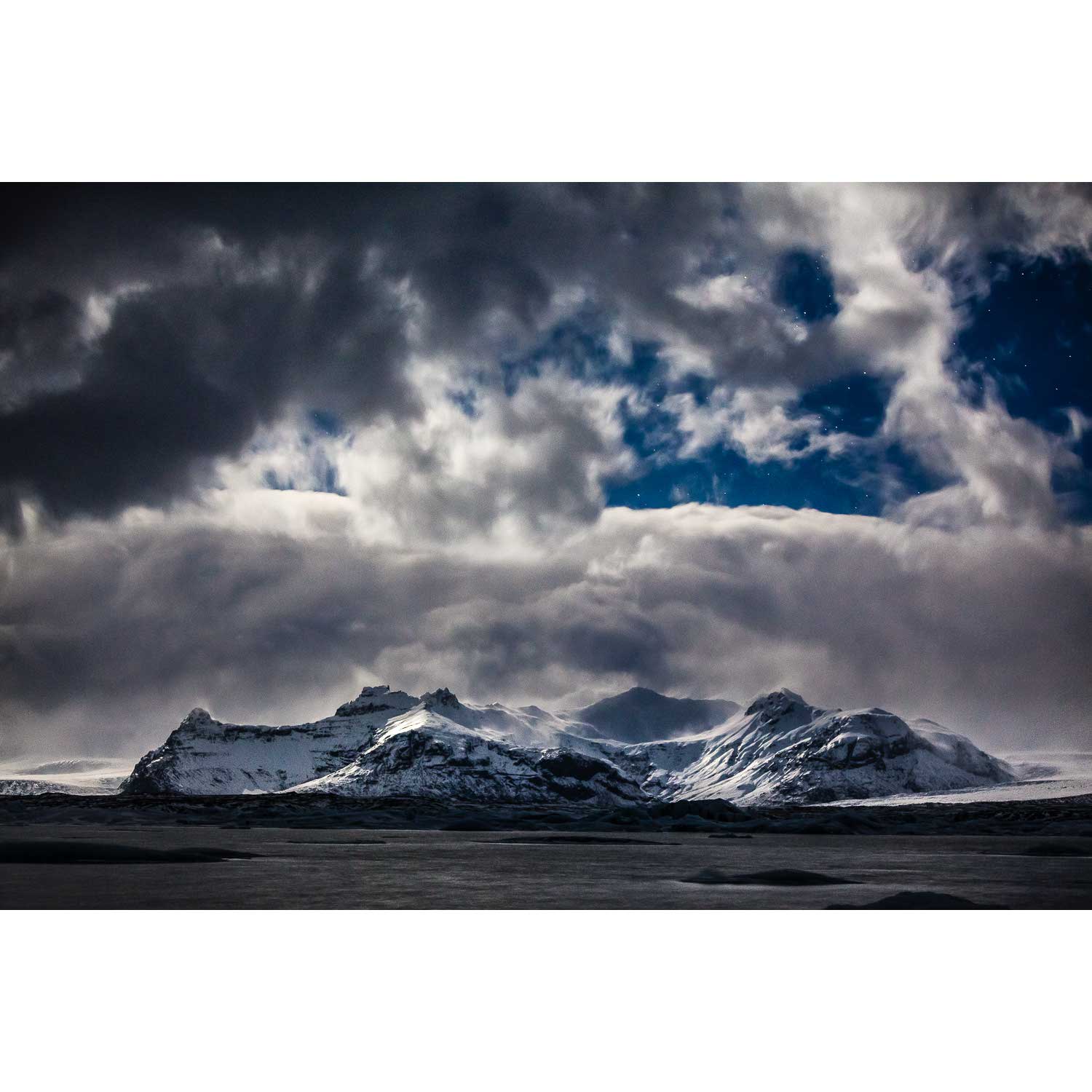
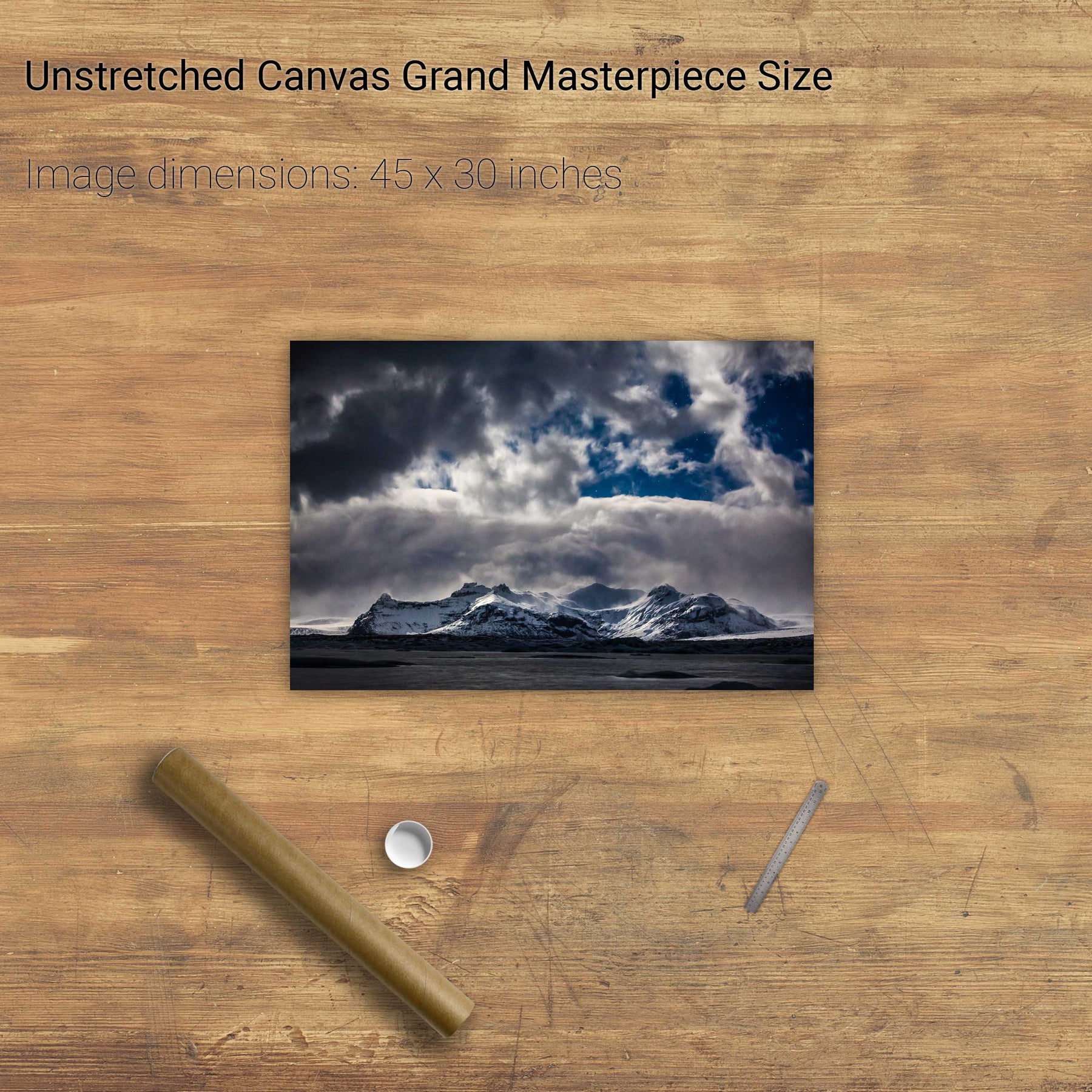
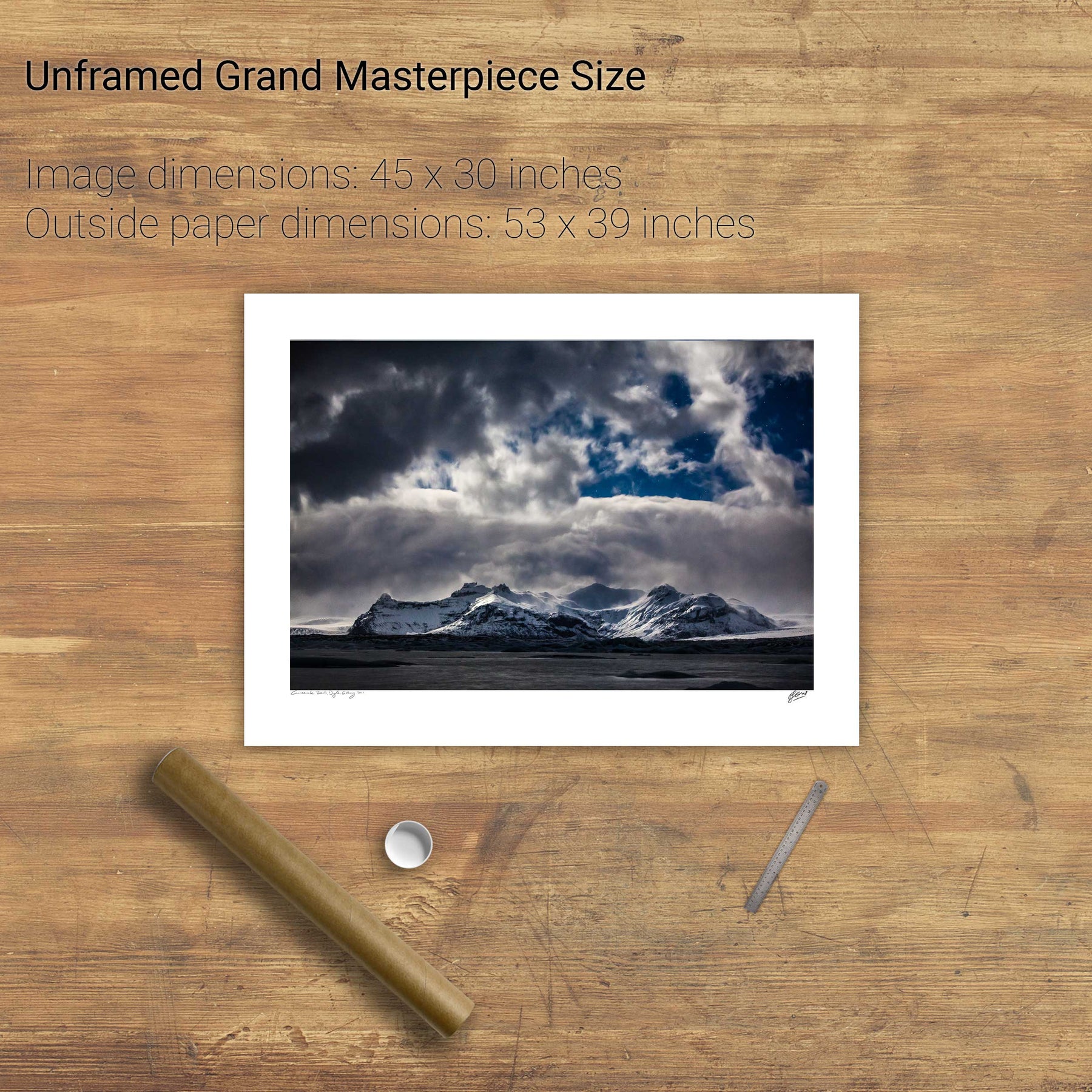
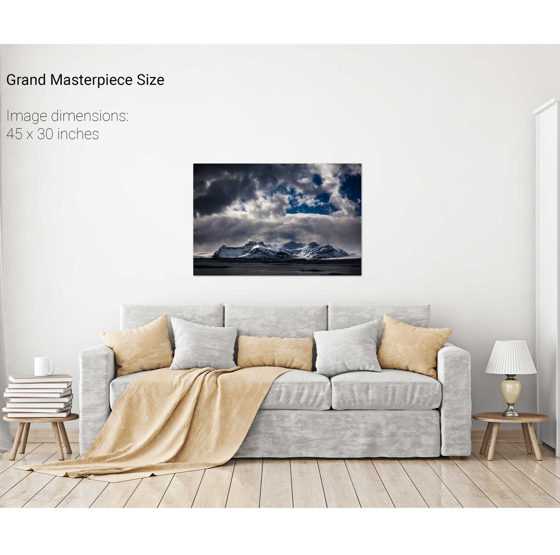
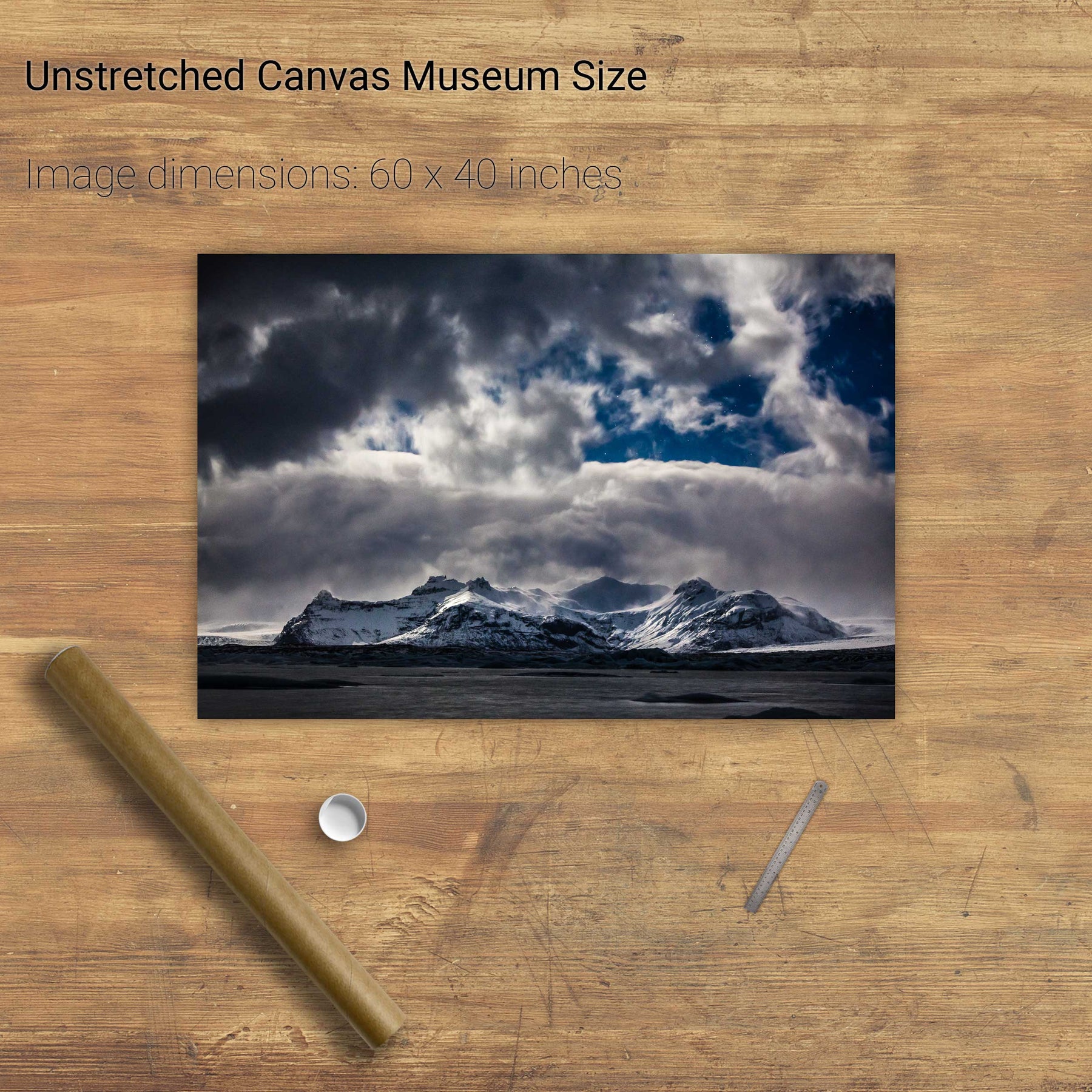
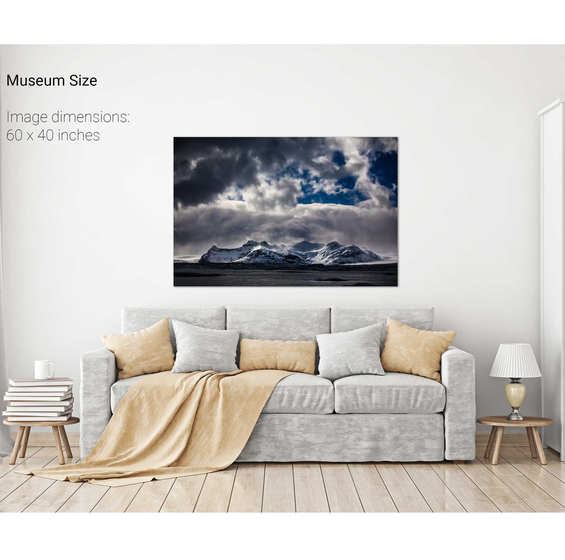
Winter Nocturne, Jökulsárlón Glacier Lagoon, Iceland


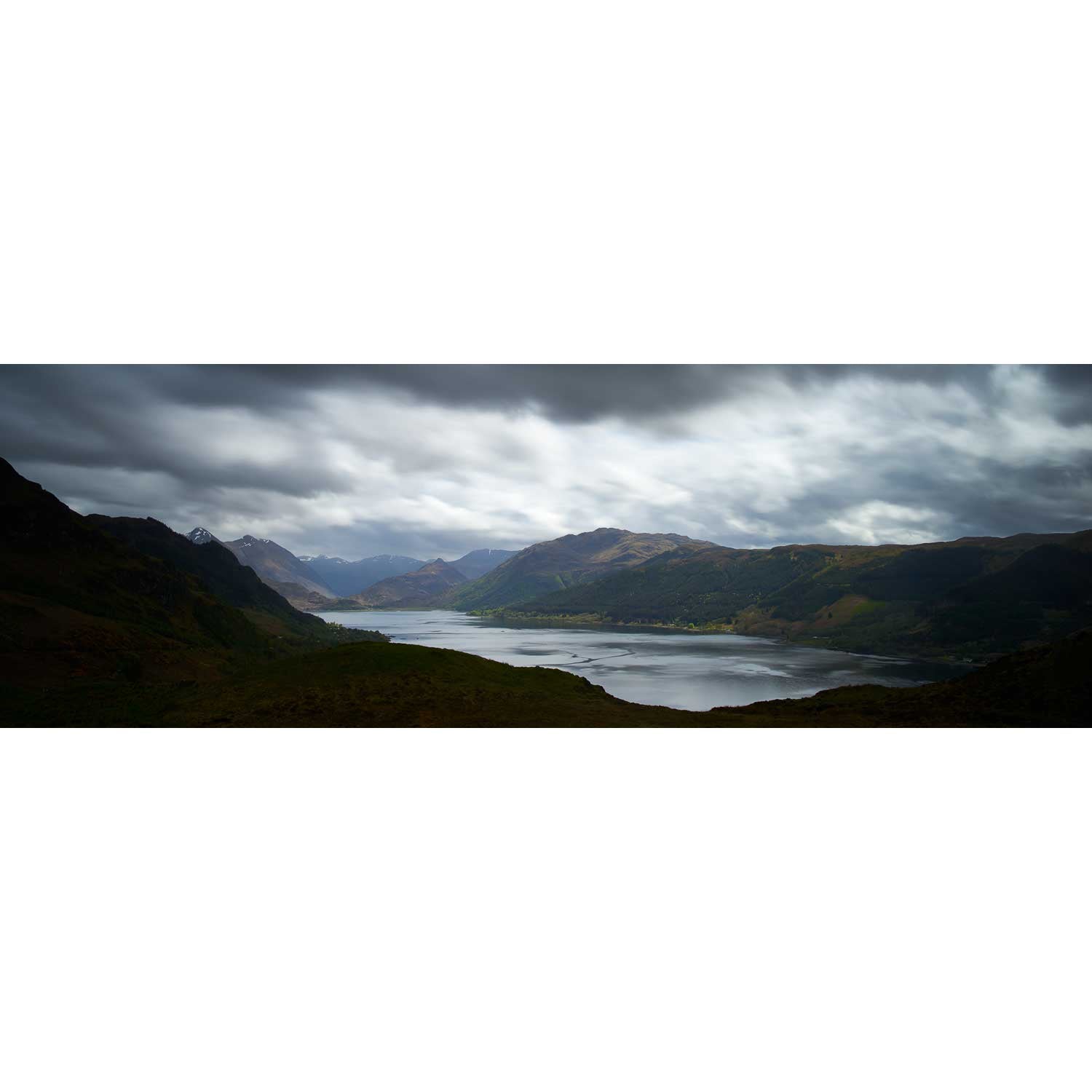
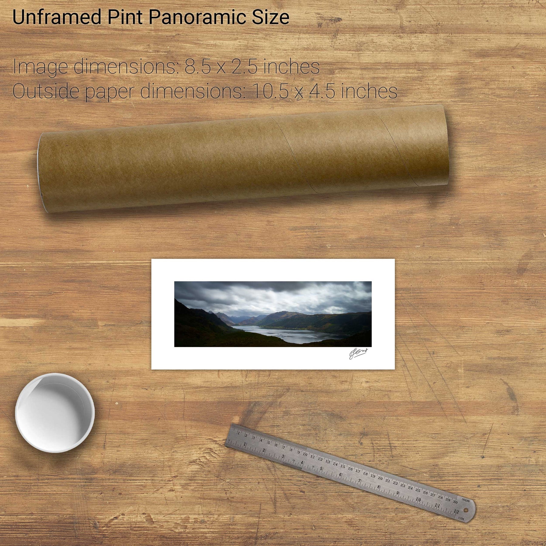
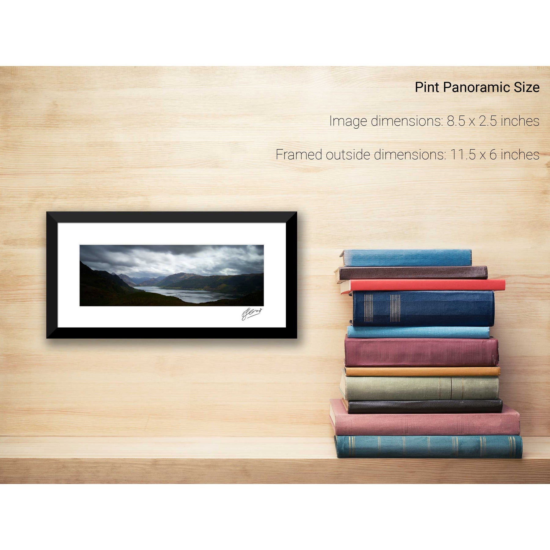
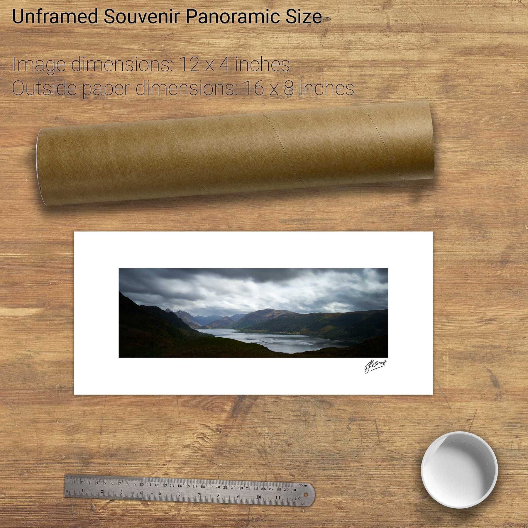
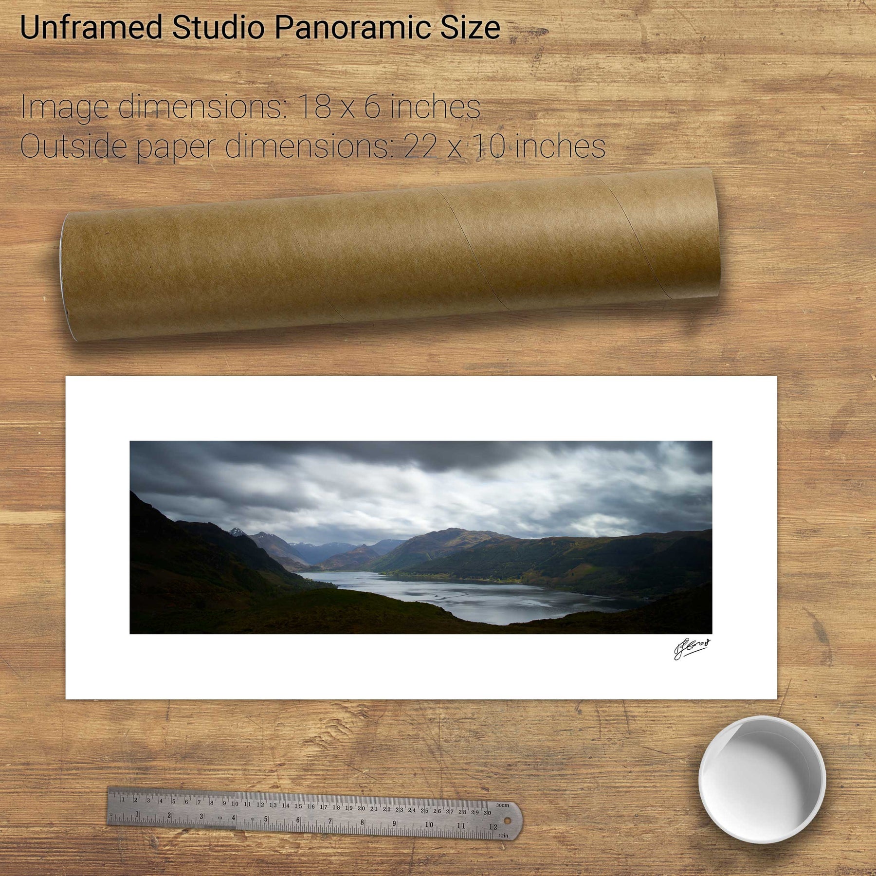
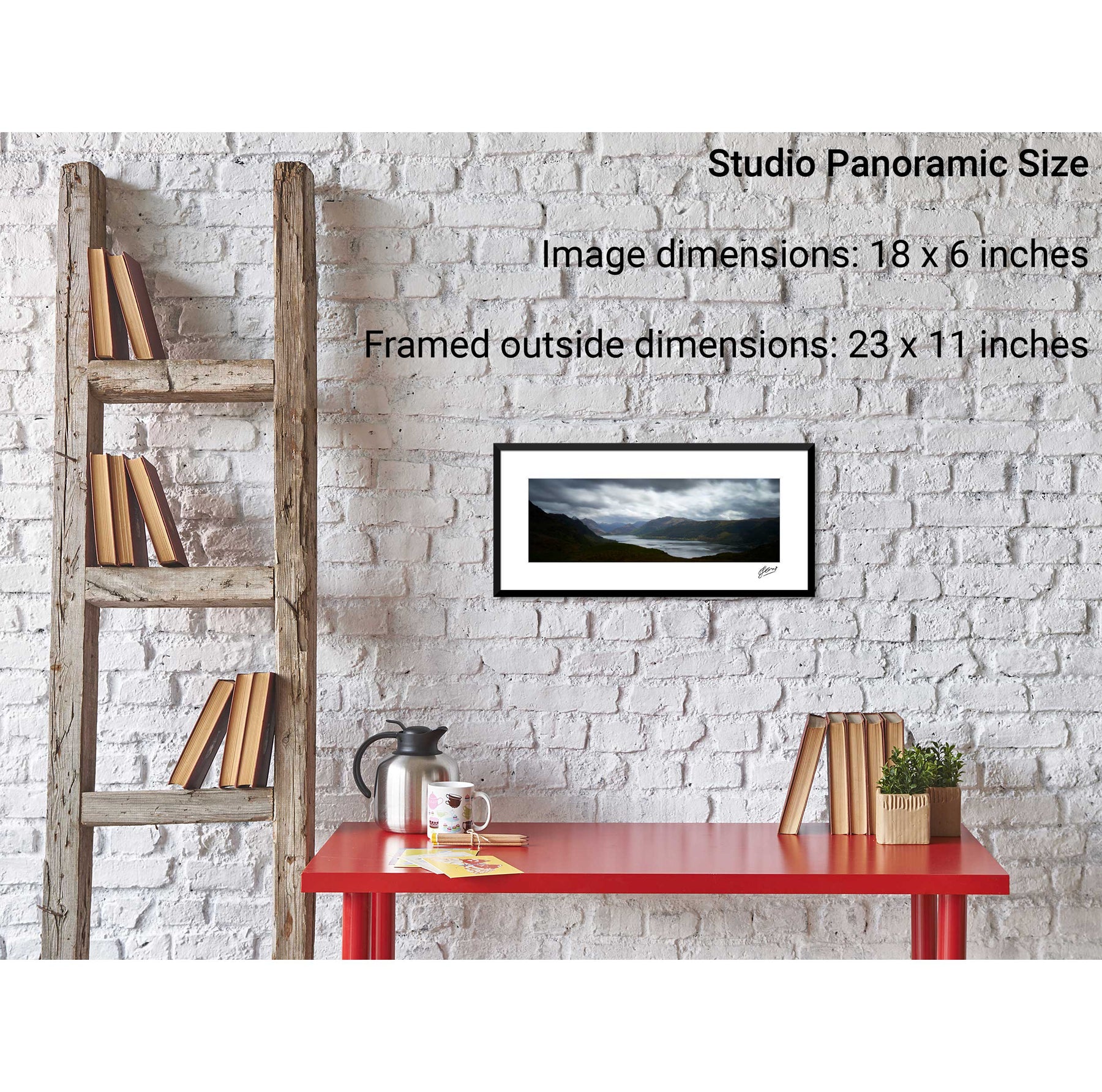
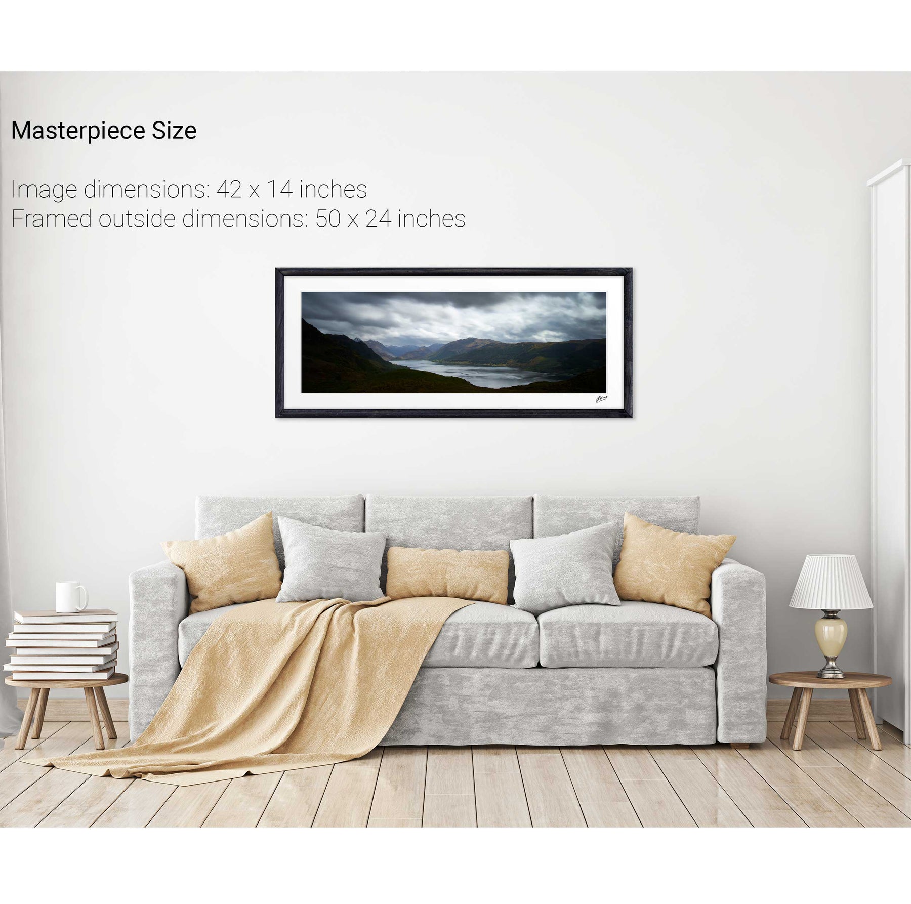
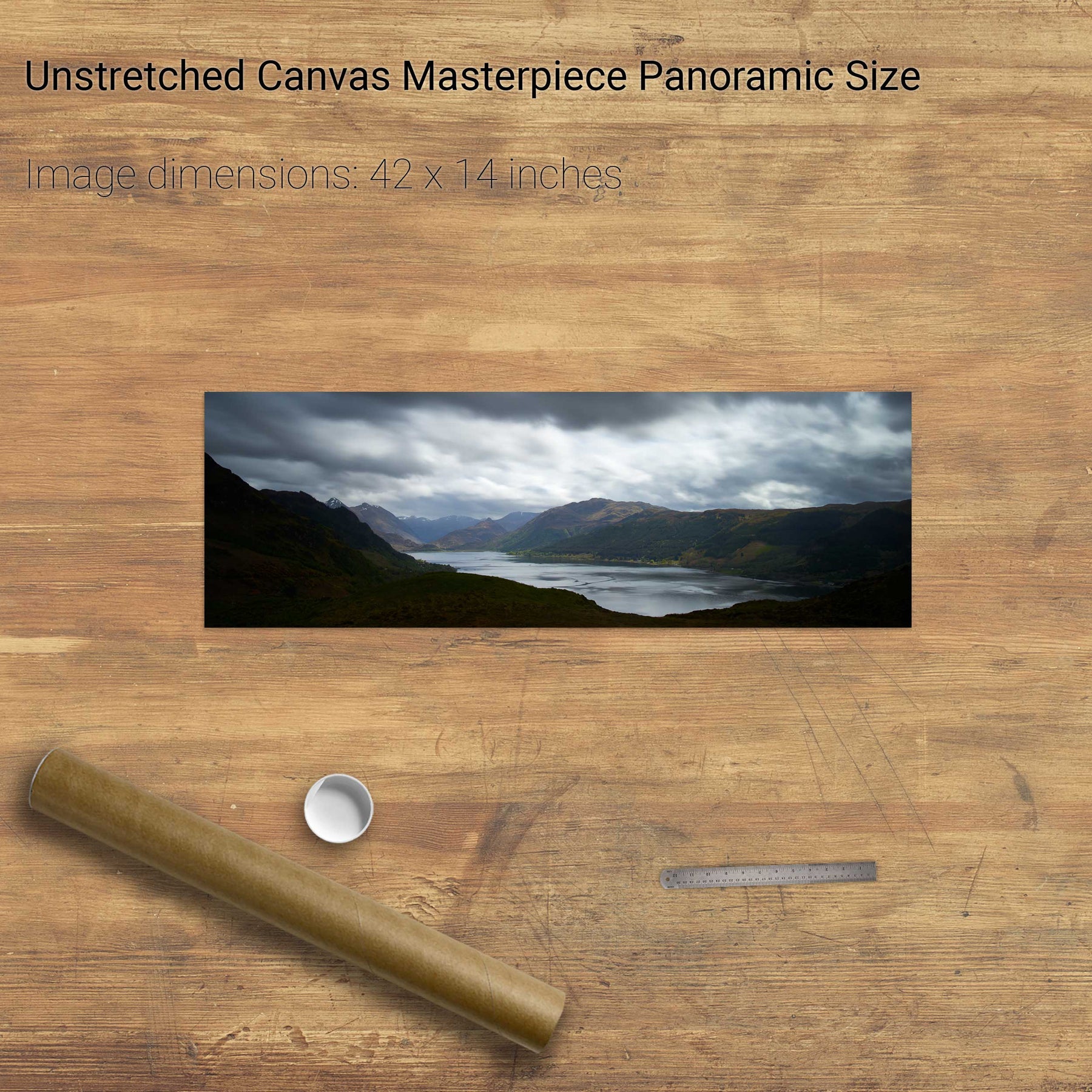
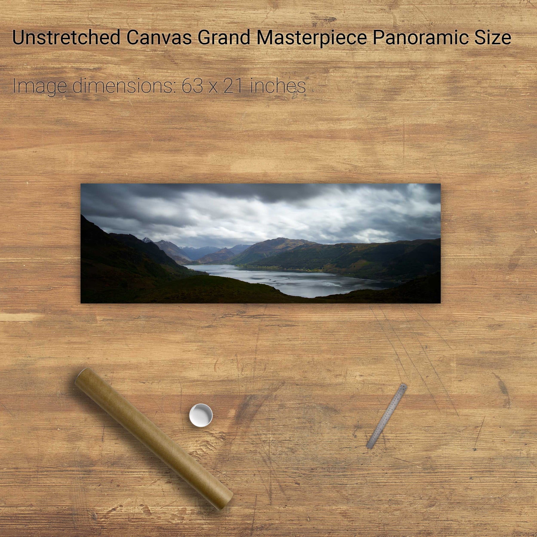
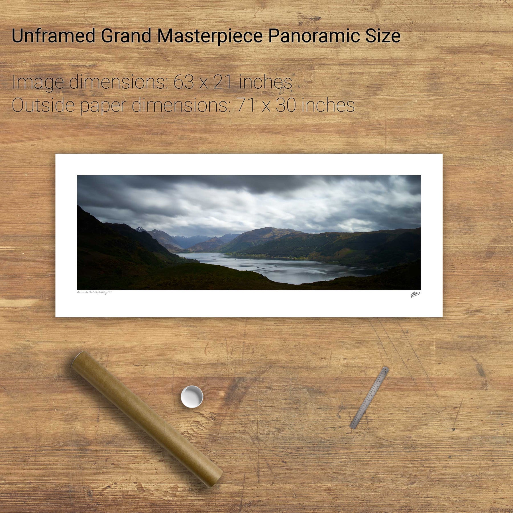
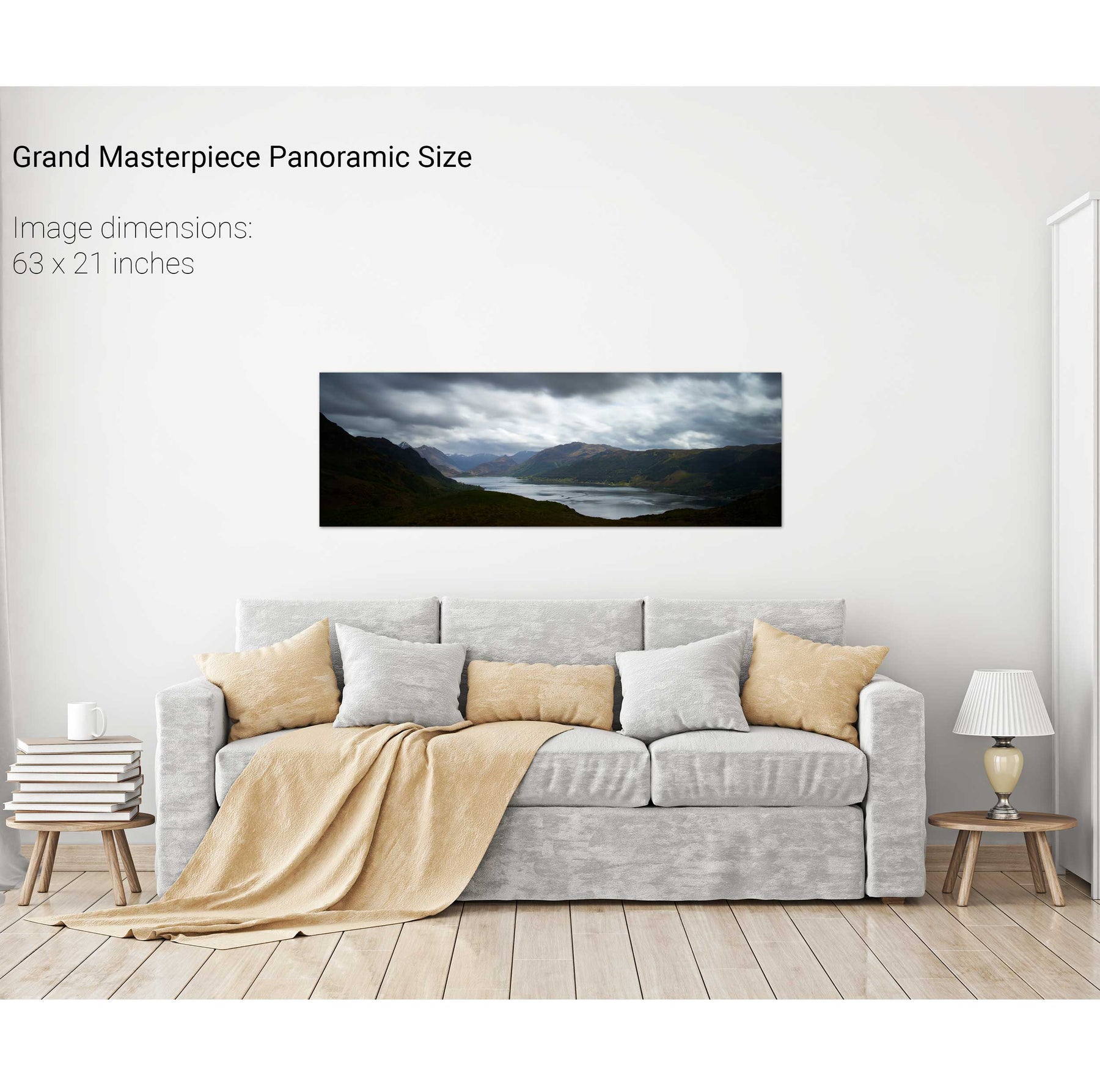
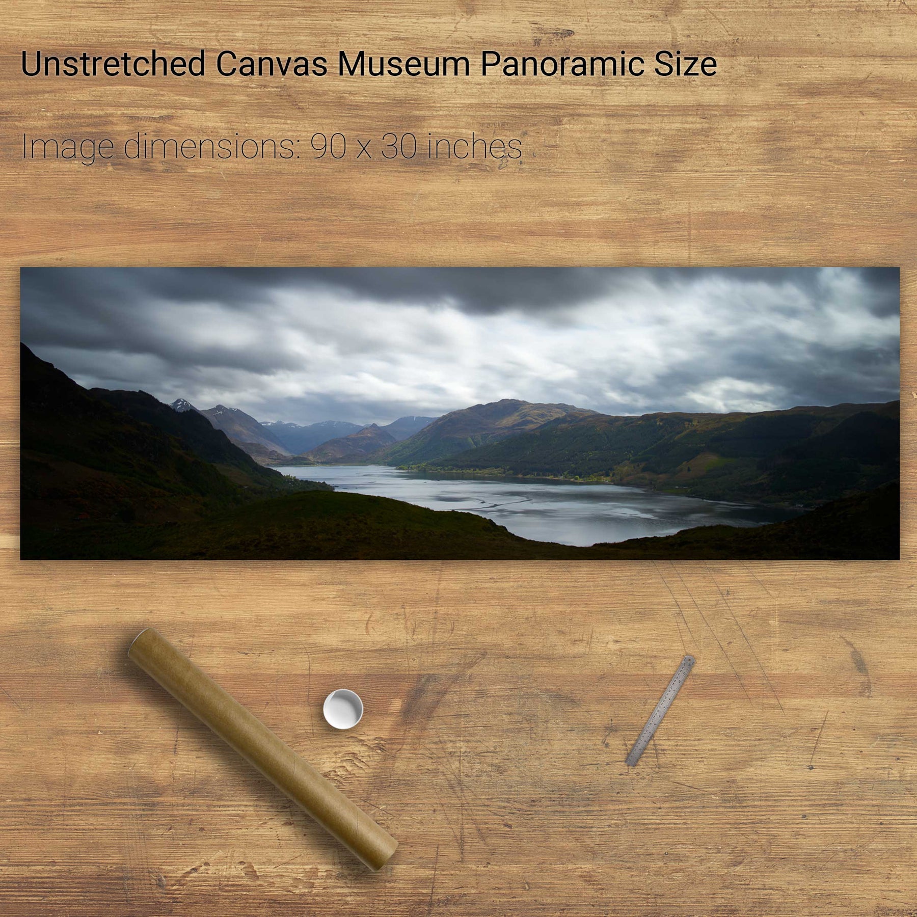
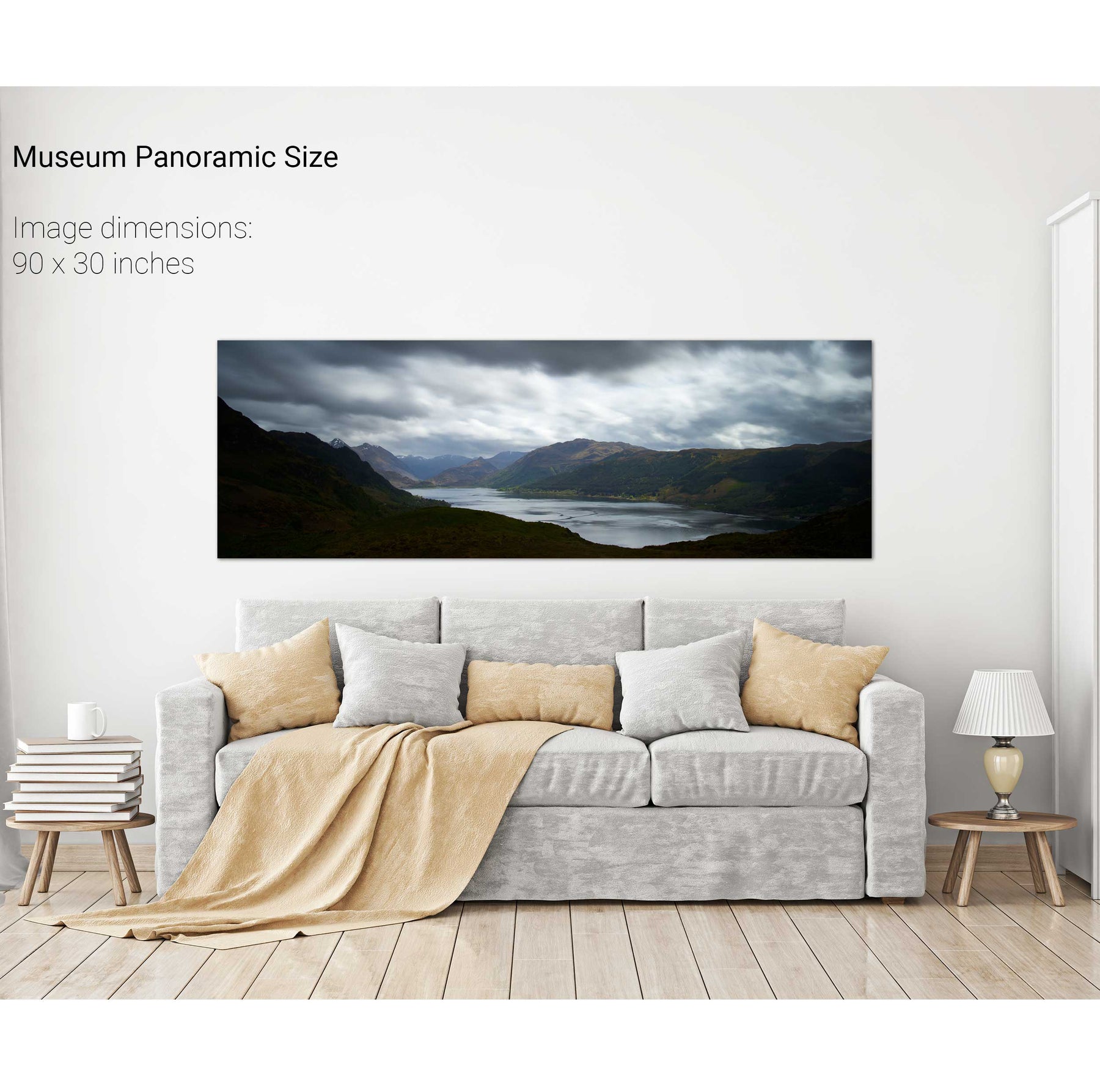
Loch Duich, Scotland


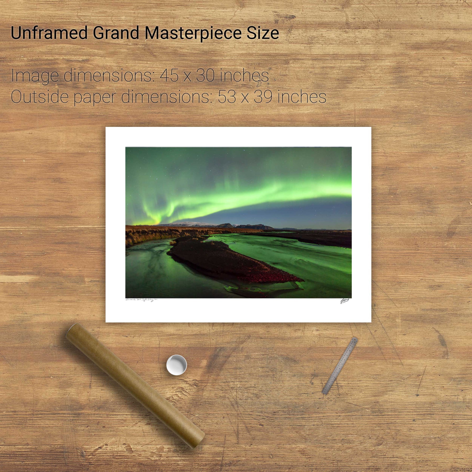
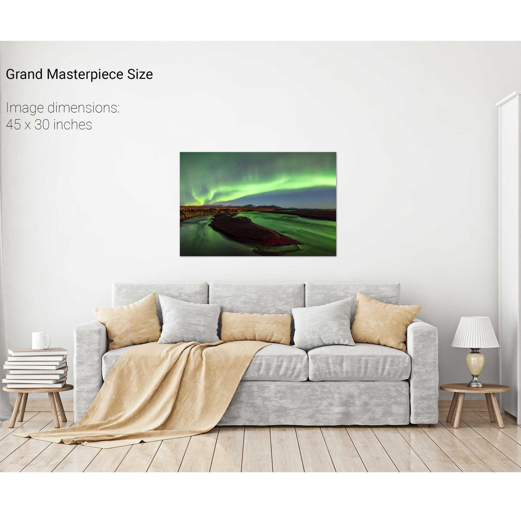
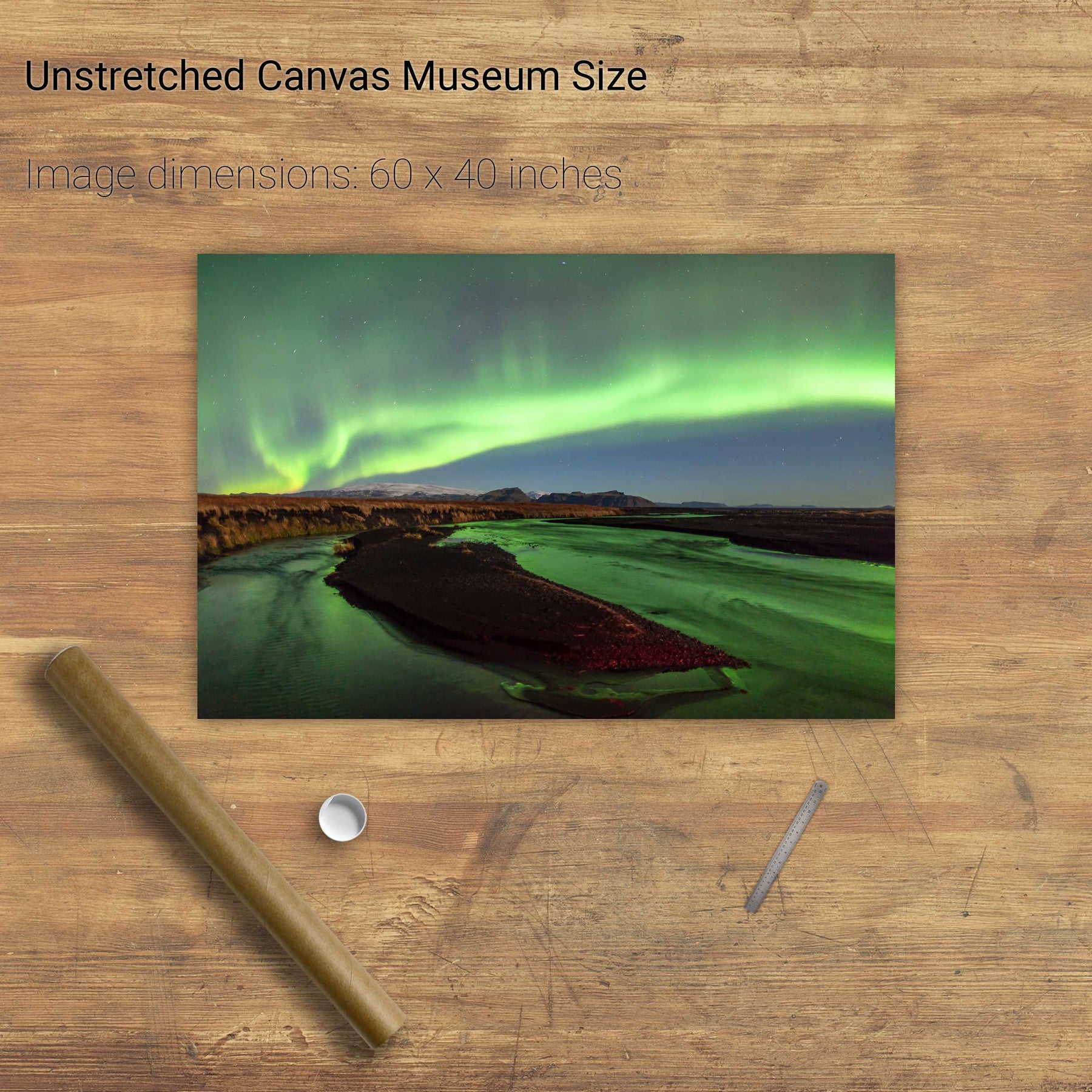
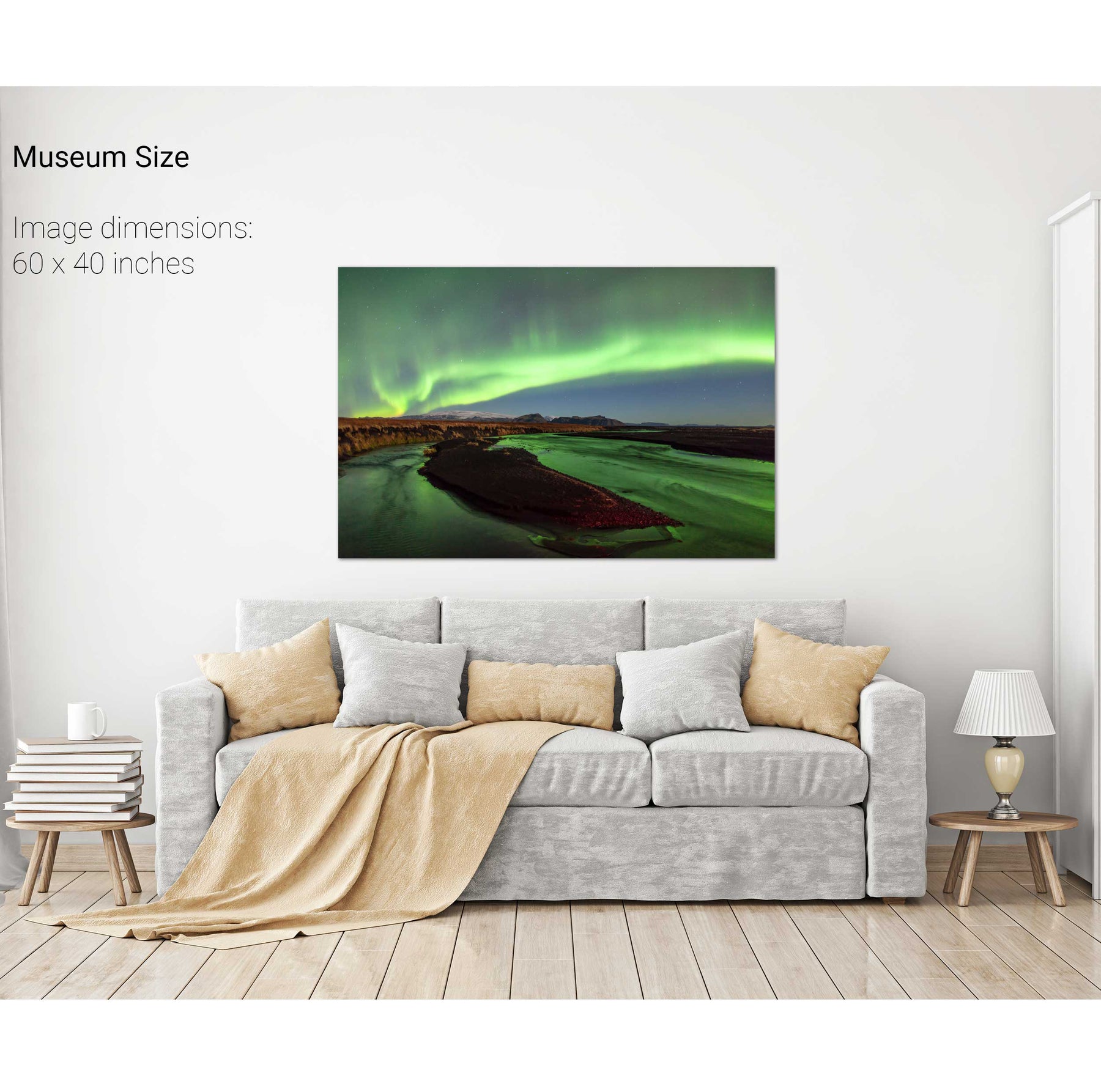
Aurora near Vík, Iceland


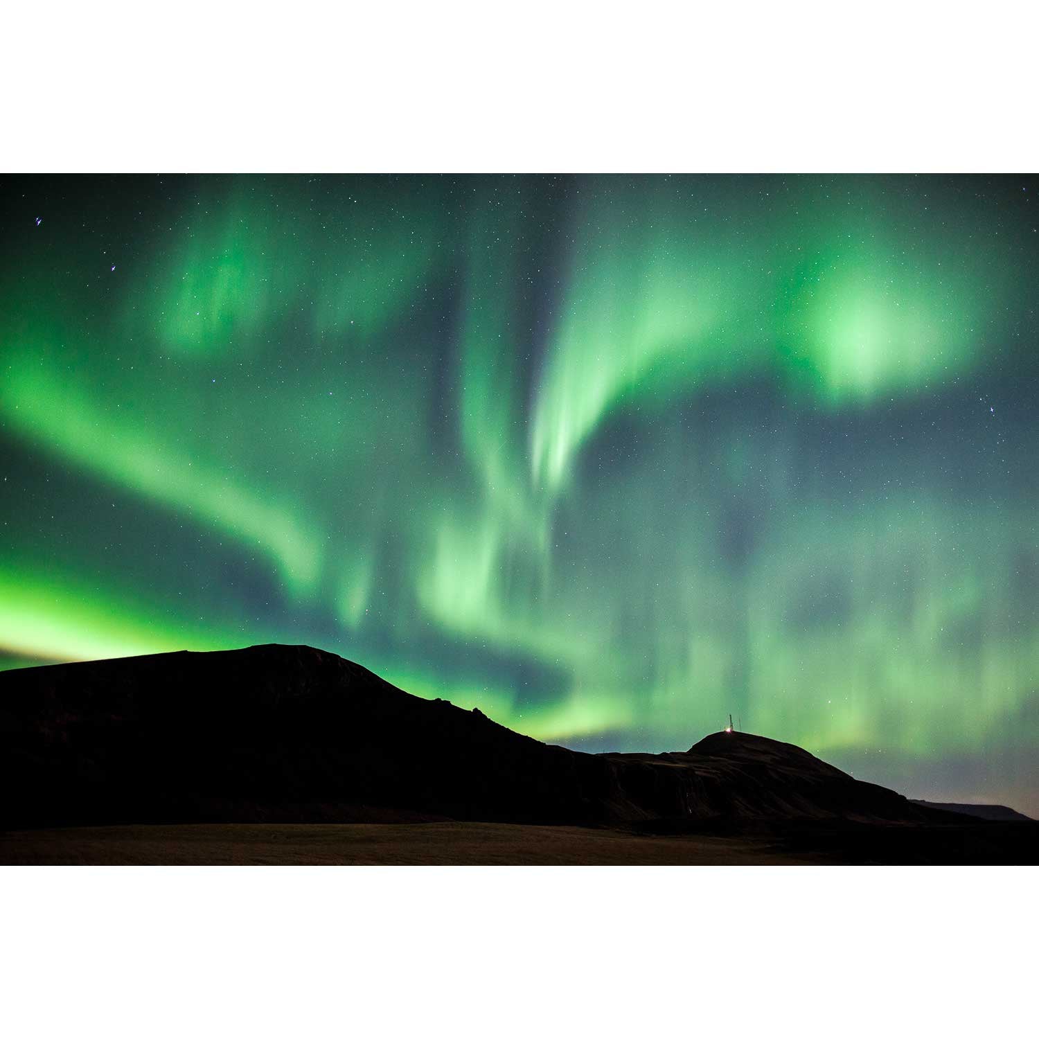
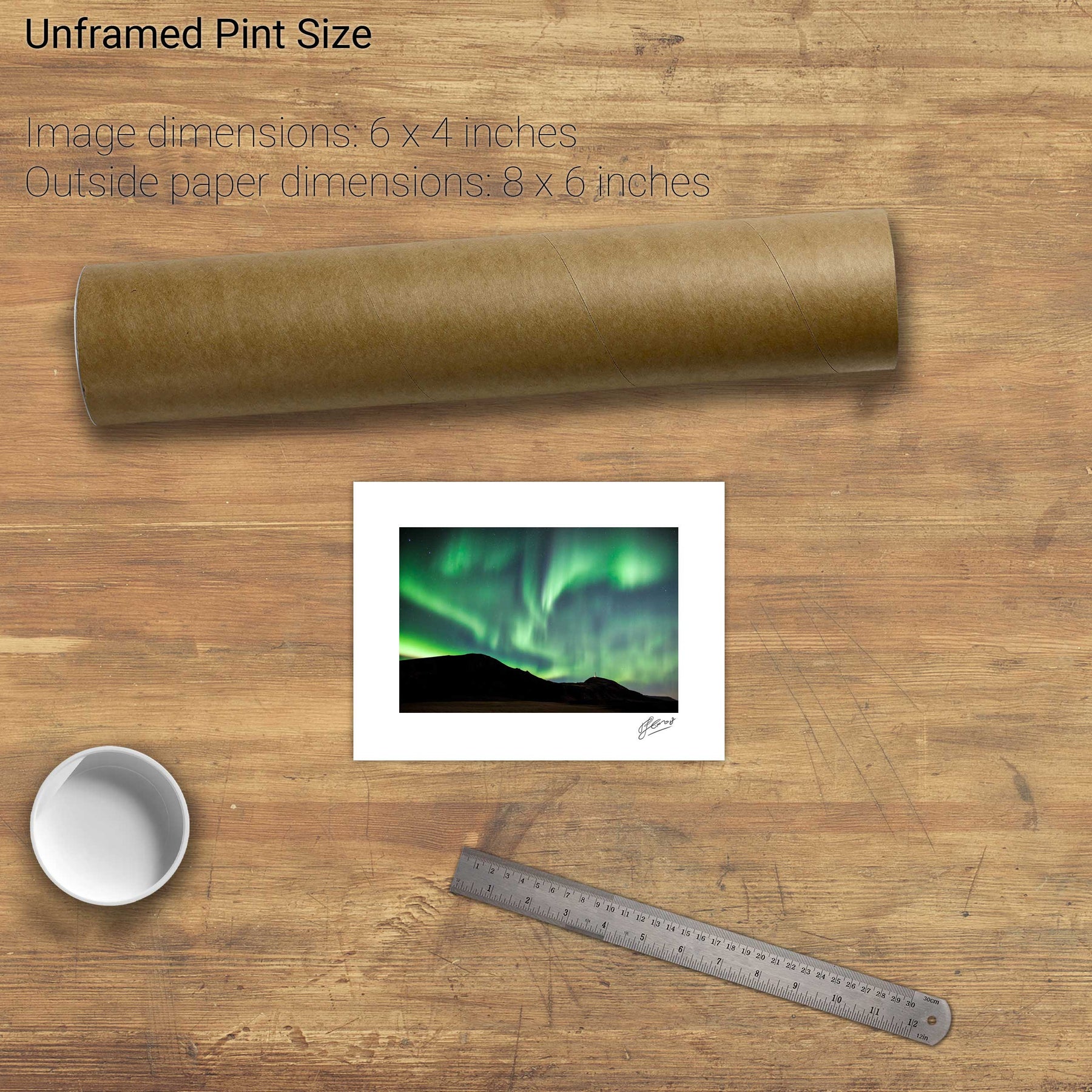
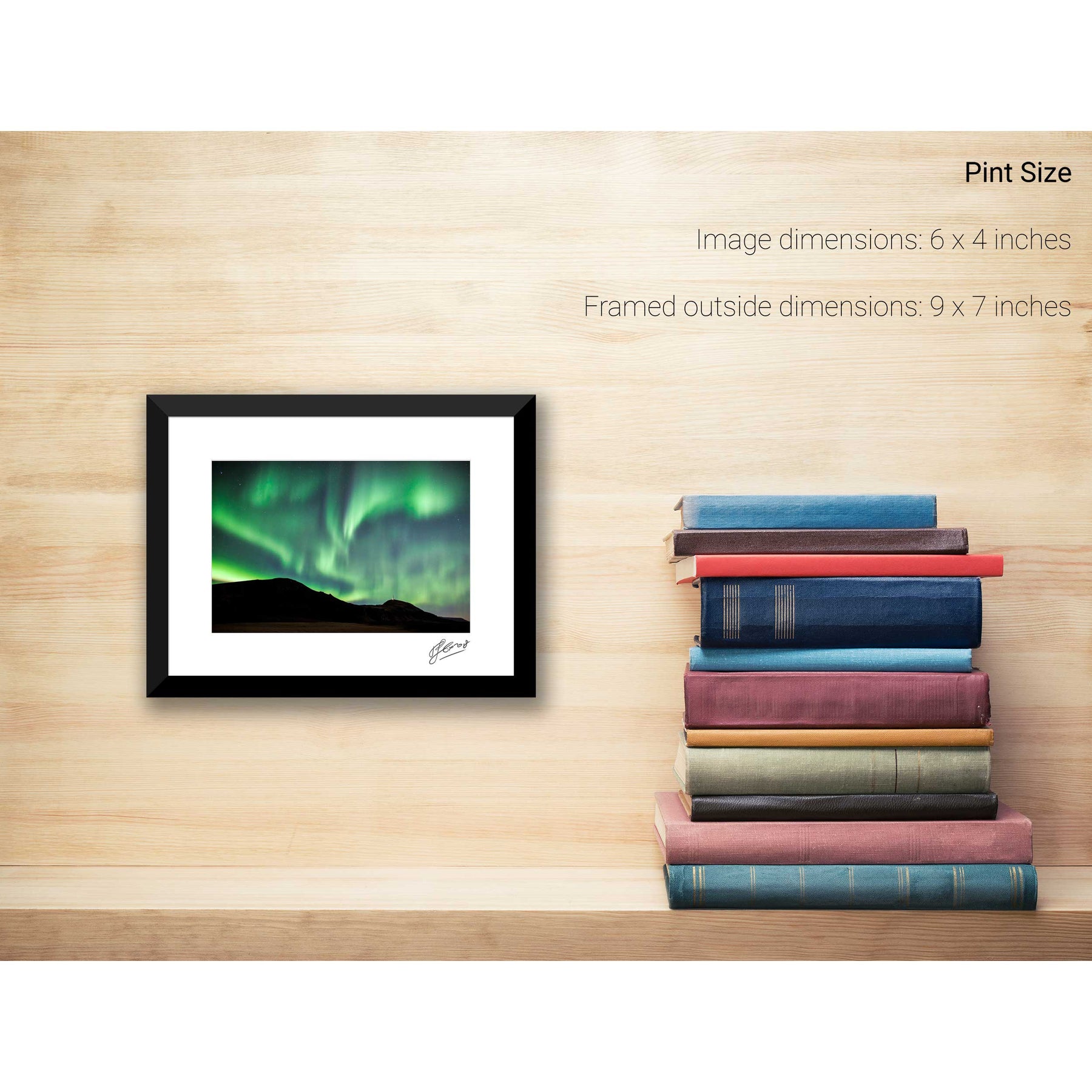
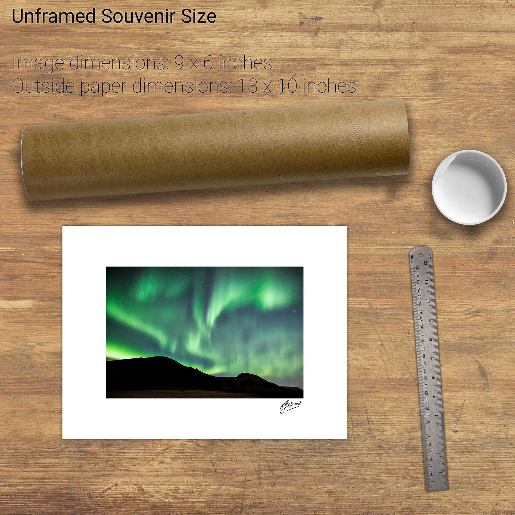
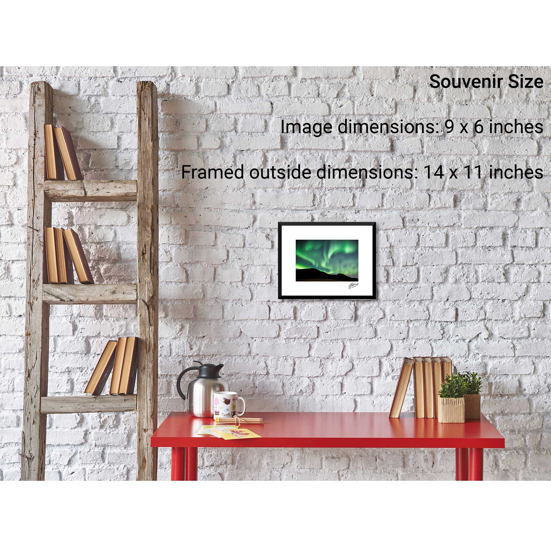


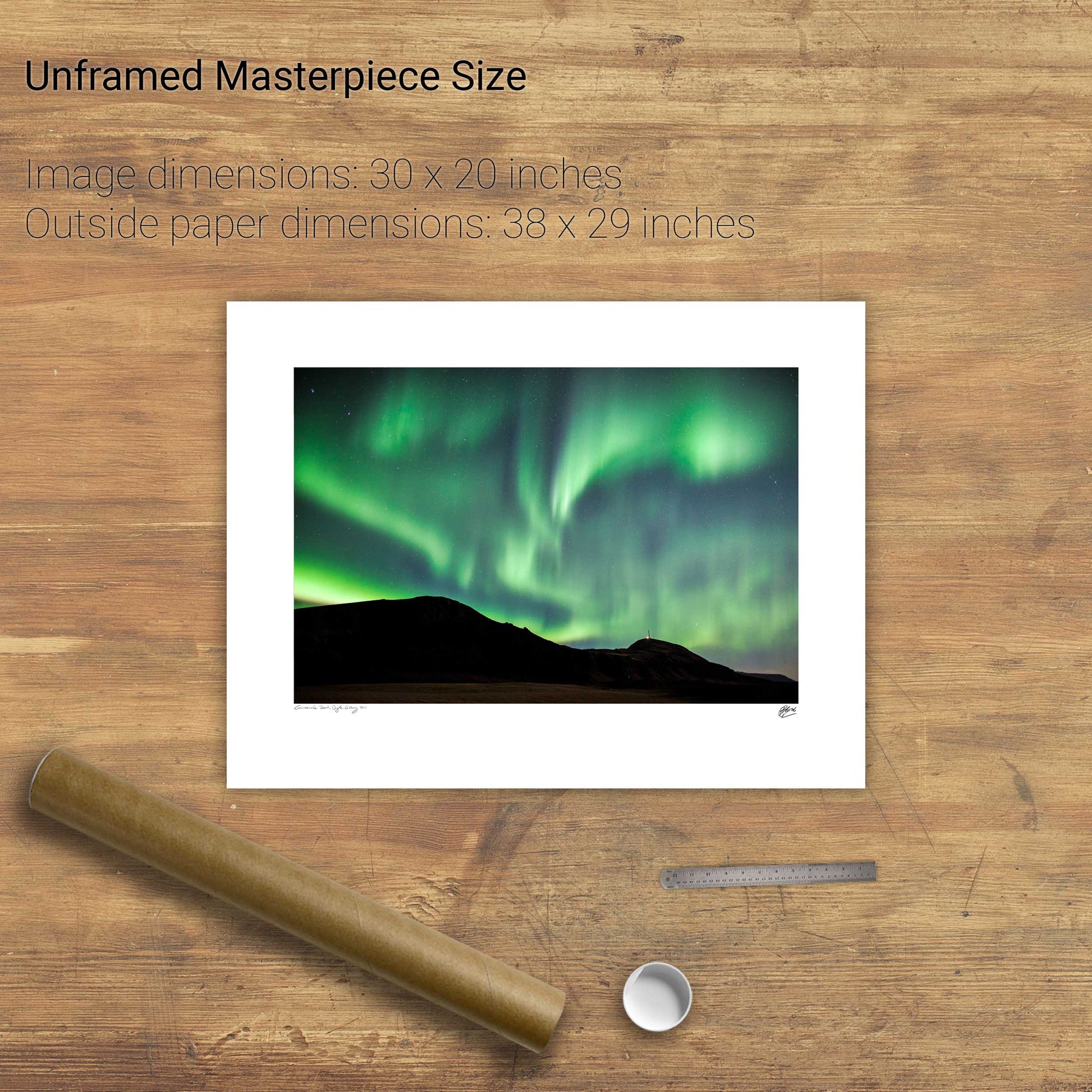
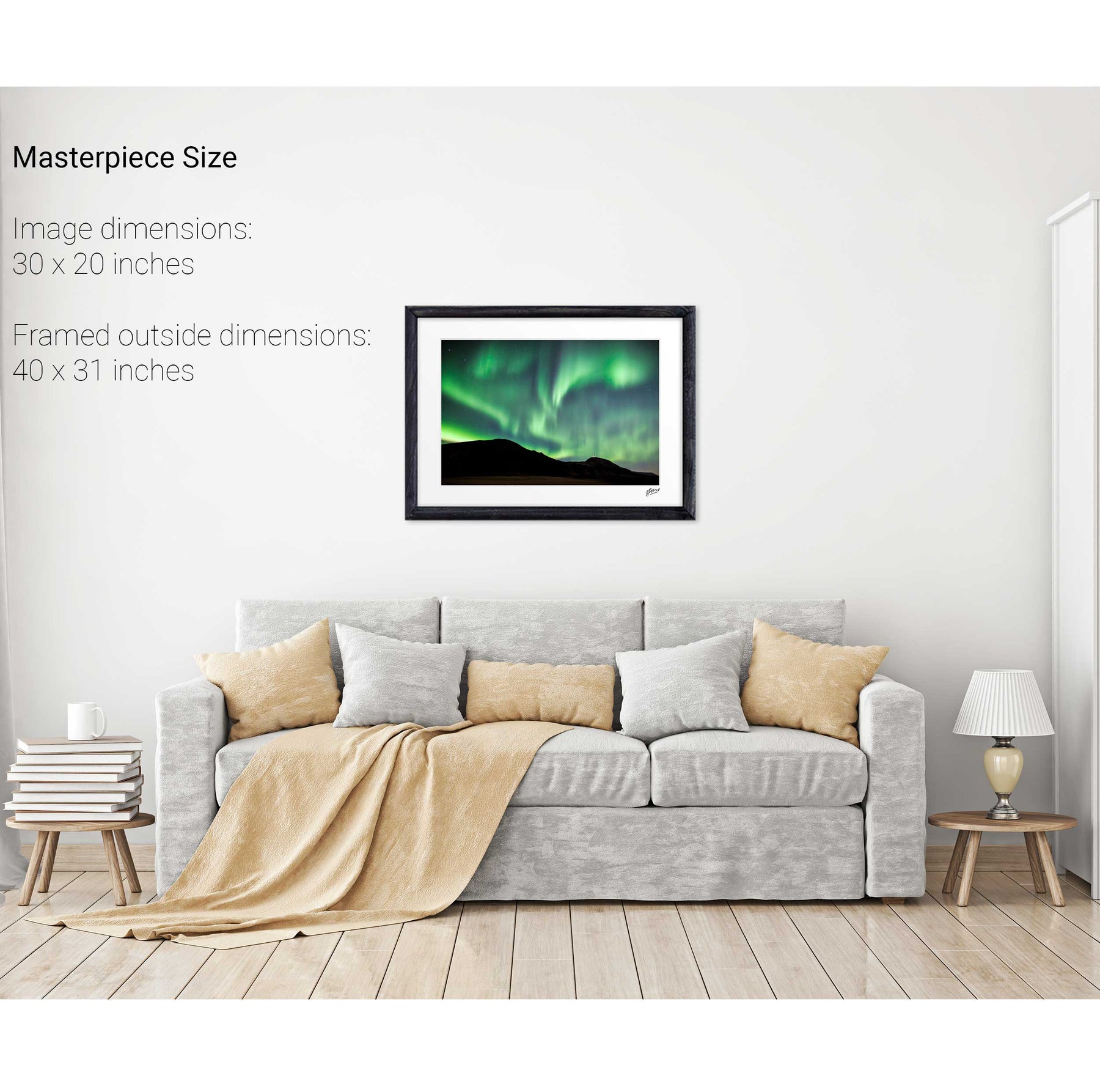
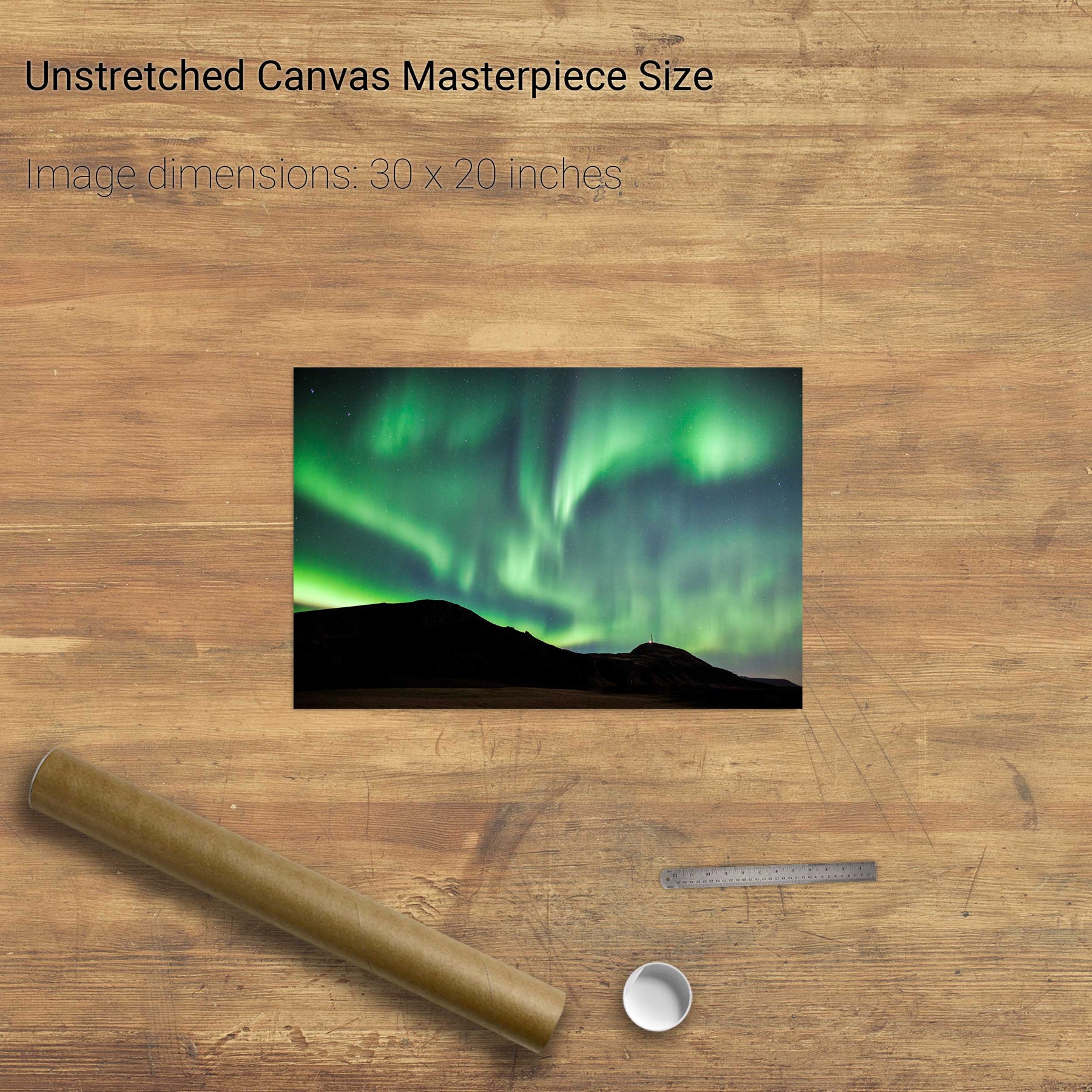

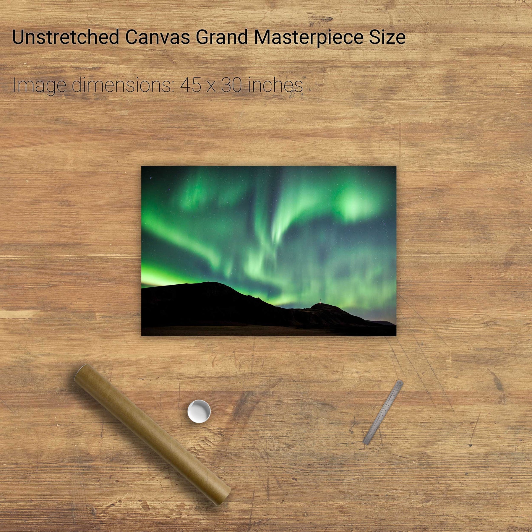
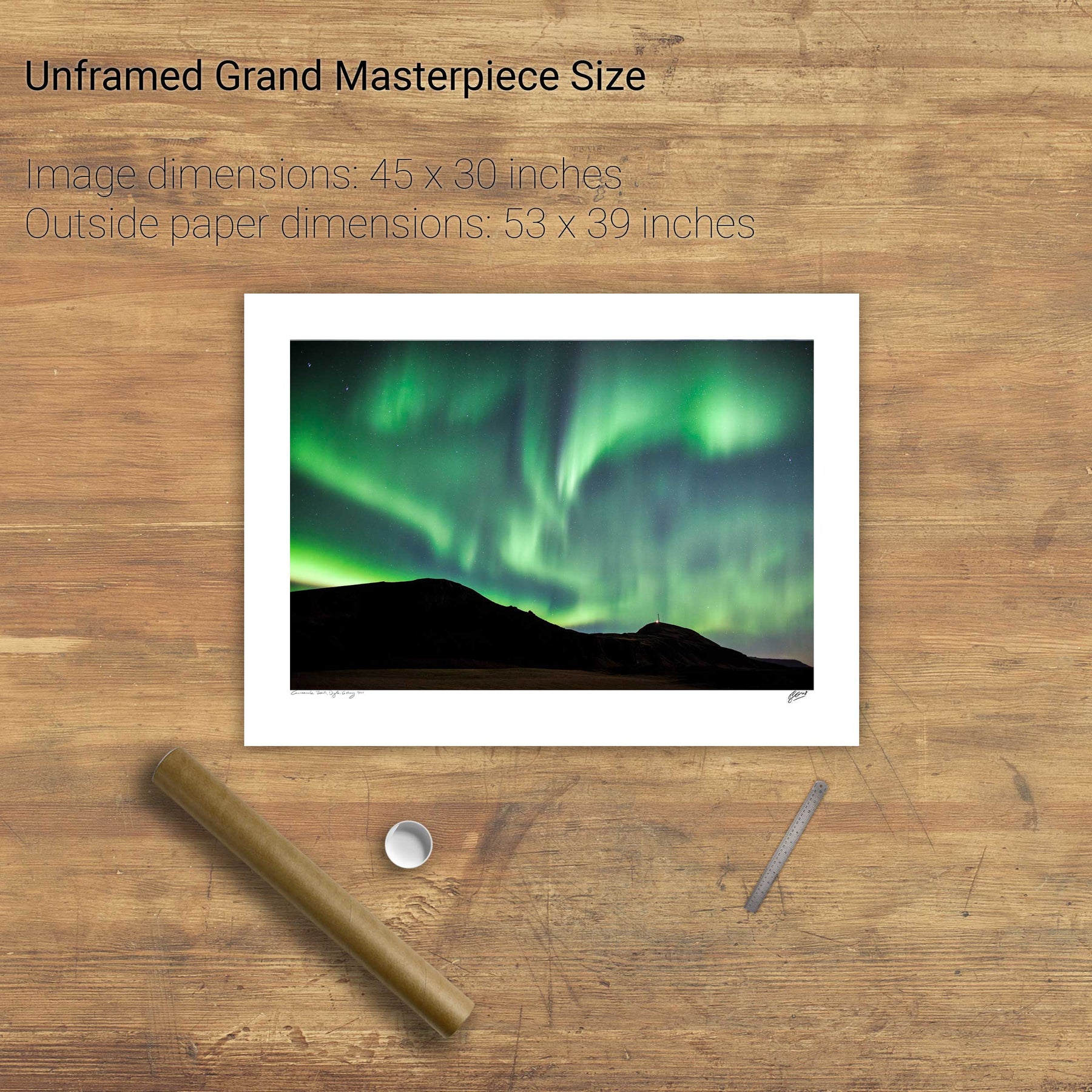
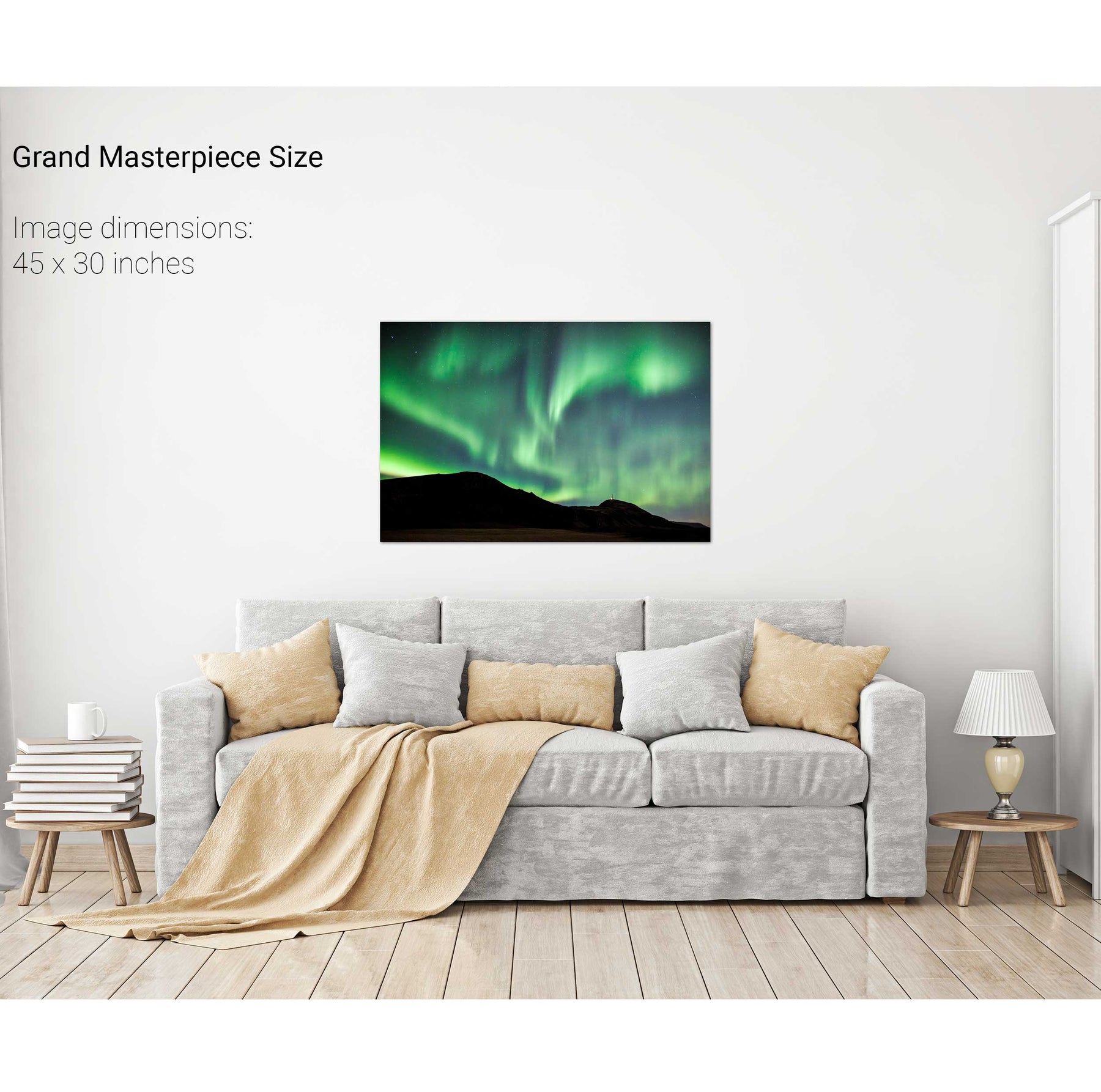
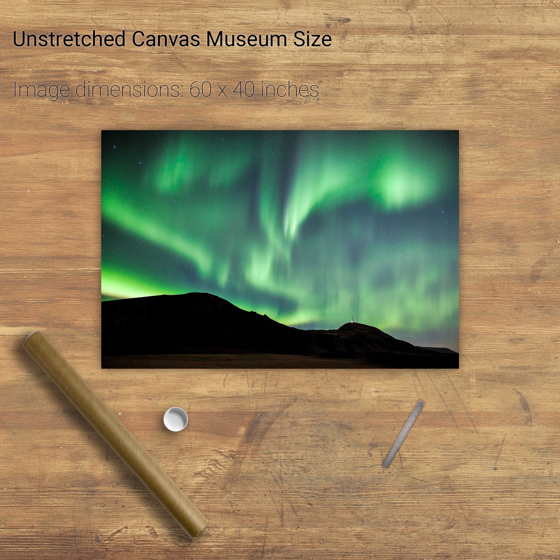
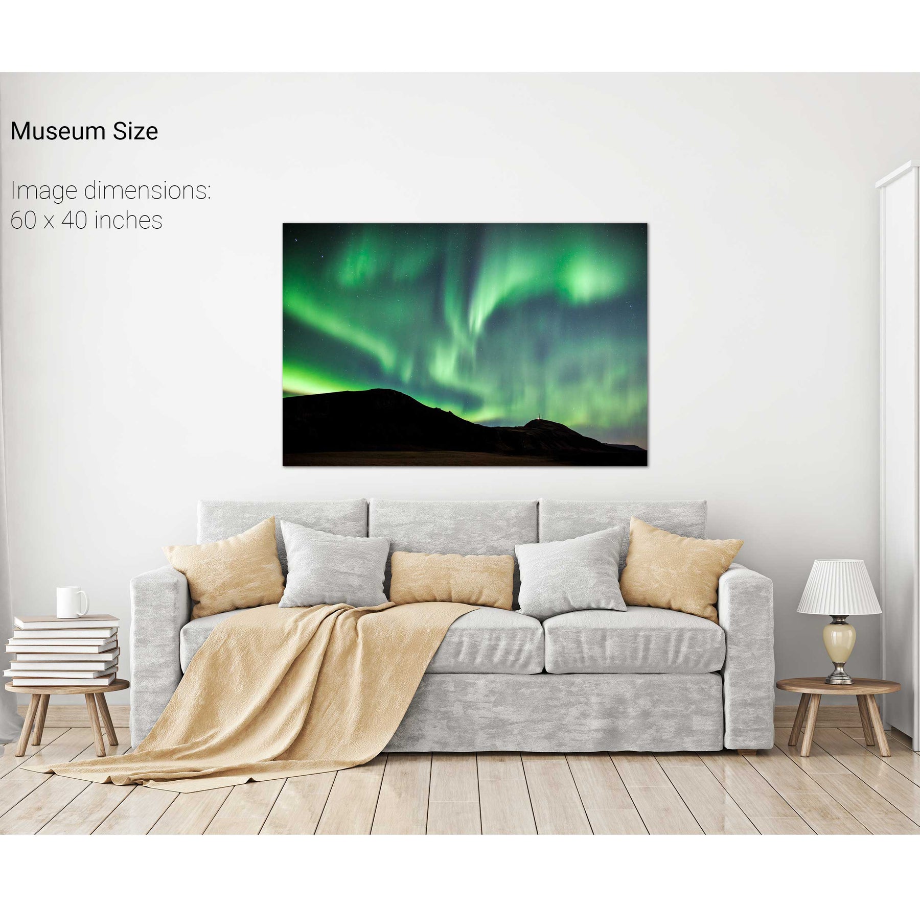
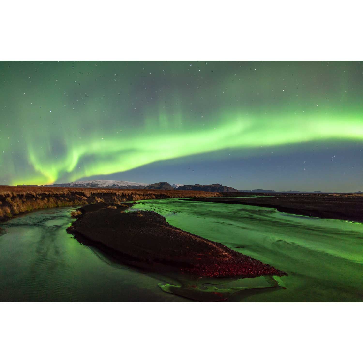
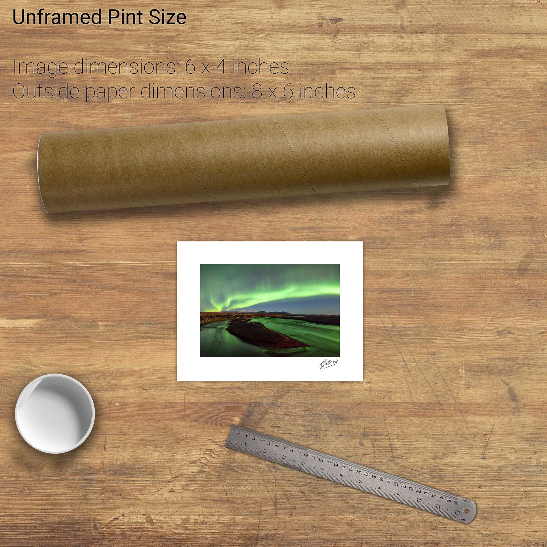
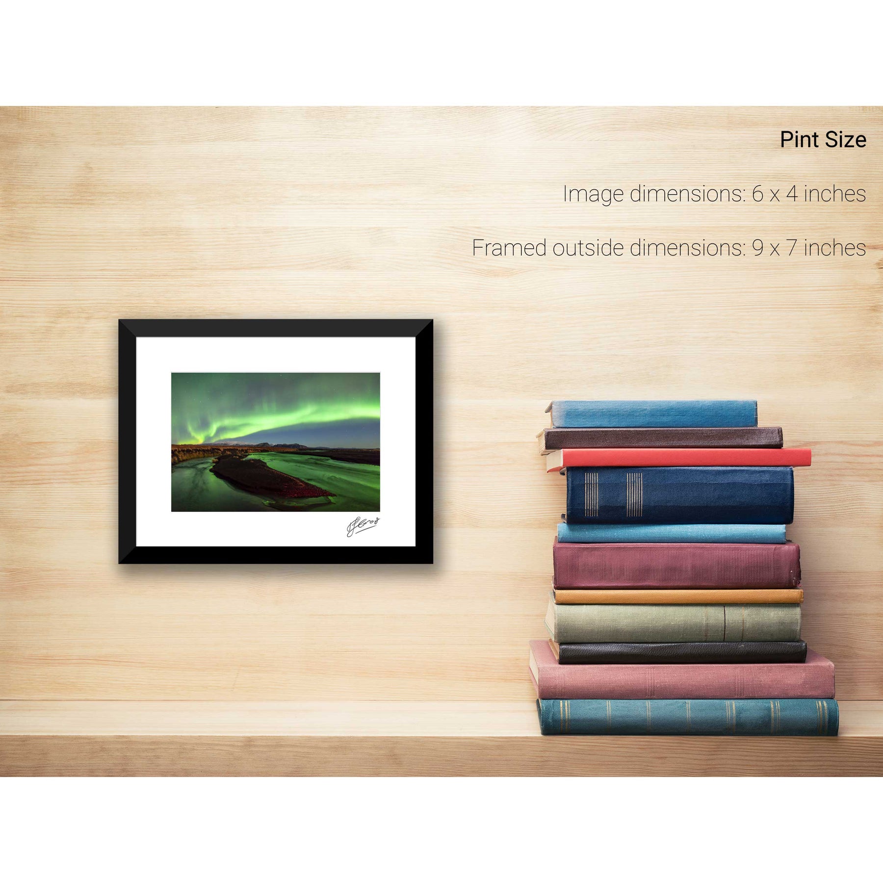
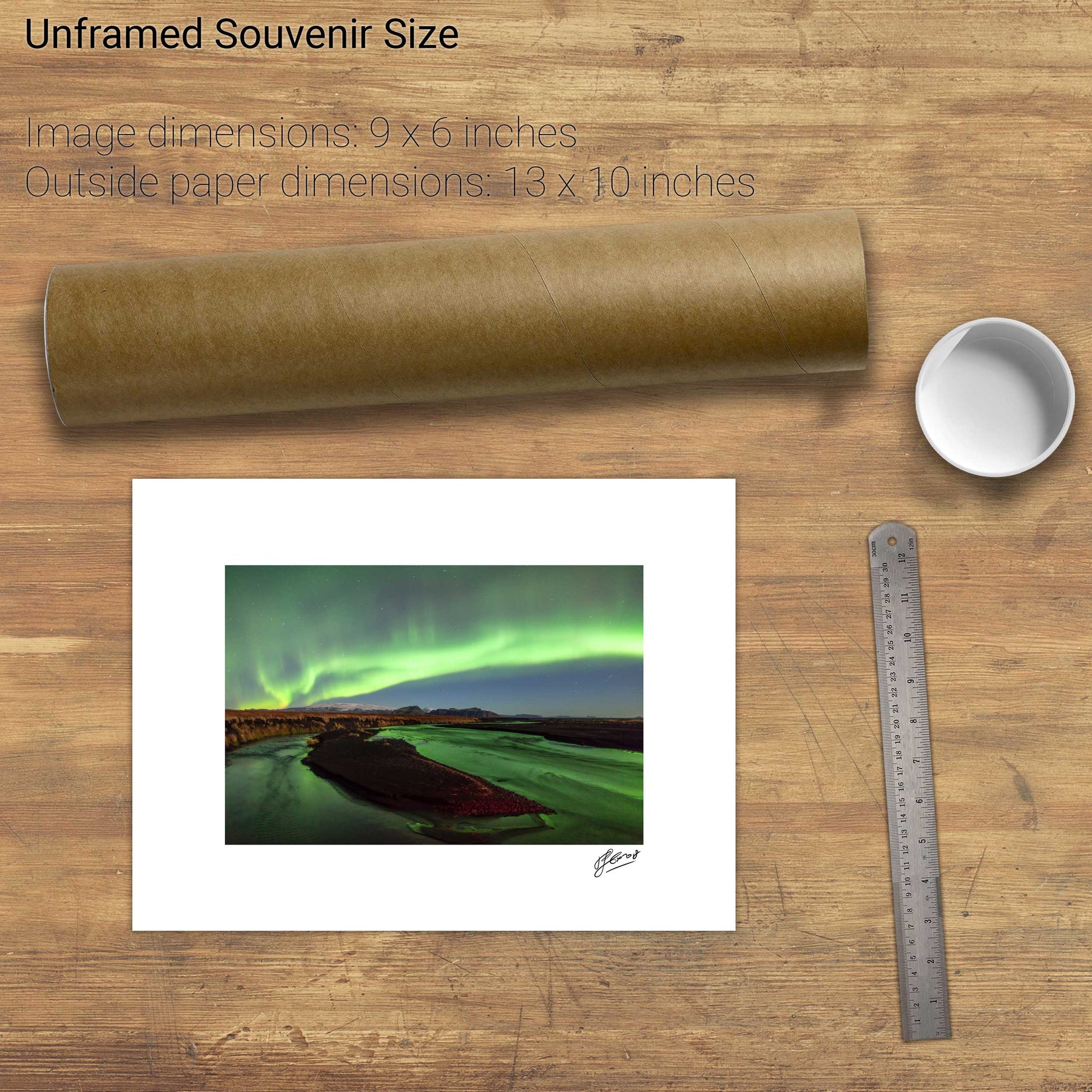
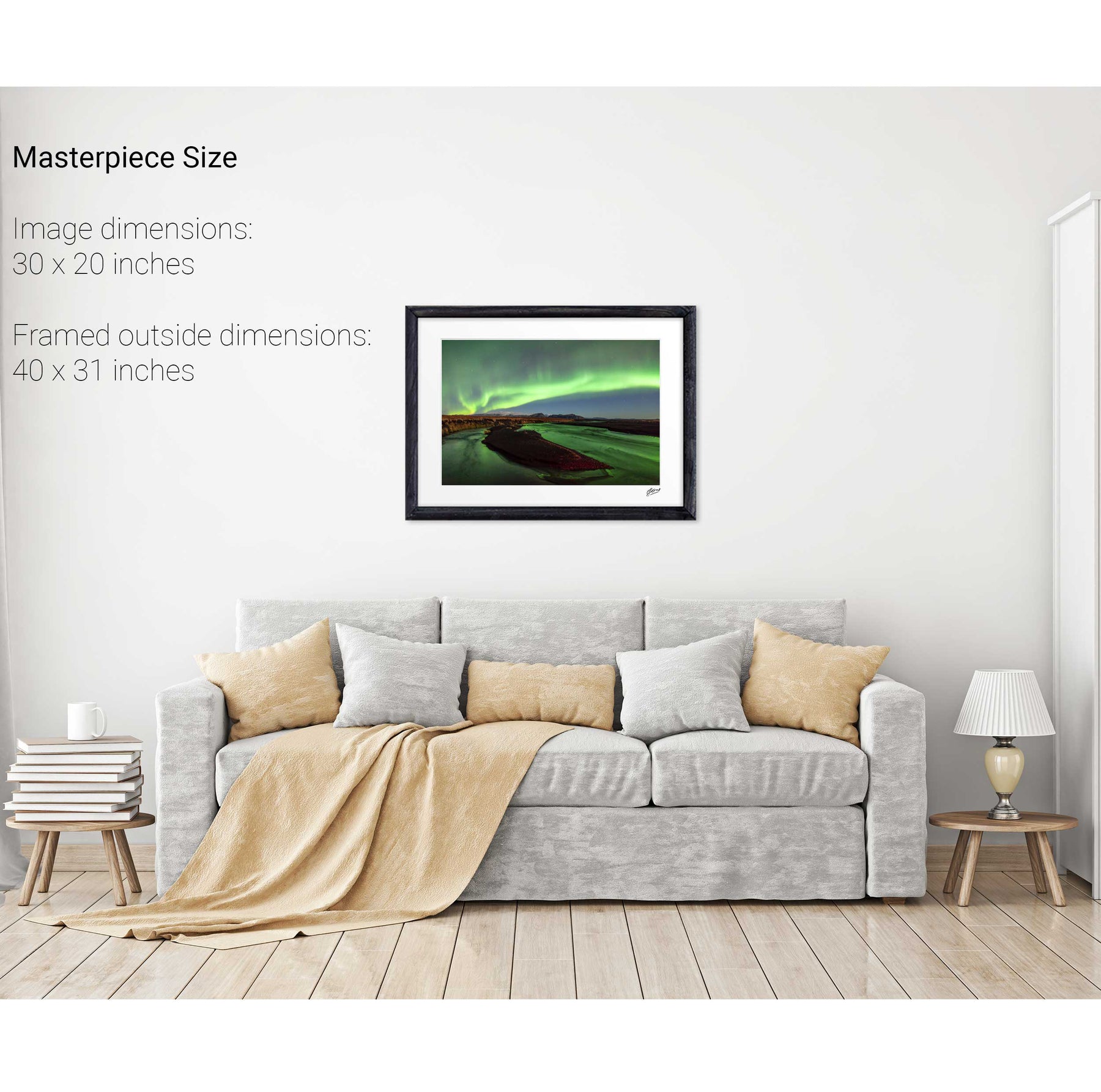
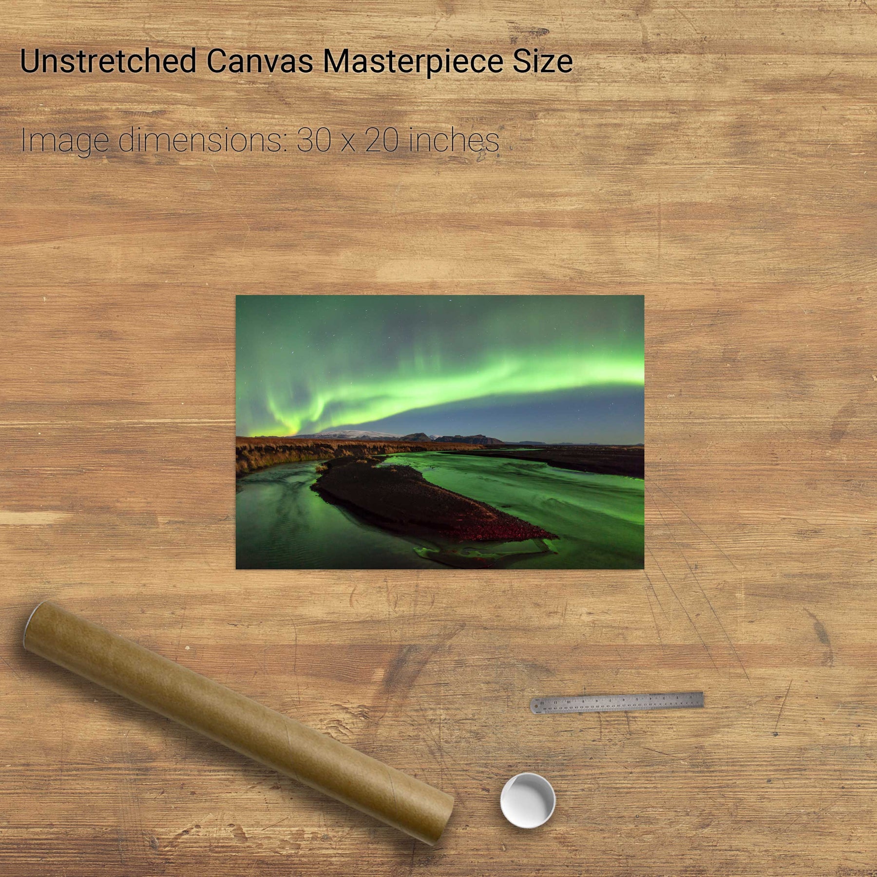
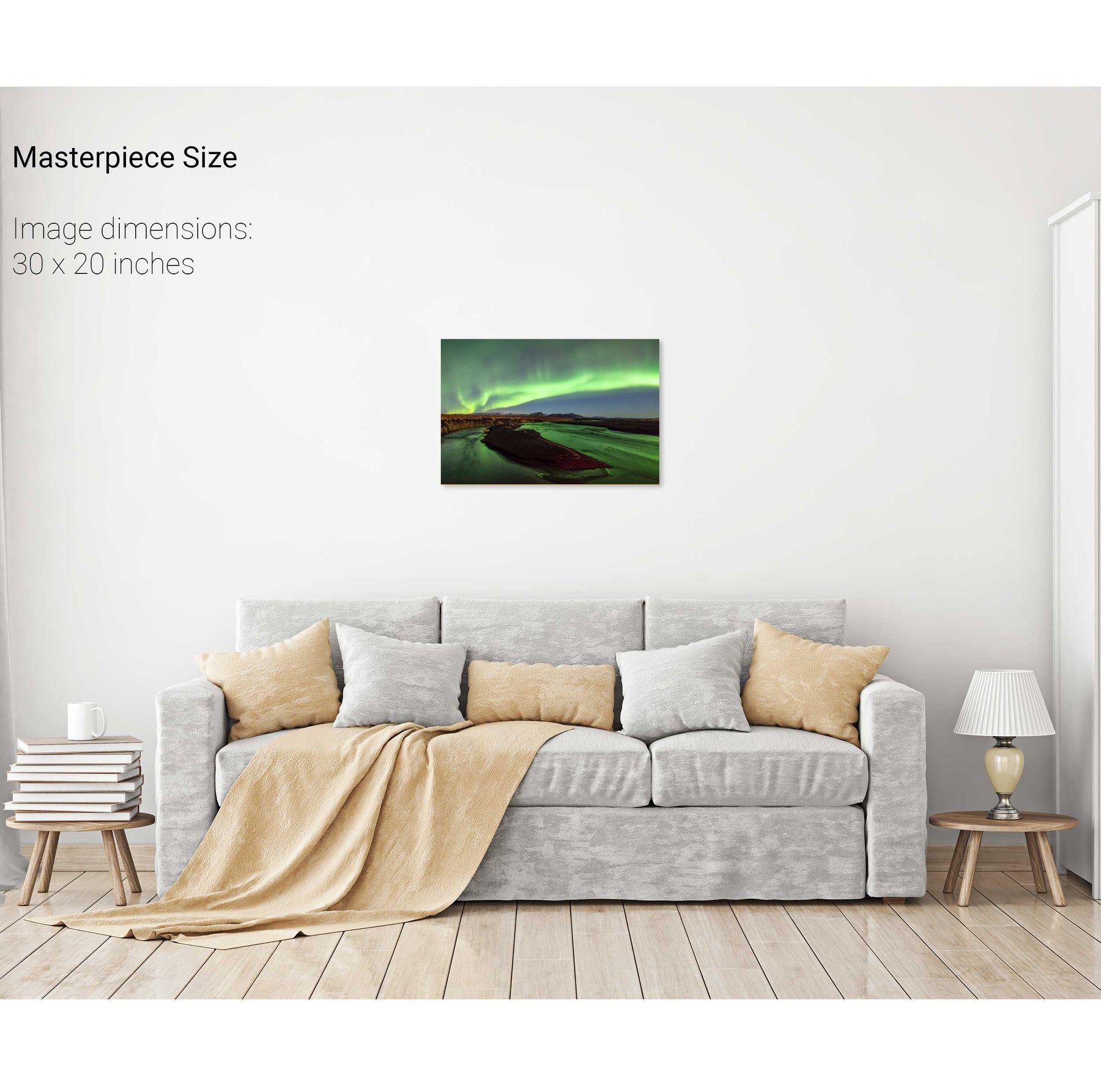
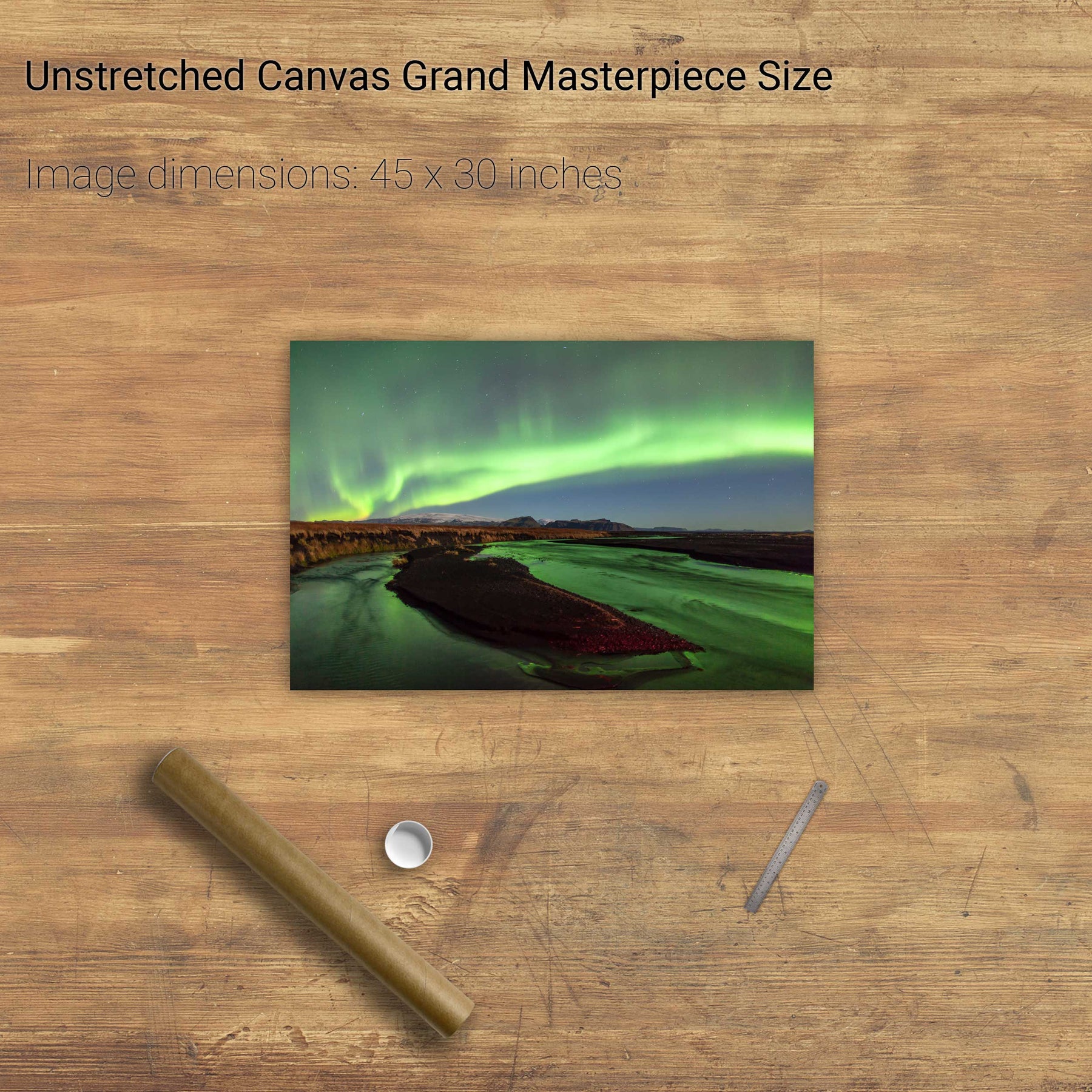
Aurora over Katla, Iceland


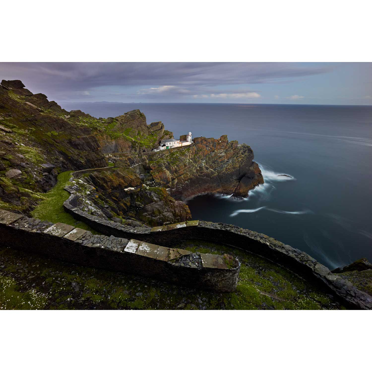
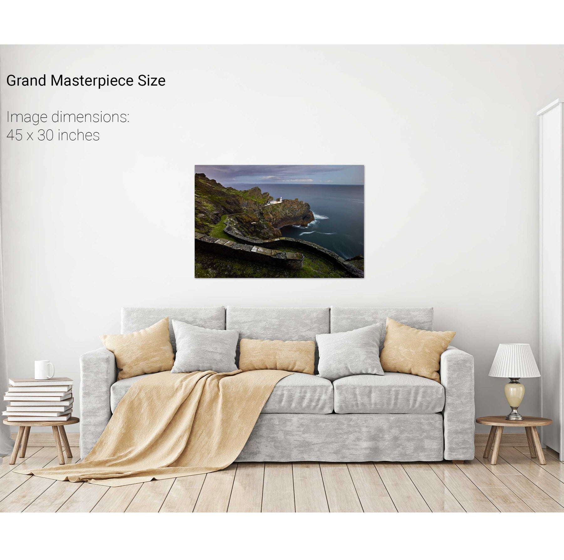
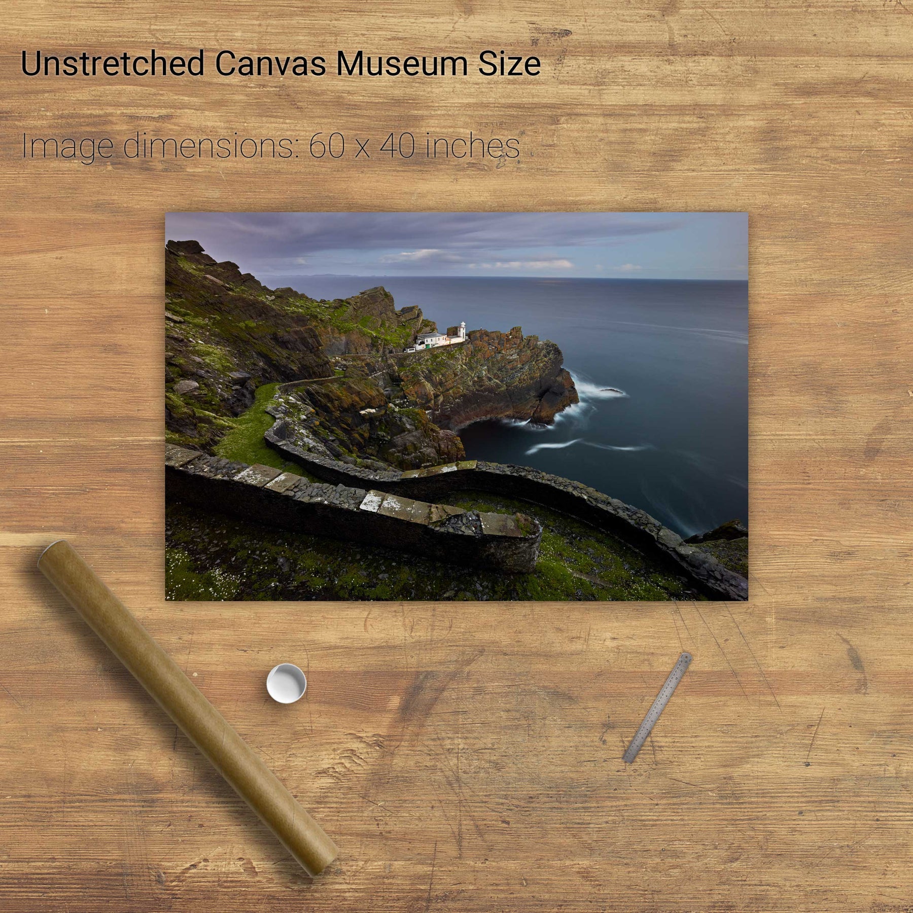
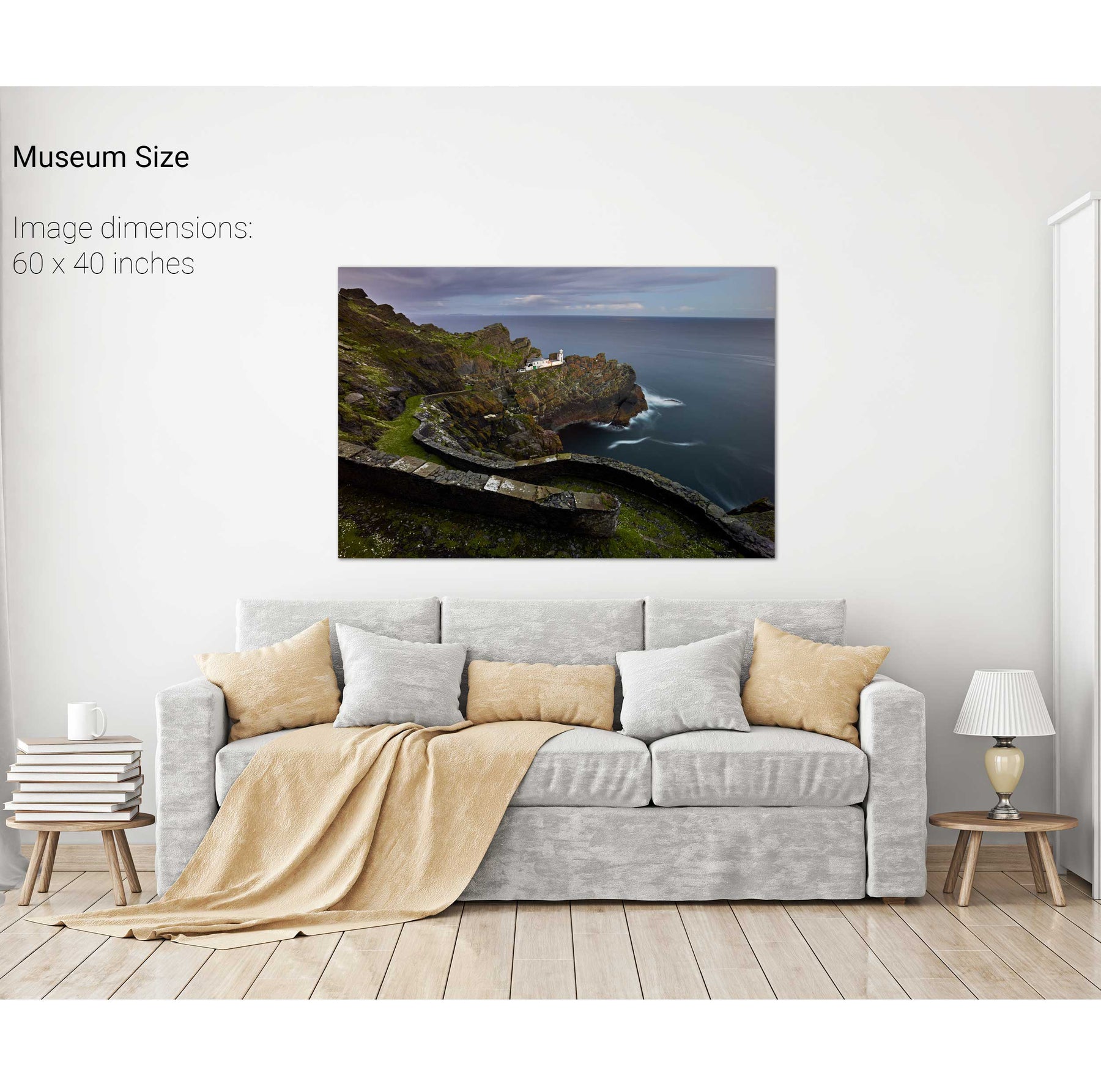
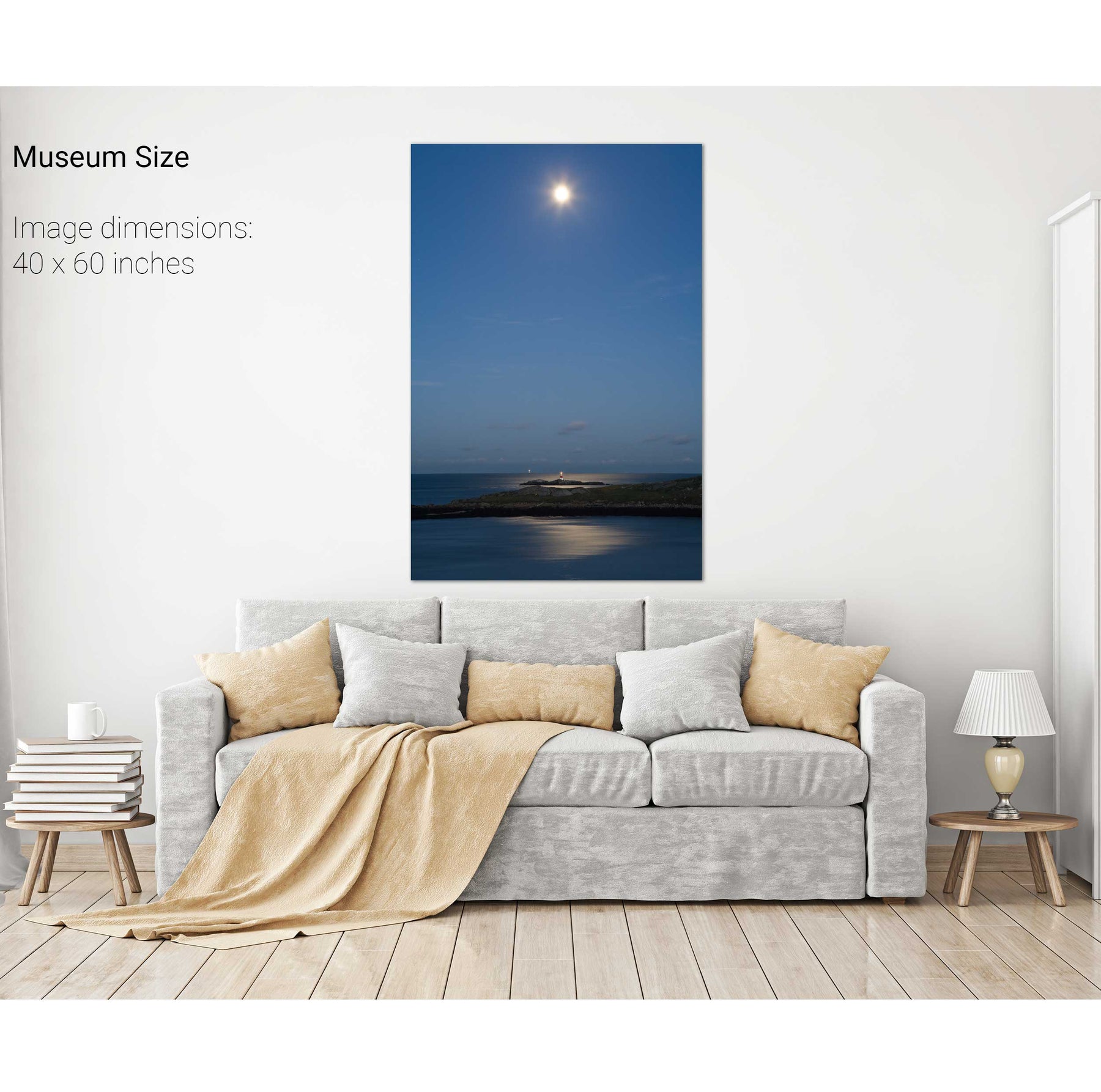
Nocturne, Skellig Michael Lighthouse, Co. Kerry


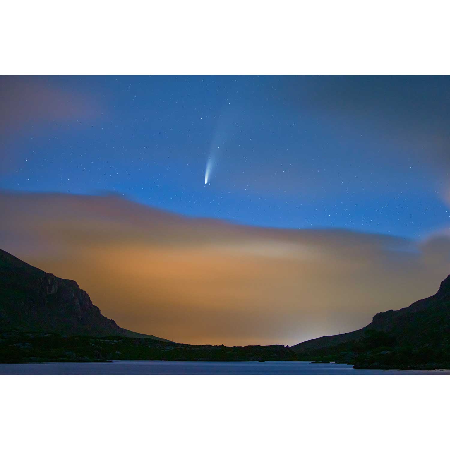
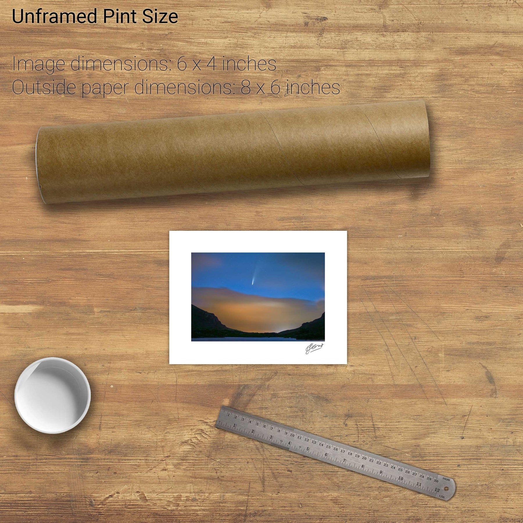
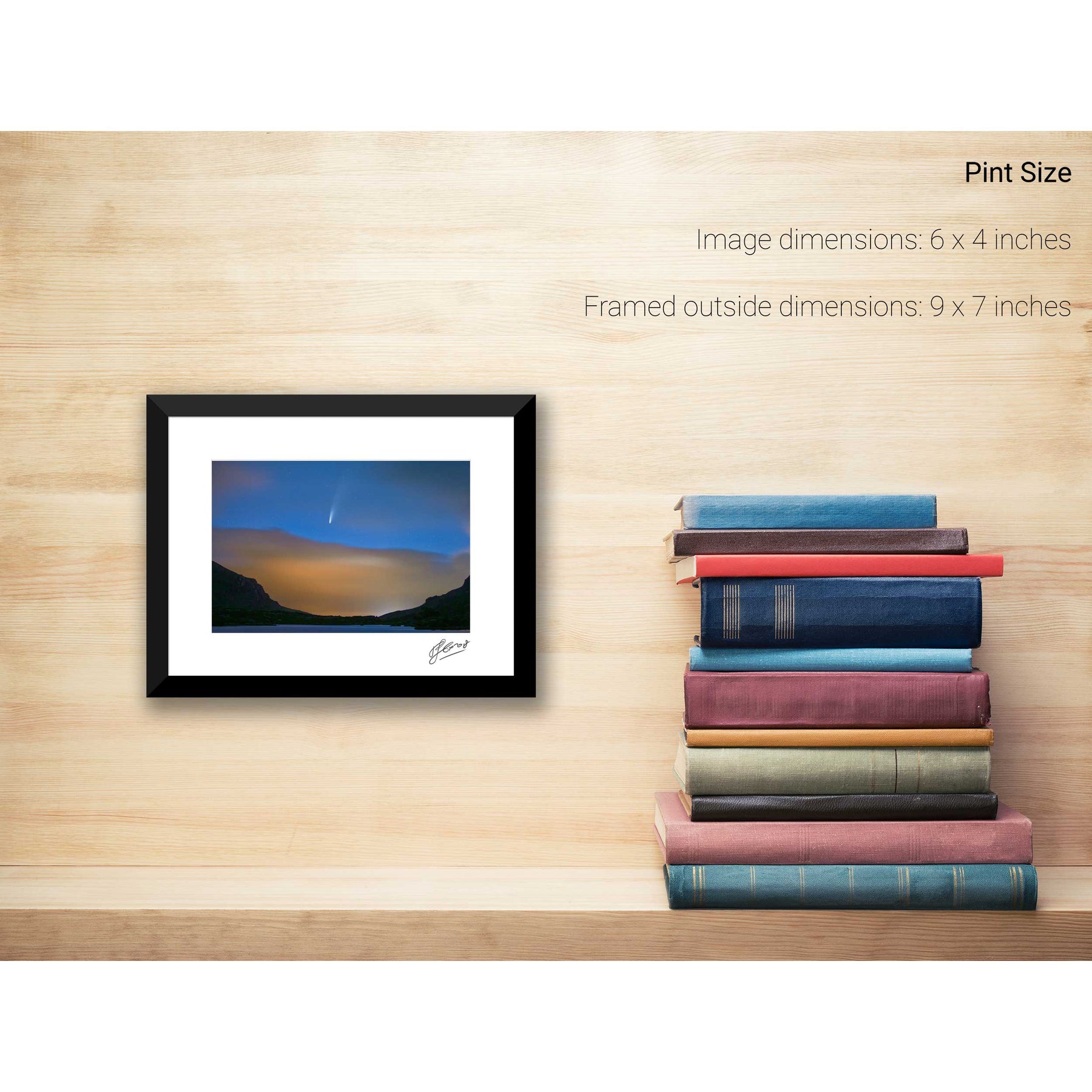
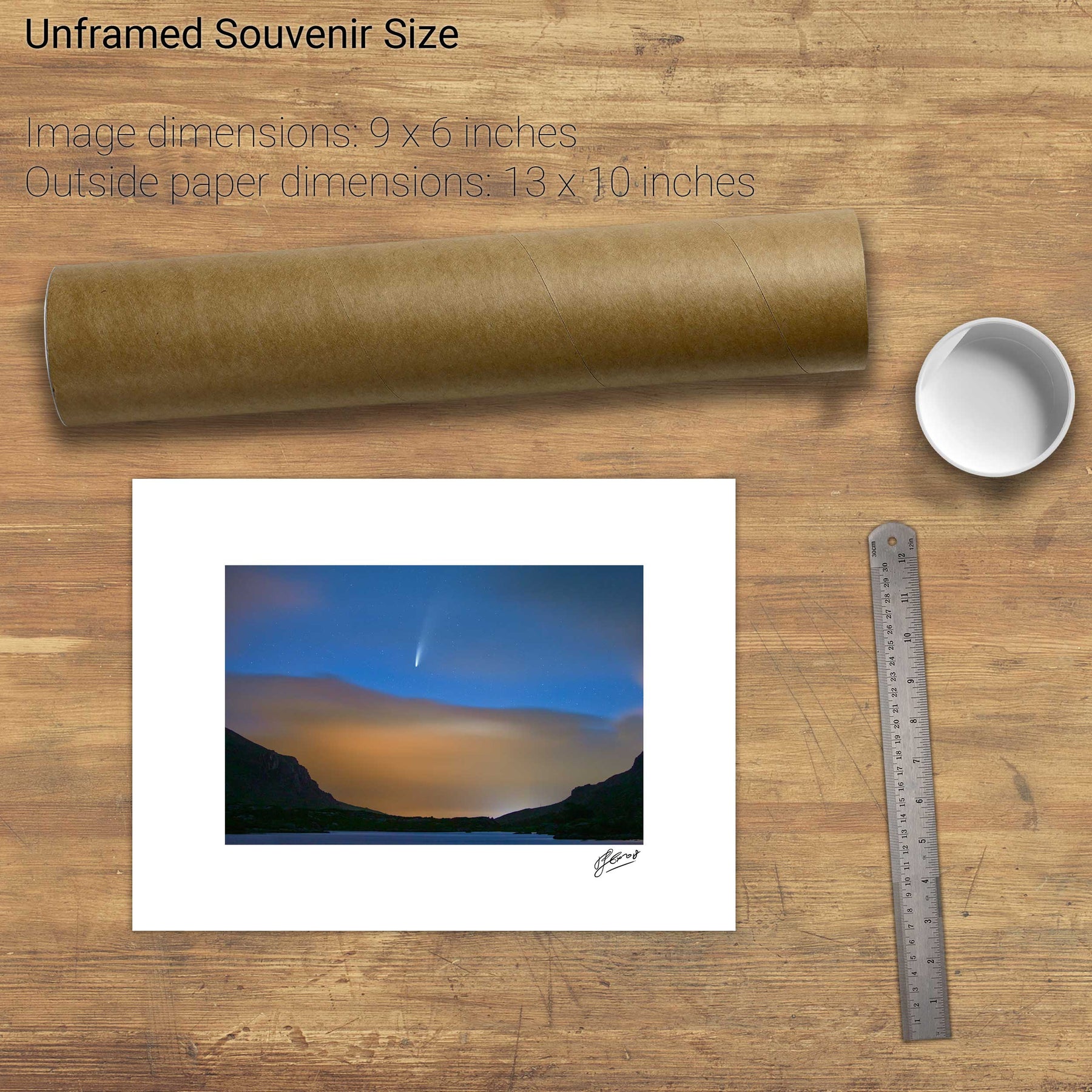
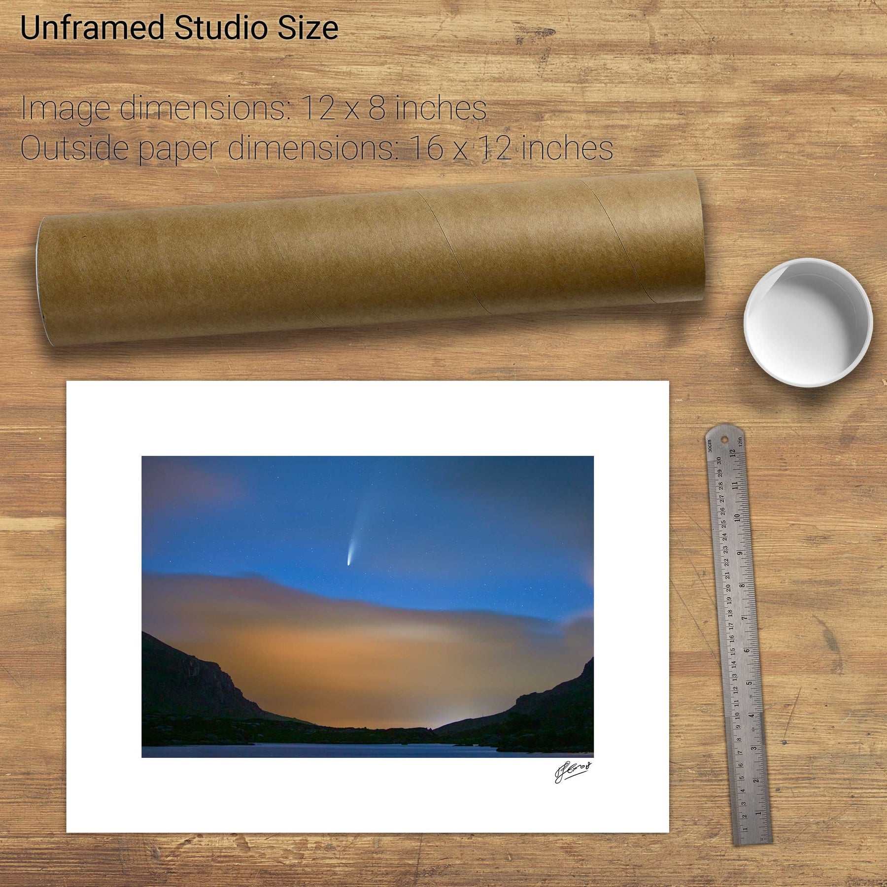
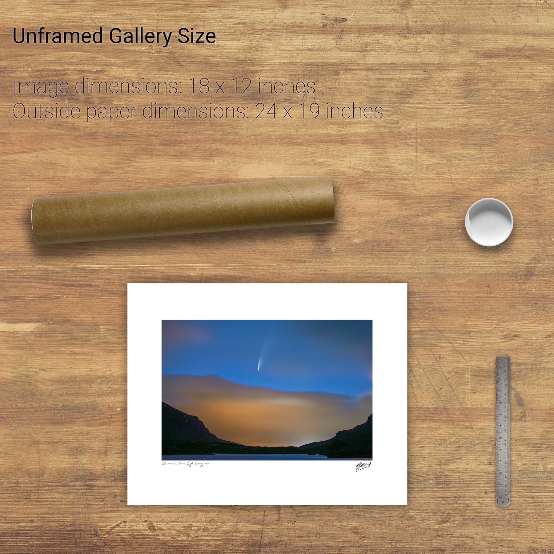
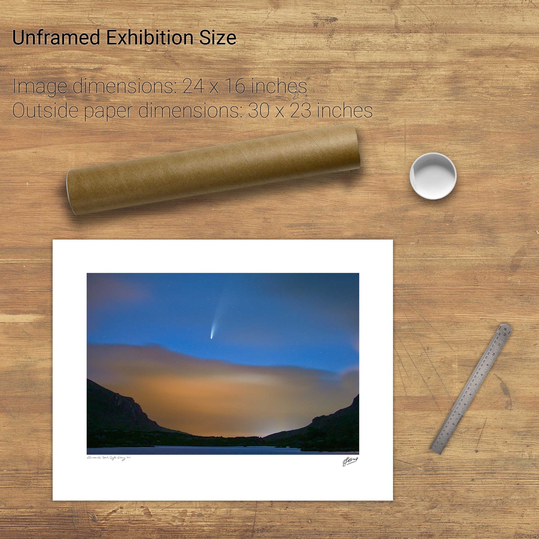
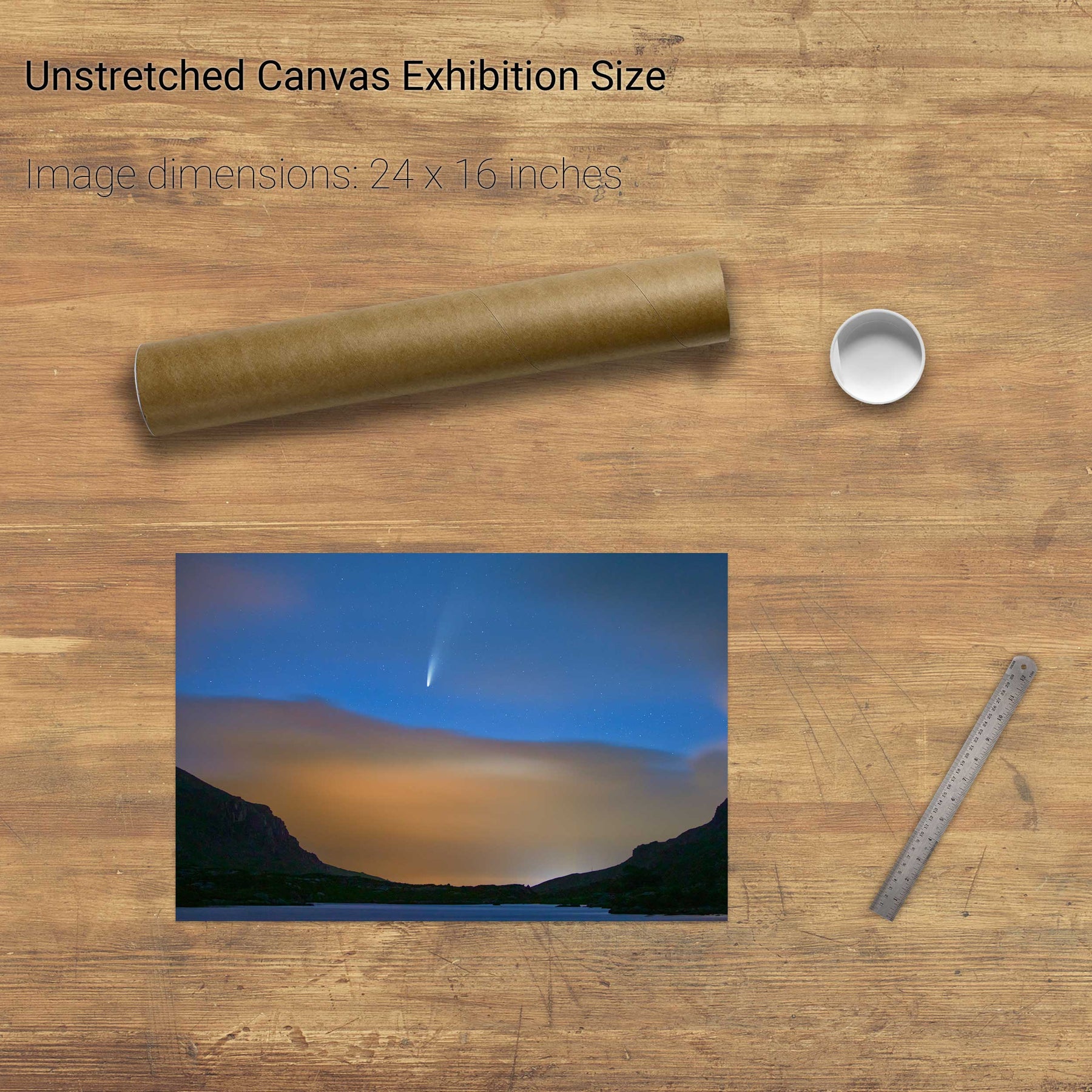
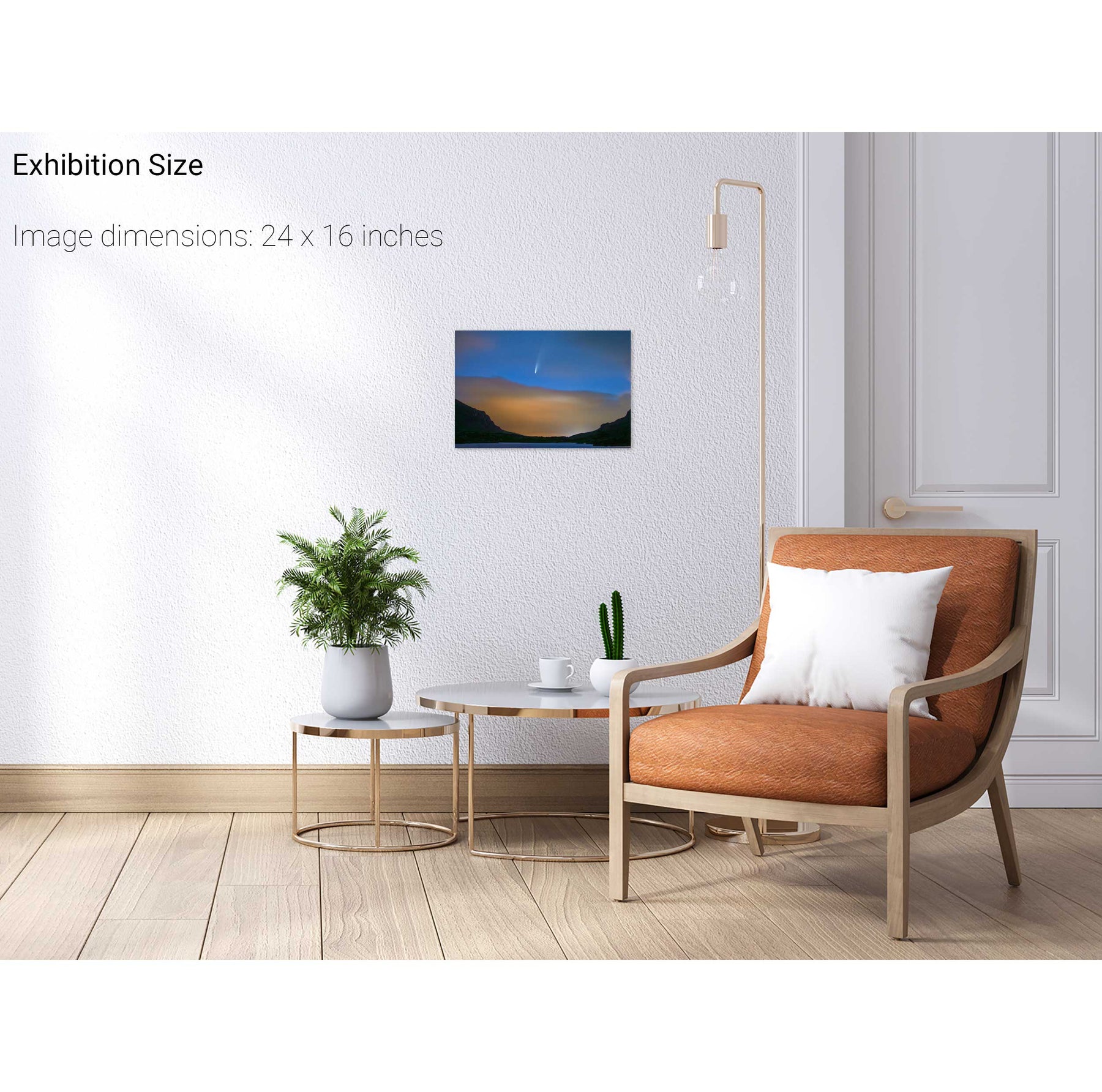
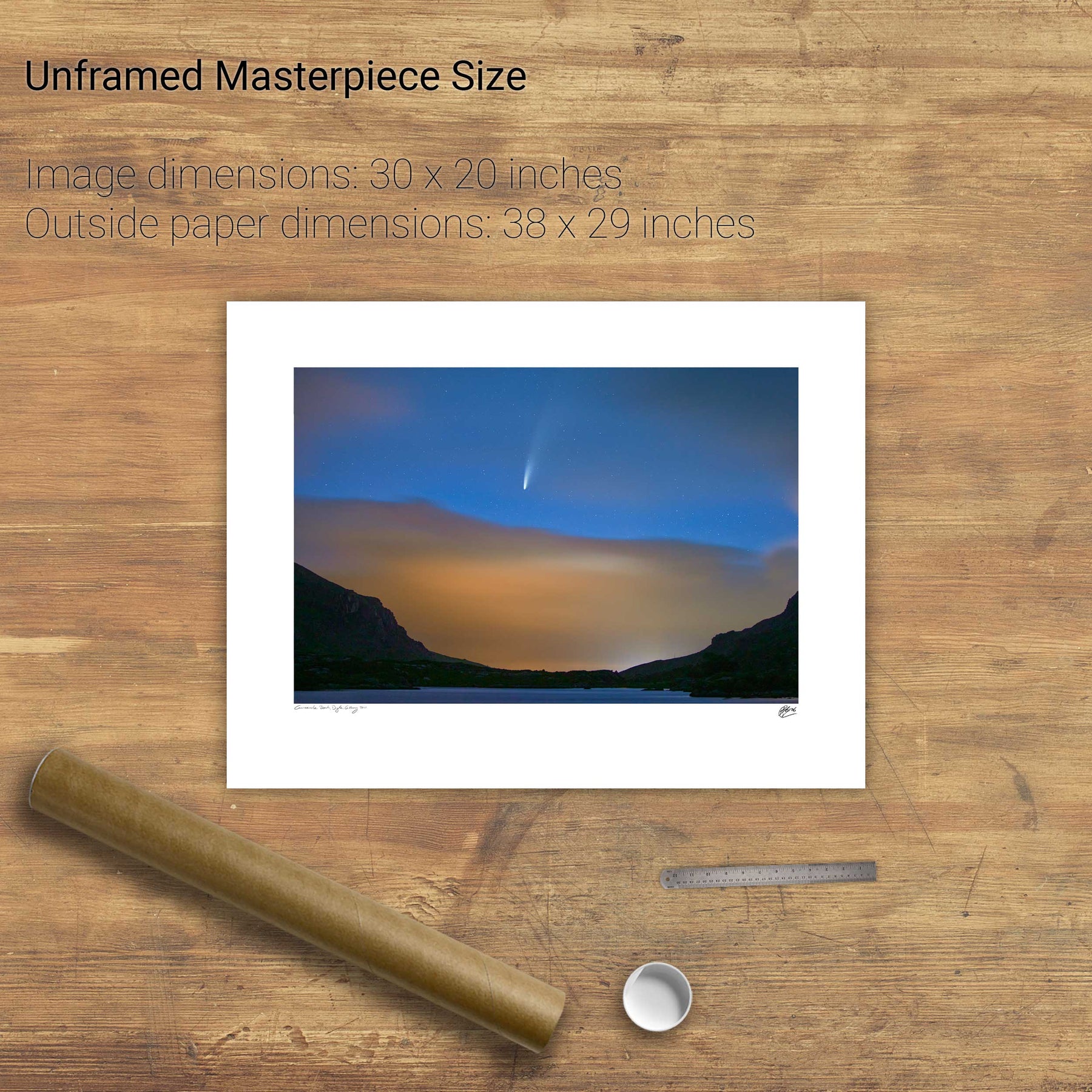
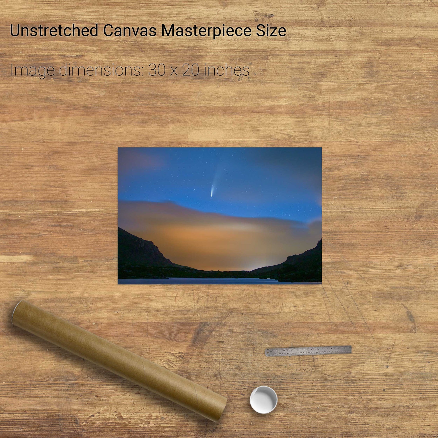
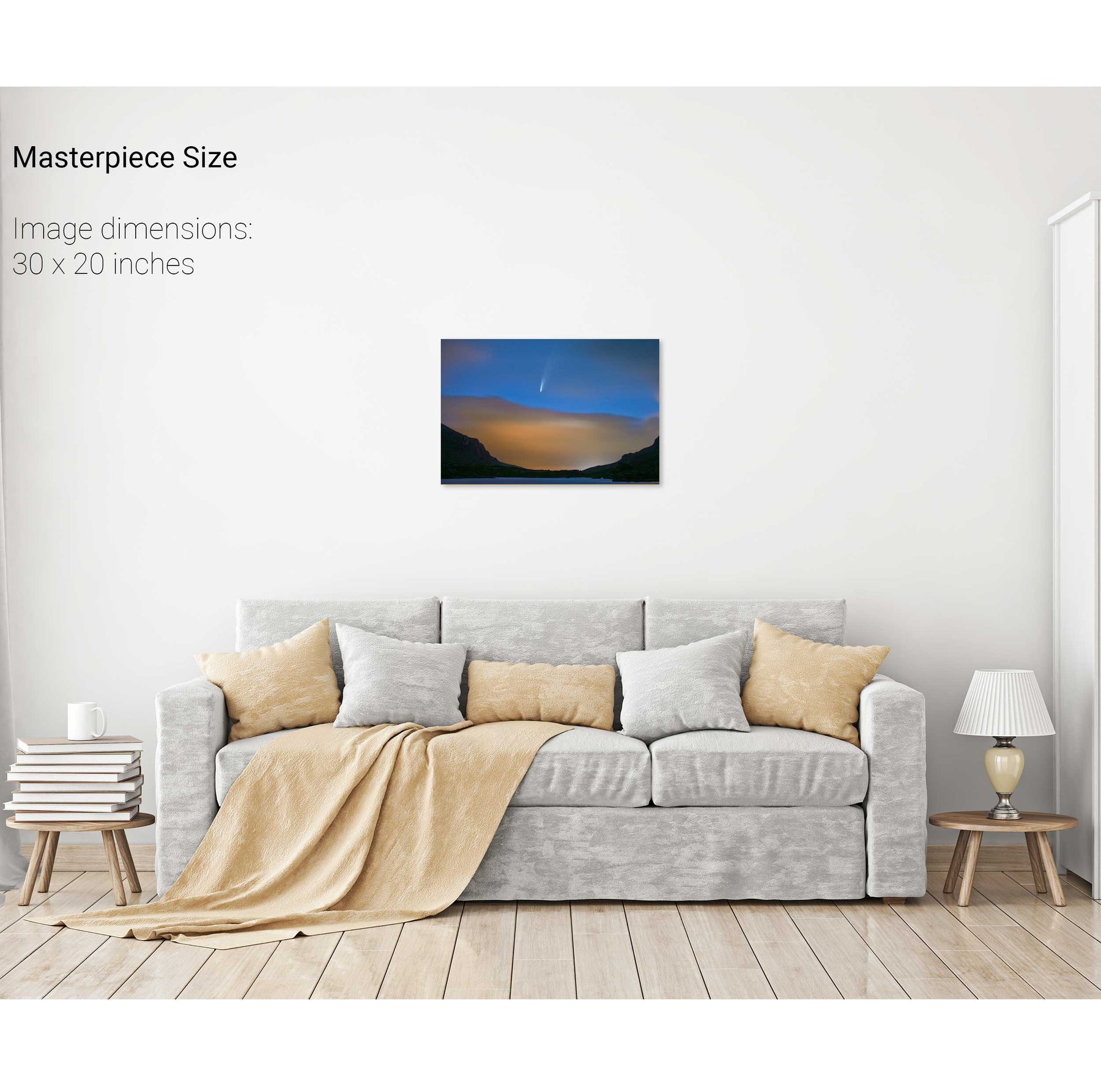
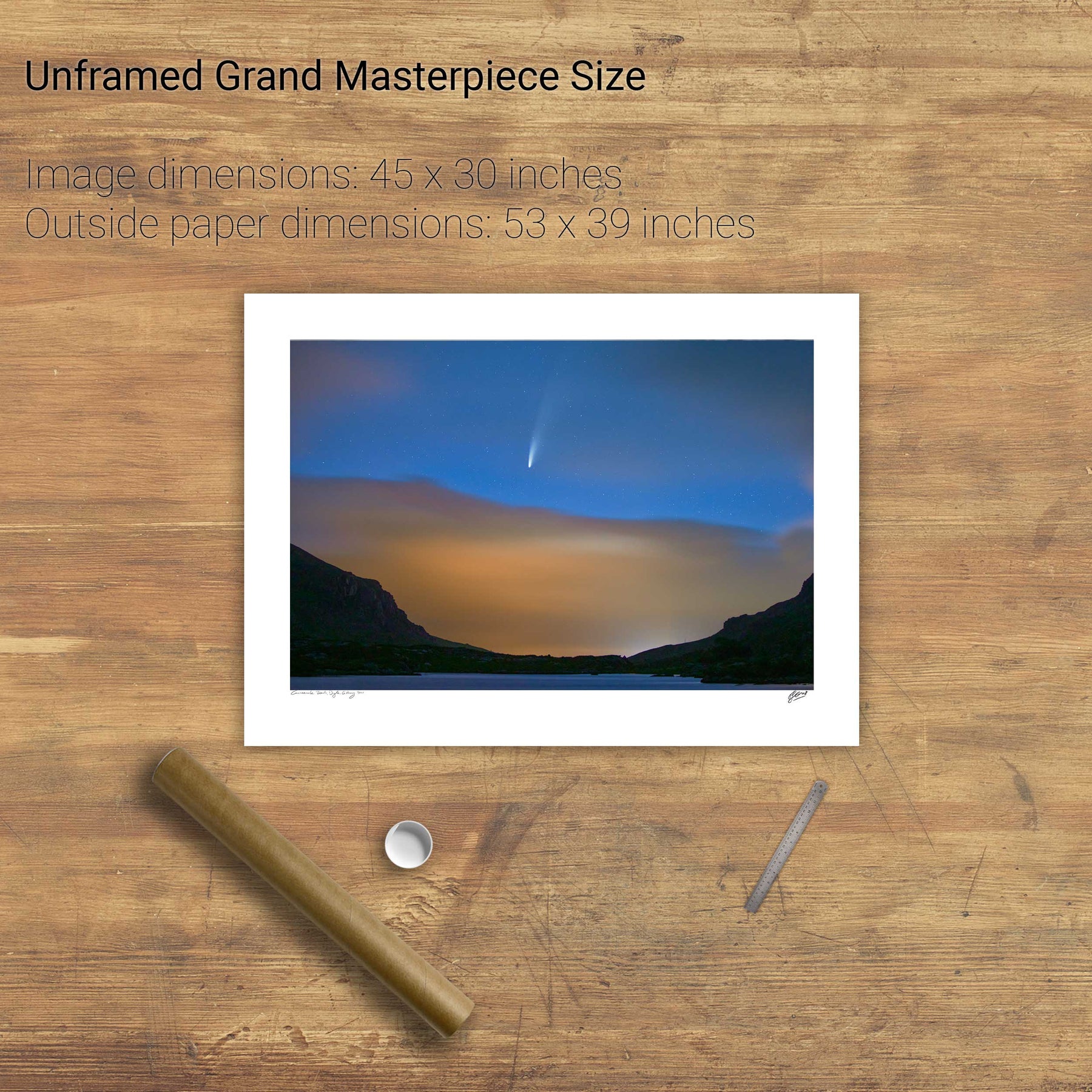
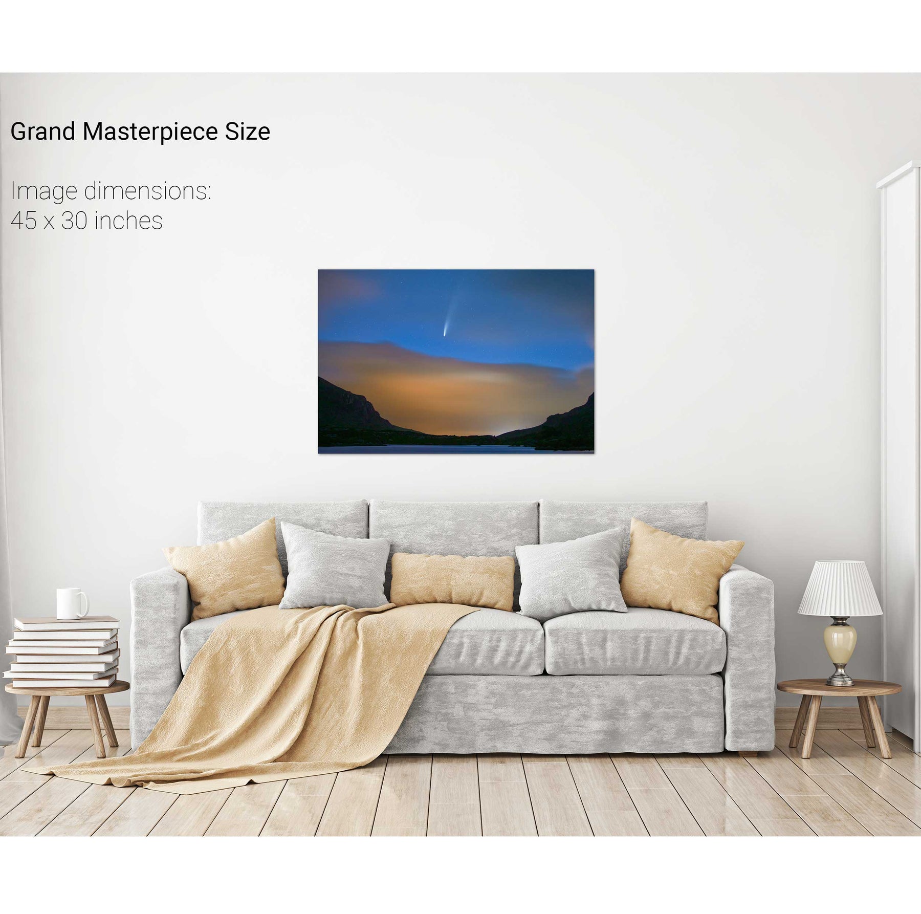
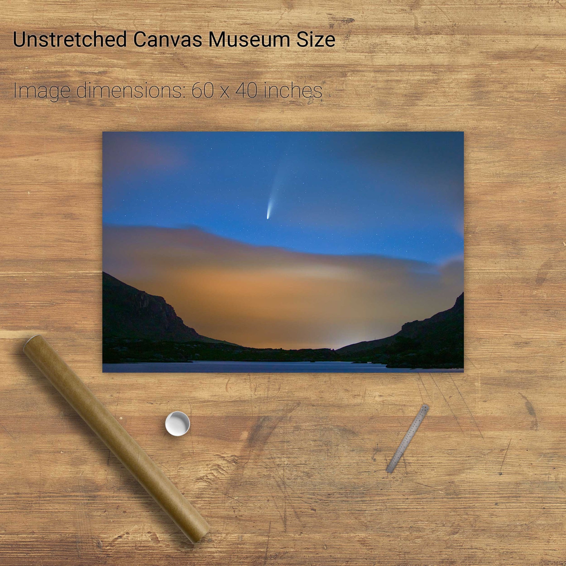
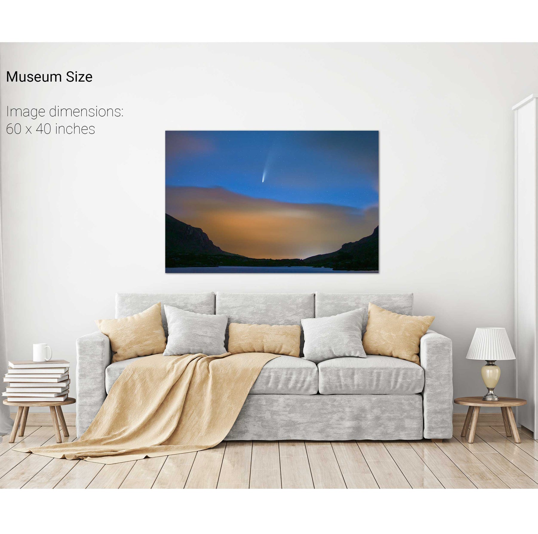
Comet NEOWISE Over the Gap of Dunloe, Kerry


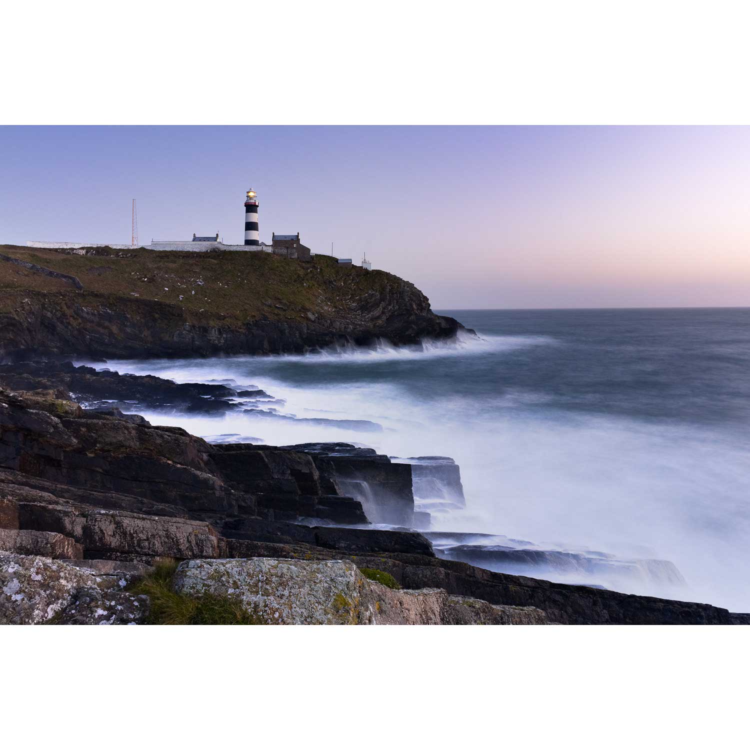
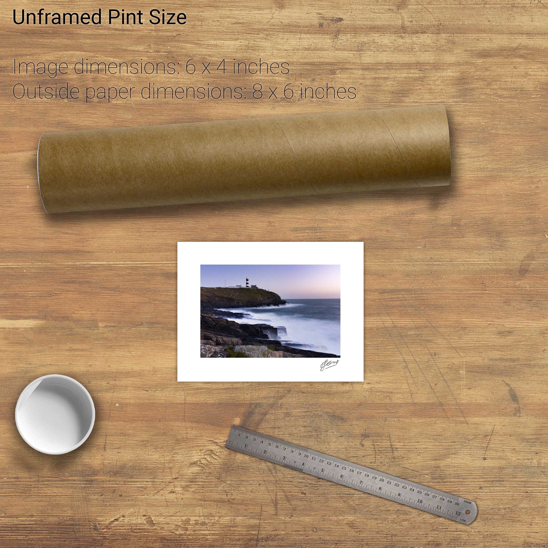
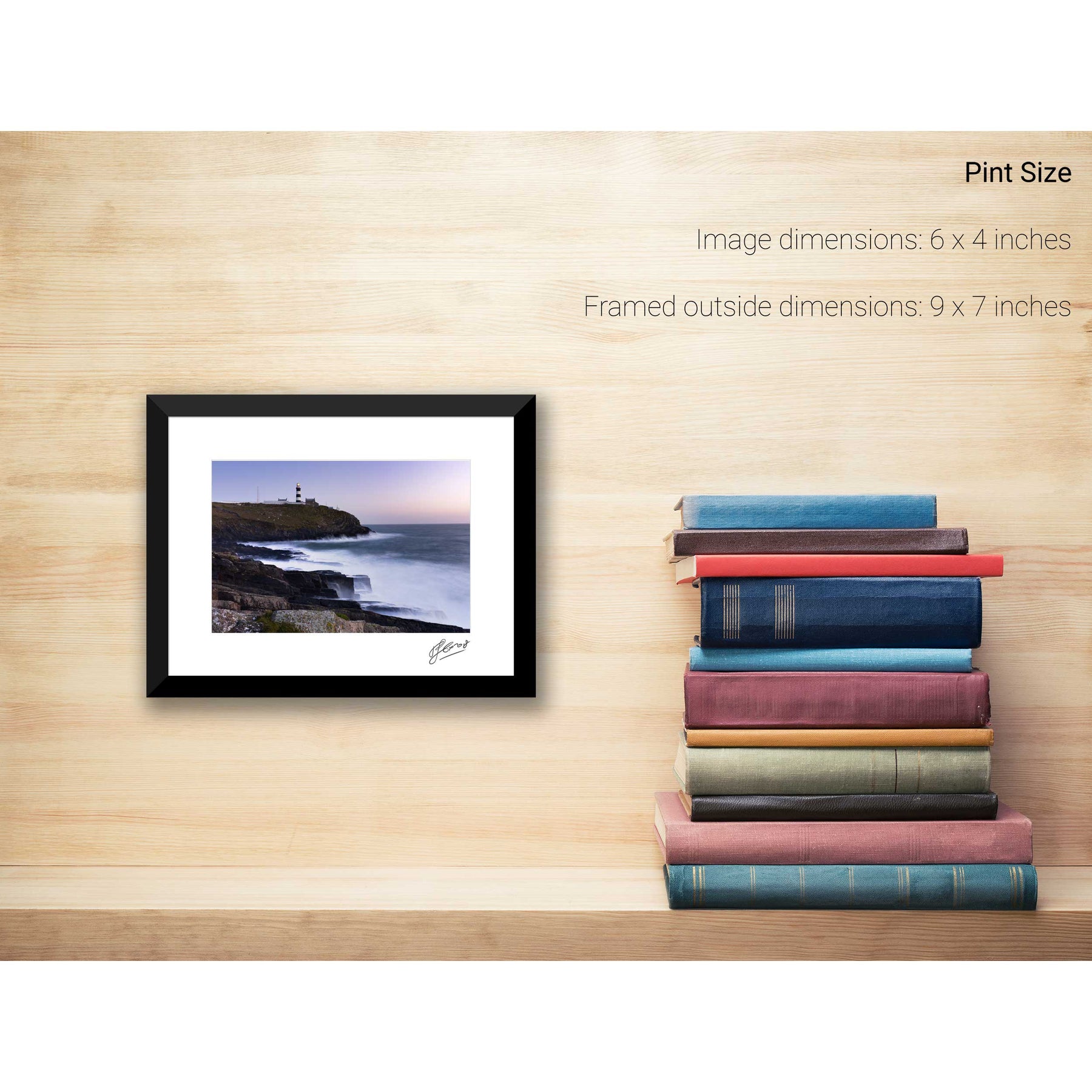
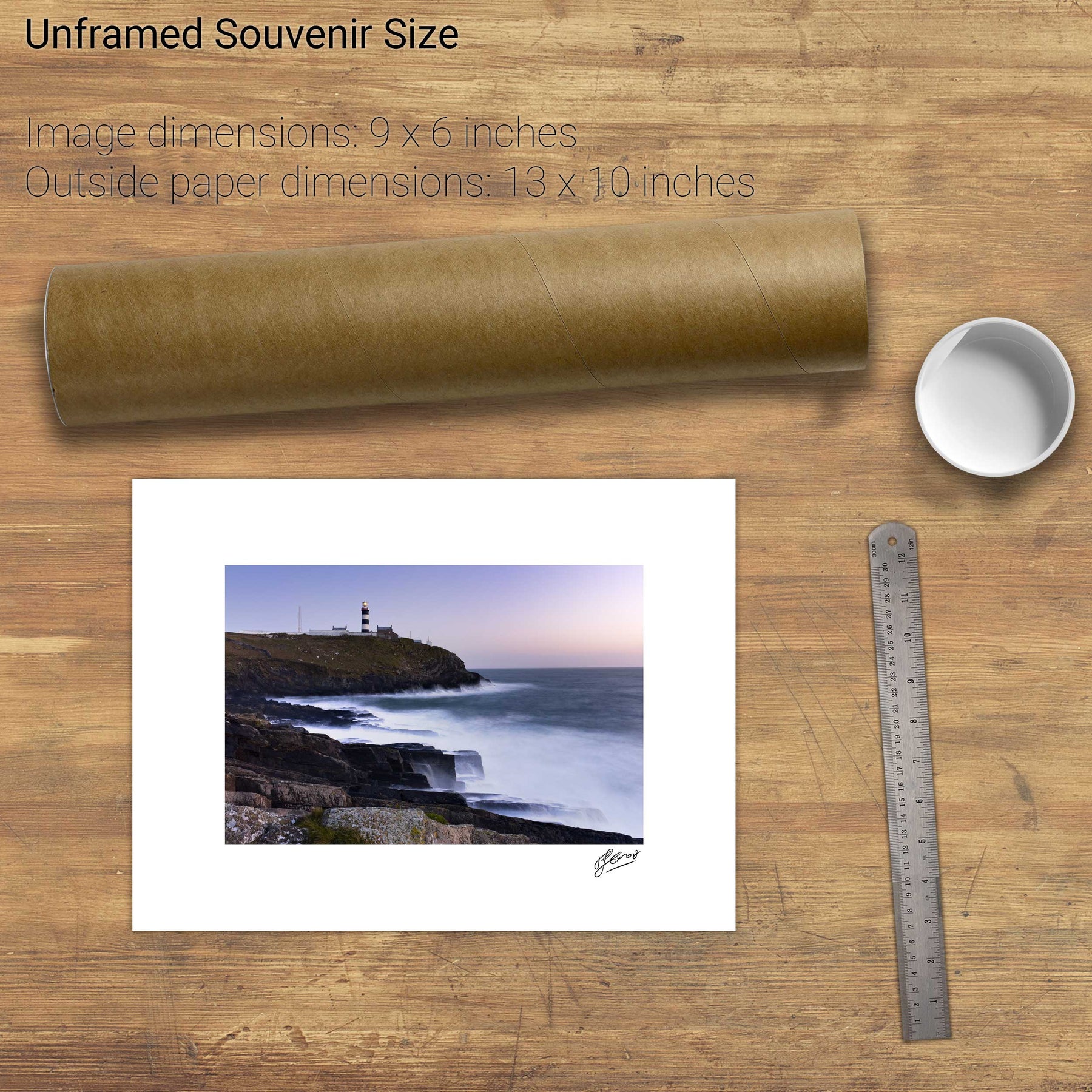
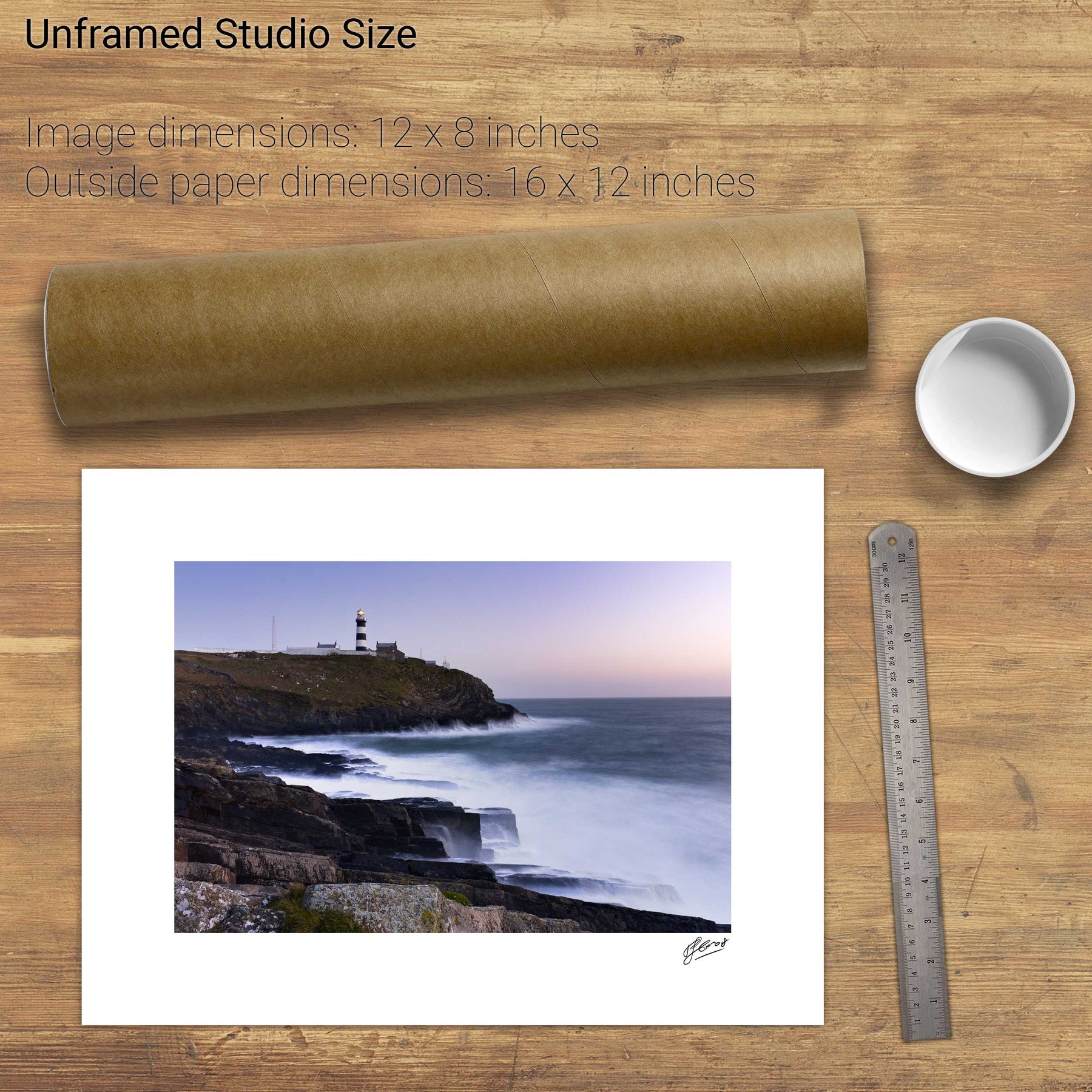
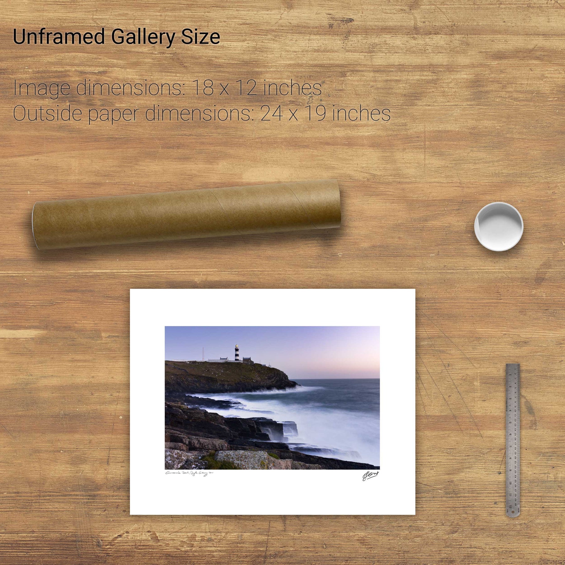
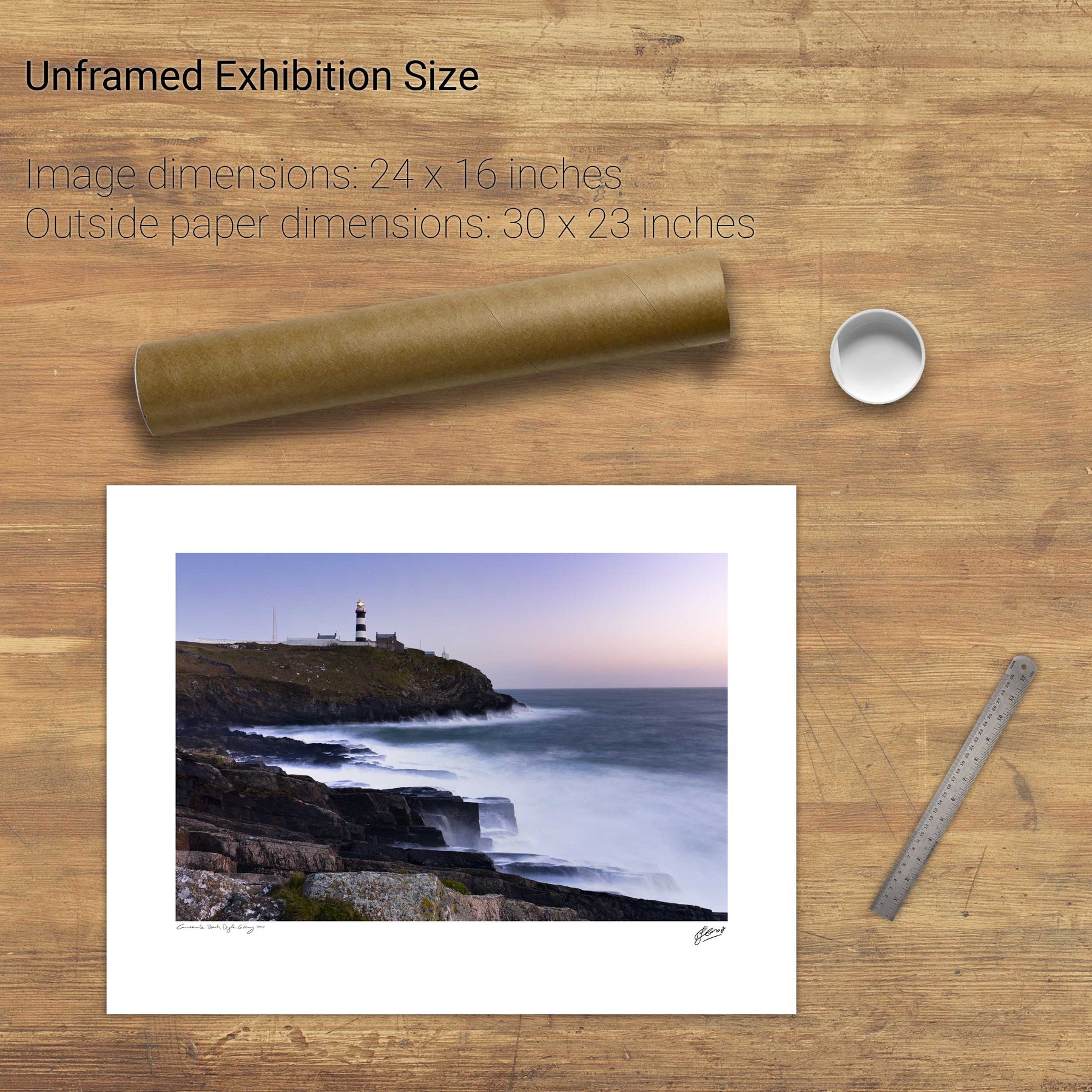
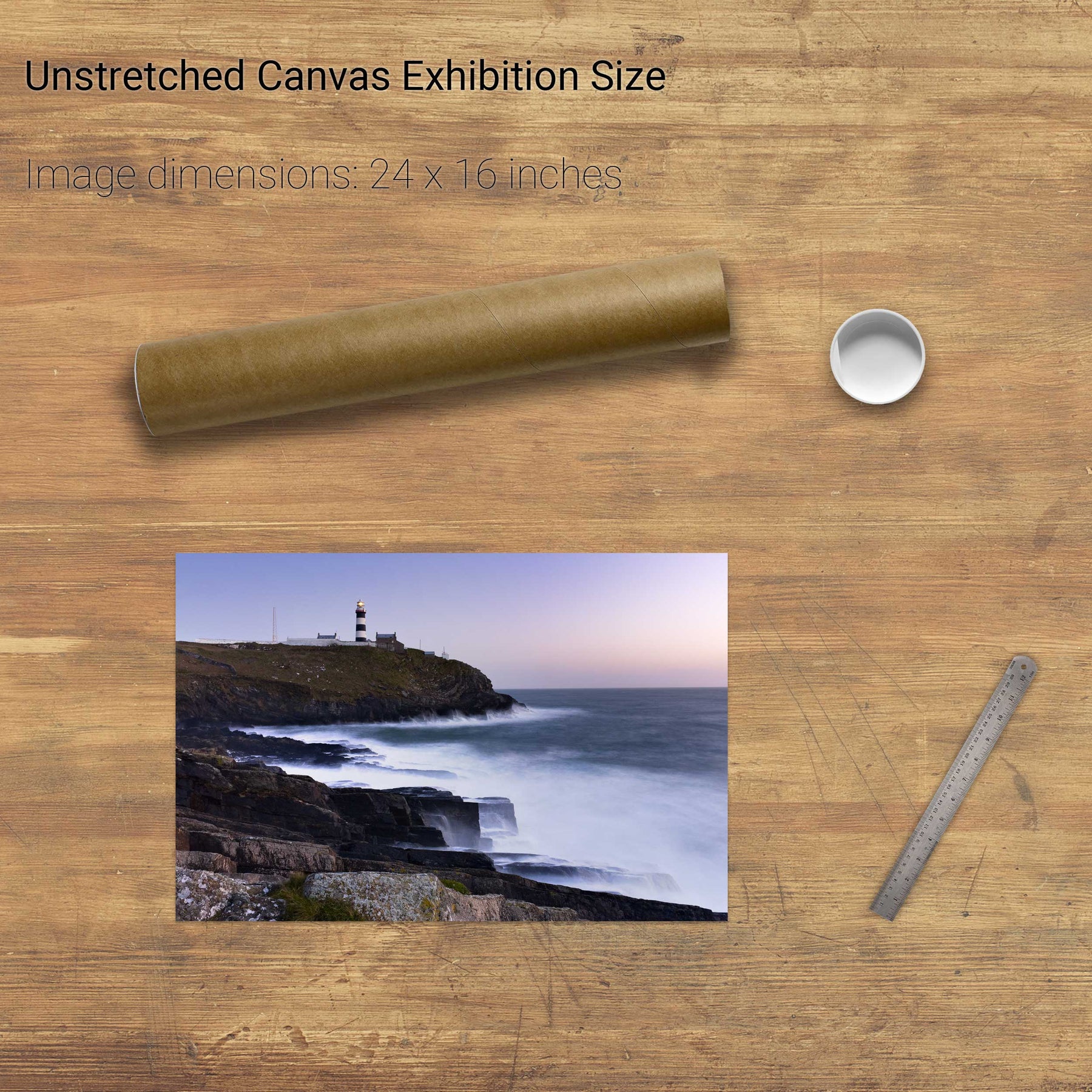
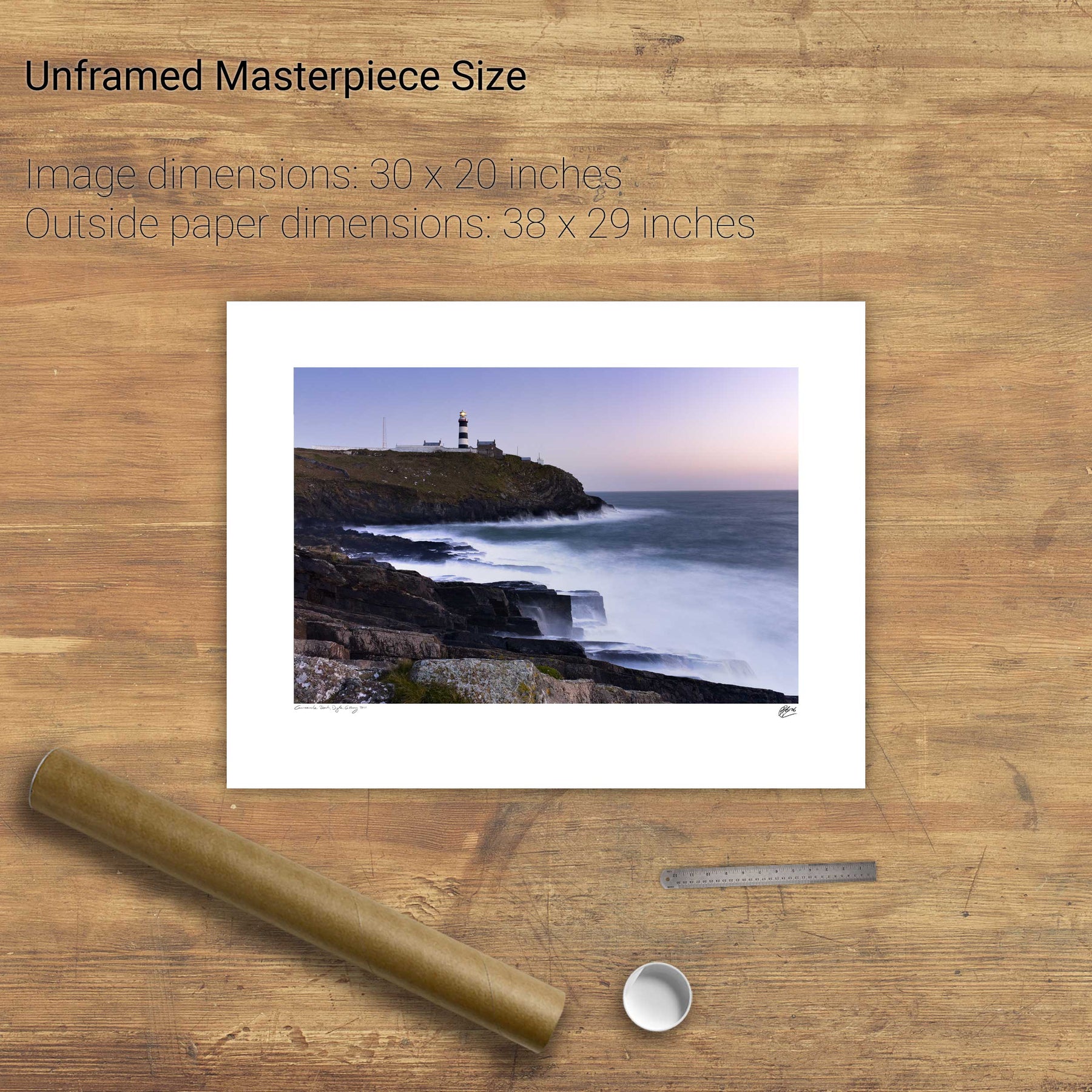
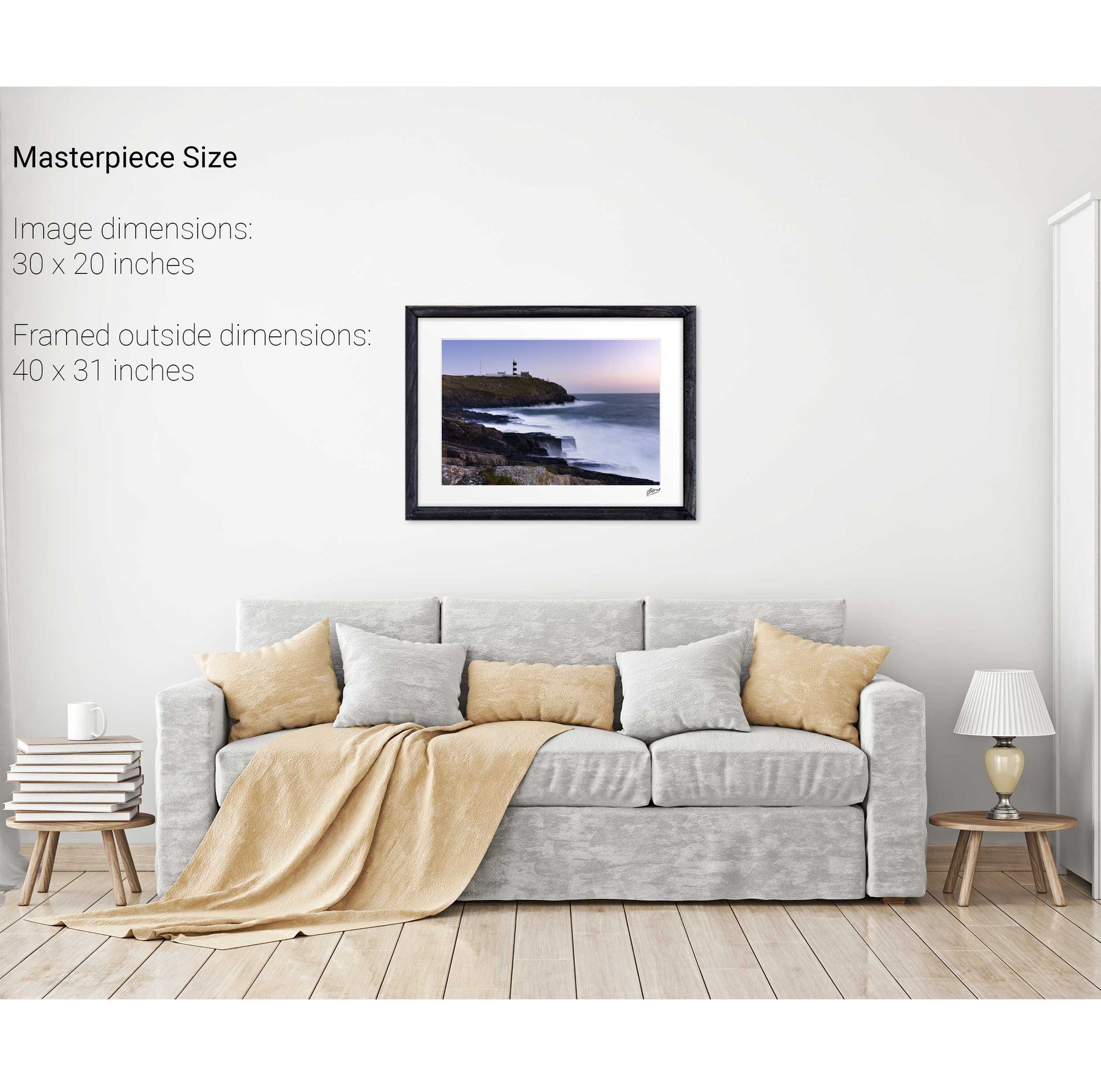
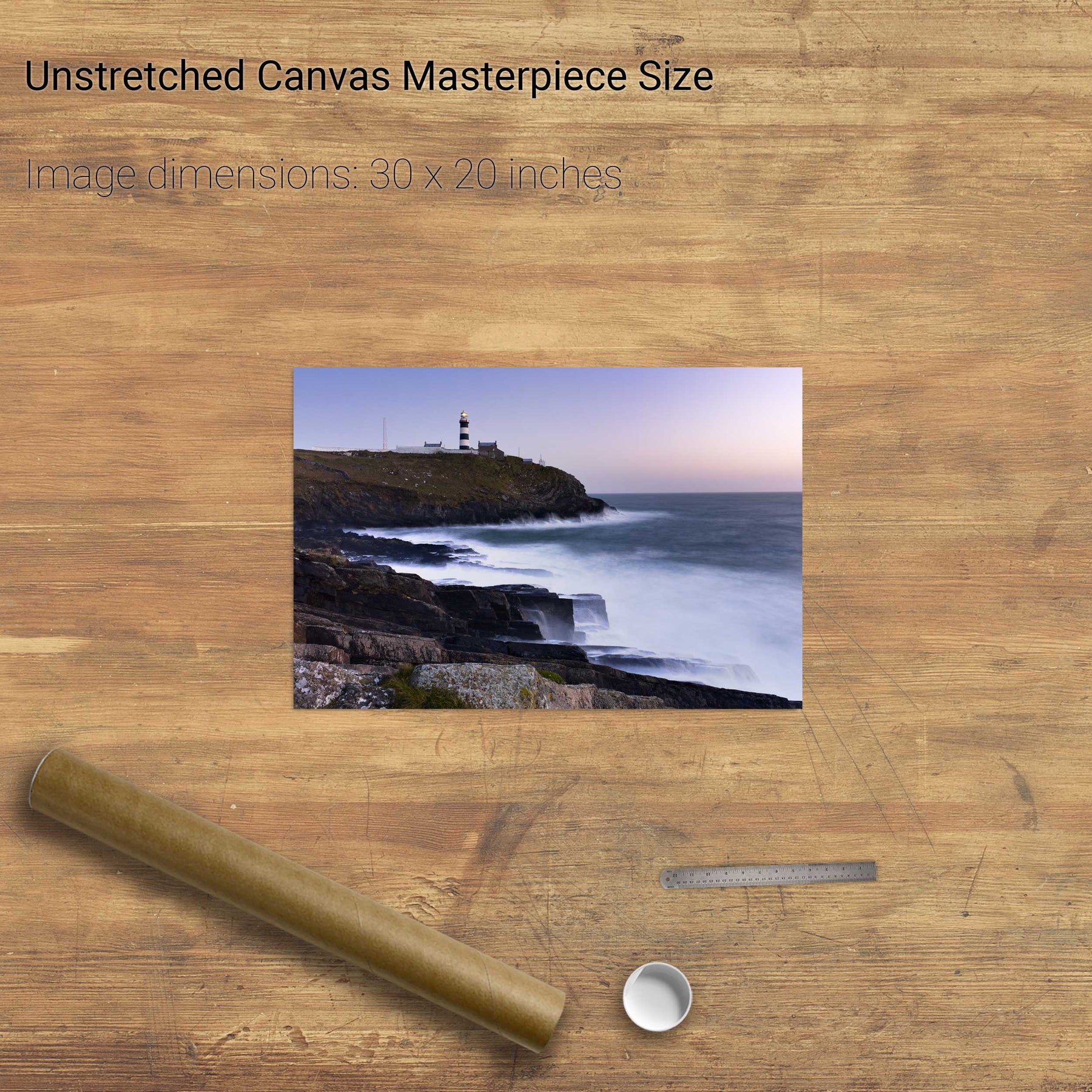
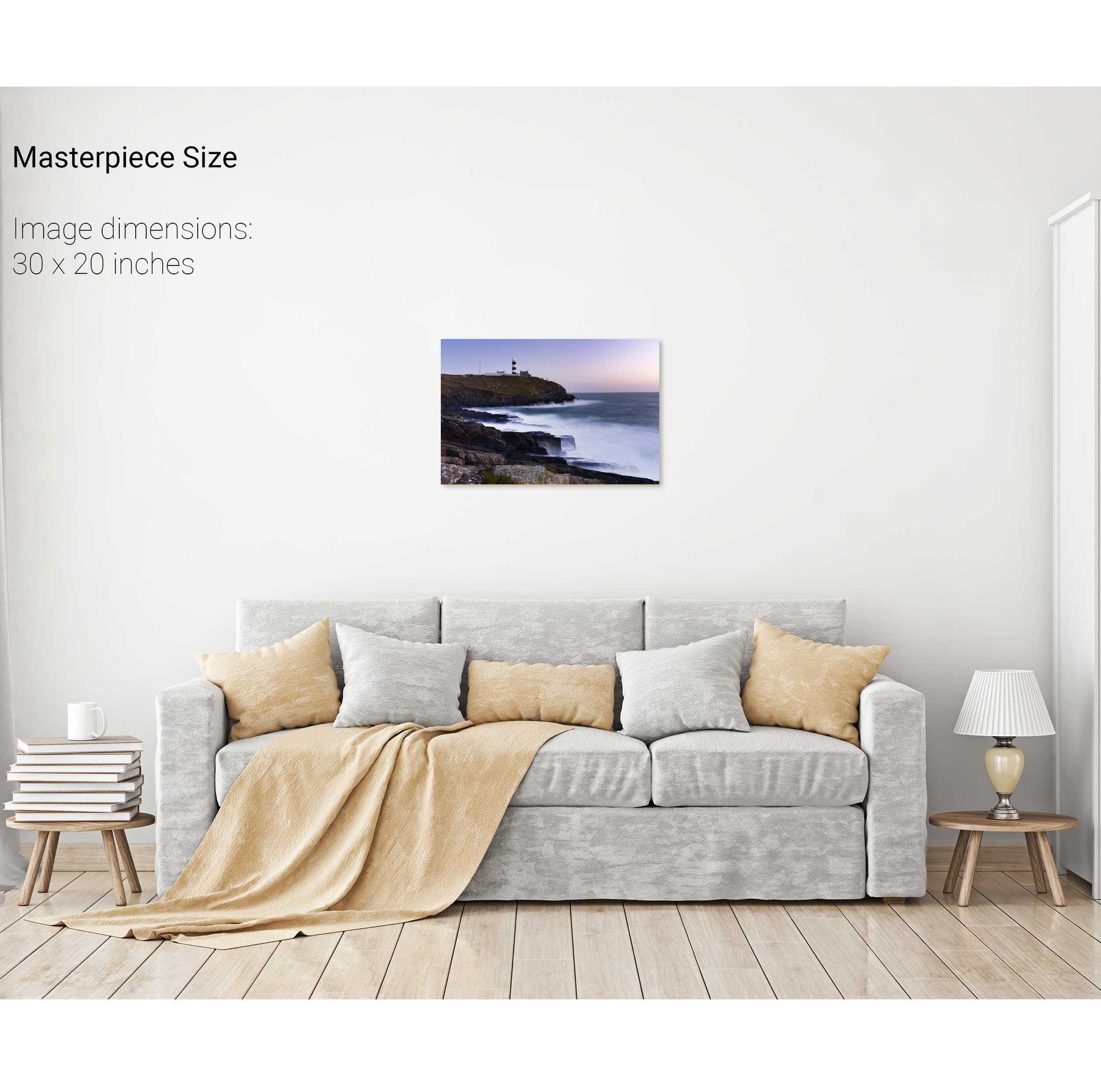
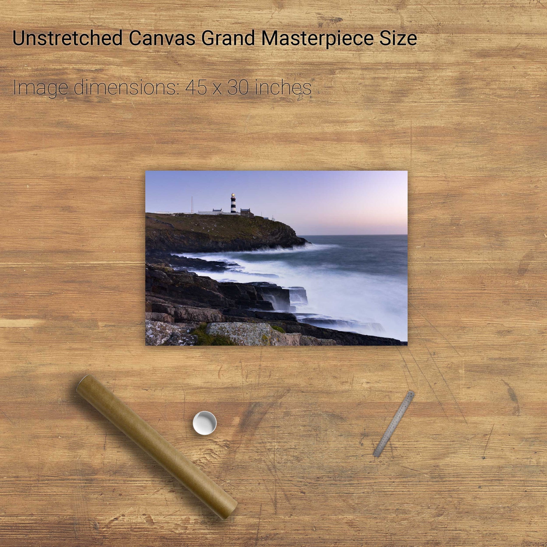
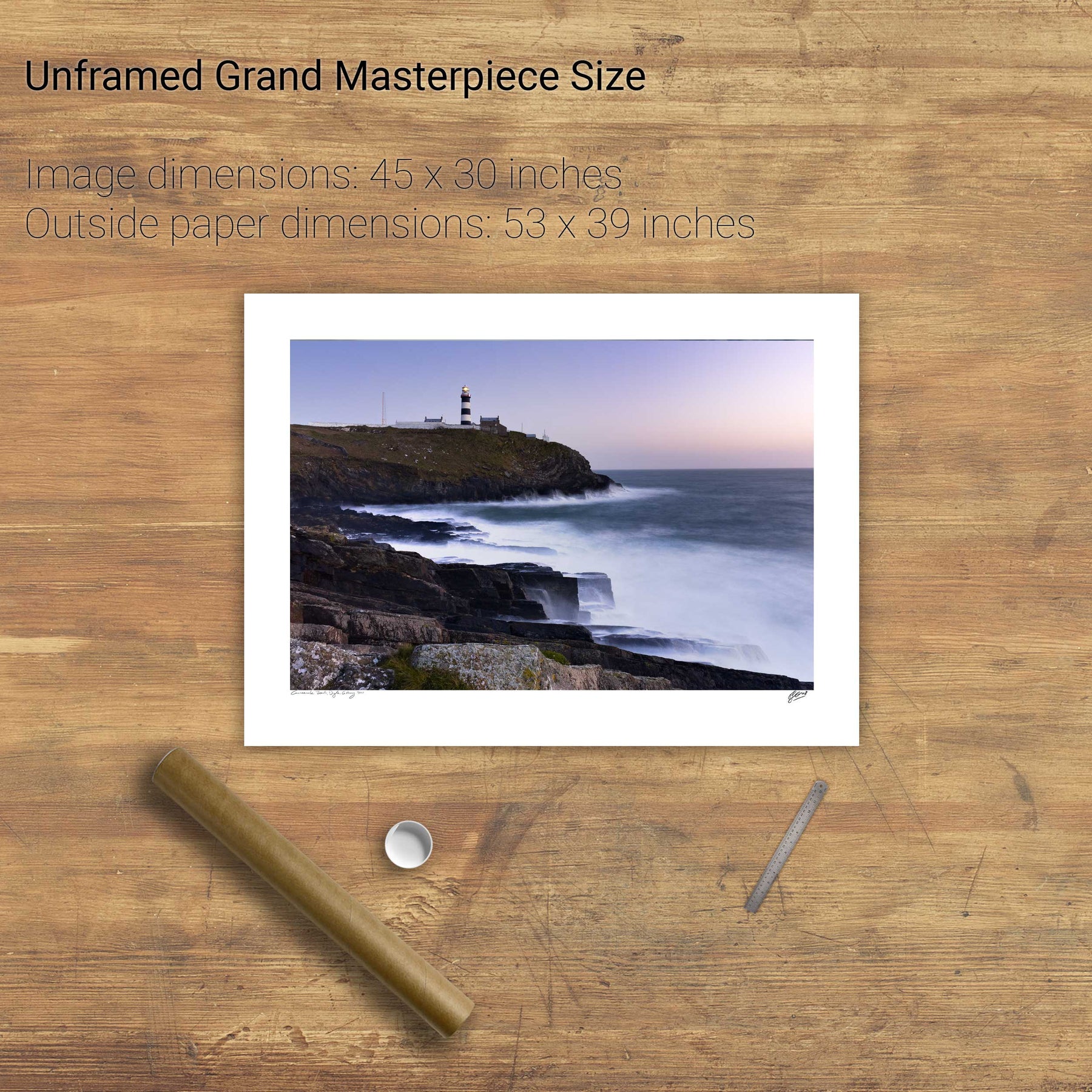
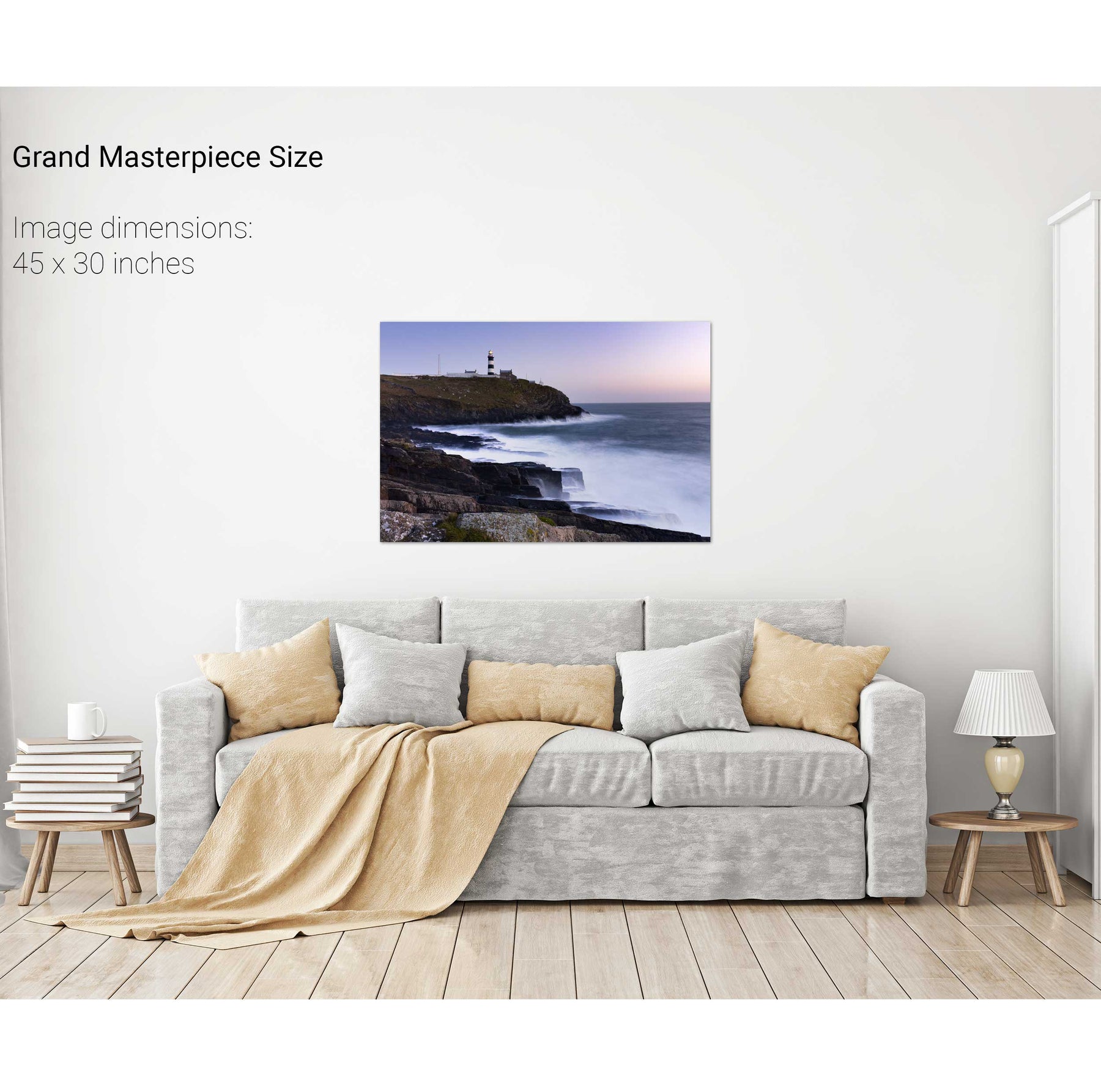
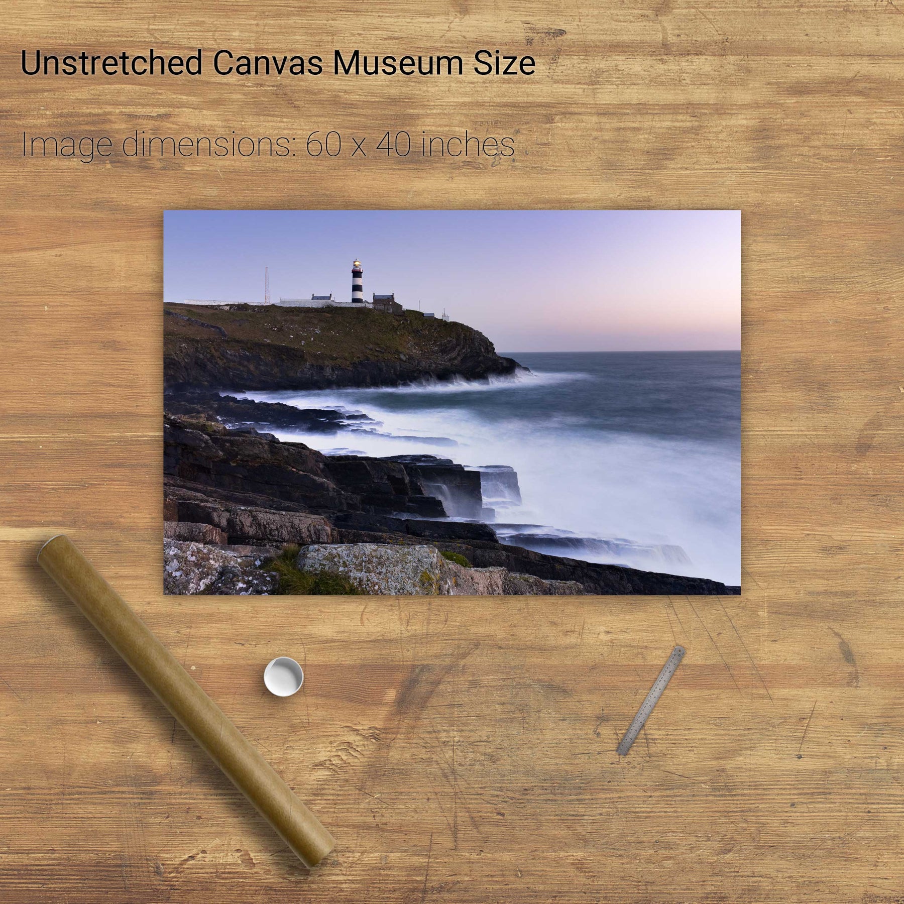
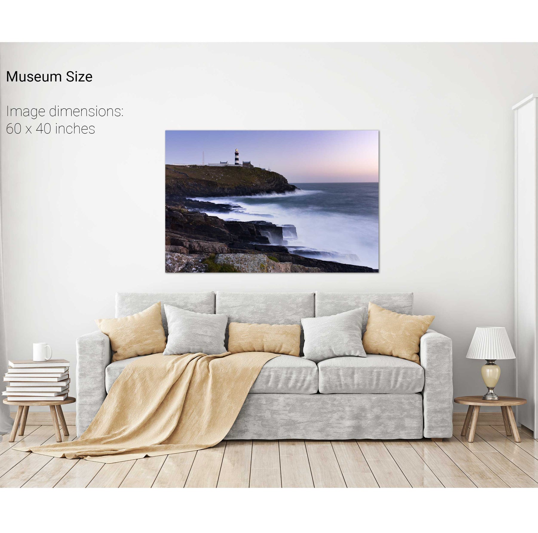
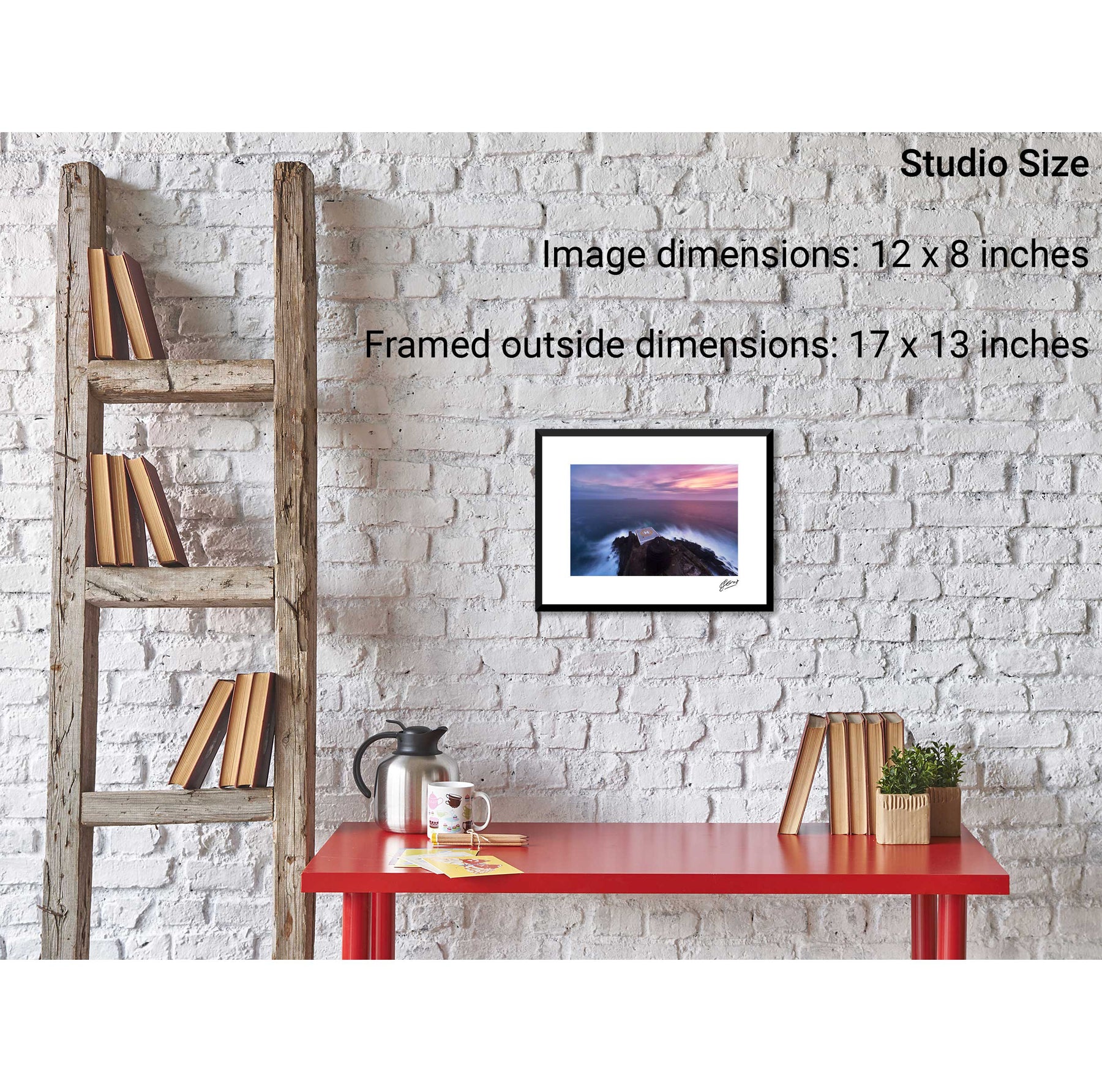
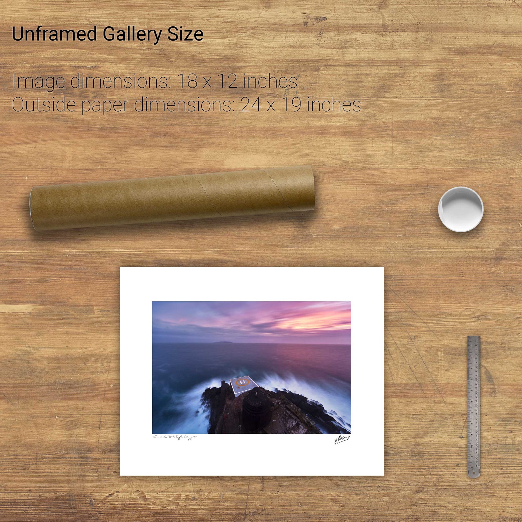
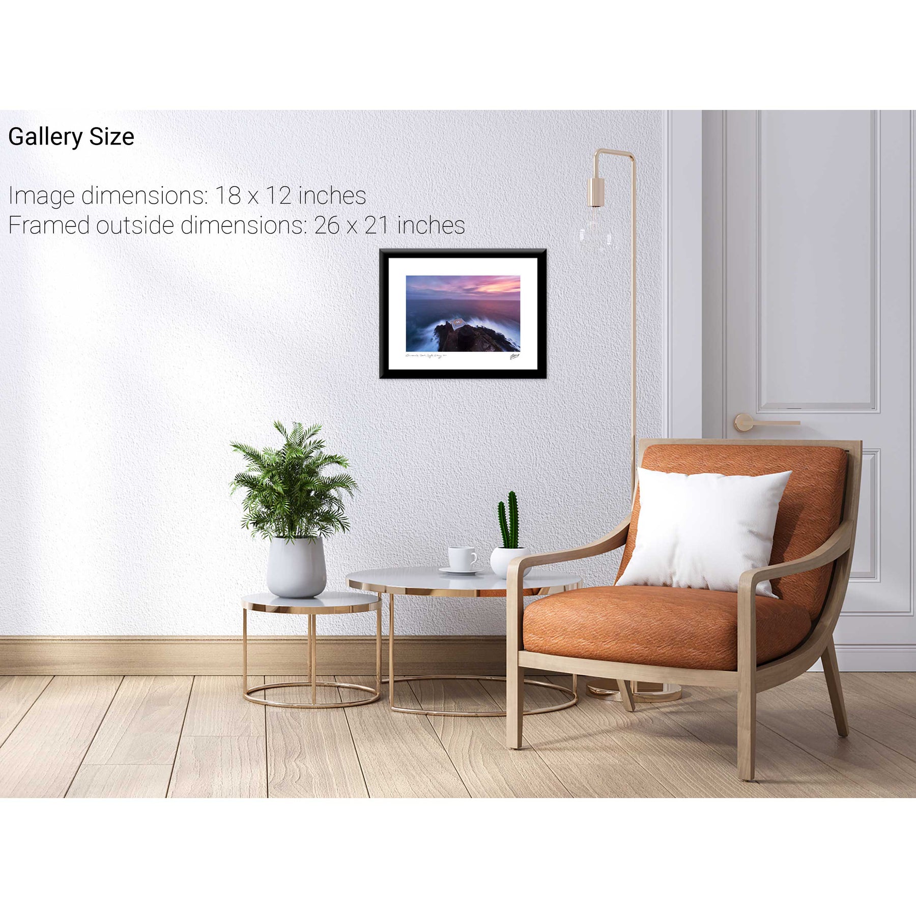
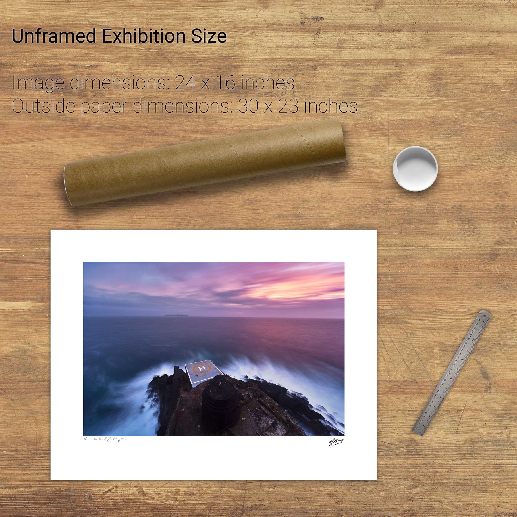
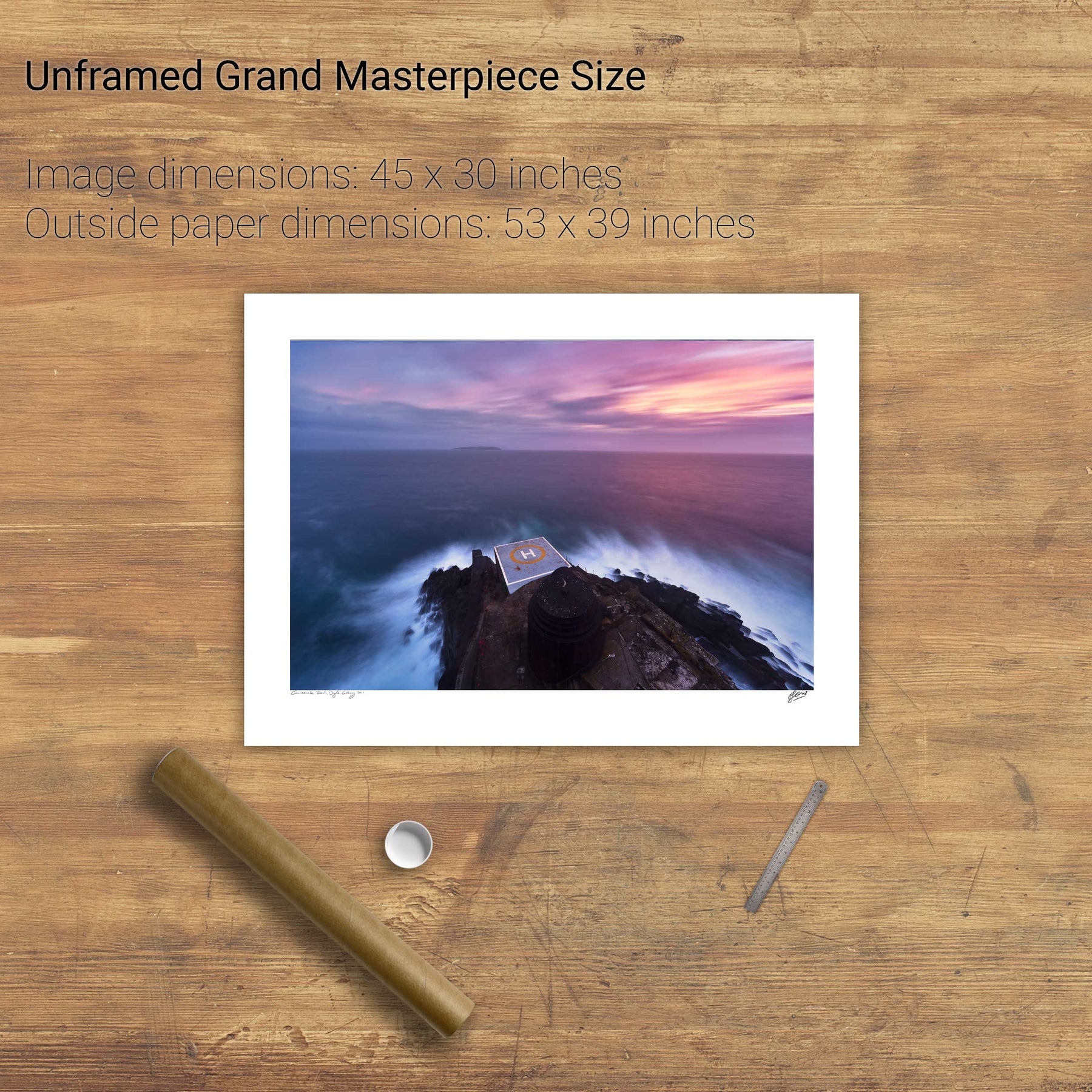
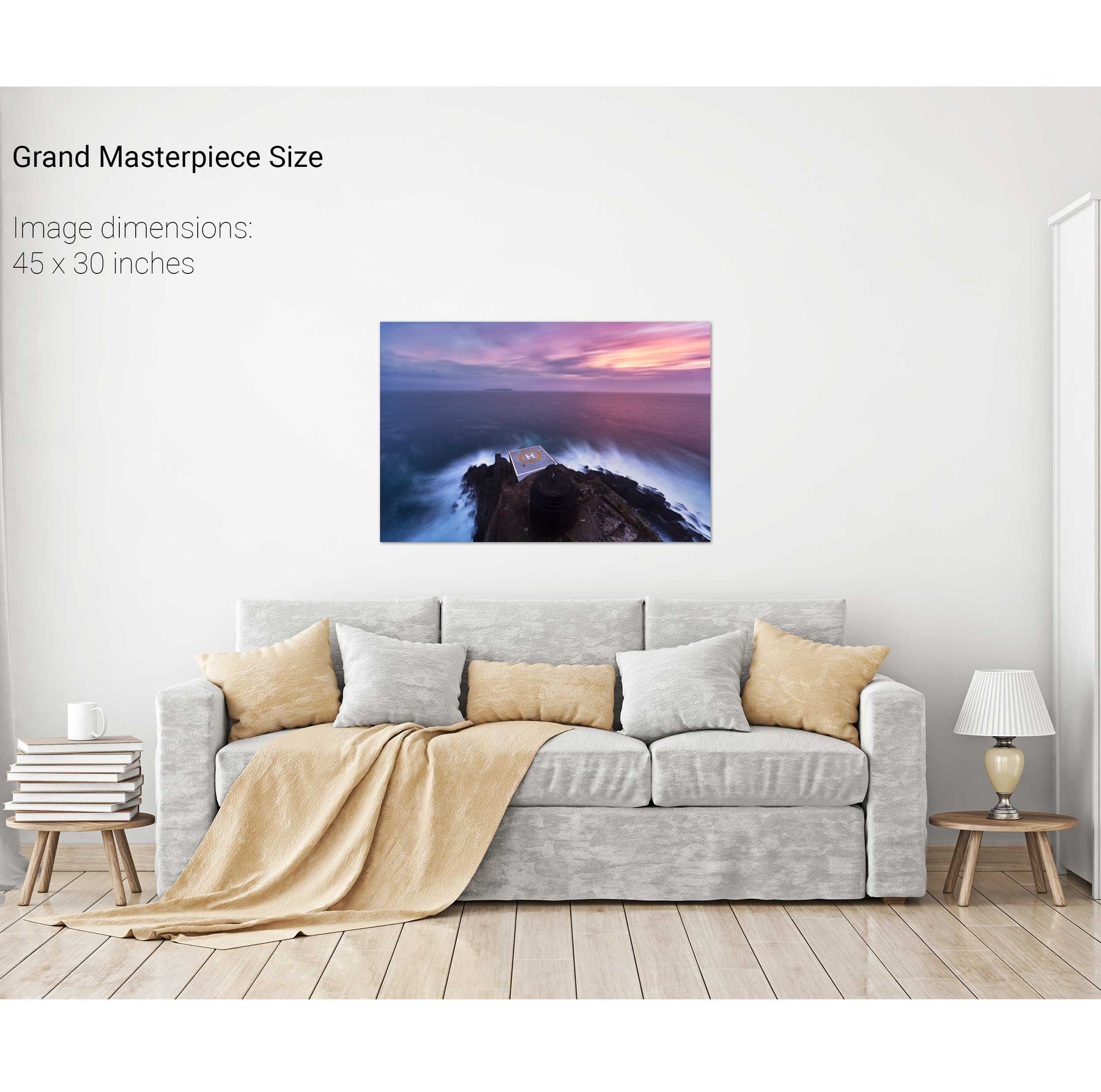
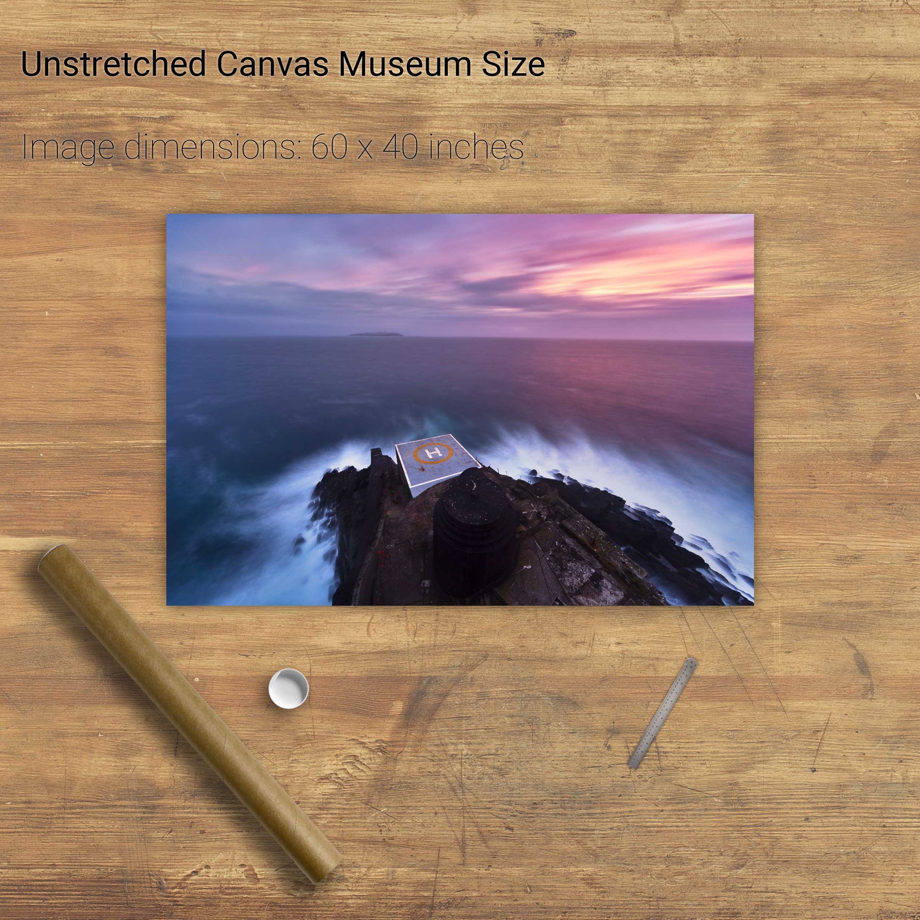
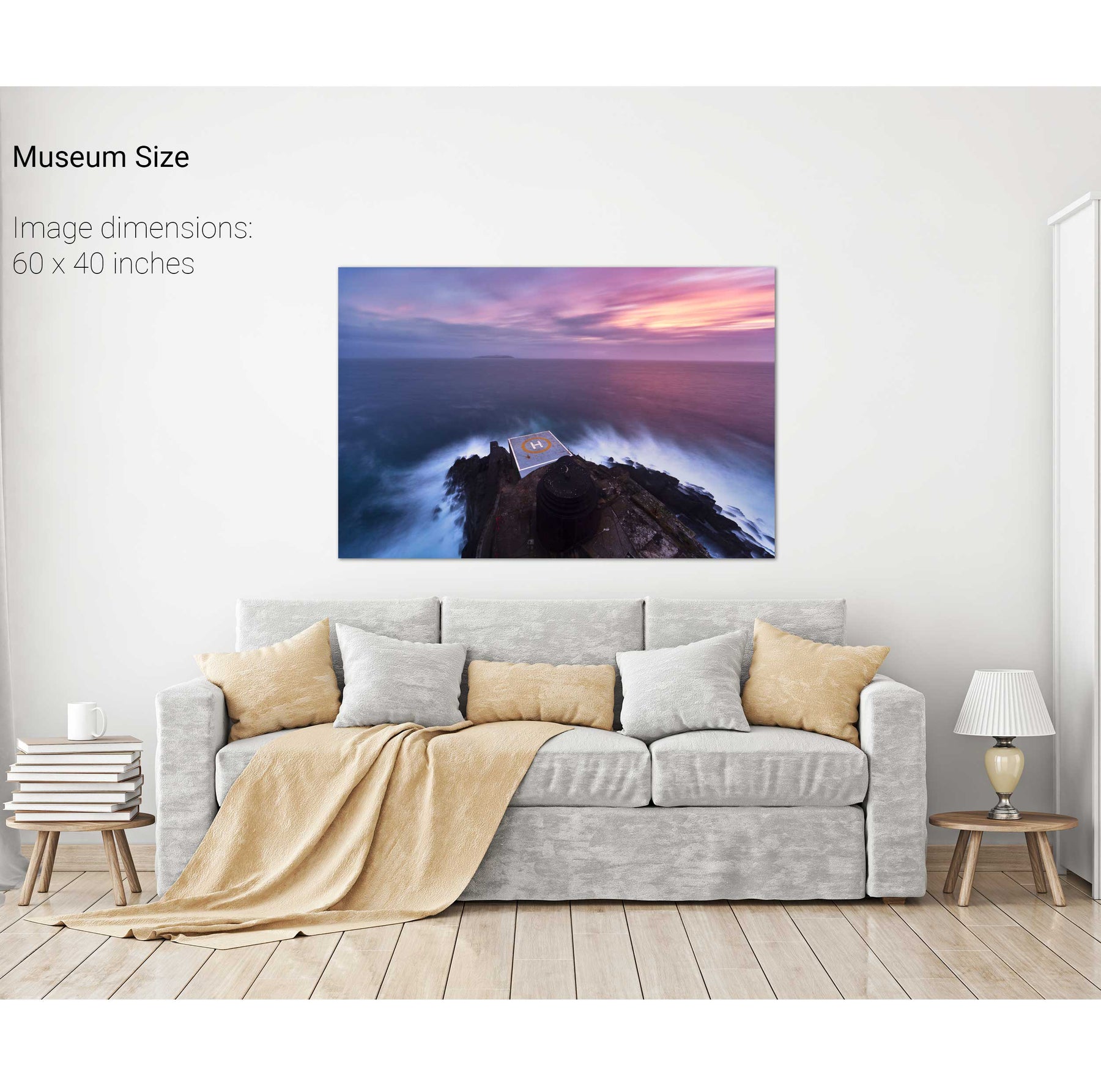
Old Head of Kinsale Lighthouse, Co. Cork


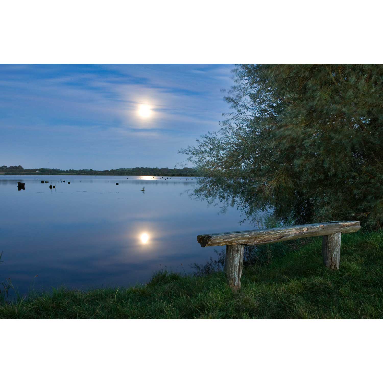
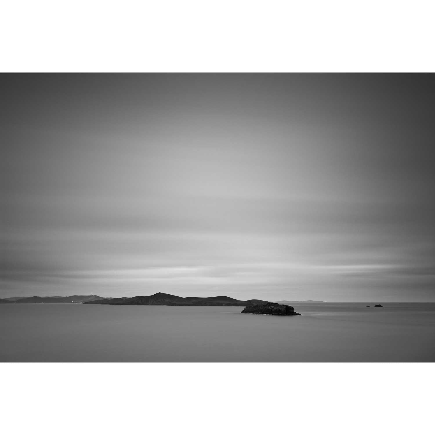
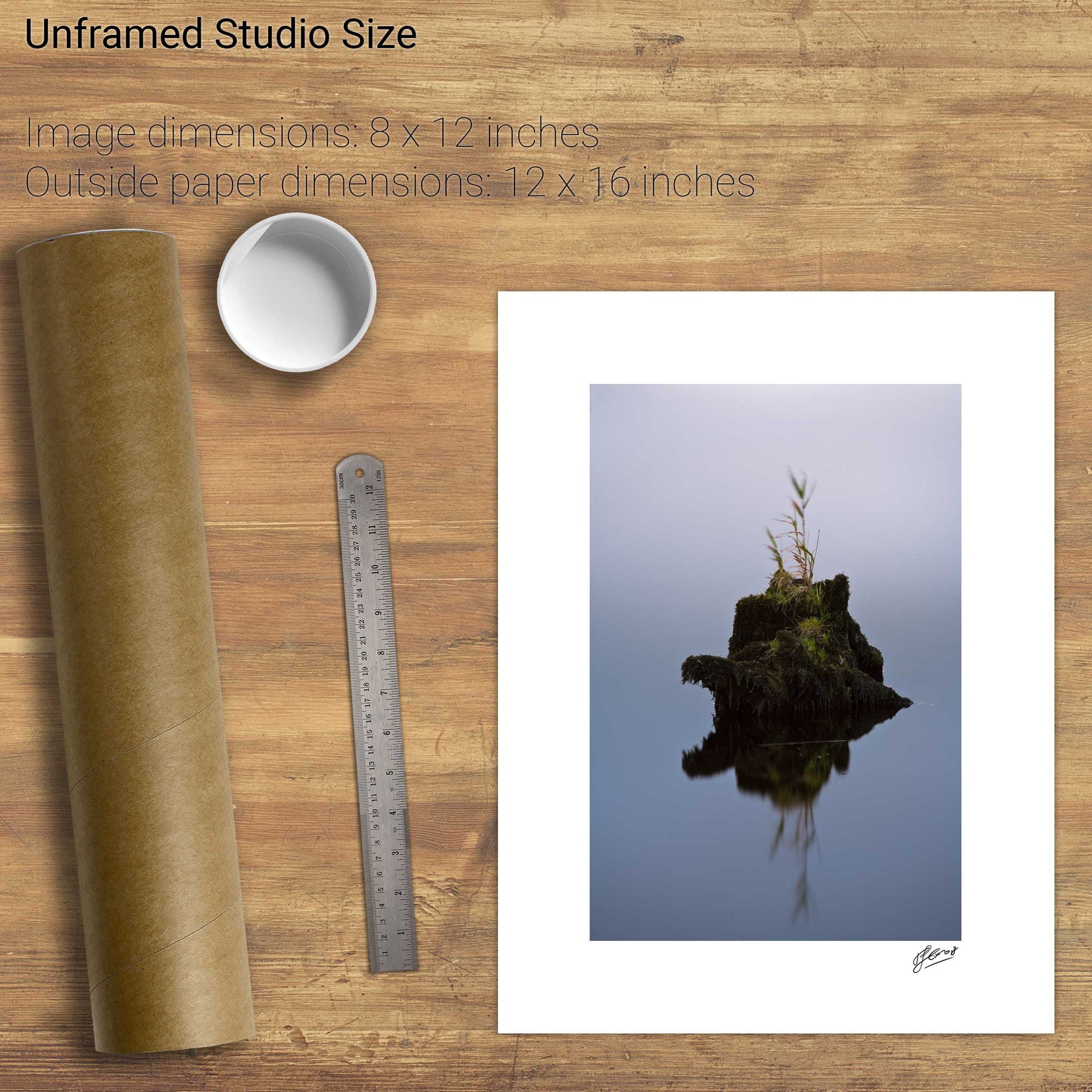
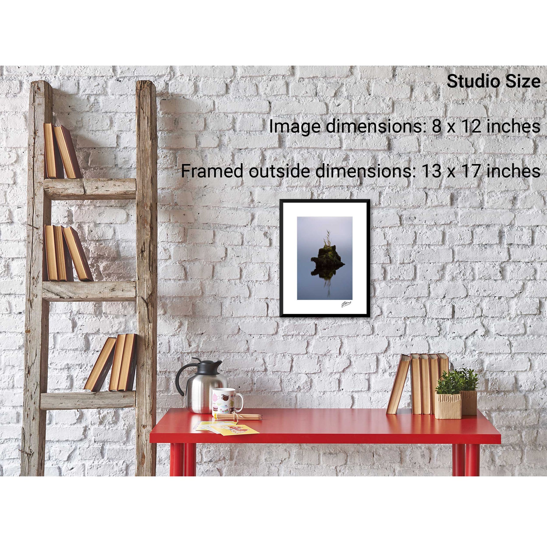
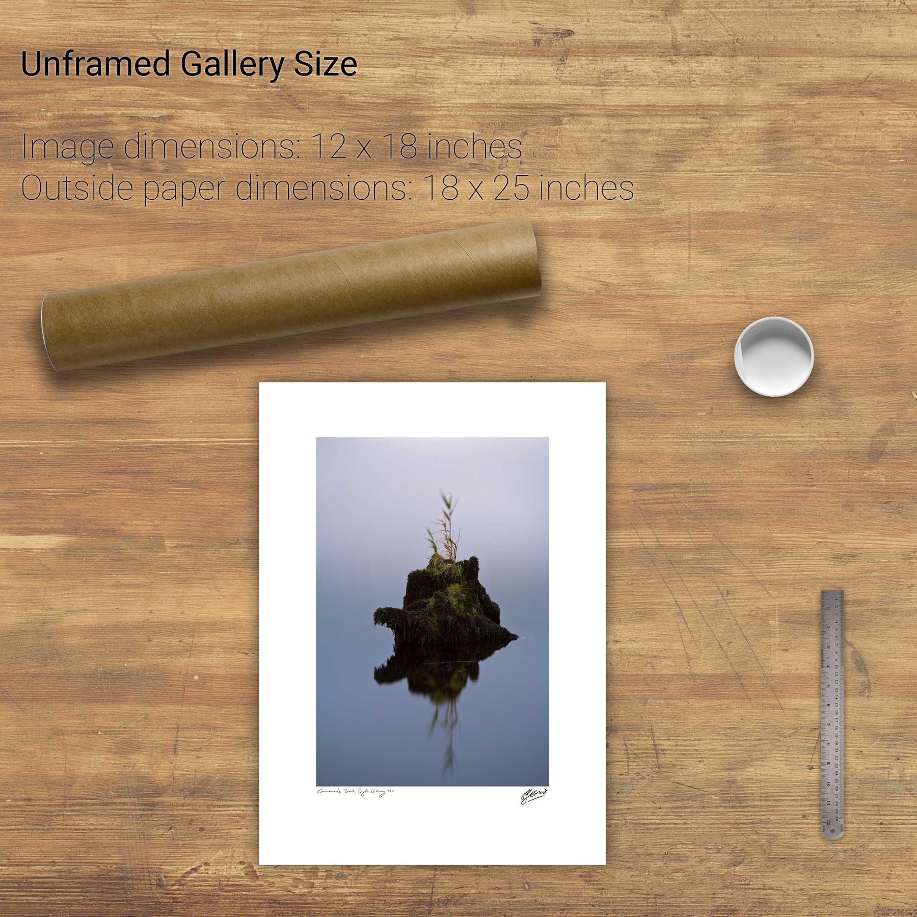
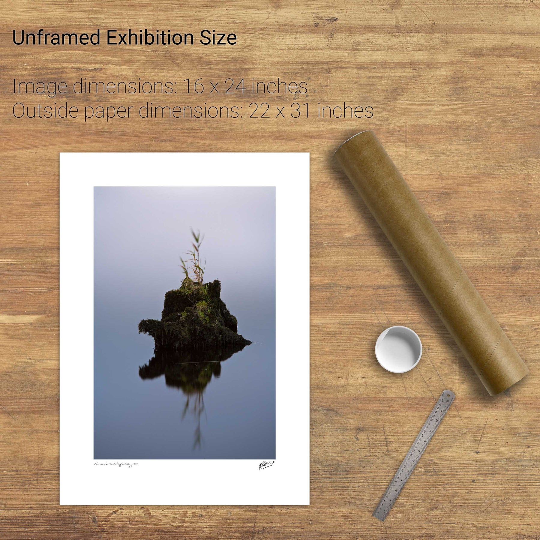
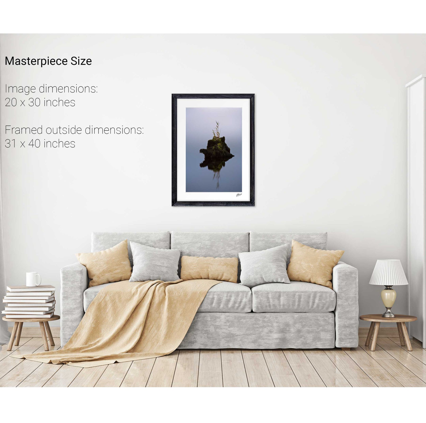
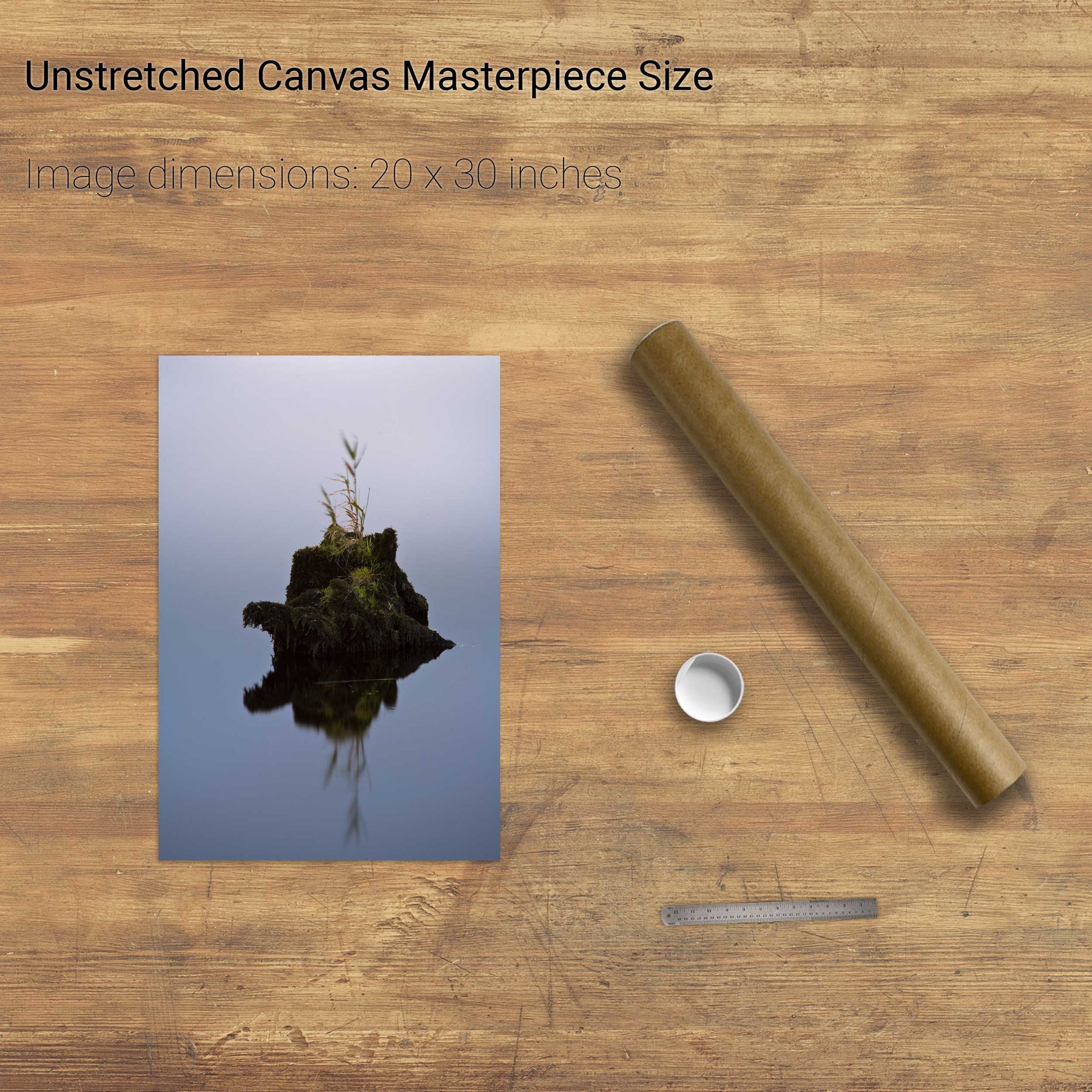
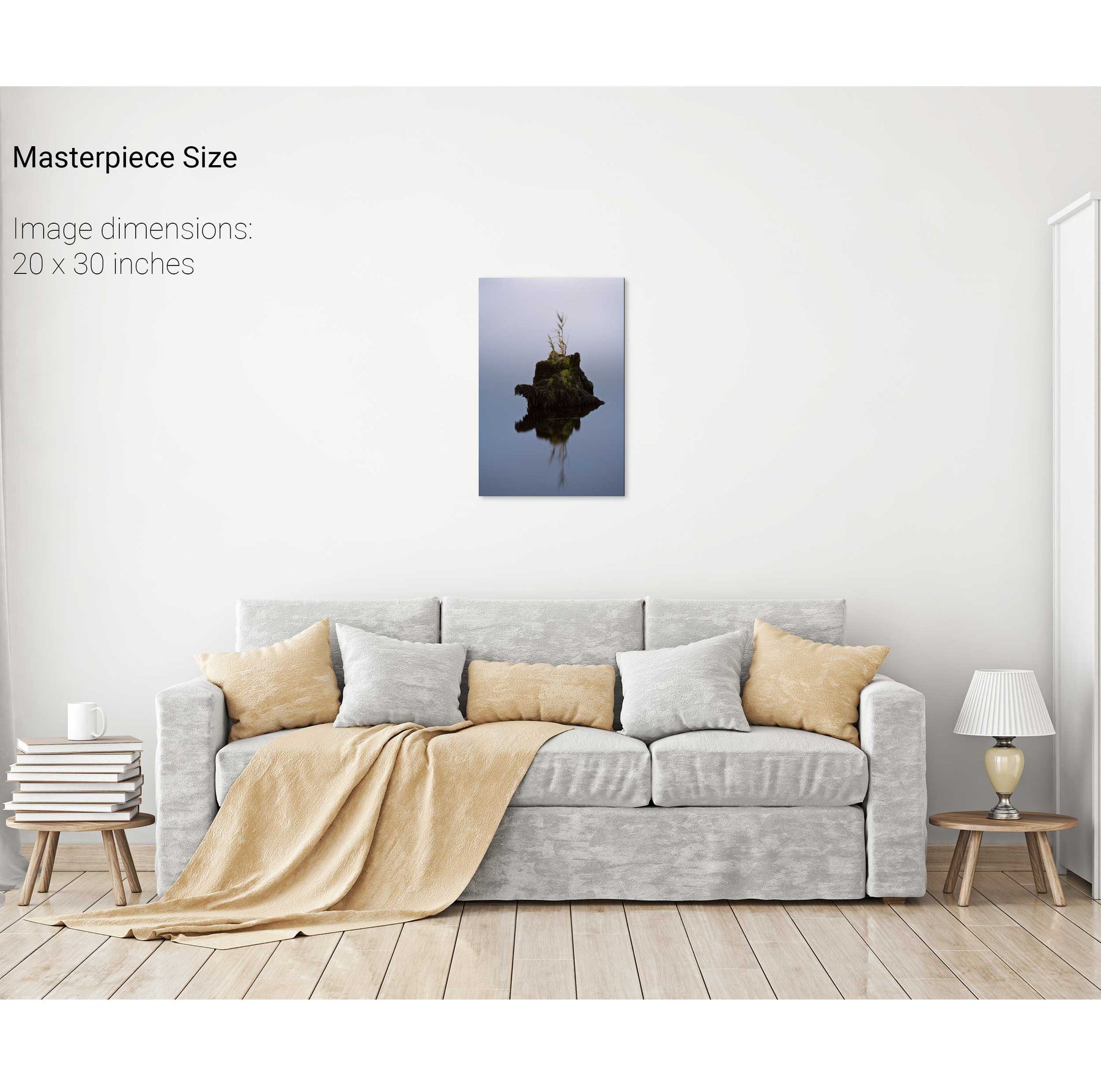
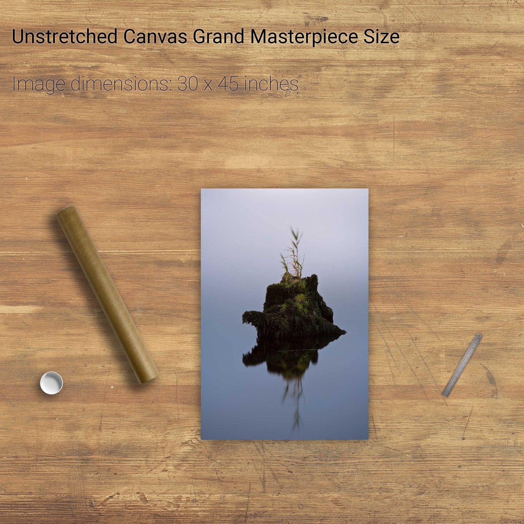
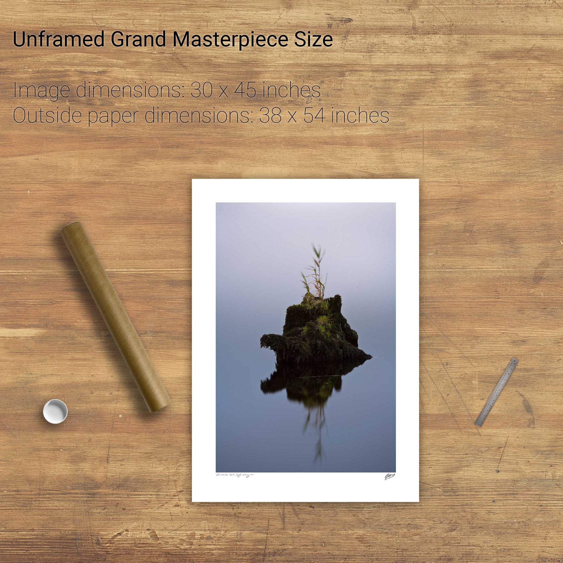
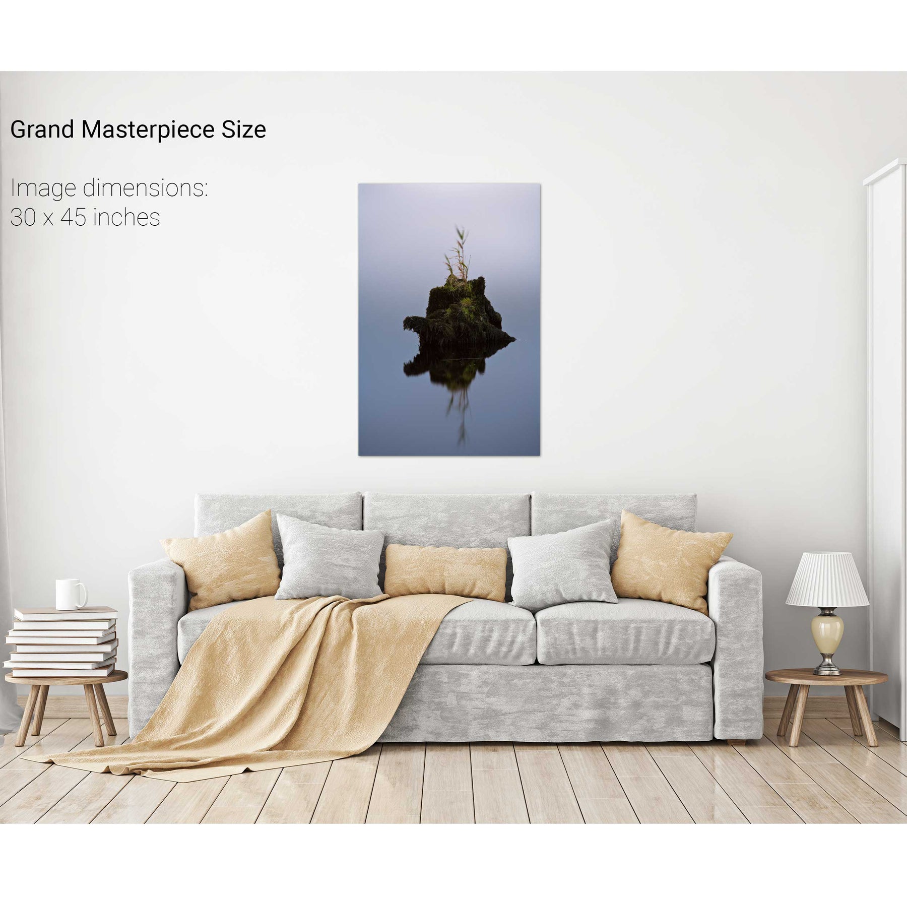
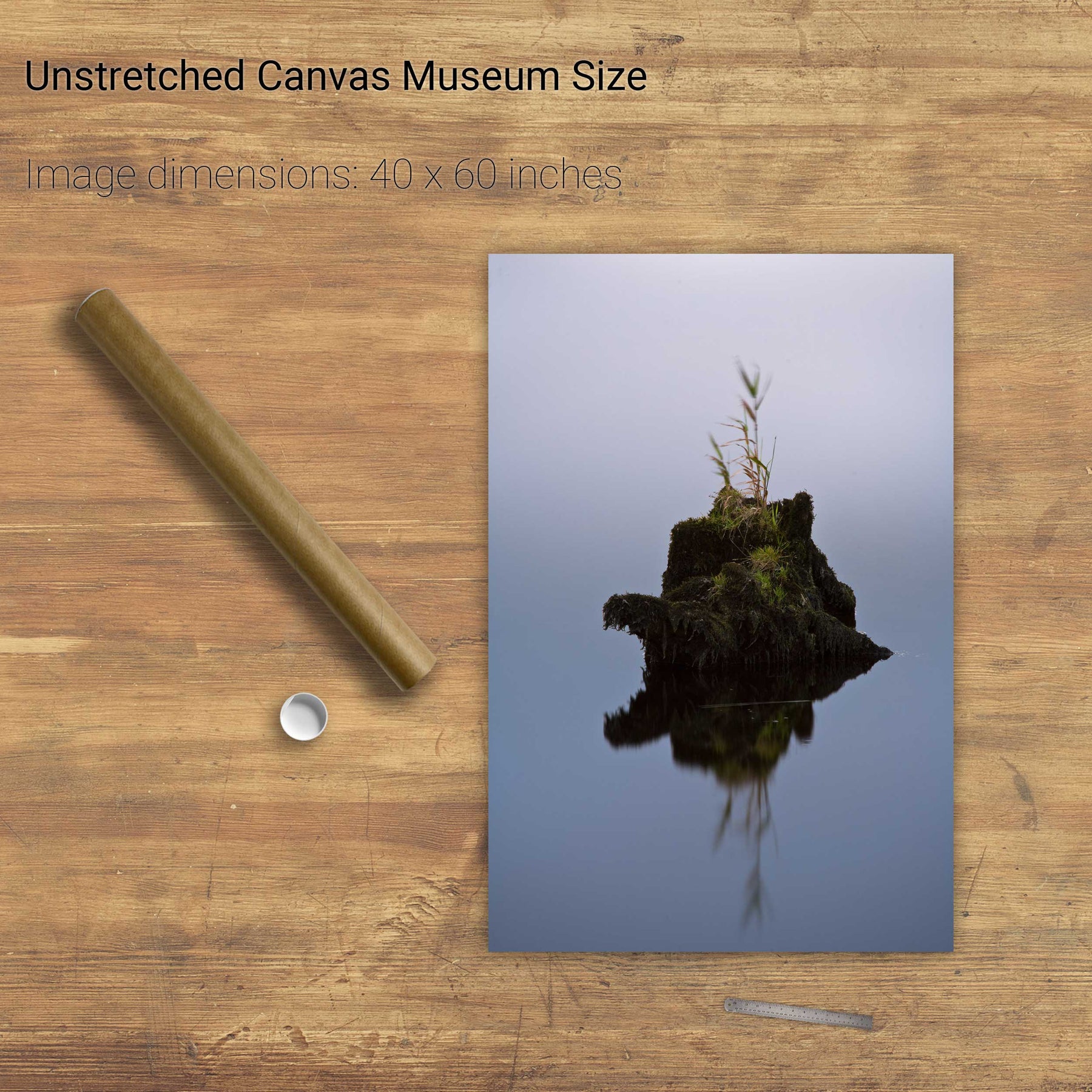
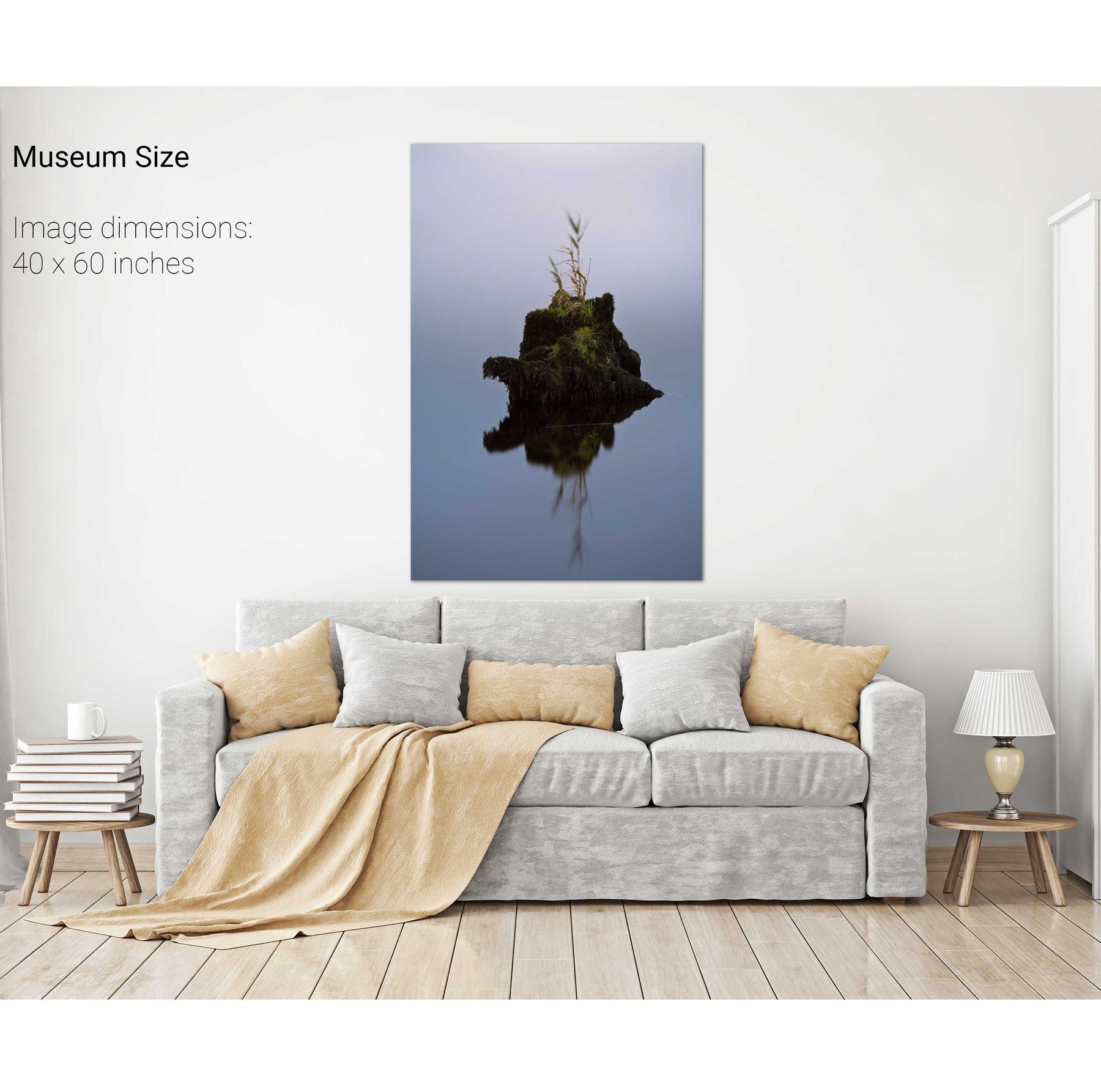
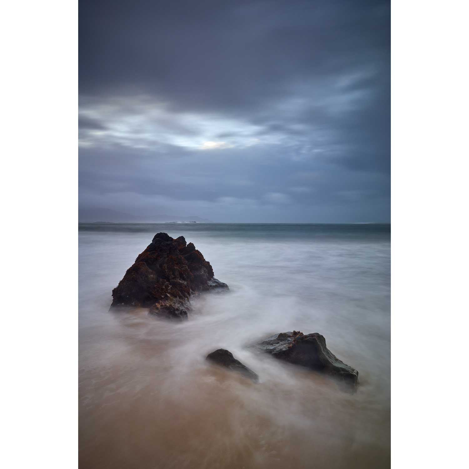
The Gearagh, Co. Cork


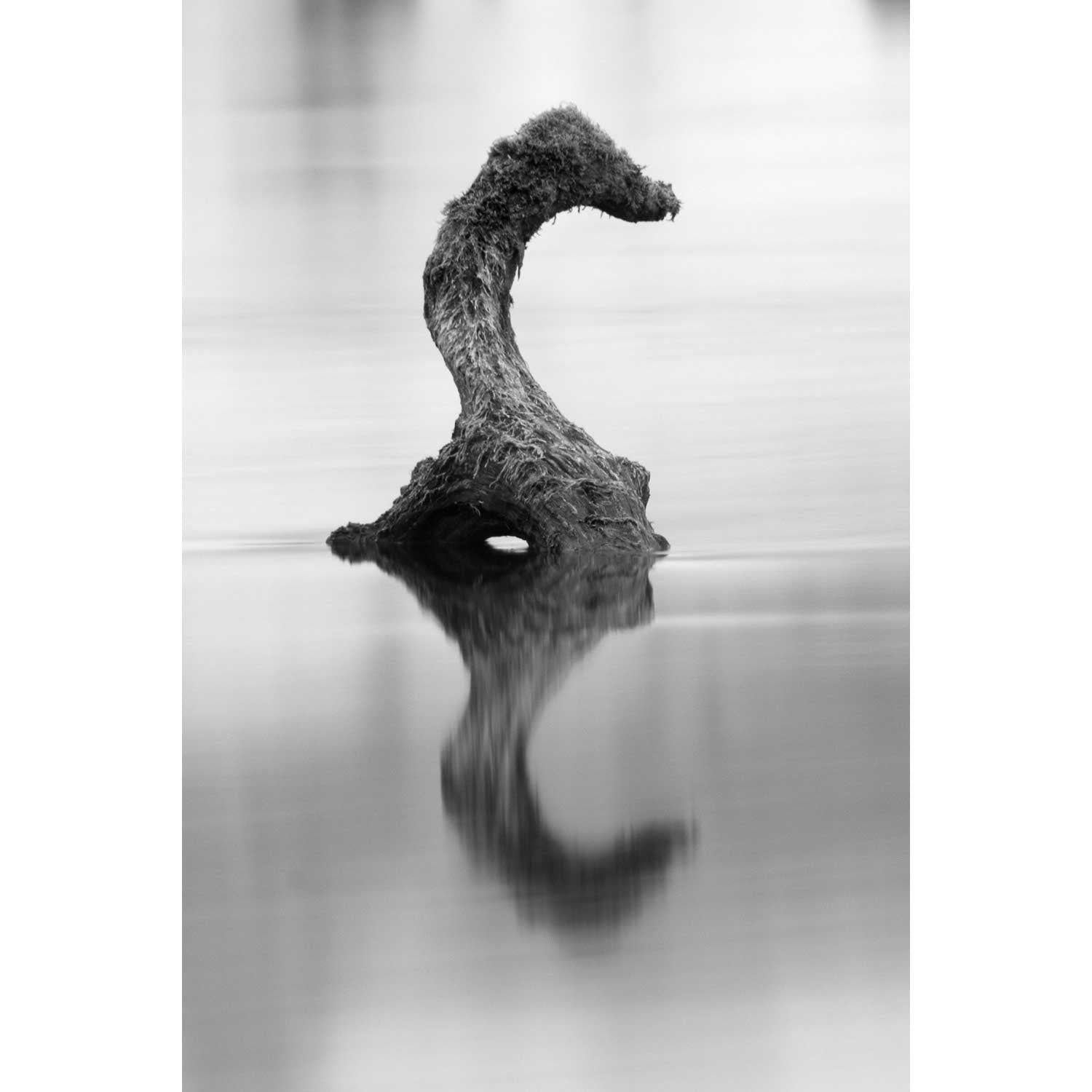
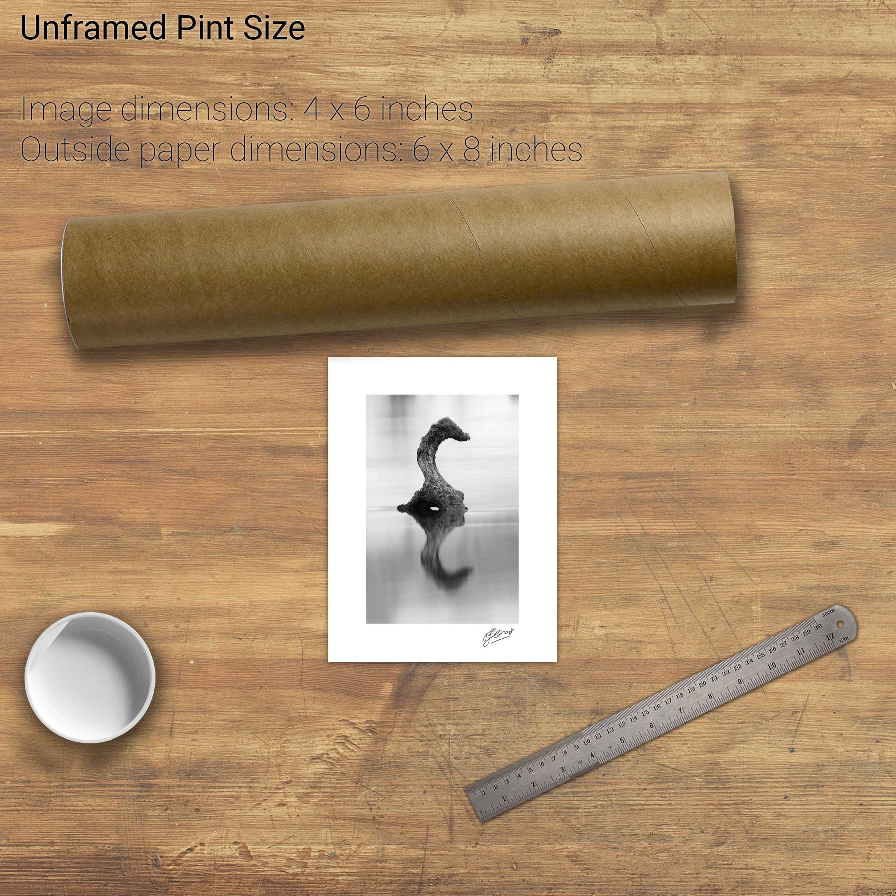
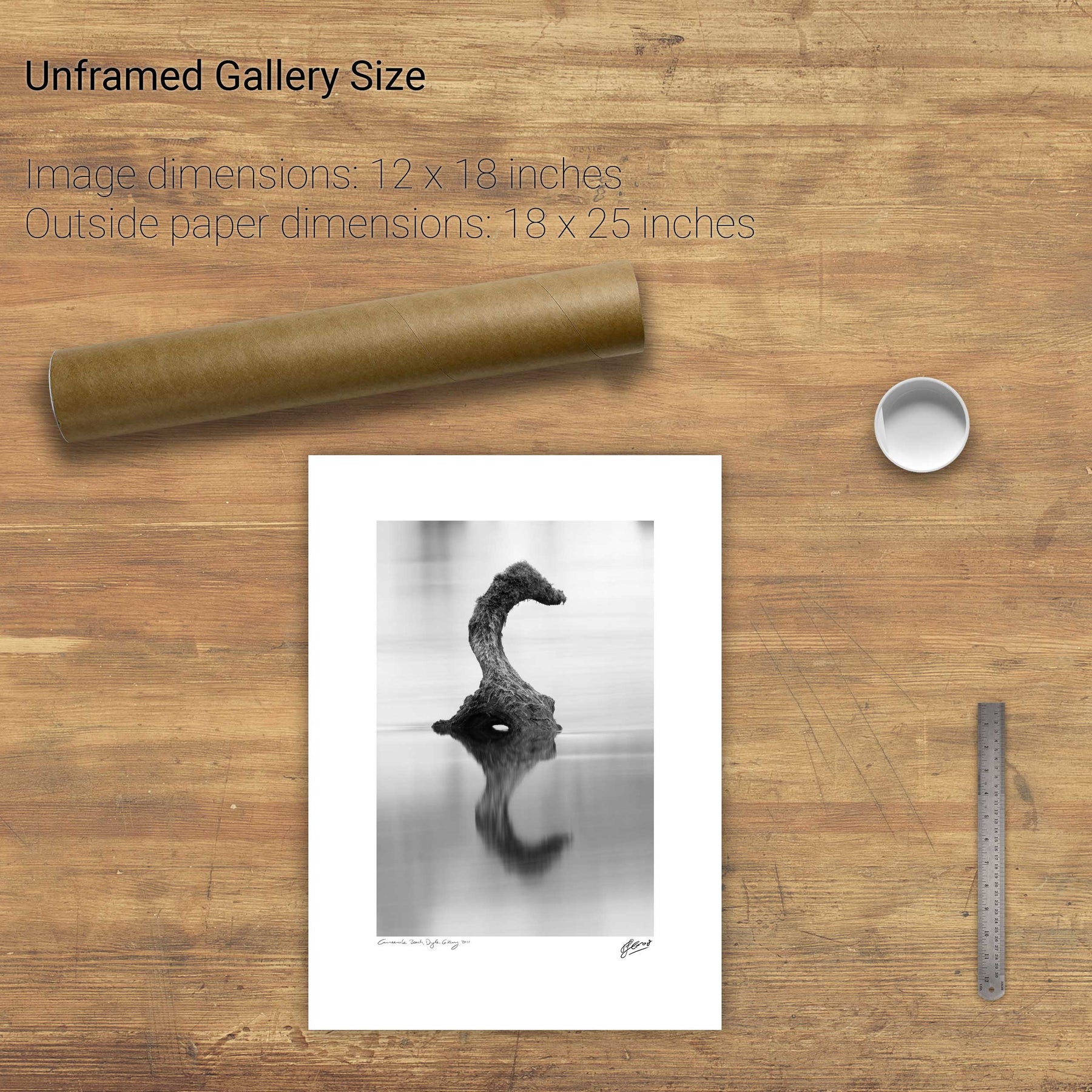
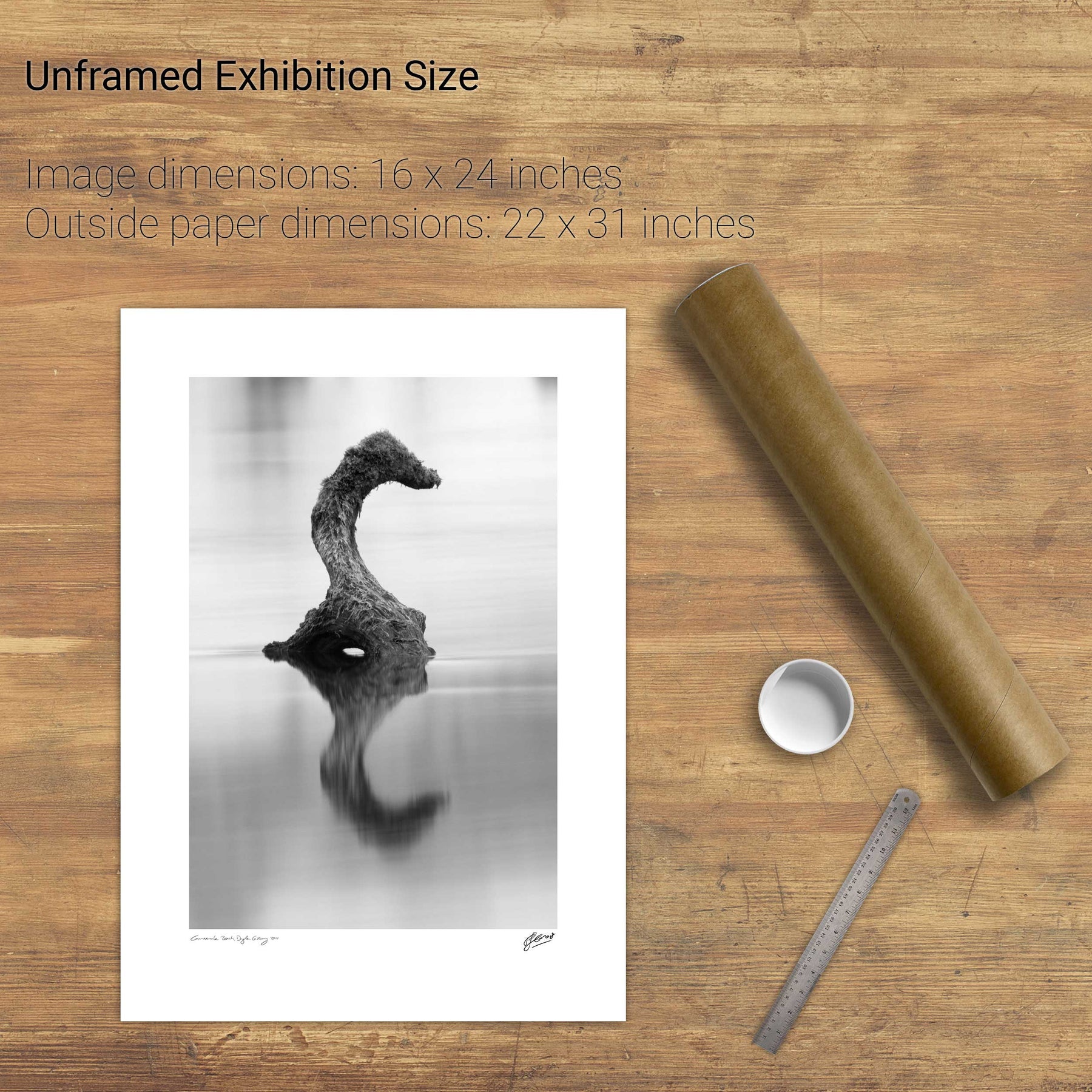
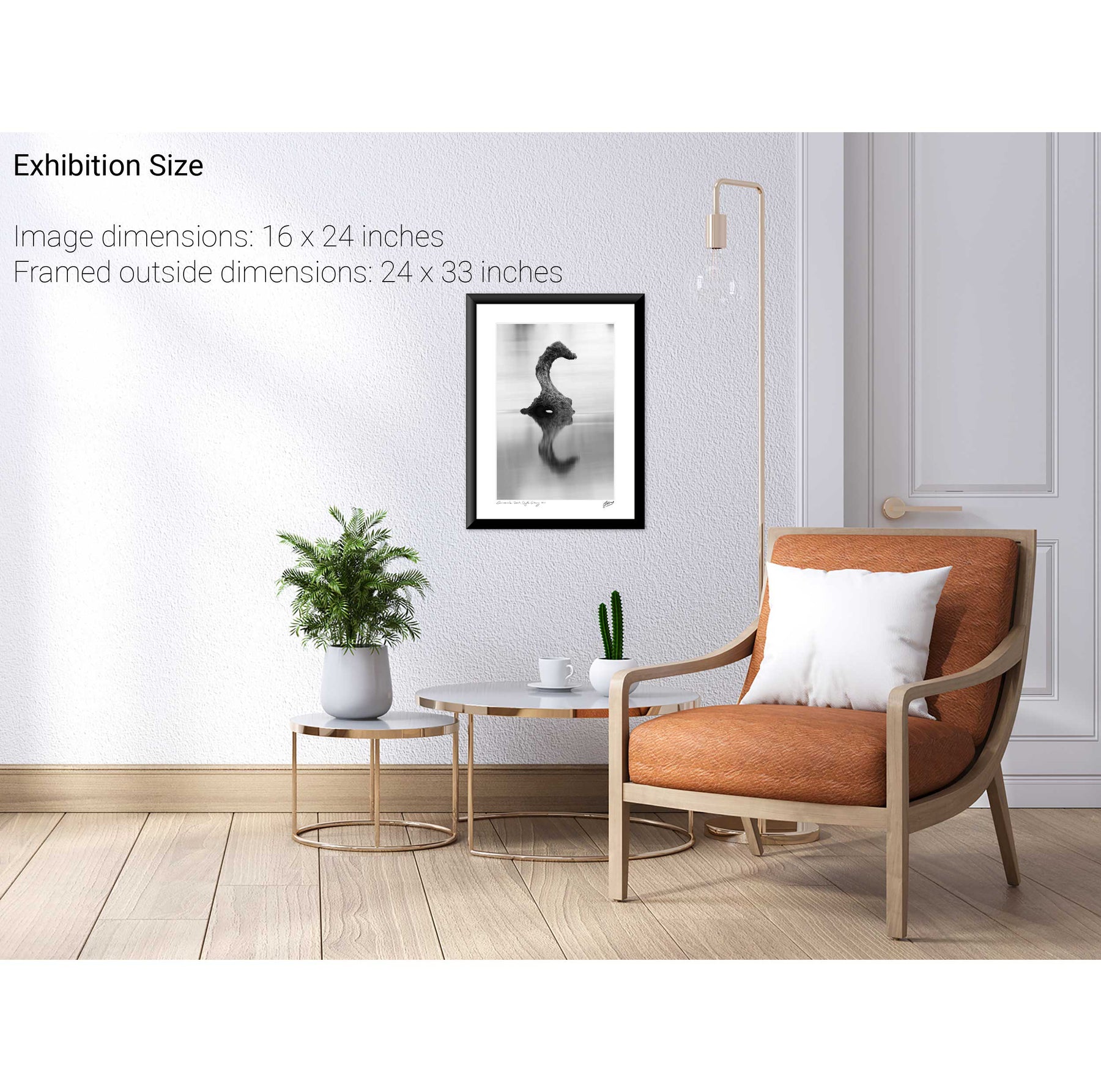
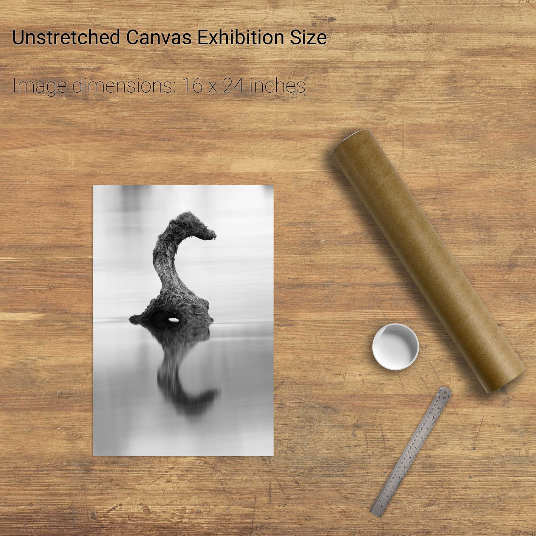
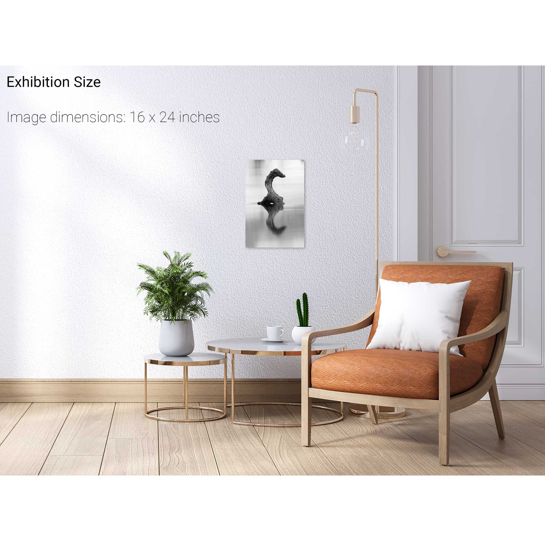
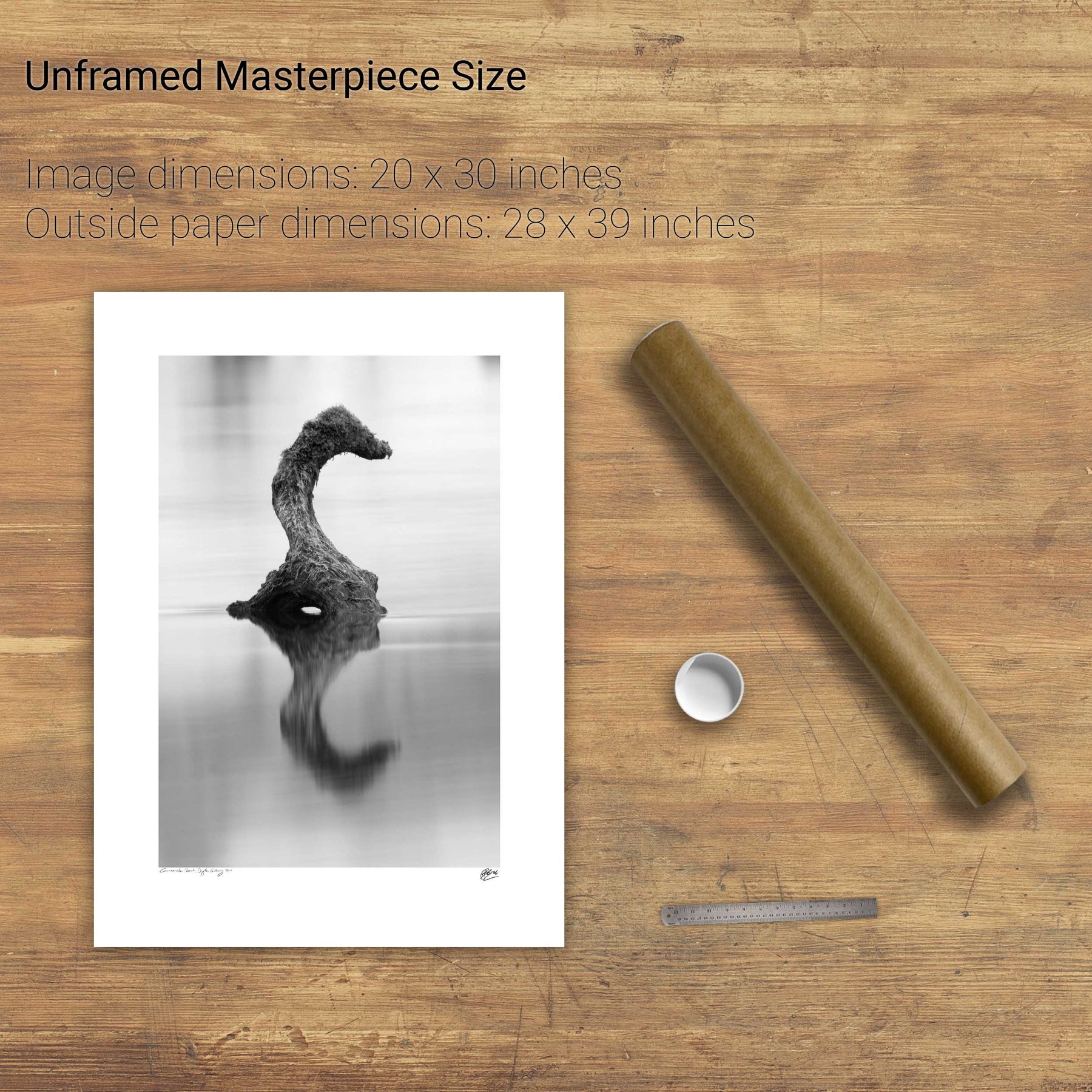
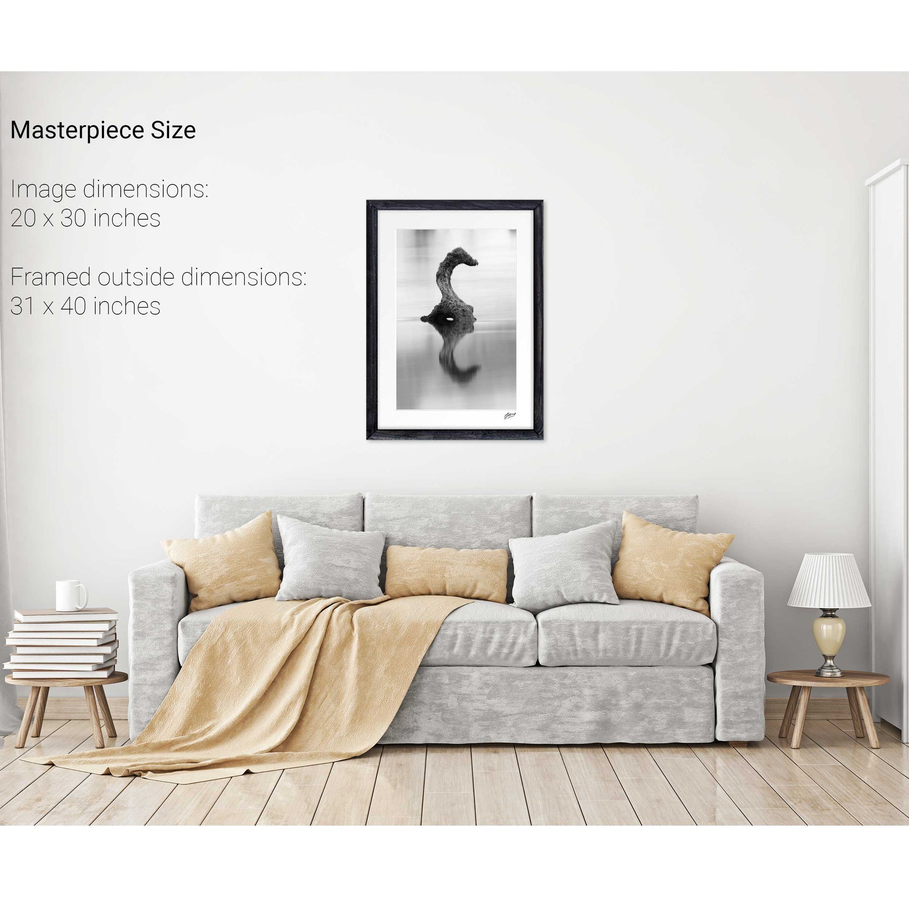
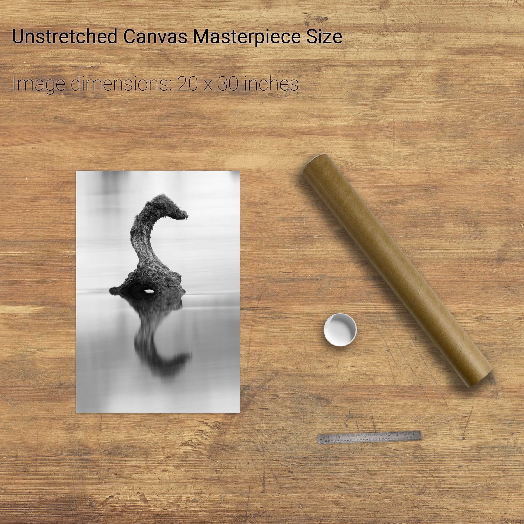
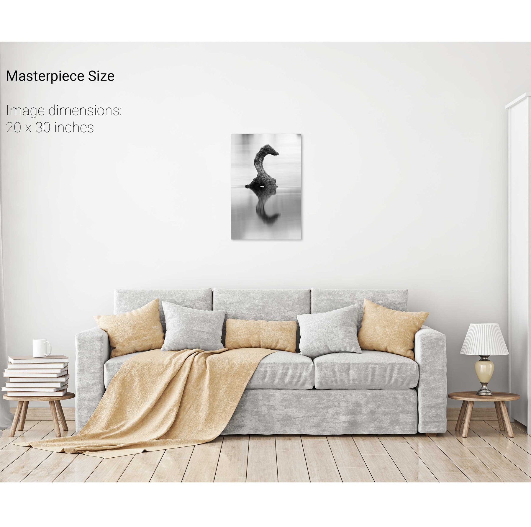
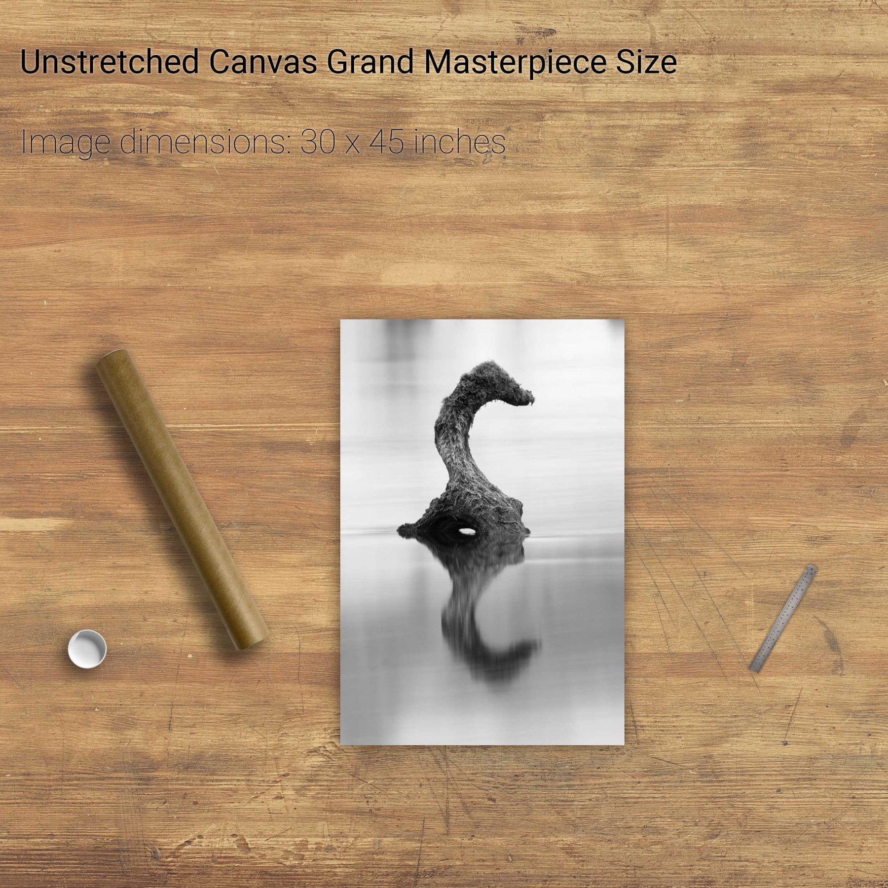
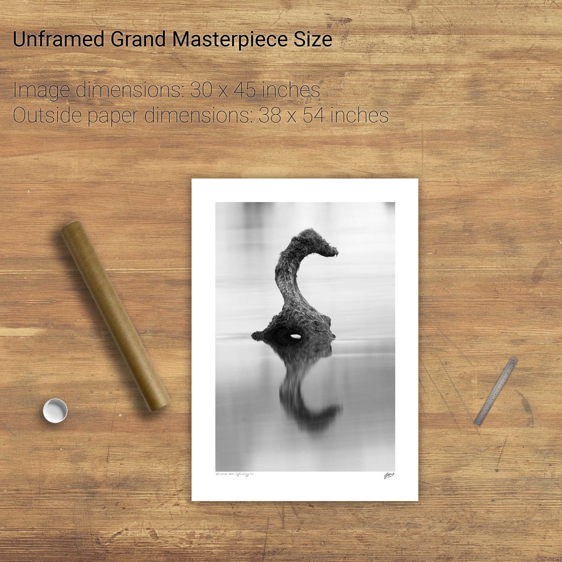
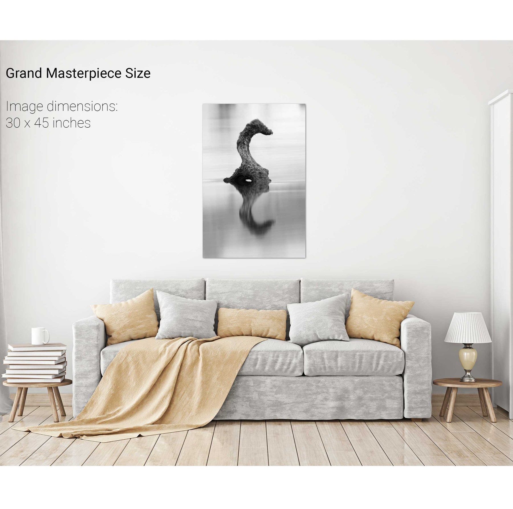
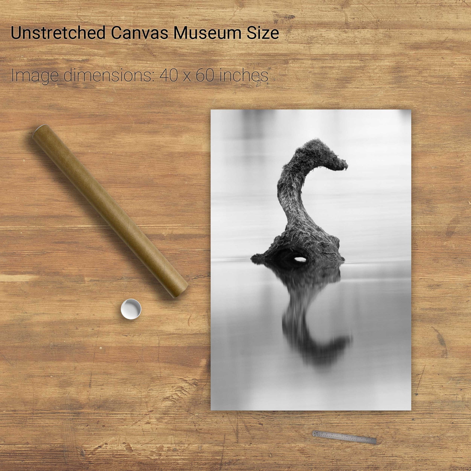
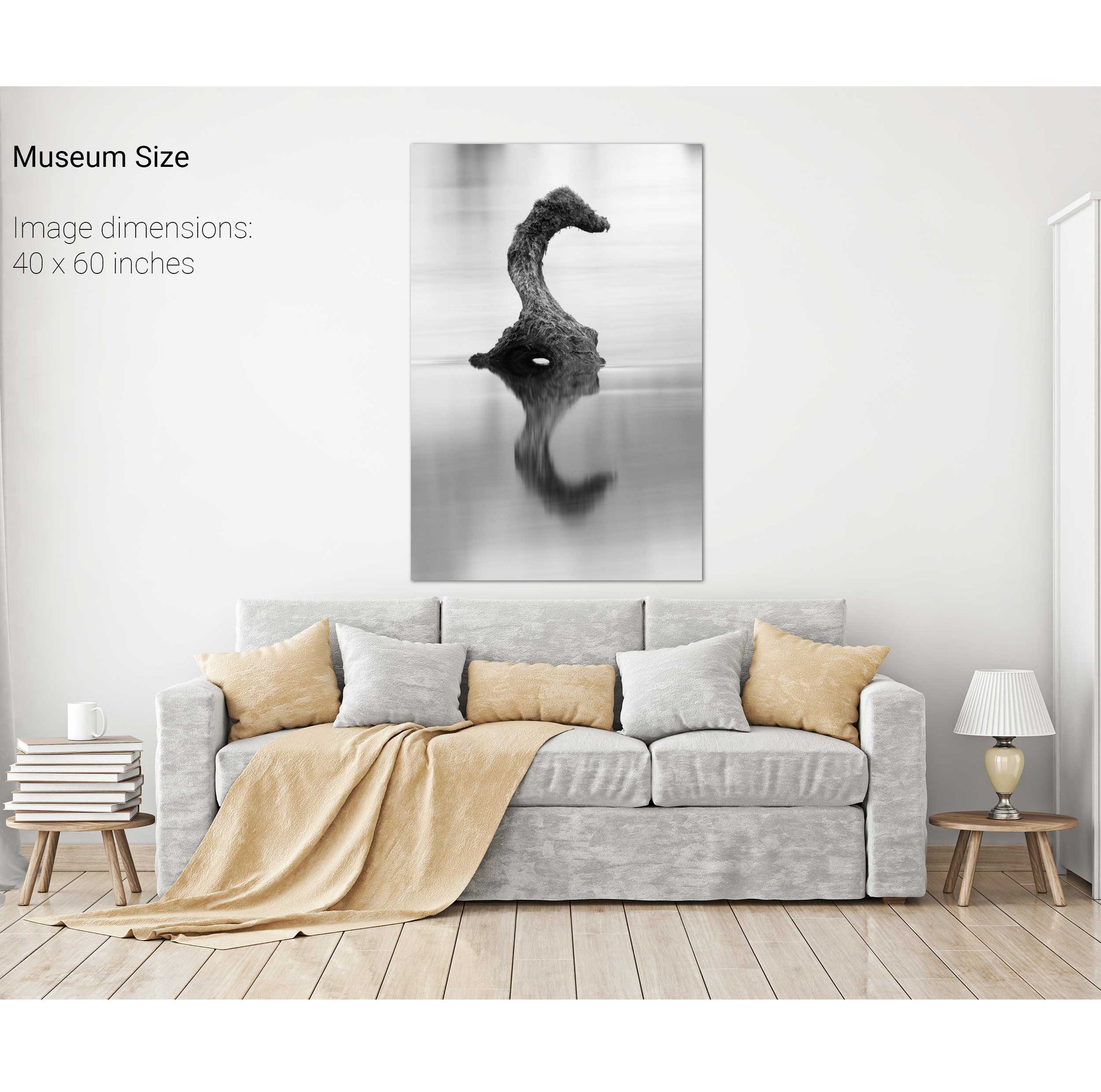
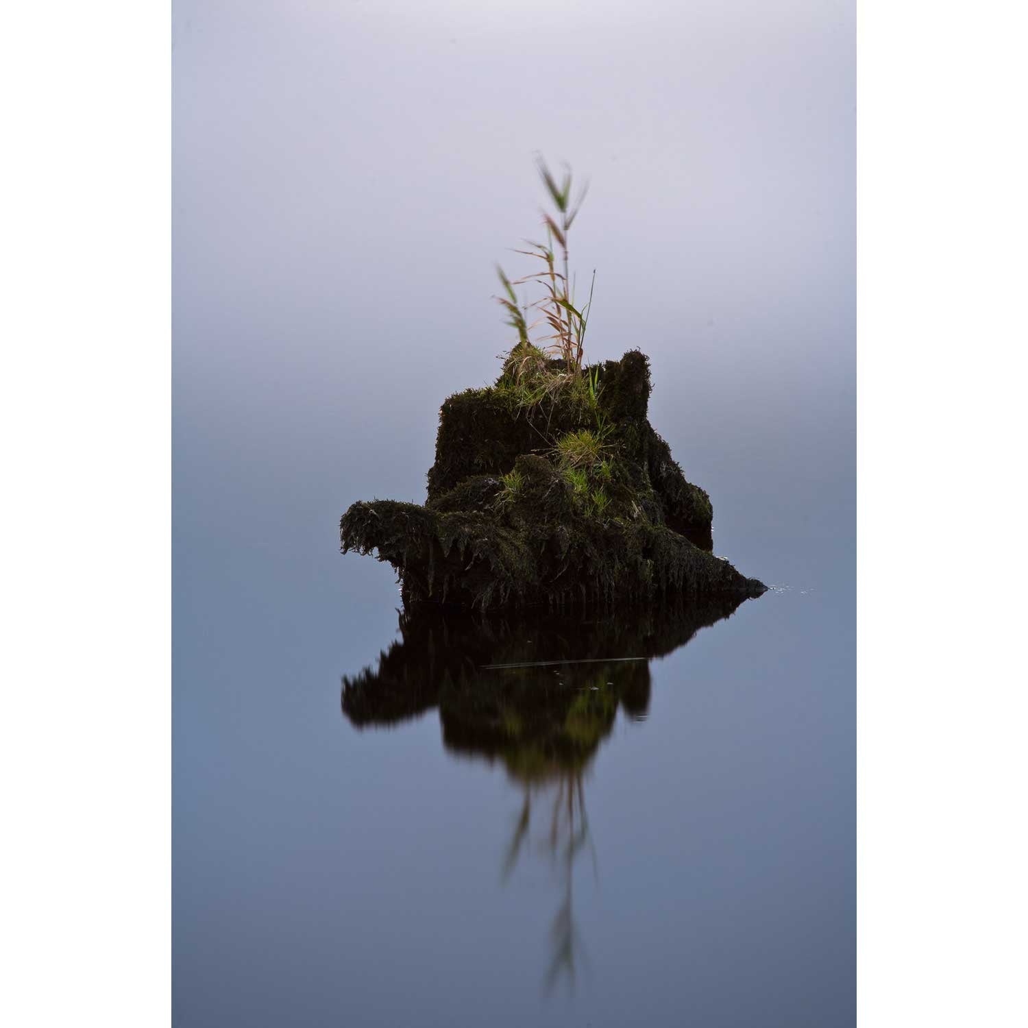
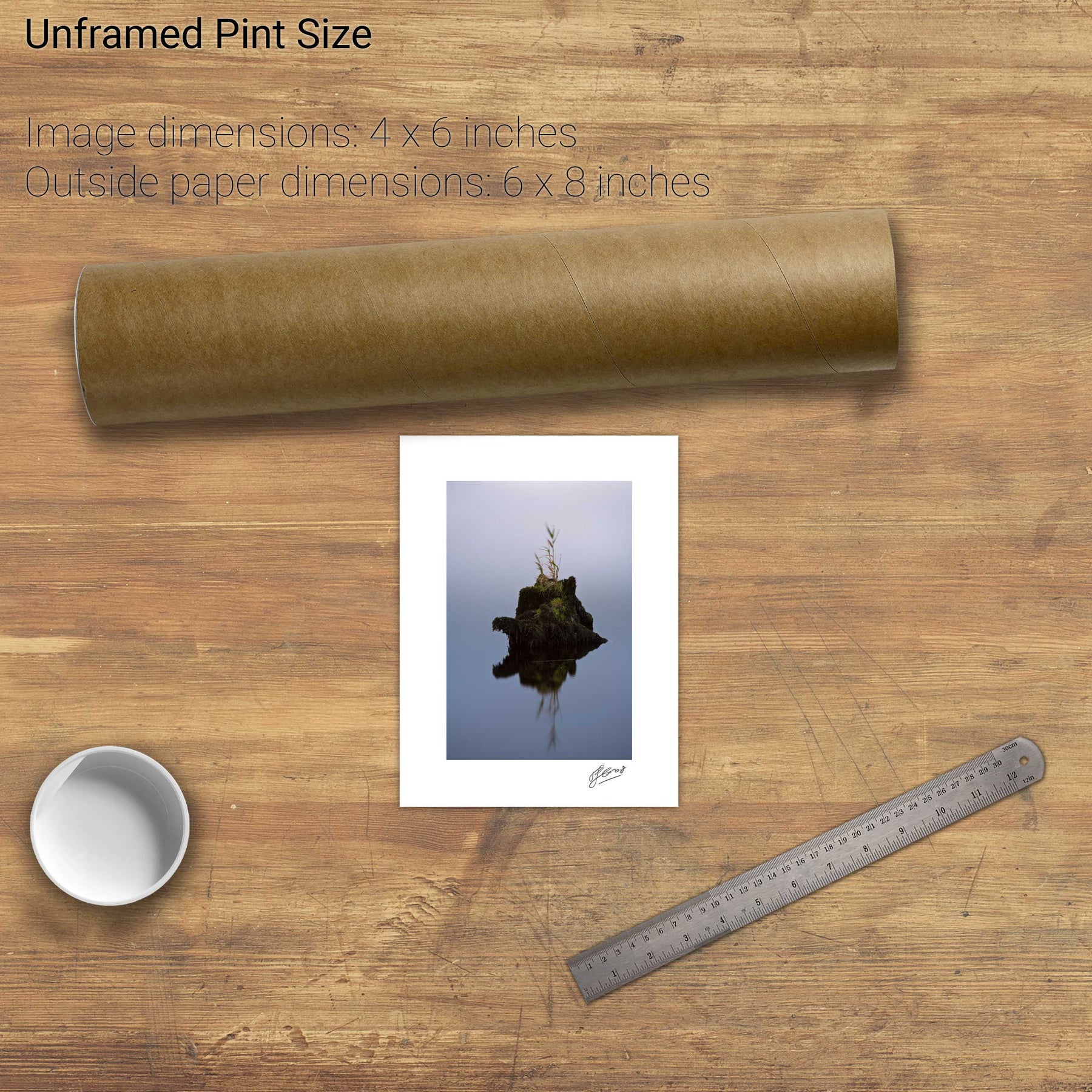
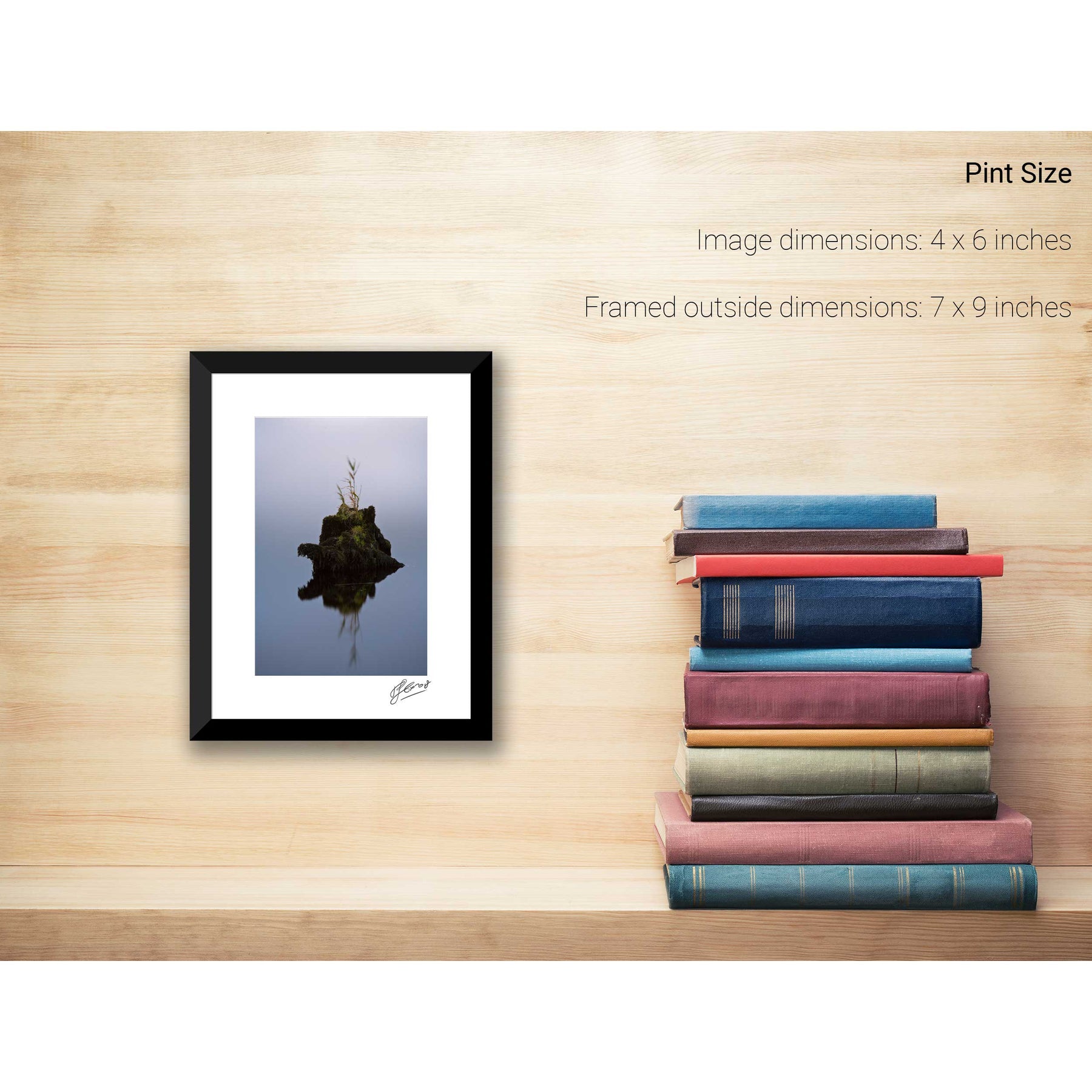
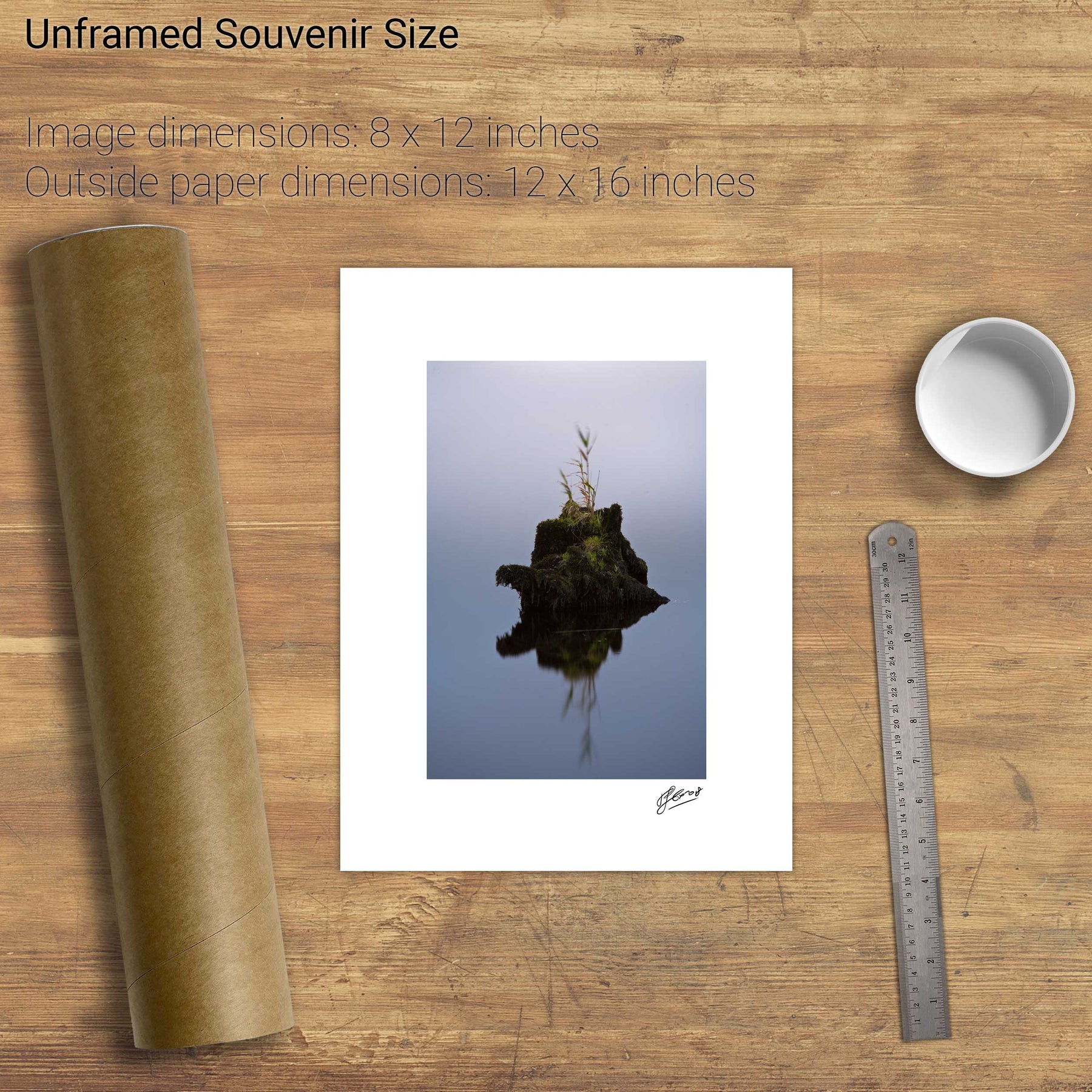
Gearagh Waterhorse, Co. Cork


Dursey Island, the Cow and the Calf, Co. Cork


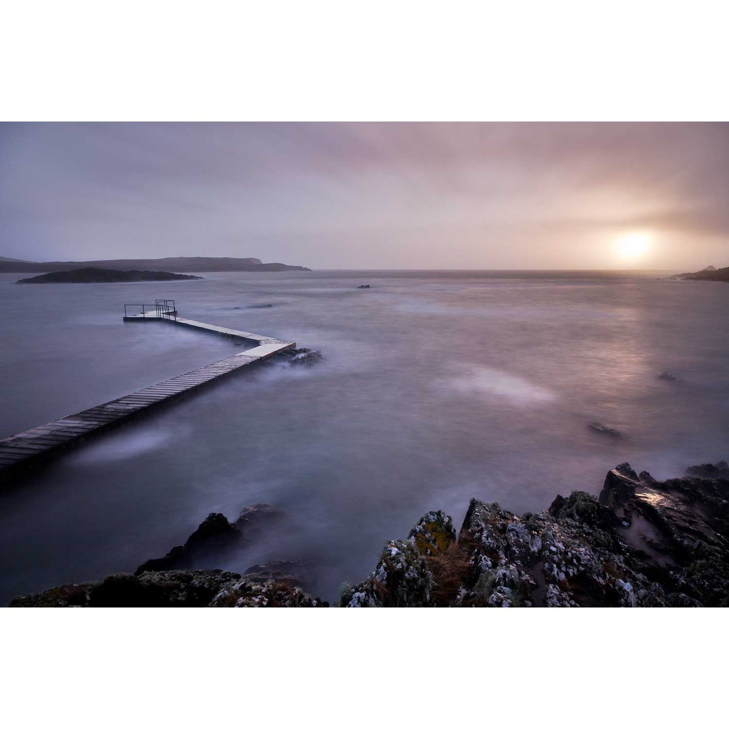
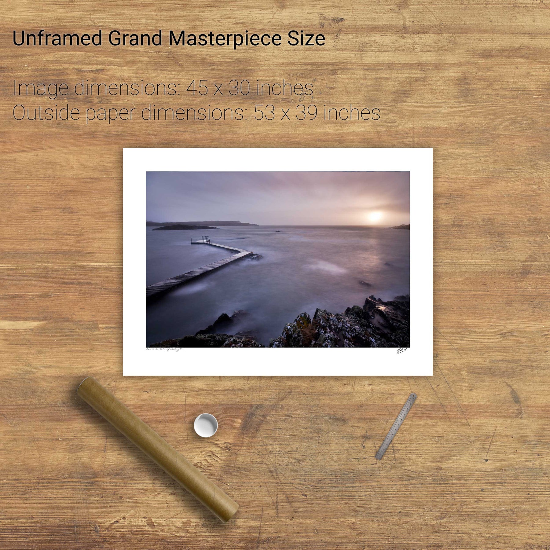
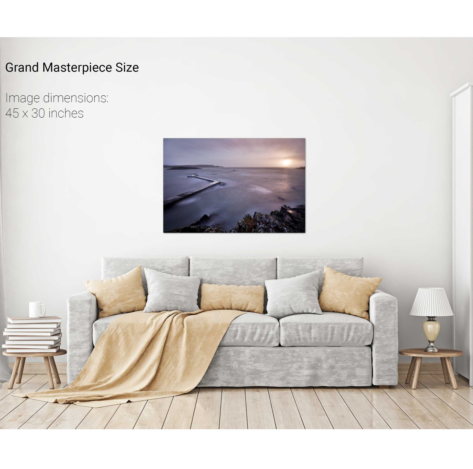
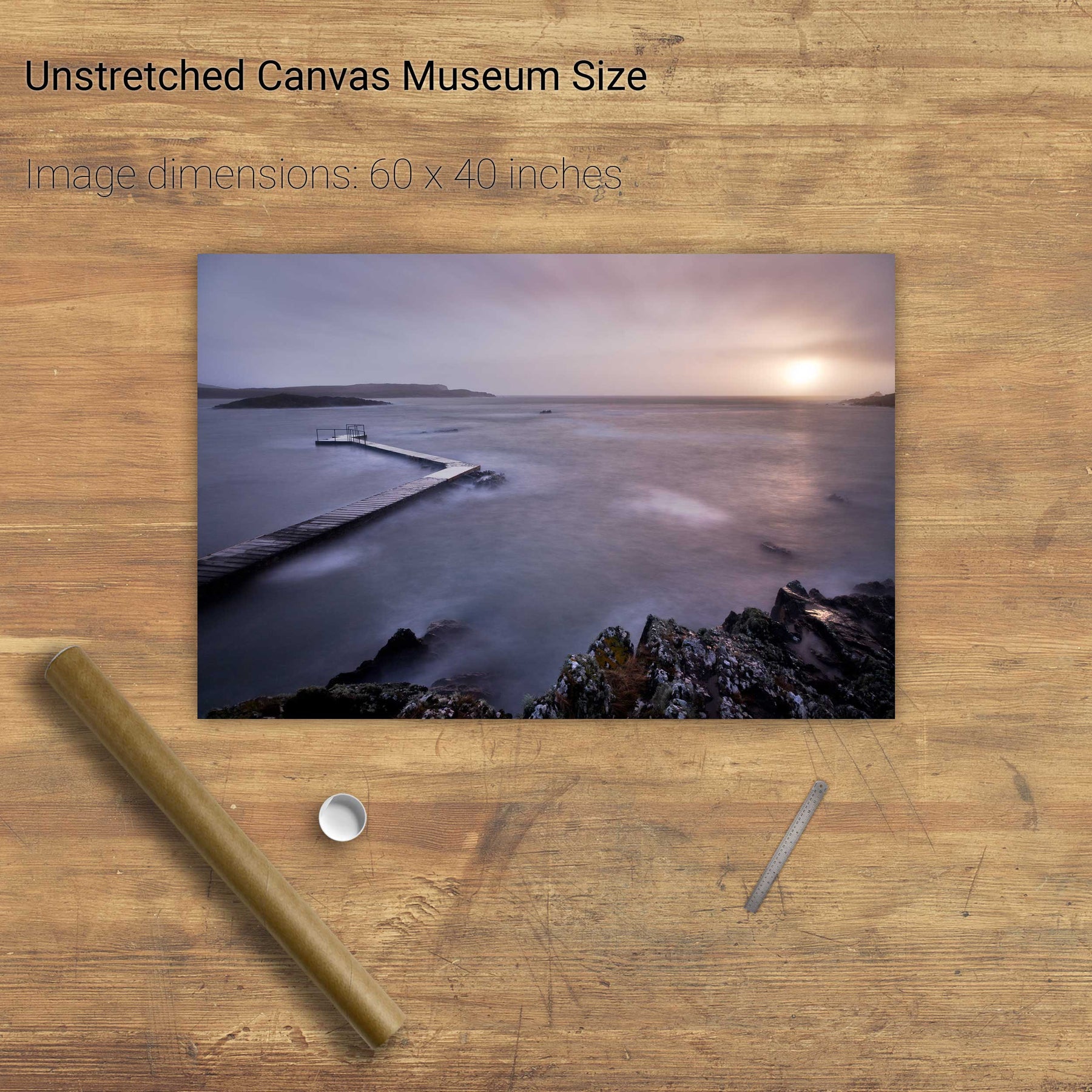
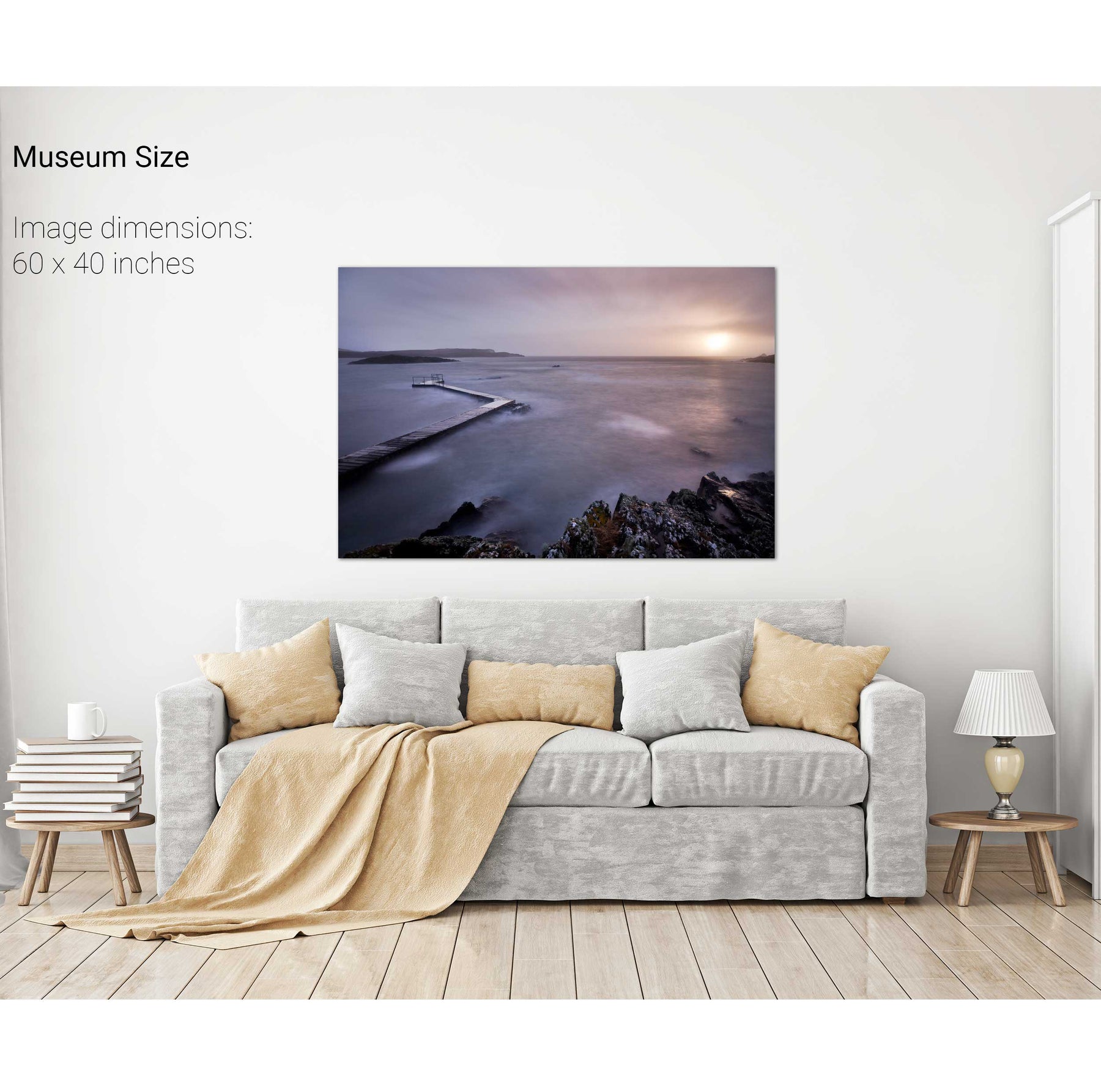
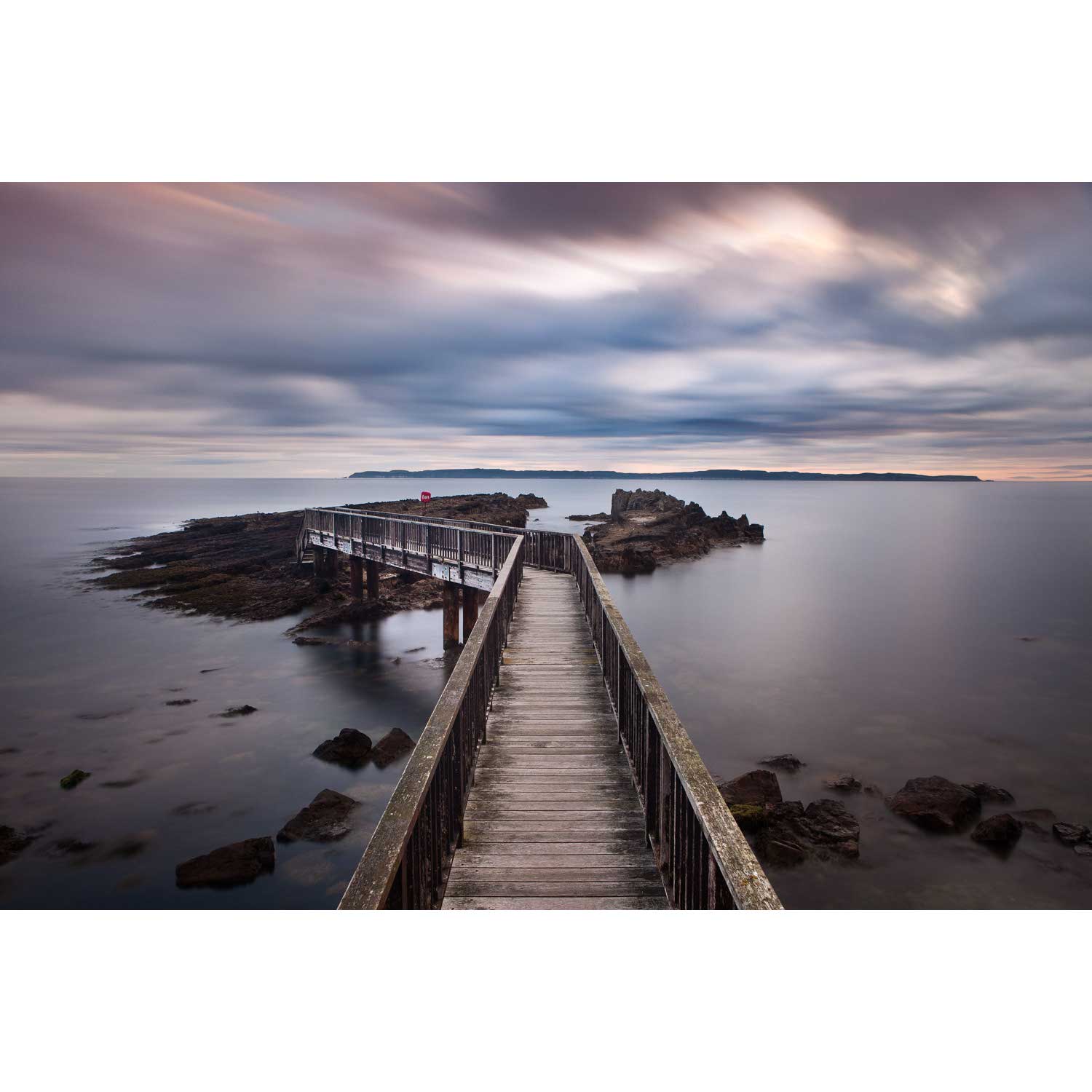
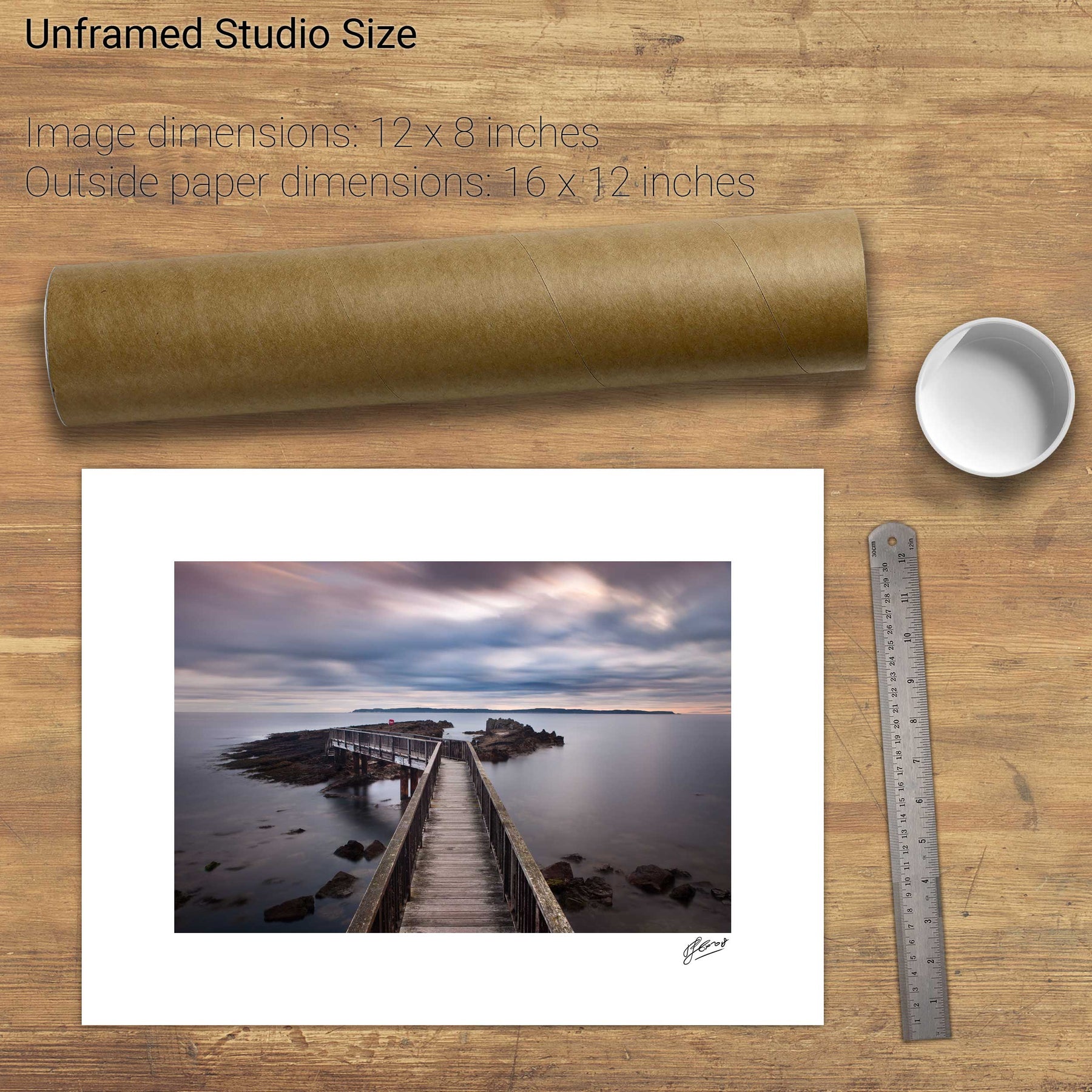
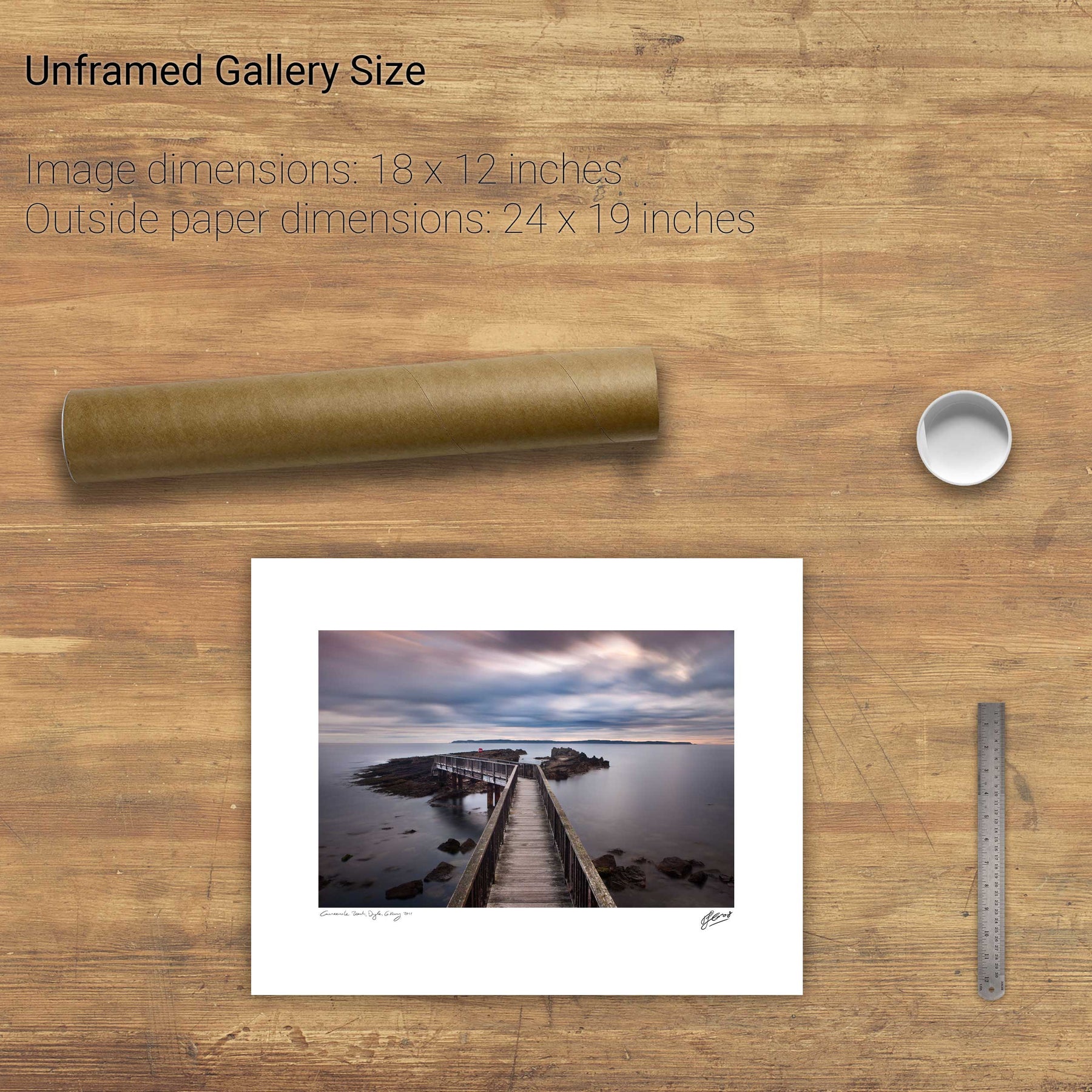
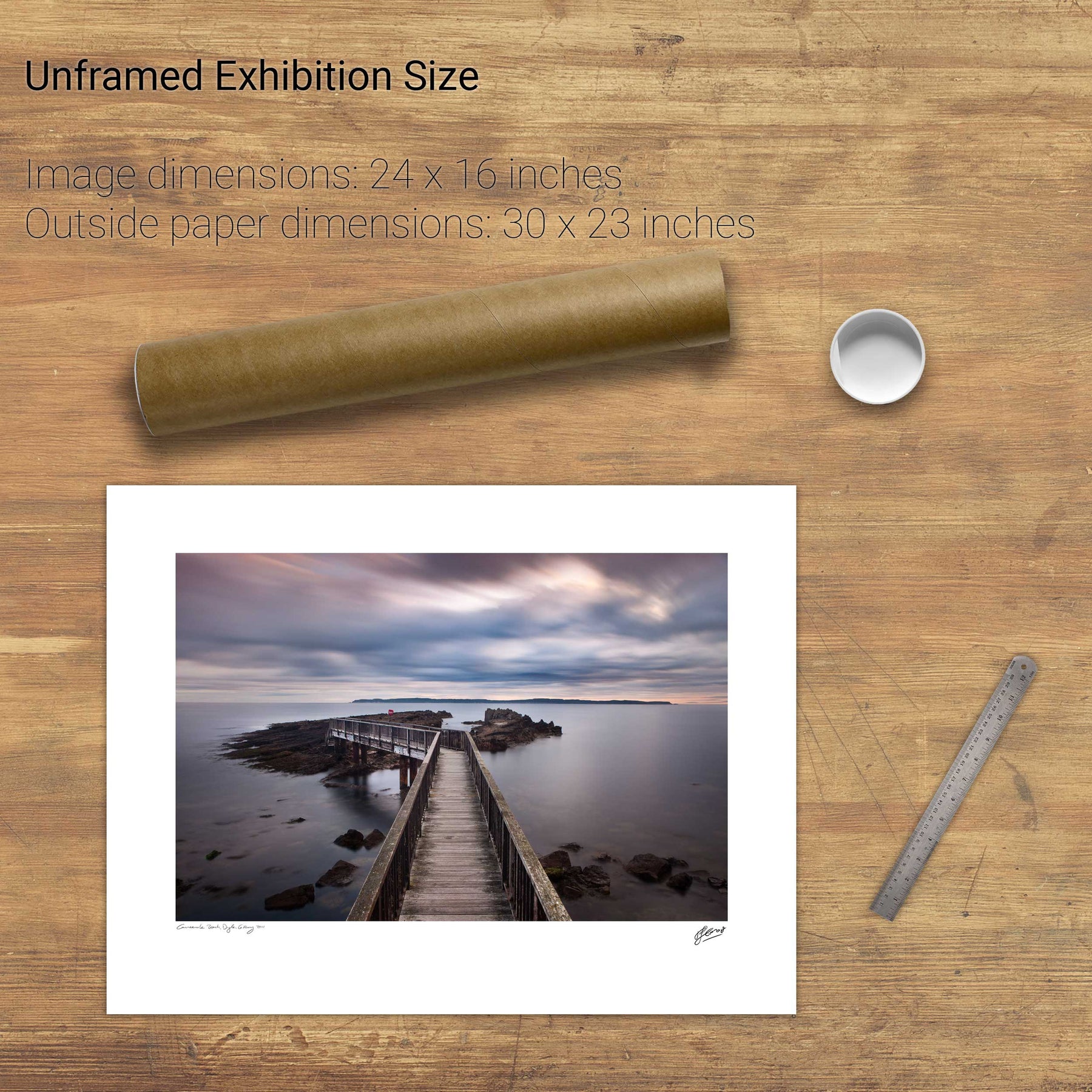
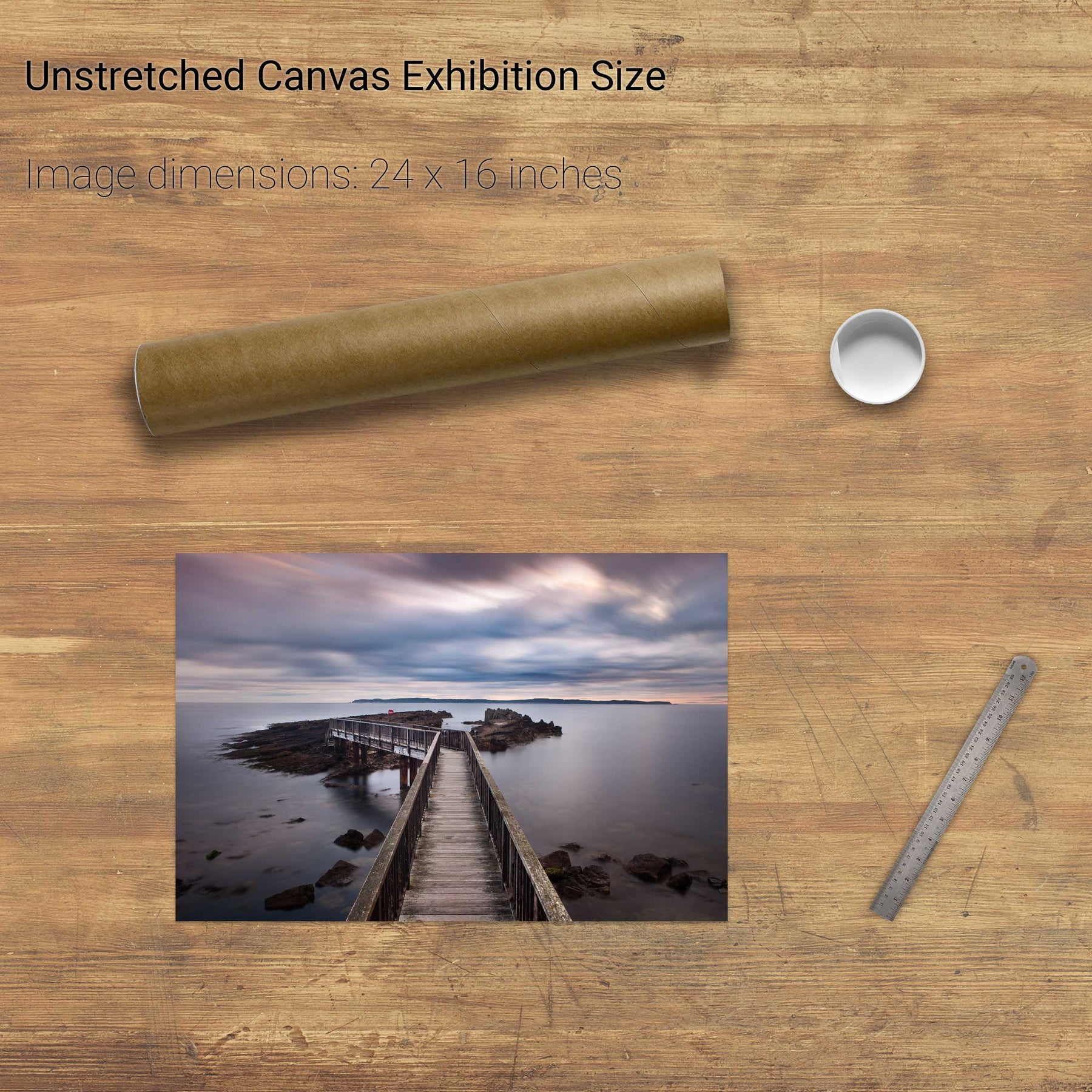
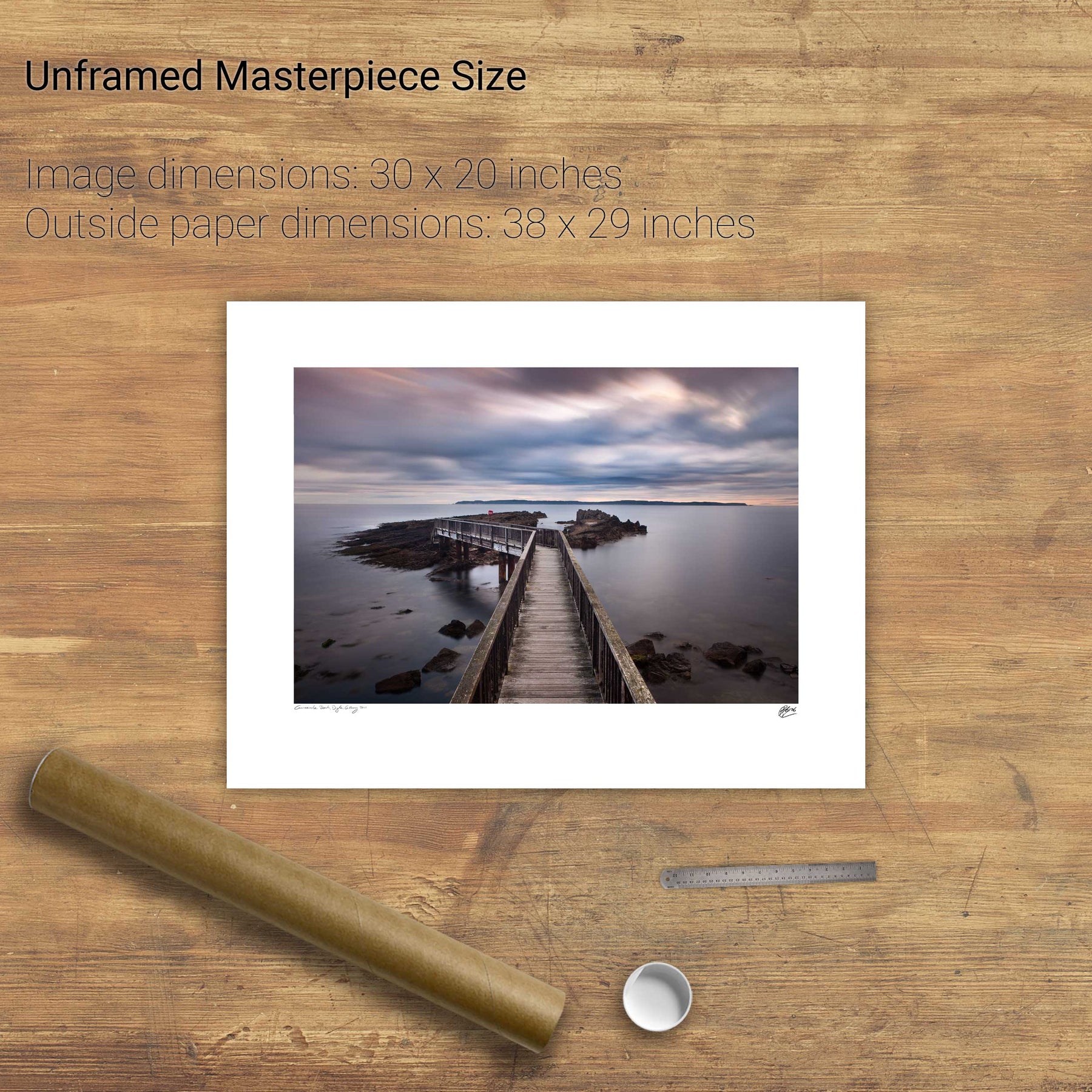
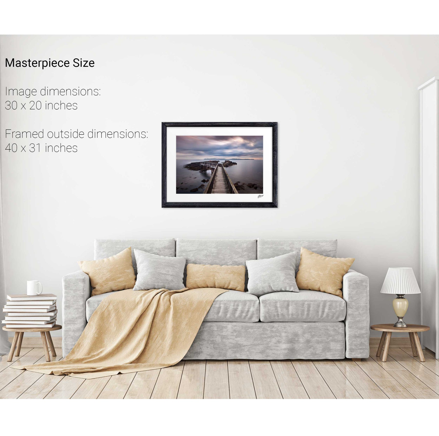
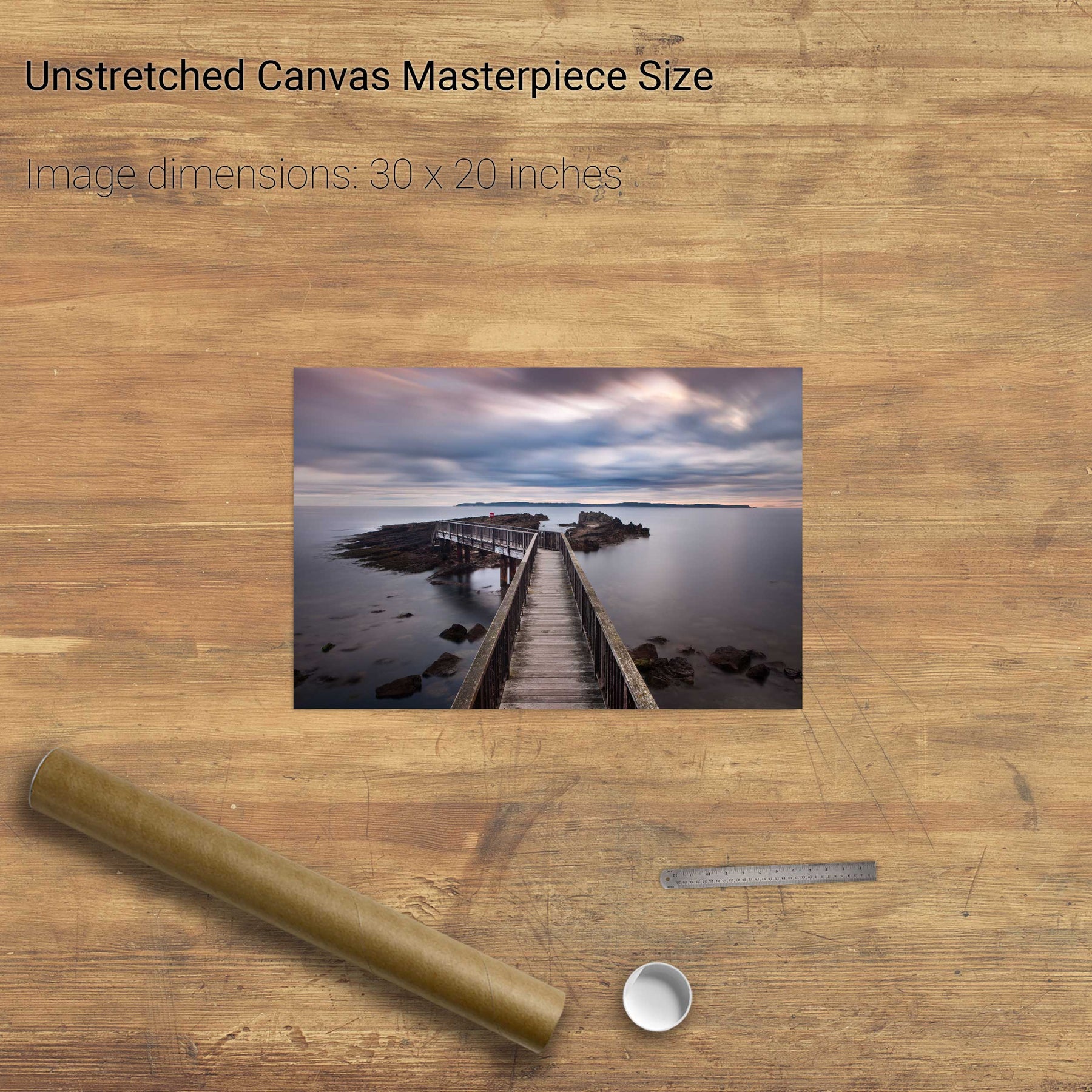
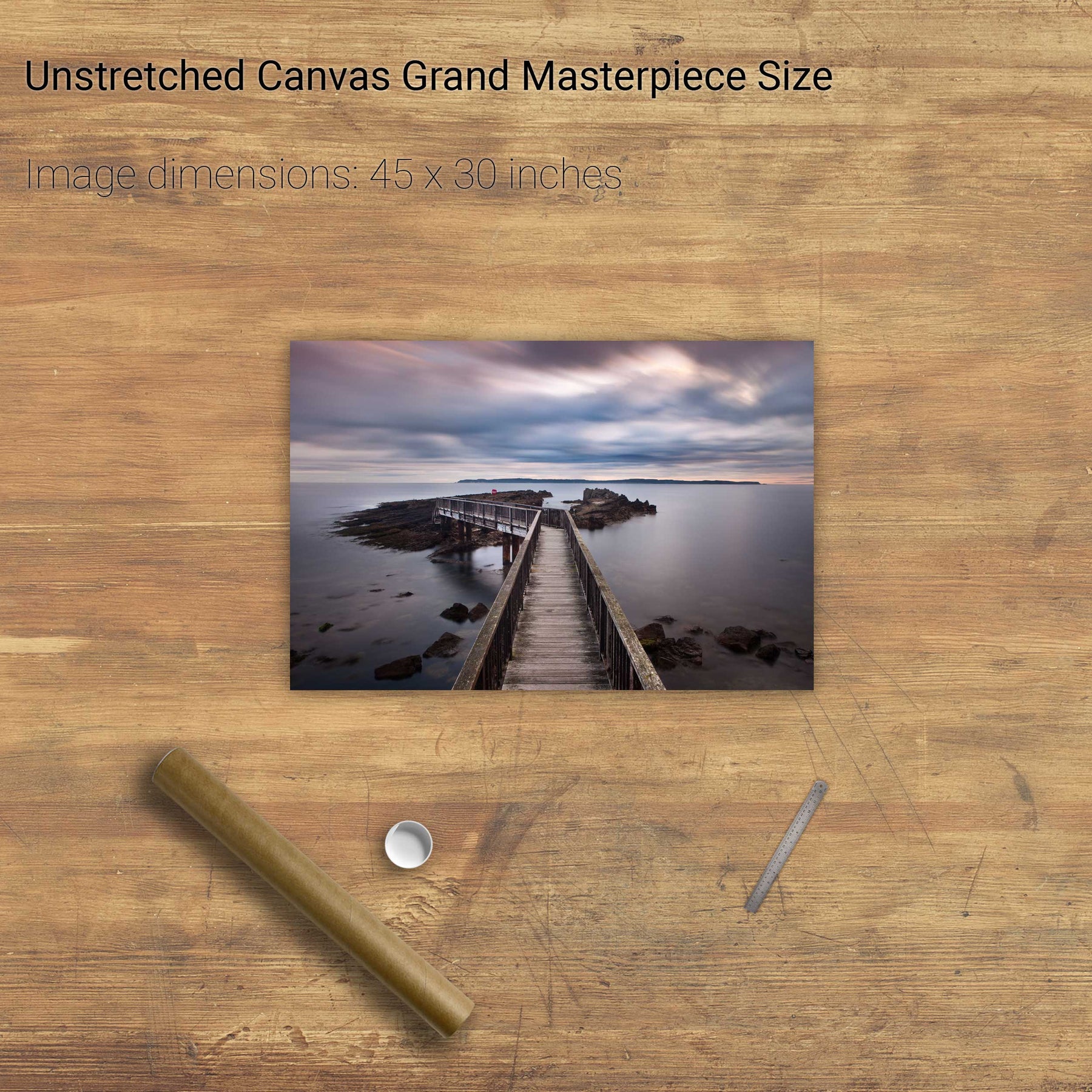
Lehanbeg Pier, Co. Cork


The Gearagh, Co. Cork


Keem Beach, Achill, Mayo


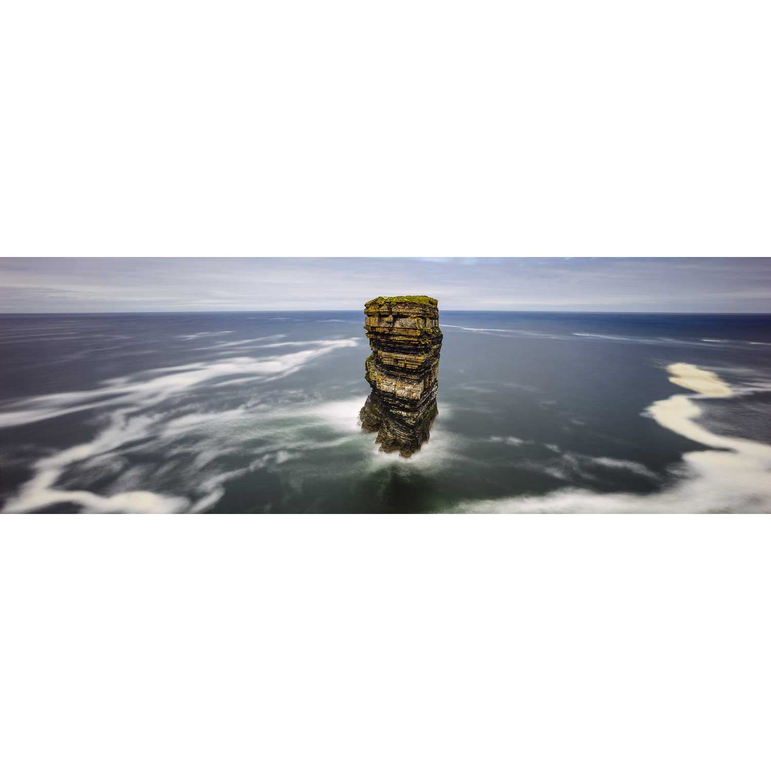
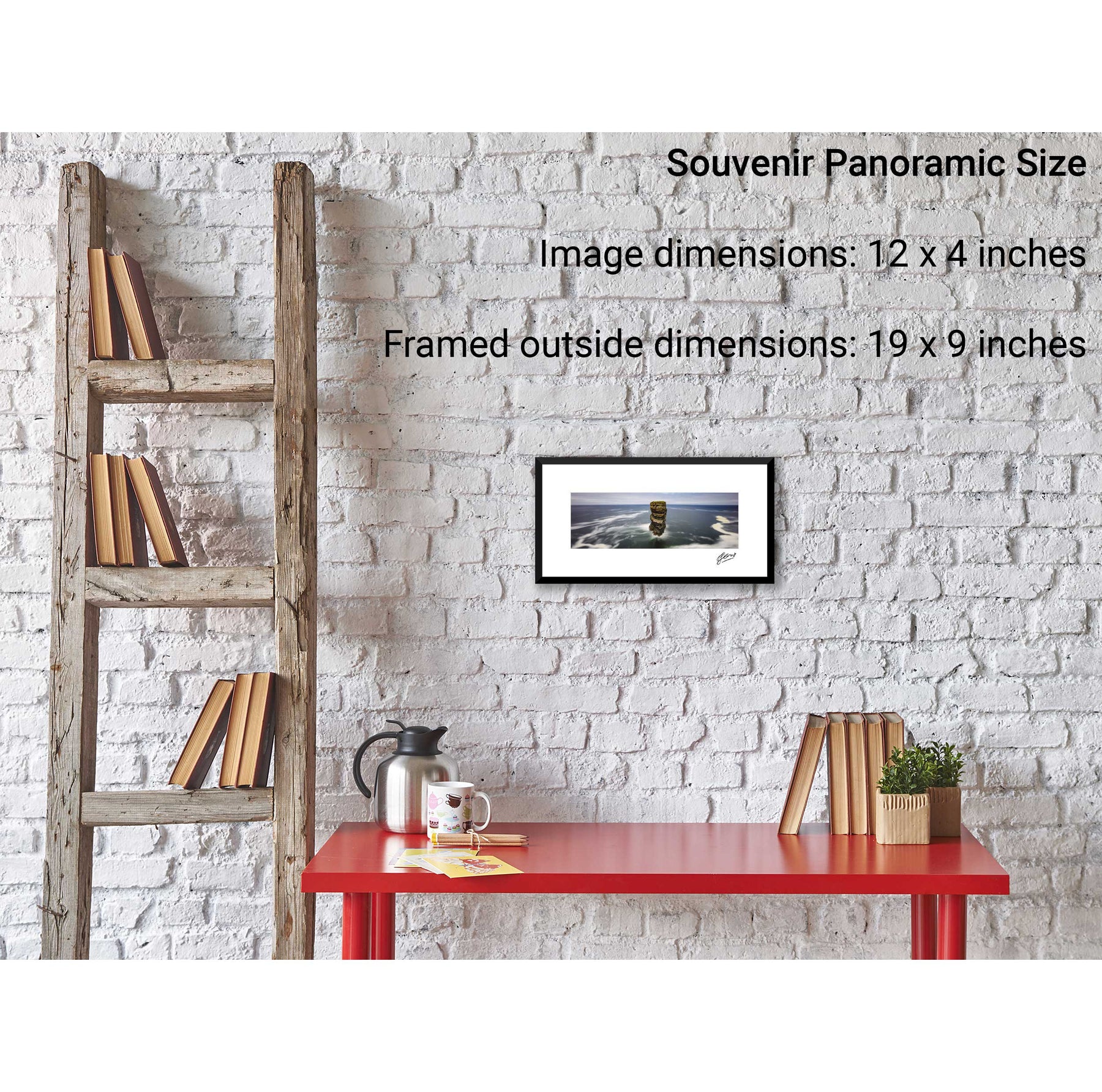
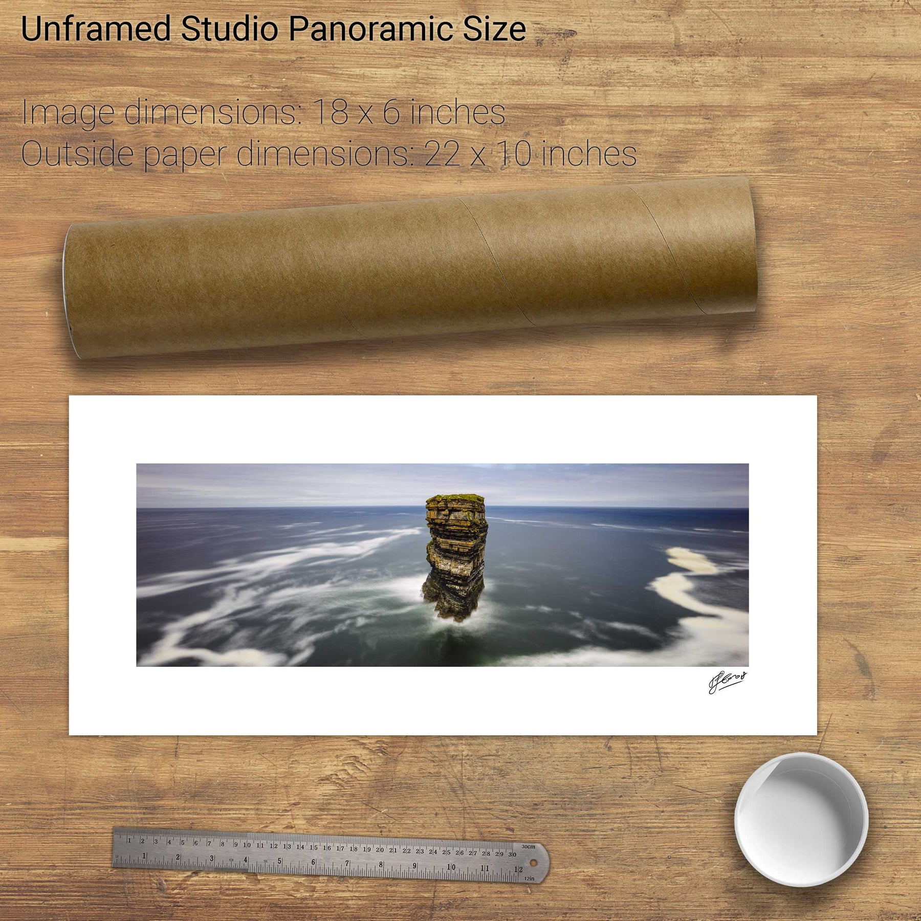
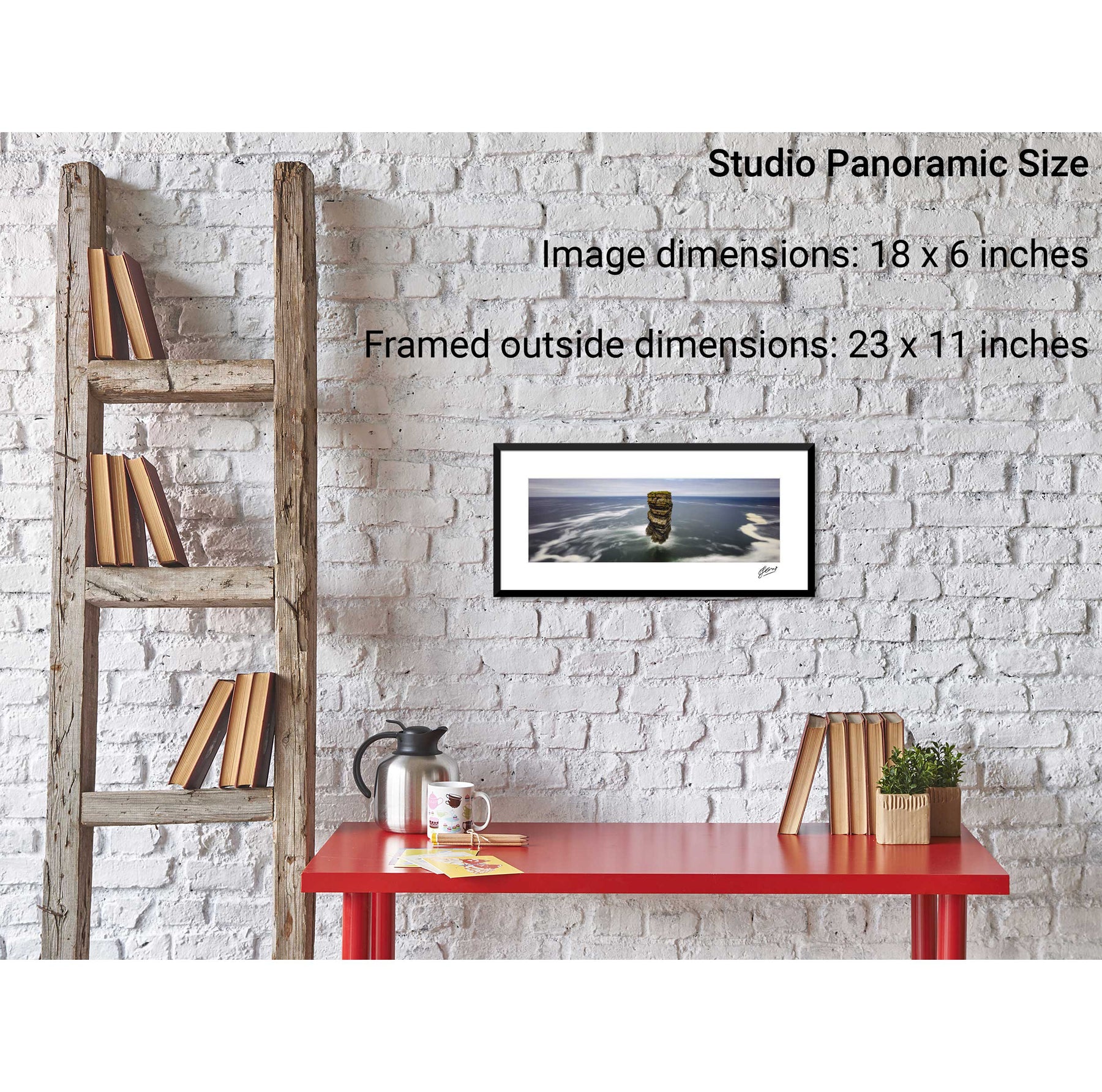
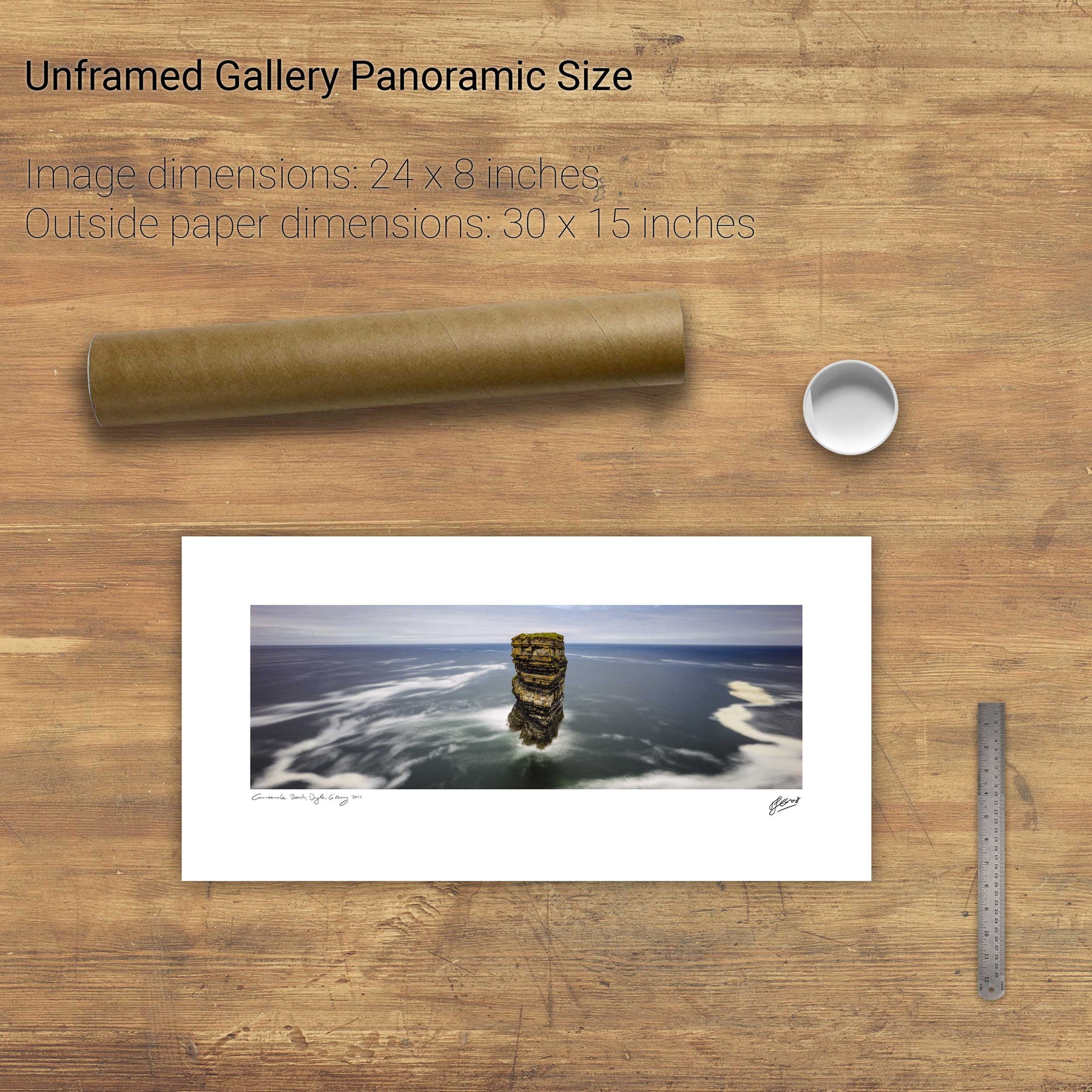
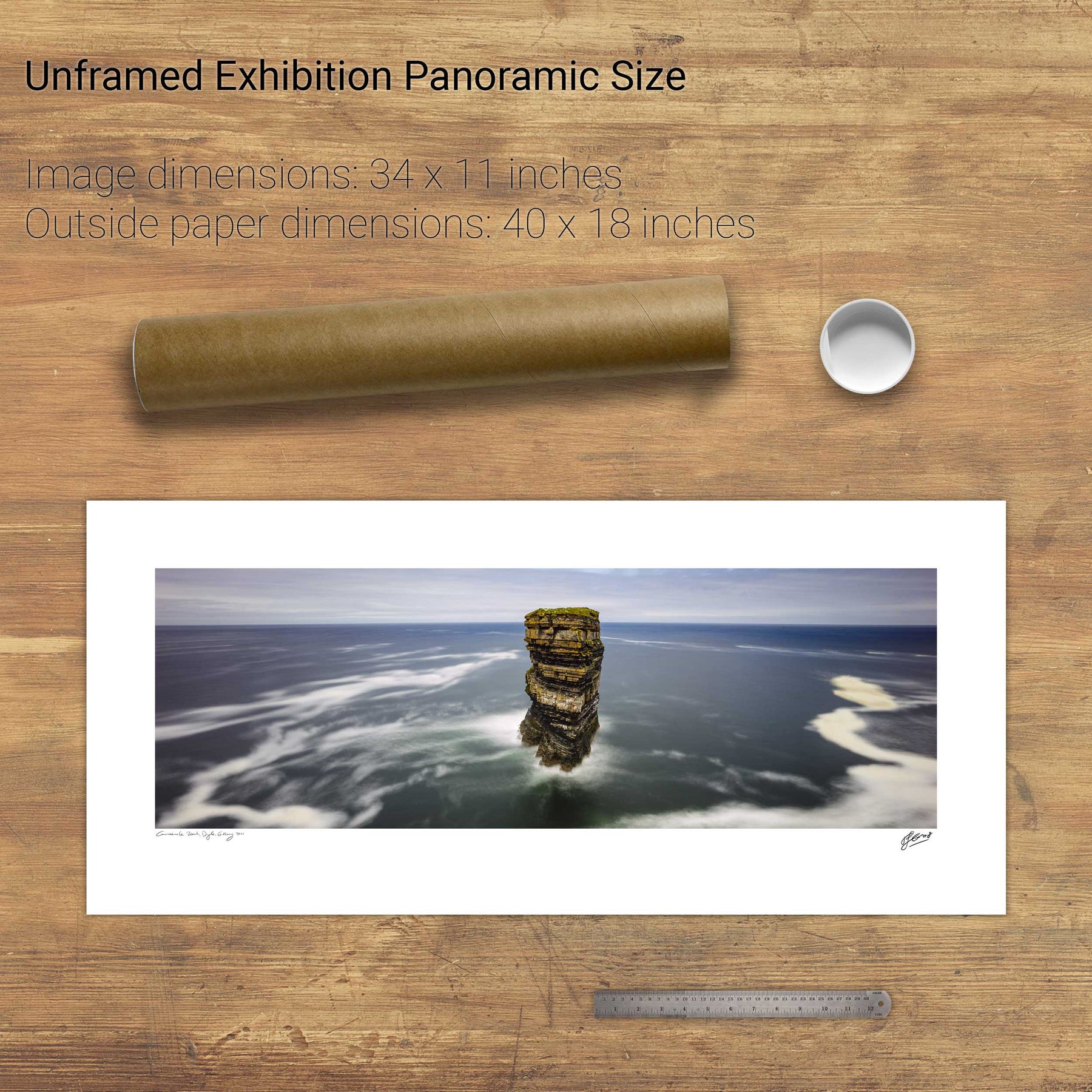
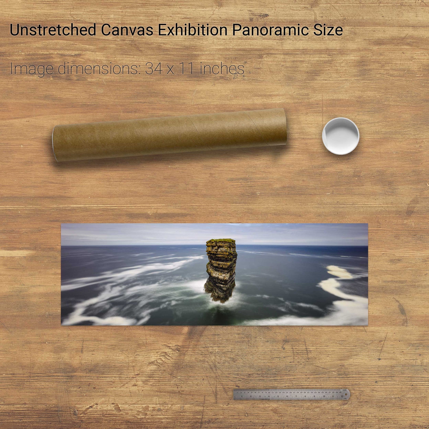
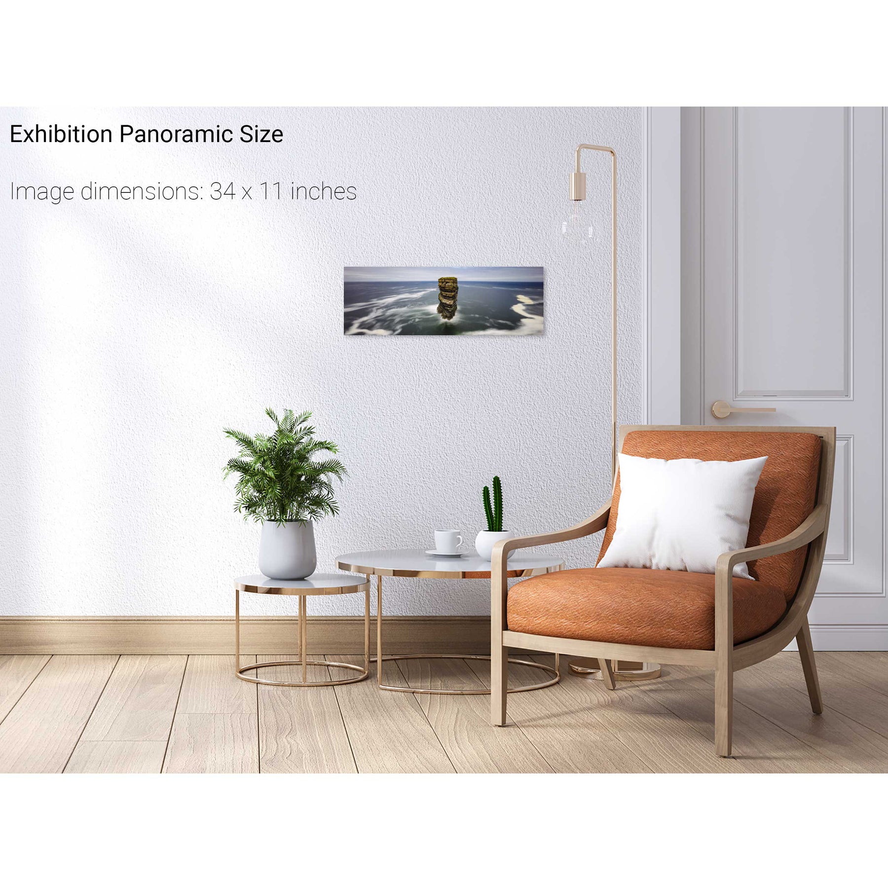
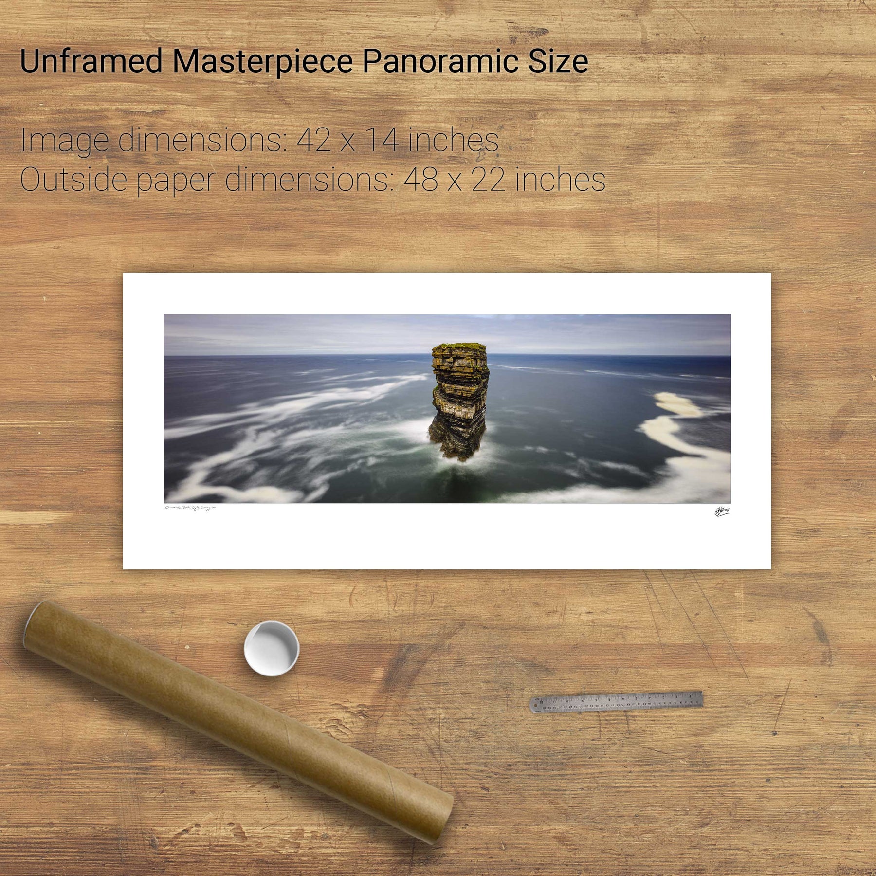
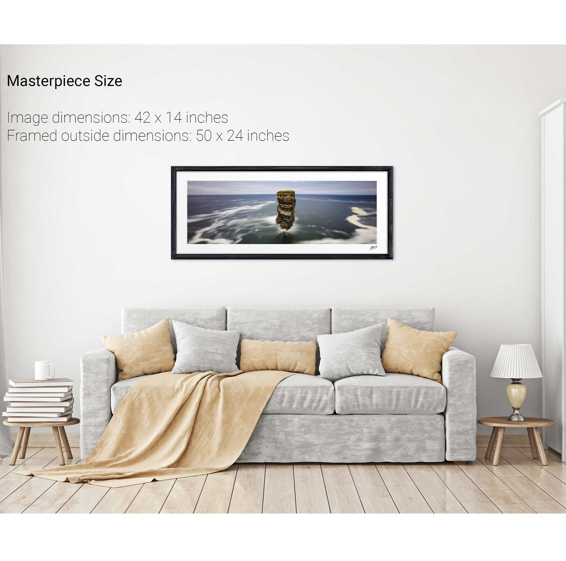
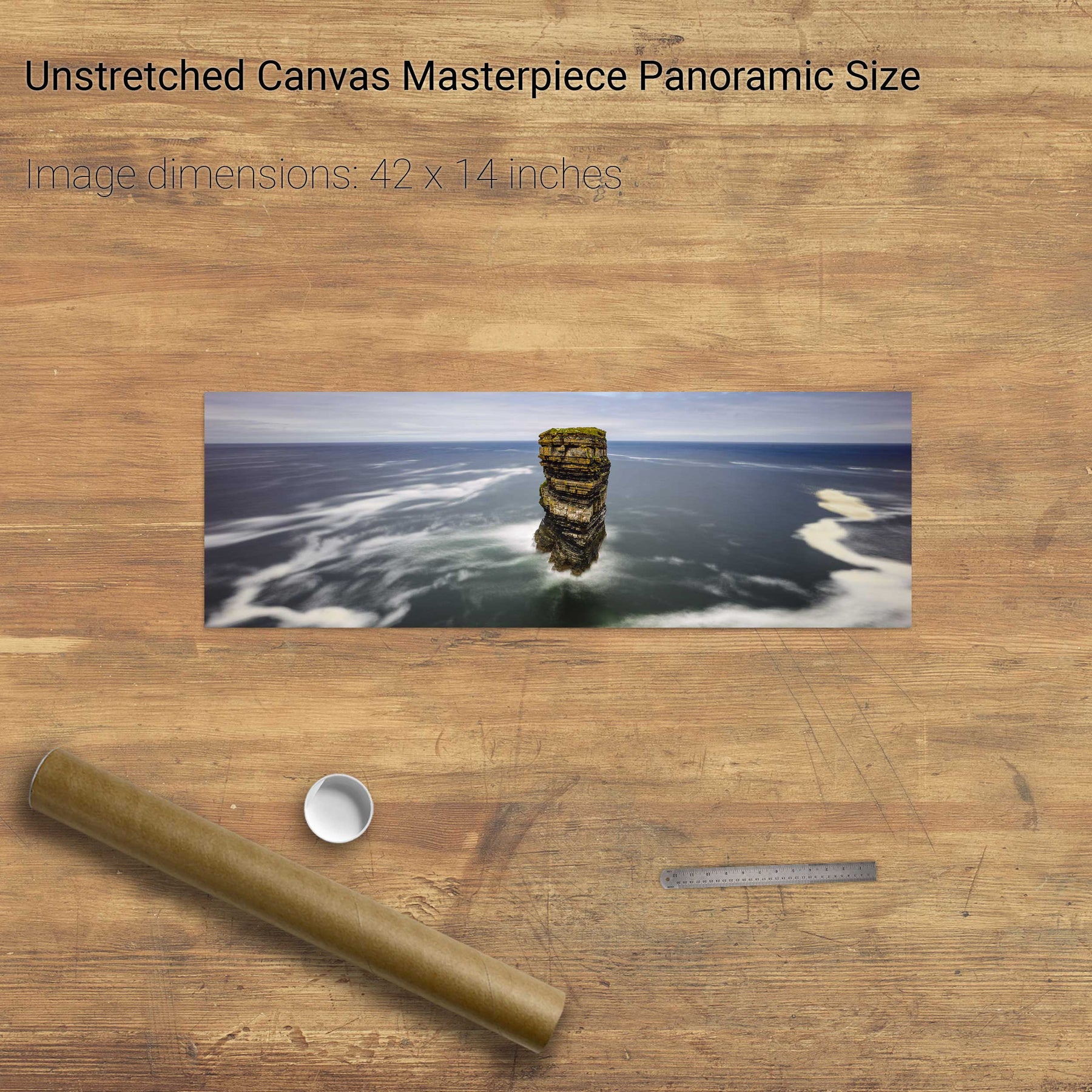
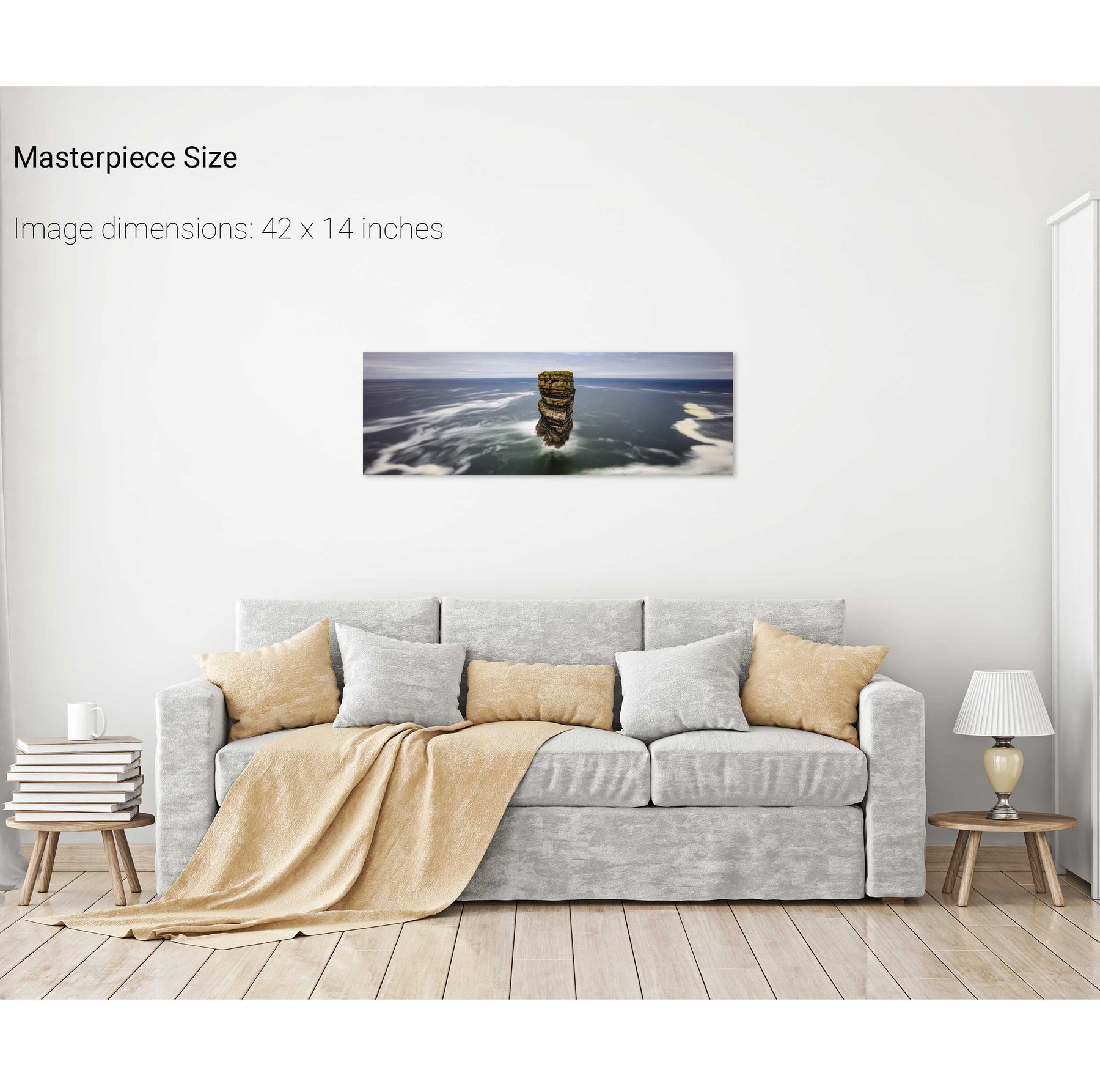
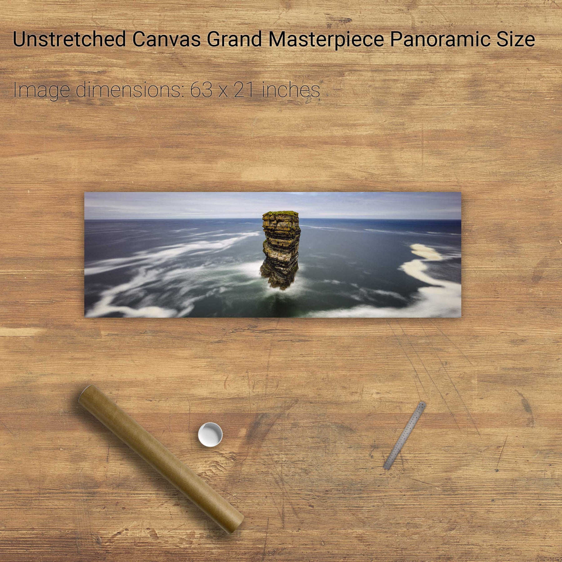
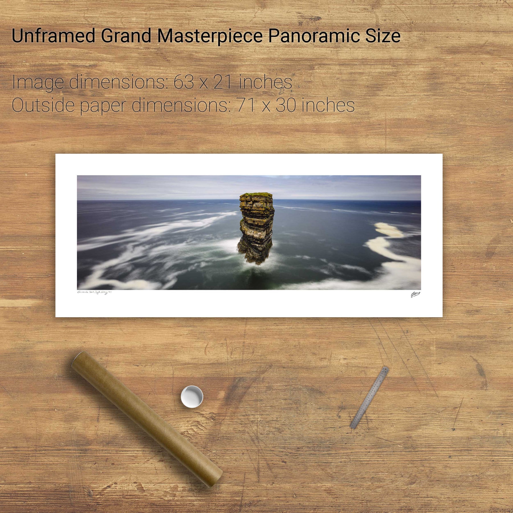
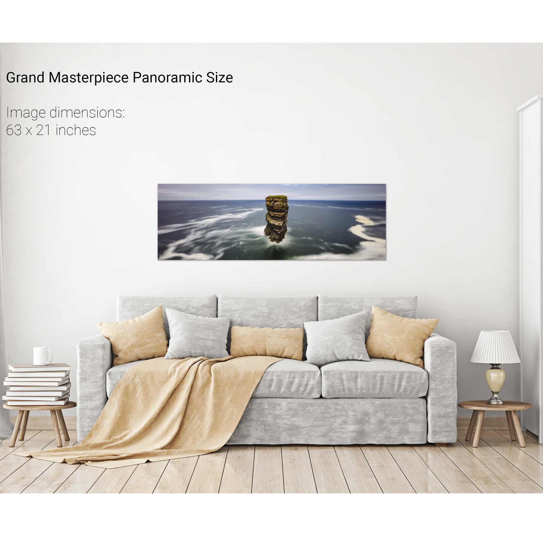
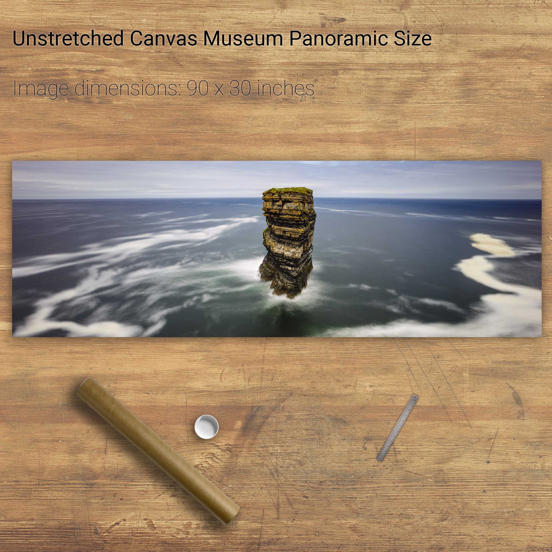
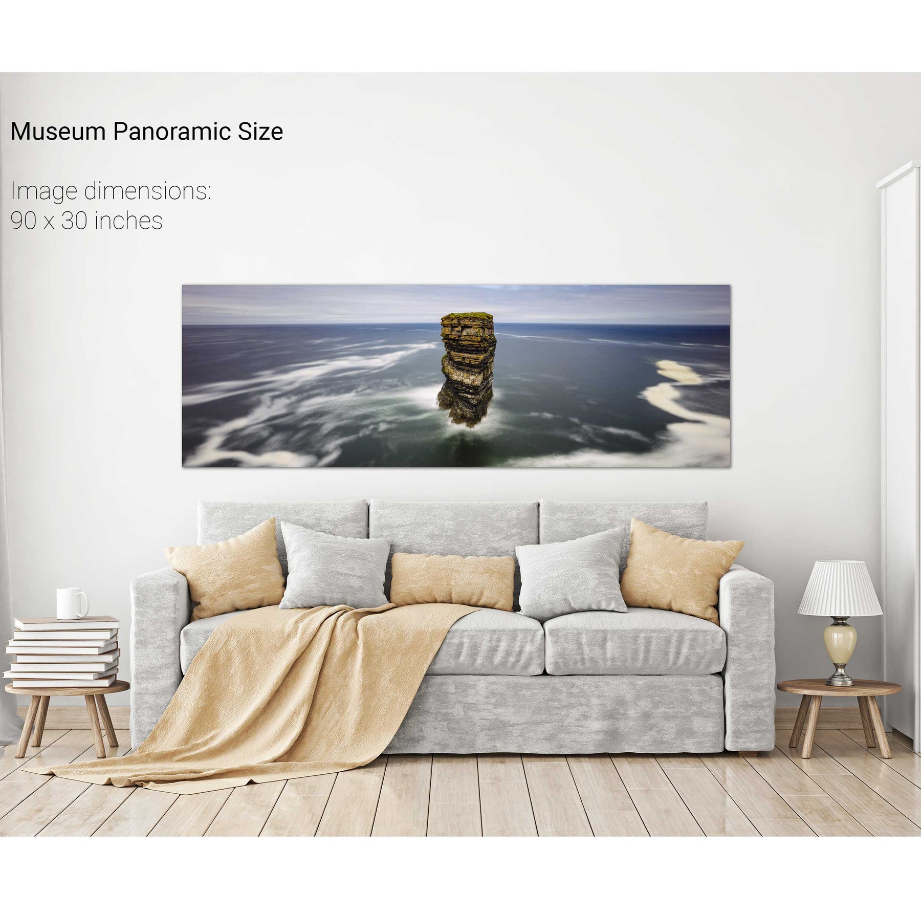
Dún Briste, Downpatrick Head, Co. Mayo


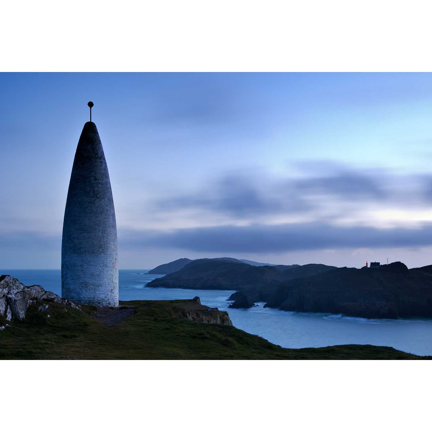
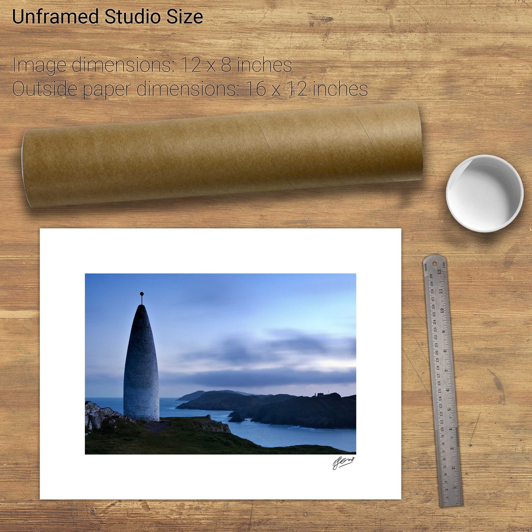
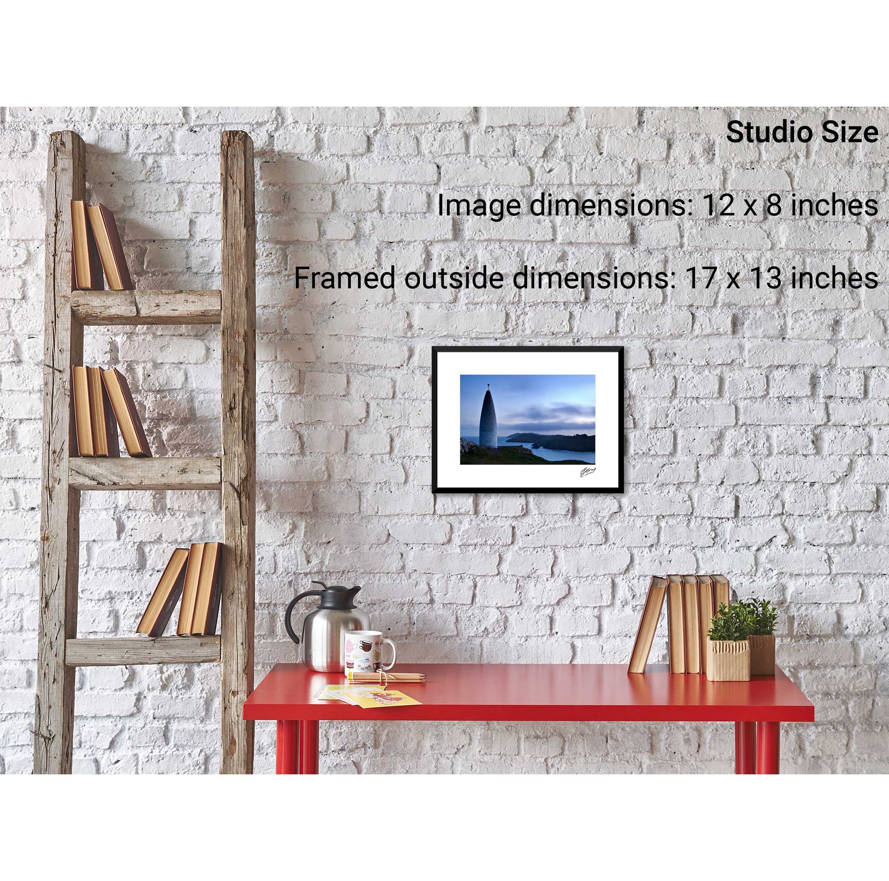
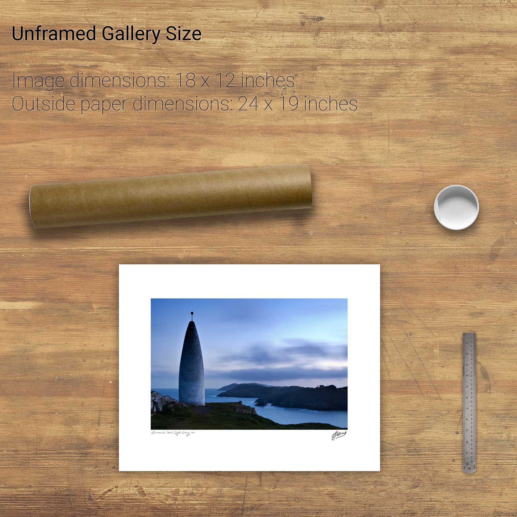
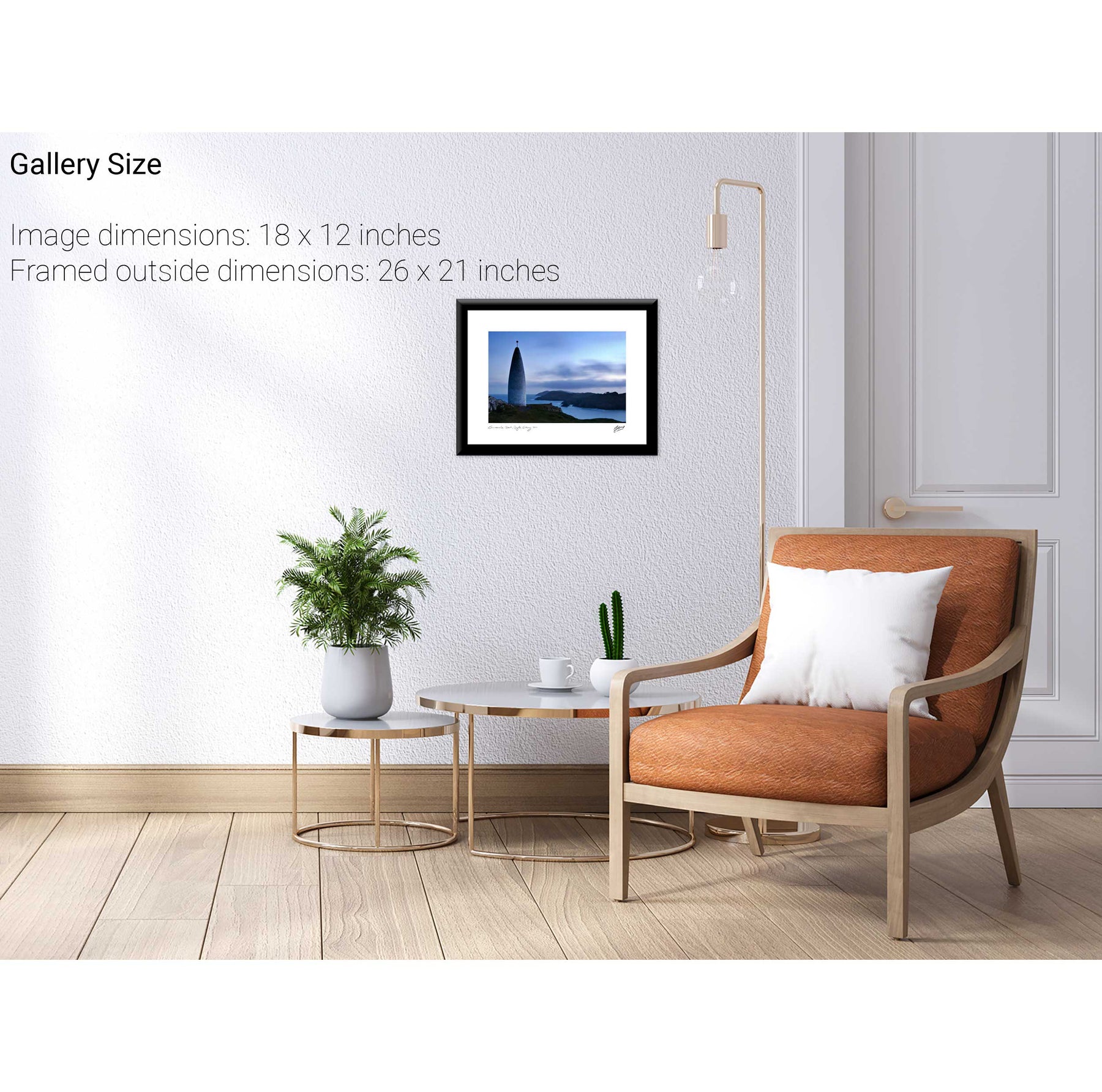
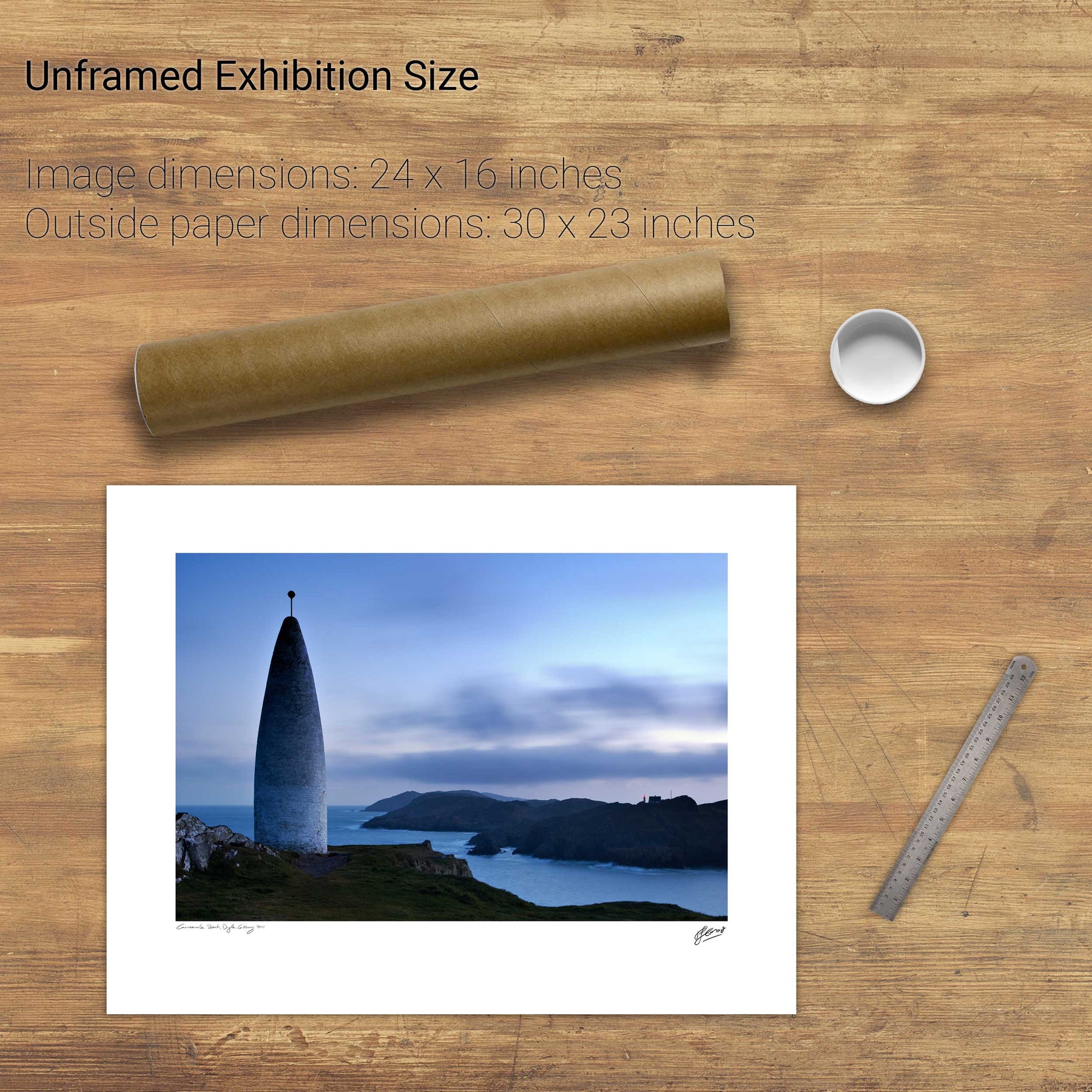
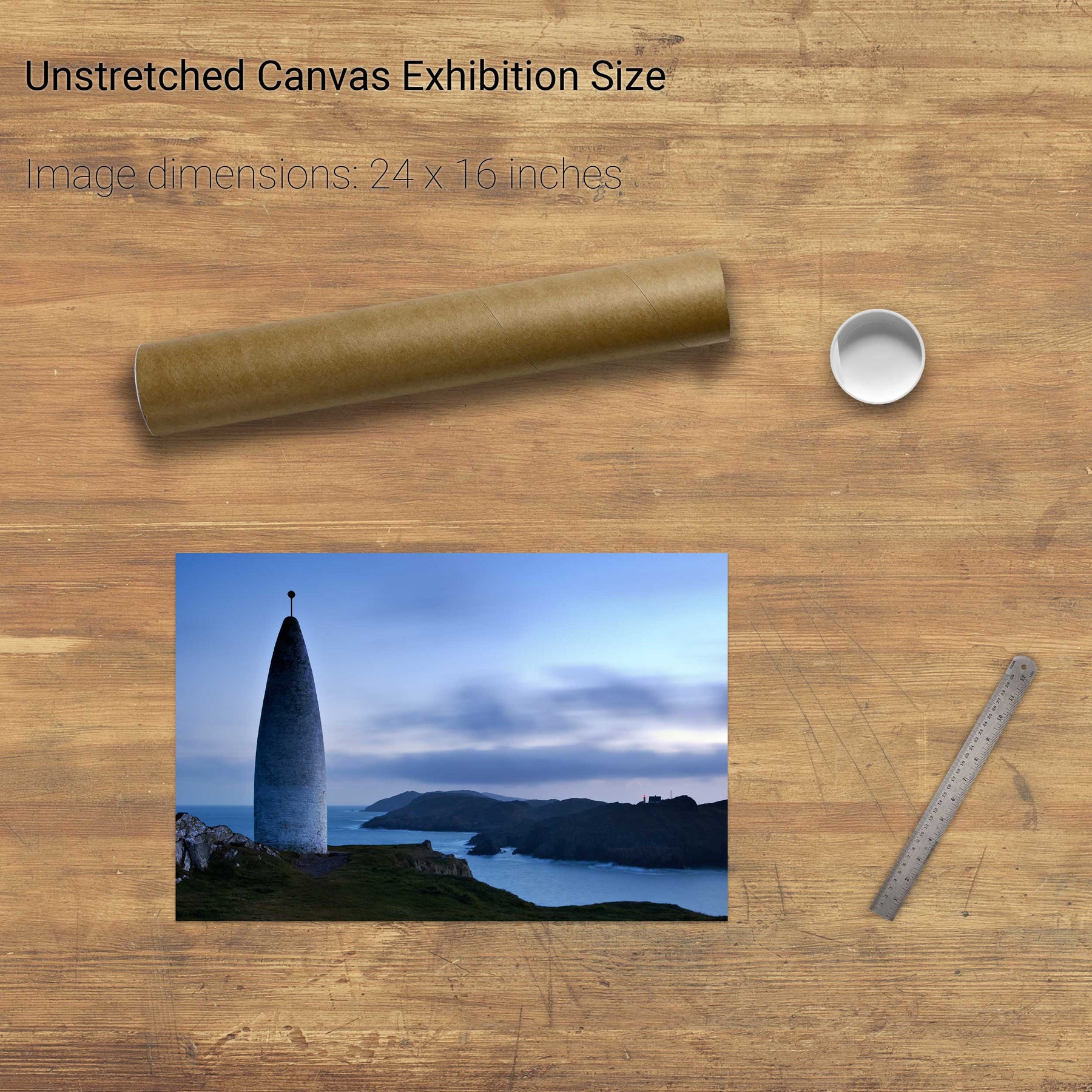
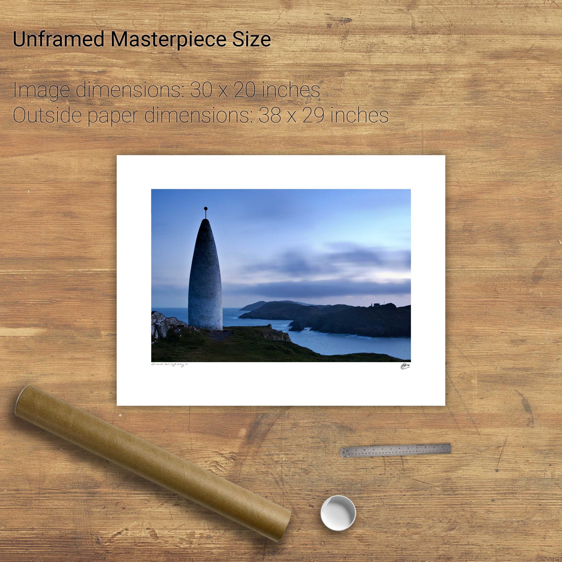
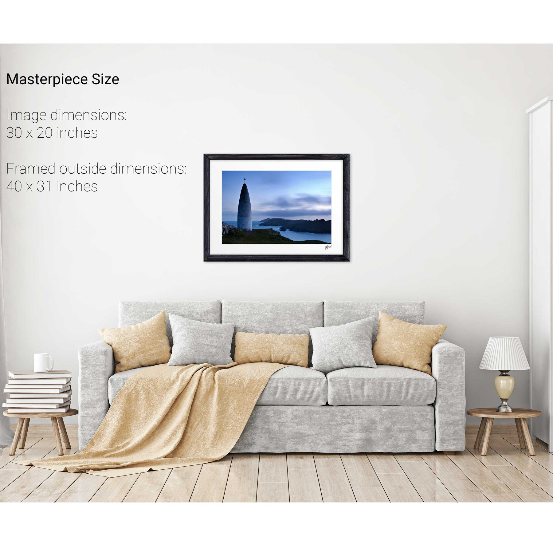
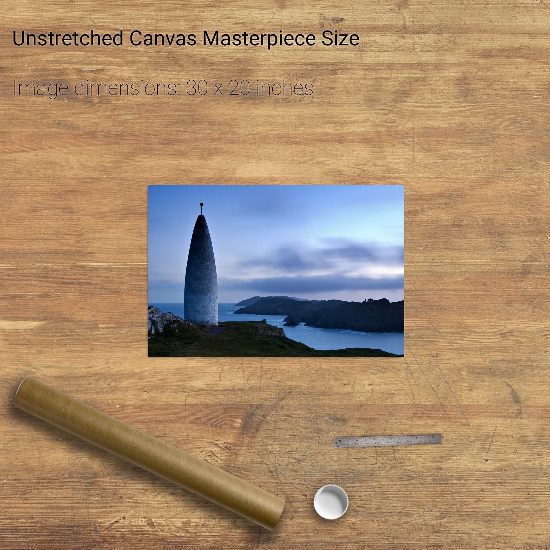
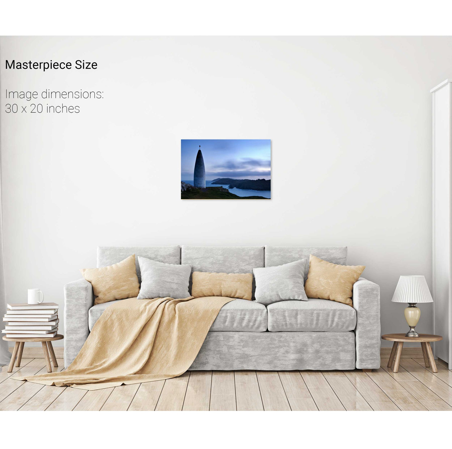
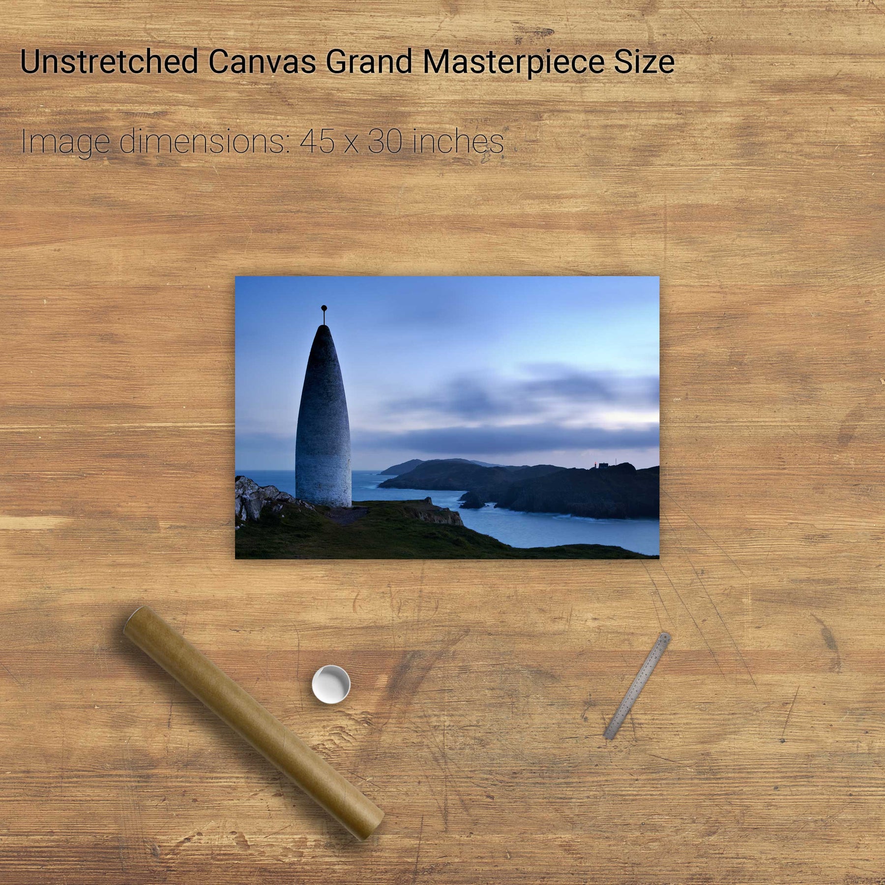
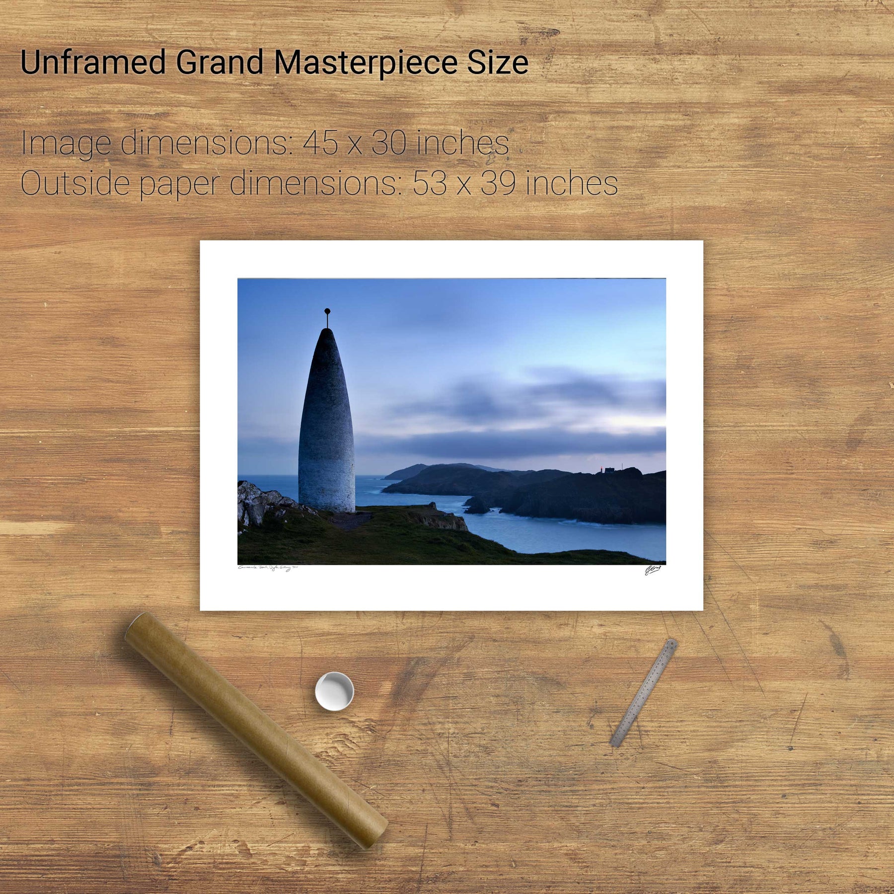
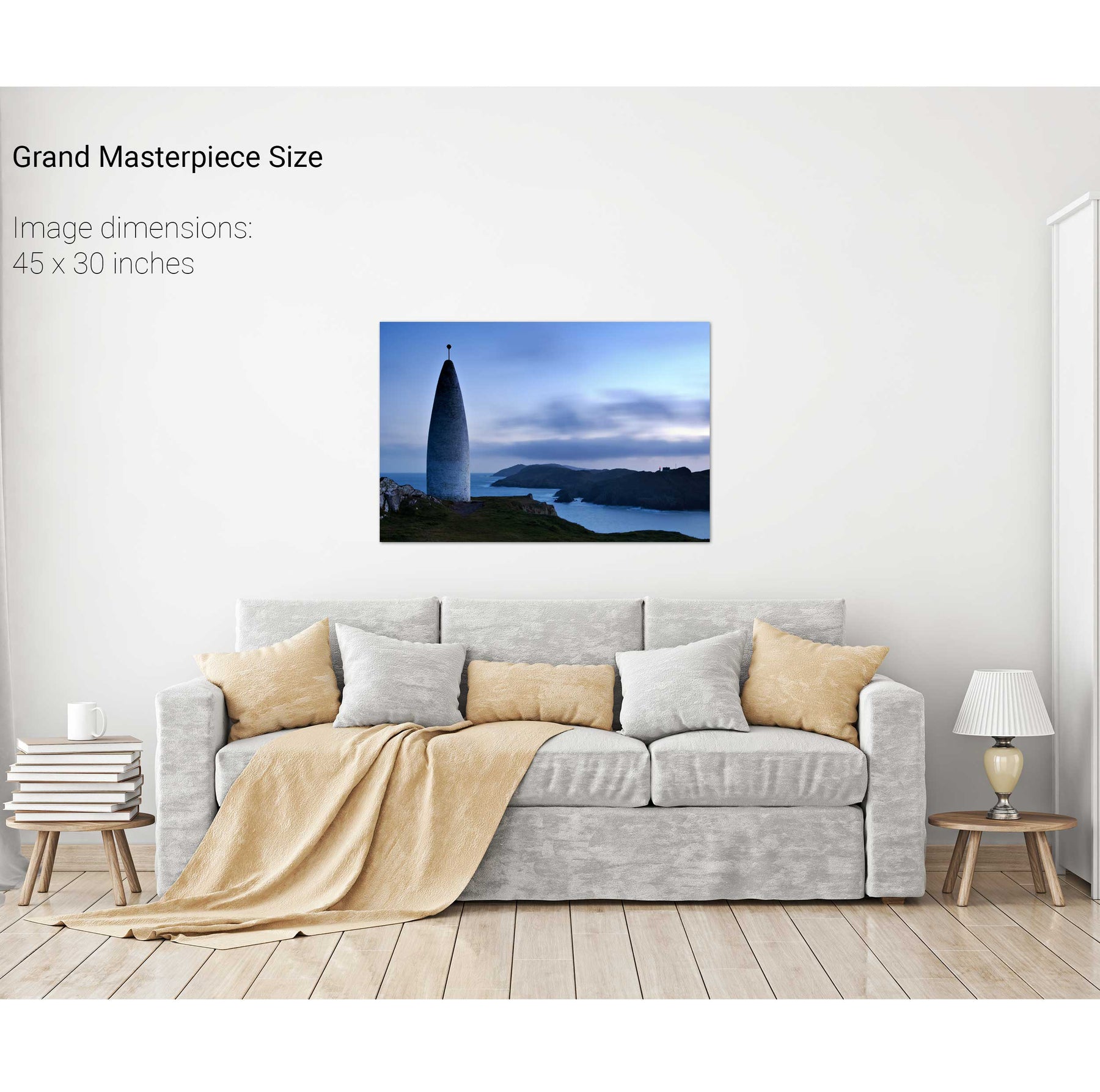
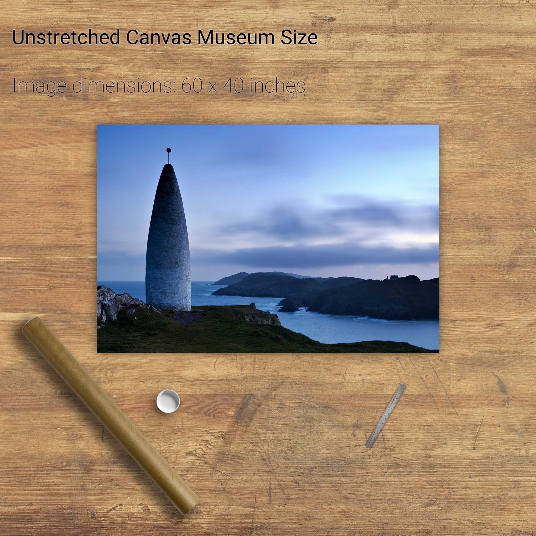
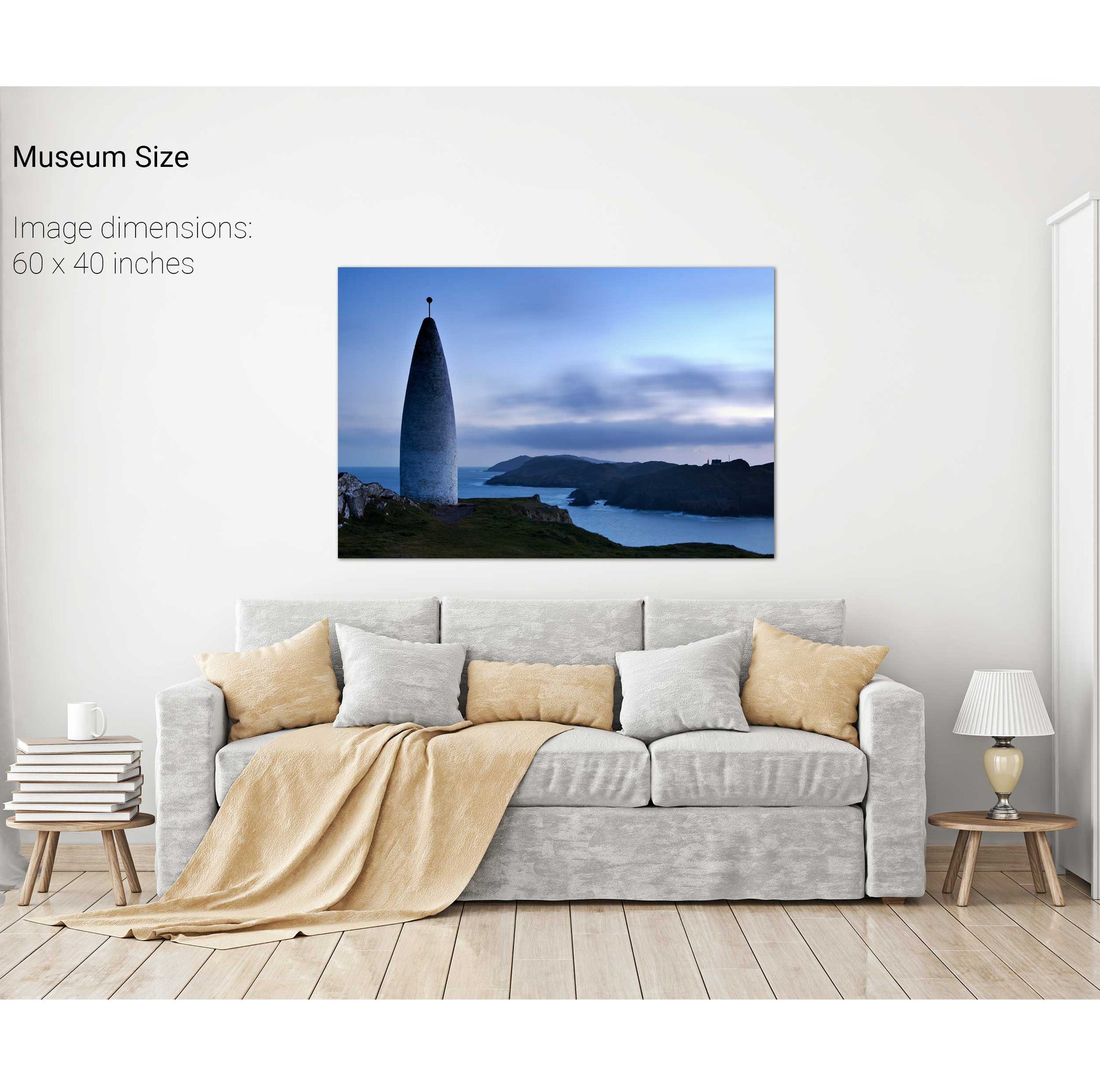
Lot's Wife, Baltimore, Co. Cork


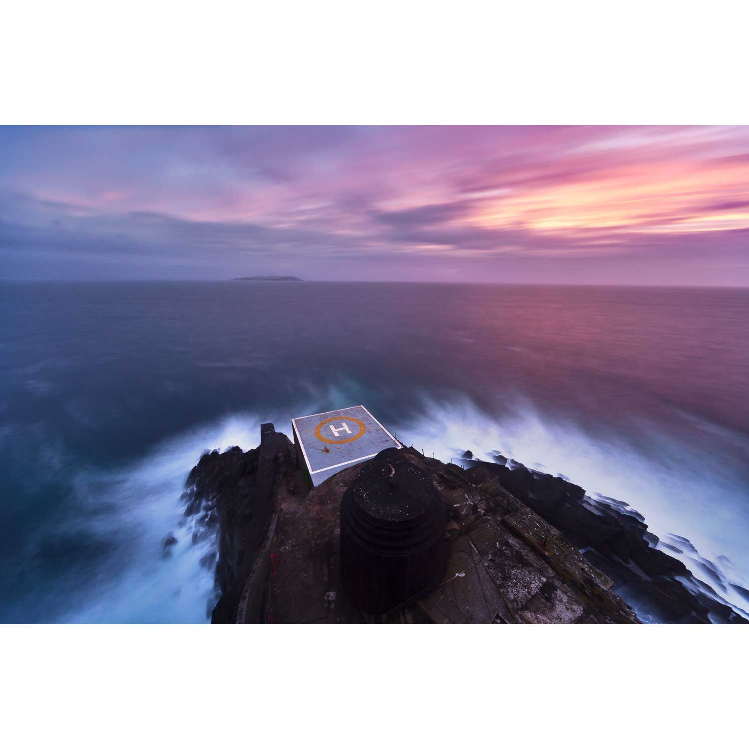
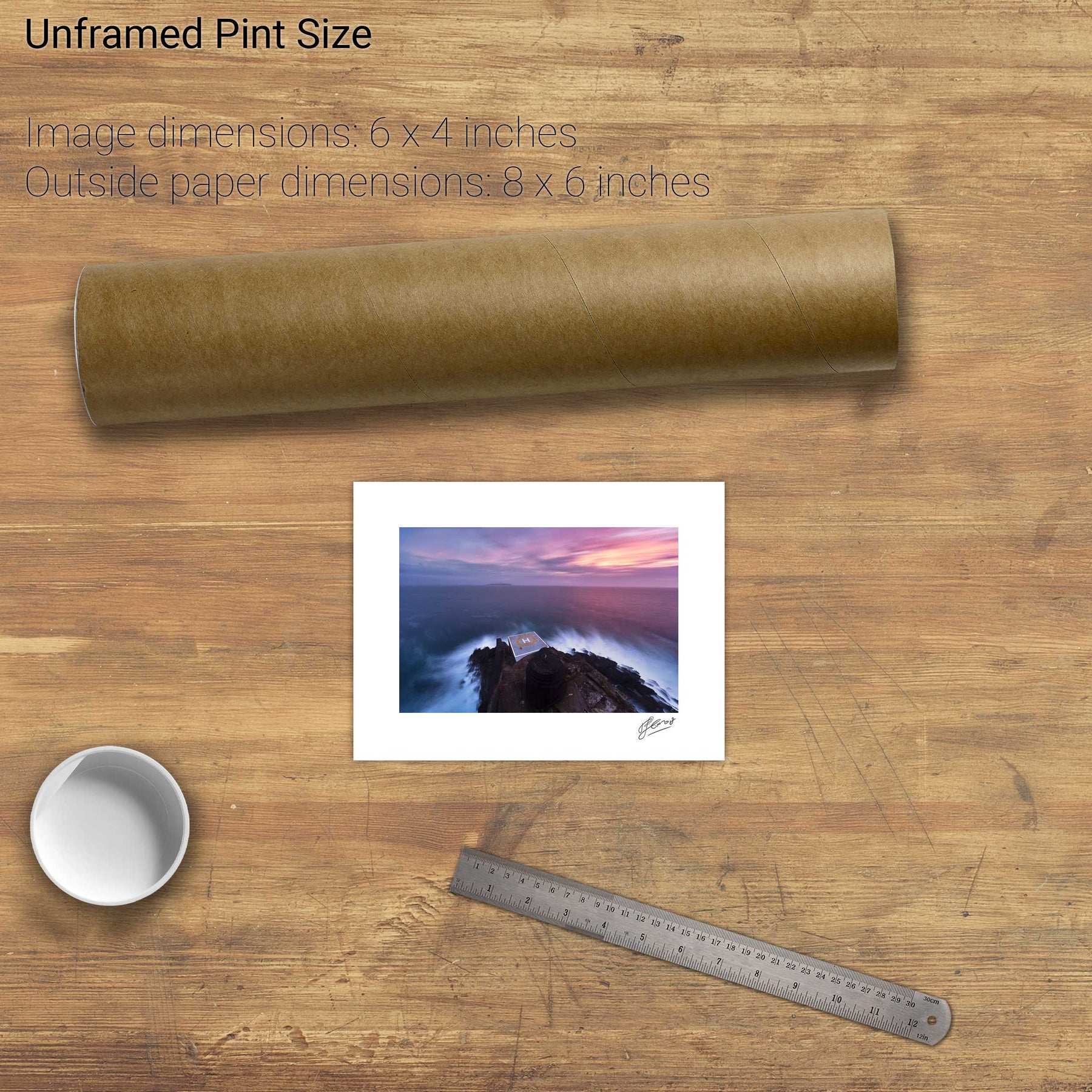
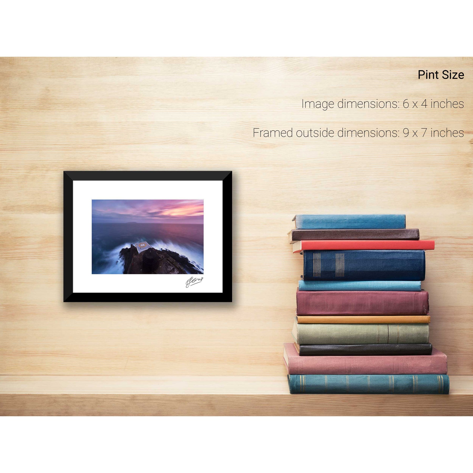
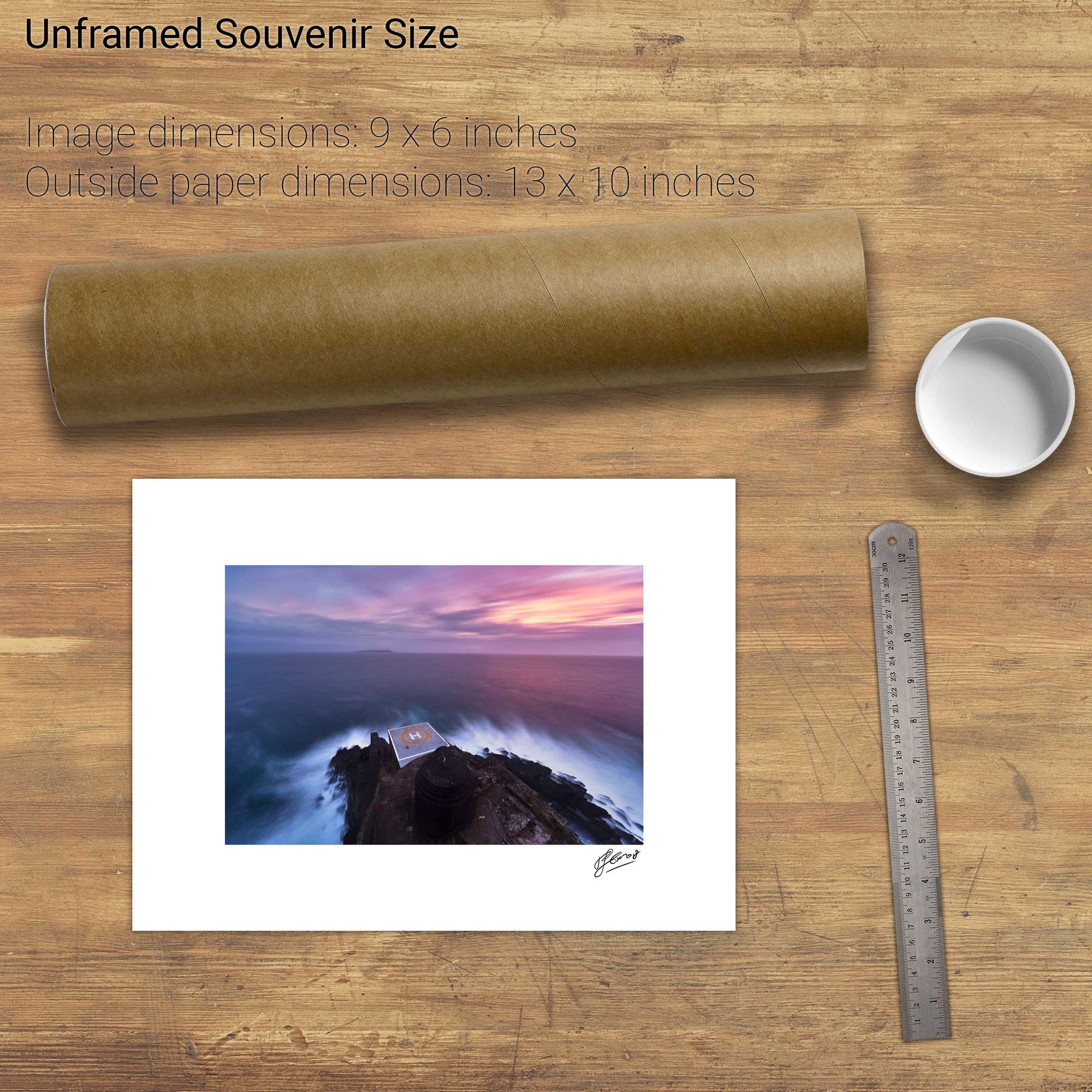
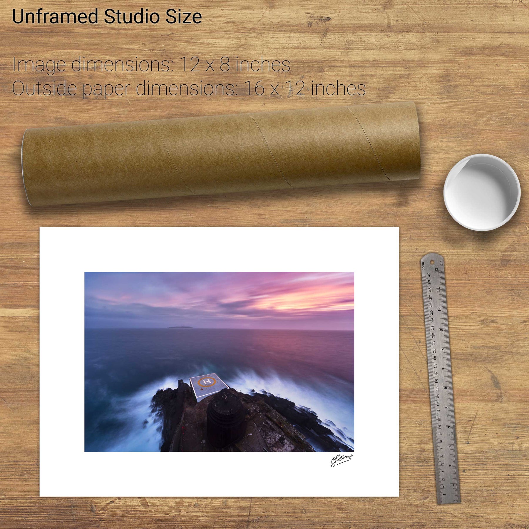
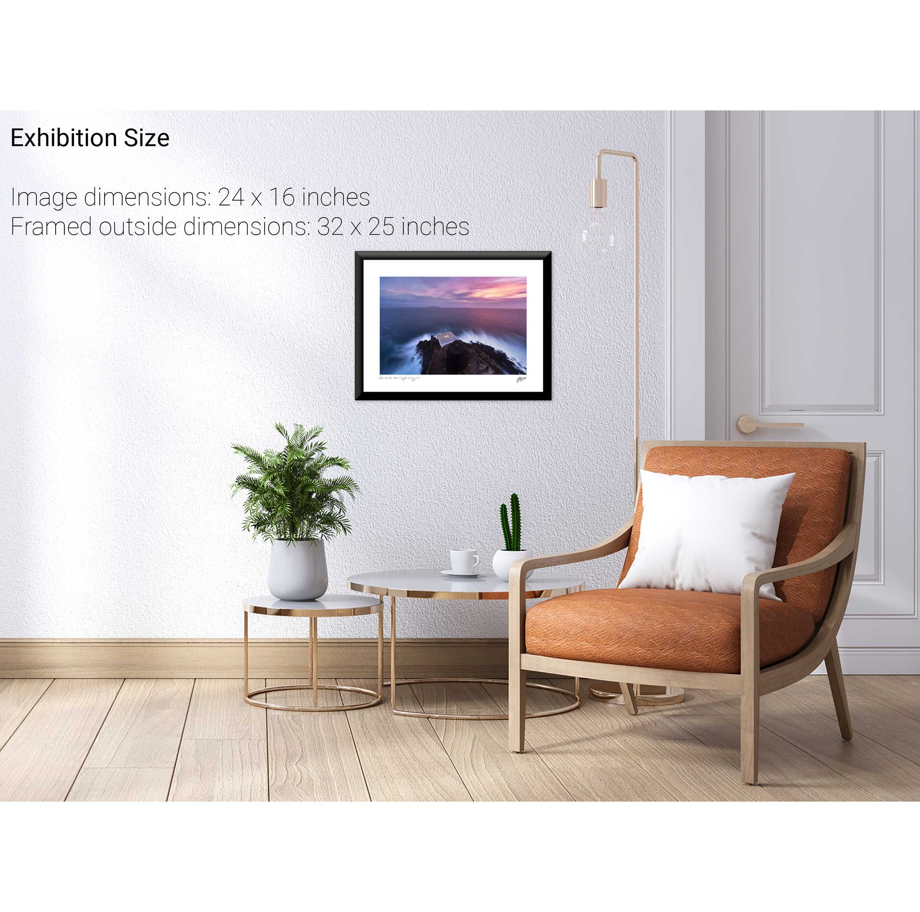
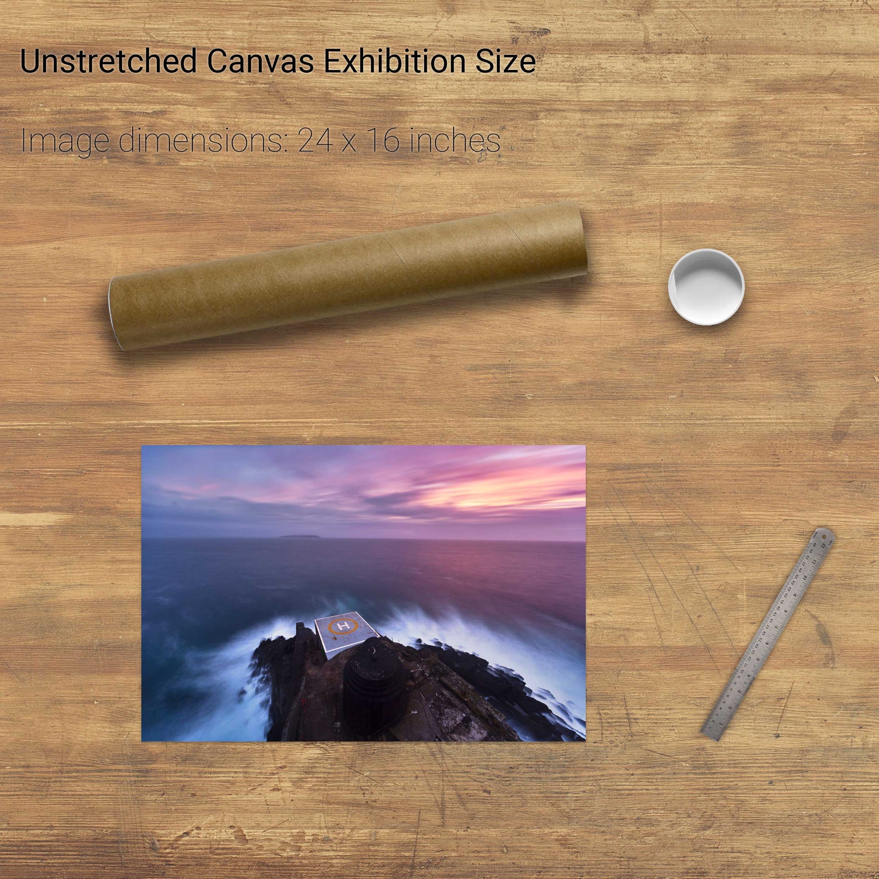
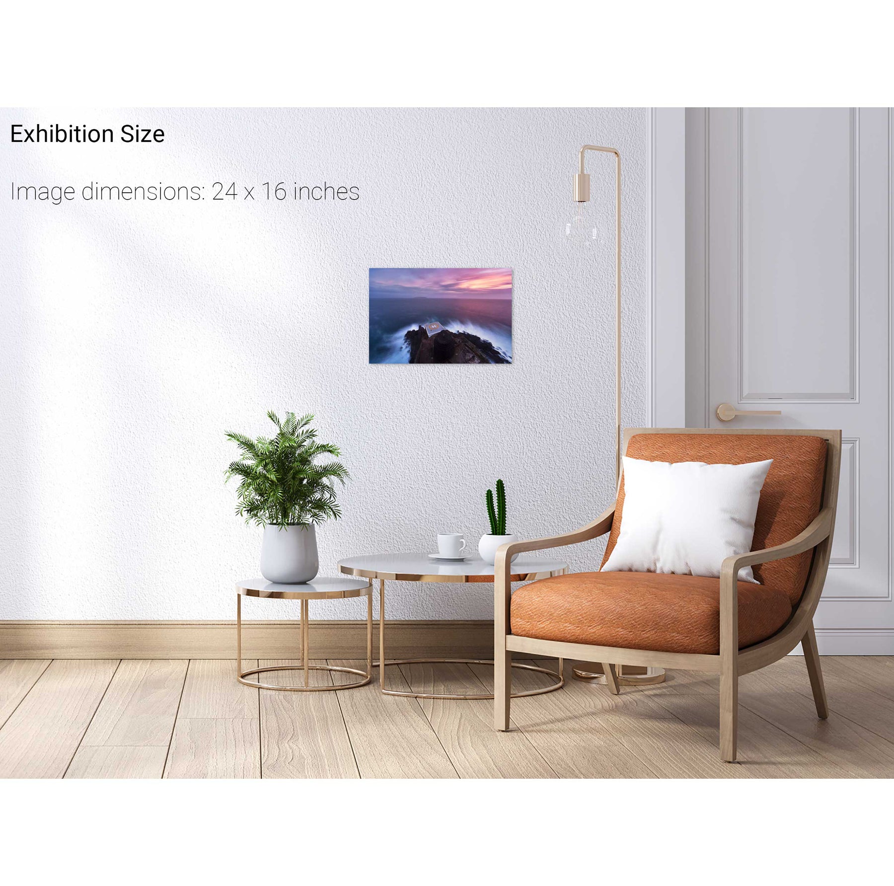
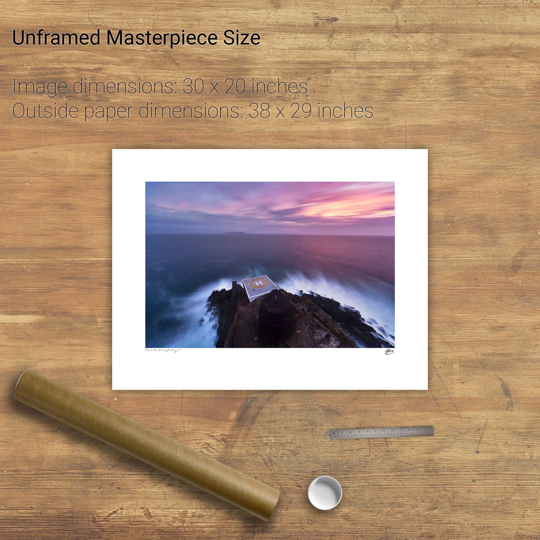
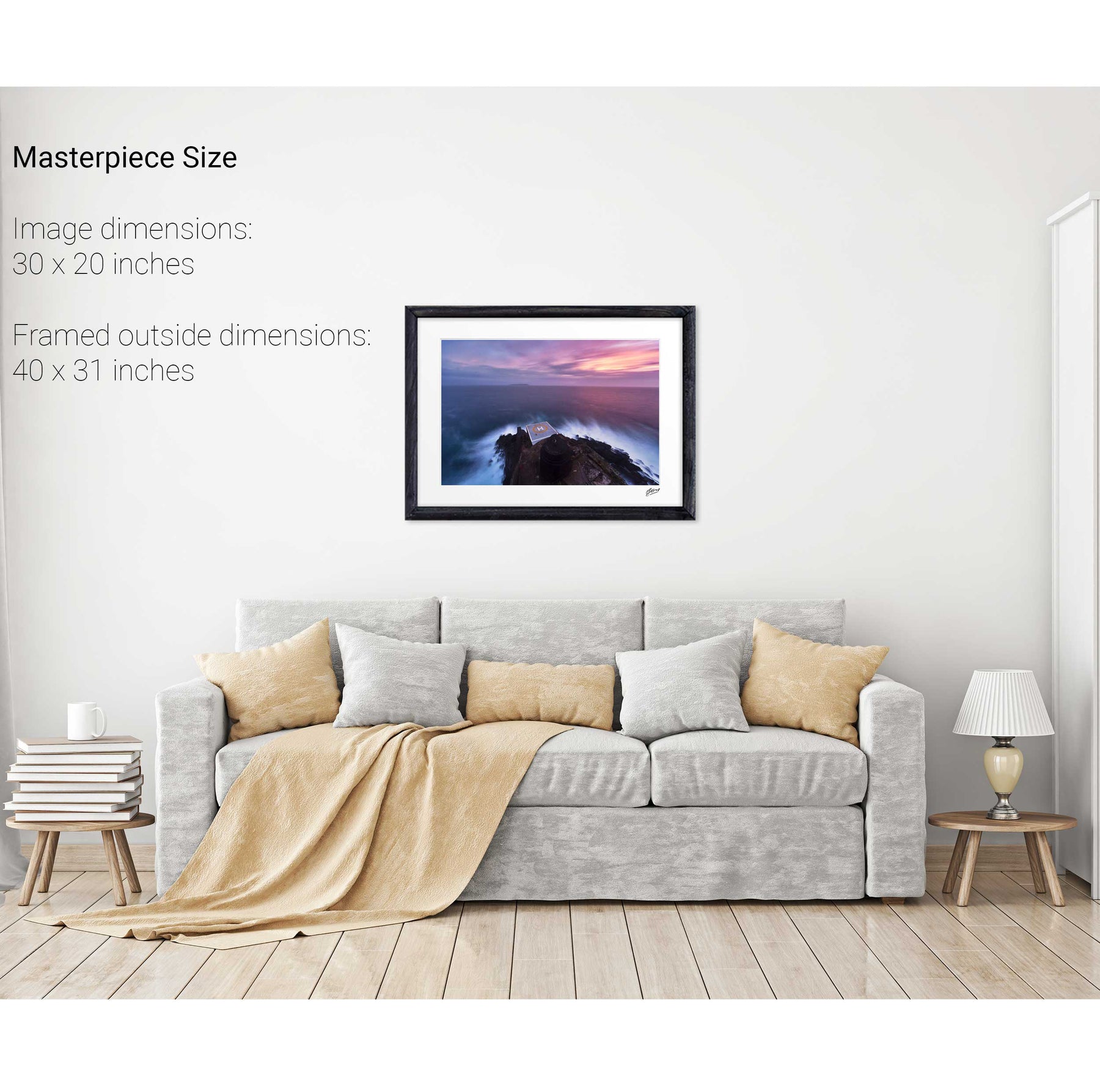
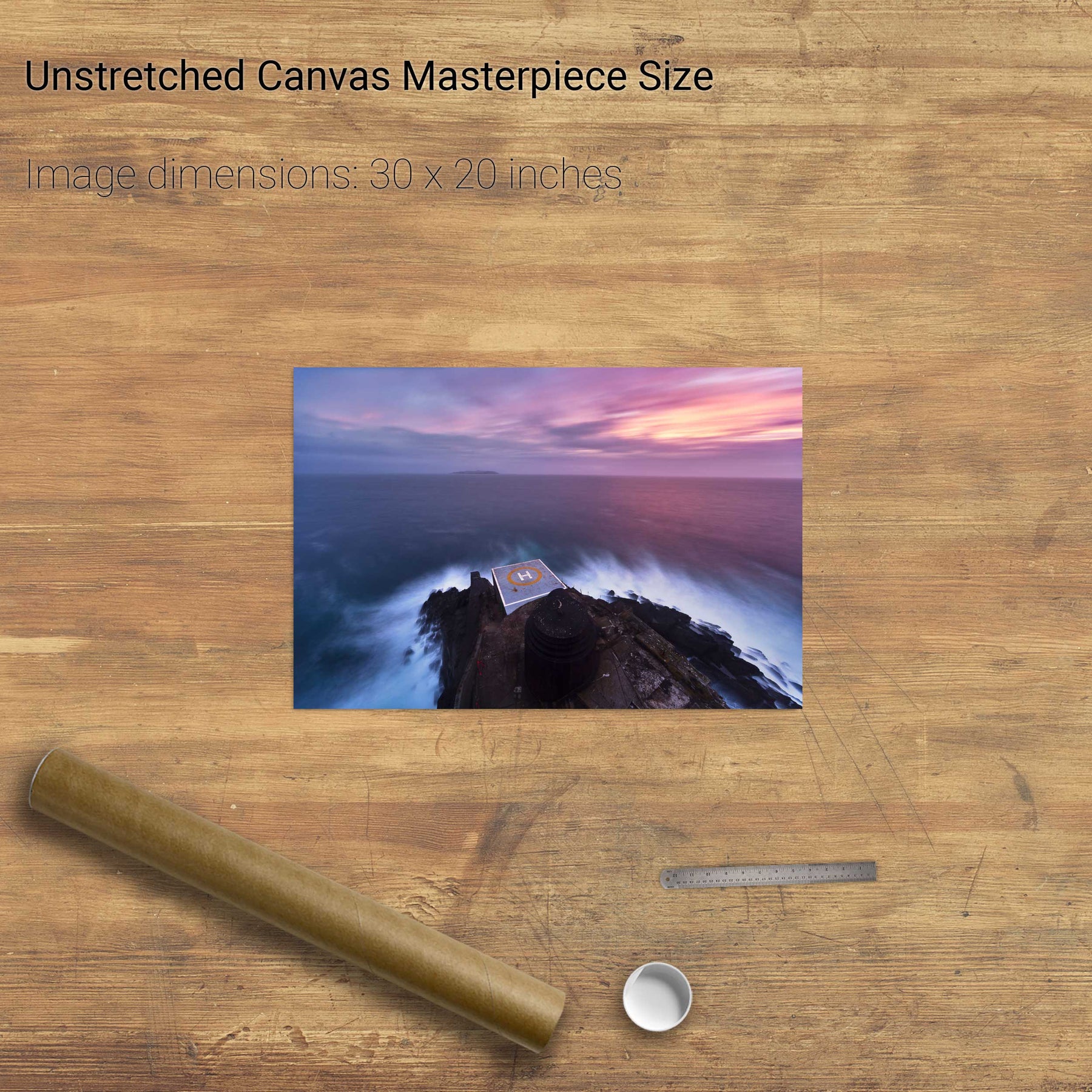
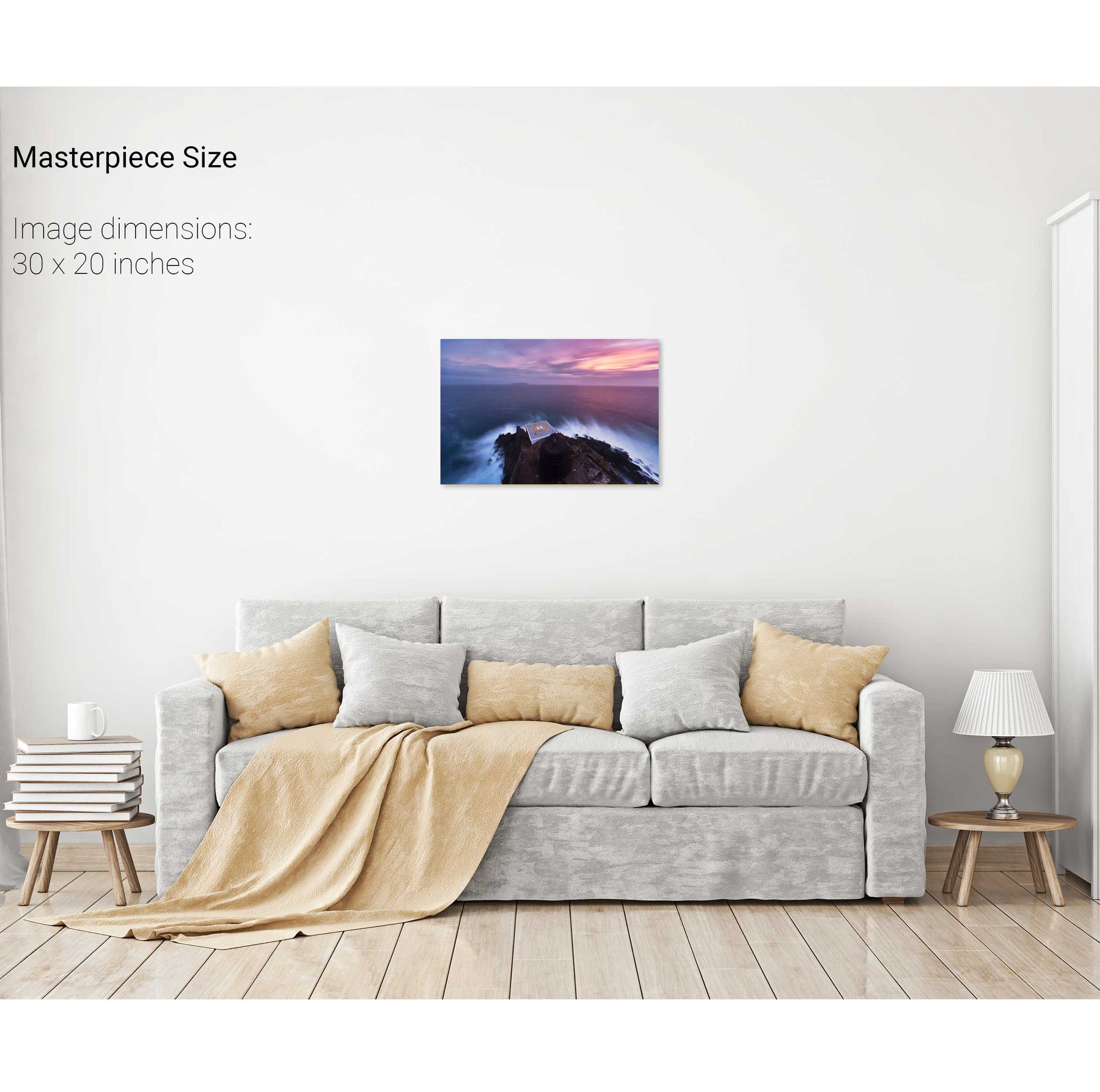
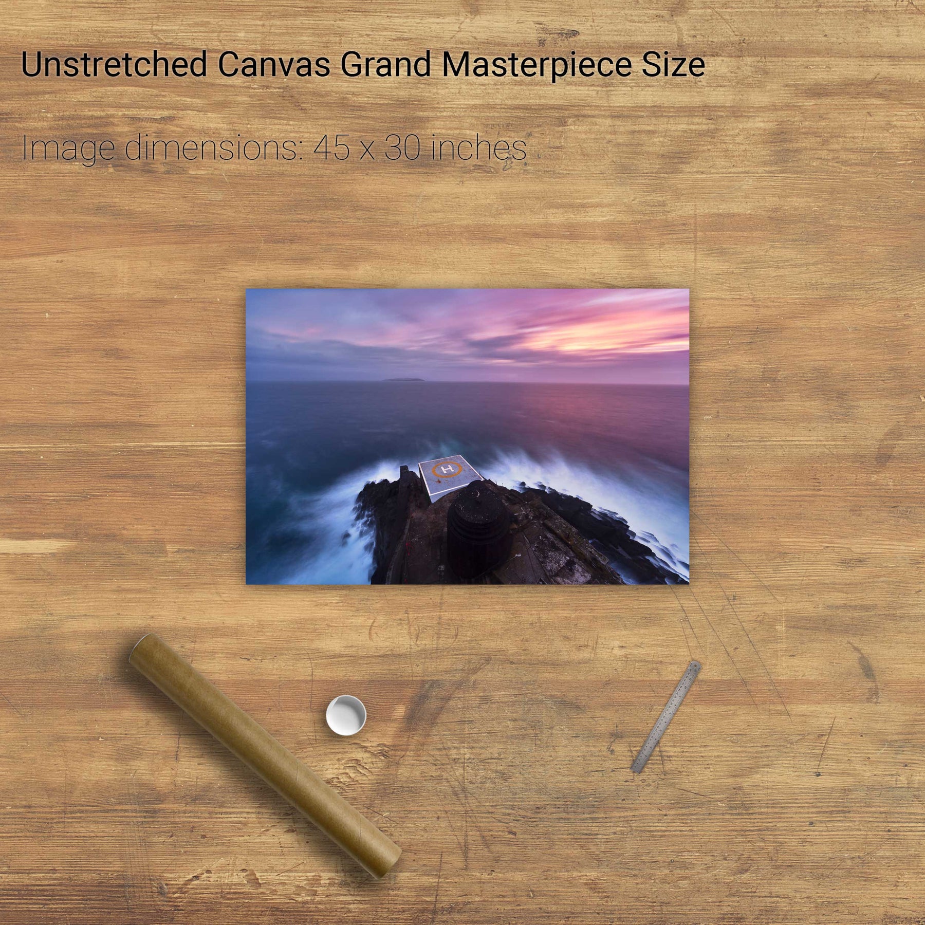
Dawn, the Fastnet Lighthouse, Co. Cork


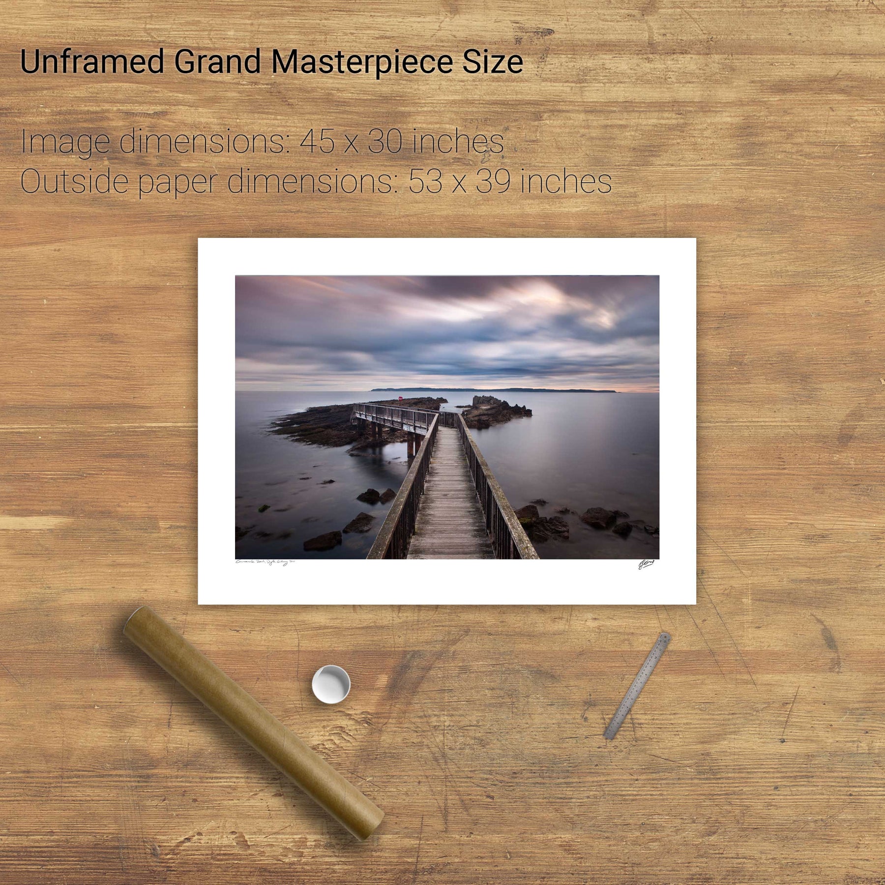
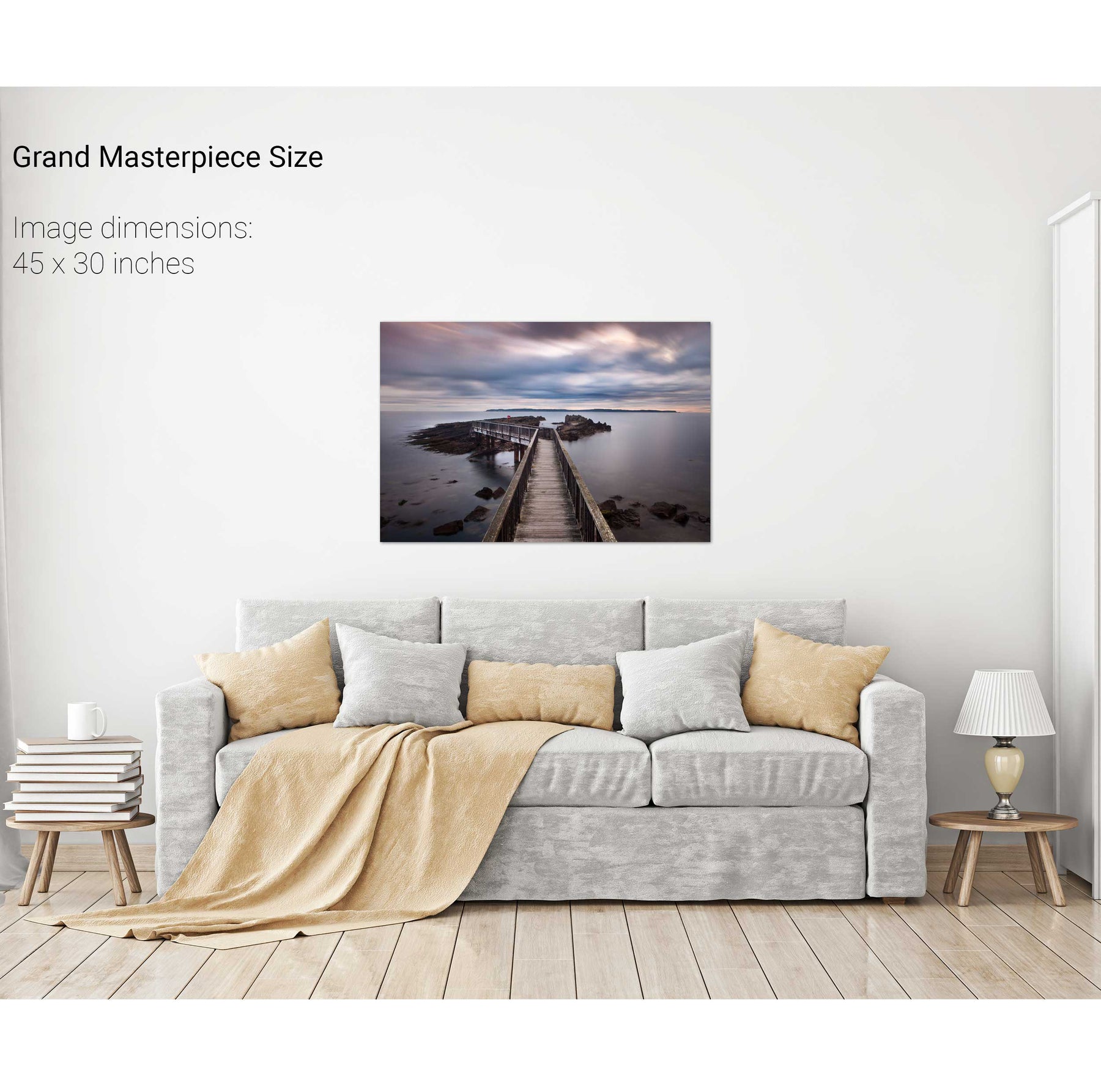
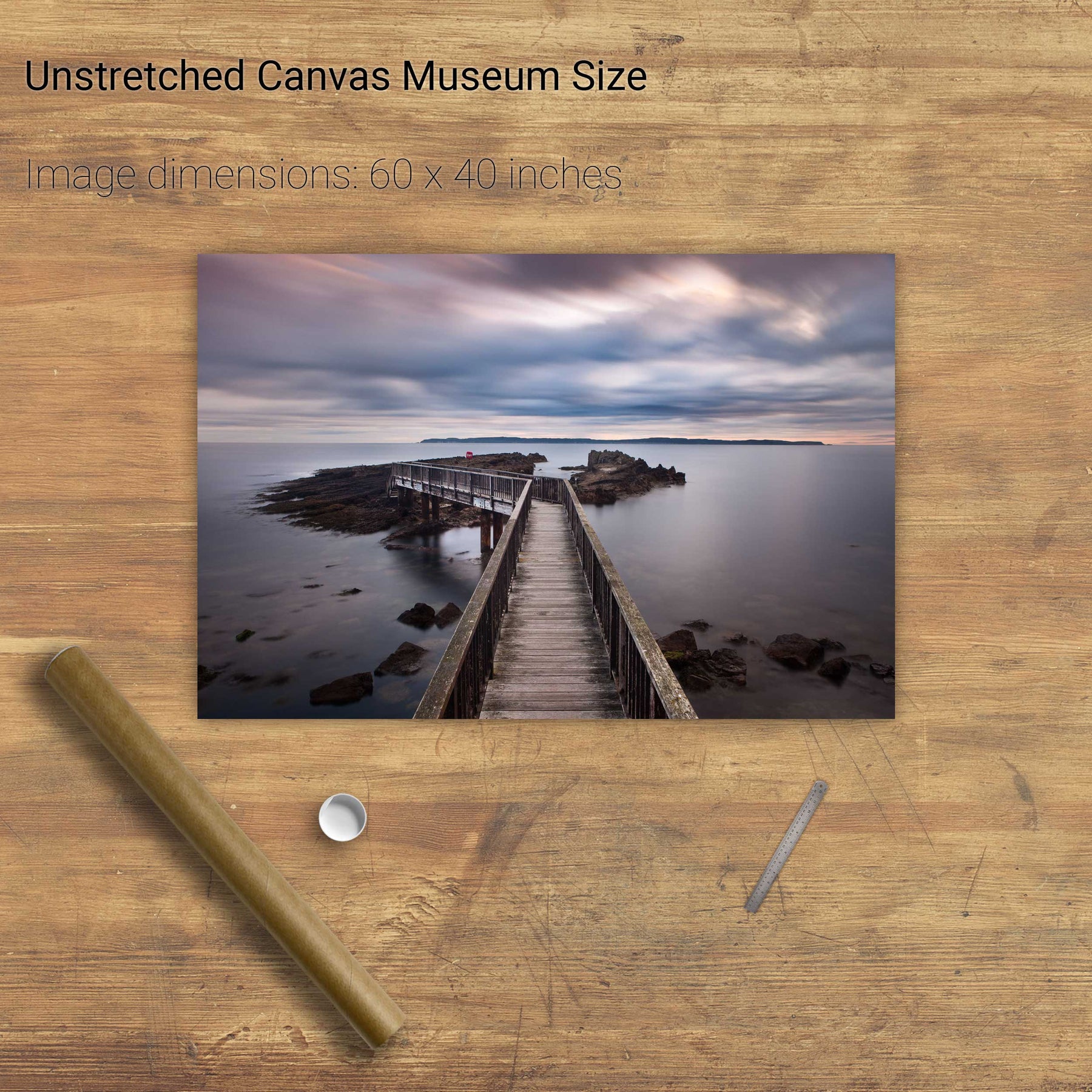
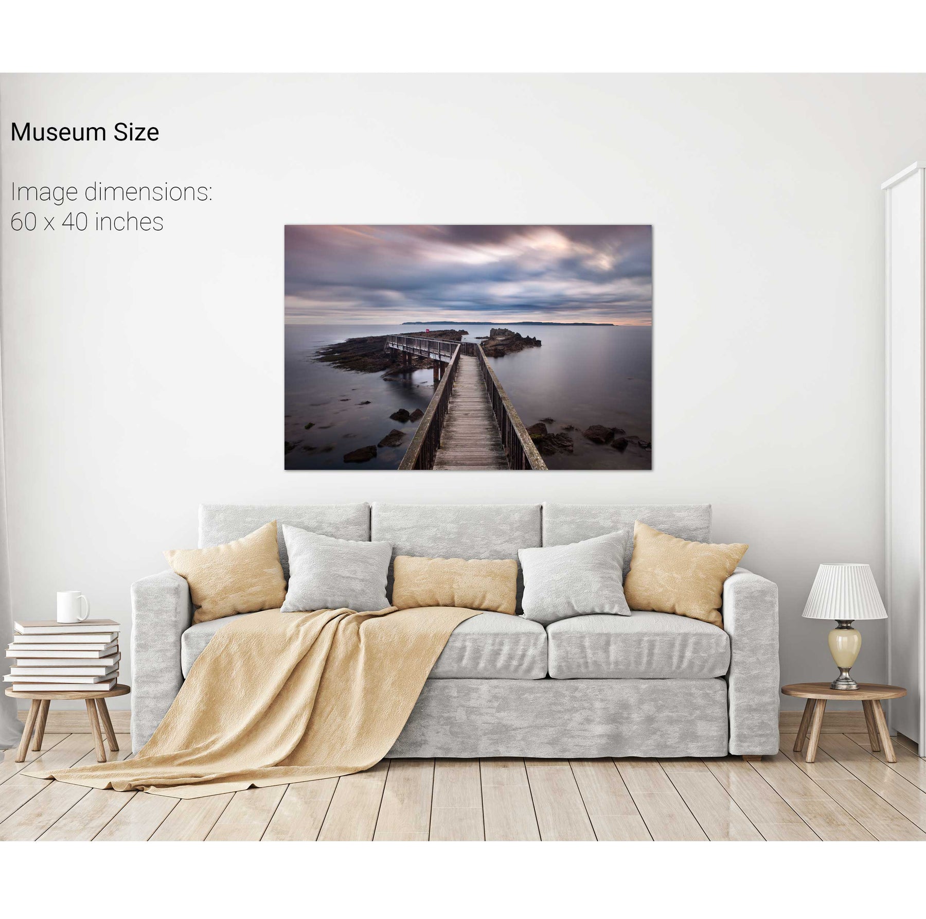
Pan's Rock, Co. Antrim


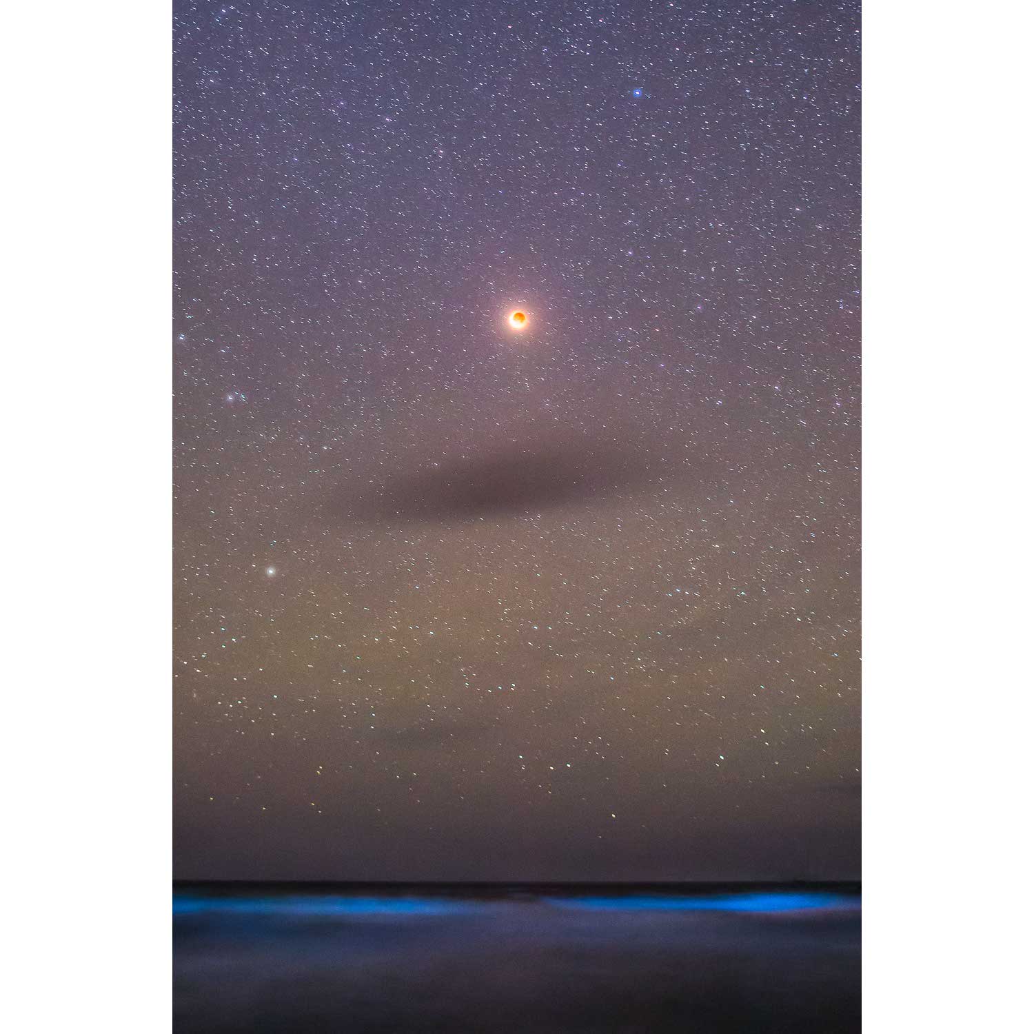
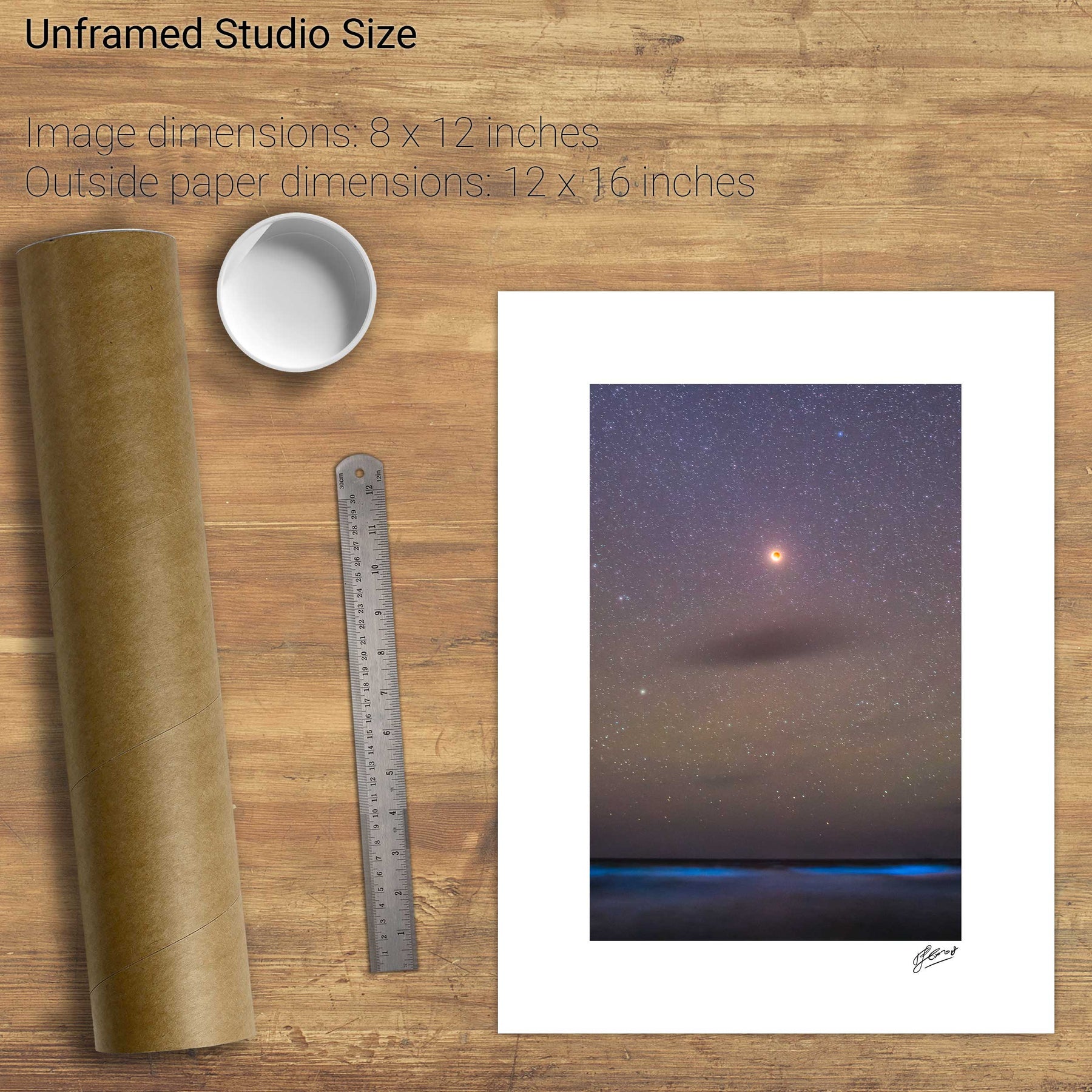
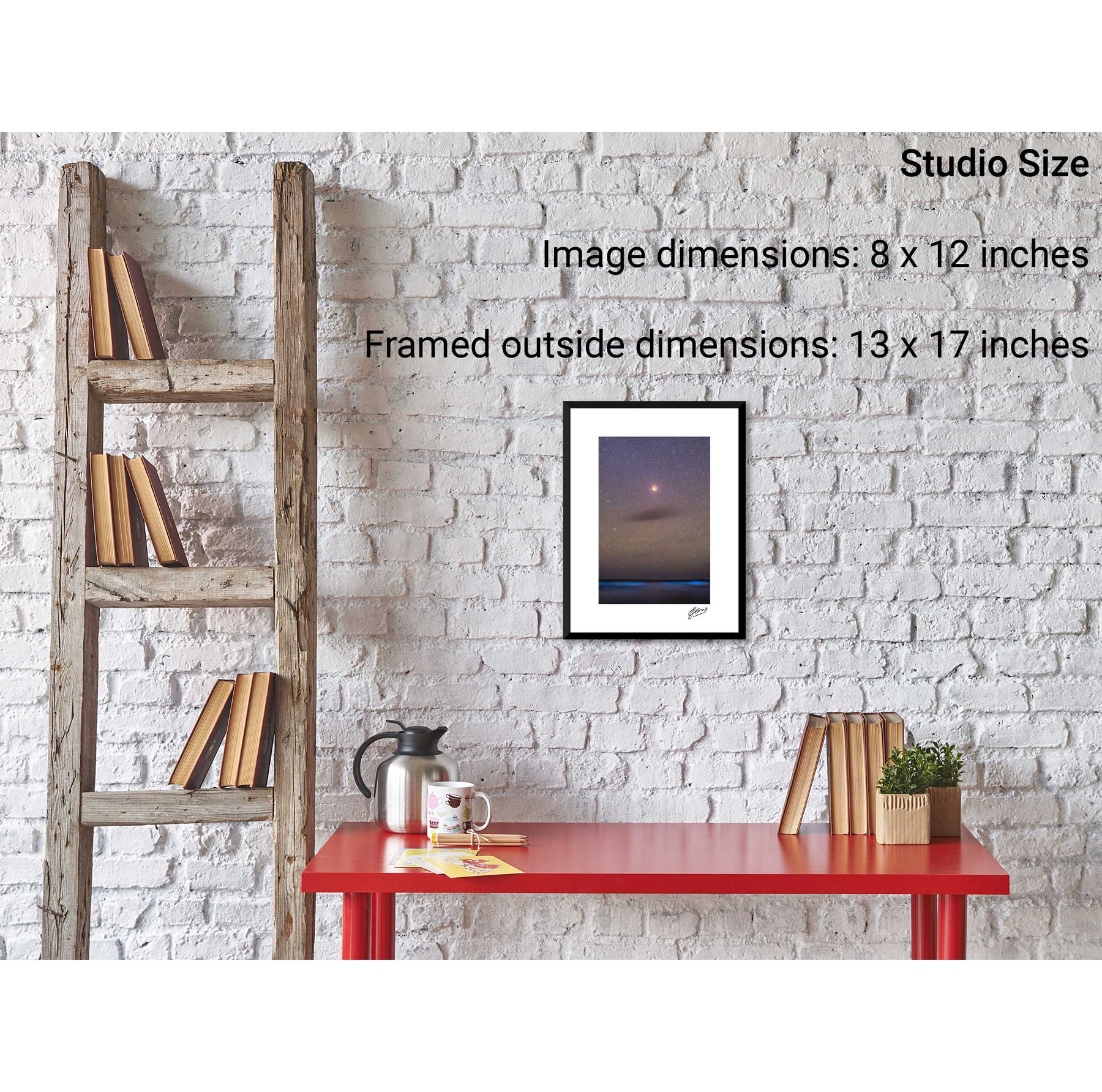
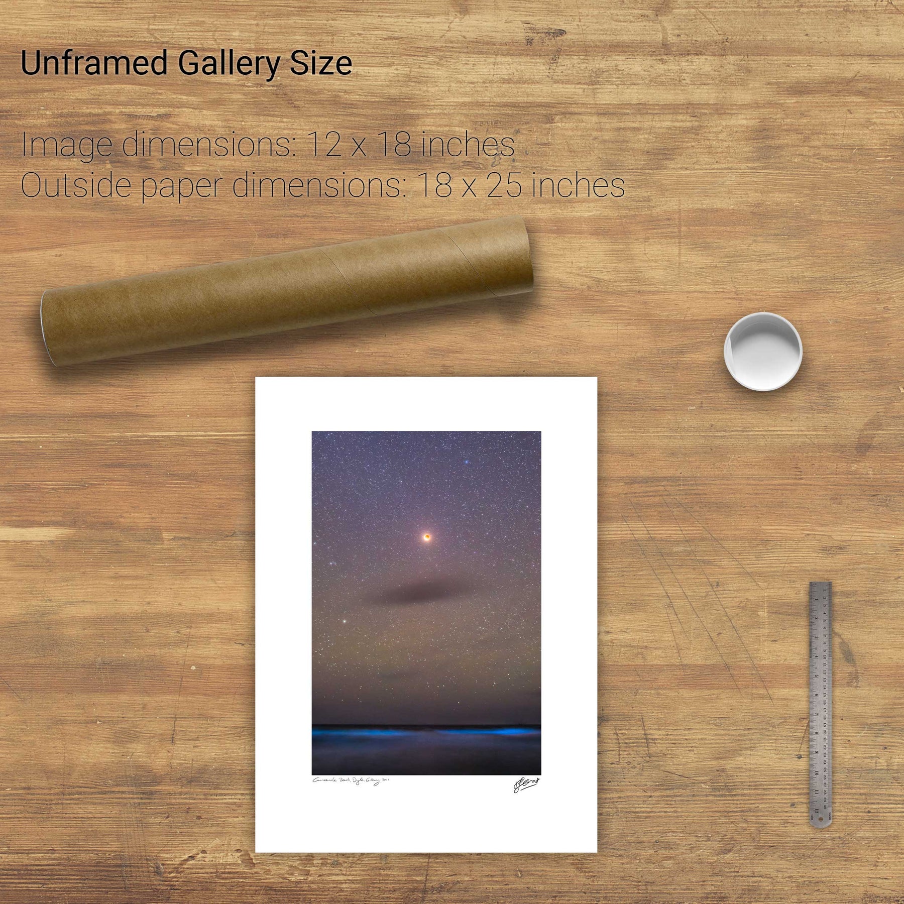
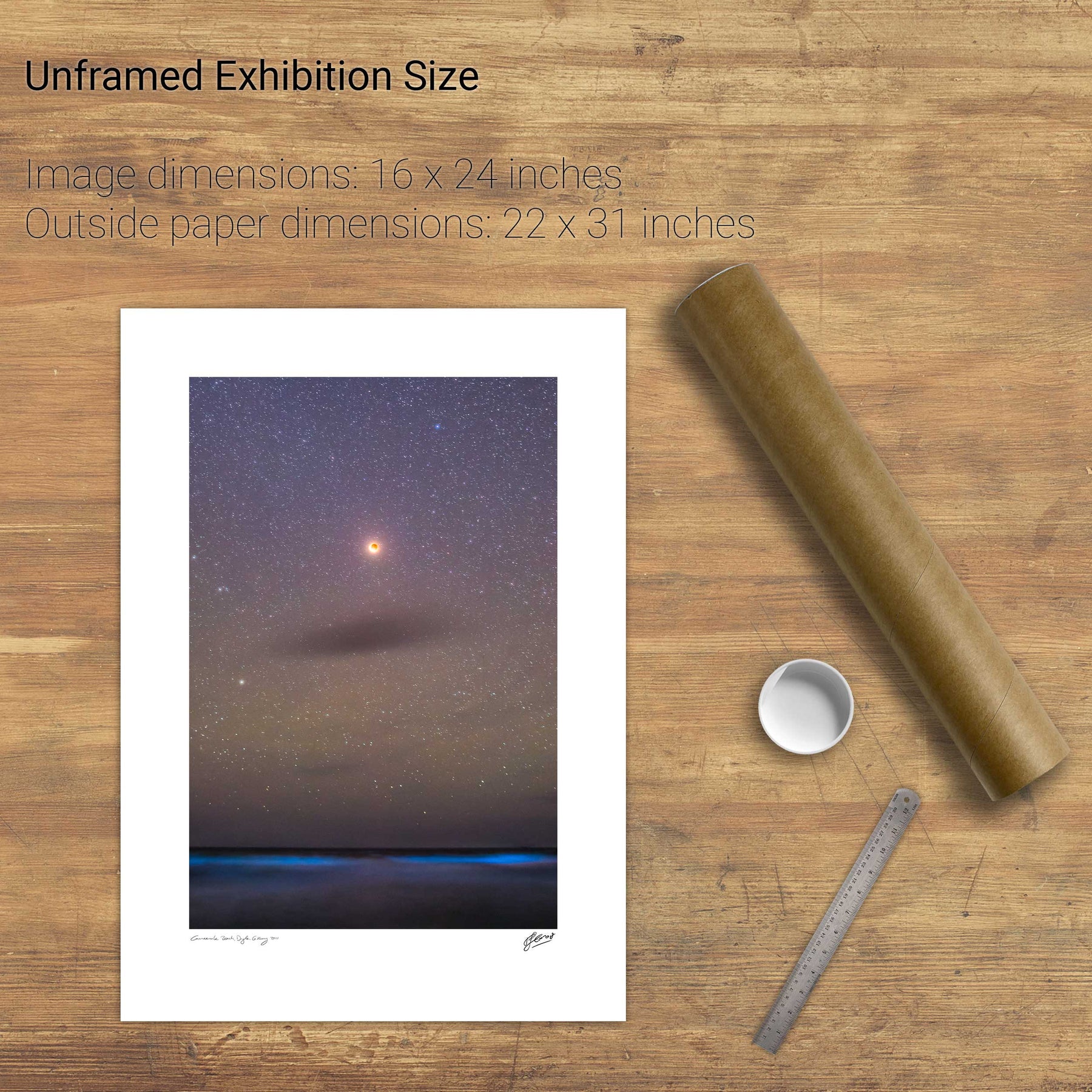
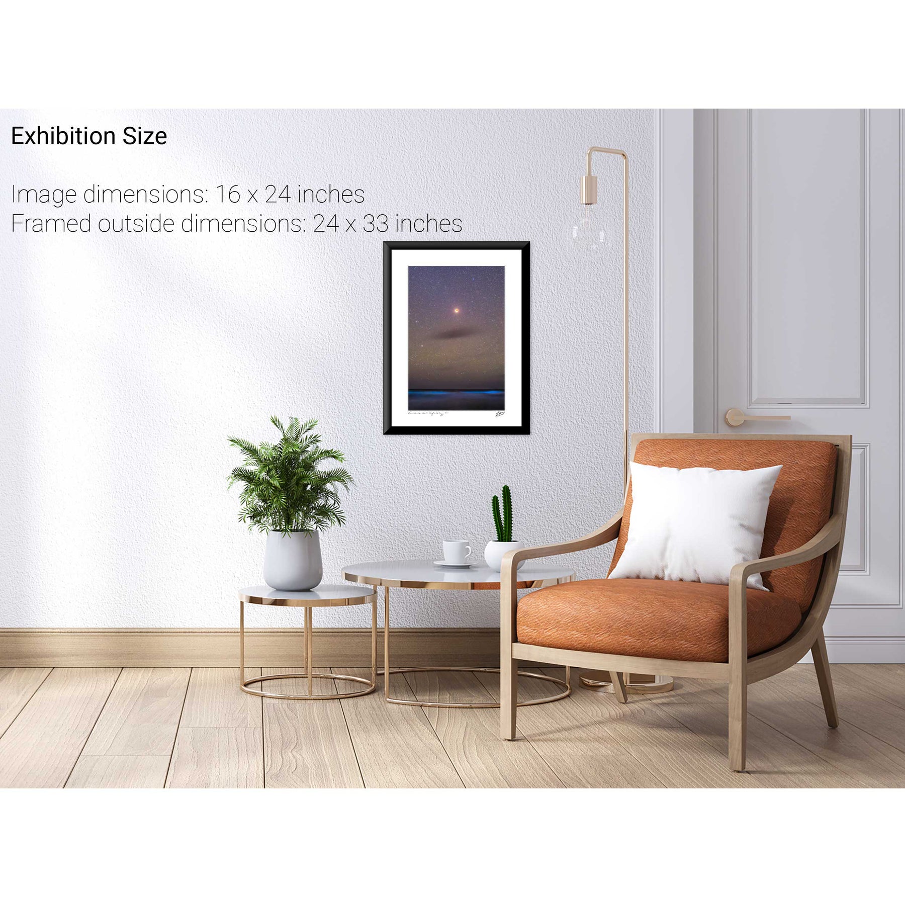
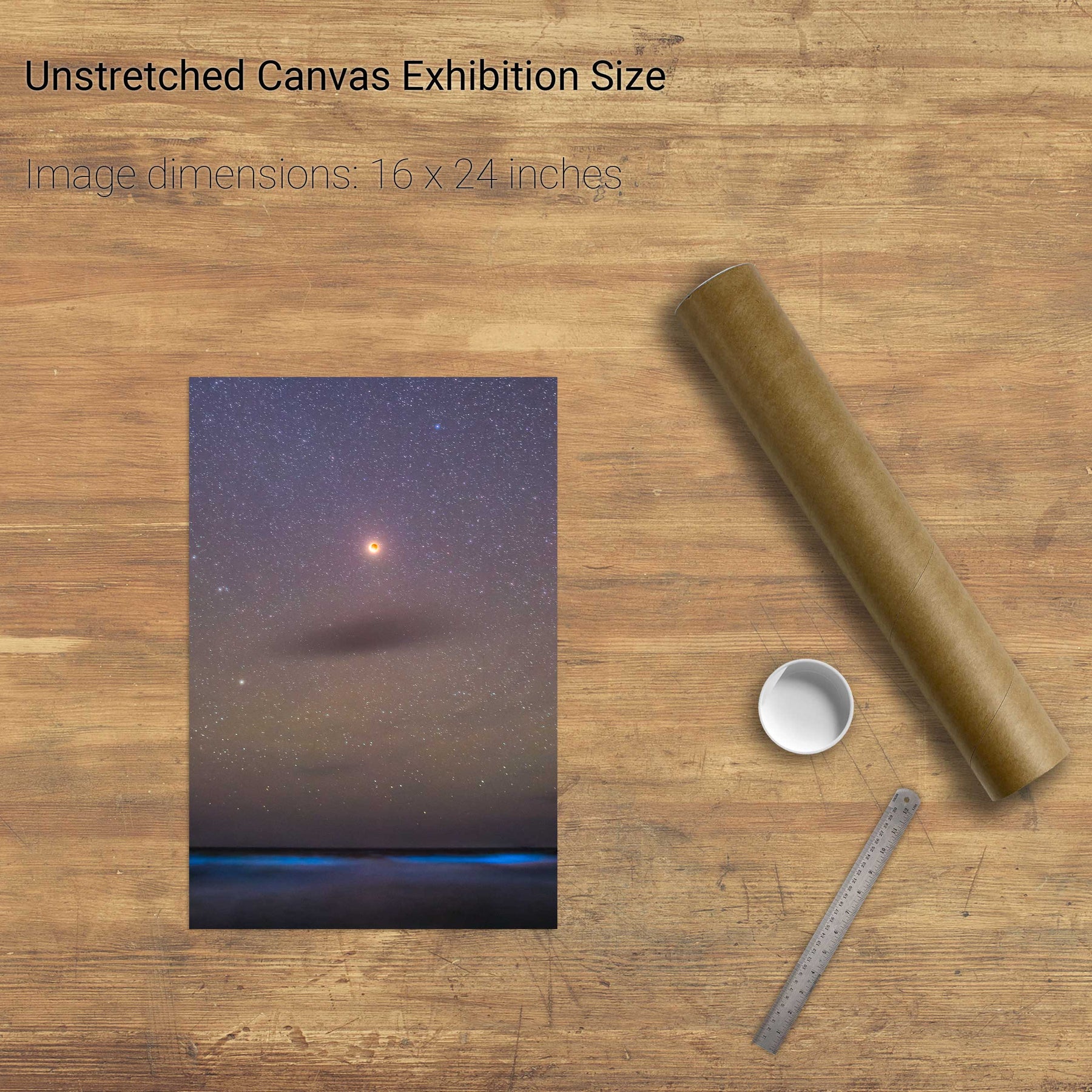
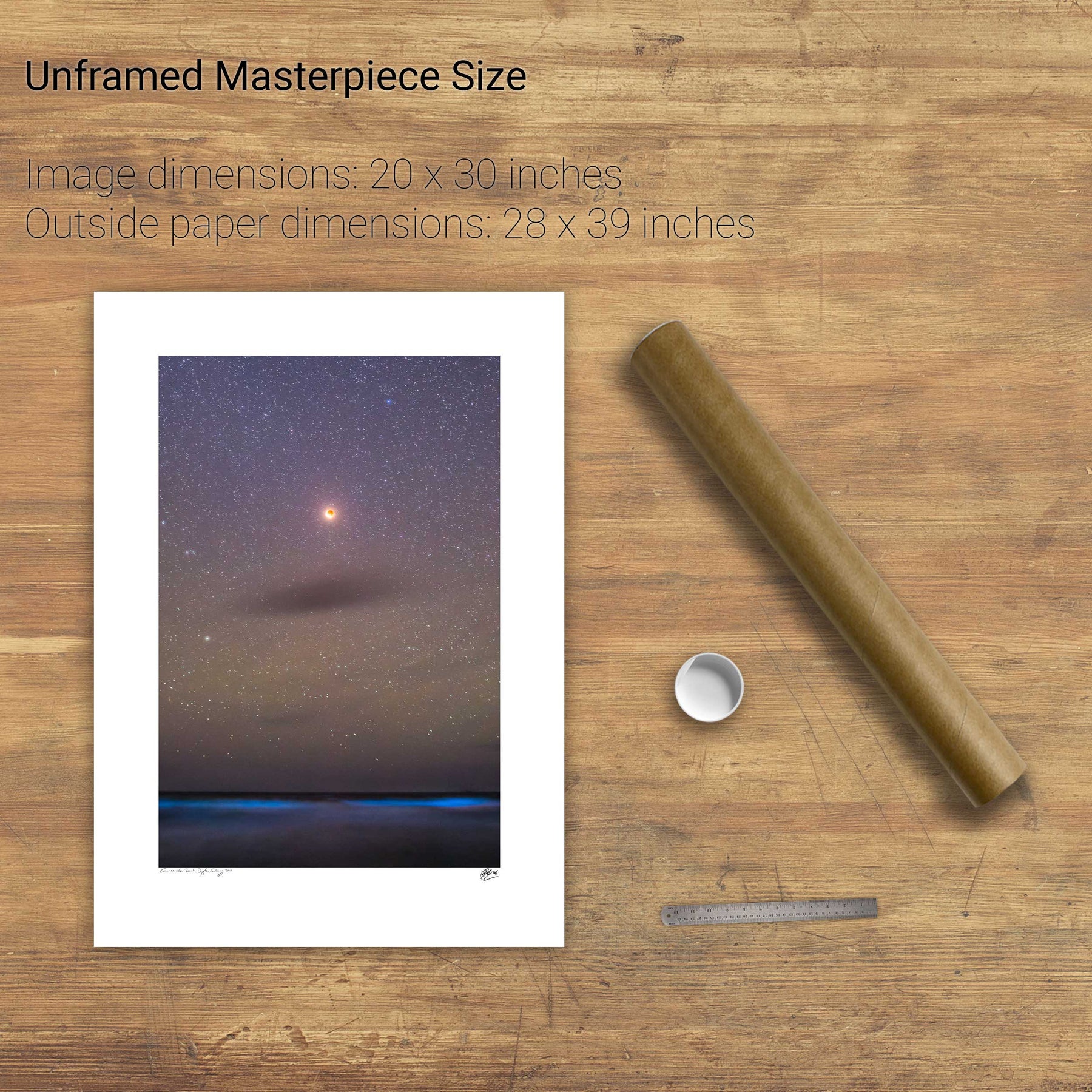
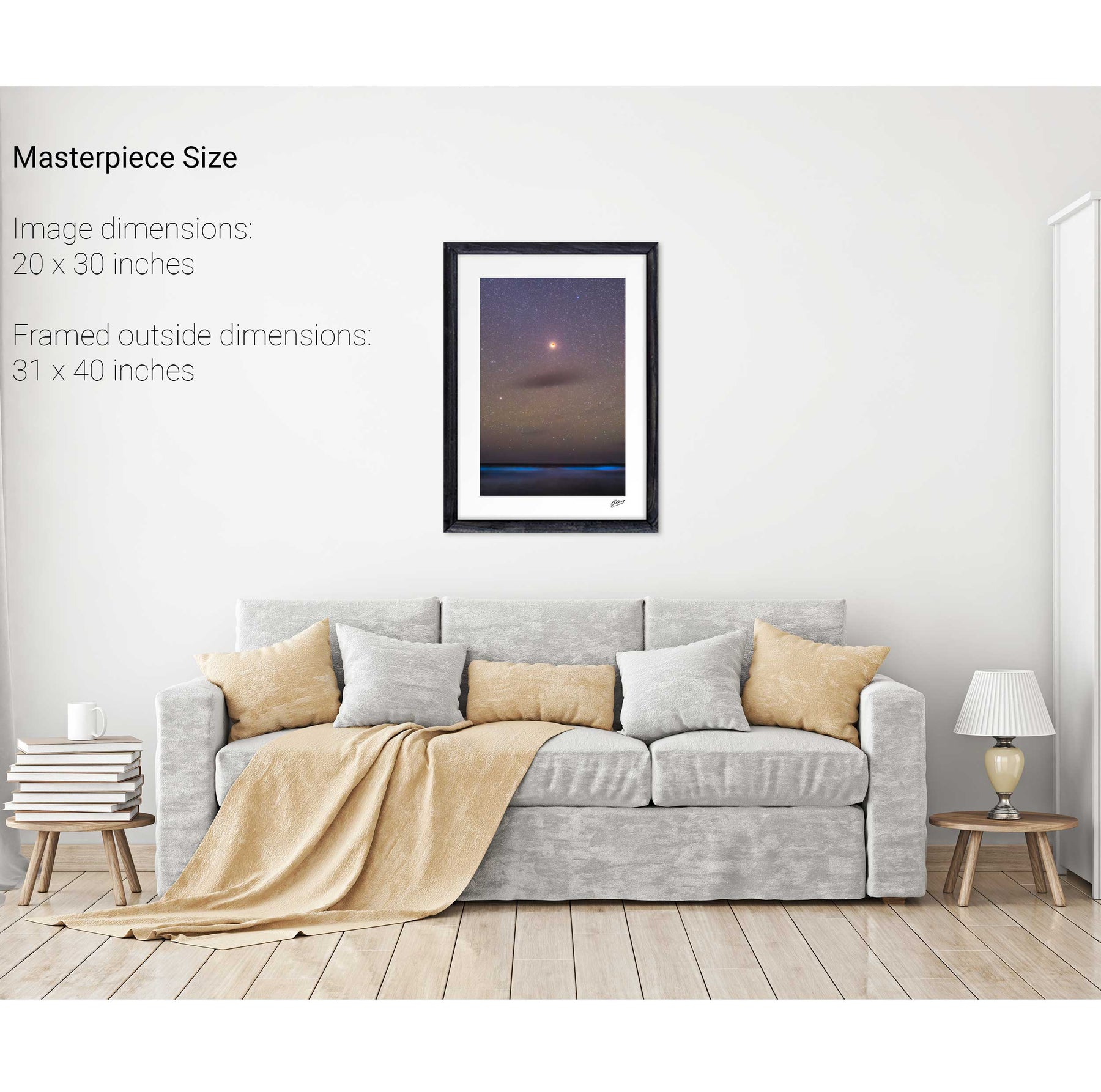
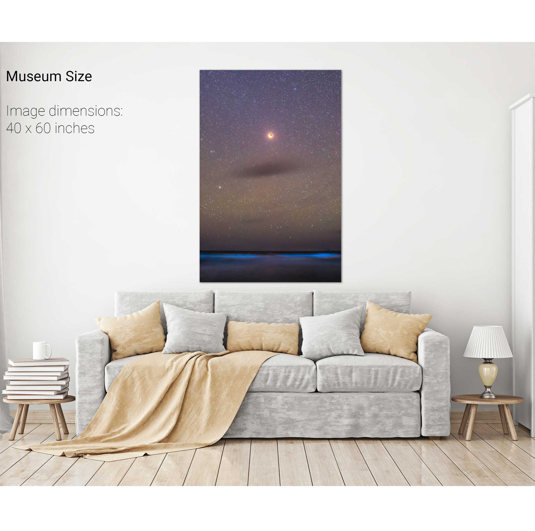
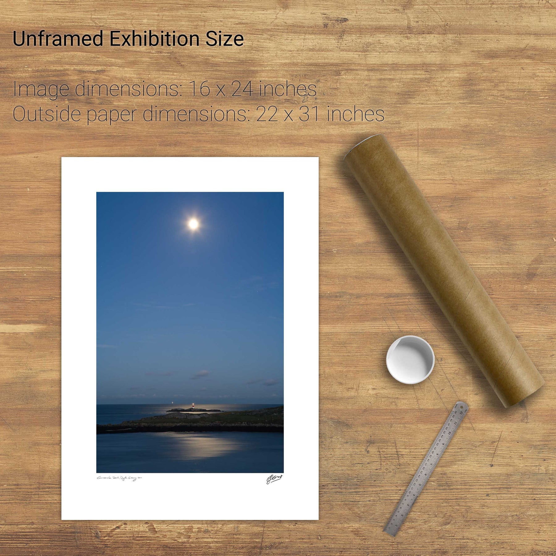
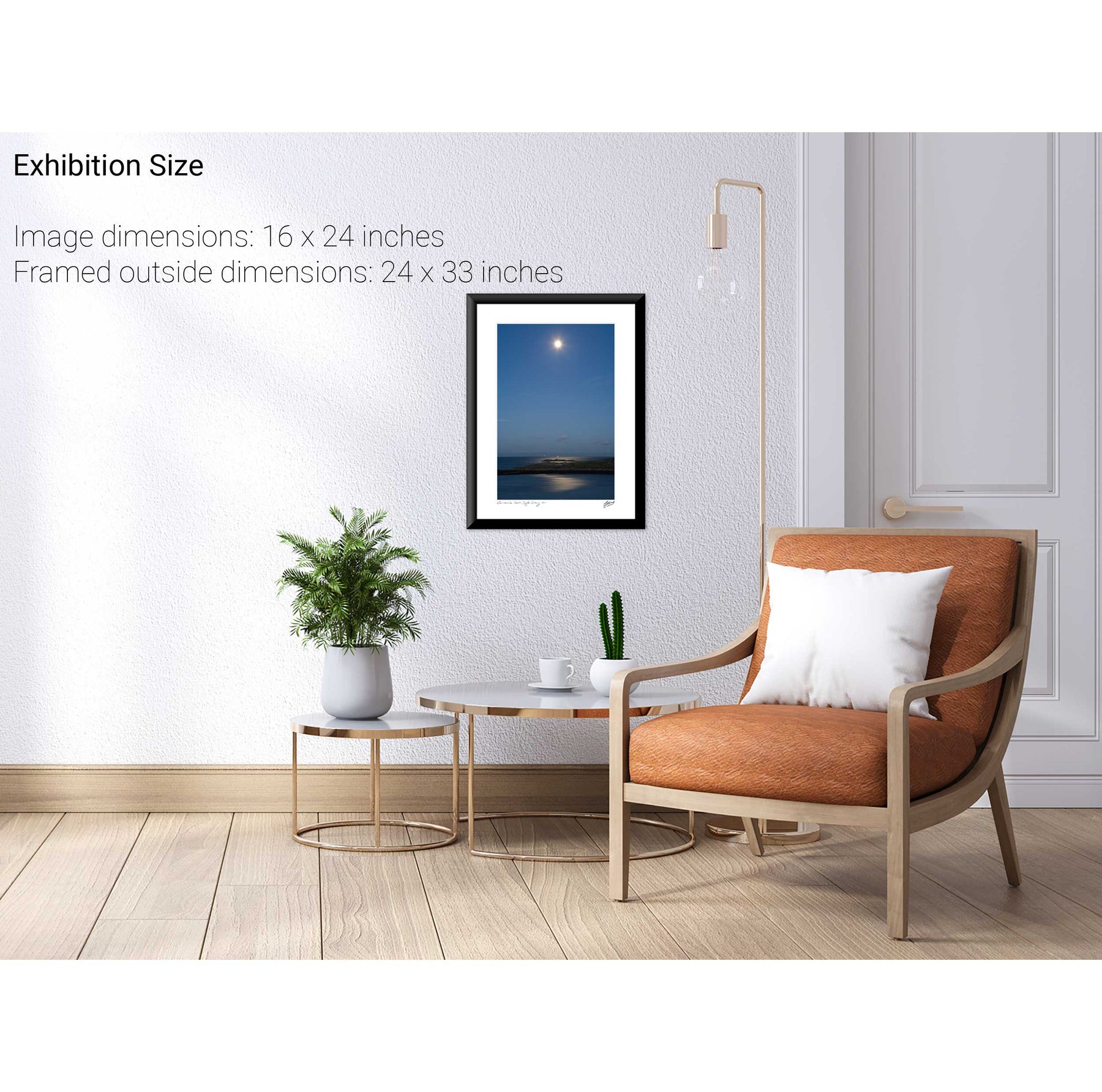
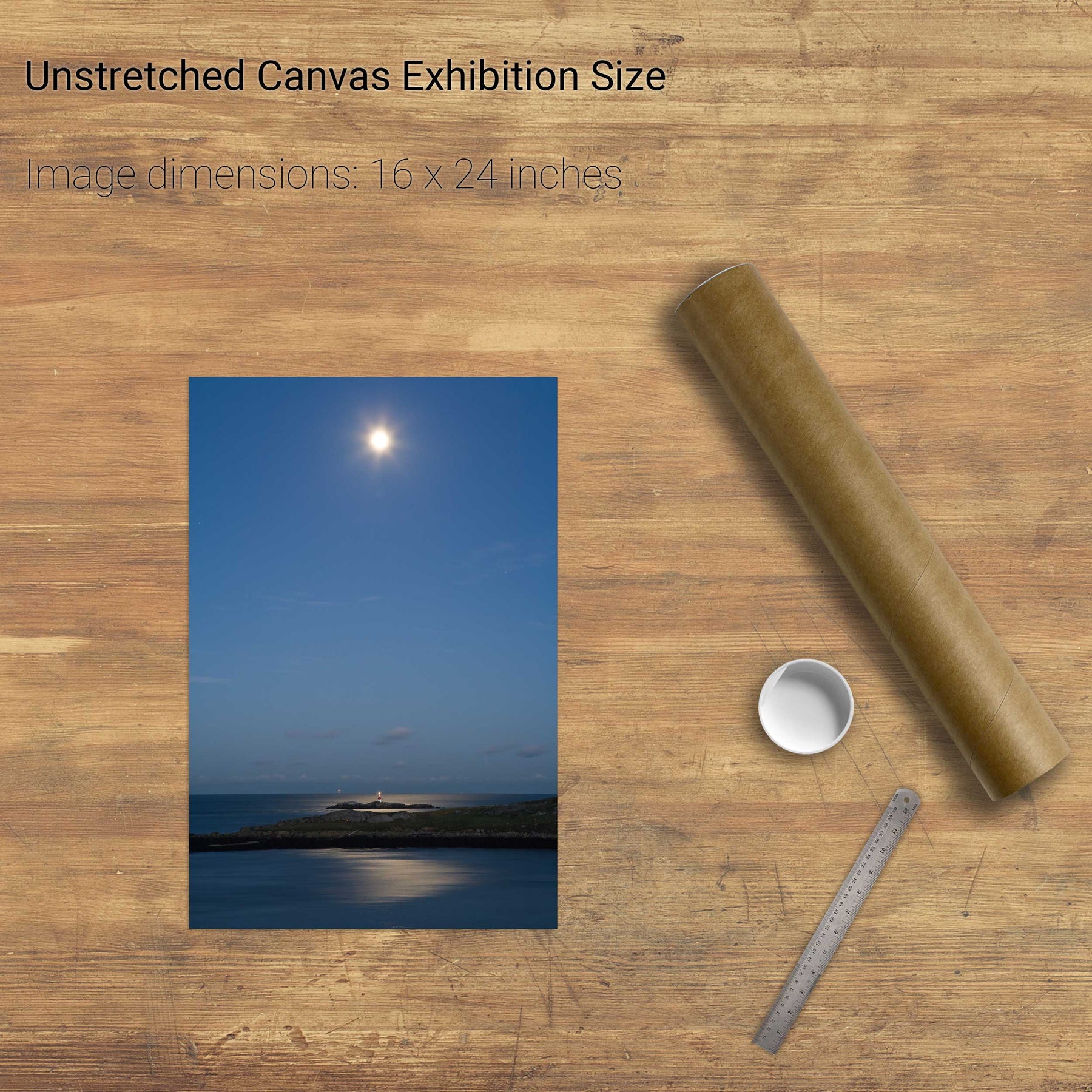
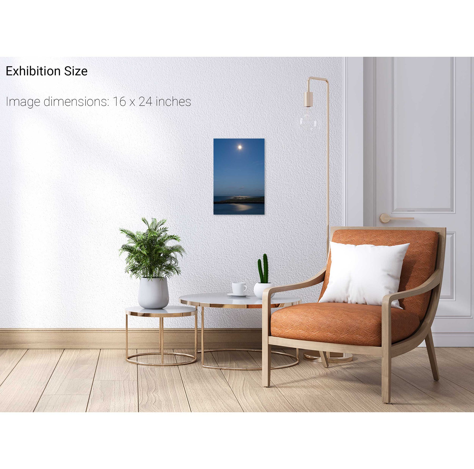
Total Lunar Eclipse, Ballinskelligs, Co. Kerry


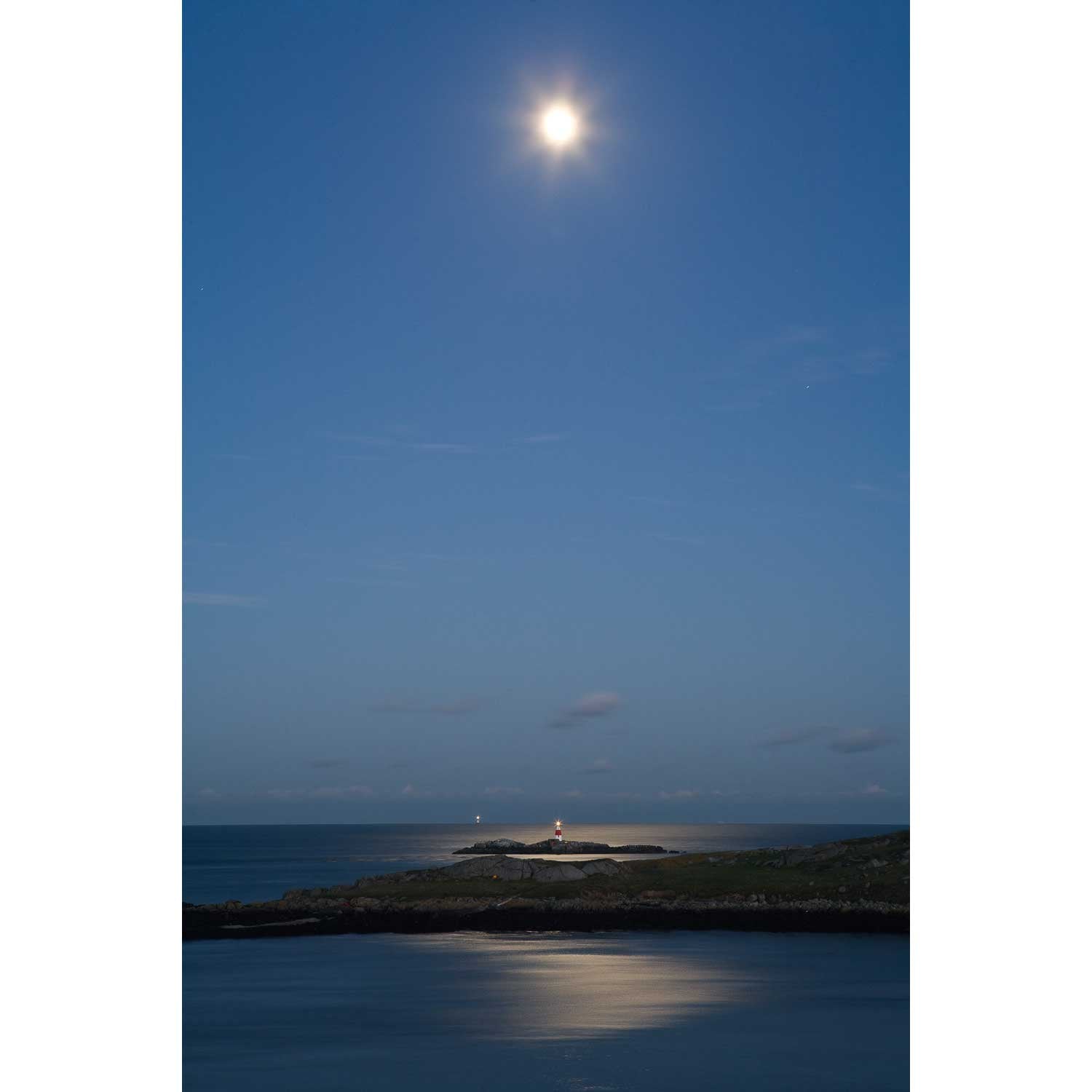
The Muglins by Moonlight II


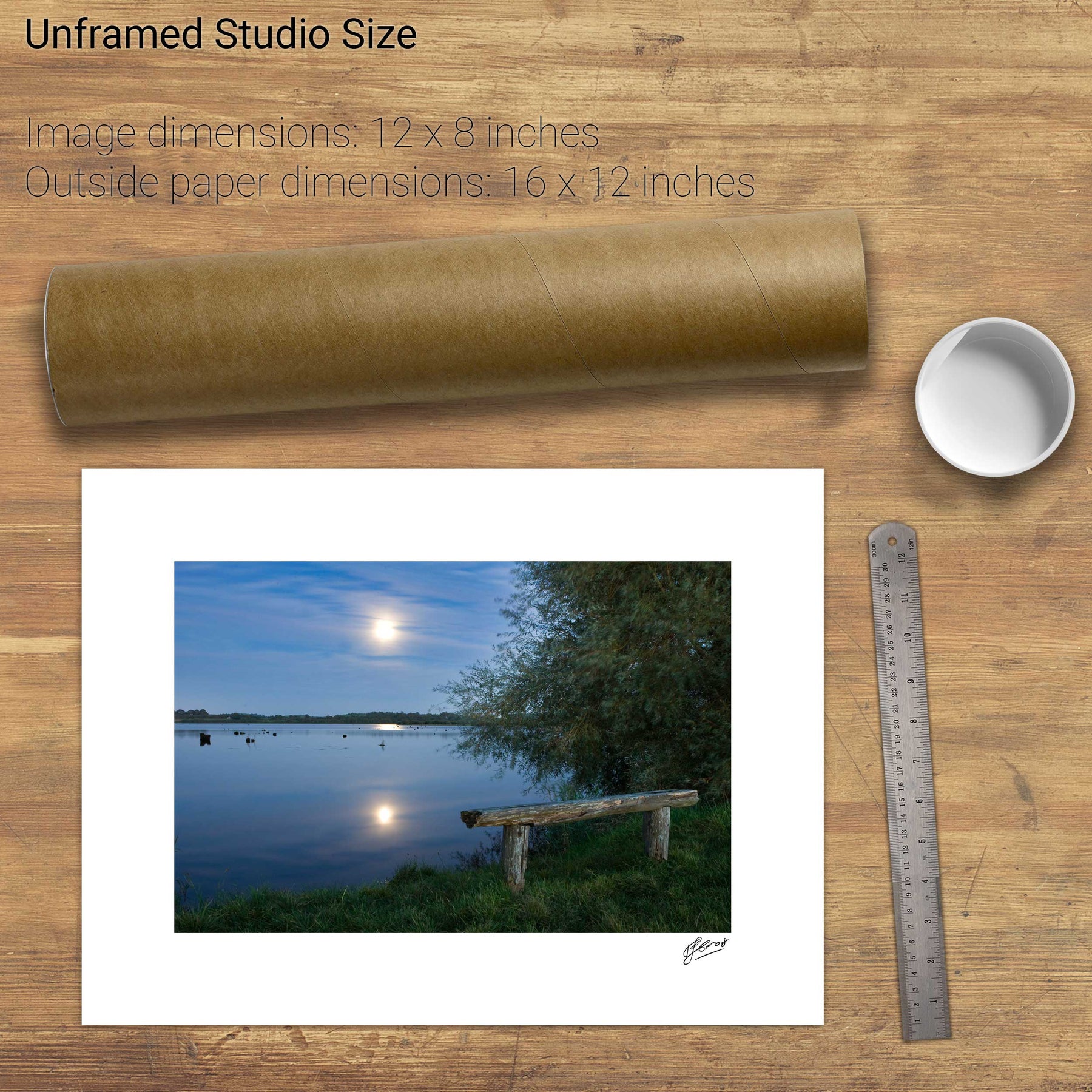
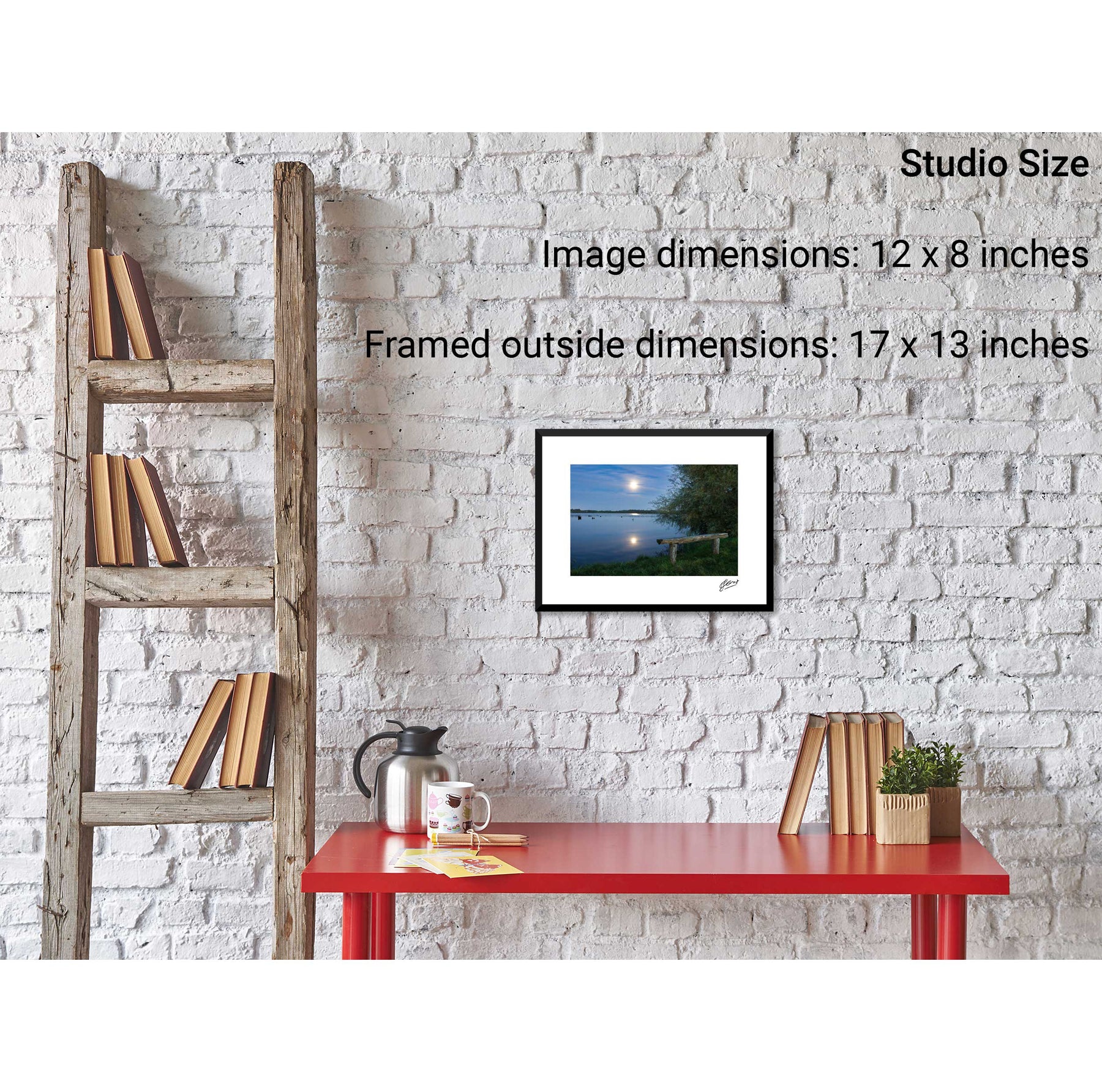
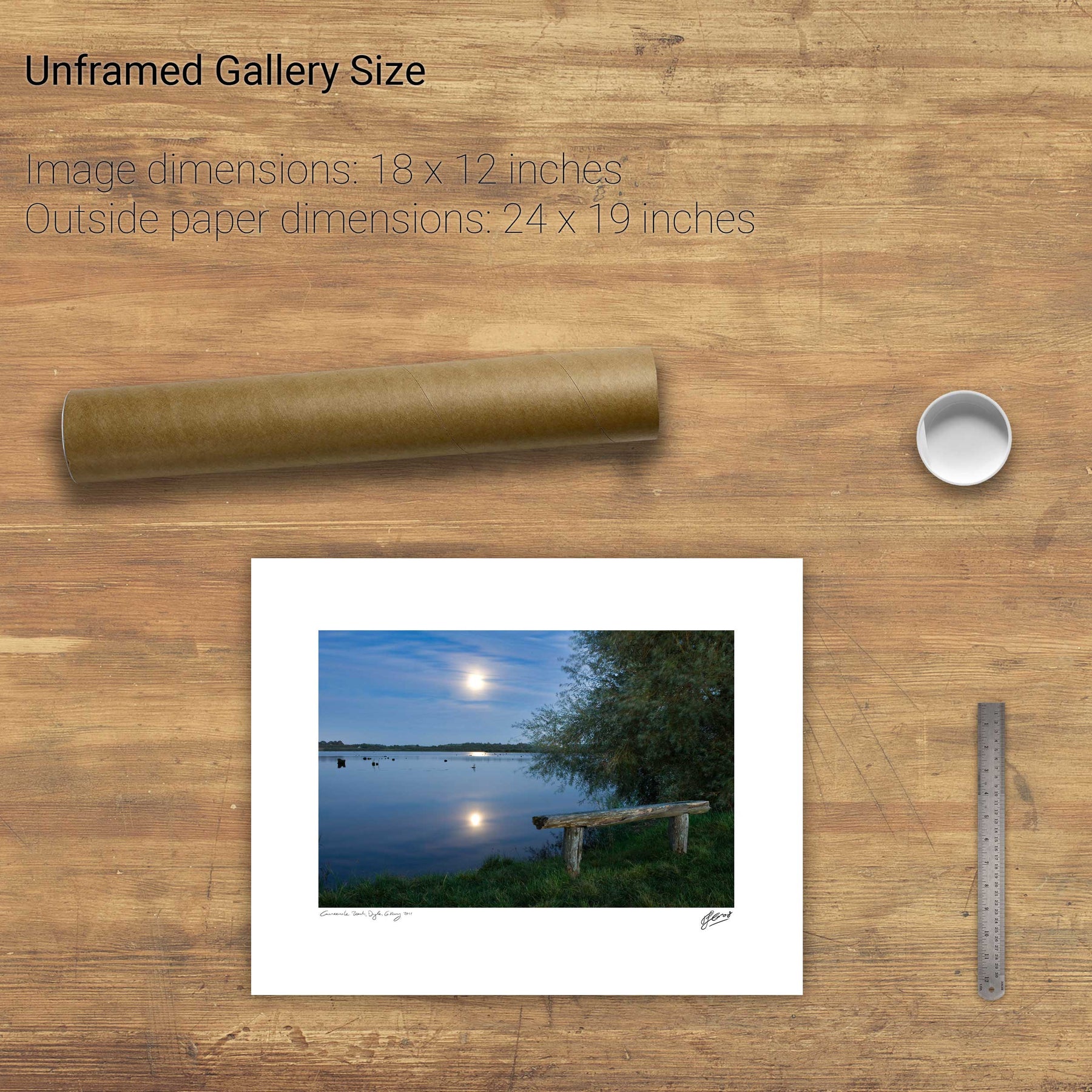
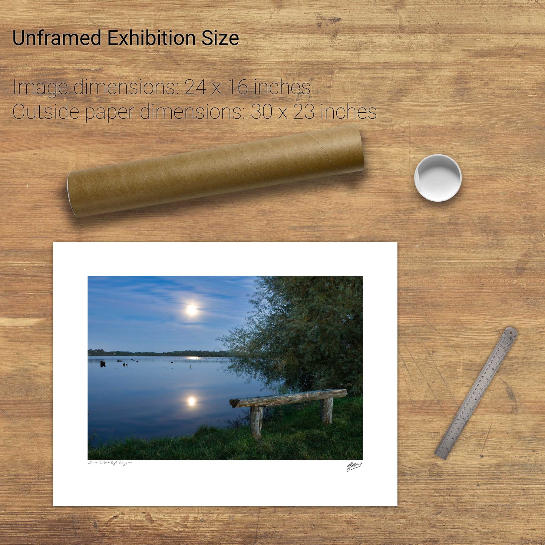
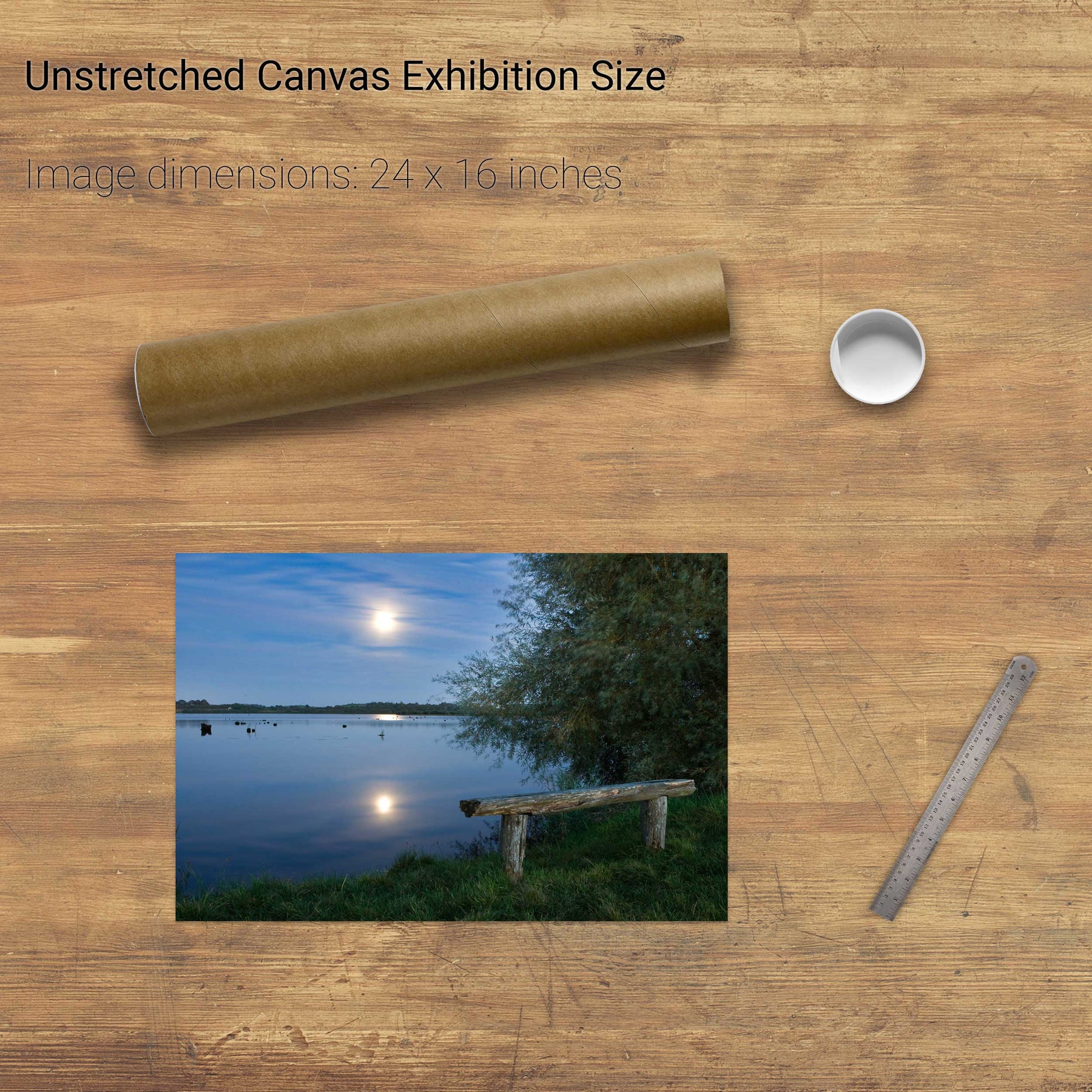
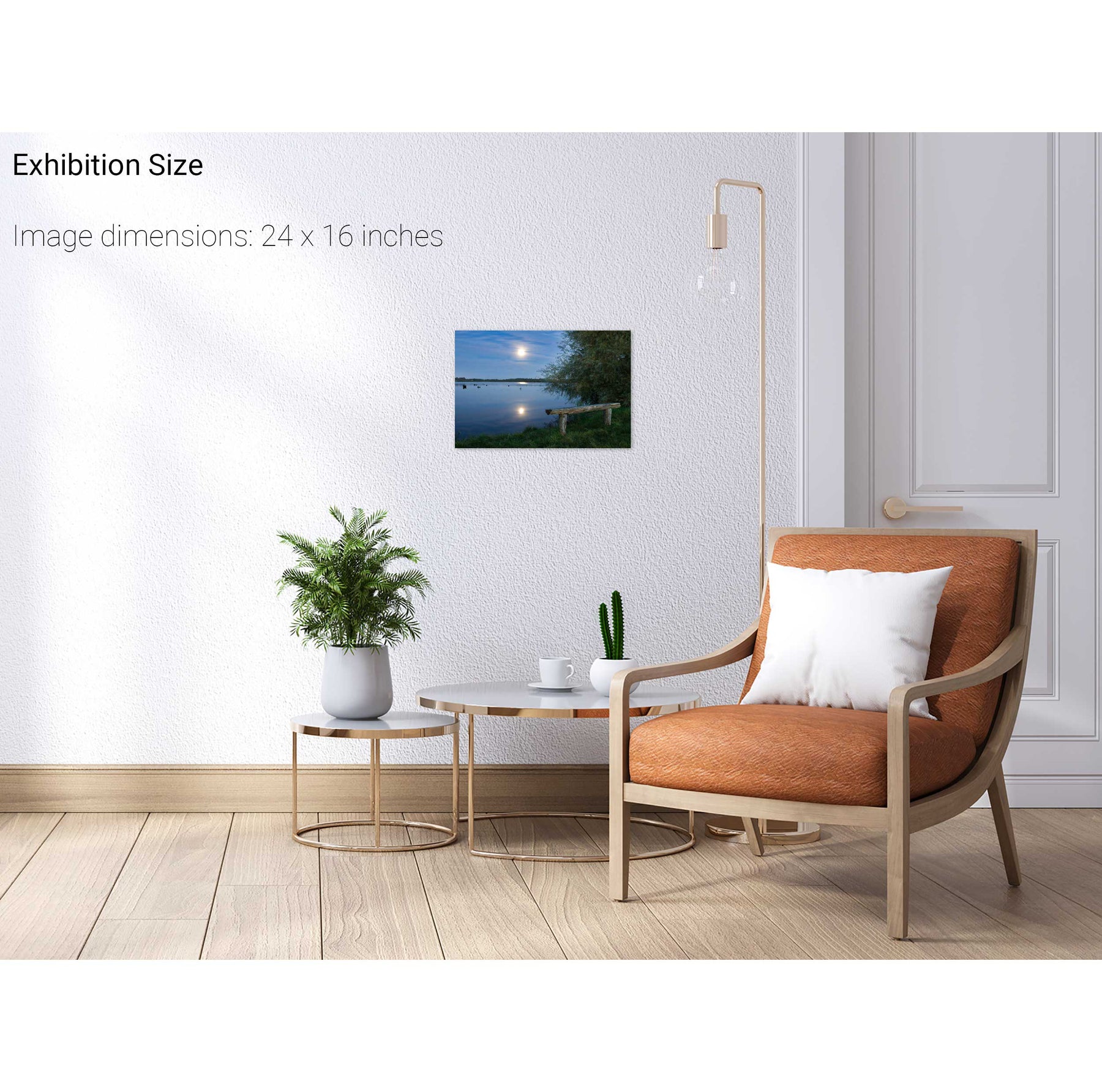
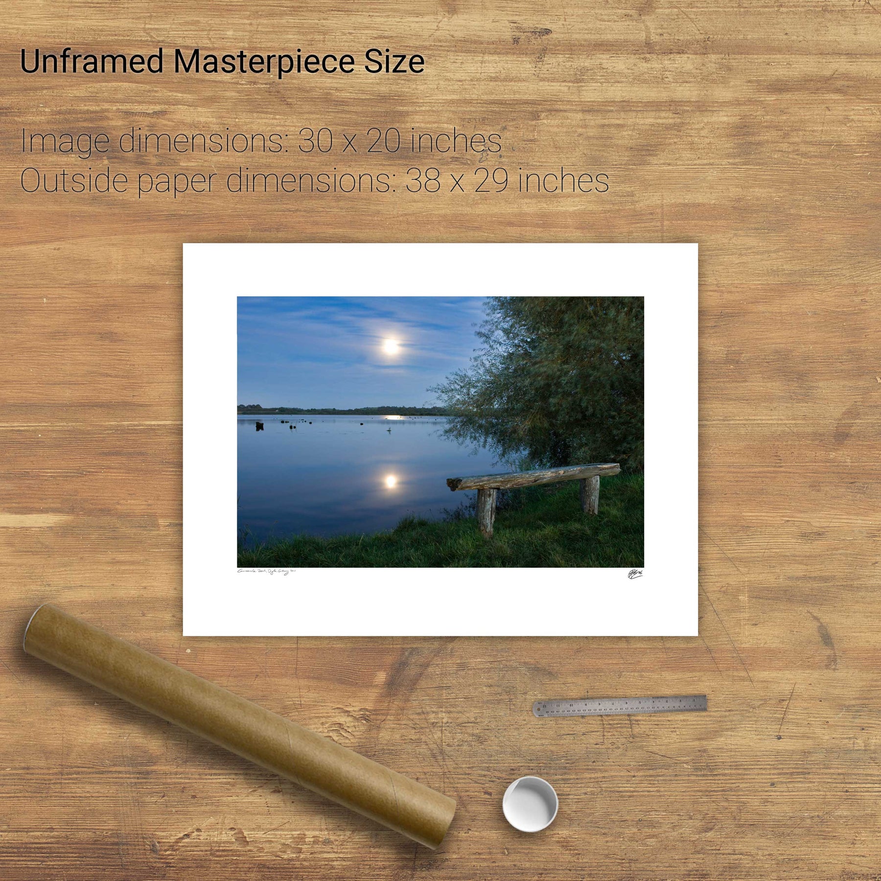
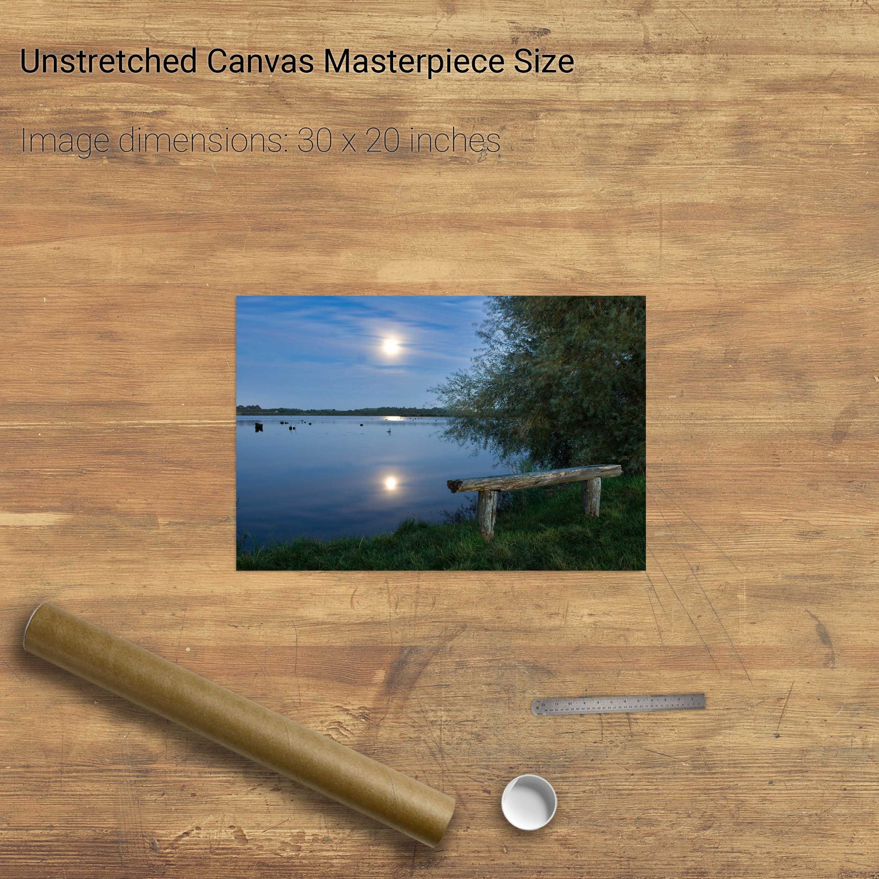
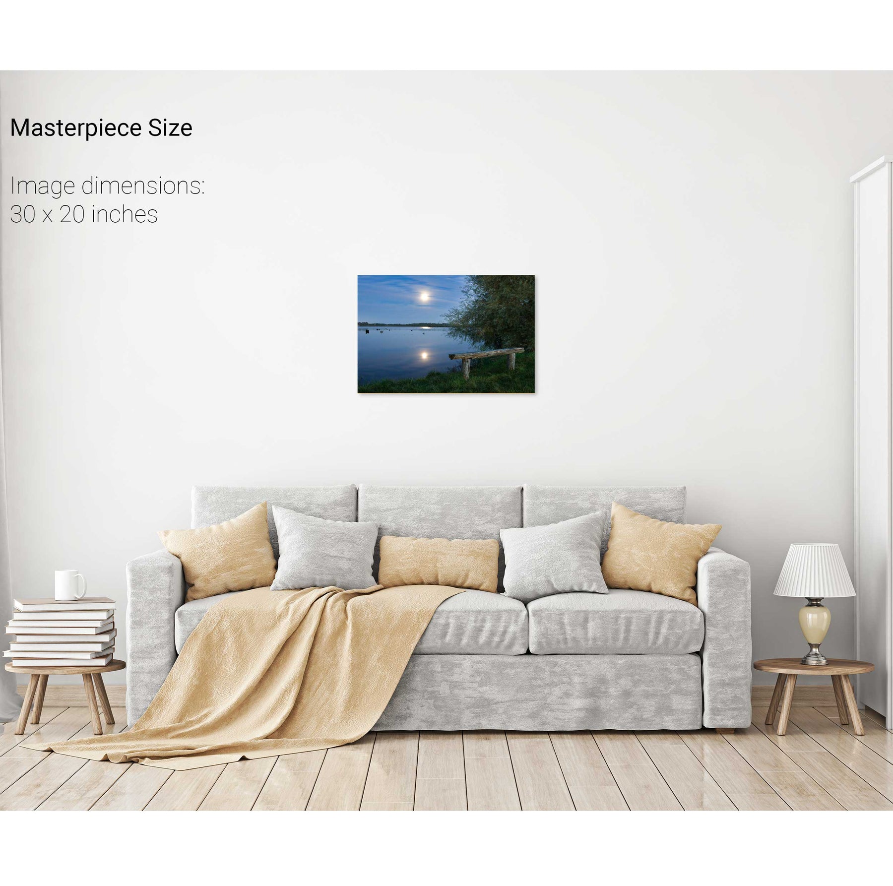
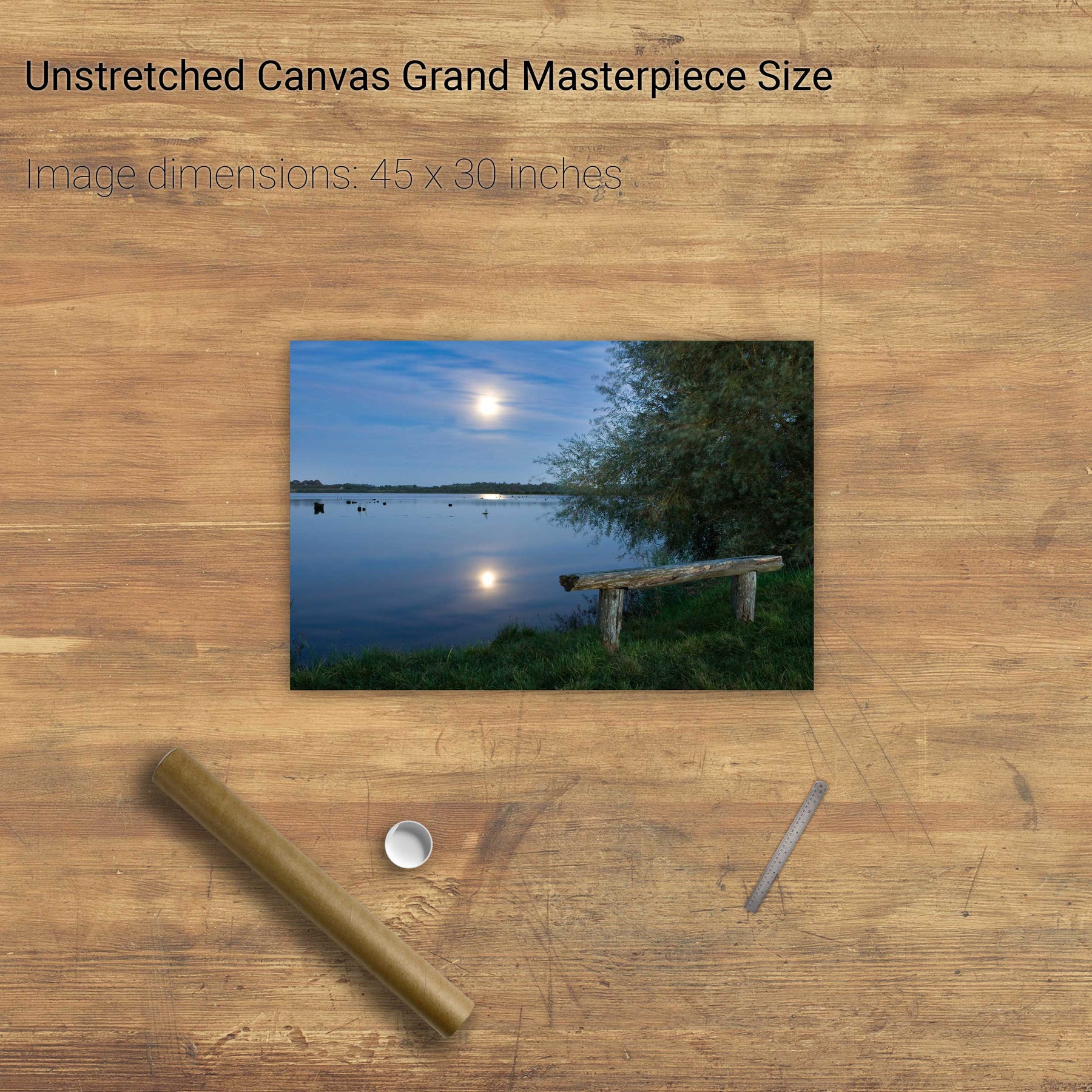
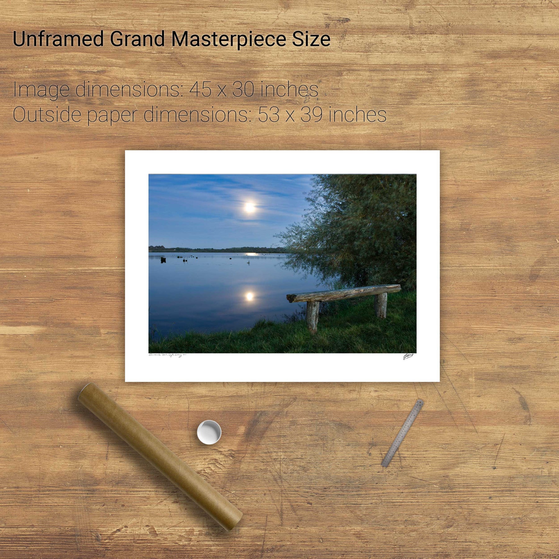
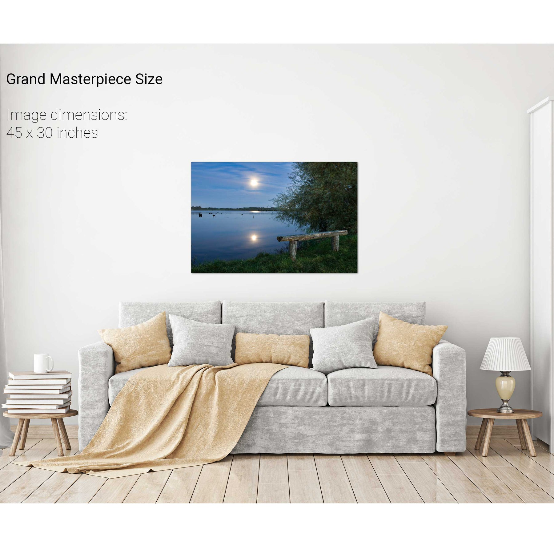
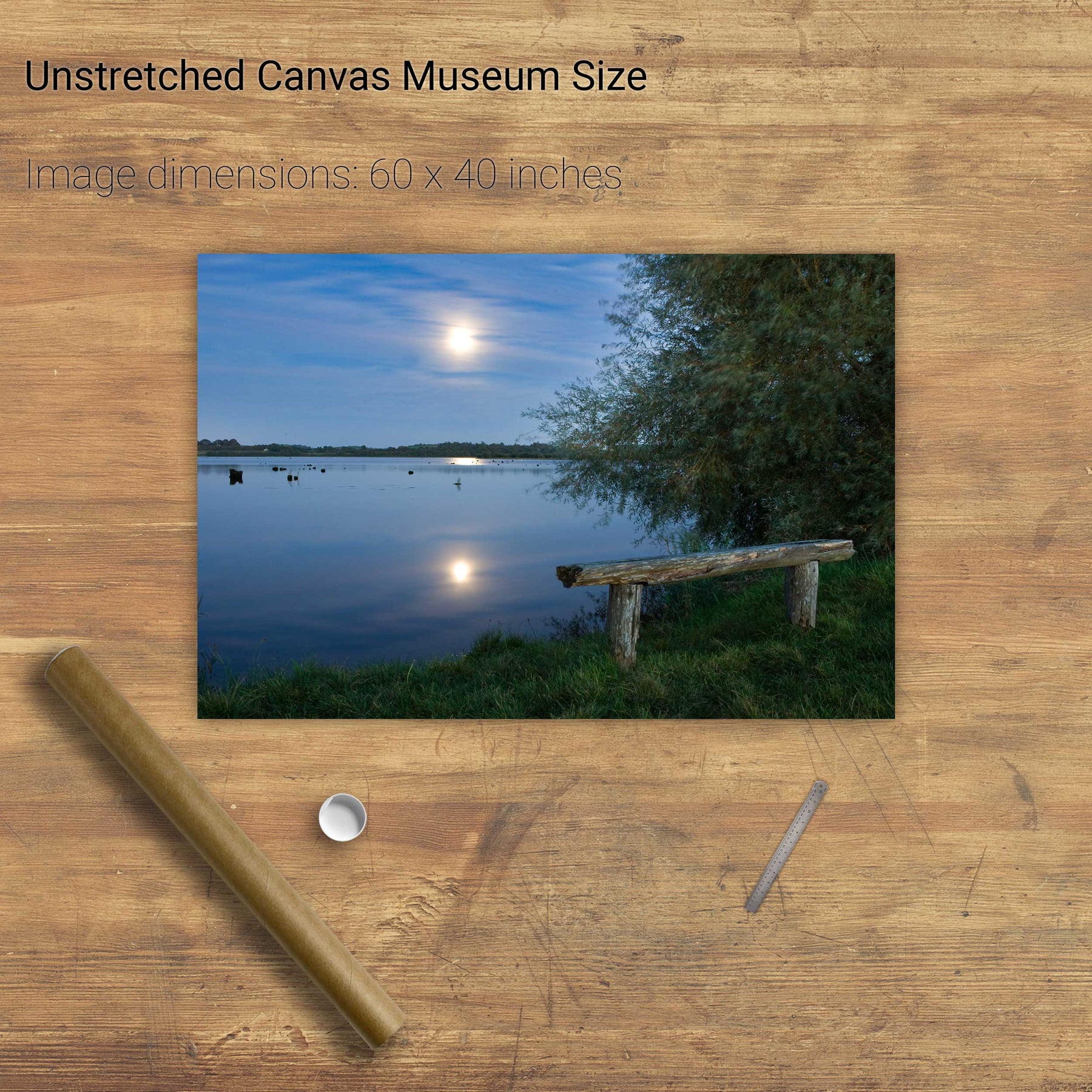
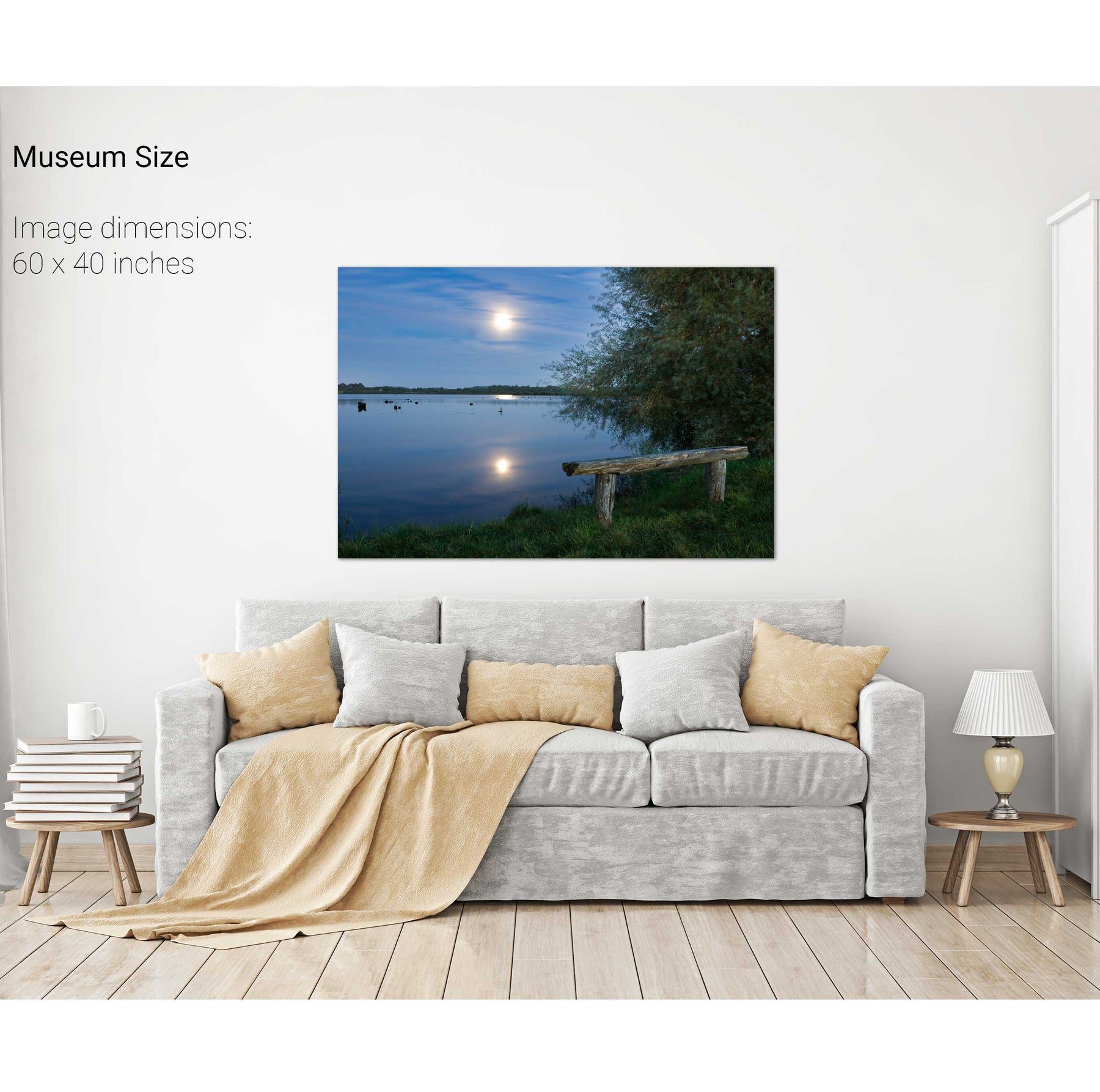
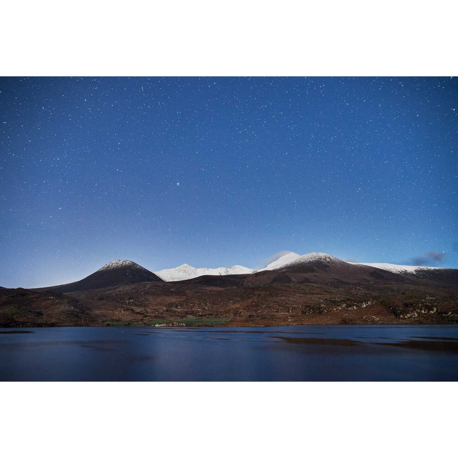
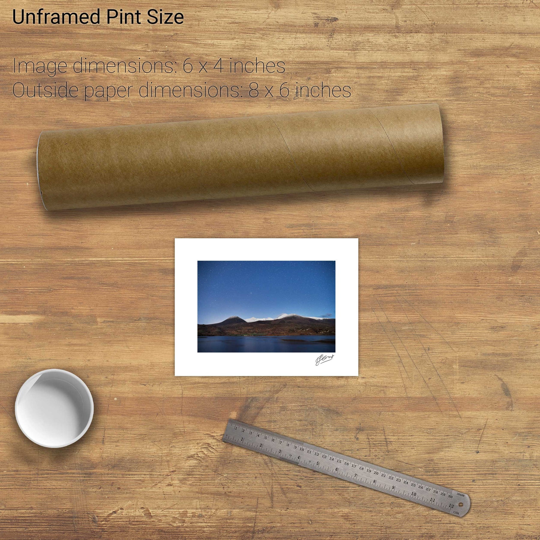
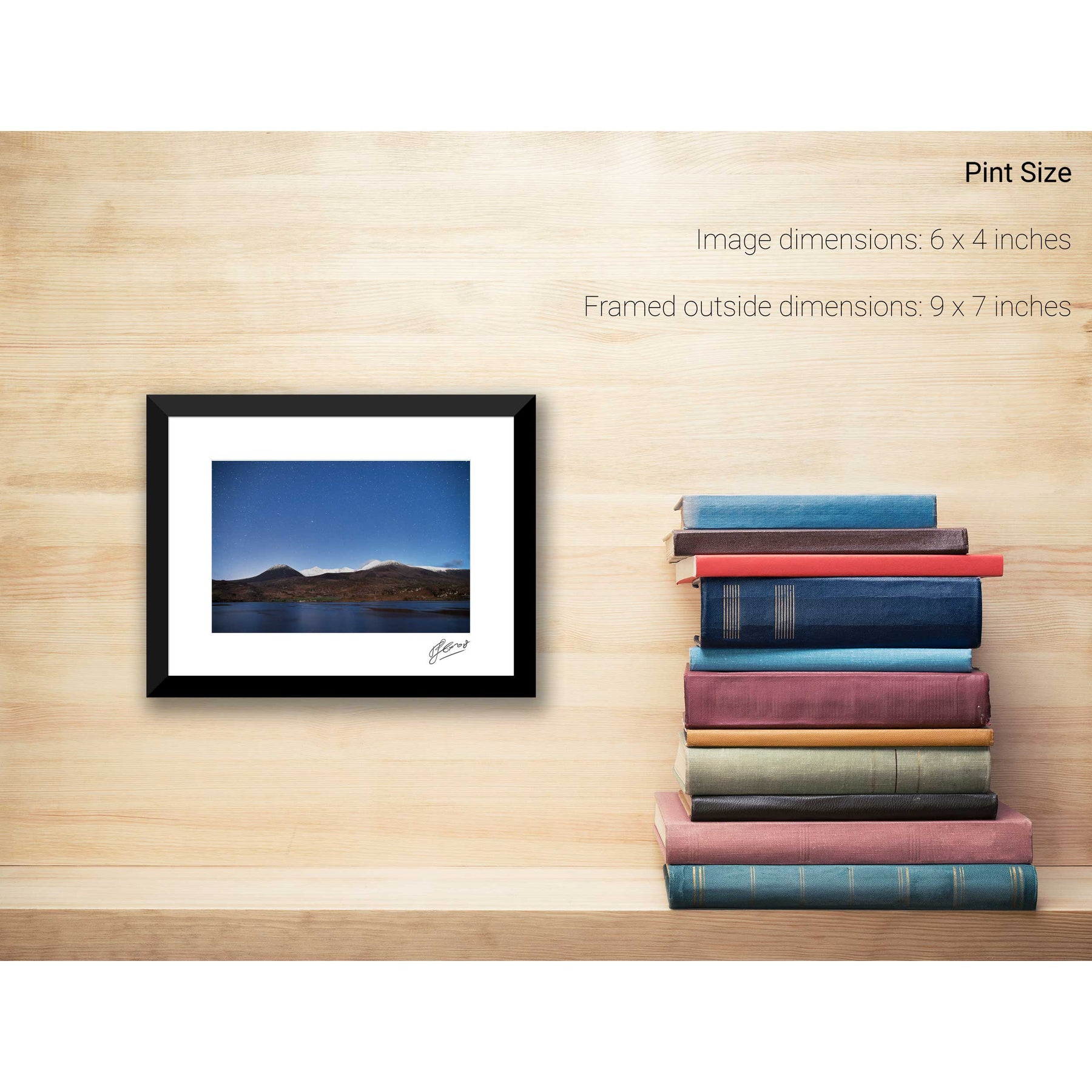
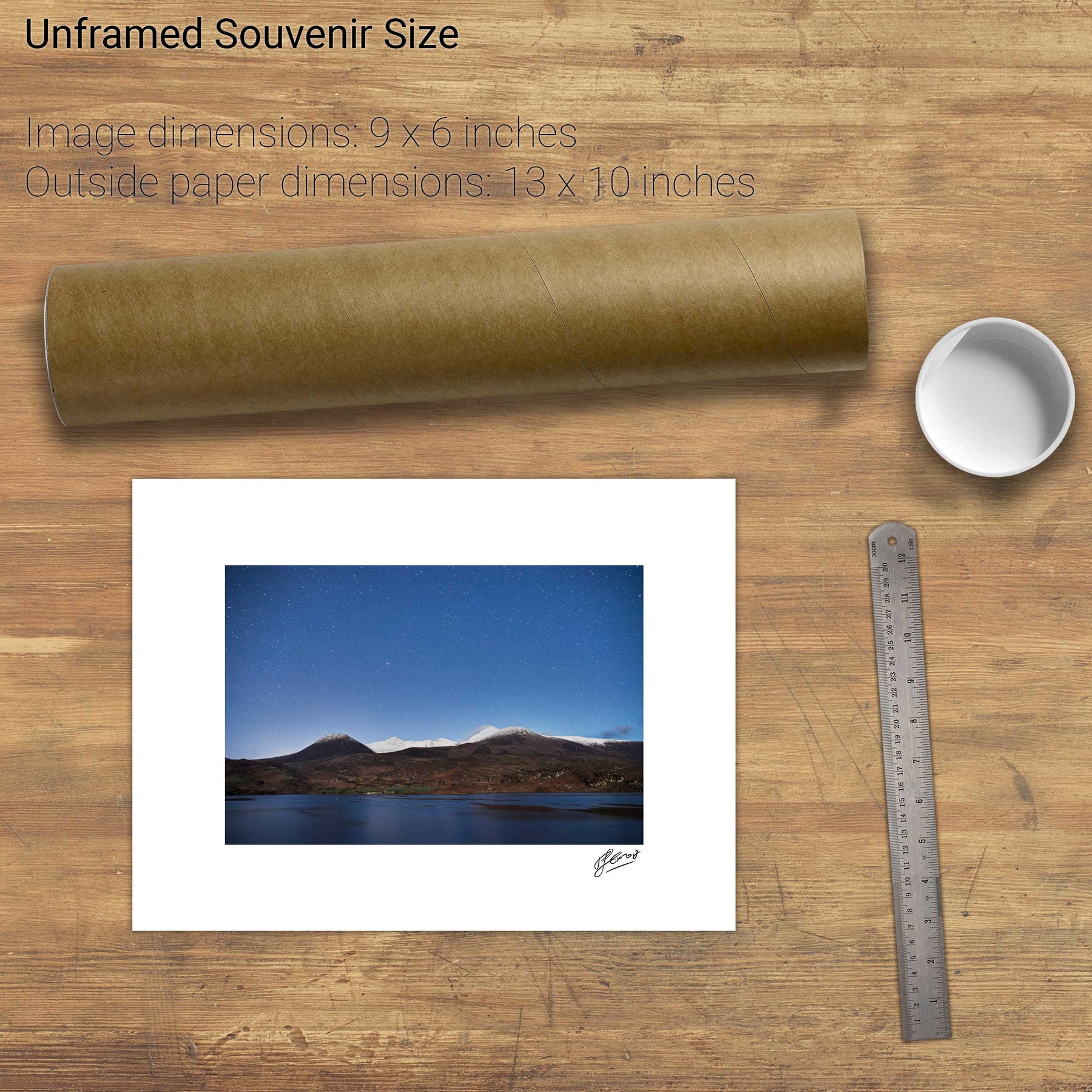
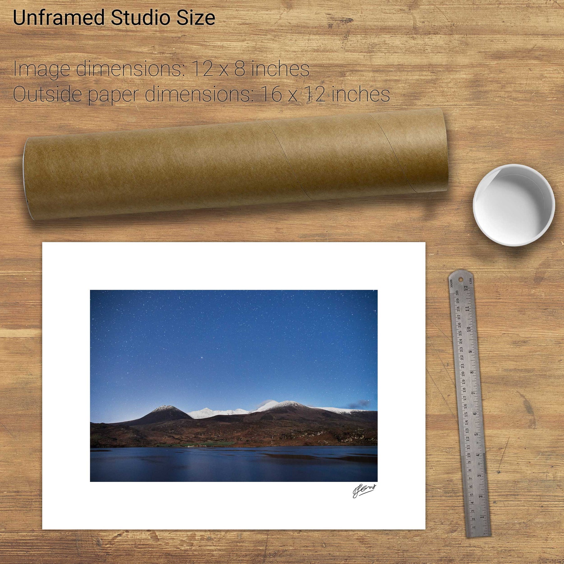
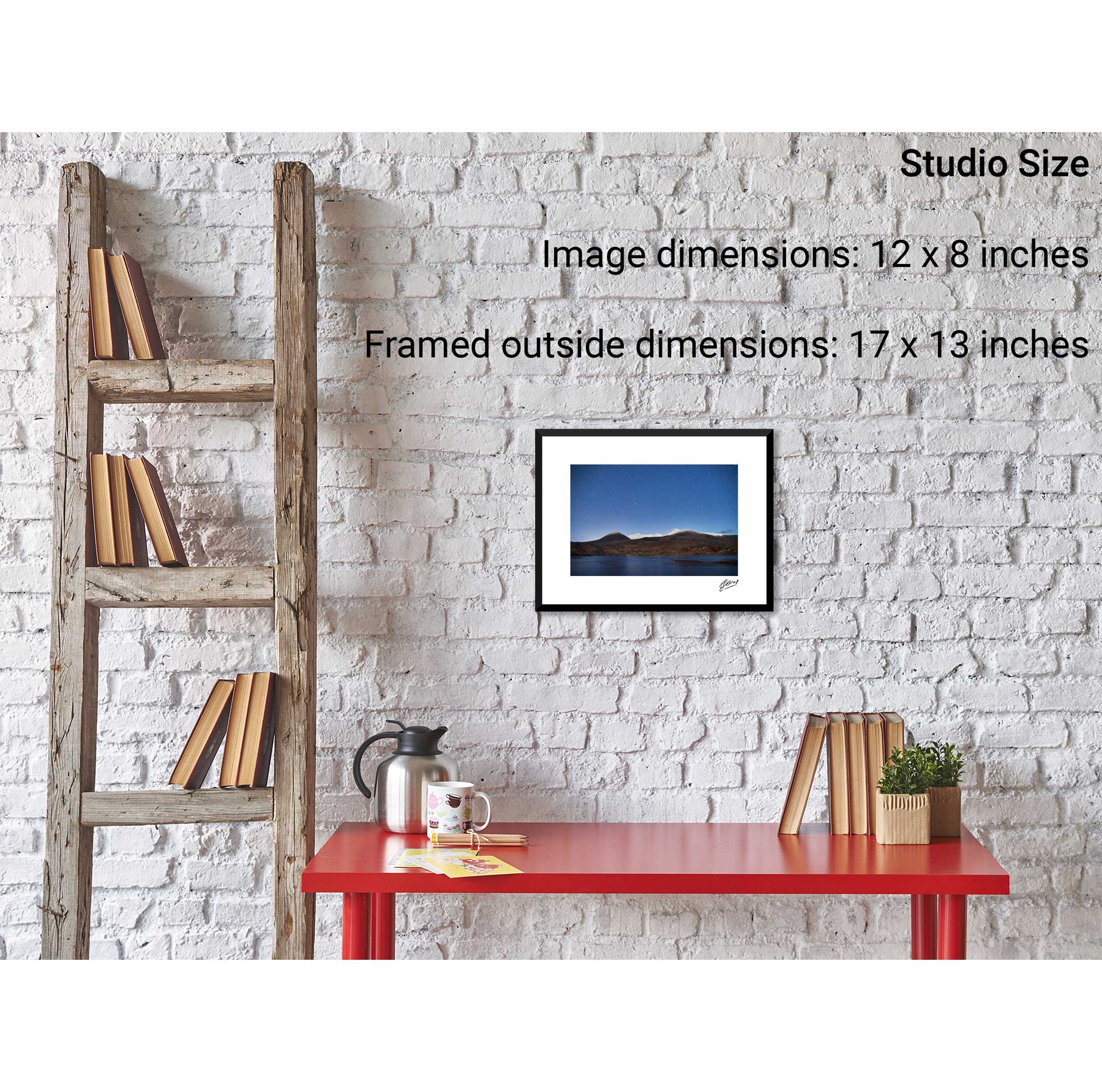
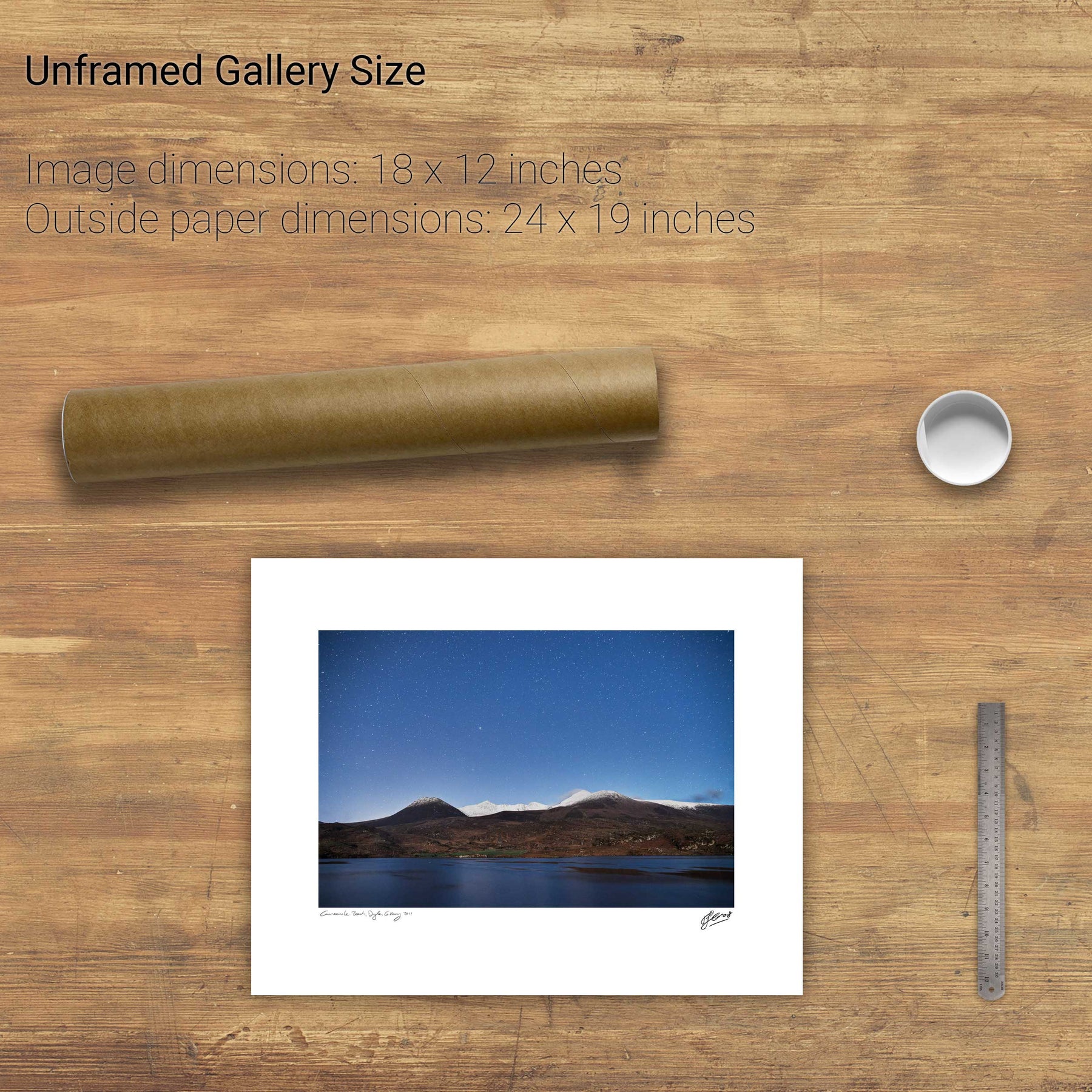
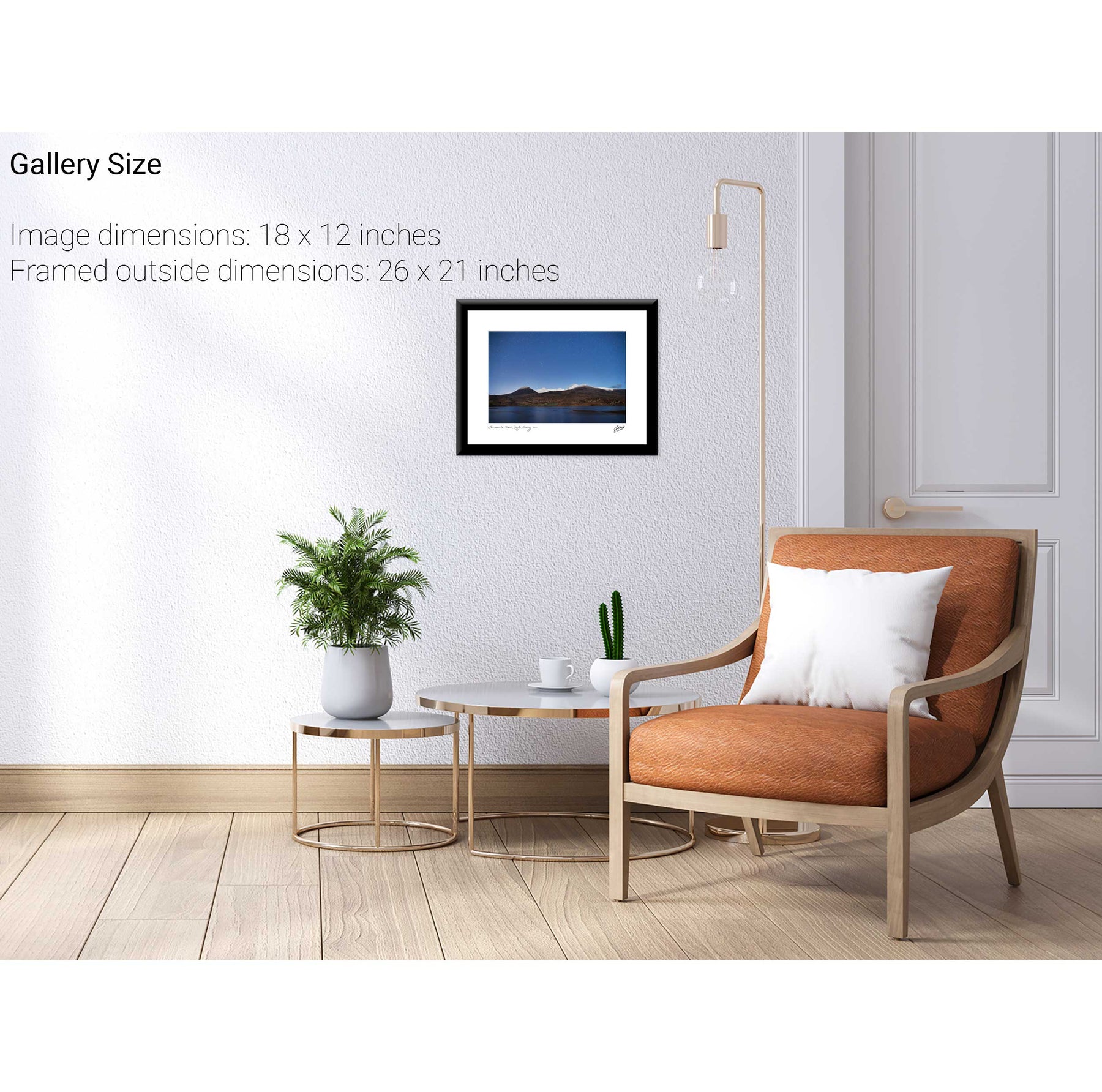
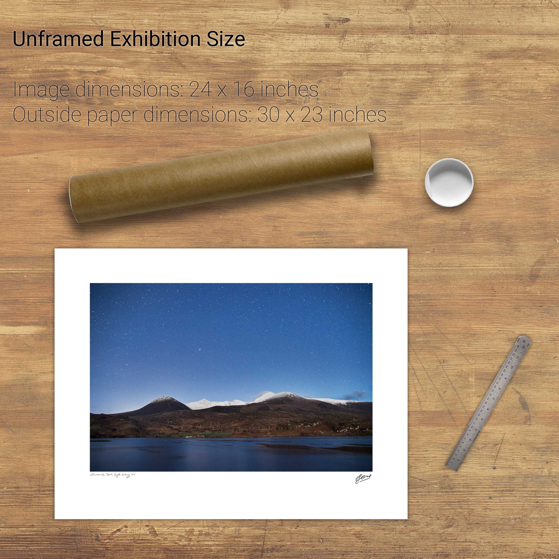
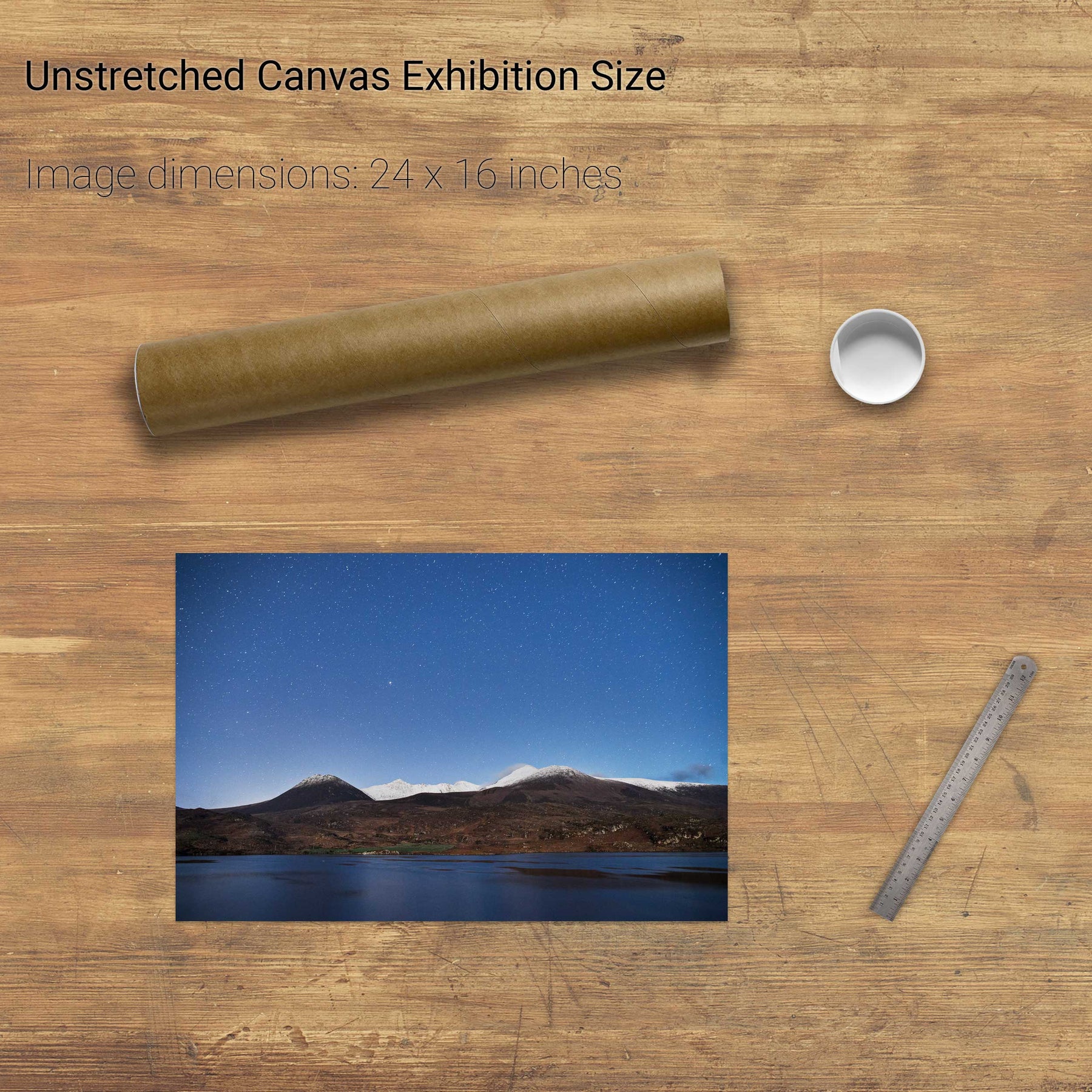
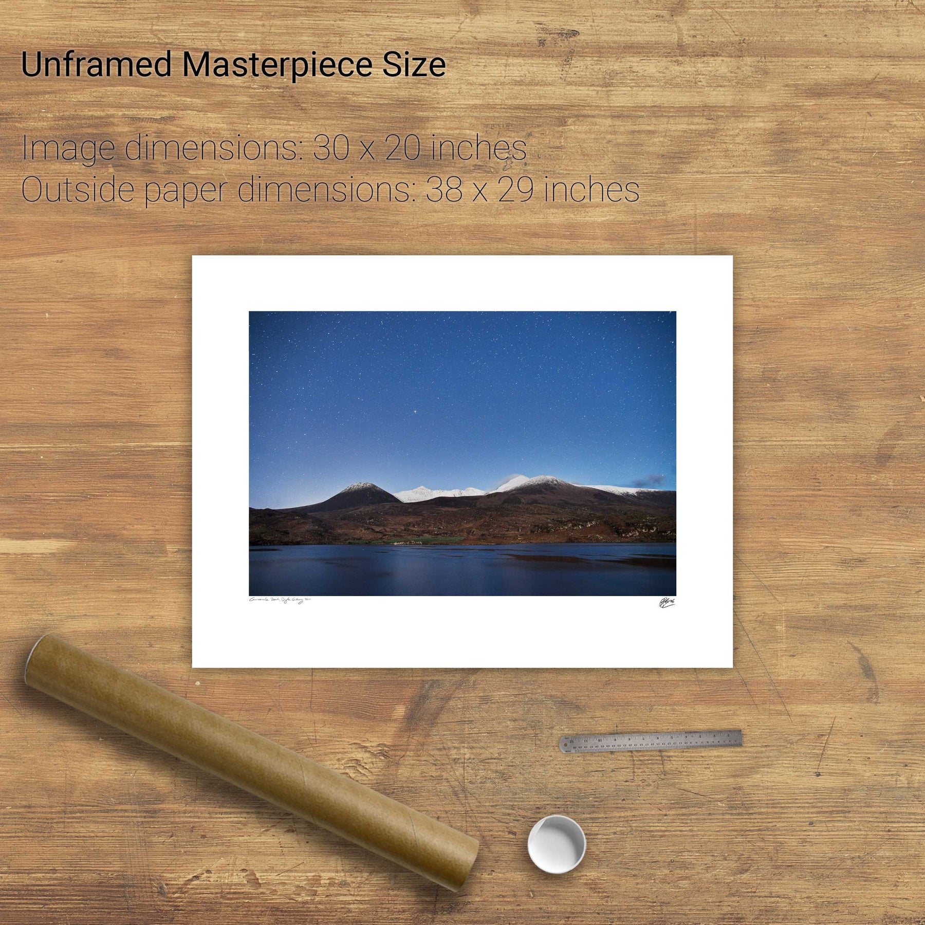
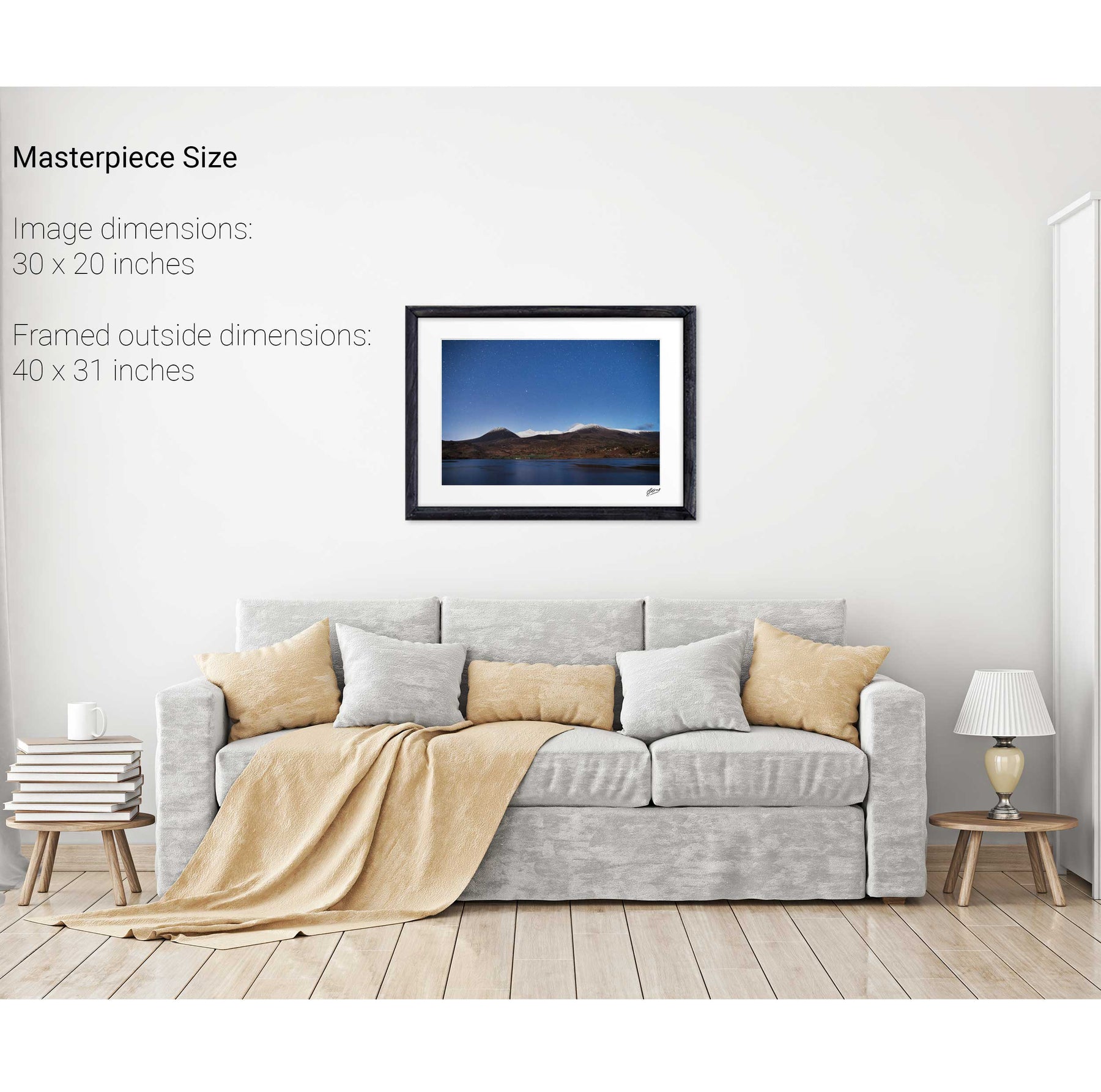
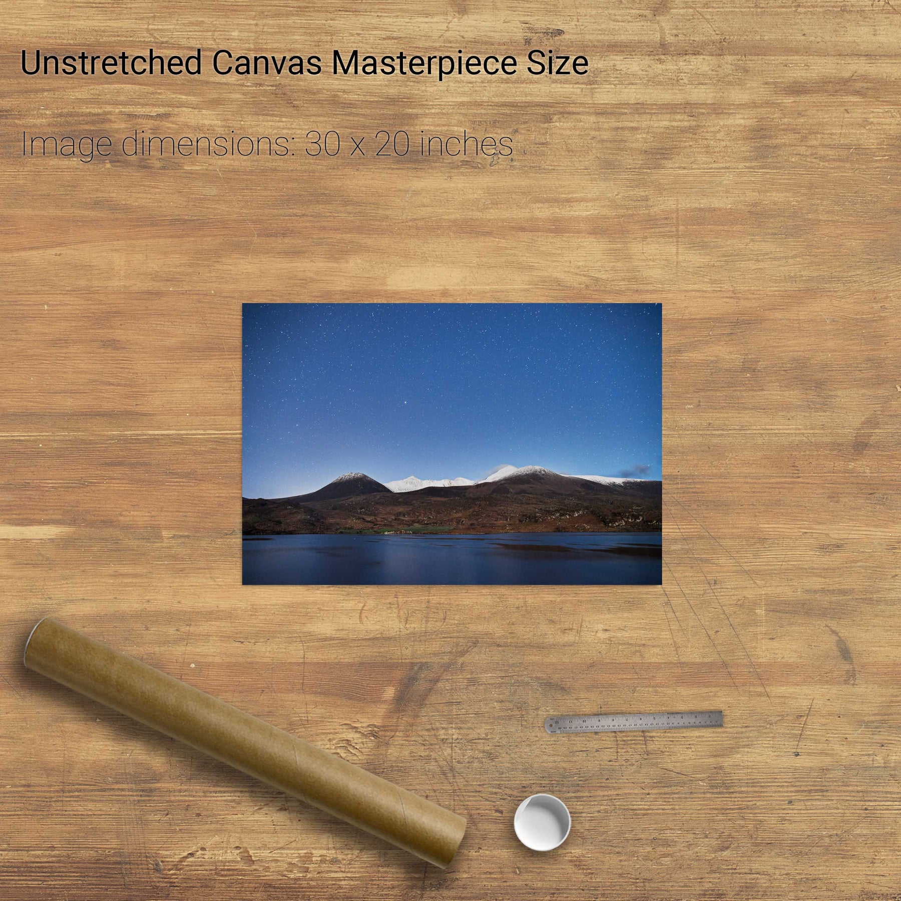
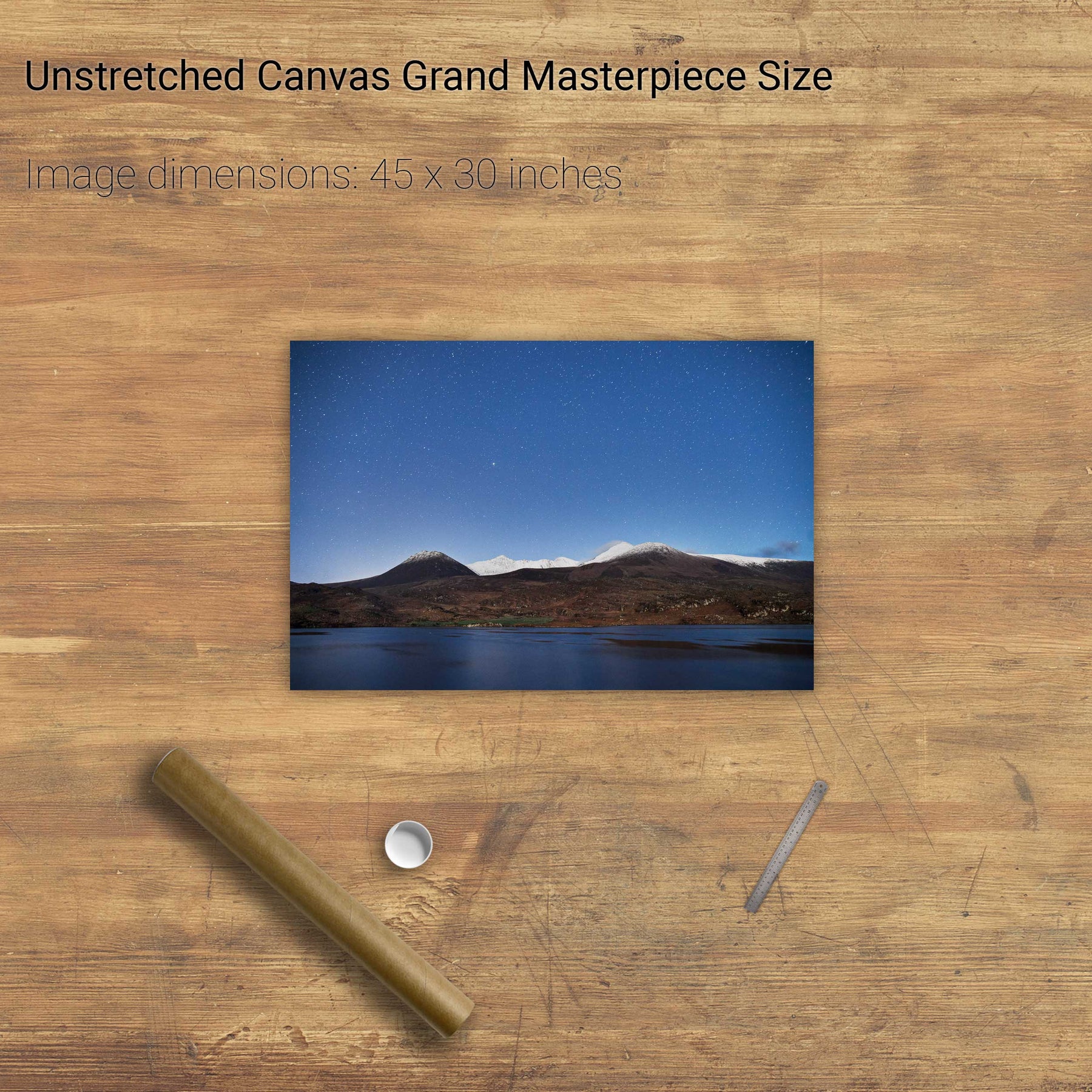
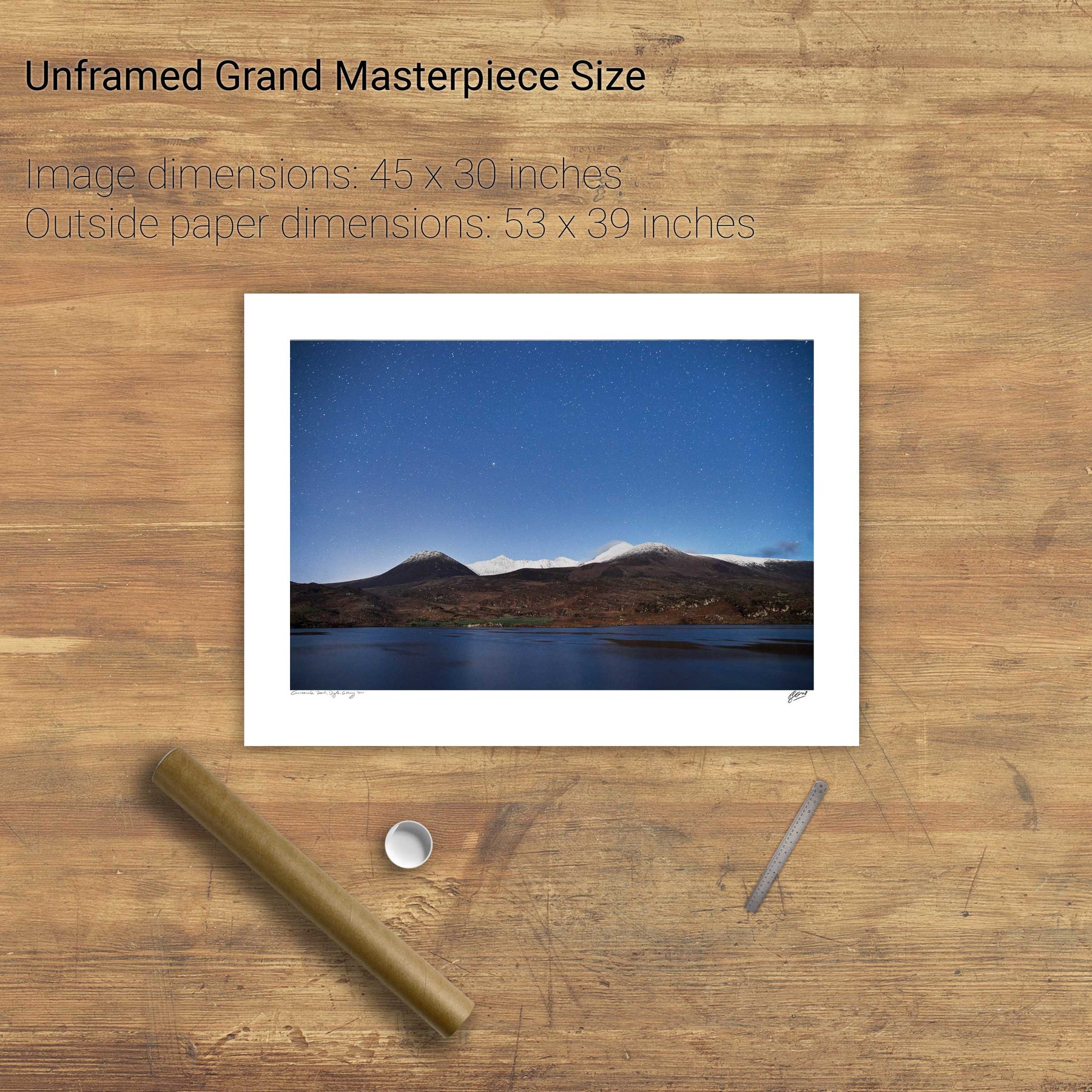
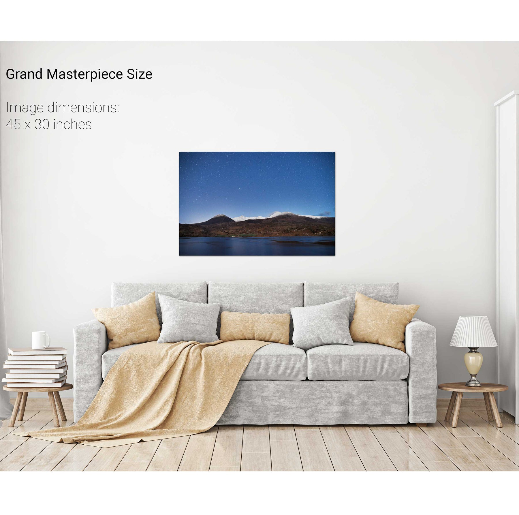
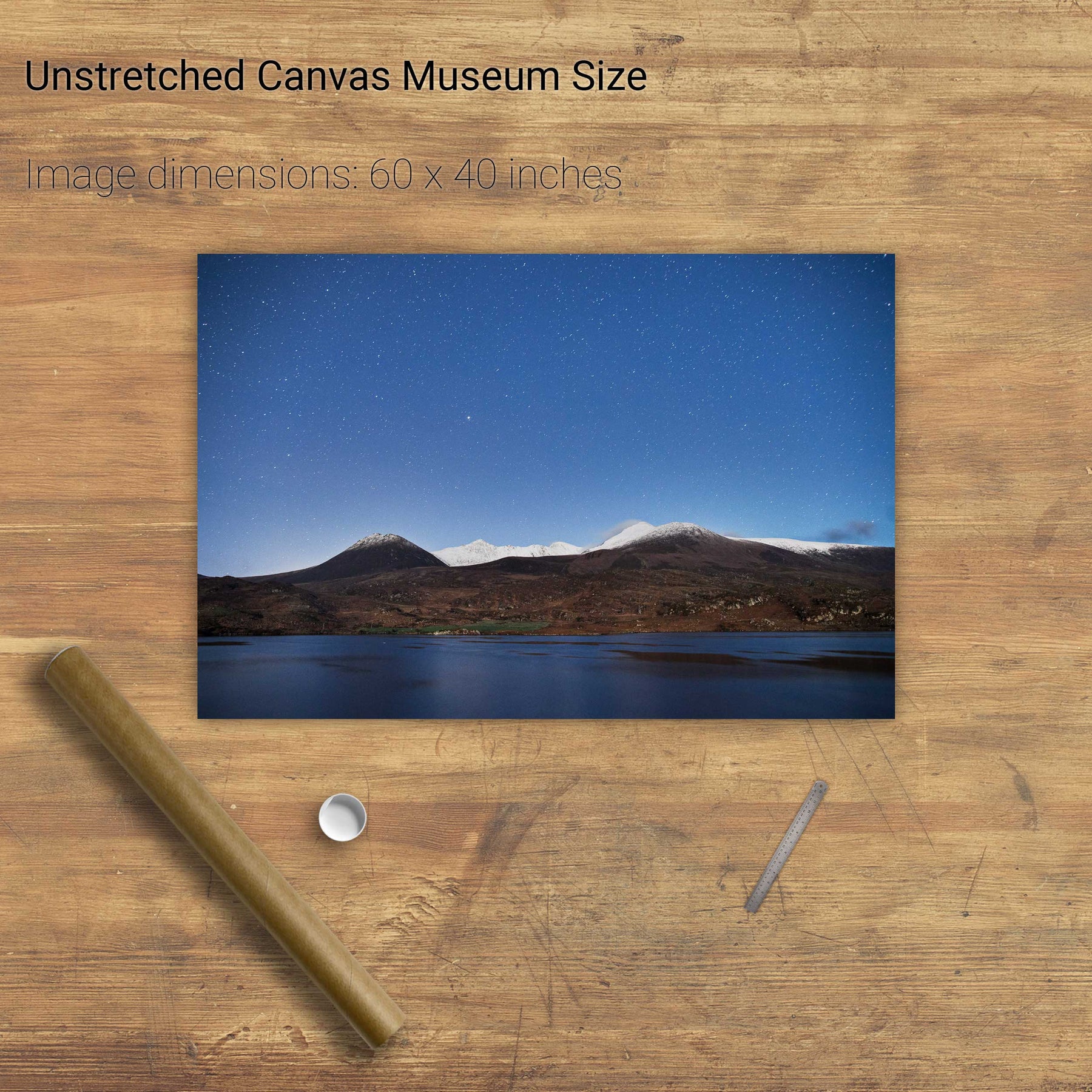
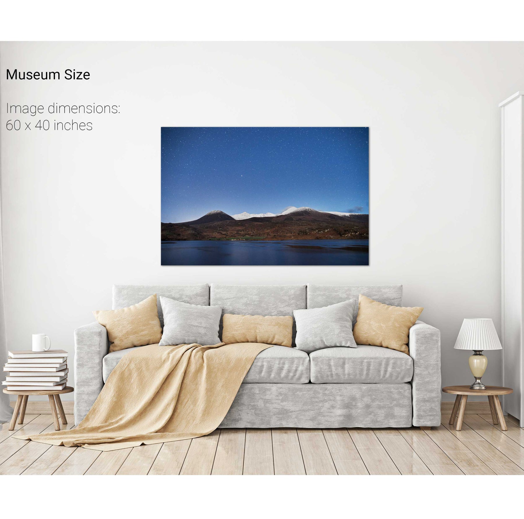
Nocturne, Lough Acoose and the Reeks, Co. Kerry


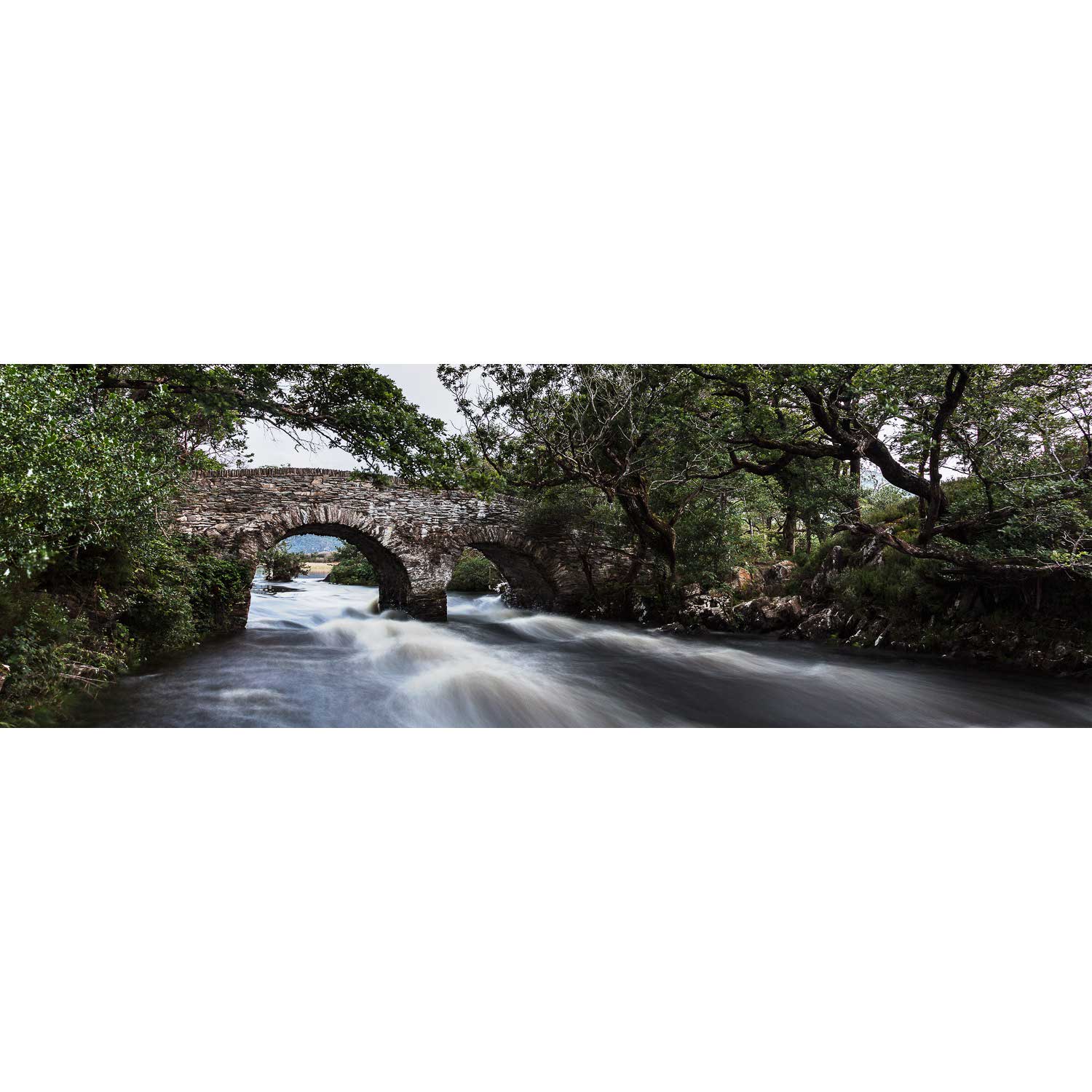
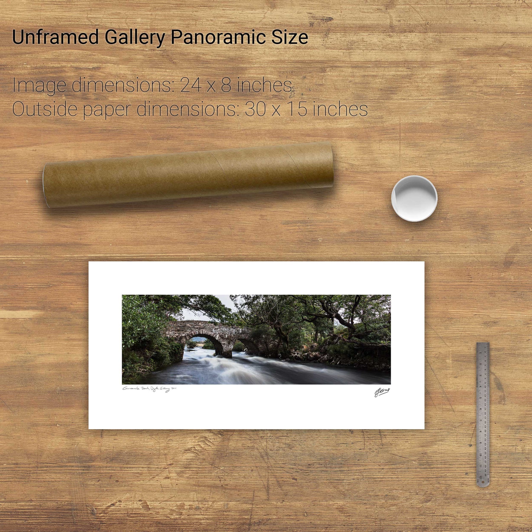
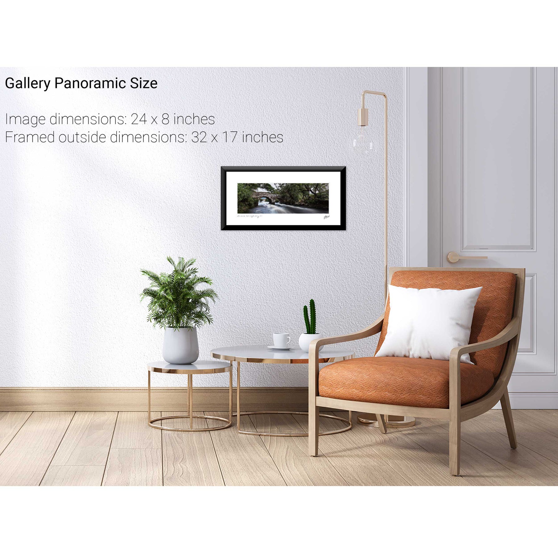
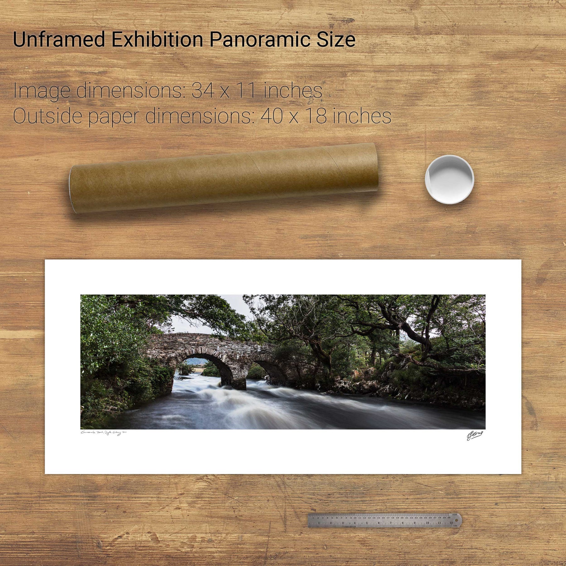
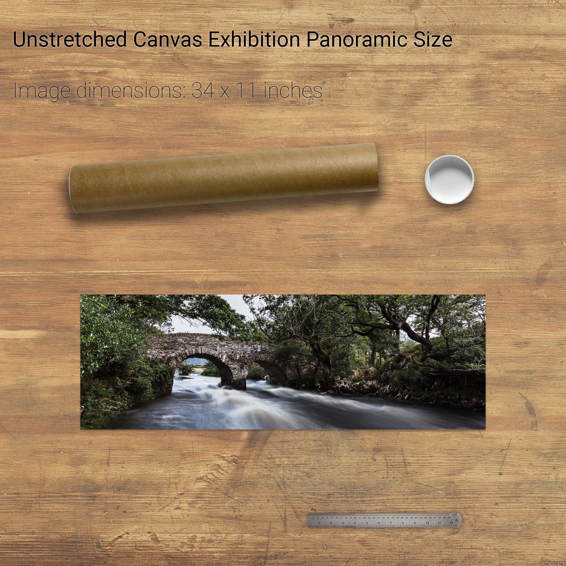
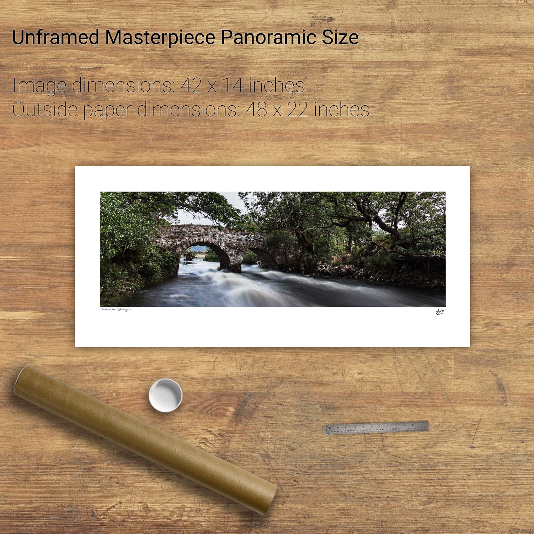
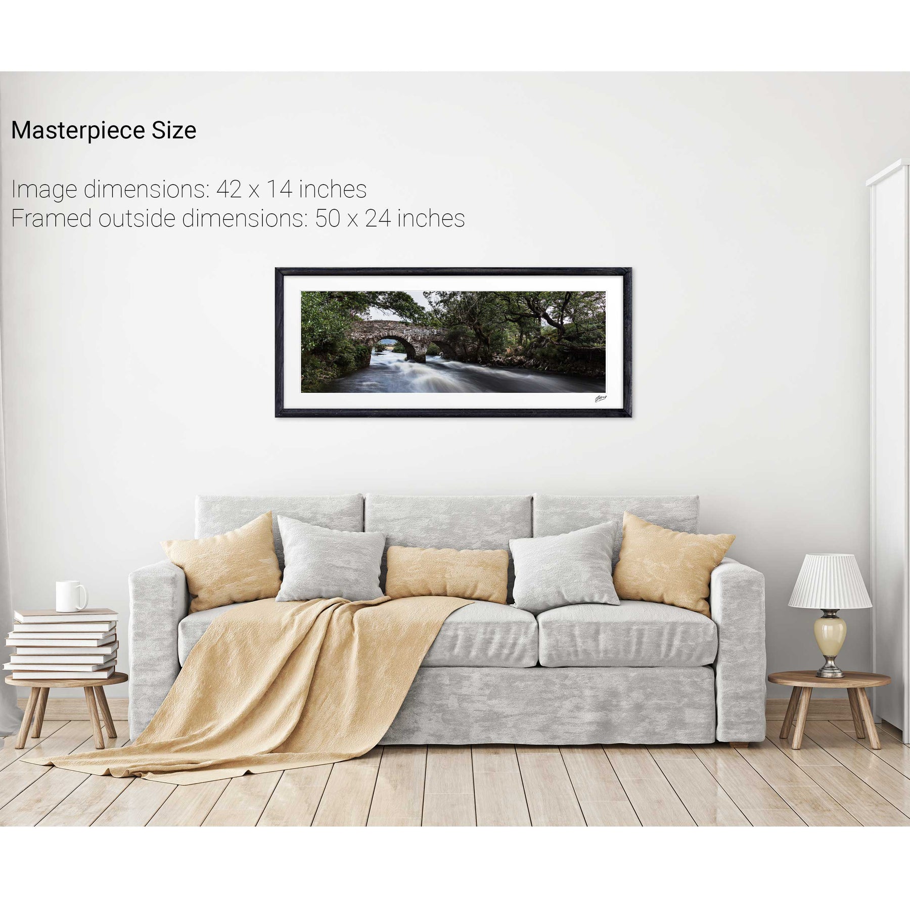
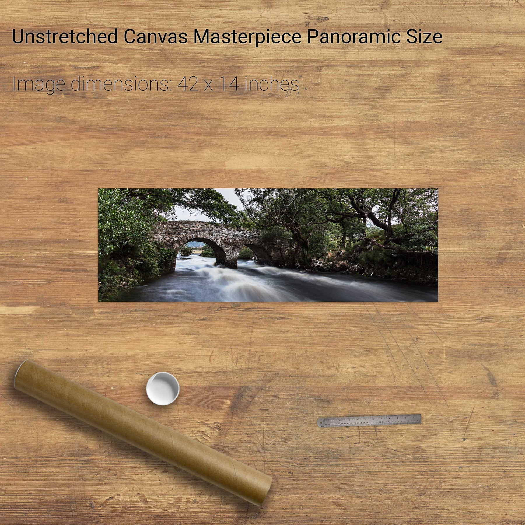
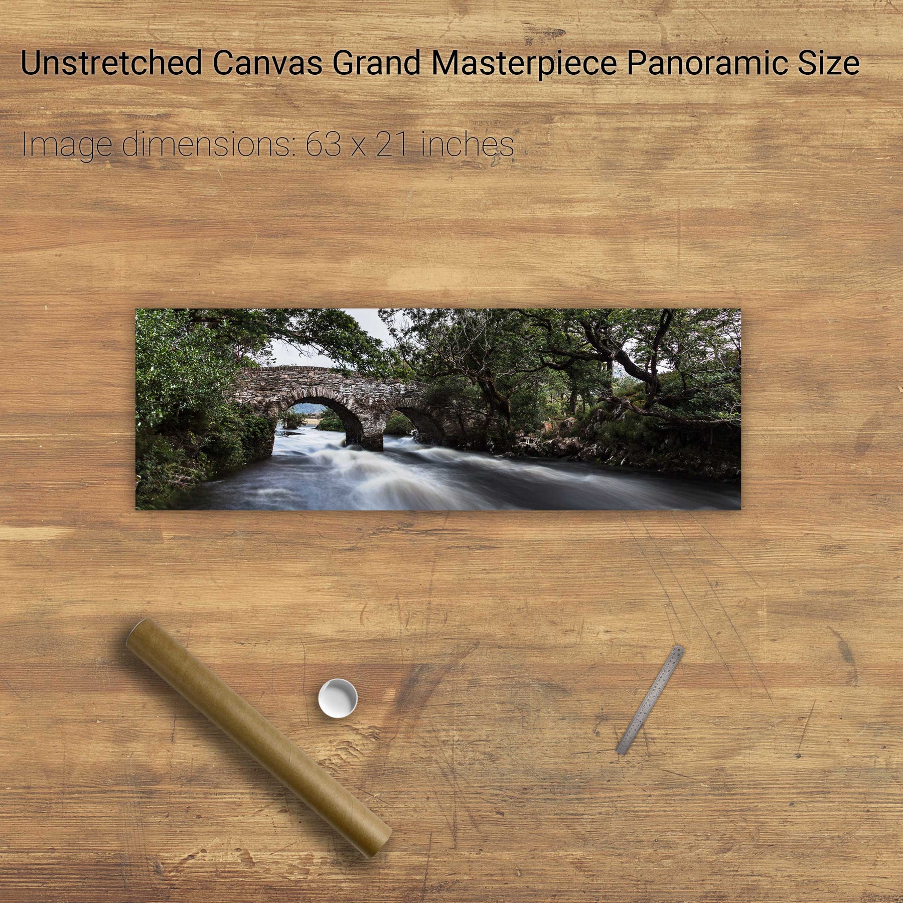
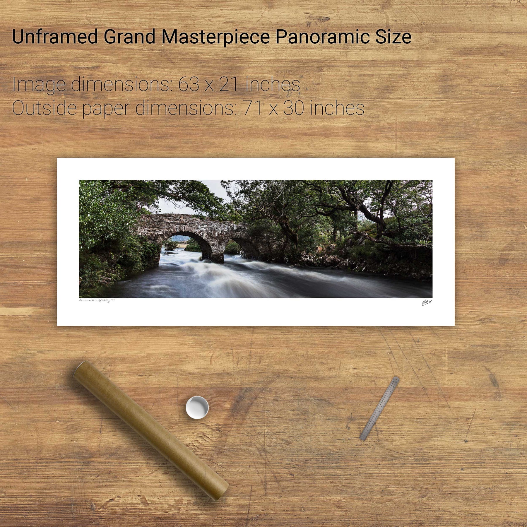
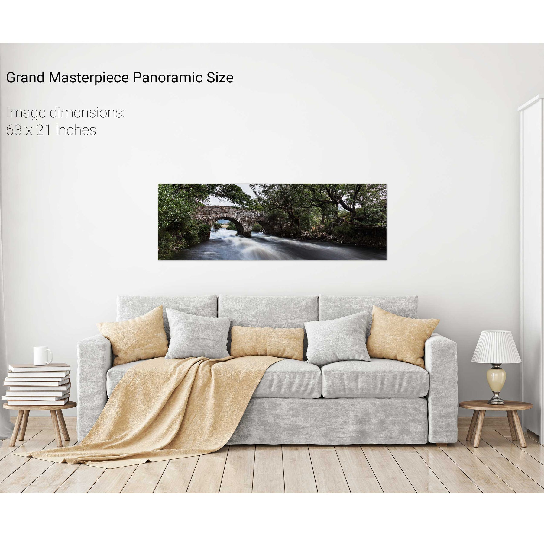
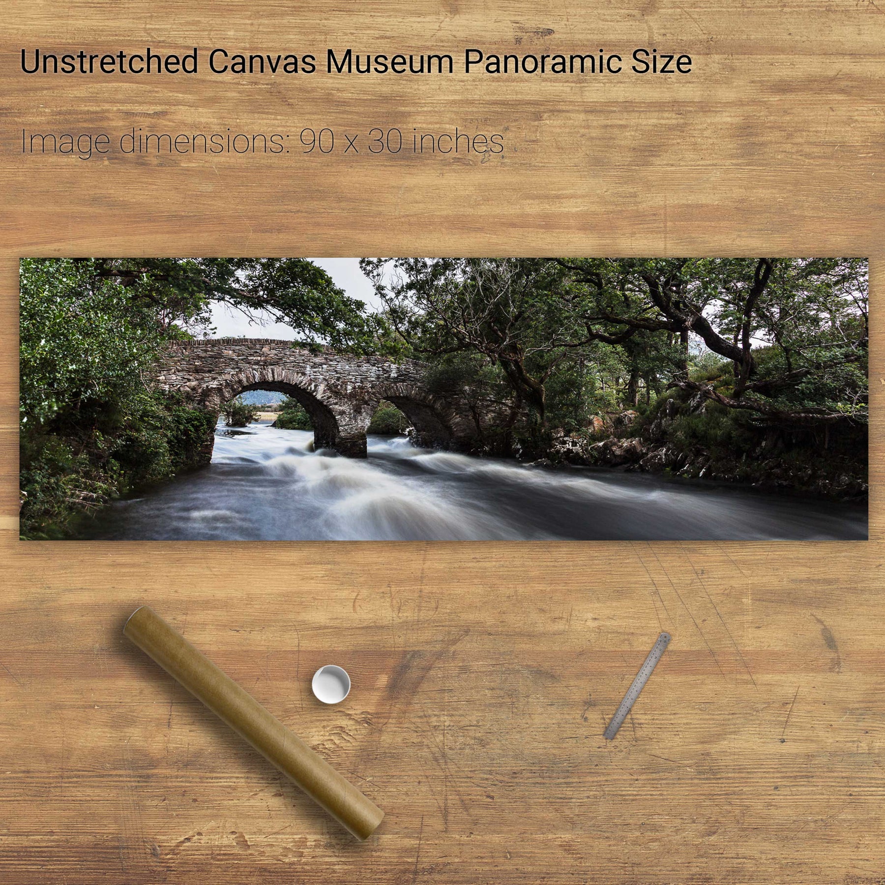
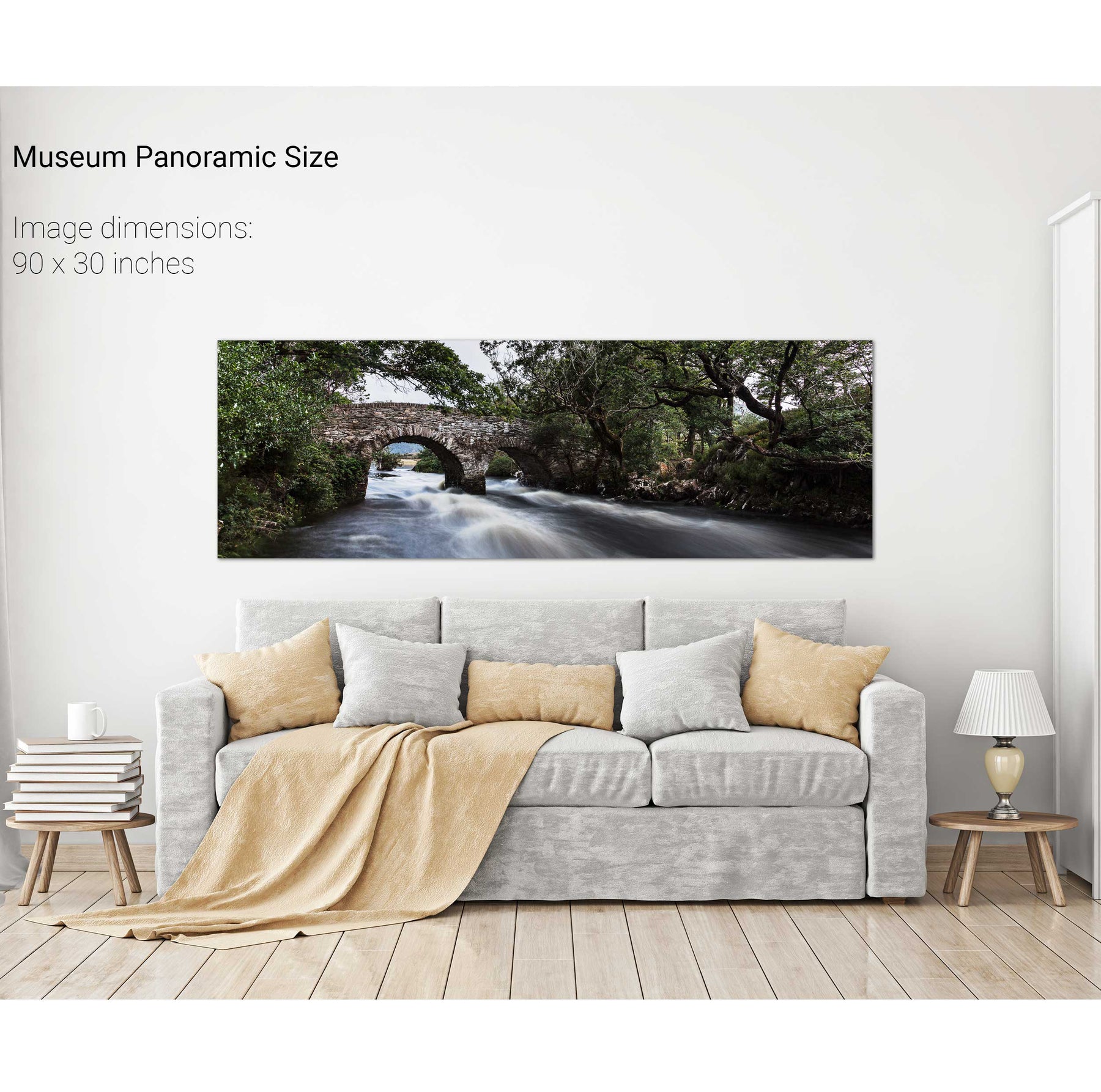
The Meeting of the Waters Panoramic, Killarney, Co. Kerry