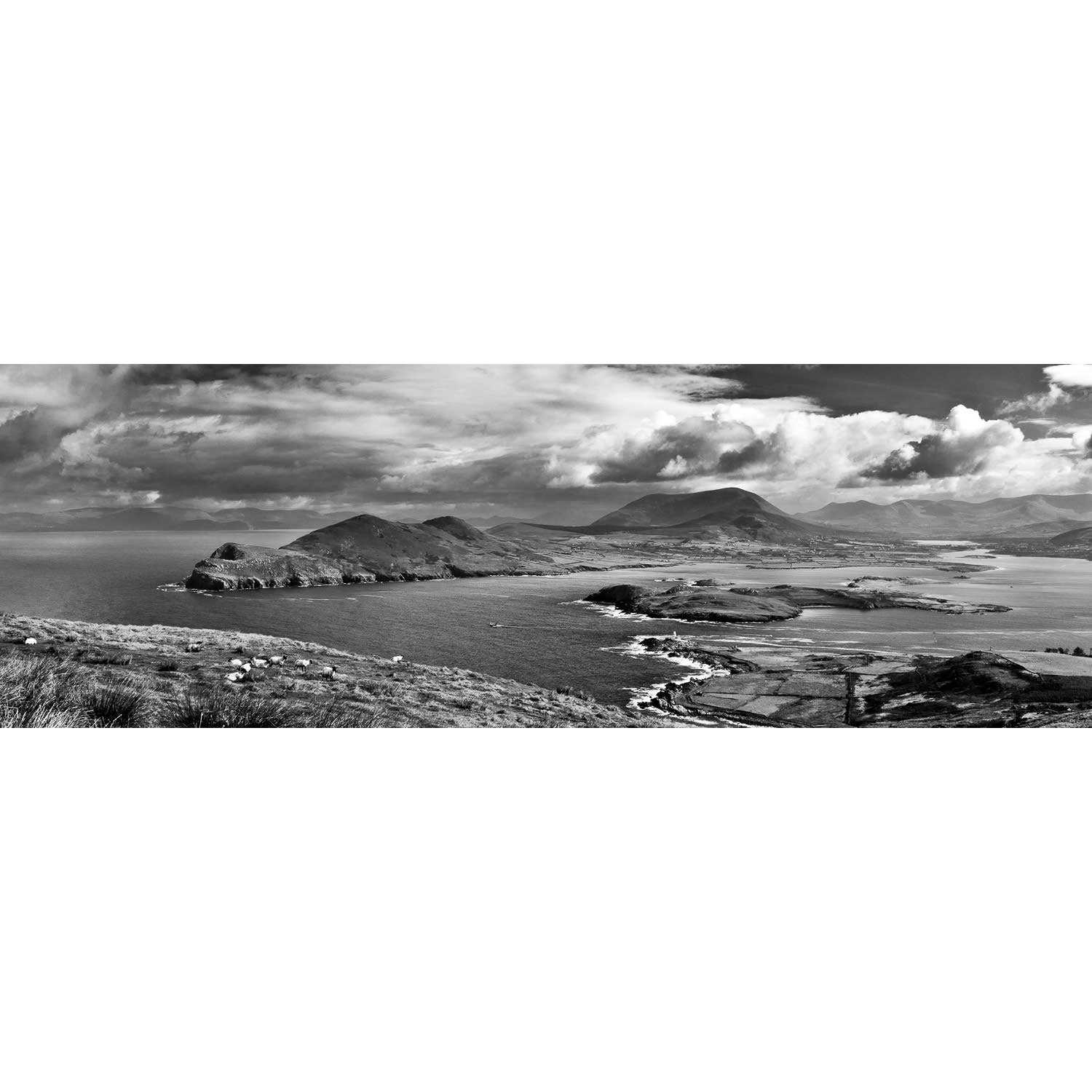
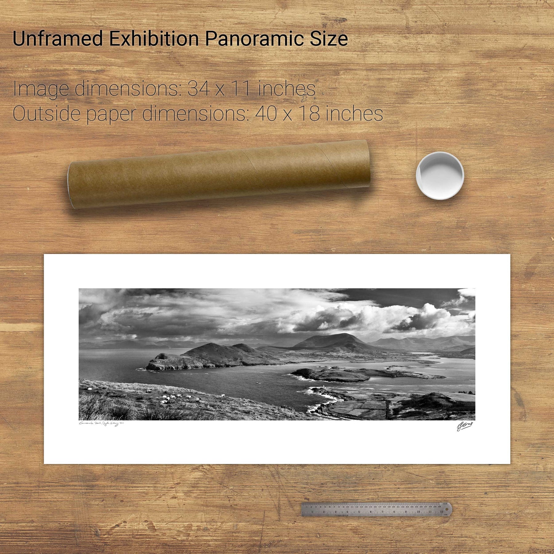
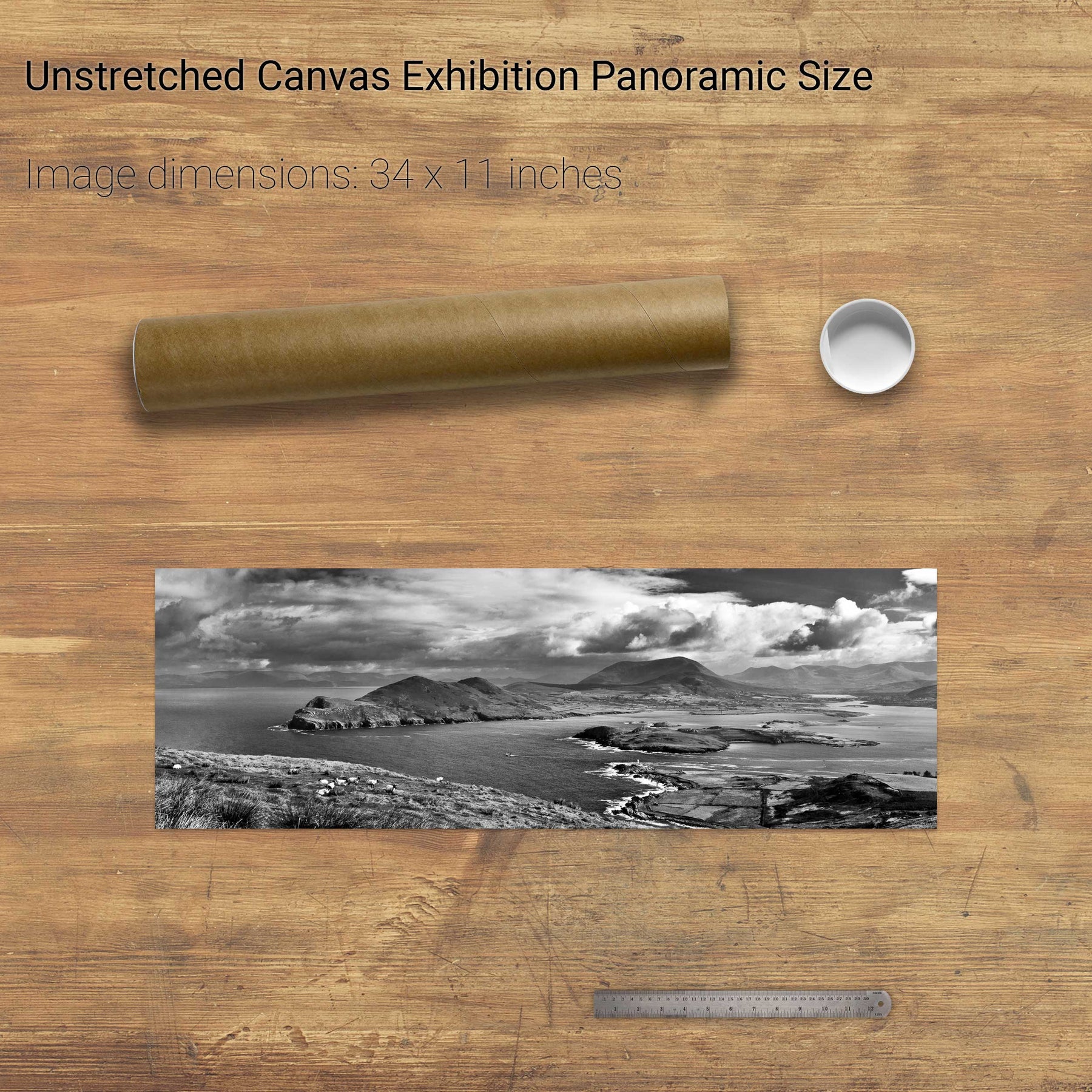
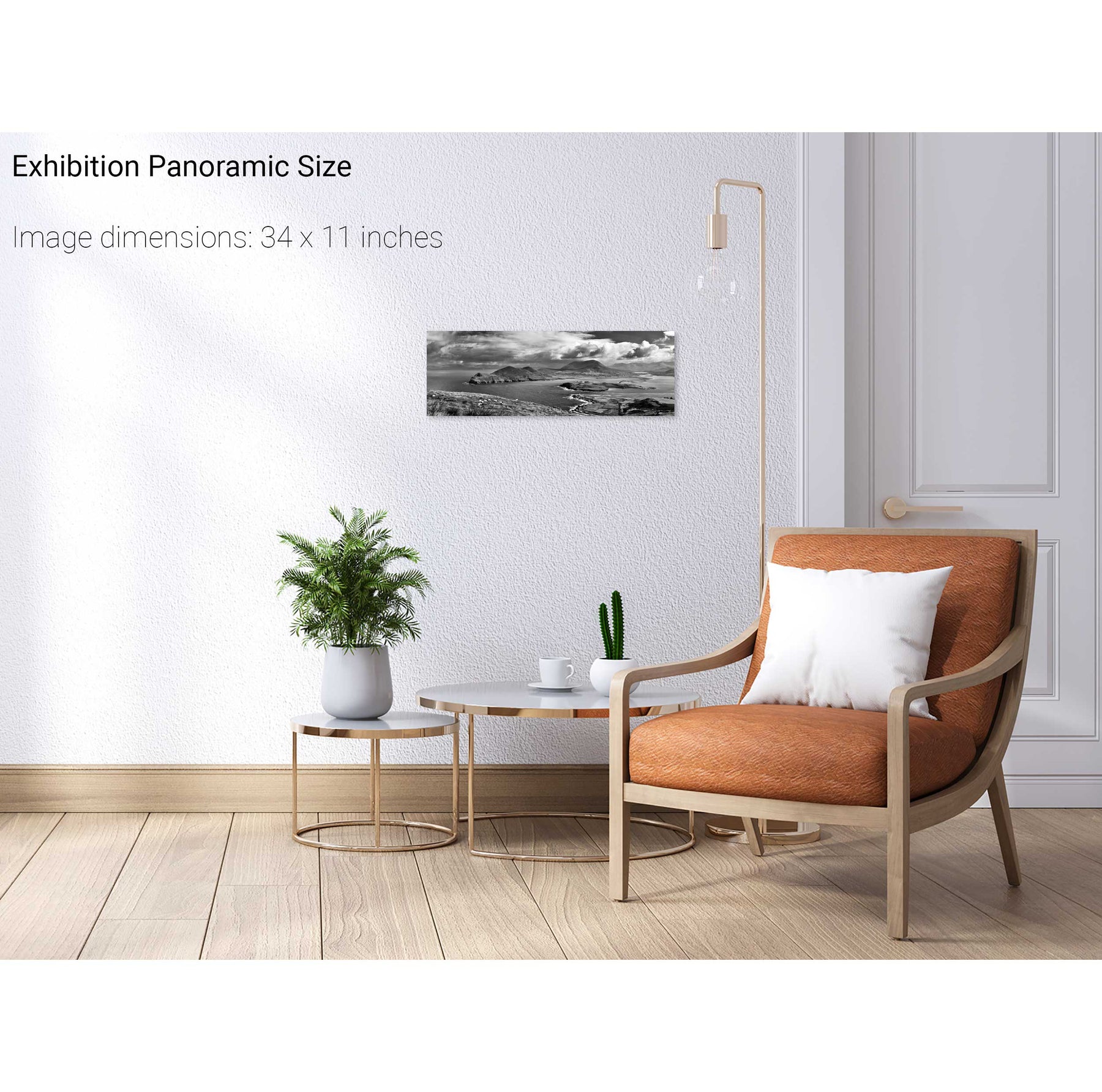
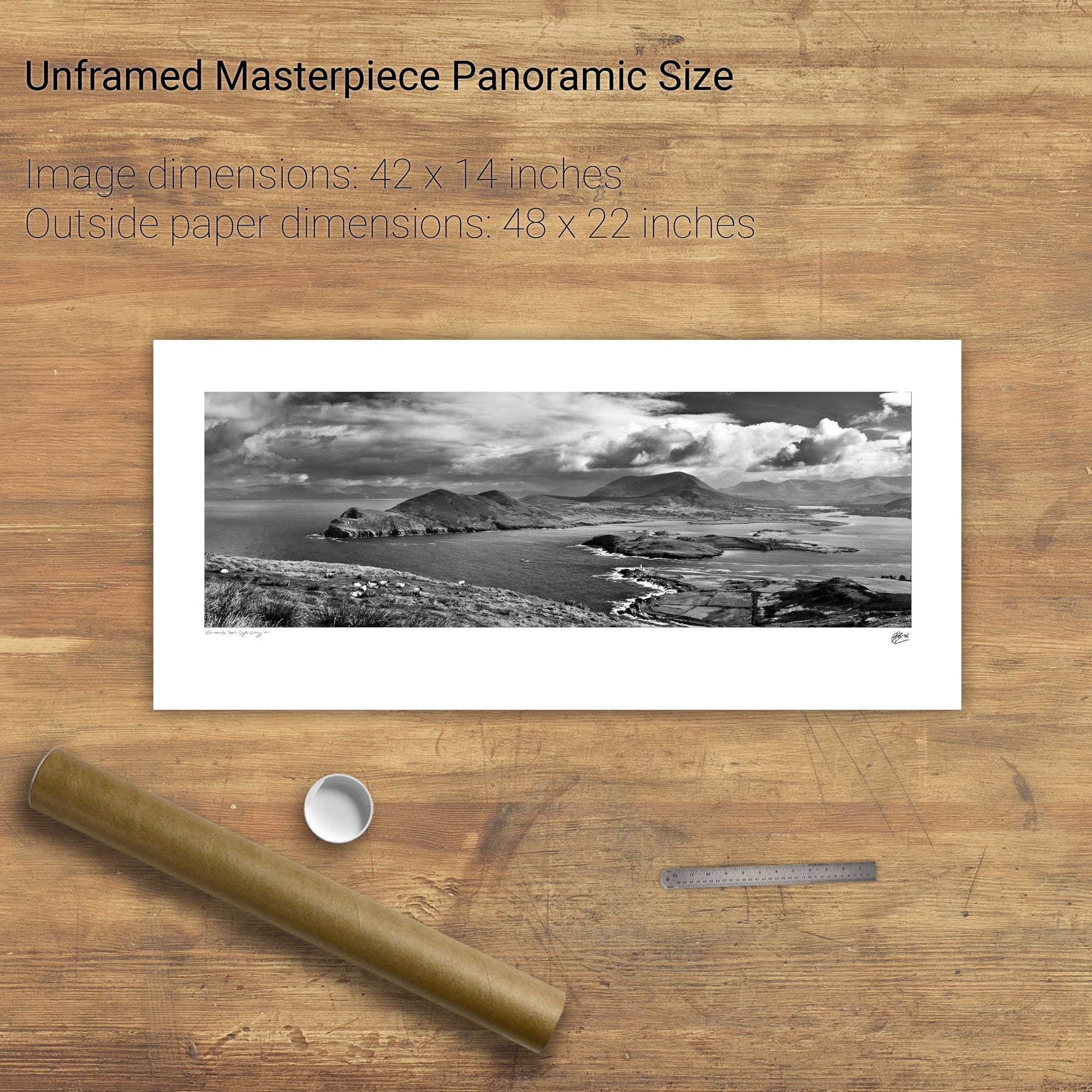
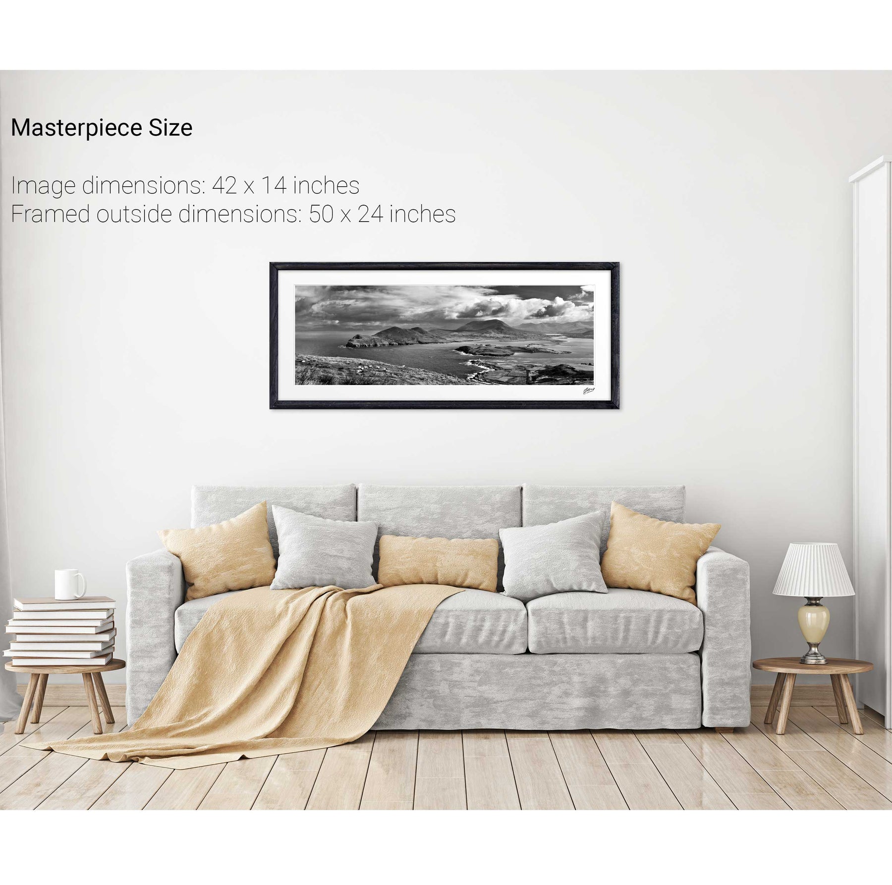
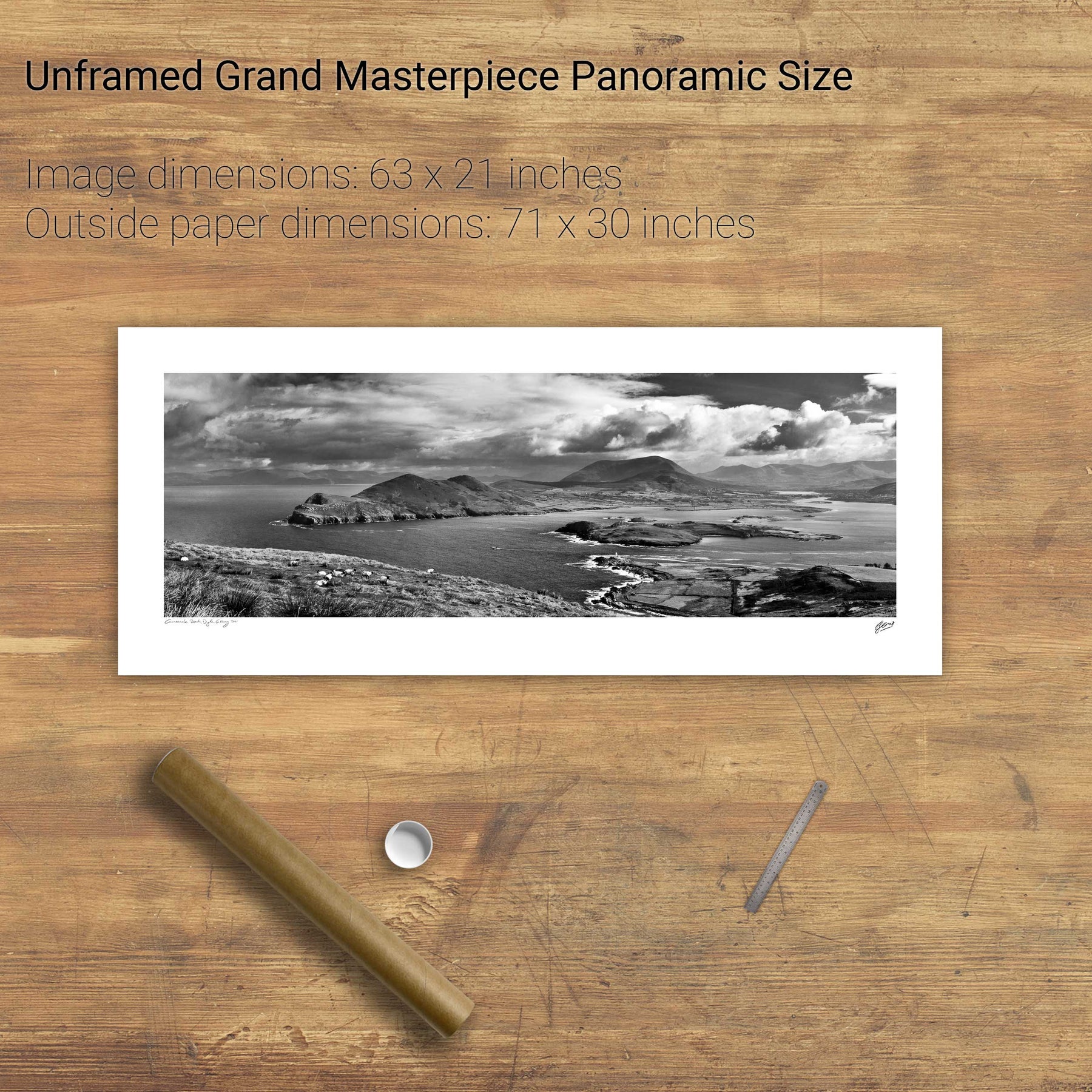
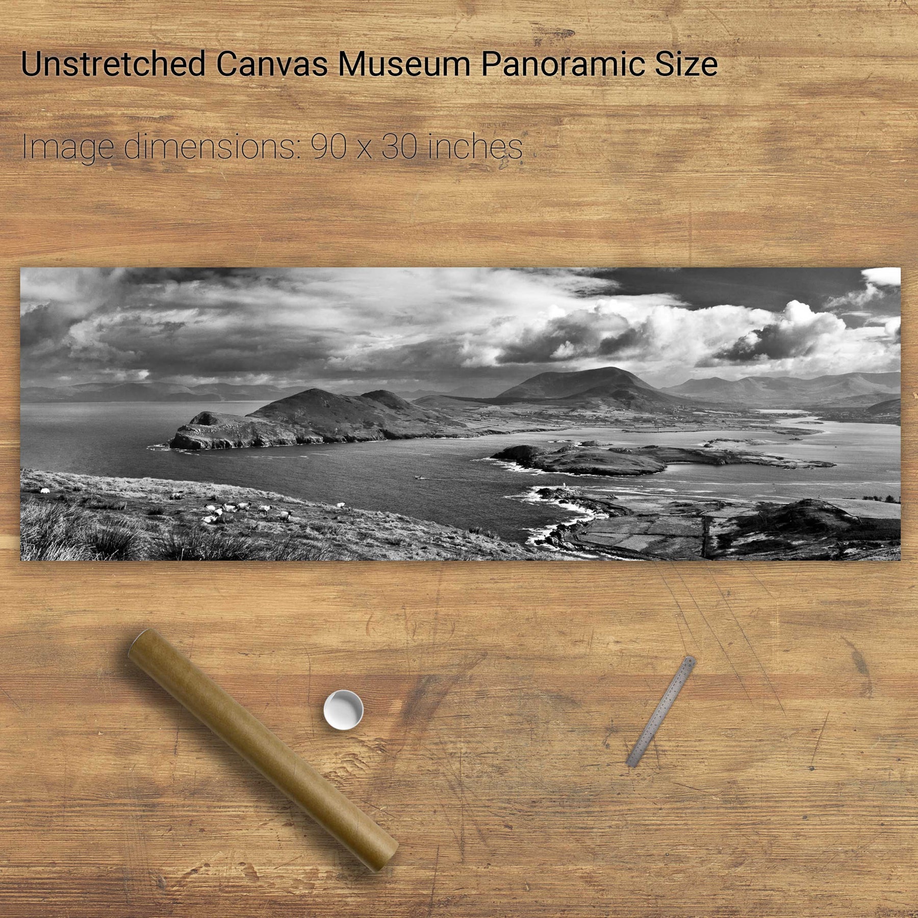
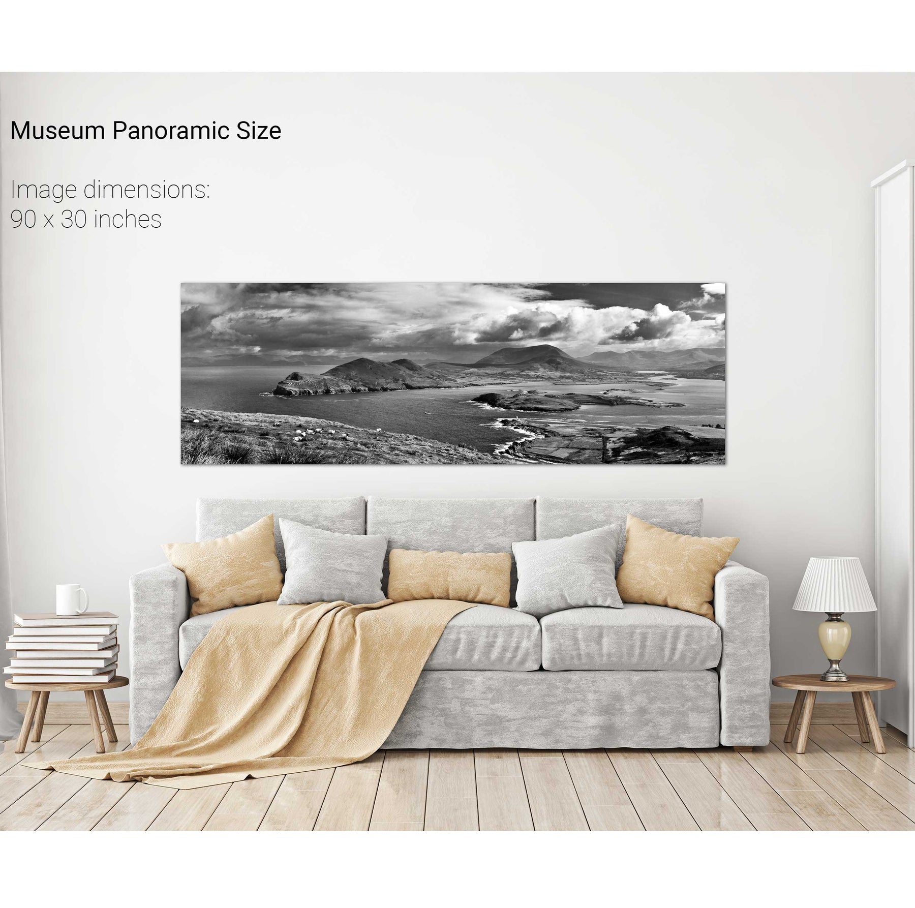
Geokaun Mountain Panoramic, Co. Kerry


We will send you an email to reset your password.

145 products
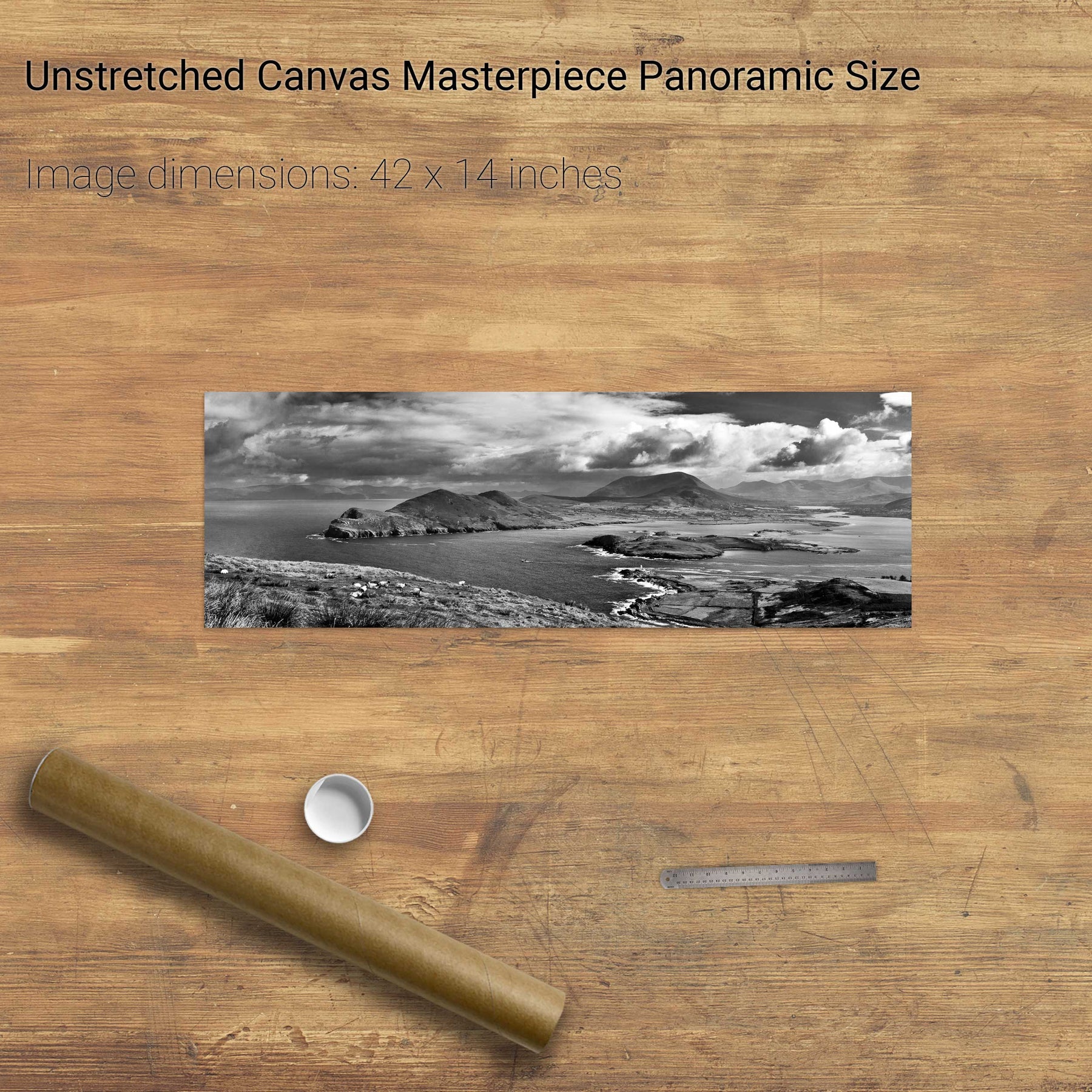
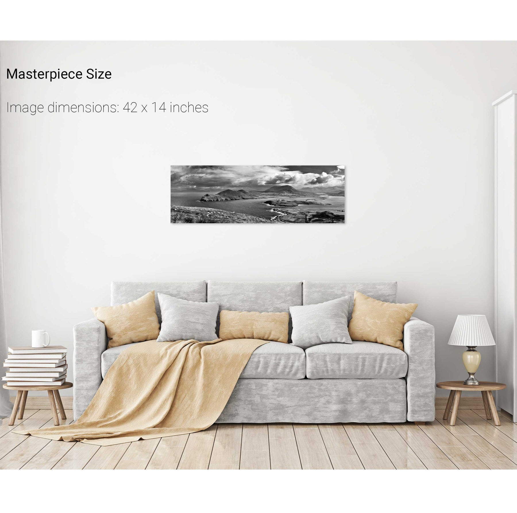
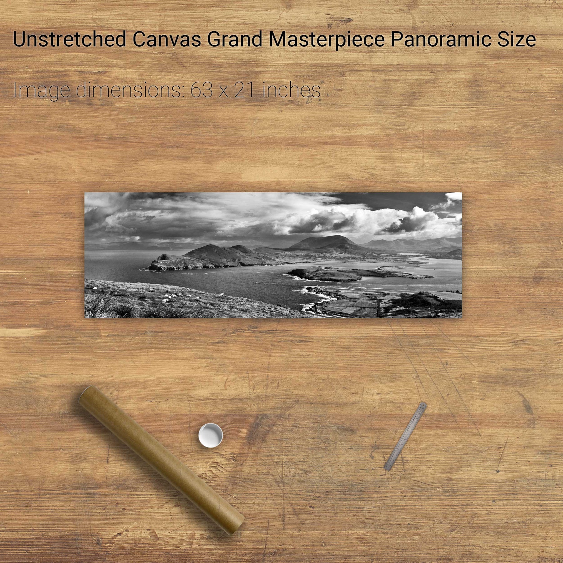
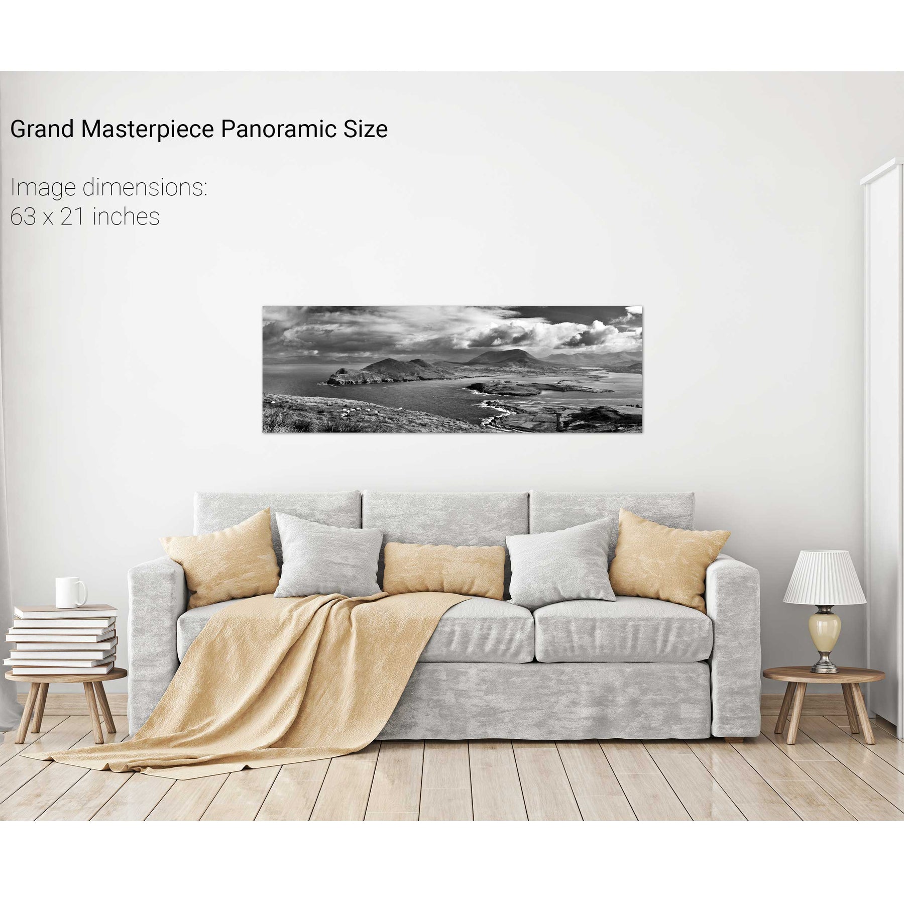
Geokaun Mountain Panoramic, Co. Kerry
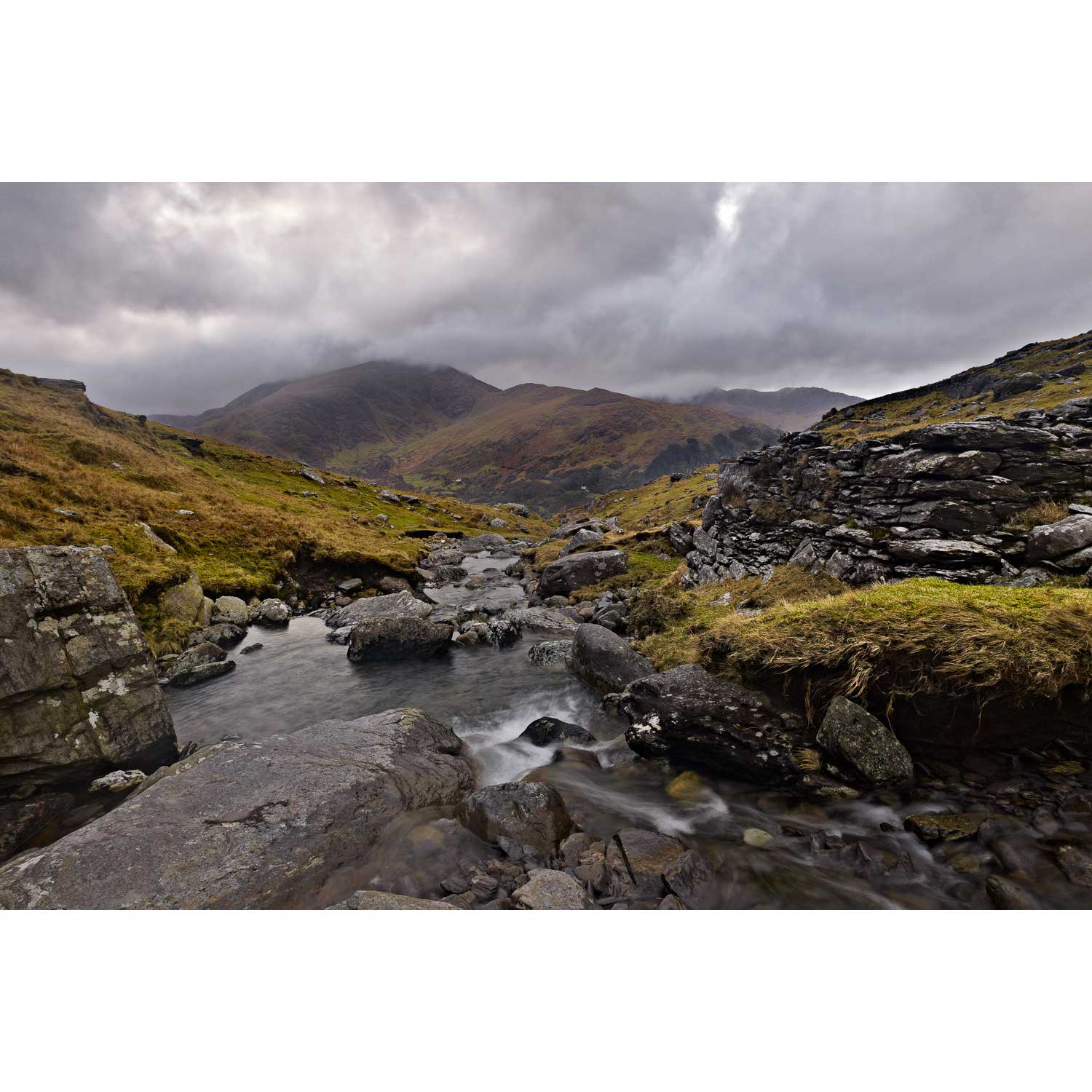
Lackabane from Coolcrean, Caha Mountains, Co. Kerry
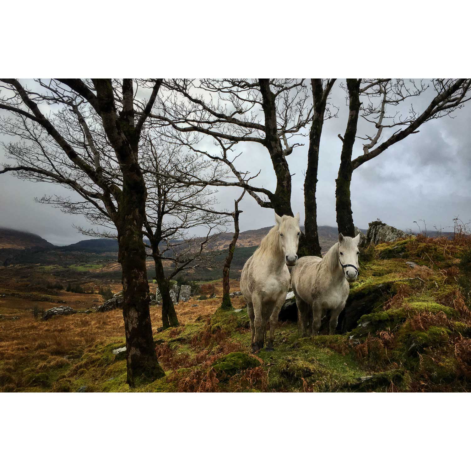
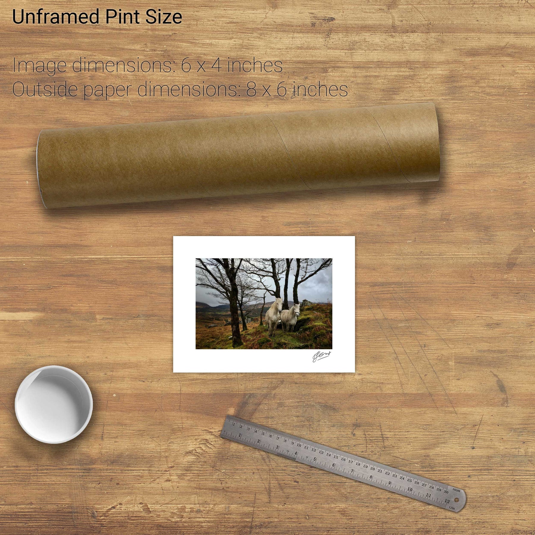
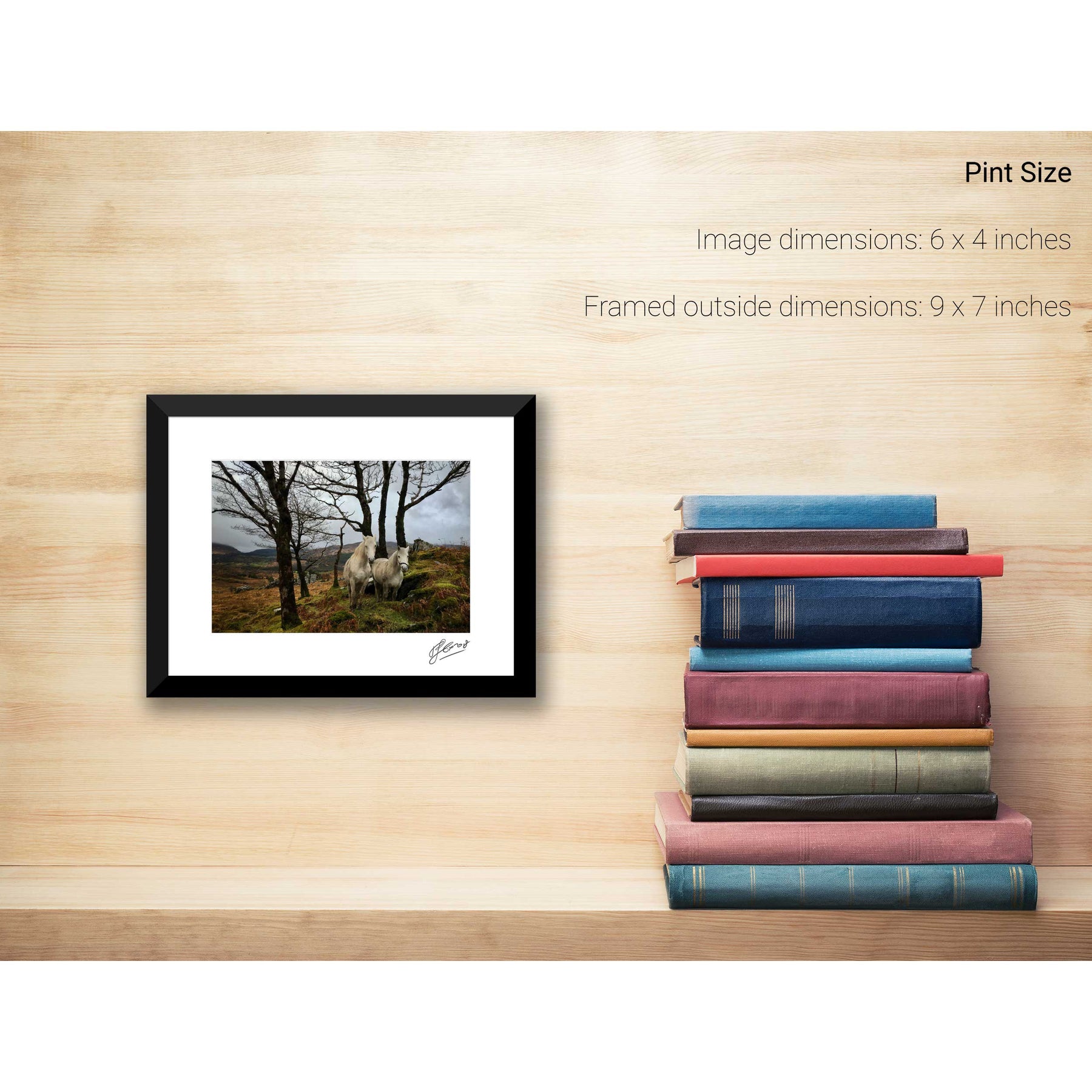
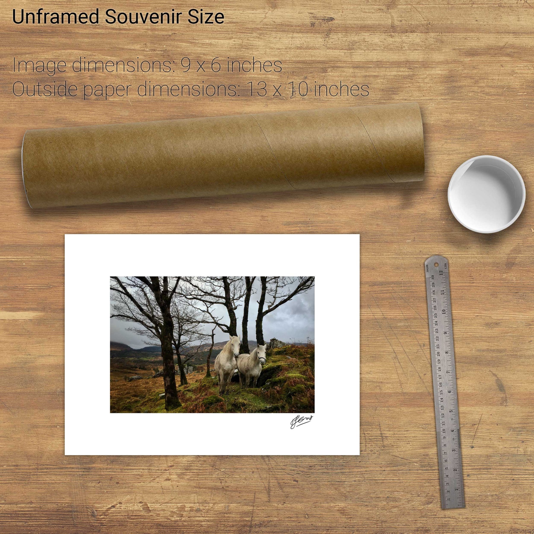
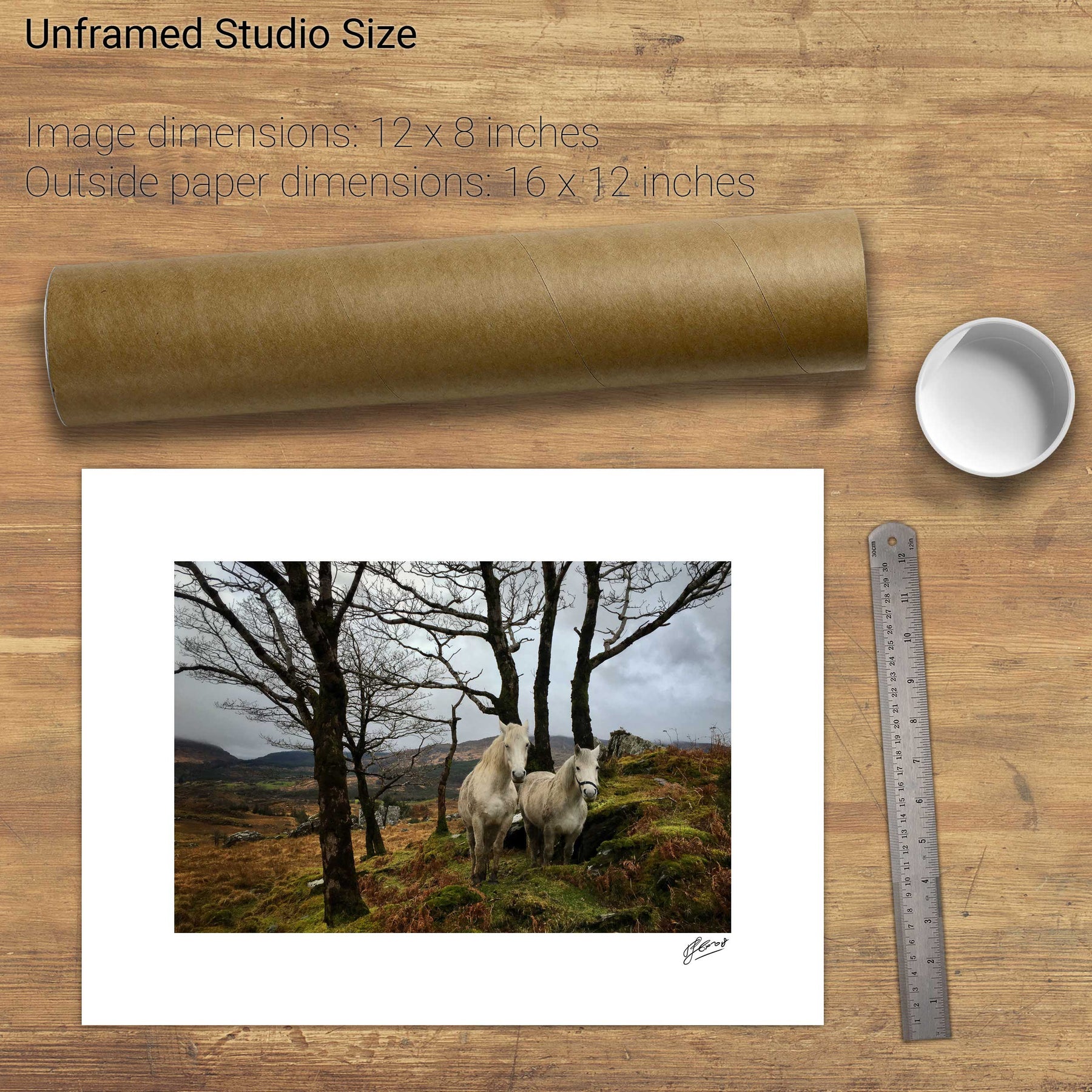
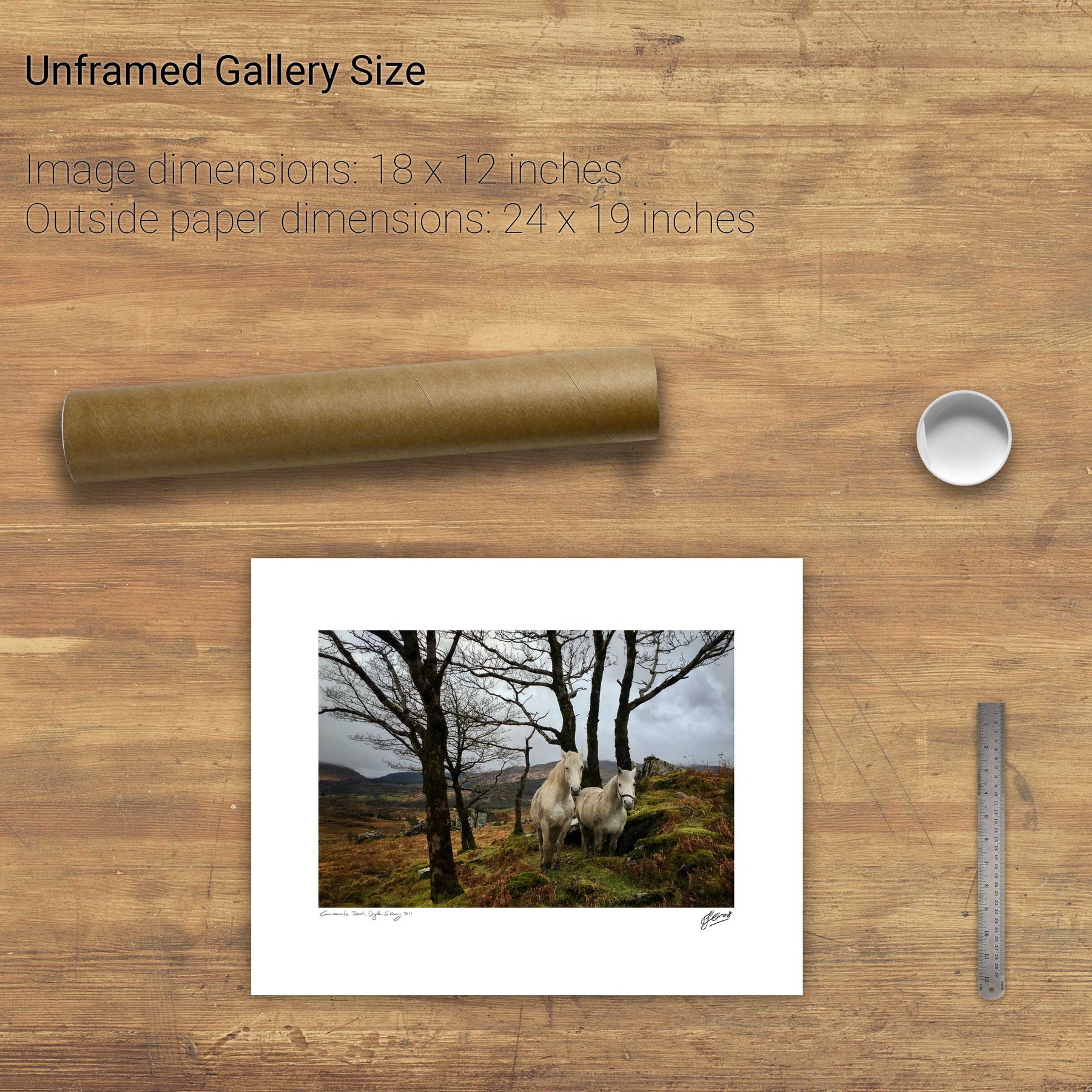
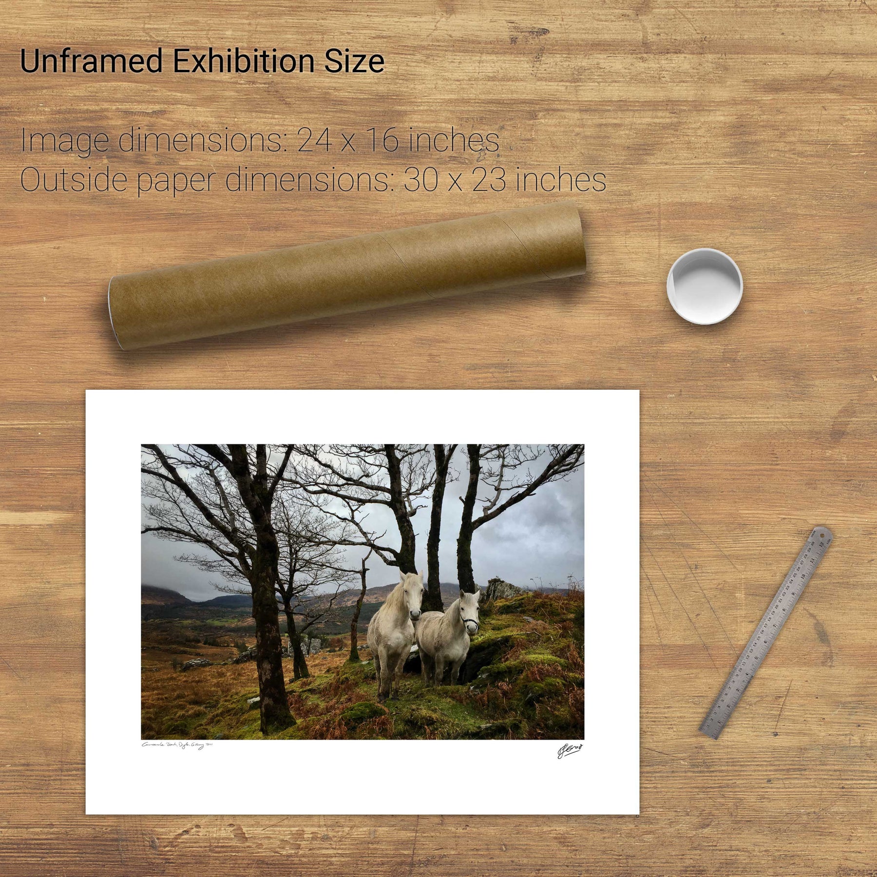
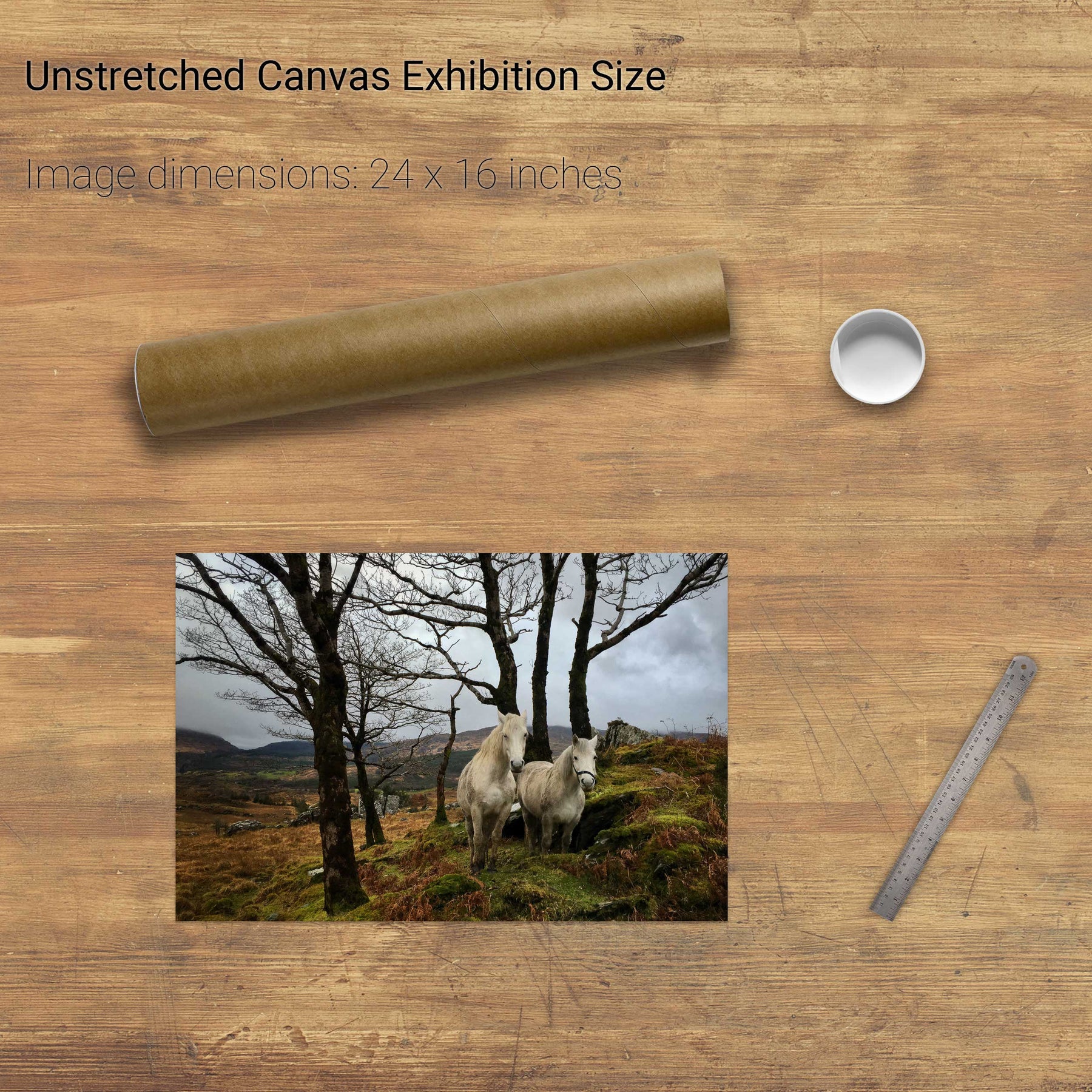
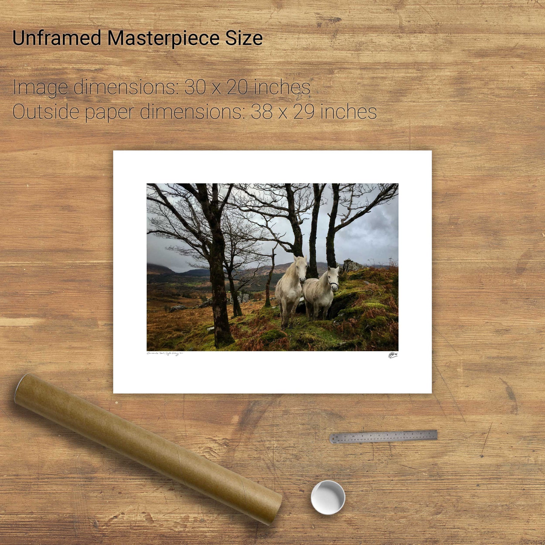
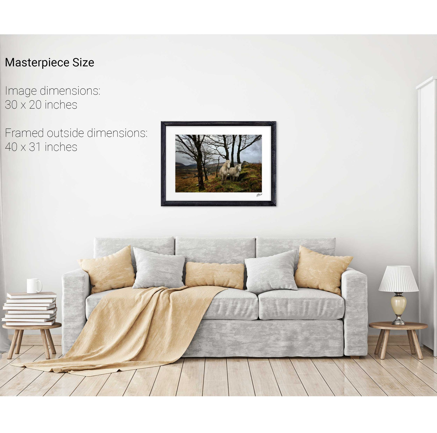
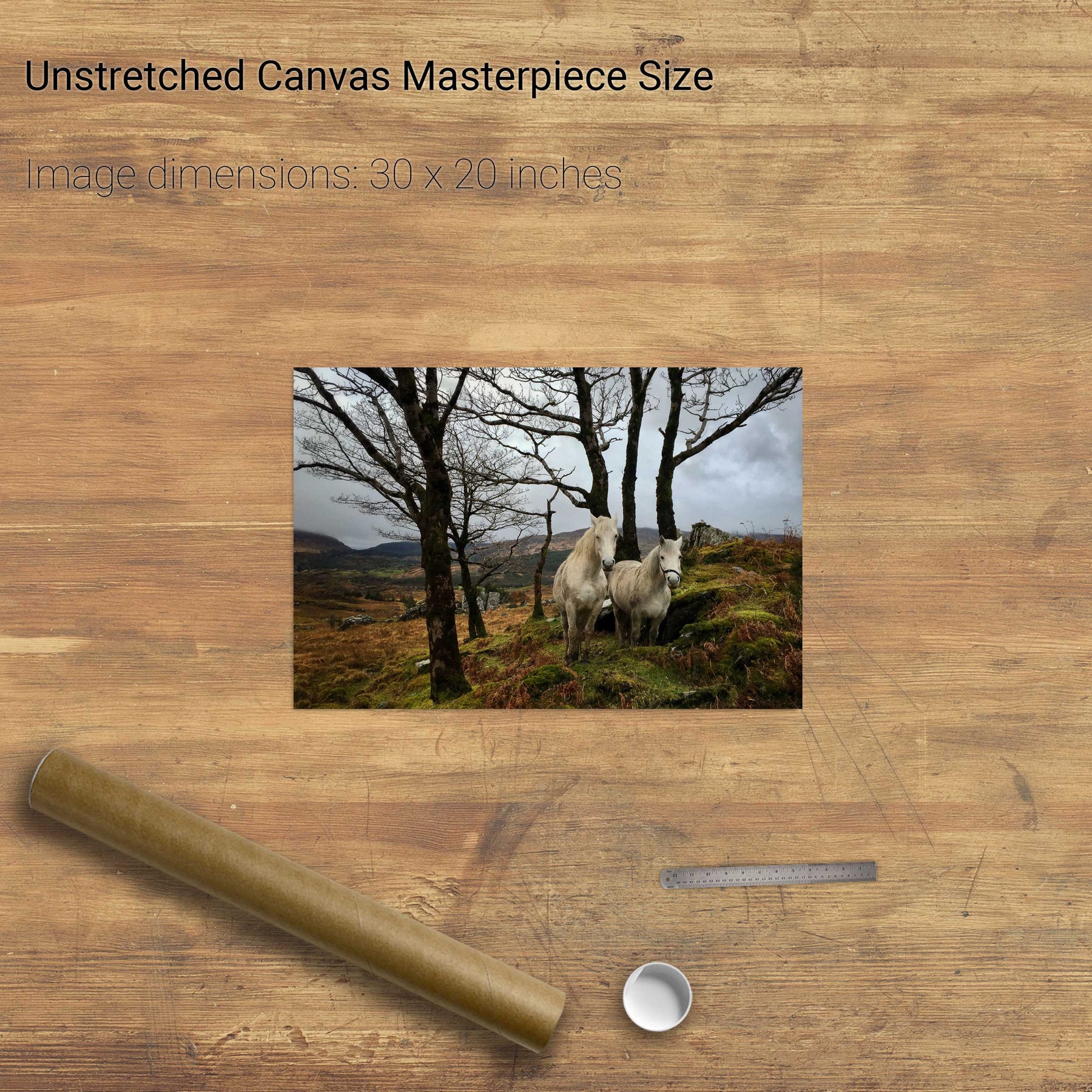
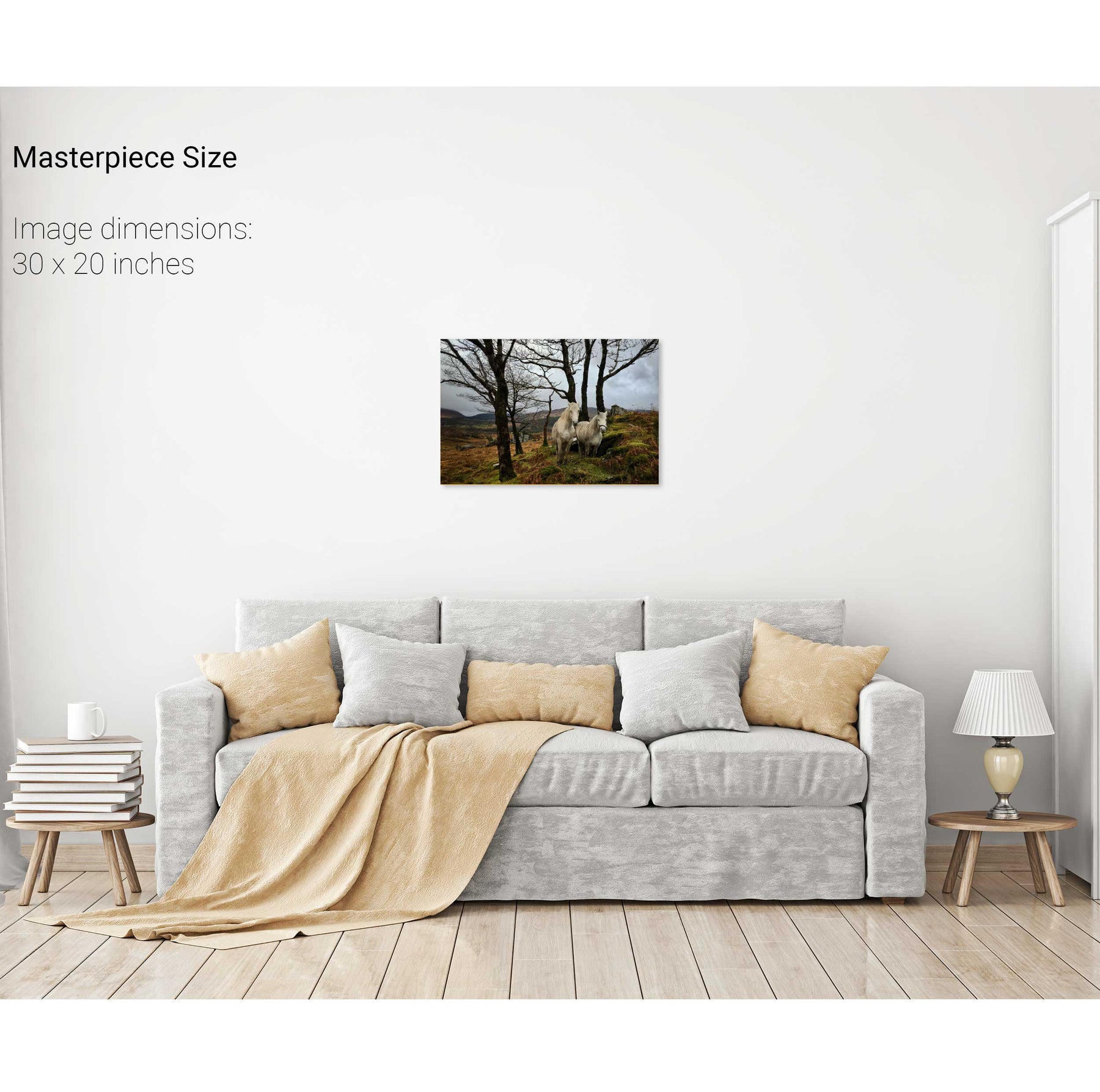
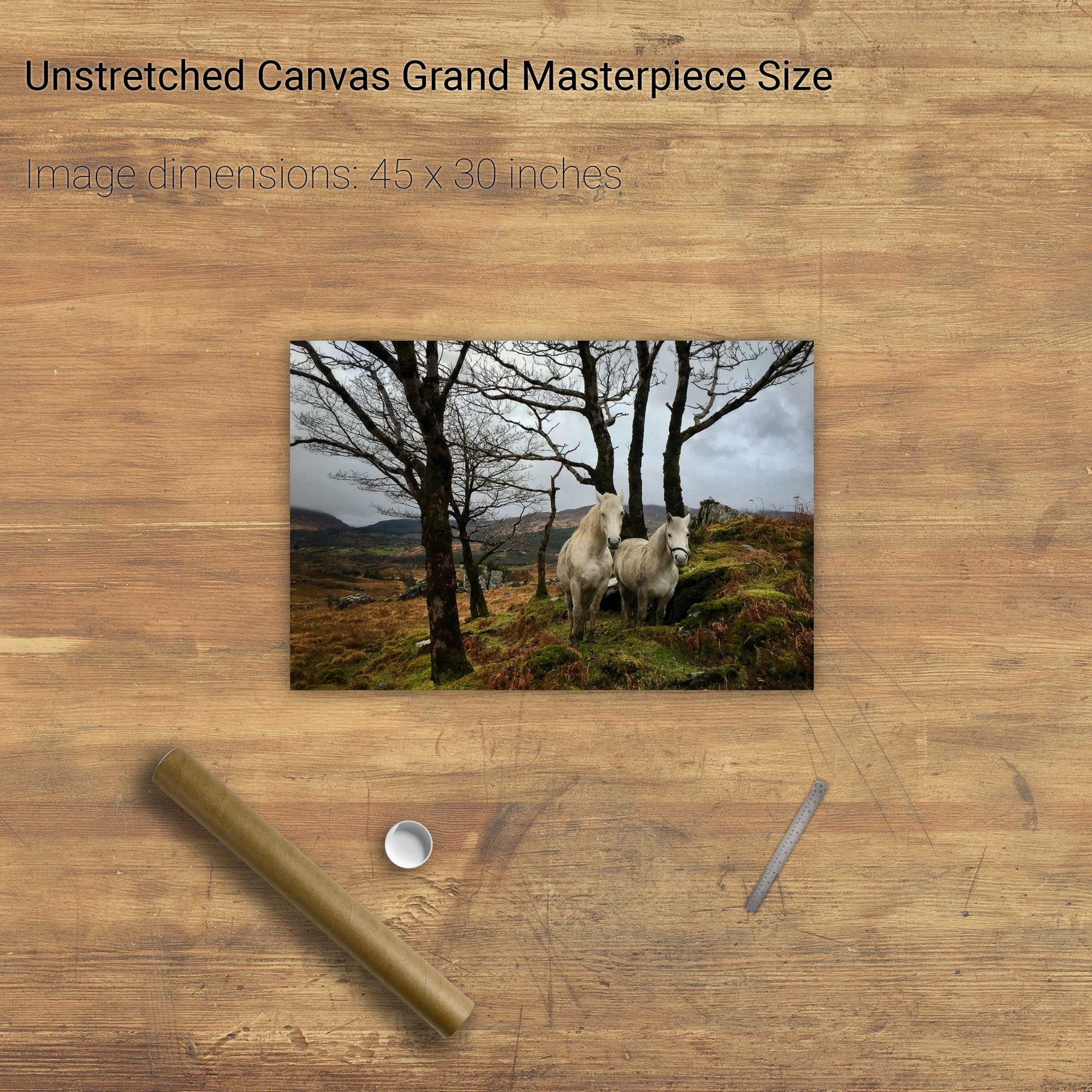
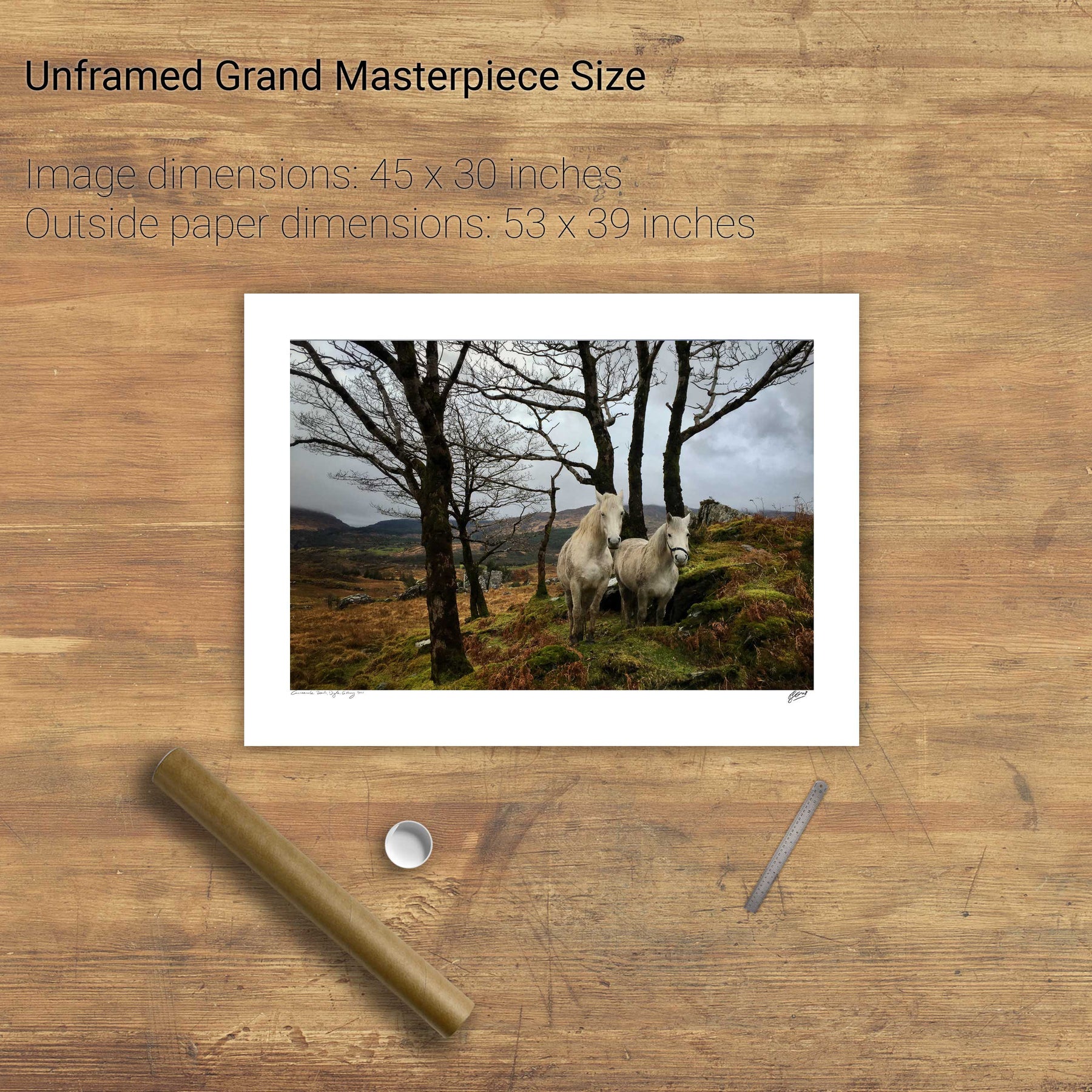
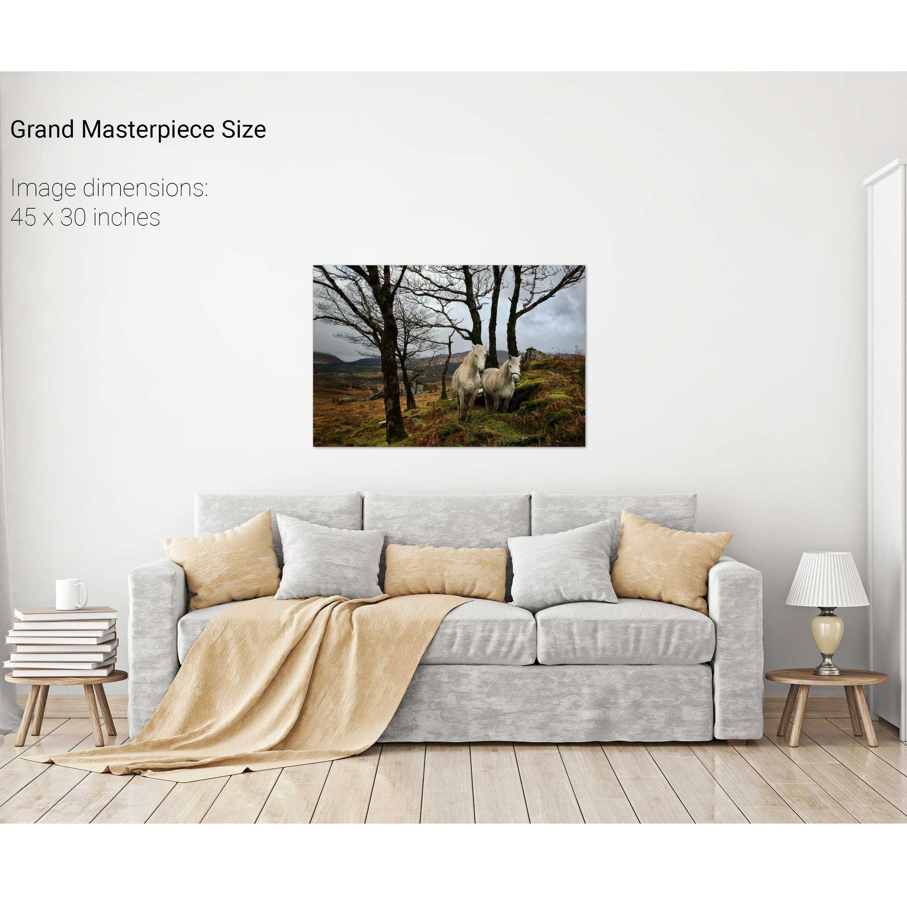
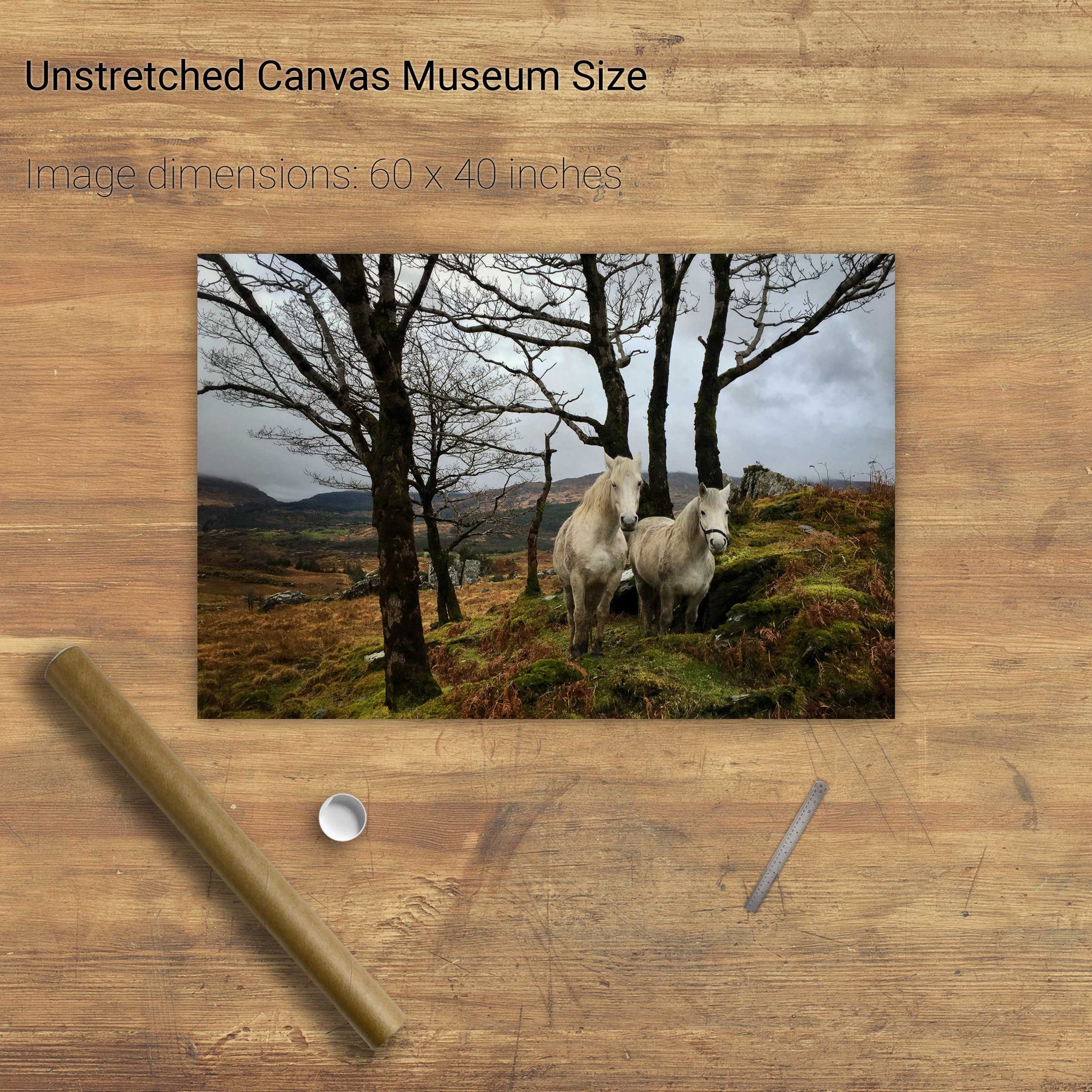
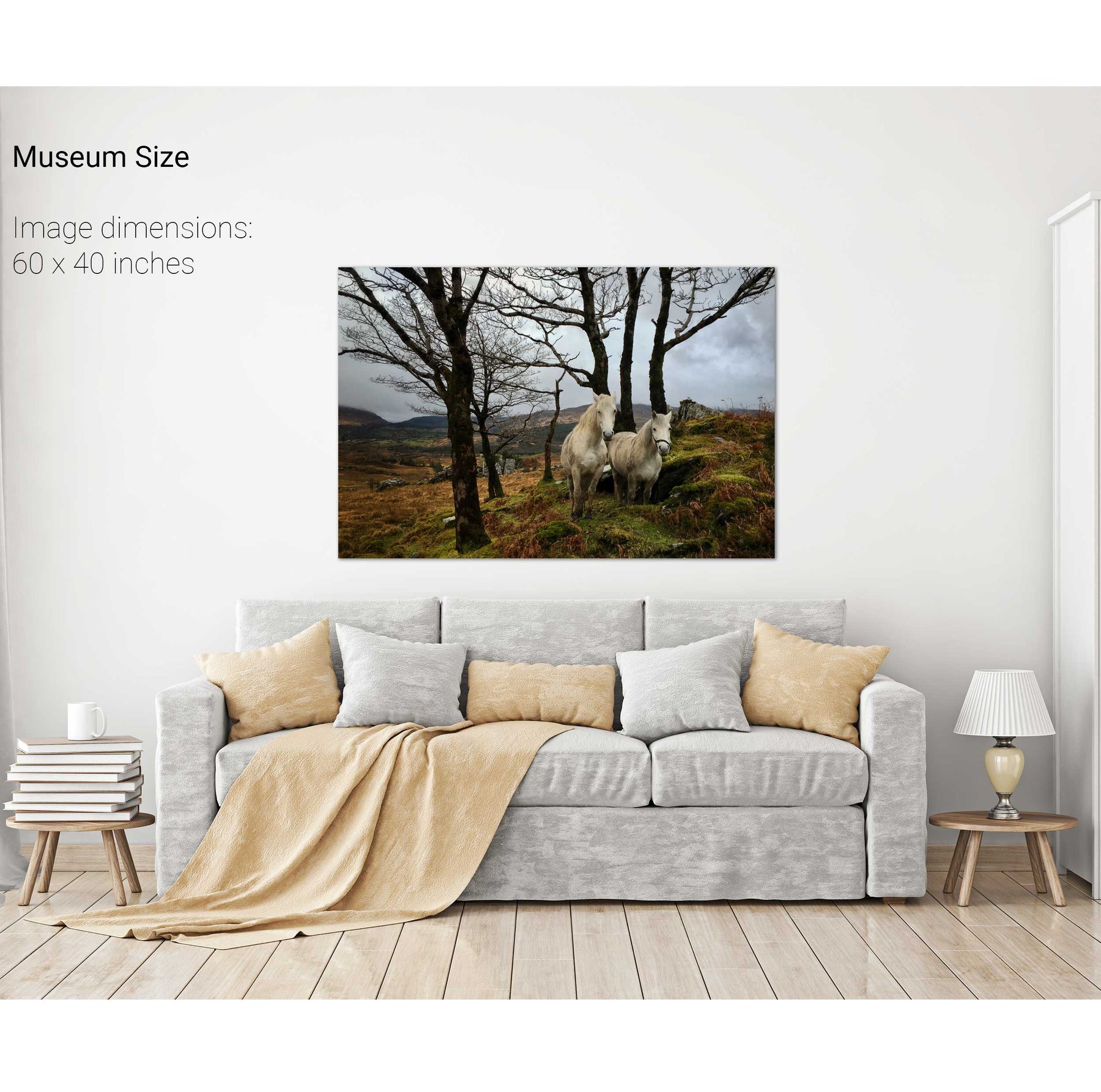
Horses, Gougane Barra, Cork
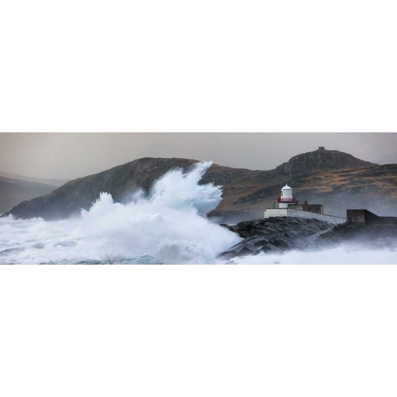
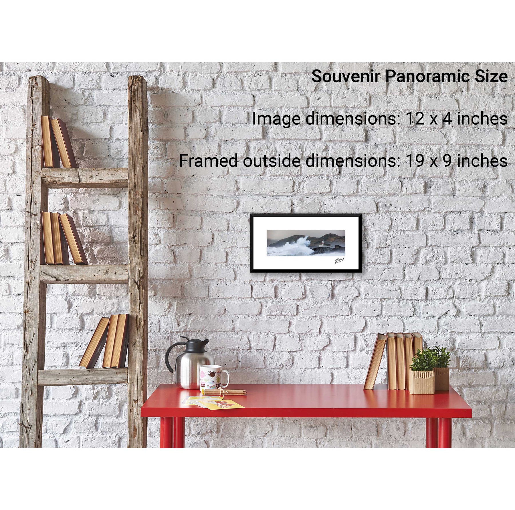
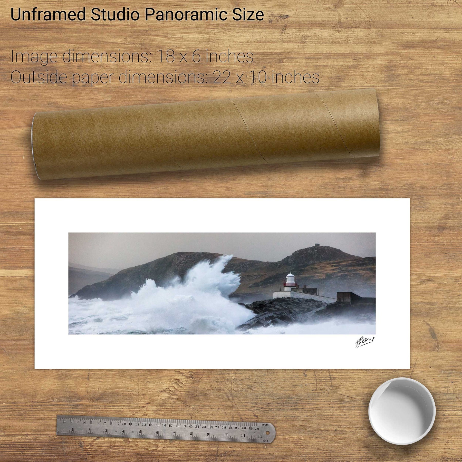
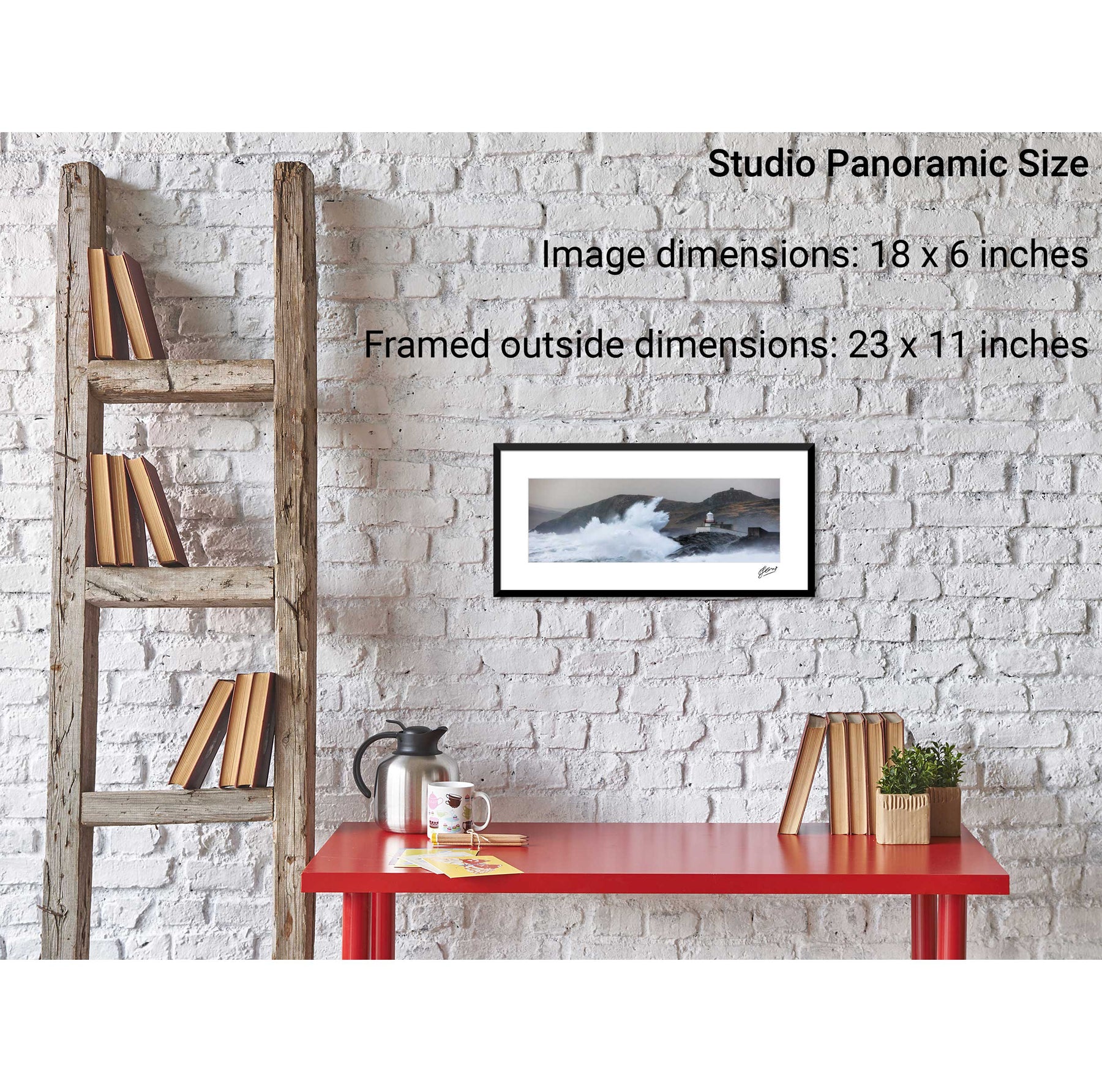
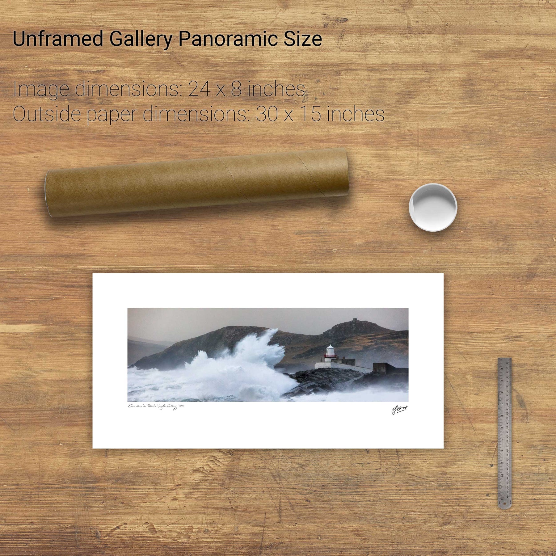
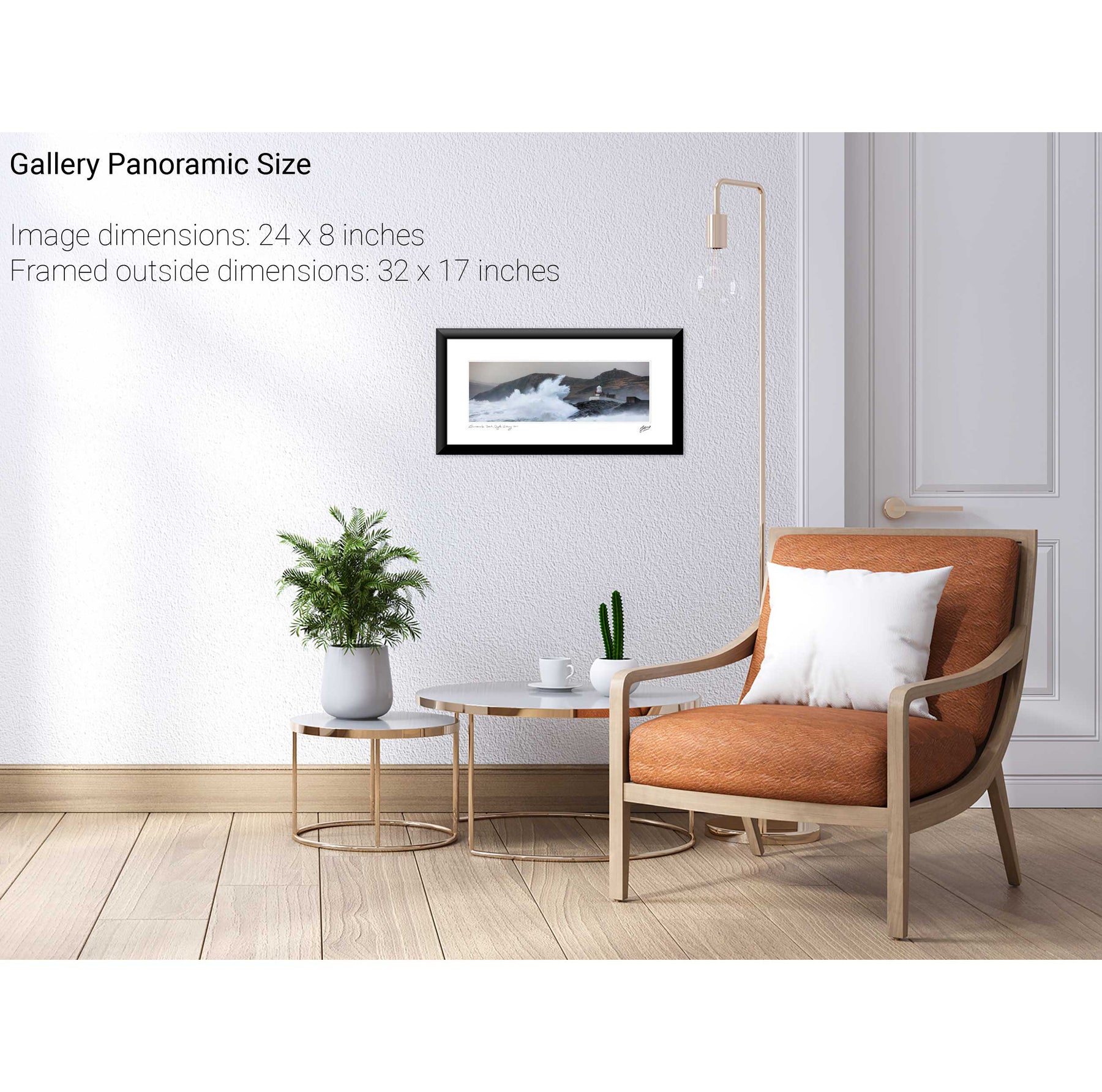
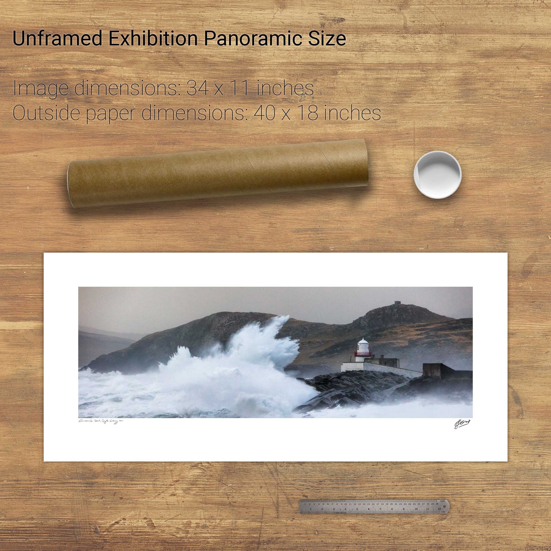
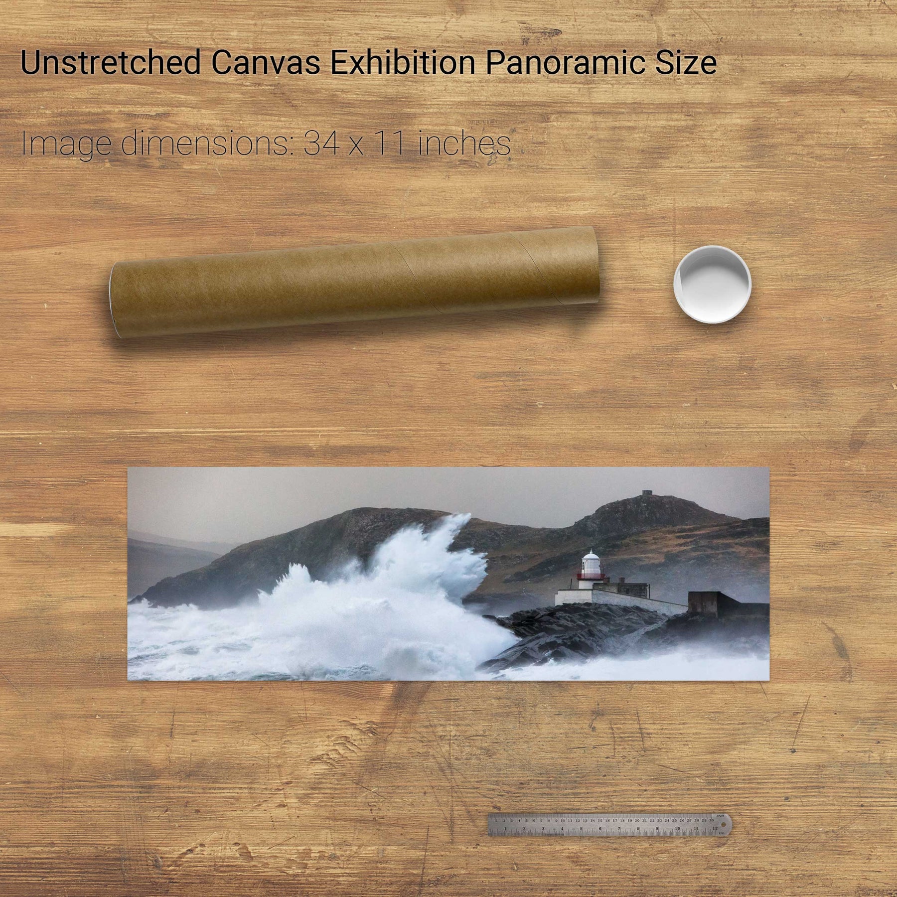
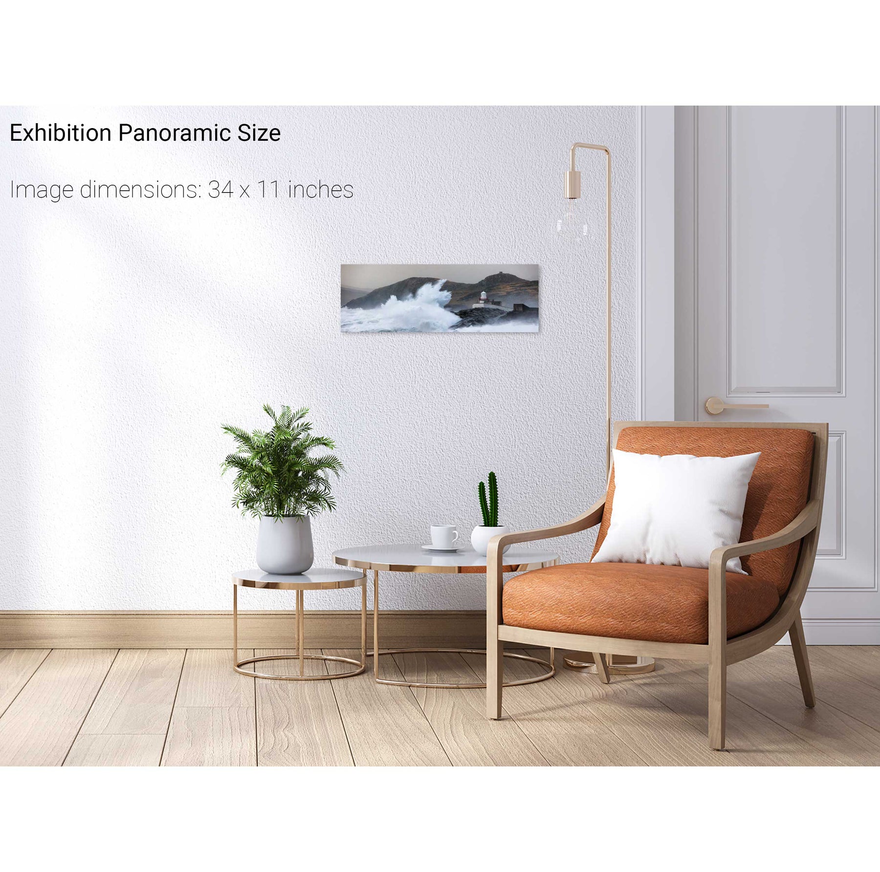
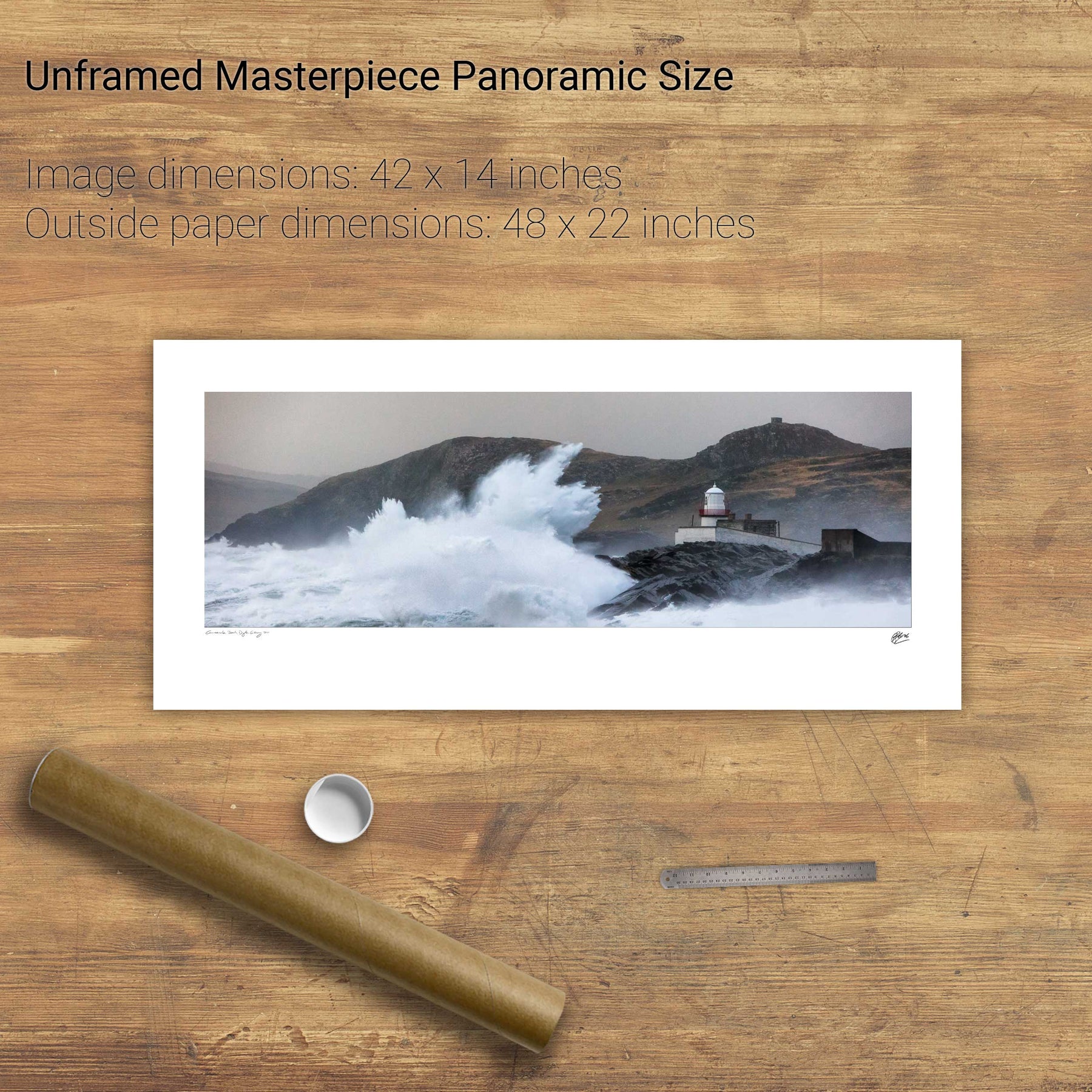
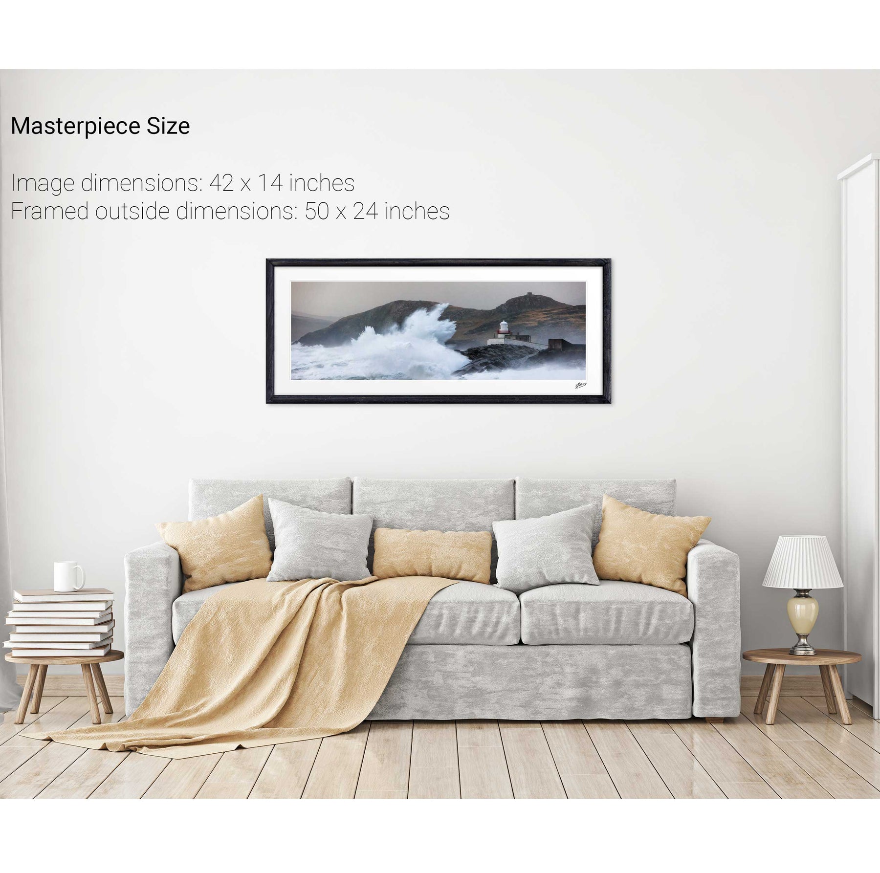
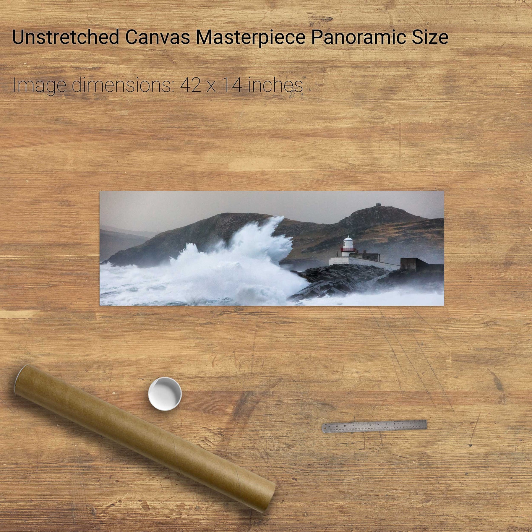
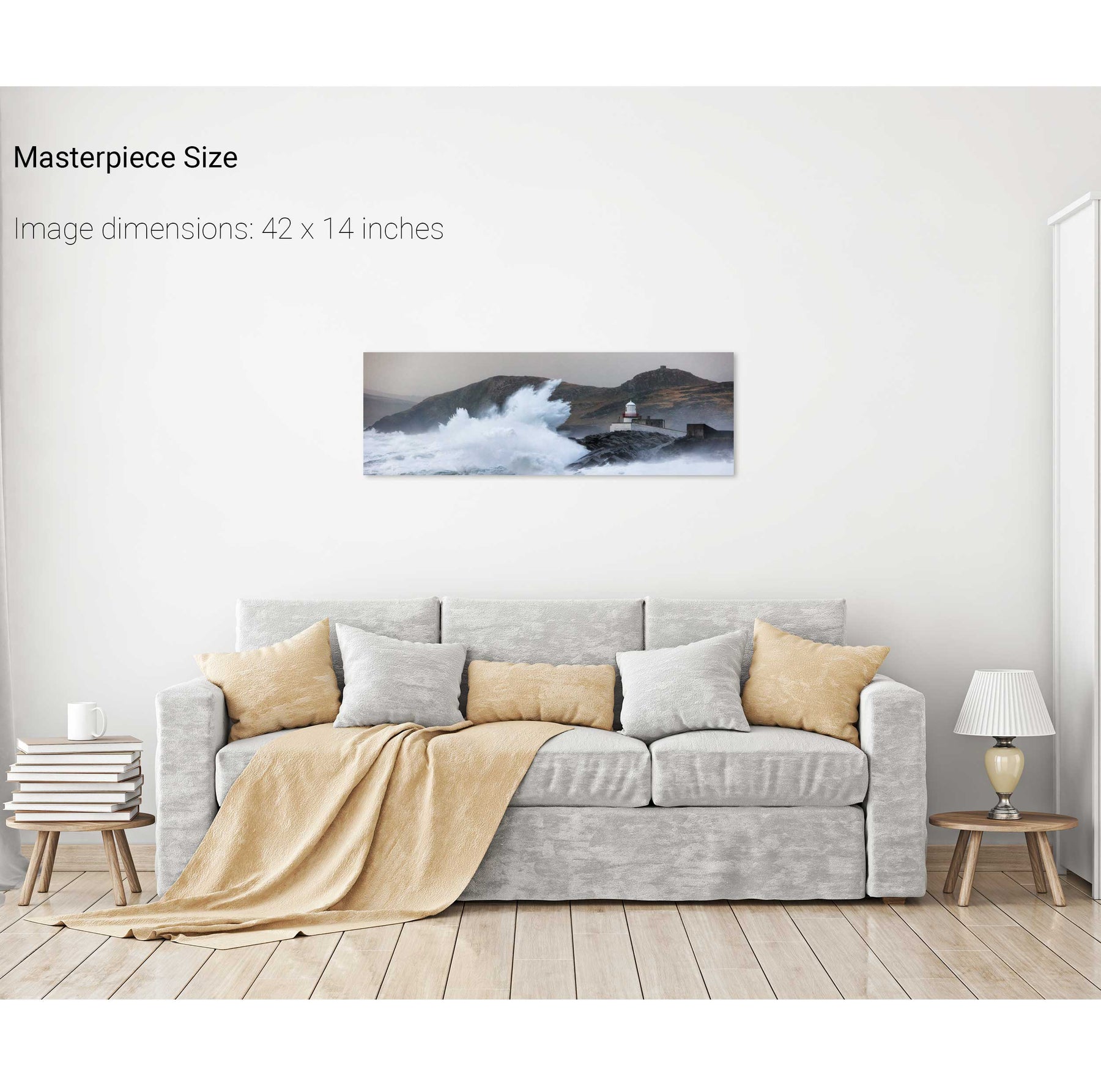
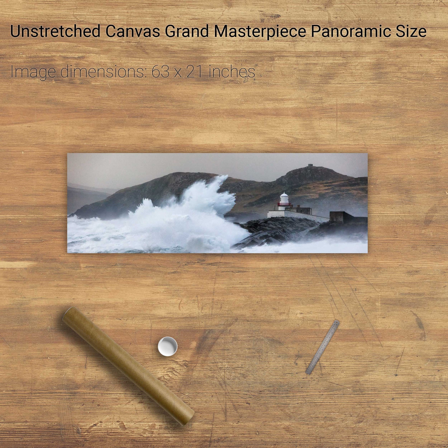
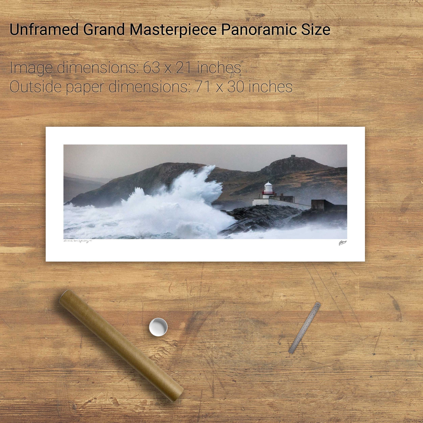
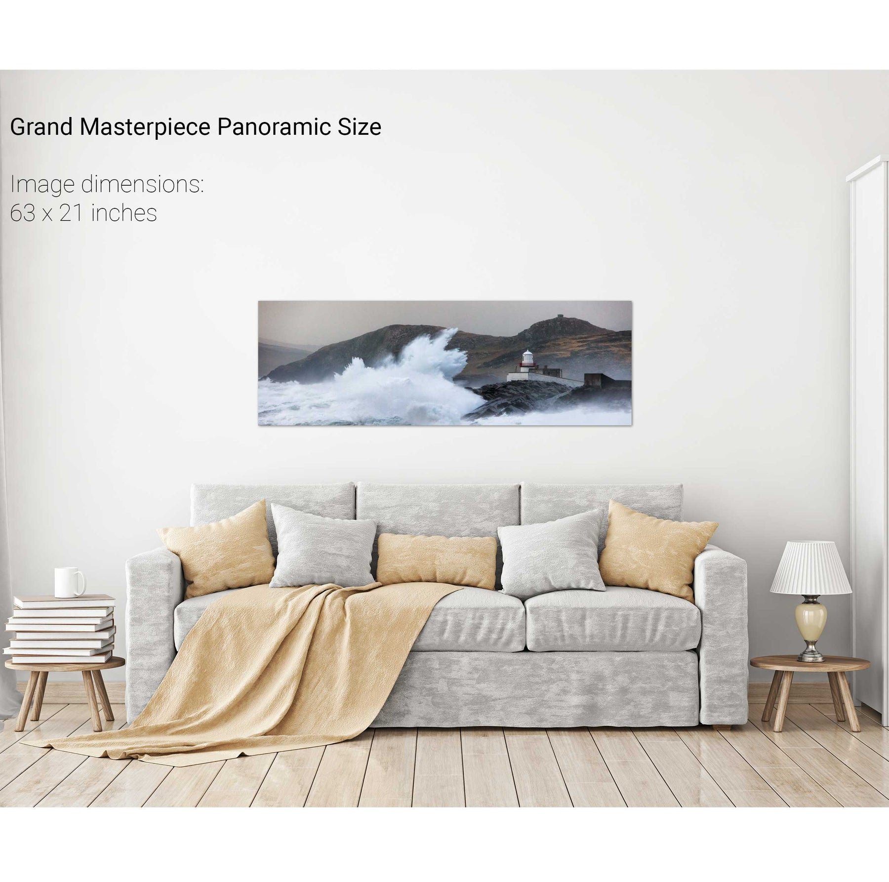
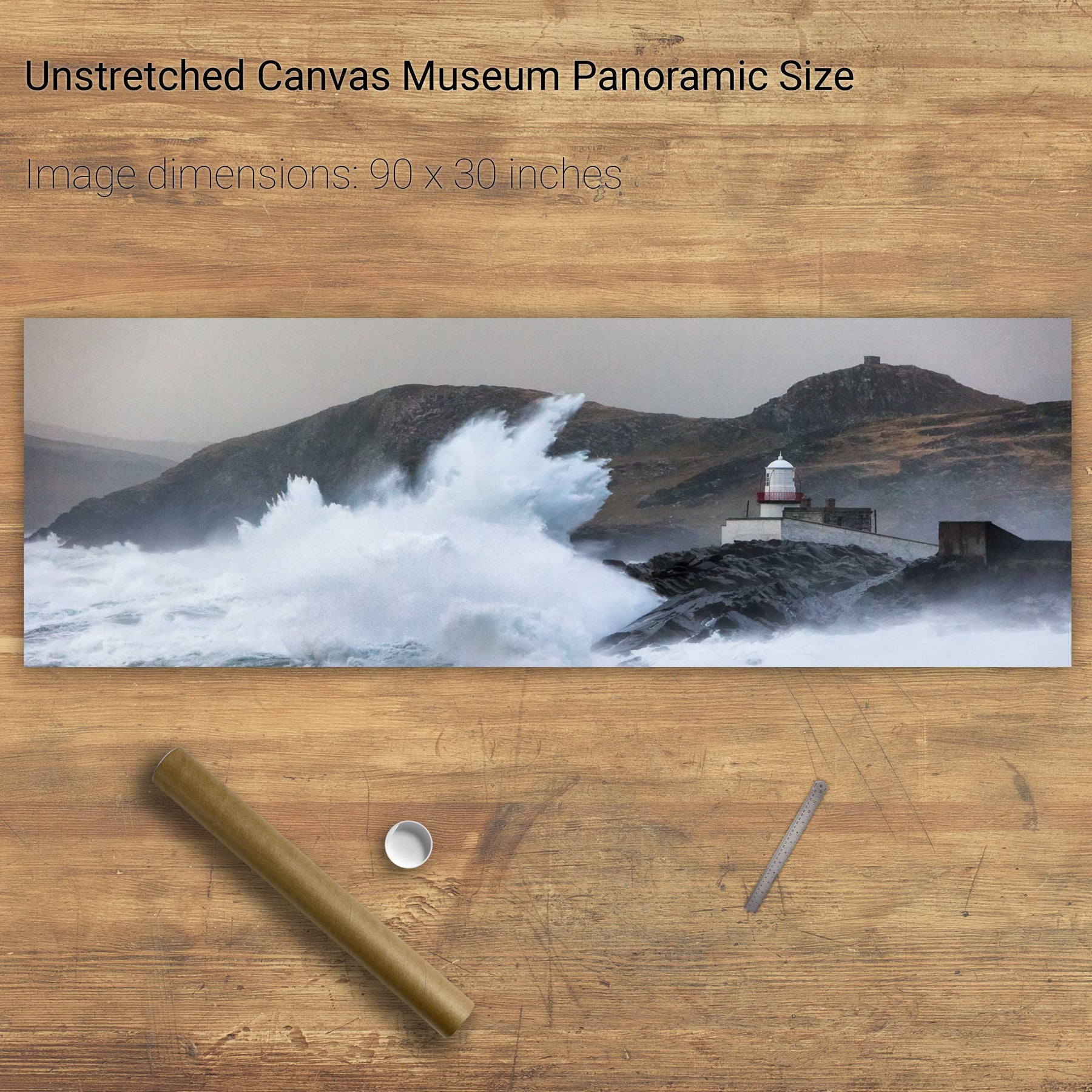
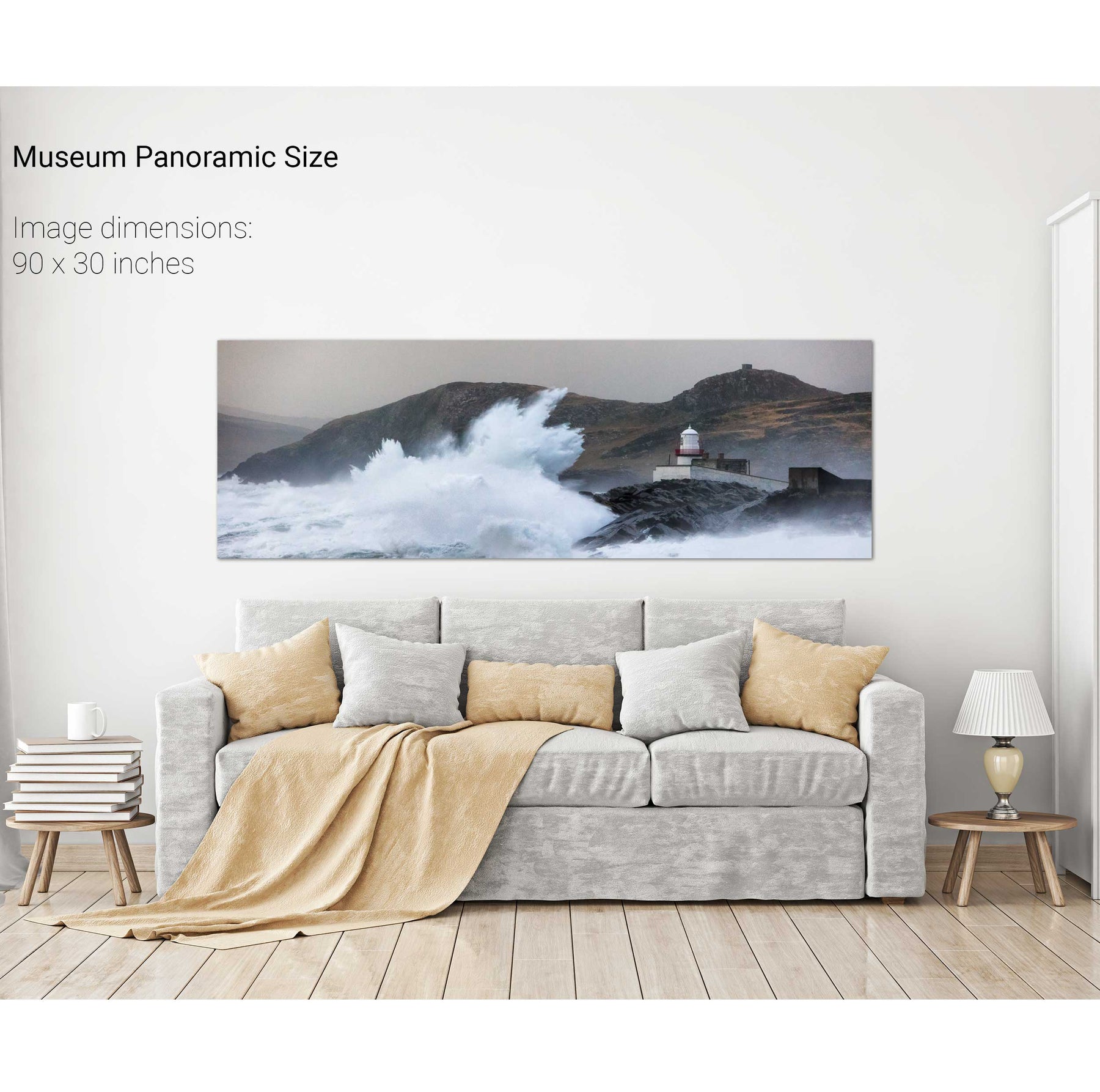
Storm, Cromwell Point Lighthouse, Co. Kerry
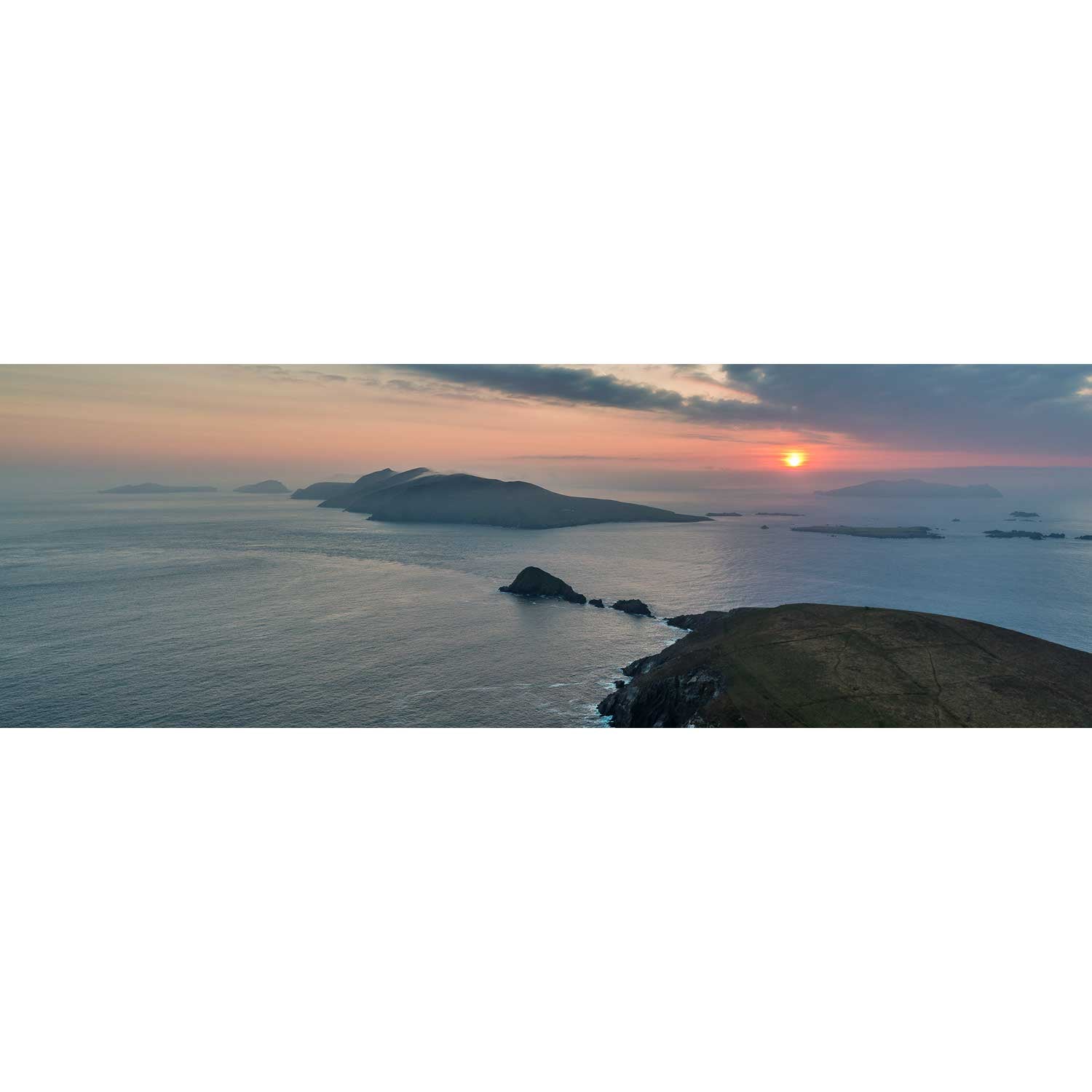
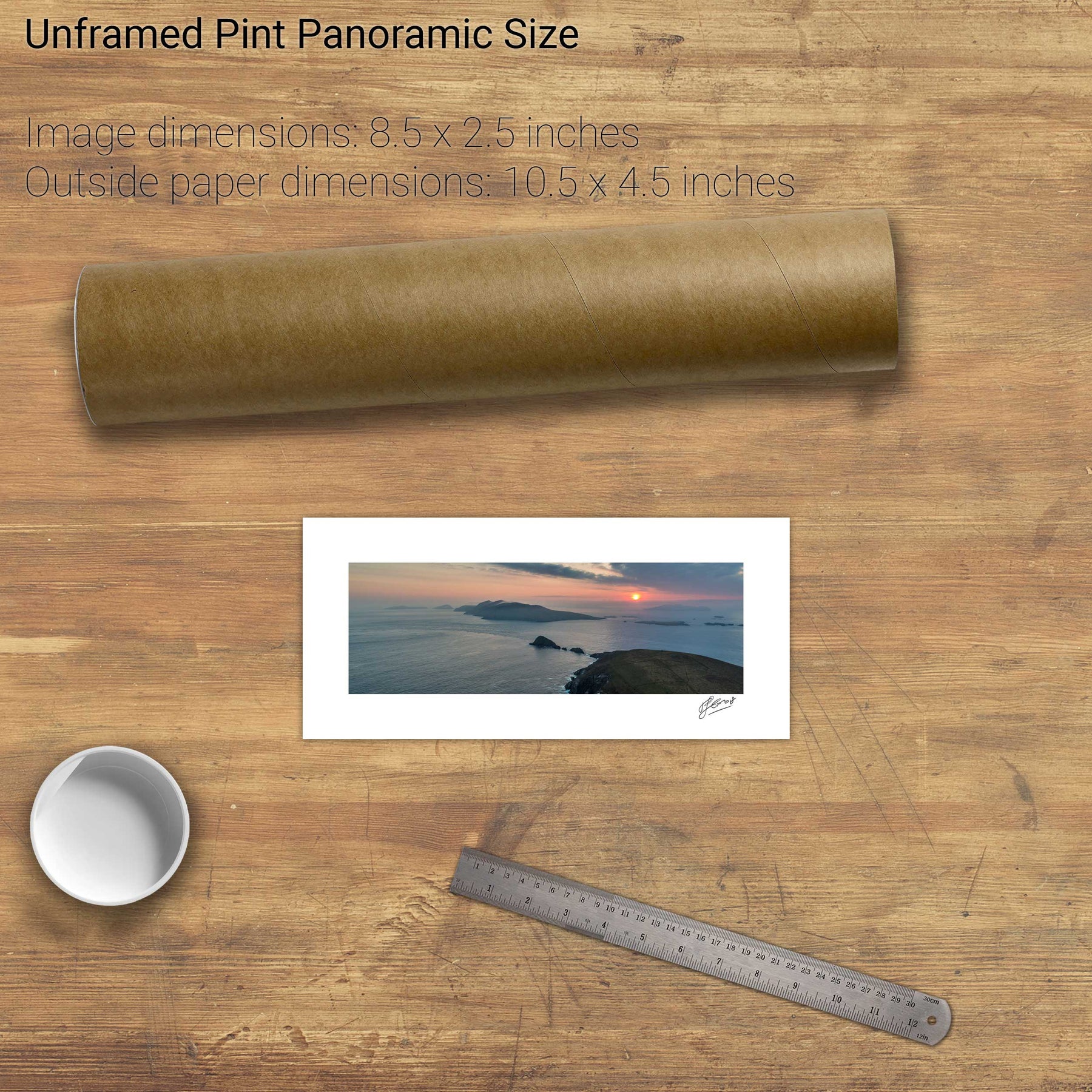
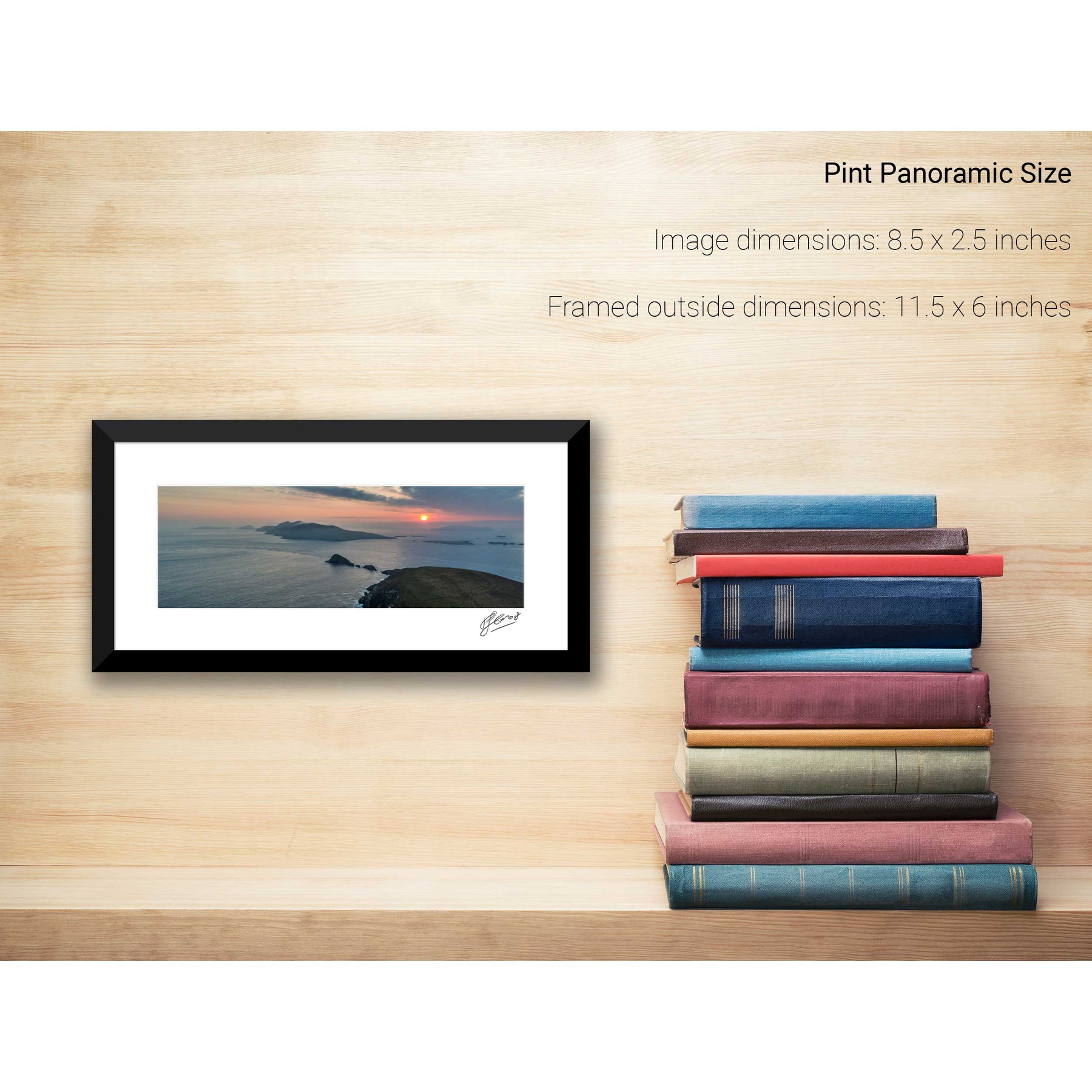
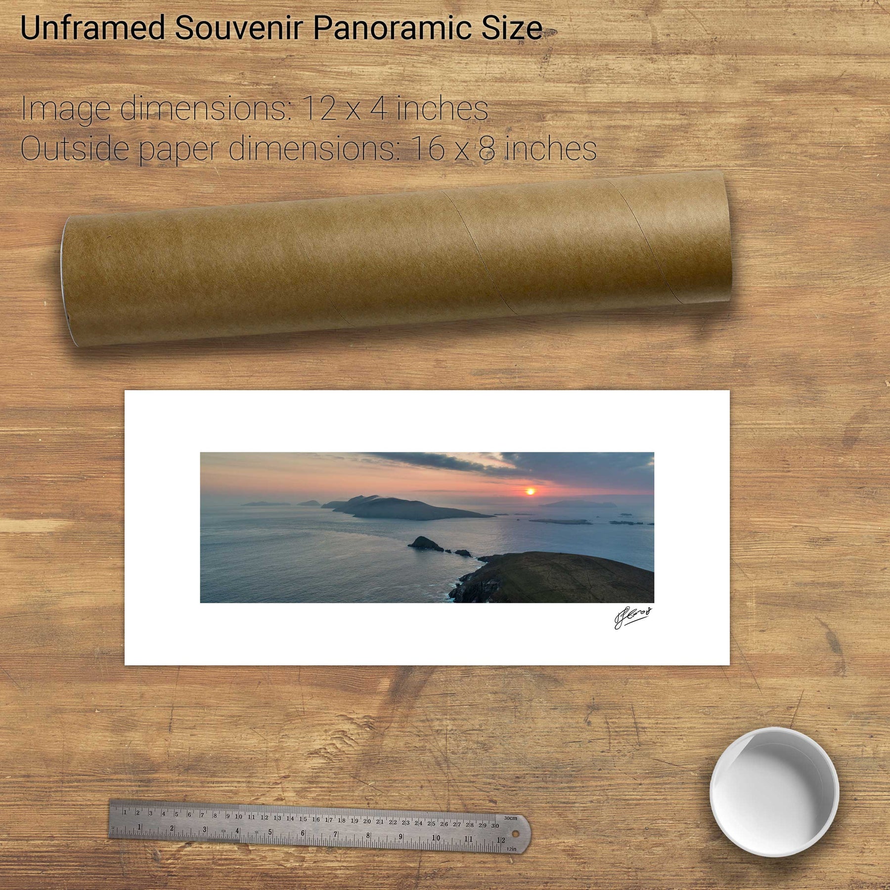
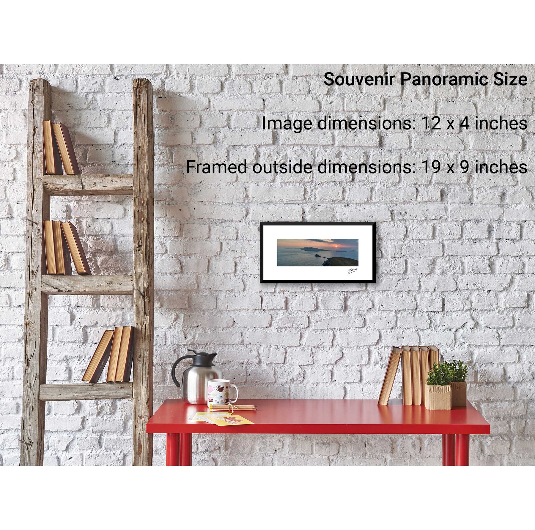
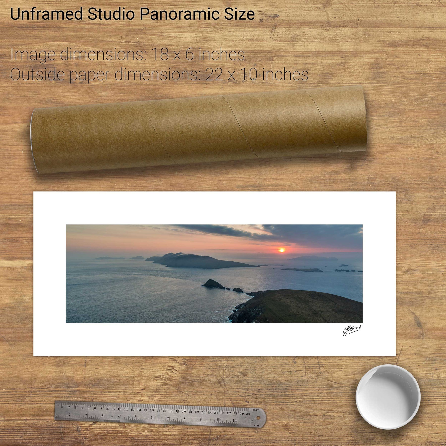
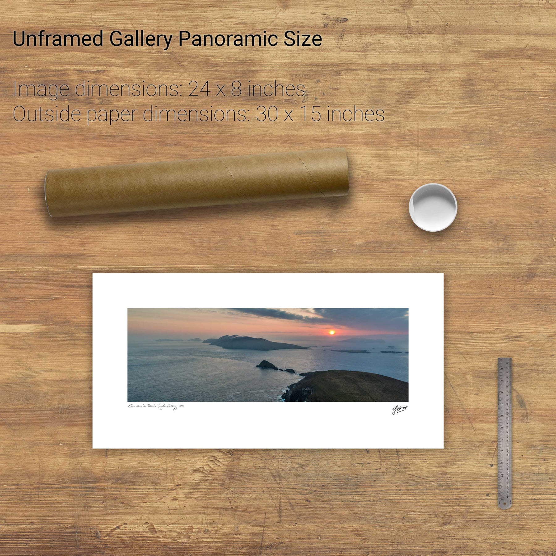
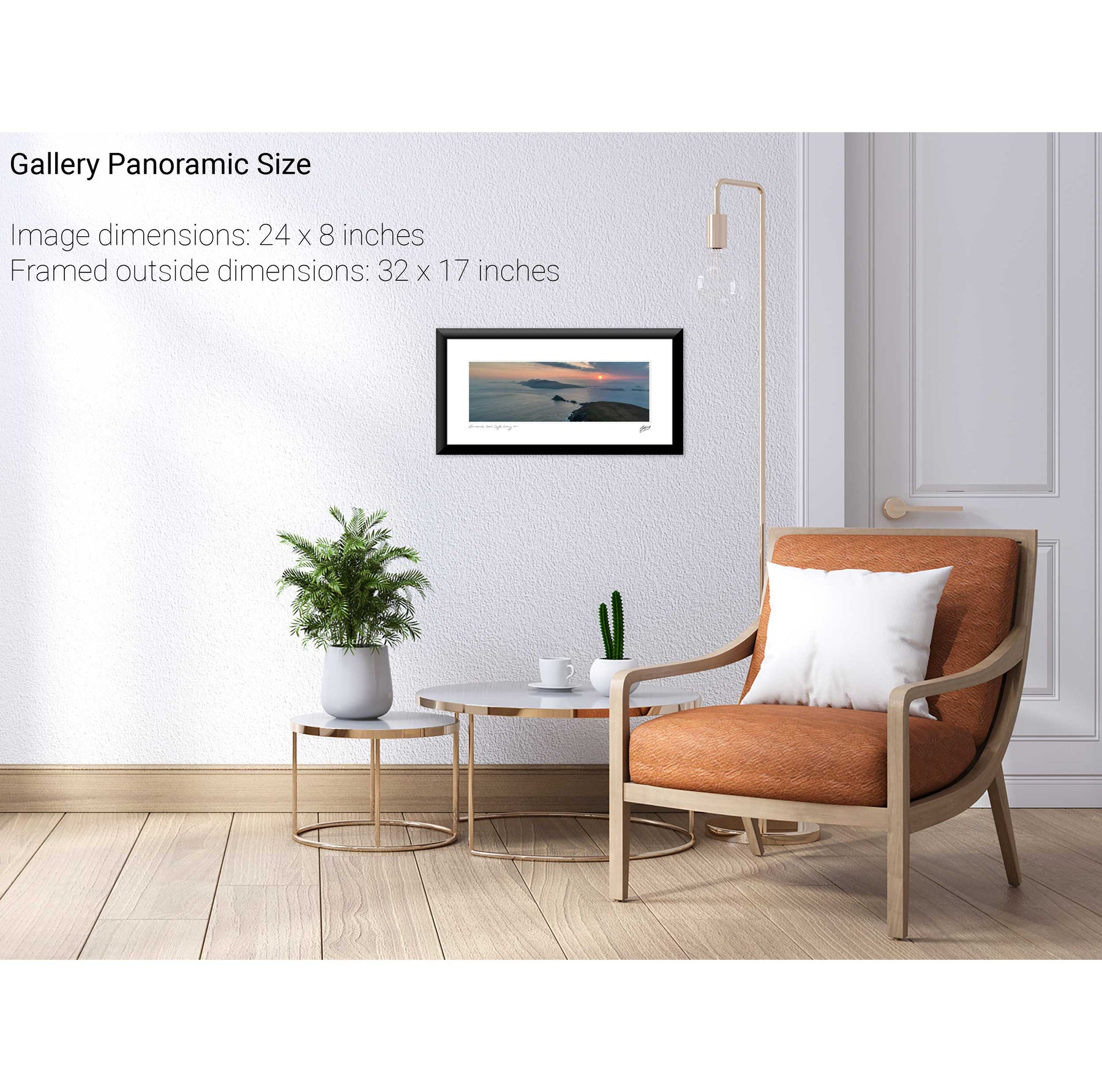
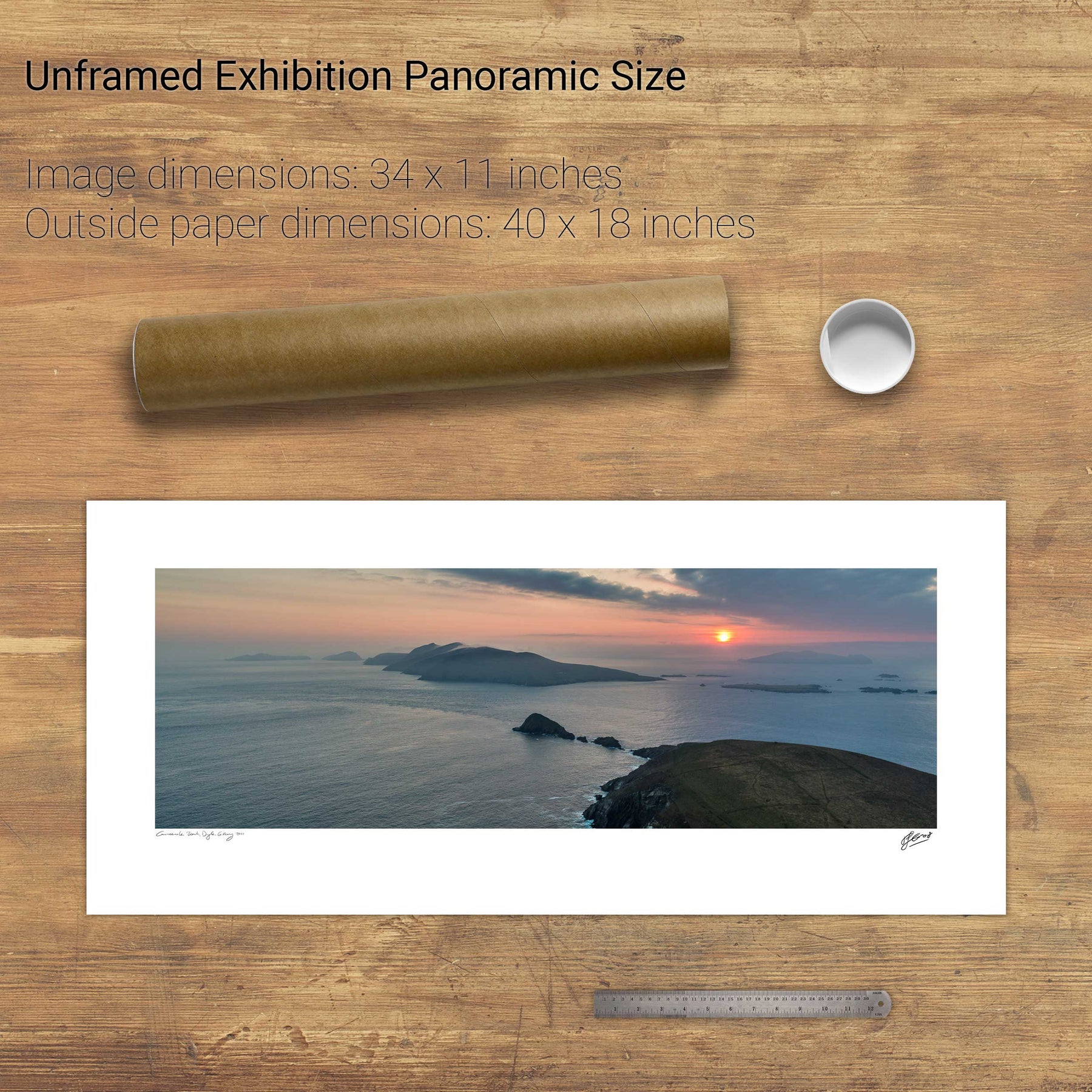
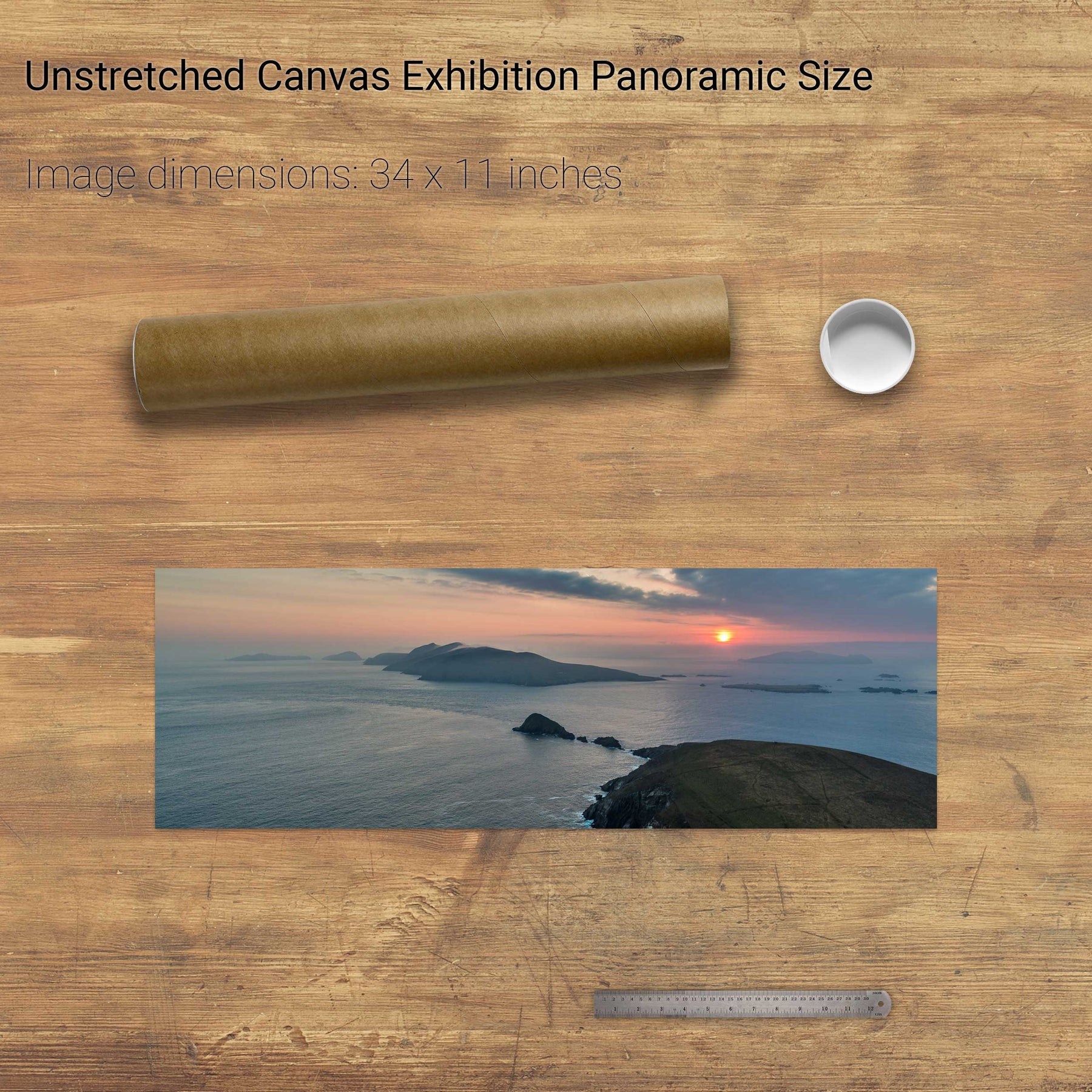
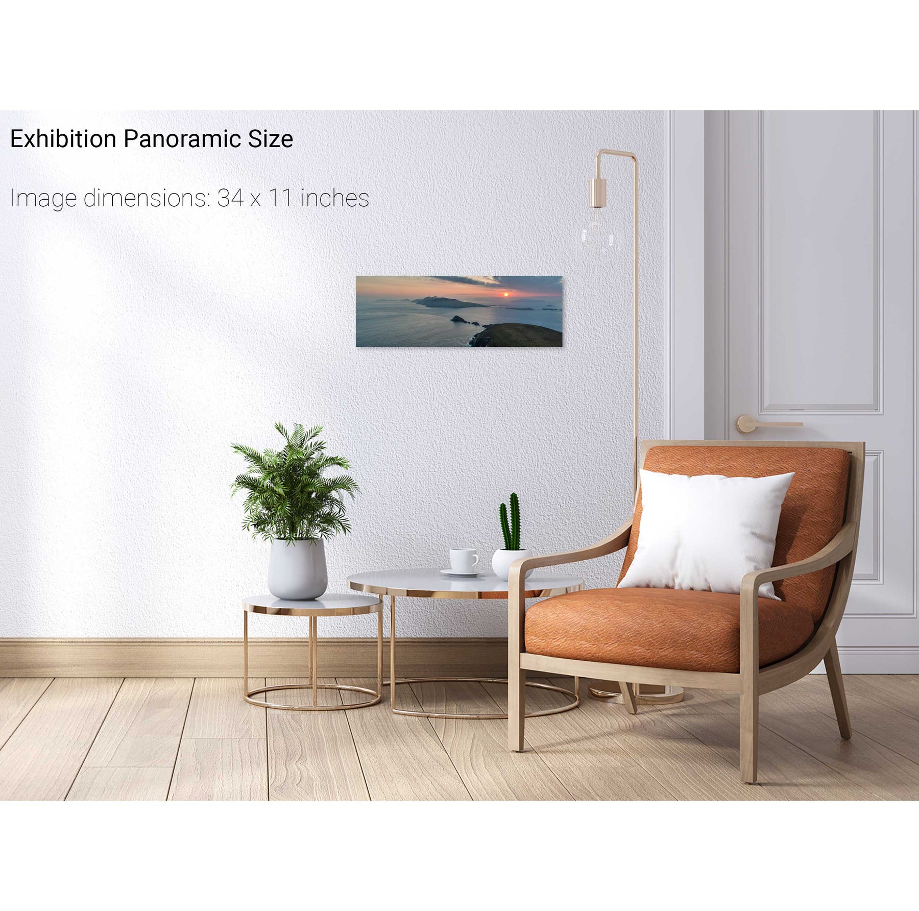
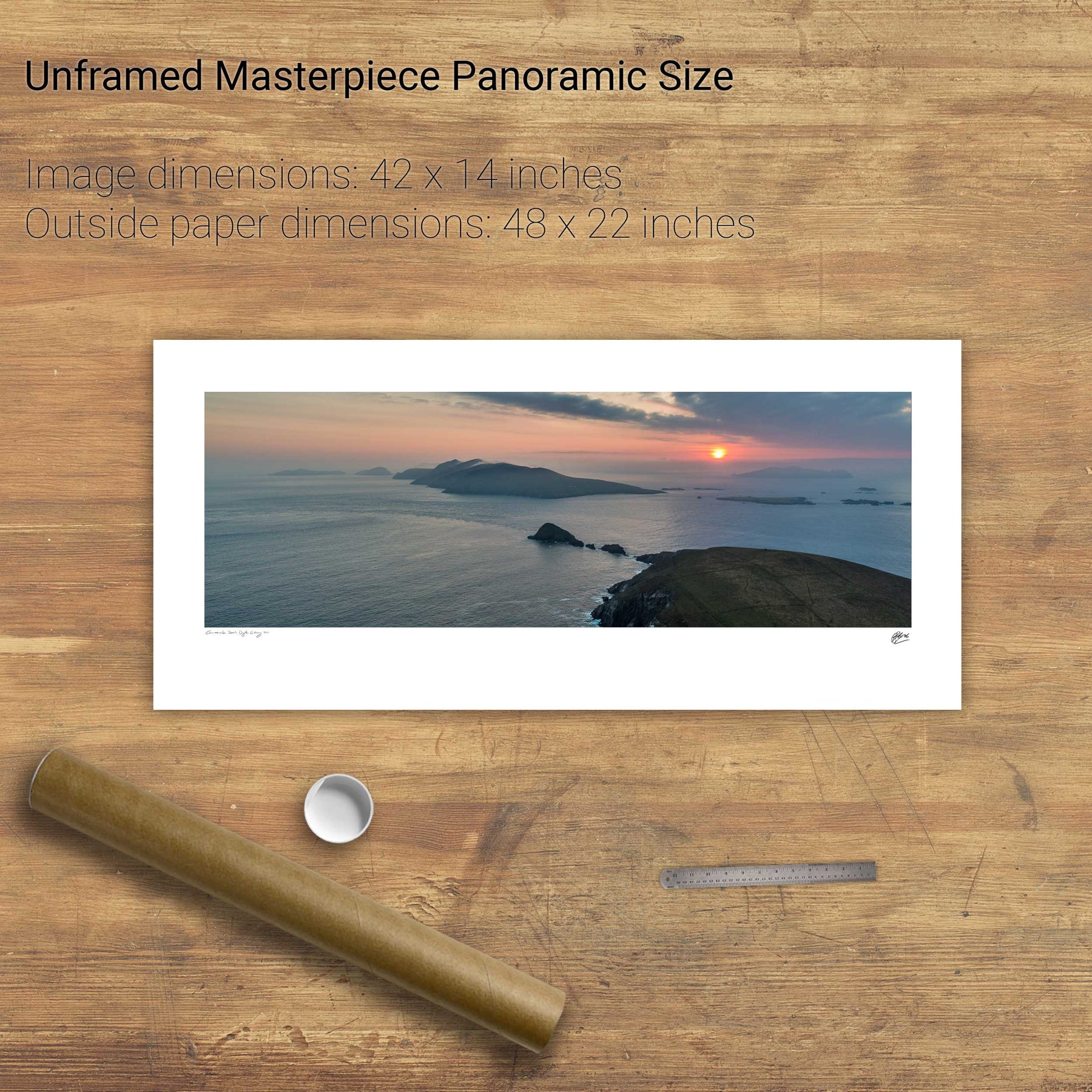
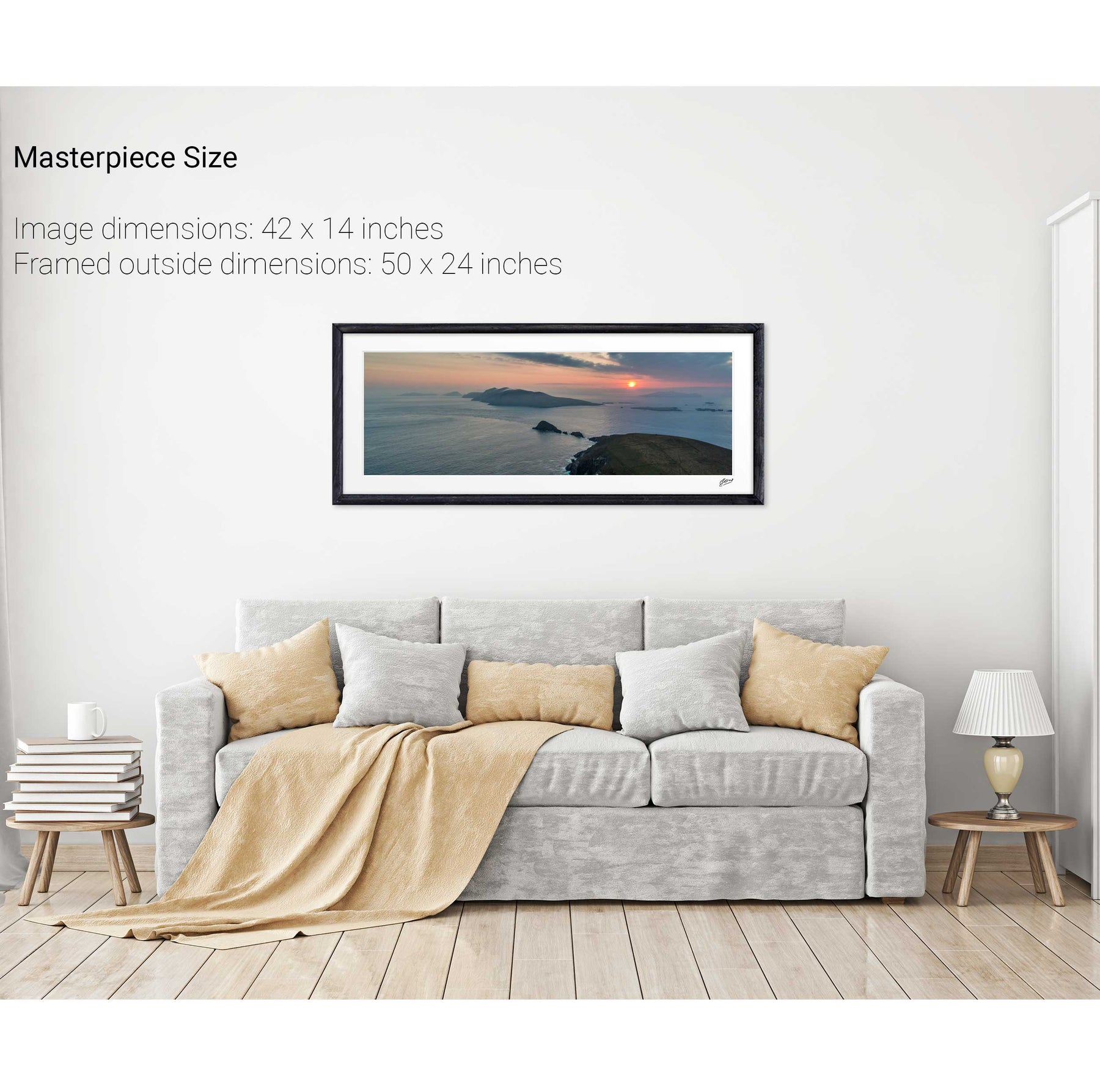
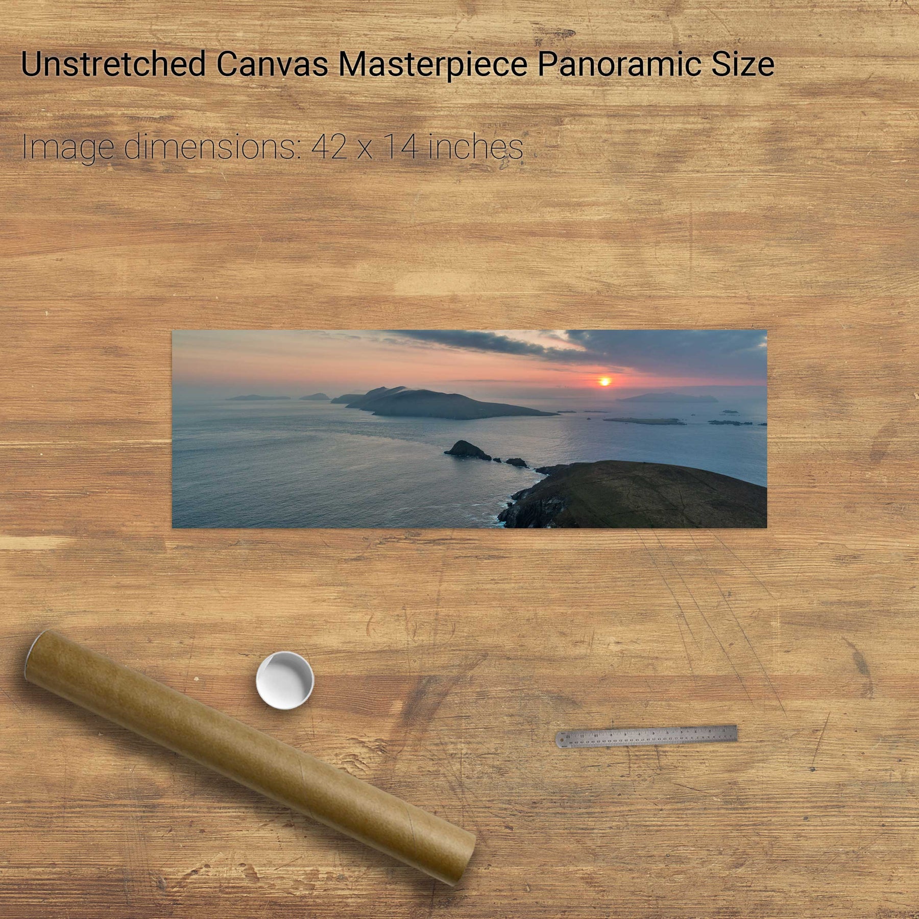
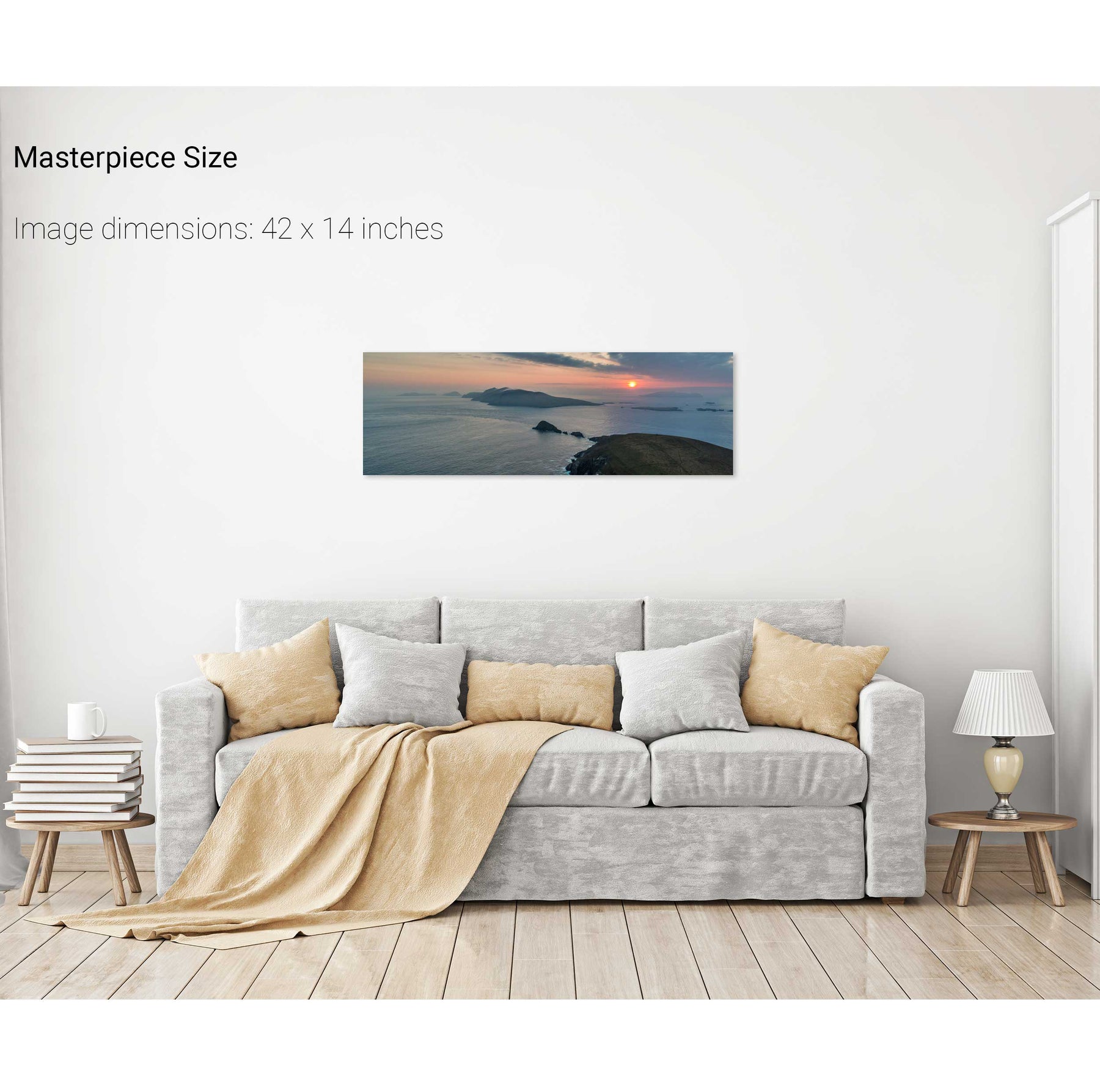
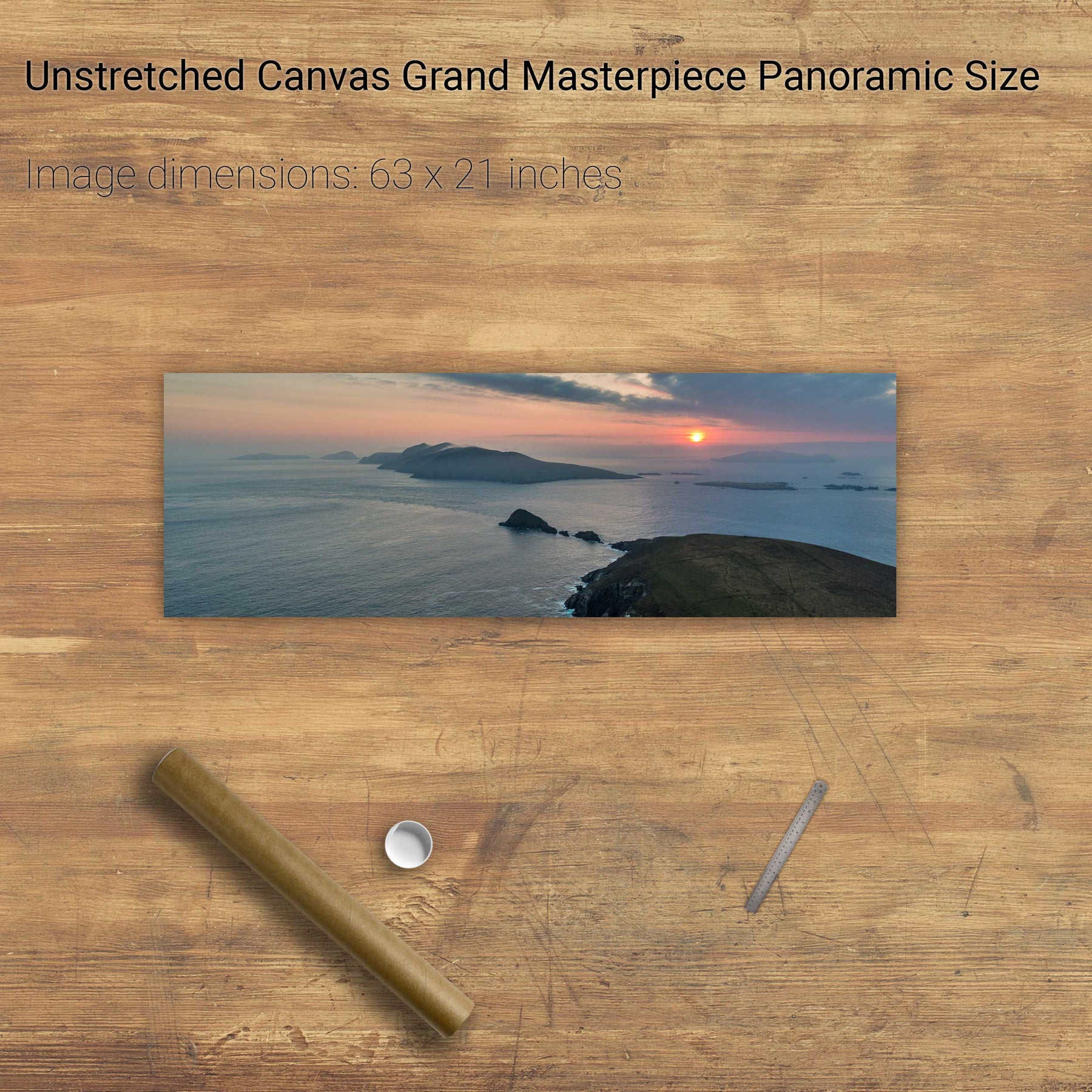
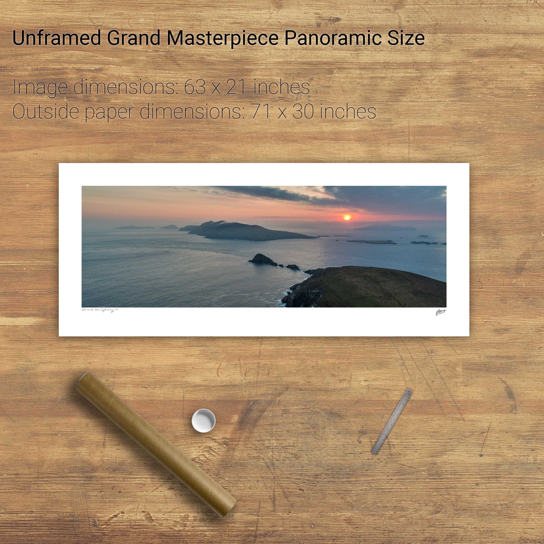
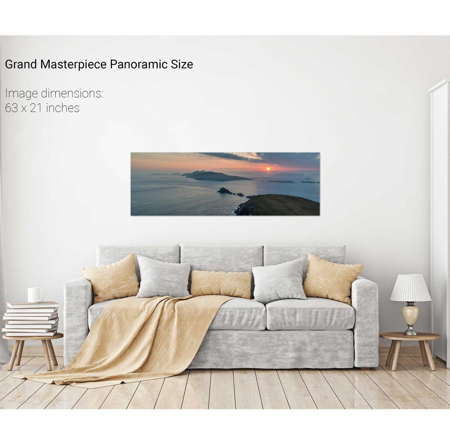
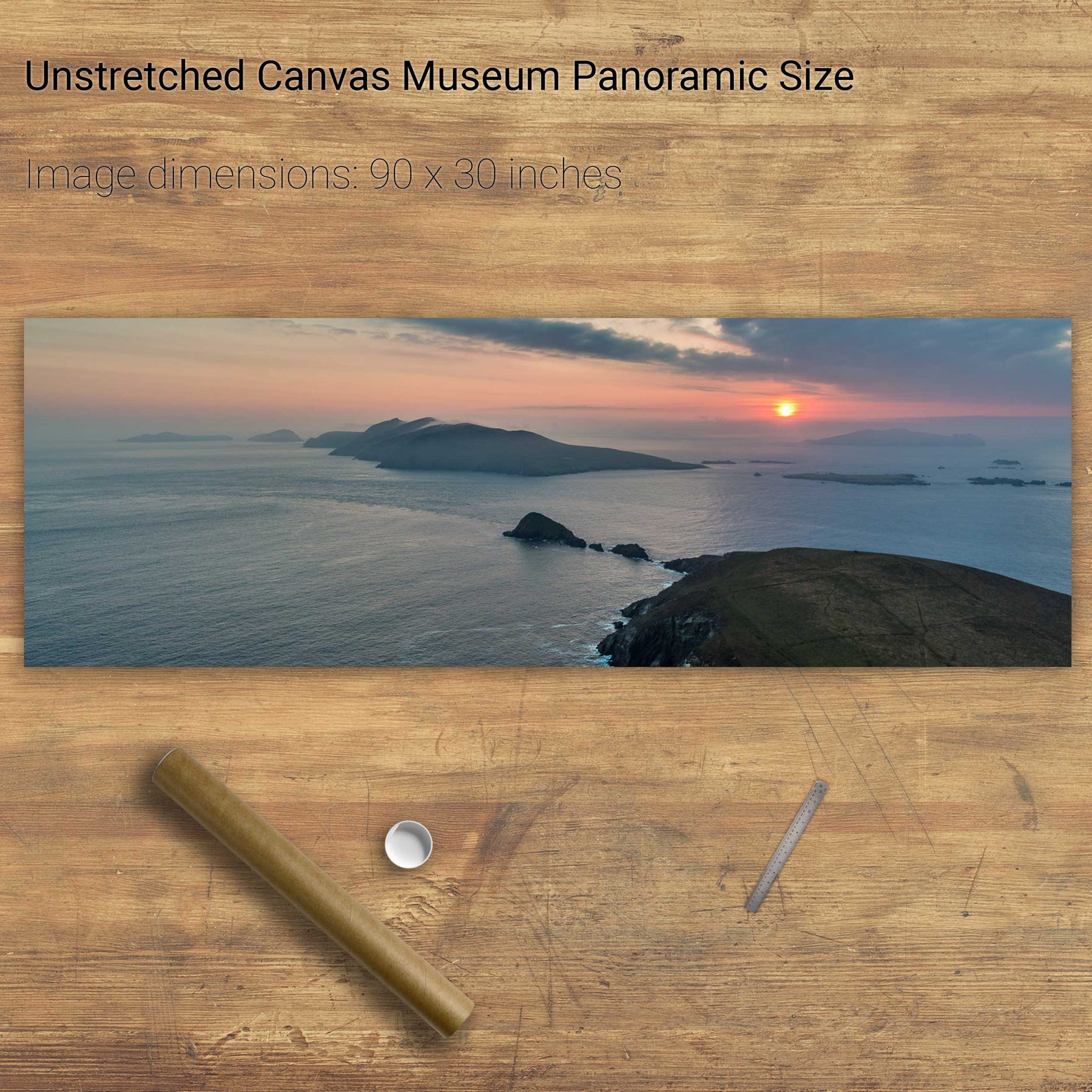
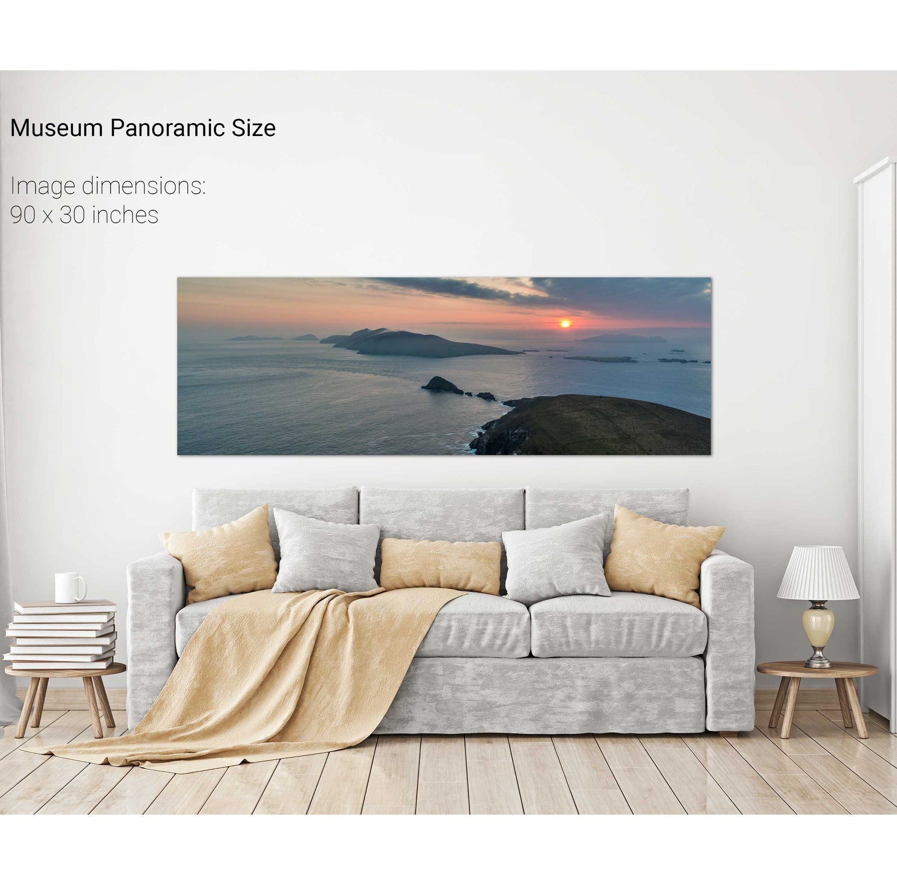
Dunmore Head at Sunset, Dingle, Co. Kerry