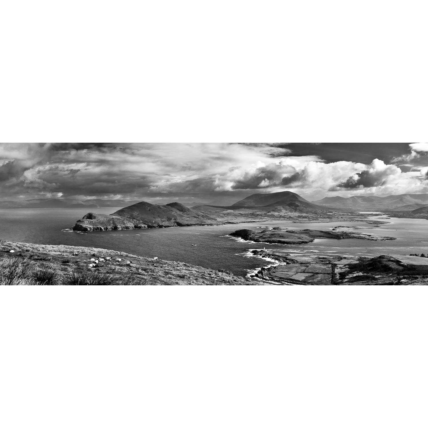
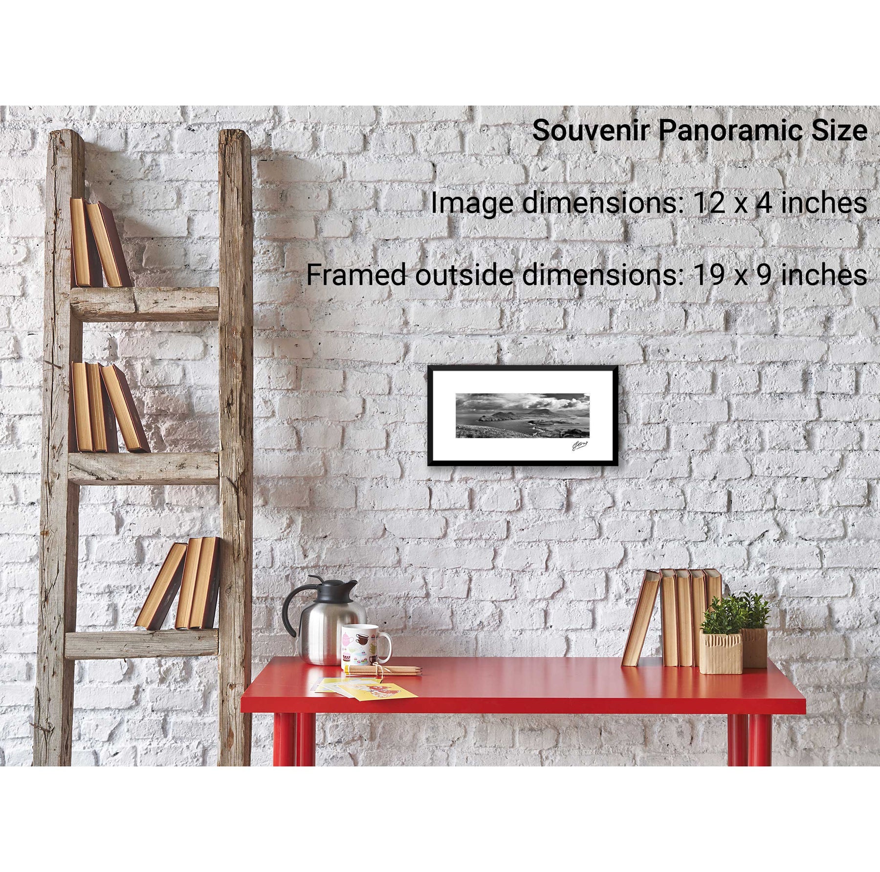
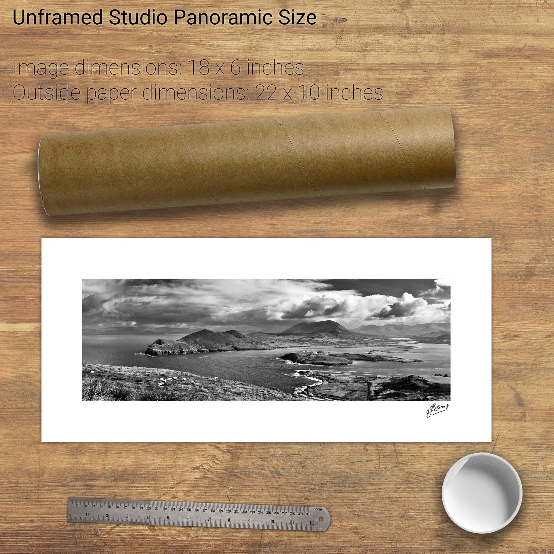
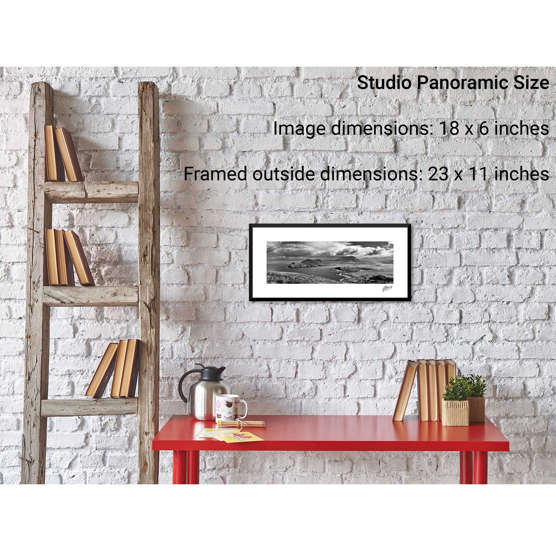
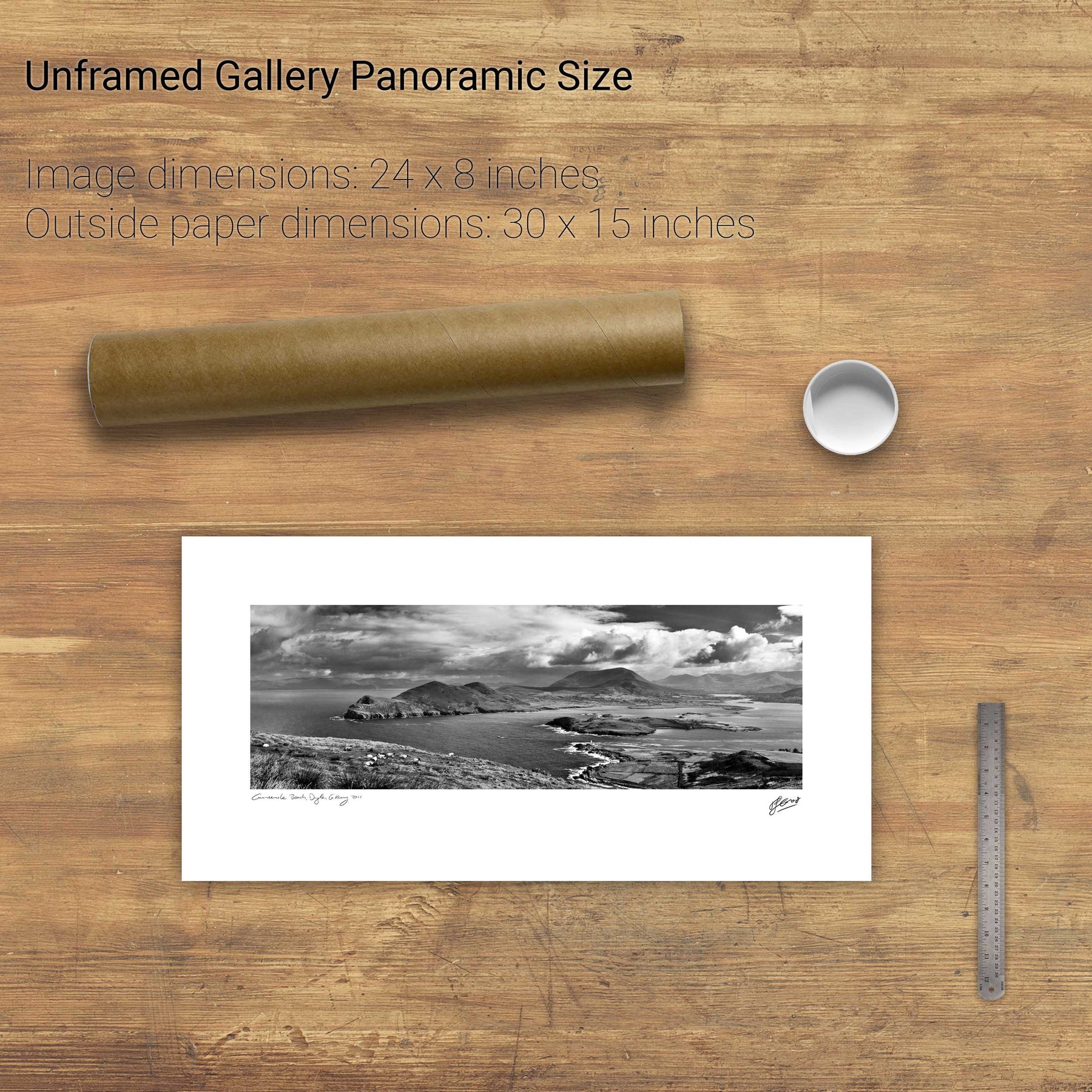
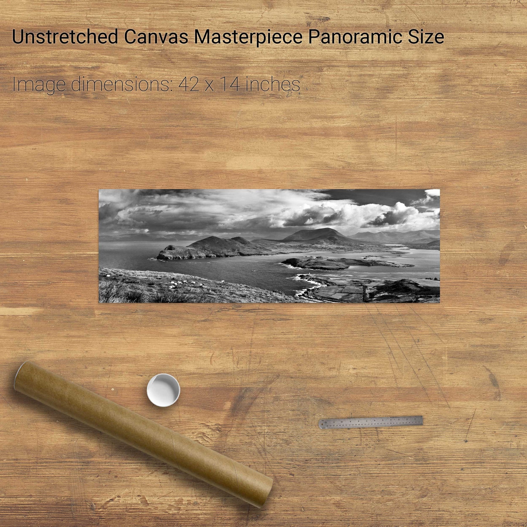
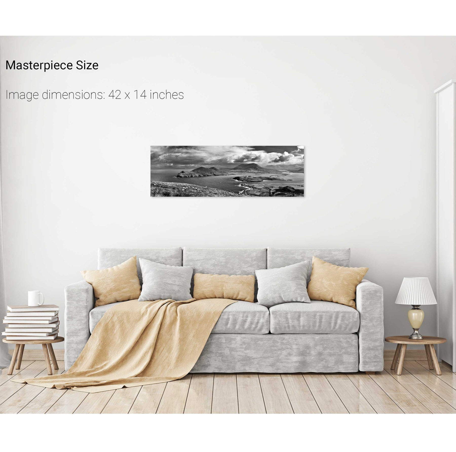
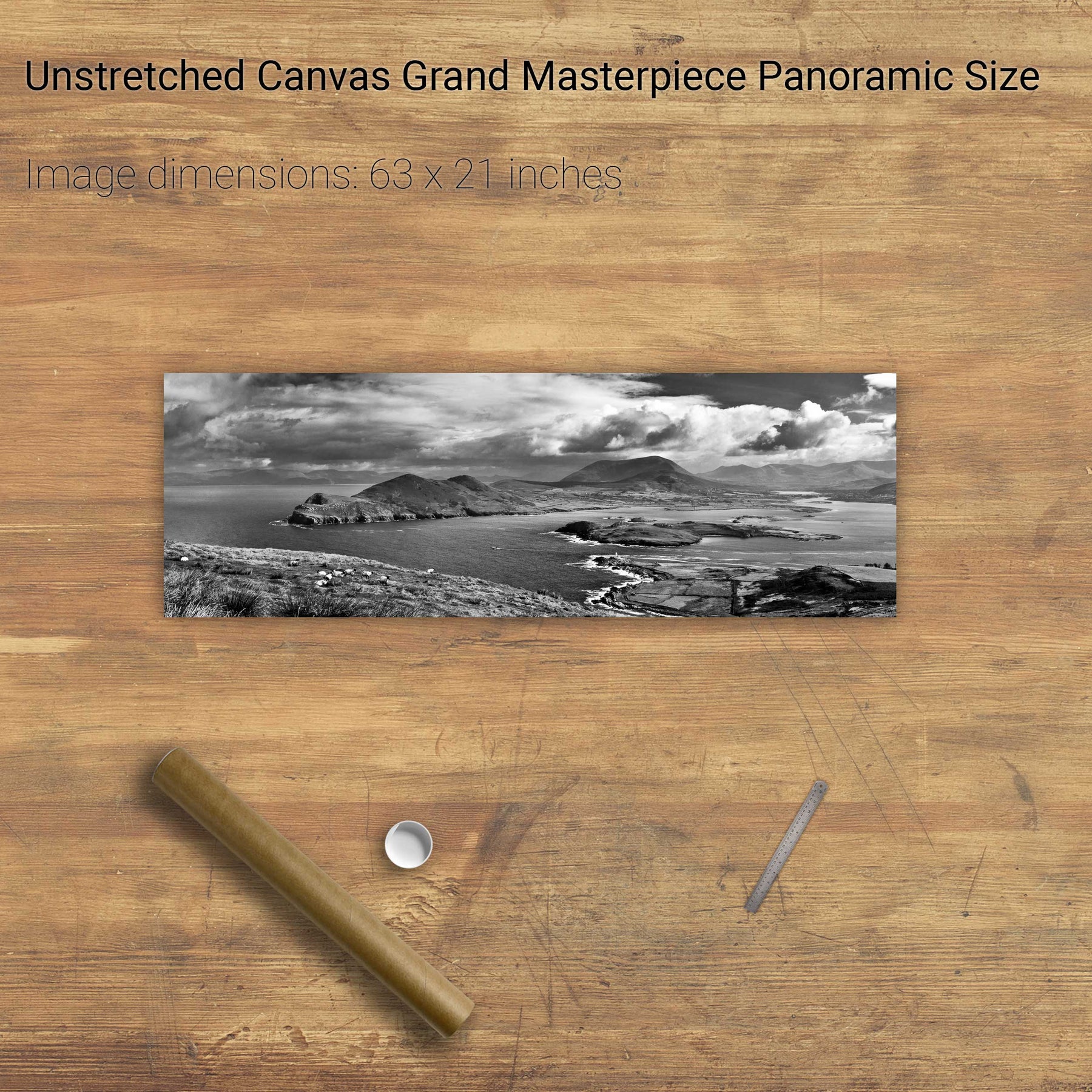
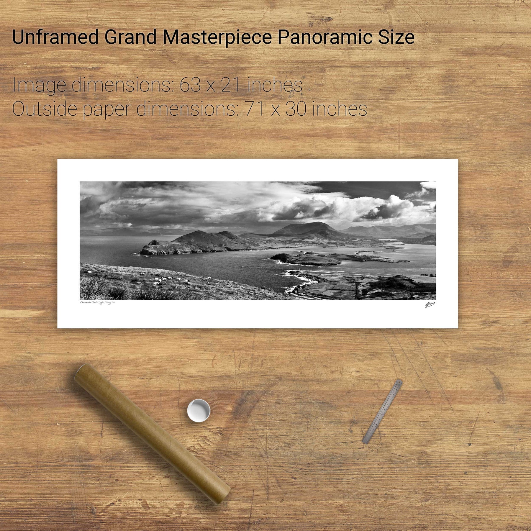
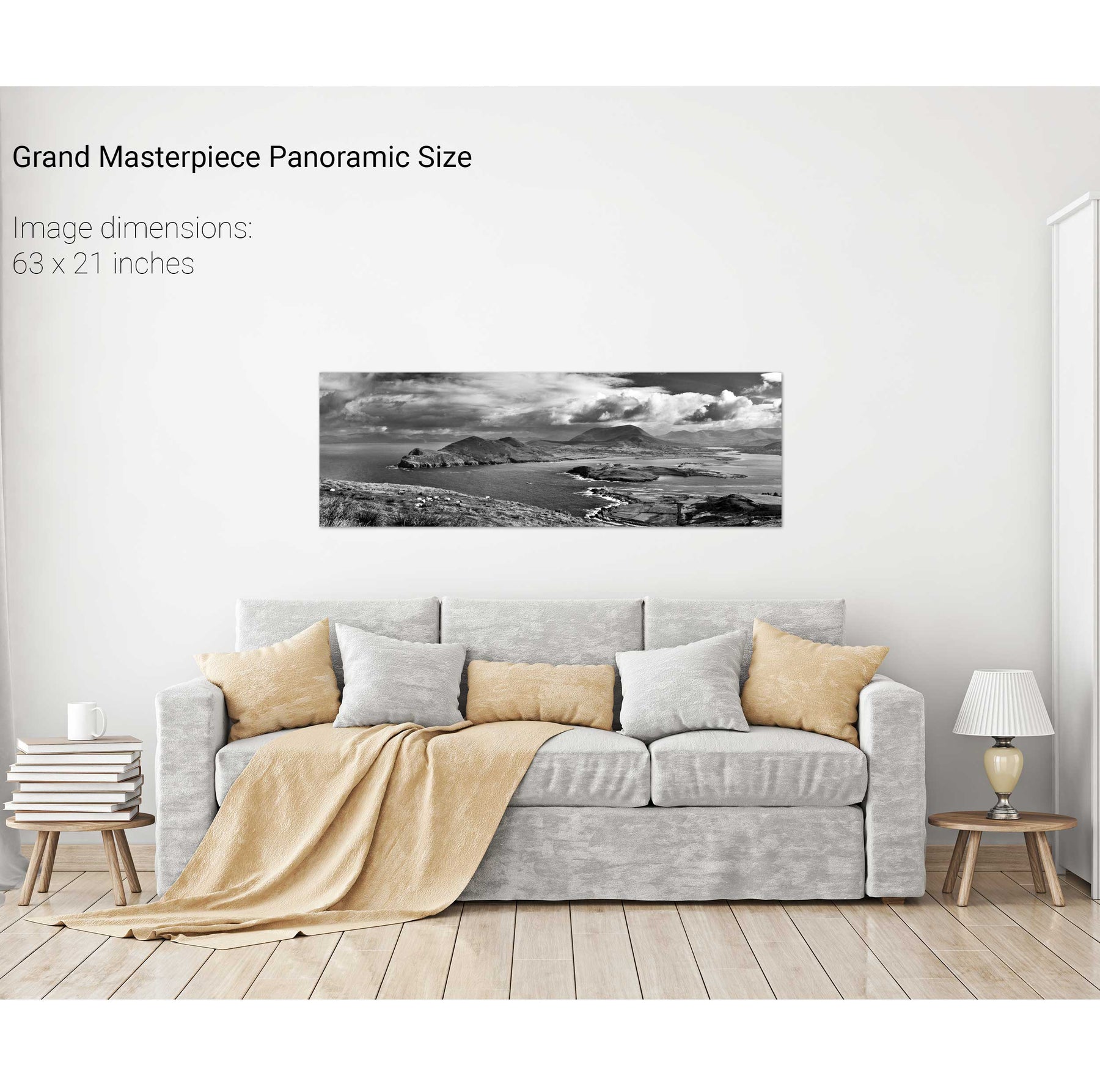
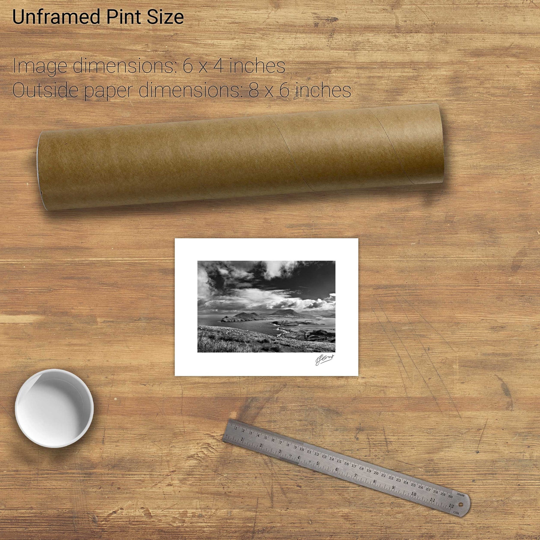
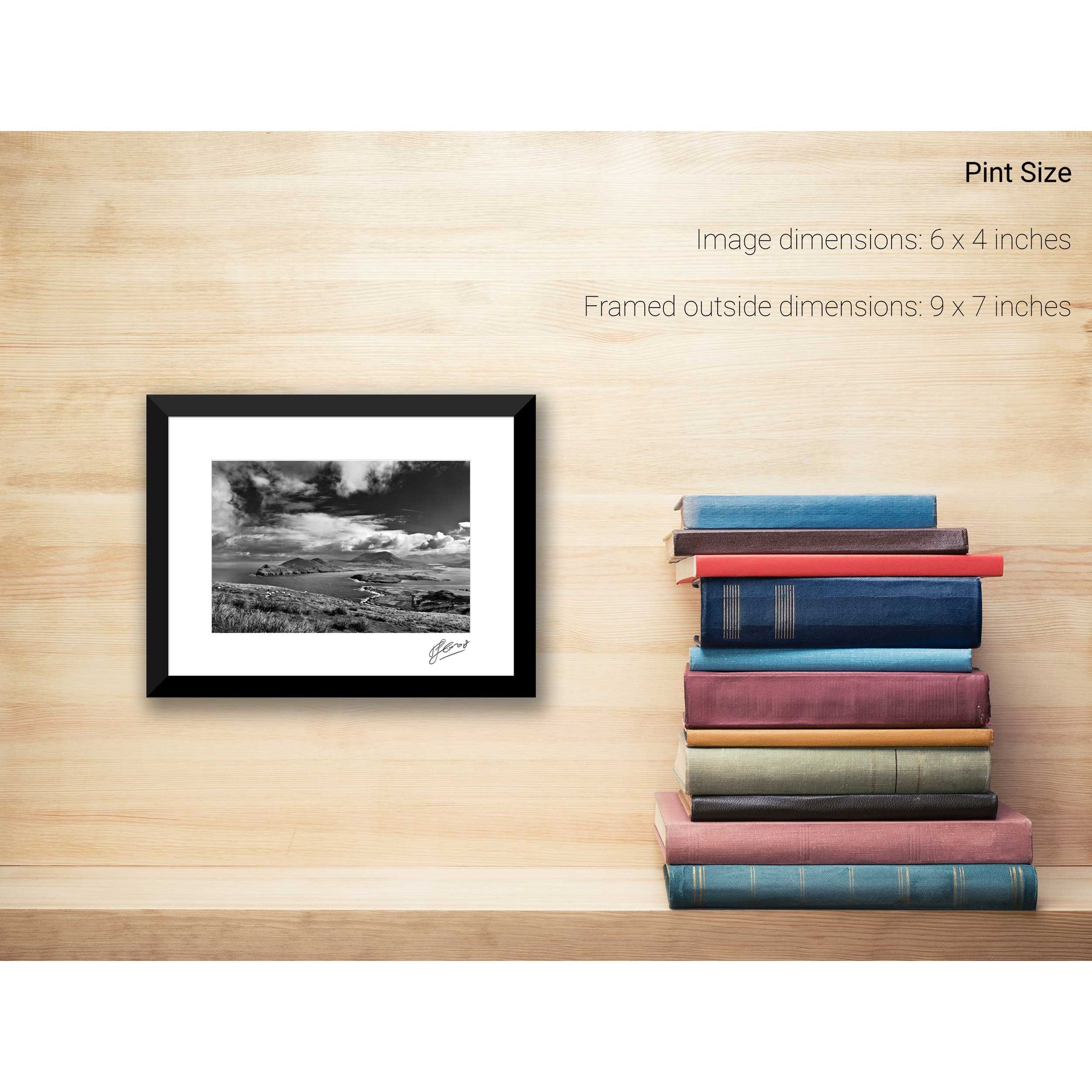
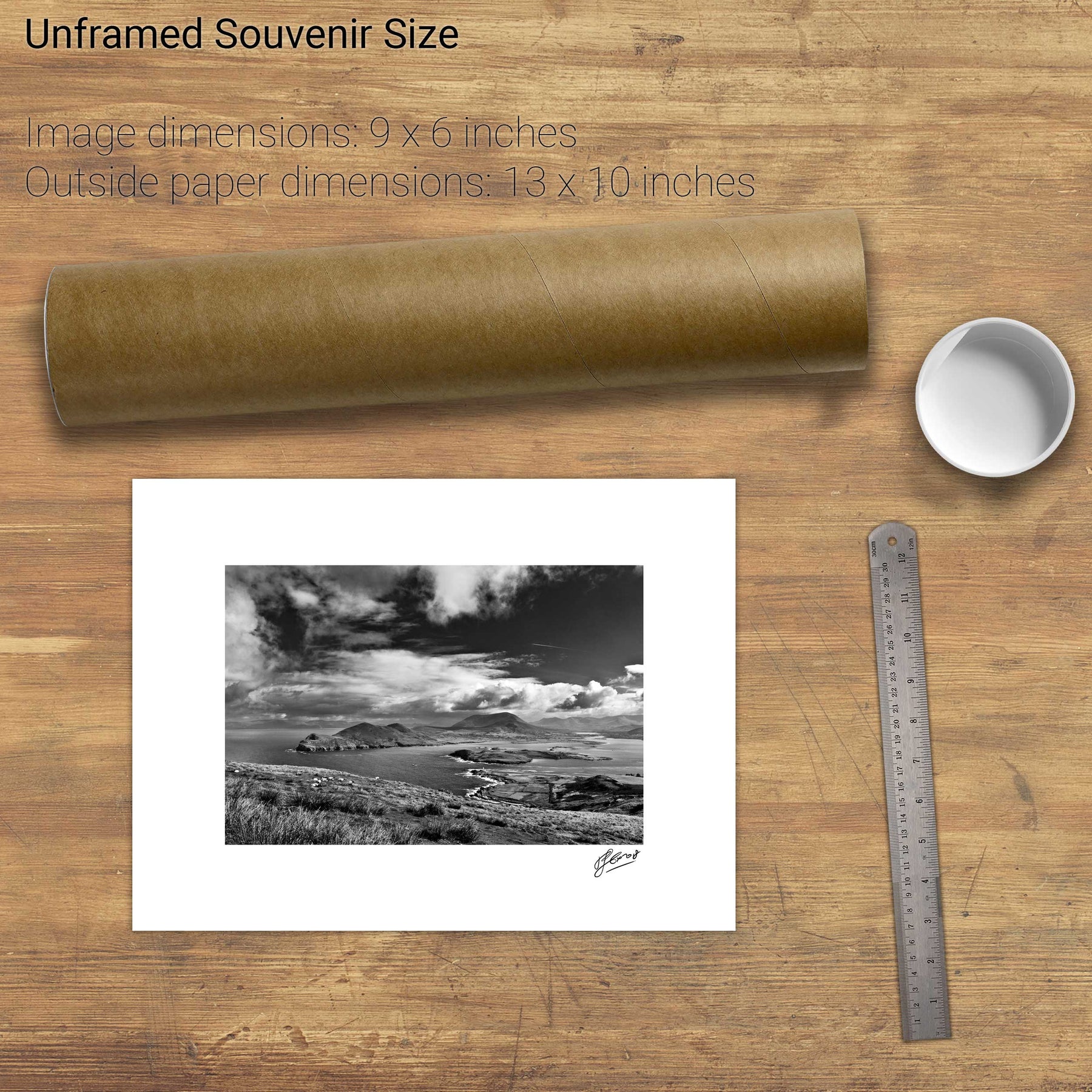
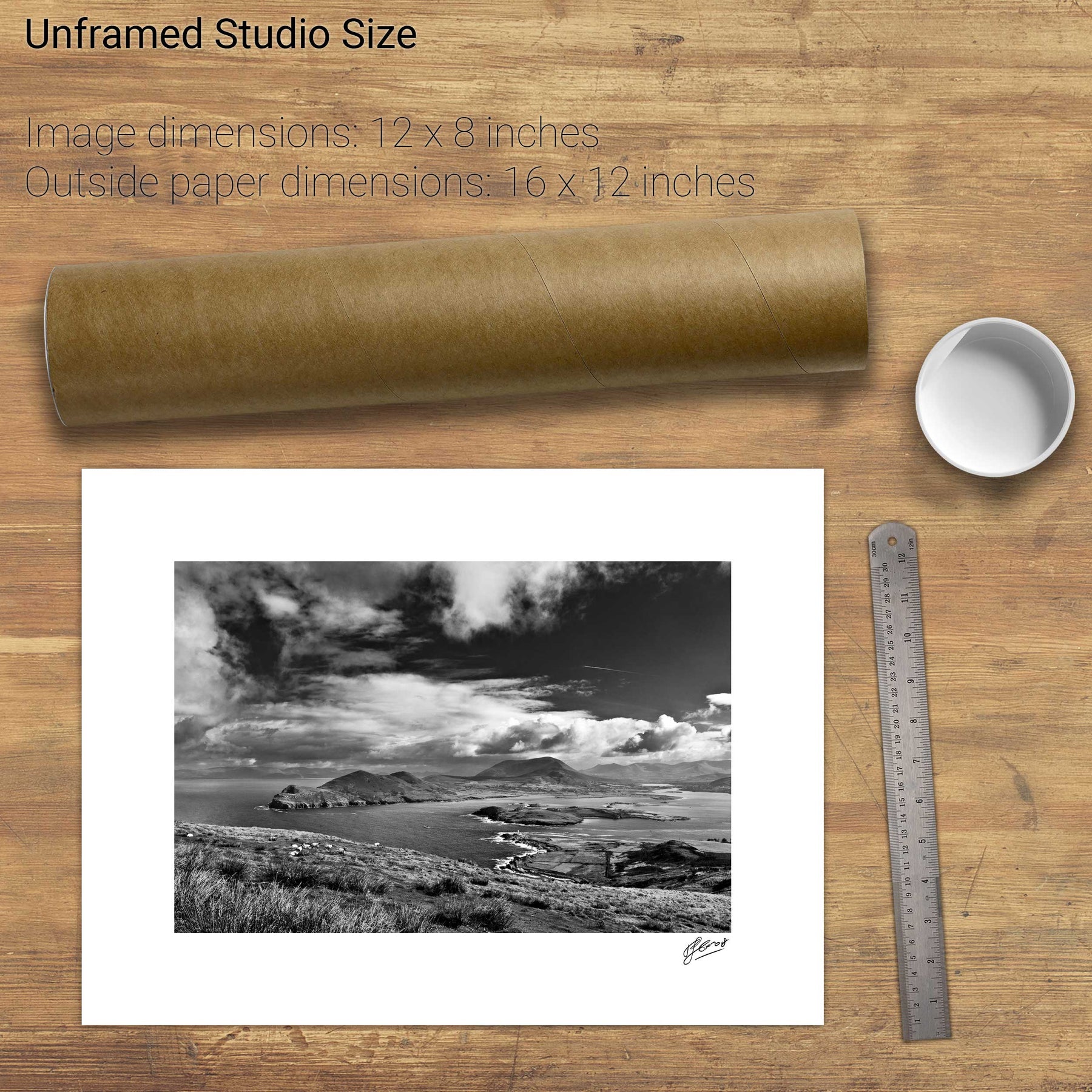
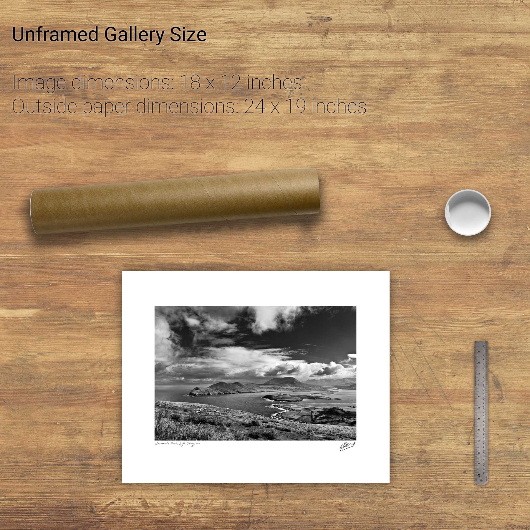
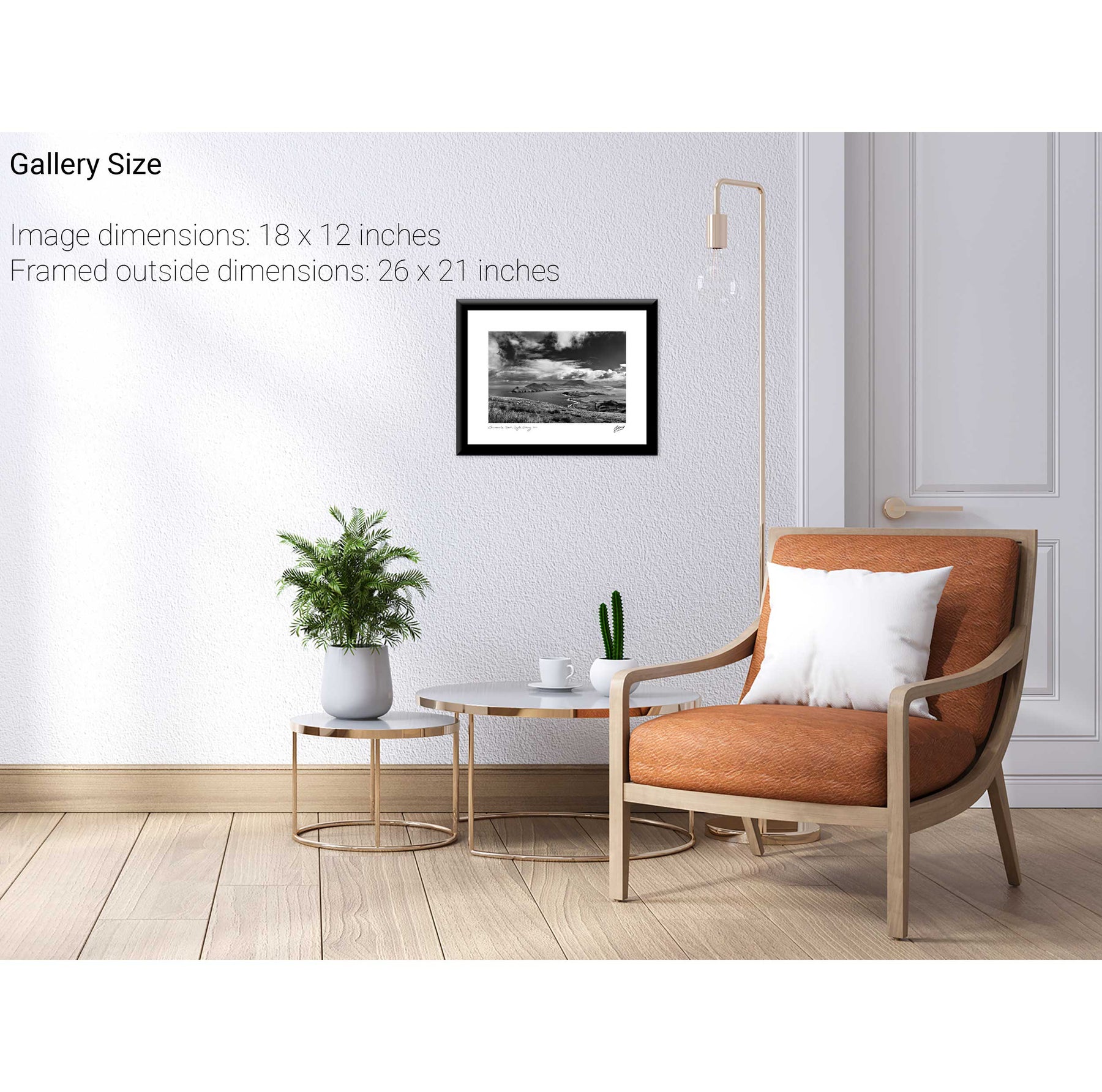
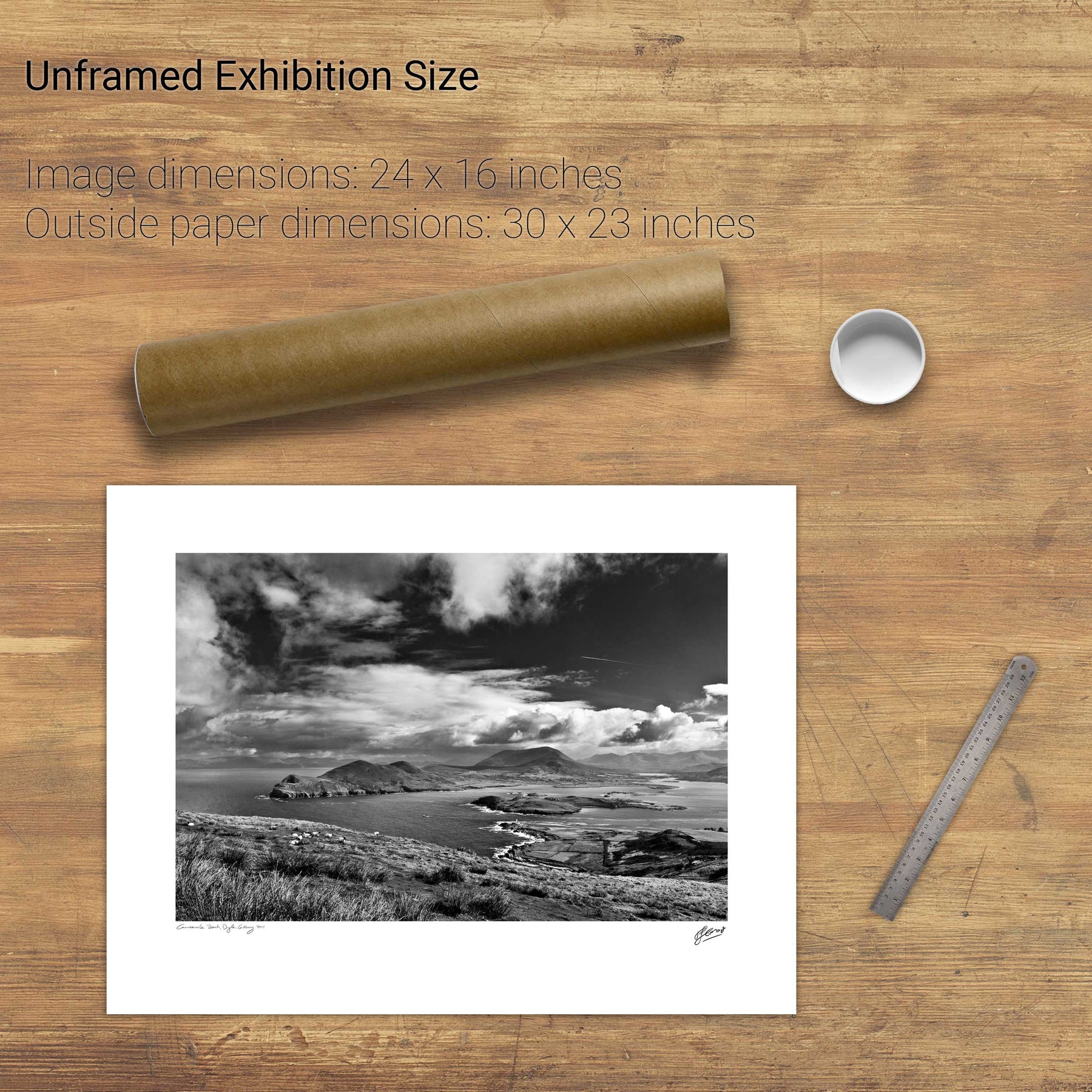
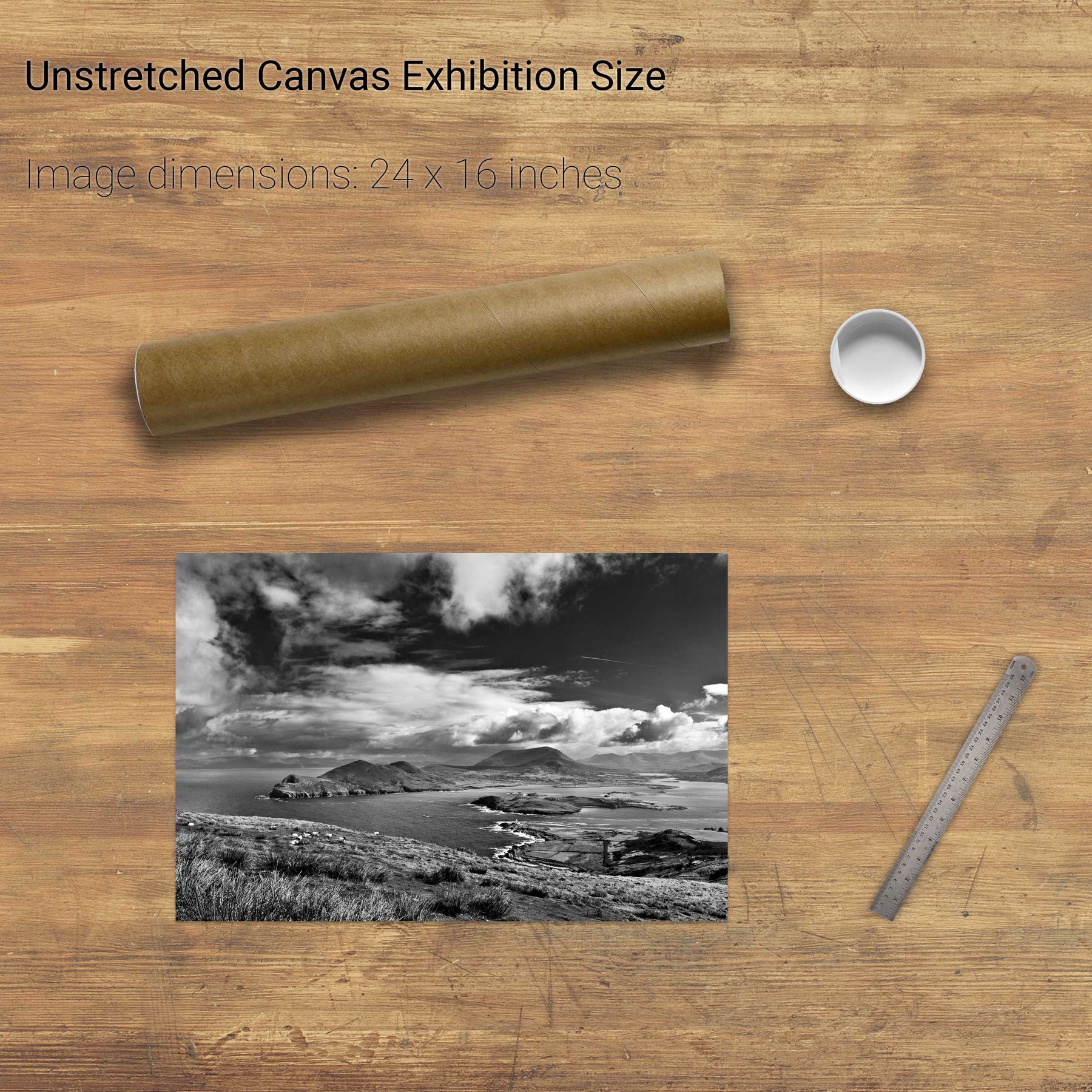
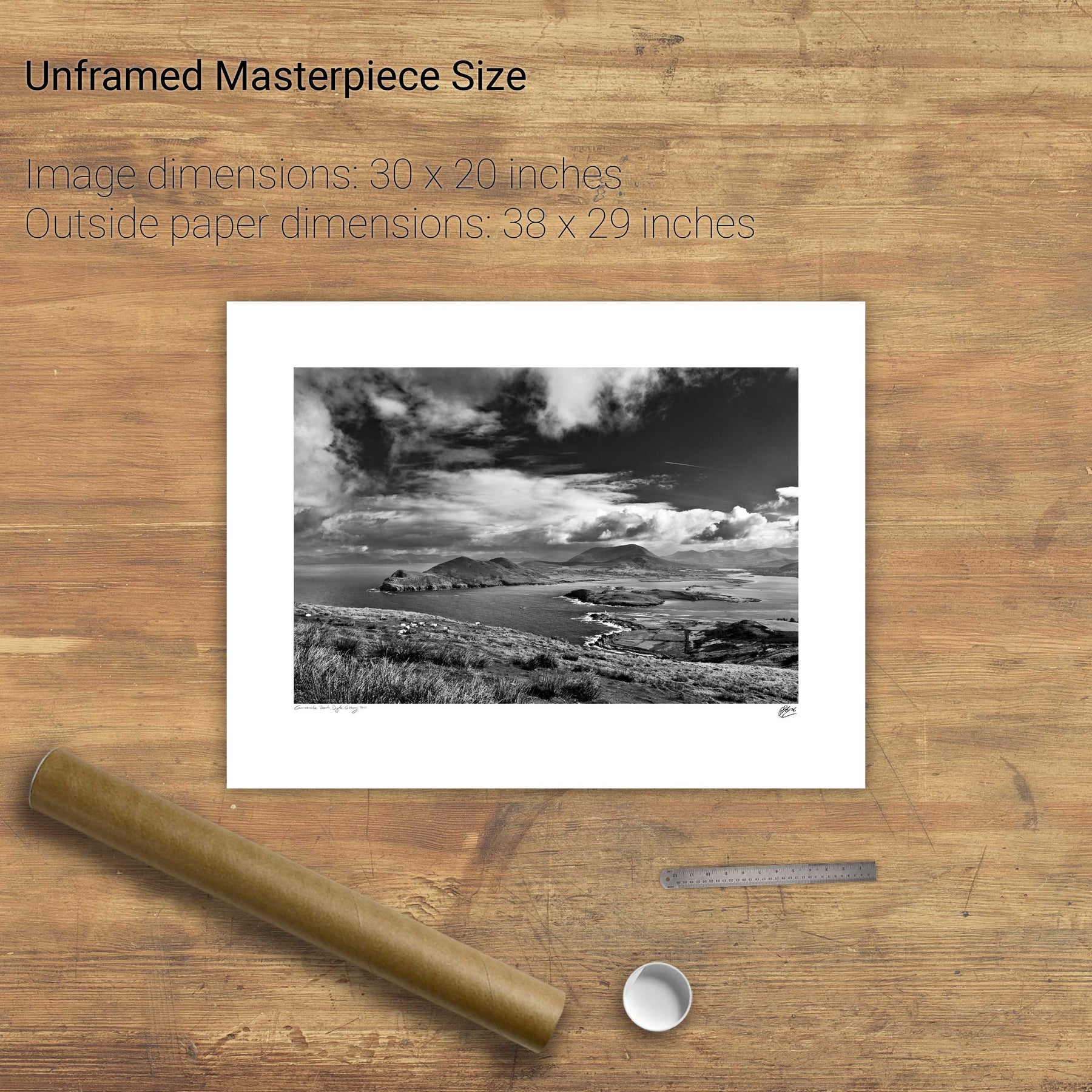
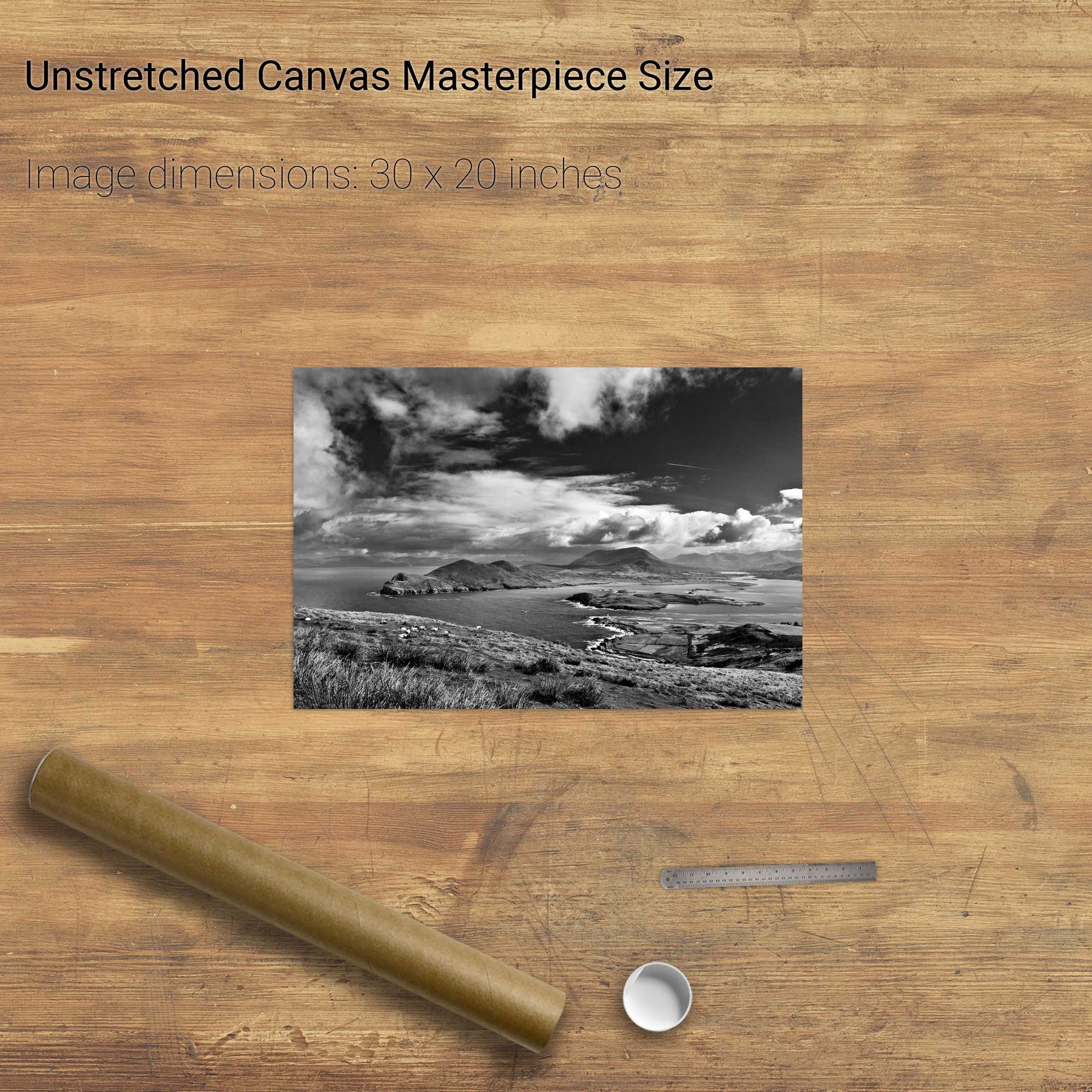
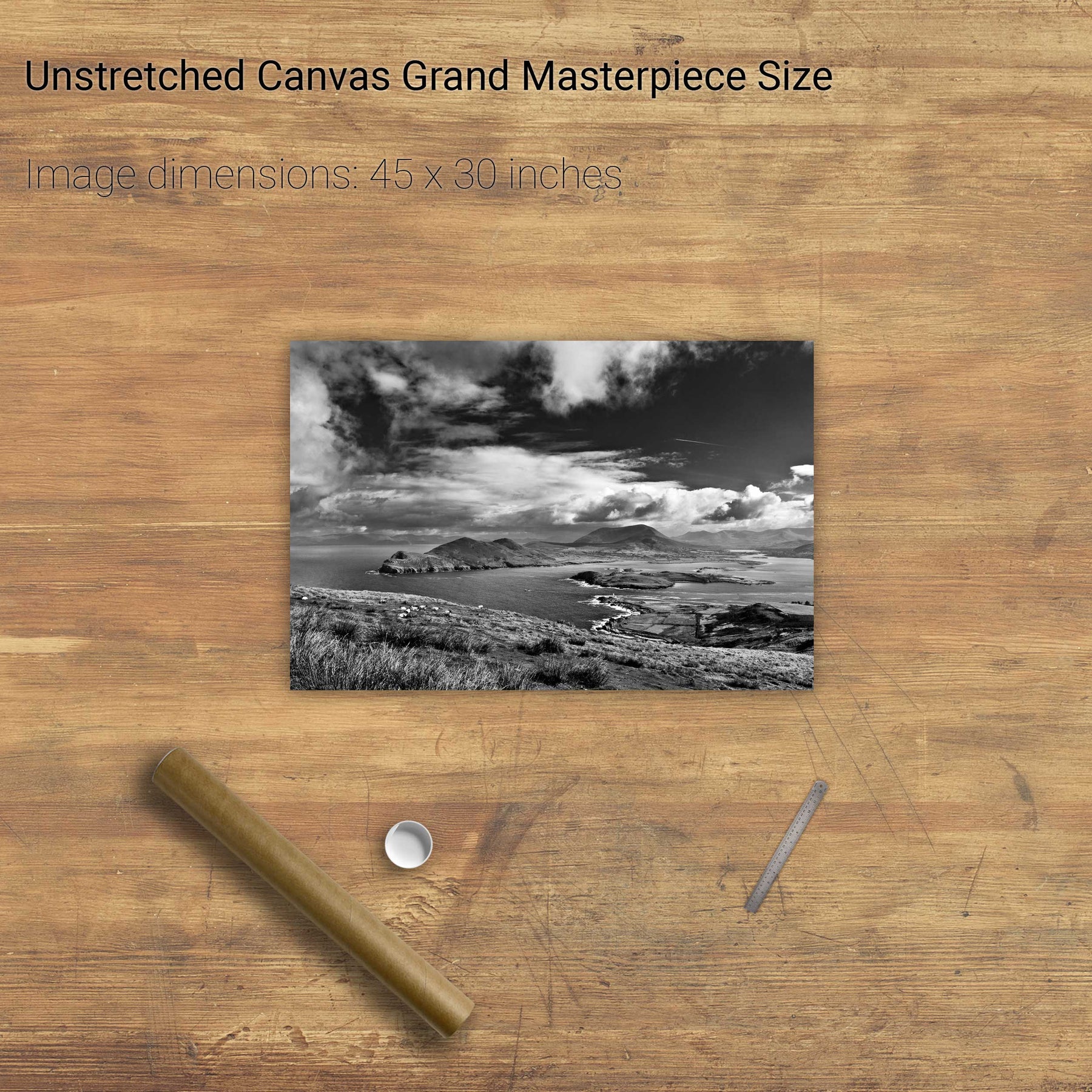
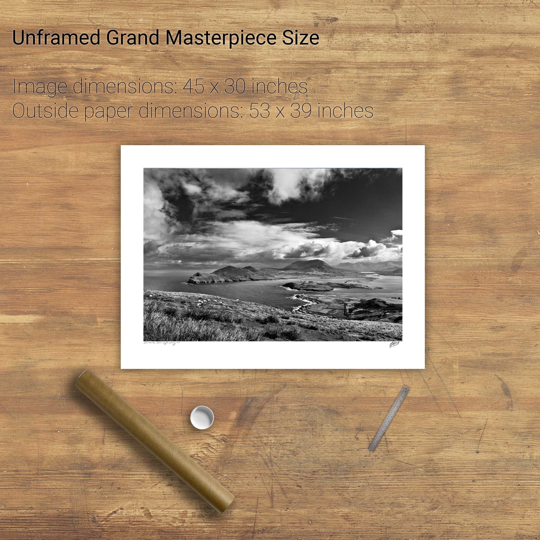
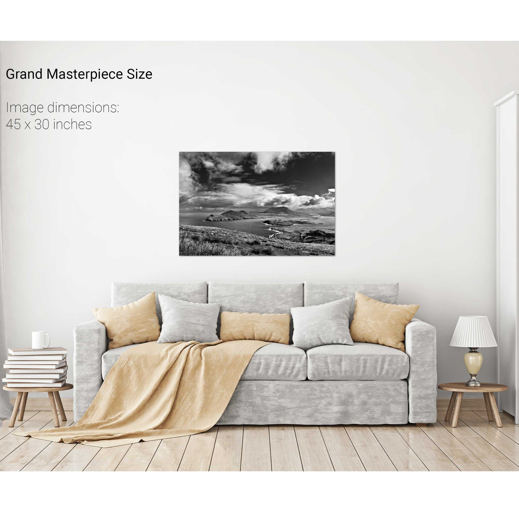
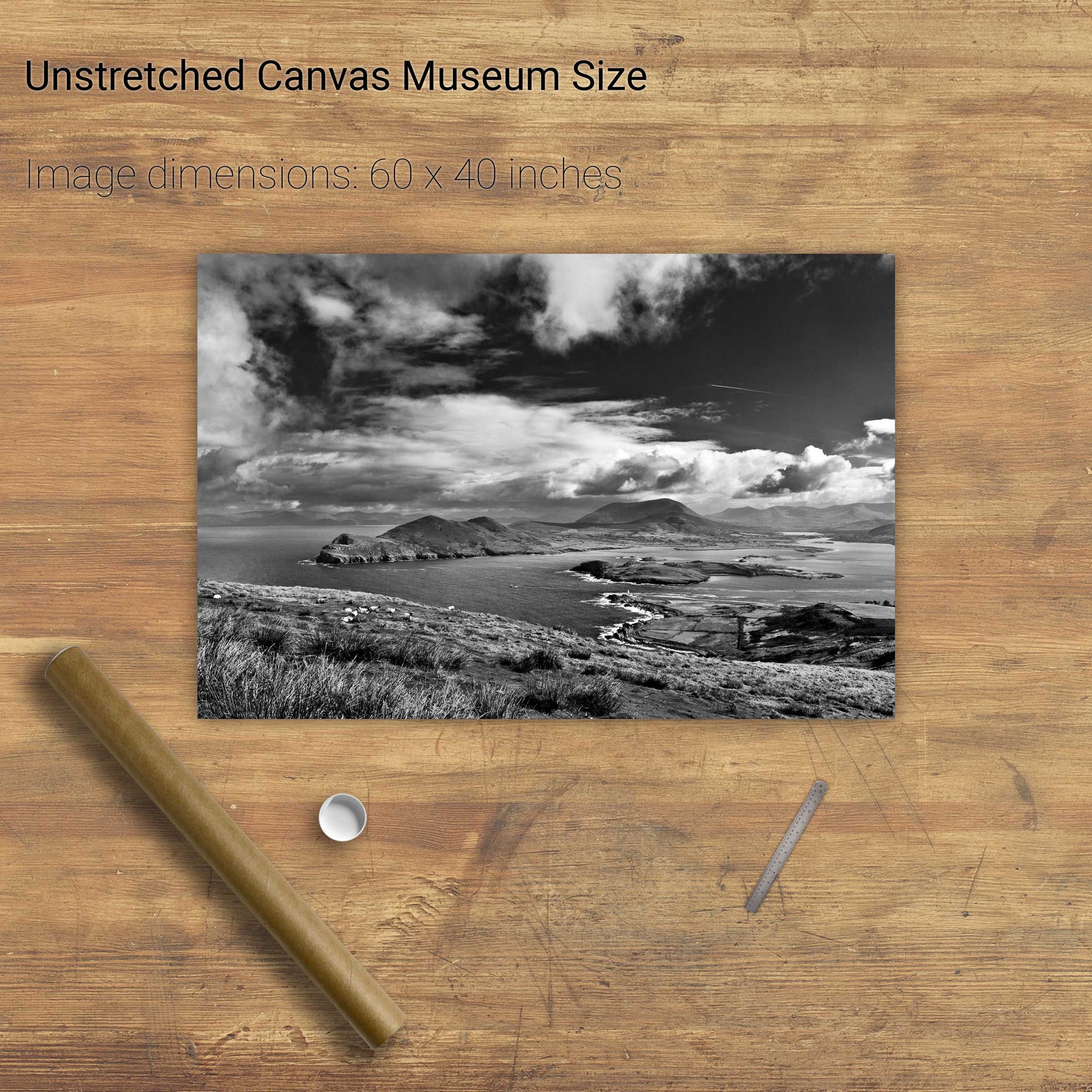
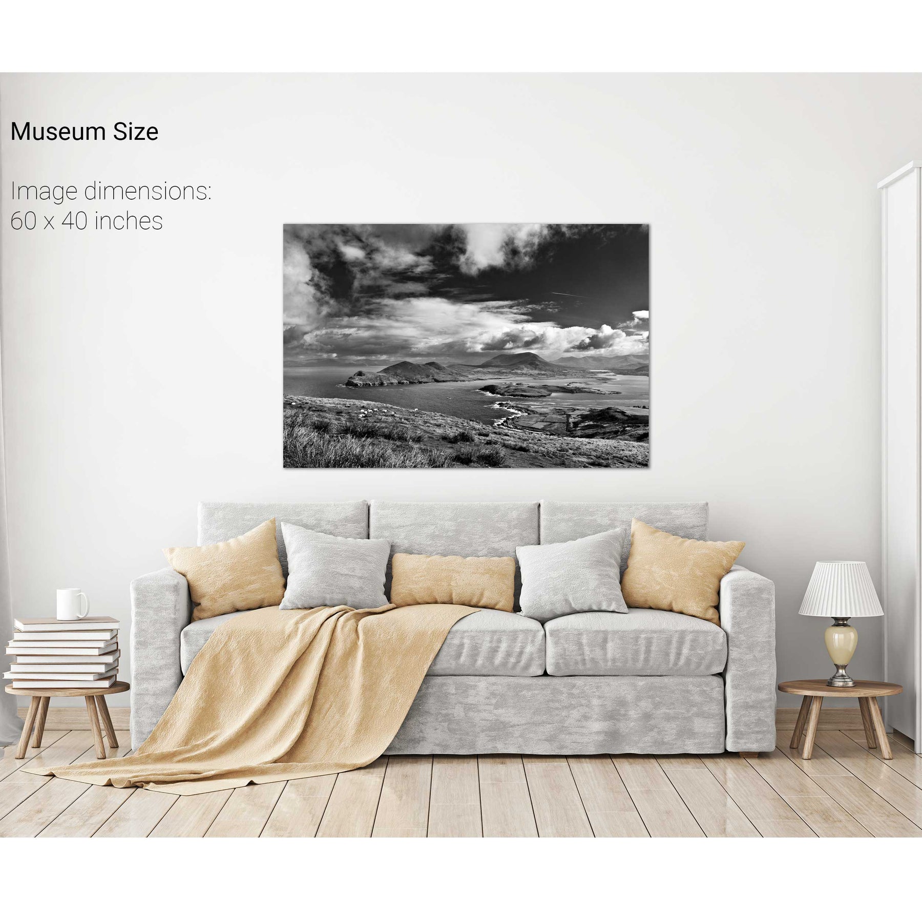
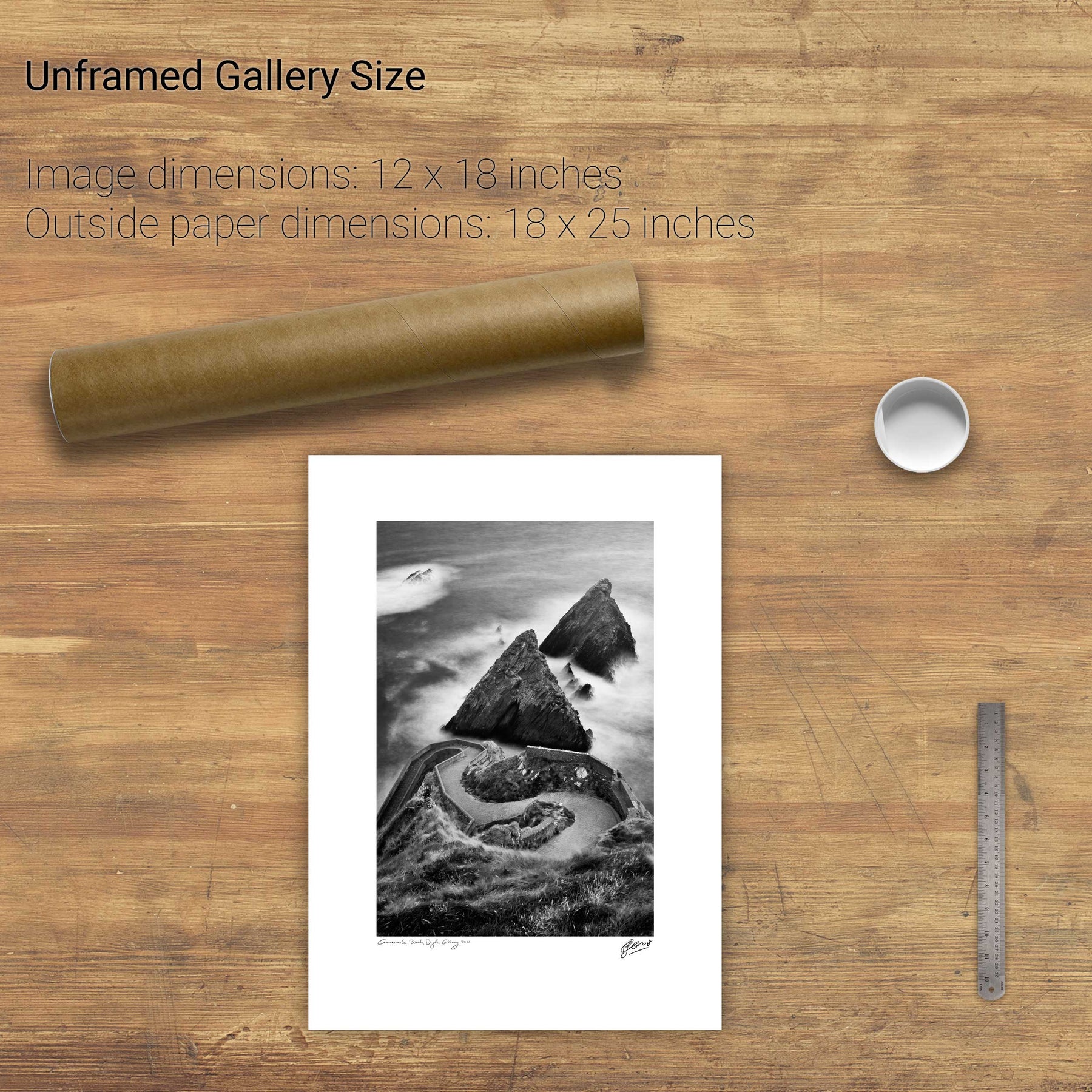
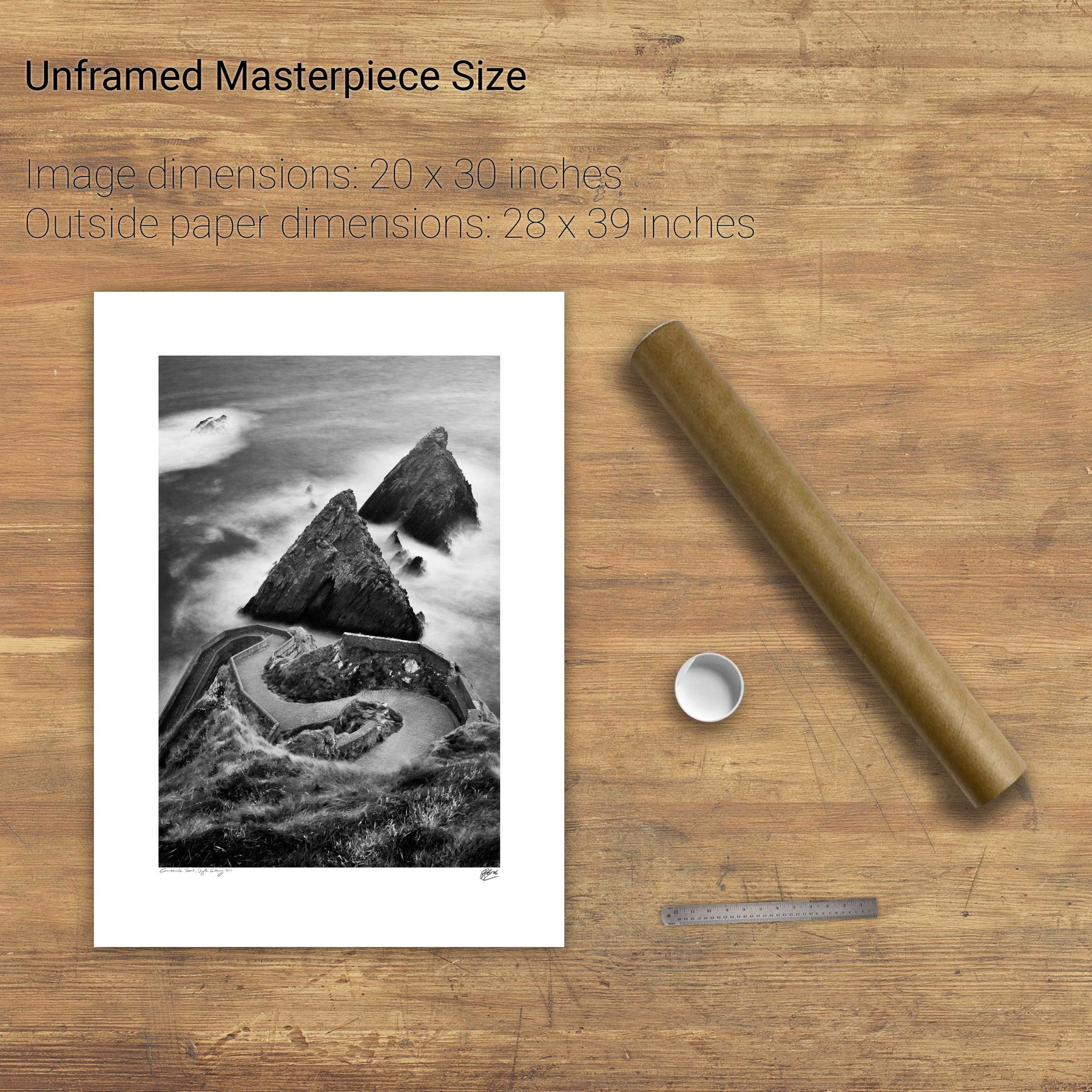
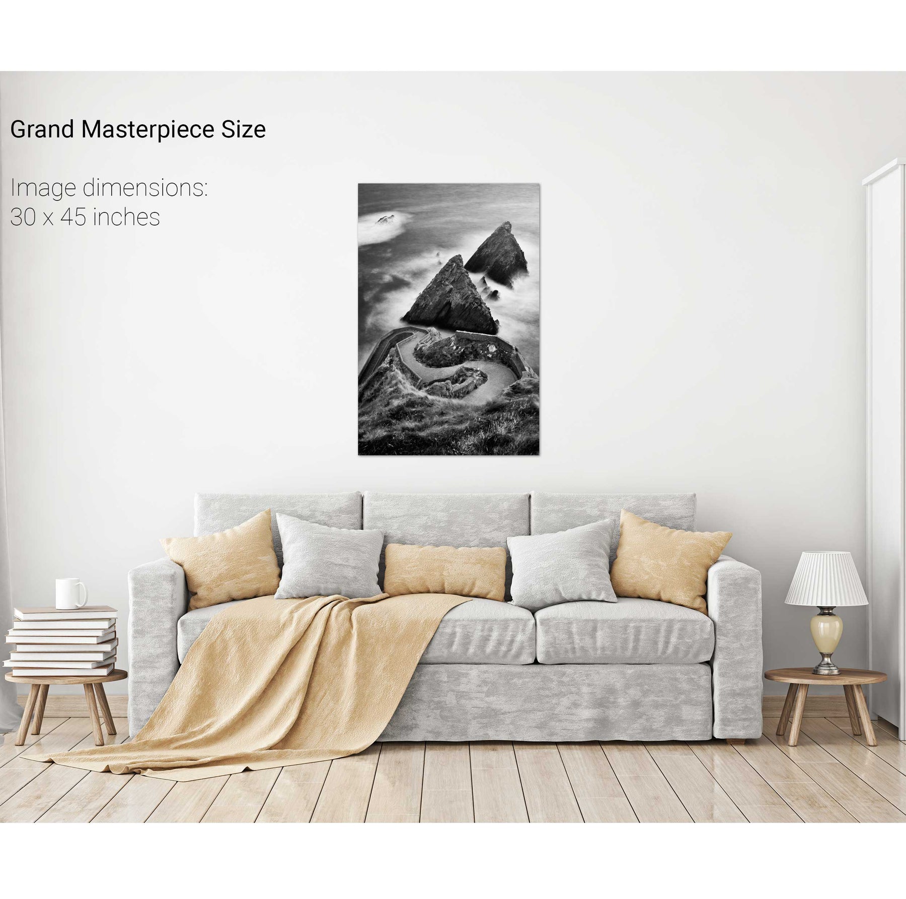
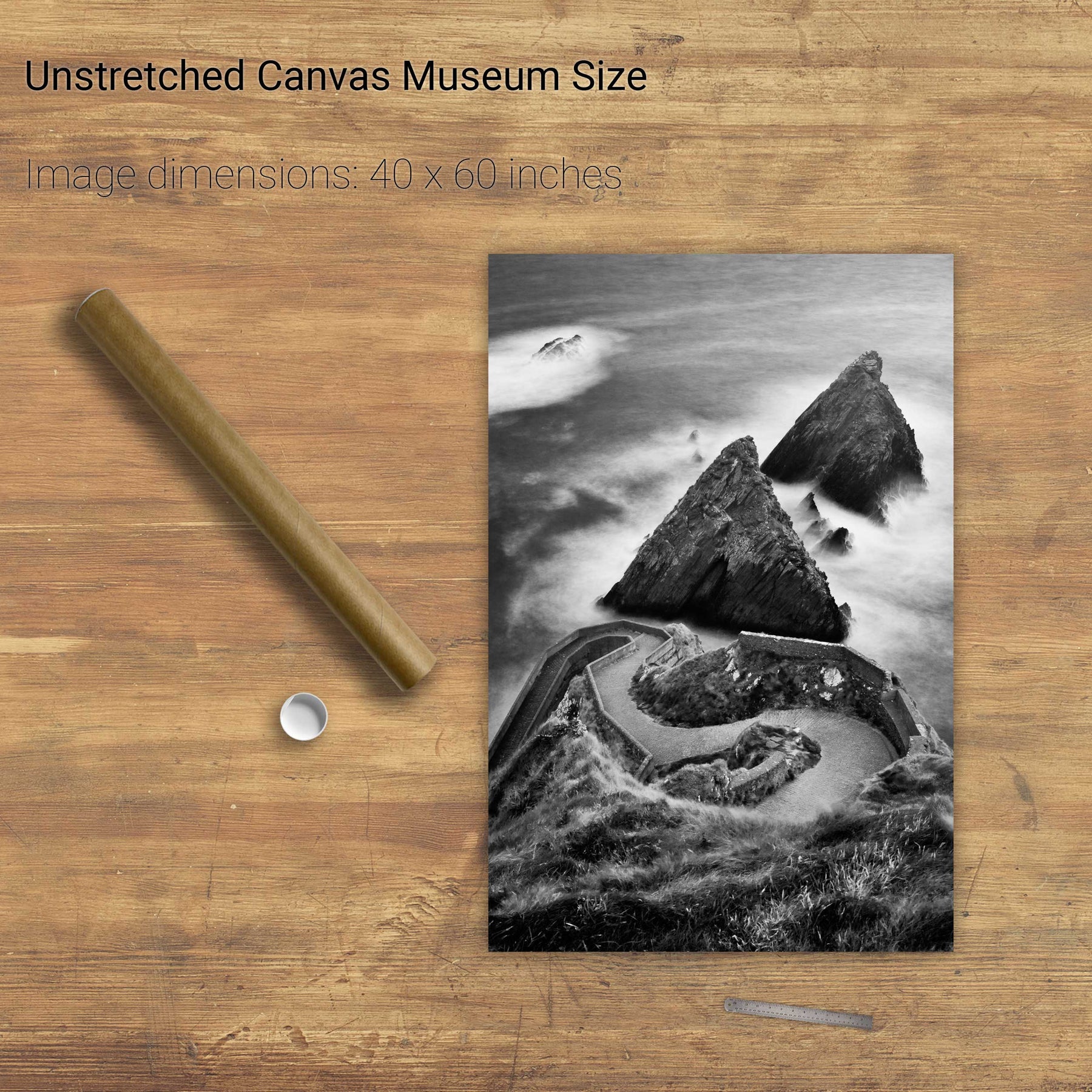
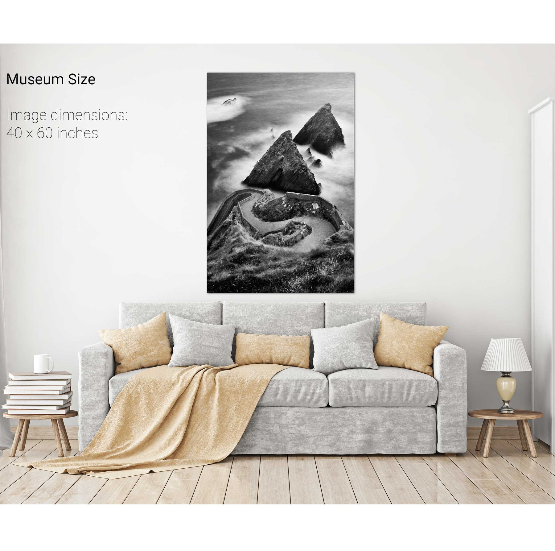
Dunquin, Dingle, Co. Kerry


We will send you an email to reset your password.

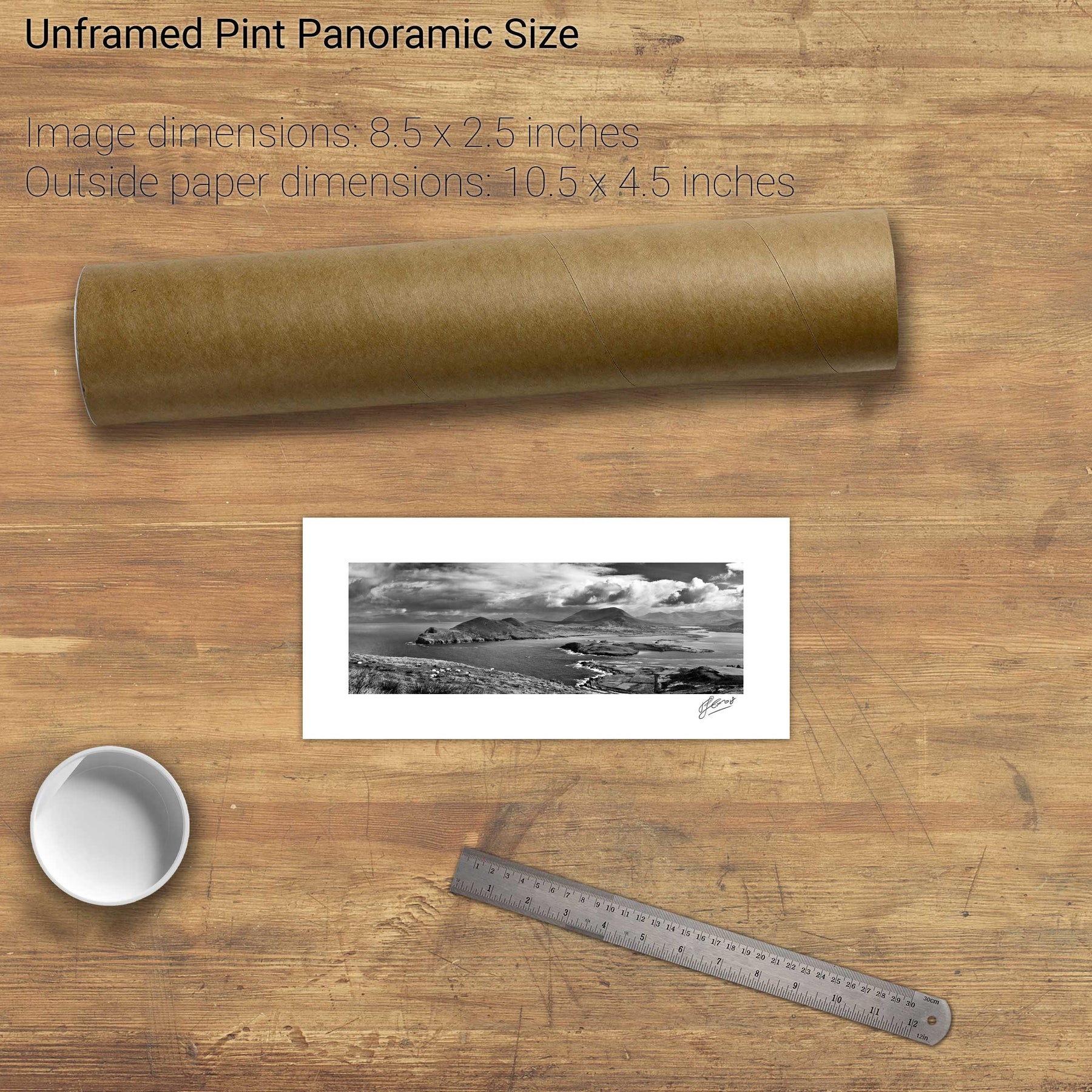
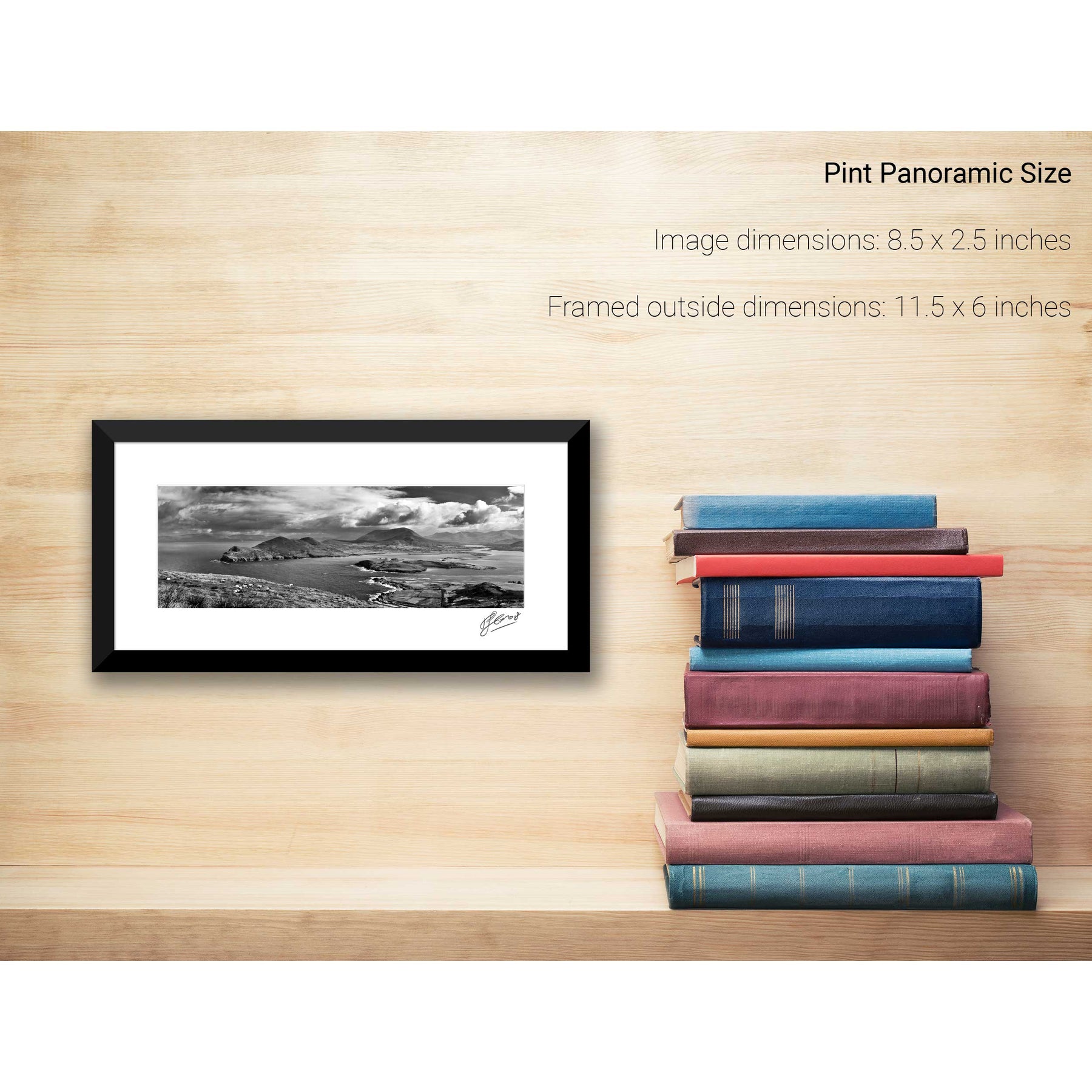
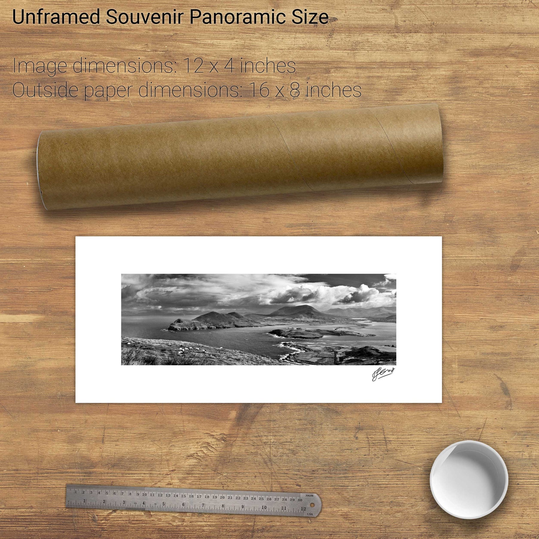
7 products
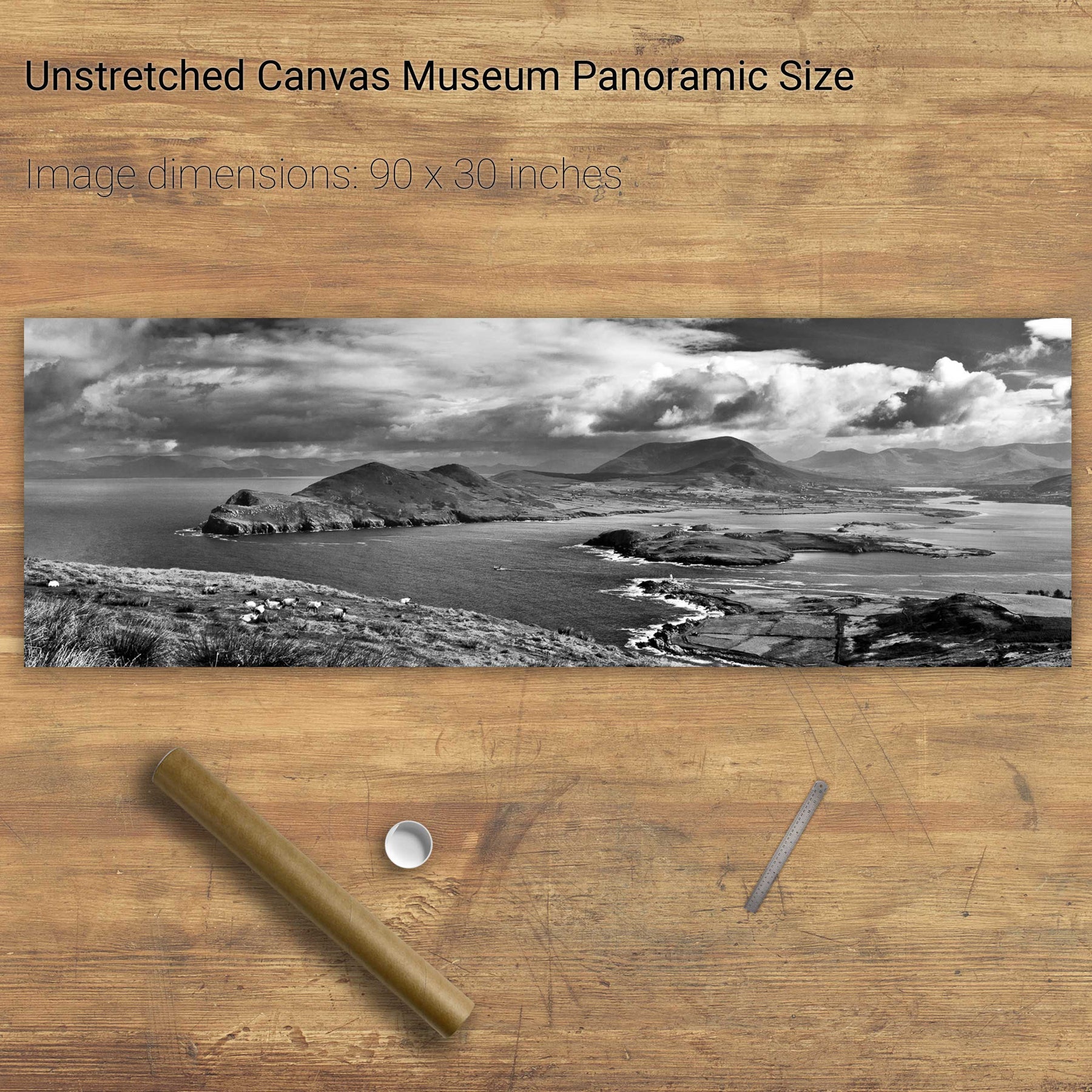
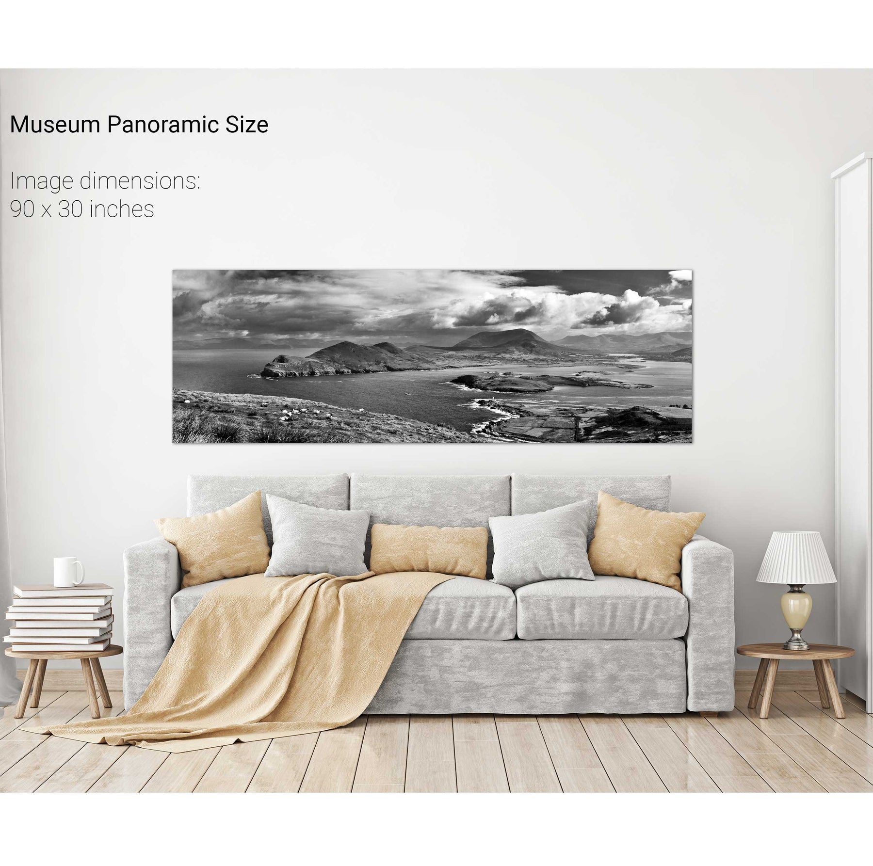
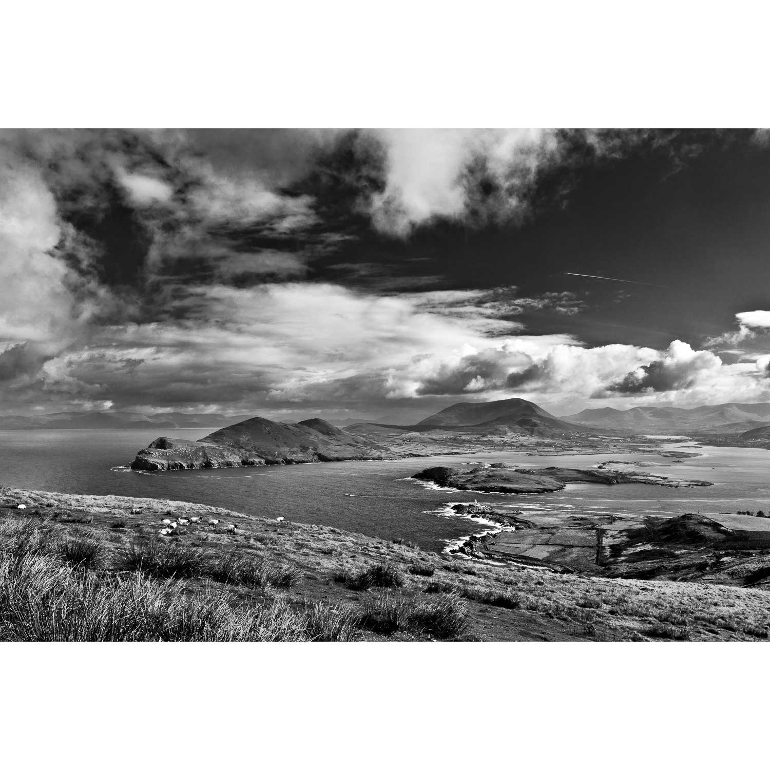
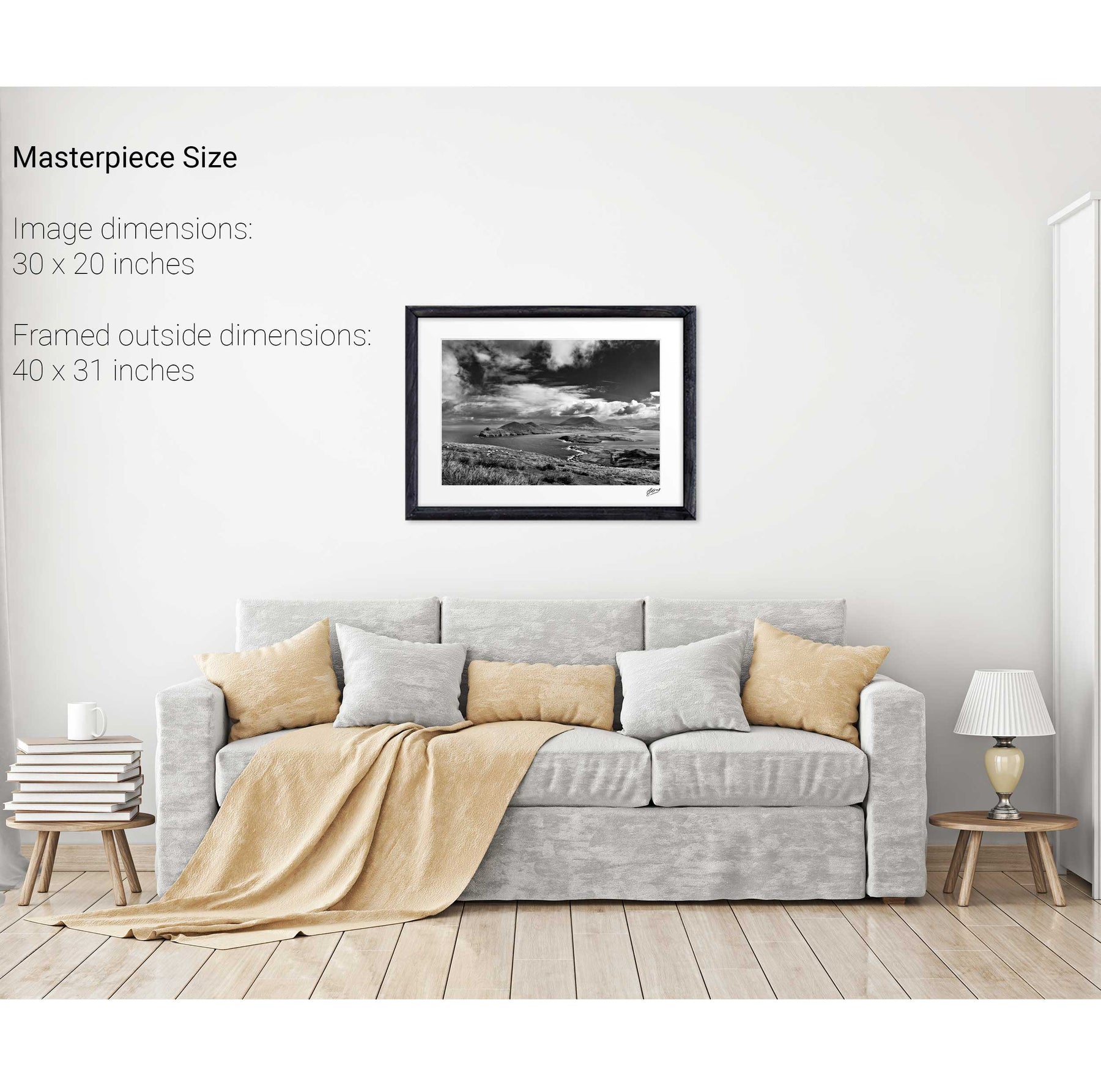
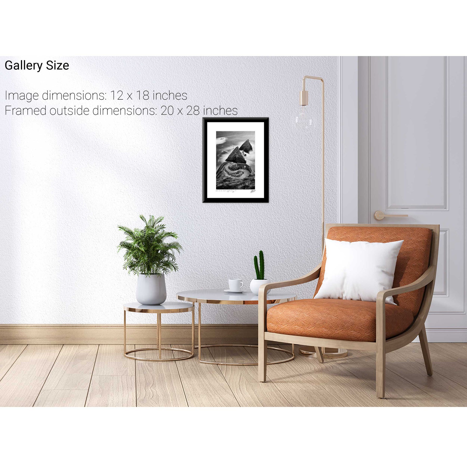
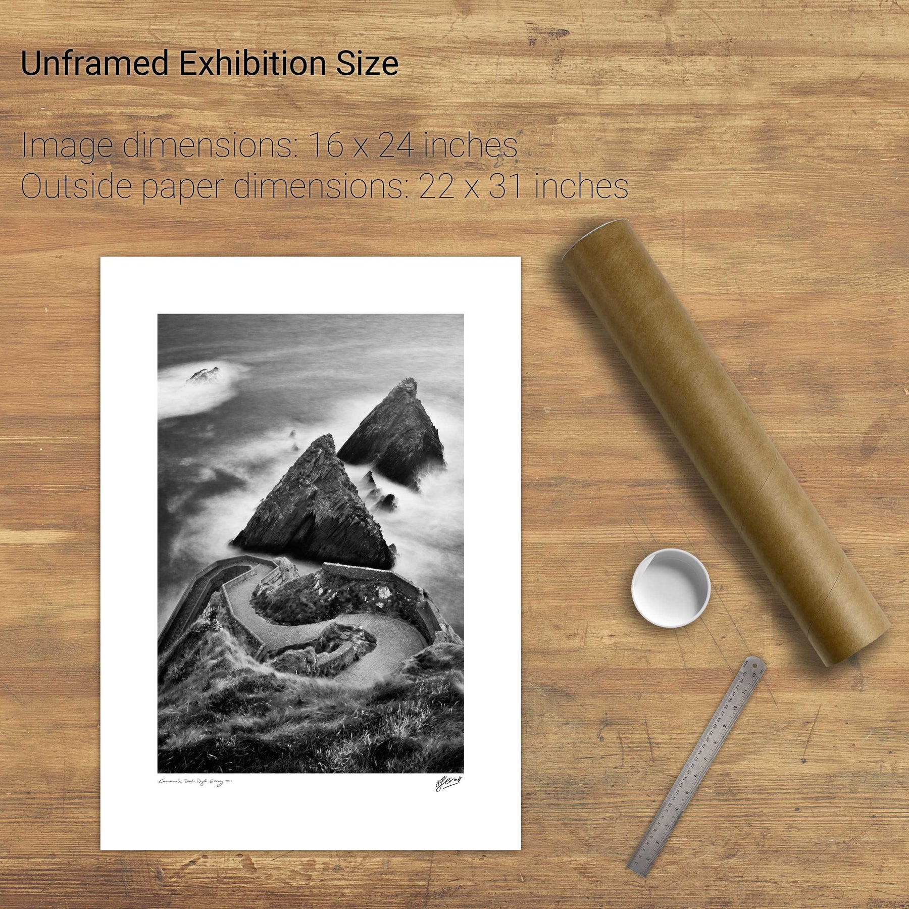
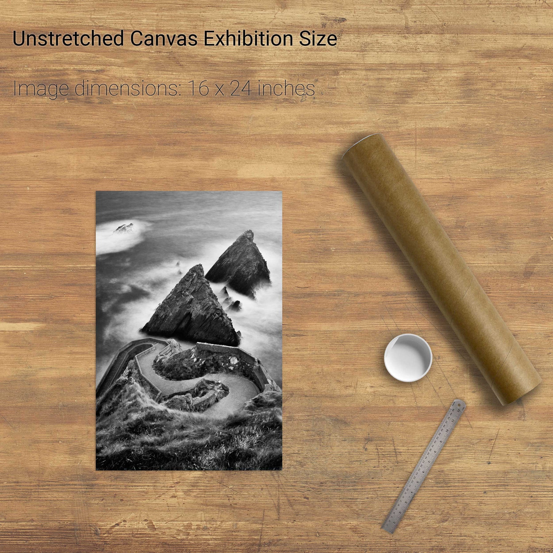
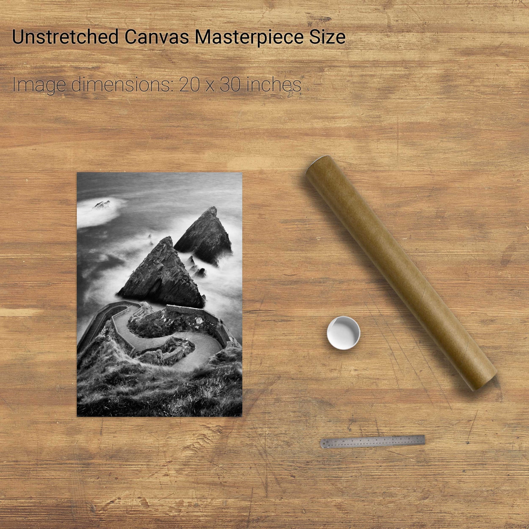
Dunquin, Dingle, Co. Kerry
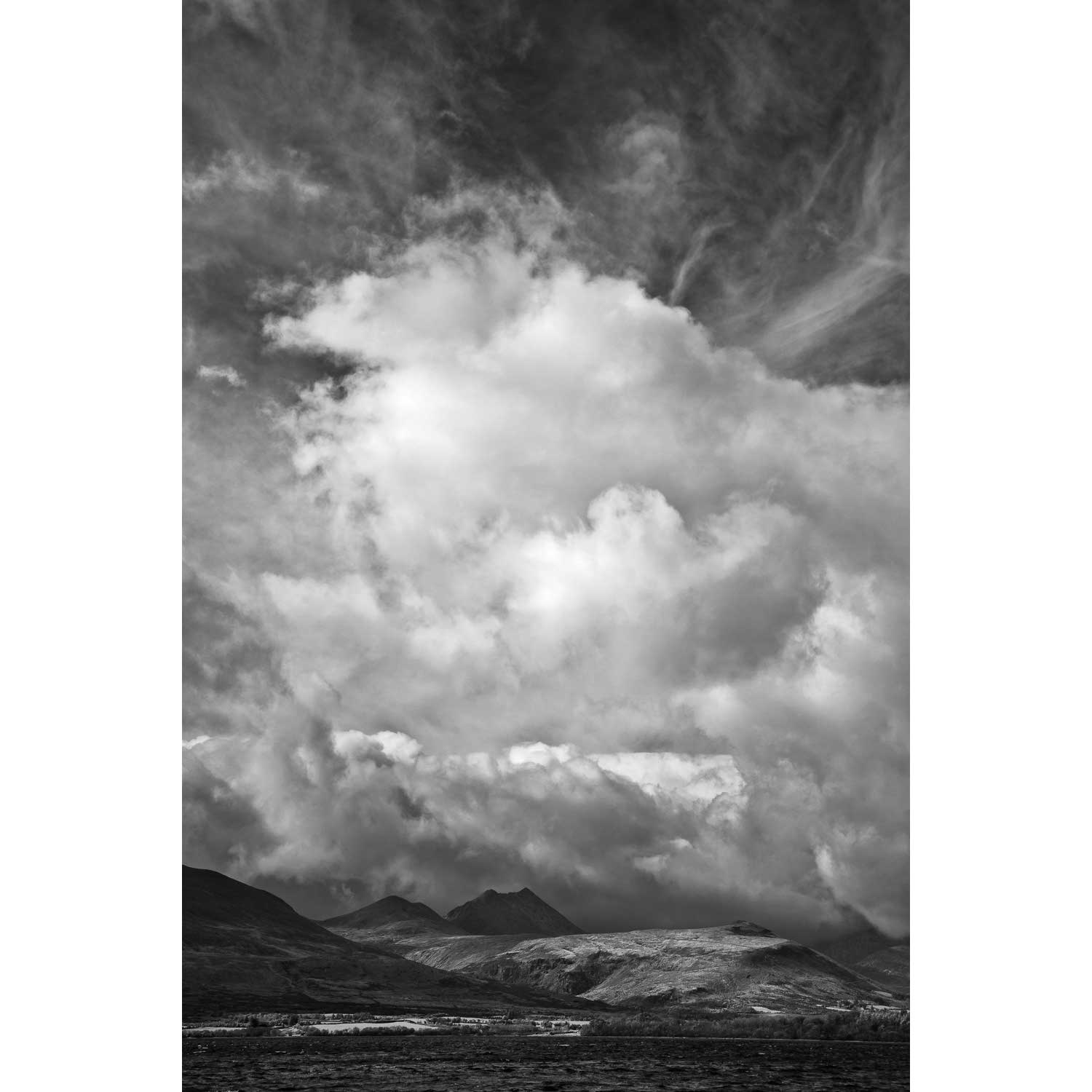
Uncertain Skies over the Reeks, Killarney, Co. Kerry
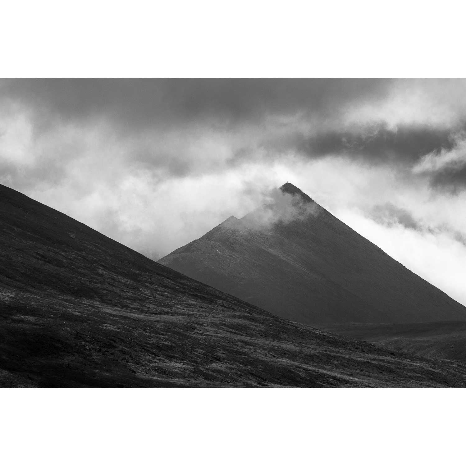
Cruach Mhór, Macgillycuddy's Reeks, Co. Kerry
Geokaun Mountain Panoramic, Co. Kerry
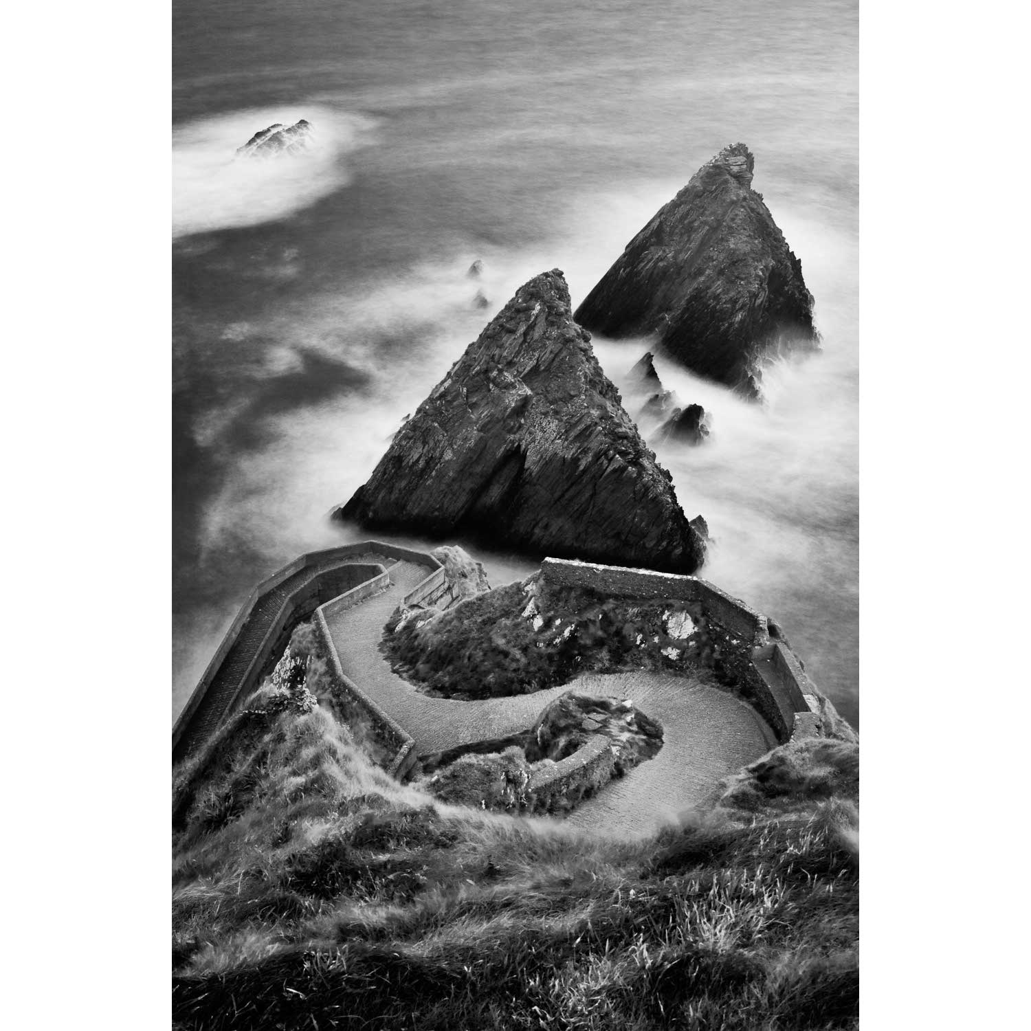
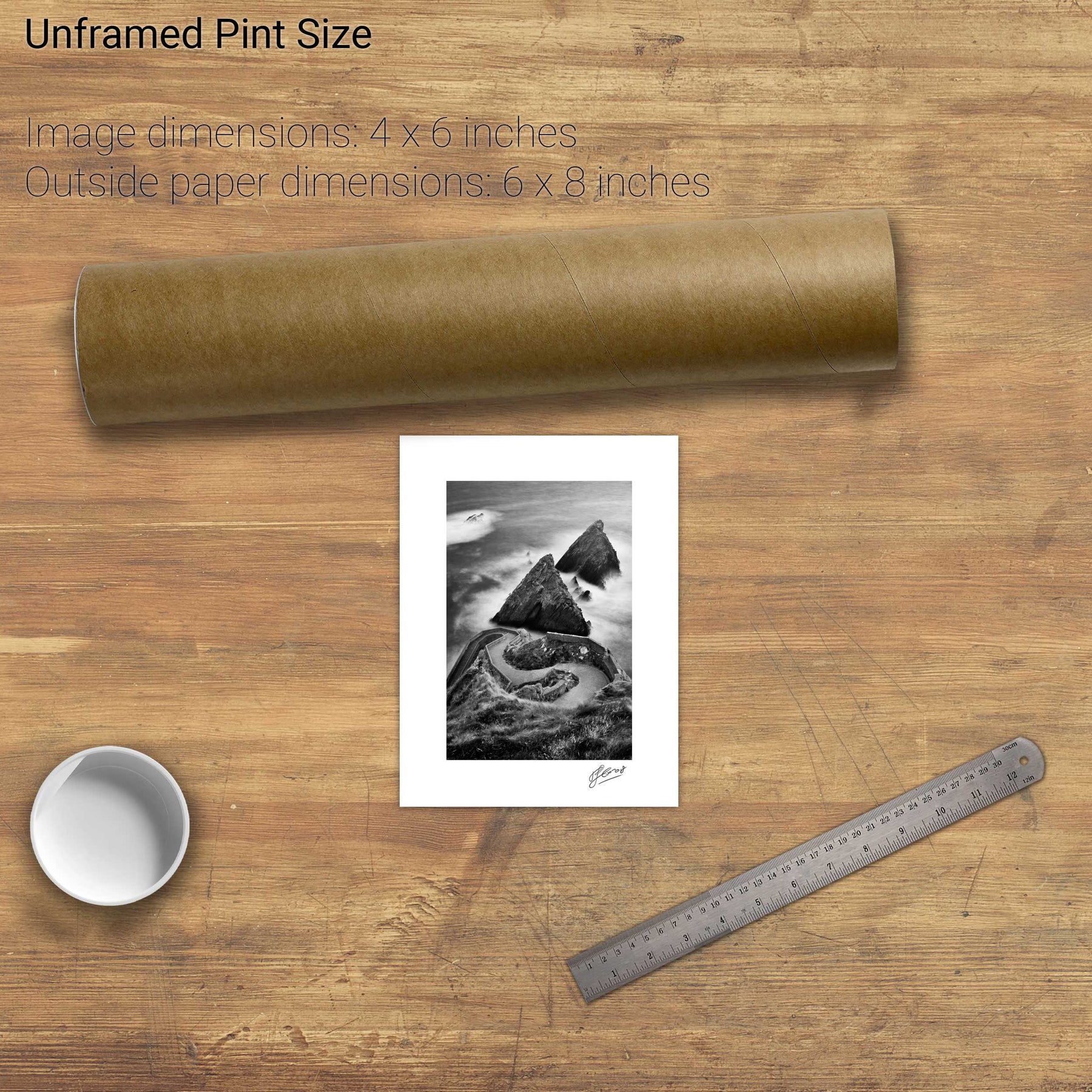
Doulus Head & Beginish from Valentia Island, Co. Kerry
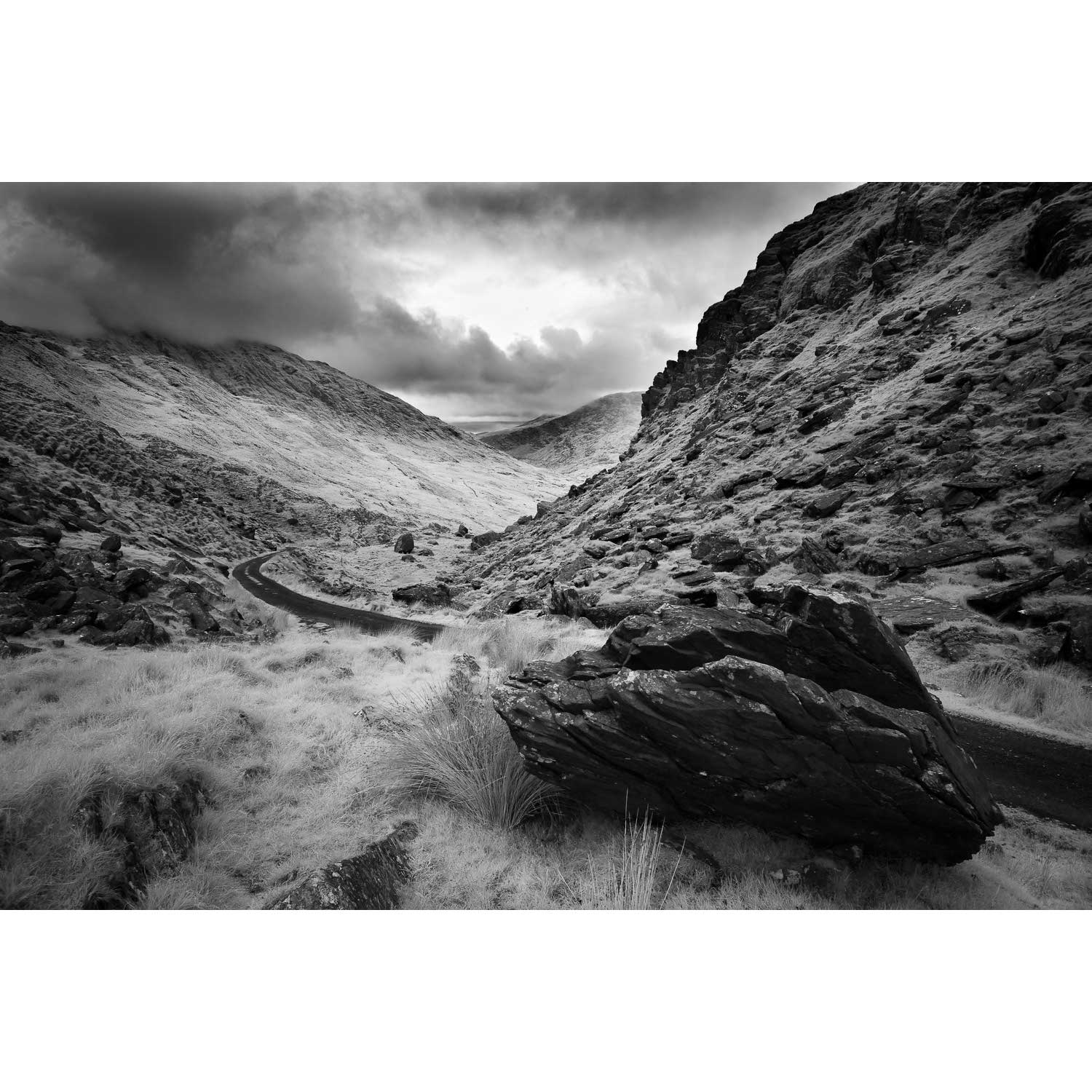
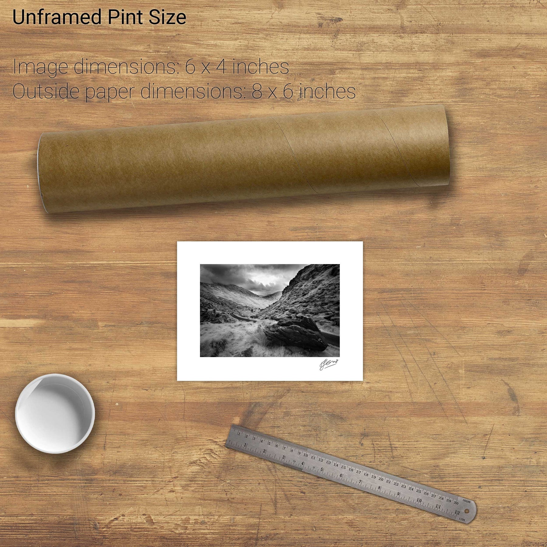
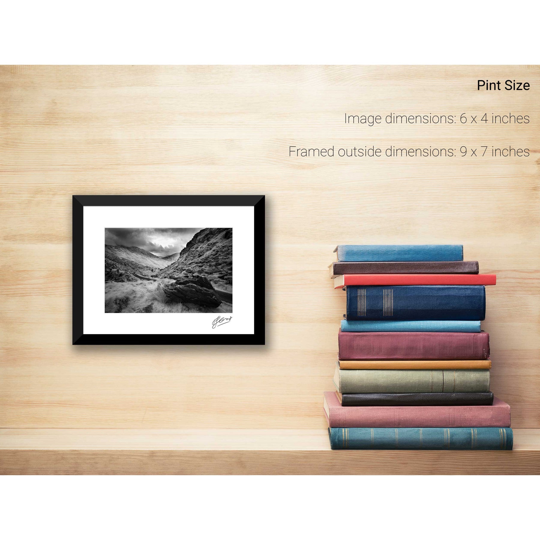
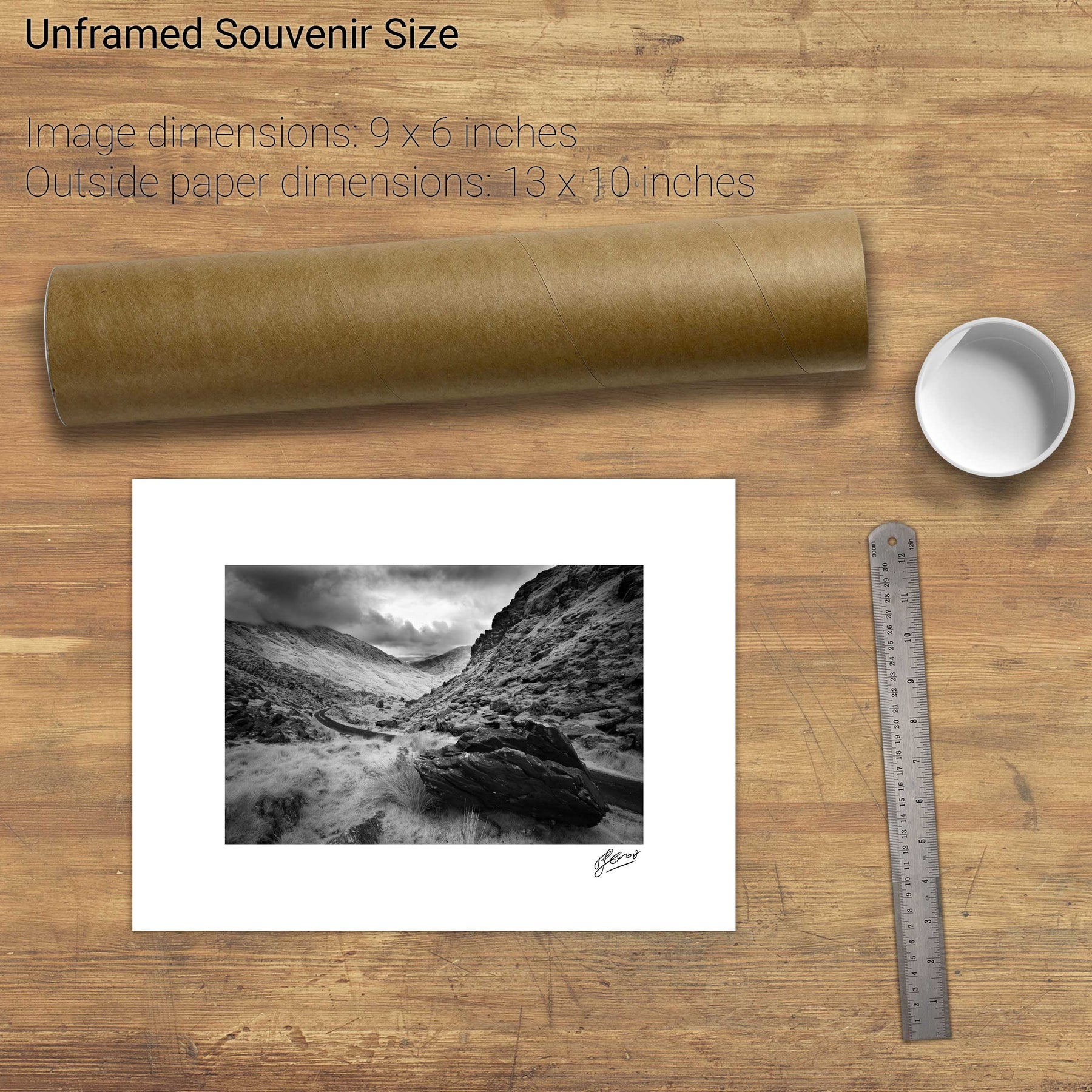
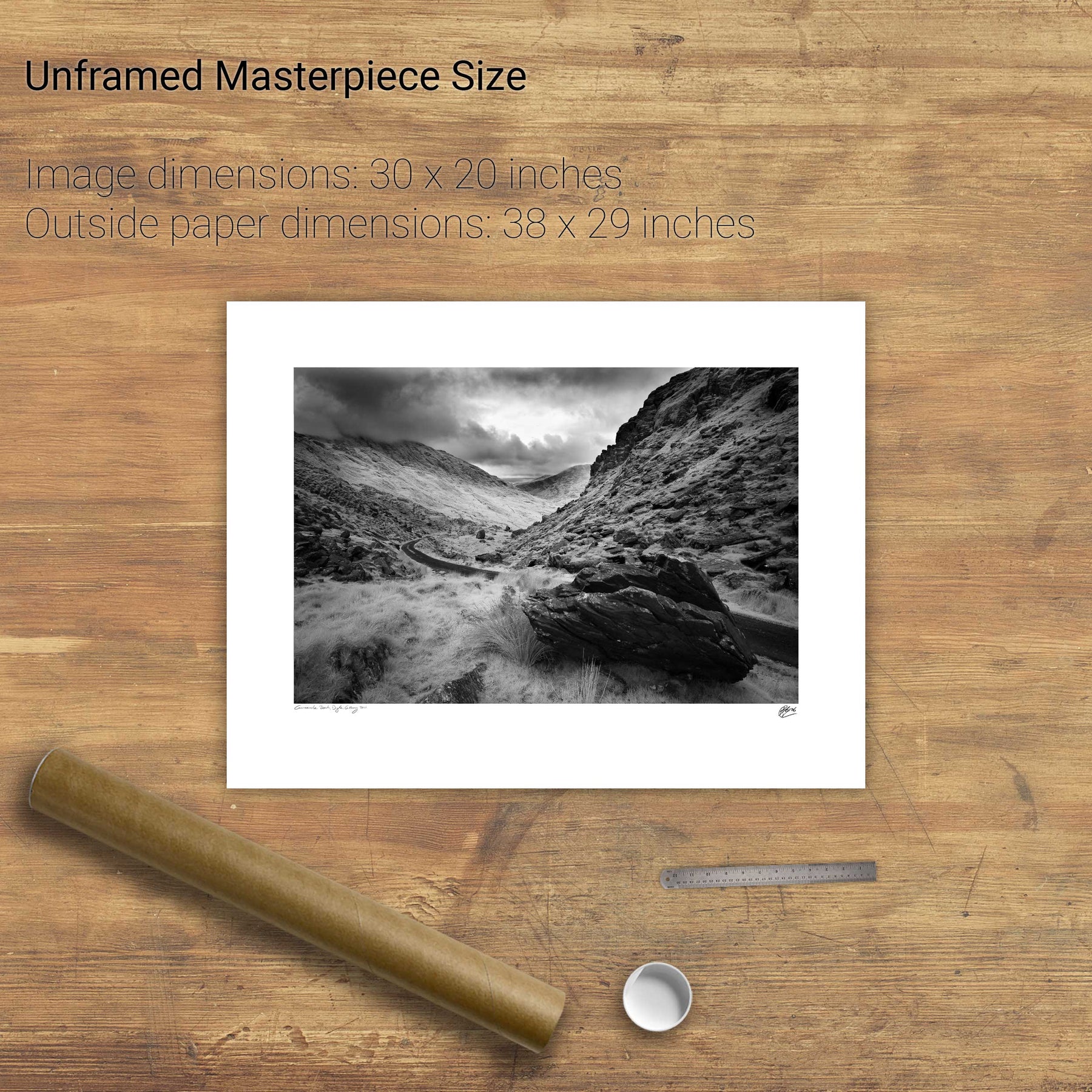
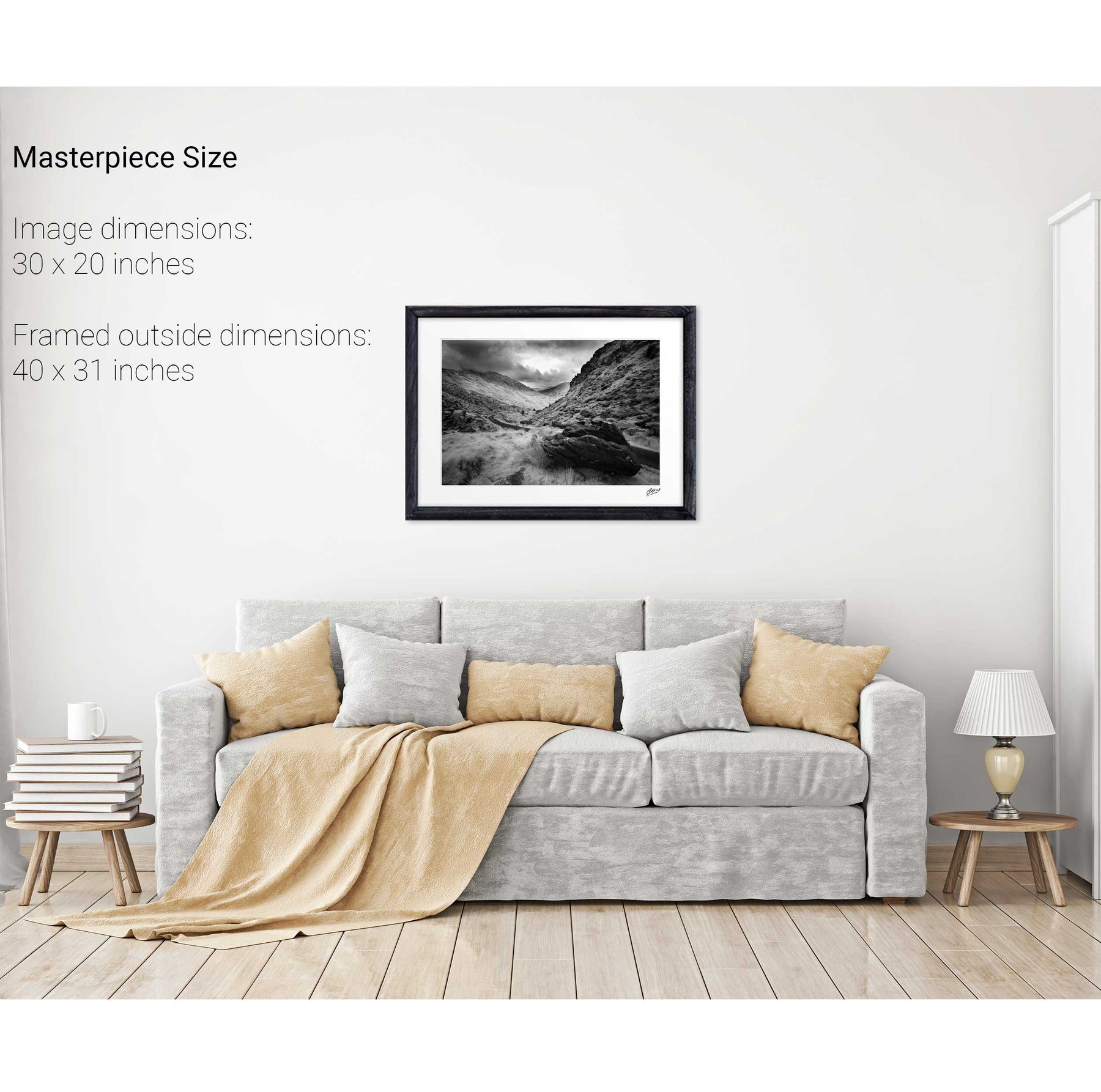
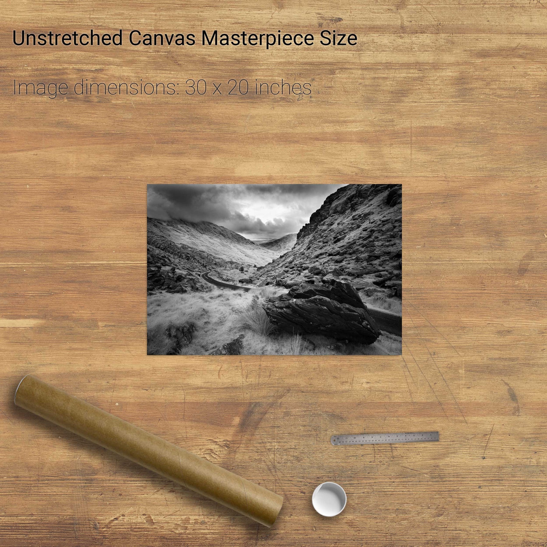
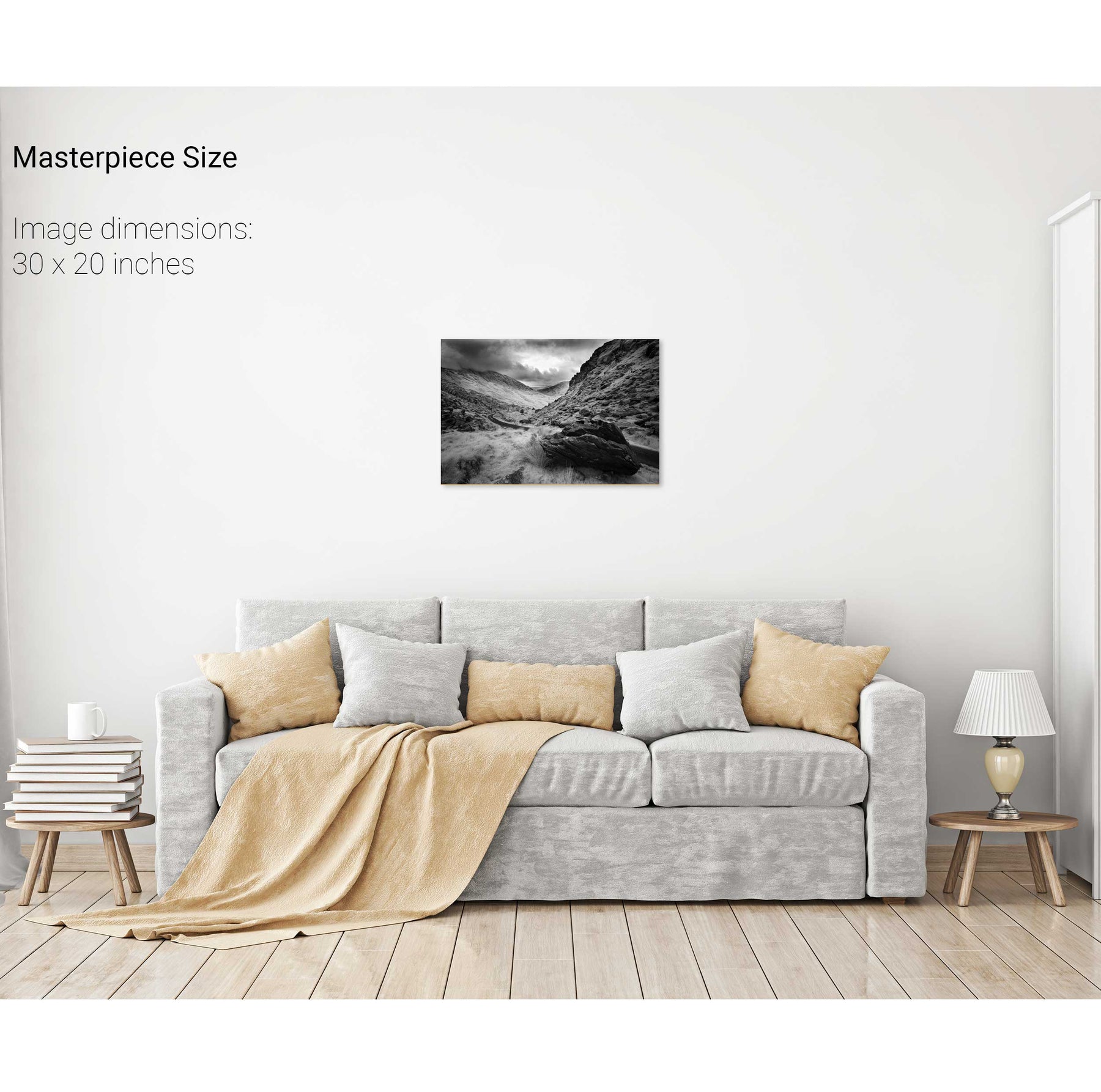
Ballaghbeama Gap, Co. Kerry
Bridia Valley, Co. Kerry