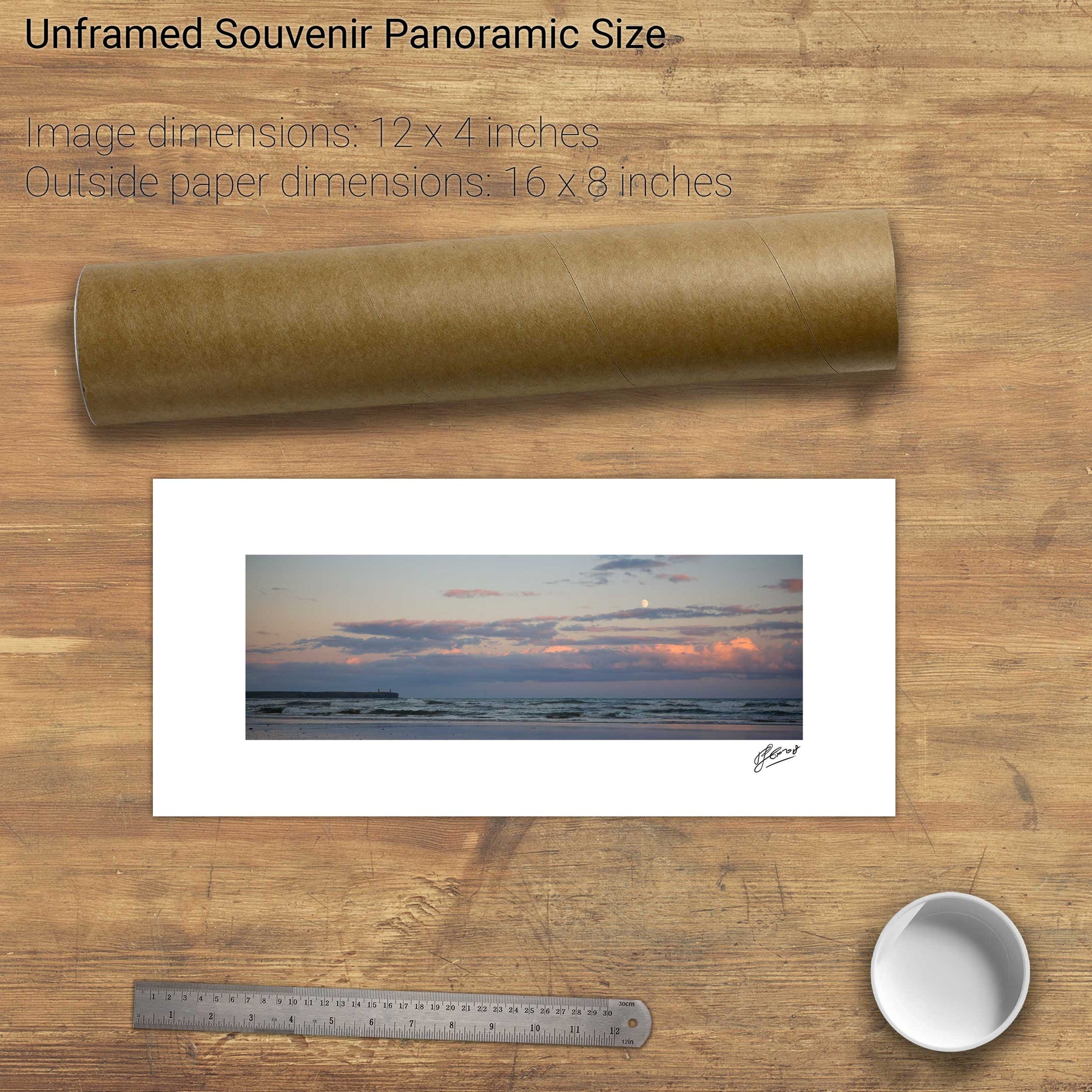
429 products
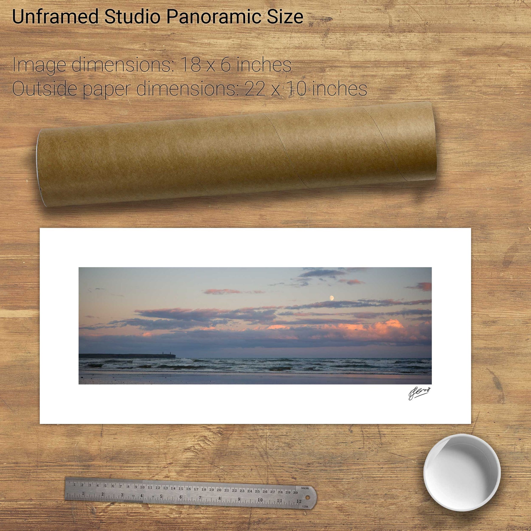
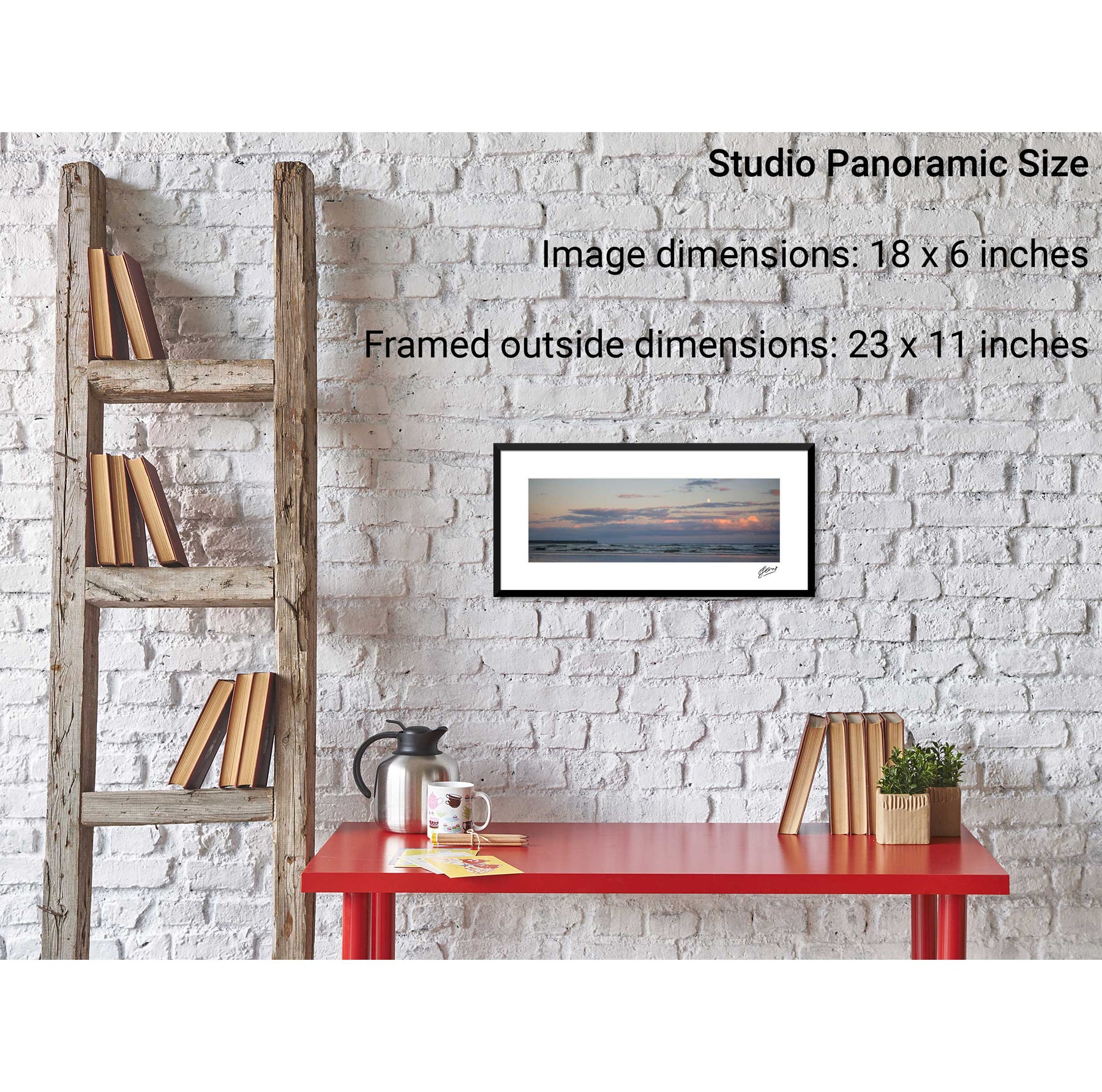
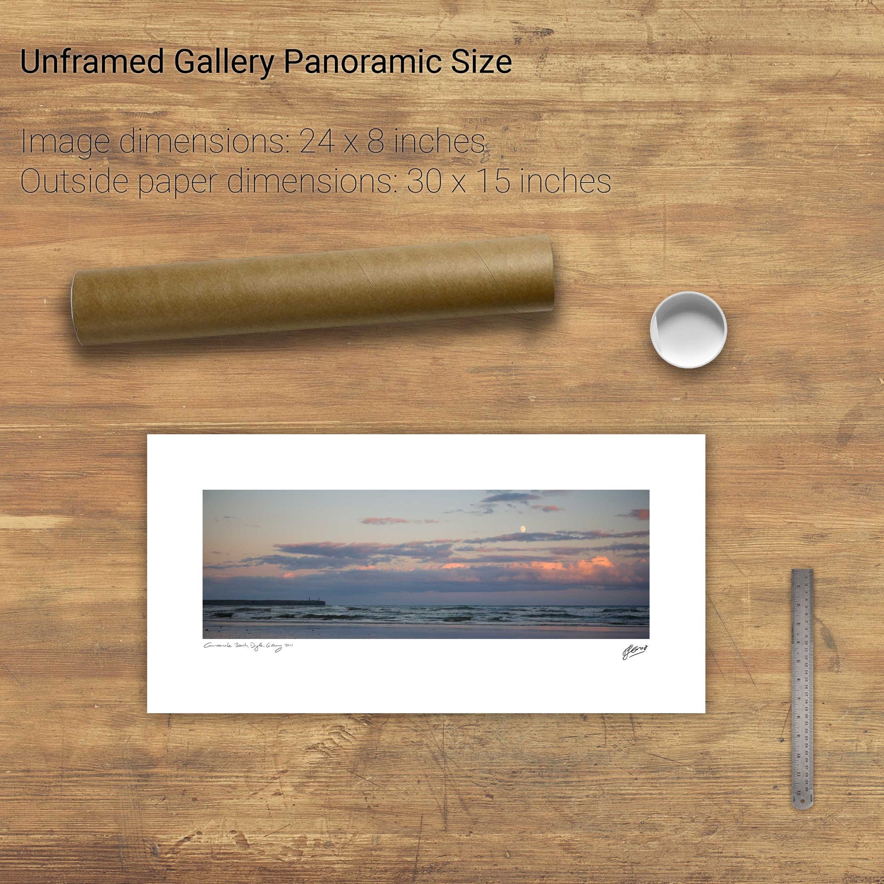
429 products
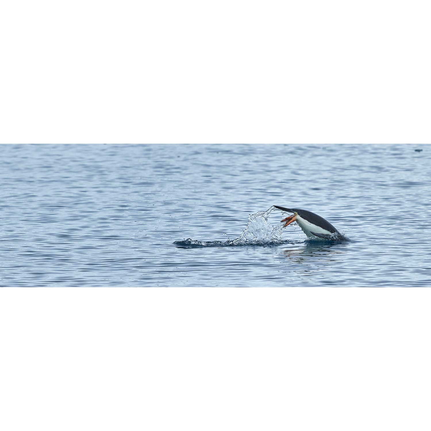
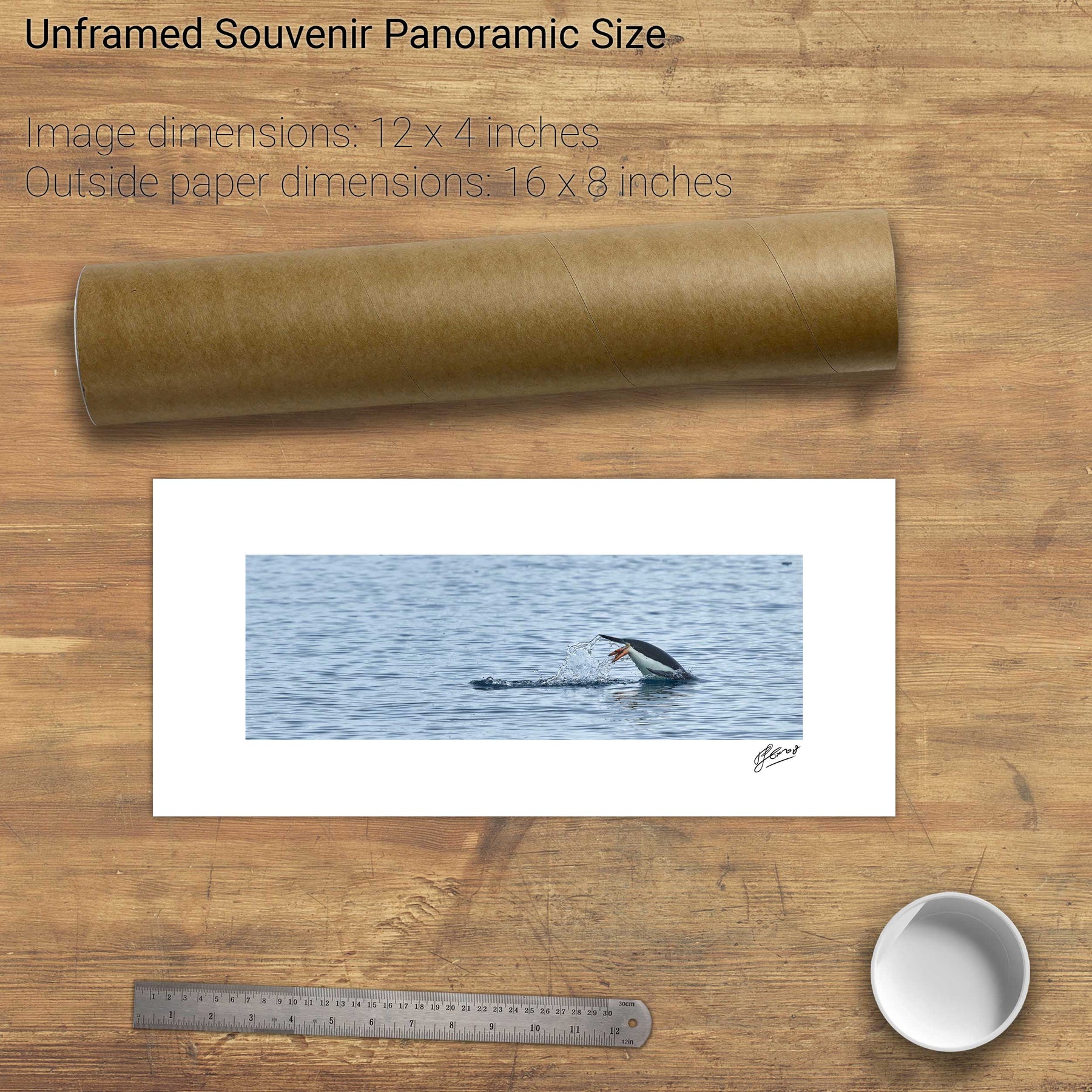
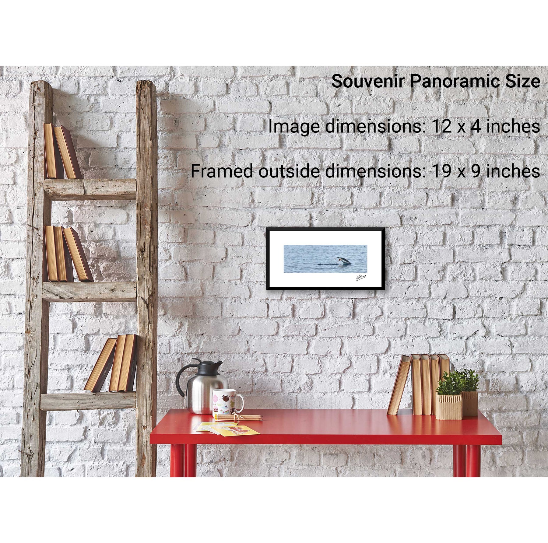
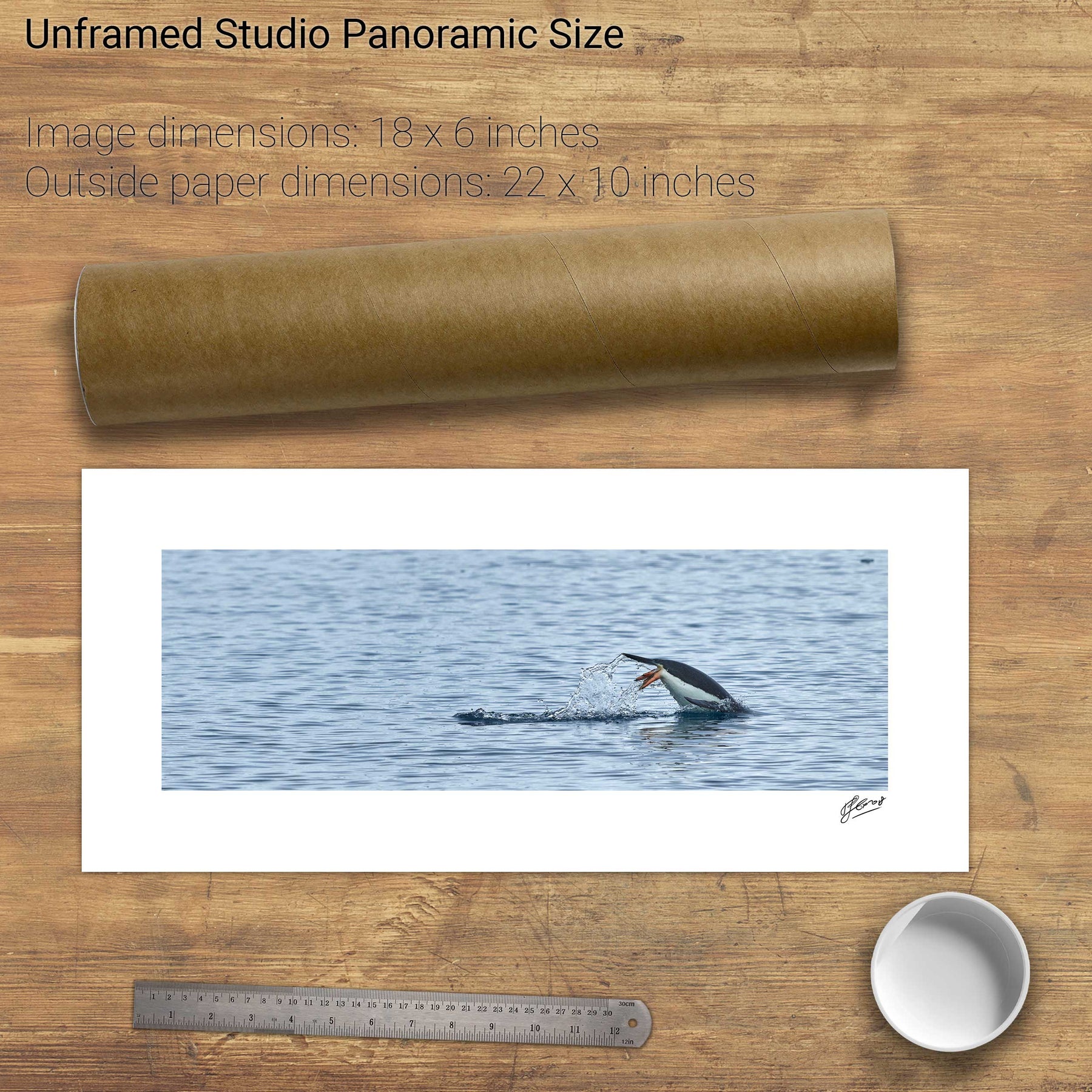
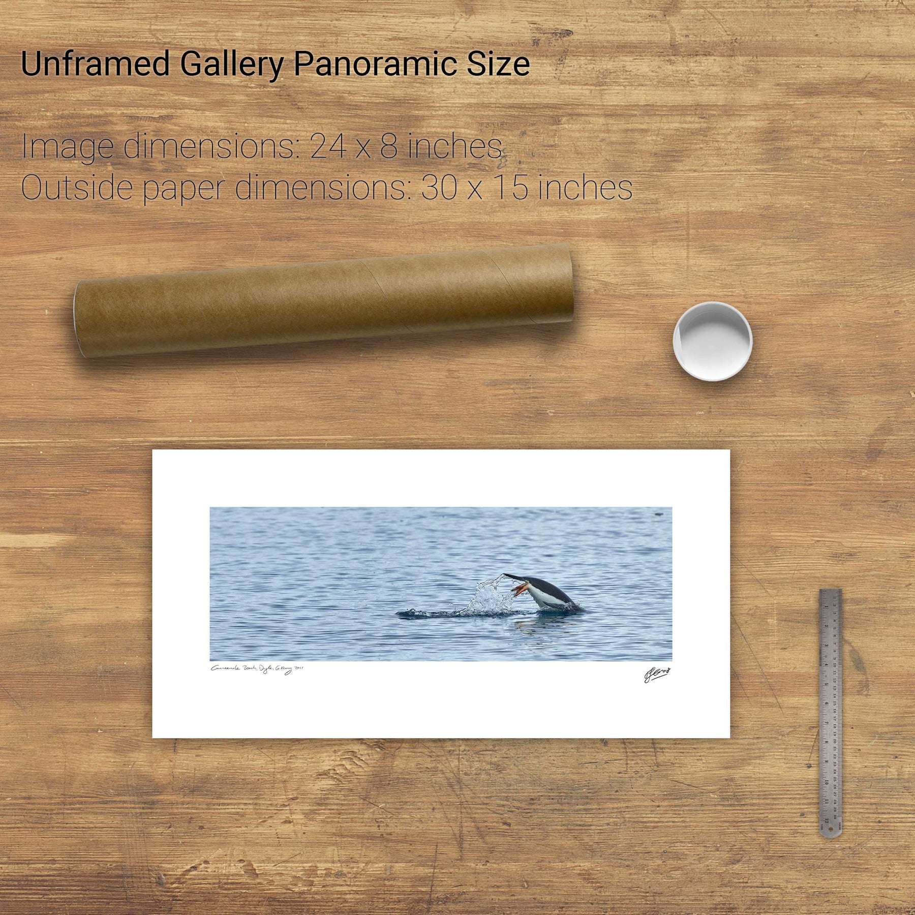
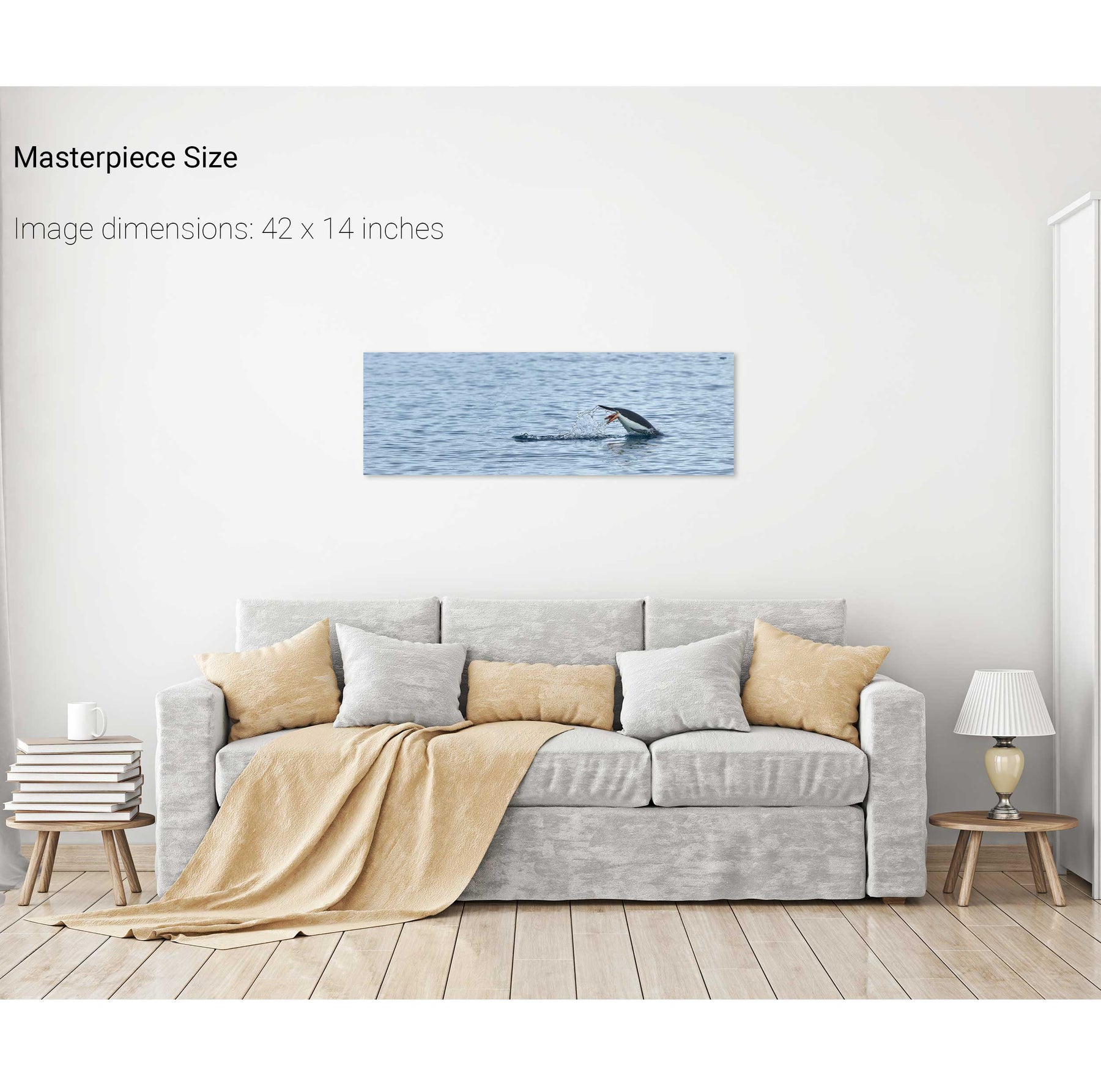
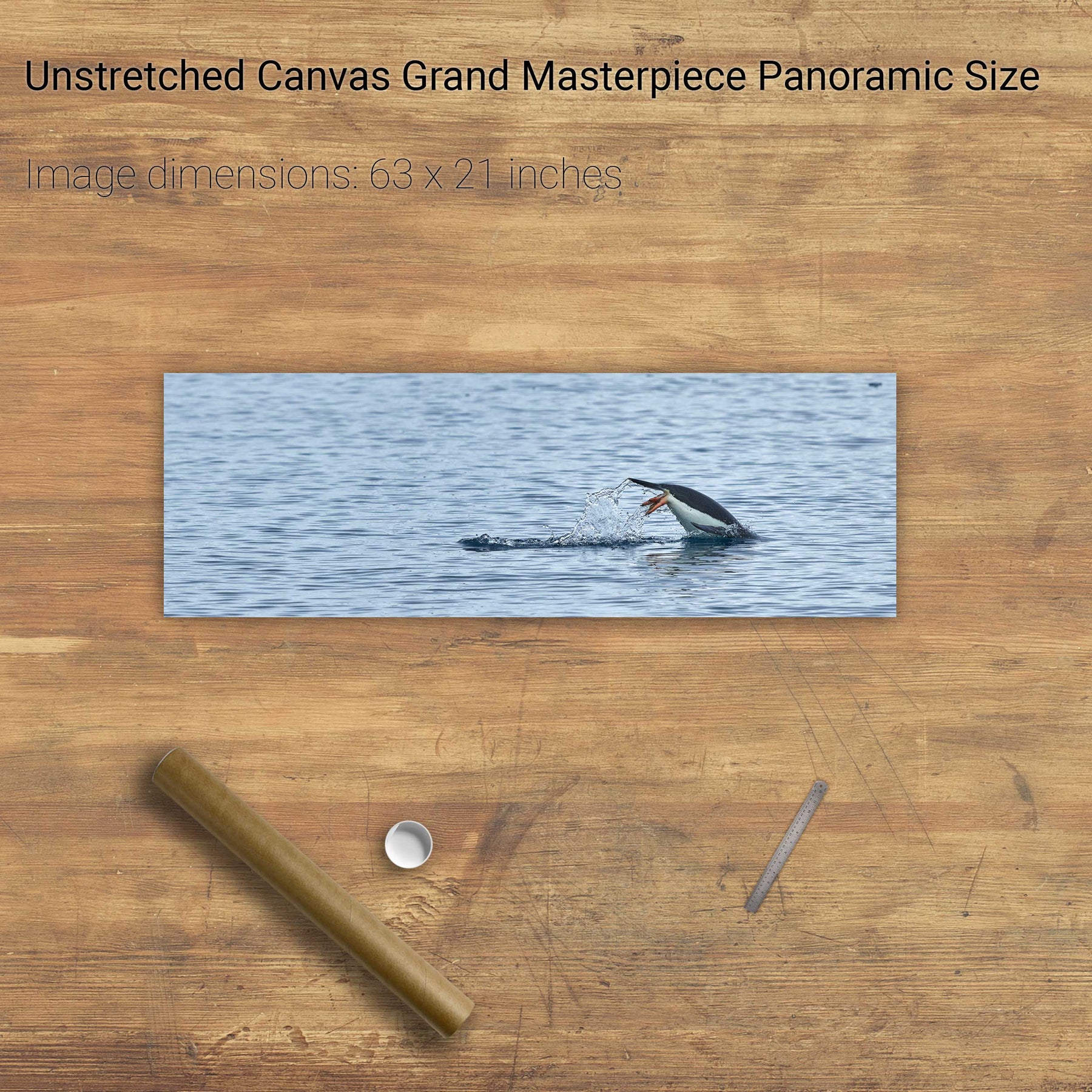
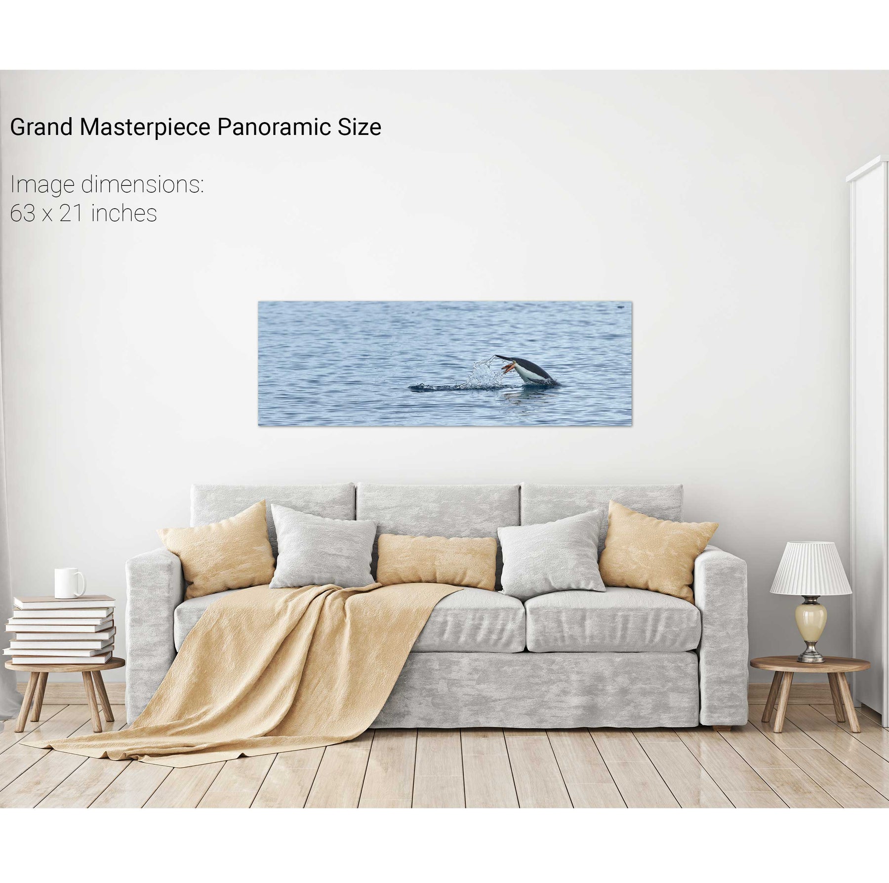
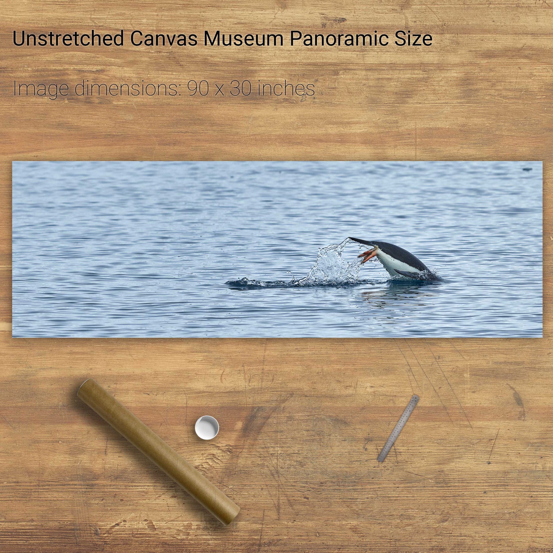
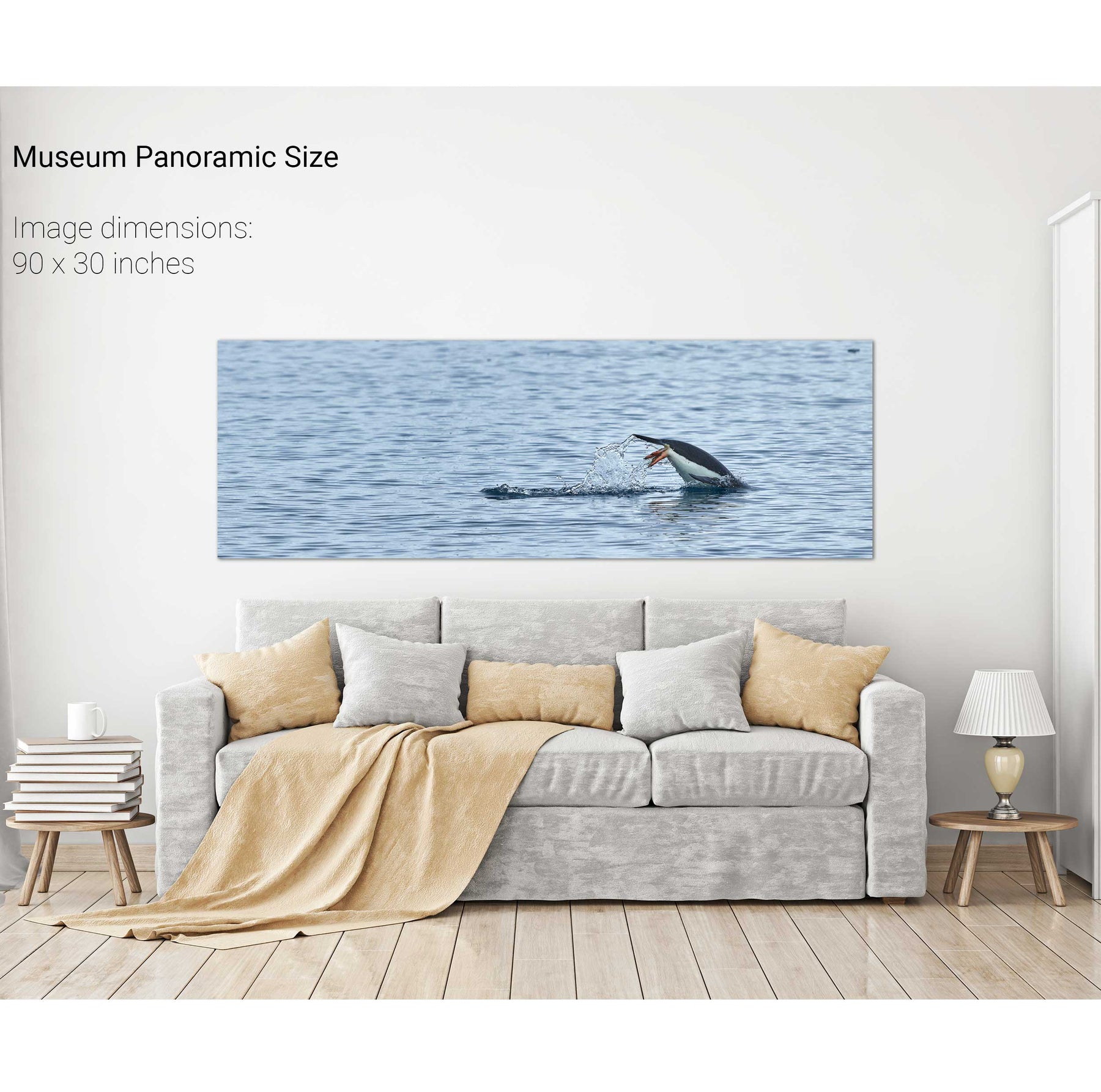
Diving Penguin, Cuverville Island, Antarctic Peninsula


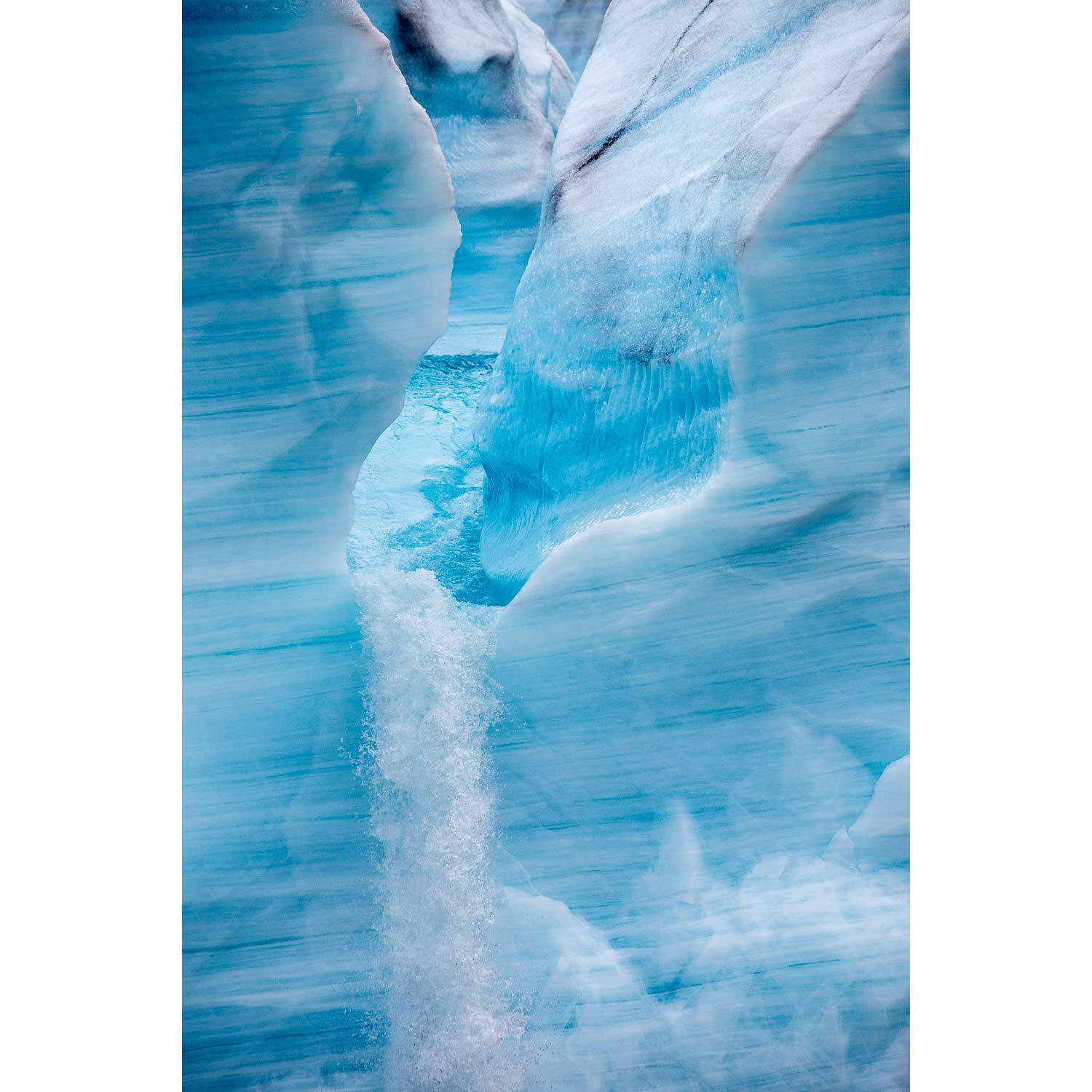
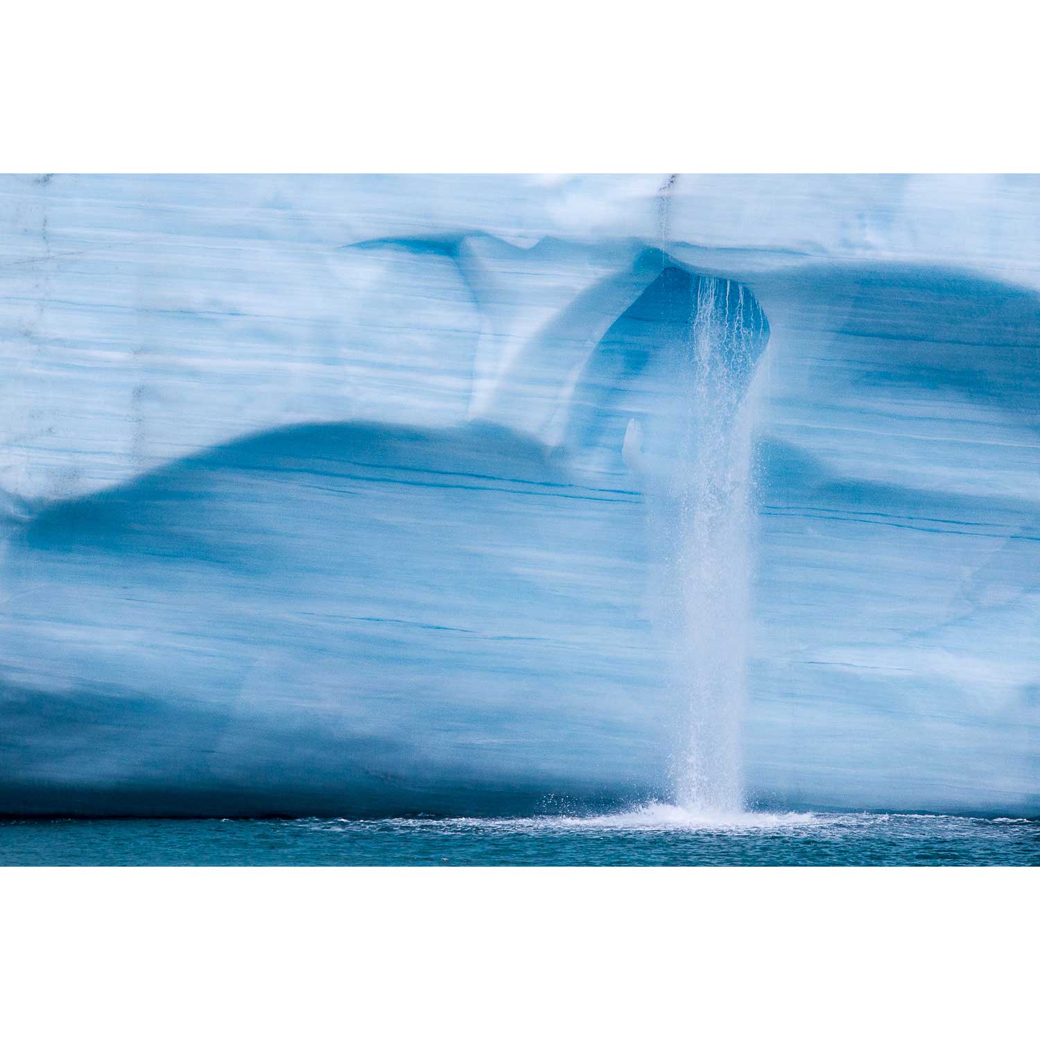
Meltwater Chute, Brasvellbreen Ice Wall, Svalbard


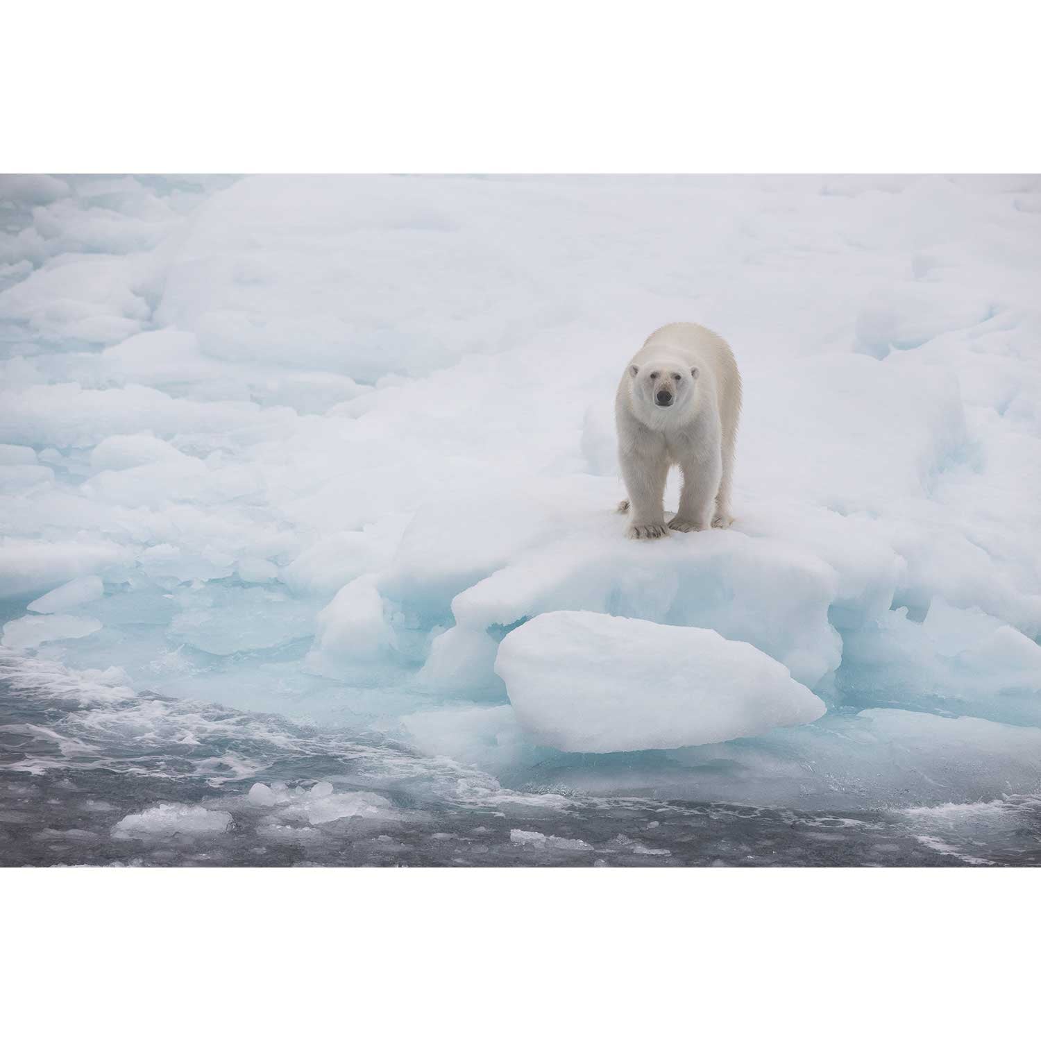
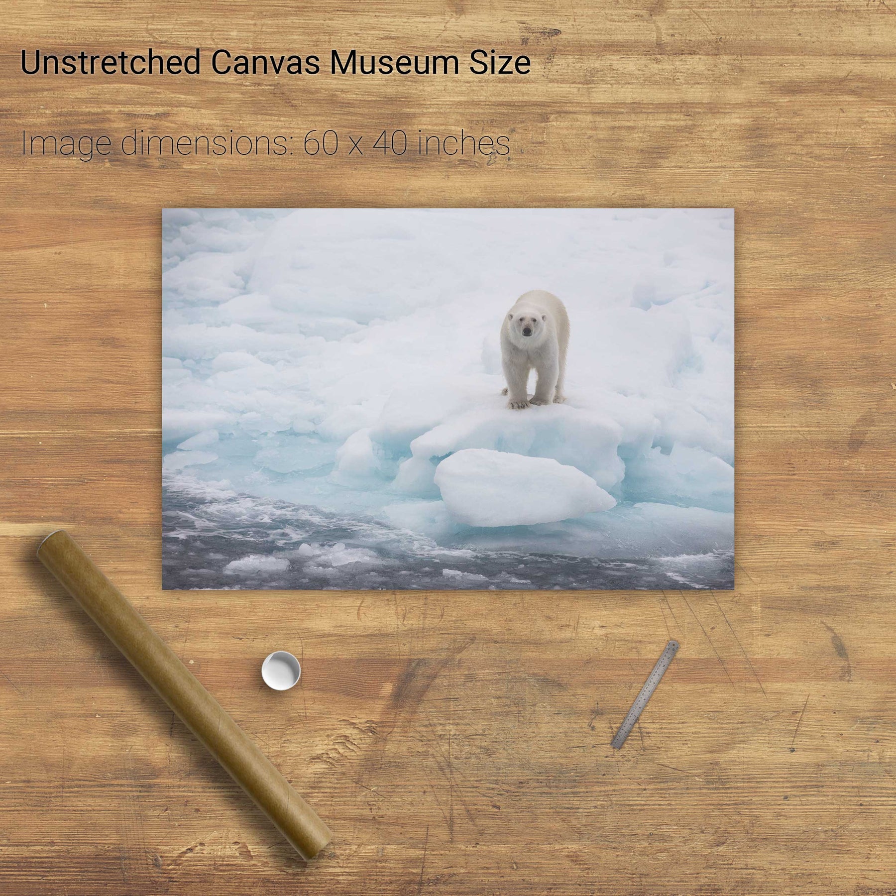
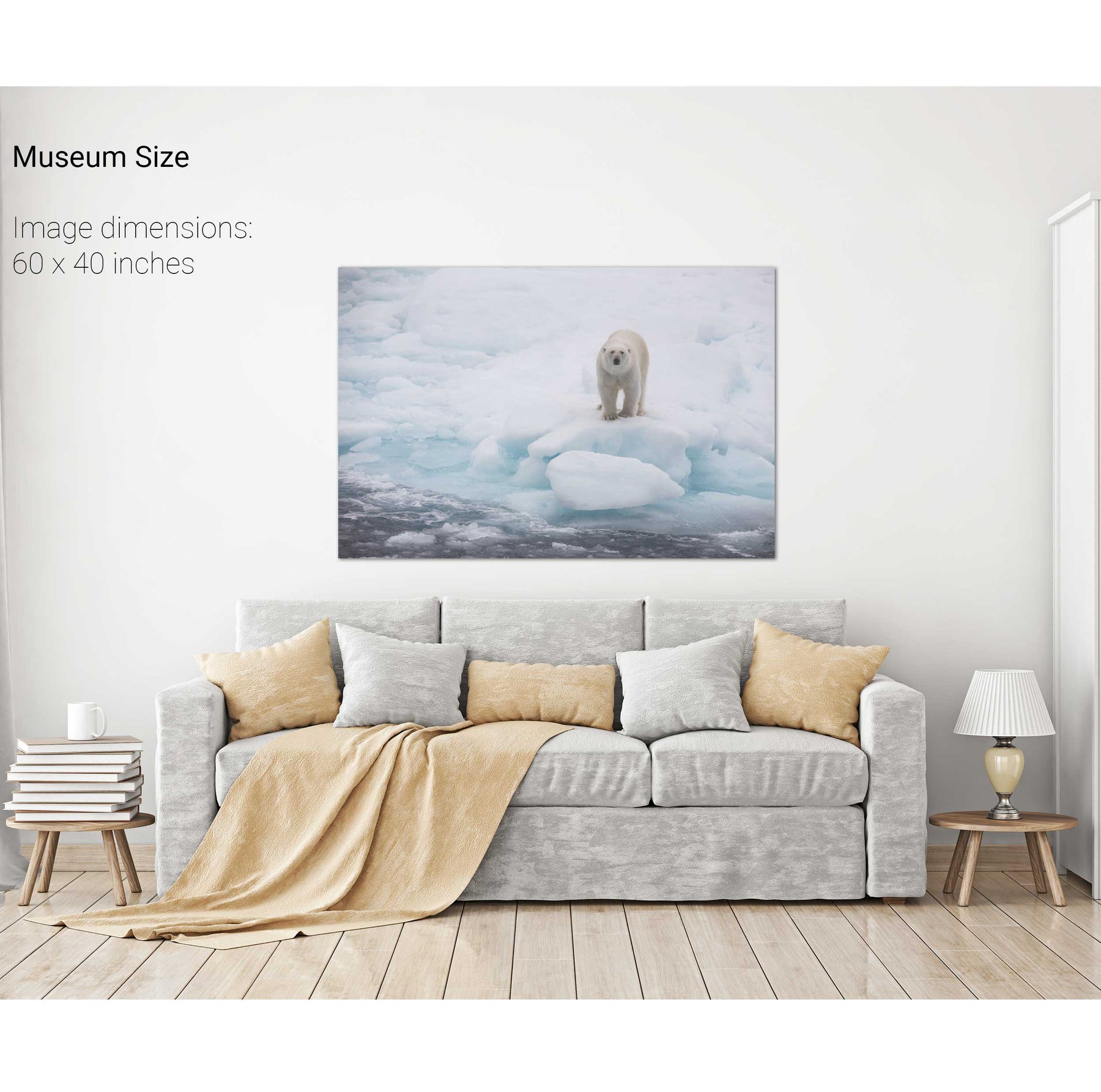
Polar Bear on Sea Ice II, Barents Sea


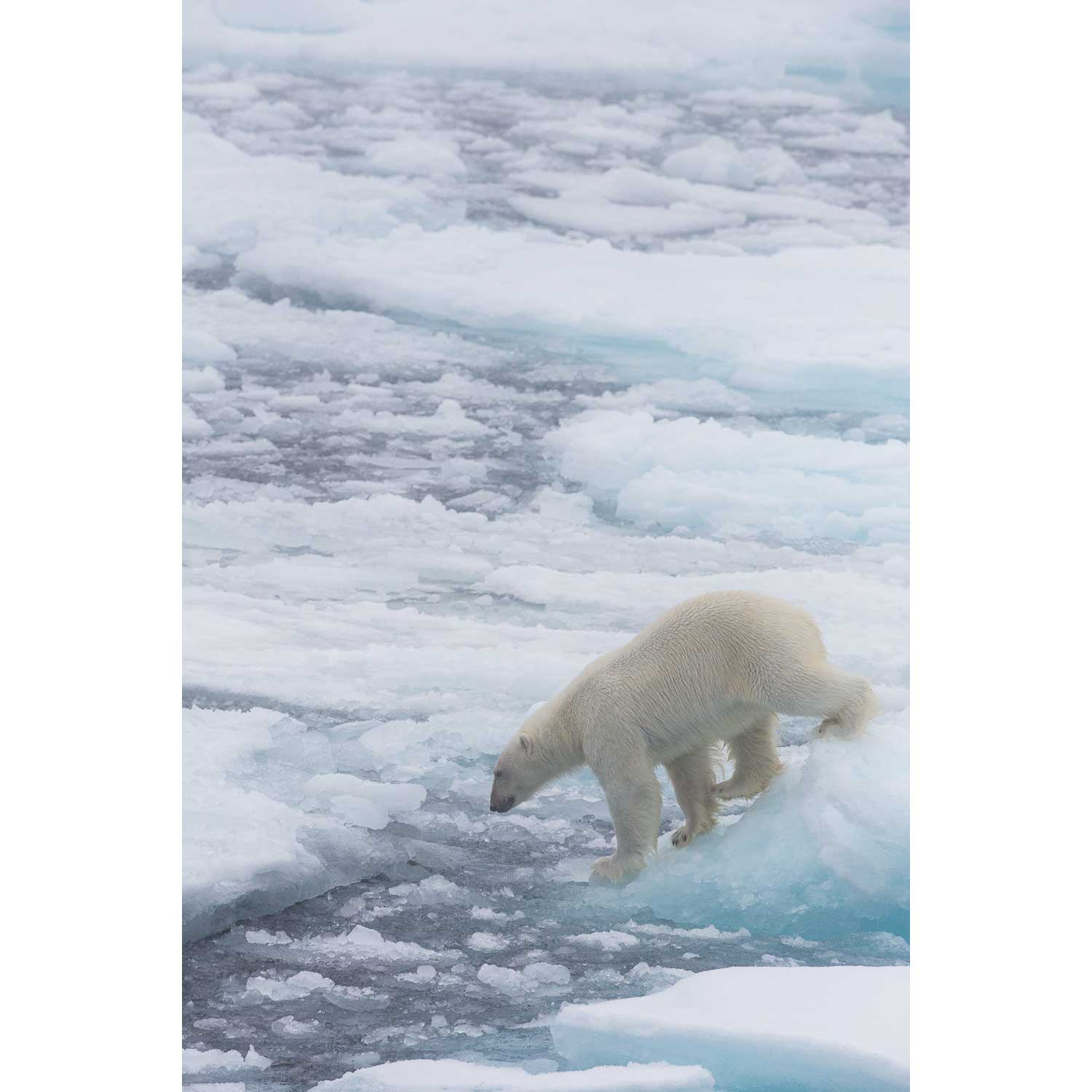
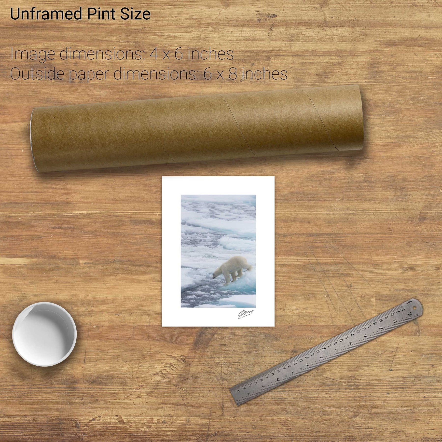
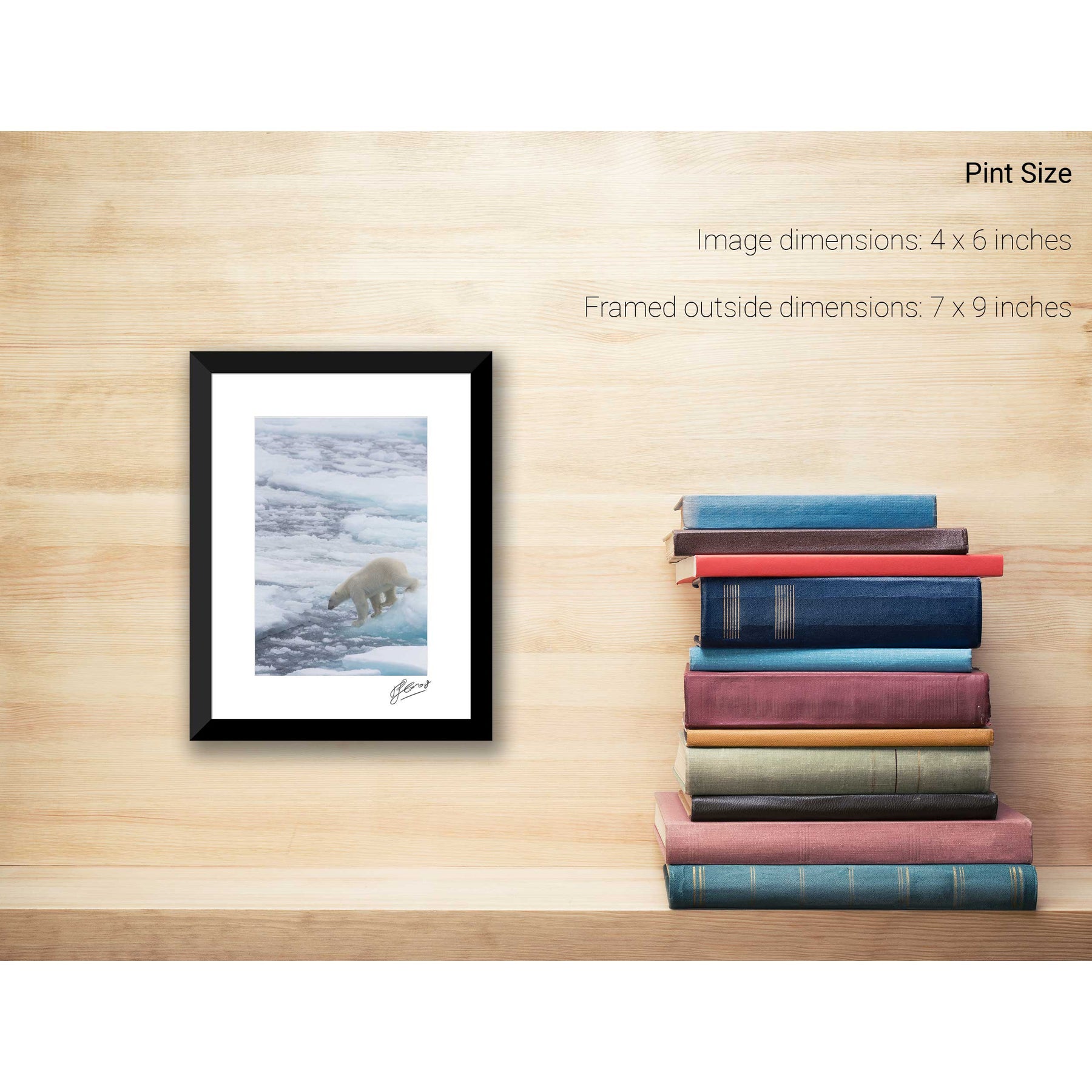
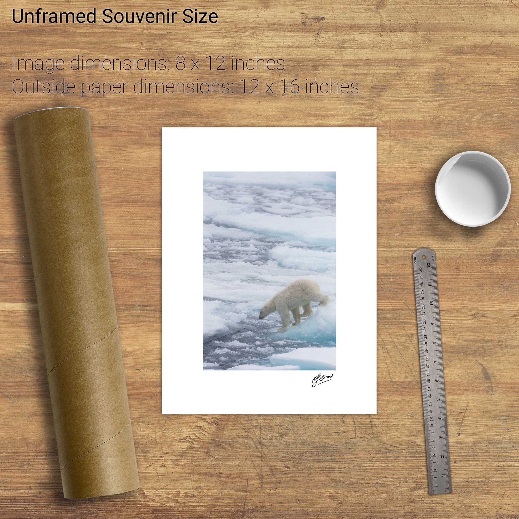

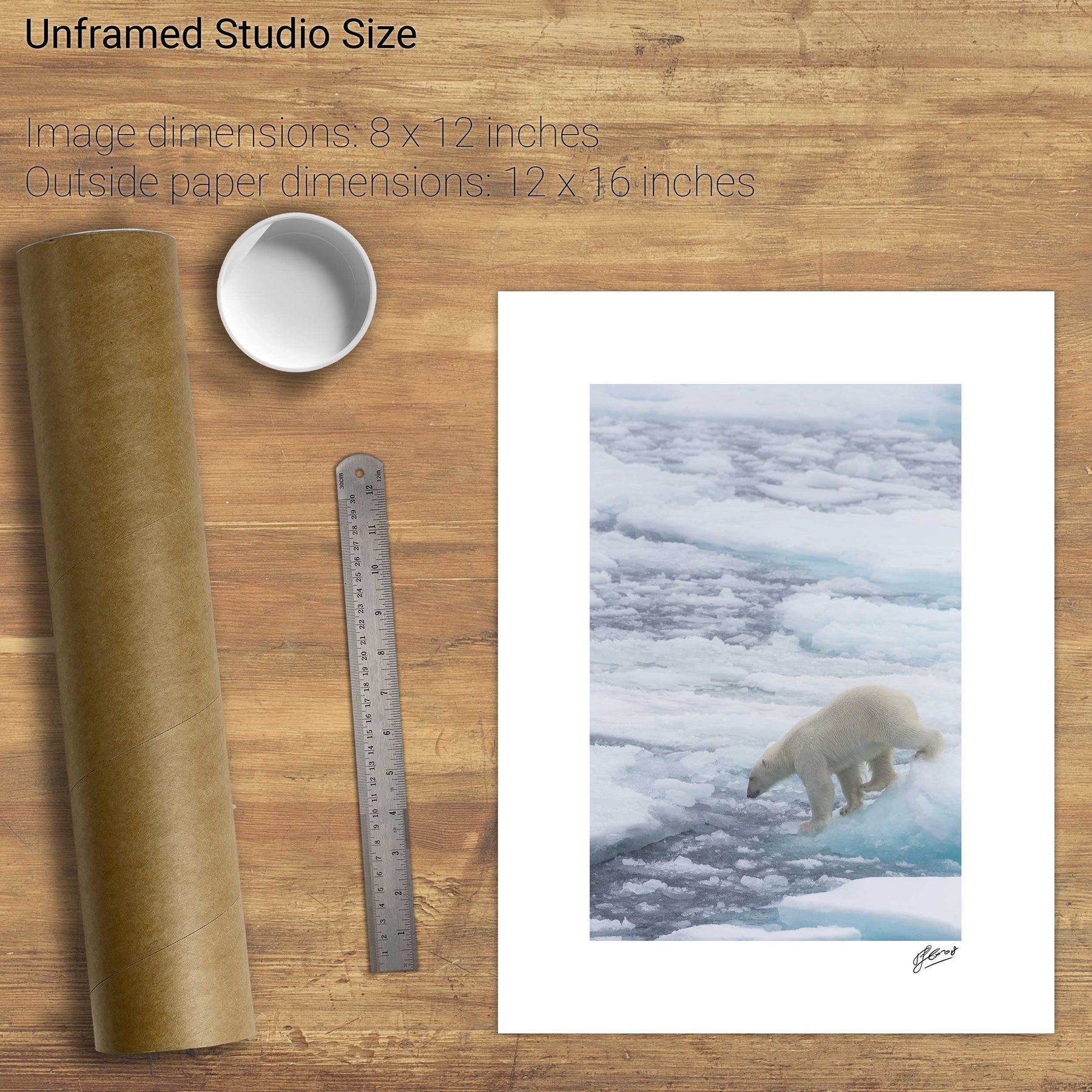

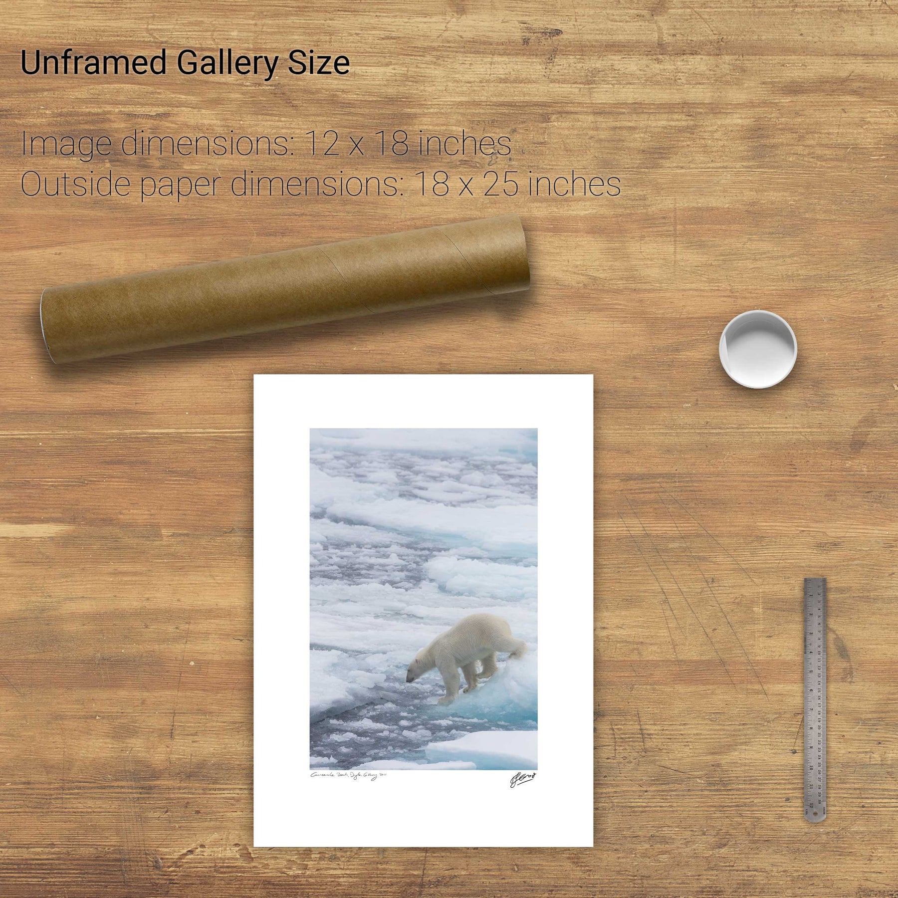

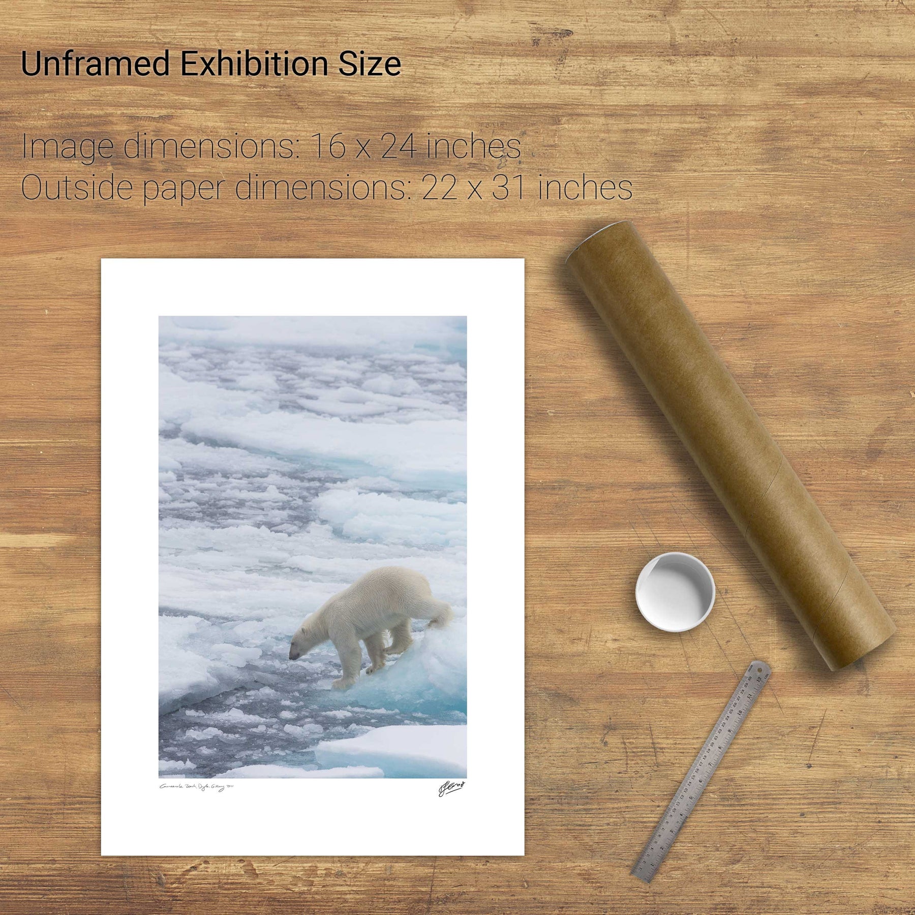

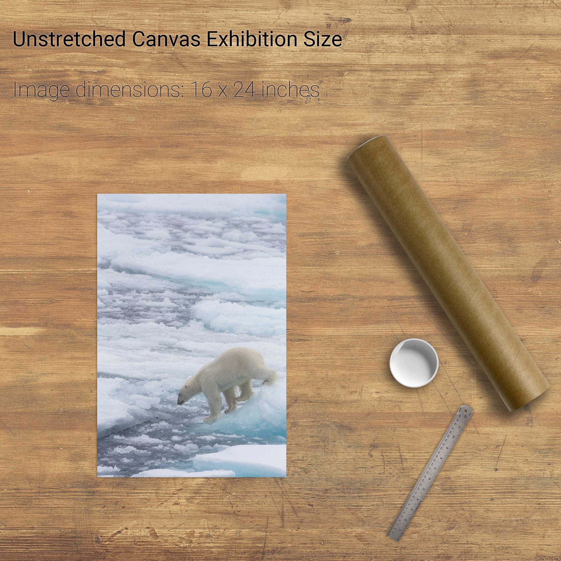

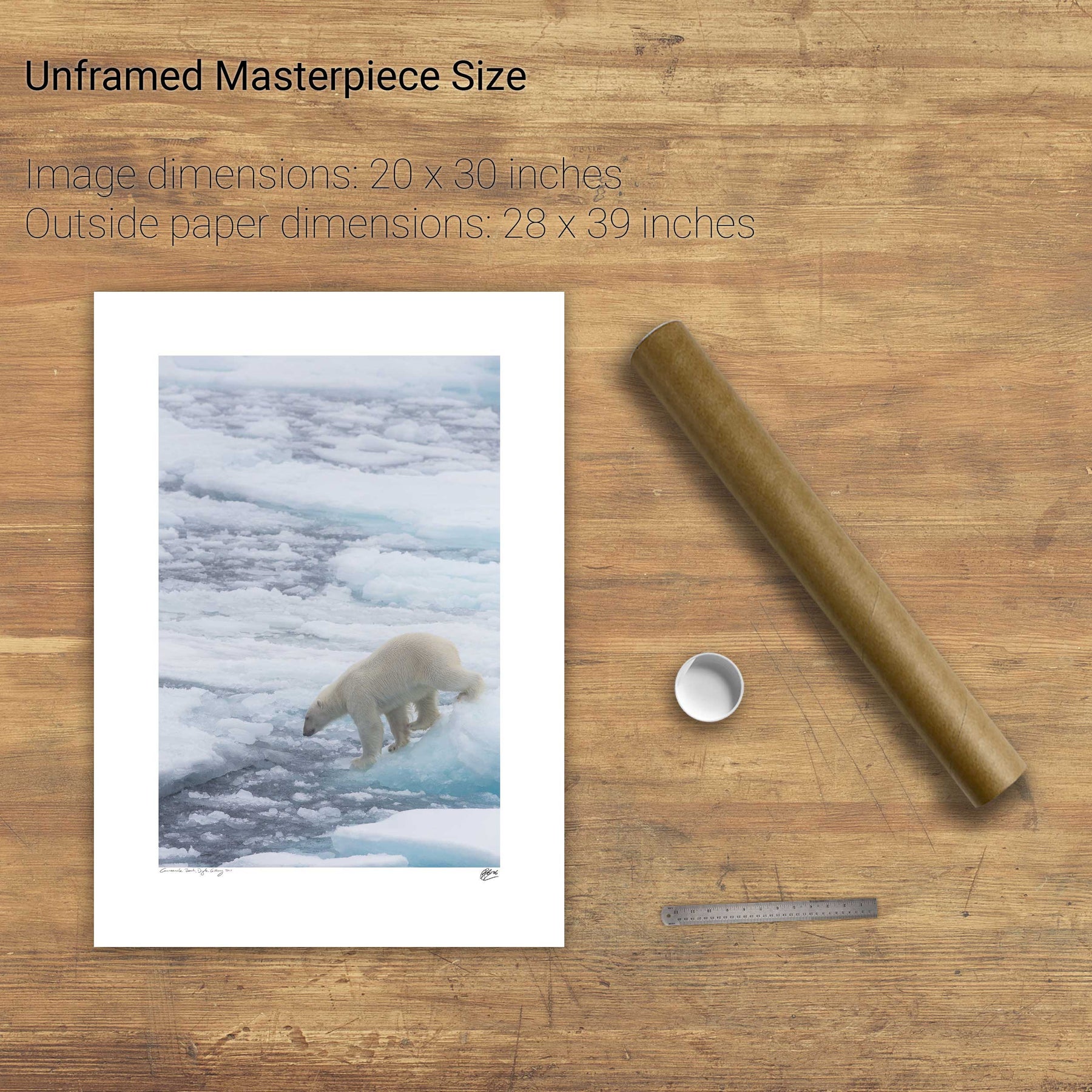
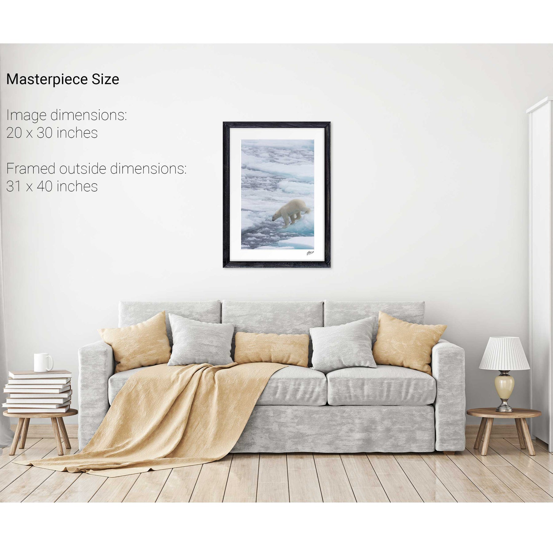
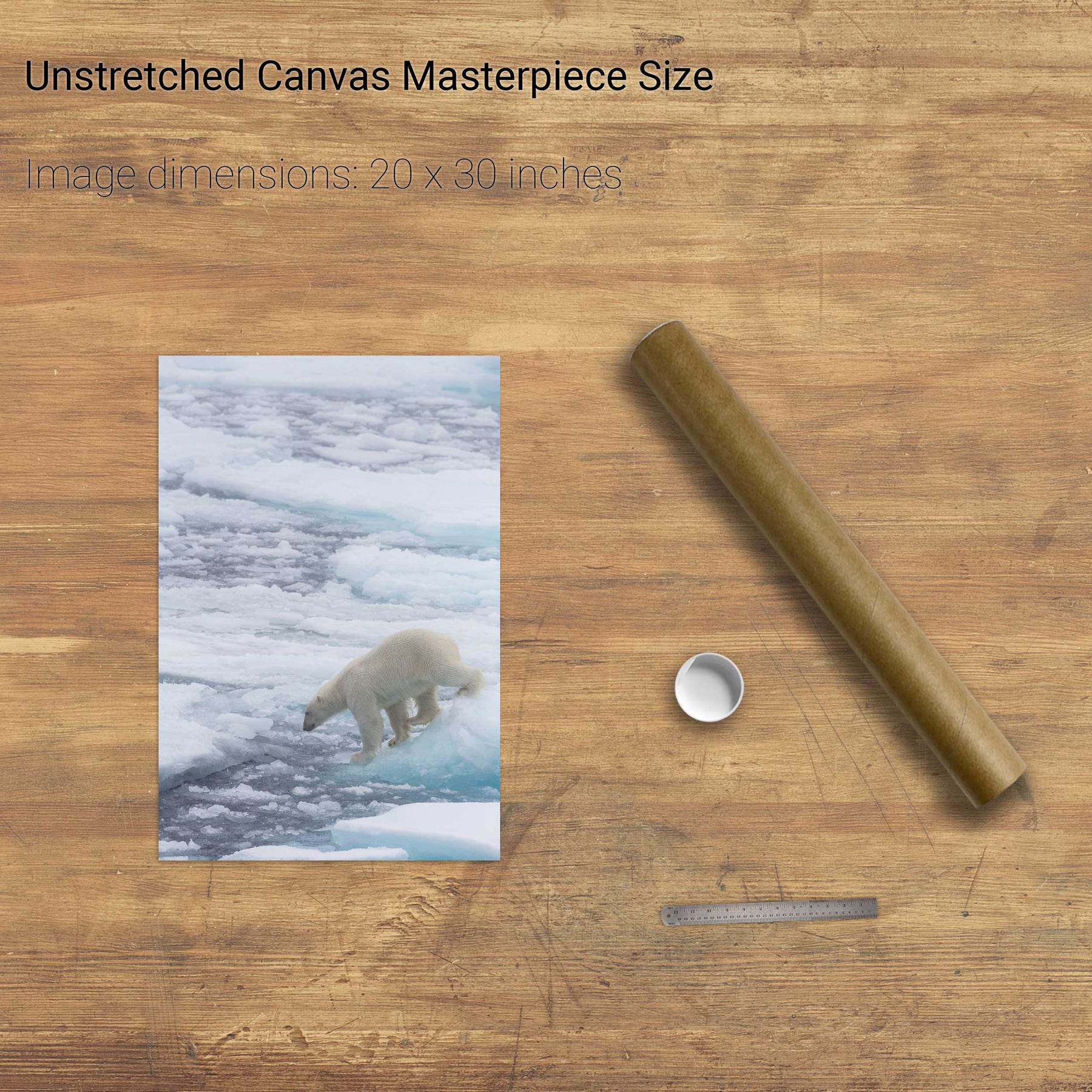
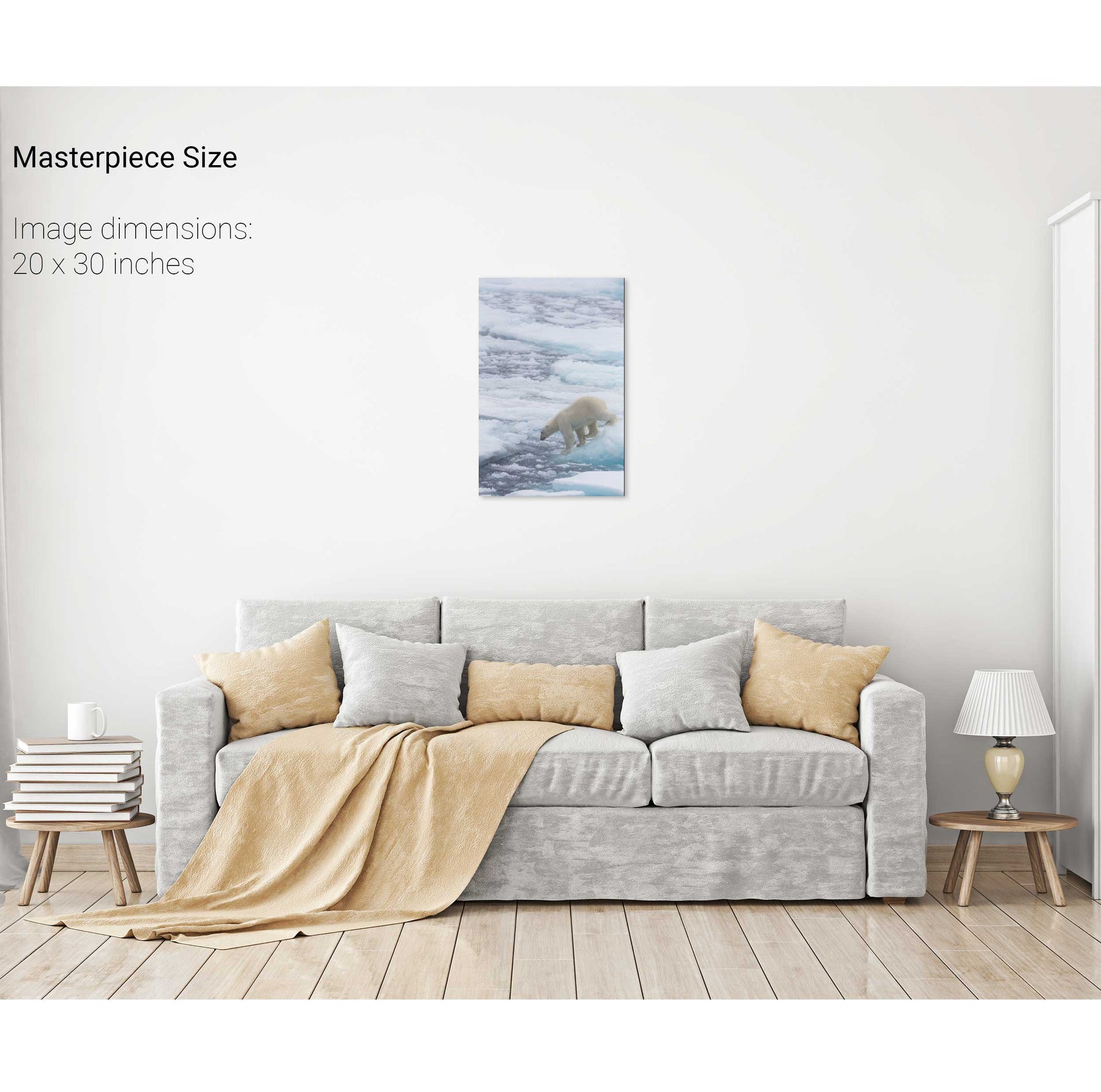
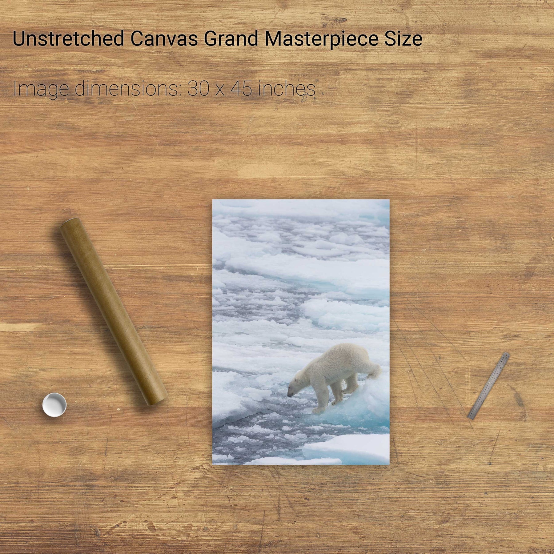
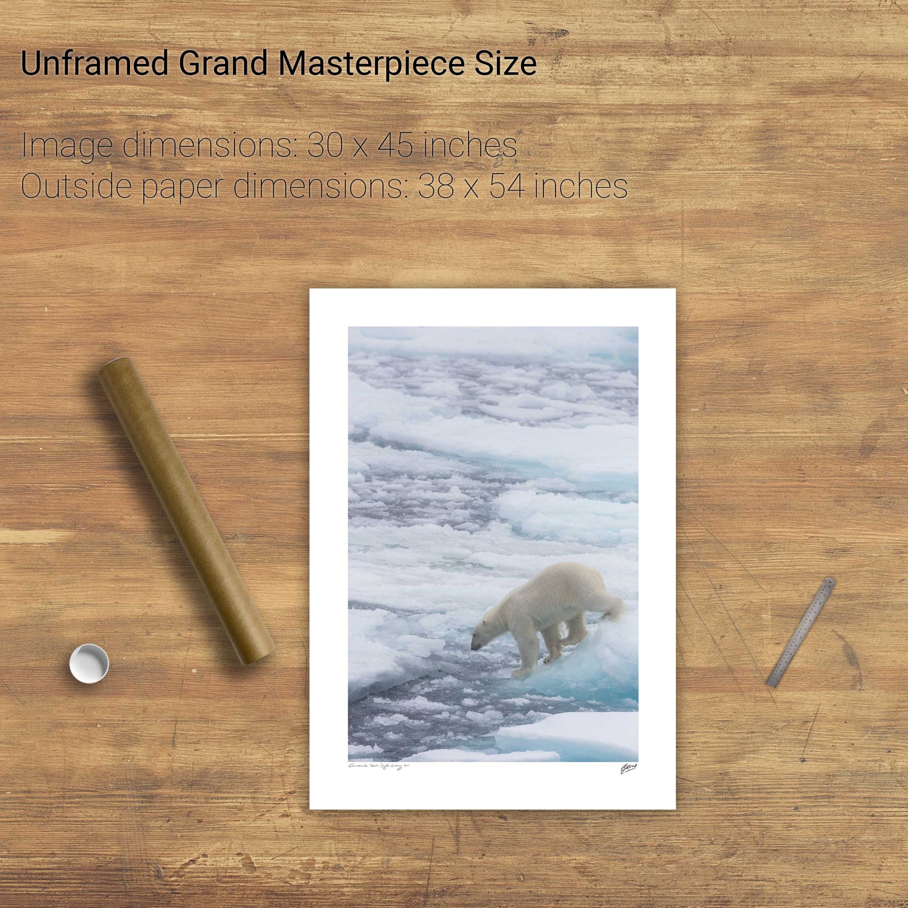
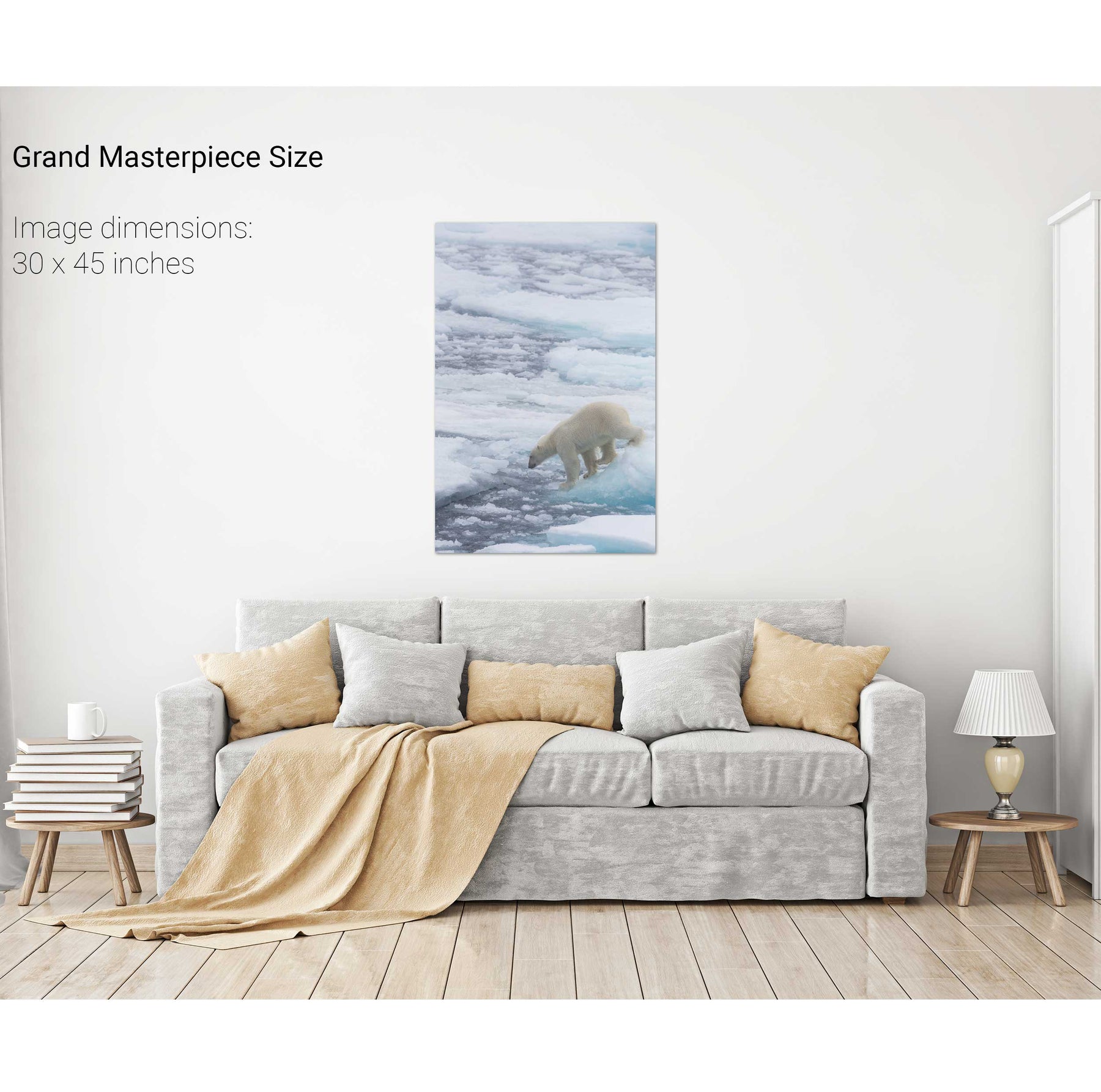
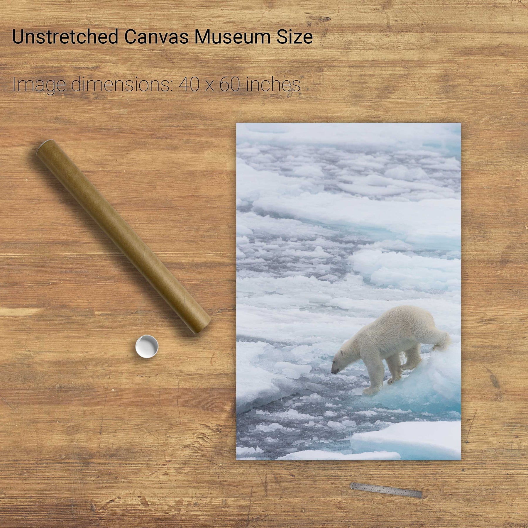
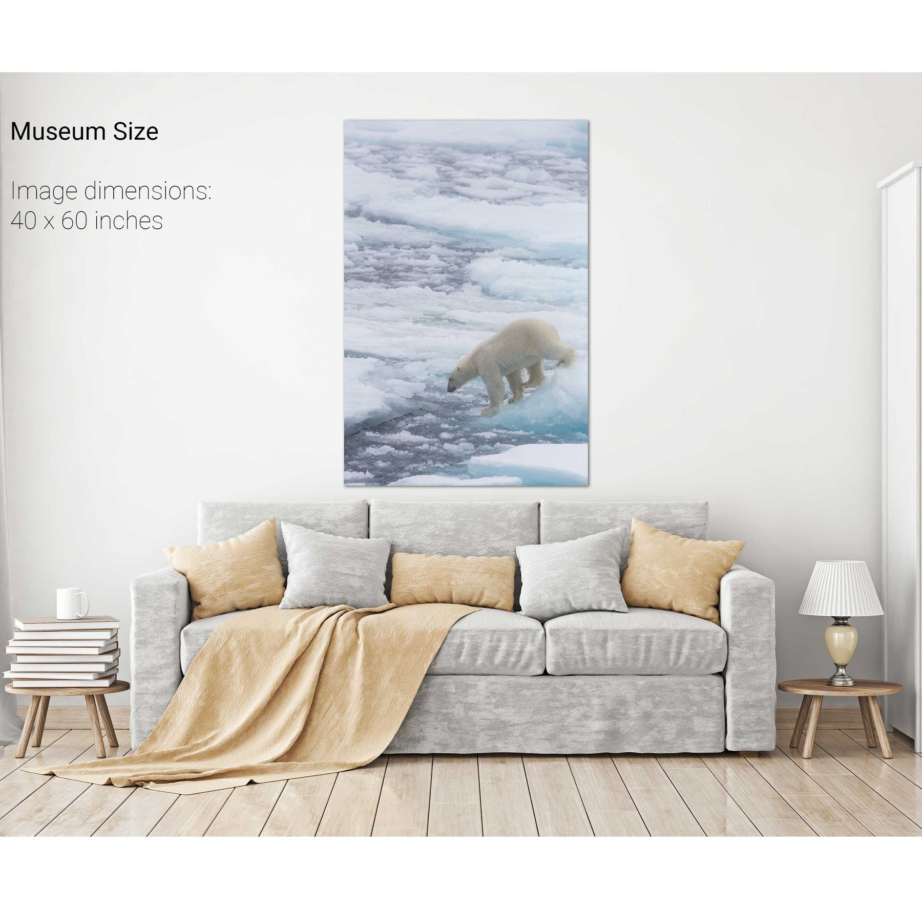
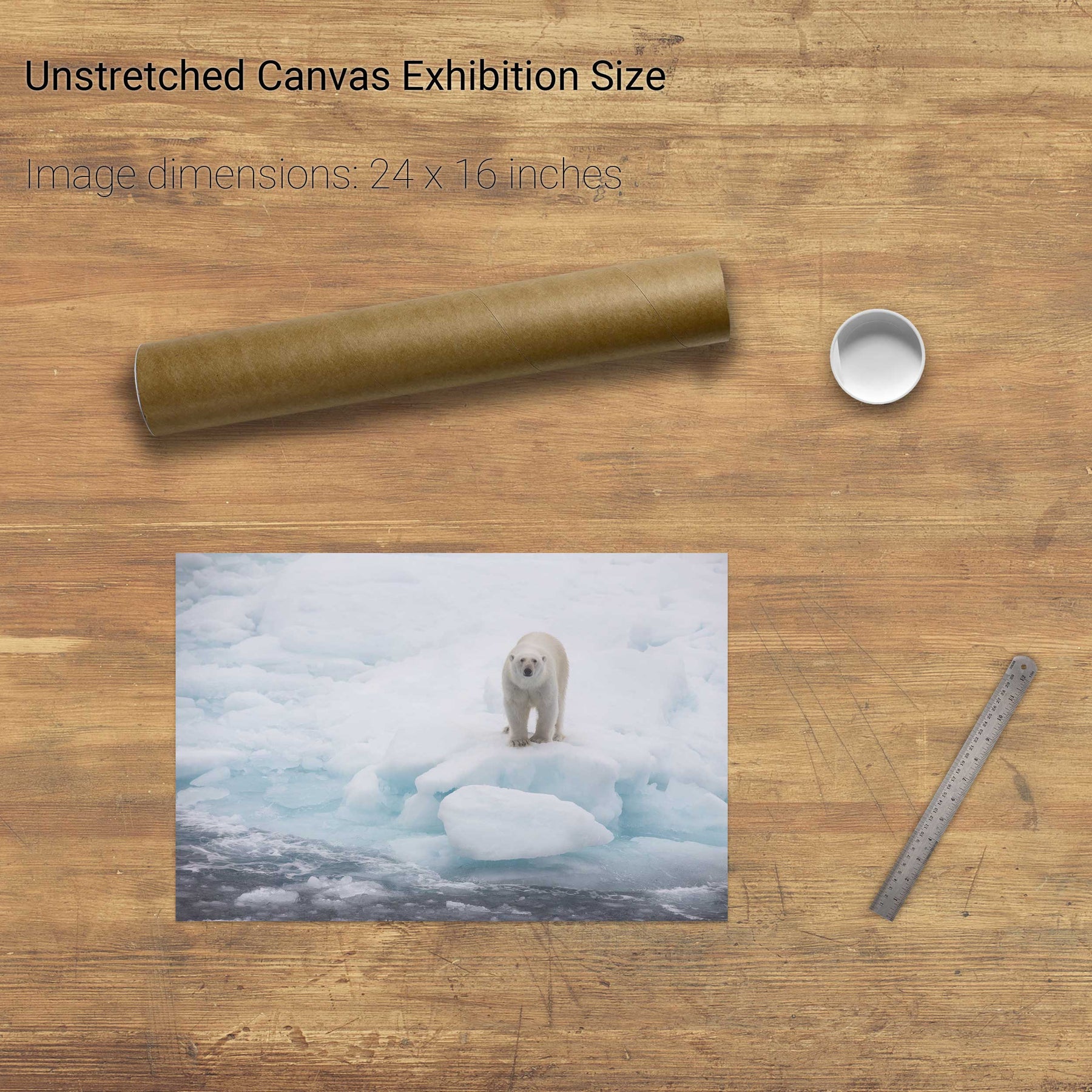
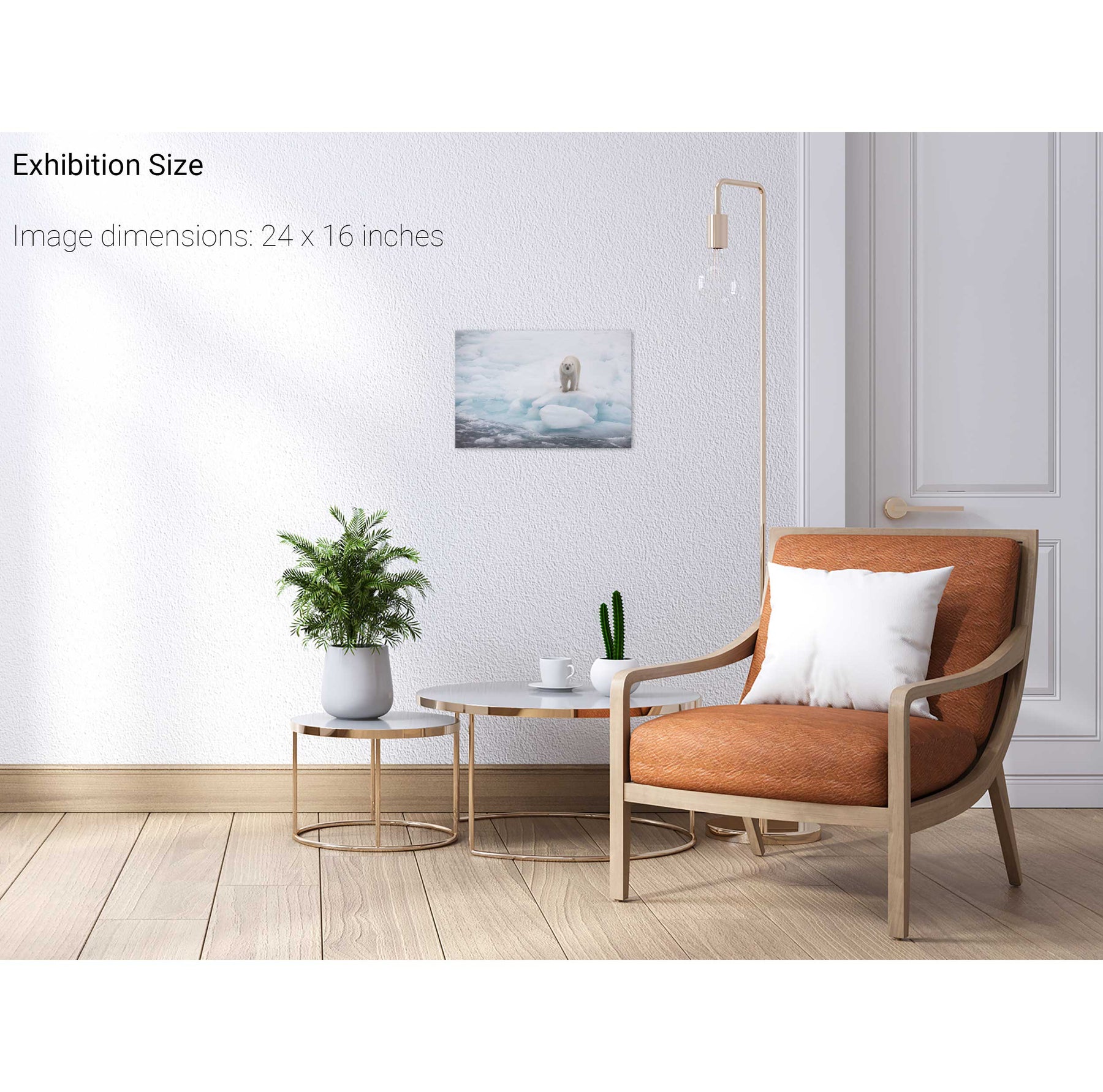
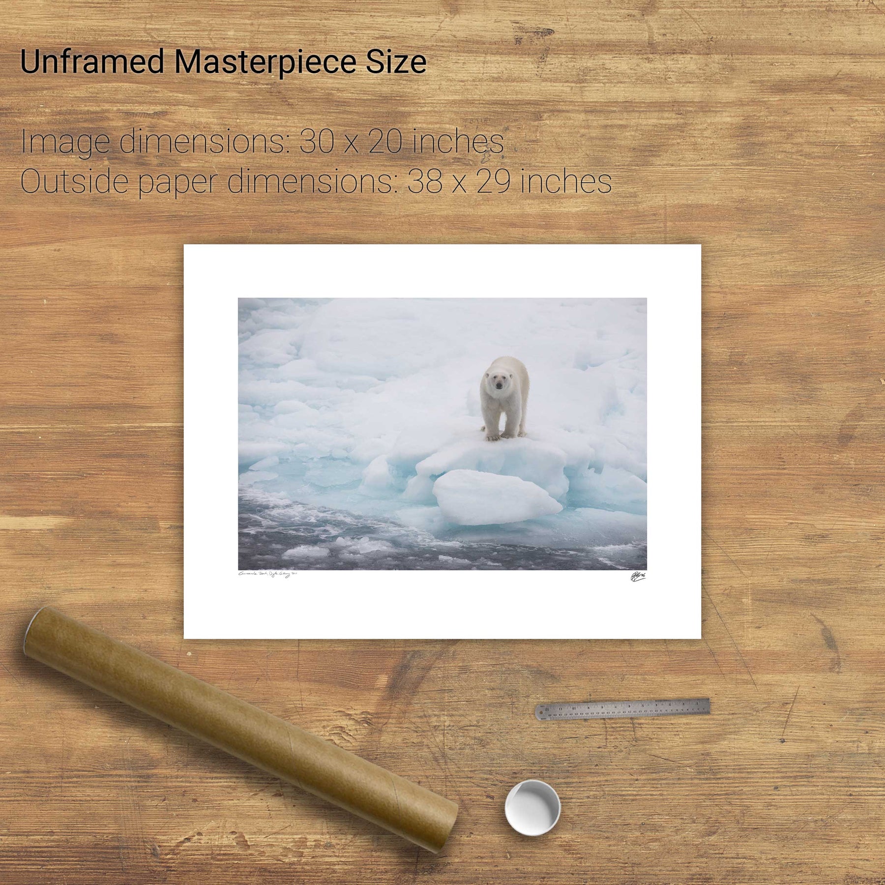
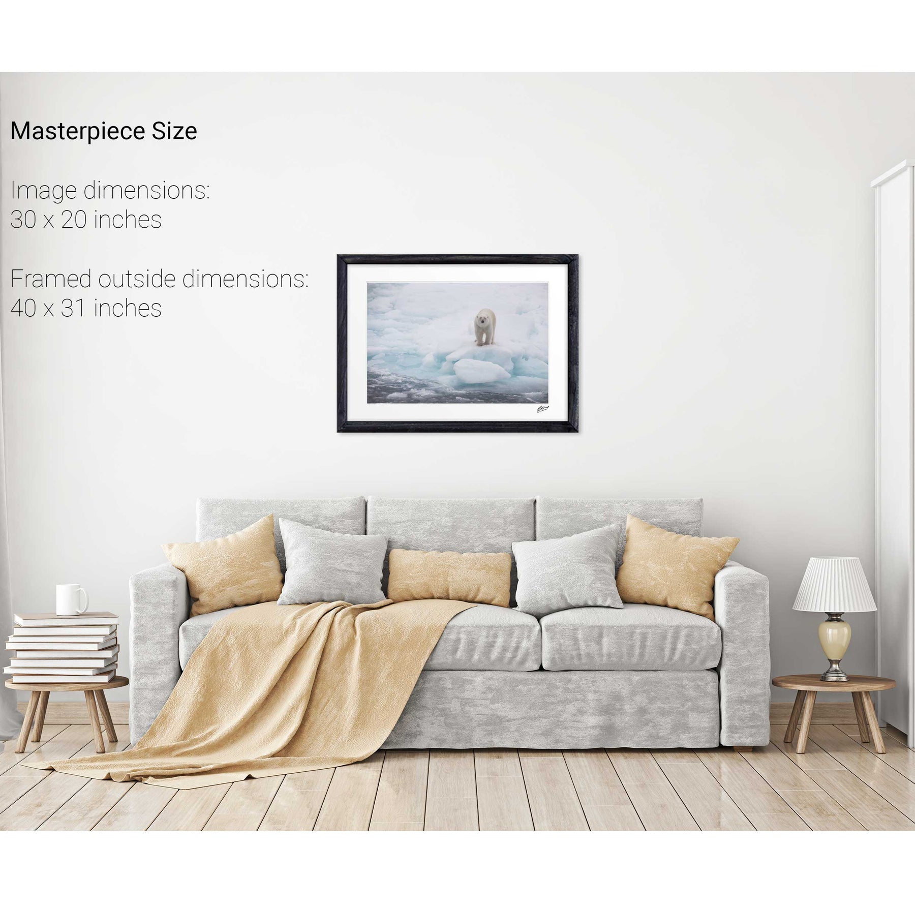
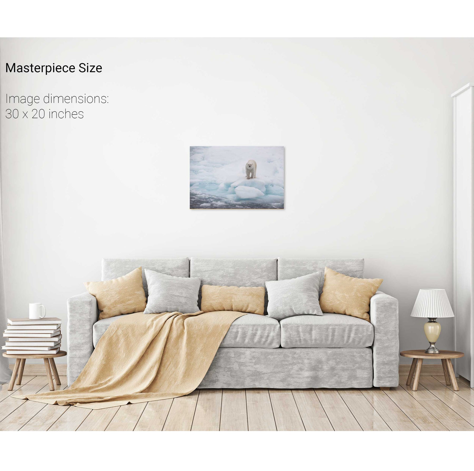
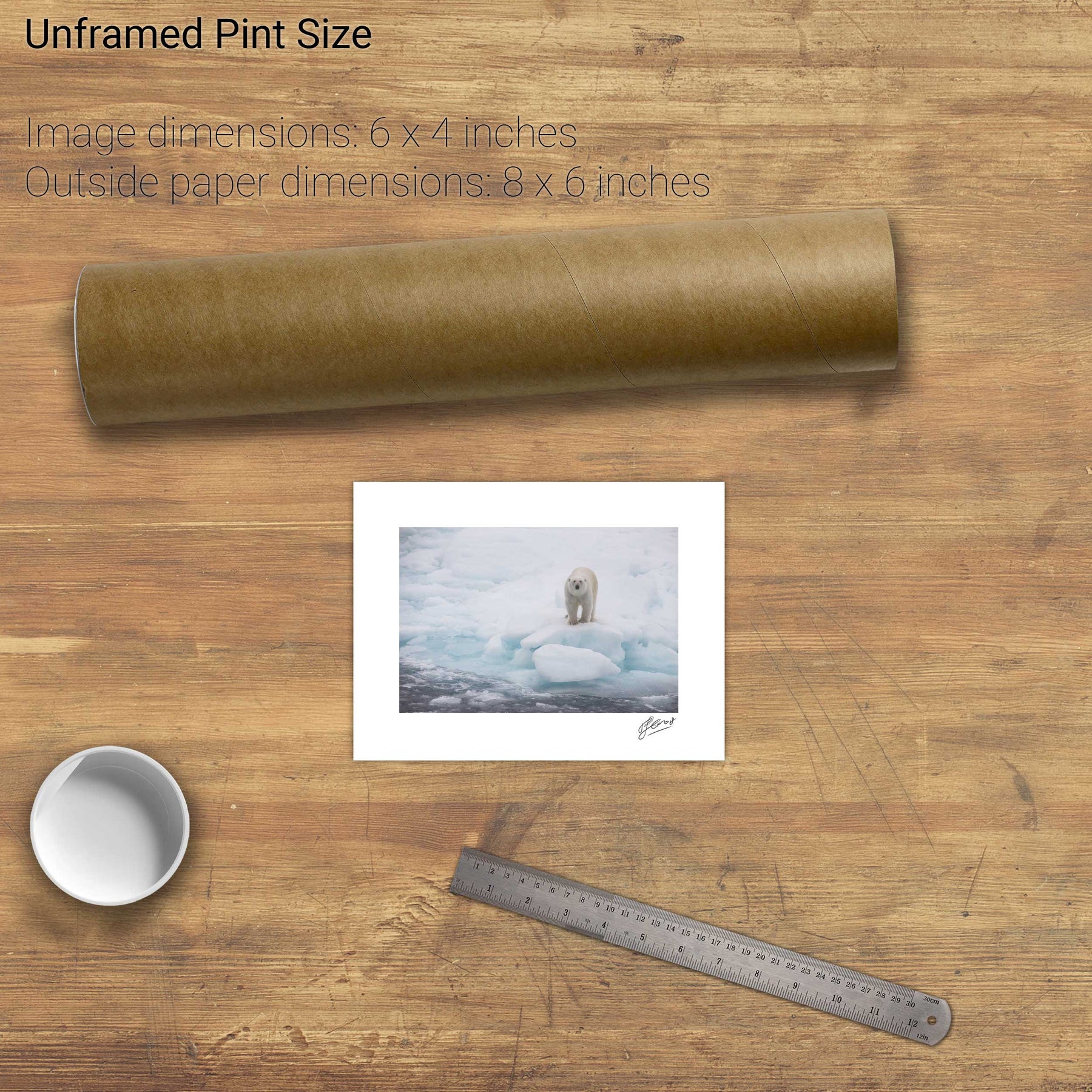
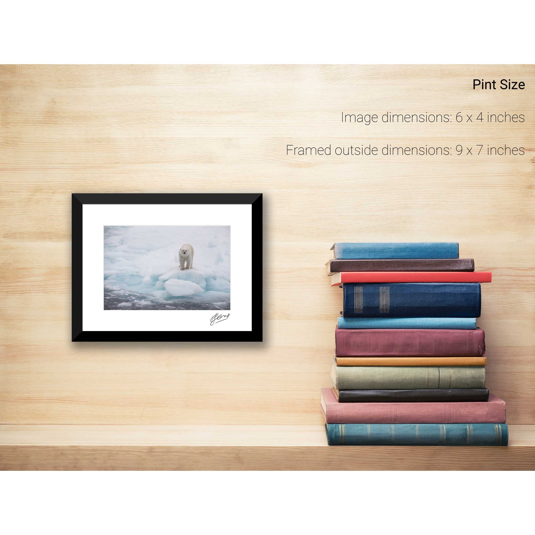
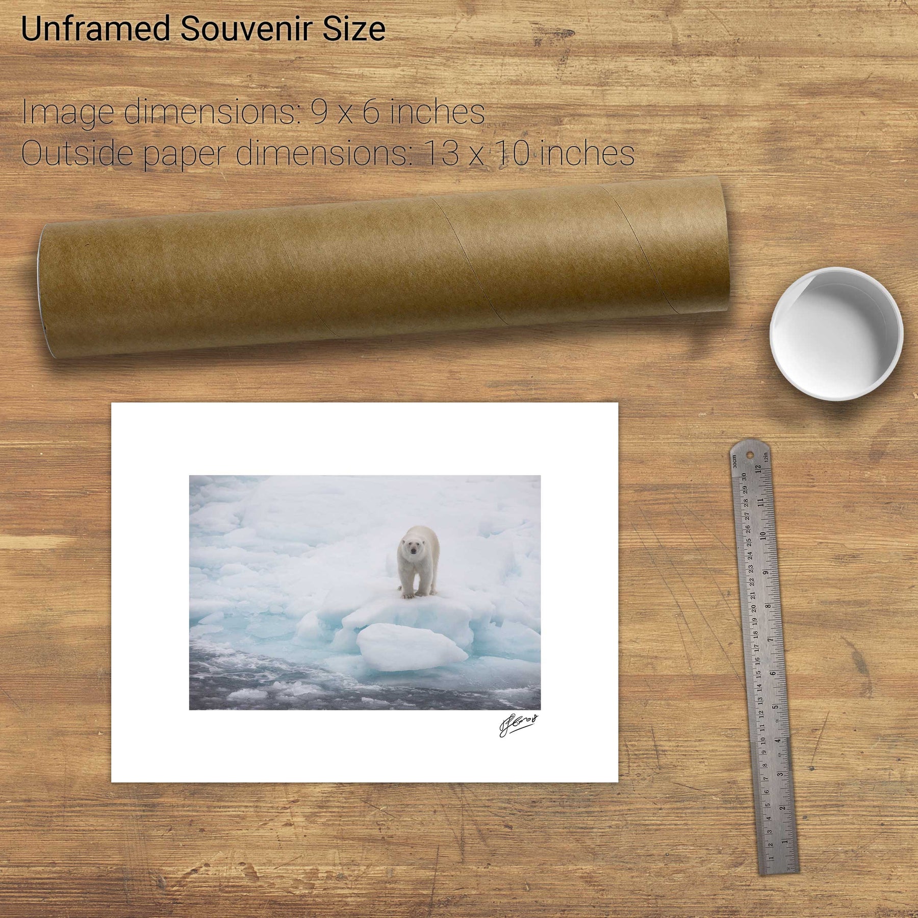
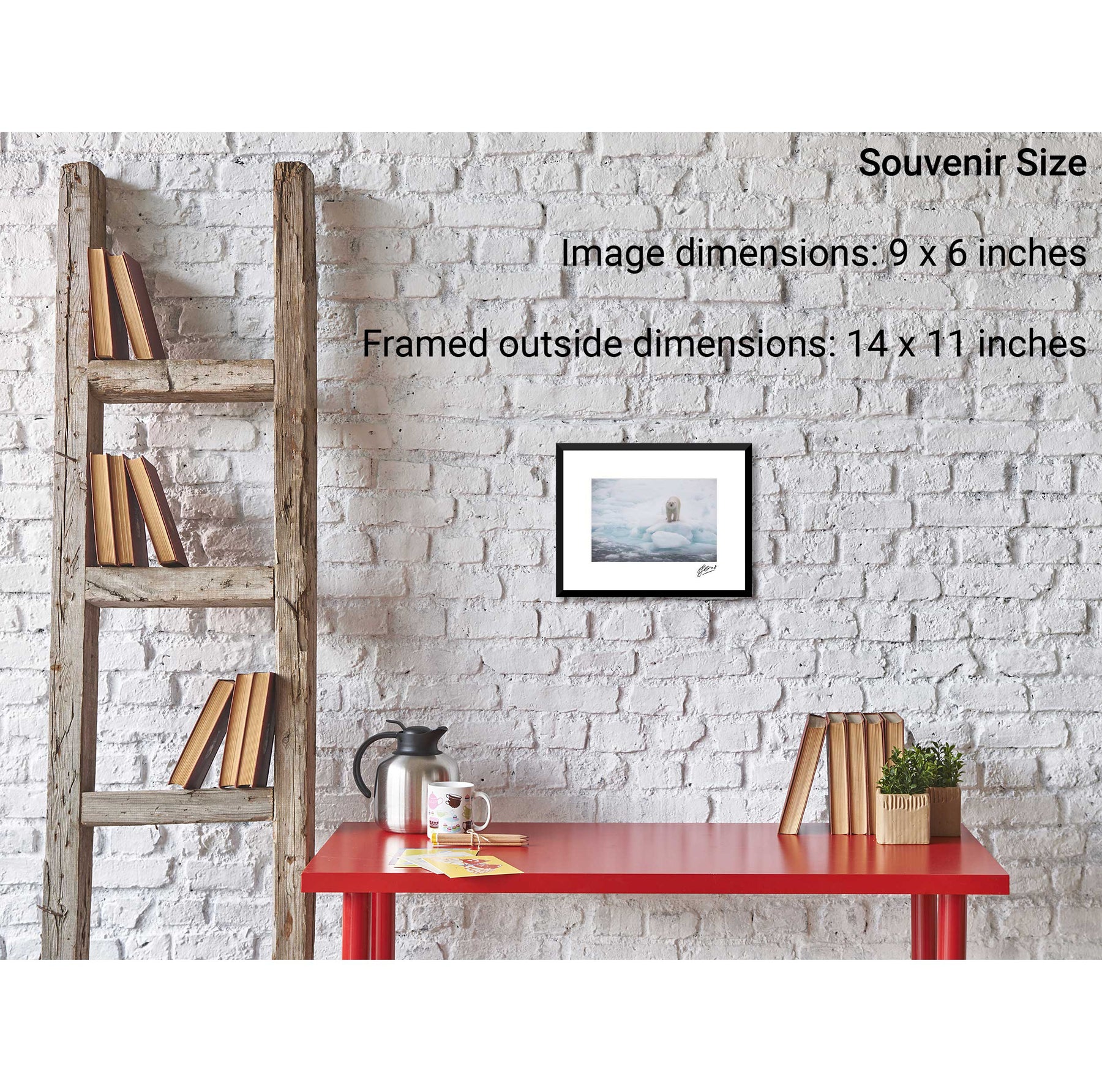
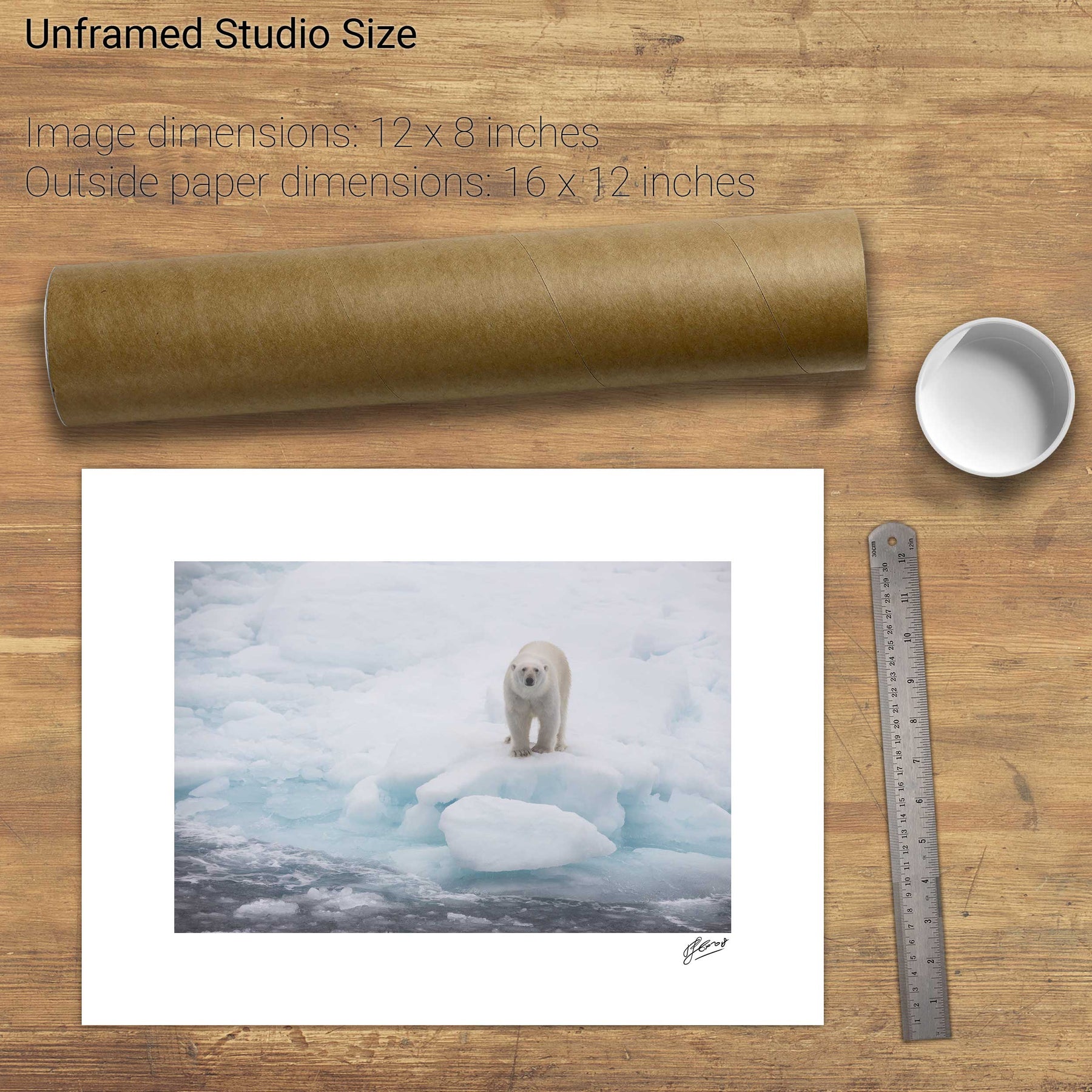
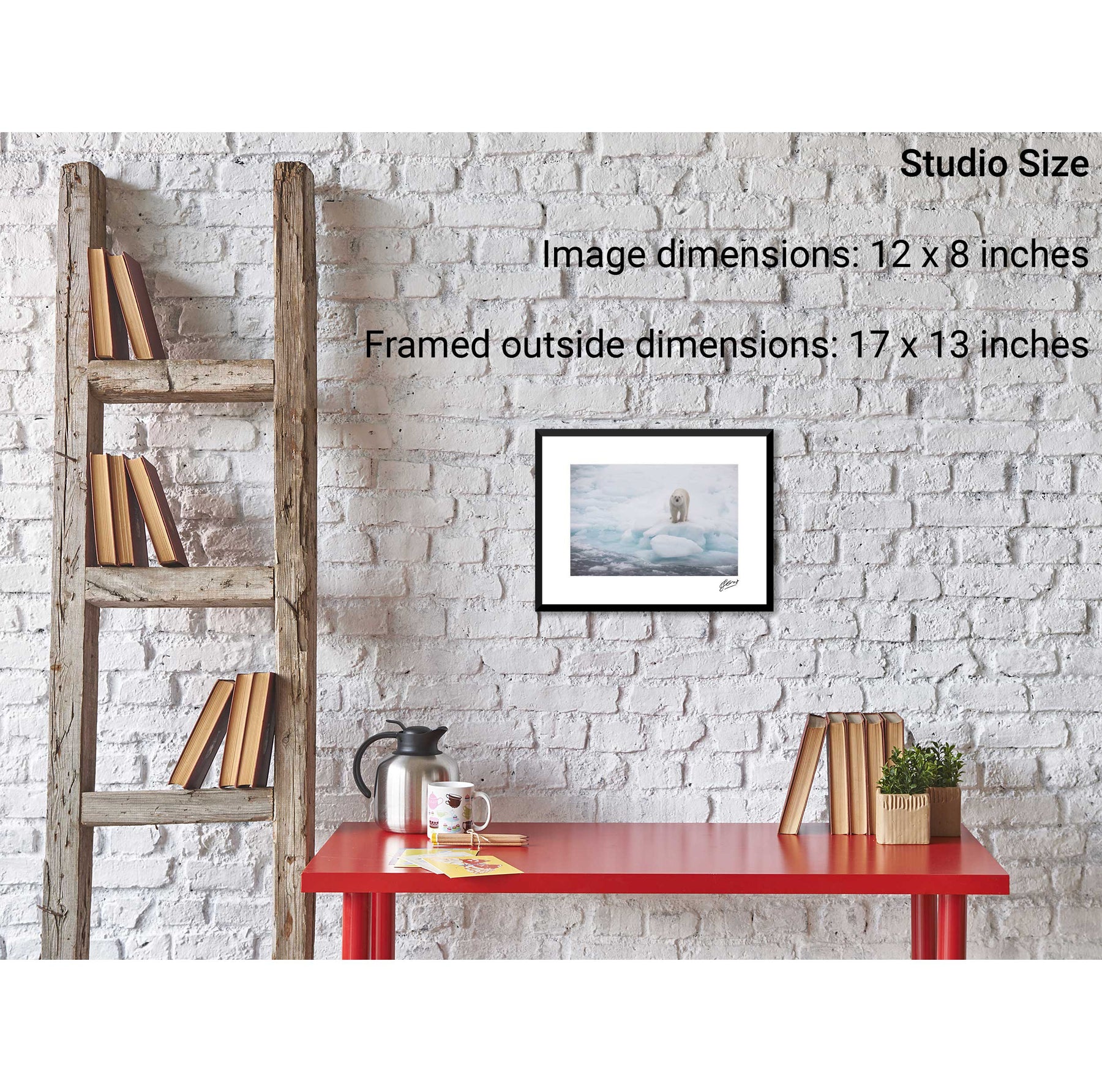
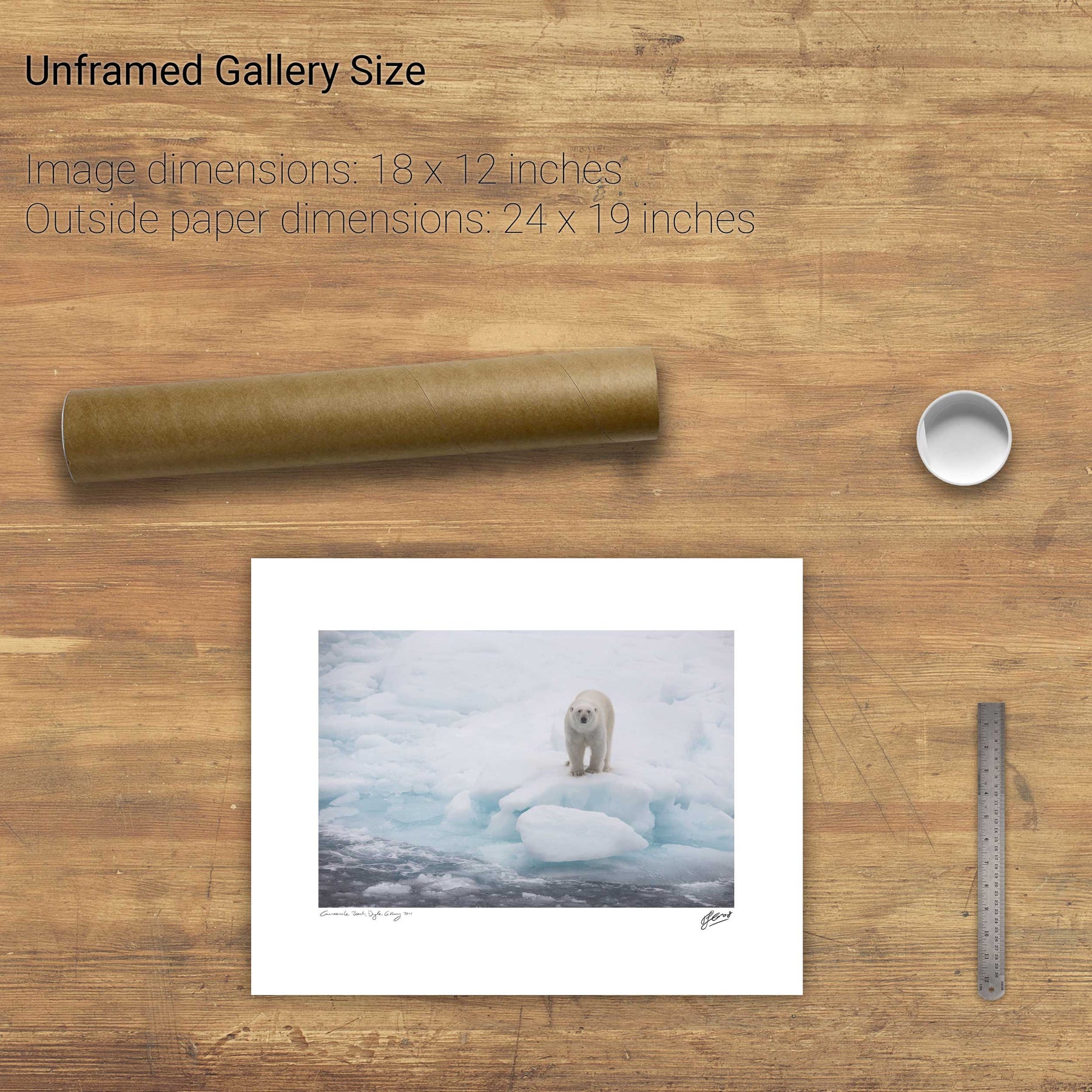
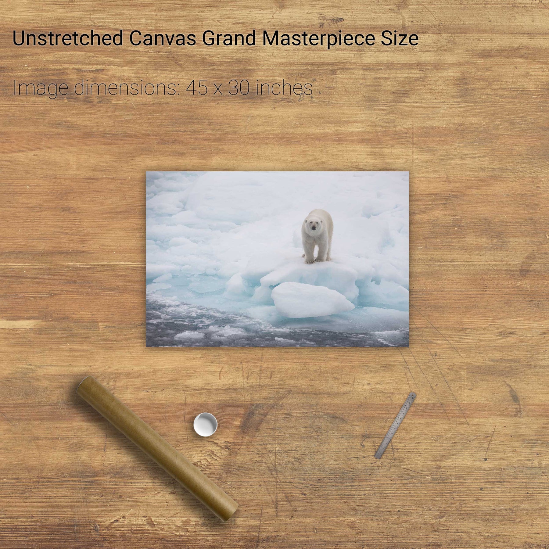
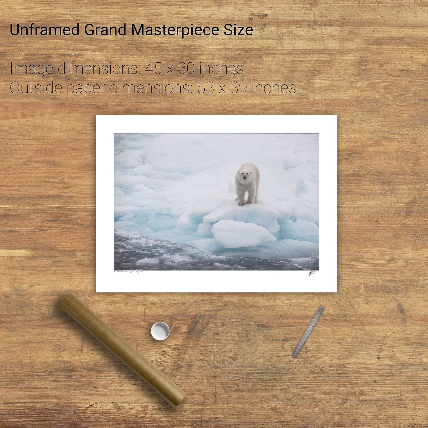
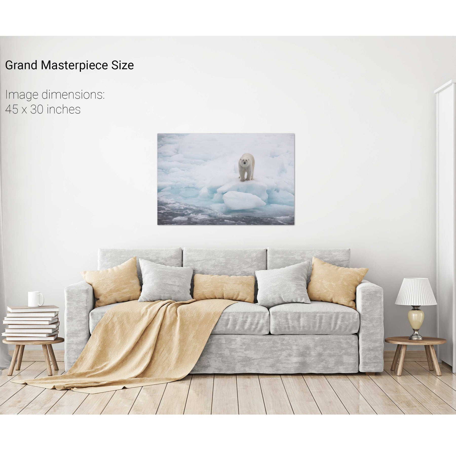
Polar Bear on Sea Ice, Barents Sea


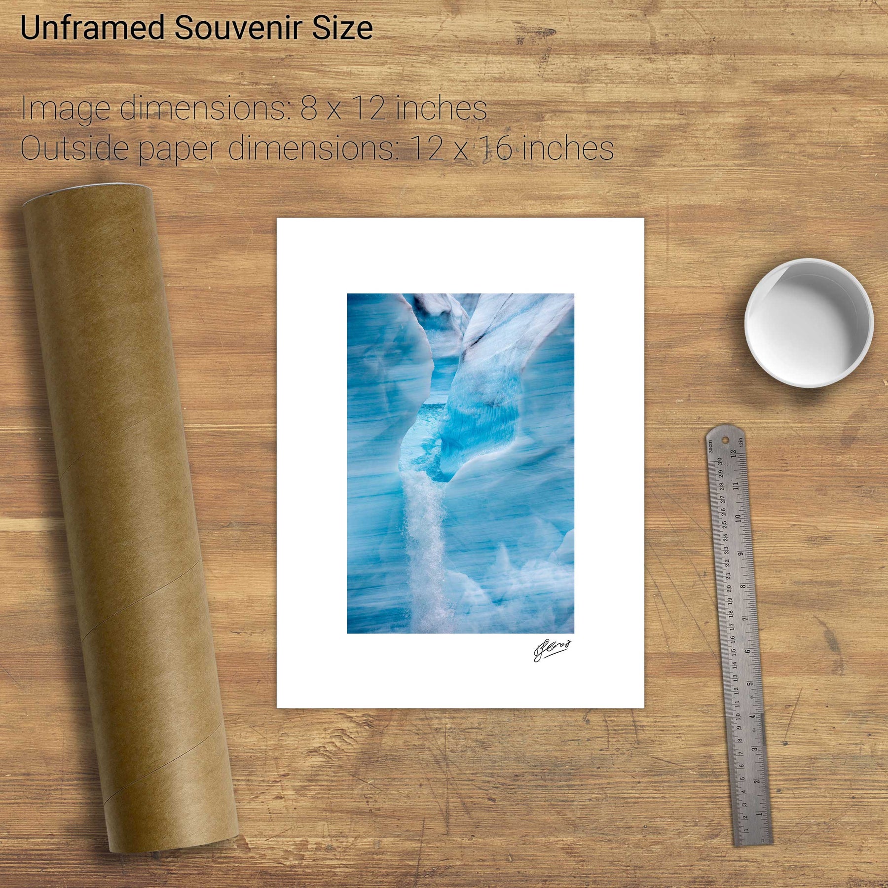
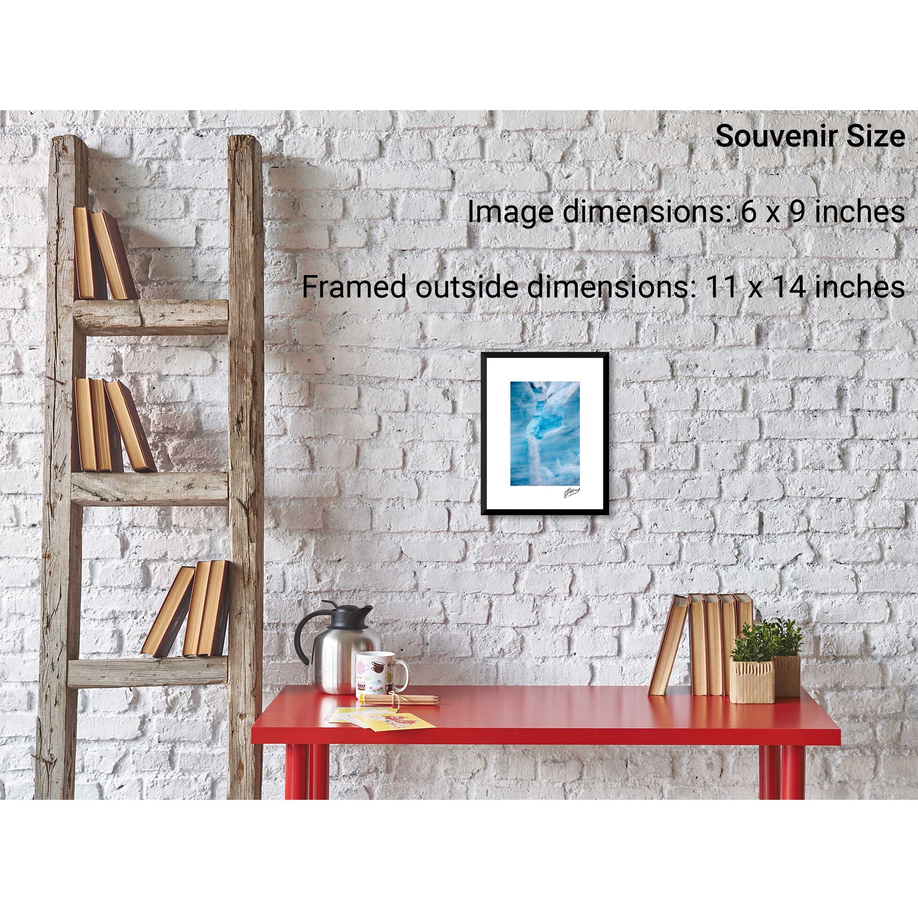
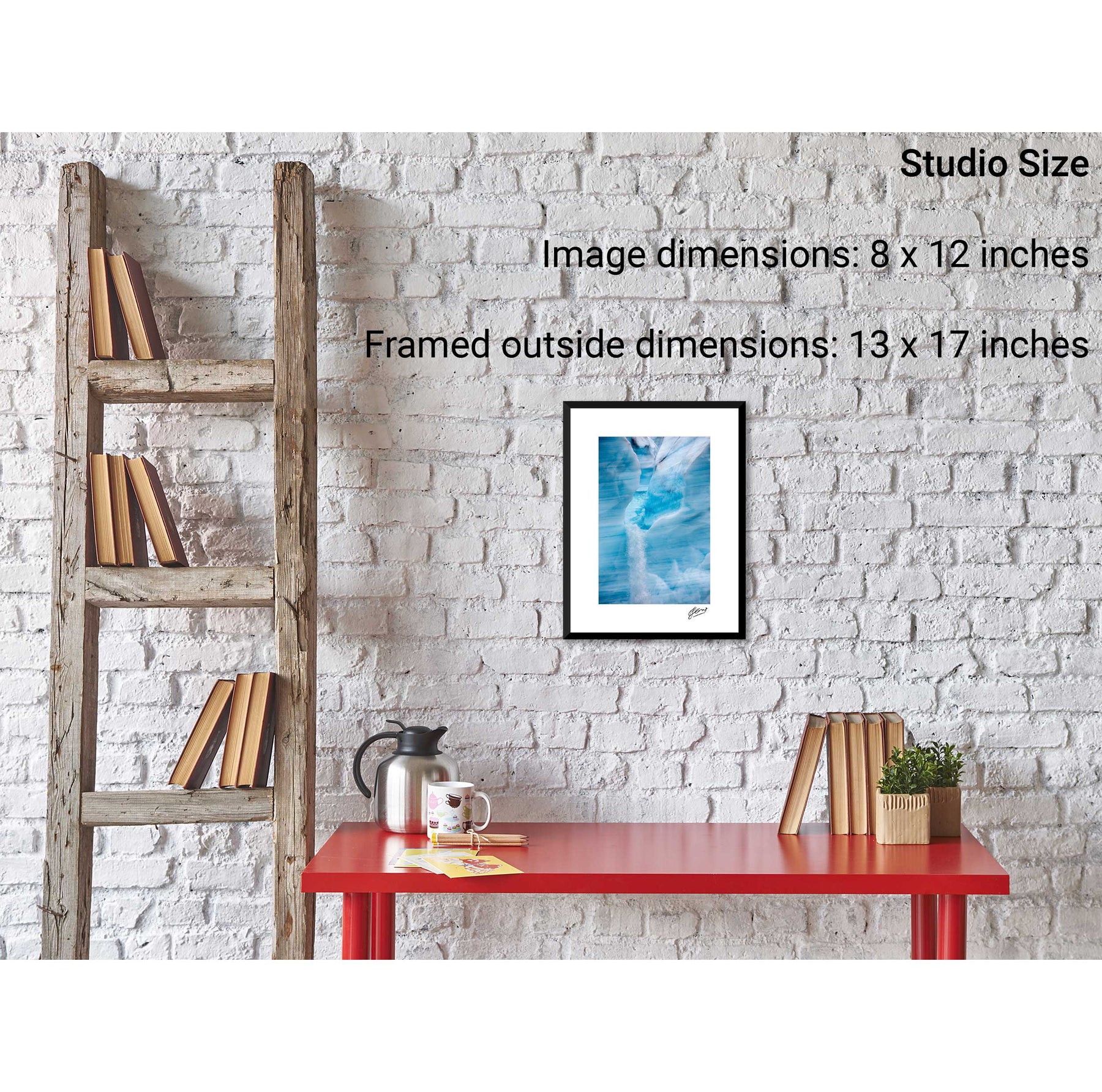
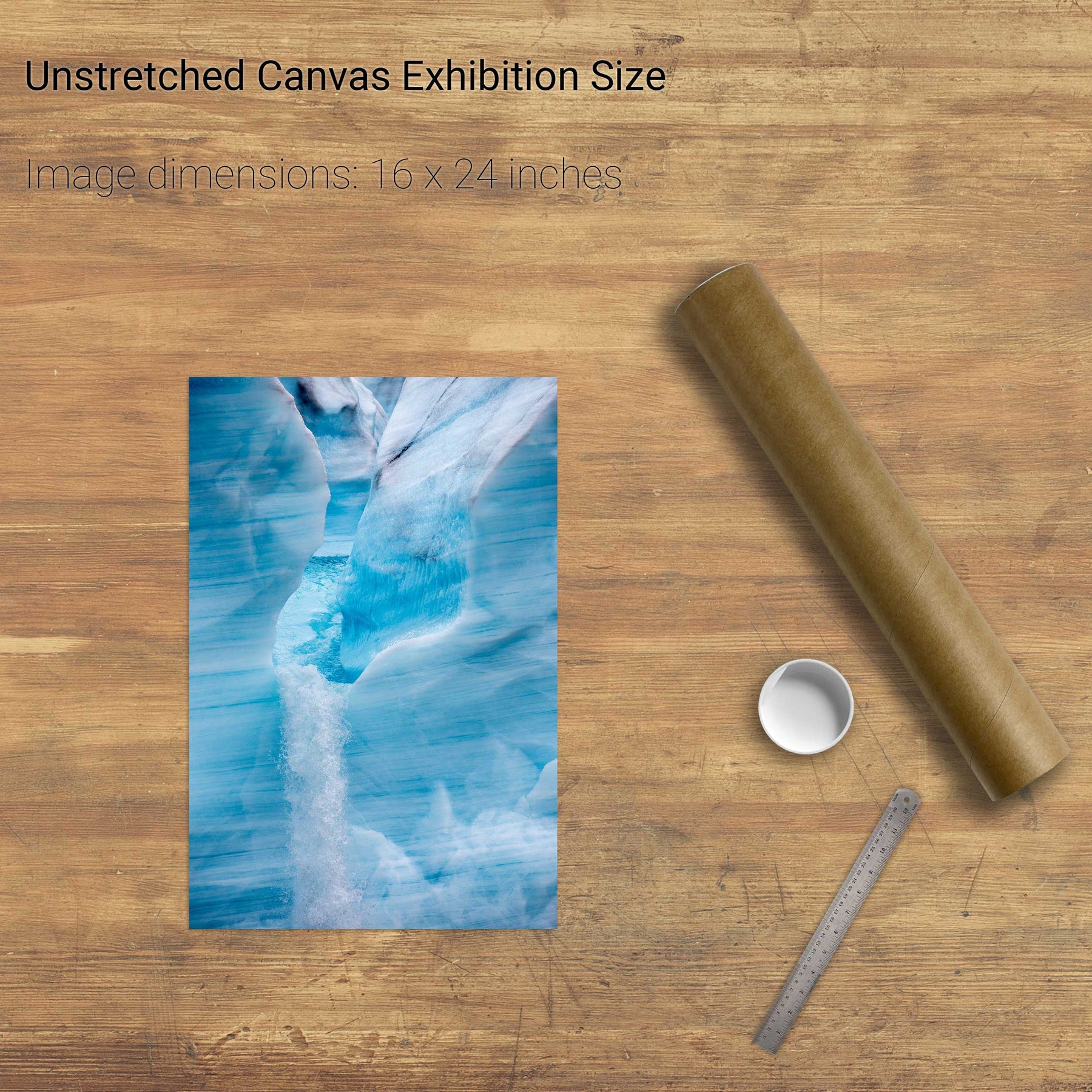
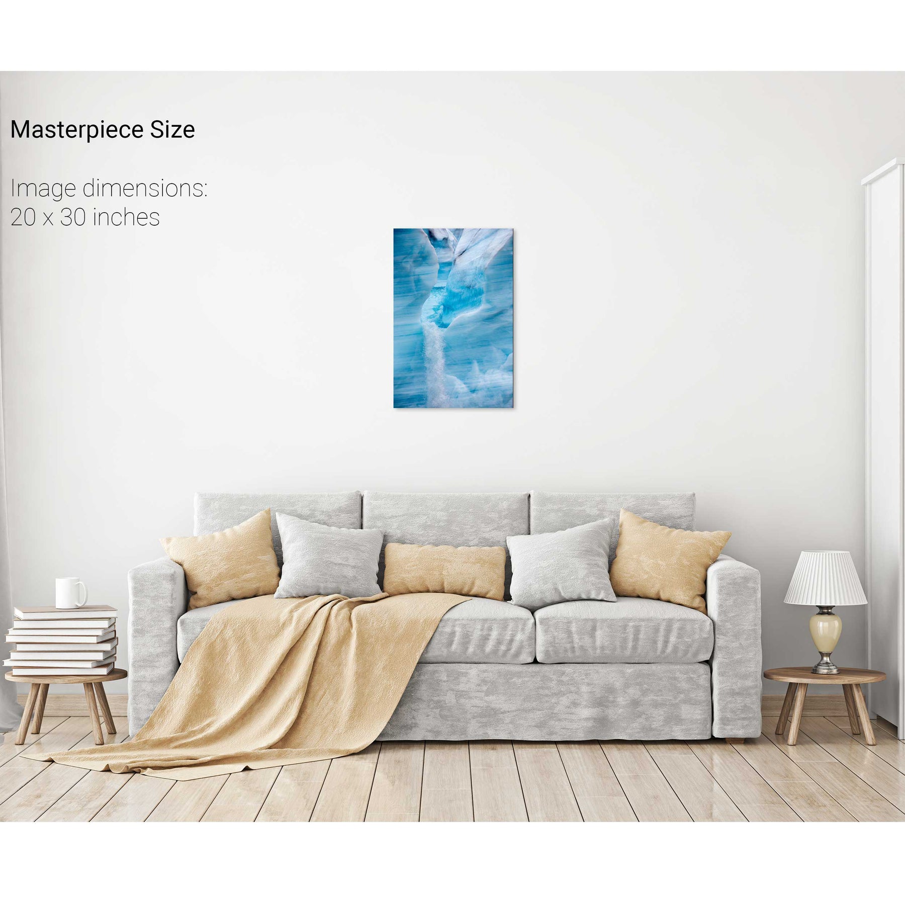
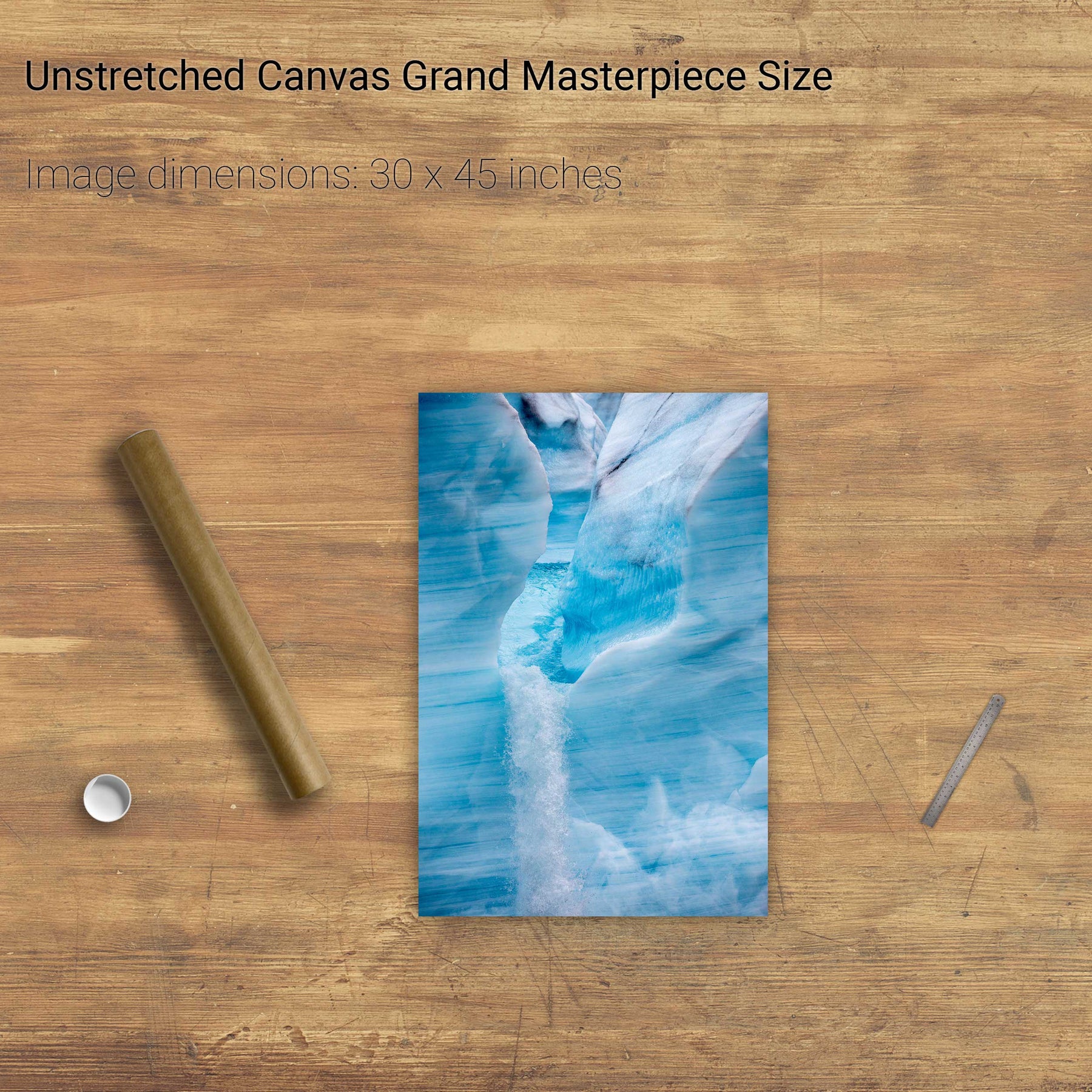
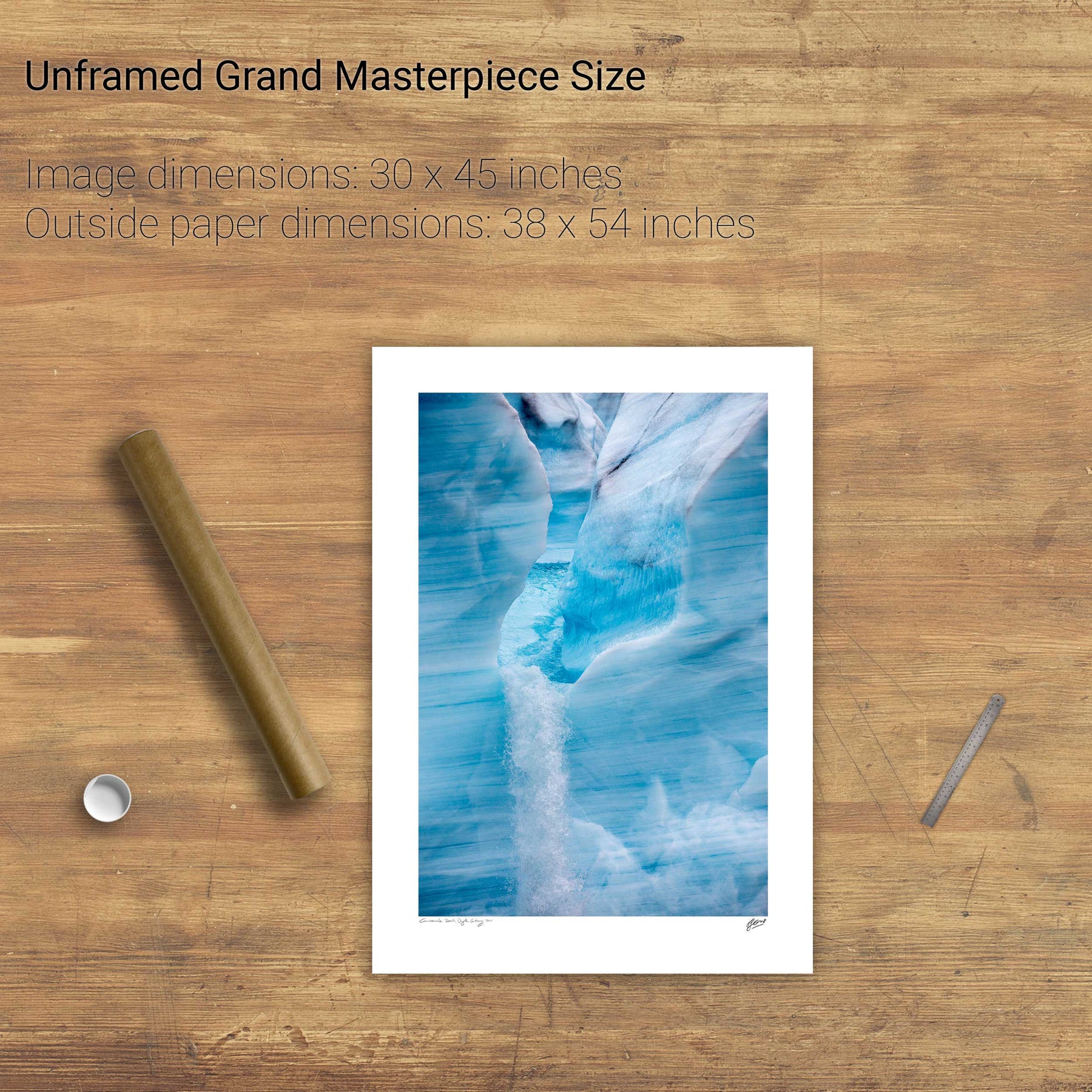
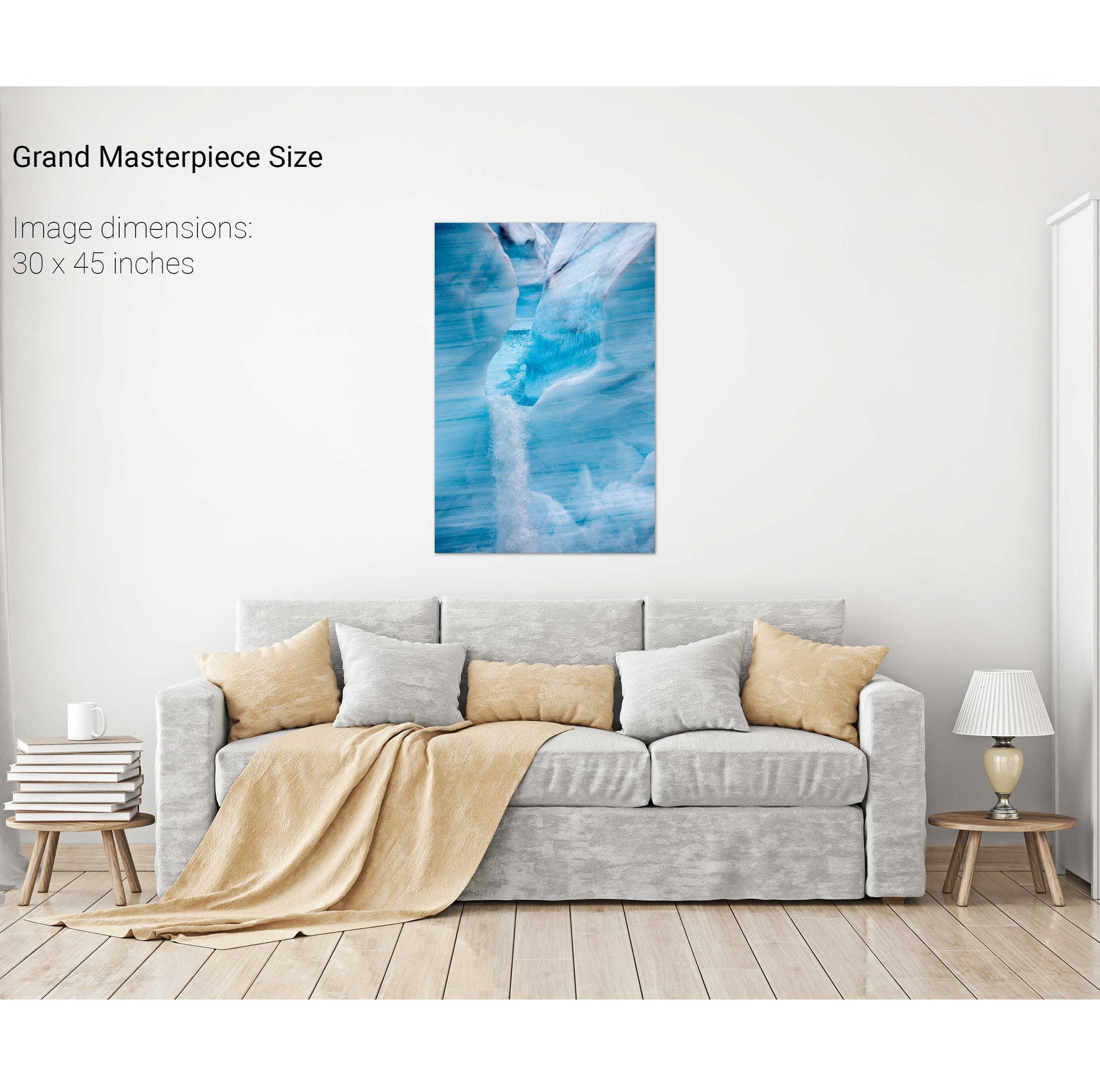
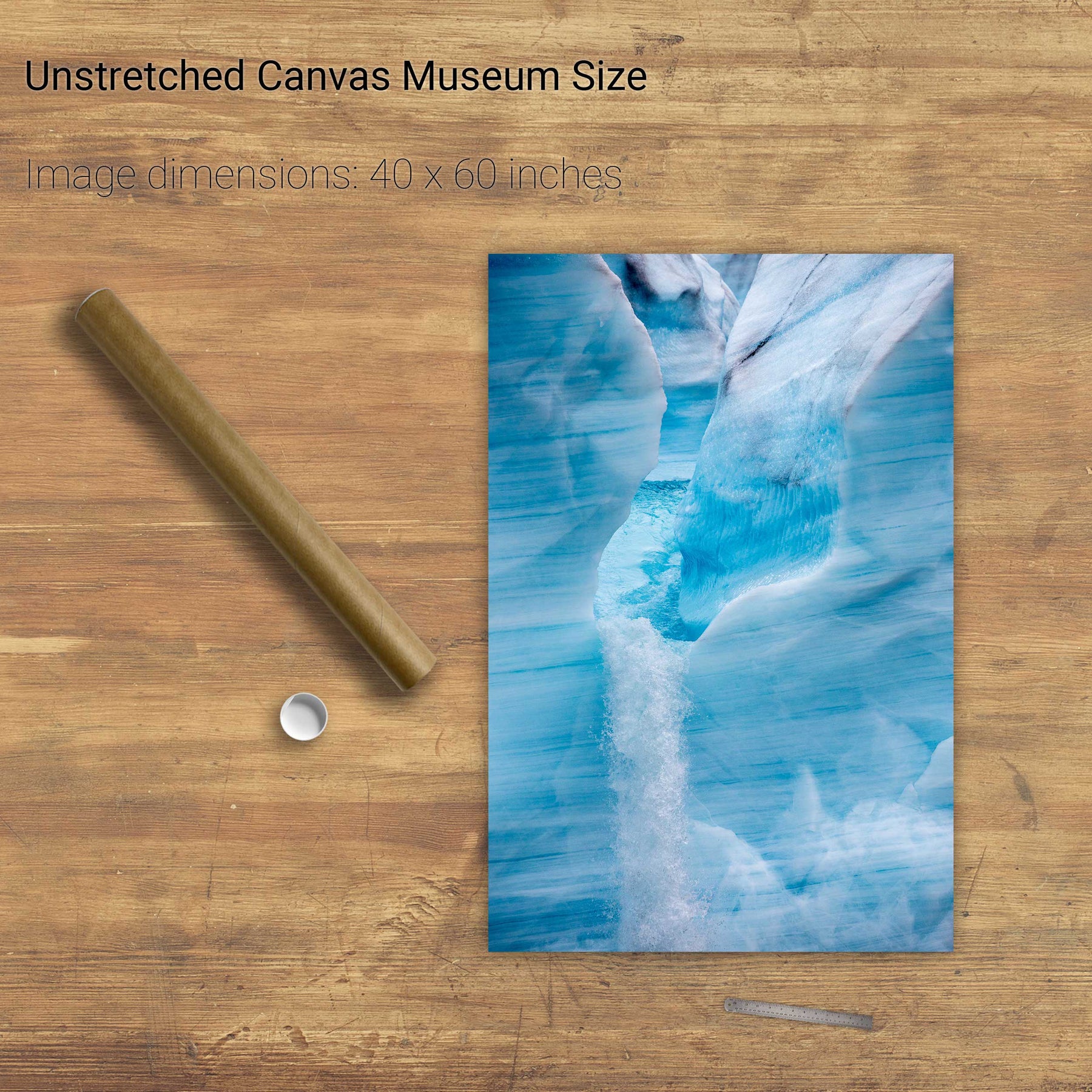
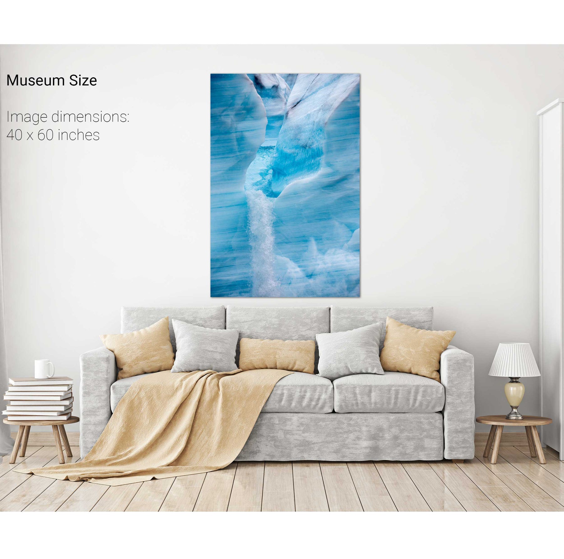
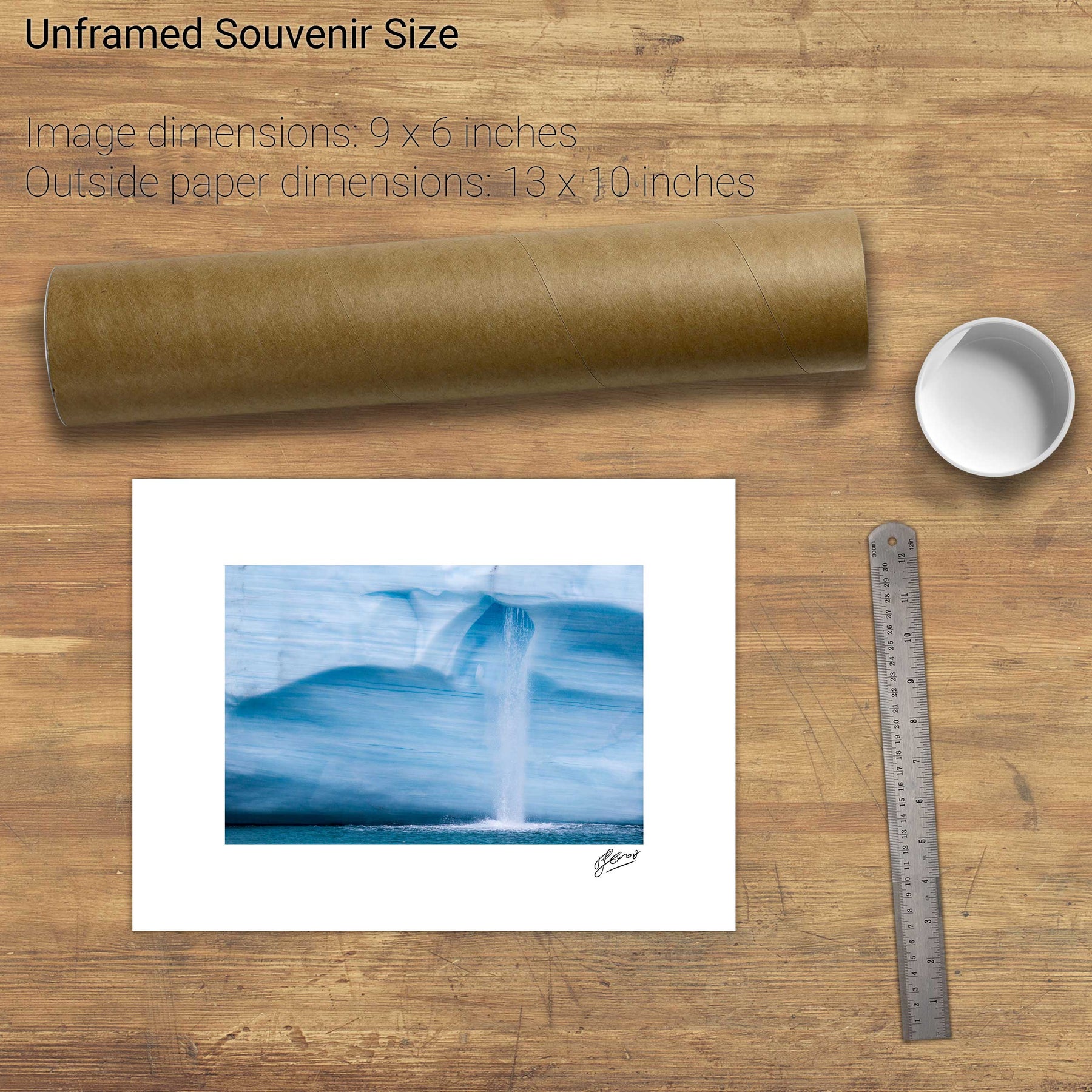
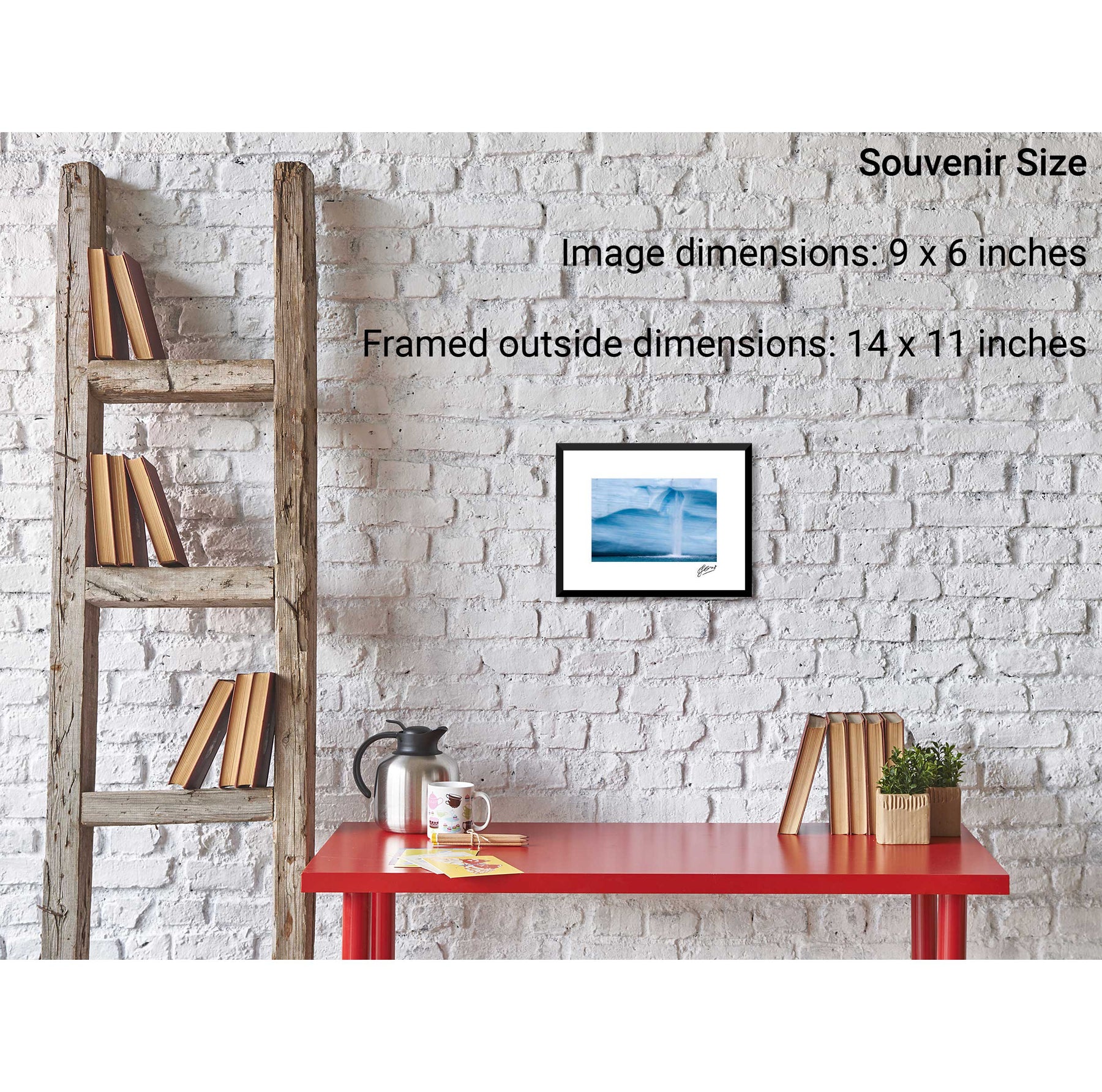
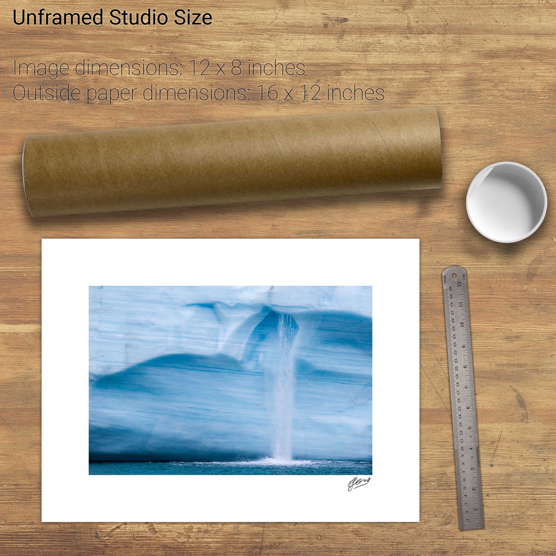
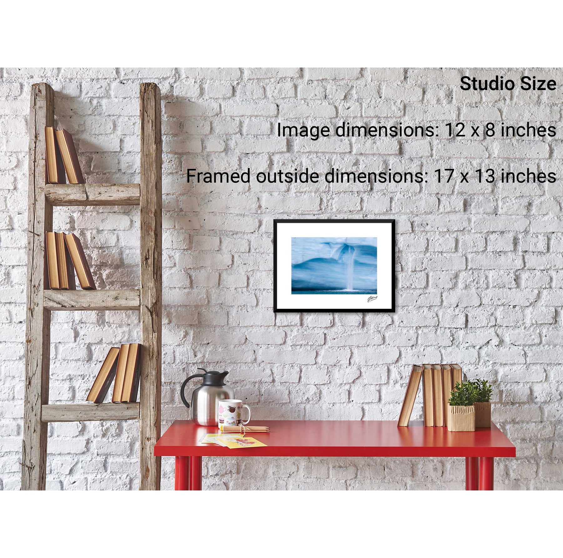
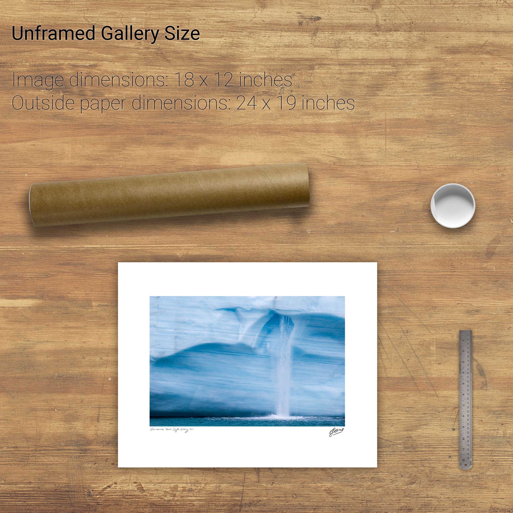
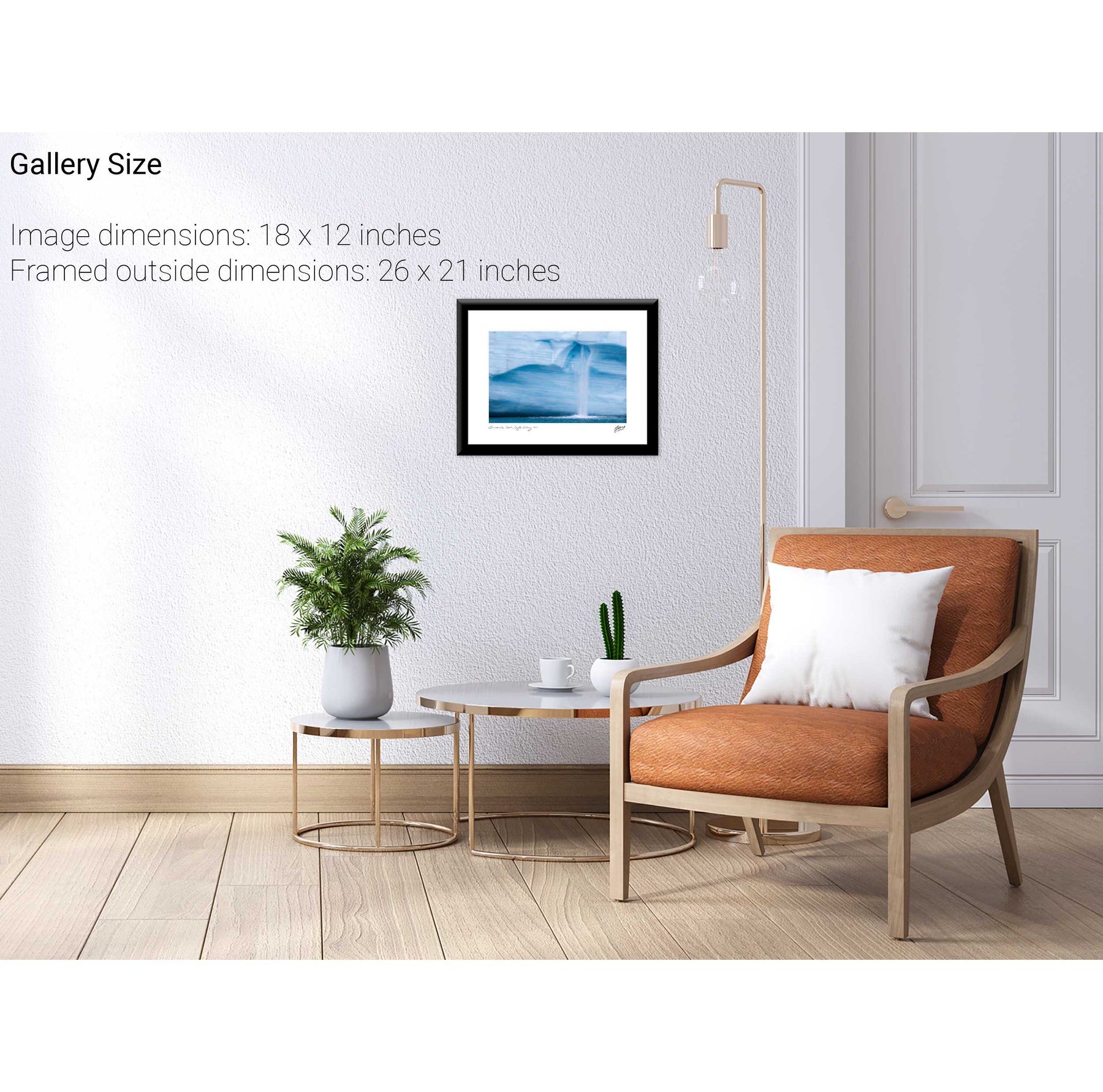
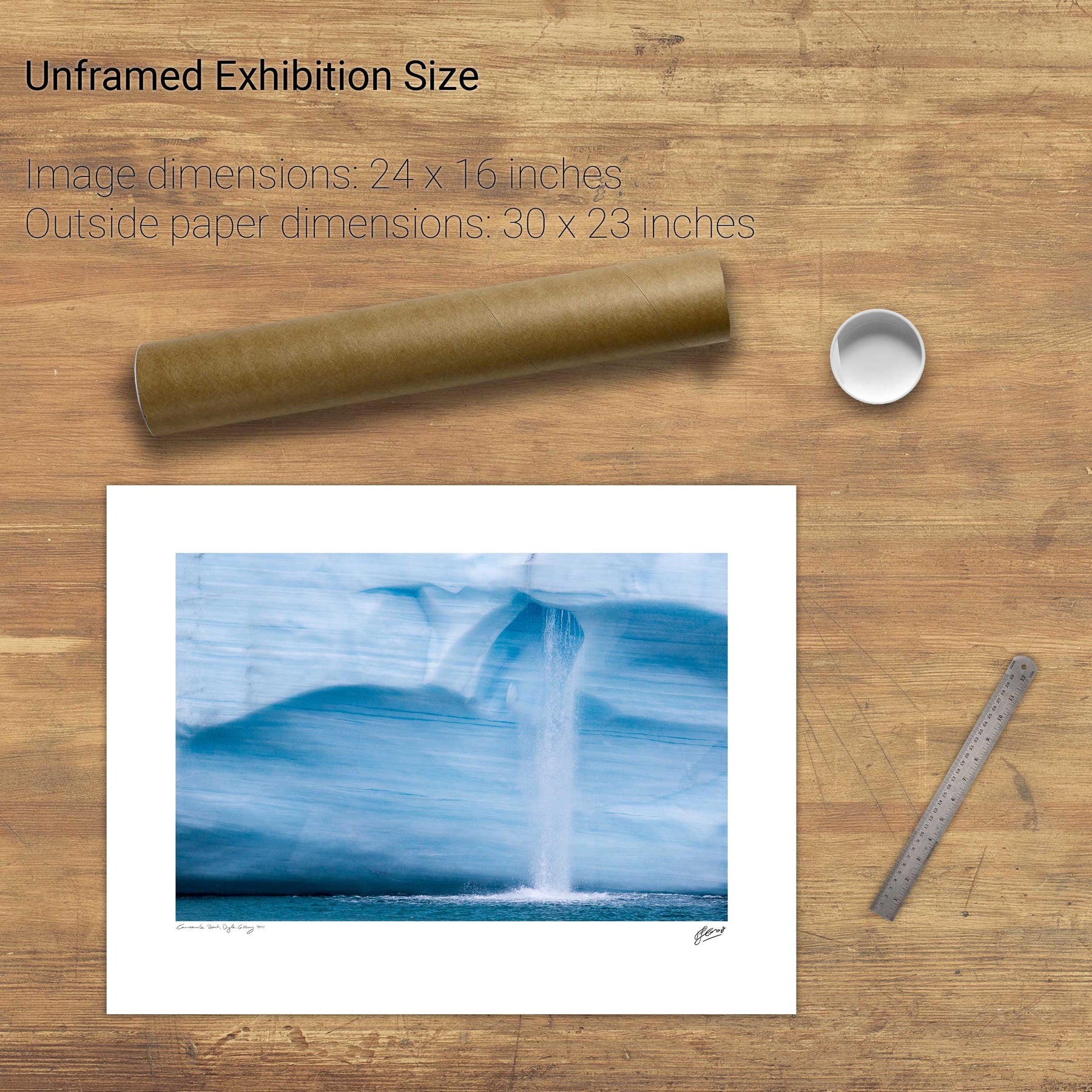
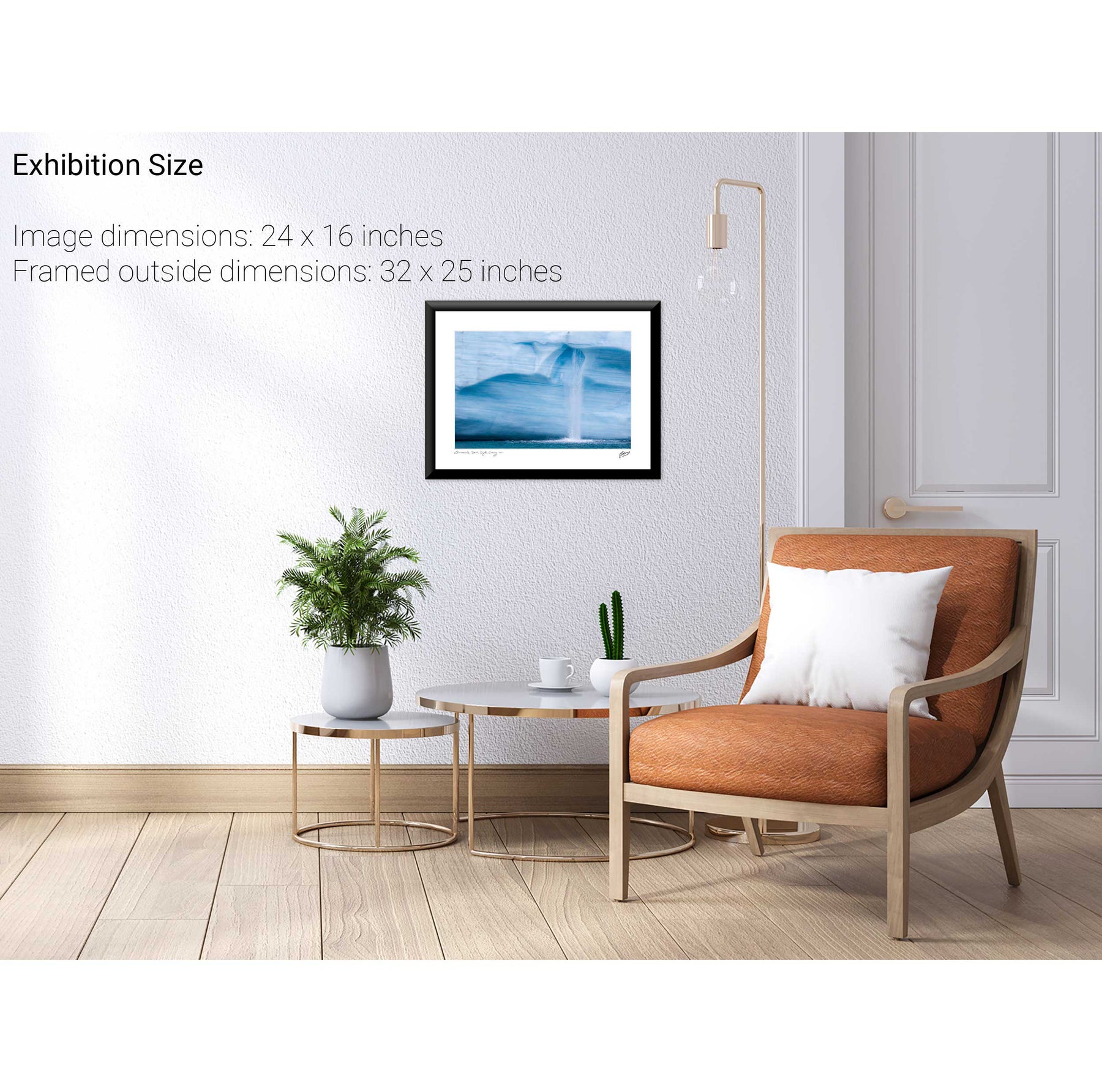
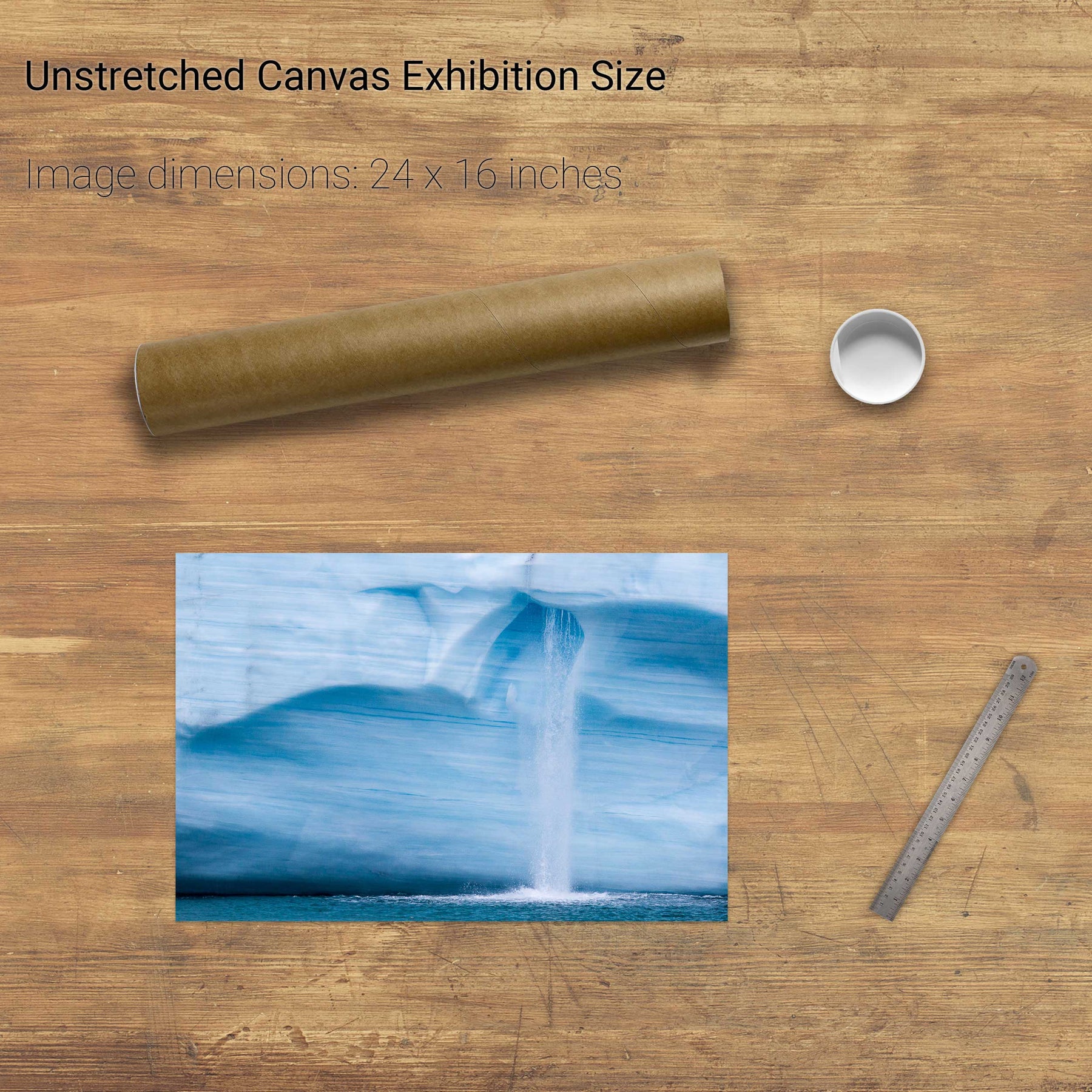
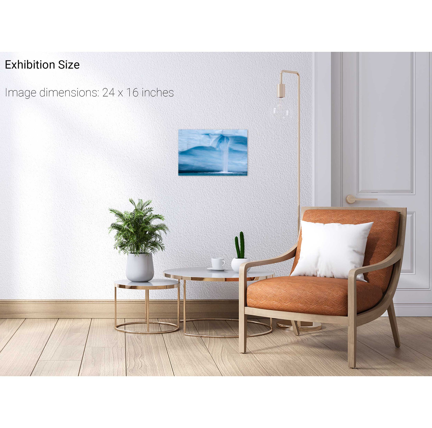
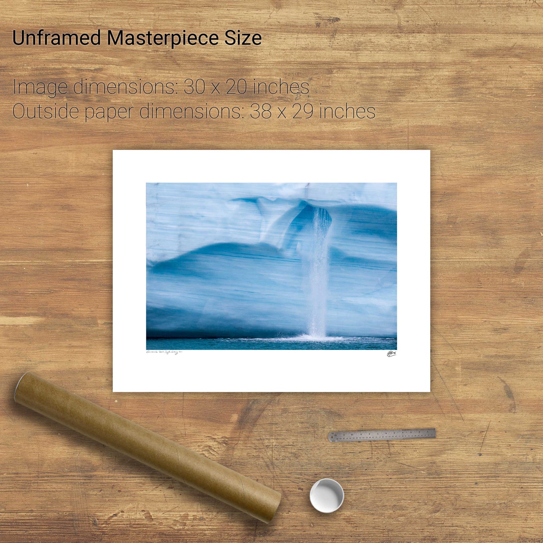
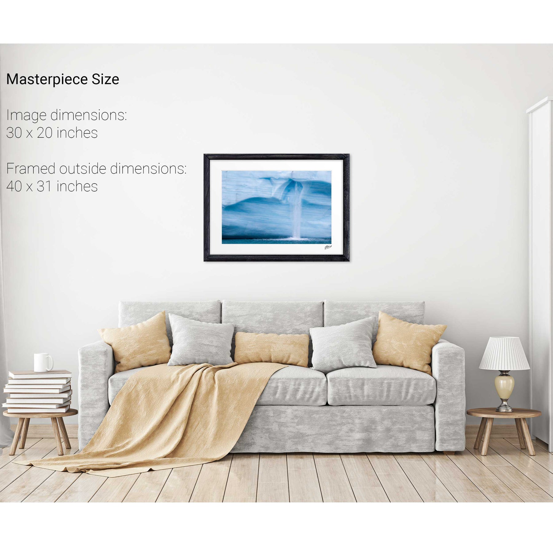
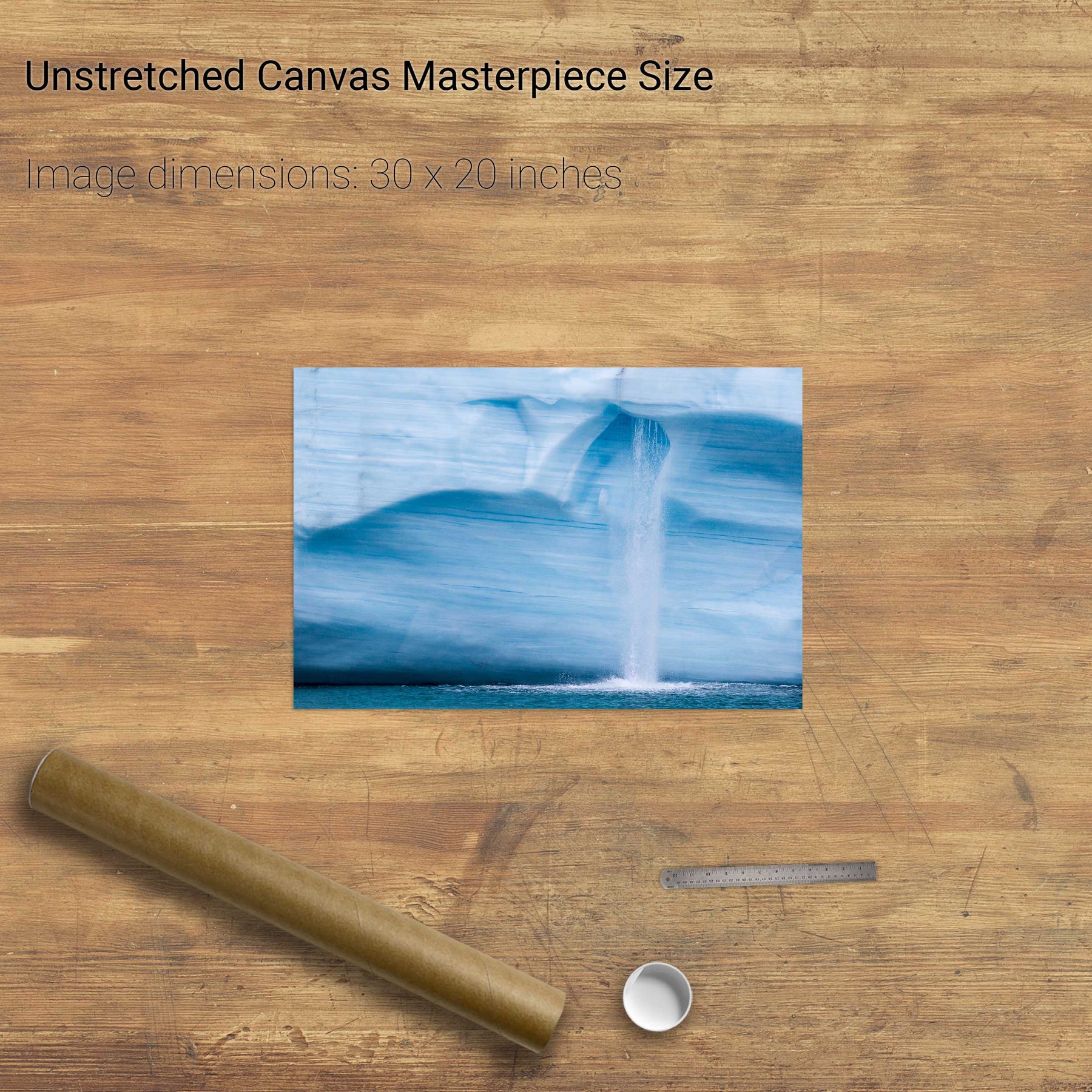
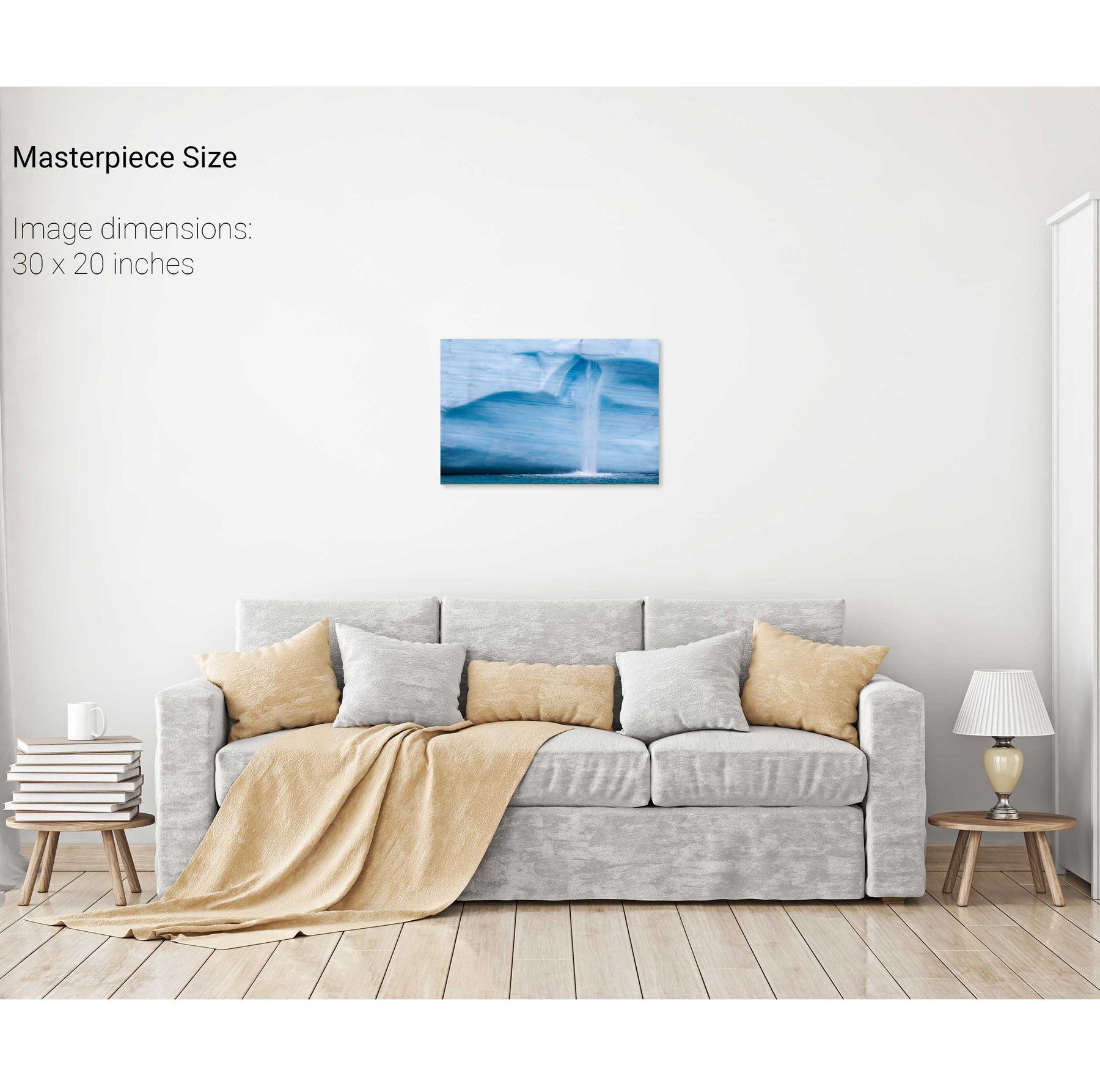
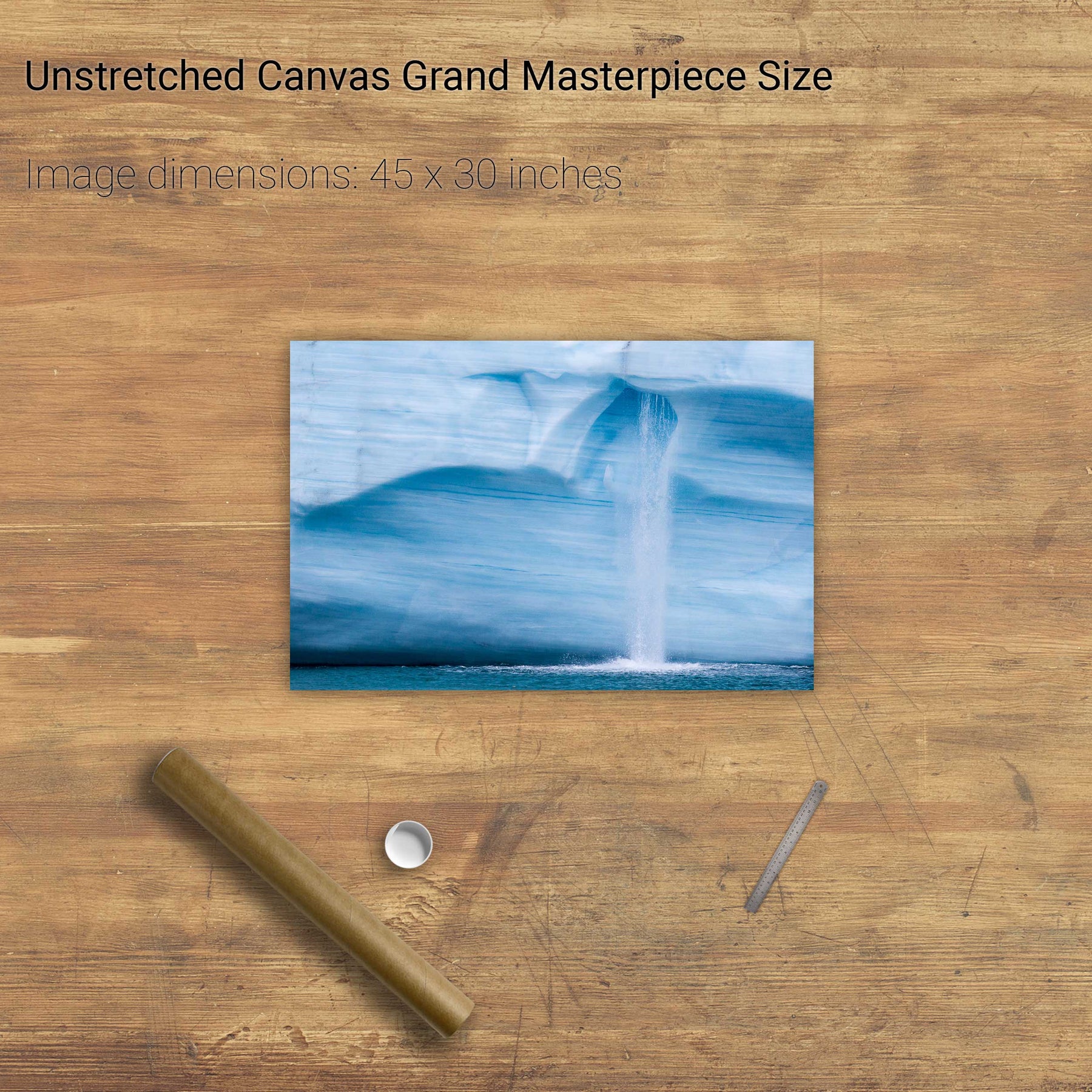
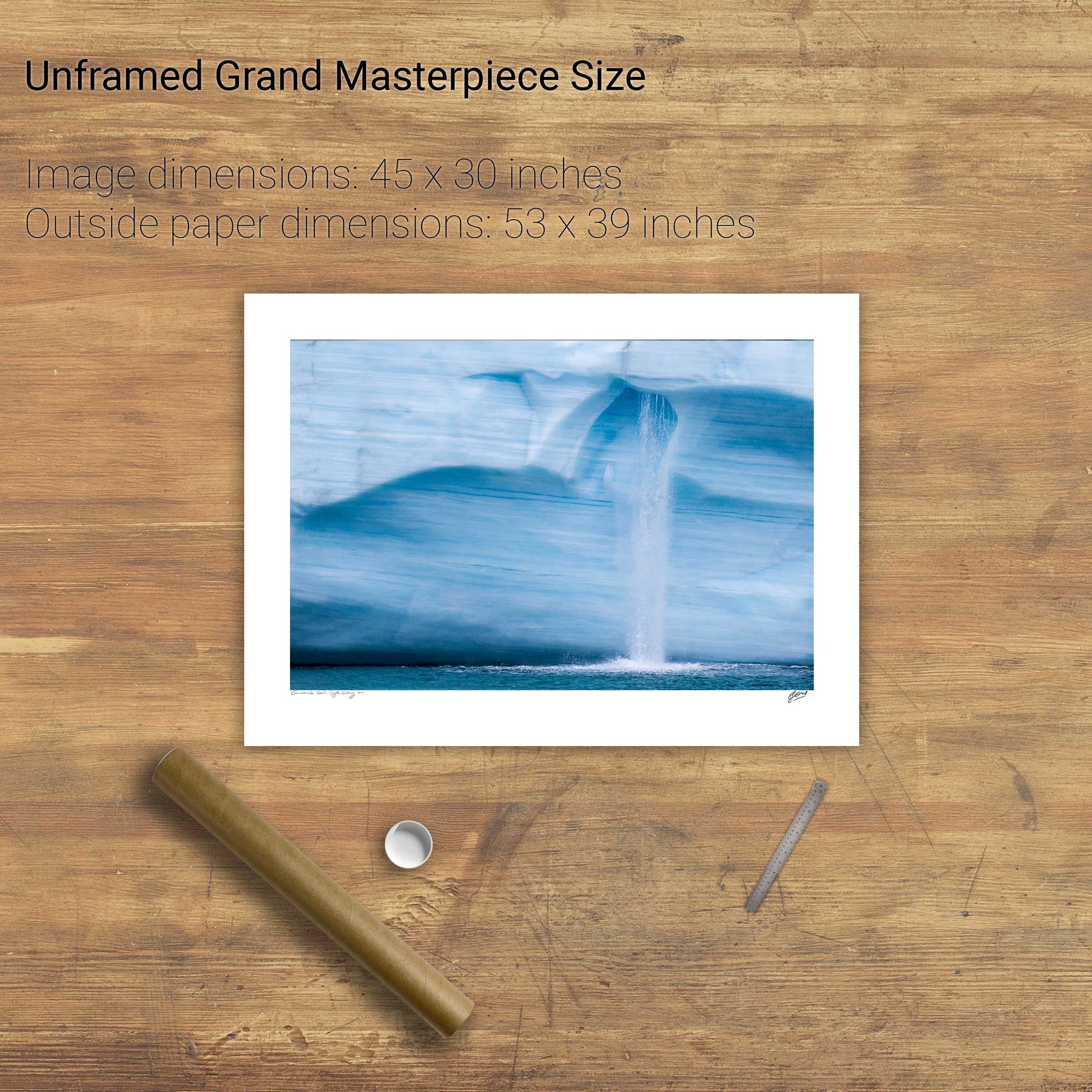
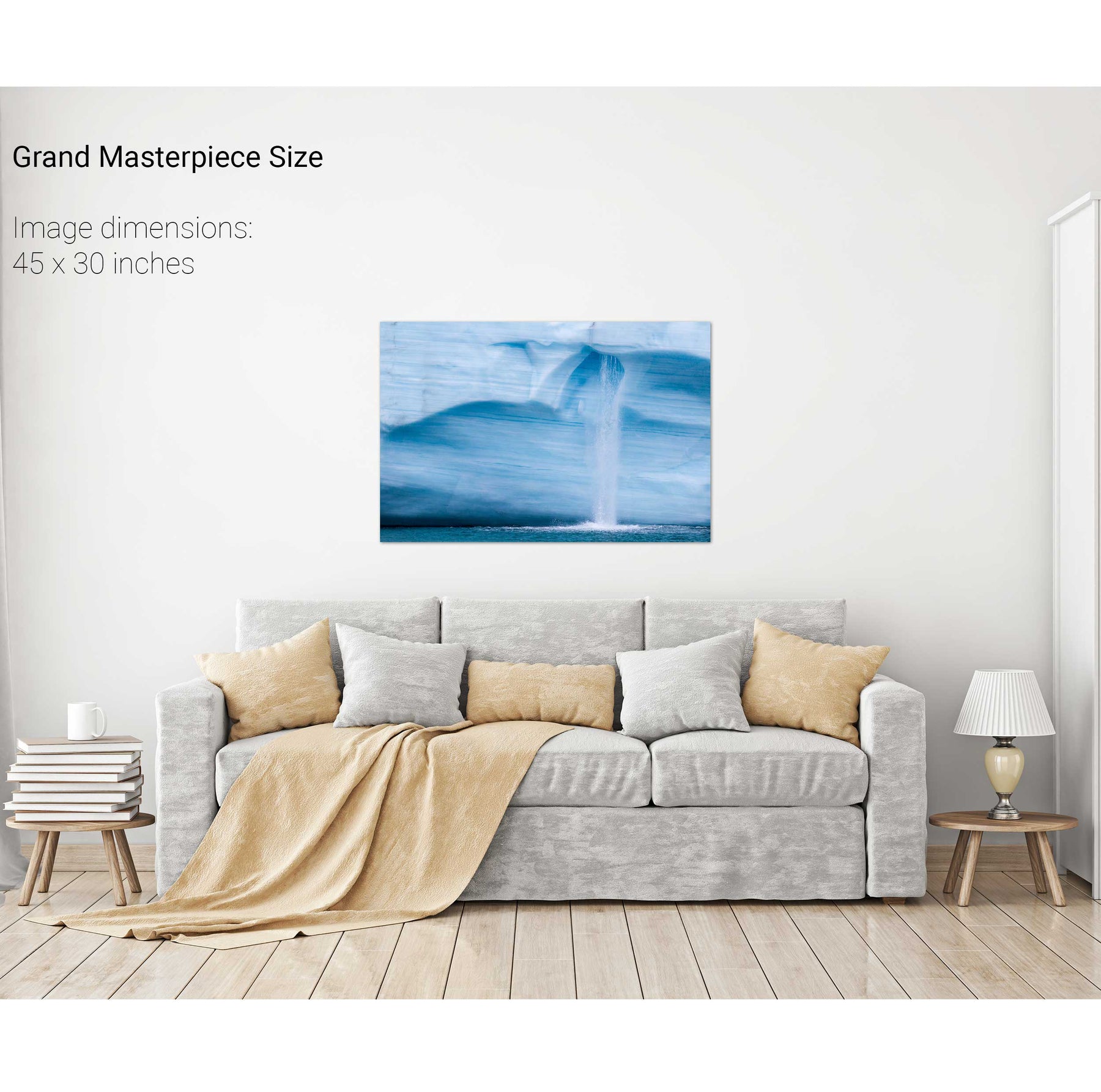
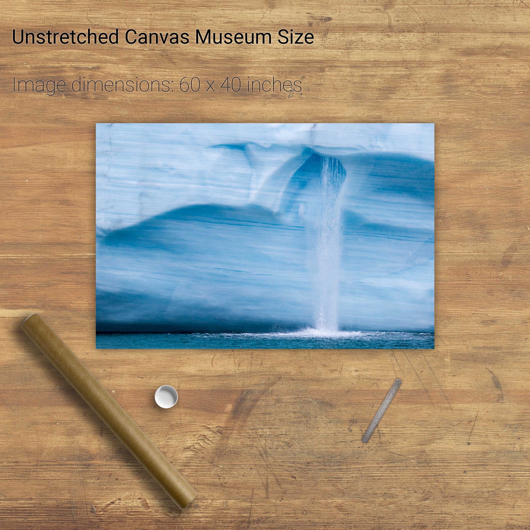
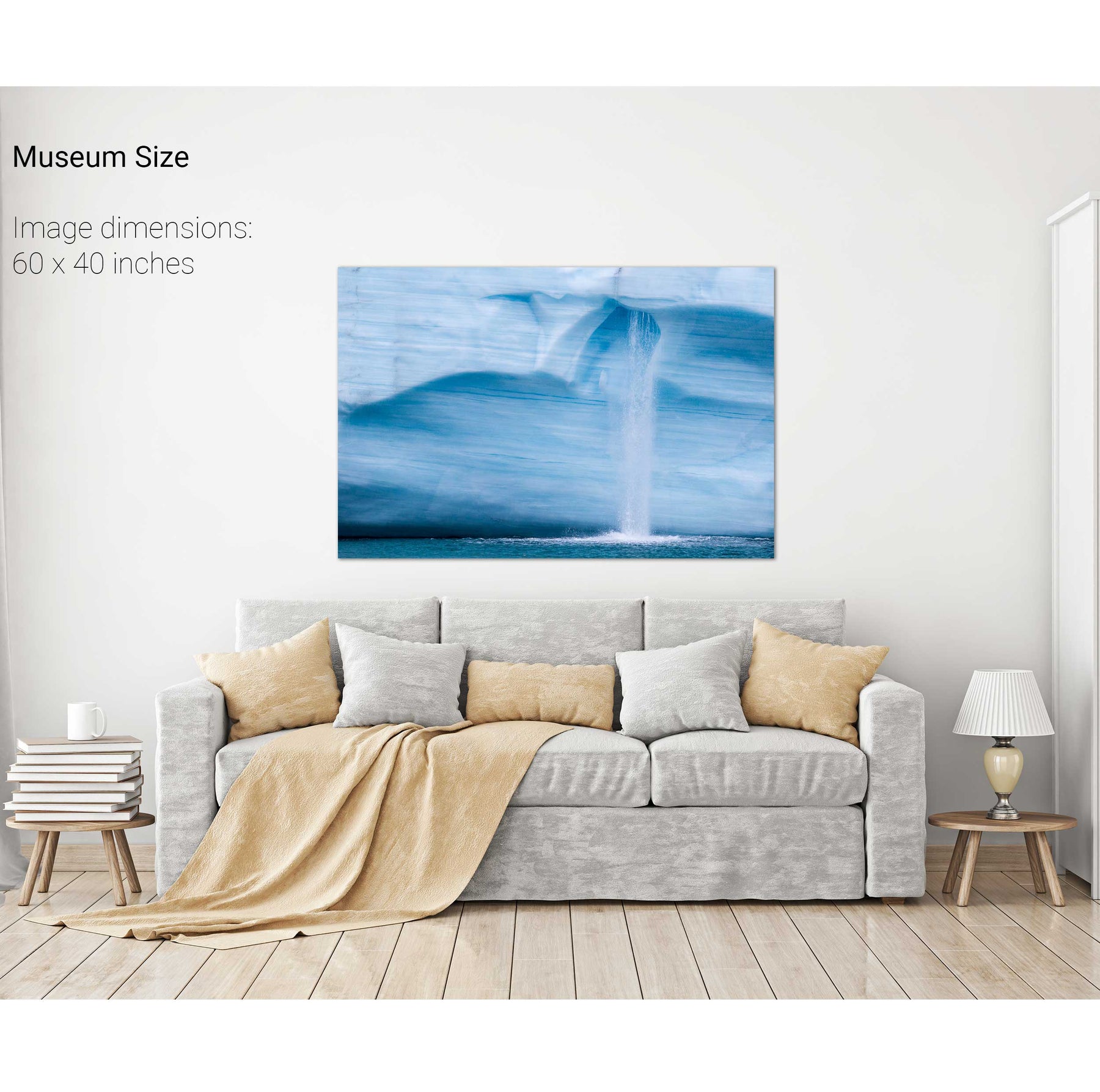
Meltwater Waterfall, Brasvellbreen Ice Wall, Svalbard


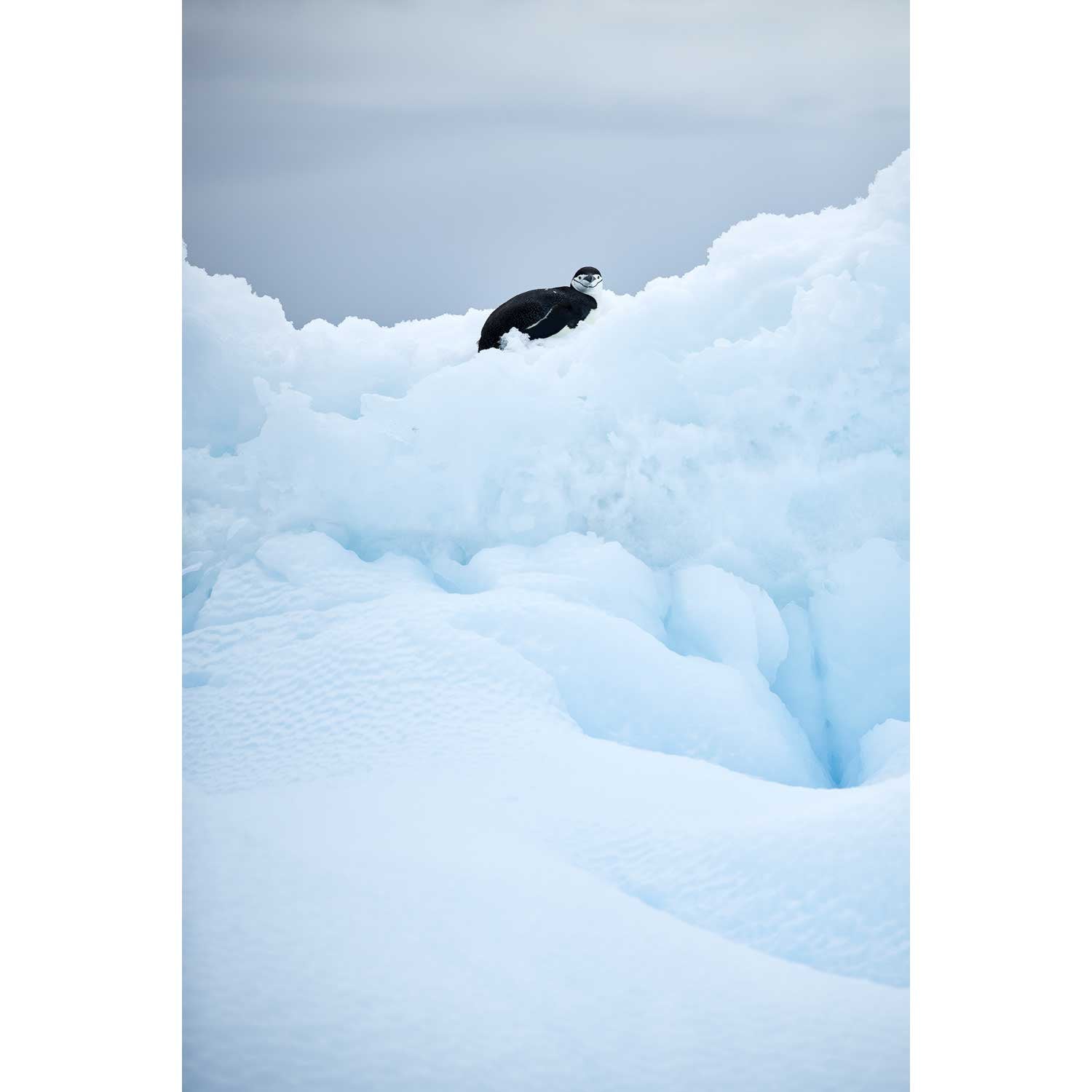
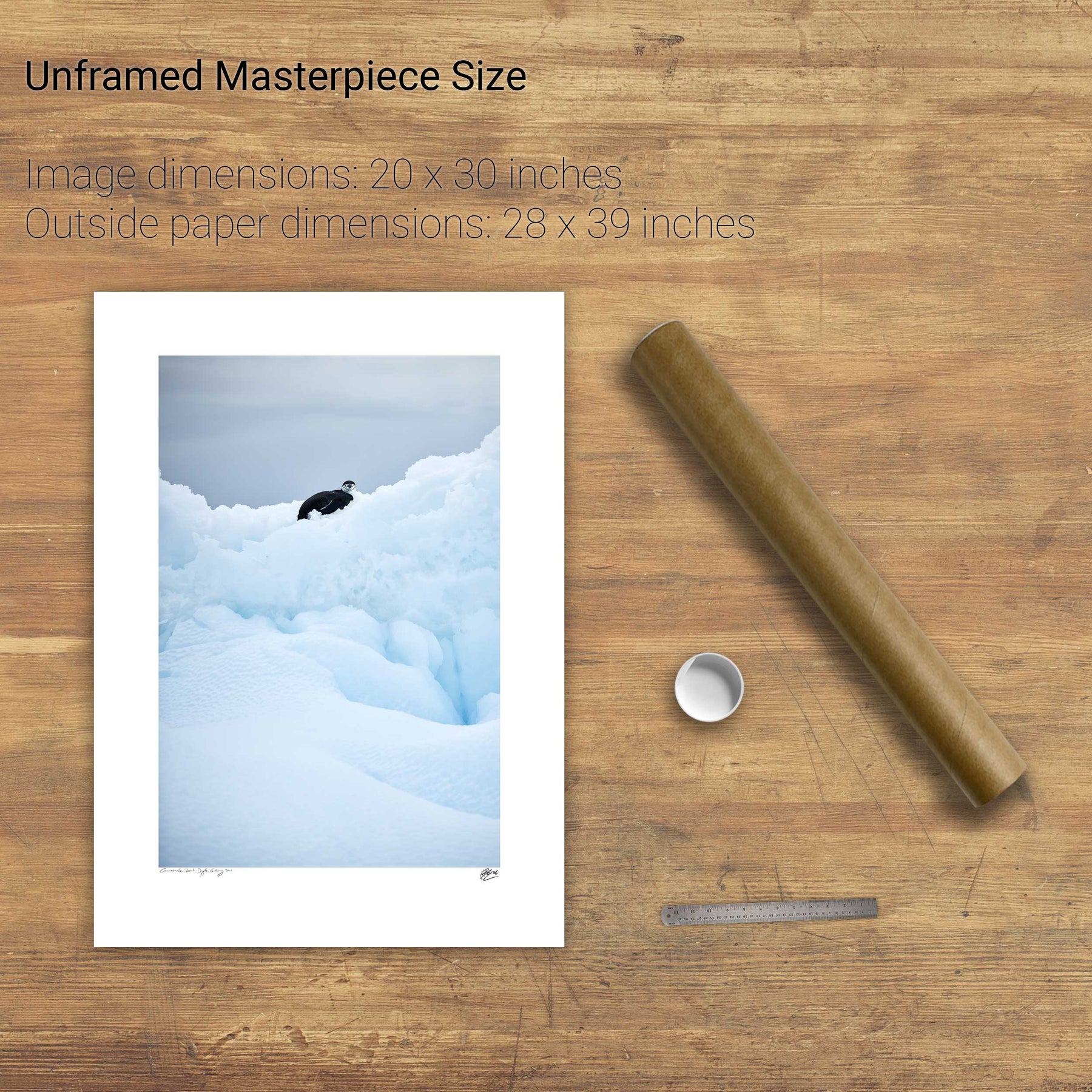
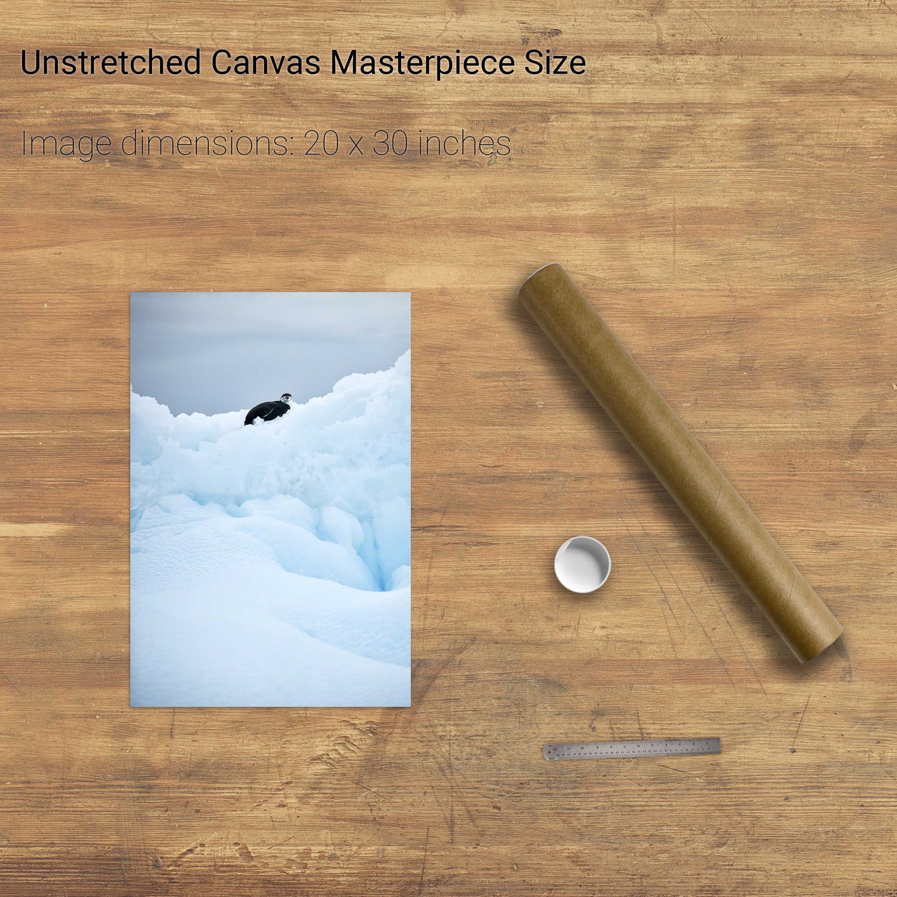
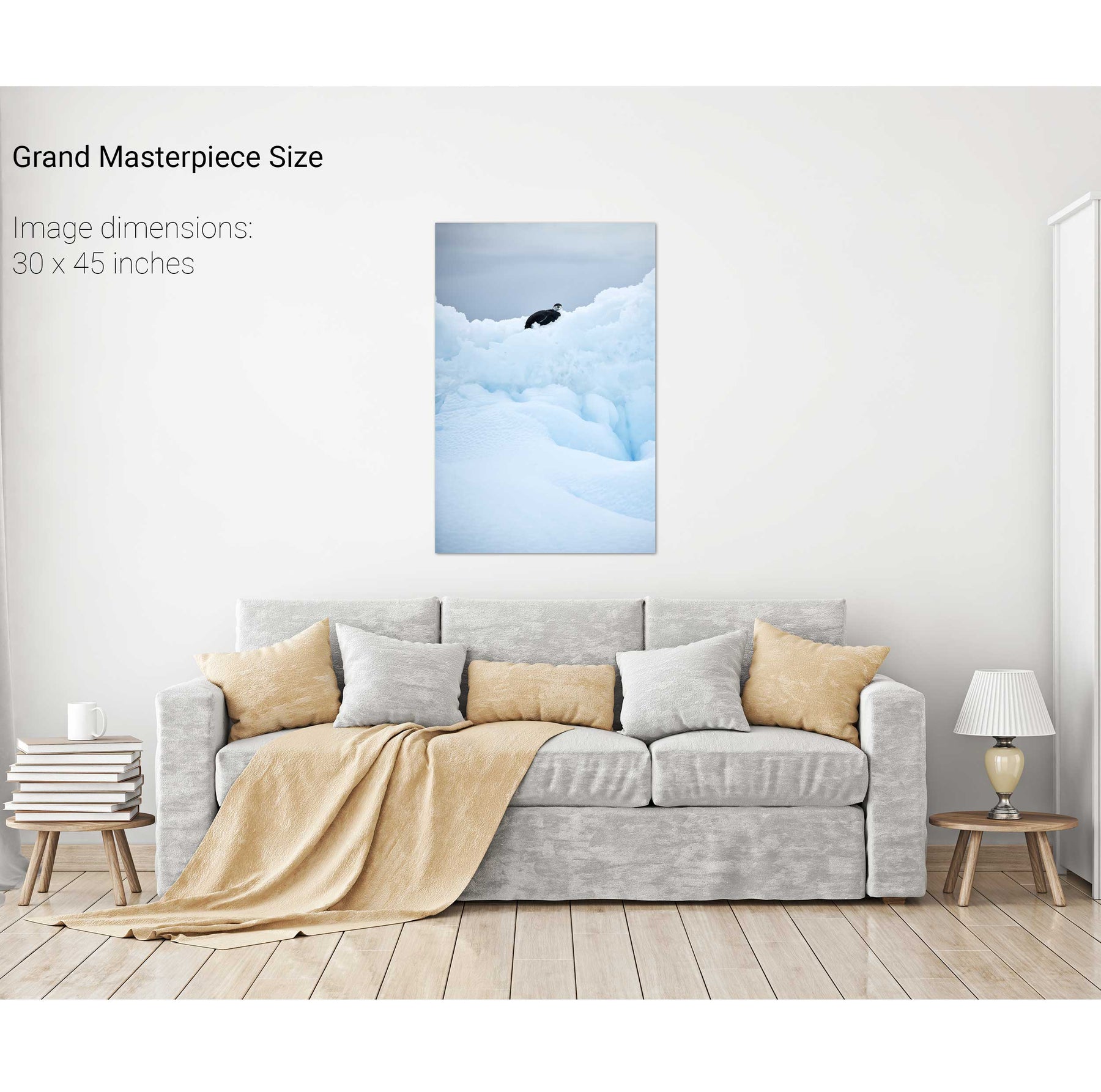
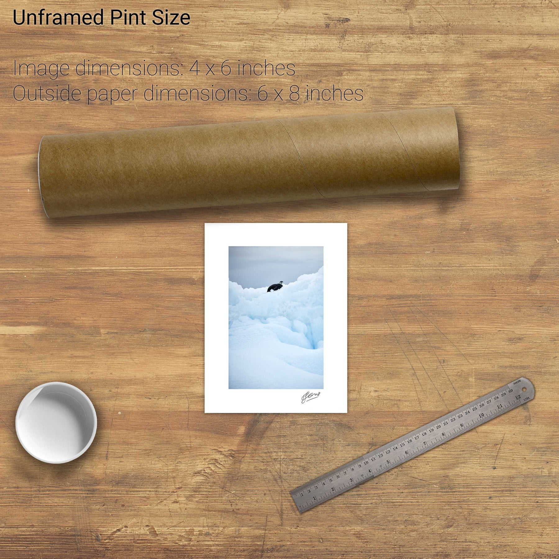
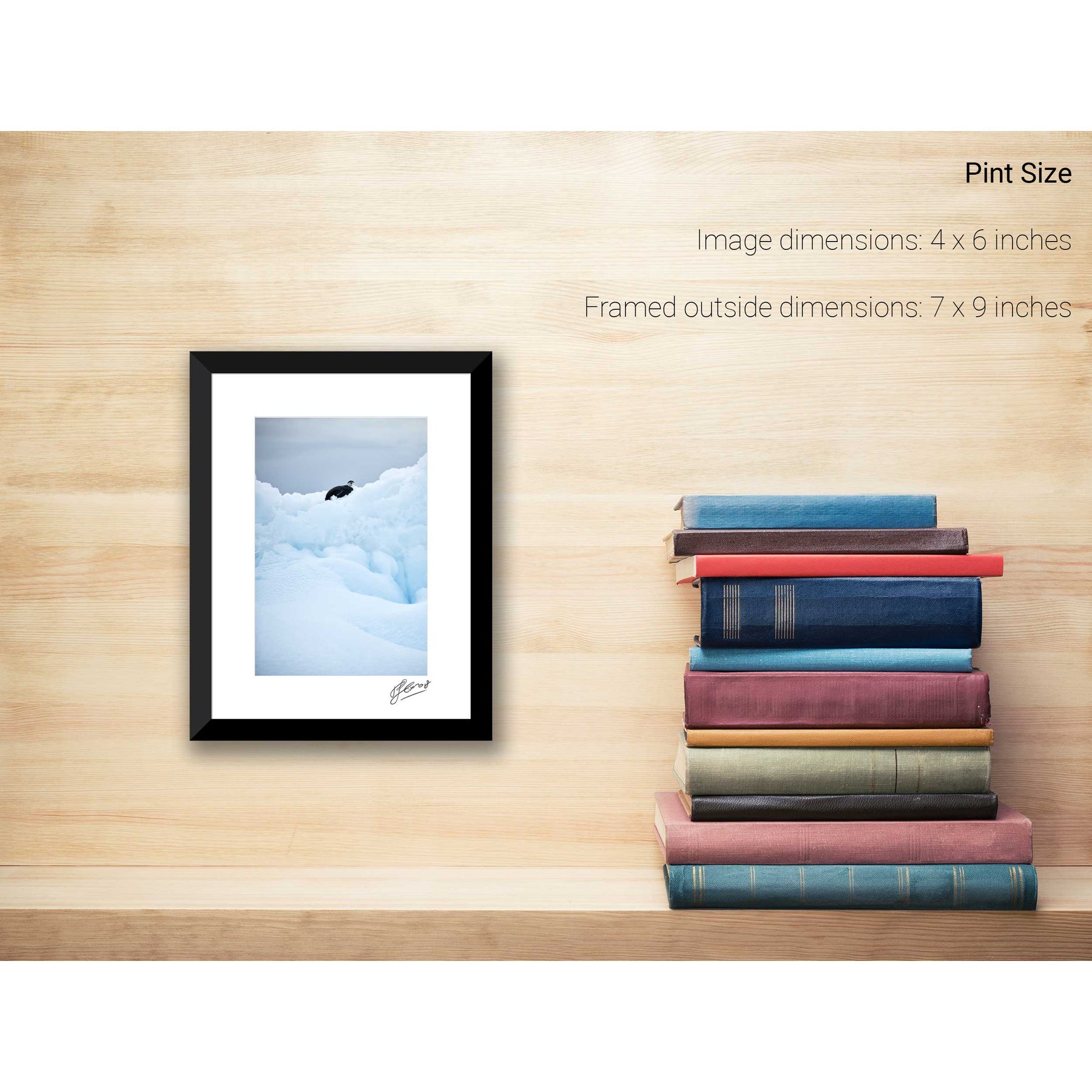
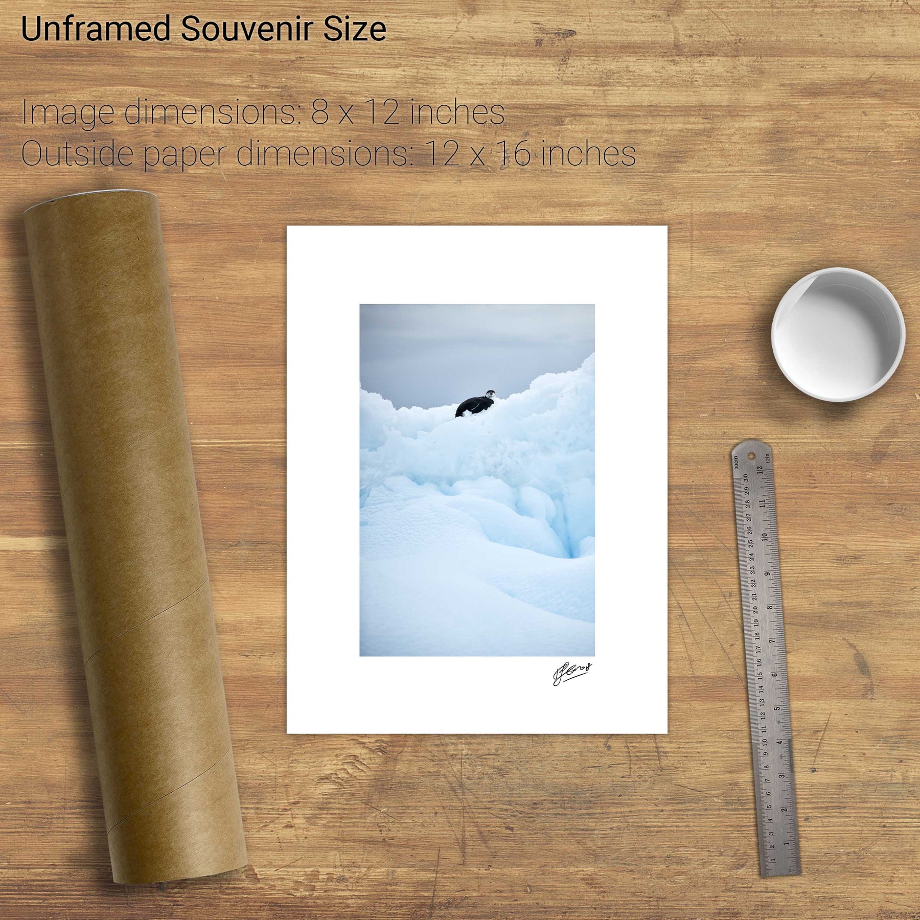
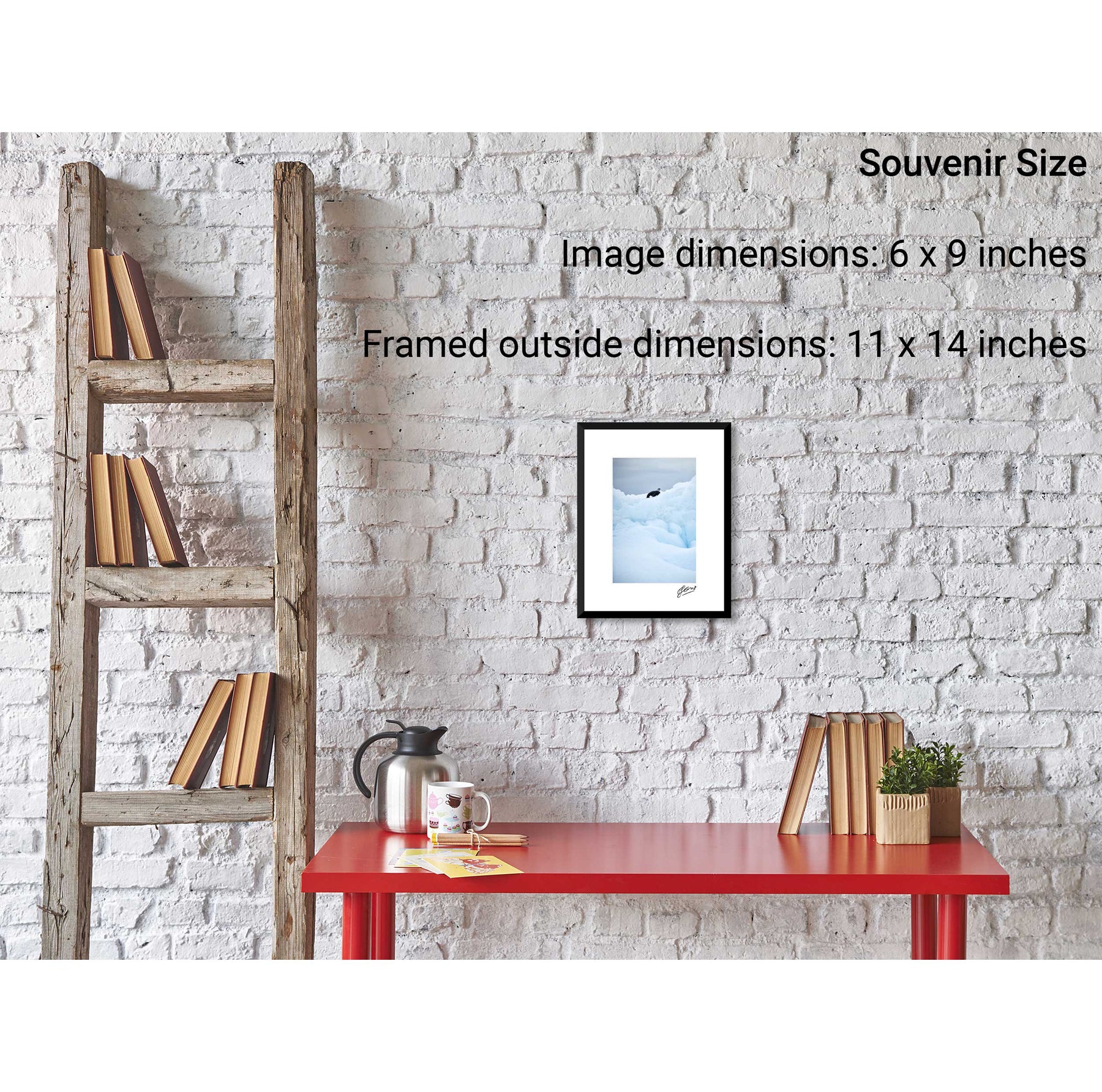
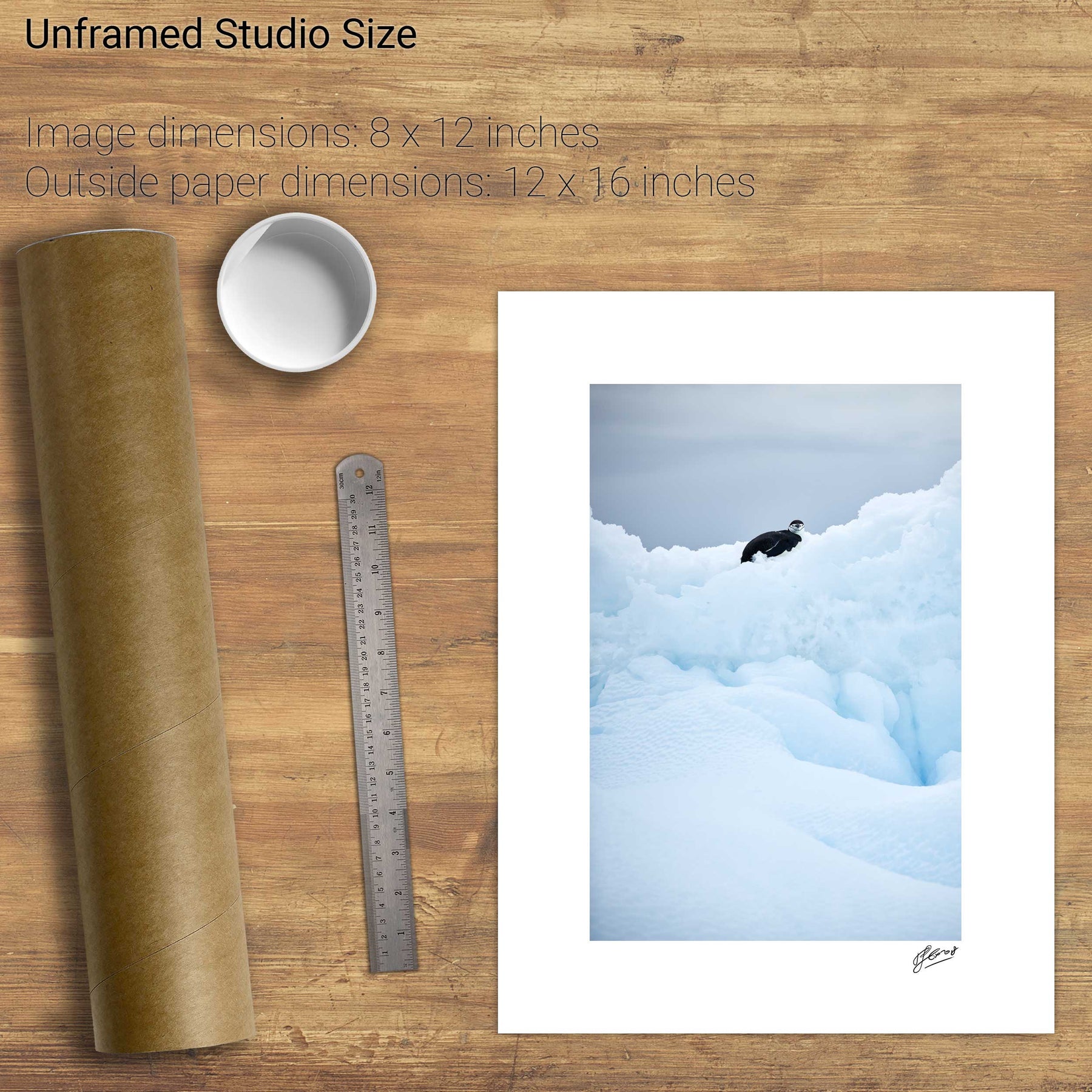
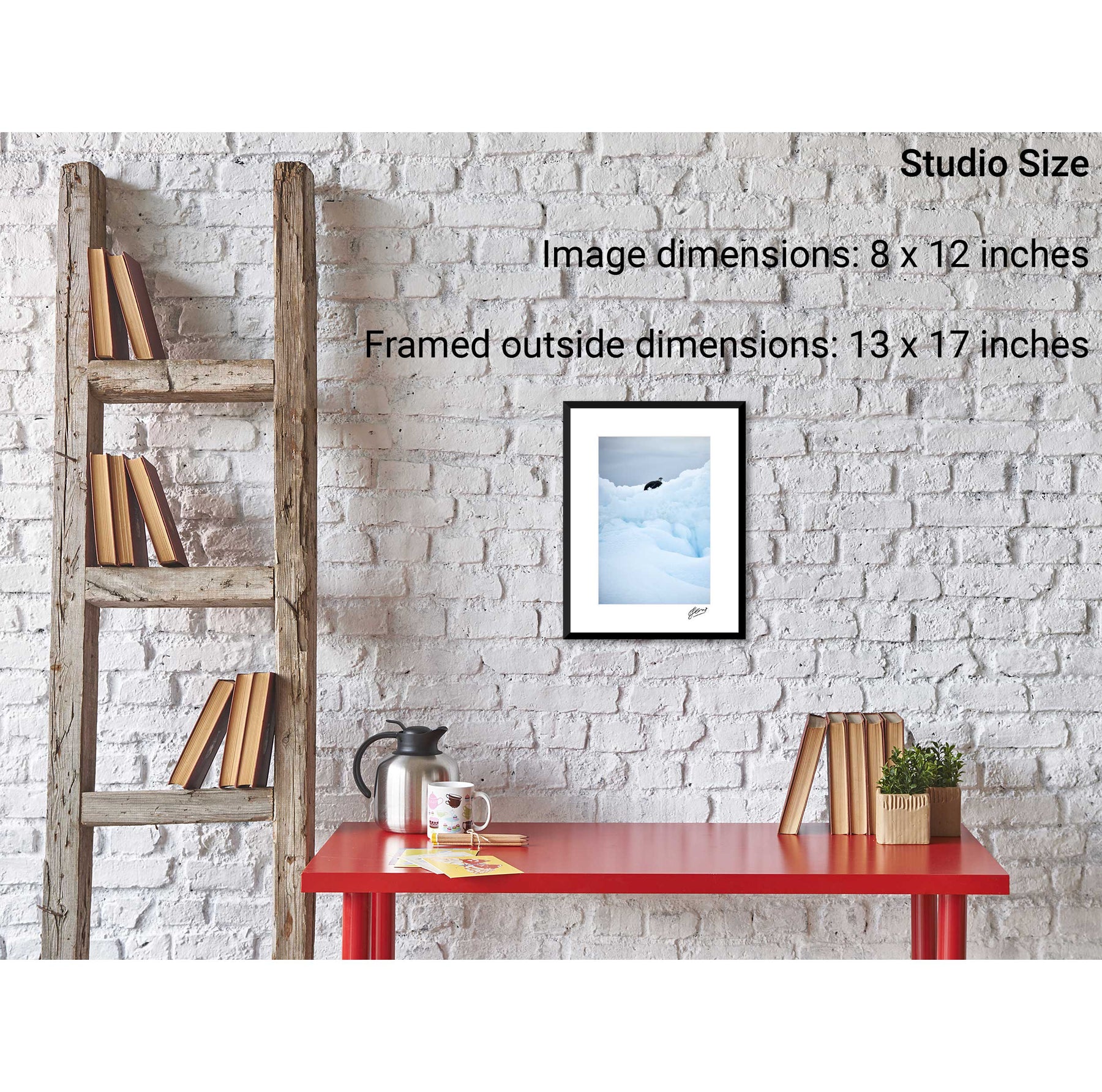
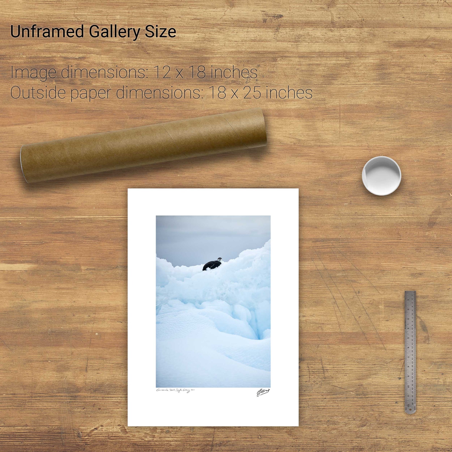
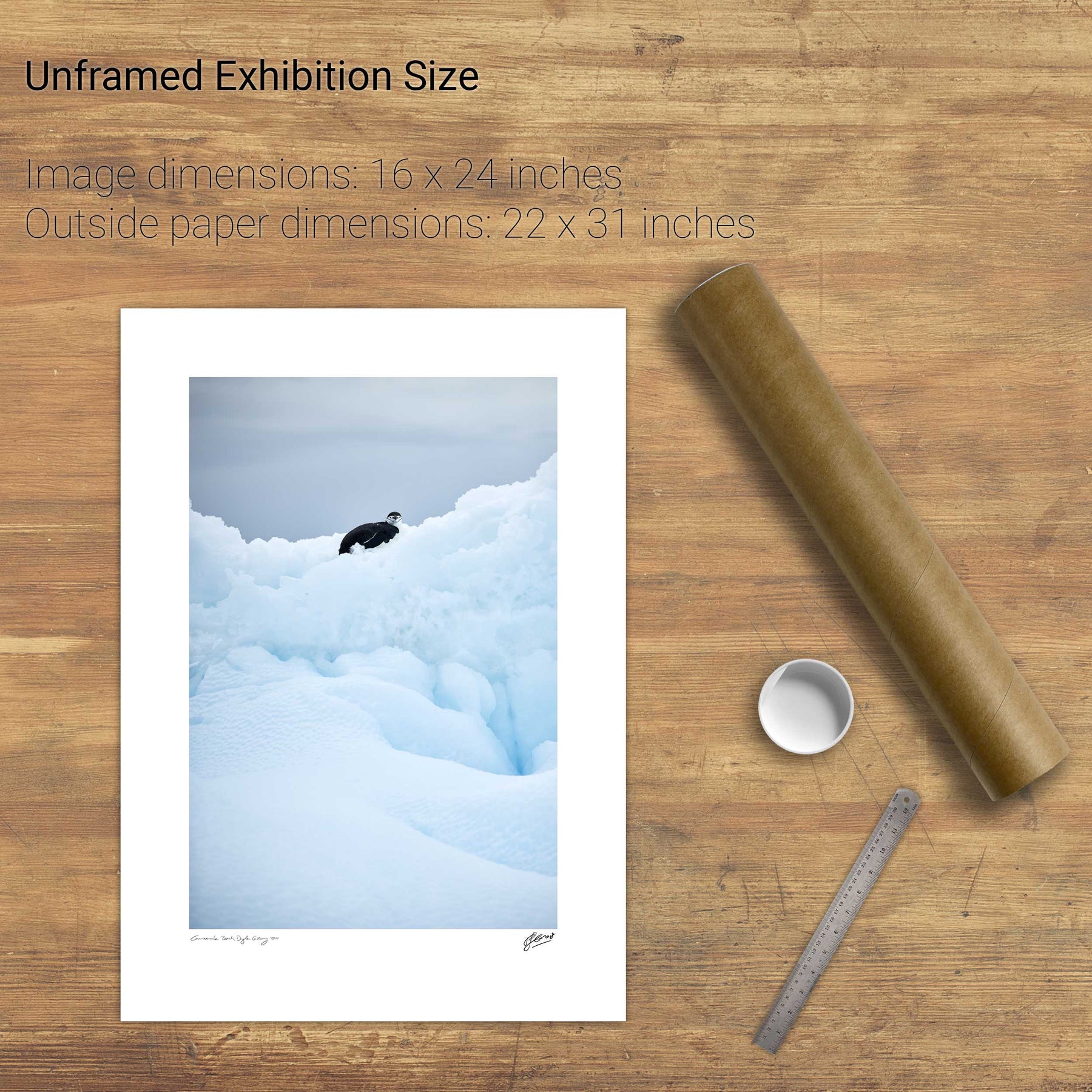
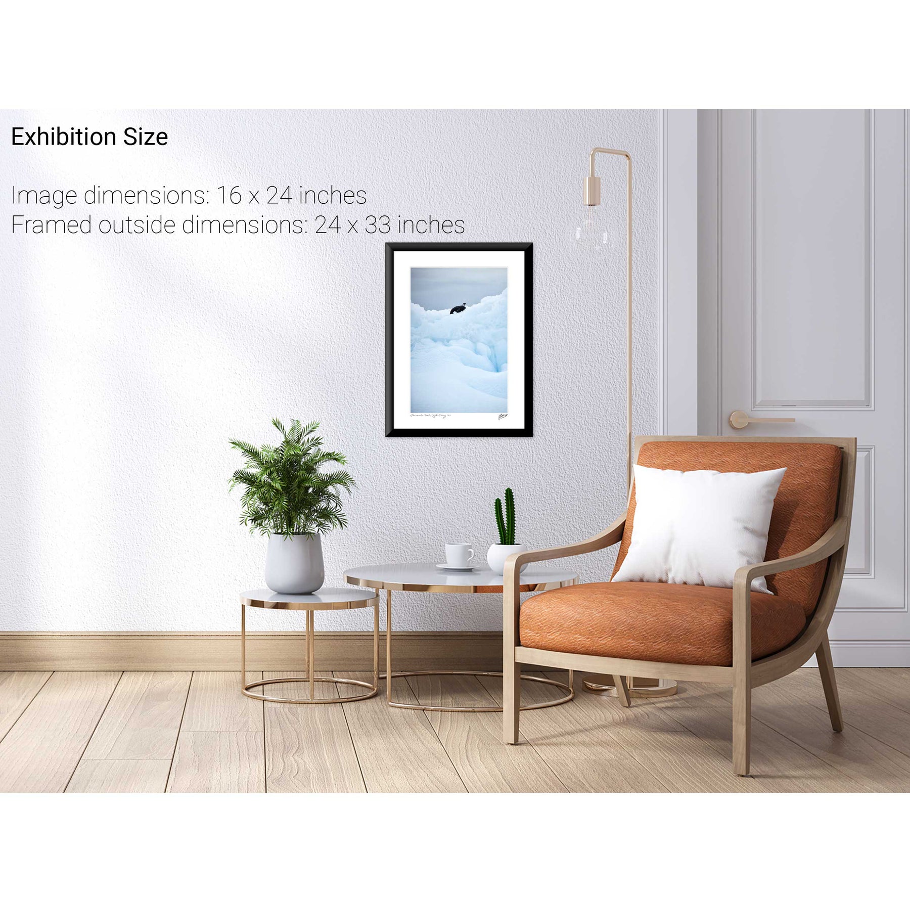
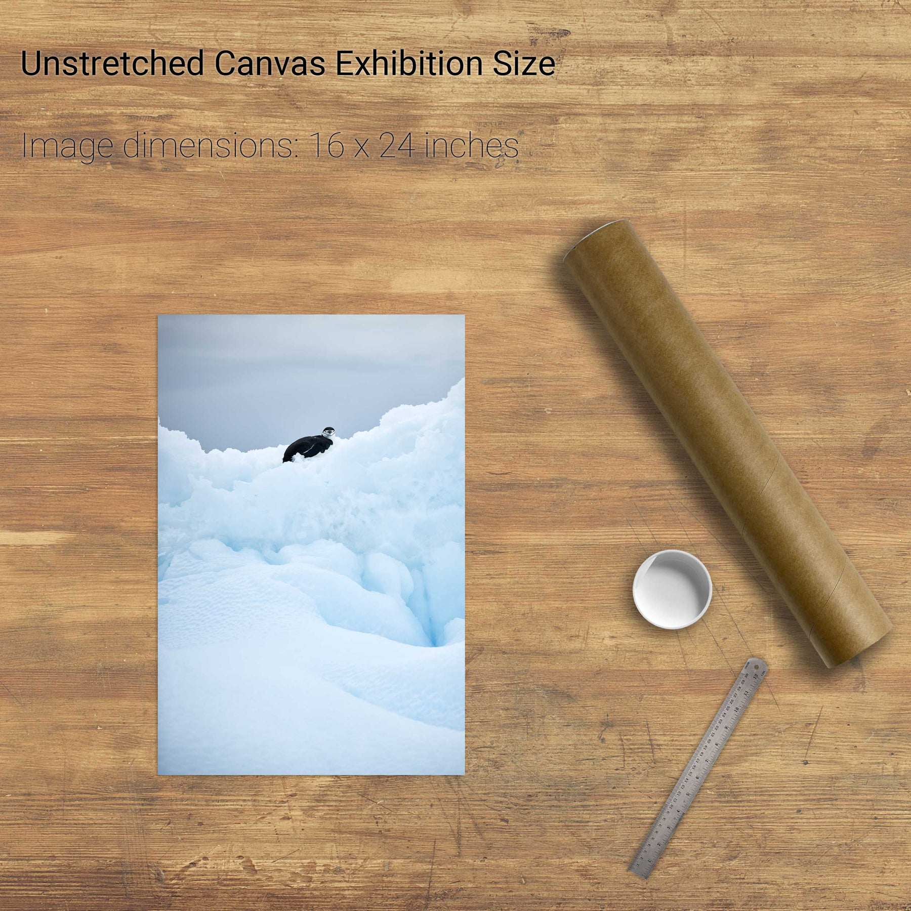
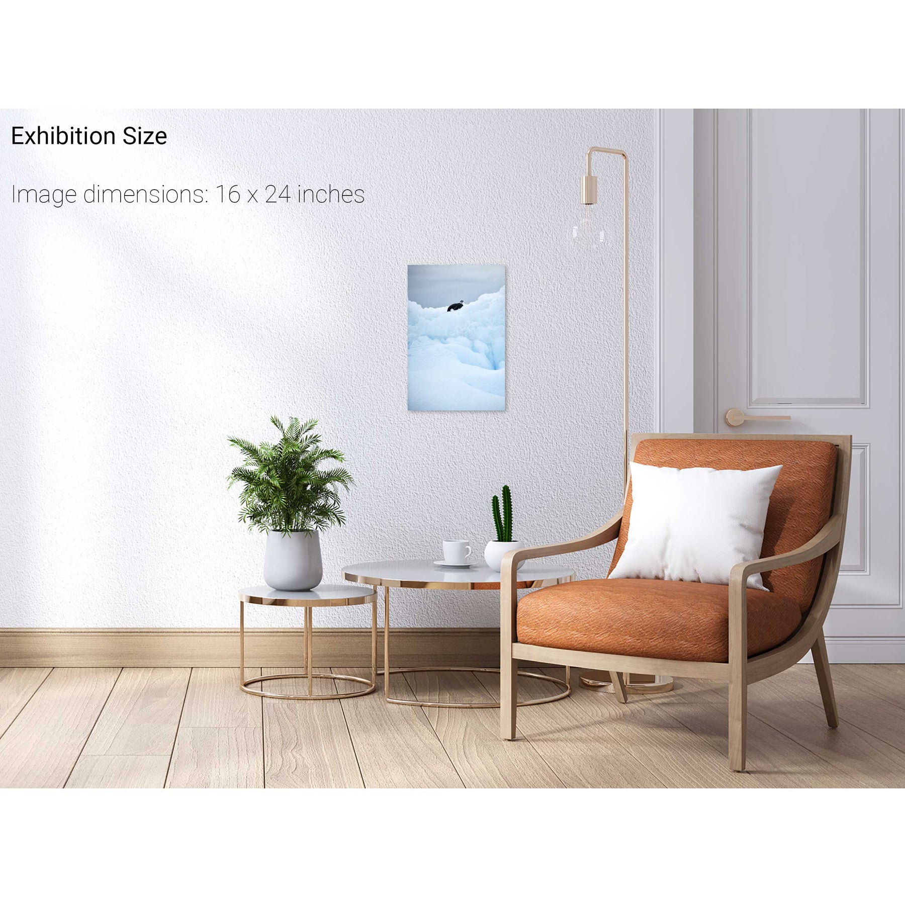
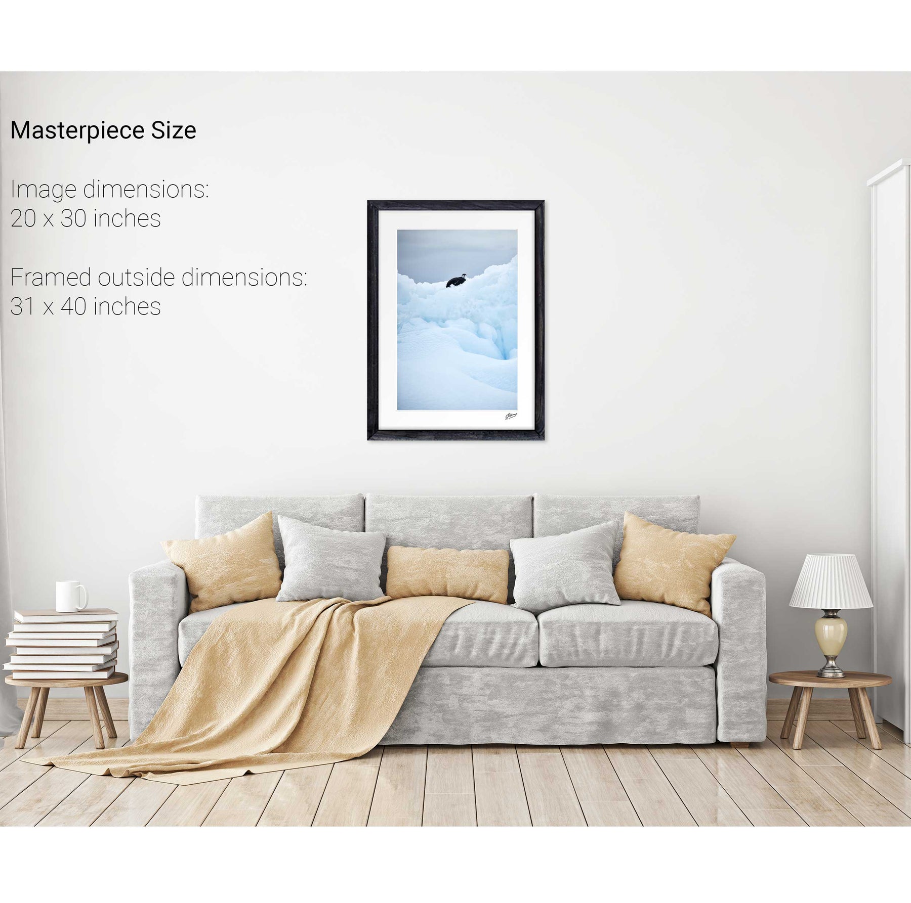
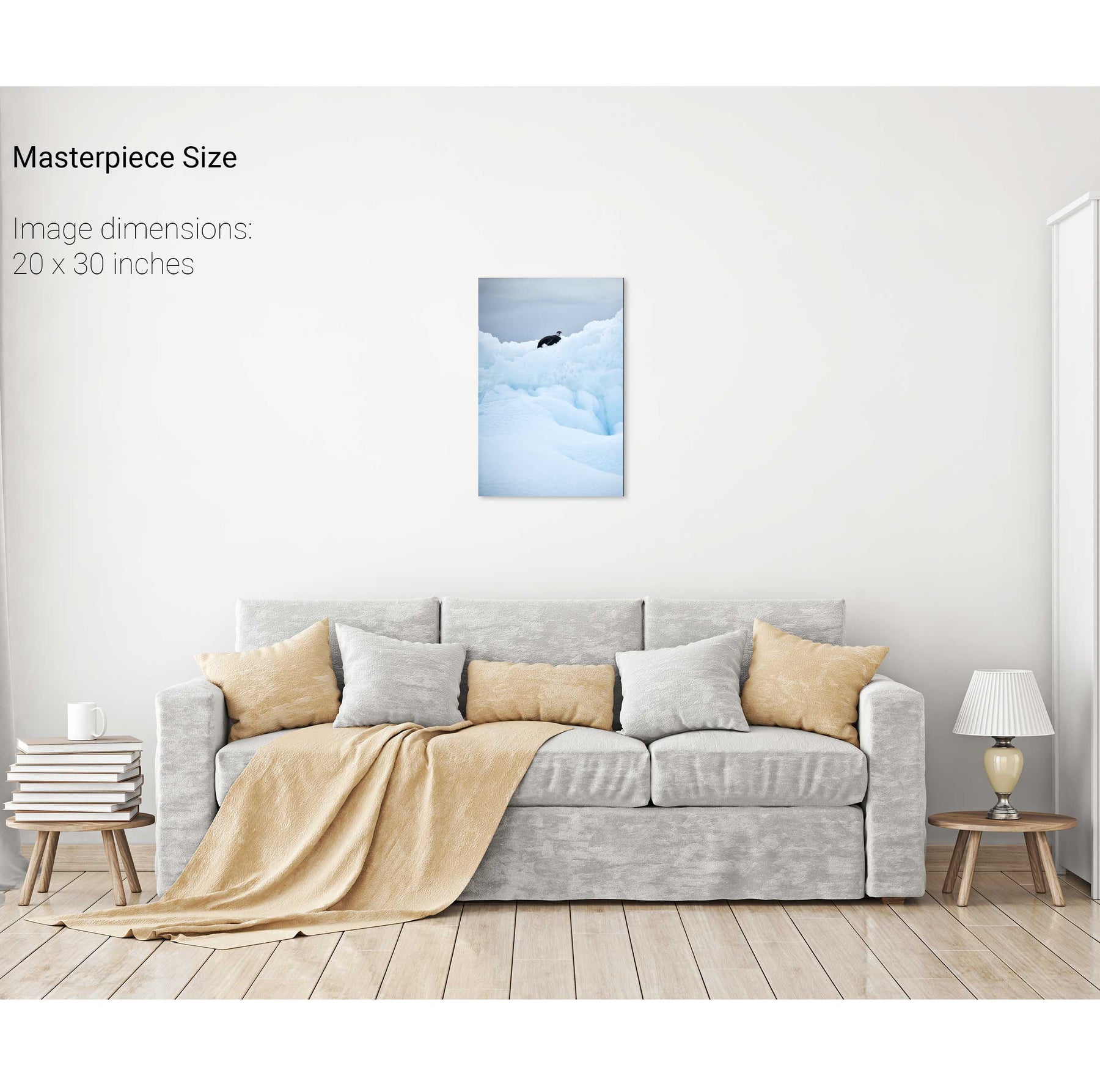
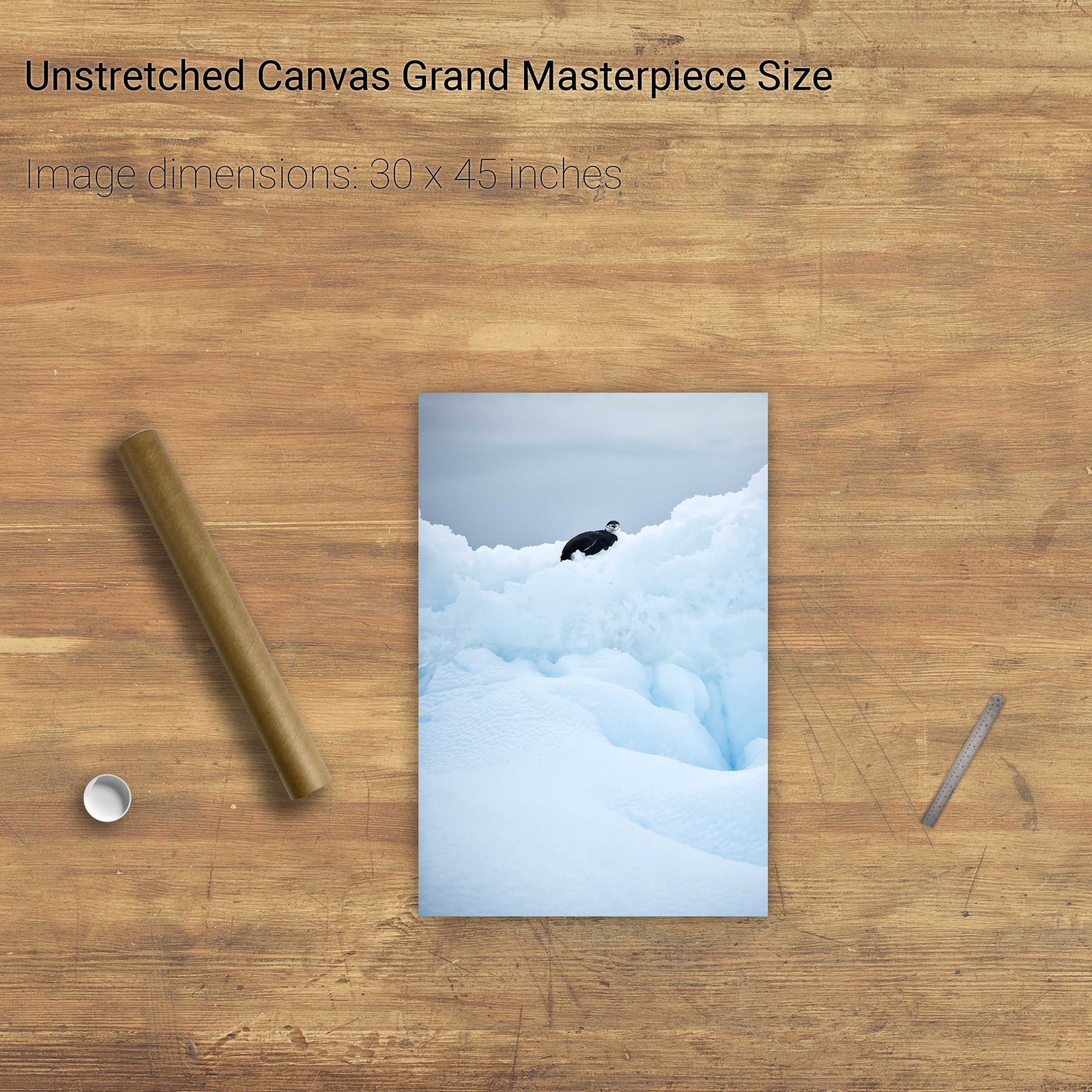
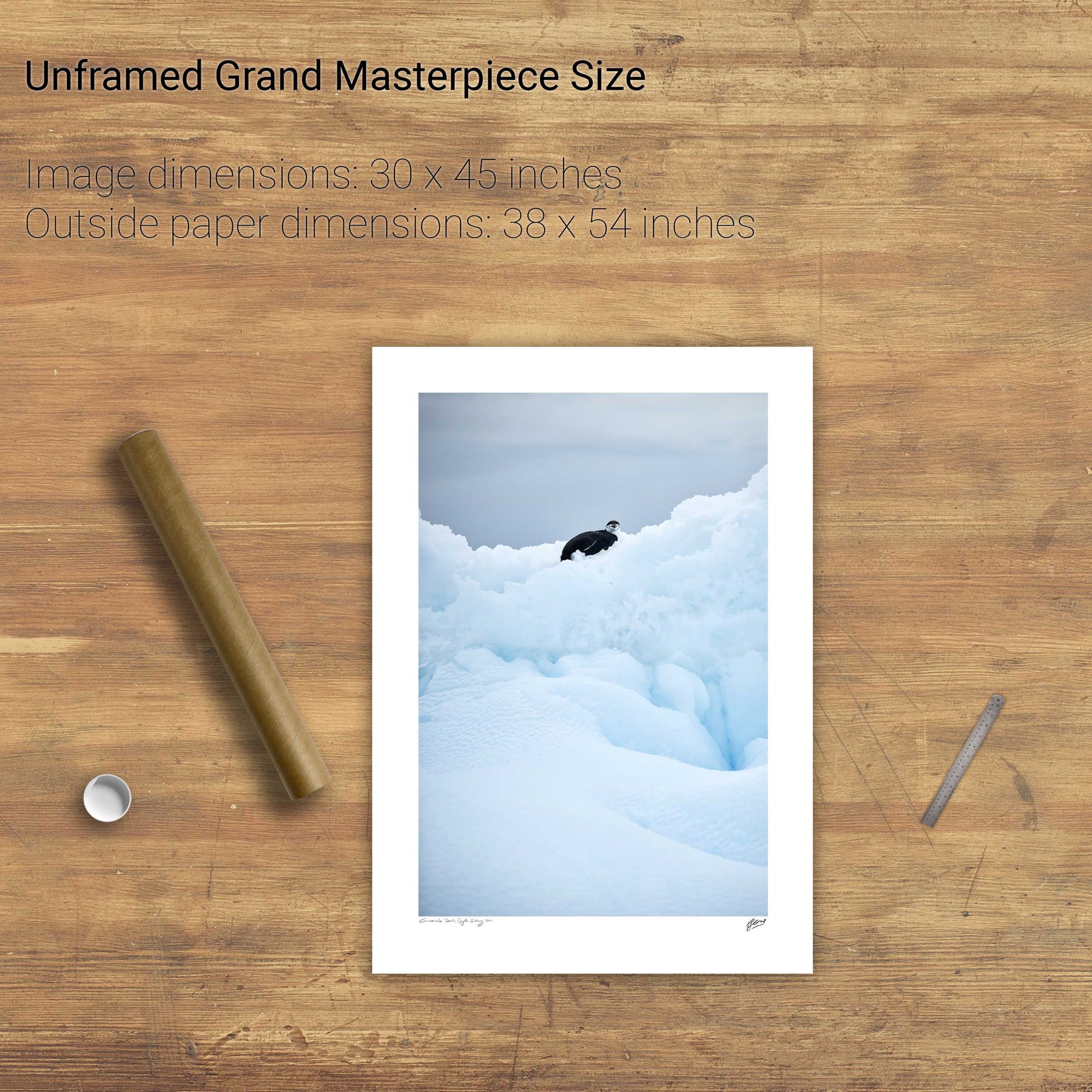
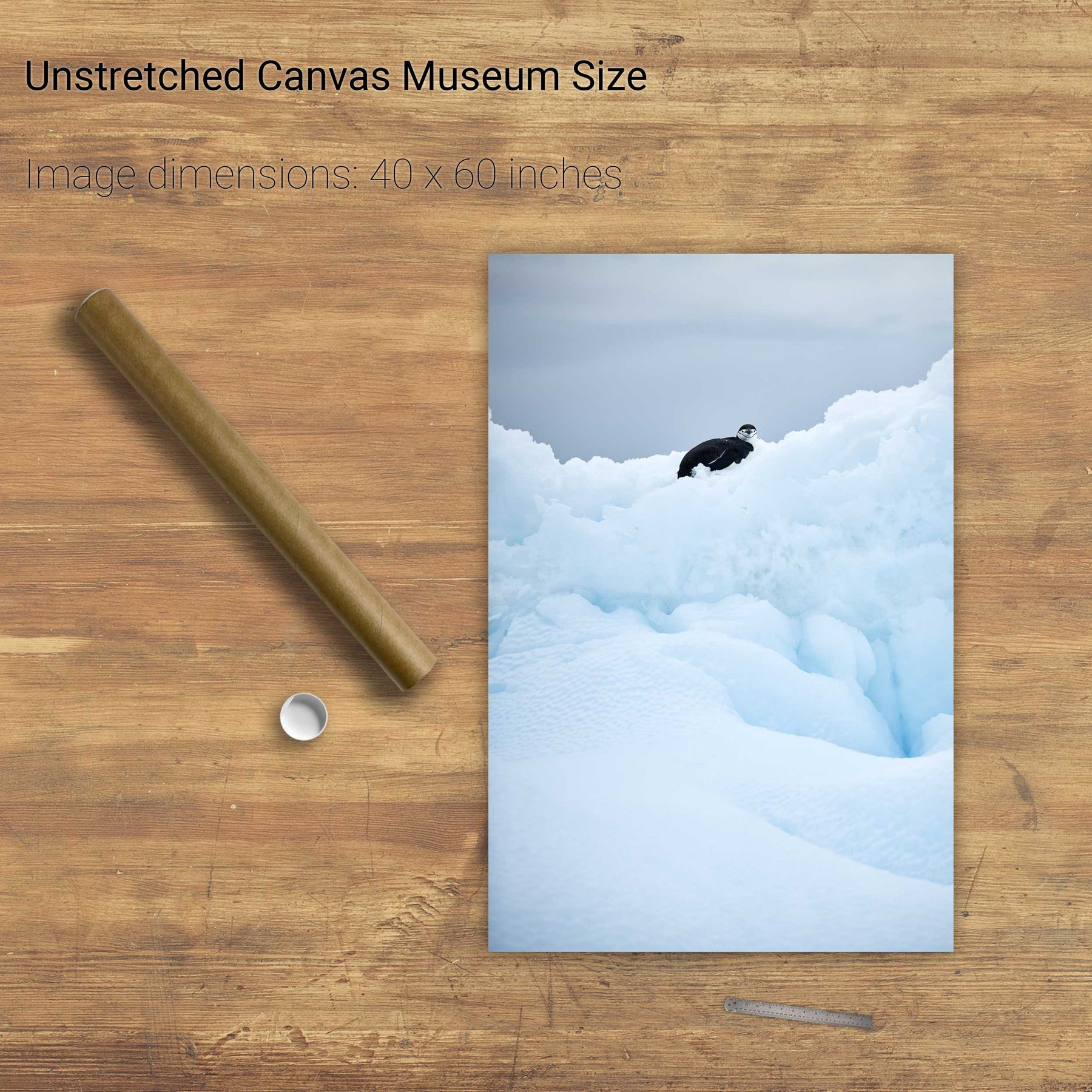
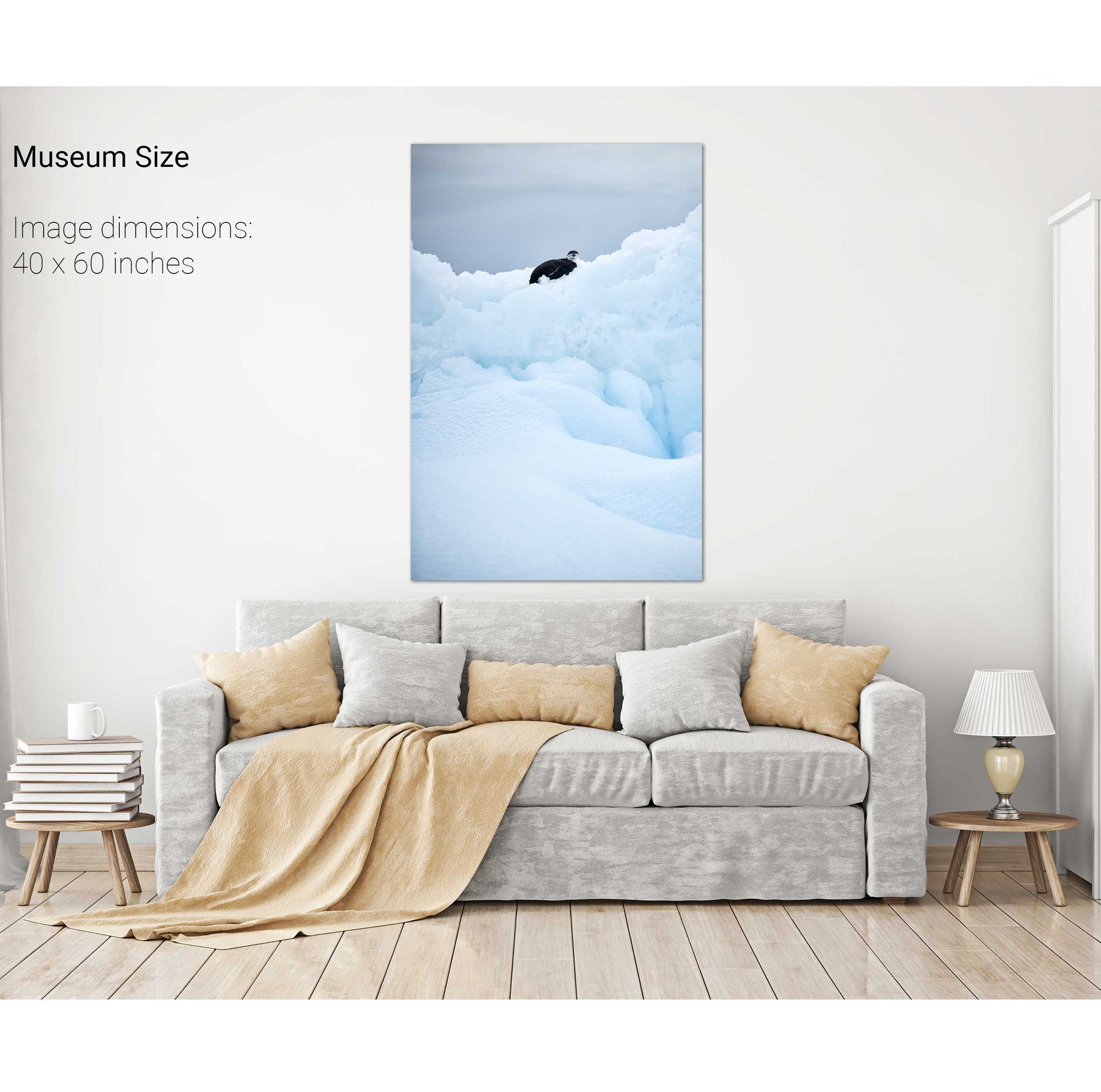
Chinstrap Penguin on Iceberg, Cuverville Island, Antarctic Peninsula


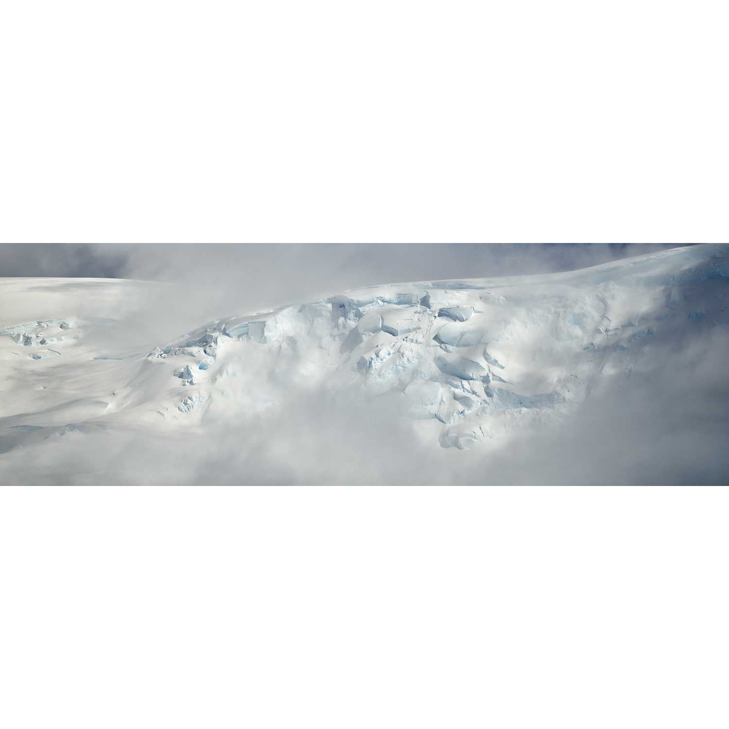
Glacier II, Charlotte Bay, Antarctic Peninsula


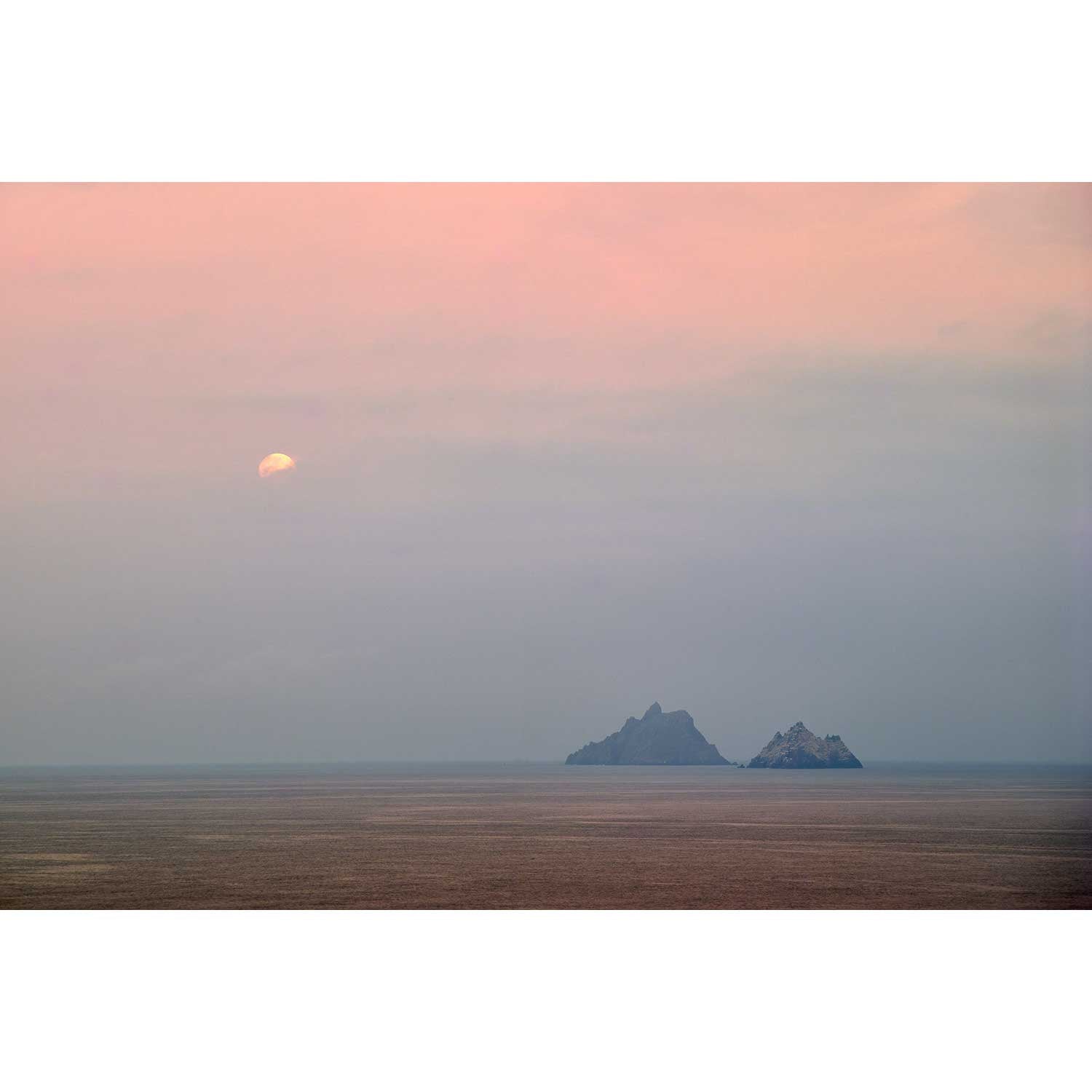
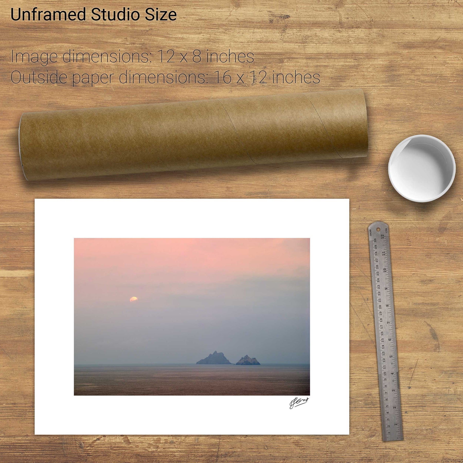
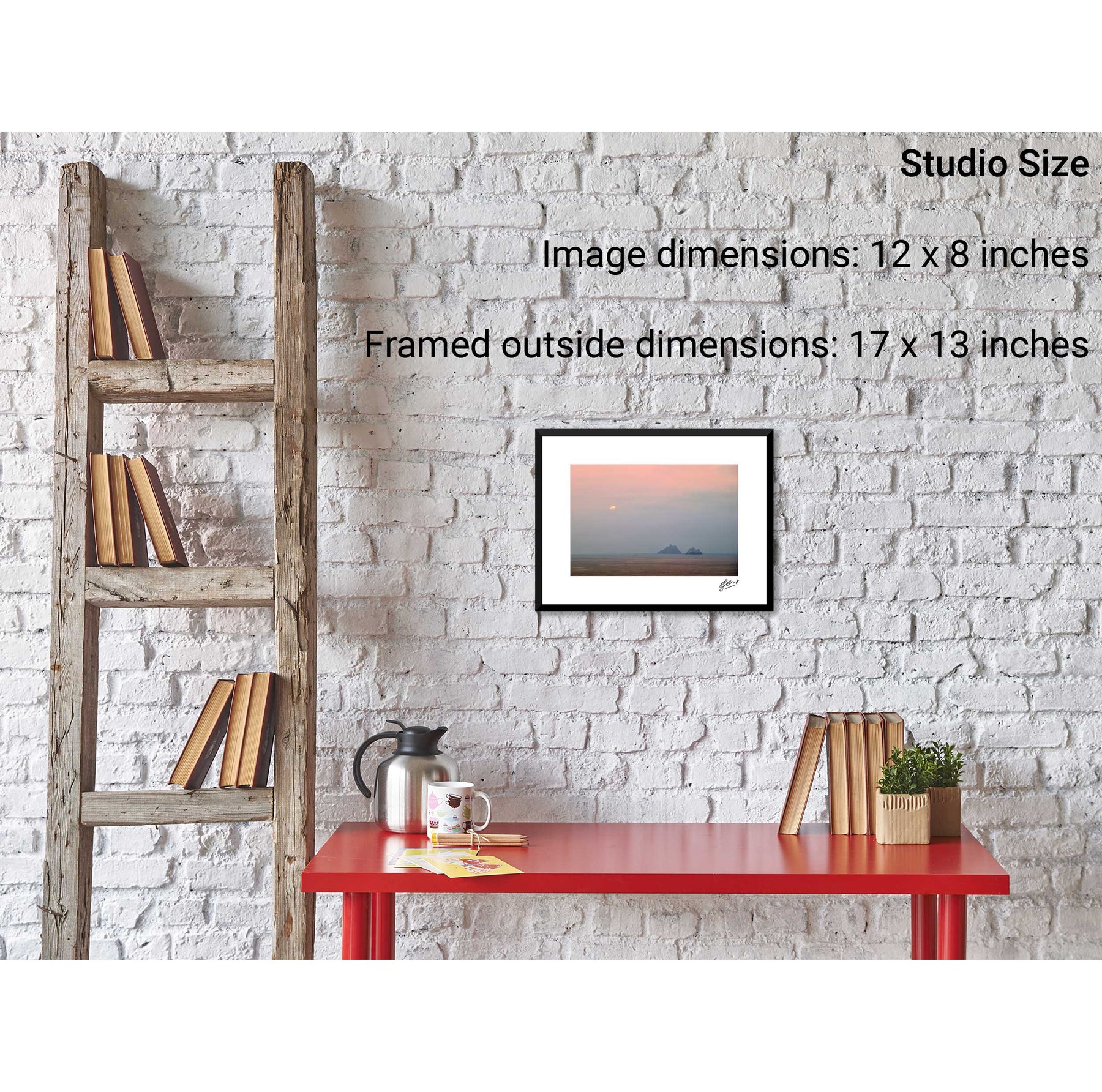
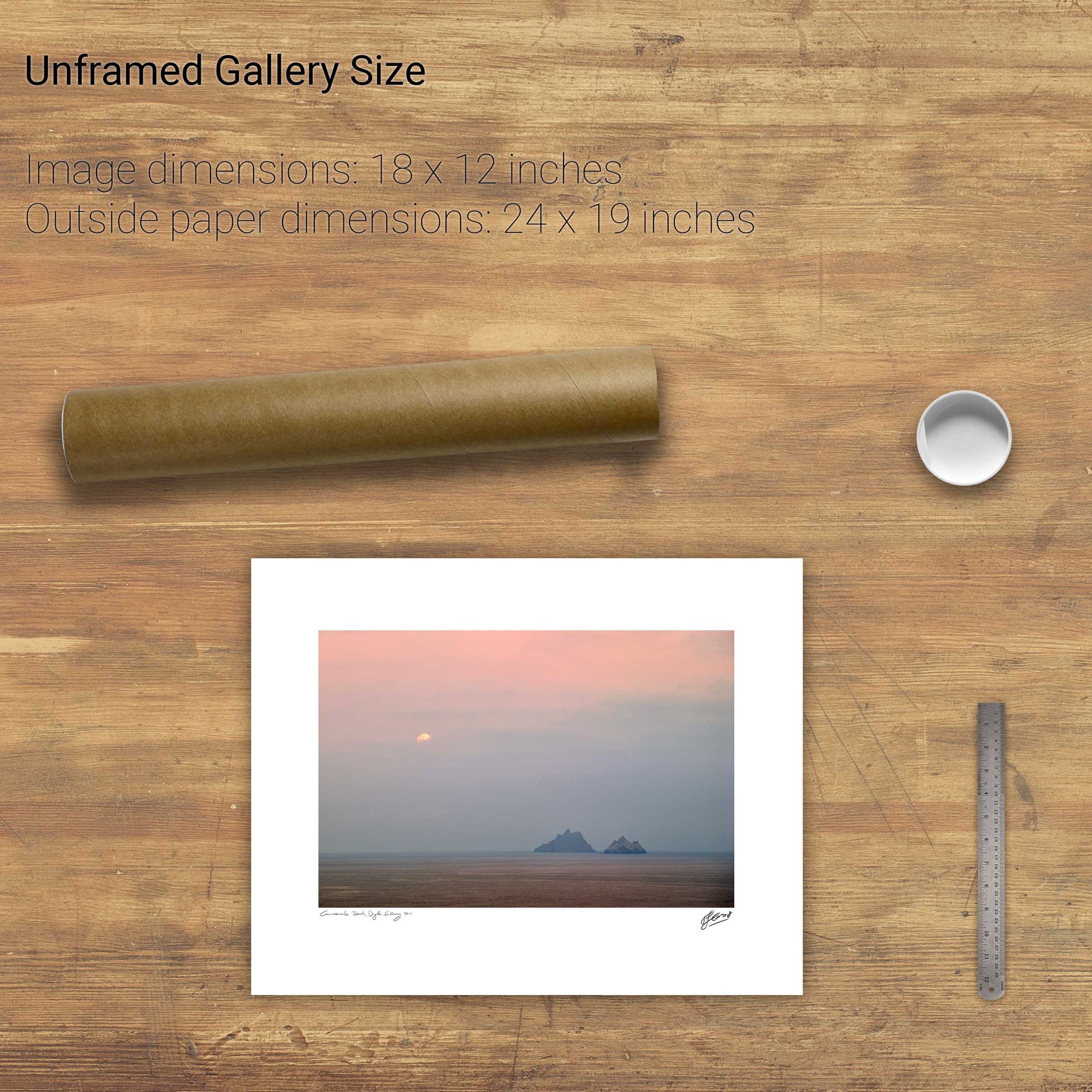
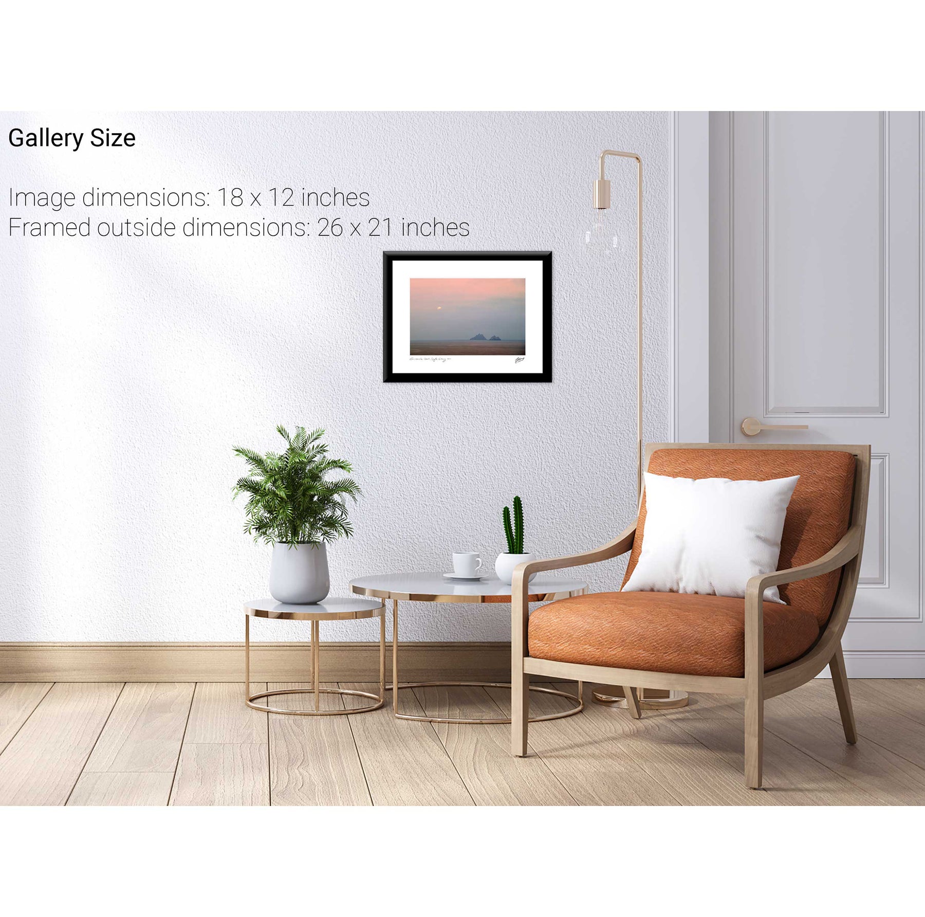
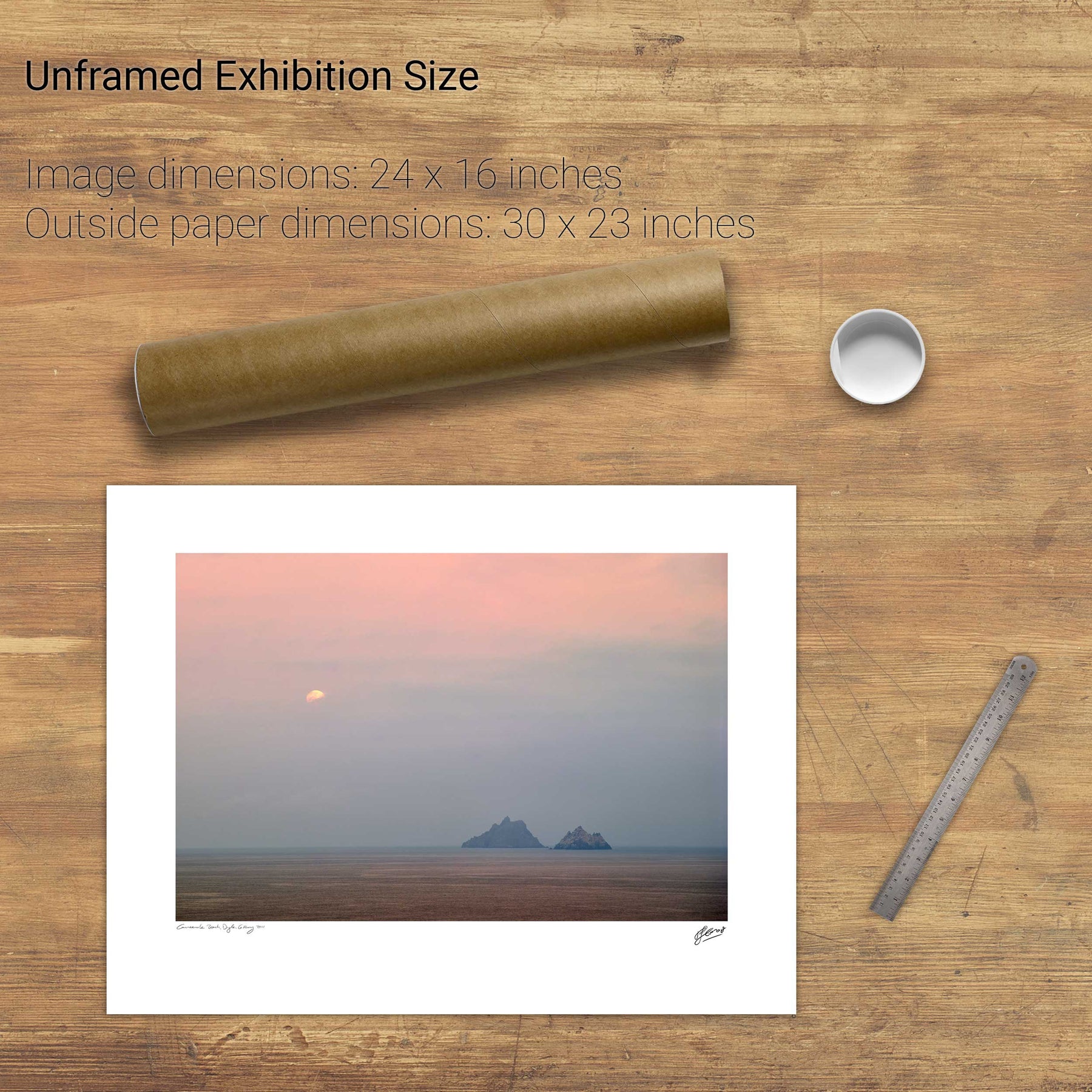
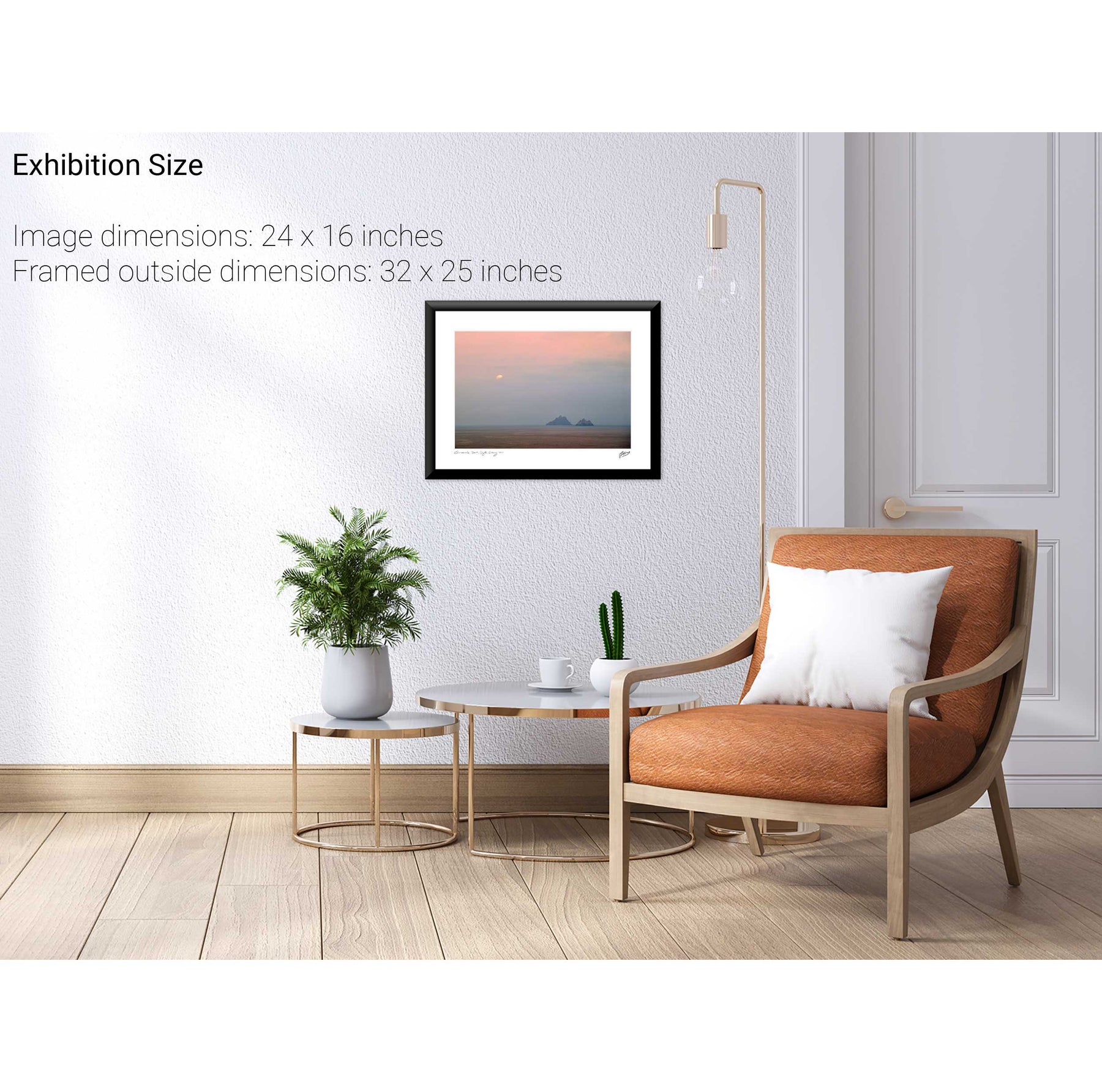
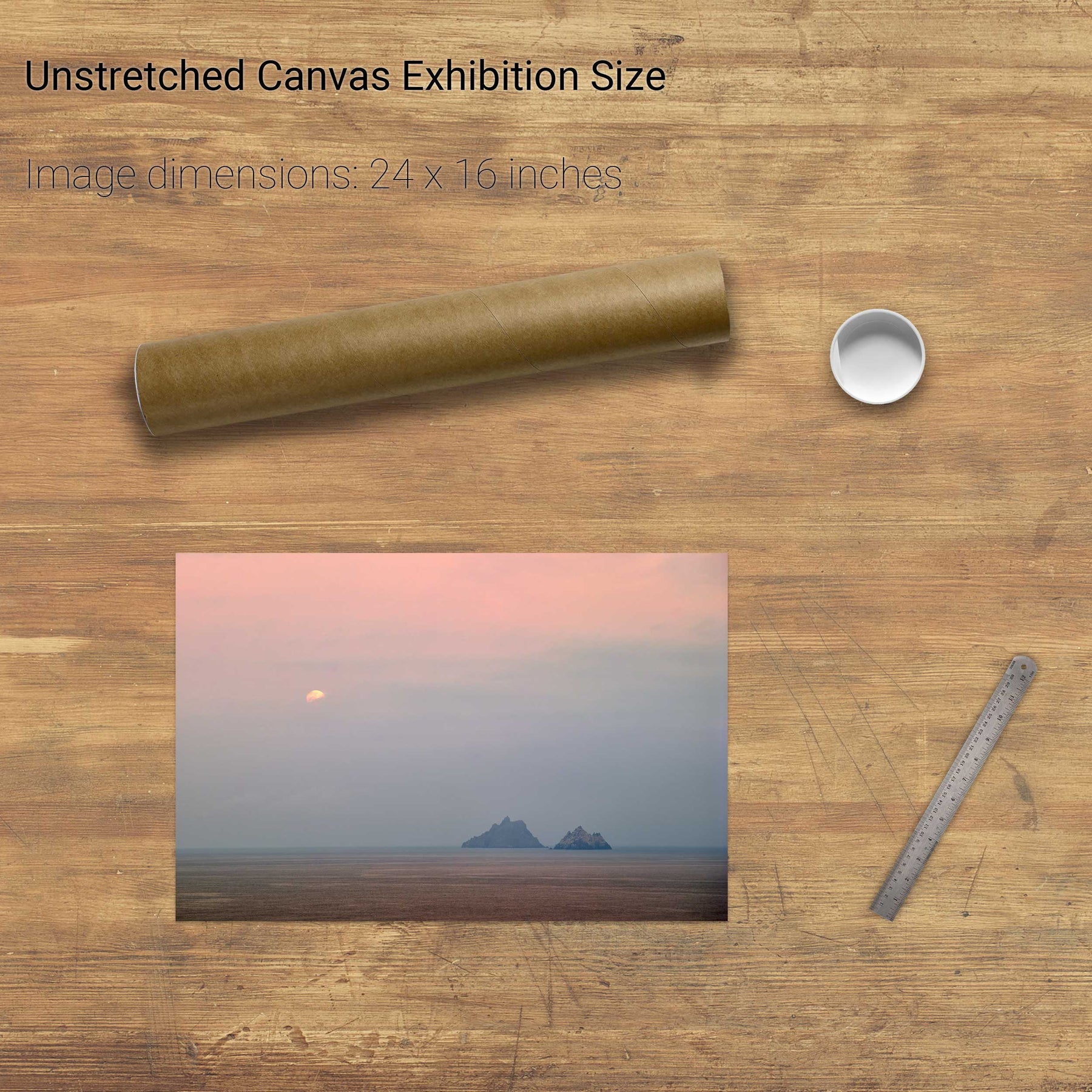
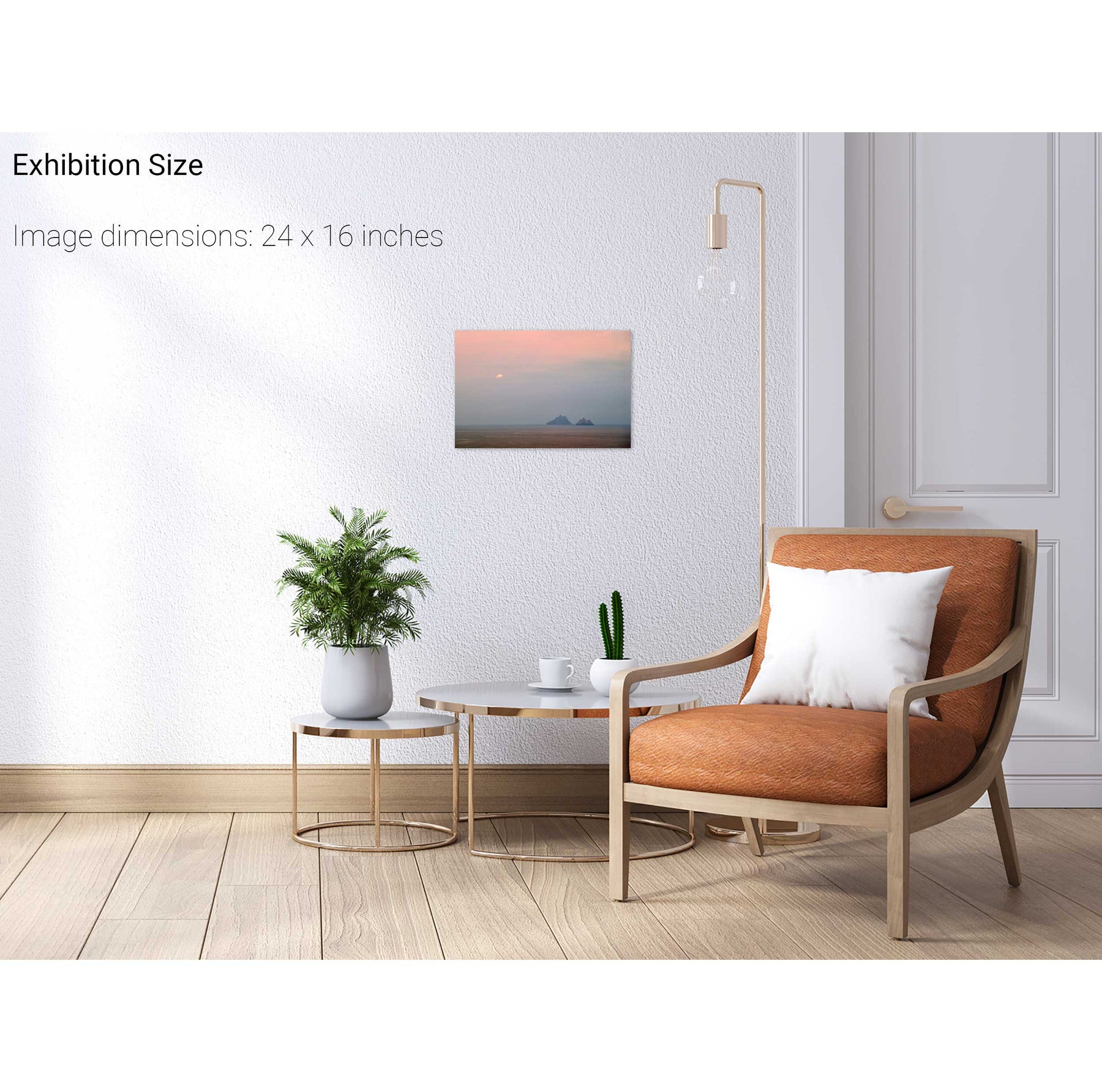
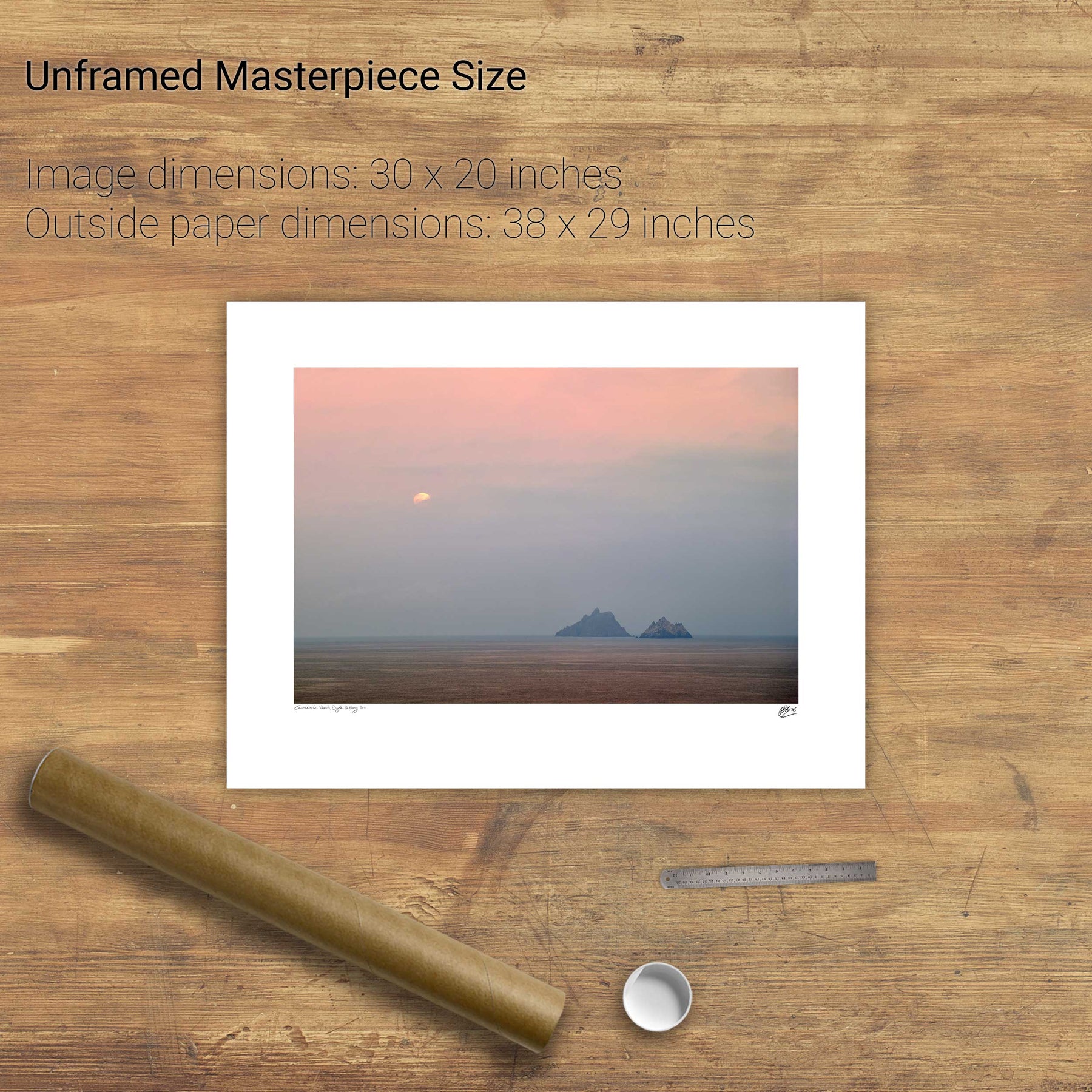
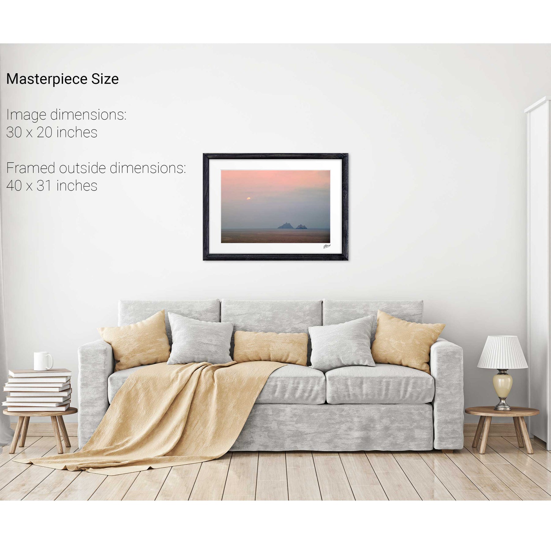
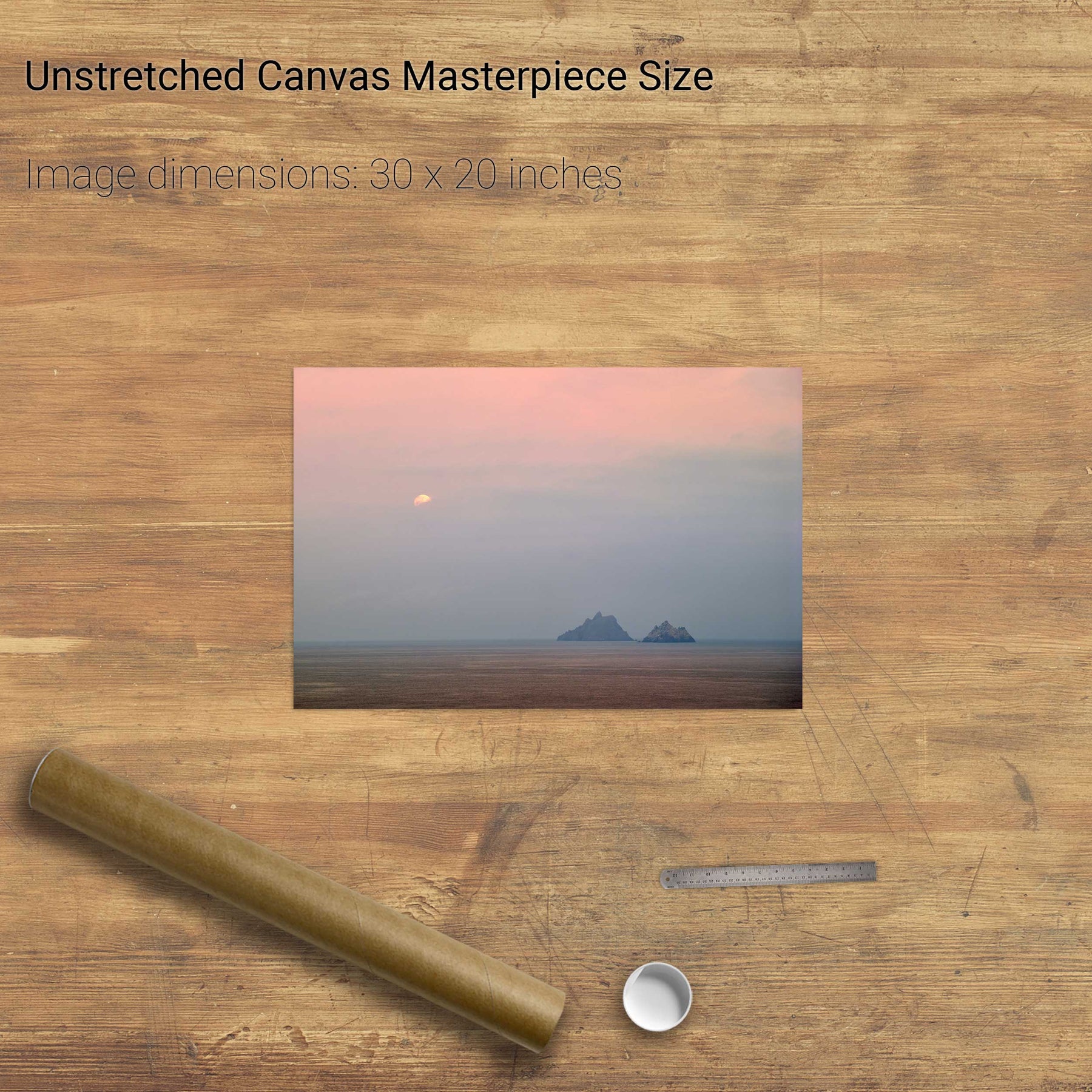
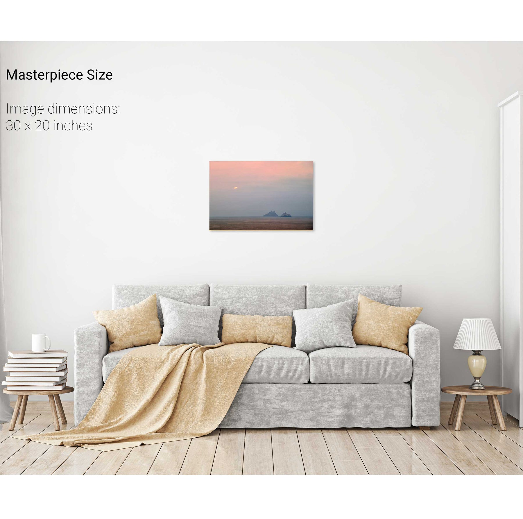
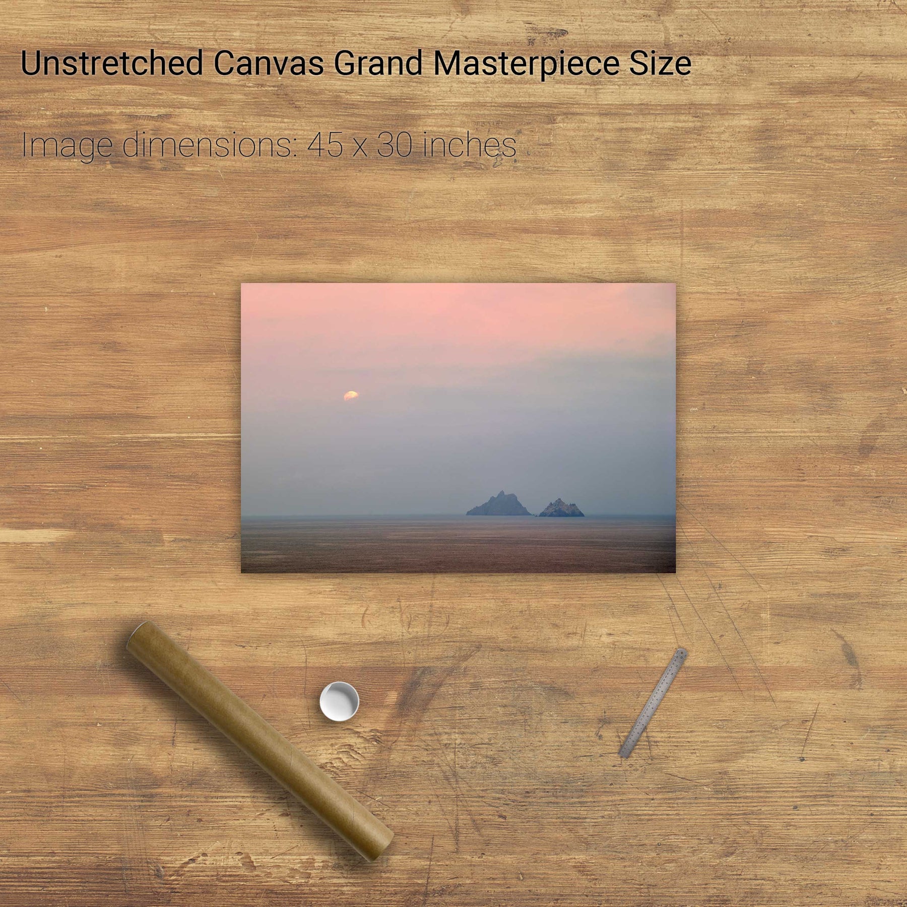
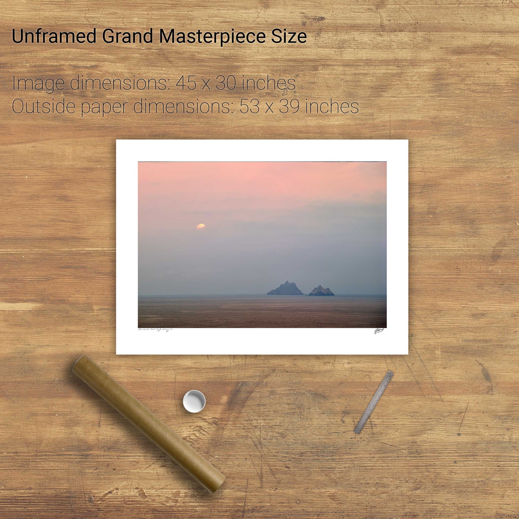
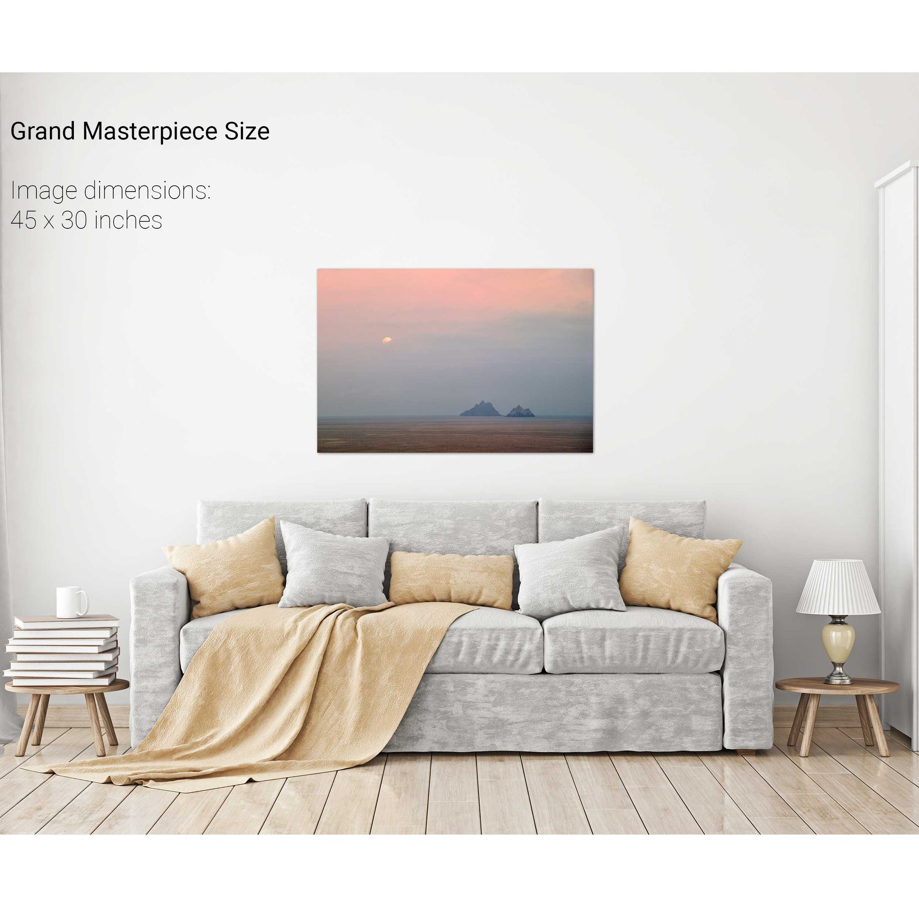
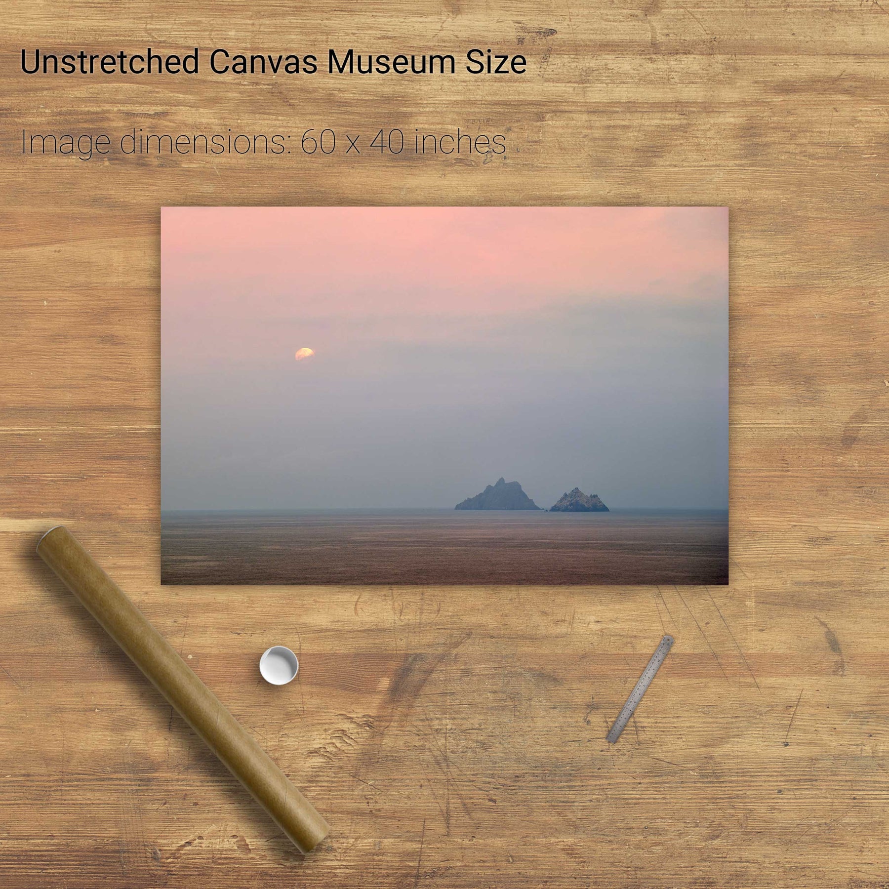
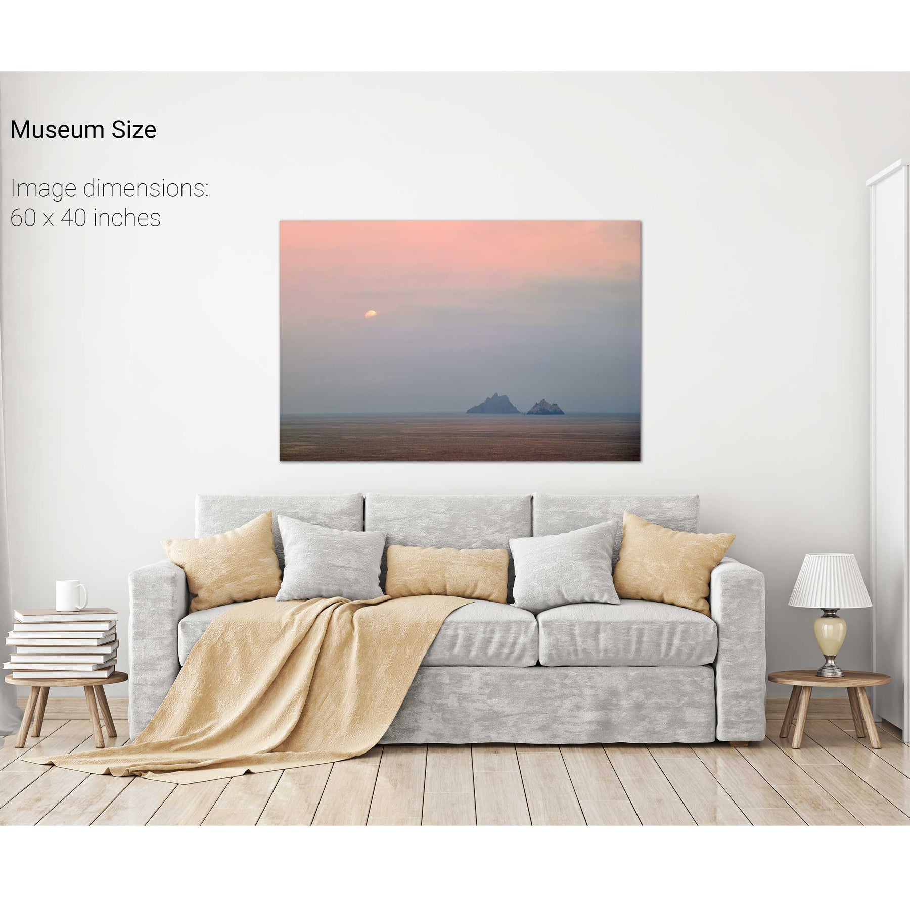
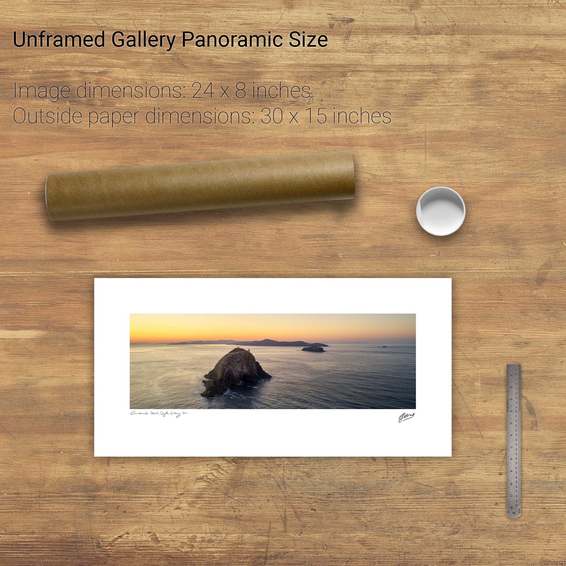
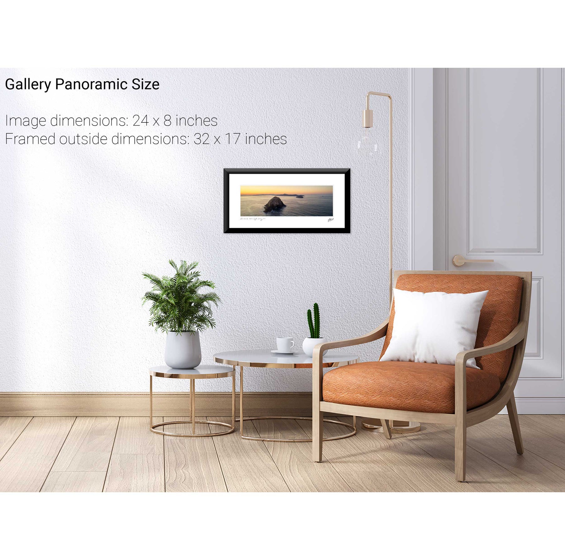
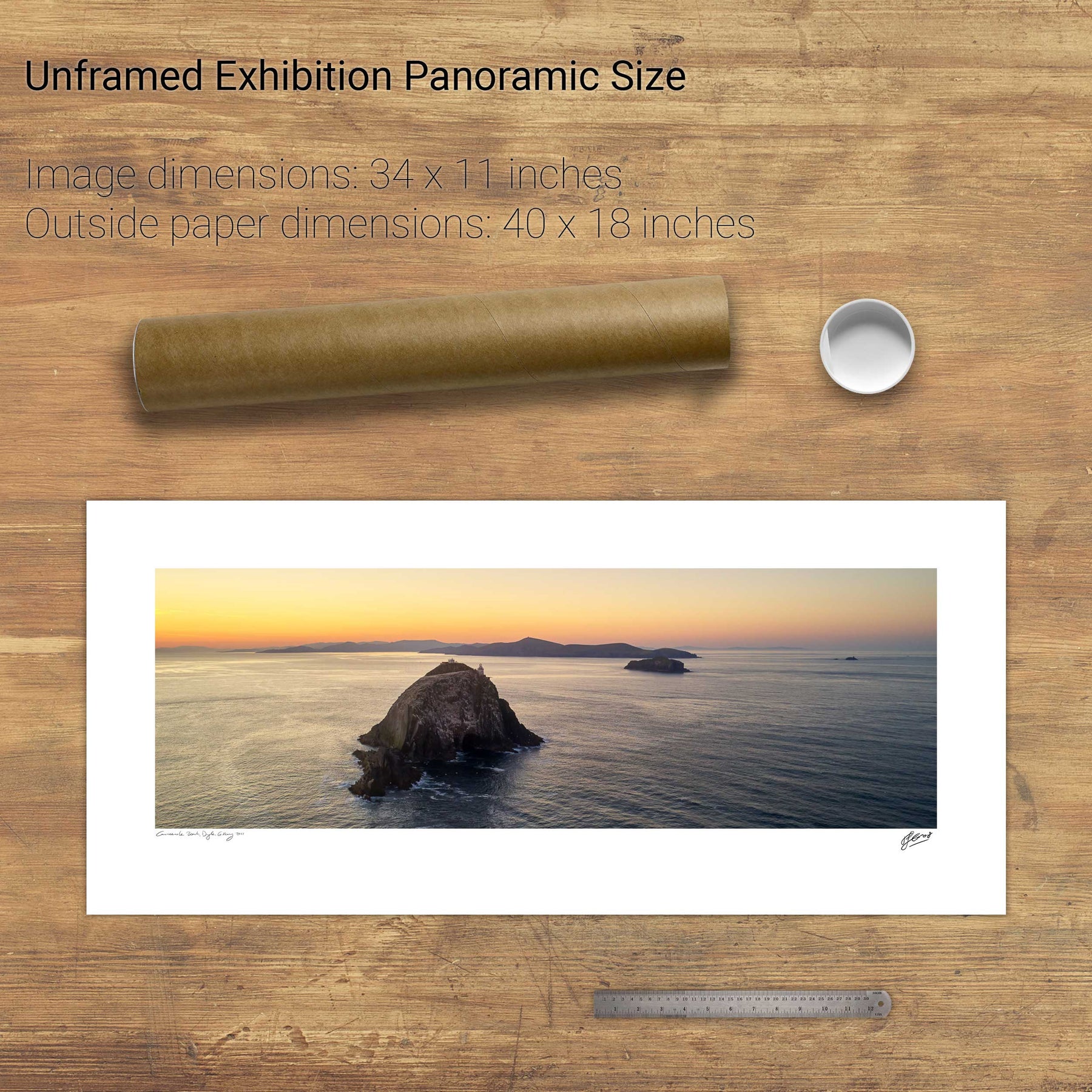
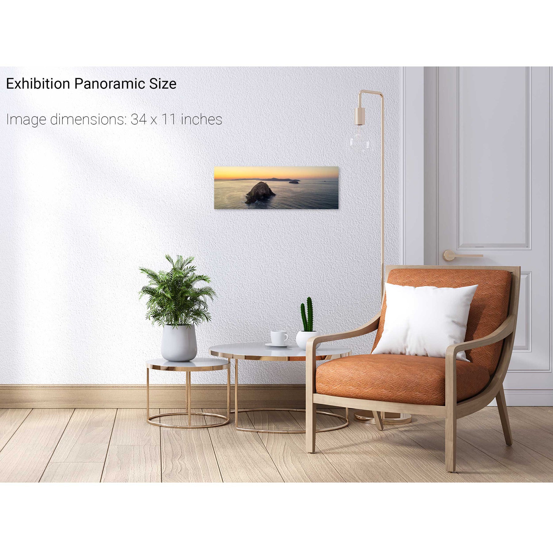
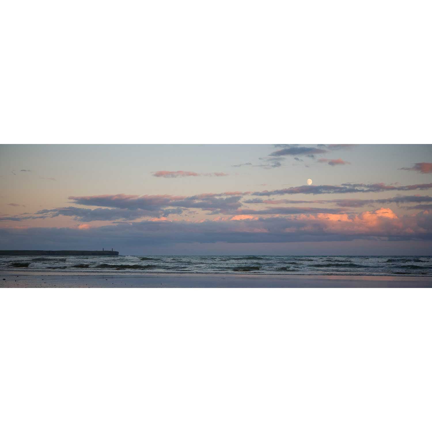
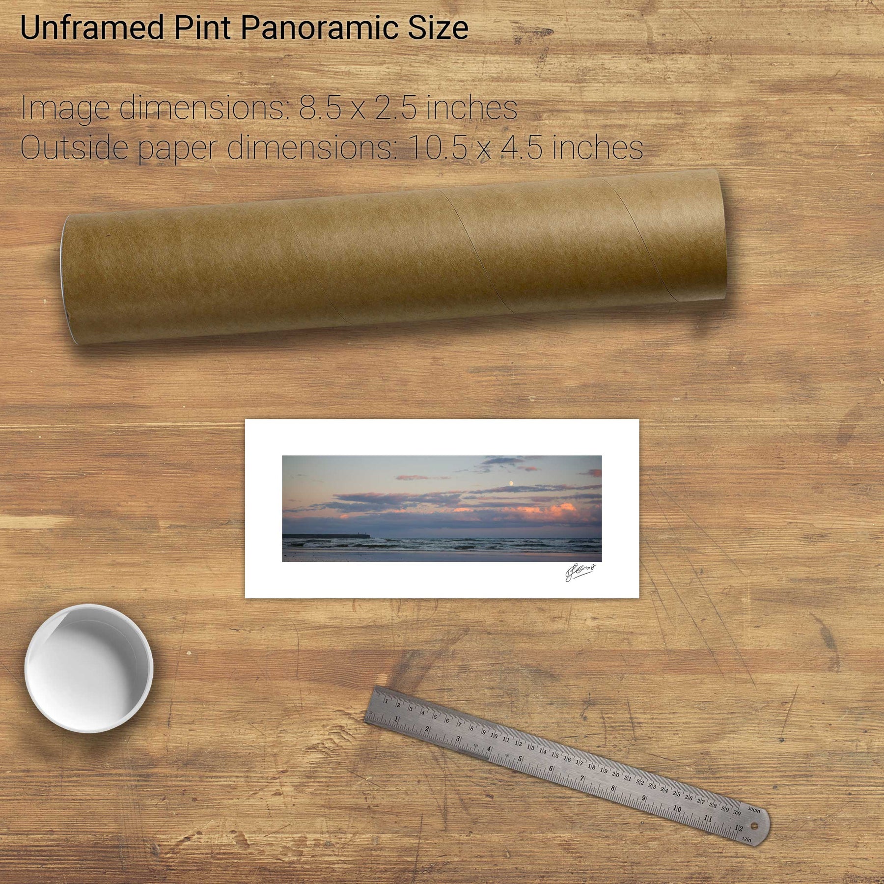
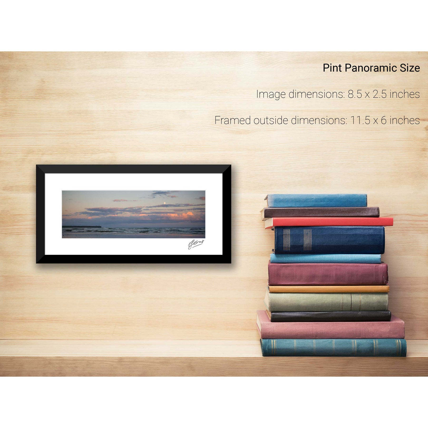
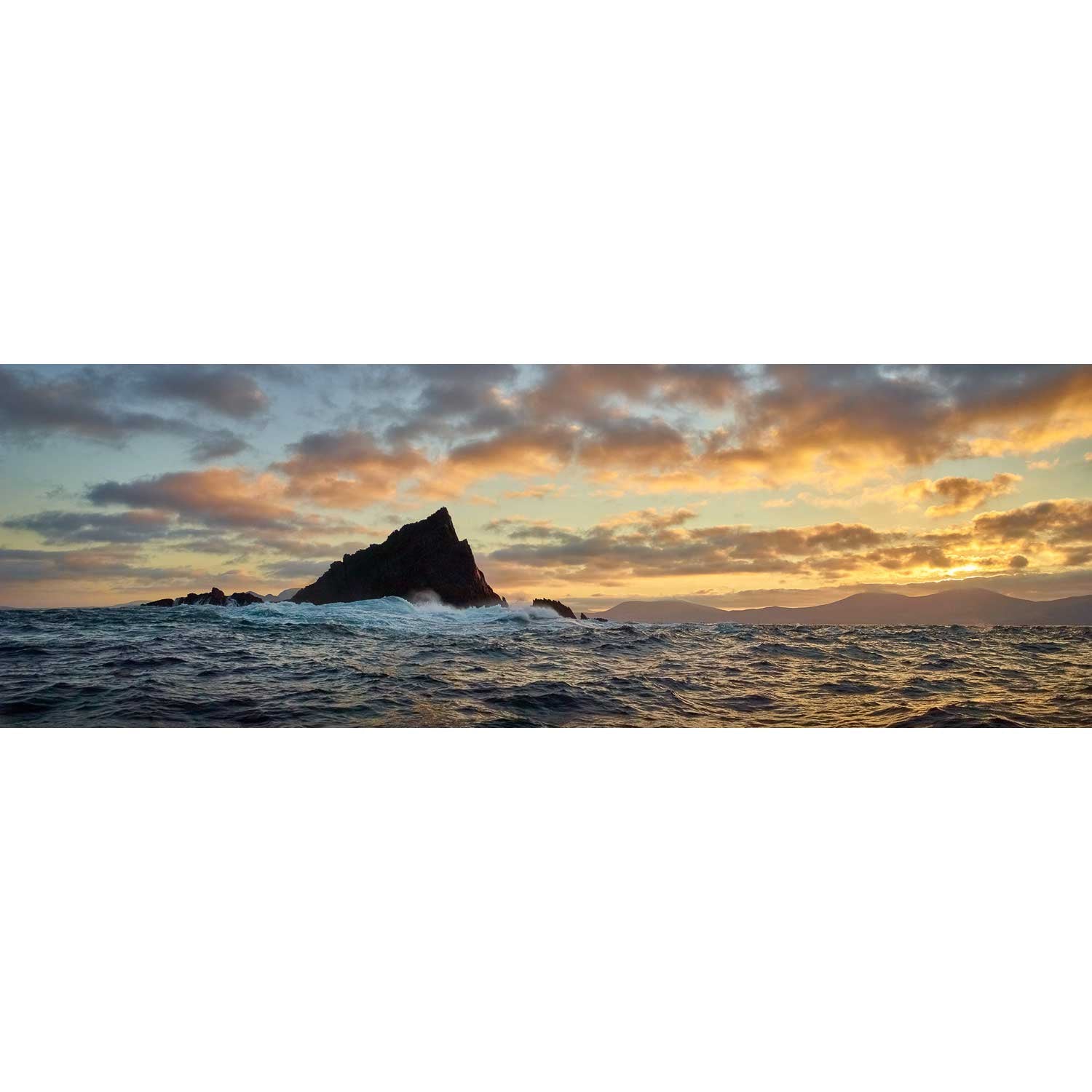
Skelligs Moonset, Kerry


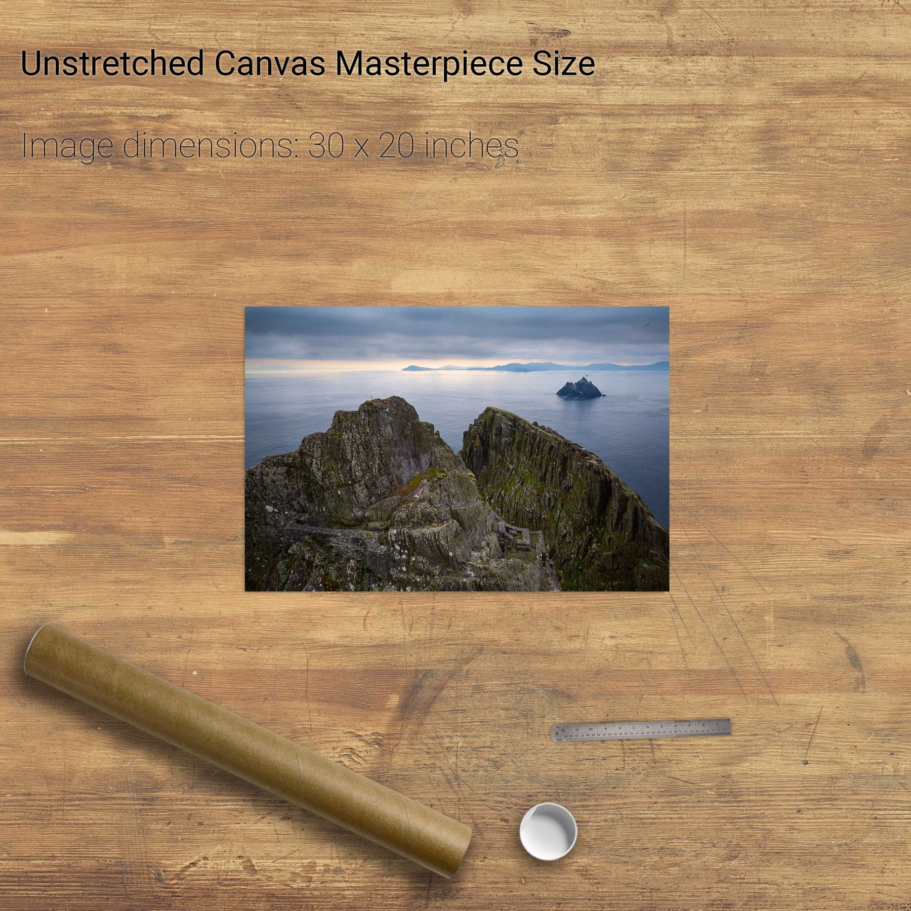
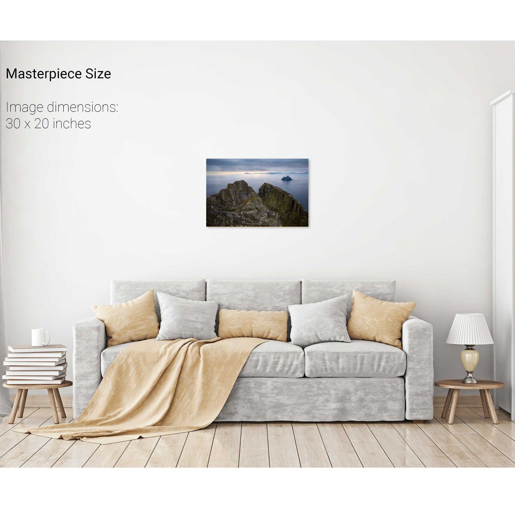
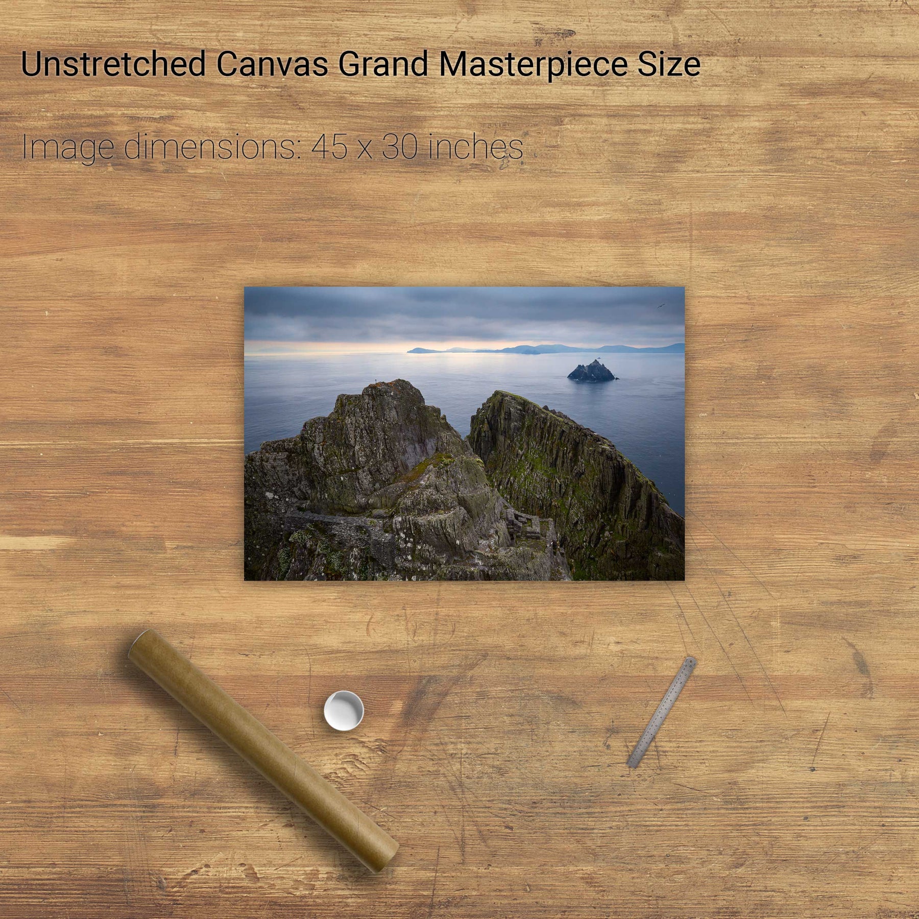
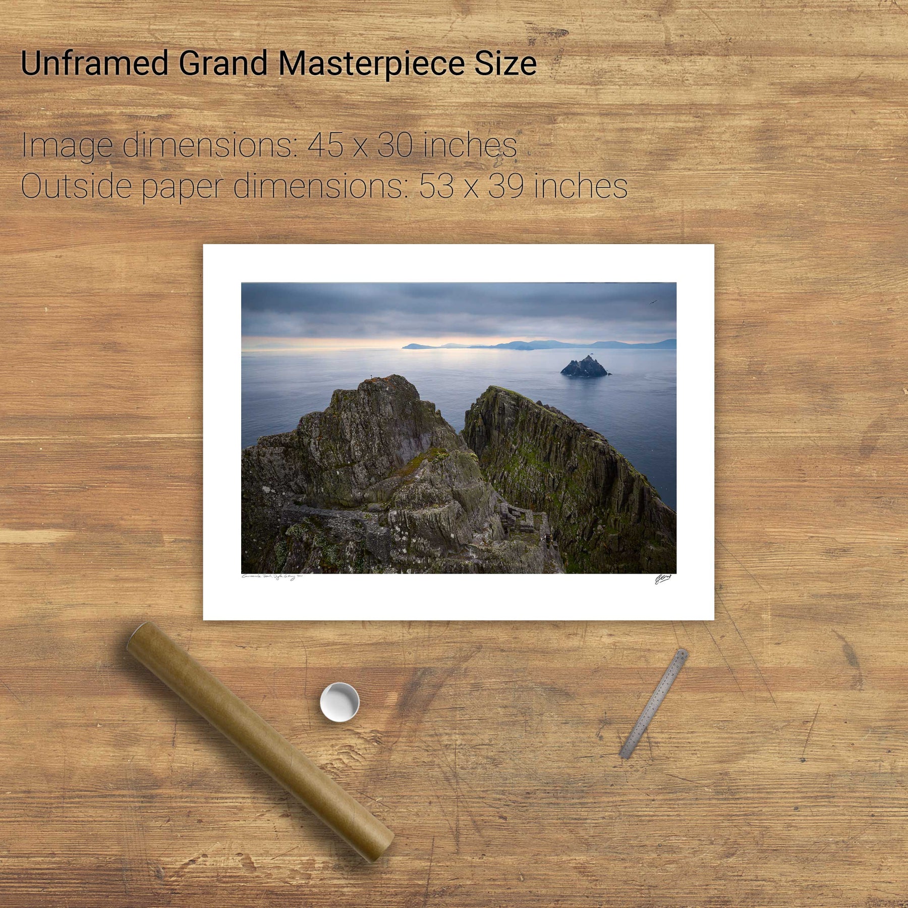
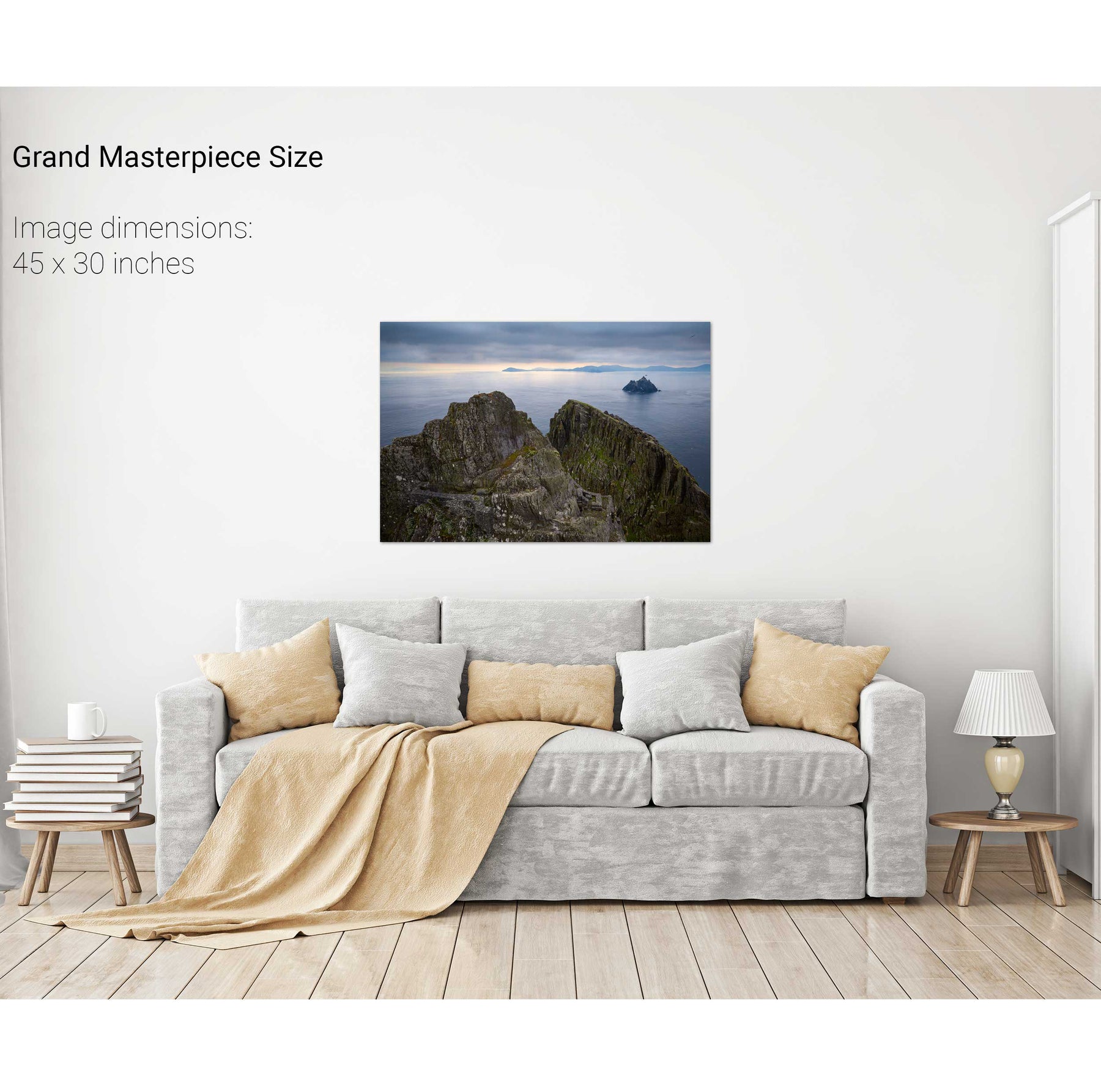
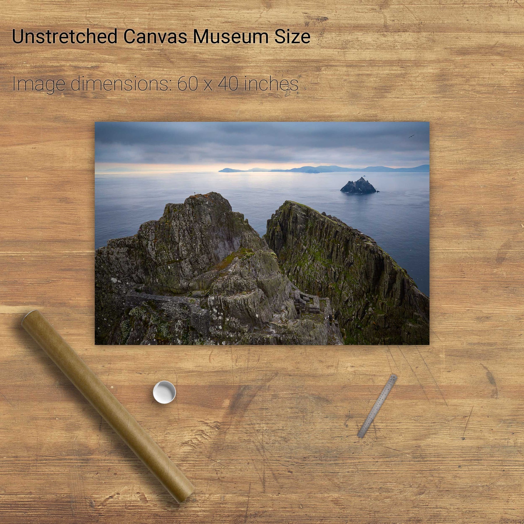
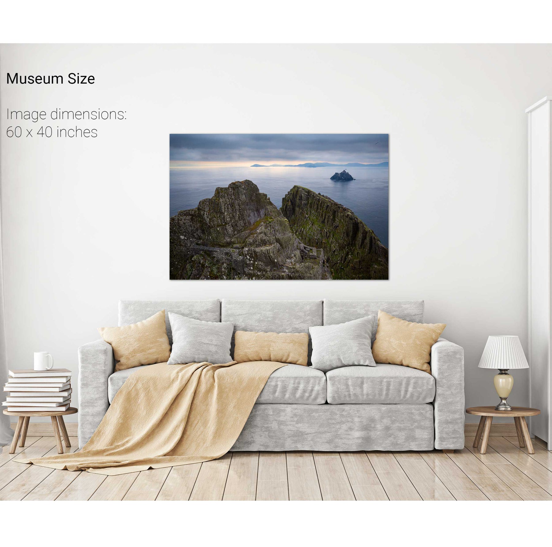
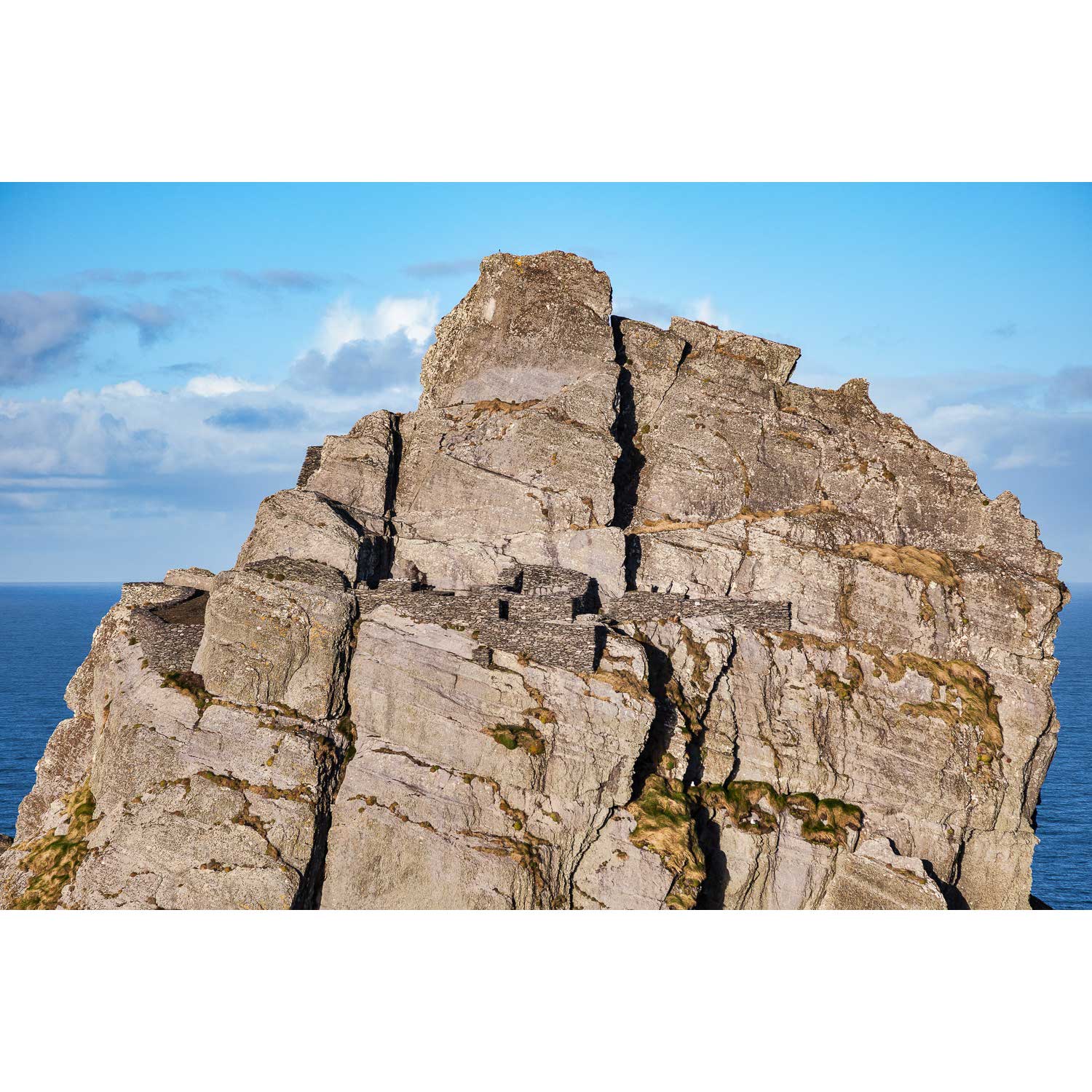
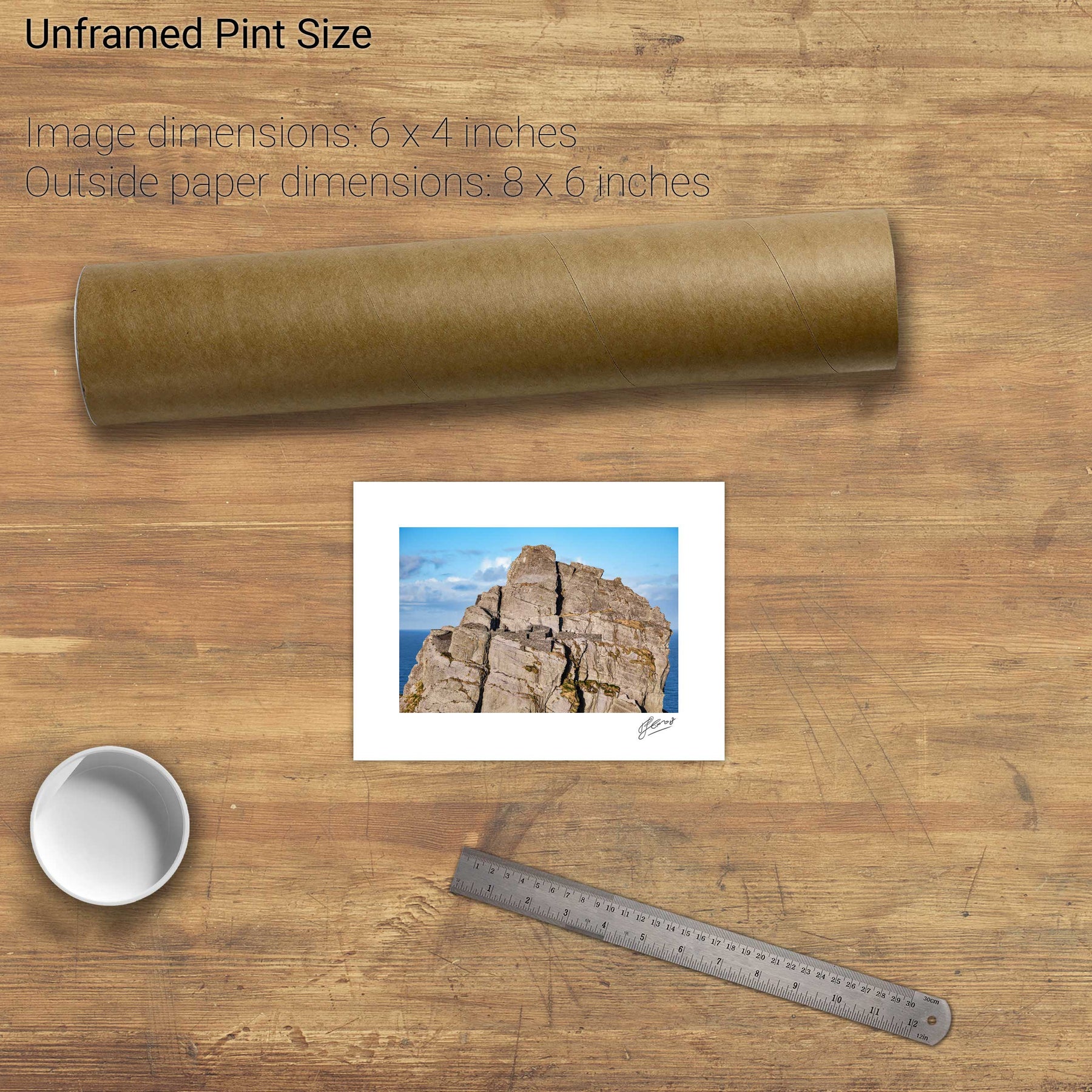
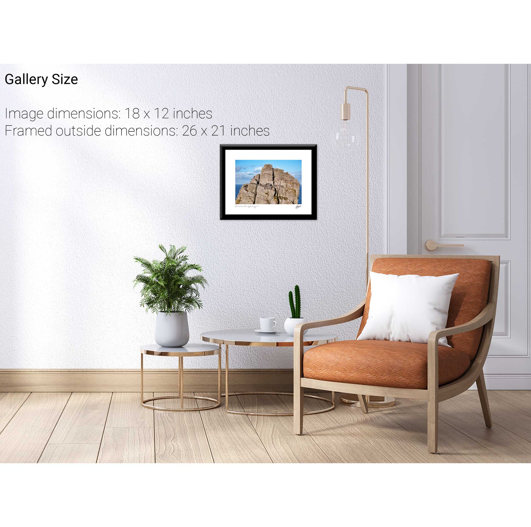
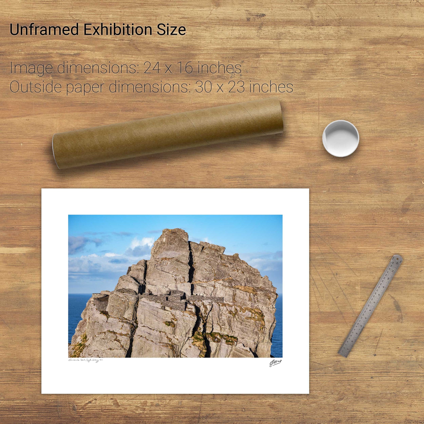
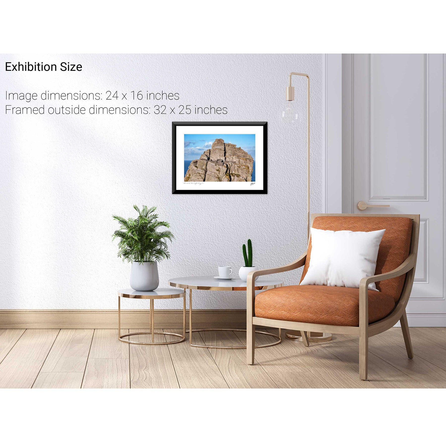
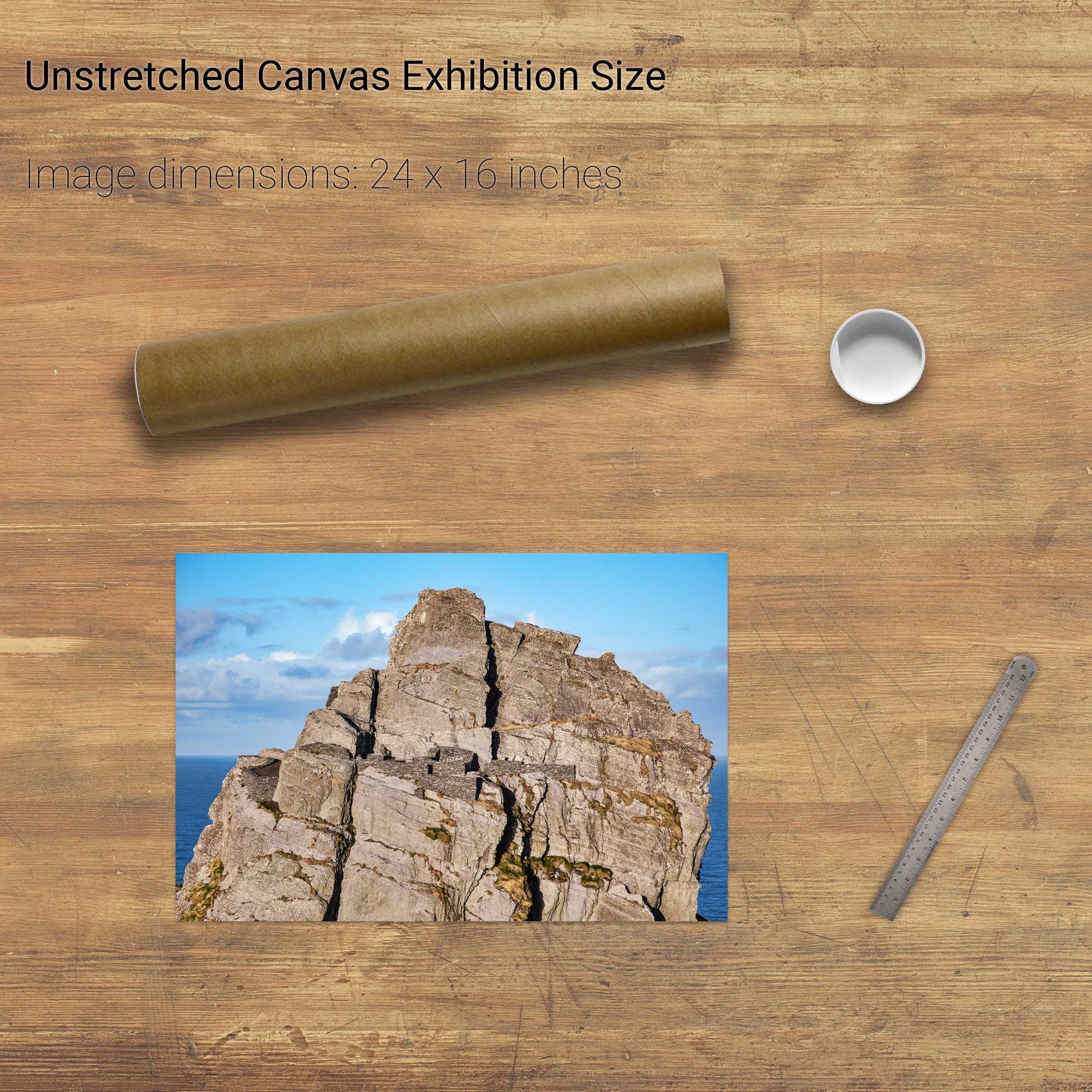
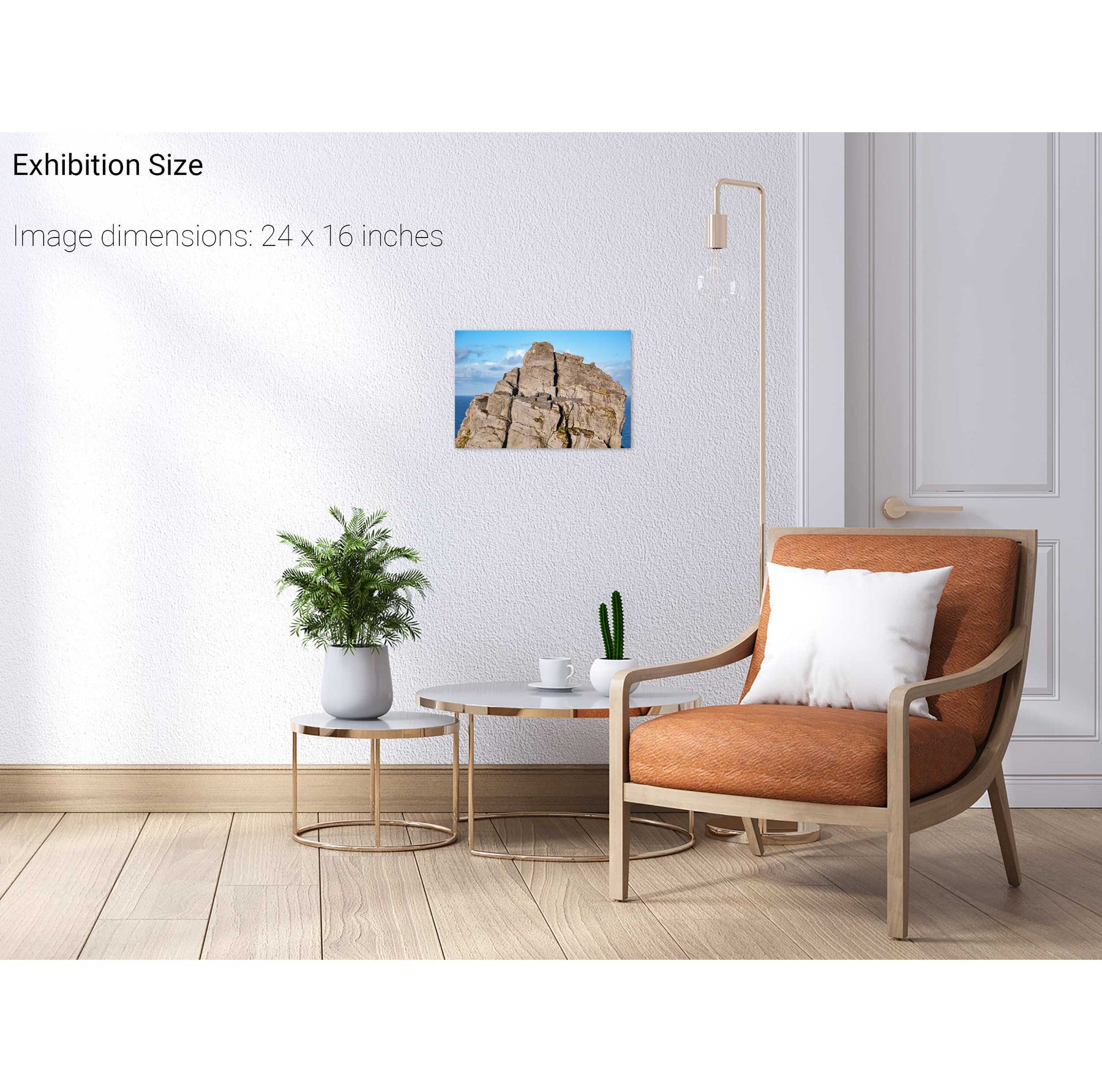
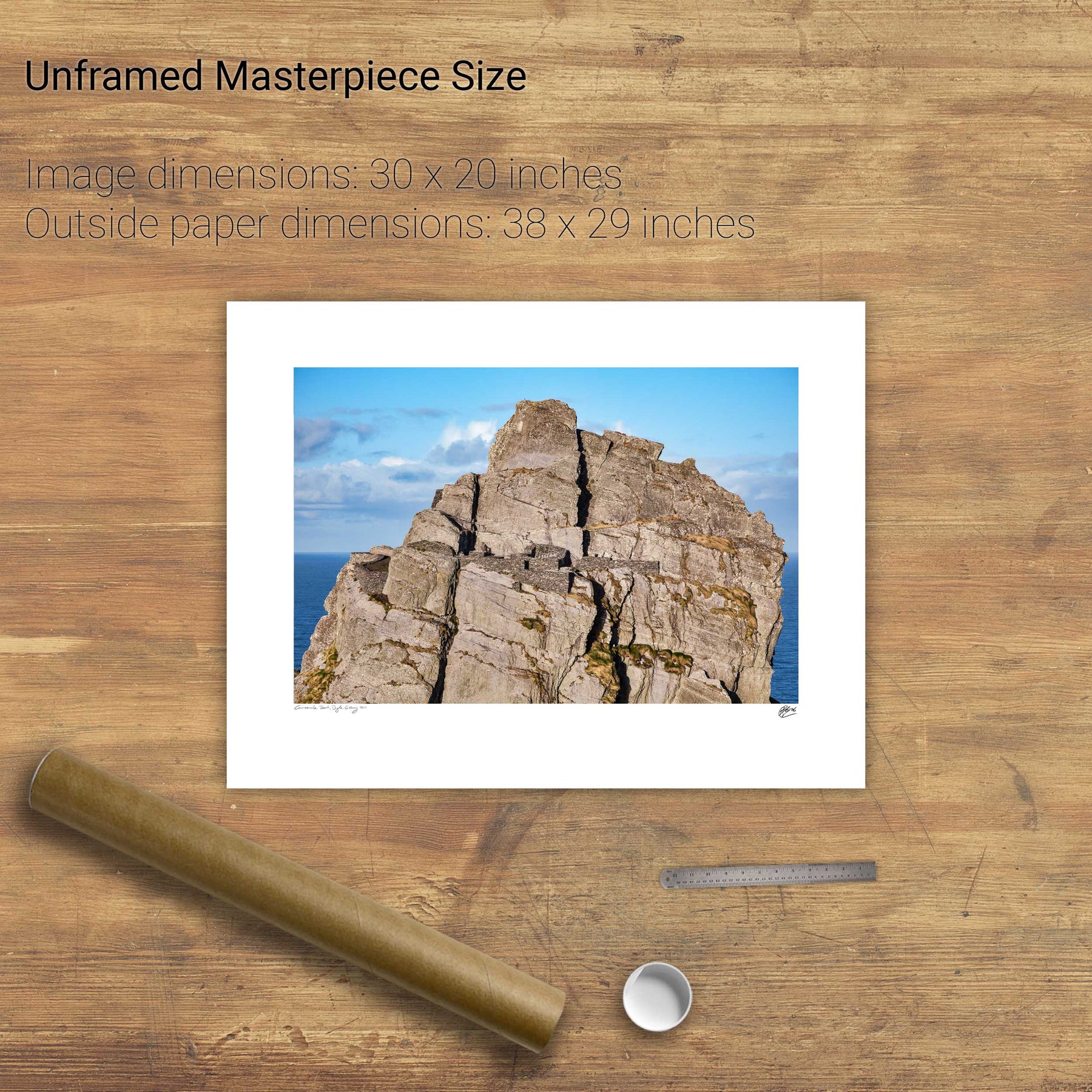
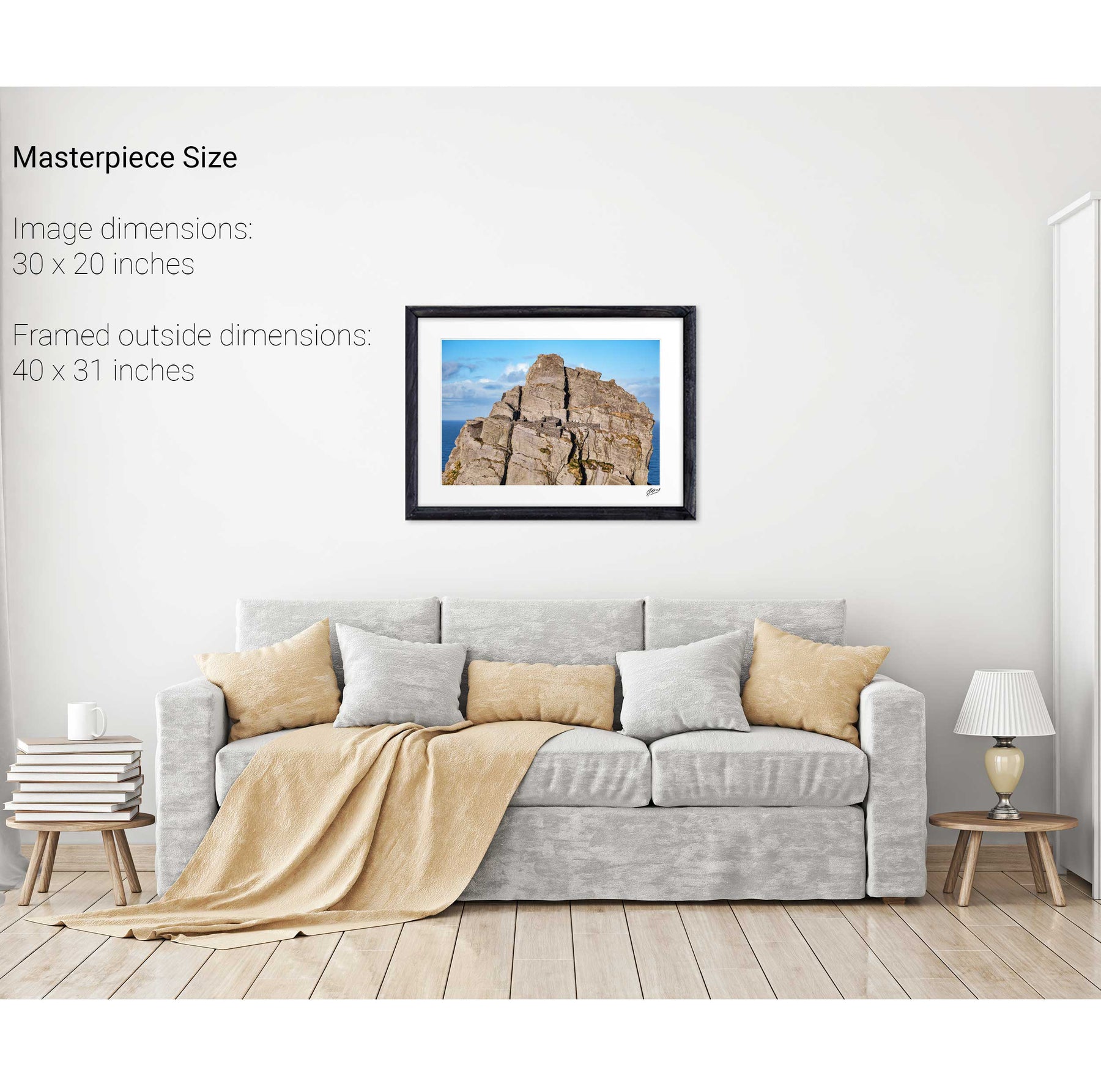
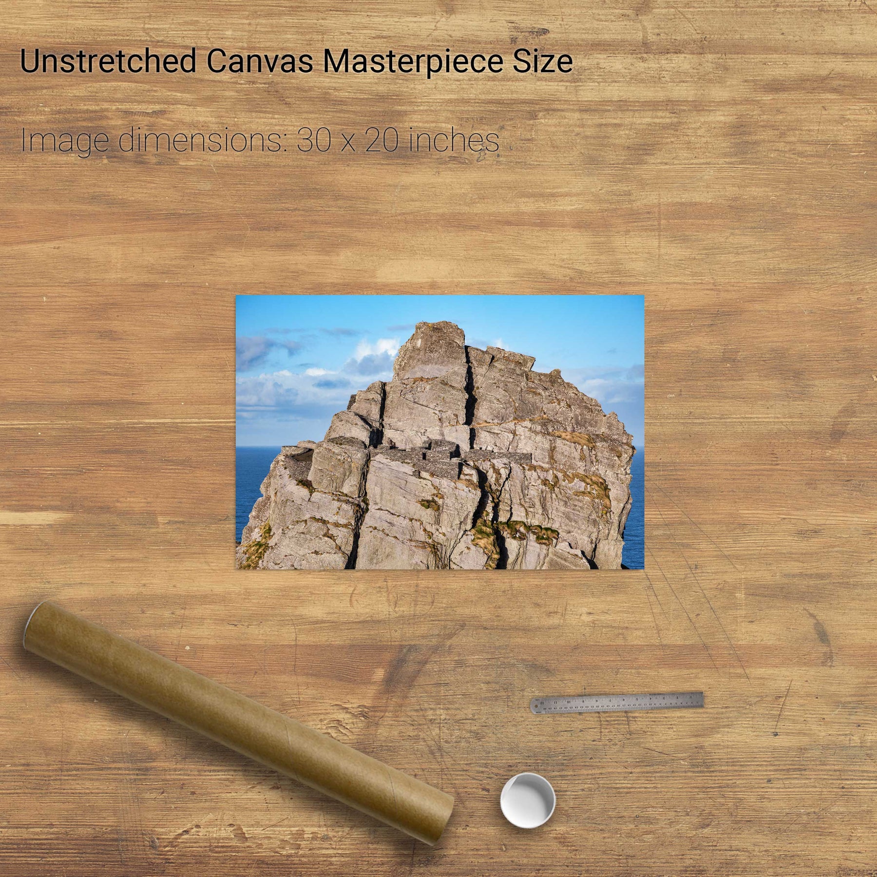
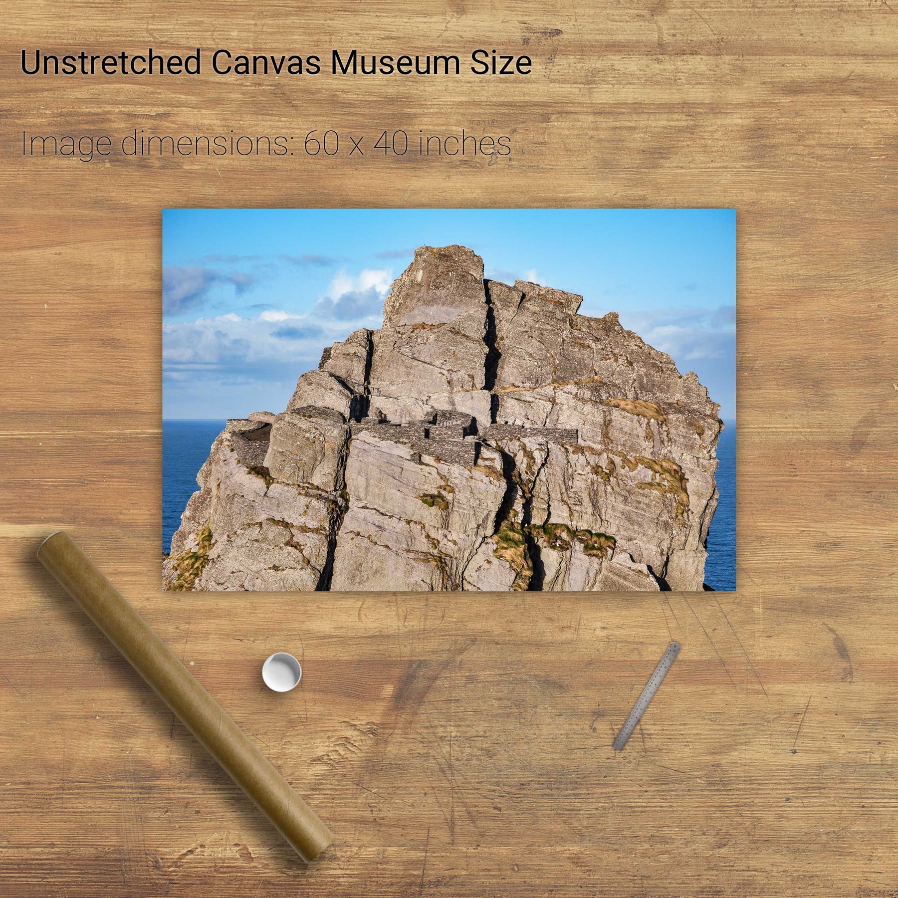
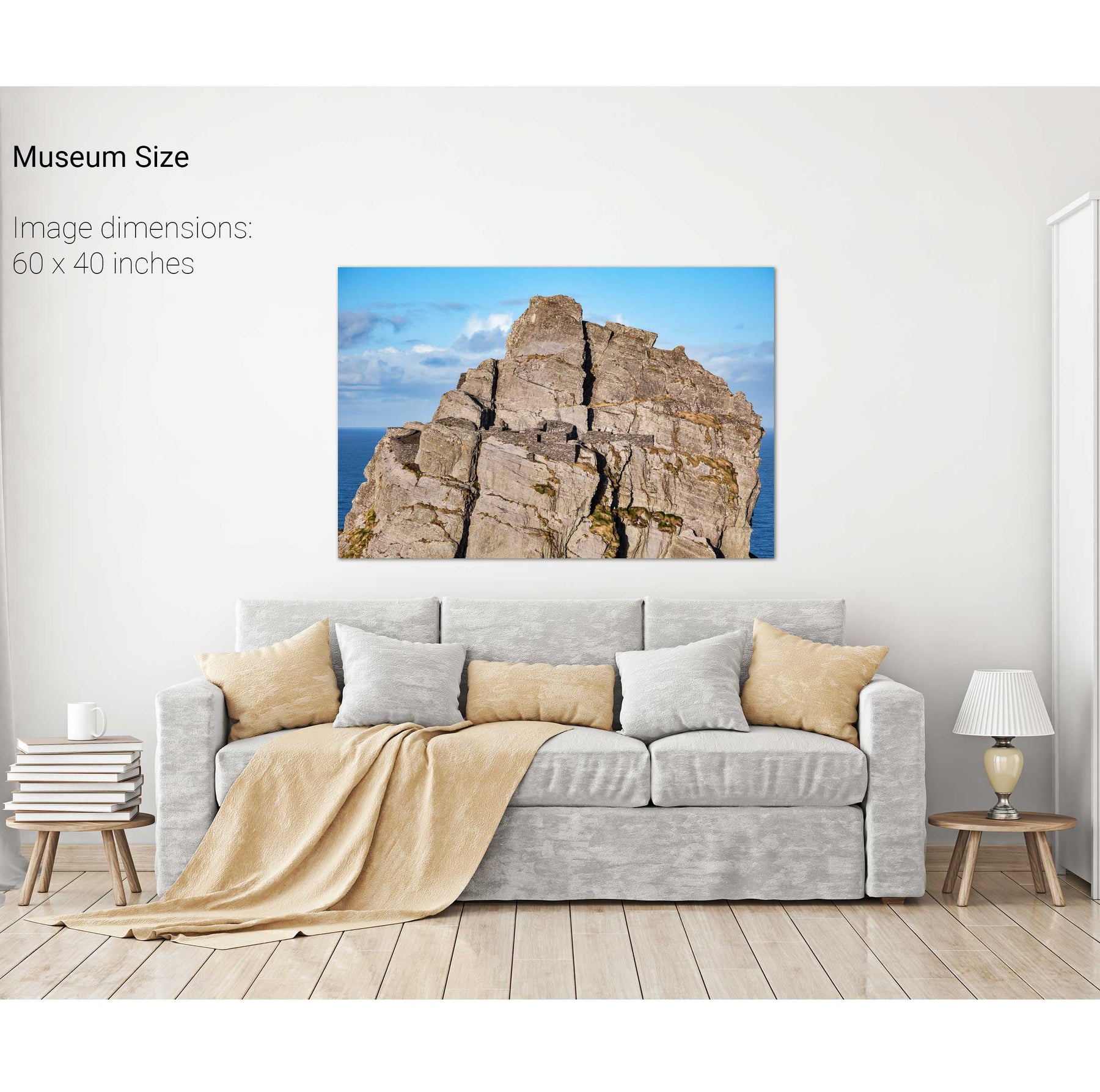
The South Peak Hermitage, Skellig Michael, Kerry


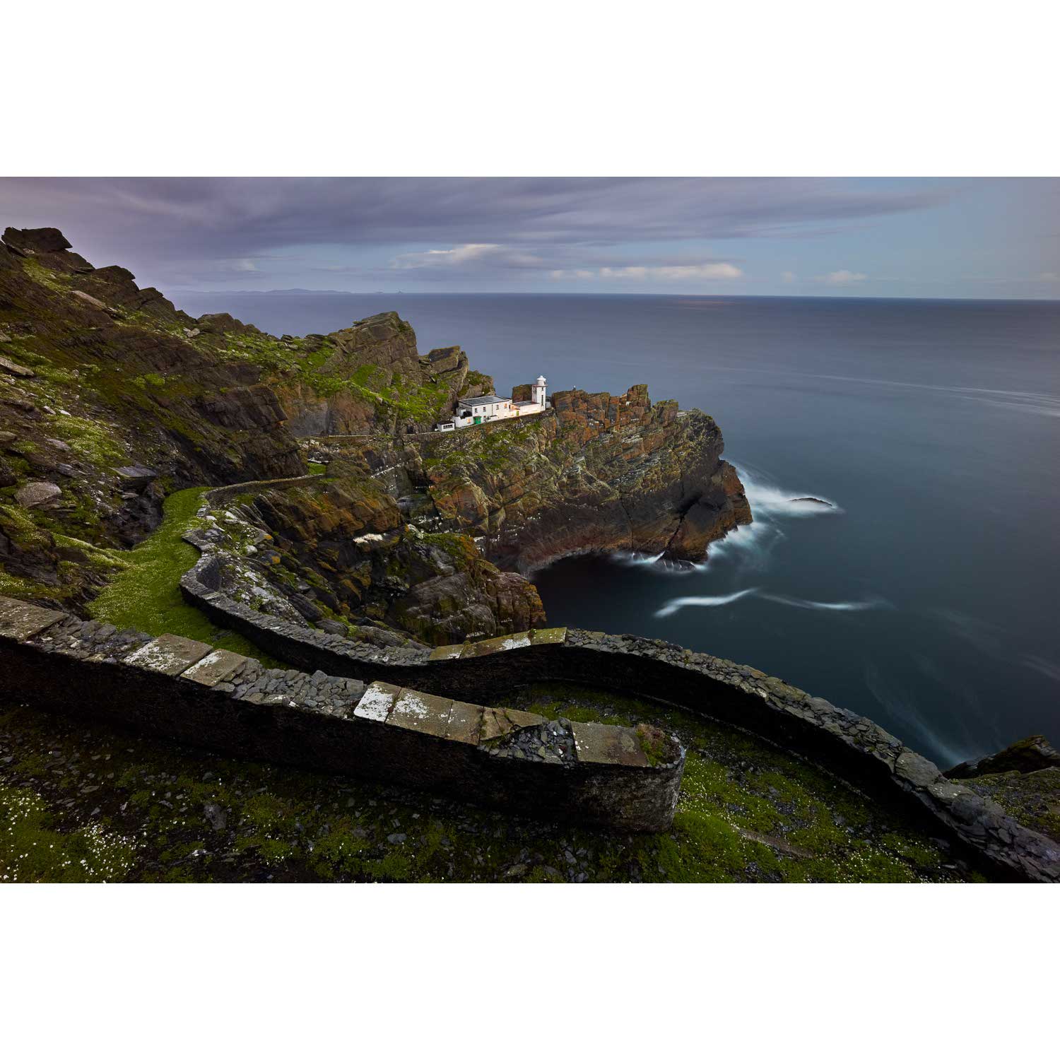
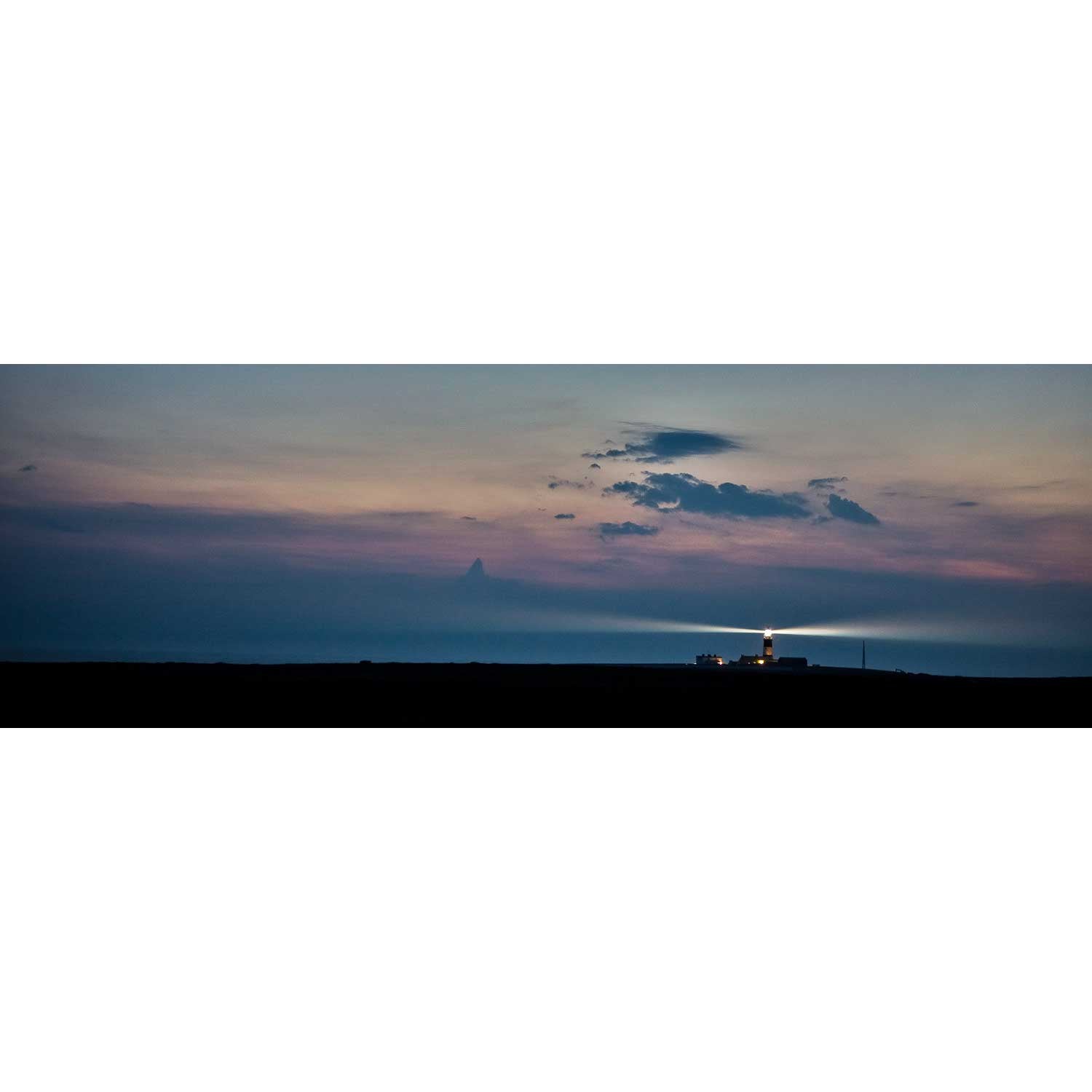
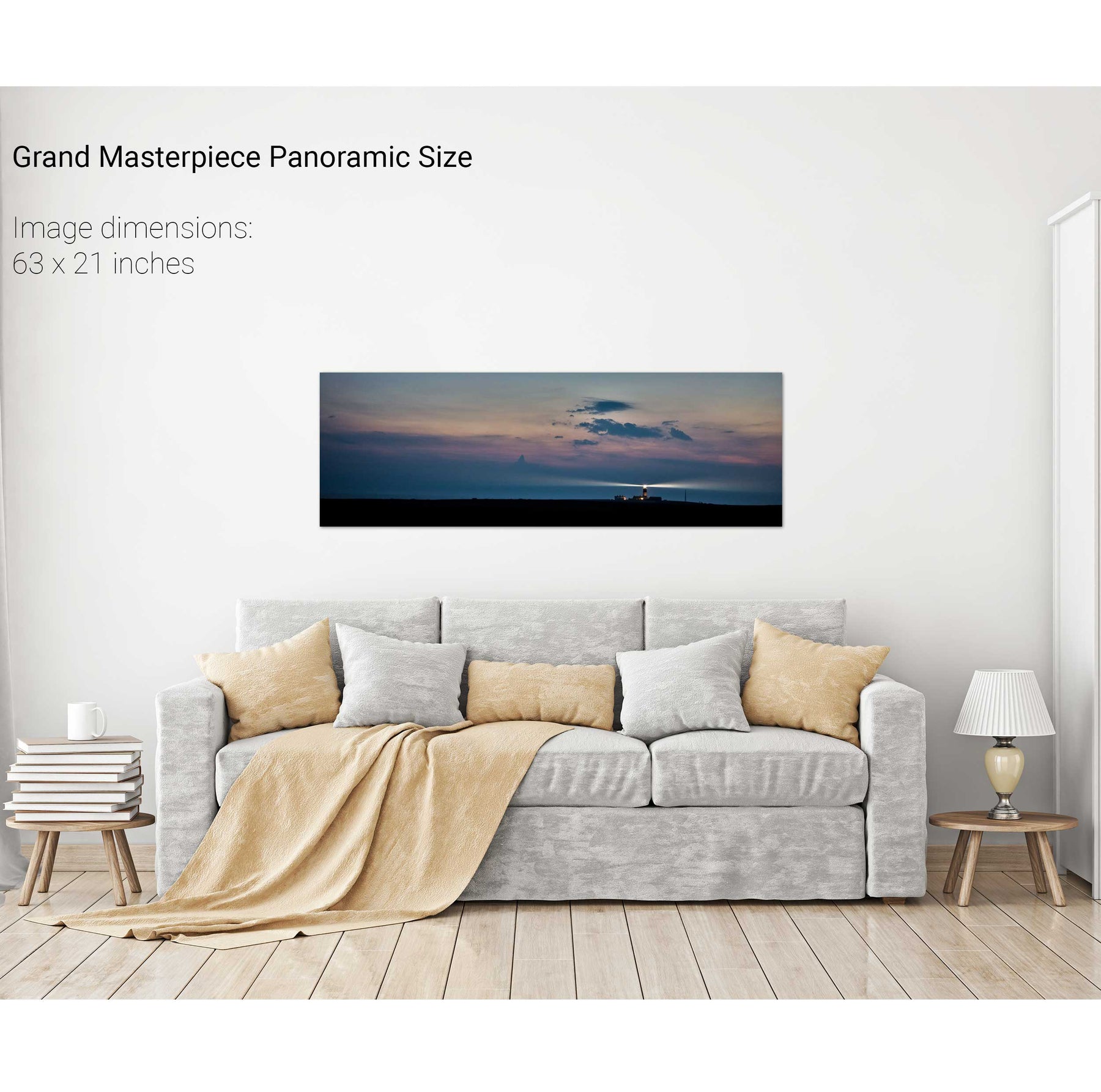
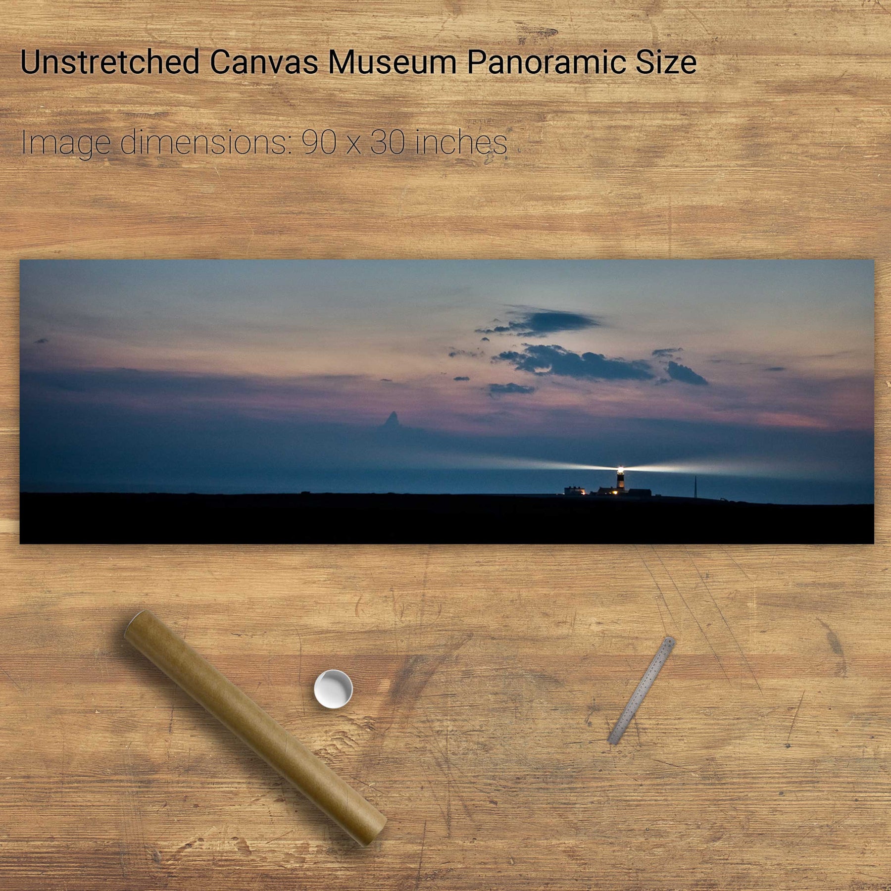
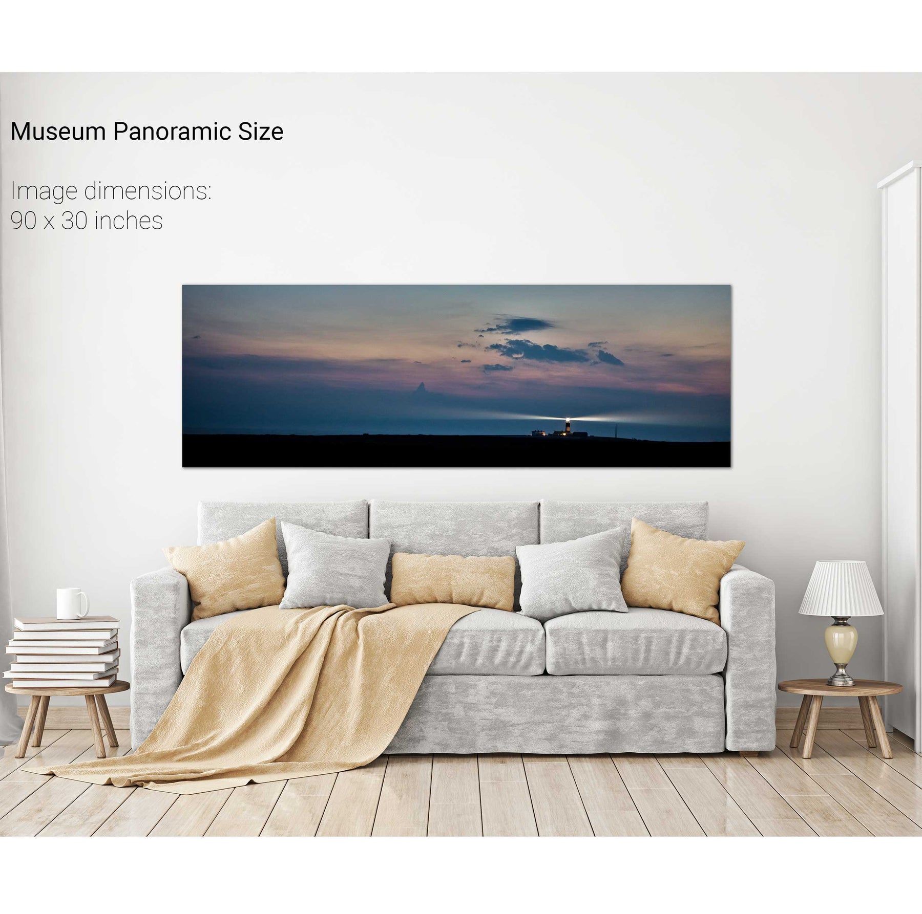
Nocturne, Skellig Michael Lighthouse, Co. Kerry


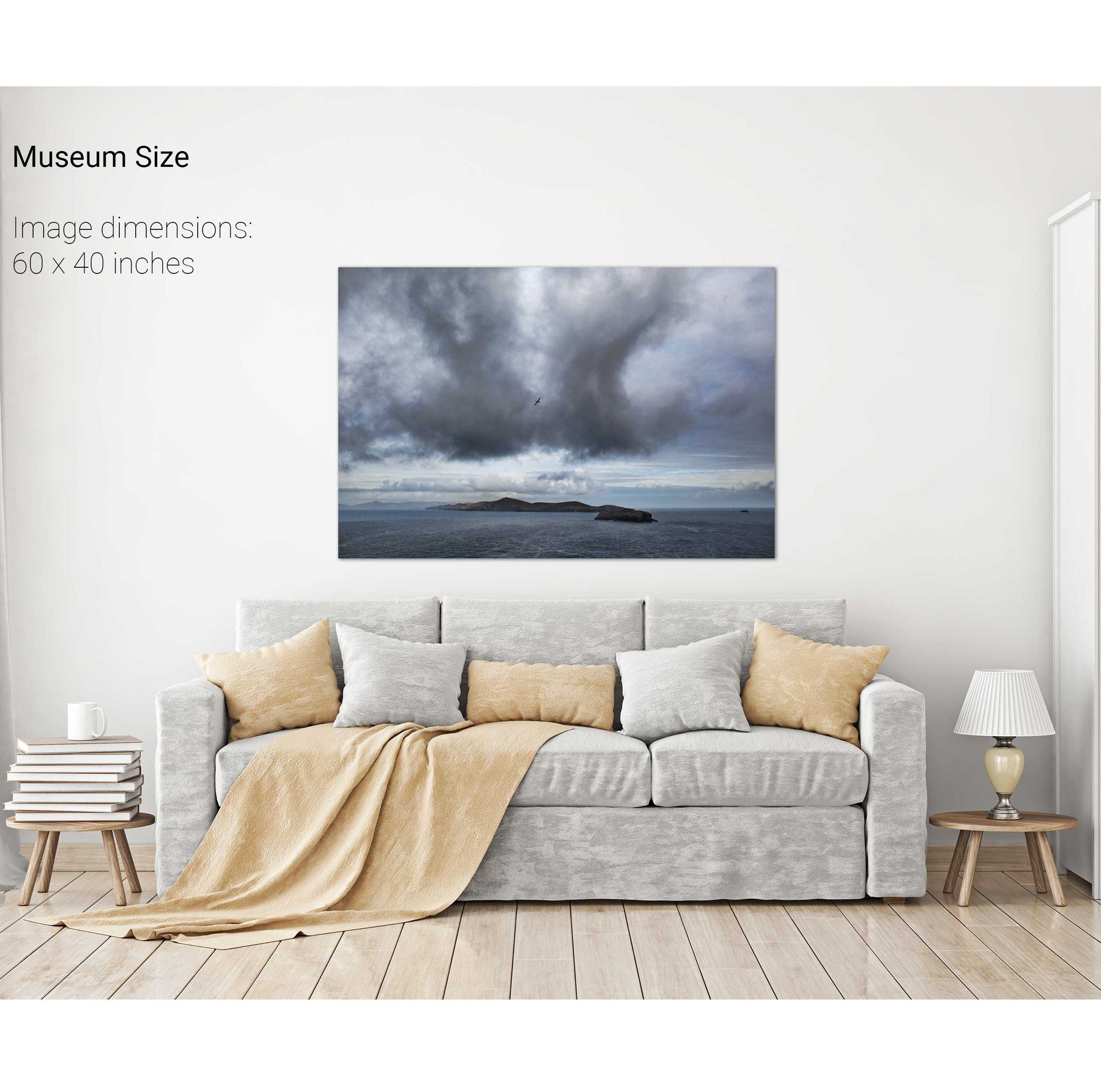
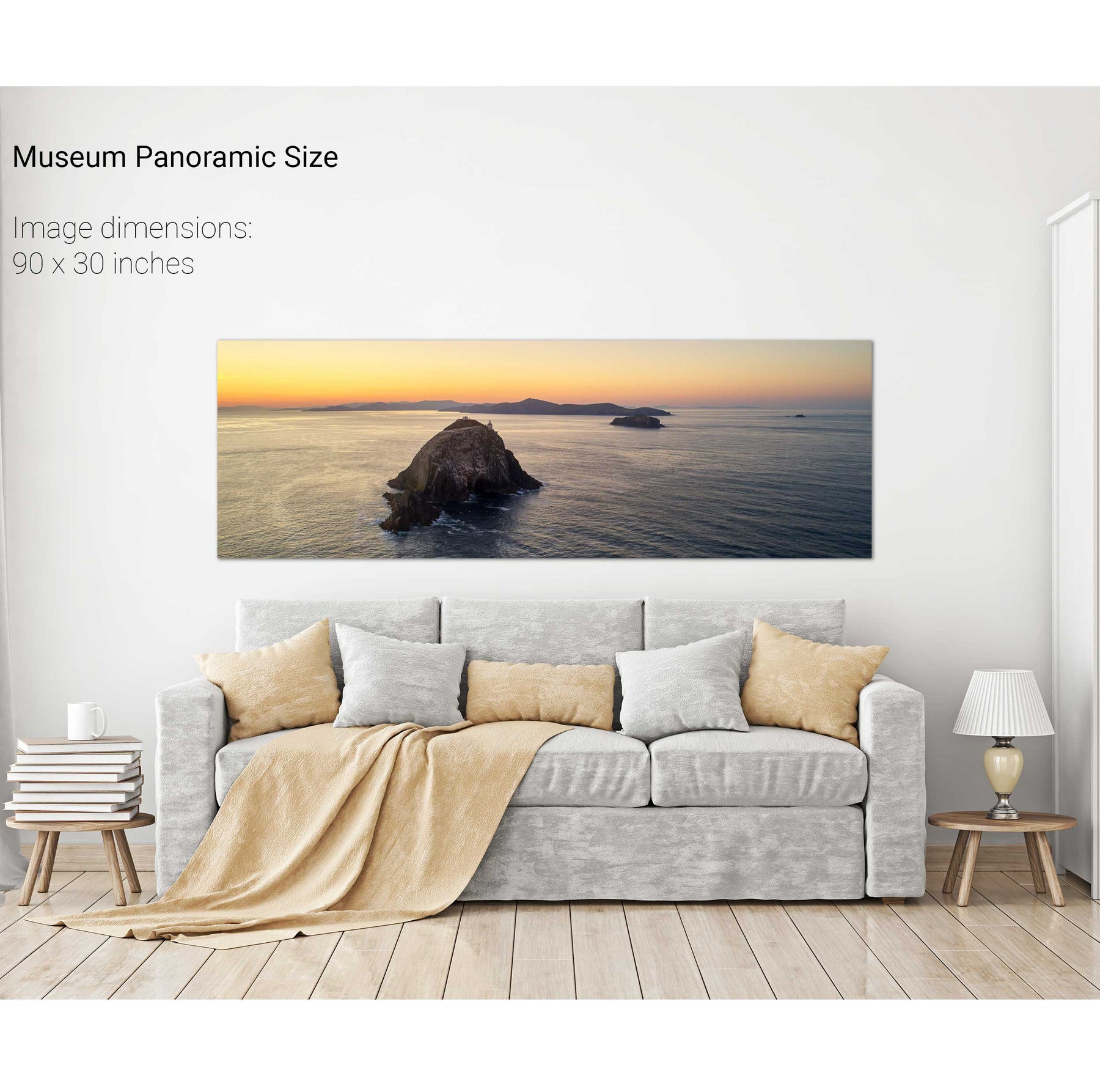
Sunrise, Bull, Cow and Calf Rocks, Cork


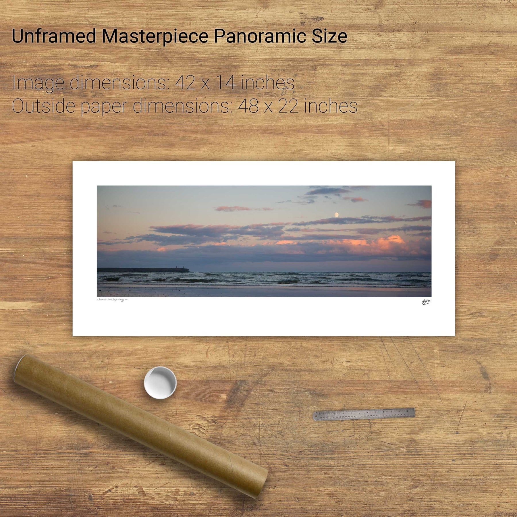
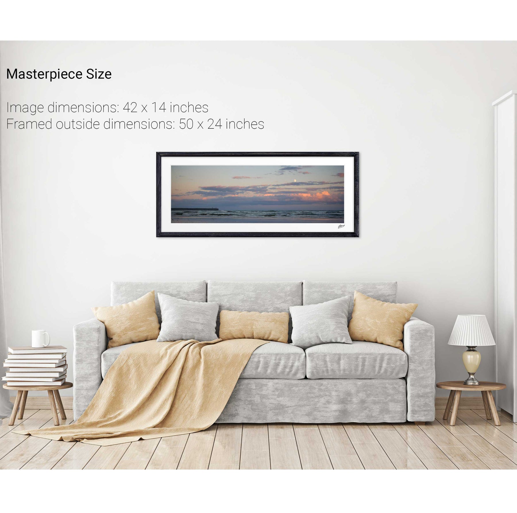
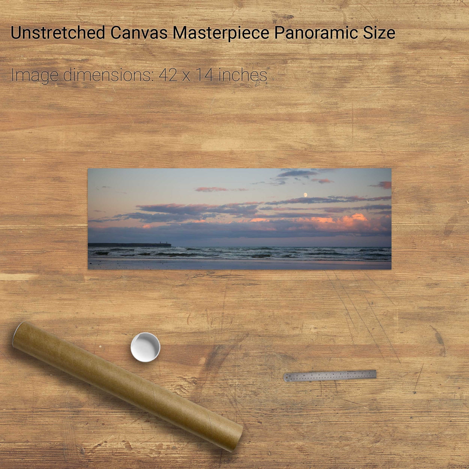
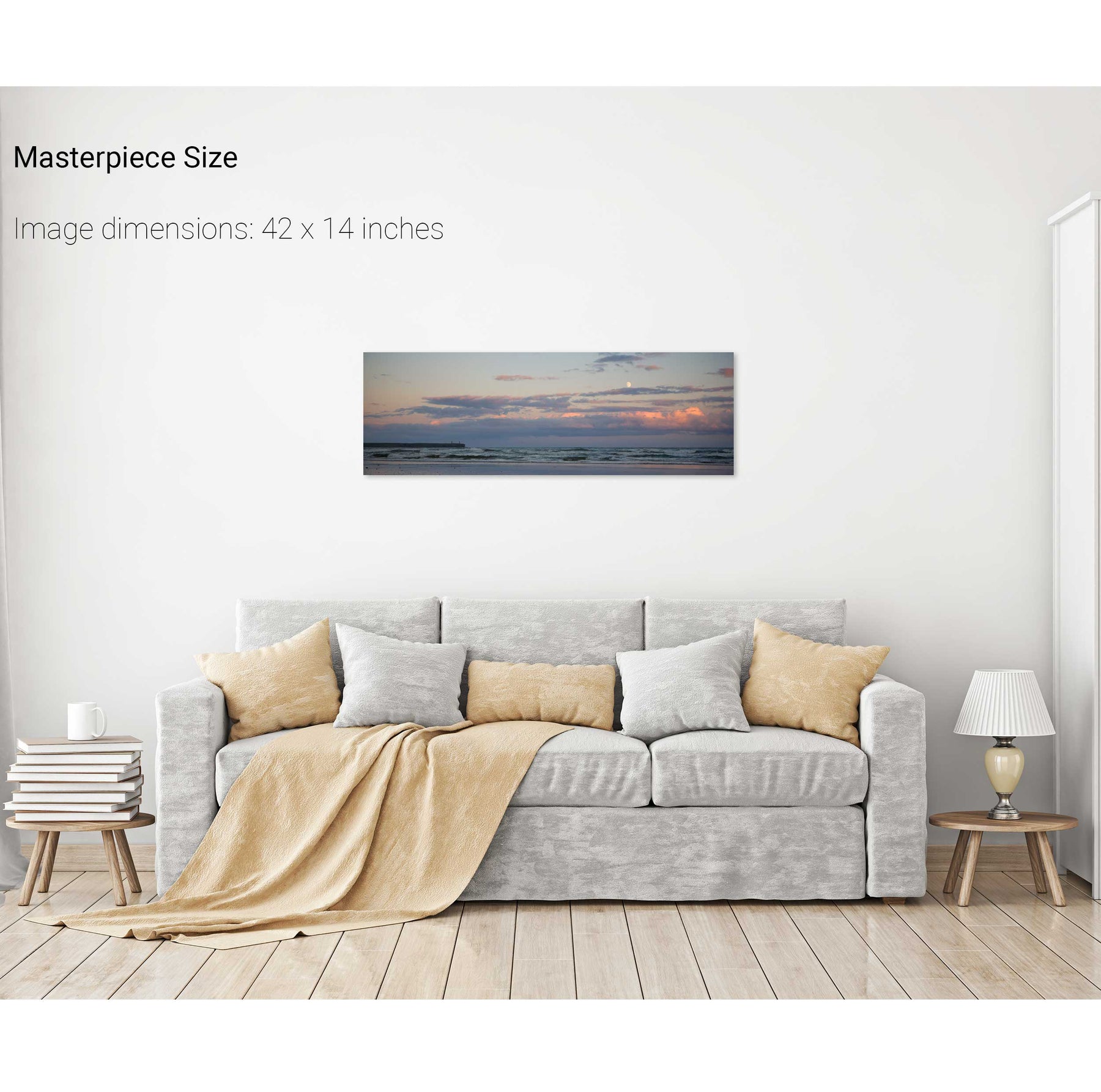
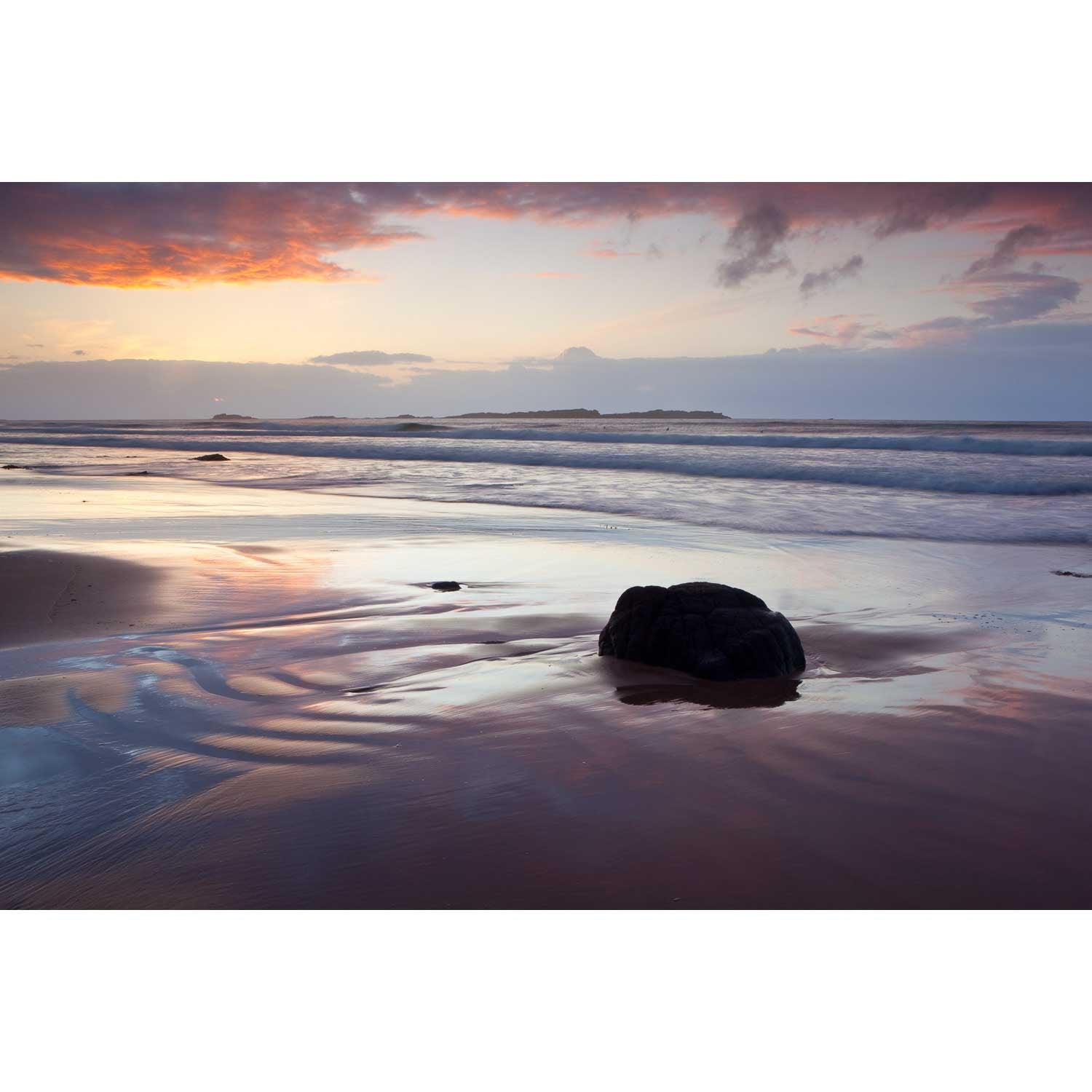
Moonrise, Tramore, Co. Wexford


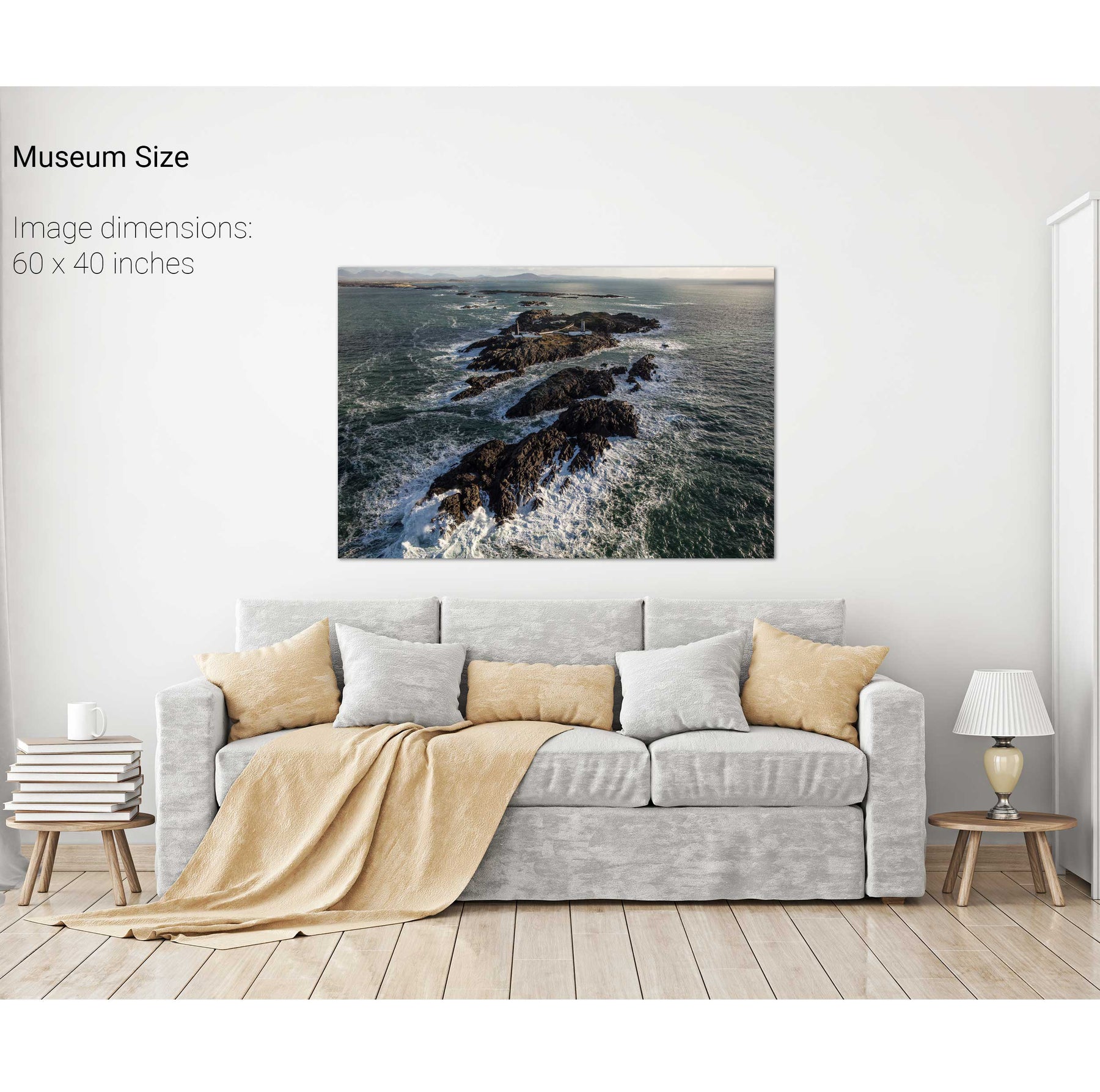
The Skerries, Co. Antrim


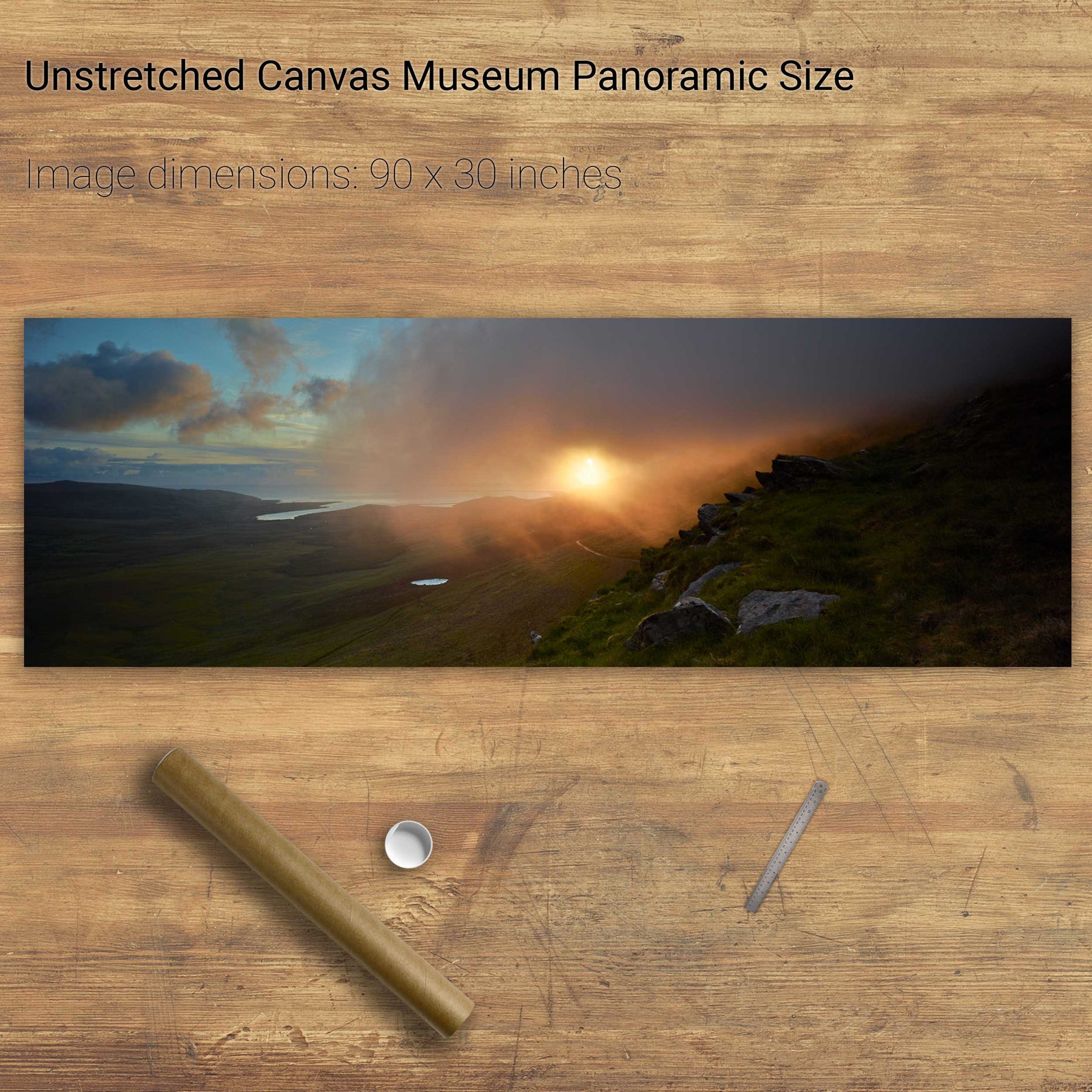
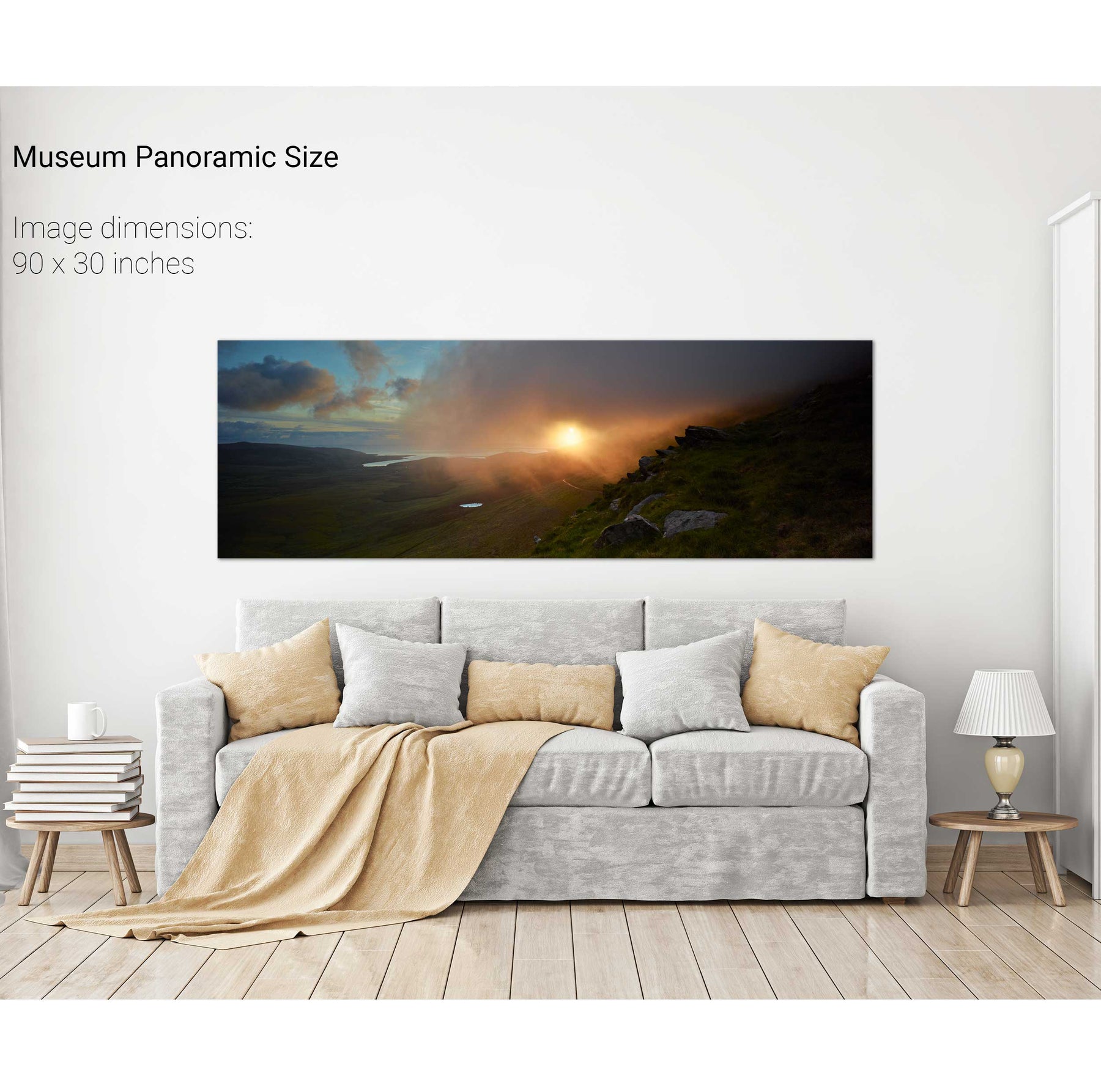
Sunrise, the Conor Pass, Dingle, Co. Kerry


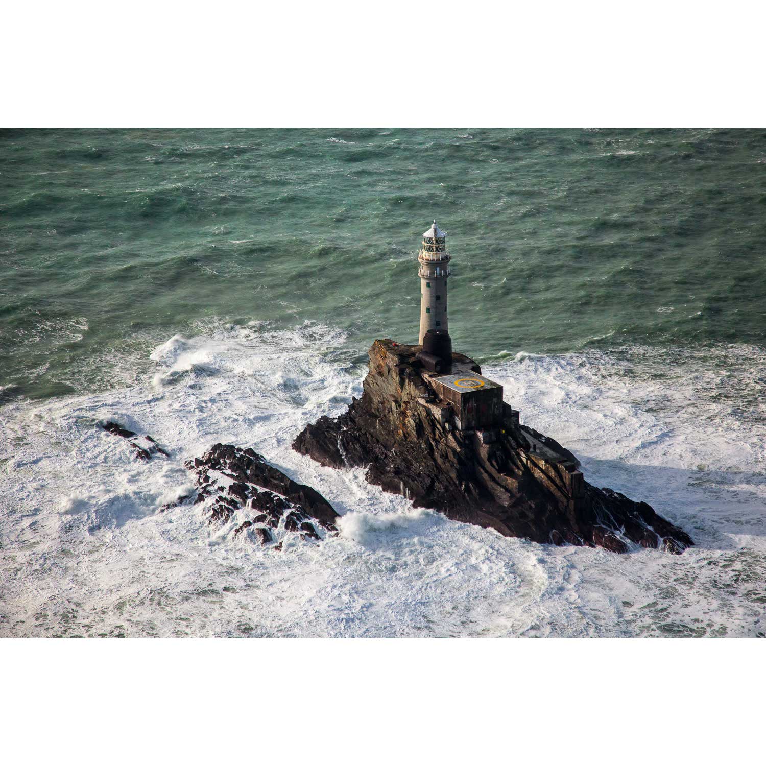
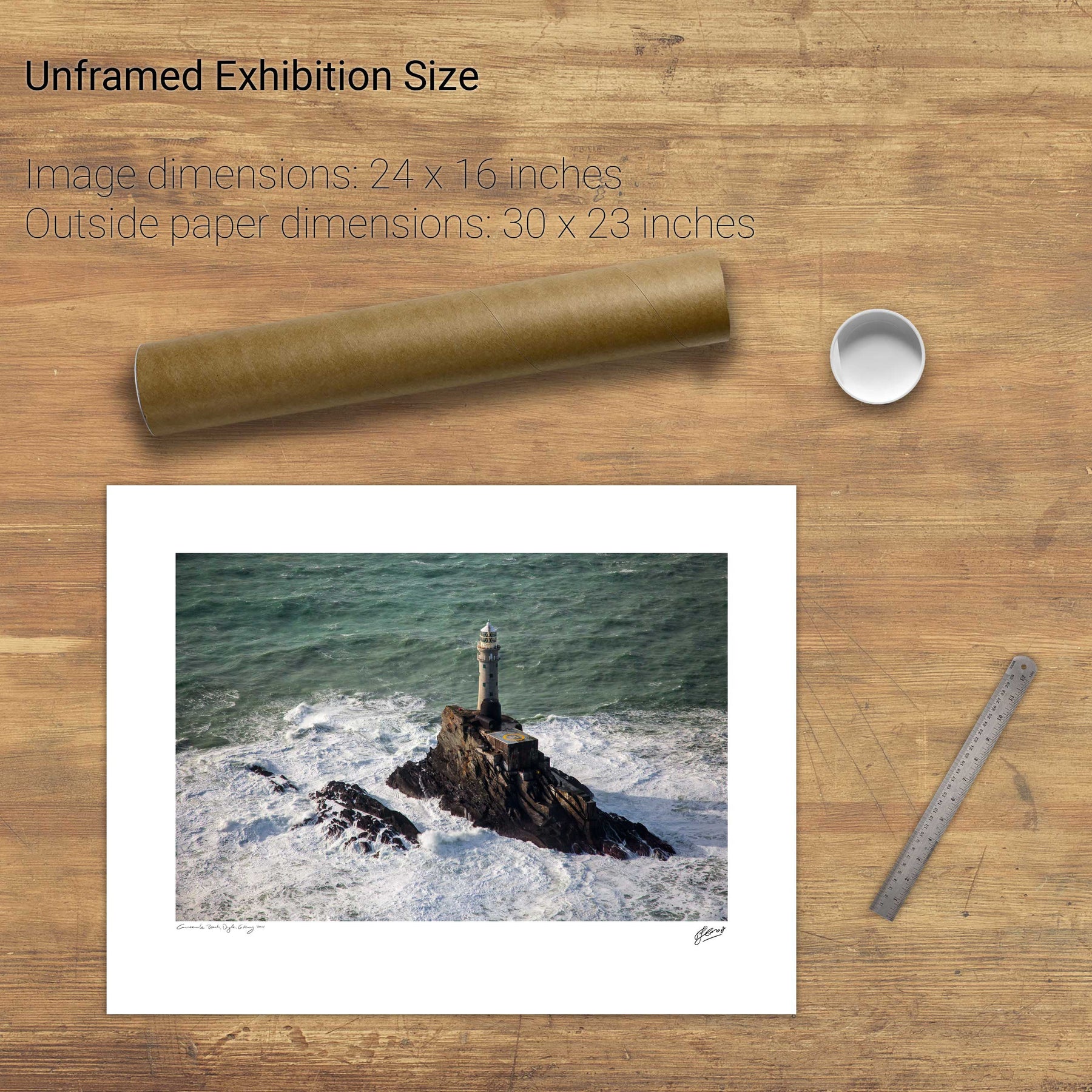
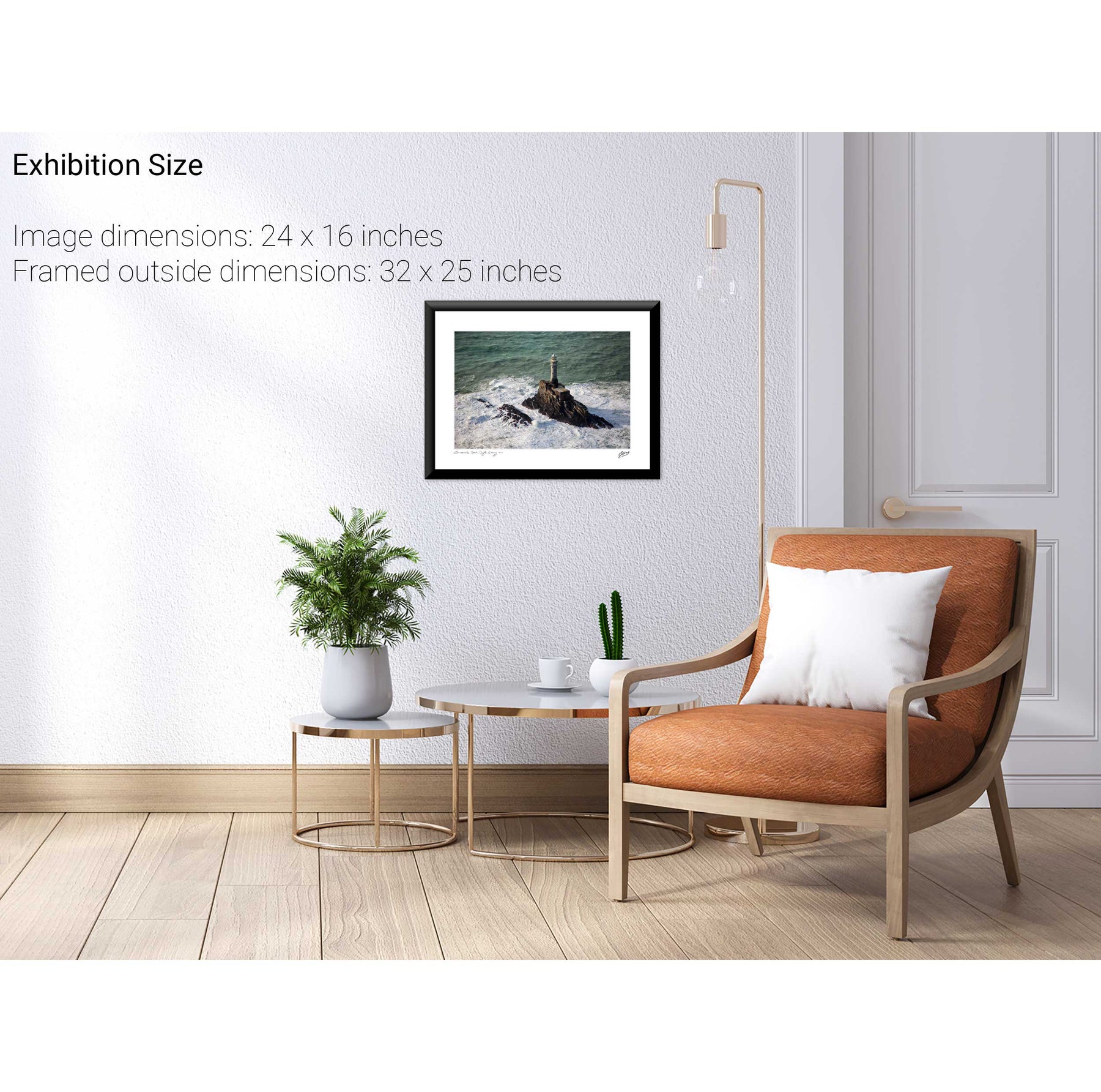
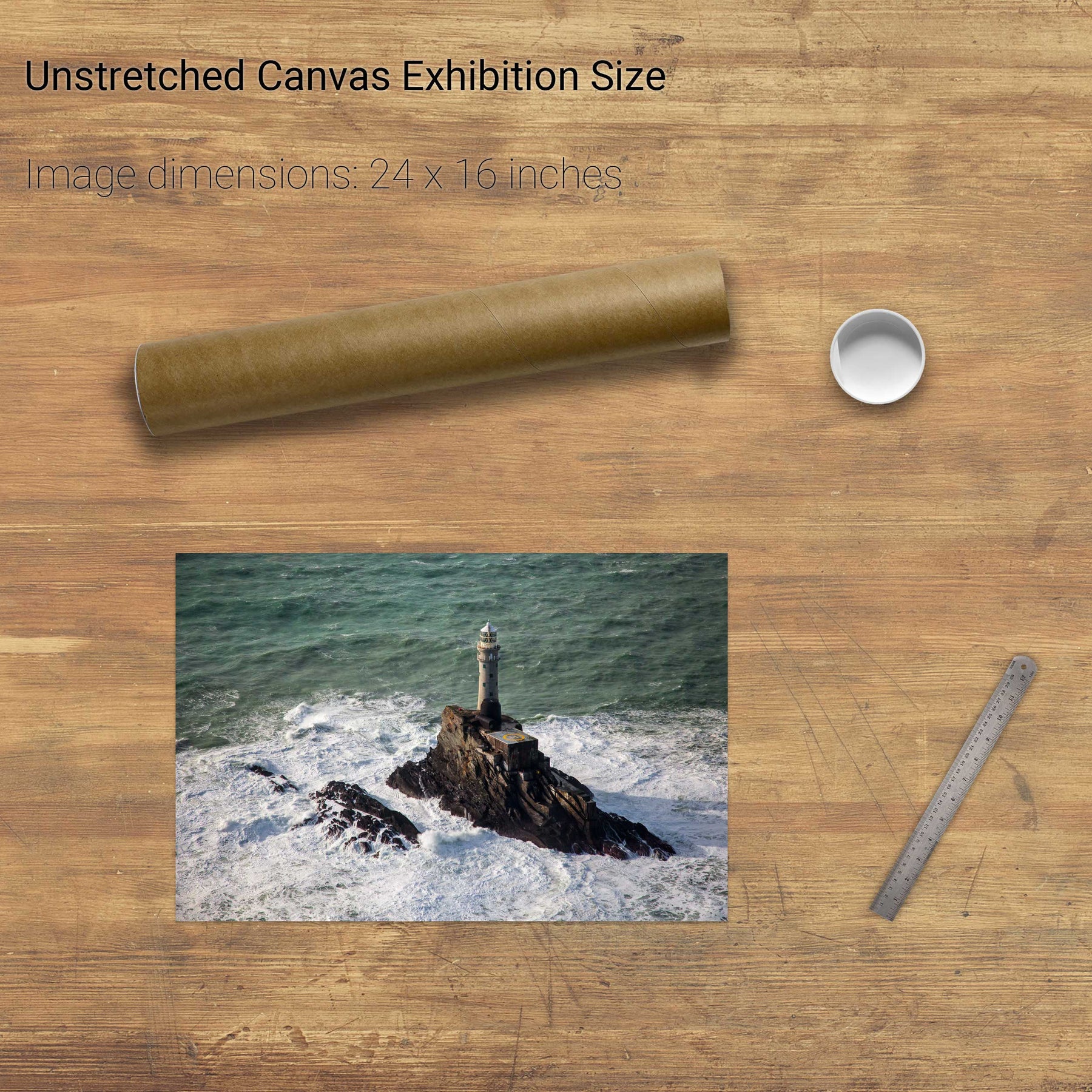
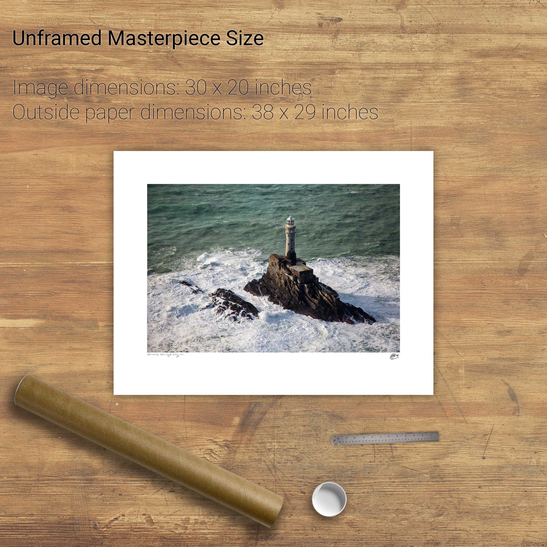
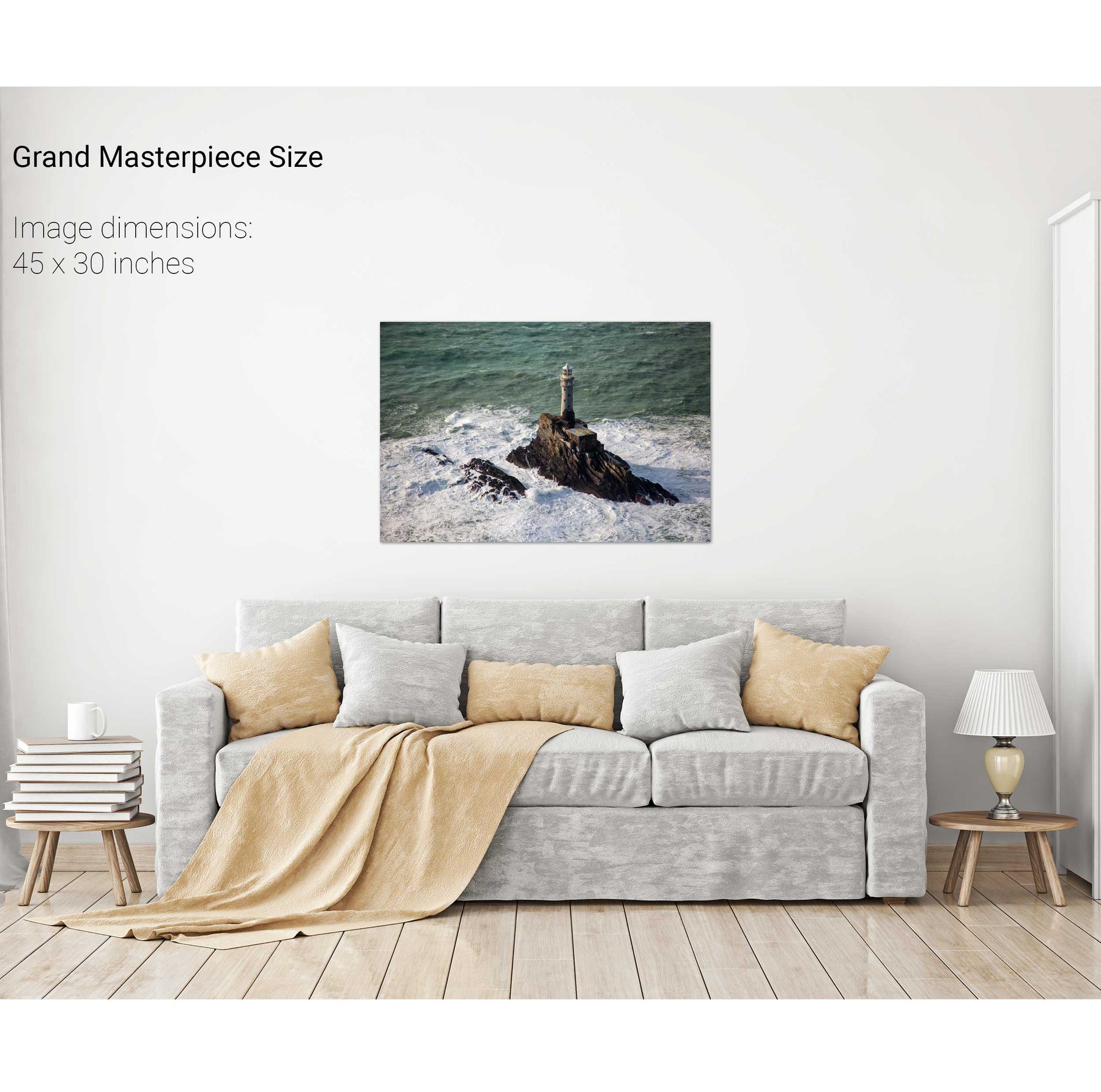
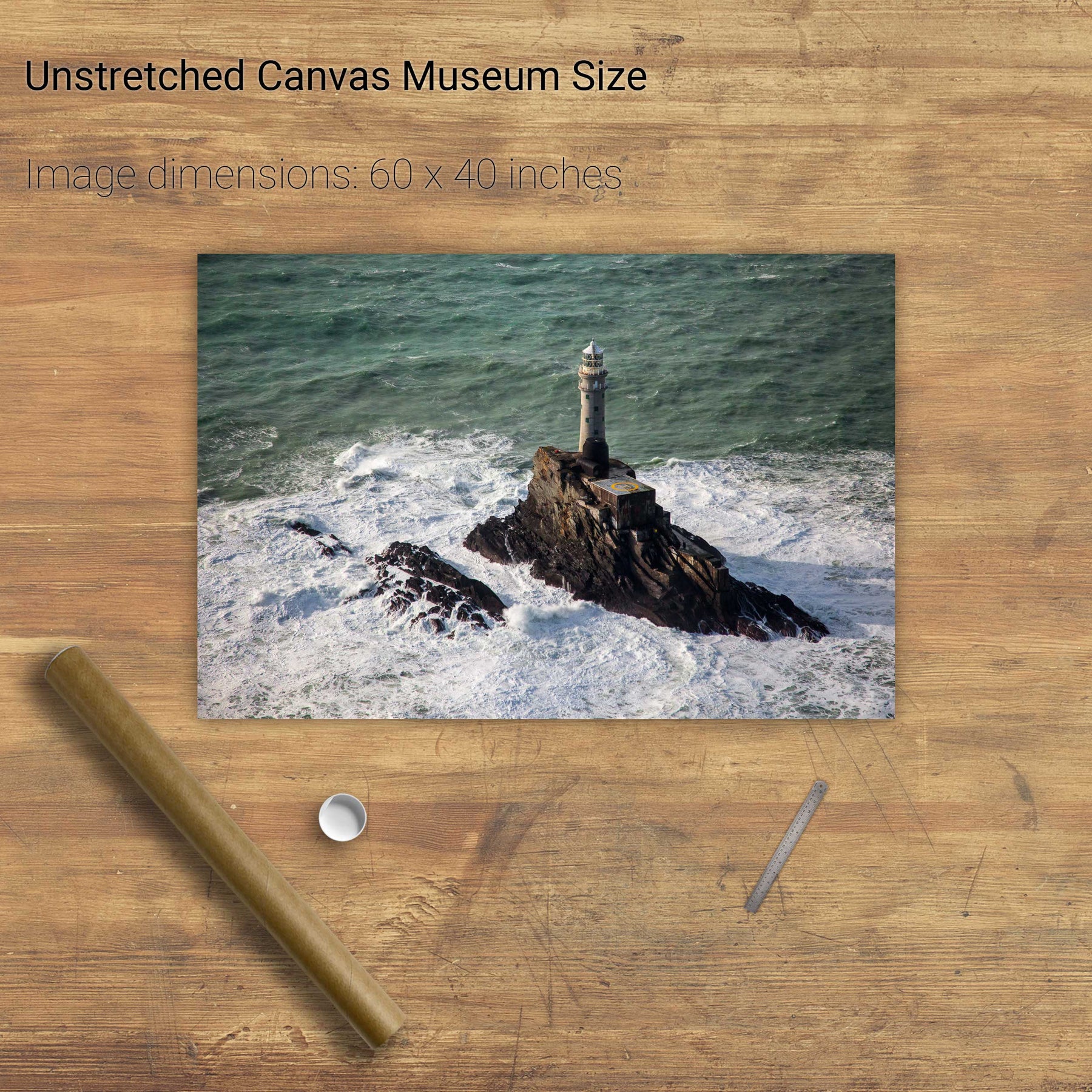
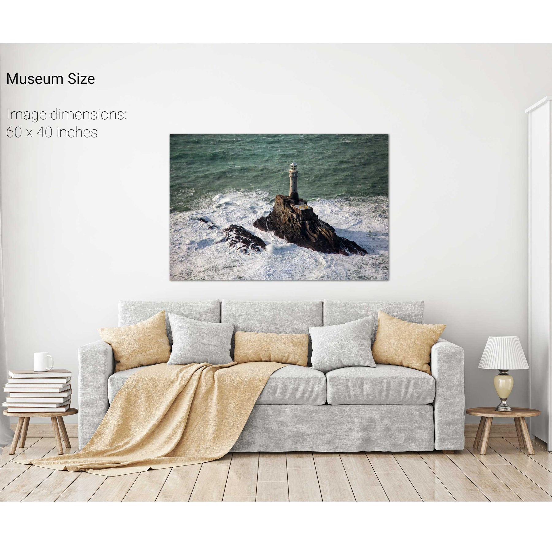
The Fastnet Lighthouse, Co. Cork


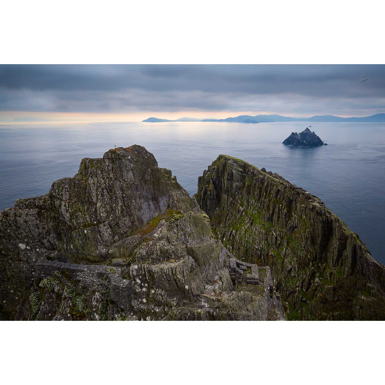
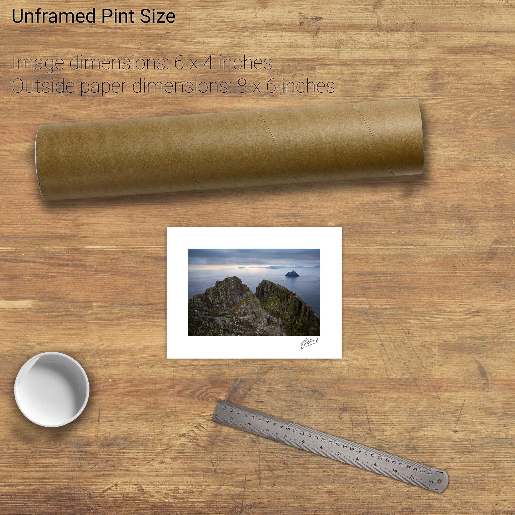
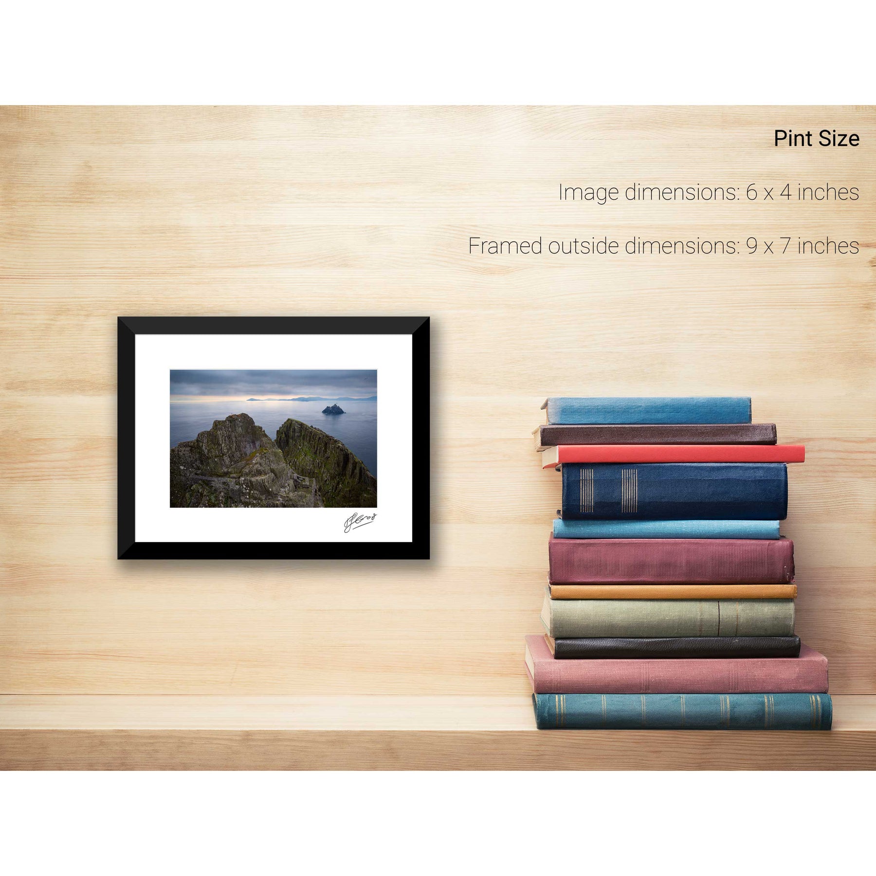
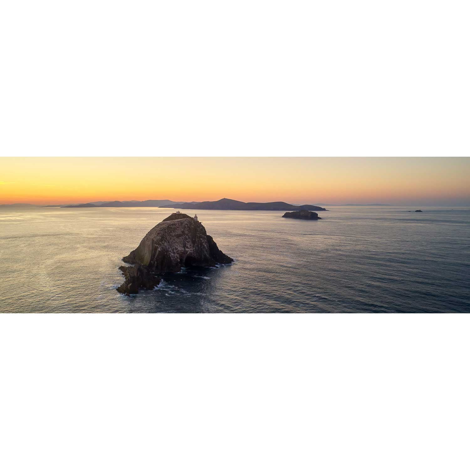
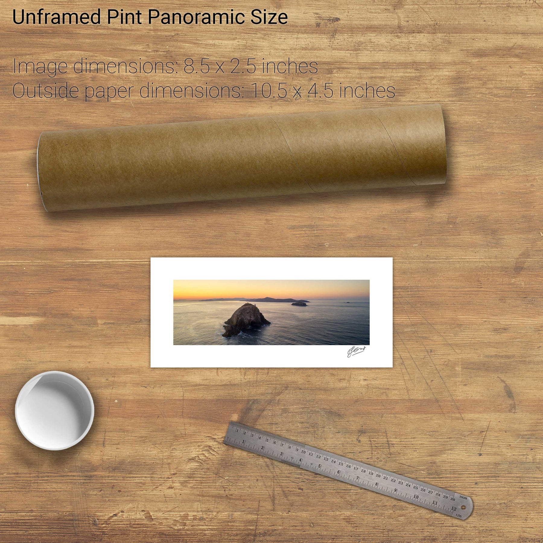
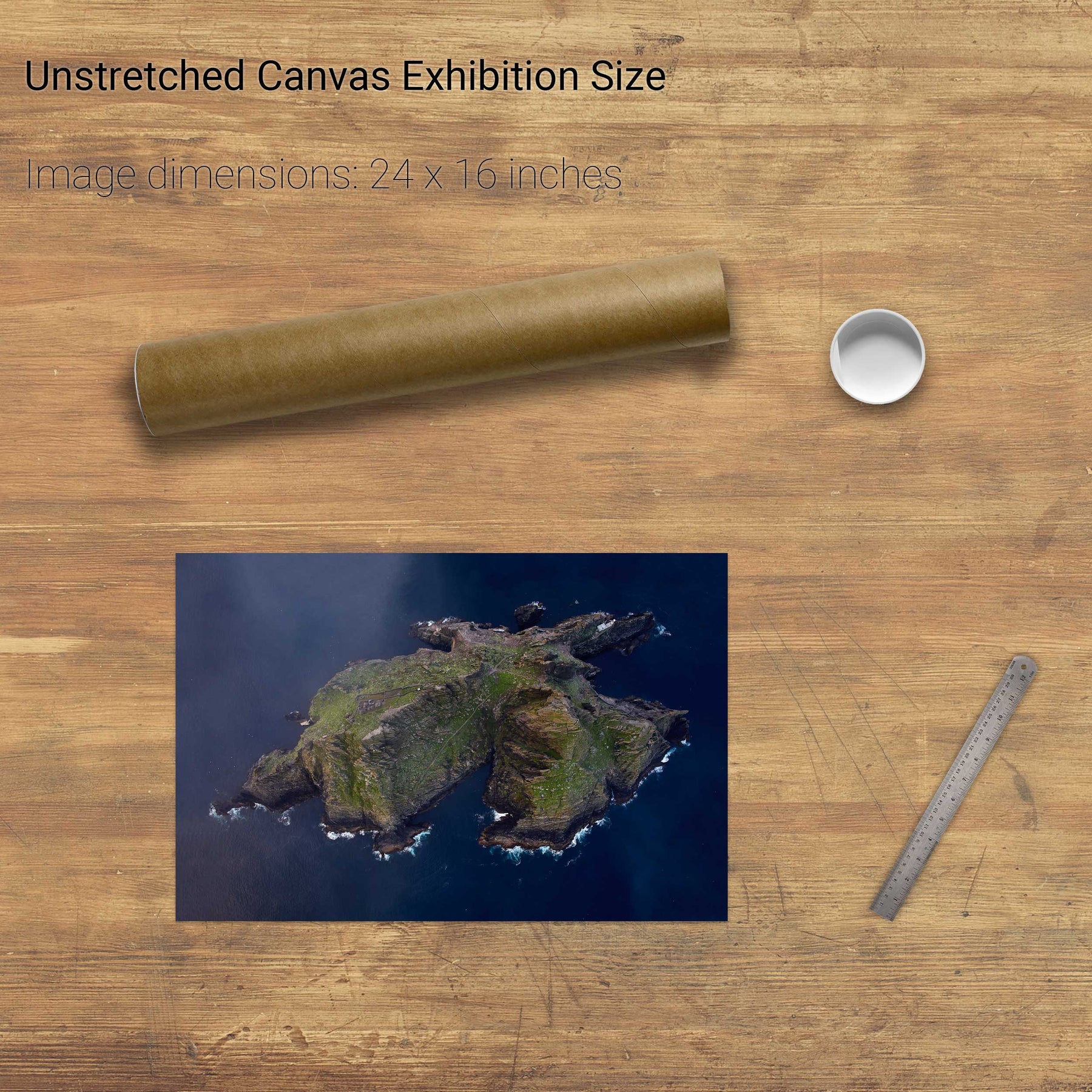
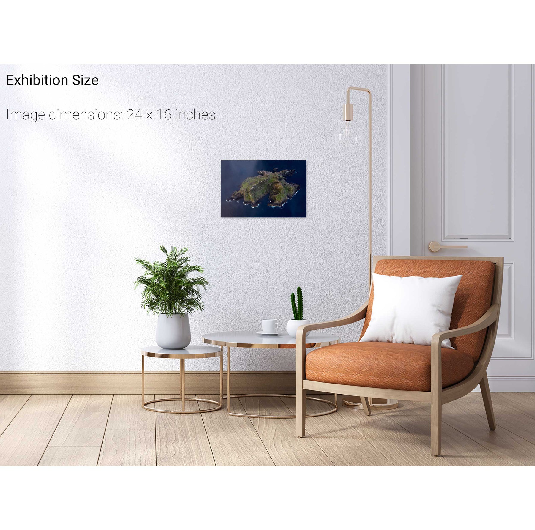
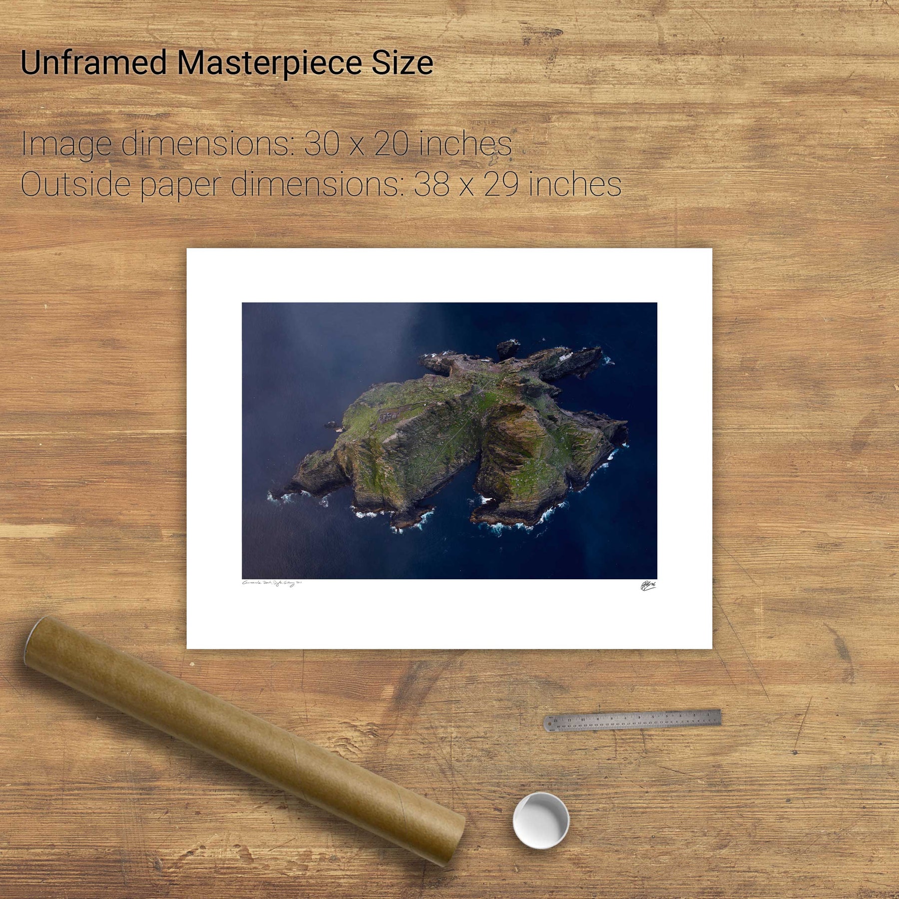
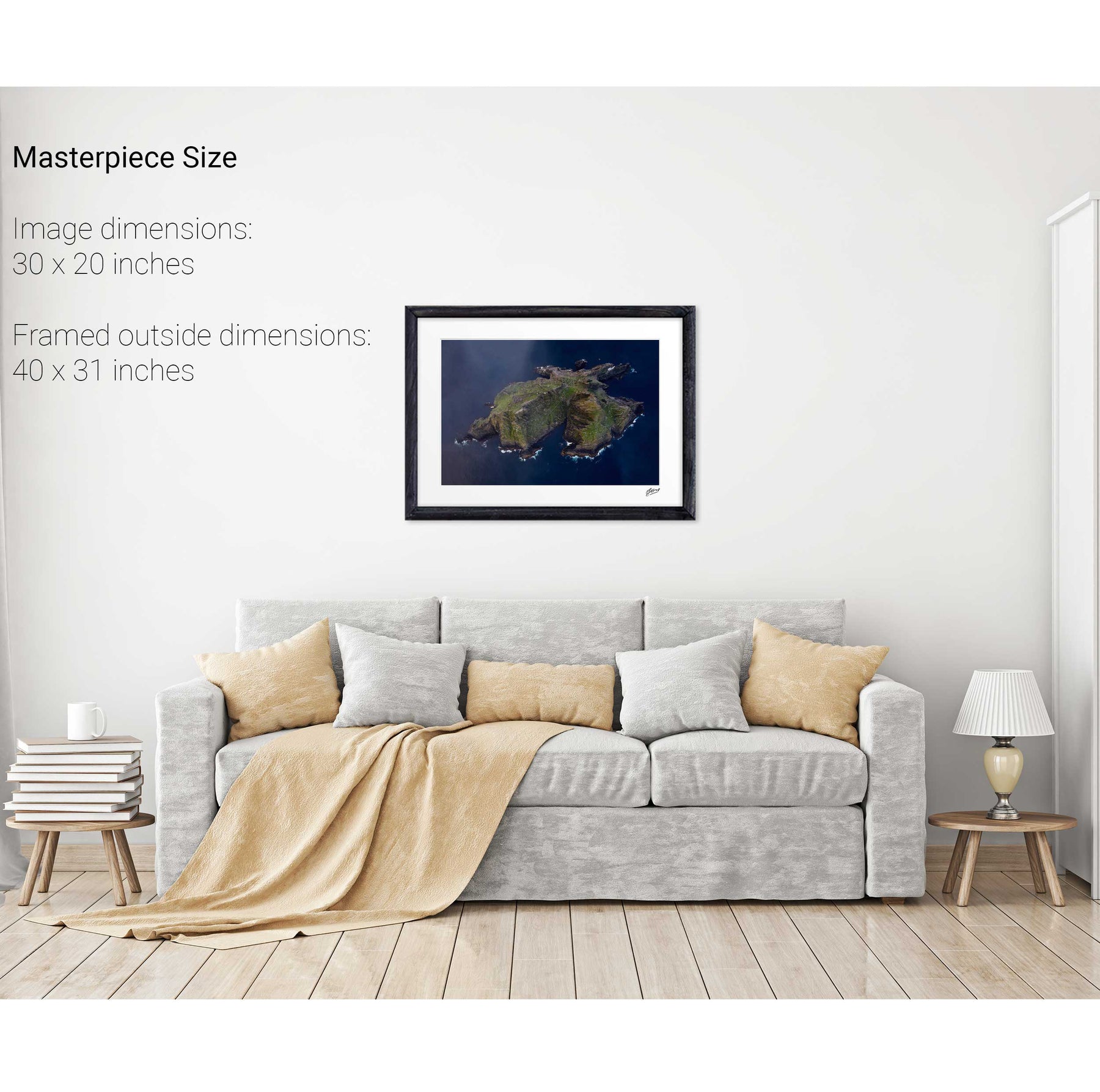
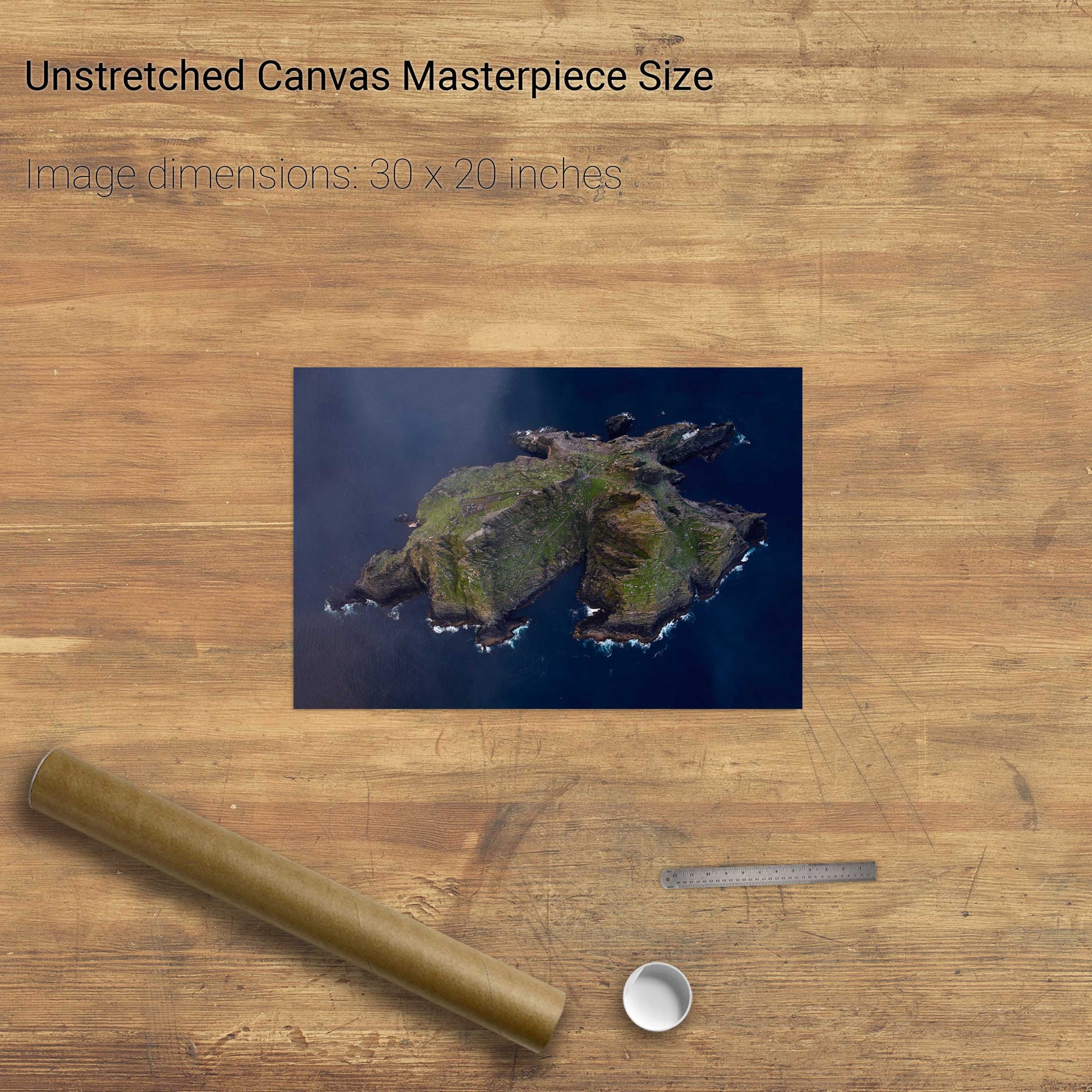
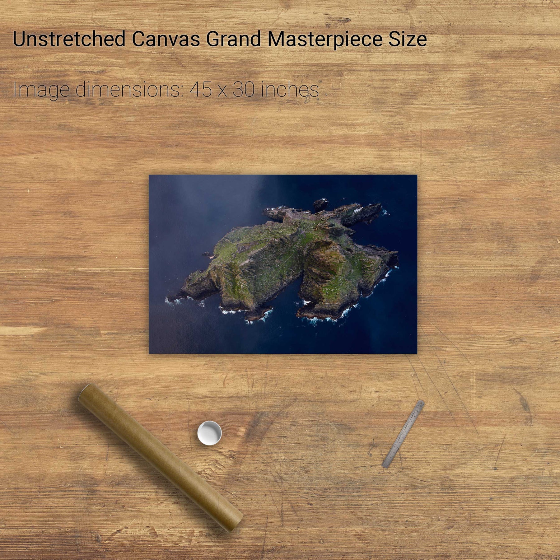
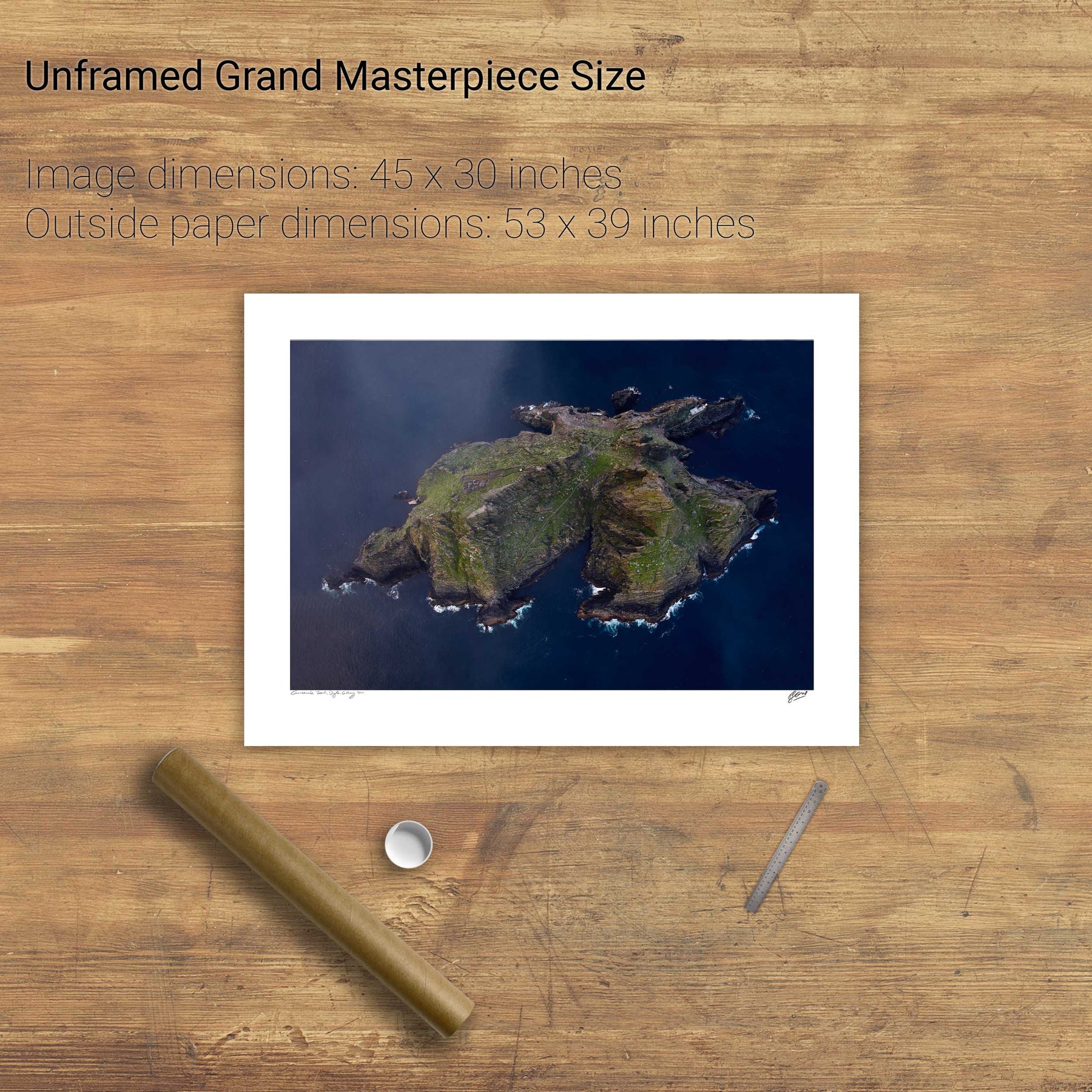
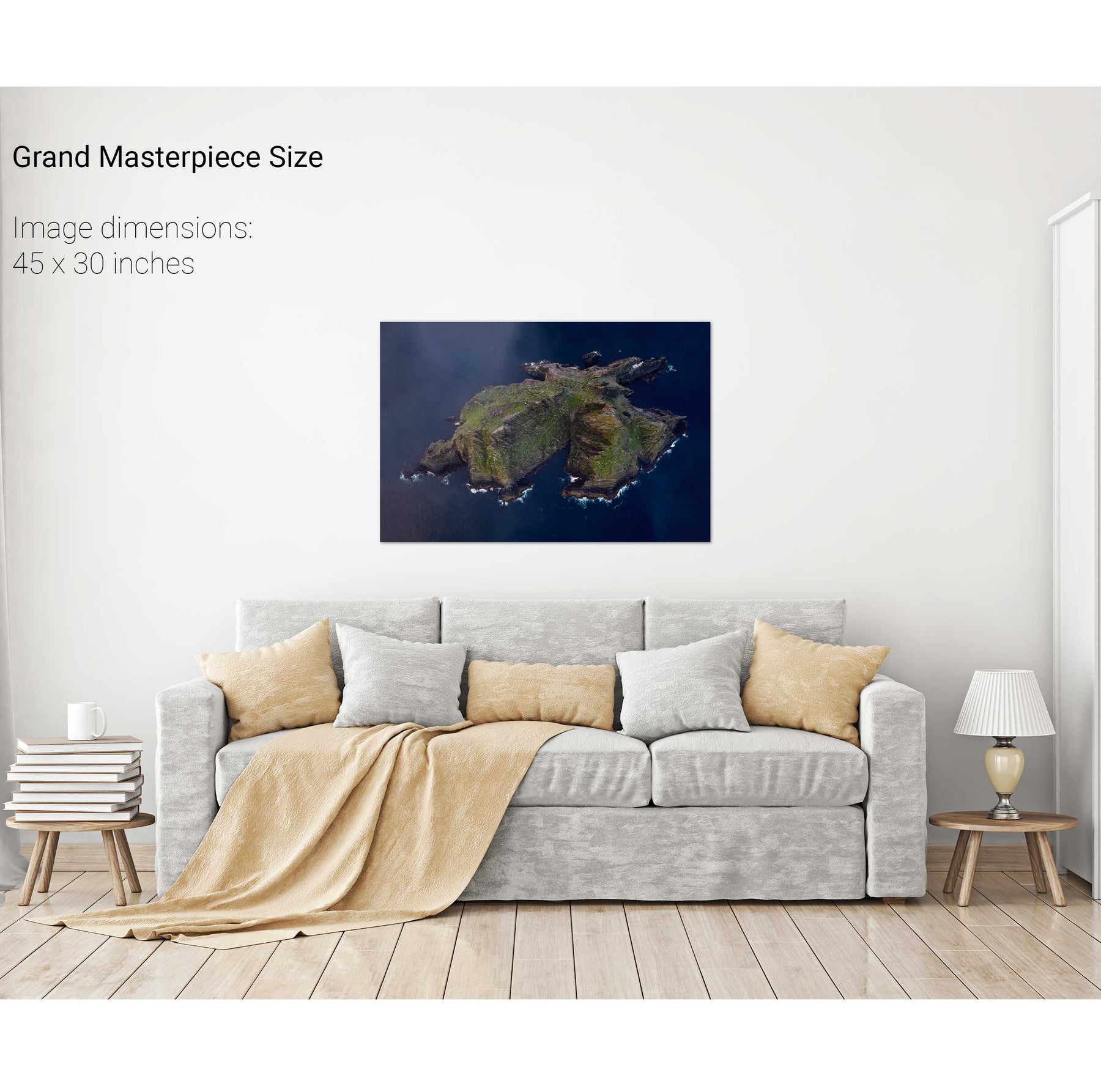
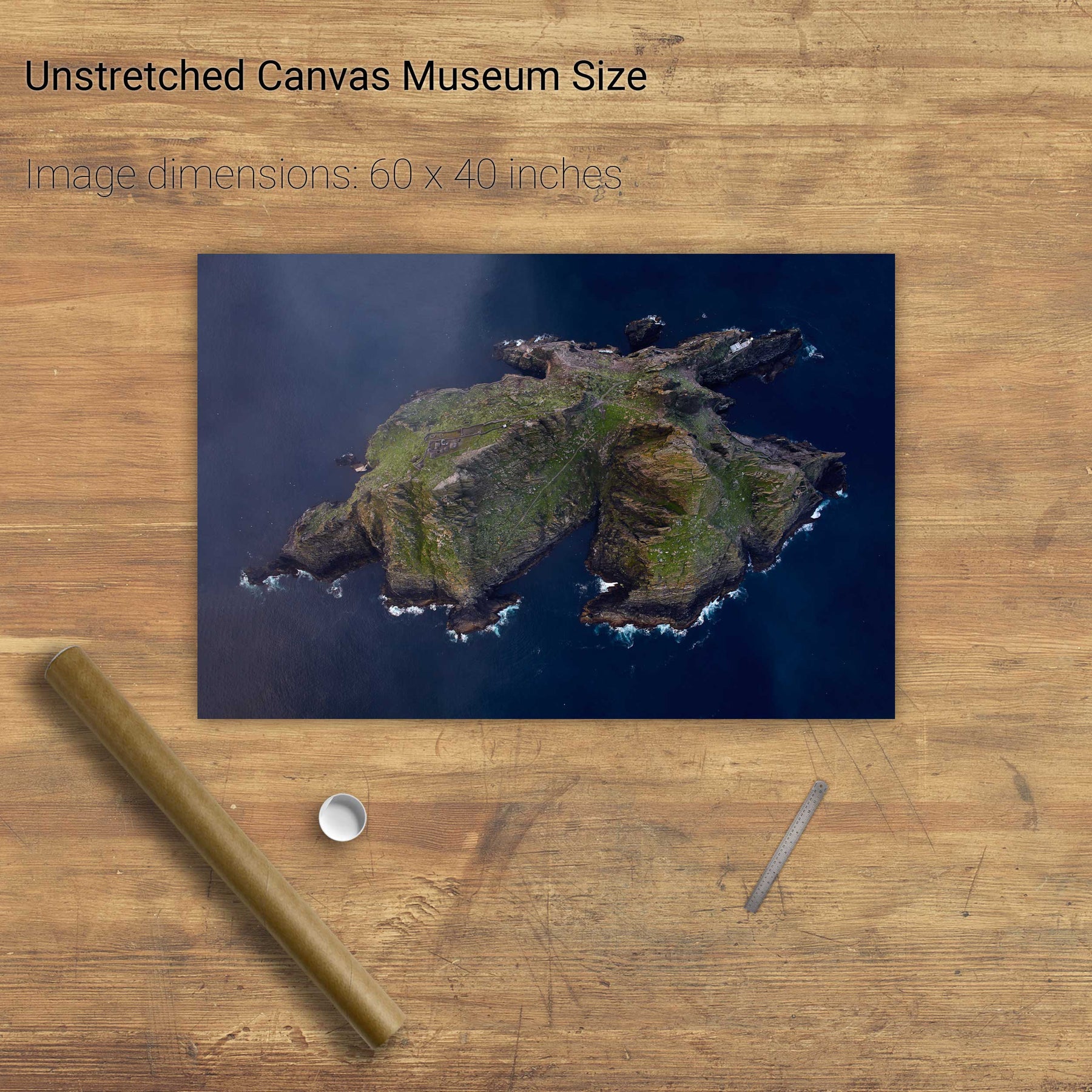
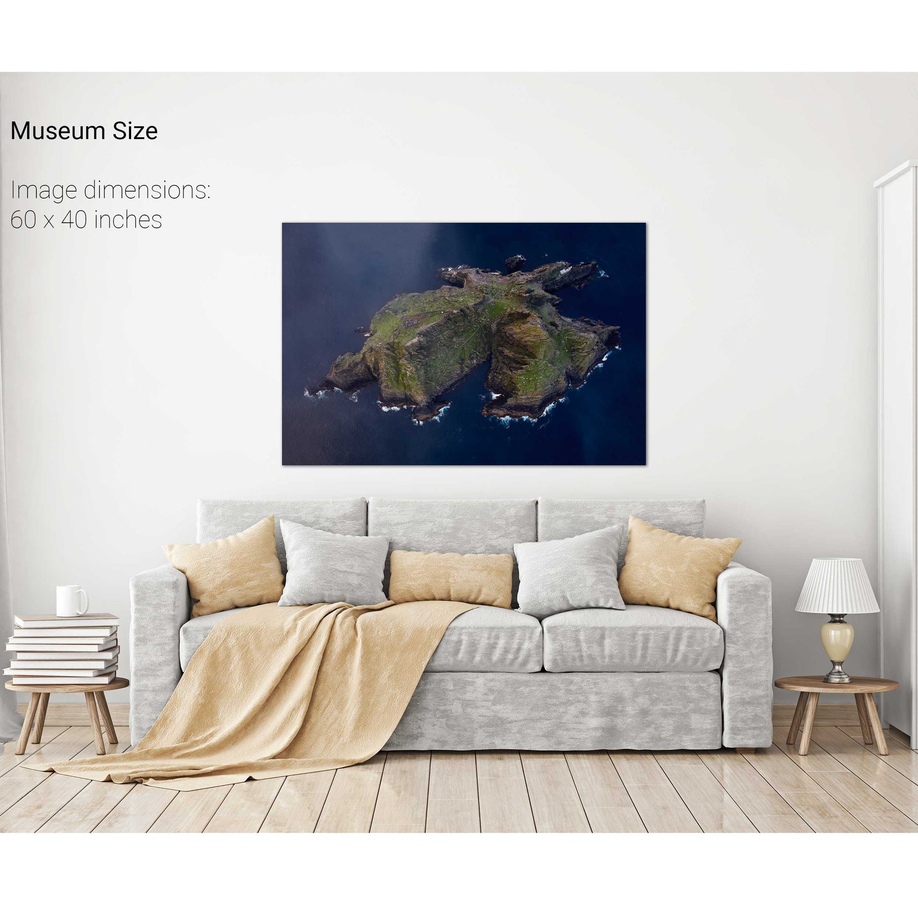
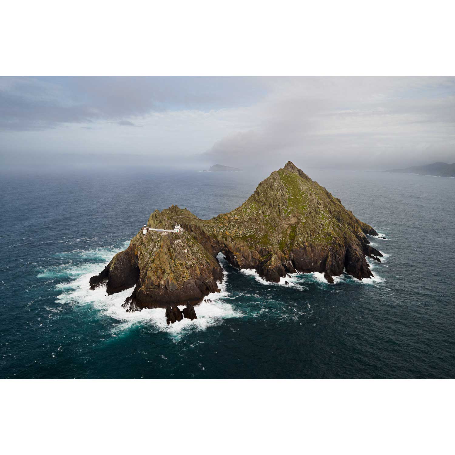
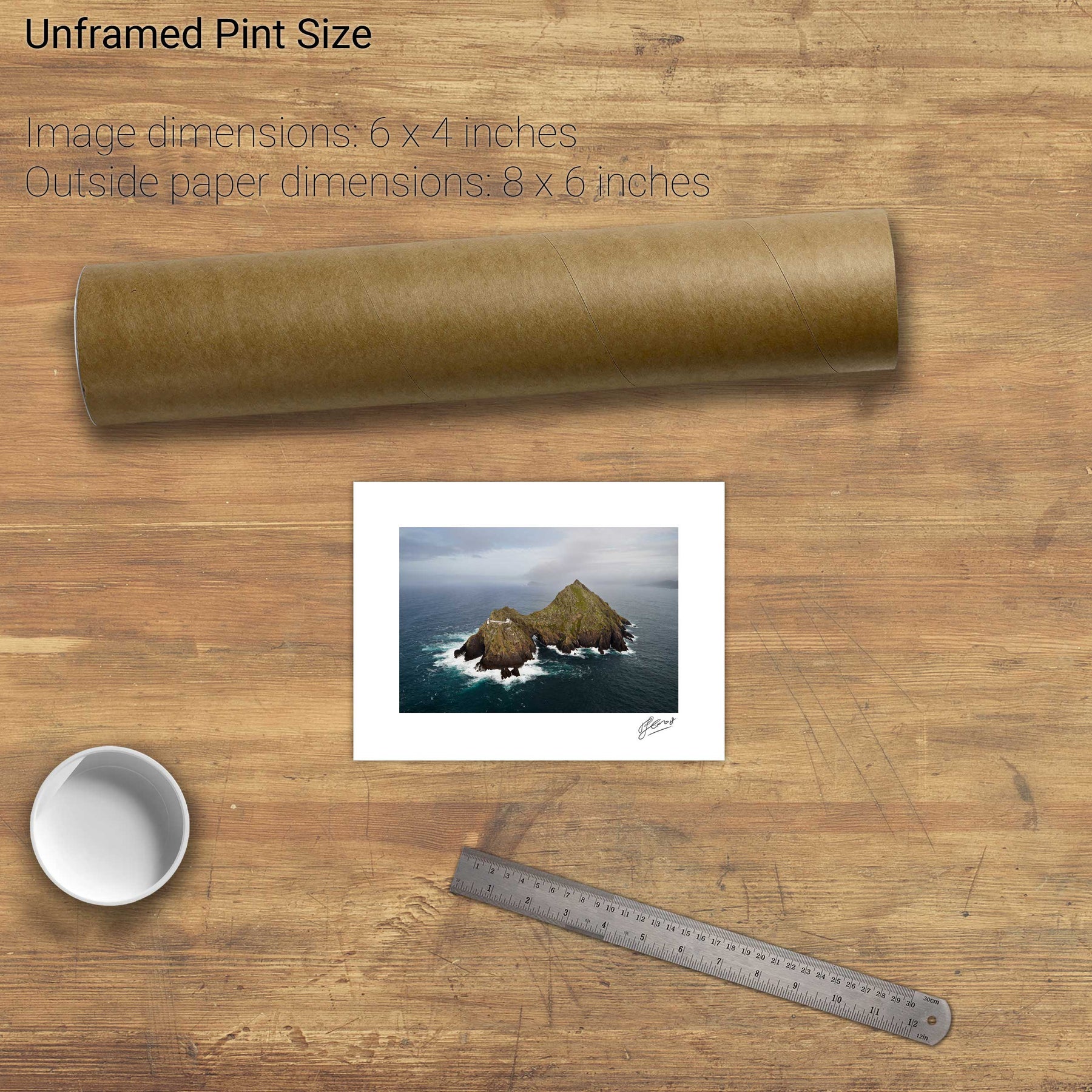
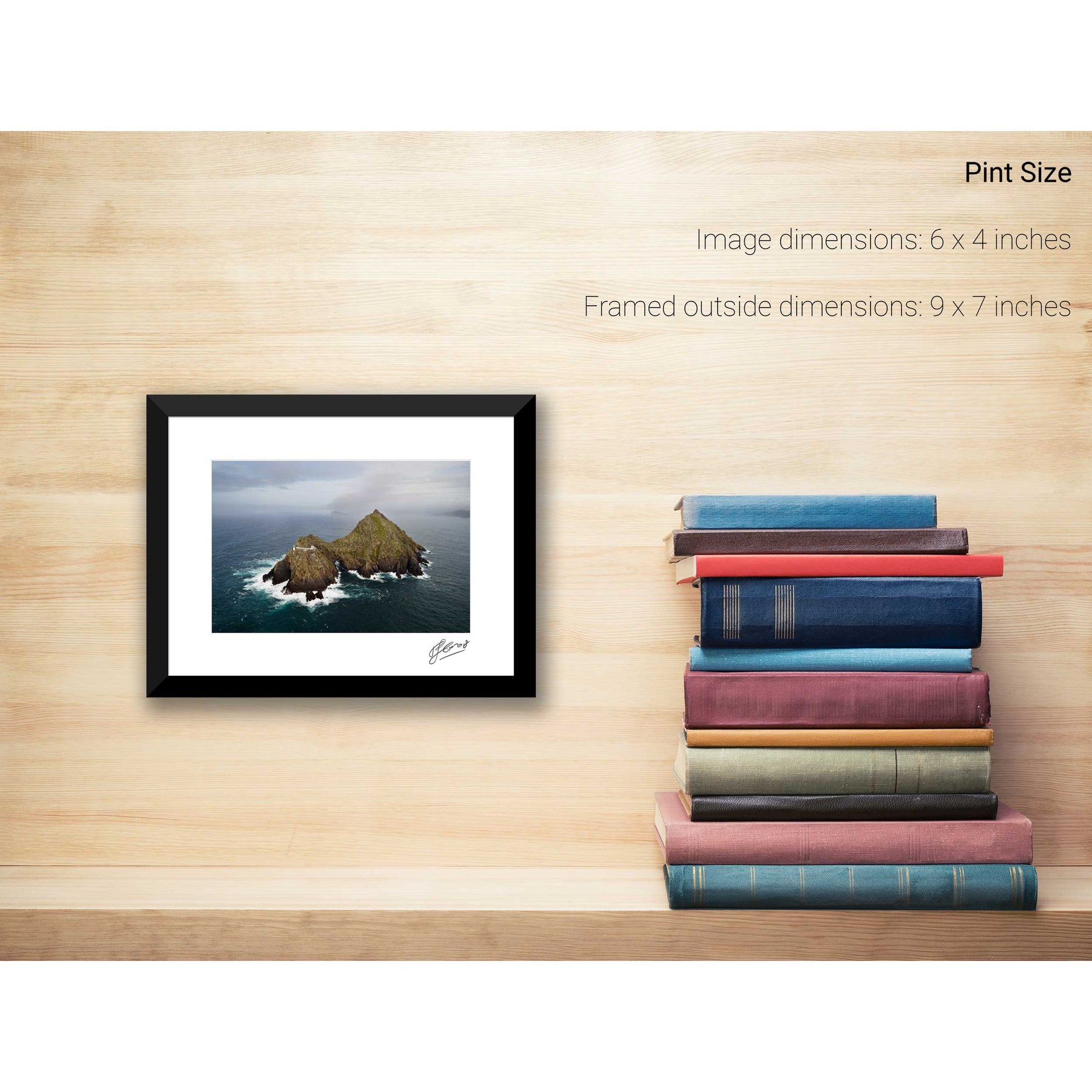
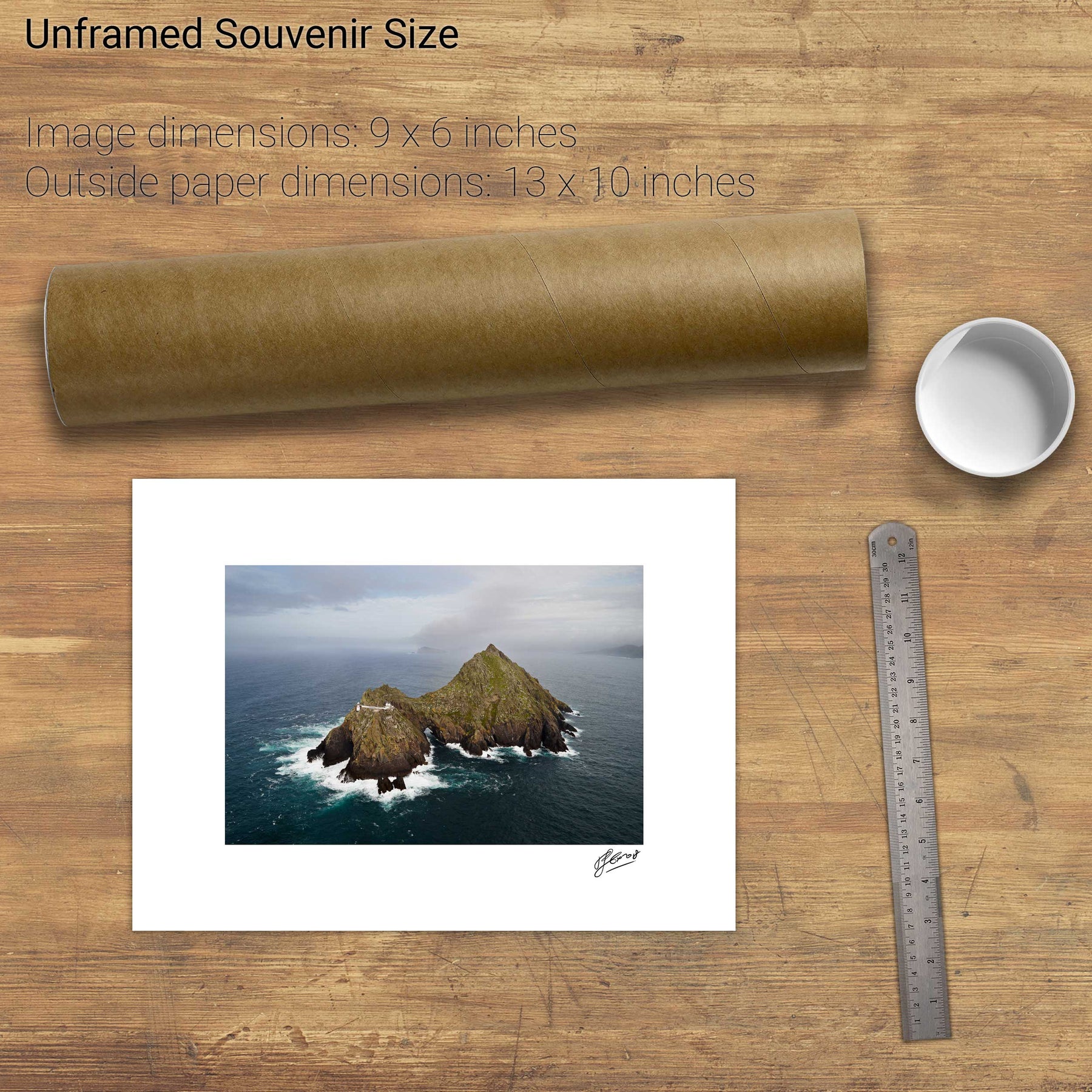
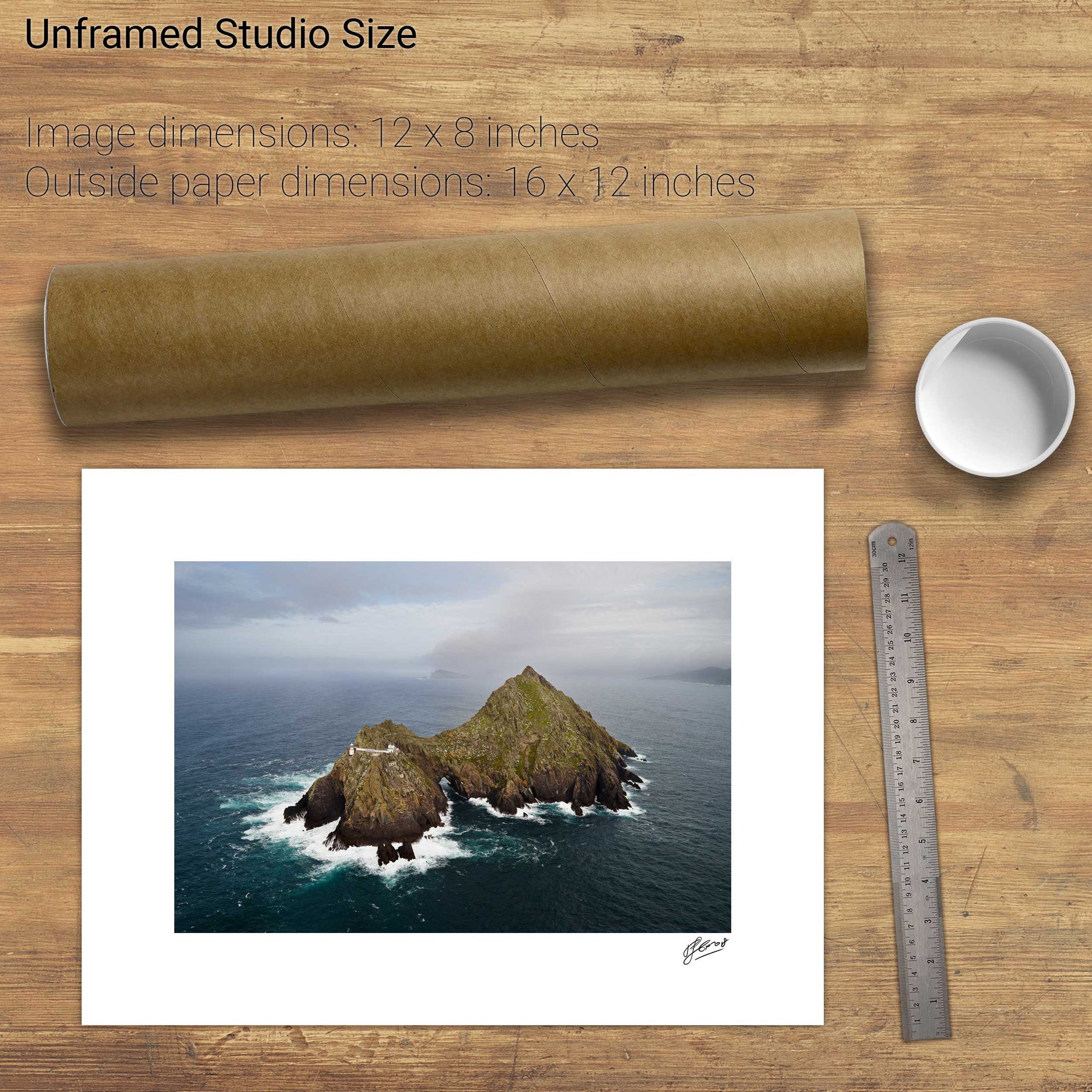
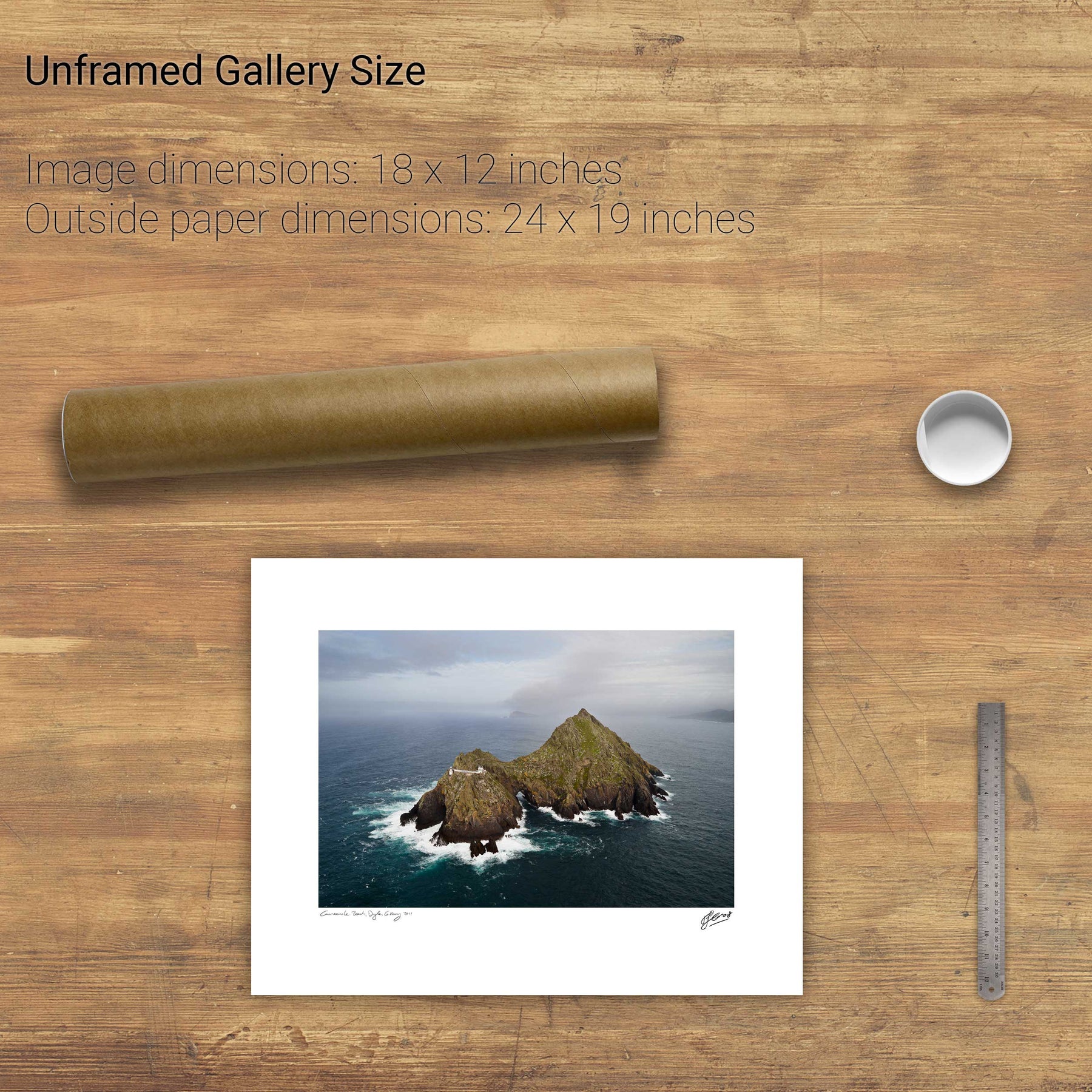
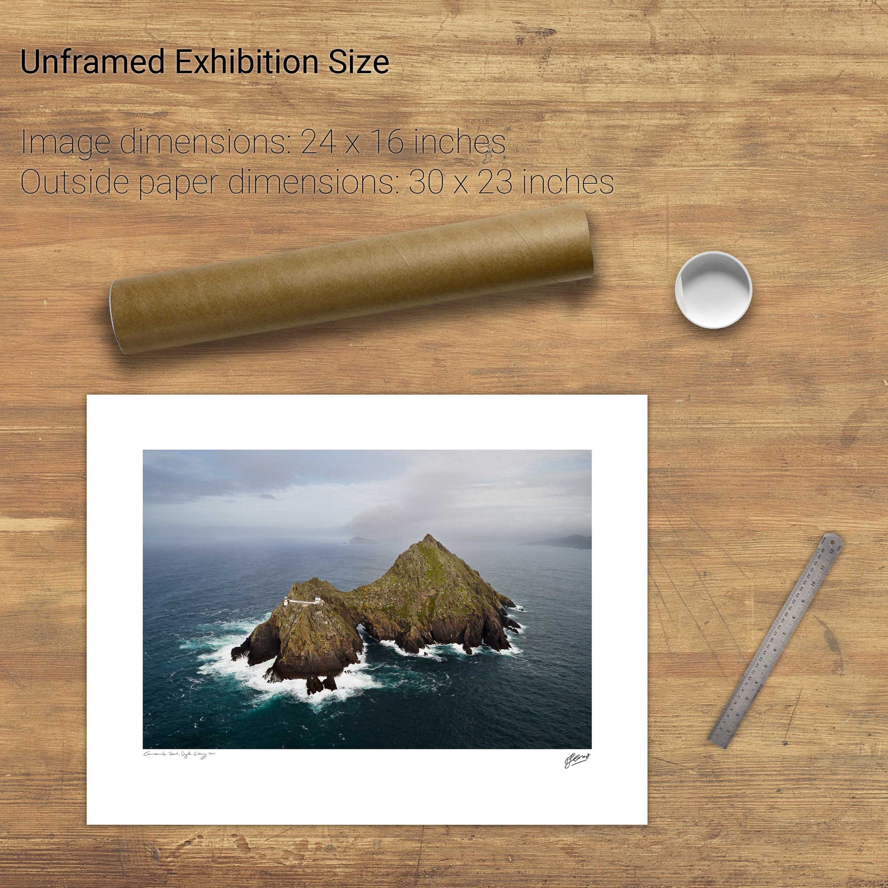
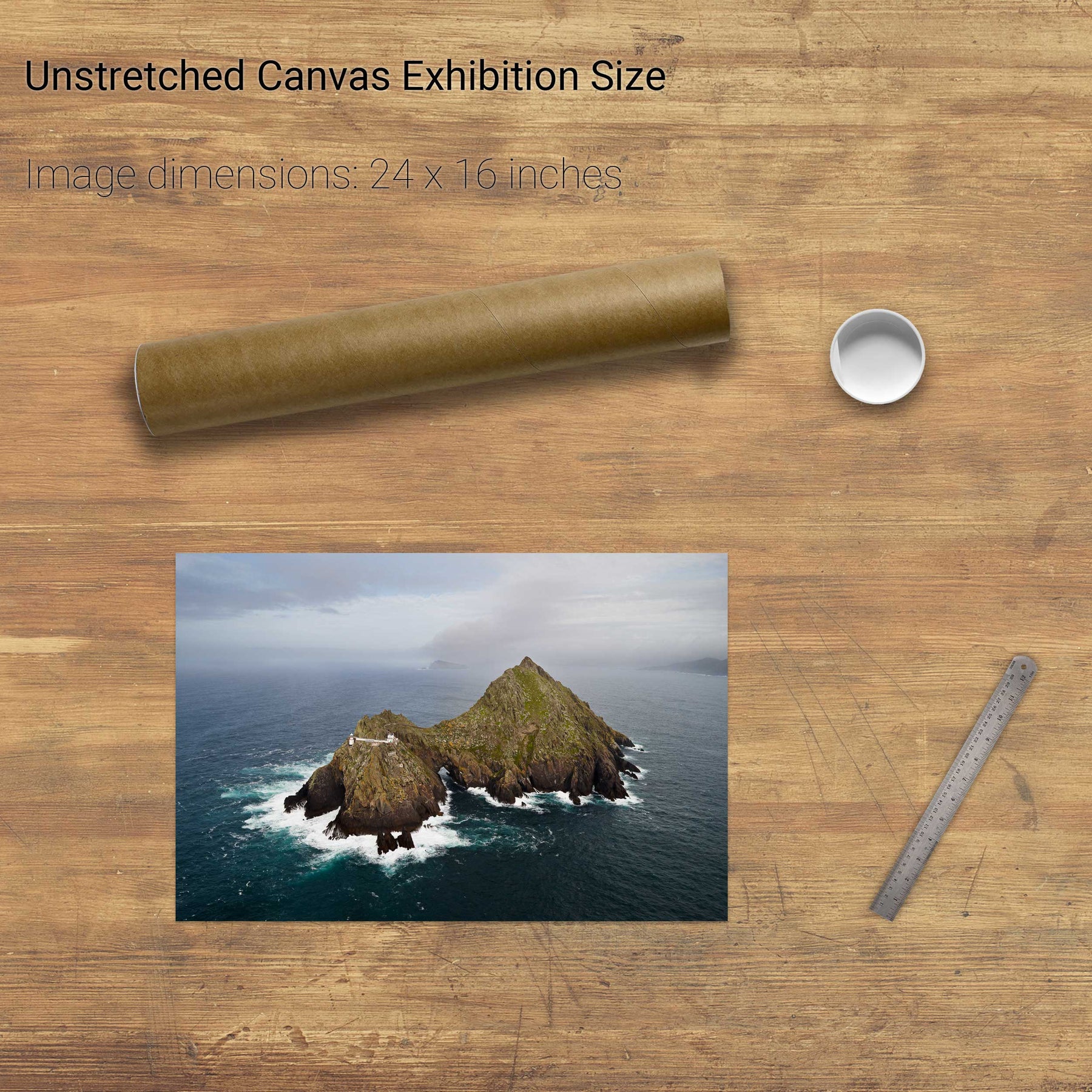
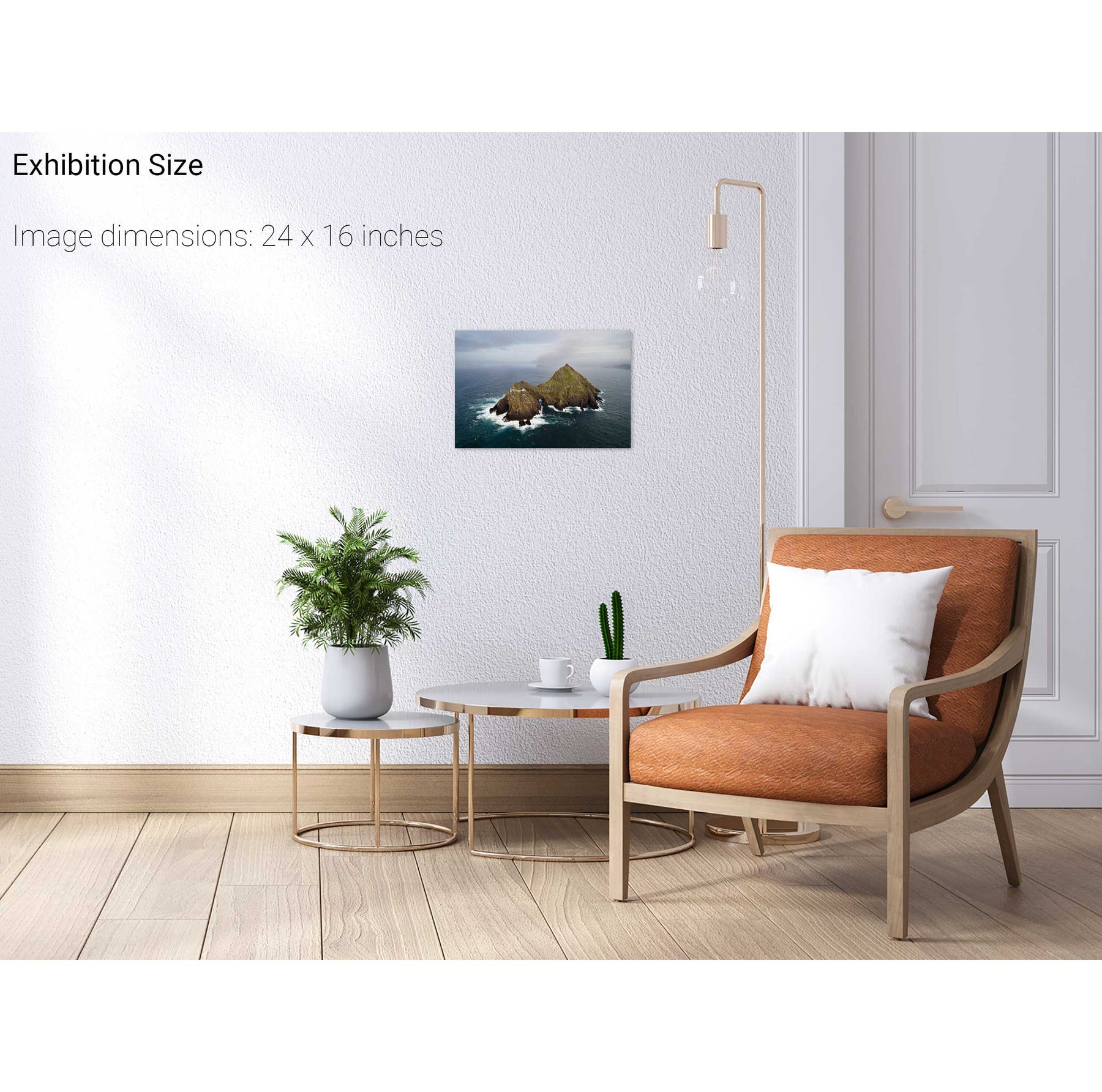
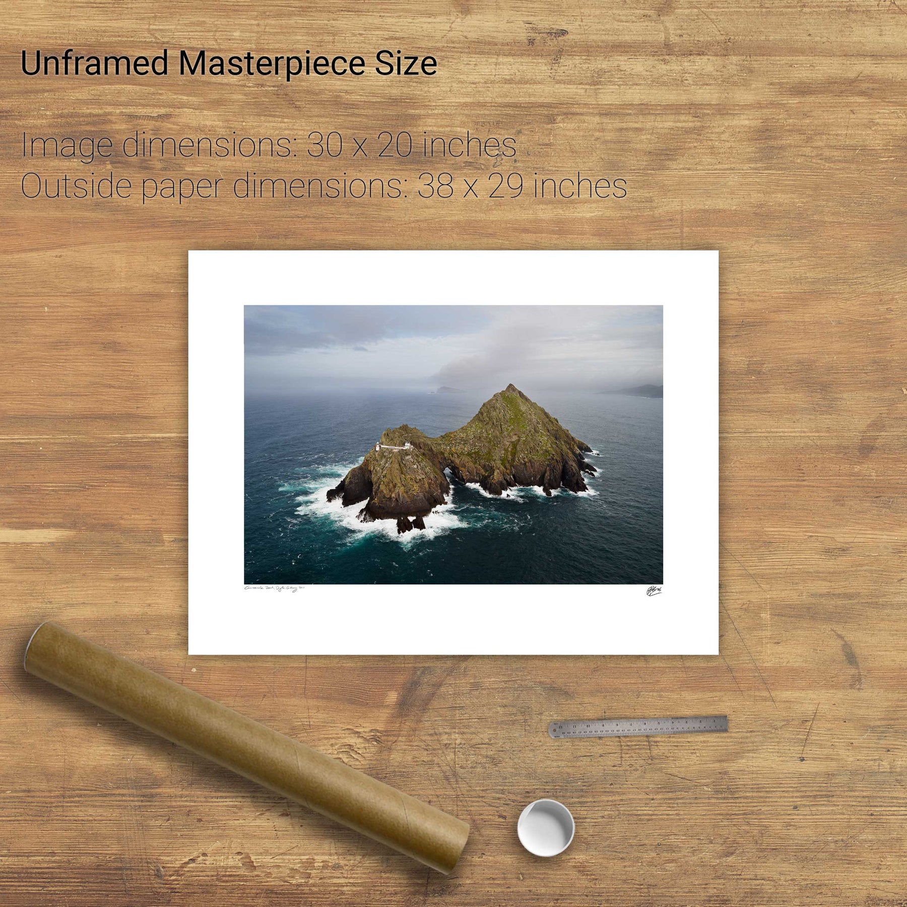
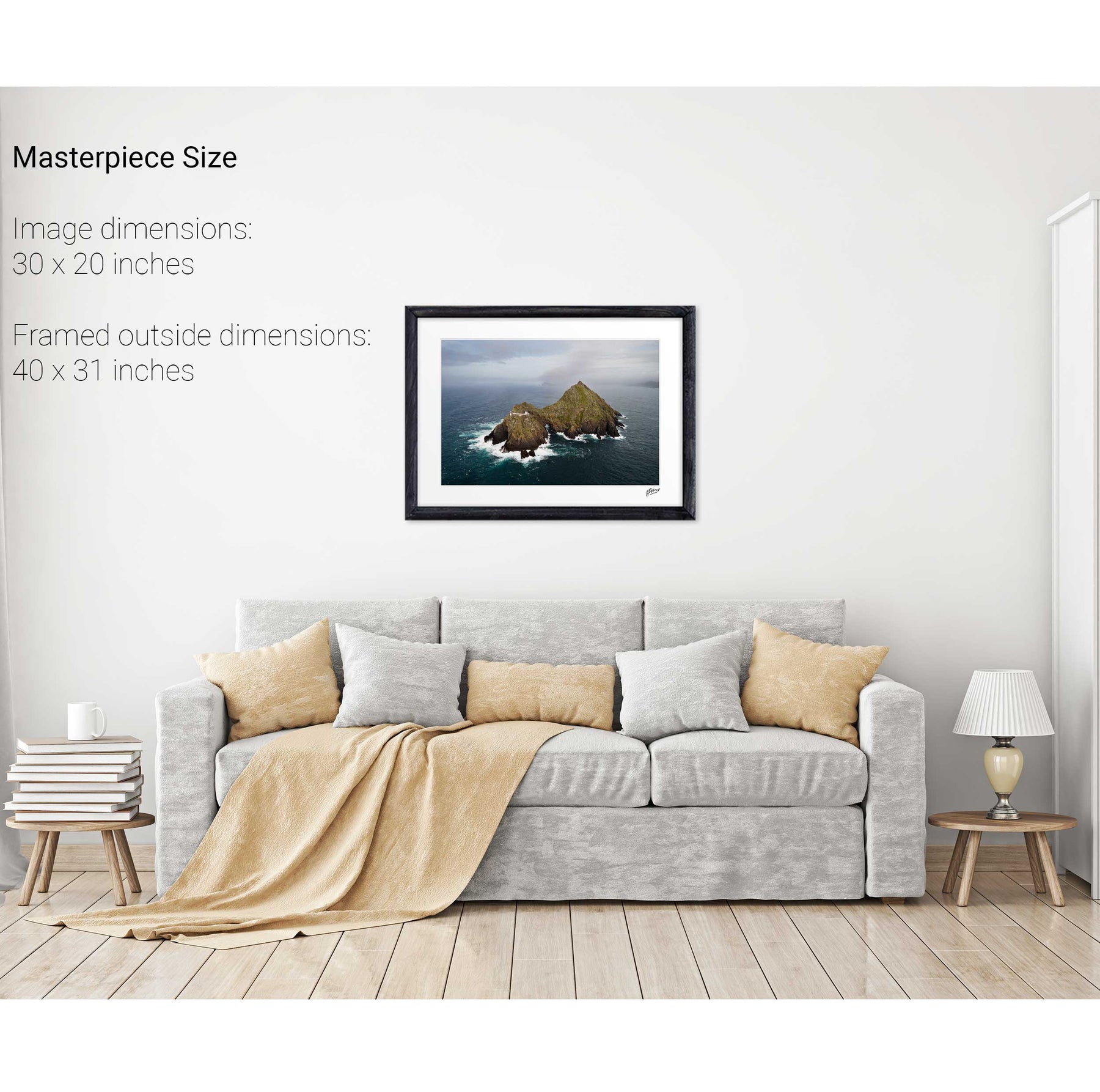
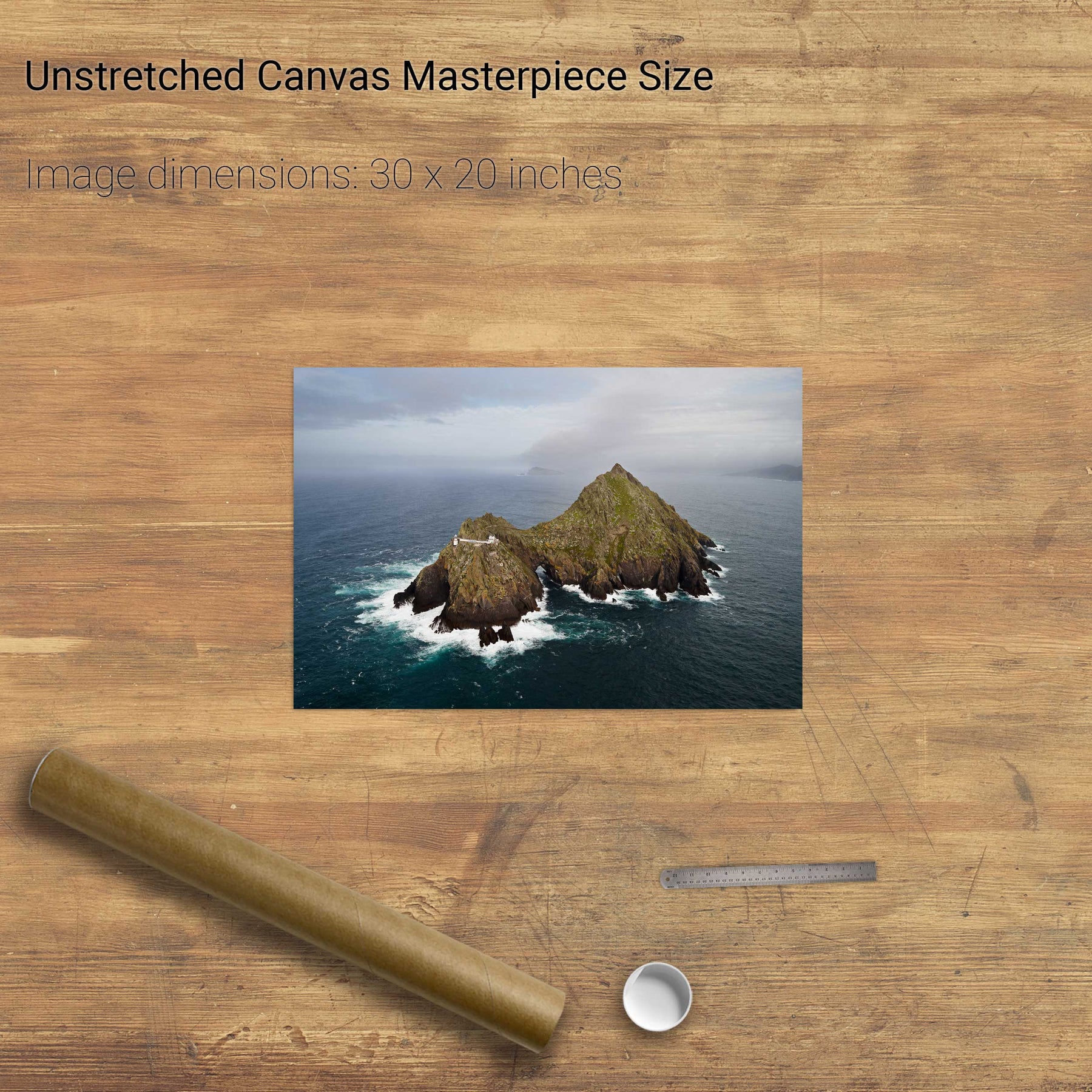
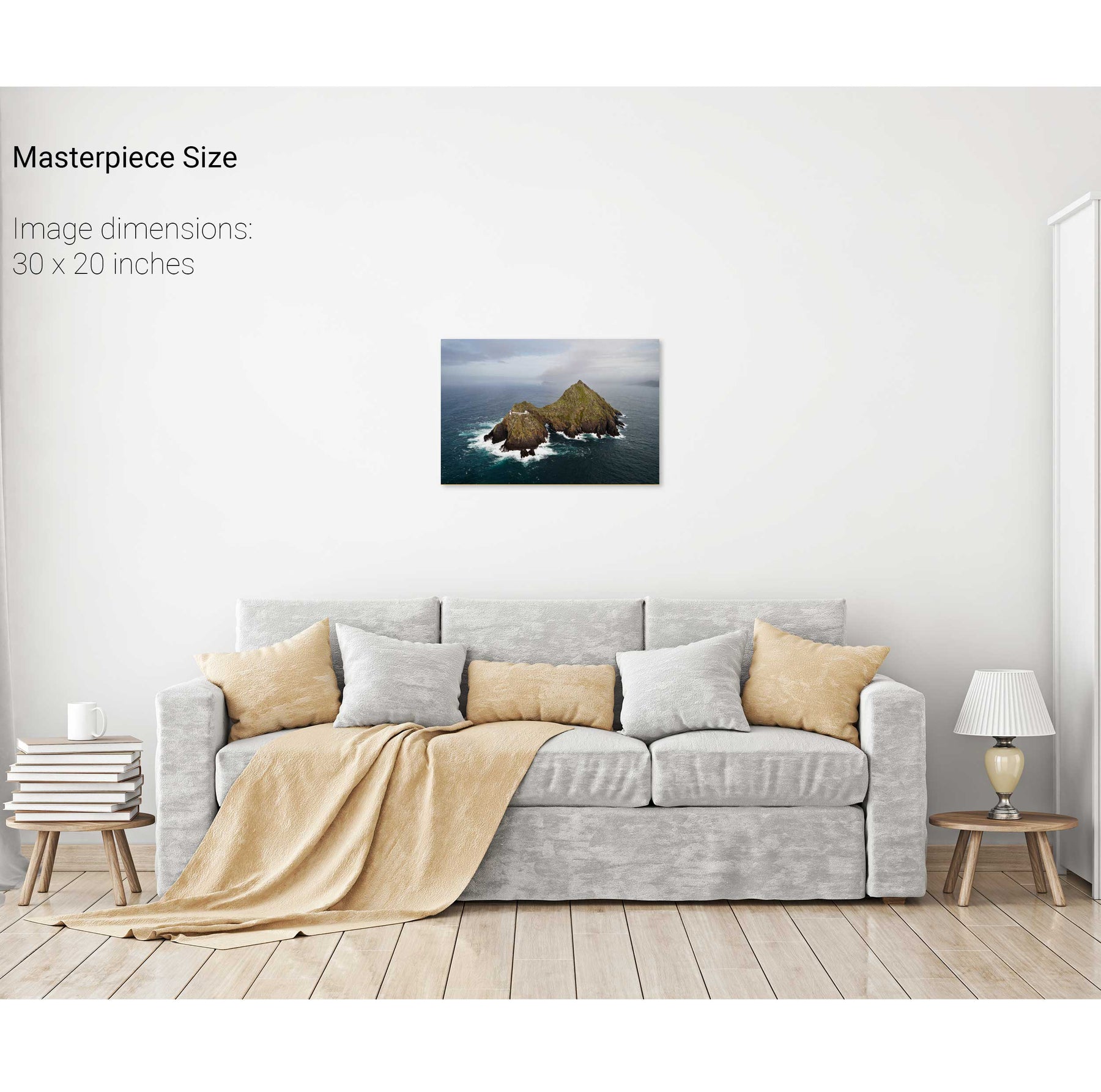
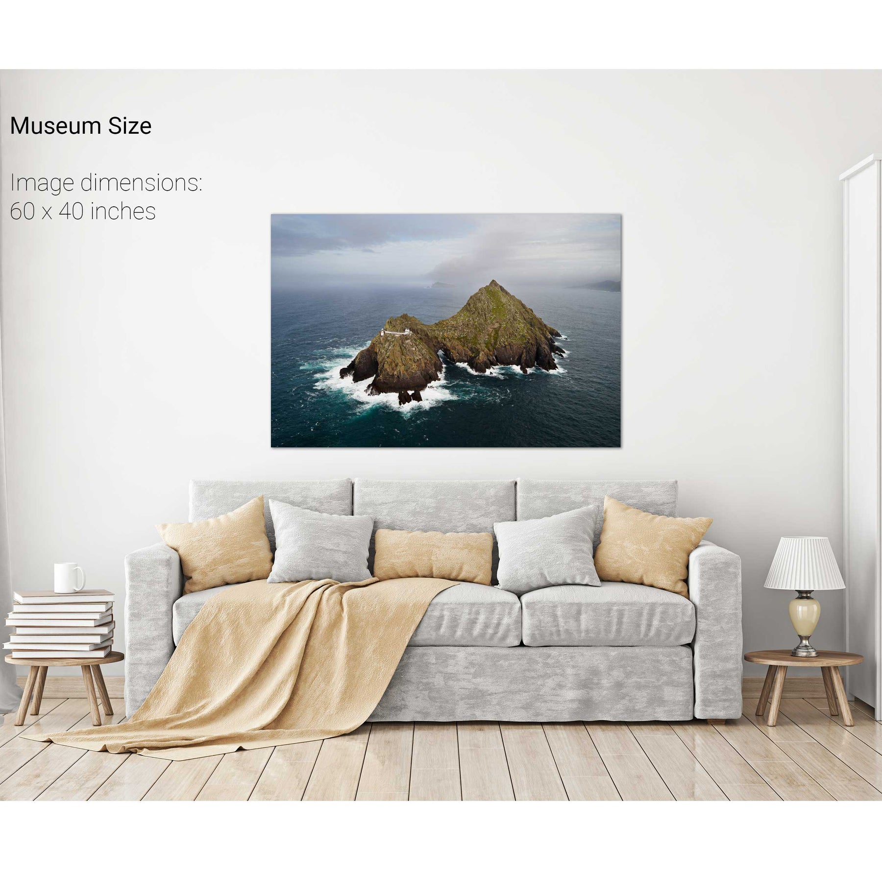
Skellig Michael from Above, Kerry


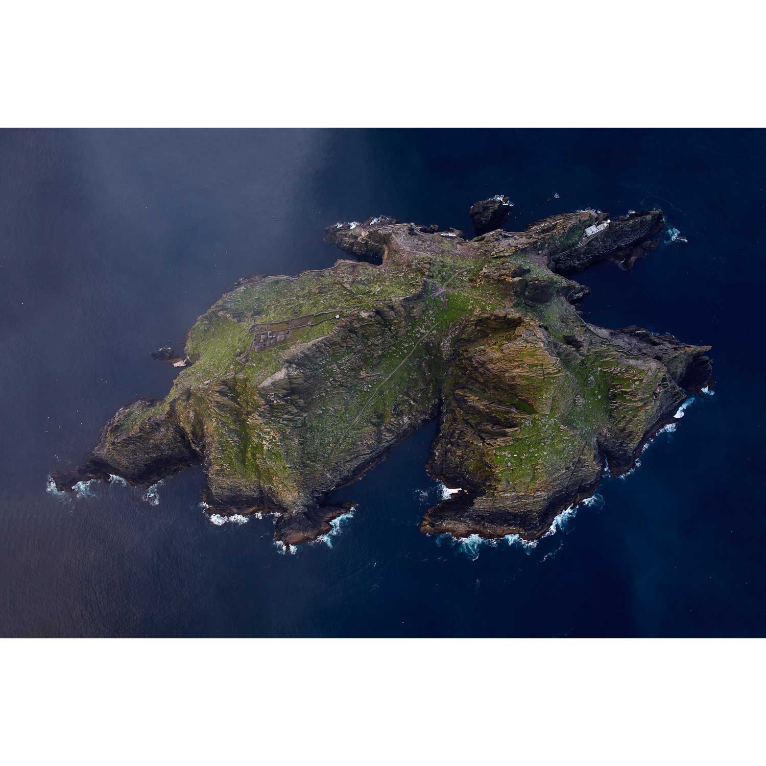


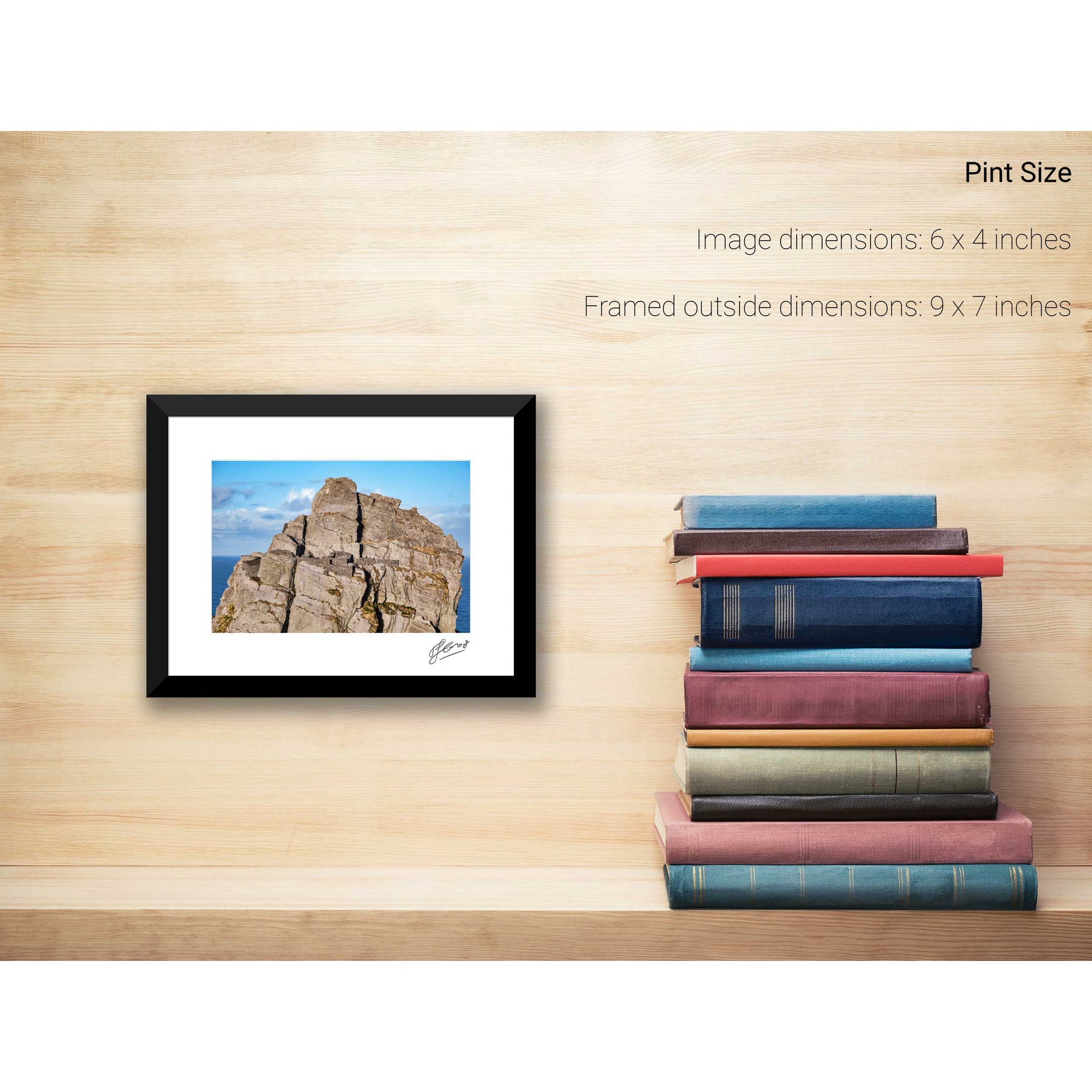
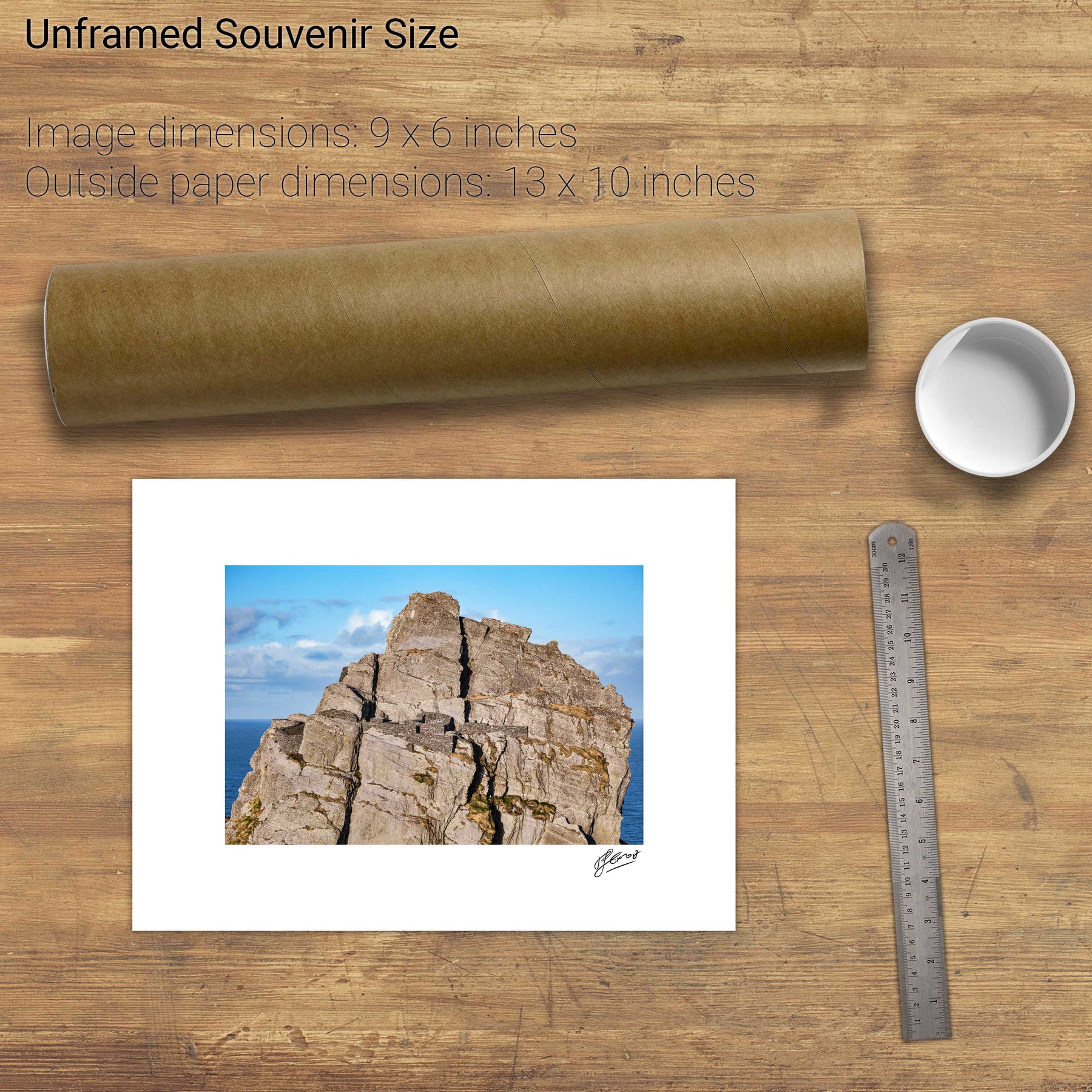
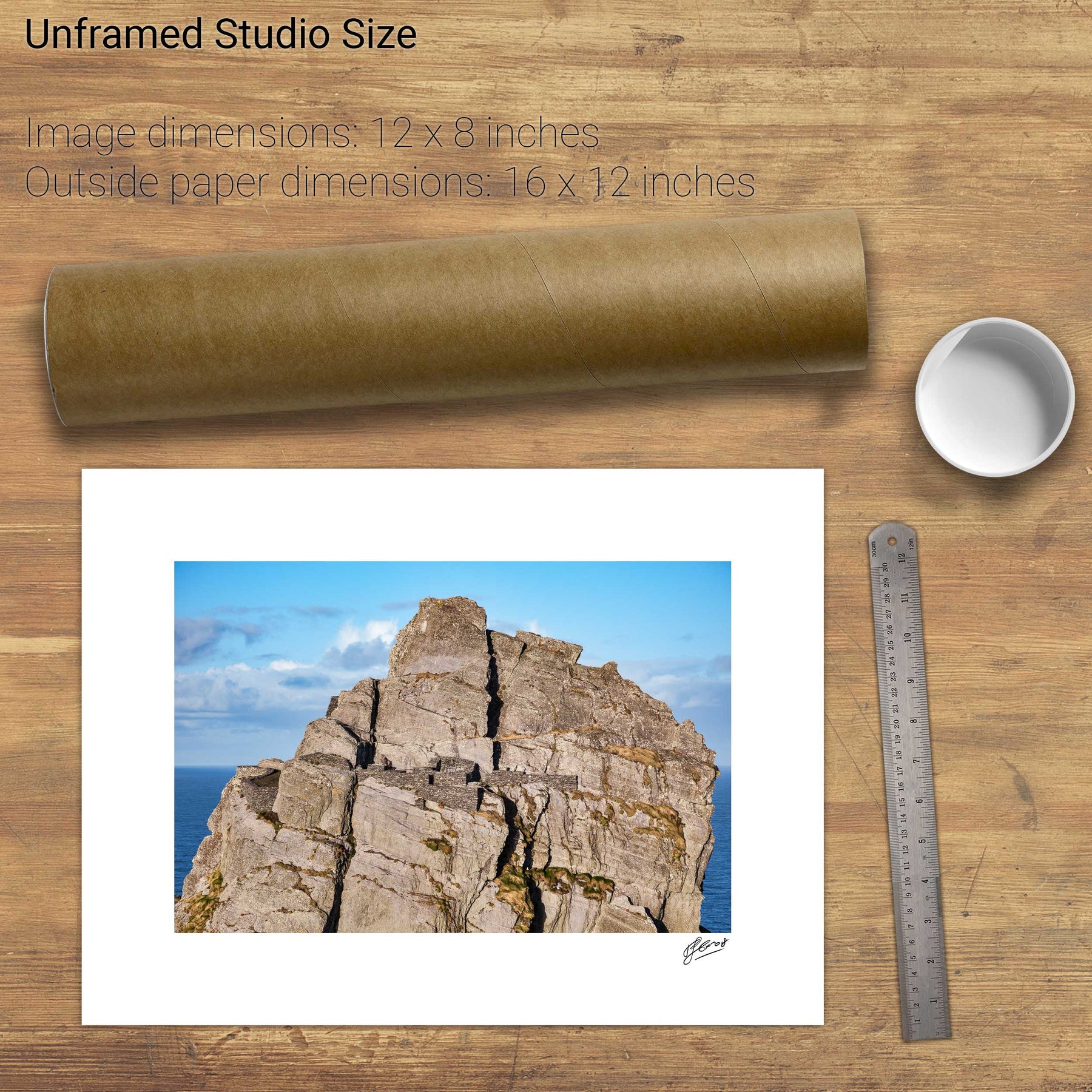
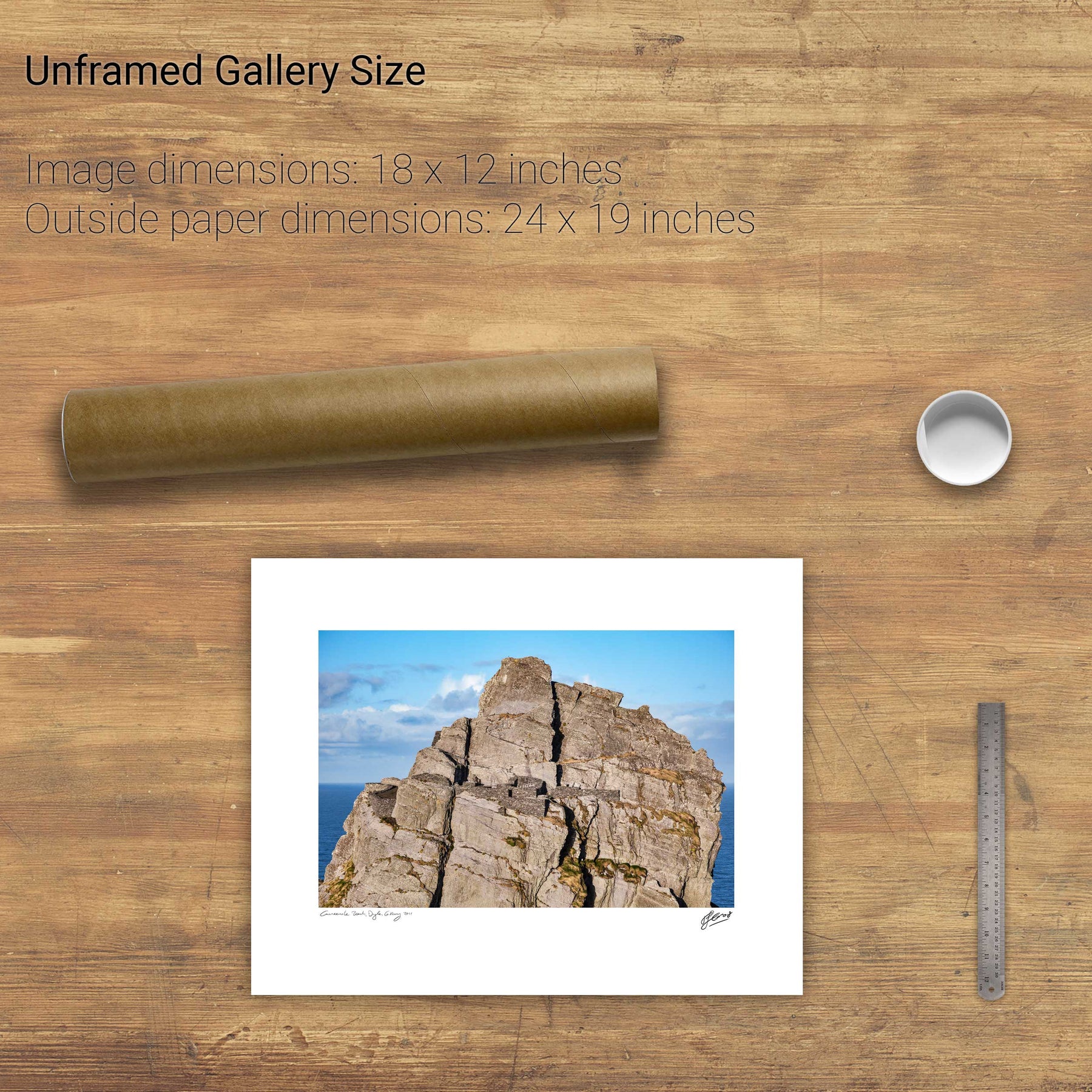
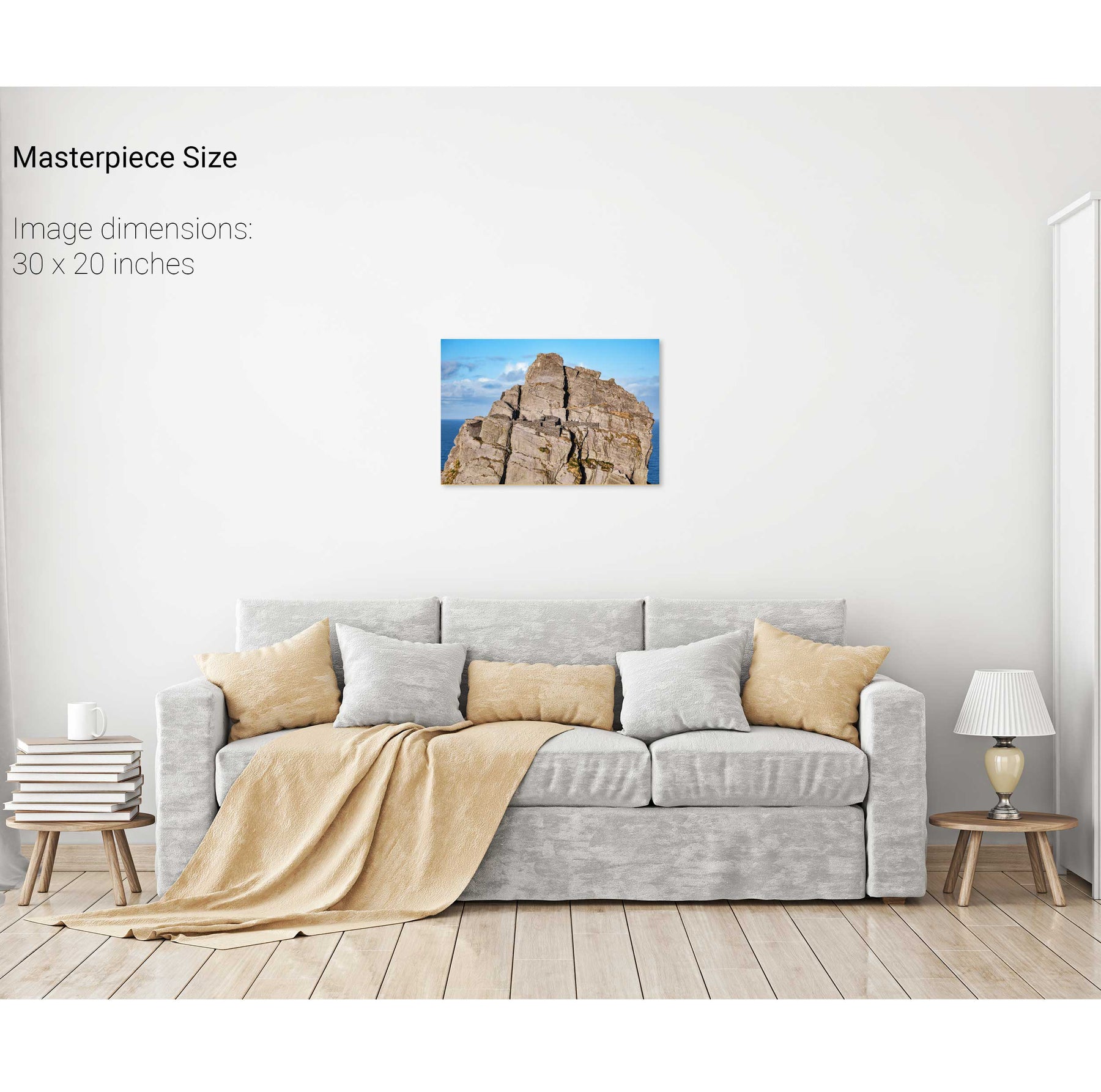
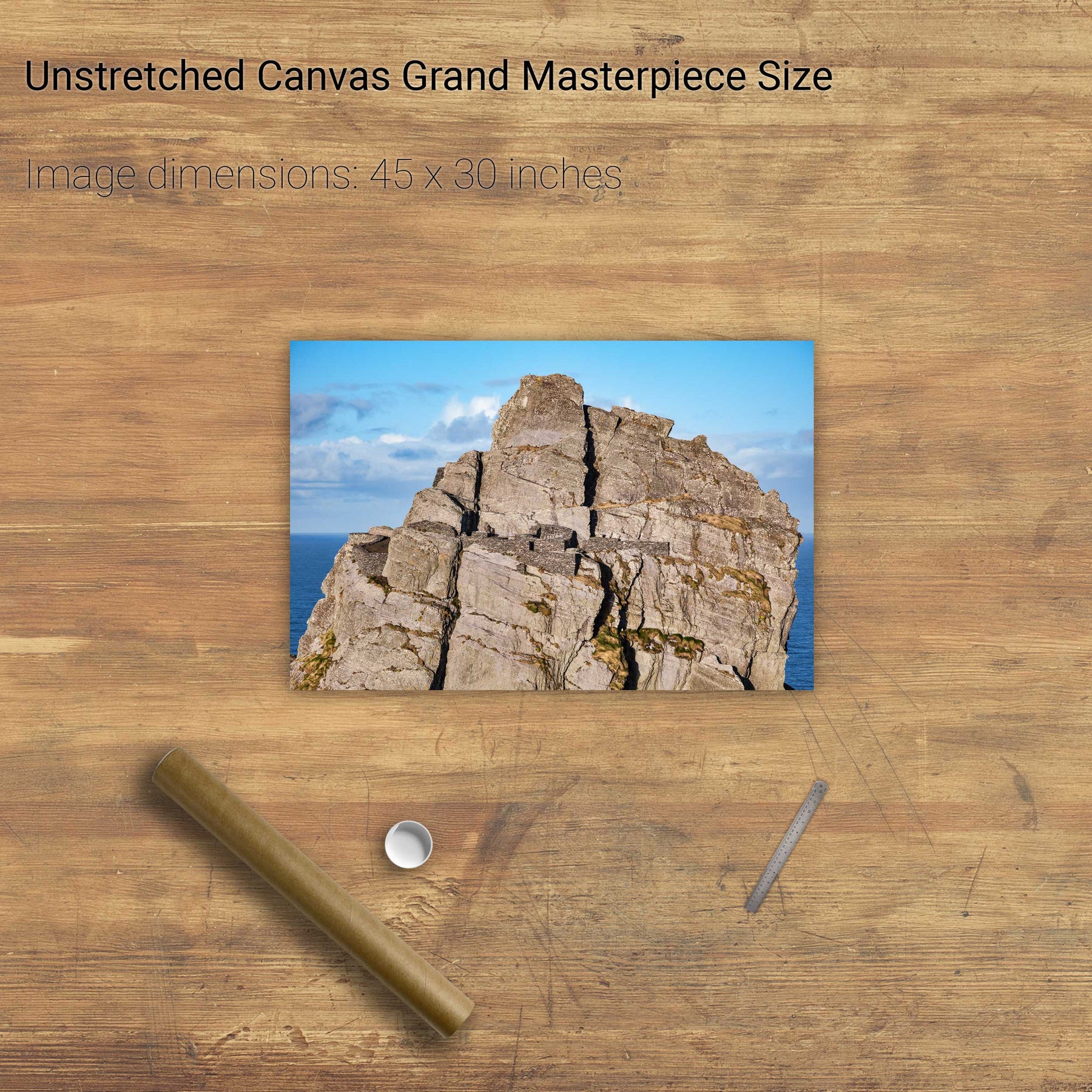
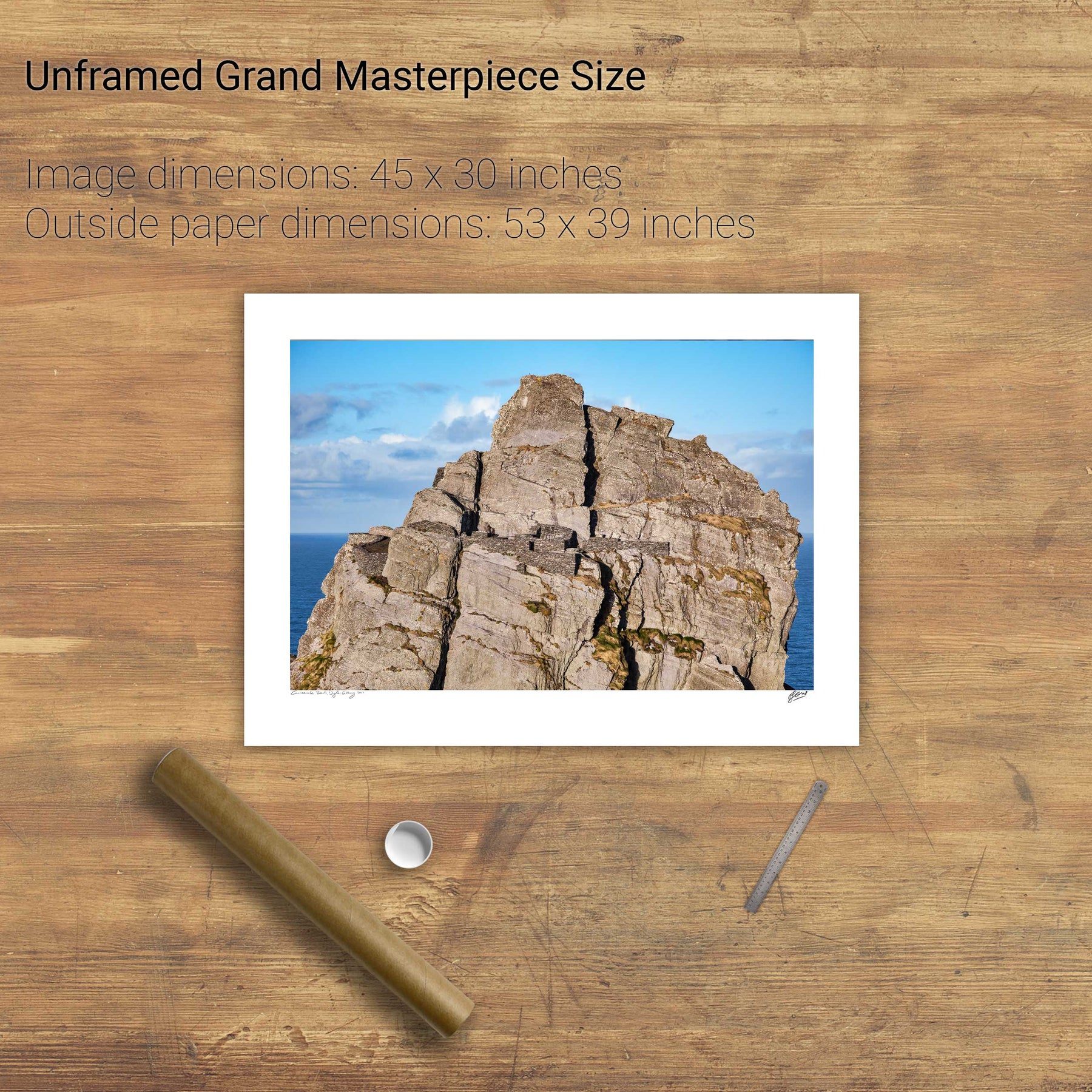
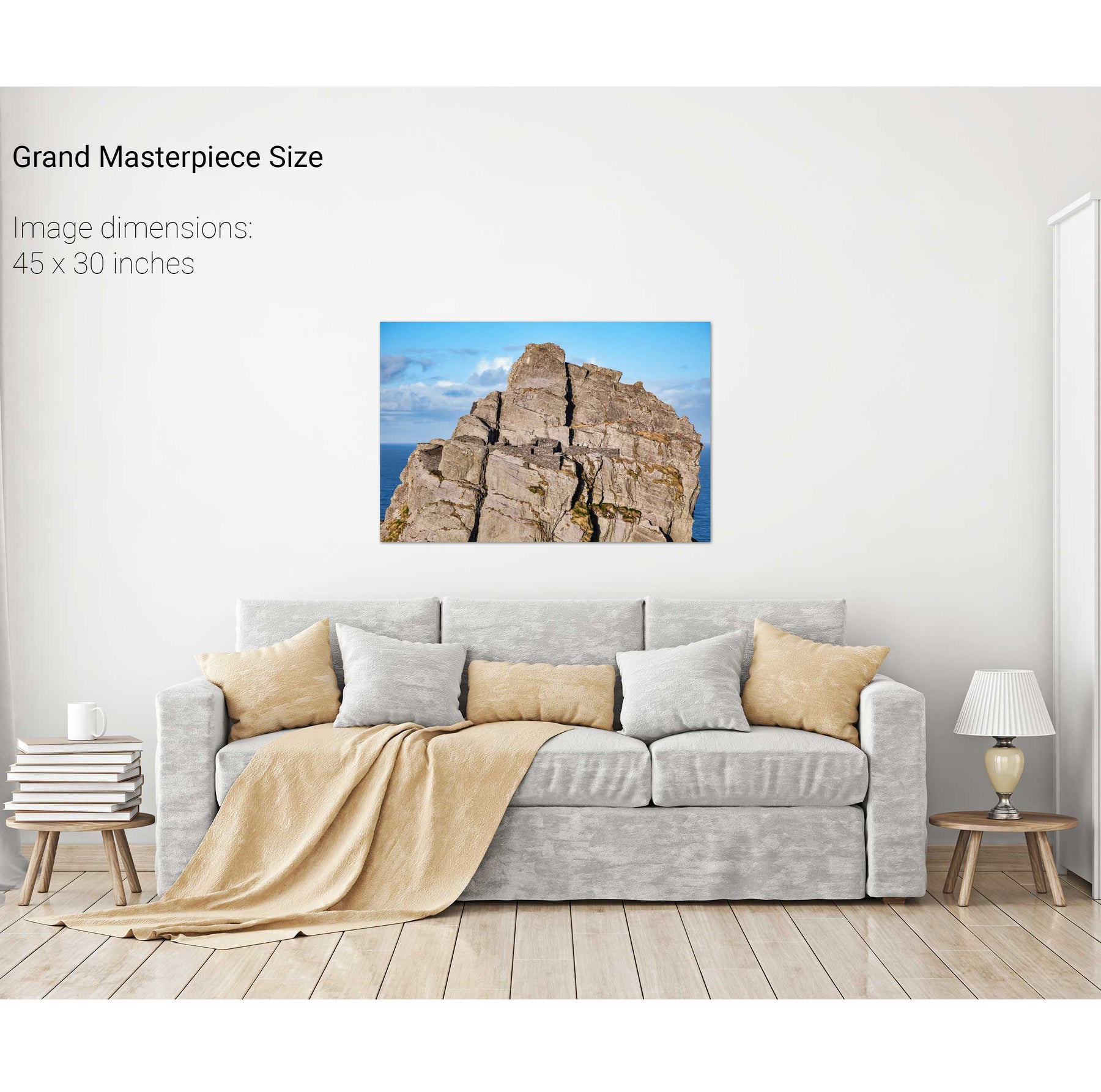
Skellig Michael Hermitage, Co. Kerry


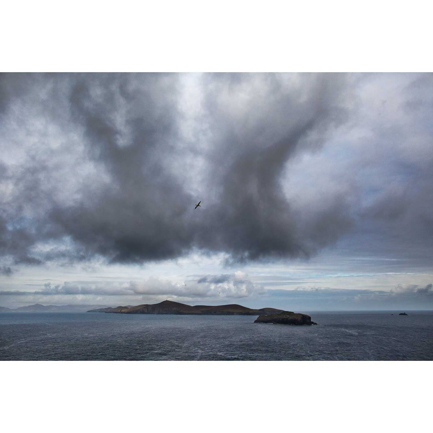
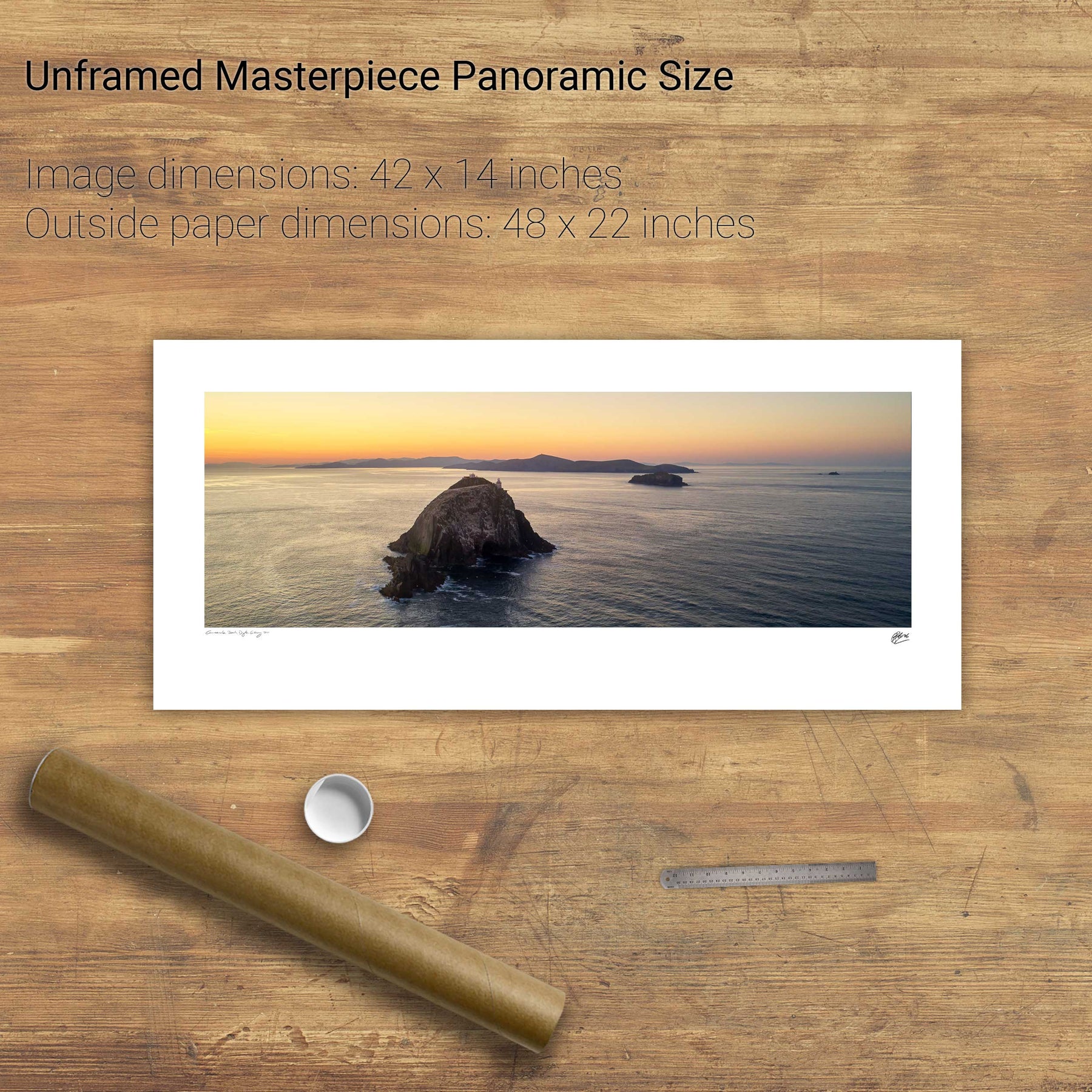
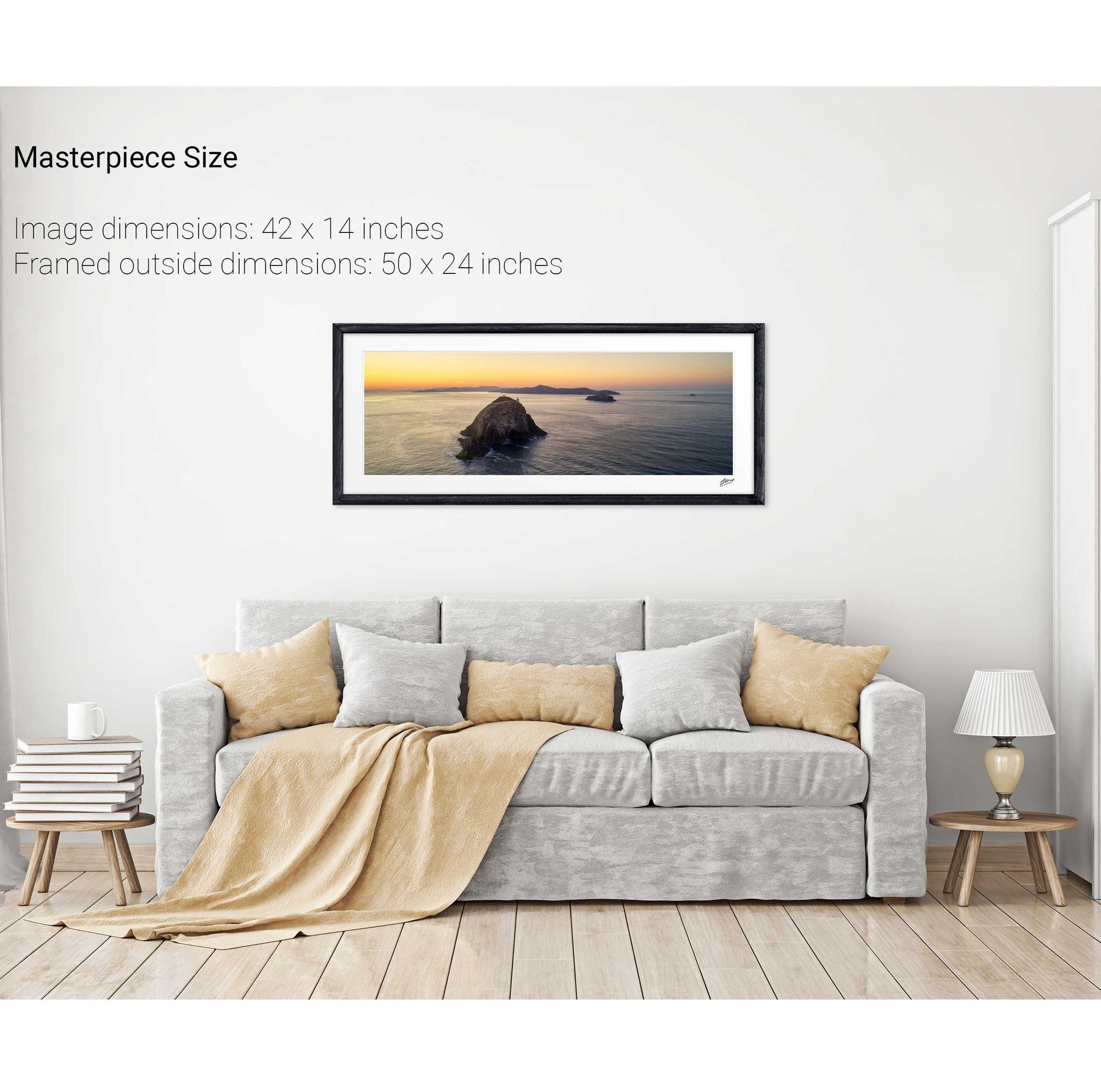
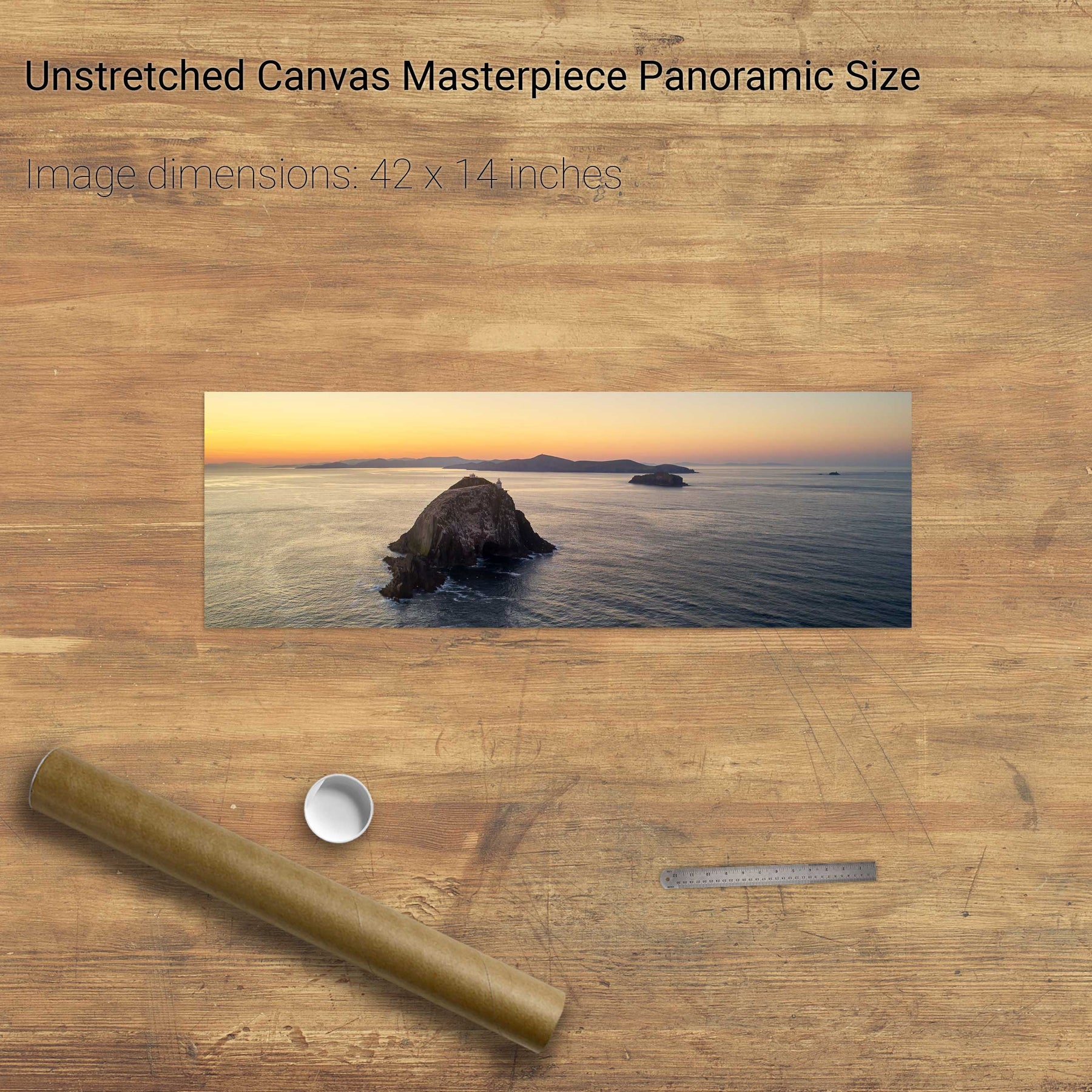
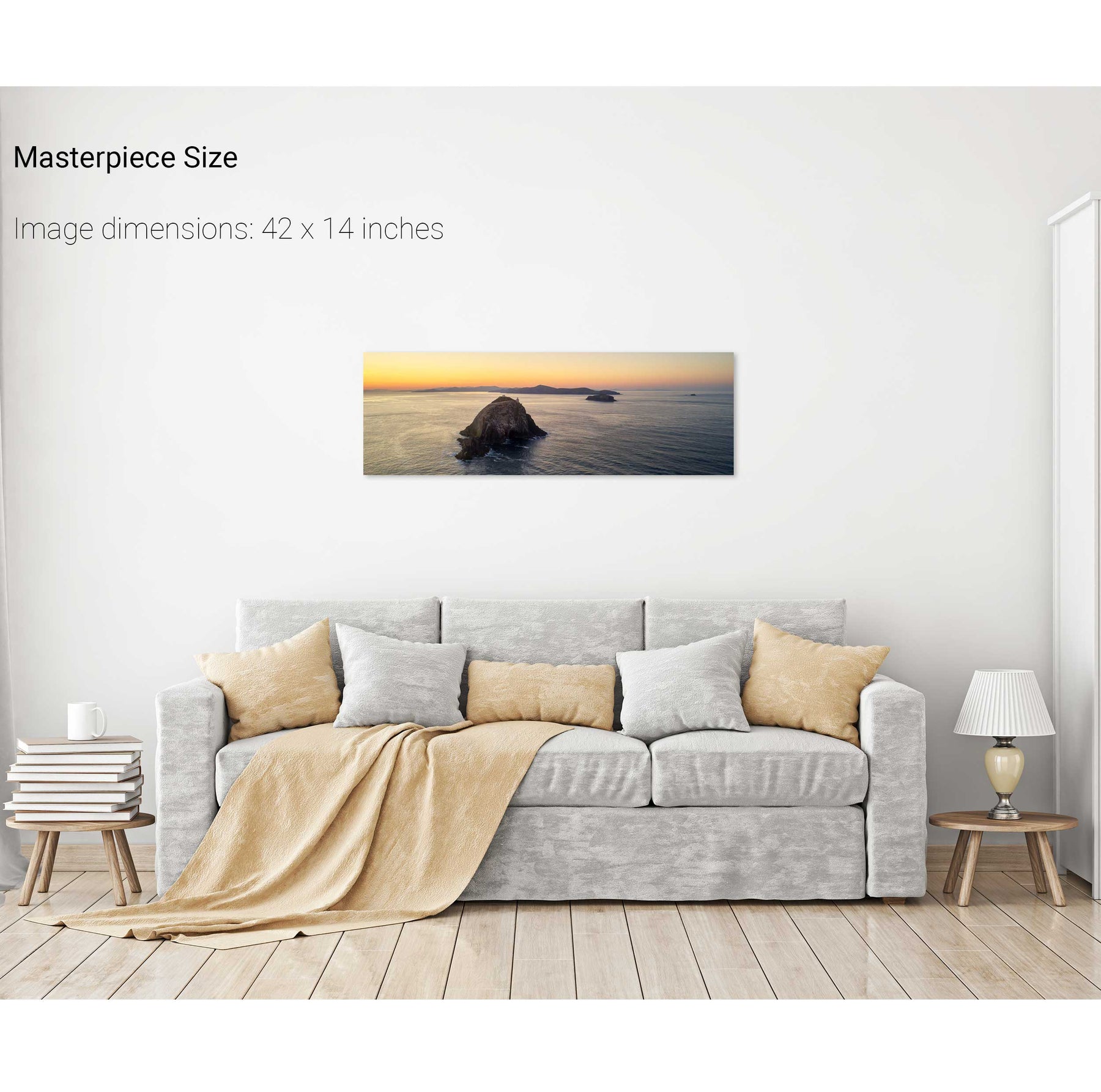
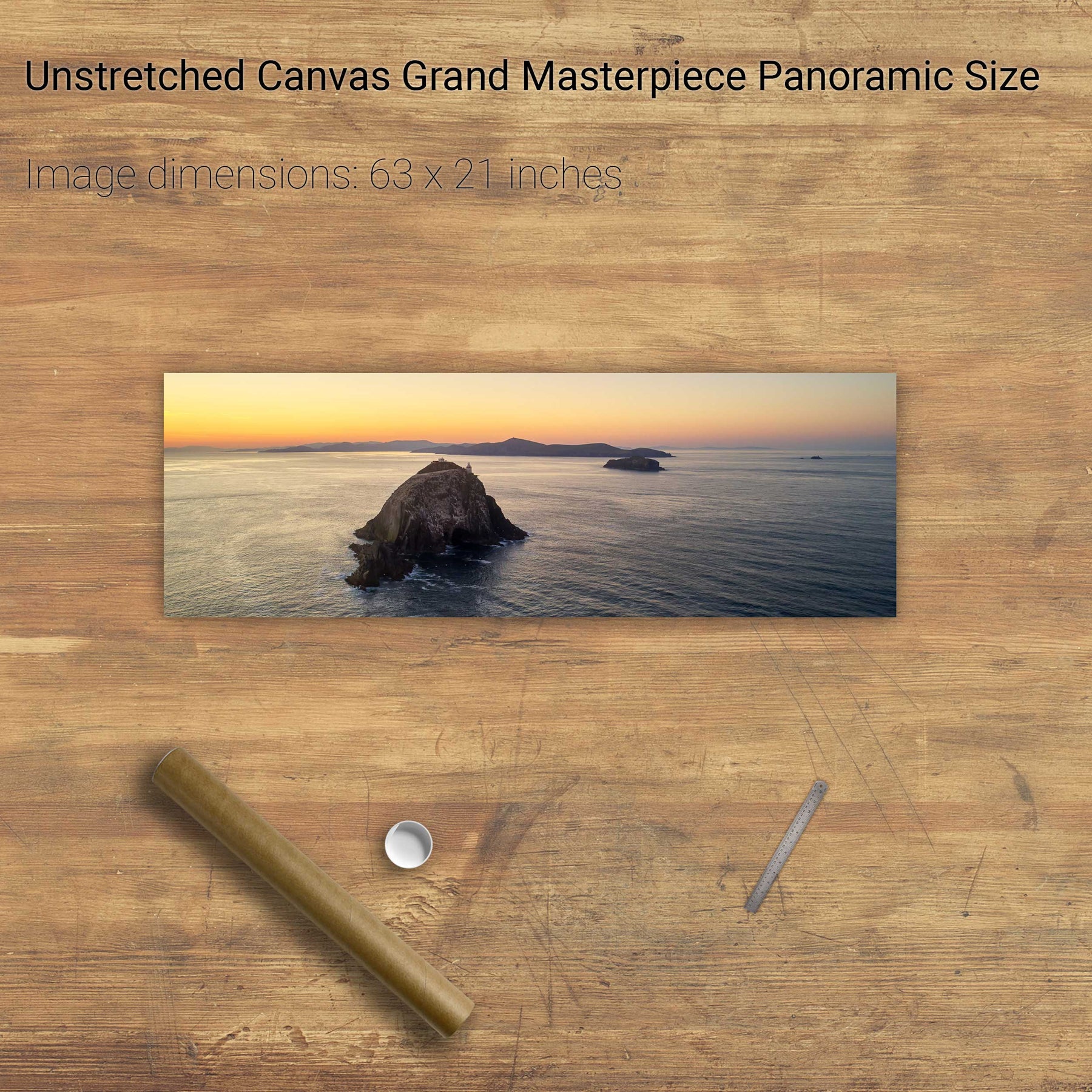
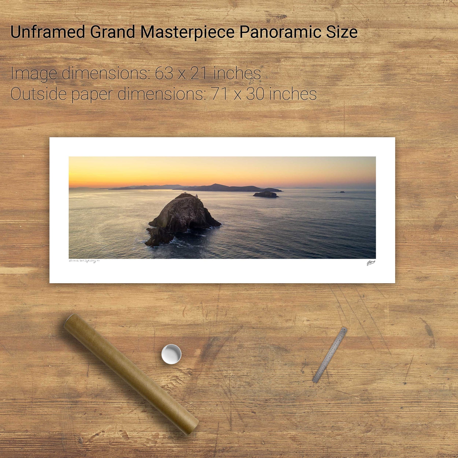
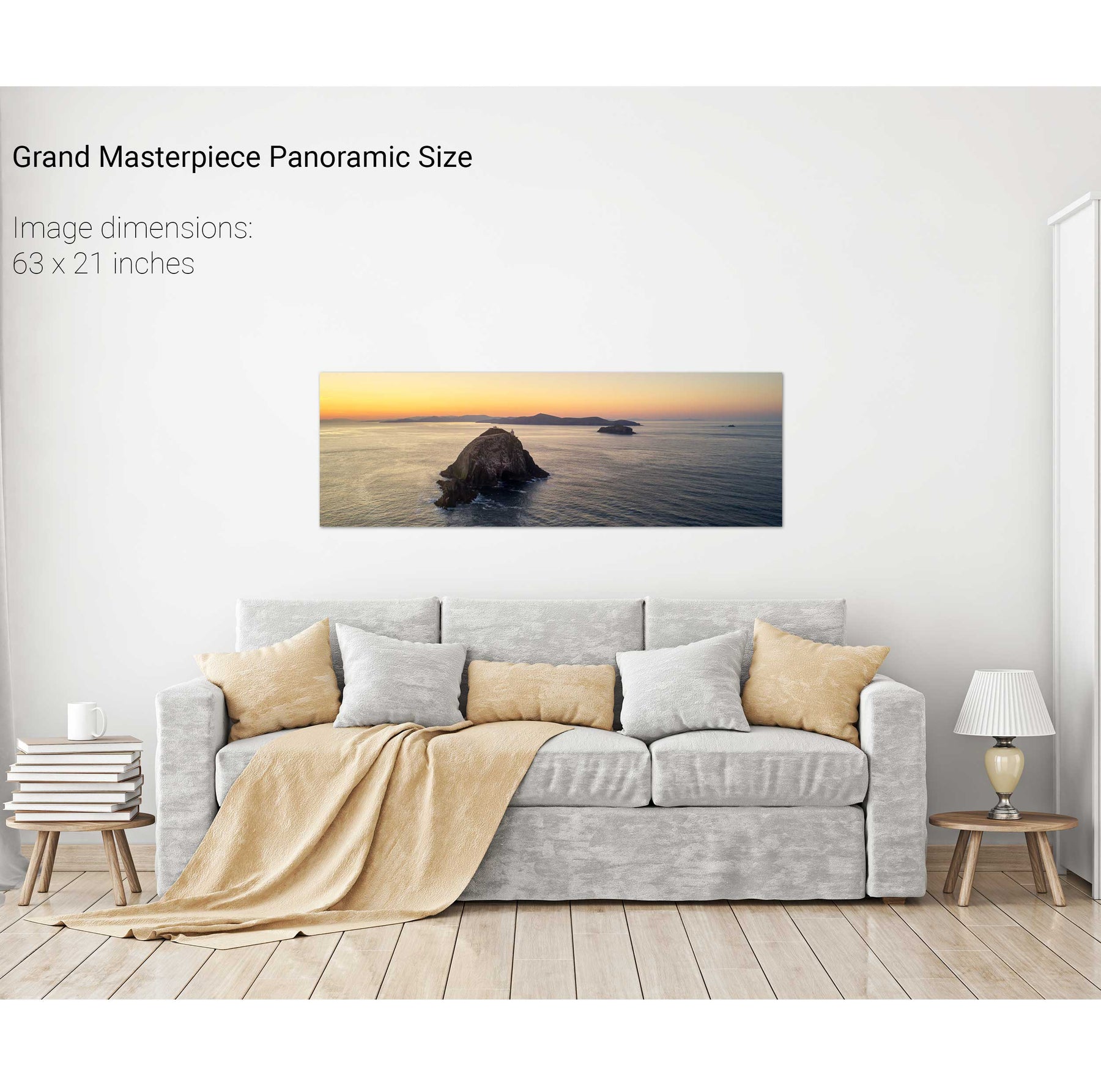
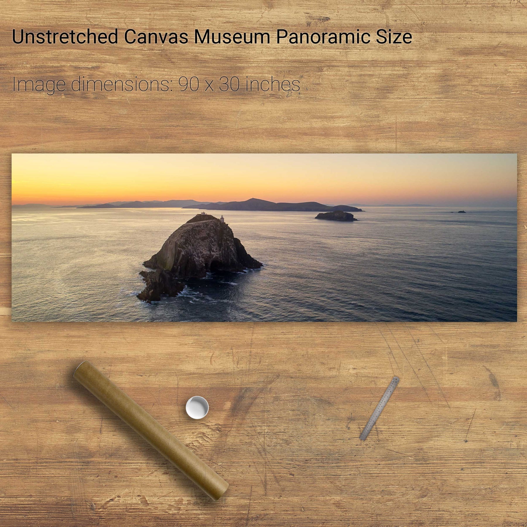
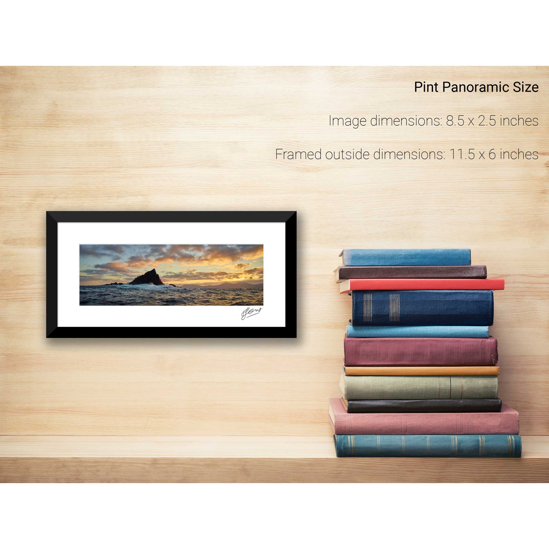
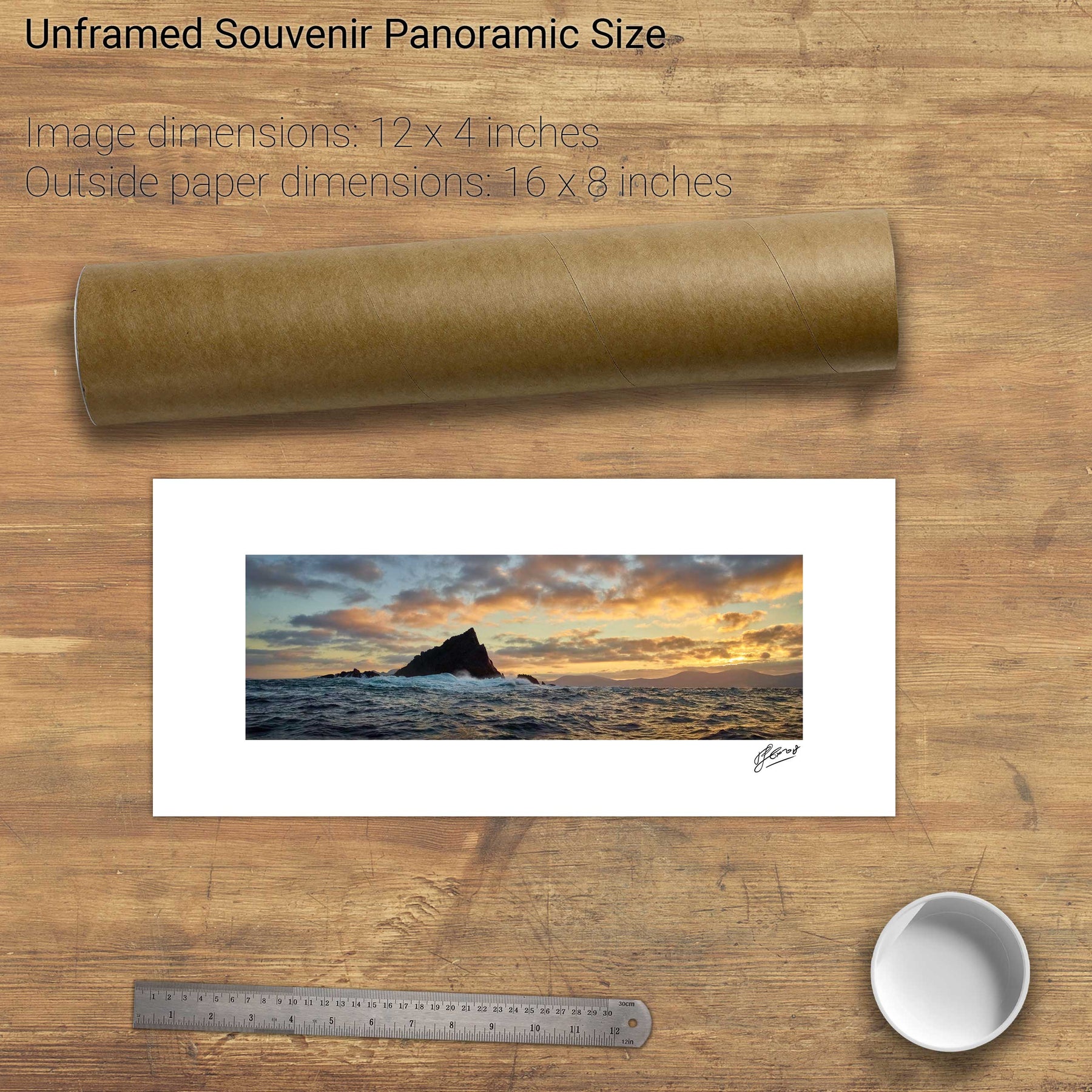
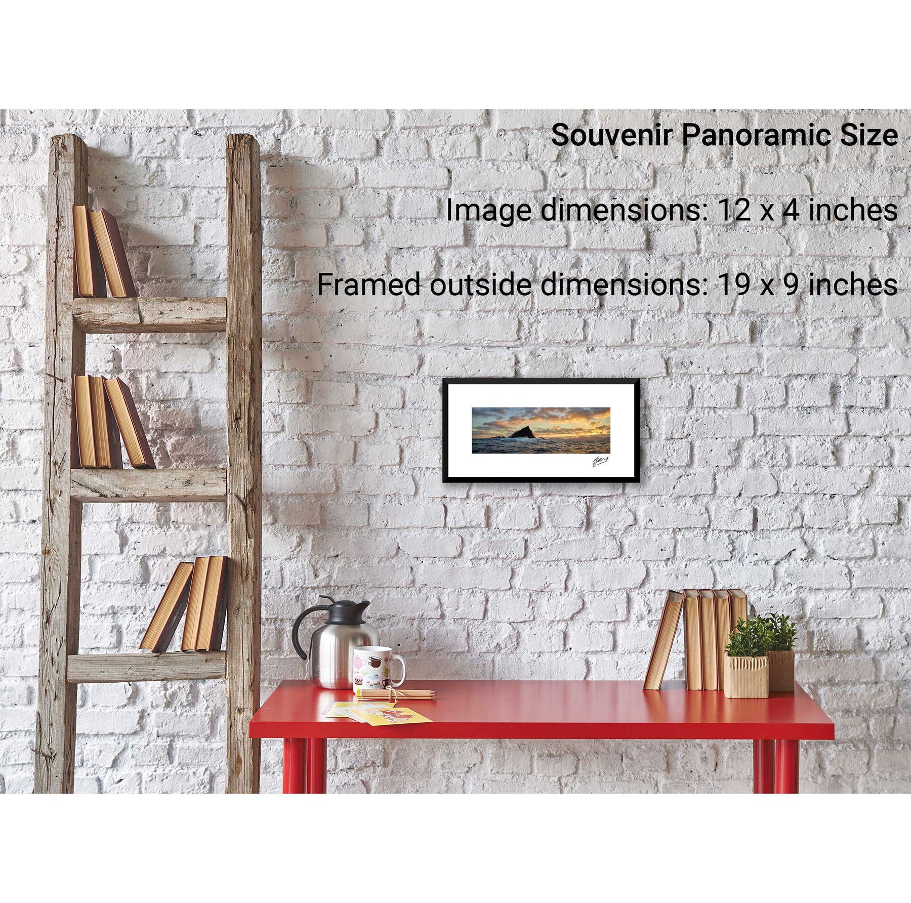
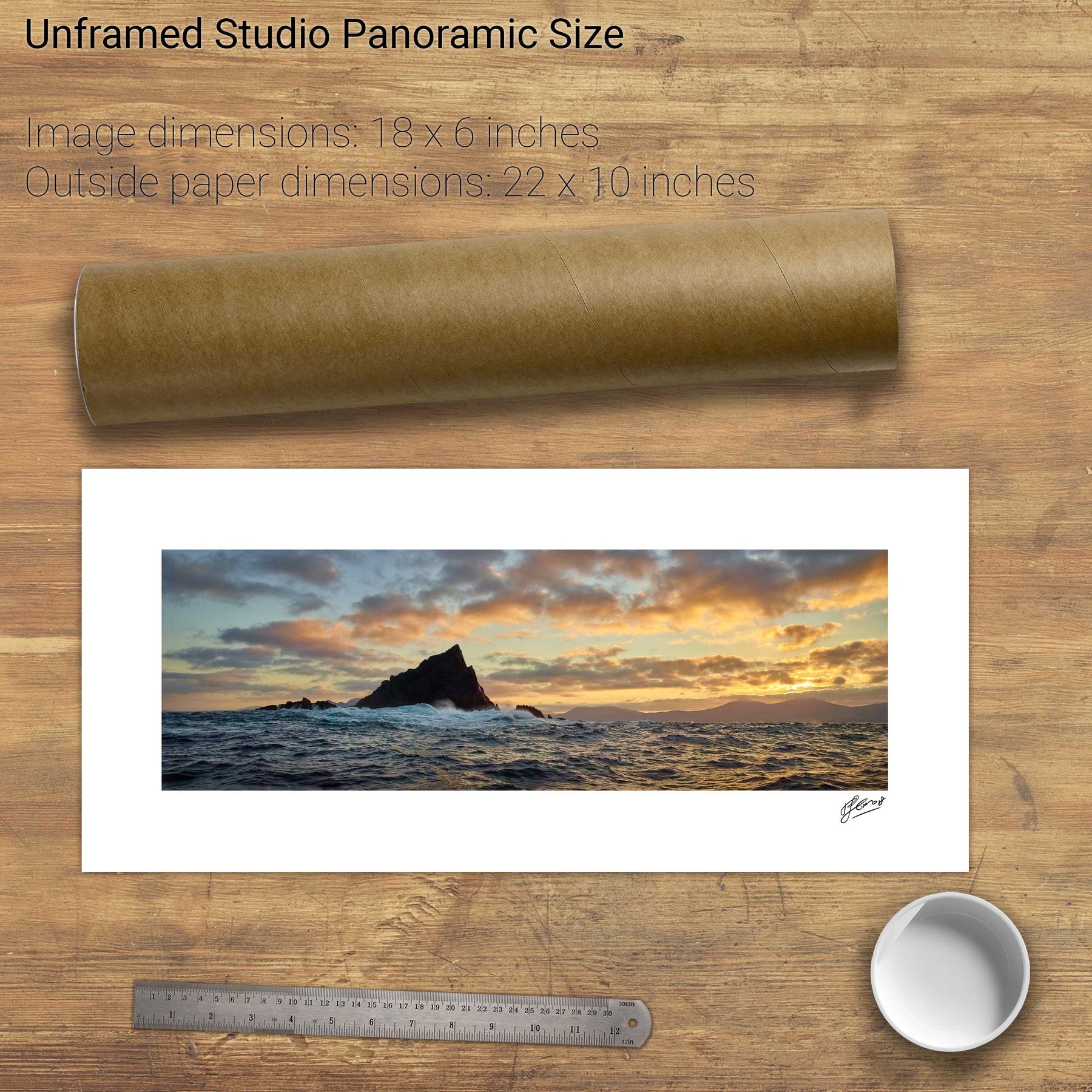
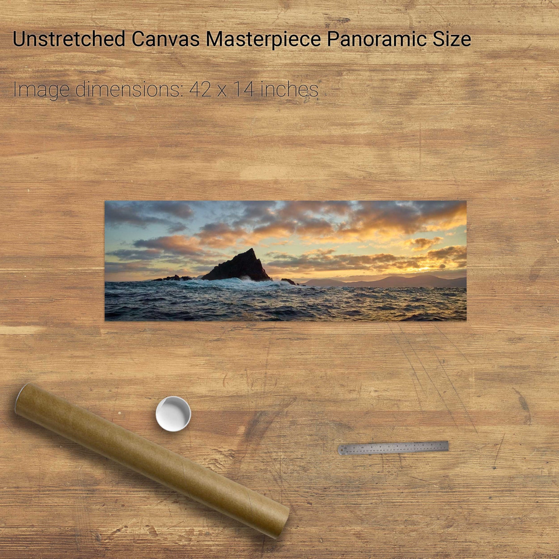
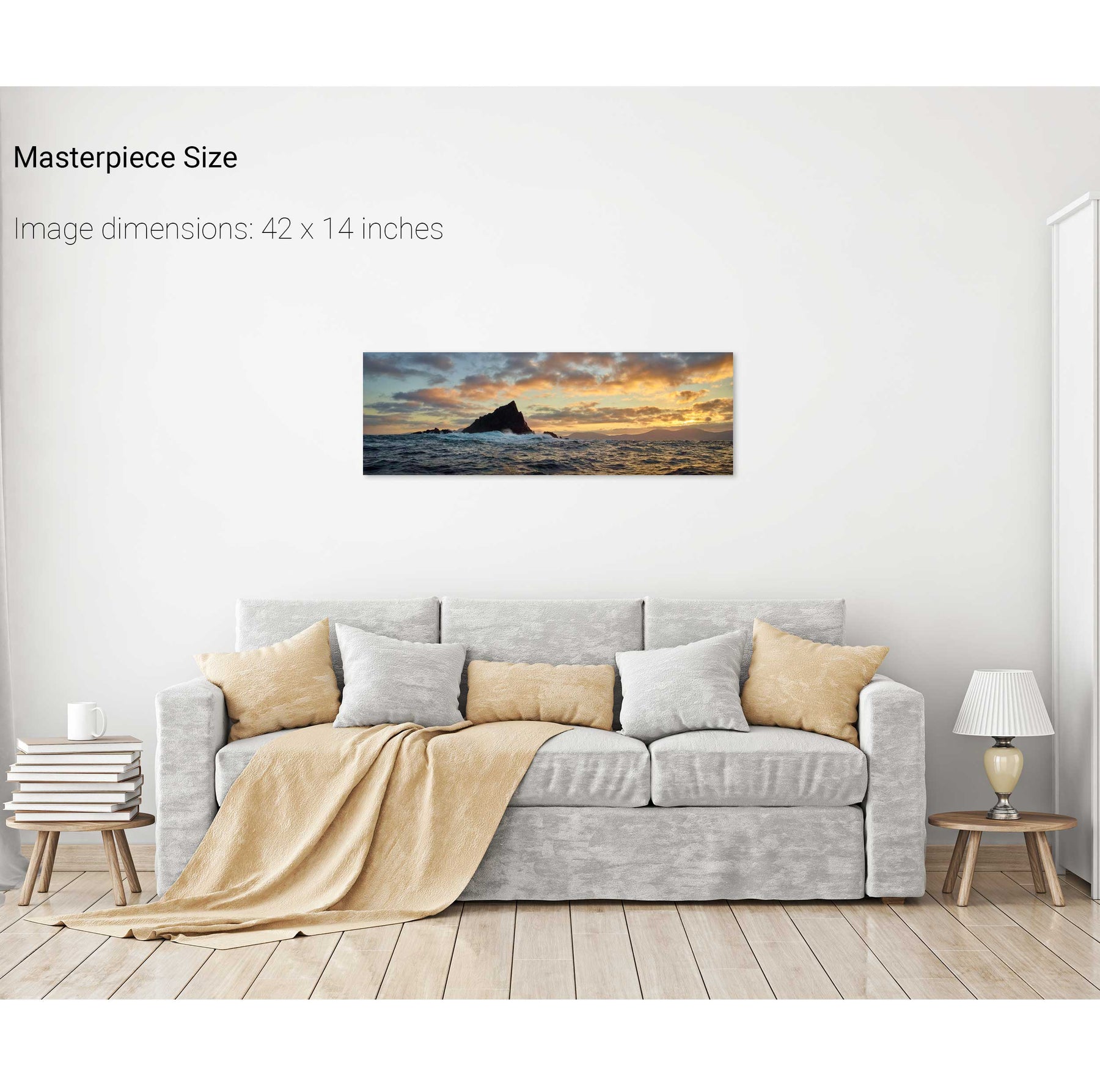
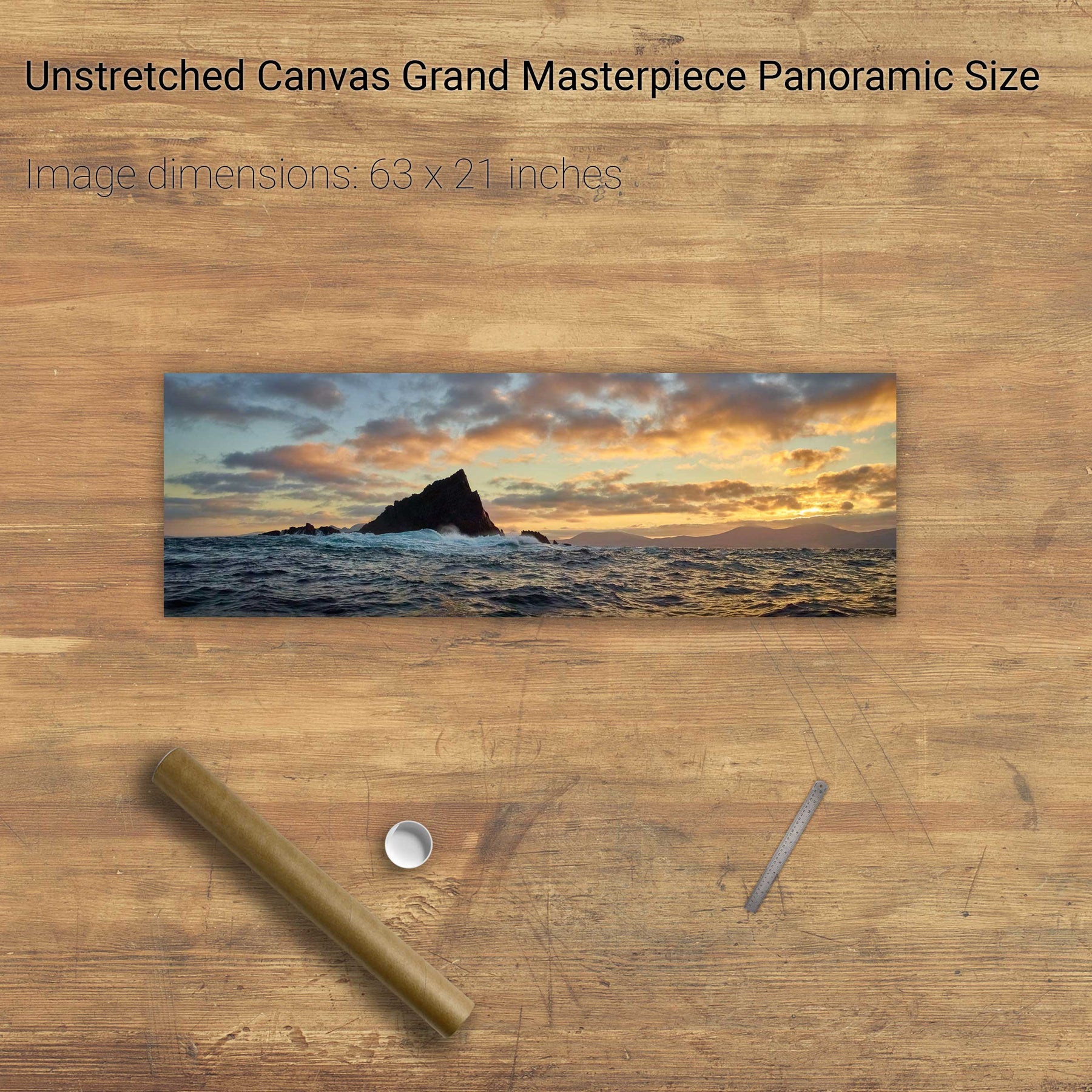
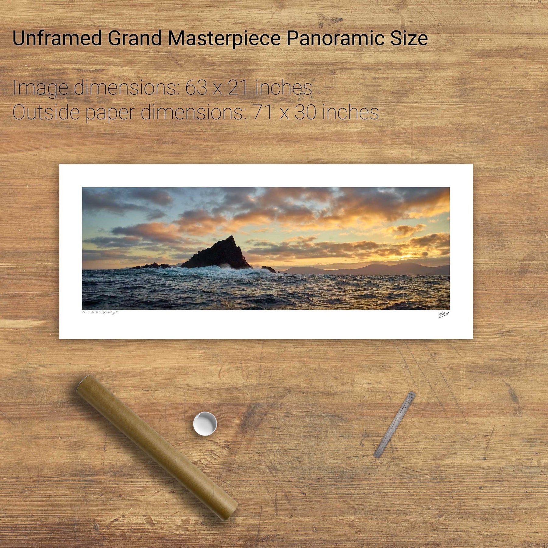
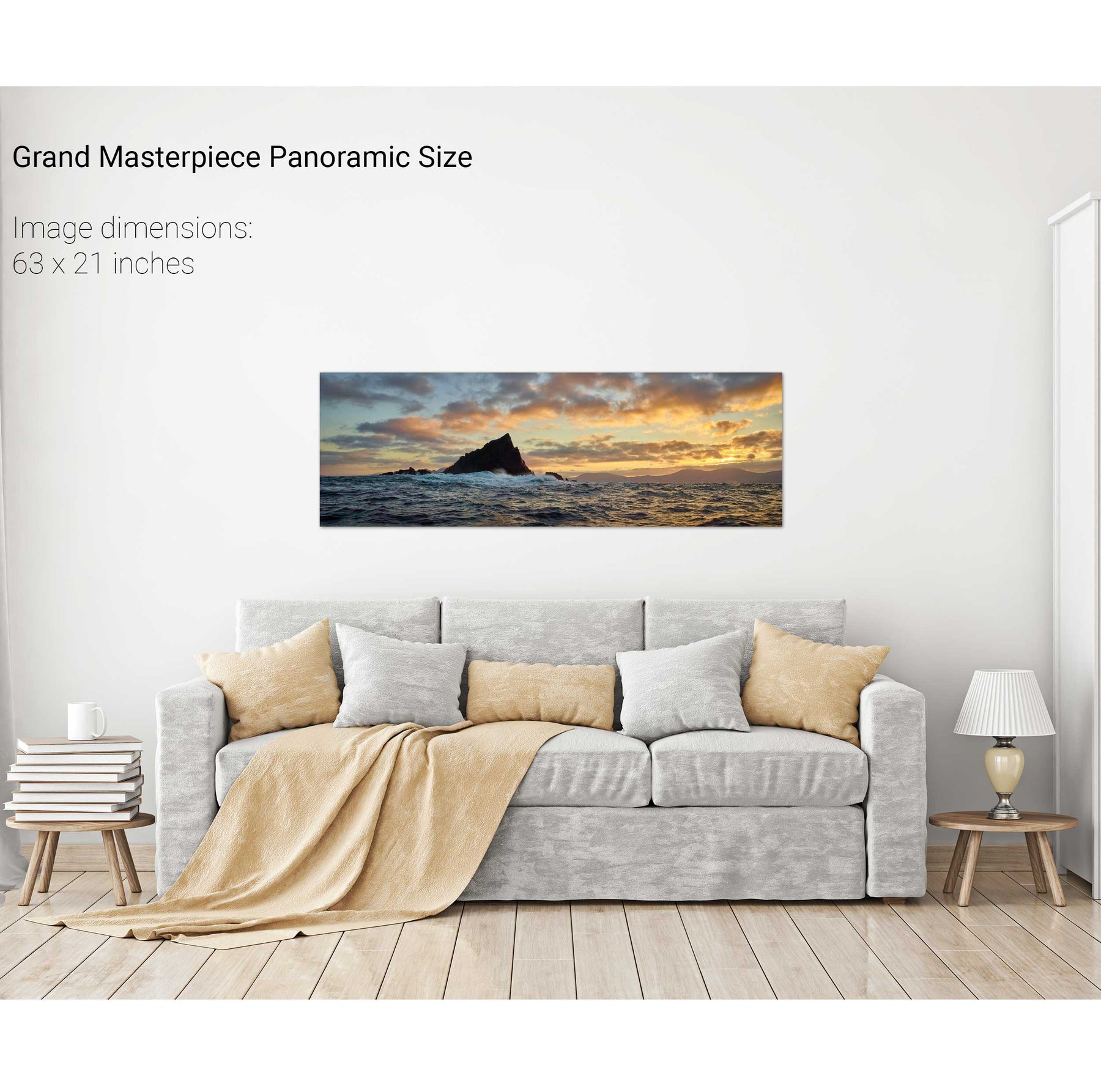
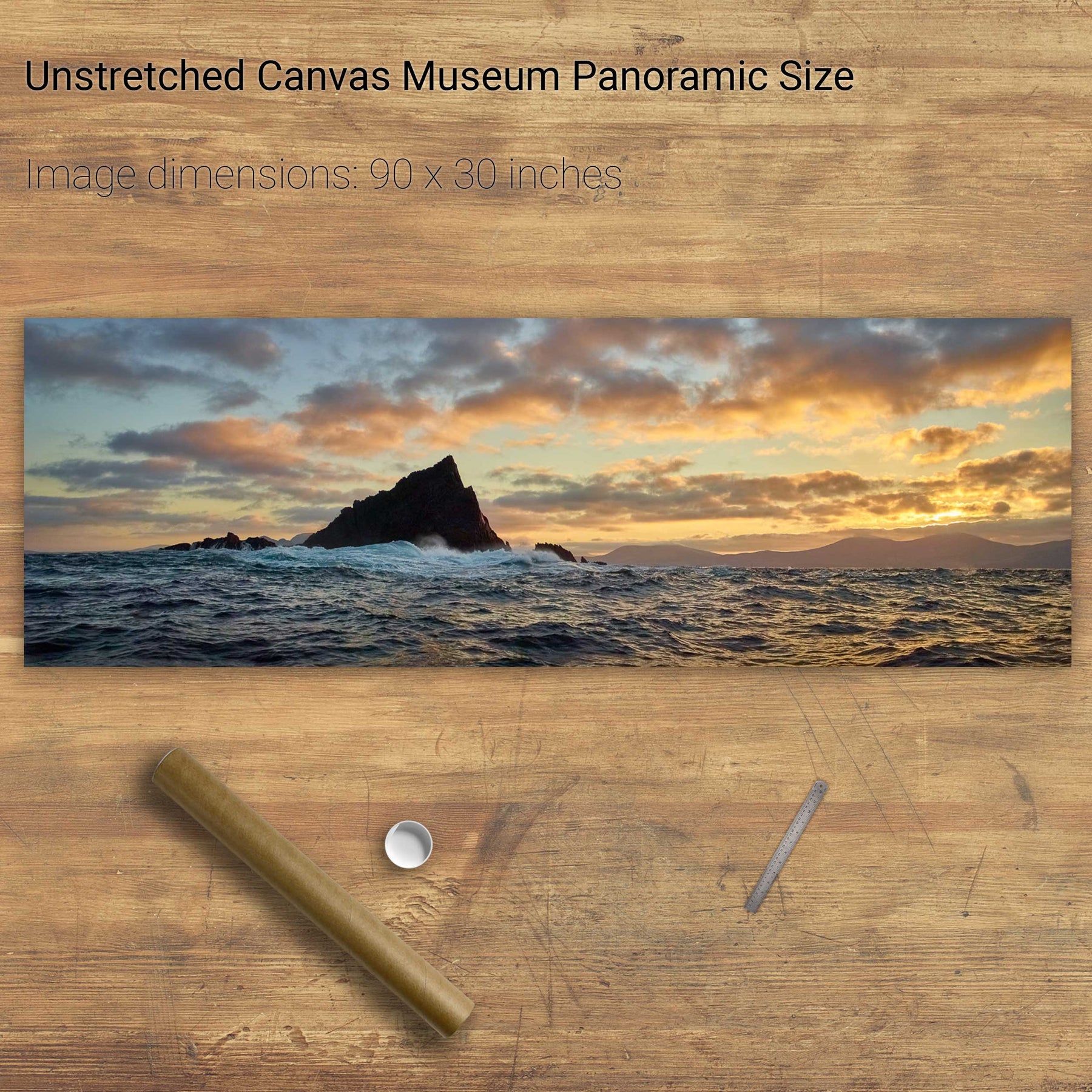
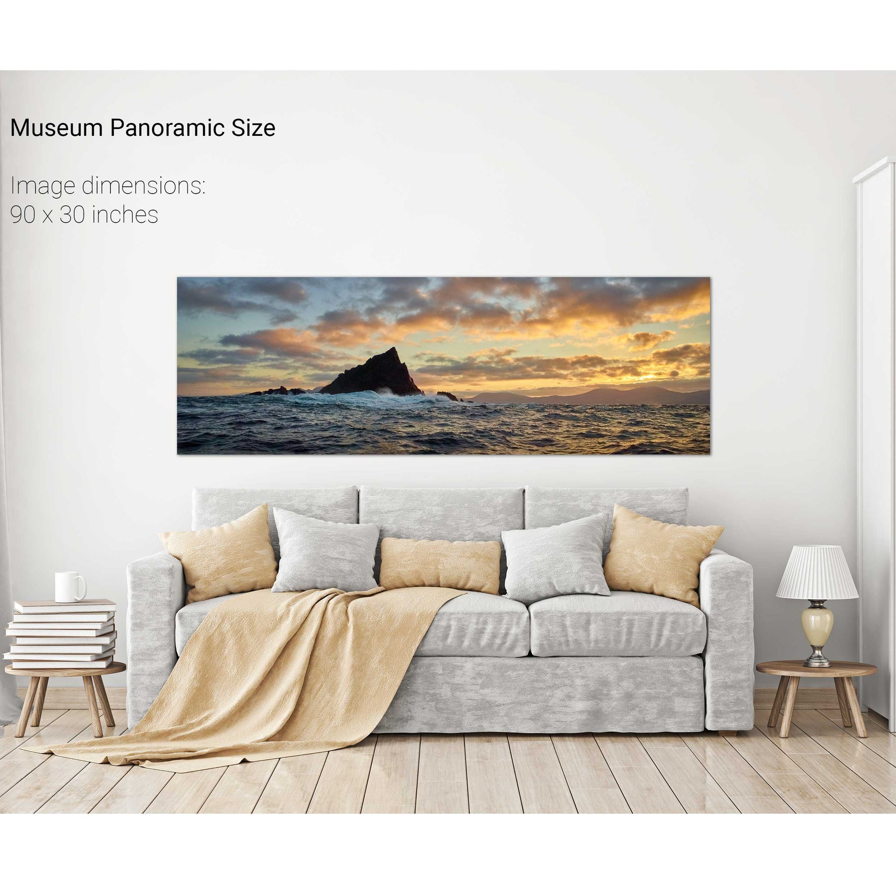
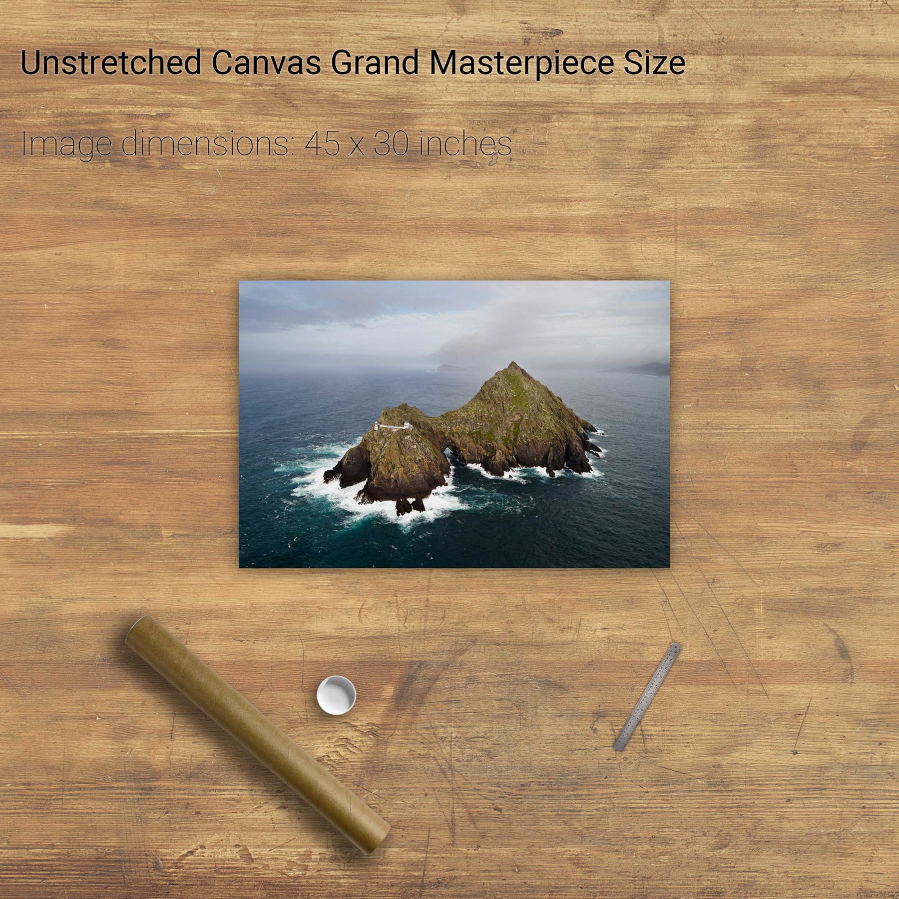
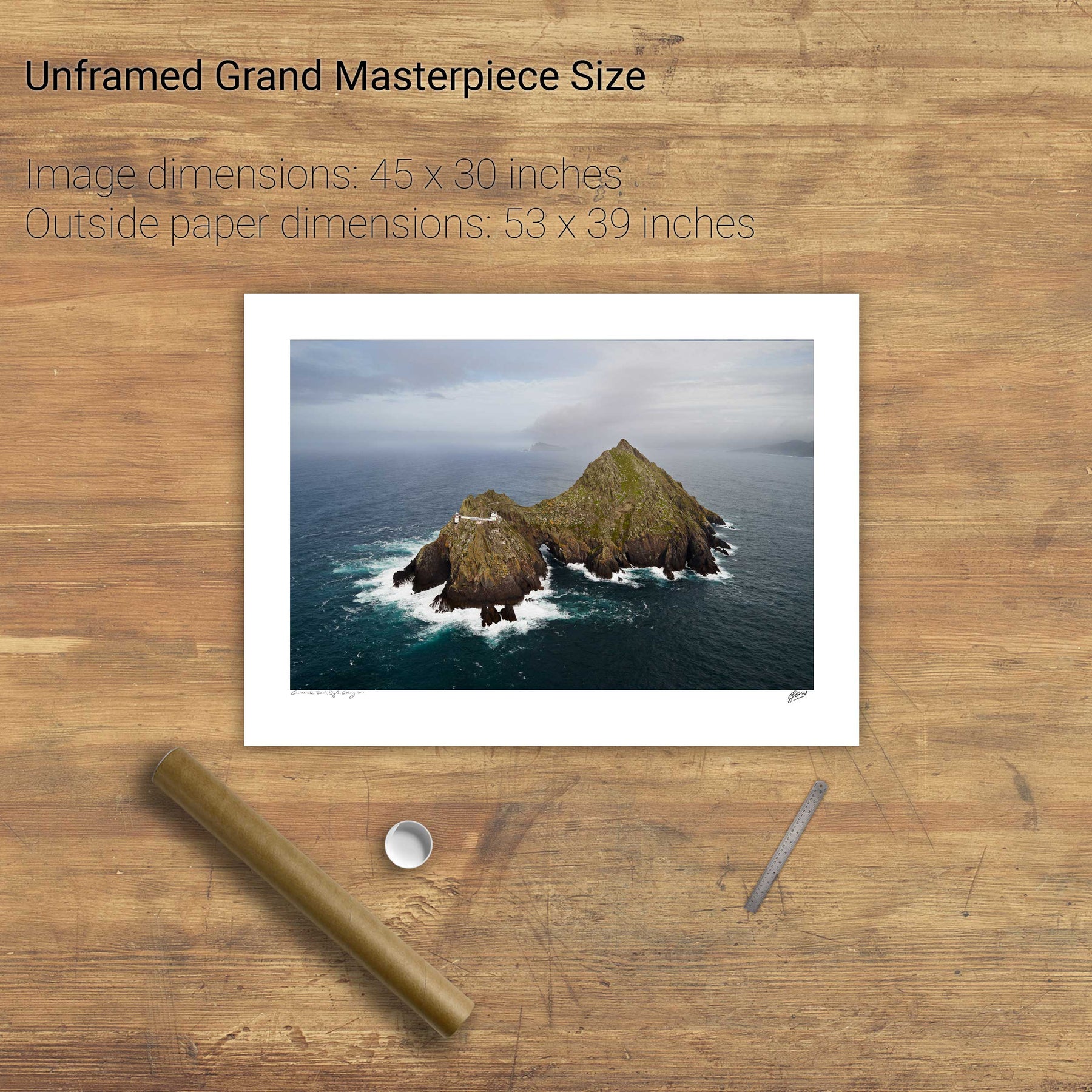
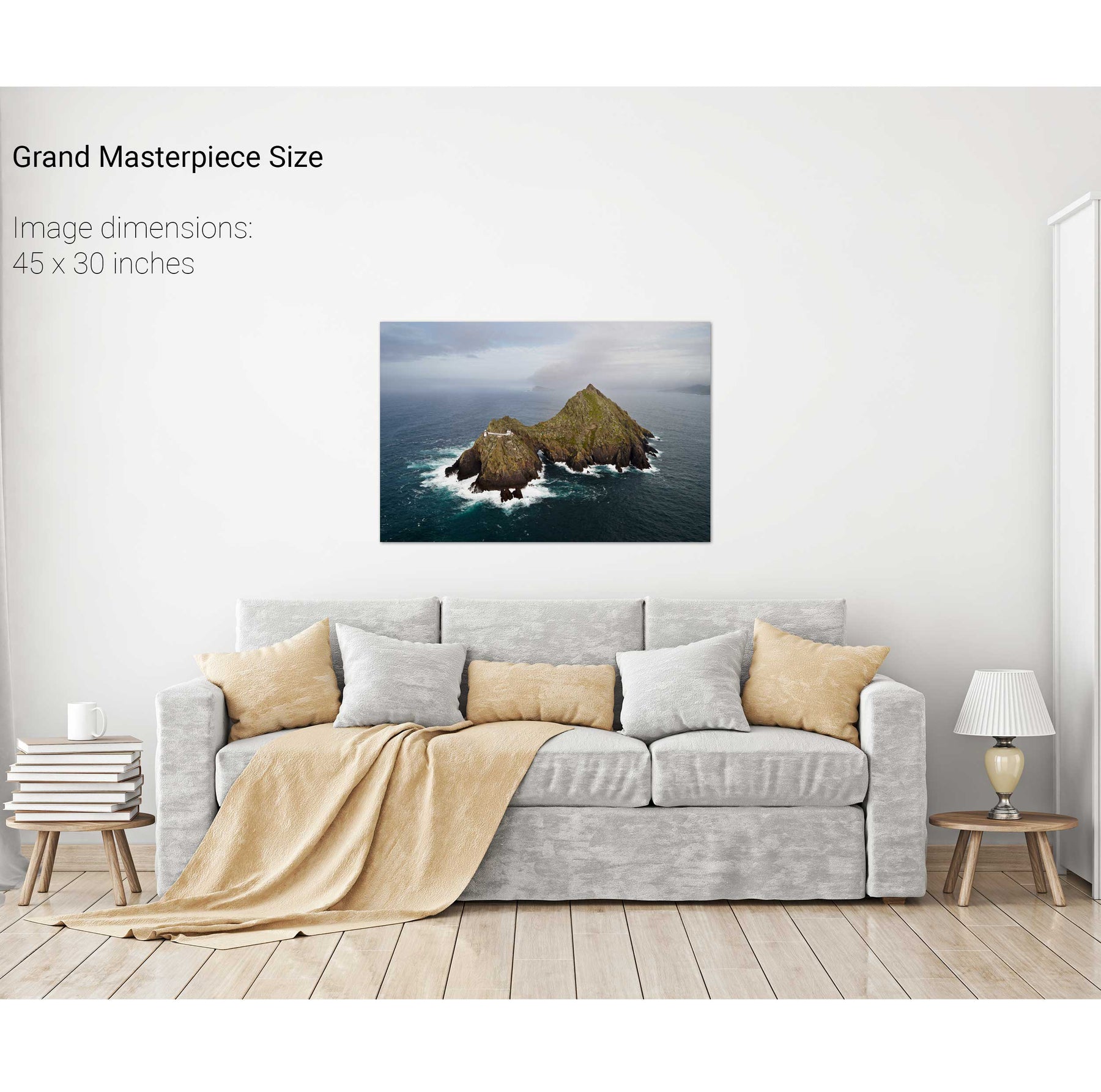
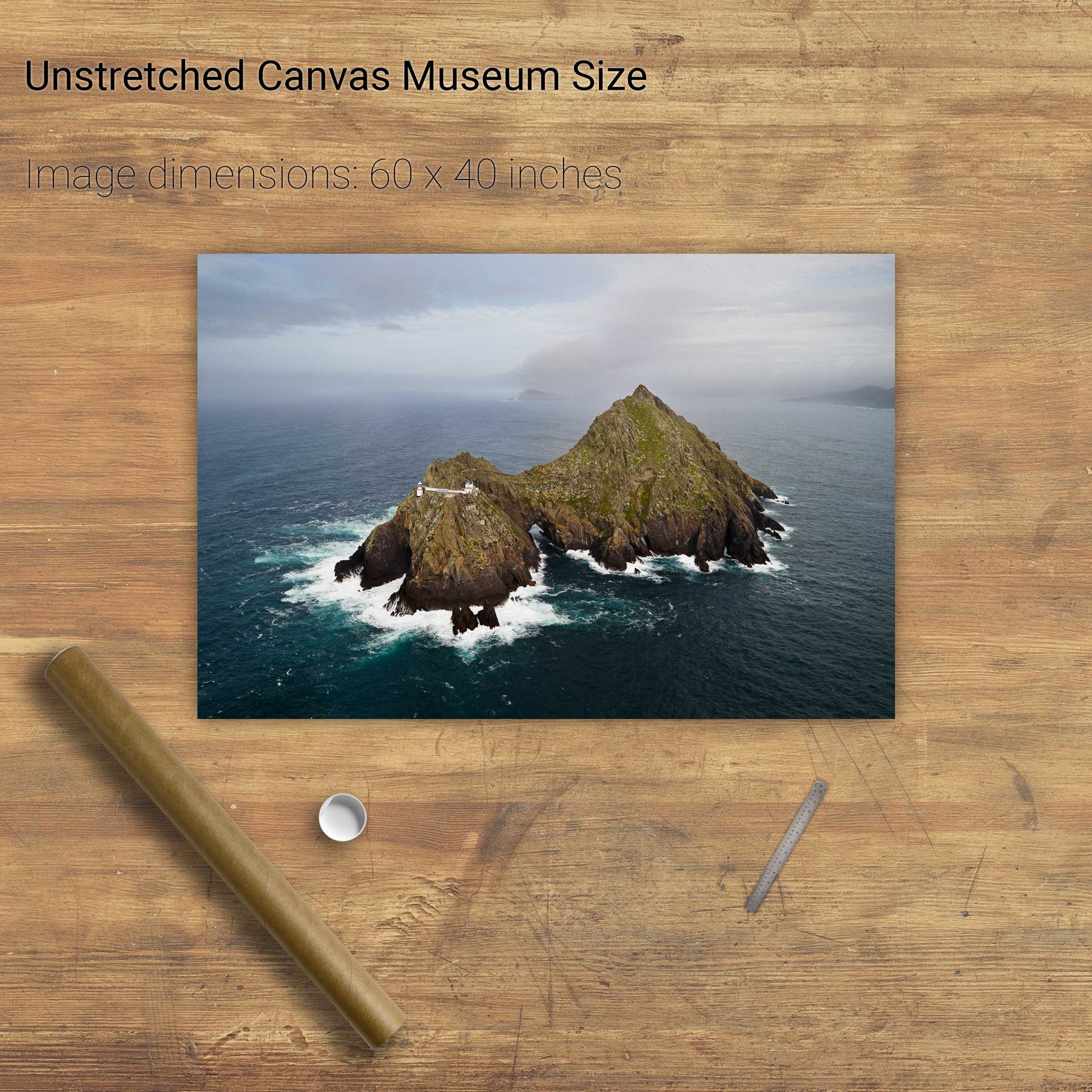
Lemon Rock, Co. Kerry


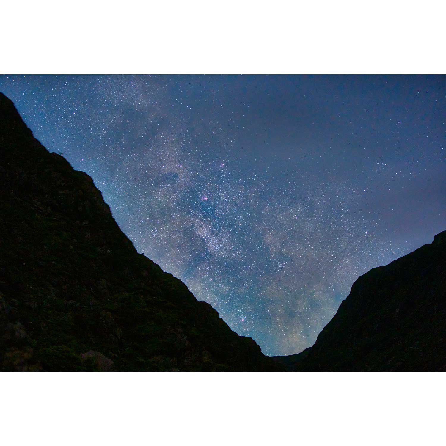
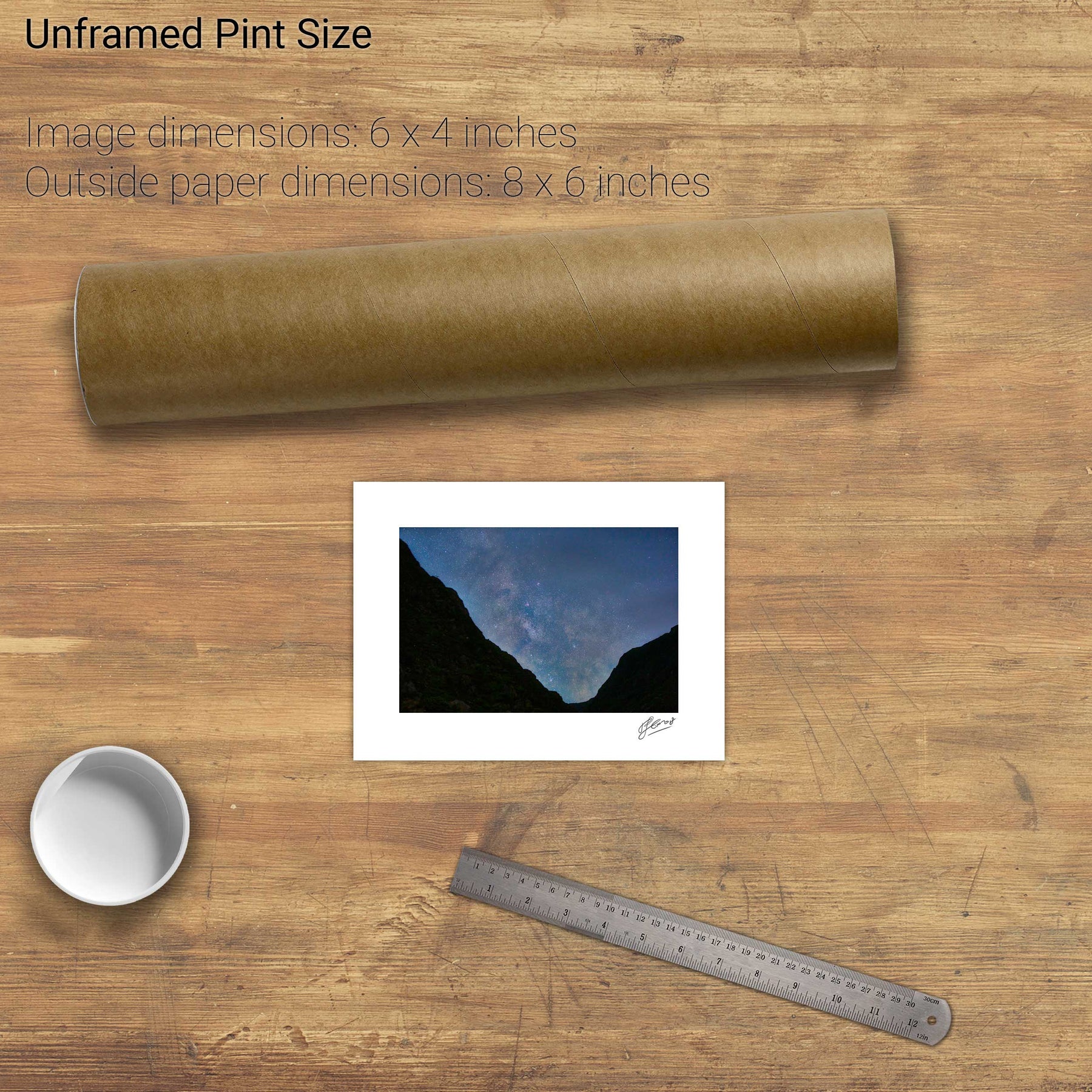
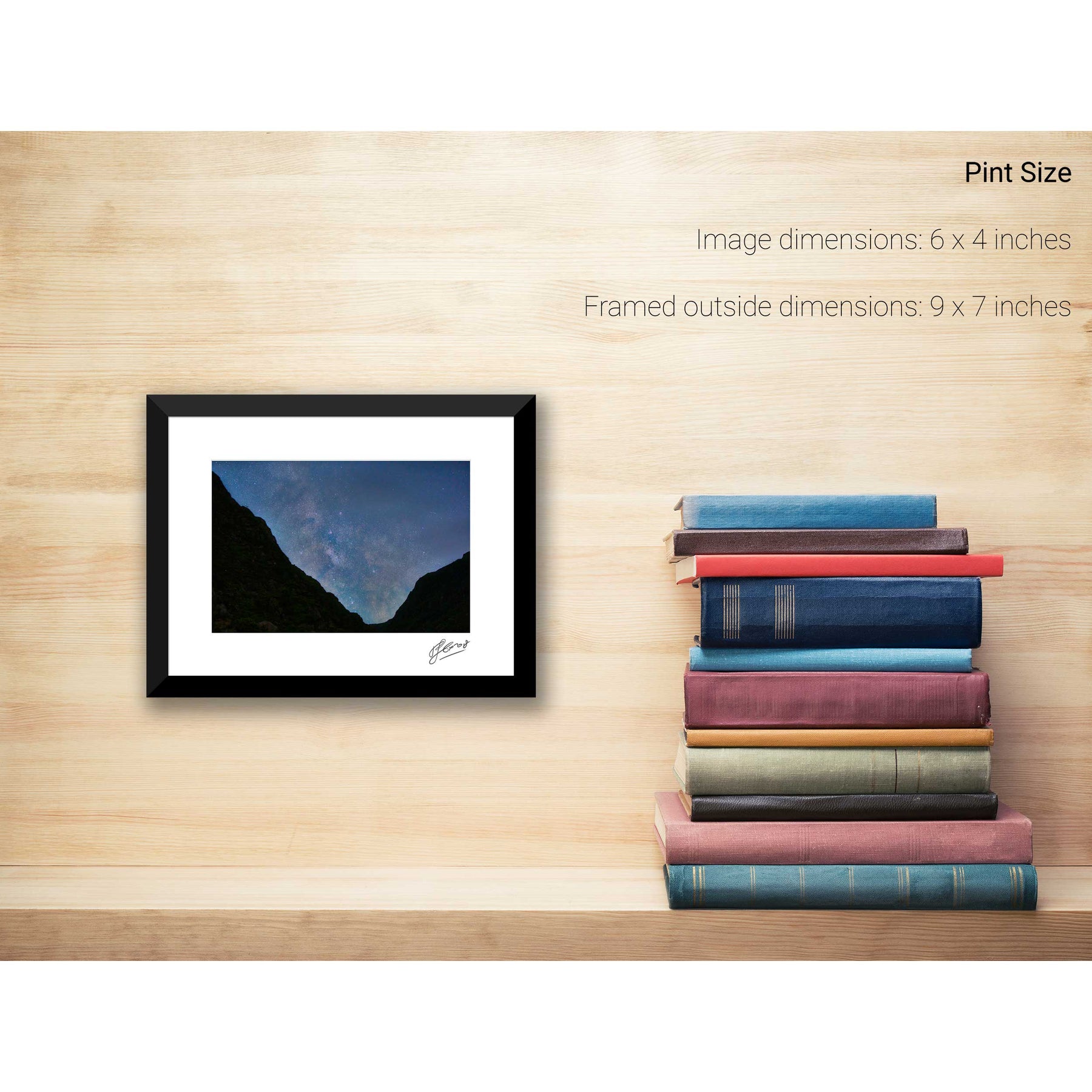
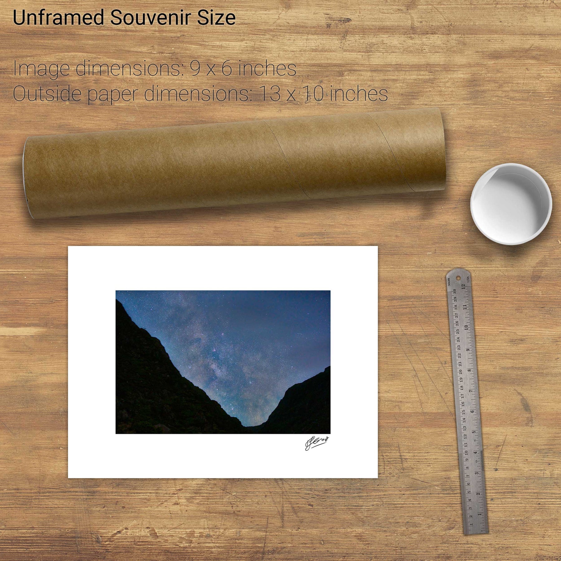
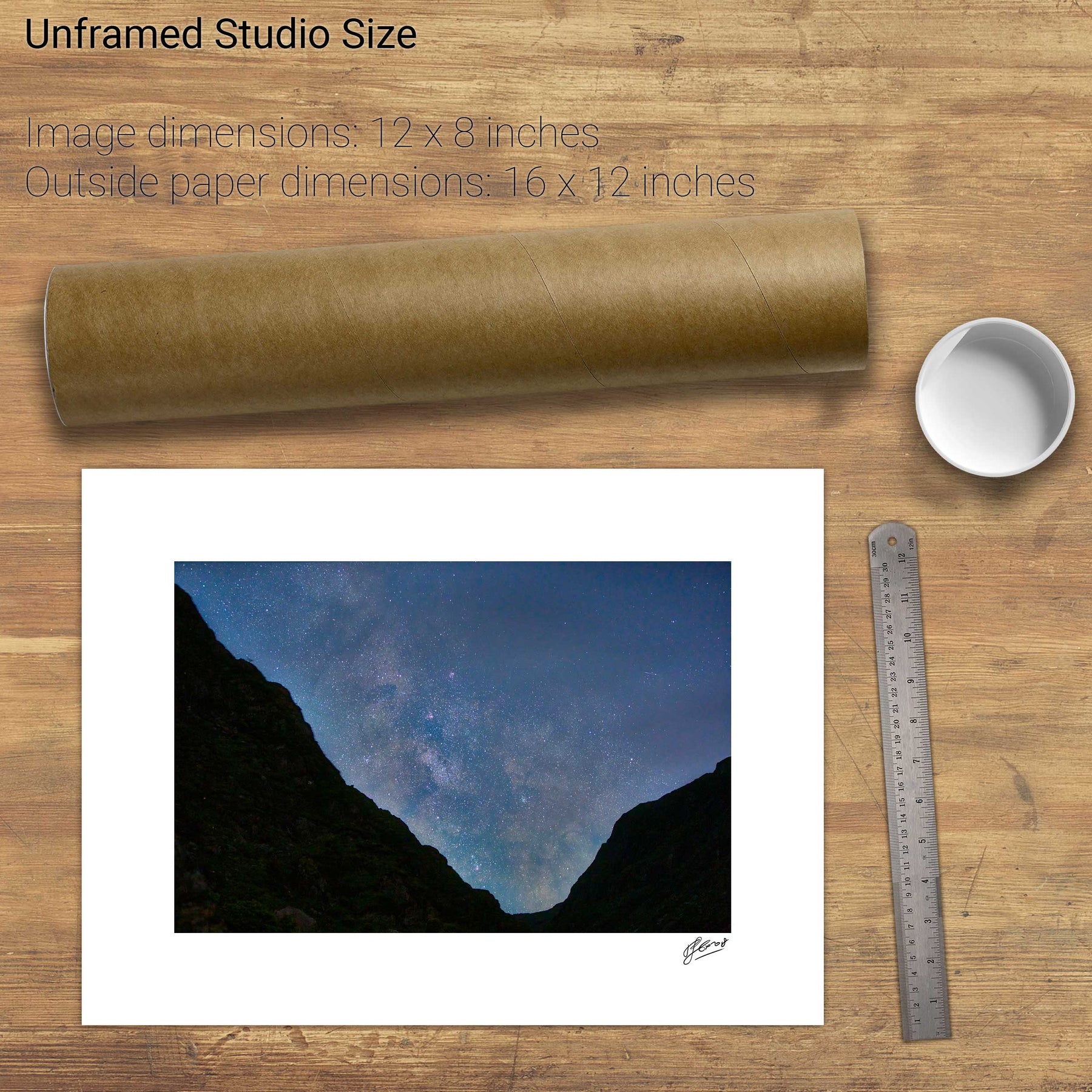
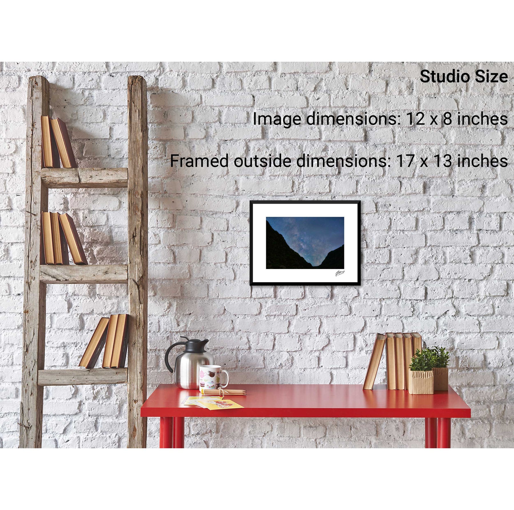
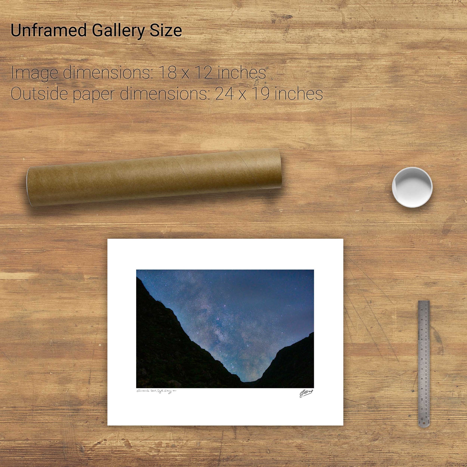
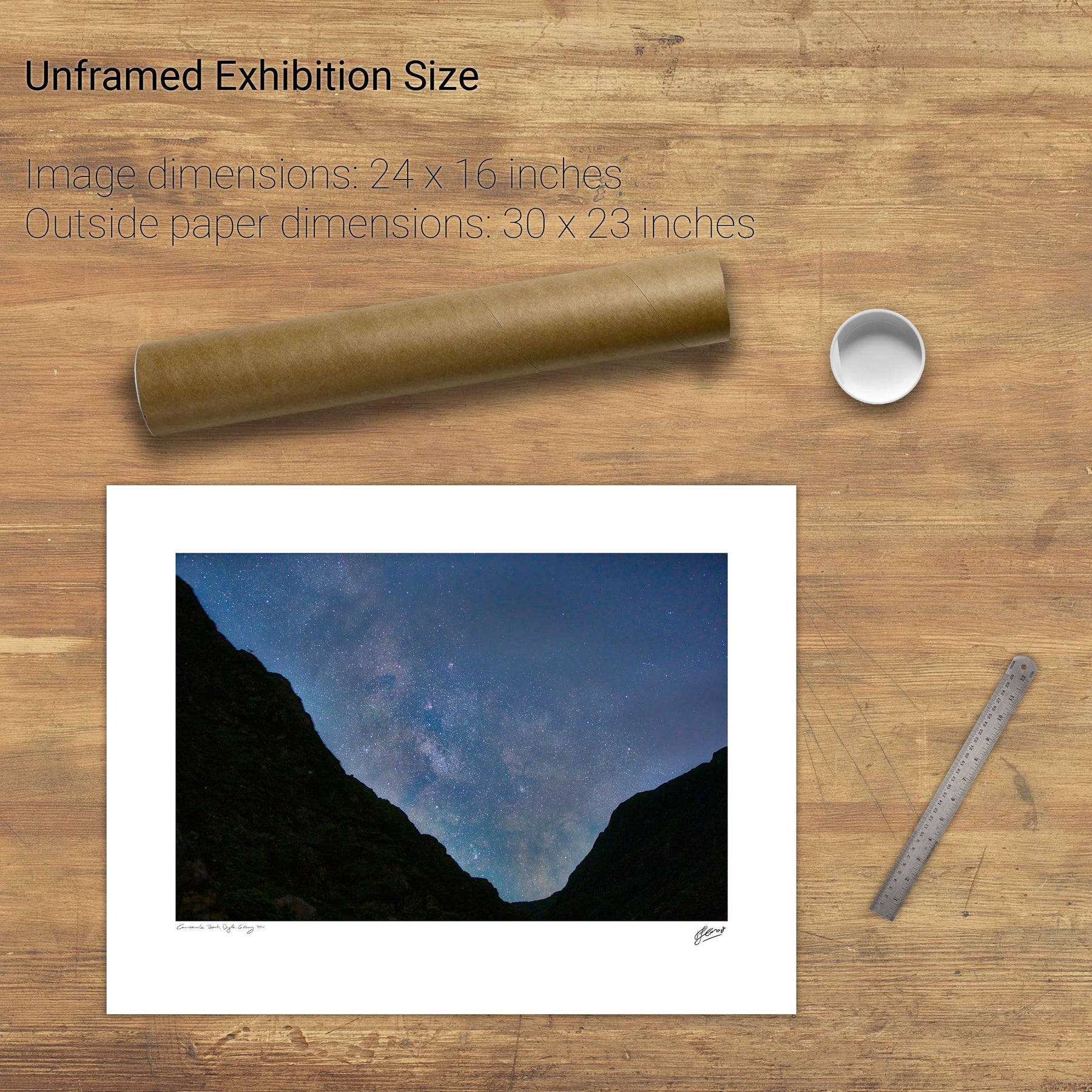
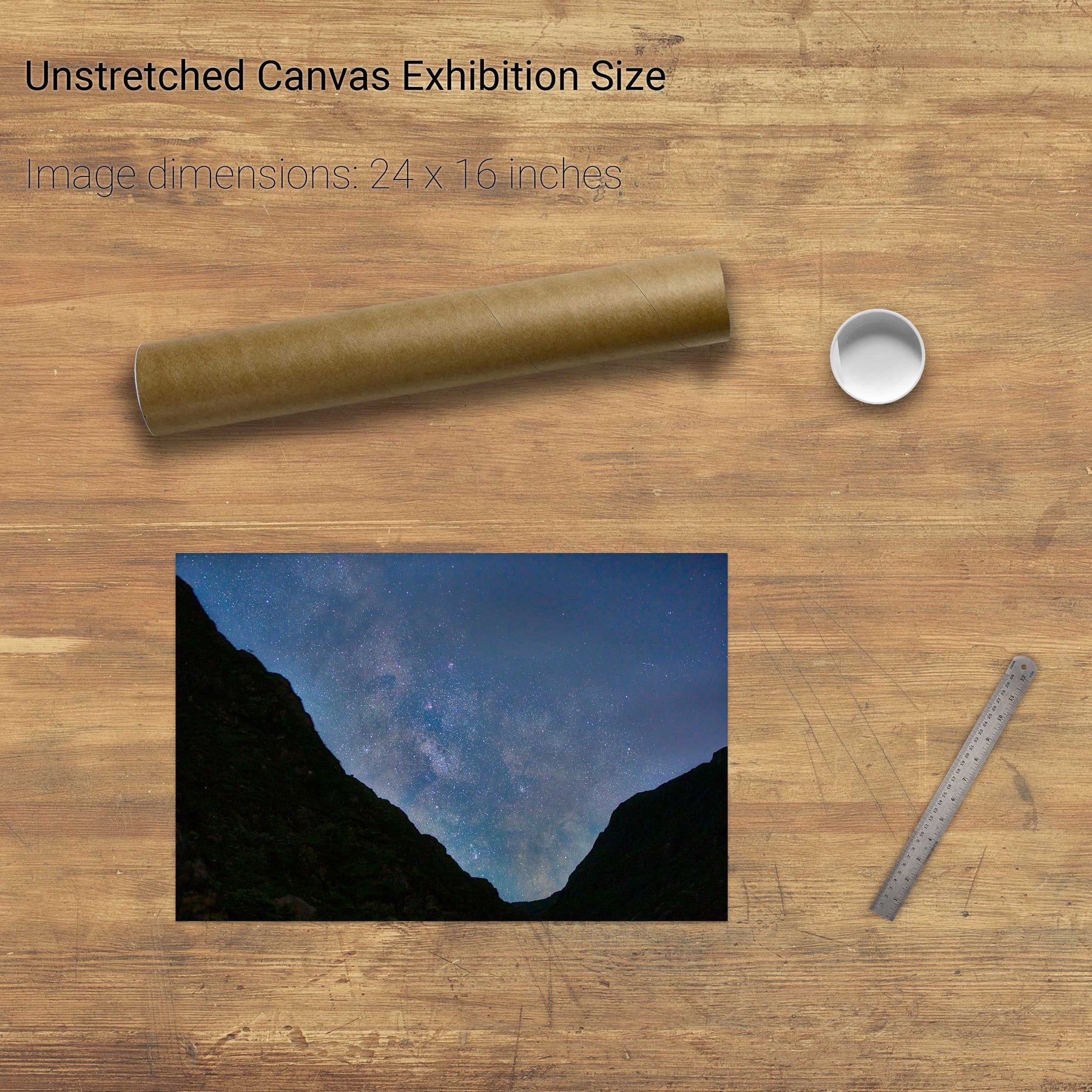
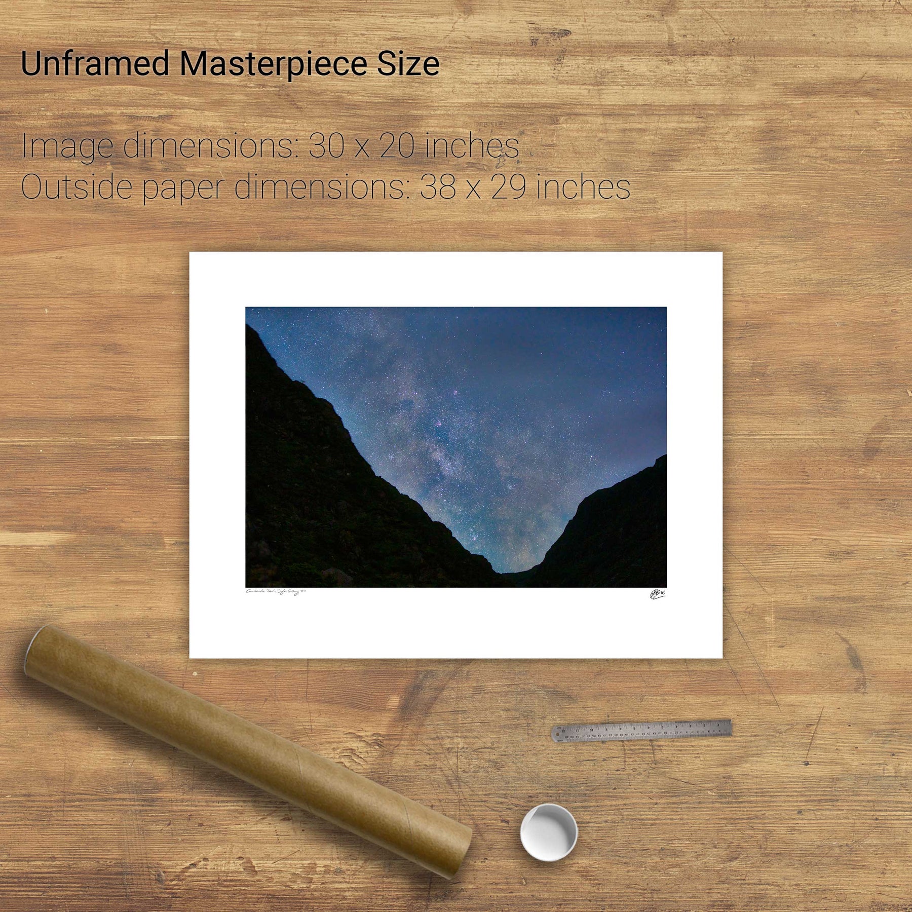
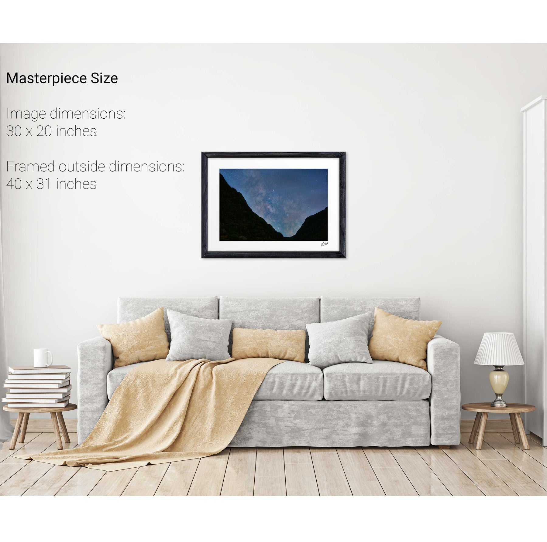
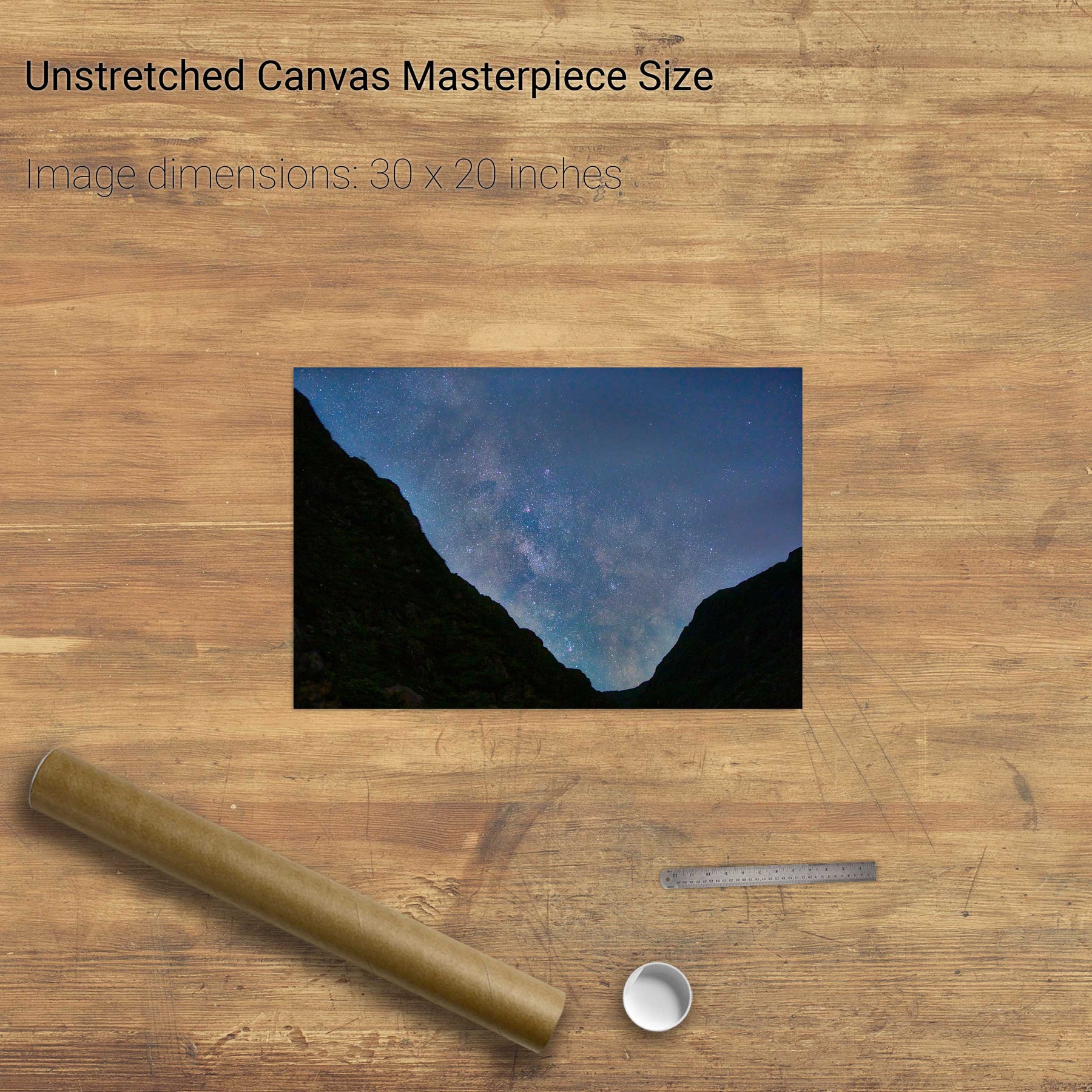
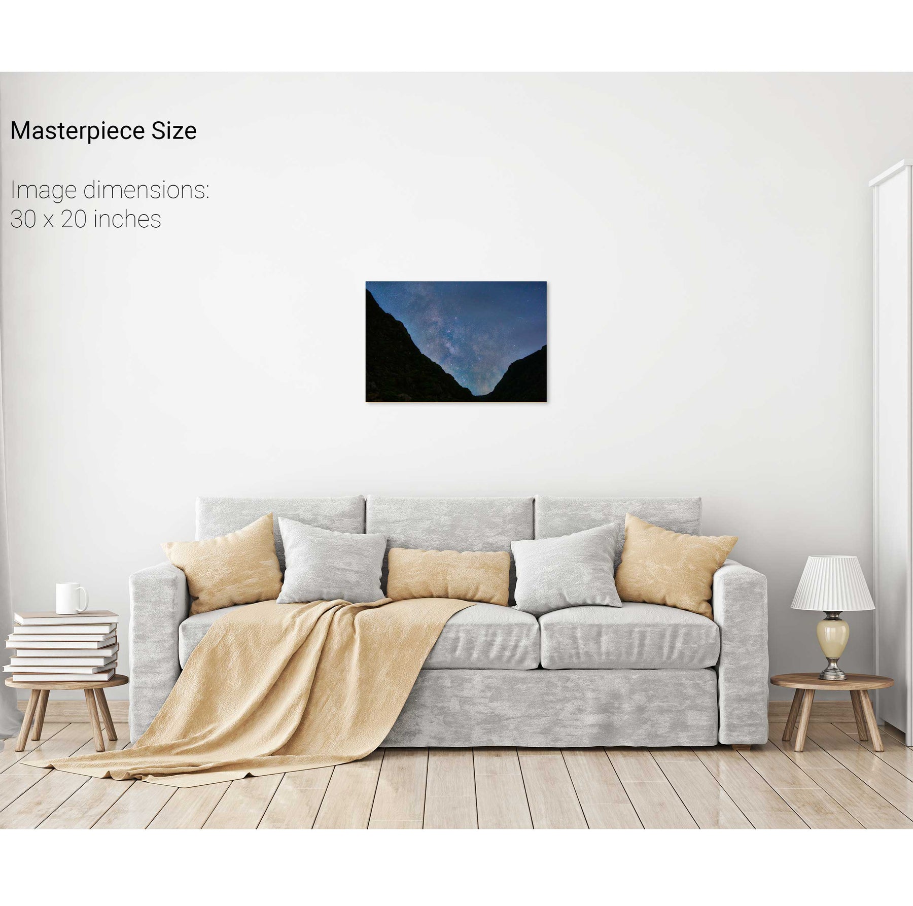
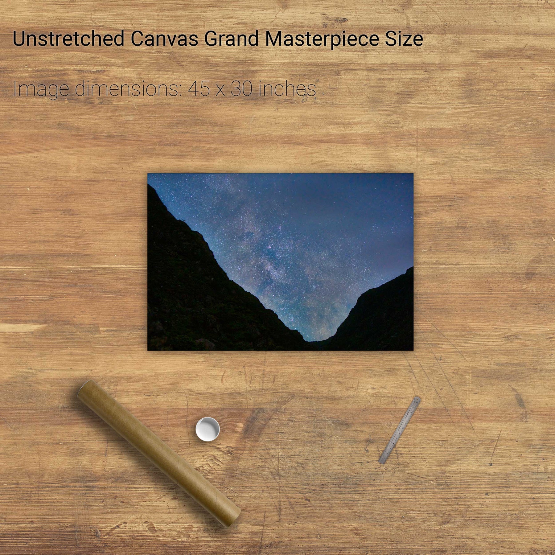
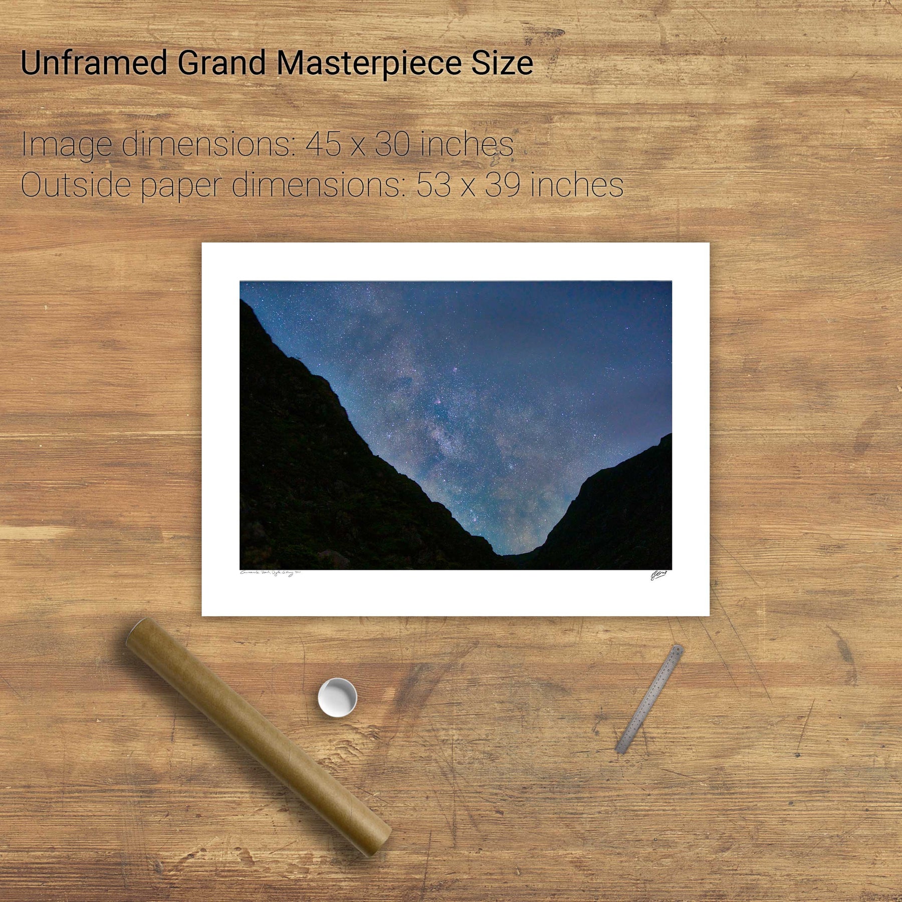
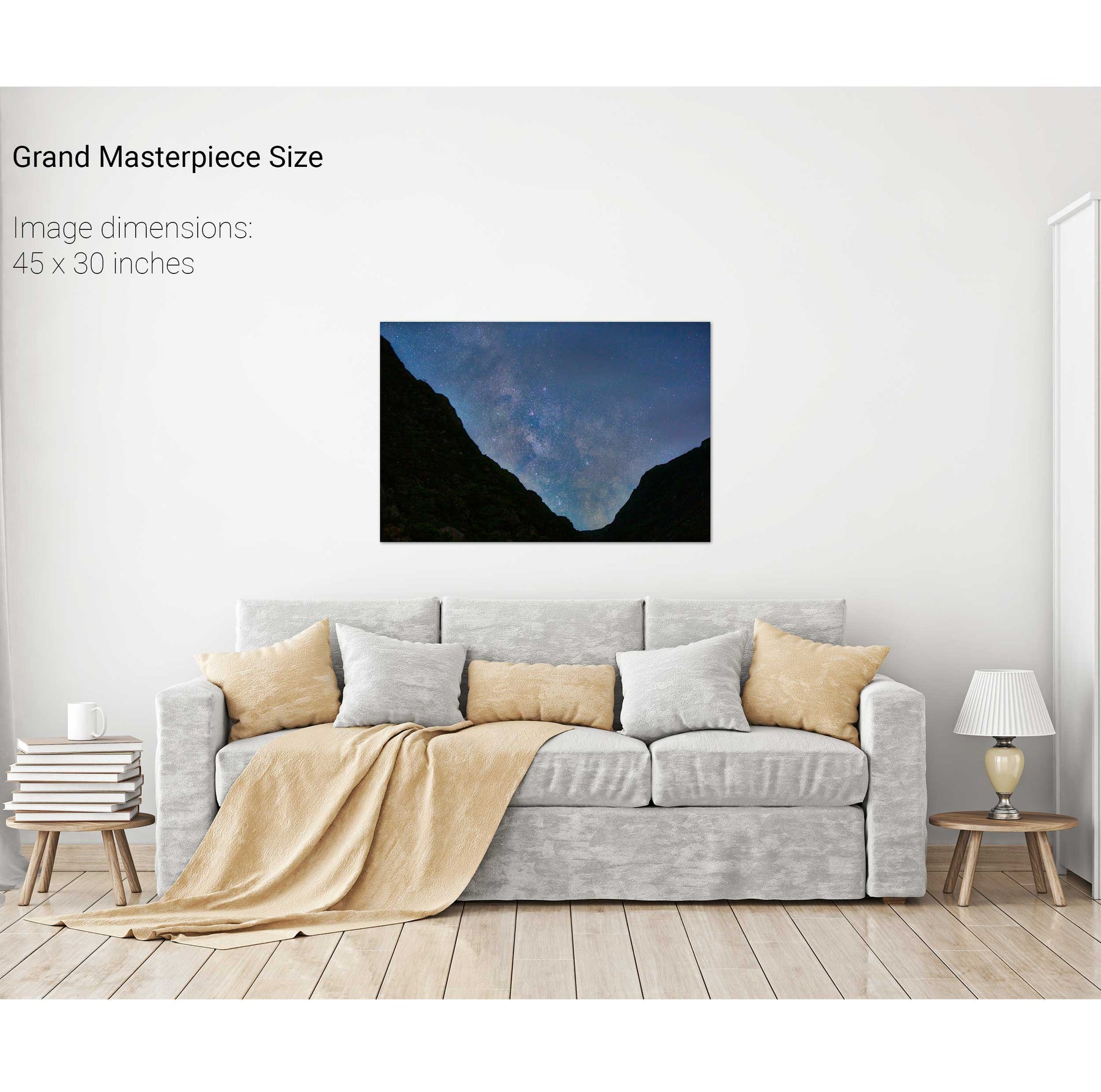
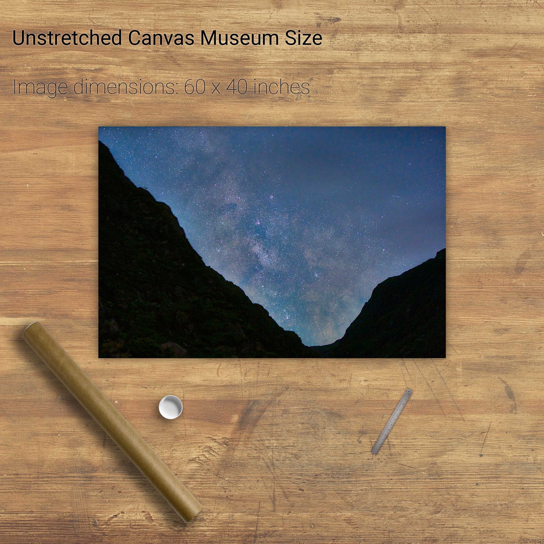
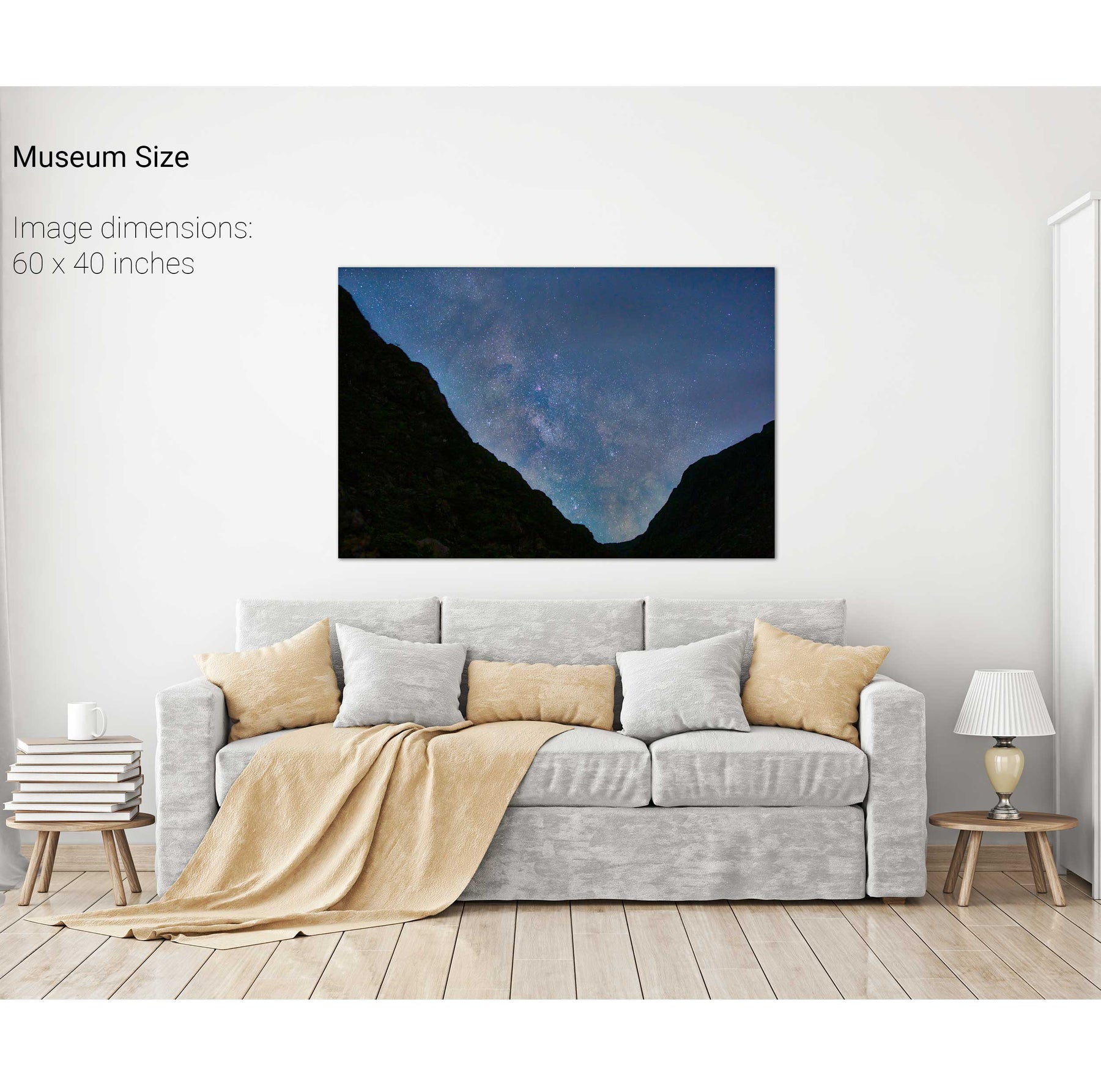
Milky Way over the Gap of Dunloe, Kerry


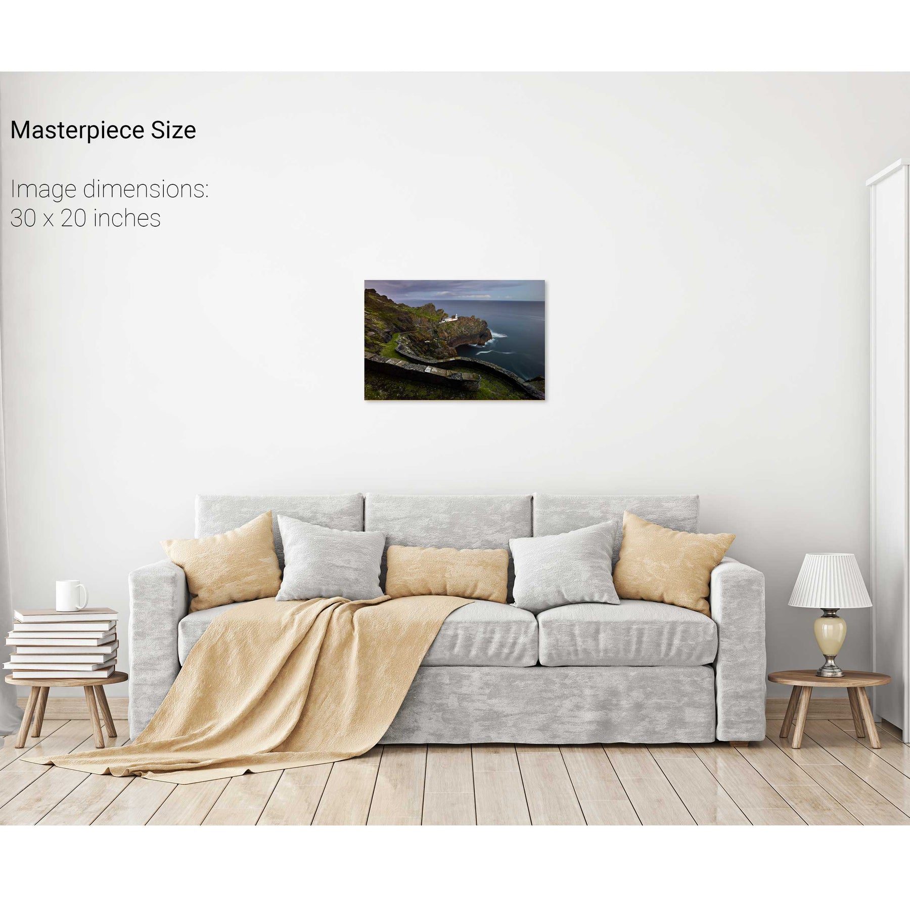
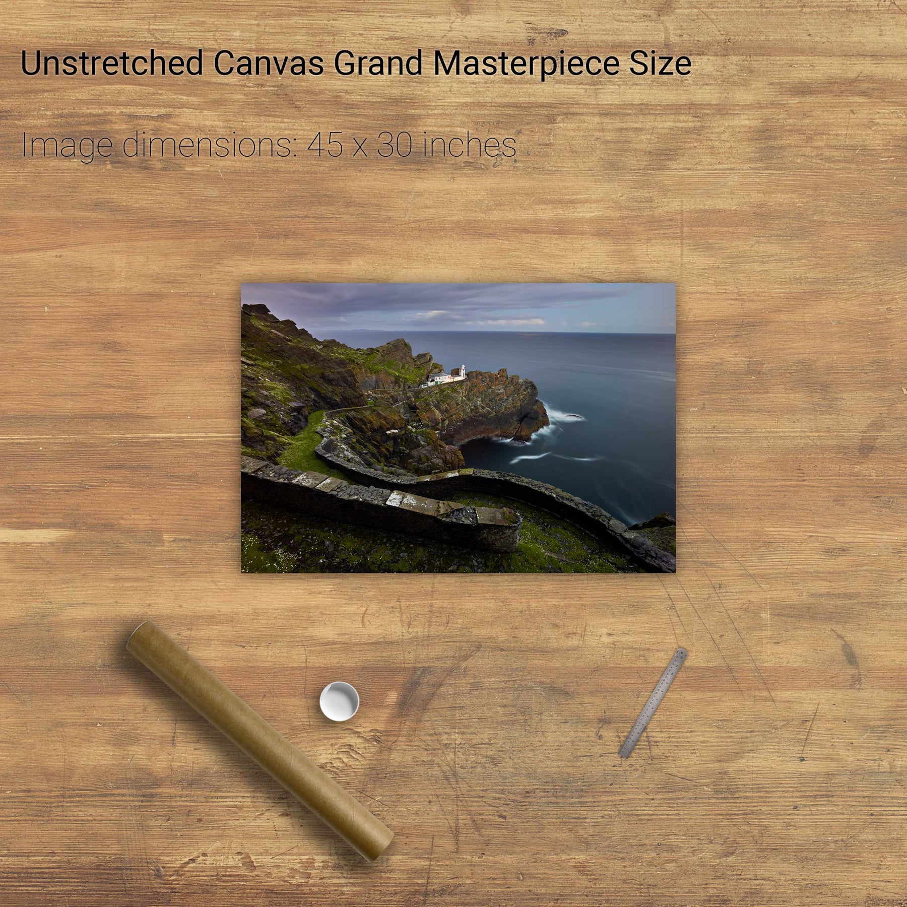
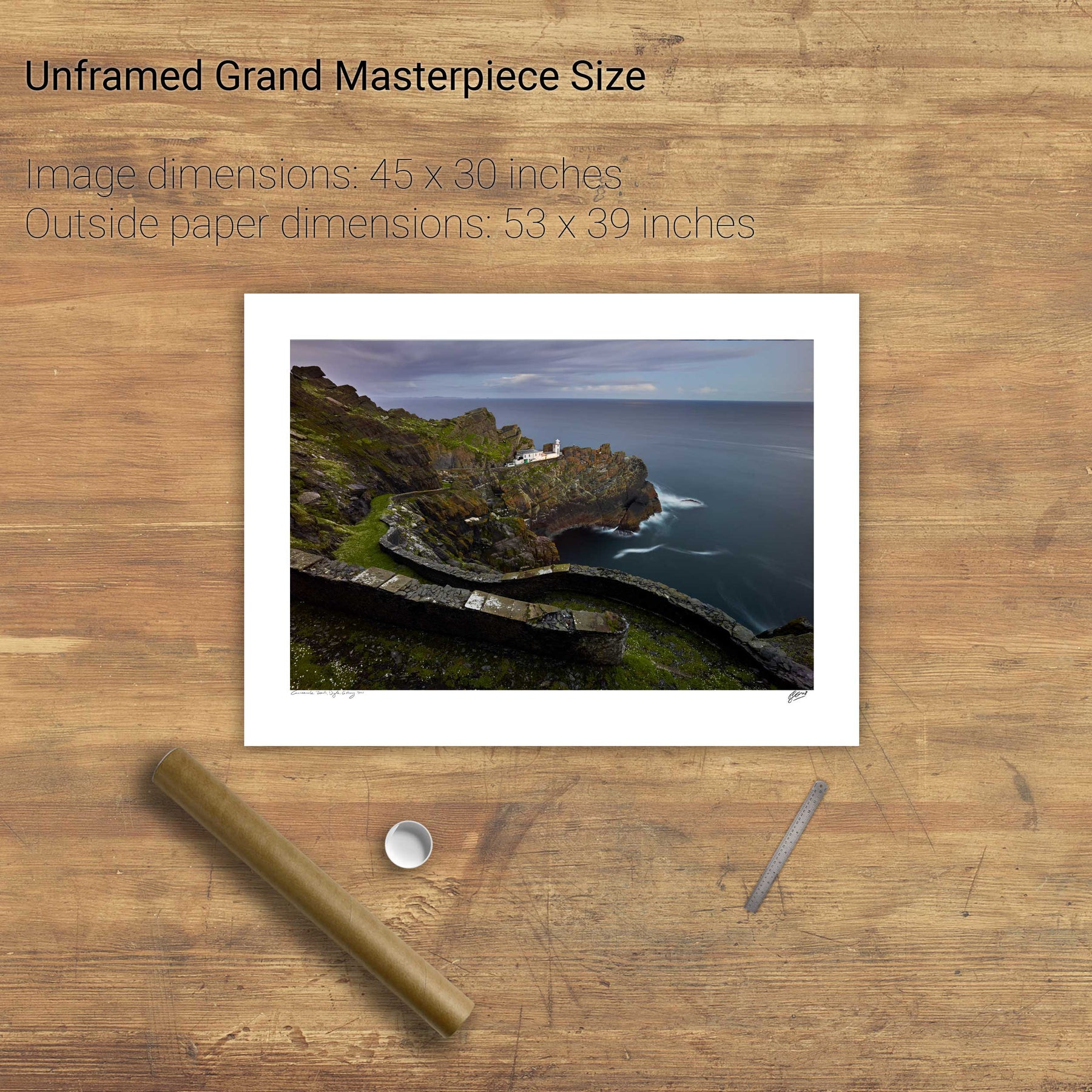
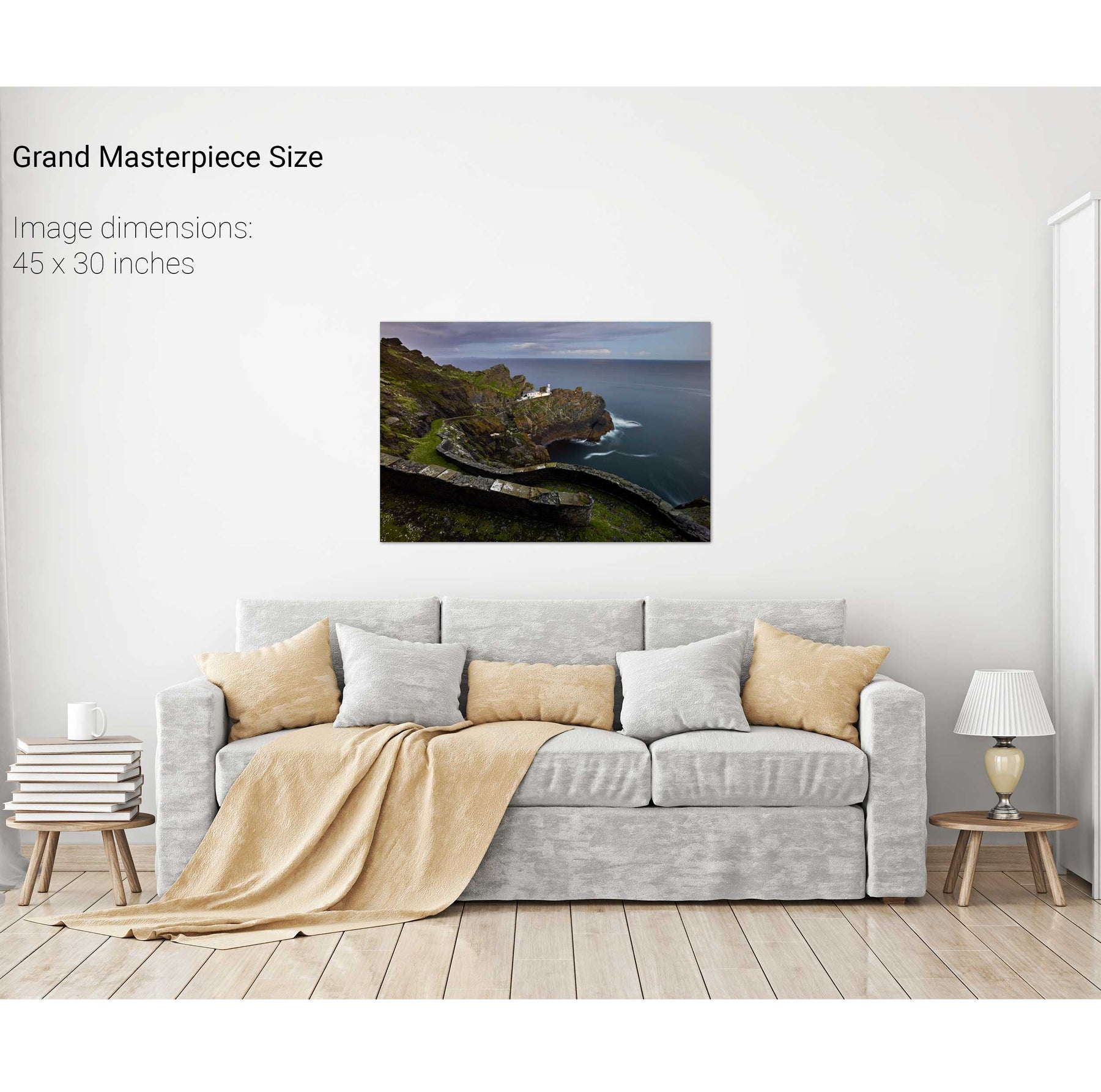
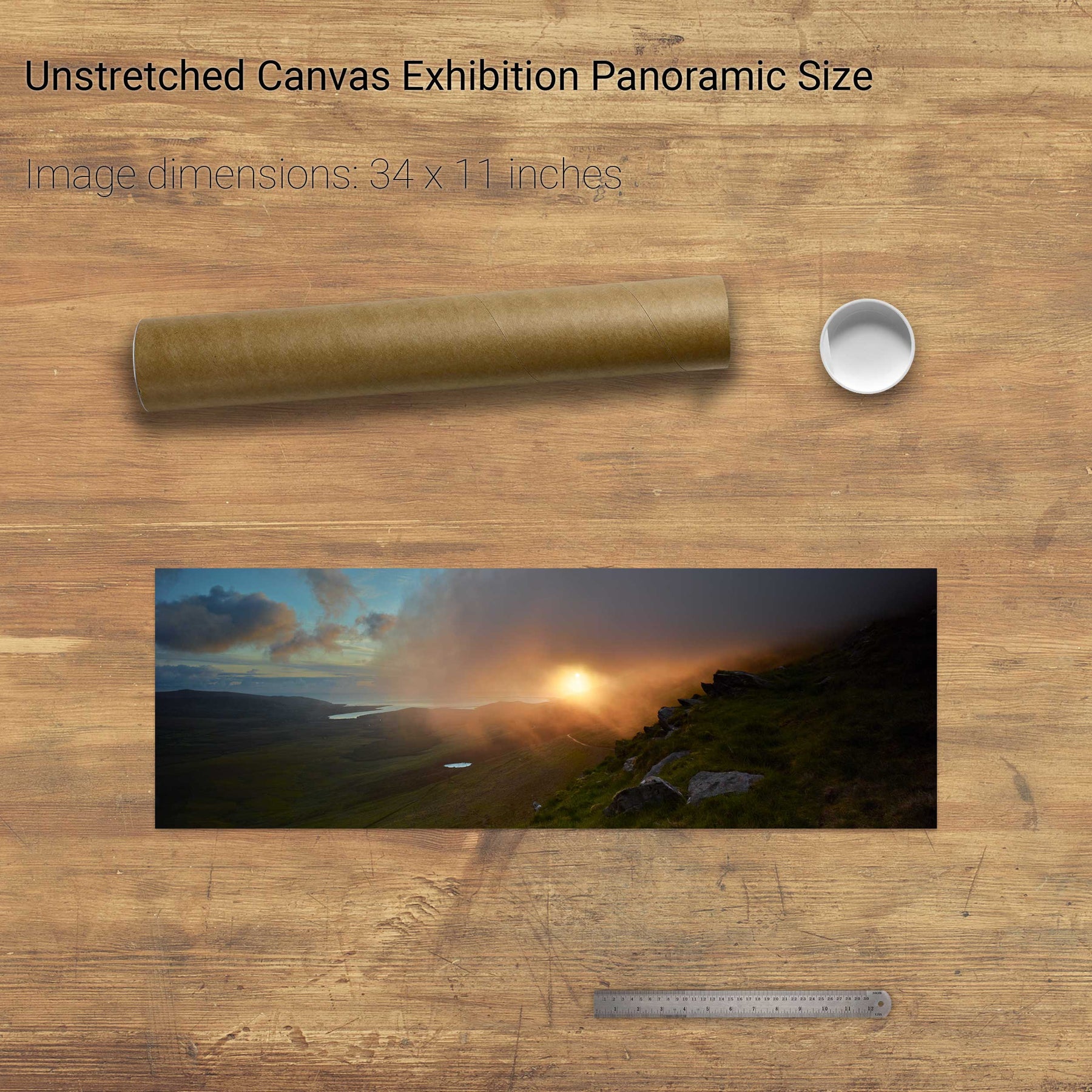
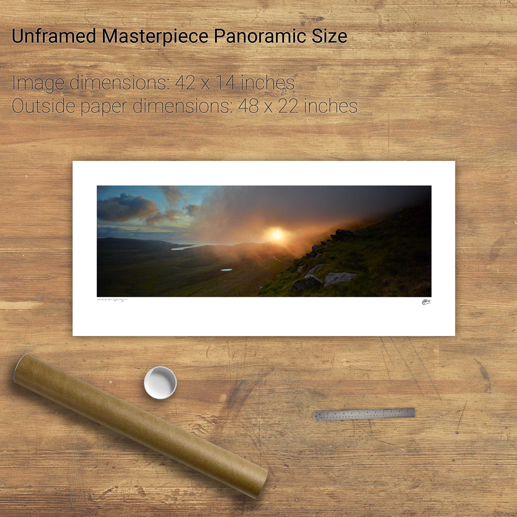
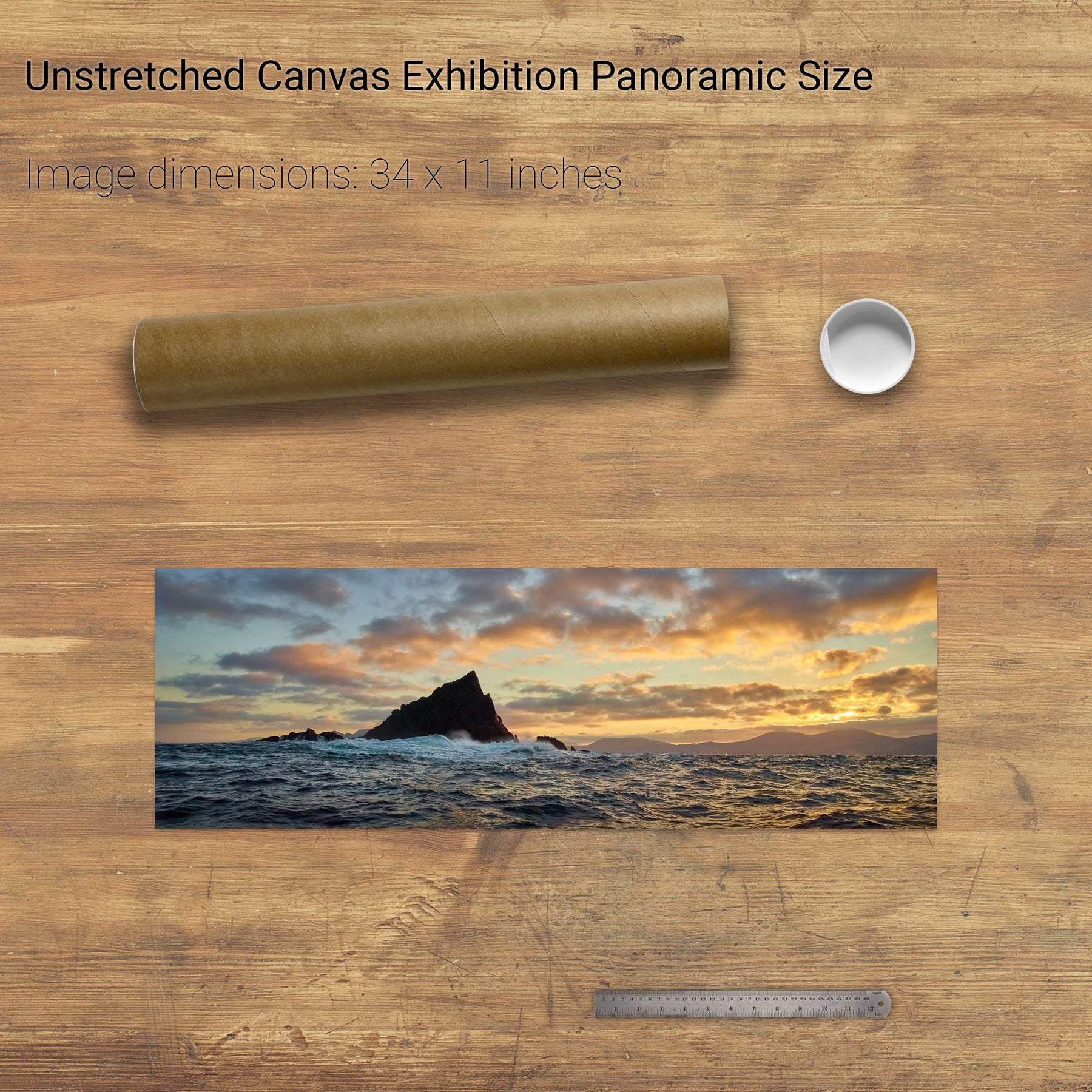
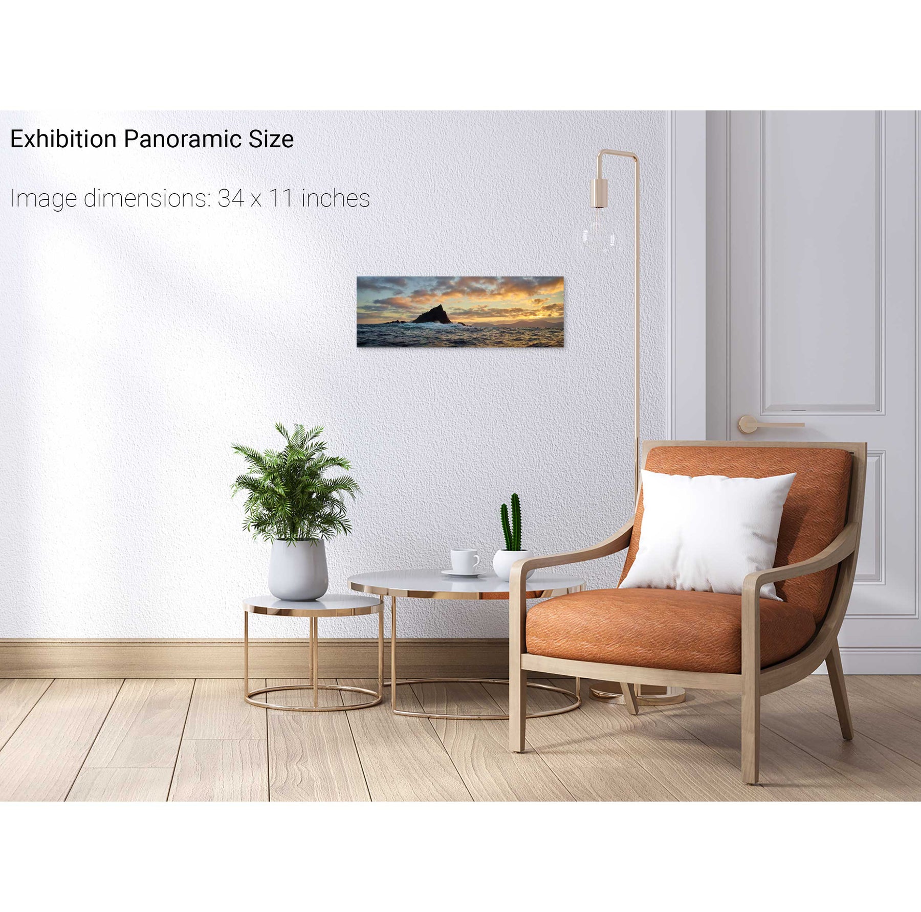
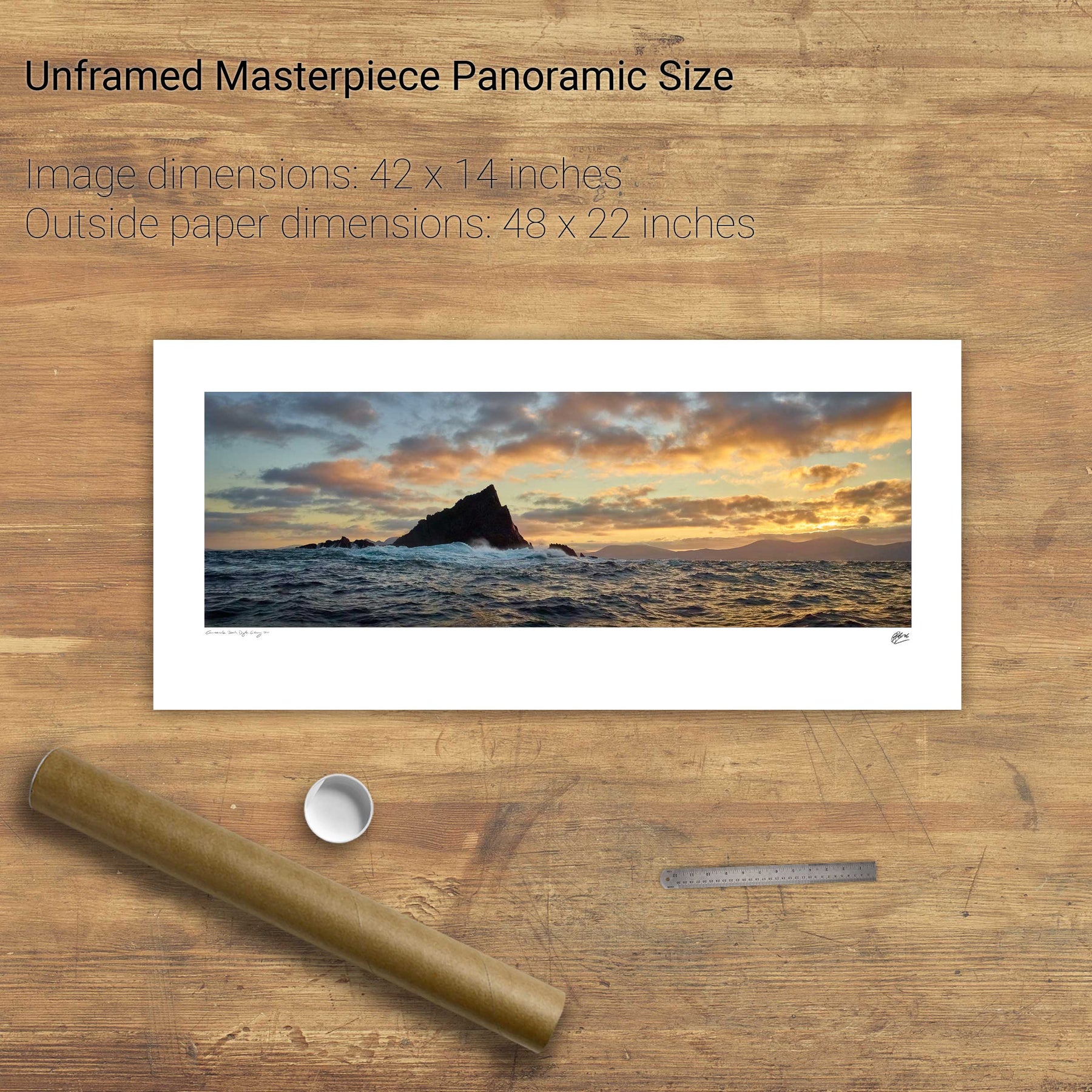
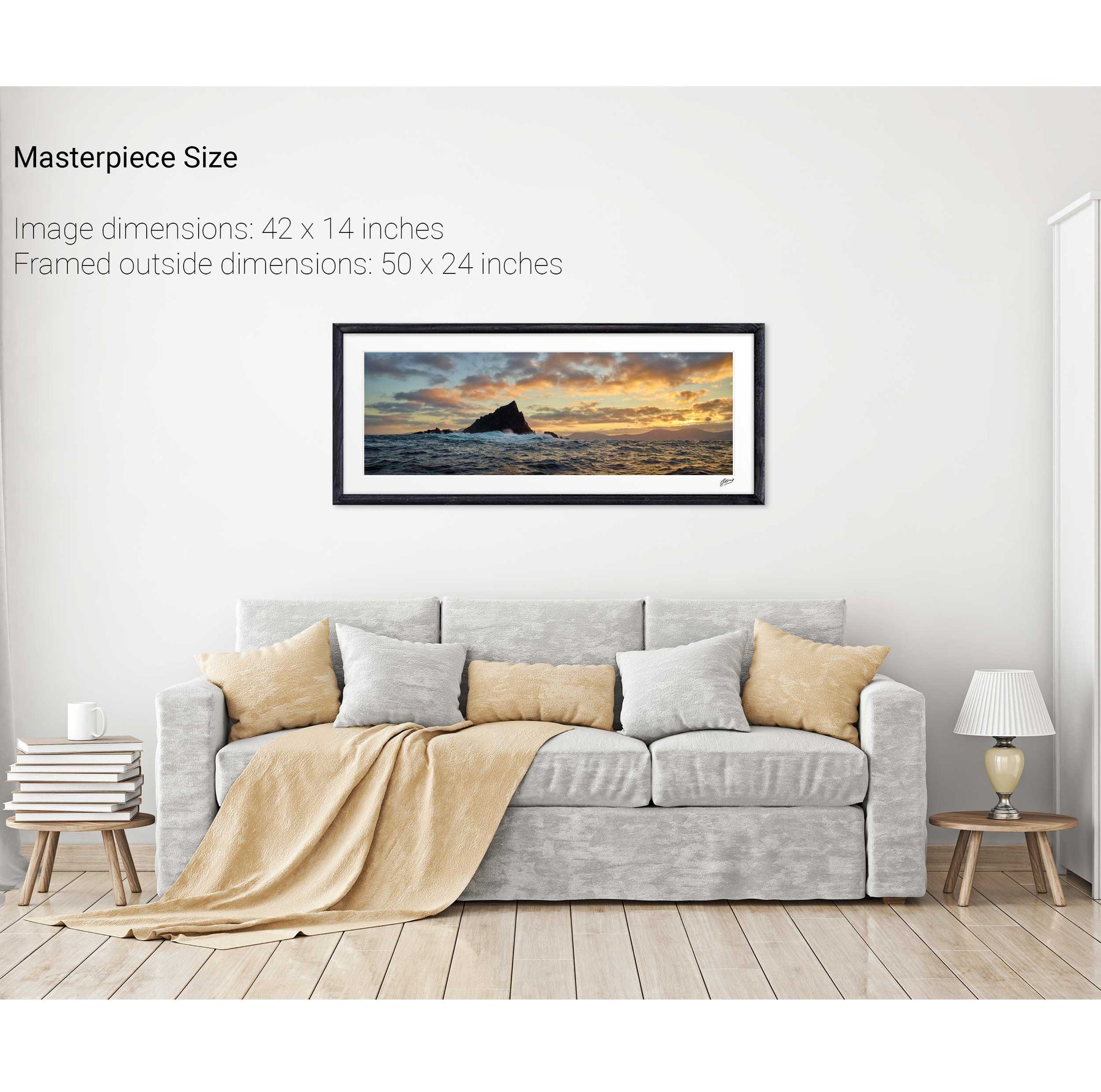
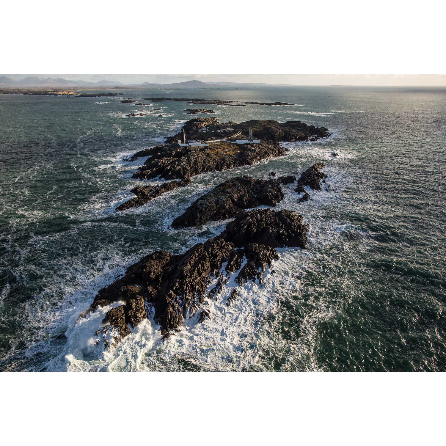
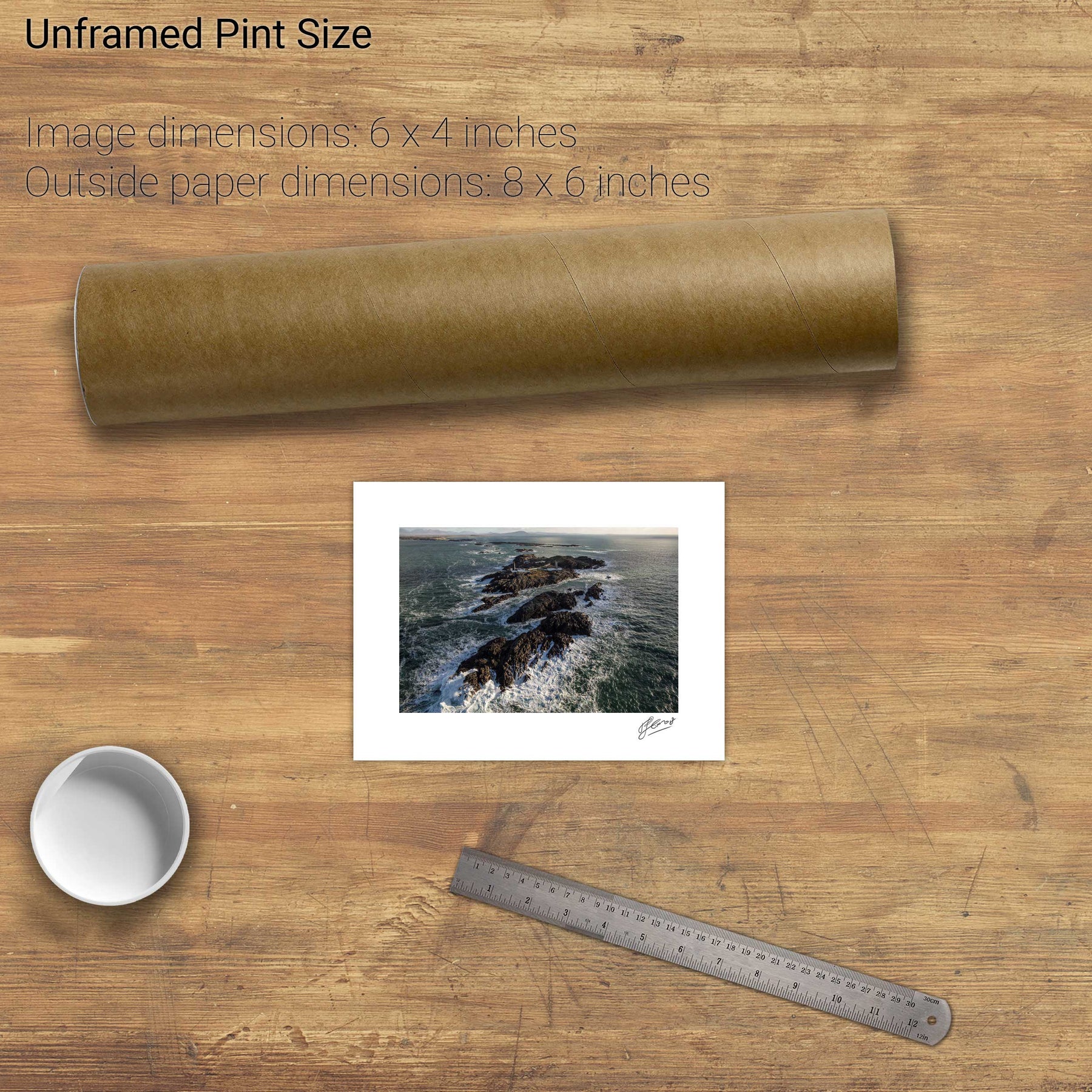
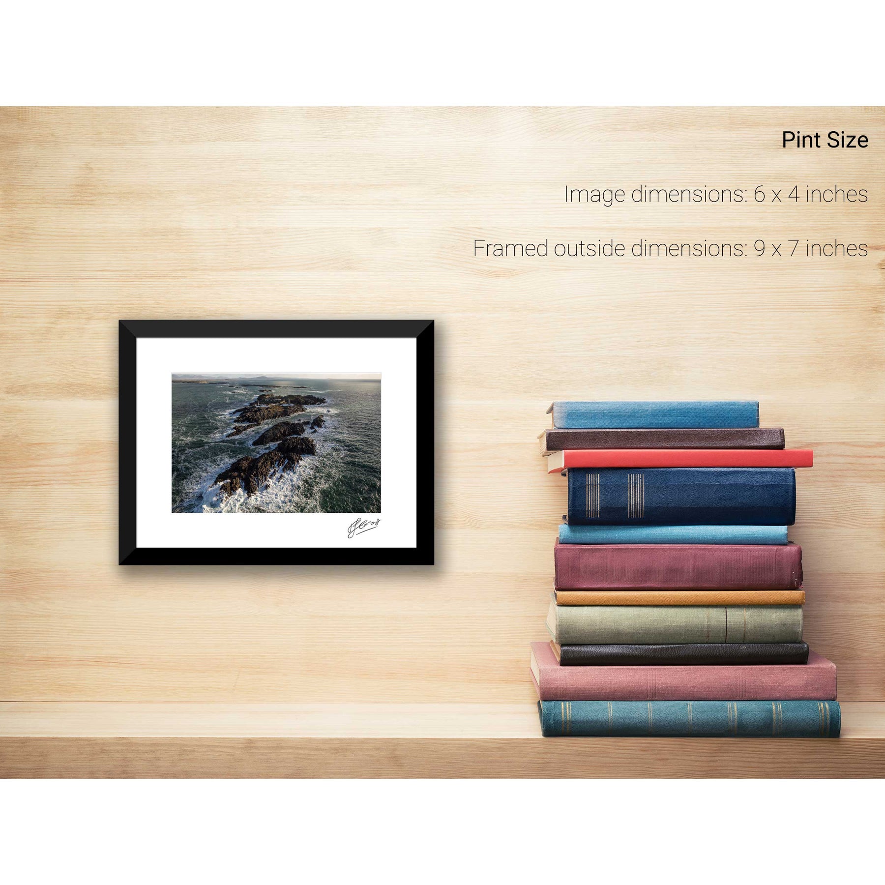
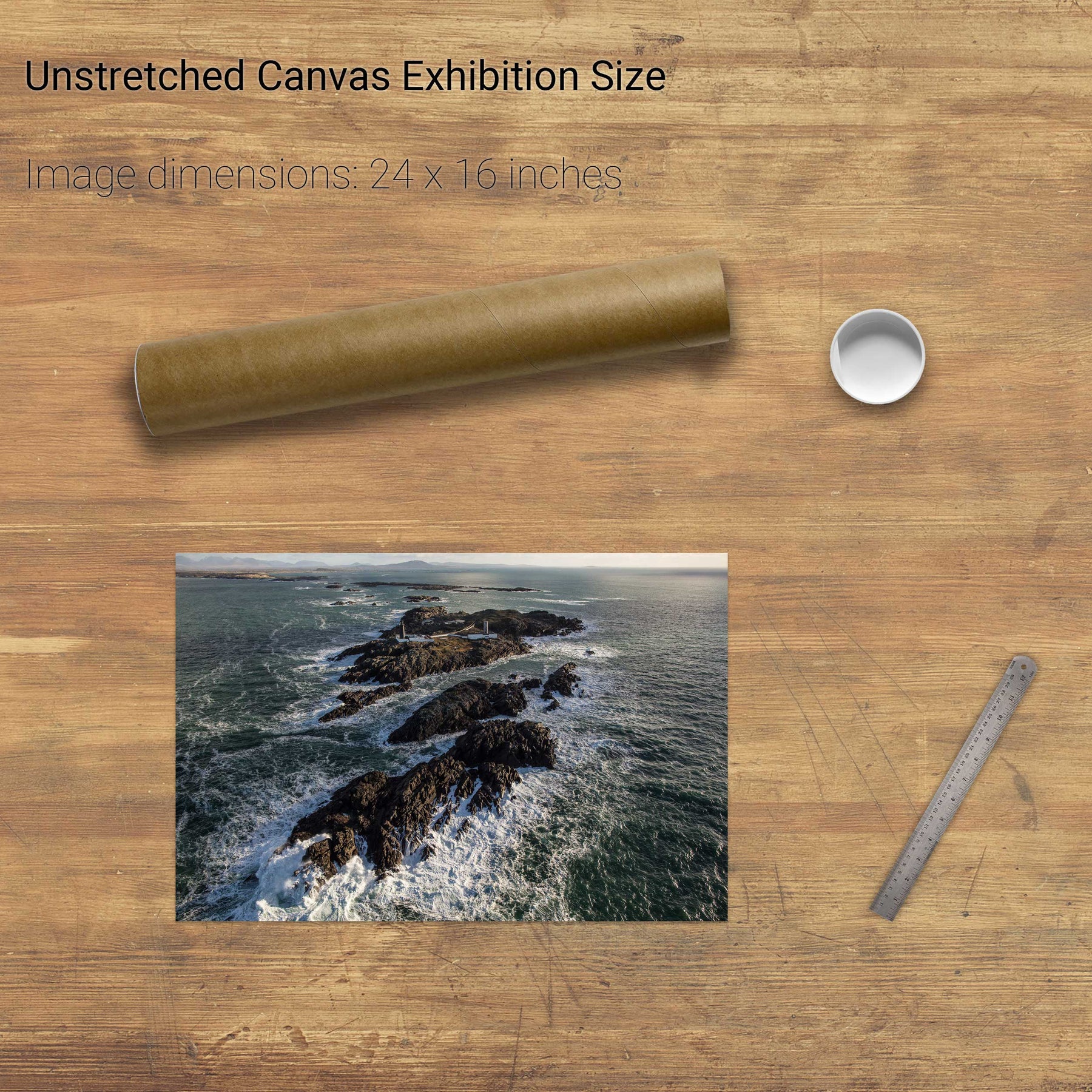
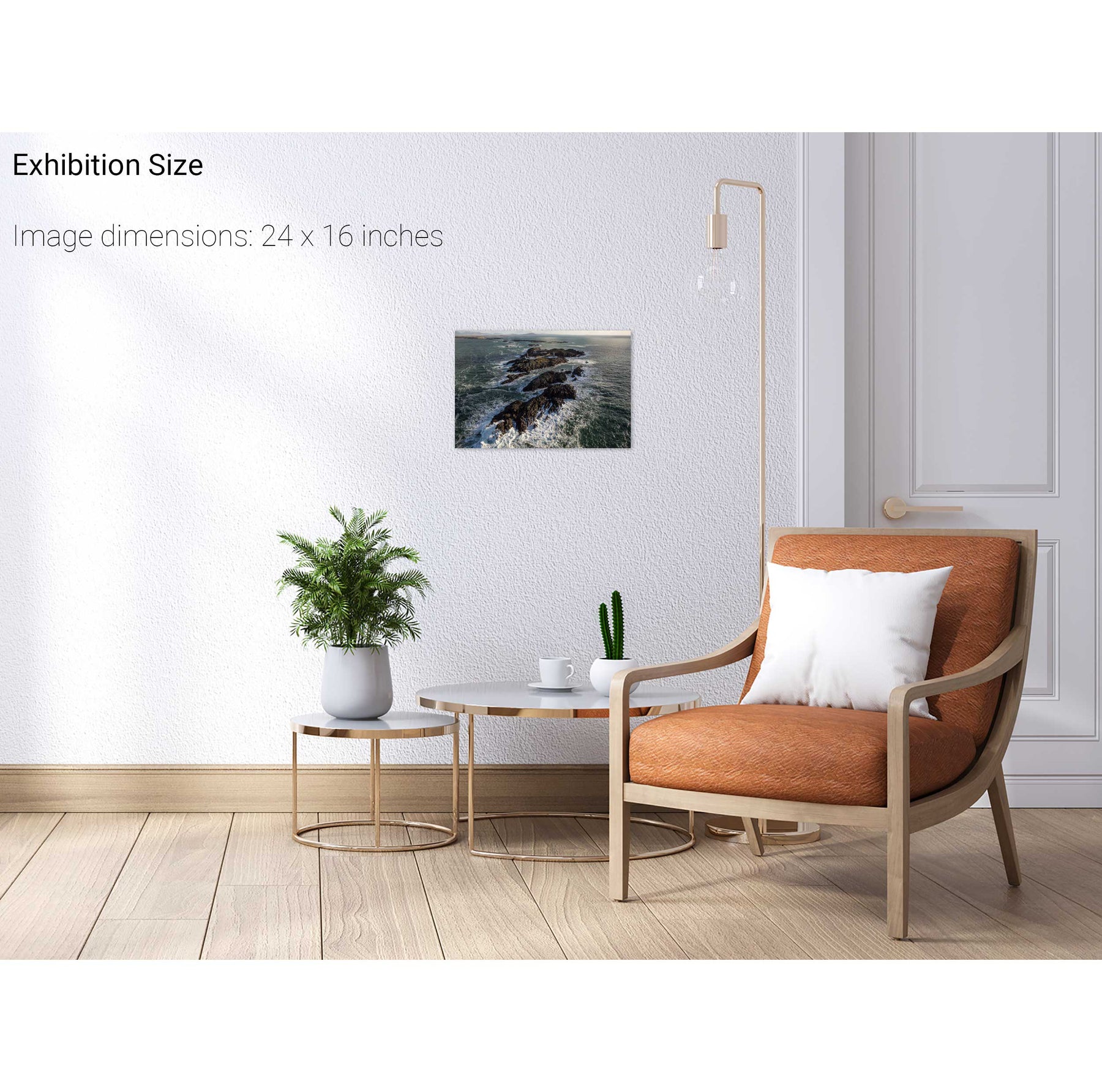
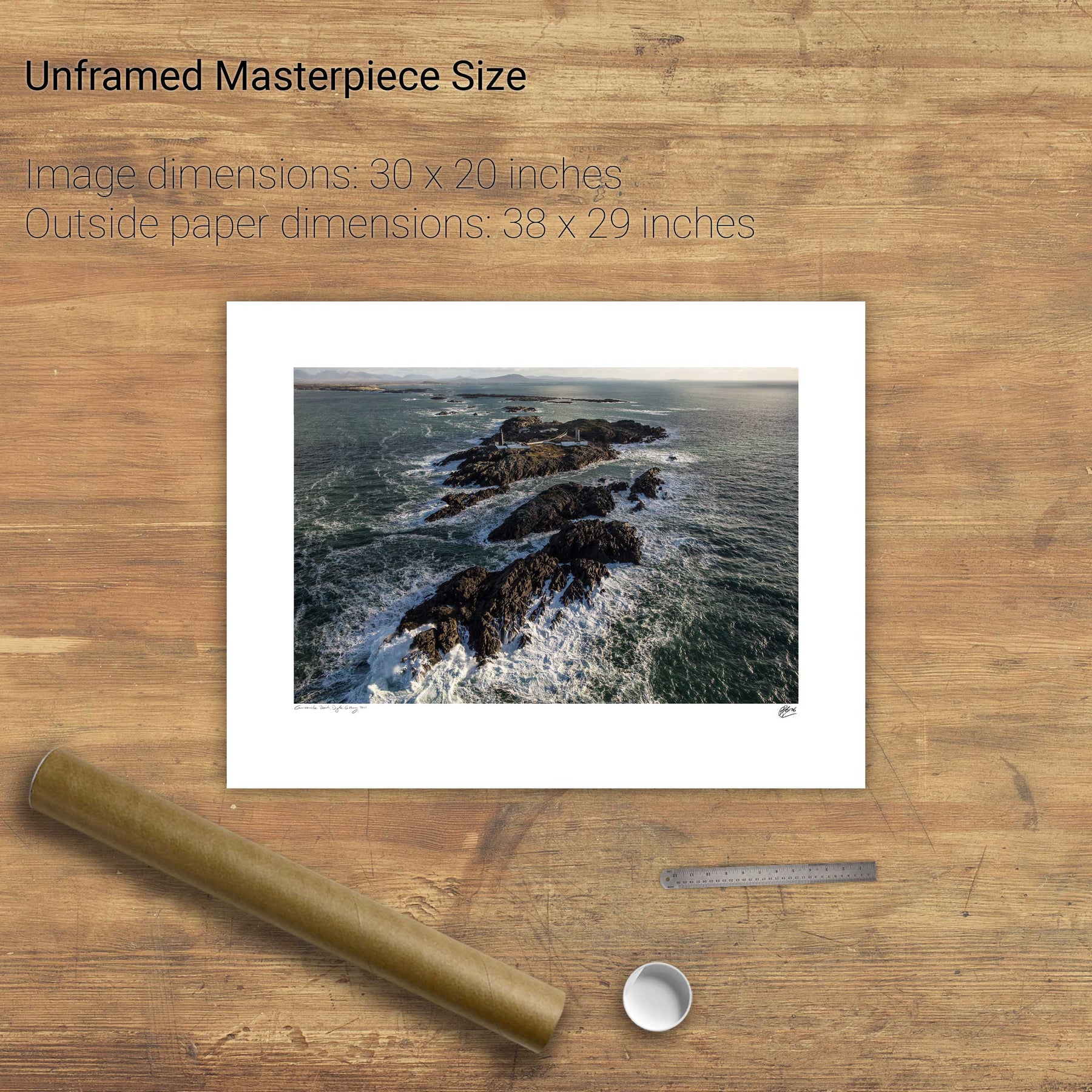
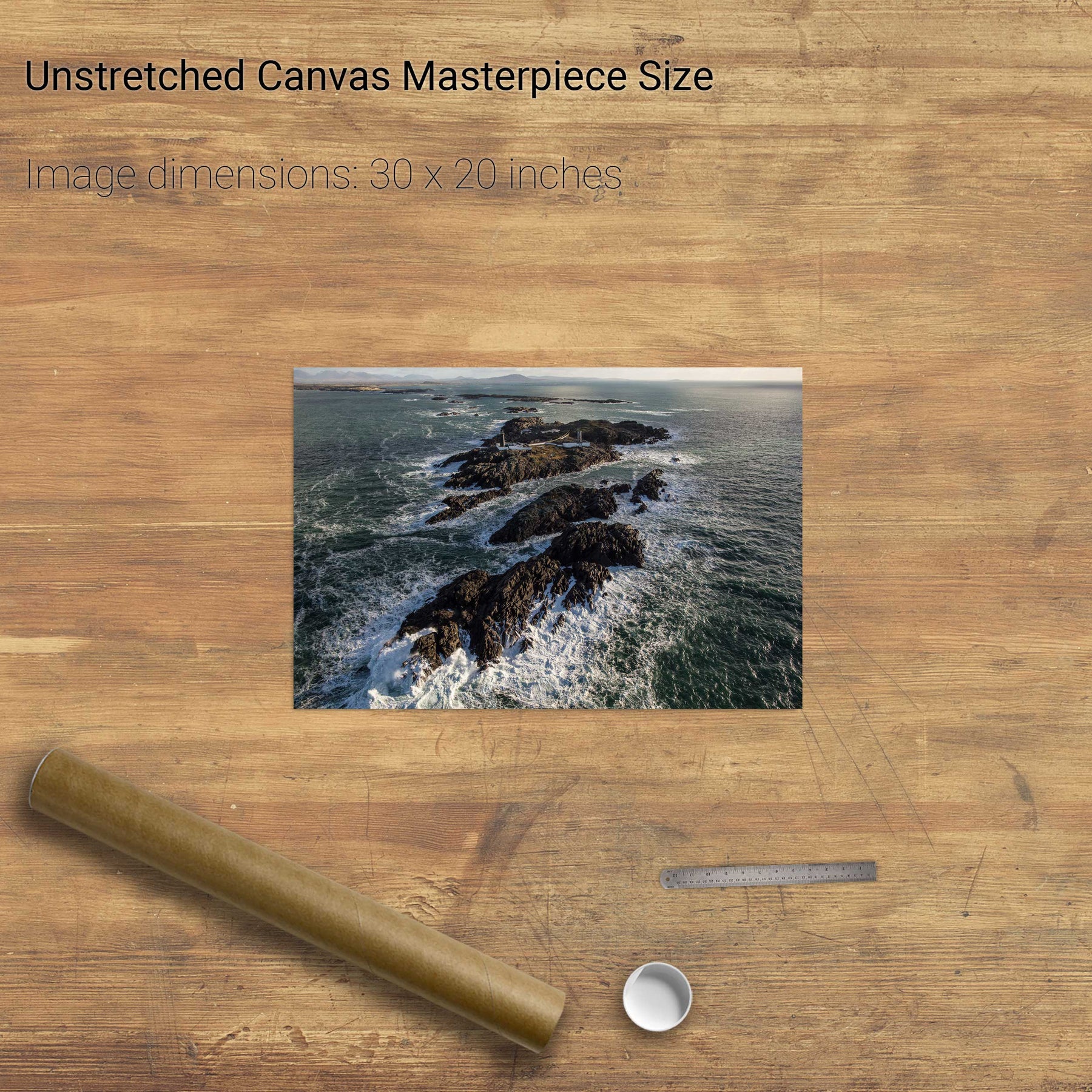
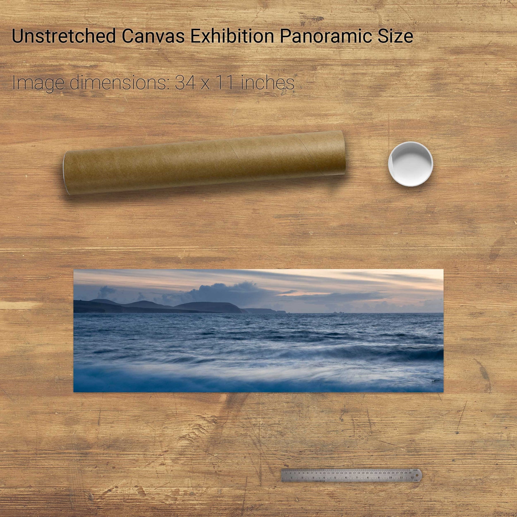
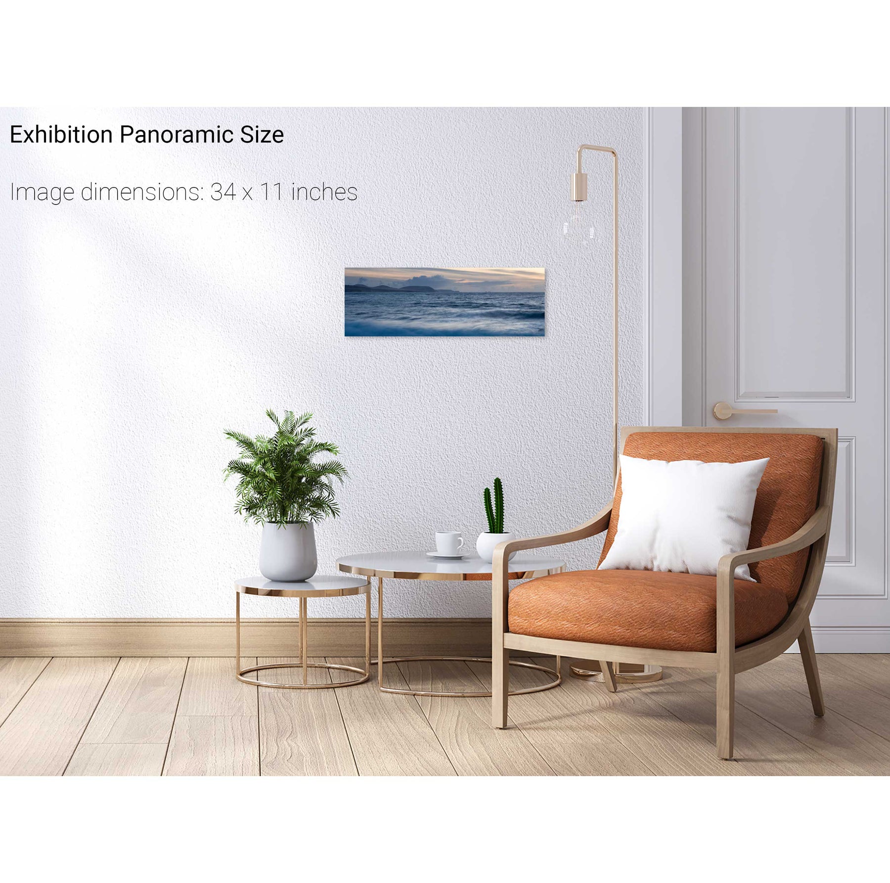
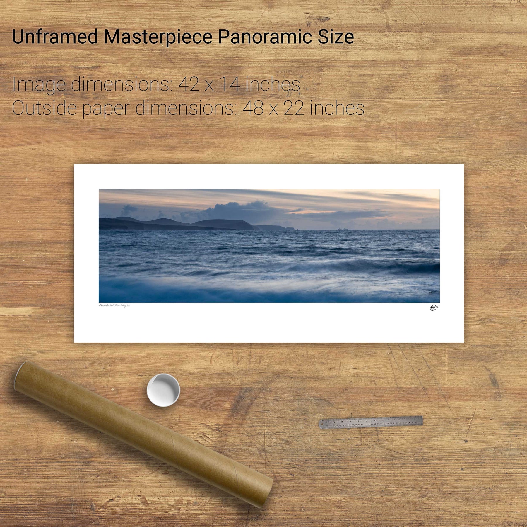
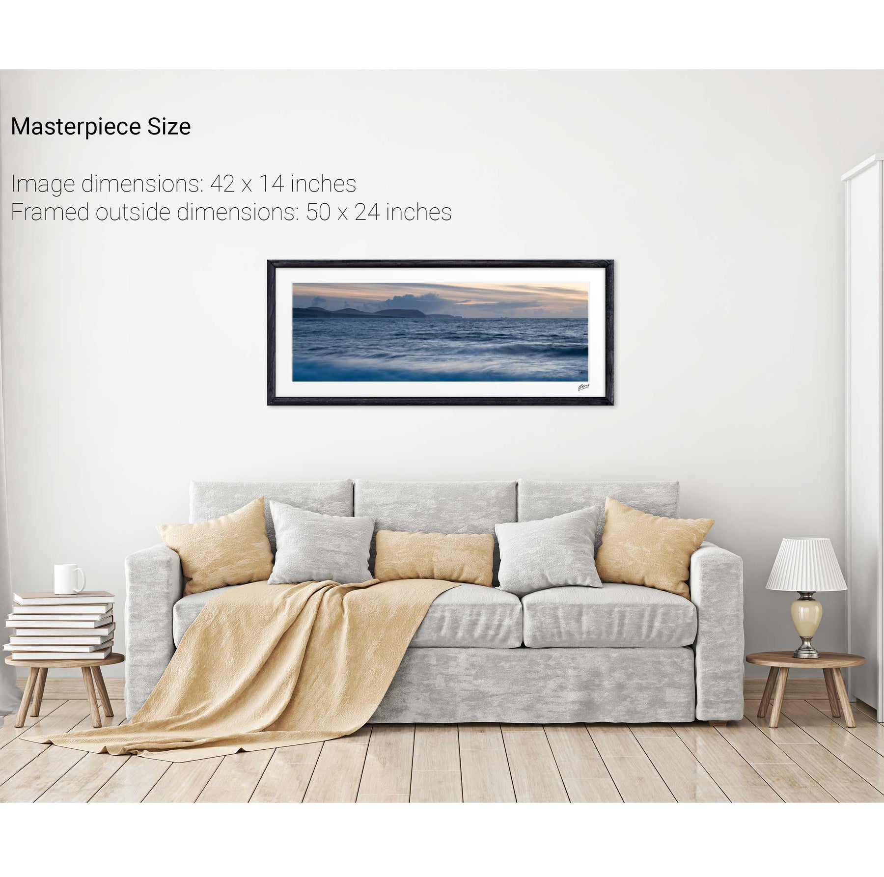
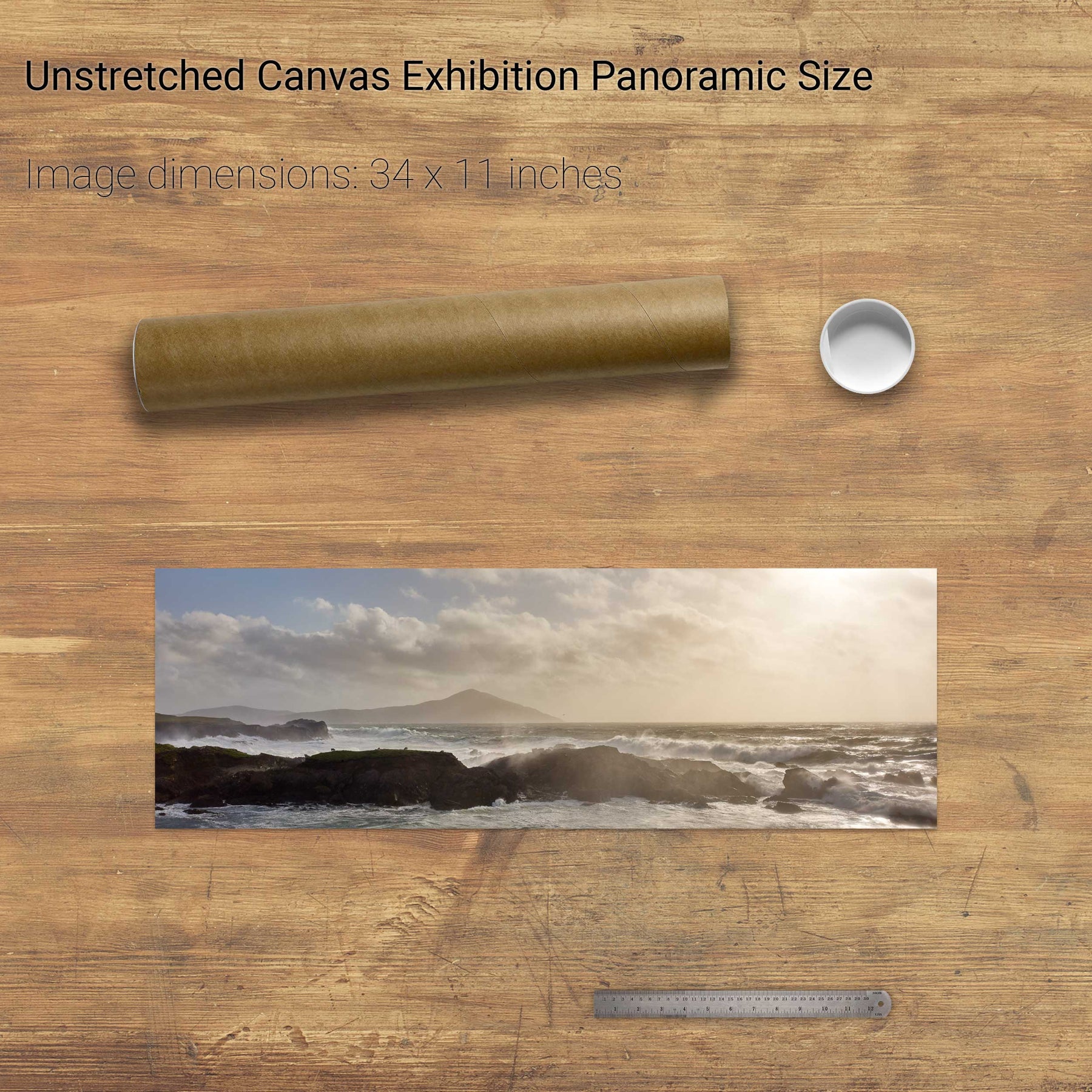
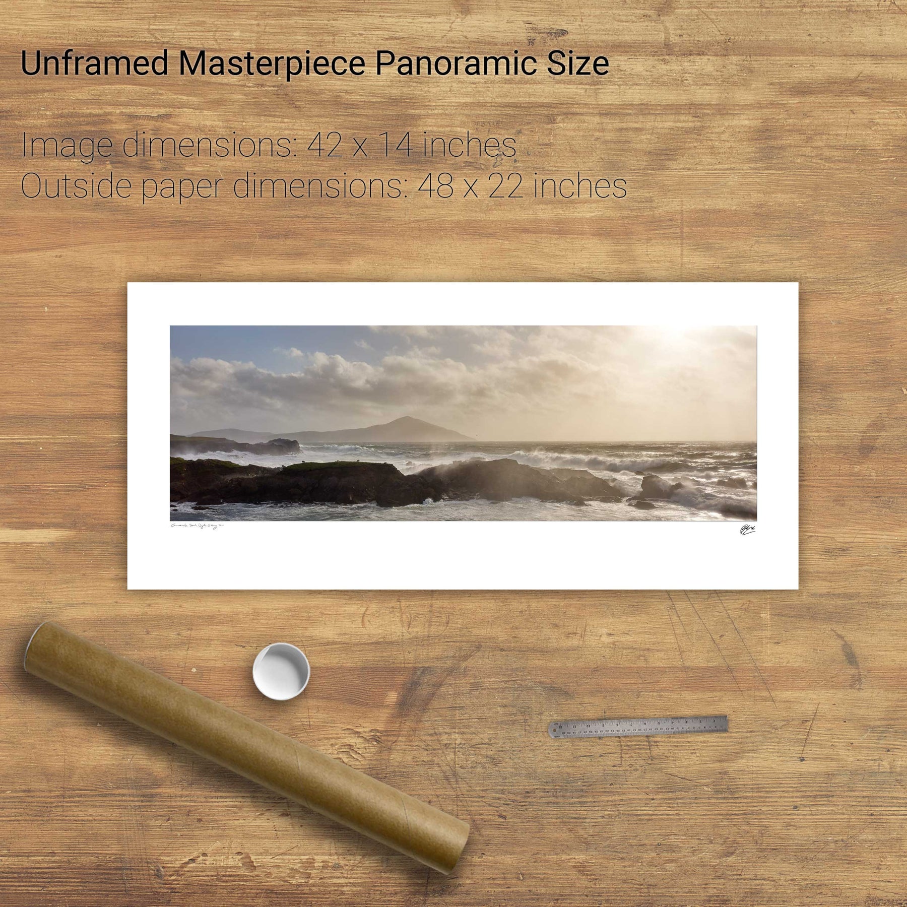
Slyne Head, Co. Galway


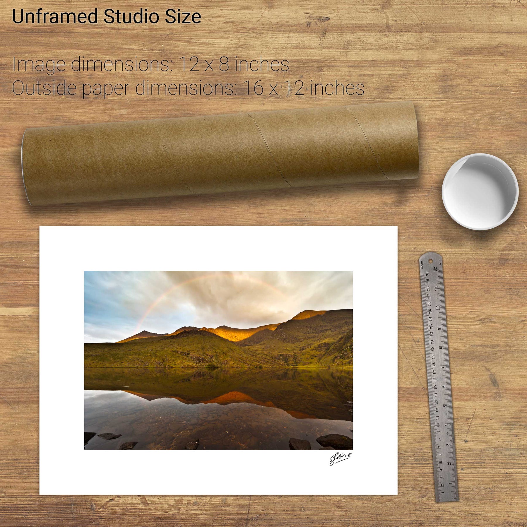
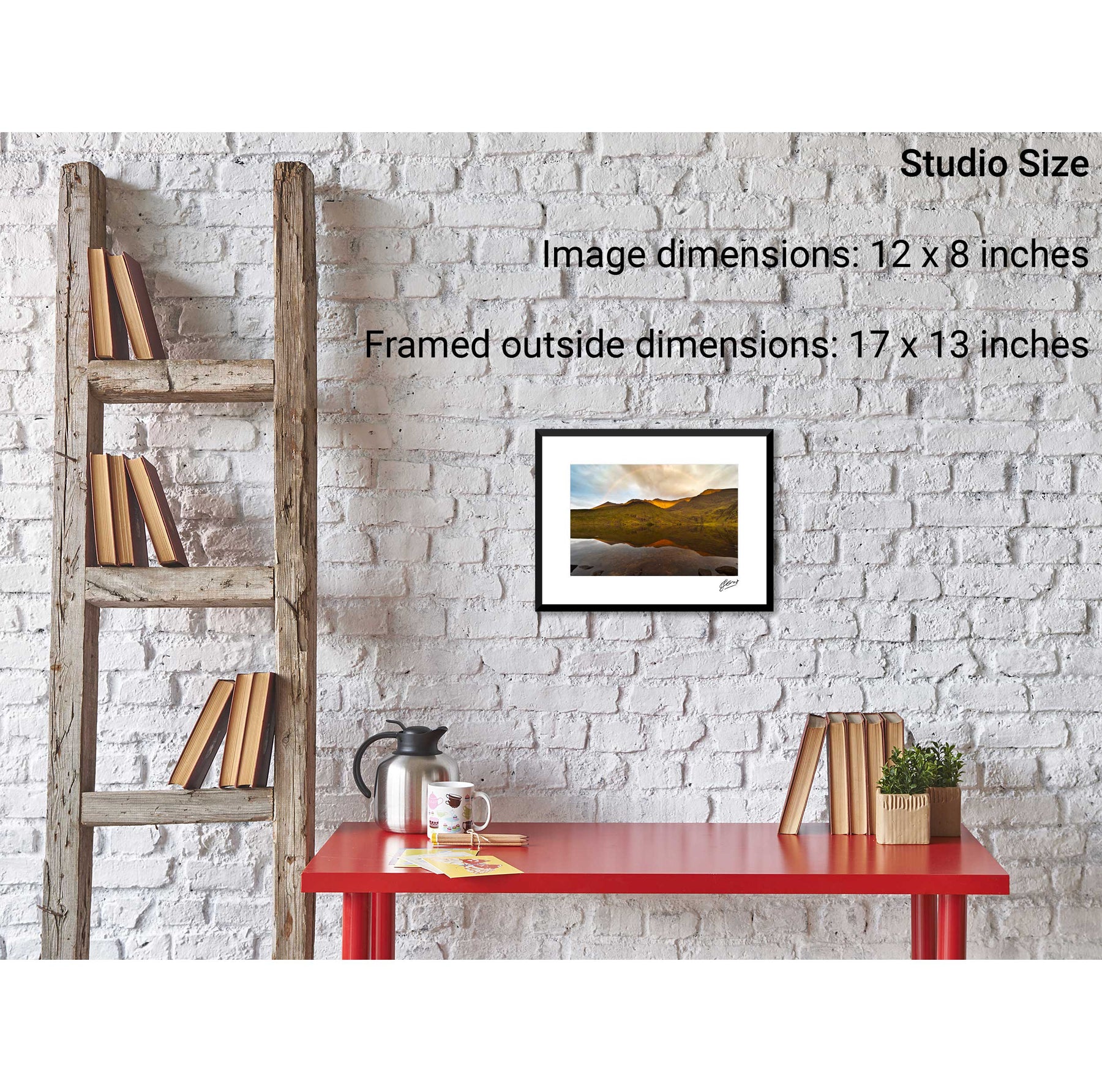
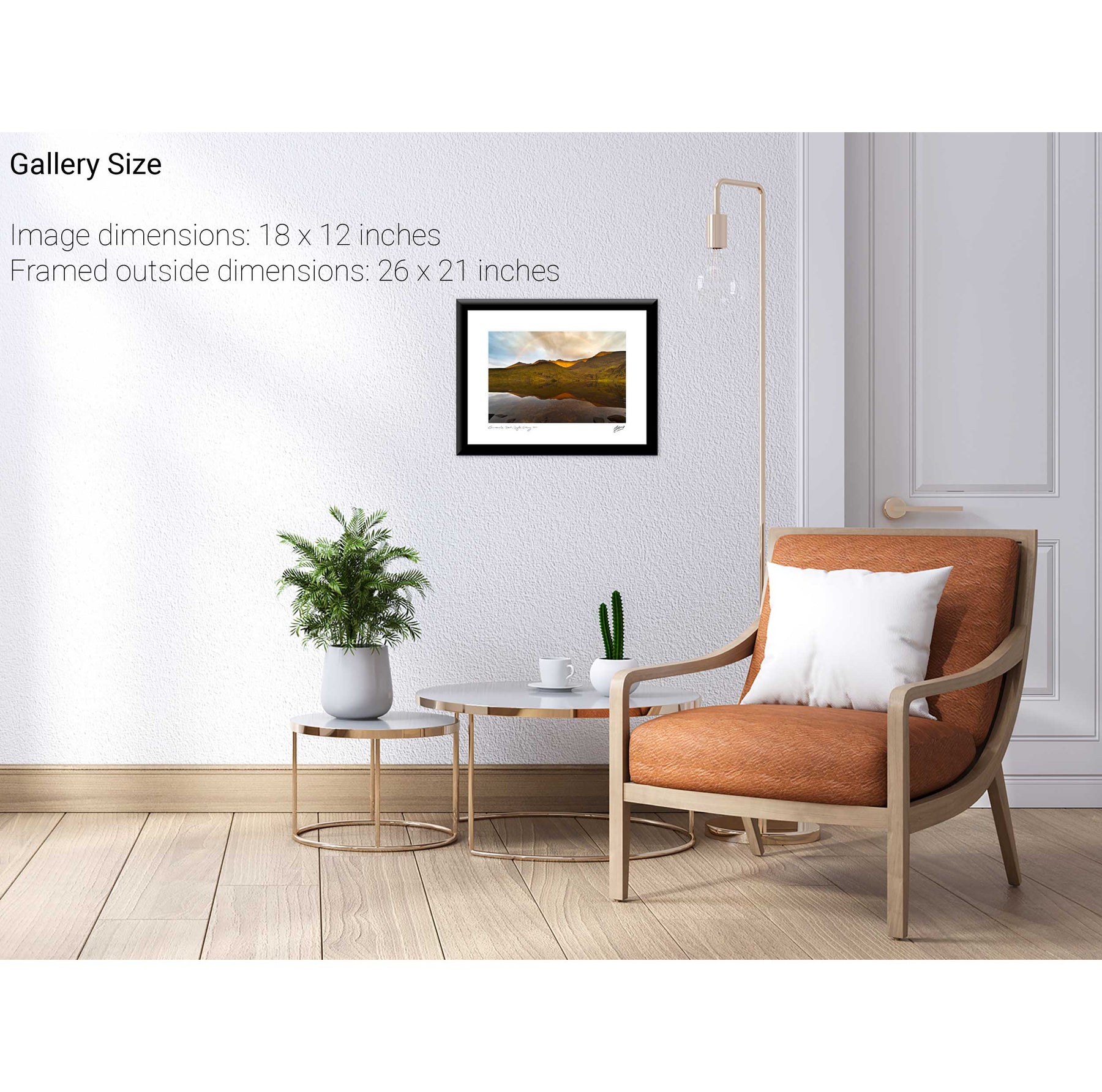
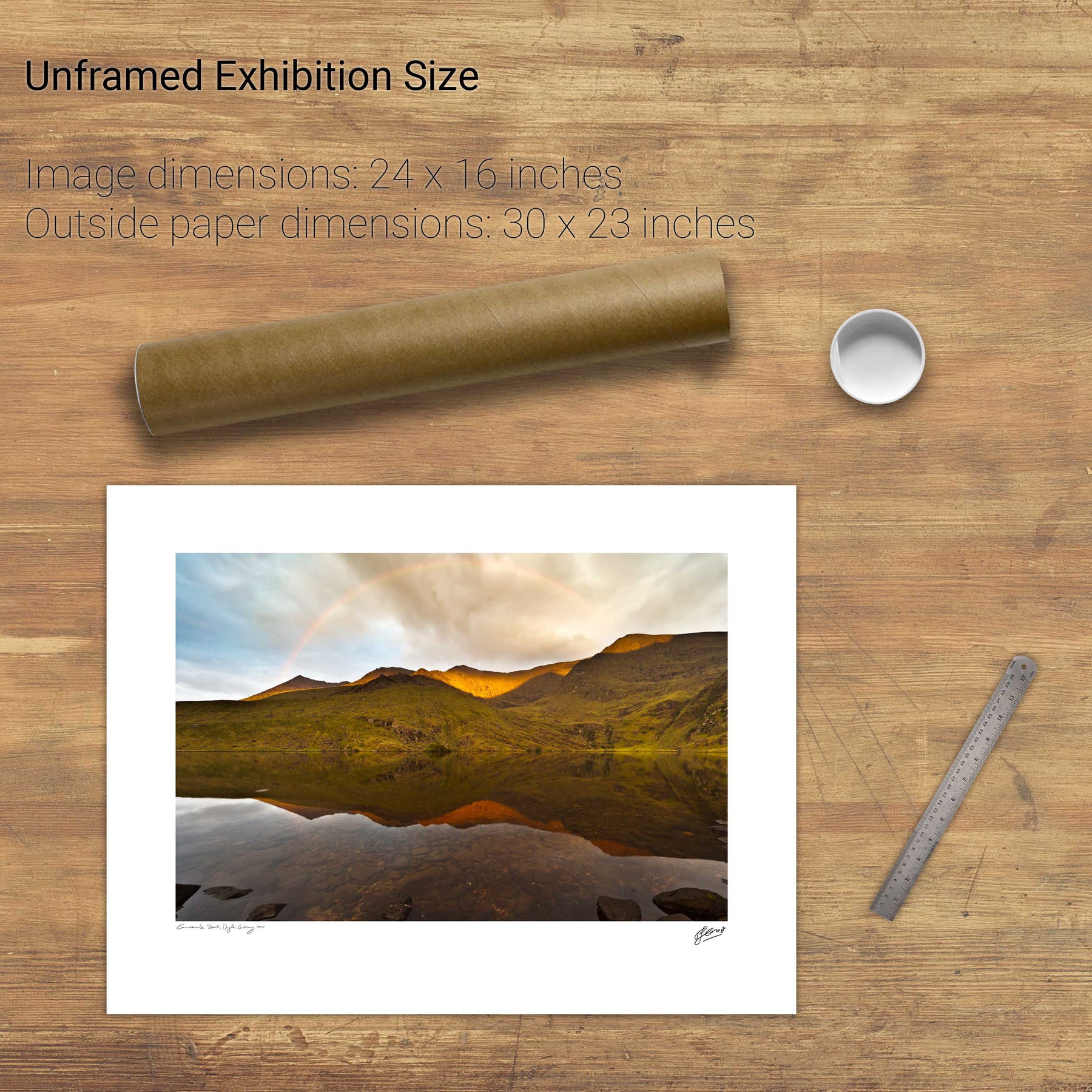
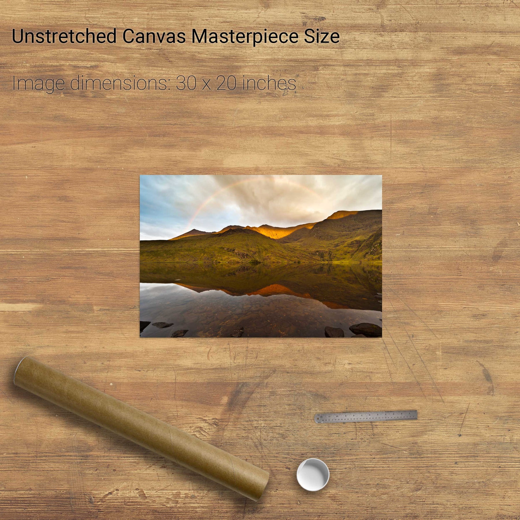
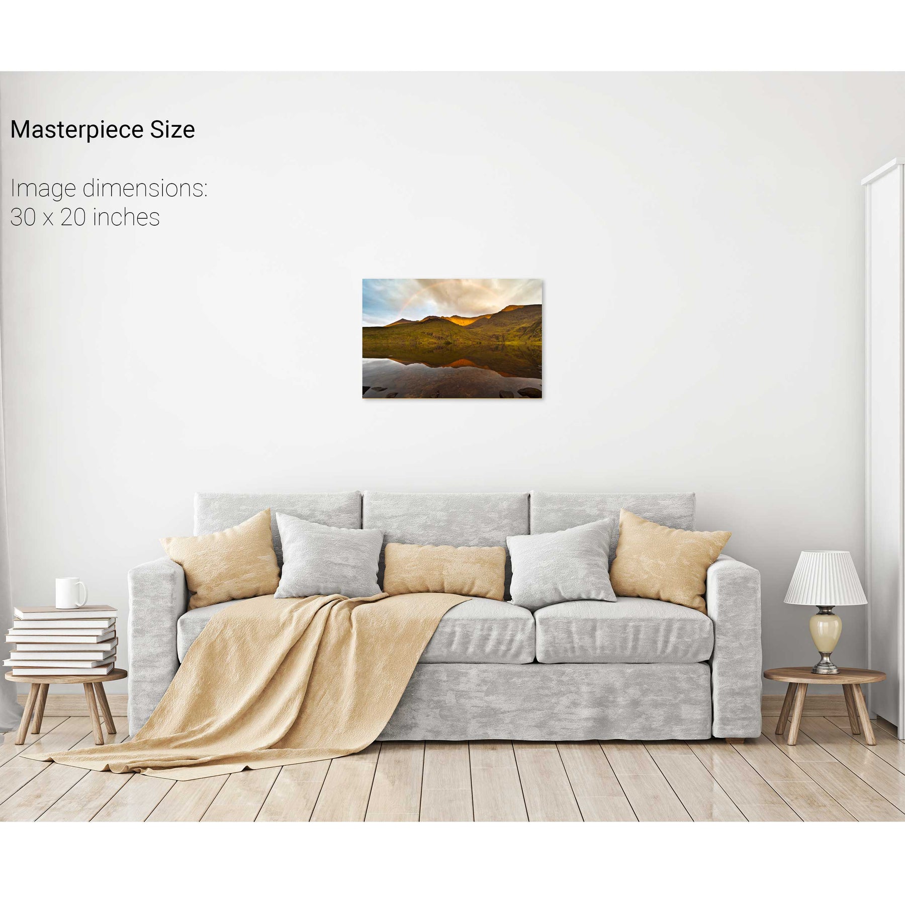
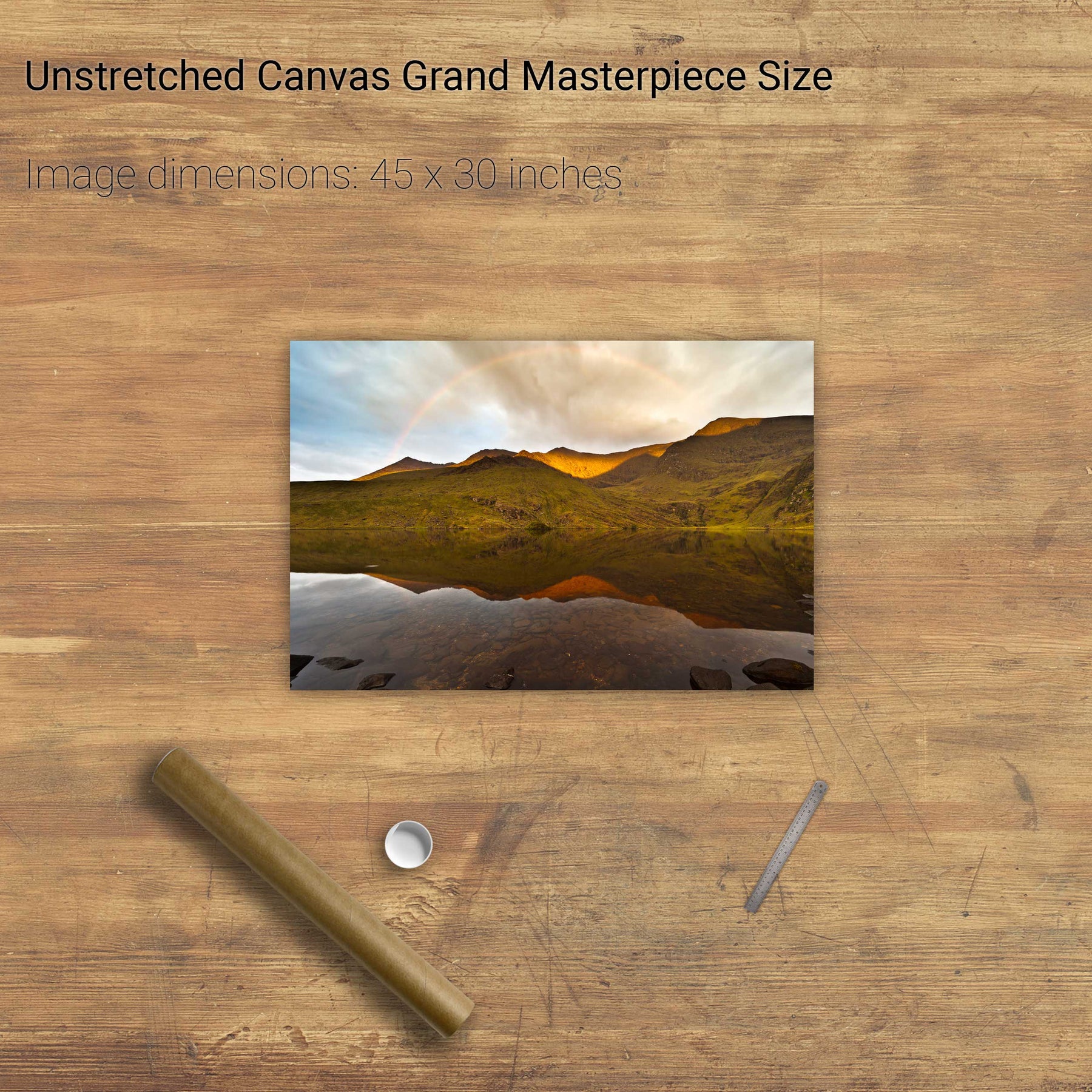
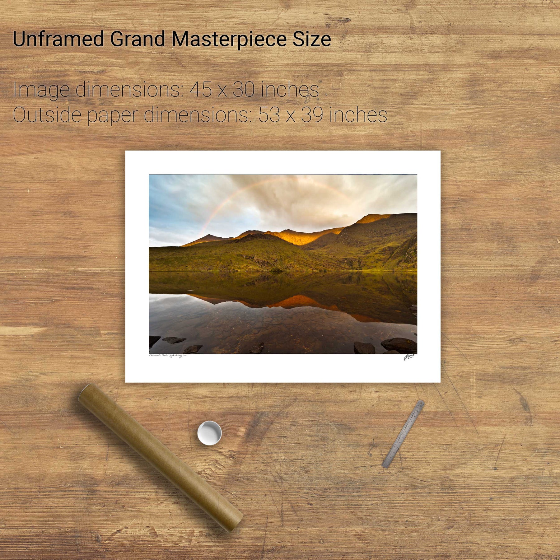
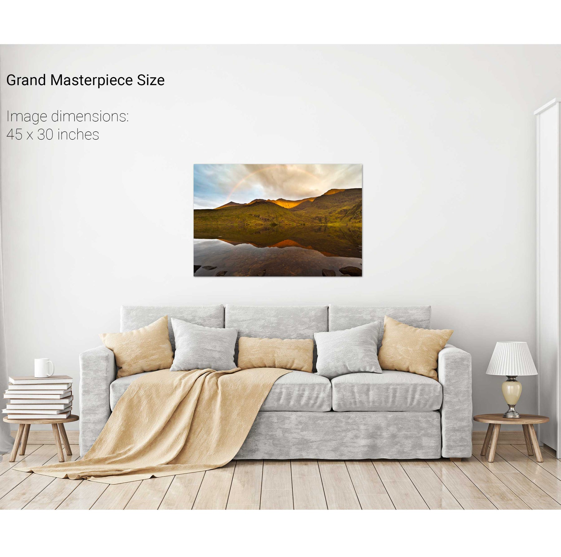
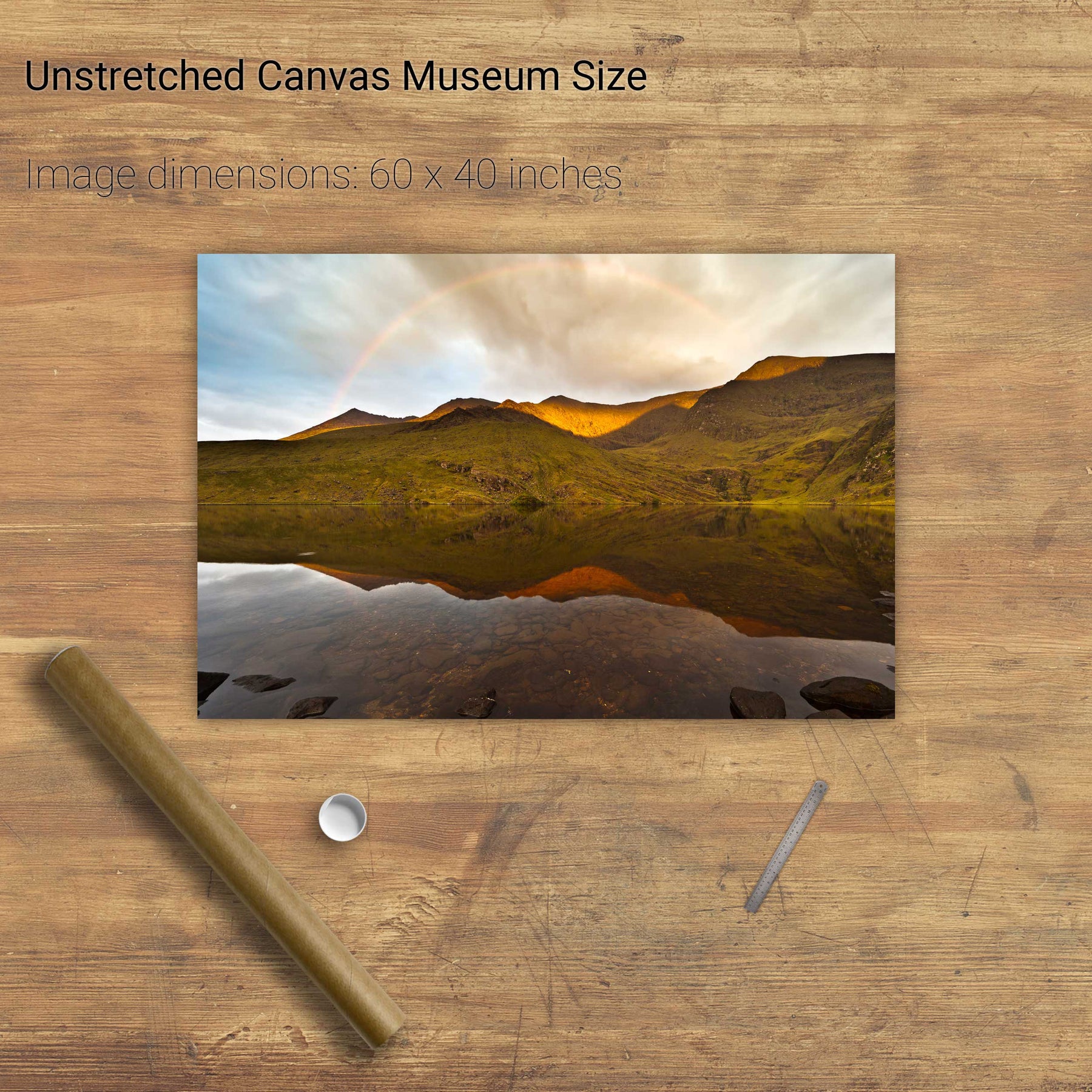
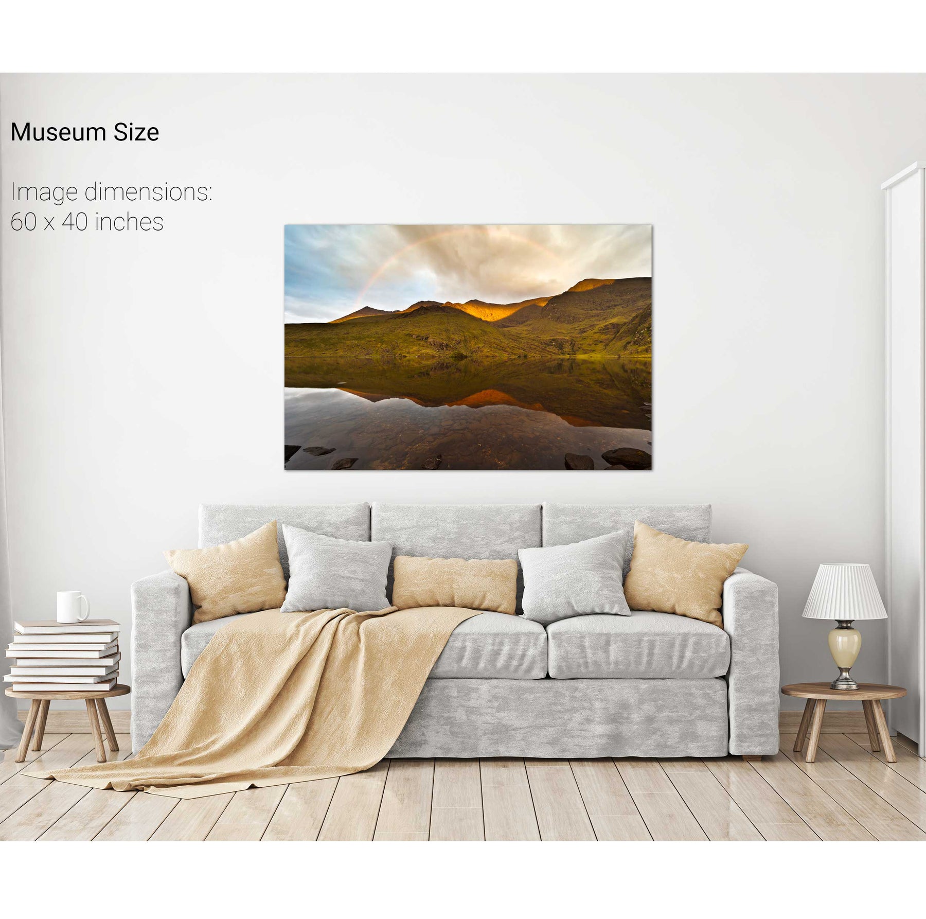
Rainbow over the Eastern Reeks, Co. Kerry


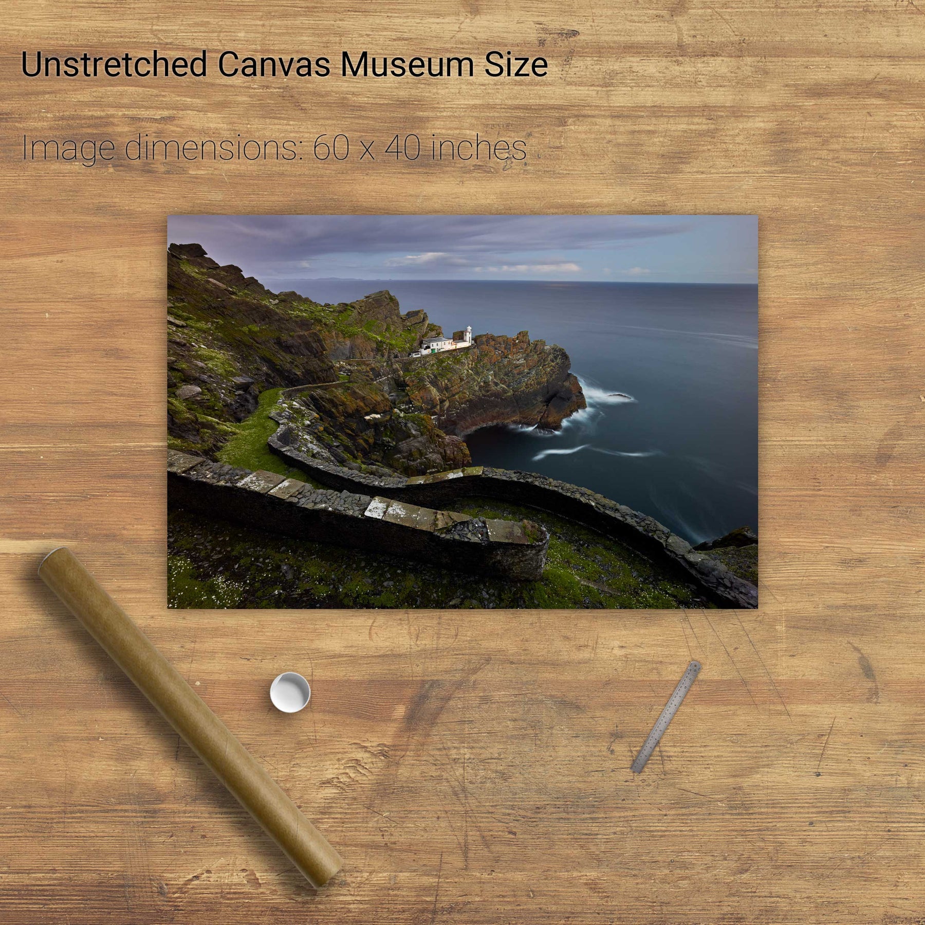
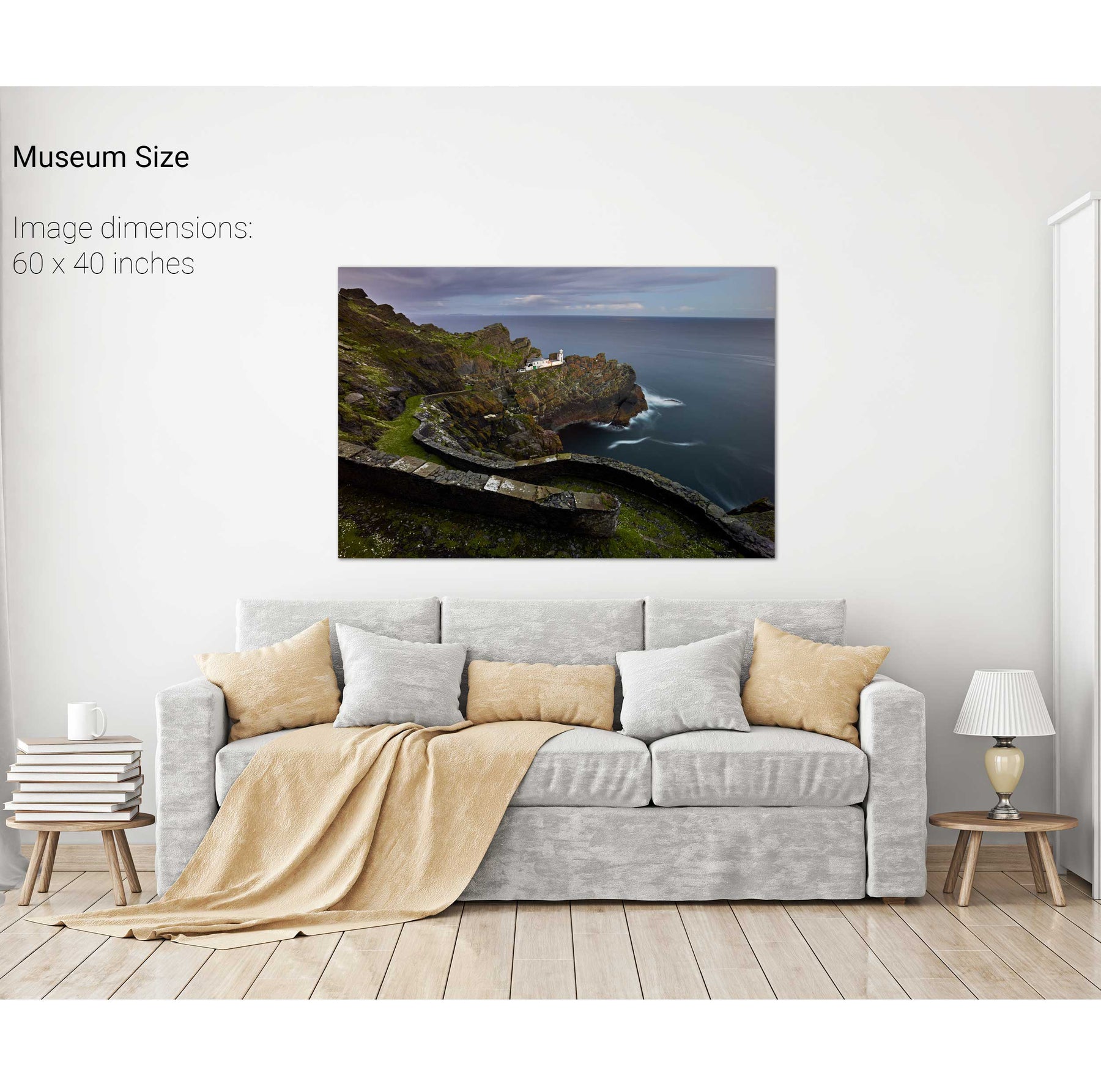
Nocturne, Tory Island Lighthouse, Co. Donegal


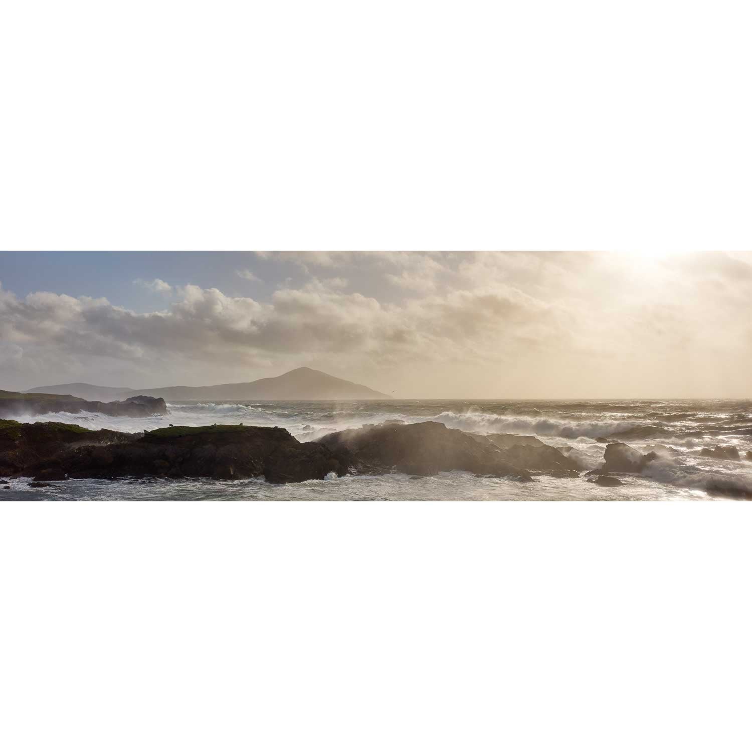
Benwee Head, Co. Mayo


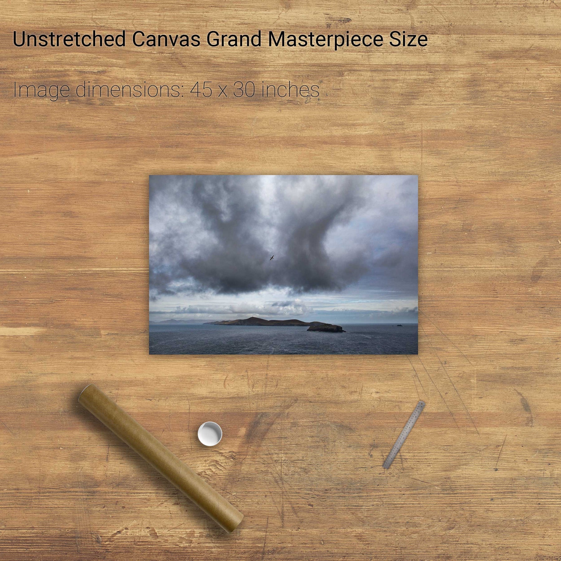
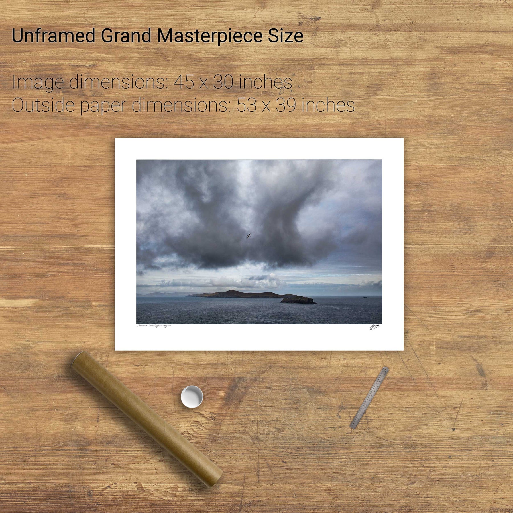
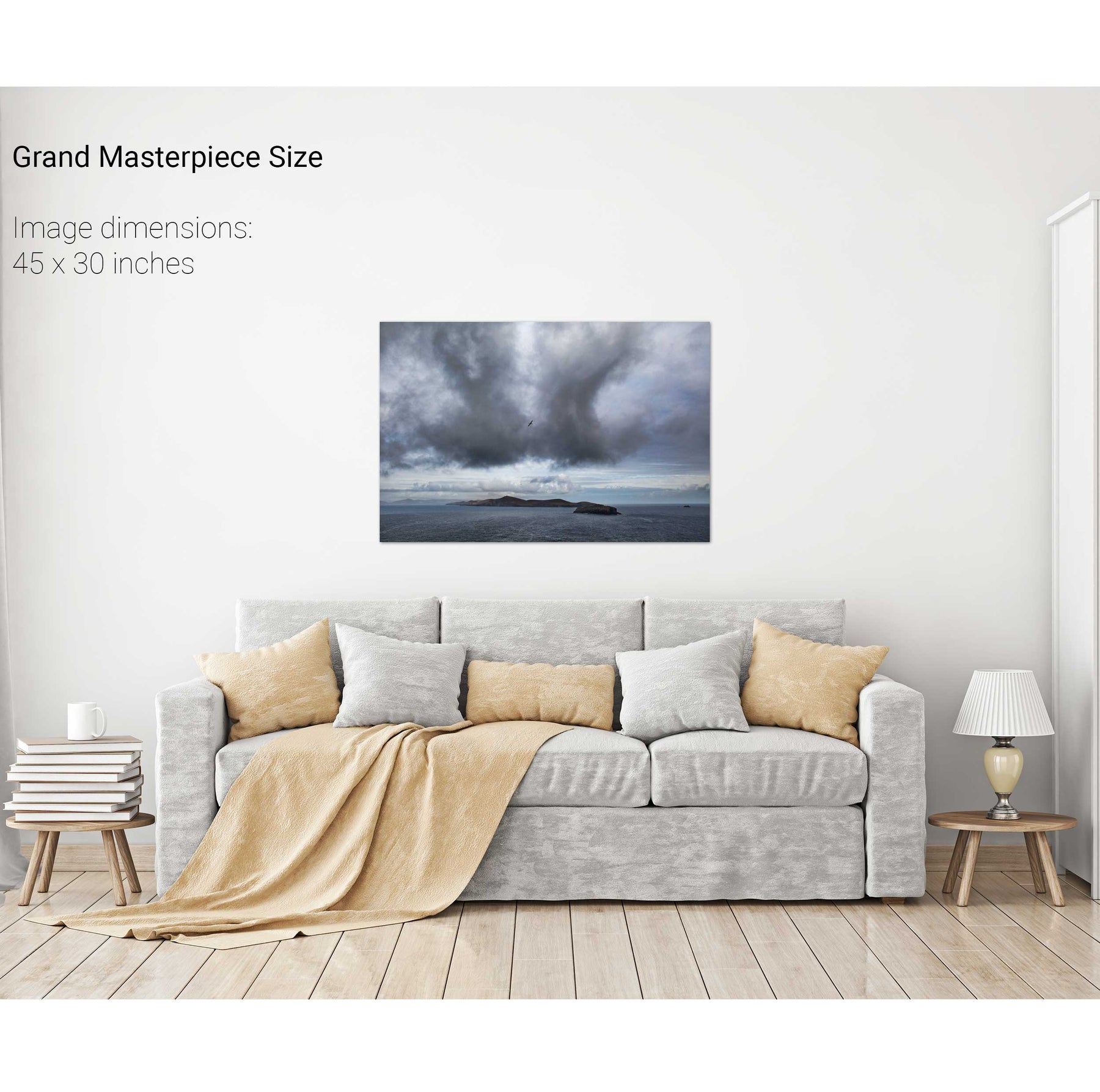
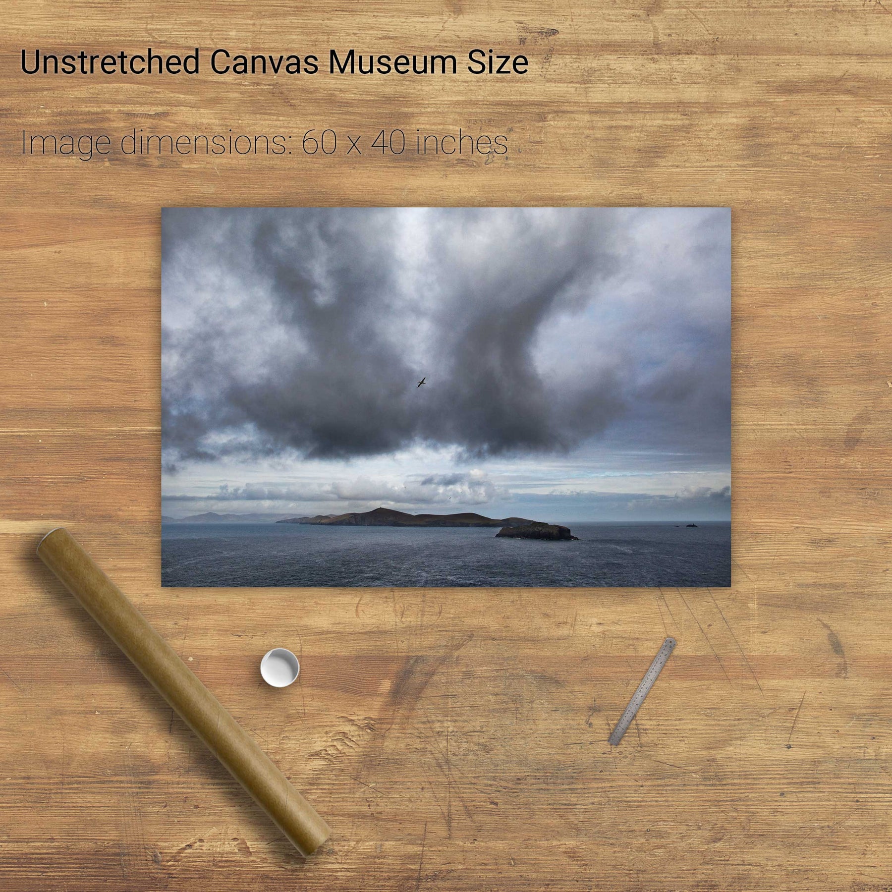
An Tiaracht, Blasket Islands, Co. Kerry


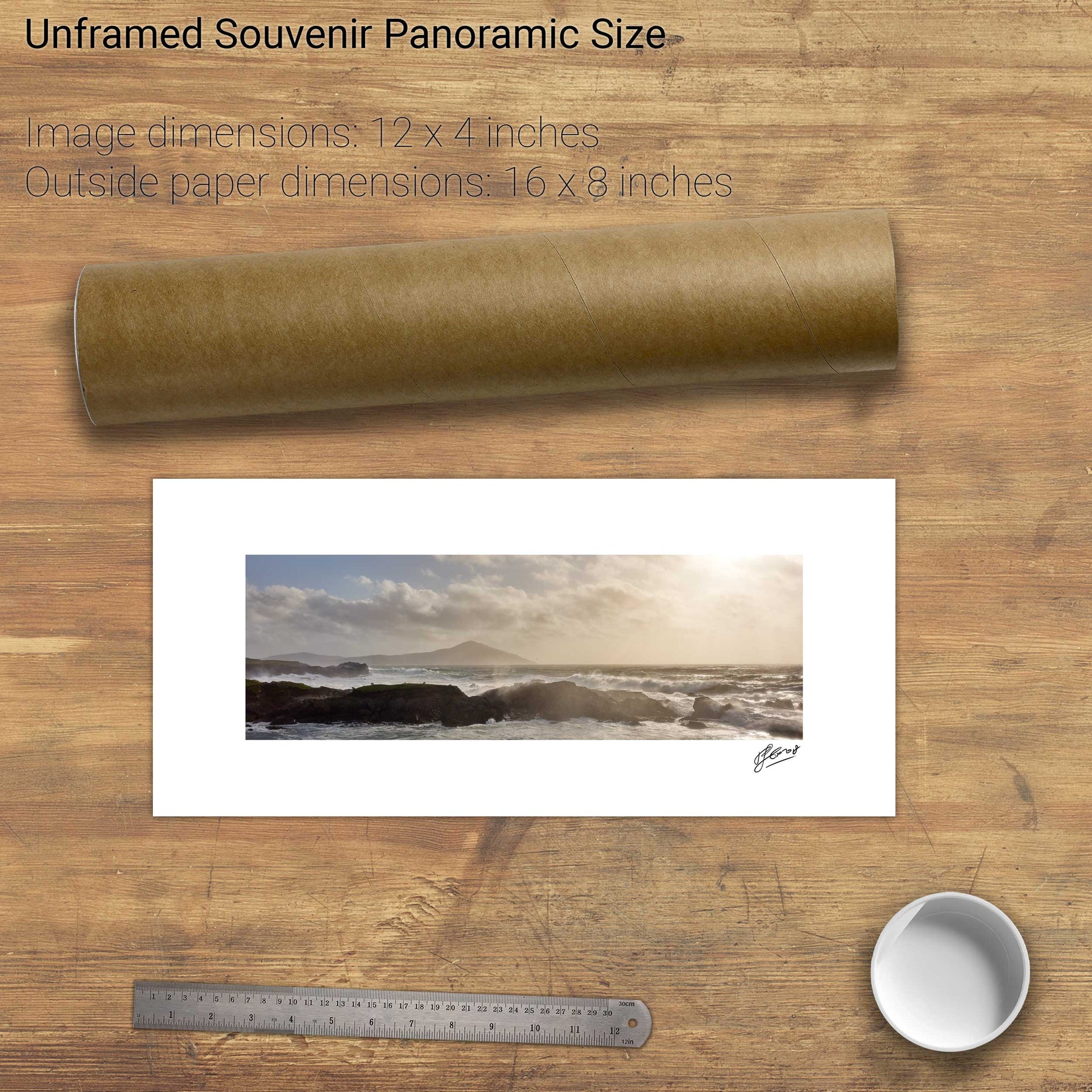
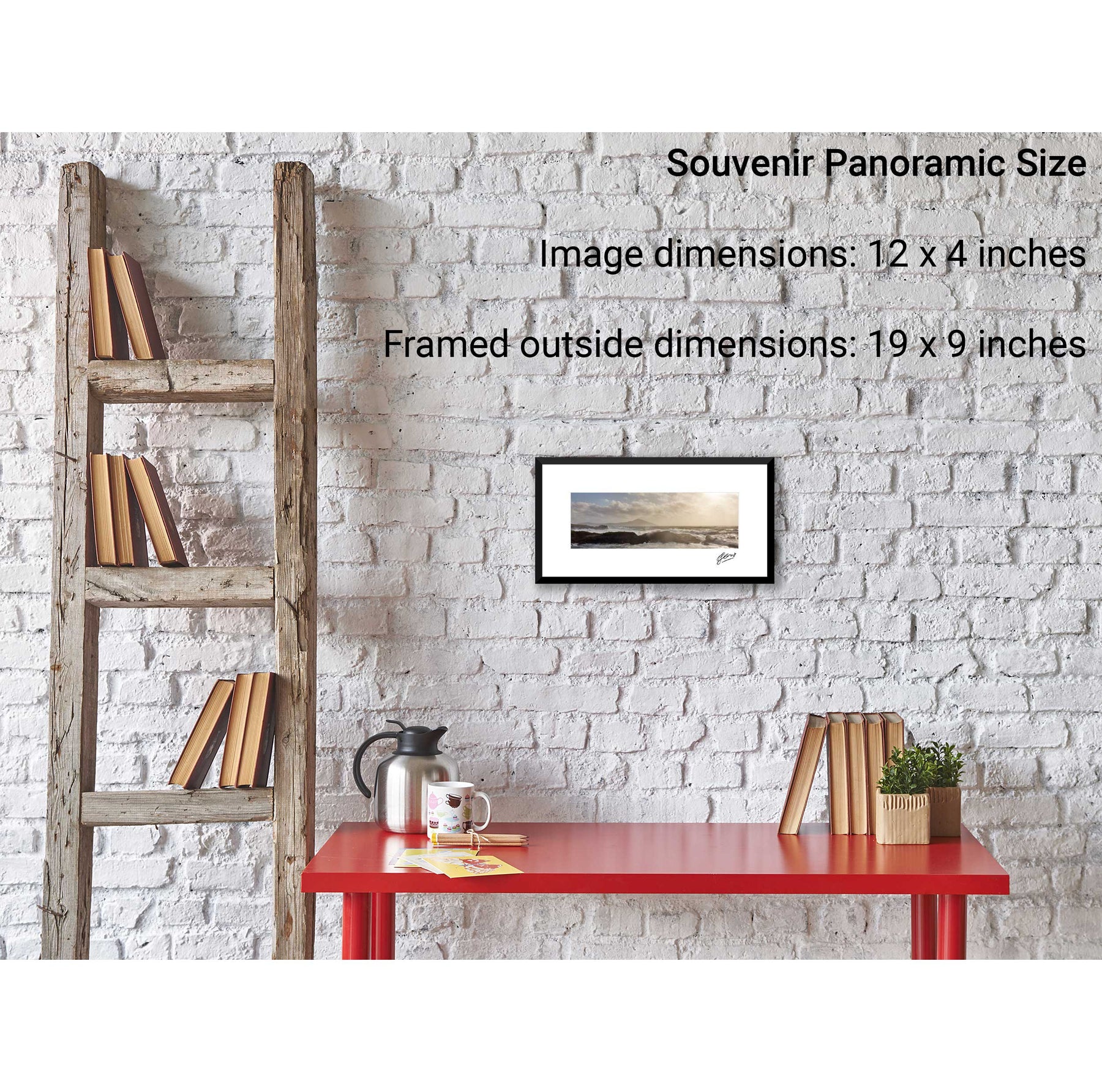
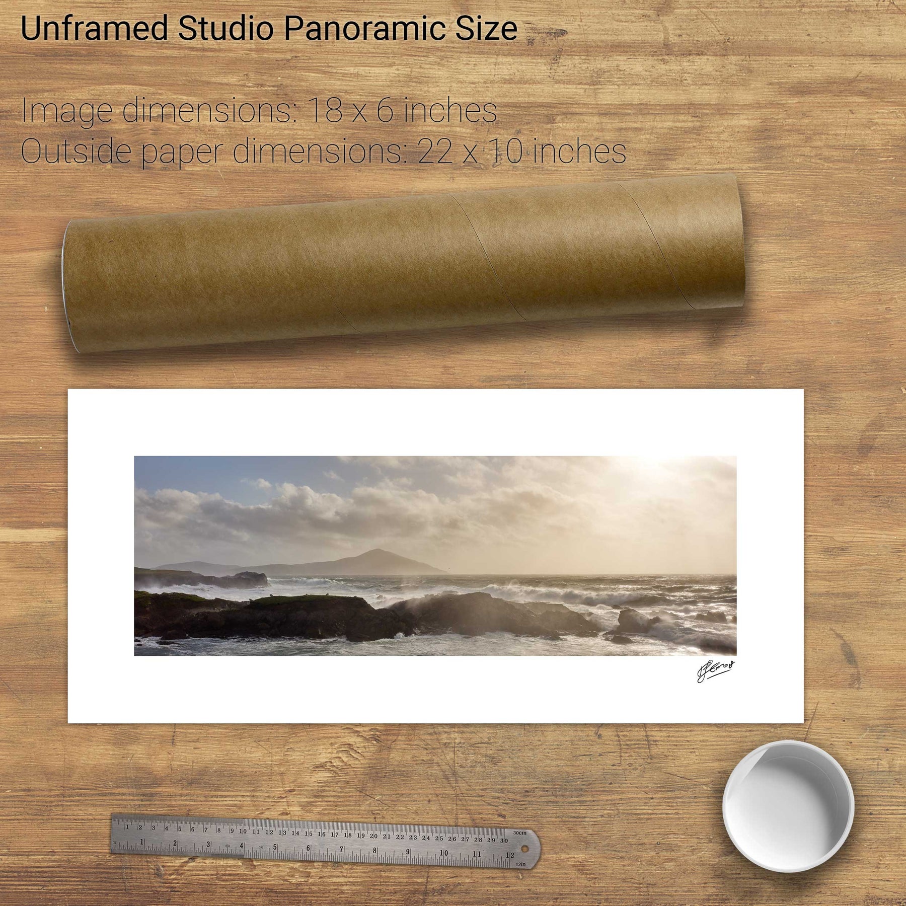
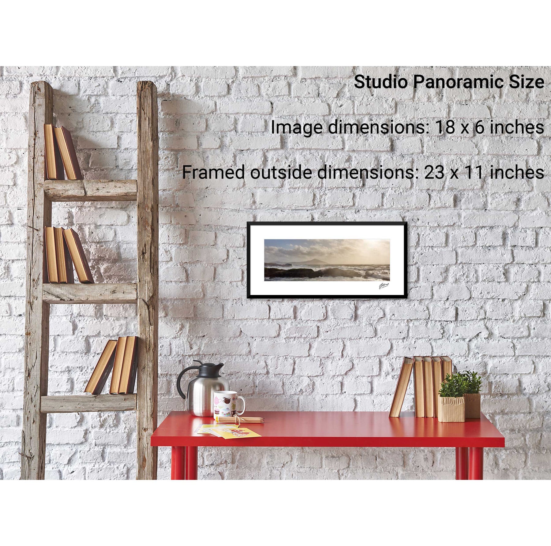
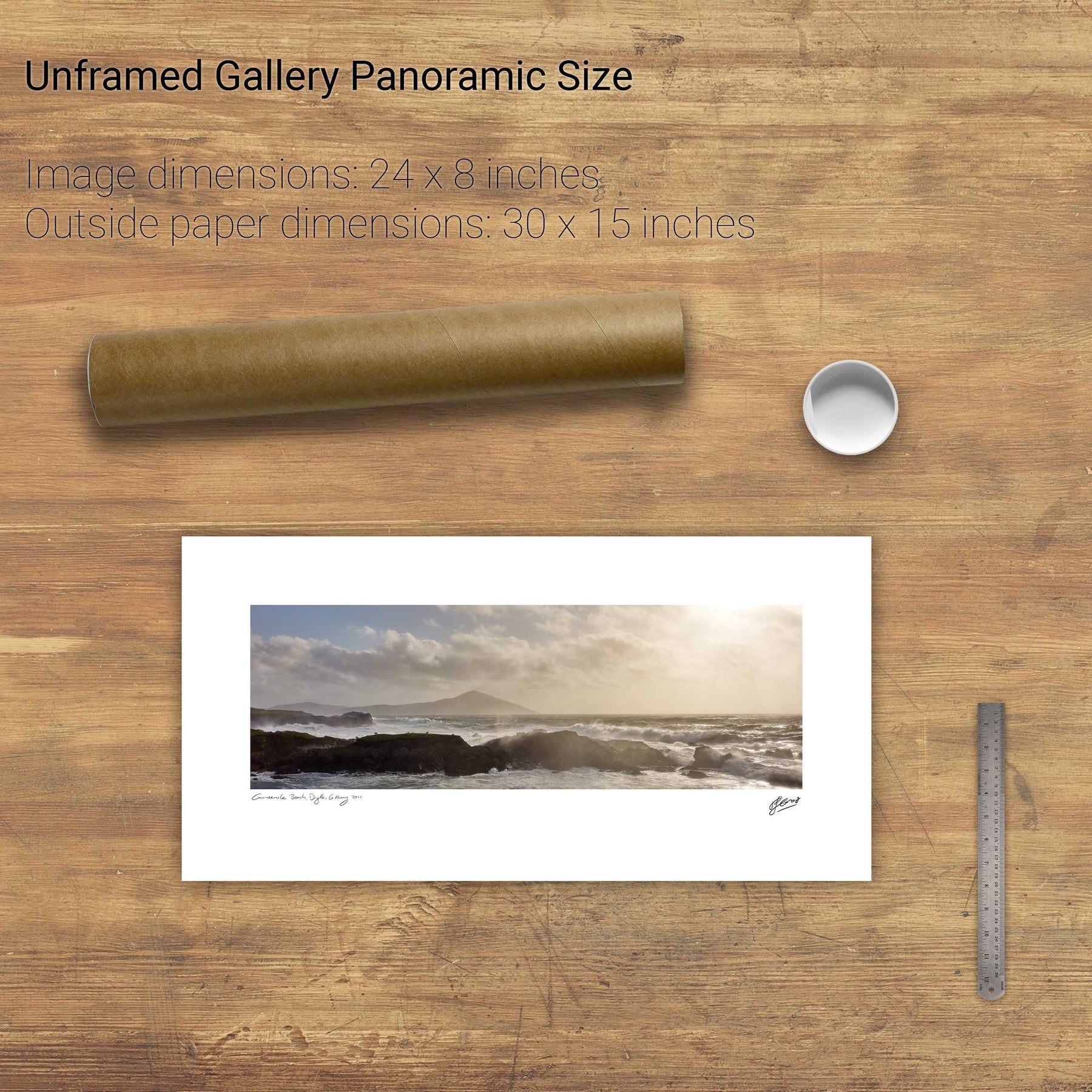
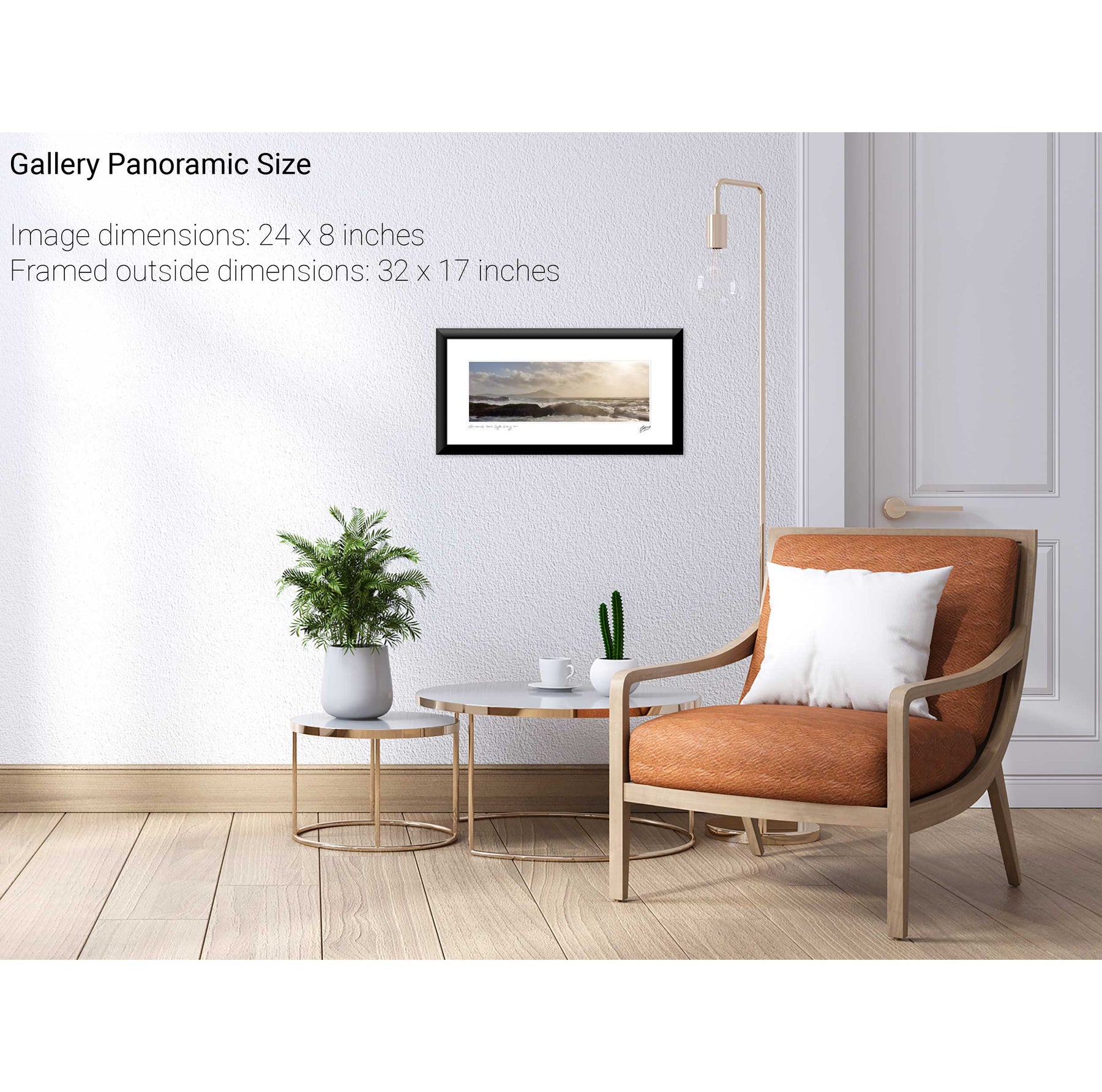
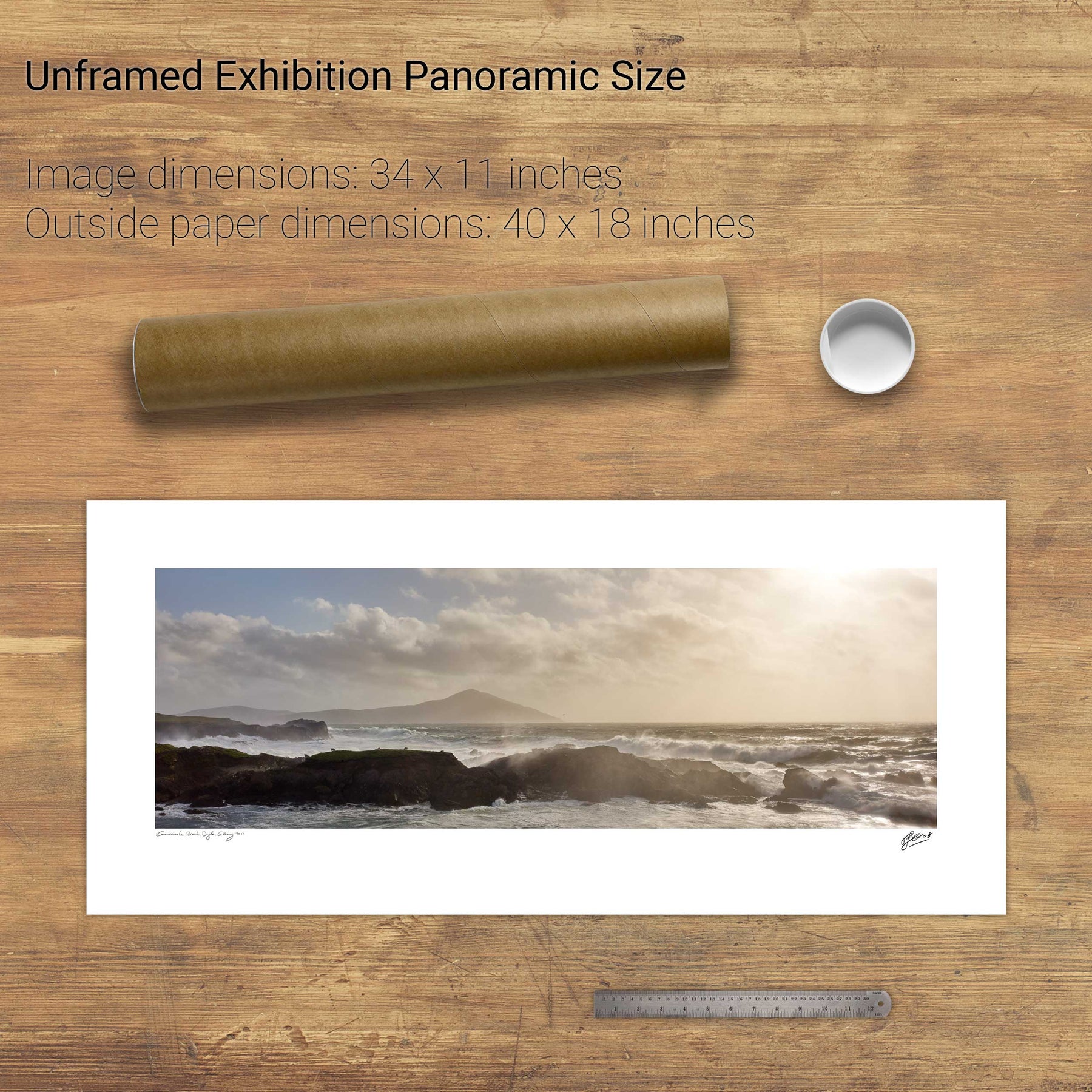
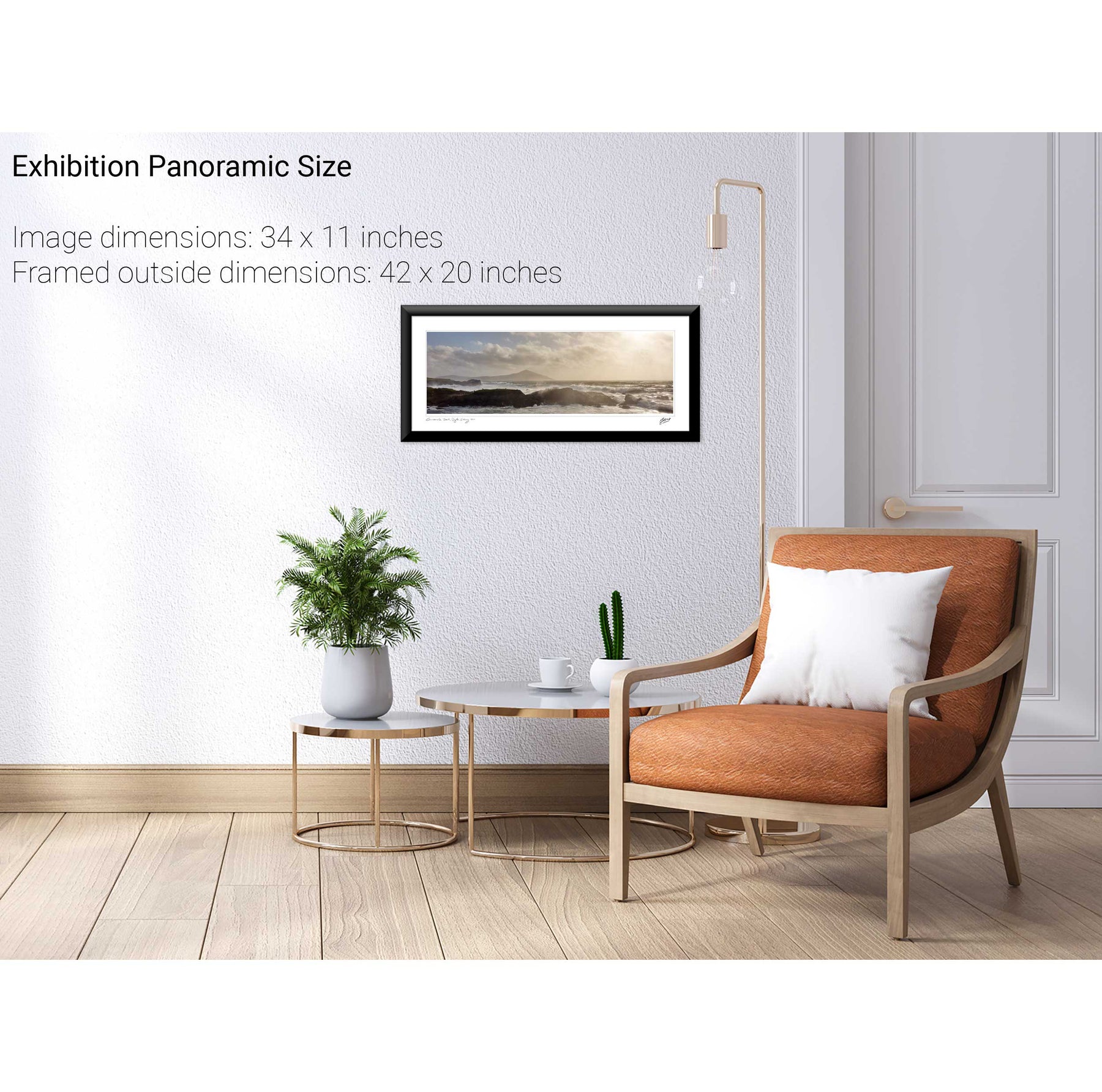
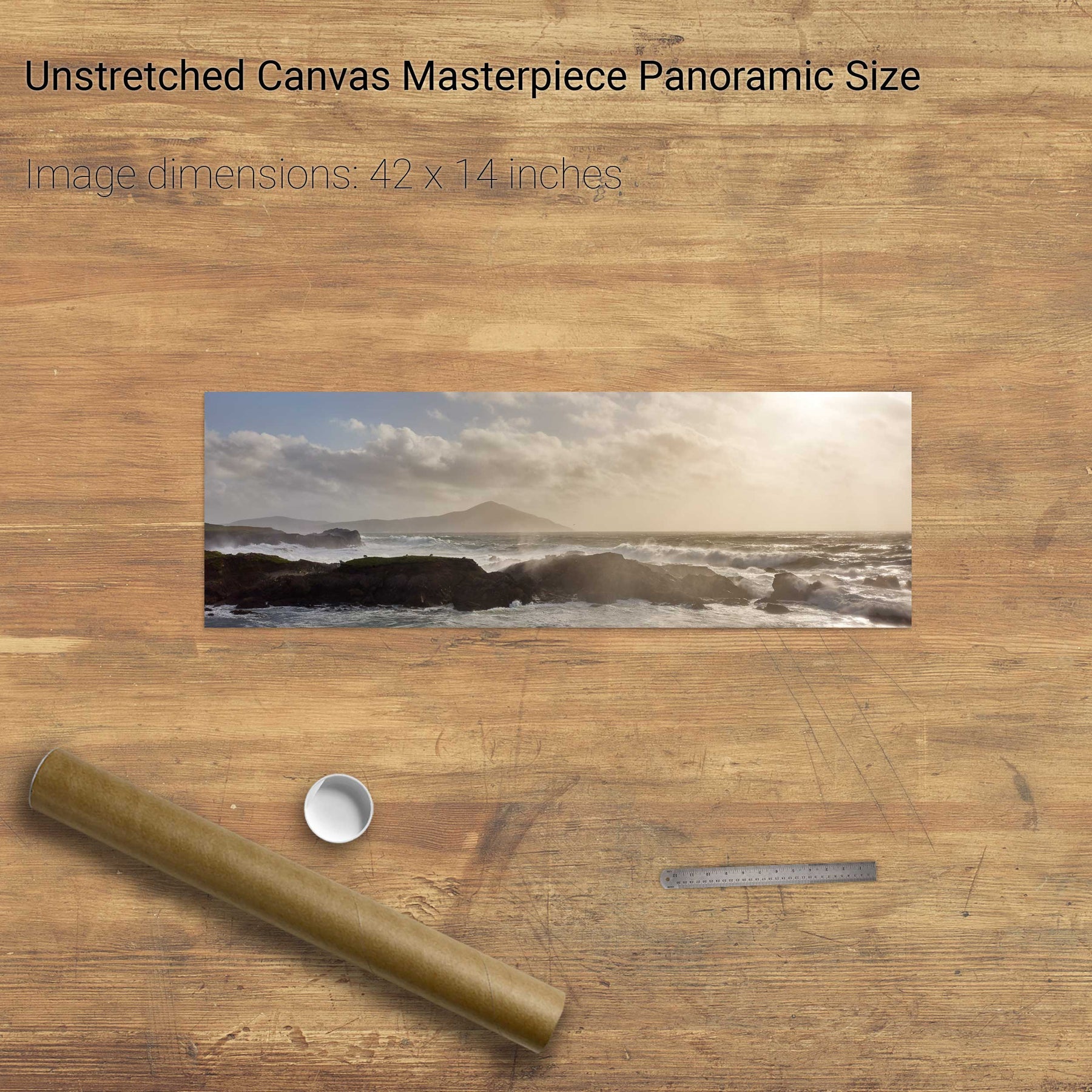
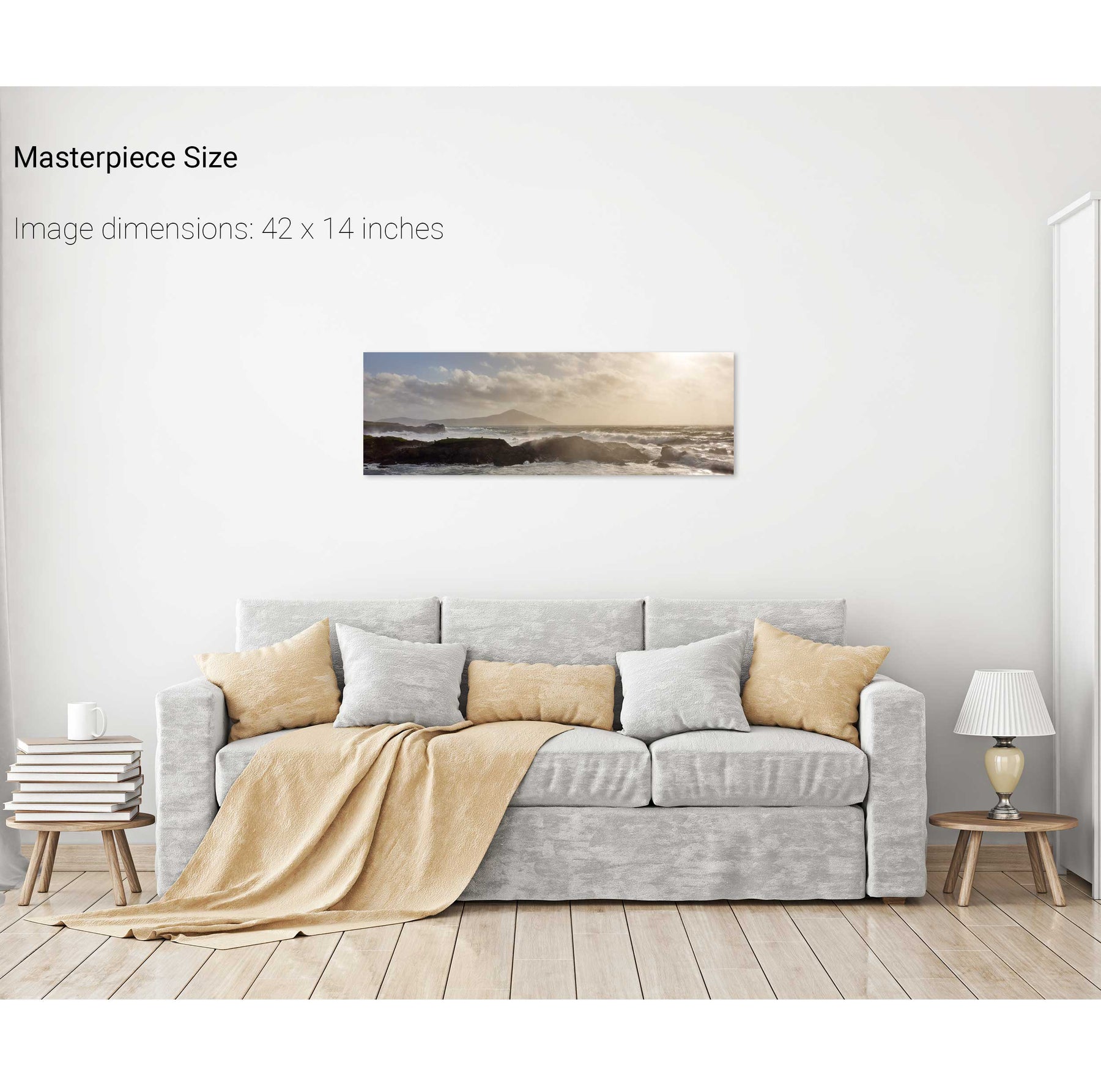
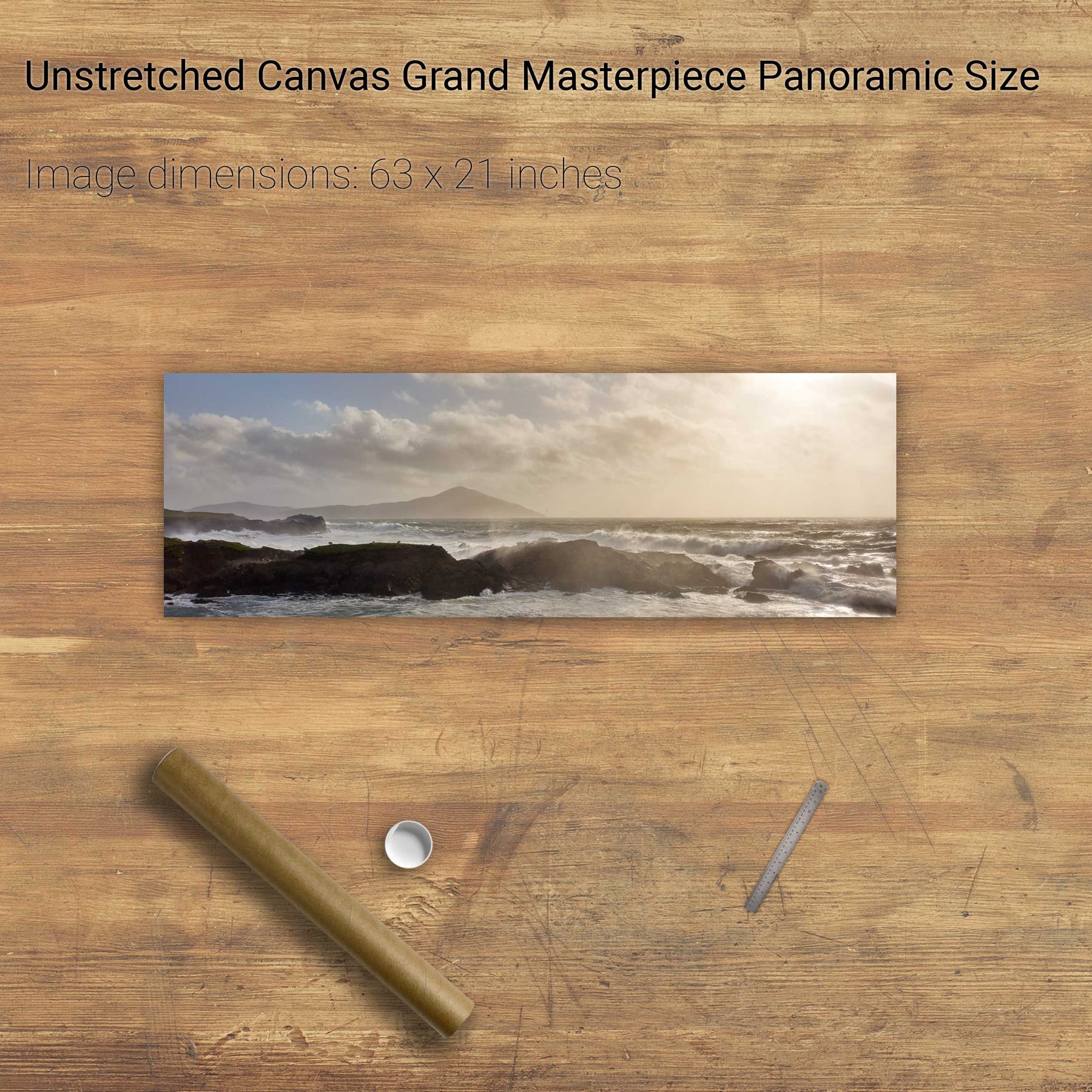
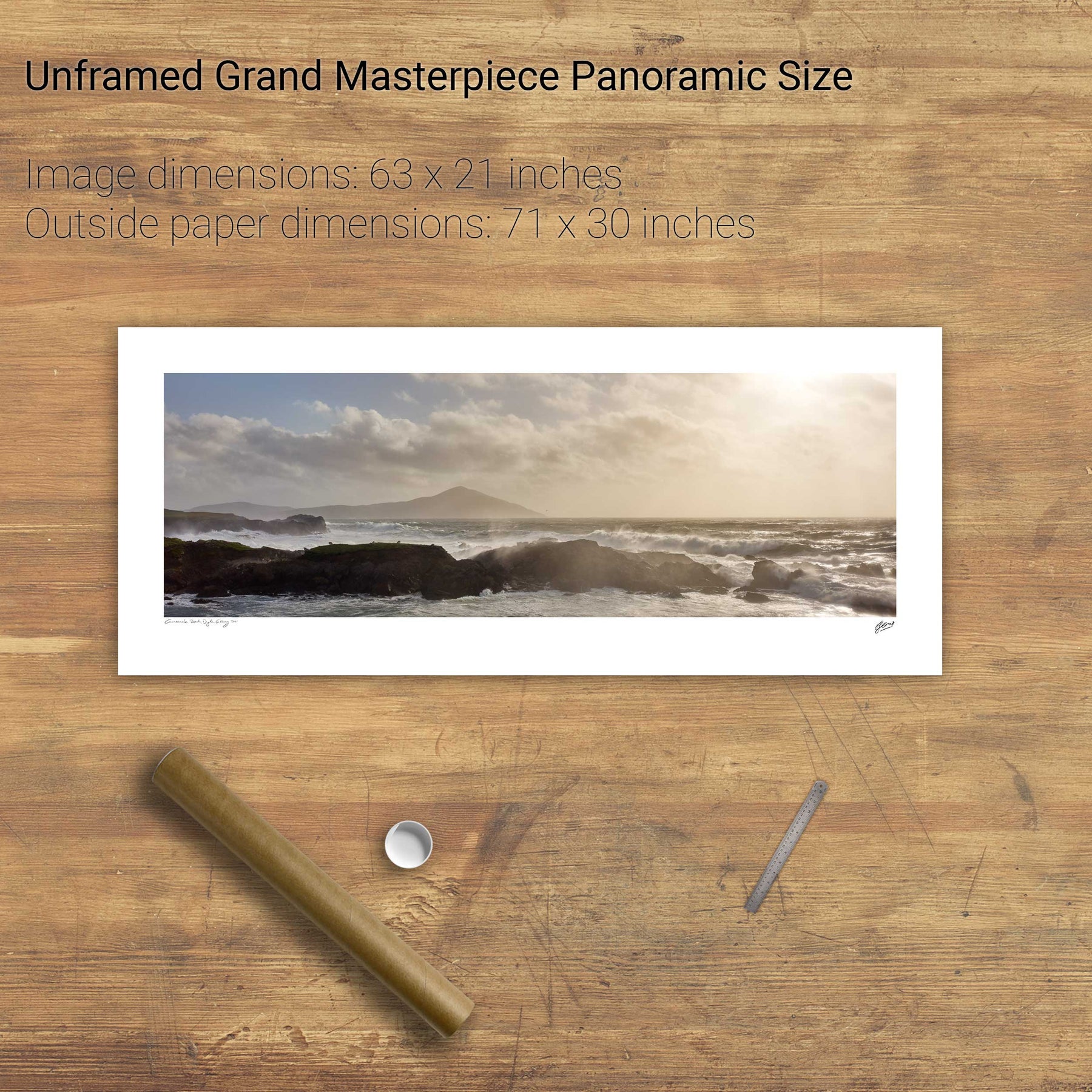
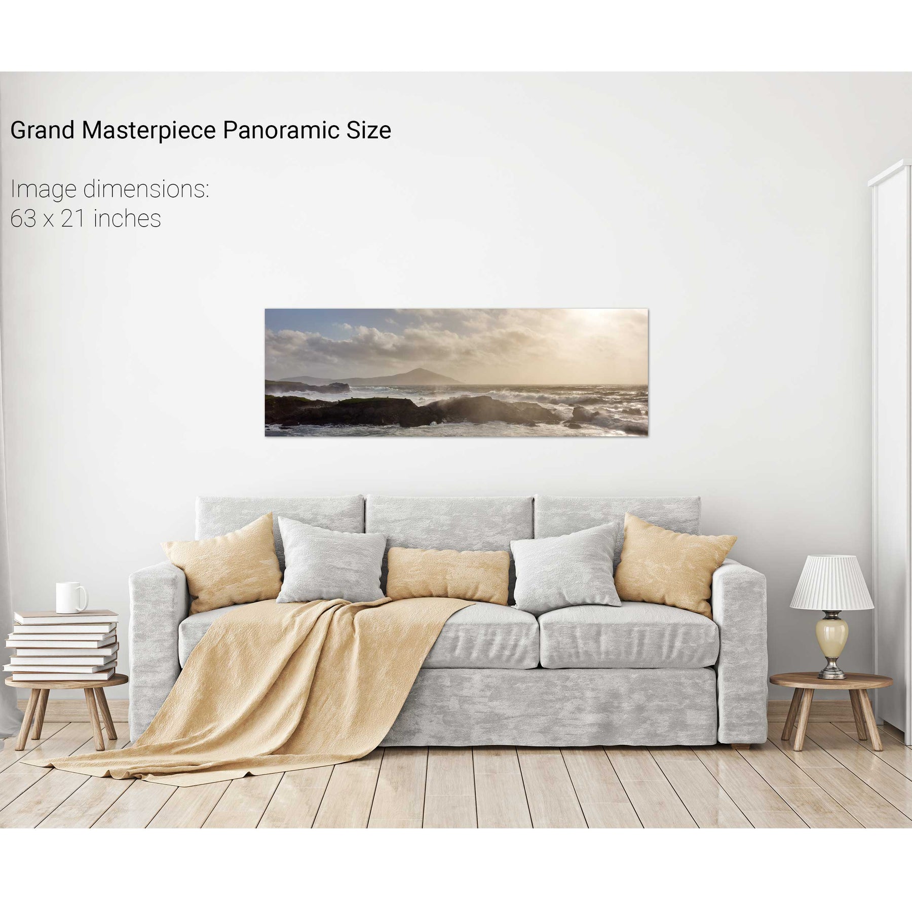
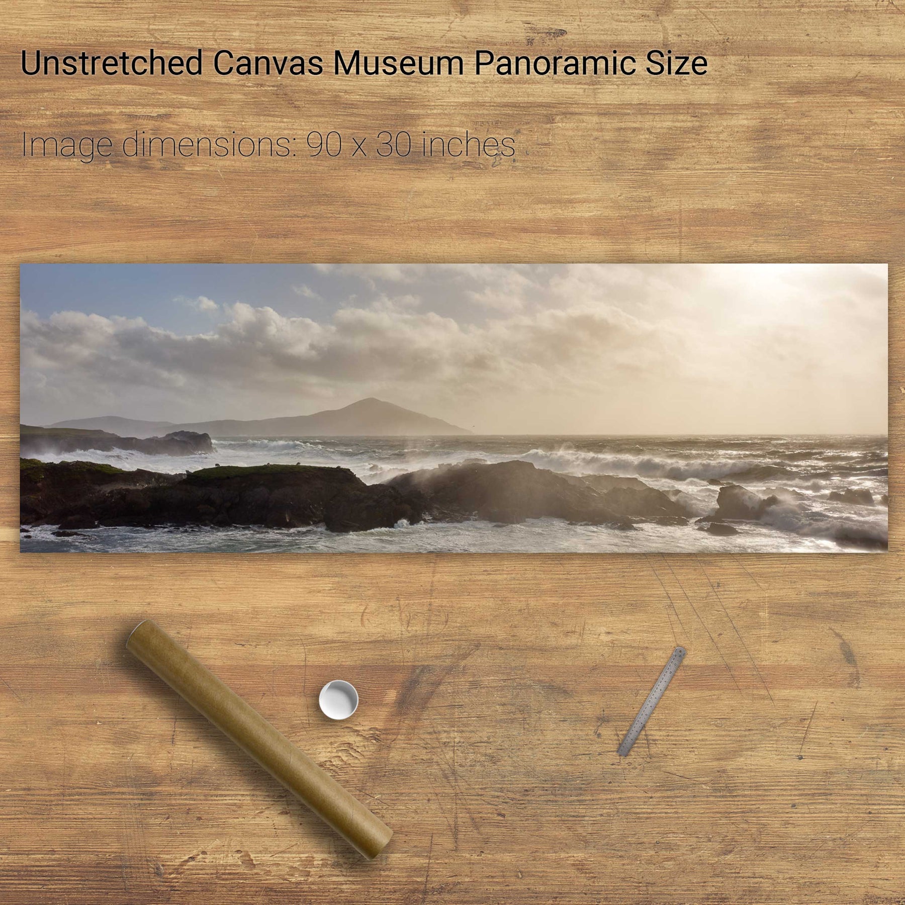
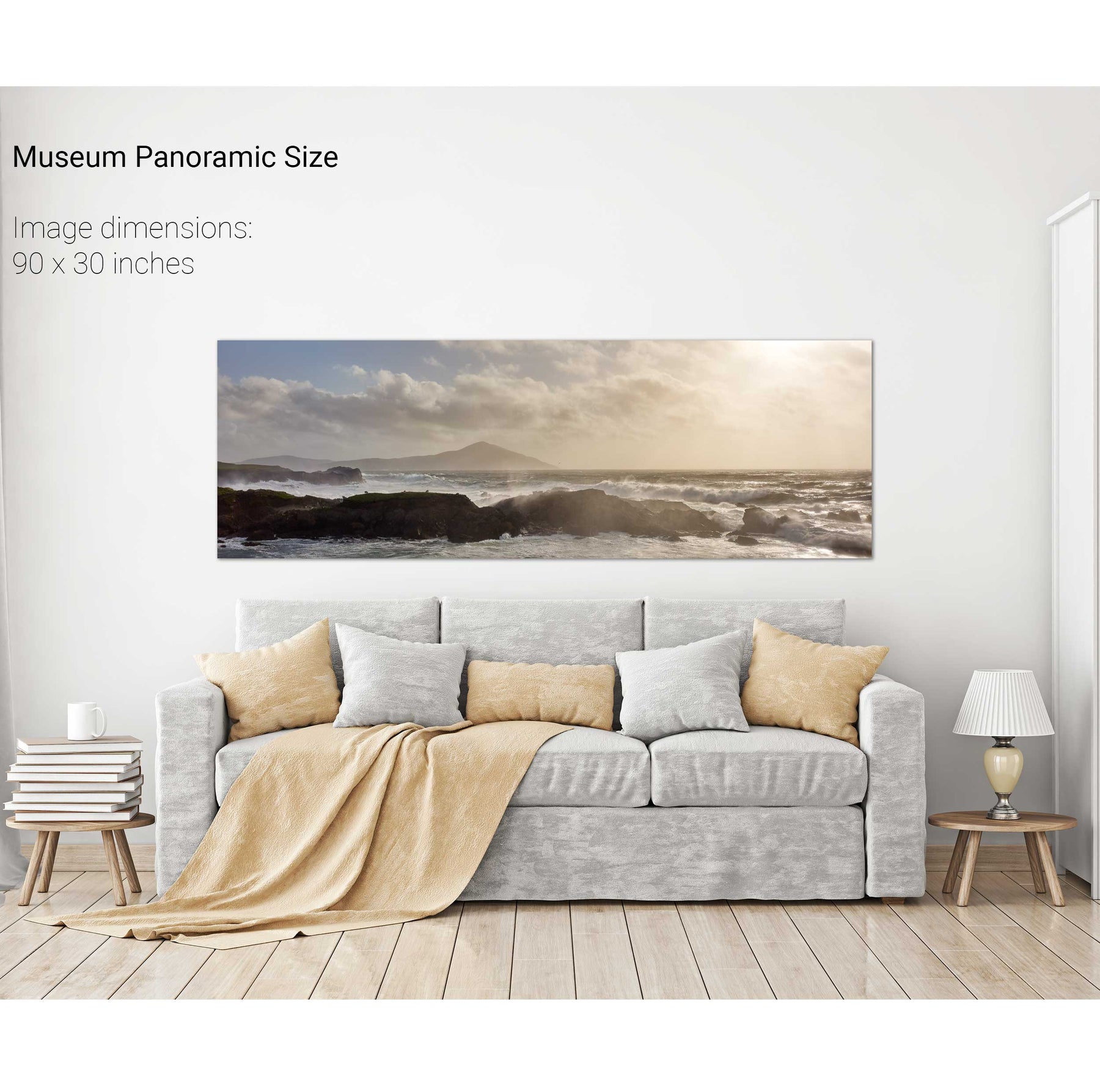
Storm, Achill Island, Mayo


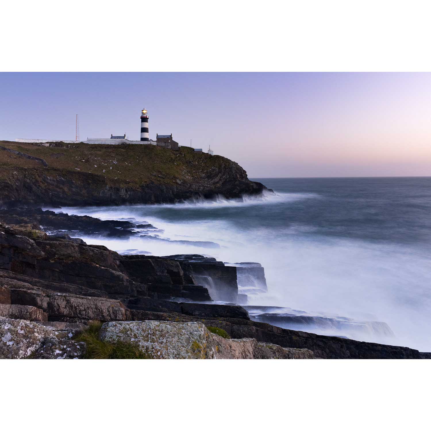
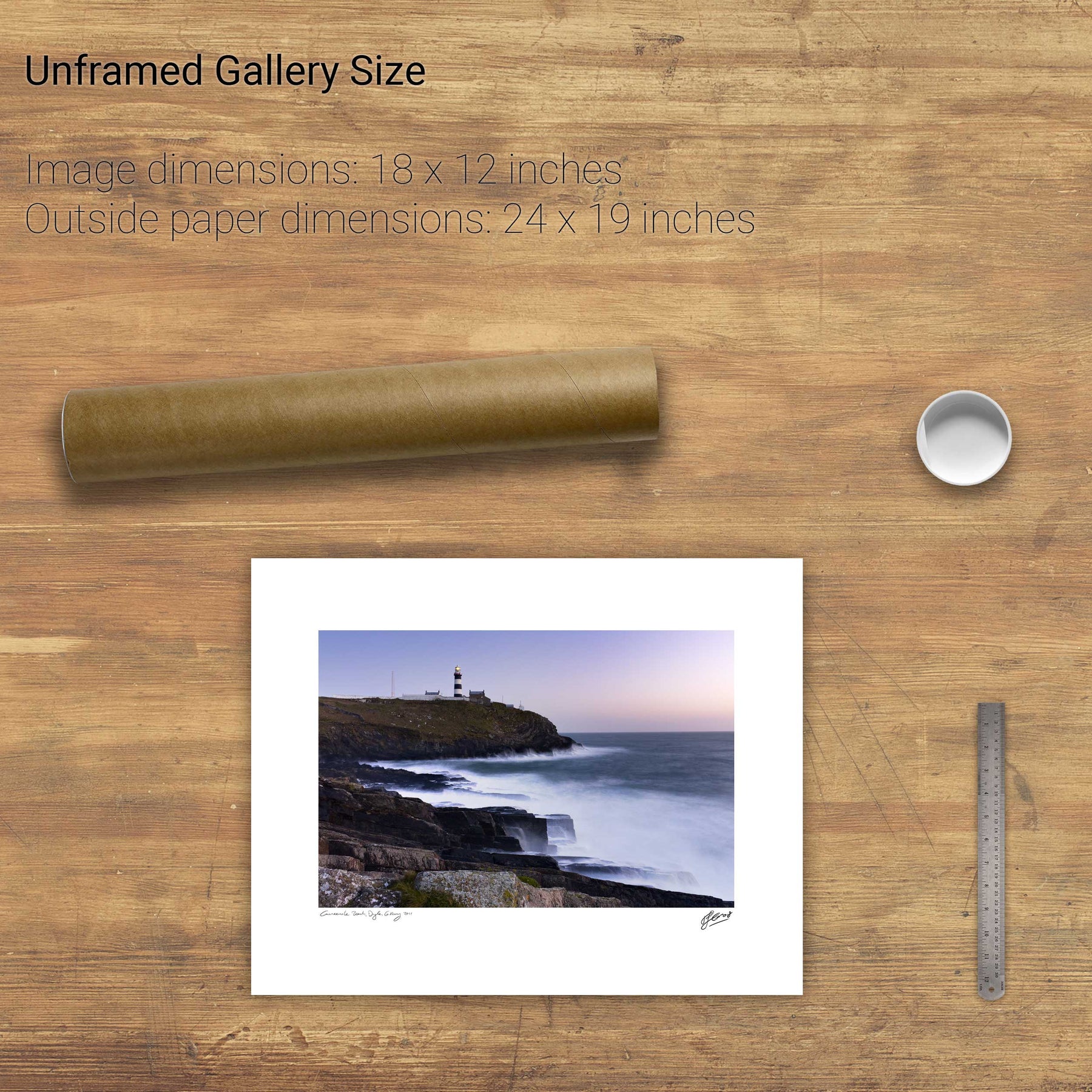
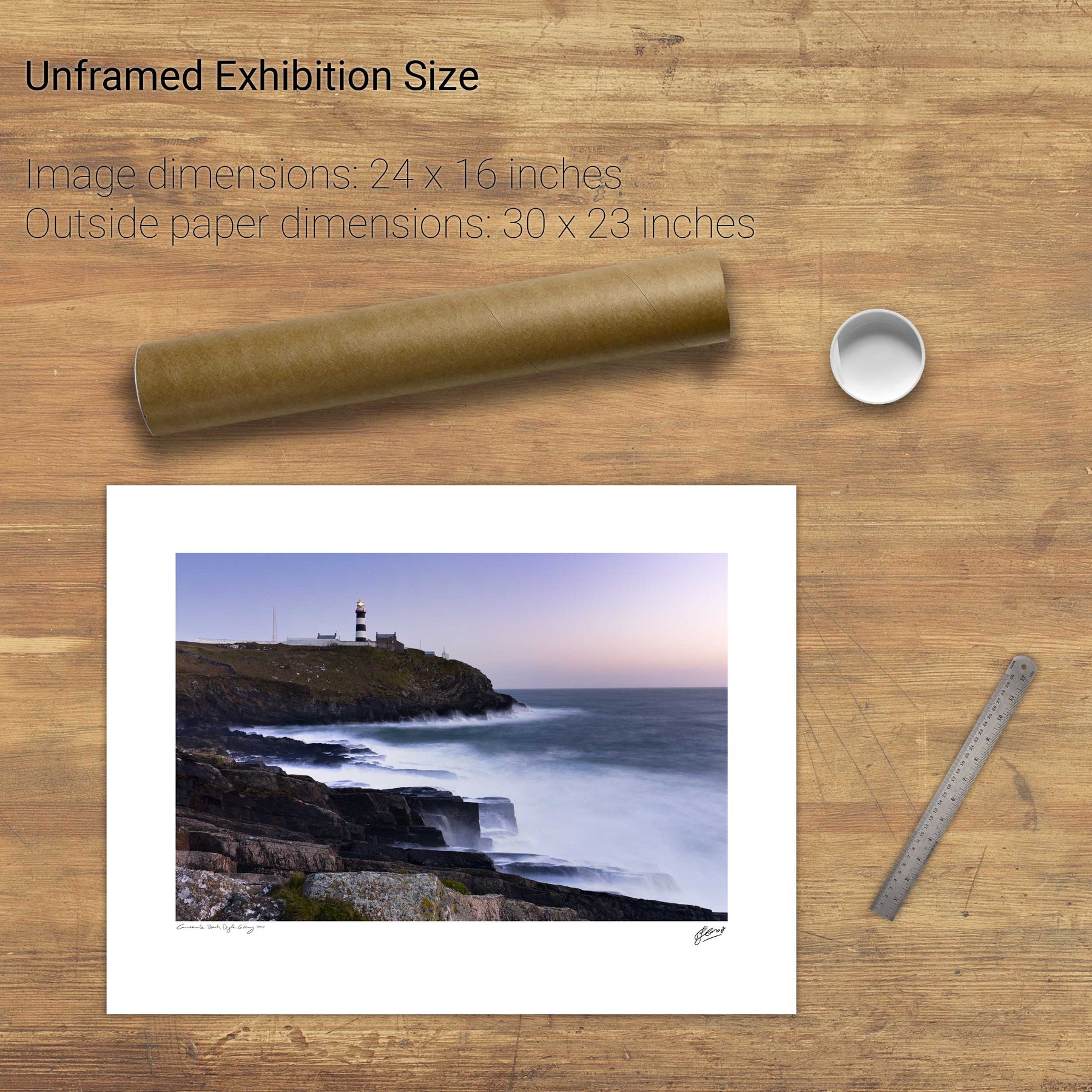
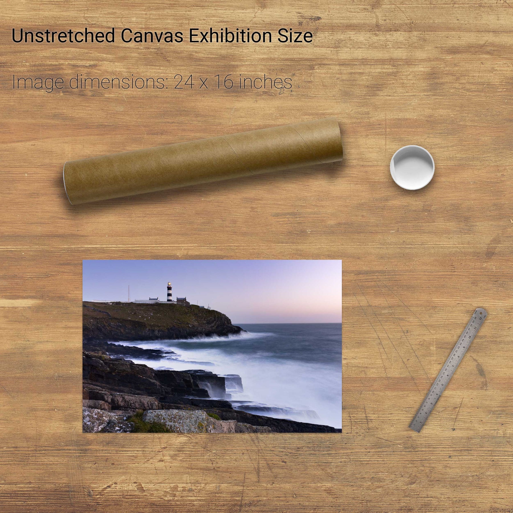
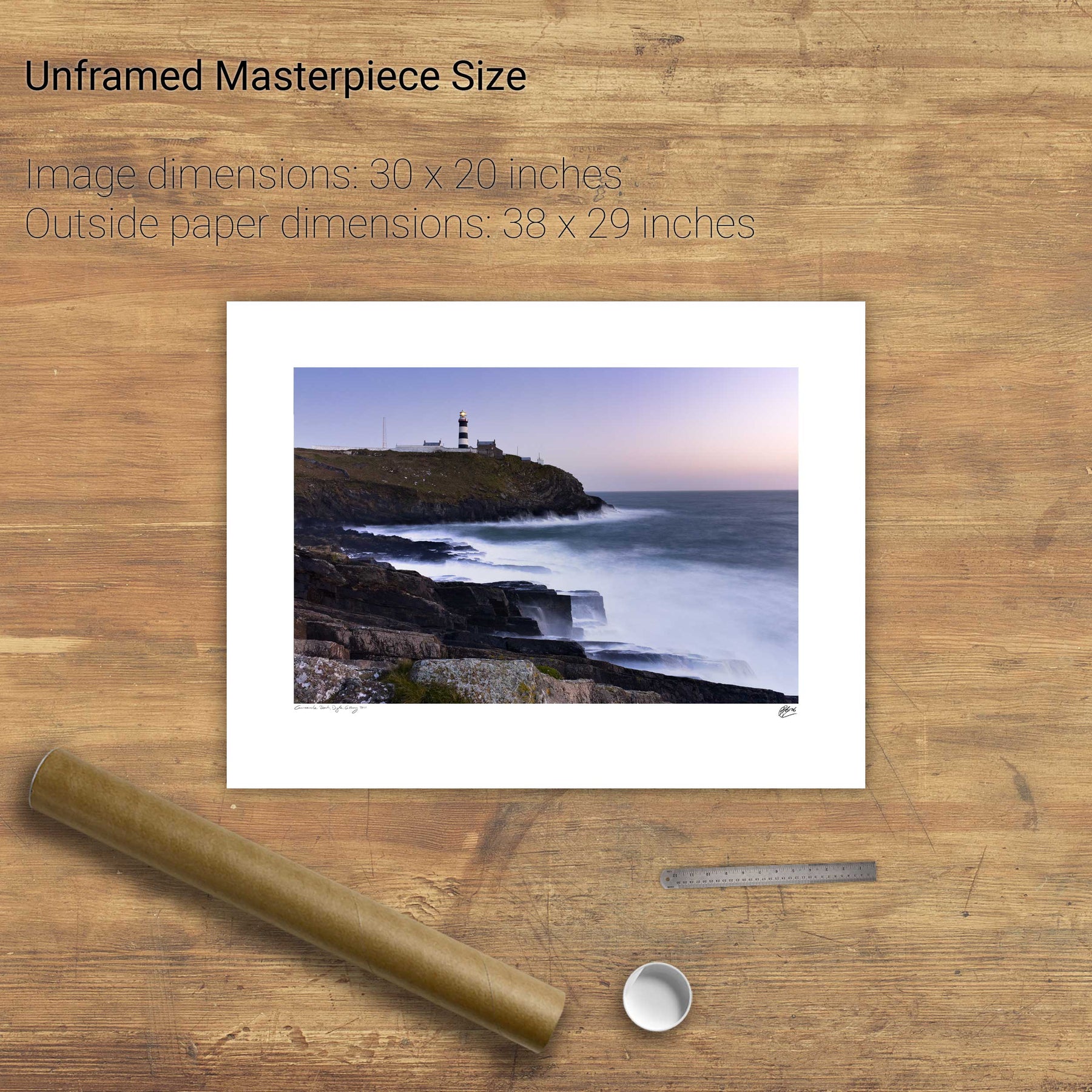
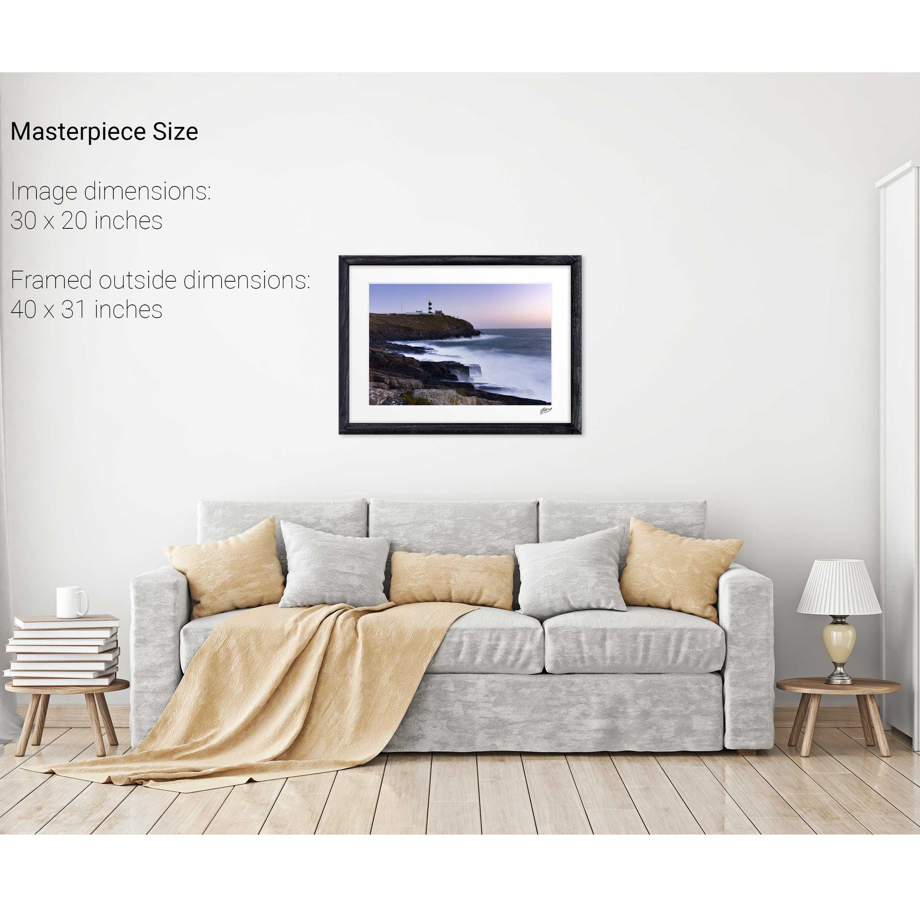
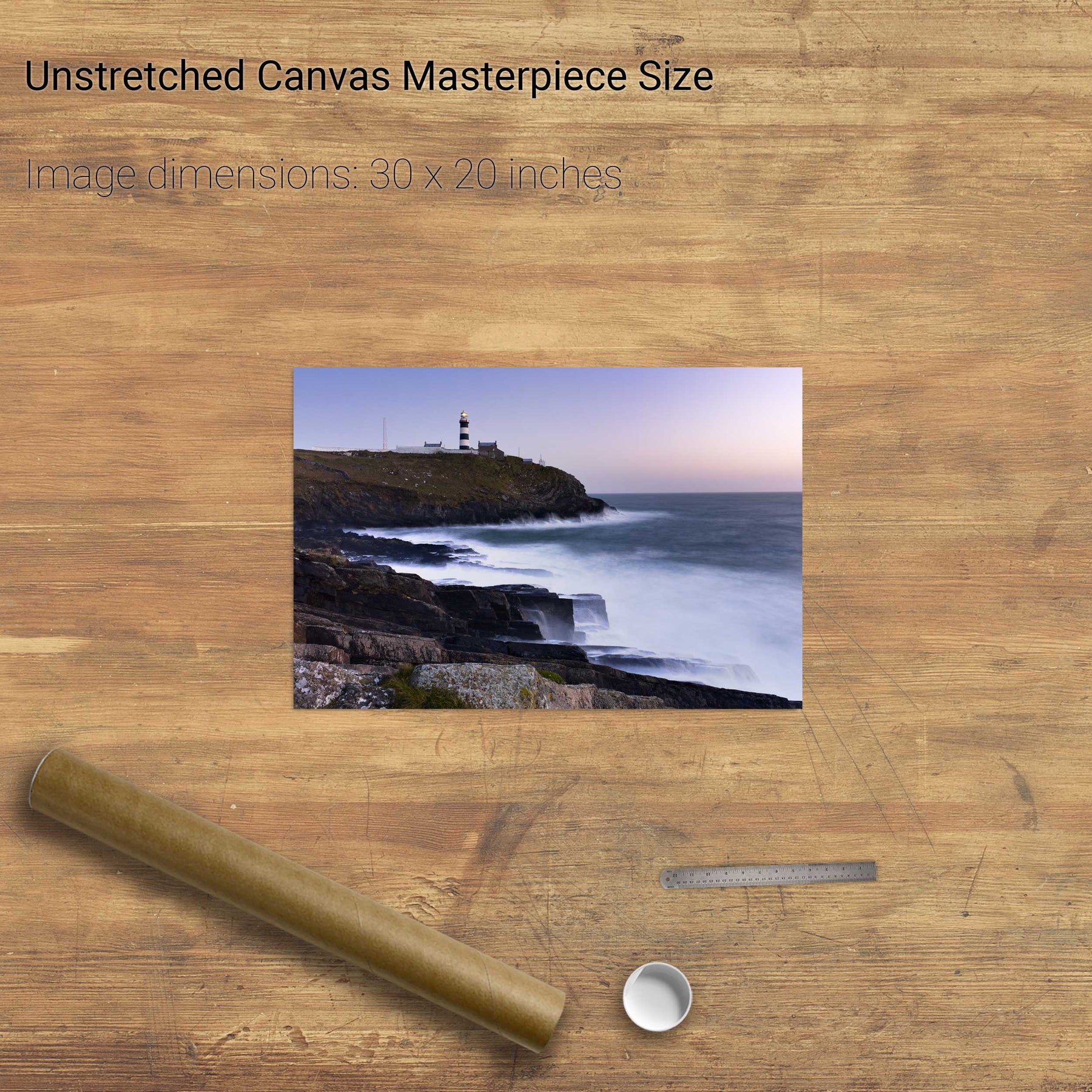
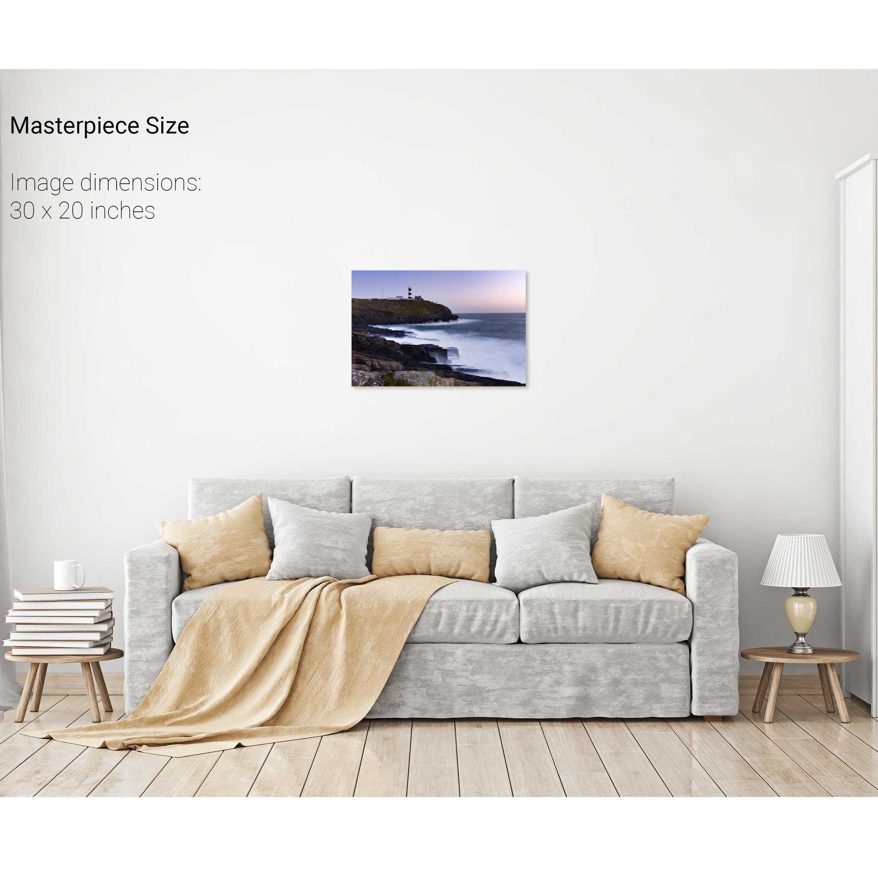
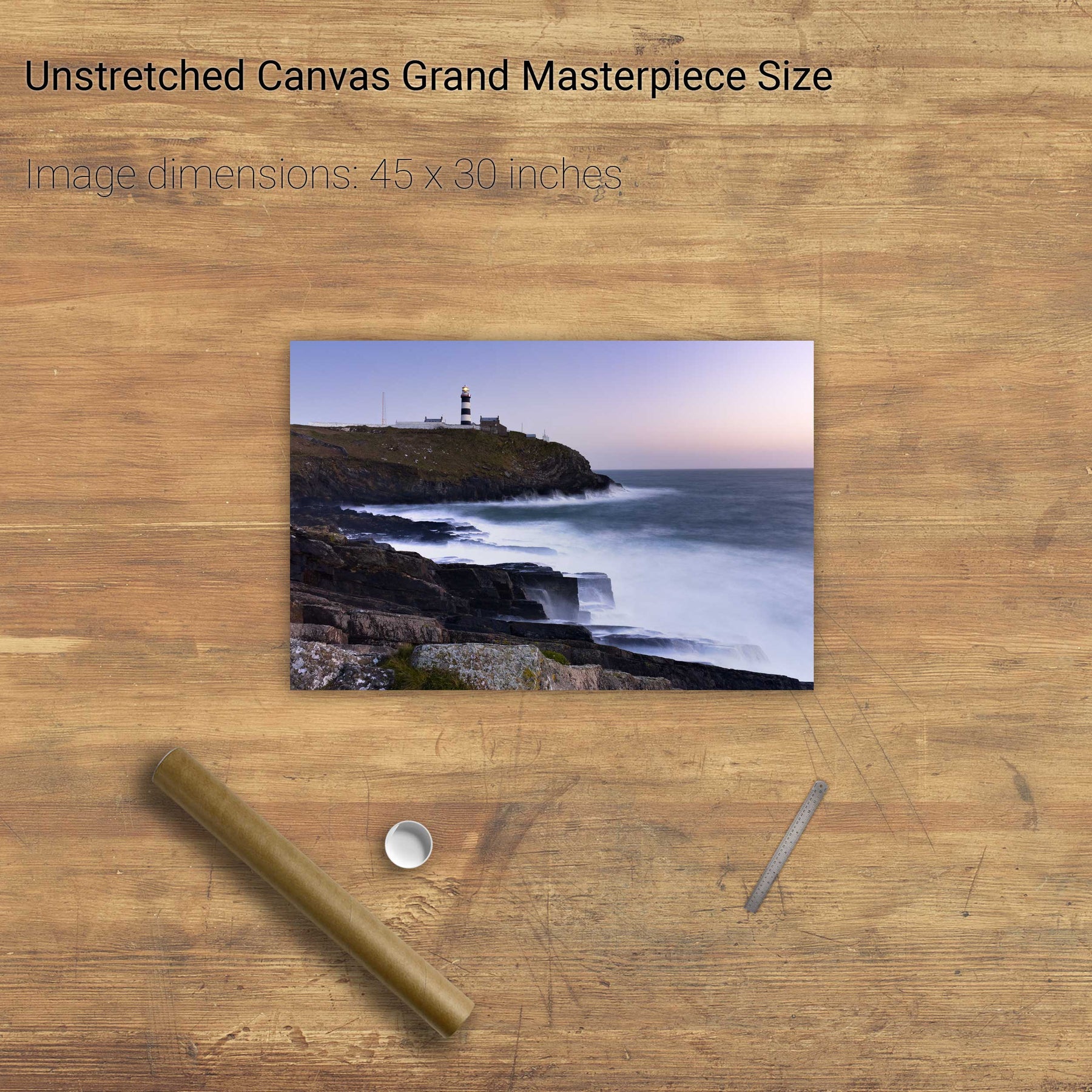
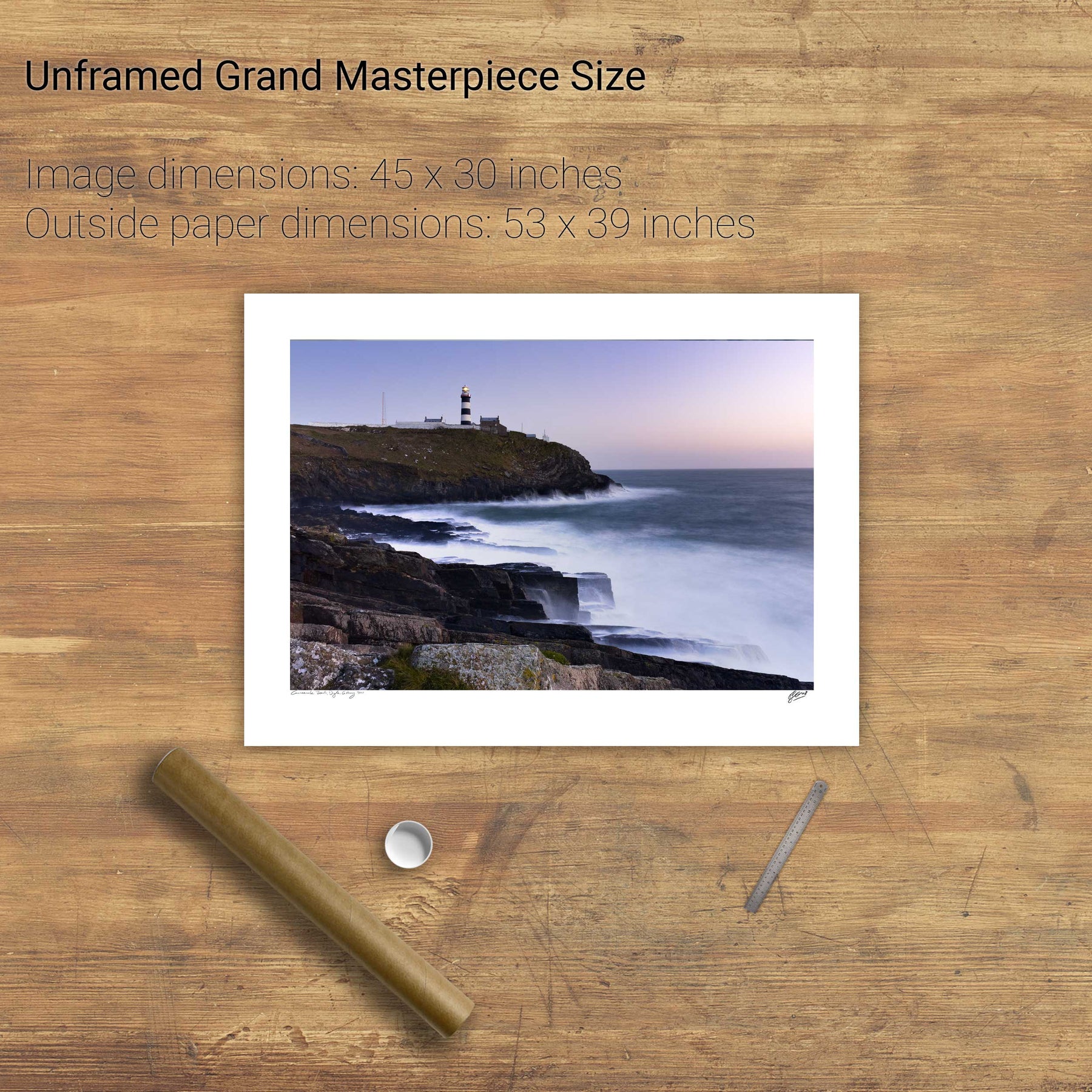
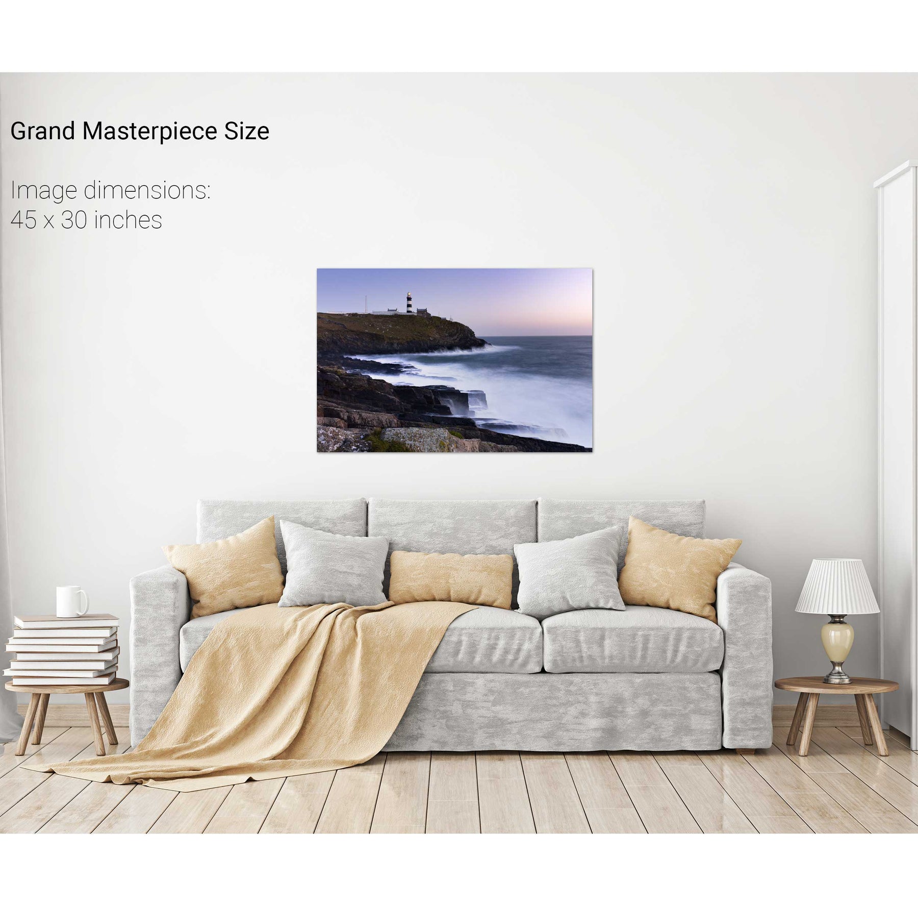
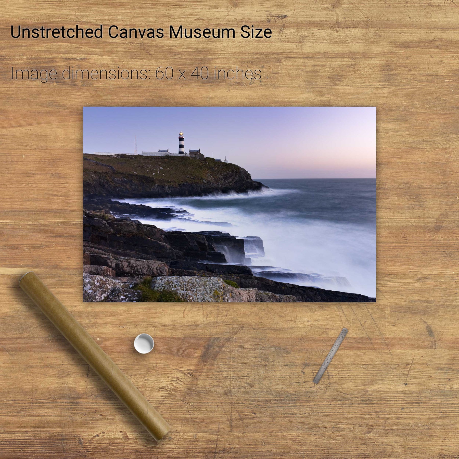
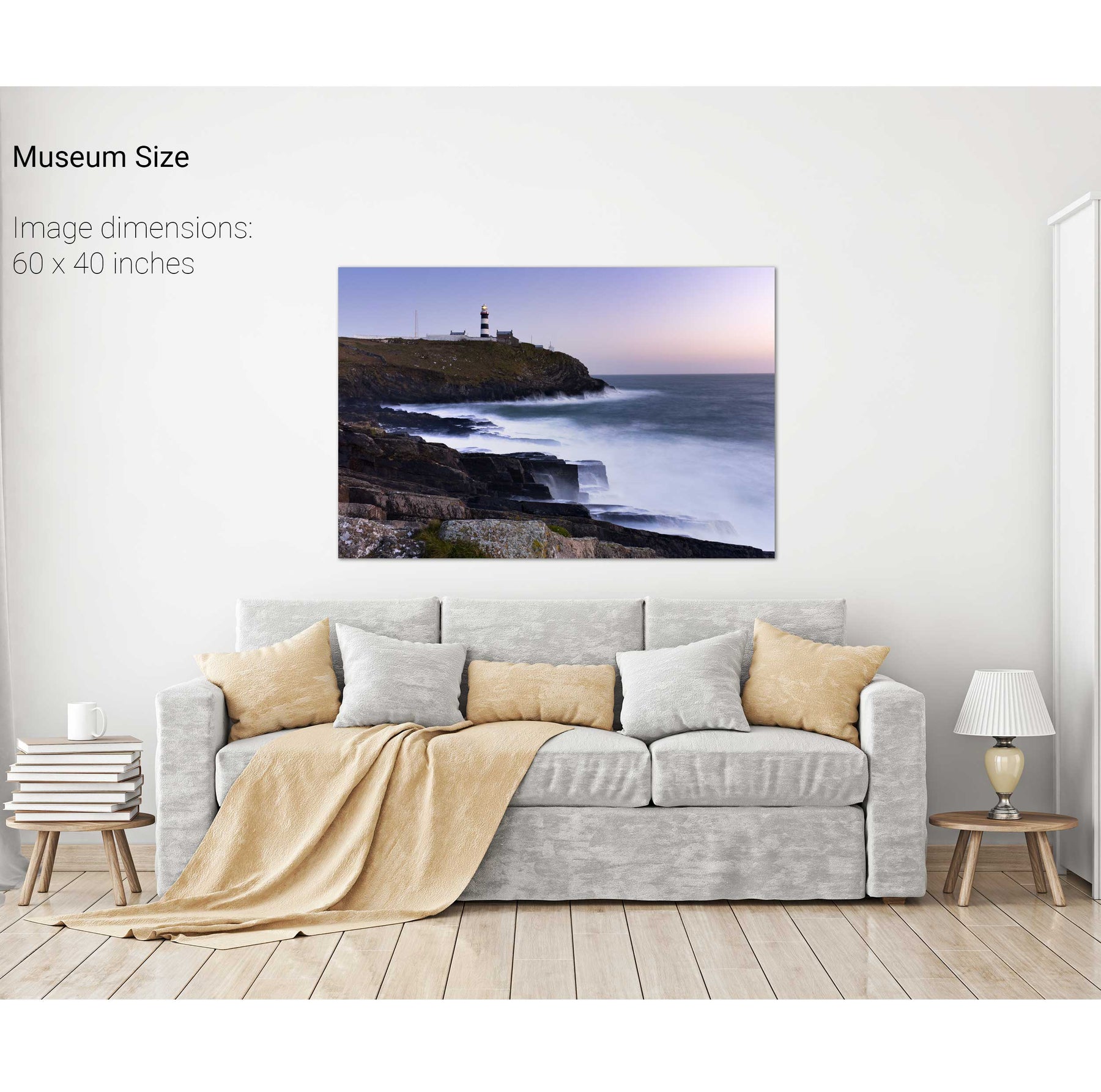
Old Head of Kinsale Lighthouse, Co. Cork


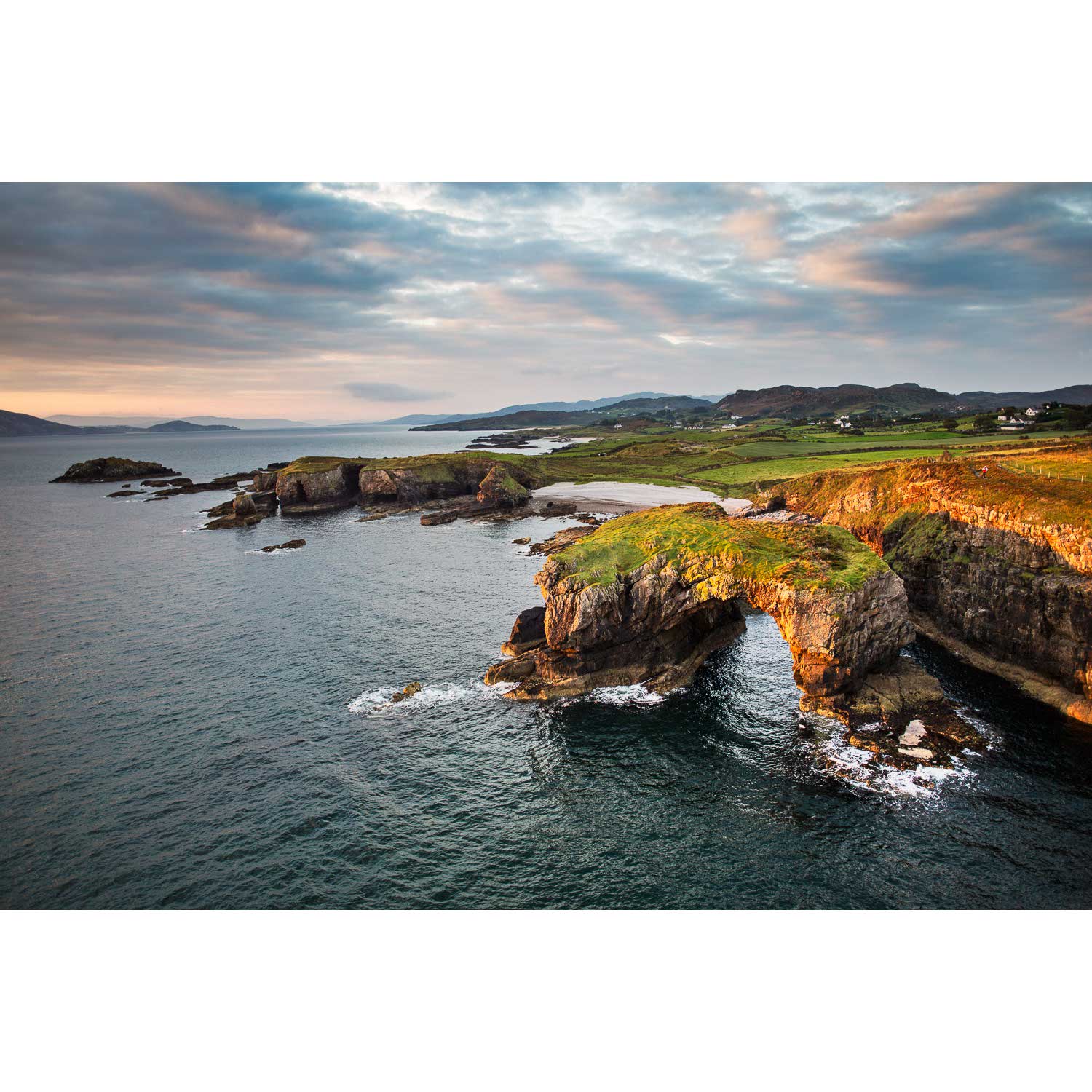
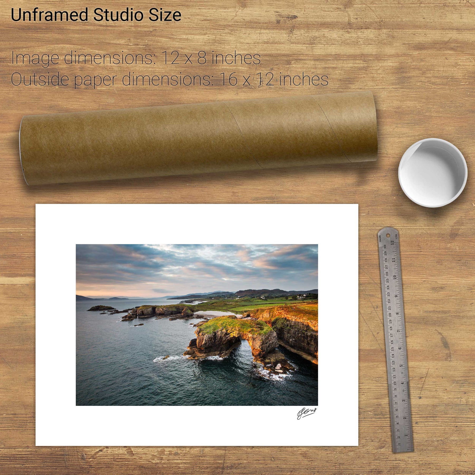
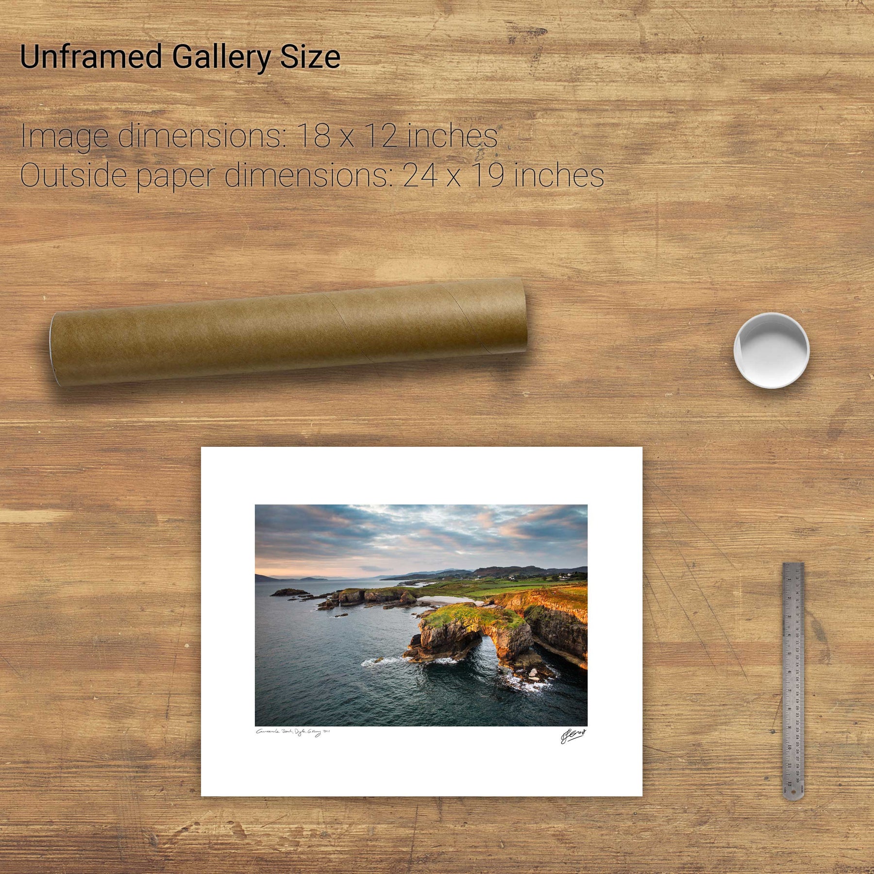
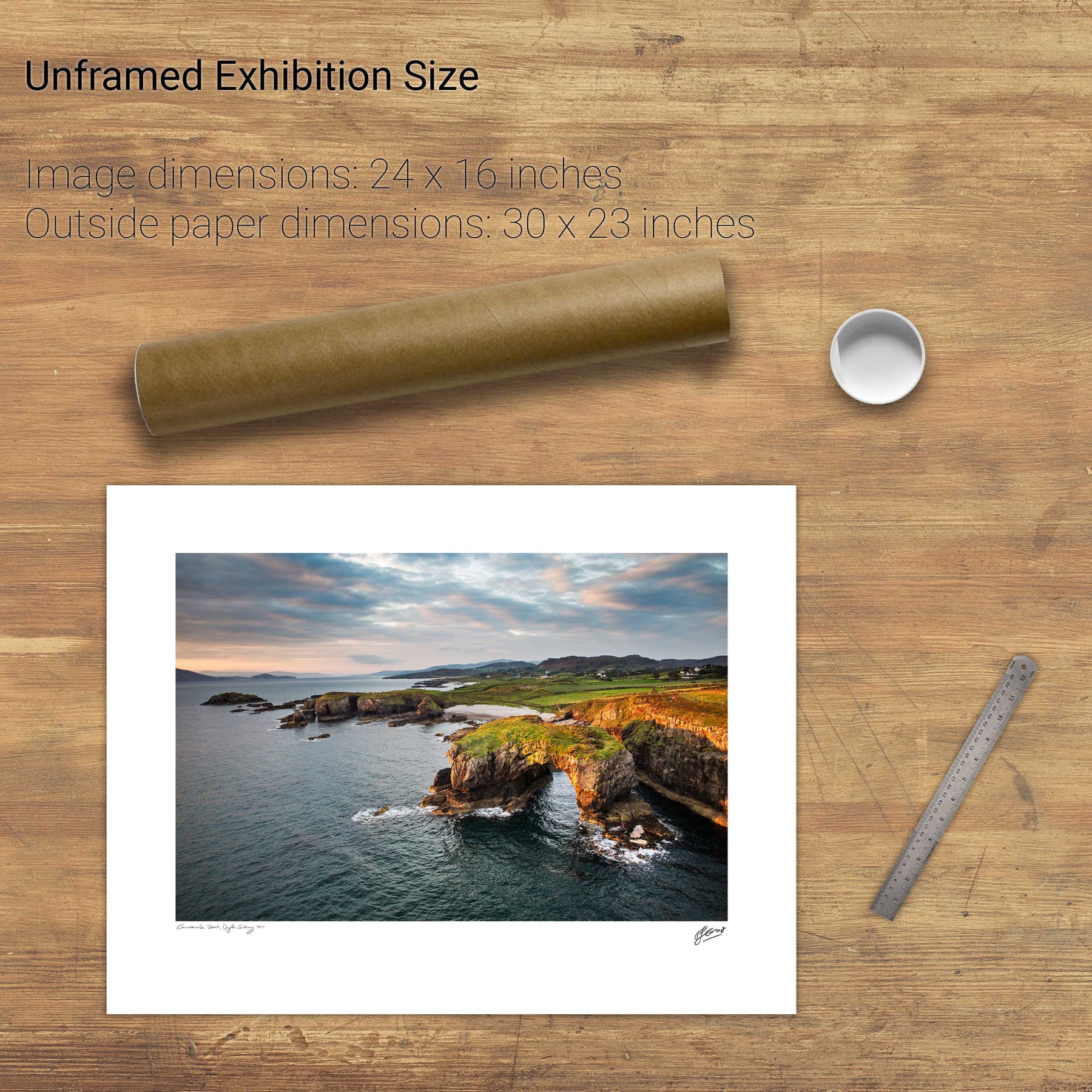
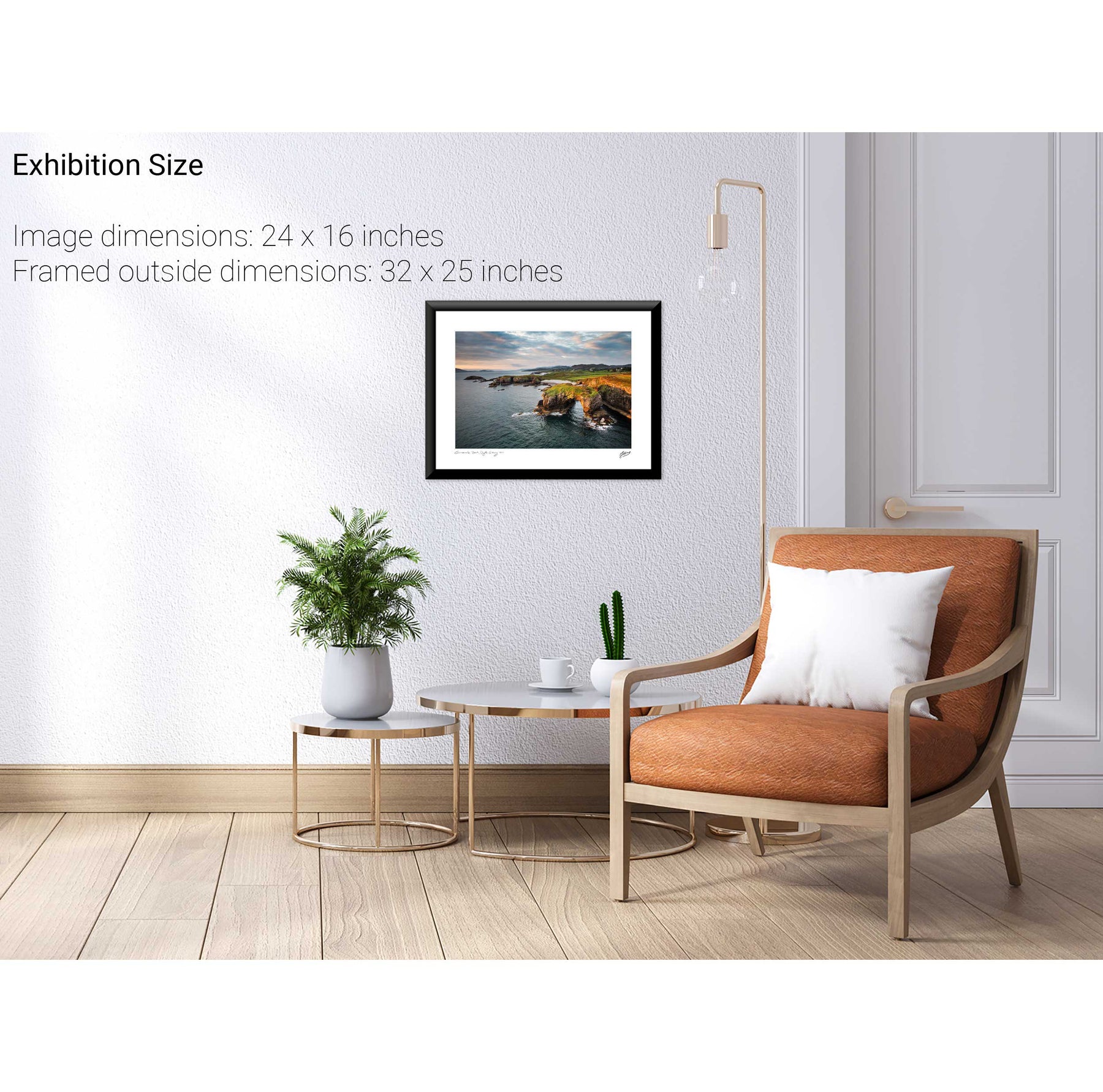
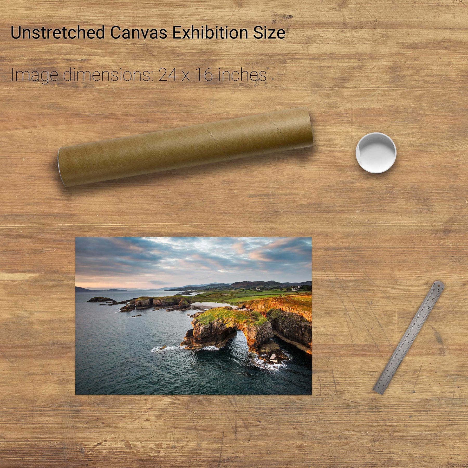
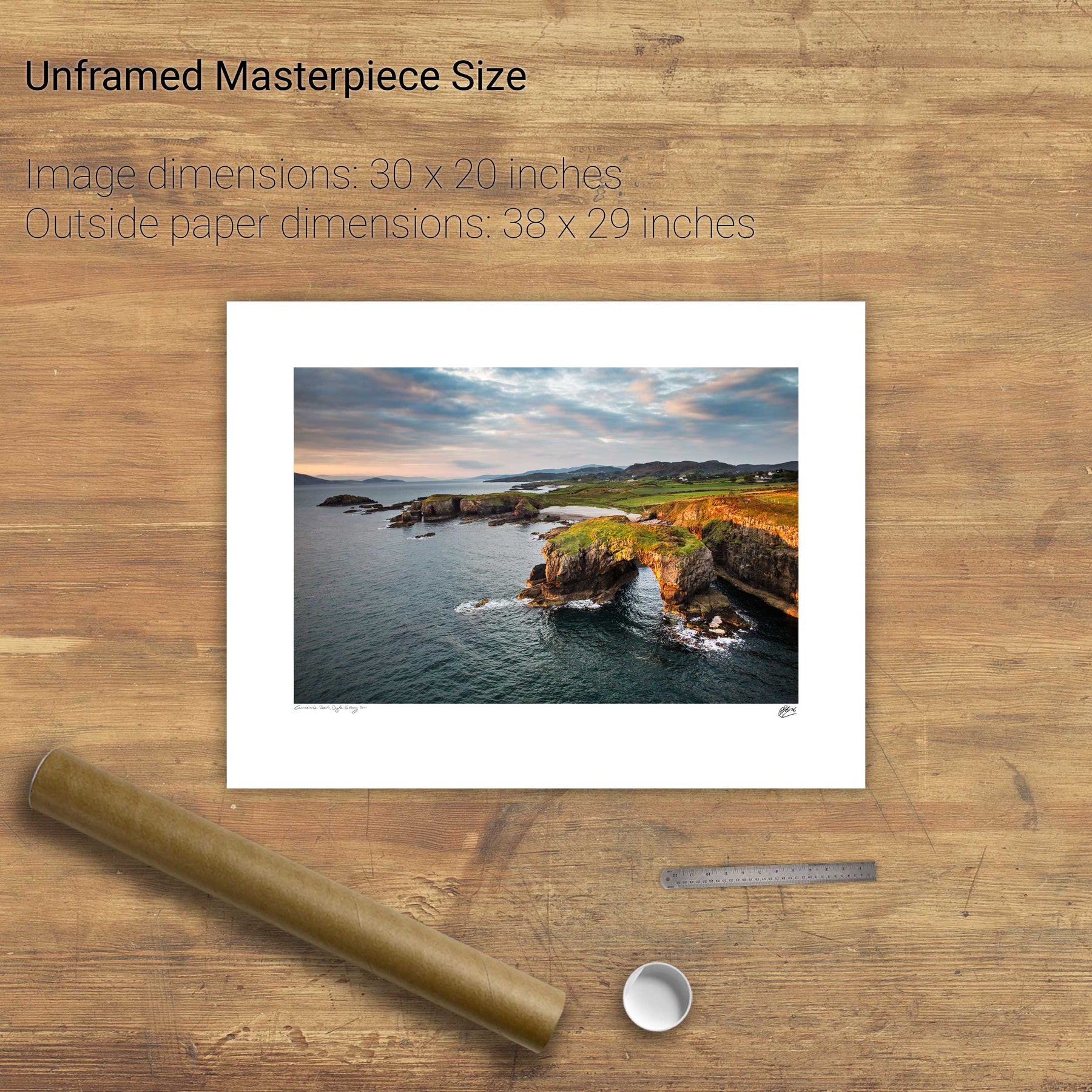
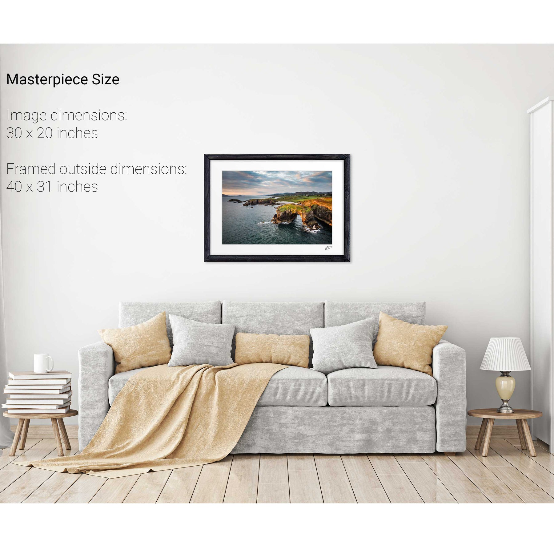
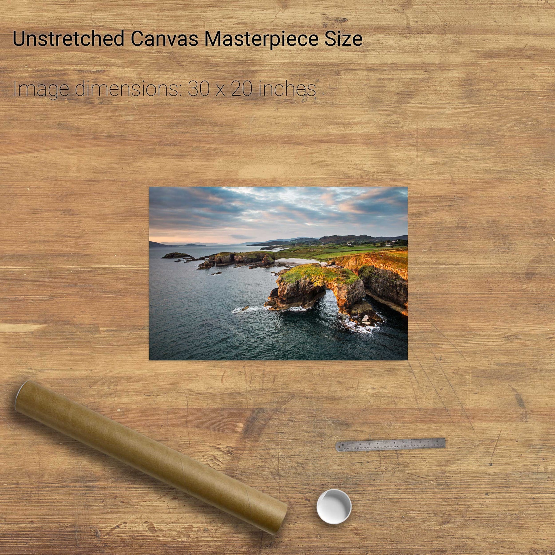
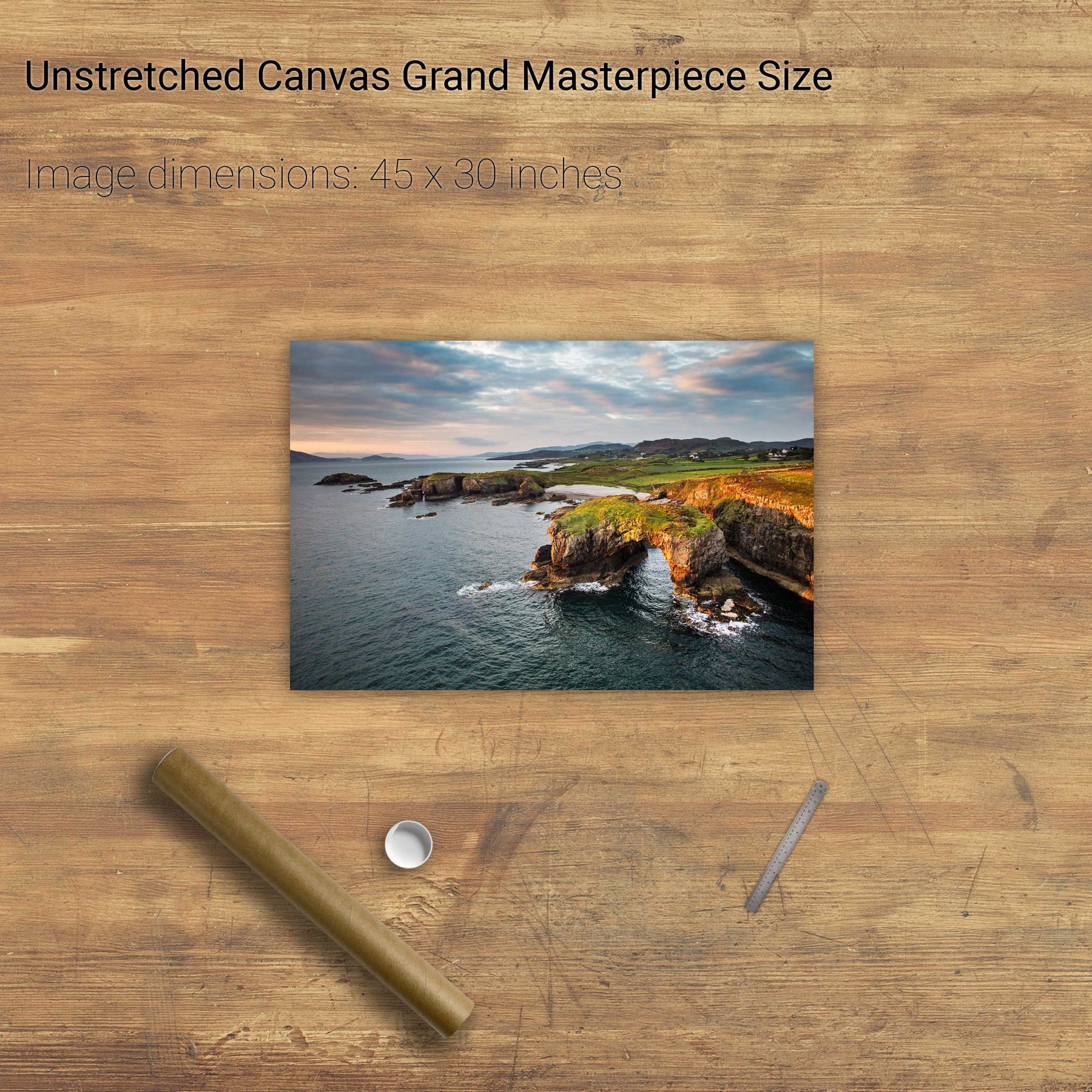
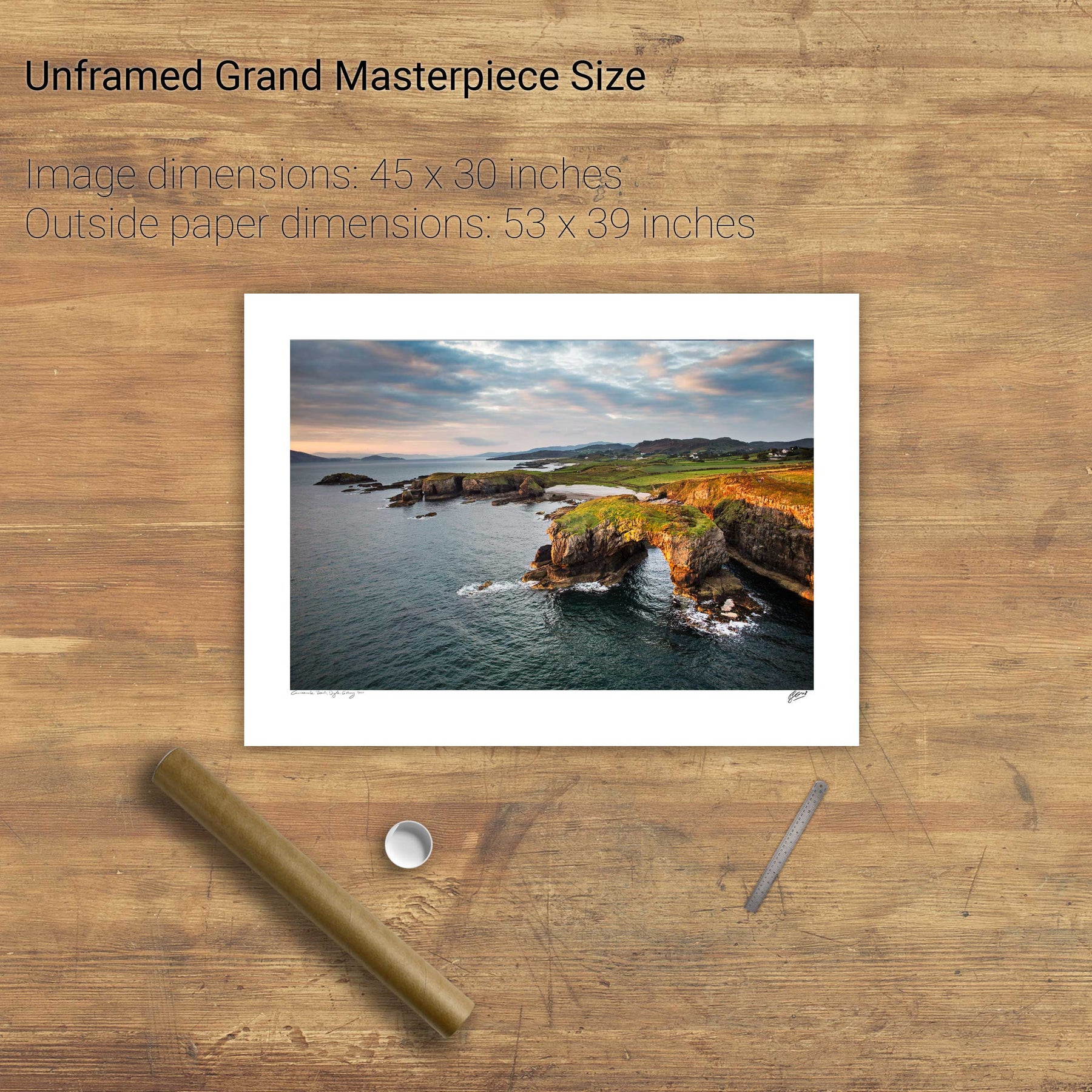
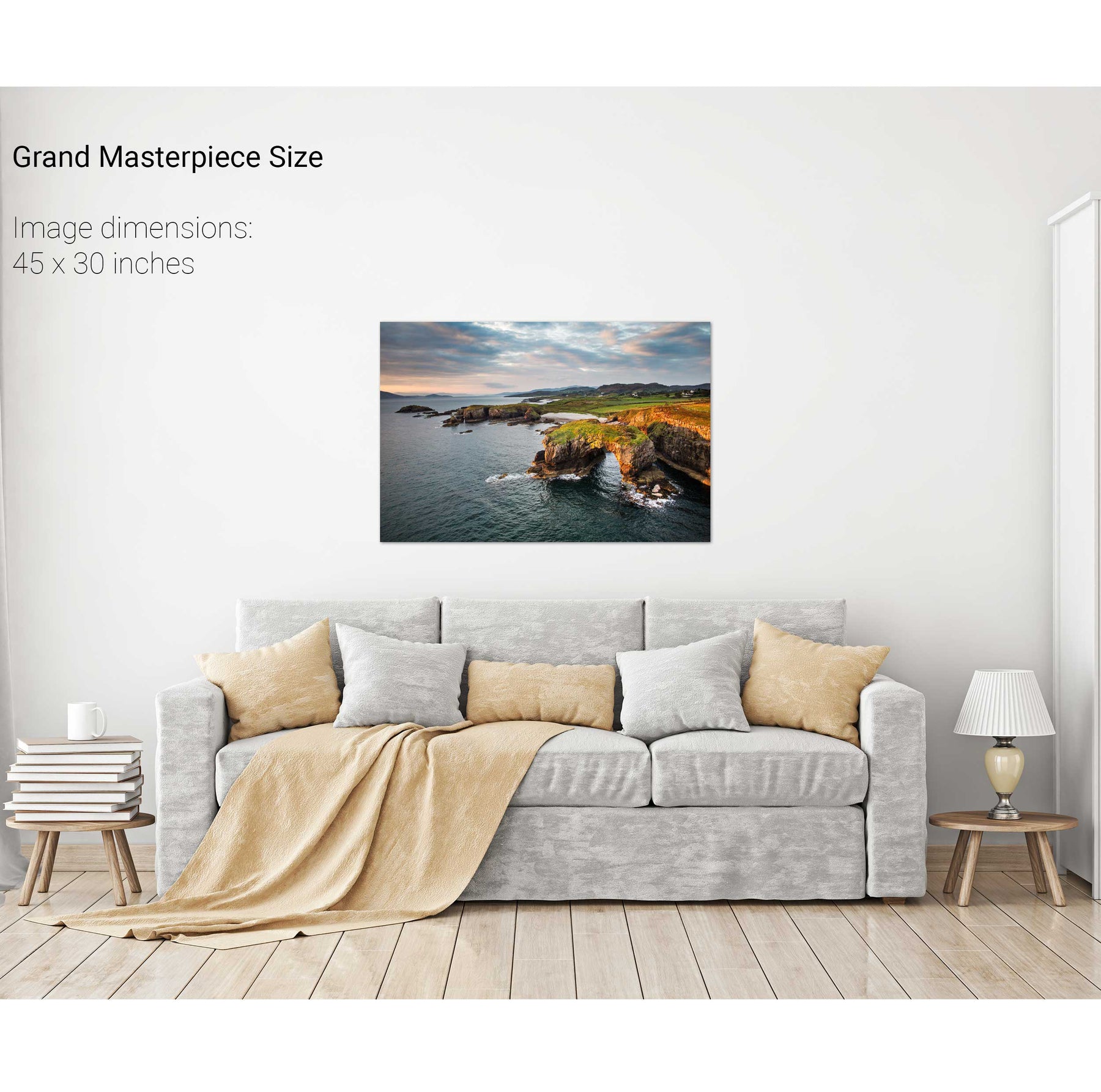
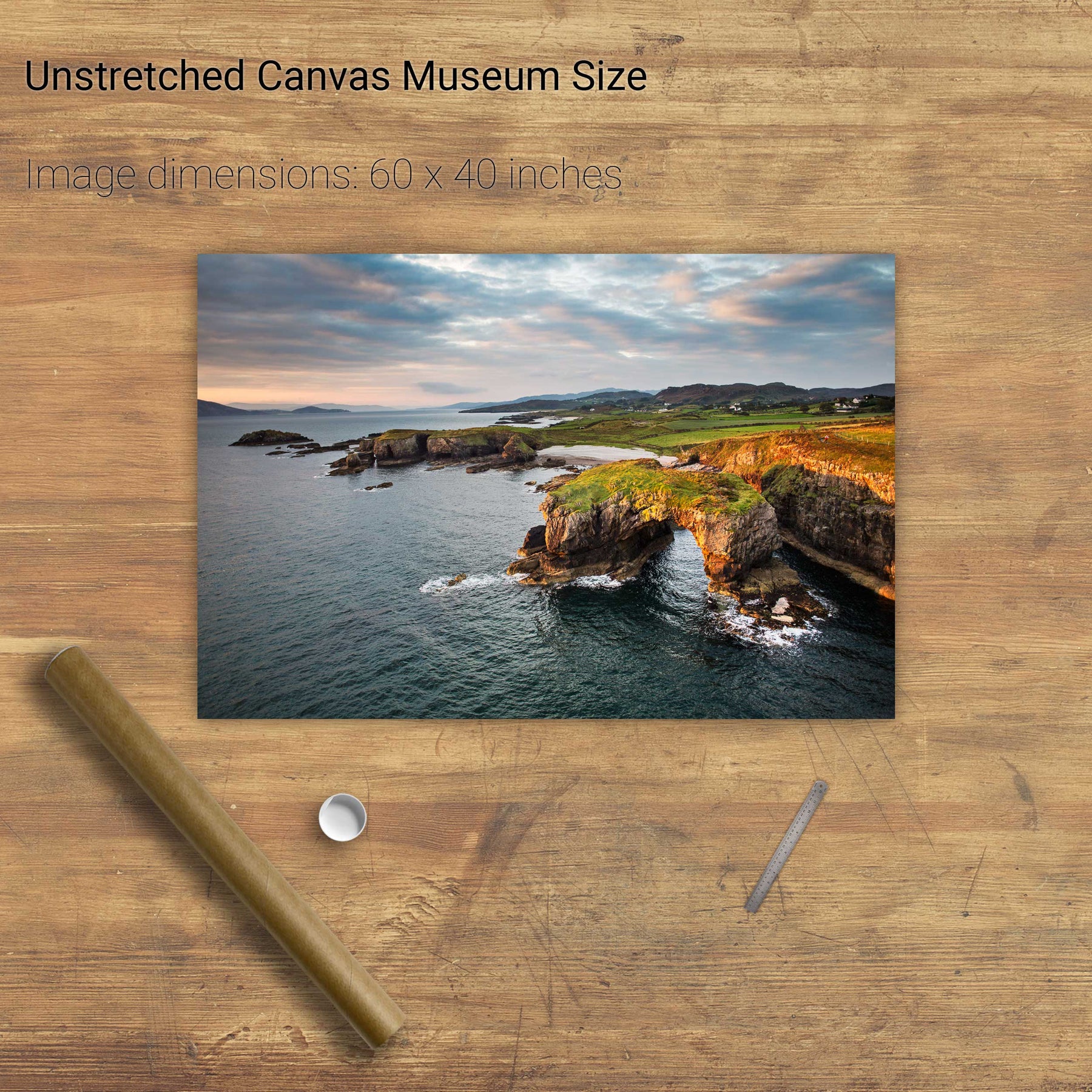
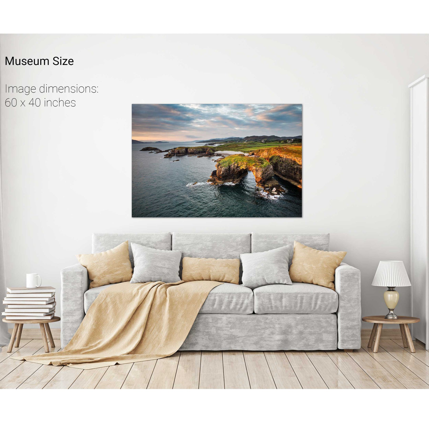
Great Pollet Arch, Co. Donegal


Dursey Island & Gannet, Co. Cork