255 products
255 products
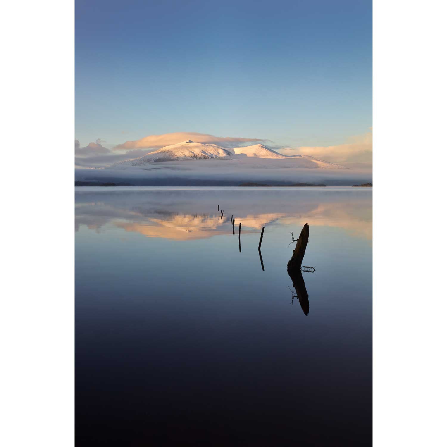
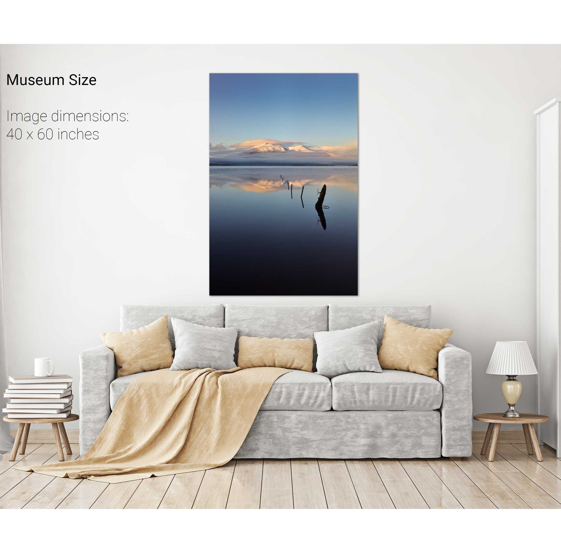
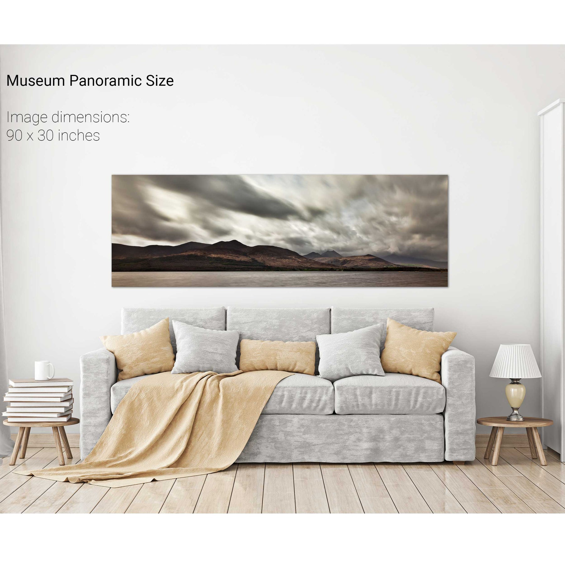
Winter, Lough Leane, Co. Kerry


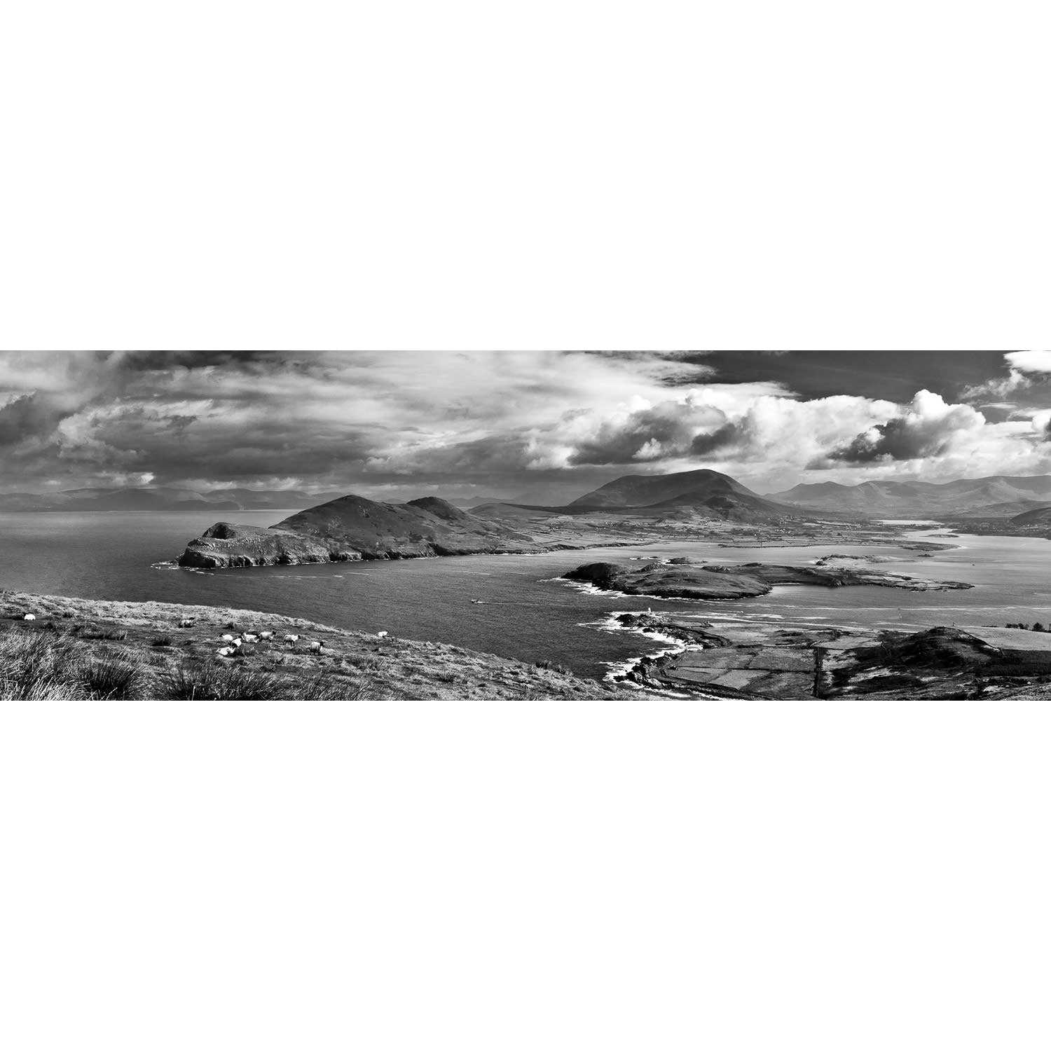
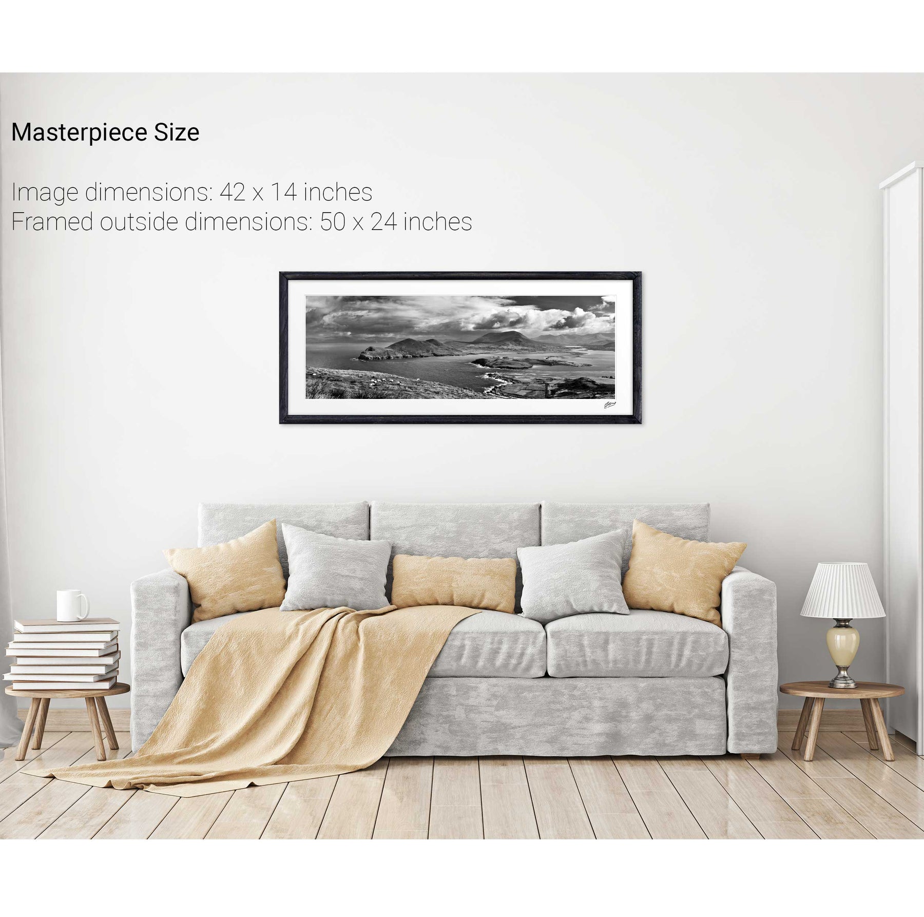
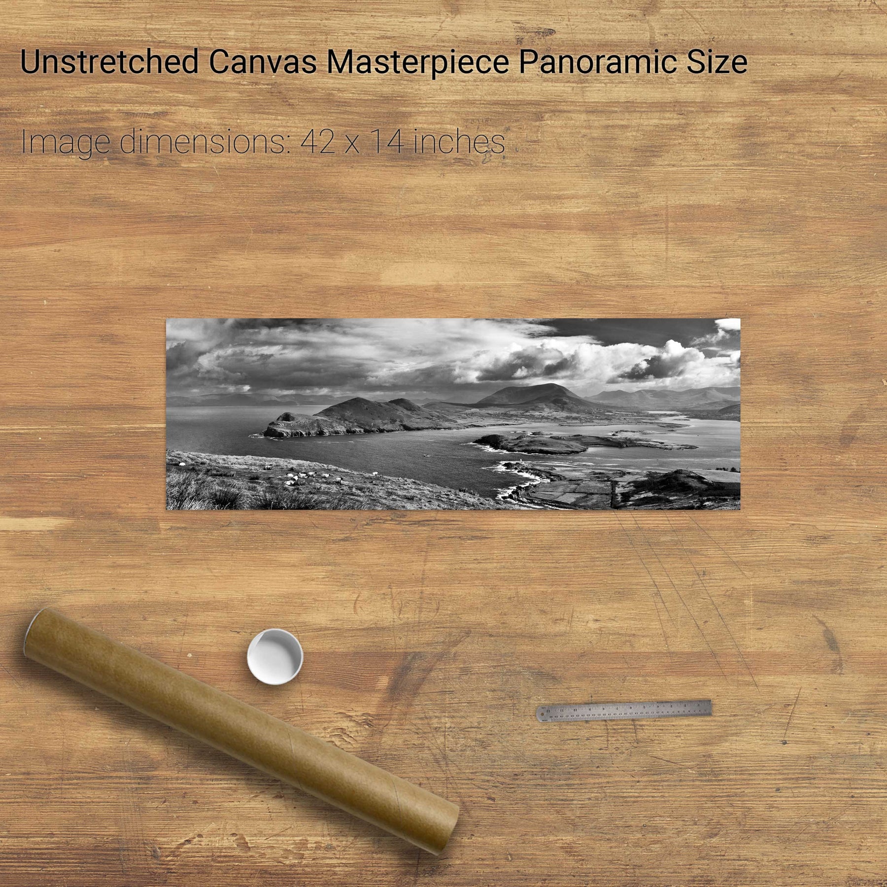
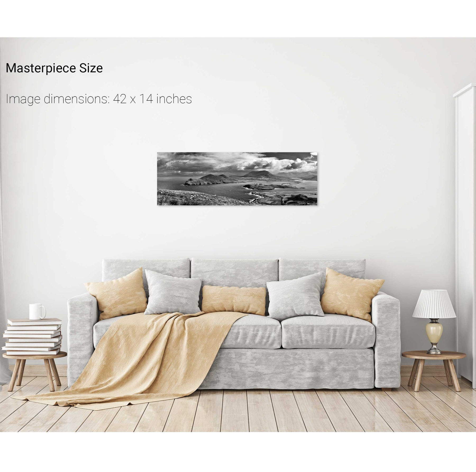
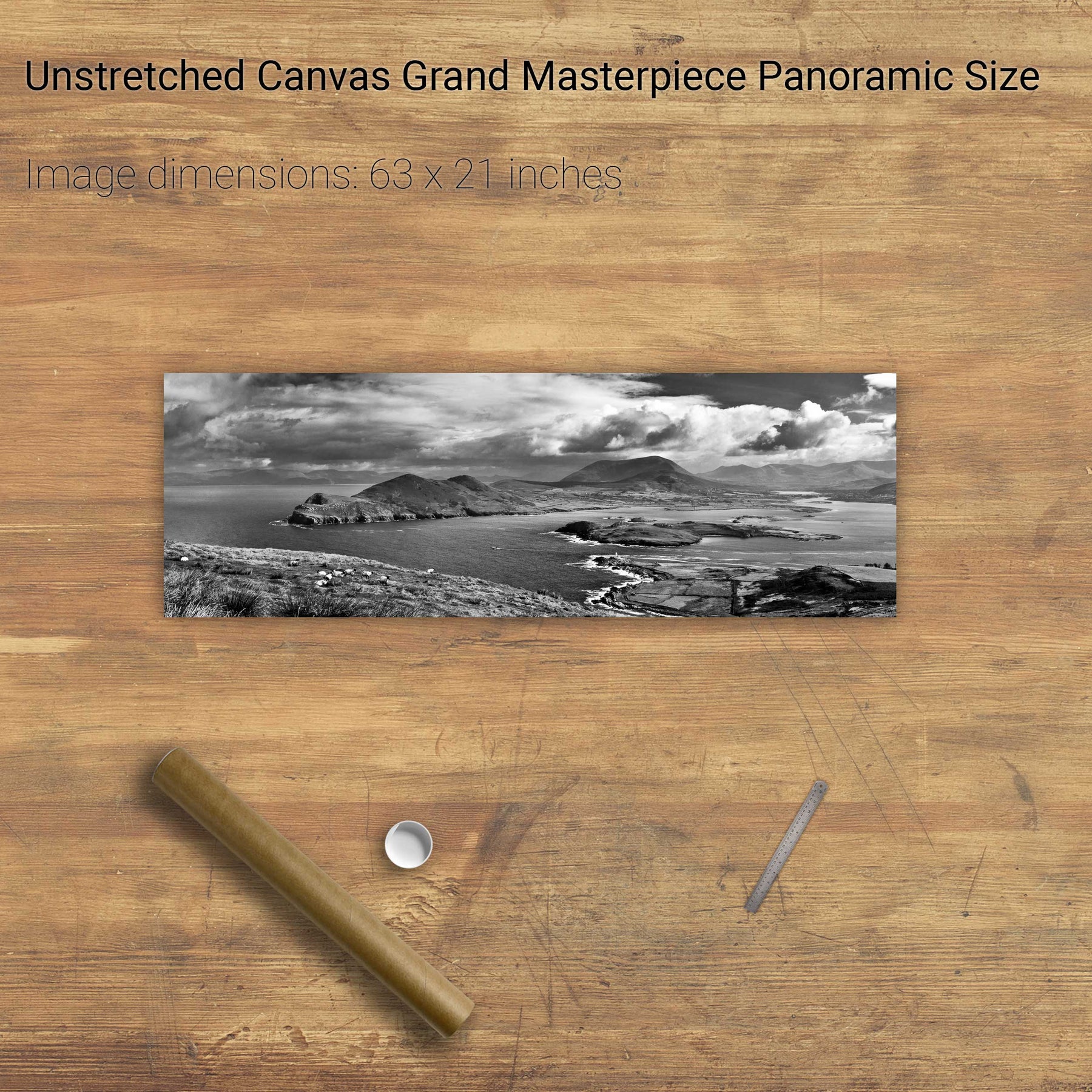
Geokaun Mountain Panoramic, Co. Kerry


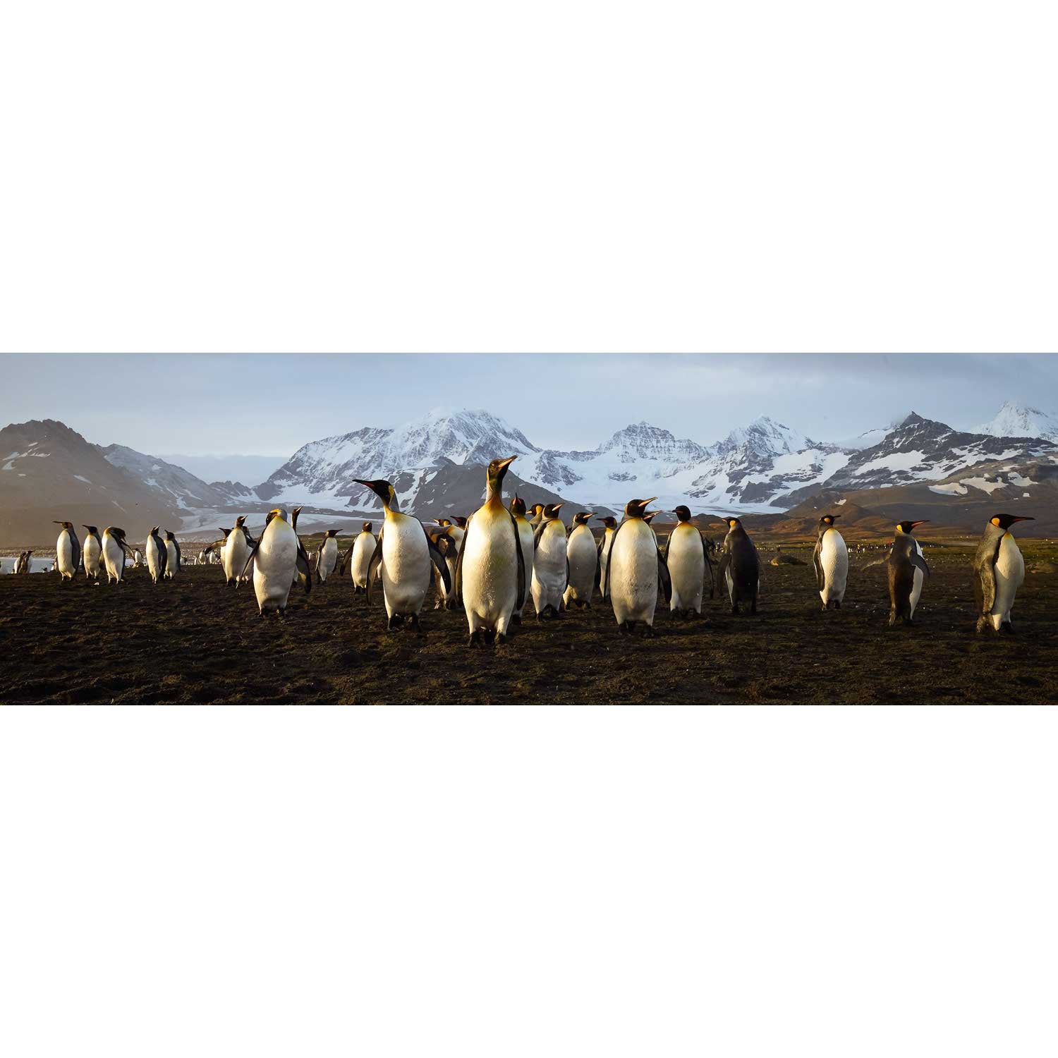
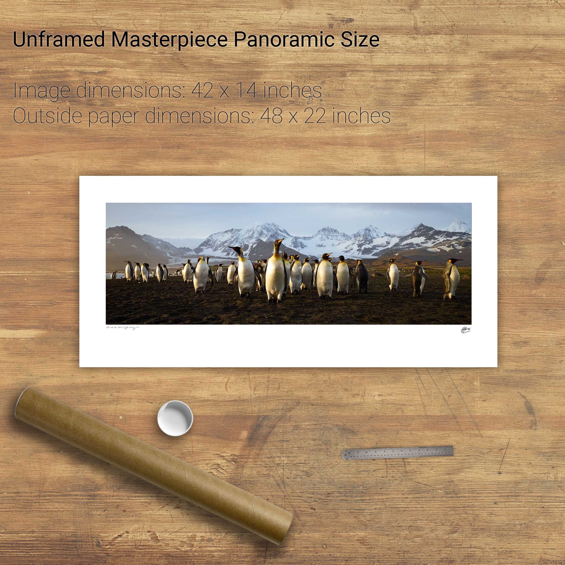
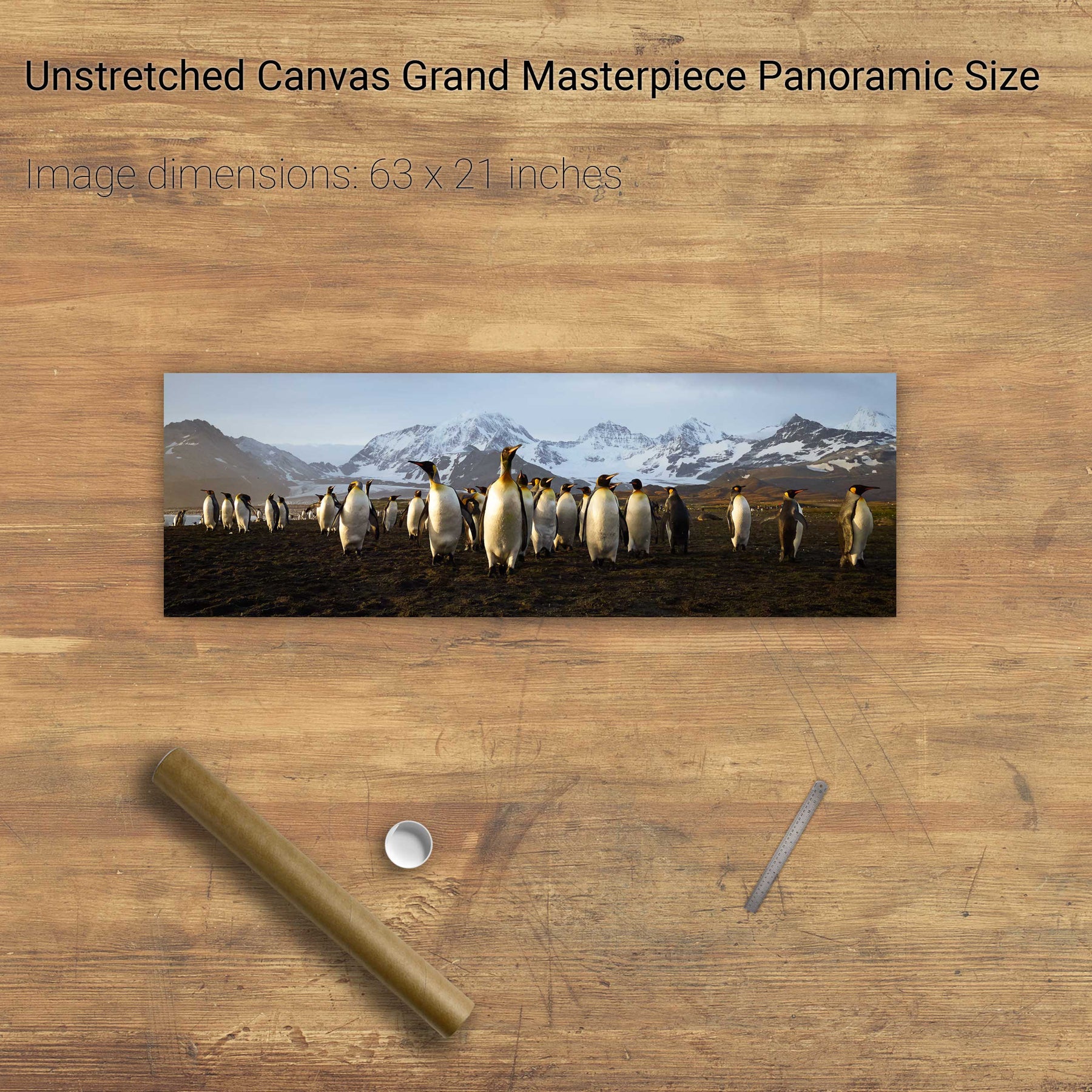
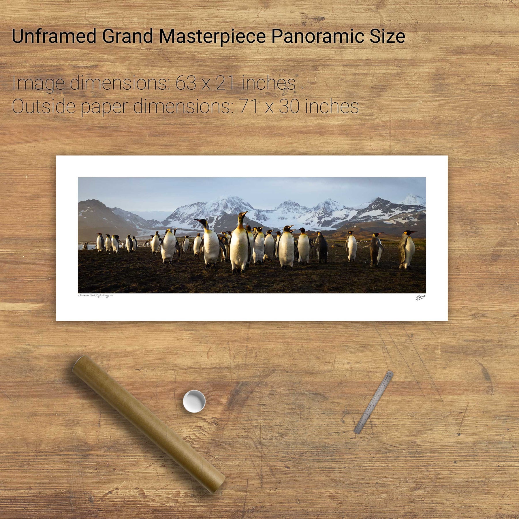
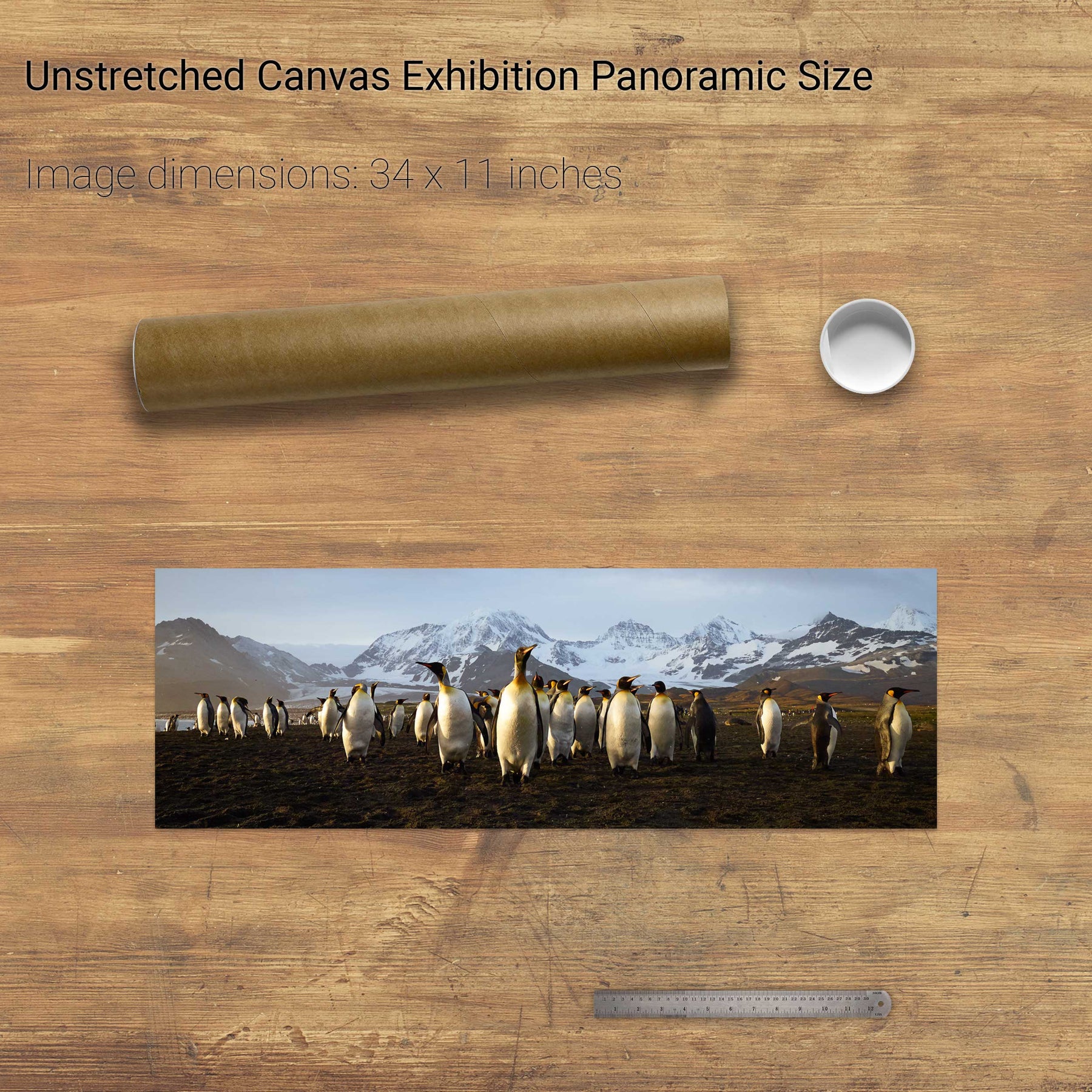
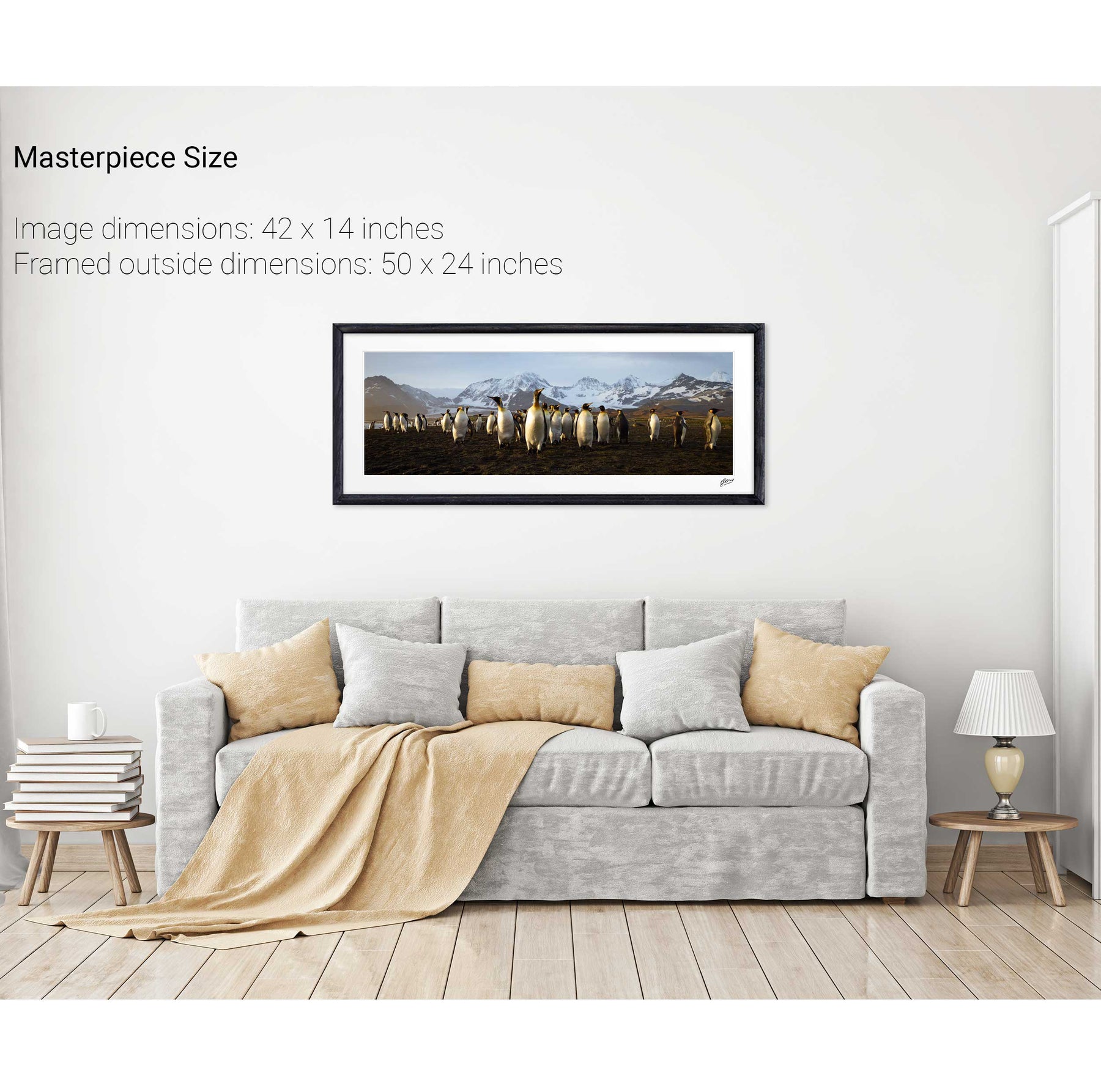
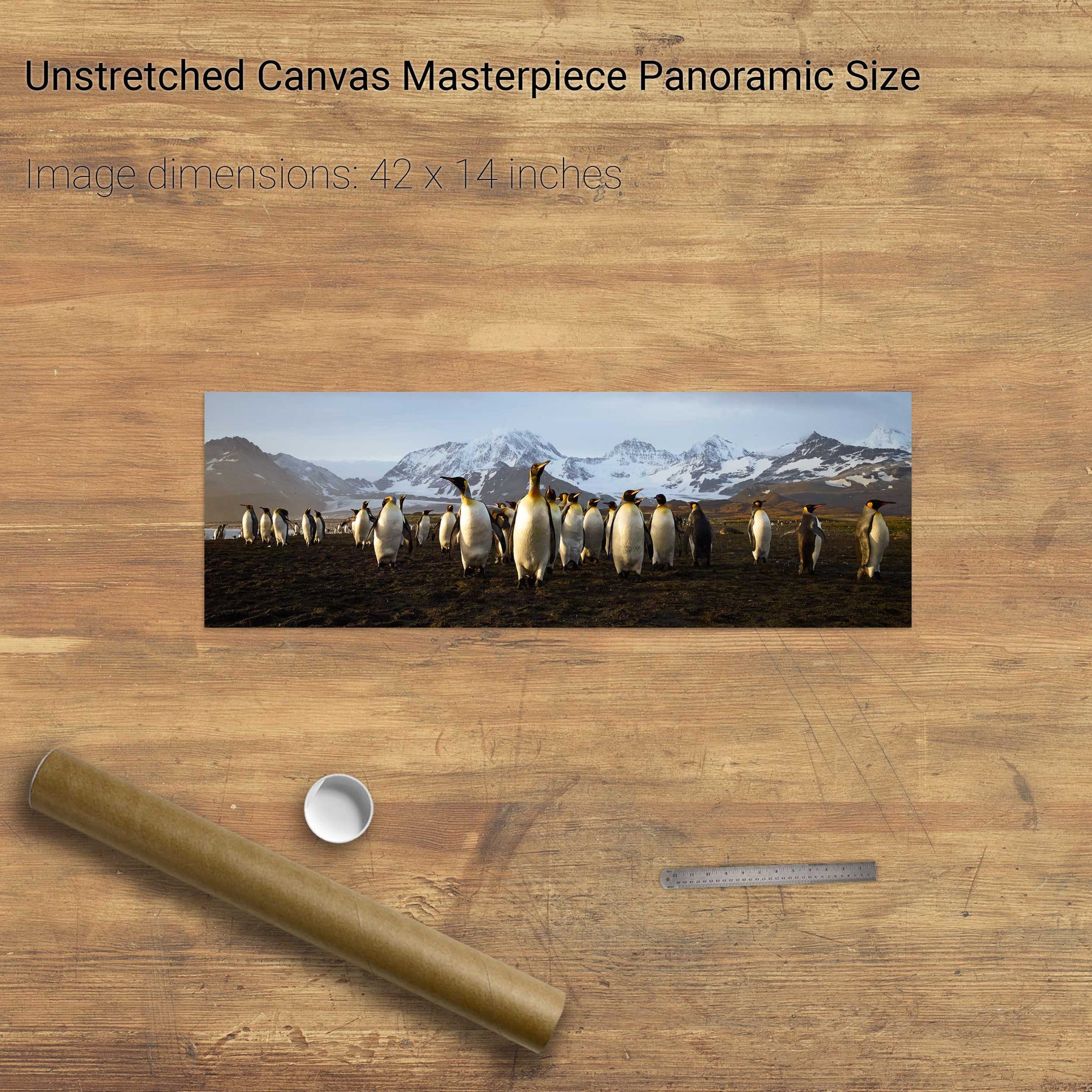
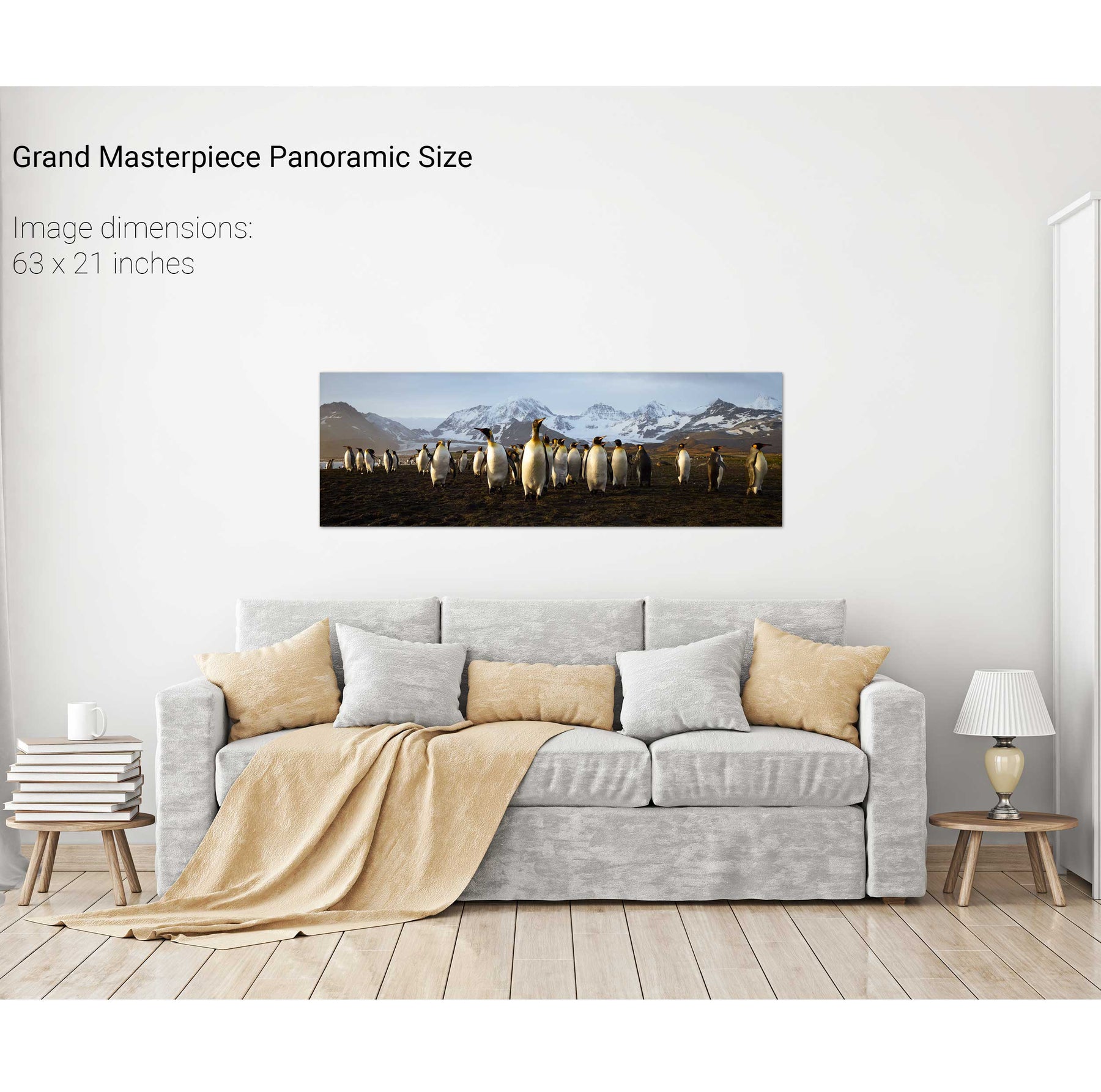
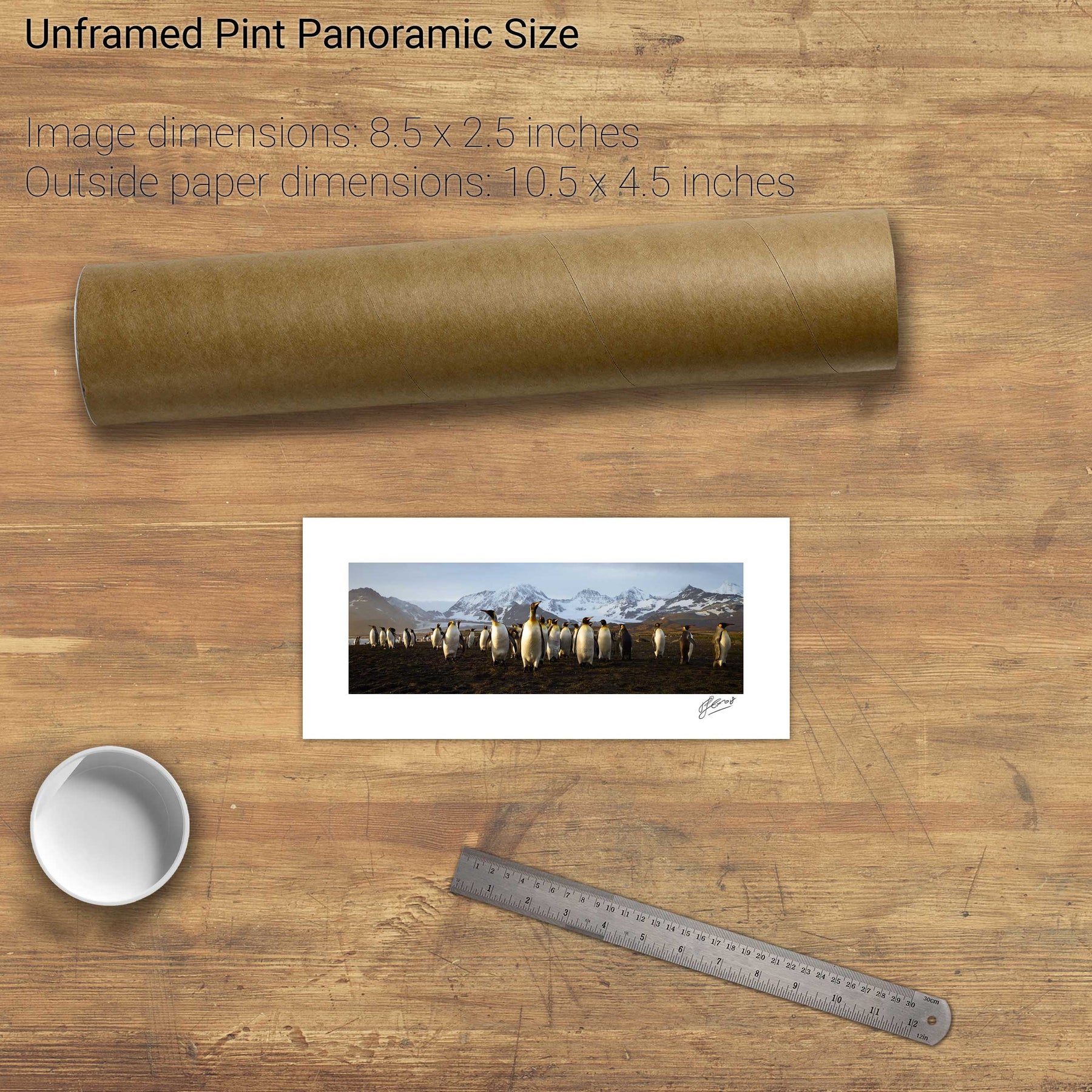
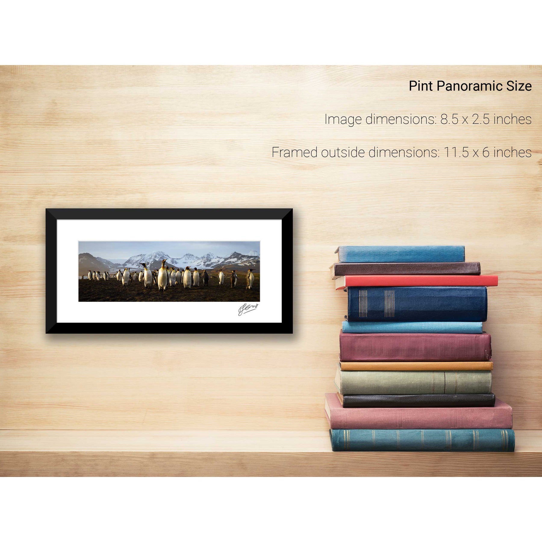
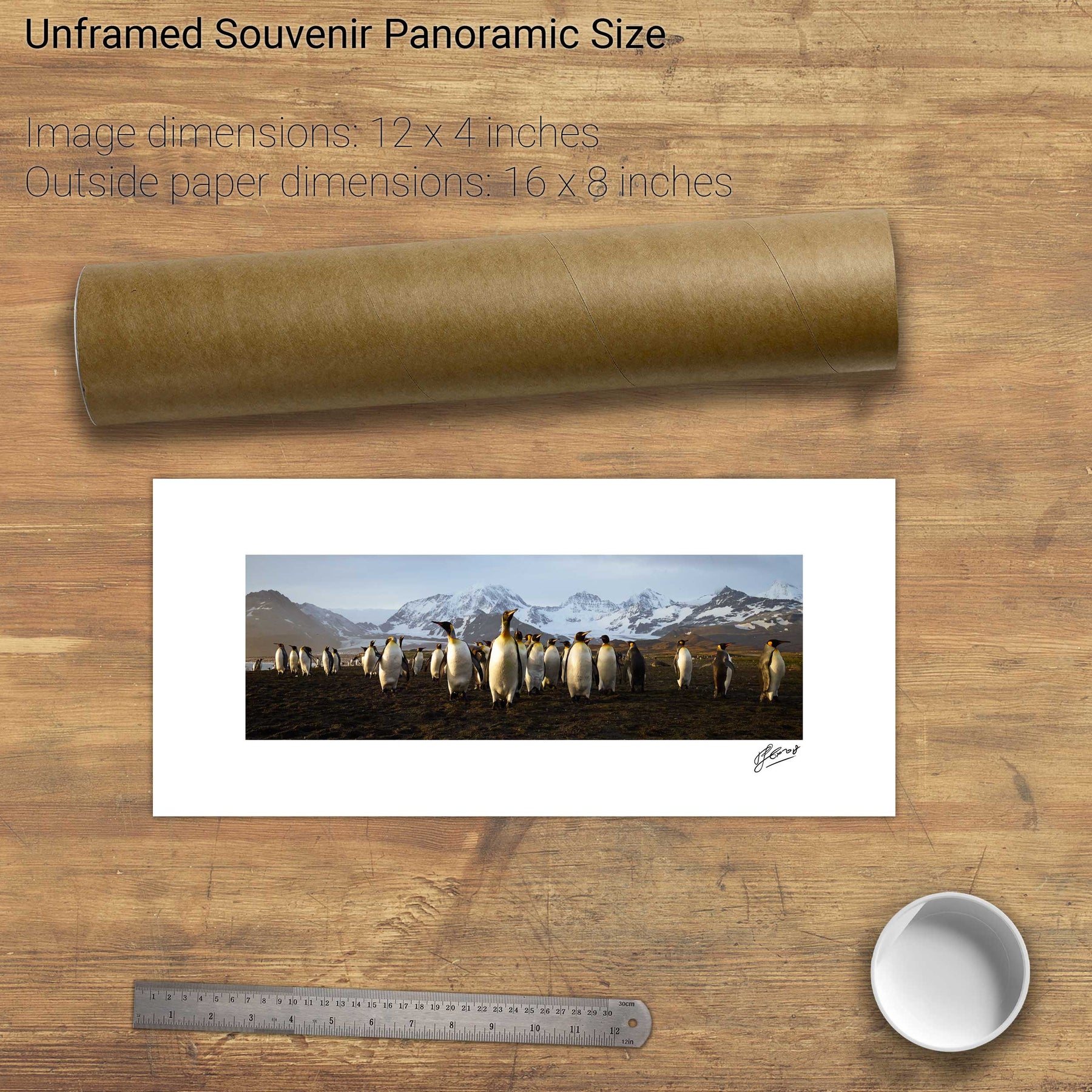
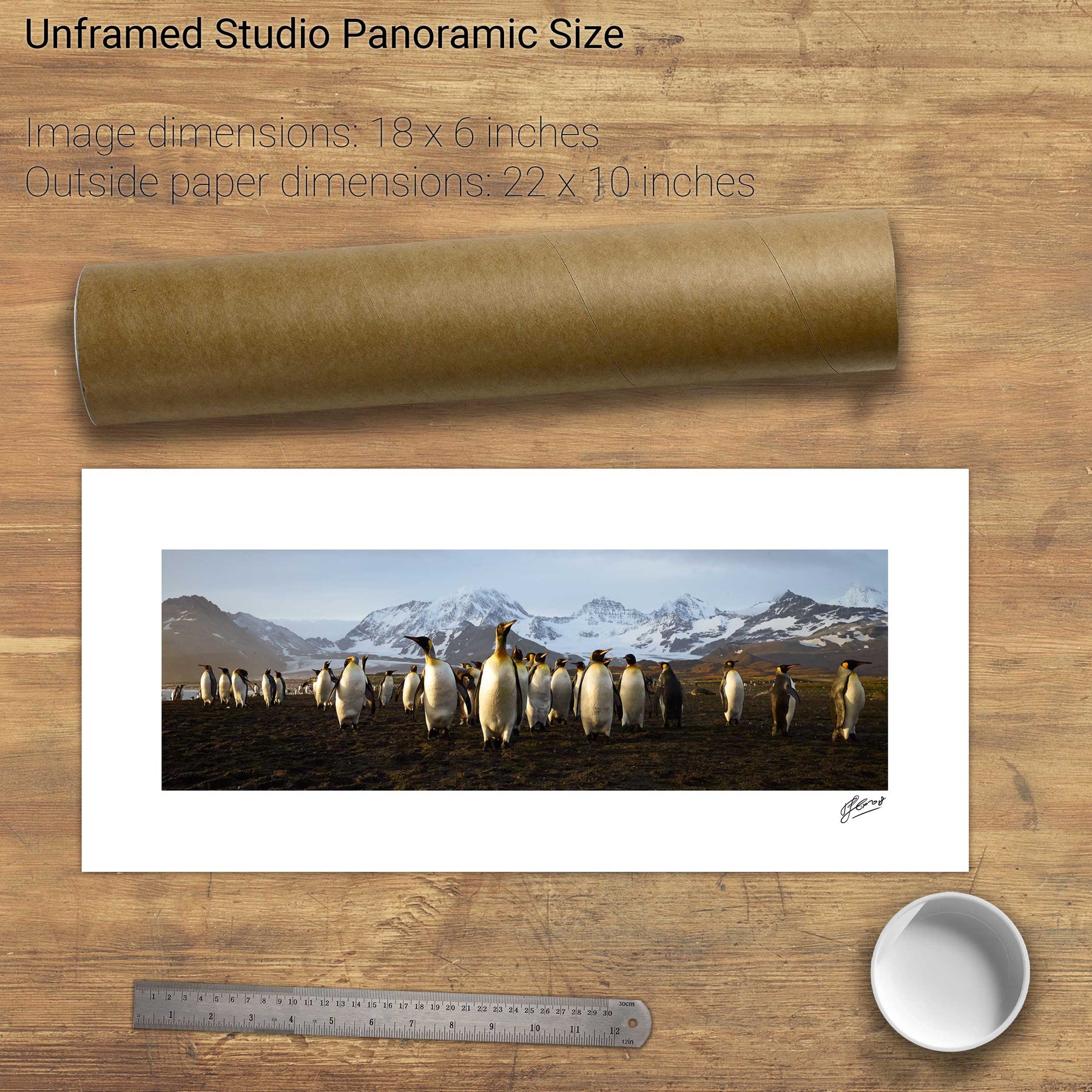
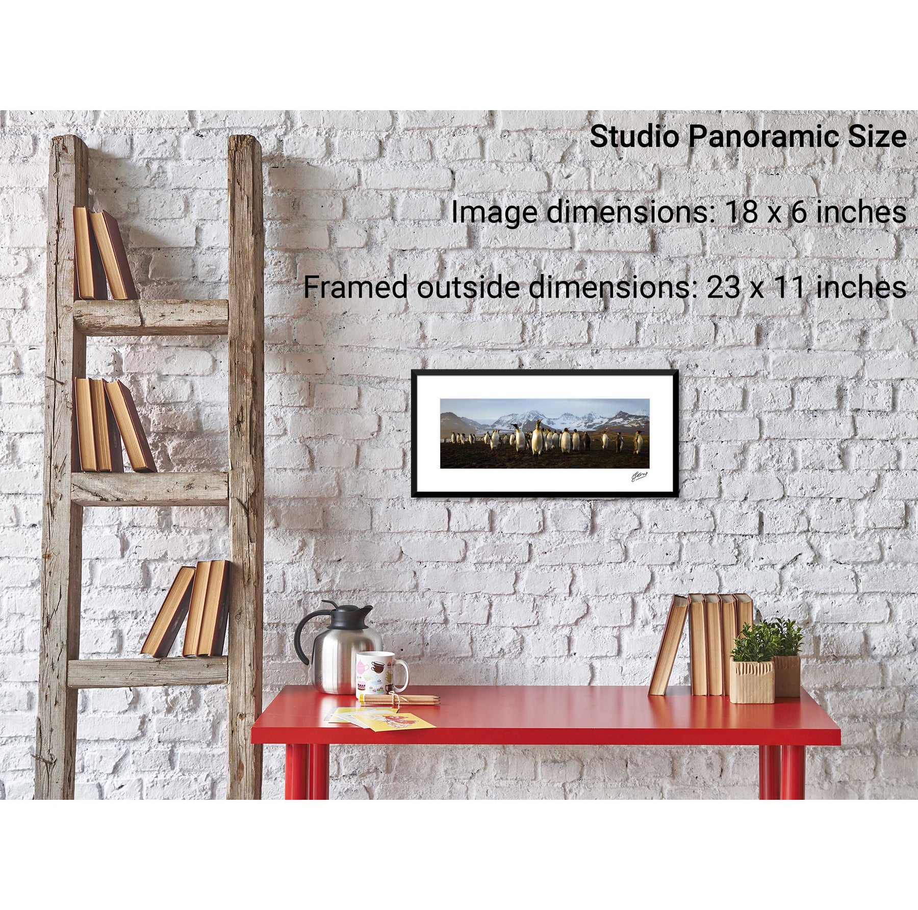
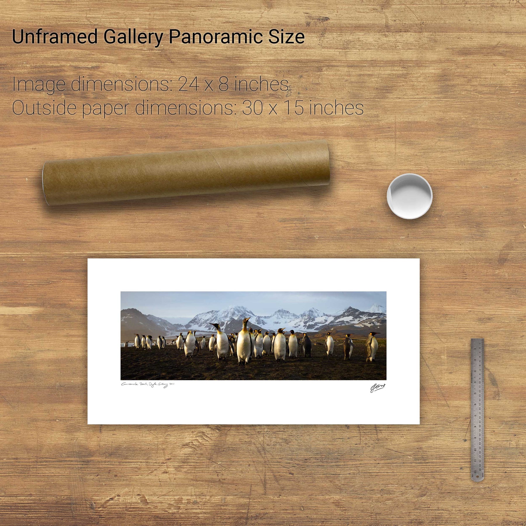
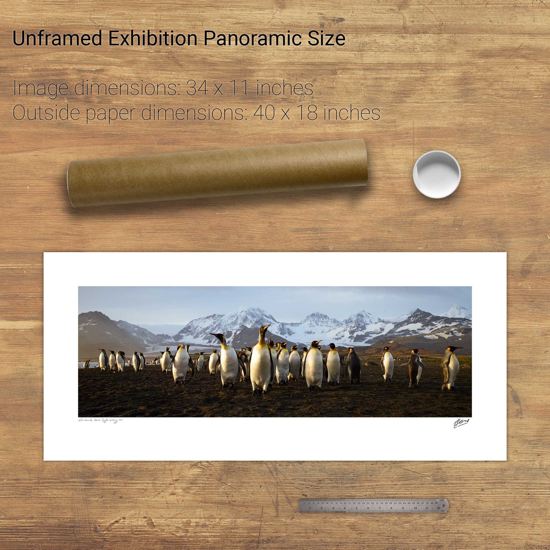
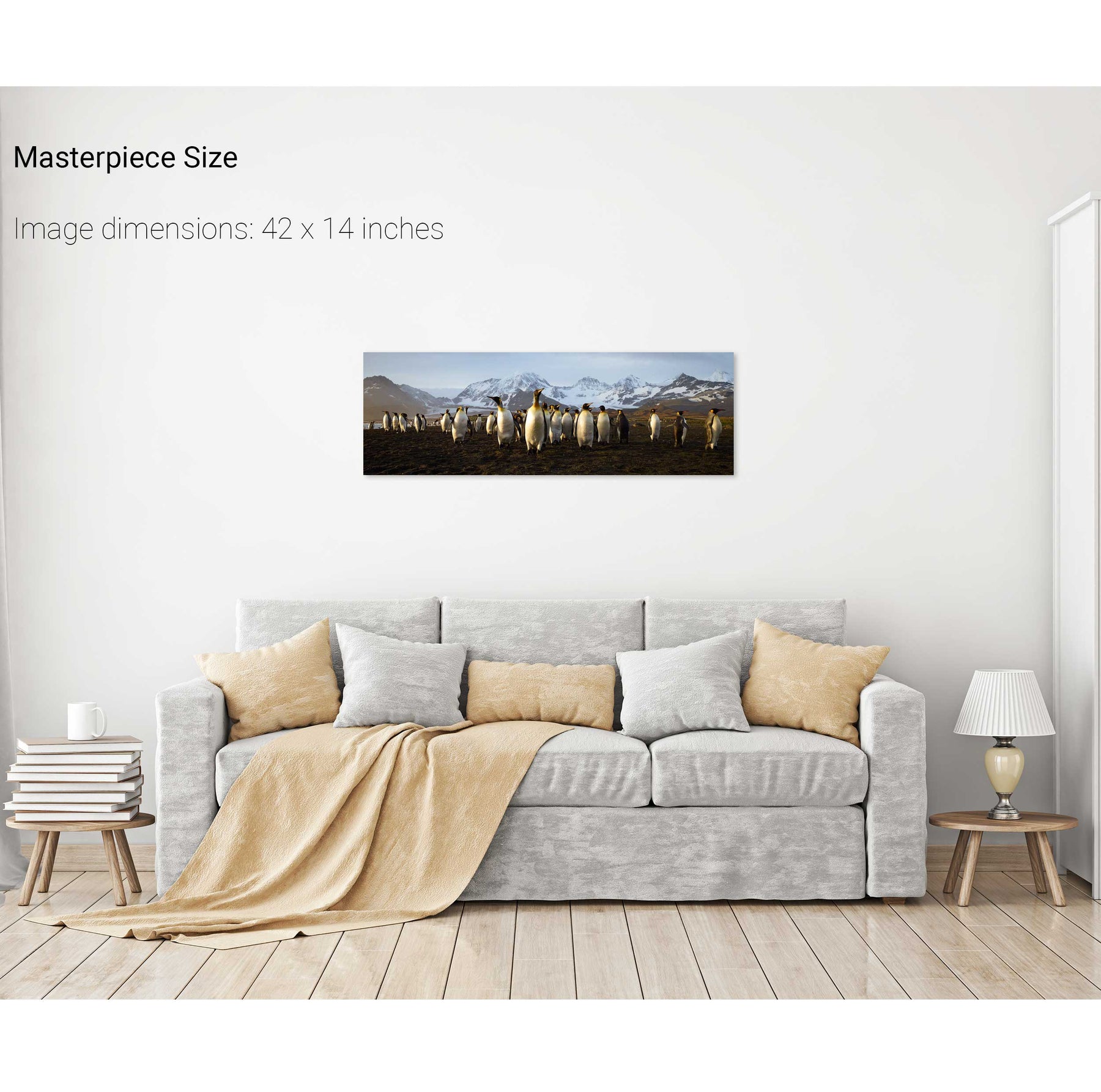
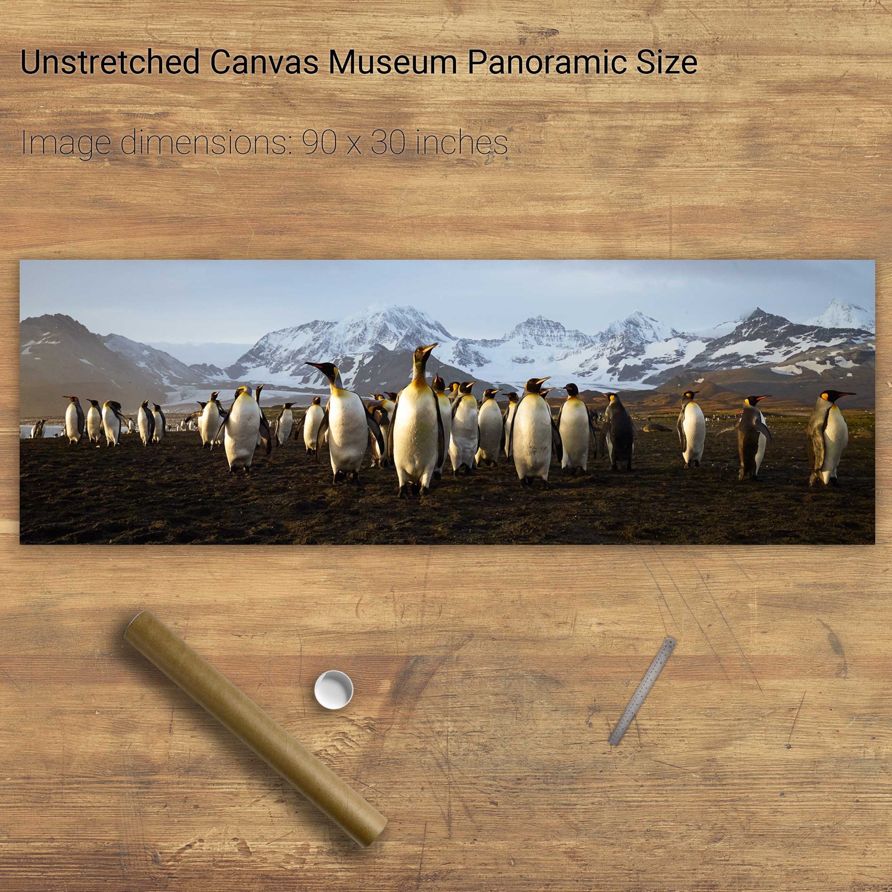
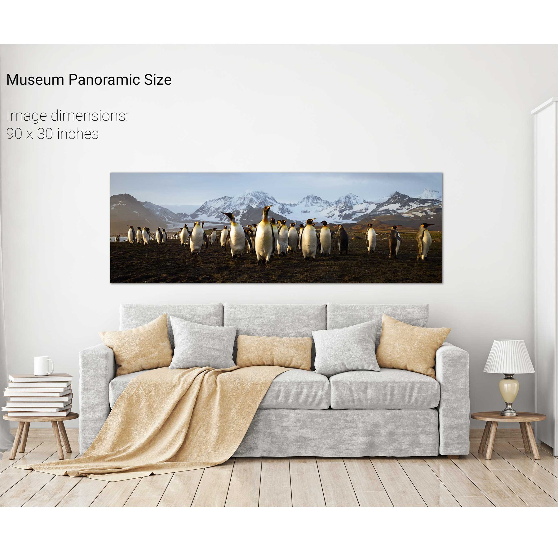
The March of the Penguins, St. Andrew's Bay, South Georgia


The Matterhorn, Switzerland


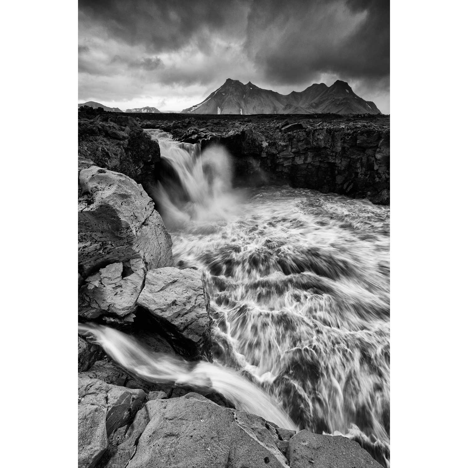
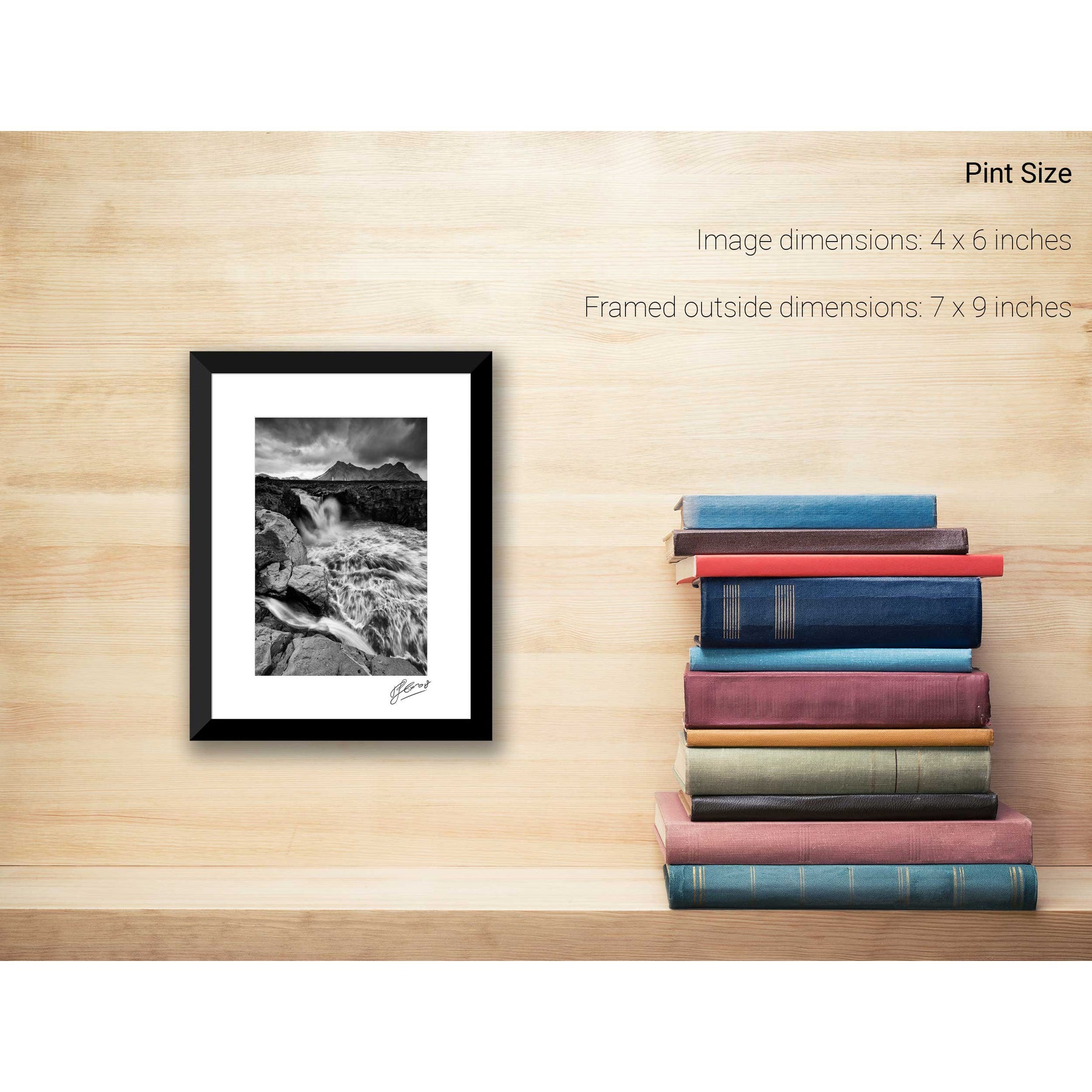
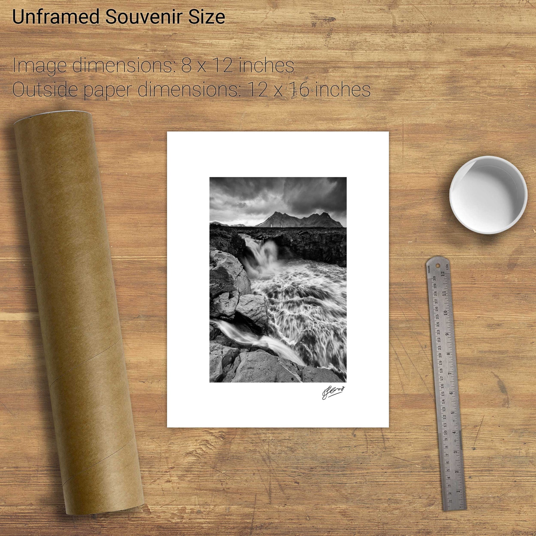
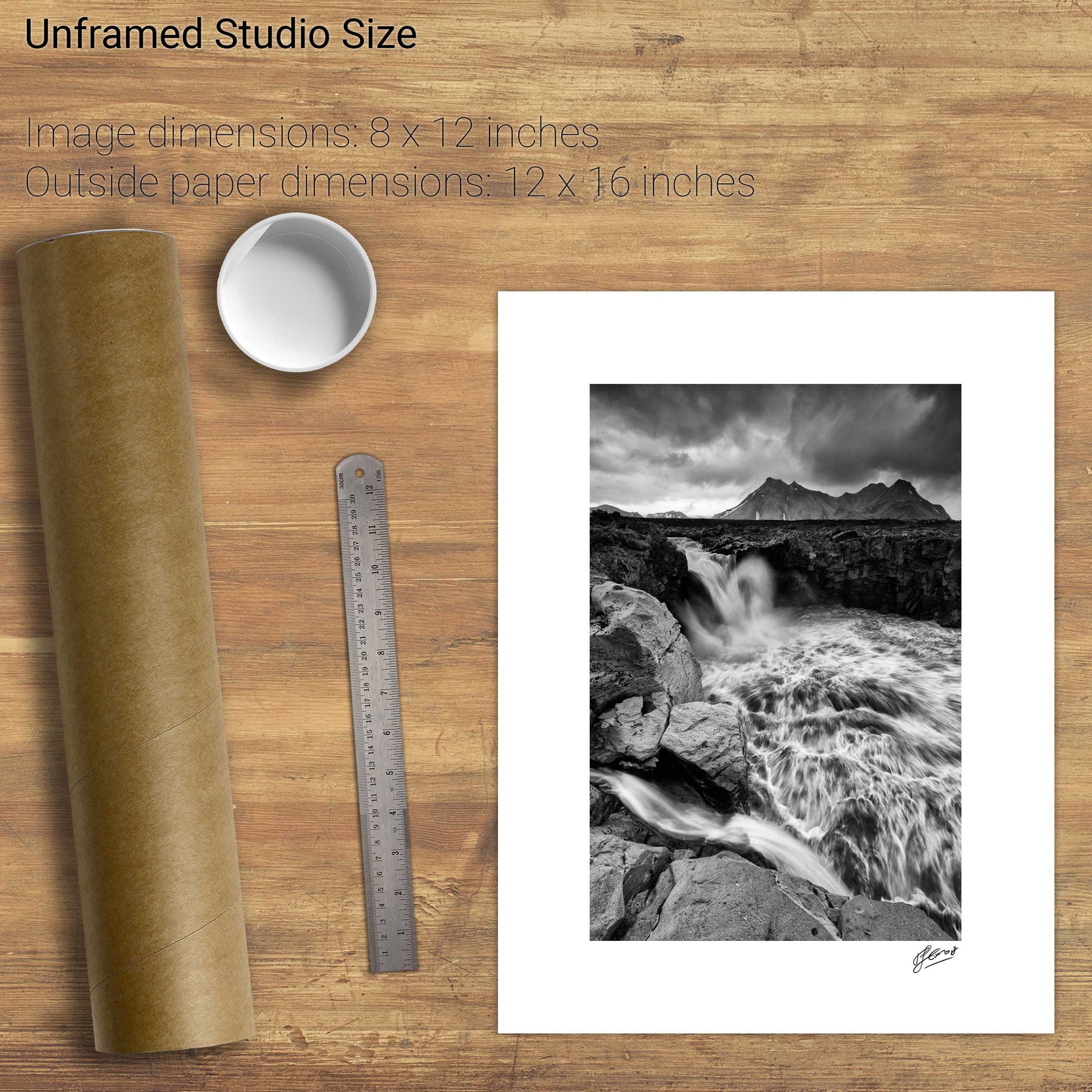
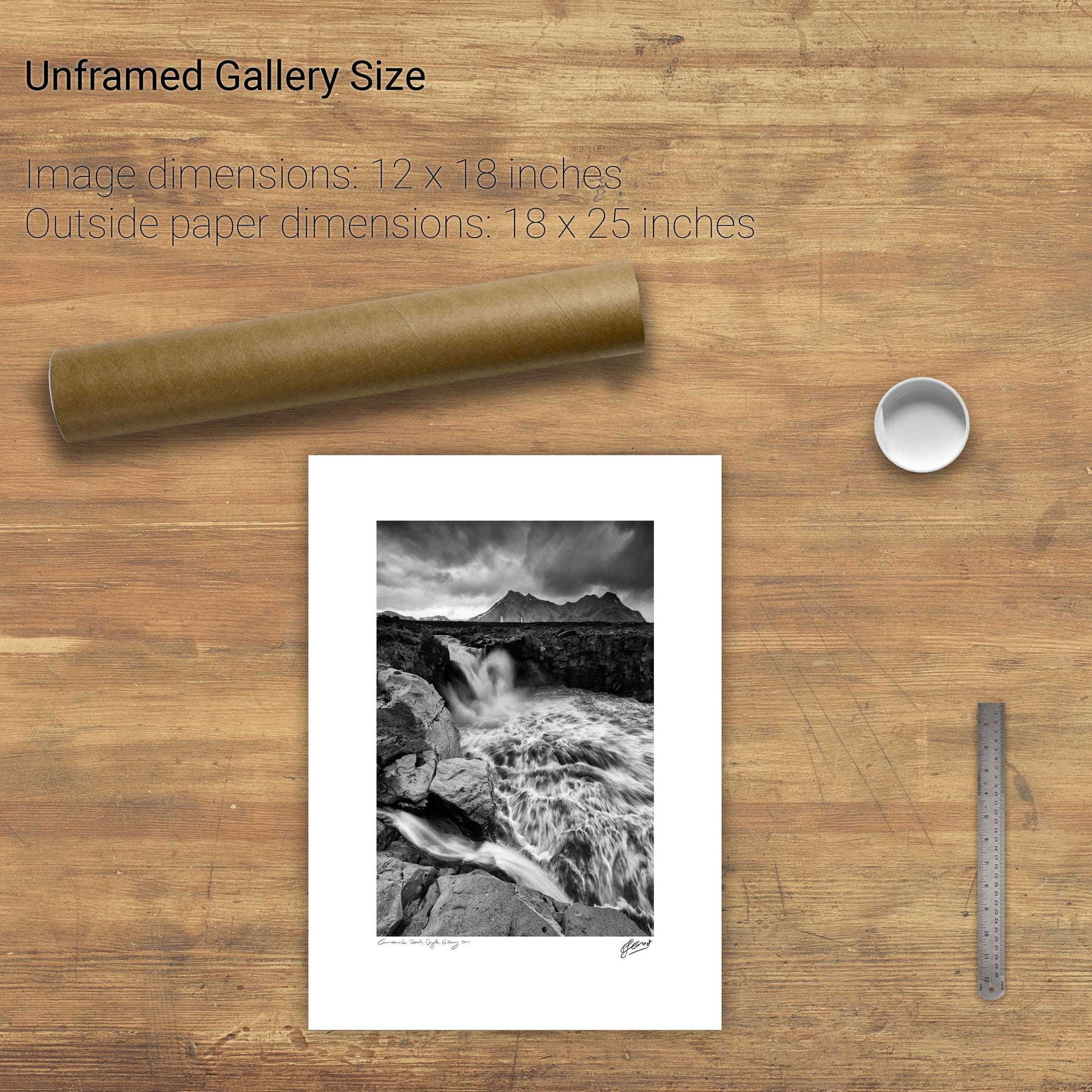
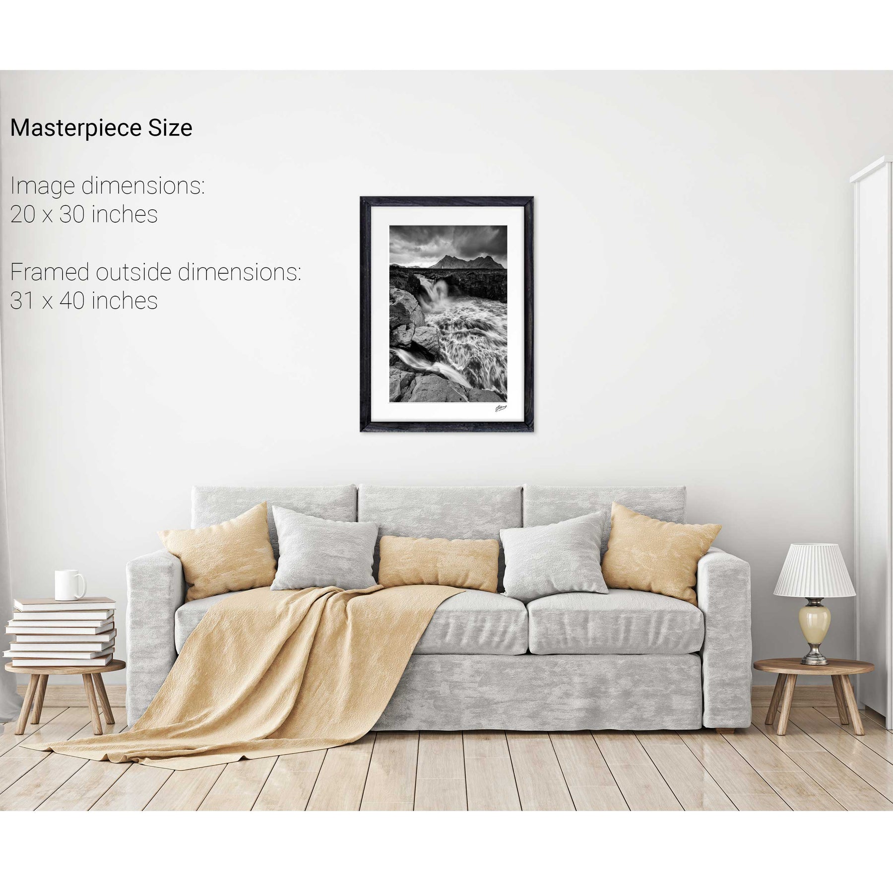
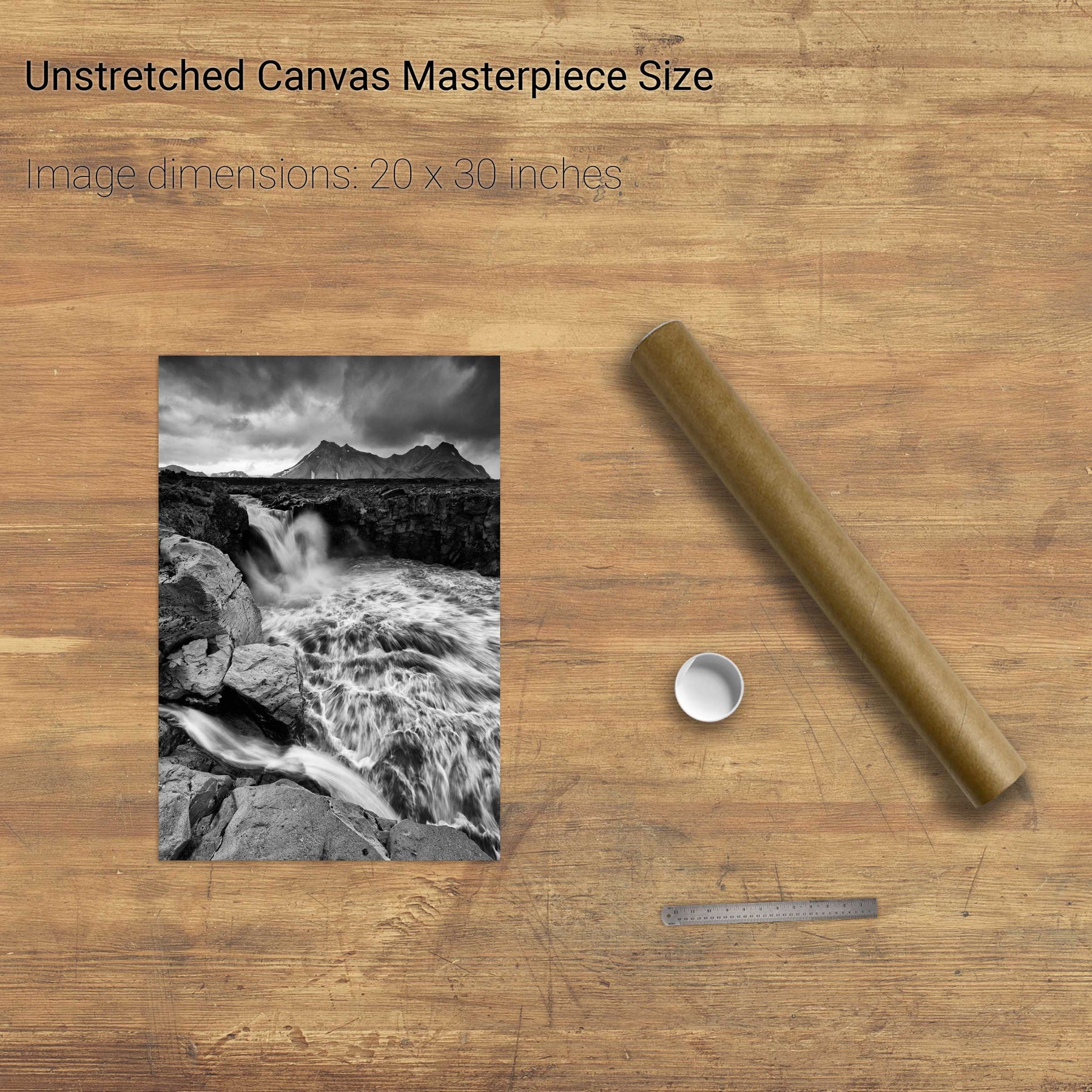
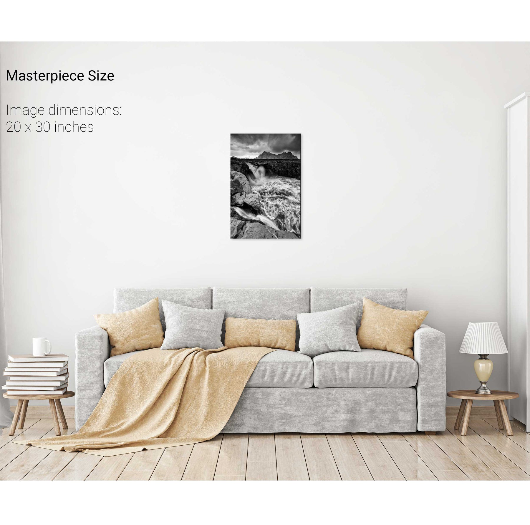
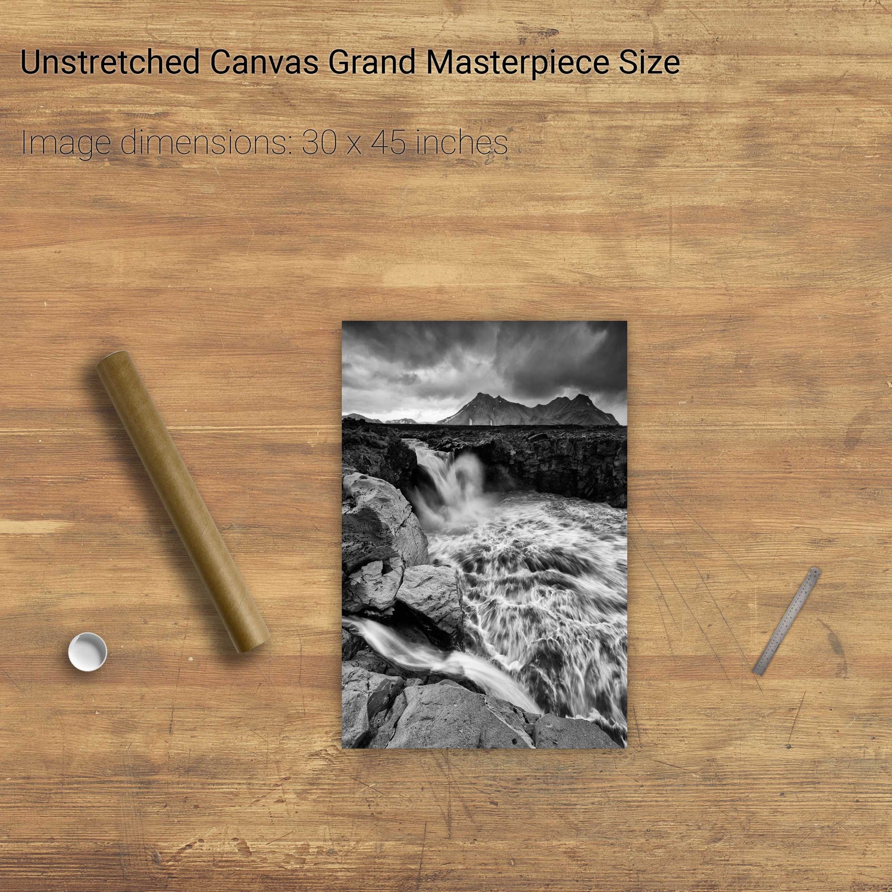
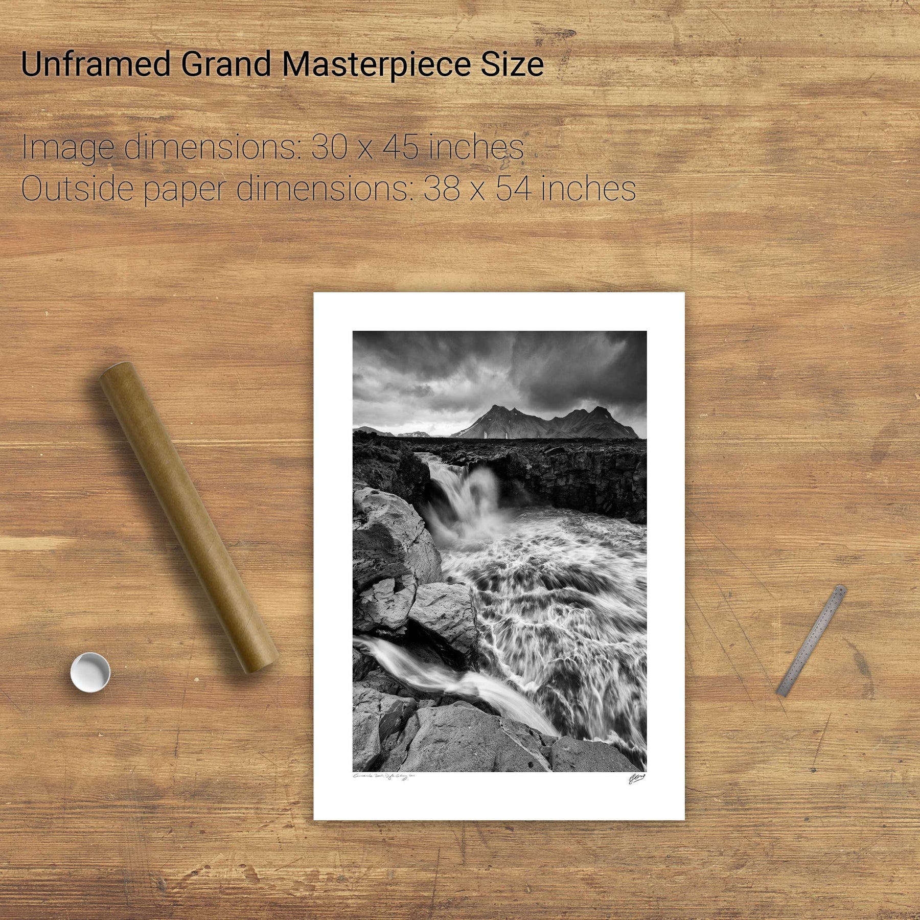
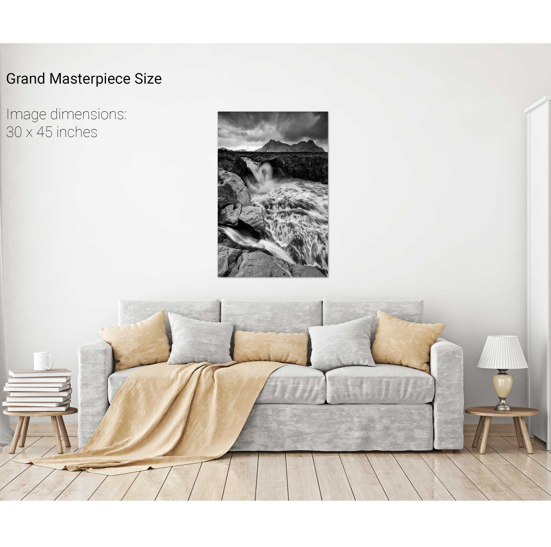
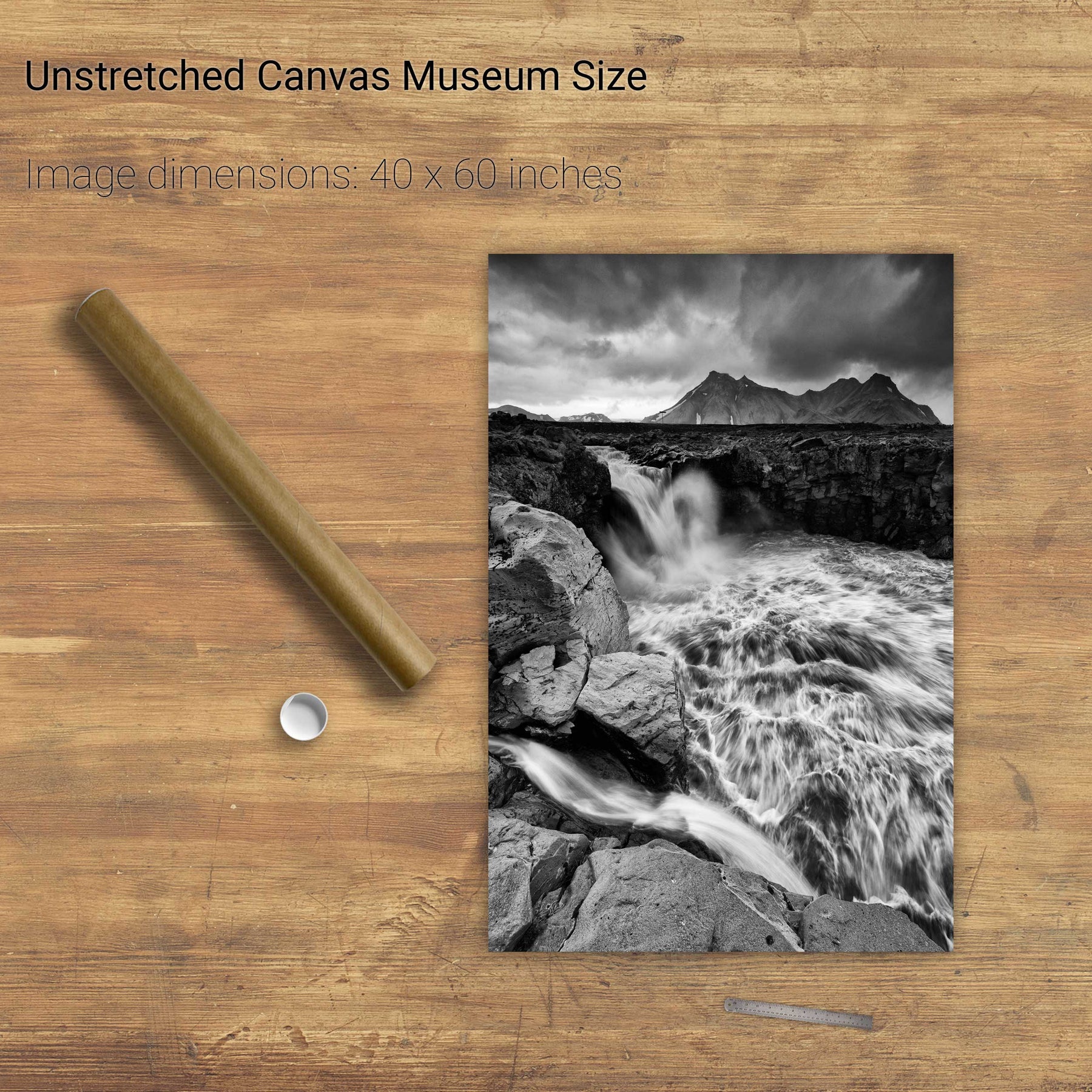
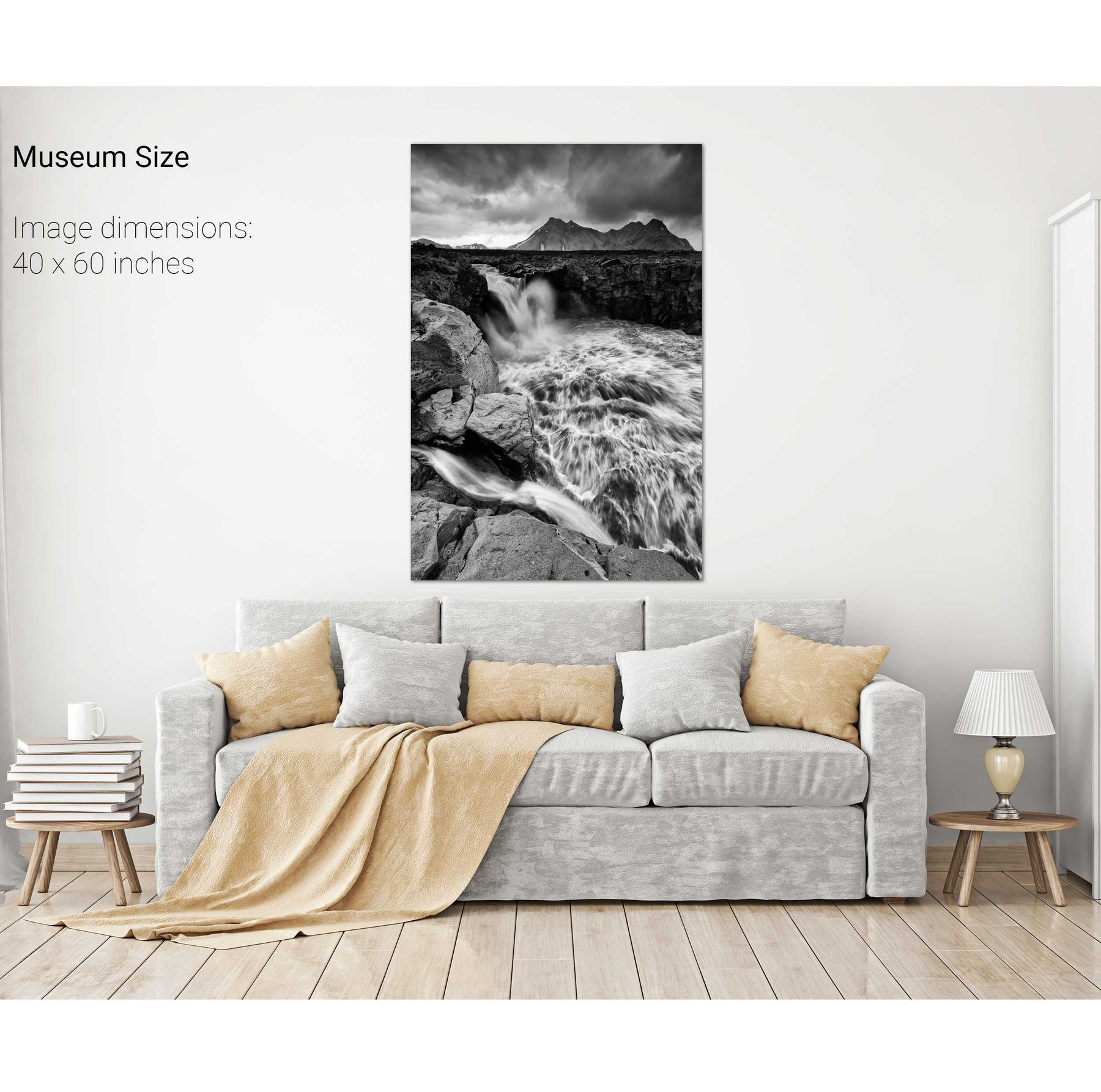
Raging River, Fjallabak, Iceland


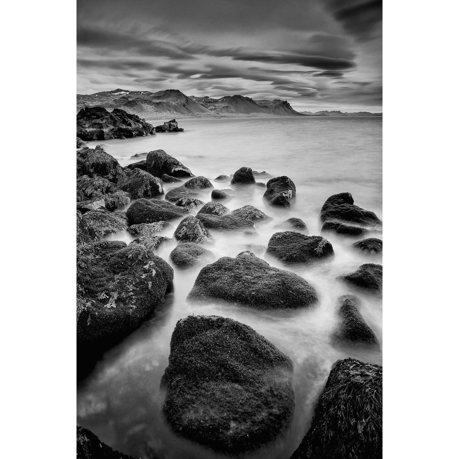
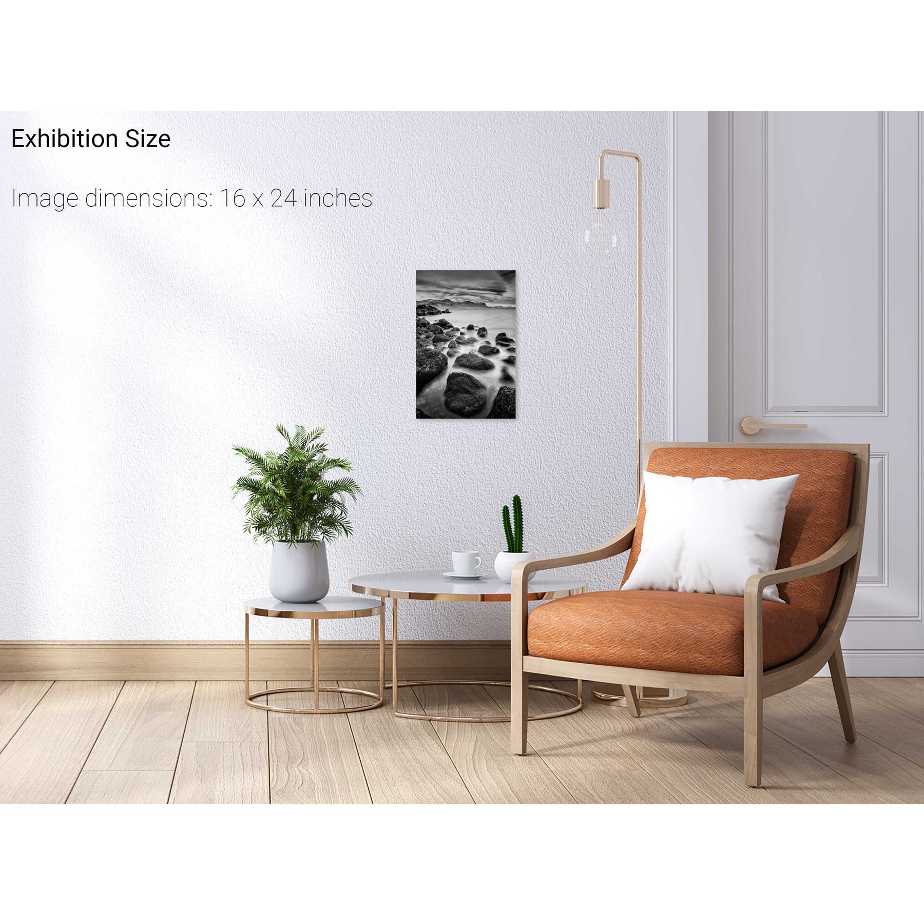
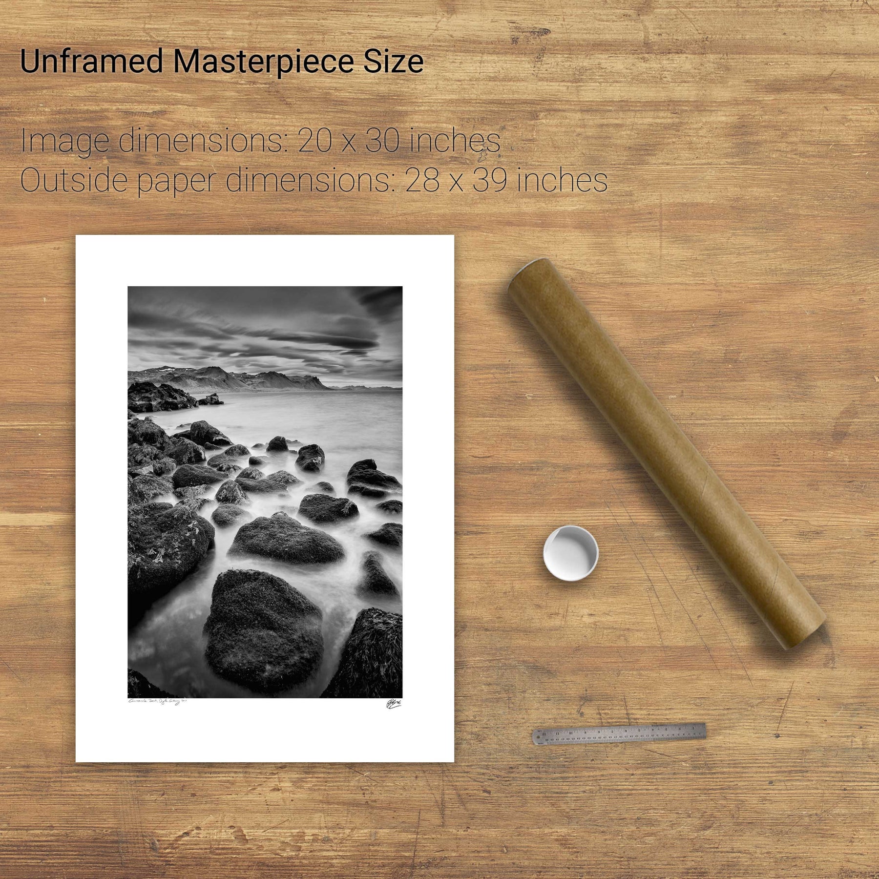
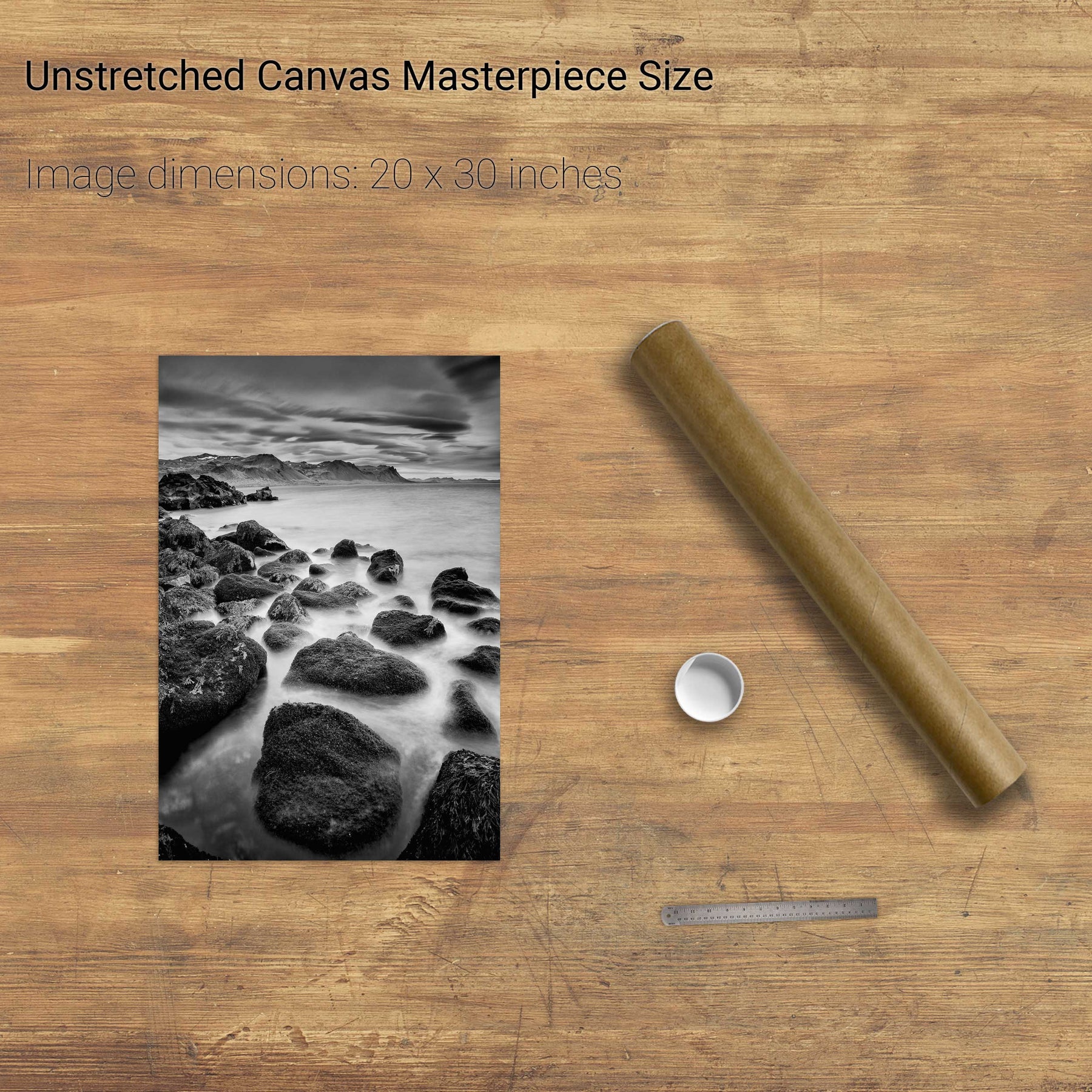
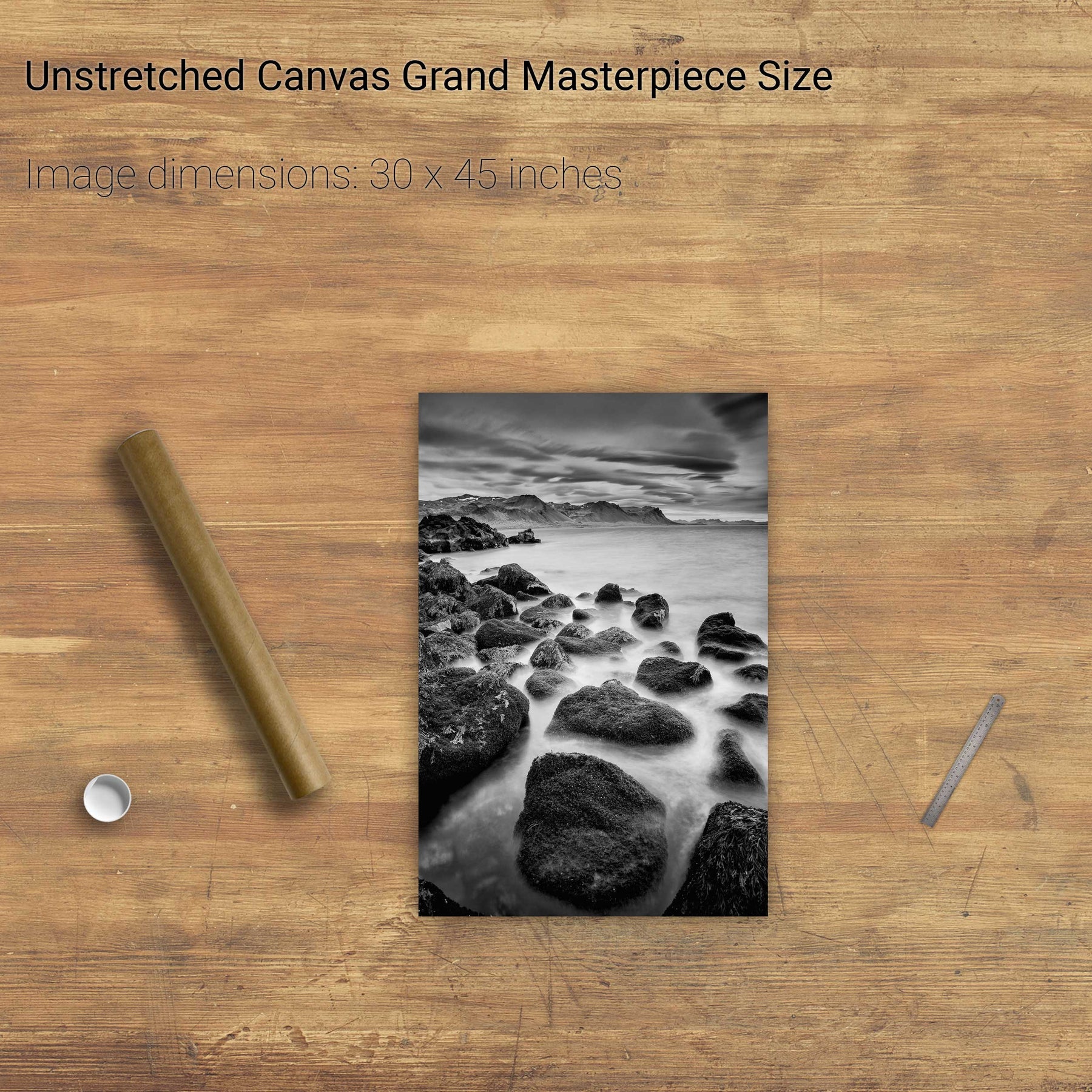
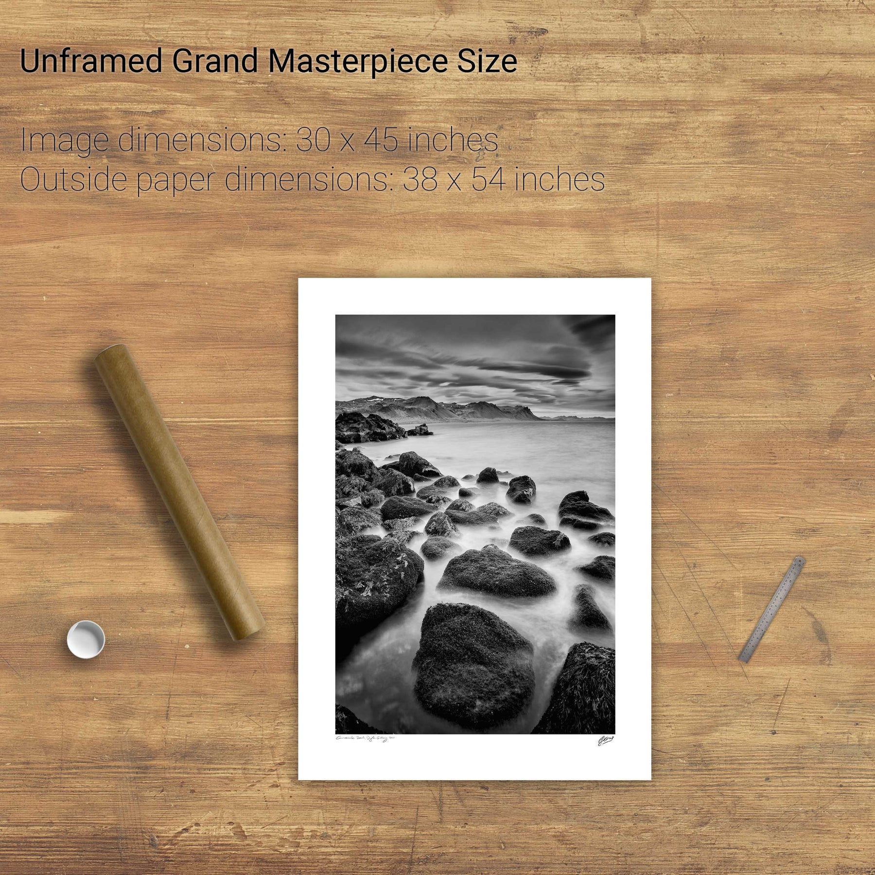
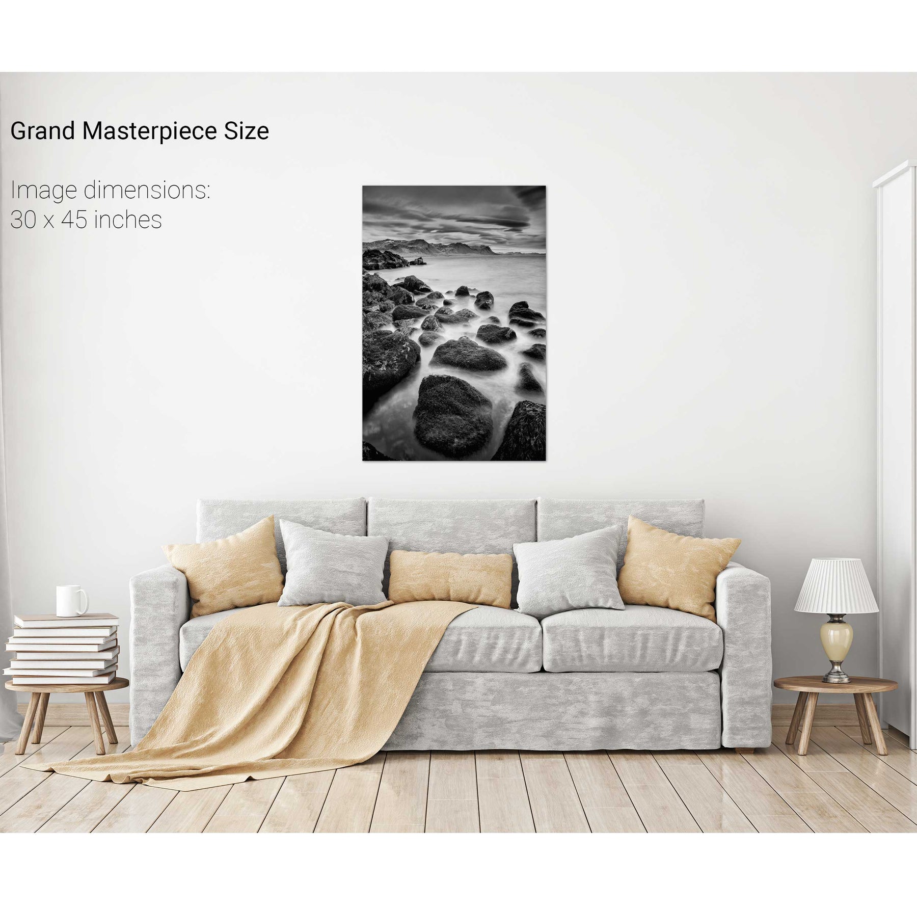
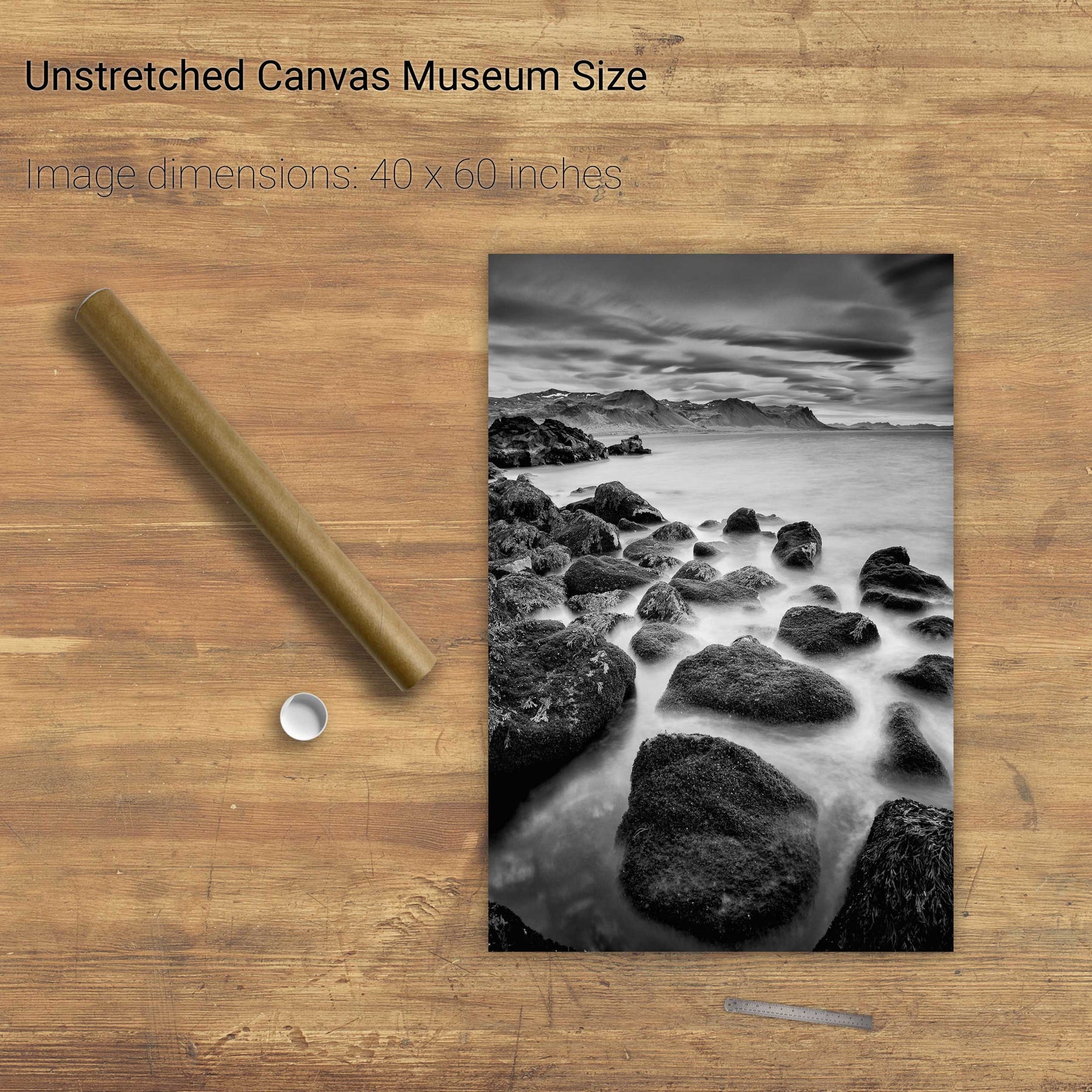
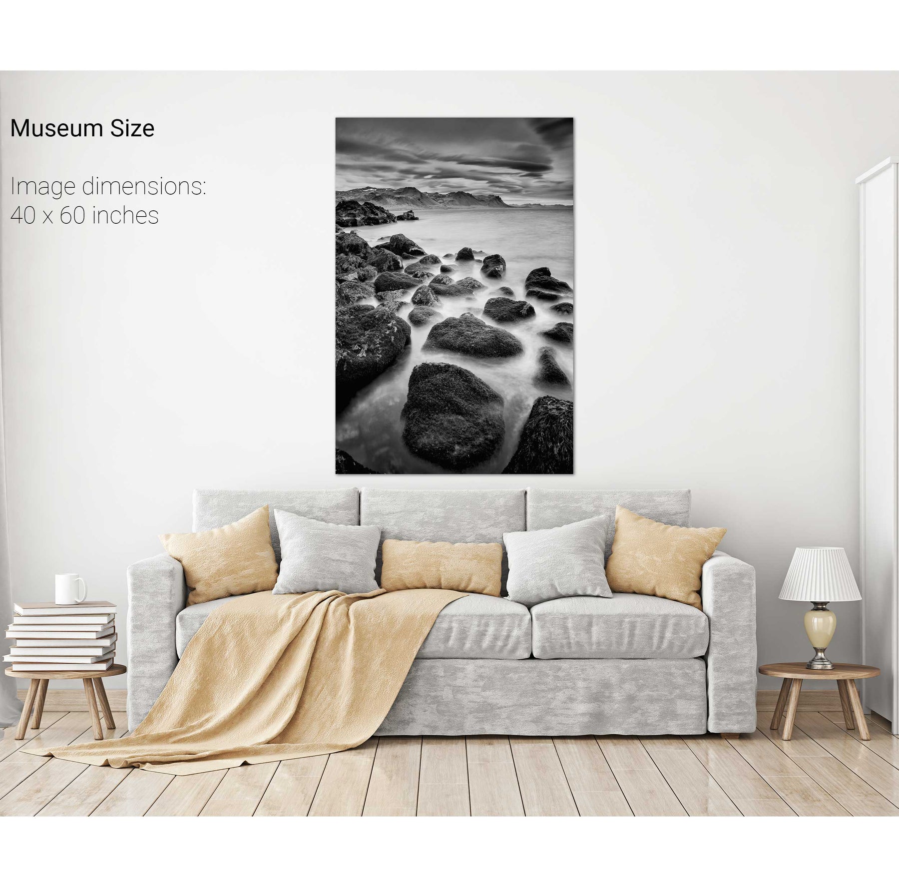
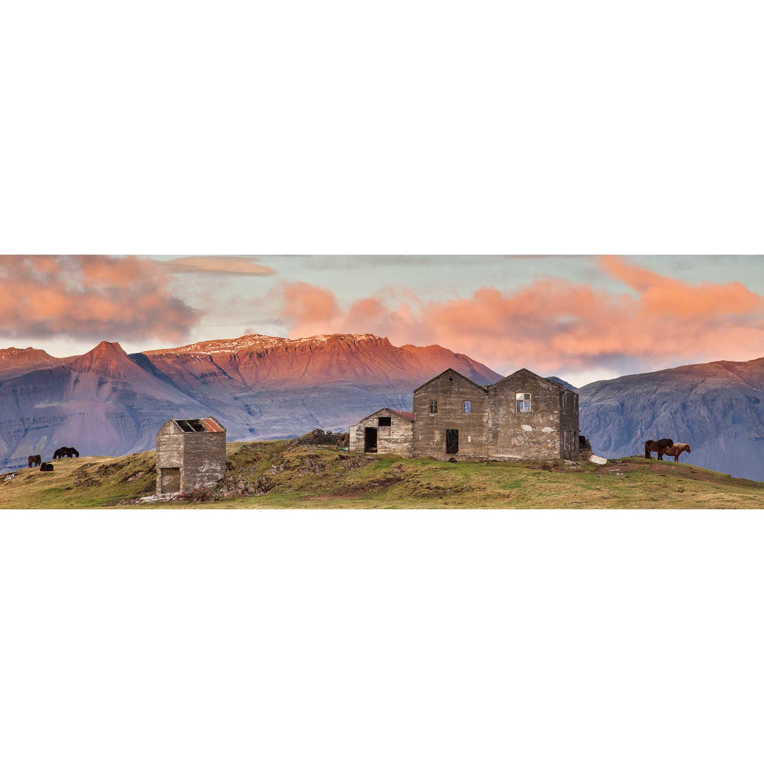
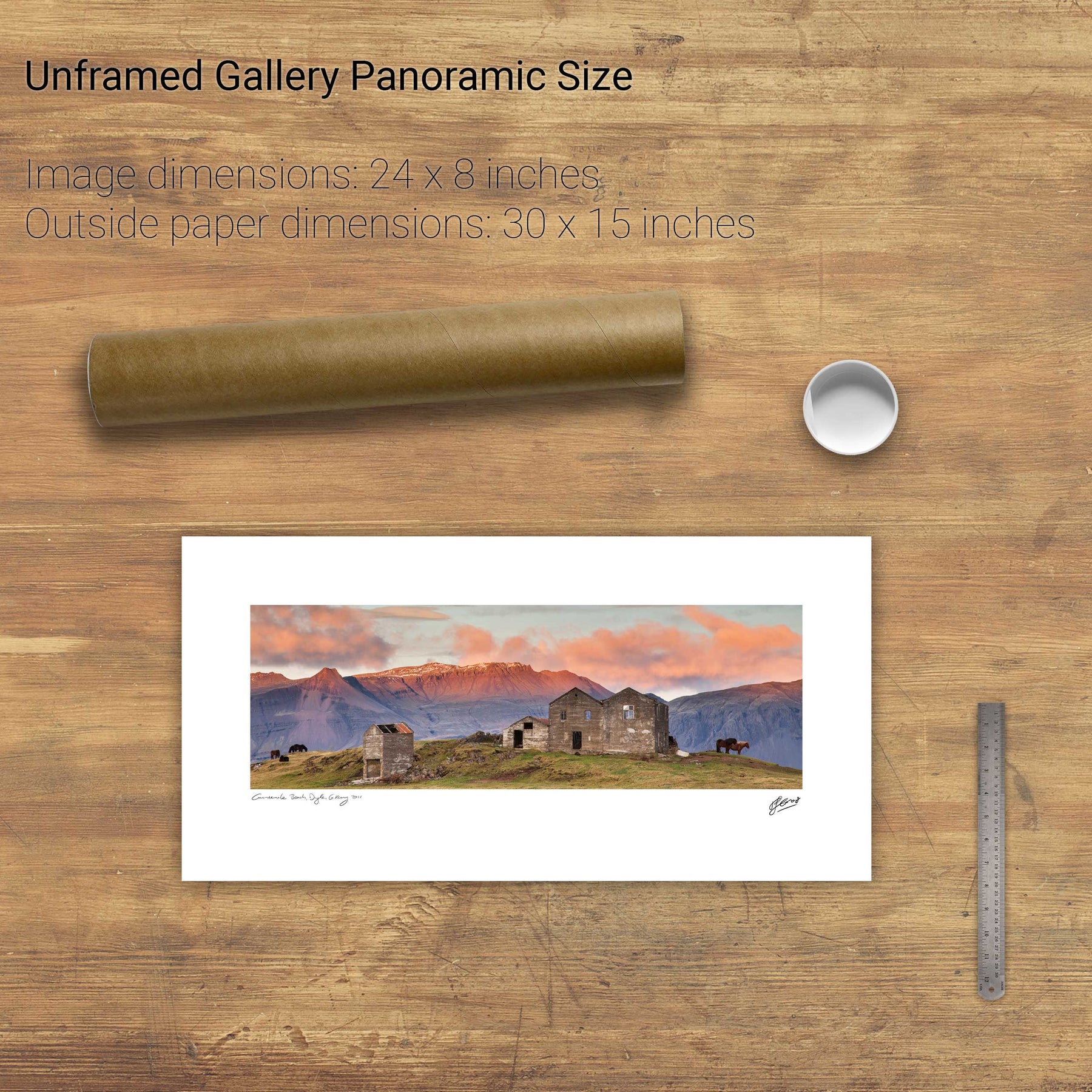
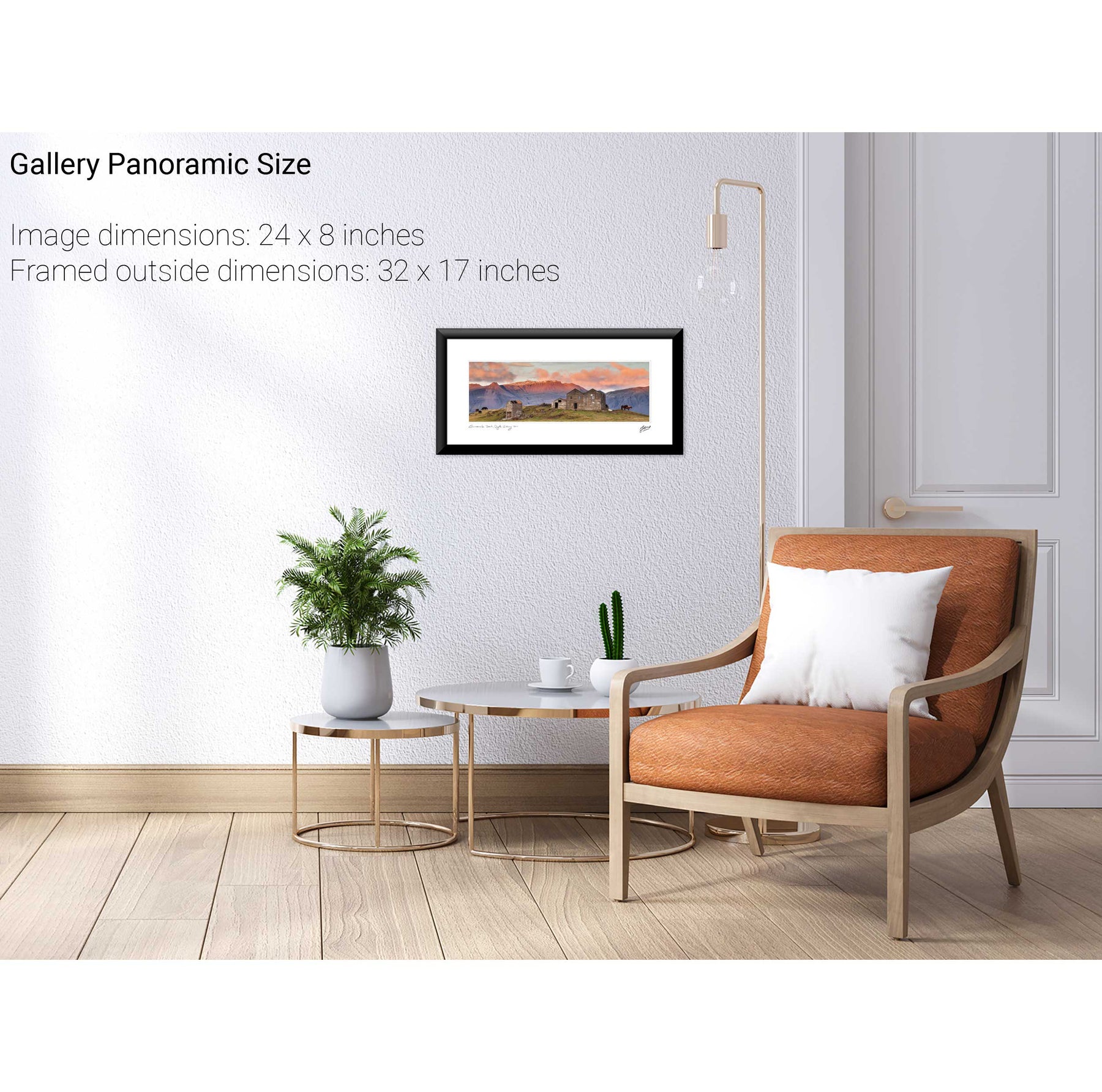
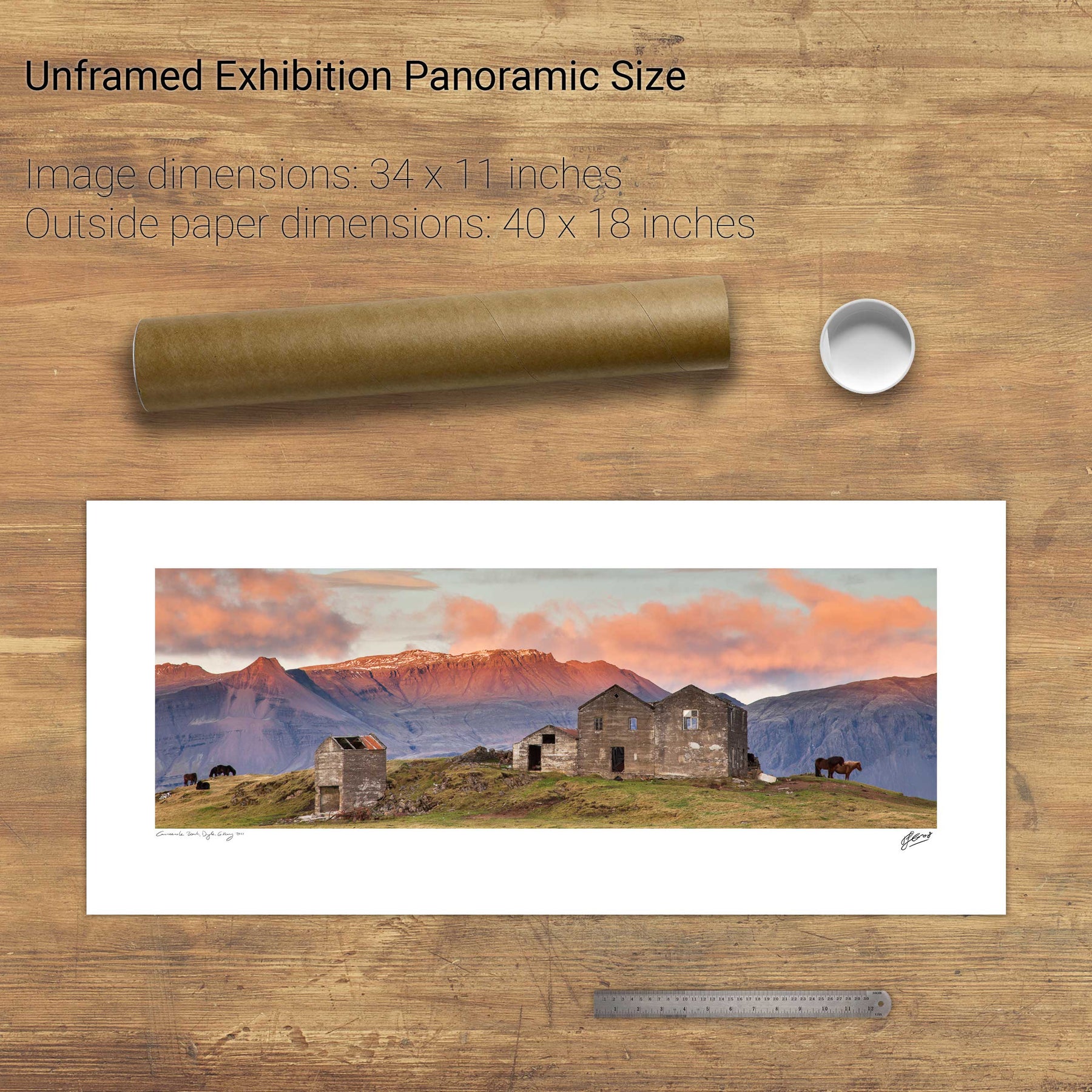
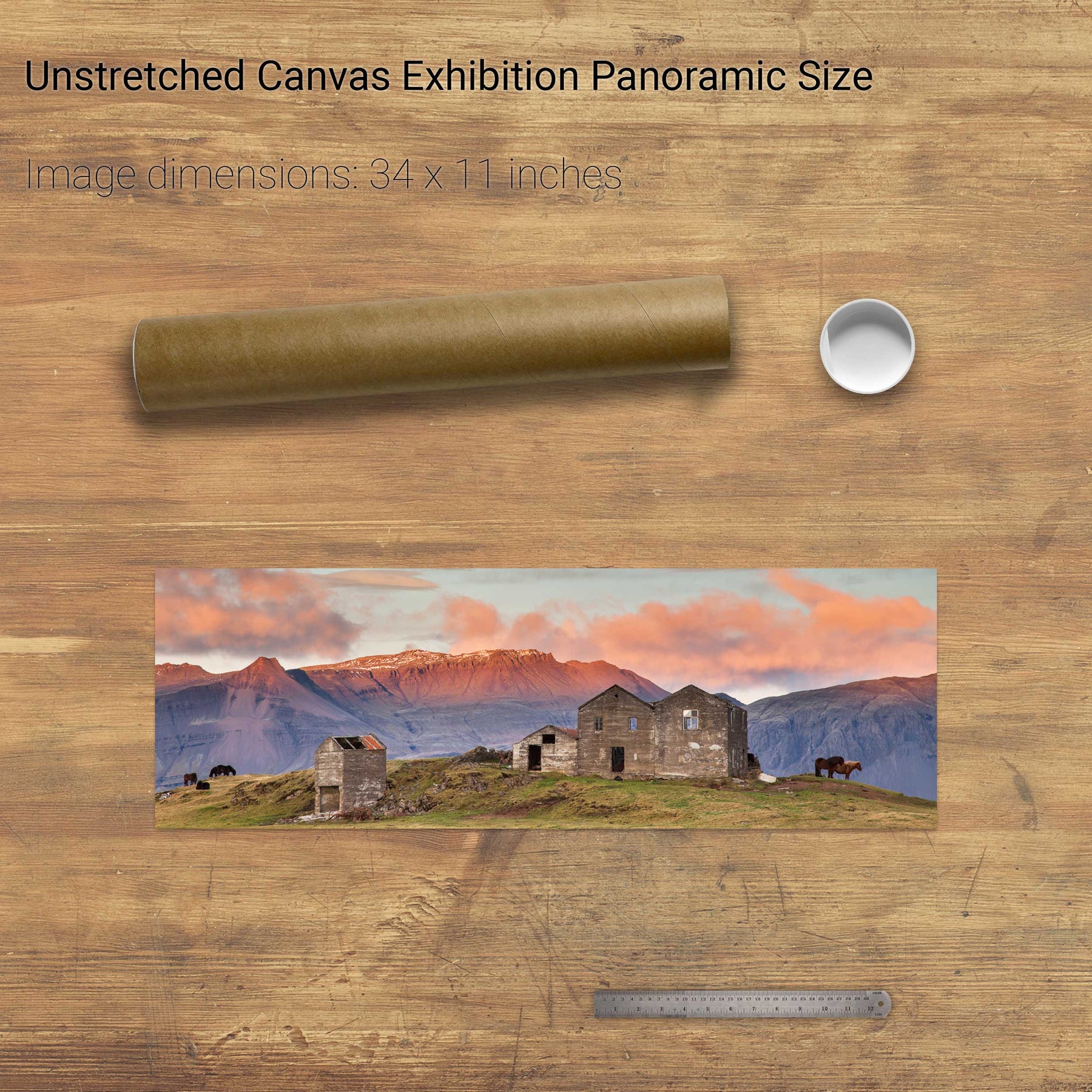
Búðir, Iceland


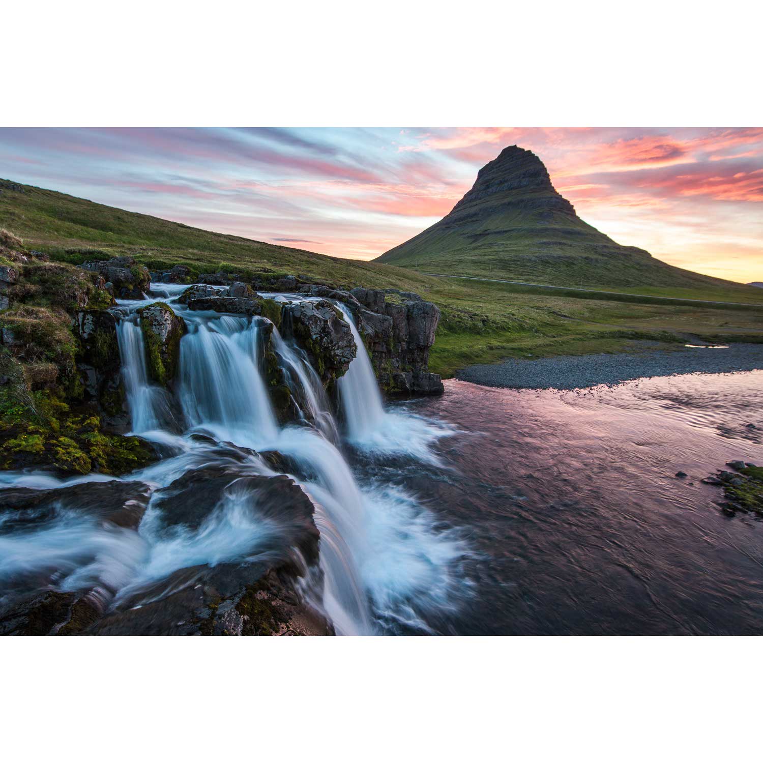
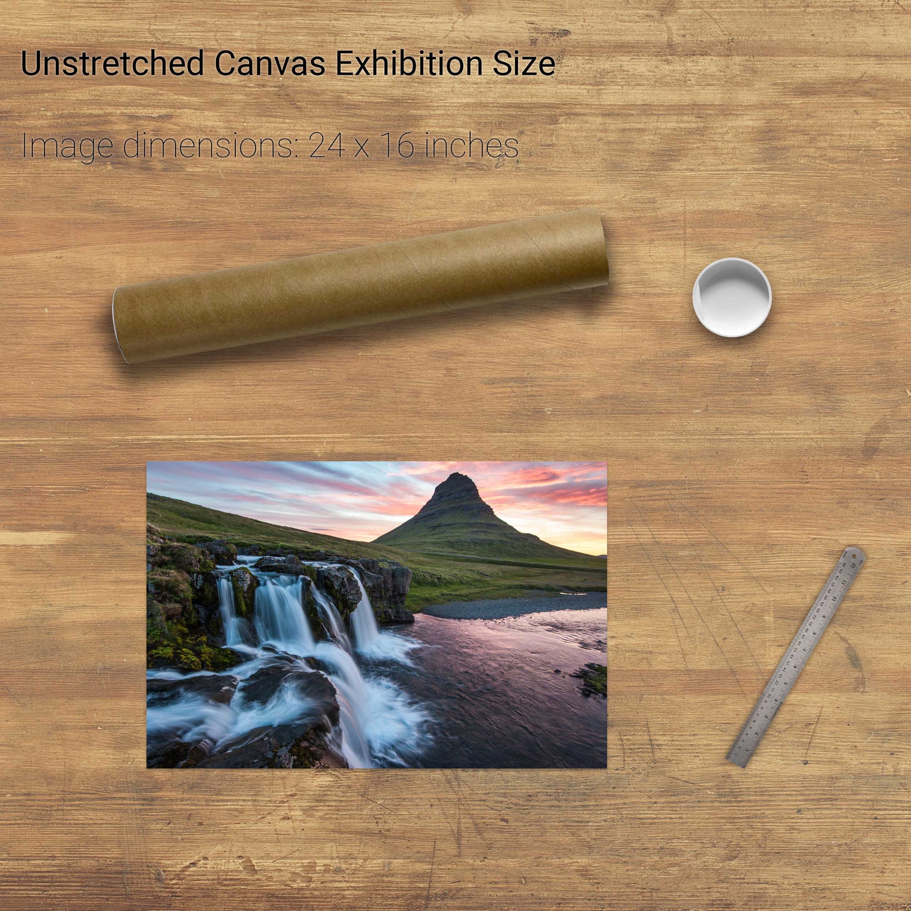
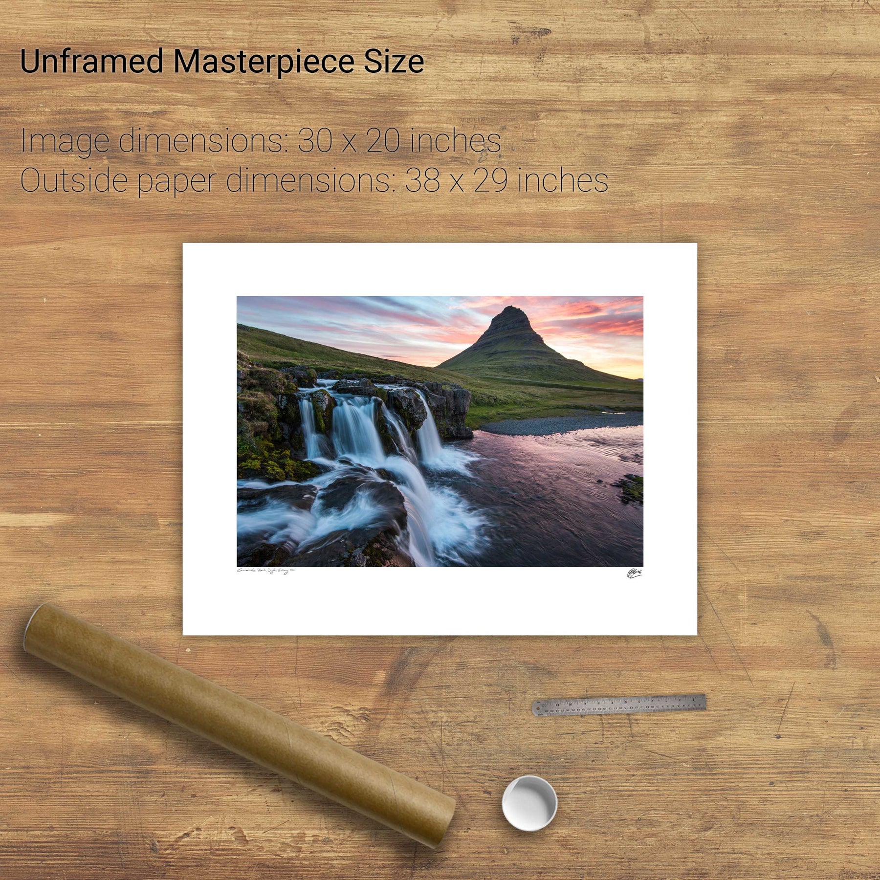
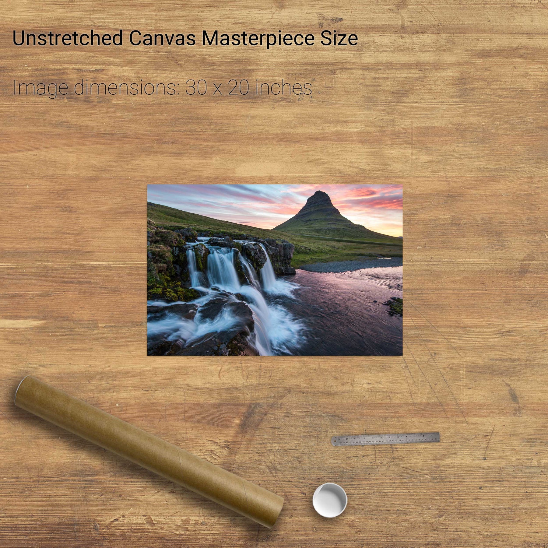
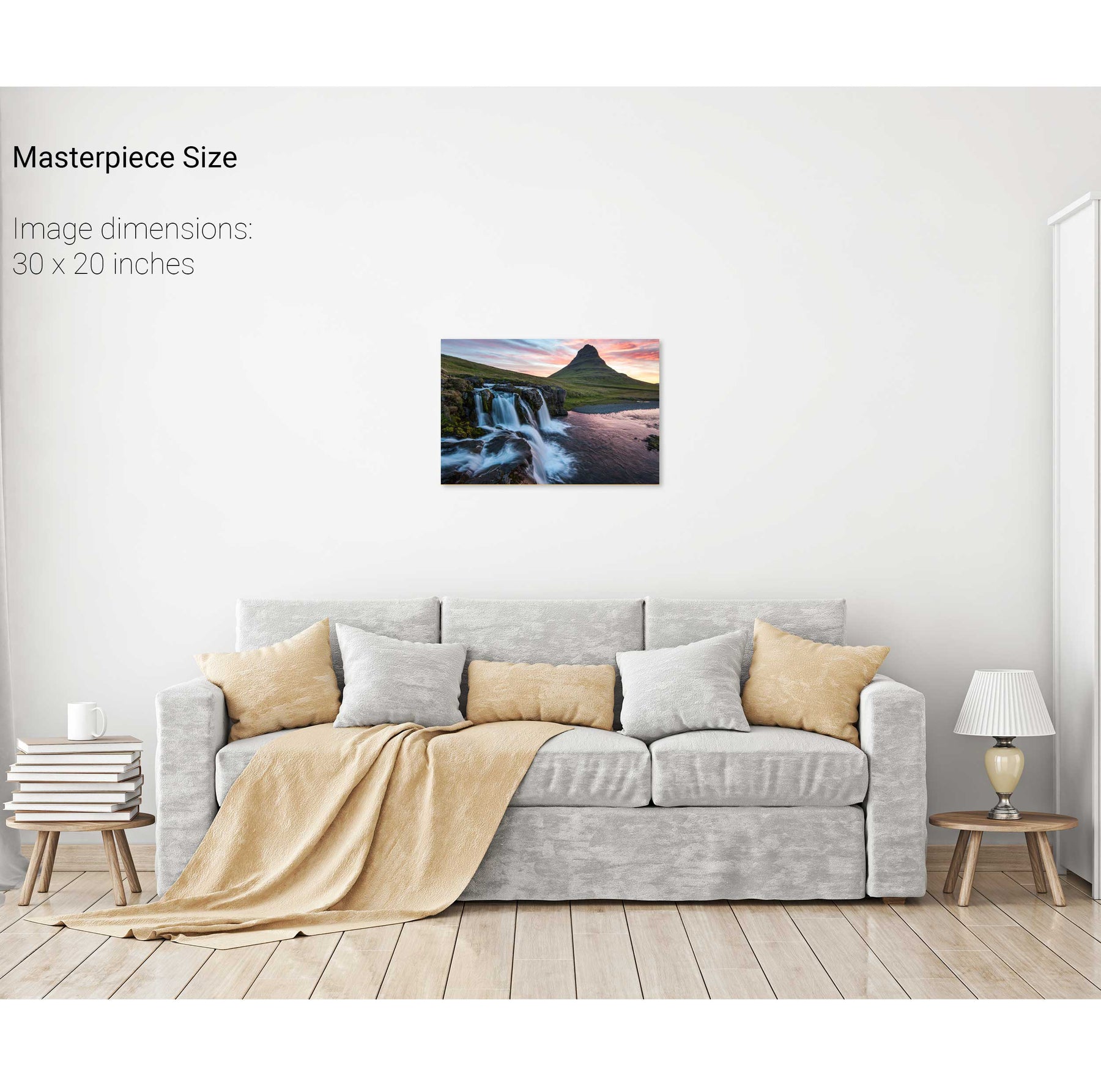
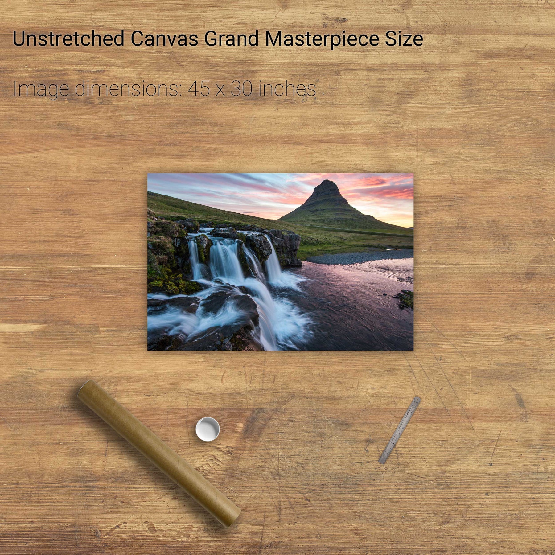
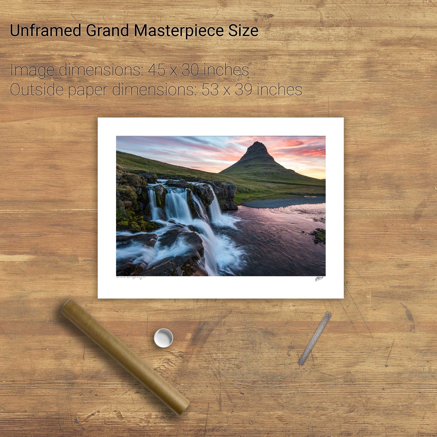
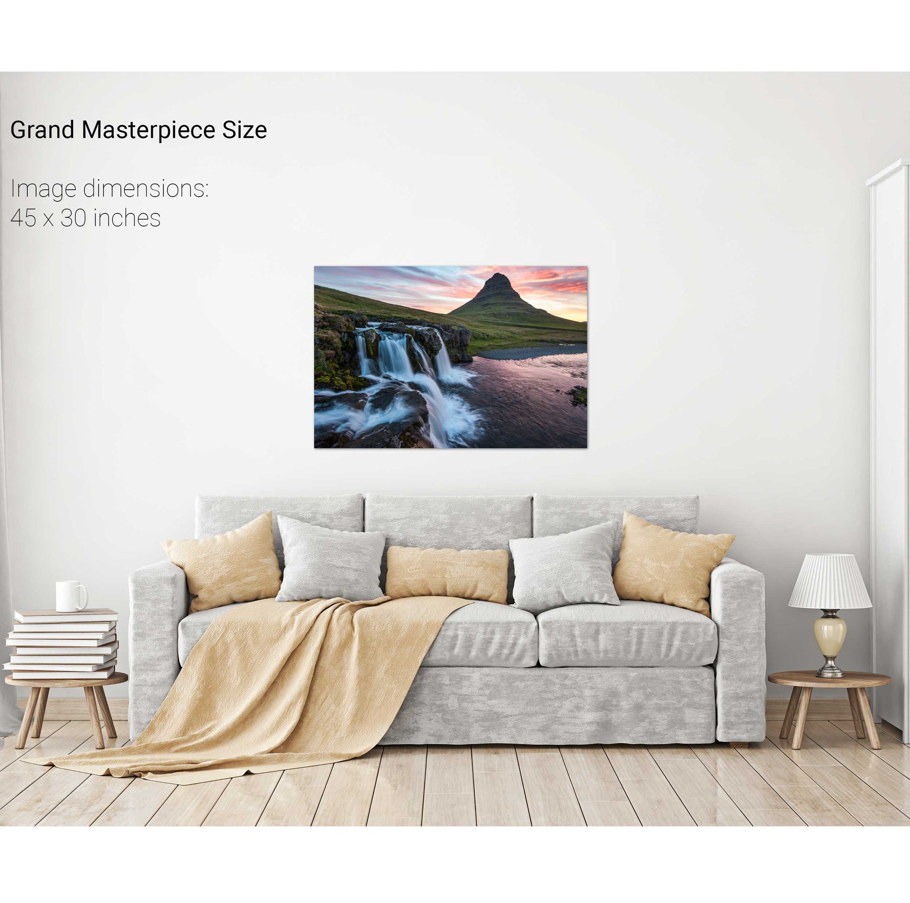
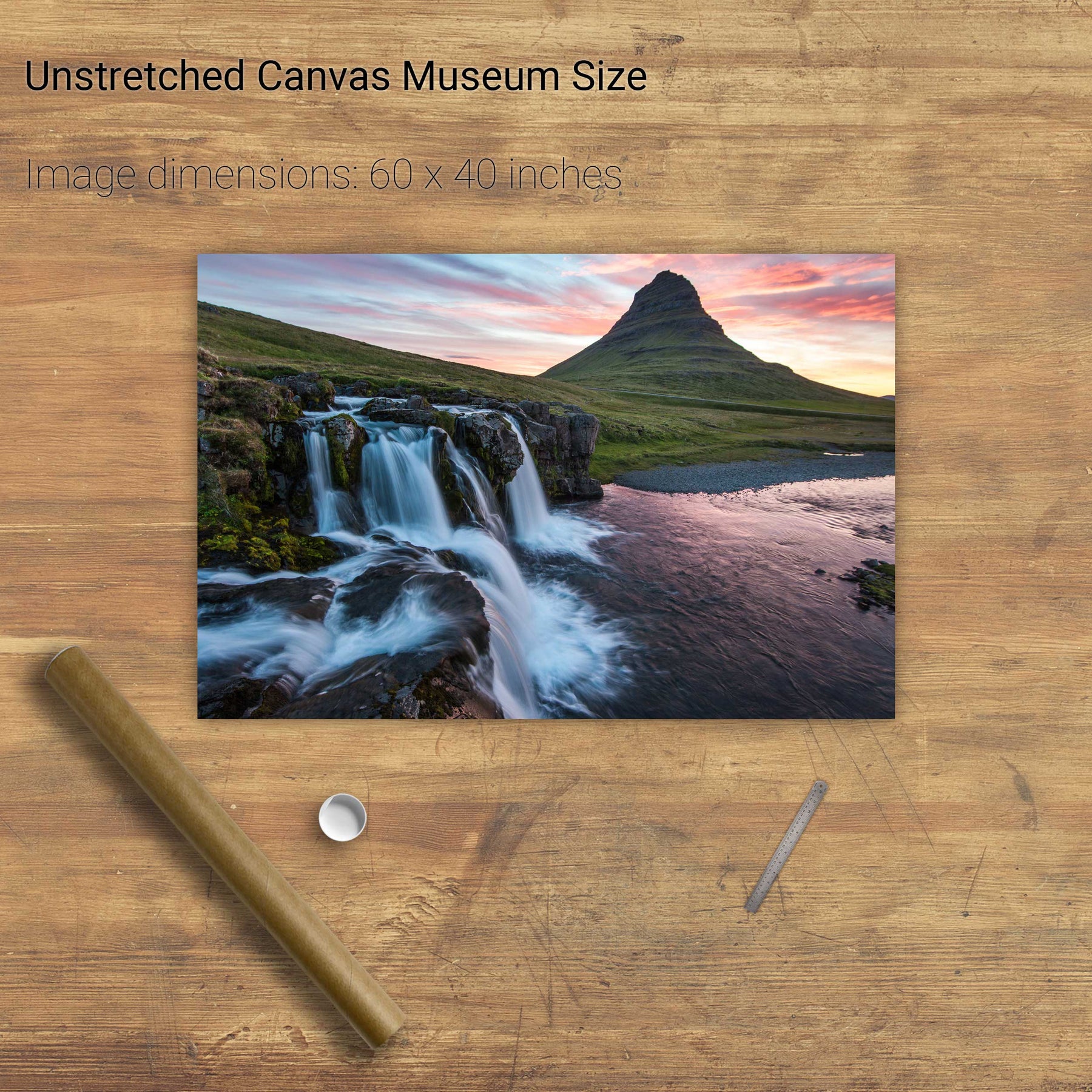
Kirkjufellsfoss, Iceland


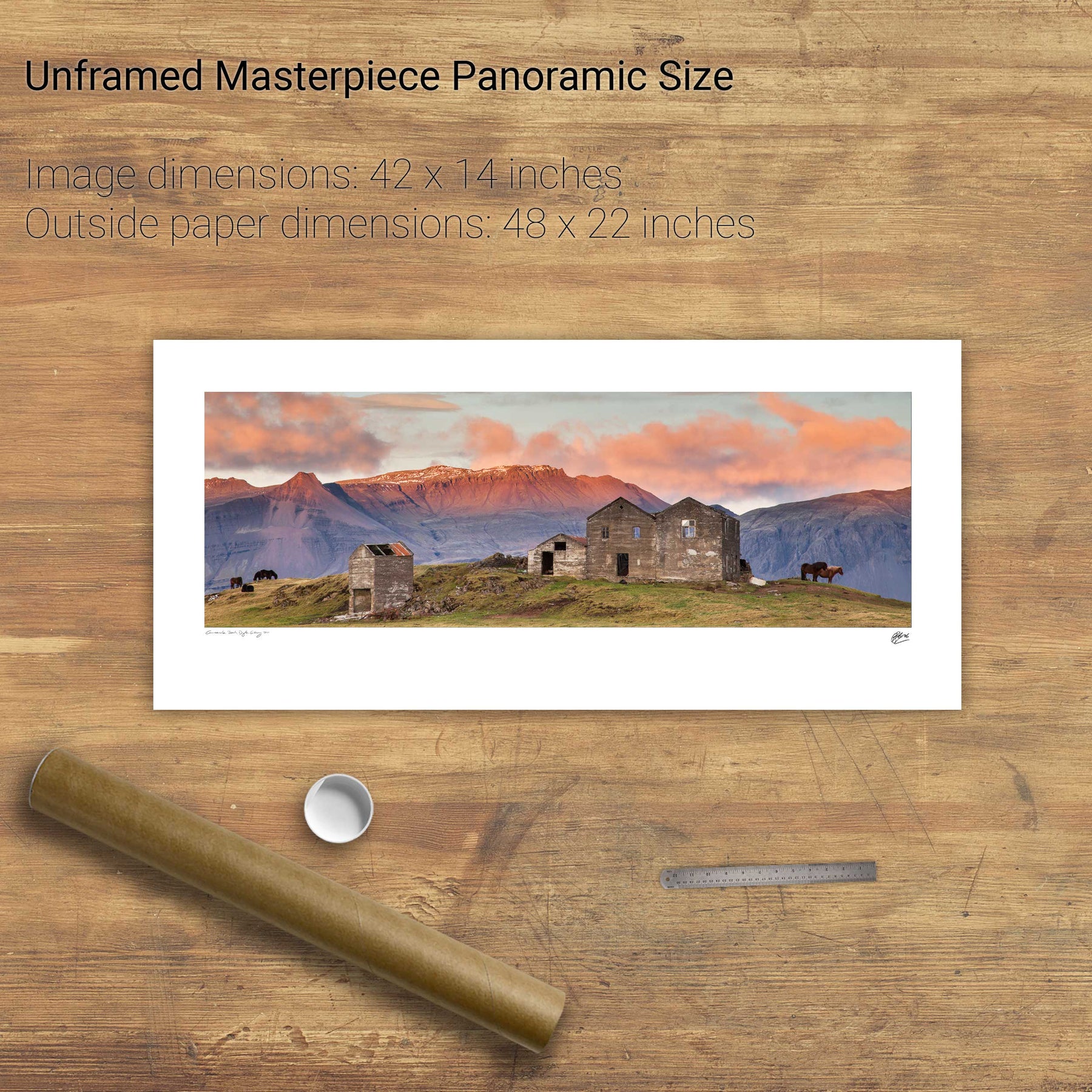
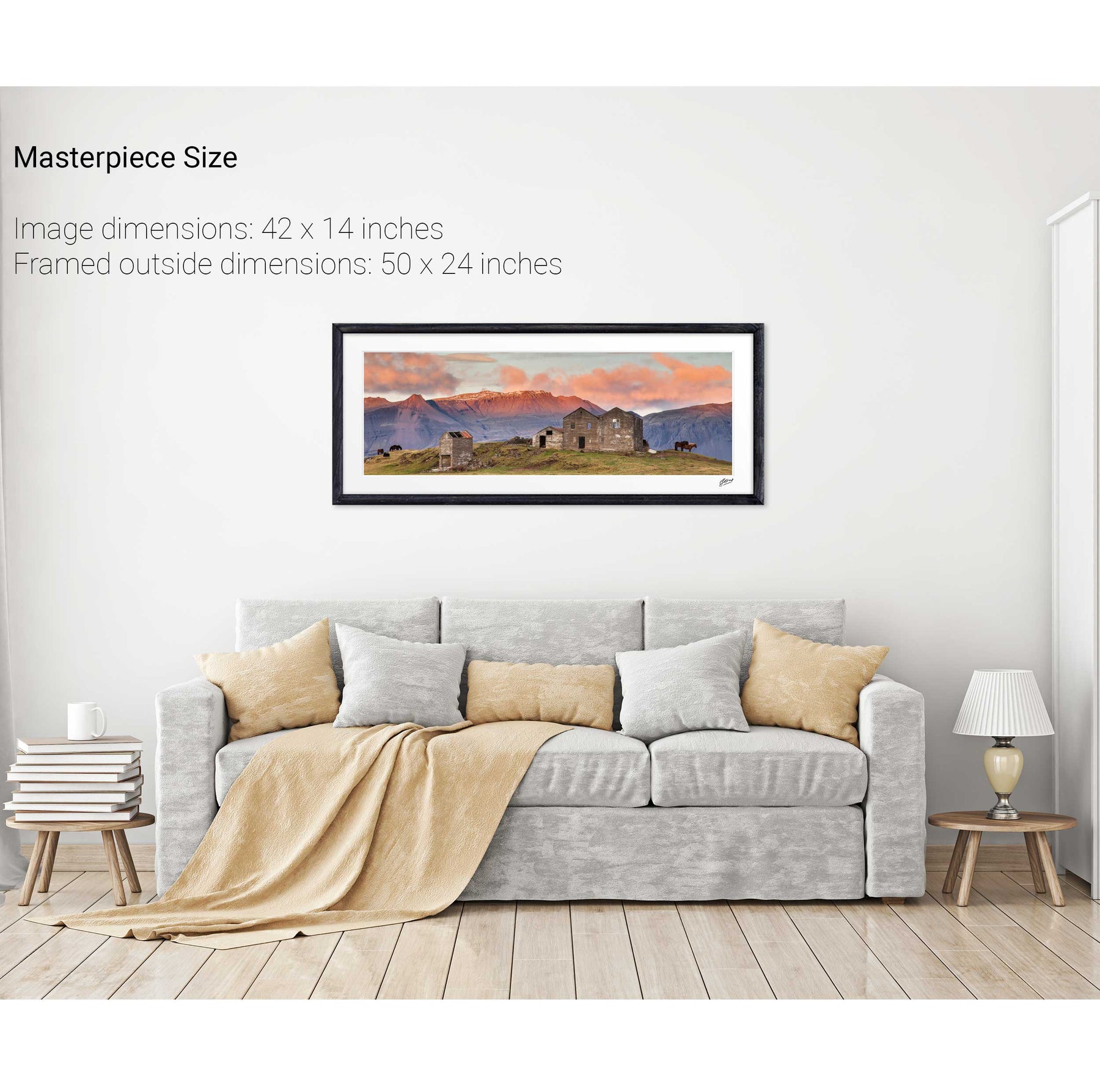
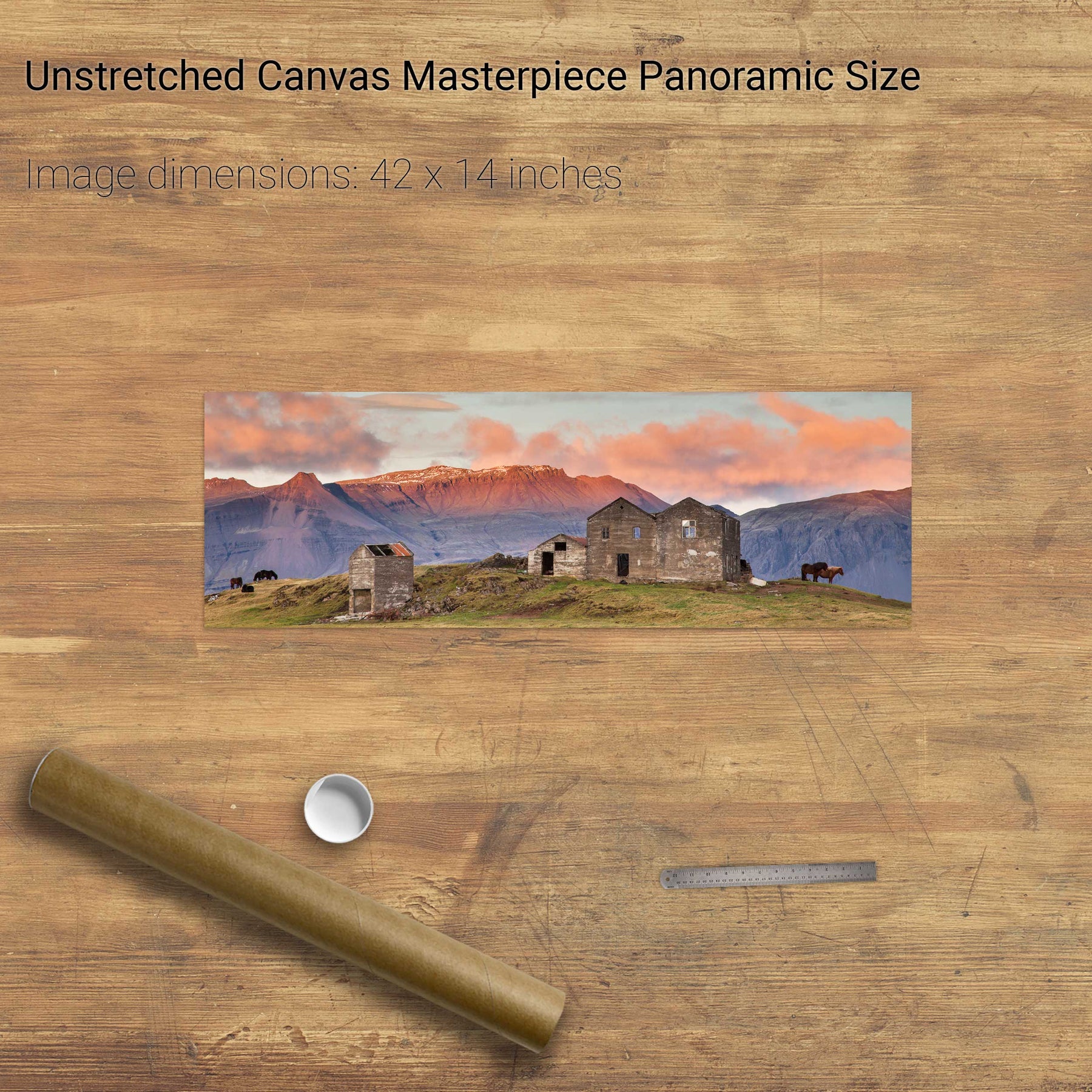
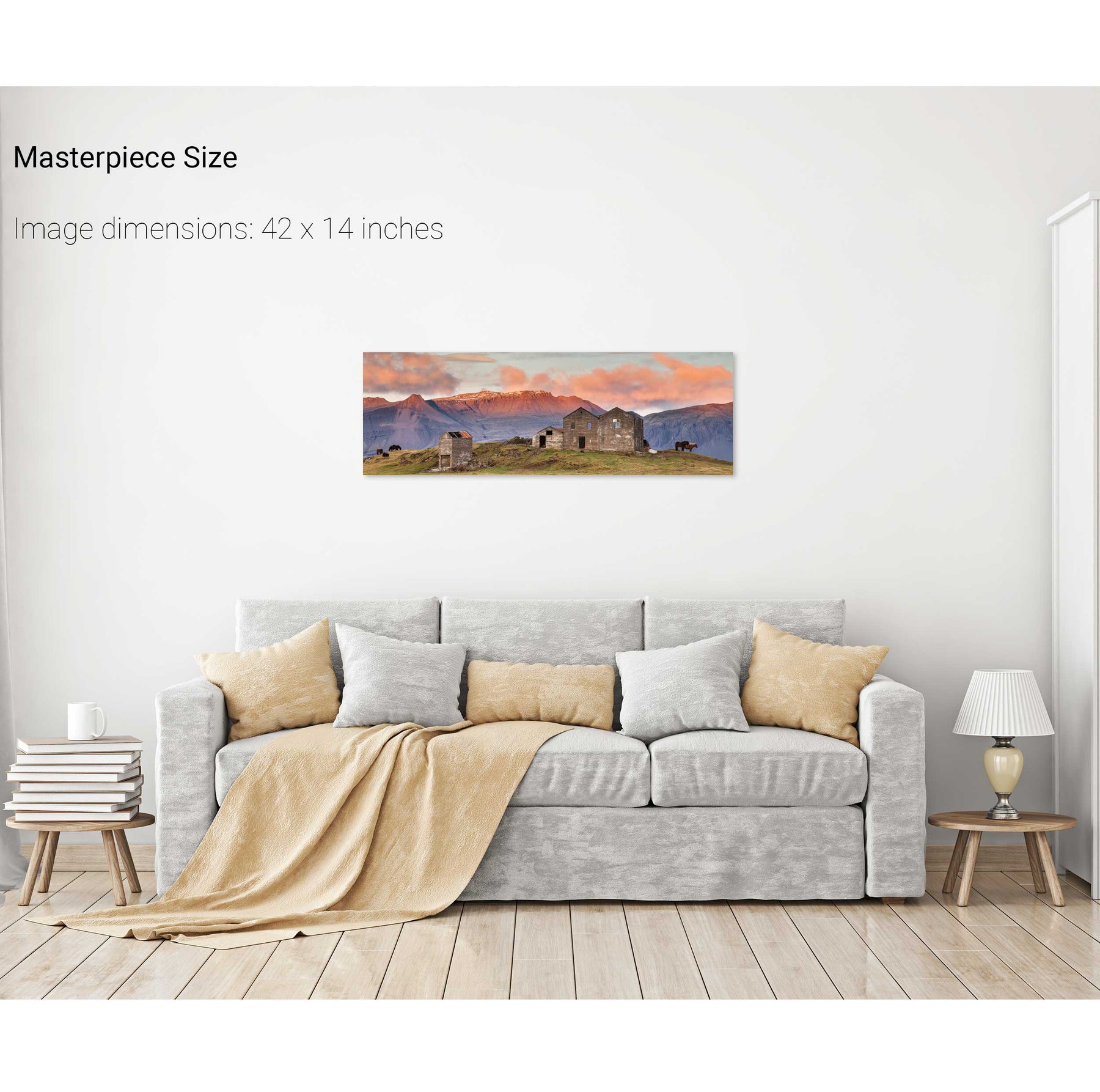
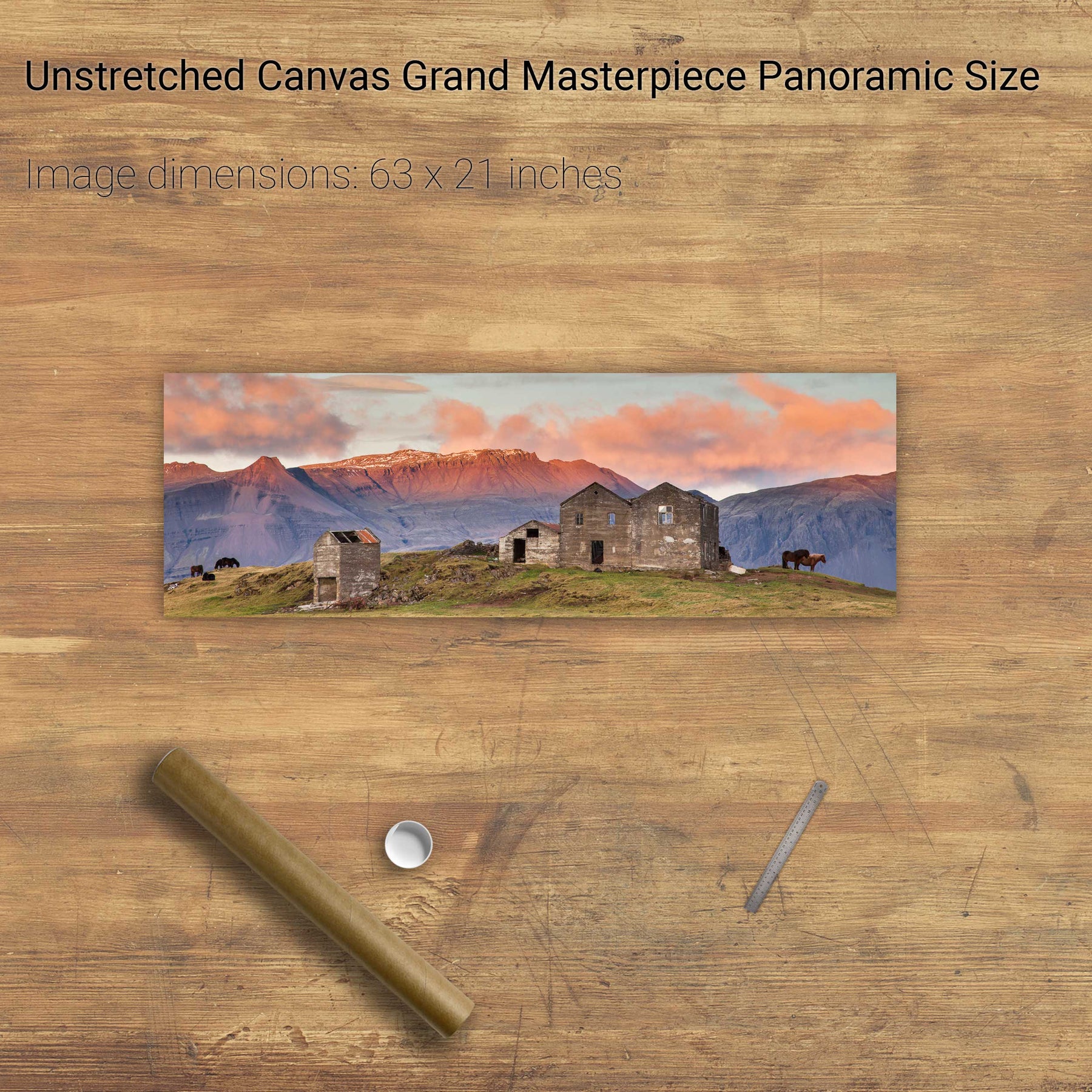
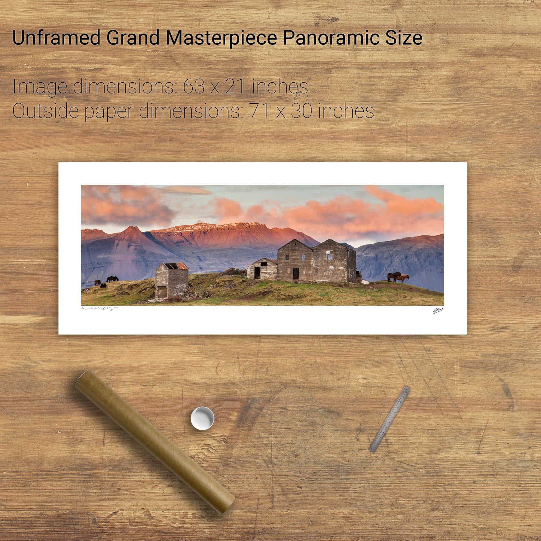
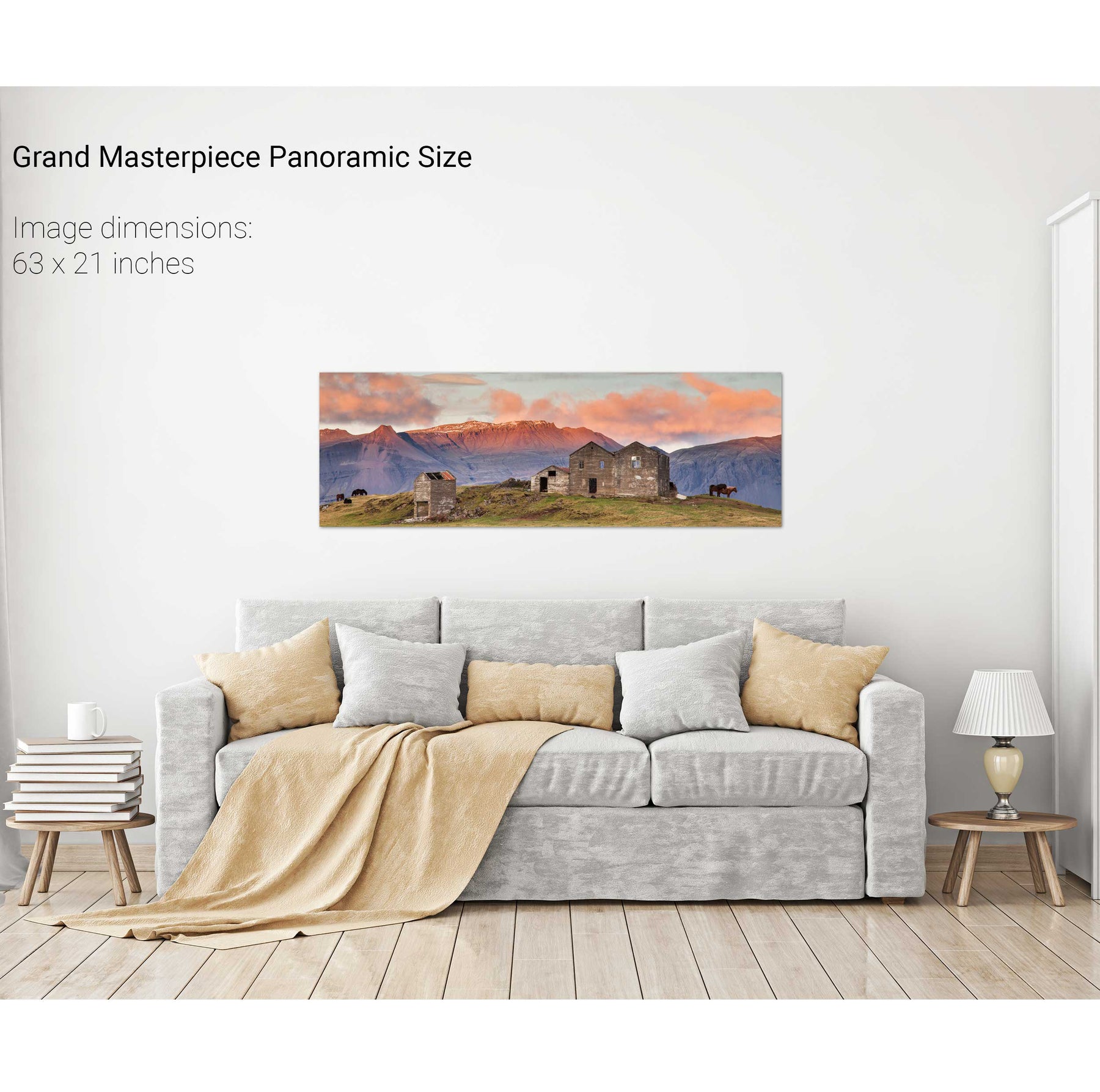
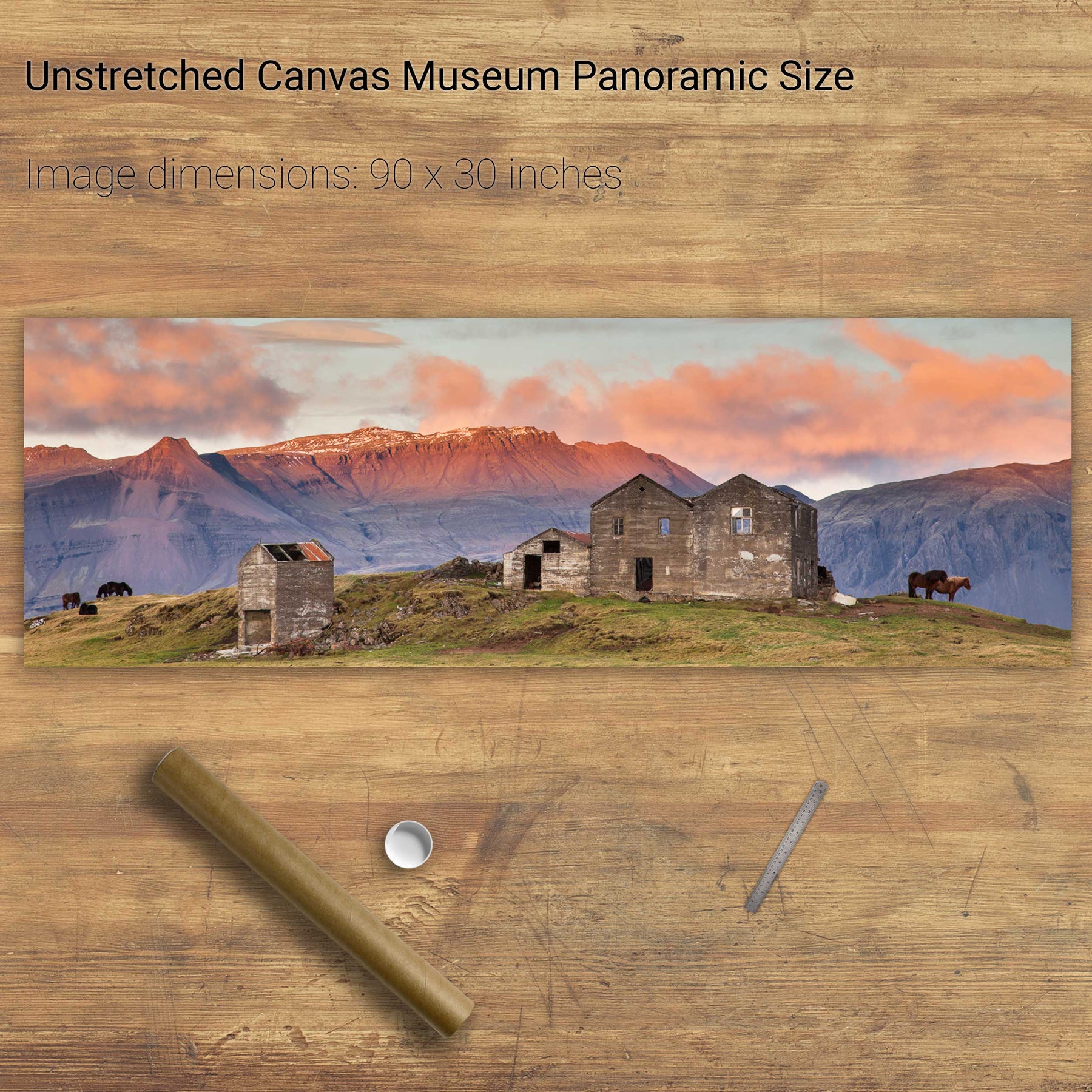
Horses, Iceland


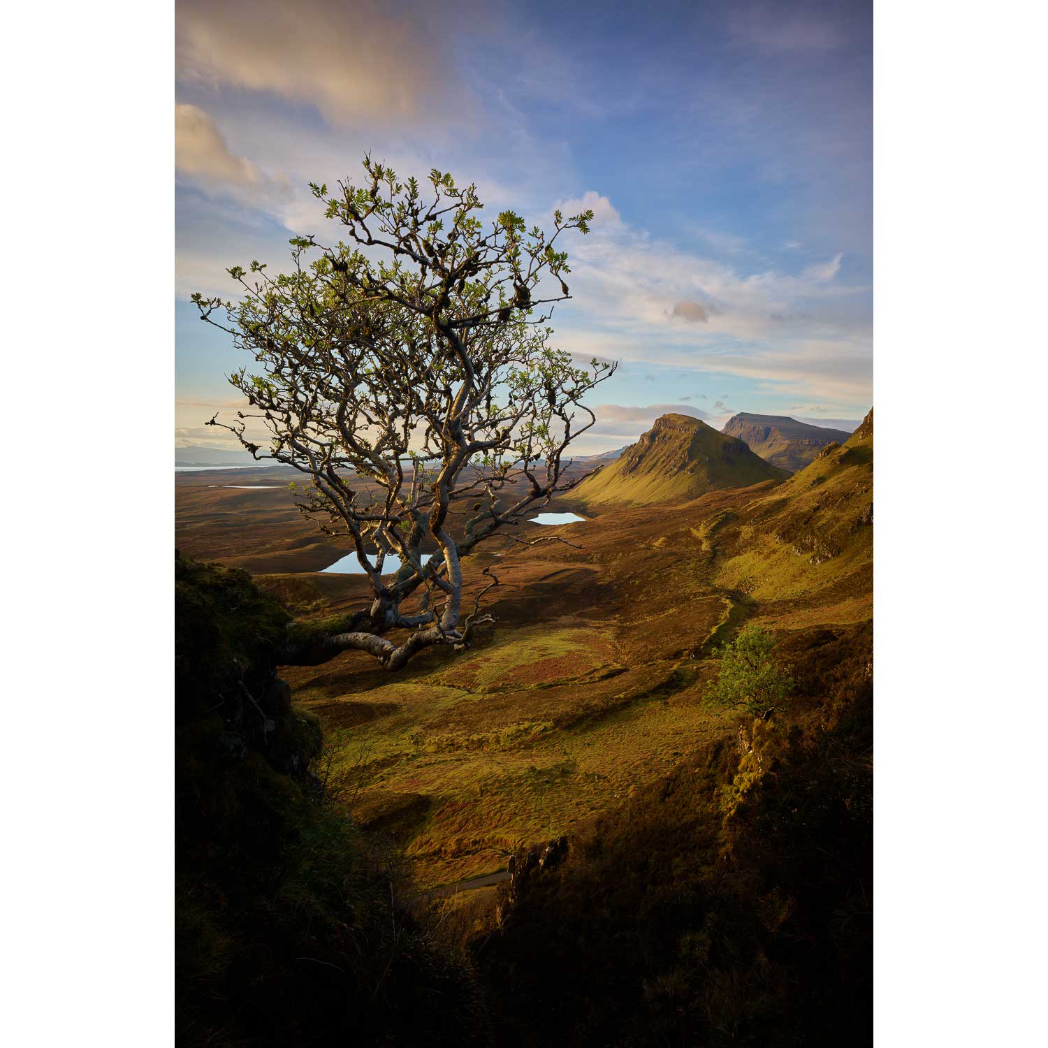
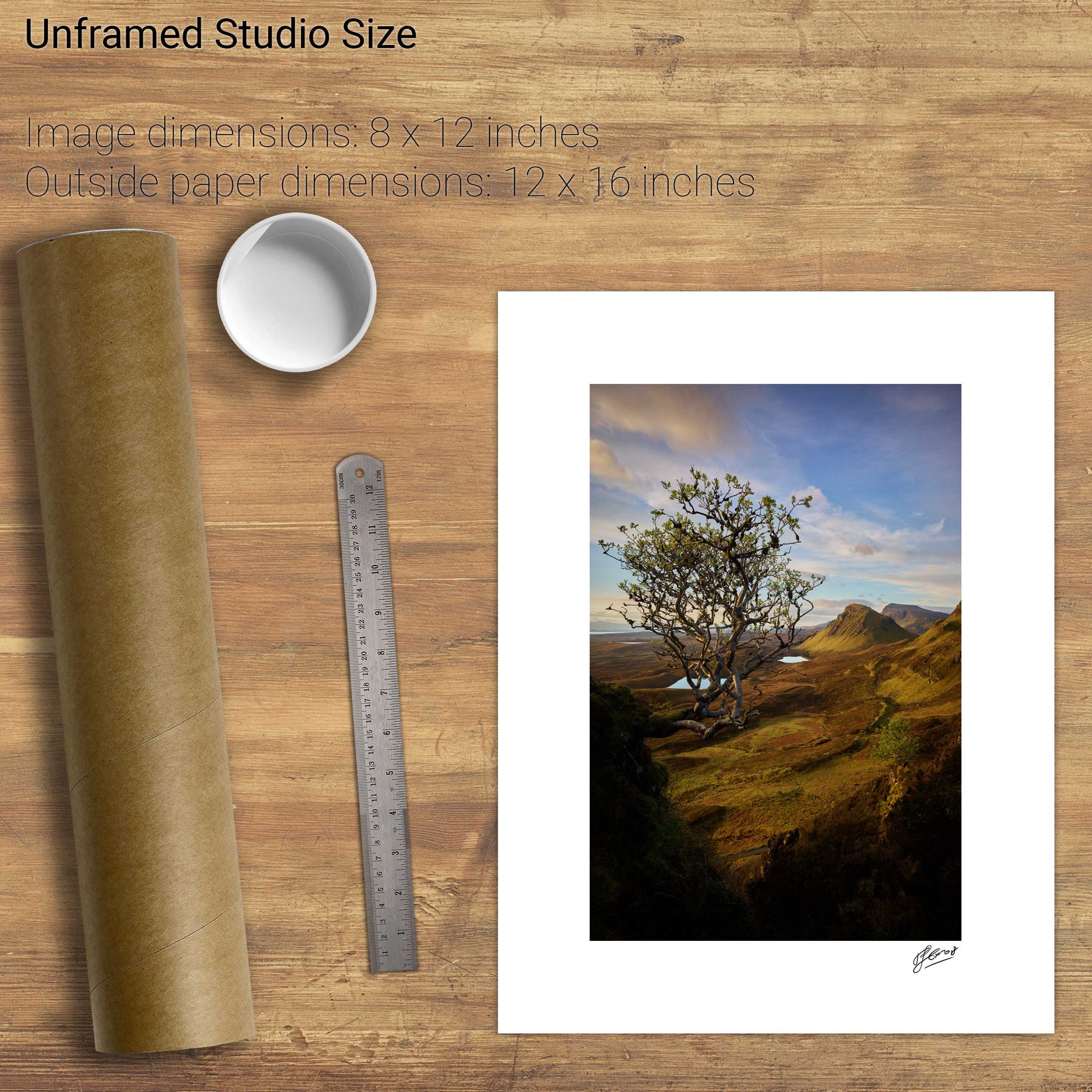
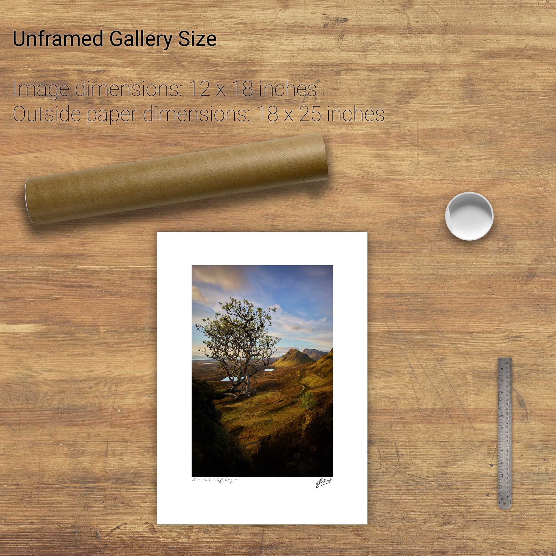
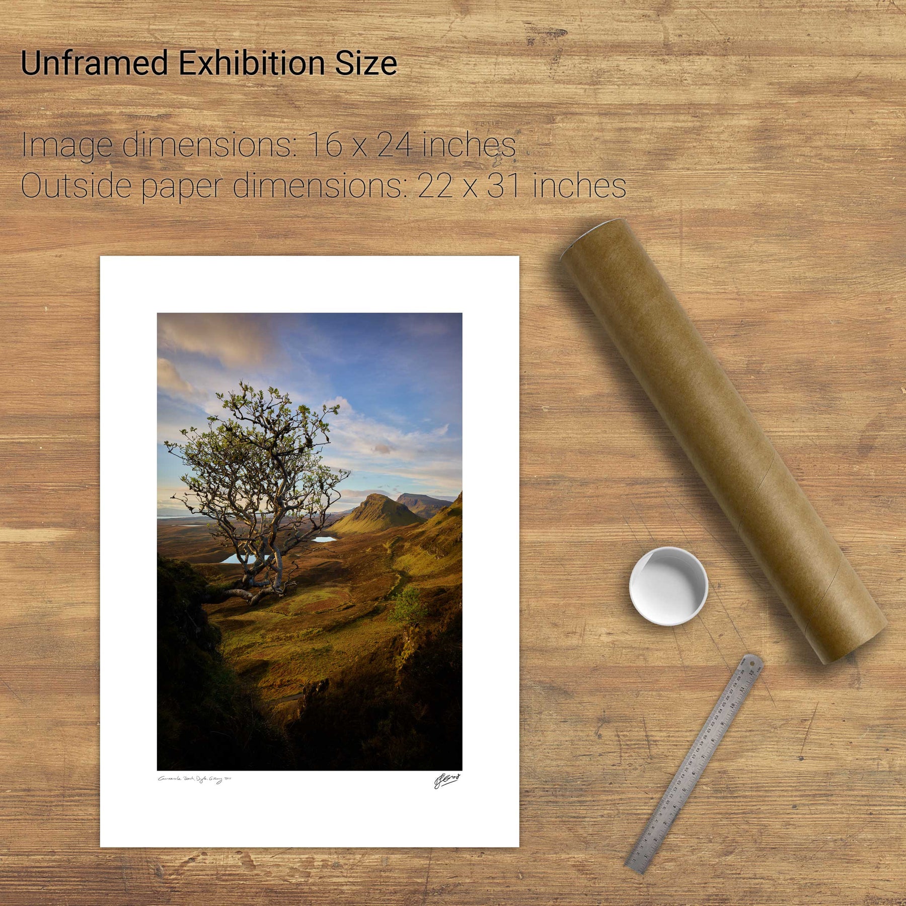
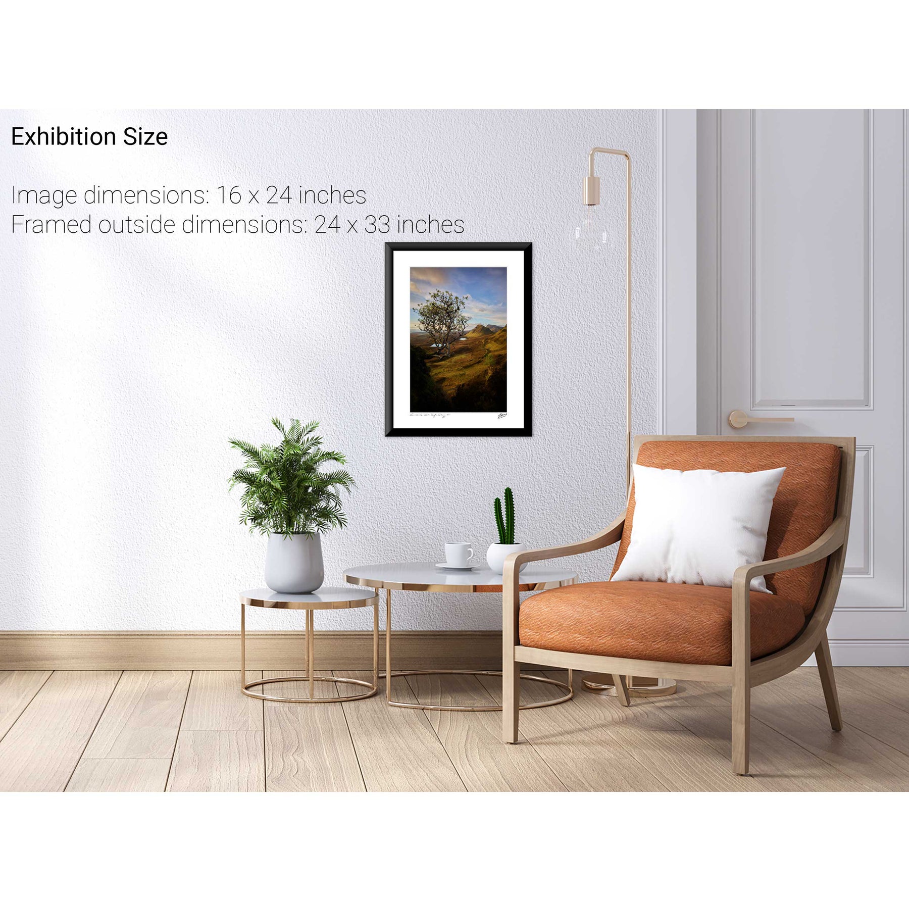
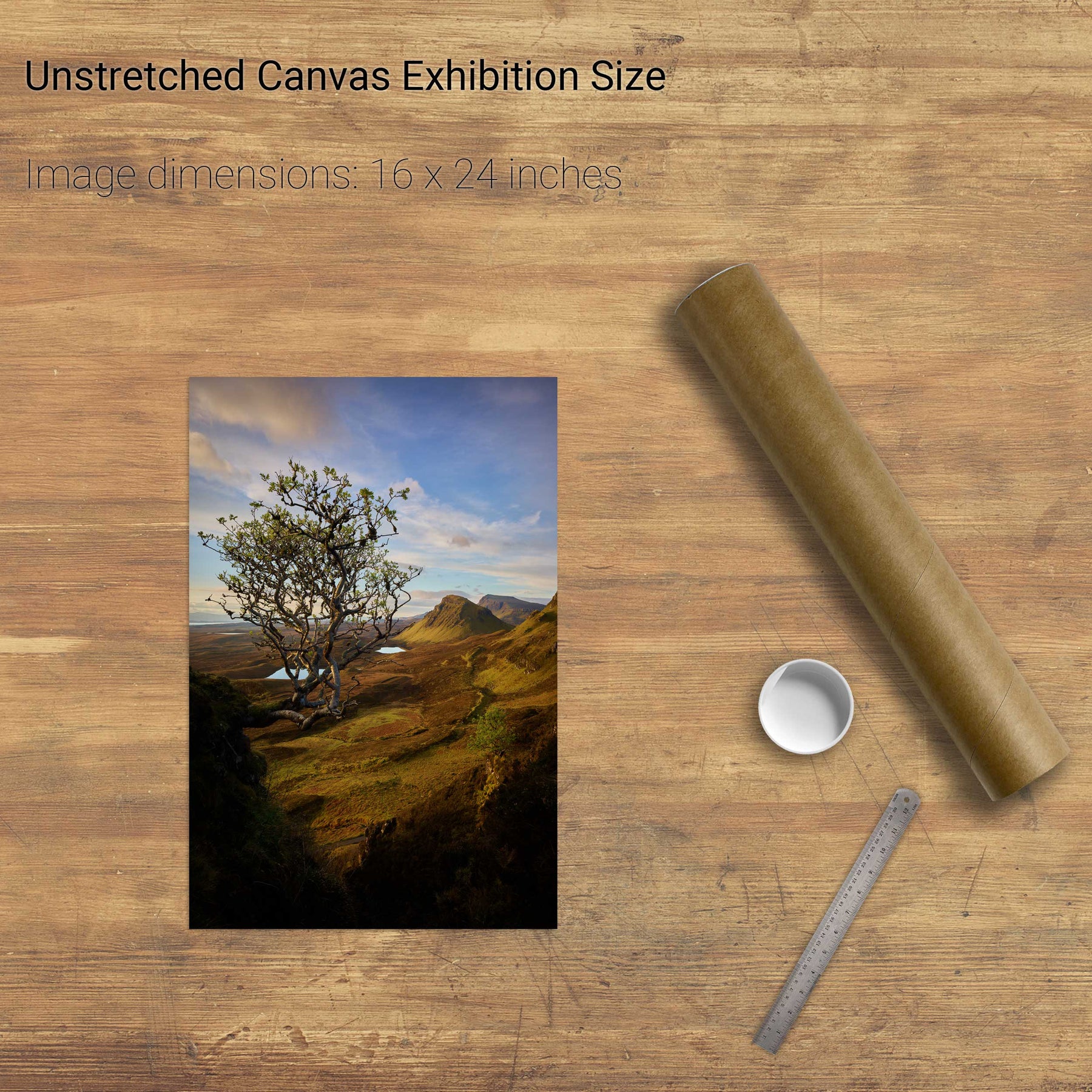
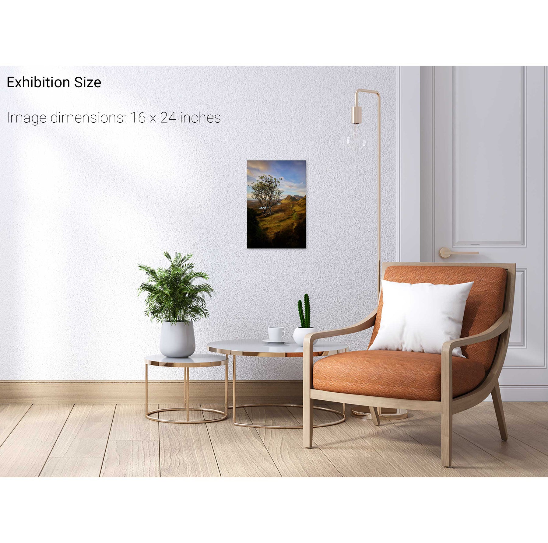
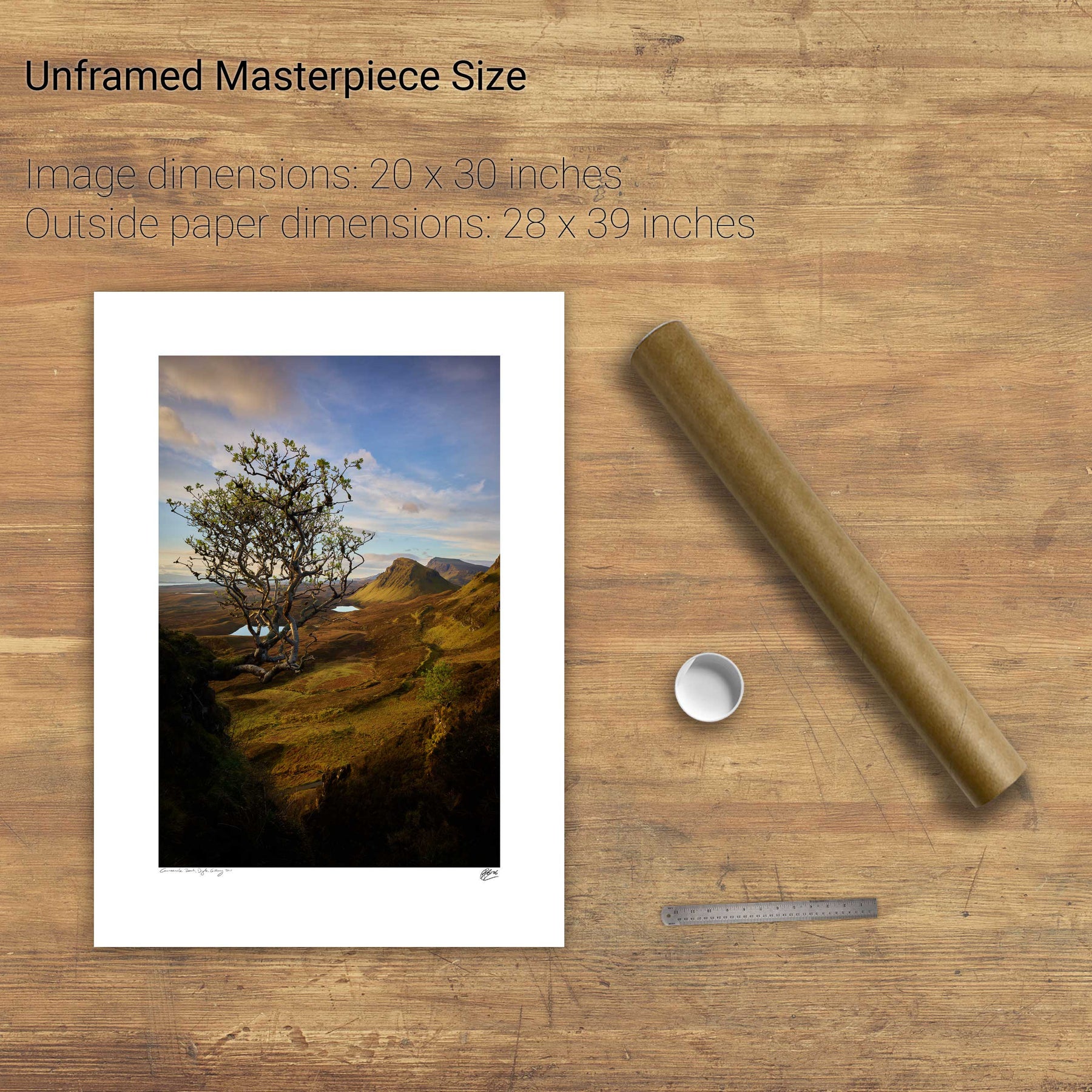
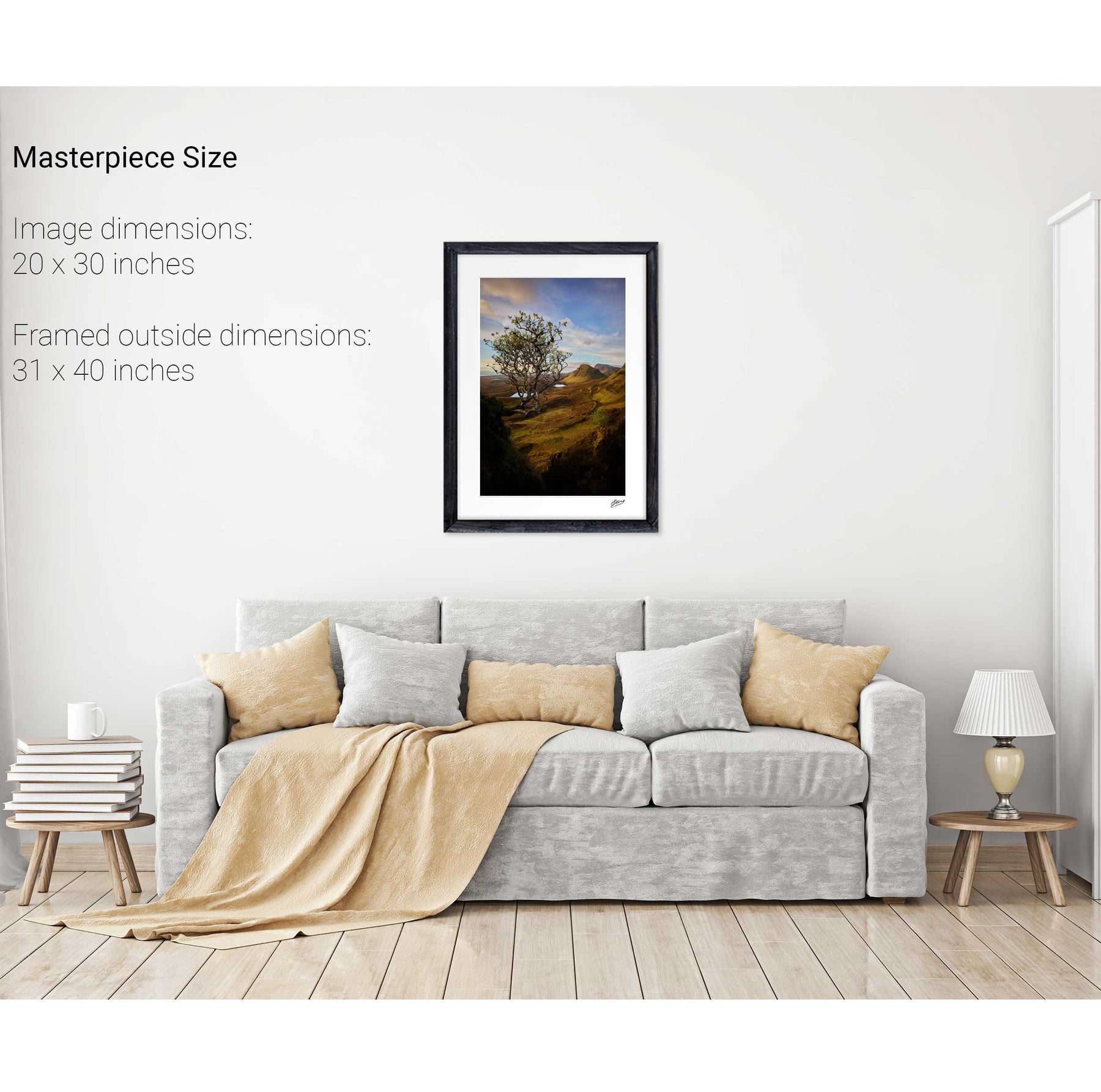
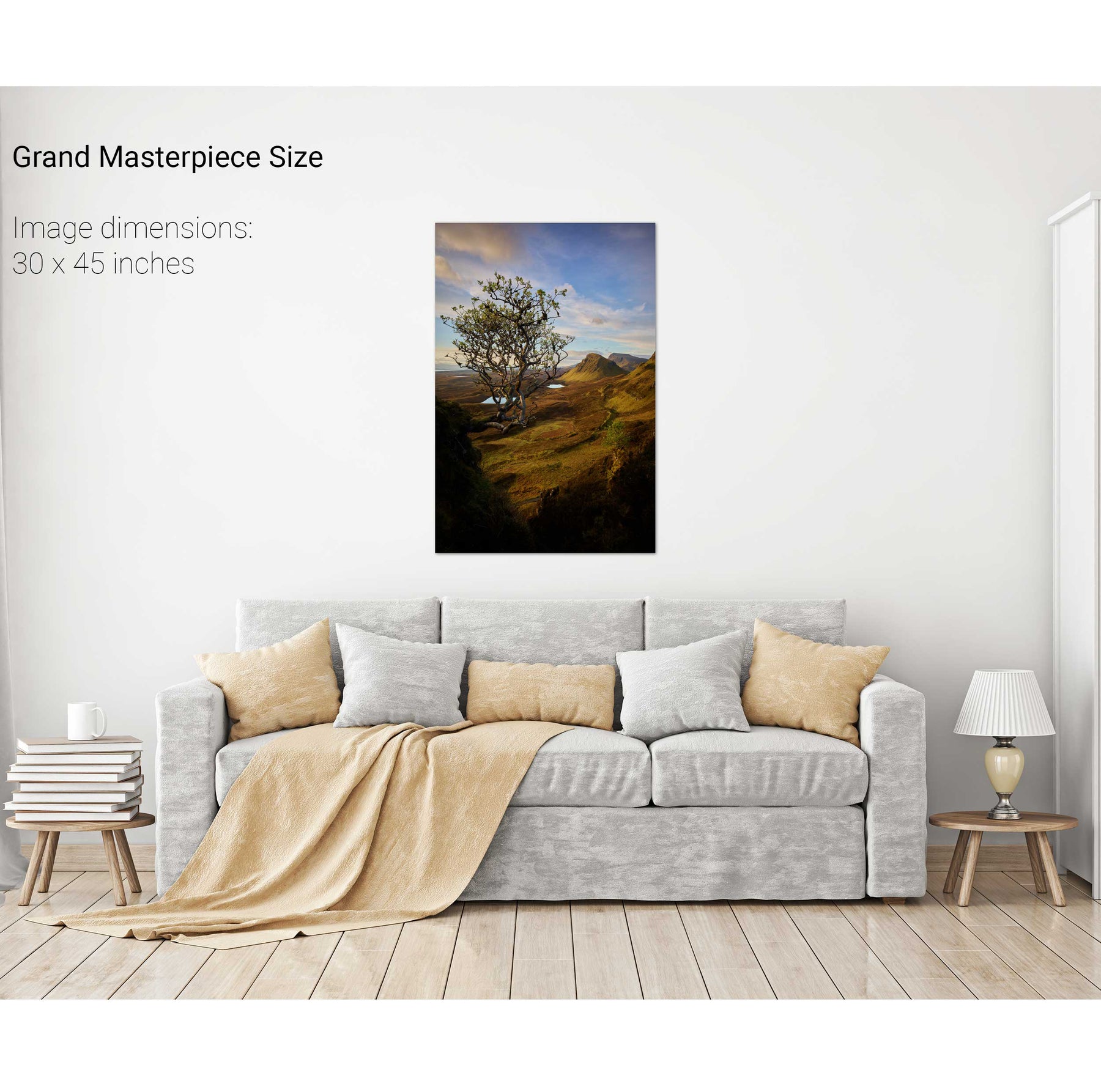
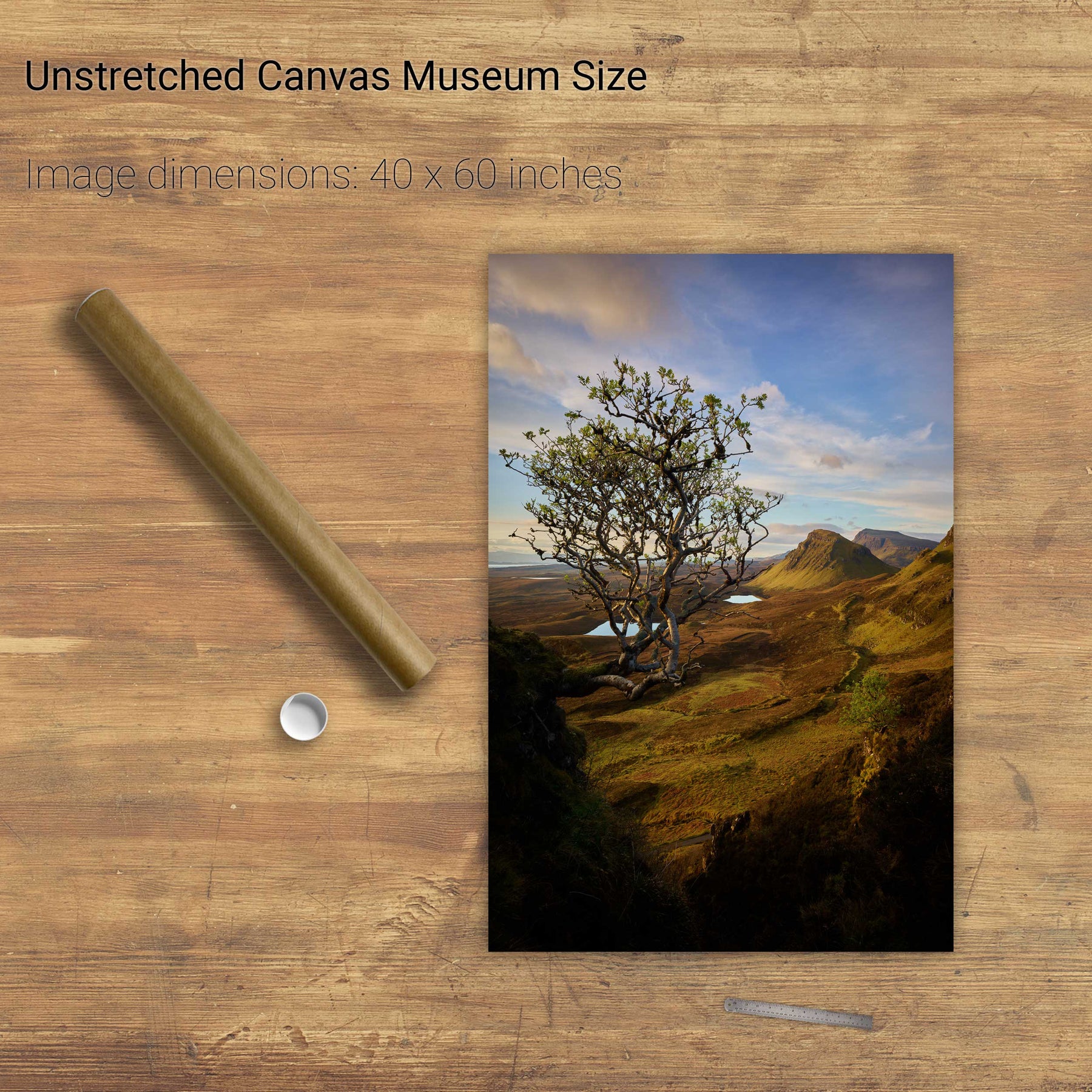
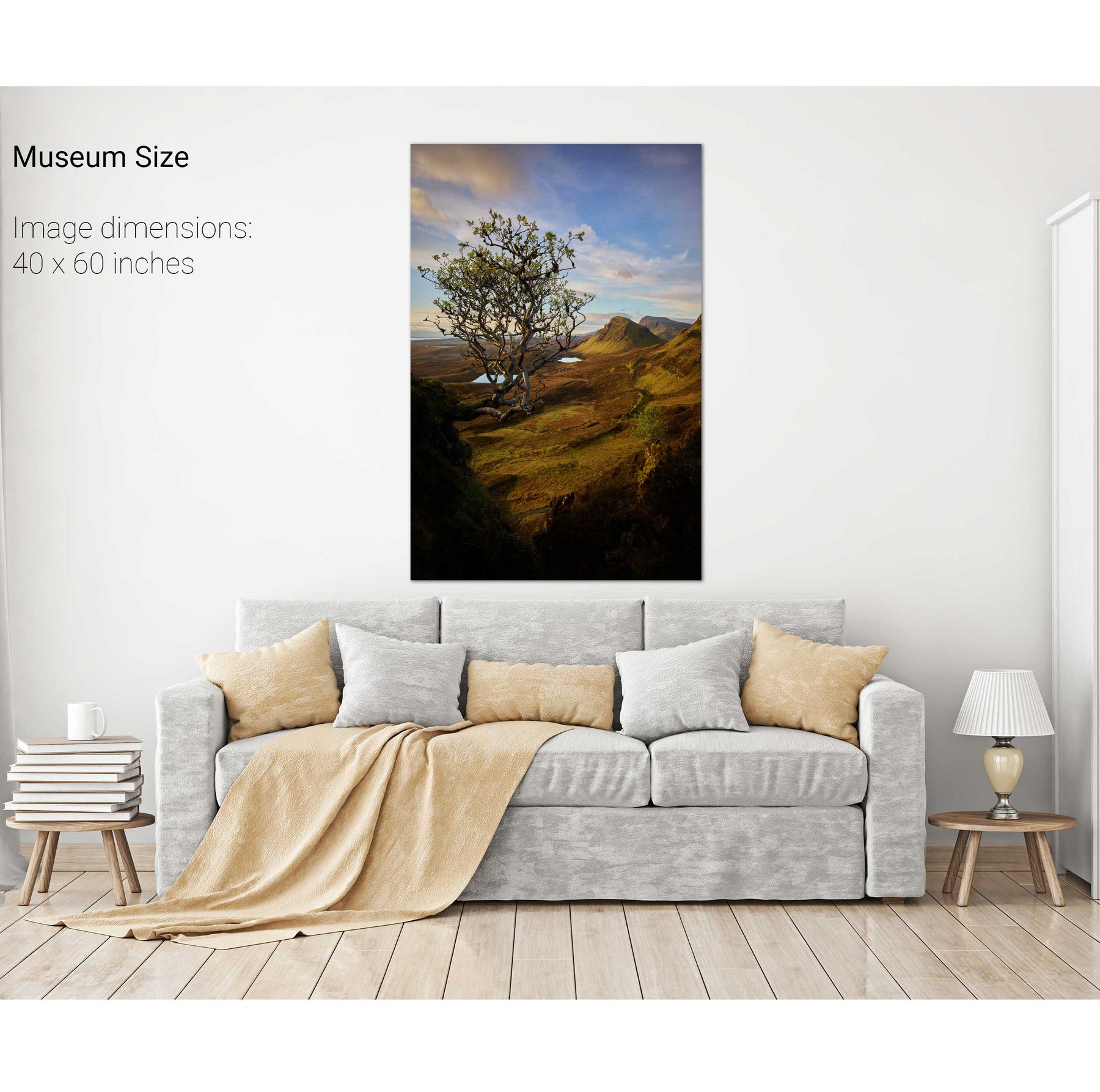
The Quiraing, Isle of Skye, Scotland


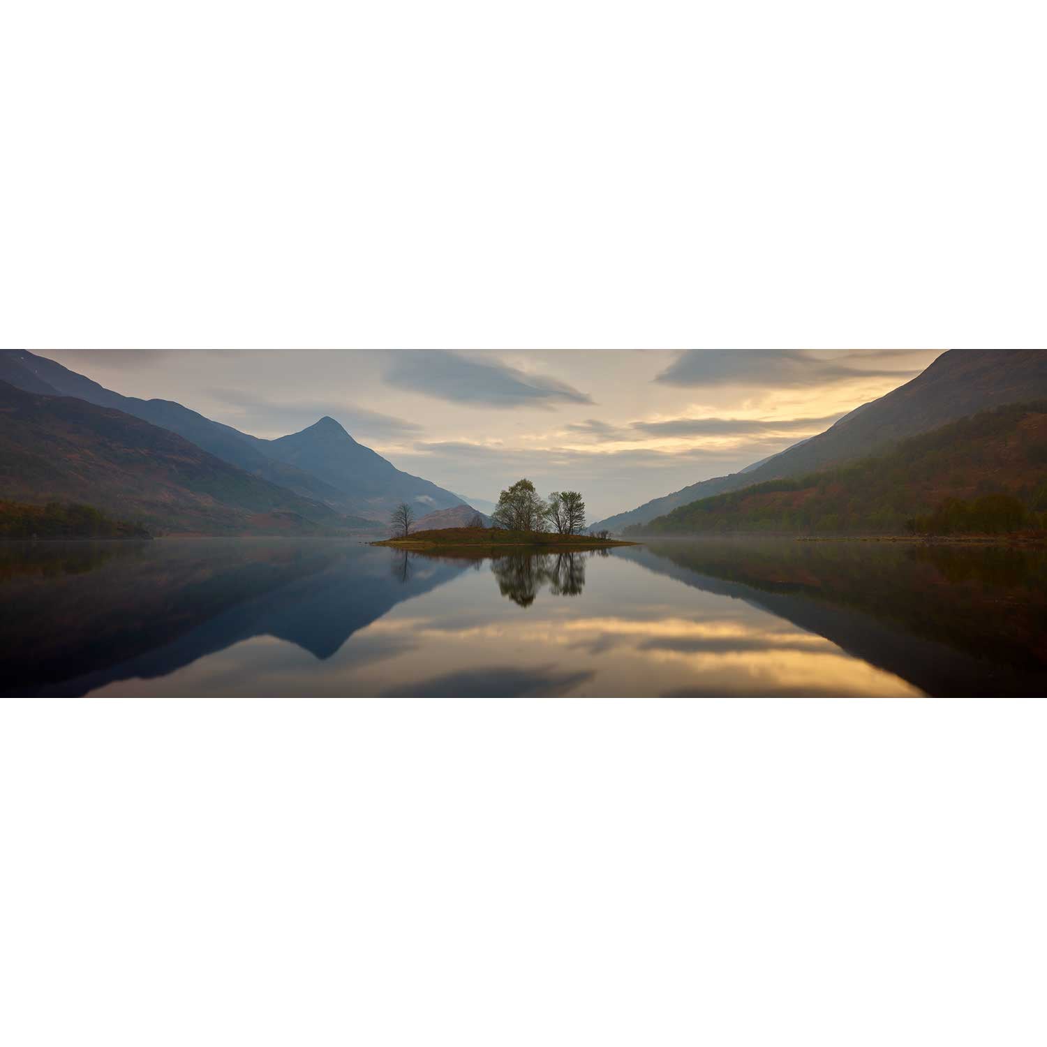
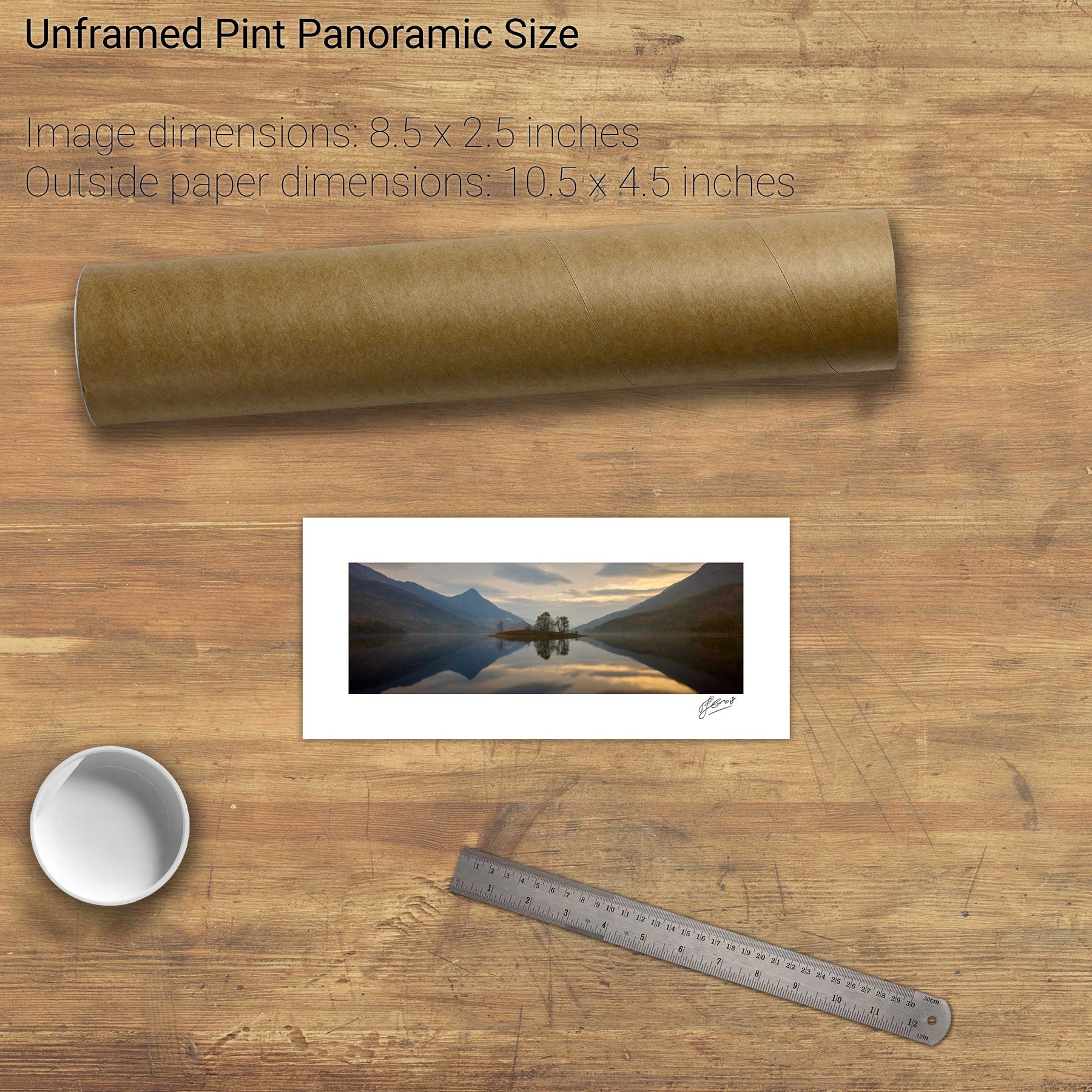
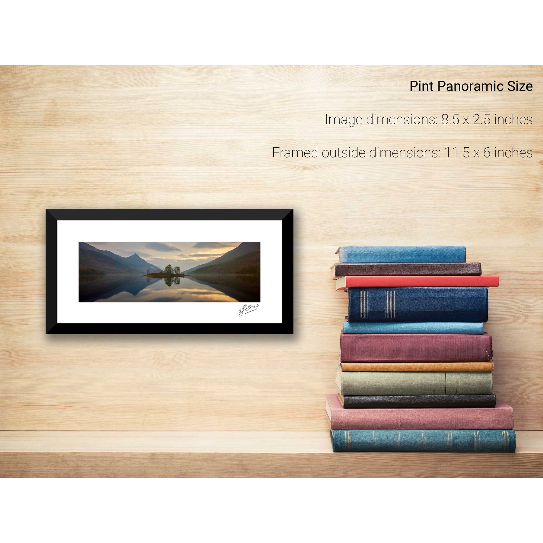
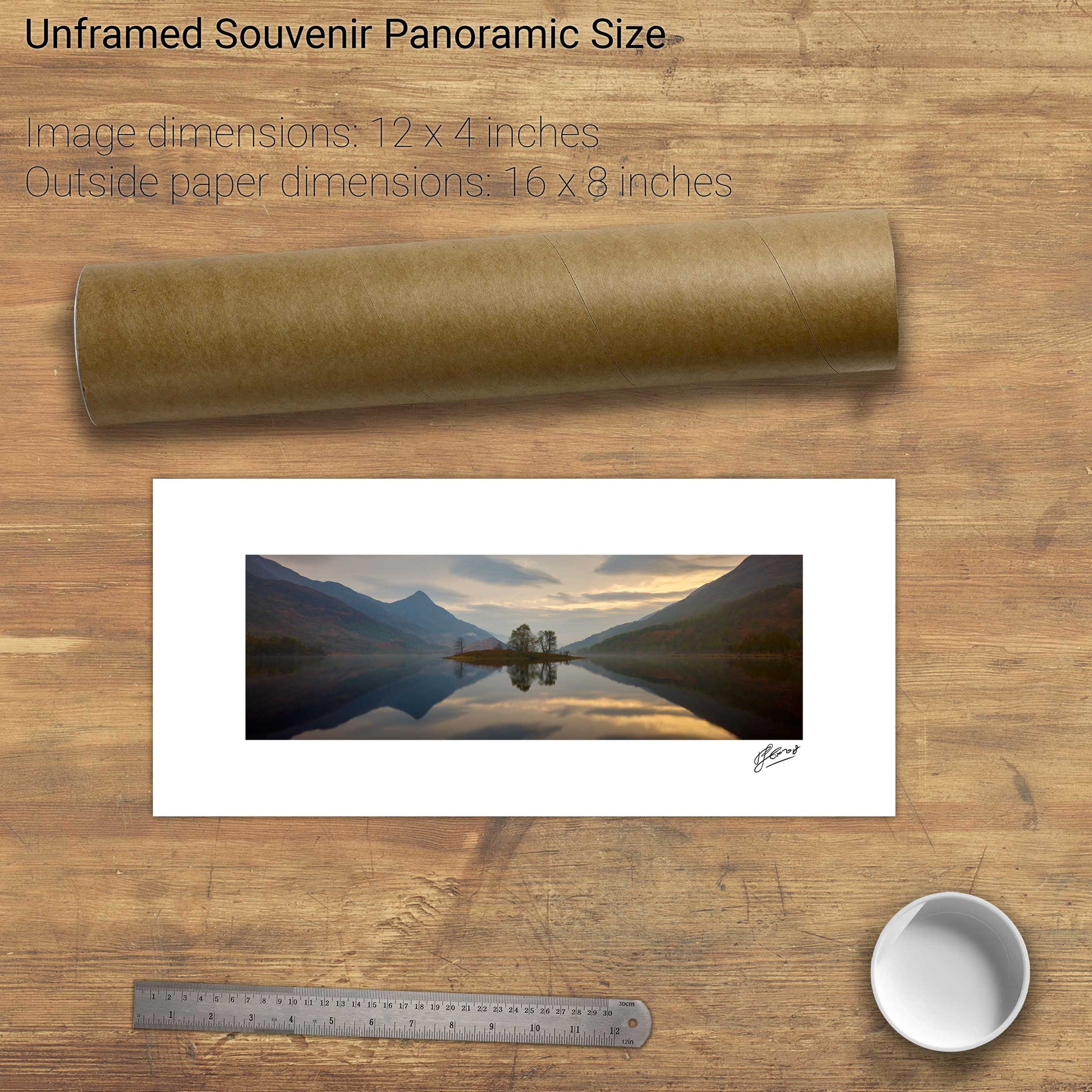
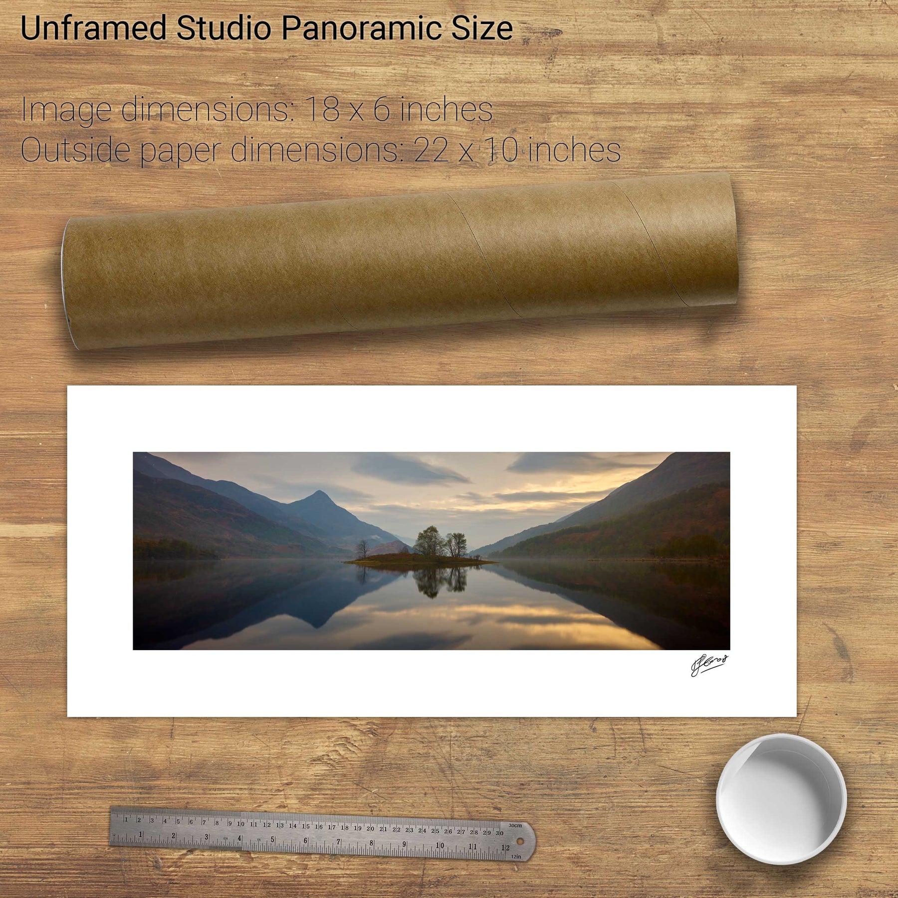
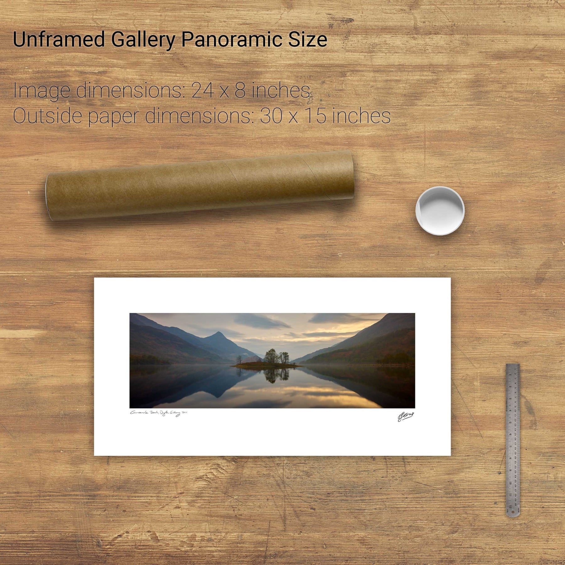
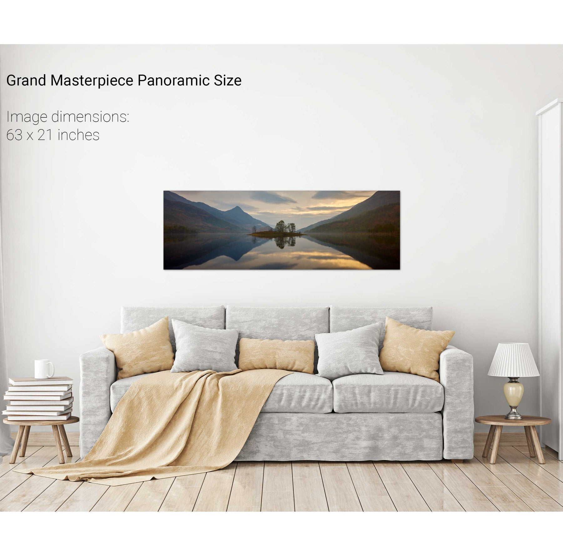
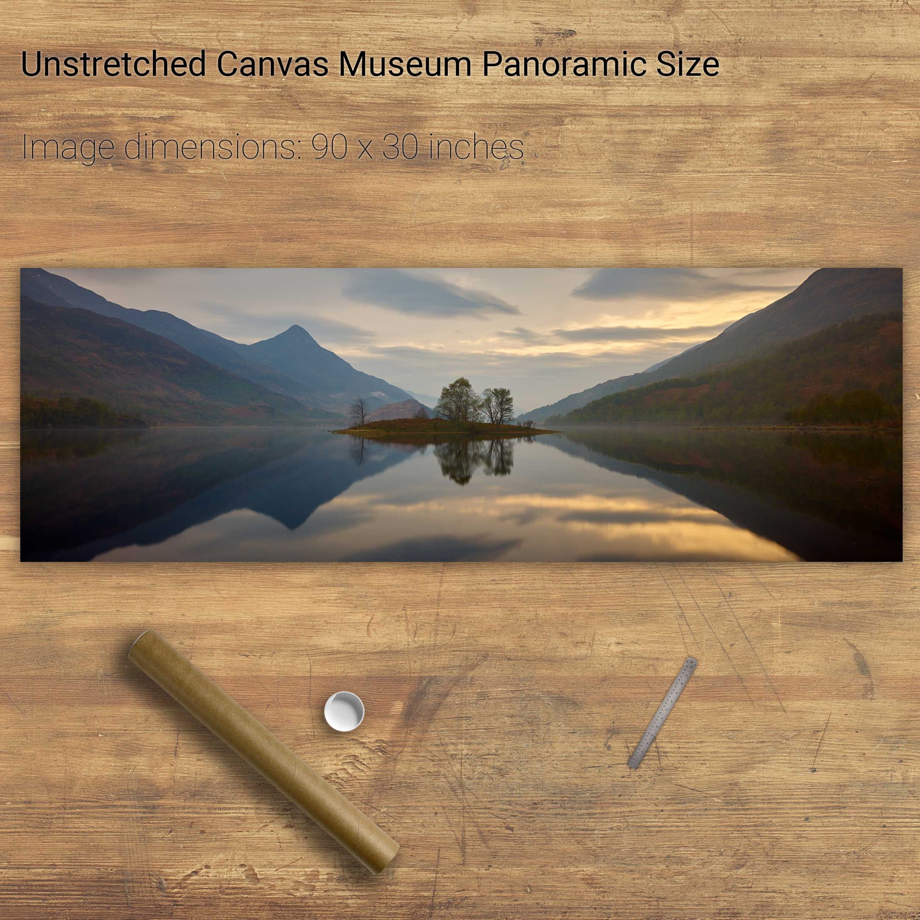
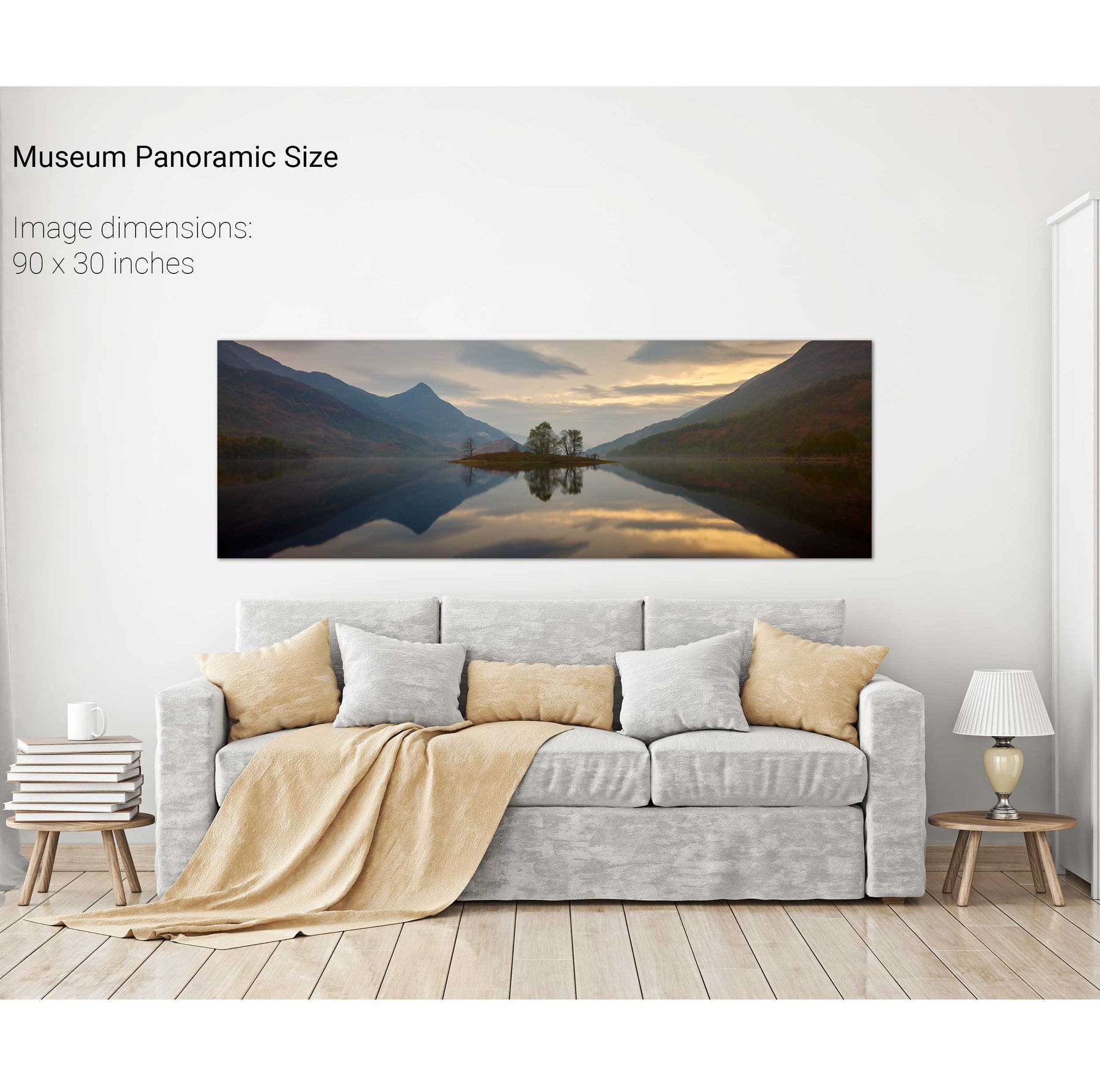
Lough Leven Sunset, Scotland


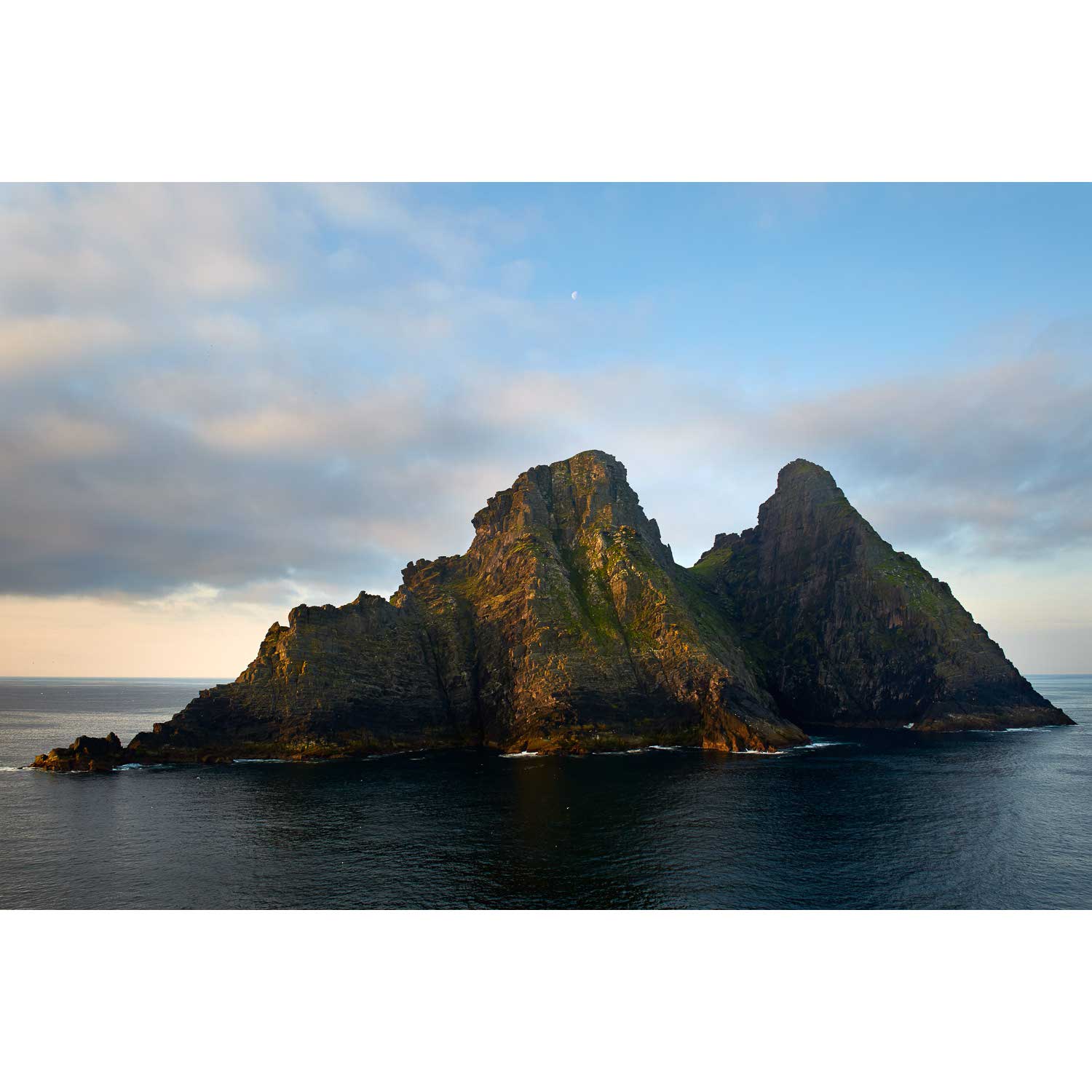
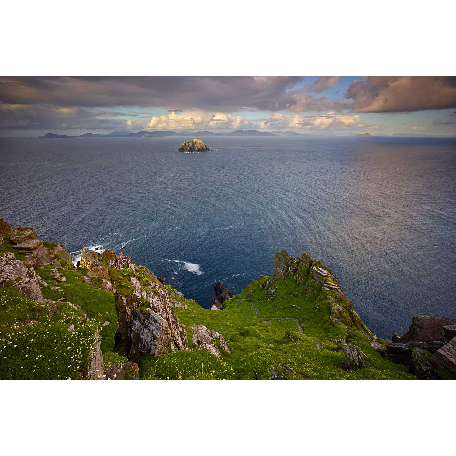
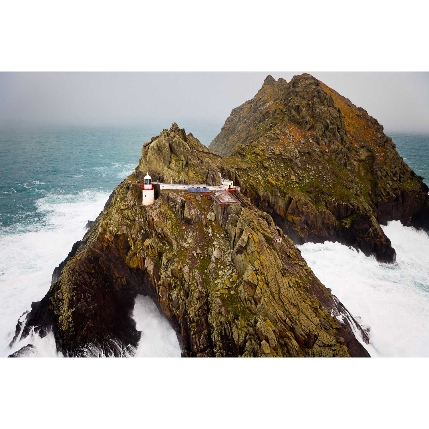
Skellig Michael from the North, Kerry


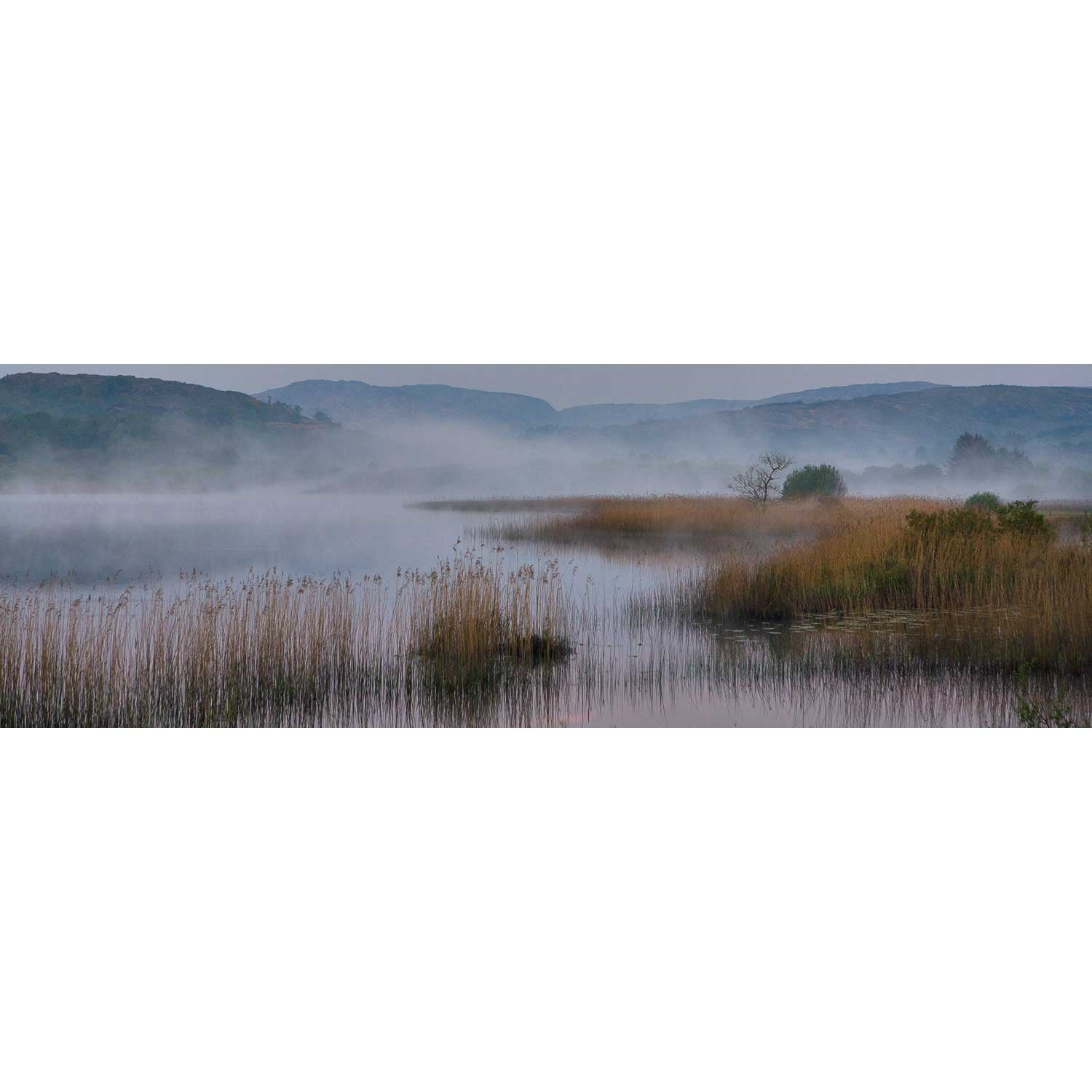
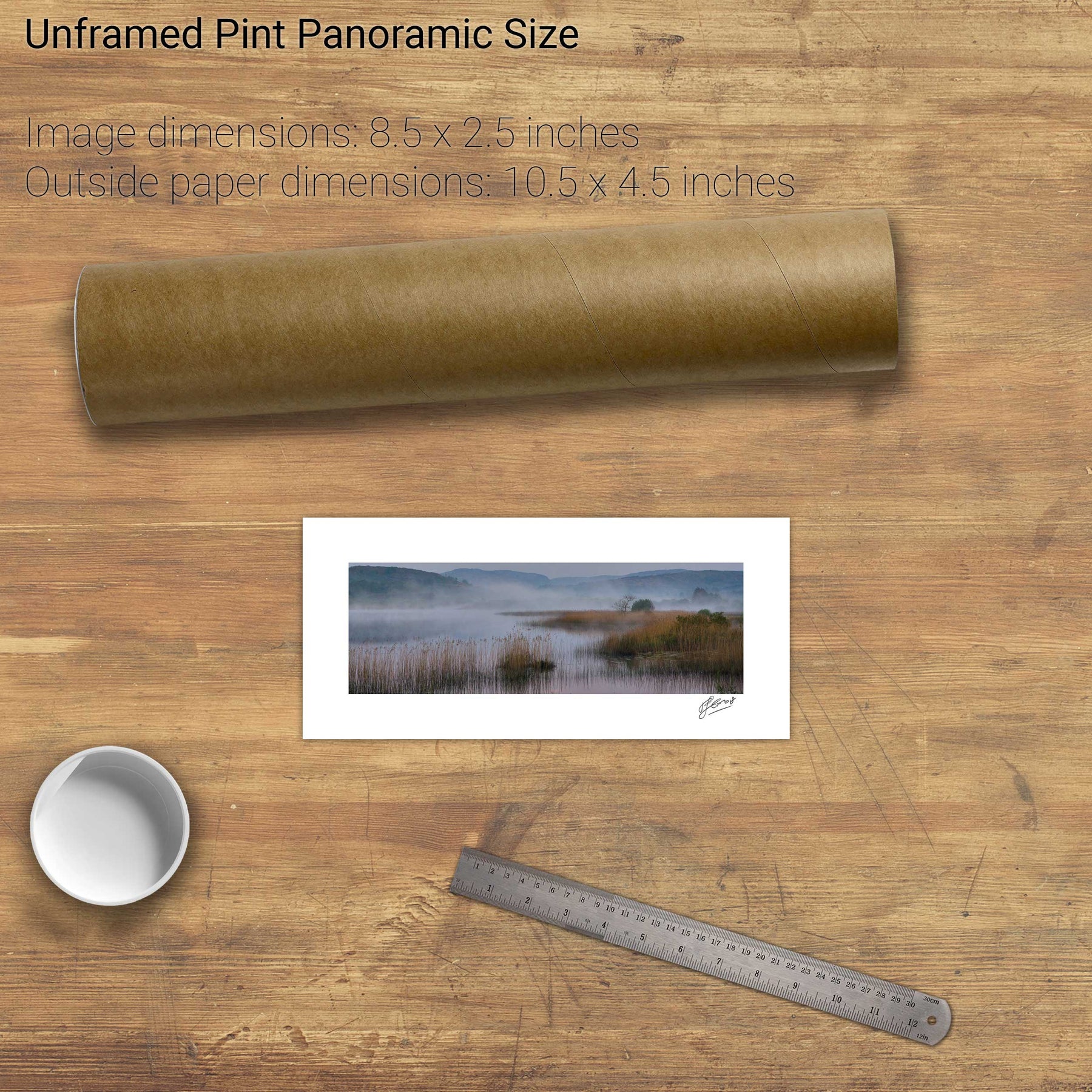
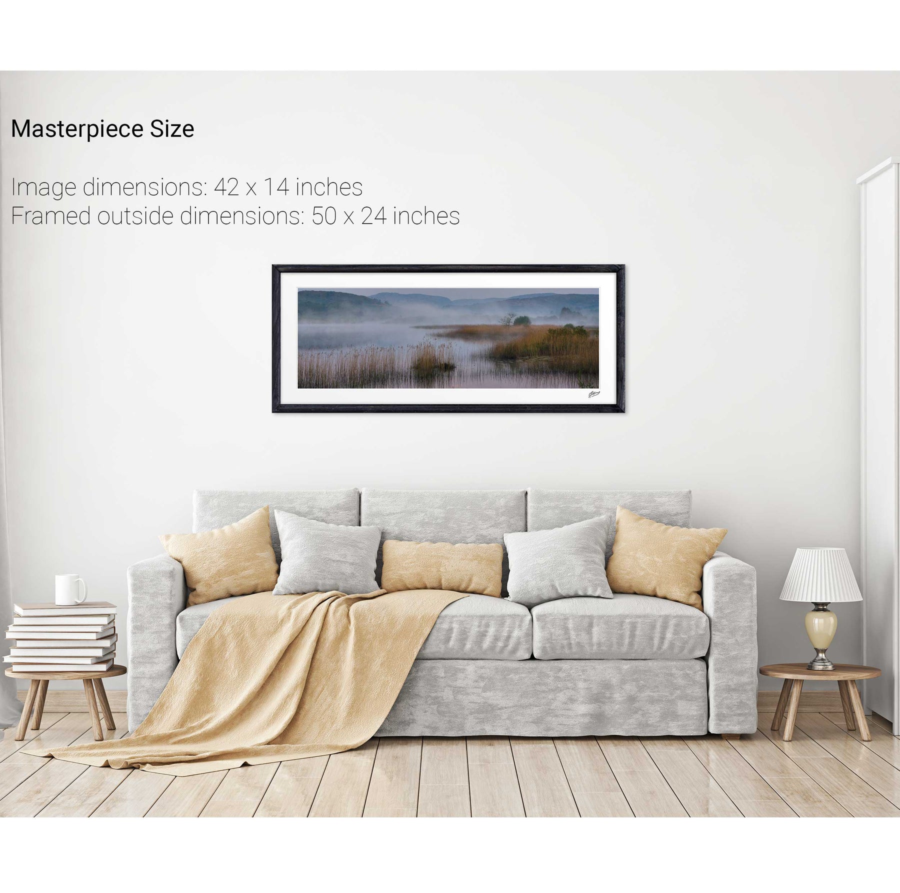
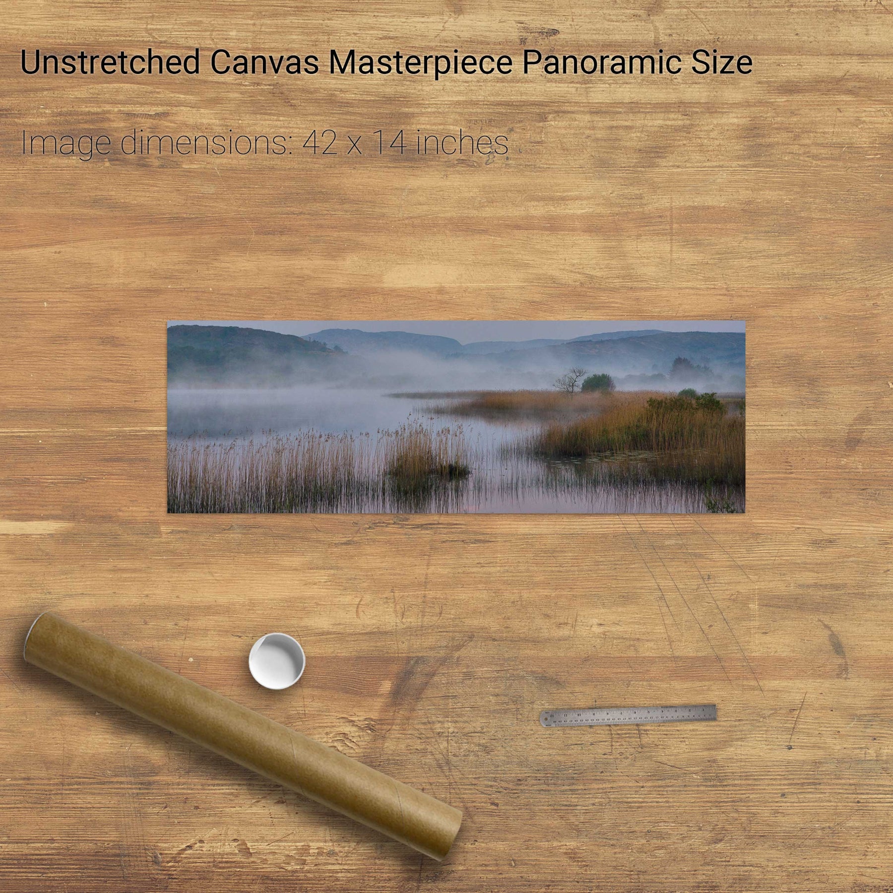
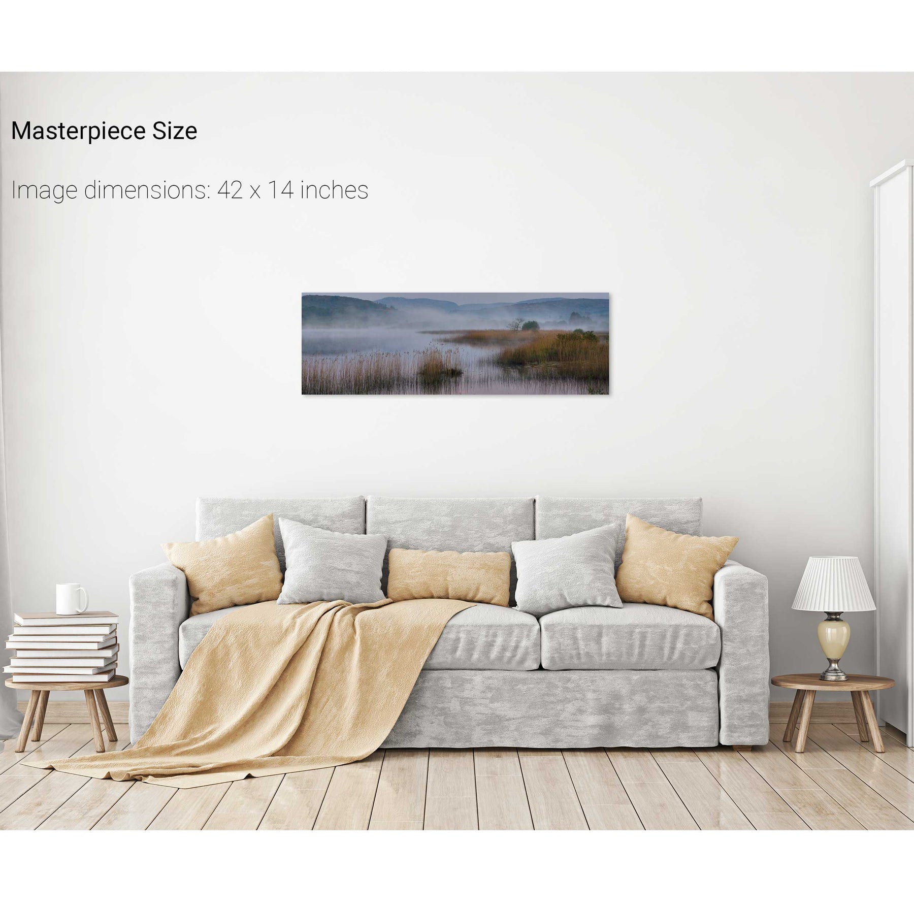
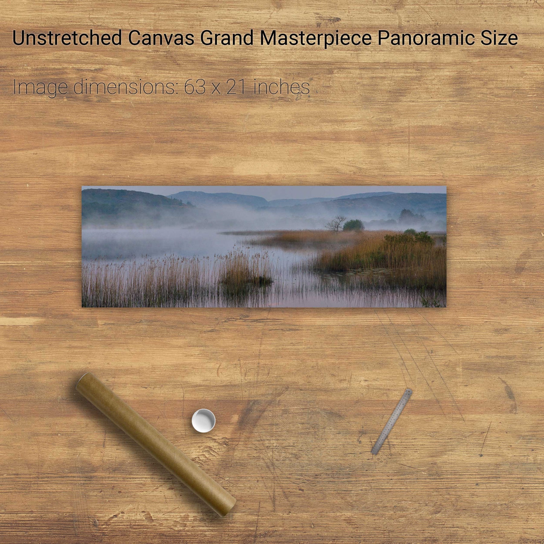
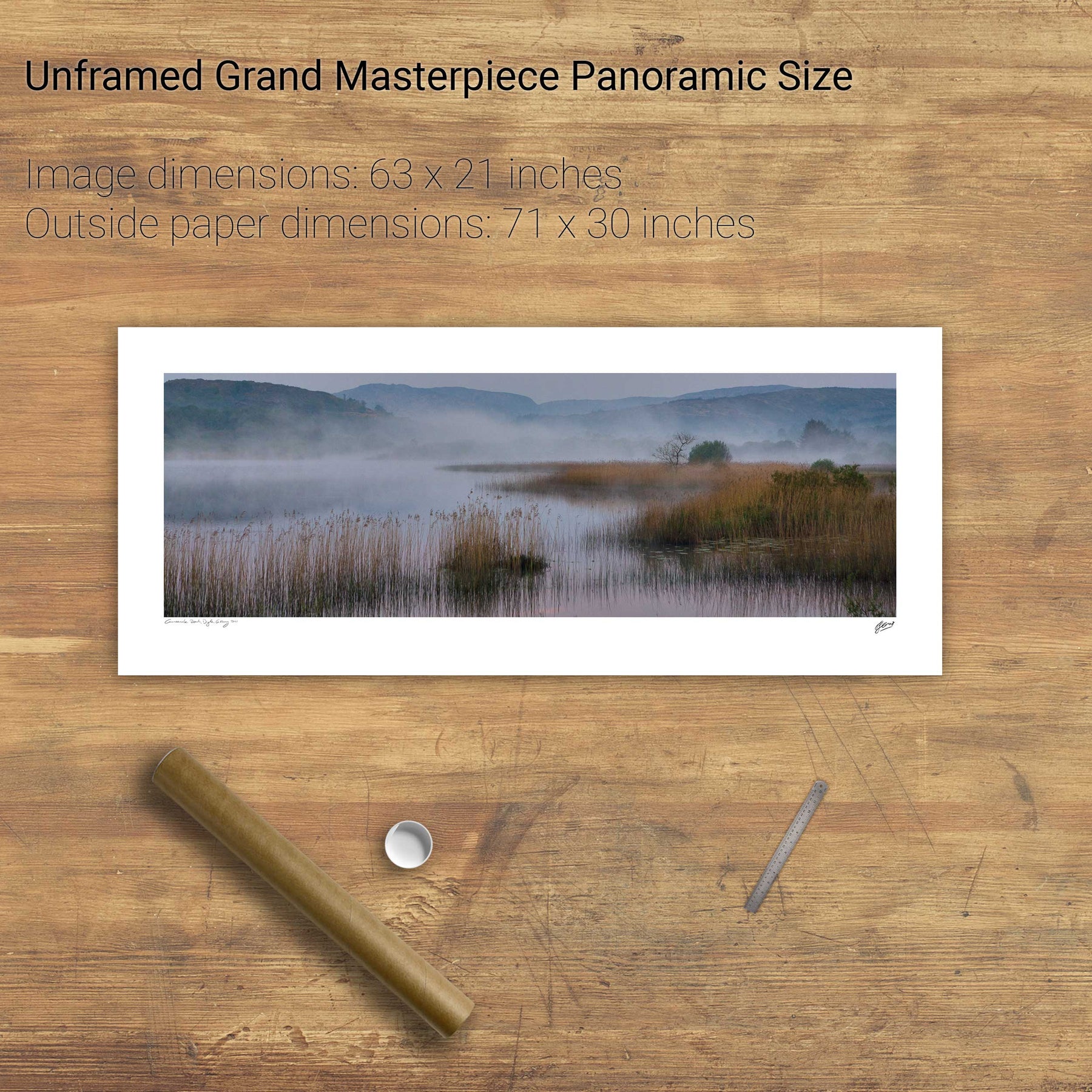
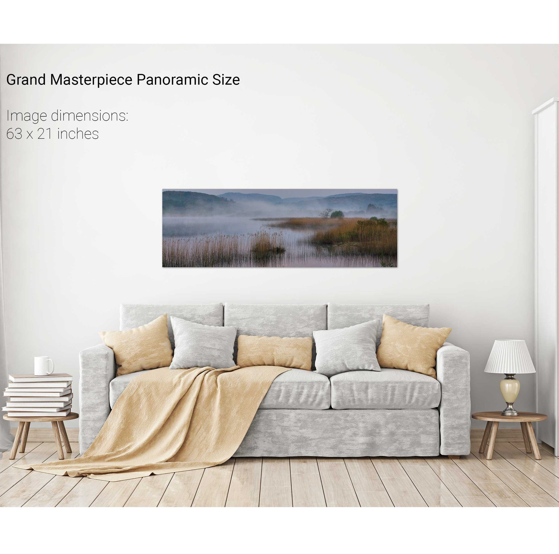
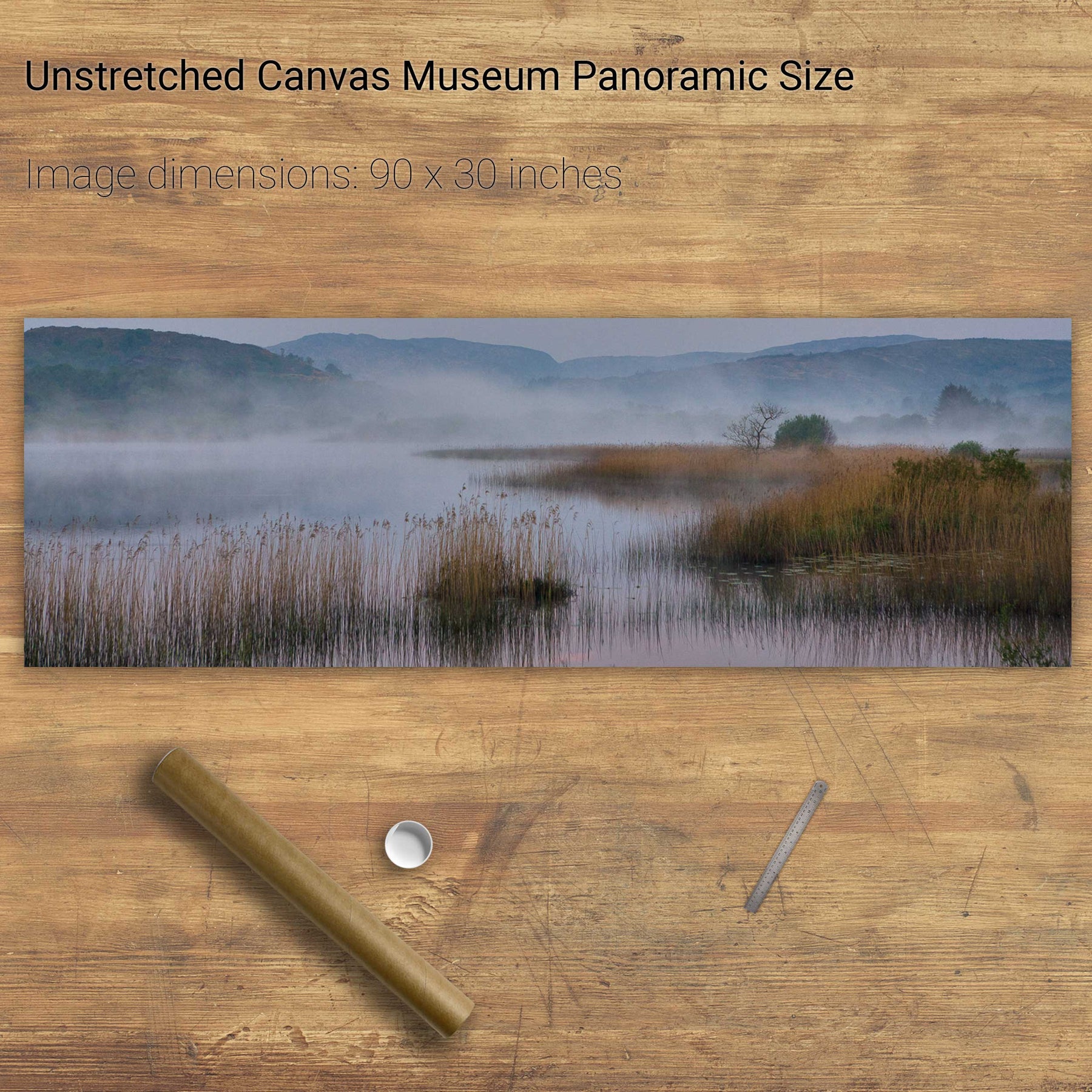
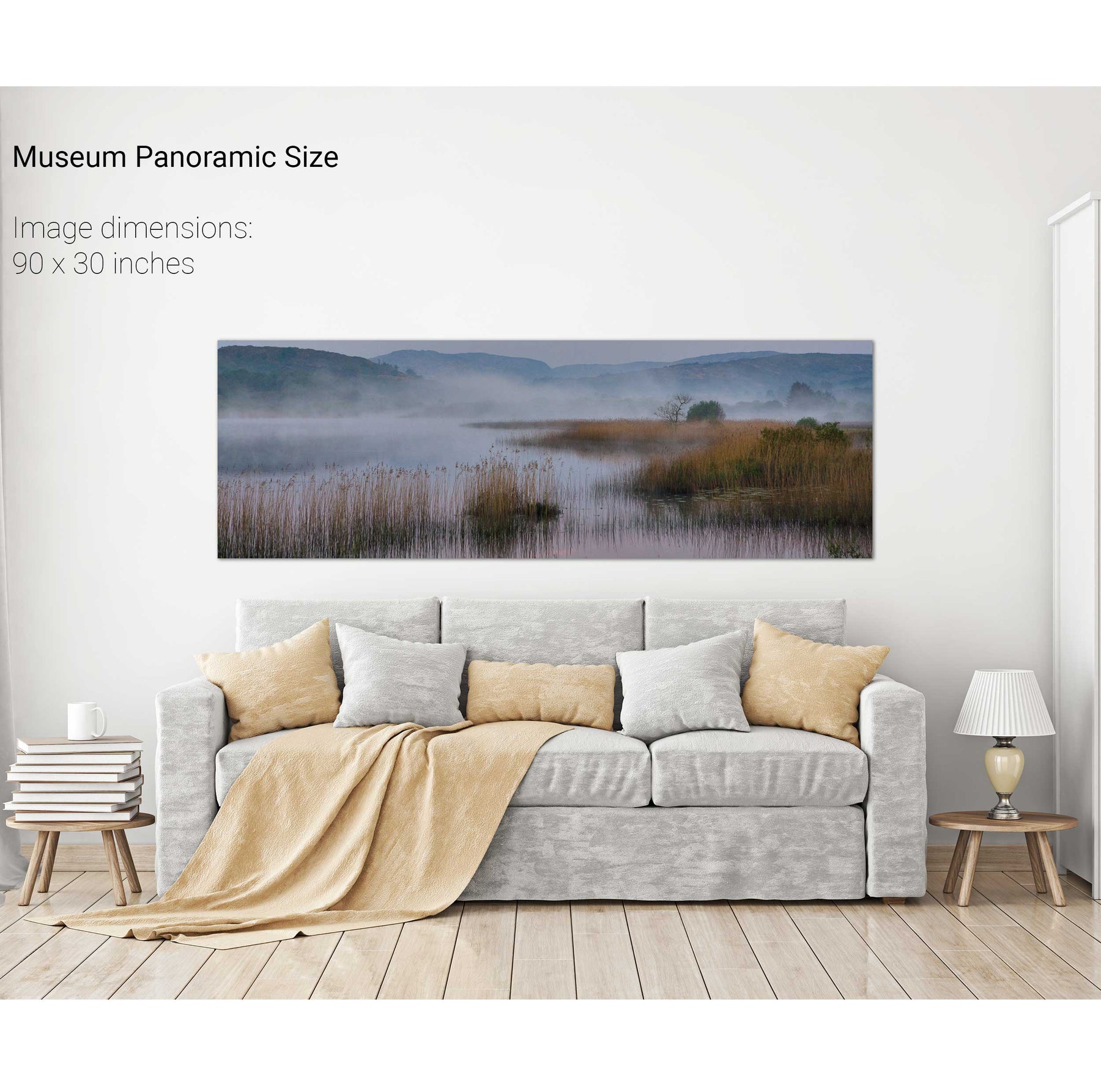
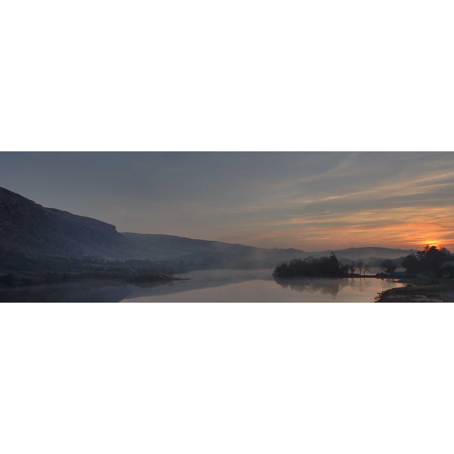
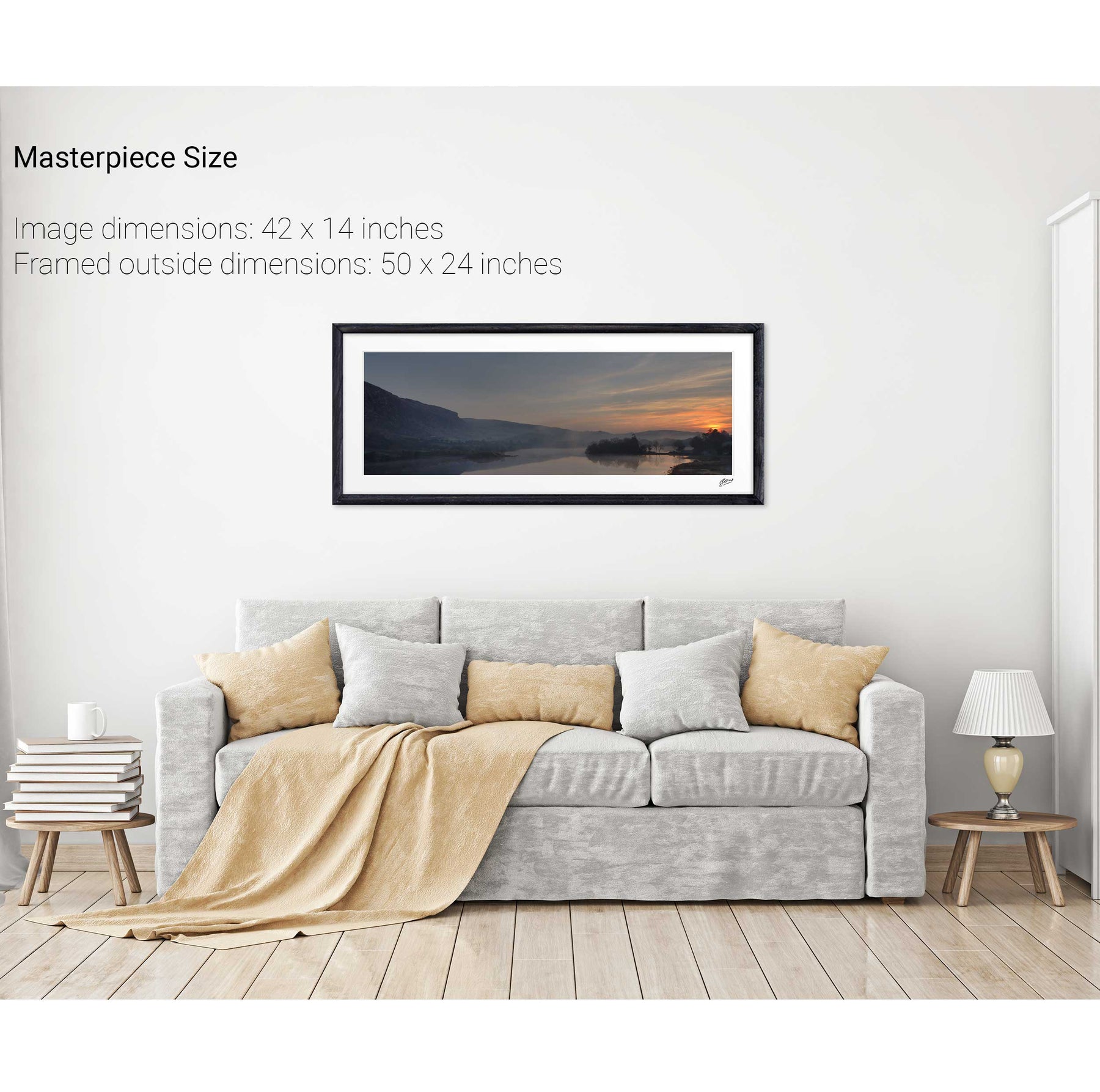
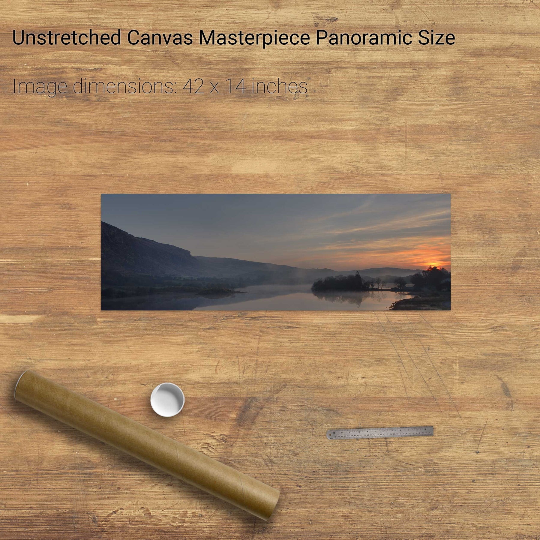
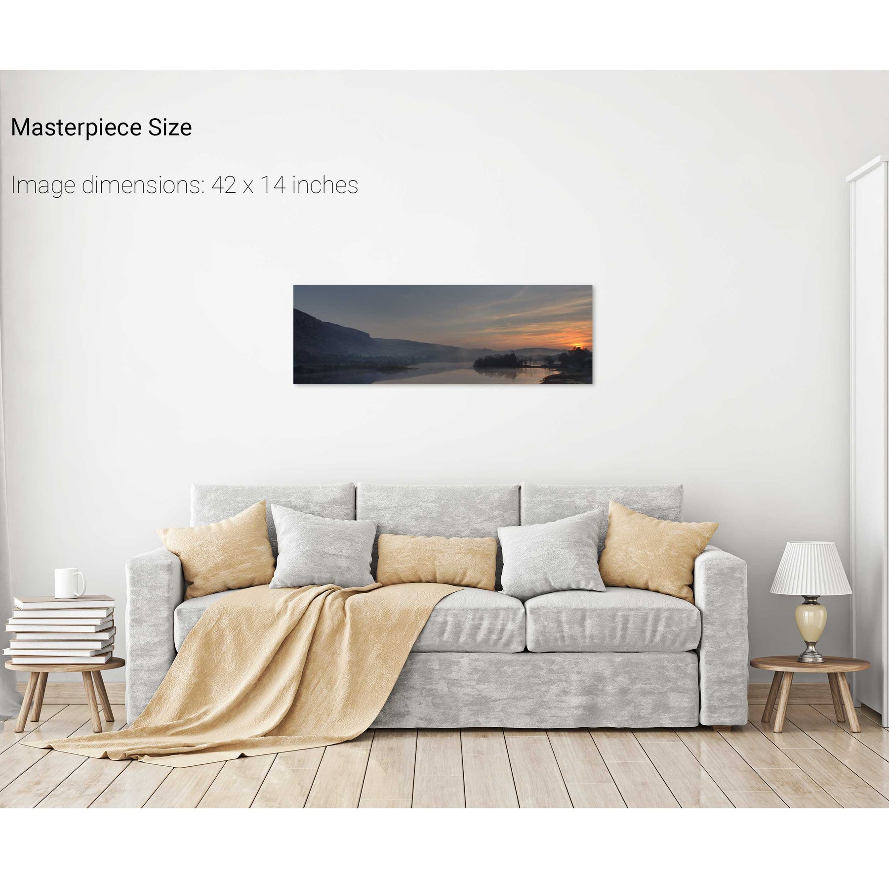
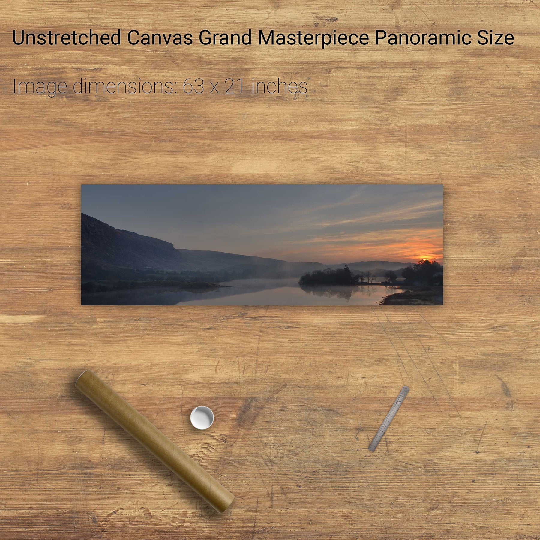
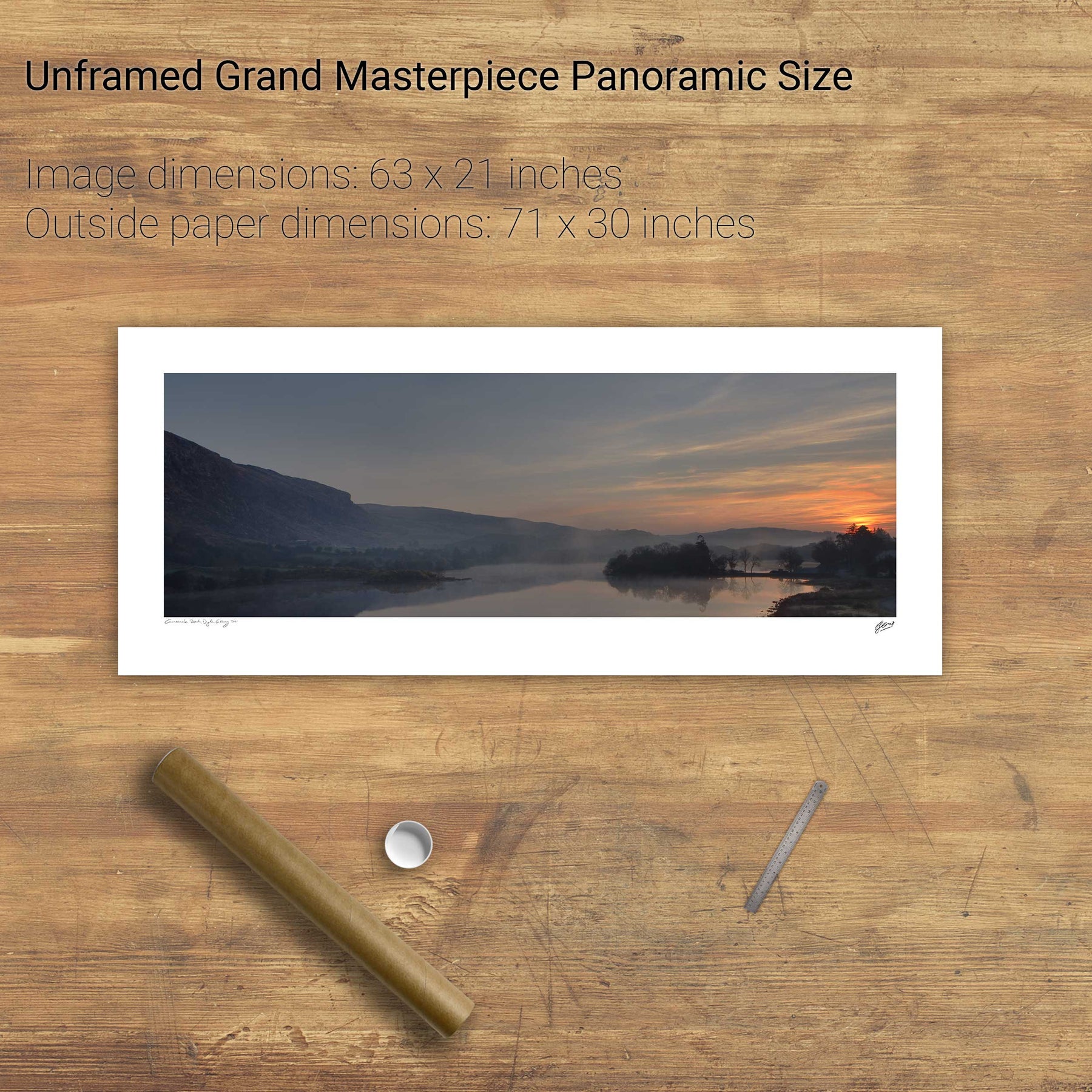
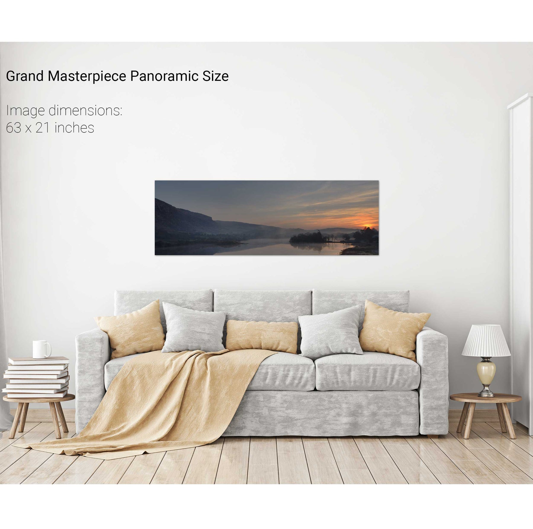
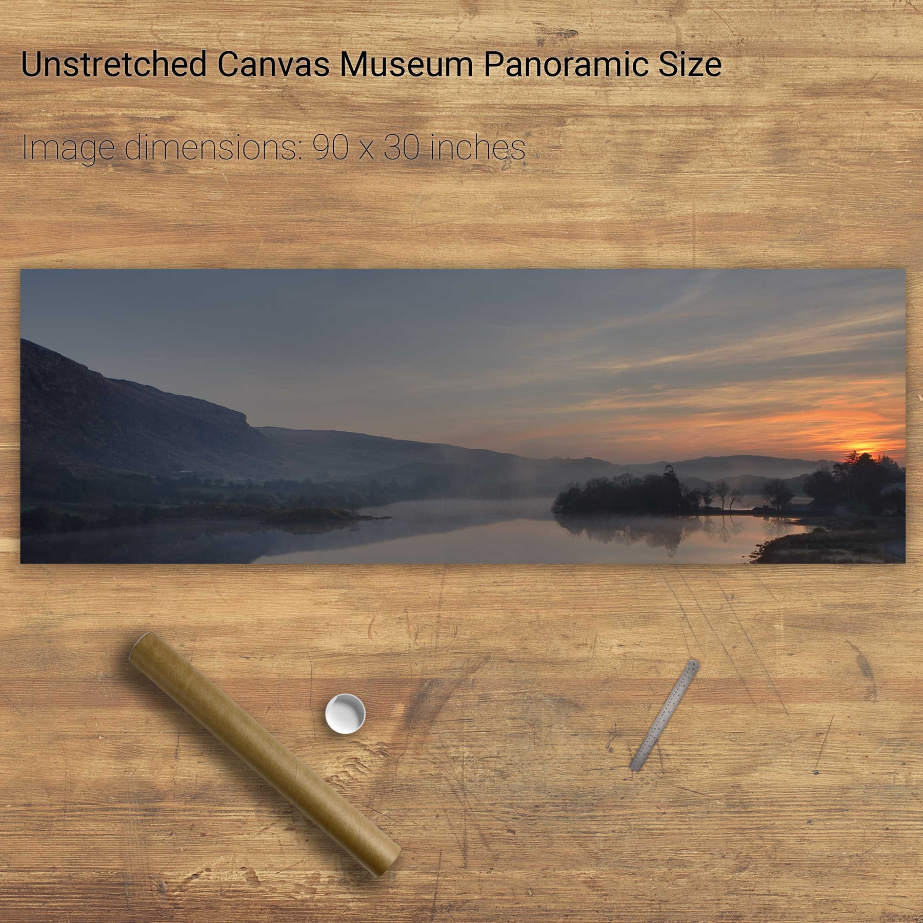
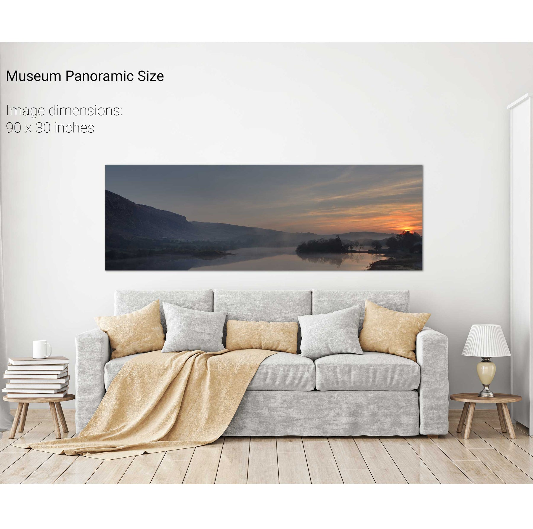
Morning Mist, Lough Allua, Co. Cork


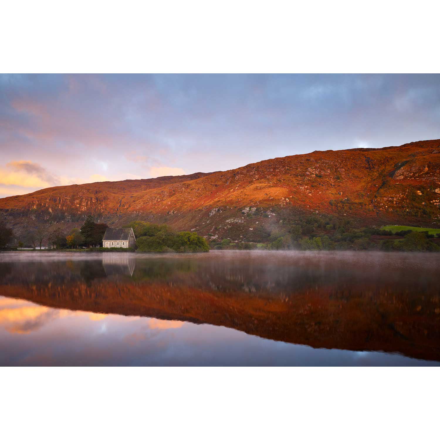
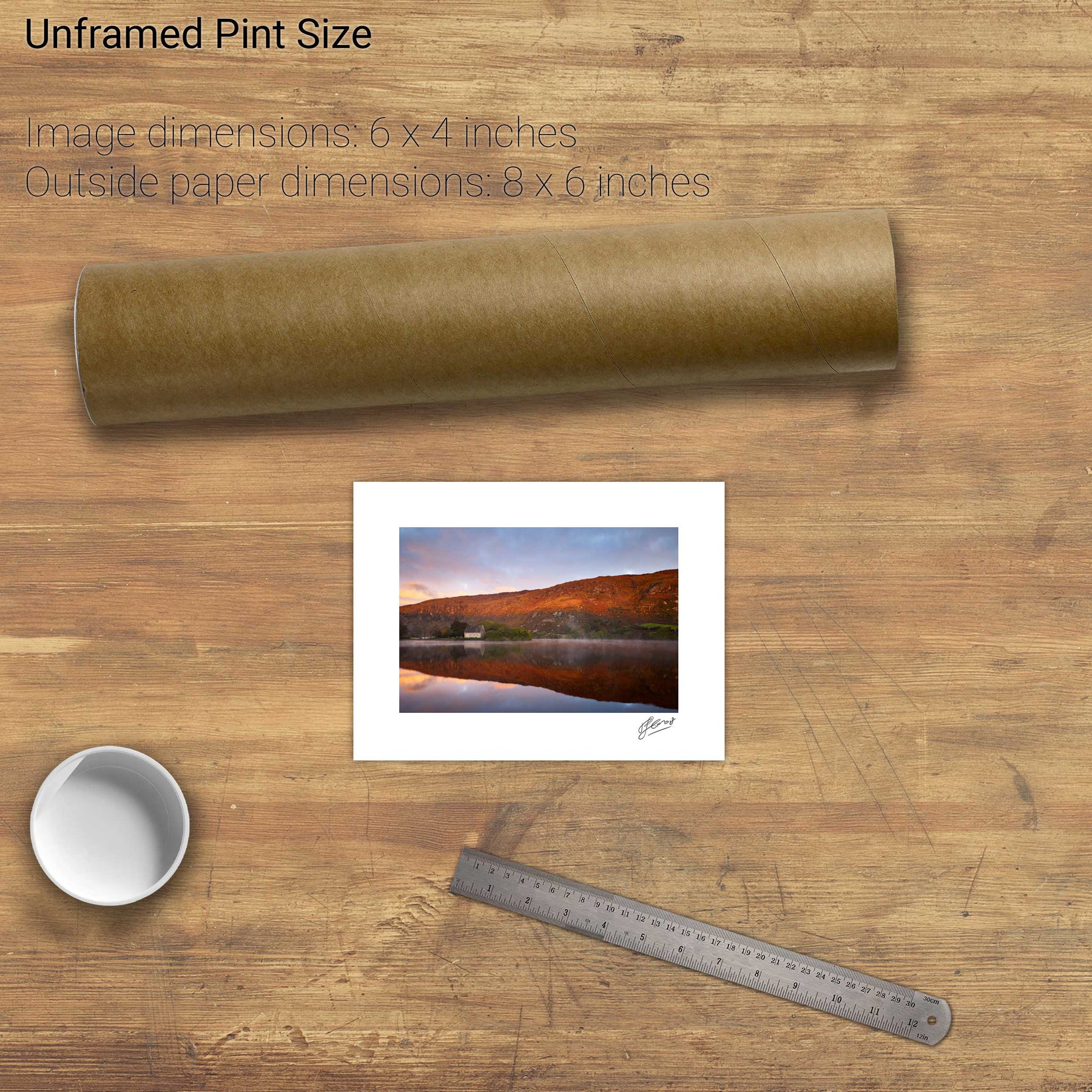
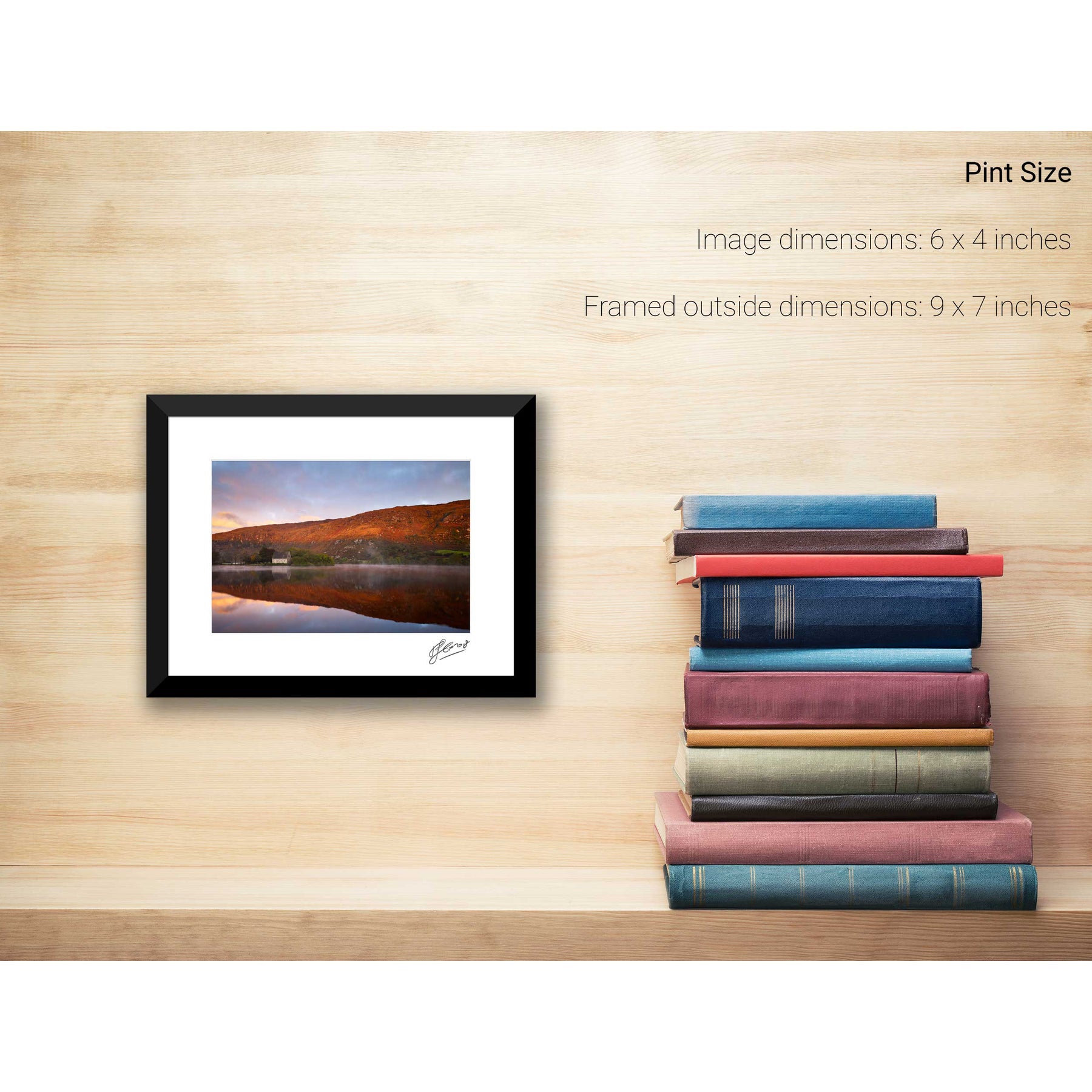
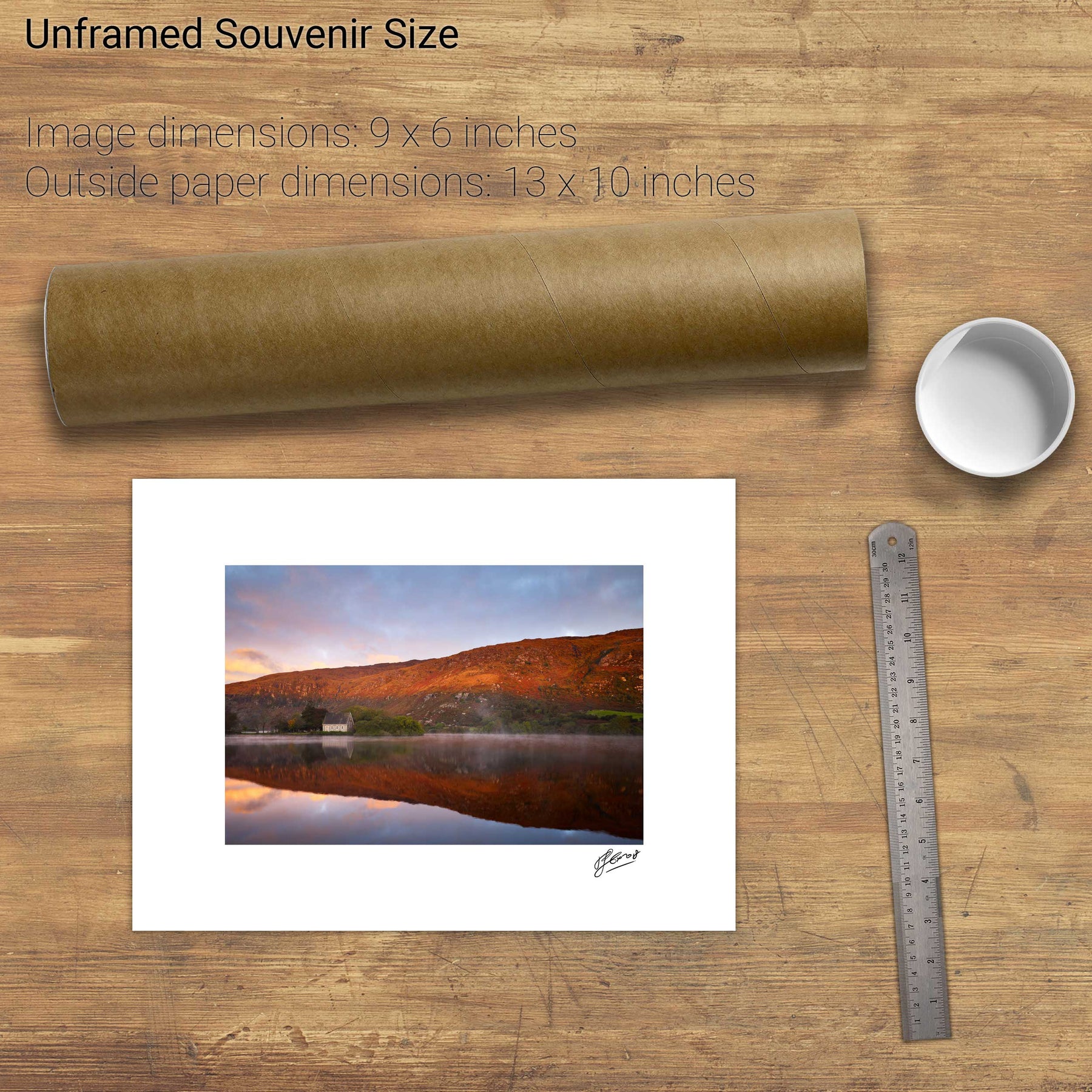
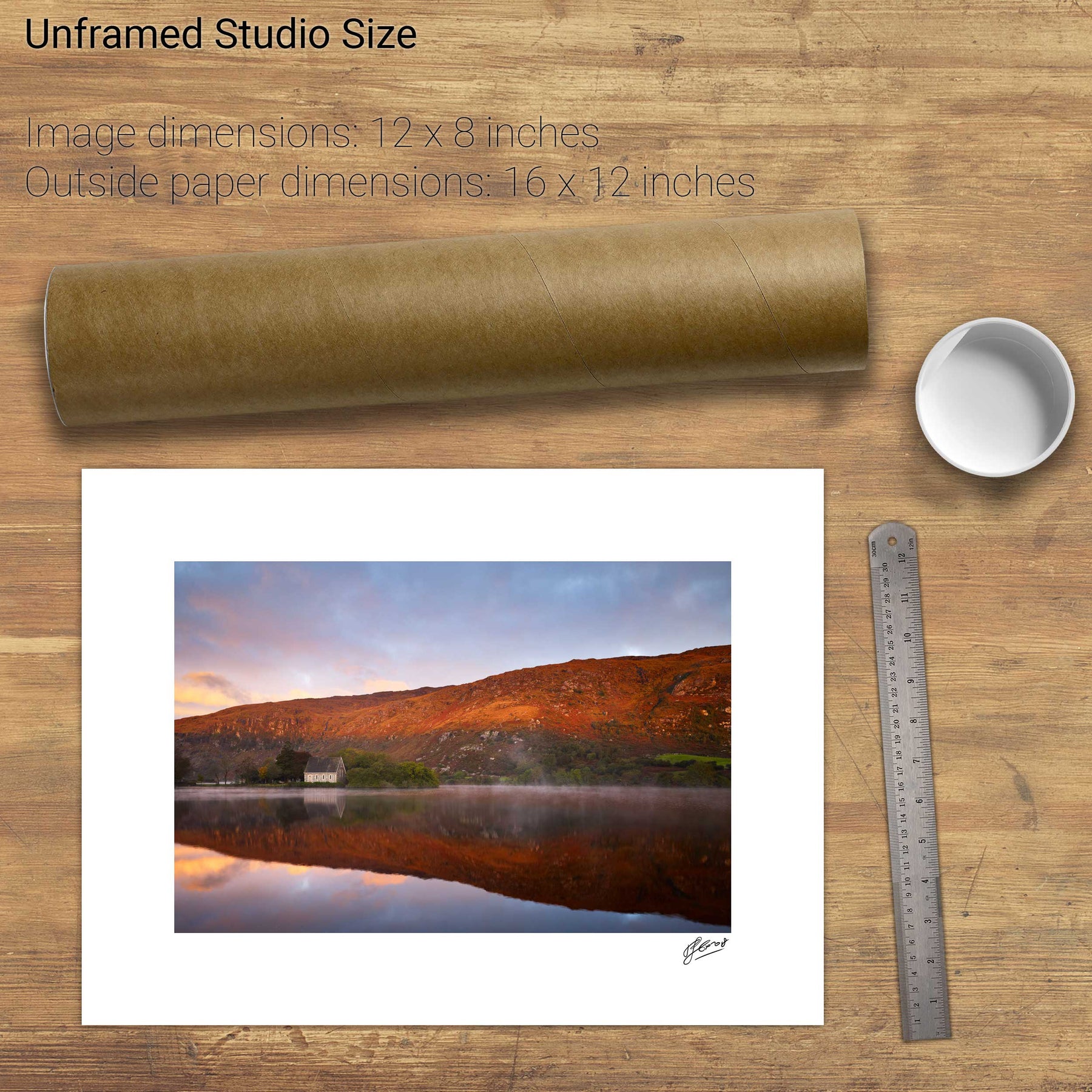
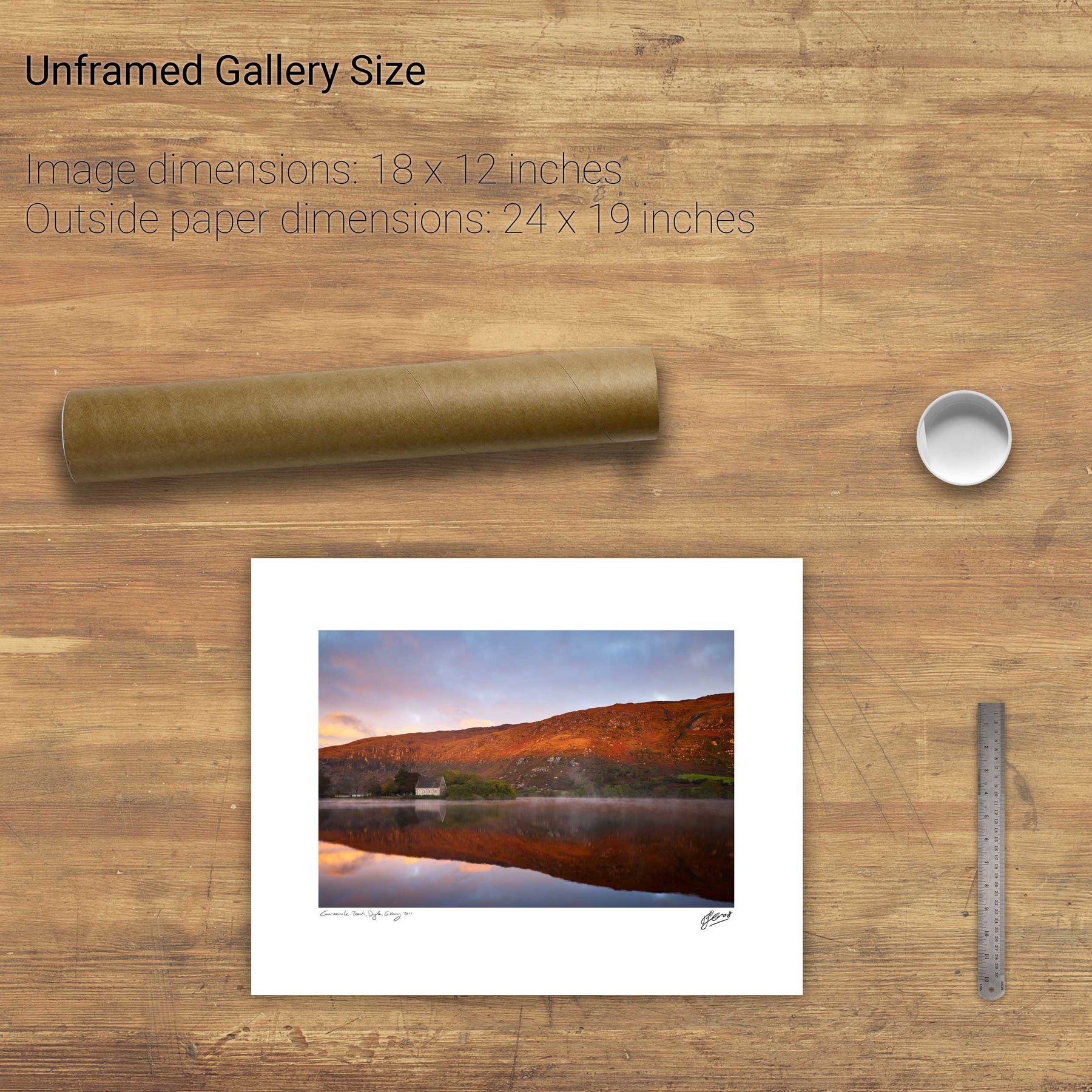
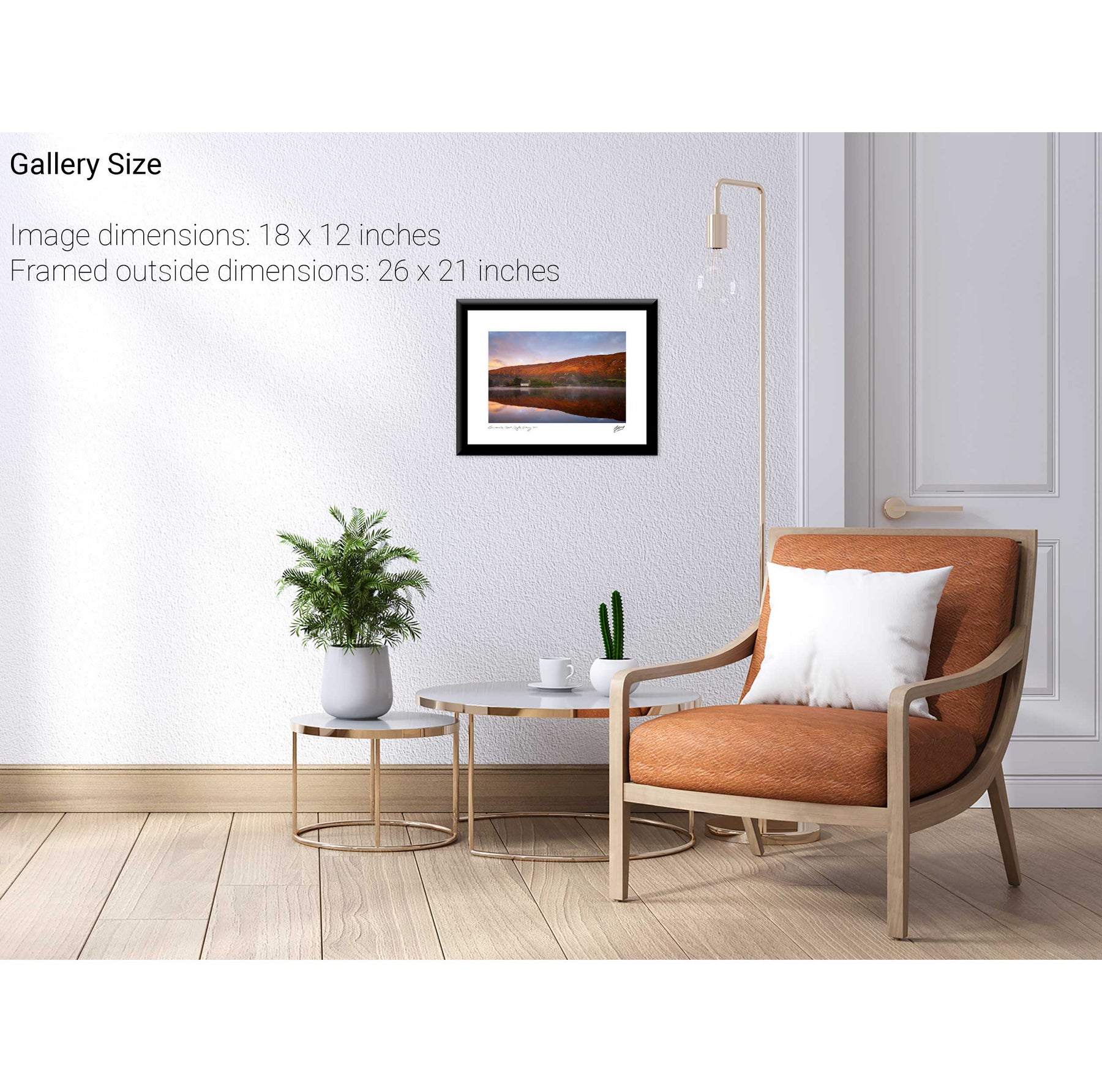
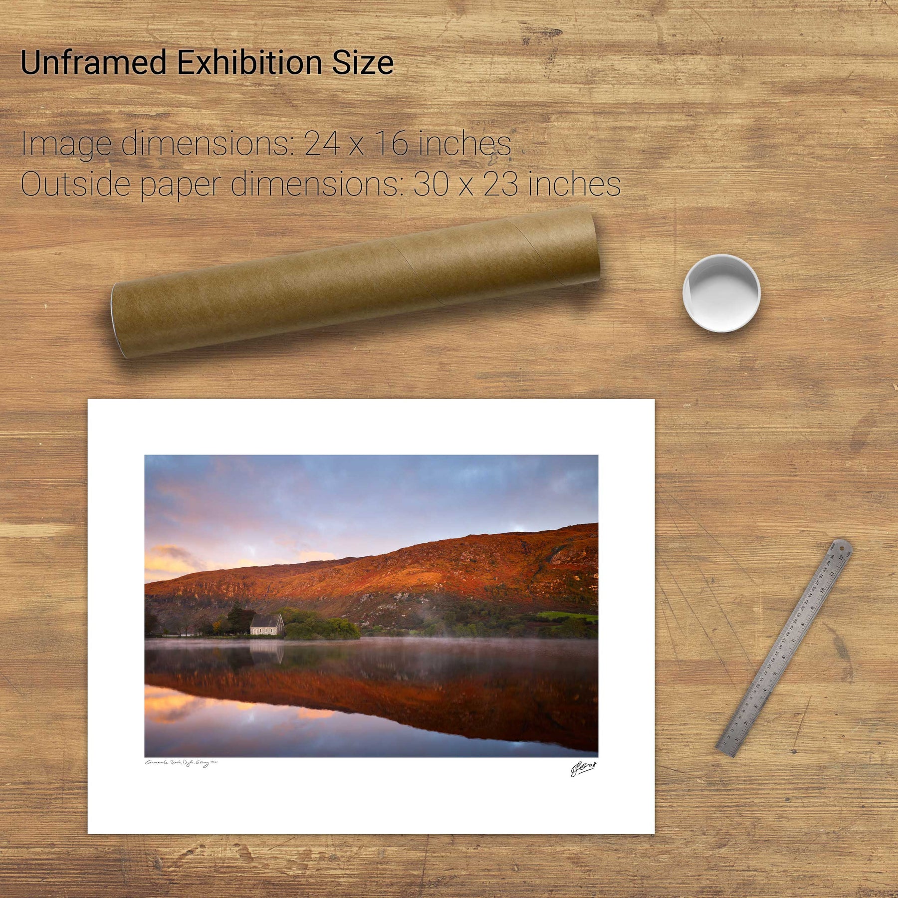
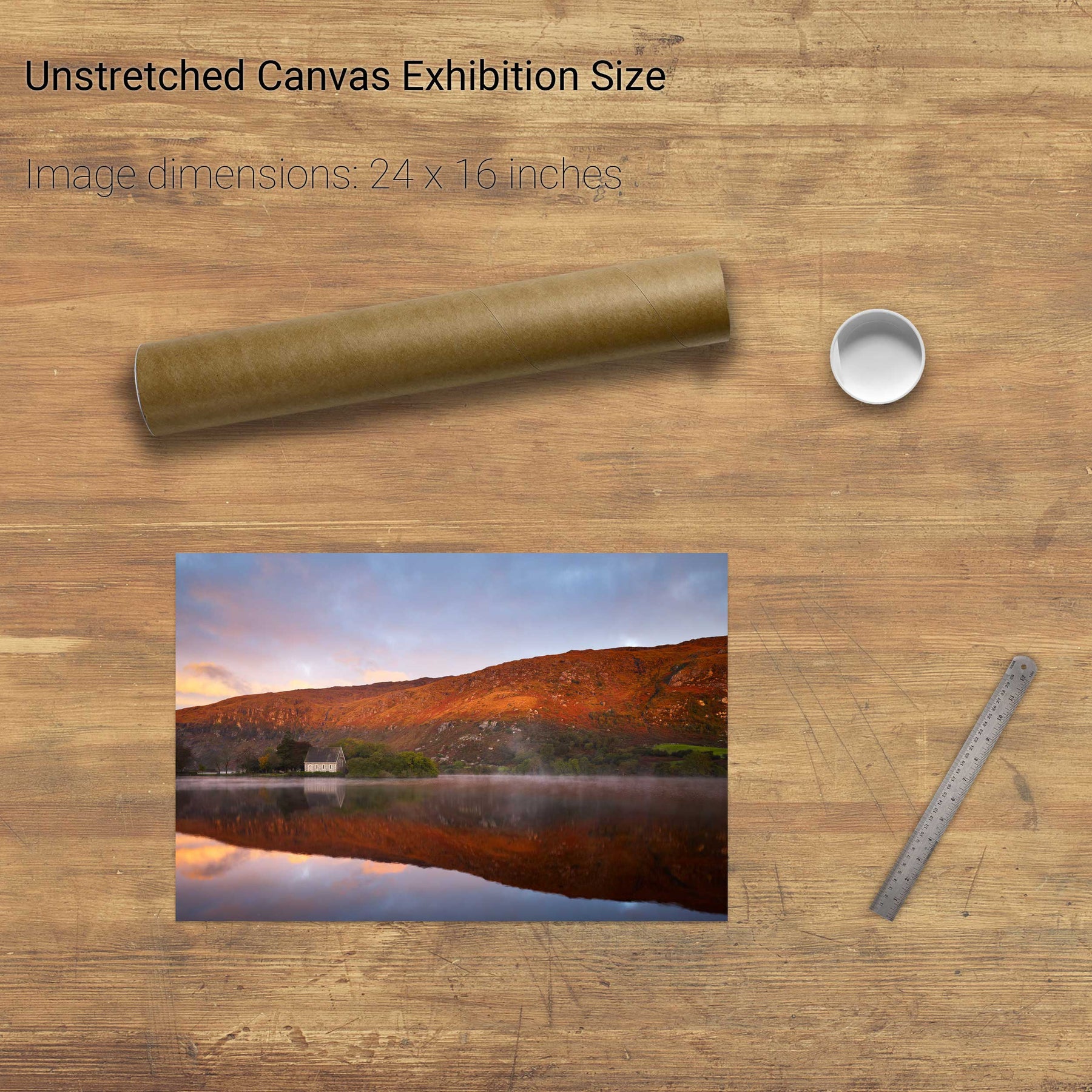
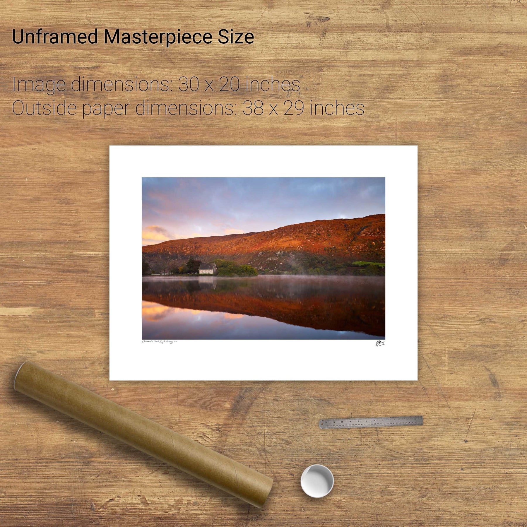
Gougane Barra, Co. Cork


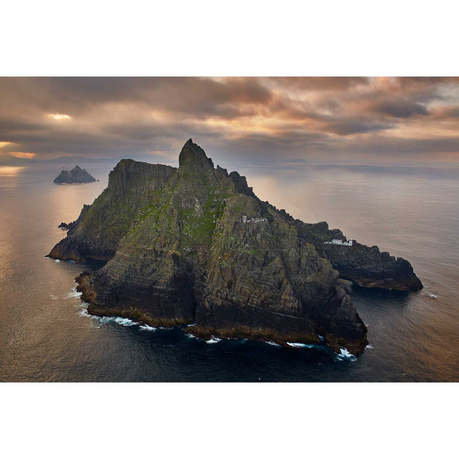
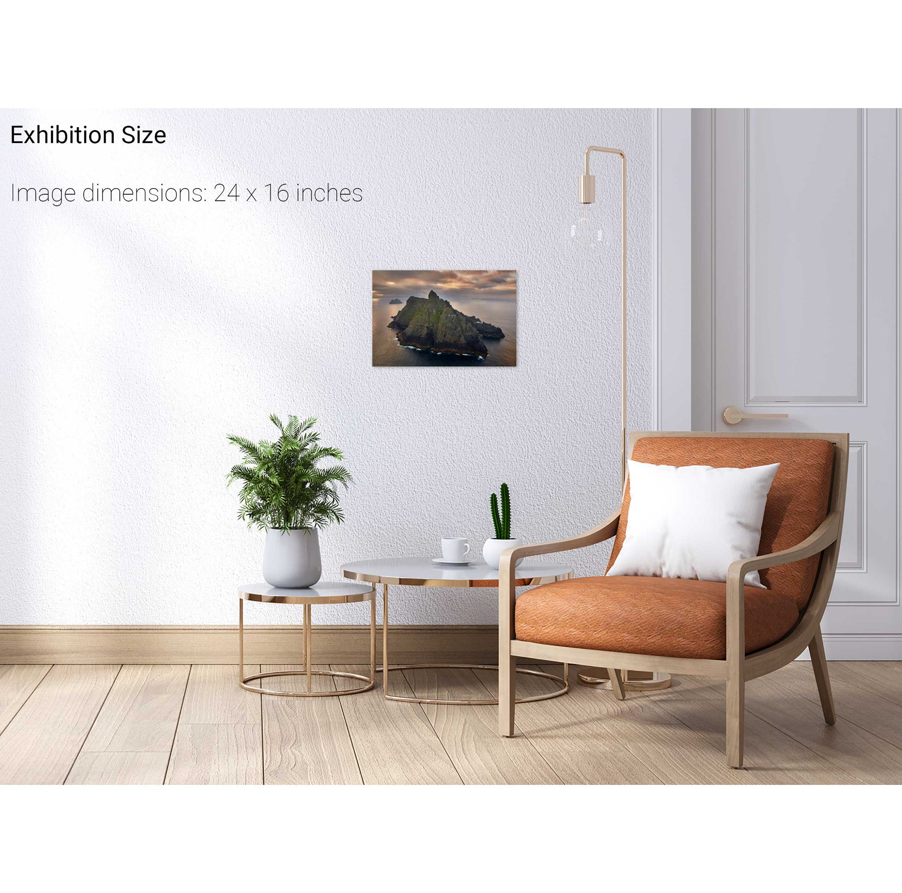
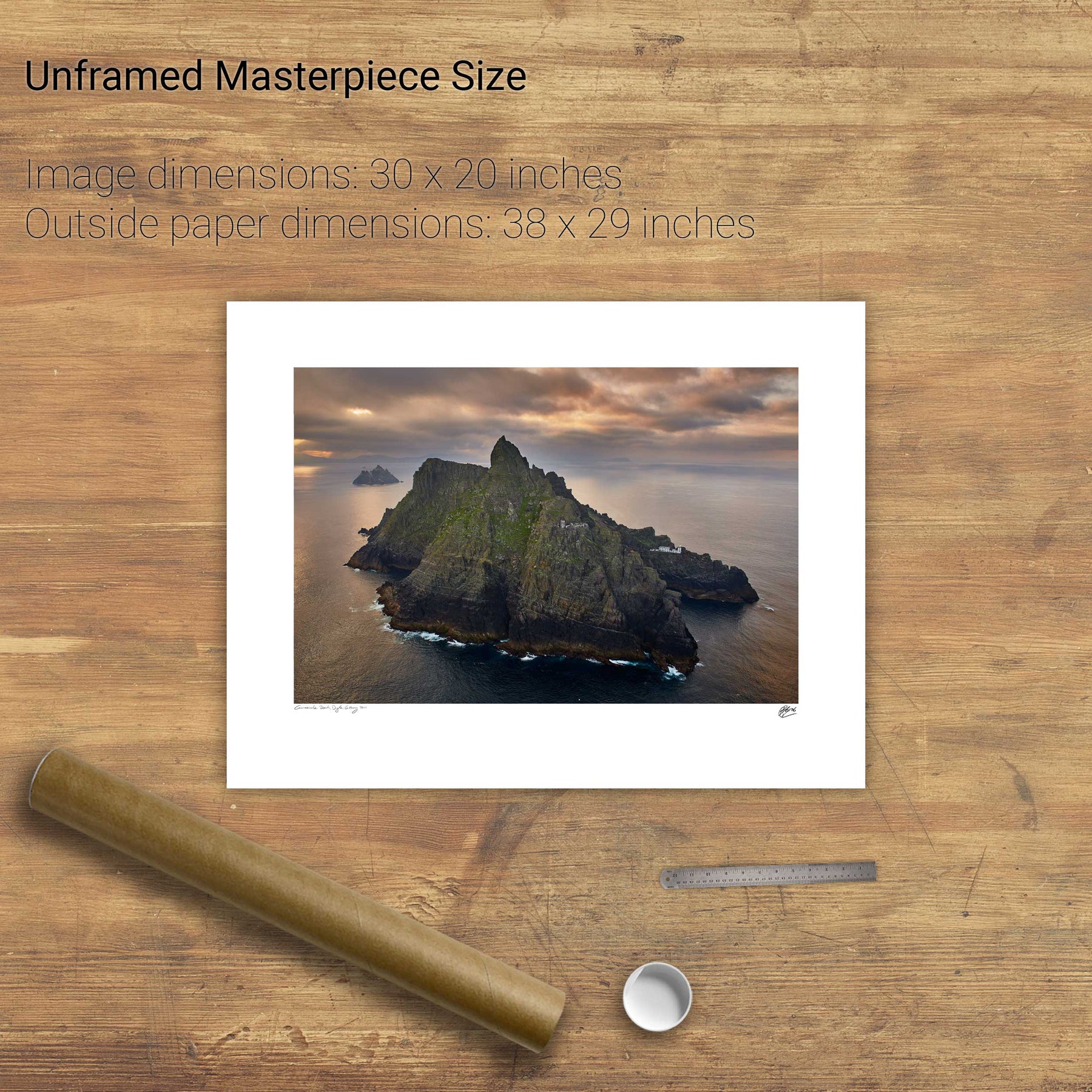
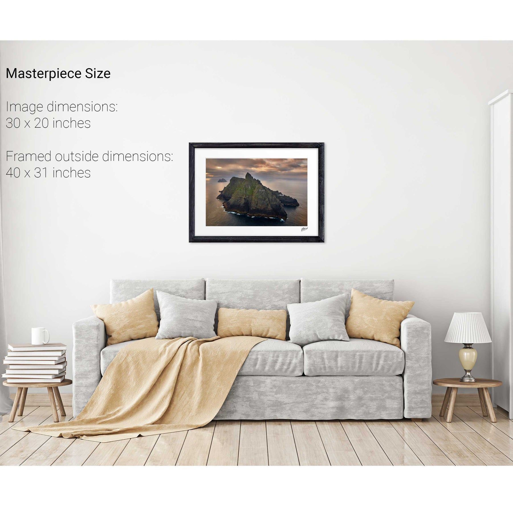
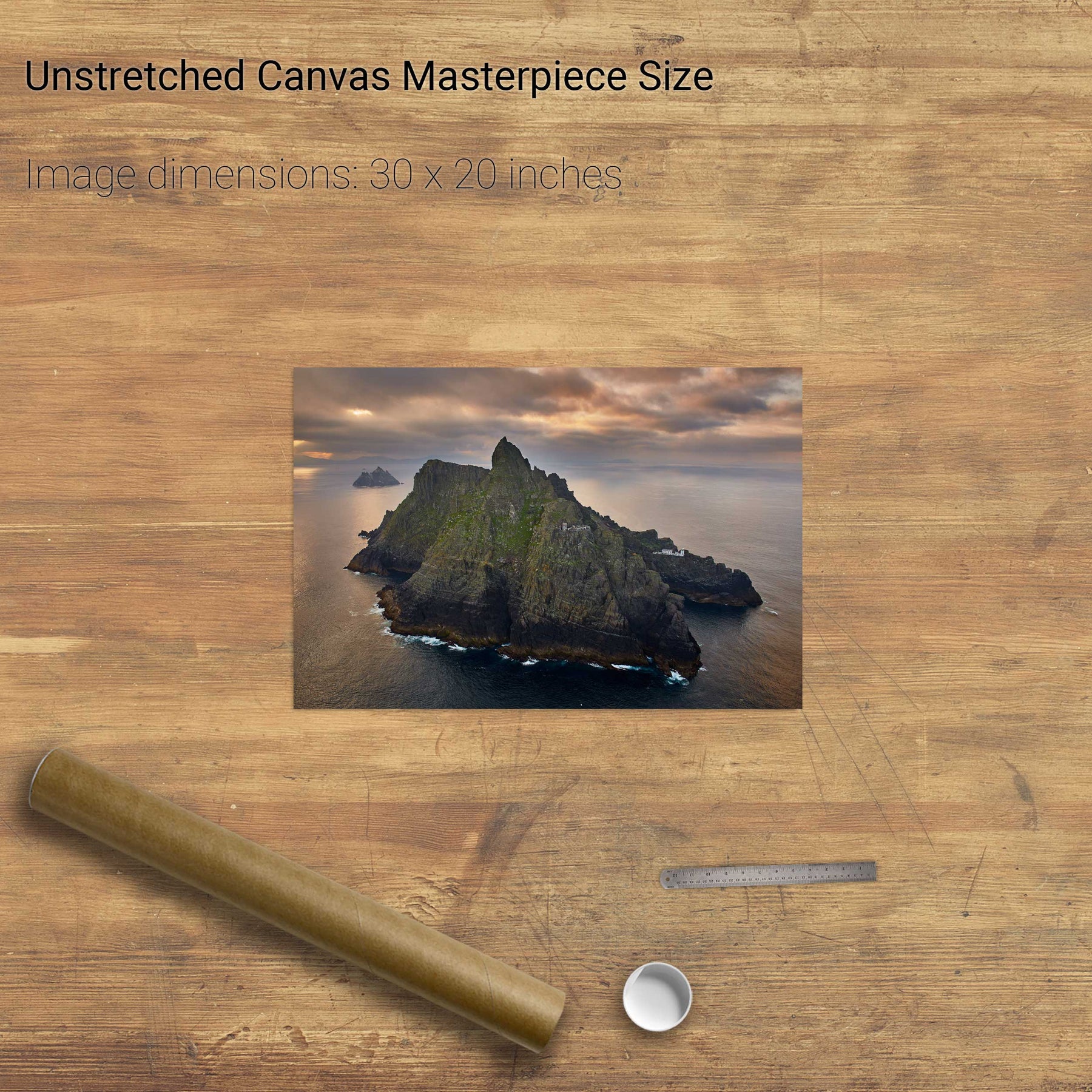
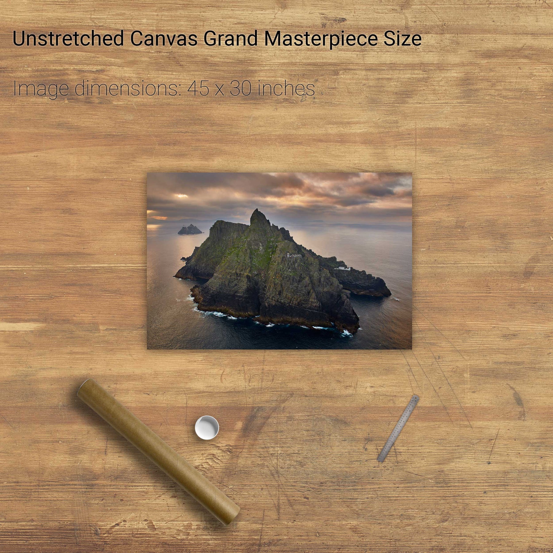
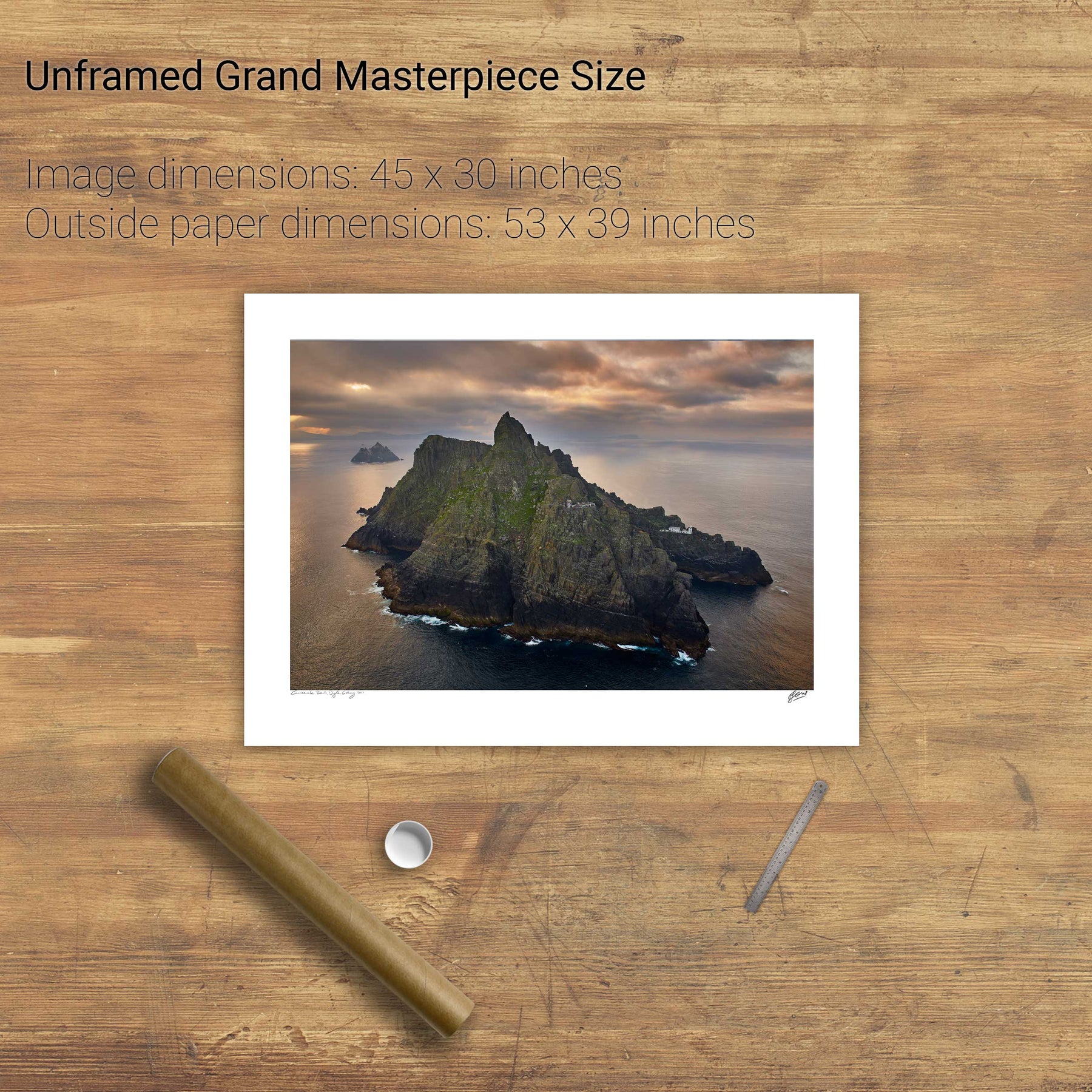
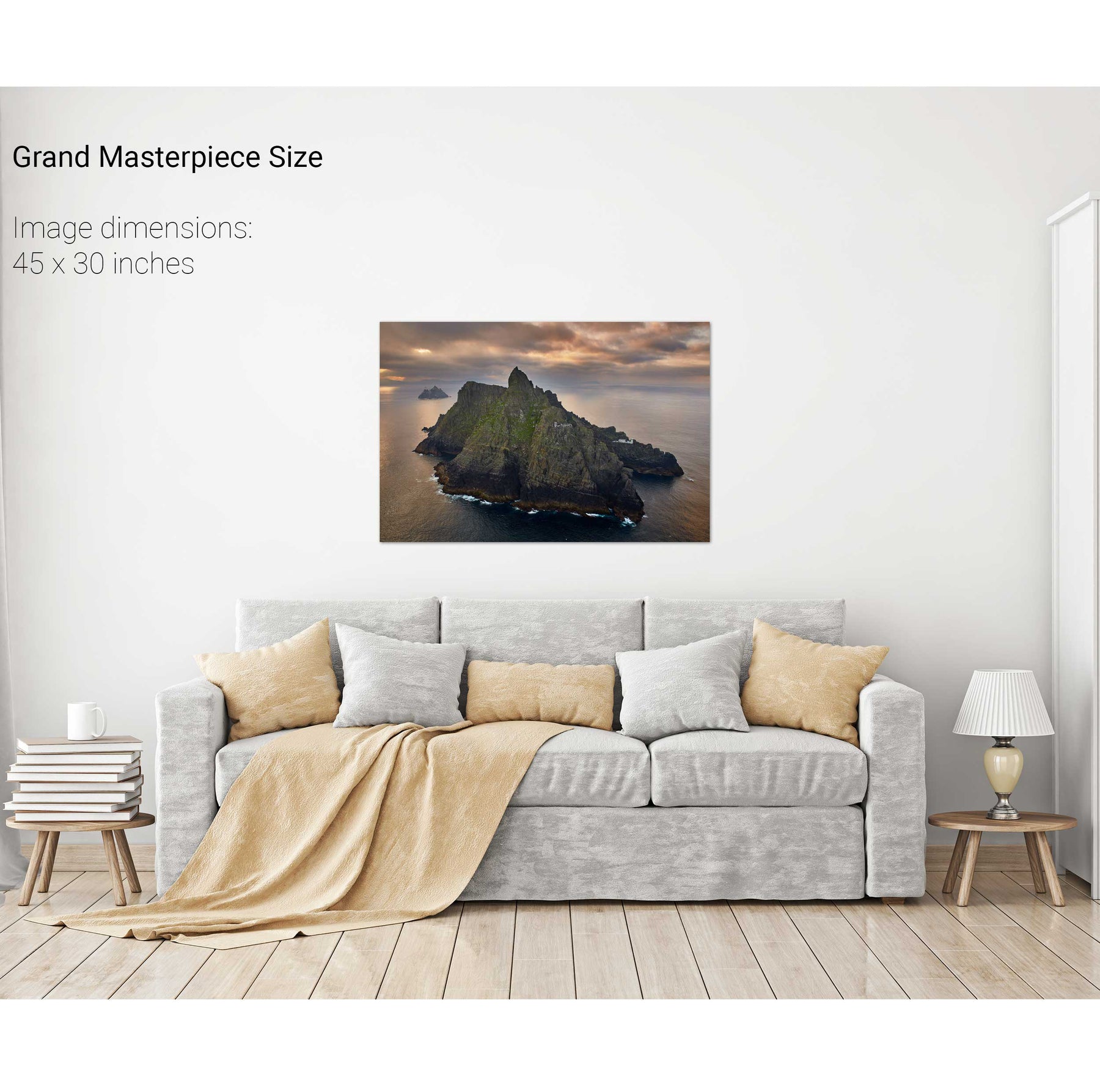
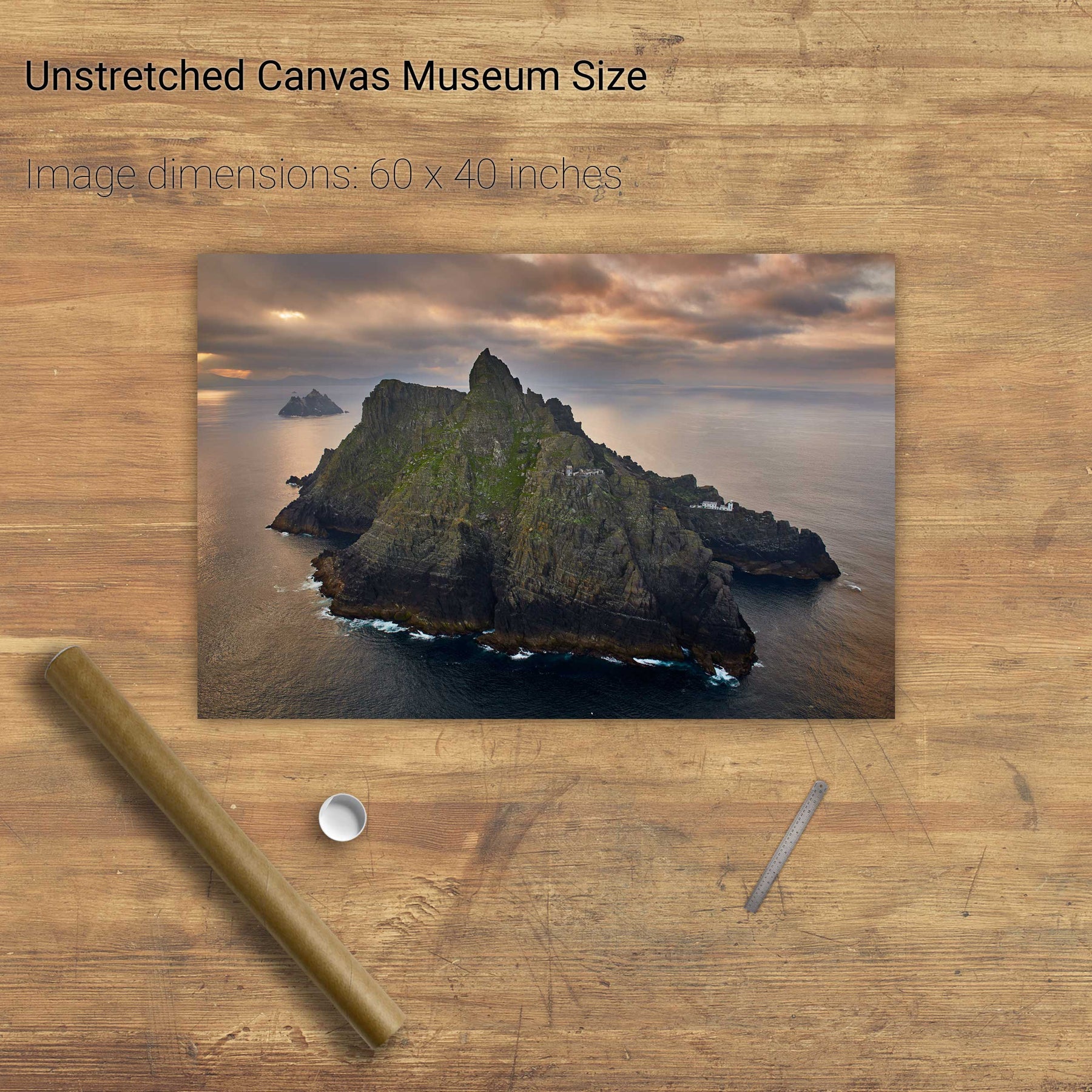
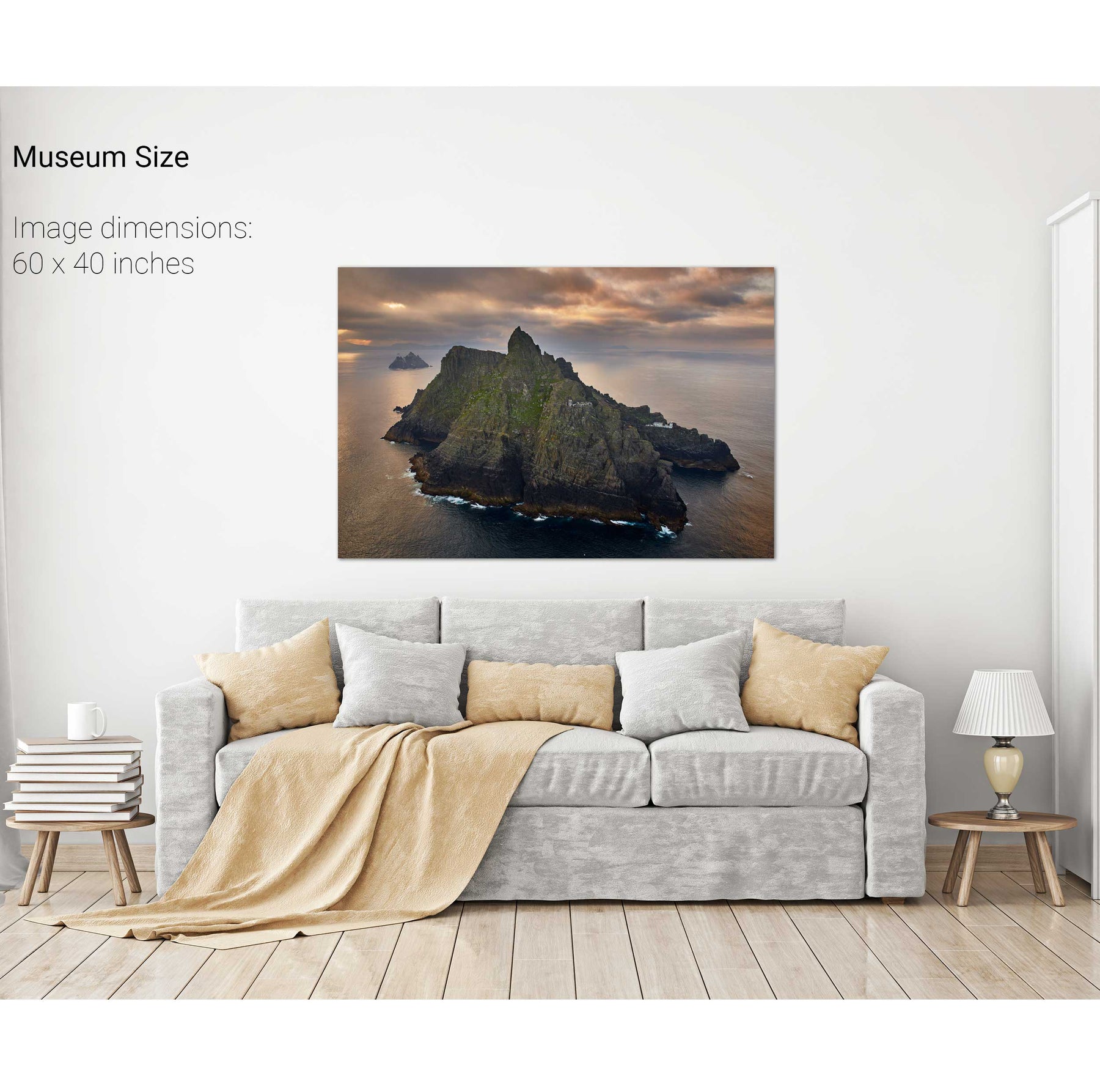
Skellig Michael with Brooding Clouds, Kerry


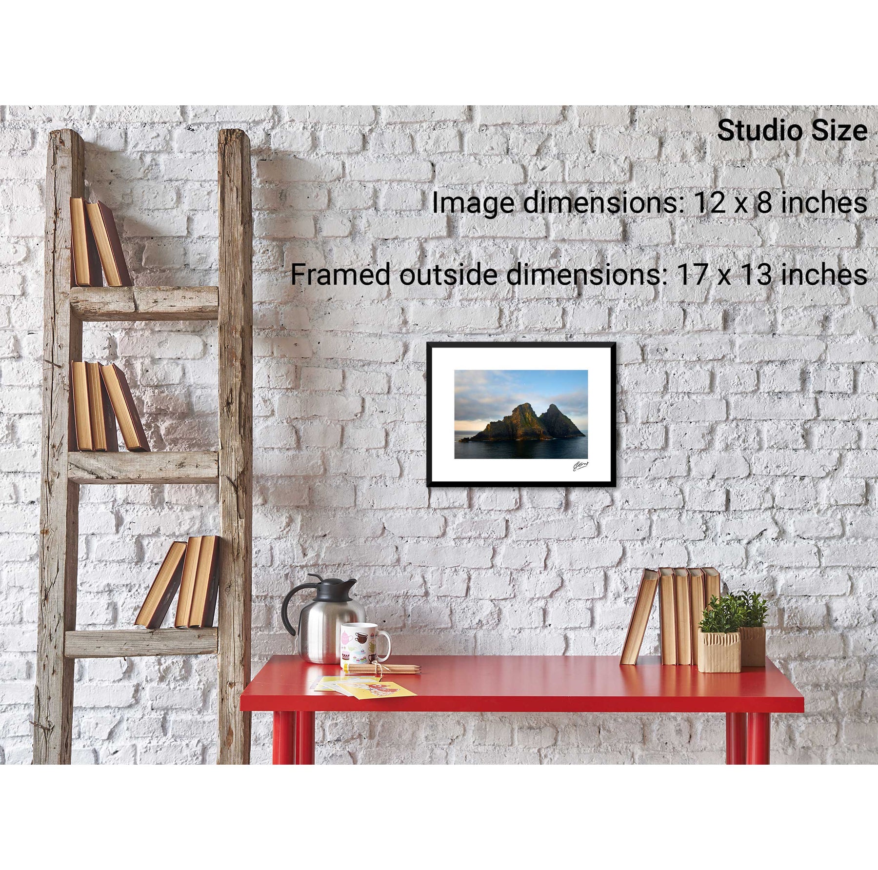
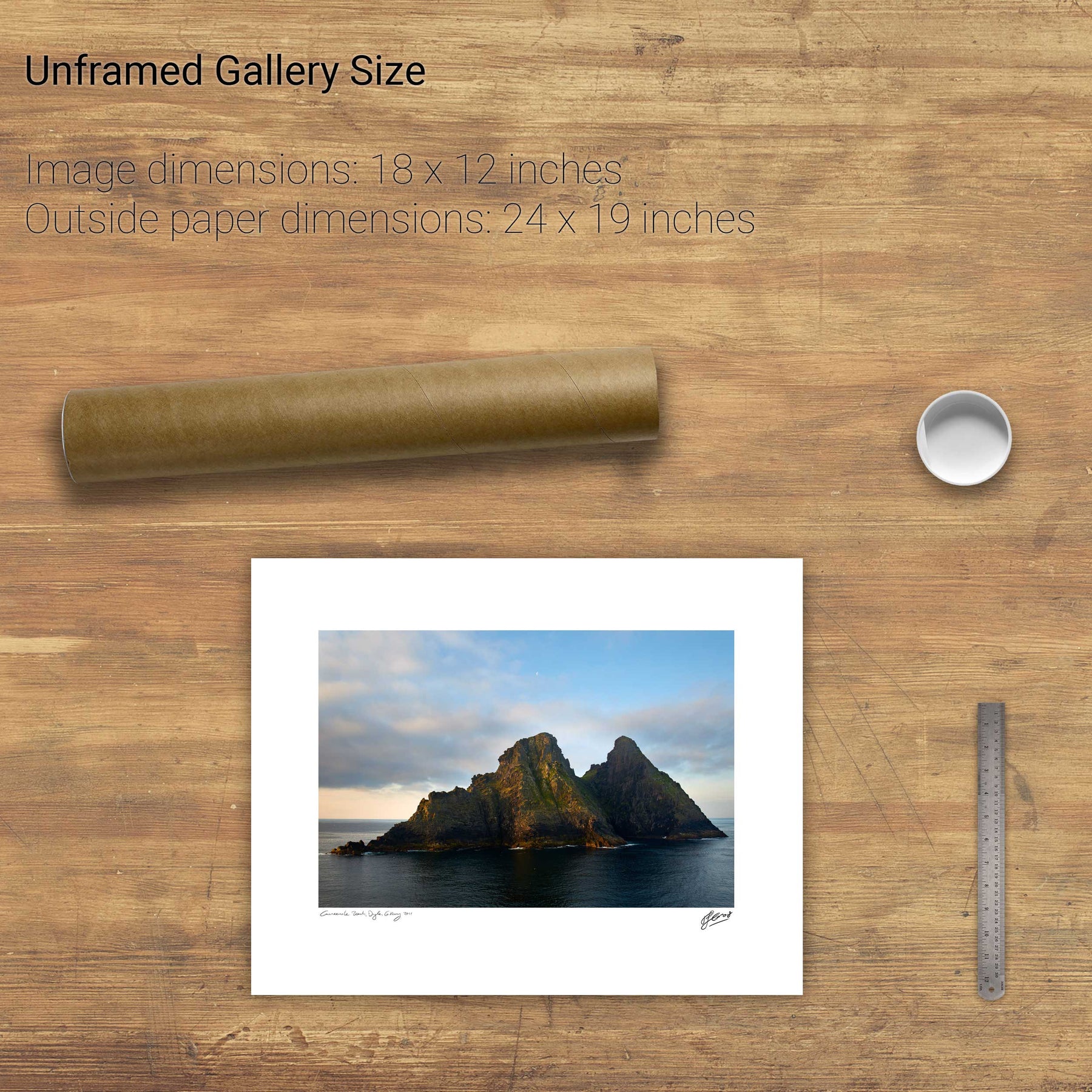
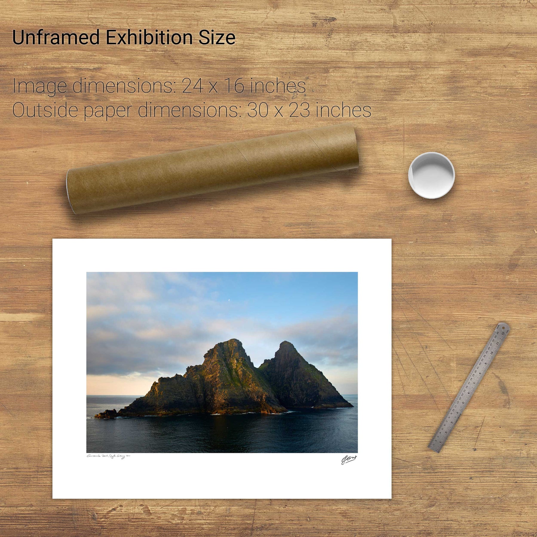
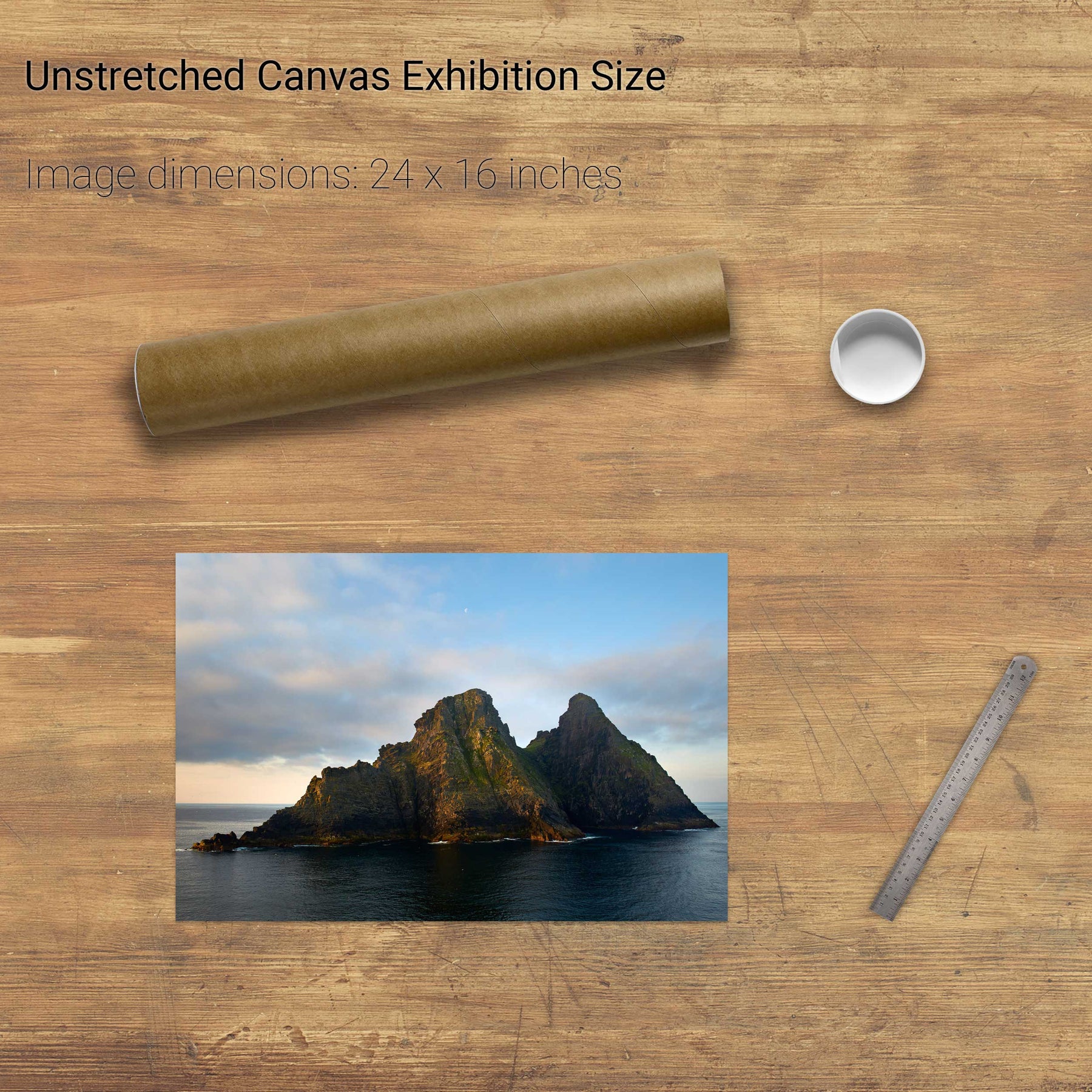
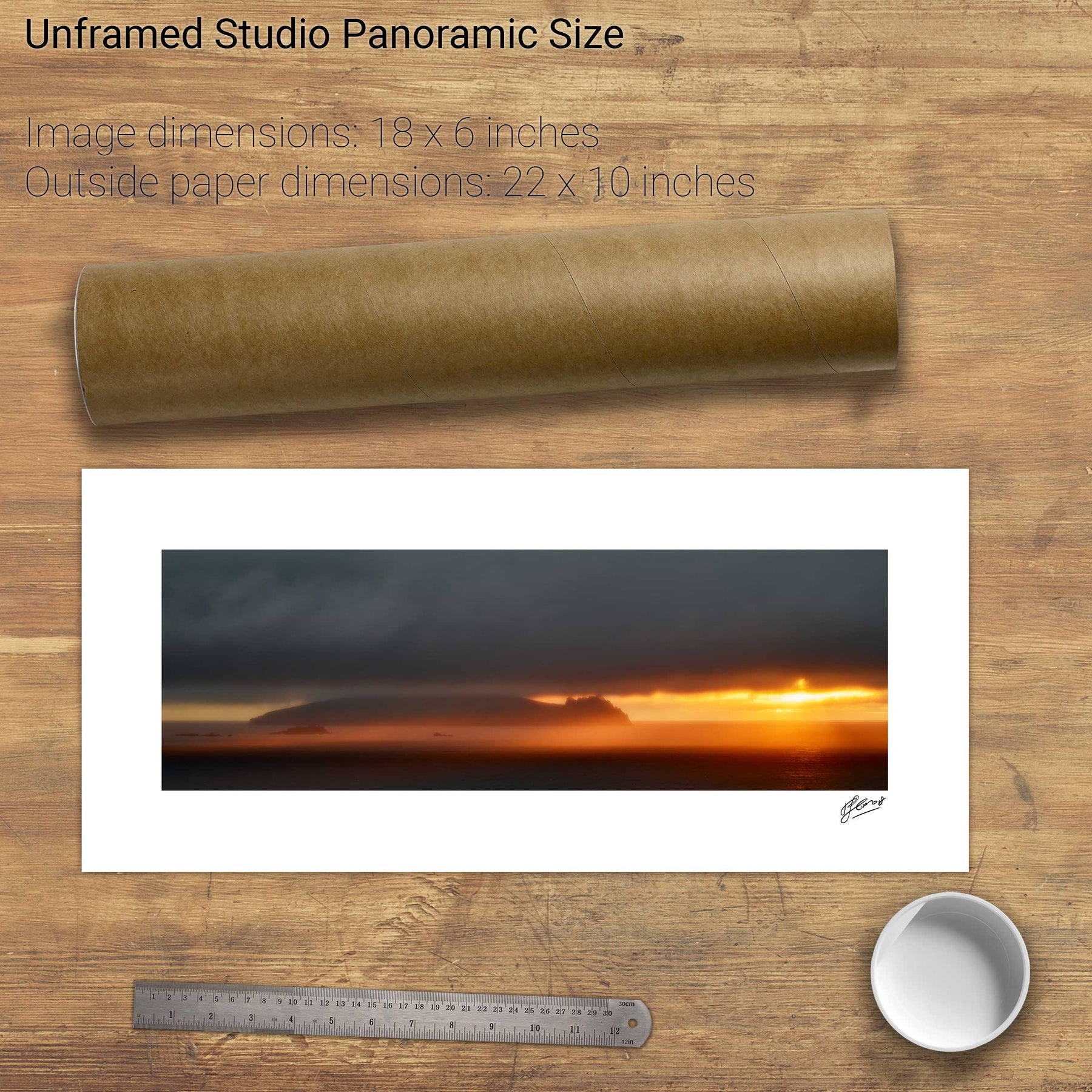
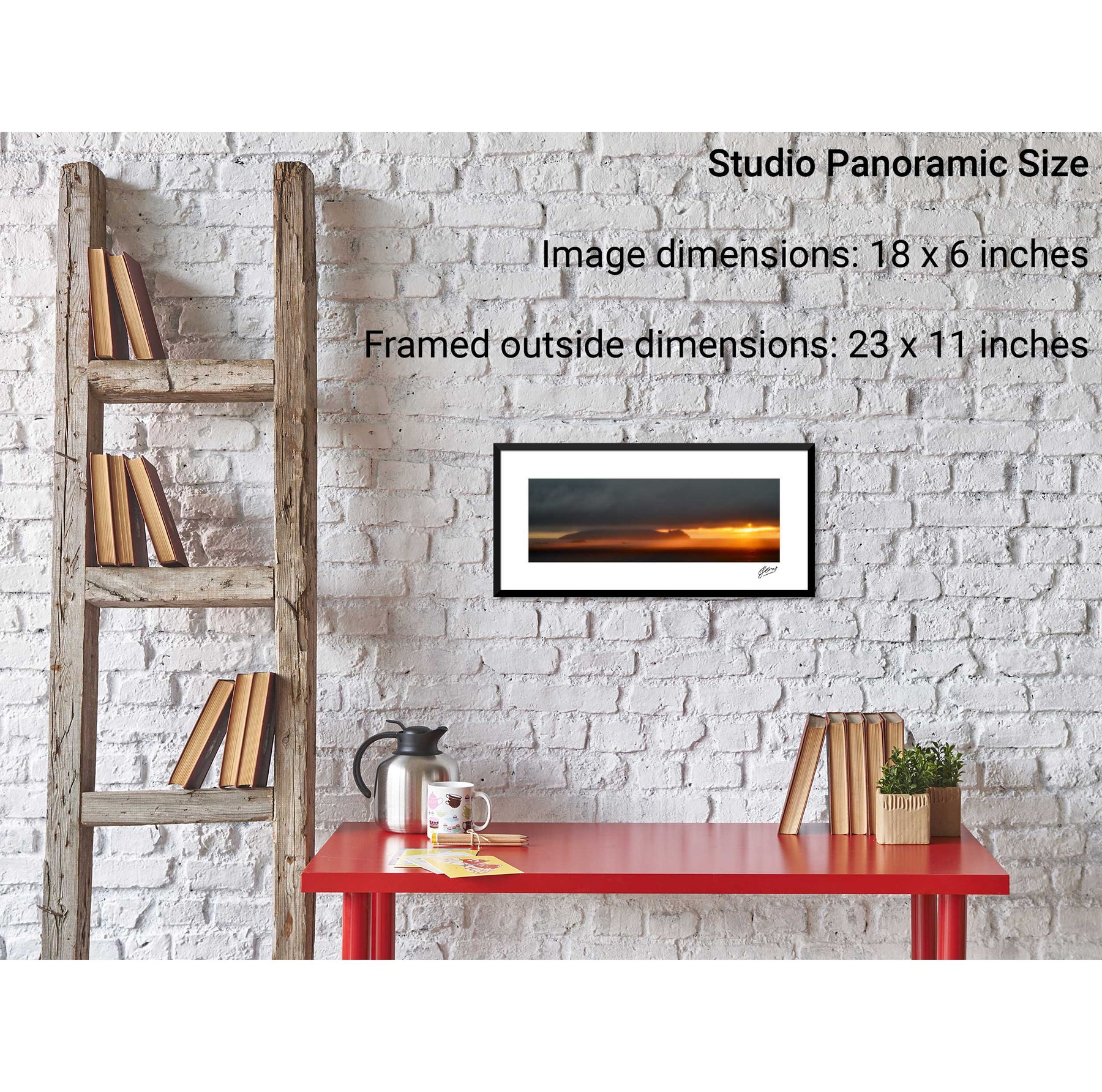
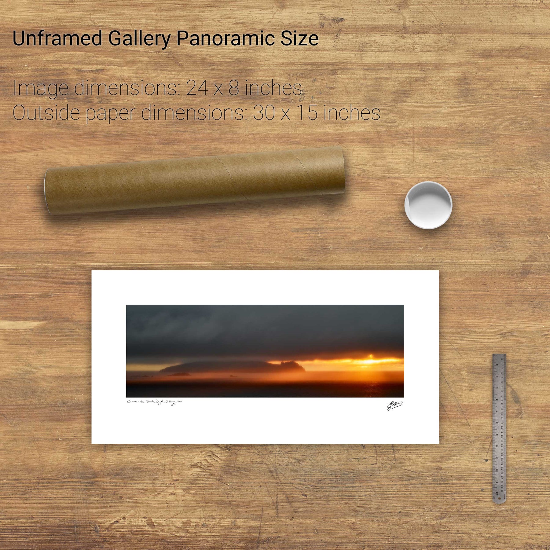
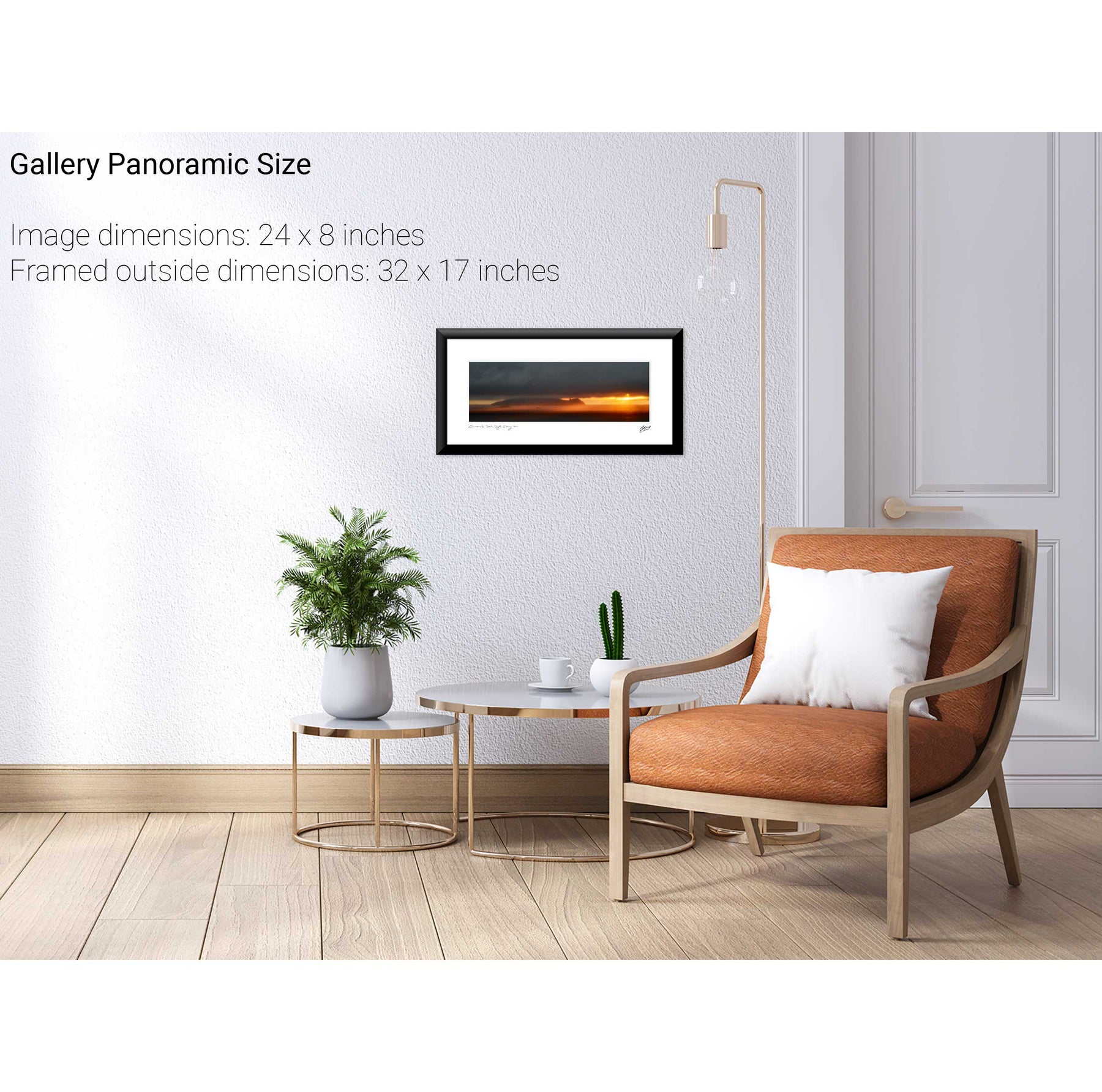
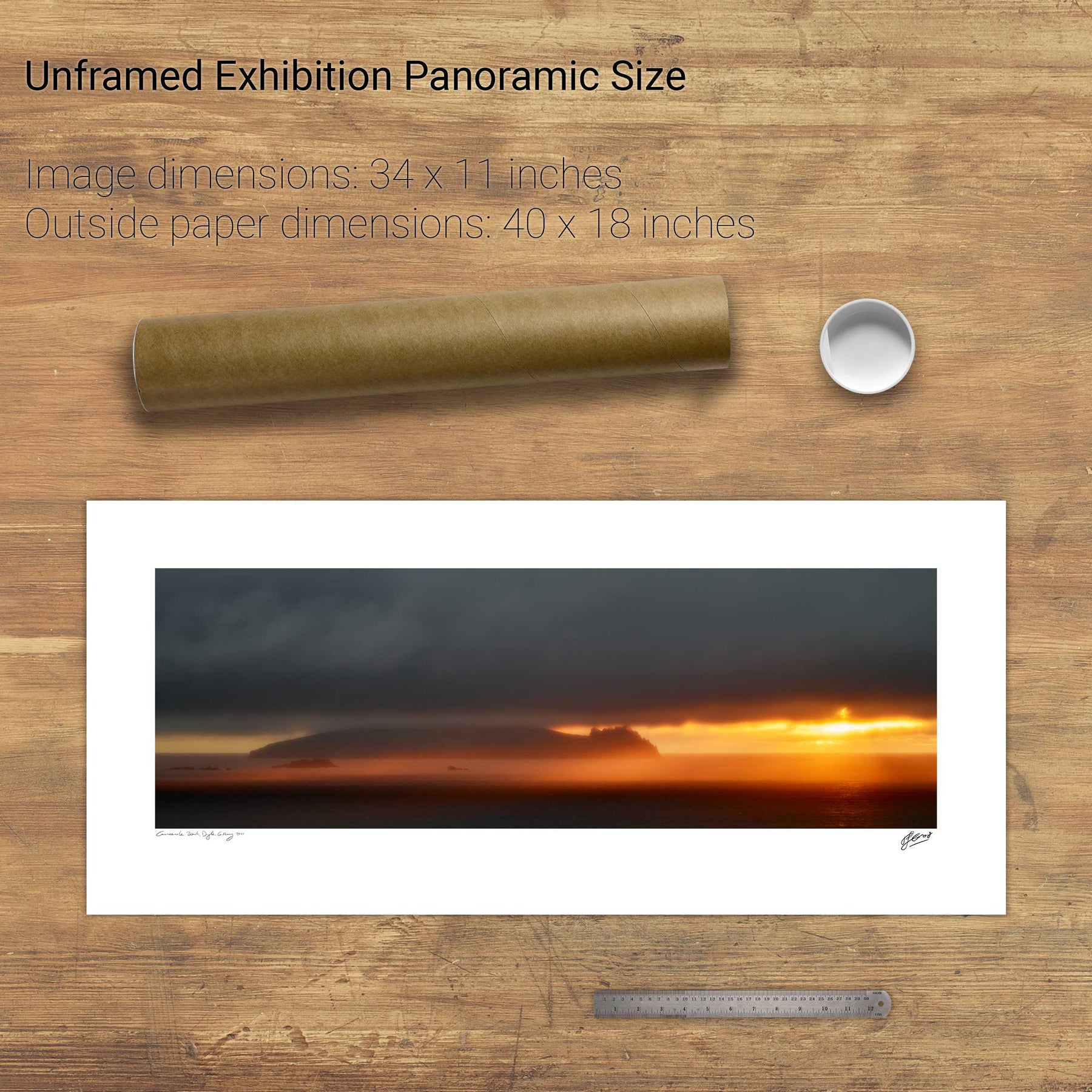
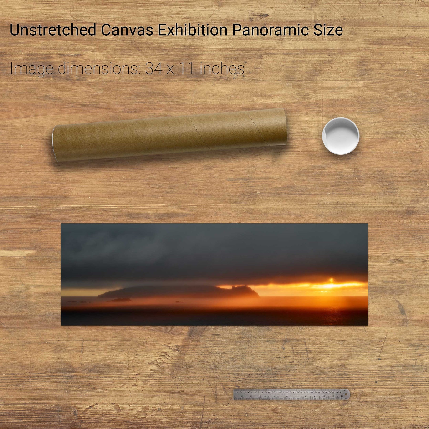
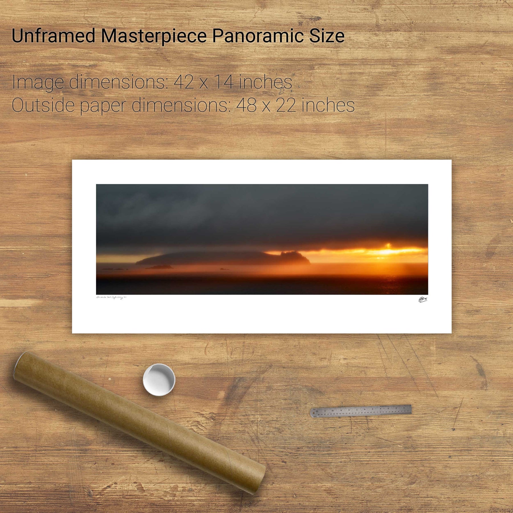
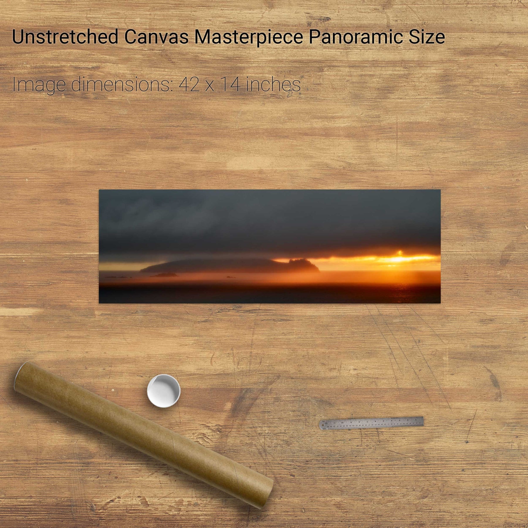
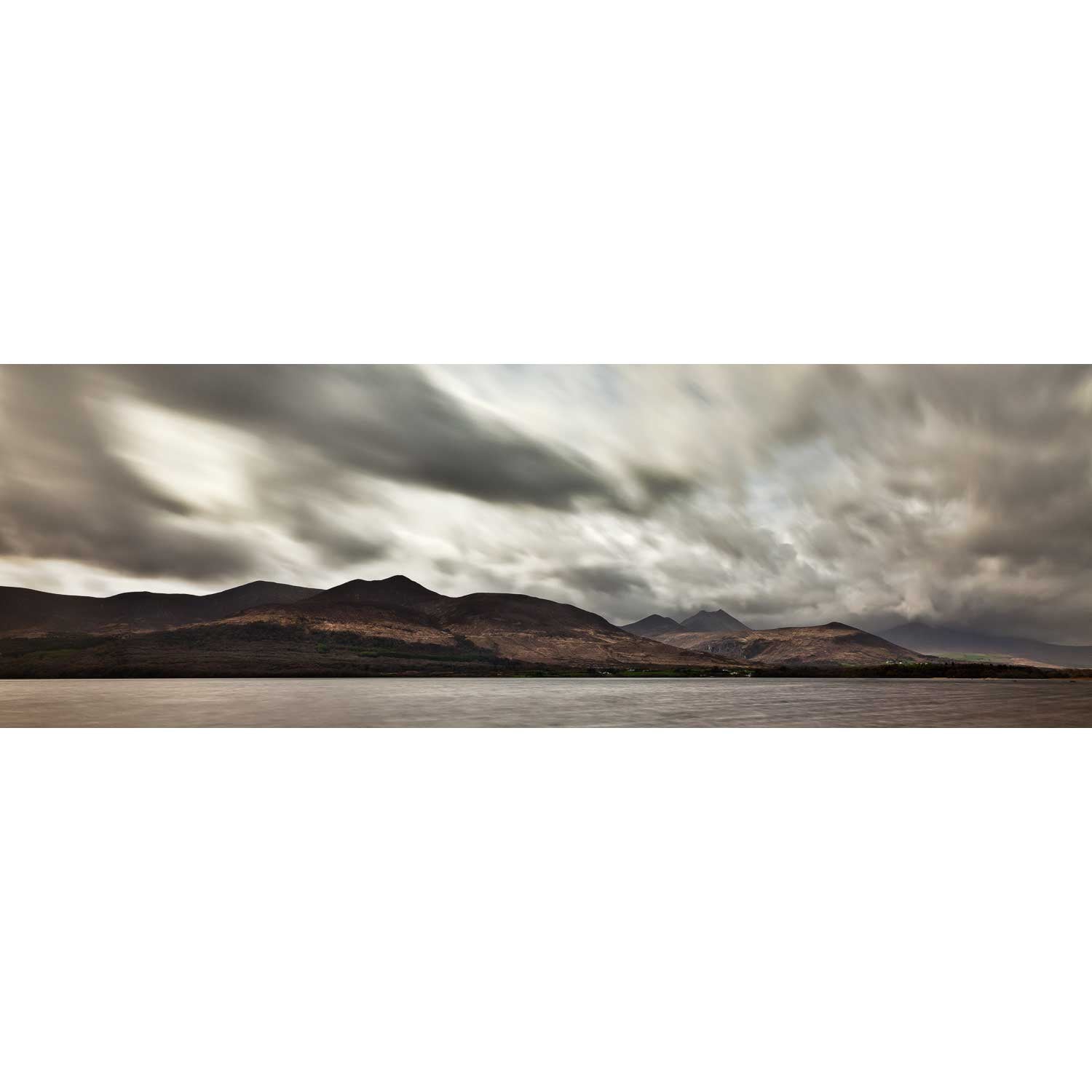
The Sleeping Giant, Dingle, Kerry


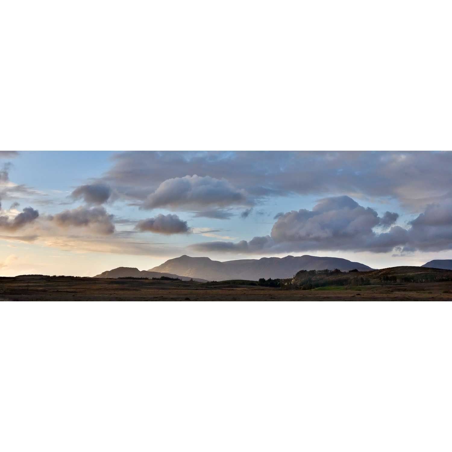
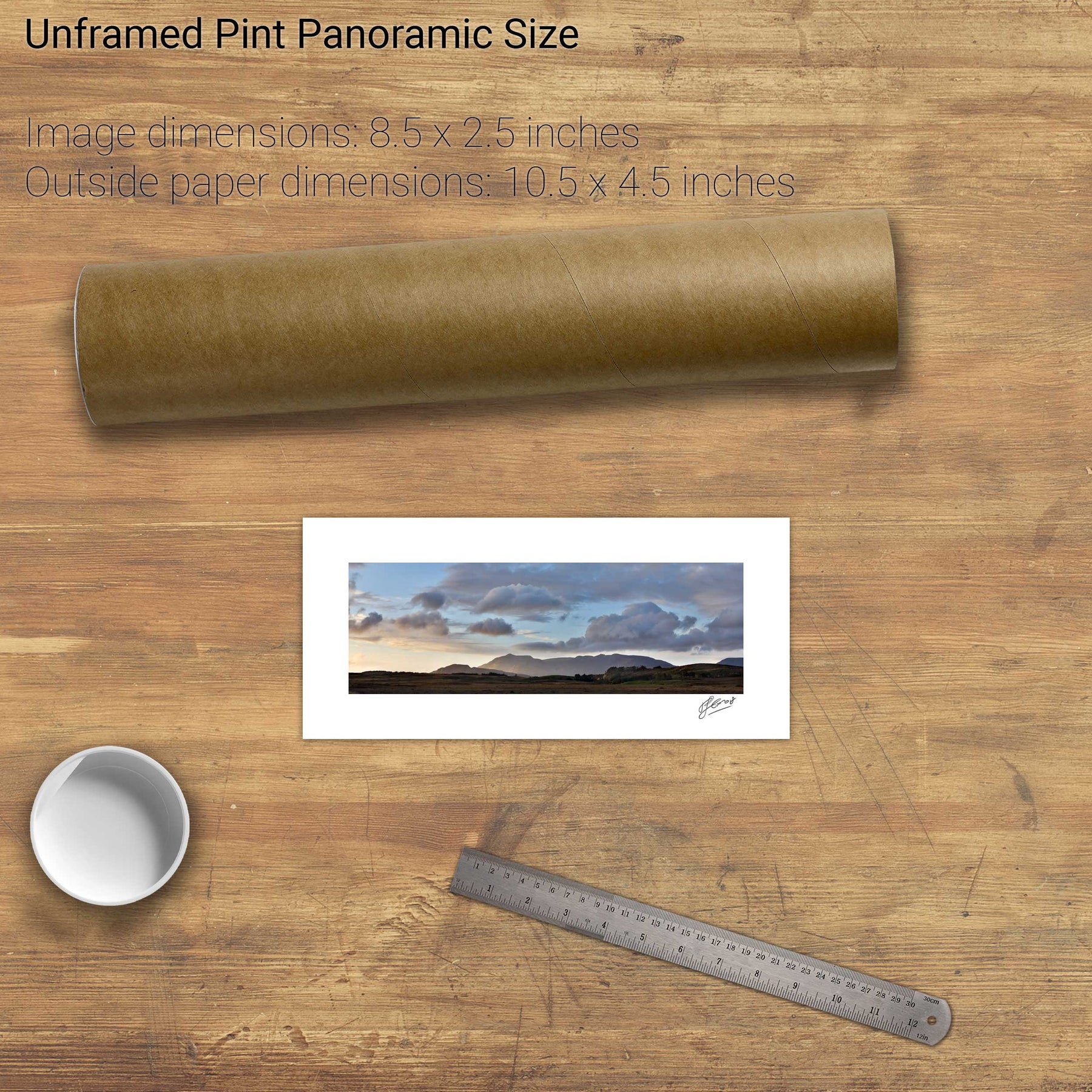
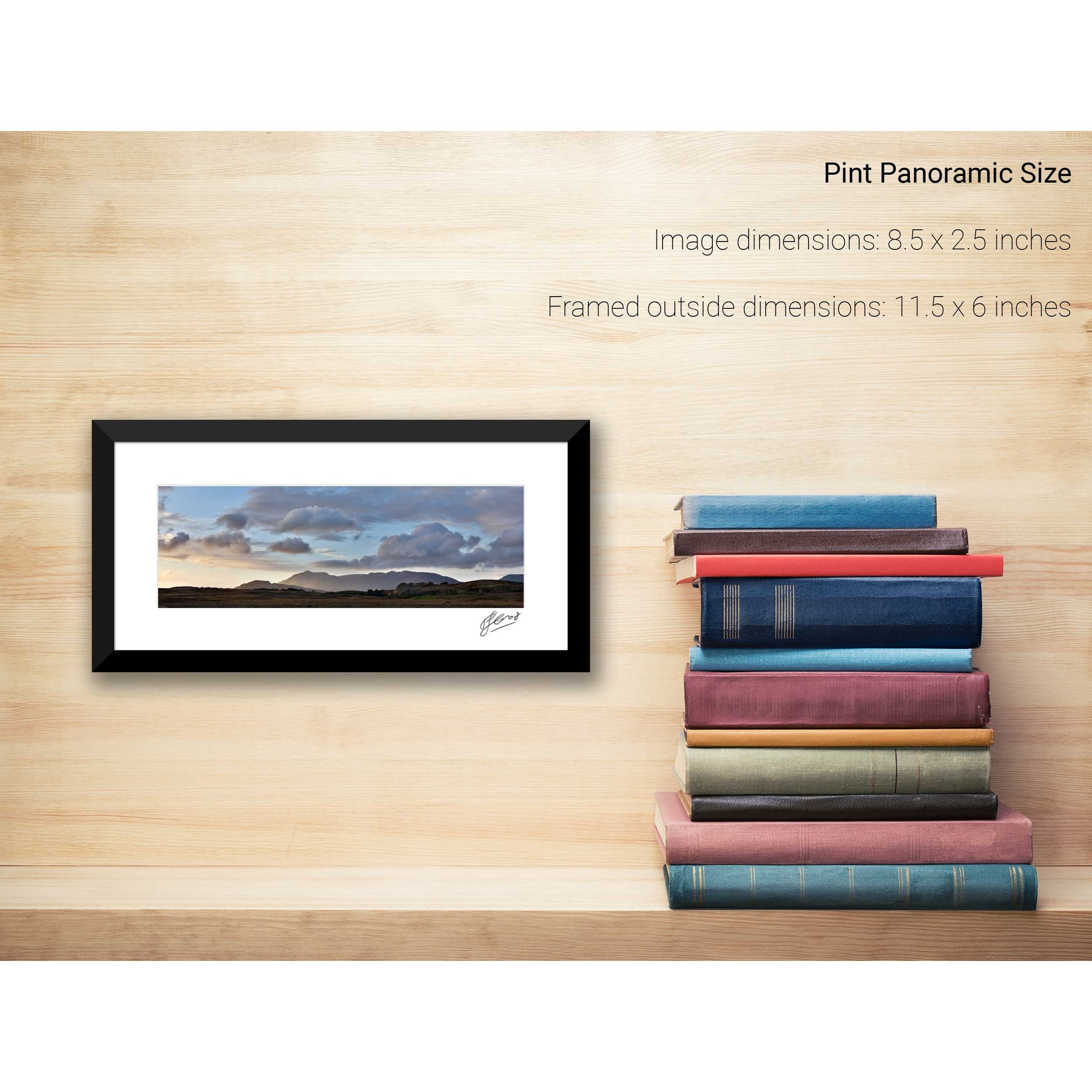
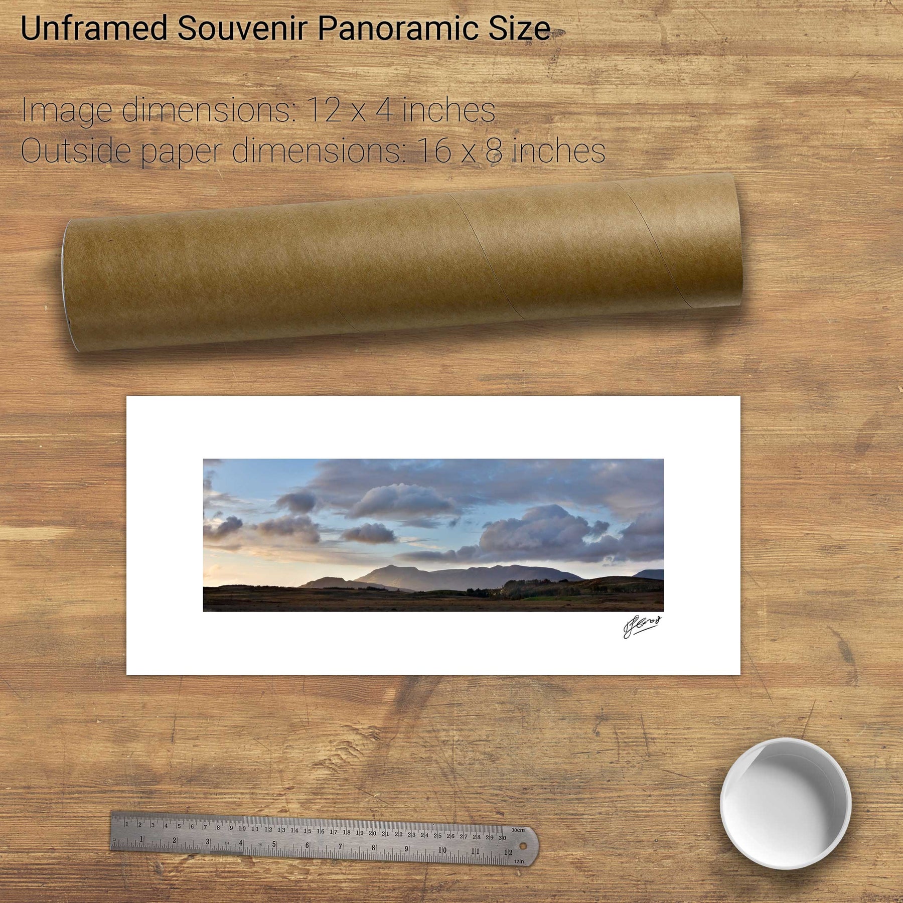
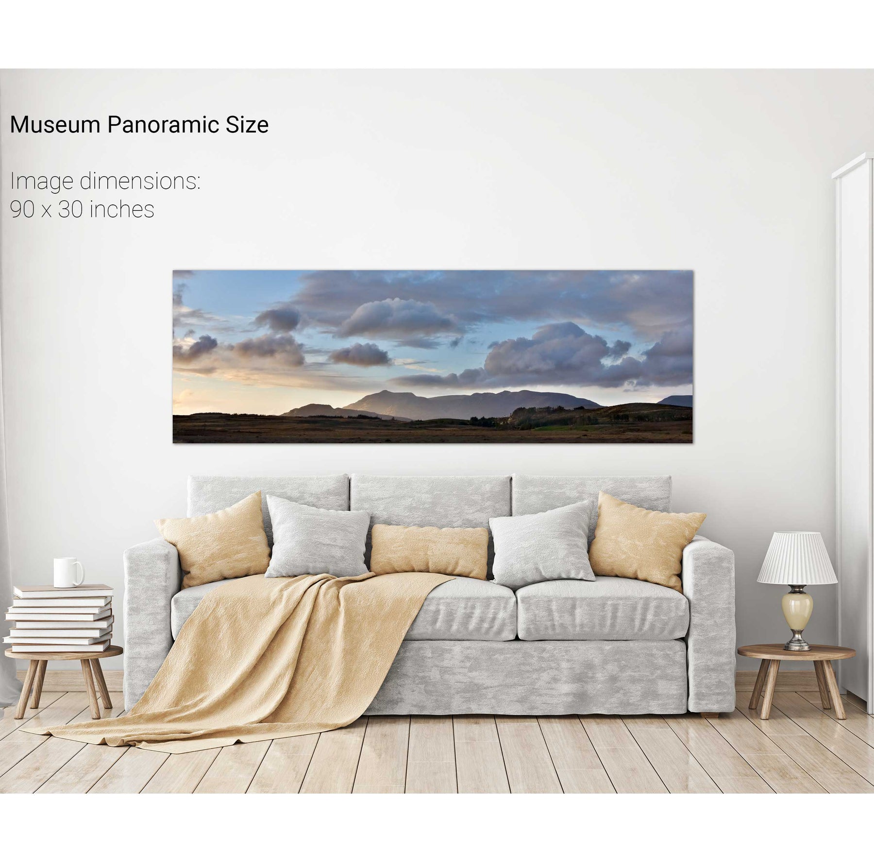
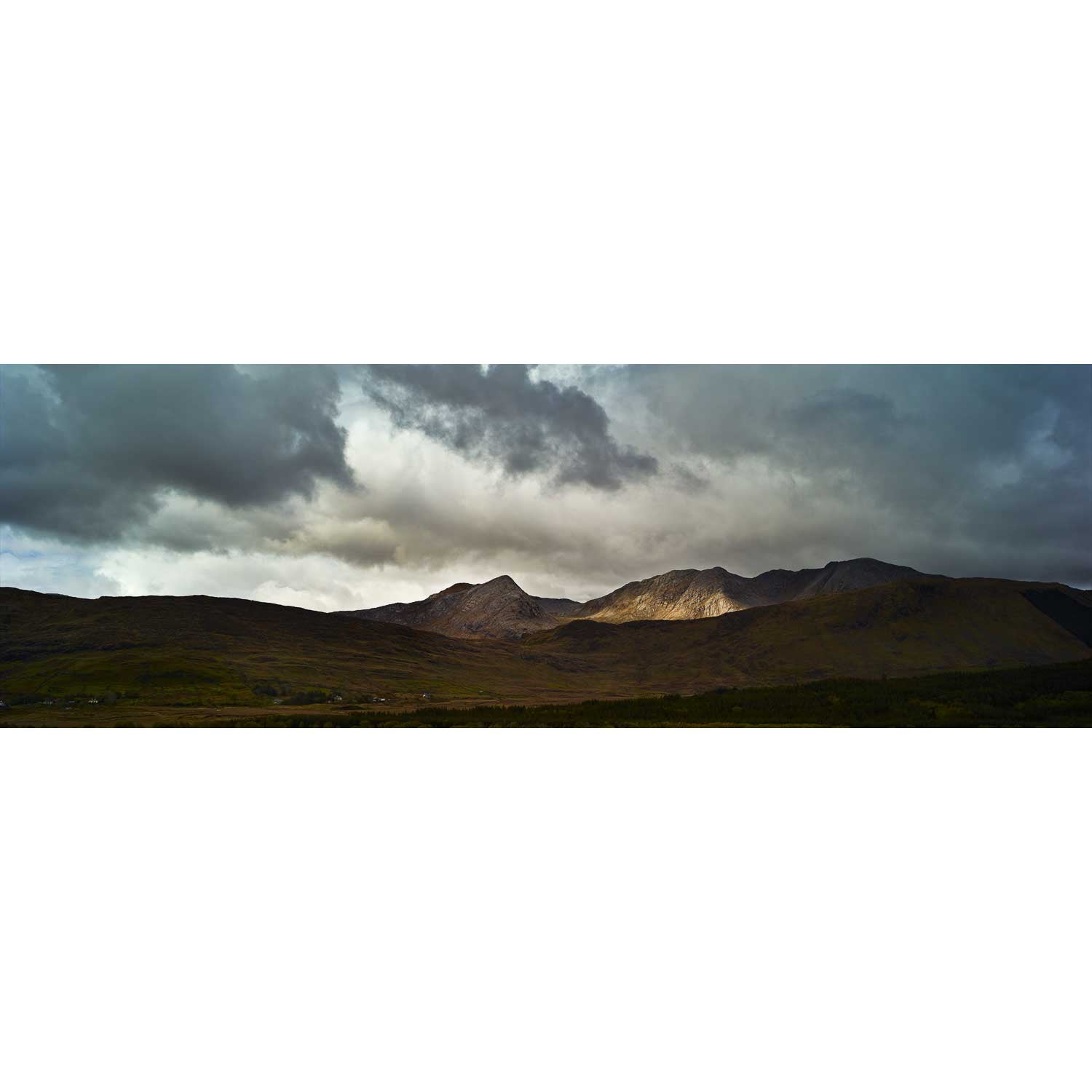
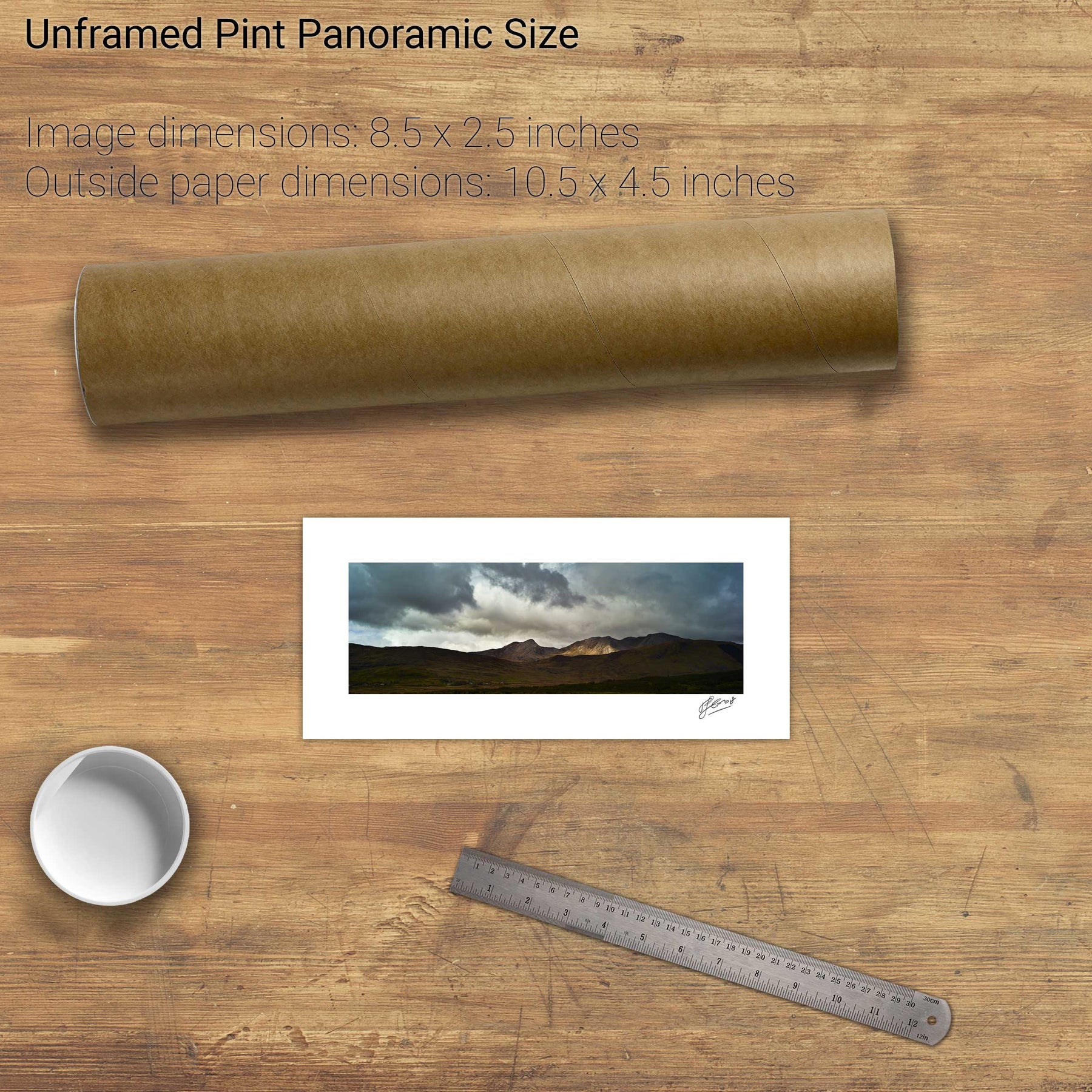
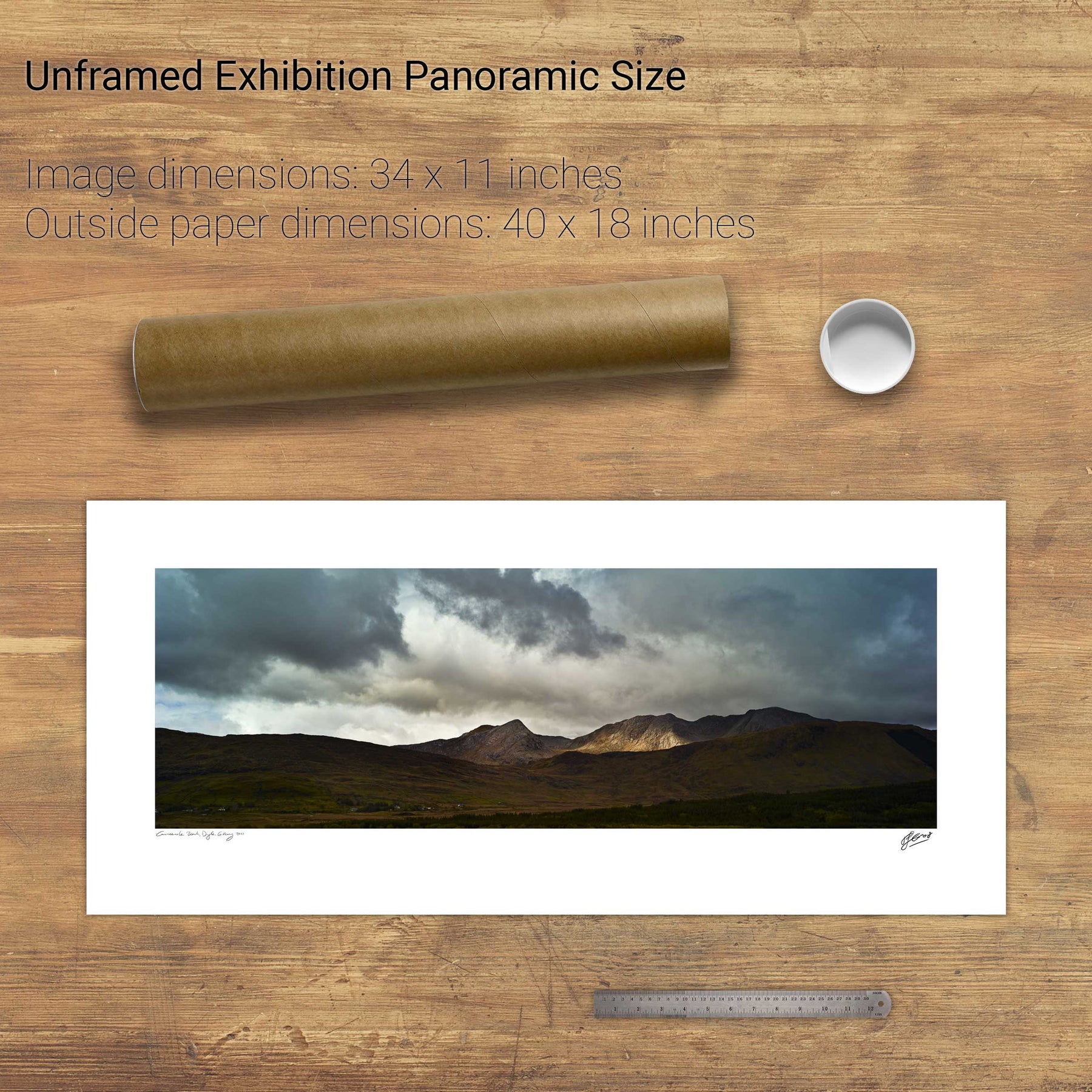
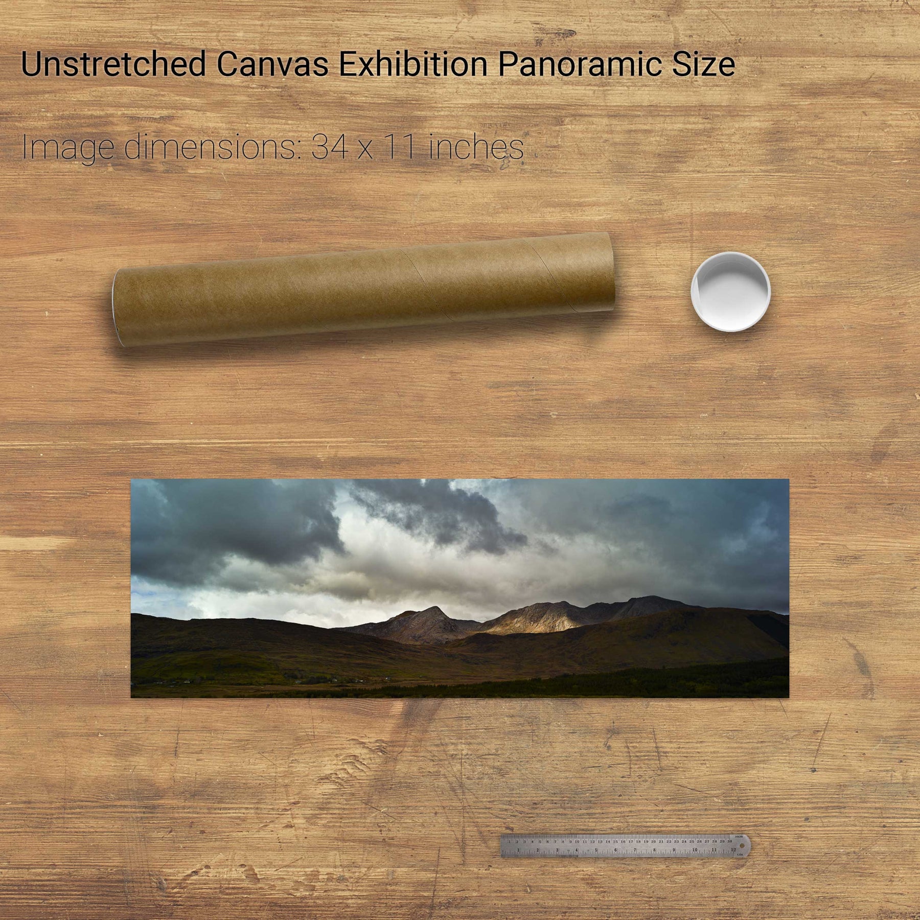
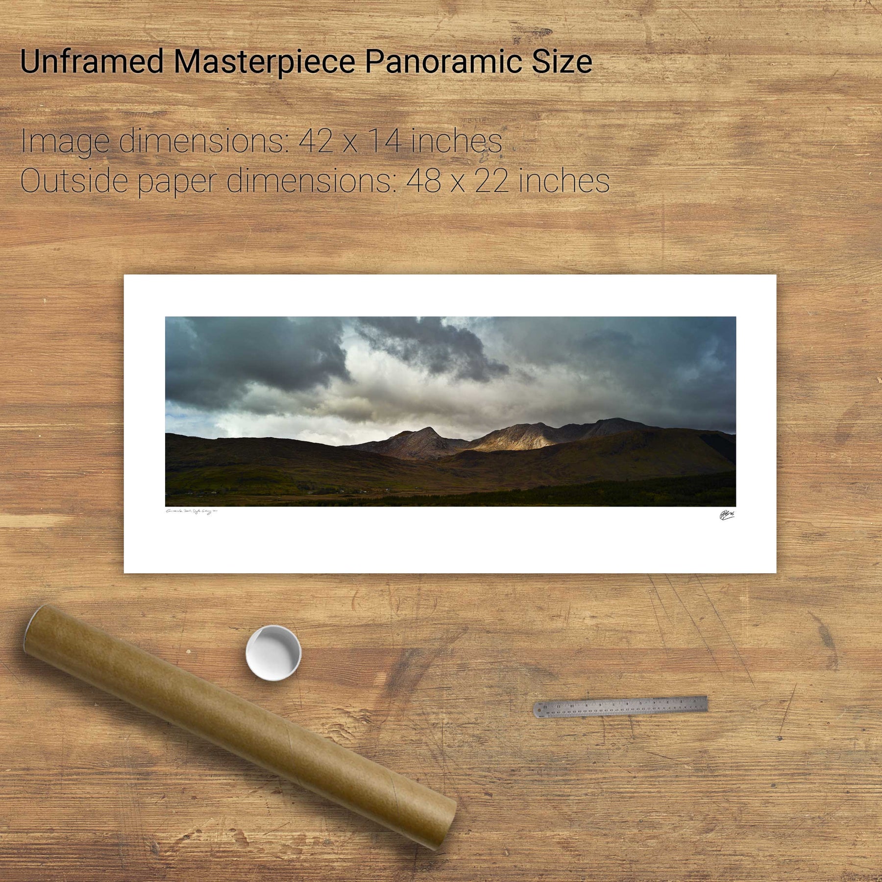
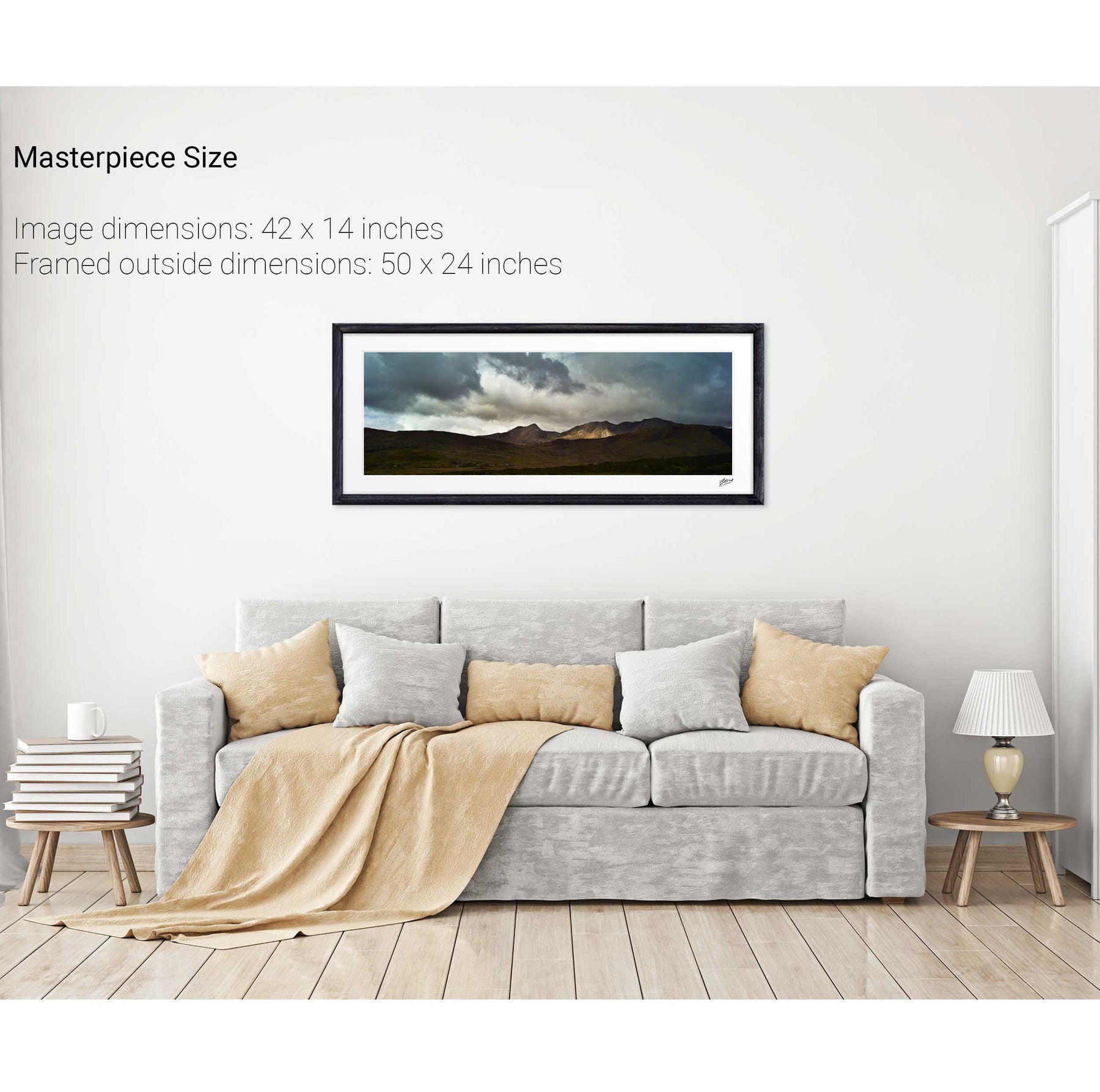
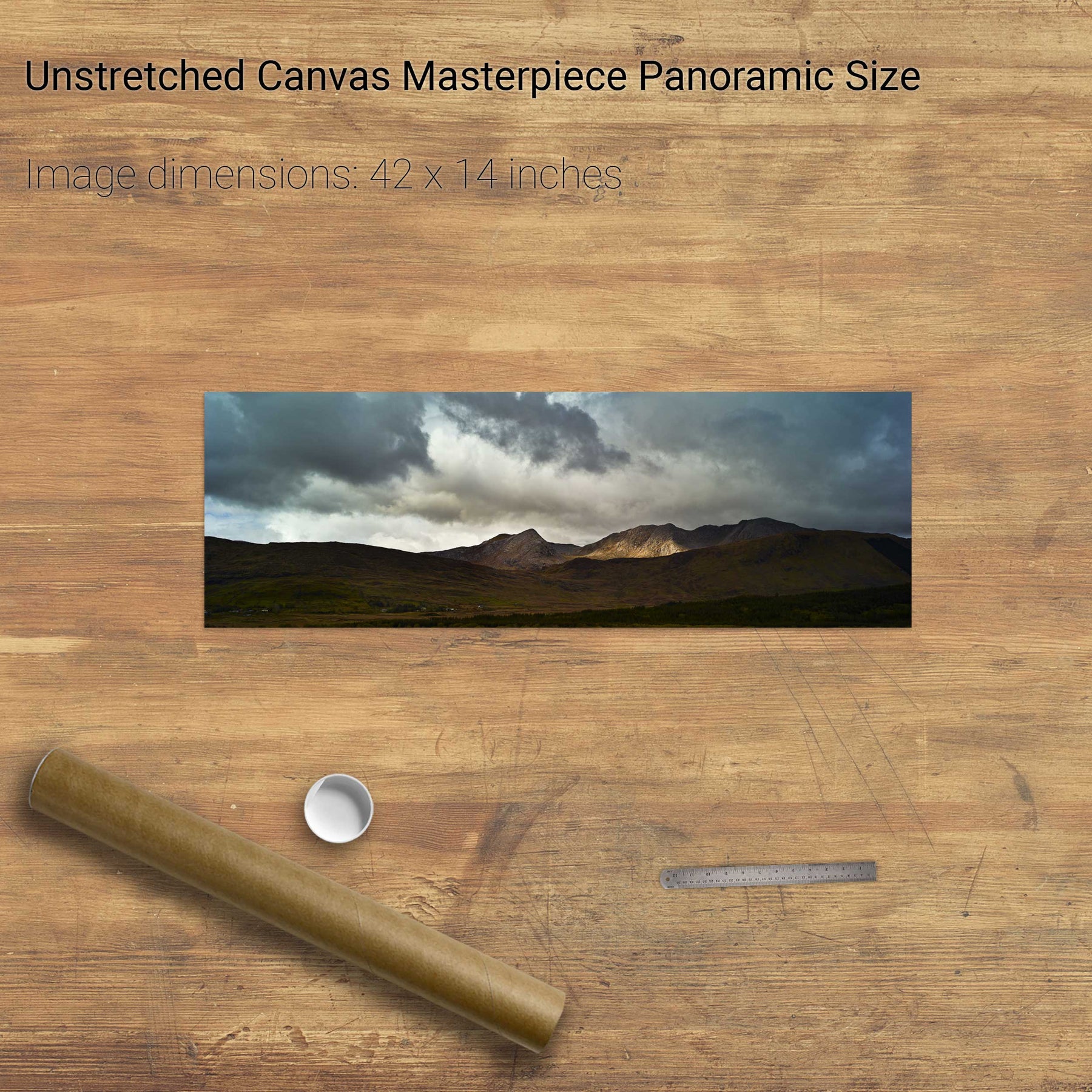
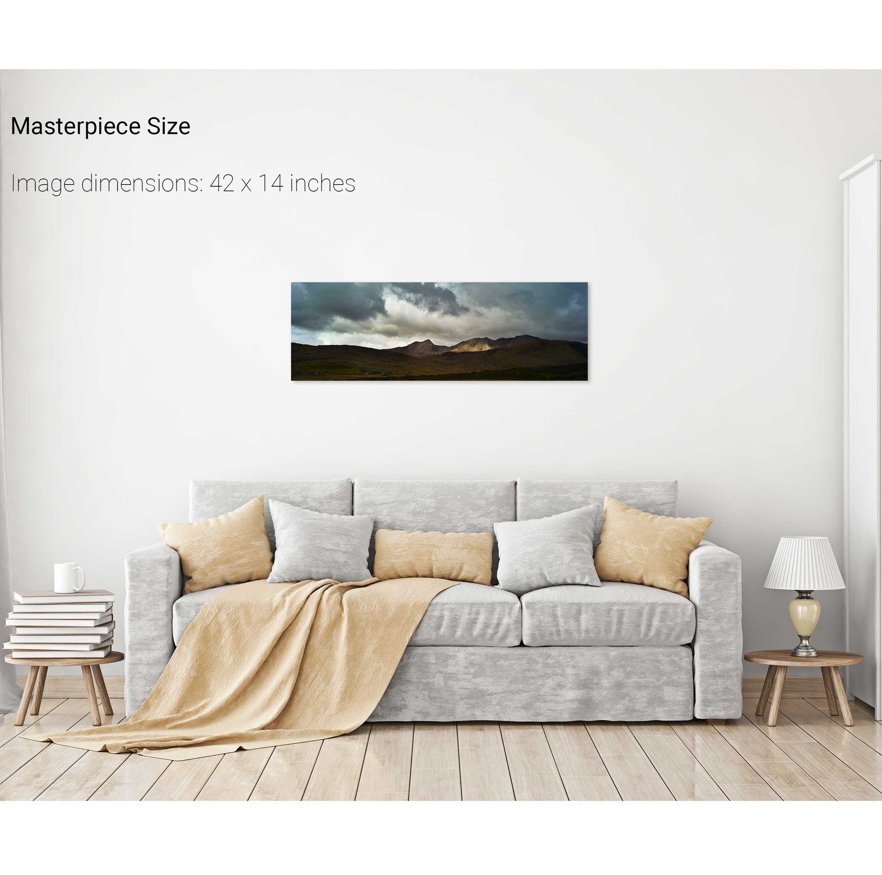
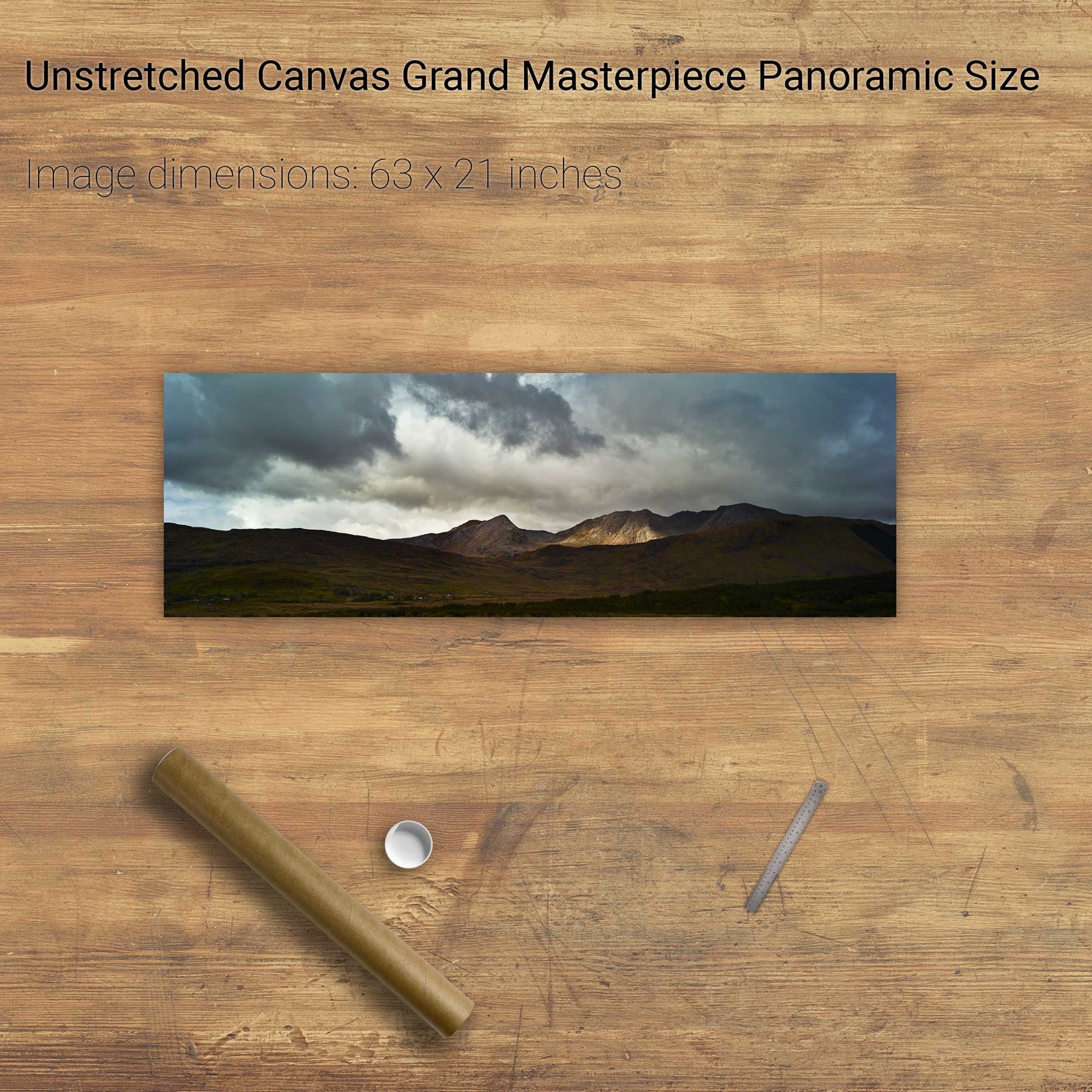
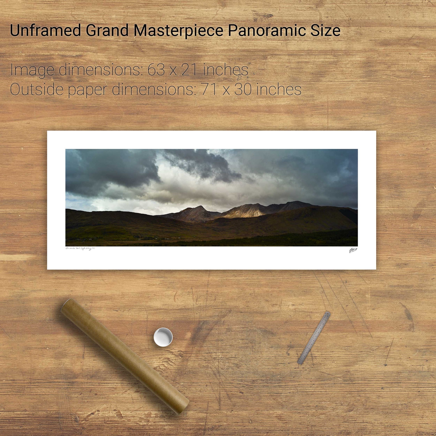
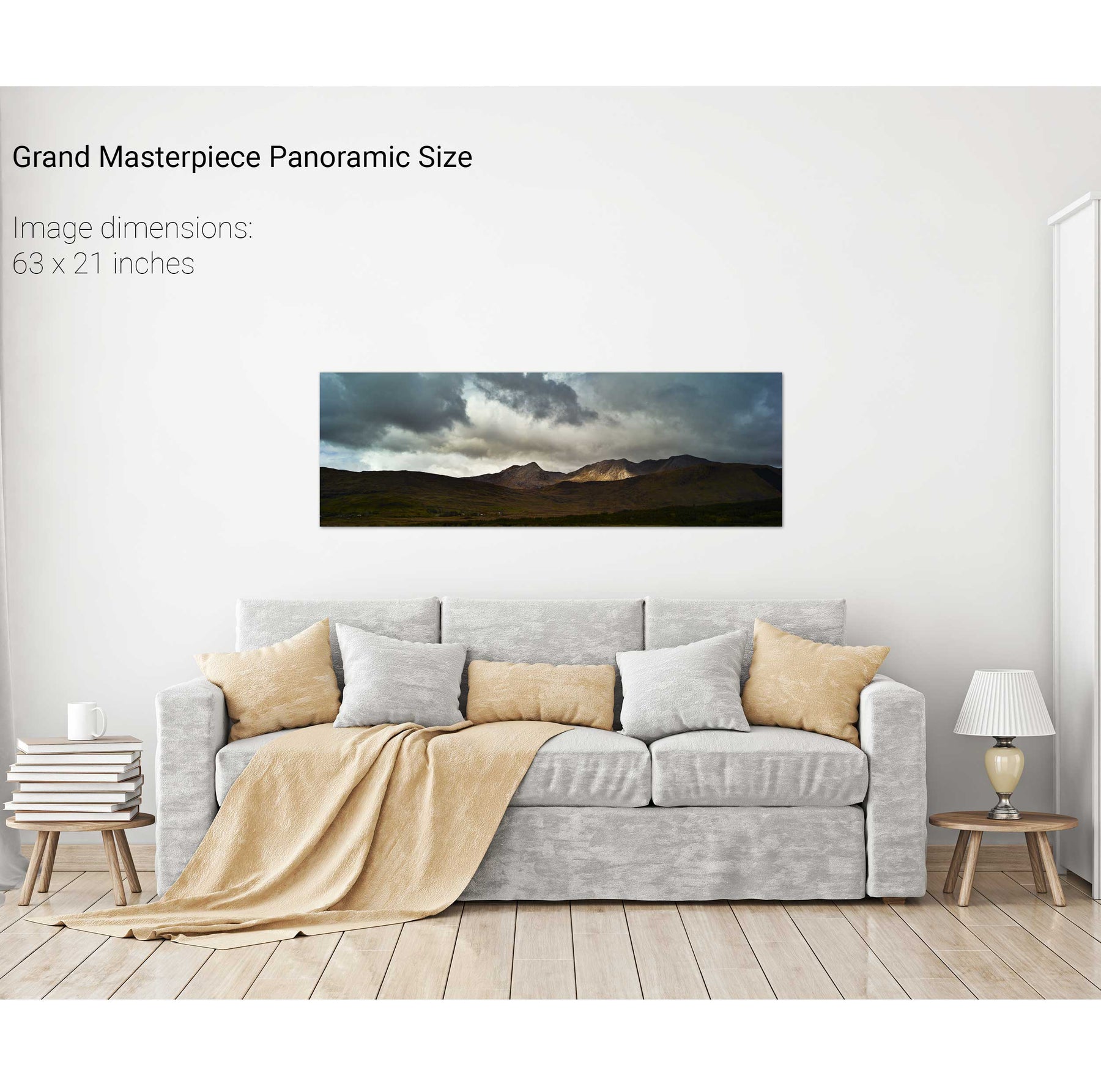
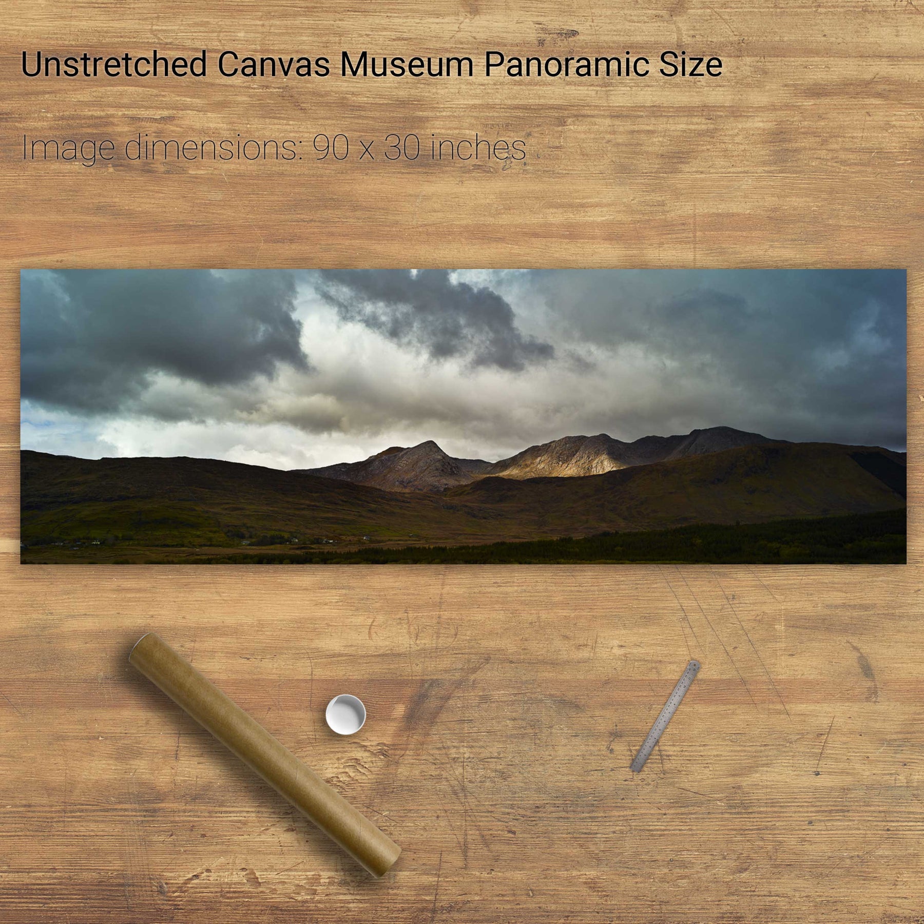
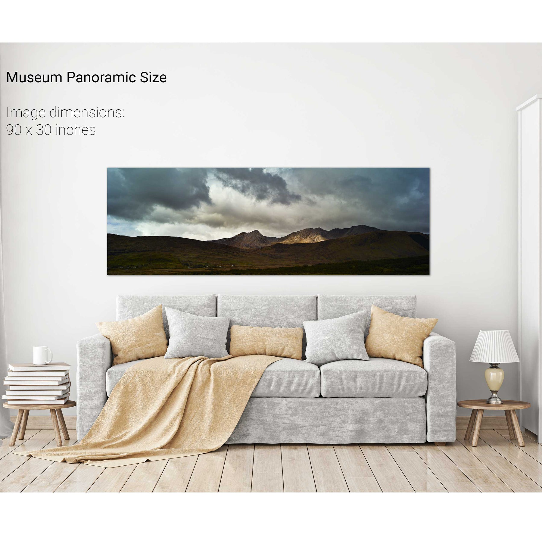
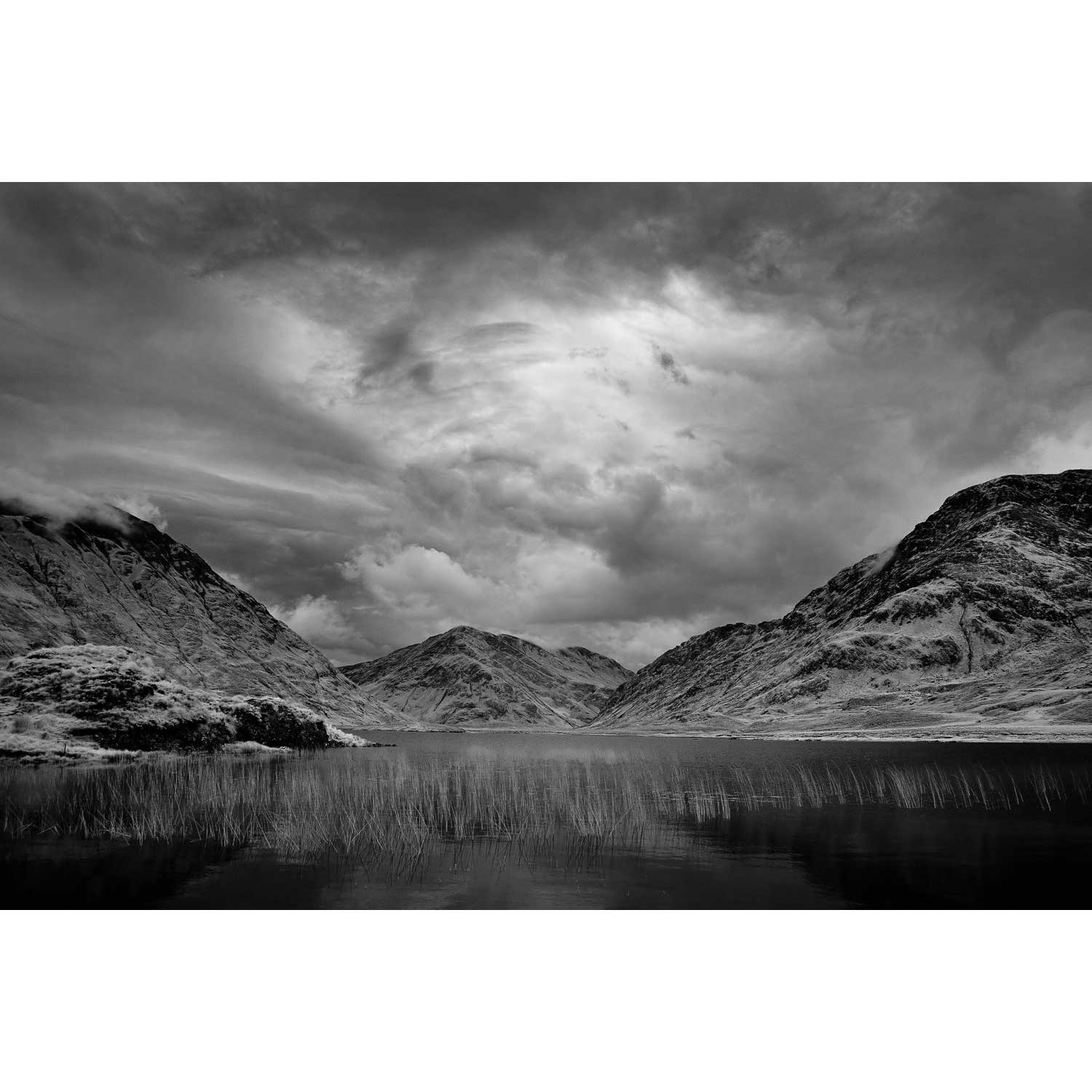
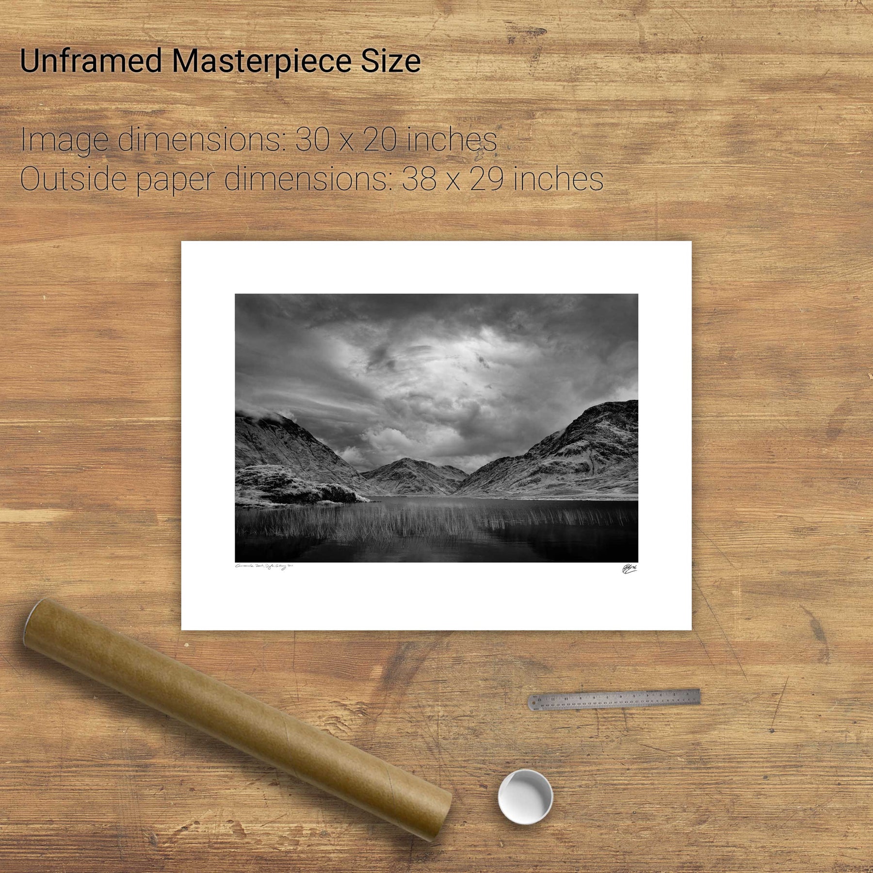
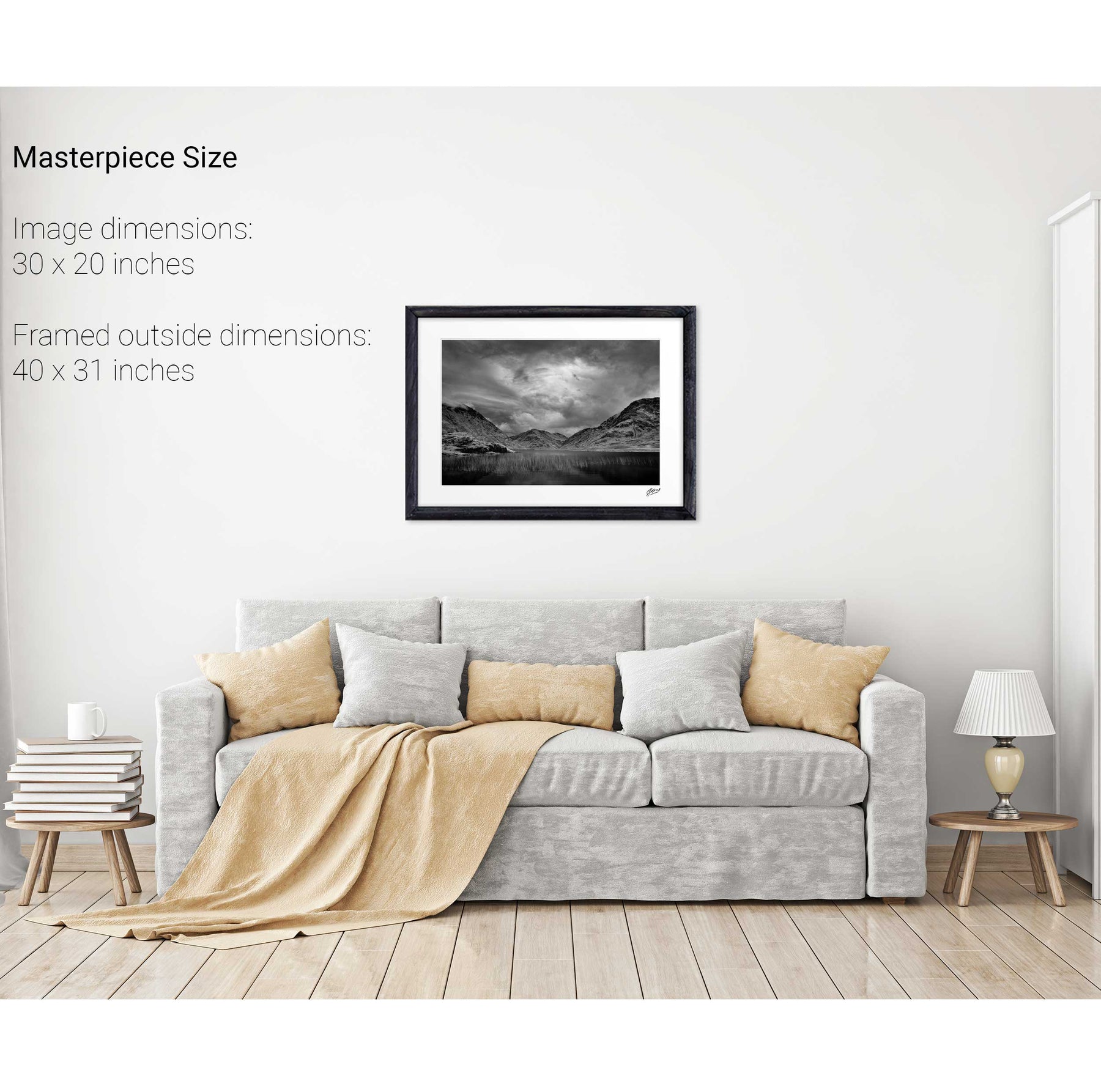
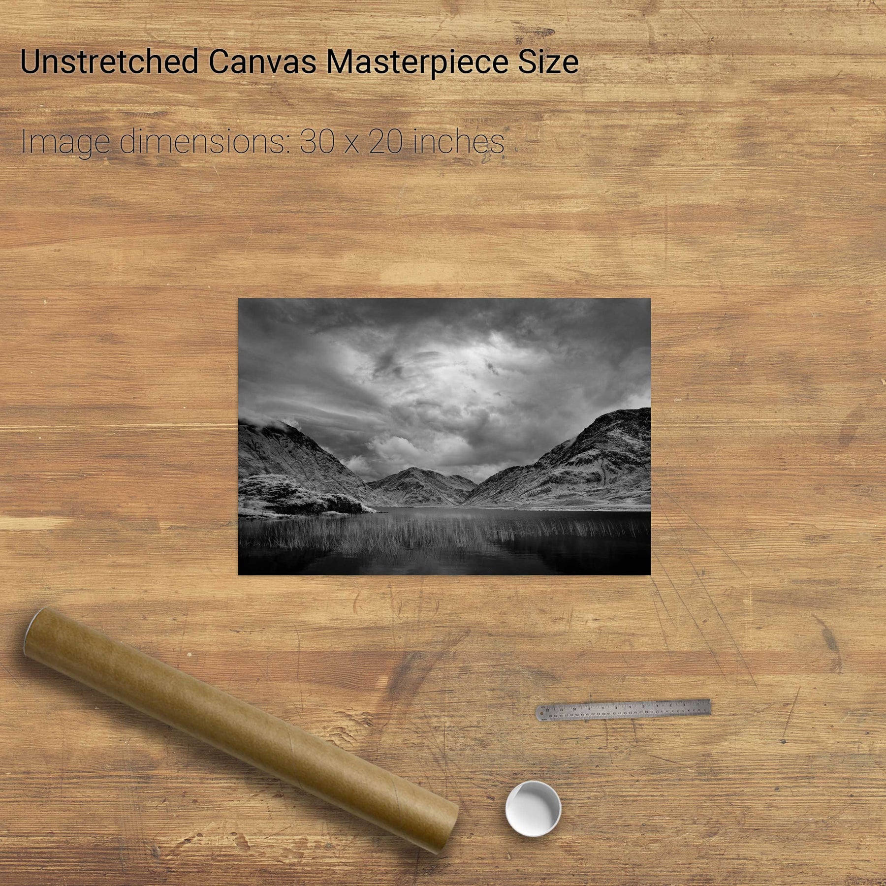
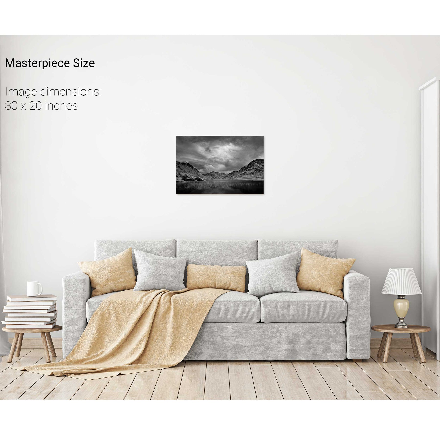
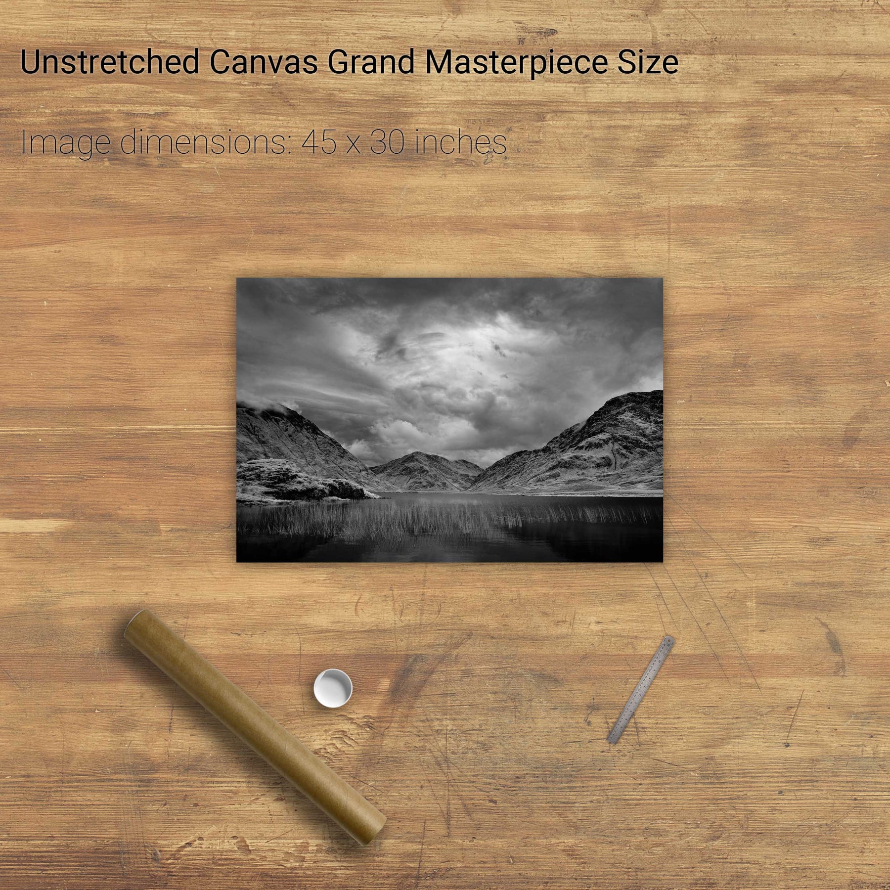
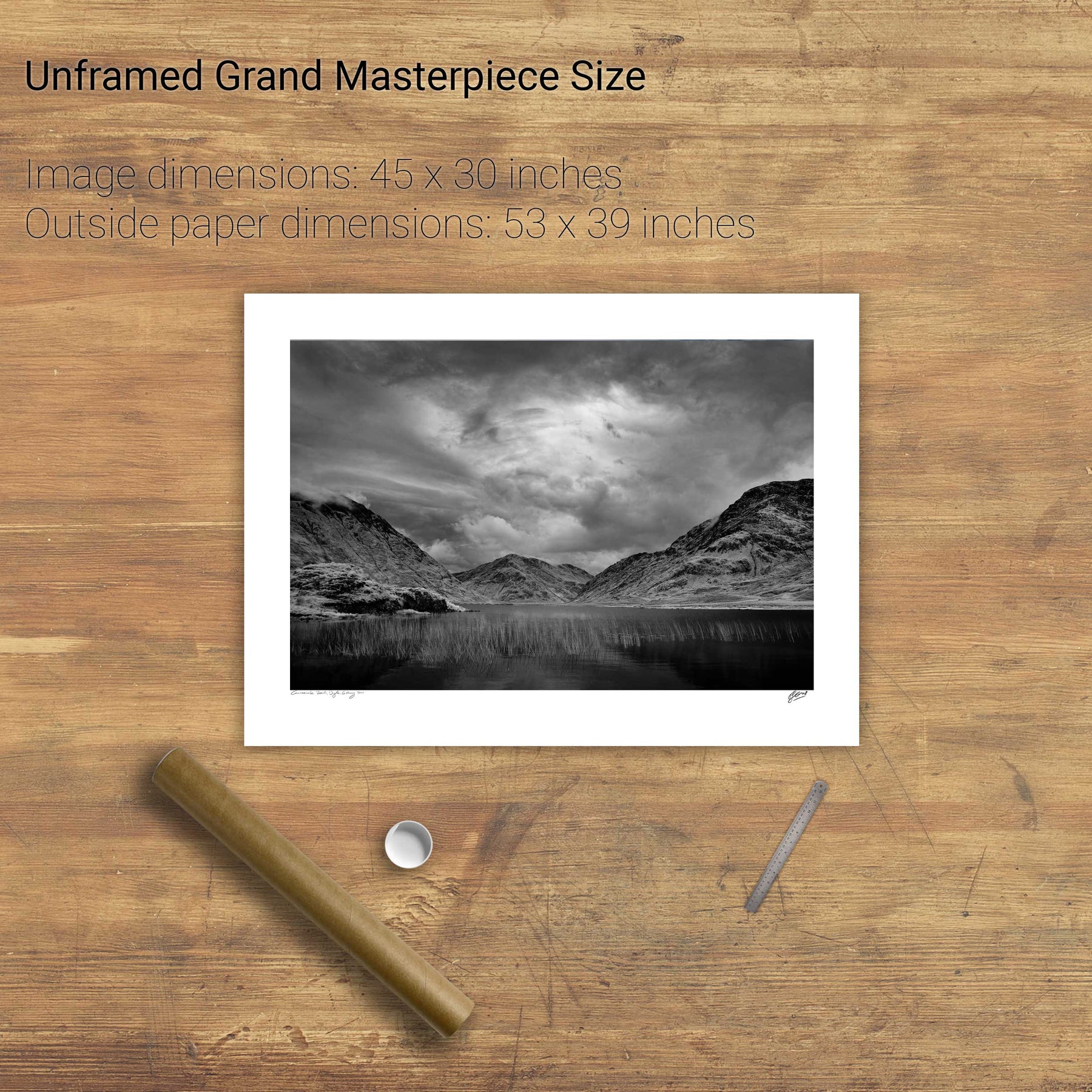
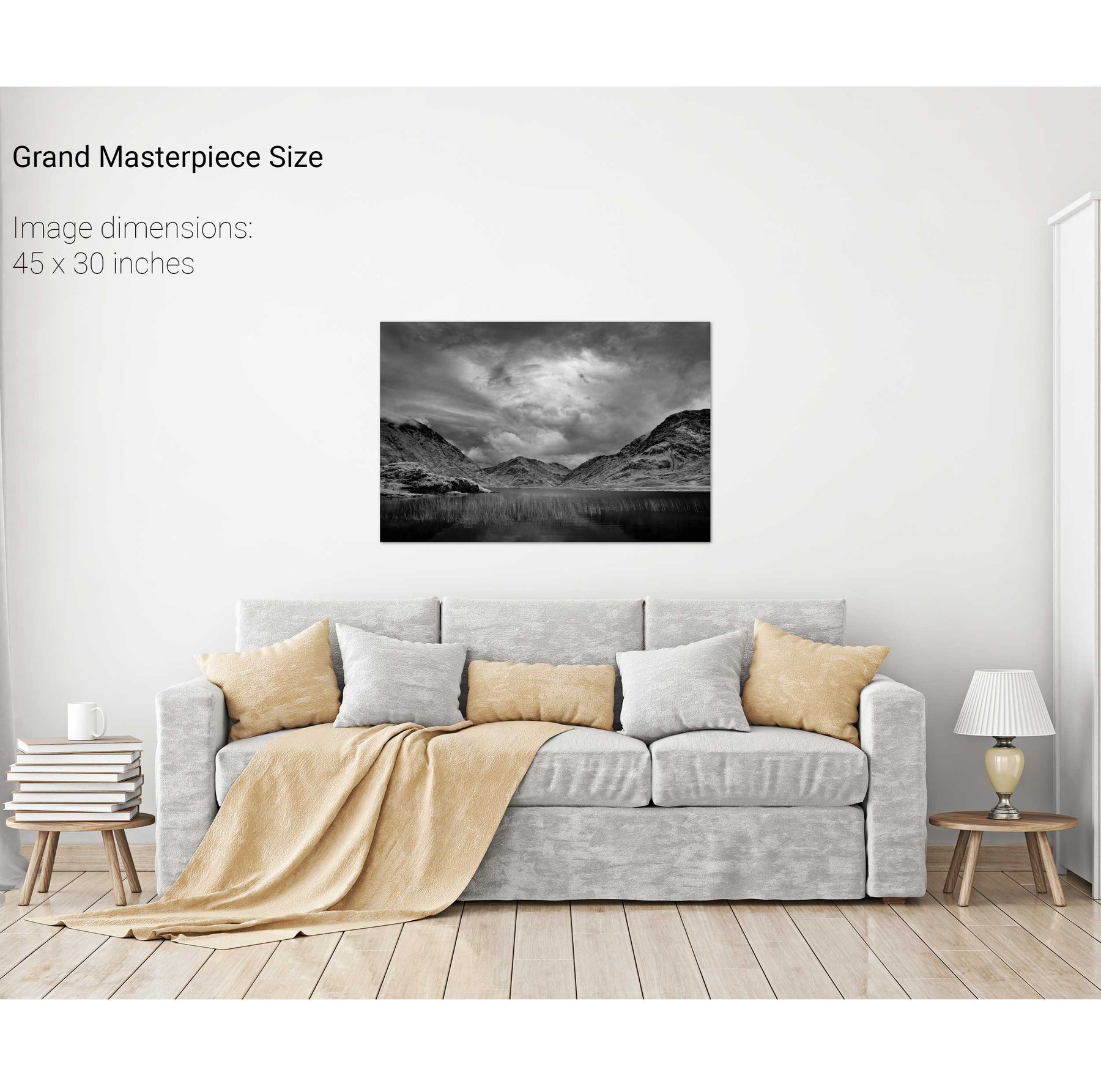
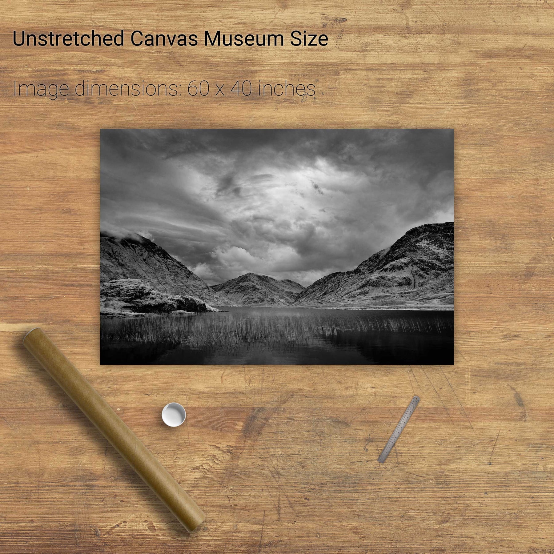
The Maumturks, Co. Galway


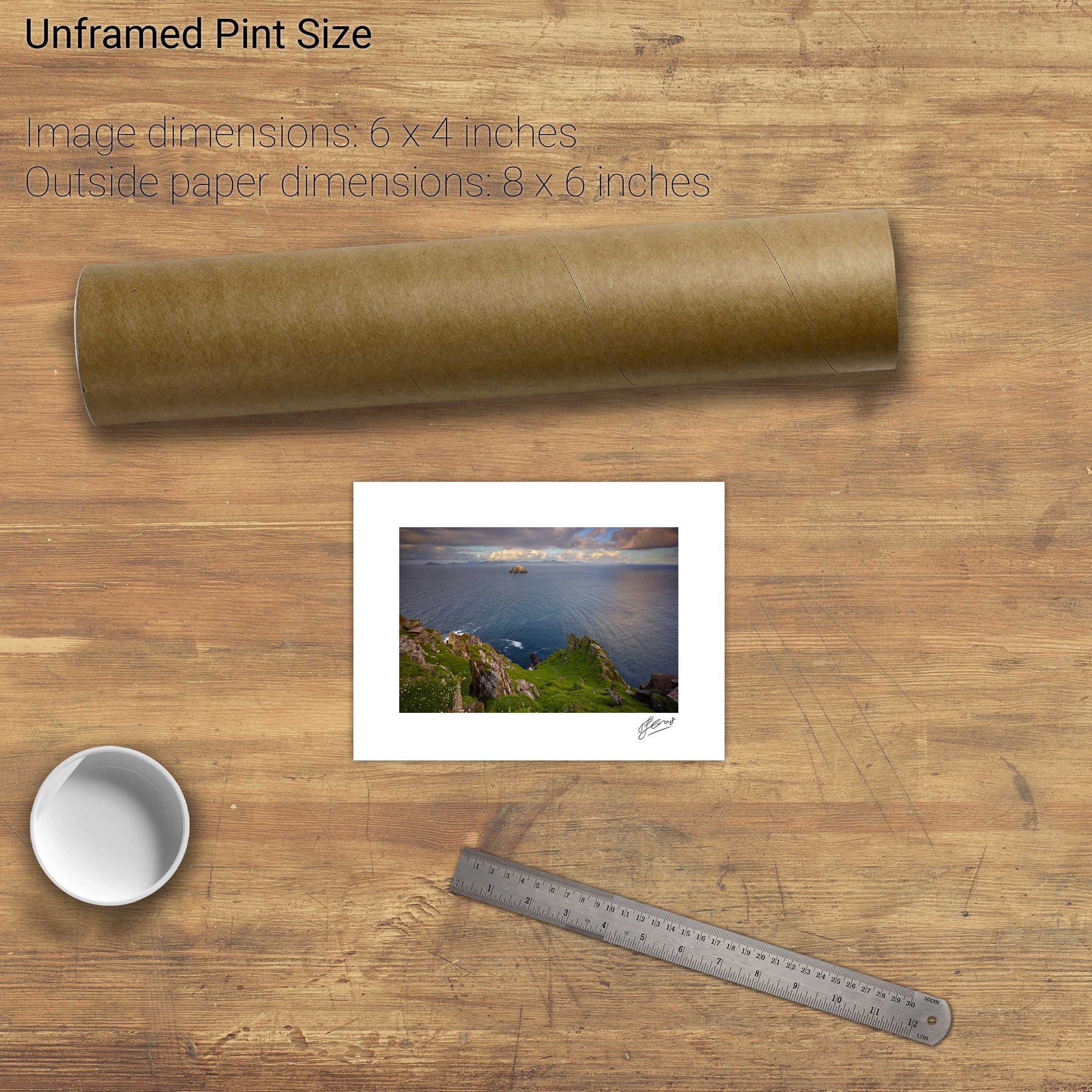
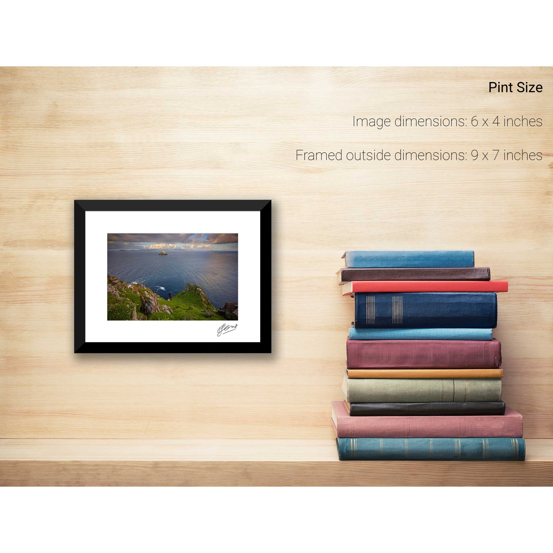
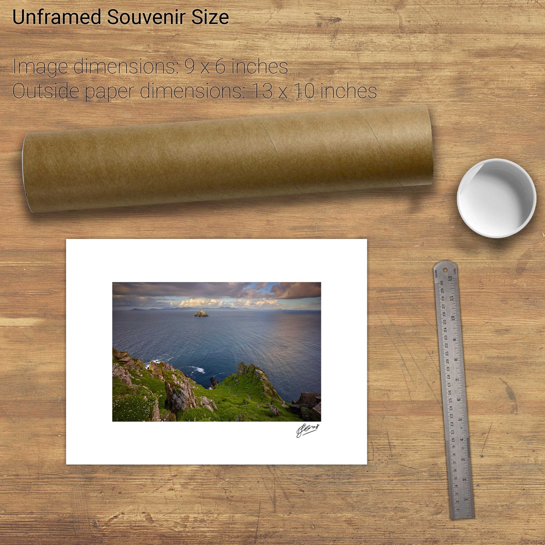
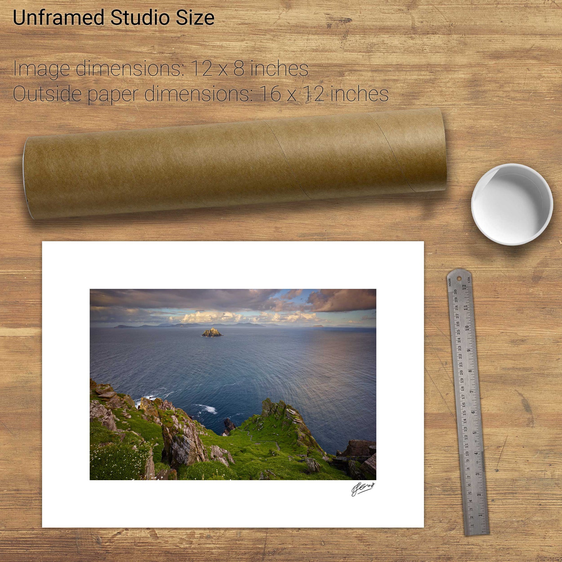
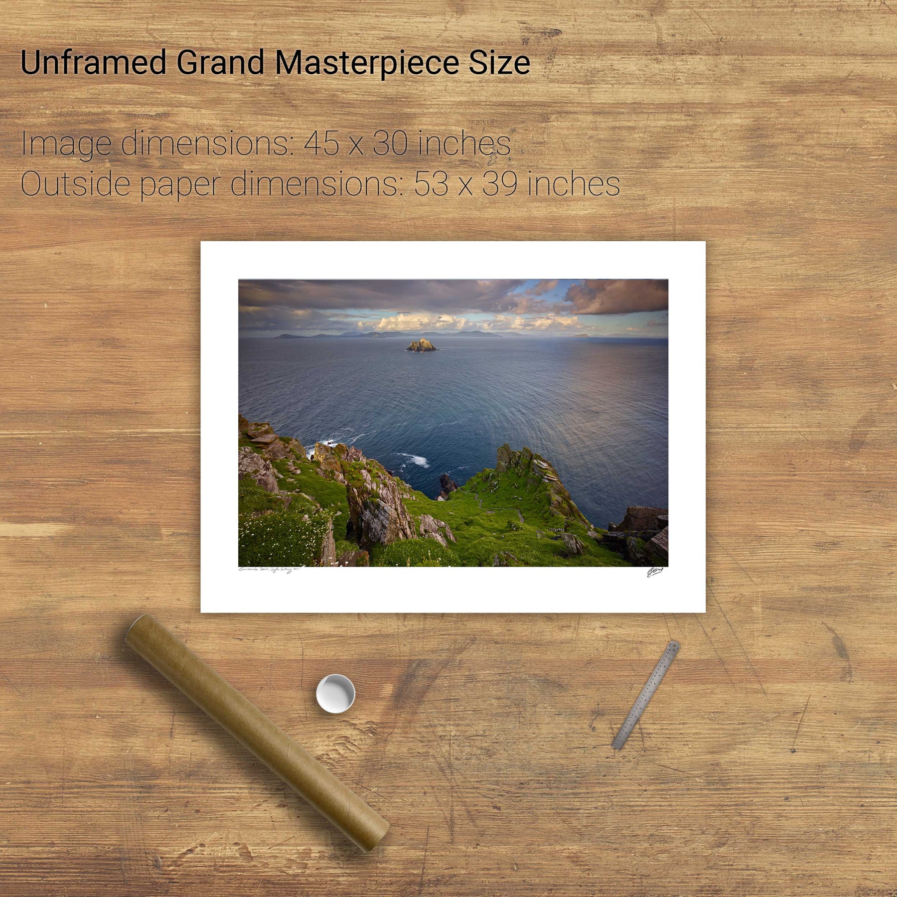
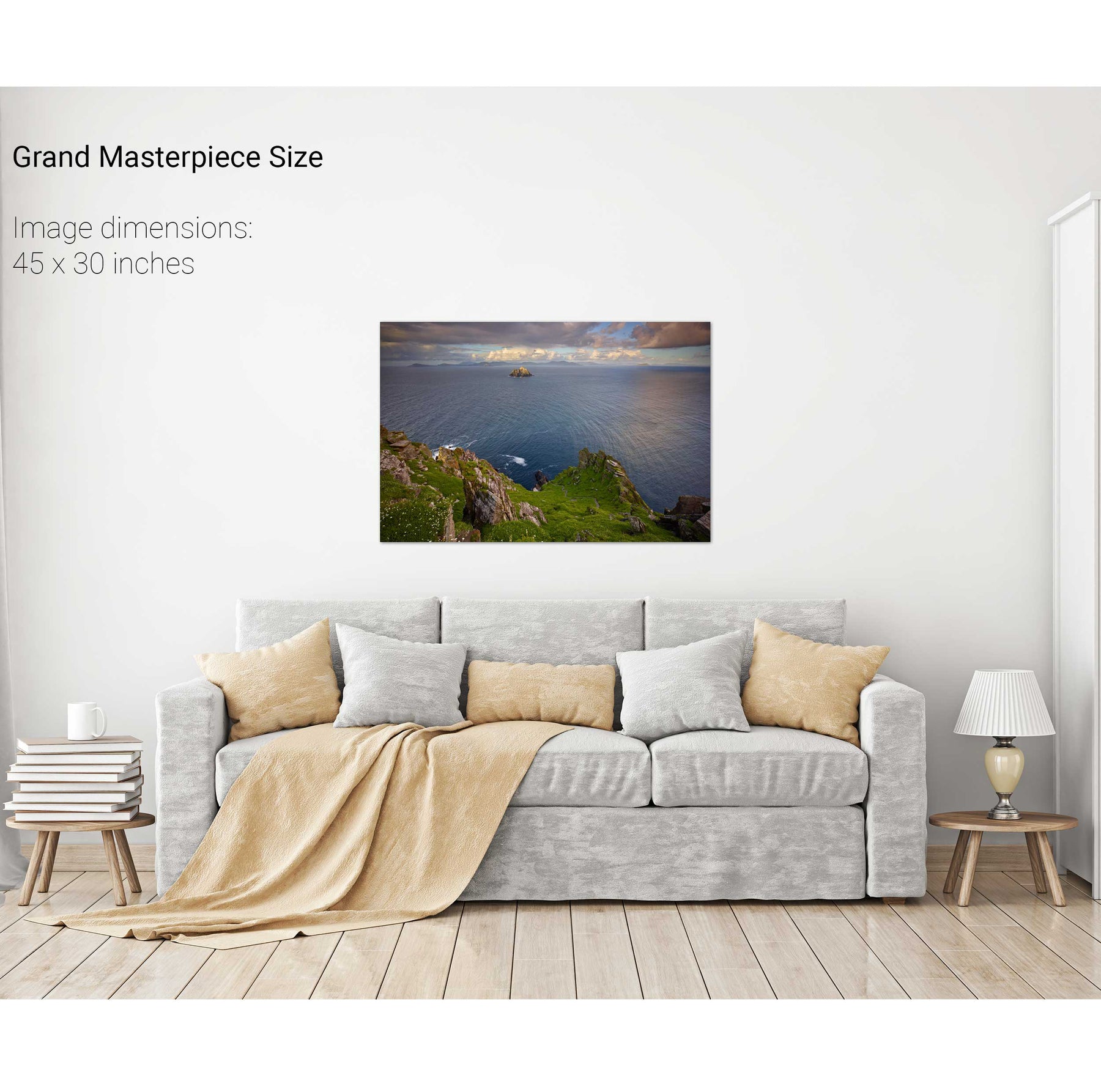
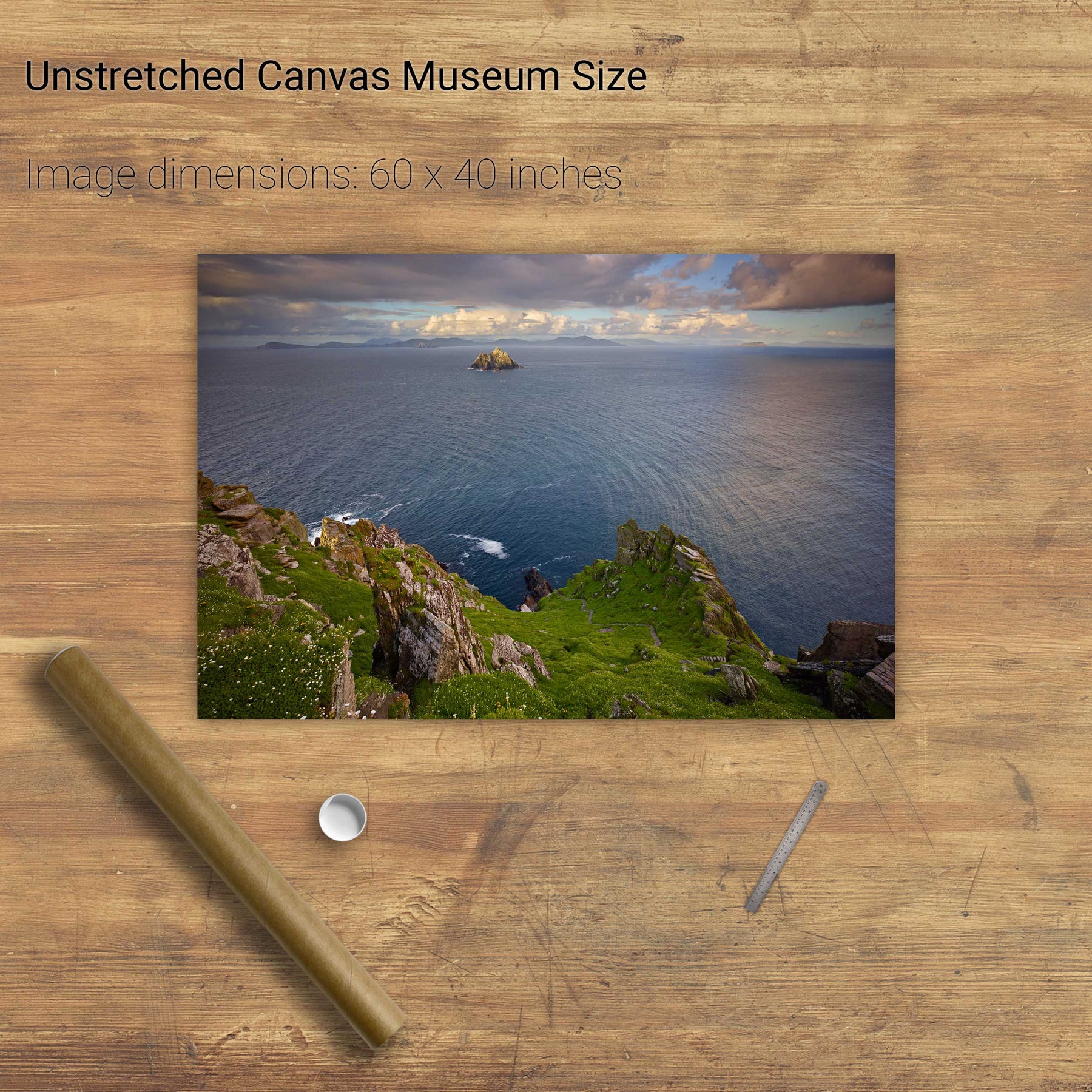
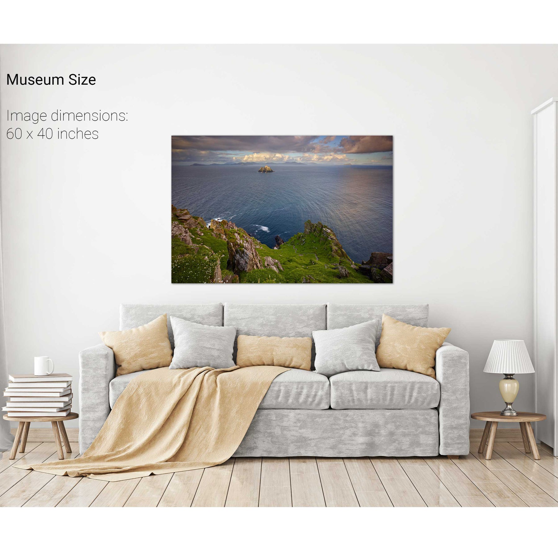
Down the East Steps, Skellig Michael, Kerry


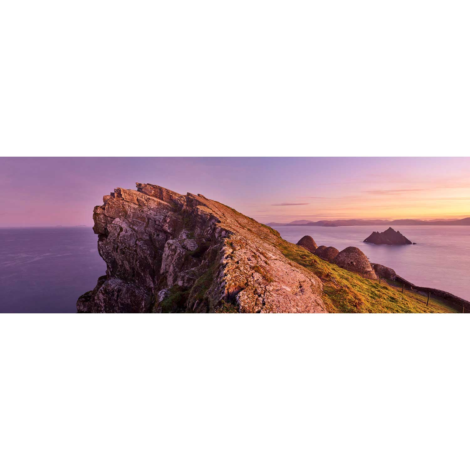
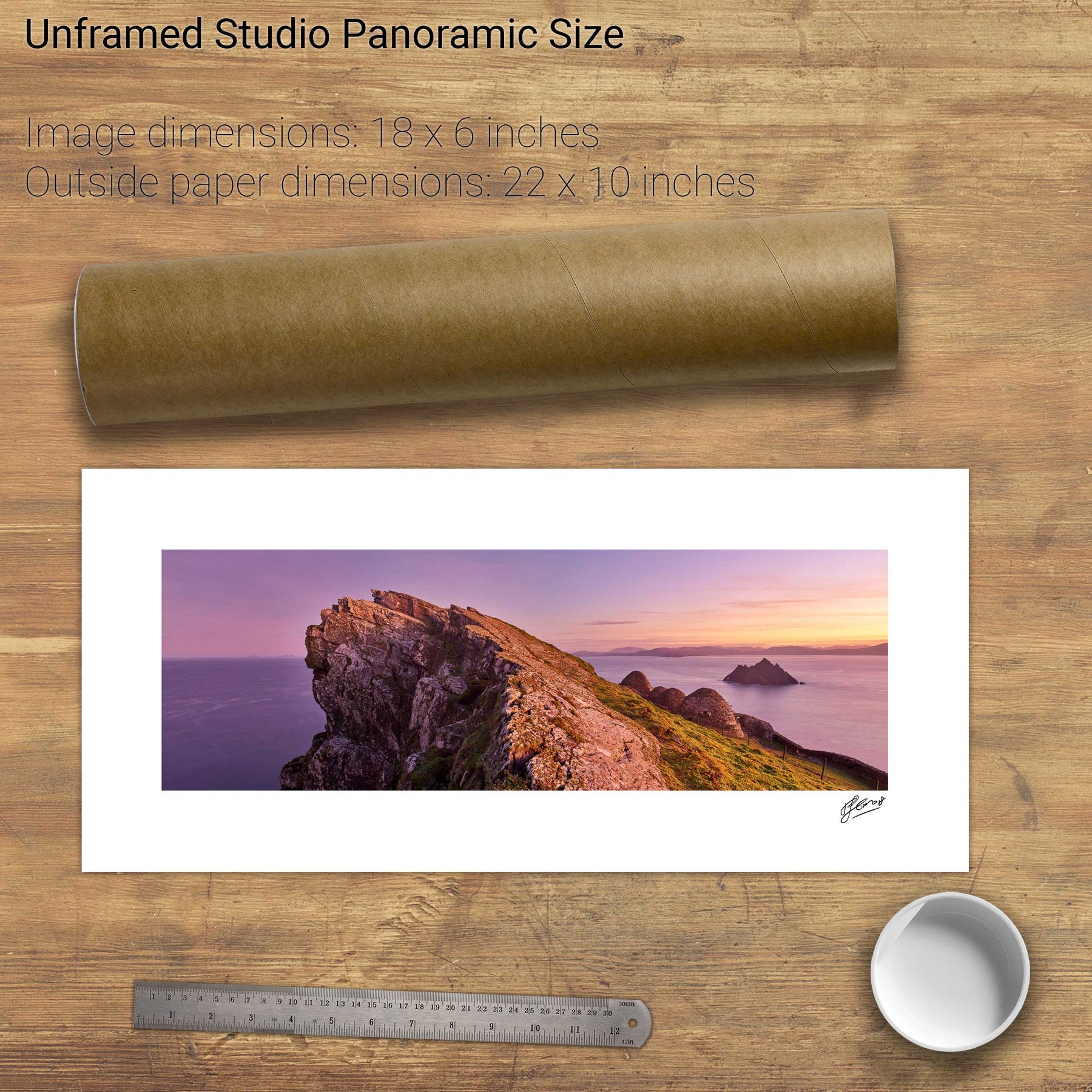
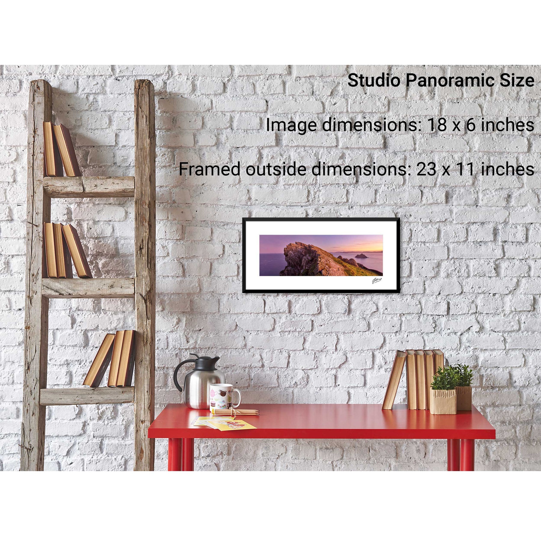
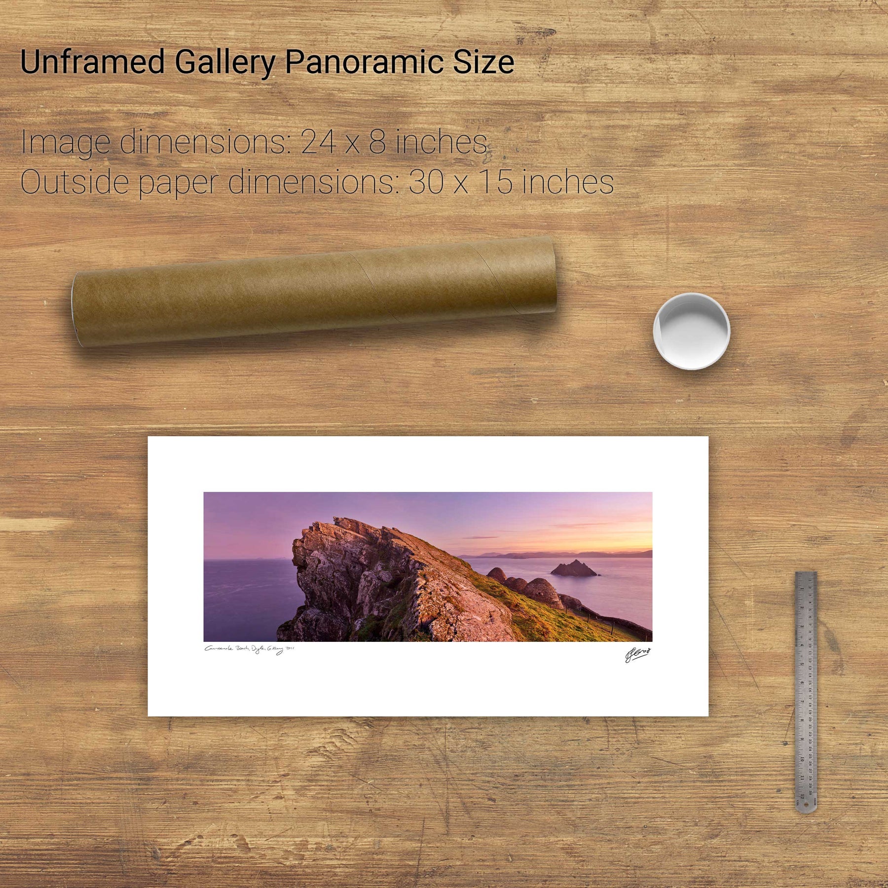
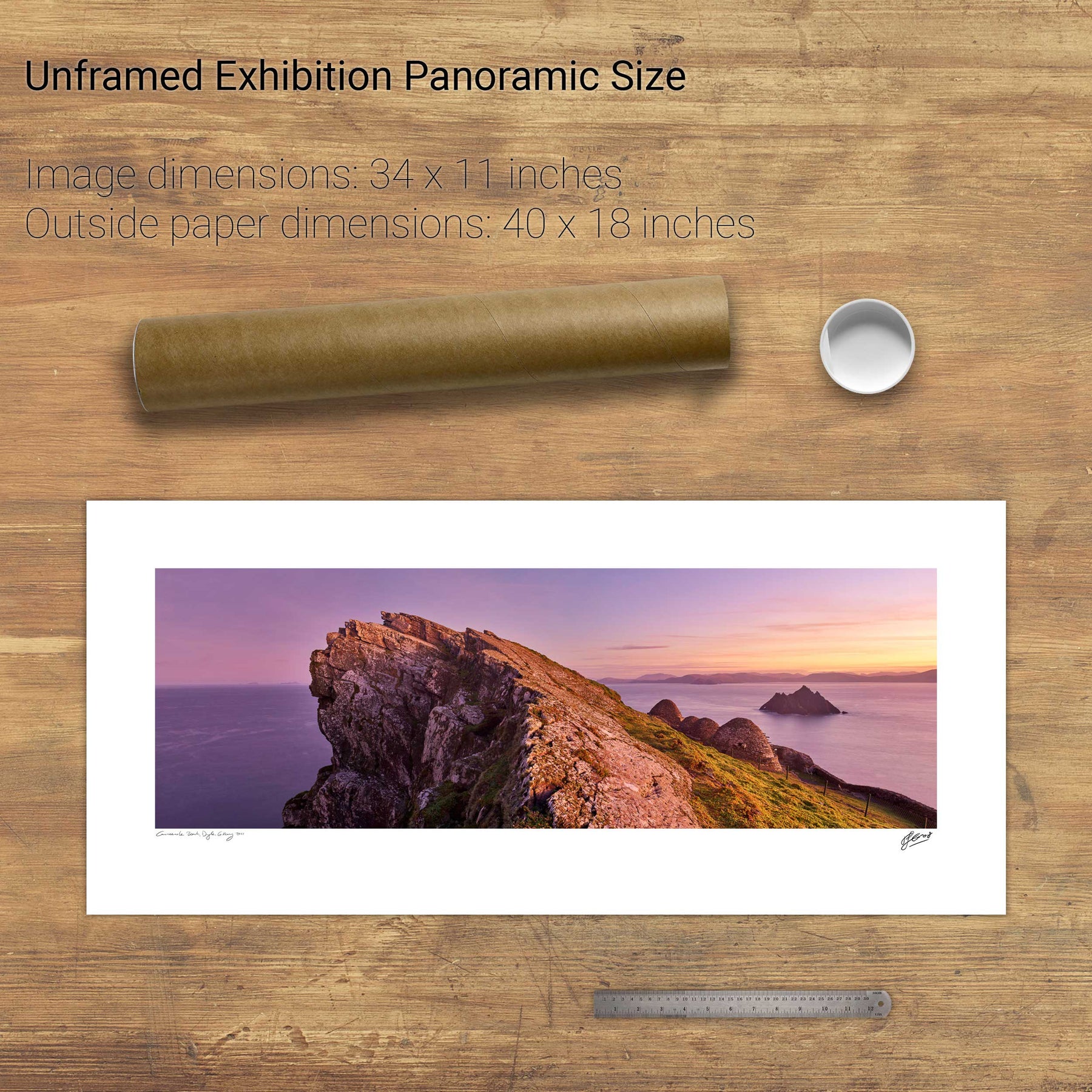
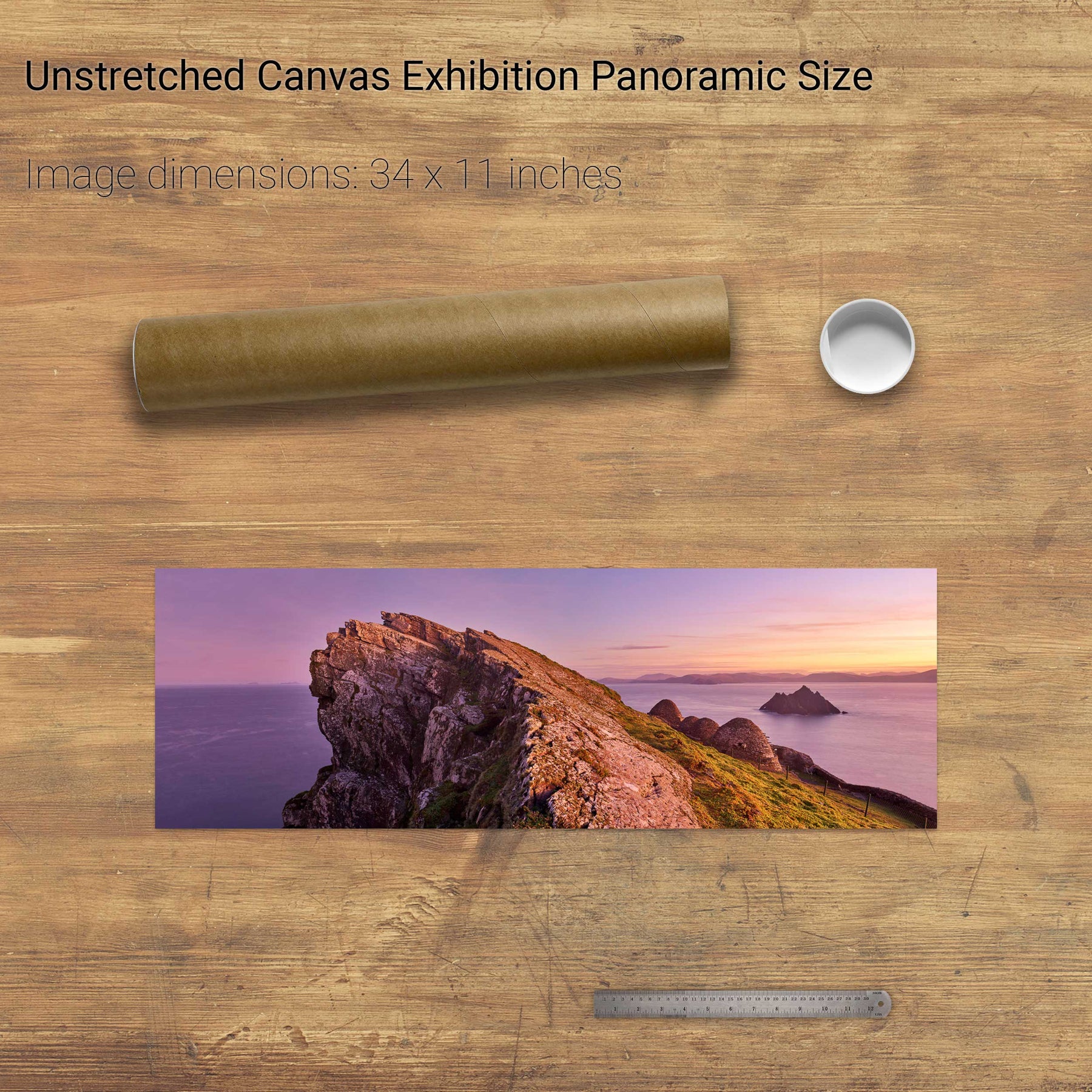
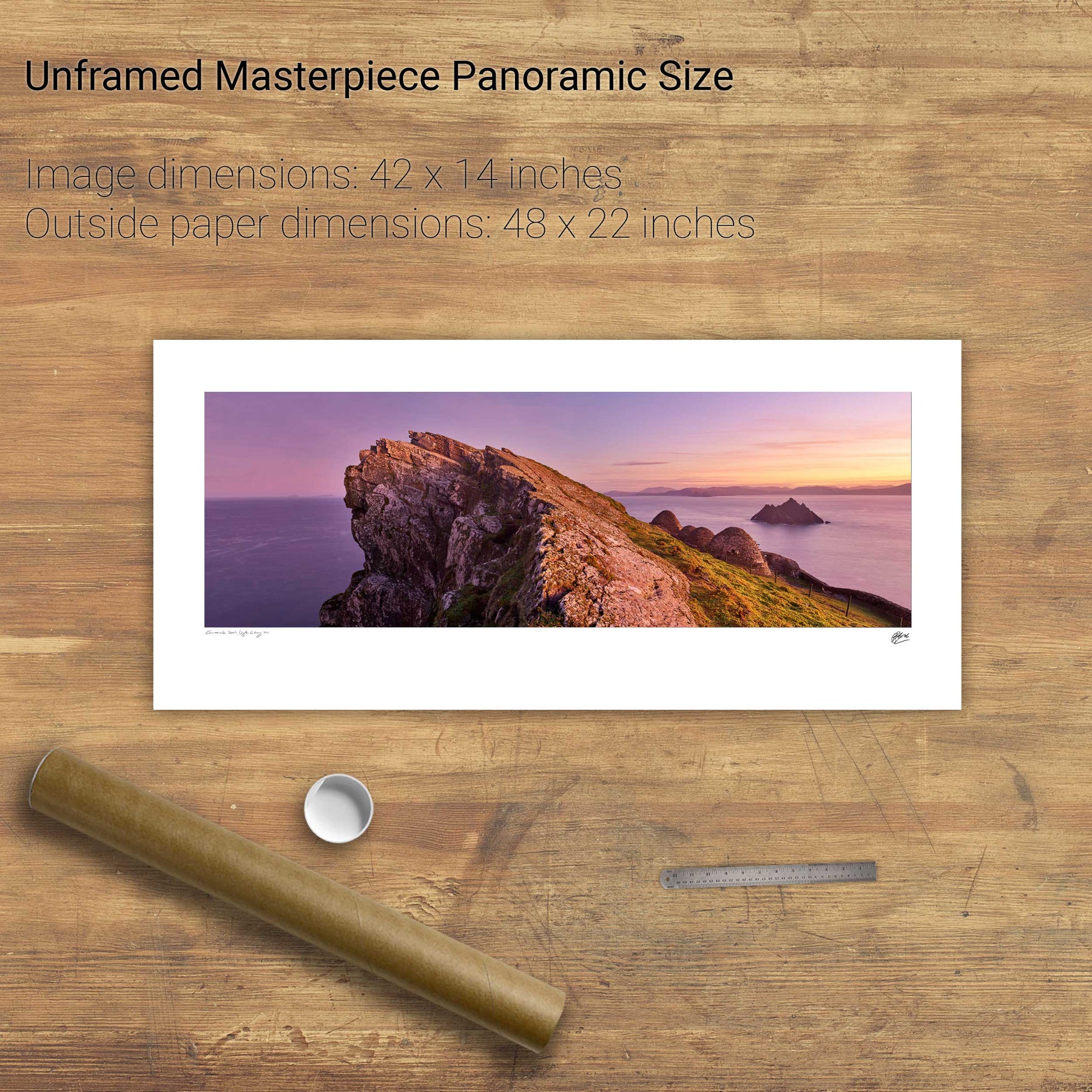
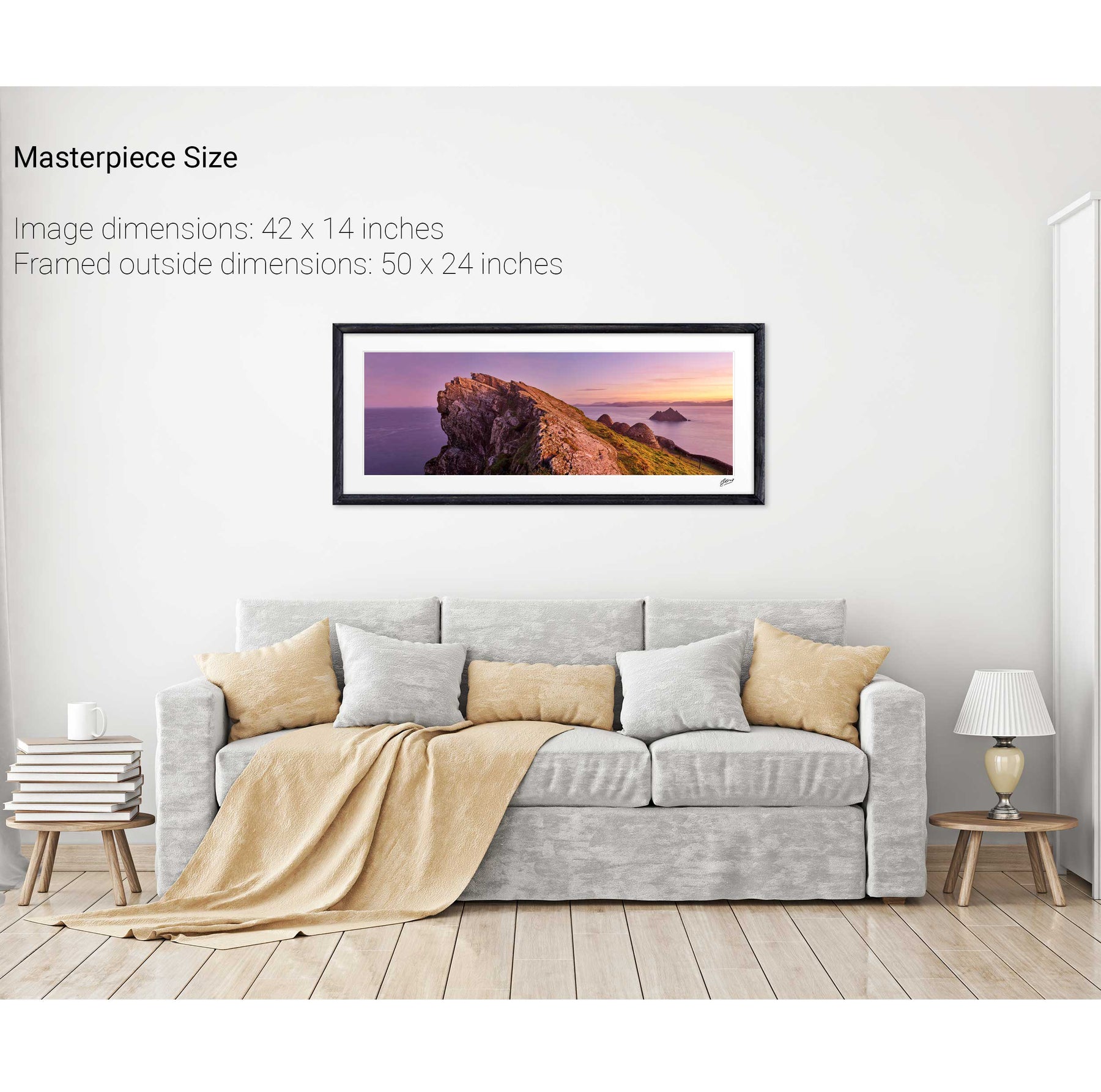
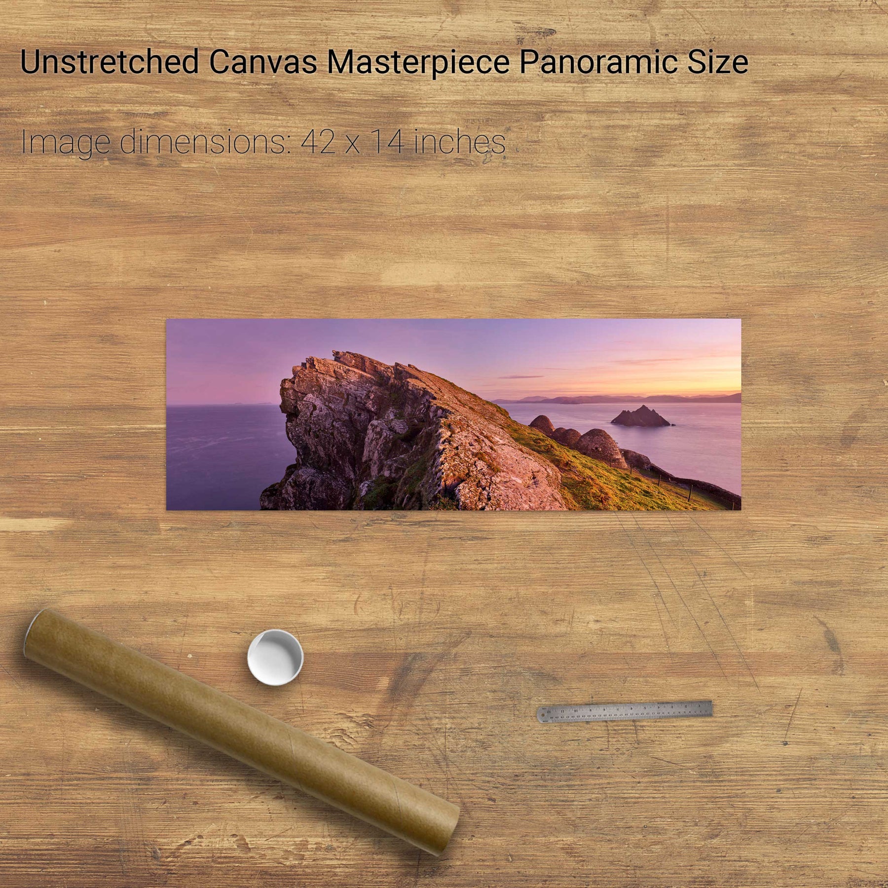
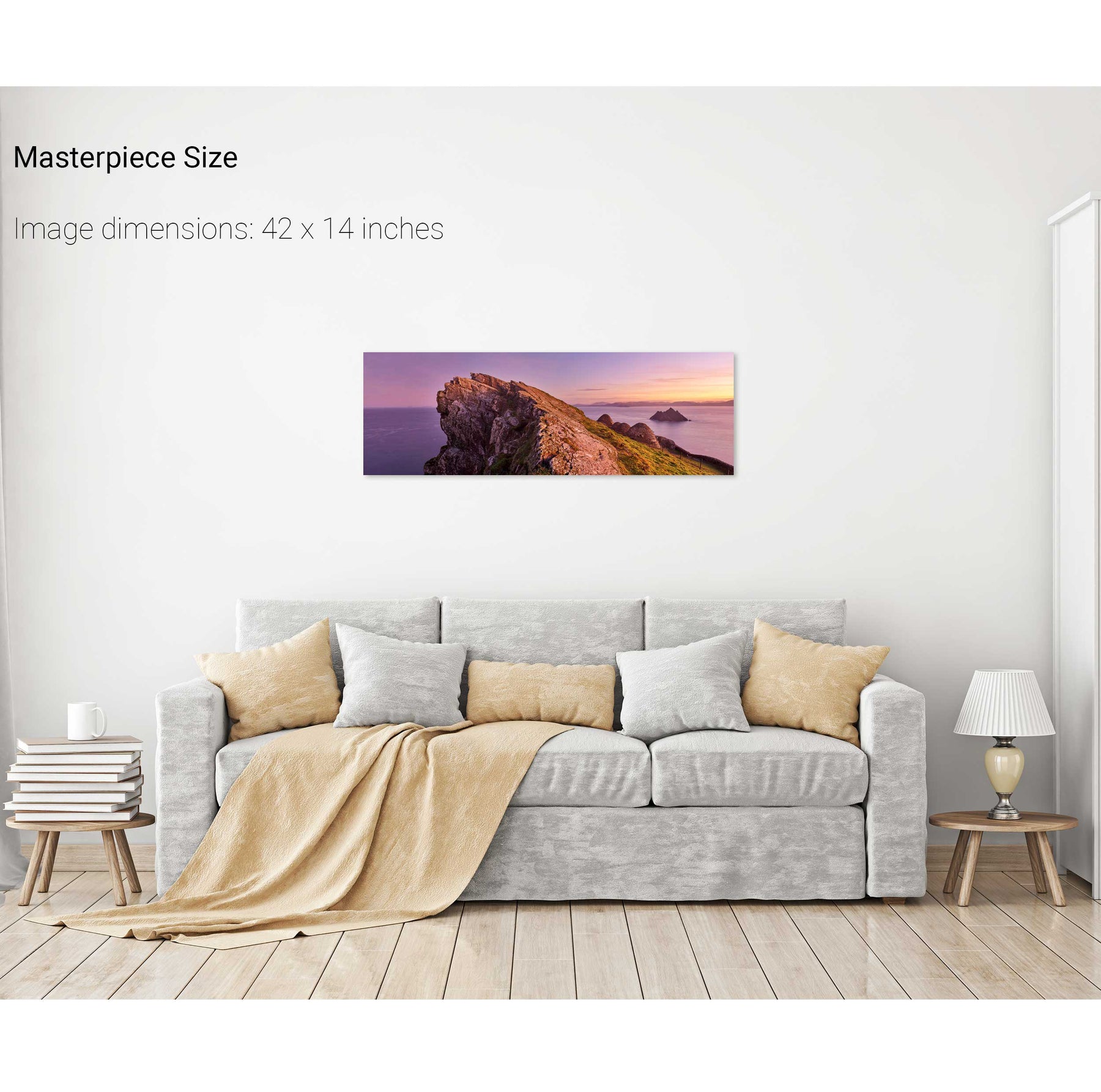
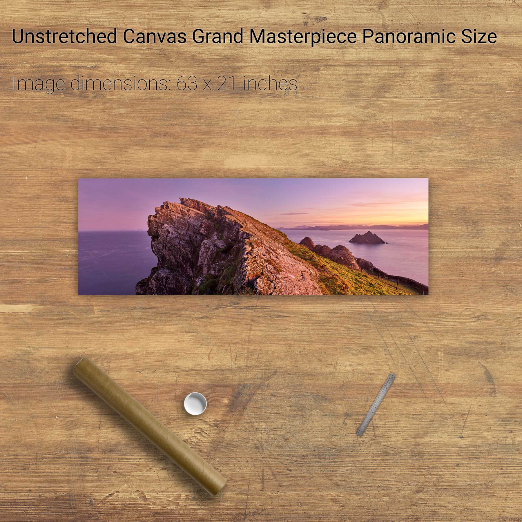
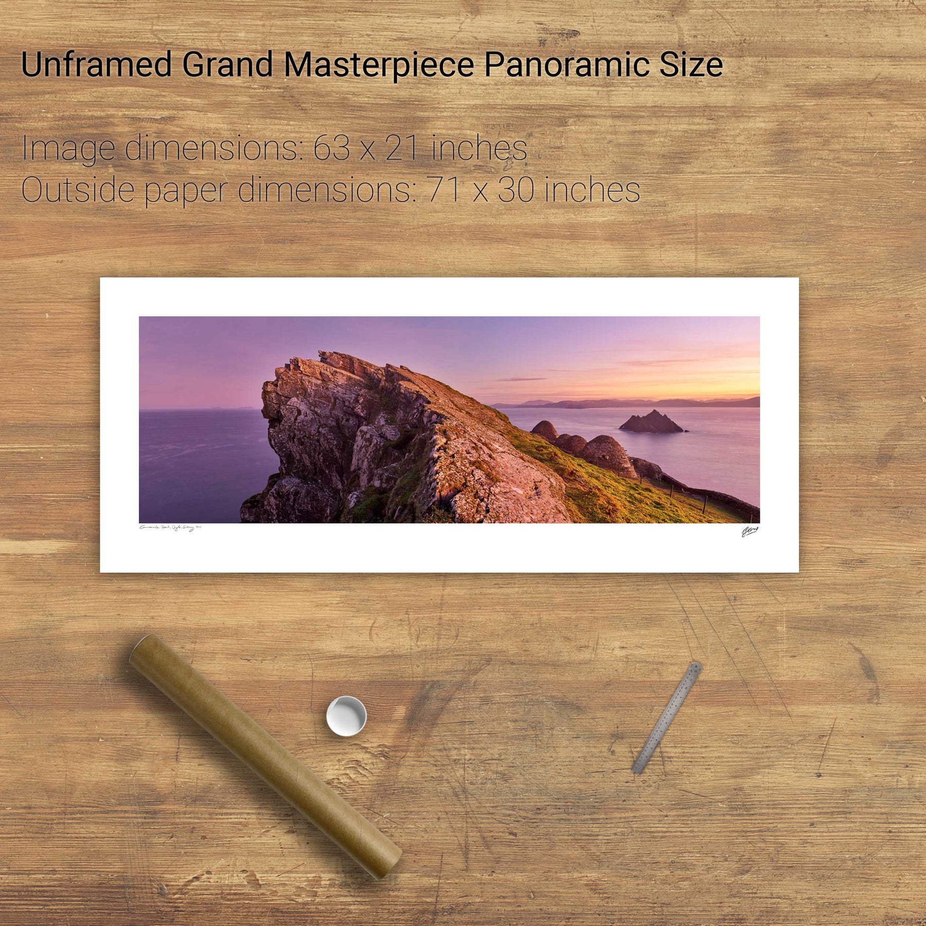
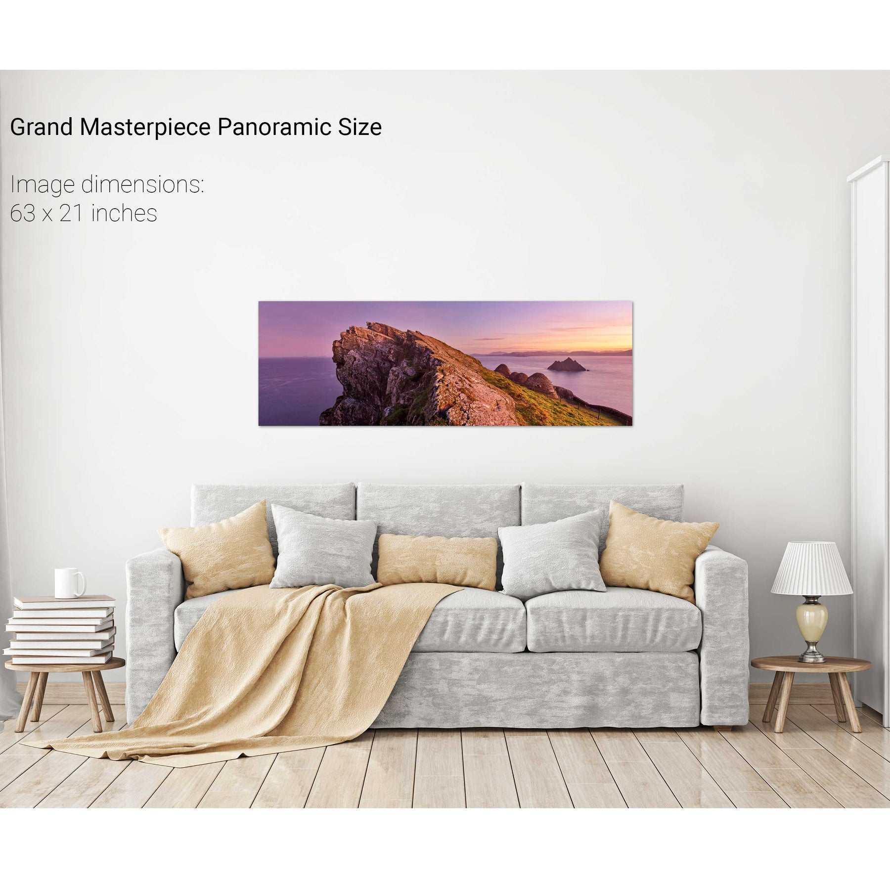
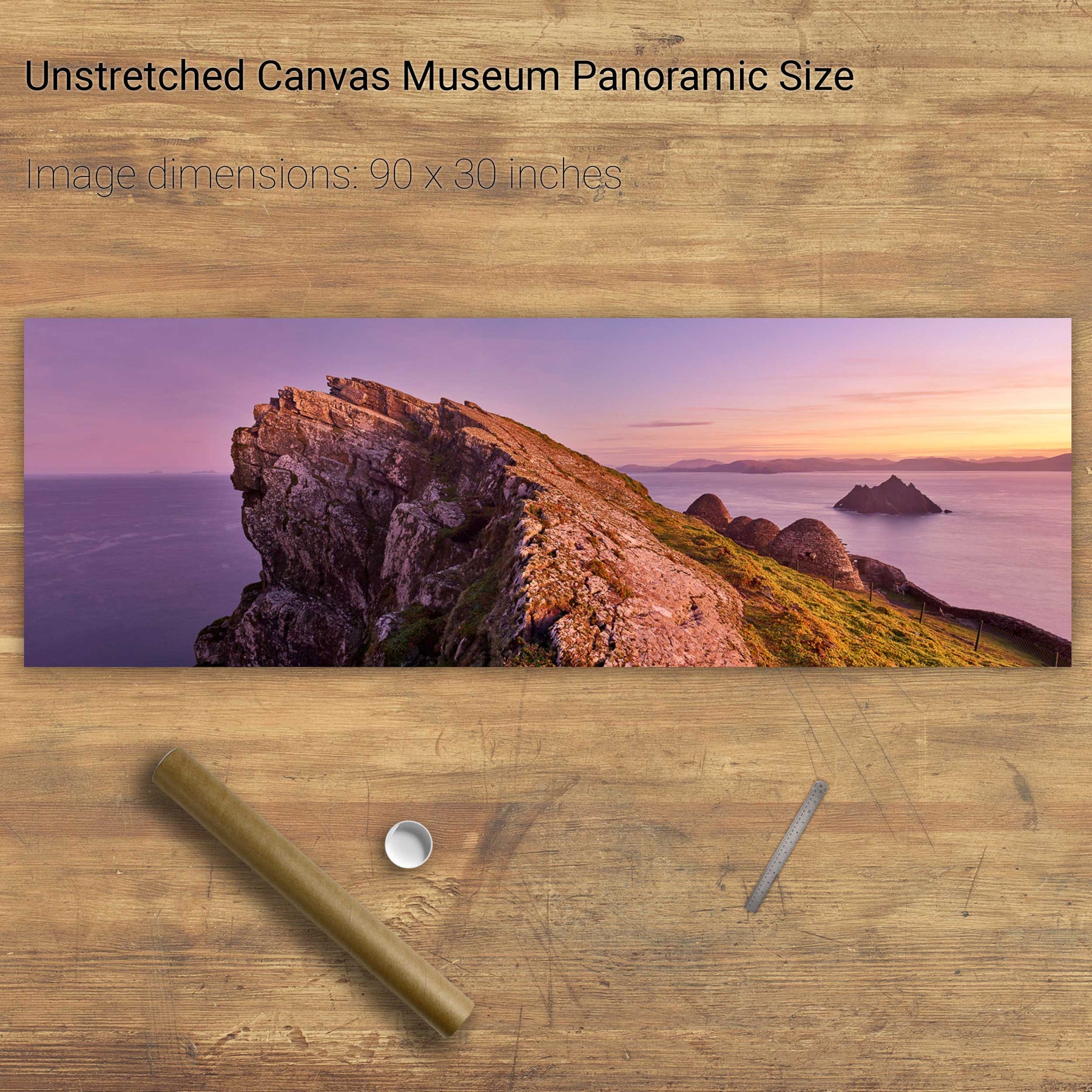
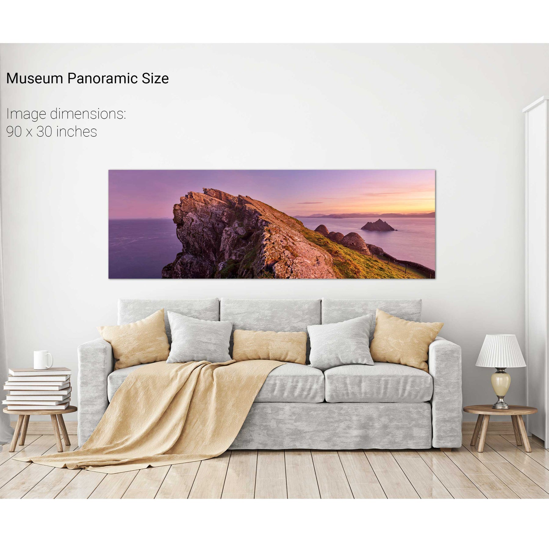
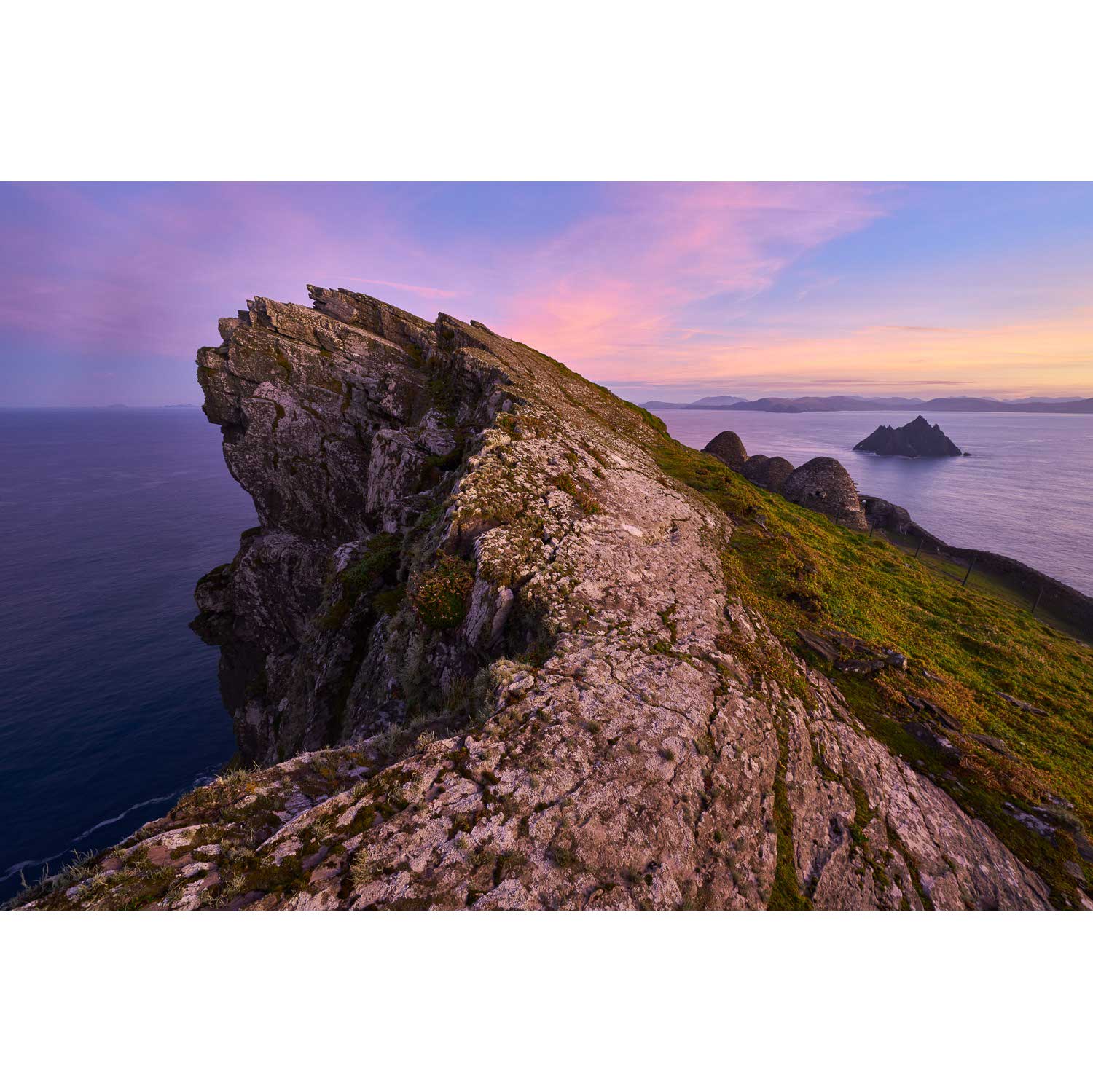
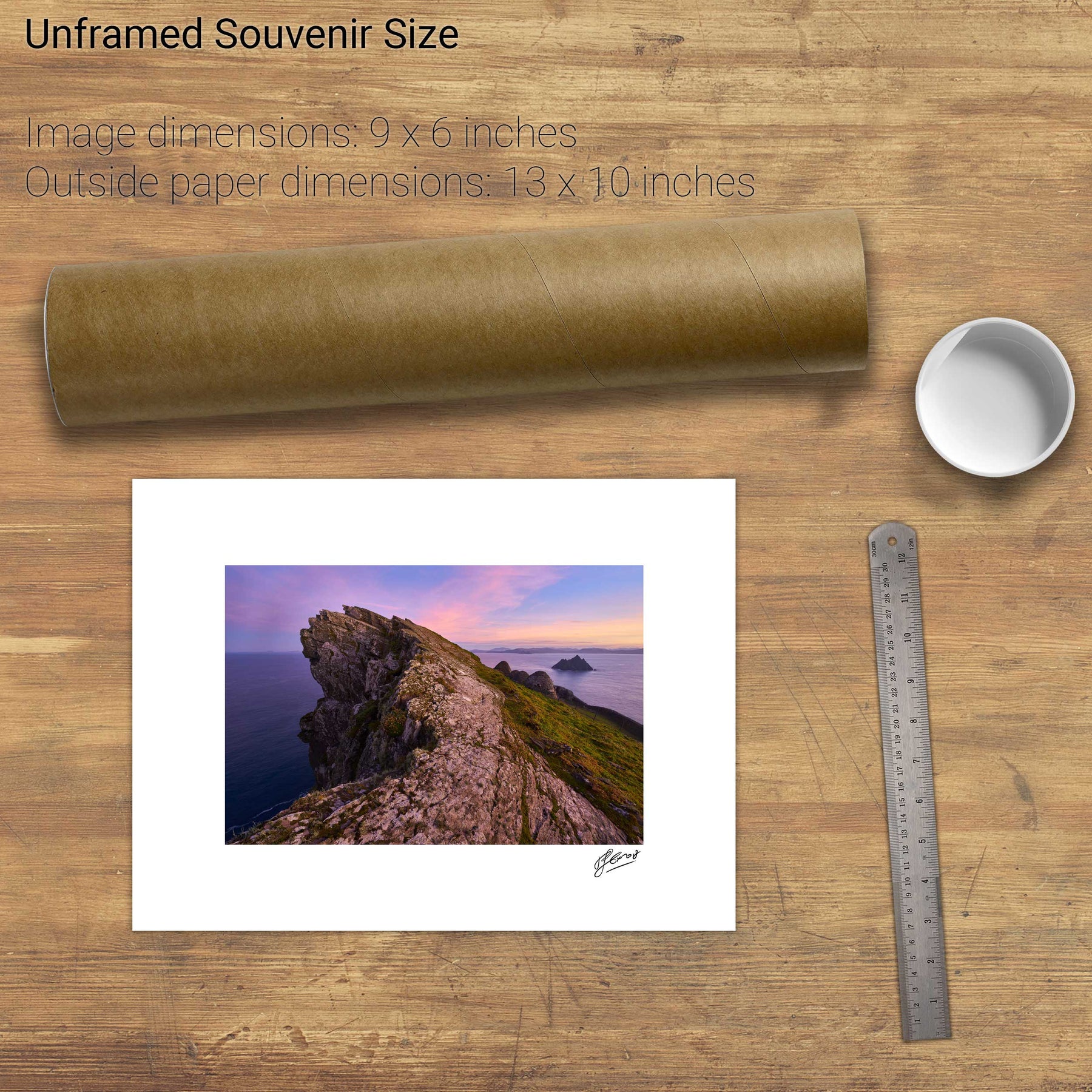
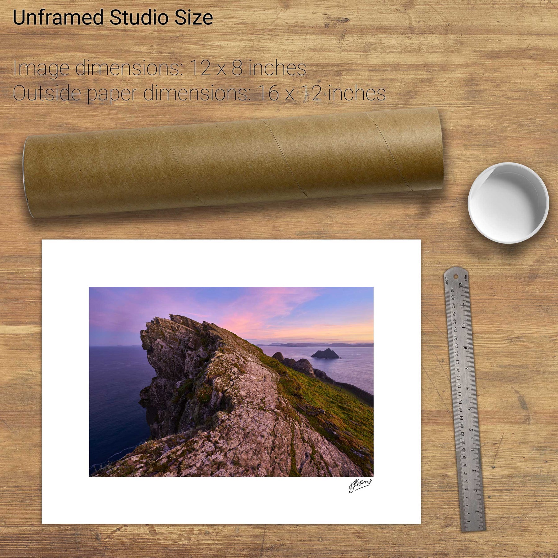
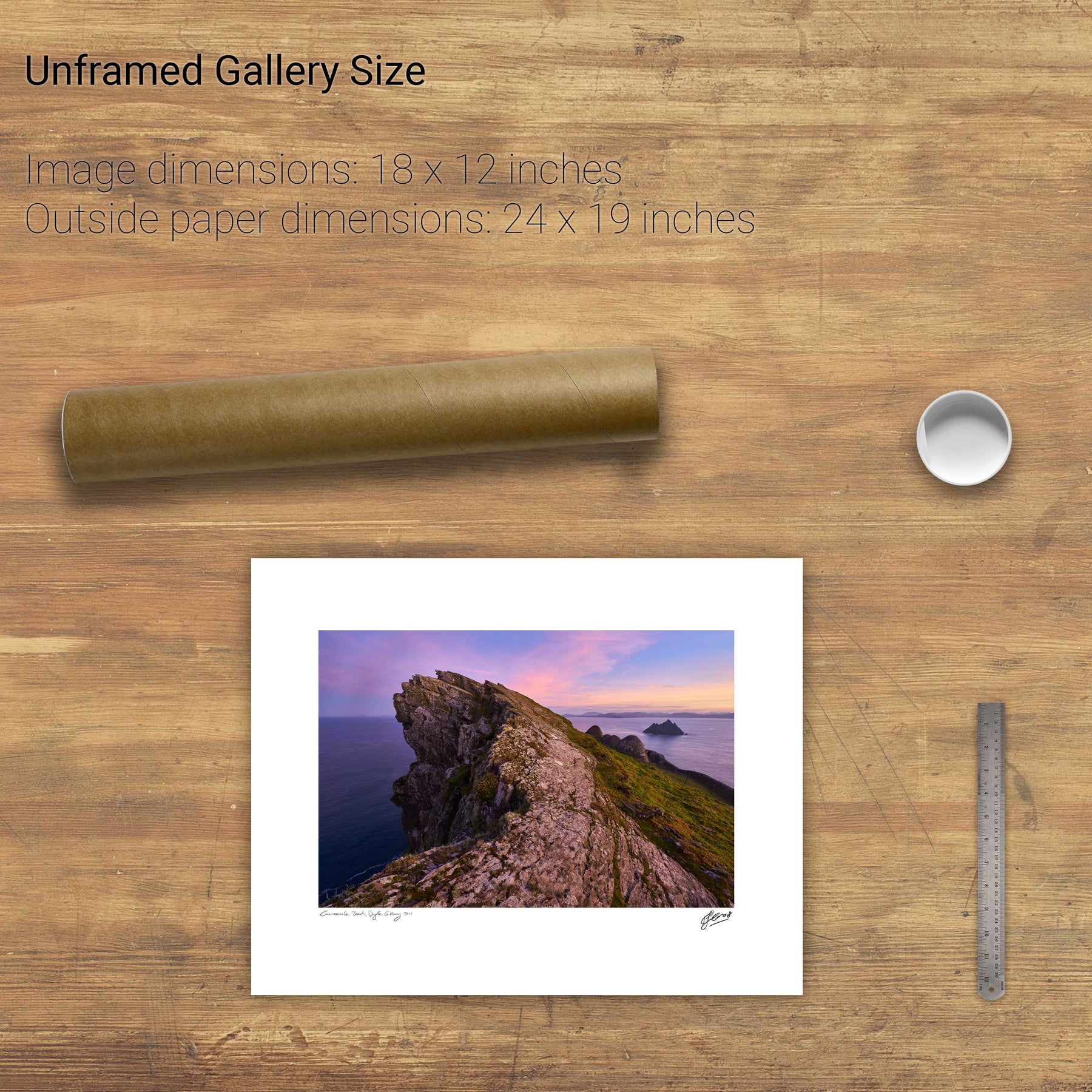
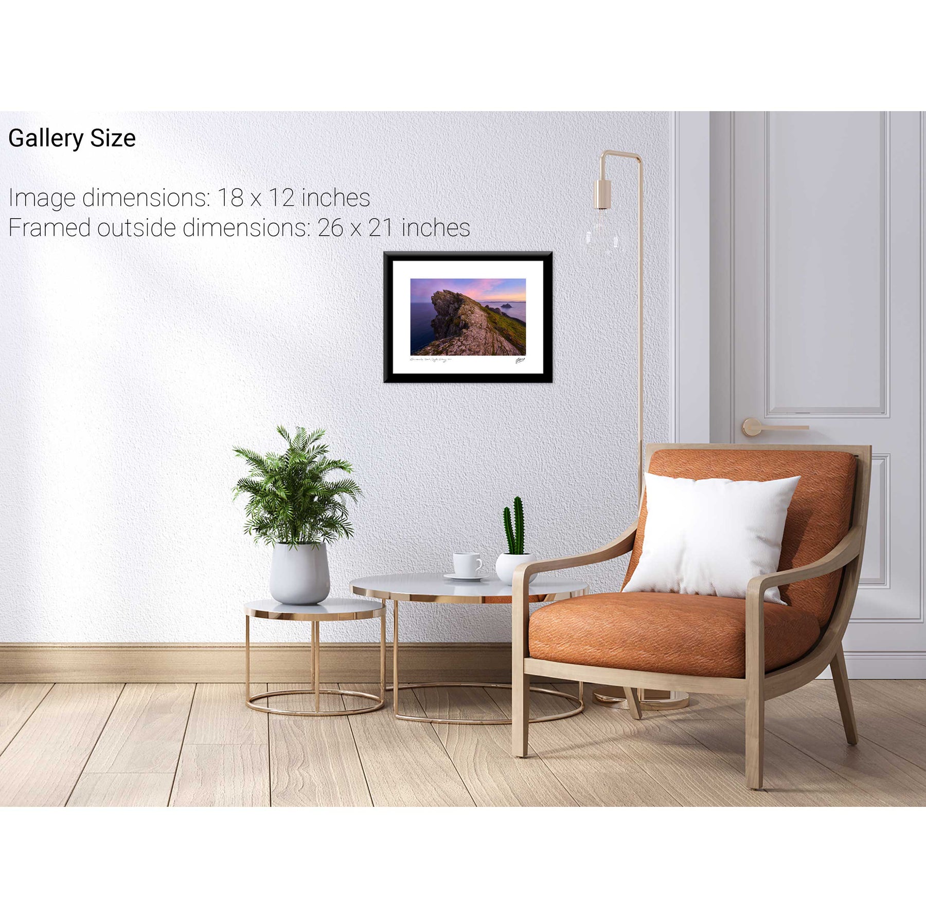
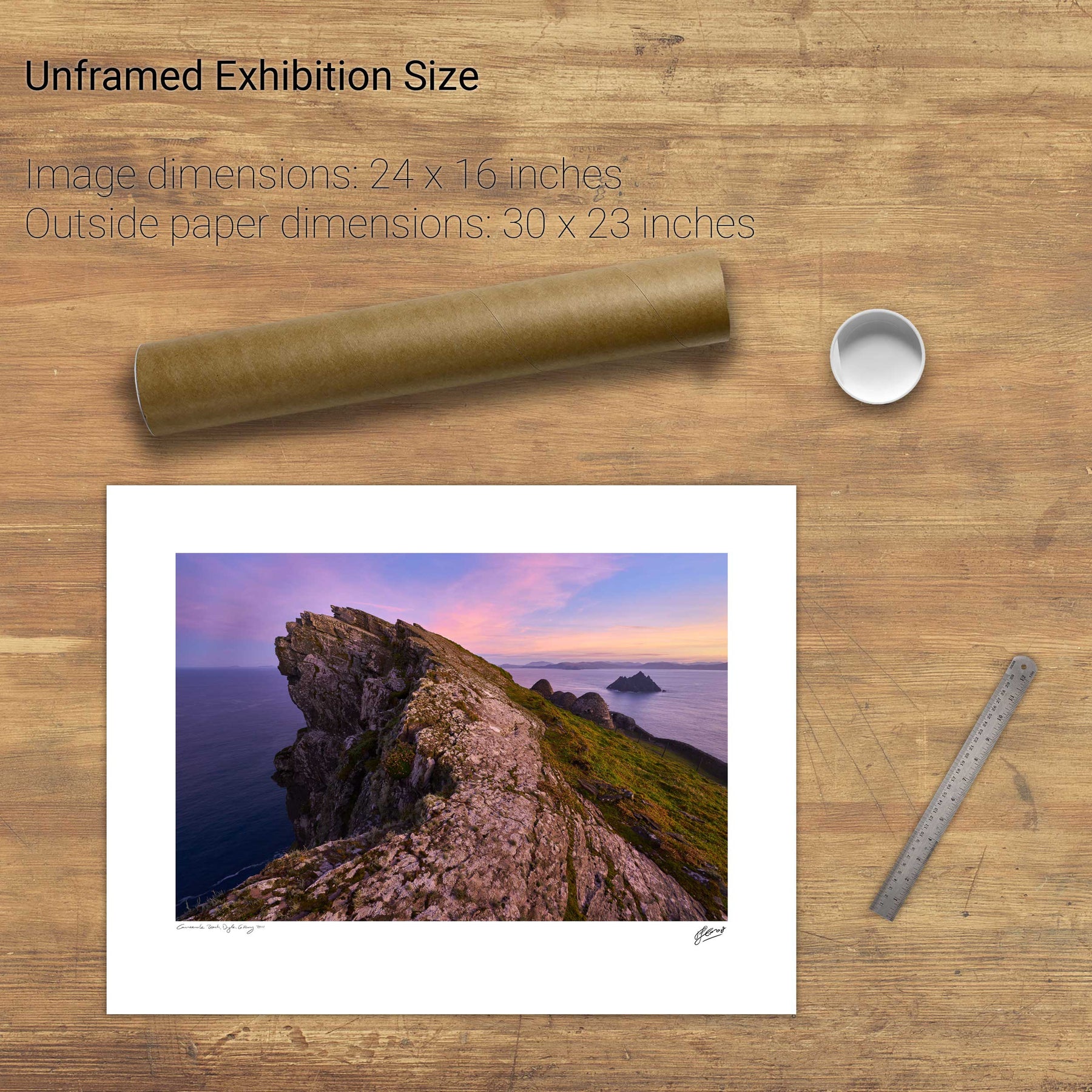
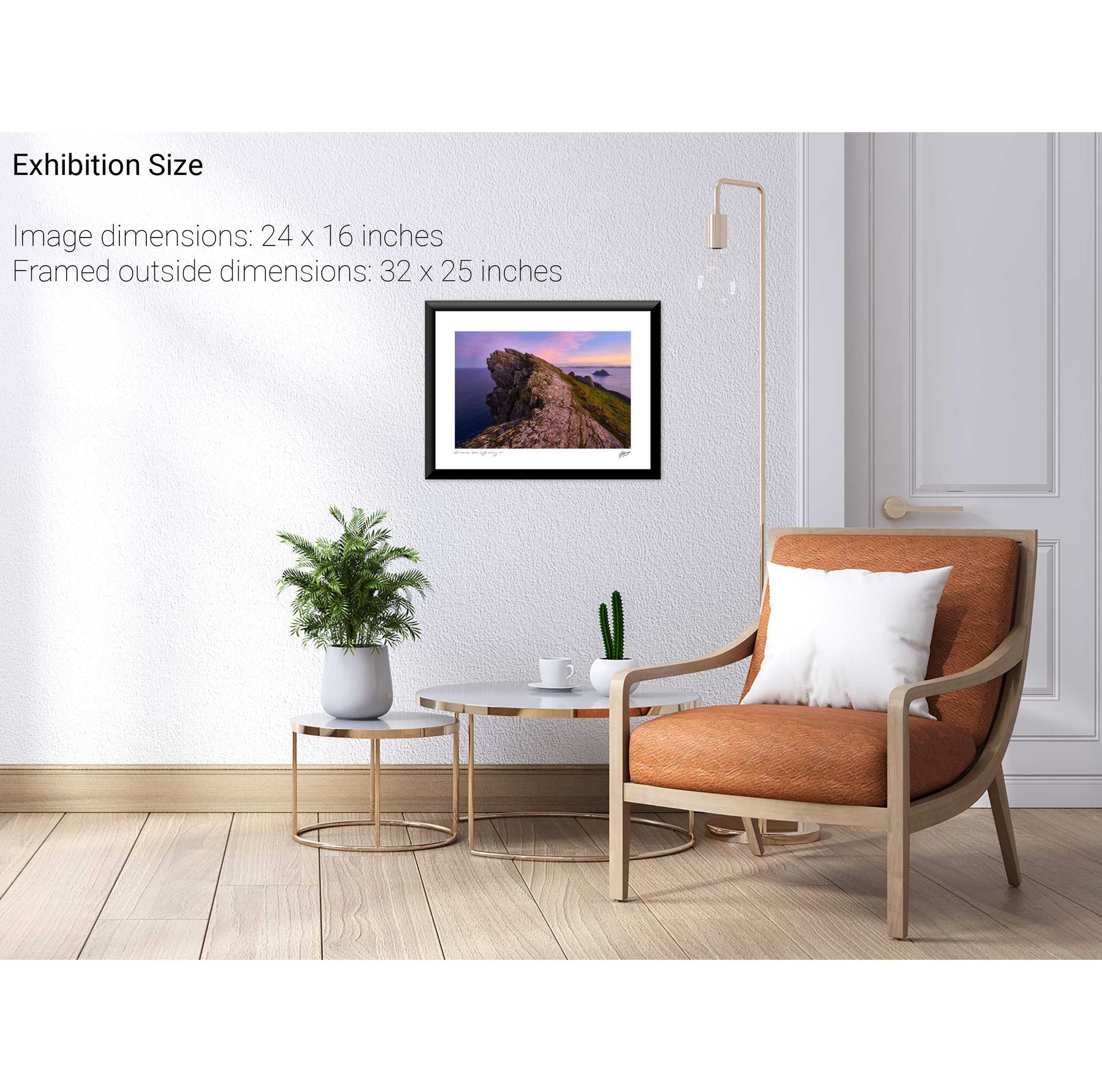
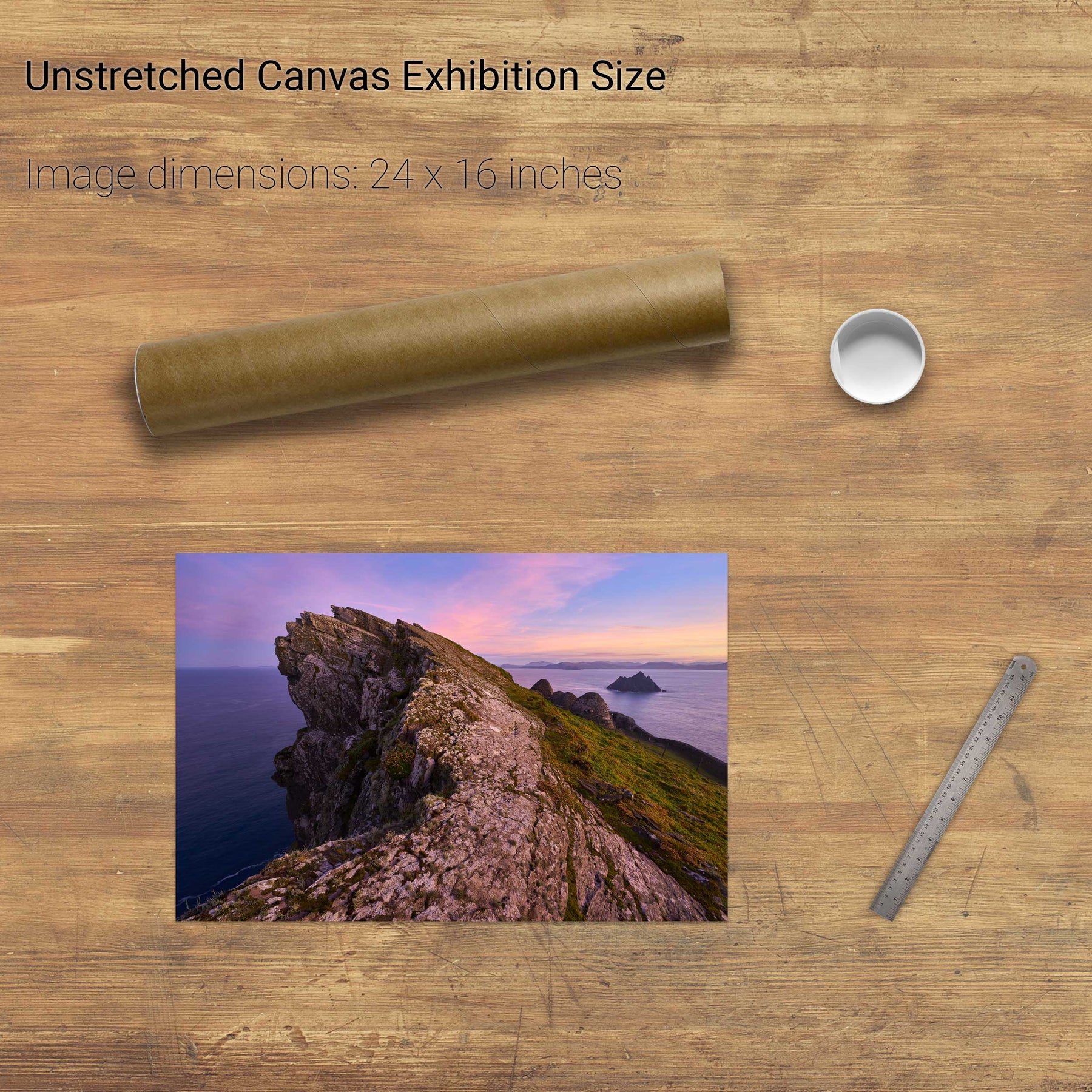
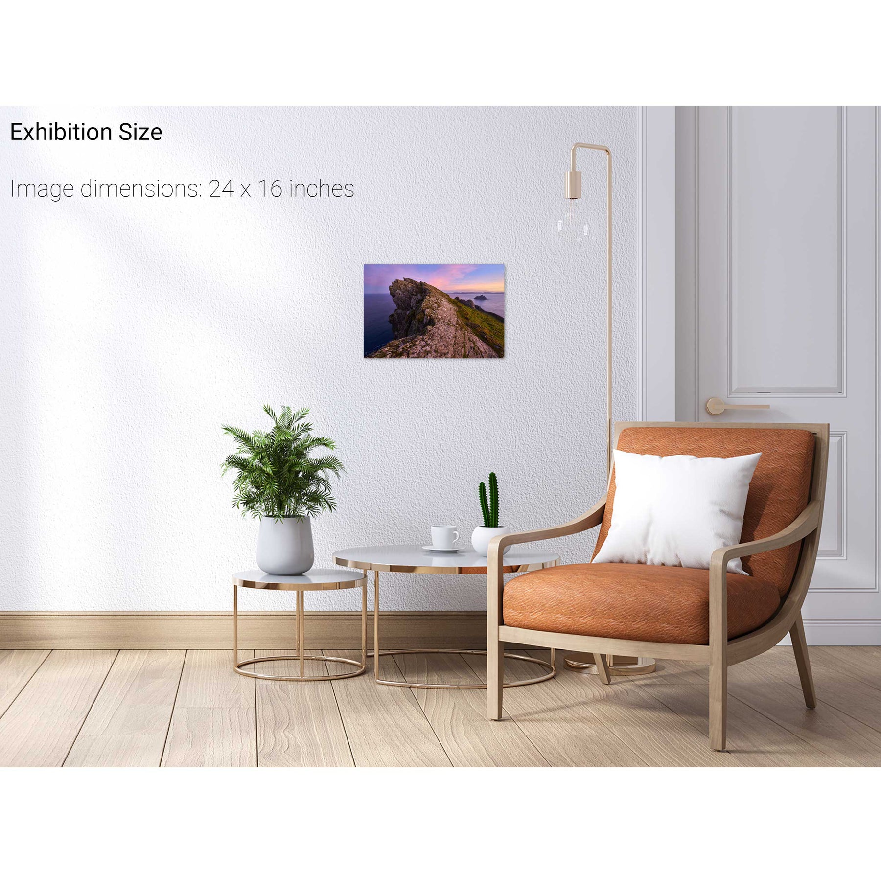
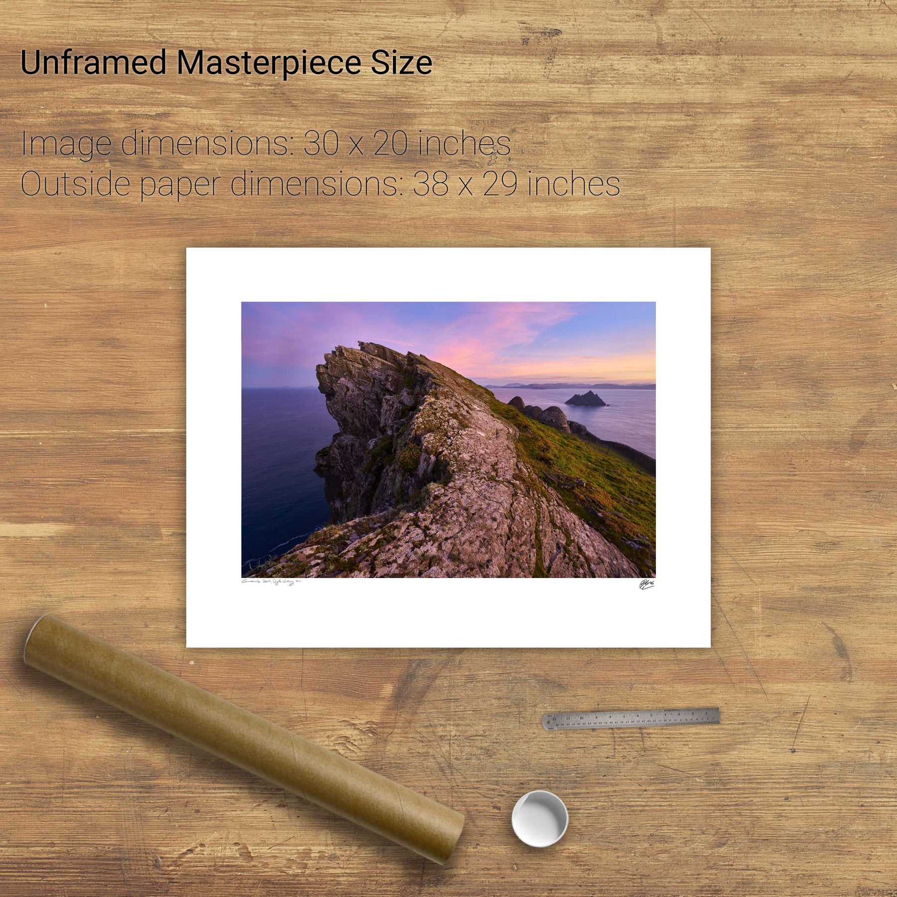
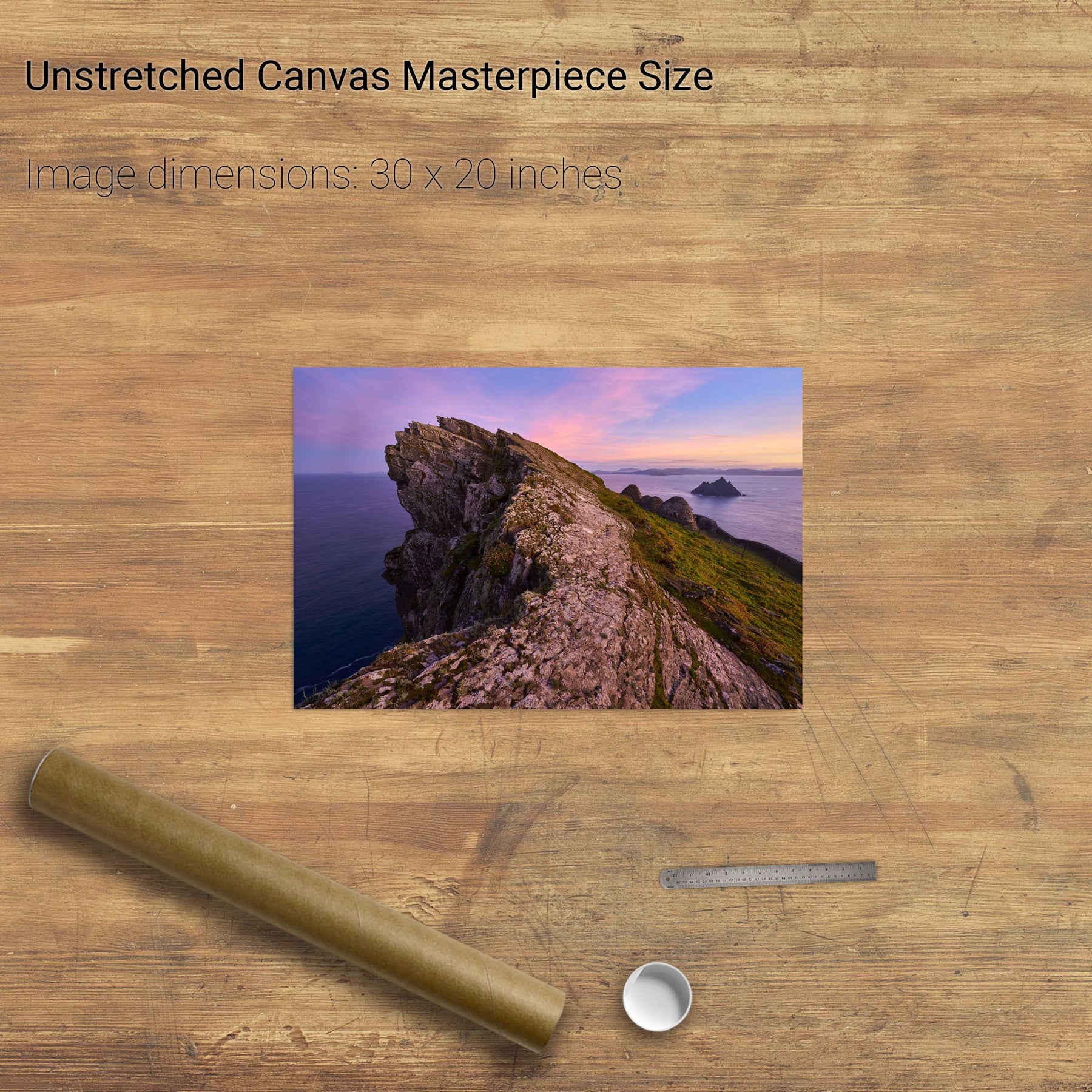
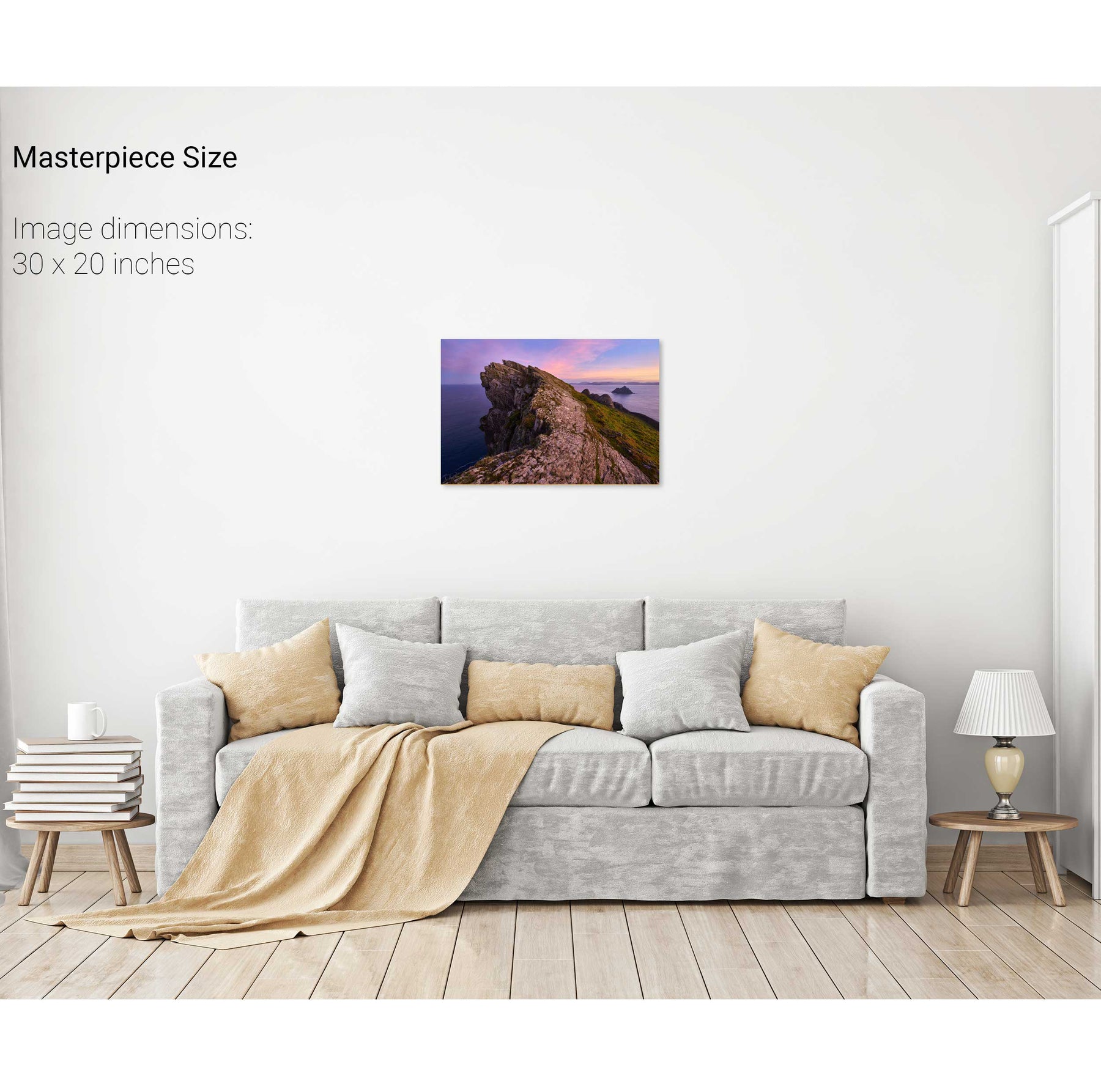
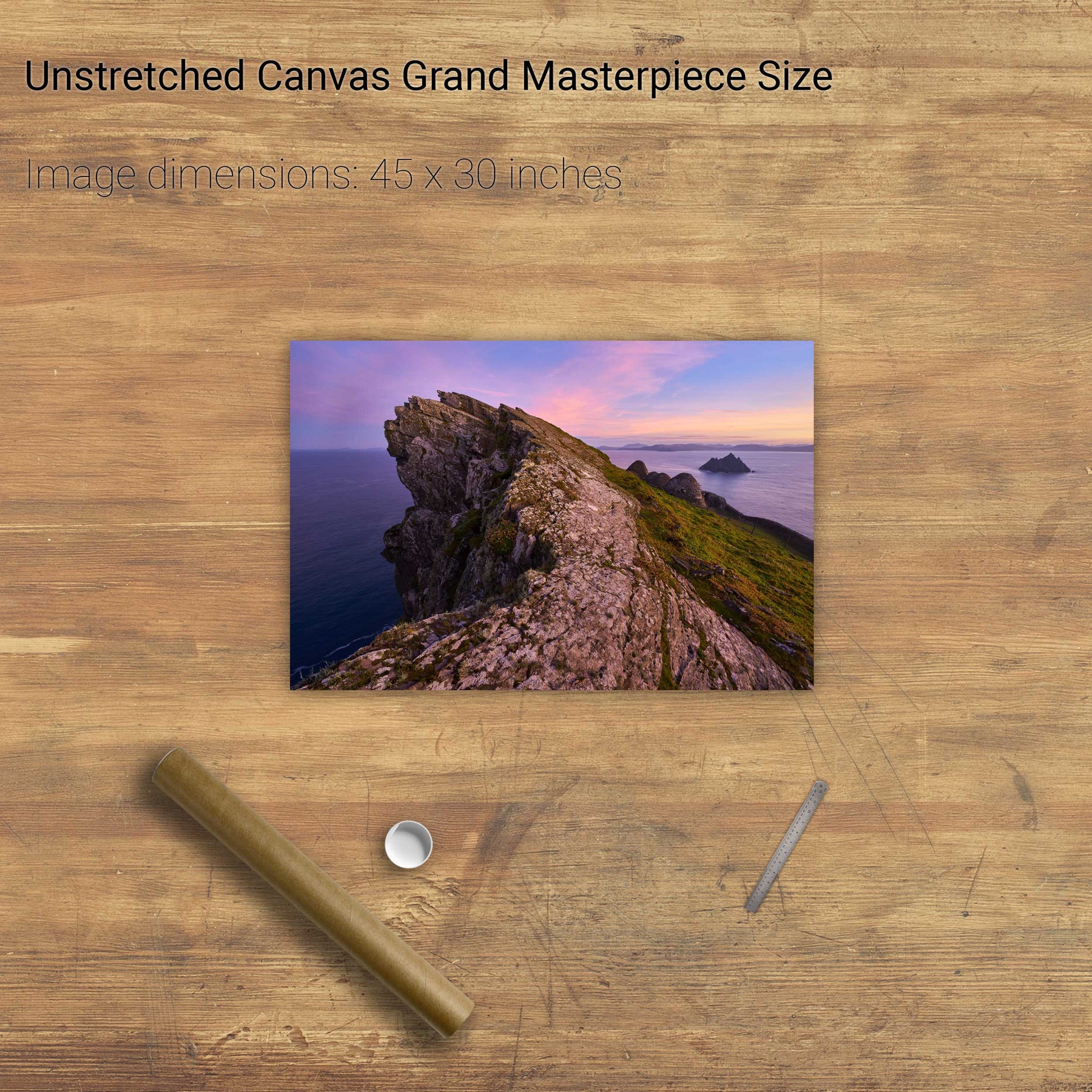
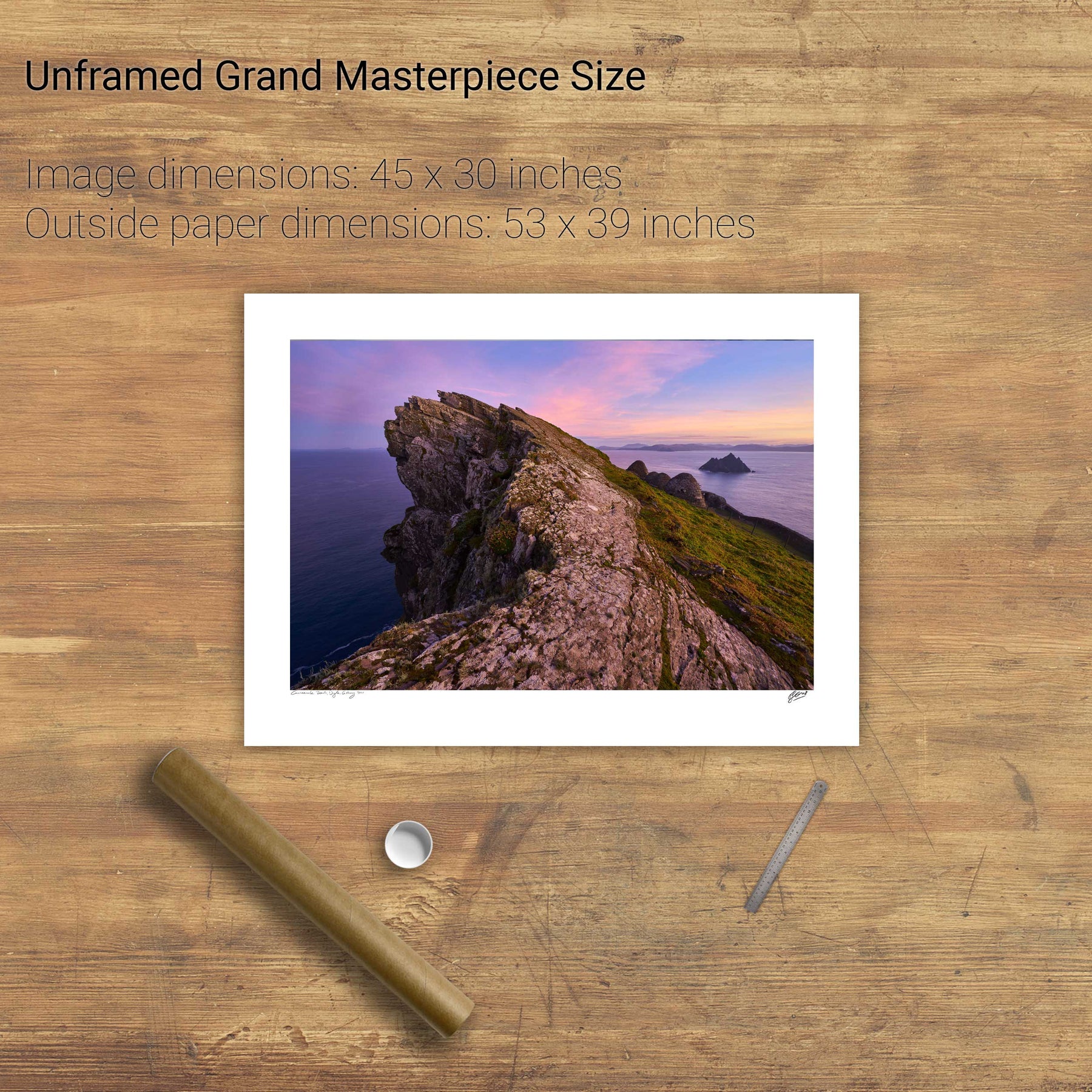
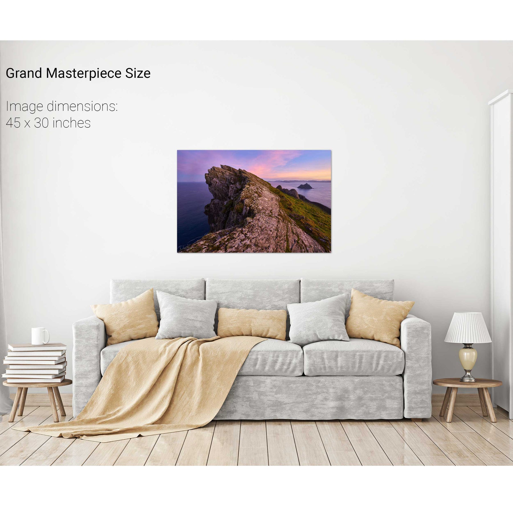
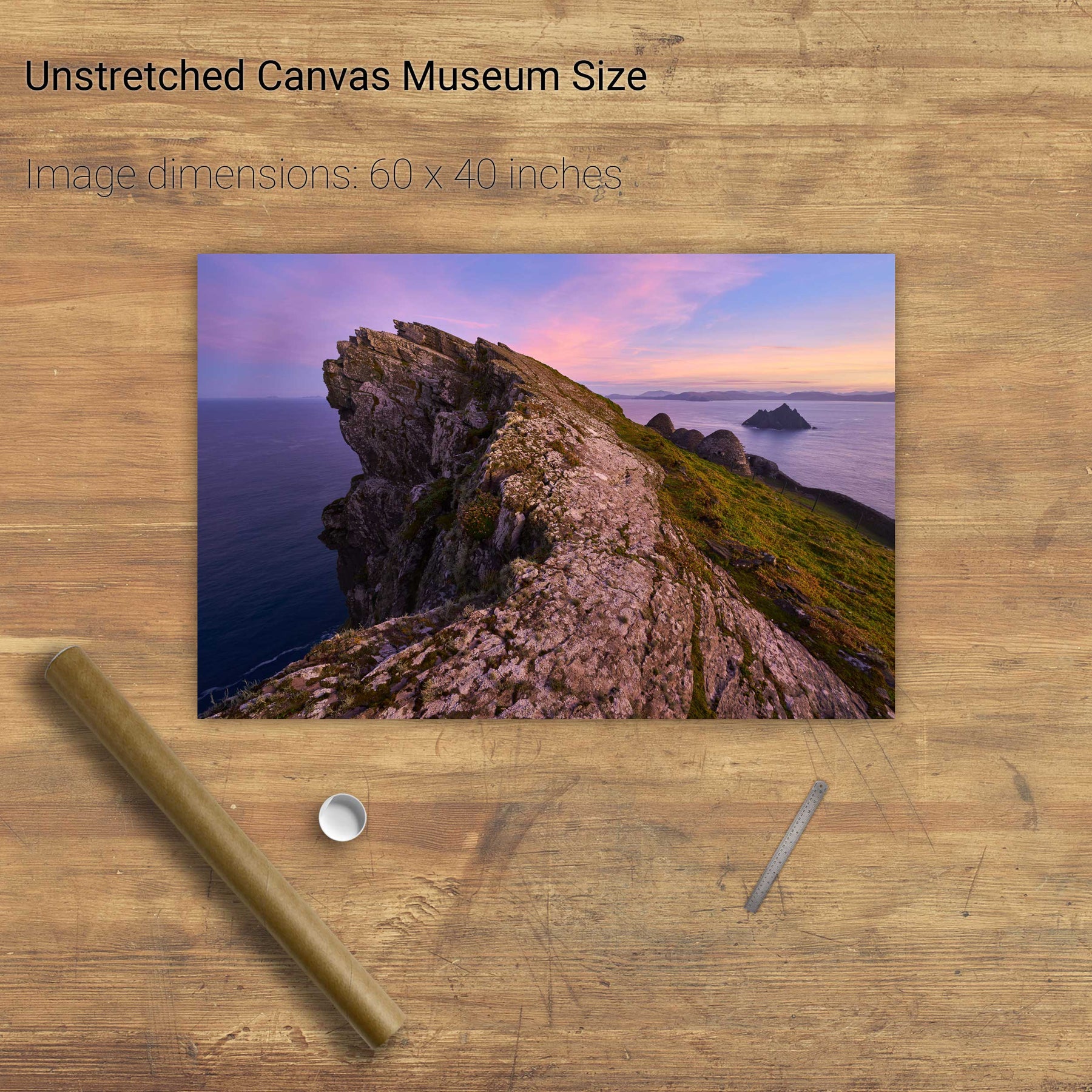
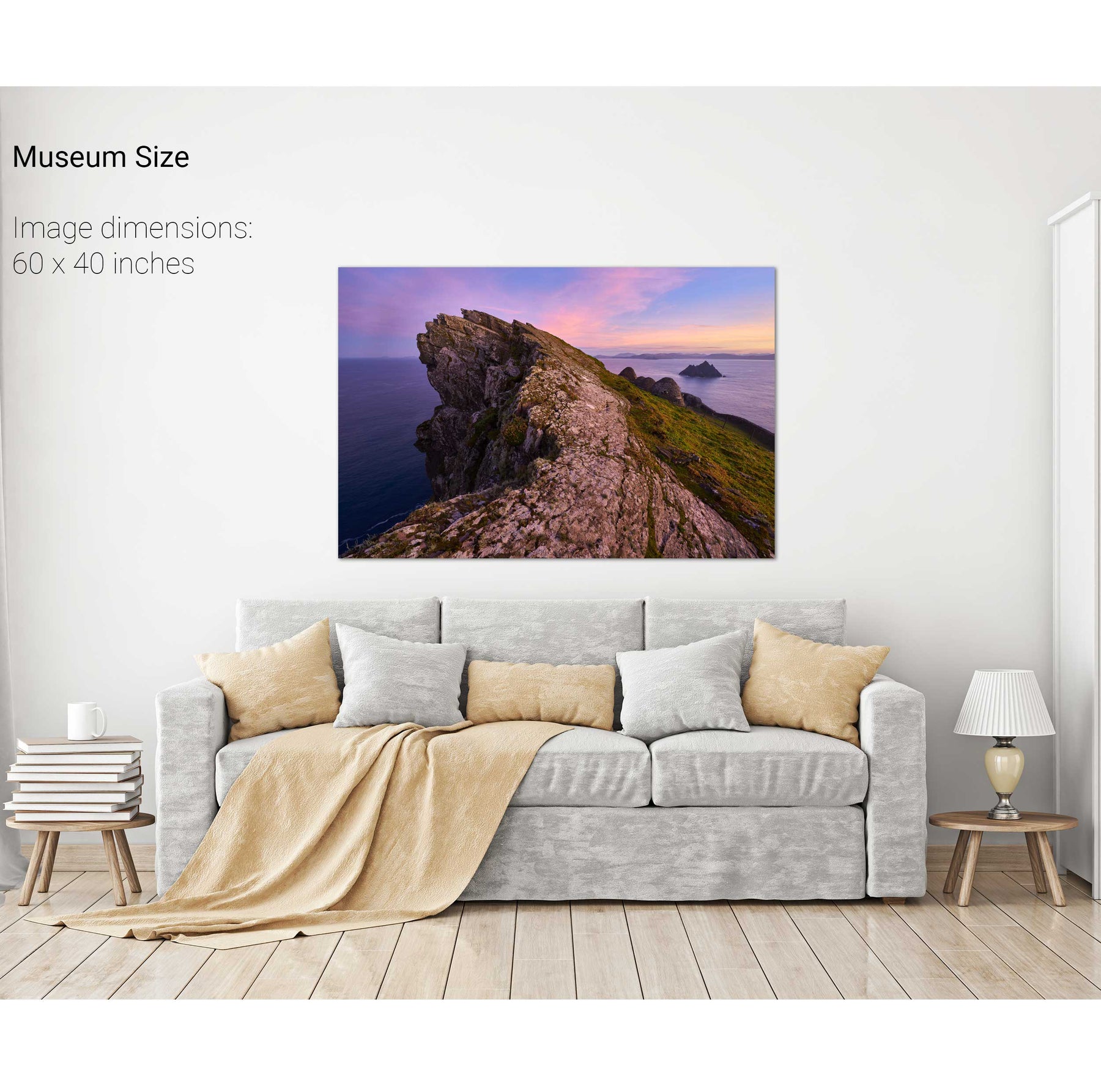
North Peak Ridge Pano, Skellig Michael, Kerry


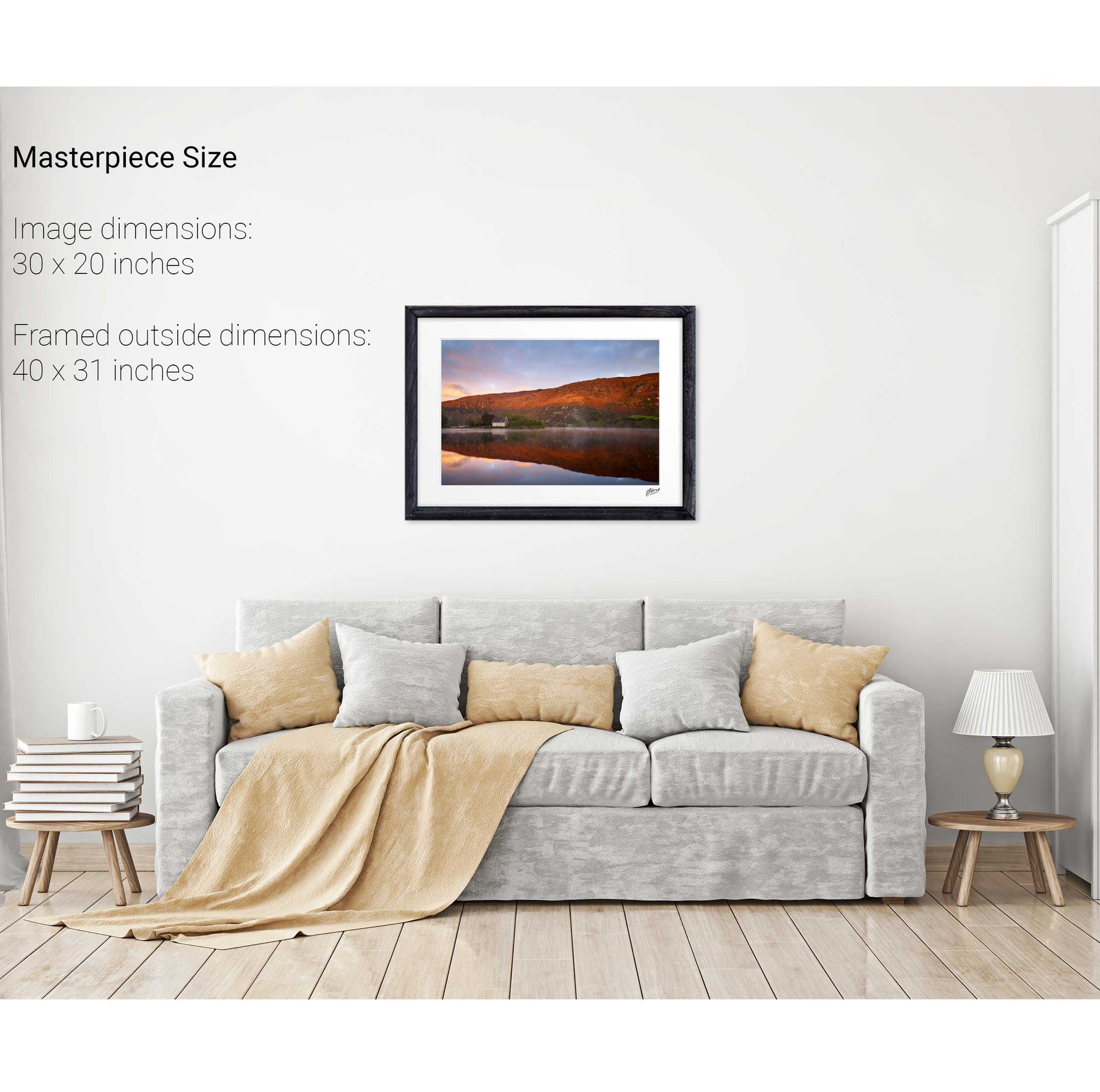
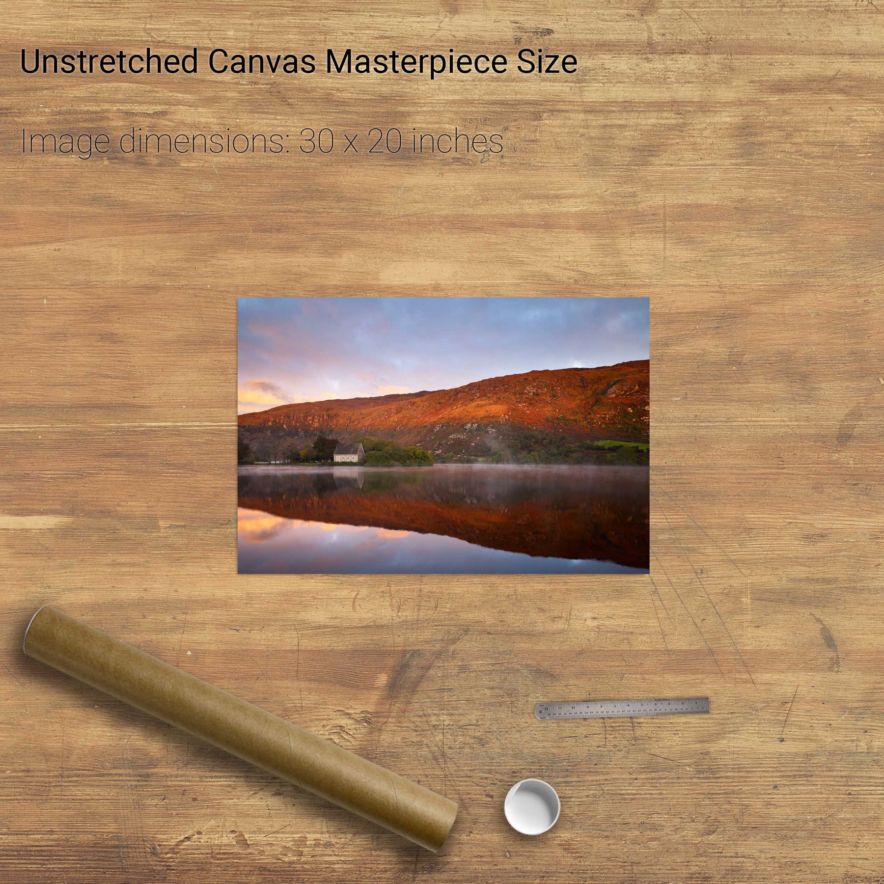
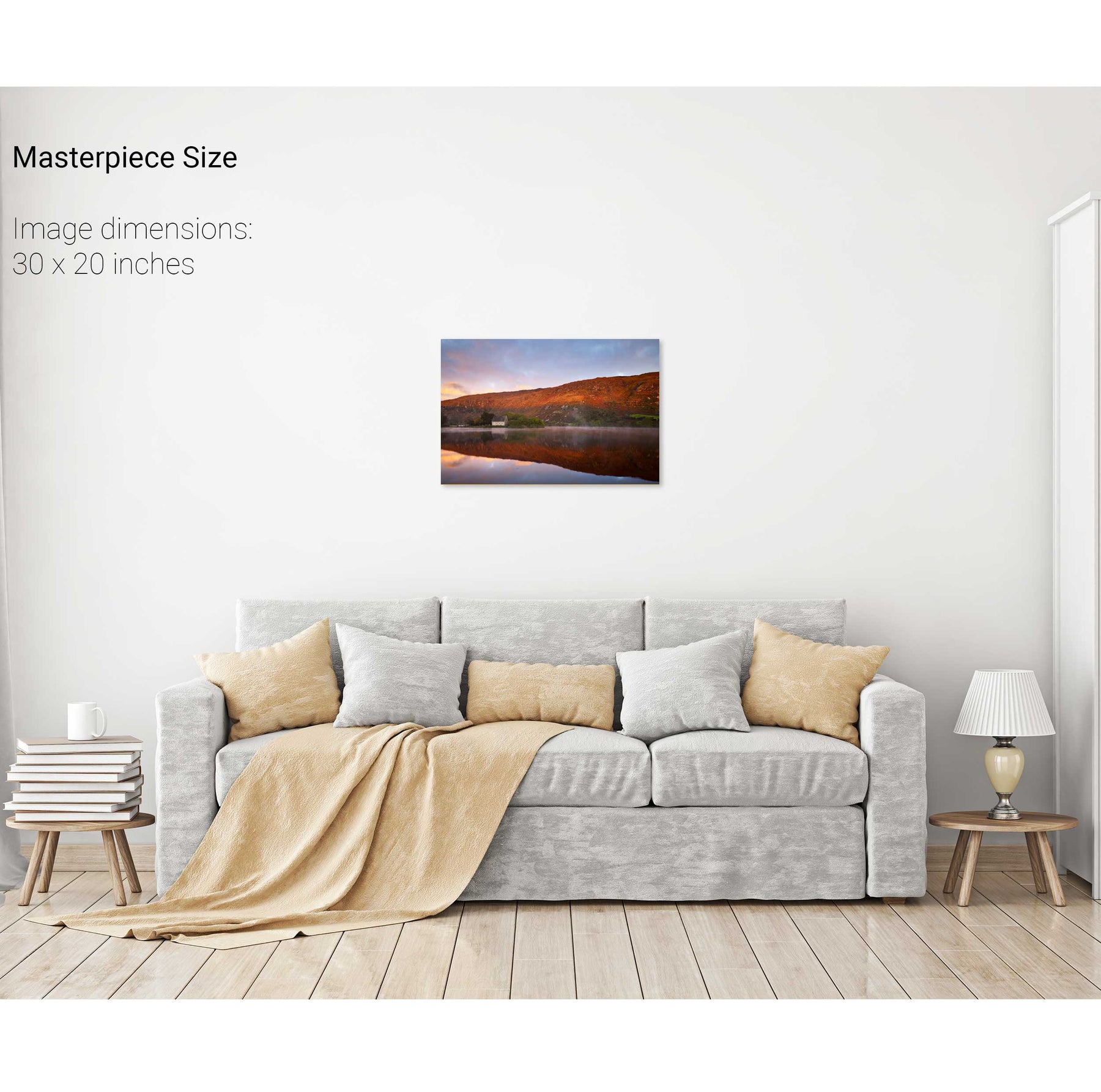
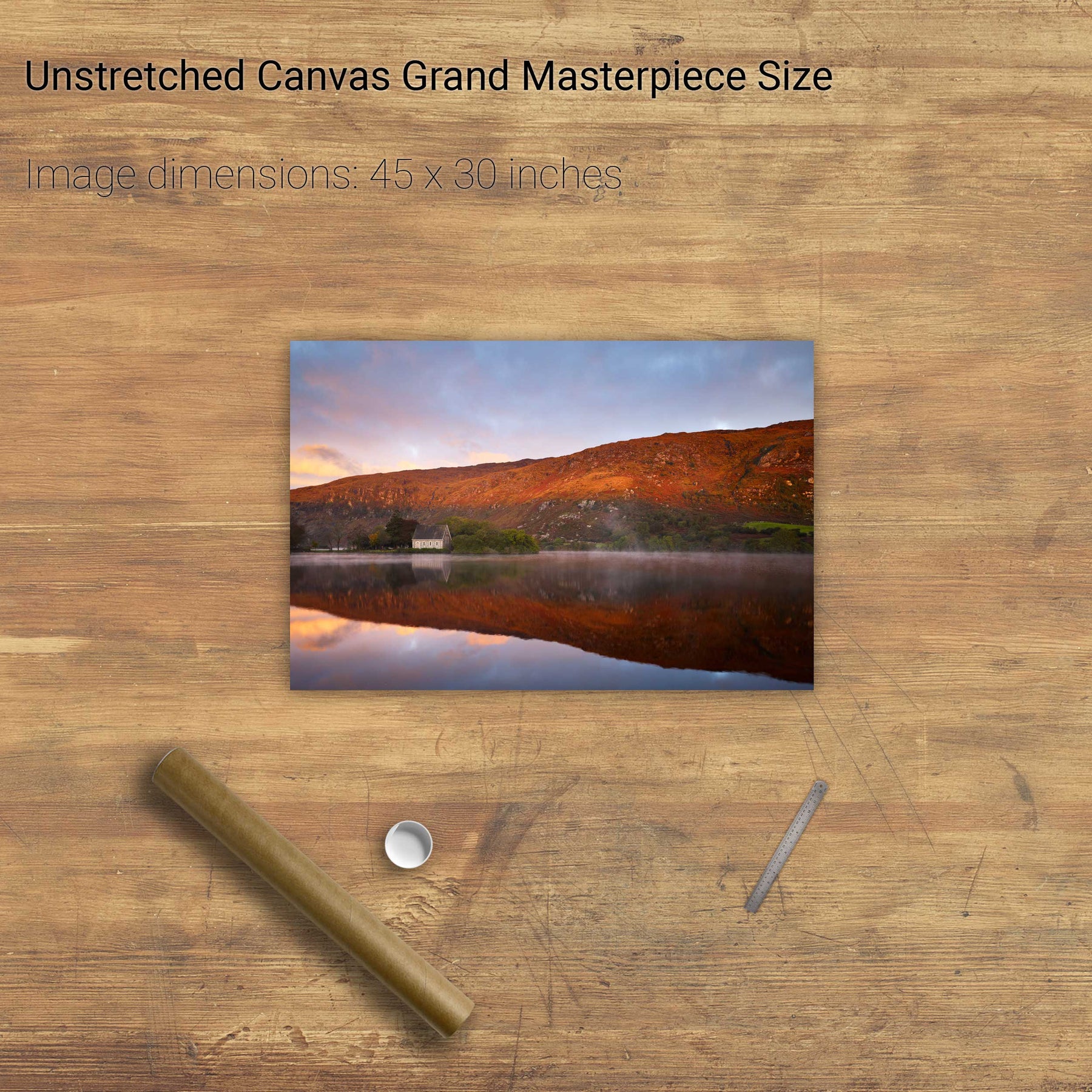
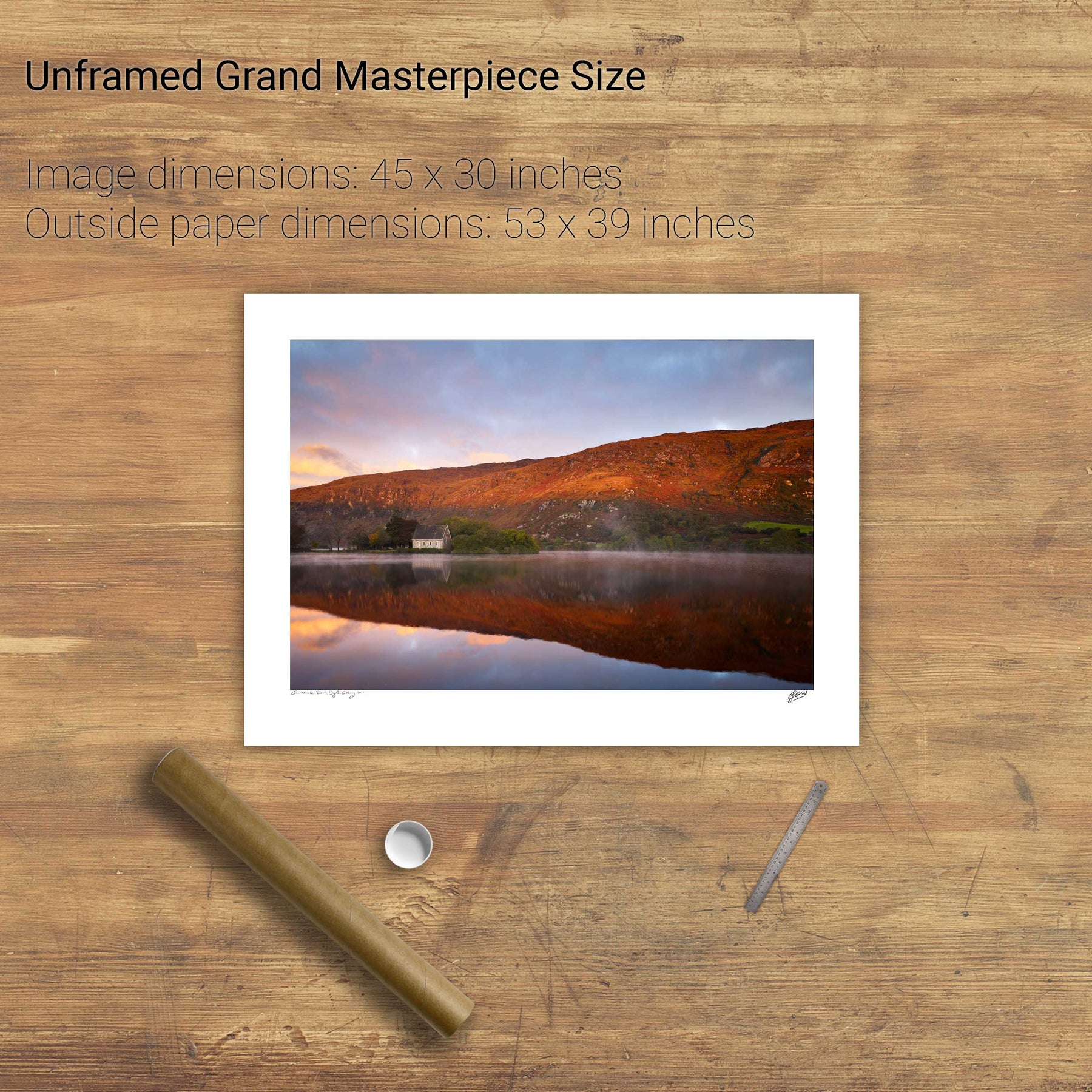
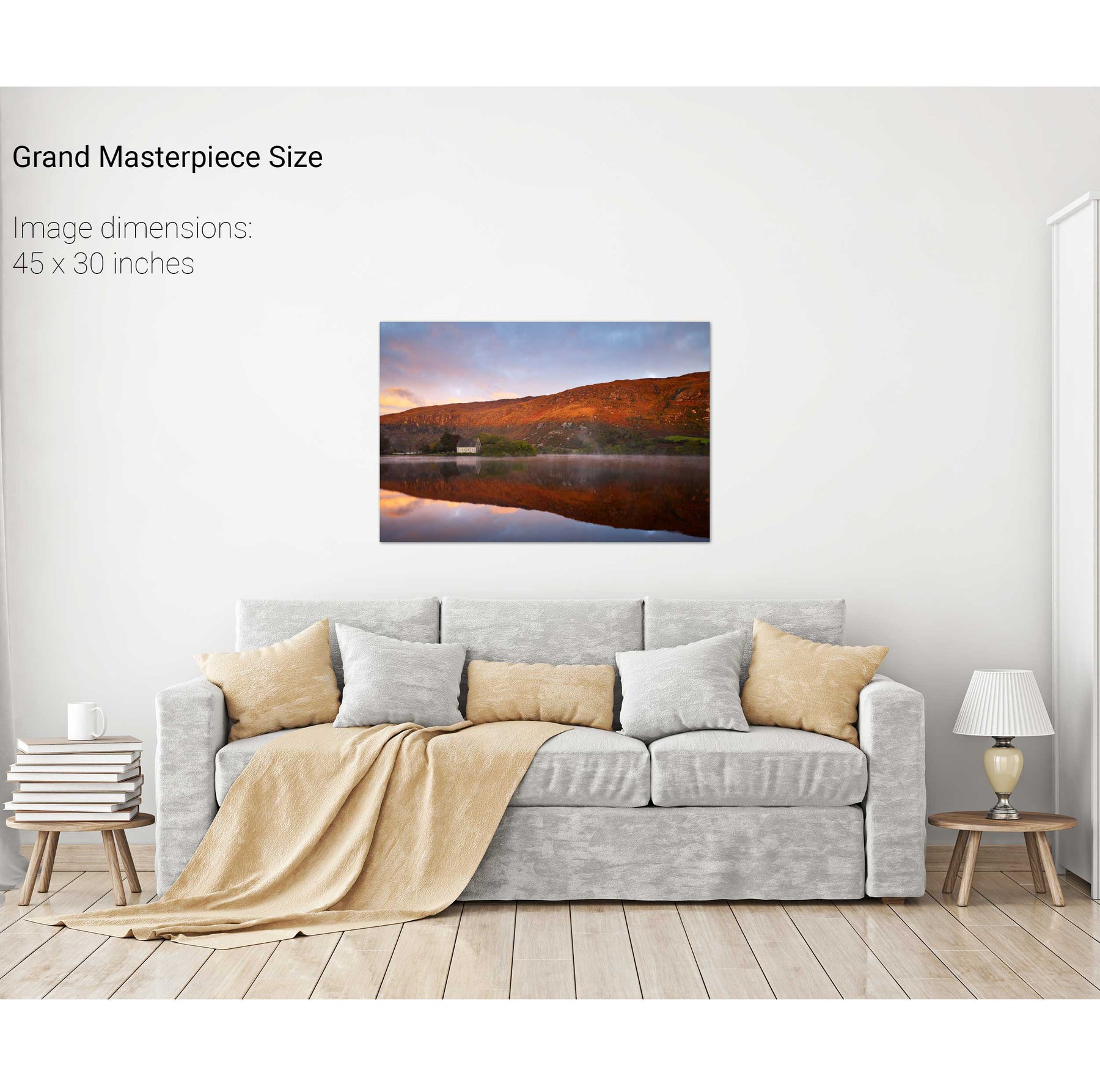
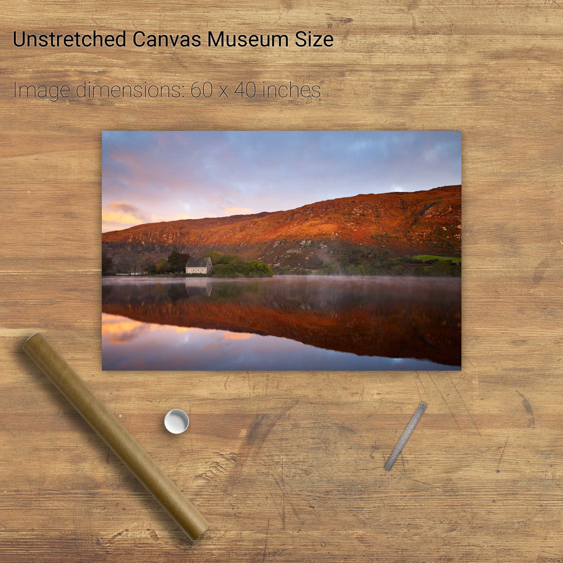
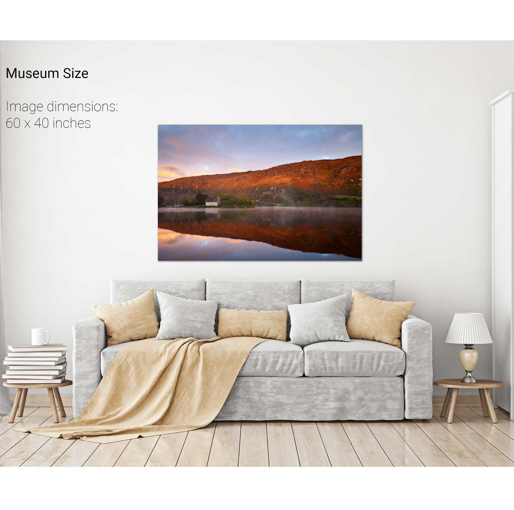
A Morning at the Office, Gougane Barra, Co. Cork


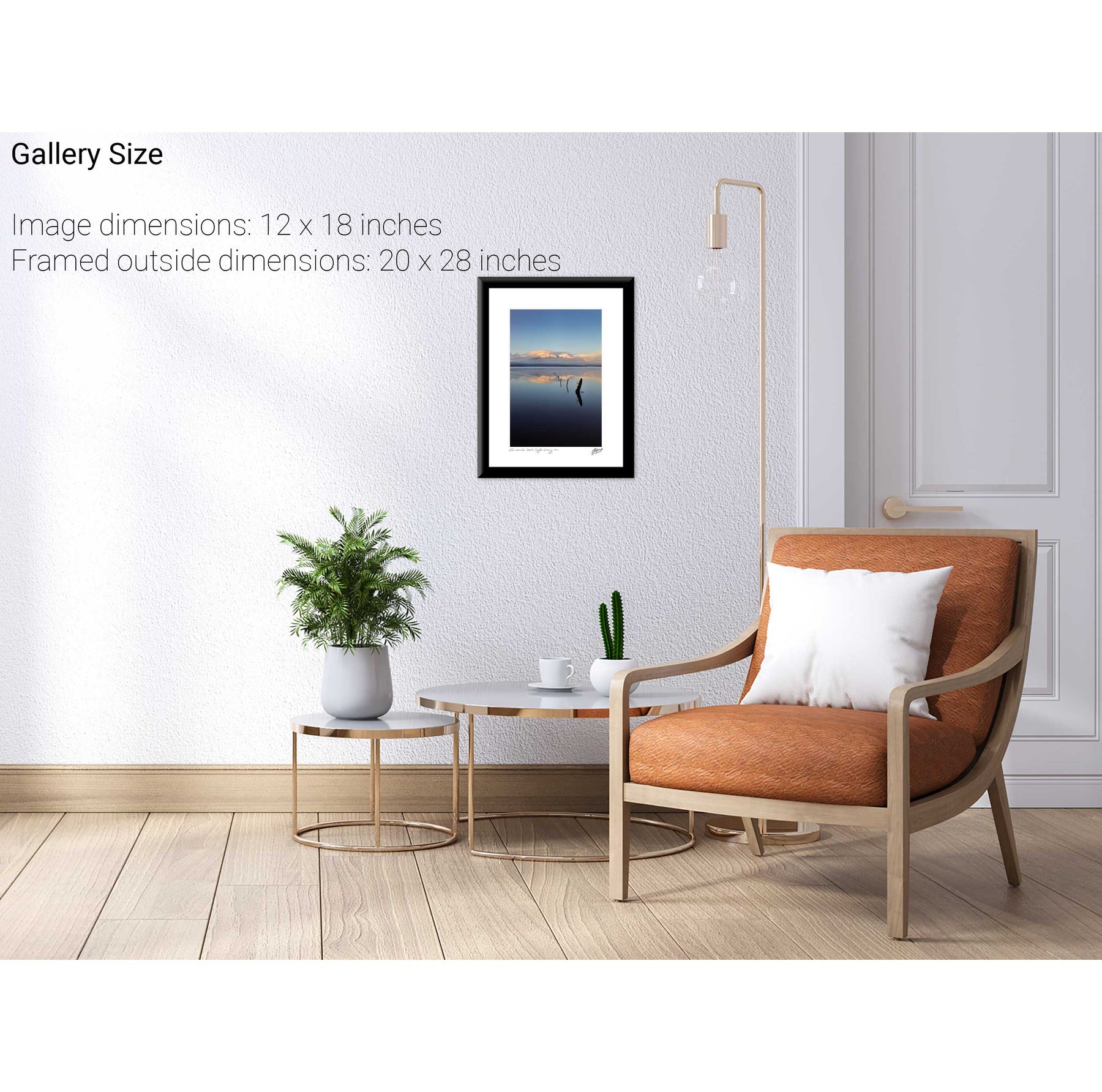
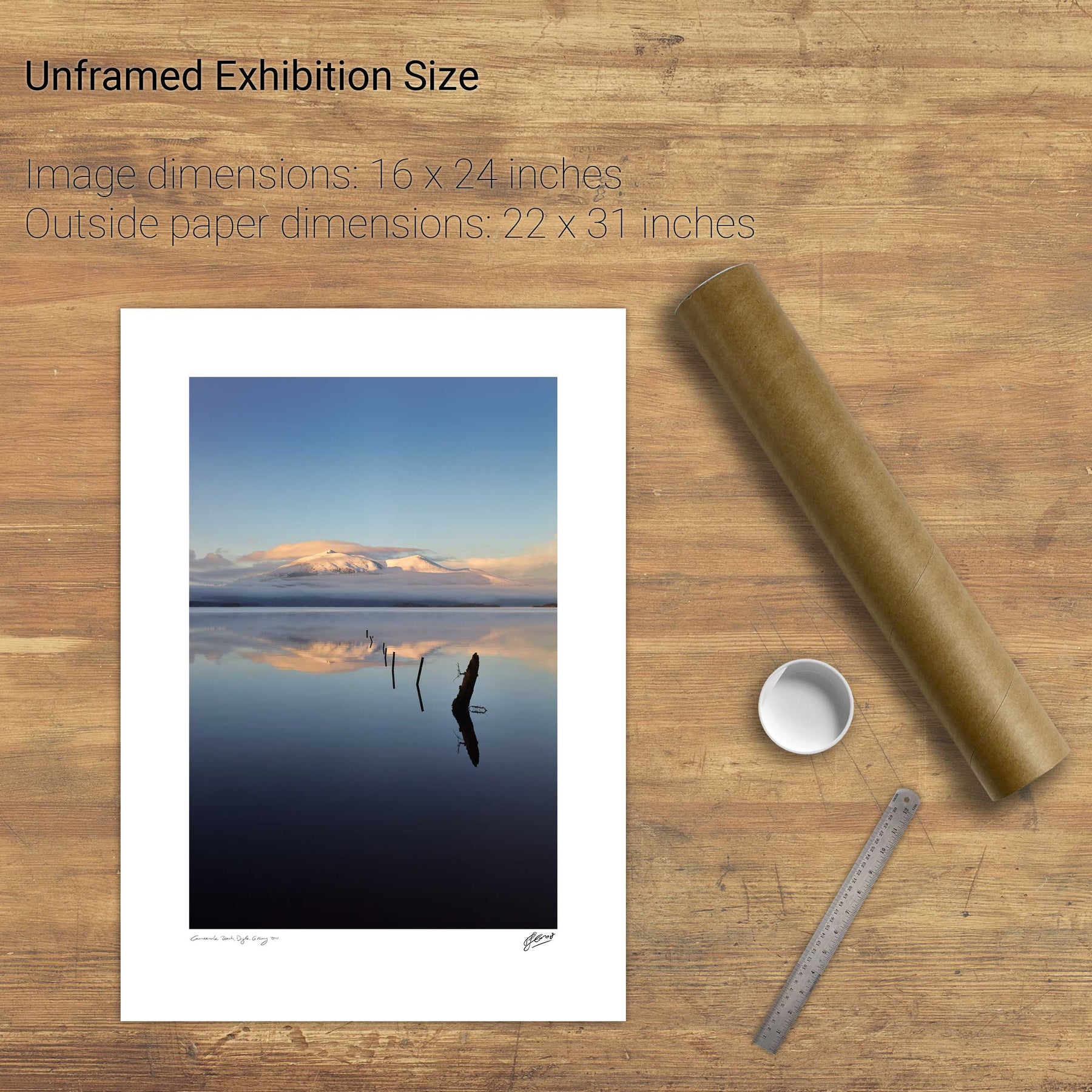
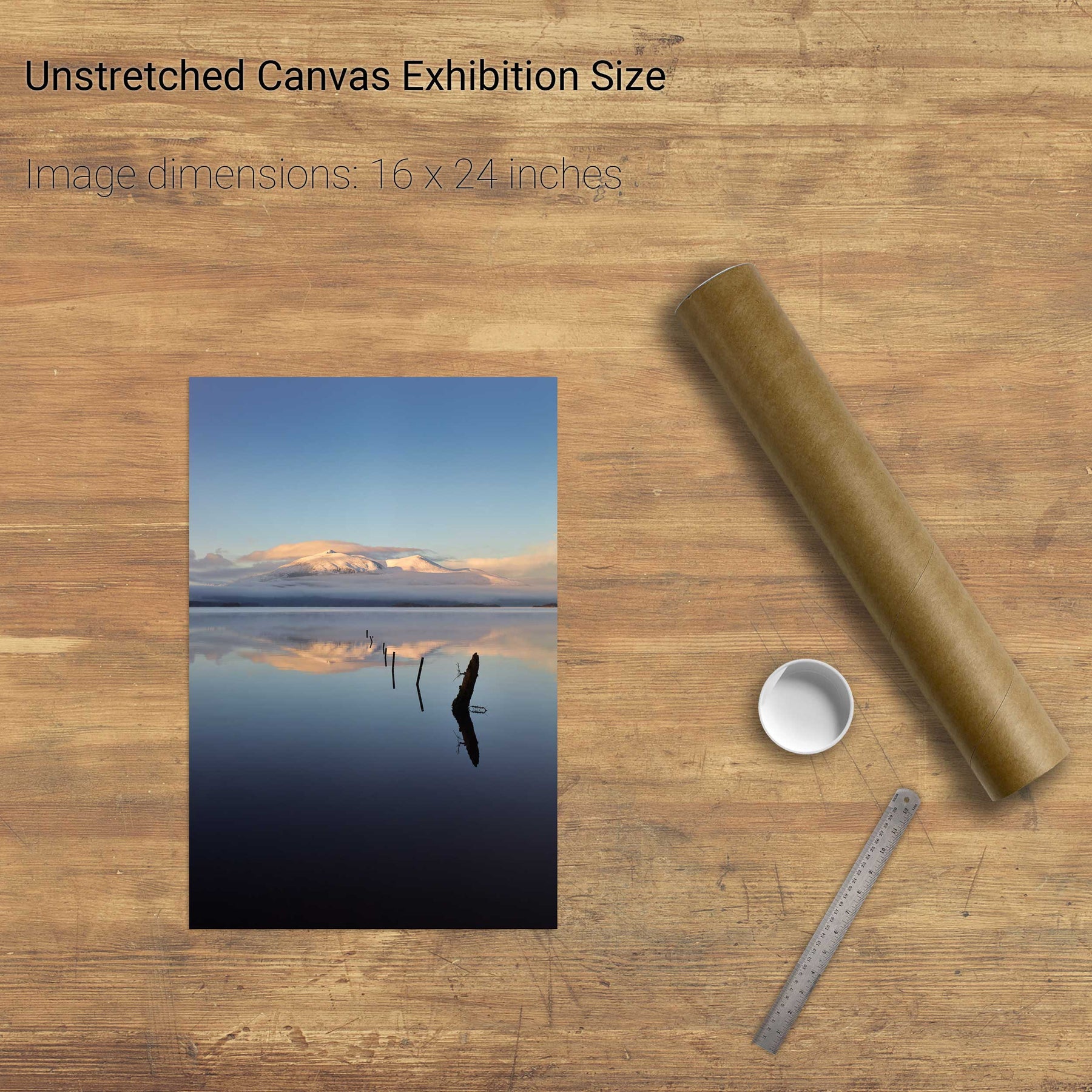
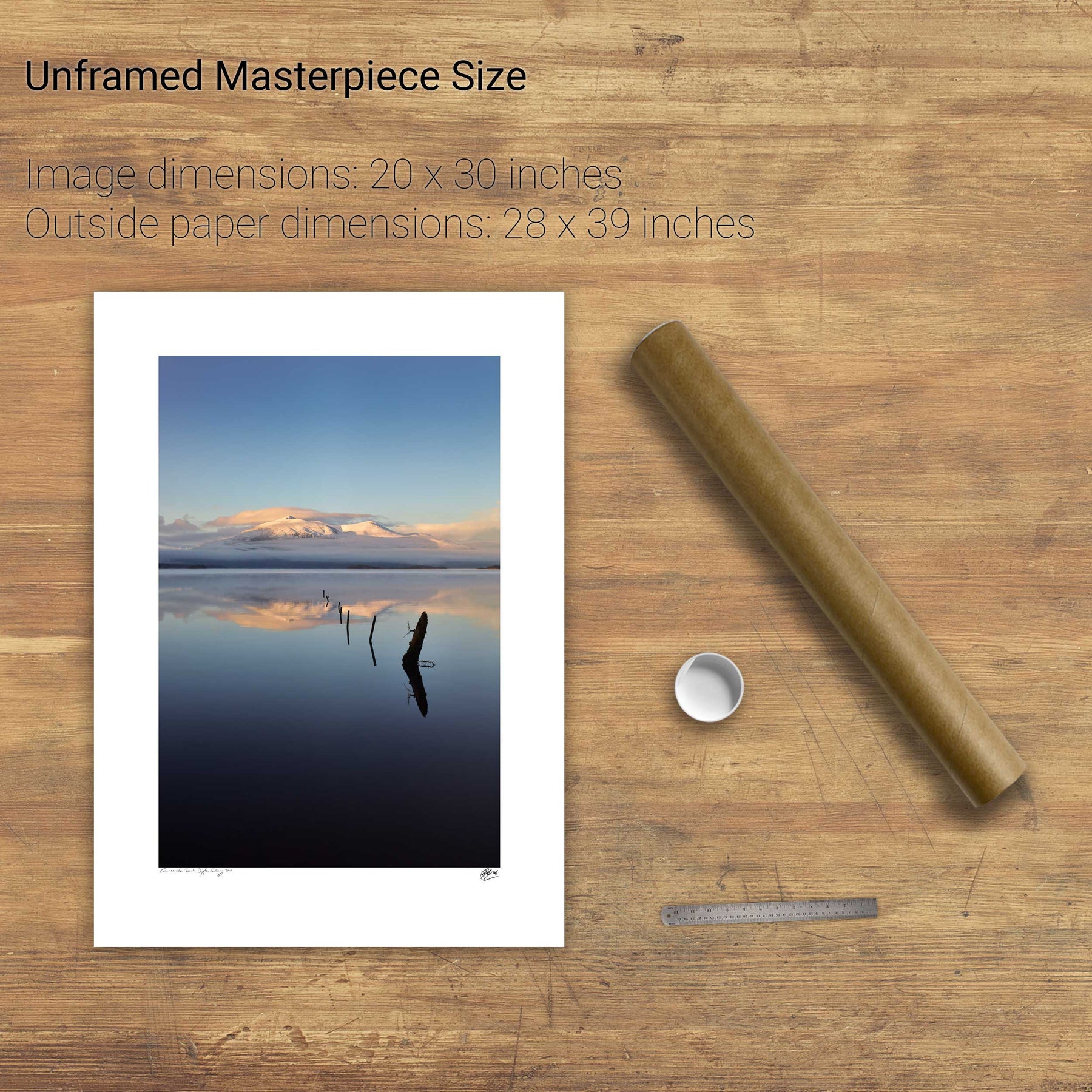
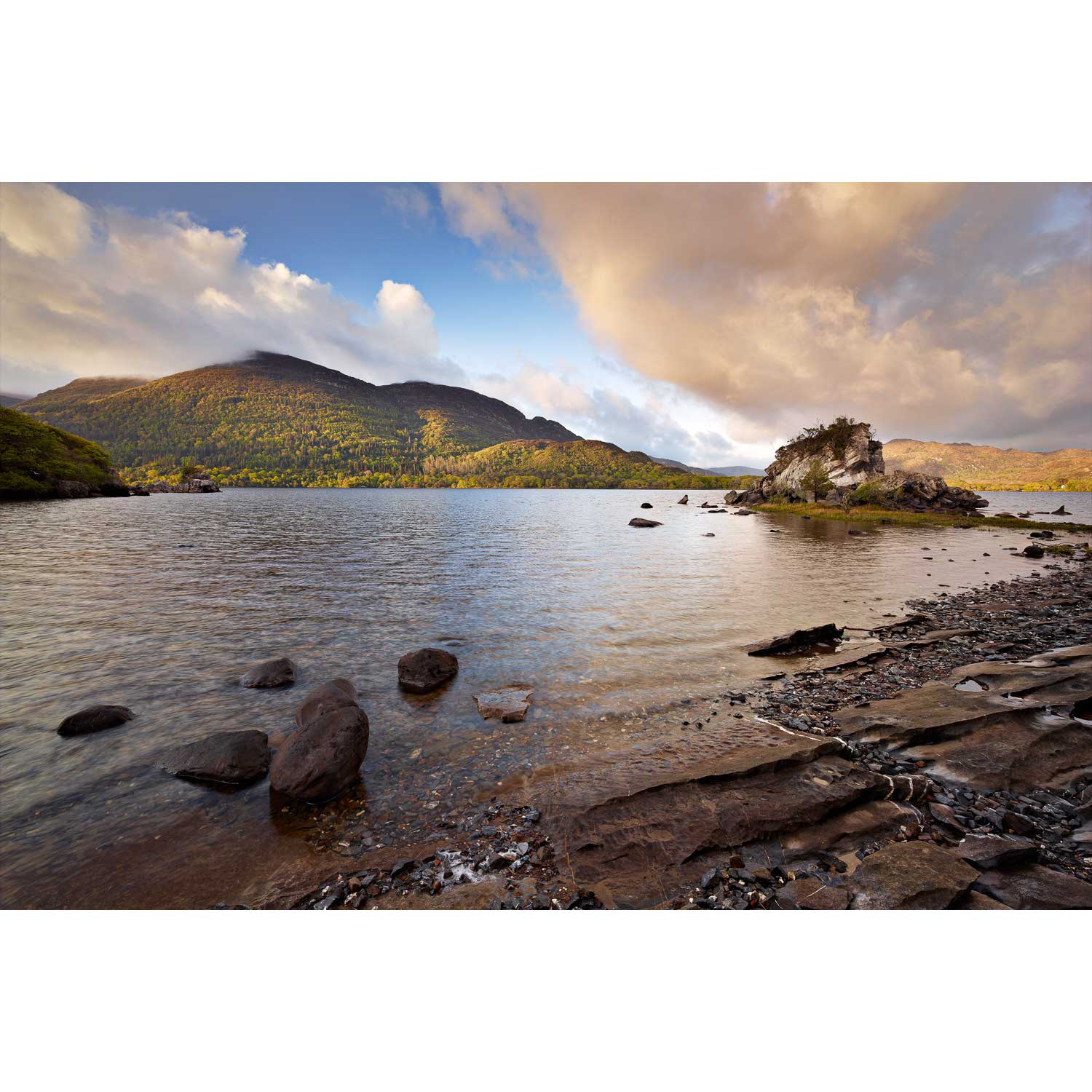
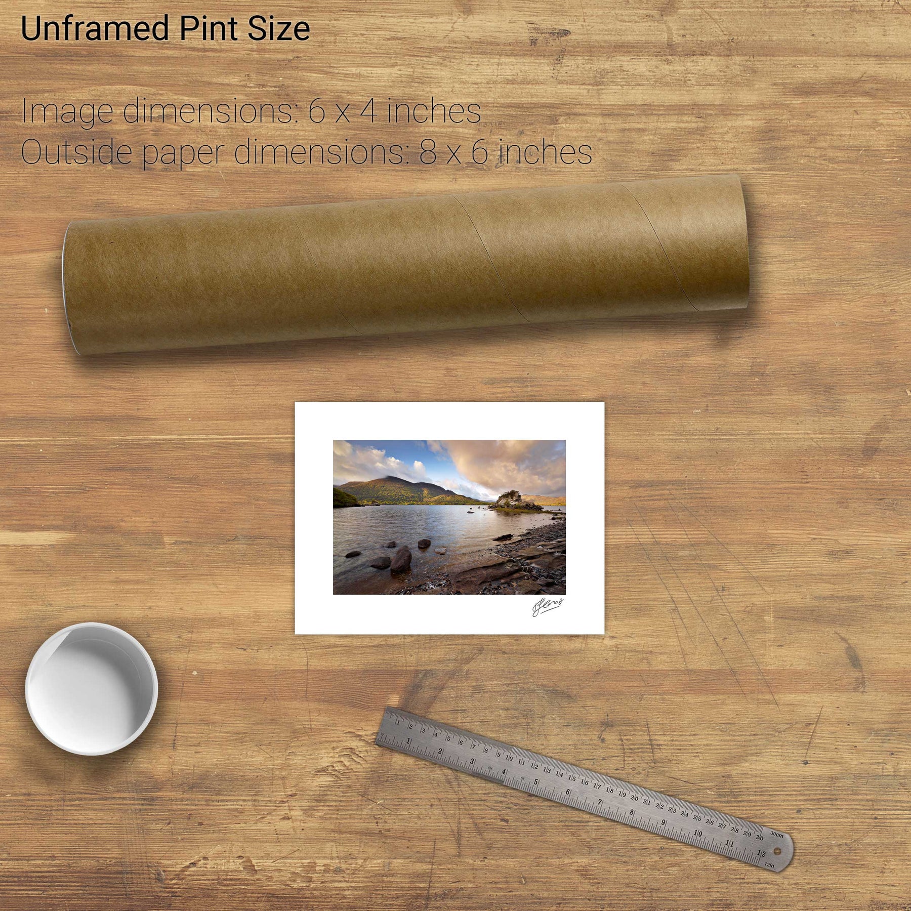
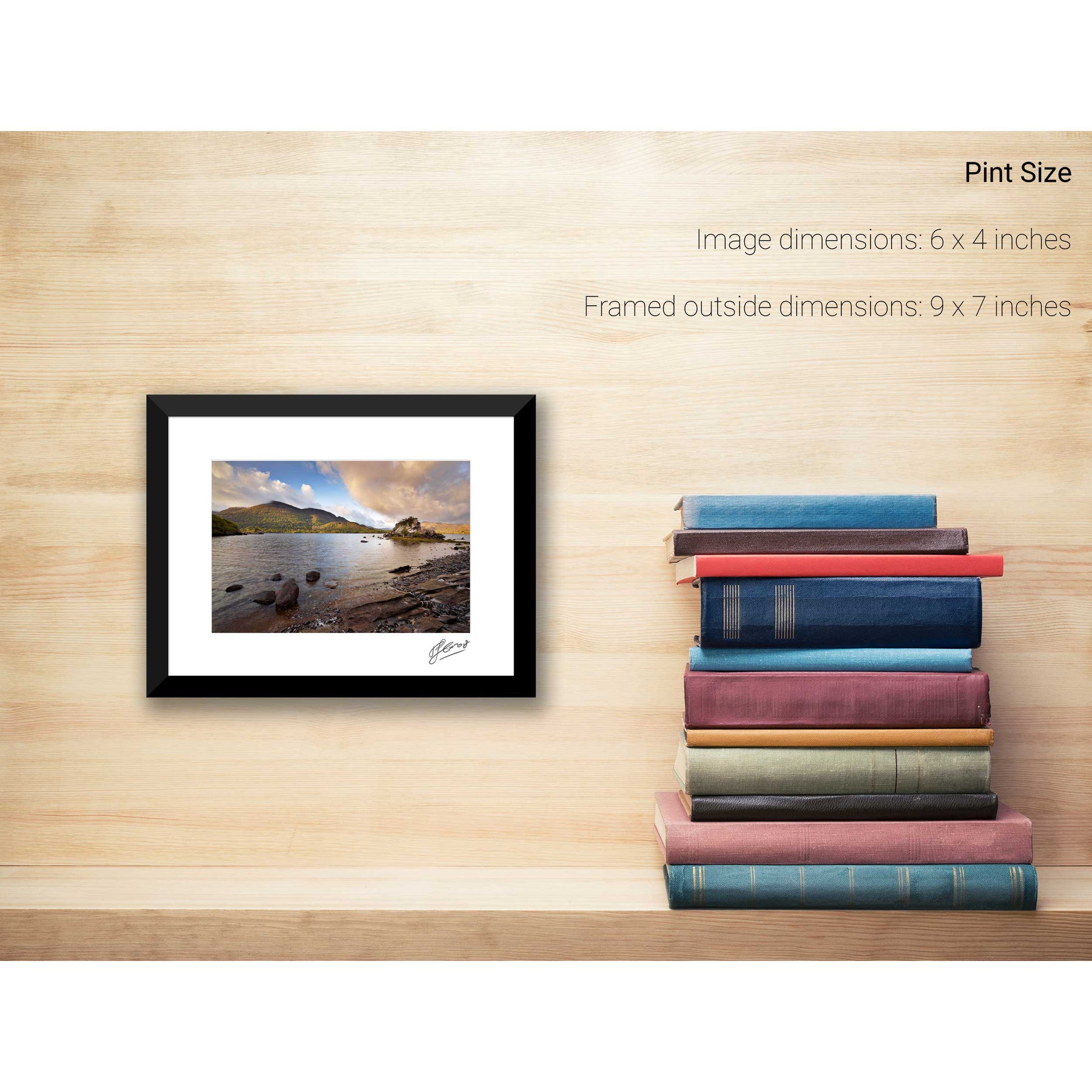
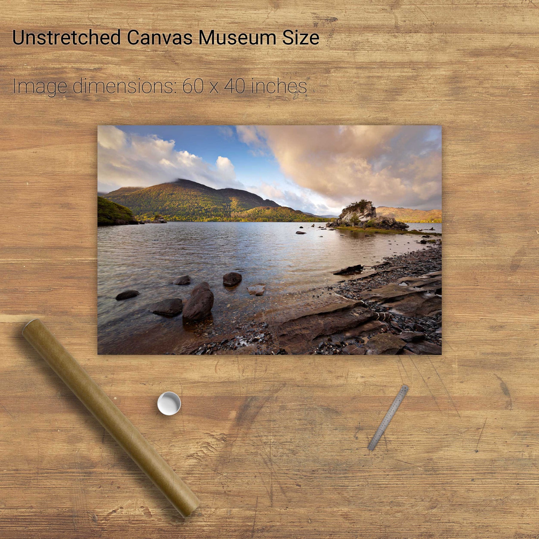
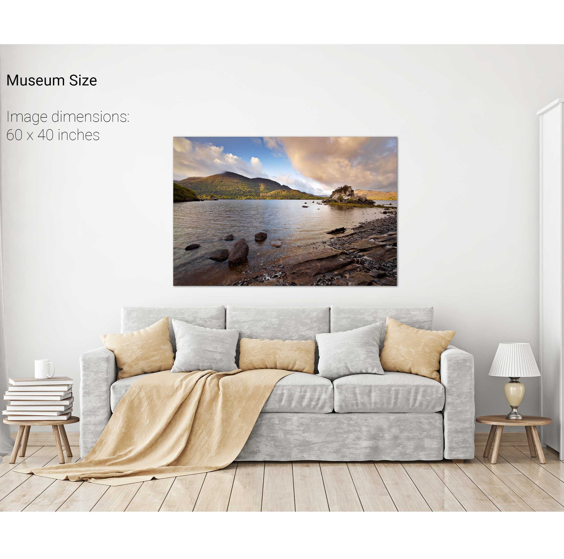
Lough Leane and the Reeks, Killarney, Co. Kerry


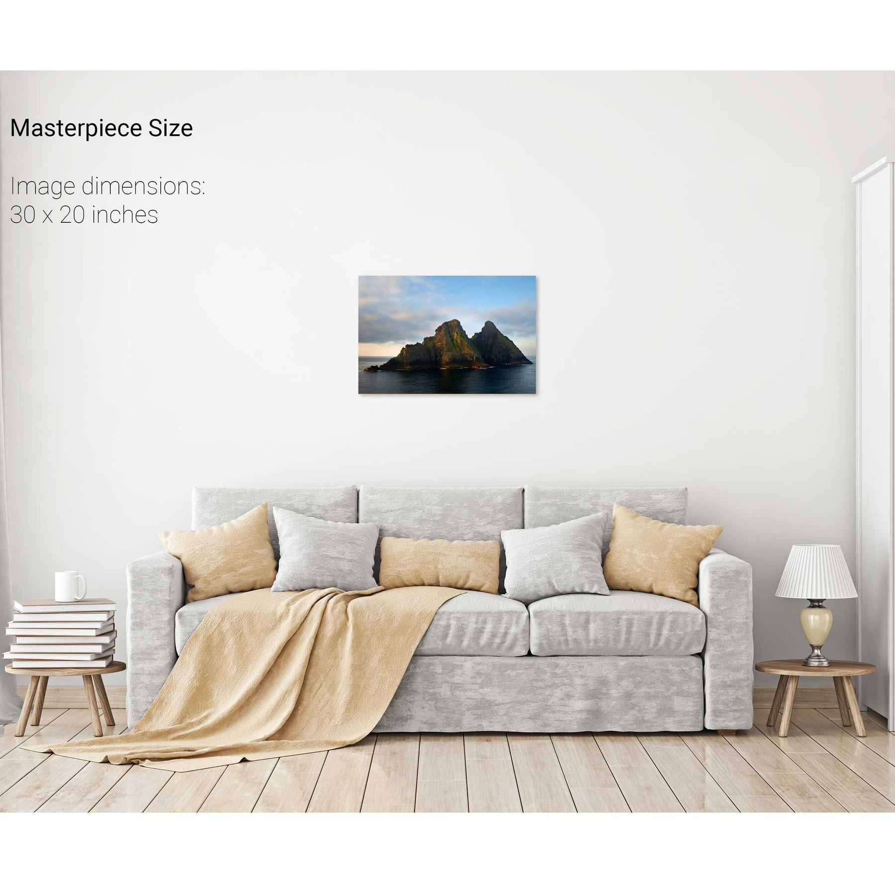
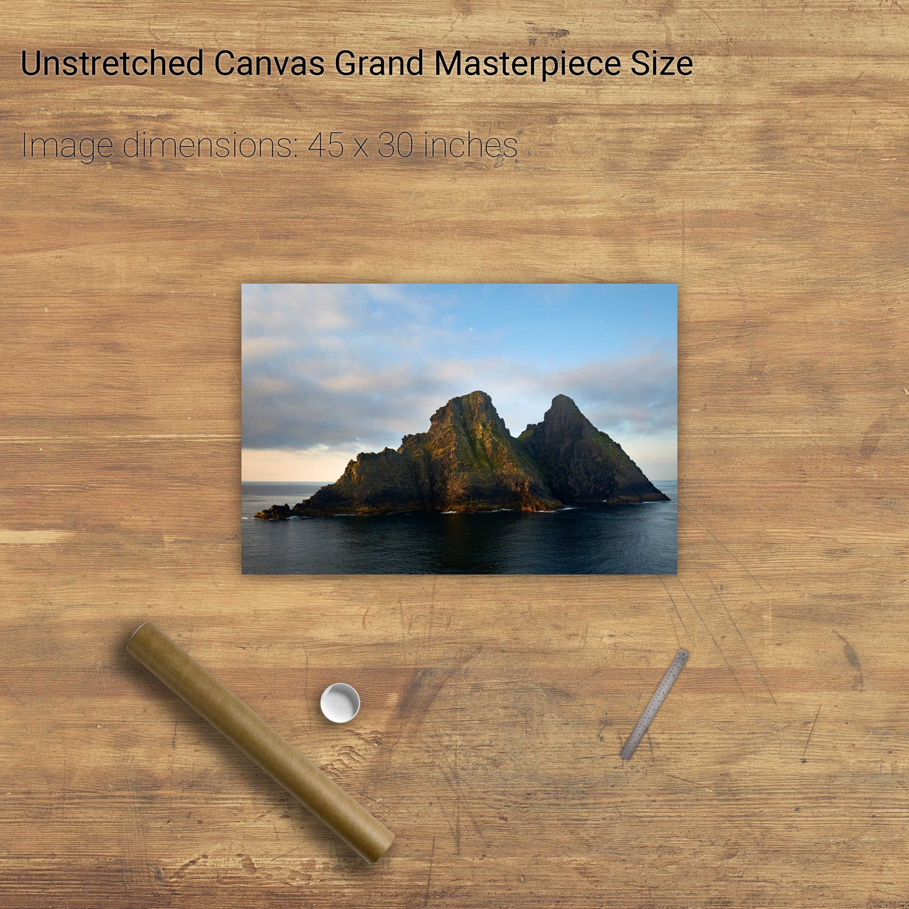
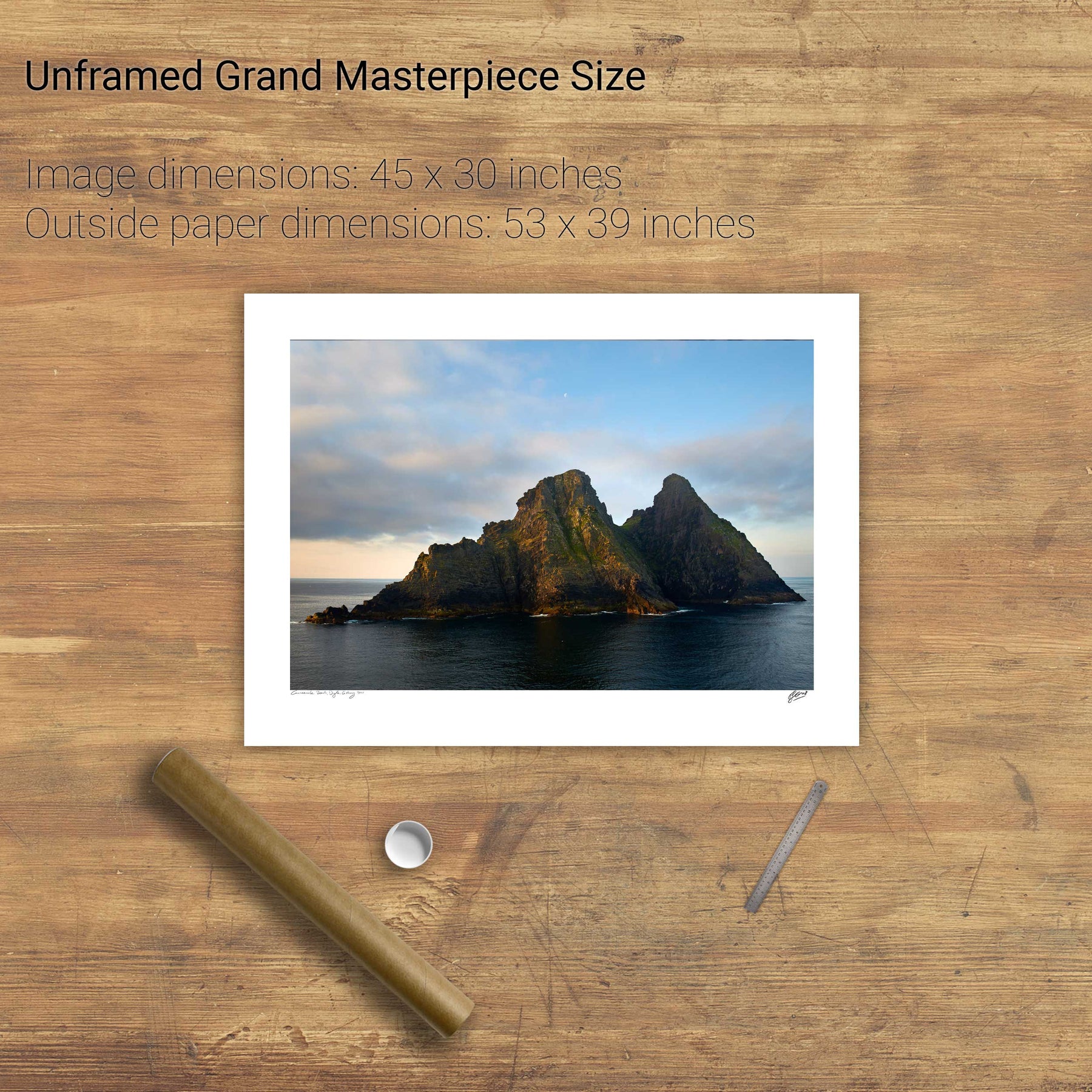
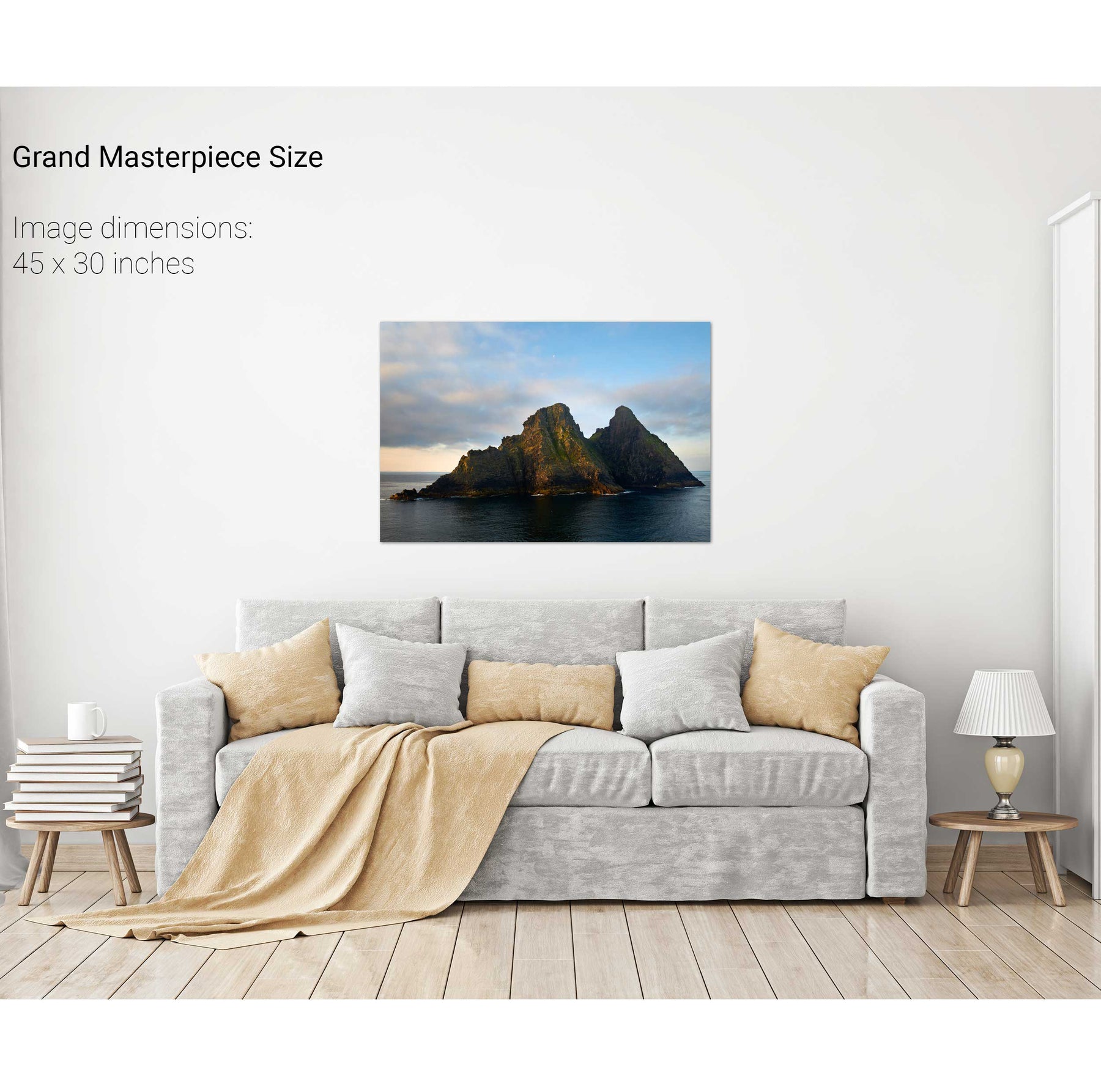
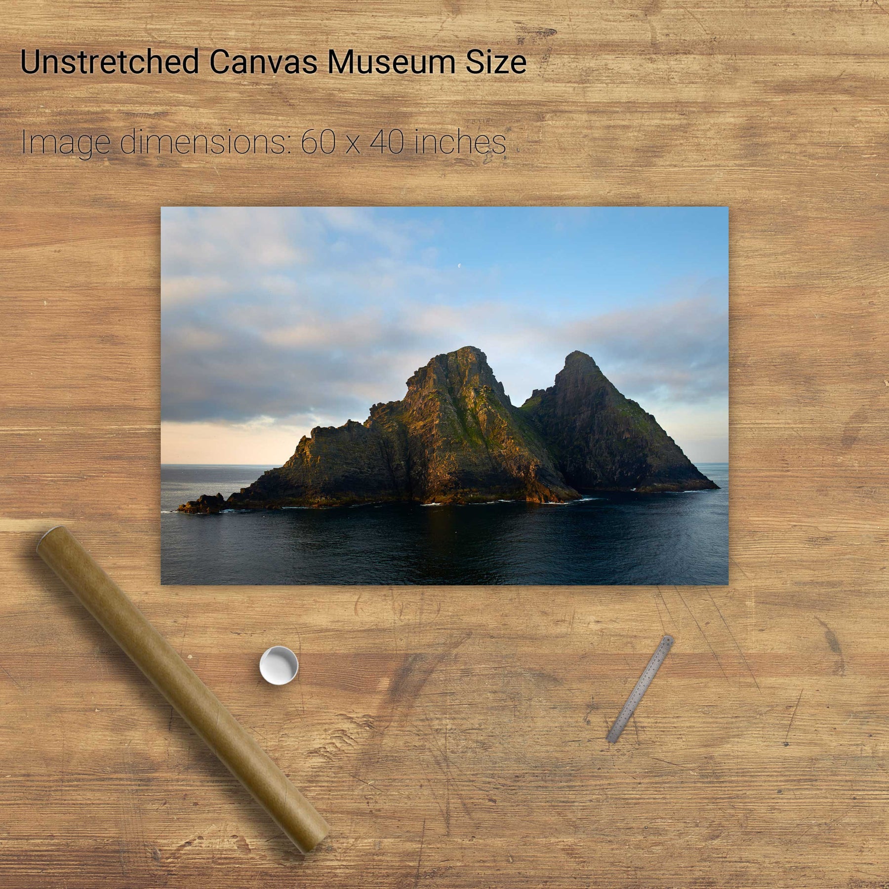
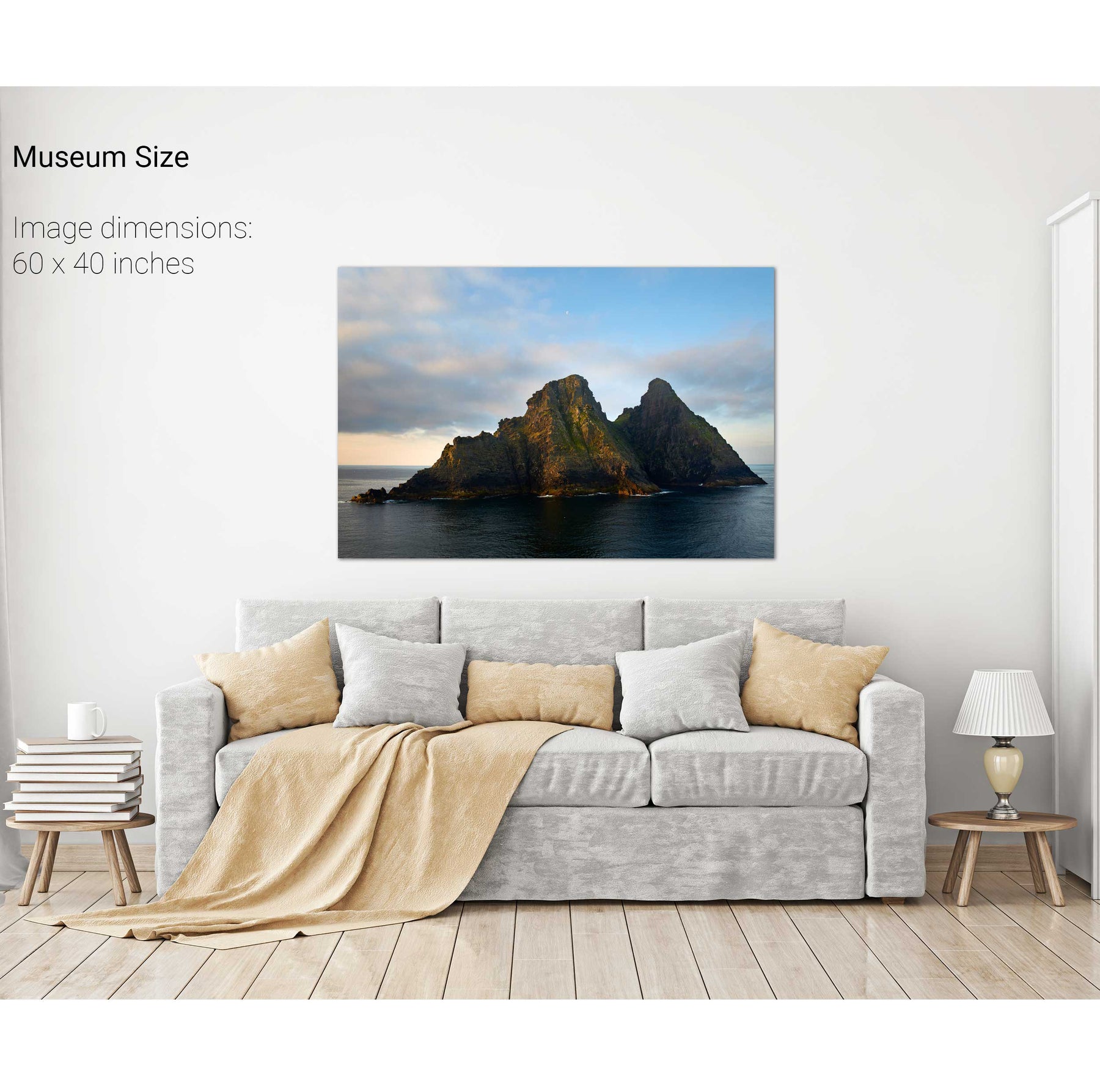
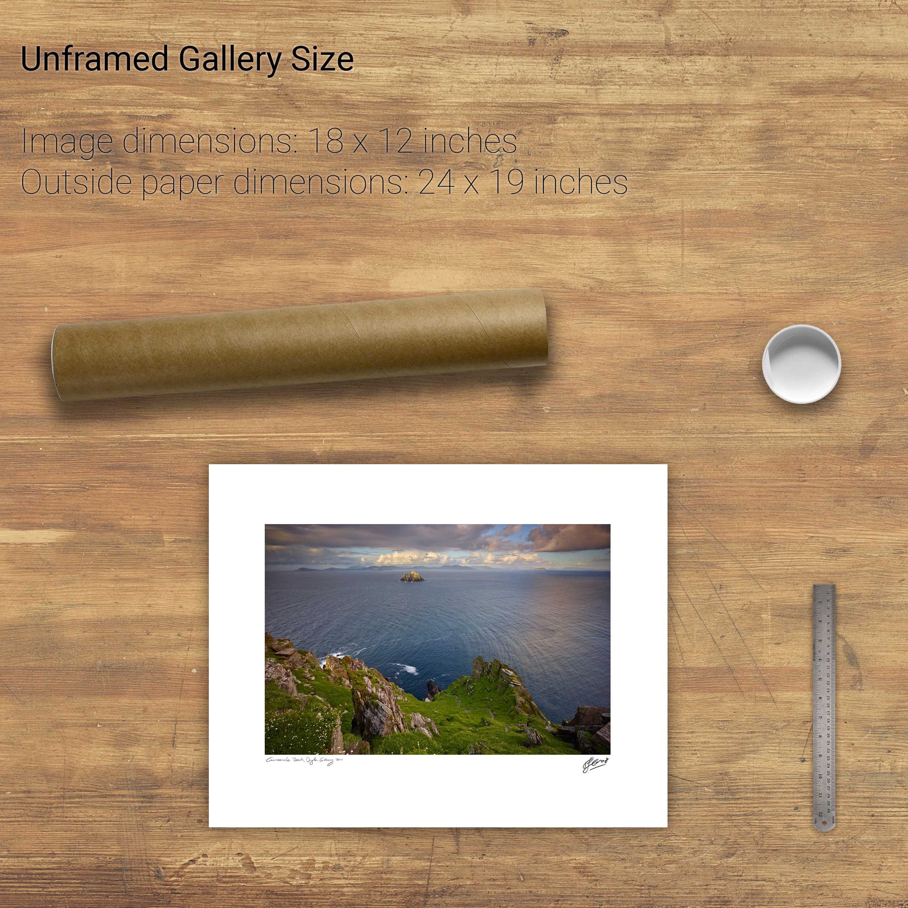
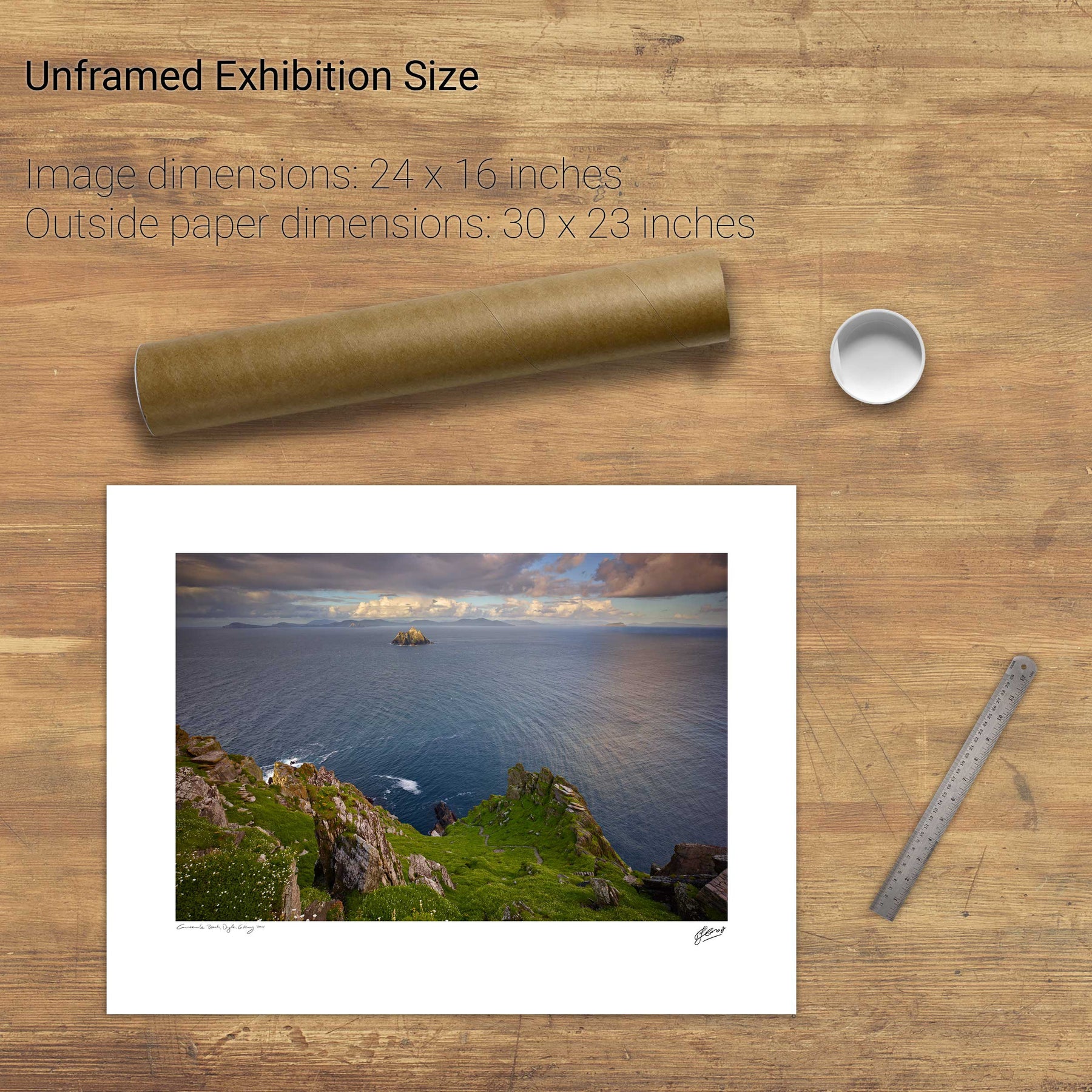
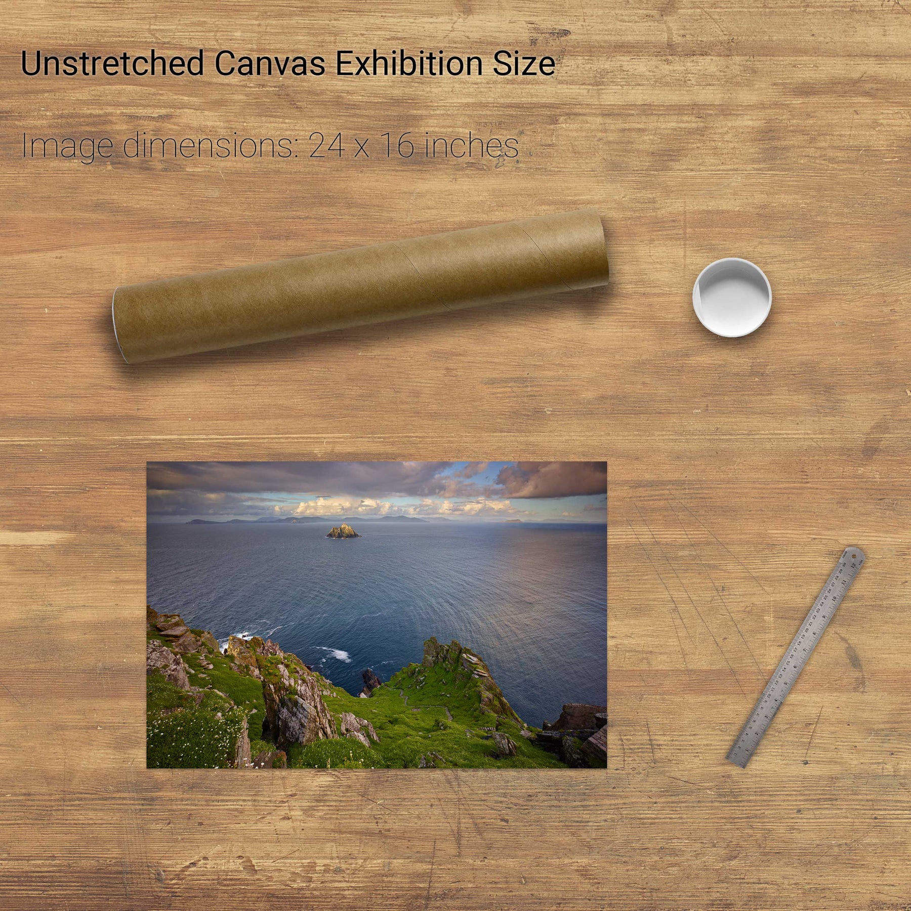
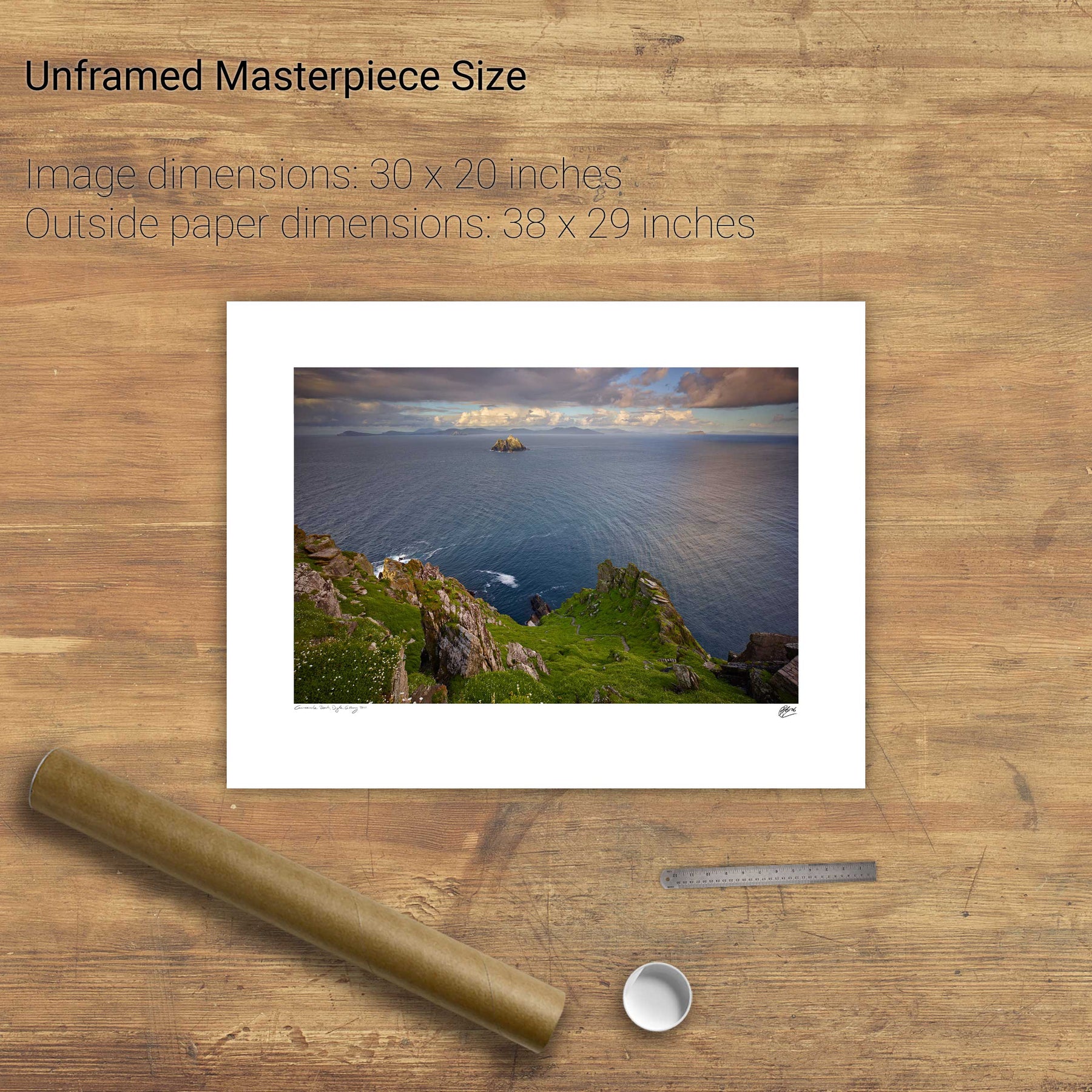
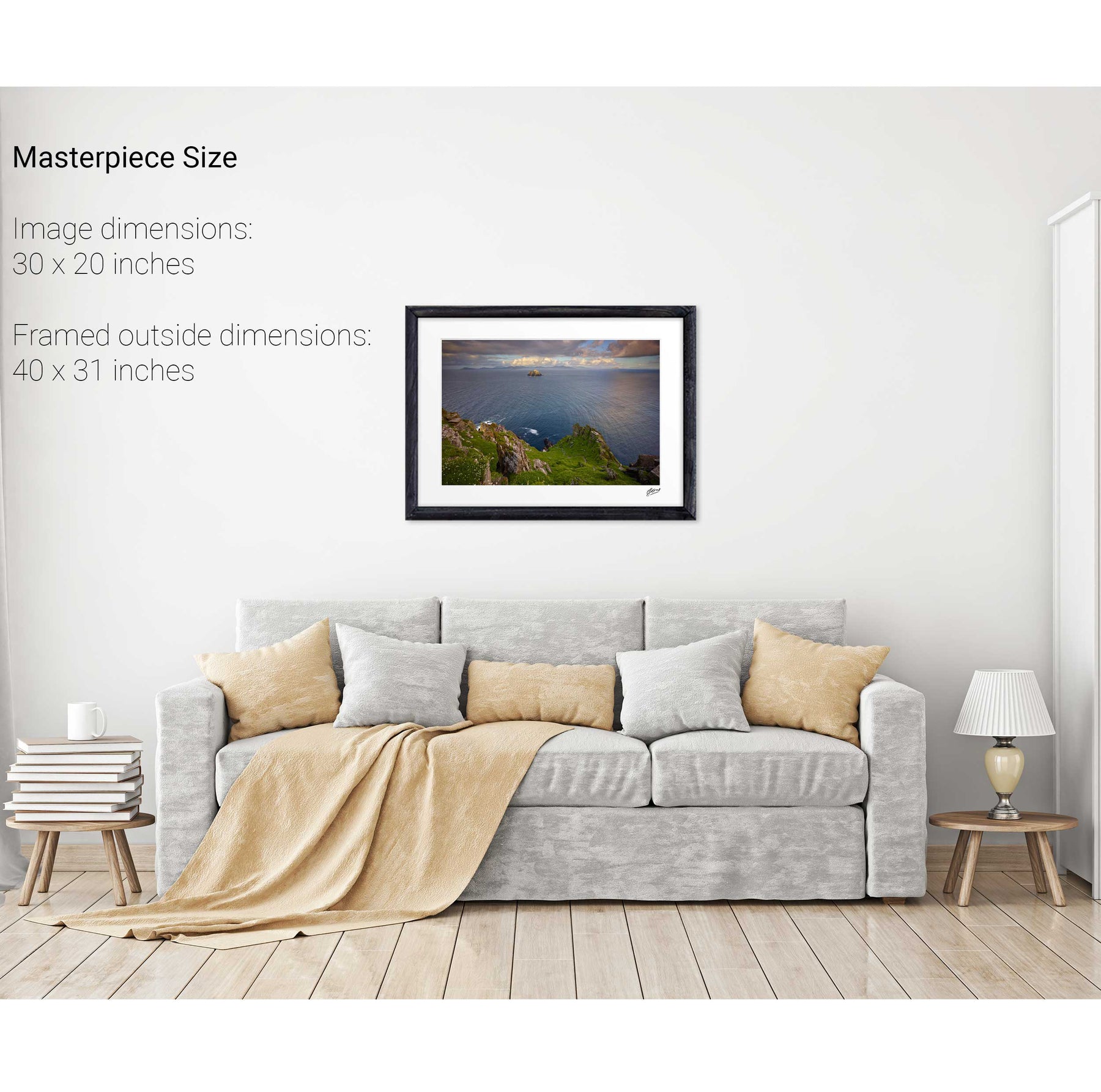
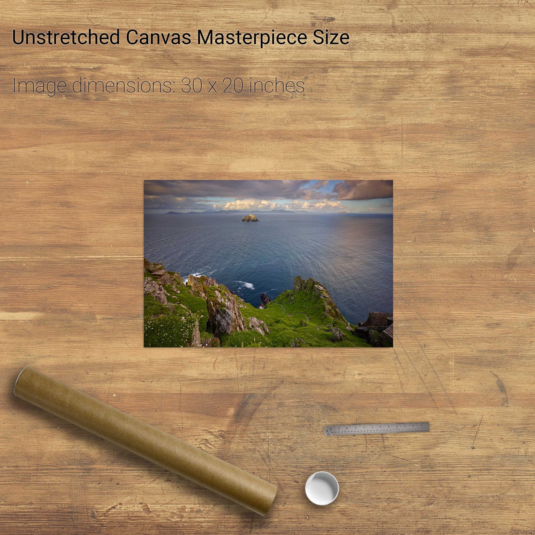
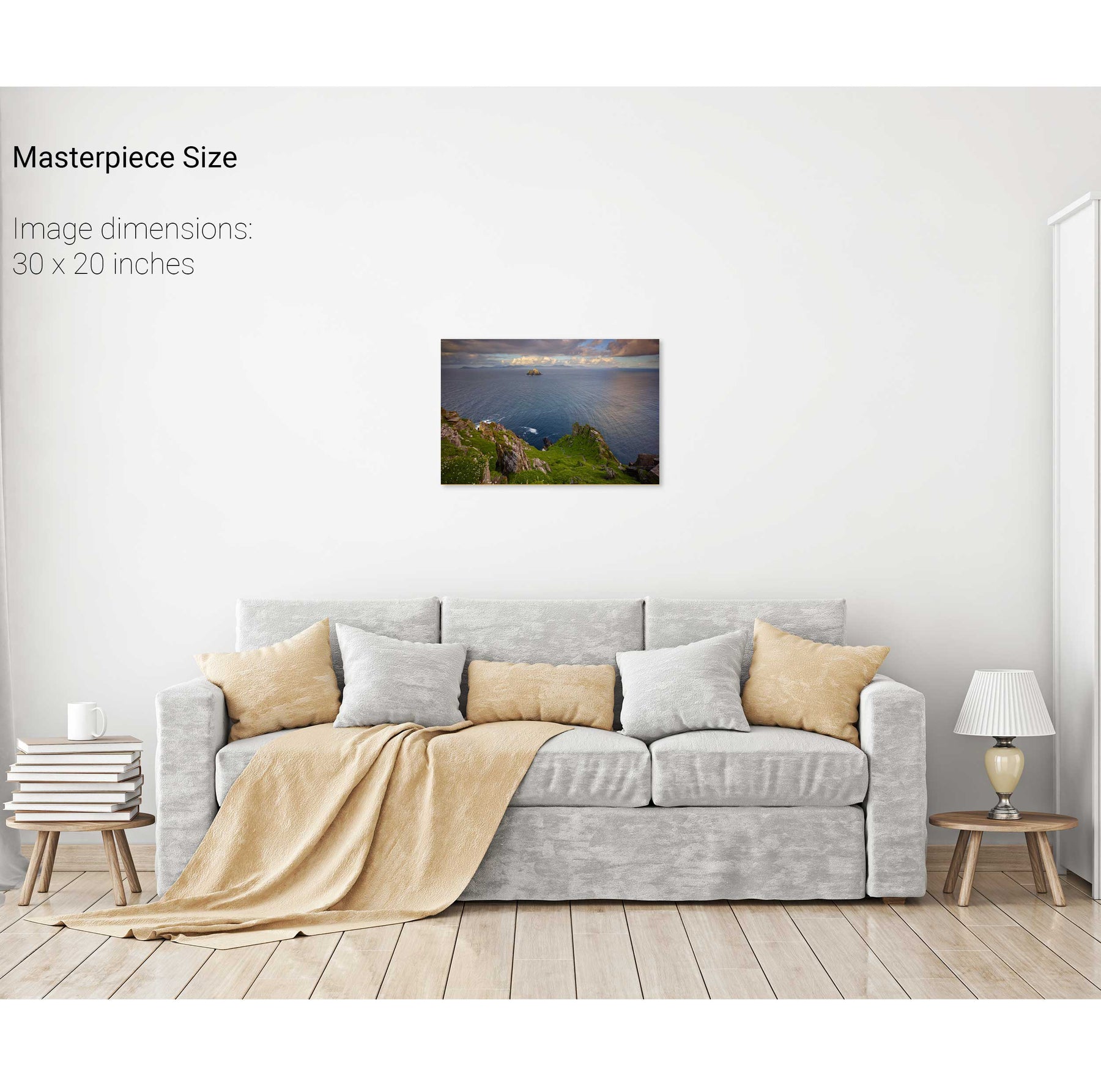
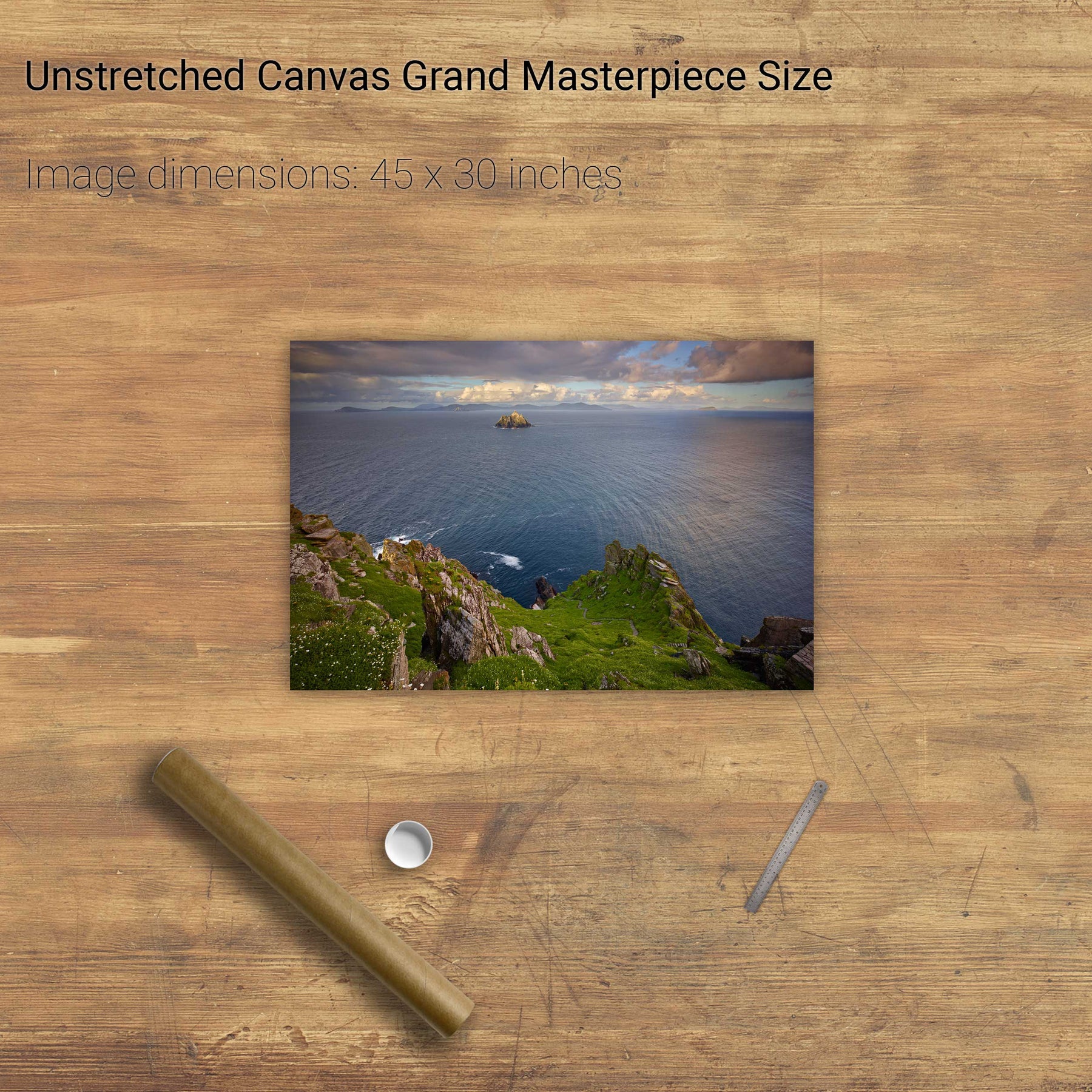
North Peak Ridge, Skellig Michael, Kerry


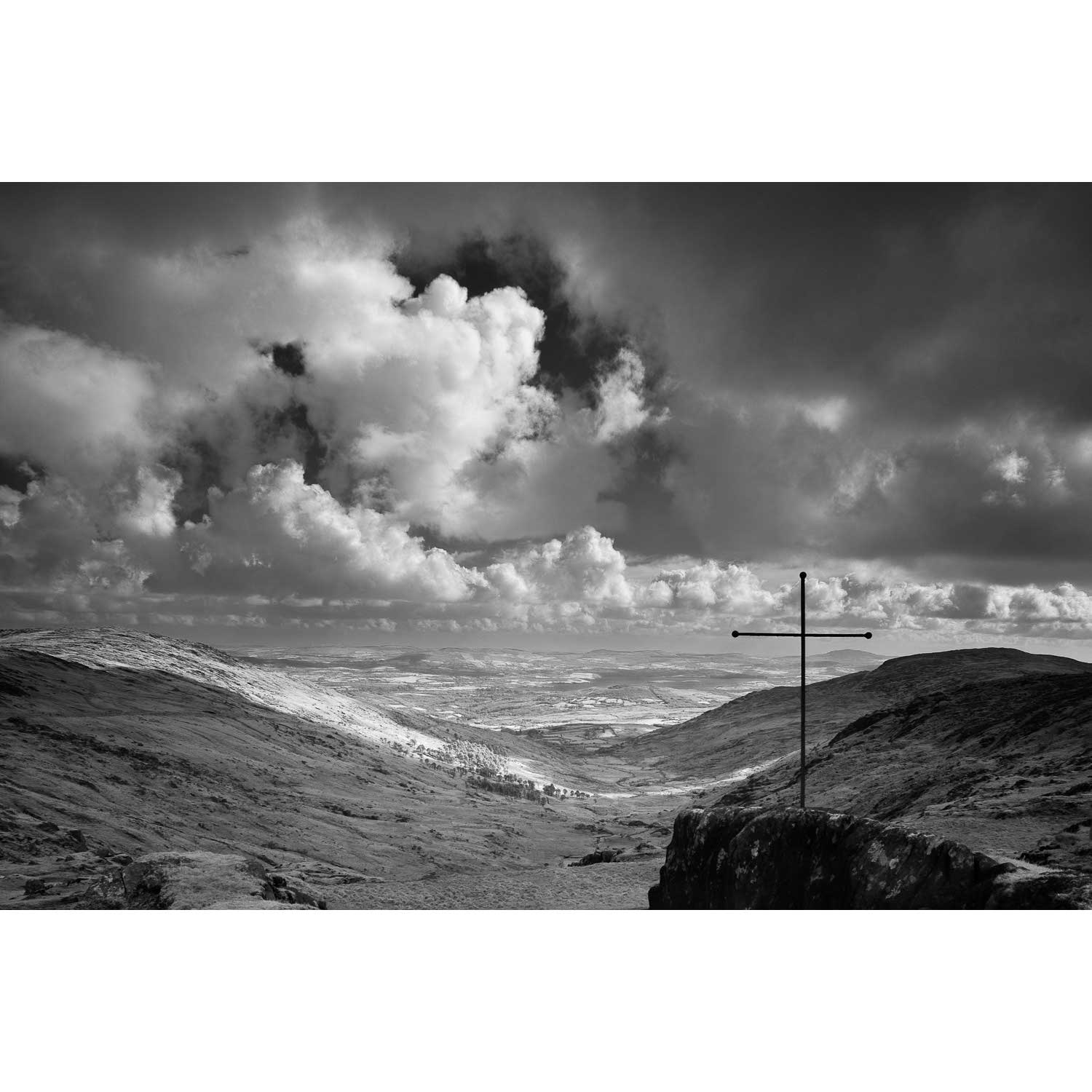
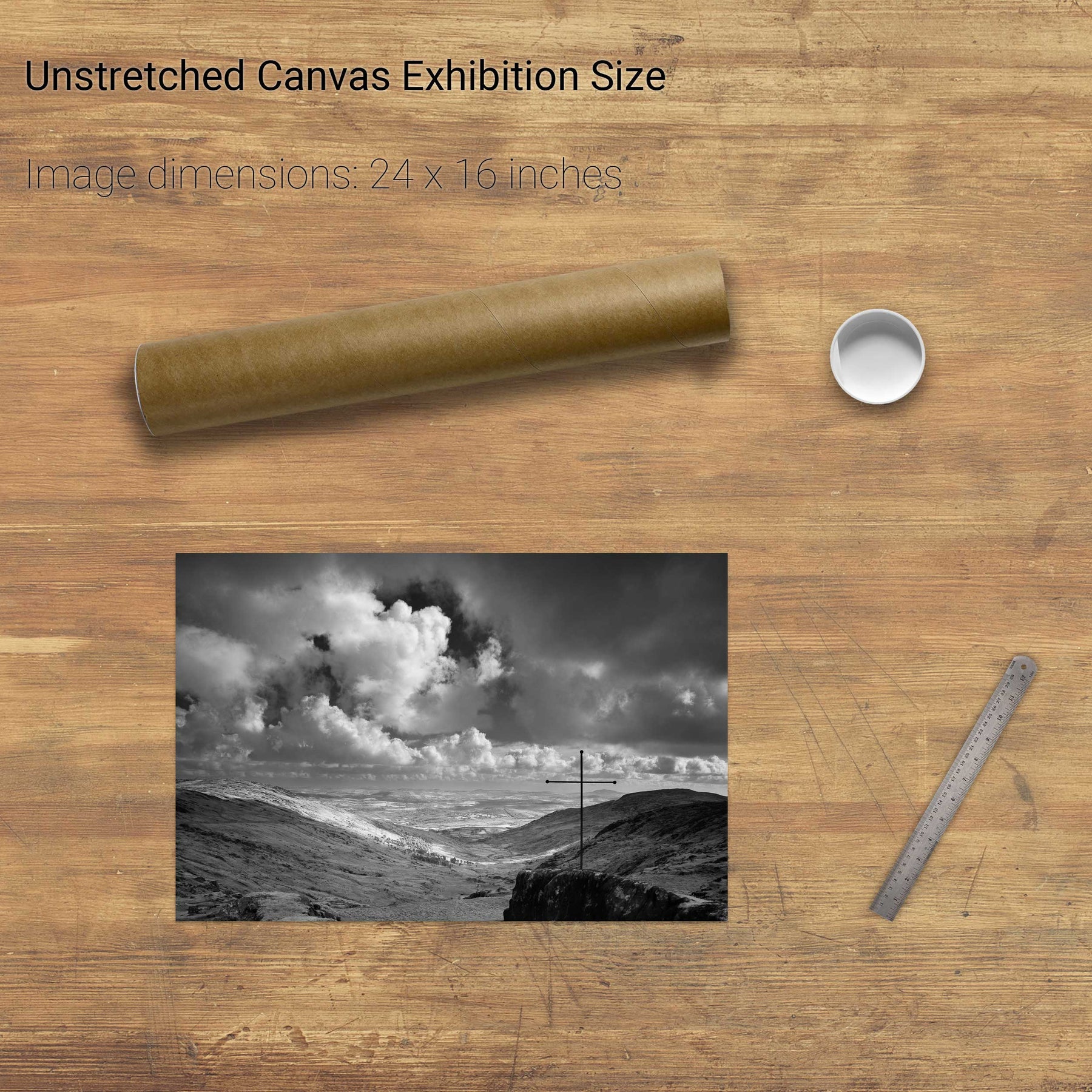
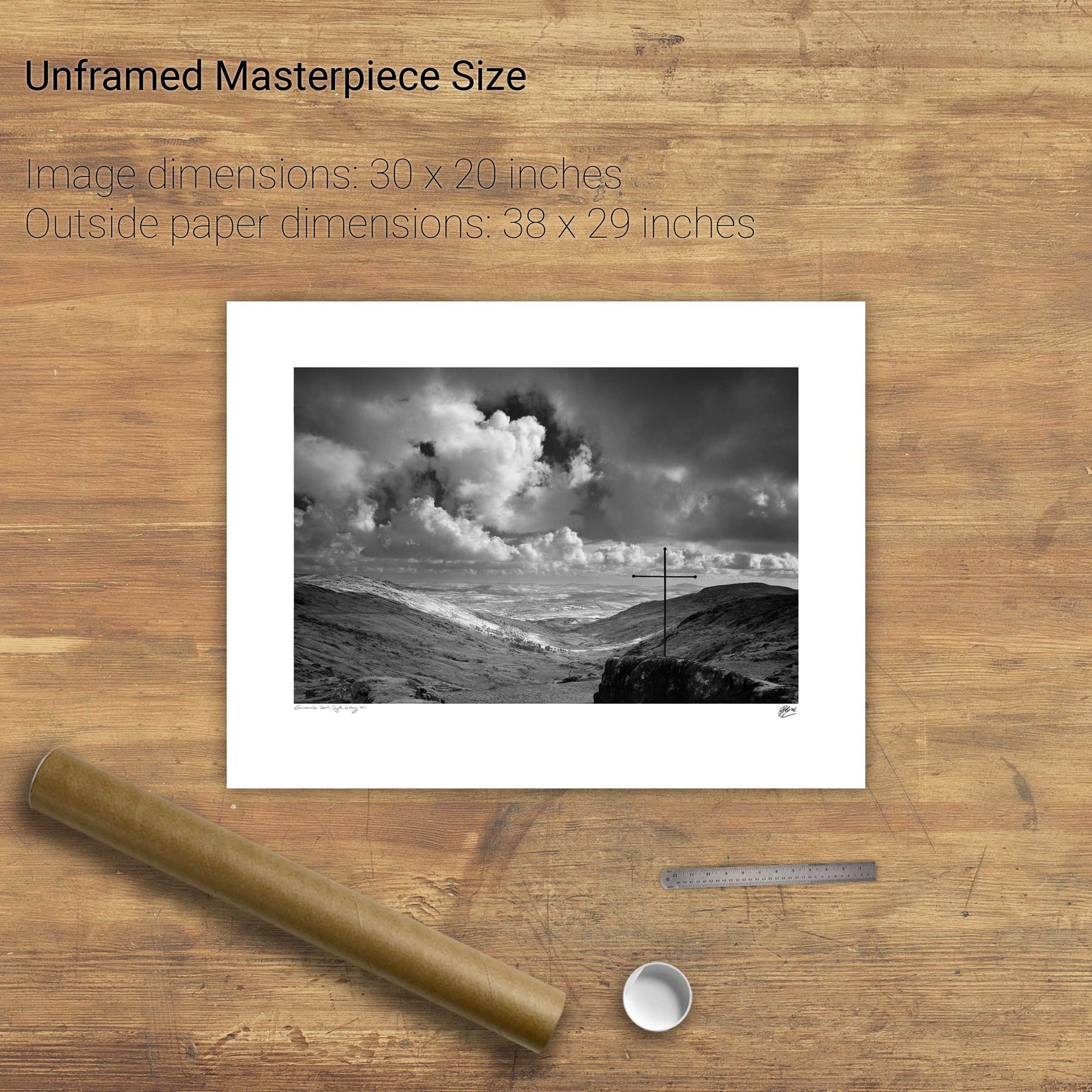
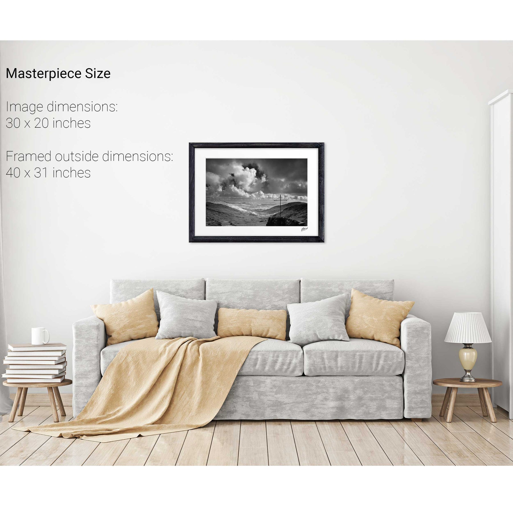
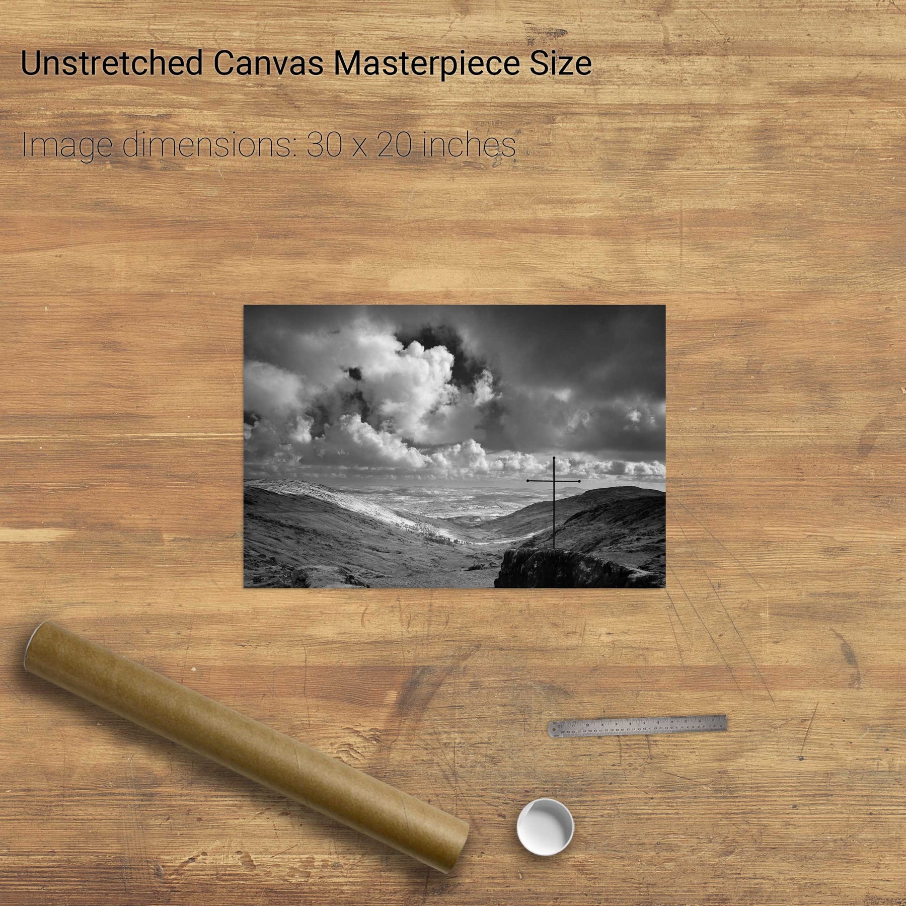
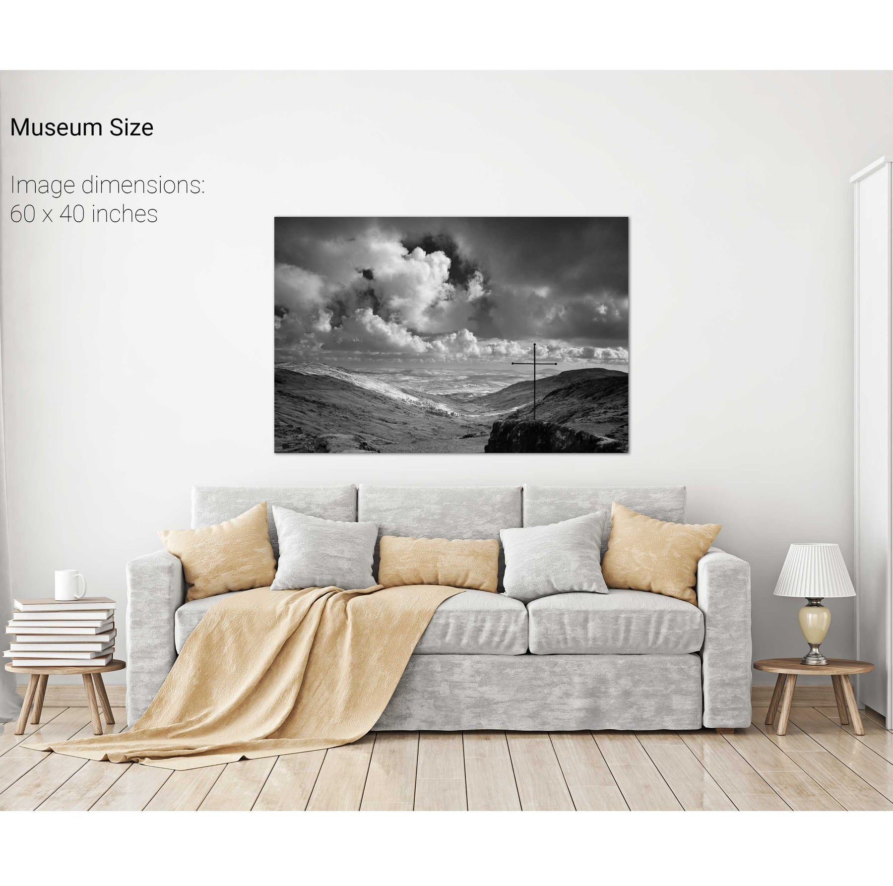
The Priest's Leap, Co. Cork


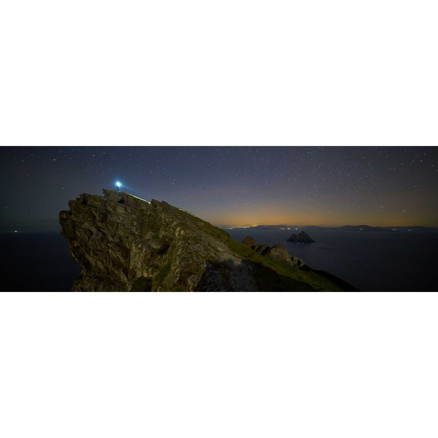
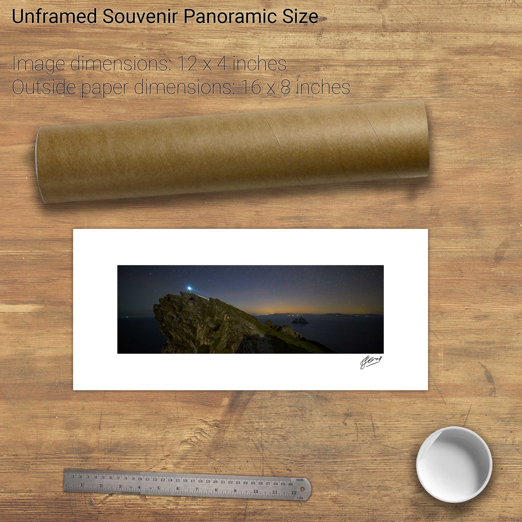
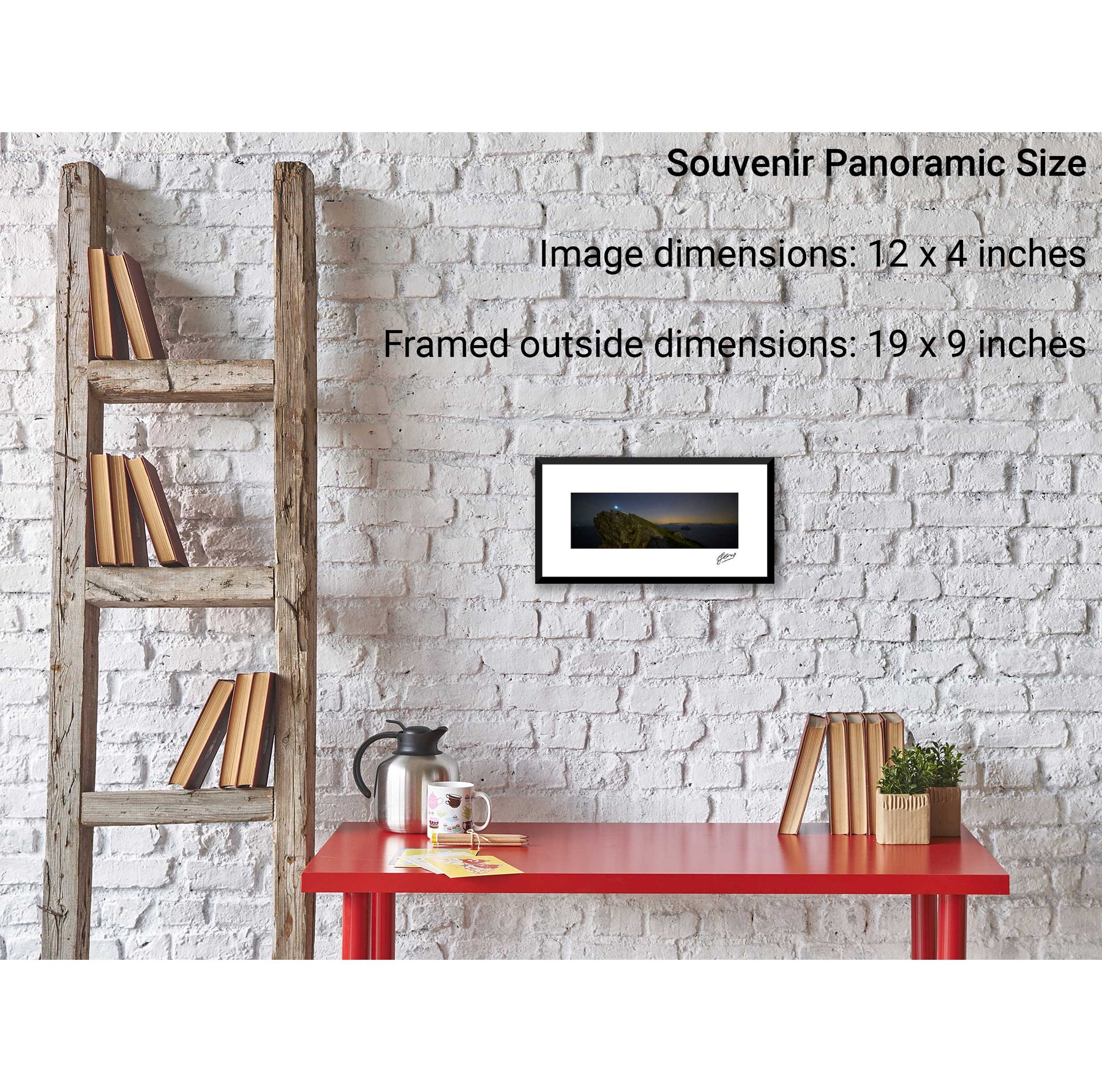
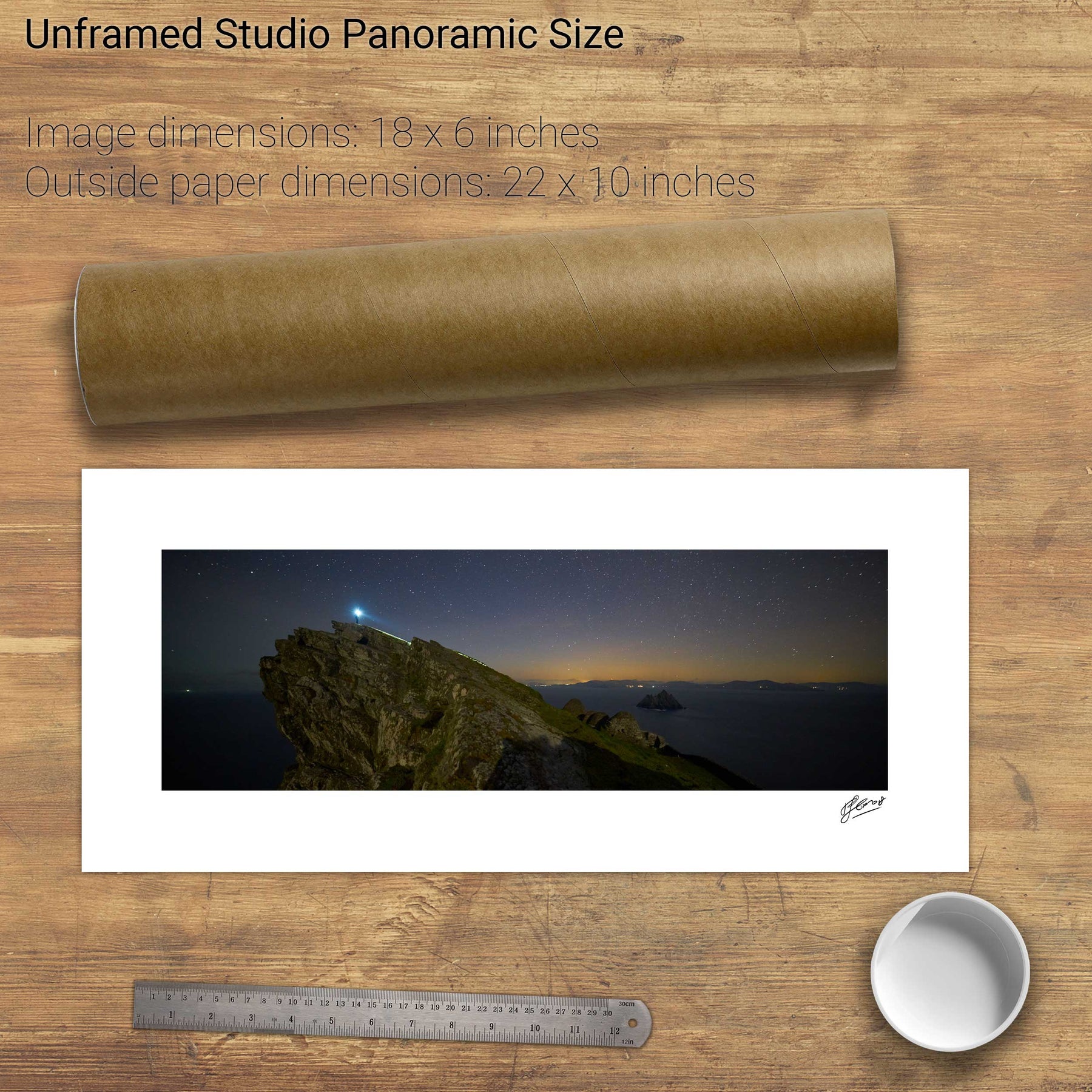
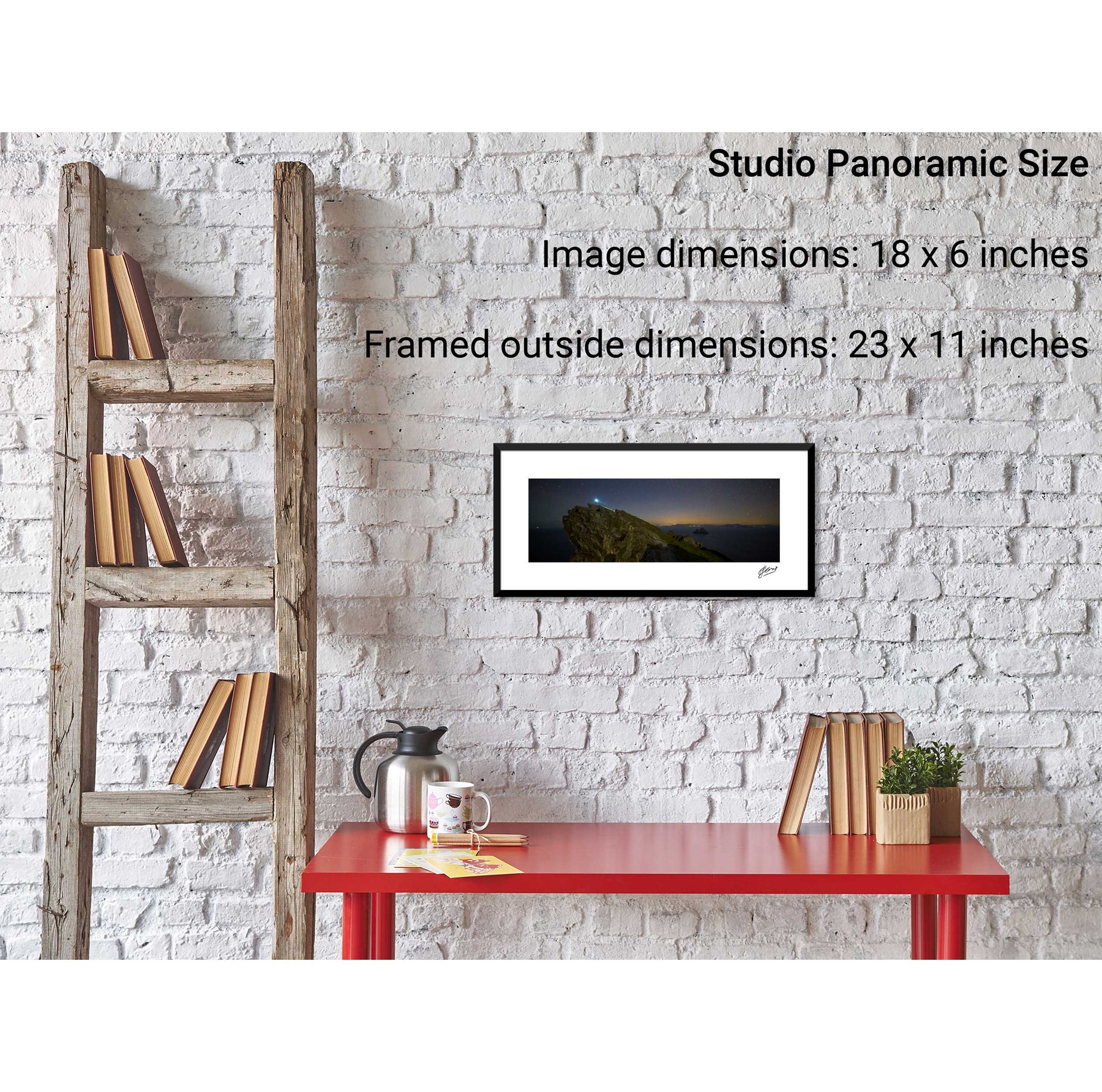
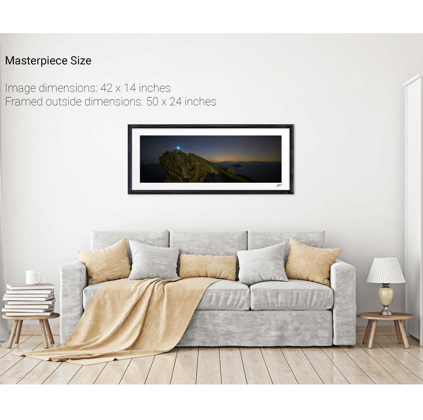
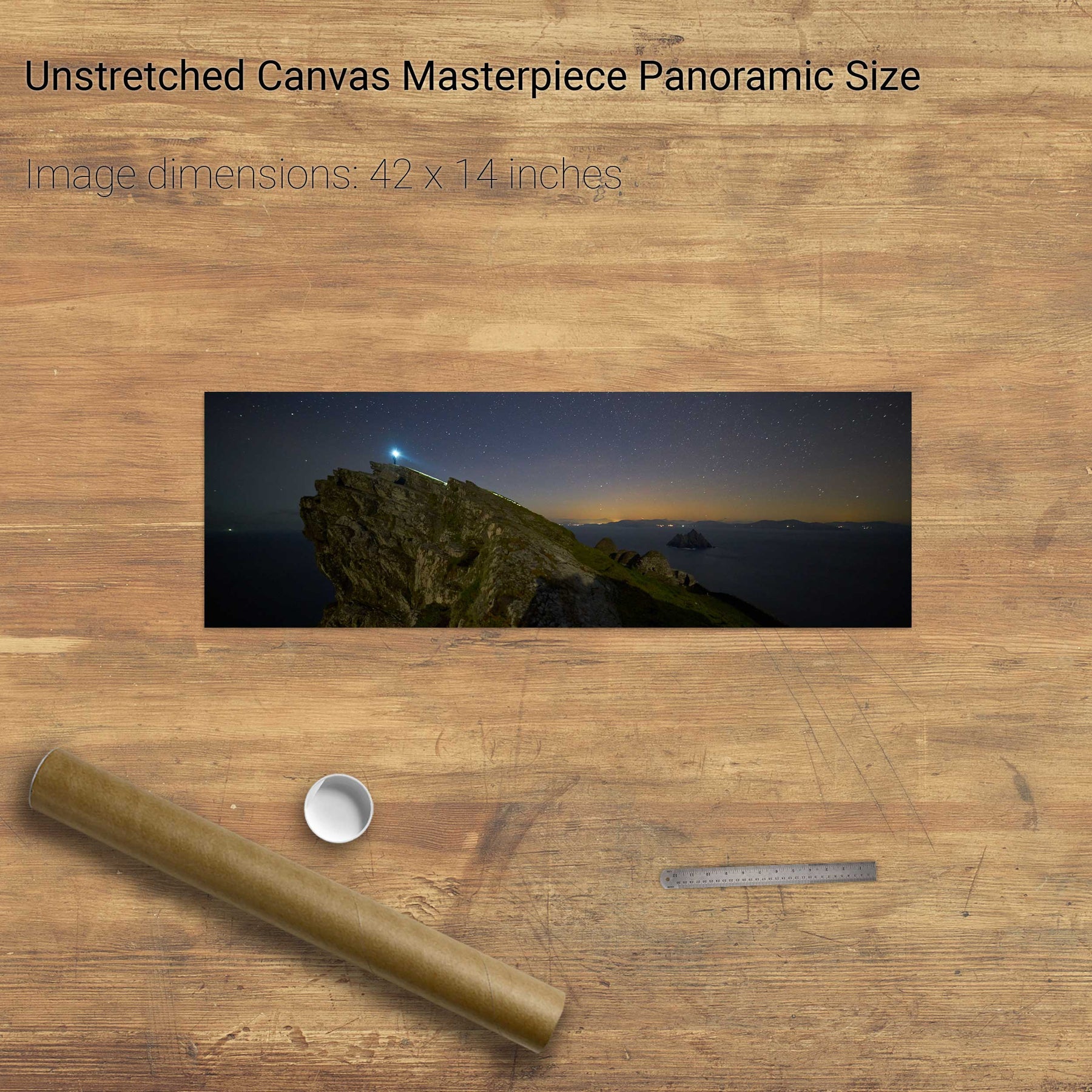
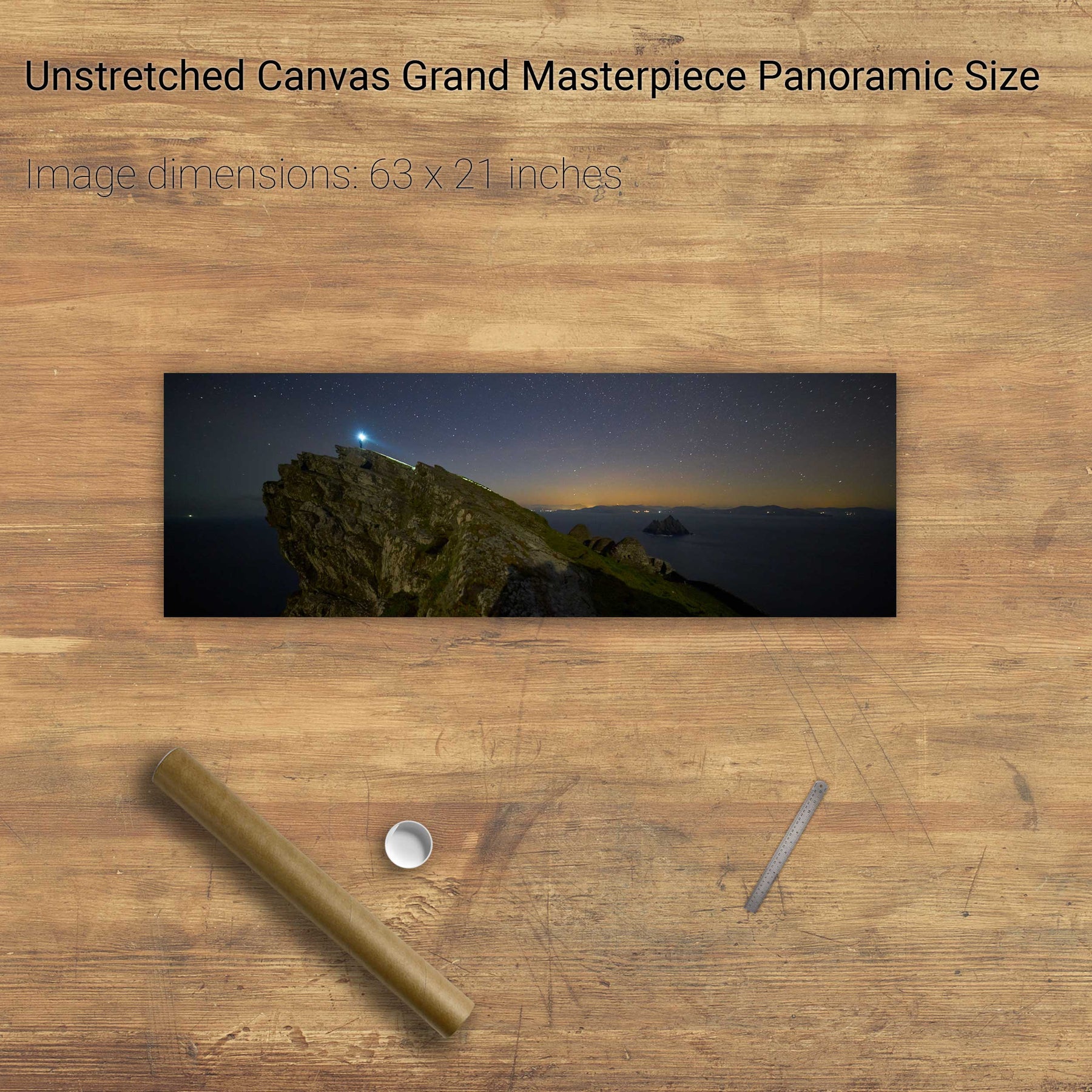
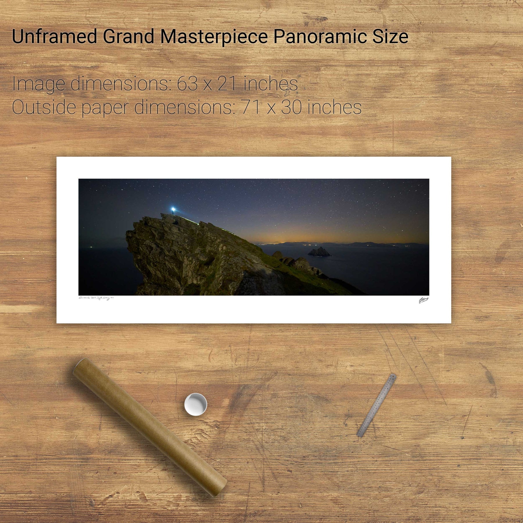
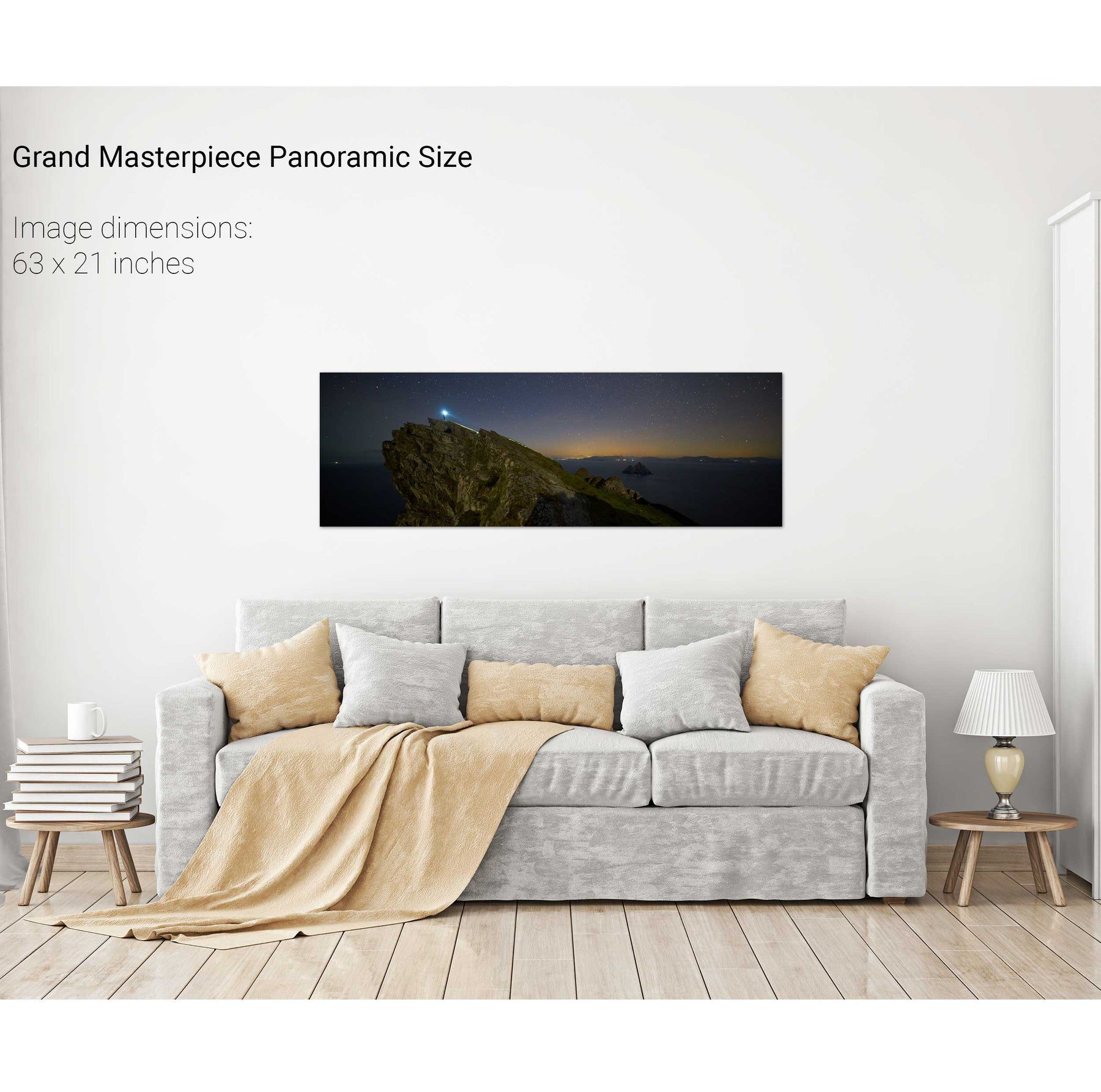
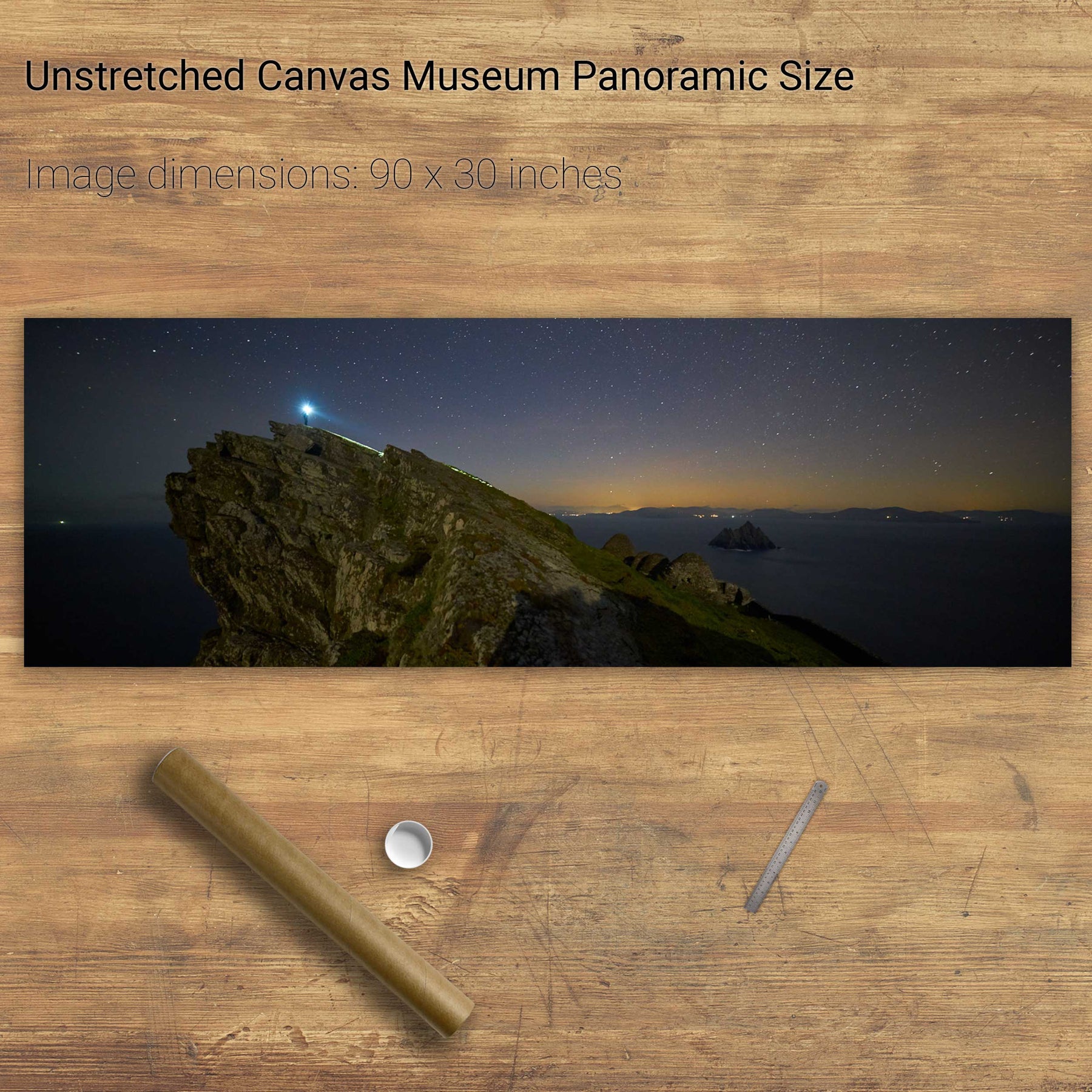
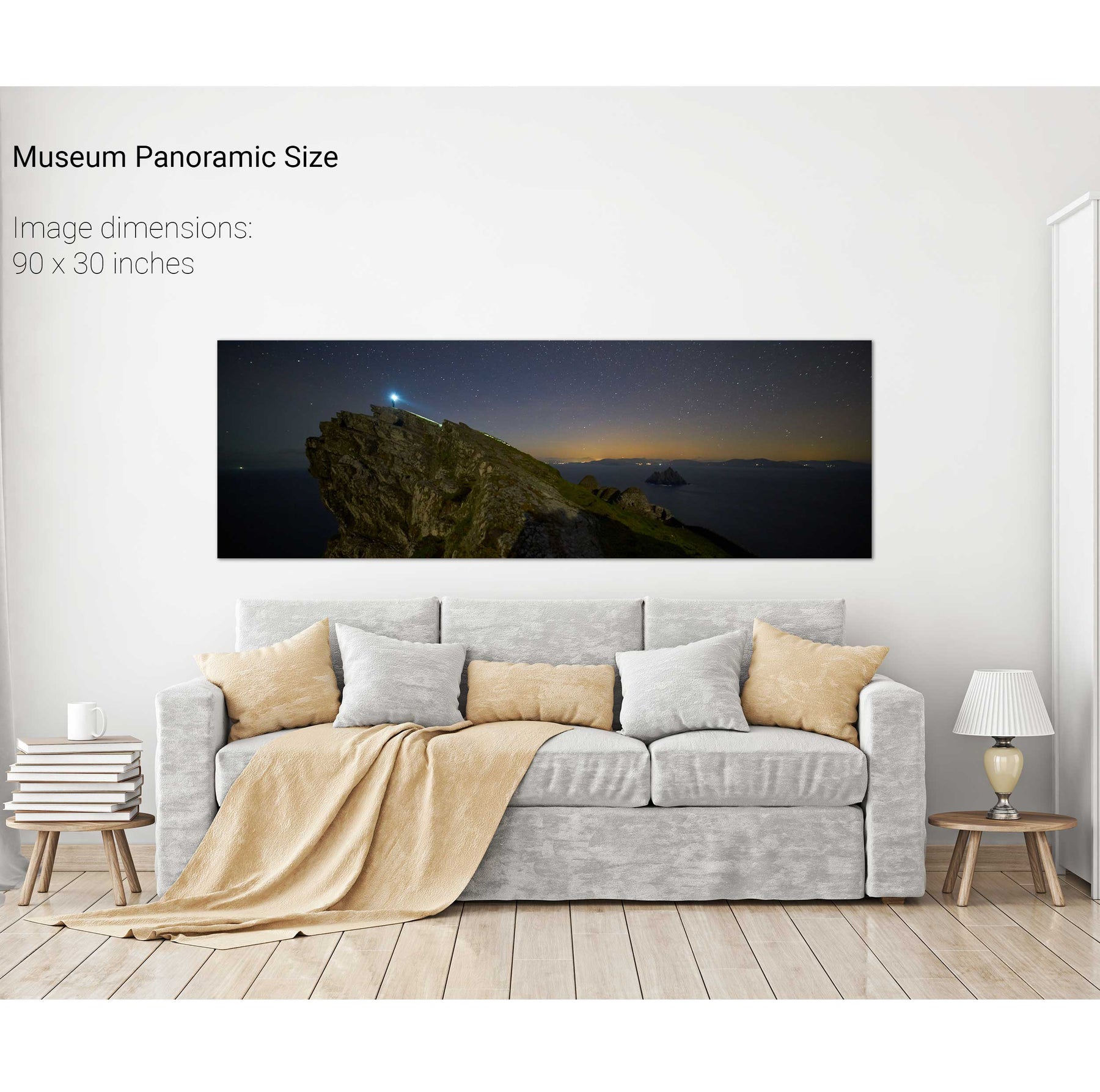
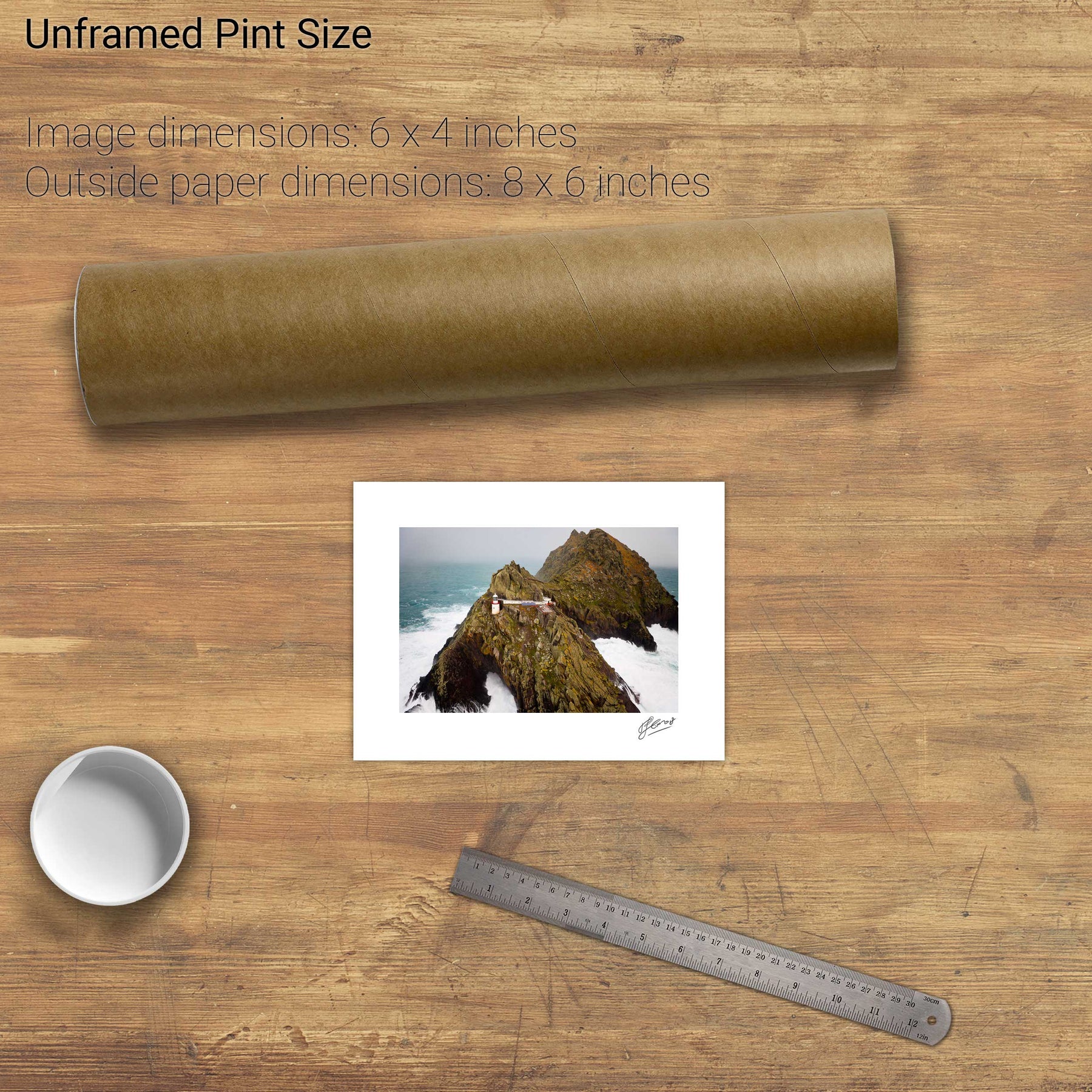
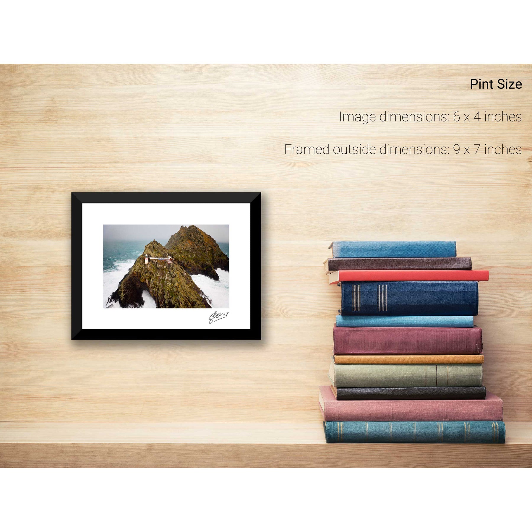
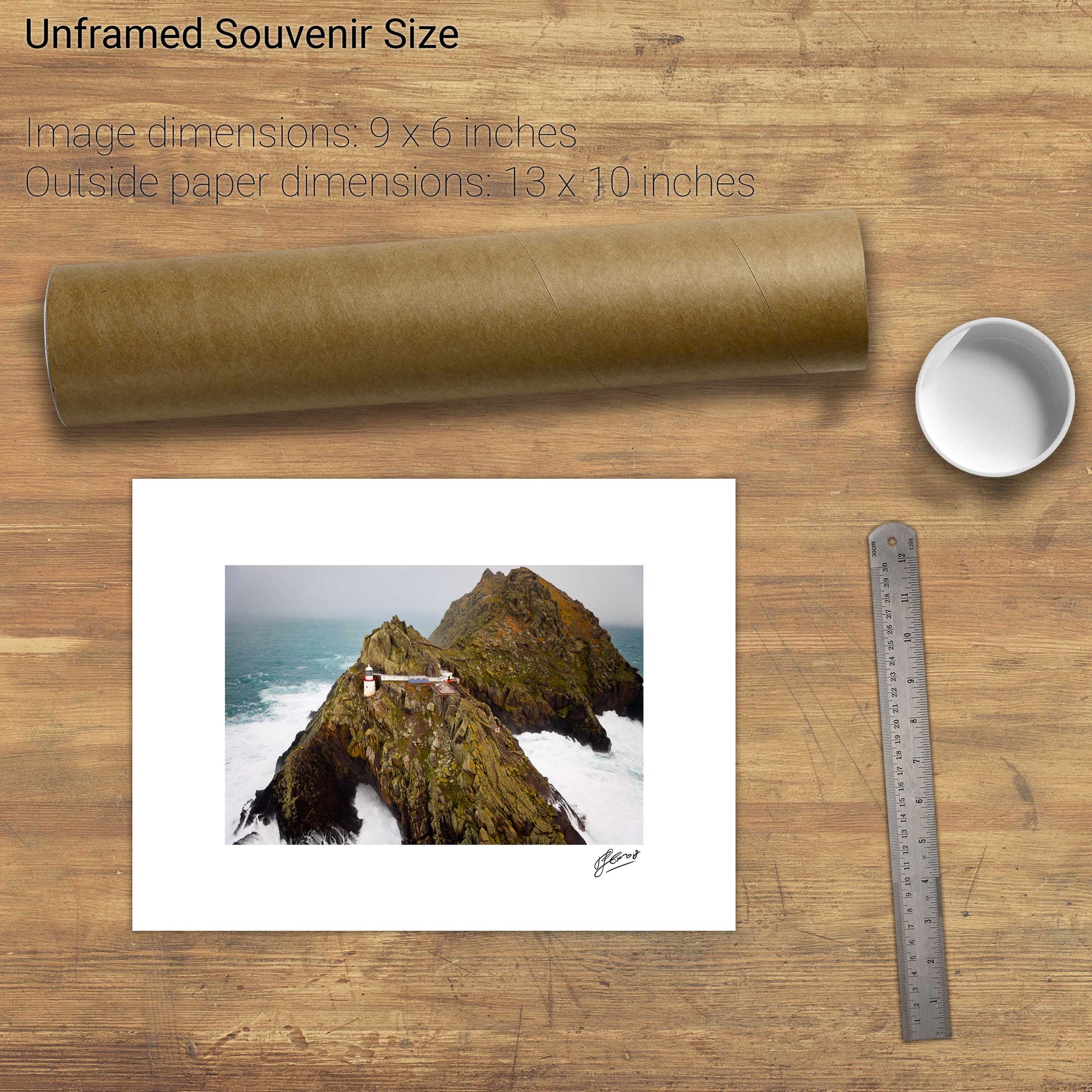
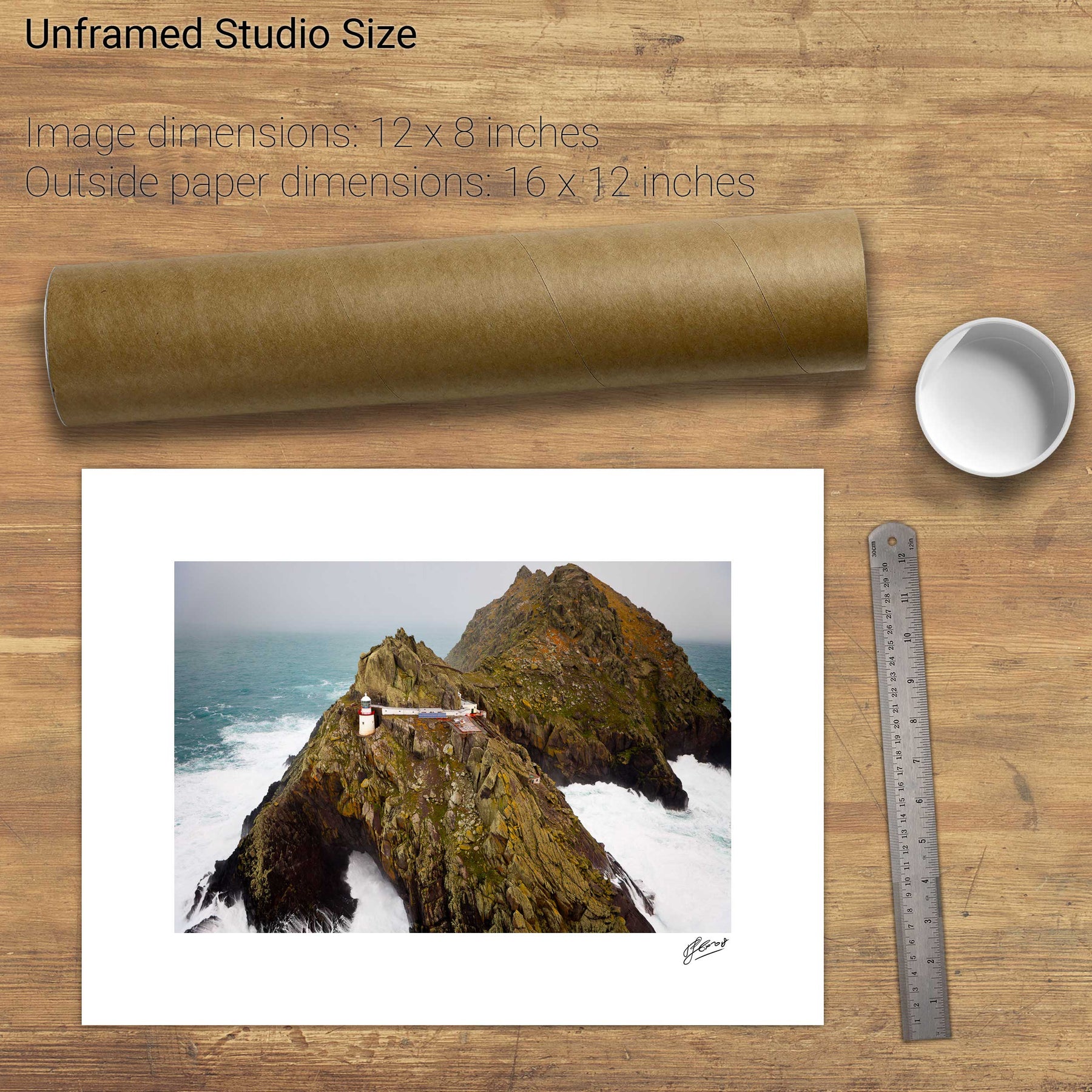
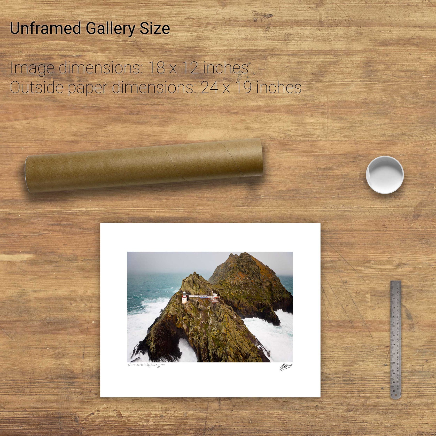
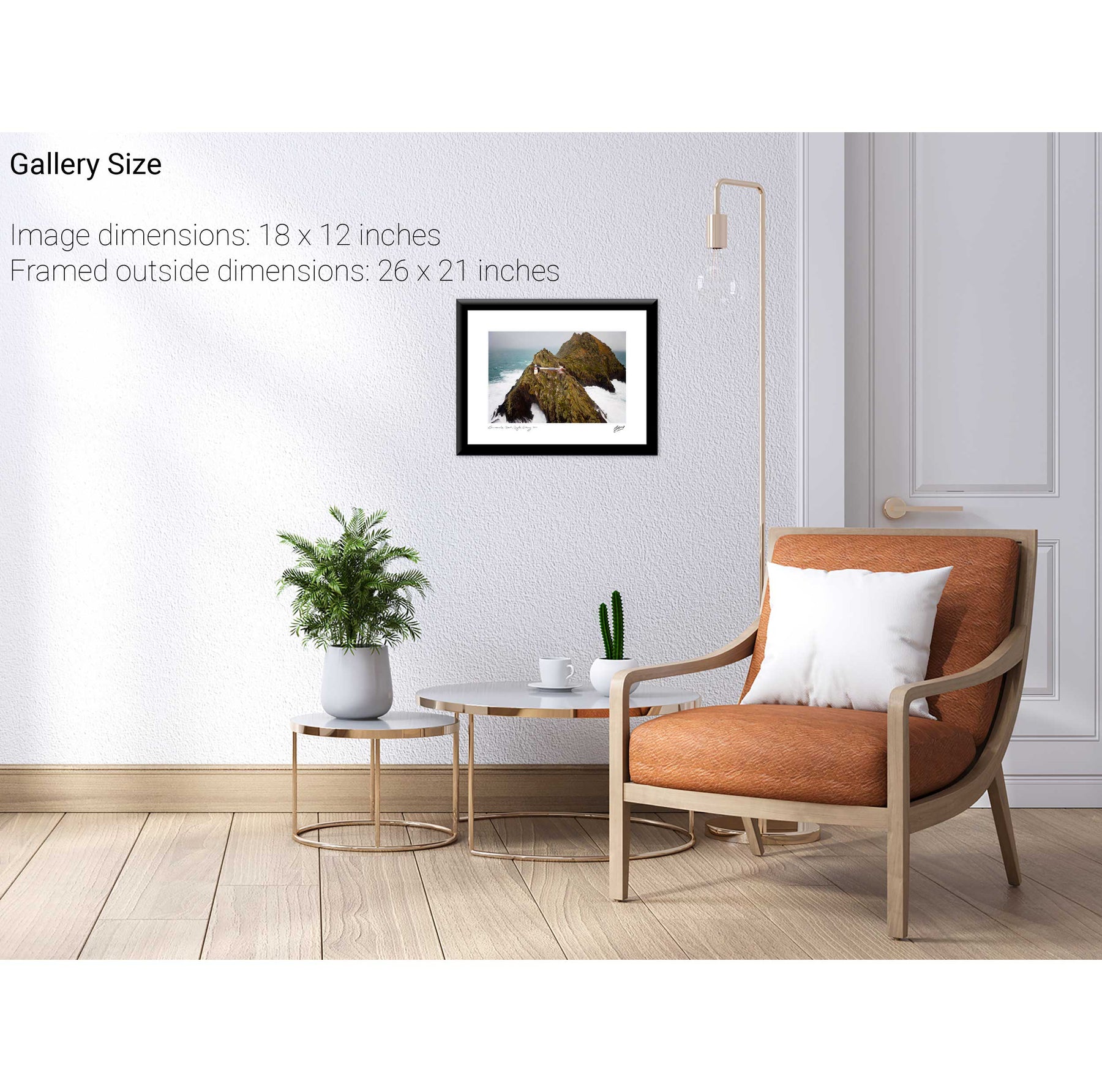
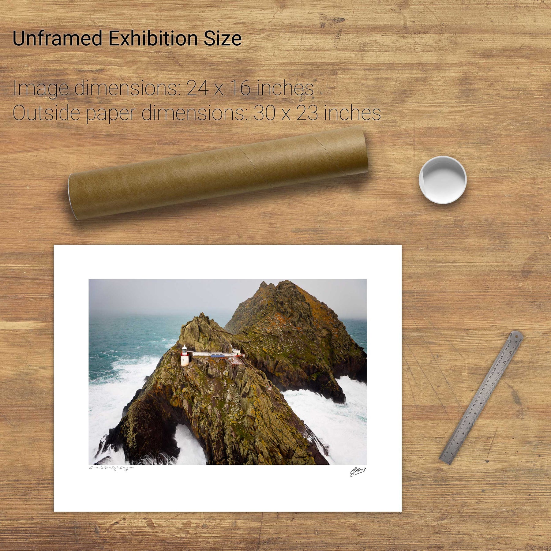
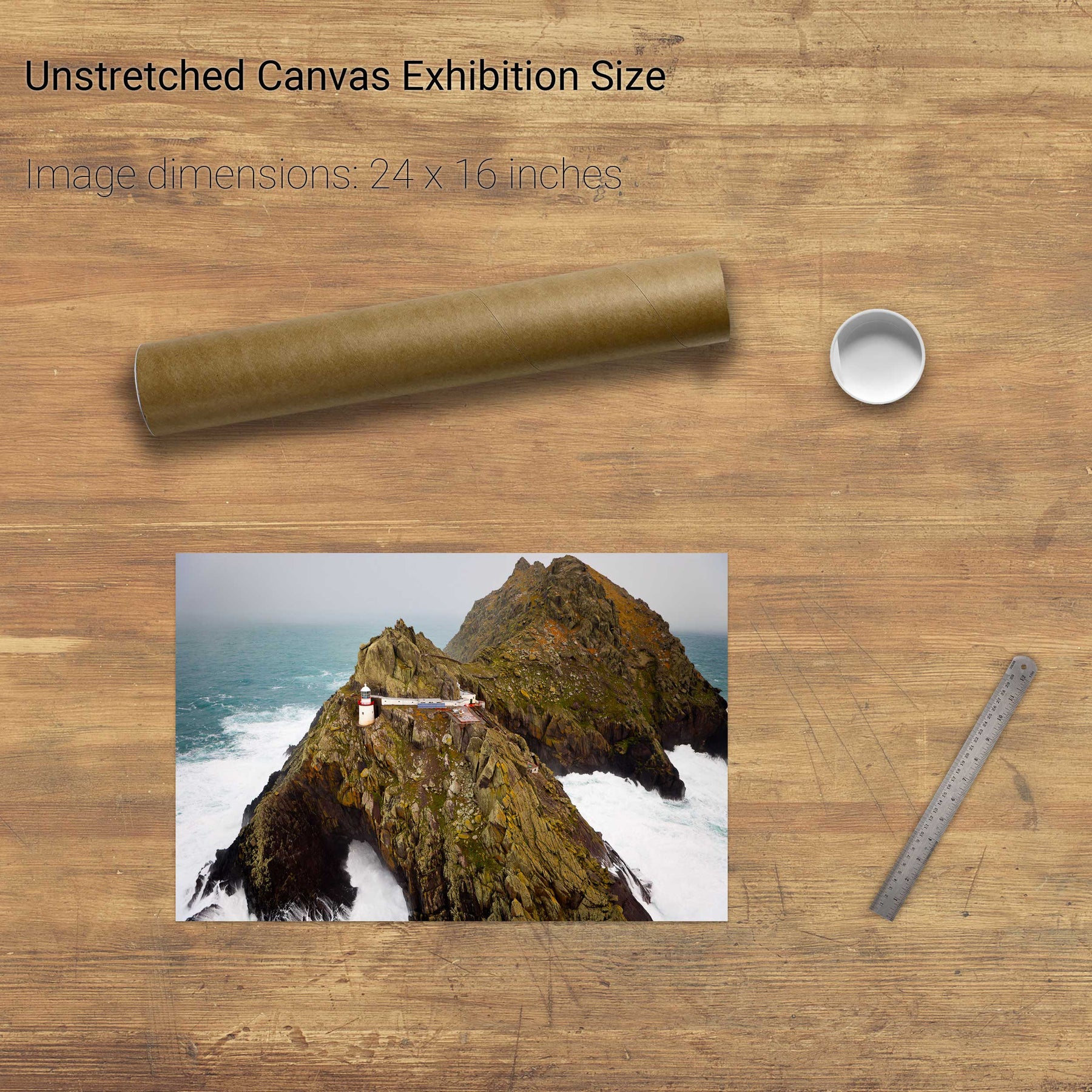
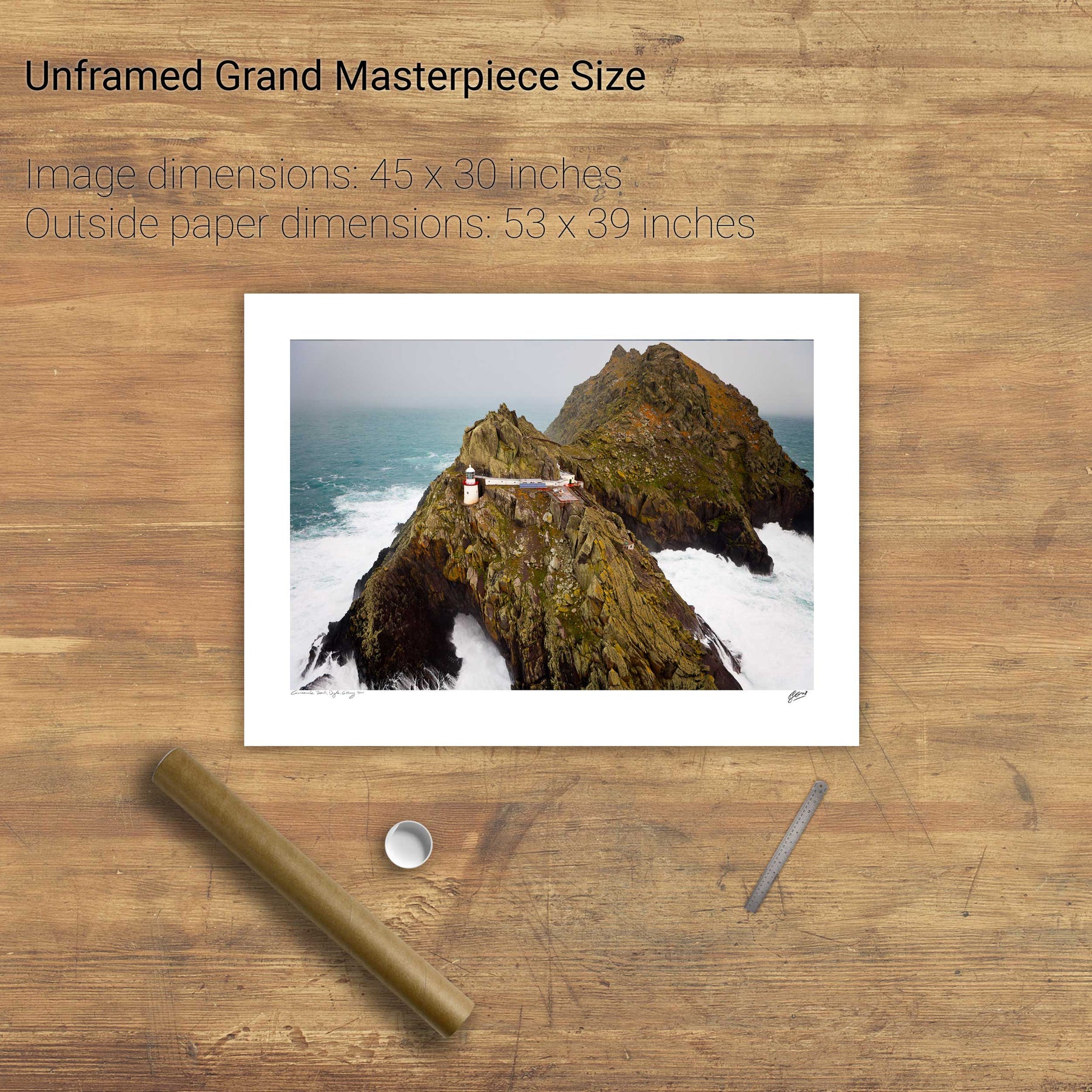
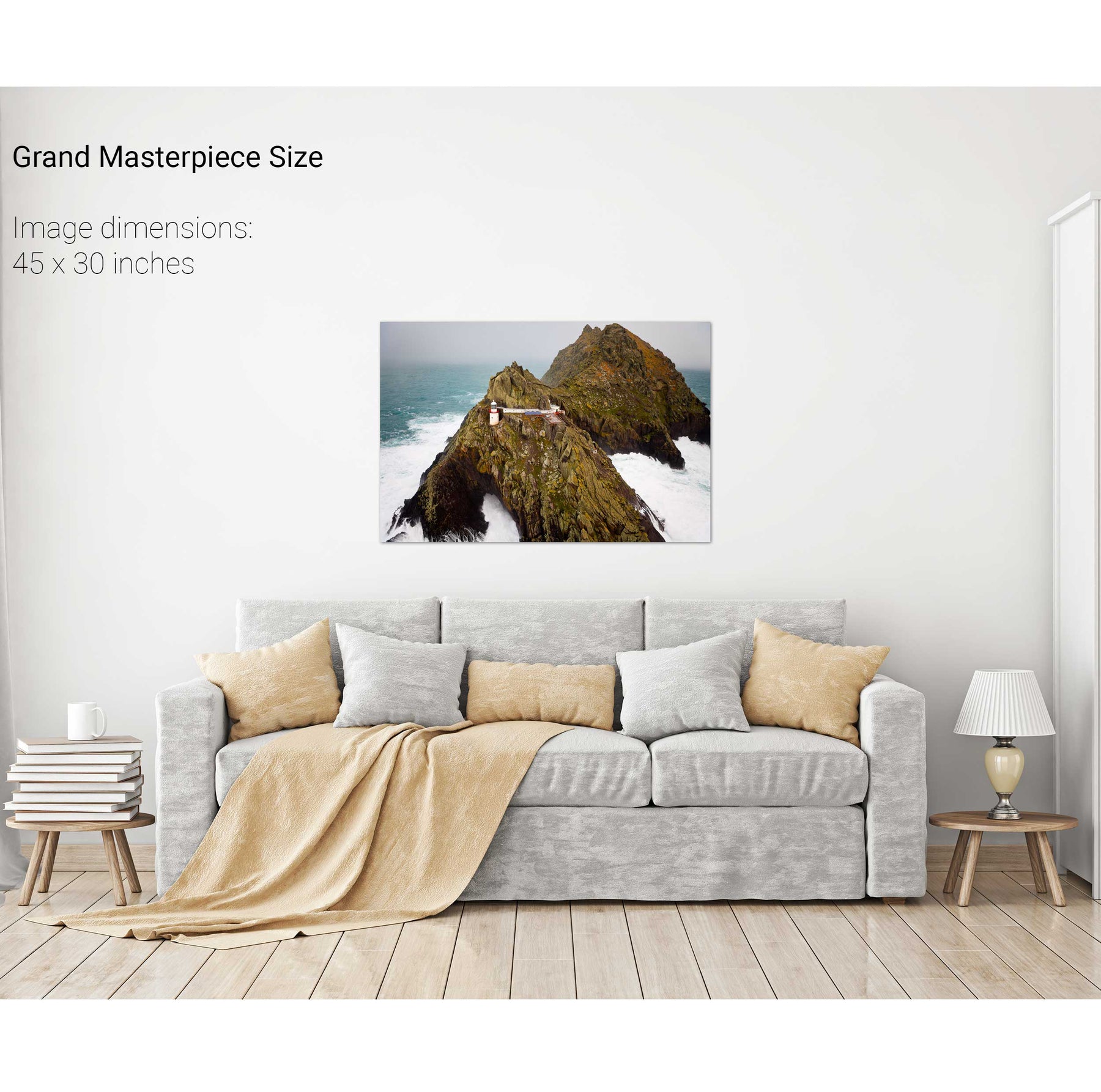
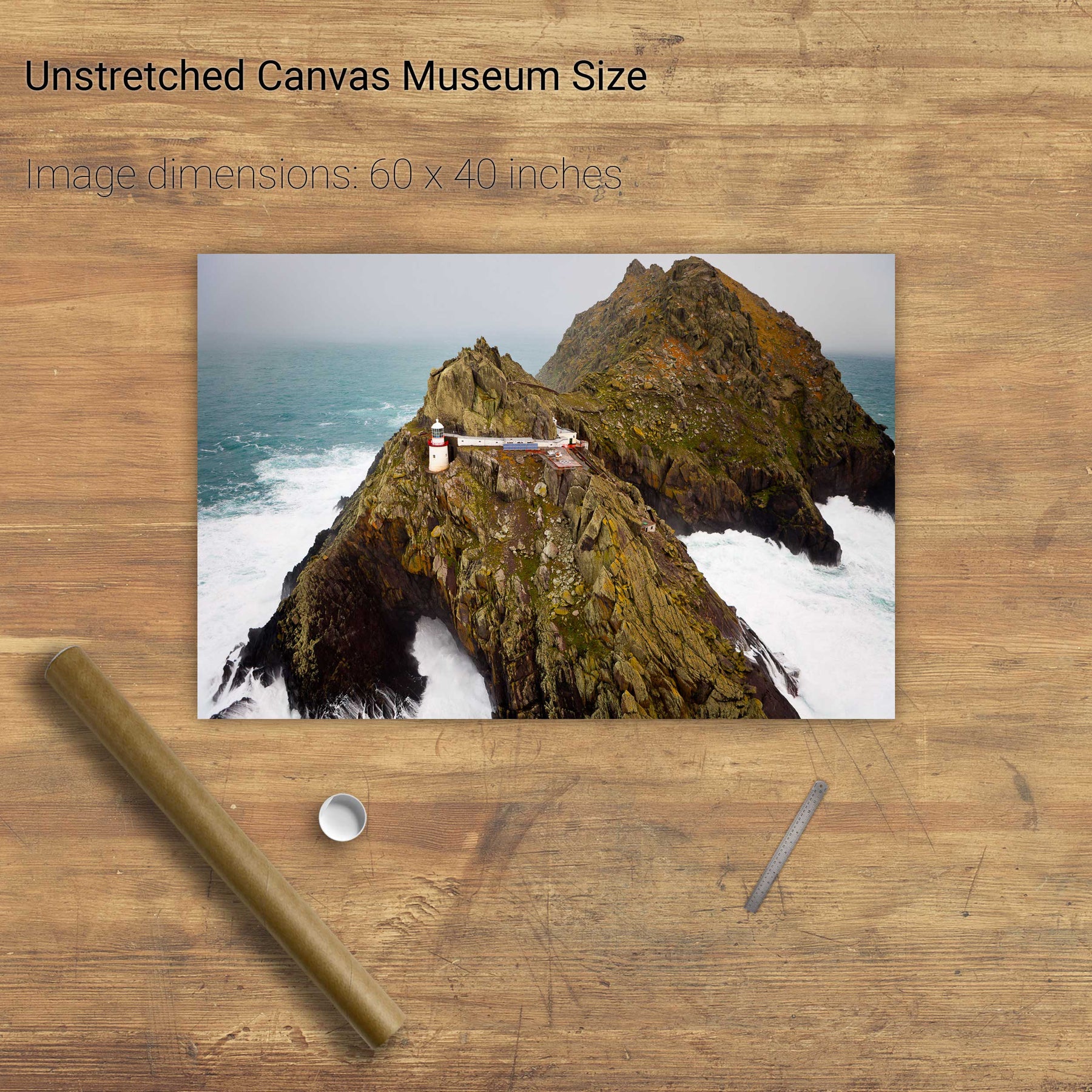
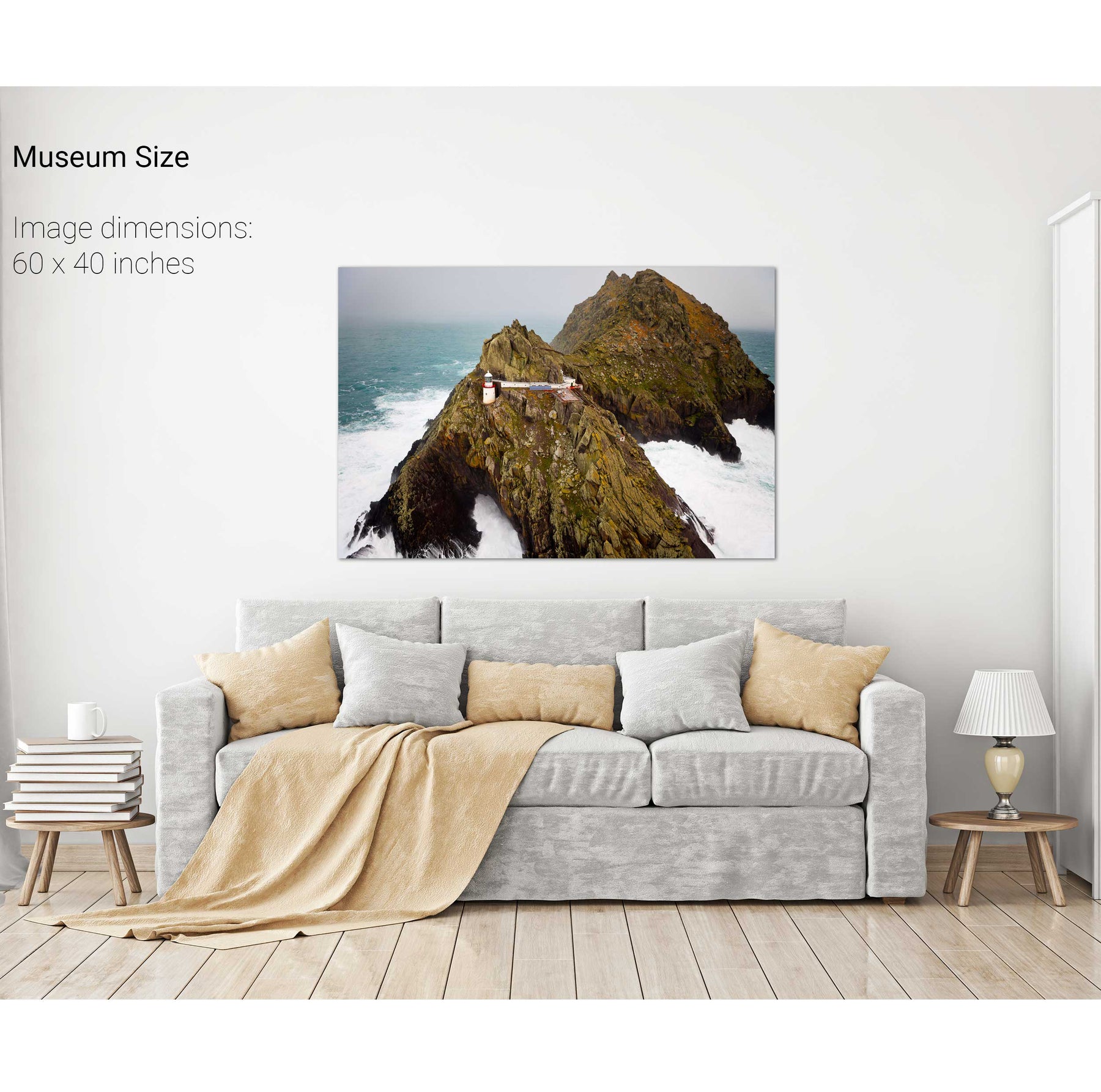
Light the Way, Skellig Michael, Kerry


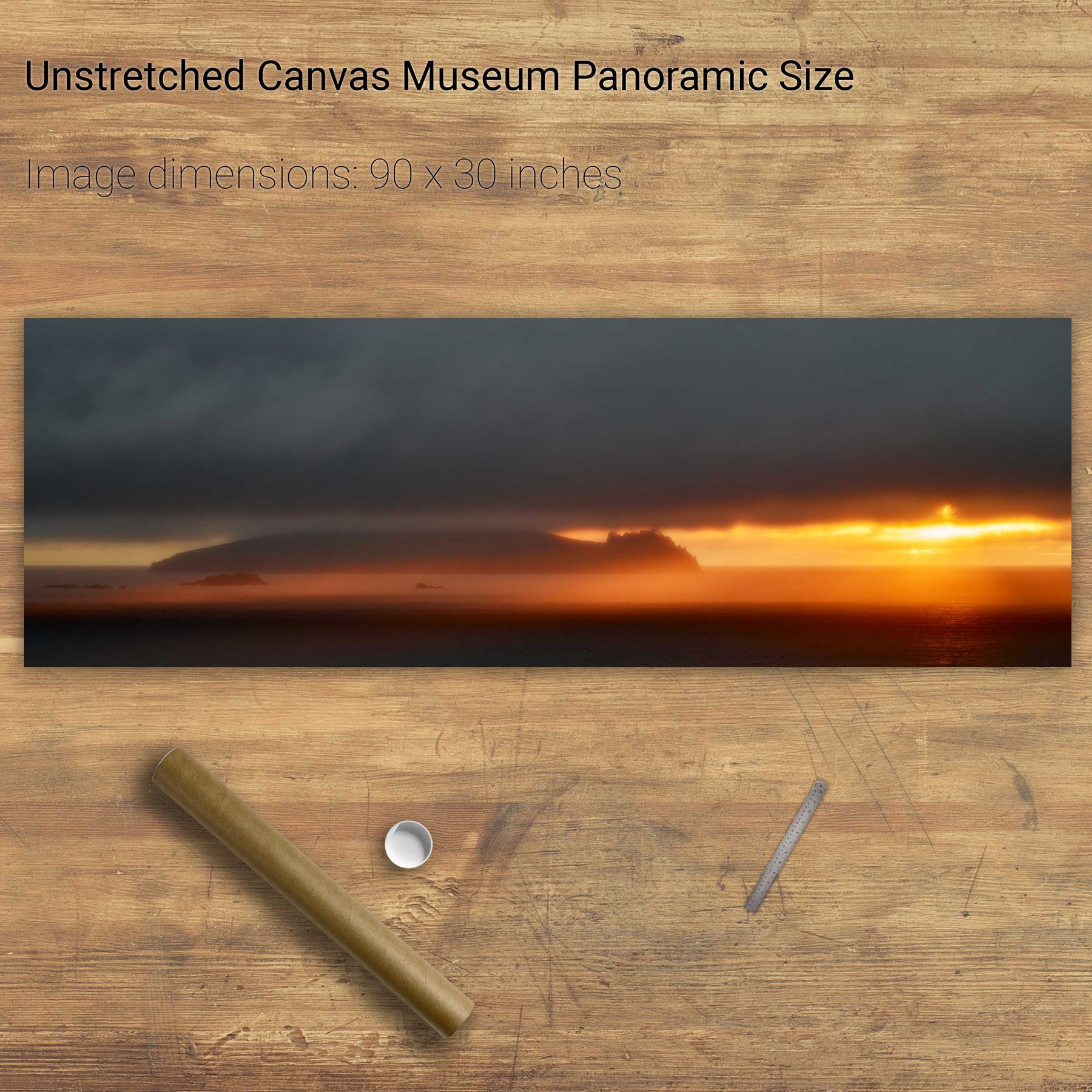
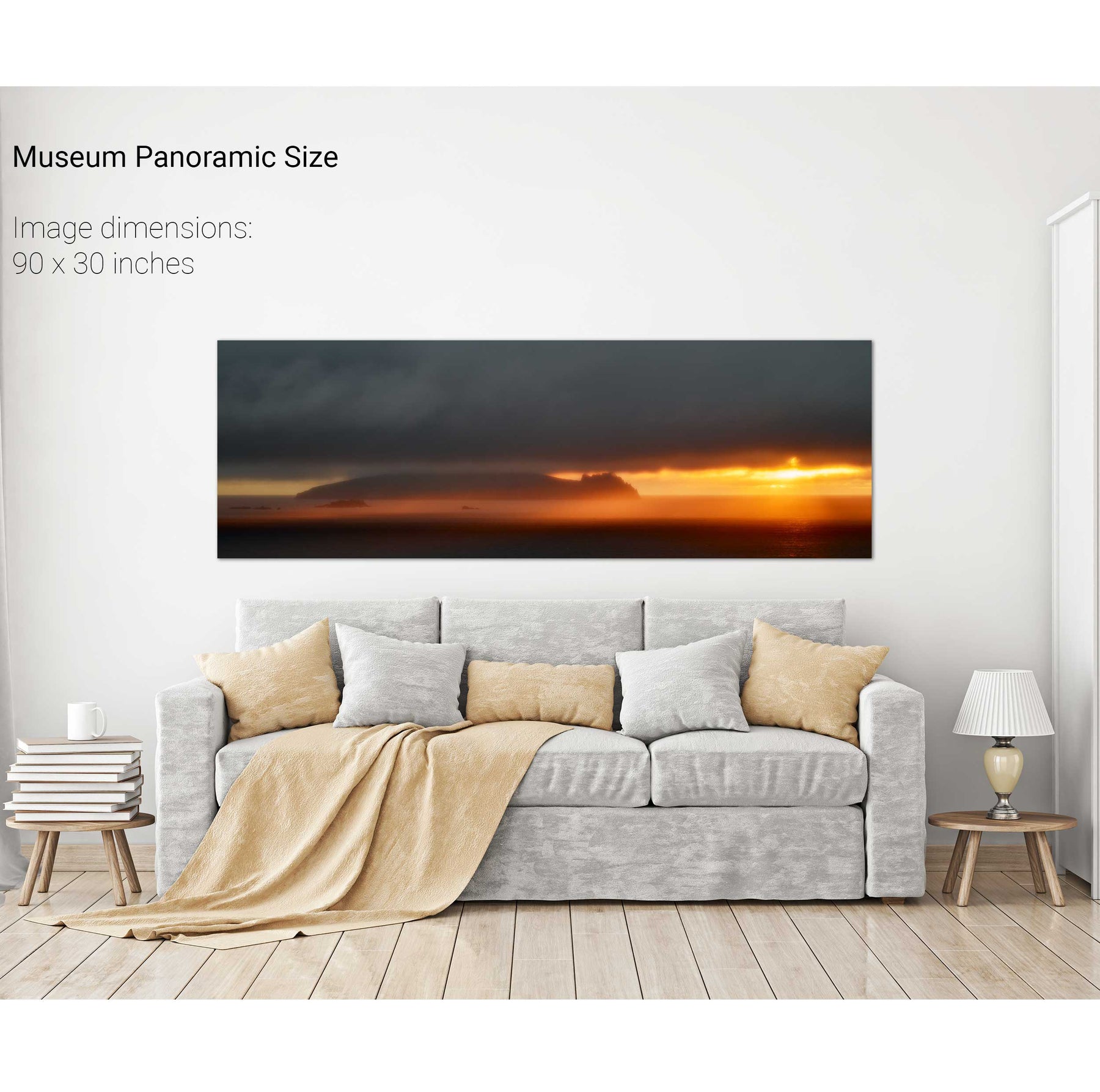
A Stormy Day, An Tiaracht, Co. Kerry


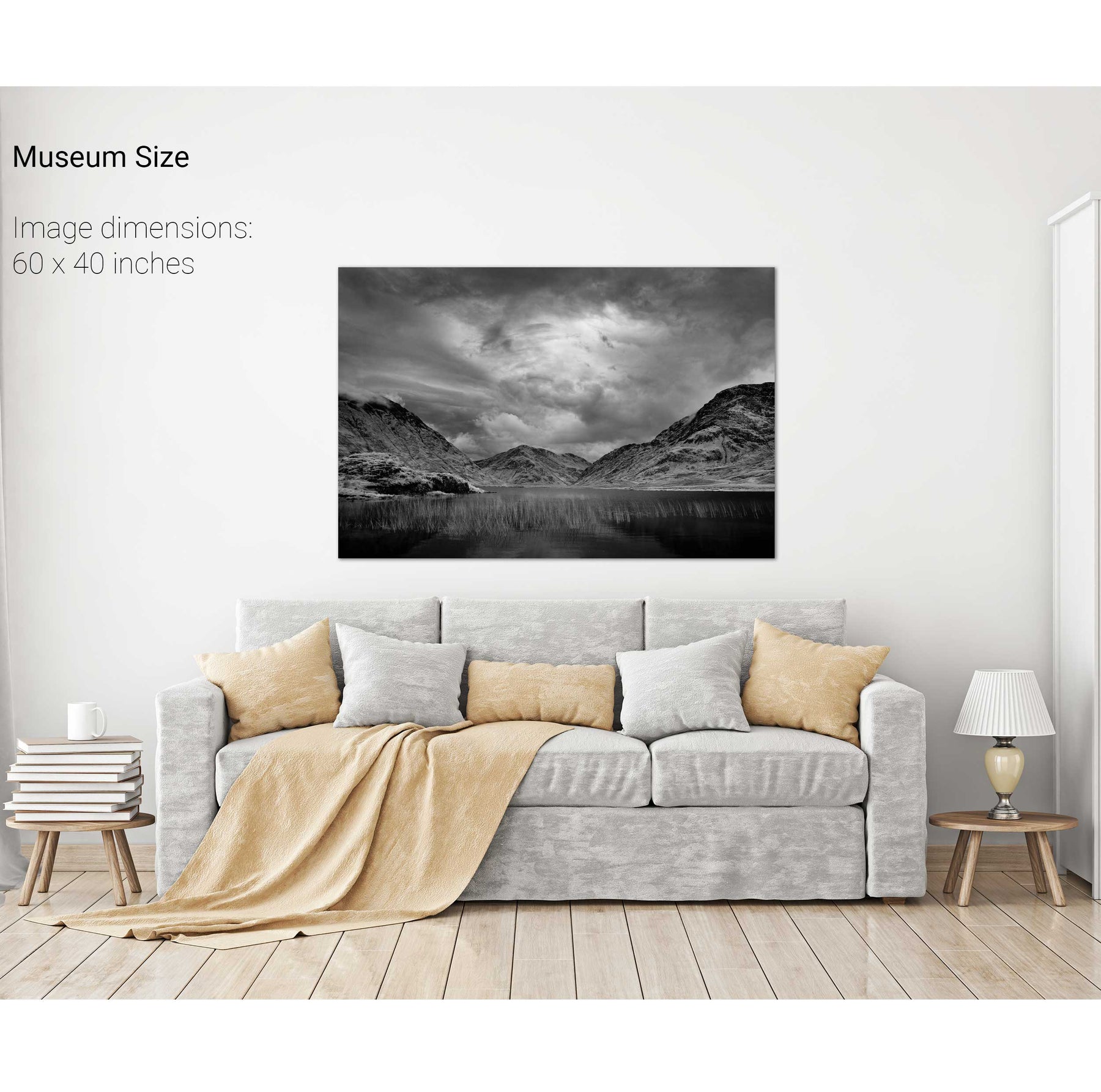
Doo Lough, Co. Mayo


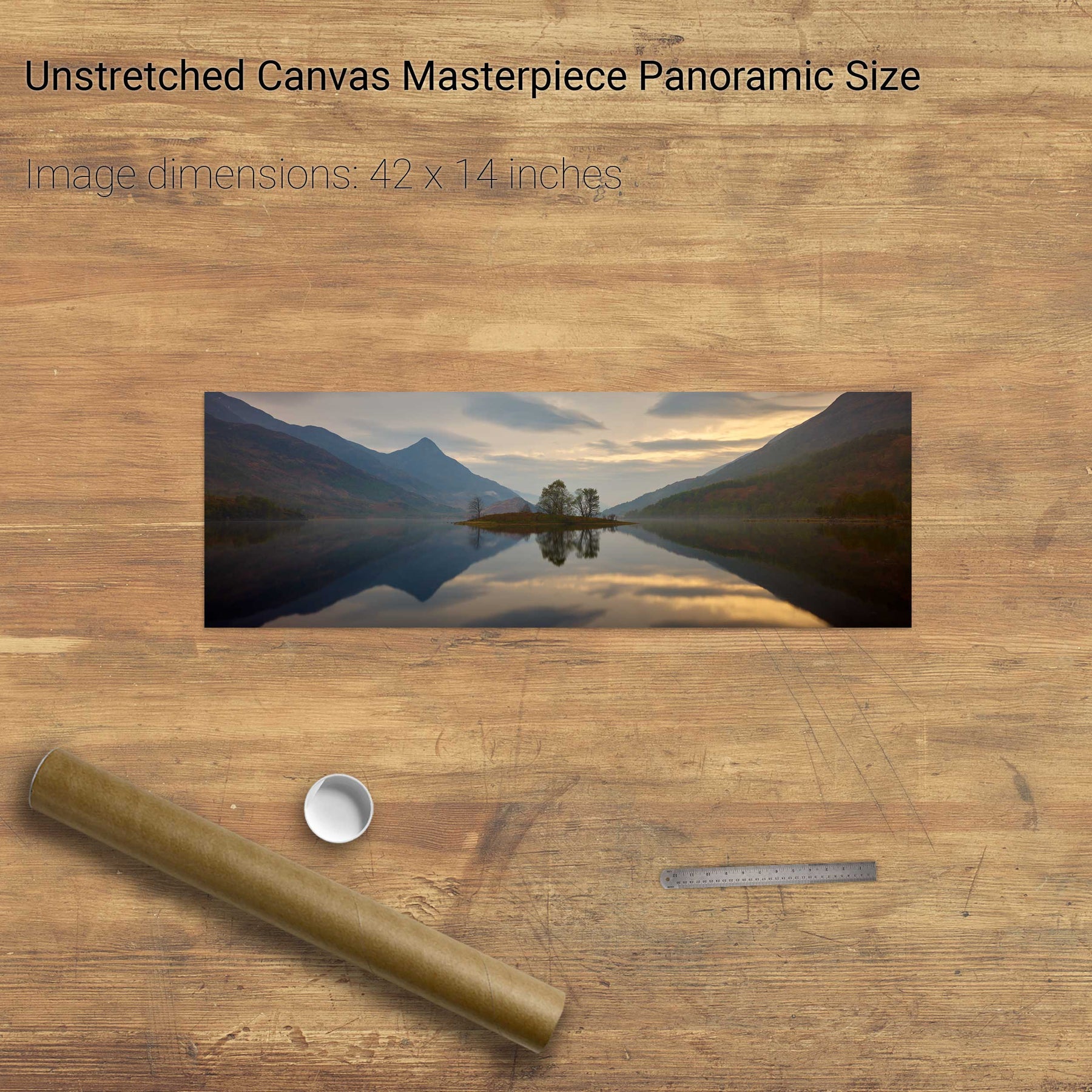
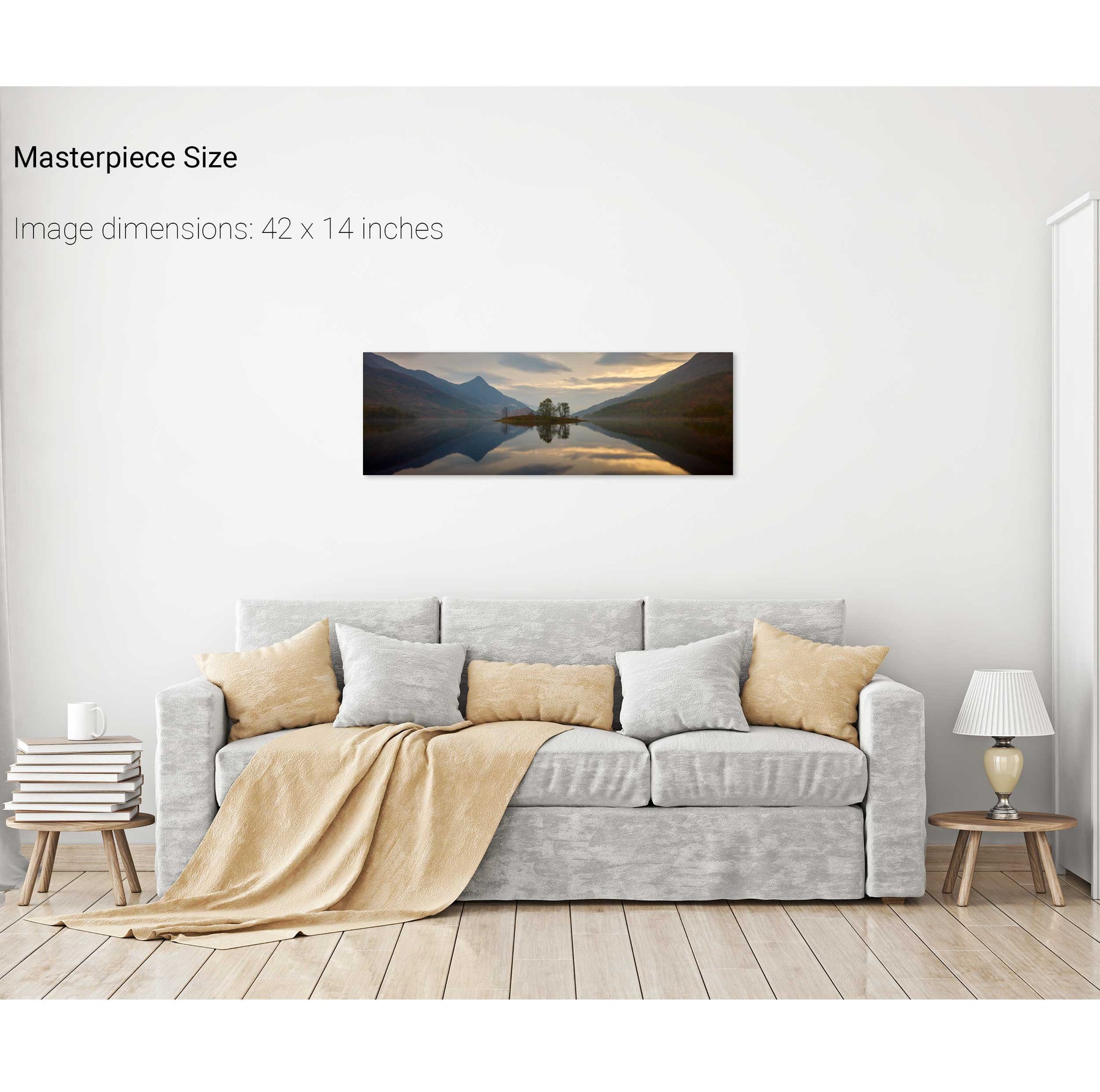
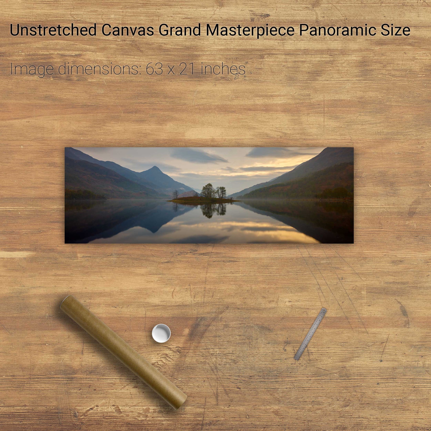
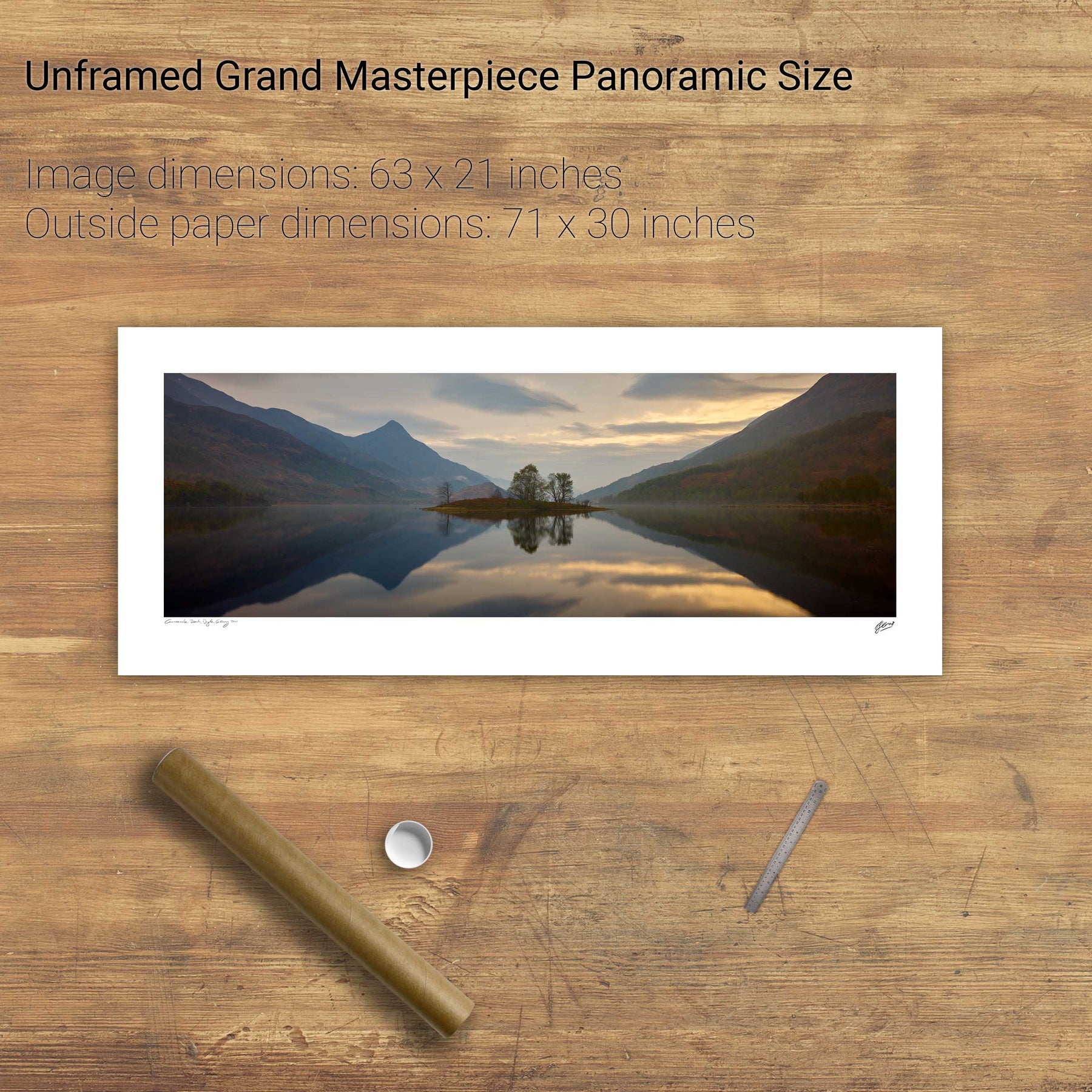
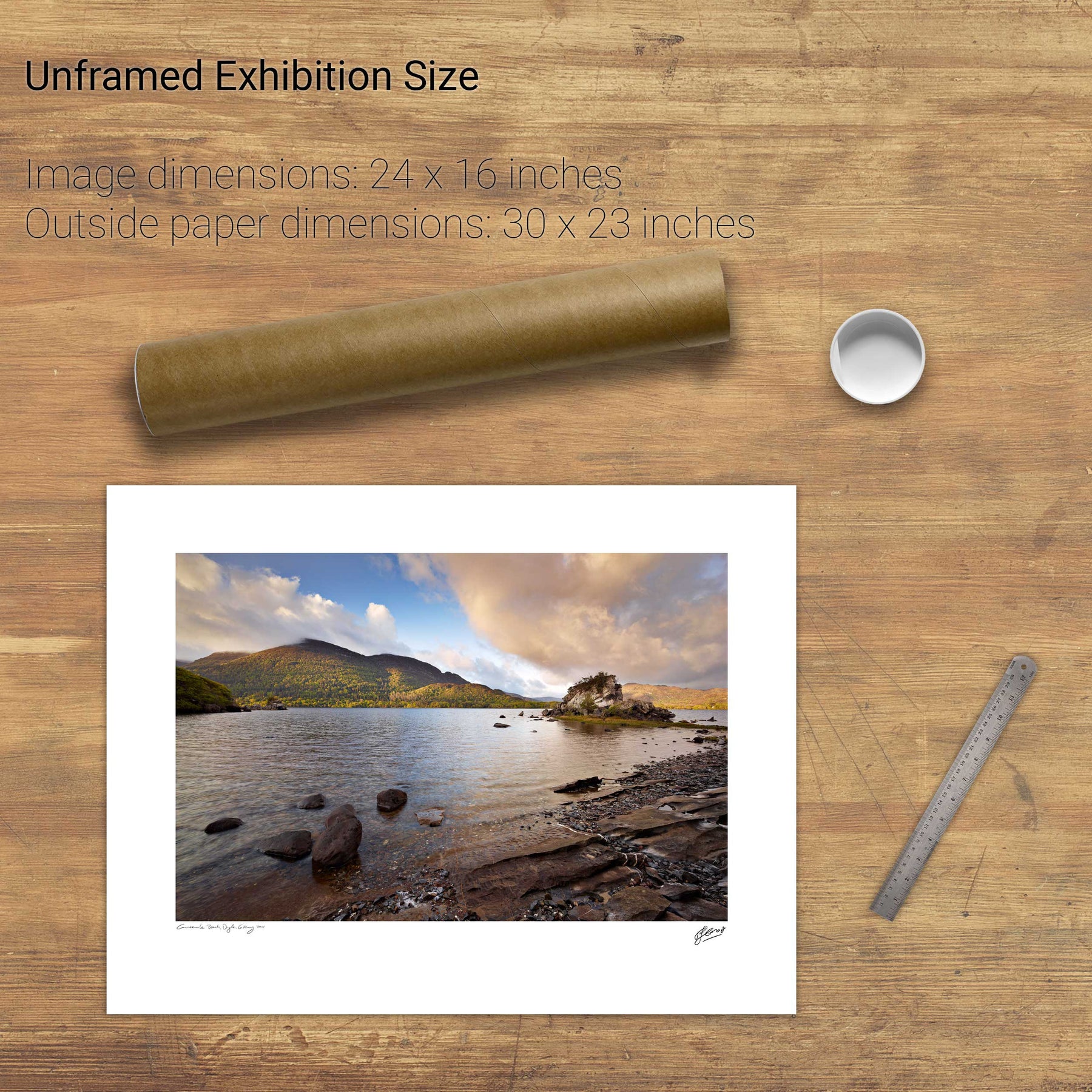
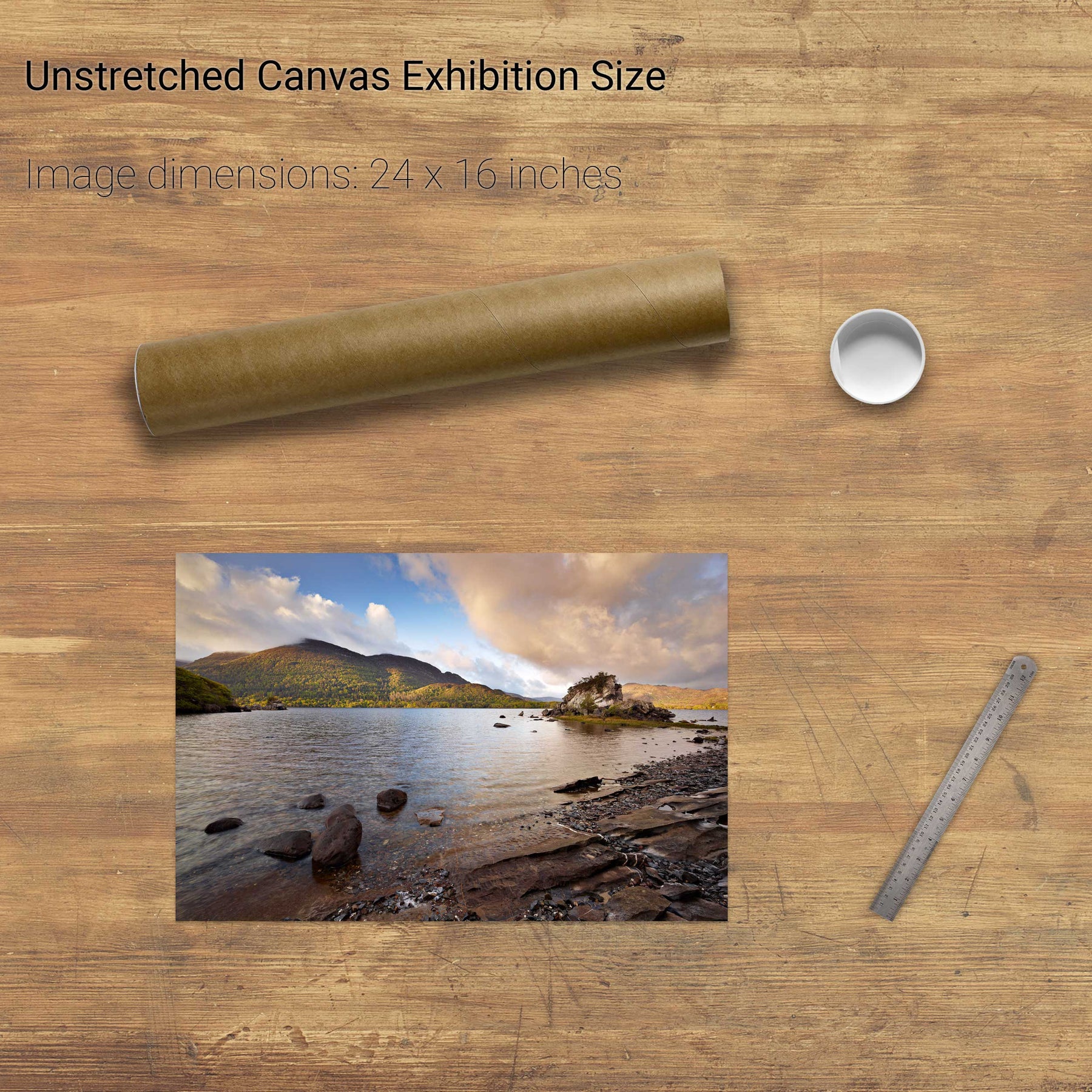
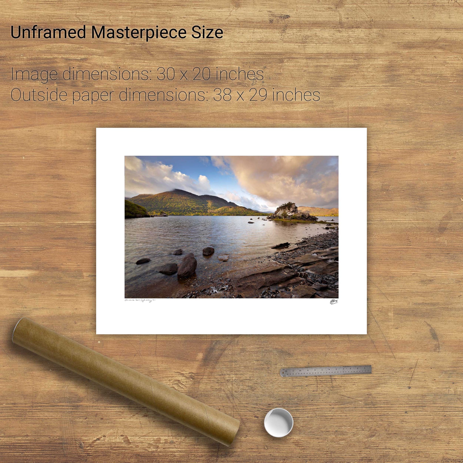
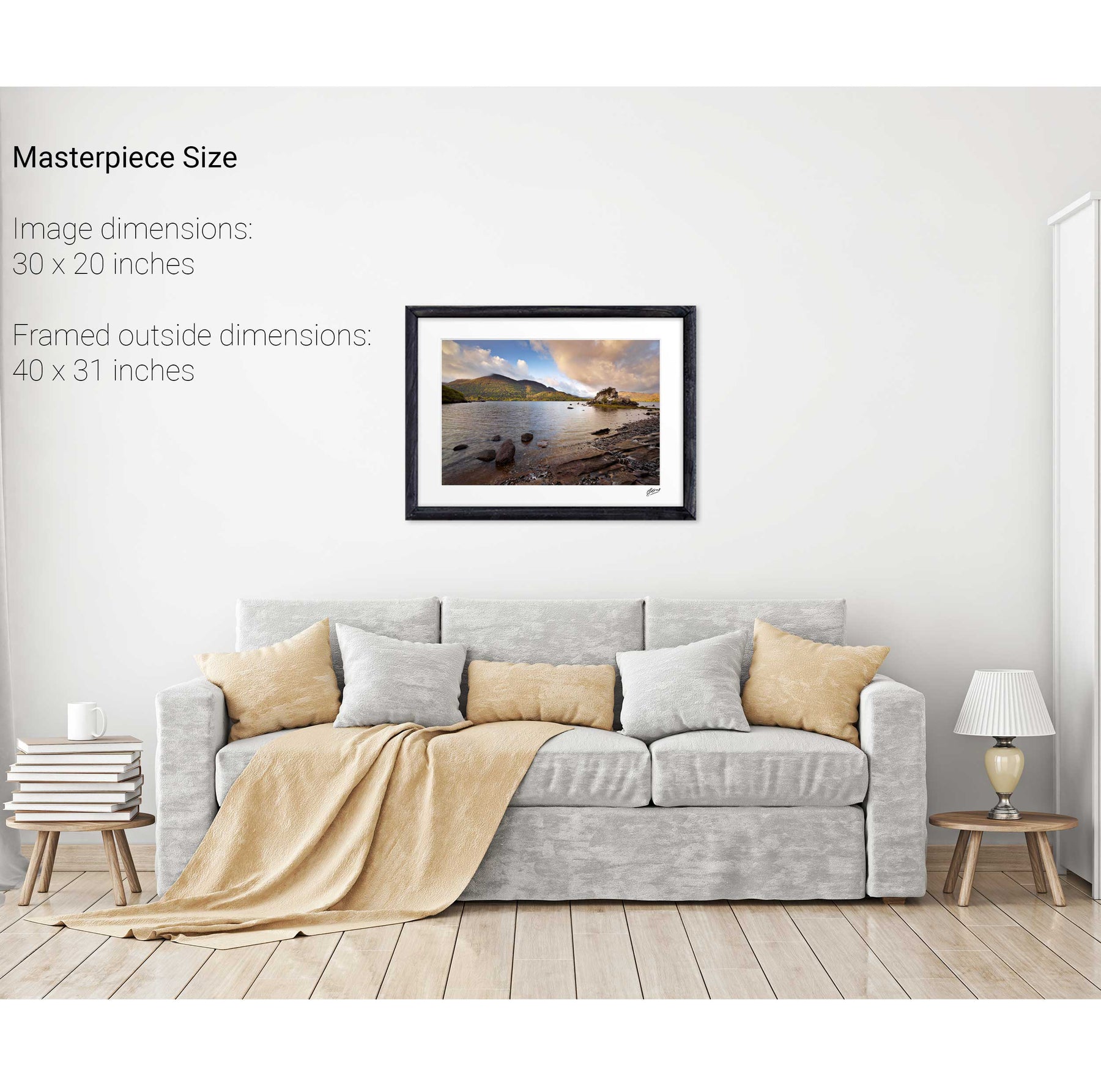
Colleen Bawn Rock, Killarney National Park, Co. Kerry


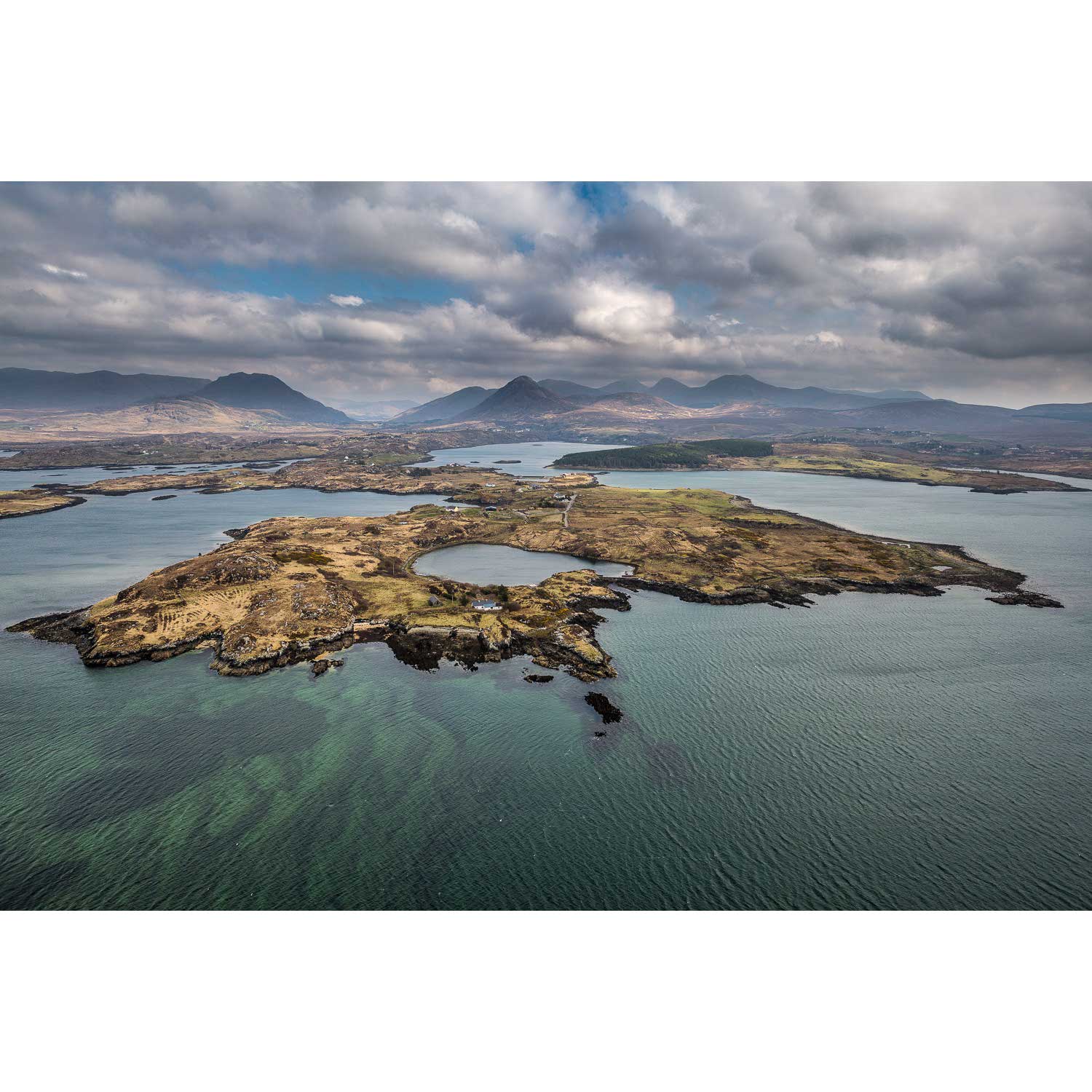
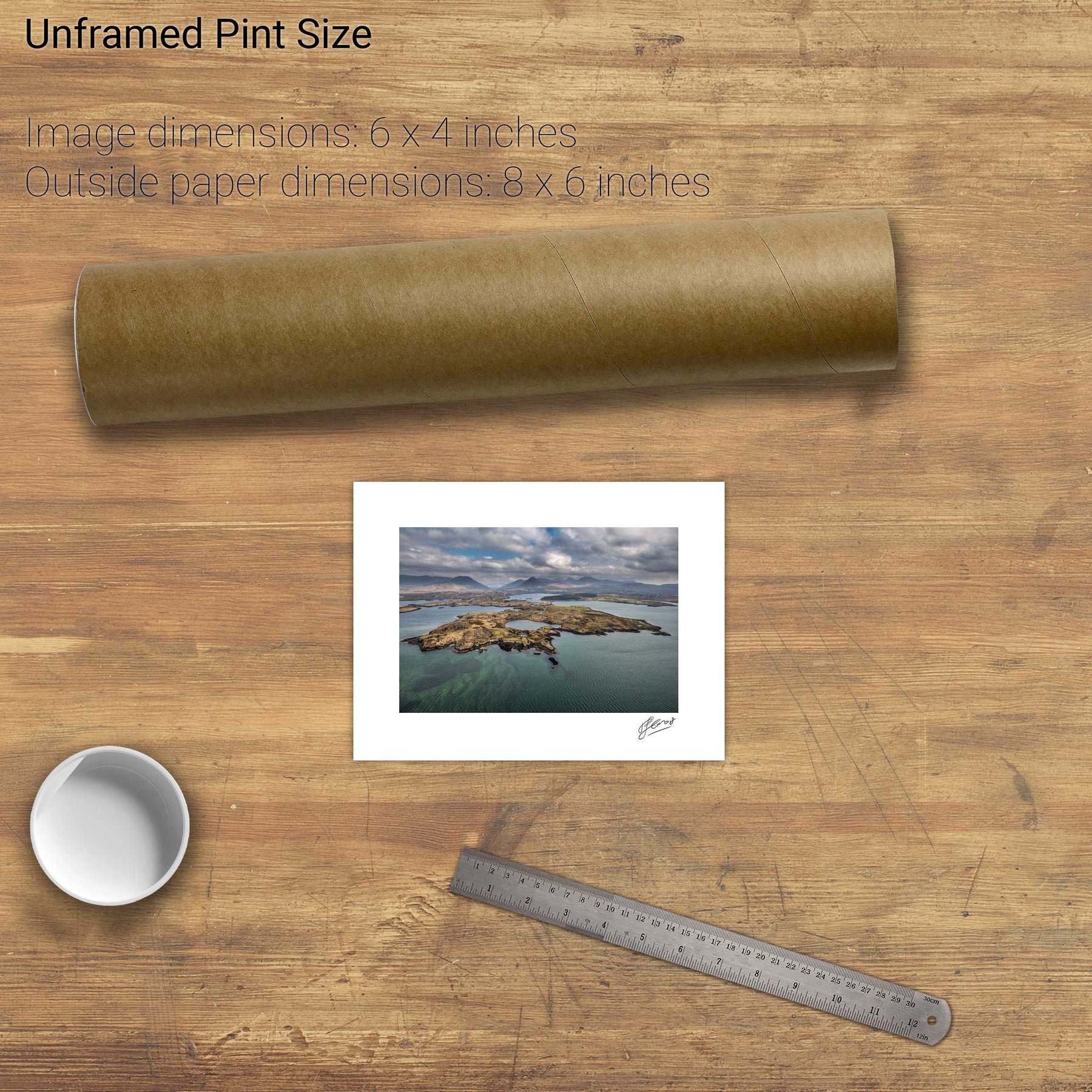
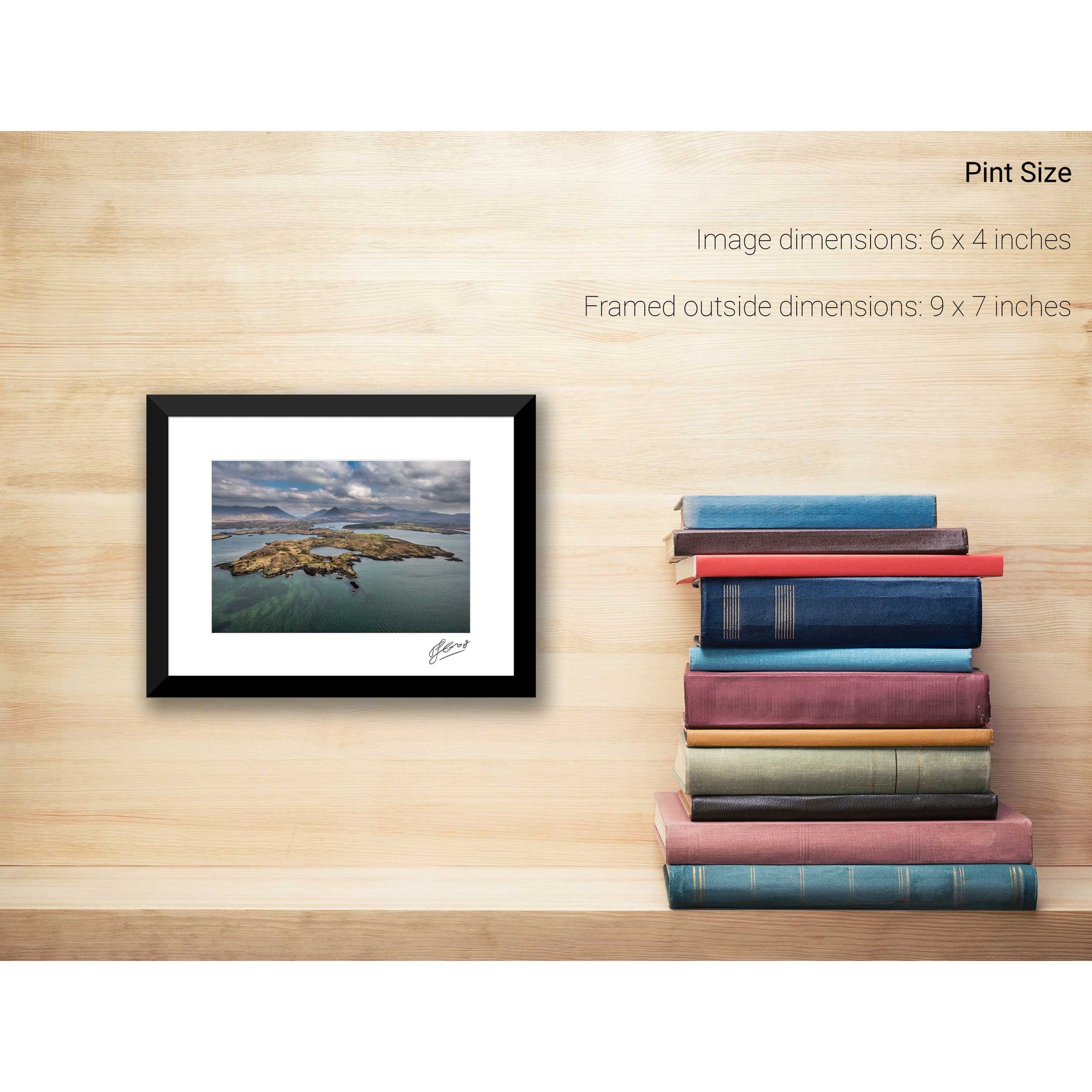
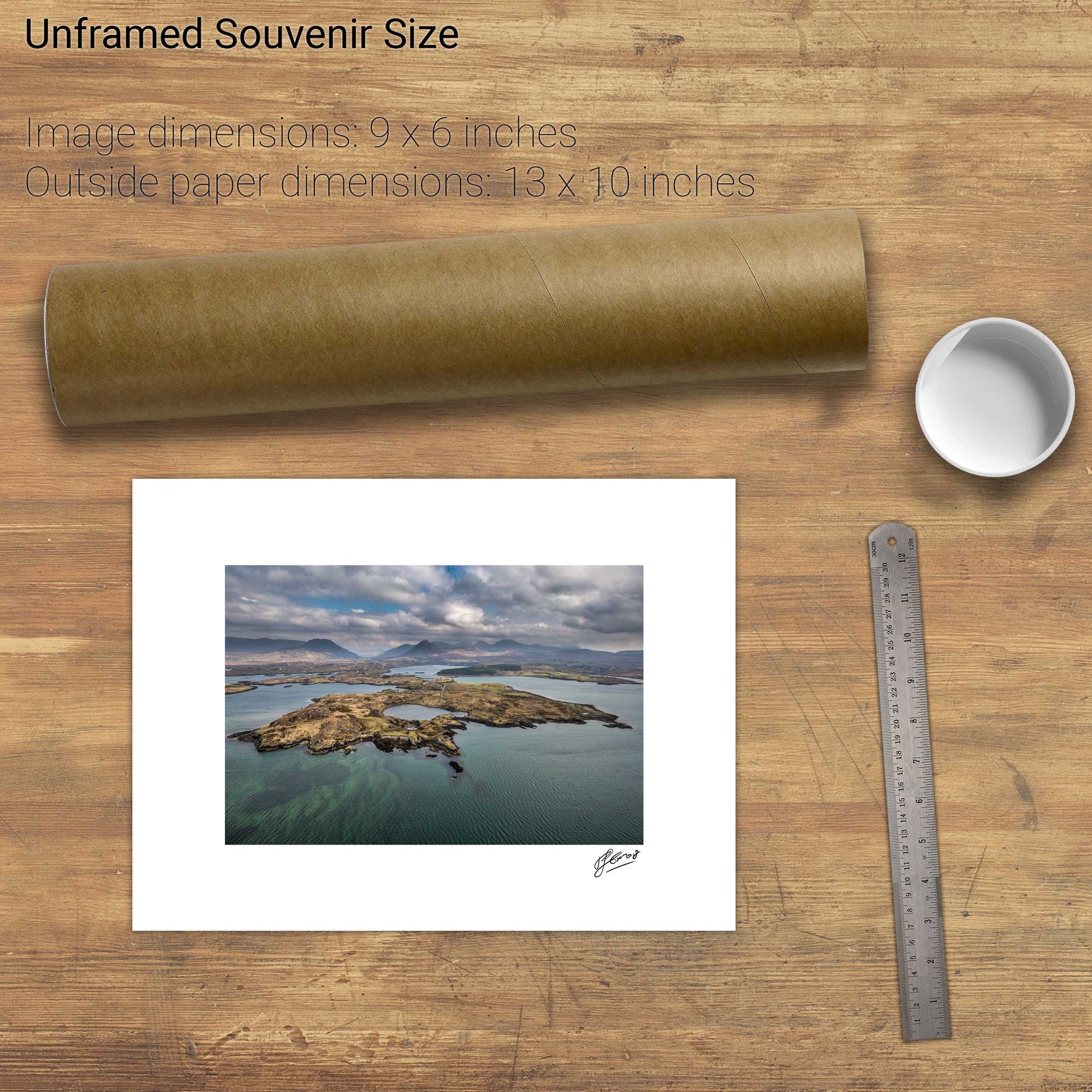
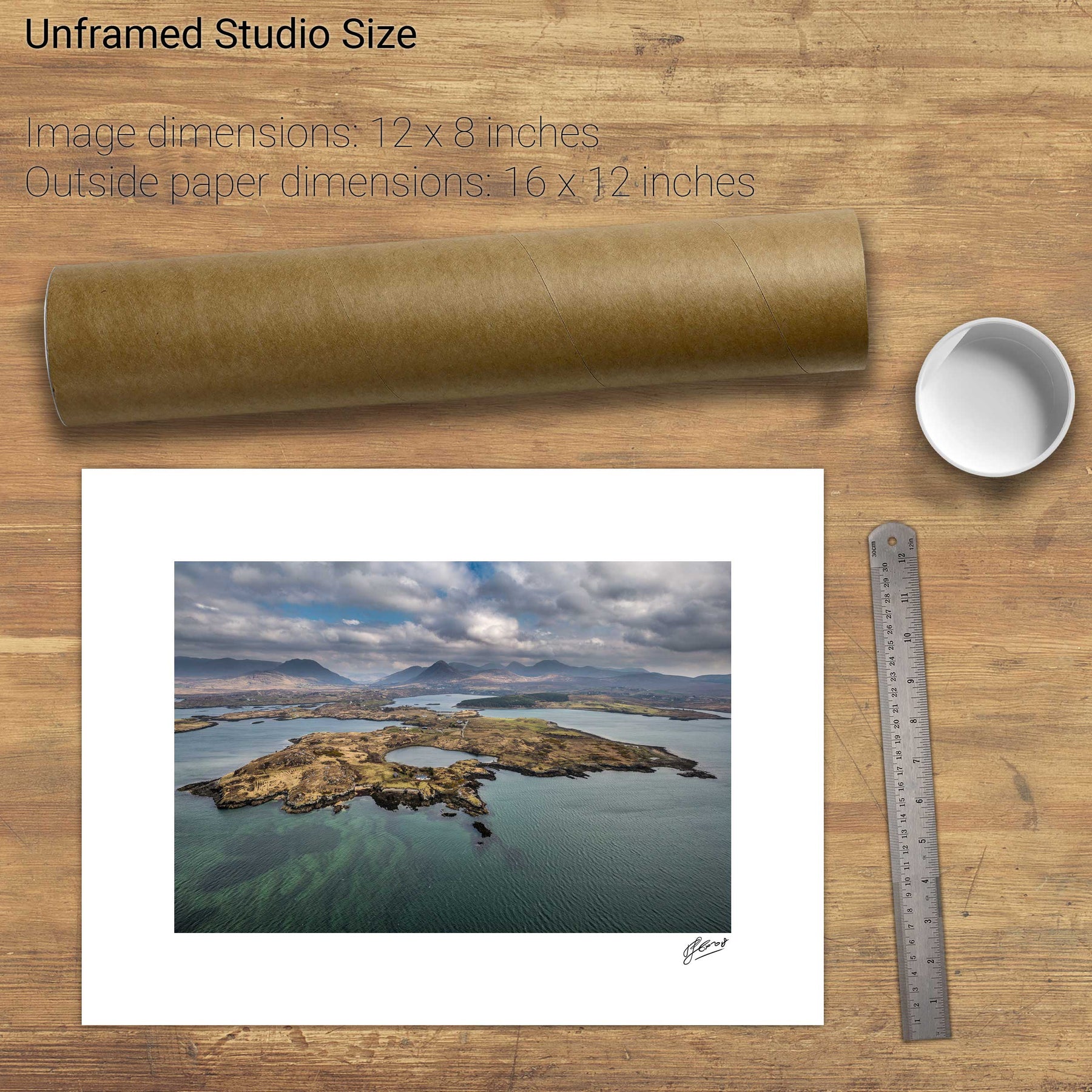
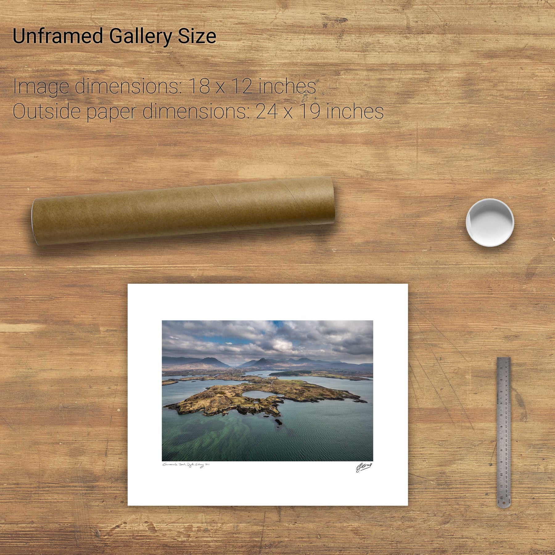
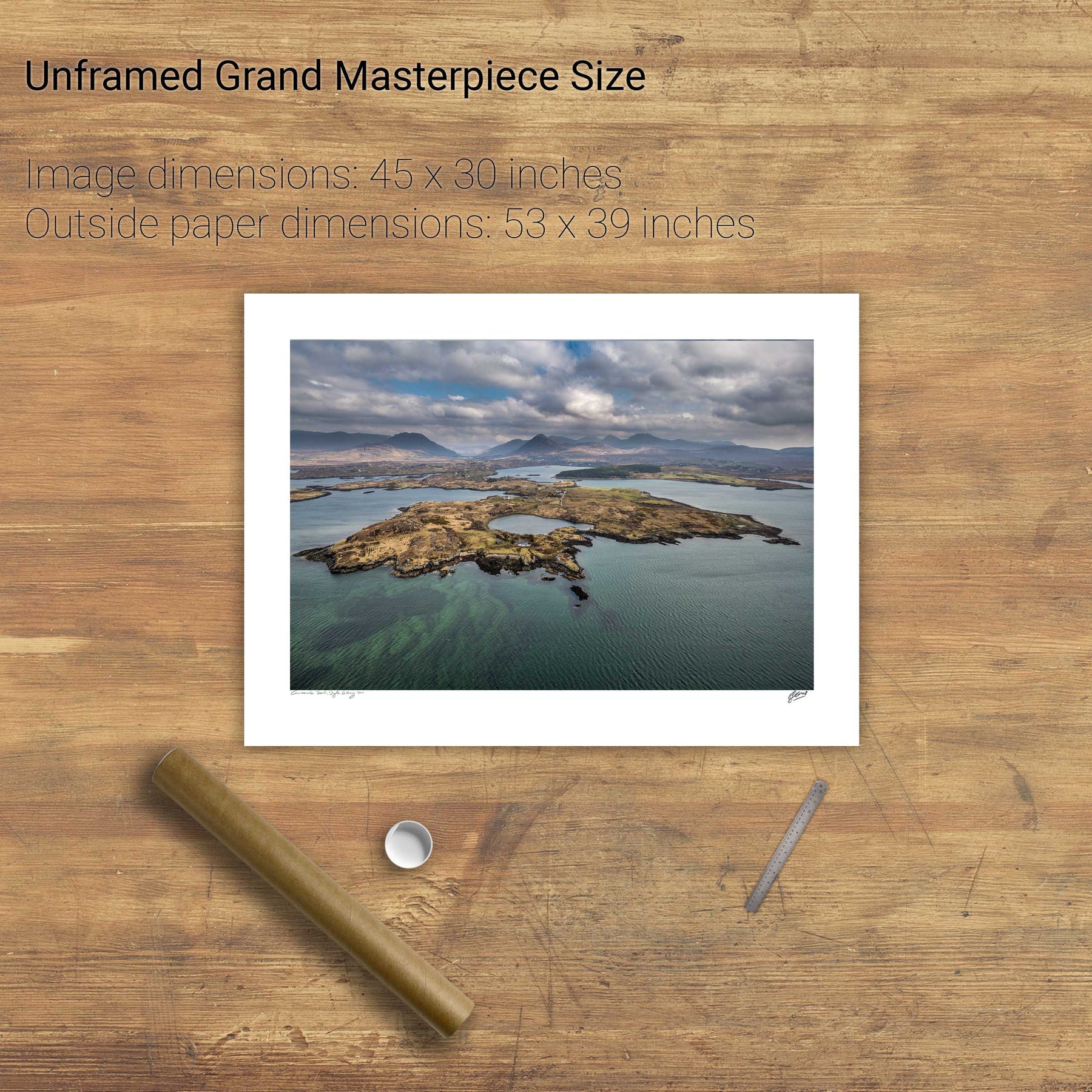
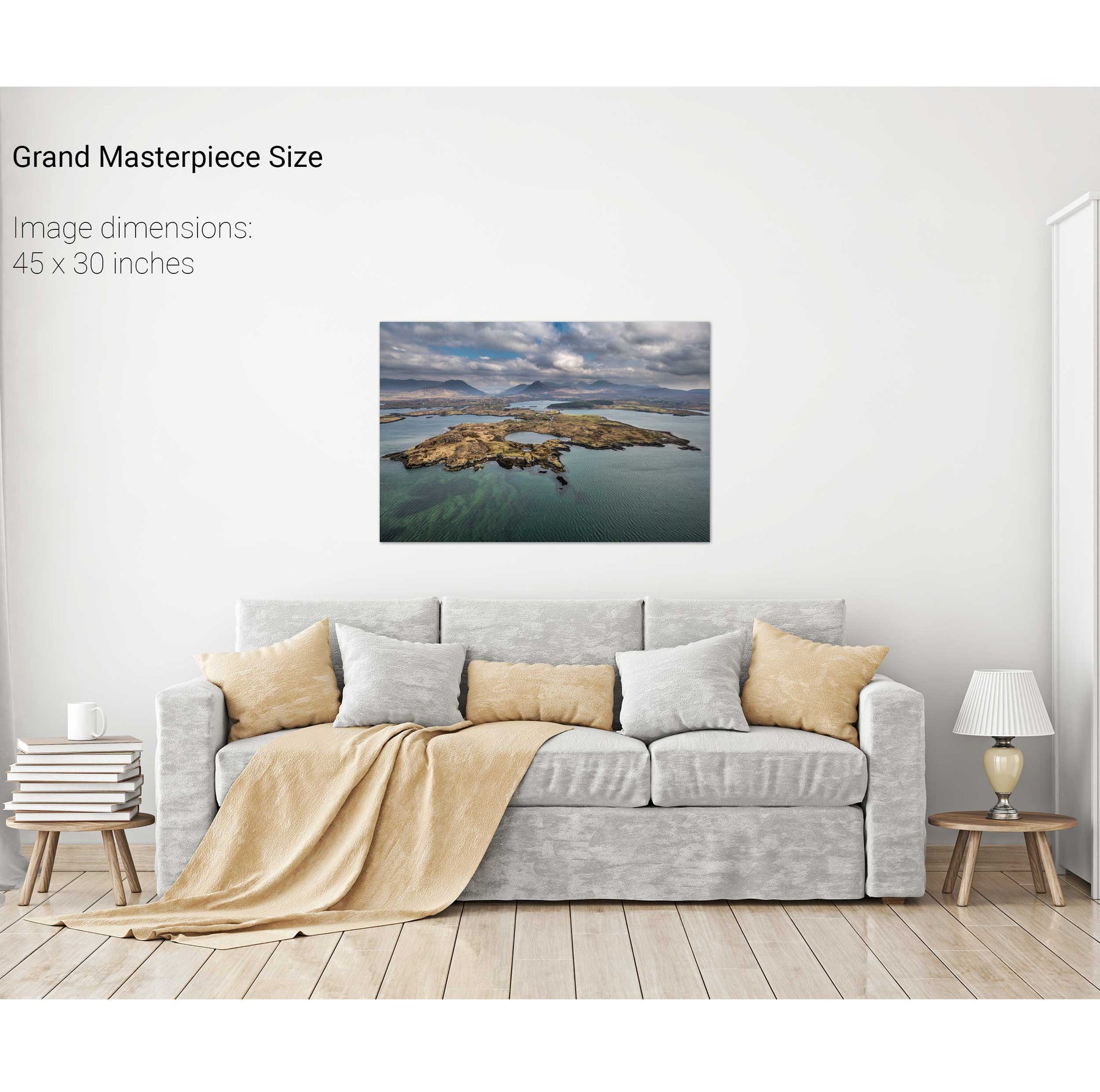
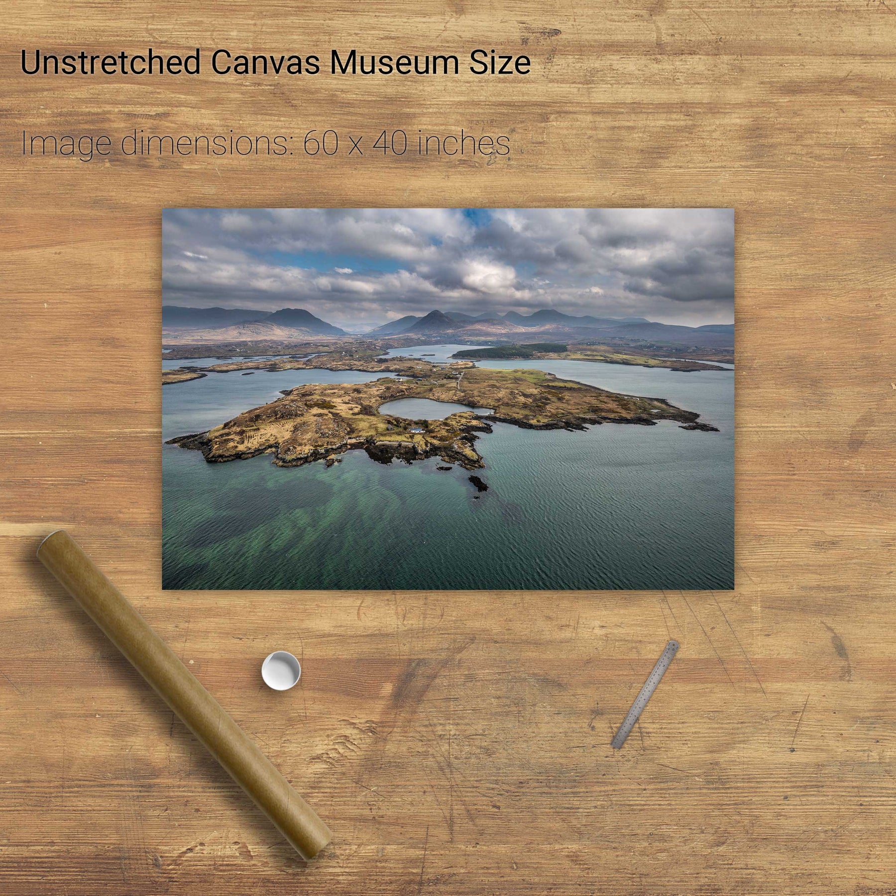
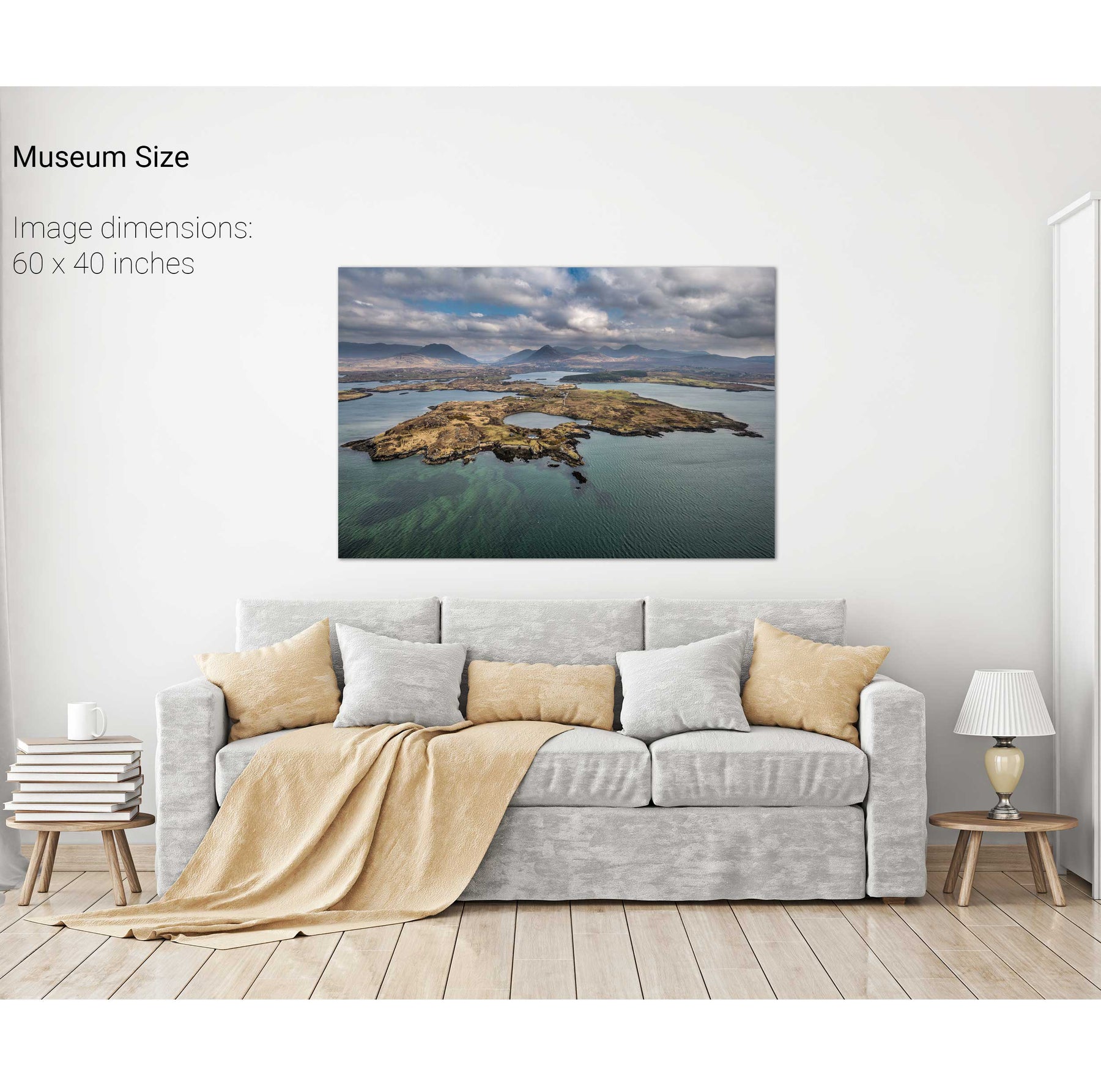
Ballynakill Harbour, Co. Galway


Mweelrea from the Inagh Valley, Co. Galway