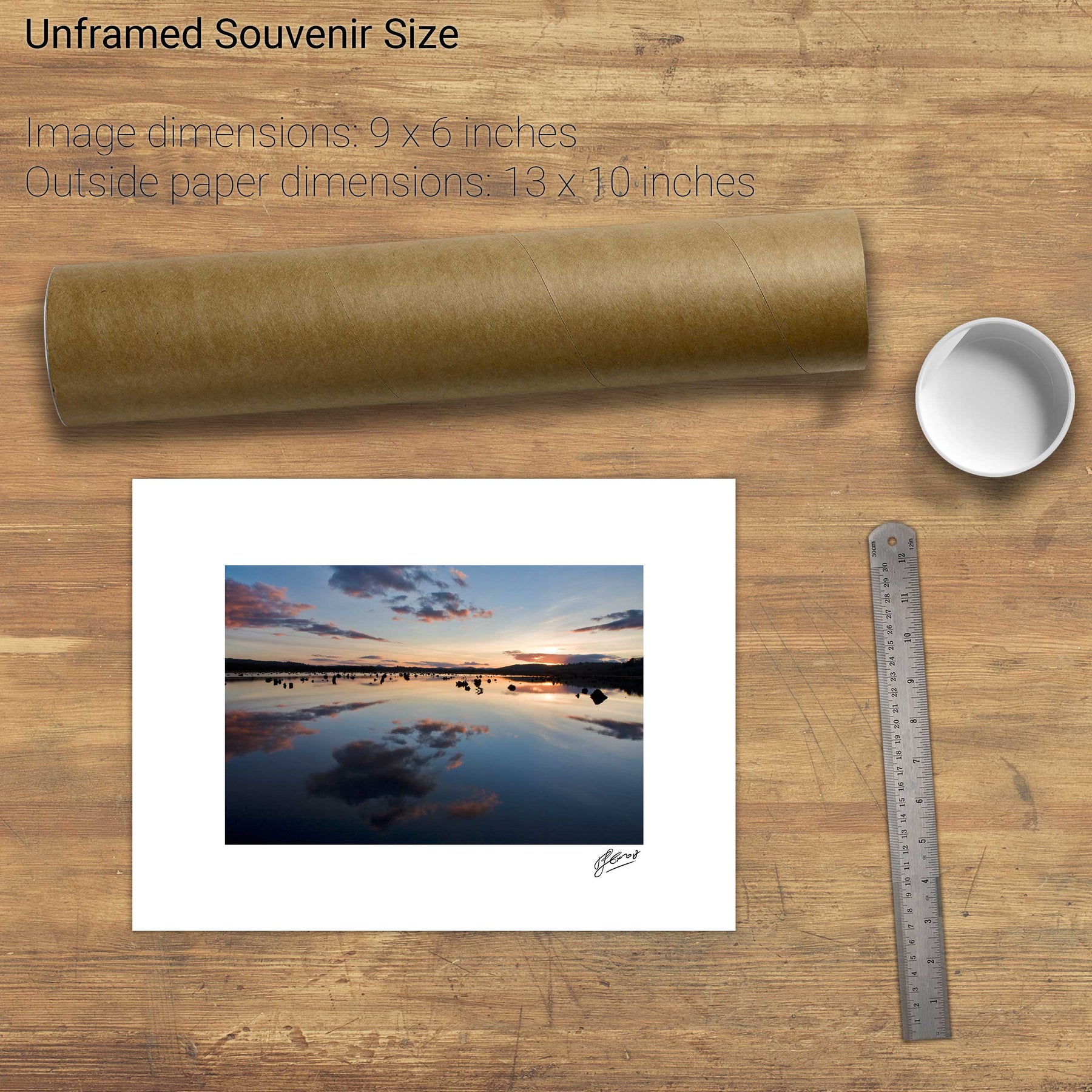
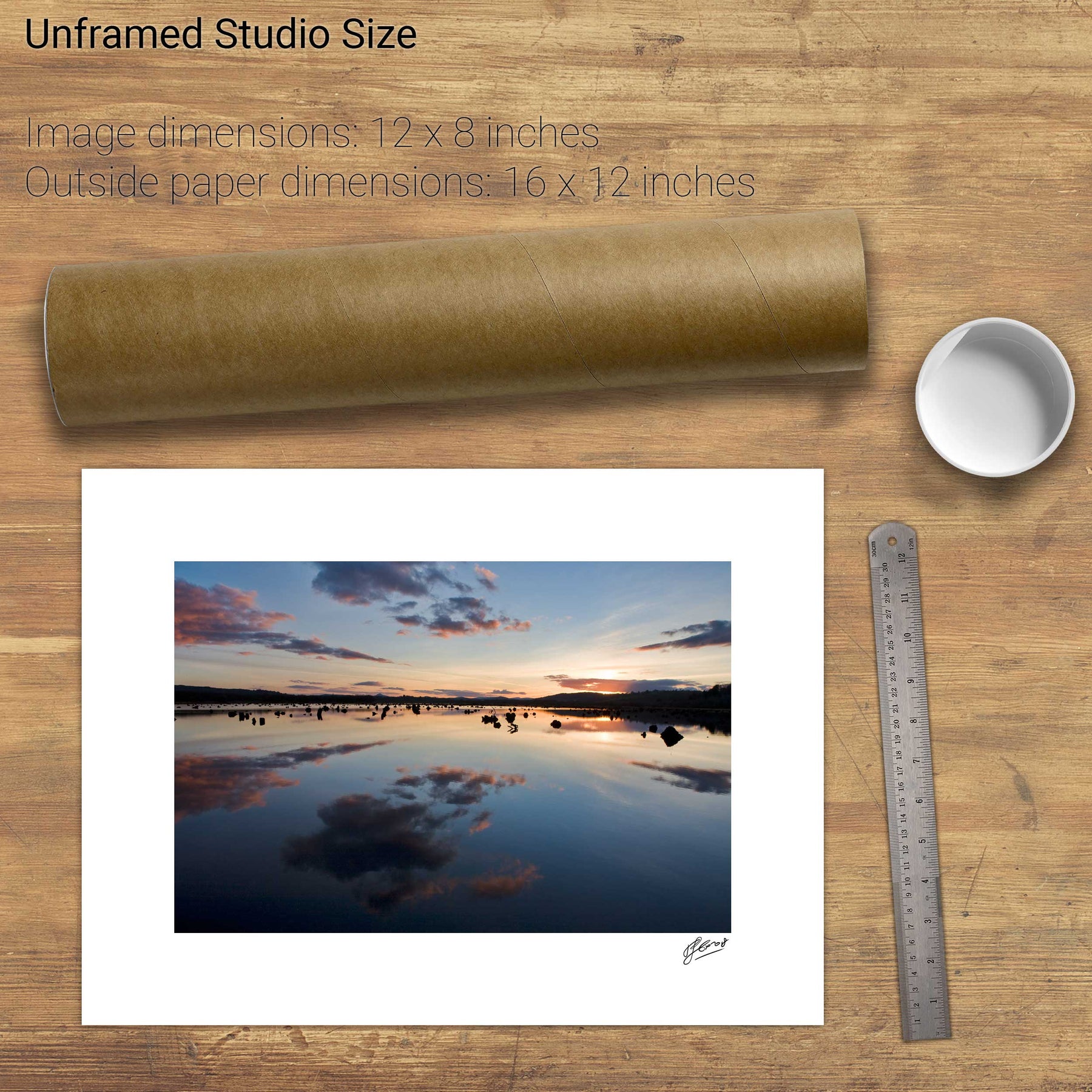
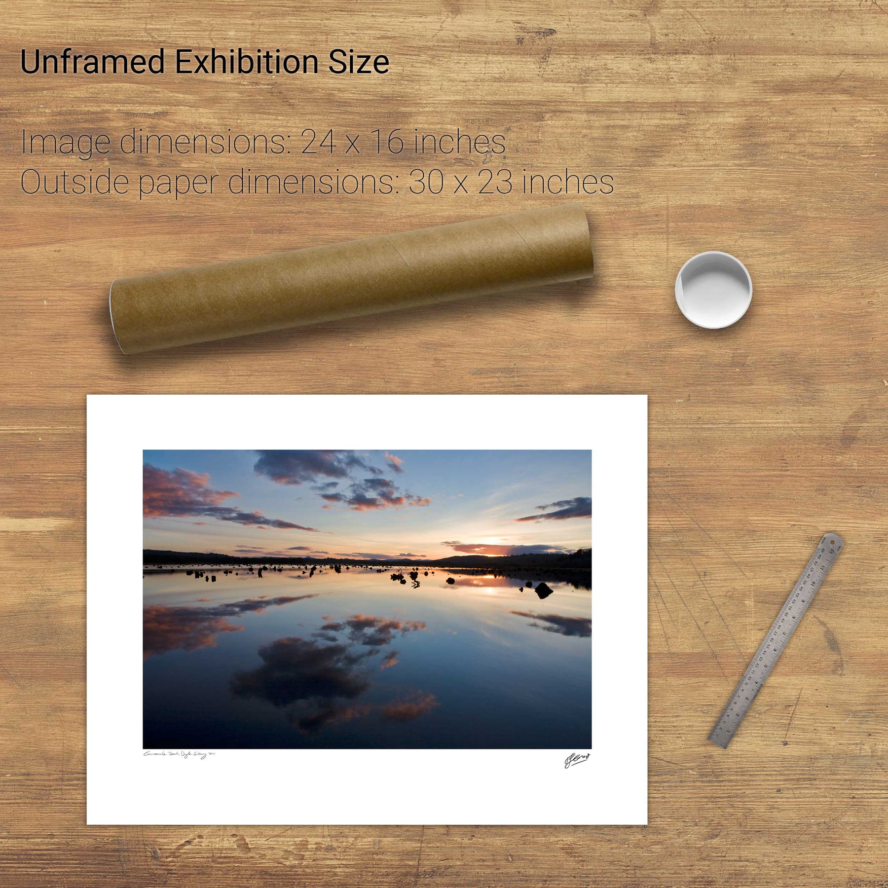
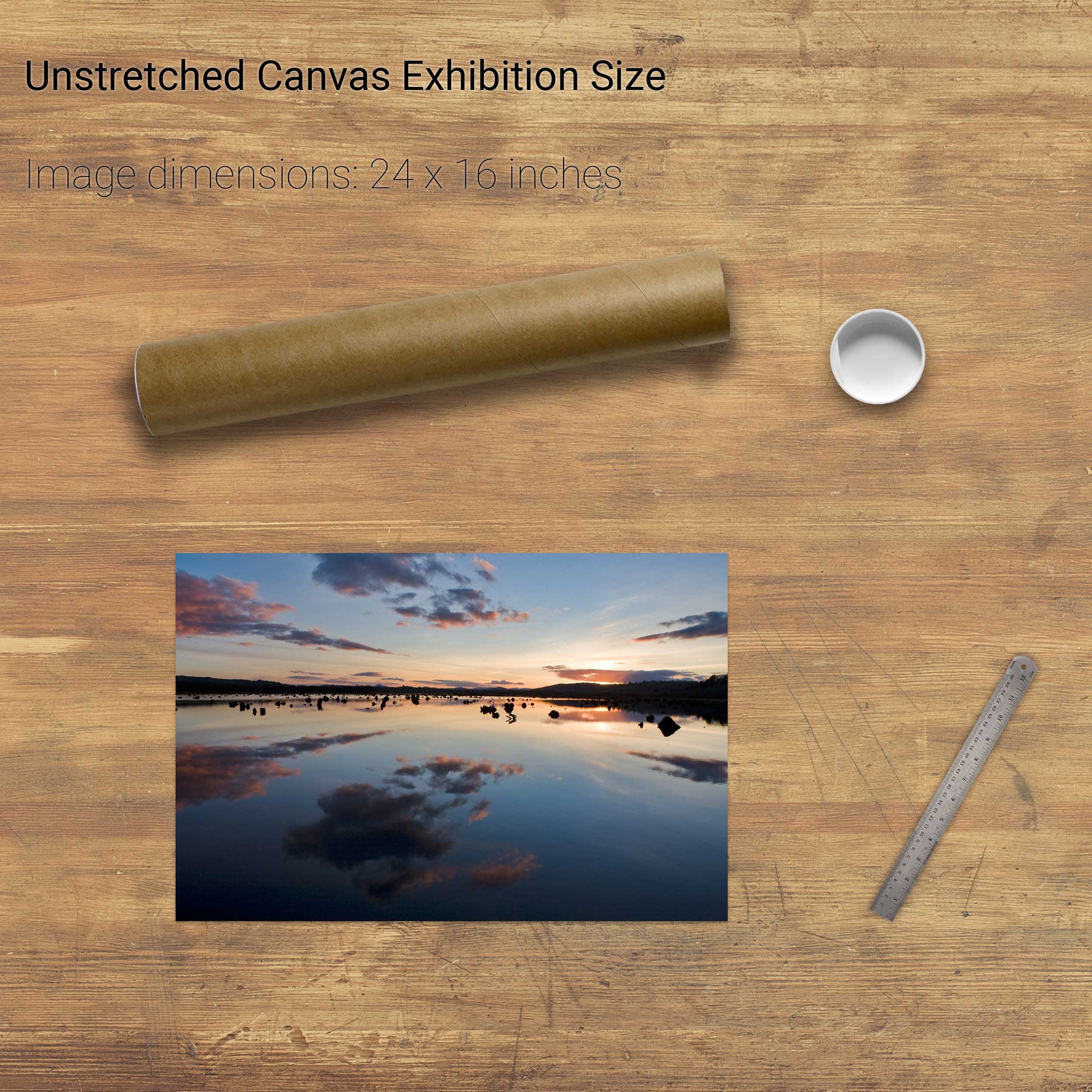
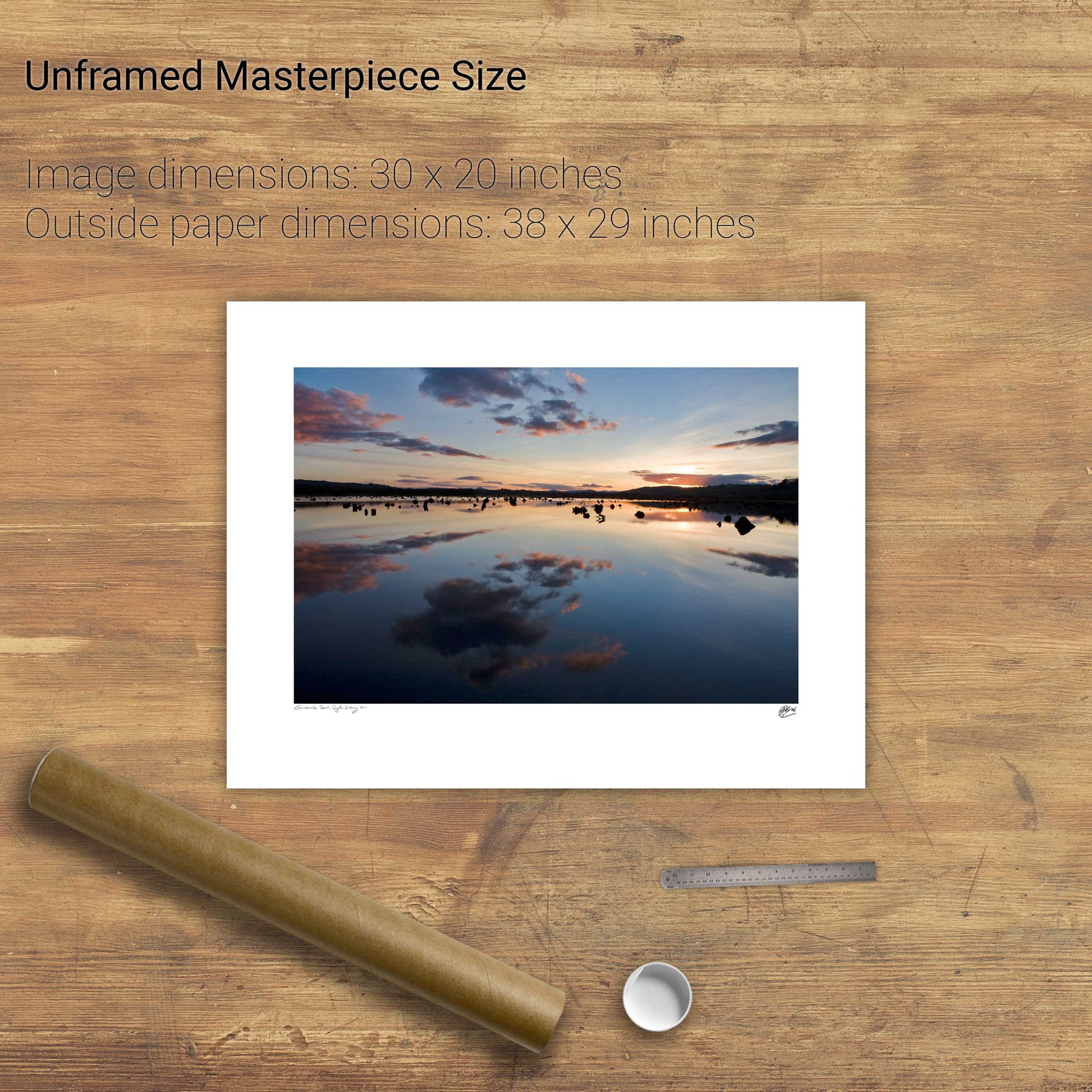
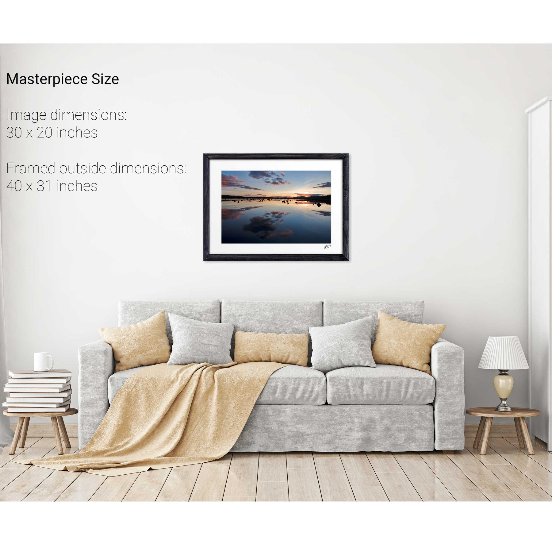
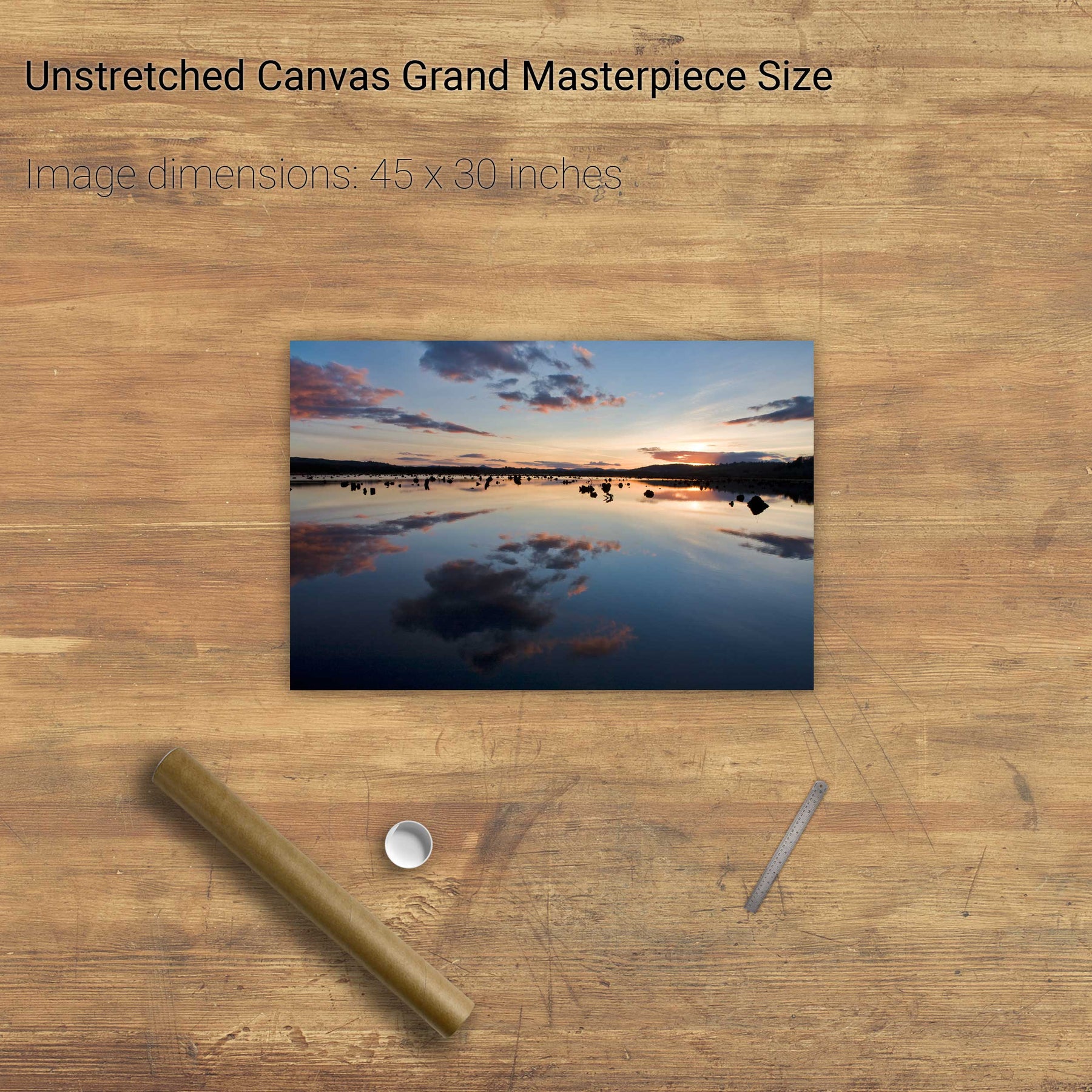
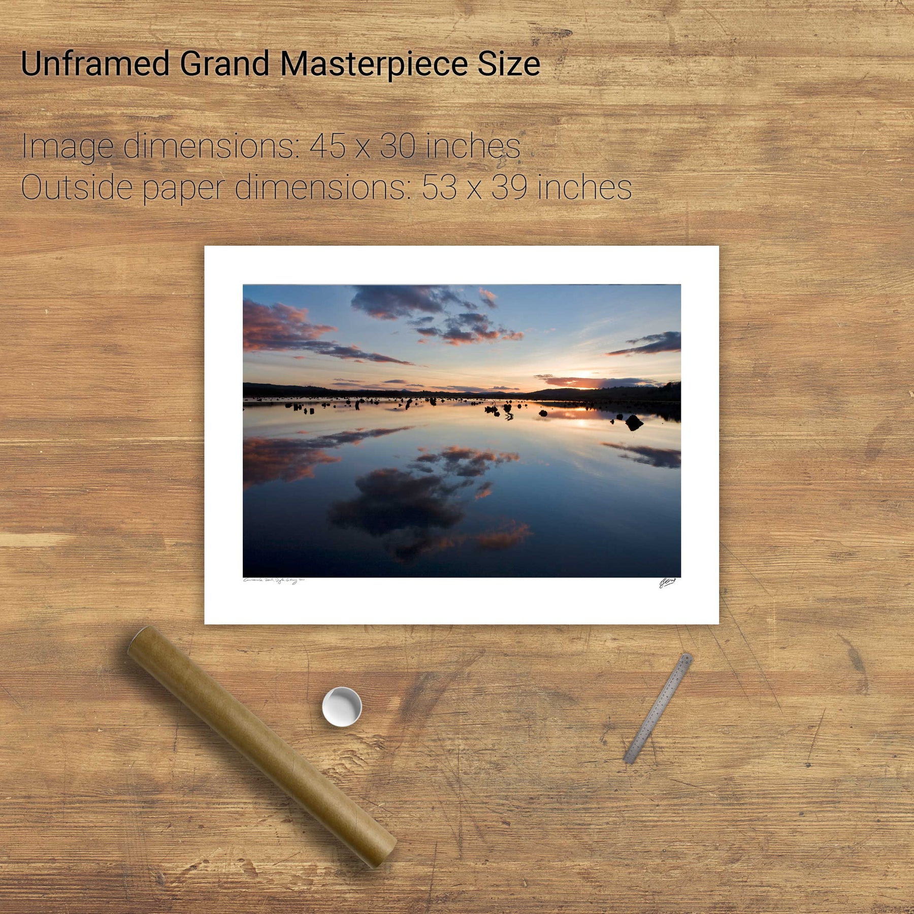
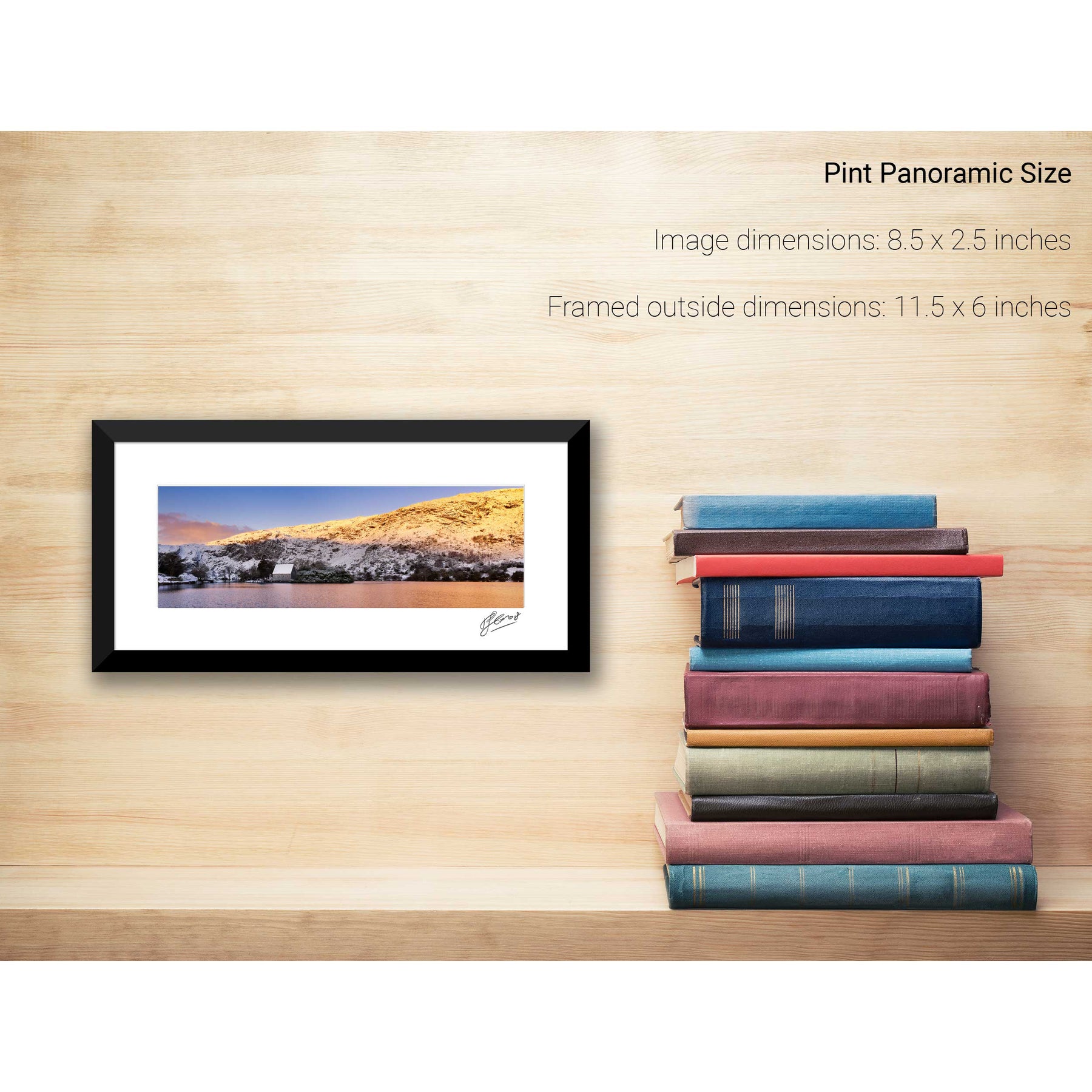
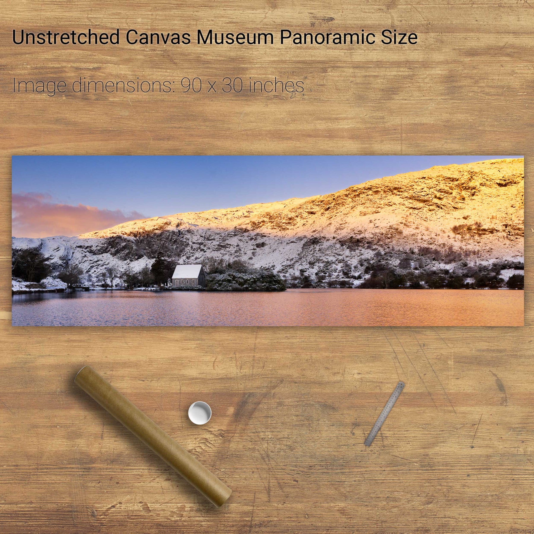
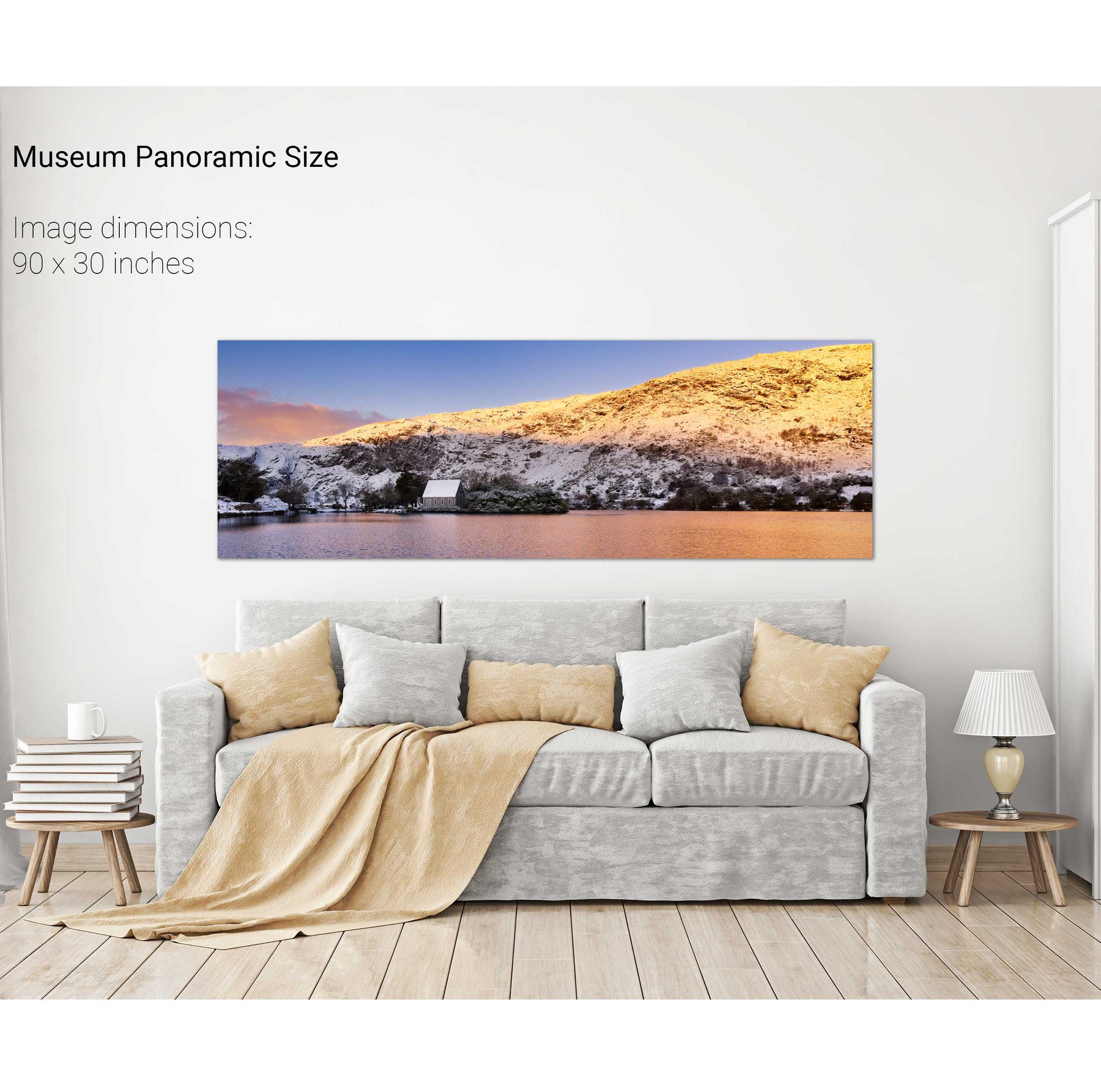
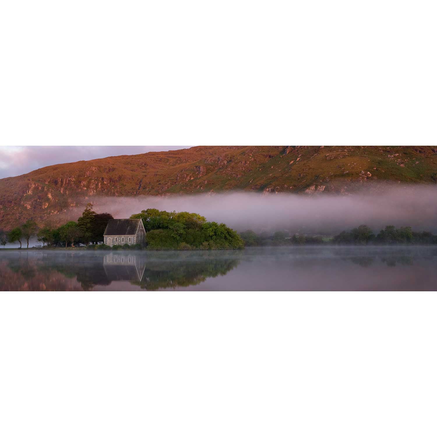
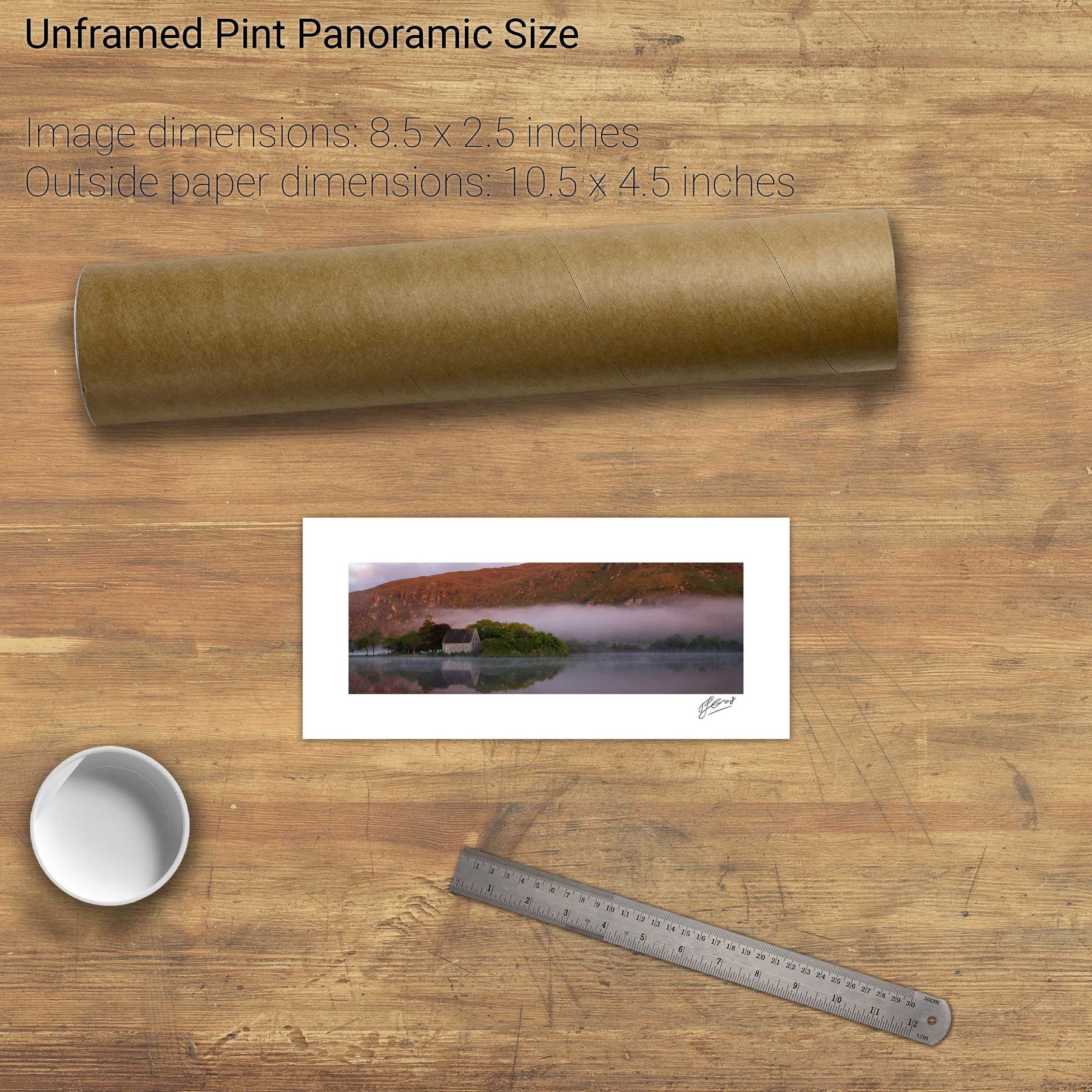
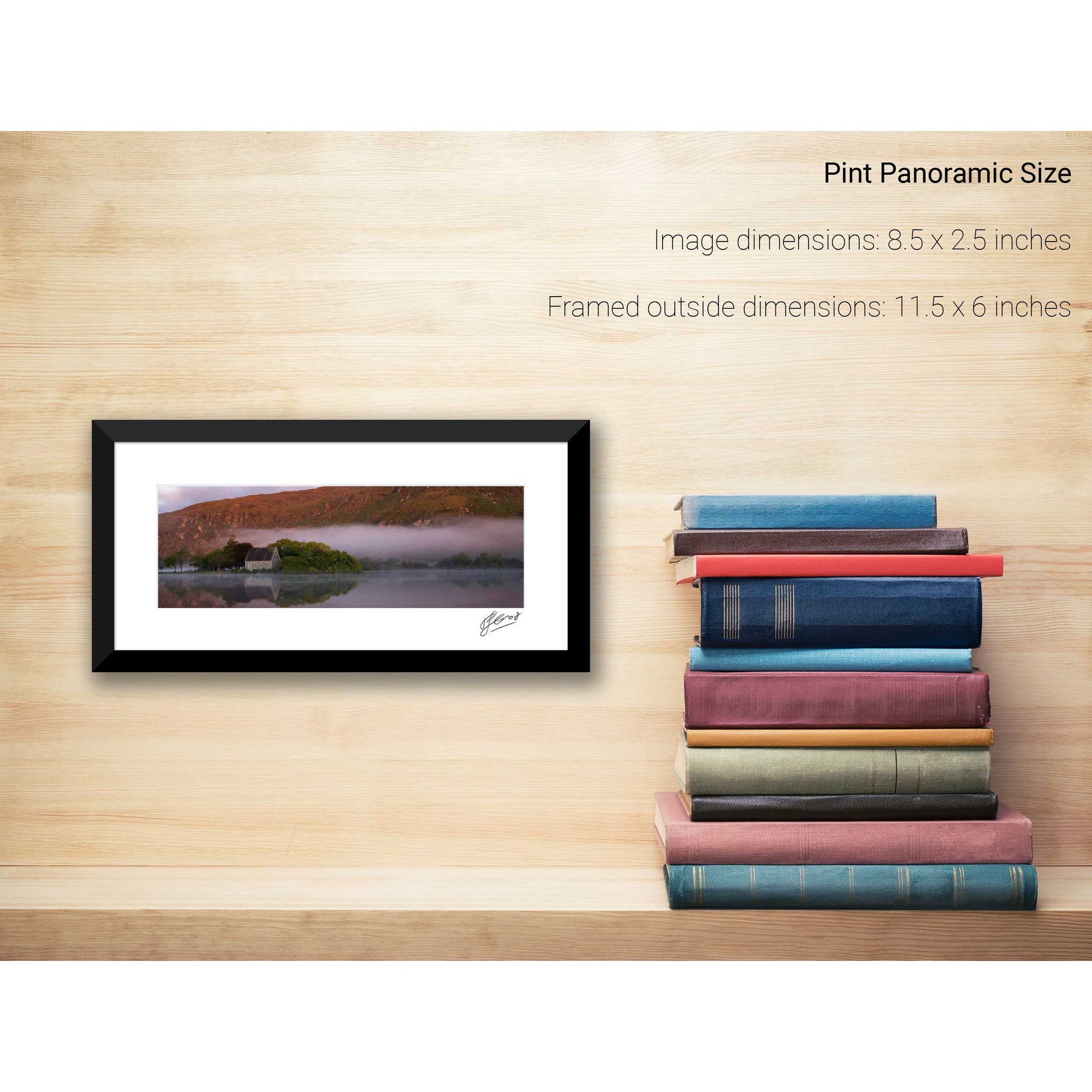
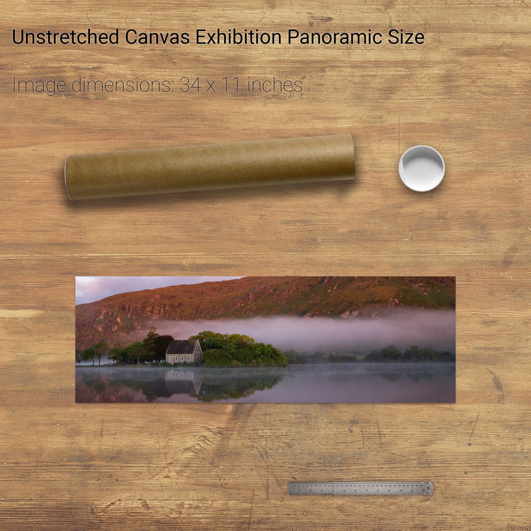
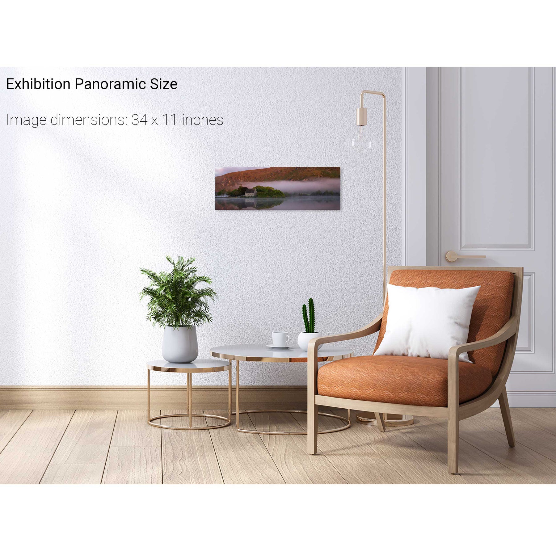
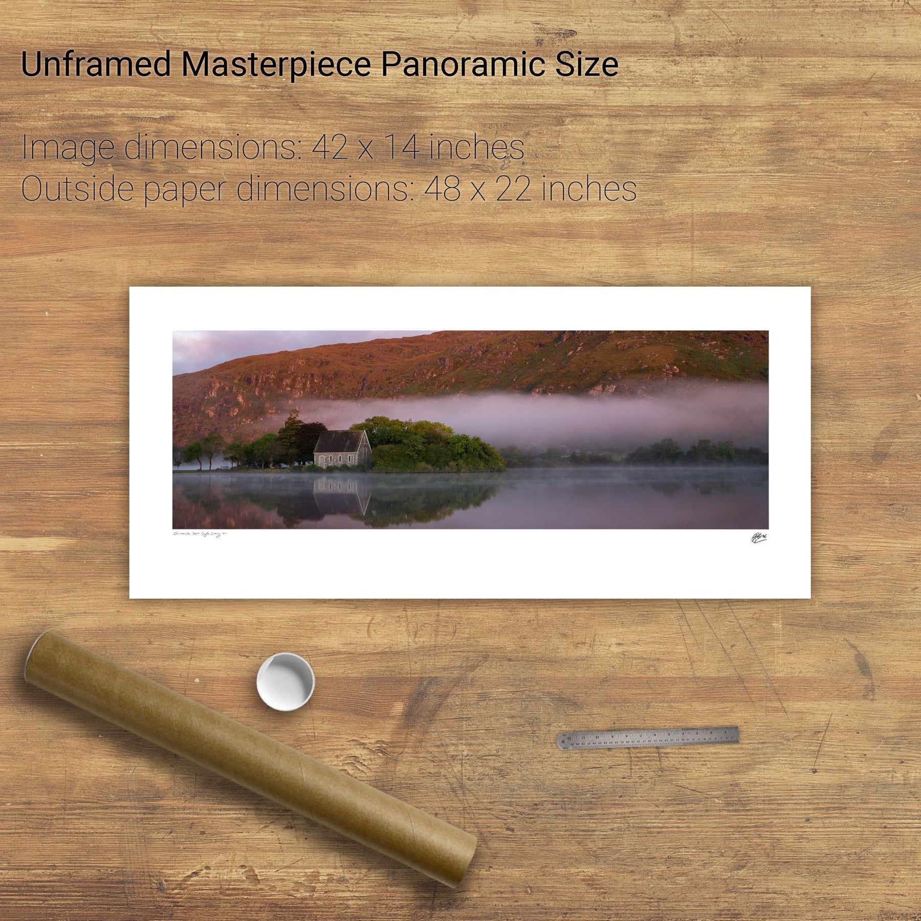
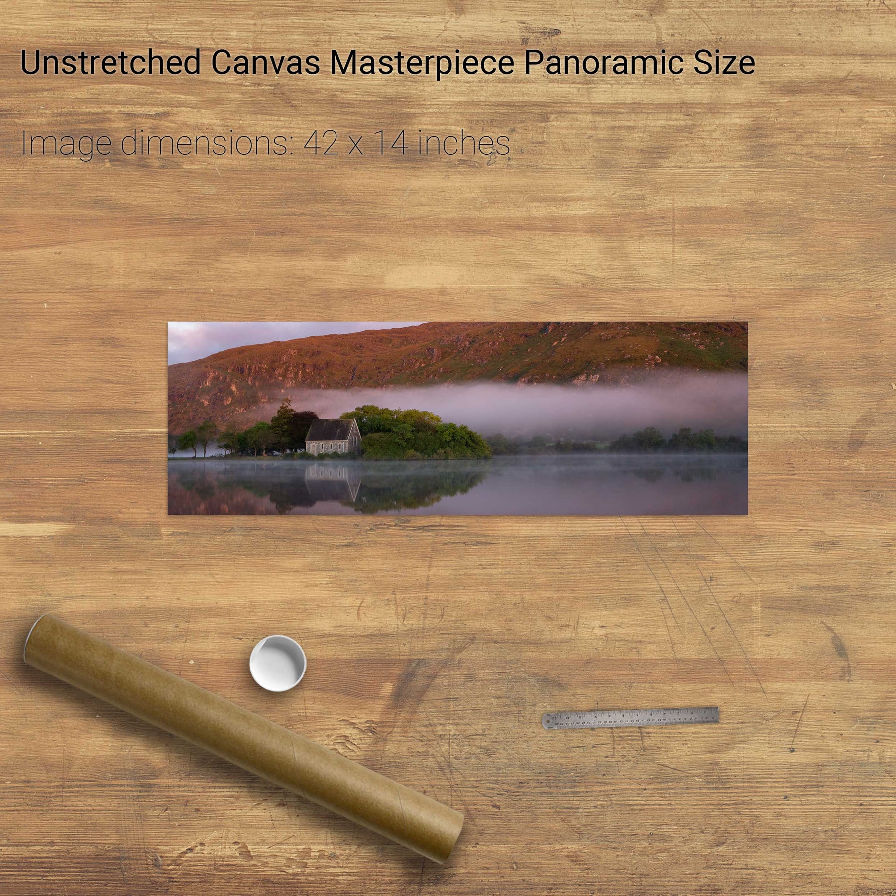
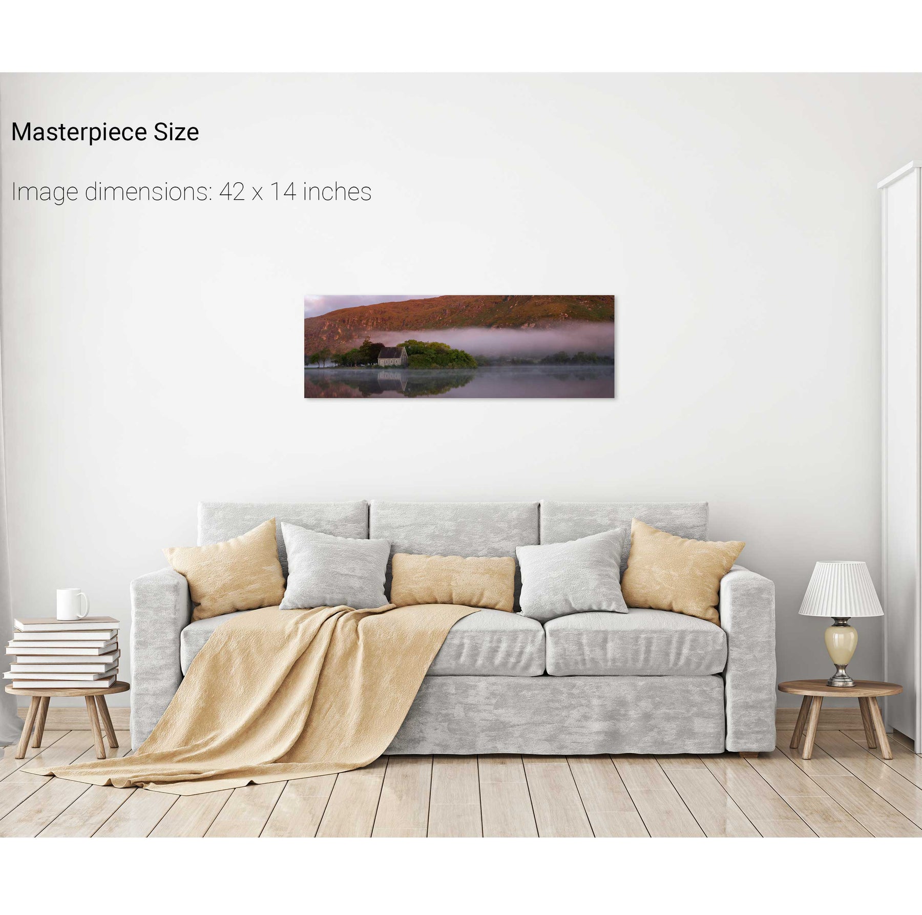
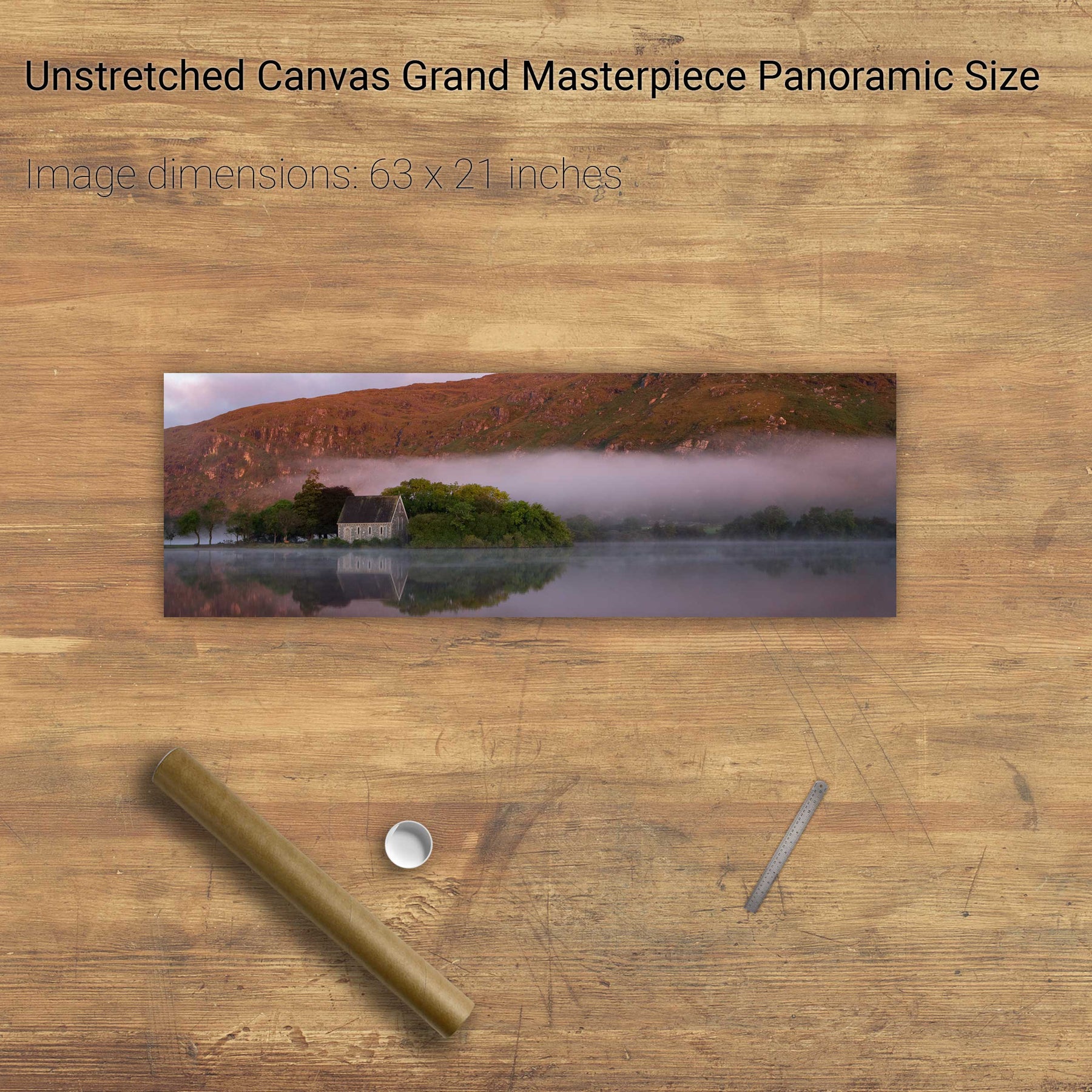
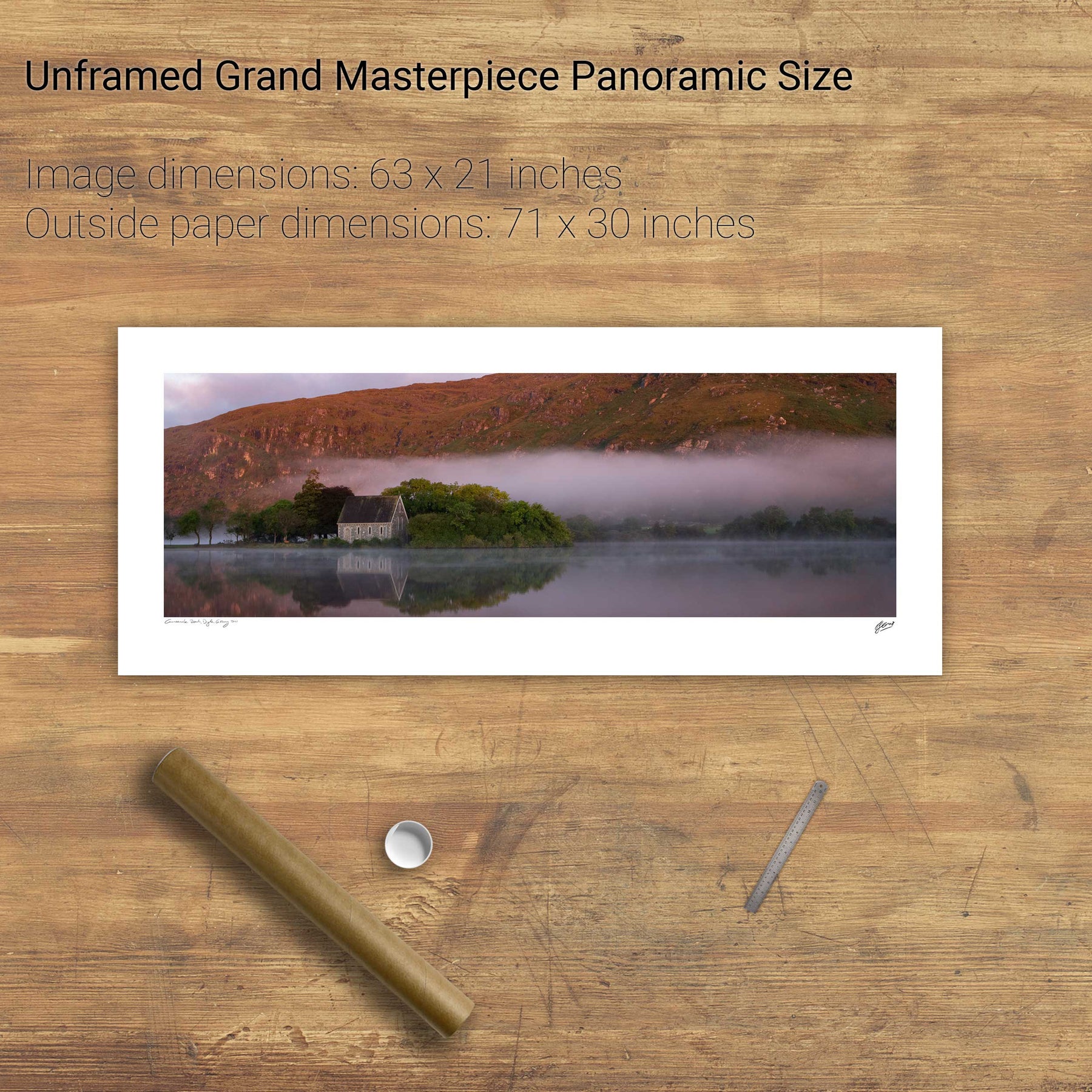
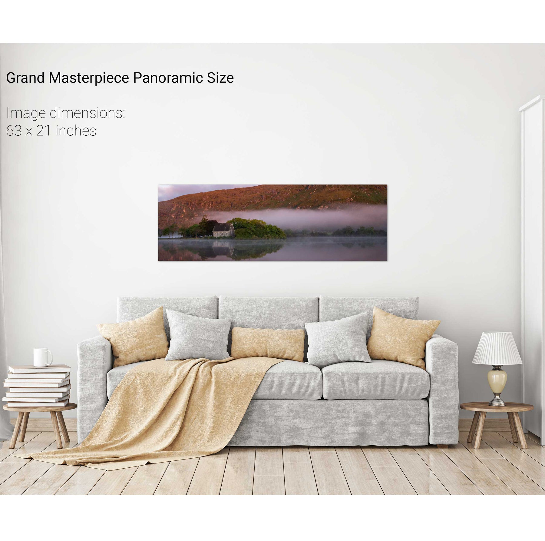
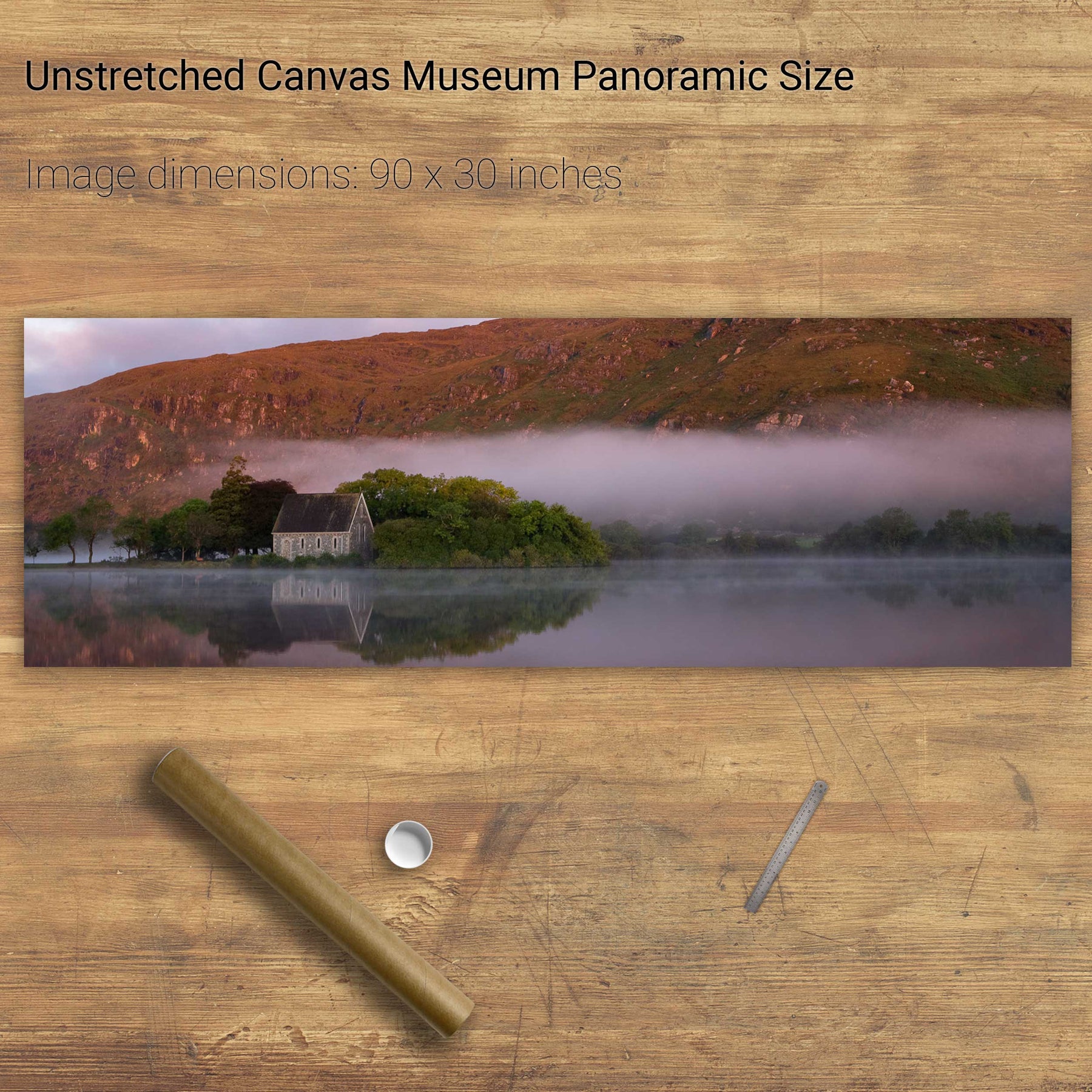
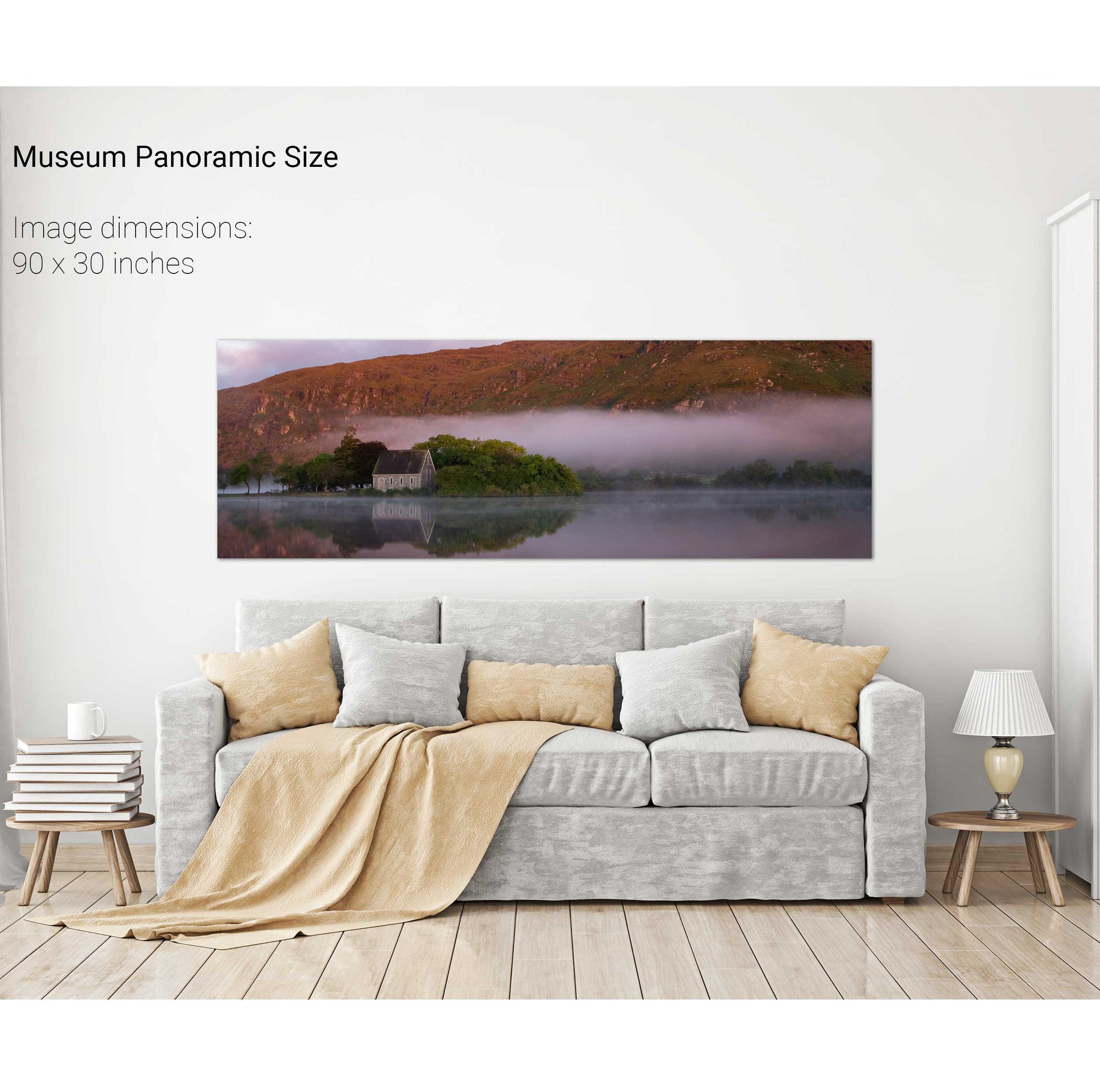
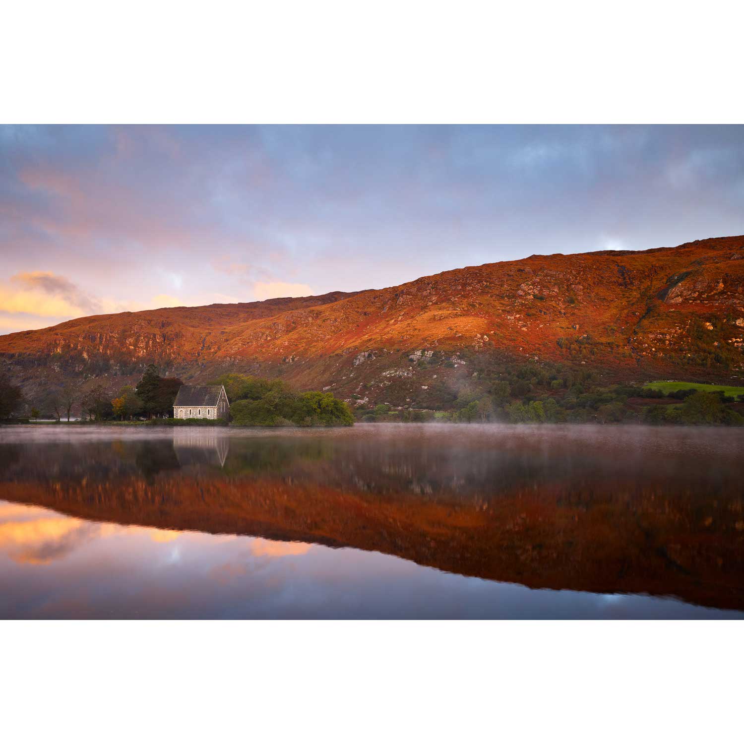
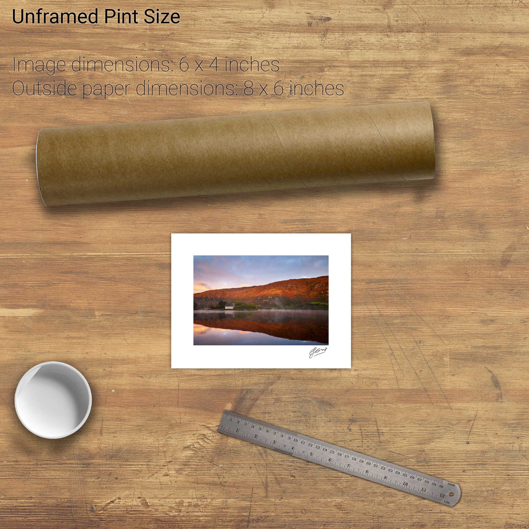
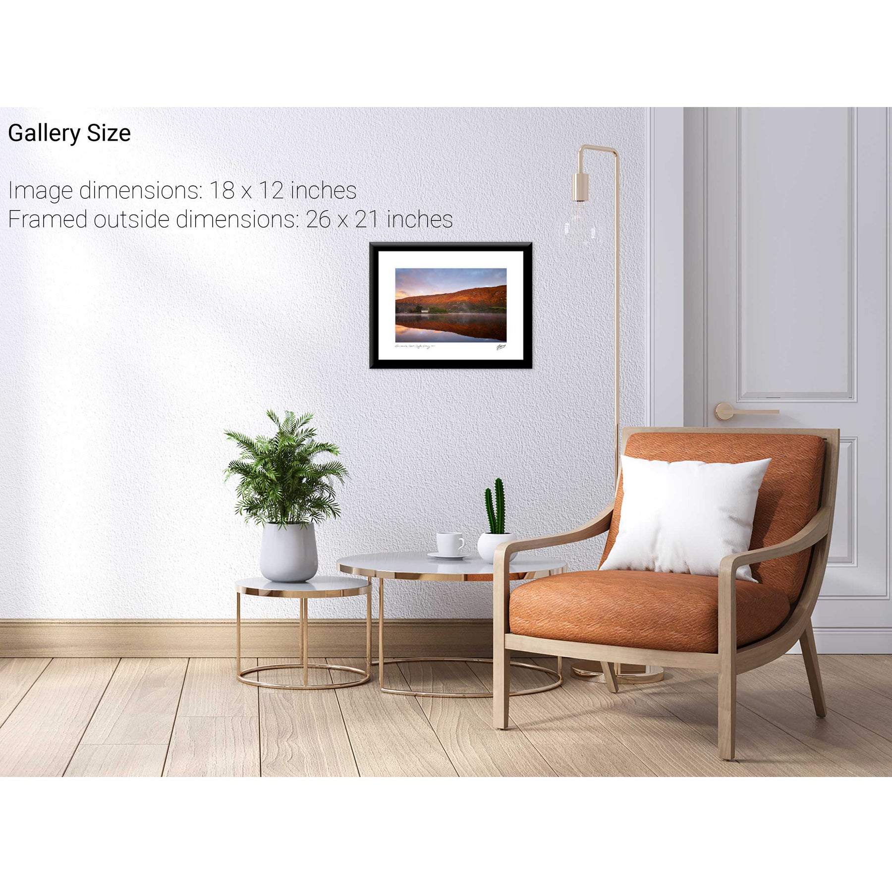
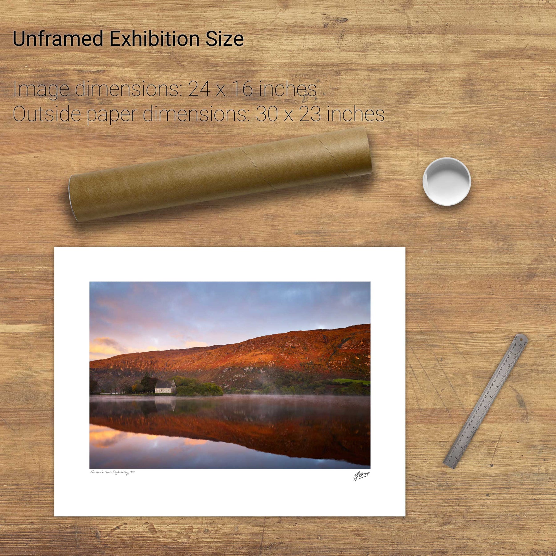
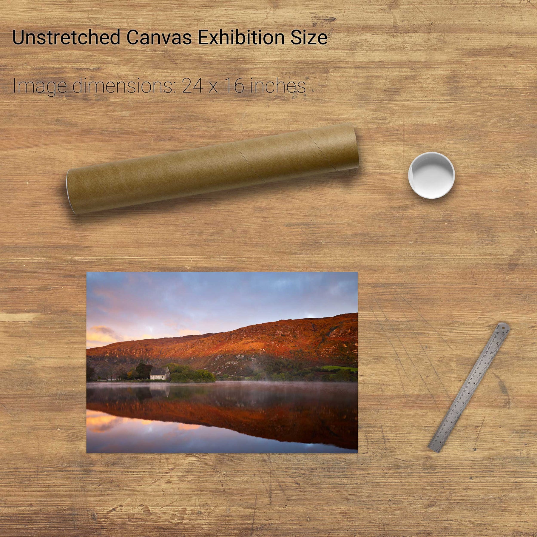
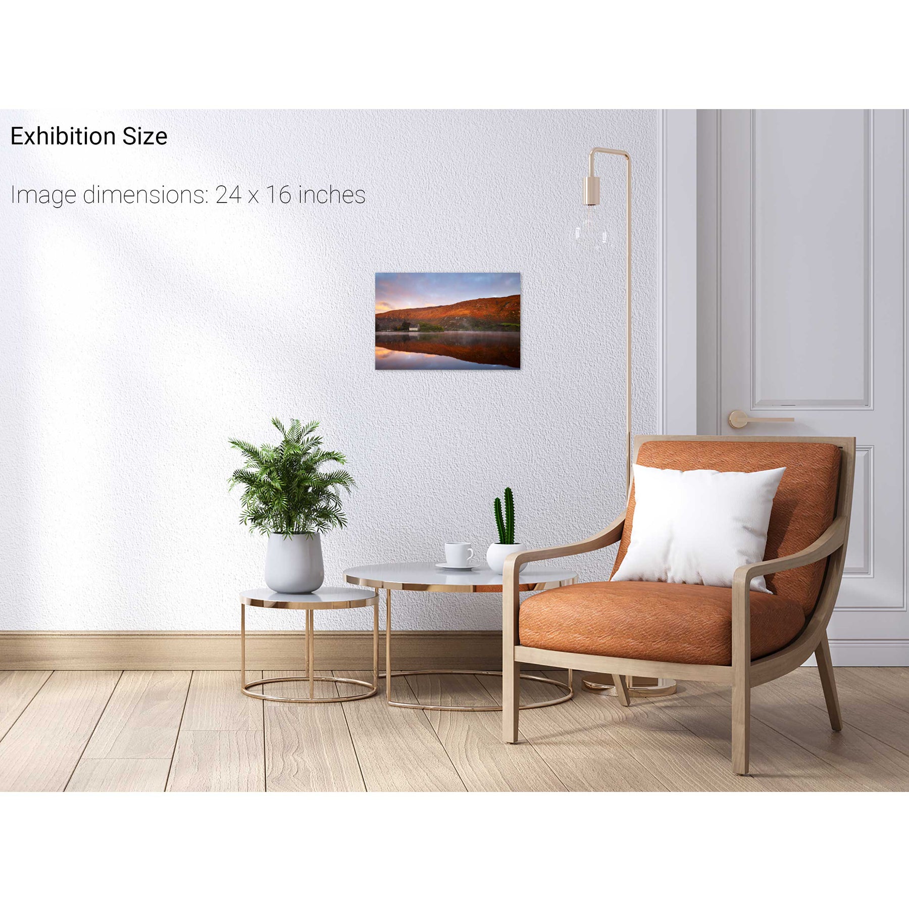
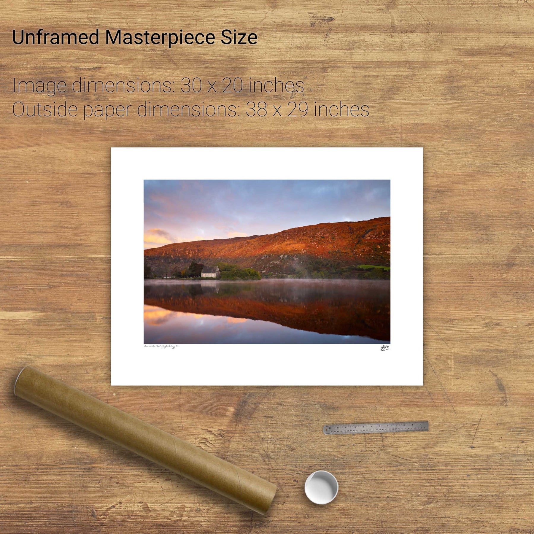
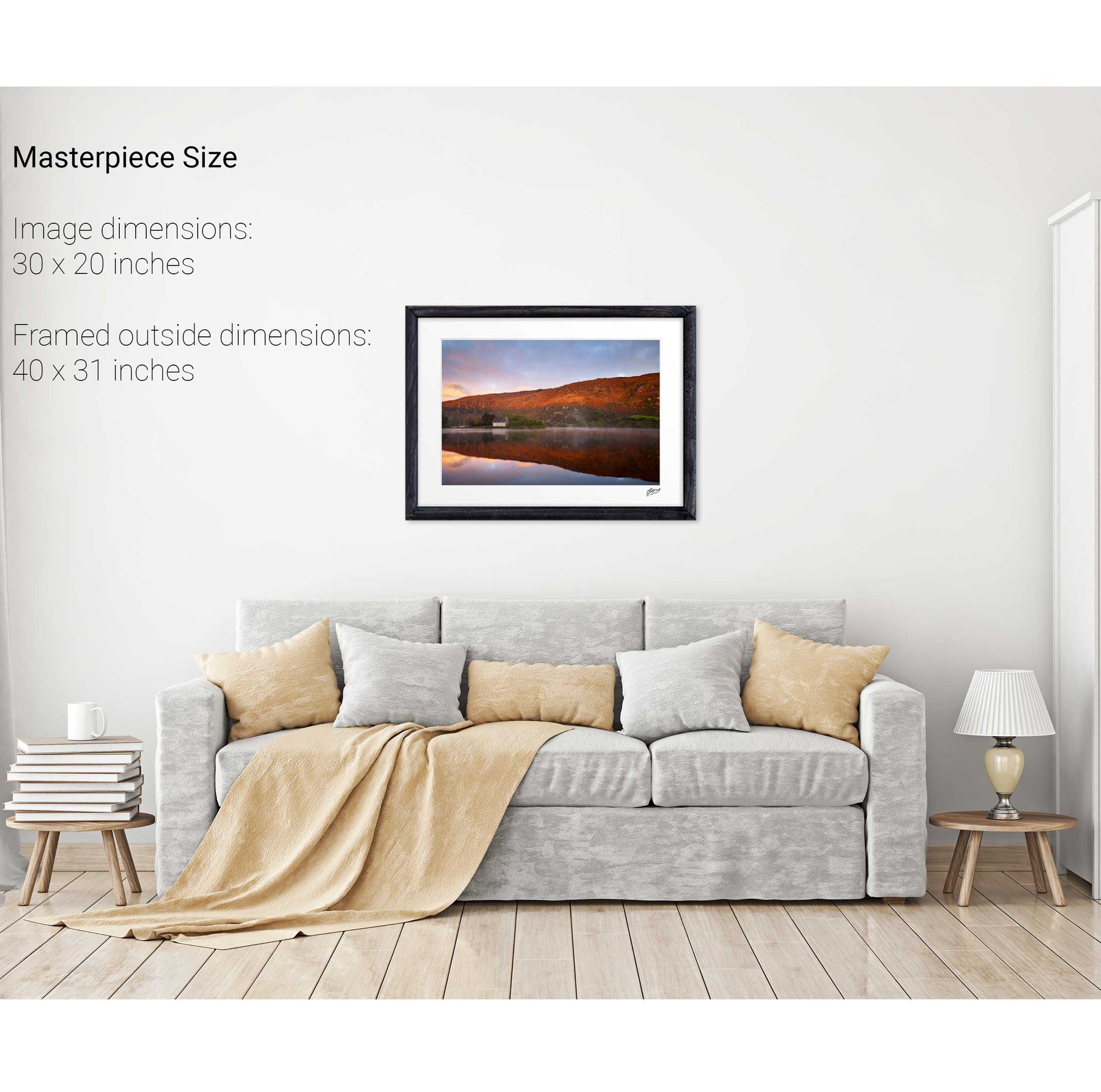
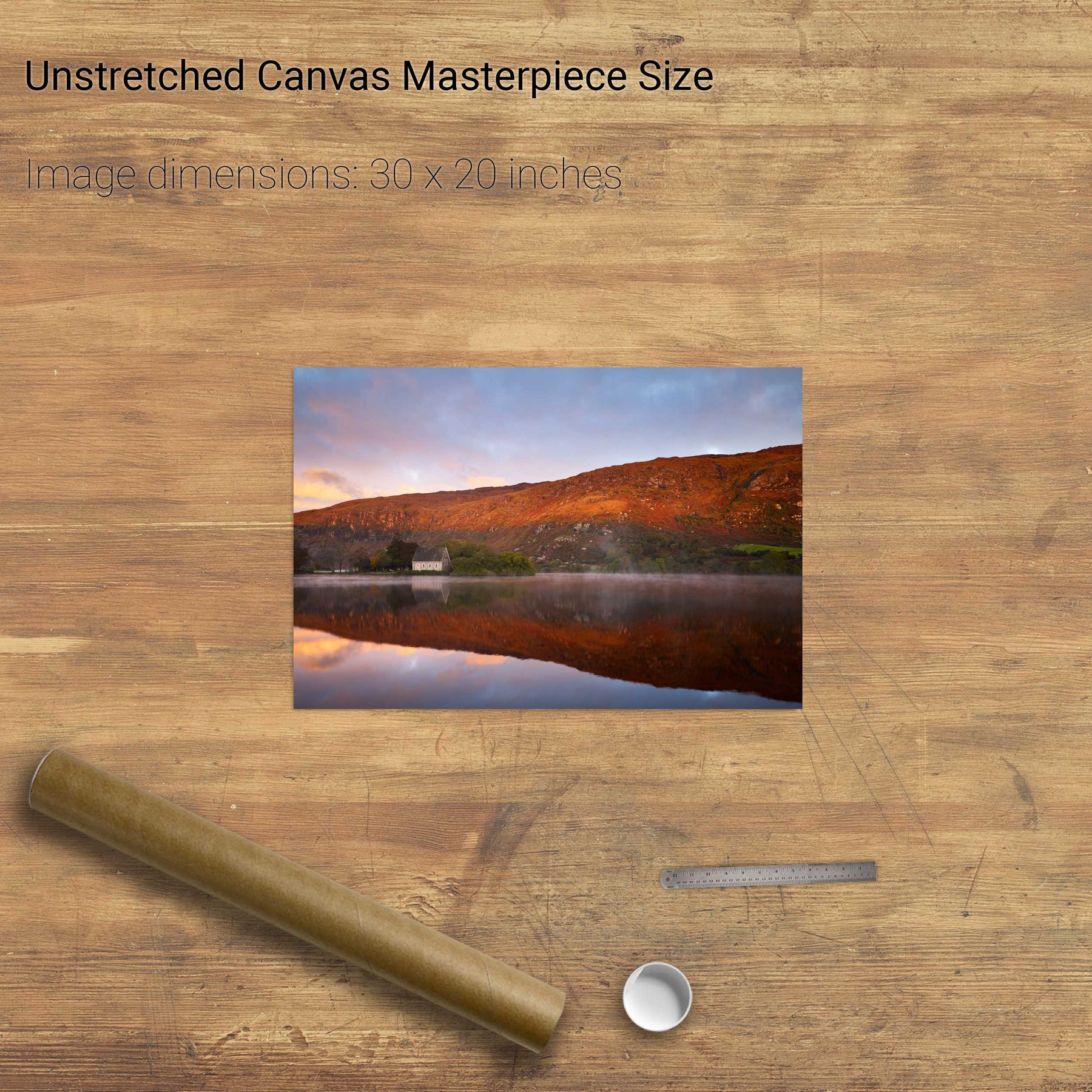
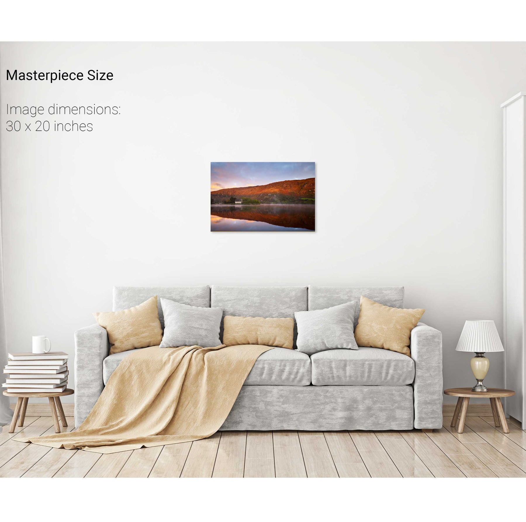
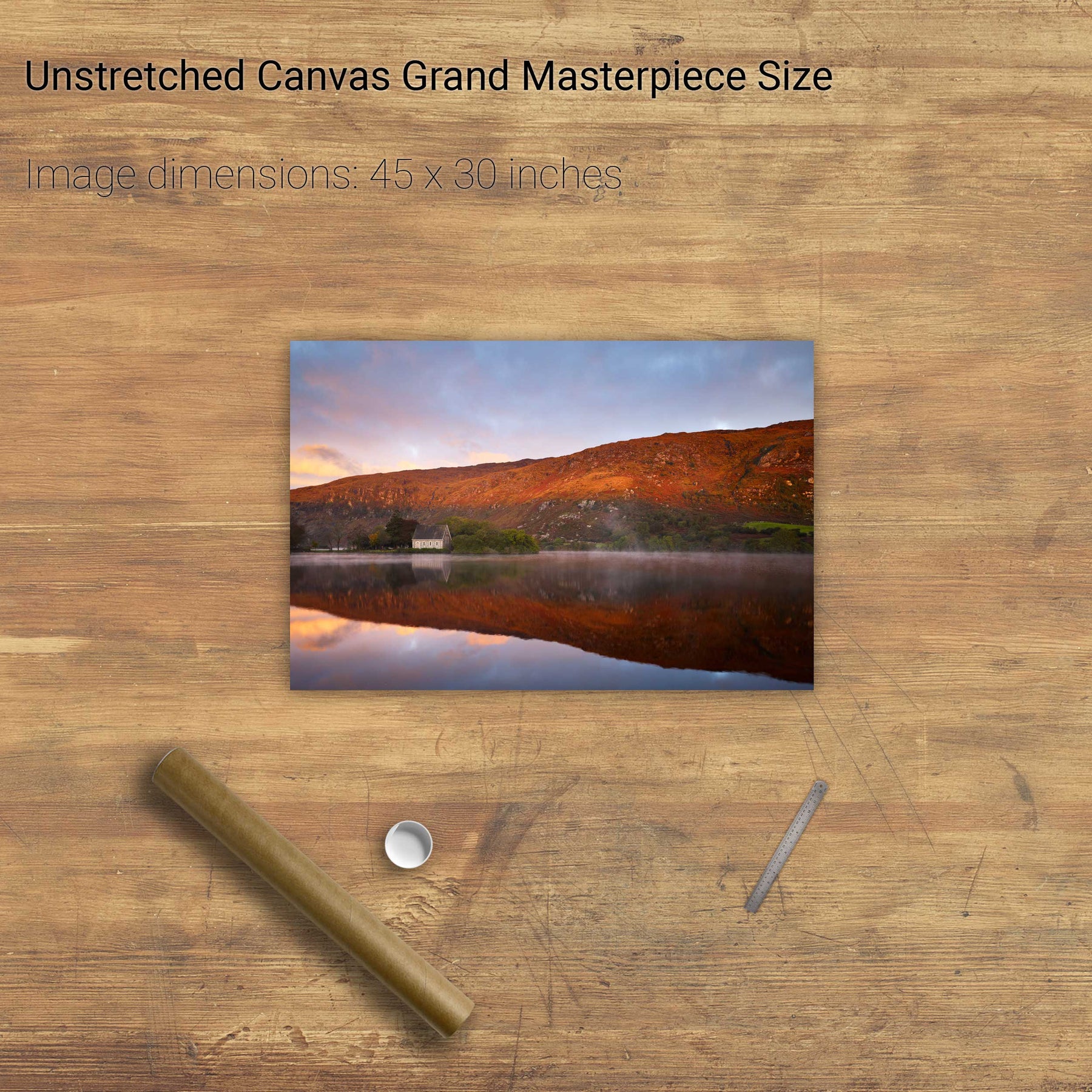
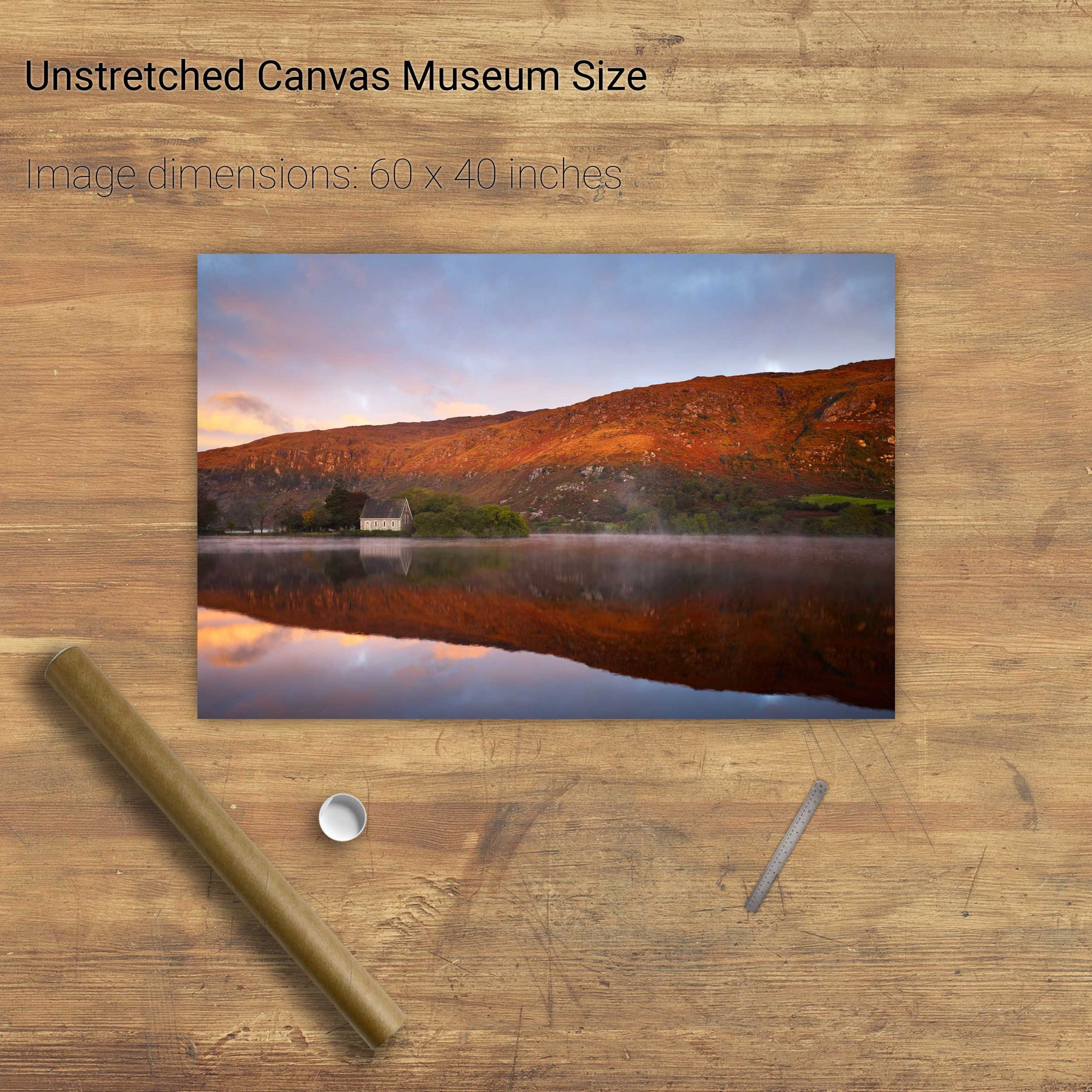
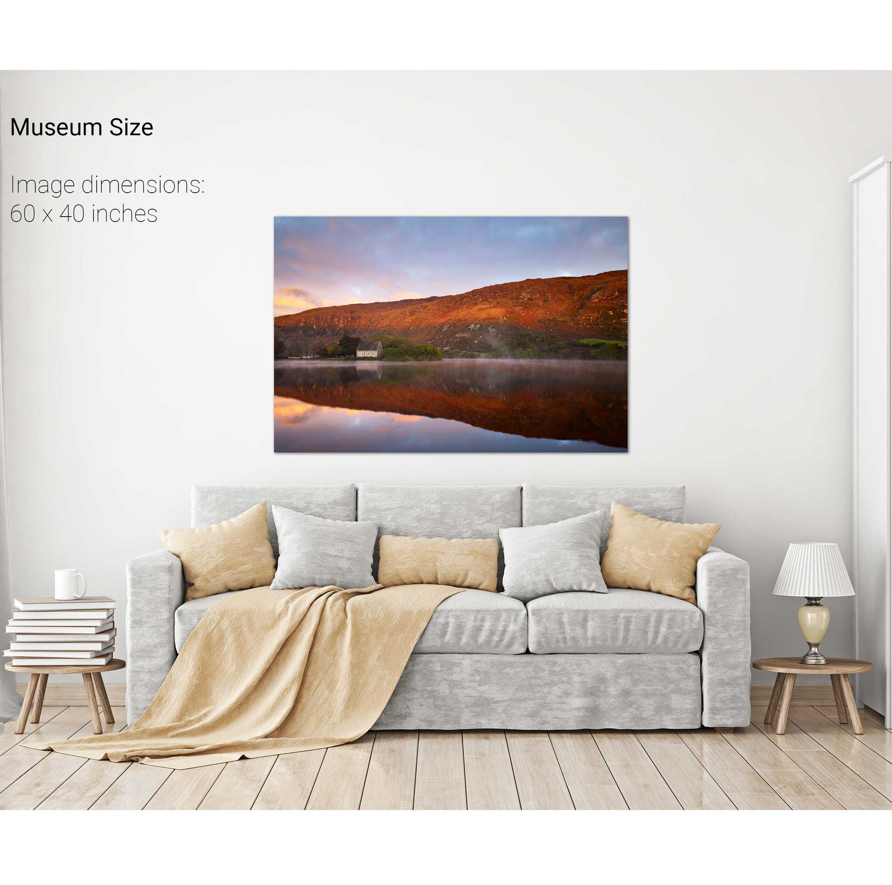
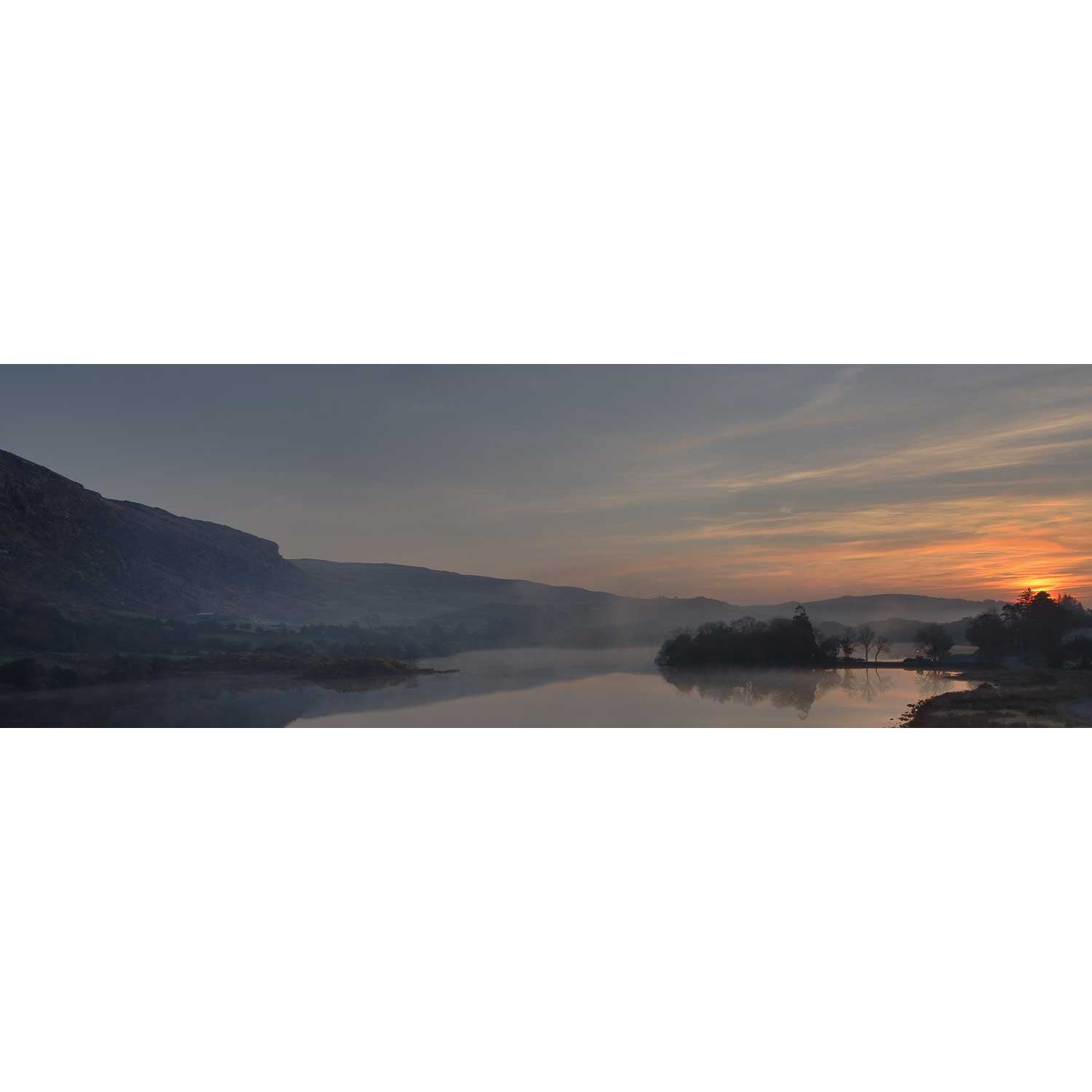
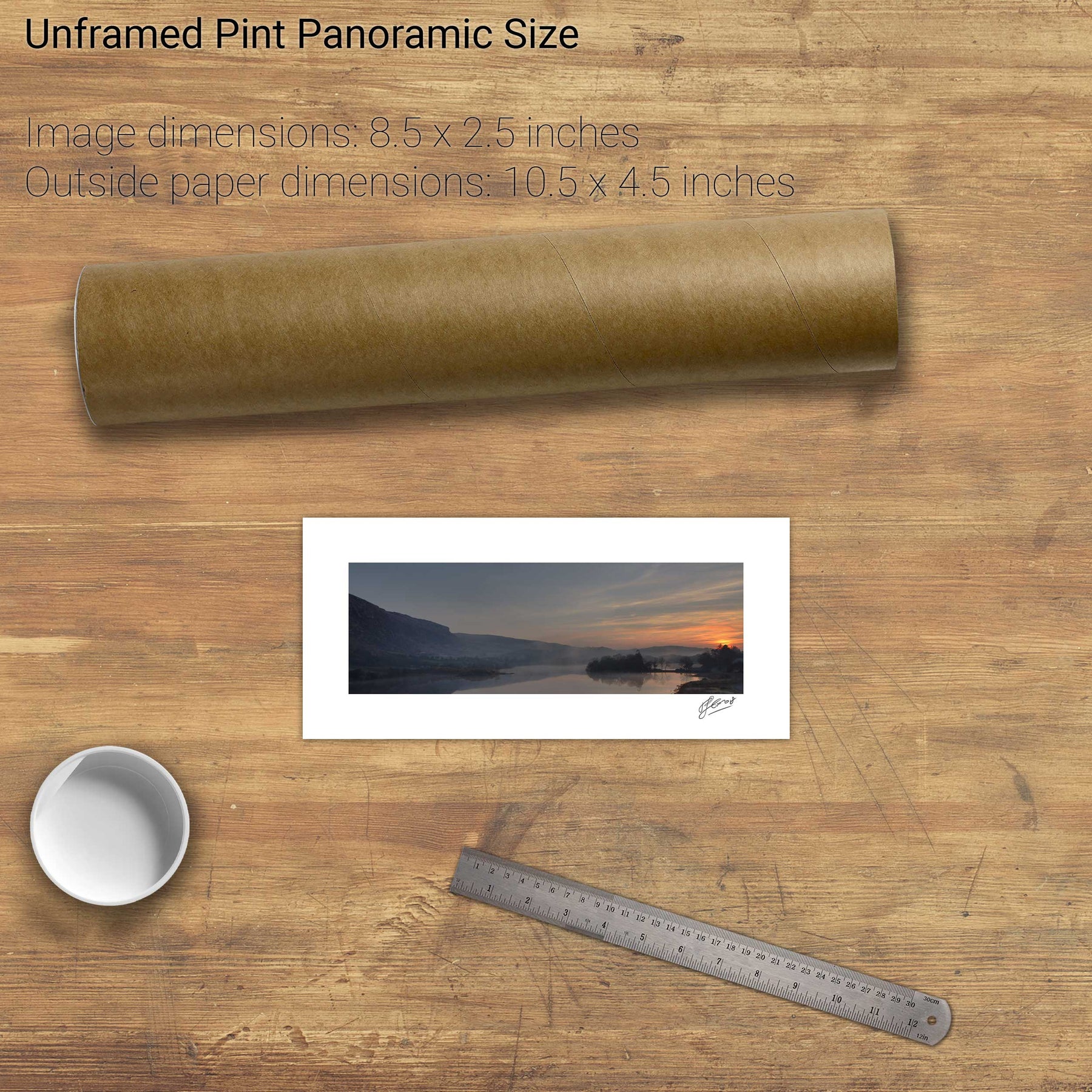
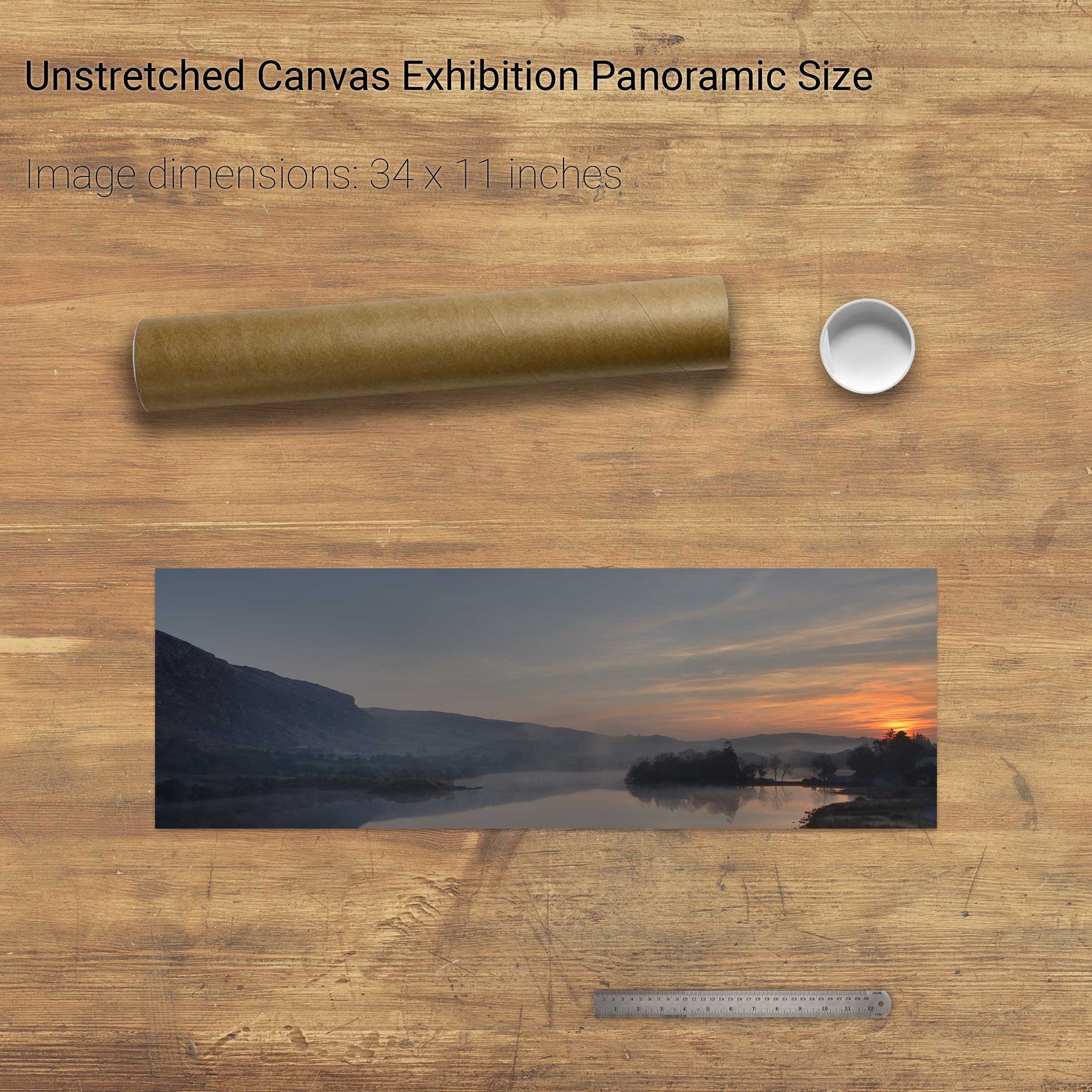
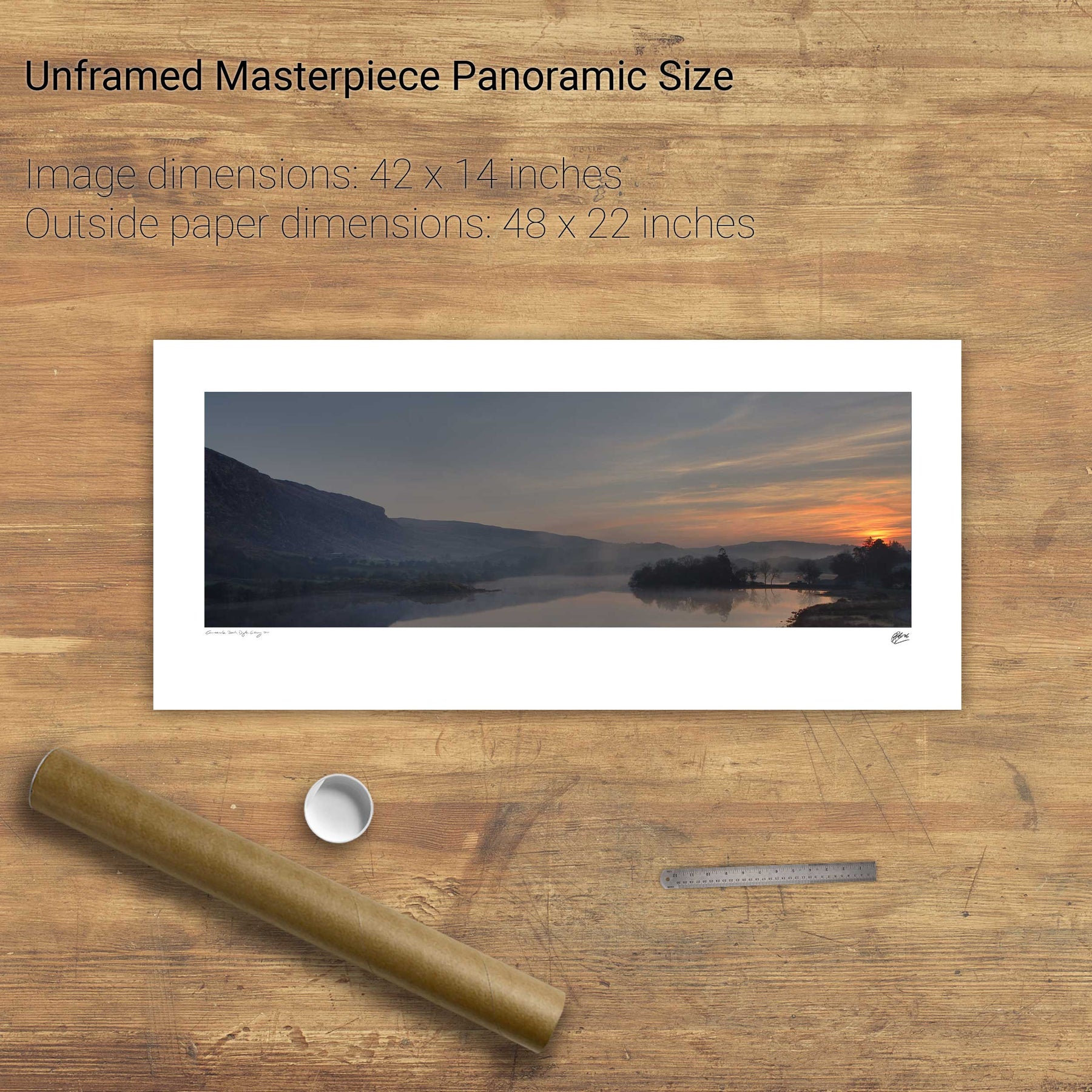
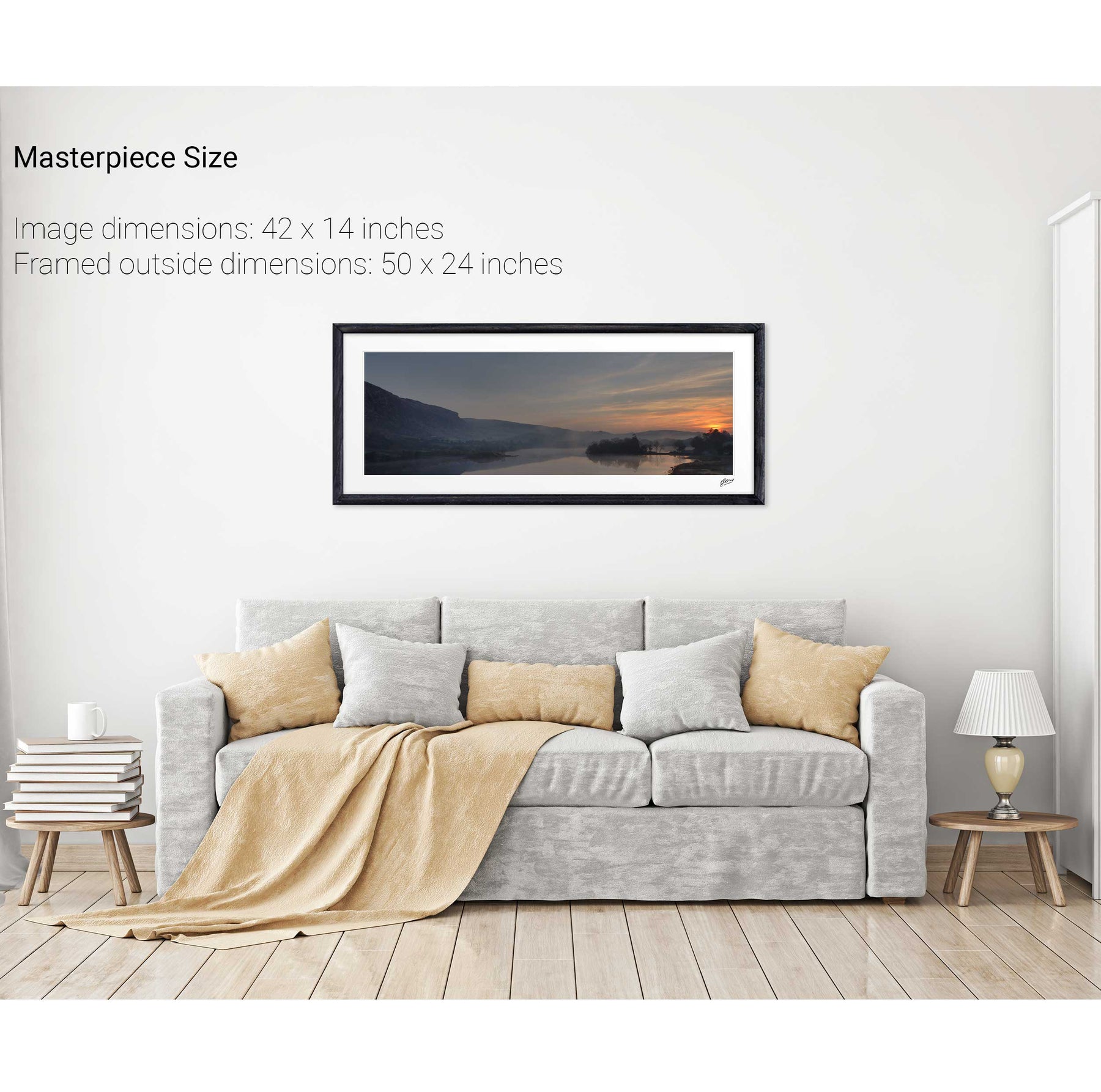
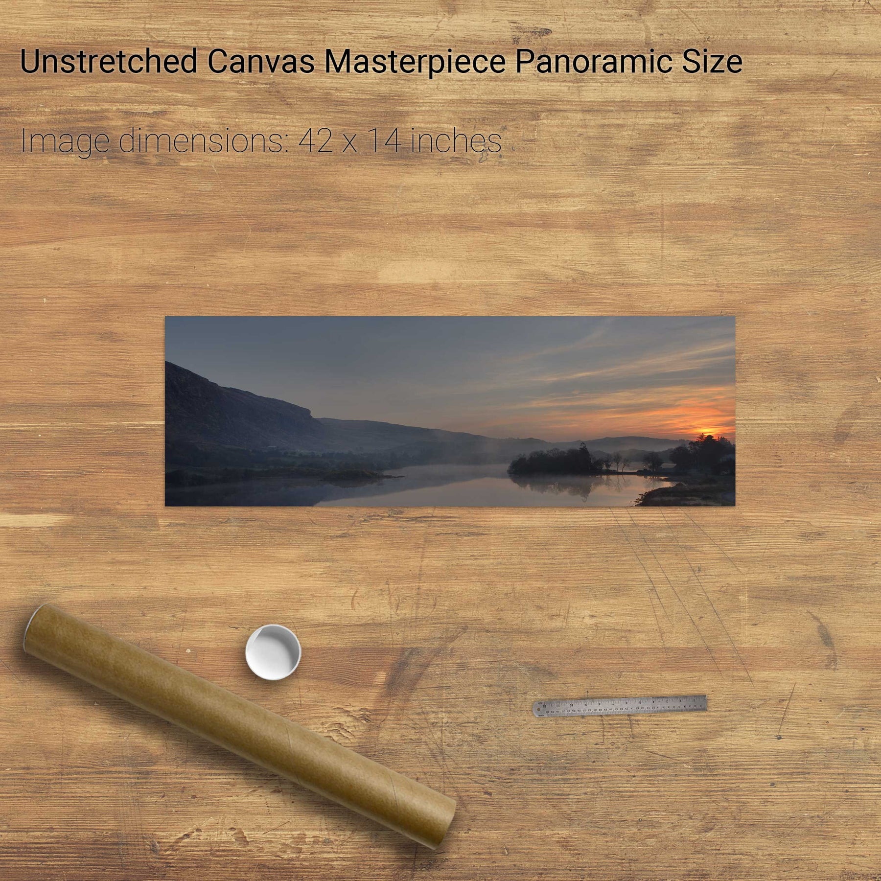
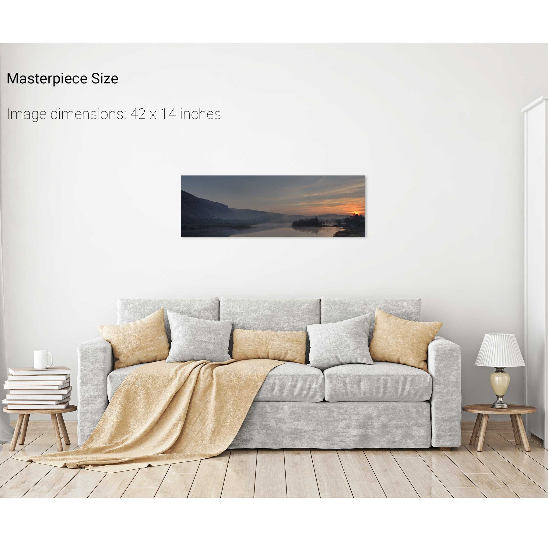
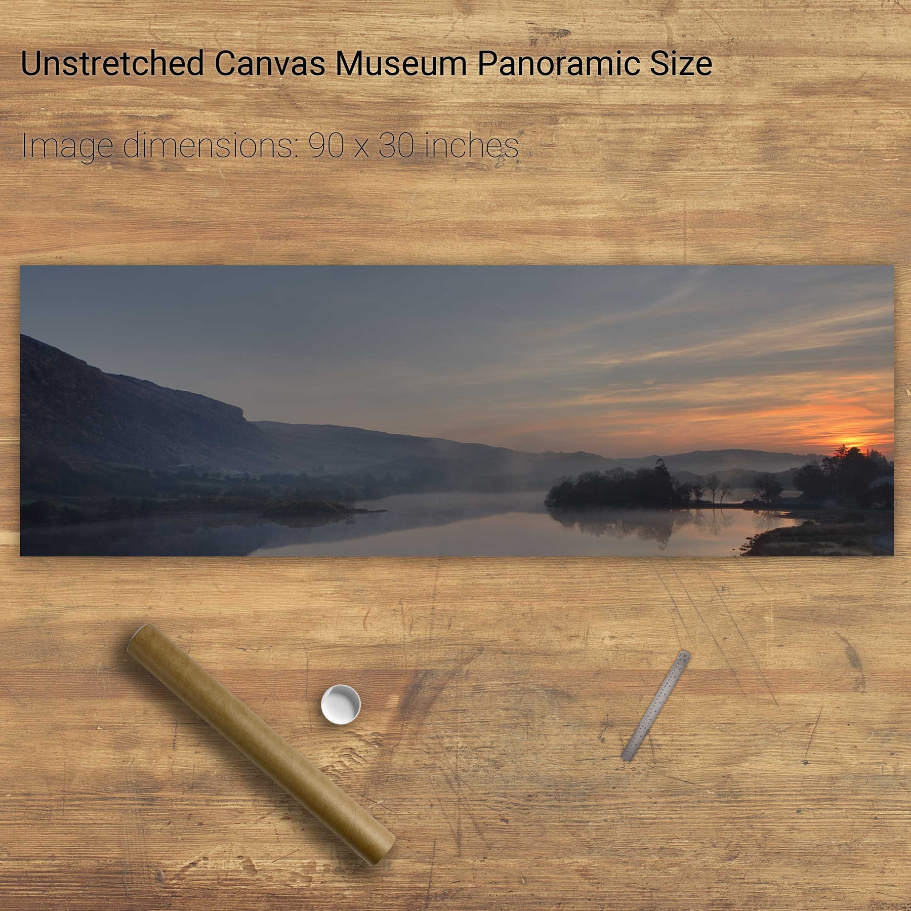
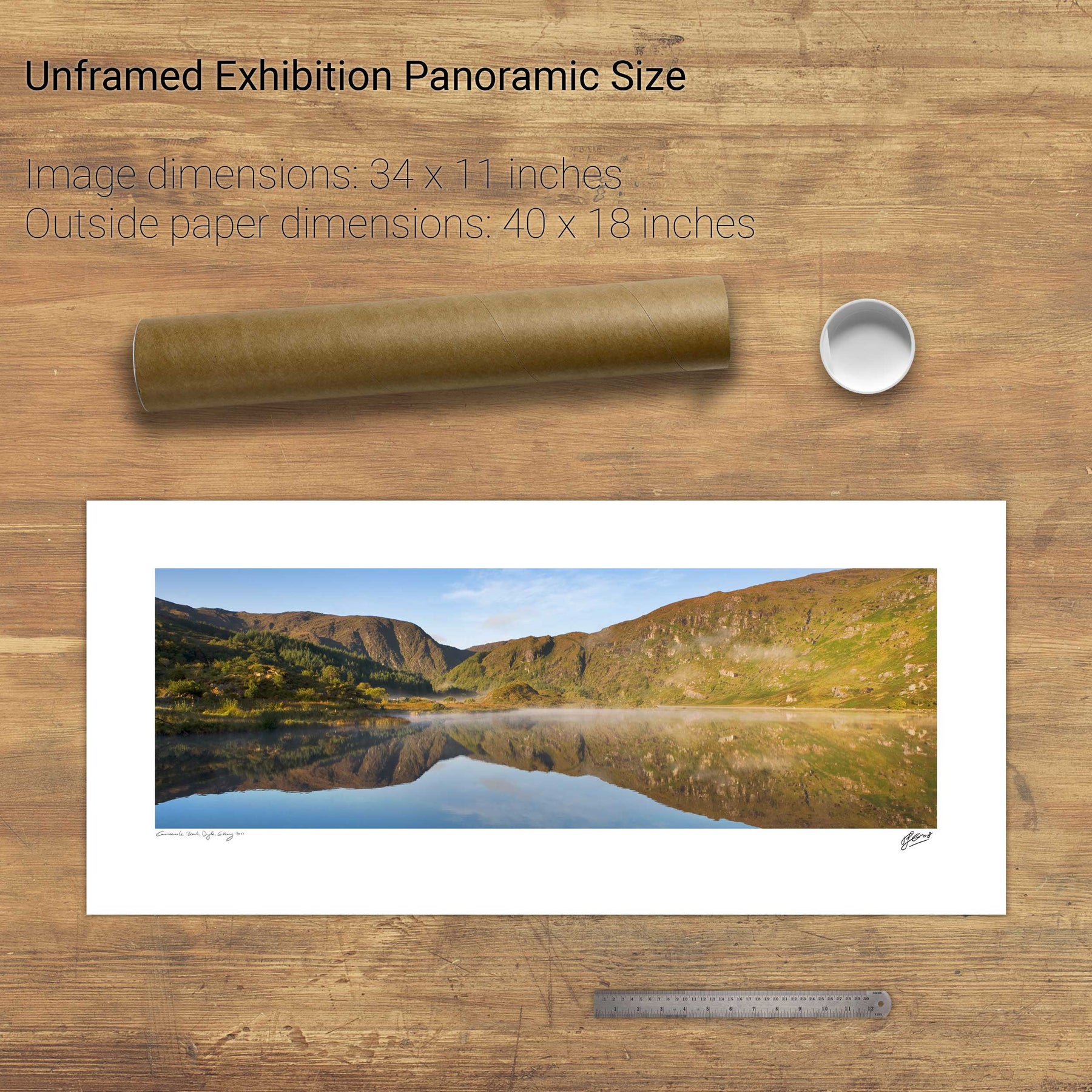
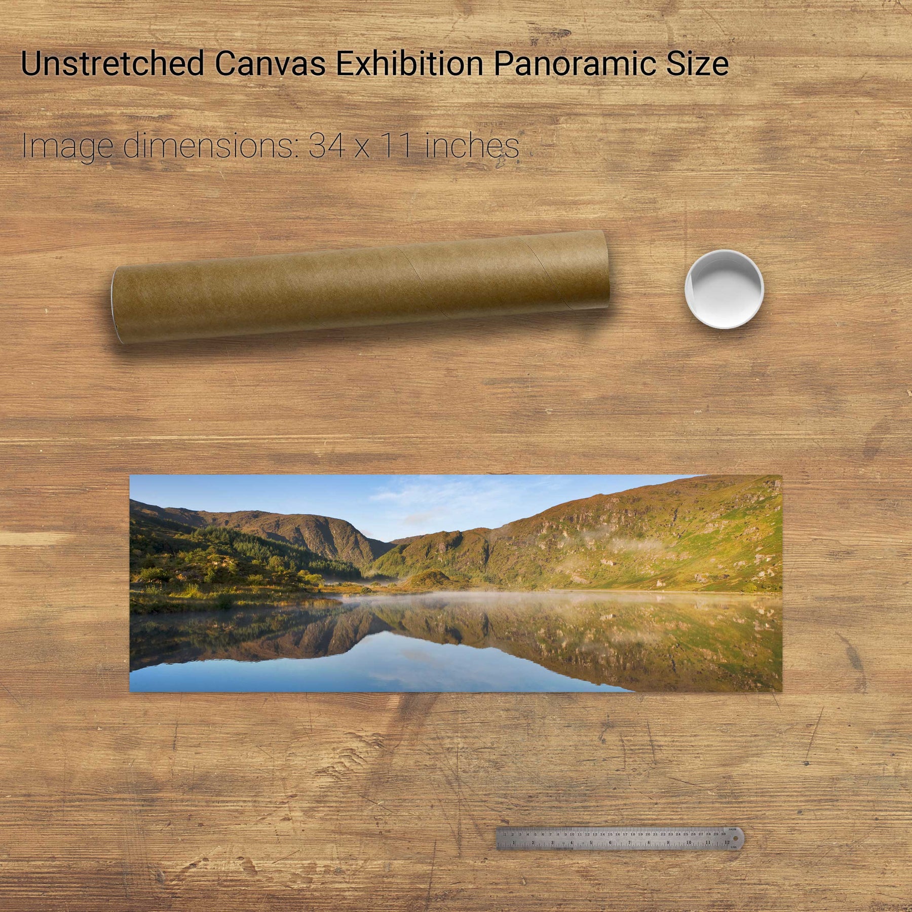
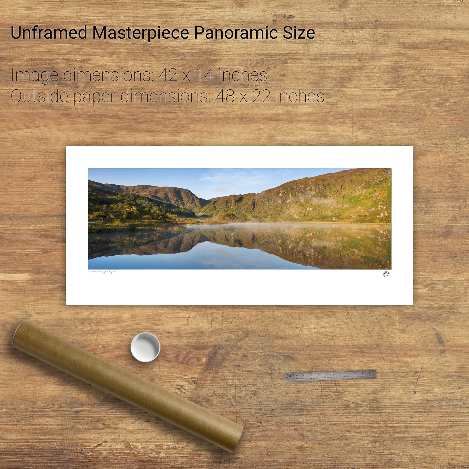
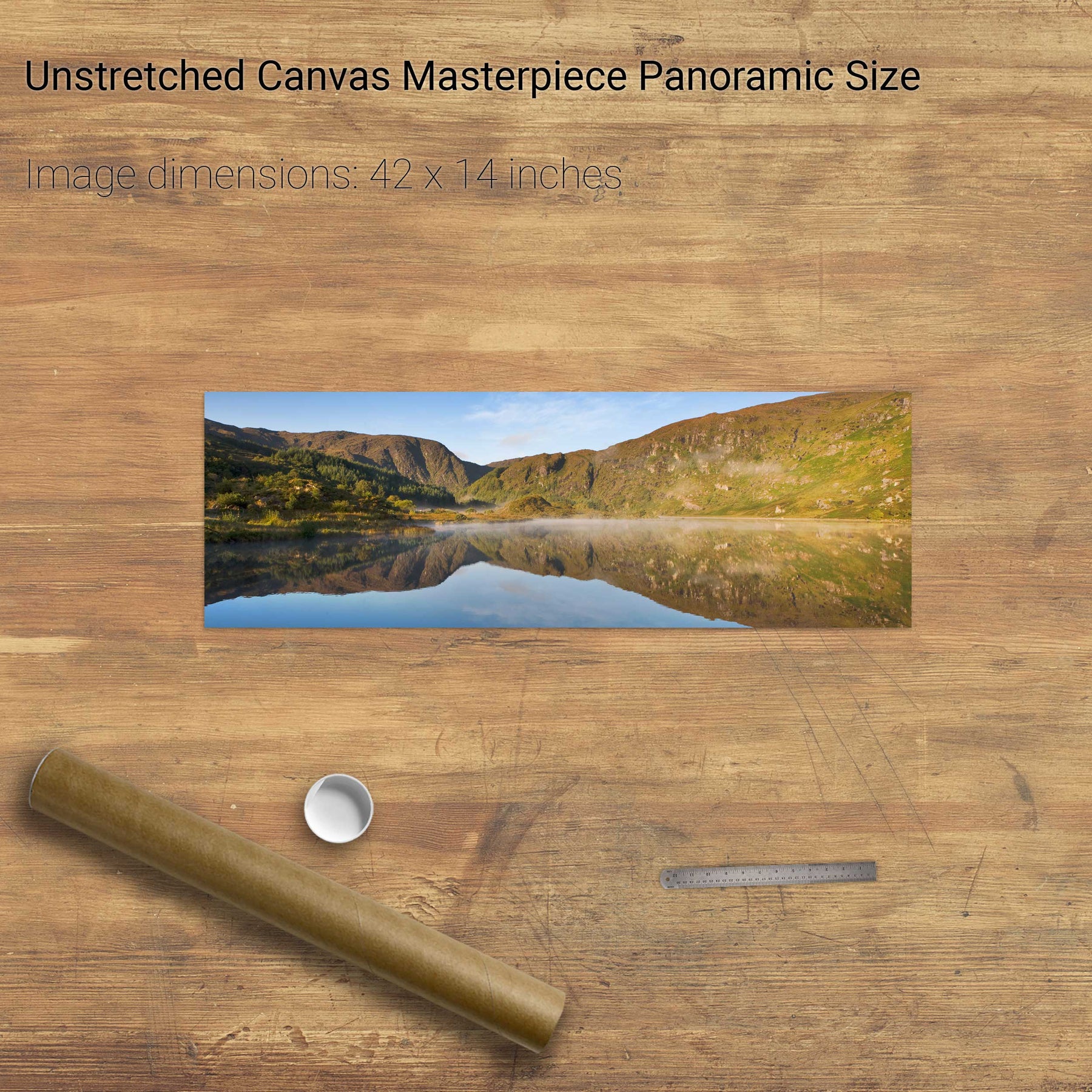
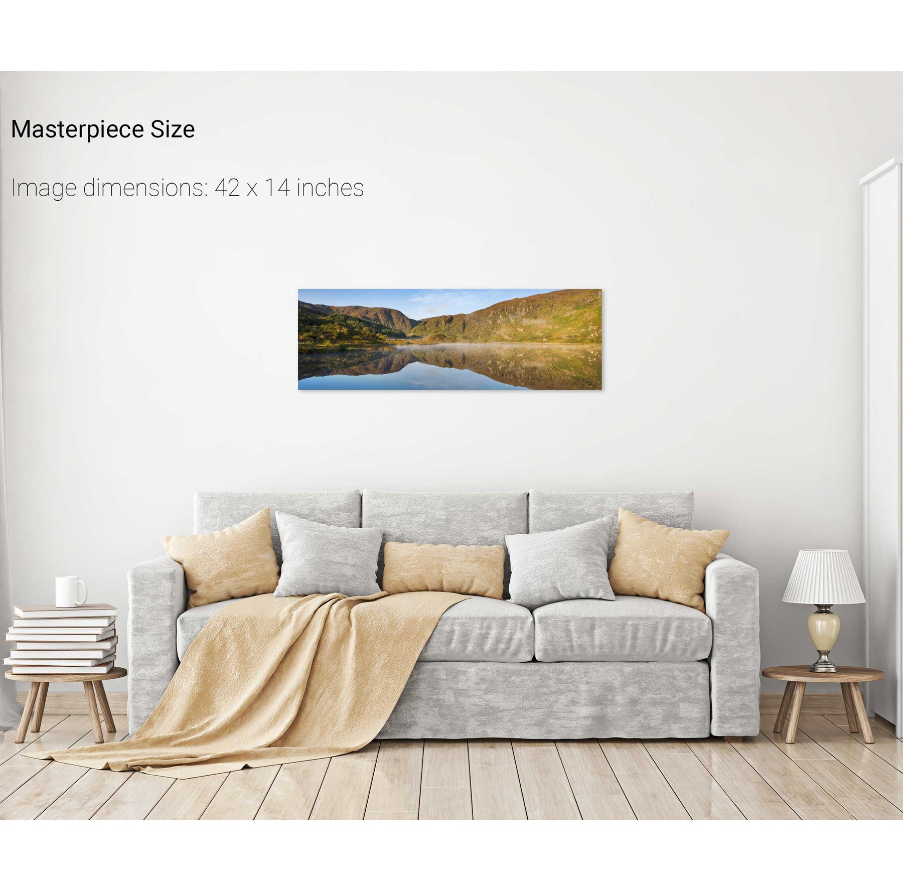
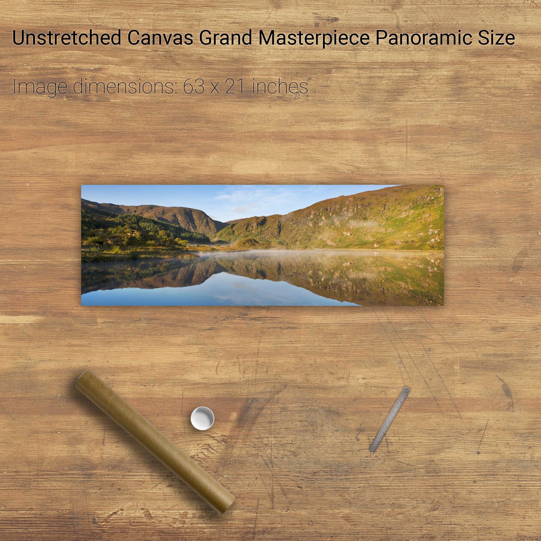
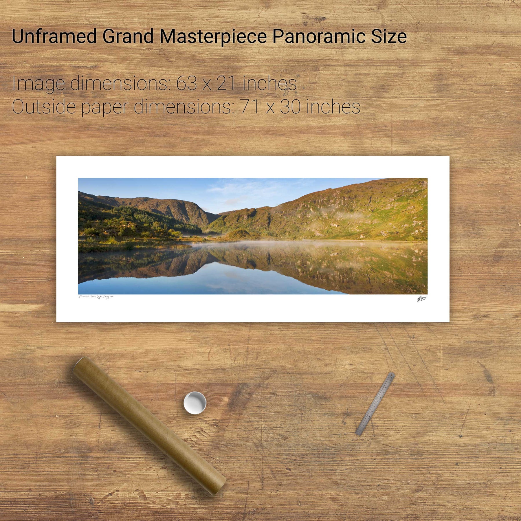
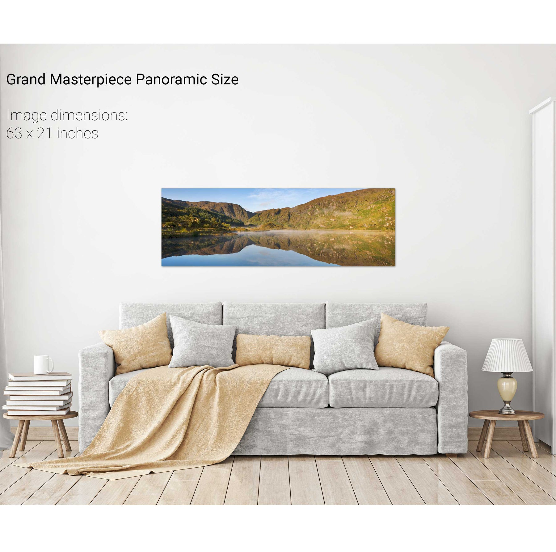
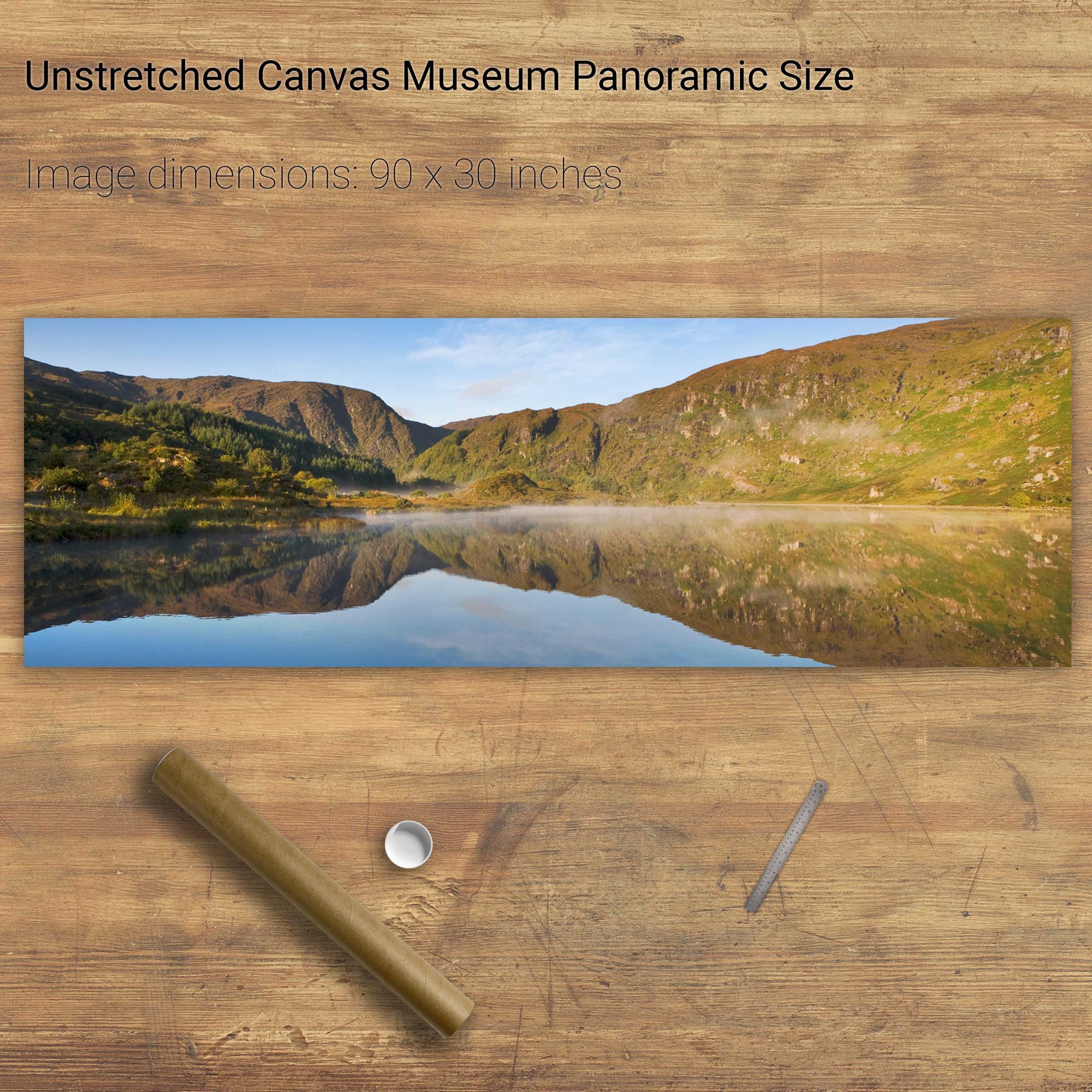
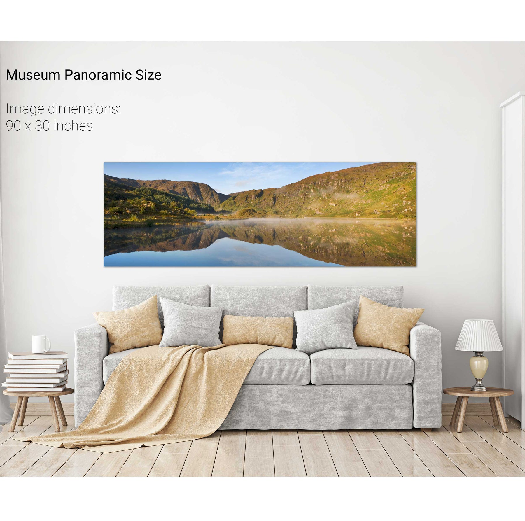
Gougane Barra Reflections, Co. Cork


We will send you an email to reset your password.

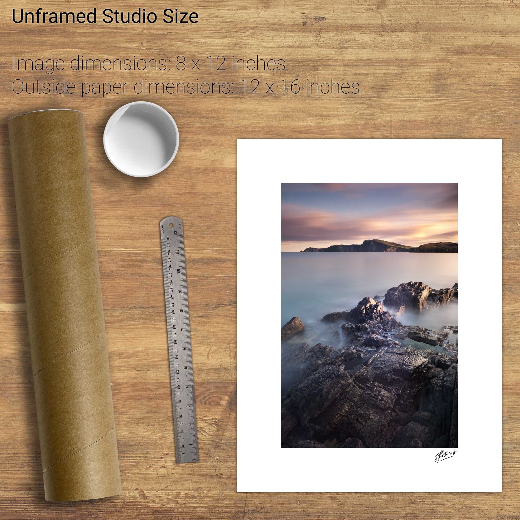
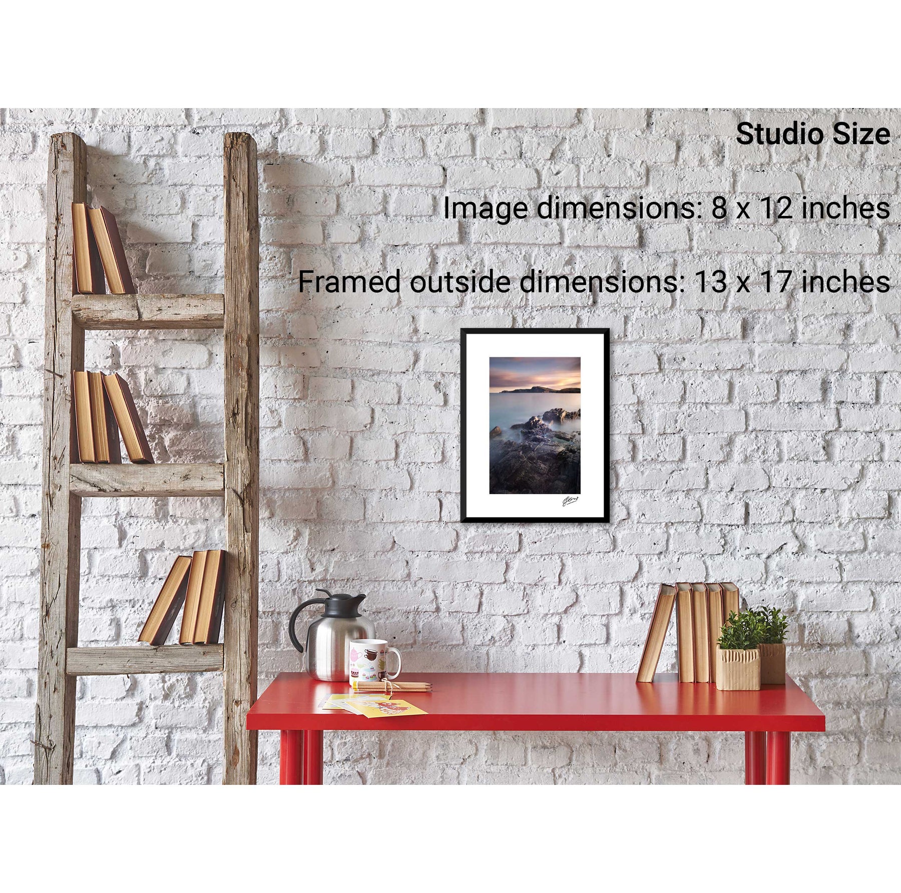
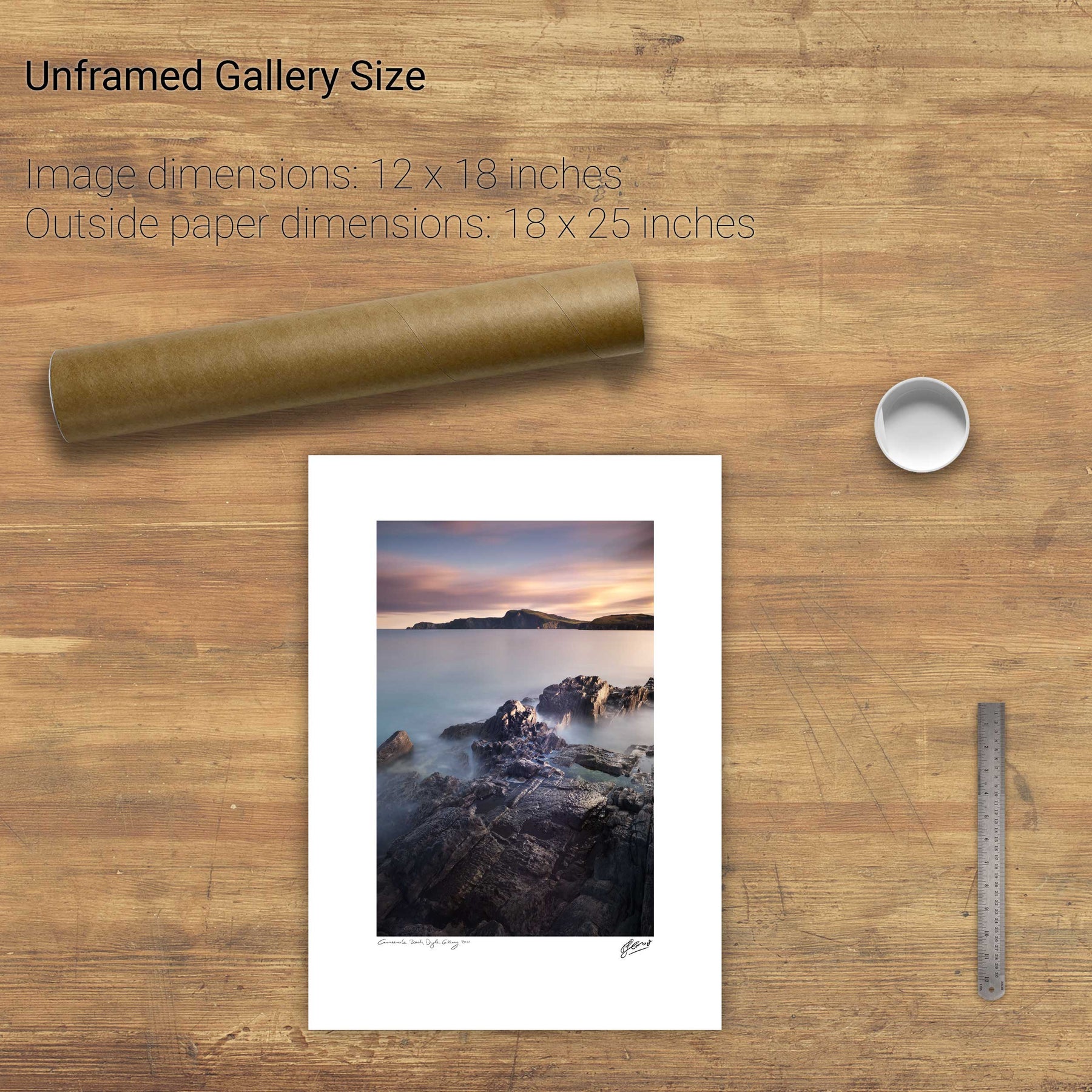
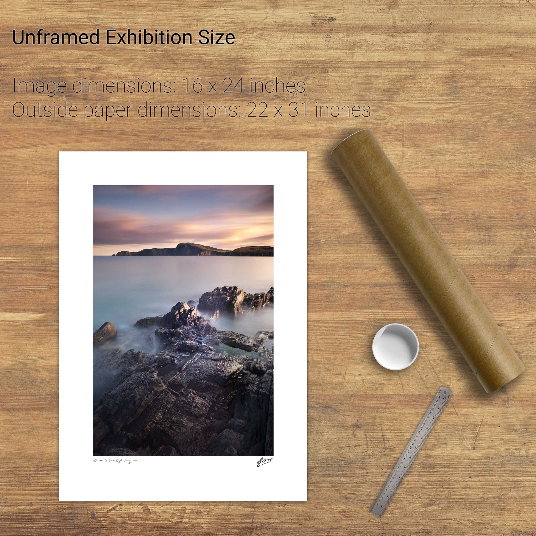
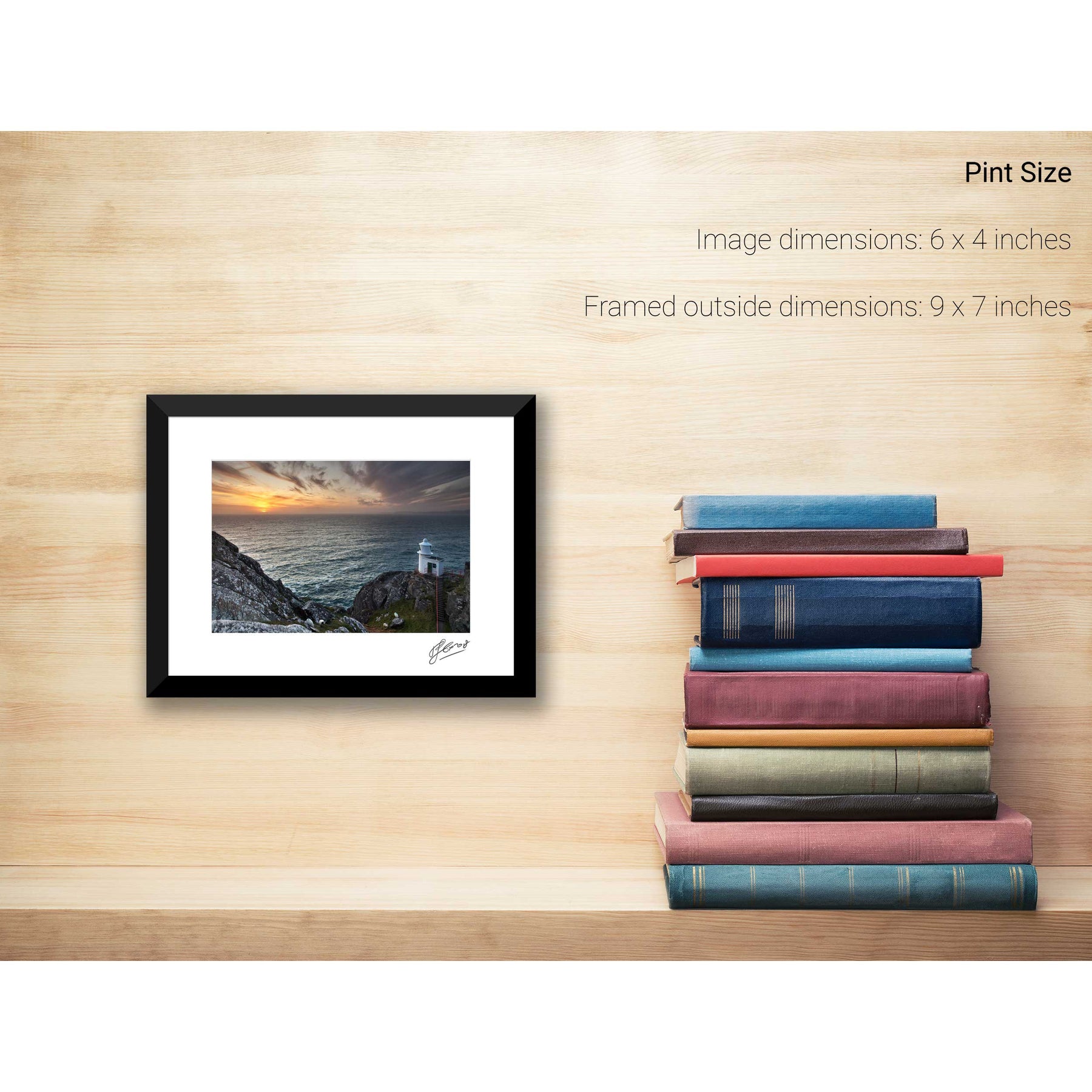
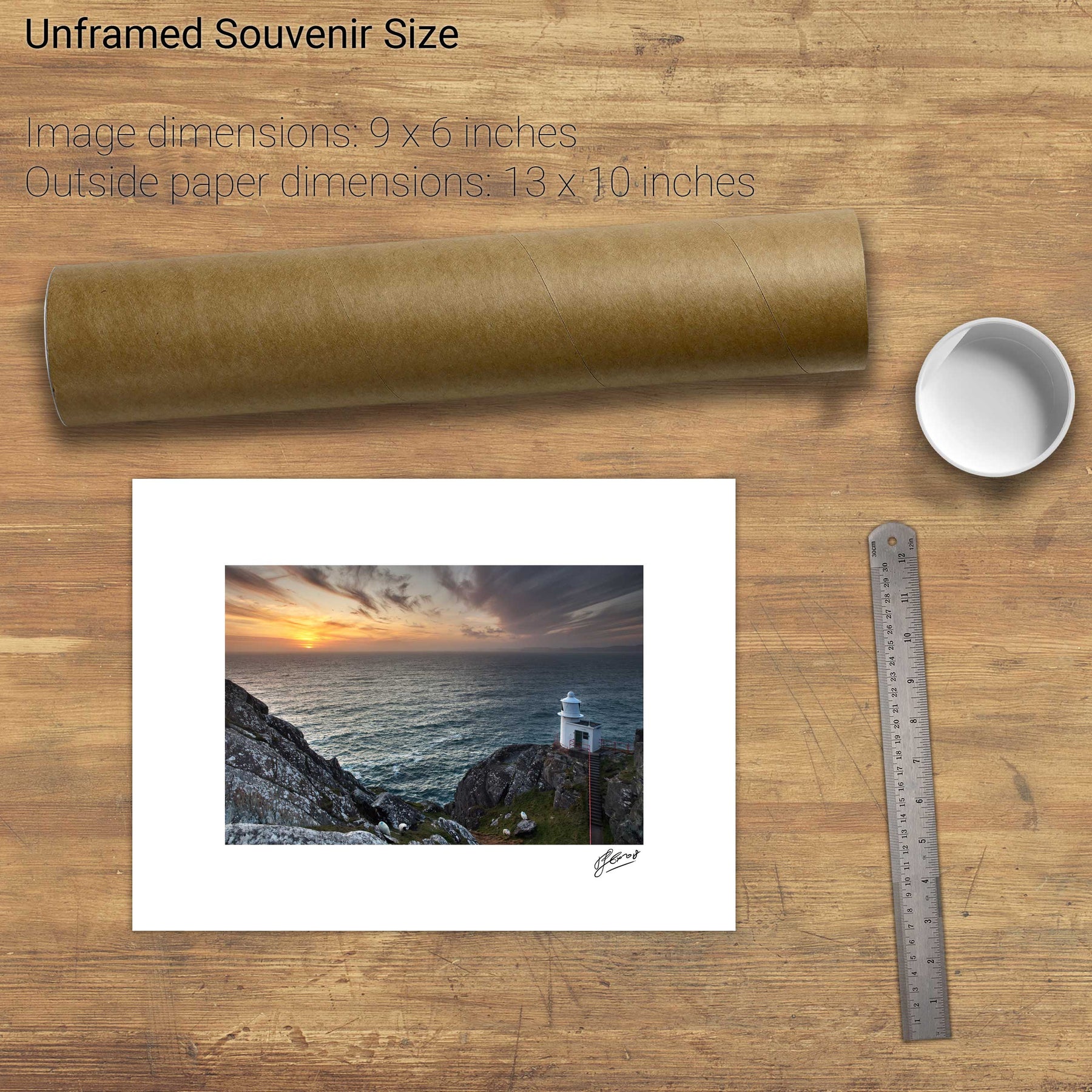
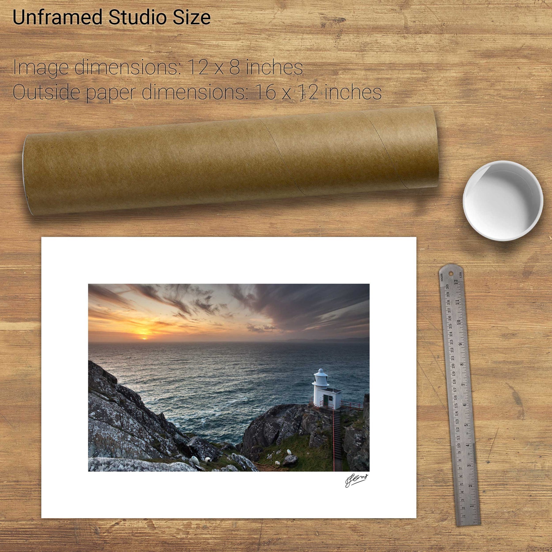
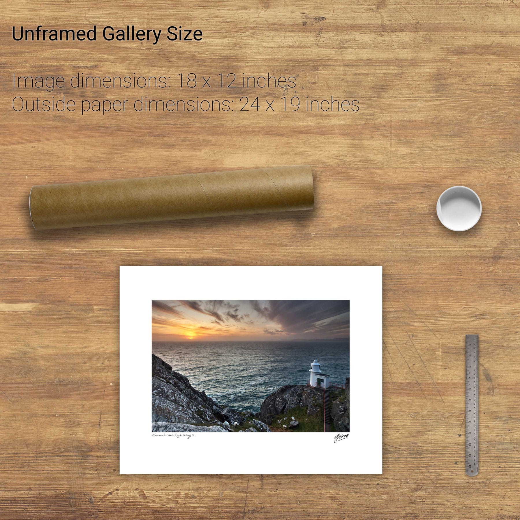
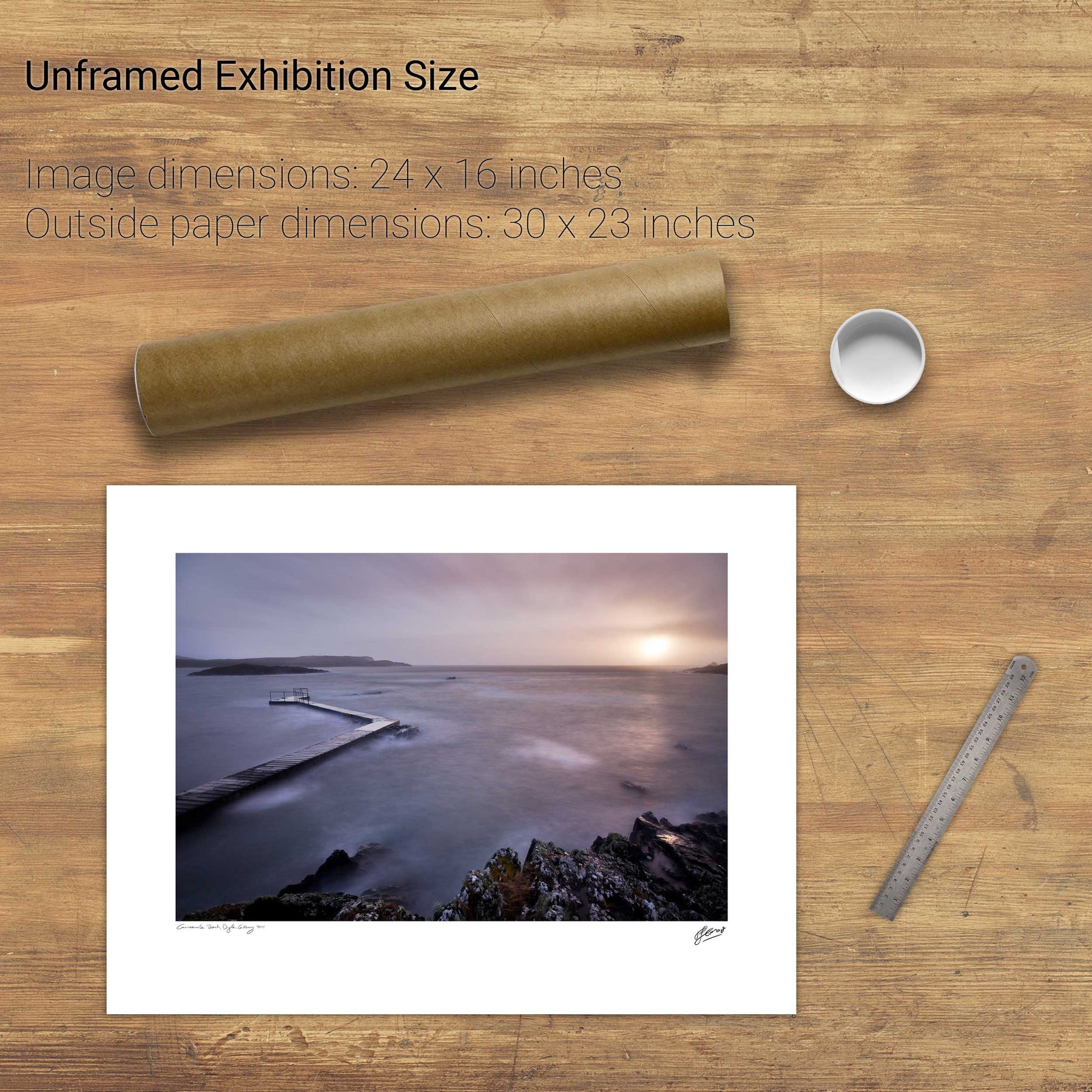
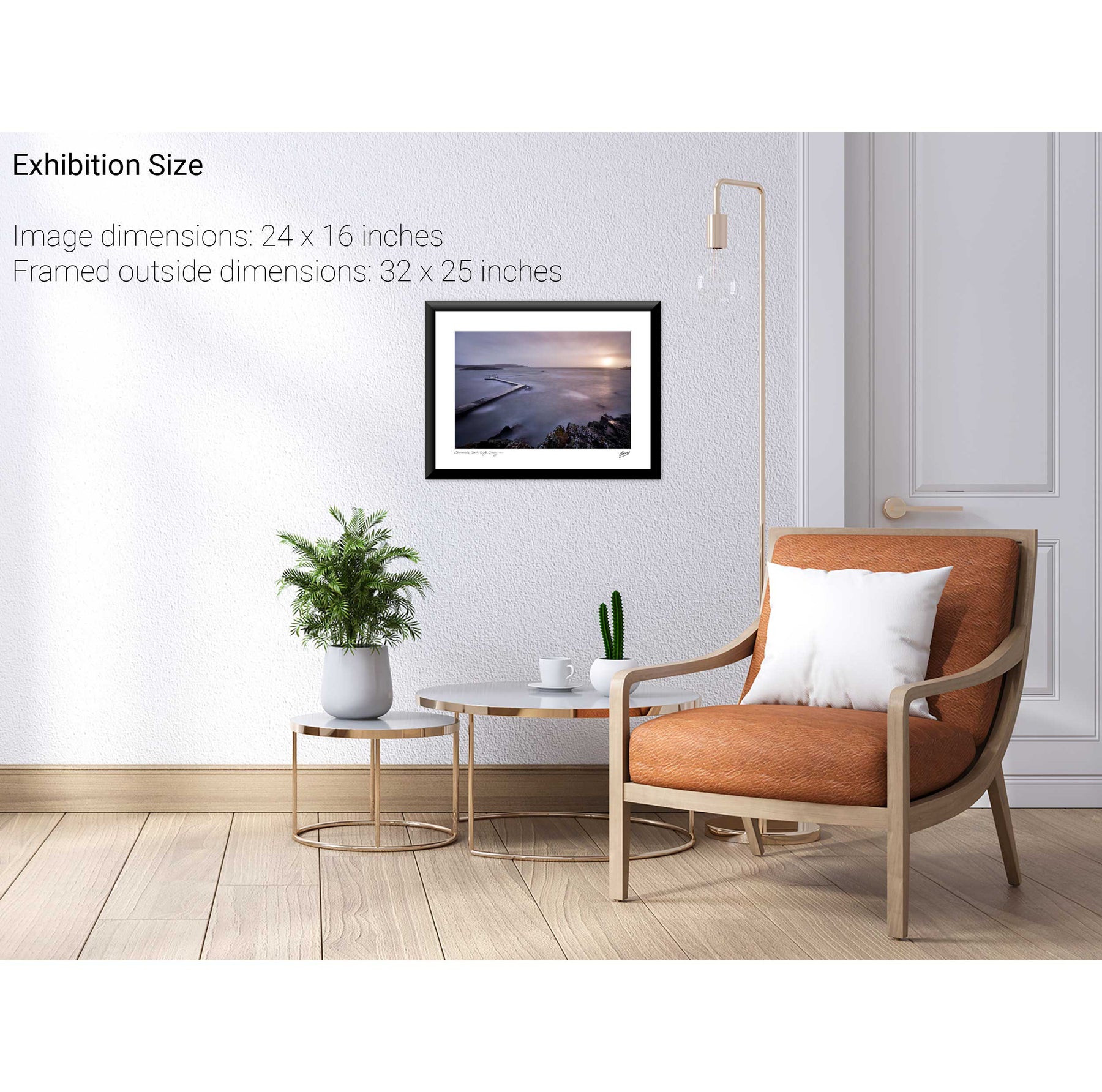
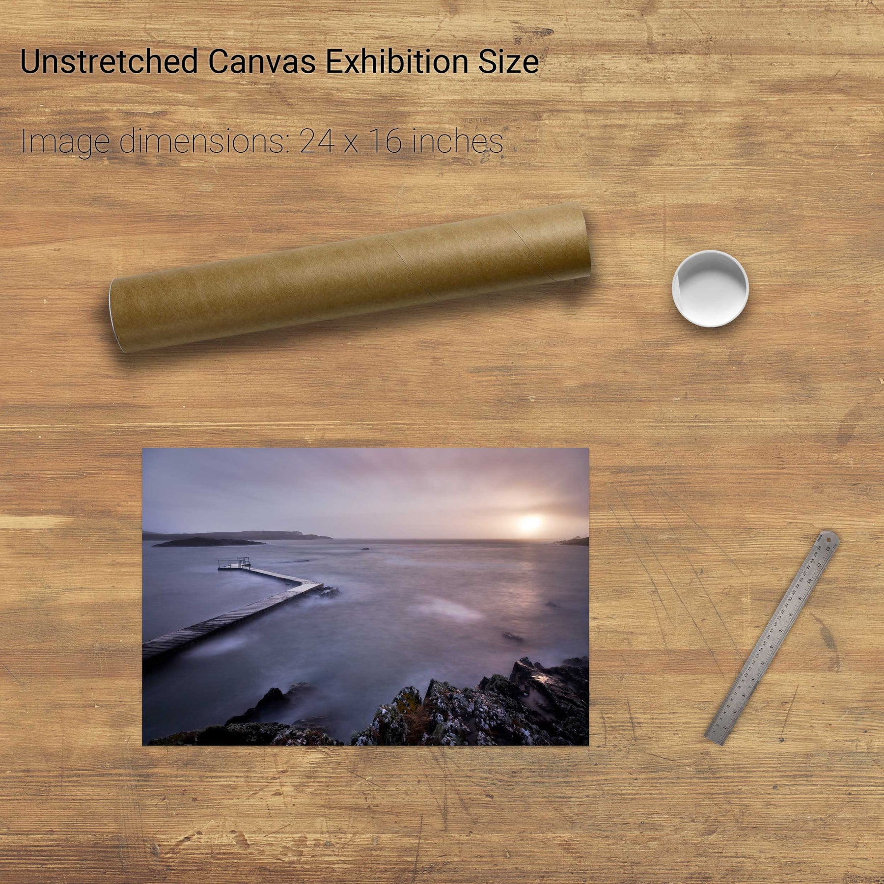
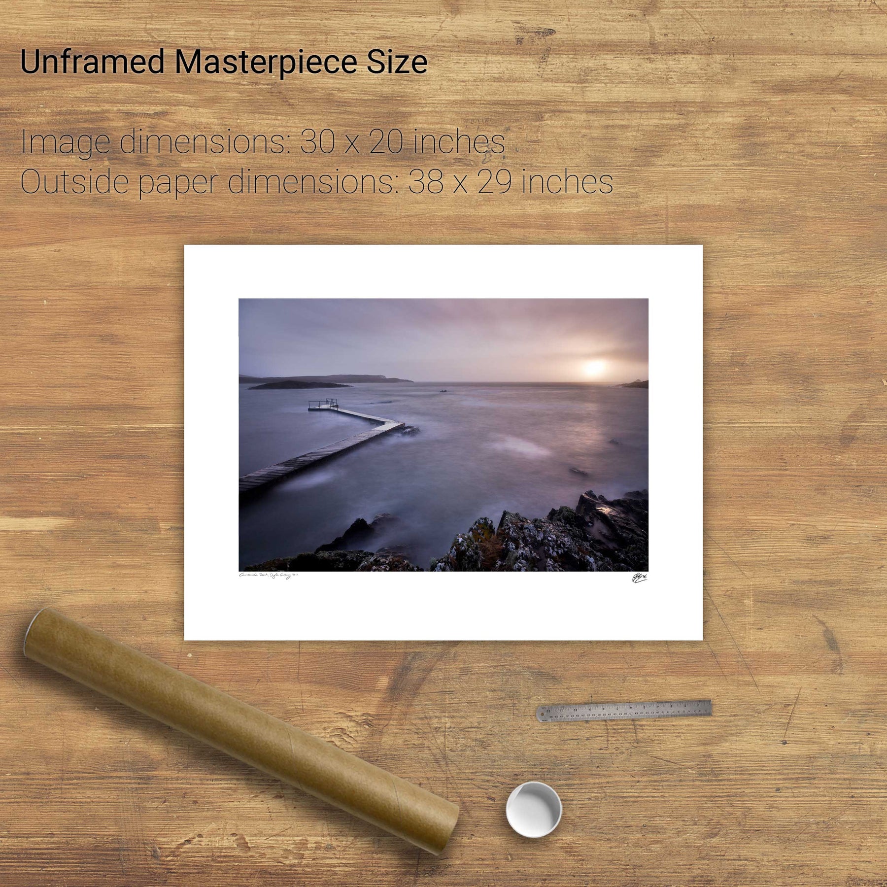
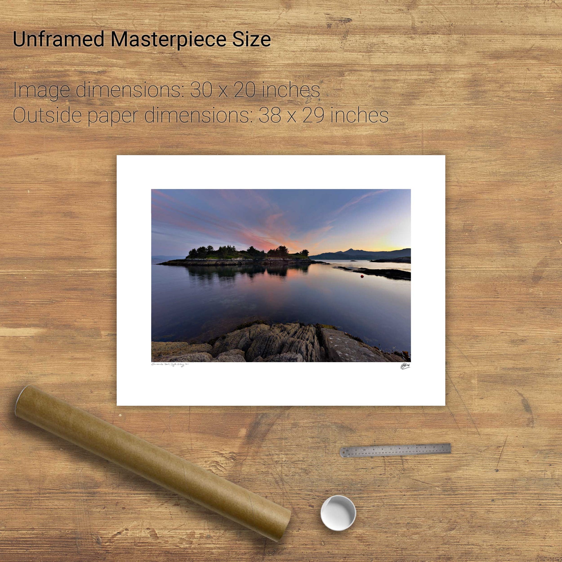
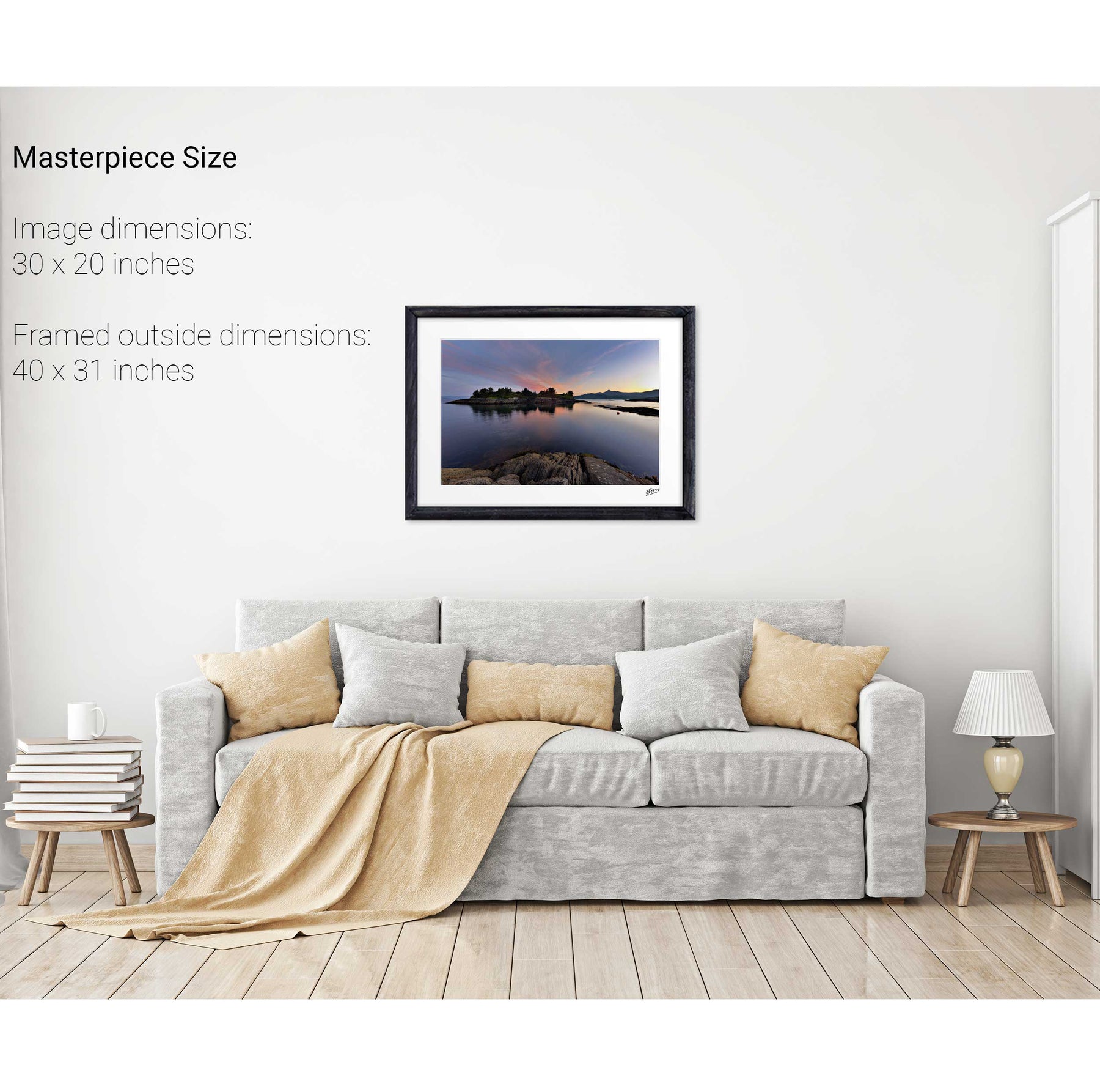
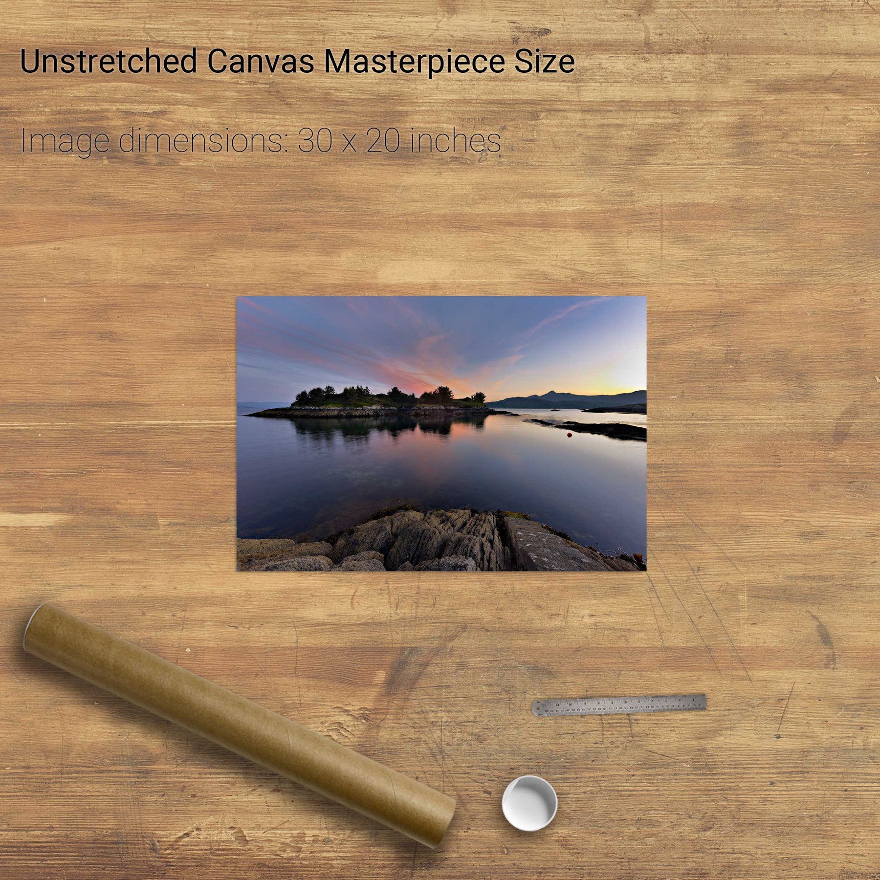
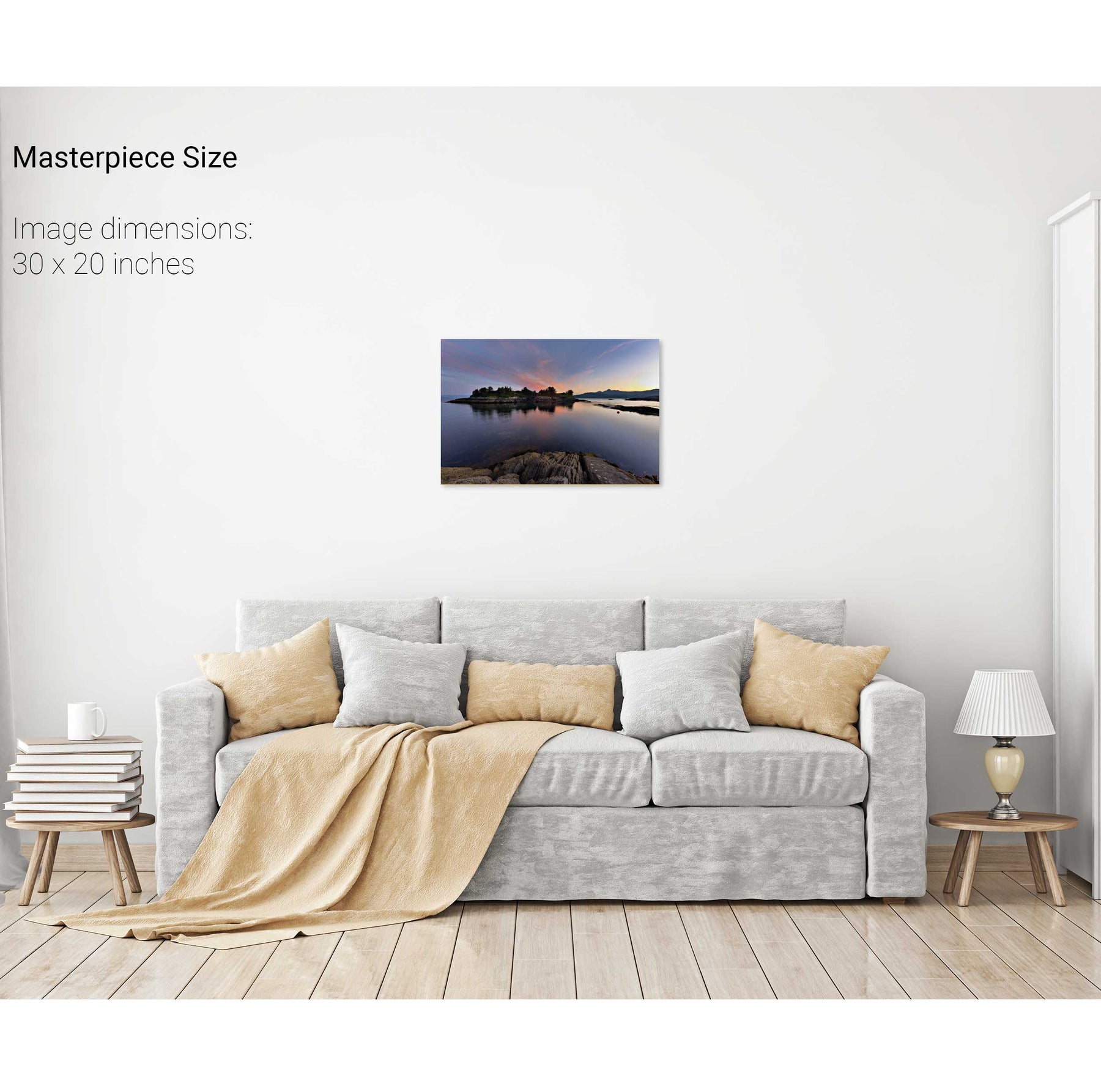
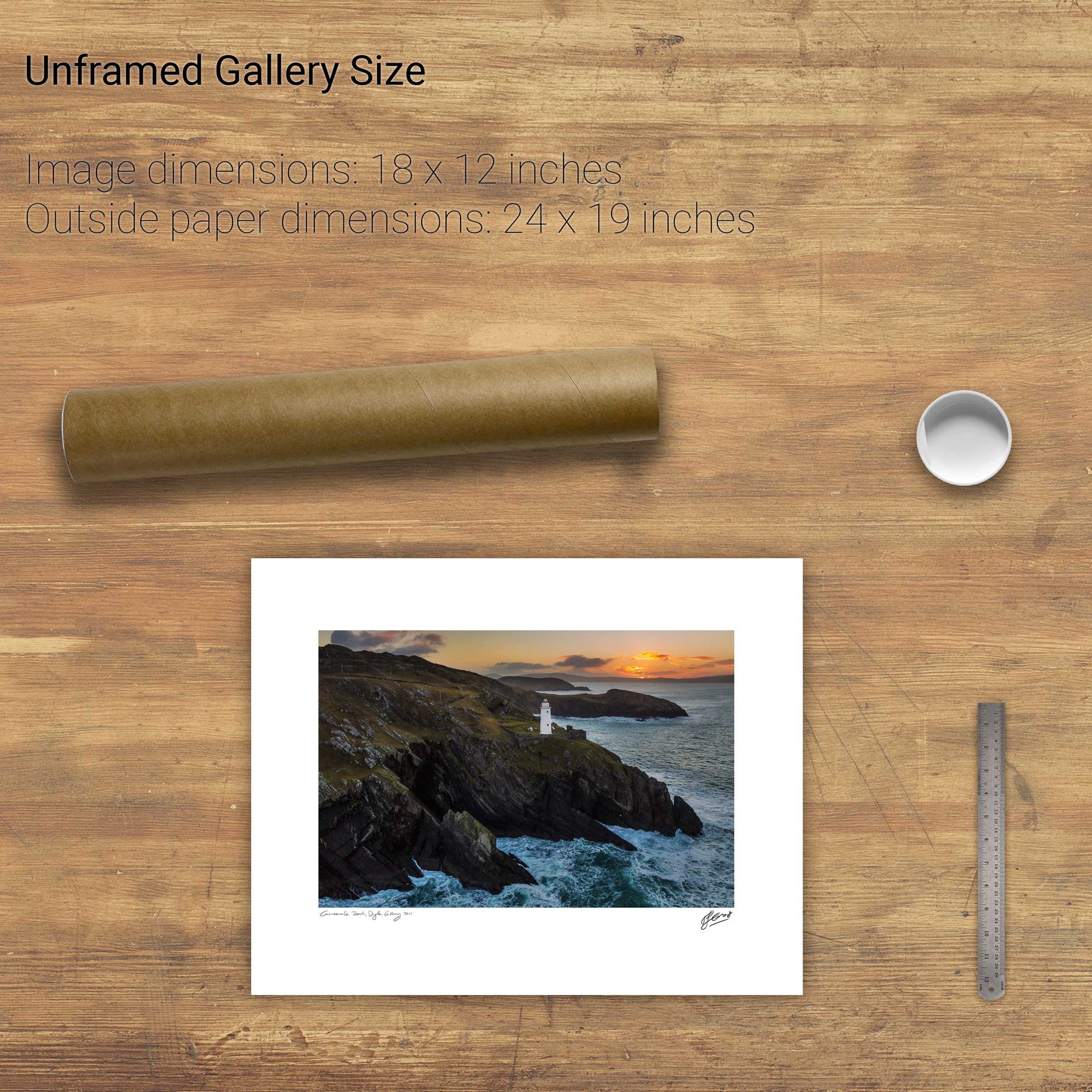
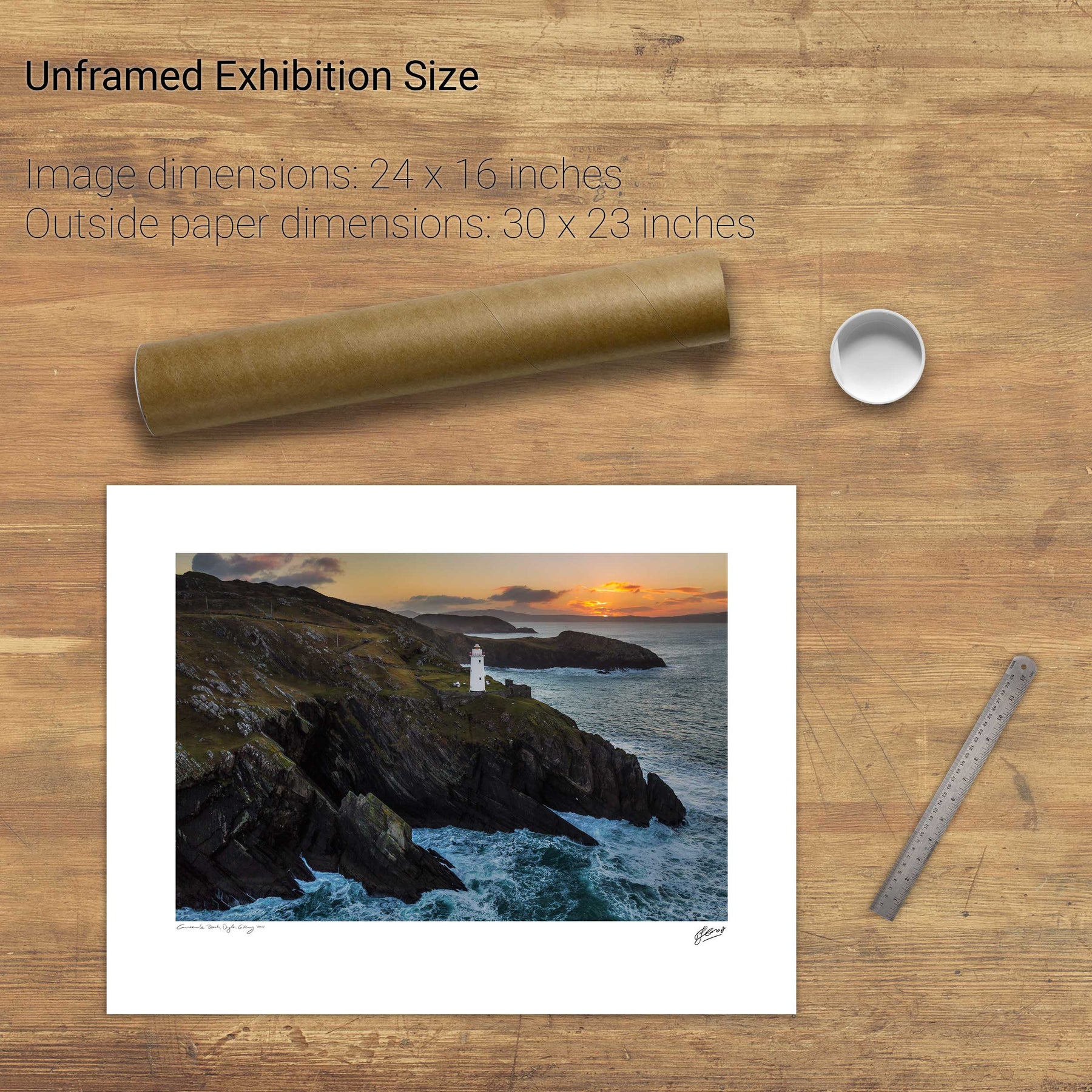
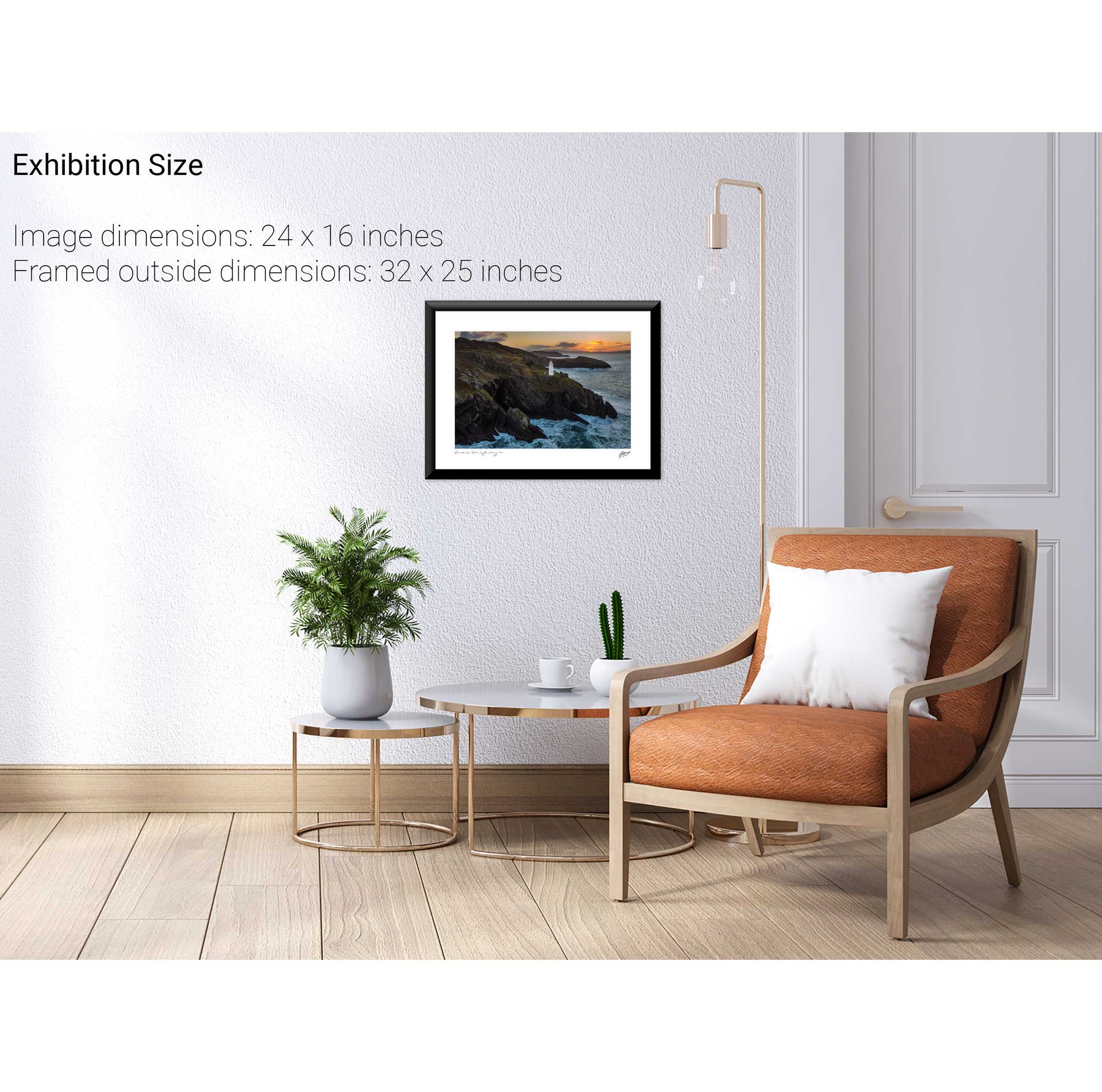
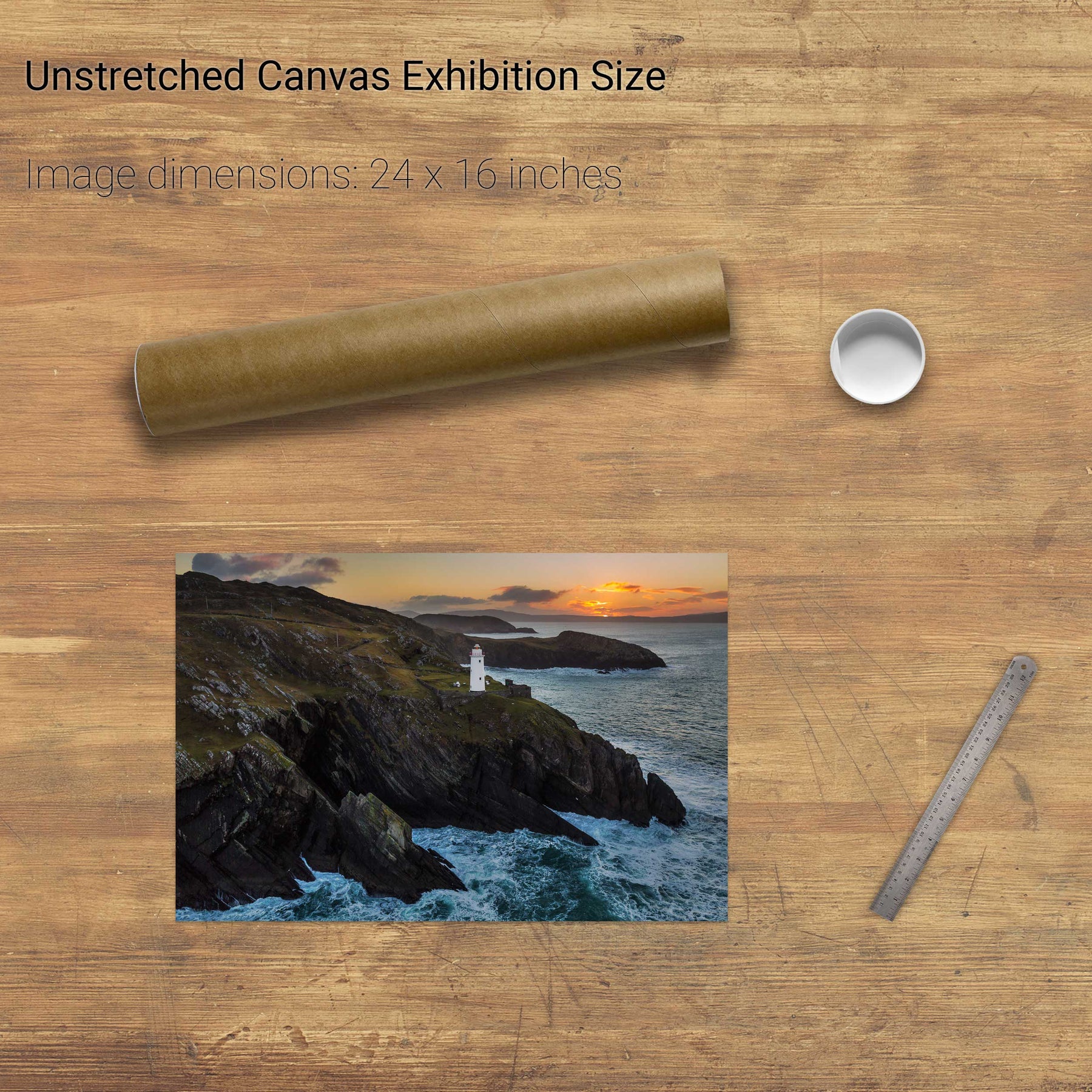
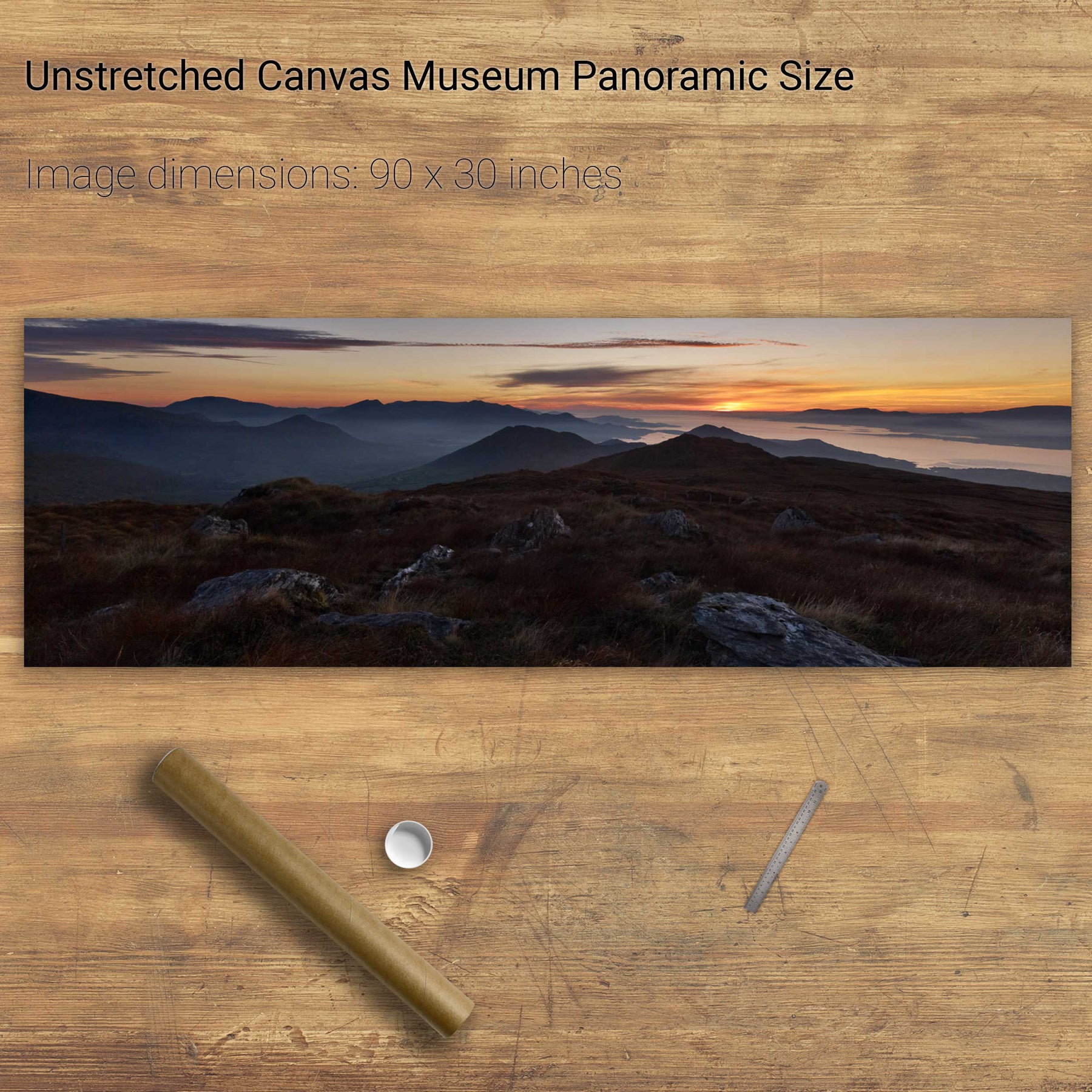
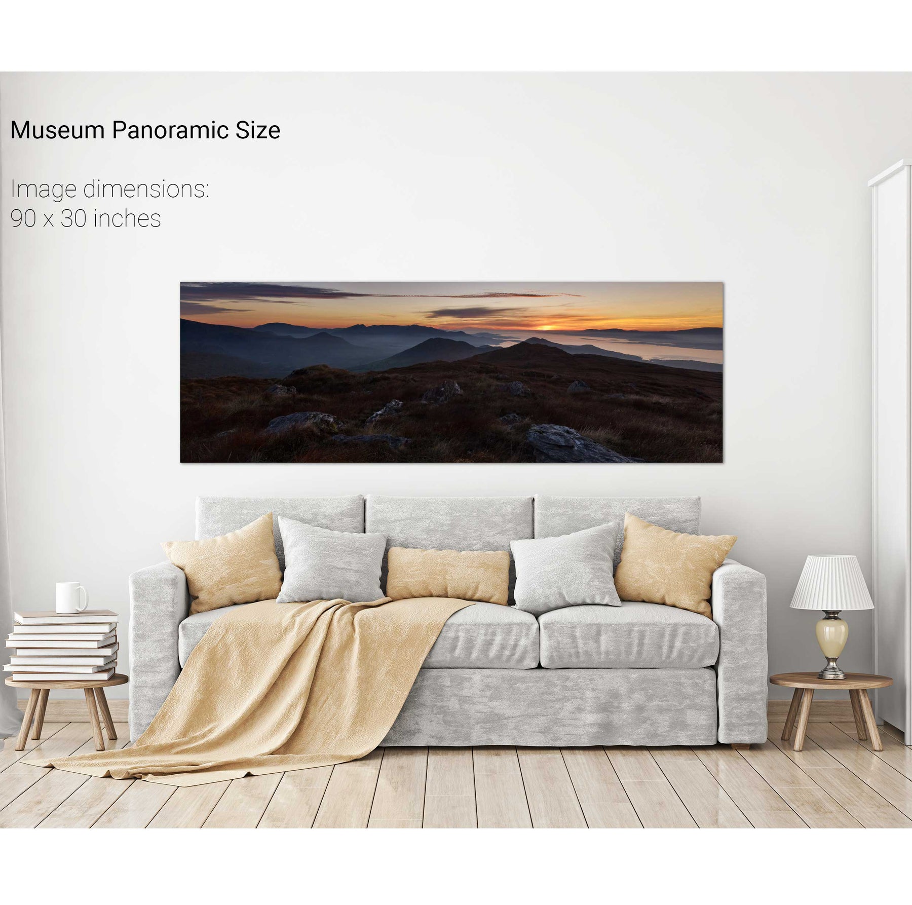
31 products
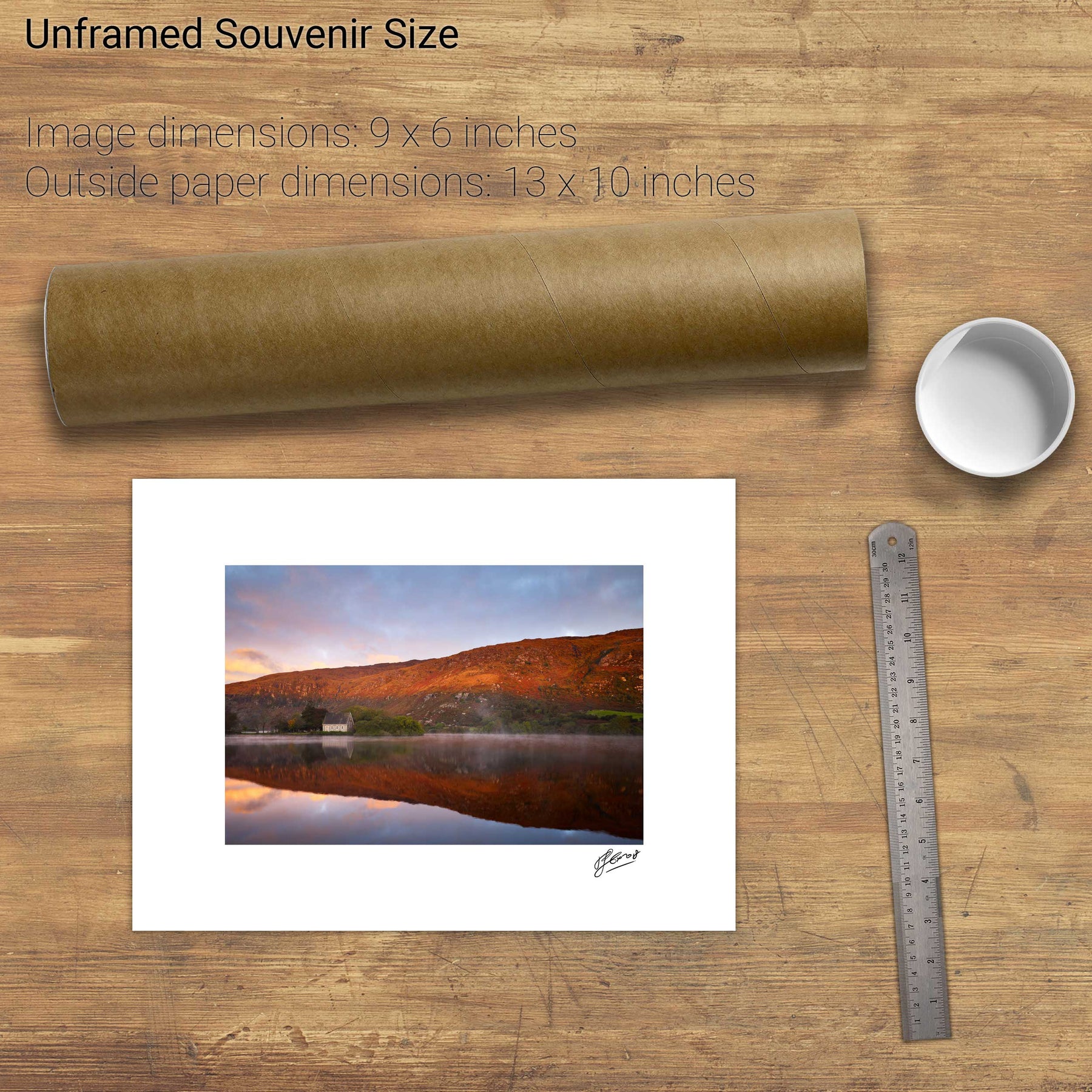
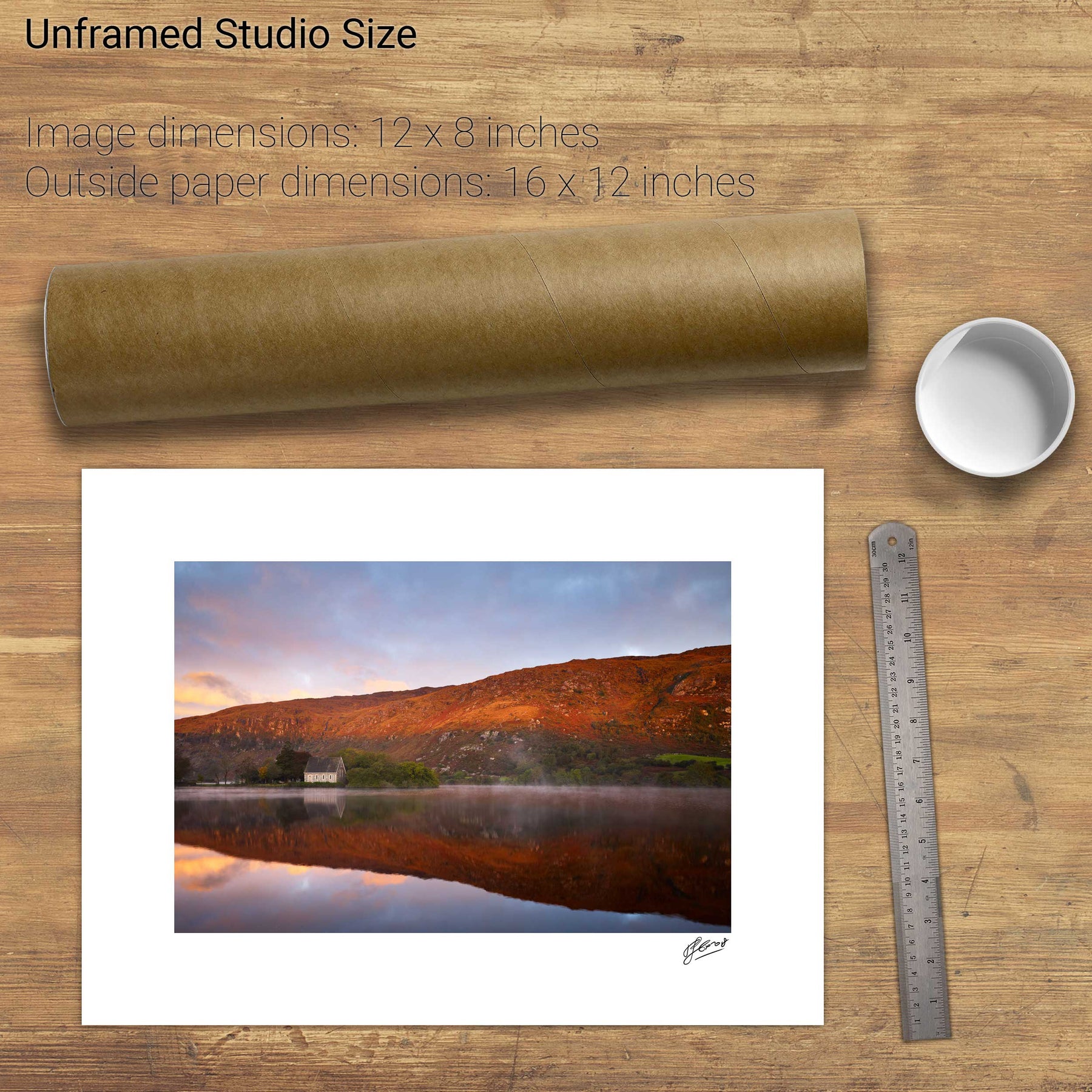
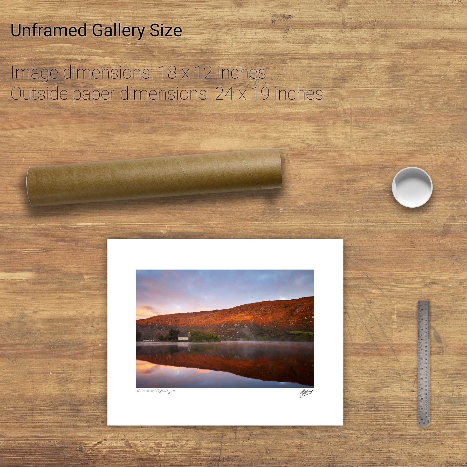
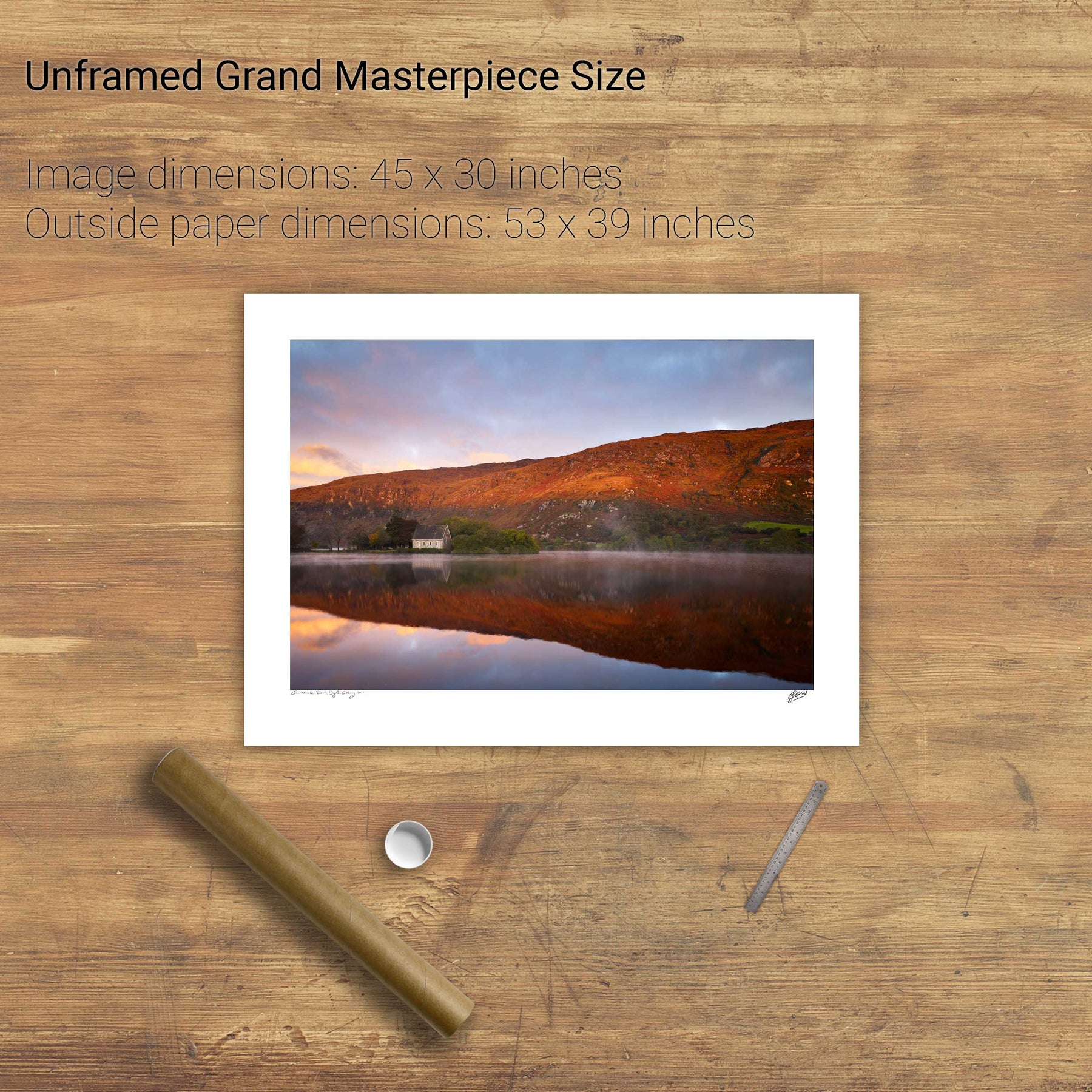
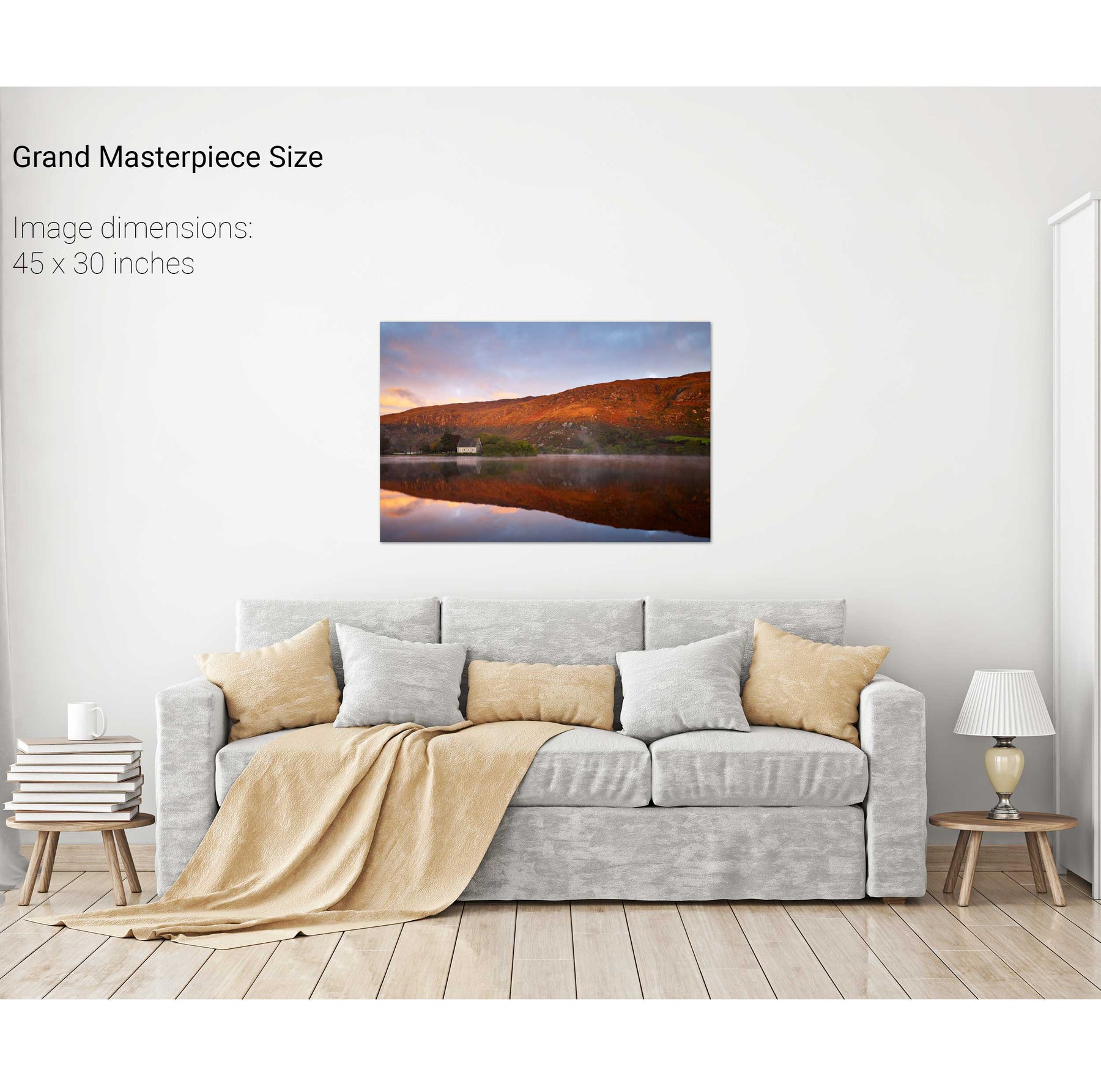
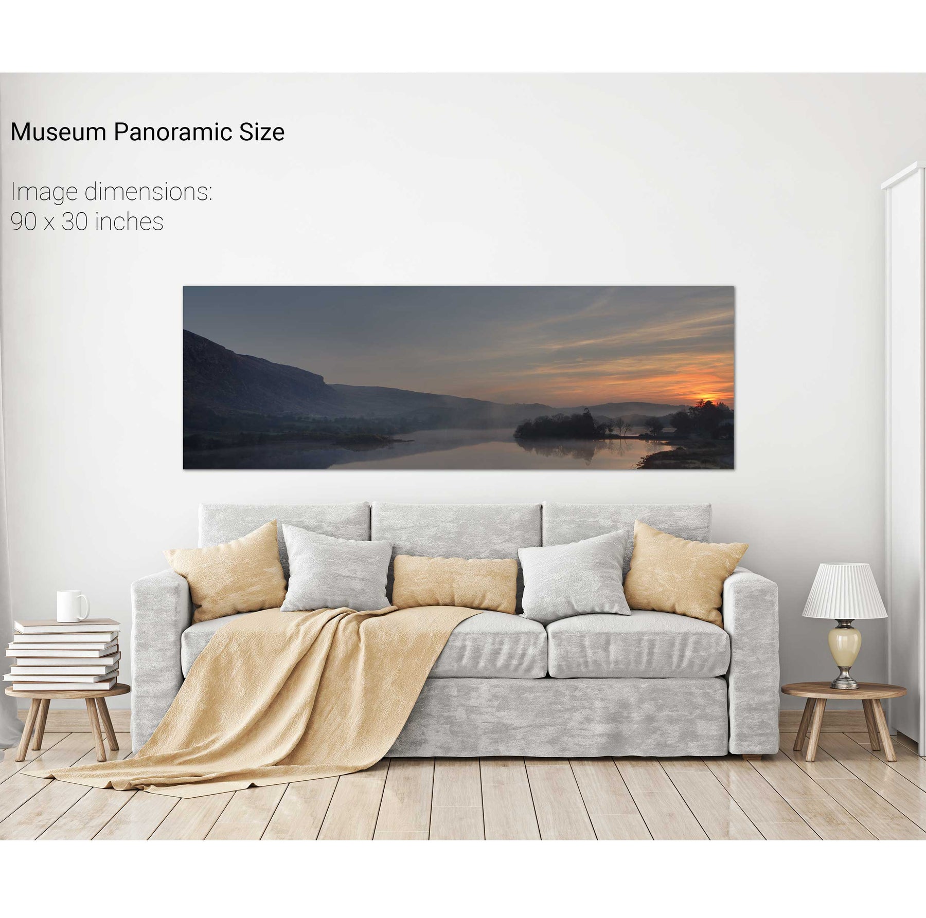
Gougane Barra Reflections, Co. Cork
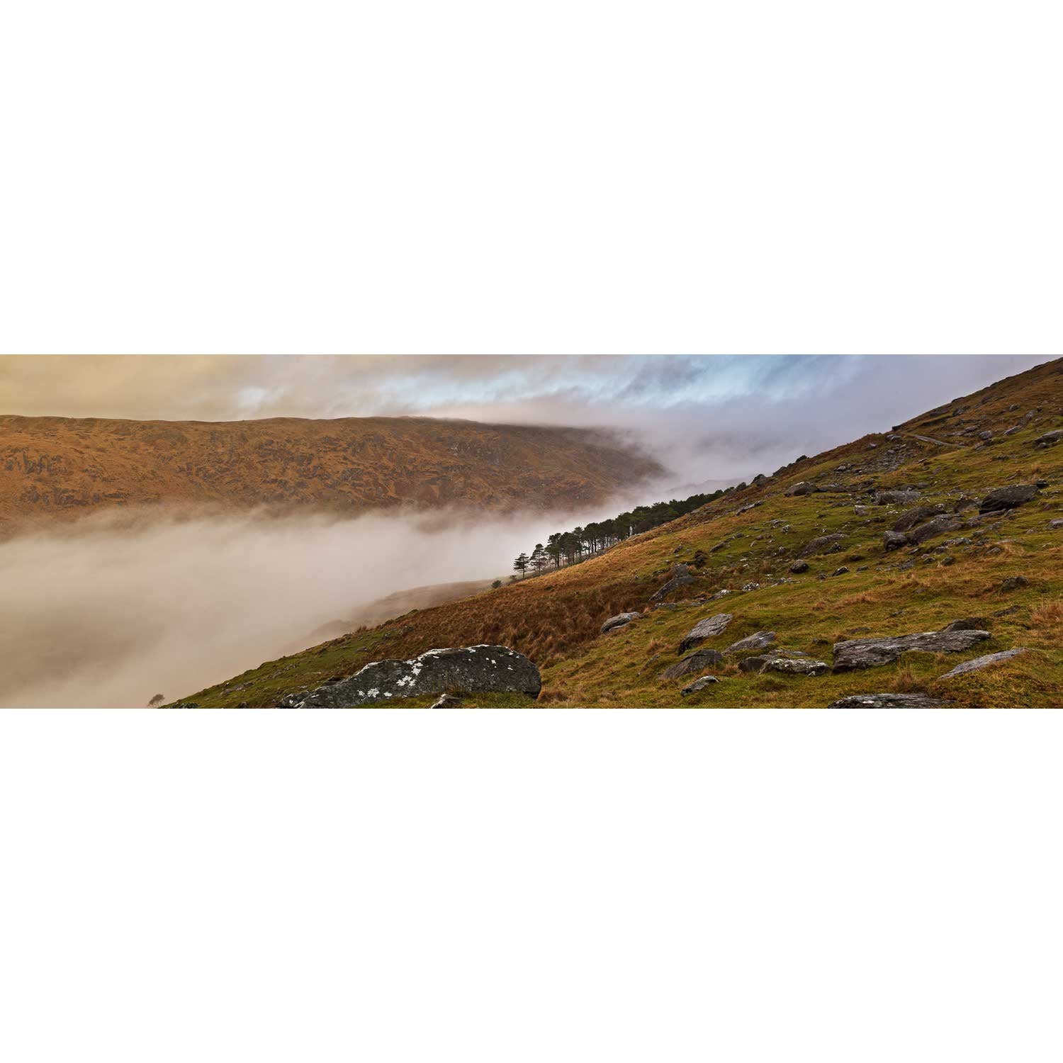
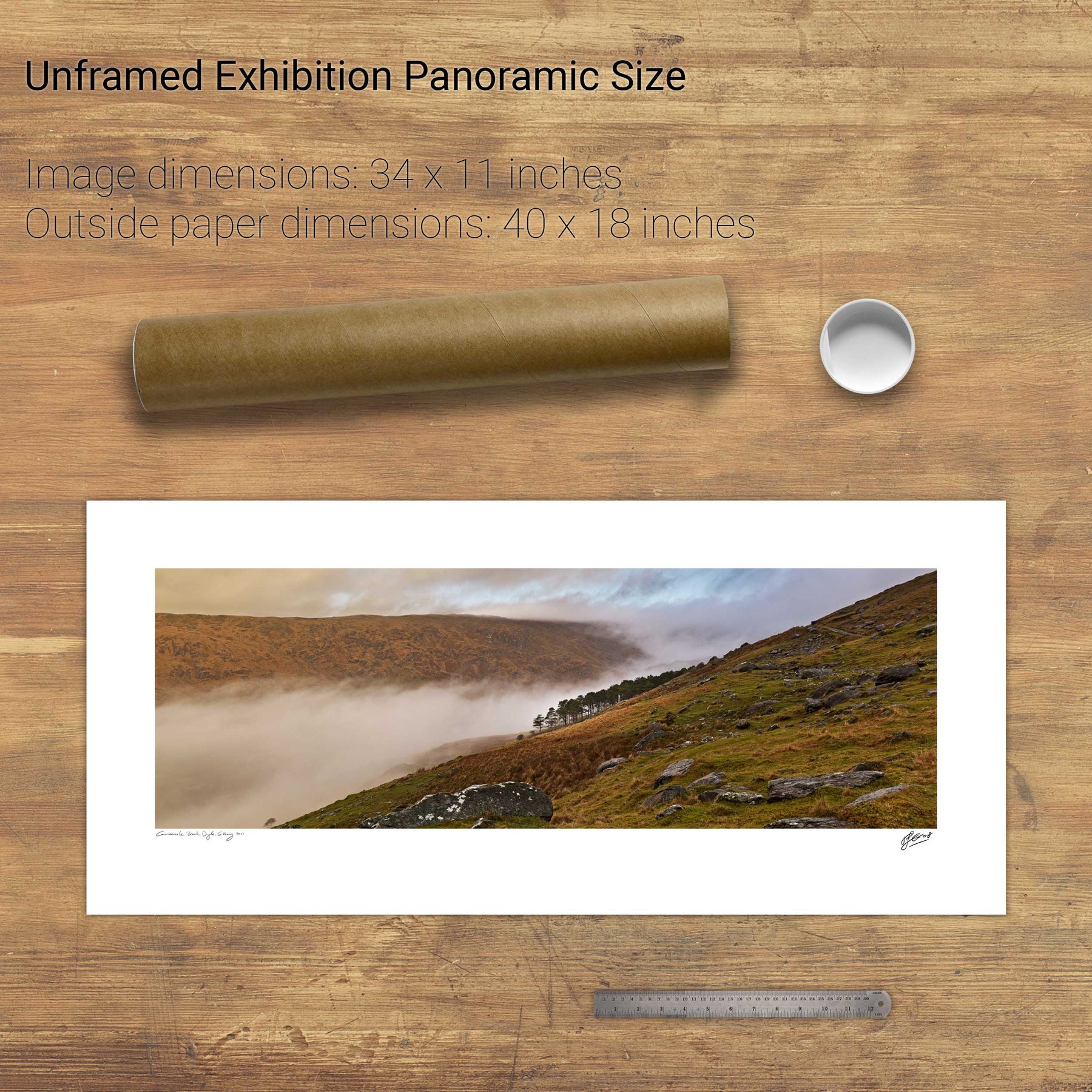
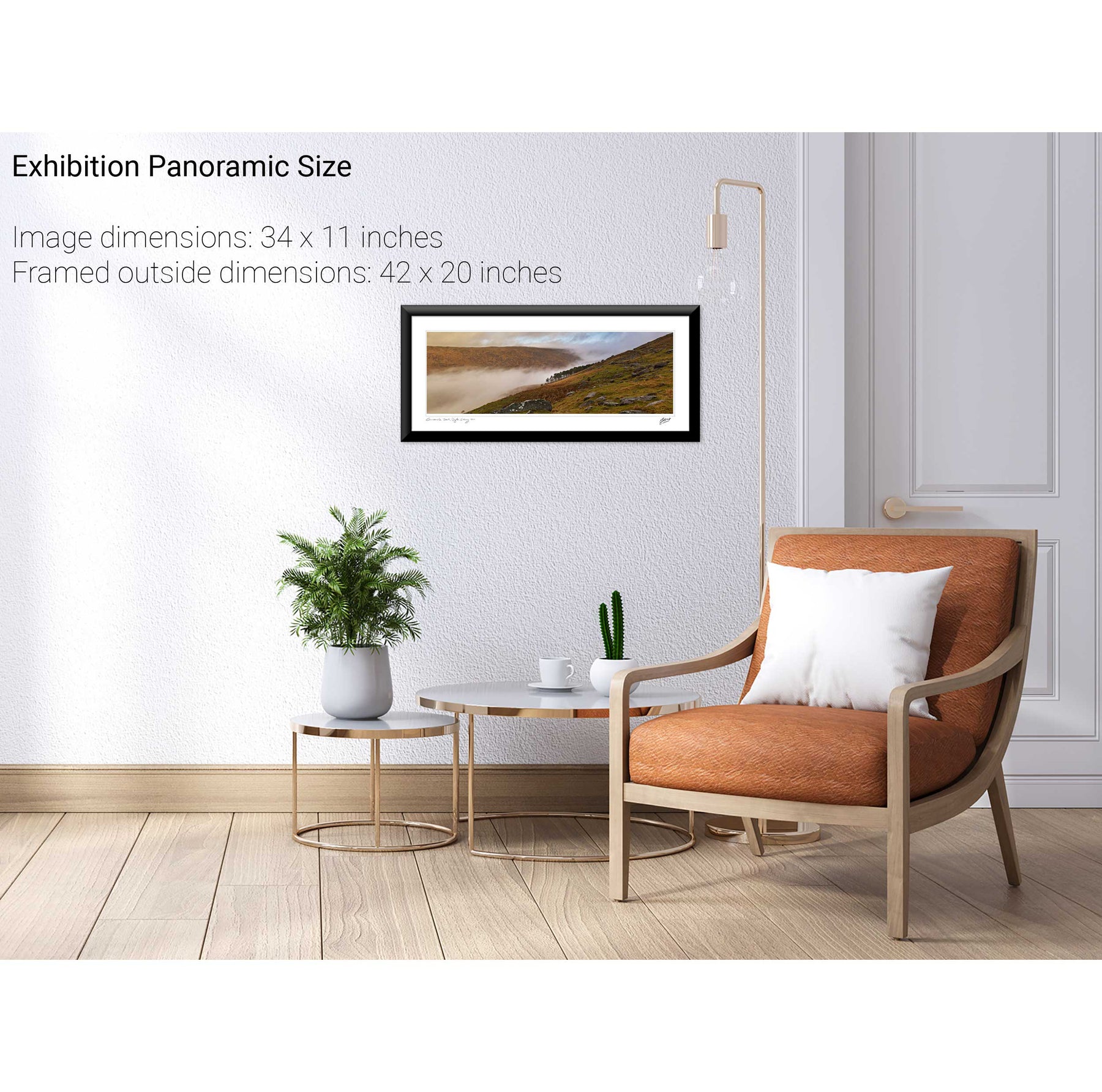
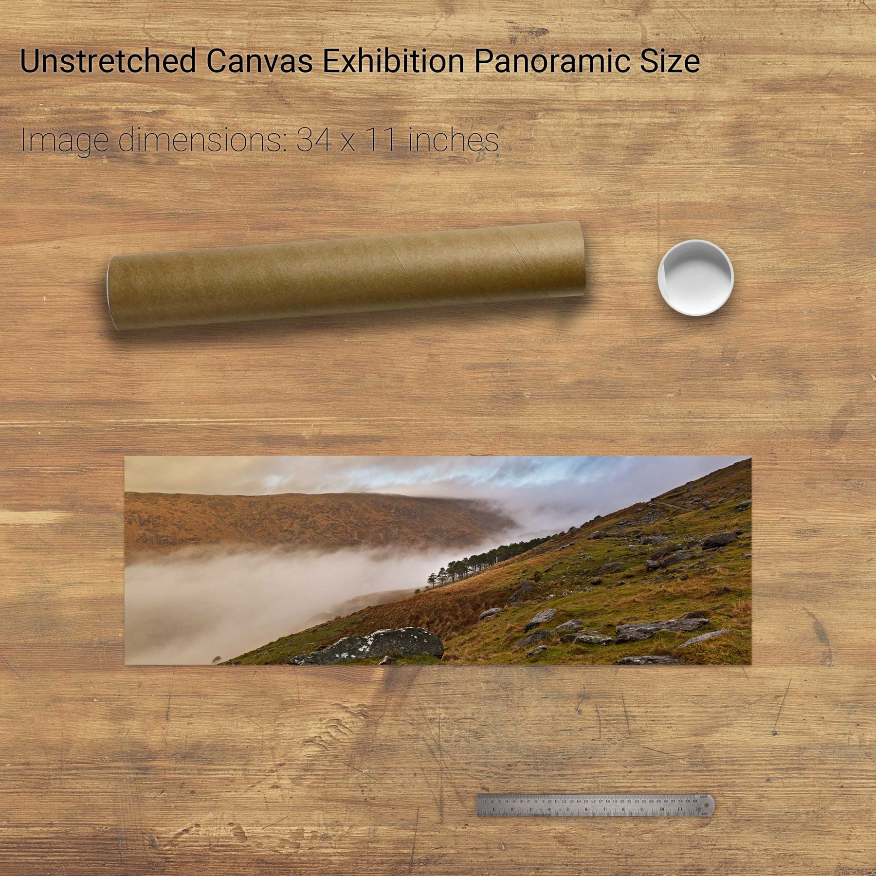
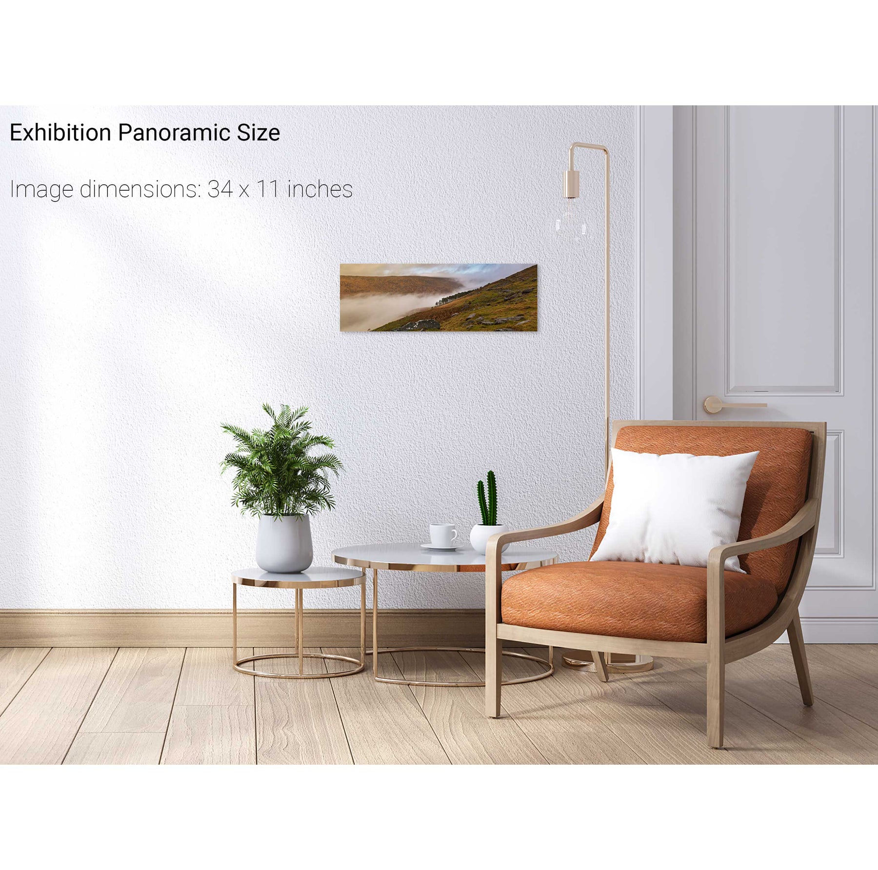
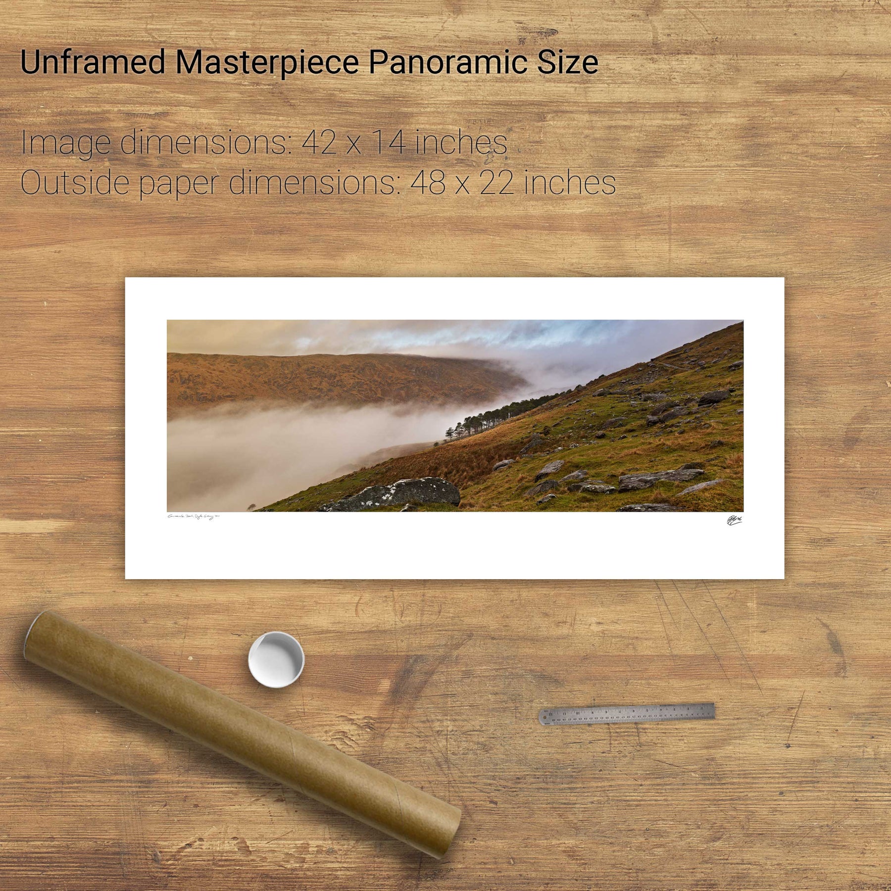
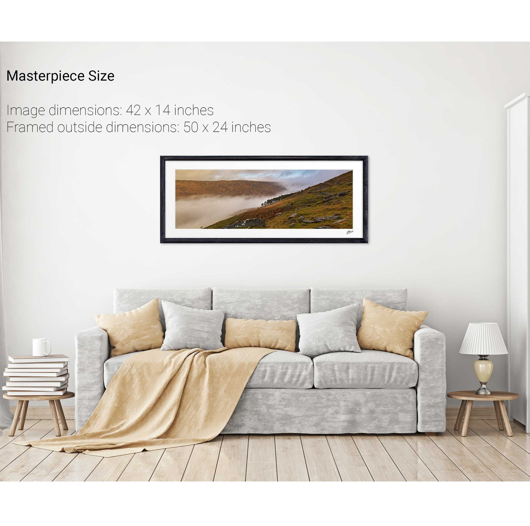
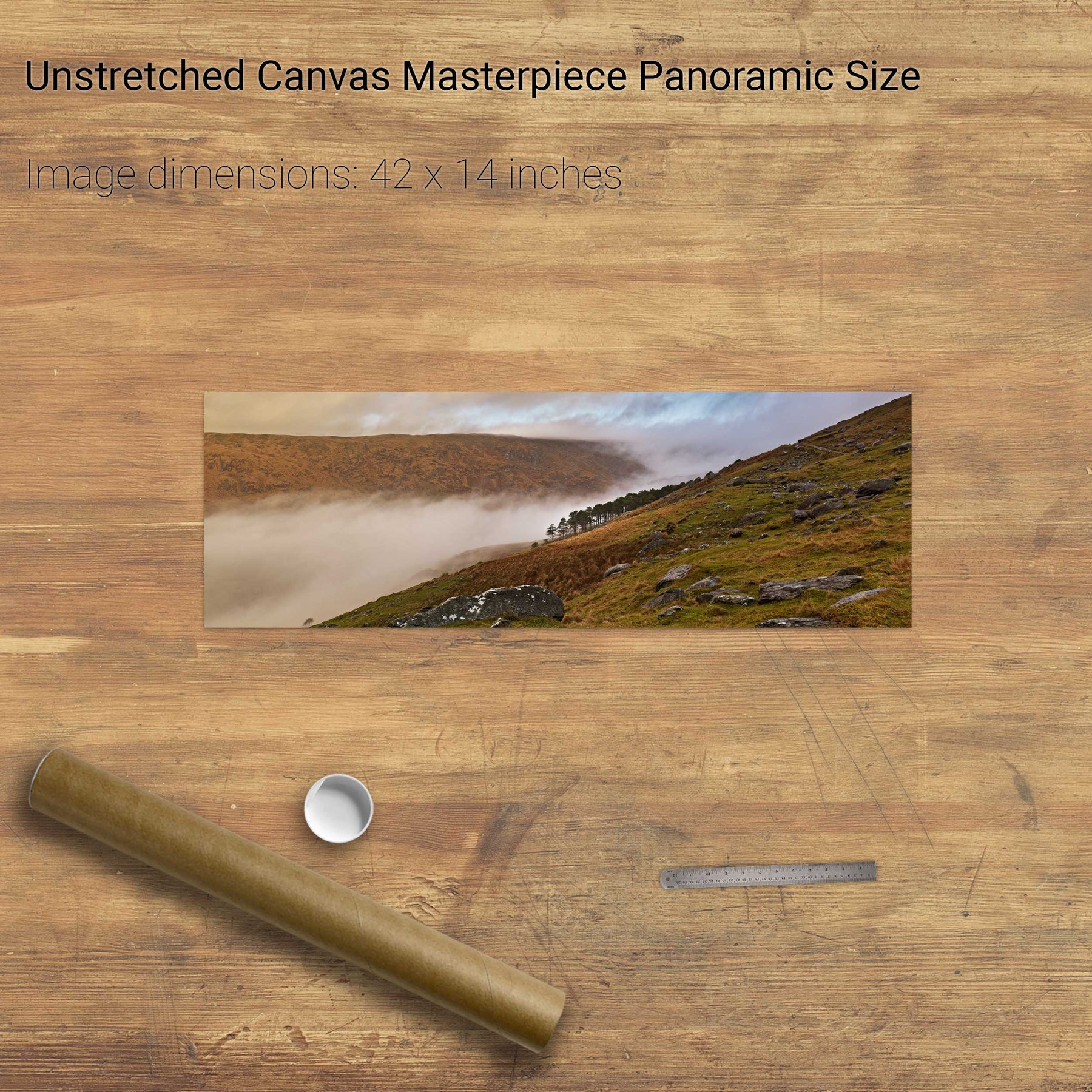
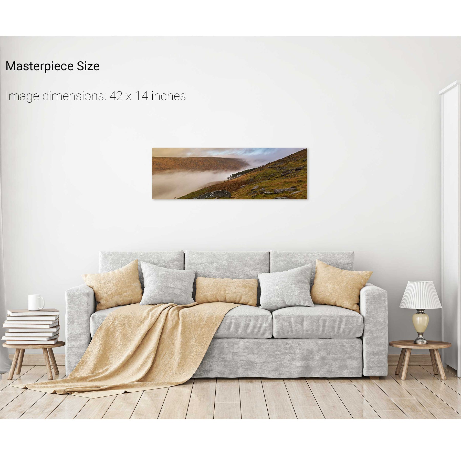
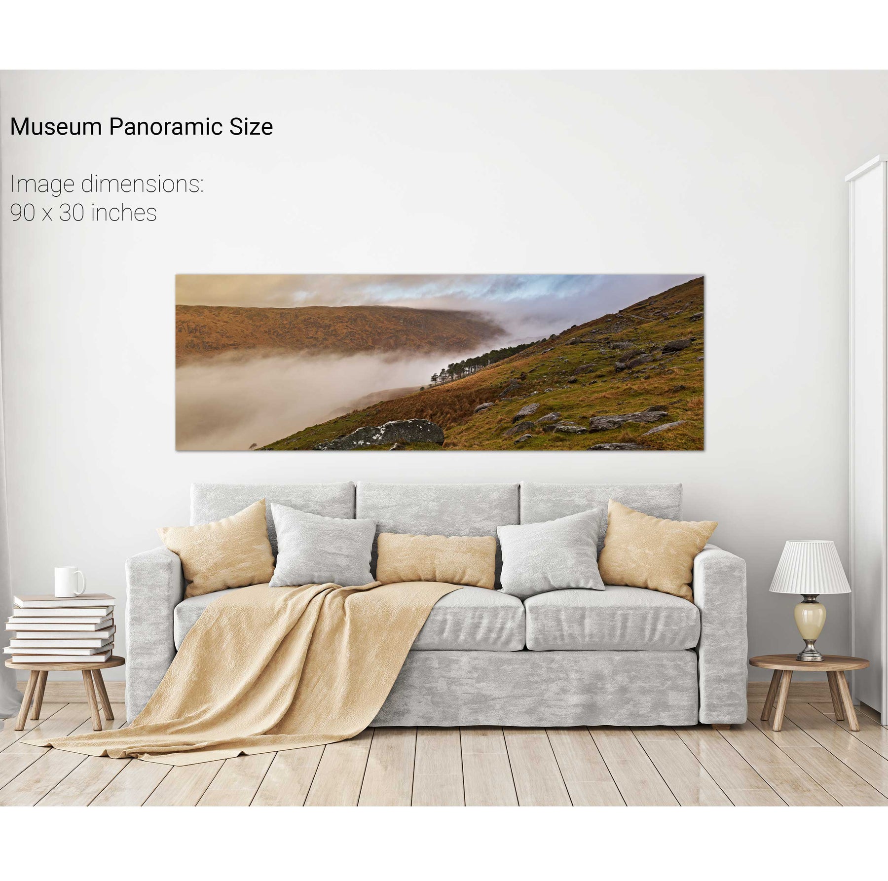
Swirling Mist, Cúm na Léime, Co. Cork
Sunrise, Bull Rock, Cork
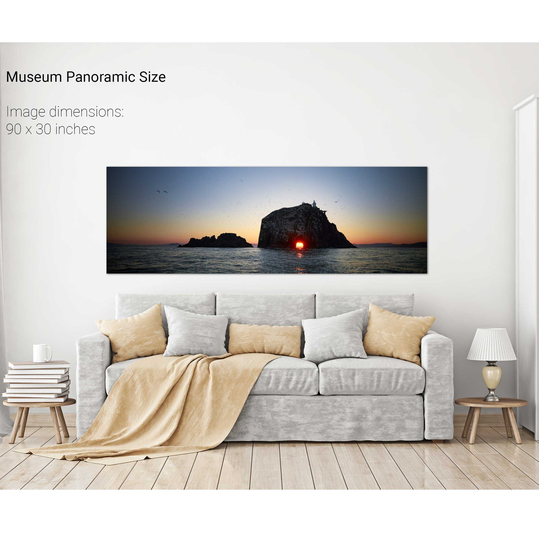
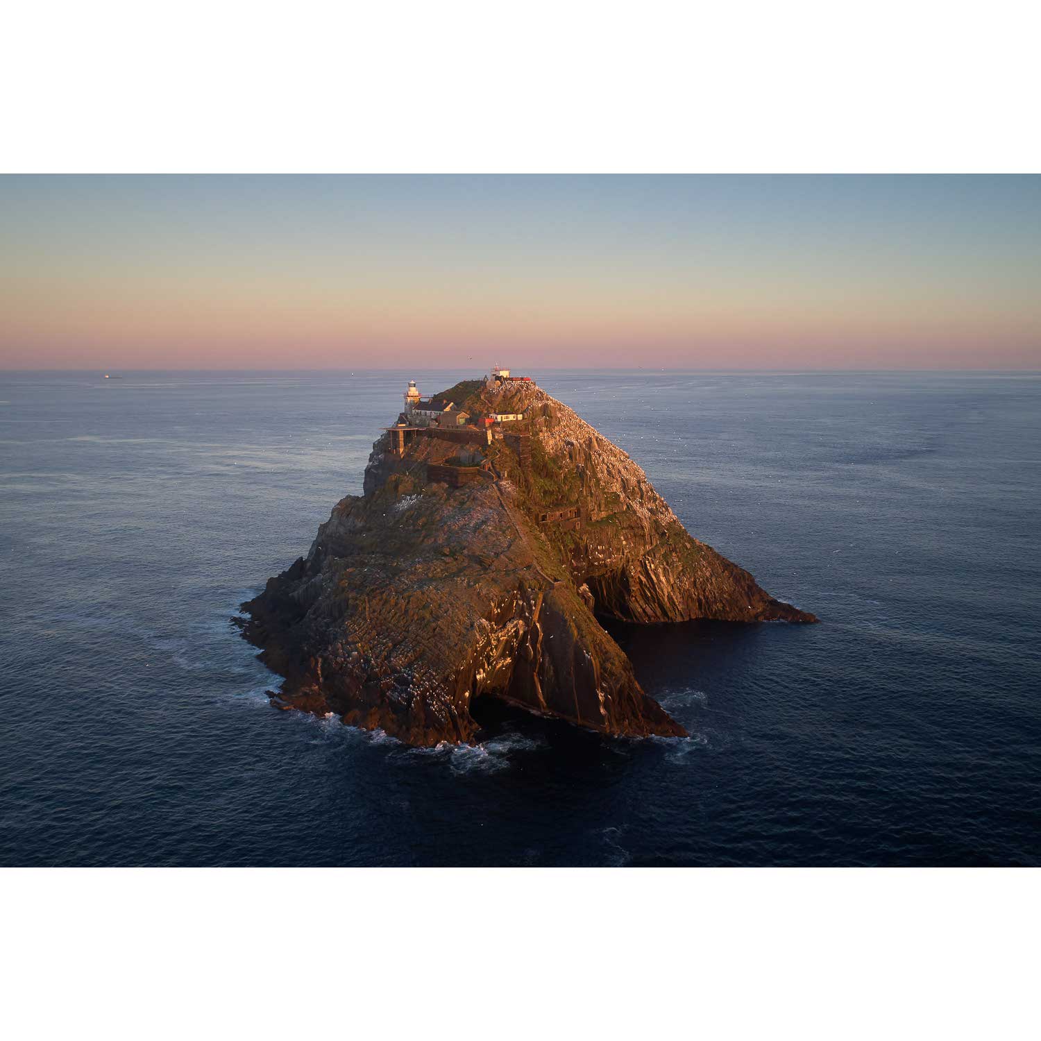
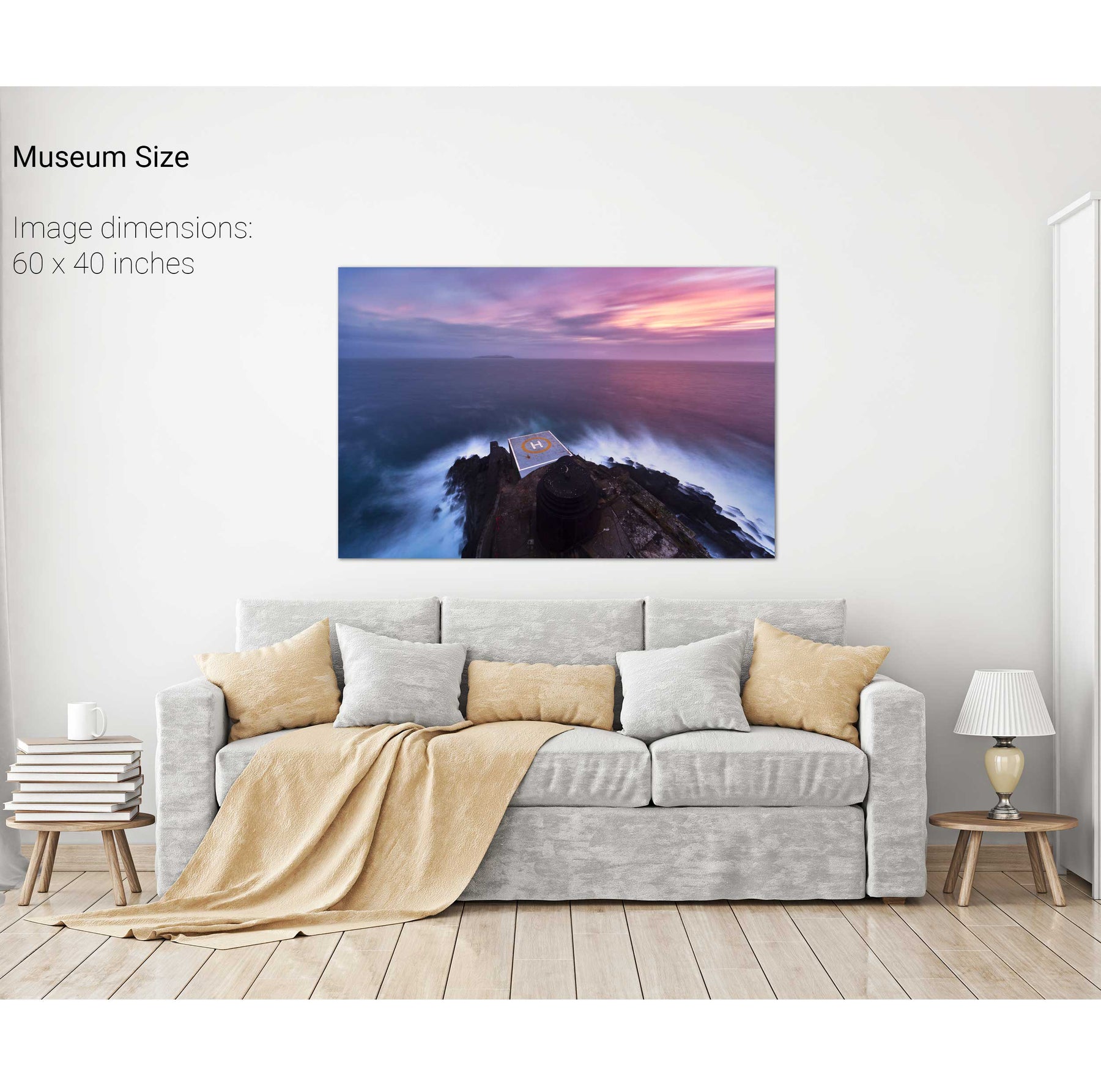
Sunrise Aerial, Bull Rock, Cork
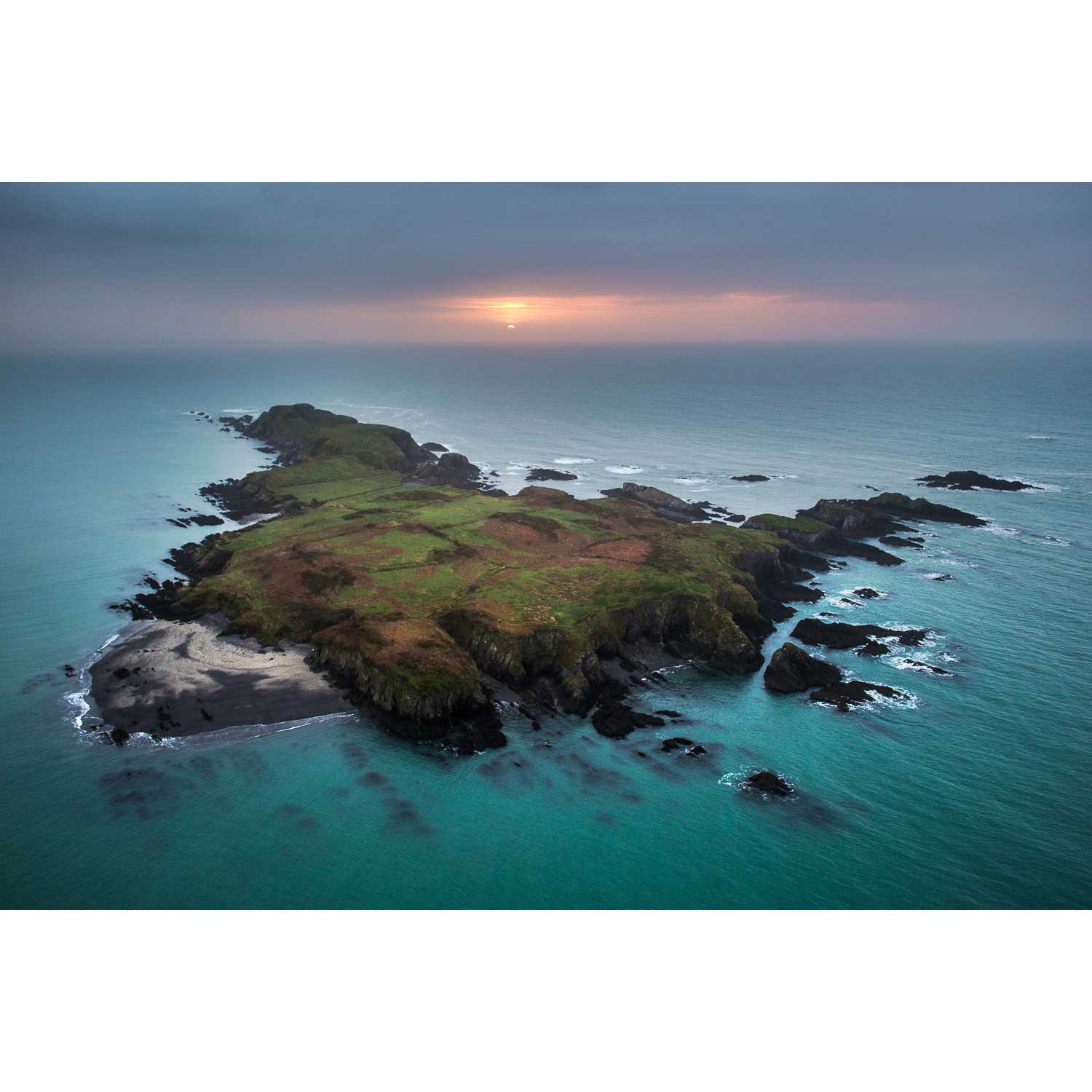
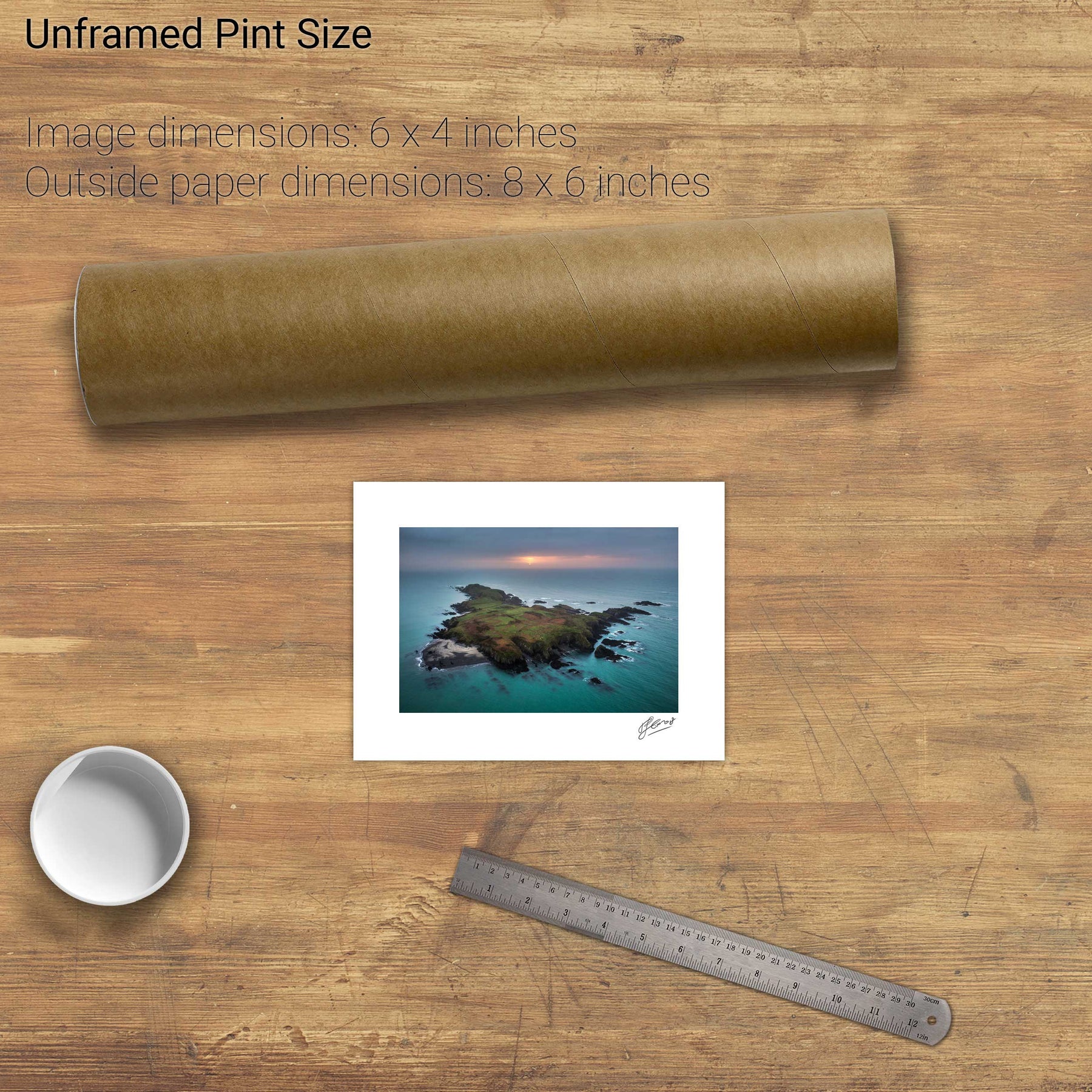
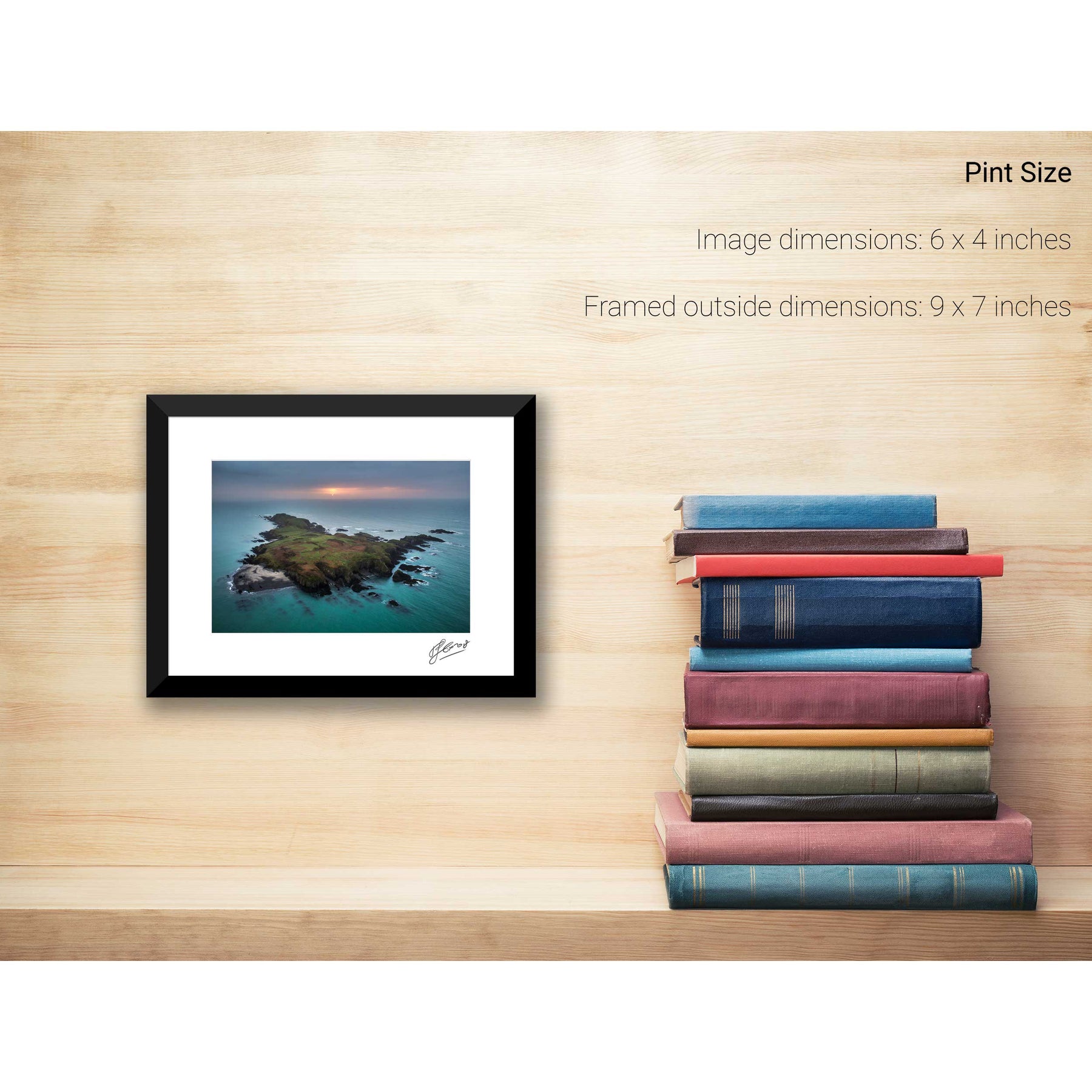
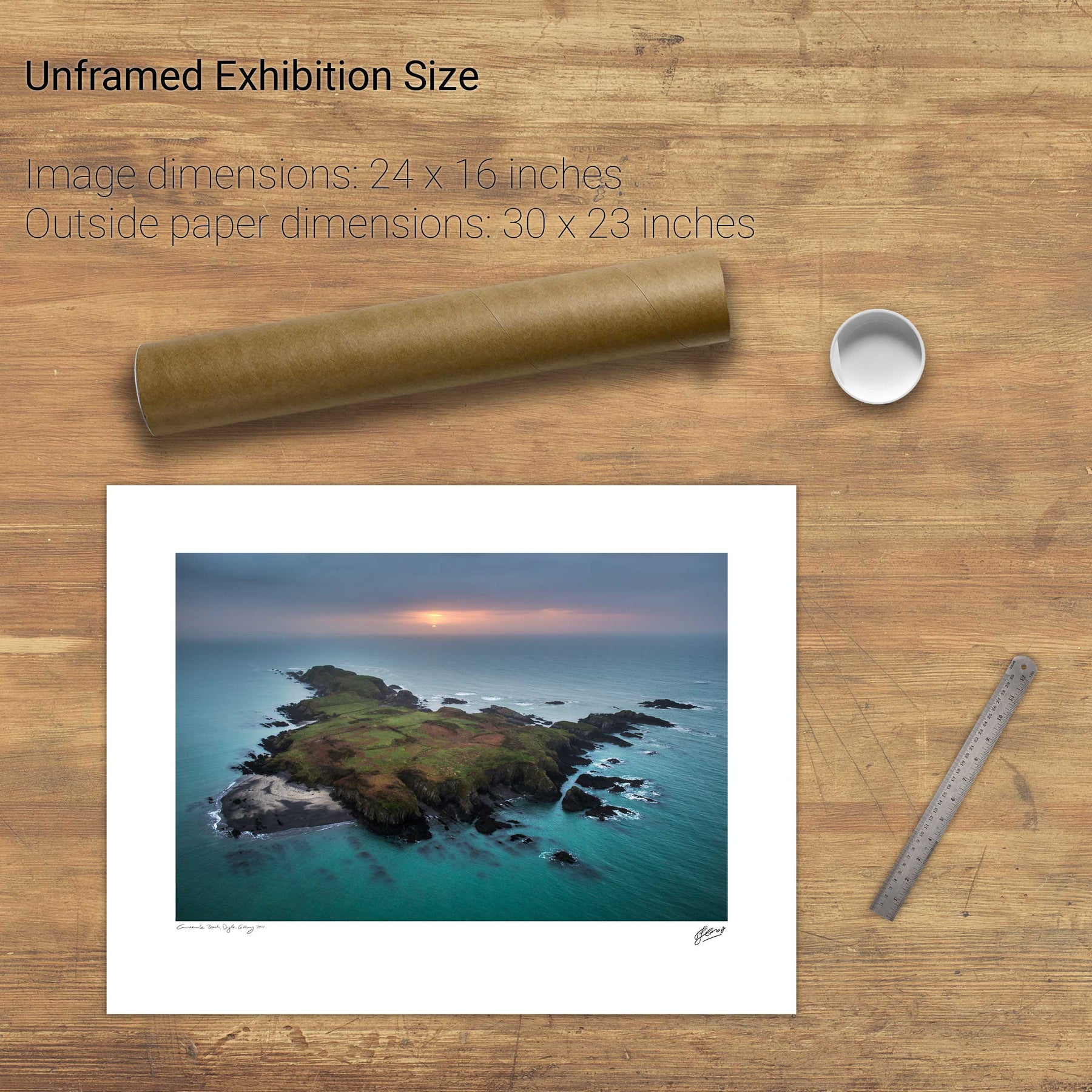
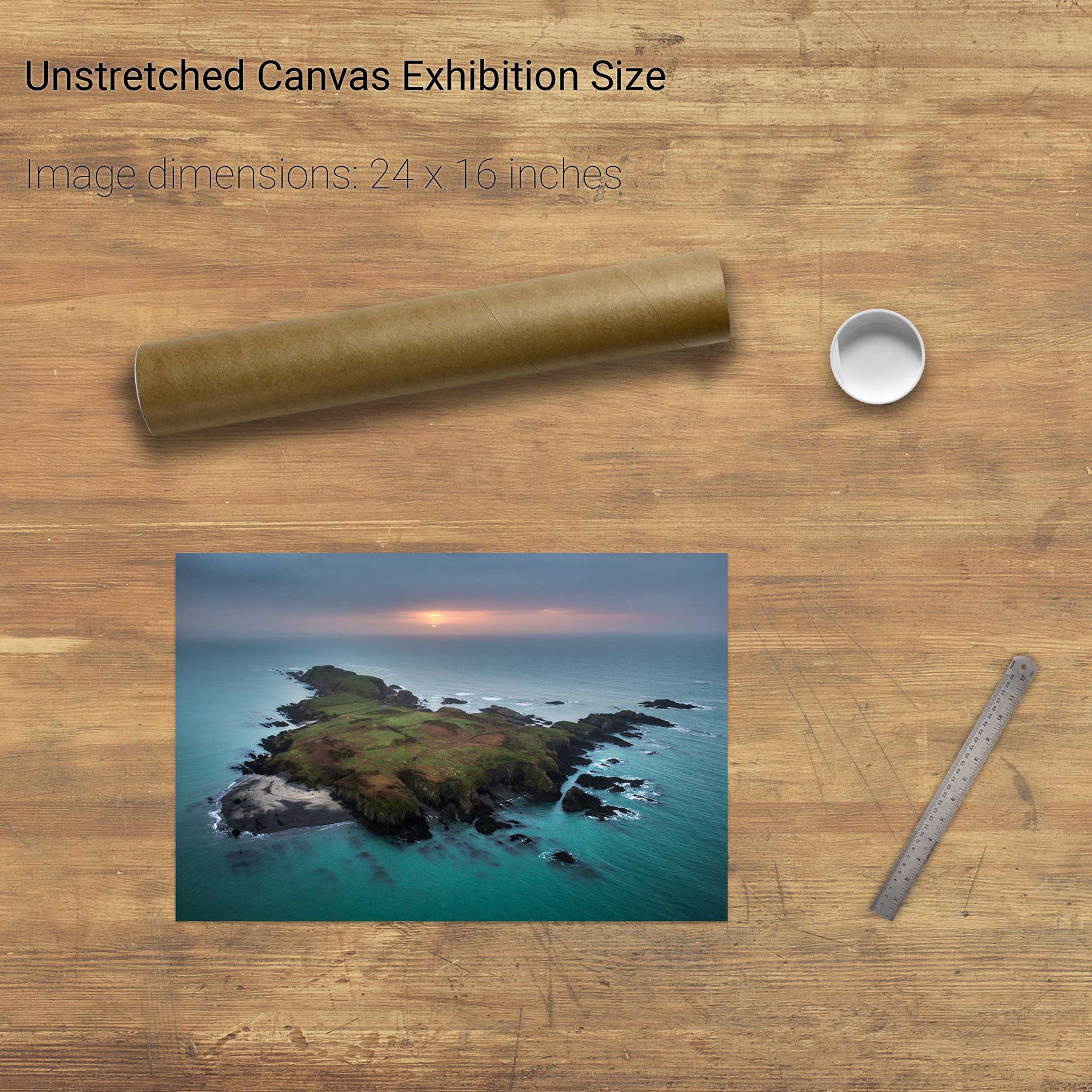
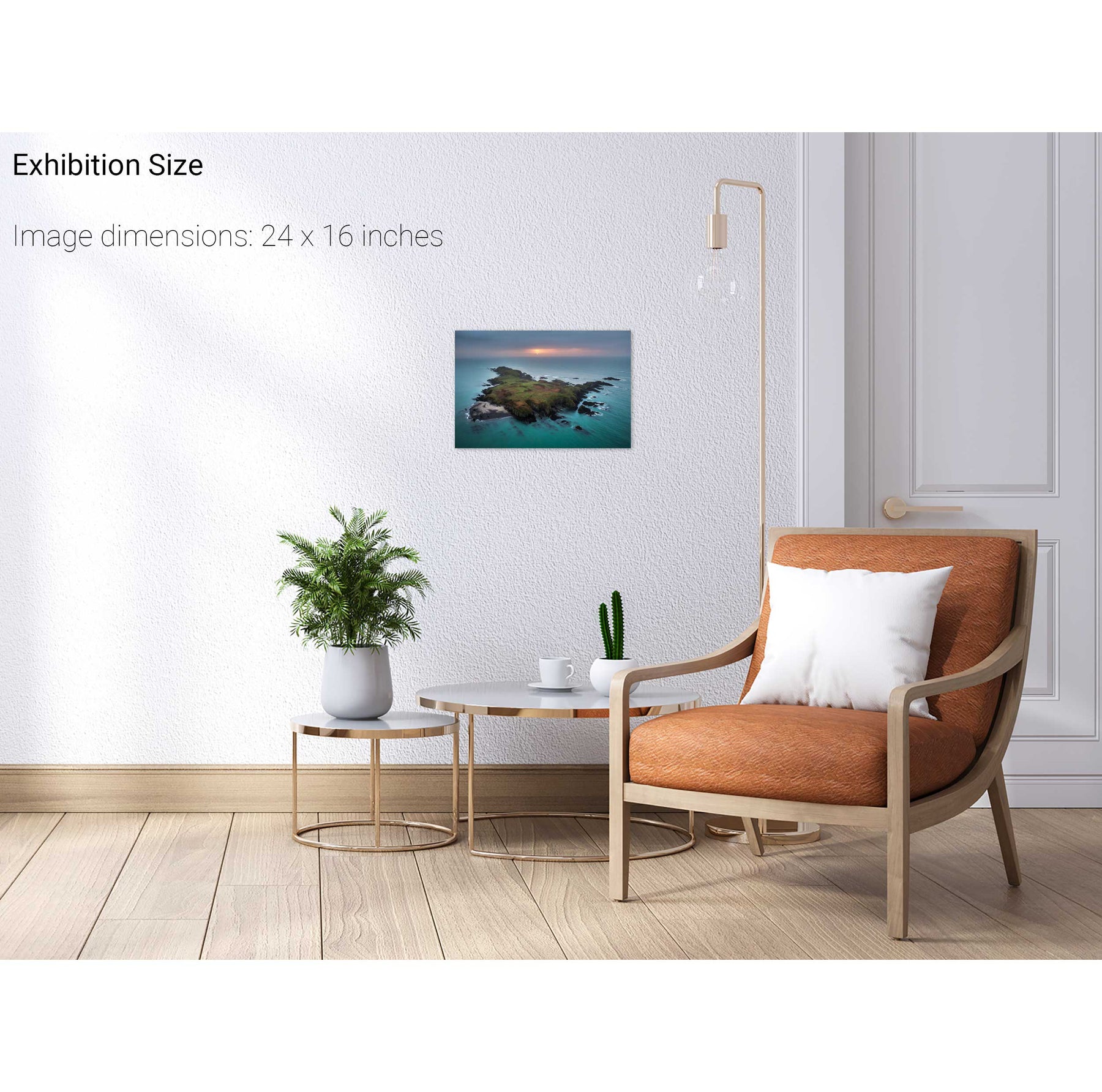
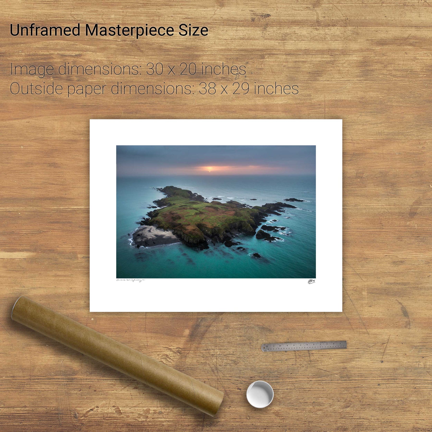
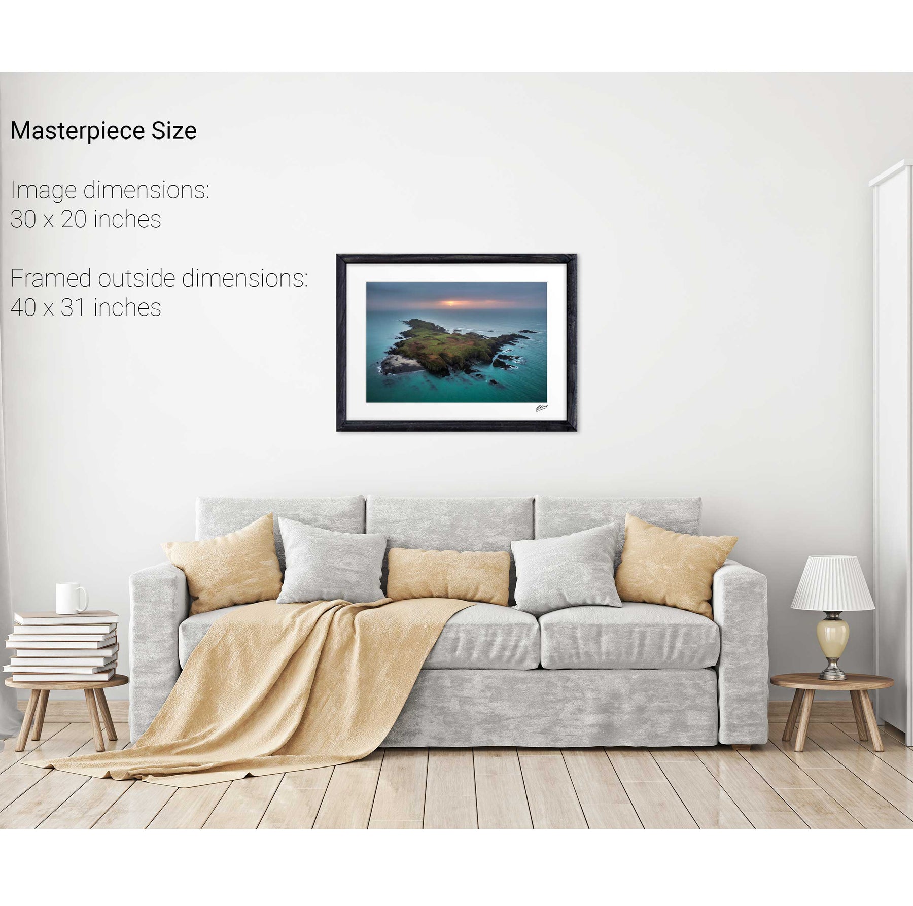
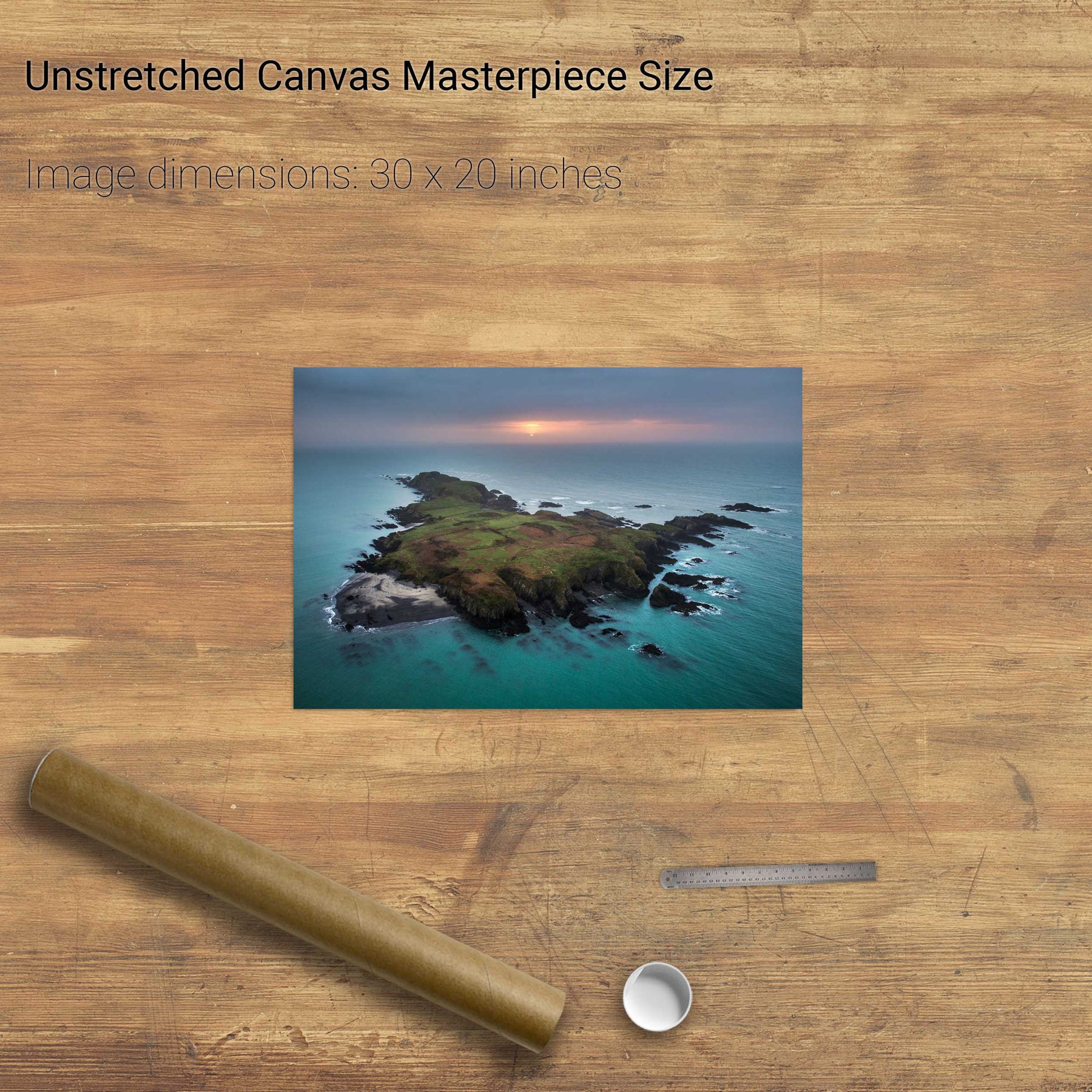
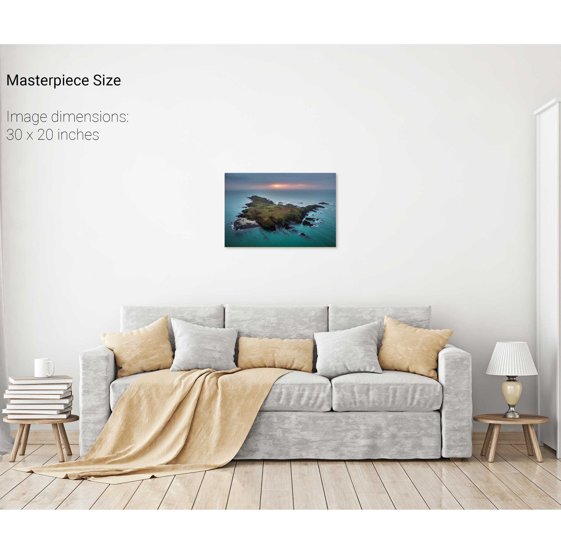
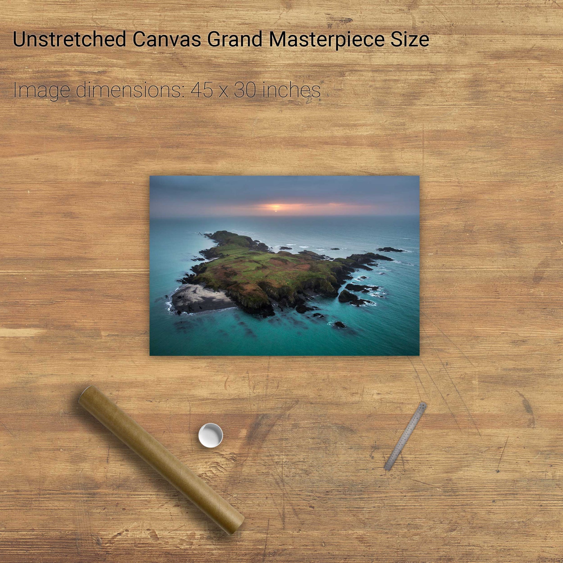
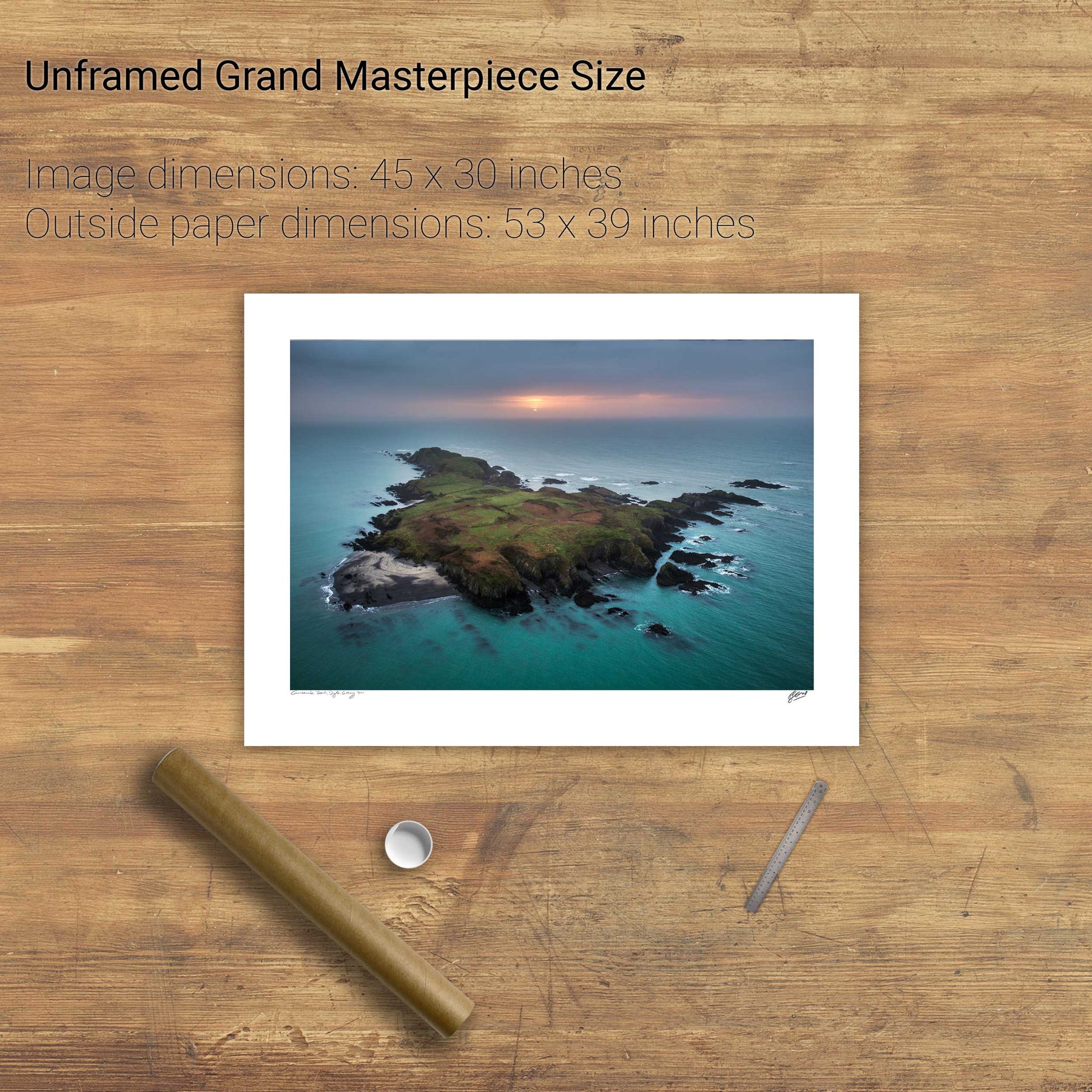
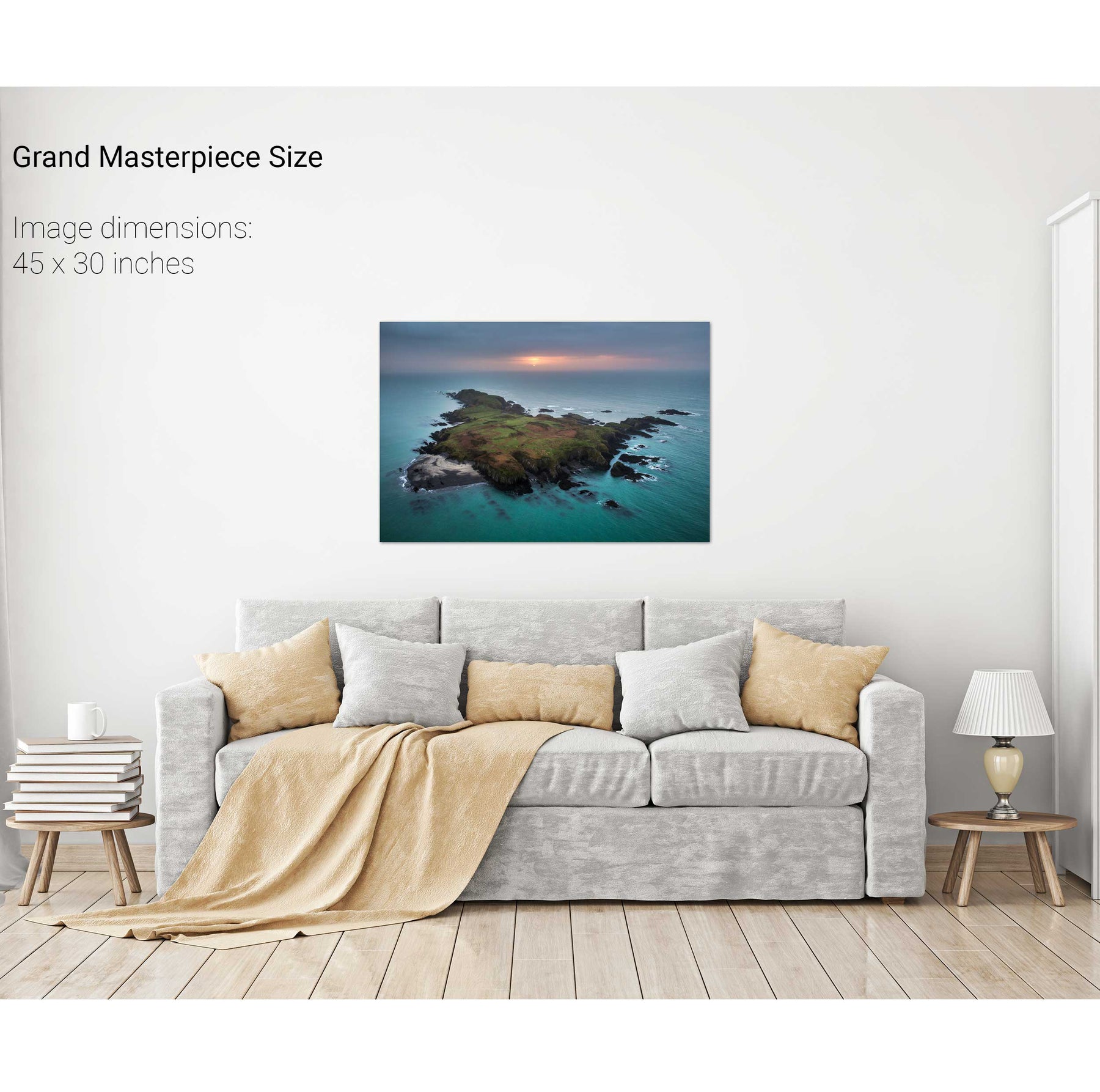
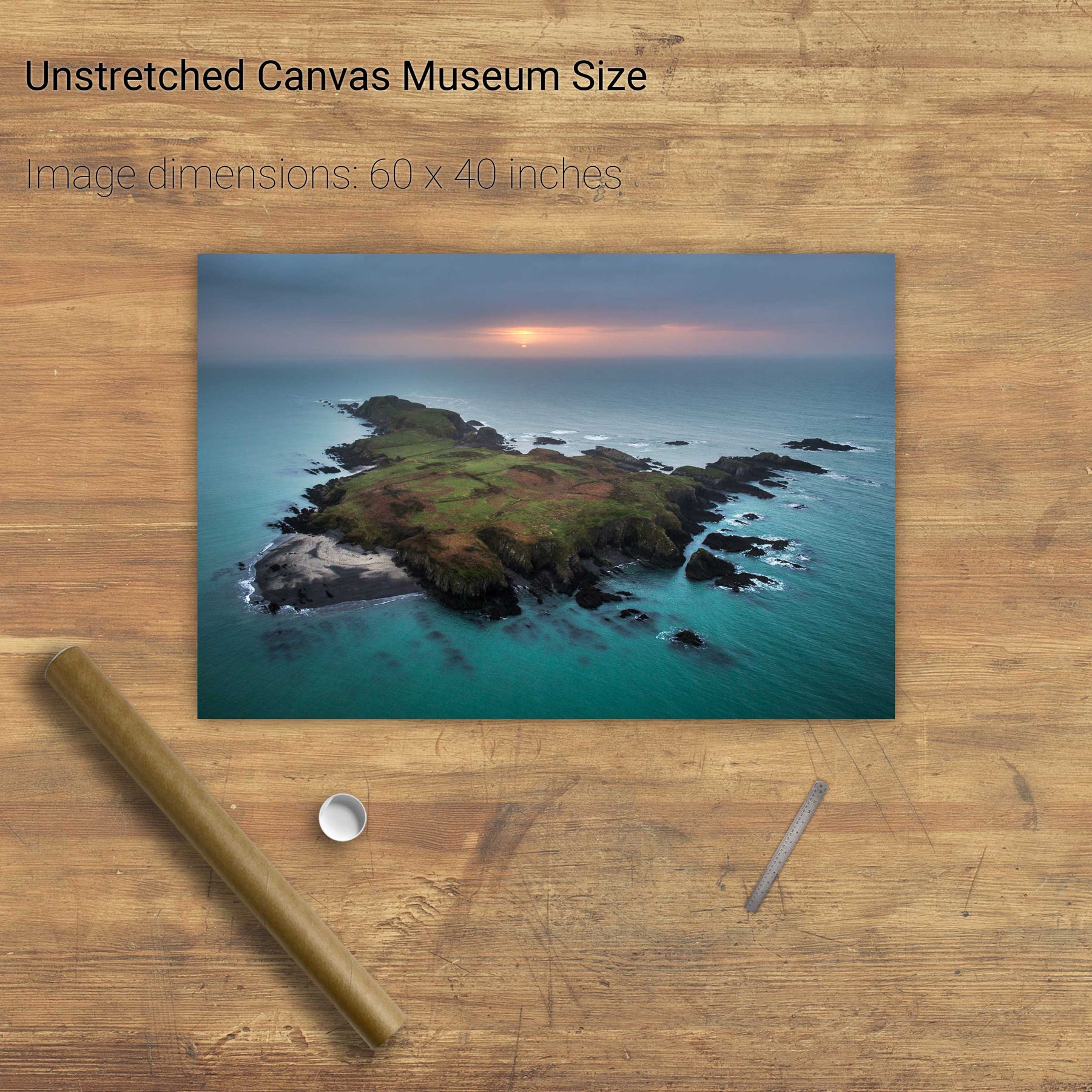
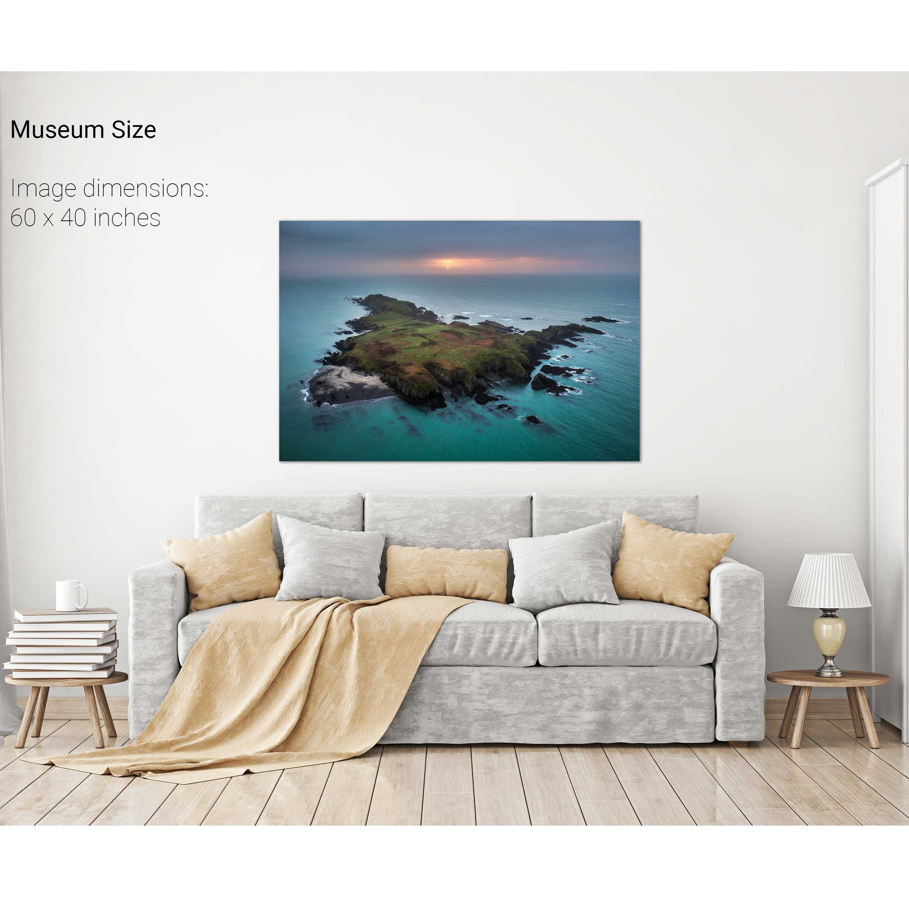
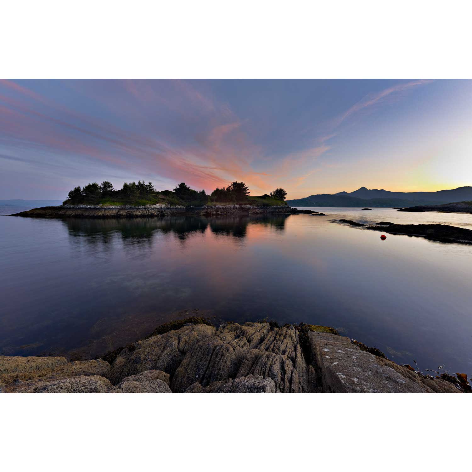
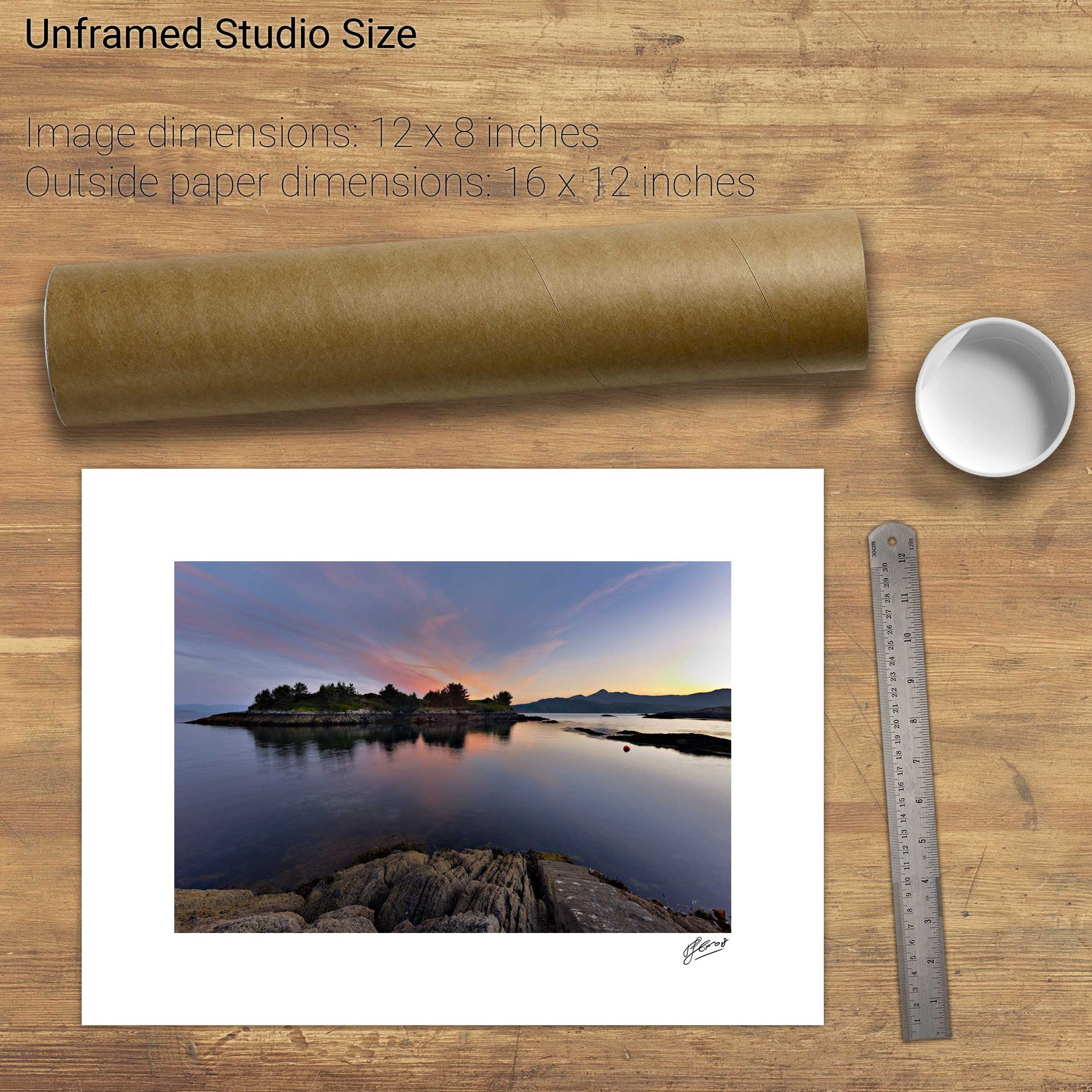
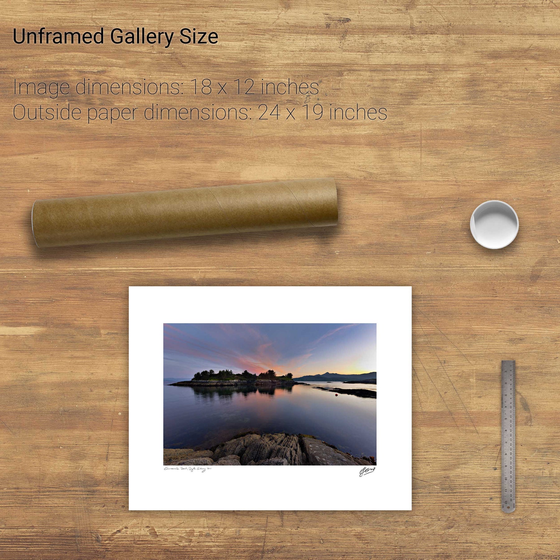
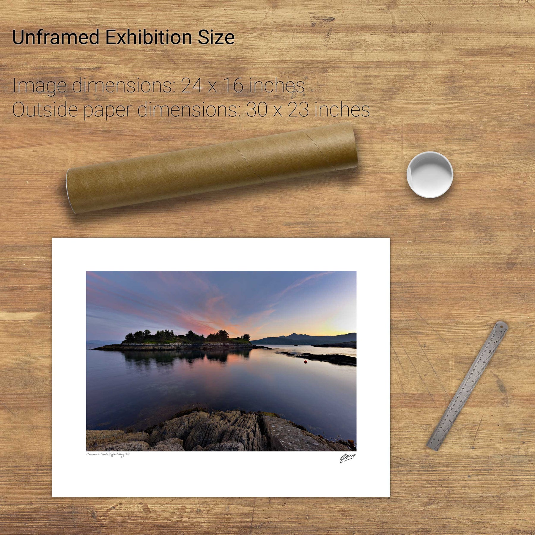
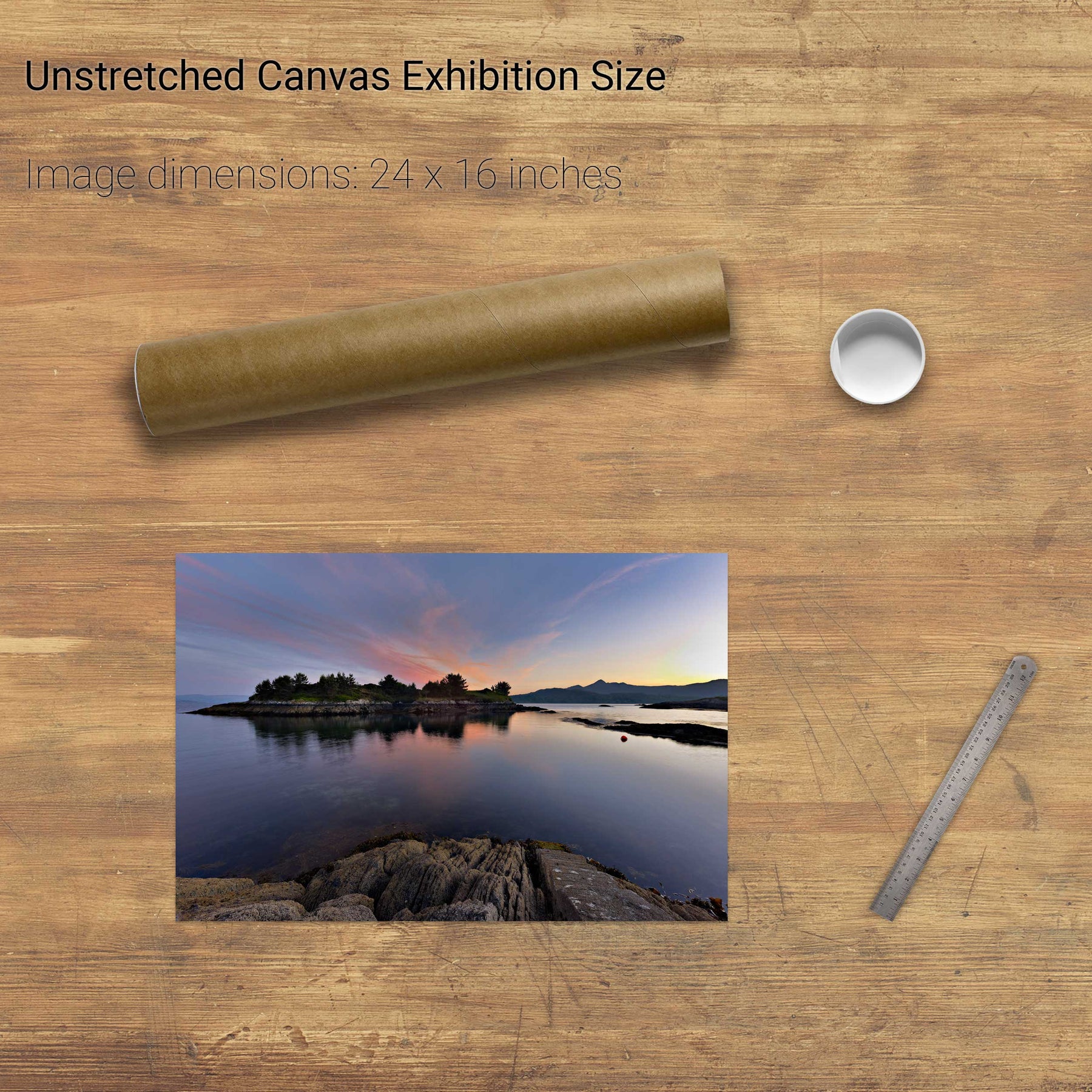
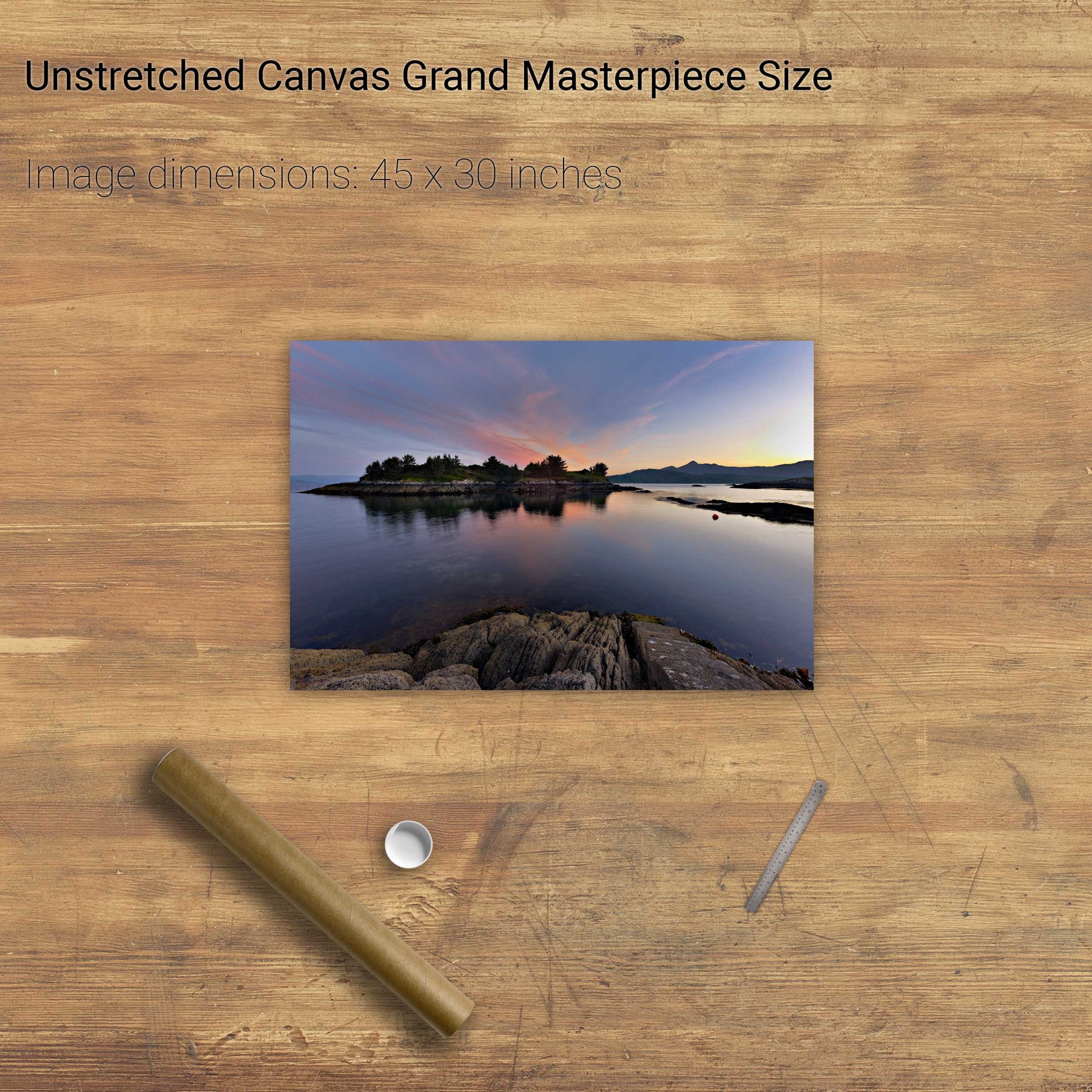
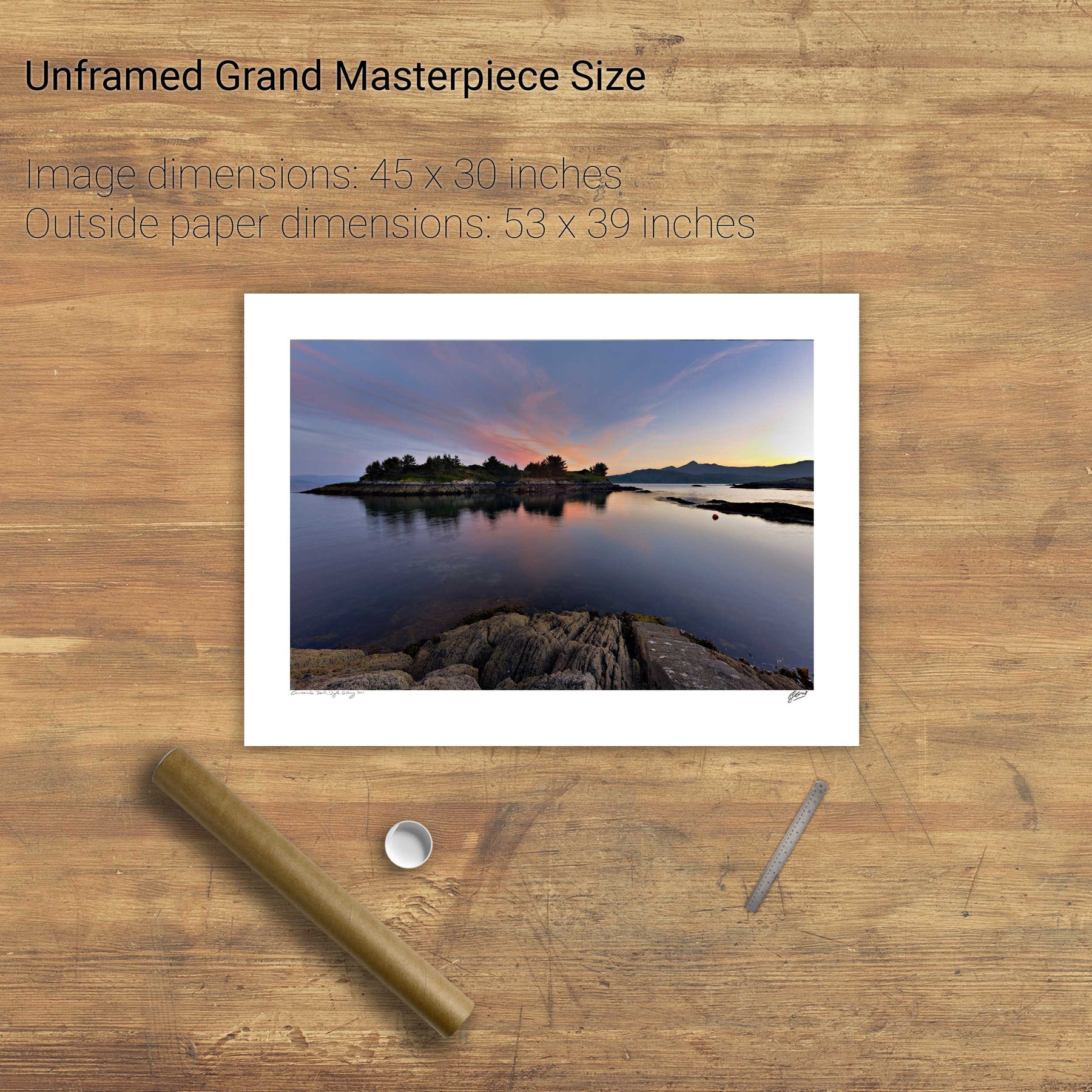
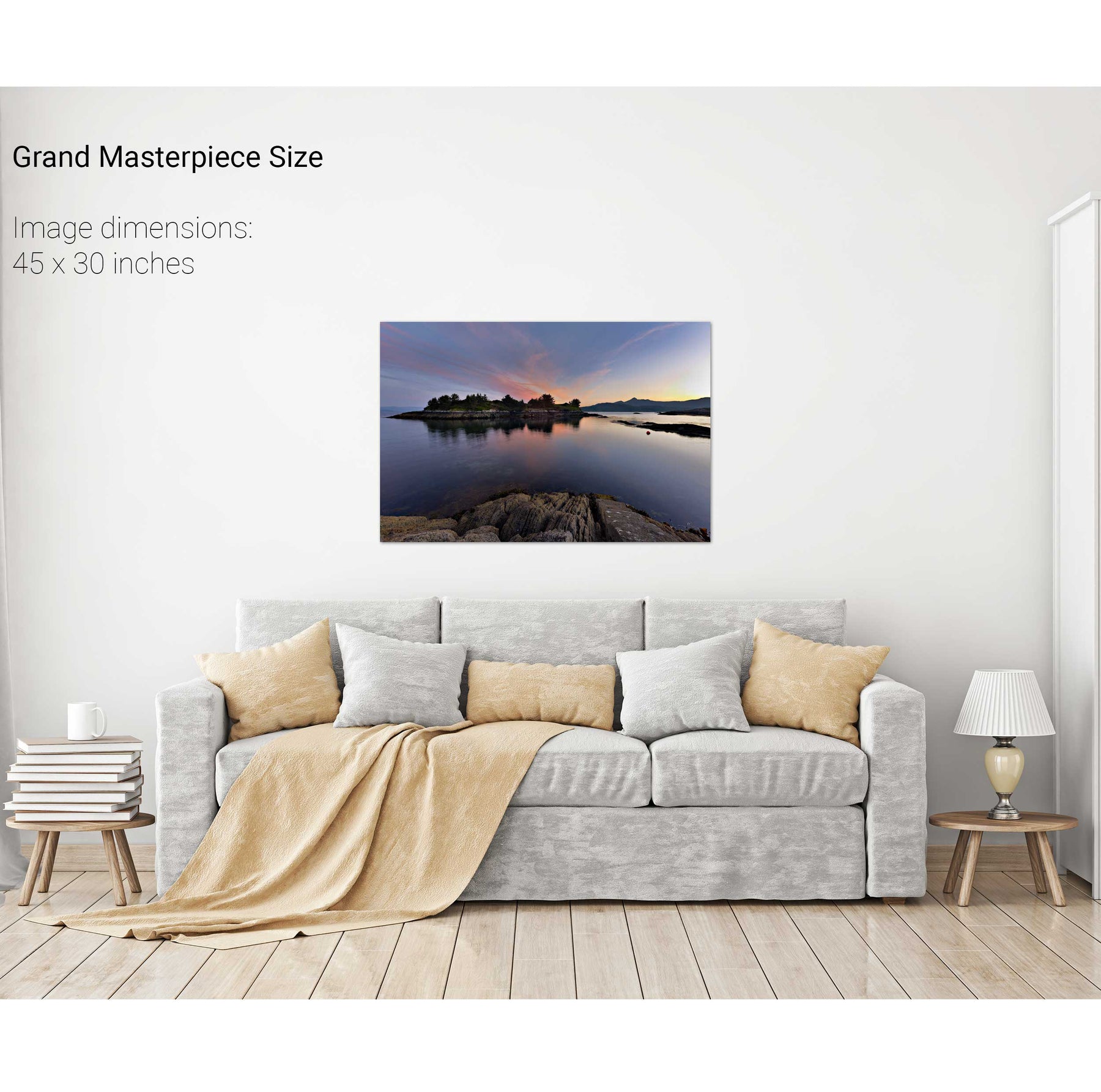
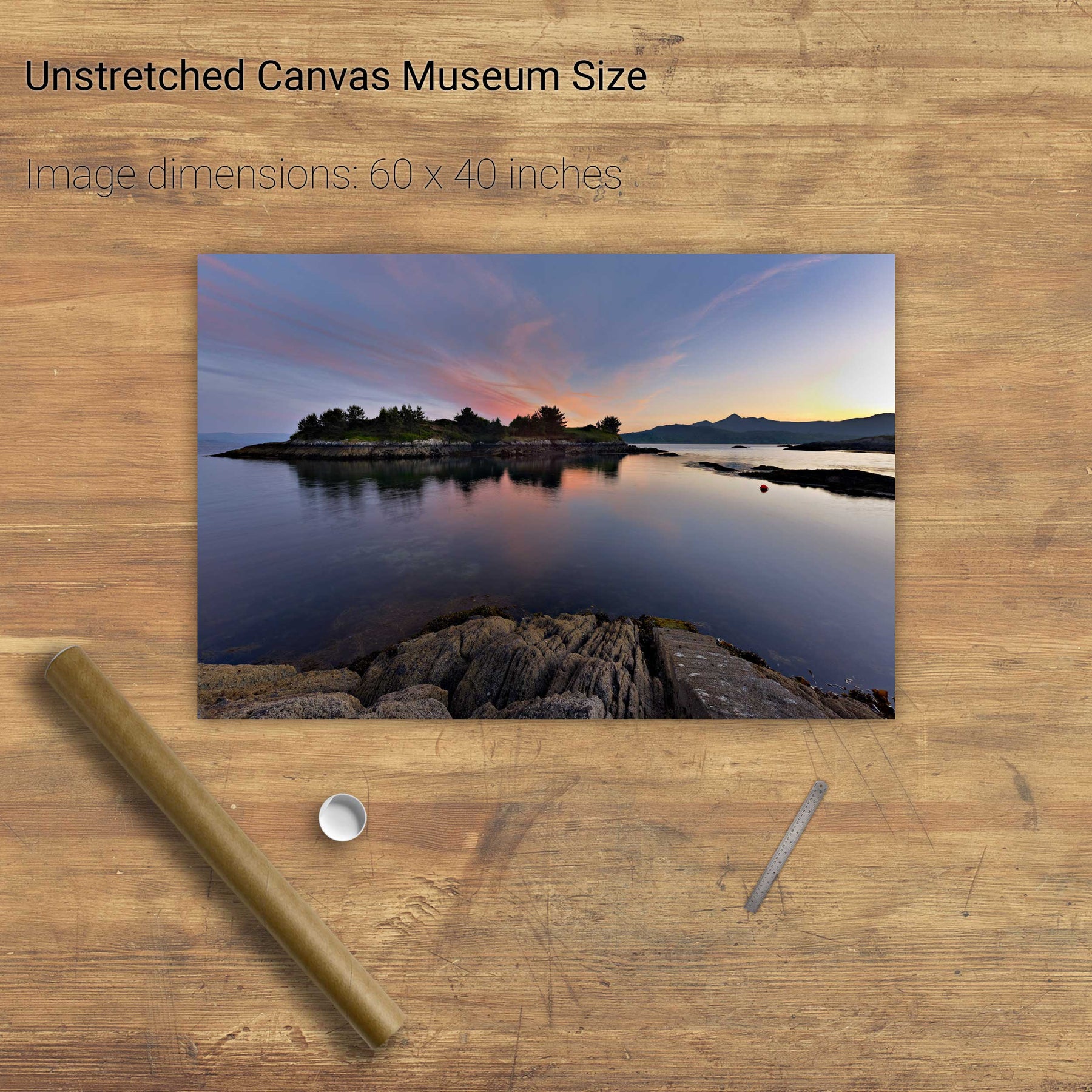
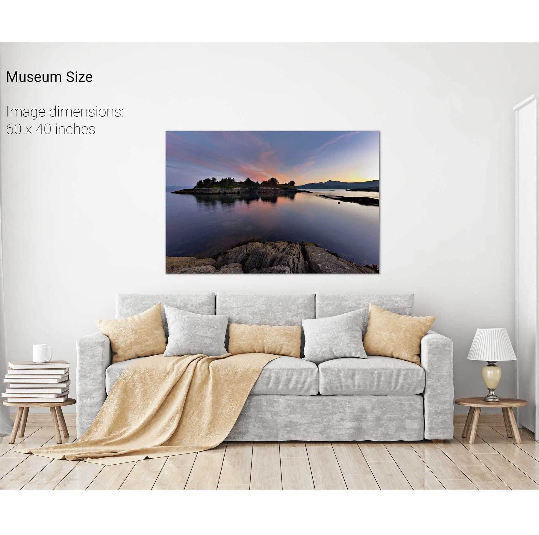
Rabbit Island, Co. Cork
Toe Head, Co. Cork
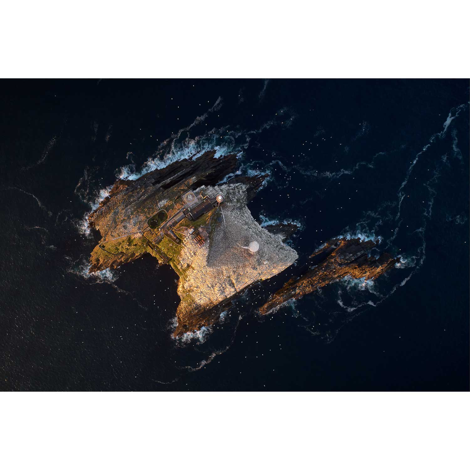
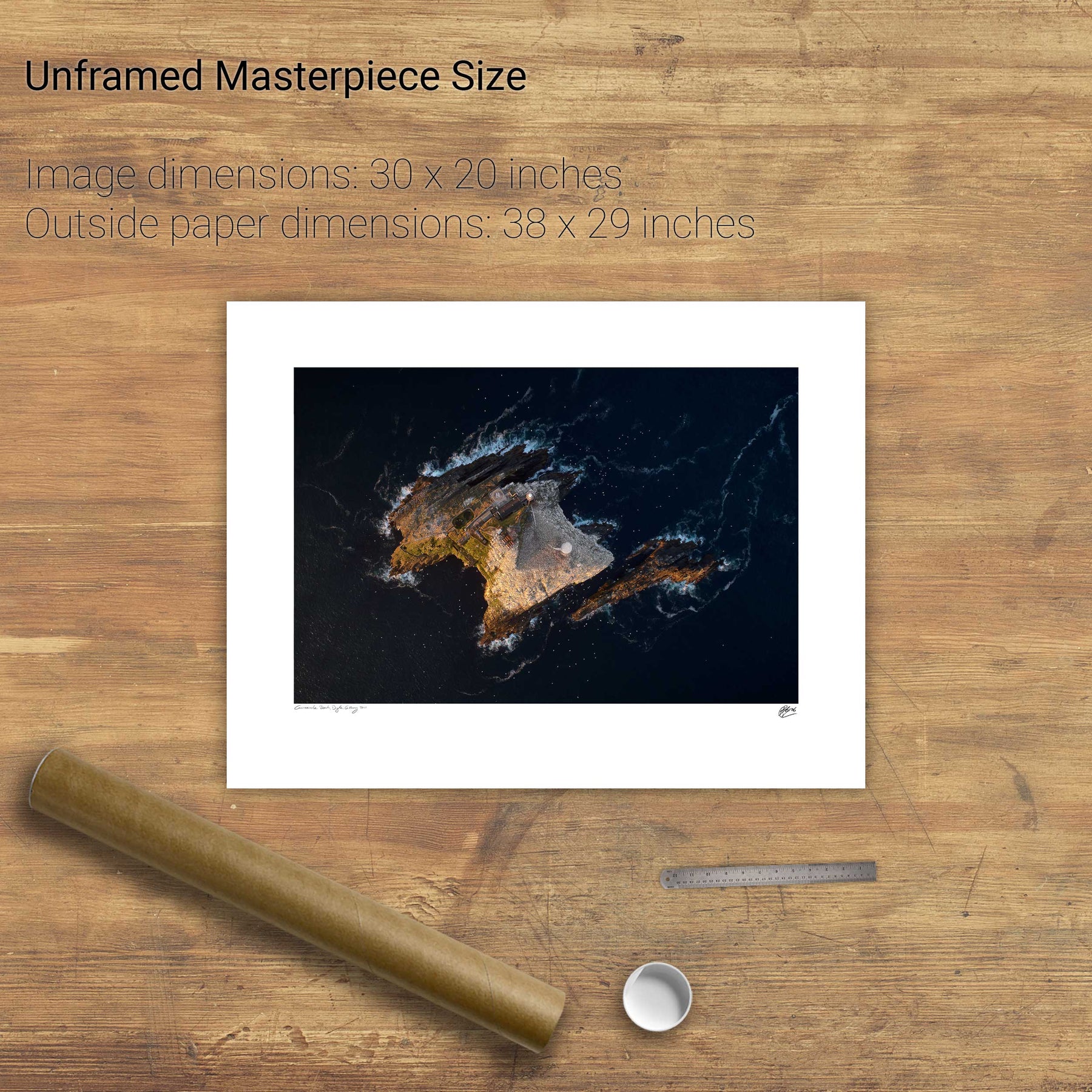
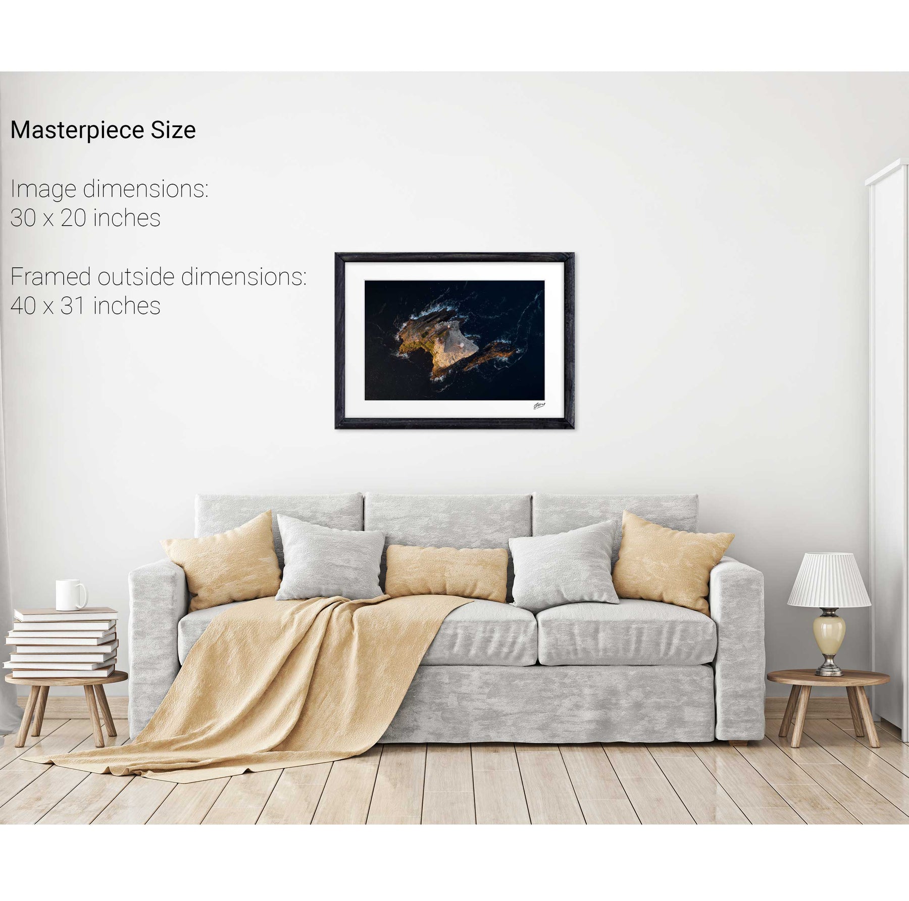
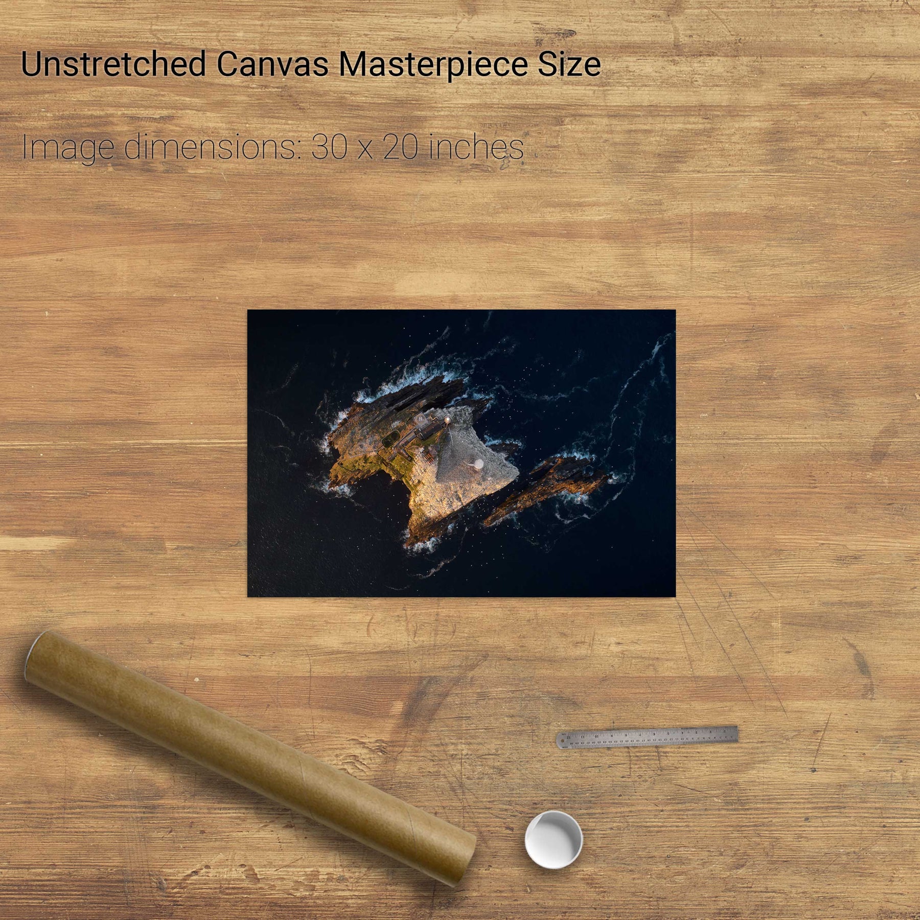
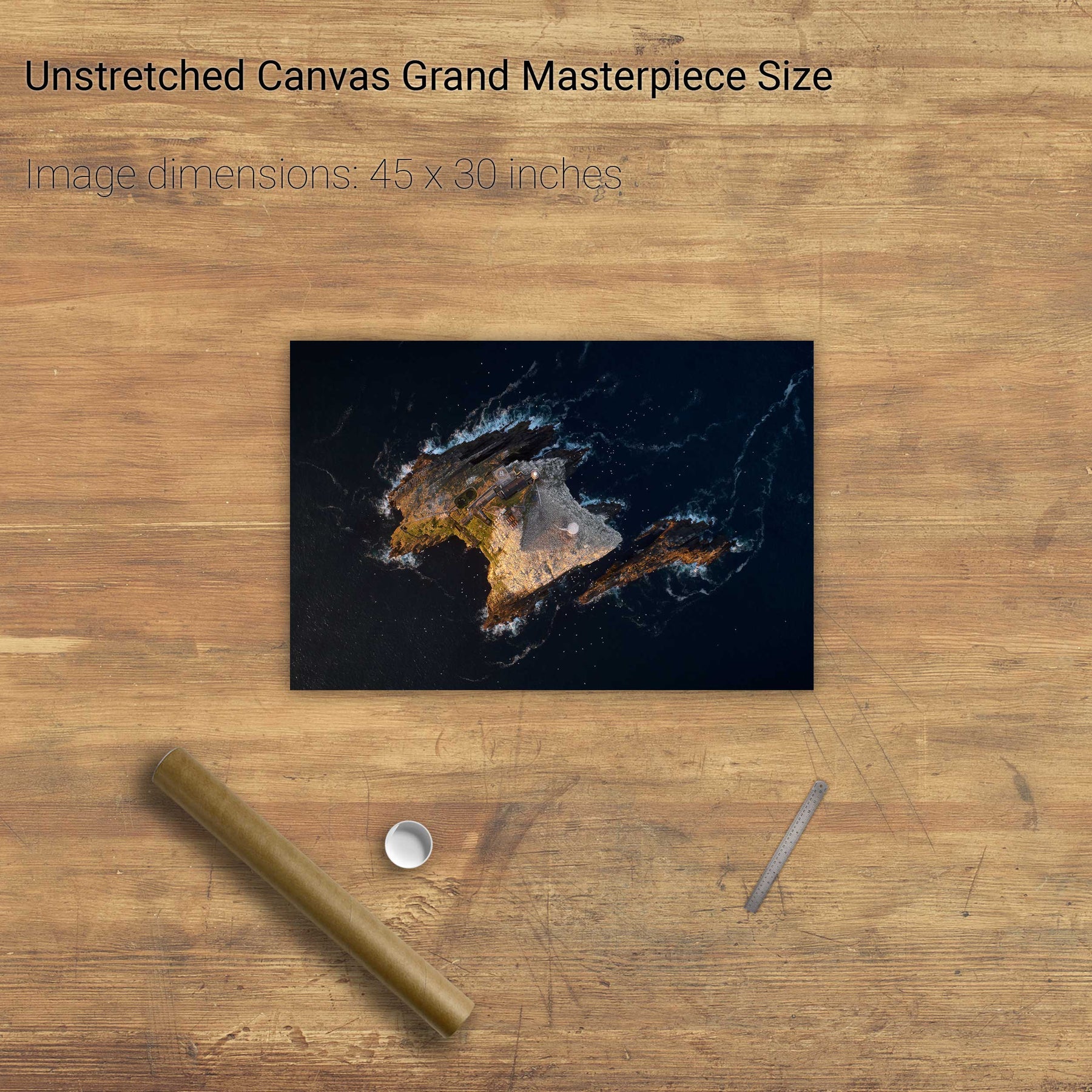
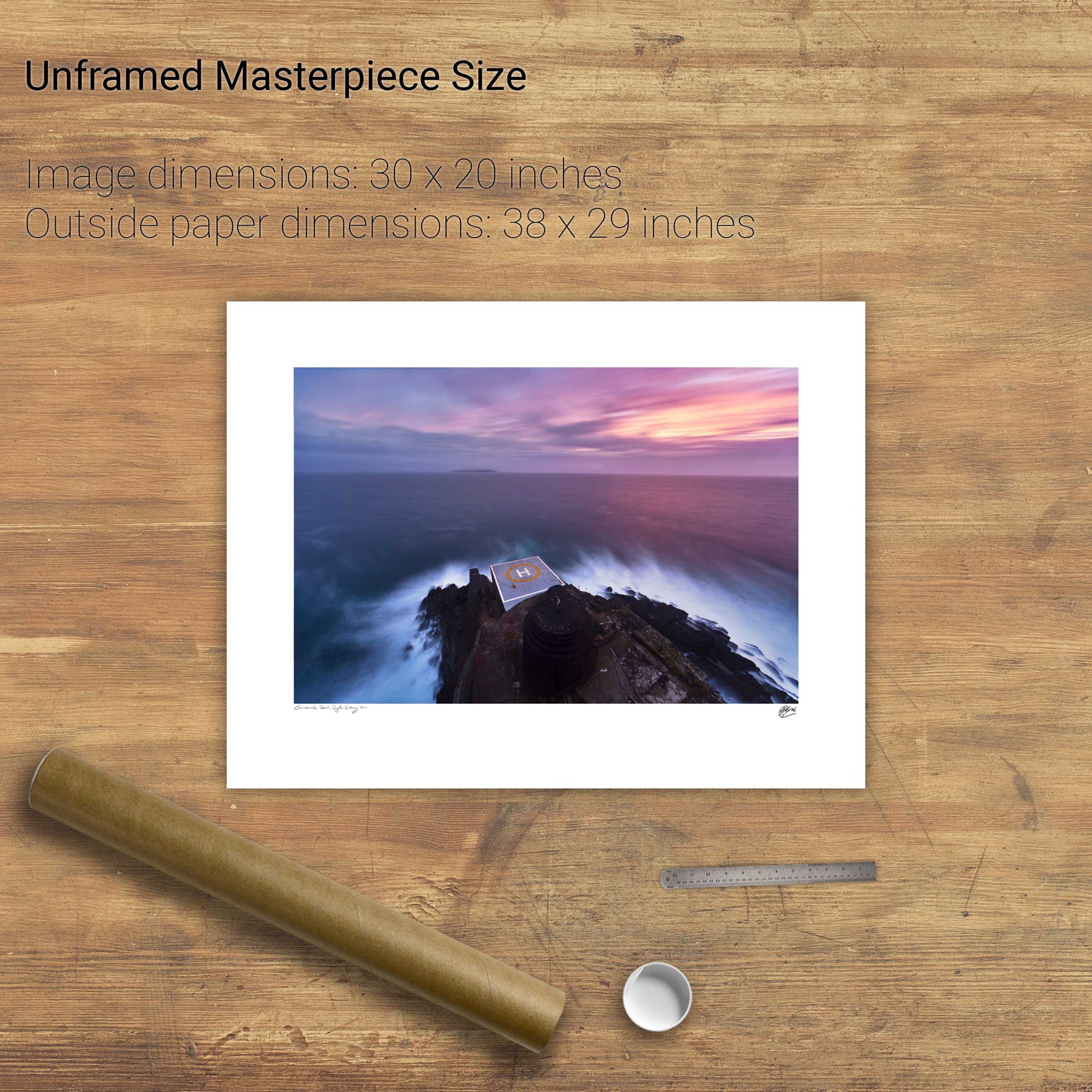
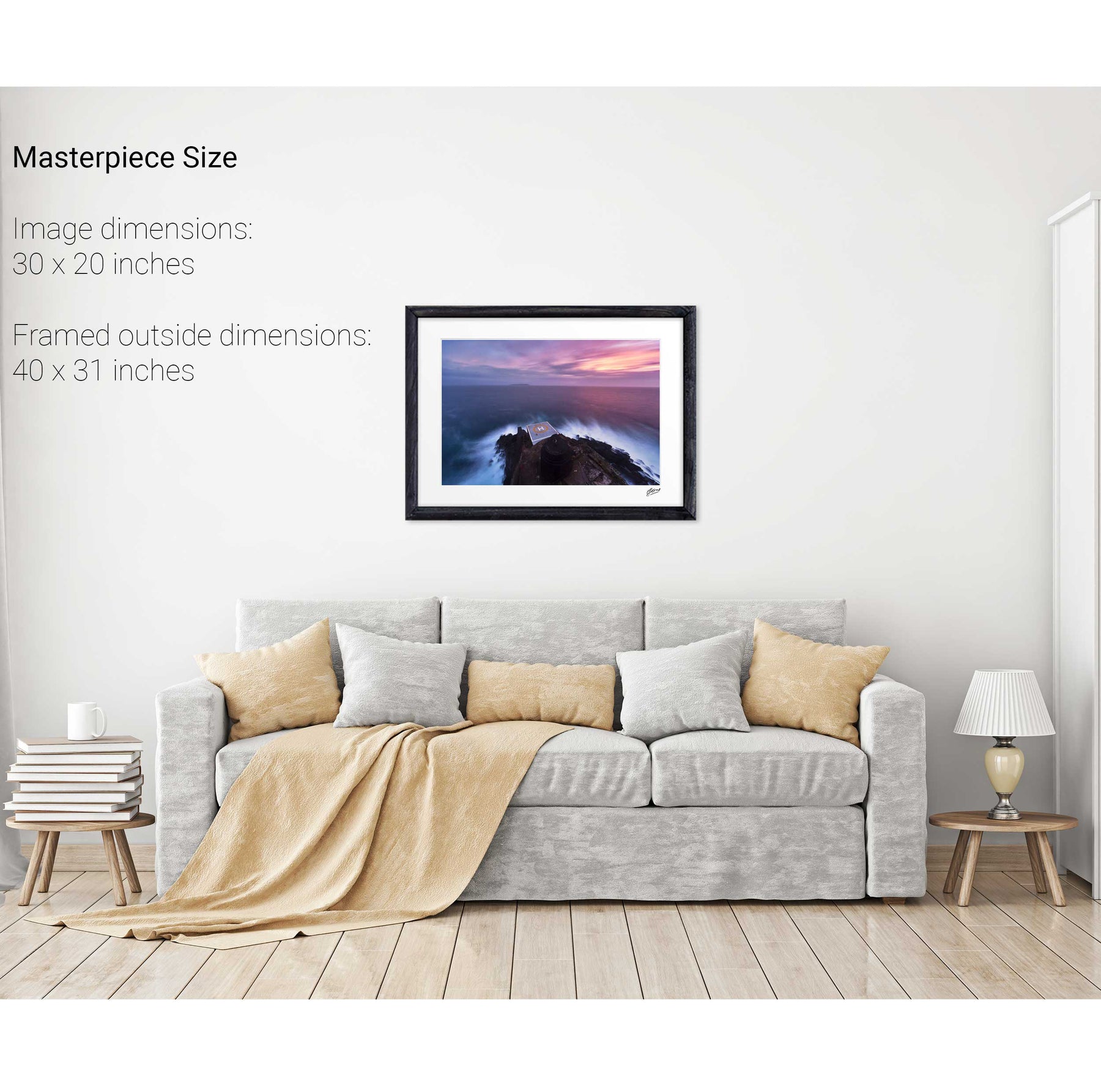
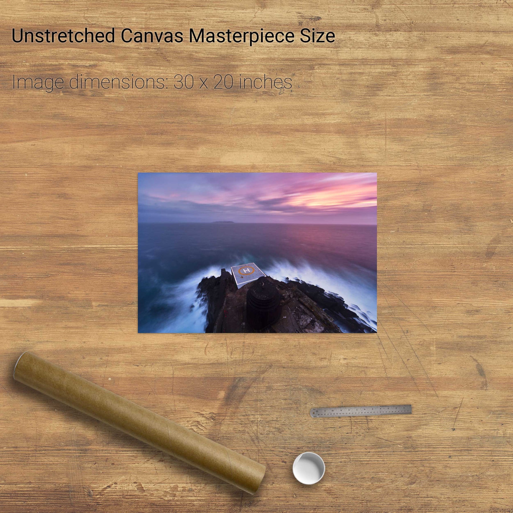
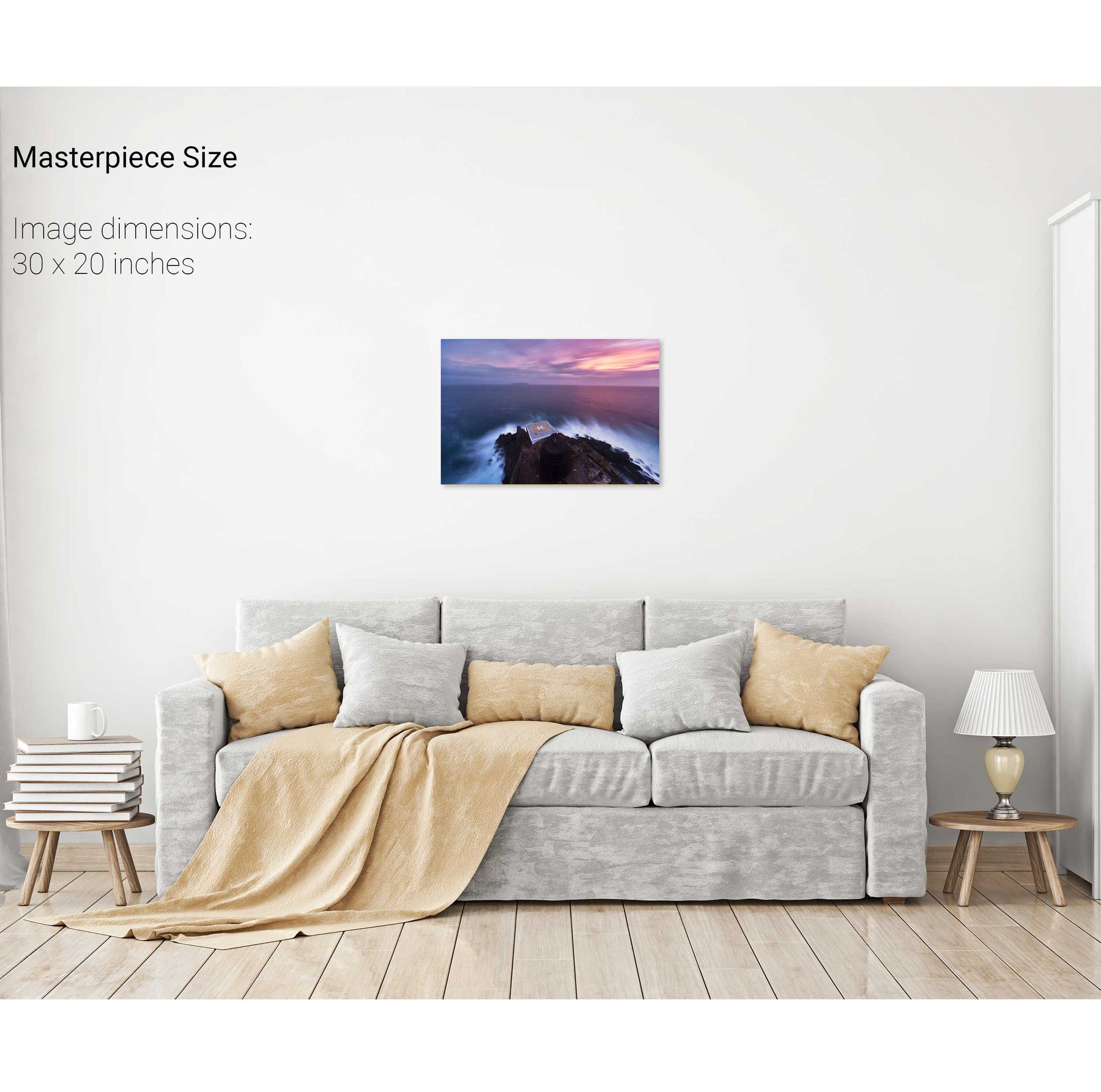
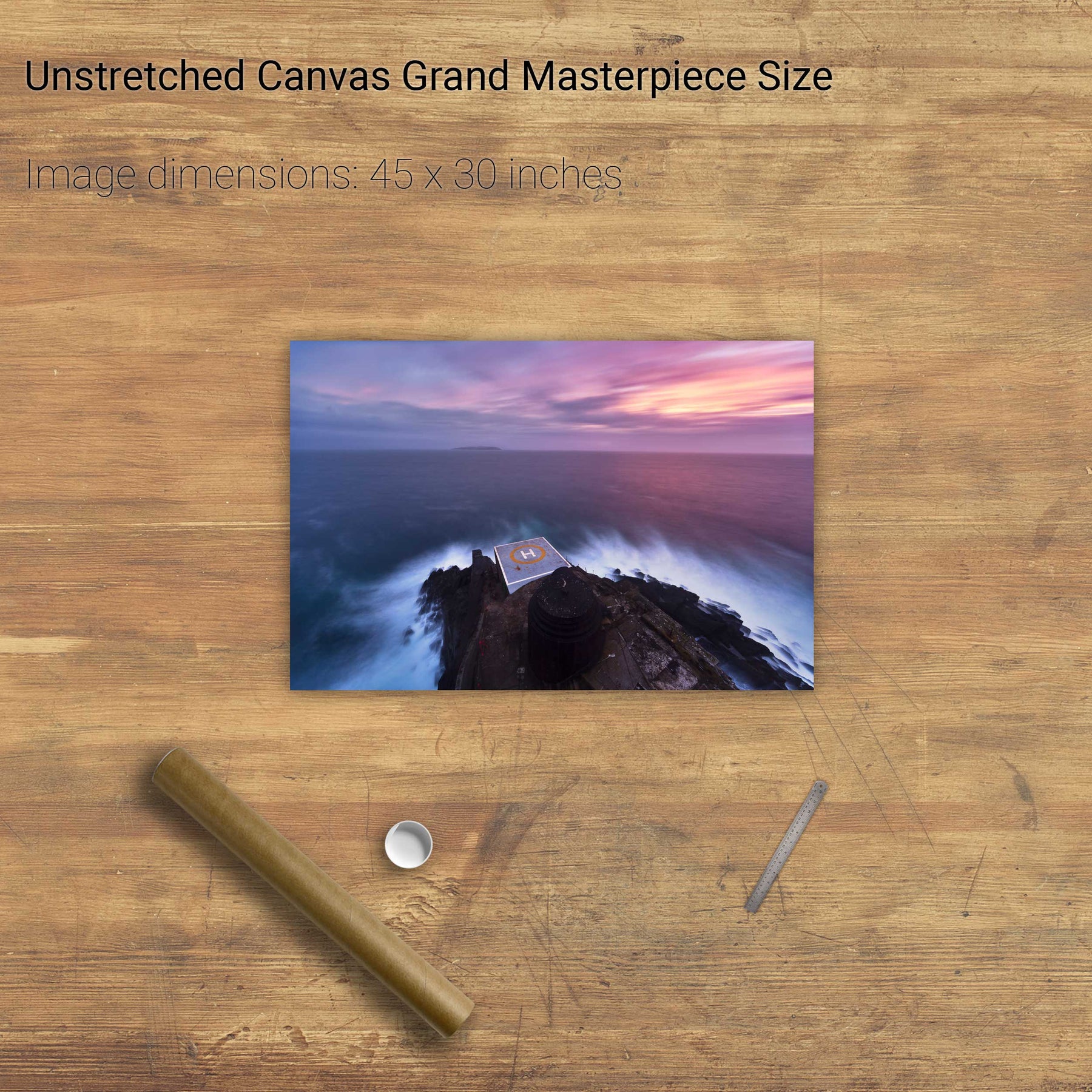
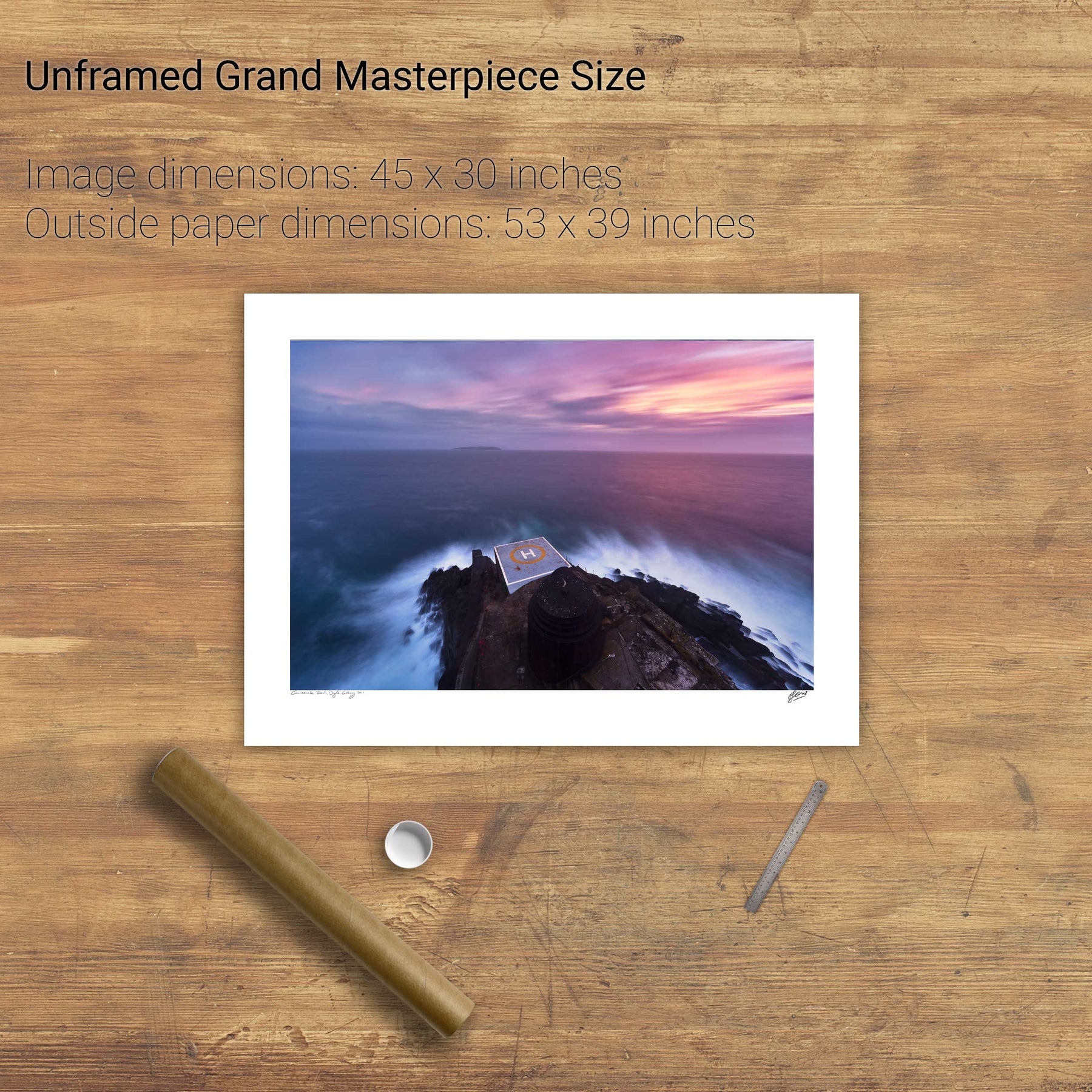
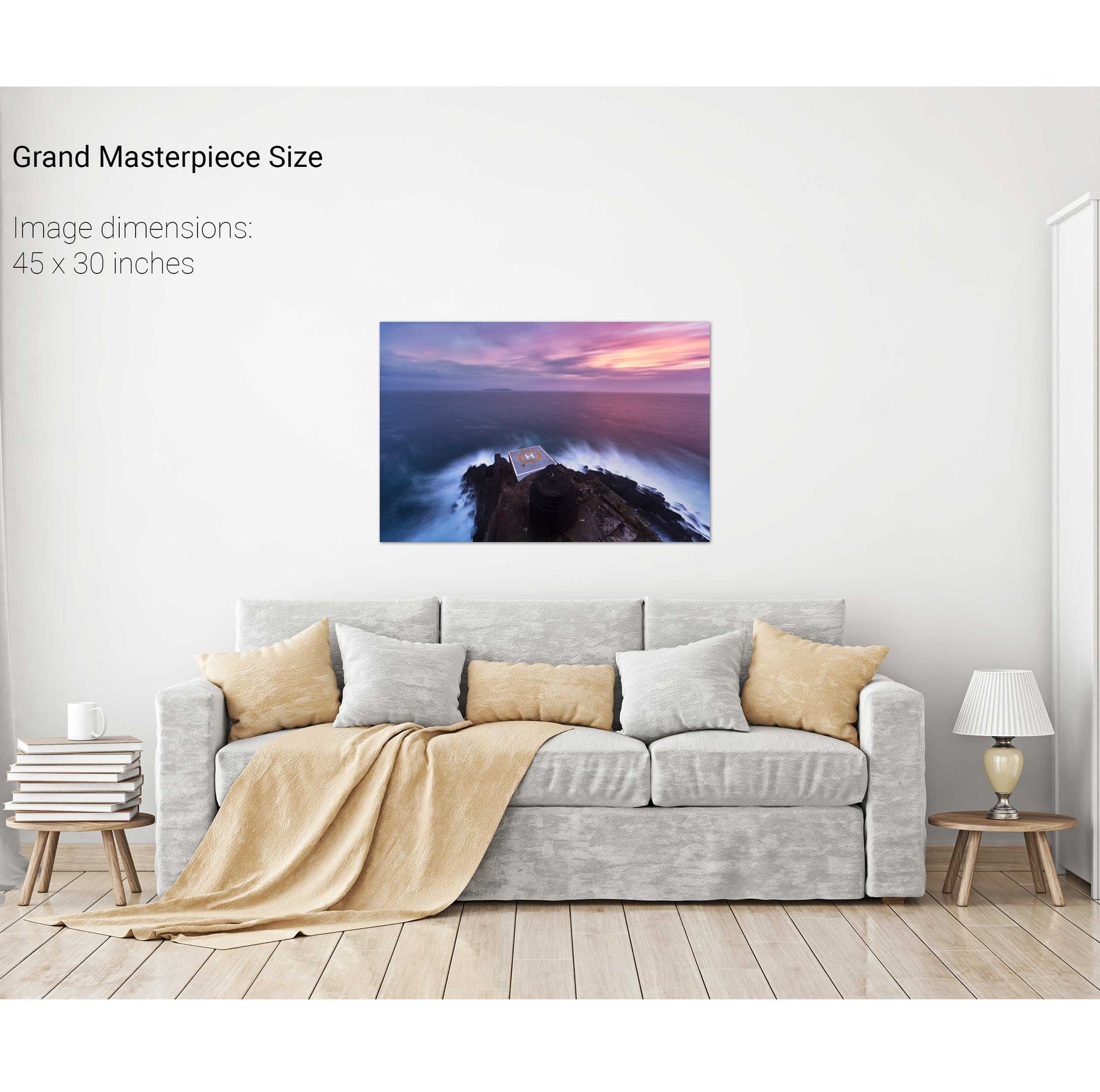
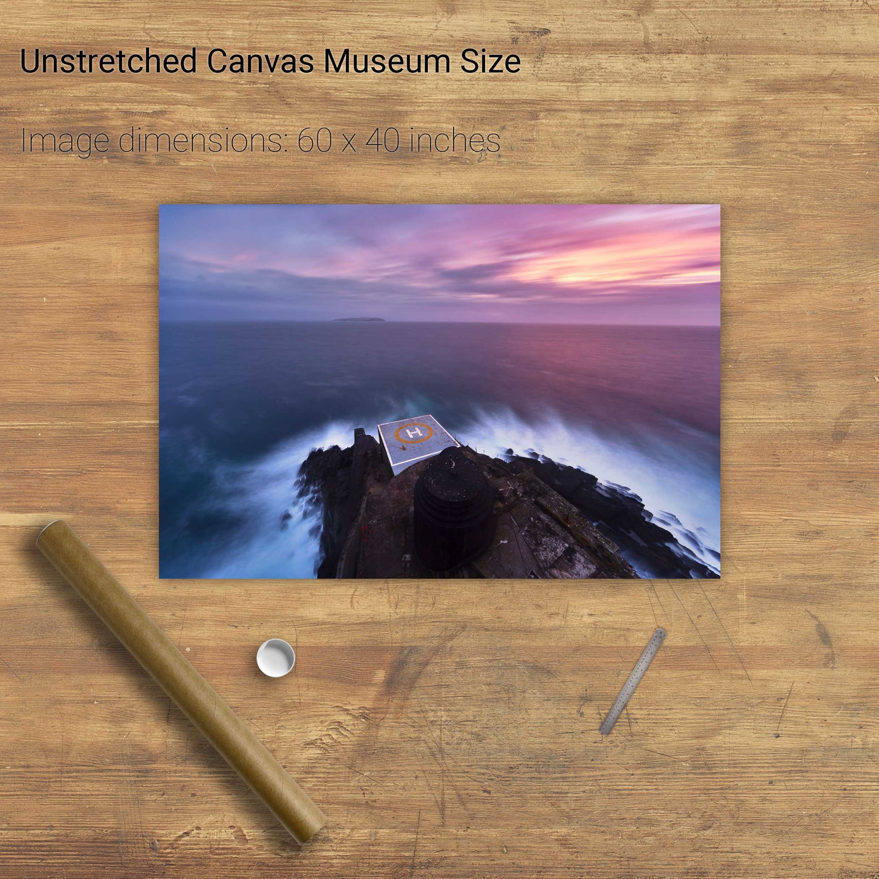
From Above, Bull Rock, Cork
Dunlough Bay, Co. Cork
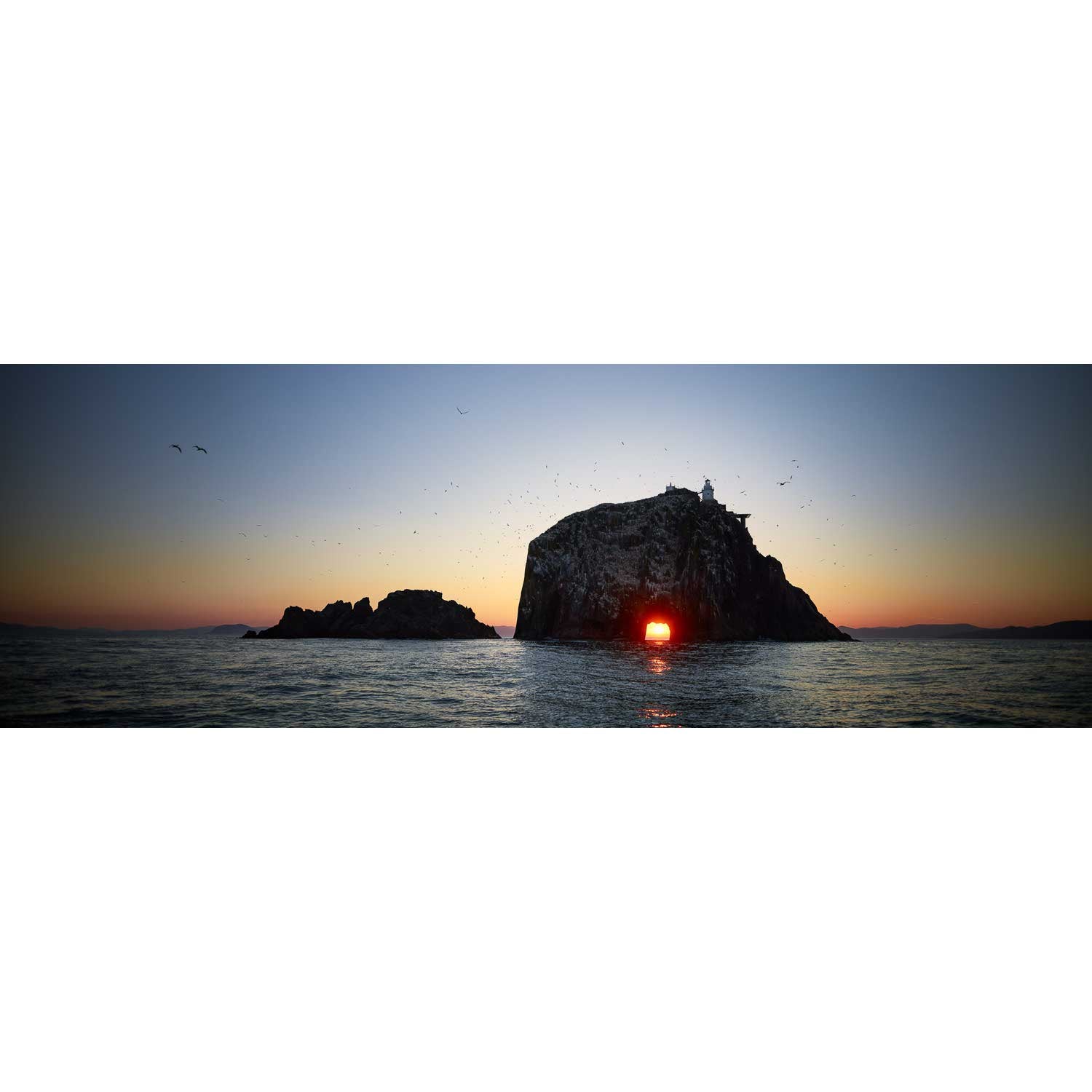
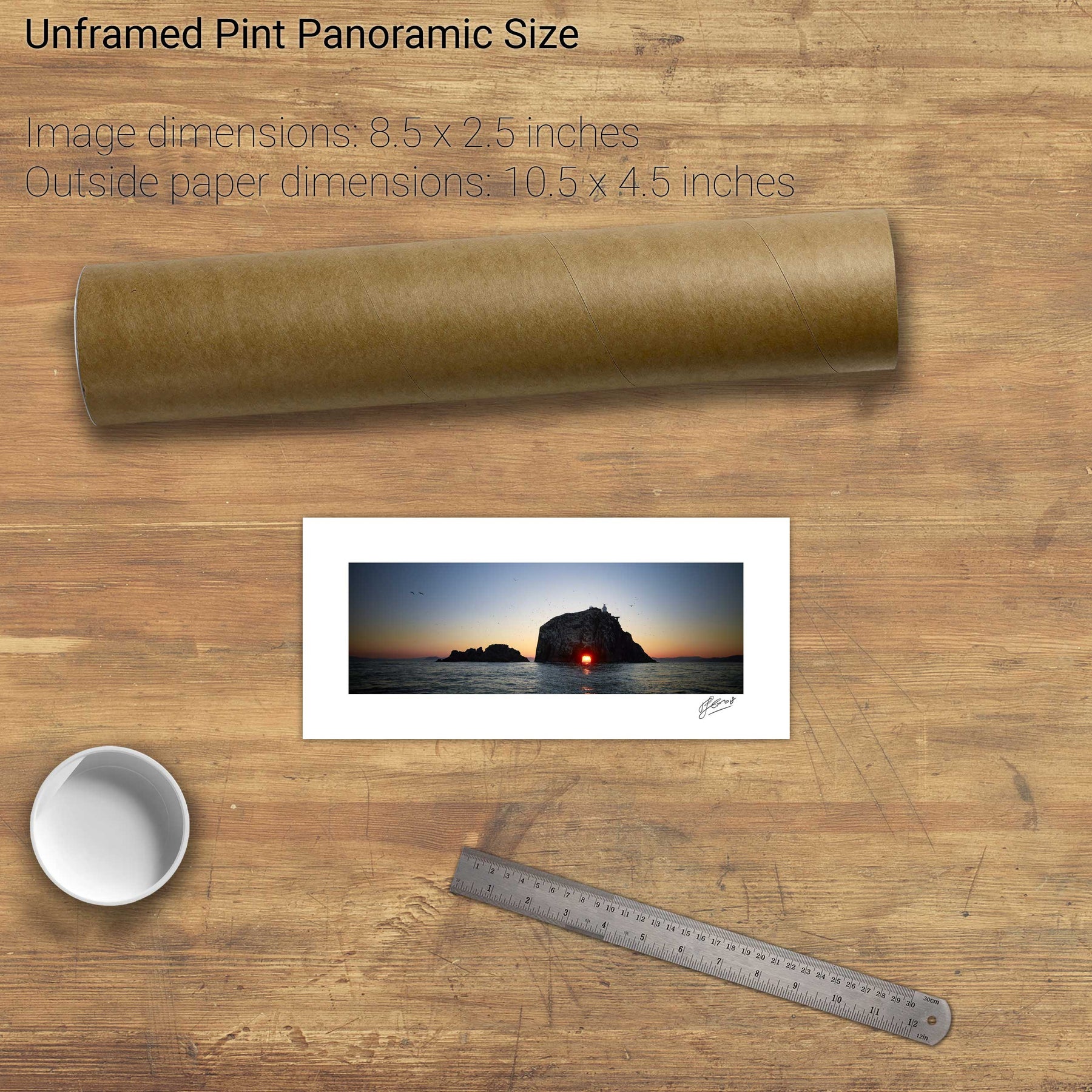
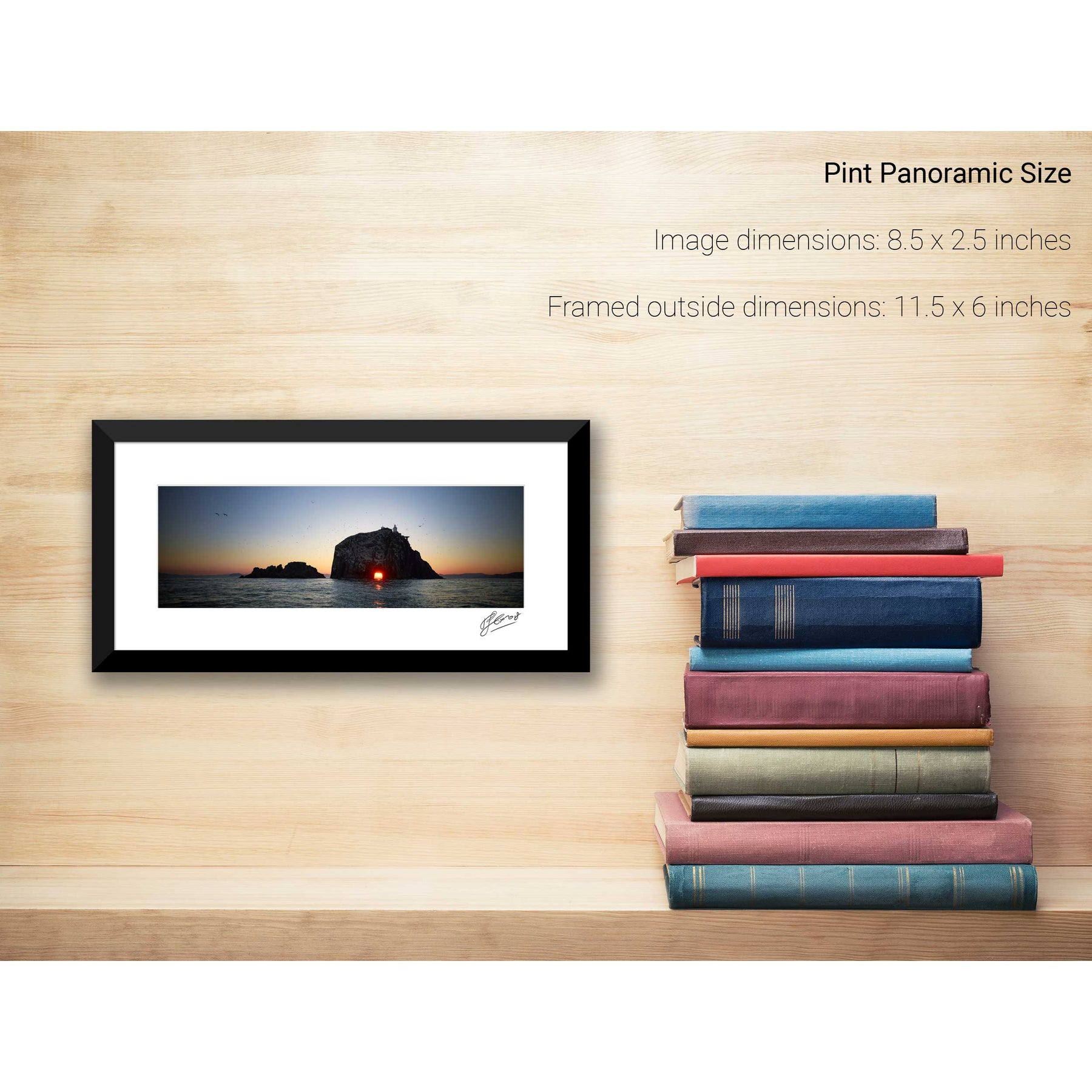
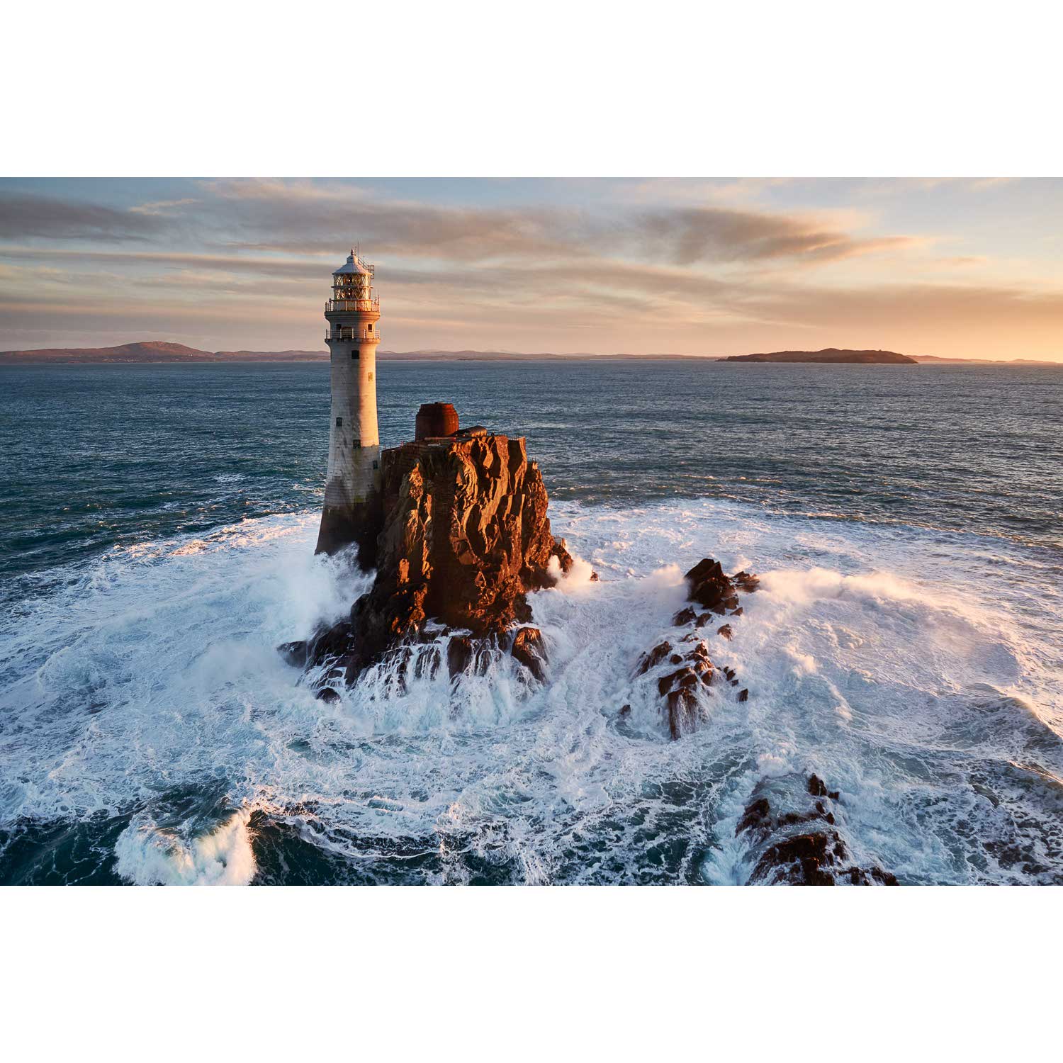
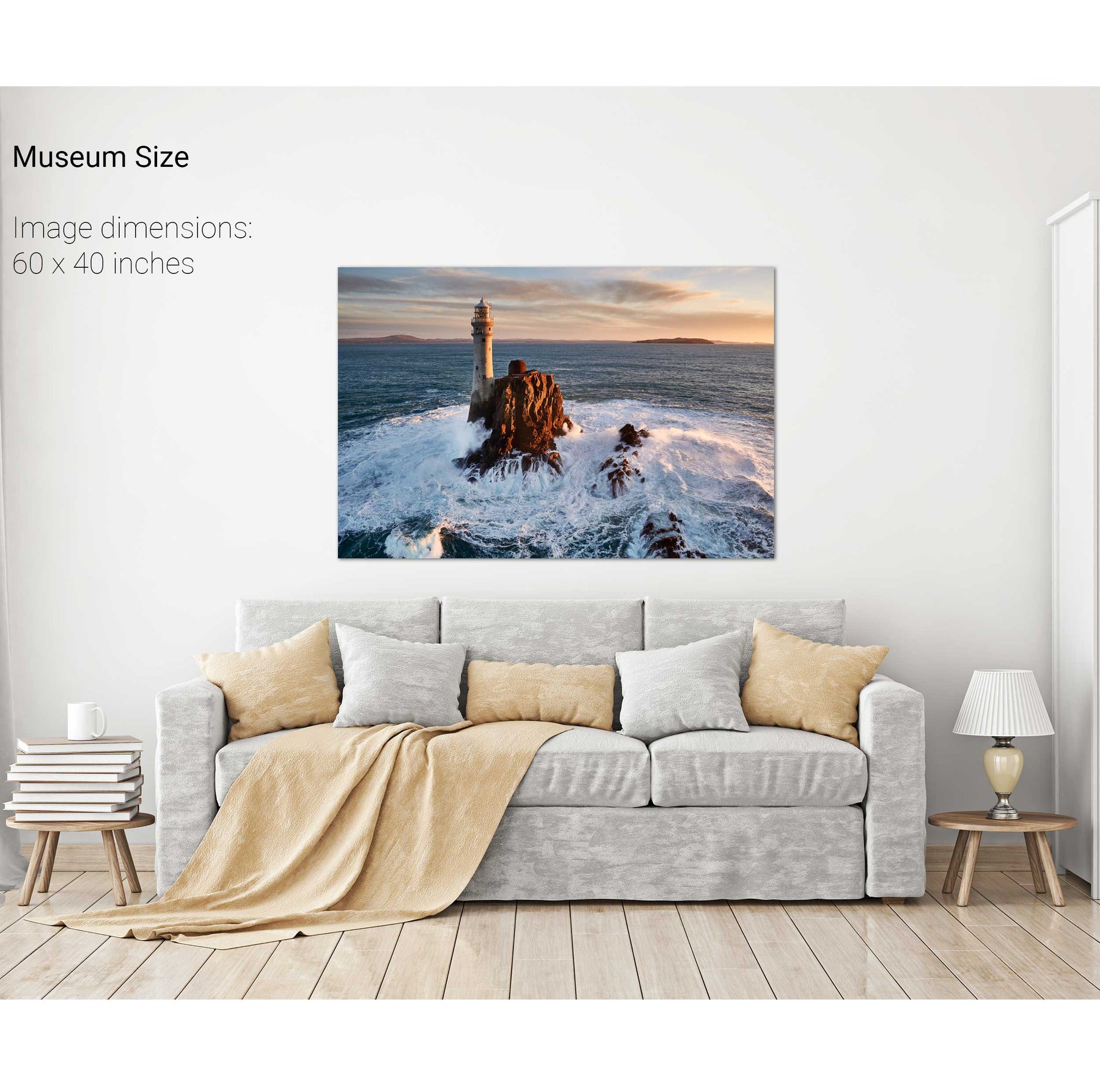
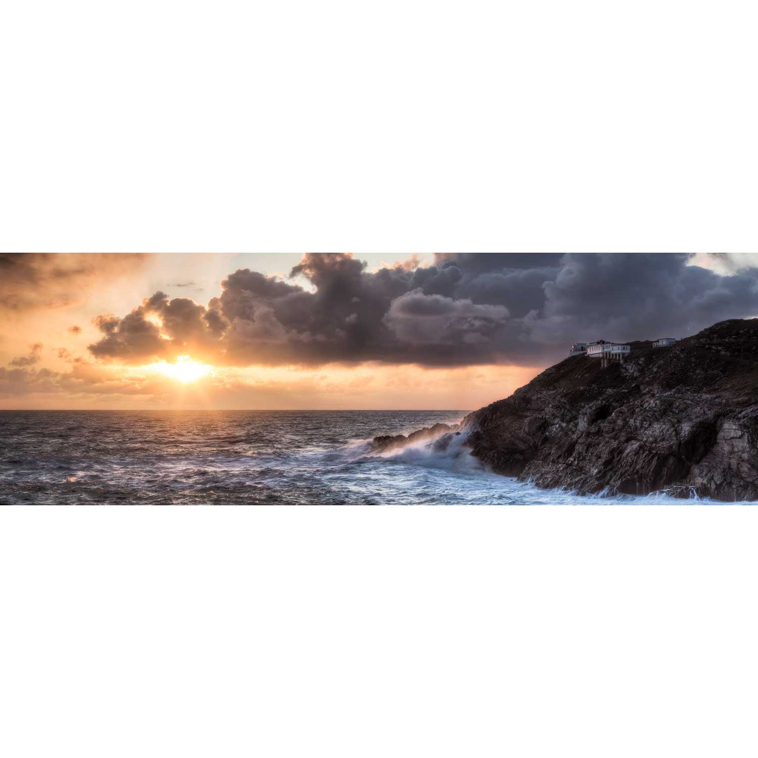
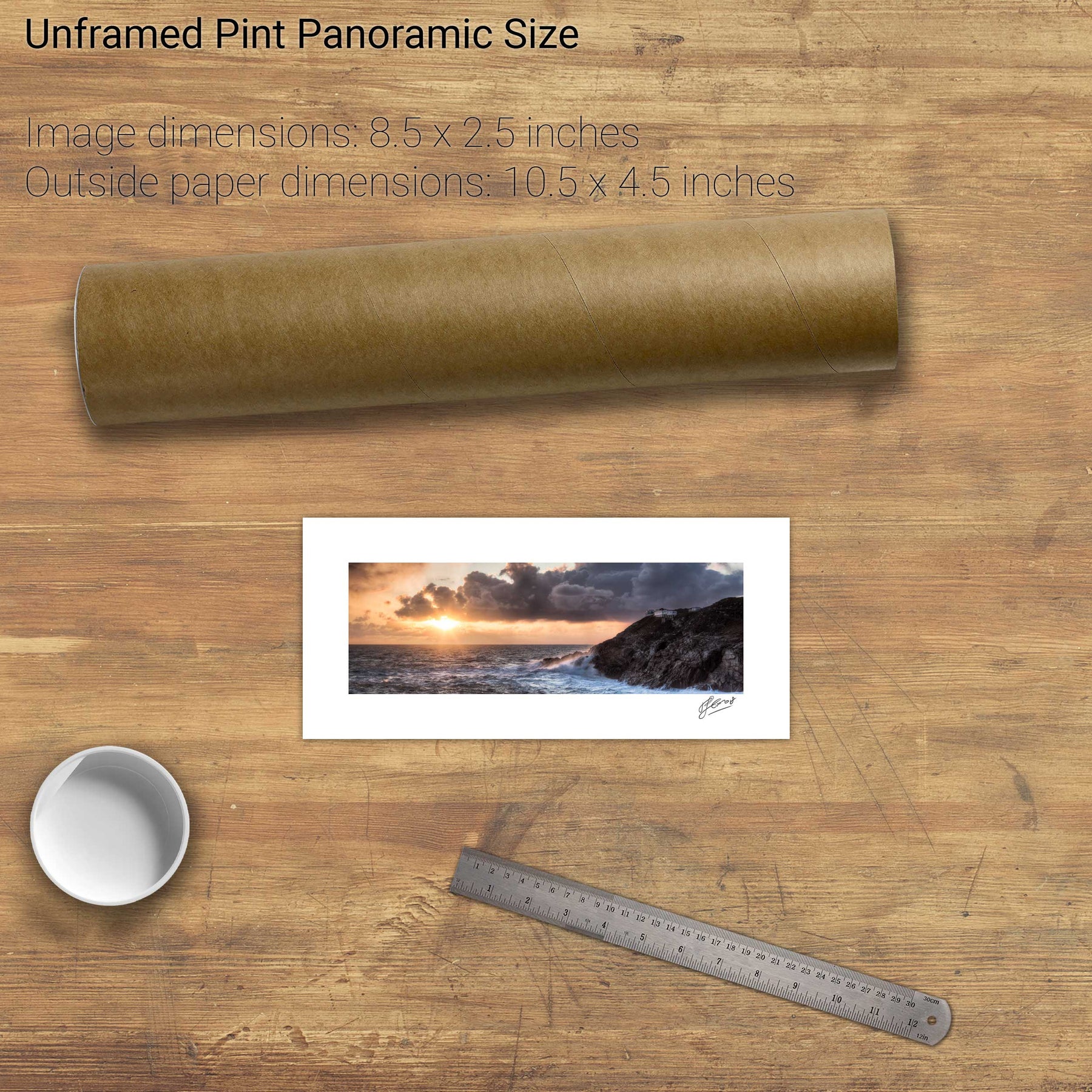
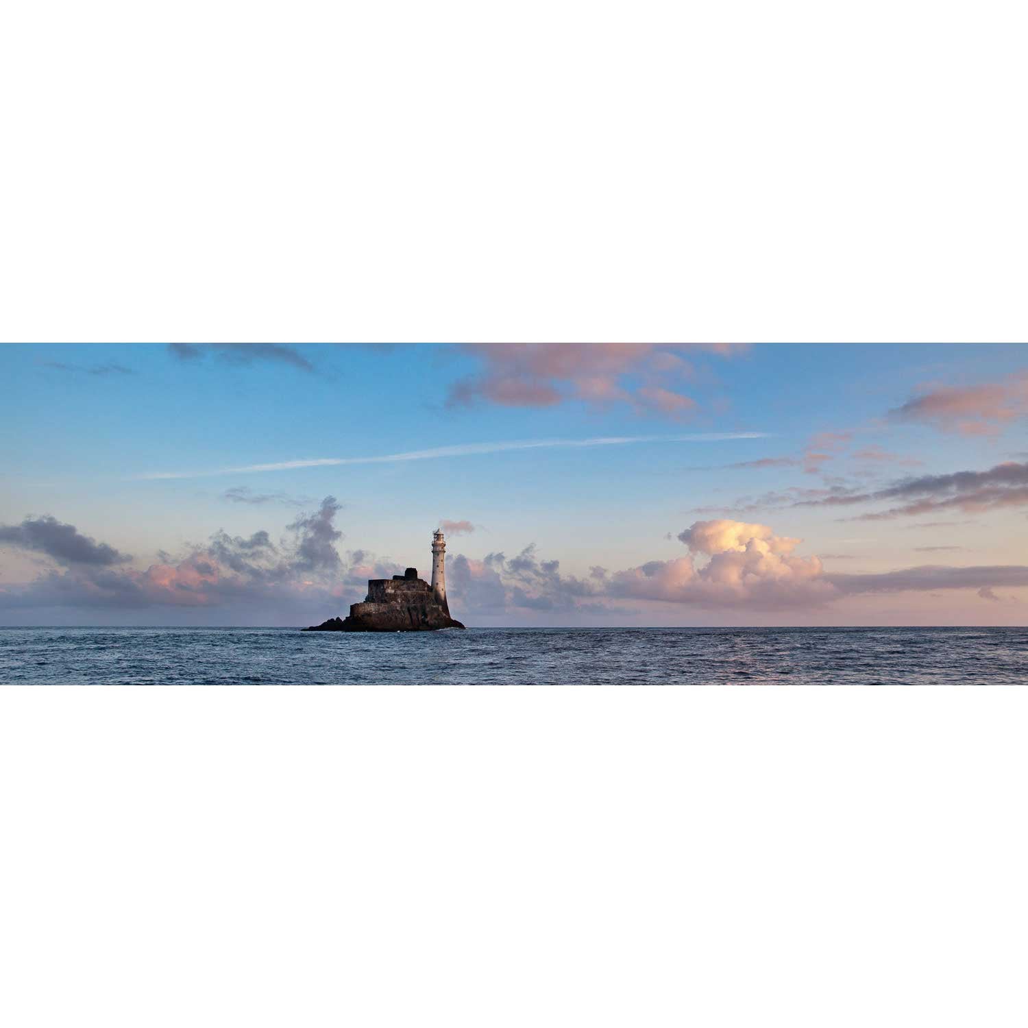
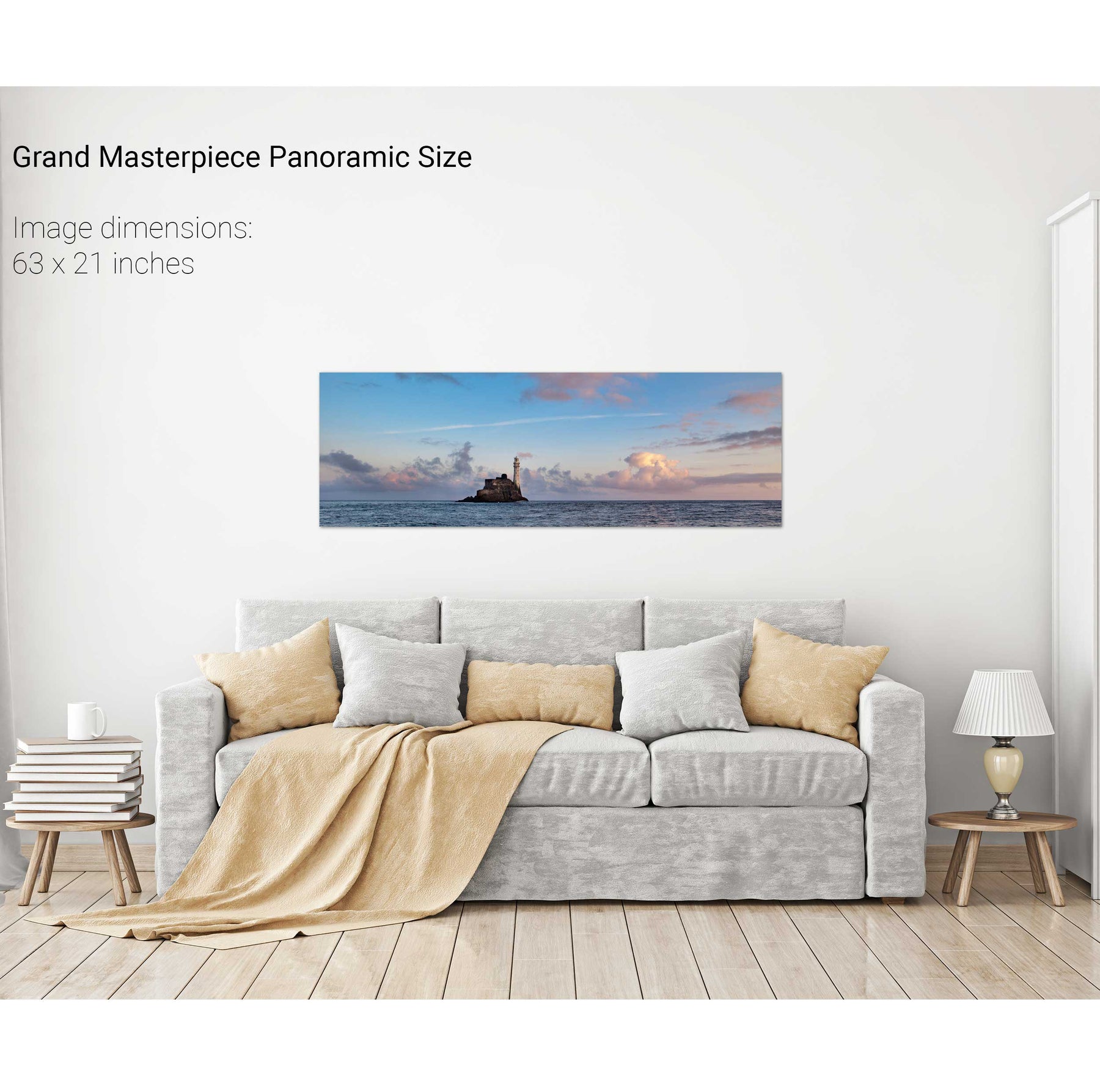
The Fastnet at Sunrise II, Cork
The Fastnet at Dawn, Cork
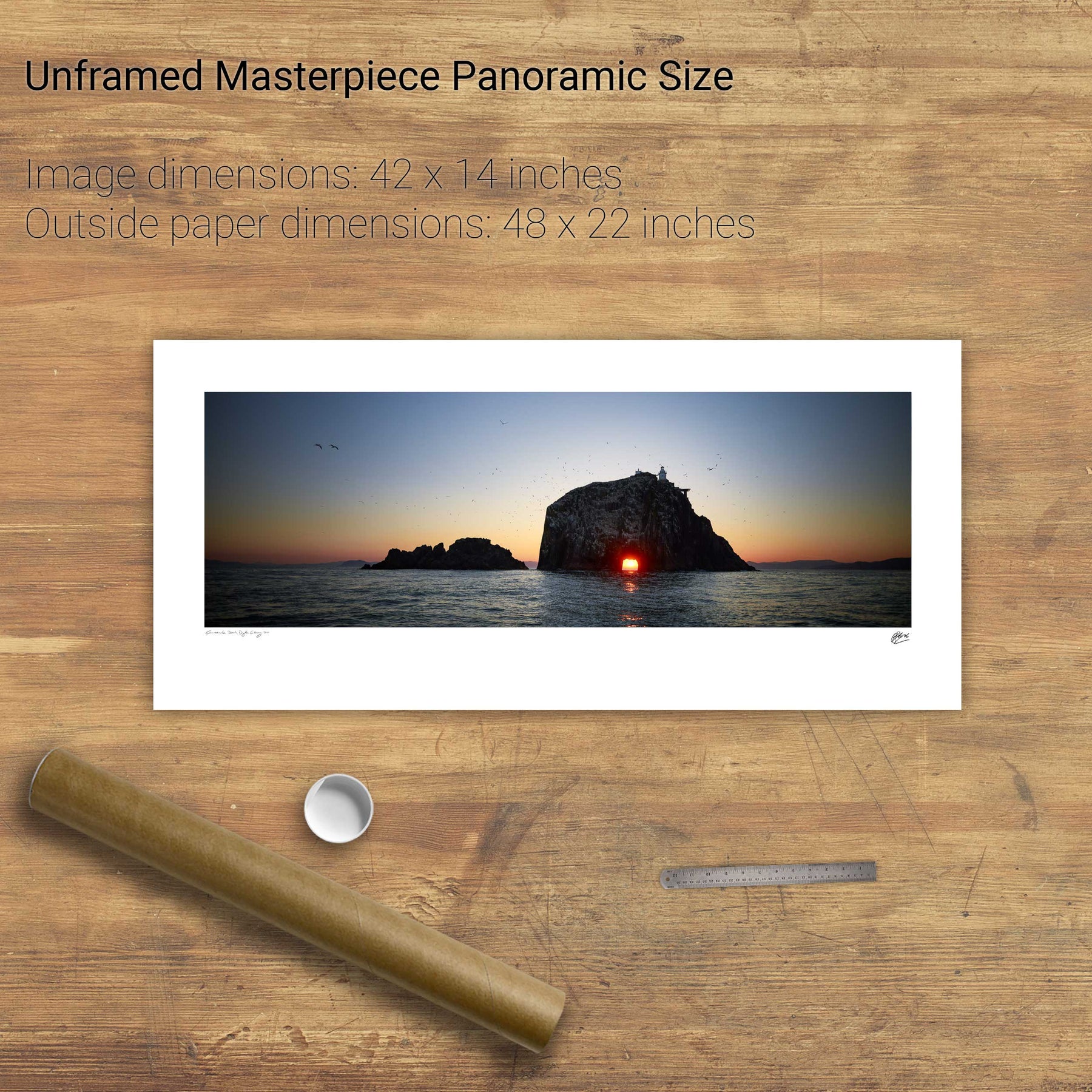
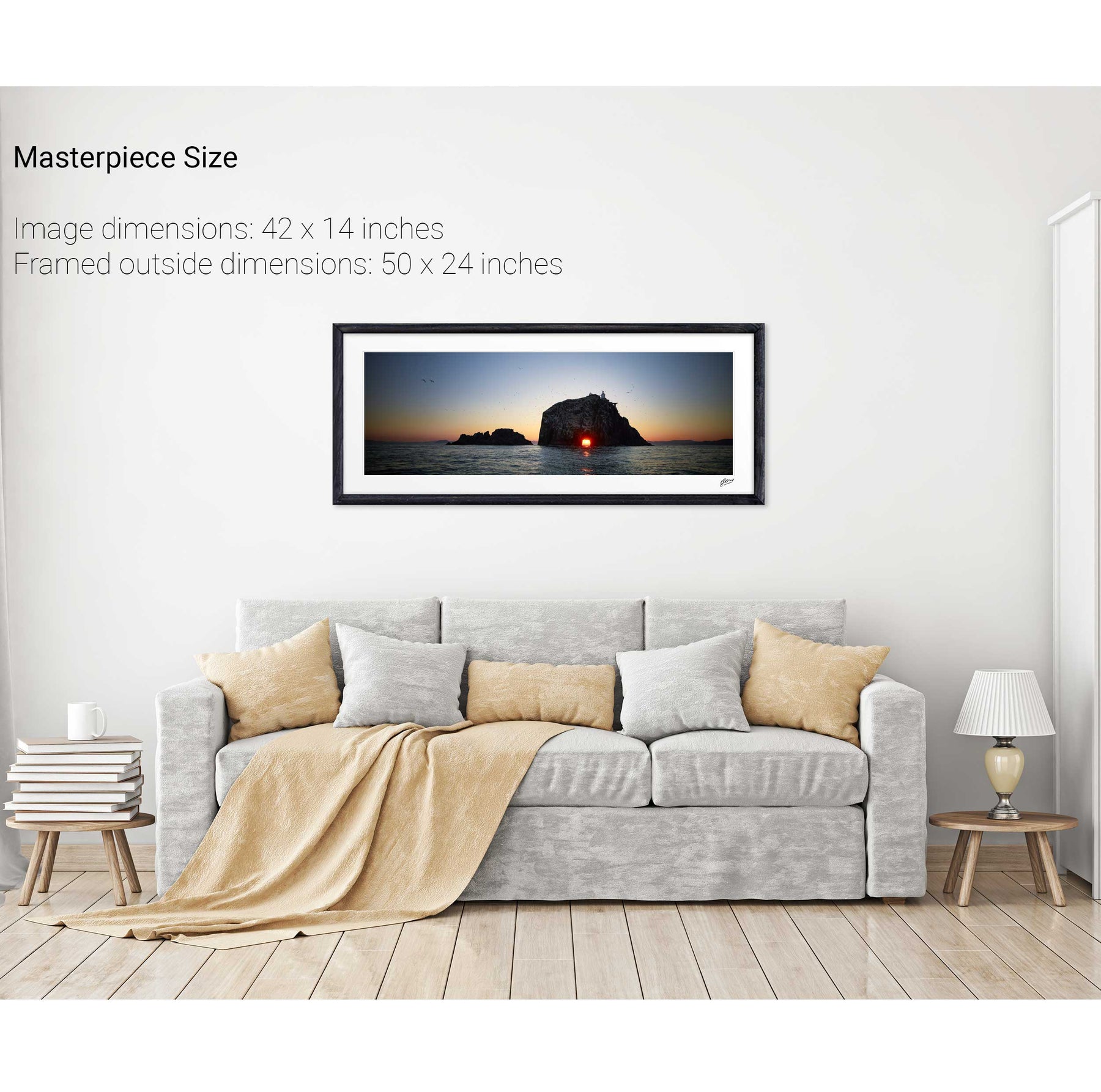
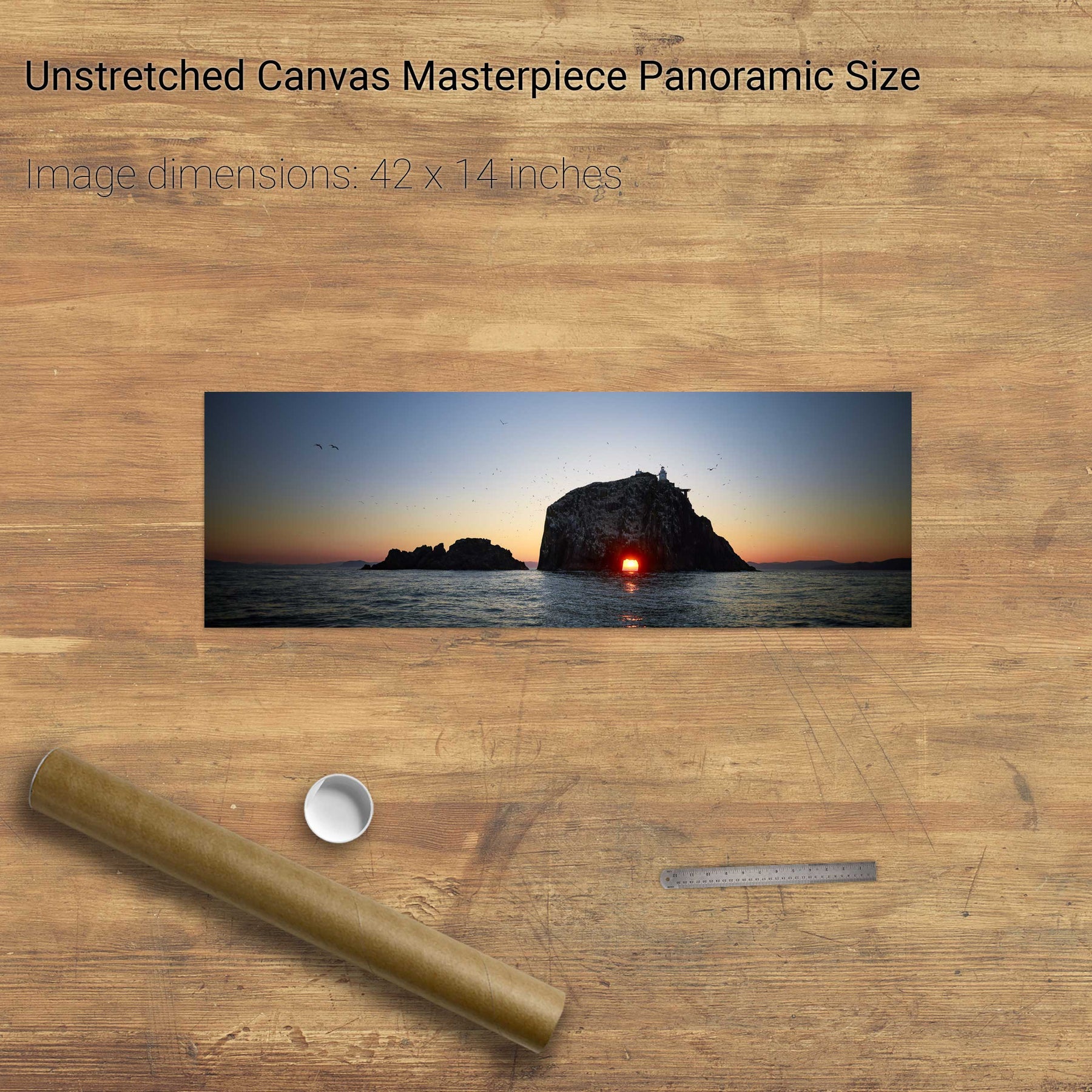
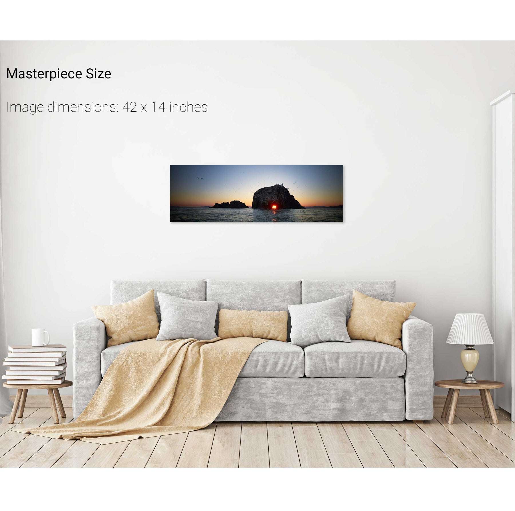
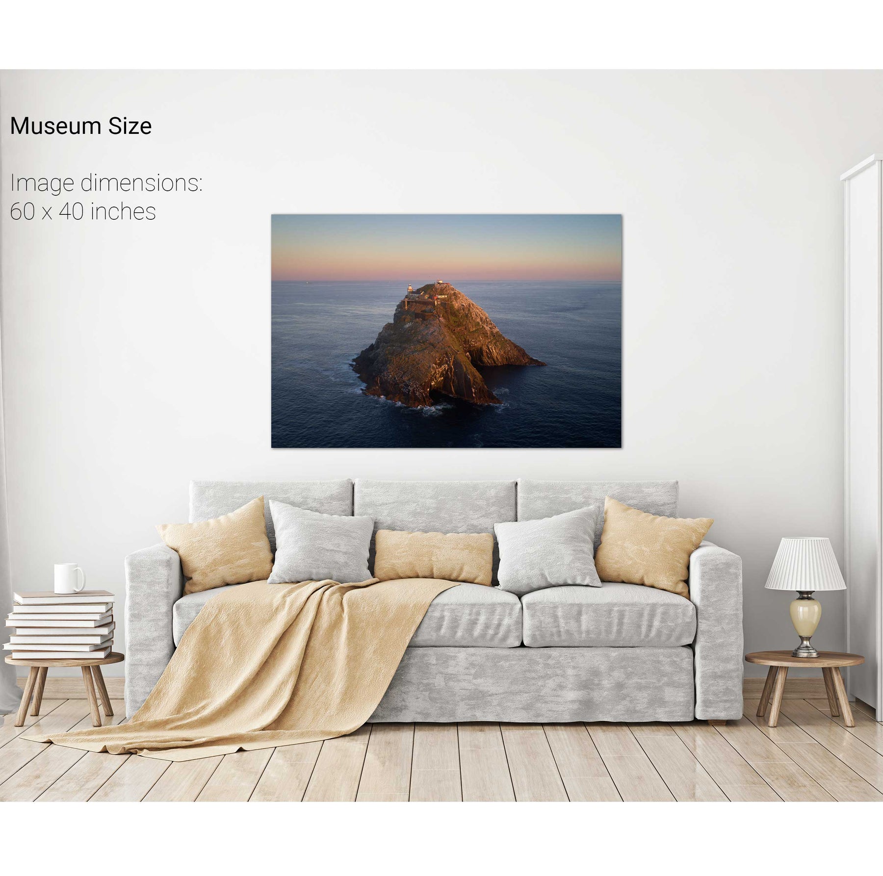
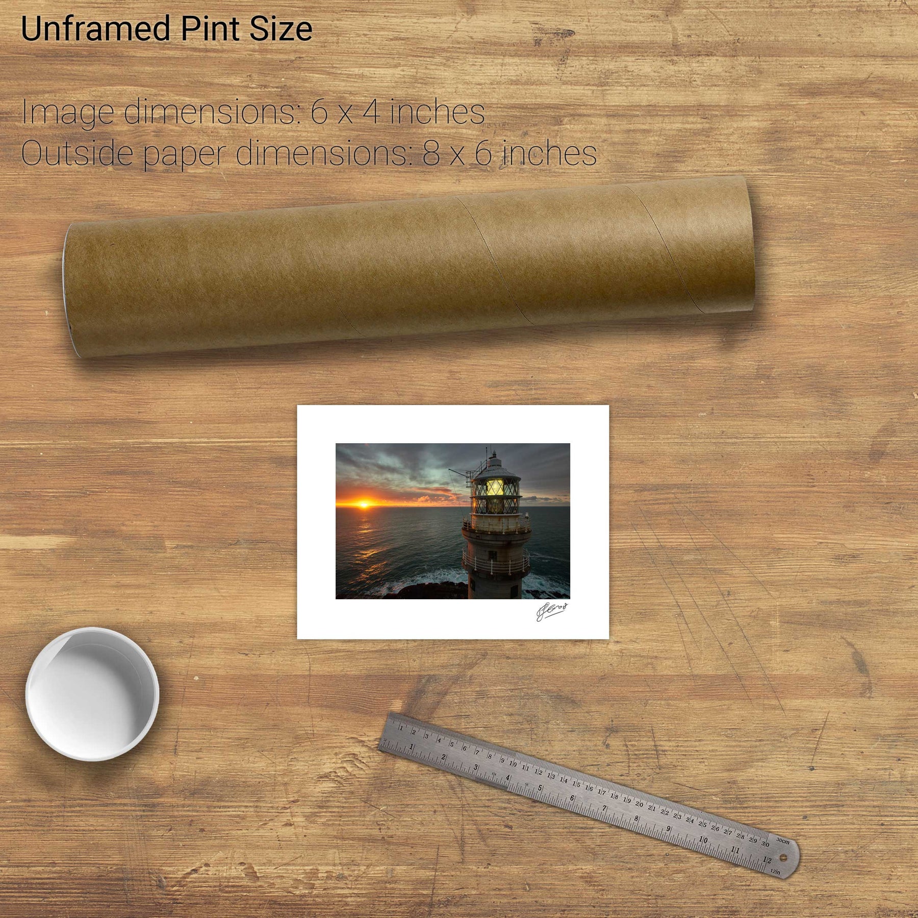
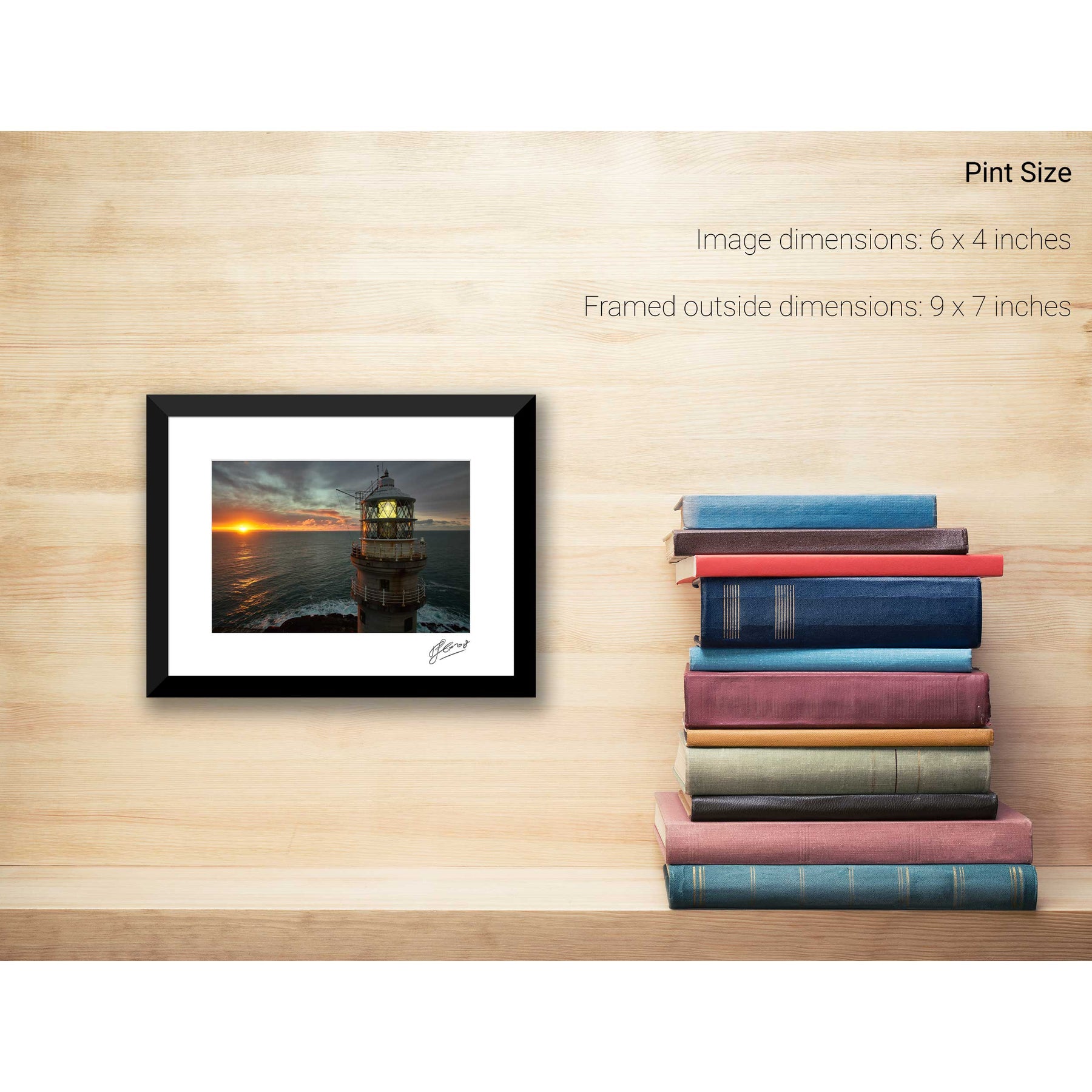
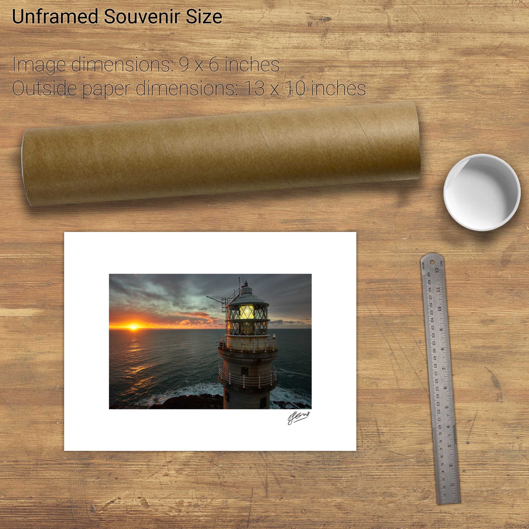
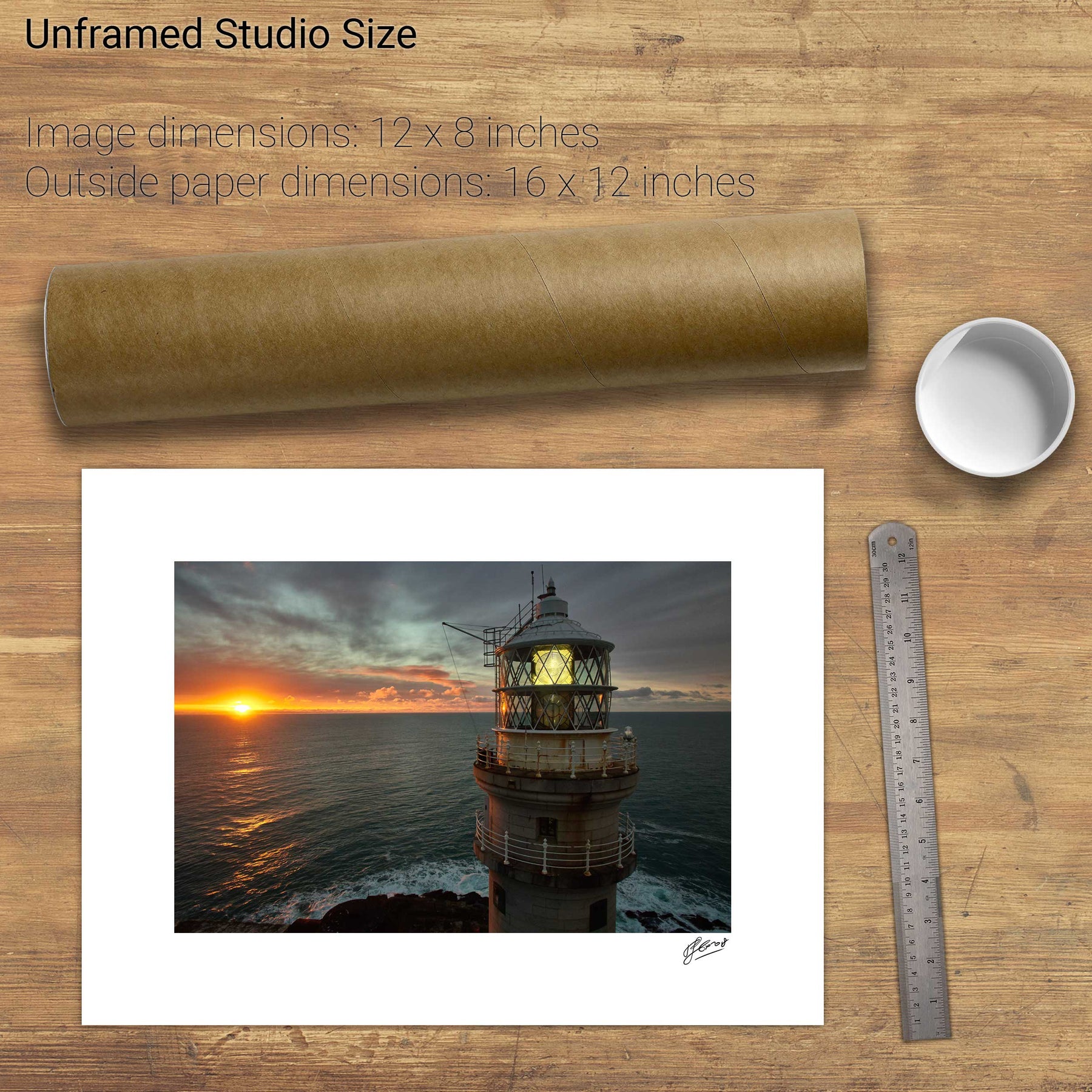
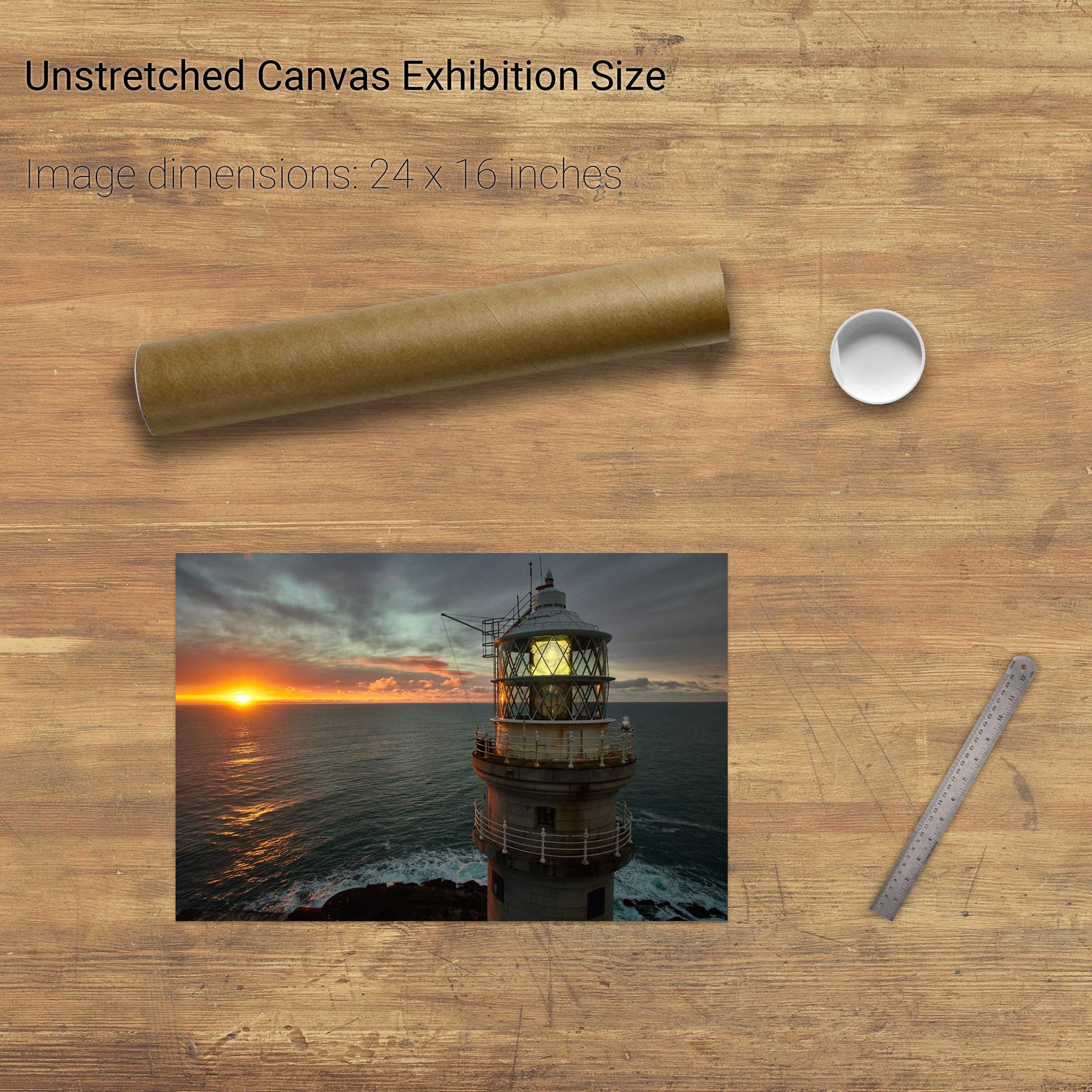
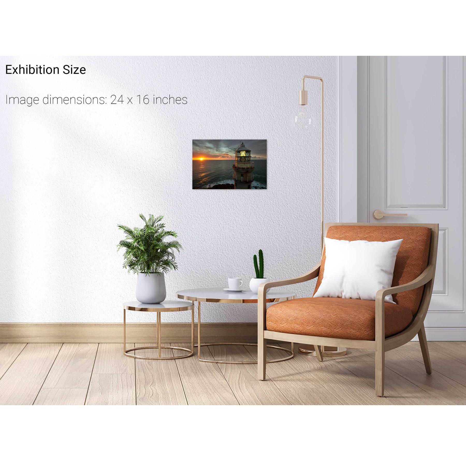
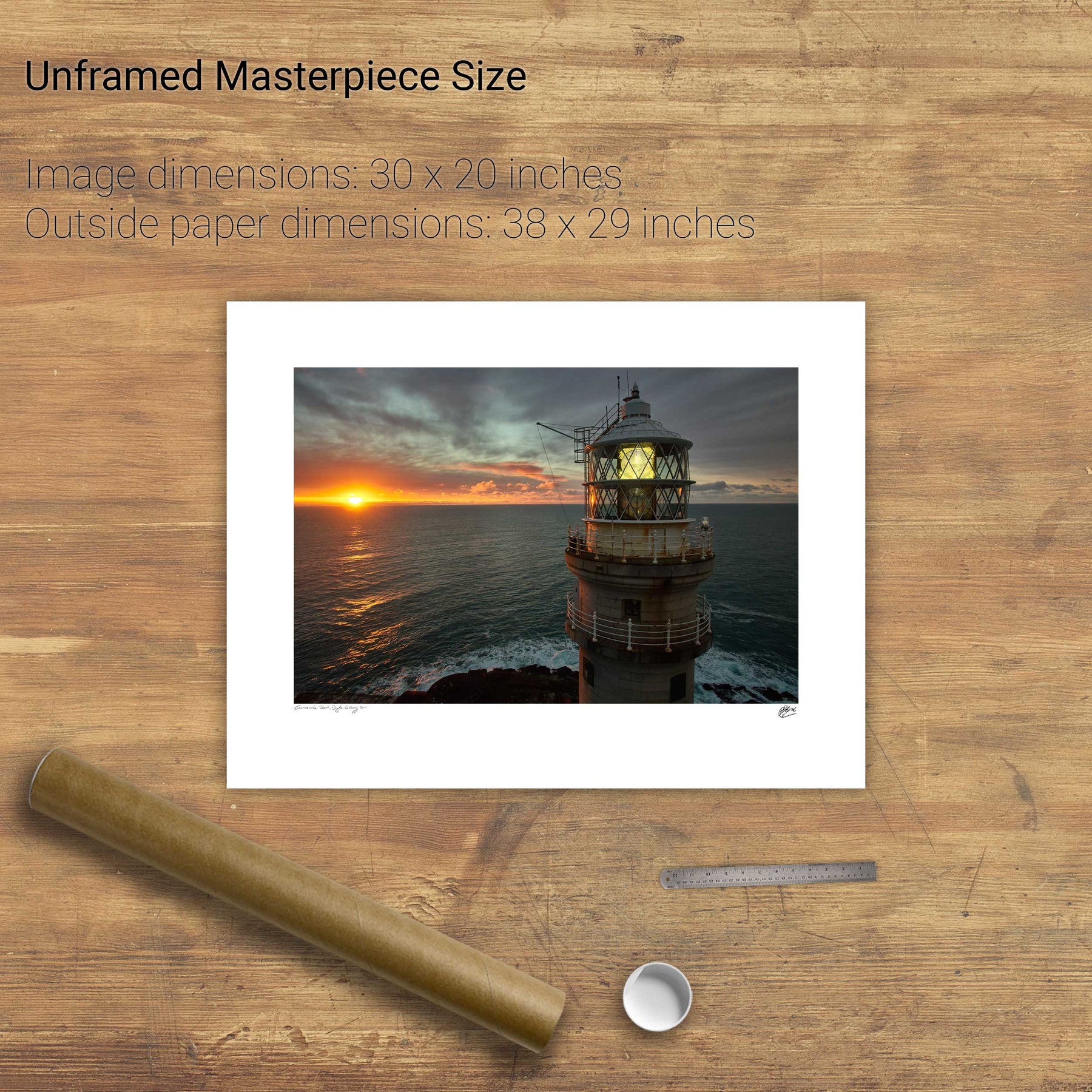
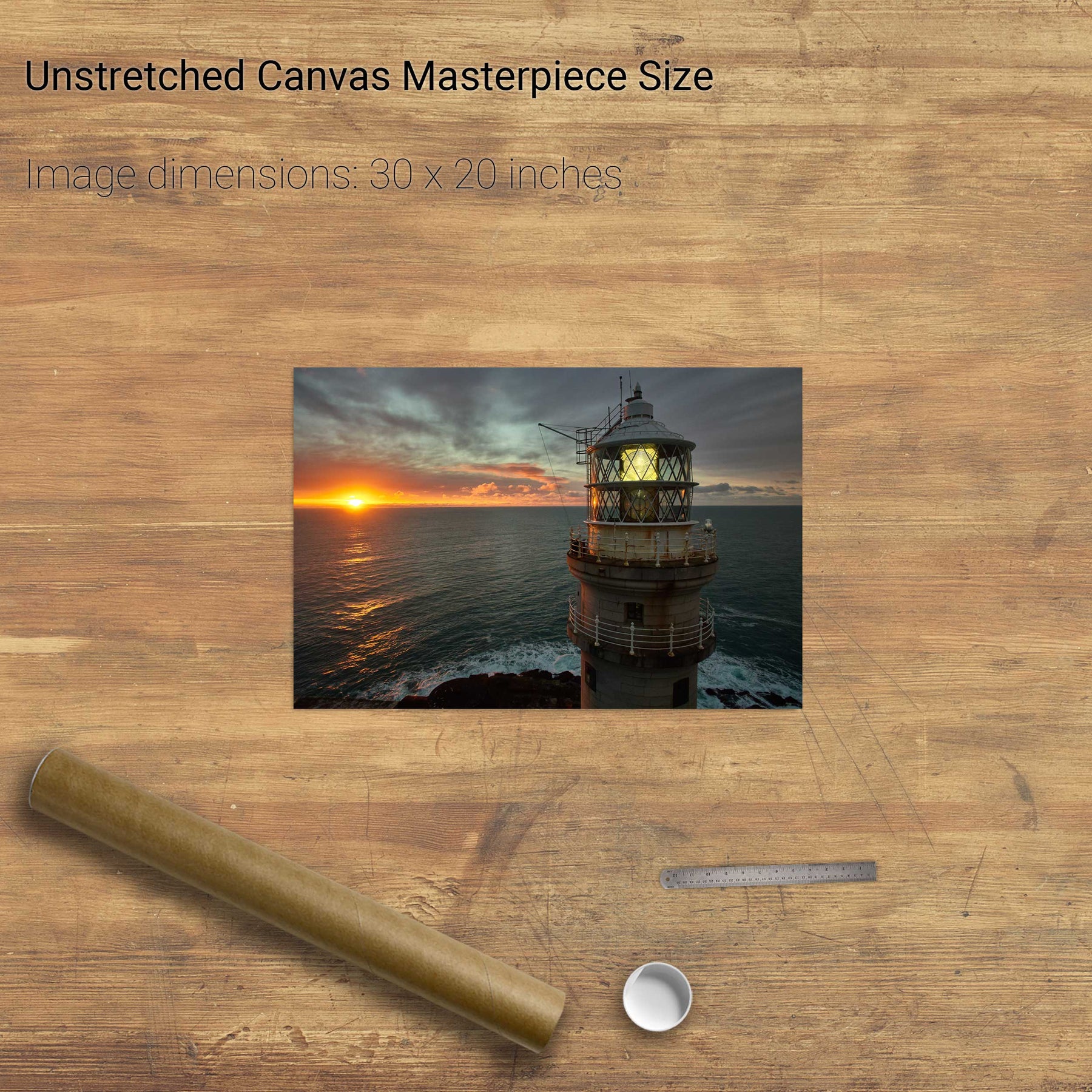
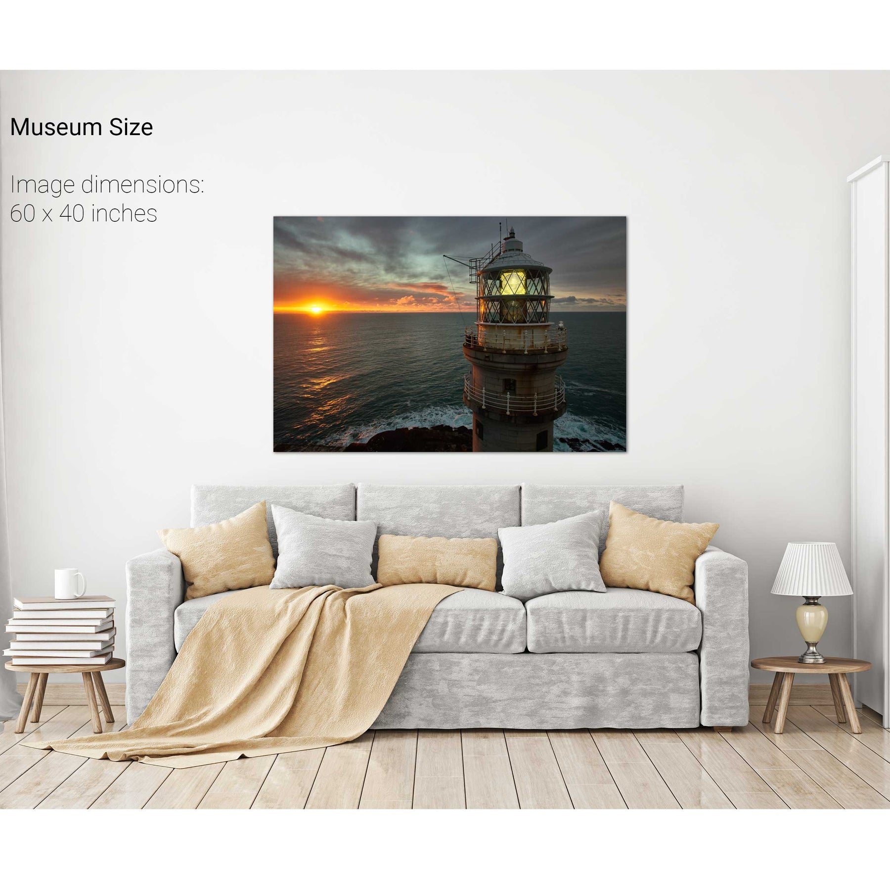
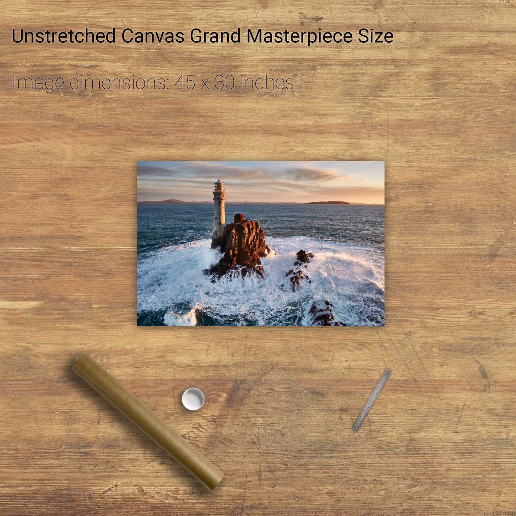
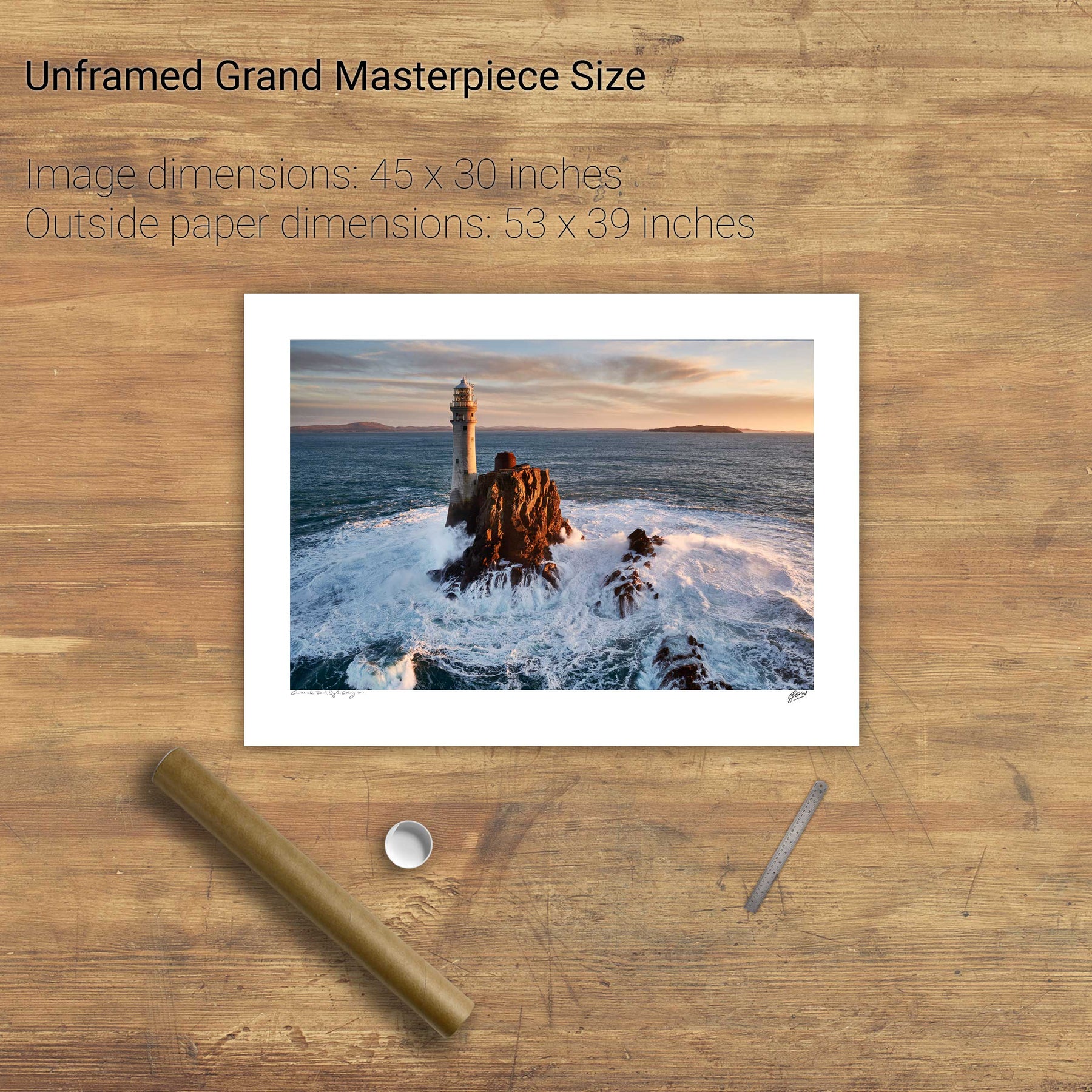
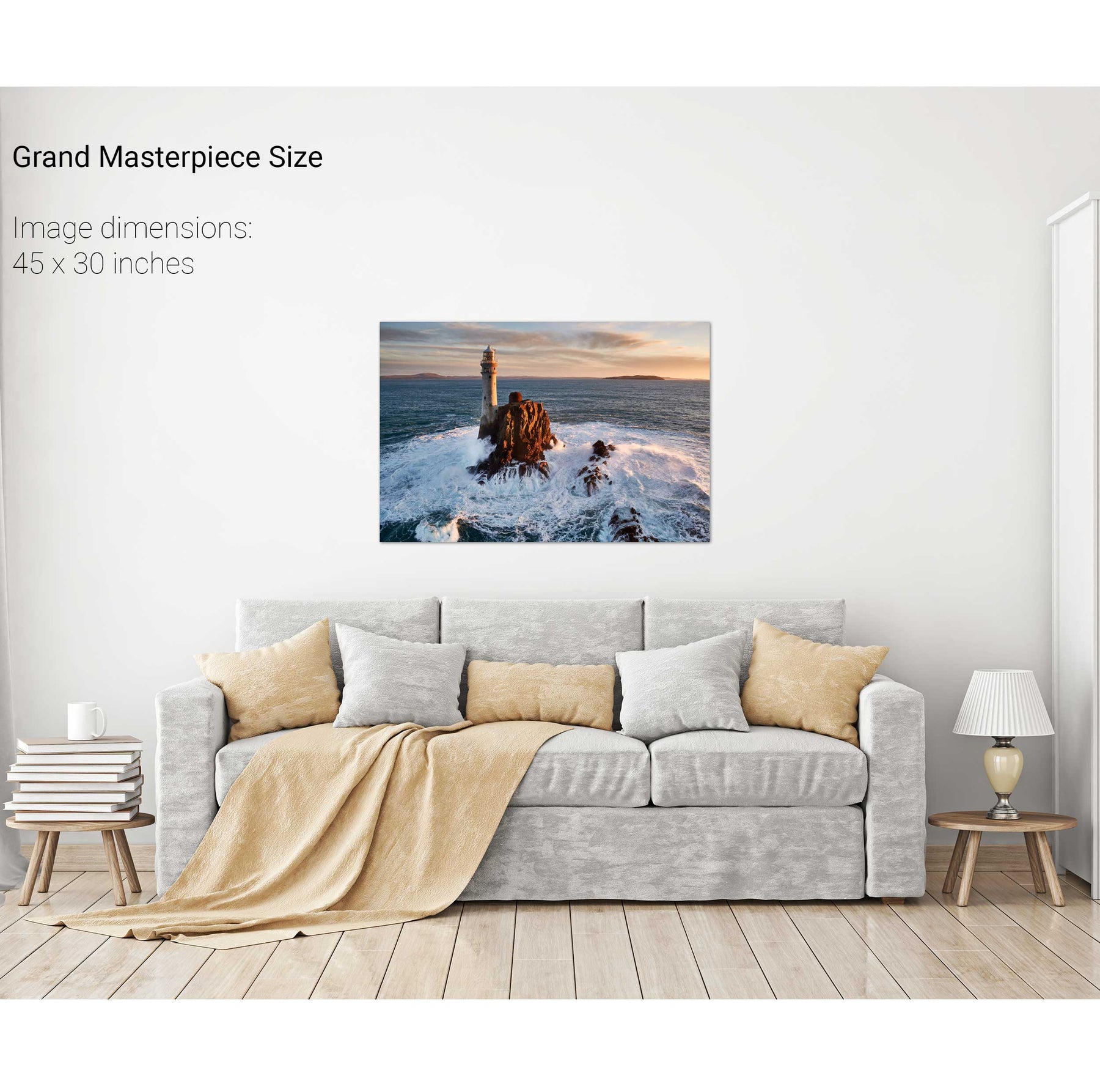
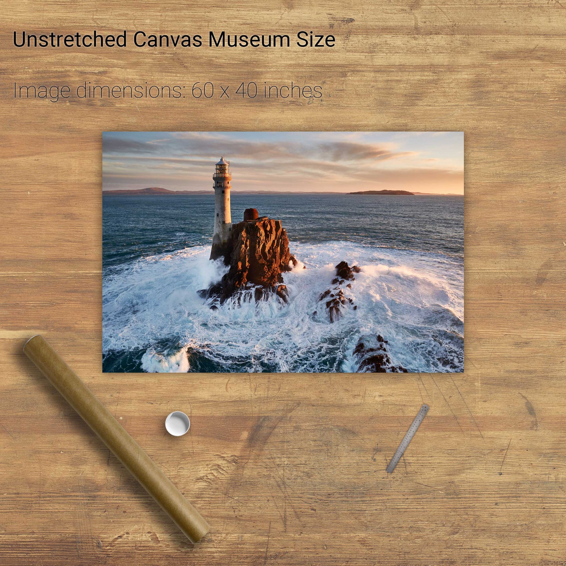
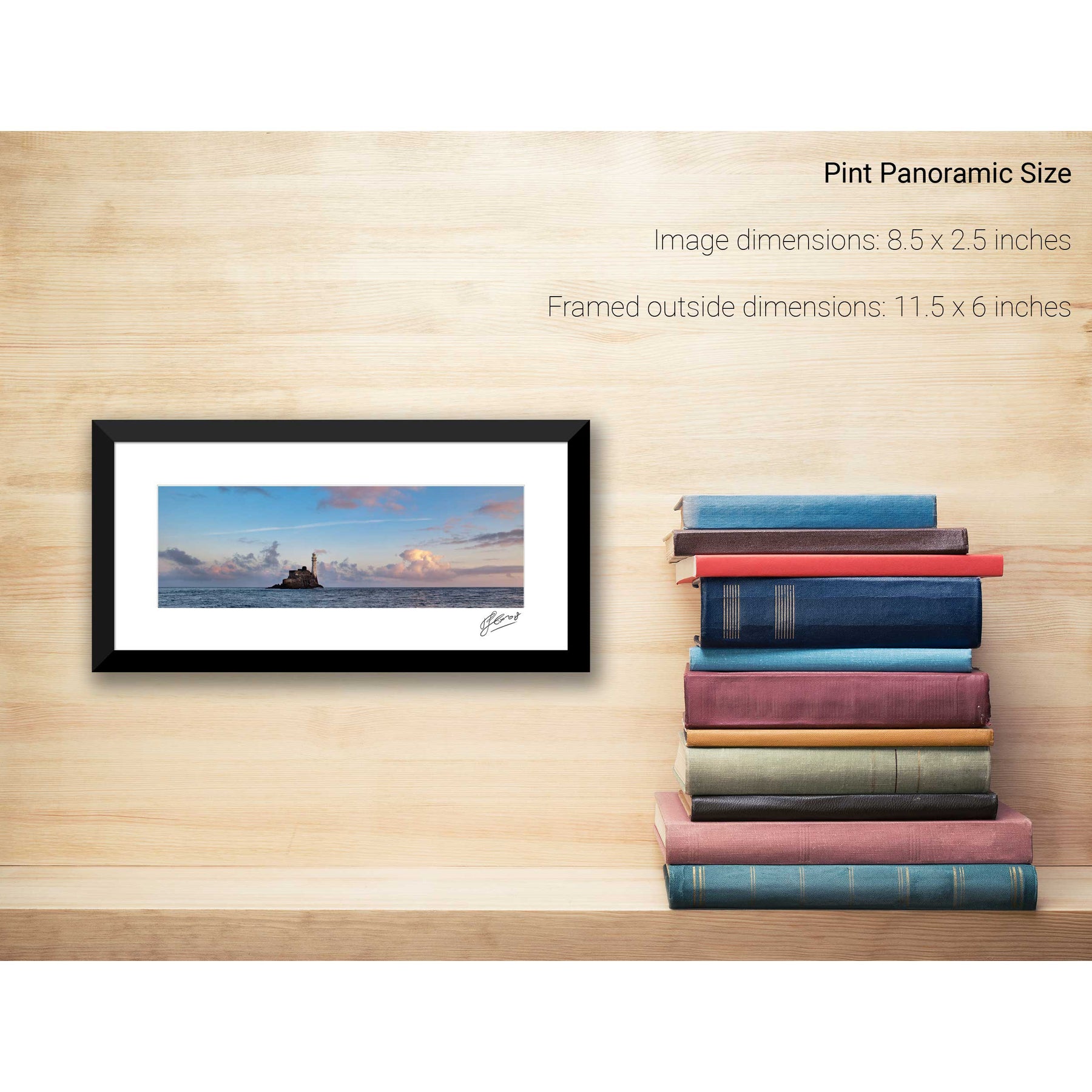
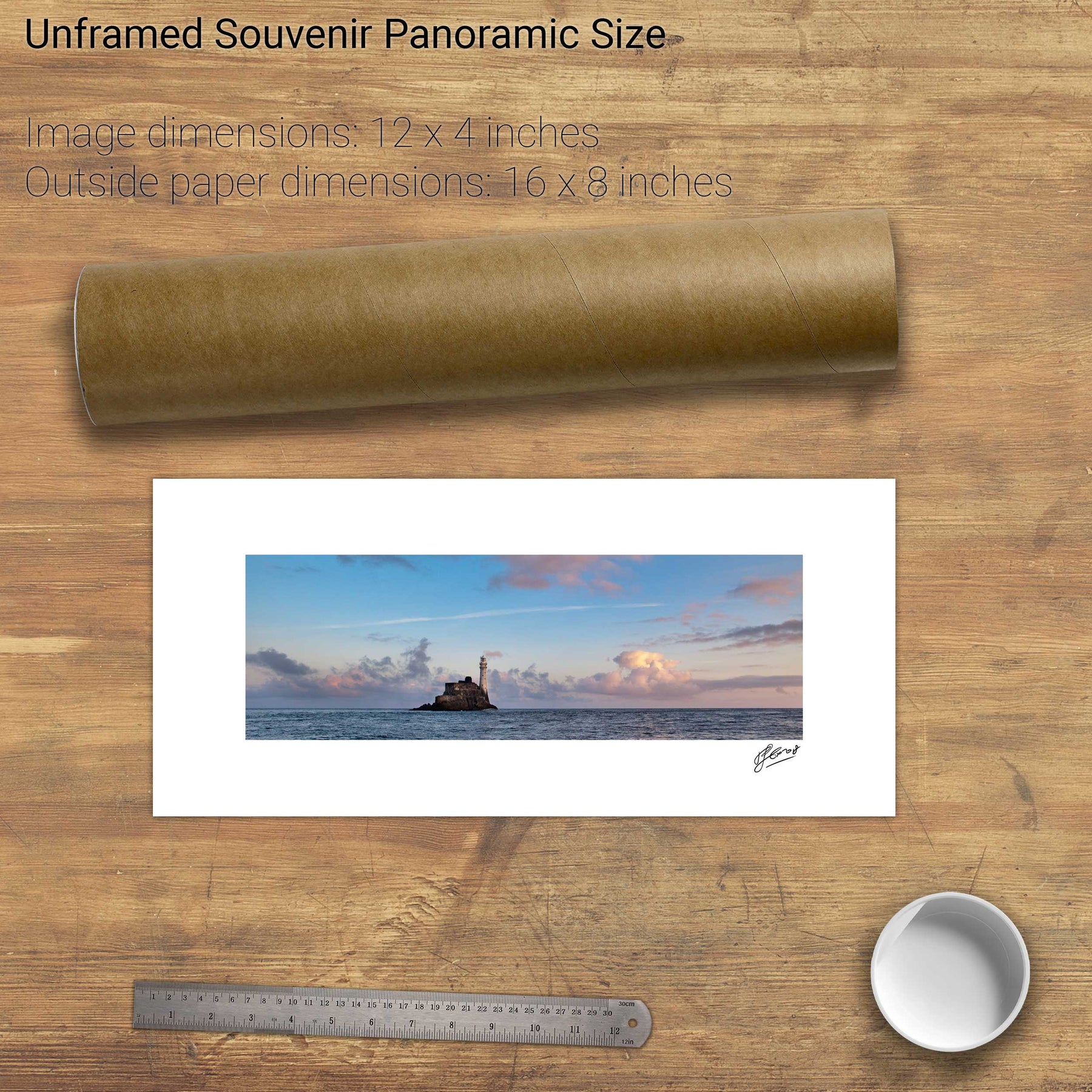
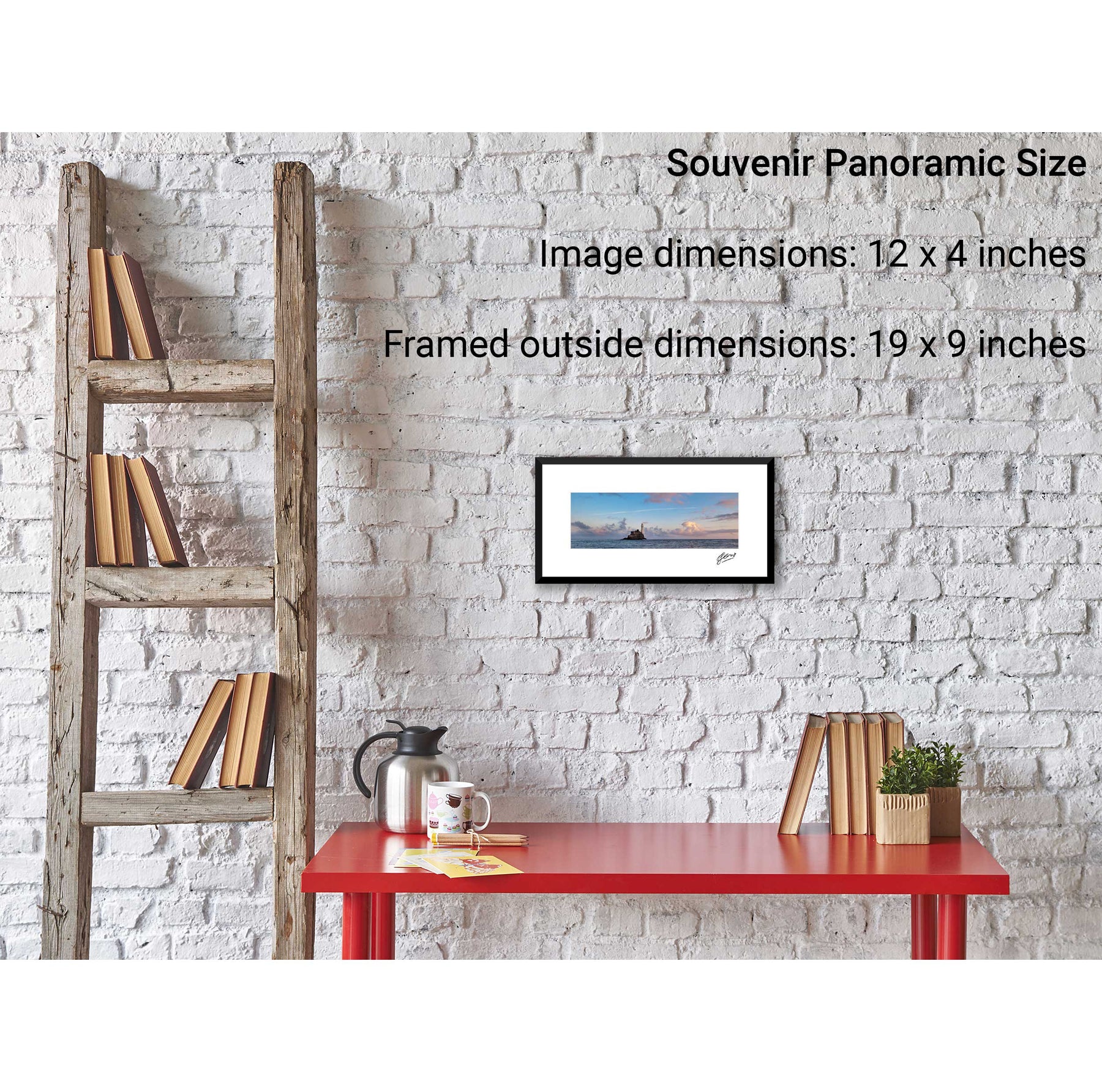
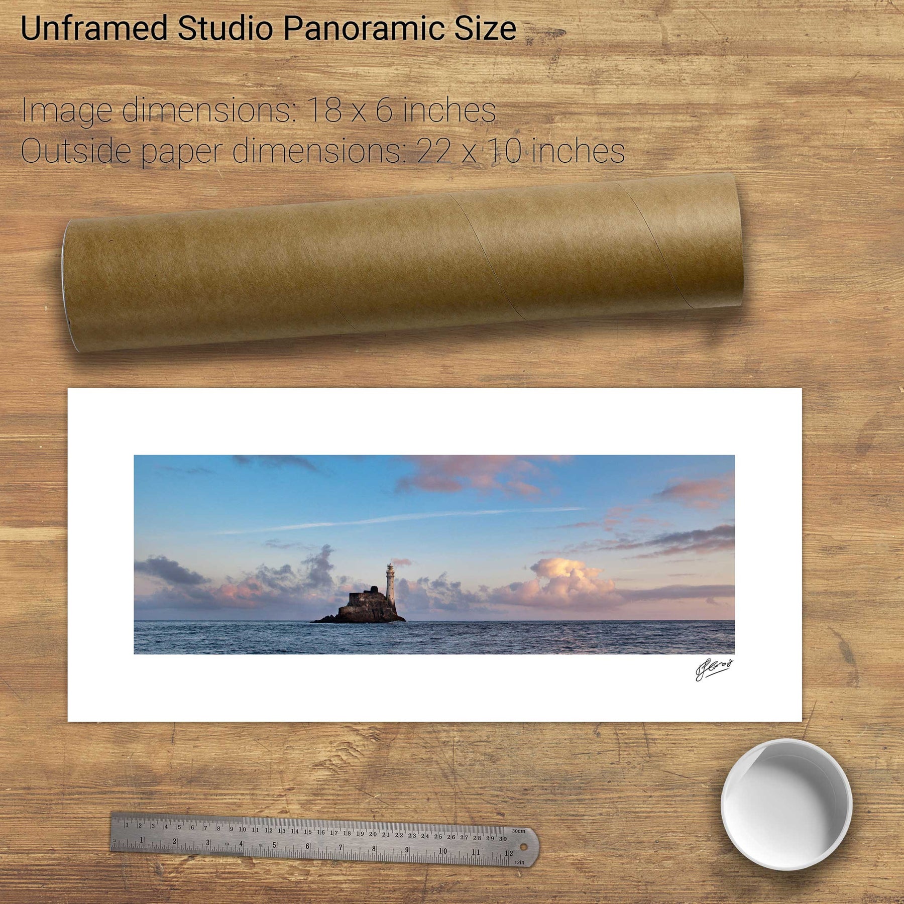
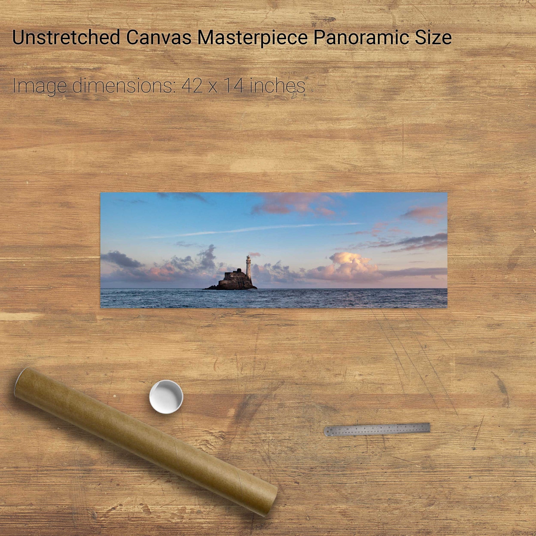
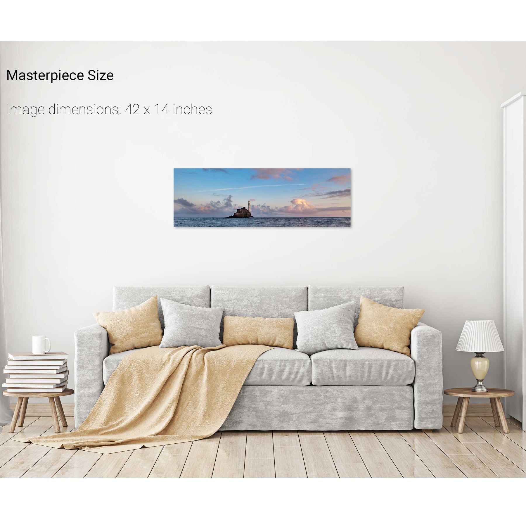
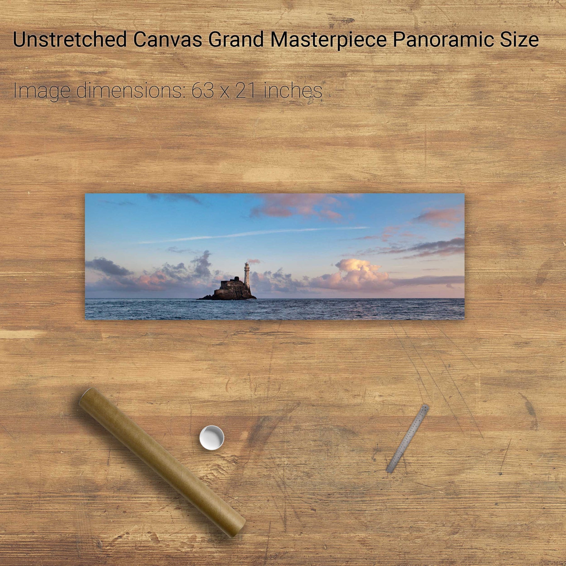
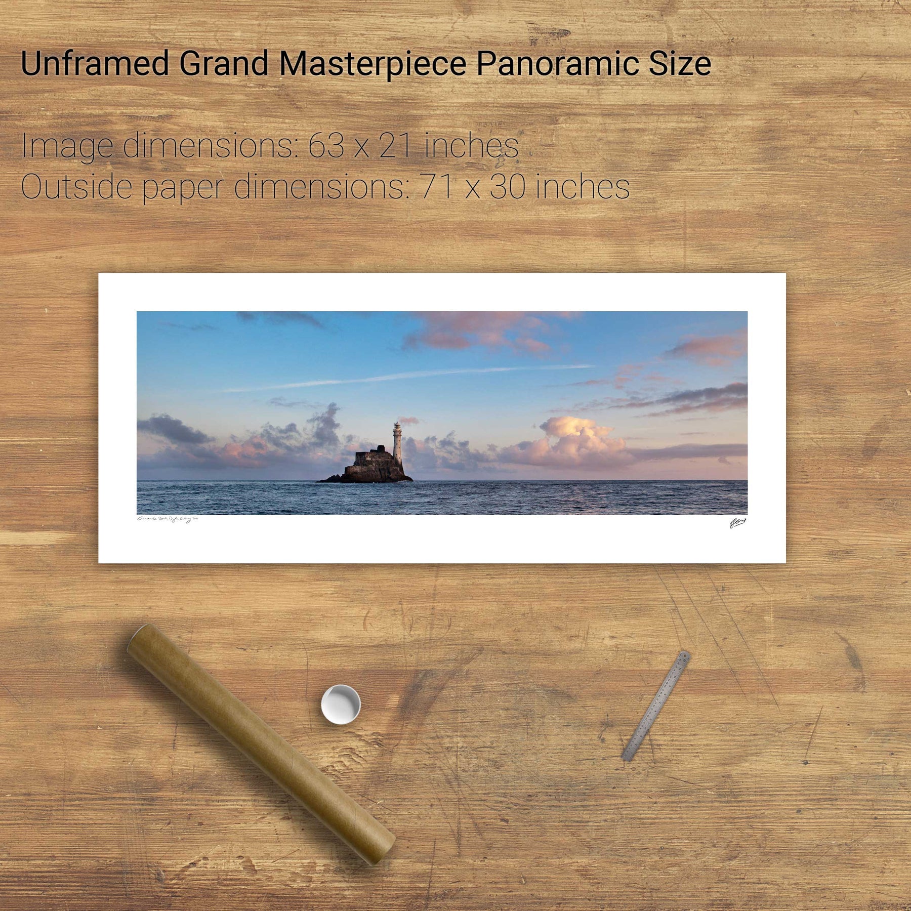
Dawn, the Fastnet Lighthouse, Co. Cork
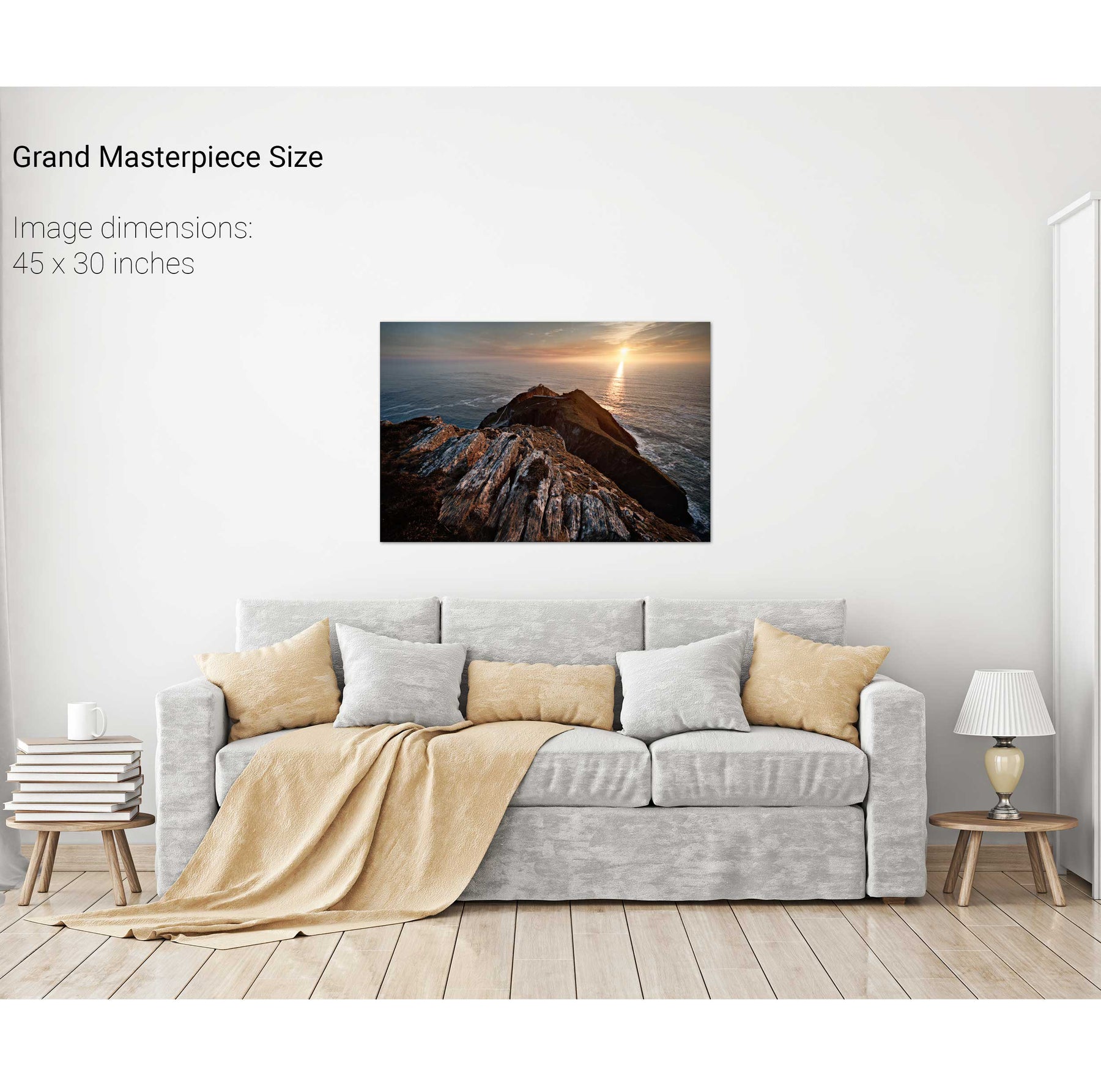
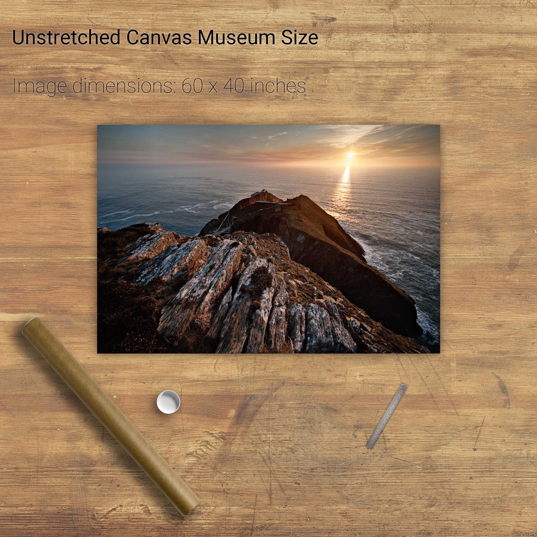
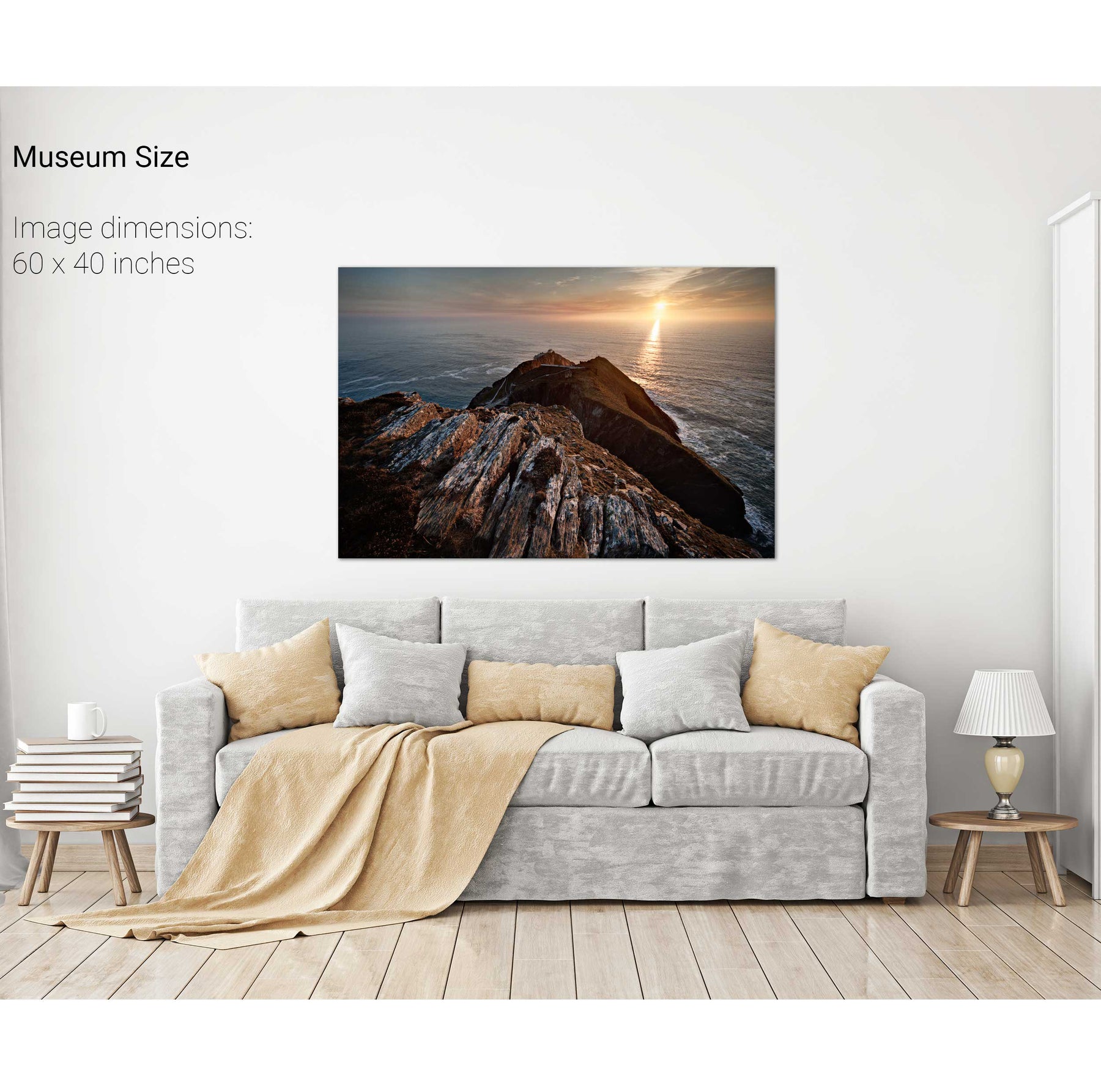
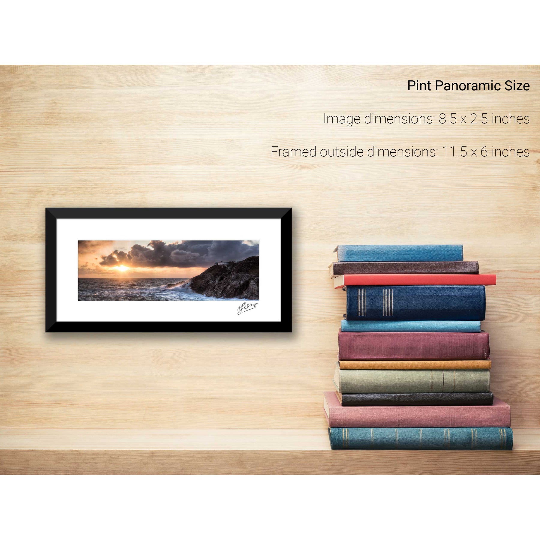
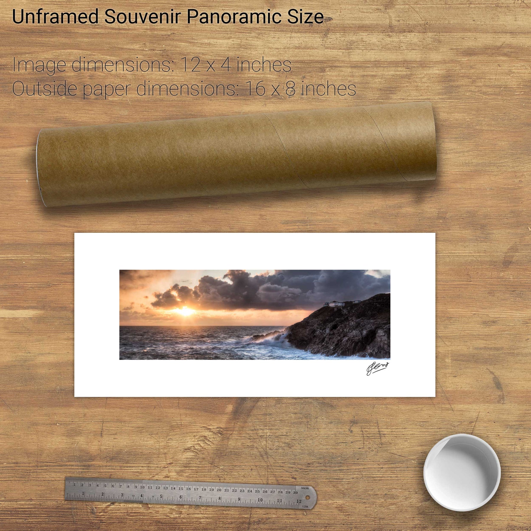
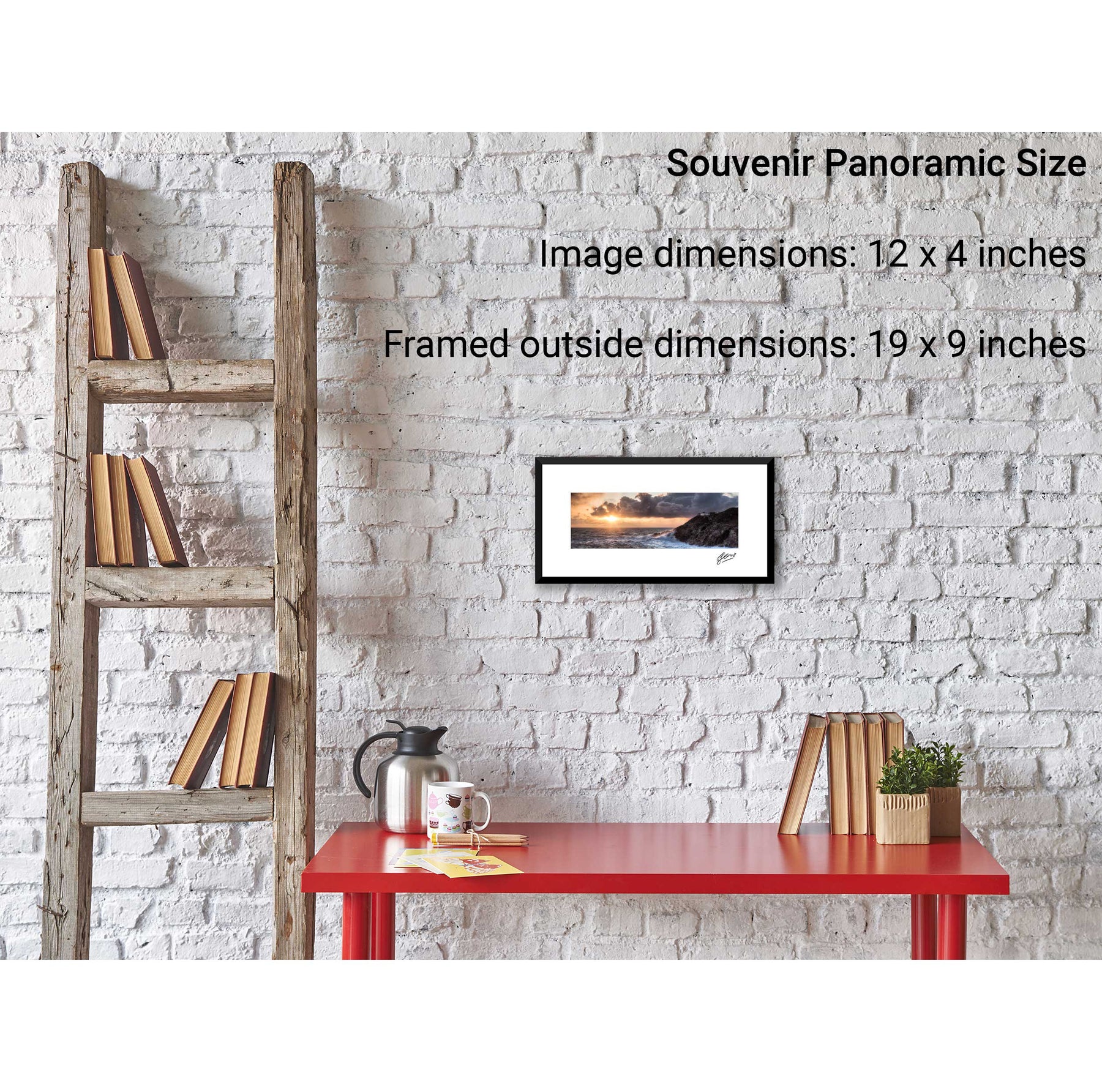
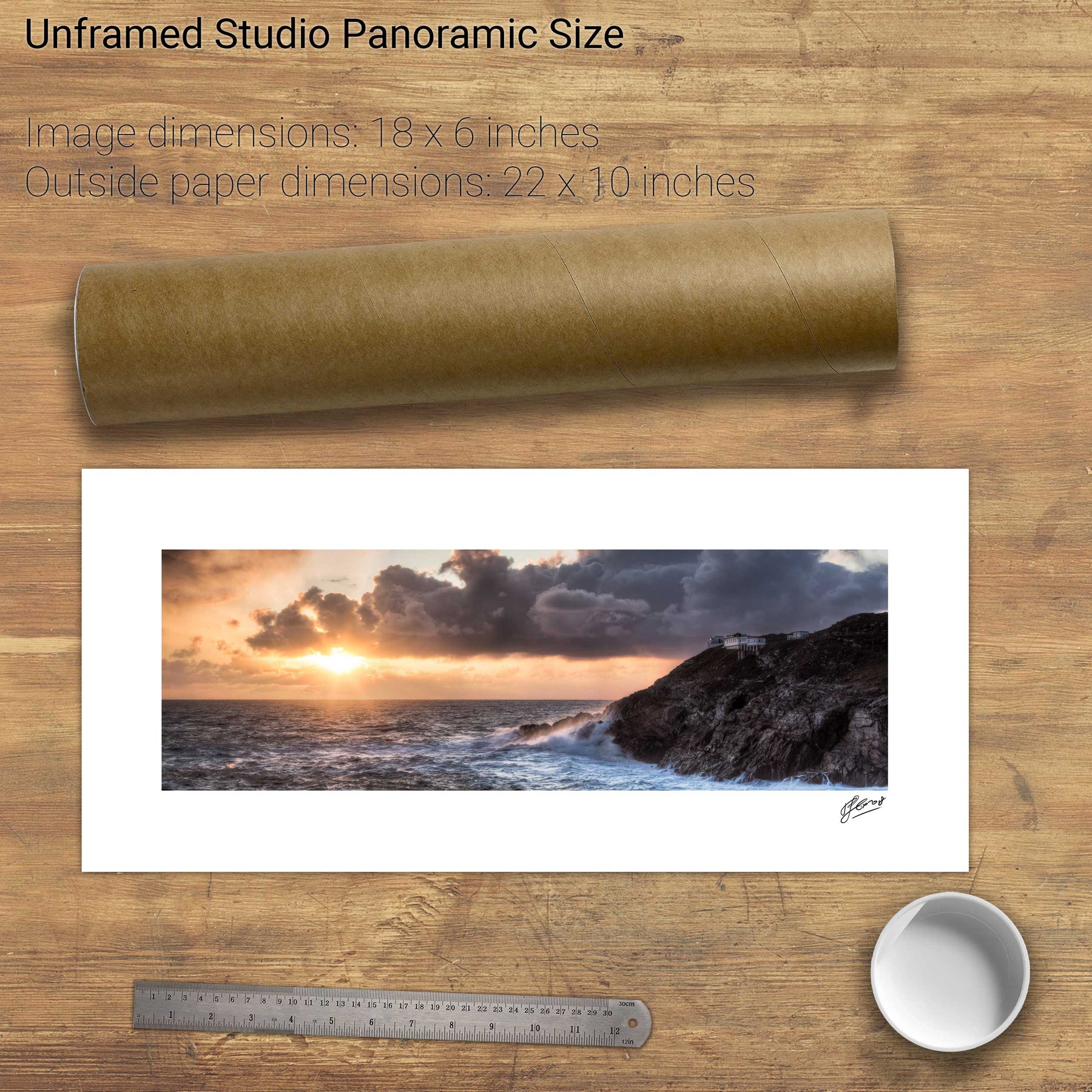
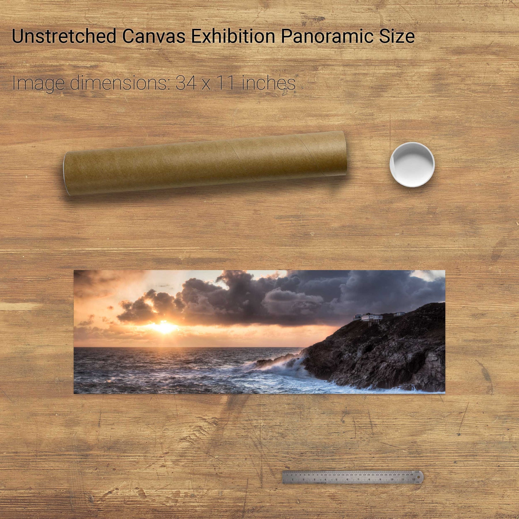
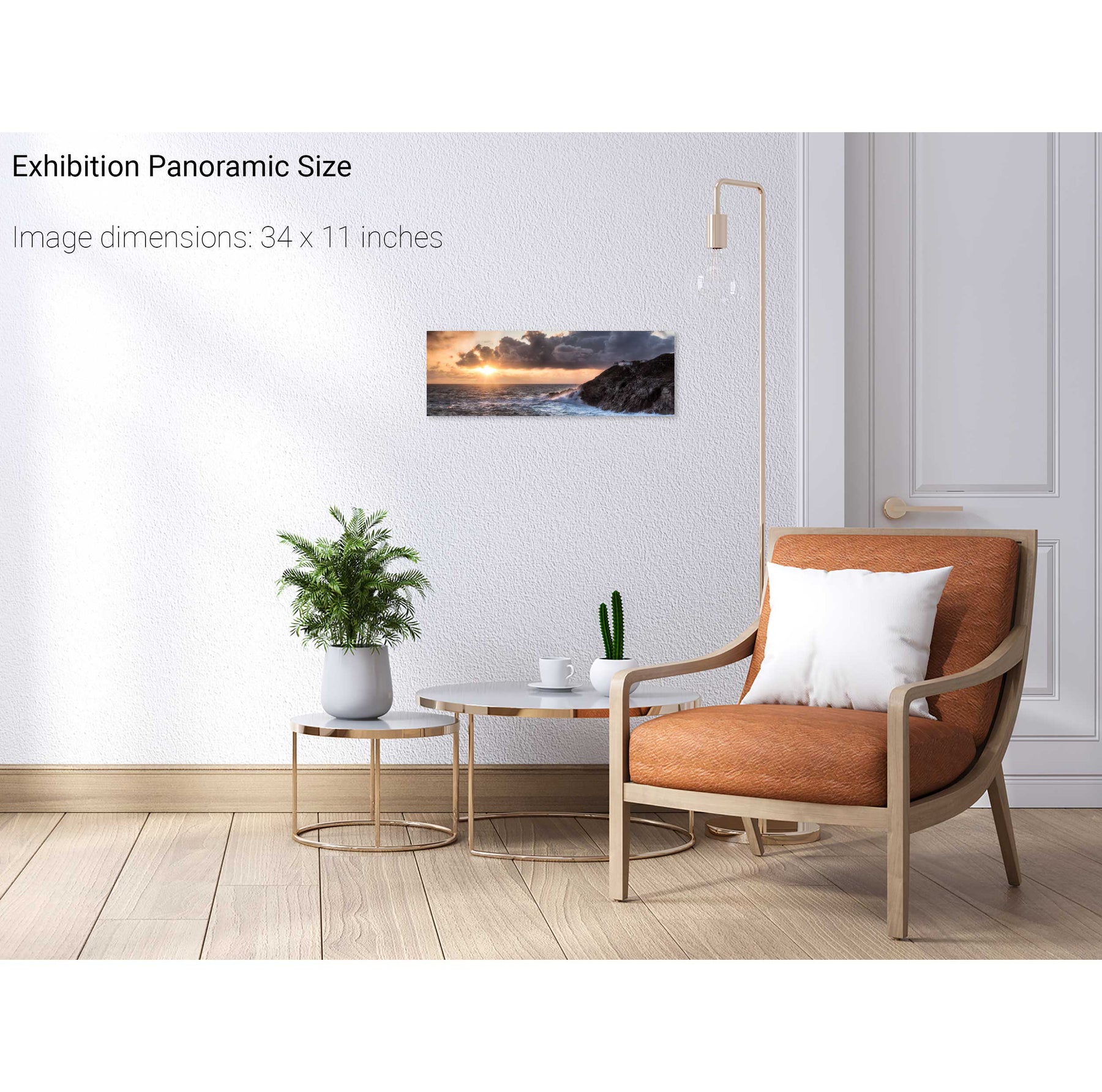
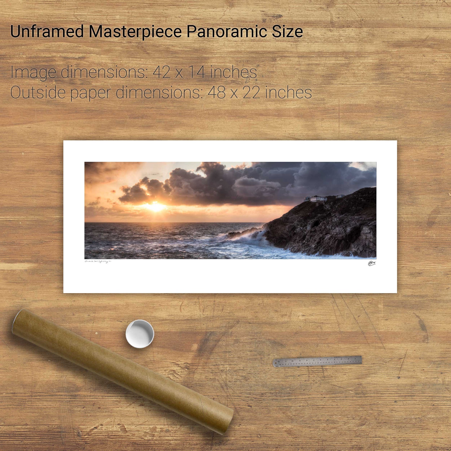
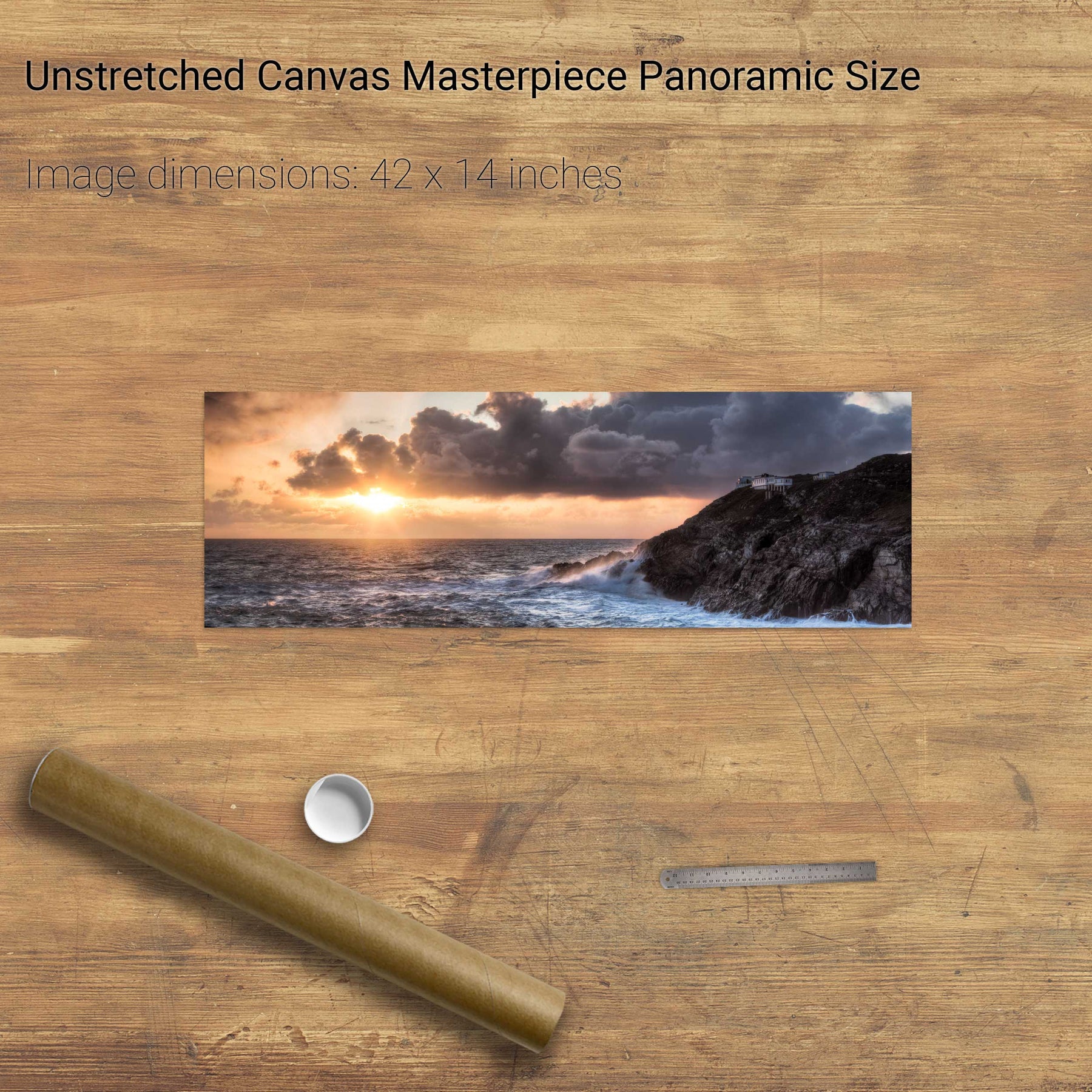
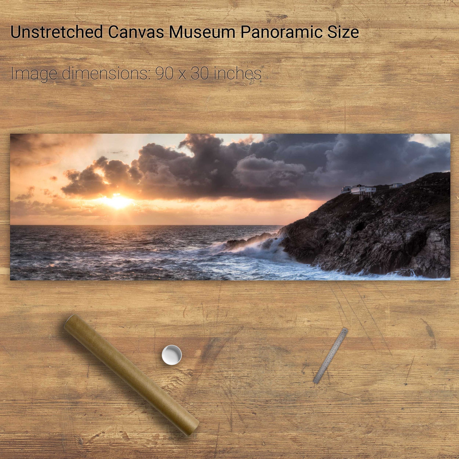
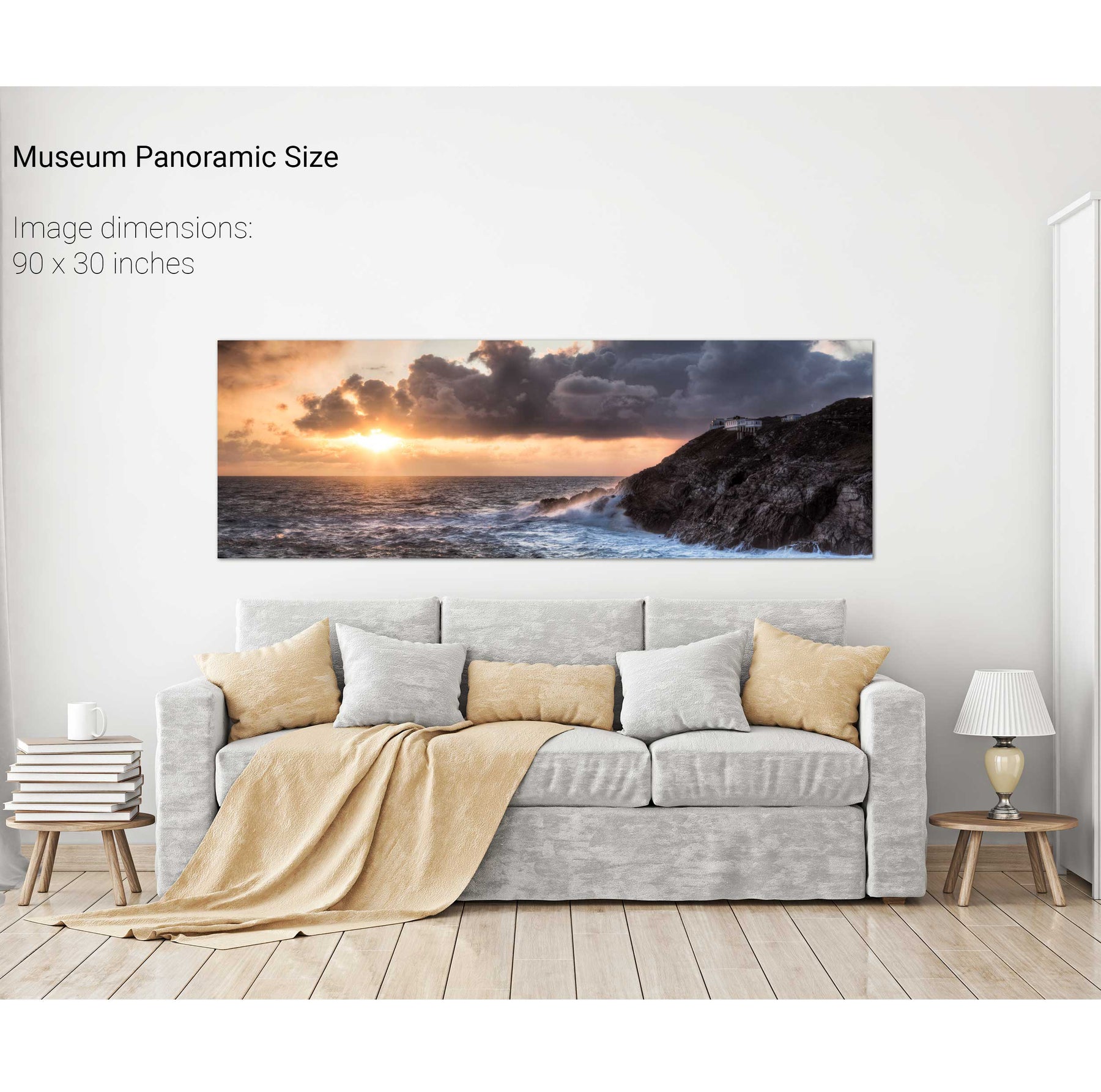
Sunset, Mizen Head Lighthouse, Co. Cork
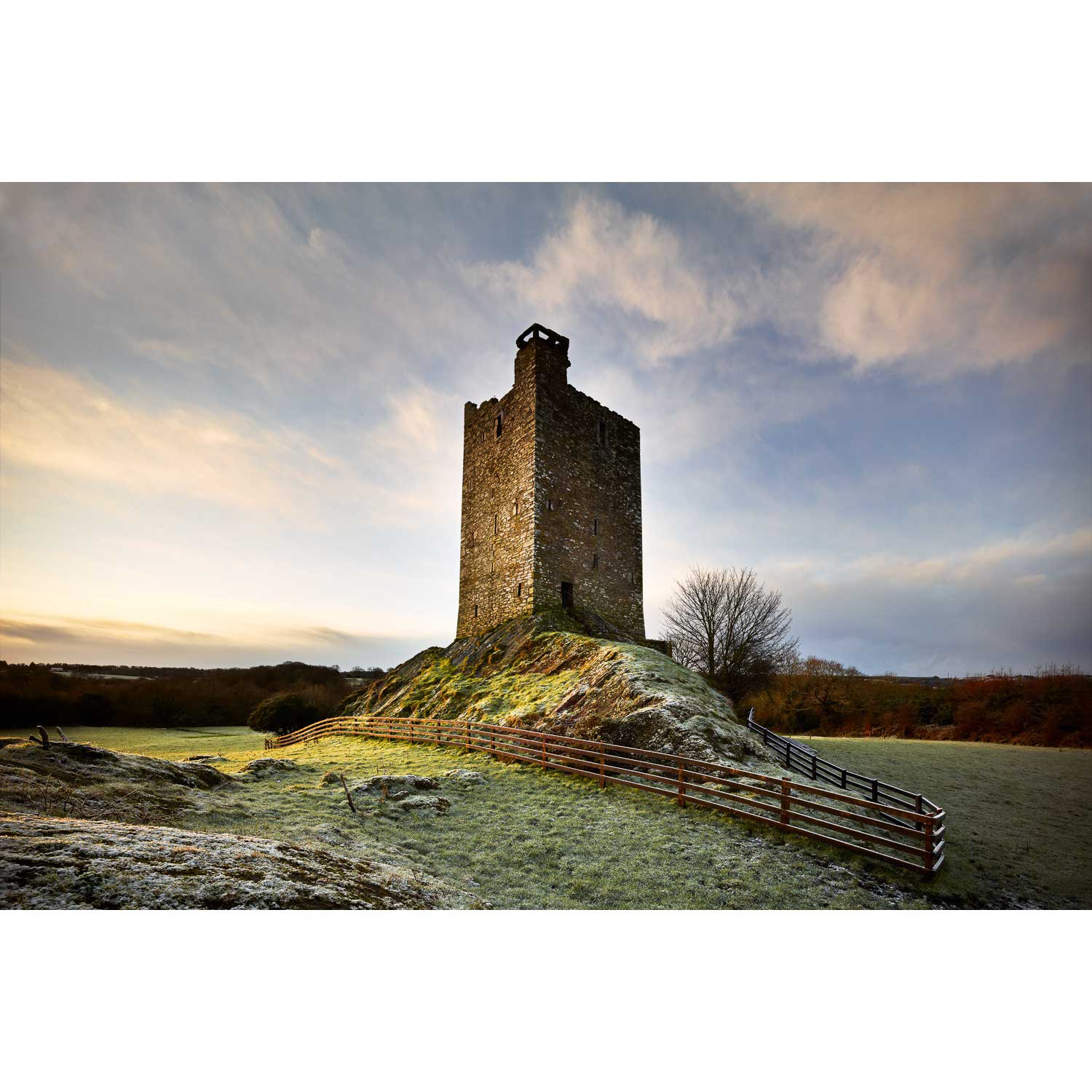
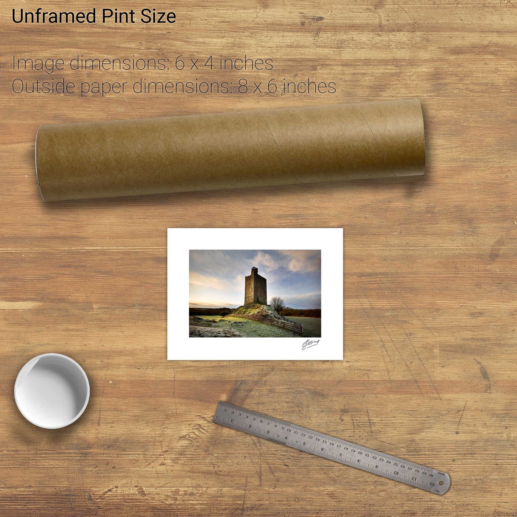
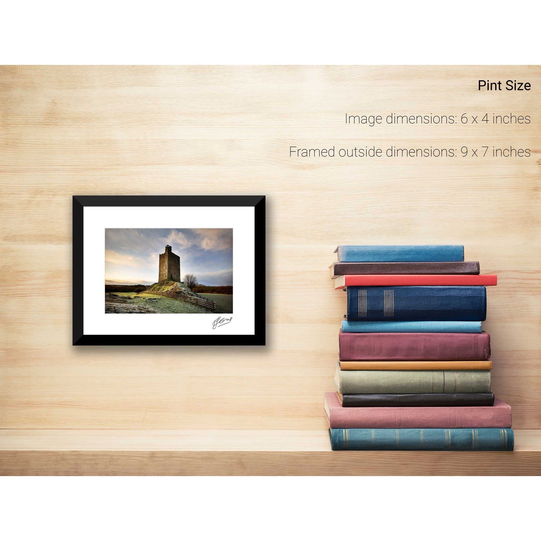
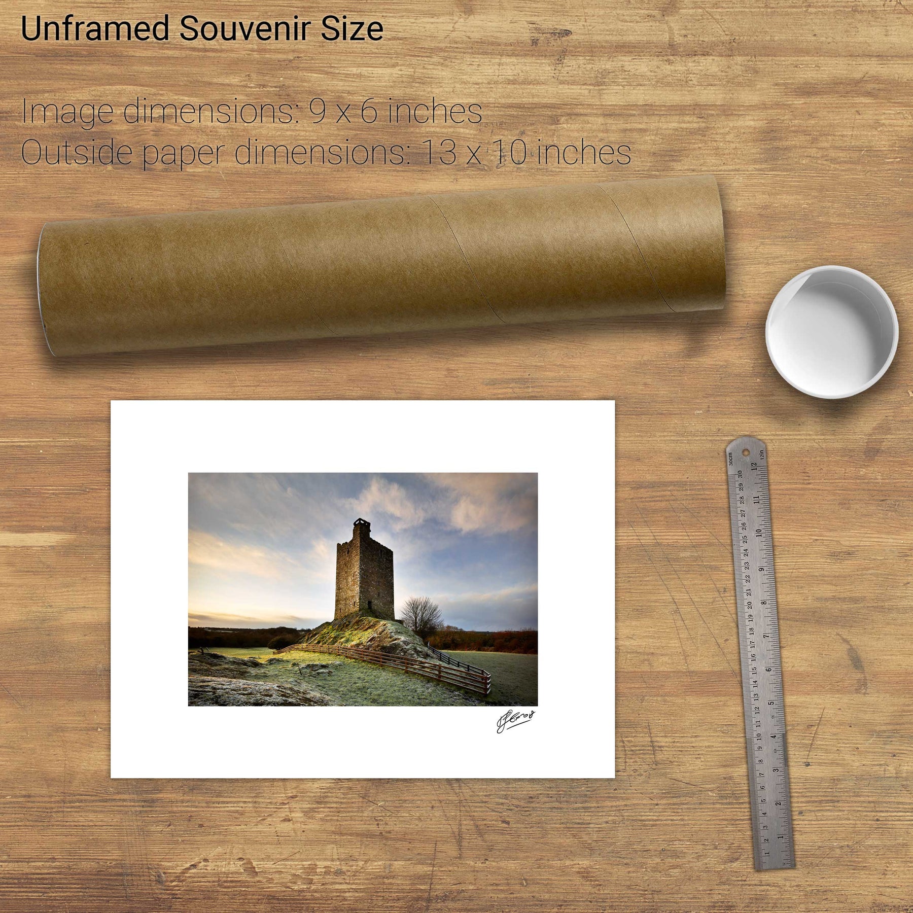
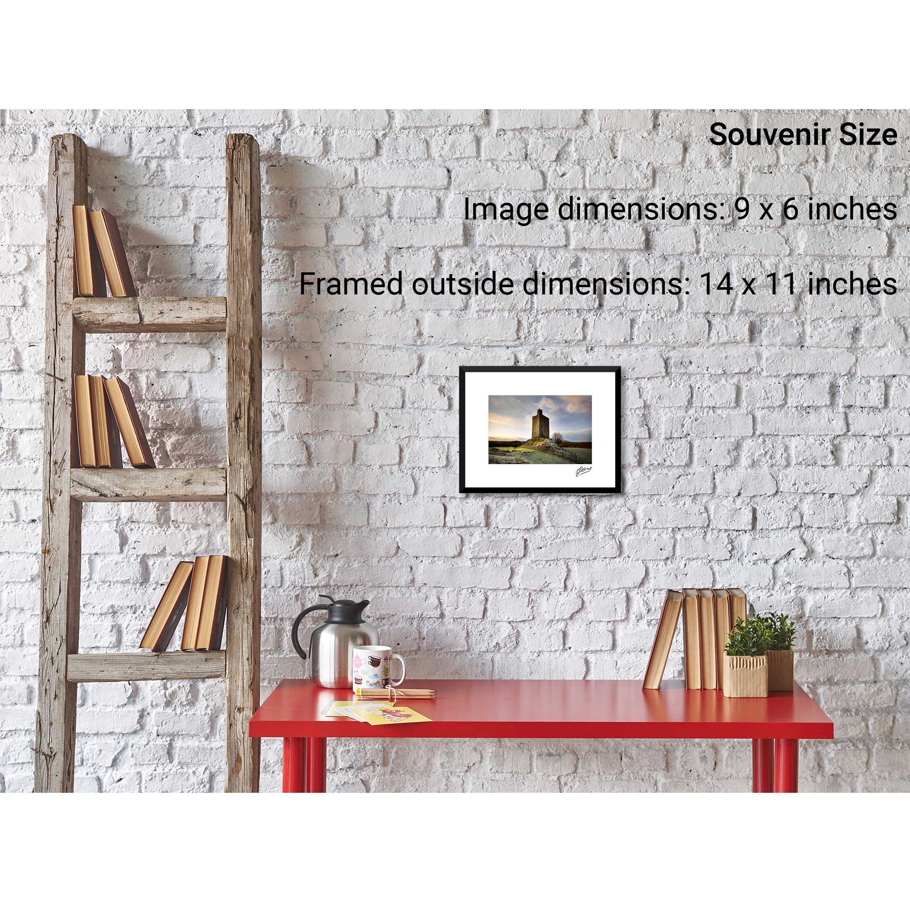
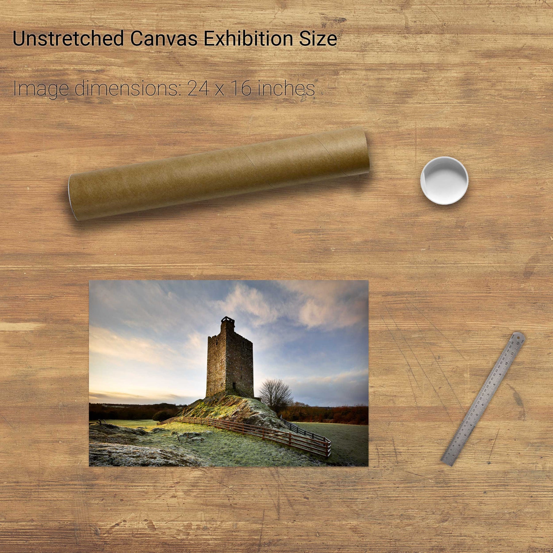
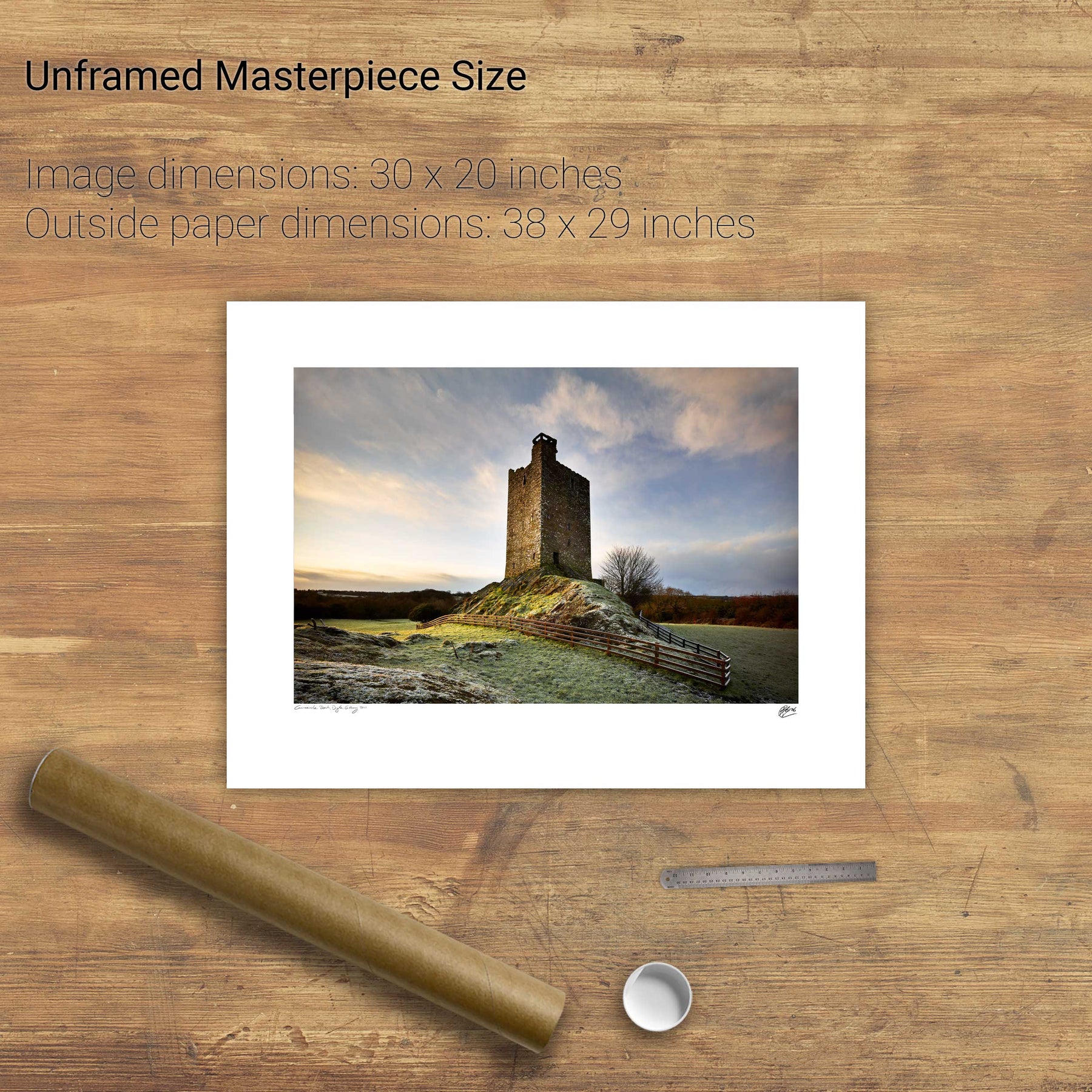
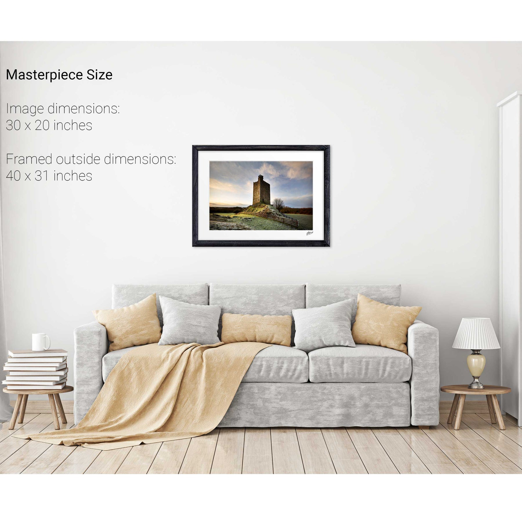
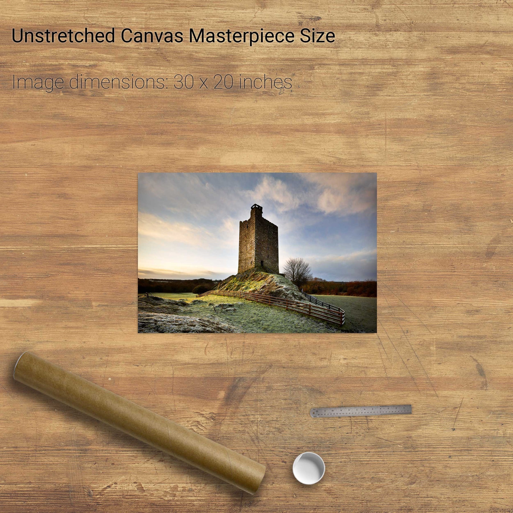
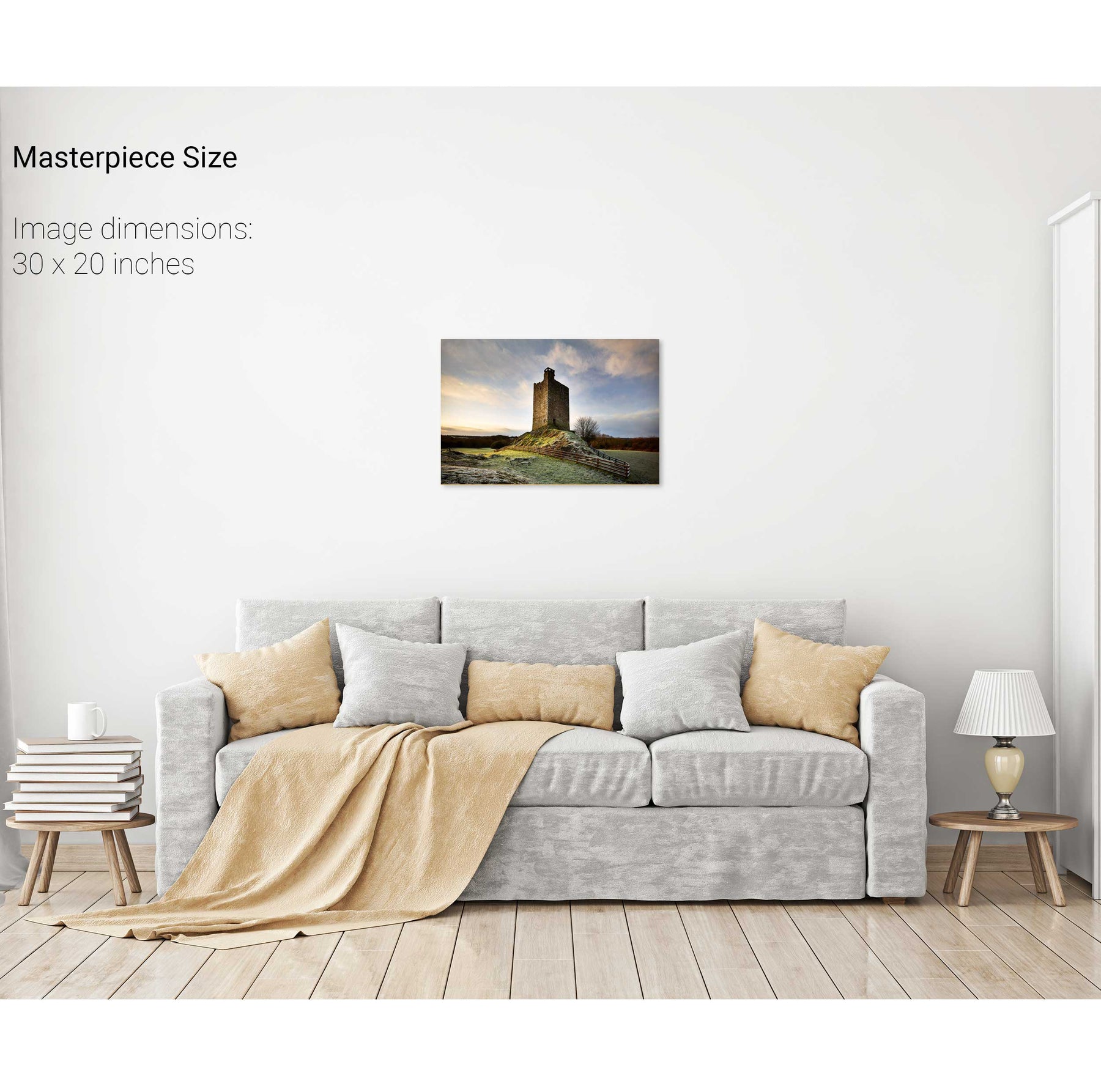
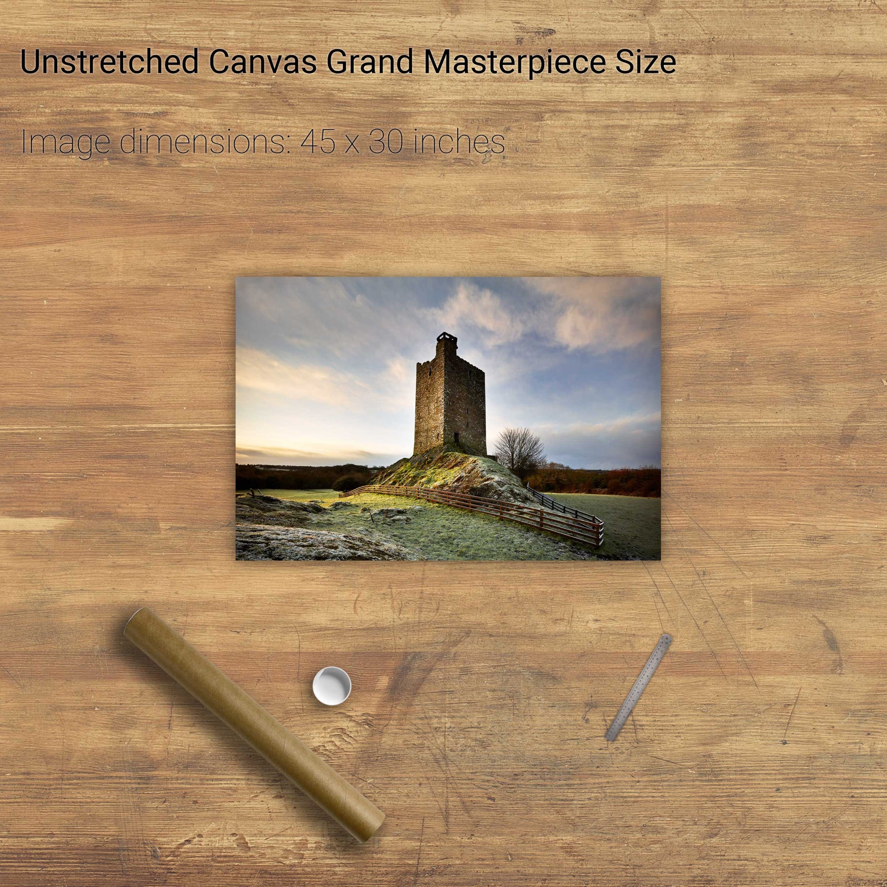
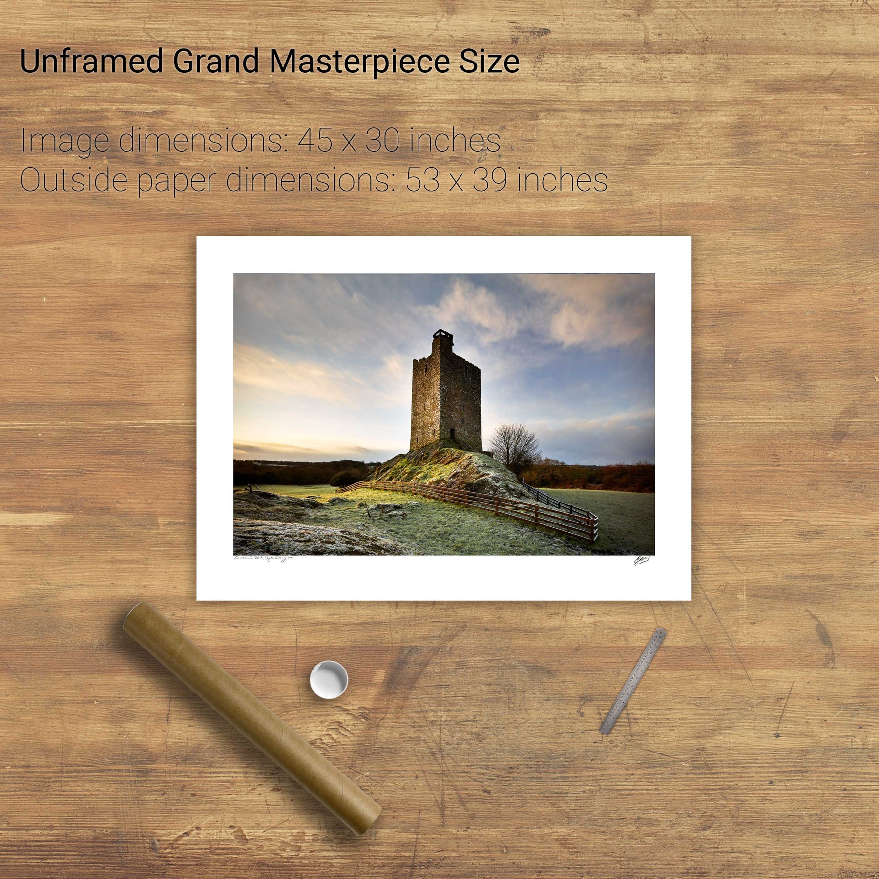
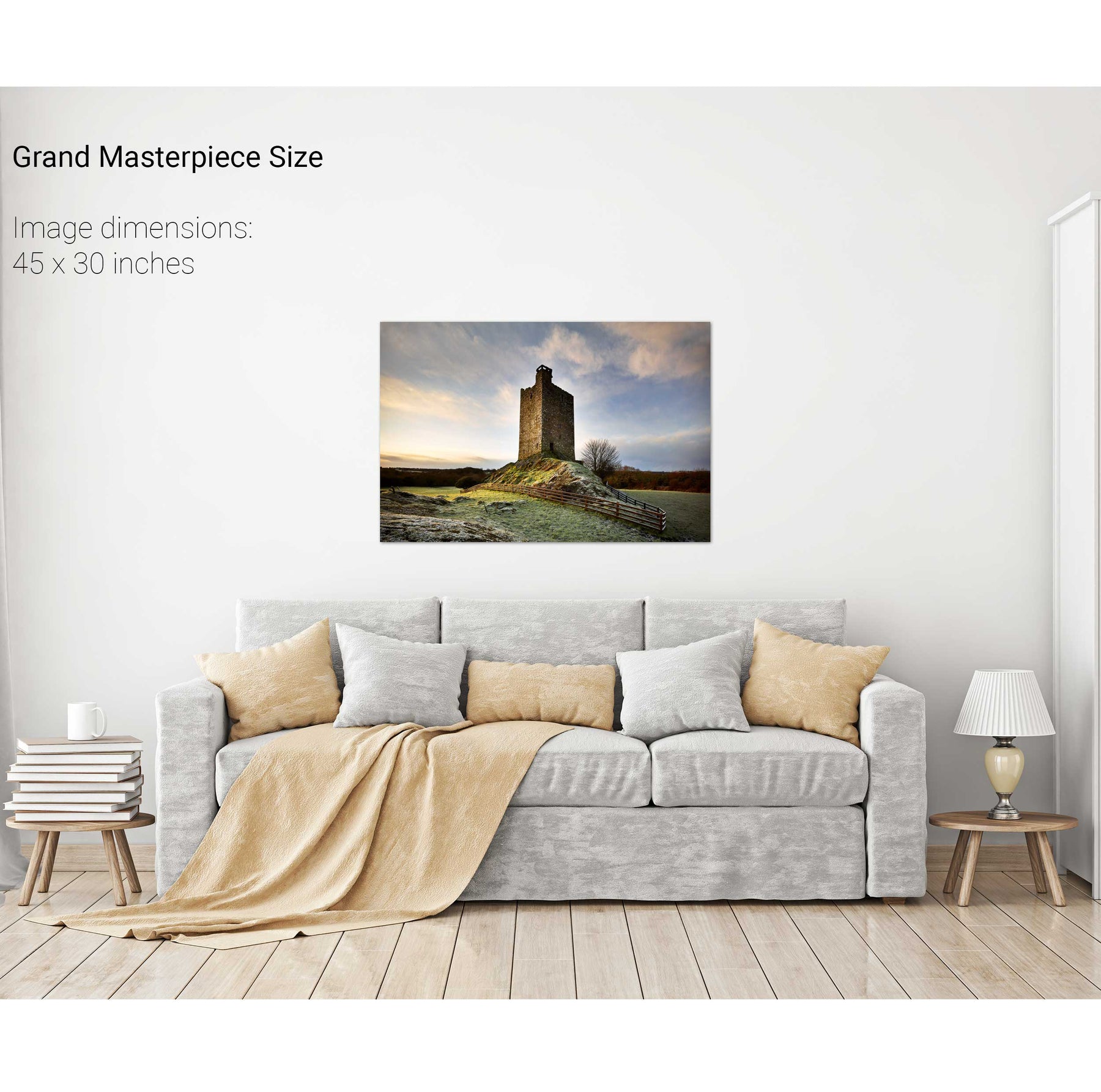
Carrigaphooca Castle, Co. Cork
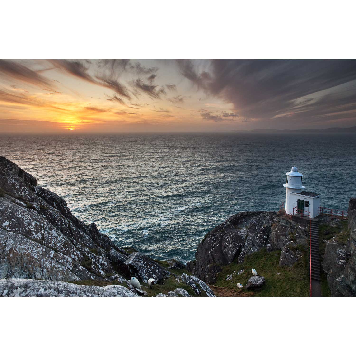
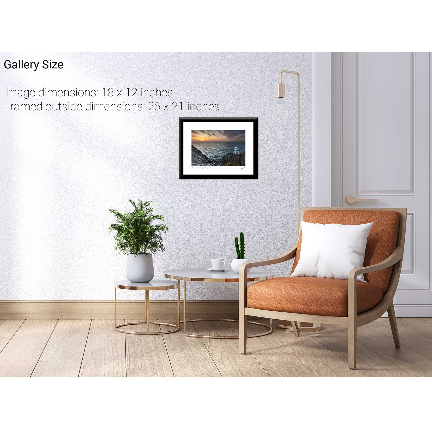
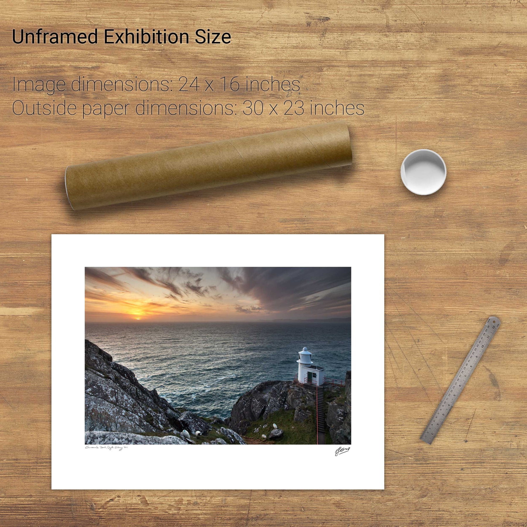
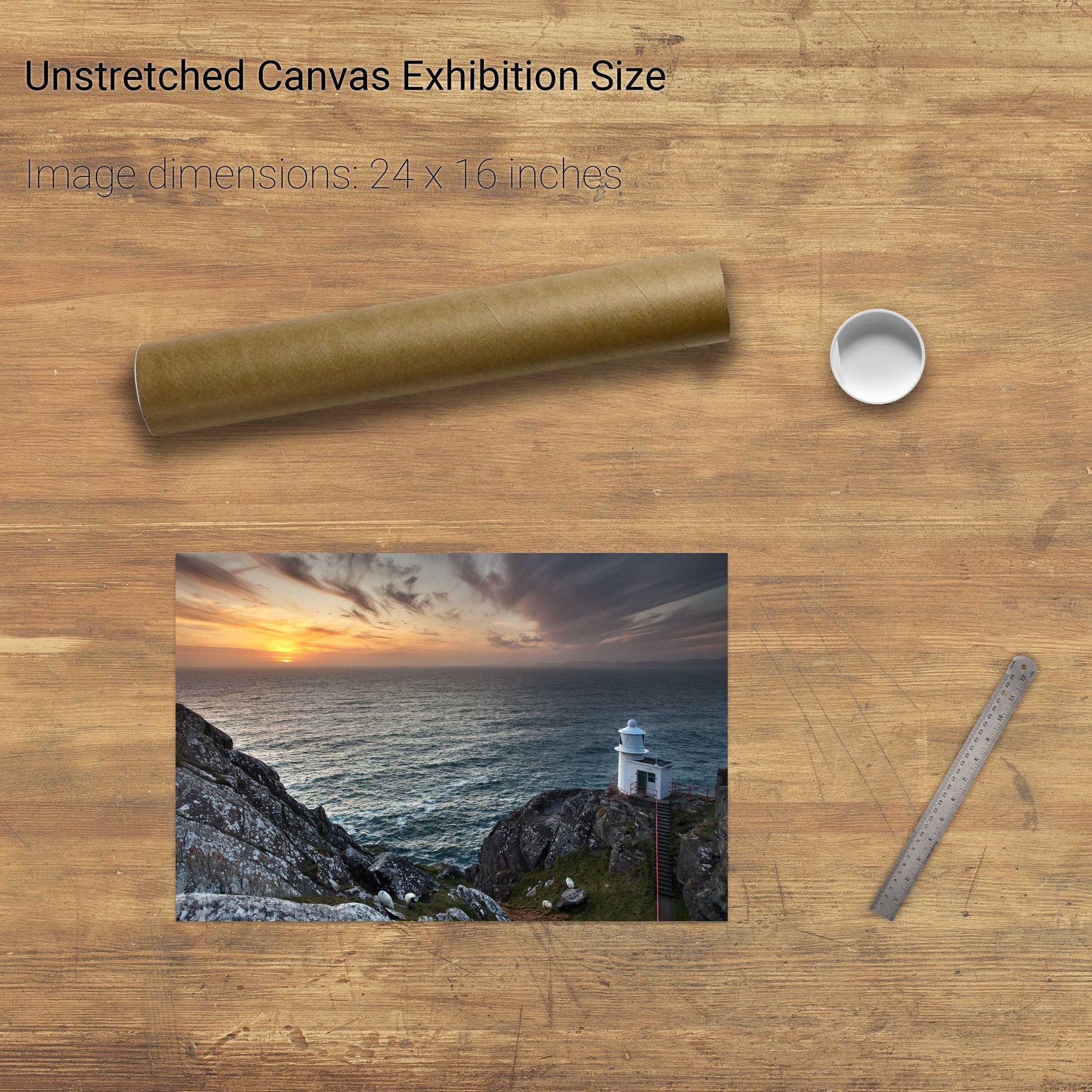
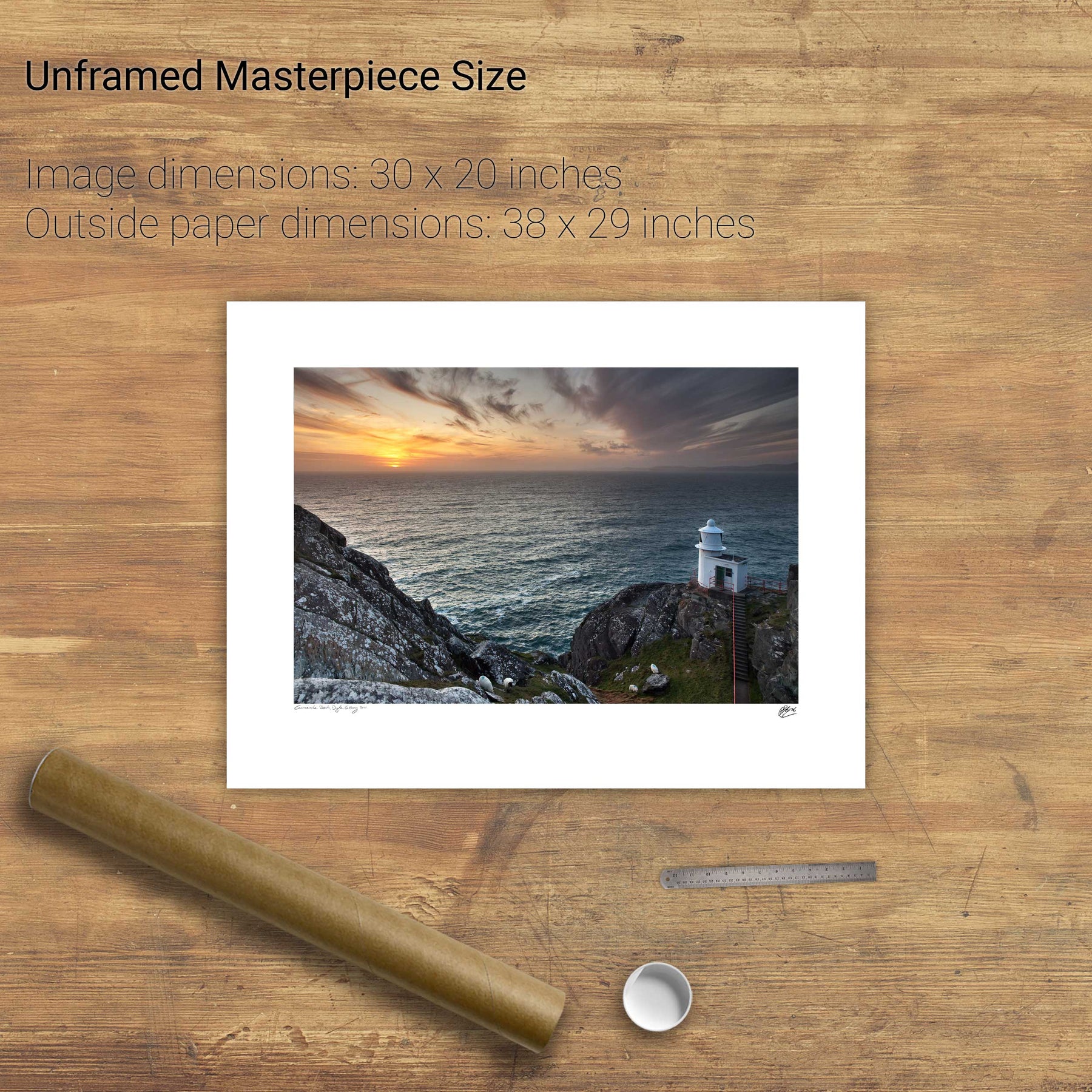
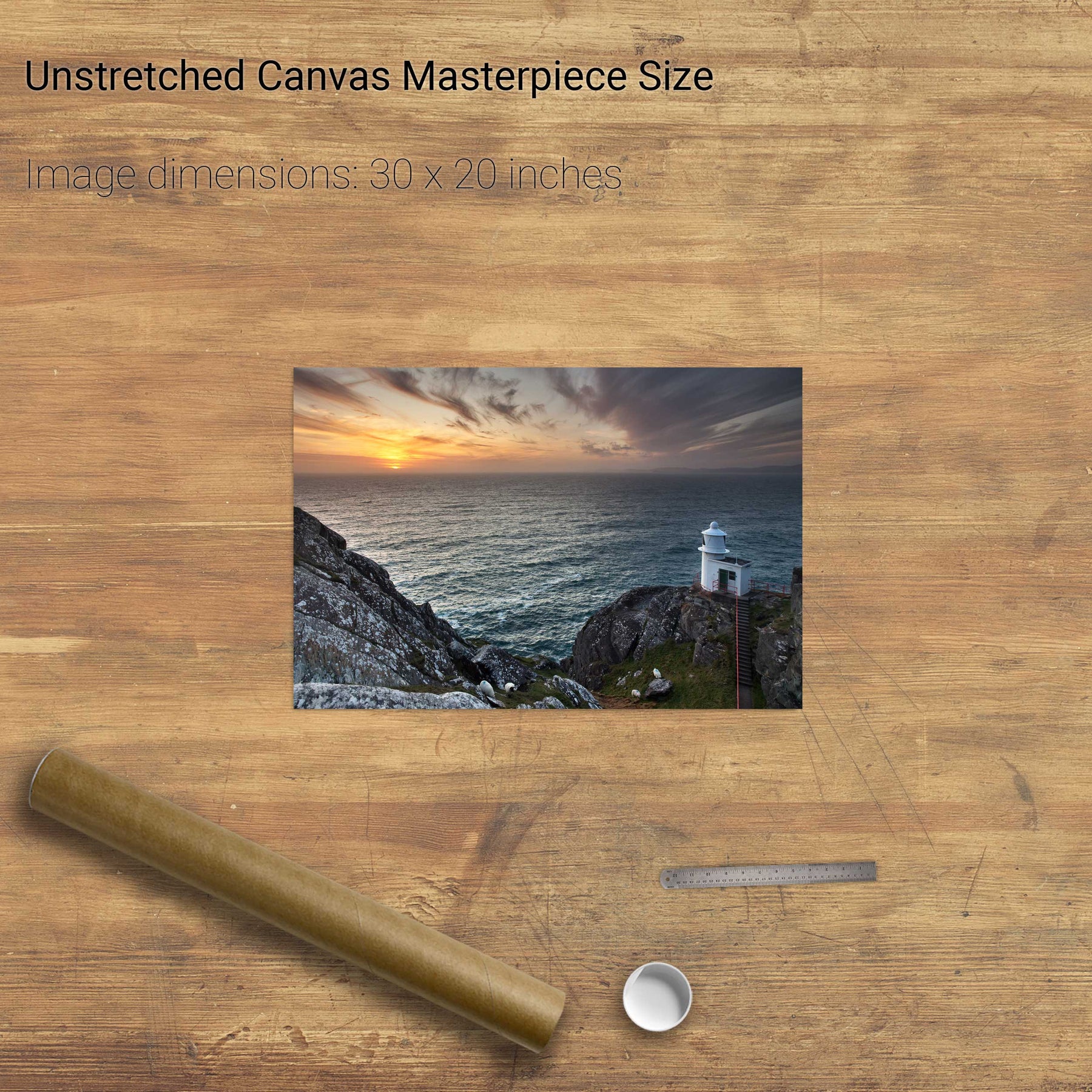
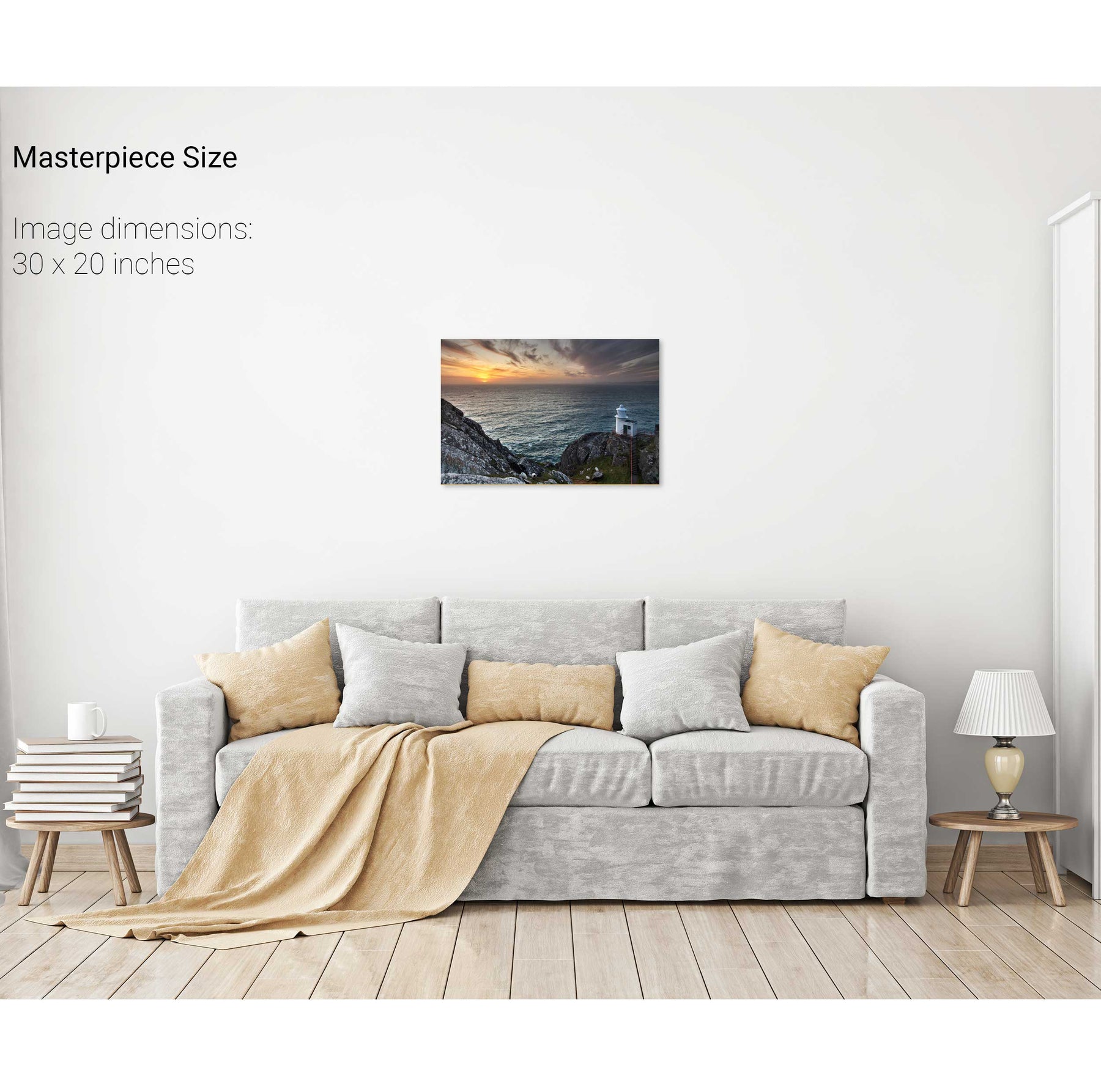
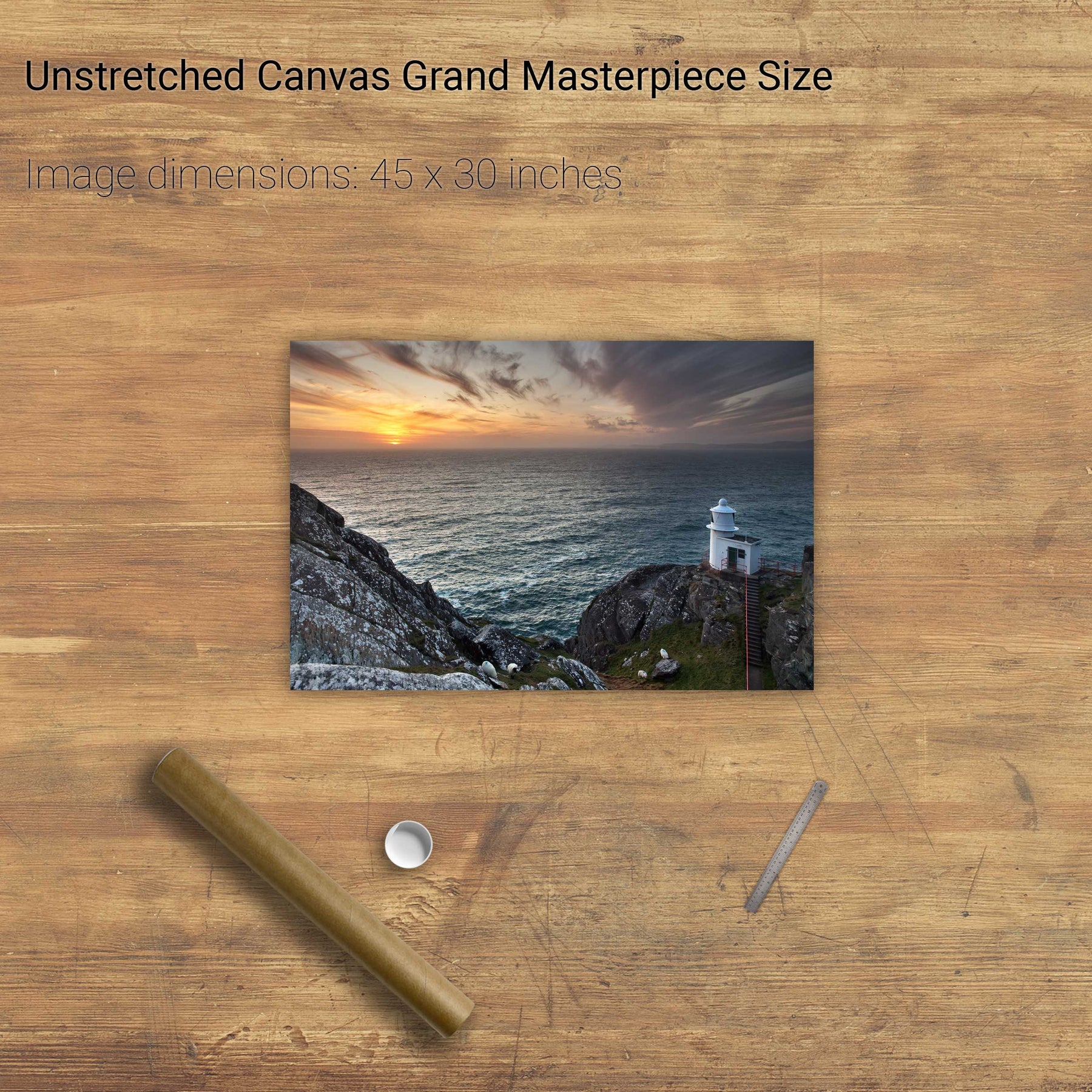
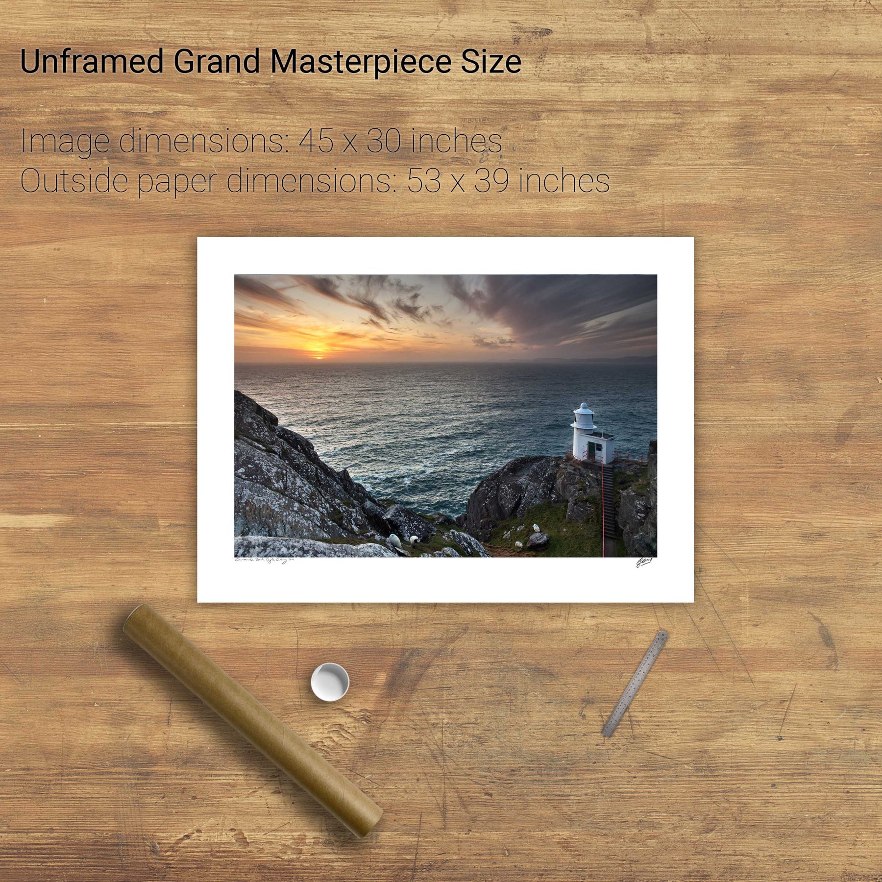
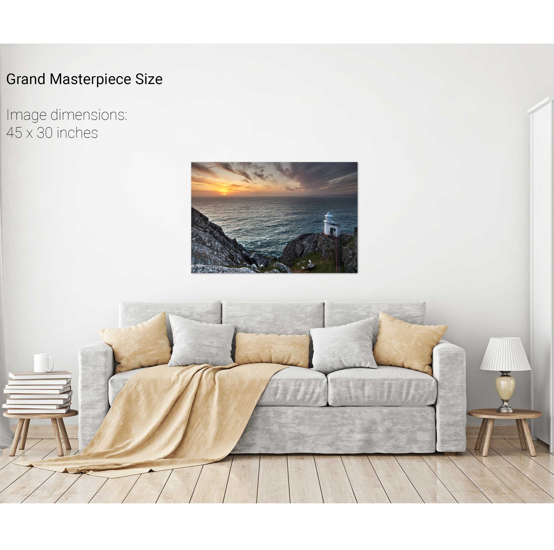
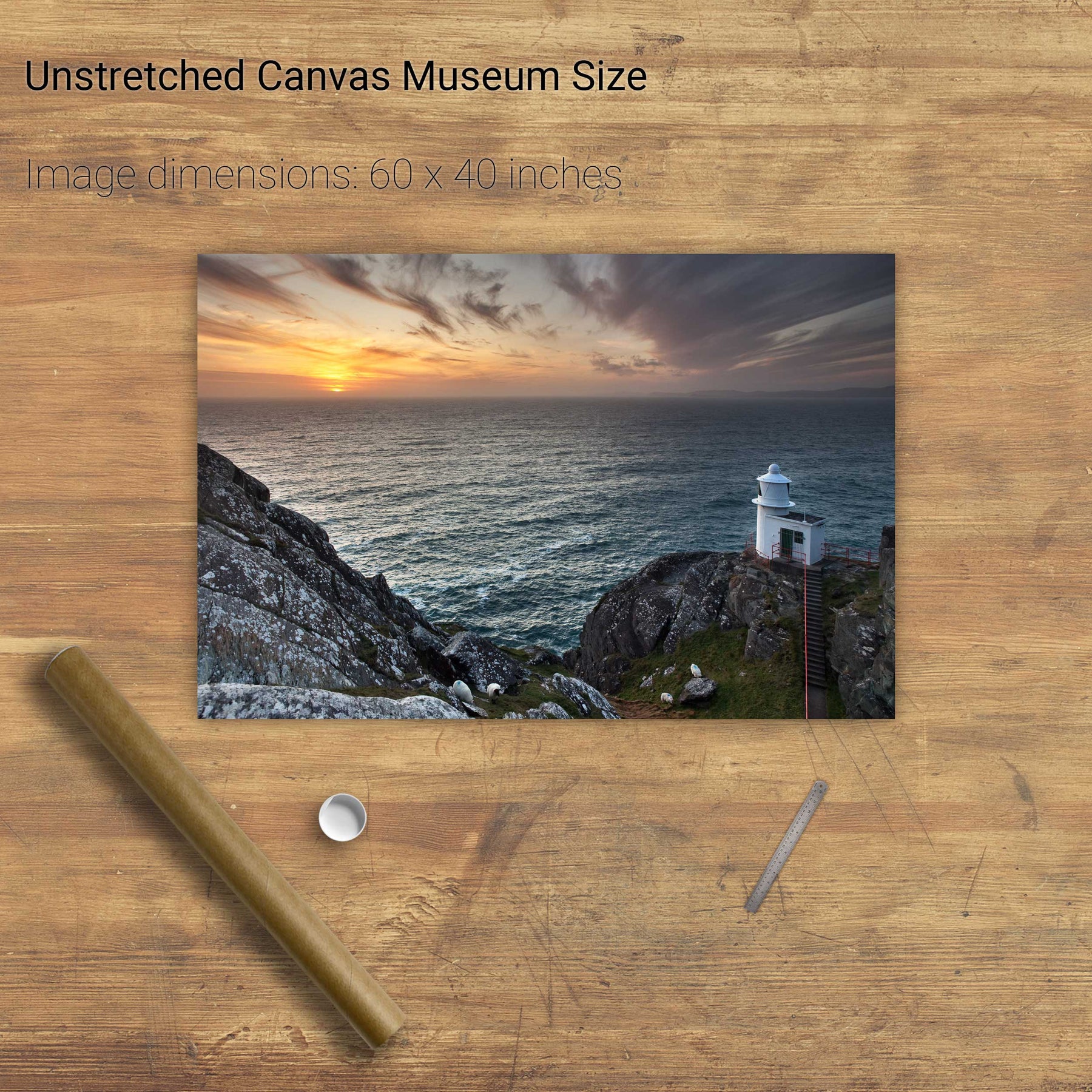
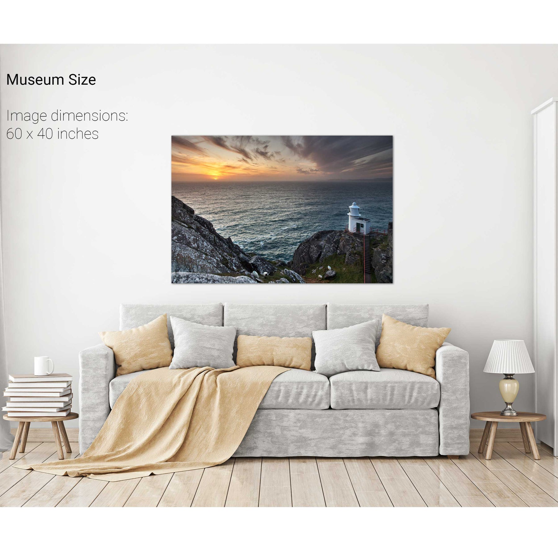
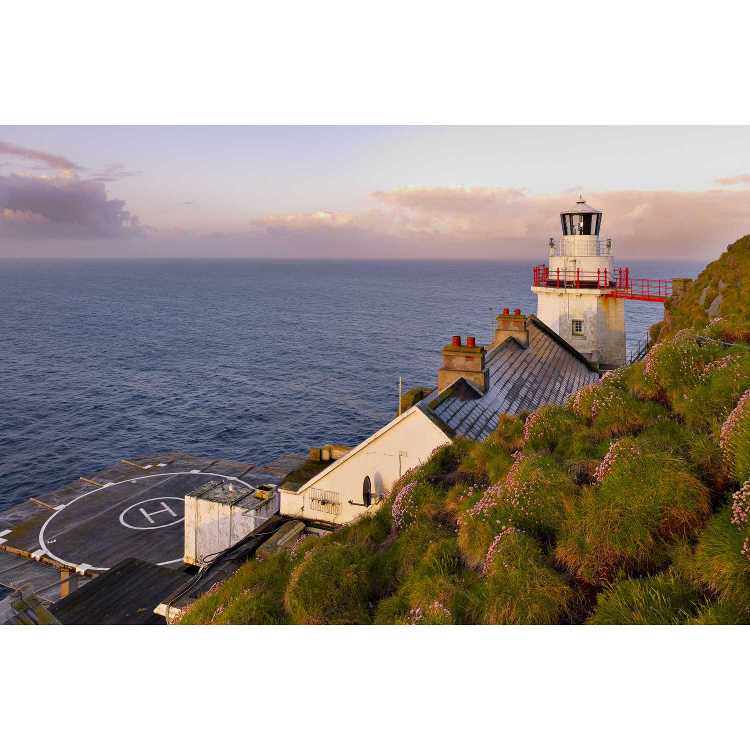
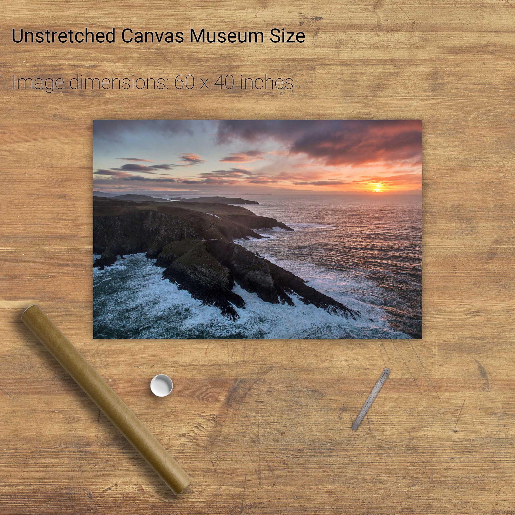
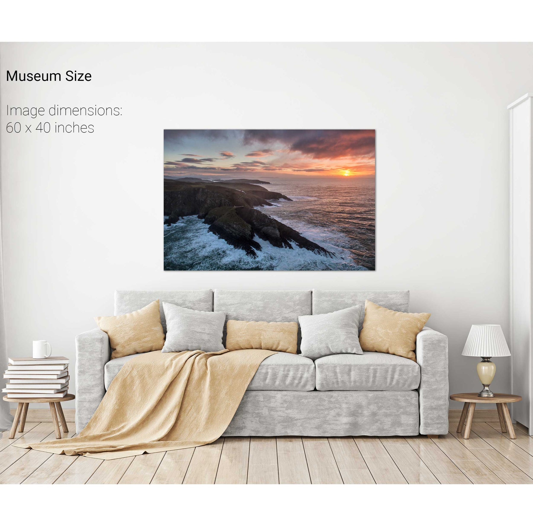
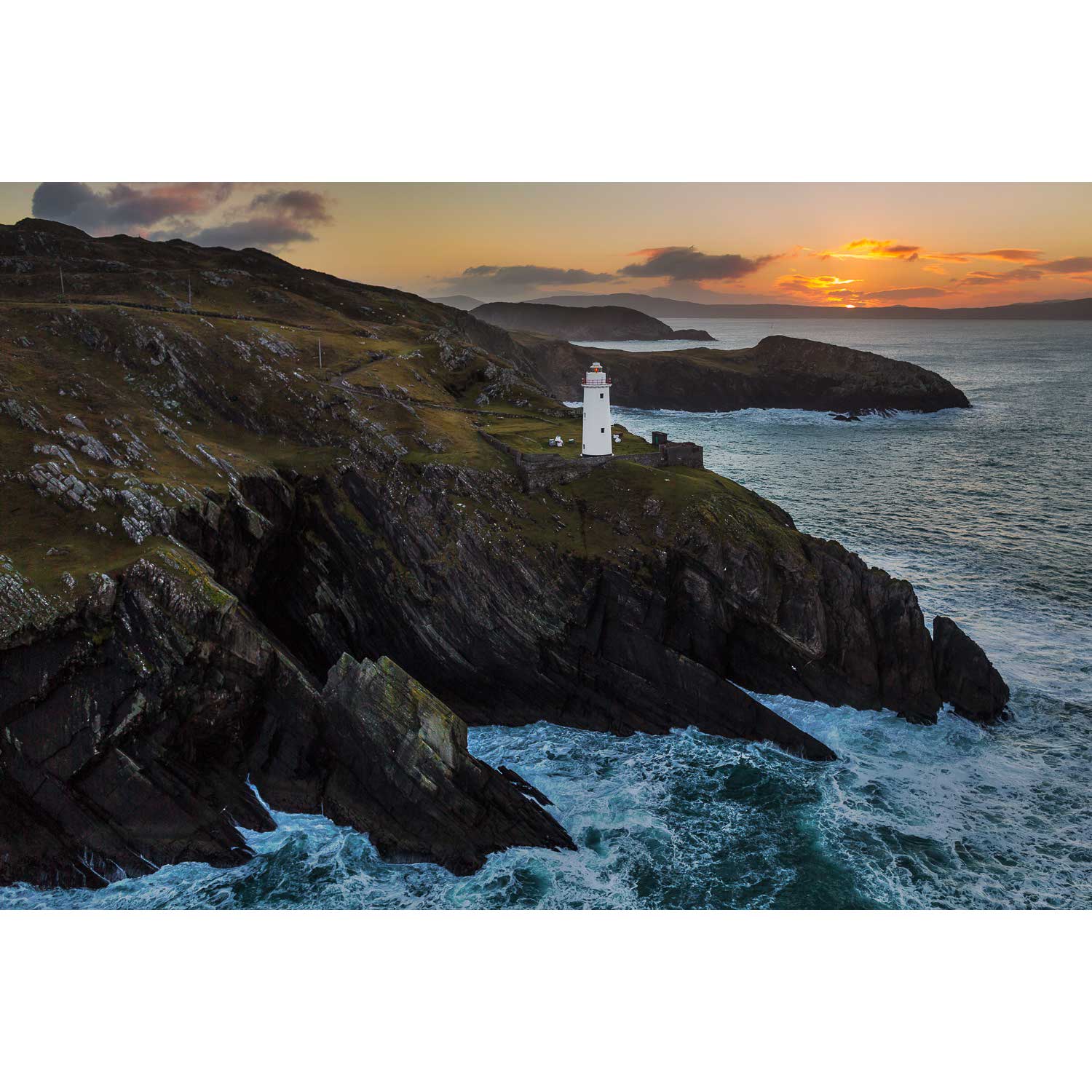
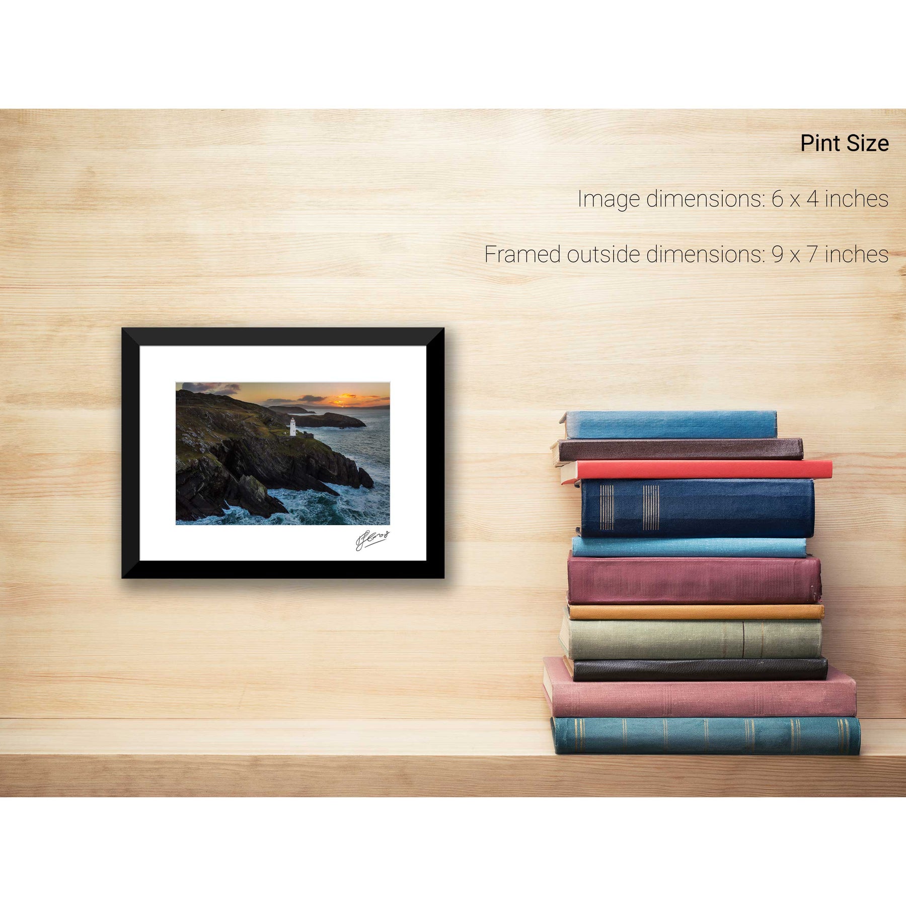
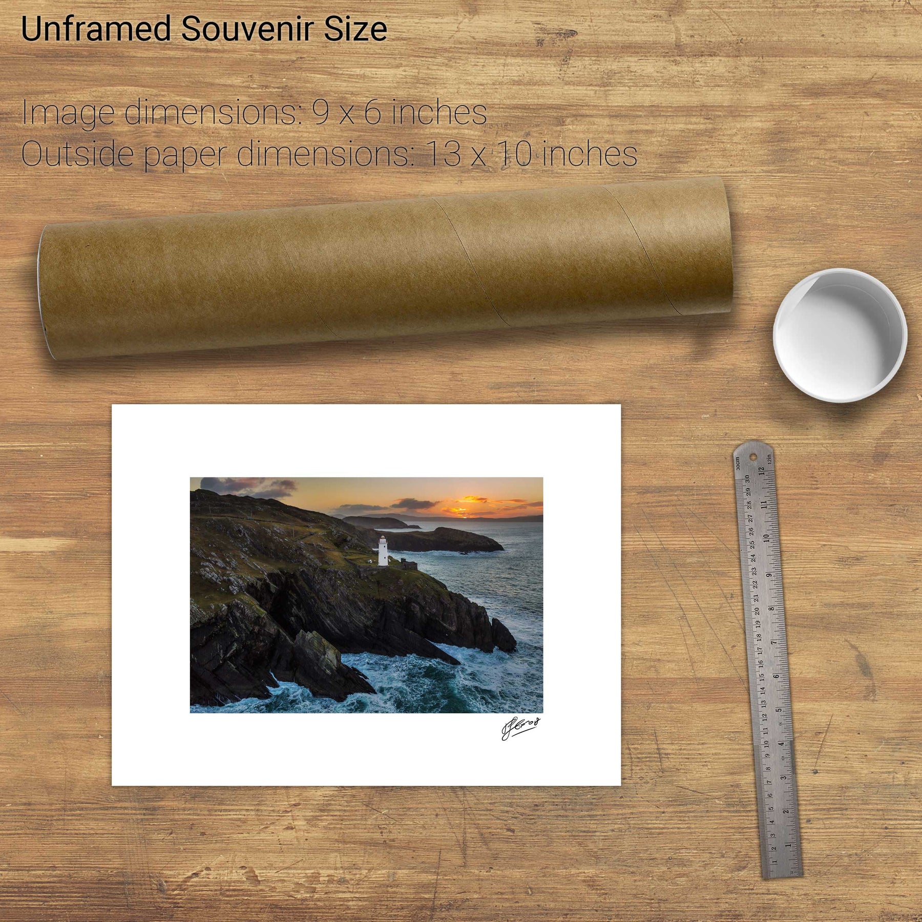
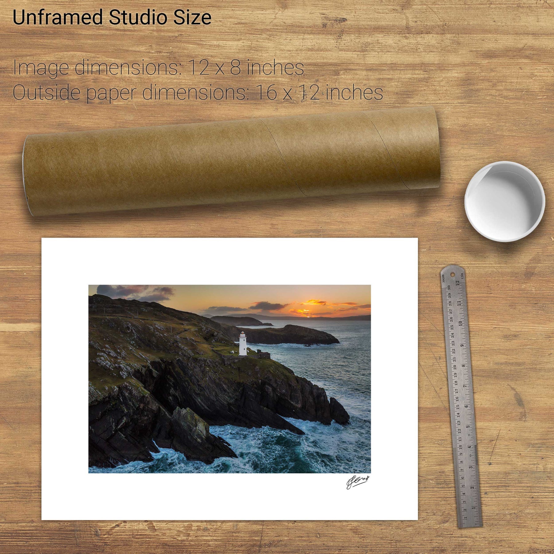
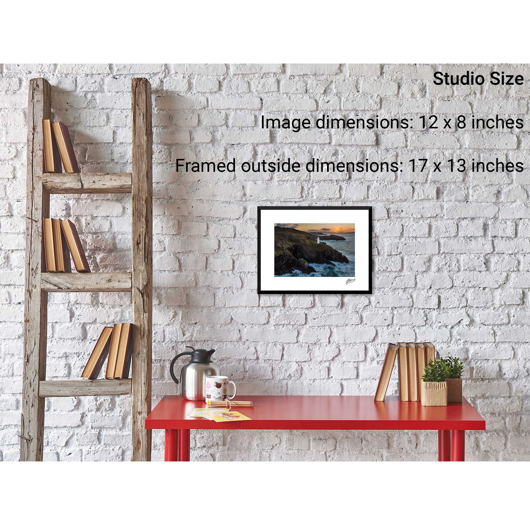
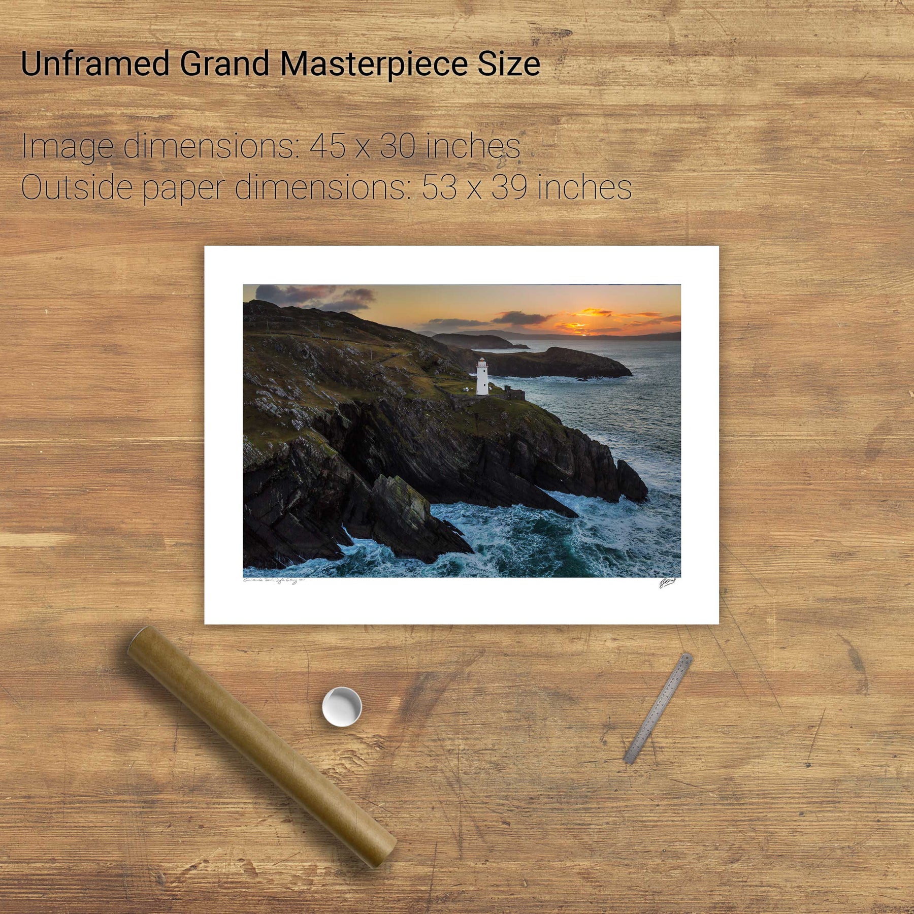
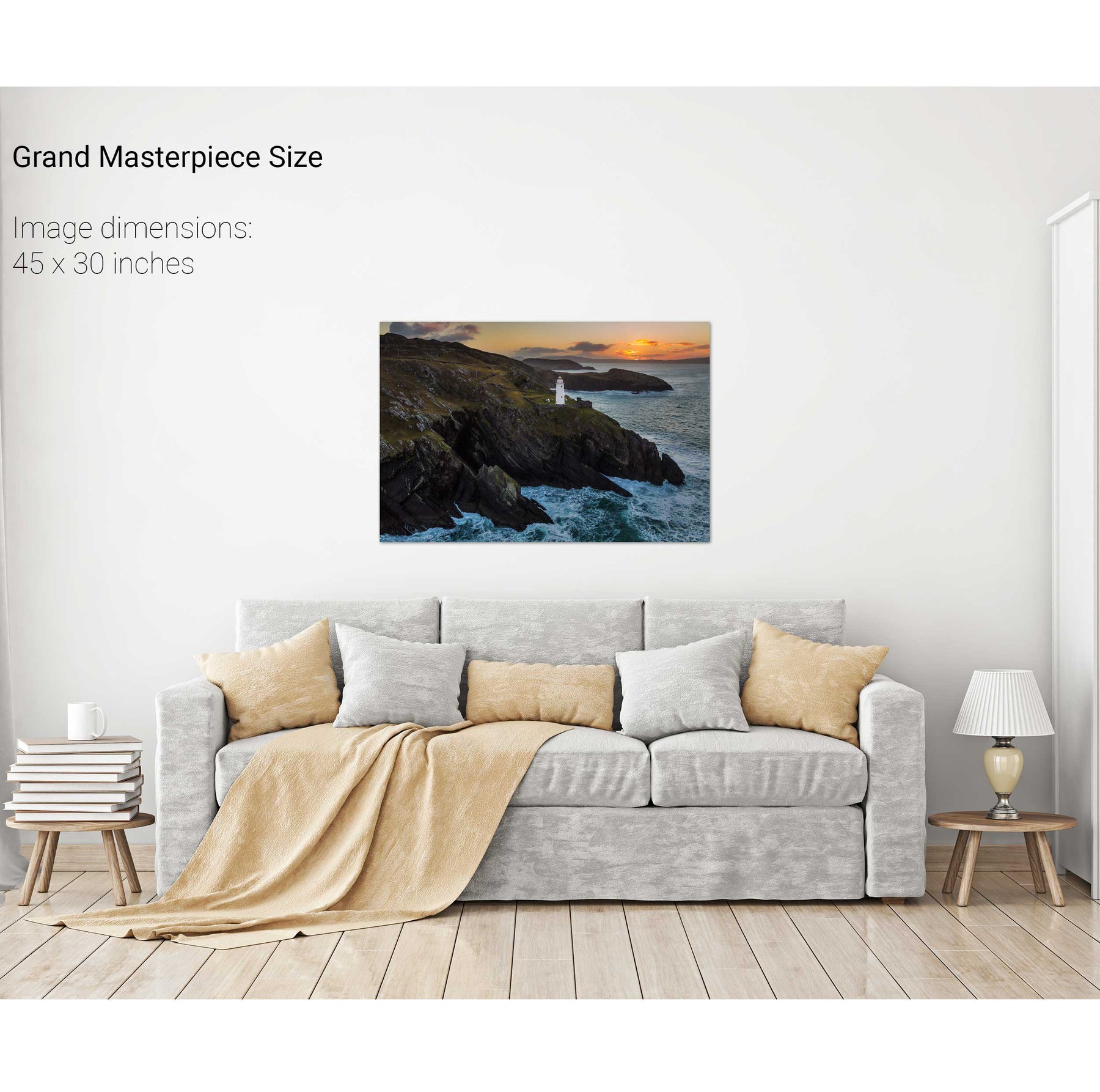
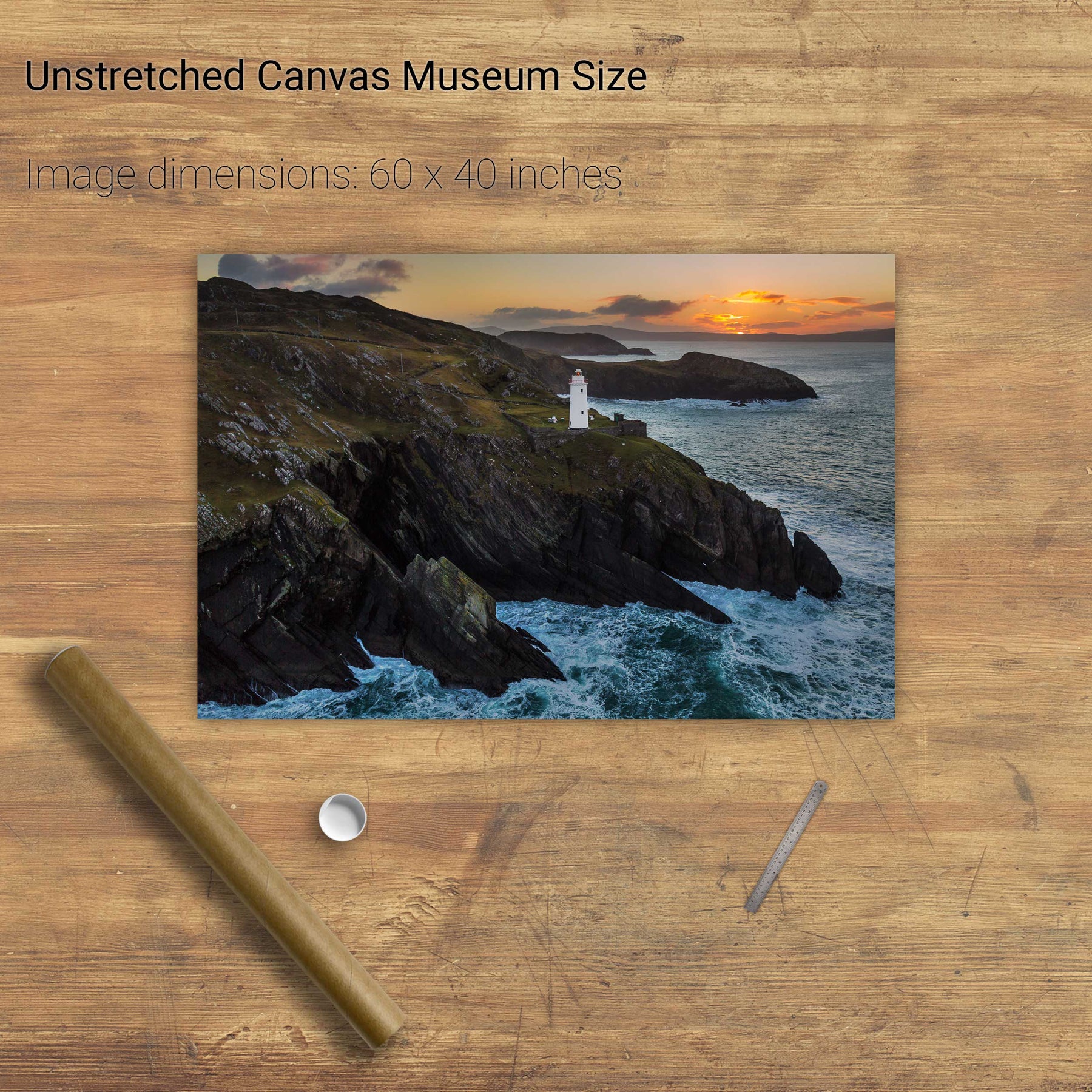
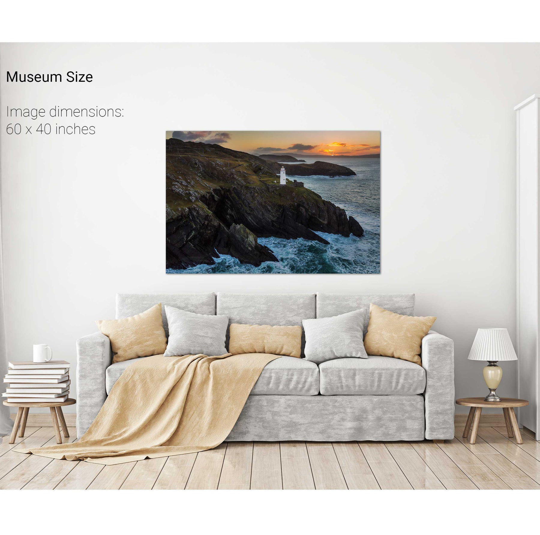
Sheep's Head Lighthouse, Co. Cork
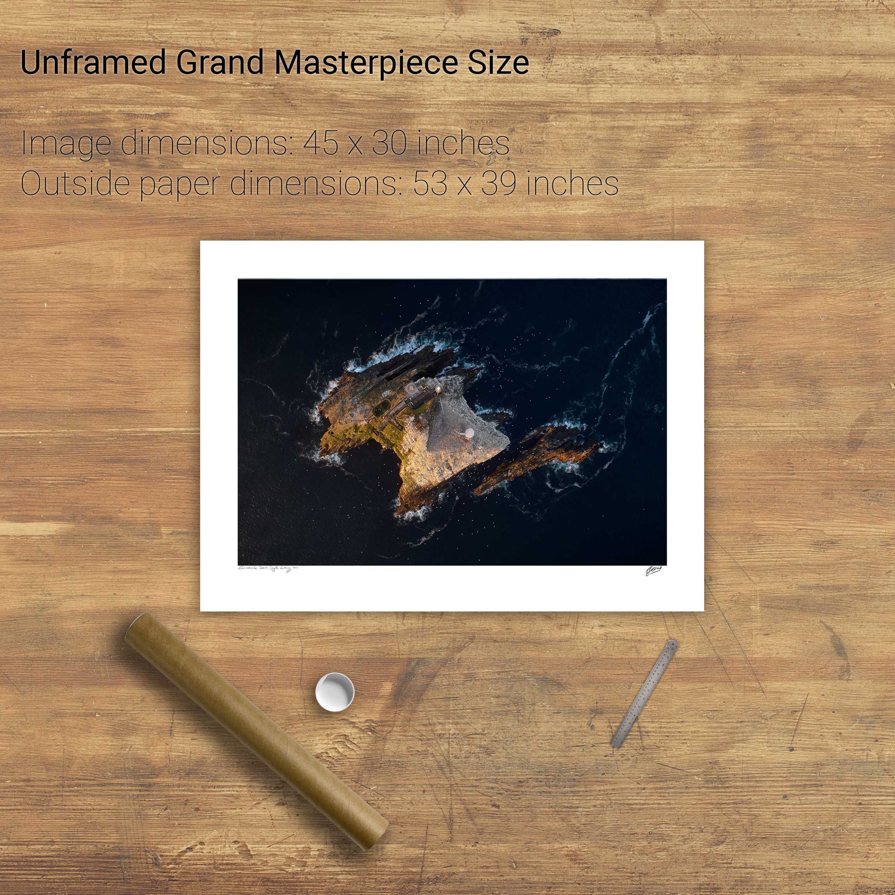
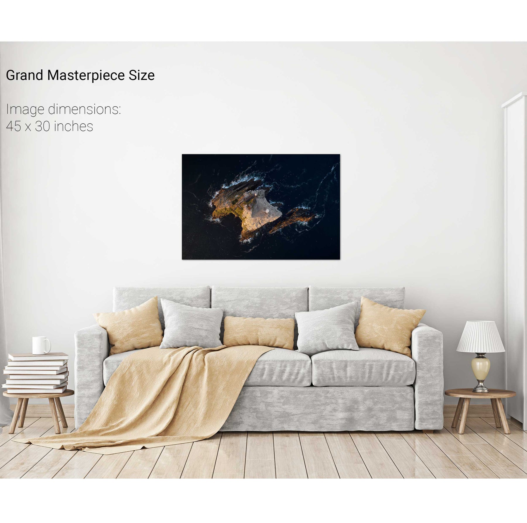
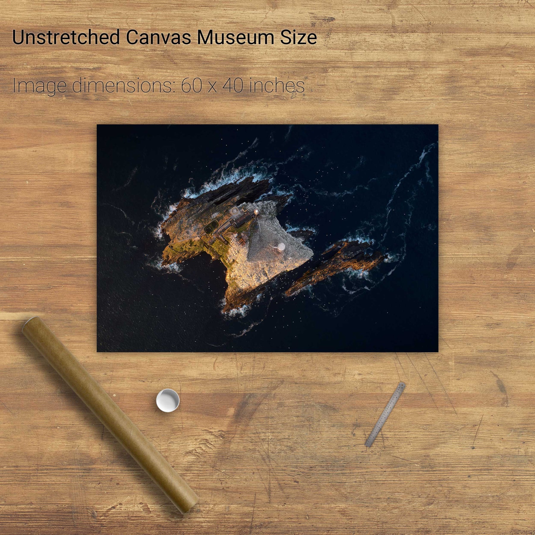
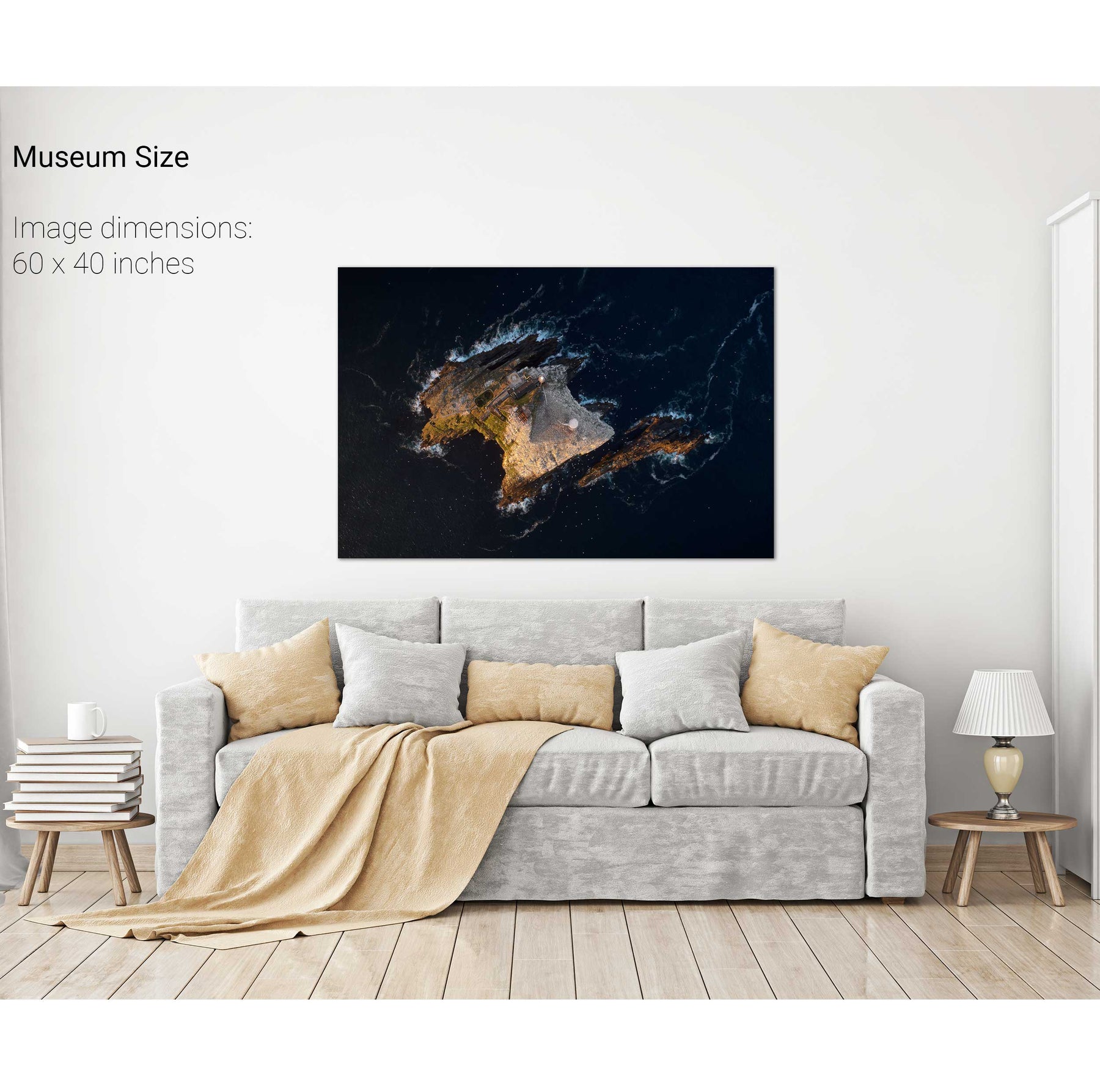
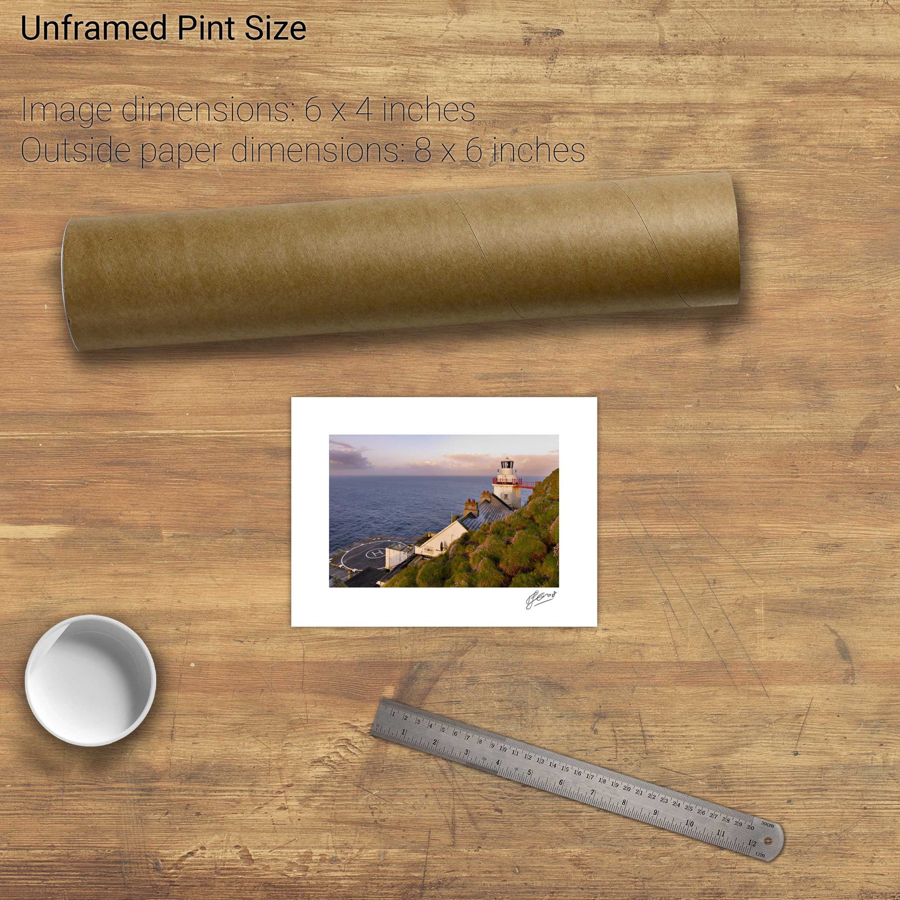
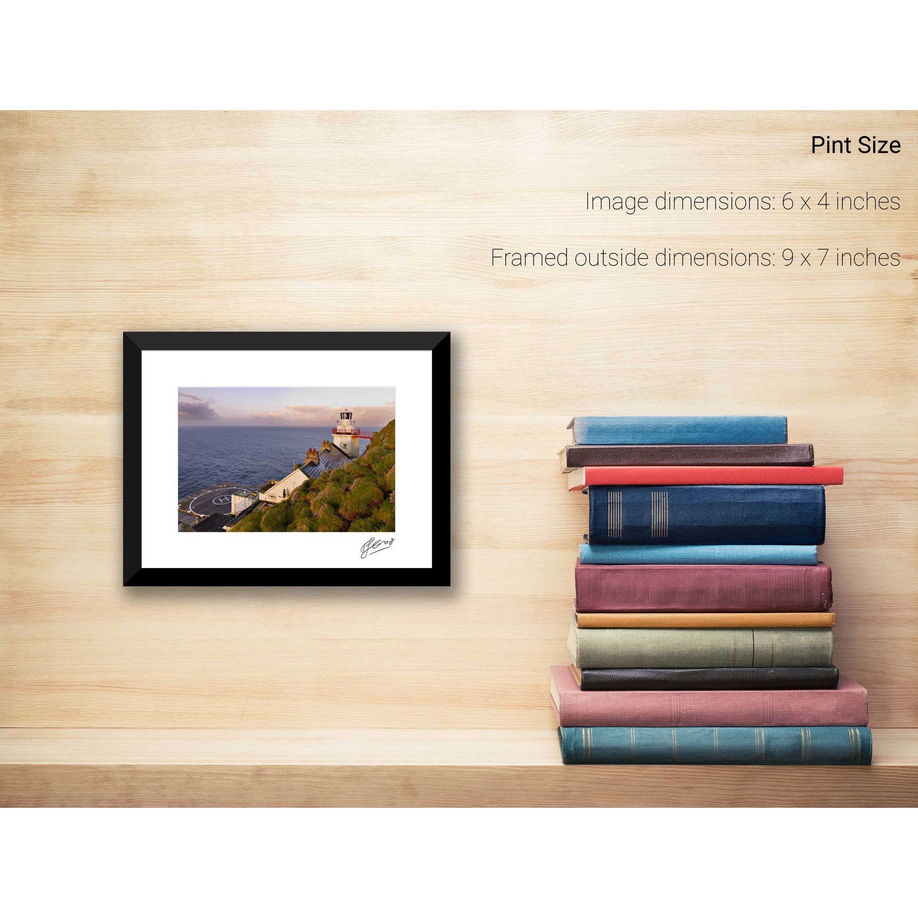
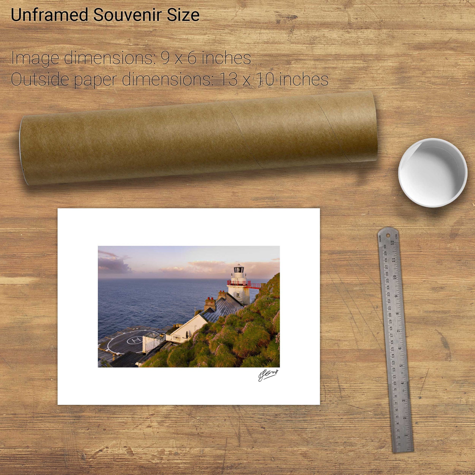
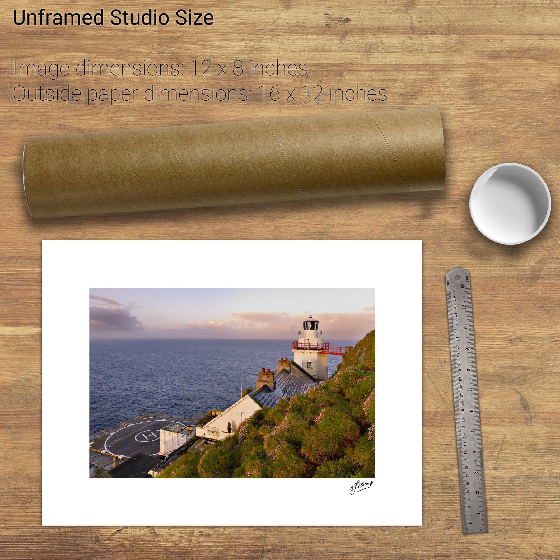
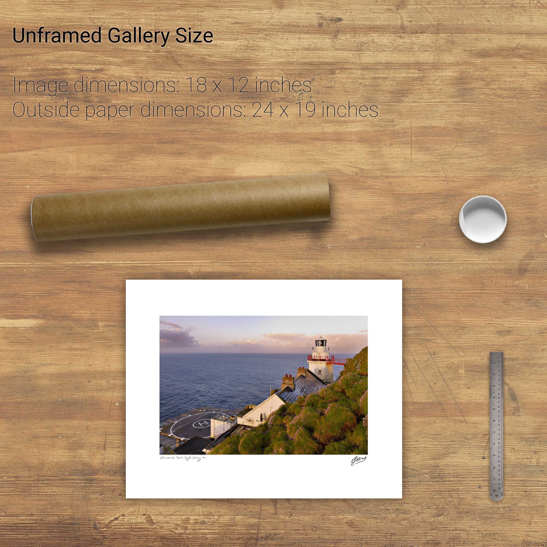
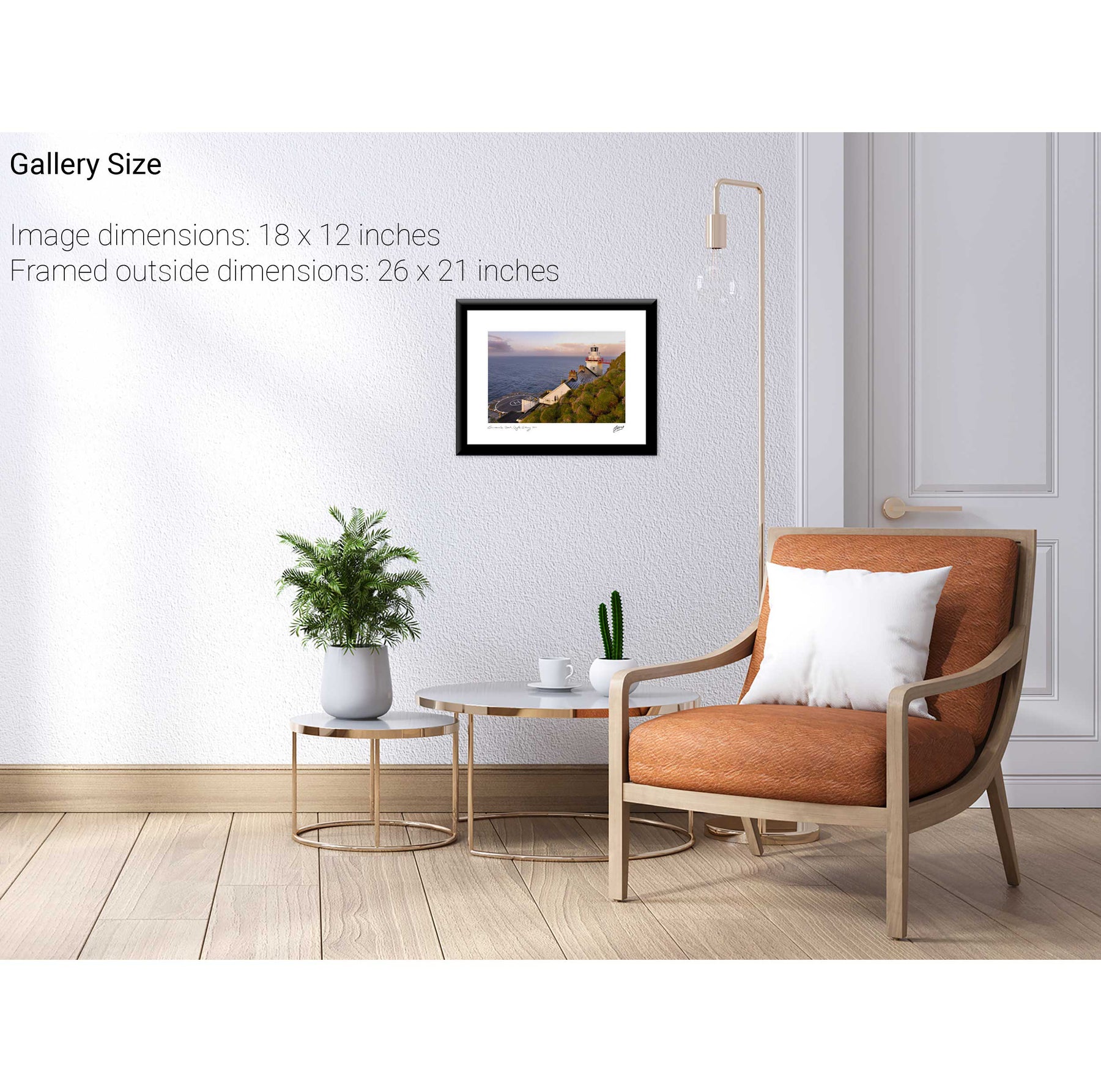
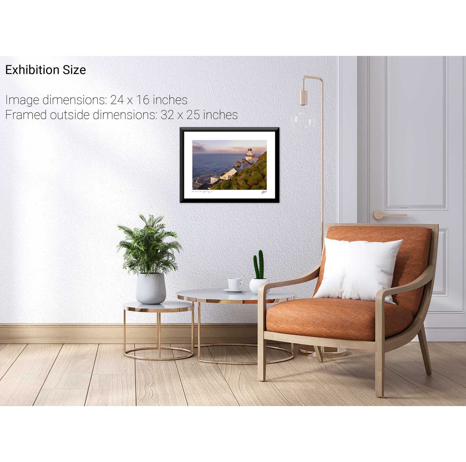
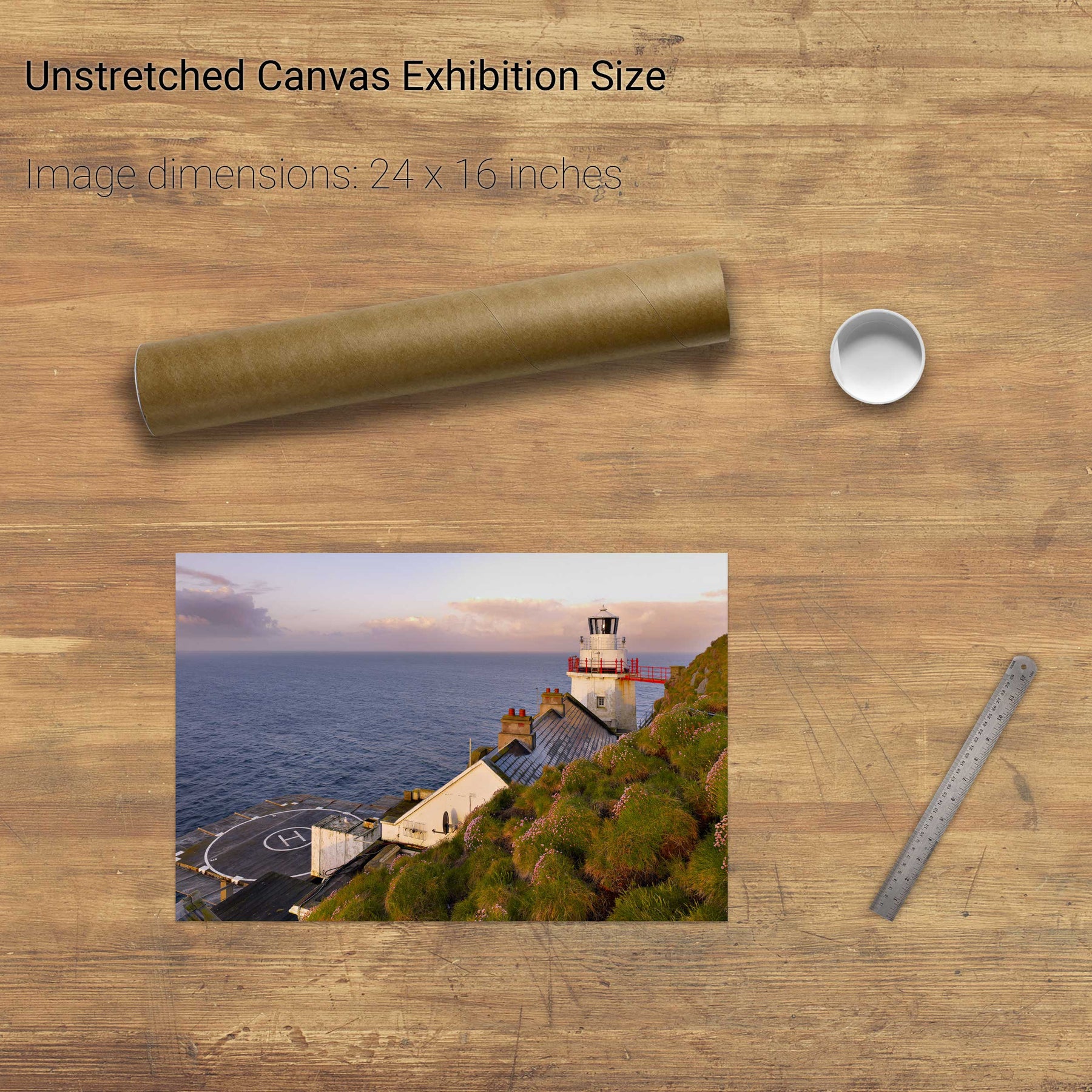
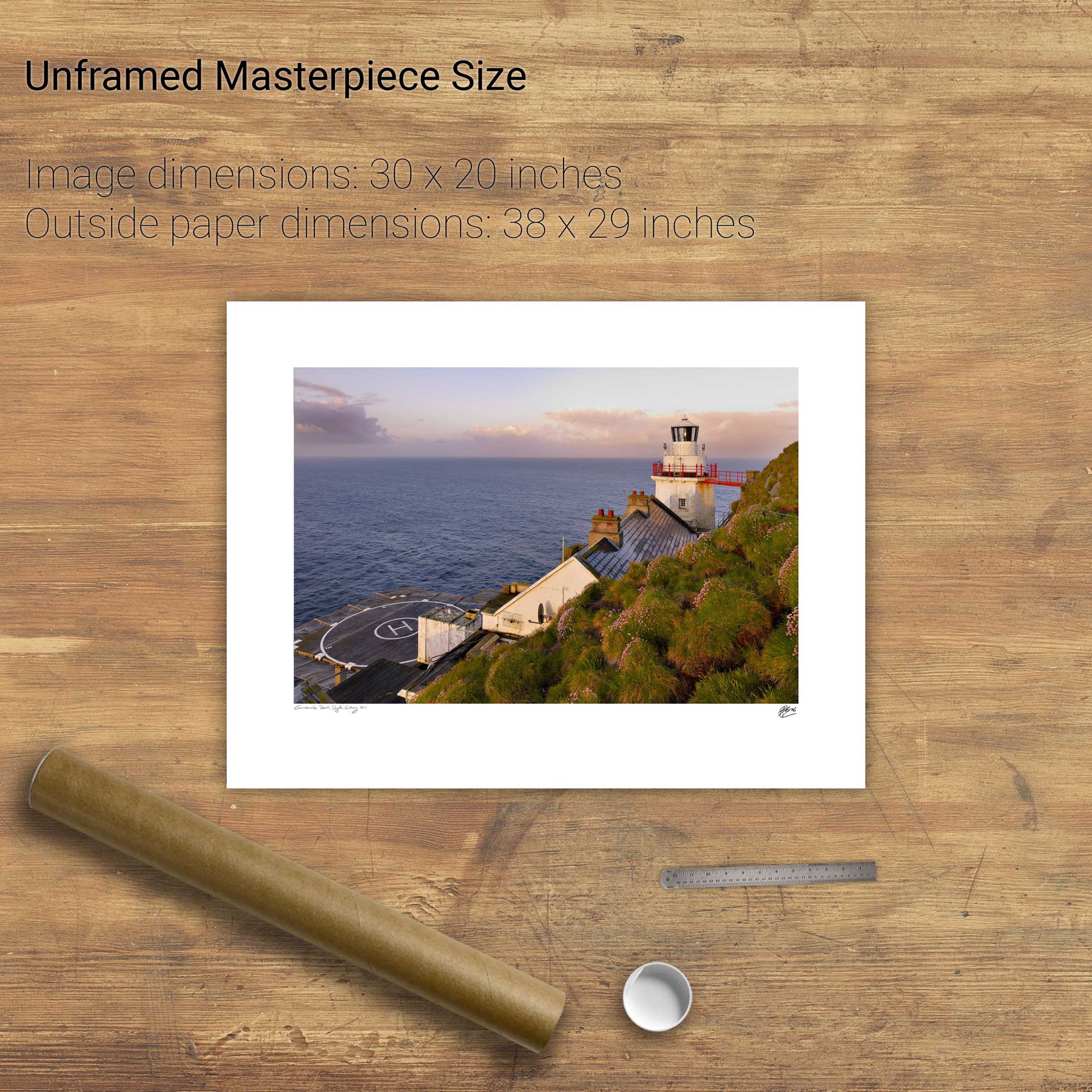
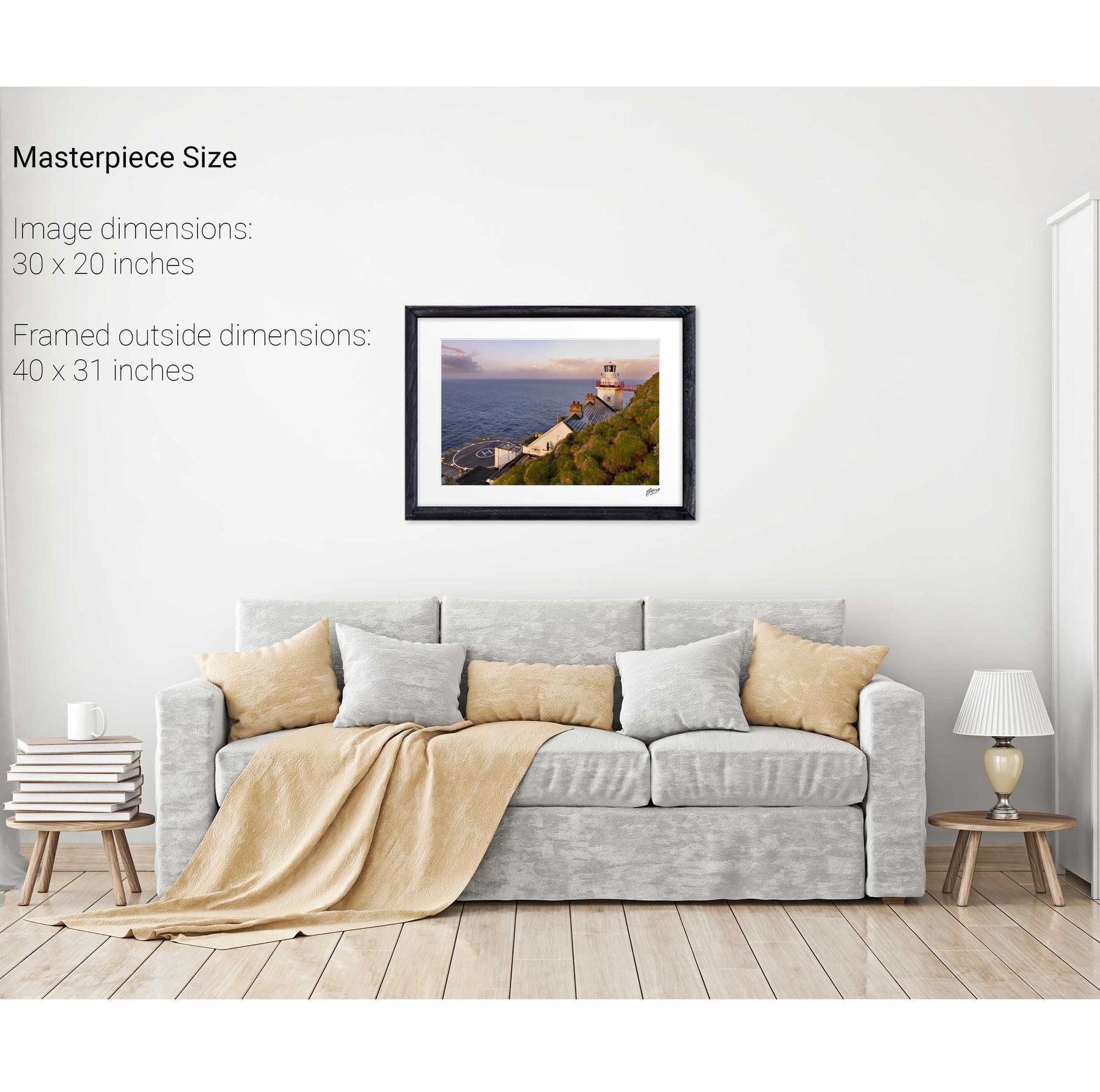
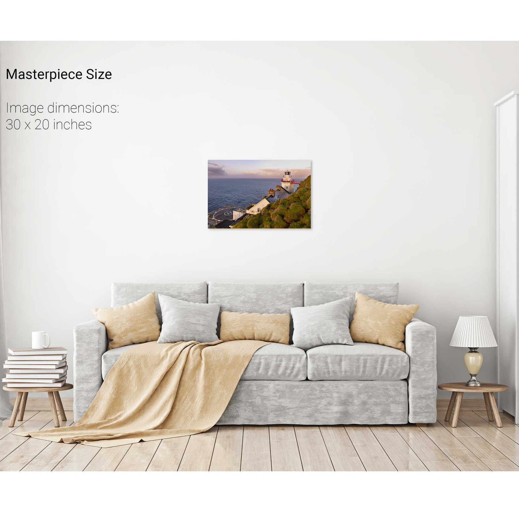
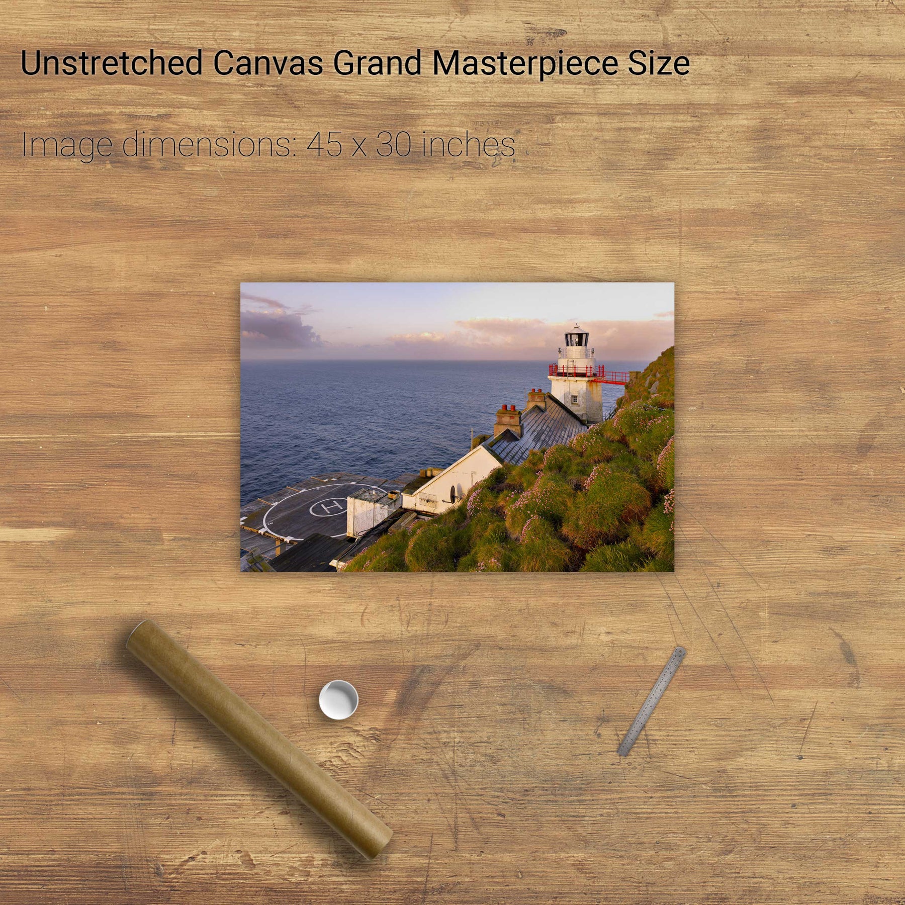
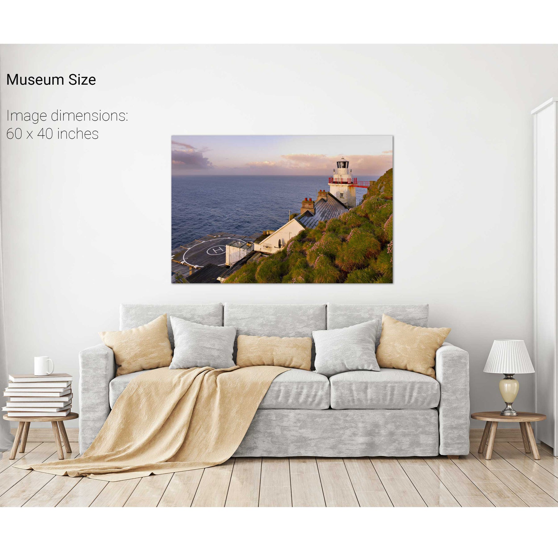
Sea Pink, the Bull Rock Lighthouse, Co. Cork
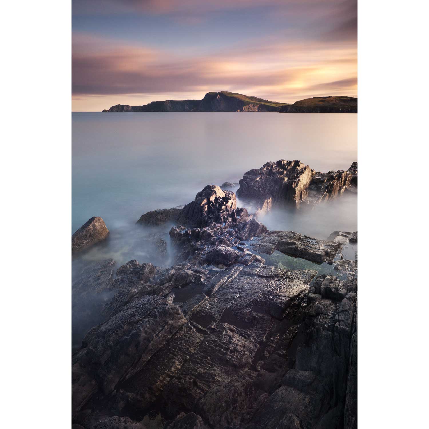
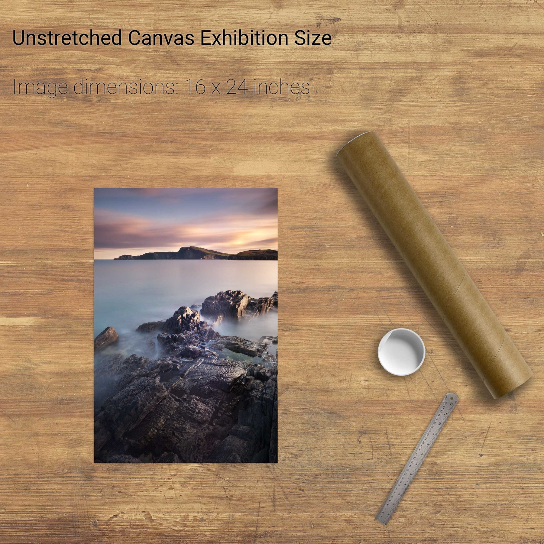
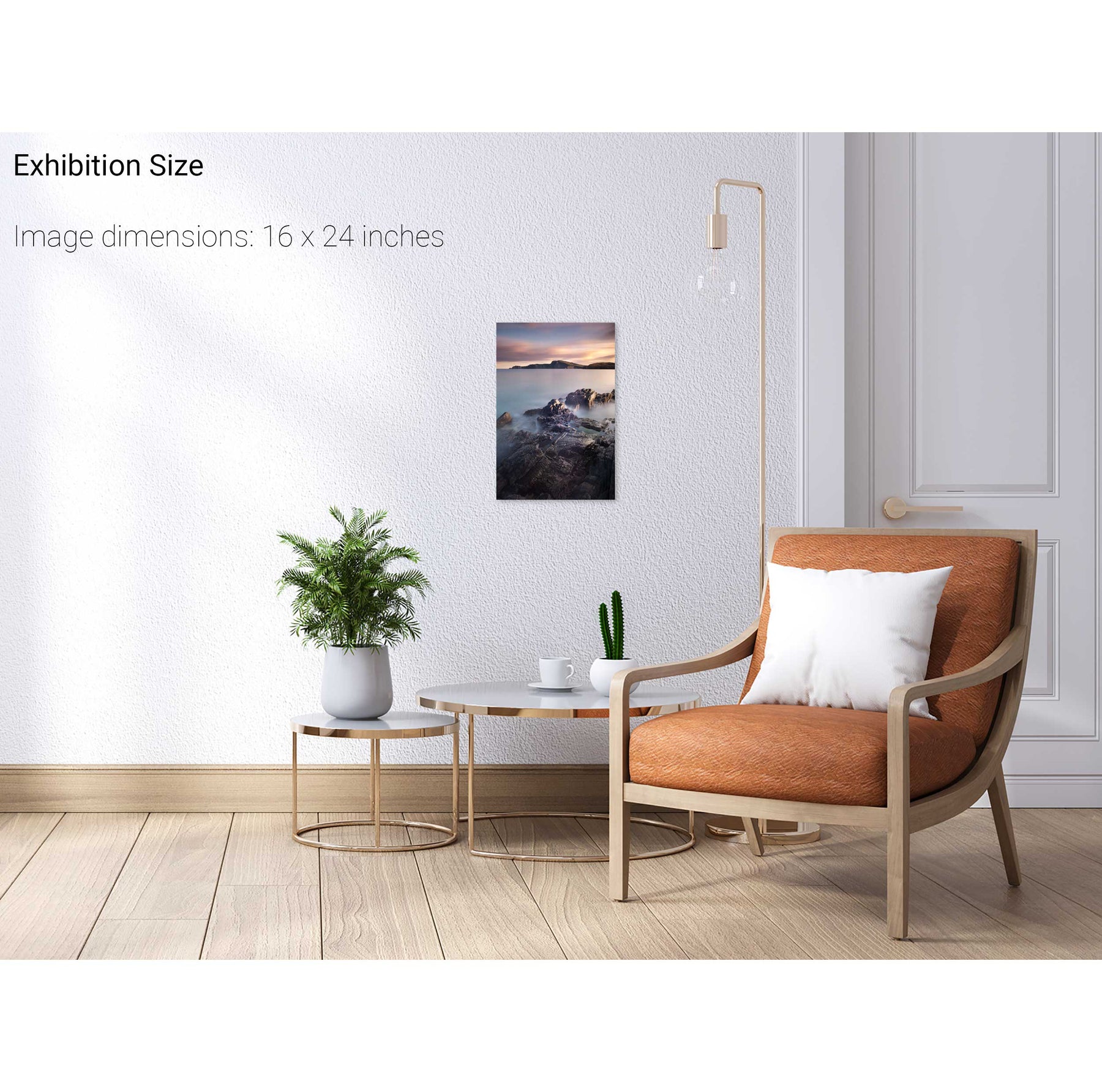
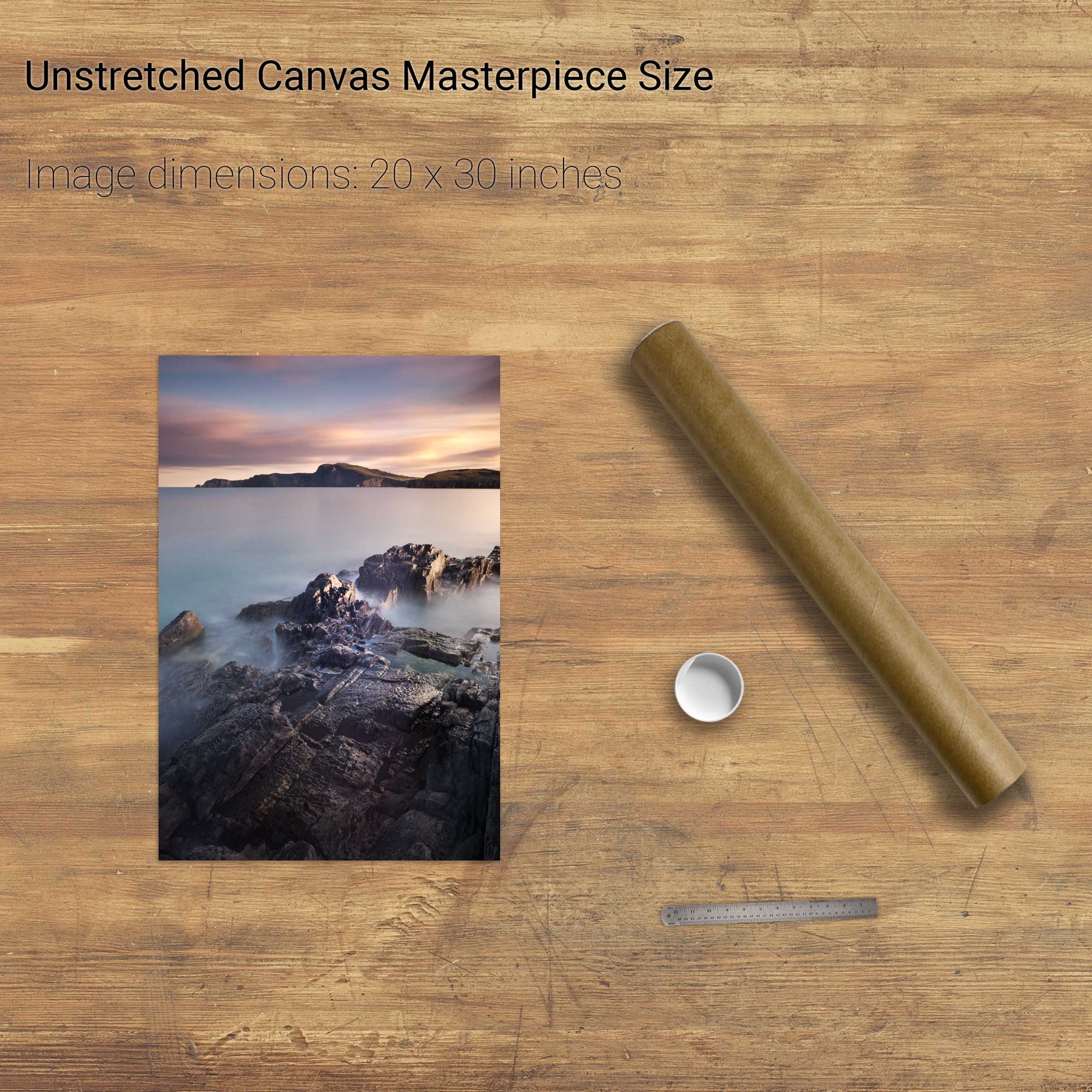
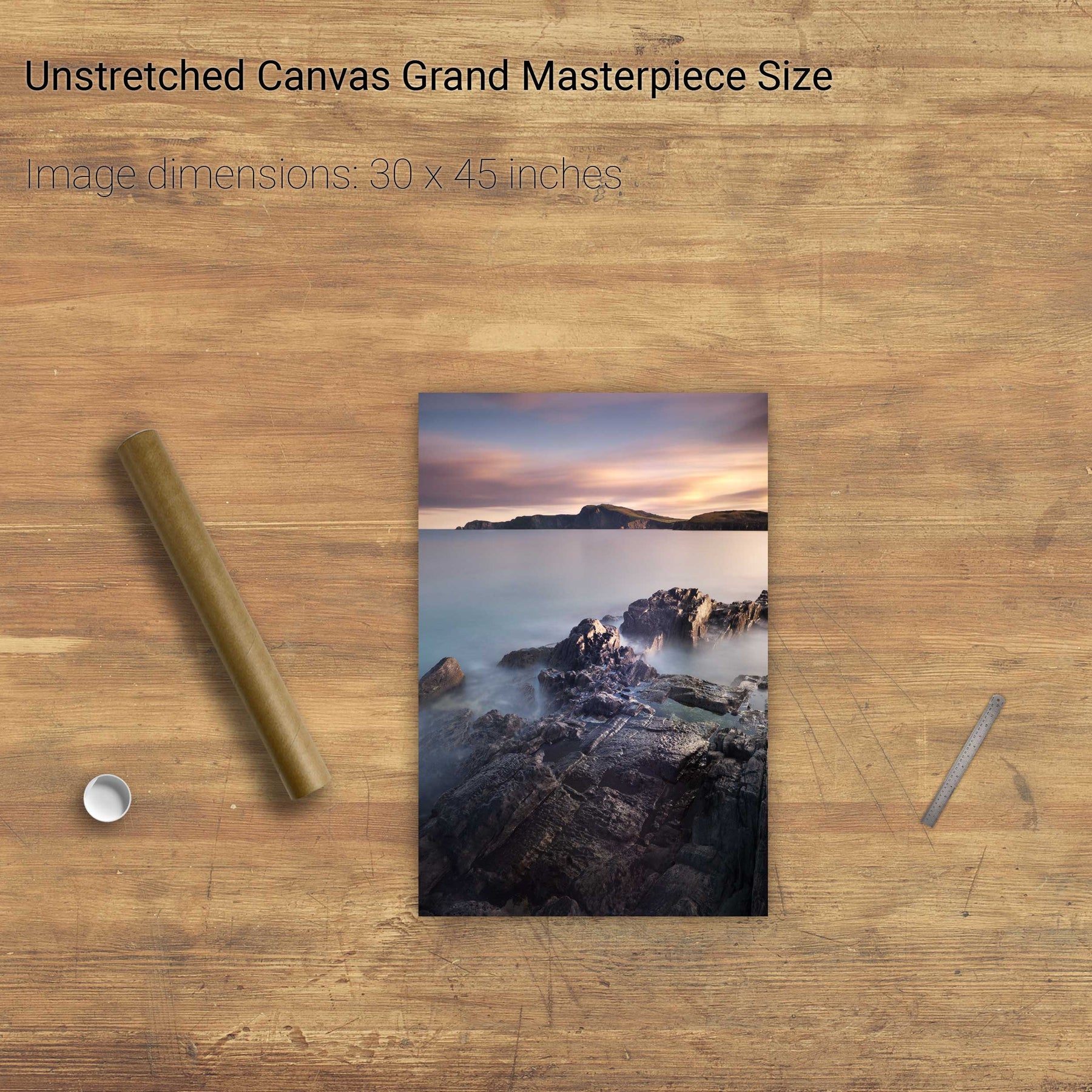
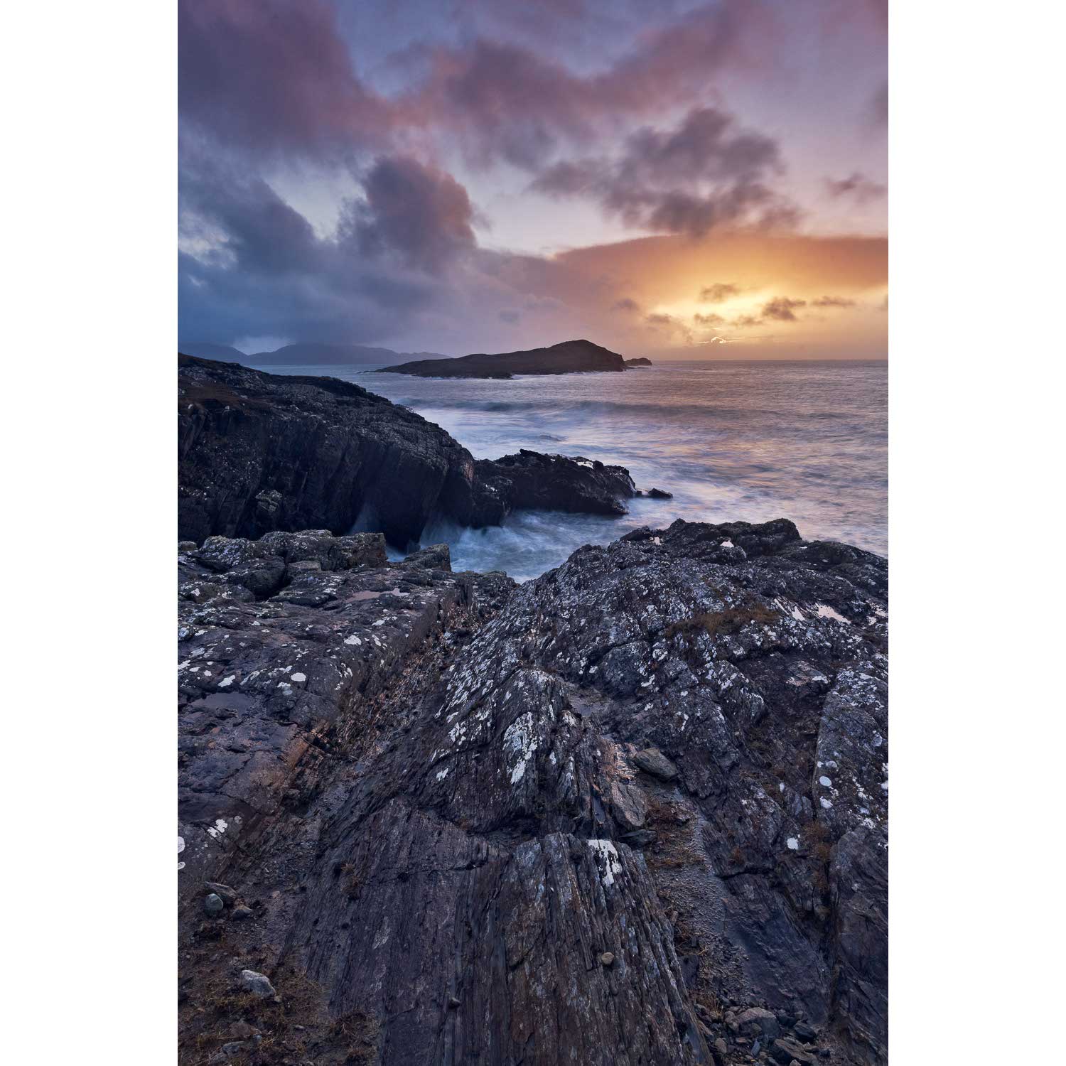
Inishfarnard from Kilcatherine Point, Beara, Co. Cork
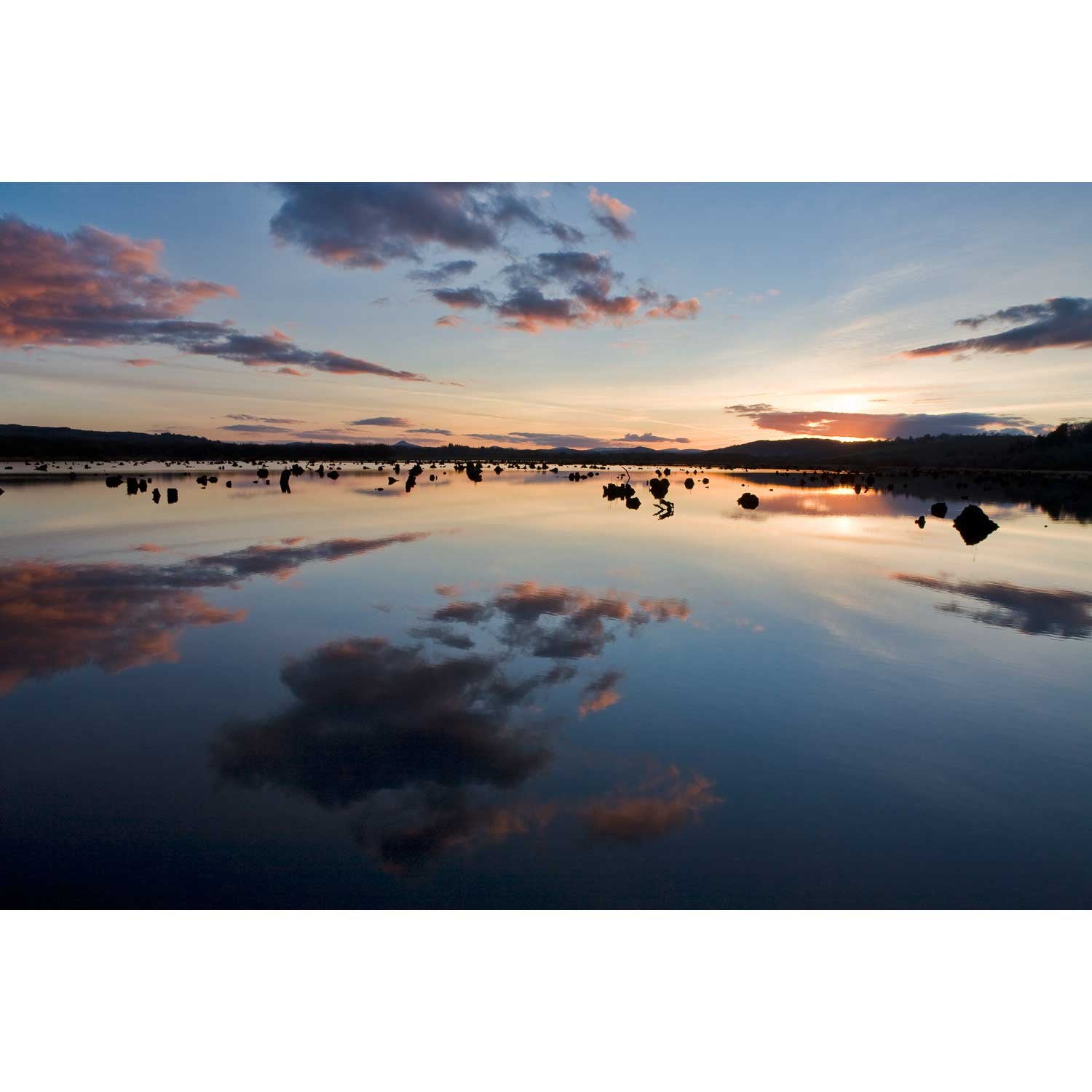
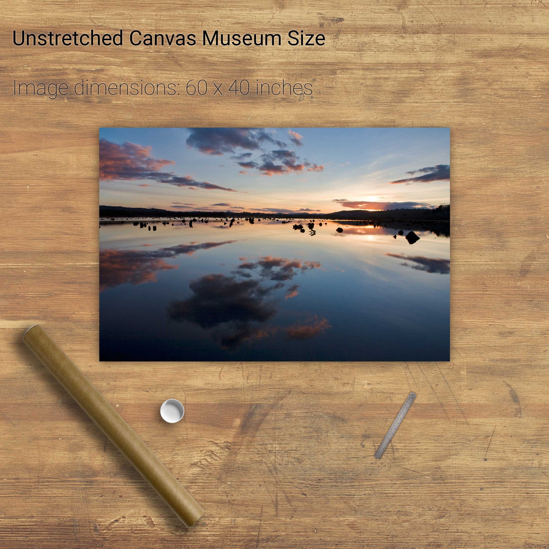
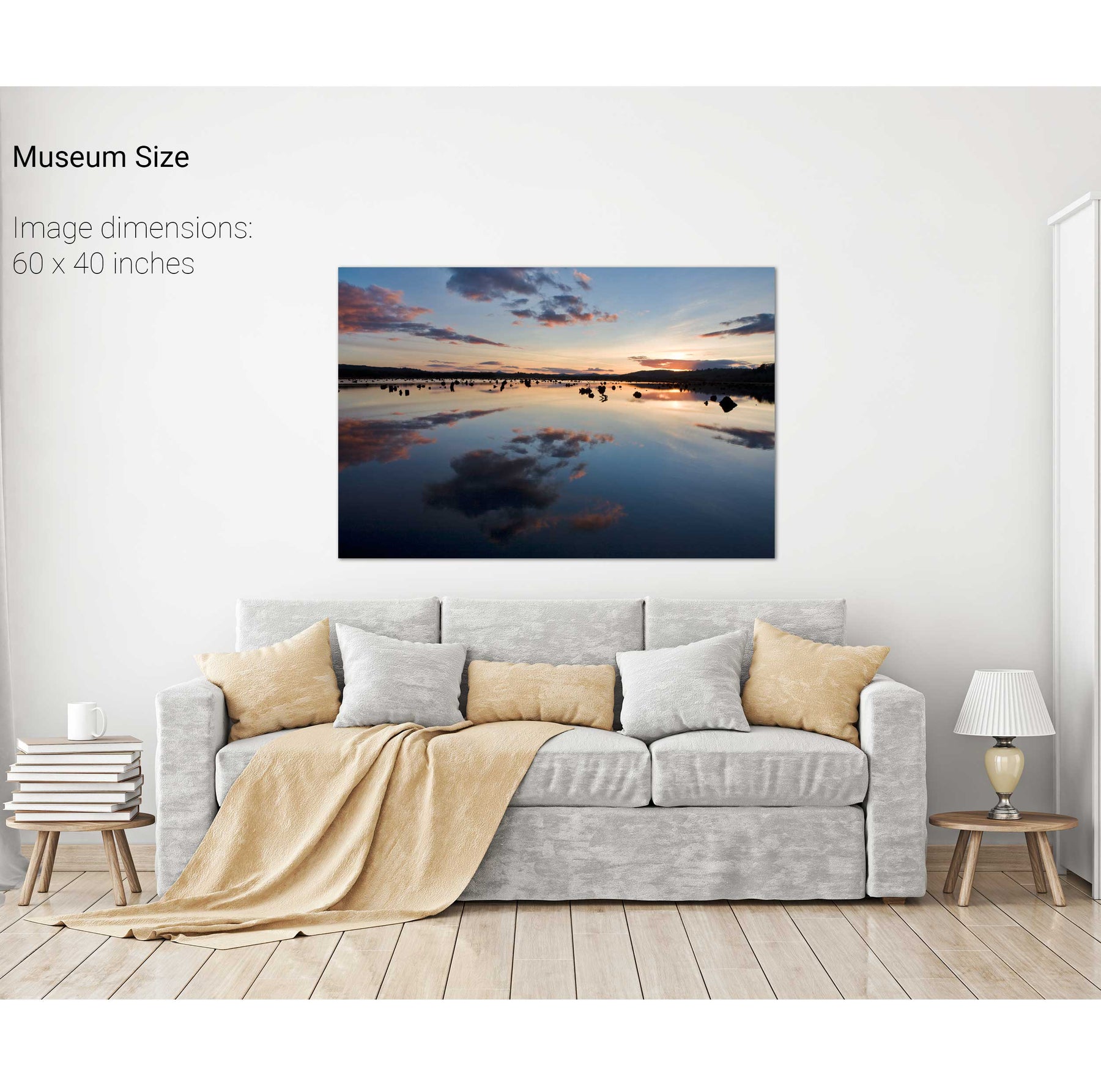
Sunset, the Gearagh, Co. Cork
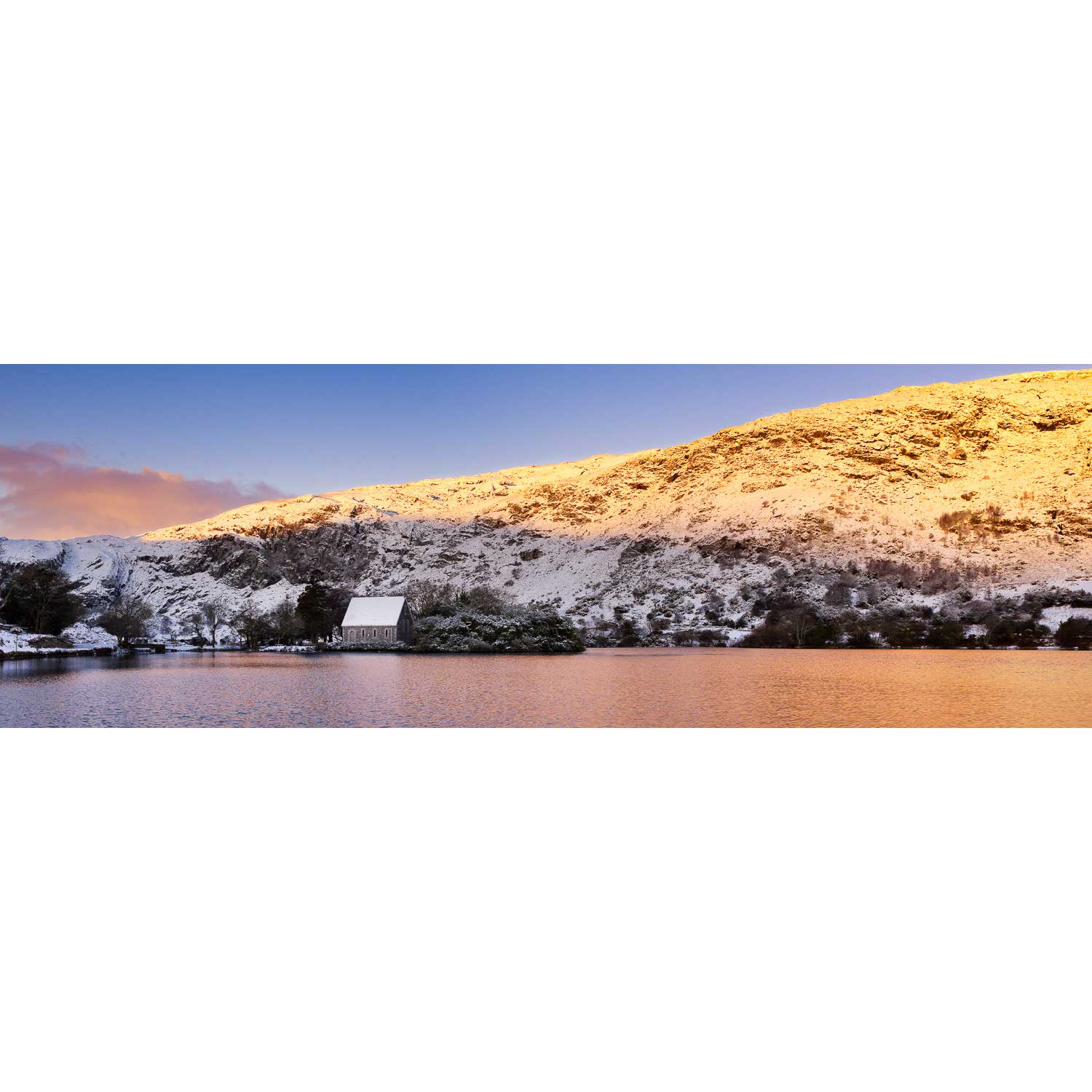
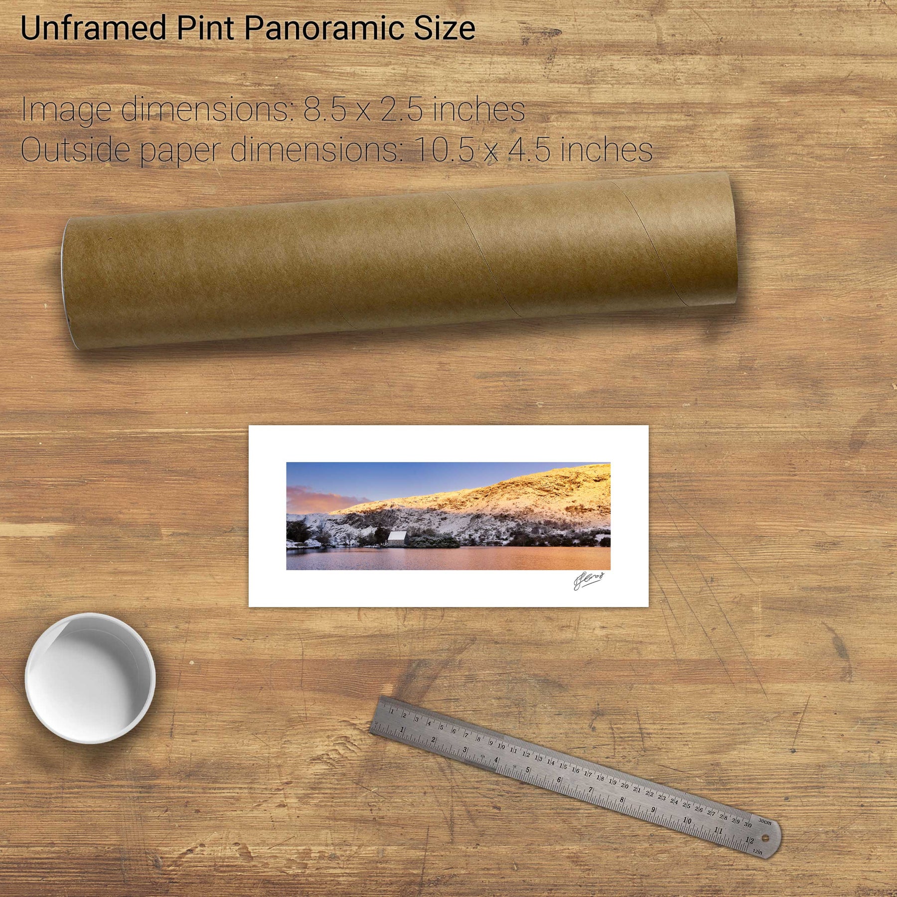
Winter, Gougane Barra, Co. Cork
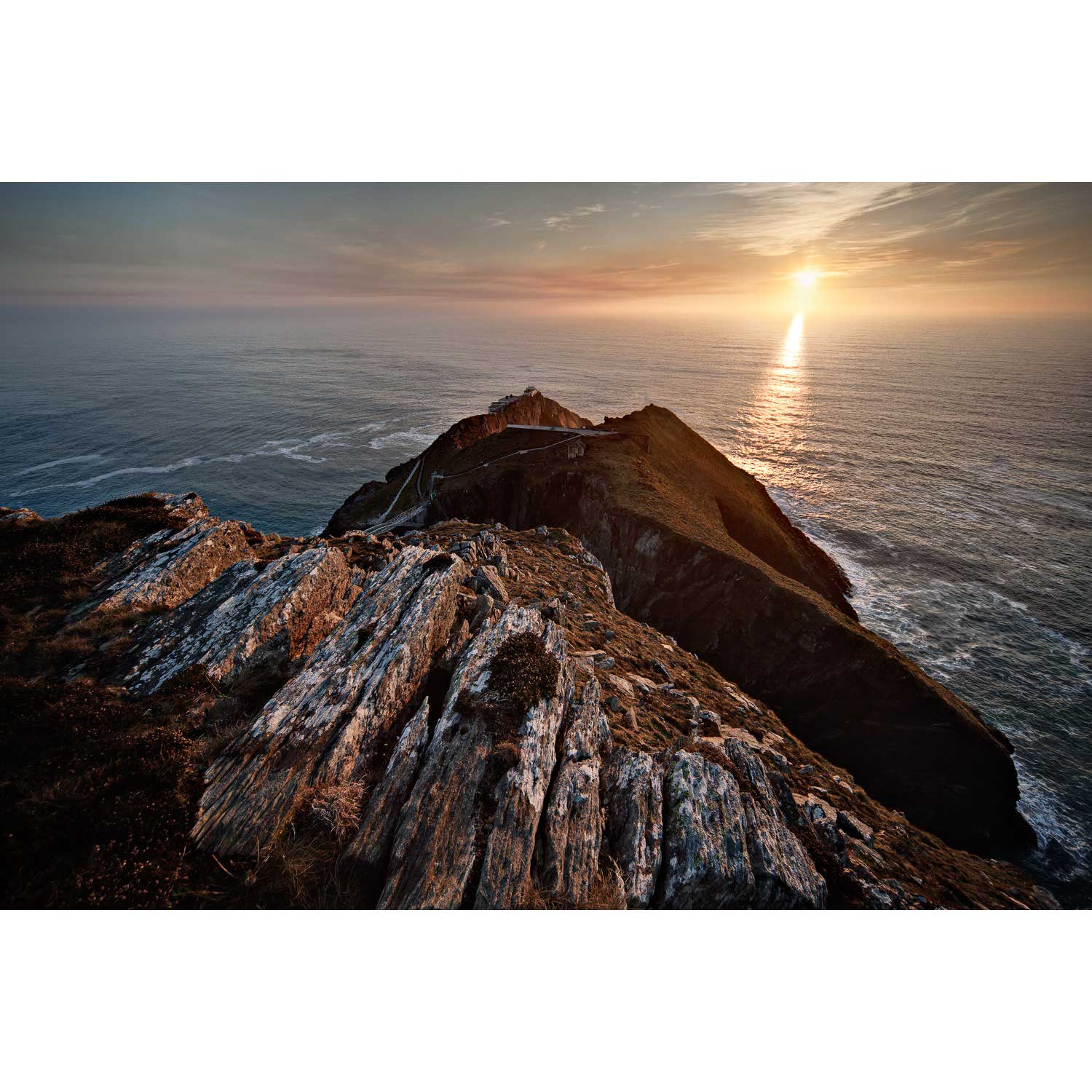
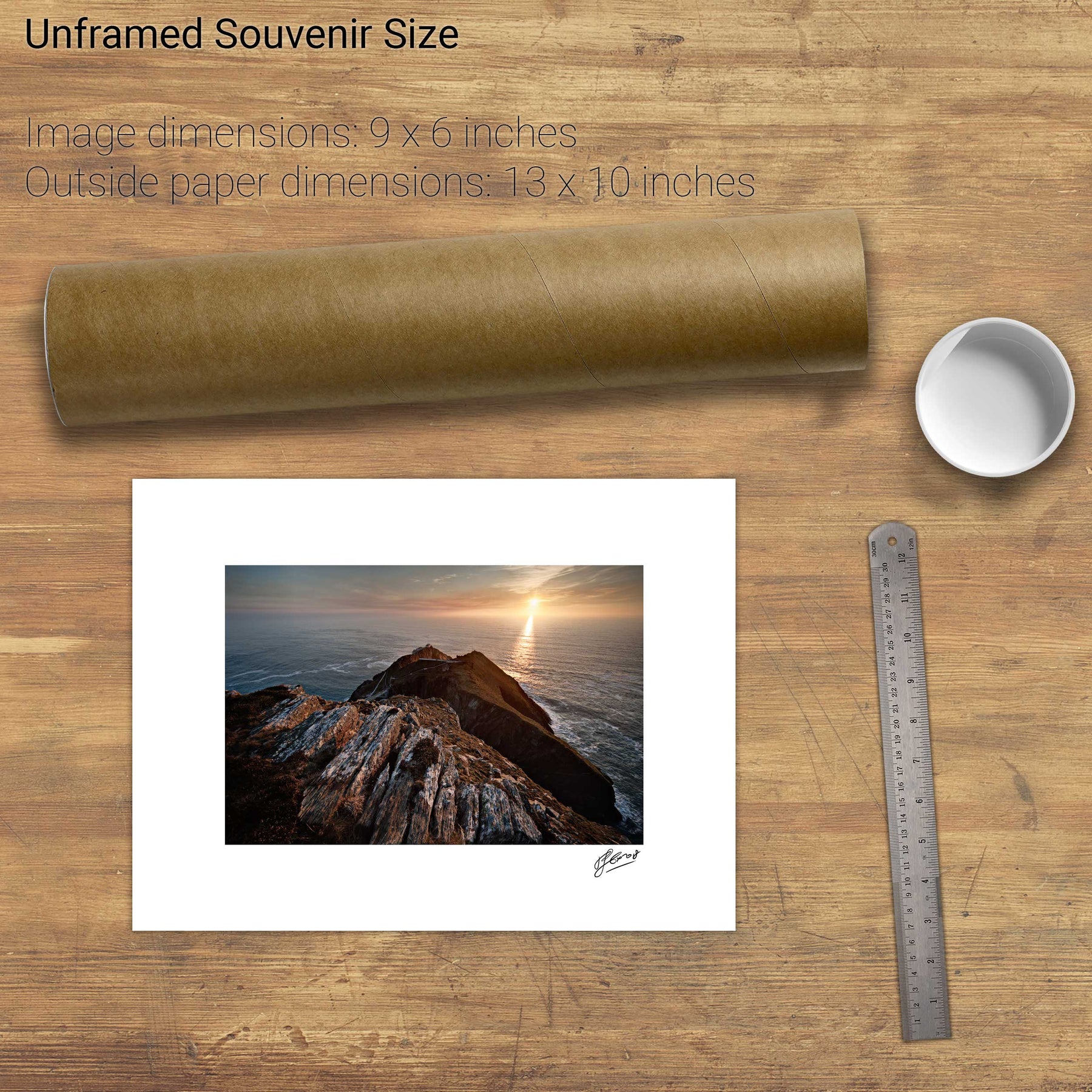
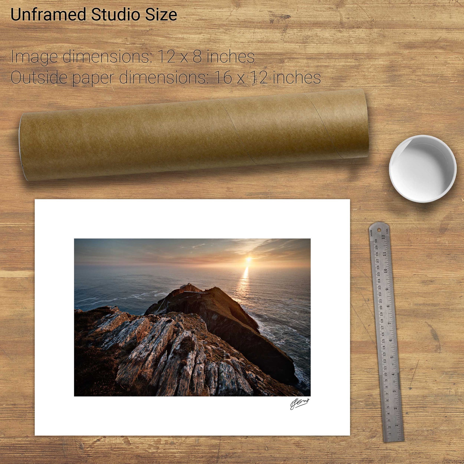
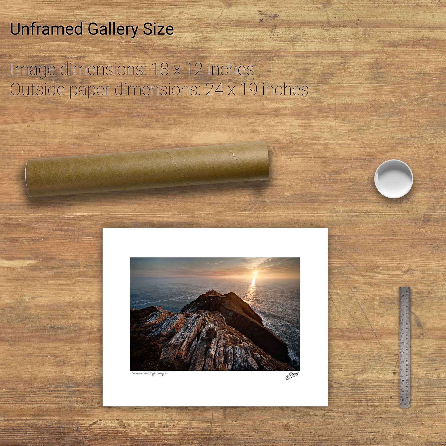
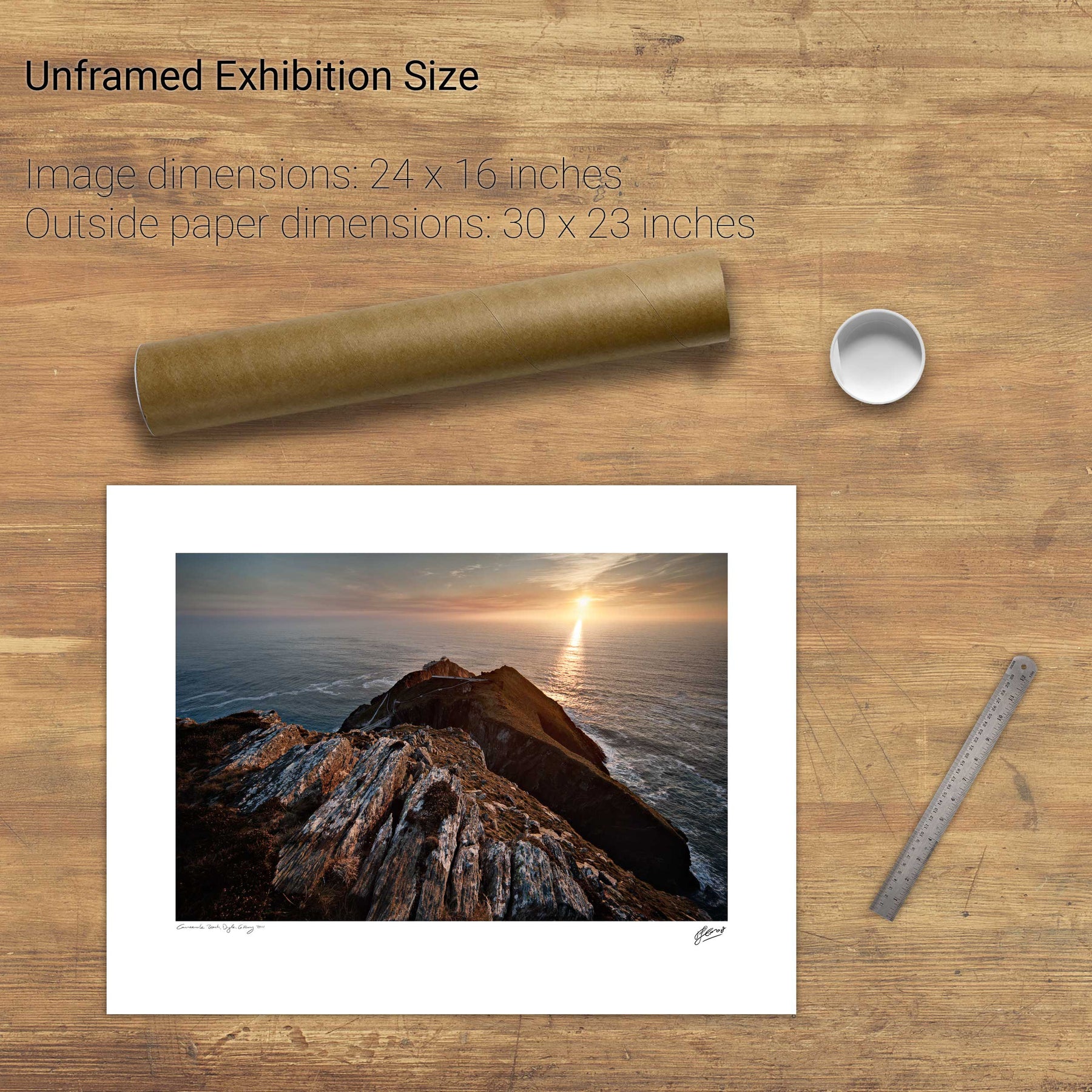
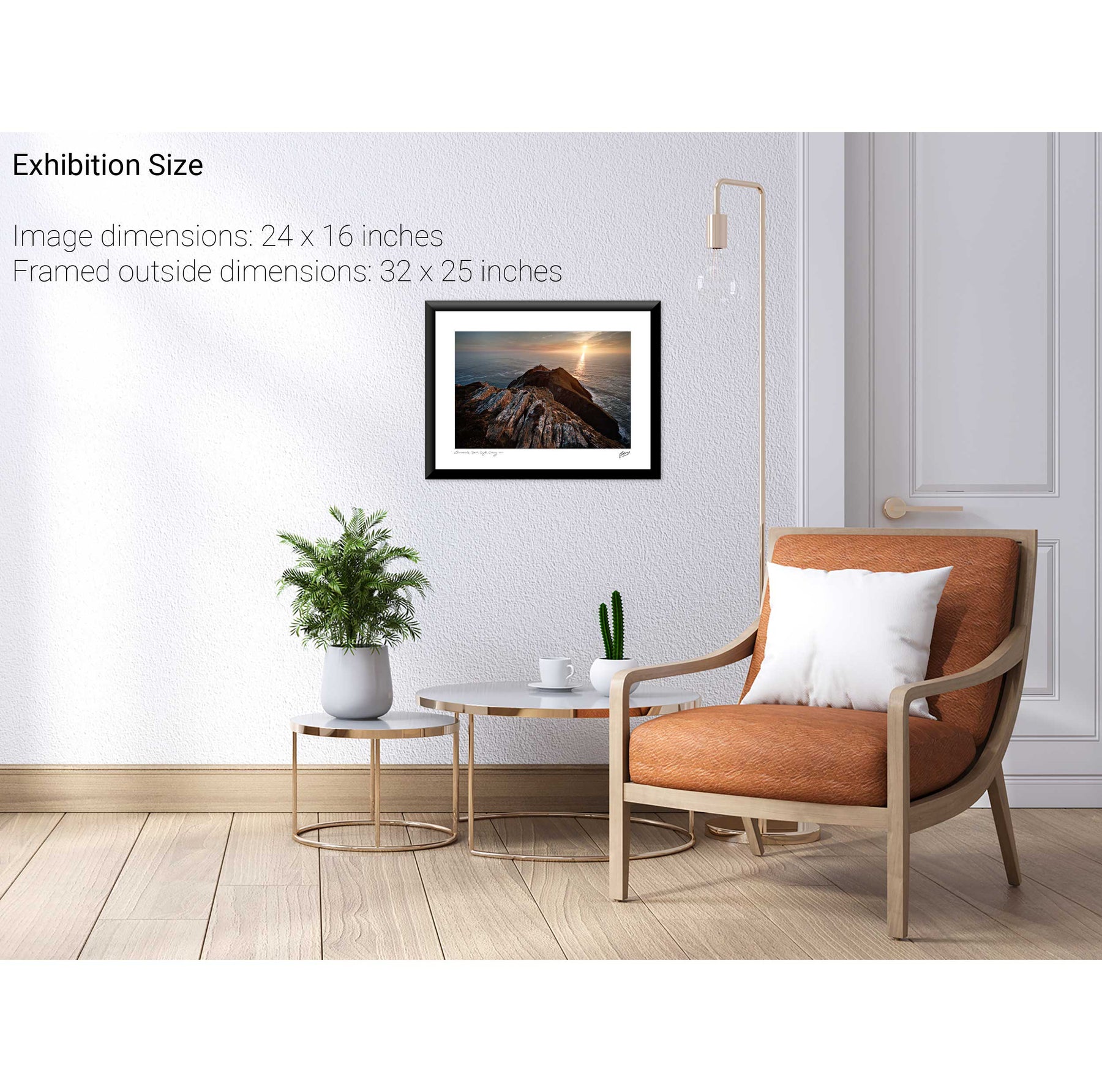
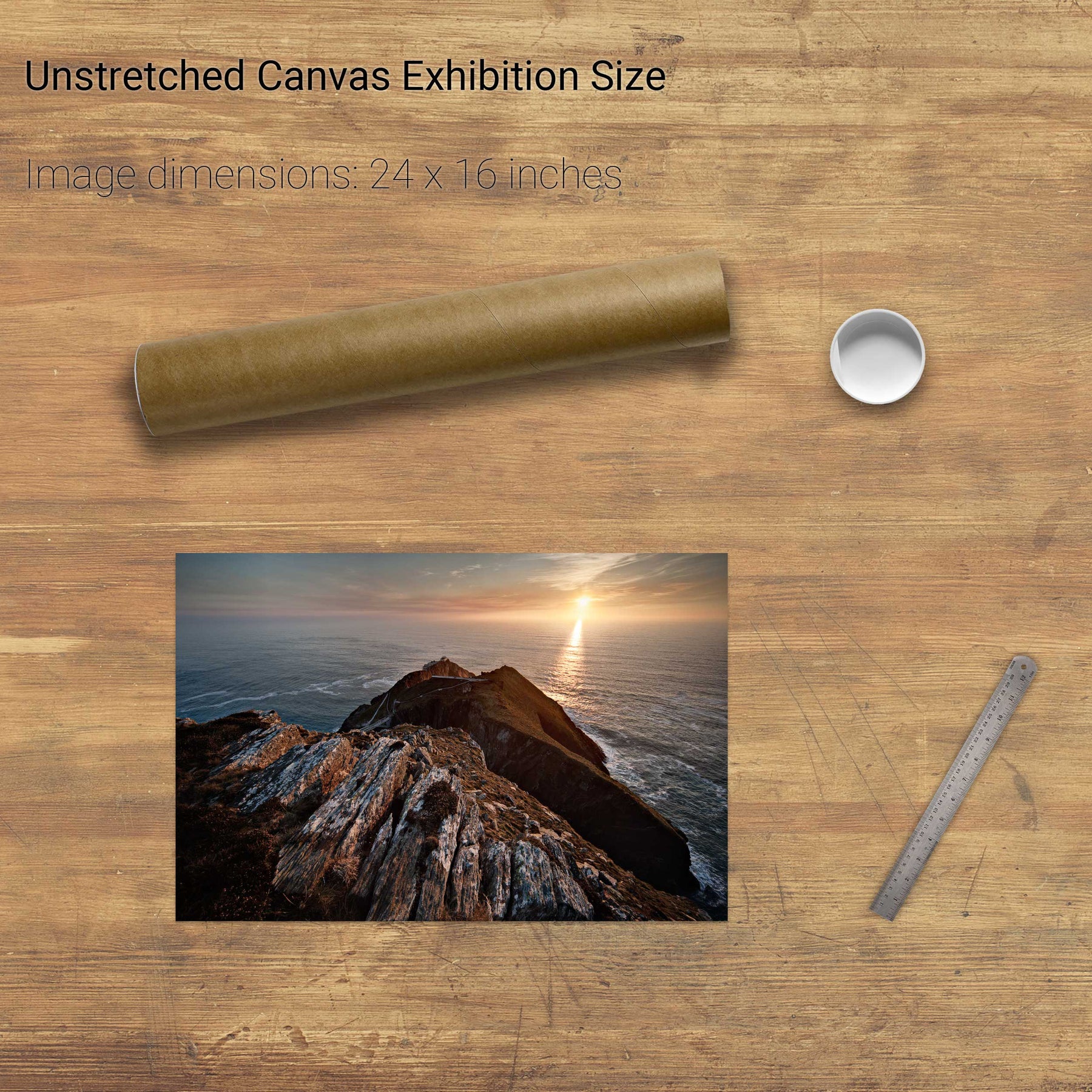
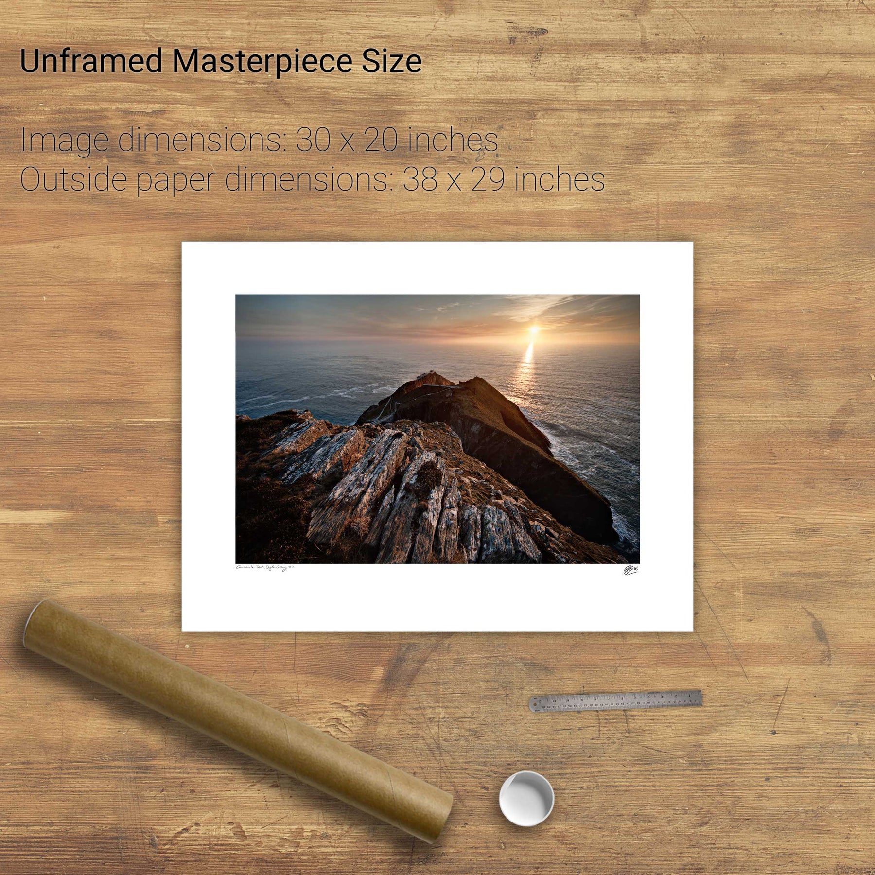
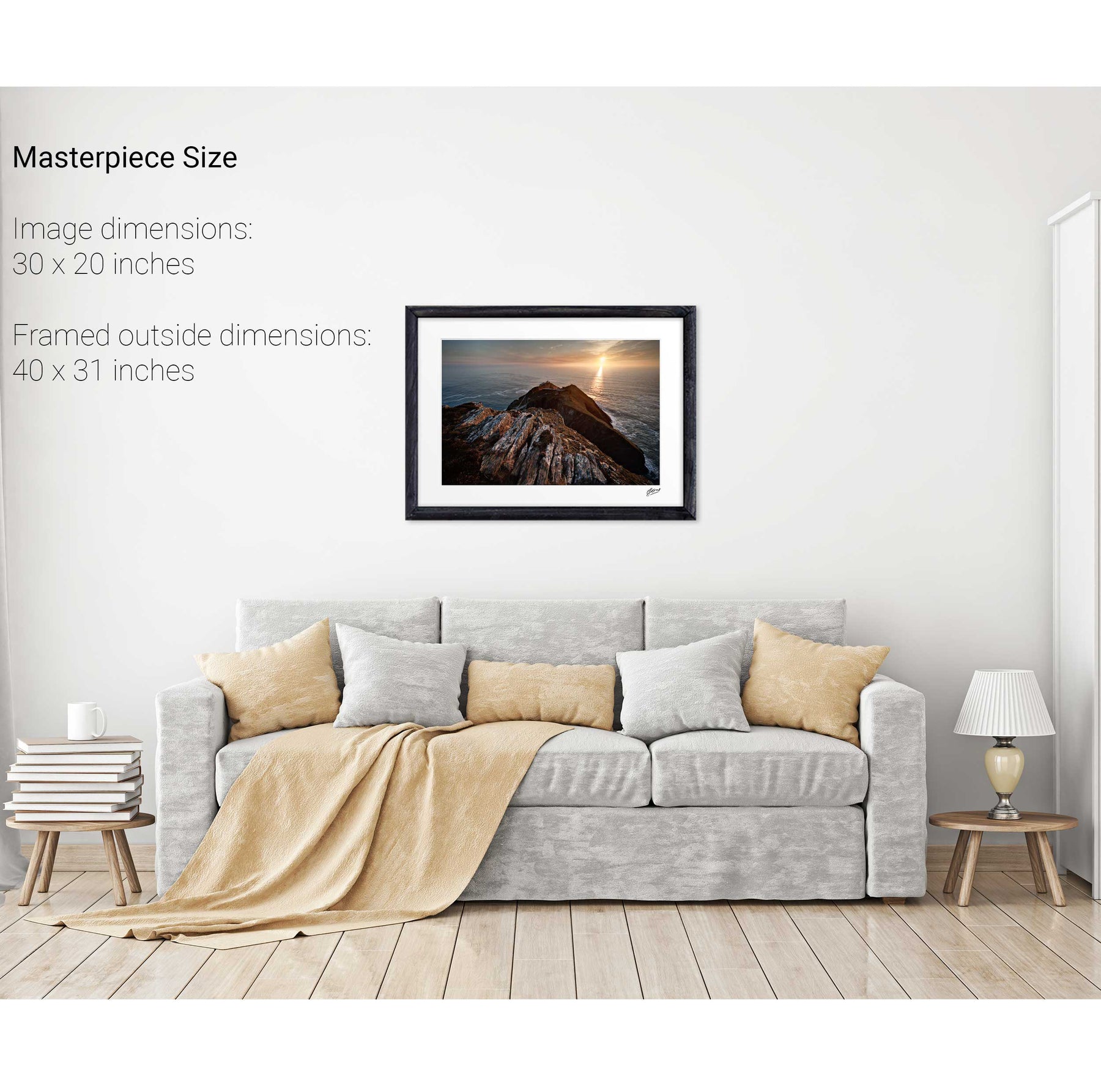
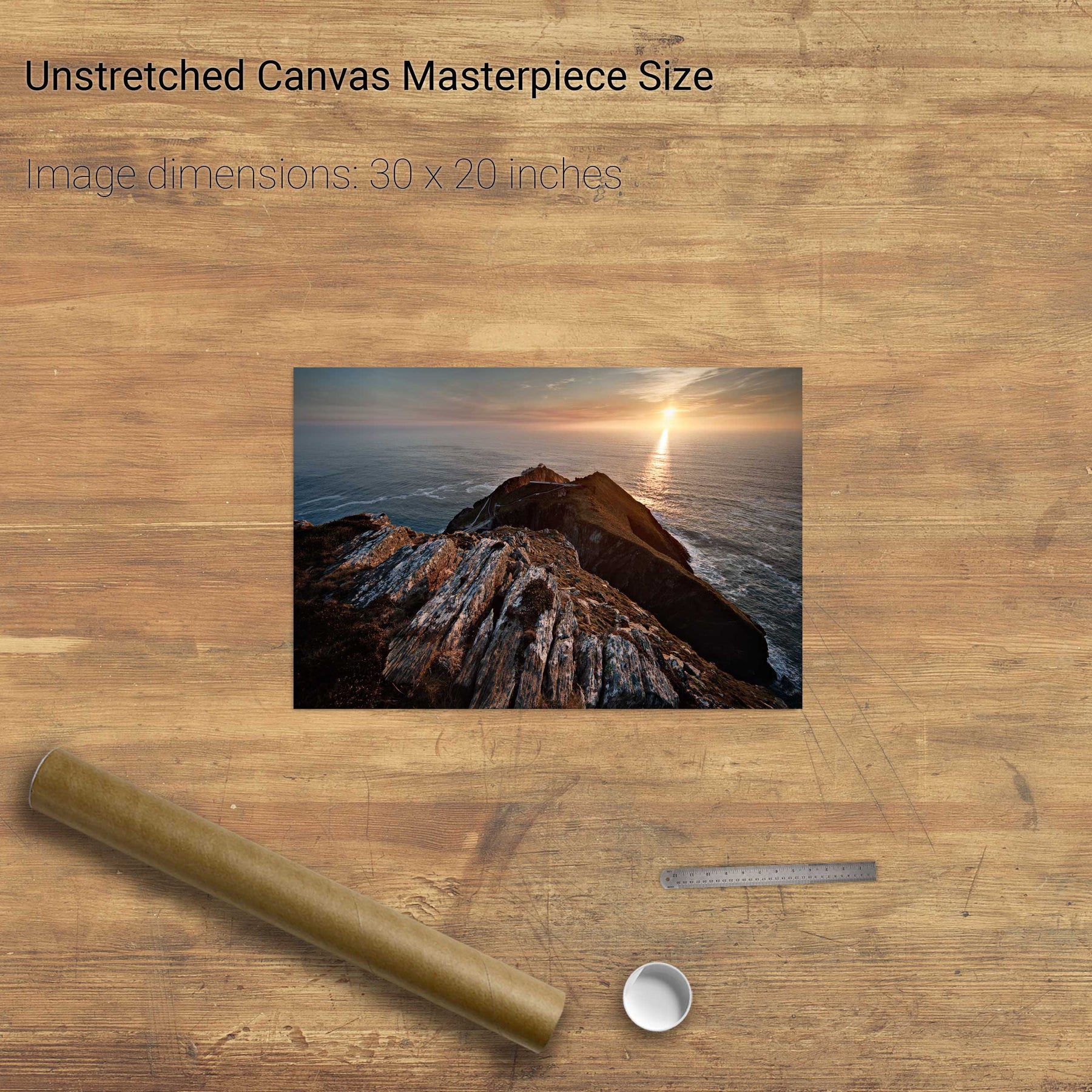
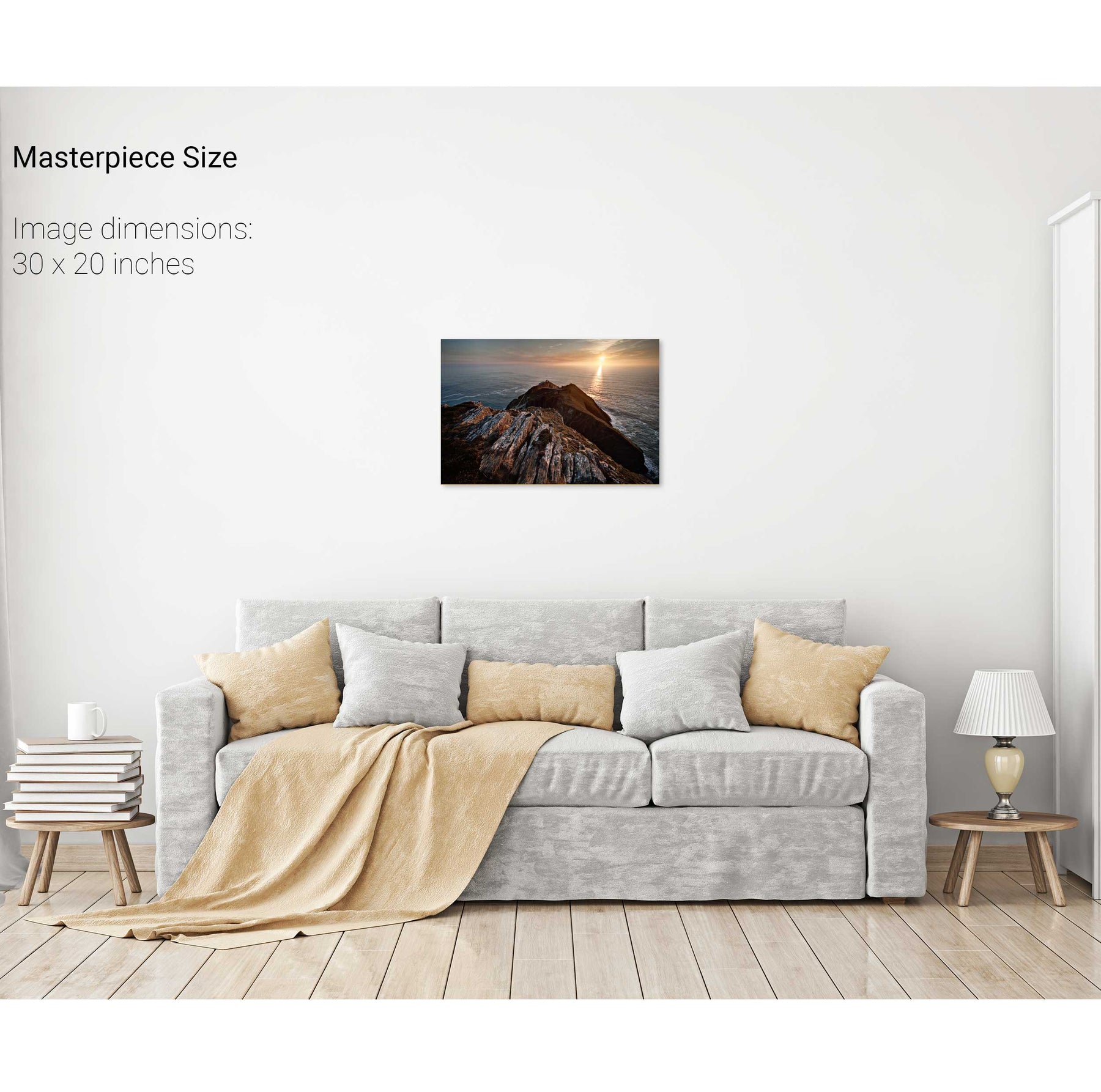
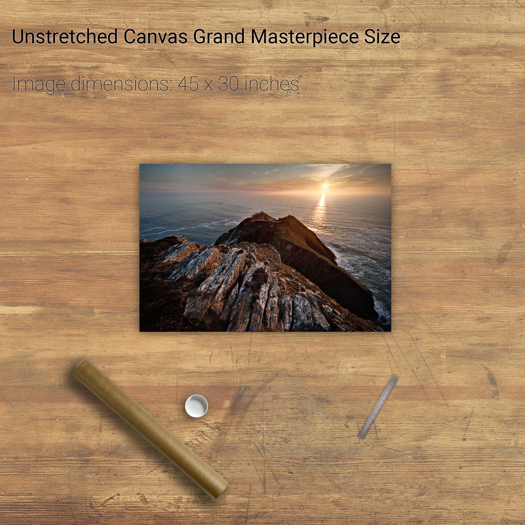
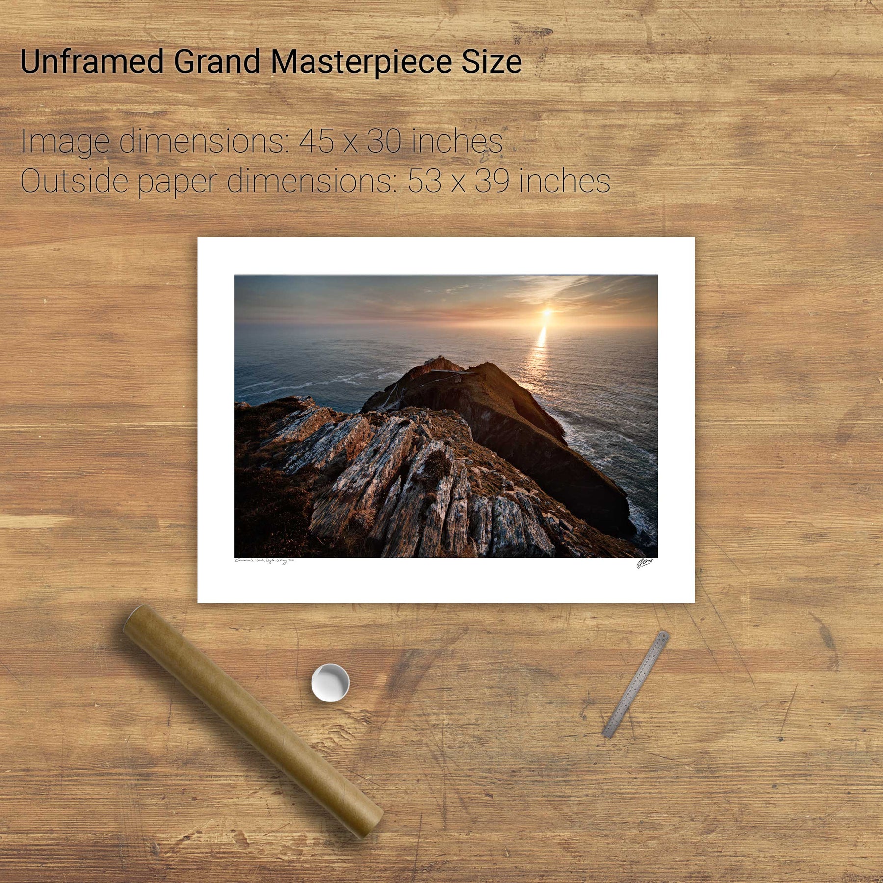
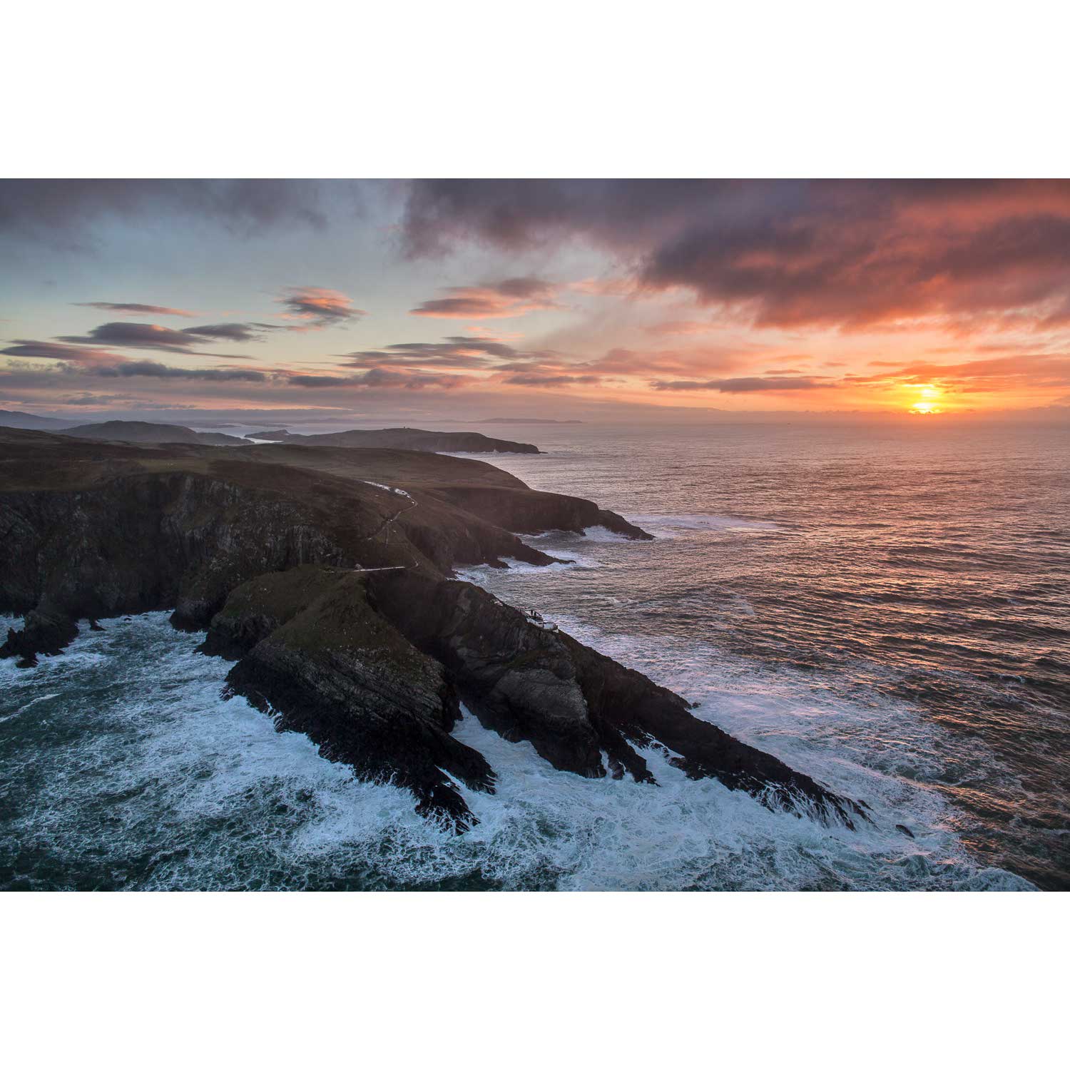
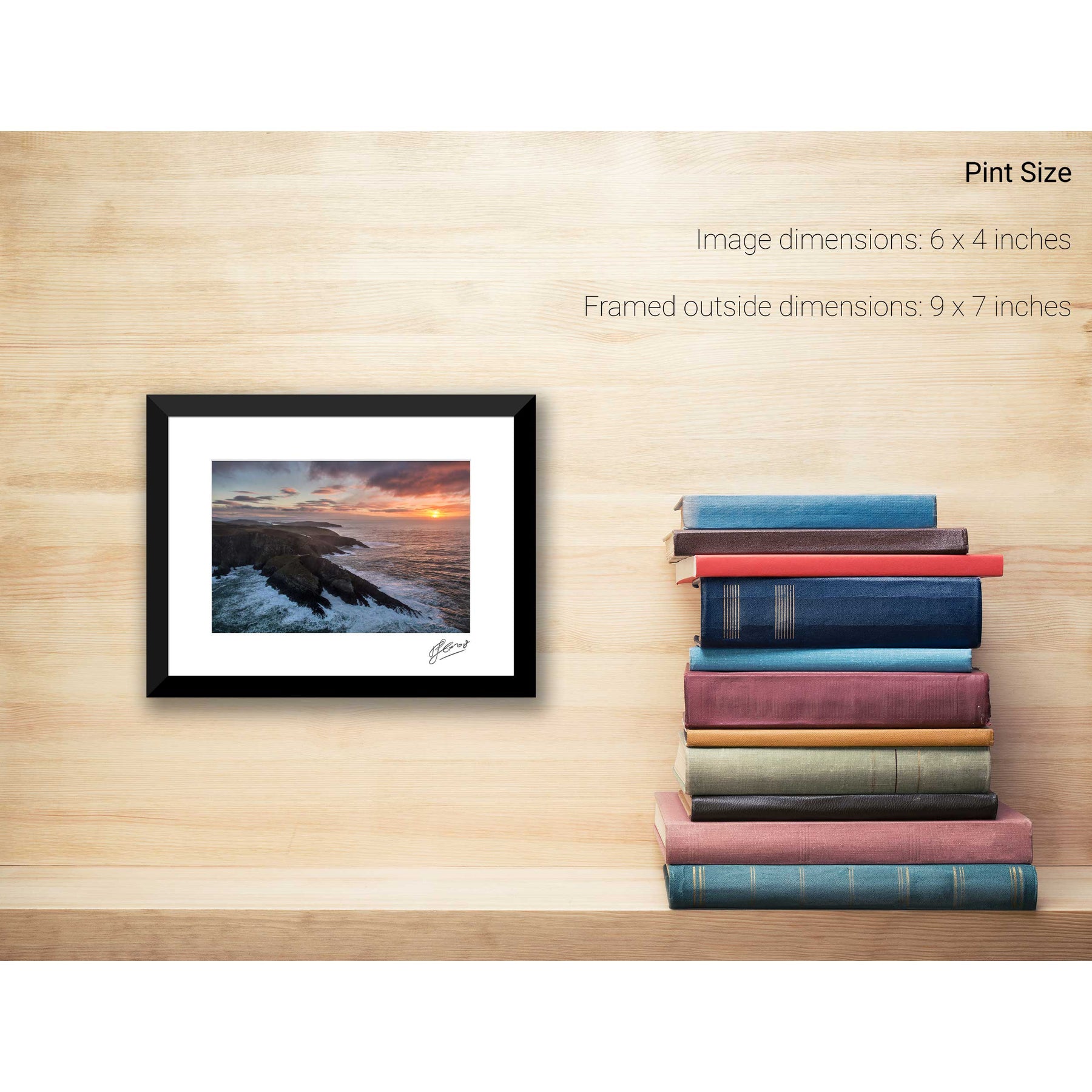
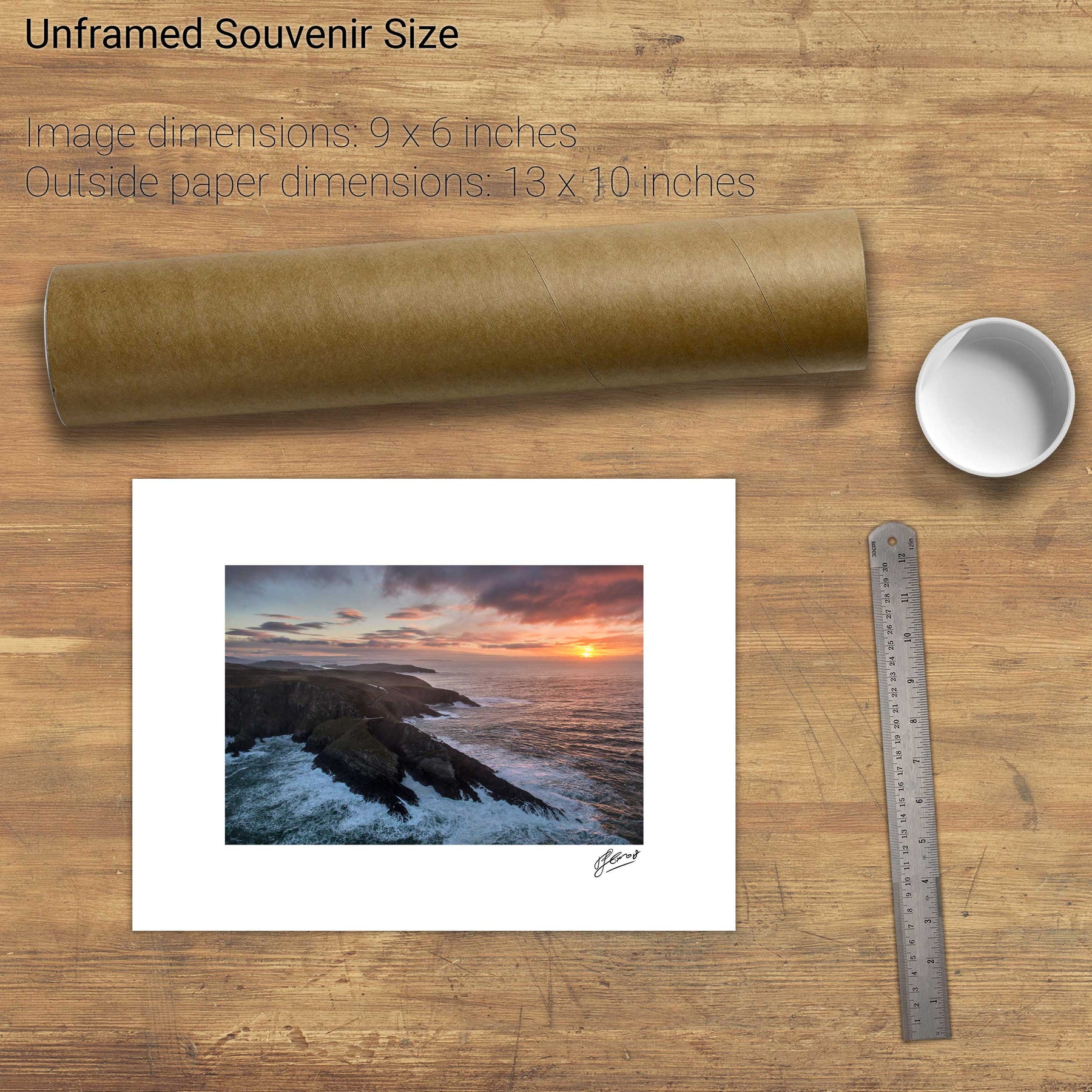
Mizen Head, Co. Cork
St. Finbar's Oratory, Gougane Barra, Co. Cork
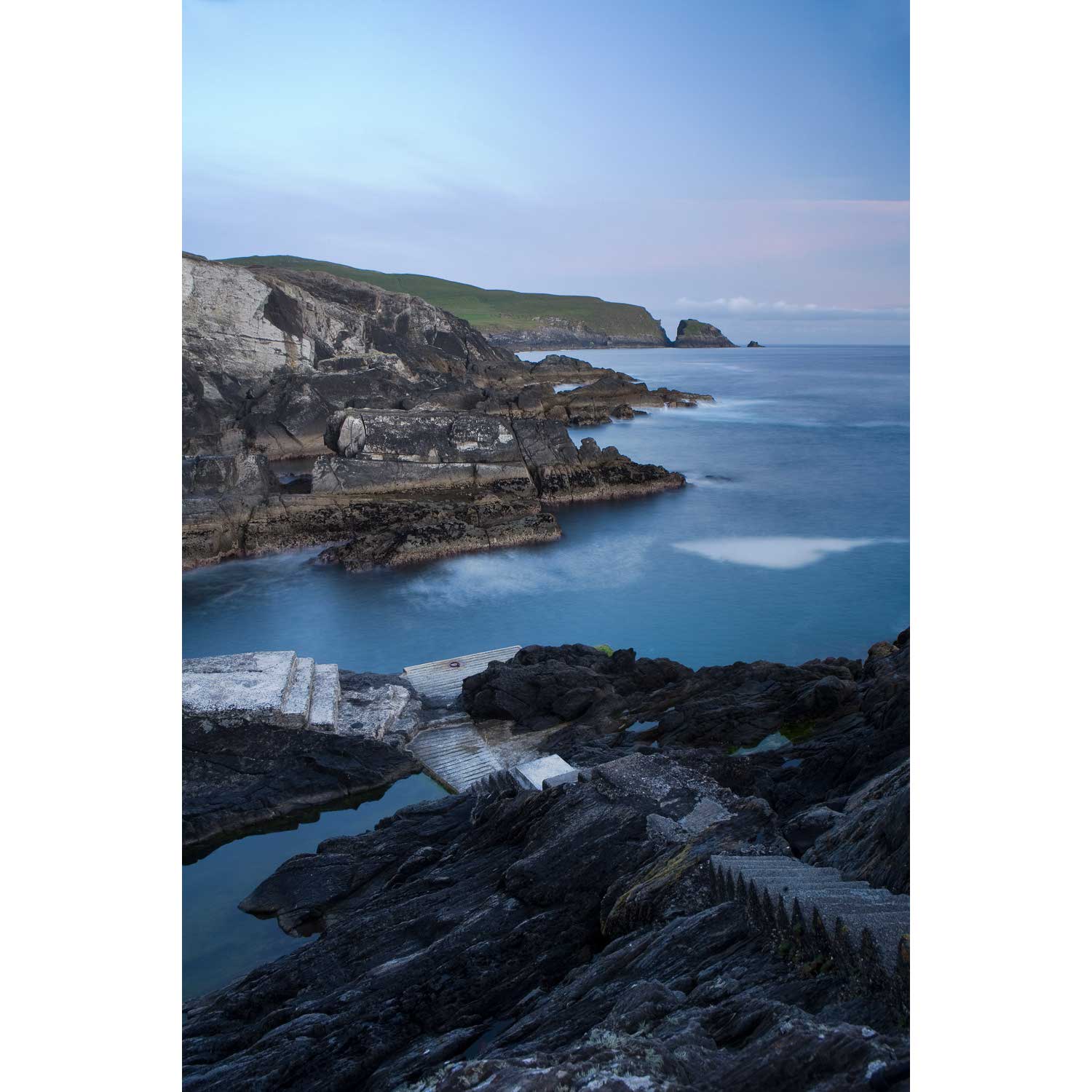
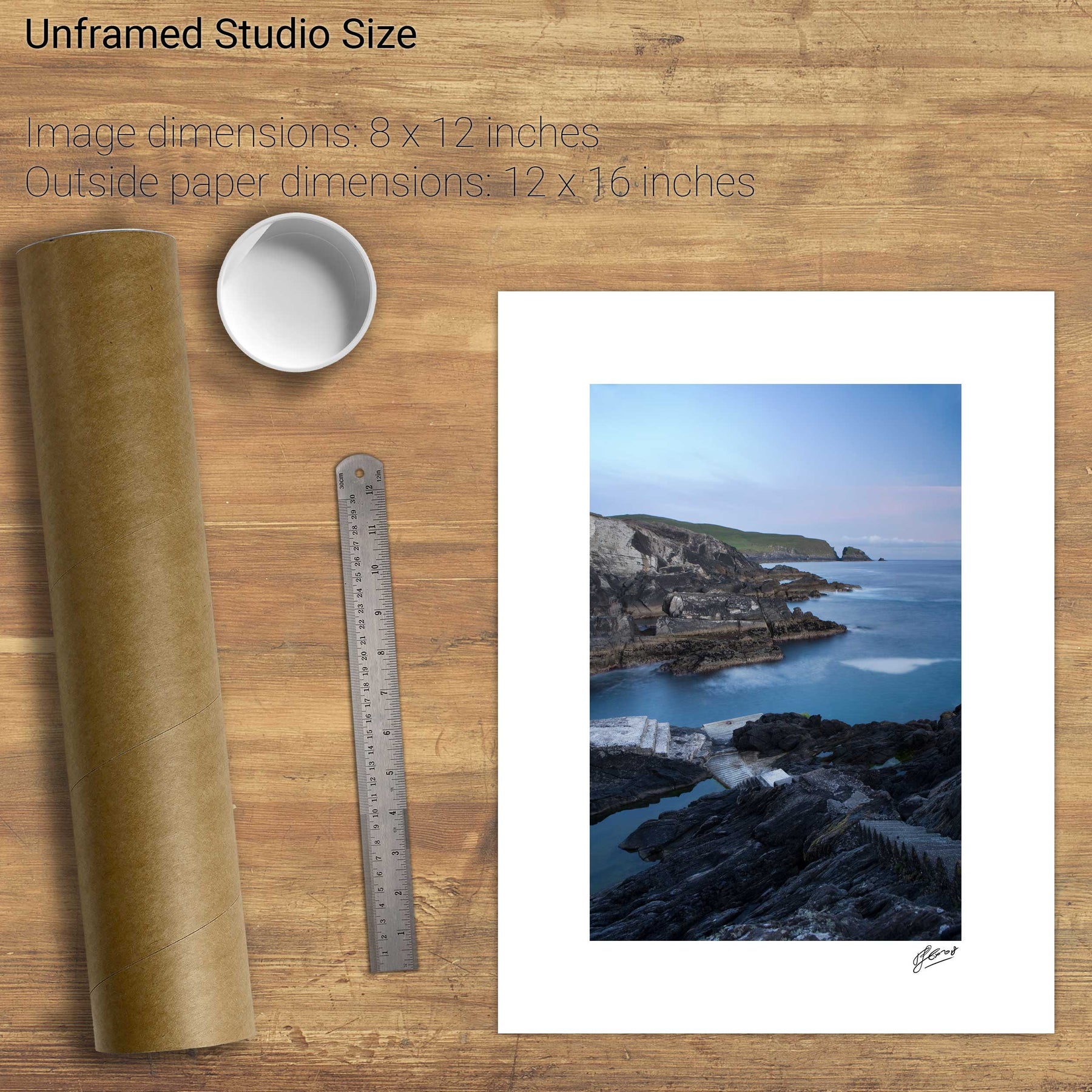
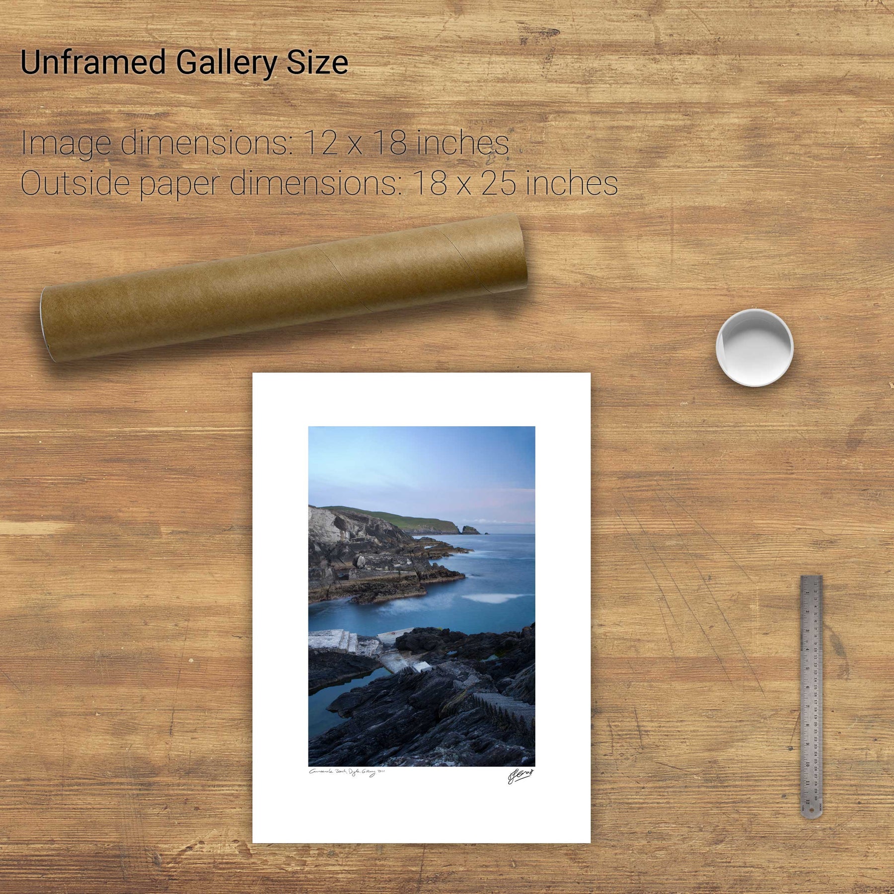
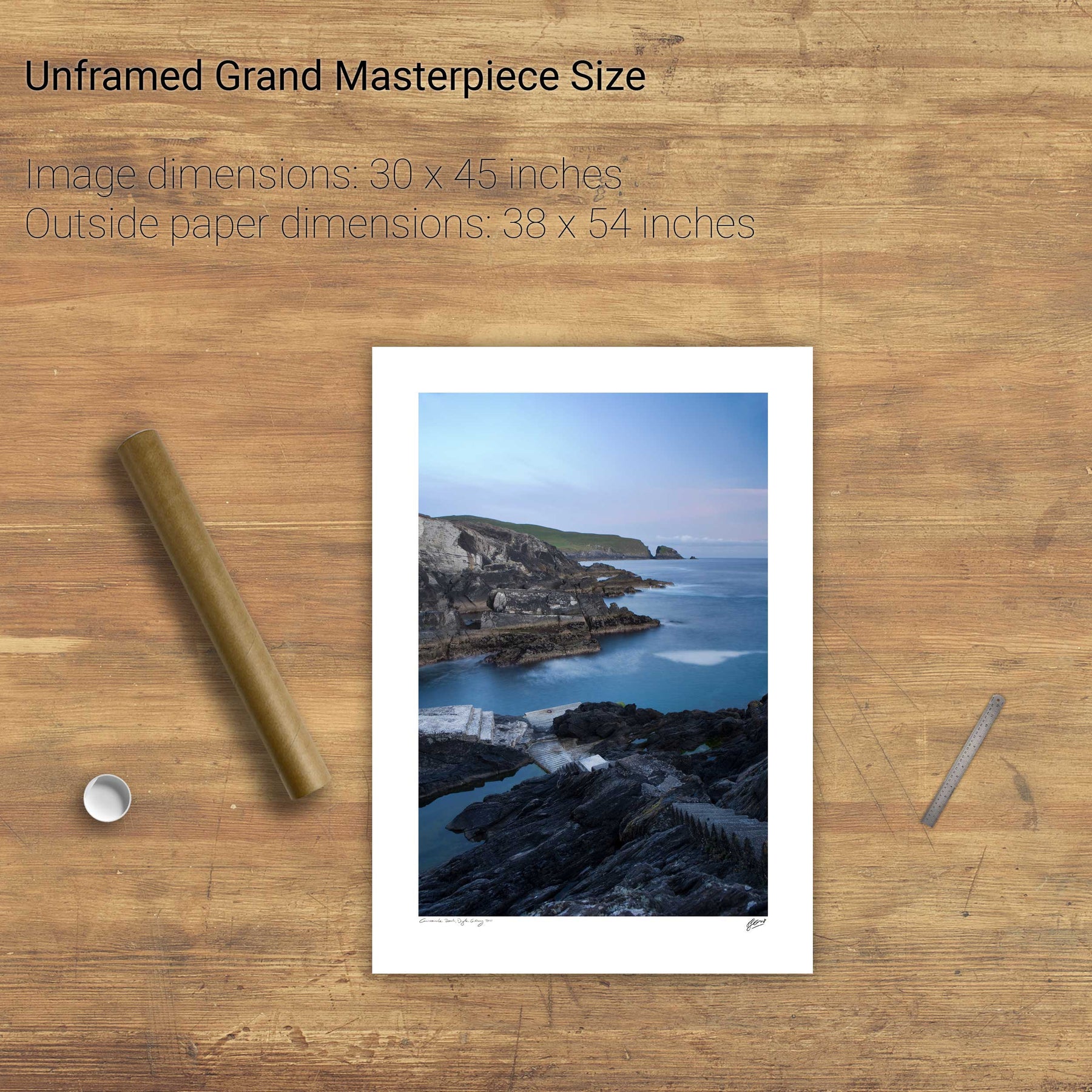
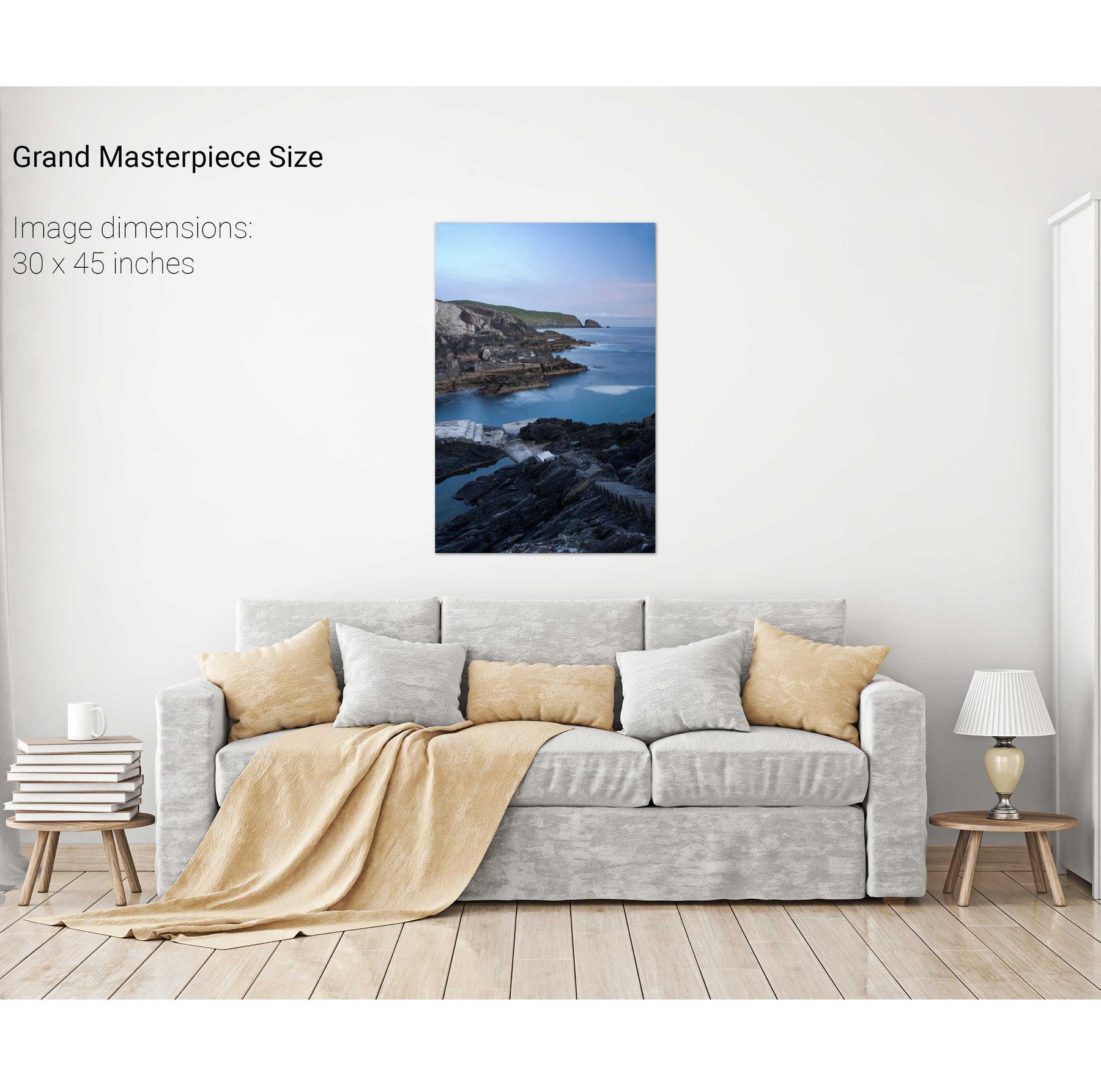
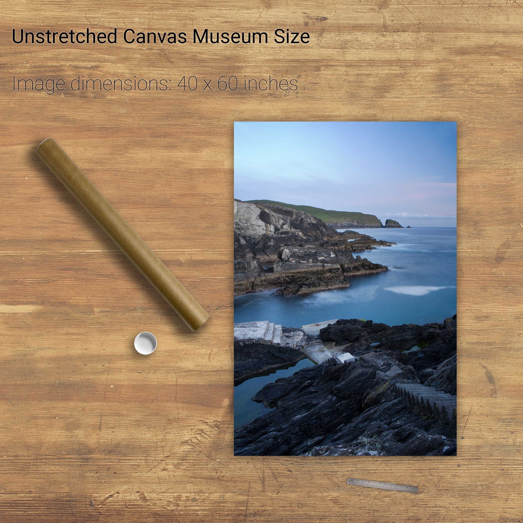
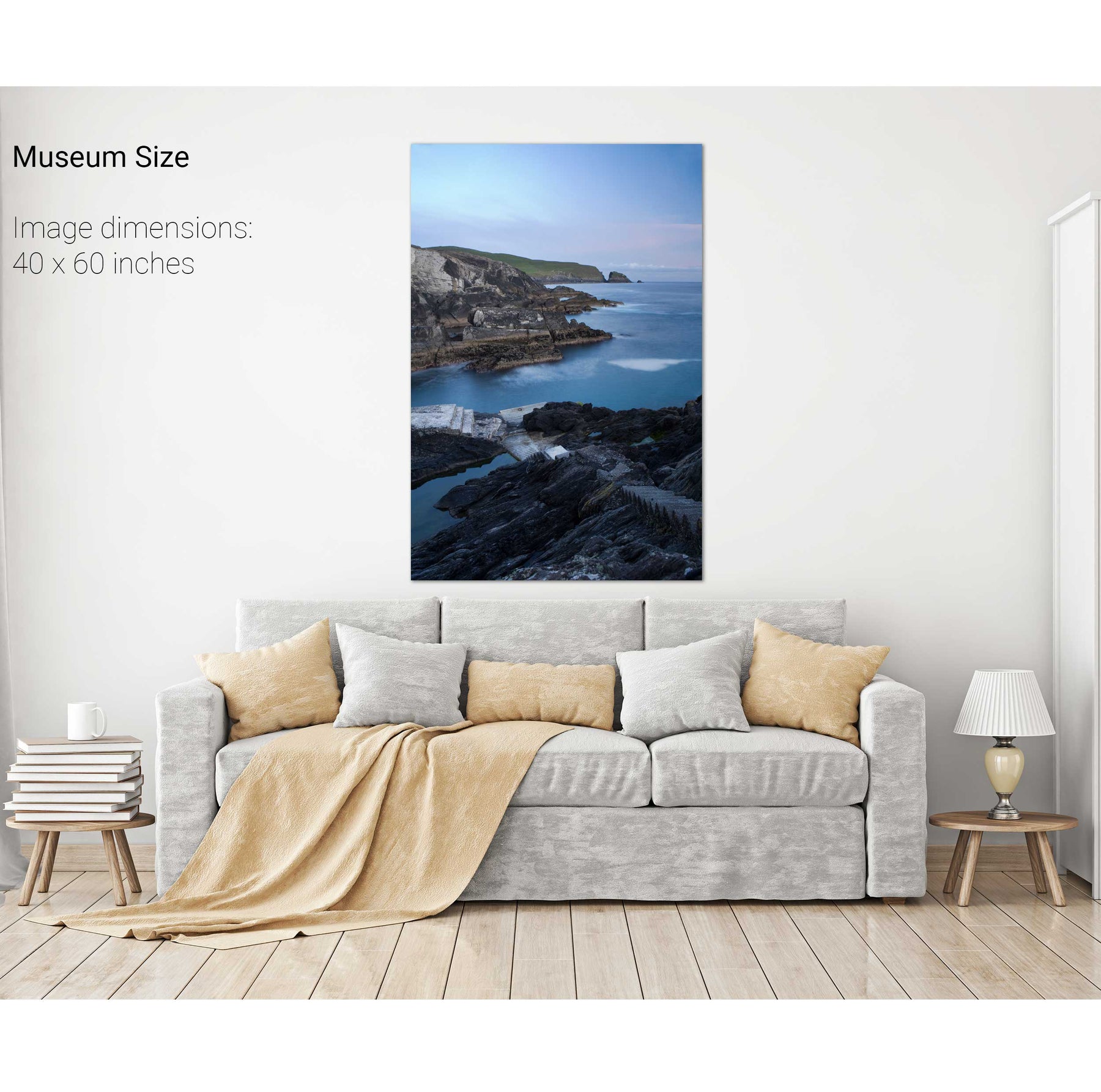
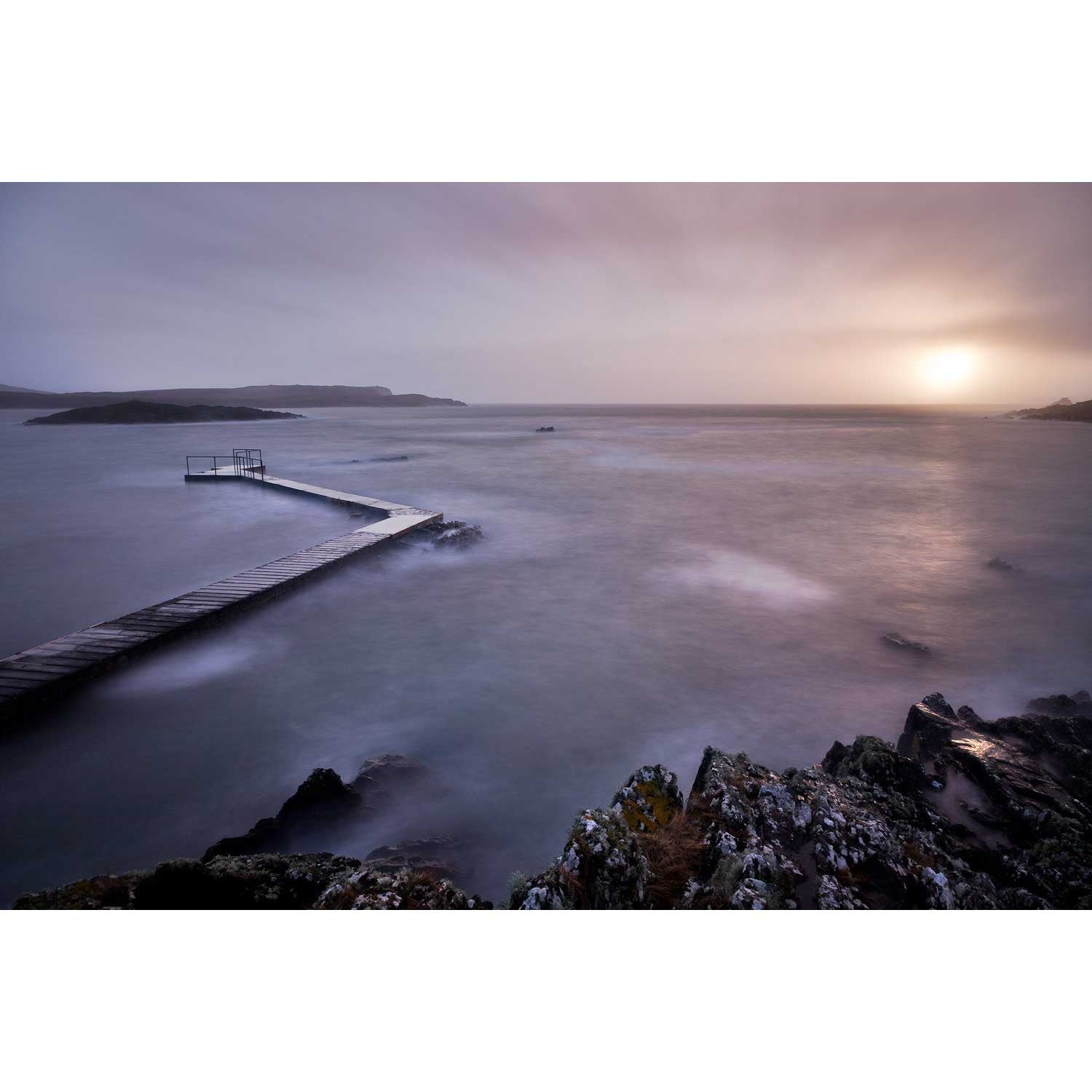
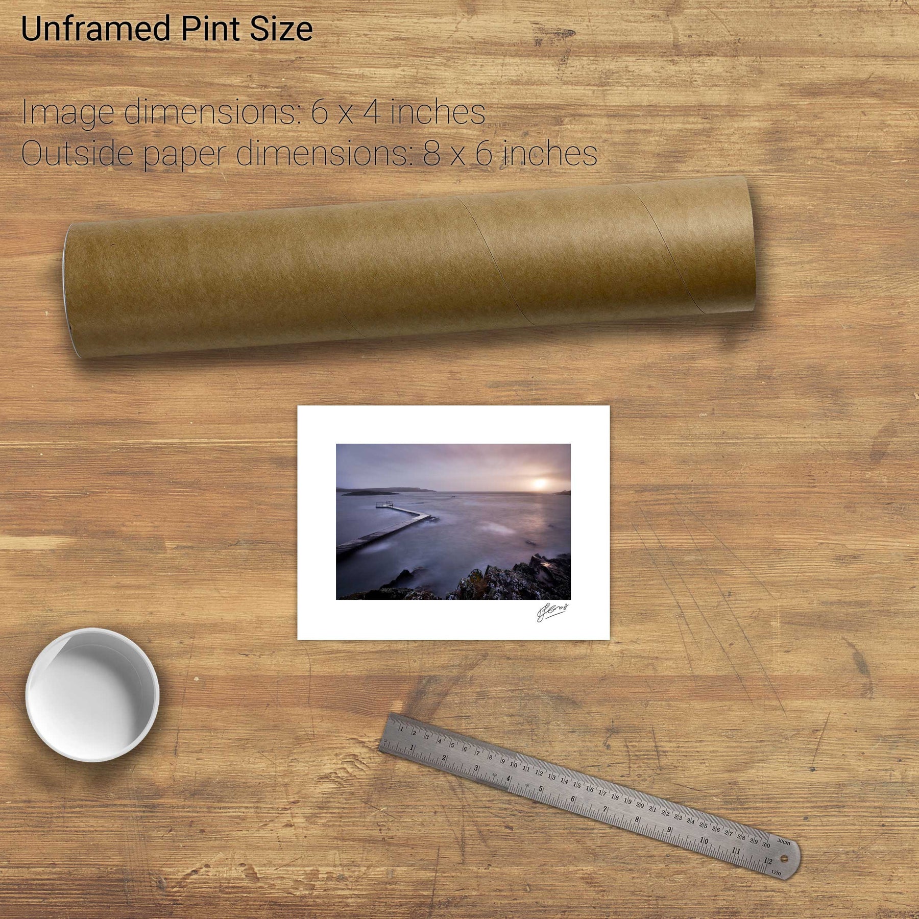
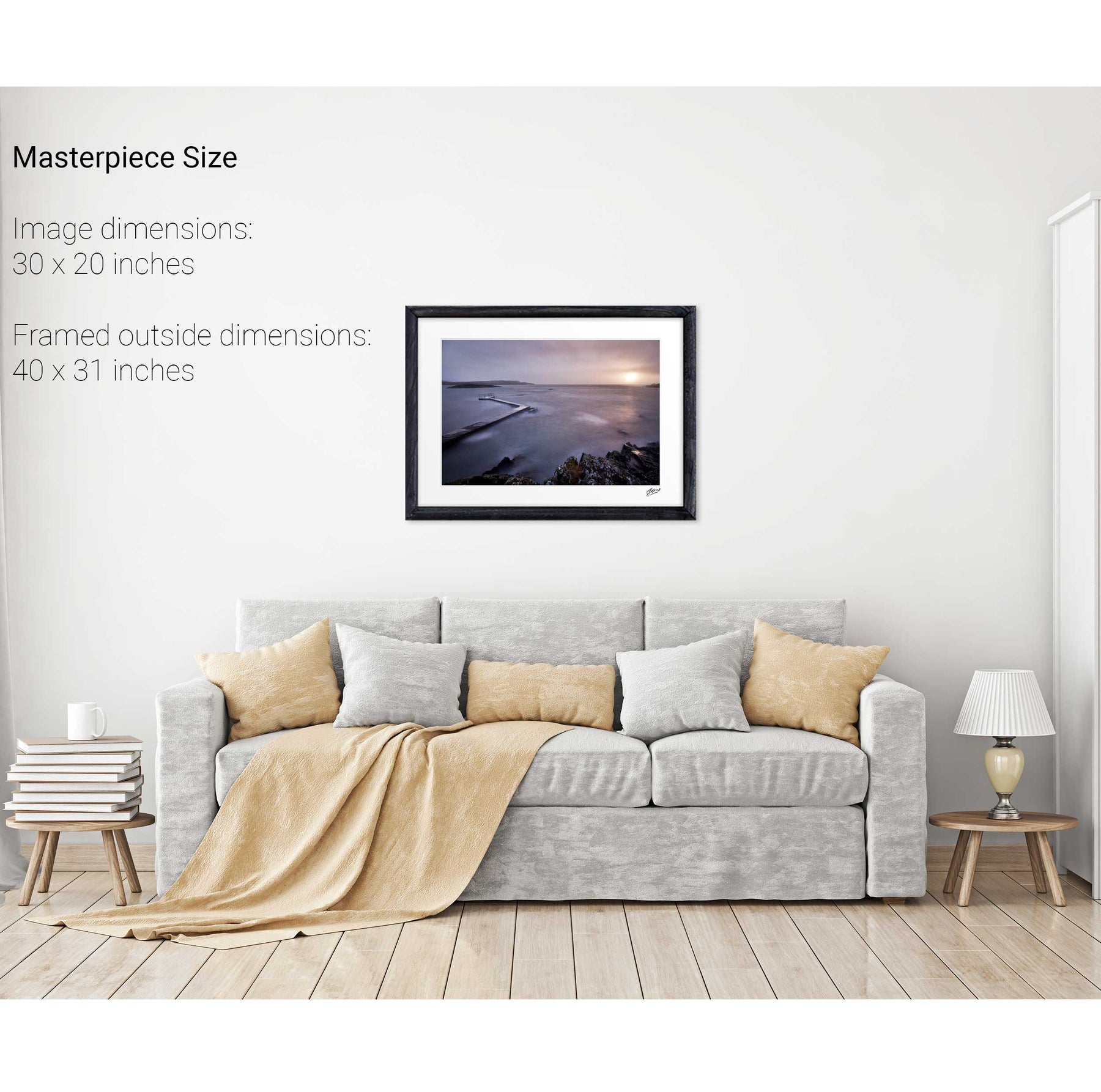
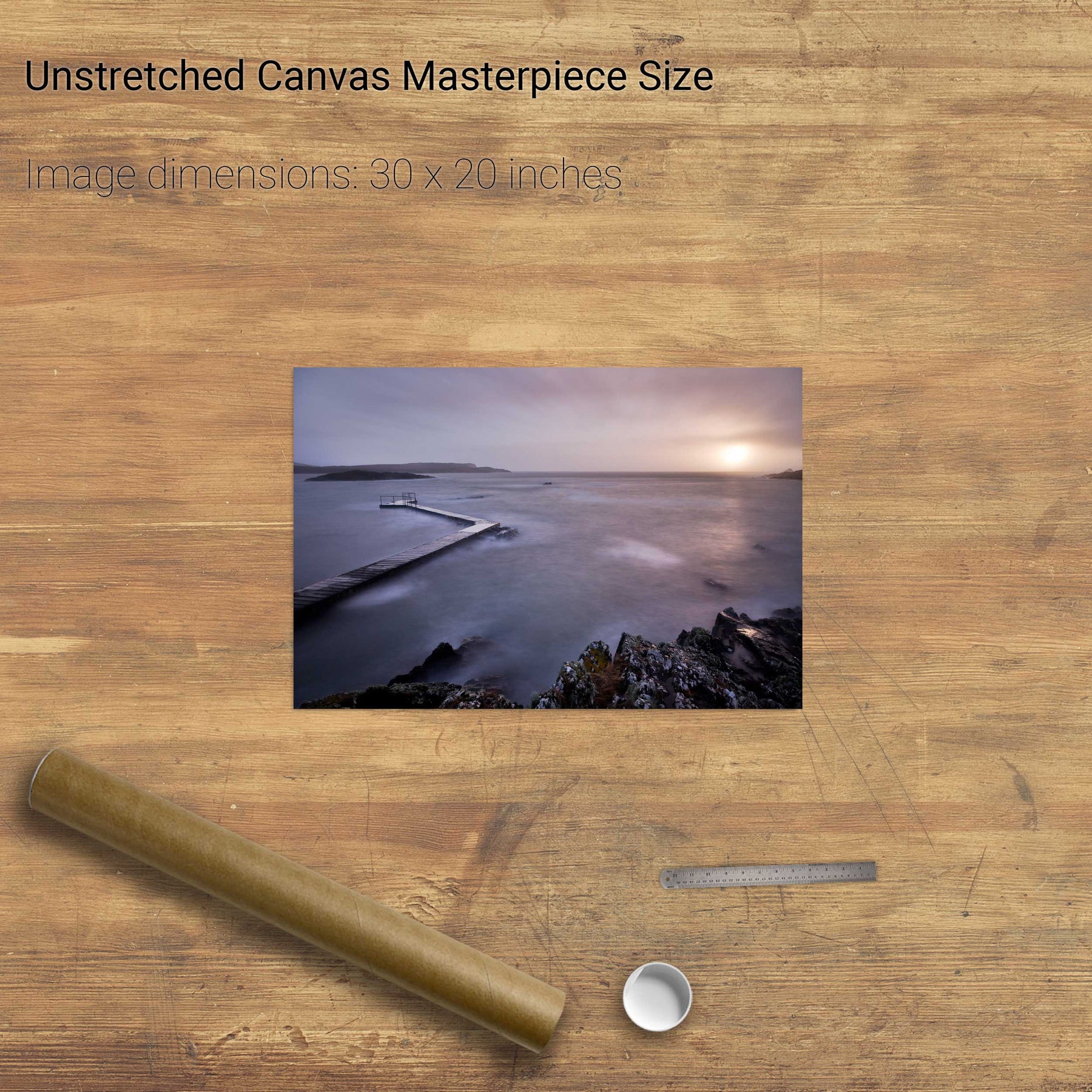
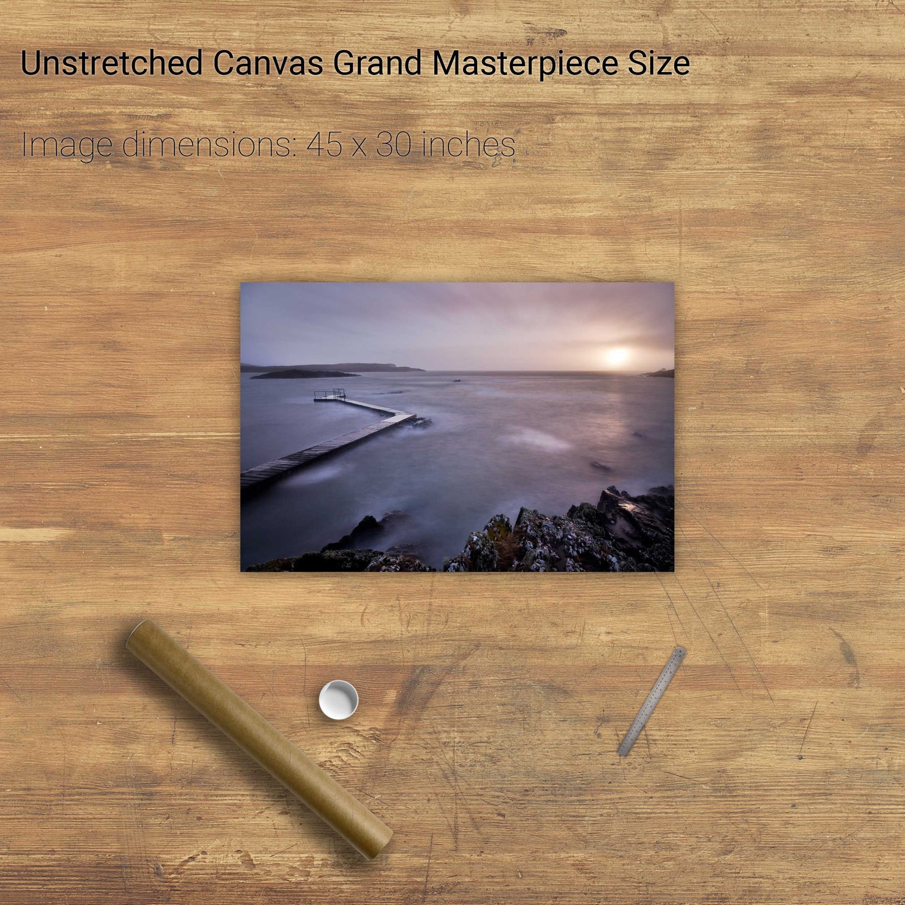
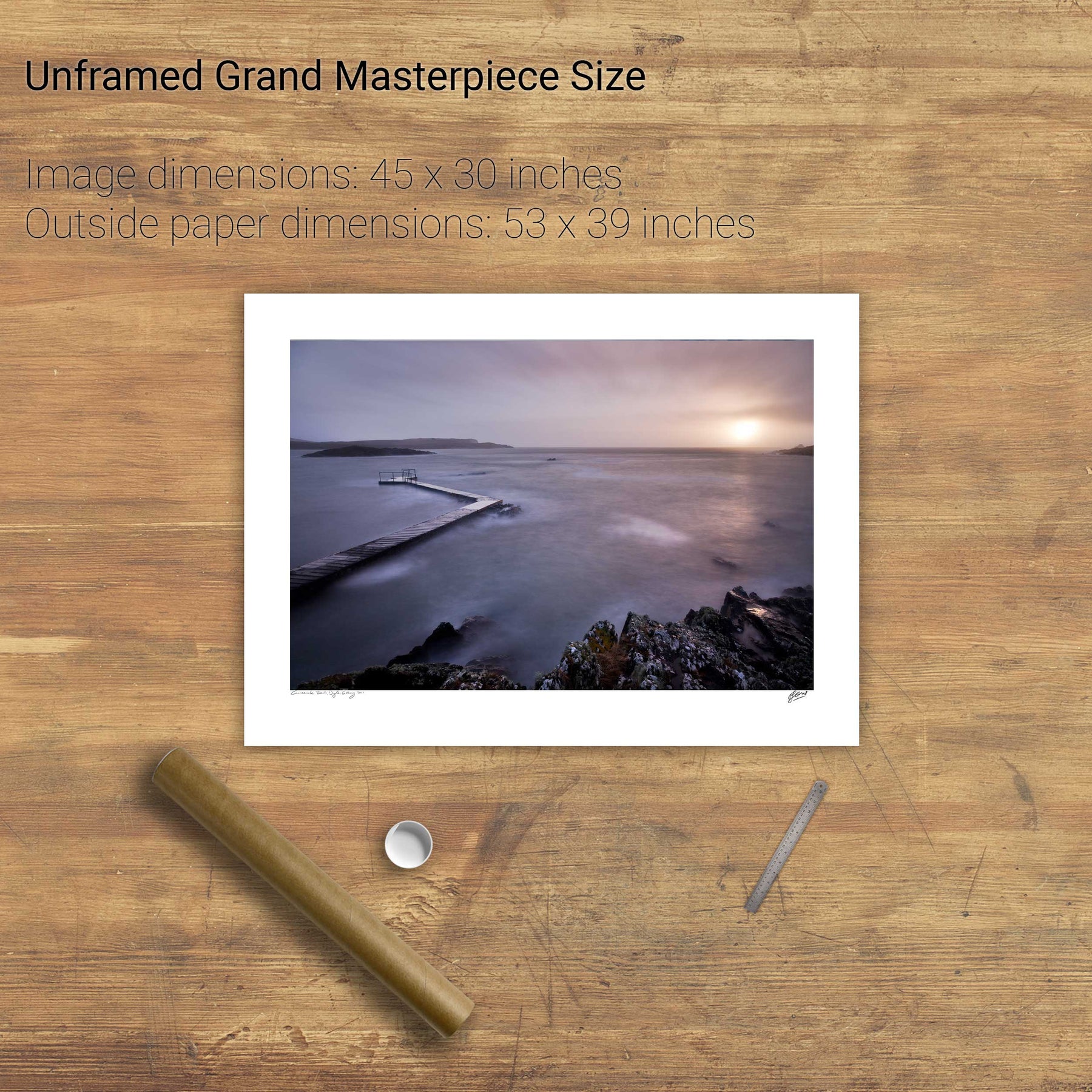
Lehanbeg Pier, Co. Cork
A Morning at the Office, Gougane Barra, Co. Cork
Illauncreeveen, Glengarriff, Co. Cork
Mizen Head, Co. Cork
Ardnakinna, Bere Island, Co. Cork
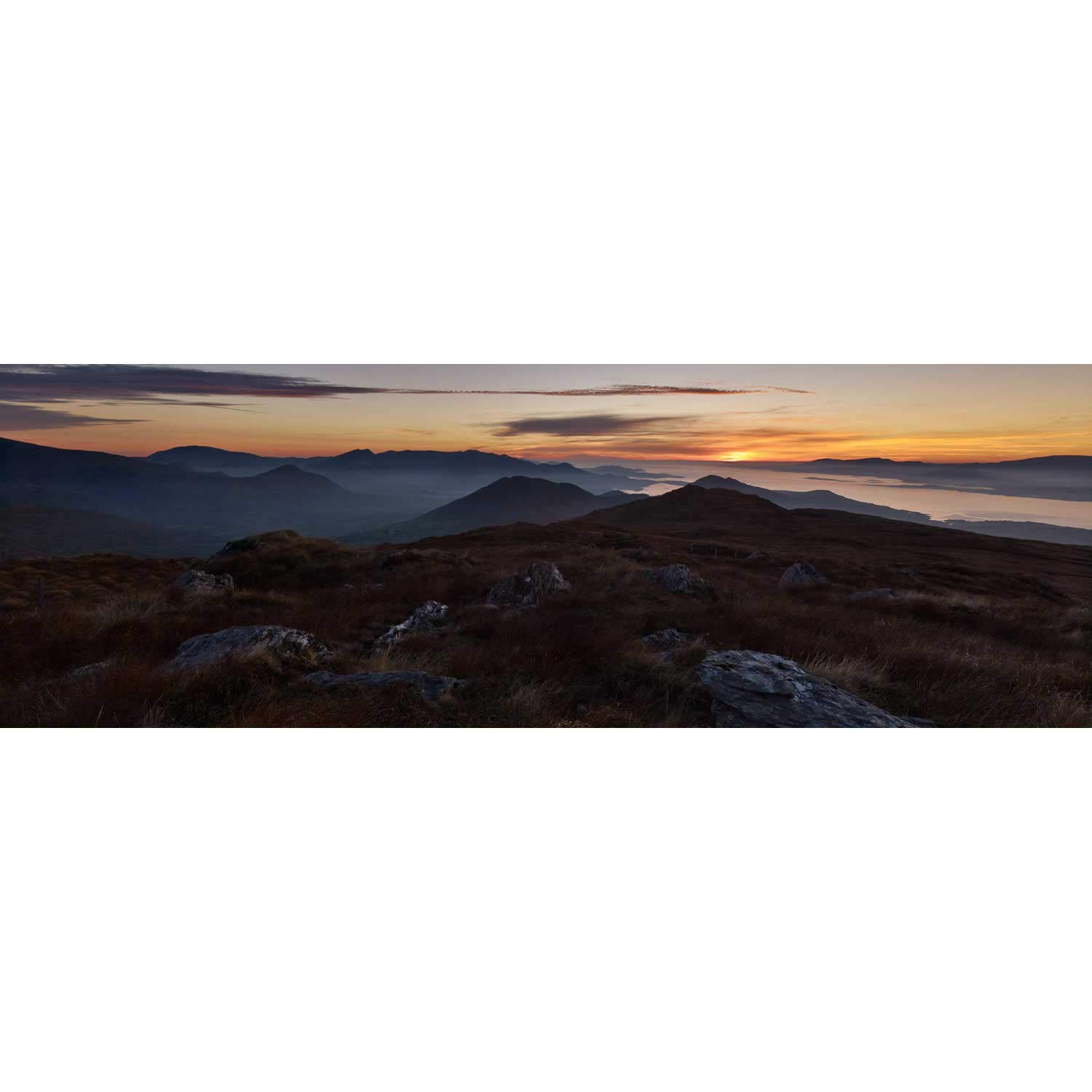
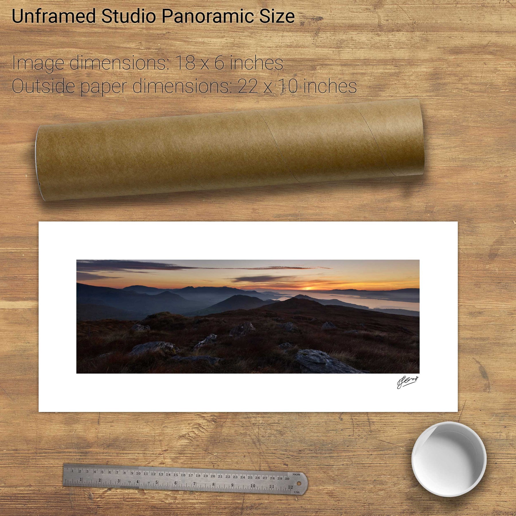
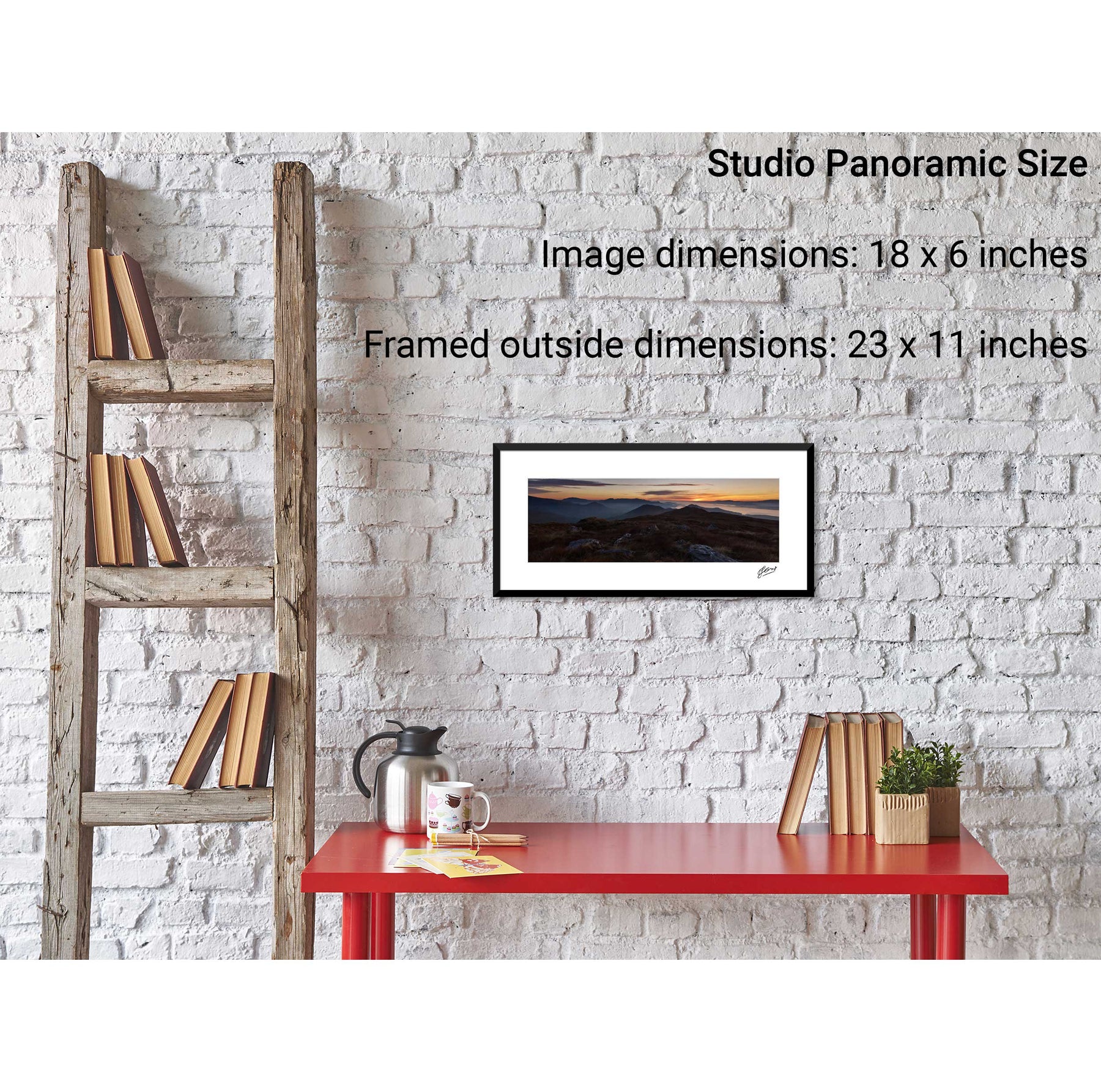
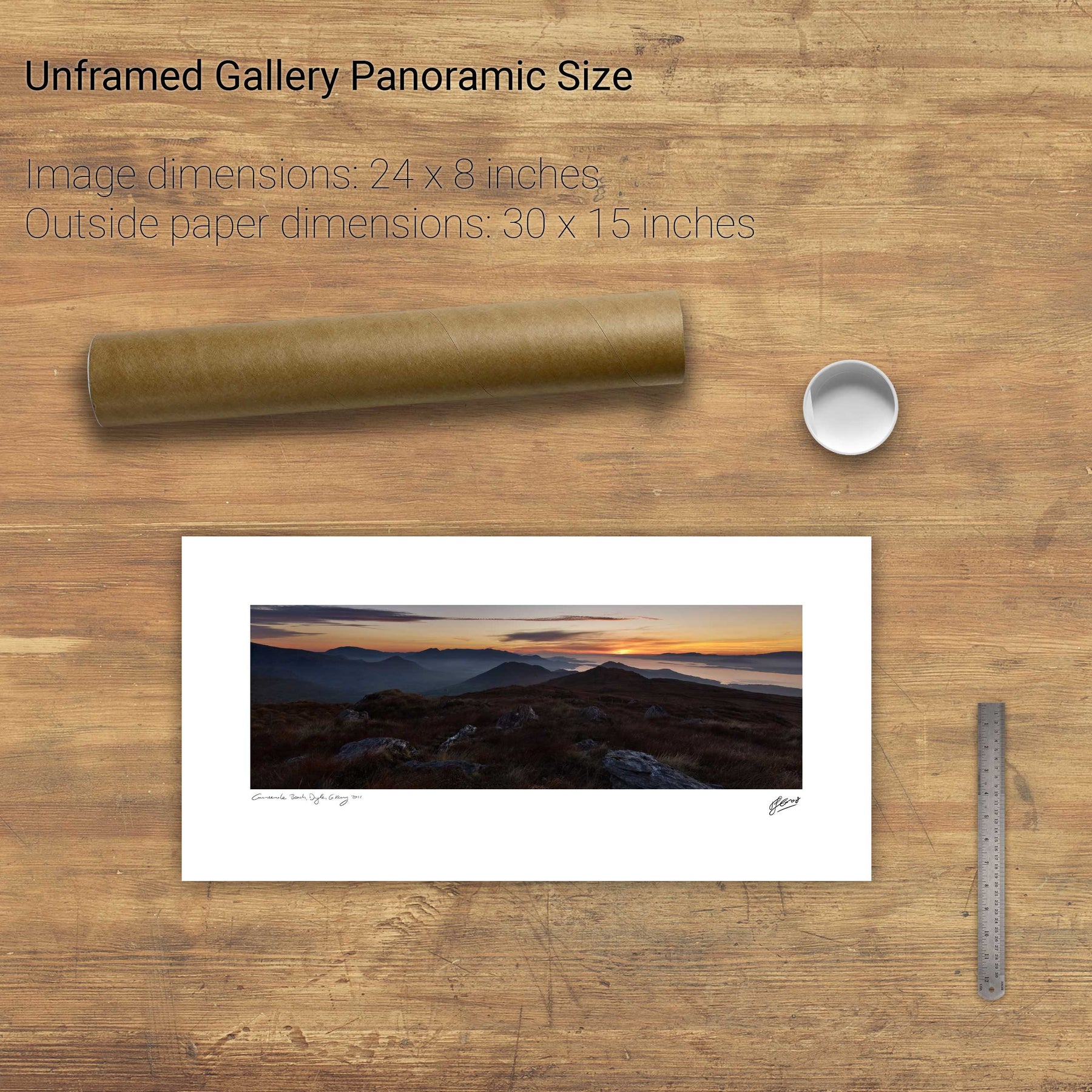
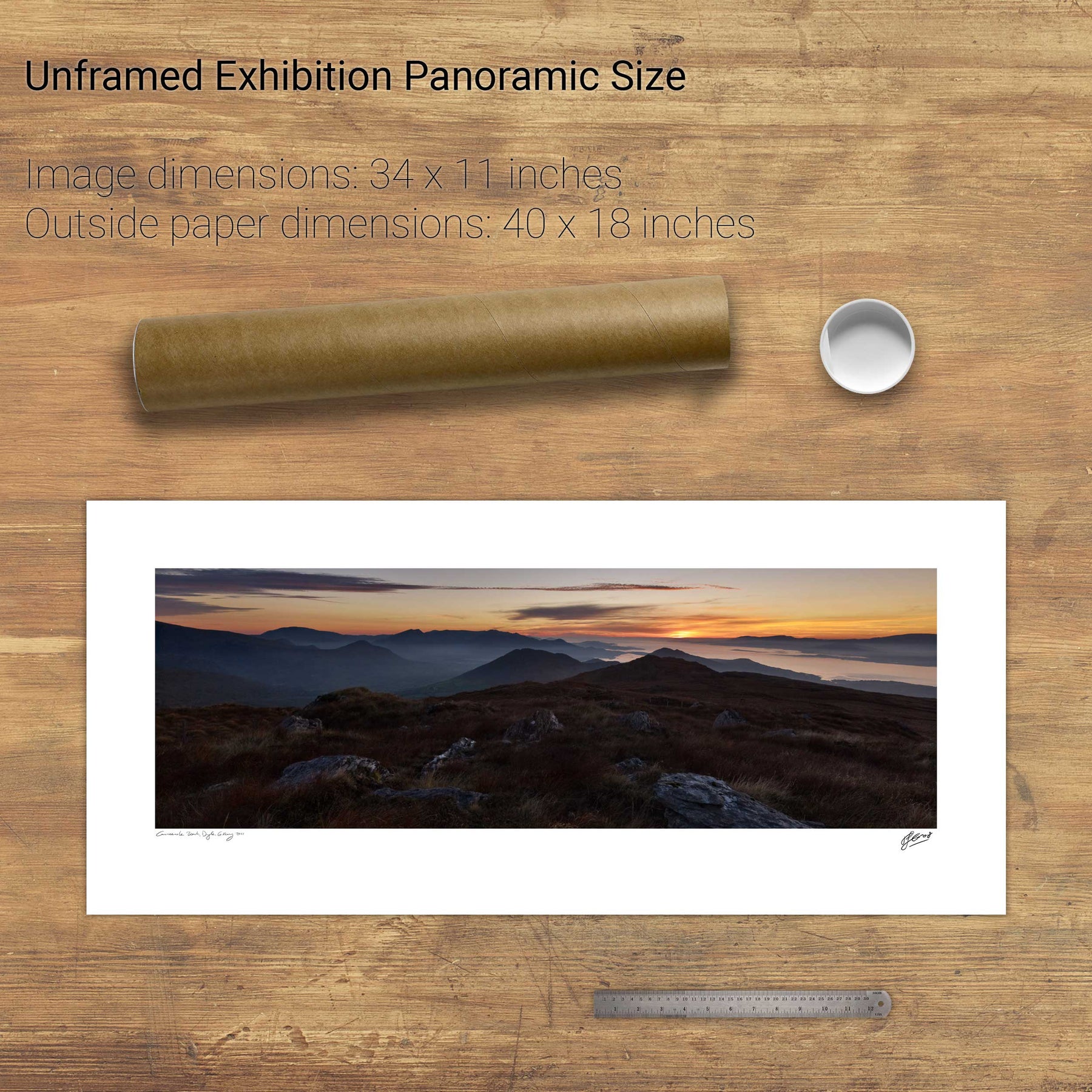
Sunset, Knockreagh, Co. Kerry
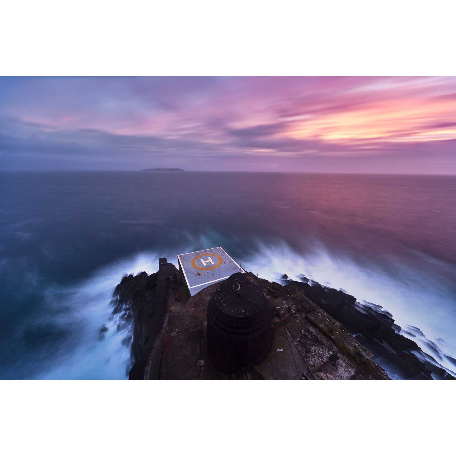
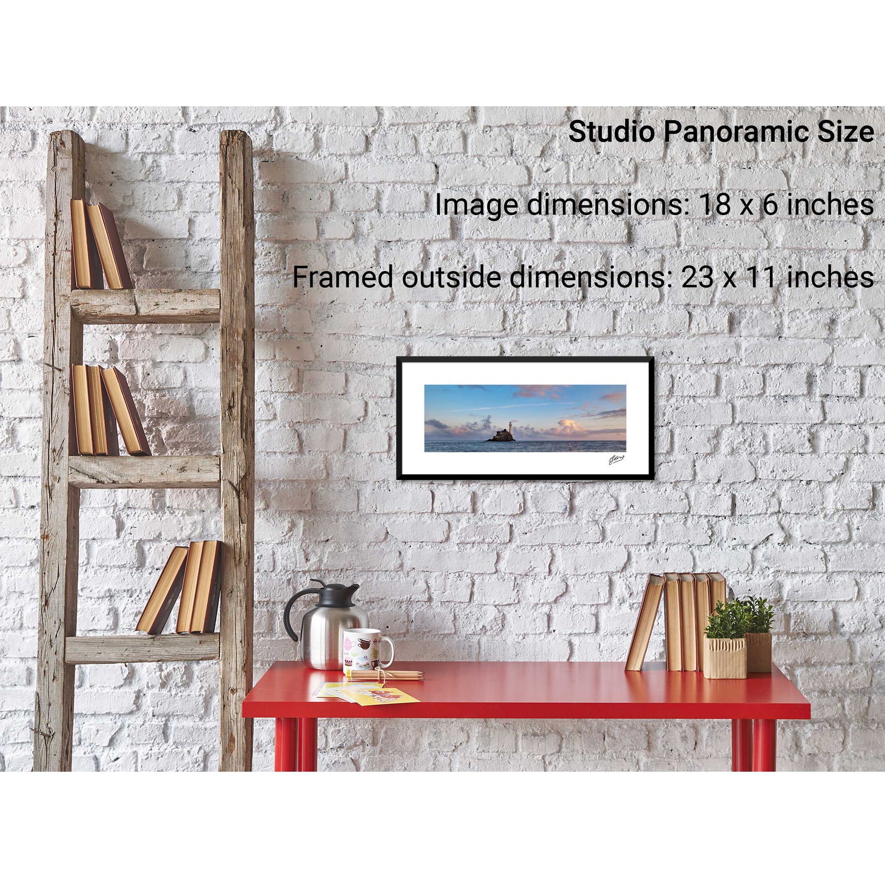
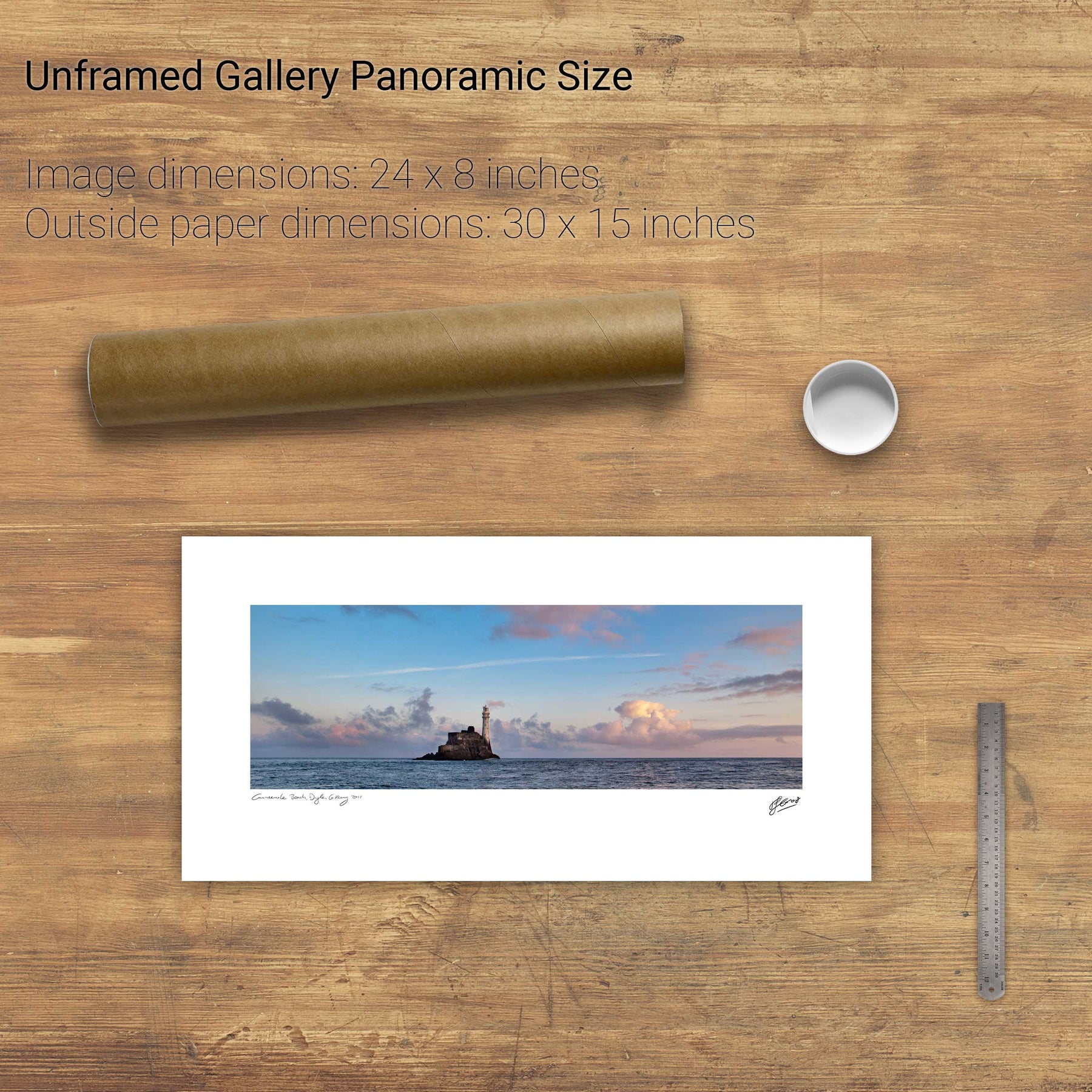
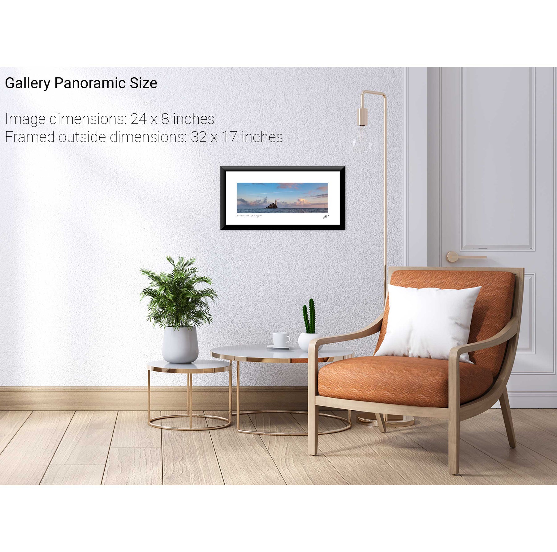
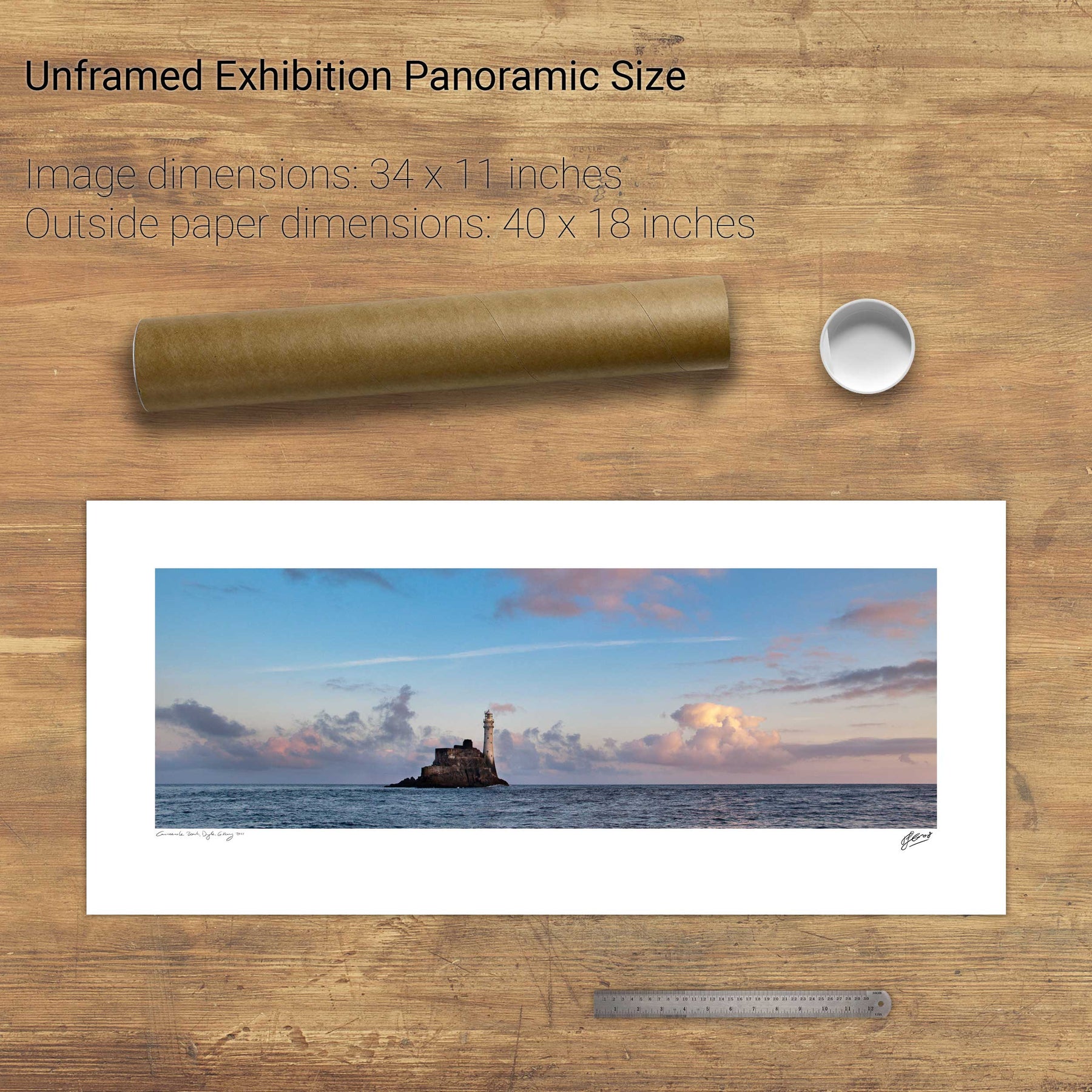
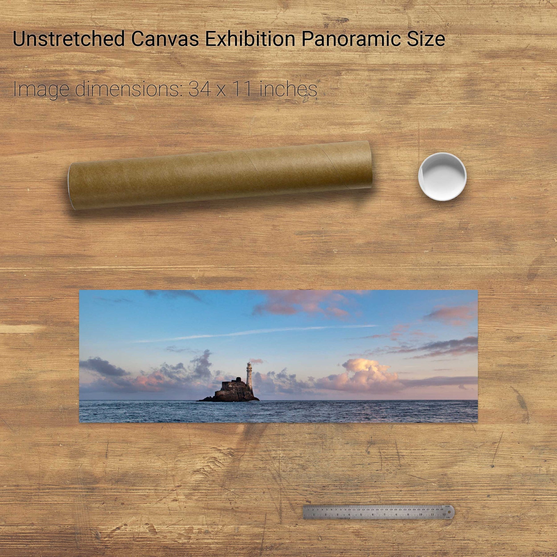
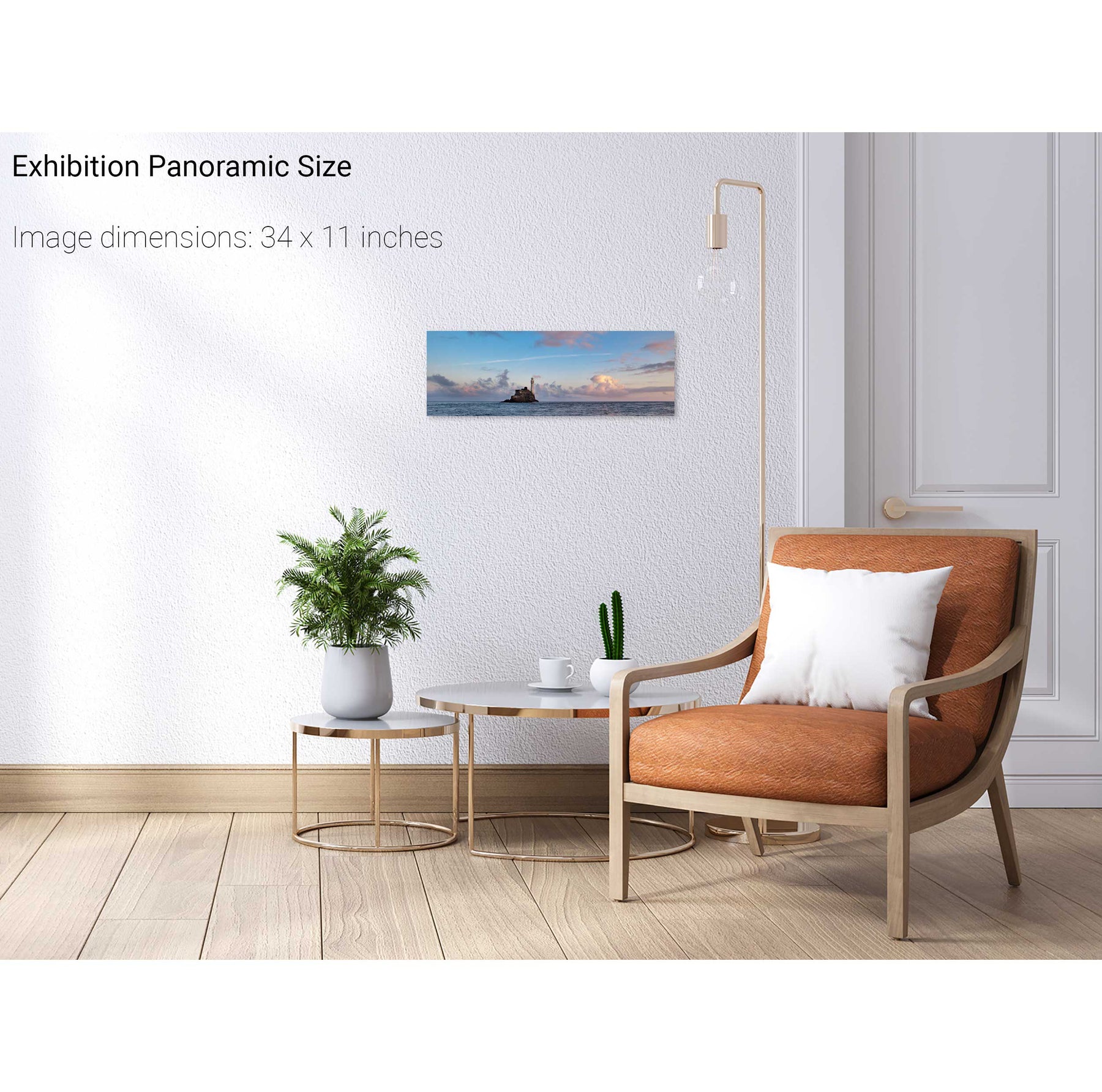
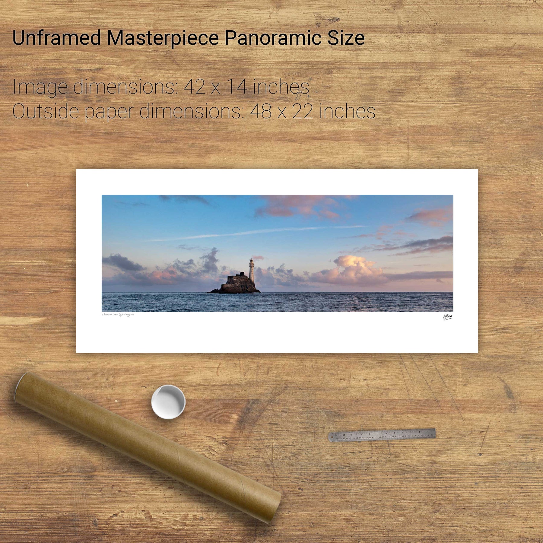
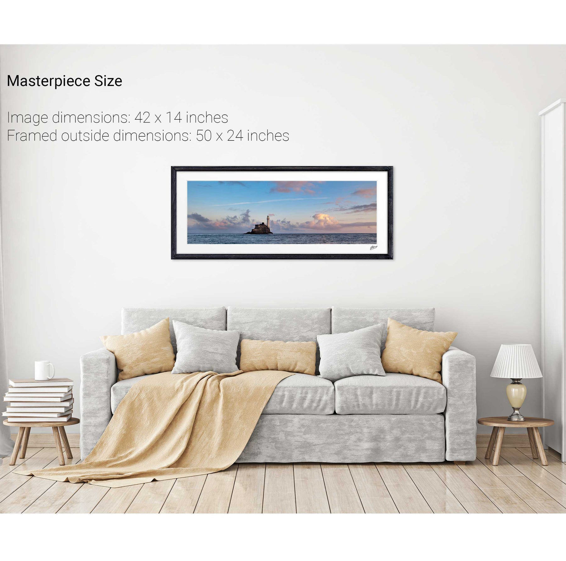
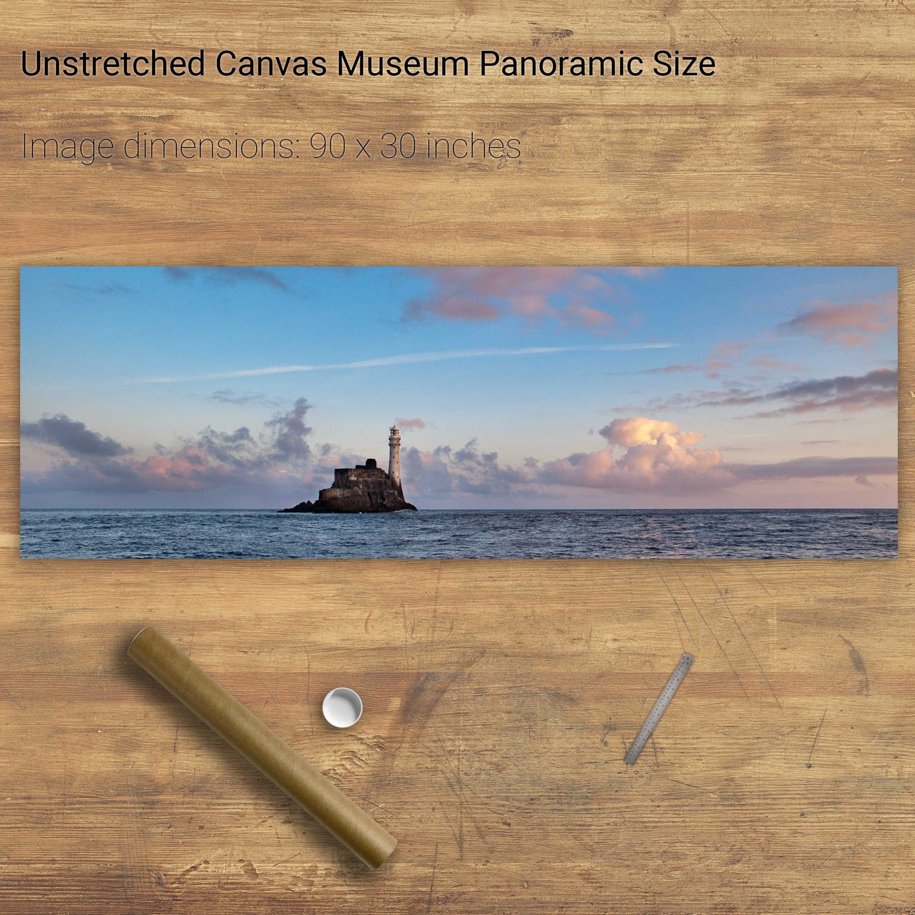
Fastnet Lighthouse Panorama, Co. Cork
Gougane Barra, Co. Cork