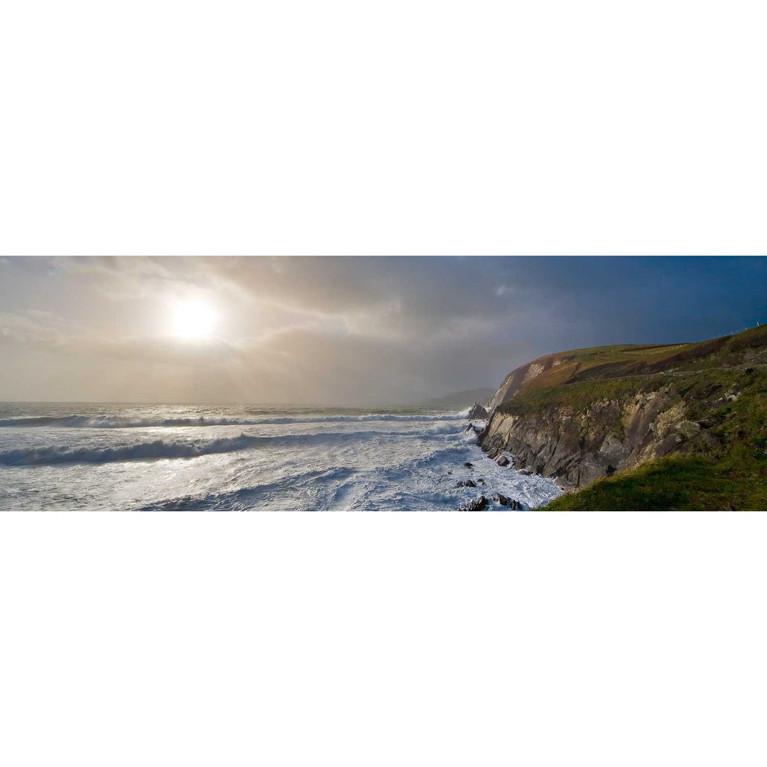
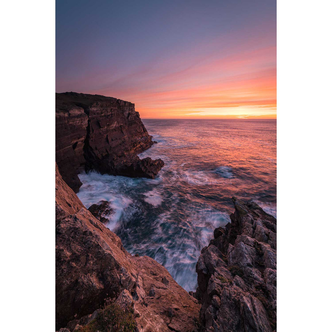
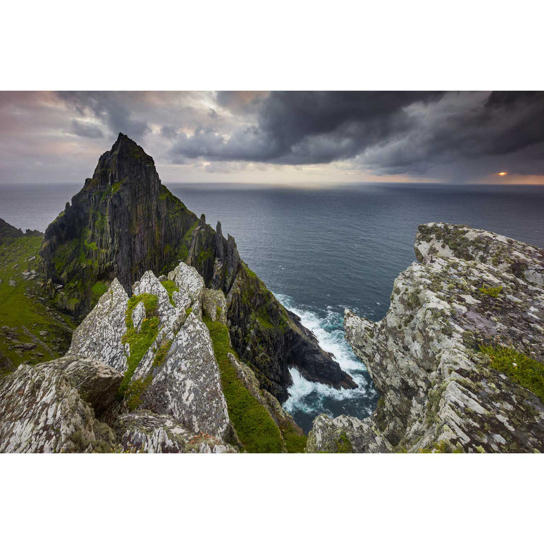
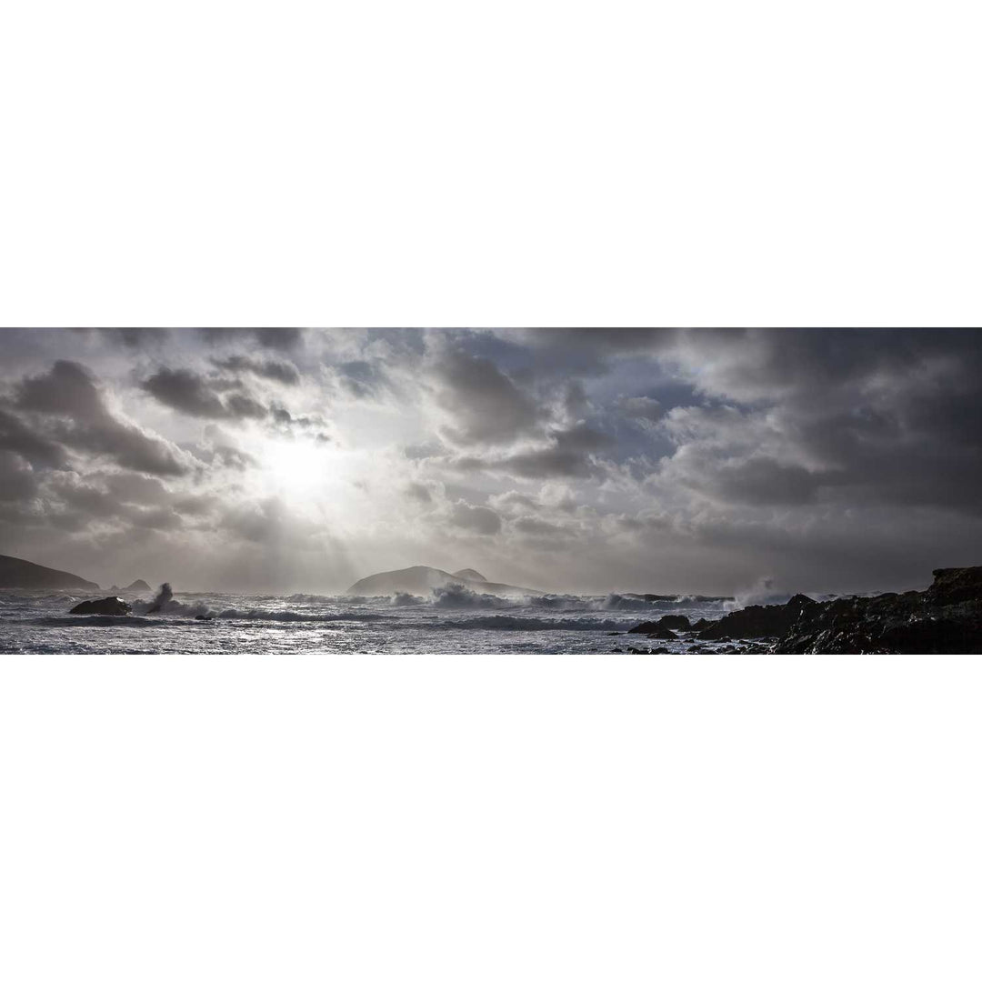
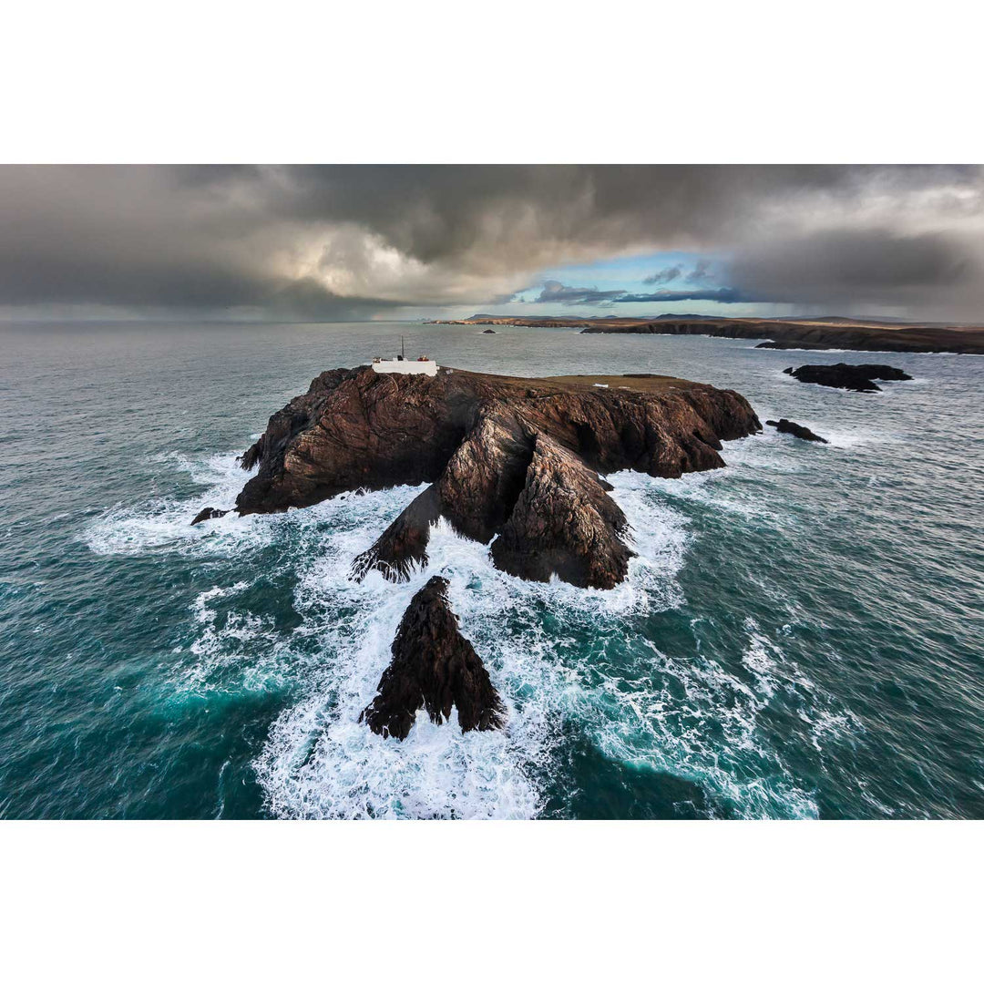
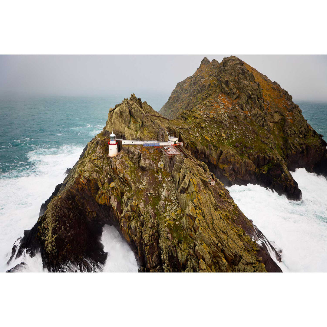
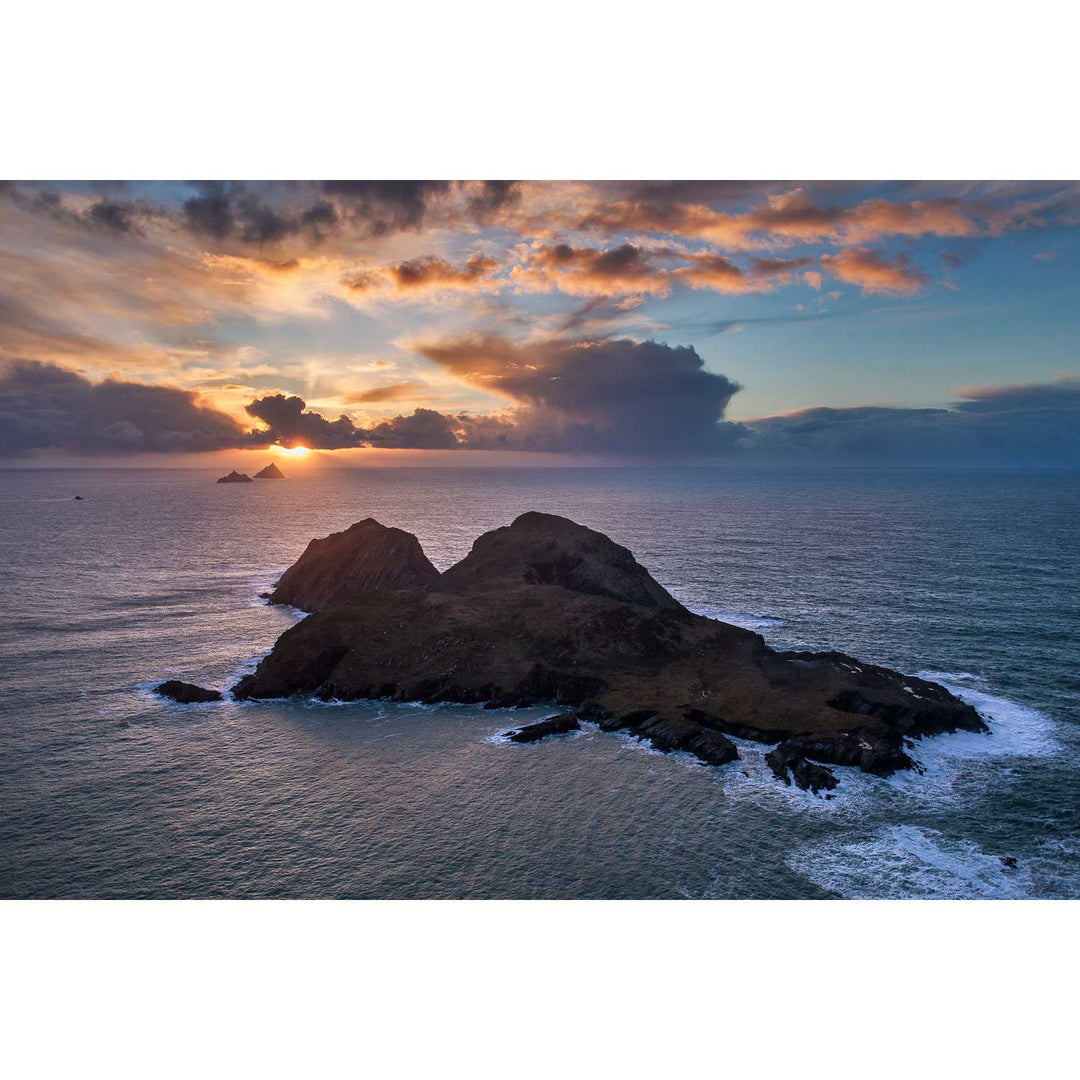
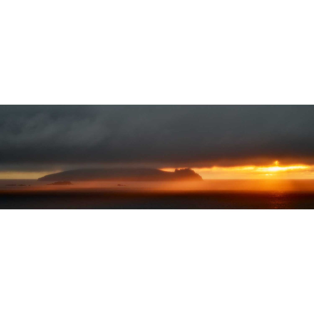
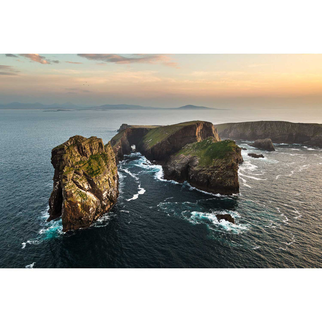
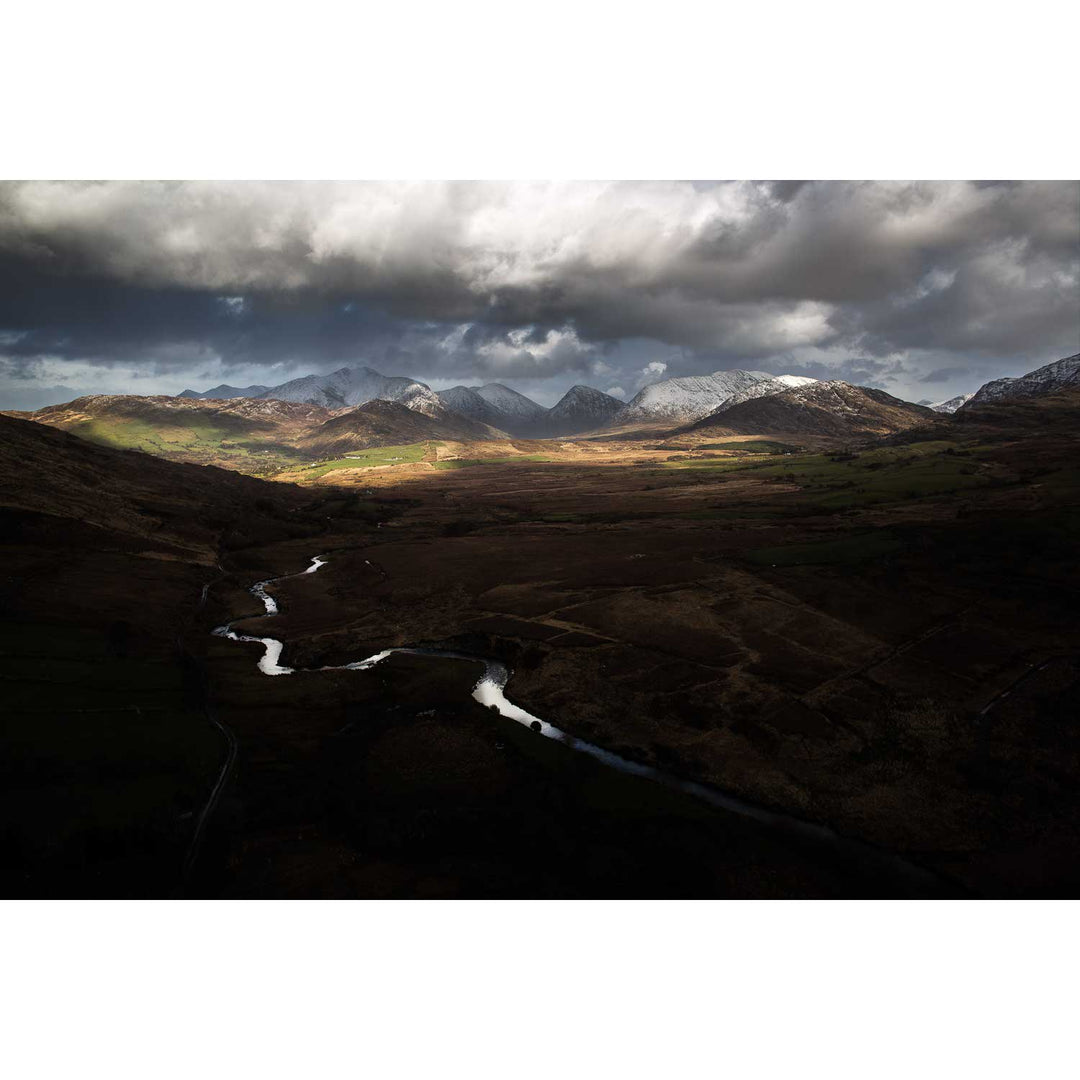
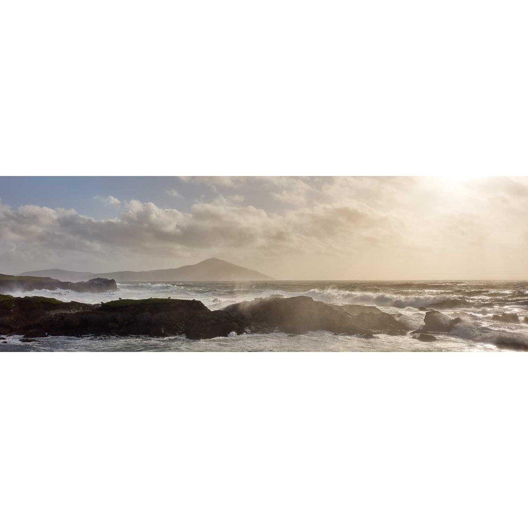
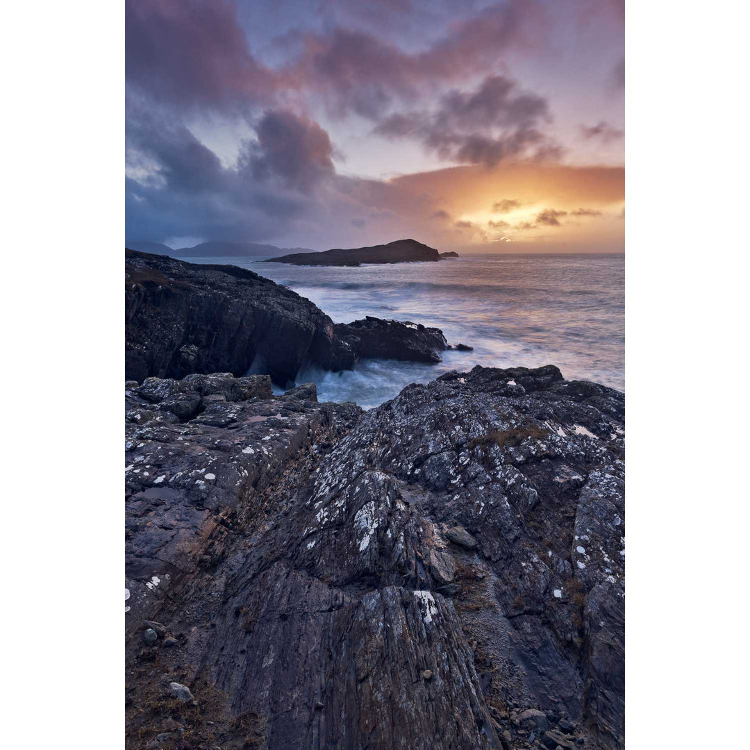
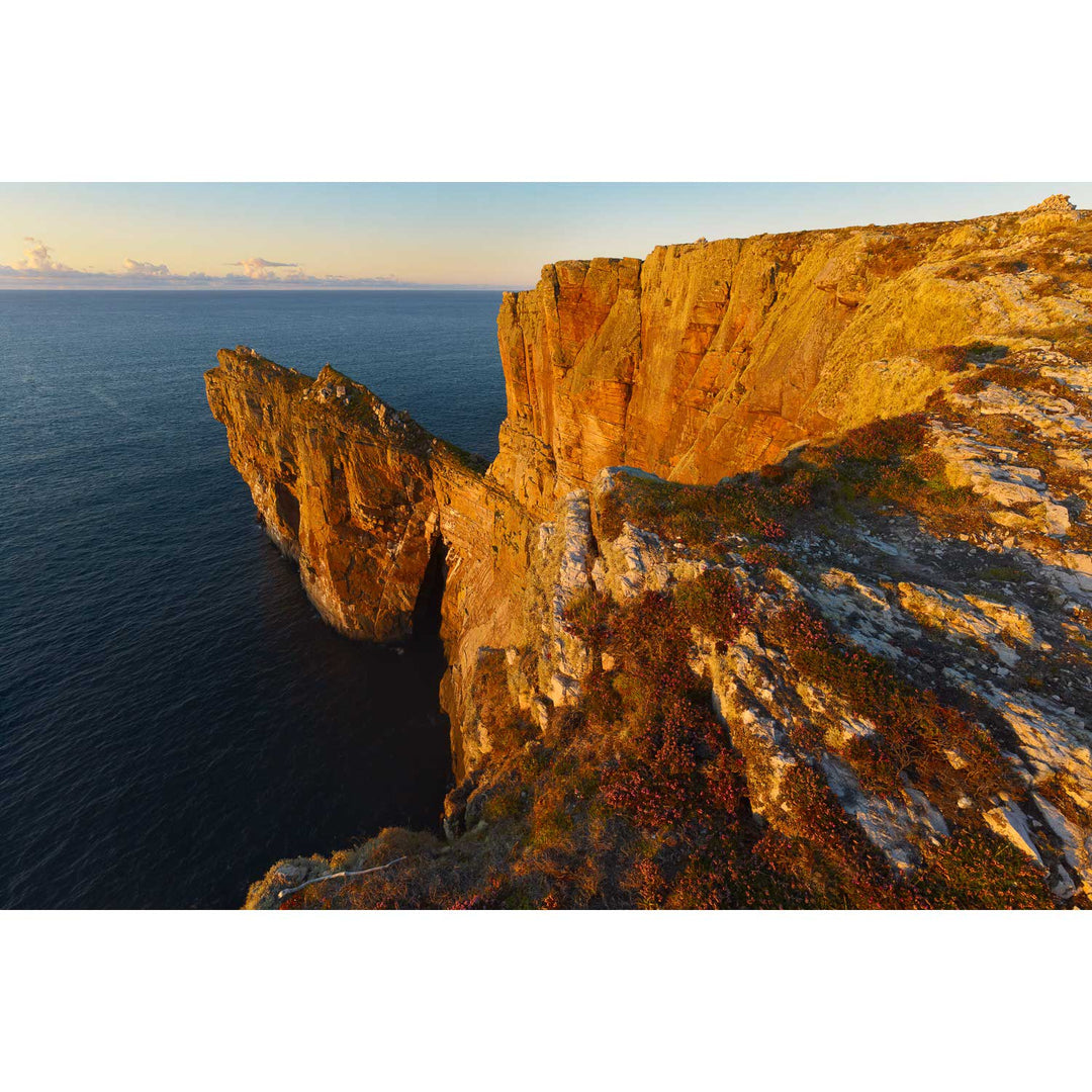
Poll an tSéideáin Panoramic, Inis Meáin, Aran Islands, Co. Galway
I am delighted with my purchase of the above photograph. We ordered it framed and it is just beautiful. The perfect engagement present for our friend's who got engaged in Inis Meáin.
A
Andrew
Just like the view we saw in real life
I ordered the view of the cliffs in Inis Meain as we had been there and seen the seascape just as it is portrayed in the photo. In the frame on the wall it is just as good as I hoped and I can look at it and remember the sea, the sky, the land and the noise of the waves. It’s so realistic.
Detailed size information is shown in the preview images as you make selections below.
Geokaun Mountain is the highest point on Valentia Island. In this classic panoramic view looking east, Fort Point and the Valentia lighthouse are visible in the bottom right. Beginish Island and Doulus Head also make an appearance.
I was even able to bribe some sheep to wander into the frame at left for the authentic rural Irish experience!
Detailed size information is shown in the preview images as you make selections below.
Inis Tuaisceart, or as it's also known, the Sleeping Giant or an Fear Mearbh is blanketed in low cloud as the sun sets behind it, illuminating the sea around it with rich golden light.
Detailed size information is shown in the preview images as you make selections below.
Ireland's coast is at its best during stormy weather. Nowhere more so than the tip of the Dingle peninsula.
In this image, the Great Blasket Island is battered by storm force winds and large waves as the sun sinks to the horizon.
Detailed size information is shown in the preview images as you make selections below.
Jagged rocks just off the western end of Inis Tiaracht, these rocks mark the westernmost extremity of Ireland. There's nothing between here and the east coast of North America except thousands of miles of open ocean.
Detailed size information is shown in the preview images as you make selections below.
An Tiaracht is an island of many names. Also known as Inishtearaght, The Tearaght and Tearaght Island, all these names mean the same thing - 'The Westerly', or 'Westerly Island'. This is a pretty good description, as not only is it the westernmost of the Blasket Islands, it's also pretty much the westernmost point of Europe, with the exception of the nearby Foze Rocks.
In my opinion, the lighthouse on the island, which was constructed in 1870 and made automatic in 1988, is the most dramatic of any of the lighthouses around the coast. It's also one of the least well known as it's invisible from the mainland - sitting as it does on the western end of the rock.
The island is a pair of jagged, steep-sided pyramids reaching a maximum height of 656 feet above the sea. Joining them is a saddle pierced by a natural tunnel. The light itself is at a height of 275 feet on top of a 55 foot tower.
This image was made during a maintenance flight out to the lighthouse, but due to the stormy conditions we were unable to land. However, it did provide me an opportunity to photograph the island as it was pounded by an angry sea.
Detailed size information is shown in the preview images as you make selections below.
This was one of the finest sunrises I've ever experienced. The combination of clear skies in the northeast and low cloud and fog on the mountain allowed this dramatic composition including the sun, filtered through layers of mist.
Detailed size information is shown in the preview images as you make selections below.
Lemon Rock is the third island in the trio including its much more famous sisters, the Great and Small Skelligs. The three form a straight line leading into the Atlantic from the Iveragh peninsula.
Standing 20 metres above the water, when viewed close-to it is dramatic. I photographed it at sunrise on a fine spring morning.