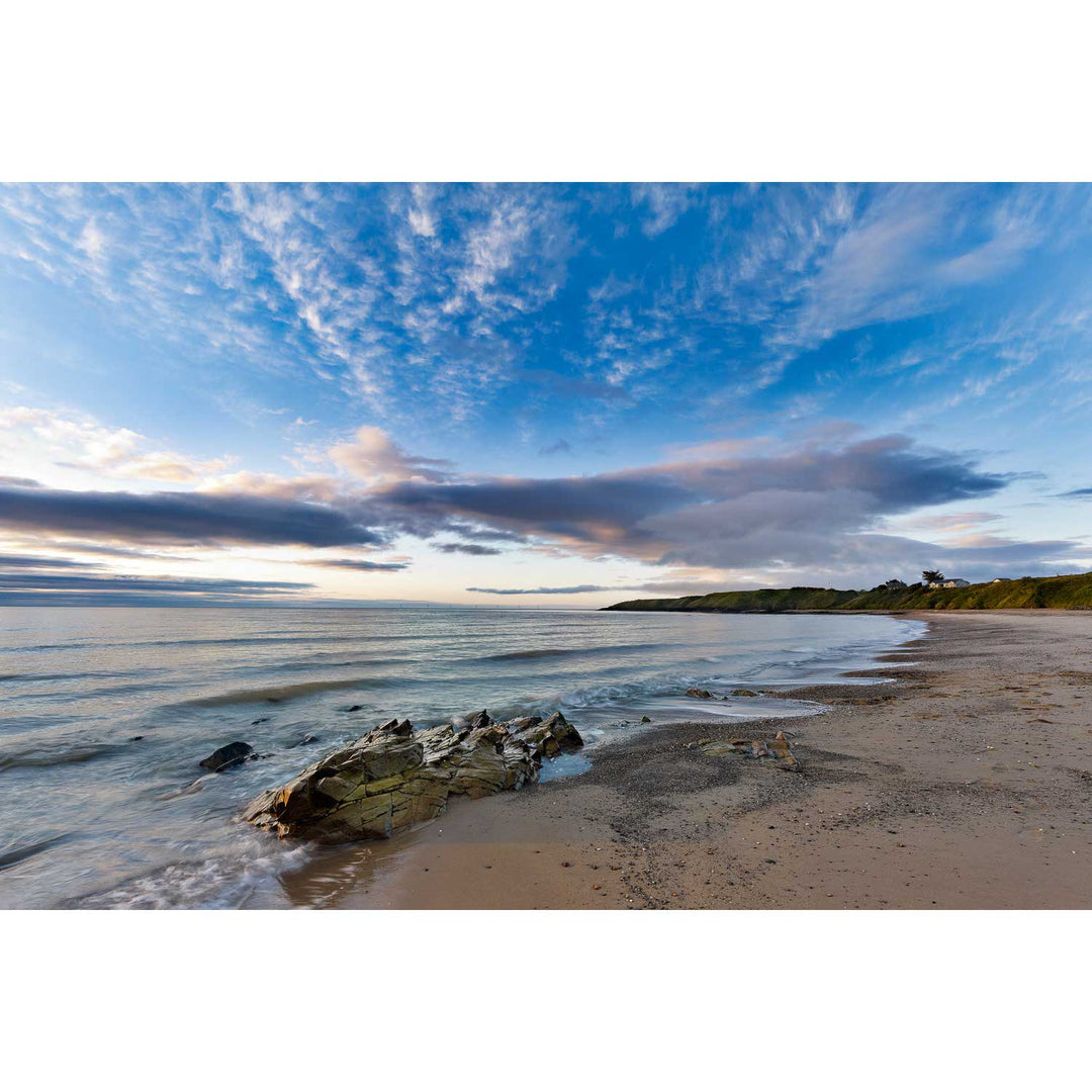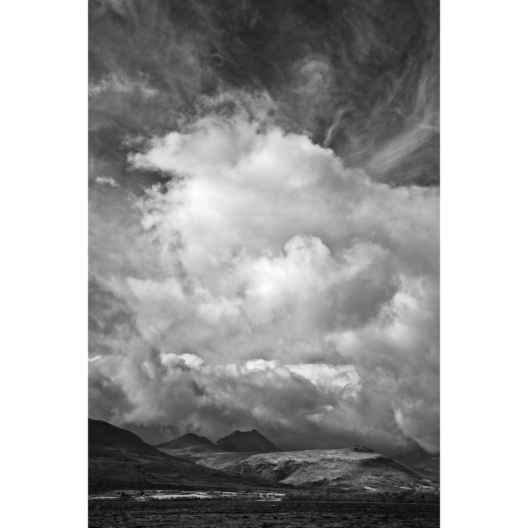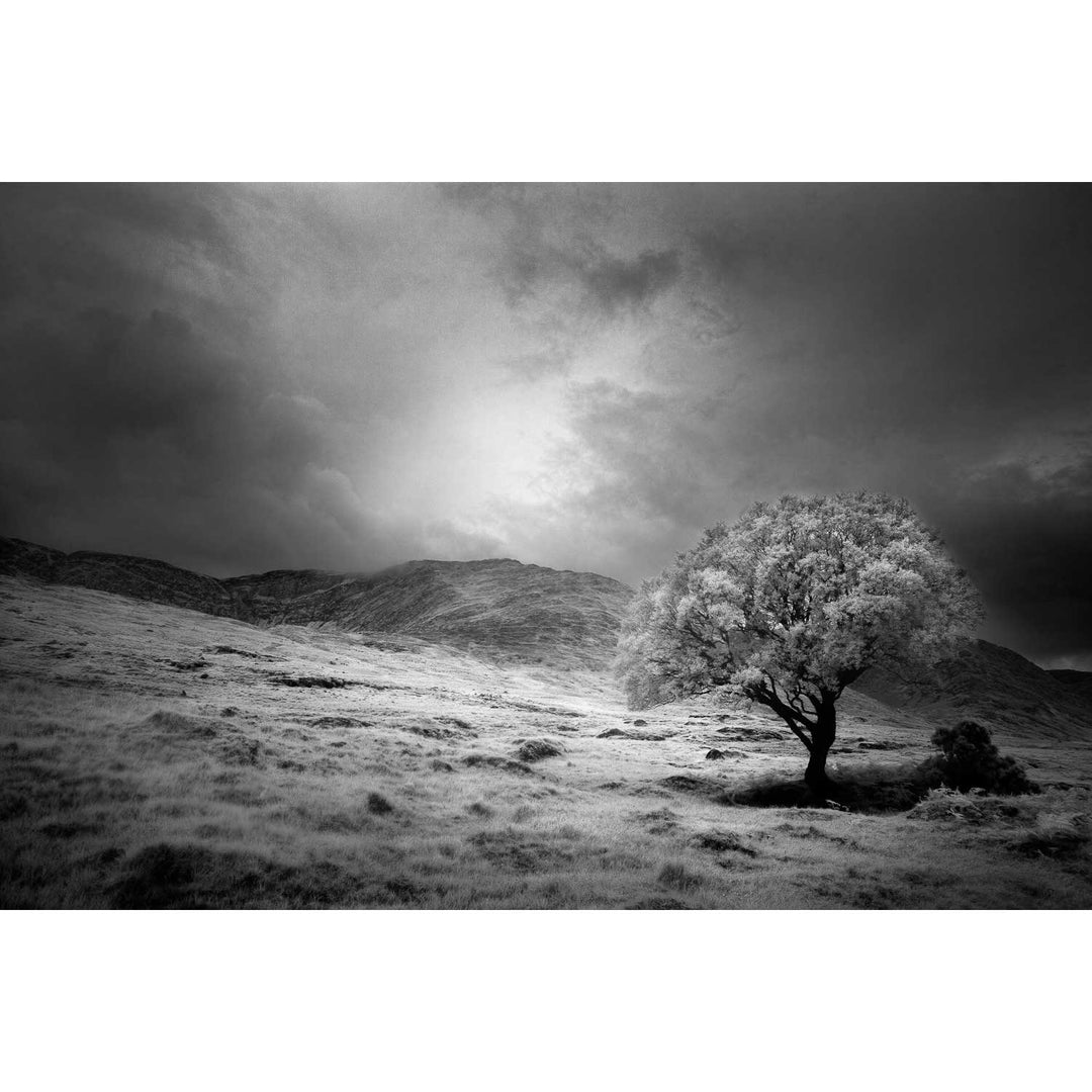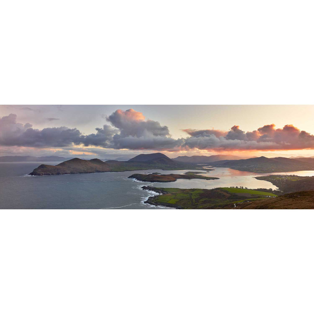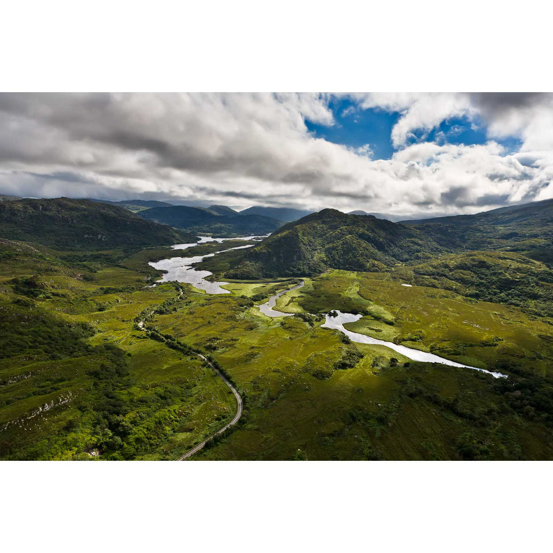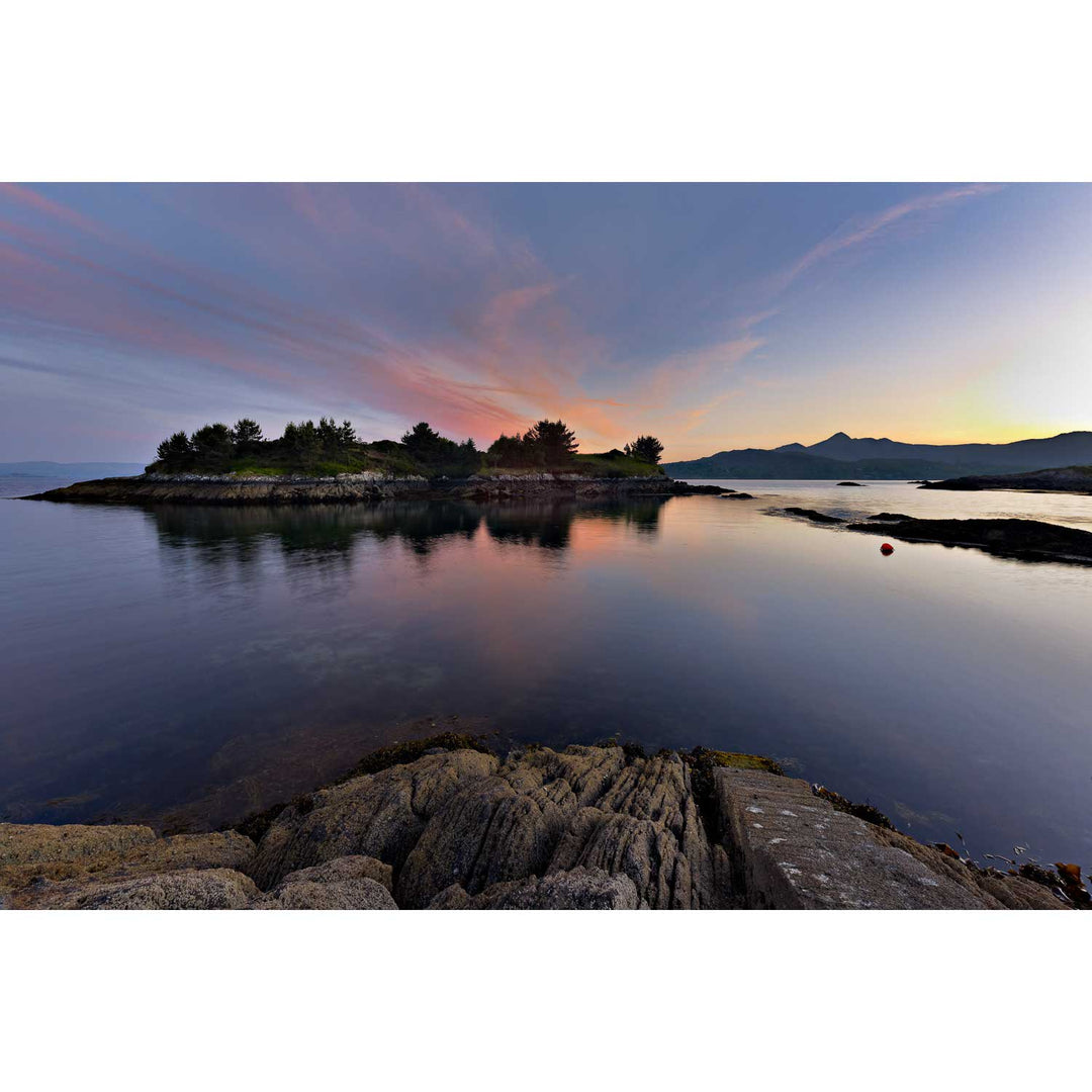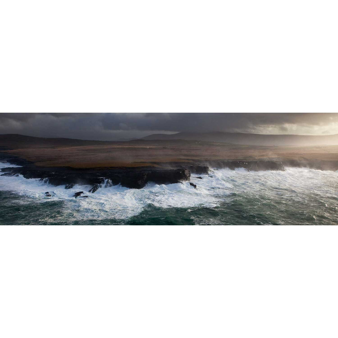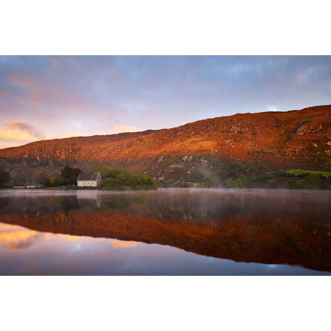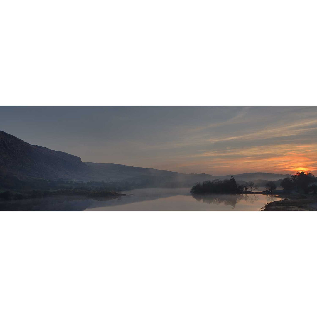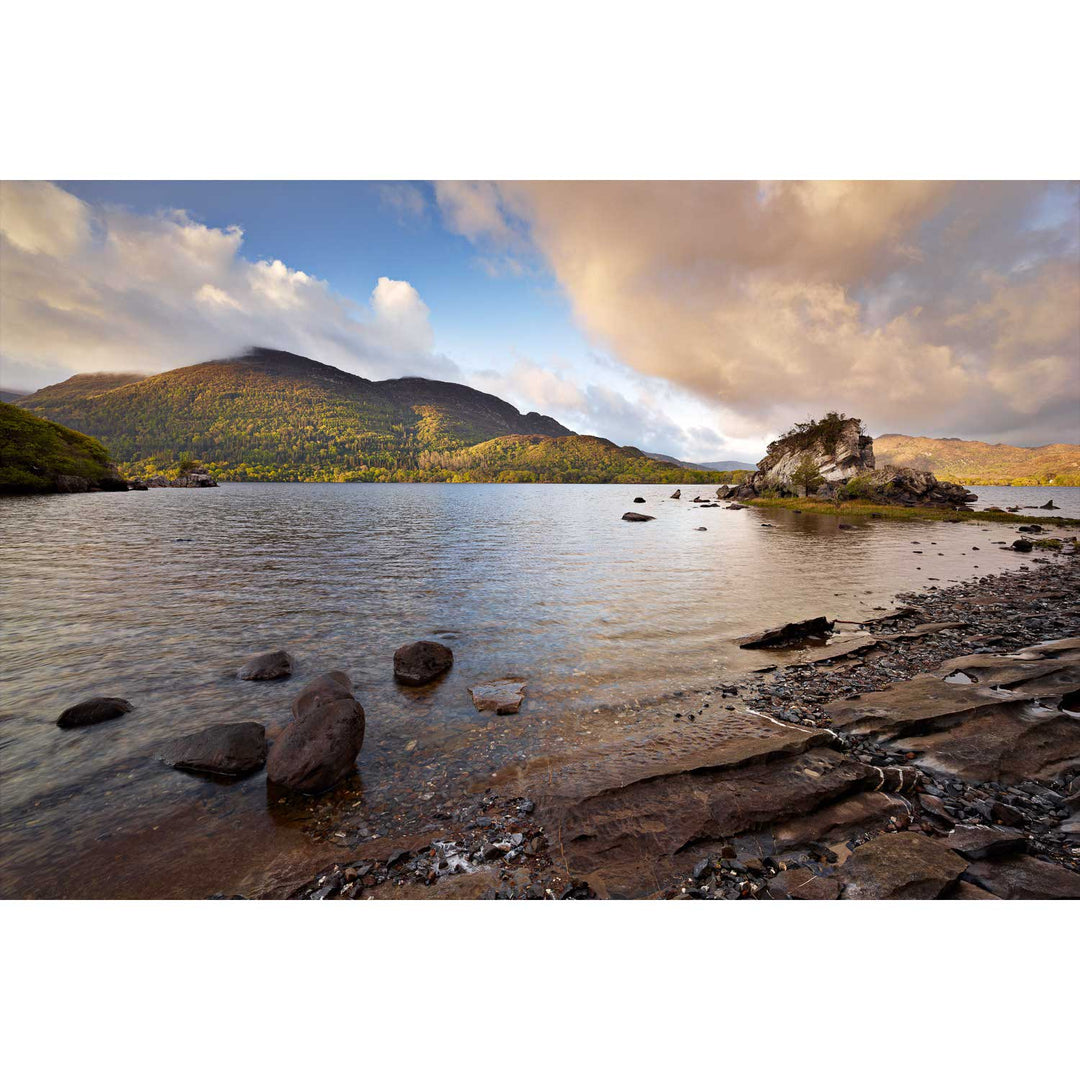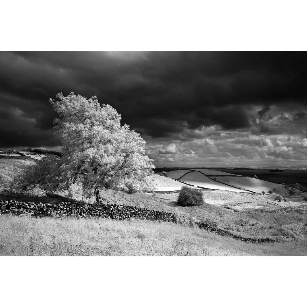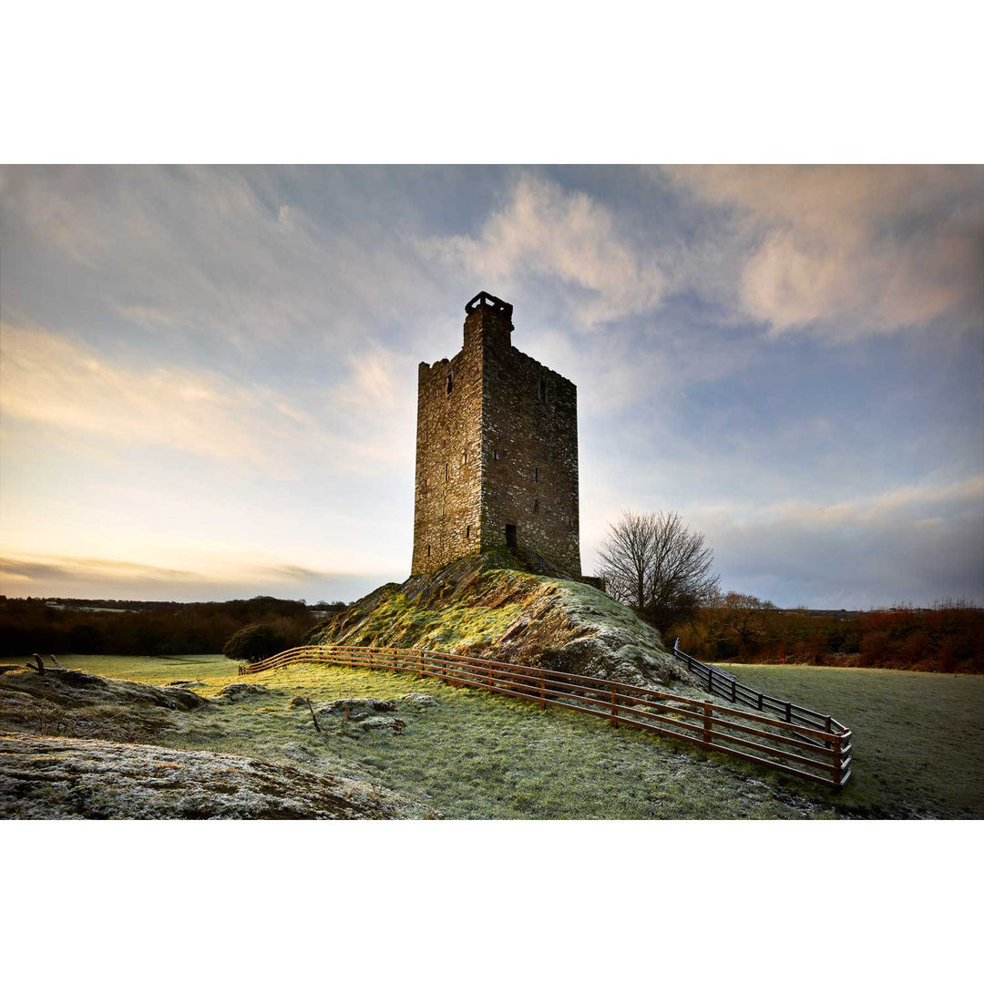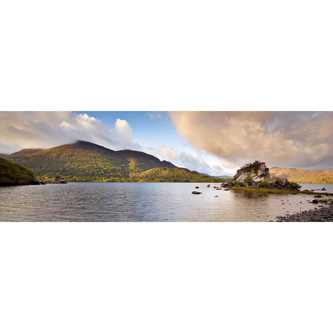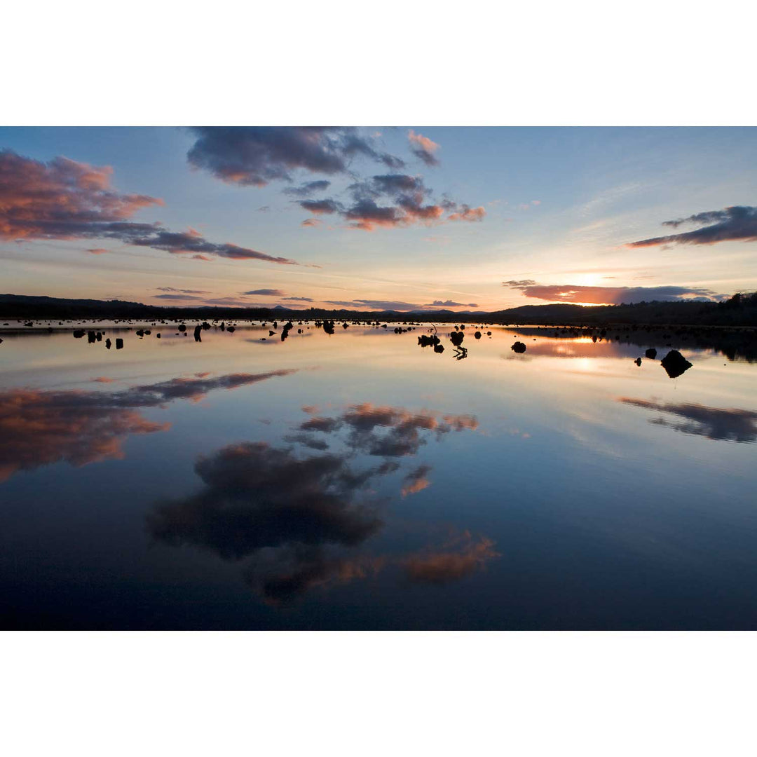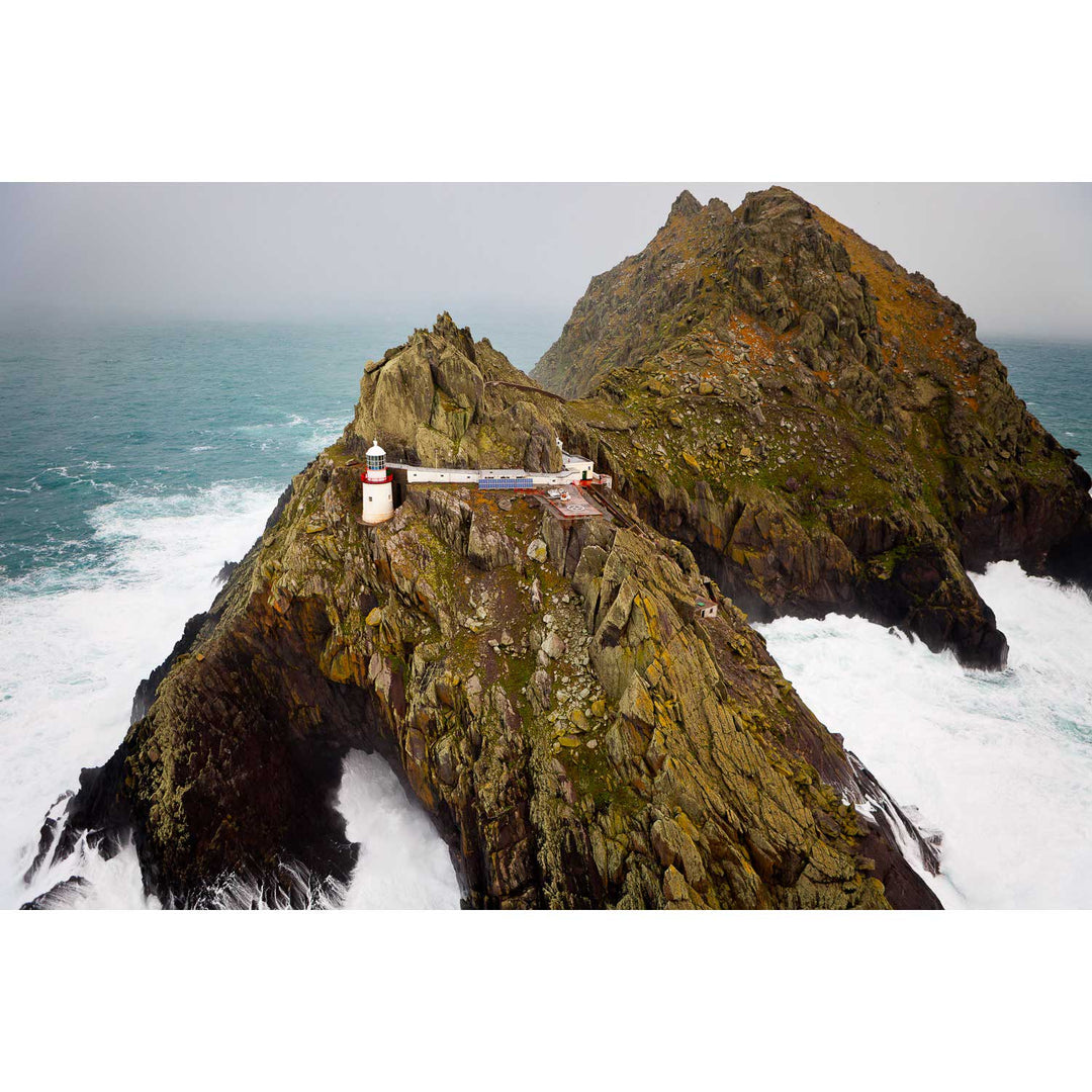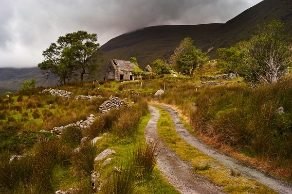
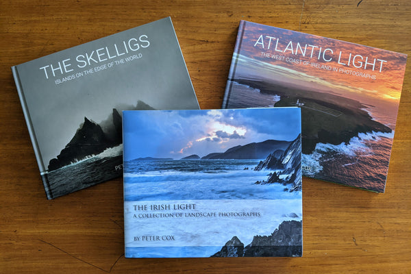


Photographs from "The Irish Light"
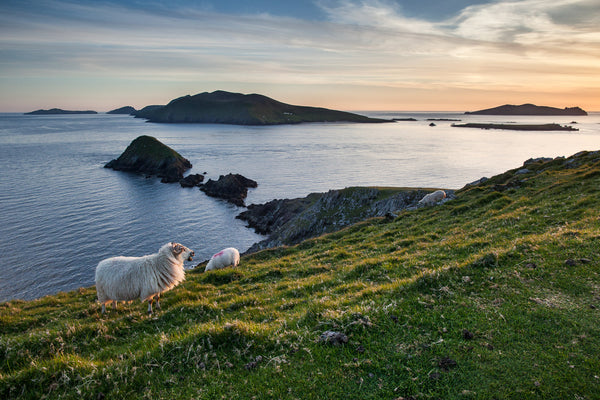
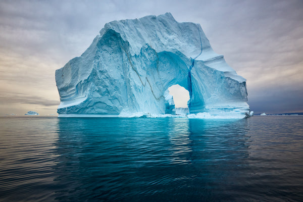
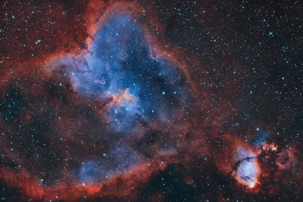
The Irish Light was my first book, and putting it together forced me to look back at years of work across this island. From the Skellig coast to the headlands of Donegal, from familiar Cork shorelines to quiet corners of the Dublin I grew up in. Every photograph in that collection marks a specific morning or evening when the light did something I wasn't expecting.
All of the images from the book are available here as fine art prints. I'm delighted to finally have them gathered in one place! If a particular photograph caught your eye in the book, this is where you'll find it.