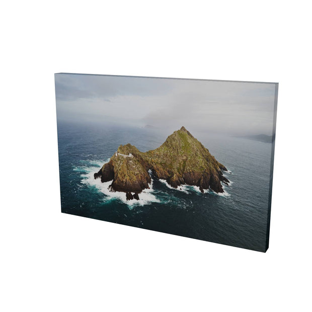
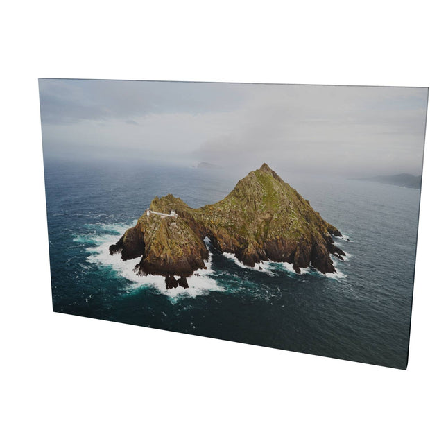
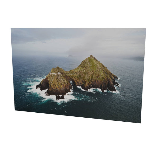
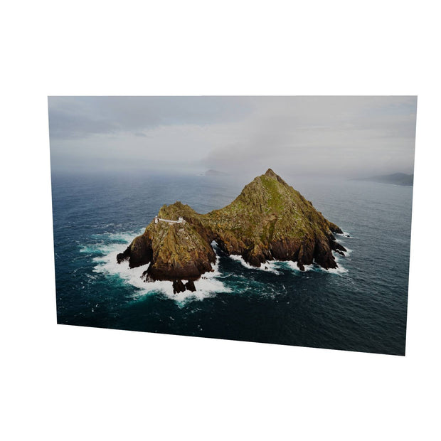
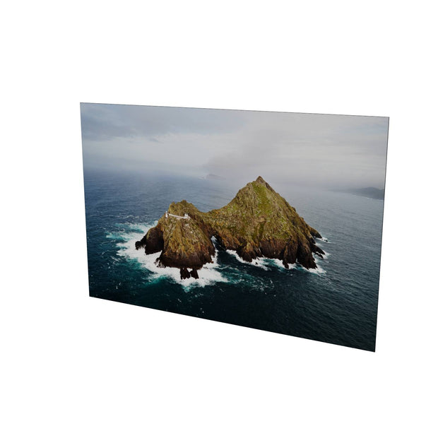
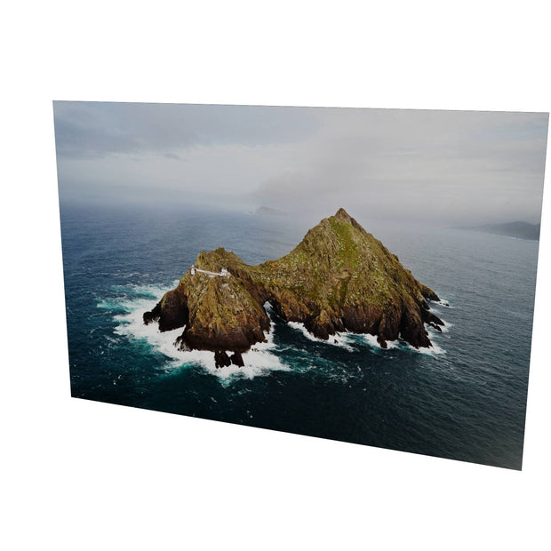
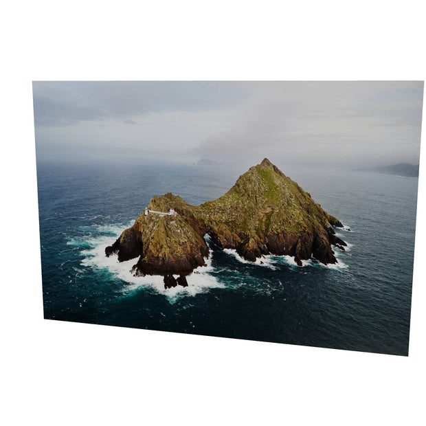
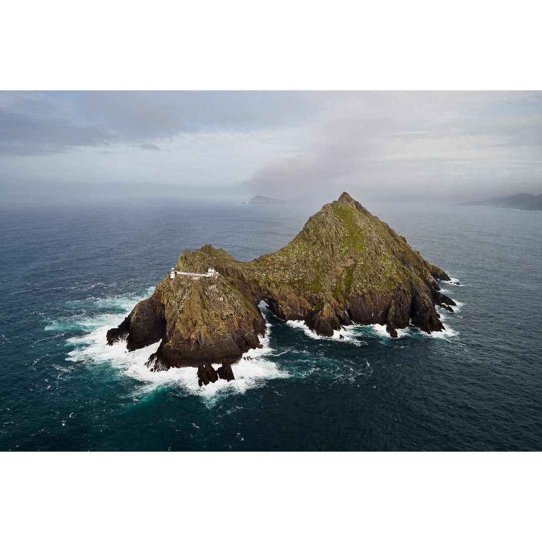
An Tiaracht, Blasket Islands, Co. Kerry

An Tiaracht, Blasket Islands, Co. Kerry

An Tiaracht, Blasket Islands, Co. Kerry

Regular price from €30.00
/
Tax included. Free shipping on all prints!

Detailed size information is shown in the preview images as you make selections below.

Only 0 items in stock!

An Tiaracht, otherwise known as Inishtearaght, or Tearaght Island is the most westerly of the Blasket group in Kerry and that makes it the most westerly point of Ireland and also Europe.
I attempted a visit here in December 2009, but the helicopter couldn't land due to unfavourable winds. On this occasion we were able to land, and the visibility was better, to boot.
This image was made as we were leaving the island and shows the major features very well. Inishtearaght is really two islands connected by a natural arch - the lower peak is 106 meters high and has the lighthouse built on it. The lantern is at about 84 meters above high water. The higher peak is just about 200 meters high and thwarted my attempts to climb it - for more detail see my account on the blog.
This island is an inhospitable place. There was never any permanent habitation there that we know of before the lighthouse was completed in 1870, but I did hear recently that there's some evidence to suggest that the Skellig monks may have attempted to build something here. I have nothing to substantiate this, however - if anyone knows differently please contact me and let me know.
Also visible in this photograph is the inclined railway which was used to haul supplies up from the derrick landing lower on the slope to the lighthouse itself. When the light was made automatic in 1988, the railway was decommissioned, but until that point it was the westernmost railway in Europe.
On the horizon above the island is visible Inis Tuaisceart, the northernmost of the Blasket group. Part of the Great Blasket is visible to the right of frame.

Customer Reviews

No reviews yet
0%
(0)
0%
(0)
0%
(0)
0%
(0)
0%
(0)

Problem, solved

Buy now

See how we make your print

and prepare your order

the landscape you love

Bring your memories home

Impressive

Large prints are windows

A really large print can be a significant investment, but you'll love the portal it opens into a fantastic landscape for a lifetime to come.

attention to detail

individually prepared

Customer Reviews

No reviews yet
0%
(0)
0%
(0)
0%
(0)
0%
(0)
0%
(0)