


Kerry
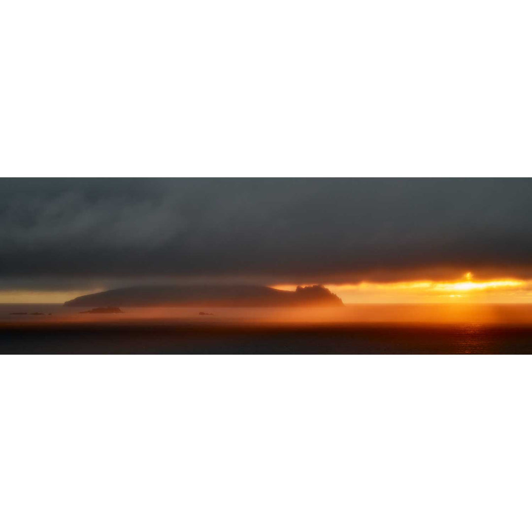
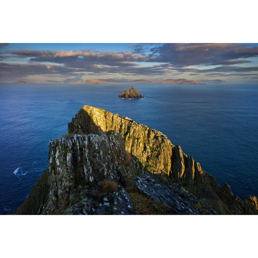
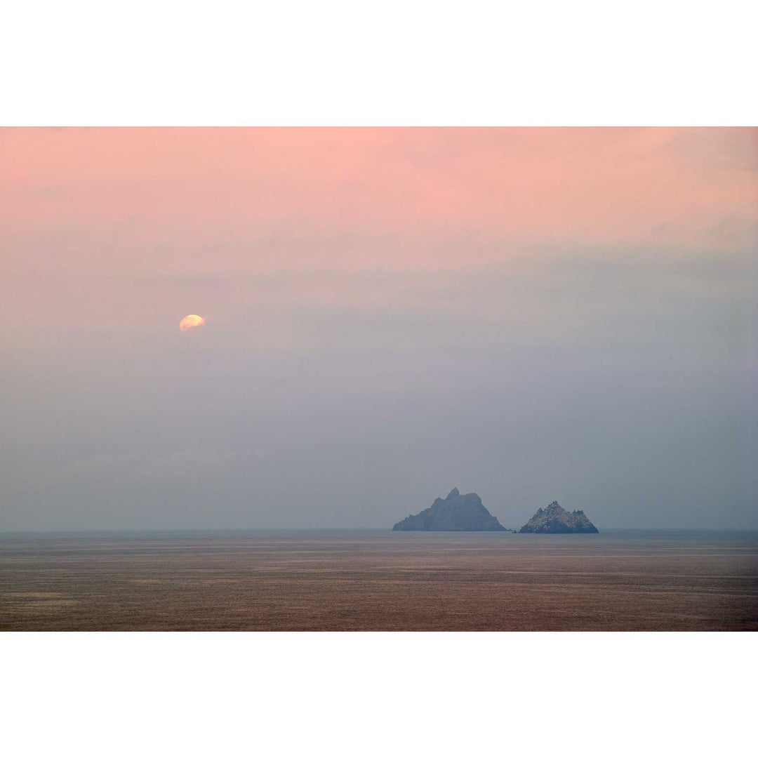
Kerry is the county next door to my native Cork, and yet it never feels ordinary. From the first time I drove the Coomakista Pass and saw the Skelligs rising out of the Atlantic like two dark teeth, I knew this coastline would keep pulling me back. It has, for decades now.
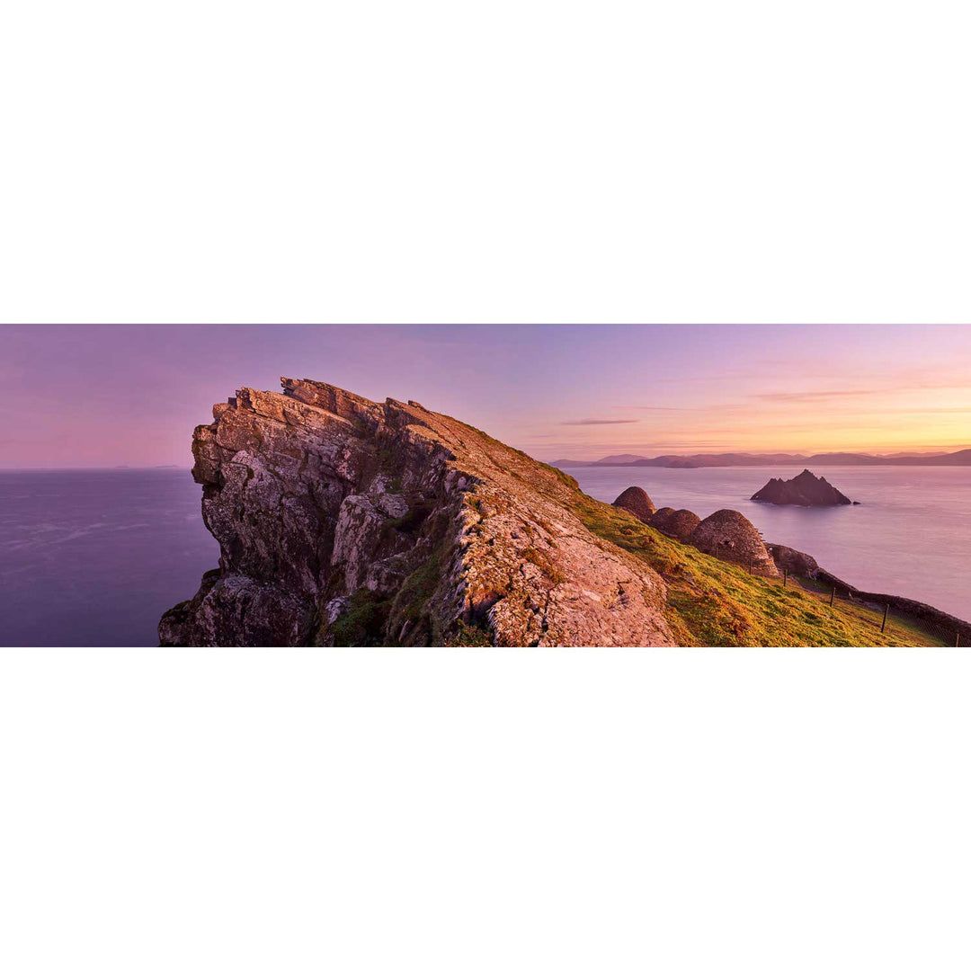
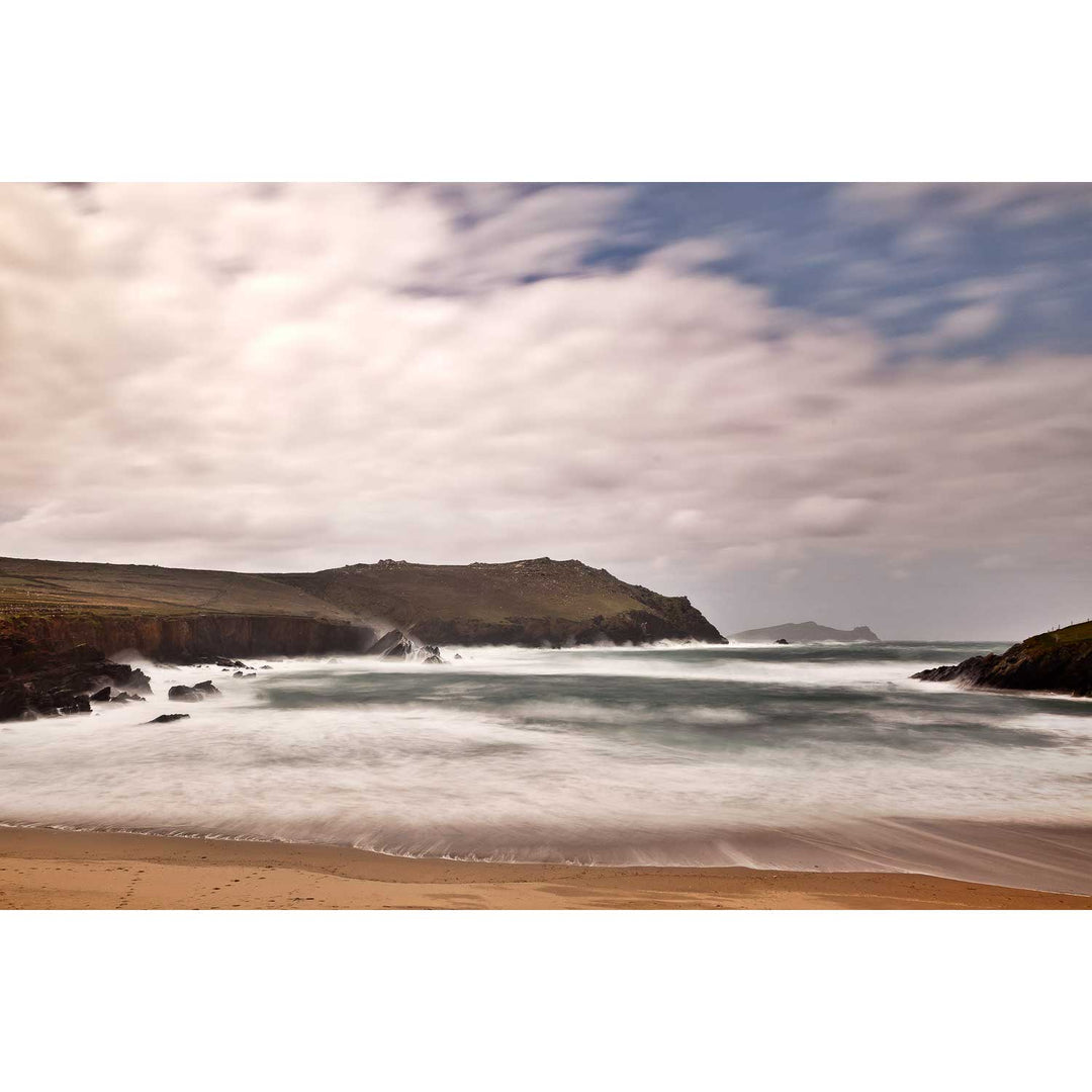
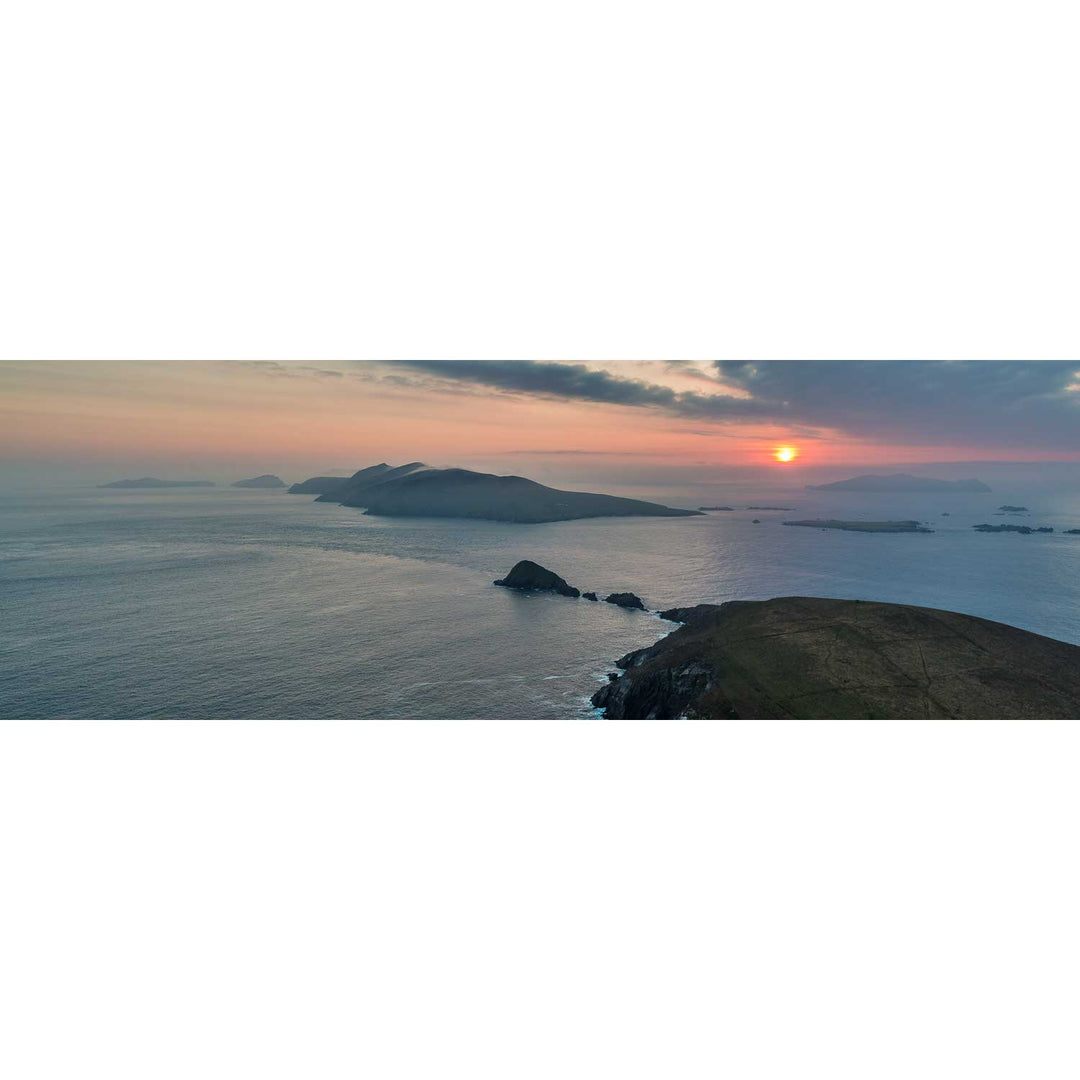
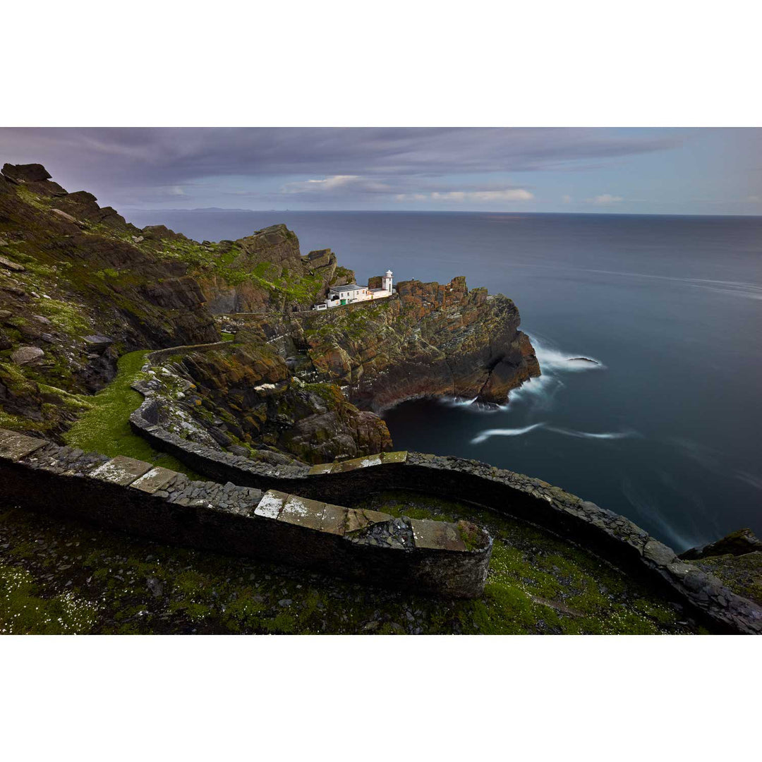
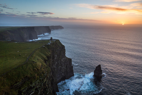
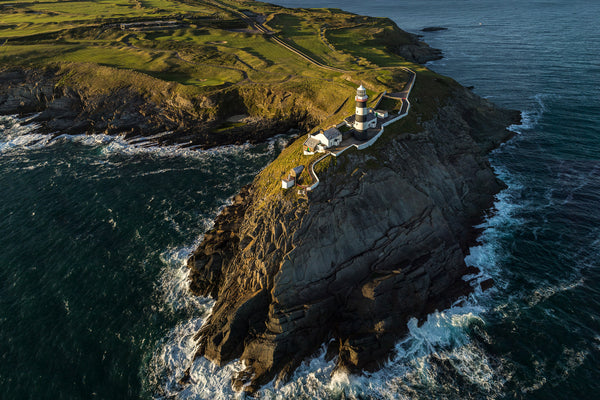
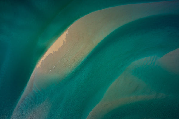
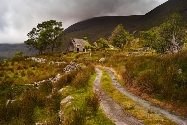
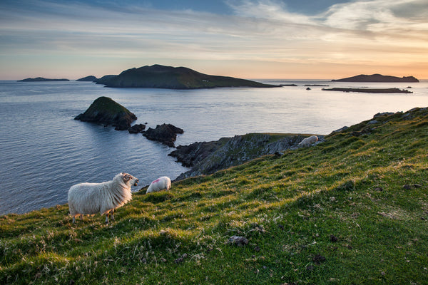
The Dingle Peninsula alone could occupy a lifetime. Slea Head in a winter storm, the Three Sisters under clearing skies, the quiet harbour at Dunquin where the naomhógs still launch for the Blaskets. Further south, the Ring of Kerry unfolds its own drama. Valentia Island and its slate-grey cliffs, the skeletal lighthouse at Cromwell Point, Ballinskelligs Bay at low tide when the light turns the sand almost gold. Every season changes the place entirely!
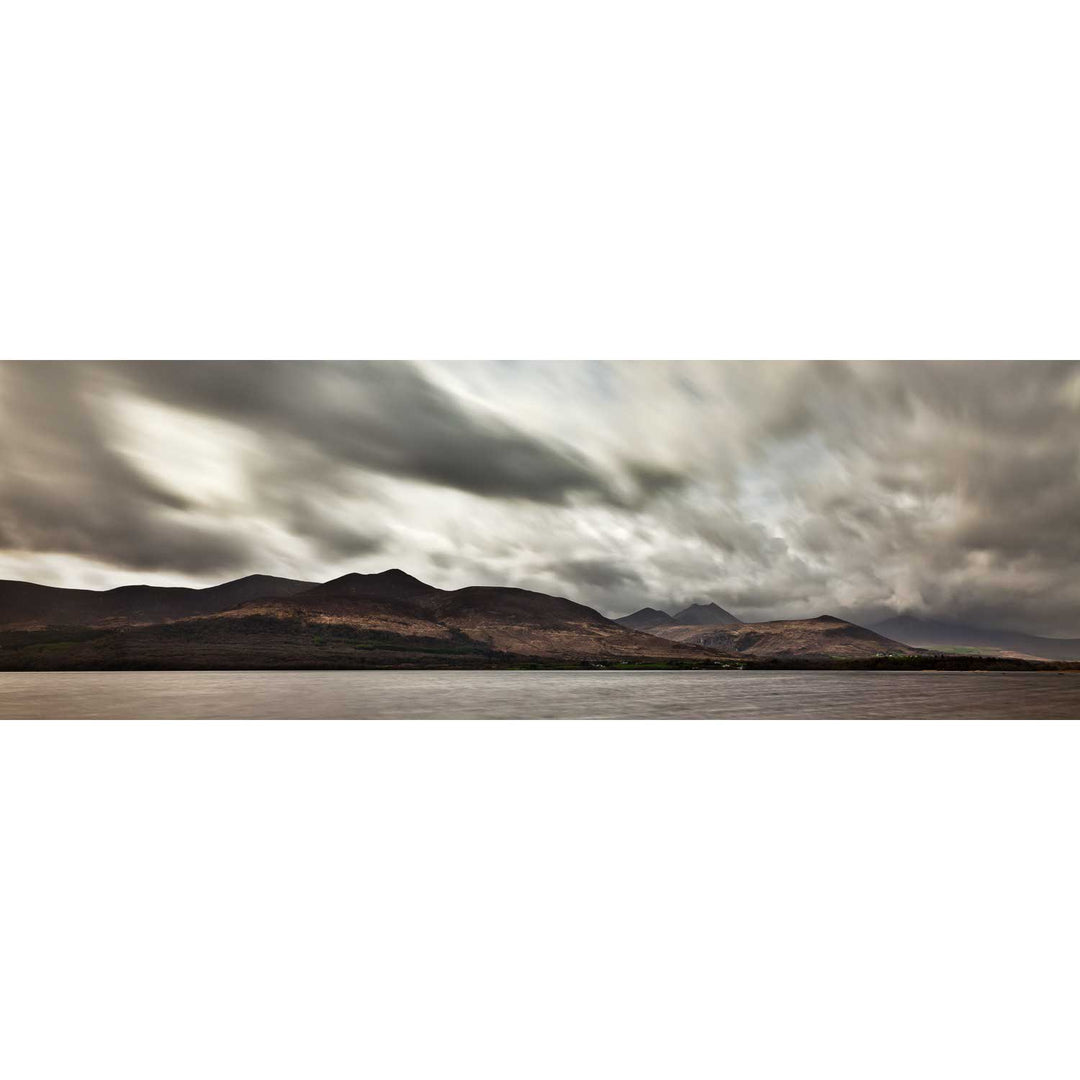
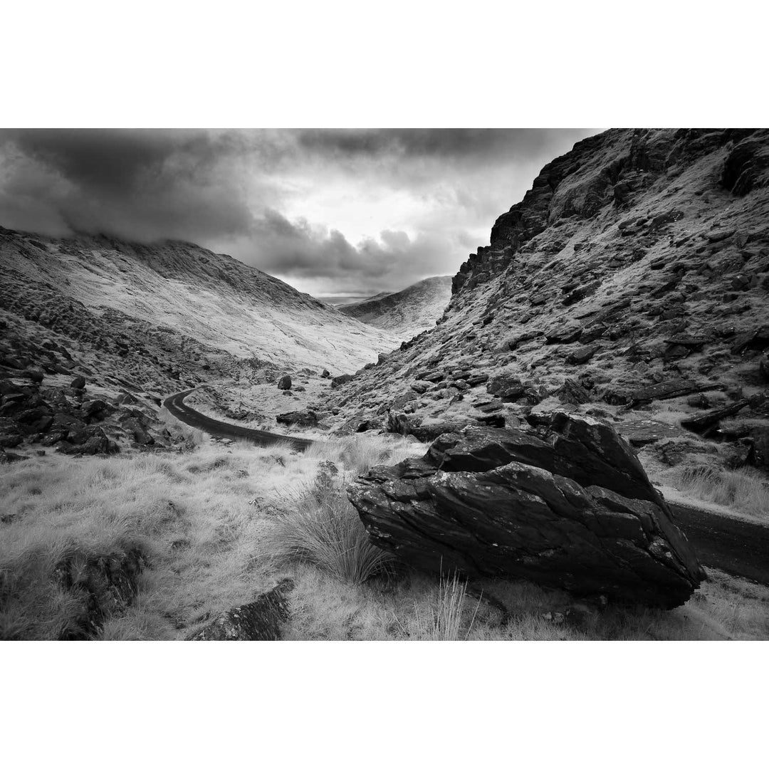
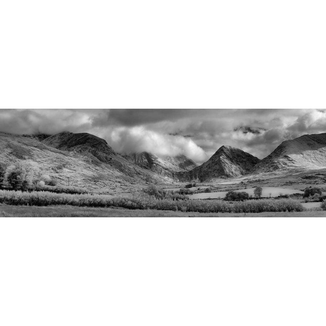
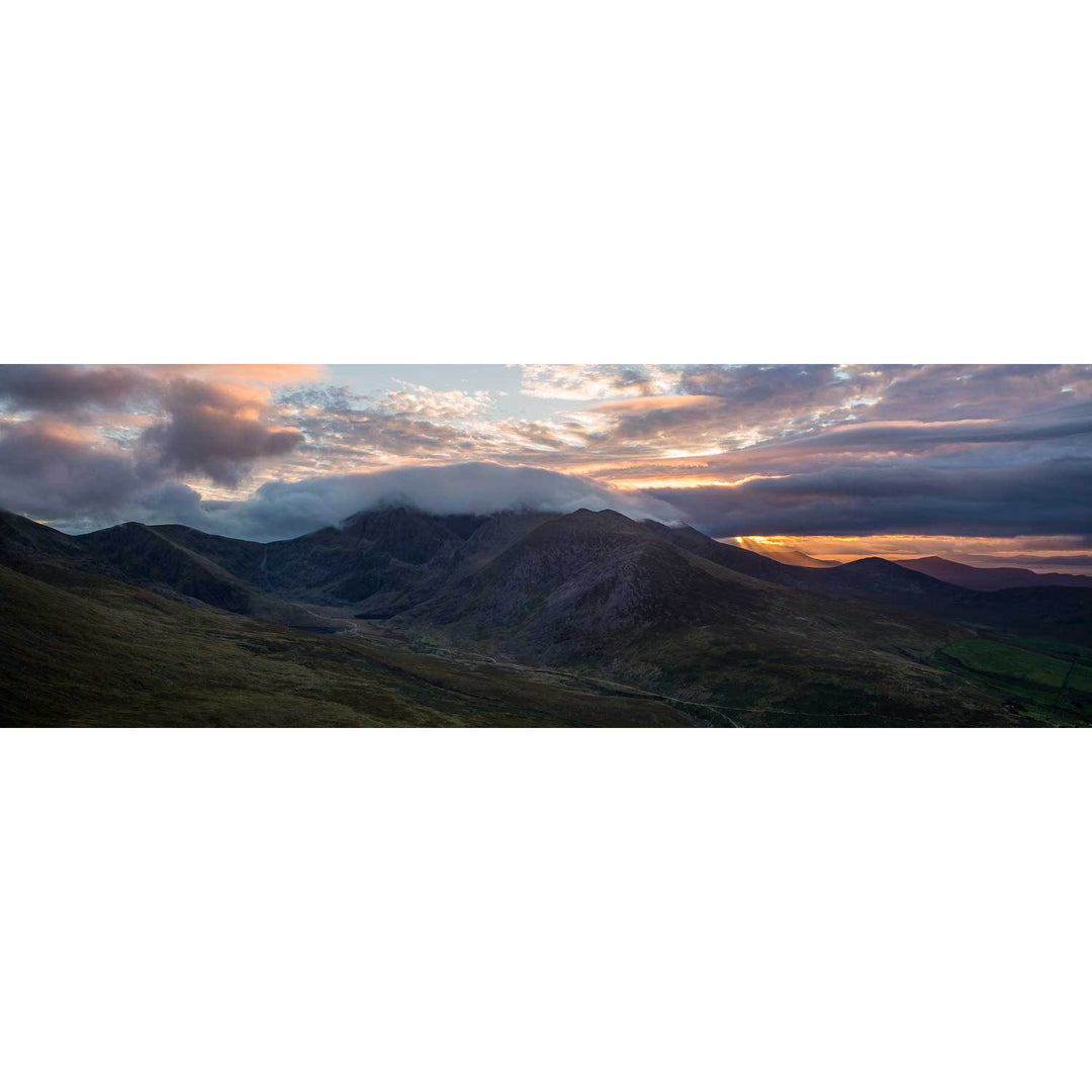
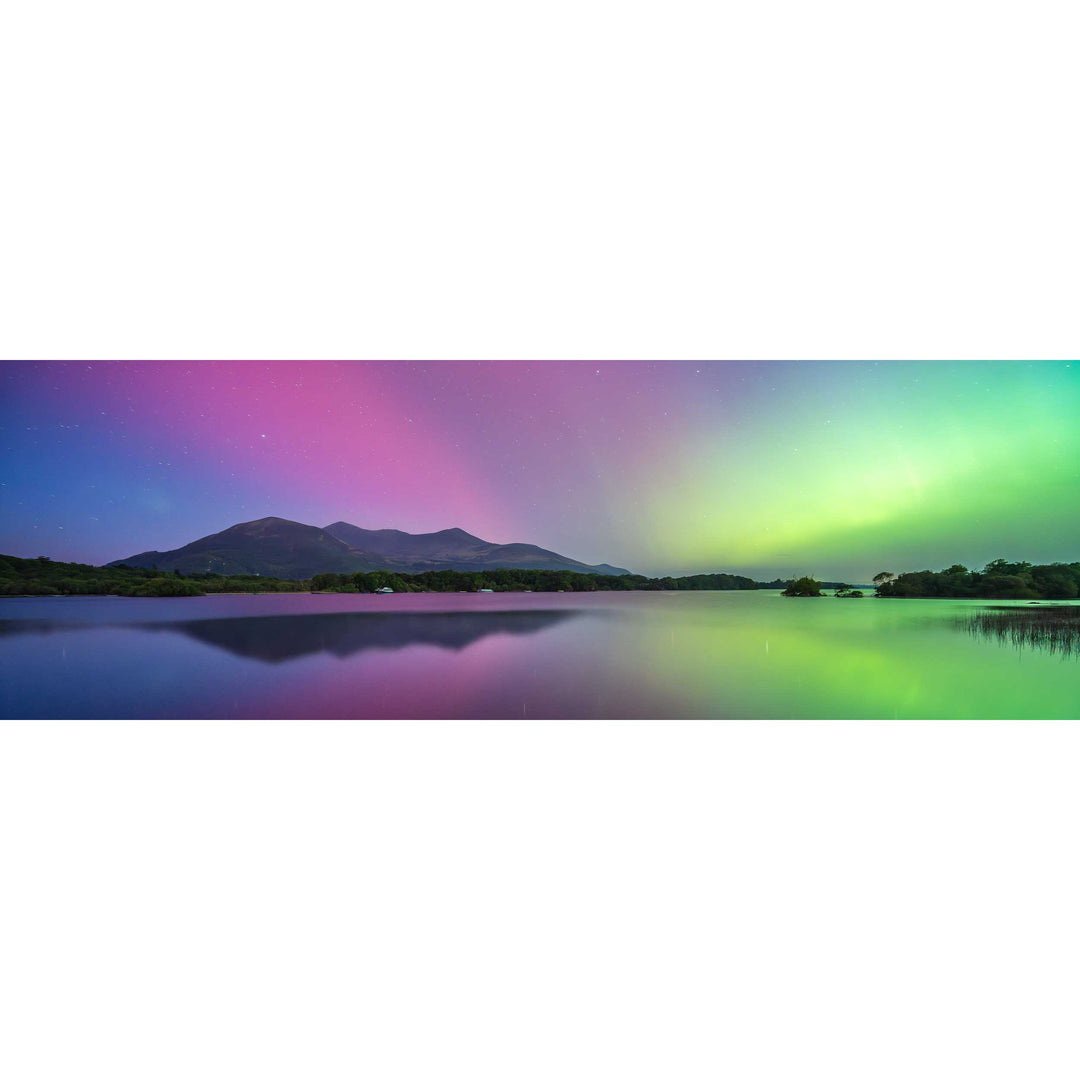
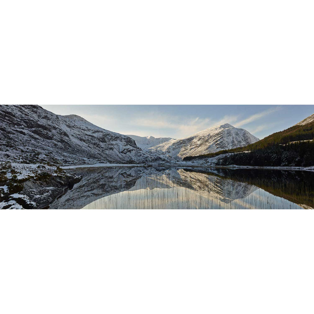
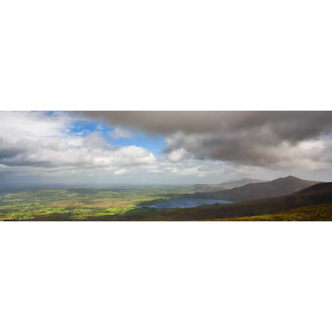
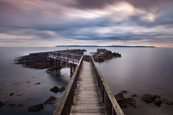
This collection draws from all of it. The wild Atlantic coastline from Rossbeigh to Derrynane, the mountains of the Iveragh and the waters beyond. Familiar ground, but never the same twice.